
Regional summary of 58 dive sites. Figures are averages across the sites that report them (n = sites with a value); each site's own page has its individual values. Part of the Australia (GBR) overview.
⬇ Download this region as a report card
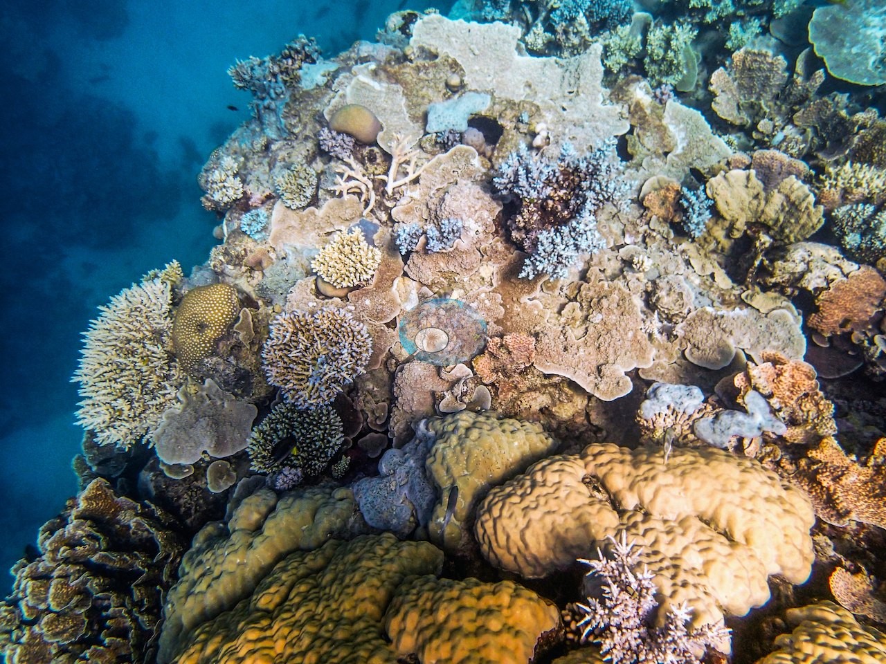

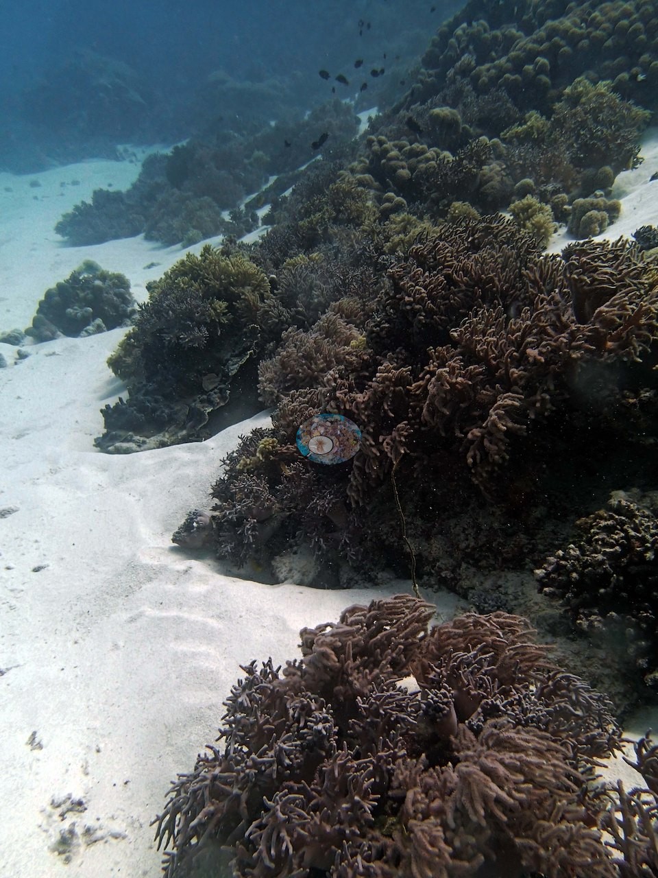
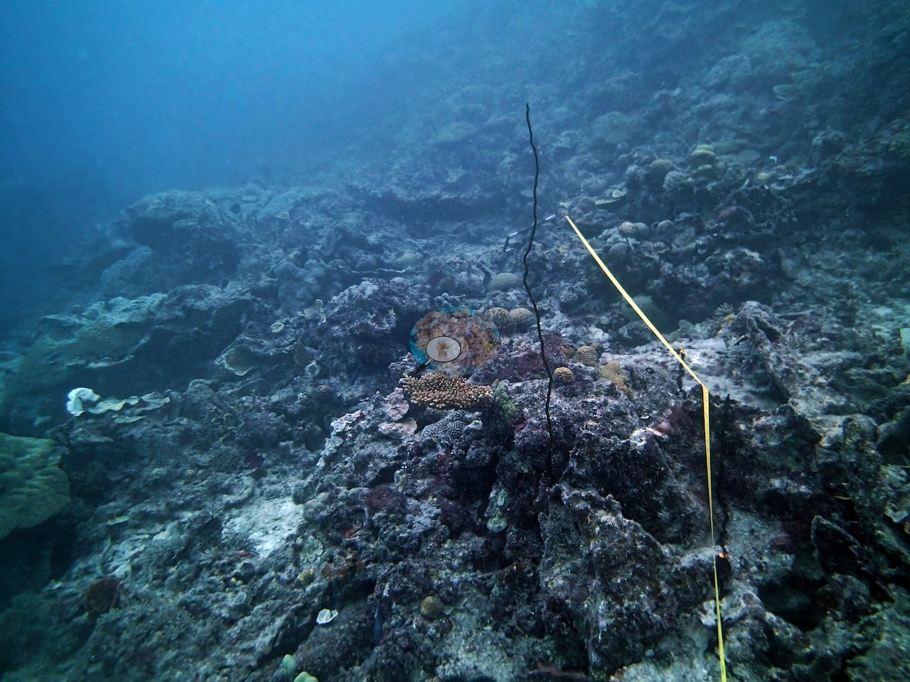
Fifty-eight Pink stations on Preservation Zone reefs, the far northern Great Barrier Reef's strictest tier, surveyed in 2014, include giant bommie mazes, walls past 50 m, and a Ribbon Reef 6 pinnacle Anderson called the mission's most beautiful site. Protection did not guarantee health, as crown-of-thorns starfish and sediment hit Williamson Reef hard.
Heat stress
Long-term record: 7 years since 1985 reached 8 or more °C-weeks at NOAA’s Far Northern GBR, Northern GBR stations. Download the annual DHW data (CSV).
58 sites in this region — click a marker to open that site.
Regional setting
The northern Great Barrier Reef, as Spalding et al. (2001) describe it, lies on a narrow continental shelf, usually under 50 km wide north of Raine Island, whose outer edge is marked by ribbon reefs: slender reefs a few hundred meters wide and up to 25 km long, perched on the shelf break and separated by narrow passes. Inside that outer line are mid-shelf and inner-shelf reefs, wide submerged Halimeda banks, and some of the few fringing reefs on the GBR that directly adjoin the mainland. Raine Island, just off the shelf, hosts the world's largest green turtle nesting populations, and Lizard Island and the Flinders group, two of the few high islands, have extensive fringing reefs. Most of the reef system is thought to have formed within the last 500,000 years, with the current phase of growth dating back perhaps 8,000 years. Diversity is highest in the north, where most of its 350 or so coral species occur. Spalding et al. (2001) put Australia's national reef area at about 48,960 km², and Souter et al. (2021) give 35,487 km² for the GCRMN subregion comprising the Torres Strait–northern GBR, central–southern GBR, and Tweed–Moreton ecoregions. The atlas notes that the park's zoning plan kept strictly protected areas within a much larger multiple-use framework, and Wilkinson (2006) notes that the 2004 rezoning divided the Marine Park into 70 bioregions, with the aim of placing at least 20% of each under no-take protection.
Souter et al. (2021) date the main recent losses on the GBR to the back-to-back bleaching of 2016 and 2017, which together affected its northern two-thirds; in 2016 alone, about 30% of shallow-water coral in the northern third died. Algal cover on the GBR almost doubled between 1996 and 2019, reaching 40.3% in 2018, the same year average coral cover hit its low of 24%. Cyclones and crown-of-thorns starfish added to the damage, with most of the reef exposed to severe cyclones over the two decades before the report. Earlier, Wilkinson (2006) reported a fourfold rise in the yearly load of sediments and nutrients reaching the GBR, and Souter et al. (2021) still count agricultural sediments, nutrients, and pesticides among the threats to reefs near the coast.
Overview
This unit brings together the 58 far northern Great Barrier Reef stations coded Pink in Anderson's 2014 survey set. The stations are the expedition's Pink stratum, reefs in the Preservation Zone, the Marine Park's strictest tier, where entry itself is restricted and nothing may be taken; on the zoning map two Ribbon Reef 6 positions (AUR608 and AUR610) fall about 70 to 80 m into the adjoining Buffer Zone. The stations run from about 11 to 15.4°S and were surveyed by in situ transect between 4 September and 2 October 2014; recorded station depths ran from 5.3 m at AU61A66 (the other expedition team's survey depth) to 24.7 m at AUPE127. They cover Unnamed Reefs 61A and 11-091, plus Carter, Hilder, Milman, Parkinson, Pearson, Williamson, and Yule Detached Reefs, along with Ribbon Reef 6.
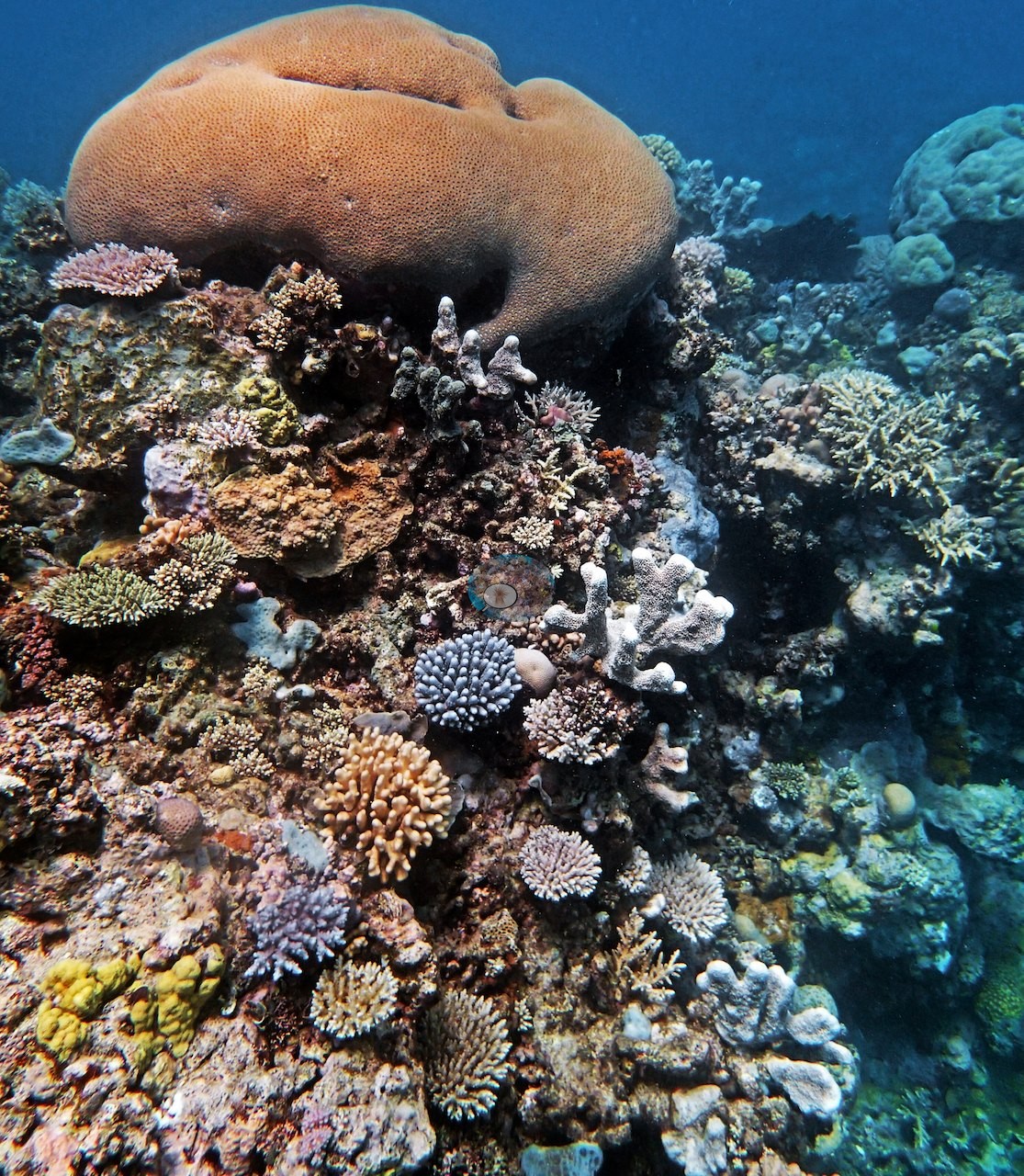
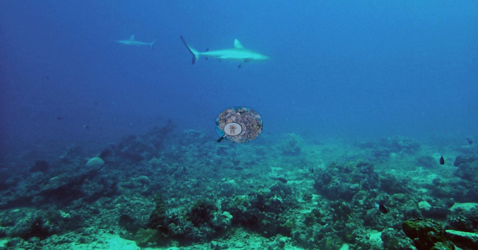
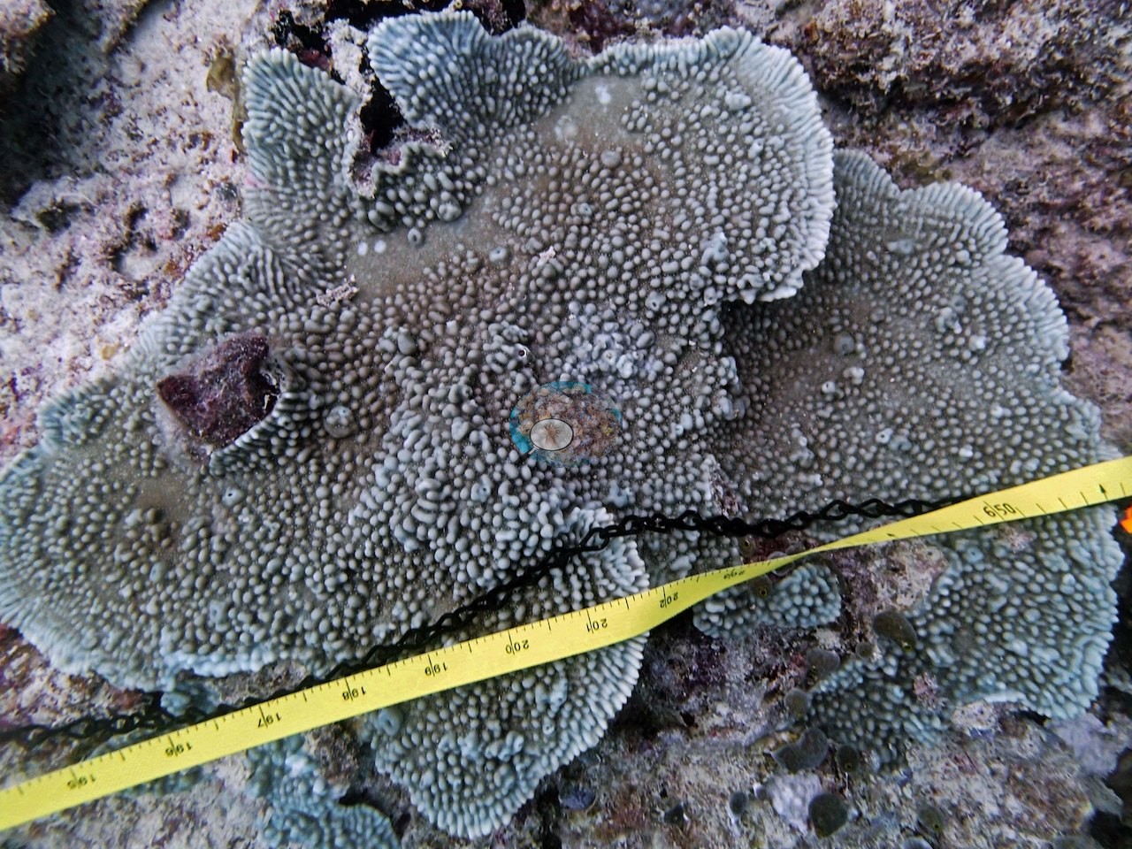
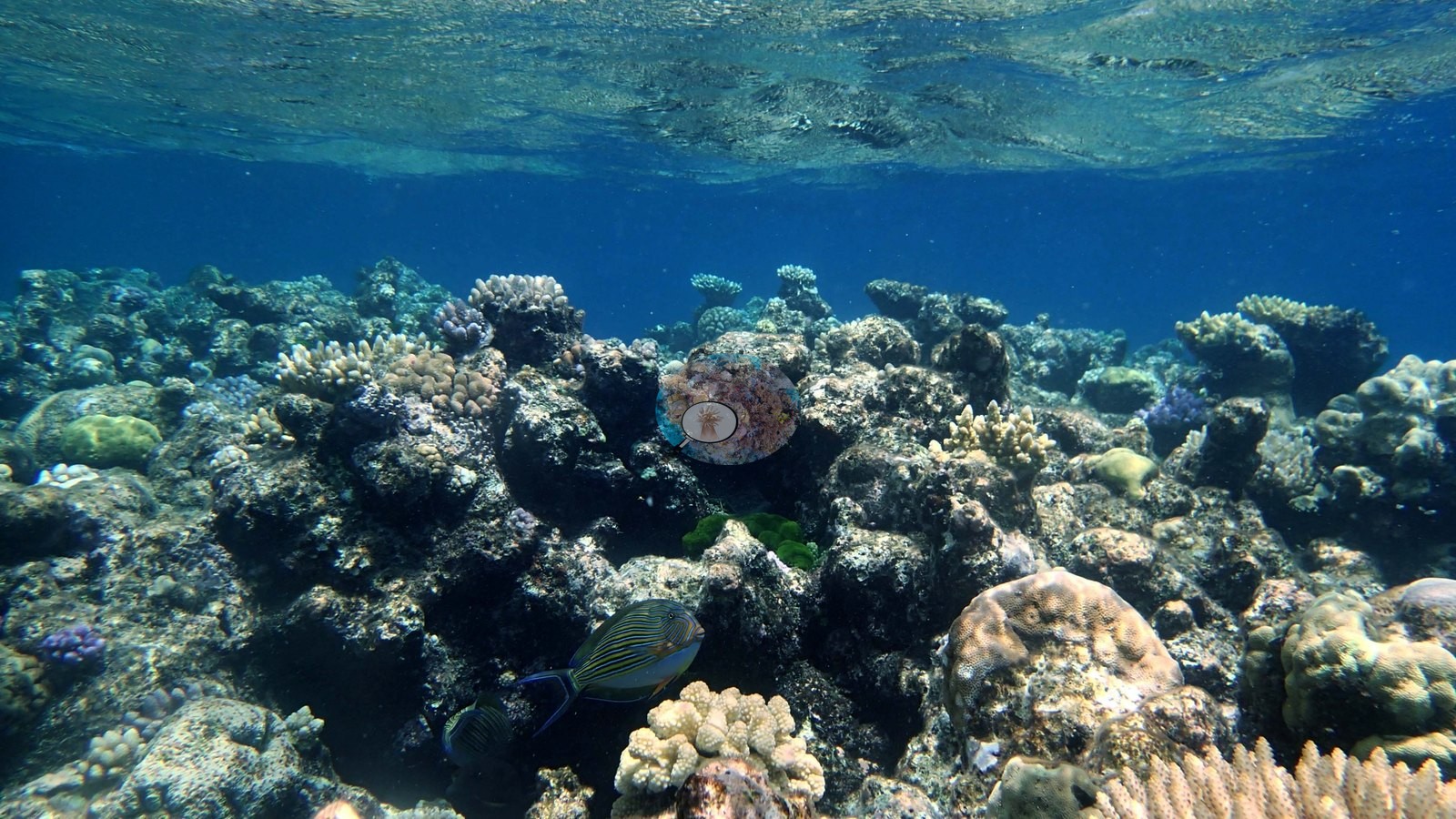
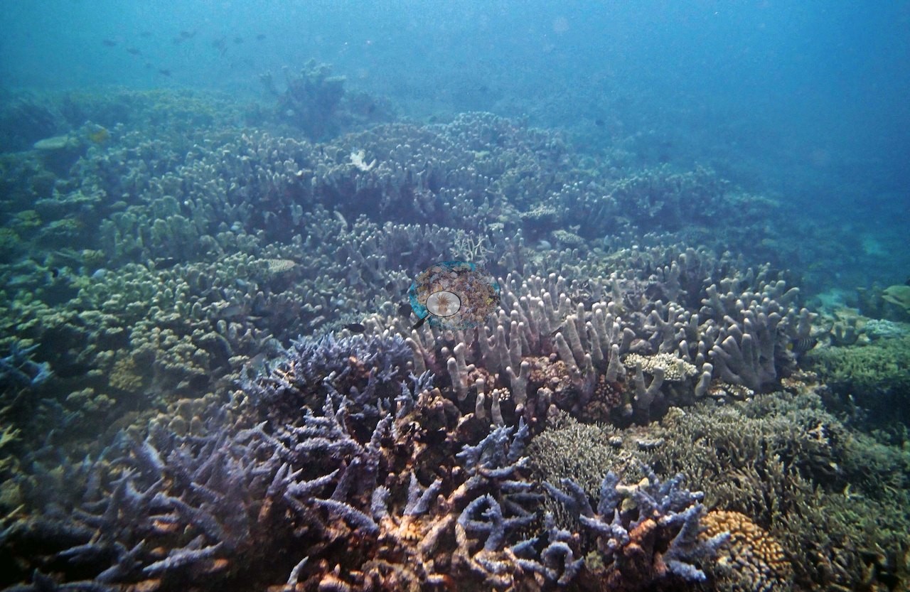
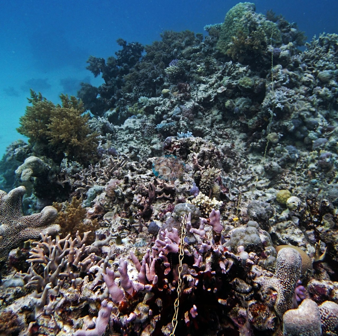
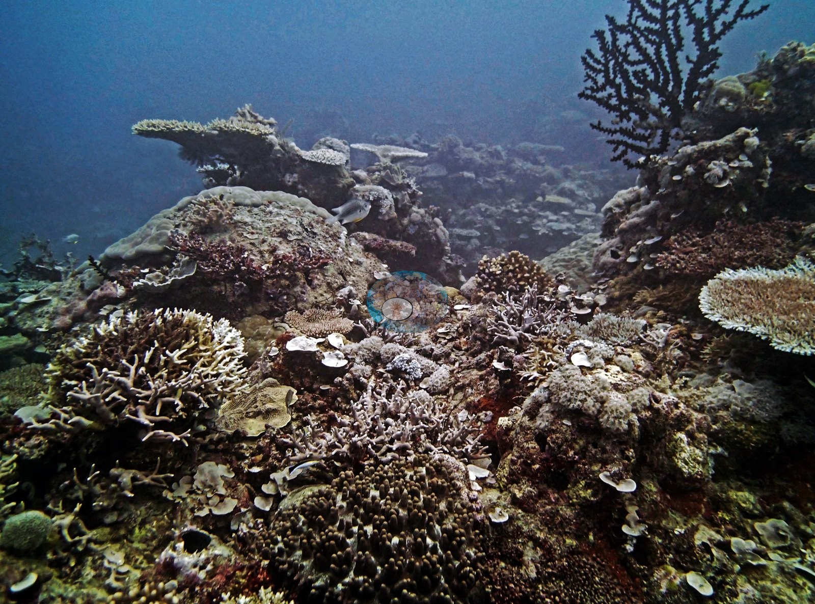
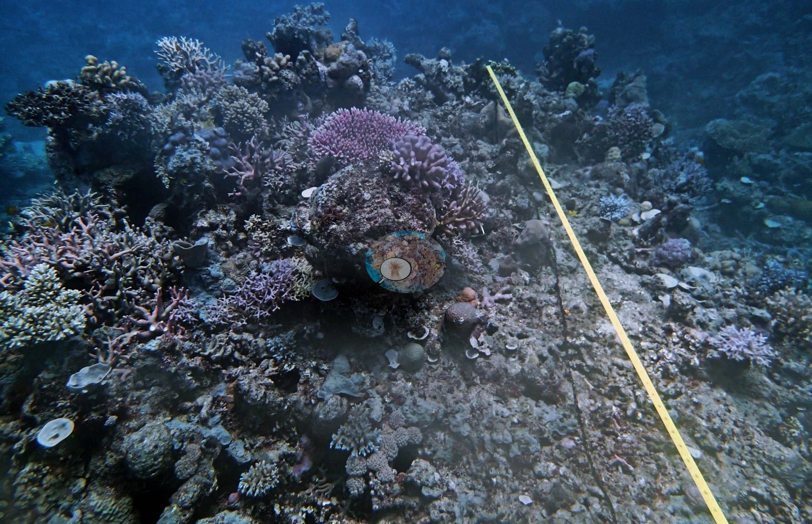
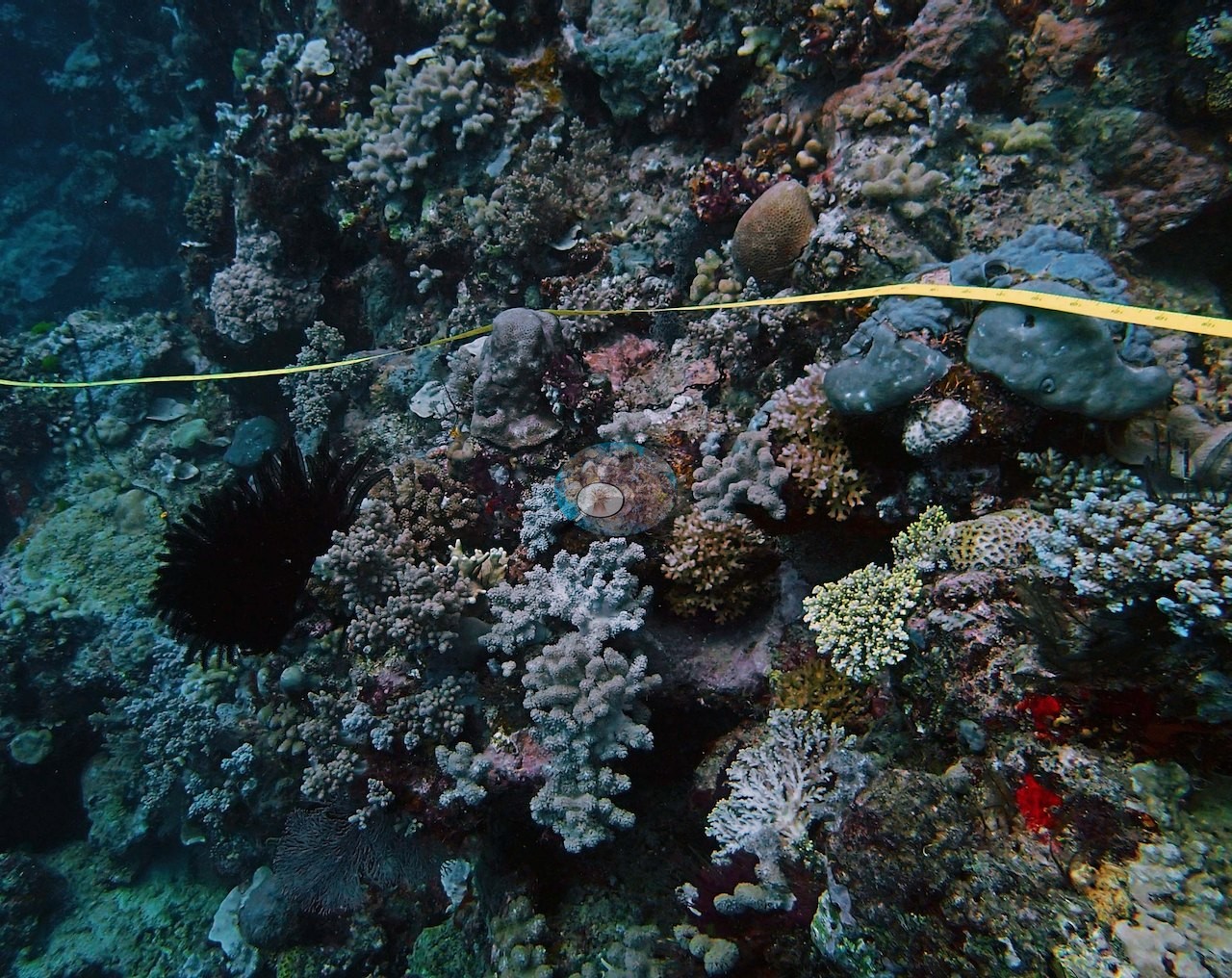
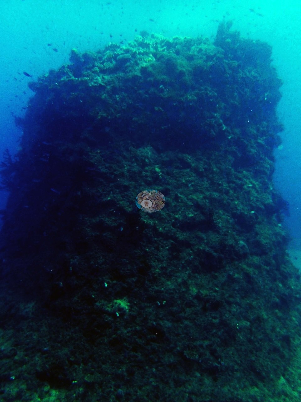
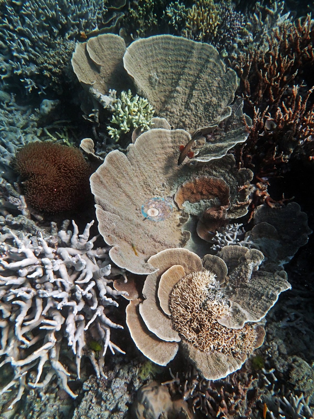
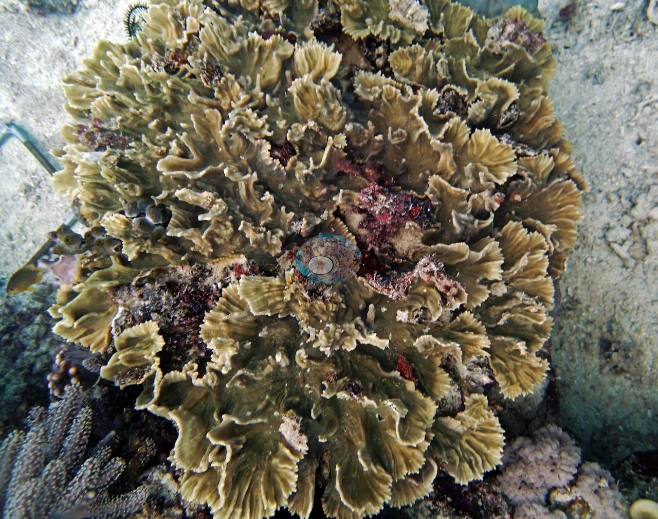
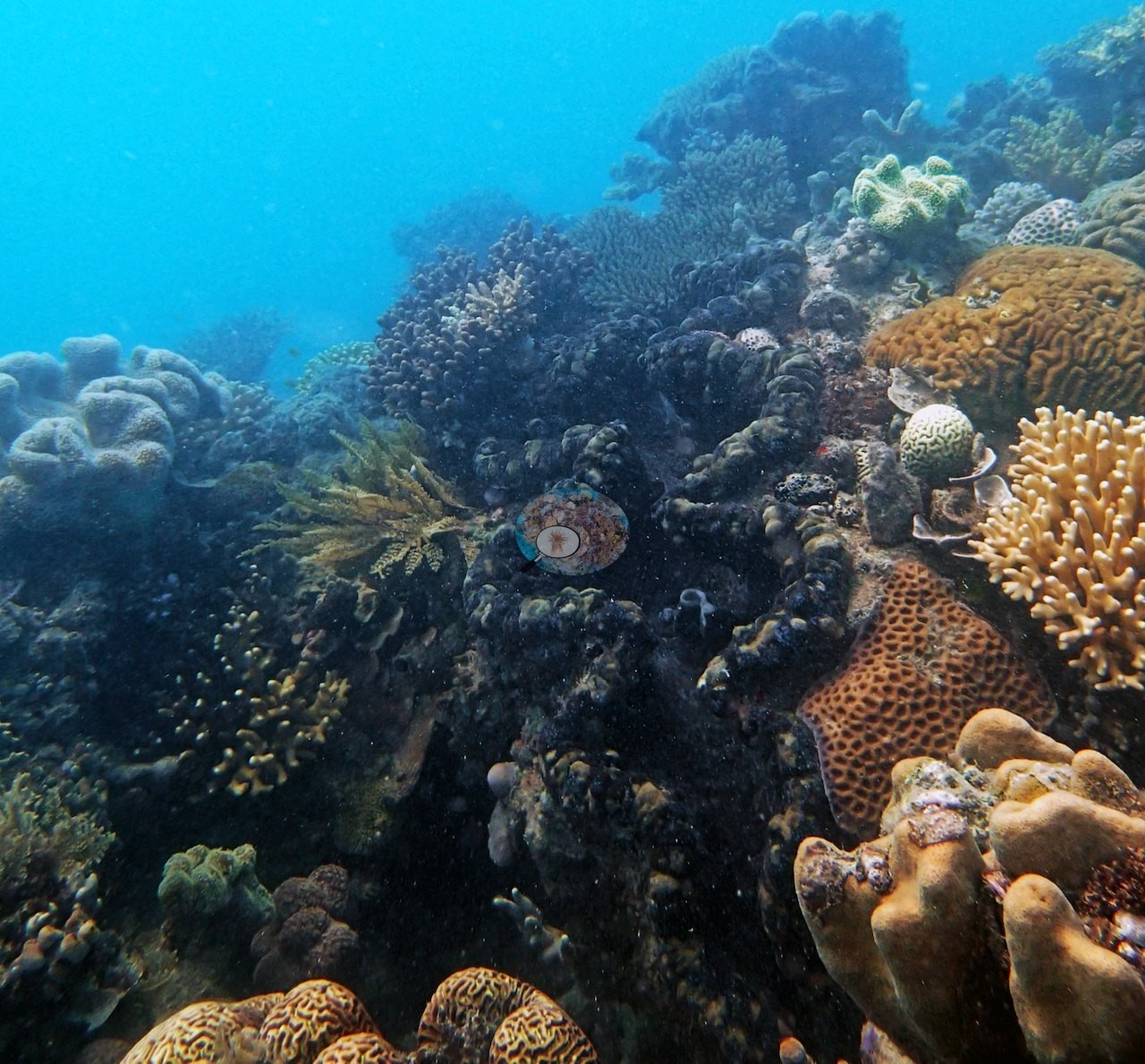
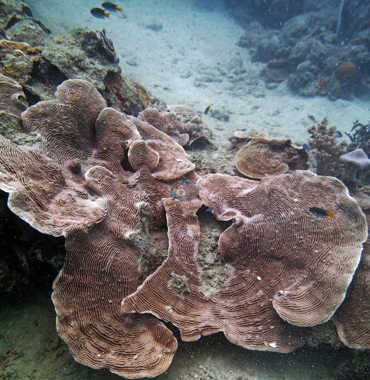
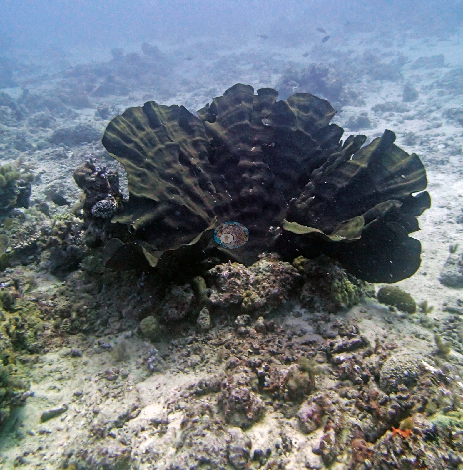
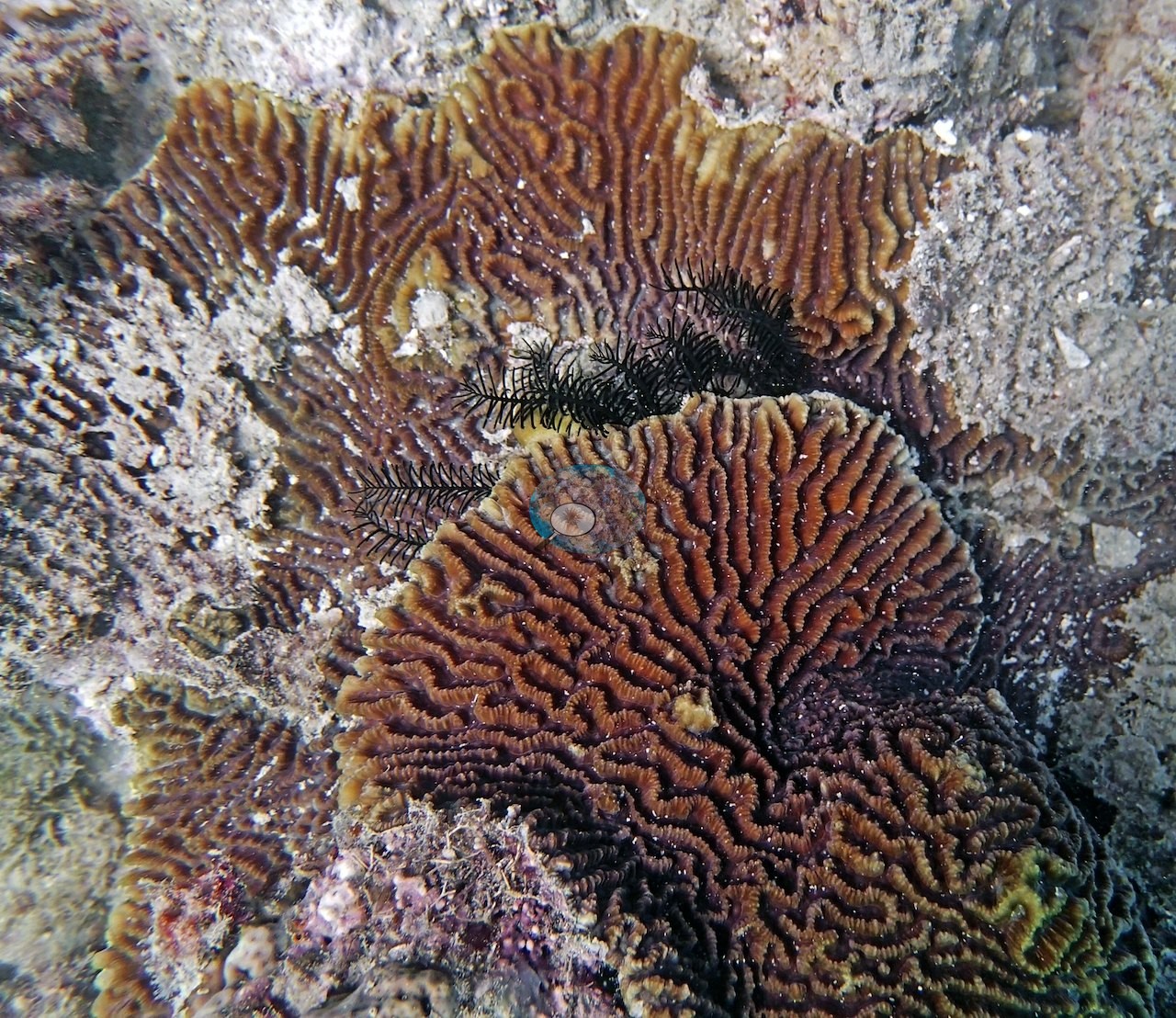
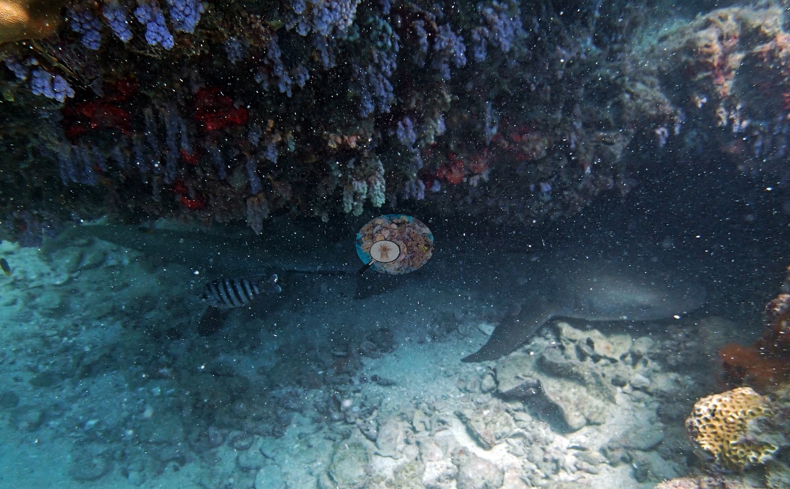
On the backreef of Unnamed Reef 61A there is a maze of bommies, some over 30 m across, with at least 20 hard coral species on two transects (AU61A61) and, at AU61A63, a very large Pavona colony in Anderson's notes. His notes describe Pearson Reef's steep slope as highly rugose. Yule Detached Reef has walls falling past 50 m with coral still growing at 30 m. On the survey's second day Anderson called a leeward coral pinnacle on Ribbon Reef 6 (AUR611) "beautiful" and "interesting". On Unnamed Reef 11-091, a reef platform that looked scoured holds a steady 9-11 m for hundreds of meters under 2-3 knot currents (AU91111). In contrast, the Milman and Parkinson stations were silty, low-visibility reefs dominated by Goniopora, Alveopora, lettuce coral, and Pachyseris, where AUPS71 still held unbroken gold staghorn meadows in a couple of meters of water.
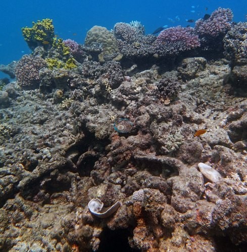
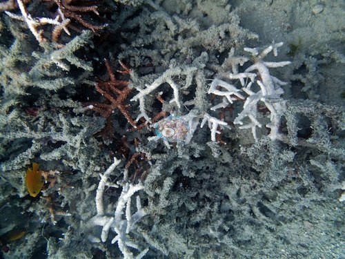
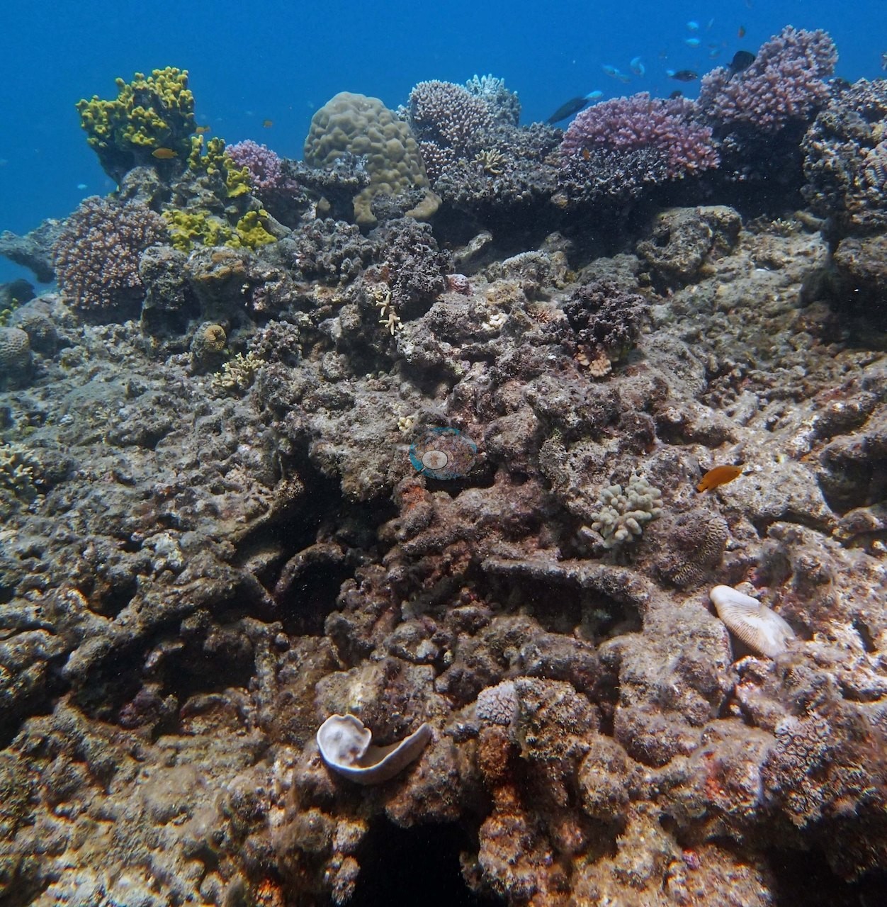
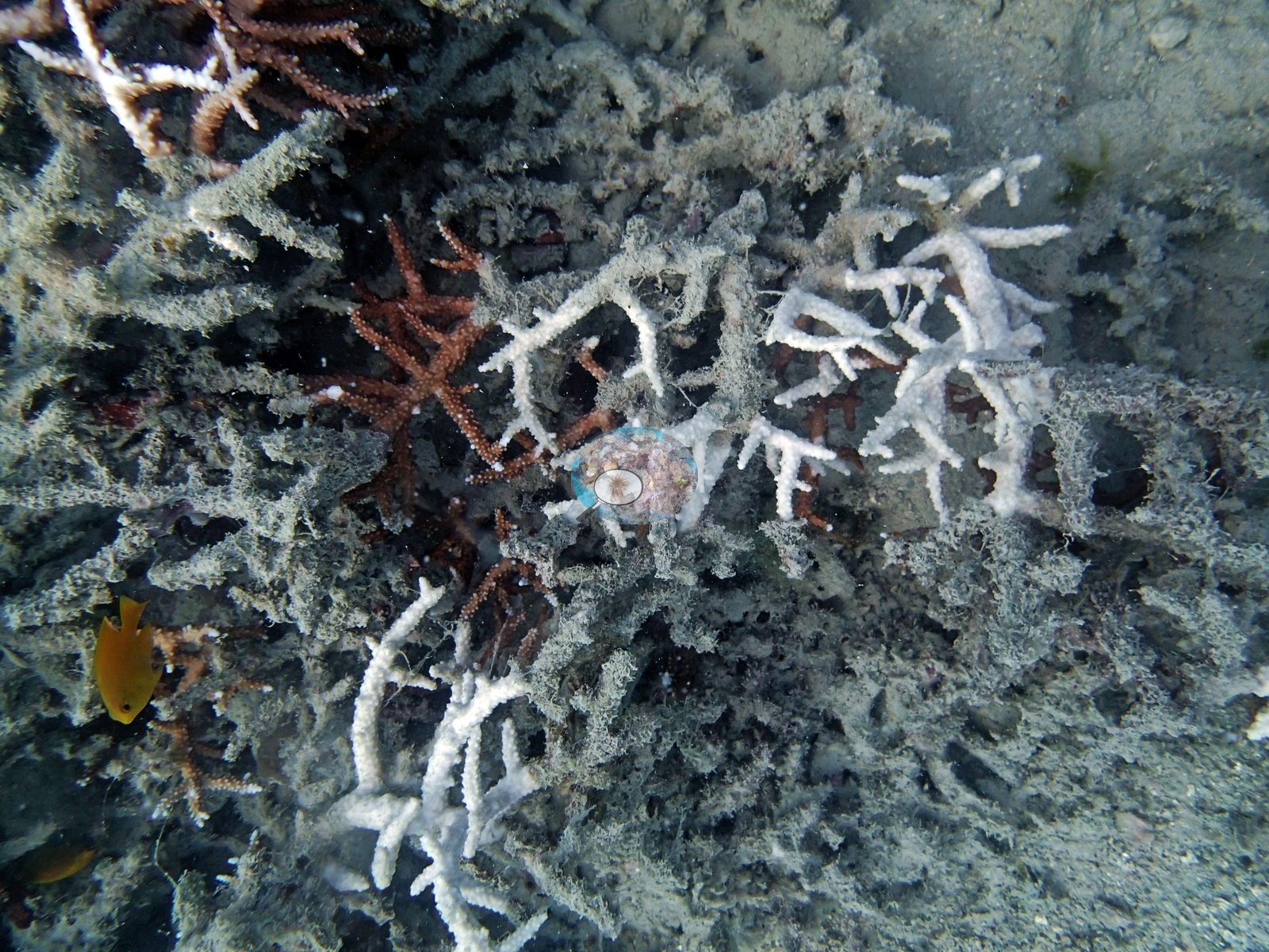
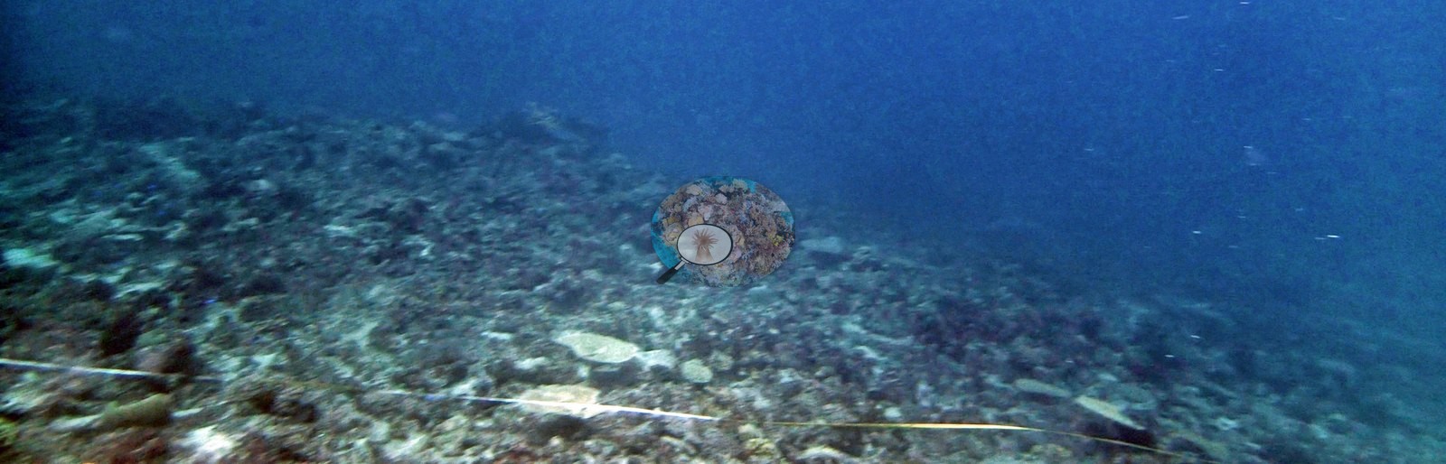
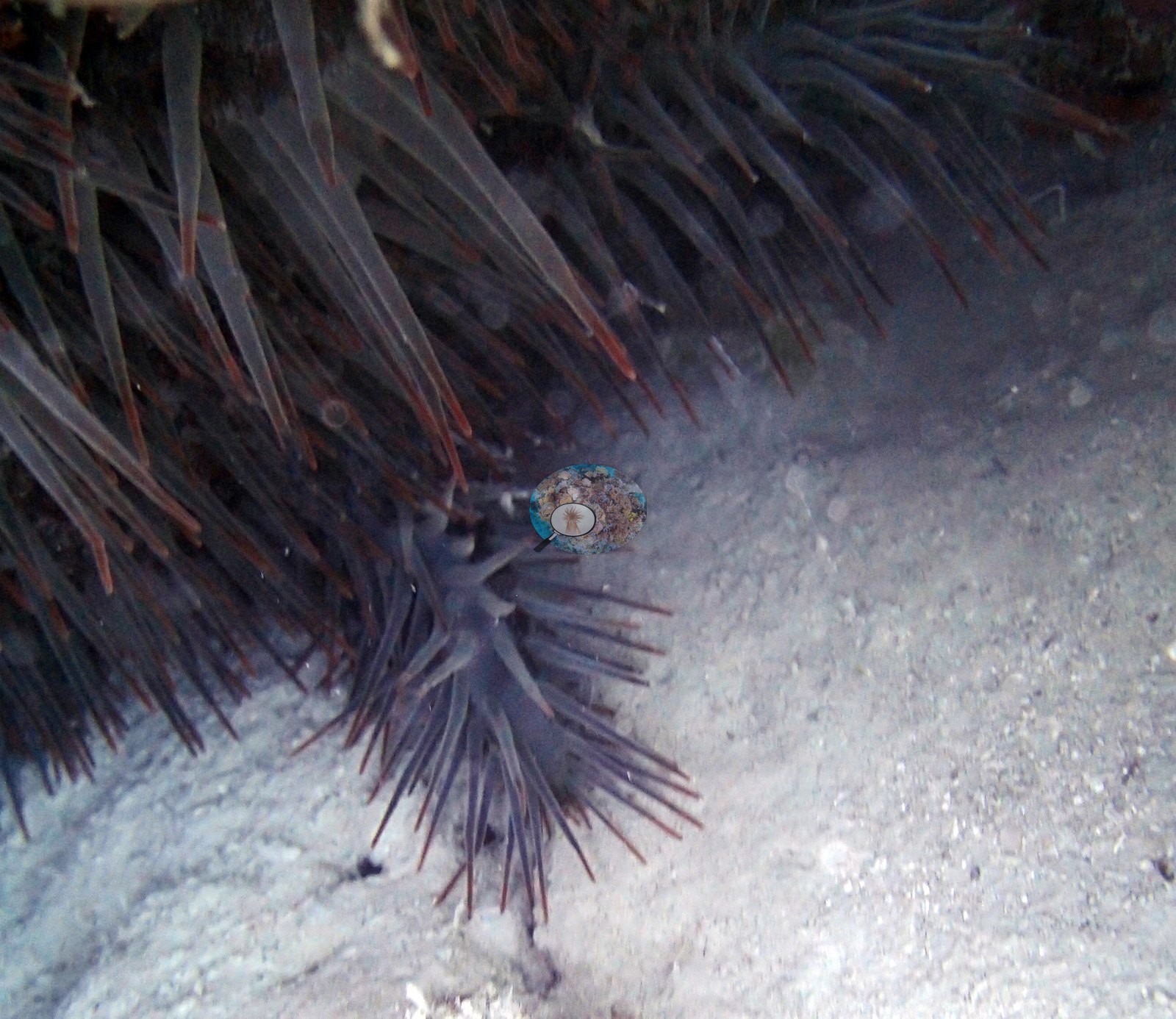
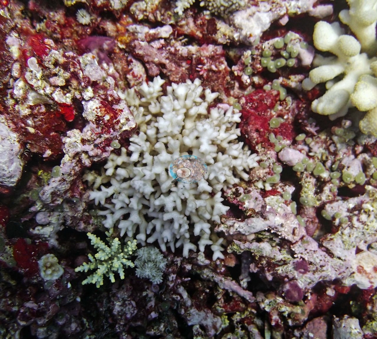
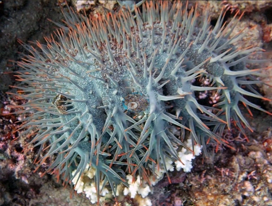
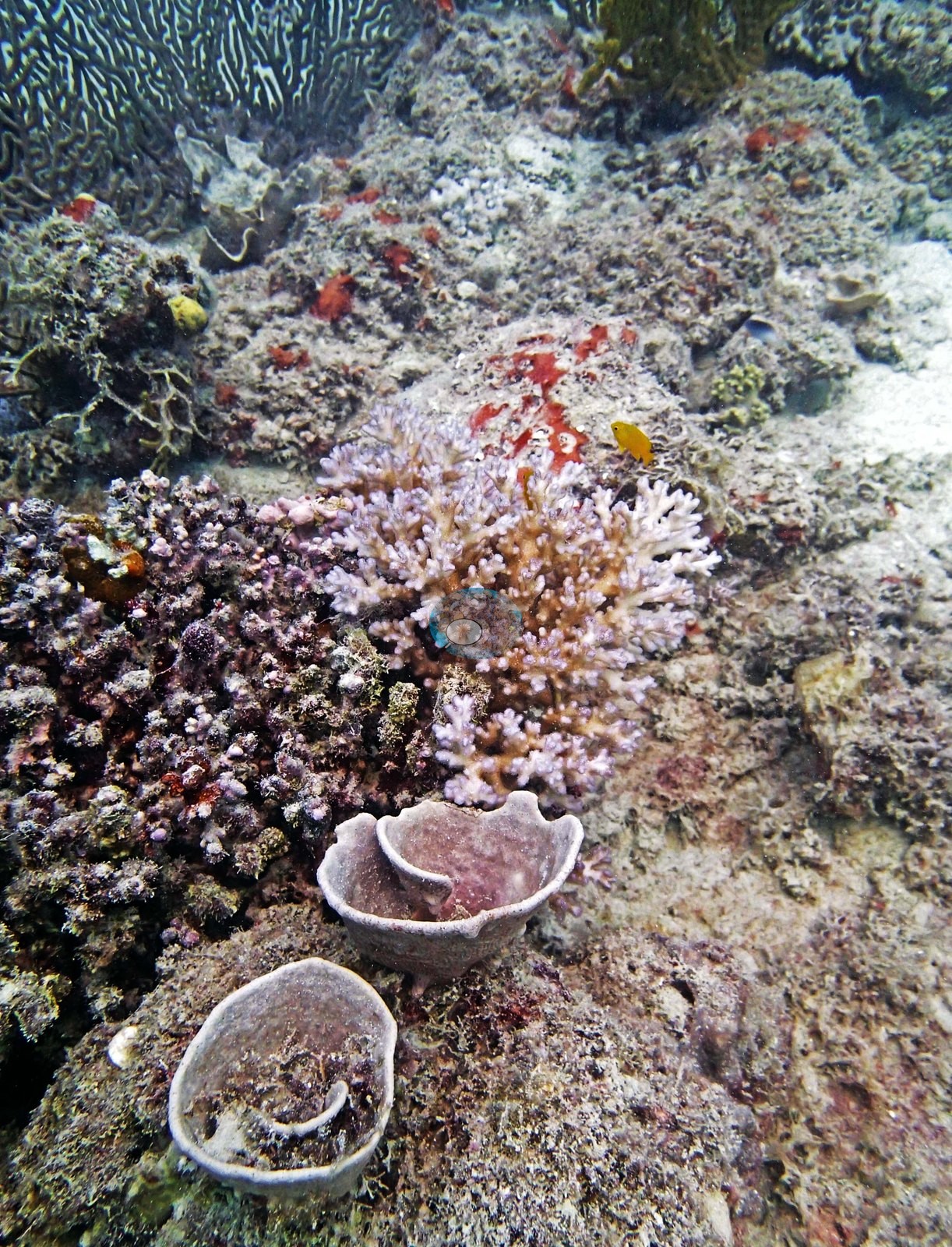
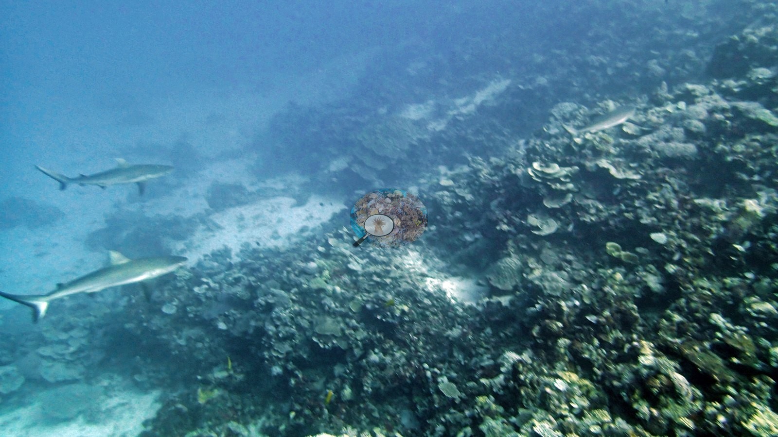
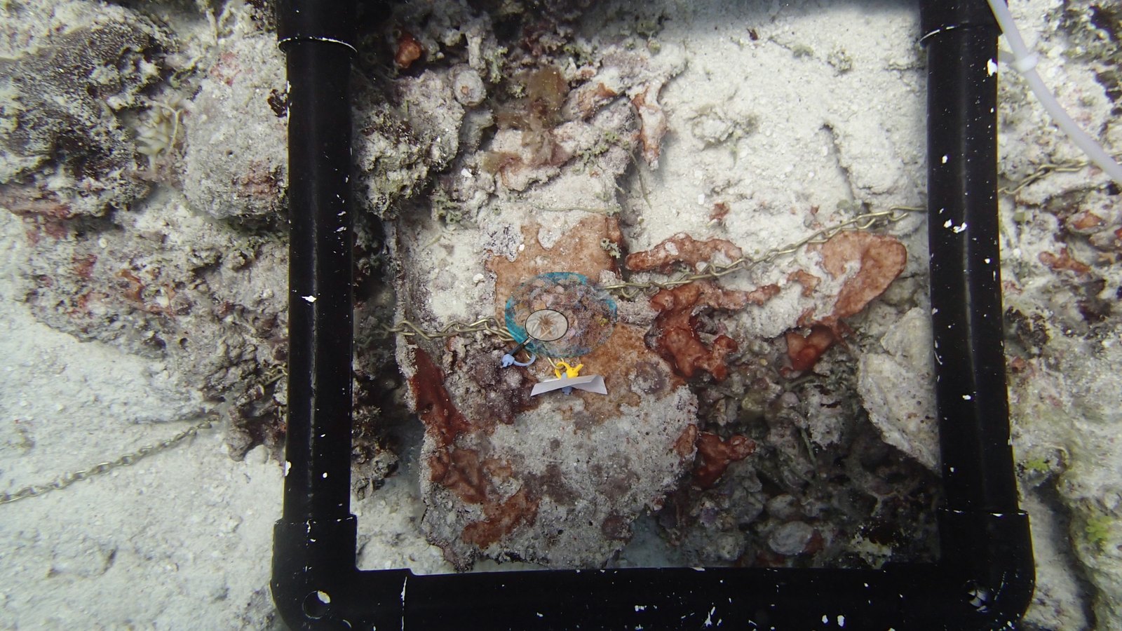
Protection status did not translate into uniform condition. Transect cover ranged from 3.4% at AUWL28 and 4.6% at AUWL26 on Williamson Reef to 75% at AU61A63. On one Williamson Reef dive (AUWL27) Anderson counted at least 22 crown-of-thorns starfish and believed they drove the loss; on a neighboring dive (AUWL25) he recorded 90-95% of the staghorn dead under sediment and cyanobacteria without assigning a cause. Crown-of-thorns starfish were also recorded on Pearson, Milman, and Parkinson Reefs. Hilder Reef had apparent recent storm rubble around 10 m. Pale, bleached, or dying needle coral (Seriatopora) was recorded across the majority of reefs in the zone, and photographs from AUCT53 and AUR607 show stark-white colonies beside pigmented neighbors. On Ribbon Reef 6 (AUR611), some mostly bleached Pocillopora were covered in mucus that Anderson noted looked exogenous rather than produced by the corals ("Very strange").
Highlights
- AU61A63 on the Unnamed Reef 61A backreef: 75% live coral and a very large Pavona colony in Anderson's notes
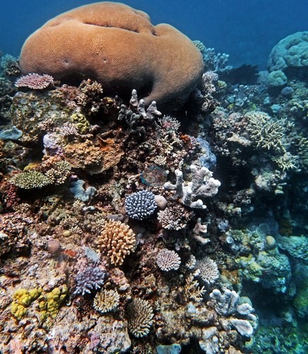
- AUR611, a leeward coral pinnacle on Ribbon Reef 6, which Anderson called "beautiful" and "interesting" on the survey's second day
- Pearson Reef: 65% cover at AUPE123, a steep slope his notes describe as highly rugose, and 62% at AUPE125
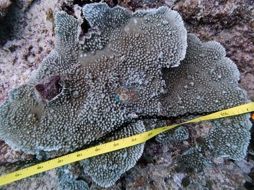
- Yule Detached Reef walls falling past 50 m, with coral still growing at 30 m (AUYD109)
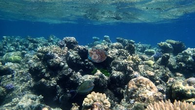
- Williamson Reef: at least 22 crown-of-thorns starfish on one dive (AUWL27), and 3.4% live coral on the Global Reef Expedition (GRE) team's AUWL28 transects
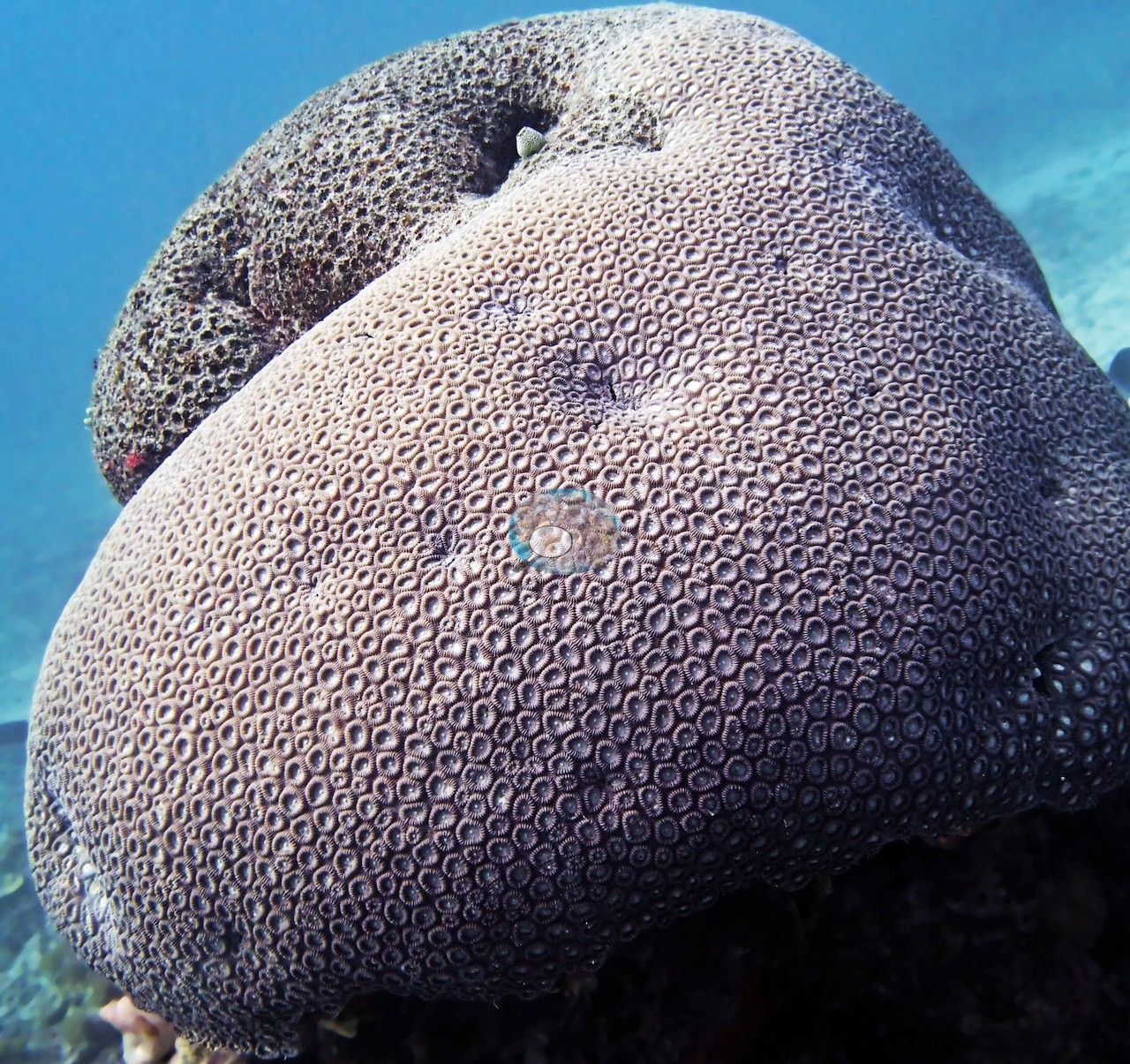
- Milman Reef: a giant Euphyllia glabrescens head (AUMM89)
Notable observations (25)
- N. GBR - Pink (AU61A63): storm-toppled colonies, scoured patches, and some recently dead Pocillopora
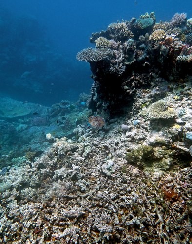
- N. GBR - Pink (AU61A65): a bleached needle coral
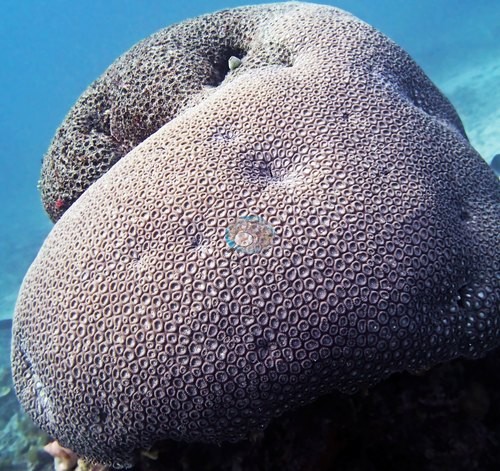
- N. GBR - Pink (AU91111): several needle corals looked "terrible"
- N. GBR - Pink (AU91115): needle corals looked sickly; one transect ran from a living staghorn thicket into a dead one
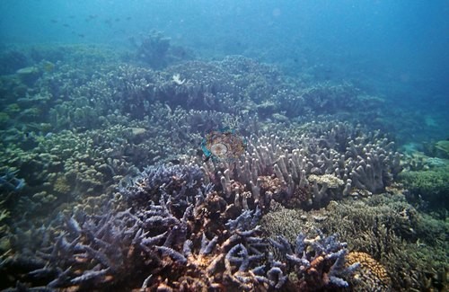
- N. GBR - Pink (AUCT53): needle corals looked sickly (his notes); two photographed colonies fully bleached, stark white from base to tip
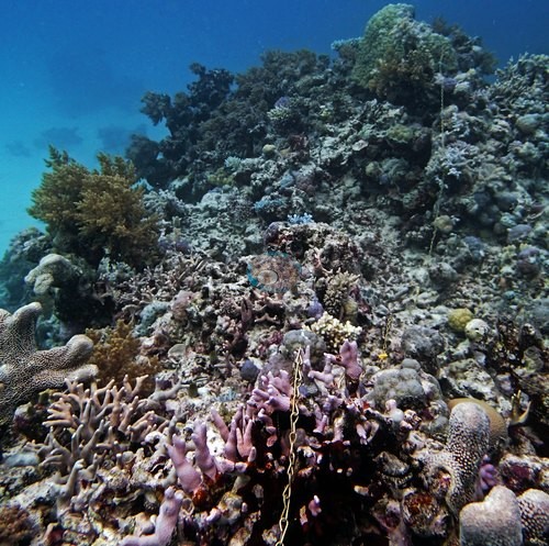
- N. GBR - Pink (AUHI159): field of broken, dead branch rubble around 10 m, put down by Anderson to a relatively recent storm
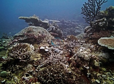
- N. GBR - Pink (AUHI161): needle corals dying on four of five transects; a sickly Pocillopora and some dead staghorn framework
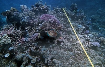
- N. GBR - Pink (AUHI165): signs of severe disturbance at 21 m (rubble, 1-2% live coral); some needle corals sickly; several colonies photographed bone-white
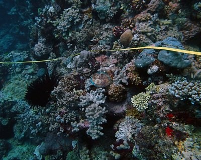
- N. GBR - Pink (AUHI166): needle coral sickly on two transects, healthy nearby
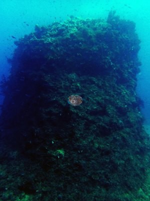
- N. GBR - Pink (AUMM85): several needle corals at depth dying or sickly
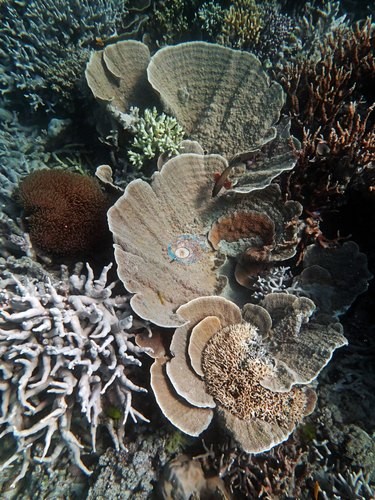
- N. GBR - Pink (AUMM89): branching framework caked in silt, some freshly dead and white; one crown-of-thorns starfish logged
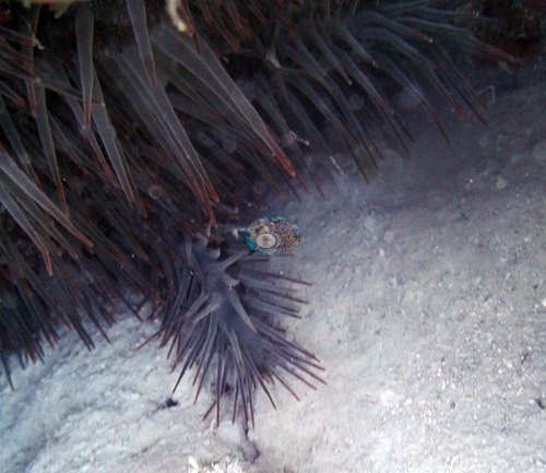
- N. GBR - Pink (AUPE123): needle coral "still" looking unwell
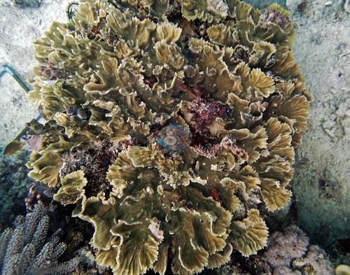
- N. GBR - Pink (AUPE125): needle coral (Seriatopora hystrix), likely the most common coral at 10 m, mostly looked bleached (his notes; not visible in the photographs); one plate colony with a patch of bare white skeleton edged by a dark band, a discrete lesion or feeding front
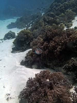
- N. GBR - Pink (AUPE127): crown-of-thorns damage; two full-grown starfish photographed
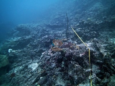
- N. GBR - Pink (AUPS67): one photograph shows a bone-white, bleached or freshly dead colony; the dive log records no bleaching; a second colony has its lower band of branches stark white (partial bleaching or very recent tissue loss)
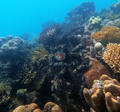
- N. GBR - Pink (AUPS69): some lettuce coral dead; one crown-of-thorns starfish
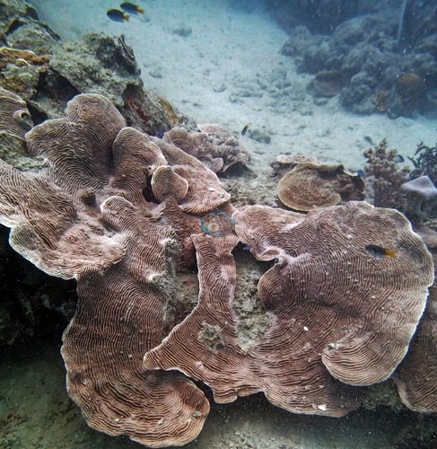
- N. GBR - Pink (AUR607): his field notes record nearly all of the Seriatopora bleached; six frames show stark-white needle coral and Pocillopora colonies beside pigmented neighbors; extent not recorded
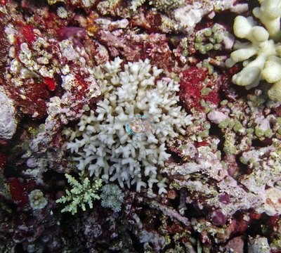
- N. GBR - Pink (AUR609): needle corals (Seriatopora) logged as bleached or recently dead; two cream-white branching colonies photographed (bleached or newly dead)
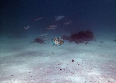
- N. GBR - Pink (AUR611): some Pocillopora mostly bleached and covered in mucus that looked exogenous in origin (his note: "Very strange")
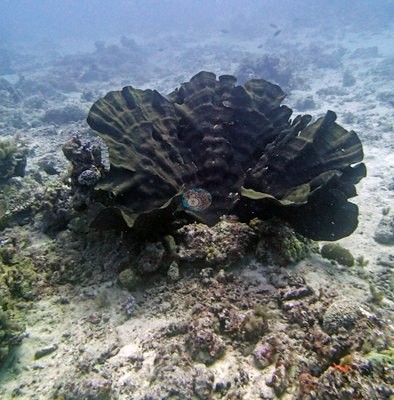
- N. GBR - Pink (AUWL23): three to four crown-of-thorns starfish feeding; 70-80% recent die-off among pocilloporid corals in the shallows; some bleached corals at 10 m (his notes)
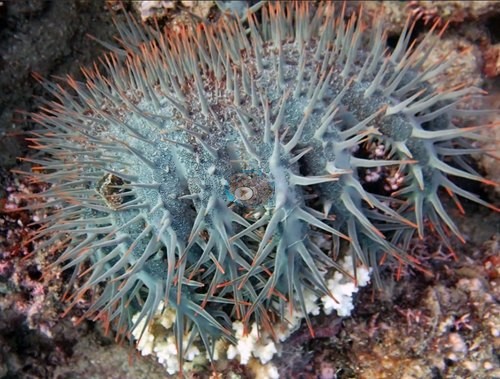
- N. GBR - Pink (AUWL25): 90-95% of the staghorn framework dead and smothered in cyanobacteria; two crown-of-thorns starfish; his notes do not assign a cause
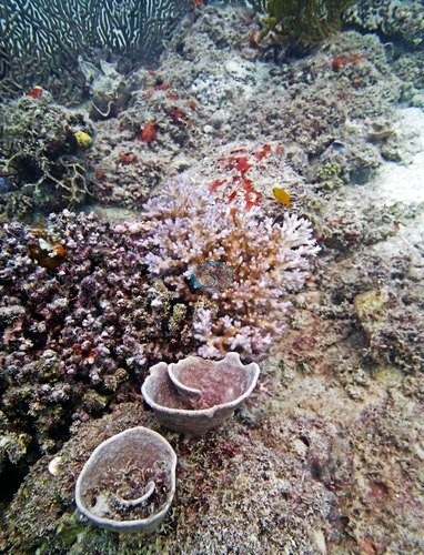
- N. GBR - Pink (AUWL27): at least 22 crown-of-thorns starfish on one dive, with freshly killed white skeleton; Anderson believed the starfish drove the loss
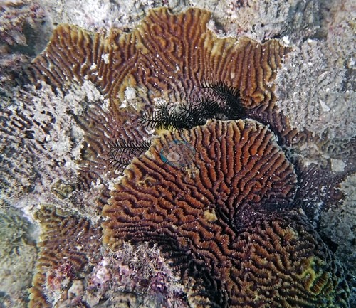
- N. GBR - Pink (AUYD107): every Seriatopora hystrix and S. caliendrum colony at 15.5 m bleached, sick, or dying
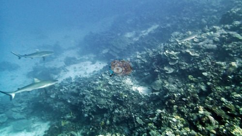
- N. GBR - Pink (AUYD109): Seriatopora hystrix dying at 15.5 m; one cream-white fine-branched colony photographed (bleached or very recently dead); partial mortality on tiered foliose plates, cause not stated
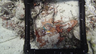
- N. GBR - Pink (AUMM87): one crown-of-thorns starfish photographed at the start of the dive, not listed in his notes
Coral cover over time (pooled)
 the year includes his Global Reef Expedition dives with the Khaled bin Sultan Living Oceans Foundation (CRD+LOF data).
Sites in this region (58)
- N. GBR - Pink (AU61A61) — 53% coral cover
- N. GBR - Pink (AU61A62) — 51% coral cover
- N. GBR - Pink (AU61A63) — 75% coral cover
- N. GBR - Pink (AU61A64) — 57% coral cover
- N. GBR - Pink (AU61A65) — 49% coral cover
- N. GBR - Pink (AU61A66) — 58% coral cover
- N. GBR - Pink (AU91111) — 36% coral cover
- N. GBR - Pink (AU91112) — 33% coral cover
- N. GBR - Pink (AU91113) — 38% coral cover
- N. GBR - Pink (AU91114) — 38% coral cover
- N. GBR - Pink (AU91115) — 46% coral cover
- N. GBR - Pink (AU91116) — 41% coral cover
- N. GBR - Pink (AUCT49) — 13% coral cover
- N. GBR - Pink (AUCT50) — 46% coral cover
- N. GBR - Pink (AUCT51) — 14% coral cover
- N. GBR - Pink (AUCT52) — 22% coral cover
- N. GBR - Pink (AUCT53) — 31% coral cover
- N. GBR - Pink (AUCT54) — 30% coral cover
- N. GBR - Pink (AUHI159) — 70% coral cover
- N. GBR - Pink (AUHI160) — 37% coral cover
- N. GBR - Pink (AUHI161) — 43% coral cover
- N. GBR - Pink (AUHI162) — 39% coral cover
- N. GBR - Pink (AUHI165) — 29% coral cover
- N. GBR - Pink (AUHI166) — 36% coral cover
- N. GBR - Pink (AUMM85) — 47% coral cover
- N. GBR - Pink (AUMM86) — 52% coral cover
- N. GBR - Pink (AUMM87) — 46% coral cover
- N. GBR - Pink (AUMM88) — 51% coral cover
- N. GBR - Pink (AUMM89) — 51% coral cover
- N. GBR - Pink (AUMM90) — 53% coral cover
- N. GBR - Pink (AUPE123) — 65% coral cover
- N. GBR - Pink (AUPE124) — 37% coral cover
- N. GBR - Pink (AUPE125) — 62% coral cover
- N. GBR - Pink (AUPE126) — 55% coral cover
- N. GBR - Pink (AUPE127) — 58% coral cover
- N. GBR - Pink (AUPE128) — 34% coral cover
- N. GBR - Pink (AUPS67) — 19% coral cover
- N. GBR - Pink (AUPS68) — 42% coral cover
- N. GBR - Pink (AUPS69) — 54% coral cover
- N. GBR - Pink (AUPS70) — 57% coral cover
- N. GBR - Pink (AUPS71) — 55% coral cover
- N. GBR - Pink (AUPS72) — 55% coral cover
- N. GBR - Pink (AUR607) — 35% coral cover
- N. GBR - Pink (AUR608) — 19% coral cover
- N. GBR - Pink (AUR609) — 36% coral cover
- N. GBR - Pink (AUR610) — 59% coral cover
- N. GBR - Pink (AUR611) — 37% coral cover
- N. GBR - Pink (AUR612) — 41% coral cover
- N. GBR - Pink (AUWL23) — 24% coral cover
- N. GBR - Pink (AUWL24) — 9.4% coral cover
- N. GBR - Pink (AUWL25) — 18% coral cover
- N. GBR - Pink (AUWL26) — 4.6% coral cover
- N. GBR - Pink (AUWL27) — 15% coral cover
- N. GBR - Pink (AUWL28) — 3.4% coral cover
- N. GBR - Pink (AUYD107) — 19% coral cover
- N. GBR - Pink (AUYD108) — 48% coral cover
- N. GBR - Pink (AUYD109) — 37% coral cover
- N. GBR - Pink (AUYD110) — 45% coral cover
Nearby external survey stations
234 independent survey records within 5 km of a site in this region (each record counted once).
Show all 234 records
- AIMS LTMP — CARTER REEF site 1 (1993): 7.5% hard coral cover, 0.90 km from N. GBR - Pink (AUCT53)
- AIMS LTMP — CARTER REEF site 1 (1994): 20% hard coral cover, 0.90 km from N. GBR - Pink (AUCT53)
- AIMS LTMP — CARTER REEF site 1 (1995): 31% hard coral cover, 0.90 km from N. GBR - Pink (AUCT53)
- AIMS LTMP — CARTER REEF site 1 (1997): 55% hard coral cover, 0.90 km from N. GBR - Pink (AUCT53)
- AIMS LTMP — CARTER REEF site 1 (1998): 73% hard coral cover, 0.90 km from N. GBR - Pink (AUCT53)
- AIMS LTMP — CARTER REEF site 1 (1999): 65% hard coral cover, 0.90 km from N. GBR - Pink (AUCT53)
- AIMS LTMP — CARTER REEF site 1 (2000): 62% hard coral cover, 0.90 km from N. GBR - Pink (AUCT53)
- AIMS LTMP — CARTER REEF site 1 (2001): 61% hard coral cover, 0.90 km from N. GBR - Pink (AUCT53)
- AIMS LTMP — CARTER REEF site 1 (2002): 51% hard coral cover, 0.90 km from N. GBR - Pink (AUCT53)
- AIMS LTMP — CARTER REEF site 1 (2003): 61% hard coral cover, 0.90 km from N. GBR - Pink (AUCT53)
- AIMS LTMP — CARTER REEF site 1 (2004): 43% hard coral cover, 0.90 km from N. GBR - Pink (AUCT53)
- AIMS LTMP — CARTER REEF site 1 (2006): 34% hard coral cover, 0.90 km from N. GBR - Pink (AUCT53)
- AIMS LTMP — CARTER REEF site 1 (2008): 34% hard coral cover, 0.90 km from N. GBR - Pink (AUCT53)
- AIMS LTMP — CARTER REEF site 1 (2010): 45% hard coral cover, 0.90 km from N. GBR - Pink (AUCT53)
- AIMS LTMP — CARTER REEF site 1 (2012): 34% hard coral cover, 0.90 km from N. GBR - Pink (AUCT53)
- AIMS LTMP — CARTER REEF site 1 (2014): 28% hard coral cover, 0.90 km from N. GBR - Pink (AUCT53)
- AIMS LTMP — CARTER REEF site 1 (2016): 9.0% hard coral cover, 0.90 km from N. GBR - Pink (AUCT53)
- AIMS LTMP — CARTER REEF site 1 (2018): 13% hard coral cover, 0.90 km from N. GBR - Pink (AUCT53)
- AIMS LTMP — CARTER REEF site 1 (2020): 22% hard coral cover, 0.90 km from N. GBR - Pink (AUCT53)
- AIMS LTMP — CARTER REEF site 1 (2021): 29% hard coral cover, 0.90 km from N. GBR - Pink (AUCT53)
- AIMS LTMP — CARTER REEF site 1 (2022): 34% hard coral cover, 0.90 km from N. GBR - Pink (AUCT53)
- AIMS LTMP — CARTER REEF site 1 (2022): 39% hard coral cover, 0.90 km from N. GBR - Pink (AUCT53)
- AIMS LTMP — CARTER REEF site 2 (1993): 14% hard coral cover, 0.45 km from N. GBR - Pink (AUCT53)
- AIMS LTMP — CARTER REEF site 2 (1994): 23% hard coral cover, 0.45 km from N. GBR - Pink (AUCT53)
- AIMS LTMP — CARTER REEF site 2 (1995): 33% hard coral cover, 0.45 km from N. GBR - Pink (AUCT53)
- AIMS LTMP — CARTER REEF site 2 (1997): 57% hard coral cover, 0.45 km from N. GBR - Pink (AUCT53)
- AIMS LTMP — CARTER REEF site 2 (1998): 64% hard coral cover, 0.45 km from N. GBR - Pink (AUCT53)
- AIMS LTMP — CARTER REEF site 2 (1999): 65% hard coral cover, 0.45 km from N. GBR - Pink (AUCT53)
- AIMS LTMP — CARTER REEF site 2 (2000): 62% hard coral cover, 0.45 km from N. GBR - Pink (AUCT53)
- AIMS LTMP — CARTER REEF site 2 (2001): 58% hard coral cover, 0.45 km from N. GBR - Pink (AUCT53)
- AIMS LTMP — CARTER REEF site 2 (2002): 58% hard coral cover, 0.45 km from N. GBR - Pink (AUCT53)
- AIMS LTMP — CARTER REEF site 2 (2003): 55% hard coral cover, 0.45 km from N. GBR - Pink (AUCT53)
- AIMS LTMP — CARTER REEF site 2 (2004): 42% hard coral cover, 0.45 km from N. GBR - Pink (AUCT53)
- AIMS LTMP — CARTER REEF site 2 (2006): 30% hard coral cover, 0.45 km from N. GBR - Pink (AUCT53)
- AIMS LTMP — CARTER REEF site 2 (2008): 40% hard coral cover, 0.45 km from N. GBR - Pink (AUCT53)
- AIMS LTMP — CARTER REEF site 2 (2010): 42% hard coral cover, 0.45 km from N. GBR - Pink (AUCT53)
- AIMS LTMP — CARTER REEF site 2 (2012): 32% hard coral cover, 0.45 km from N. GBR - Pink (AUCT53)
- AIMS LTMP — CARTER REEF site 2 (2014): 27% hard coral cover, 0.45 km from N. GBR - Pink (AUCT53)
- AIMS LTMP — CARTER REEF site 2 (2016): 8.8% hard coral cover, 0.45 km from N. GBR - Pink (AUCT53)
- AIMS LTMP — CARTER REEF site 2 (2018): 12% hard coral cover, 0.45 km from N. GBR - Pink (AUCT53)
- AIMS LTMP — CARTER REEF site 2 (2020): 24% hard coral cover, 0.45 km from N. GBR - Pink (AUCT53)
- AIMS LTMP — CARTER REEF site 2 (2021): 30% hard coral cover, 0.45 km from N. GBR - Pink (AUCT53)
- AIMS LTMP — CARTER REEF site 2 (2022): 36% hard coral cover, 0.45 km from N. GBR - Pink (AUCT53)
- AIMS LTMP — CARTER REEF site 2 (2022): 40% hard coral cover, 0.46 km from N. GBR - Pink (AUCT53)
- AIMS LTMP — CARTER REEF site 3 (1993): 17% hard coral cover, 0.17 km from N. GBR - Pink (AUCT53)
- AIMS LTMP — CARTER REEF site 3 (1994): 26% hard coral cover, 0.17 km from N. GBR - Pink (AUCT53)
- AIMS LTMP — CARTER REEF site 3 (1995): 34% hard coral cover, 0.17 km from N. GBR - Pink (AUCT53)
- AIMS LTMP — CARTER REEF site 3 (1997): 45% hard coral cover, 0.17 km from N. GBR - Pink (AUCT53)
- AIMS LTMP — CARTER REEF site 3 (1998): 58% hard coral cover, 0.17 km from N. GBR - Pink (AUCT53)
- AIMS LTMP — CARTER REEF site 3 (1999): 56% hard coral cover, 0.17 km from N. GBR - Pink (AUCT53)
- AIMS LTMP — CARTER REEF site 3 (2000): 58% hard coral cover, 0.17 km from N. GBR - Pink (AUCT53)
- AIMS LTMP — CARTER REEF site 3 (2001): 55% hard coral cover, 0.17 km from N. GBR - Pink (AUCT53)
- AIMS LTMP — CARTER REEF site 3 (2002): 59% hard coral cover, 0.17 km from N. GBR - Pink (AUCT53)
- AIMS LTMP — CARTER REEF site 3 (2003): 56% hard coral cover, 0.17 km from N. GBR - Pink (AUCT53)
- AIMS LTMP — CARTER REEF site 3 (2004): 32% hard coral cover, 0.17 km from N. GBR - Pink (AUCT53)
- AIMS LTMP — CARTER REEF site 3 (2006): 27% hard coral cover, 0.17 km from N. GBR - Pink (AUCT53)
- AIMS LTMP — CARTER REEF site 3 (2008): 34% hard coral cover, 0.17 km from N. GBR - Pink (AUCT53)
- AIMS LTMP — CARTER REEF site 3 (2010): 40% hard coral cover, 0.17 km from N. GBR - Pink (AUCT53)
- AIMS LTMP — CARTER REEF site 3 (2012): 24% hard coral cover, 0.17 km from N. GBR - Pink (AUCT53)
- AIMS LTMP — CARTER REEF site 3 (2014): 22% hard coral cover, 0.17 km from N. GBR - Pink (AUCT53)
- AIMS LTMP — CARTER REEF site 3 (2016): 7.7% hard coral cover, 0.17 km from N. GBR - Pink (AUCT53)
- AIMS LTMP — CARTER REEF site 3 (2018): 11% hard coral cover, 0.17 km from N. GBR - Pink (AUCT53)
- AIMS LTMP — CARTER REEF site 3 (2020): 20% hard coral cover, 0.17 km from N. GBR - Pink (AUCT53)
- AIMS LTMP — CARTER REEF site 3 (2021): 27% hard coral cover, 0.17 km from N. GBR - Pink (AUCT53)
- AIMS LTMP — CARTER REEF site 3 (2022): 28% hard coral cover, 0.17 km from N. GBR - Pink (AUCT53)
- AIMS LTMP — CARTER REEF site 3 (2022): 36% hard coral cover, 0.17 km from N. GBR - Pink (AUCT53)
- AIMS LTMP — YONGE REEF site 1 (1993): 15% hard coral cover, 1.03 km from N. GBR - Pink (AUCT50)
- AIMS LTMP — YONGE REEF site 1 (1994): 23% hard coral cover, 1.03 km from N. GBR - Pink (AUCT50)
- AIMS LTMP — YONGE REEF site 1 (1995): 28% hard coral cover, 1.03 km from N. GBR - Pink (AUCT50)
- AIMS LTMP — YONGE REEF site 1 (1996): 36% hard coral cover, 1.03 km from N. GBR - Pink (AUCT50)
- AIMS LTMP — YONGE REEF site 1 (1997): 47% hard coral cover, 1.03 km from N. GBR - Pink (AUCT50)
- AIMS LTMP — YONGE REEF site 1 (1998): 59% hard coral cover, 1.03 km from N. GBR - Pink (AUCT50)
- AIMS LTMP — YONGE REEF site 1 (1999): 58% hard coral cover, 1.03 km from N. GBR - Pink (AUCT50)
- AIMS LTMP — YONGE REEF site 1 (2000): 64% hard coral cover, 1.03 km from N. GBR - Pink (AUCT50)
- AIMS LTMP — YONGE REEF site 1 (2001): 66% hard coral cover, 1.03 km from N. GBR - Pink (AUCT50)
- AIMS LTMP — YONGE REEF site 1 (2002): 58% hard coral cover, 1.03 km from N. GBR - Pink (AUCT50)
- AIMS LTMP — YONGE REEF site 1 (2003): 62% hard coral cover, 1.03 km from N. GBR - Pink (AUCT50)
- AIMS LTMP — YONGE REEF site 1 (2004): 51% hard coral cover, 1.03 km from N. GBR - Pink (AUCT50)
- AIMS LTMP — YONGE REEF site 1 (2006): 23% hard coral cover, 1.03 km from N. GBR - Pink (AUCT50)
- AIMS LTMP — YONGE REEF site 1 (2008): 31% hard coral cover, 1.03 km from N. GBR - Pink (AUCT50)
- AIMS LTMP — YONGE REEF site 1 (2010): 44% hard coral cover, 1.03 km from N. GBR - Pink (AUCT50)
- AIMS LTMP — YONGE REEF site 1 (2012): 24% hard coral cover, 1.03 km from N. GBR - Pink (AUCT50)
- AIMS LTMP — YONGE REEF site 1 (2014): 23% hard coral cover, 1.03 km from N. GBR - Pink (AUCT50)
- AIMS LTMP — YONGE REEF site 1 (2016): 9.6% hard coral cover, 1.03 km from N. GBR - Pink (AUCT50)
- AIMS LTMP — YONGE REEF site 1 (2018): 18% hard coral cover, 1.03 km from N. GBR - Pink (AUCT50)
- AIMS LTMP — YONGE REEF site 1 (2020): 25% hard coral cover, 1.03 km from N. GBR - Pink (AUCT50)
- AIMS LTMP — YONGE REEF site 1 (2021): 29% hard coral cover, 1.03 km from N. GBR - Pink (AUCT50)
- AIMS LTMP — YONGE REEF site 1 (2022): 34% hard coral cover, 1.03 km from N. GBR - Pink (AUCT50)
- AIMS LTMP — YONGE REEF site 1 (2022): 37% hard coral cover, 1.03 km from N. GBR - Pink (AUCT50)
- AIMS LTMP — YONGE REEF site 2 (1993): 7.6% hard coral cover, 1.38 km from N. GBR - Pink (AUCT50)
- AIMS LTMP — YONGE REEF site 2 (1994): 16% hard coral cover, 1.38 km from N. GBR - Pink (AUCT50)
- AIMS LTMP — YONGE REEF site 2 (1995): 25% hard coral cover, 1.38 km from N. GBR - Pink (AUCT50)
- AIMS LTMP — YONGE REEF site 2 (1996): 34% hard coral cover, 1.38 km from N. GBR - Pink (AUCT50)
- AIMS LTMP — YONGE REEF site 2 (1997): 45% hard coral cover, 1.38 km from N. GBR - Pink (AUCT50)
- AIMS LTMP — YONGE REEF site 2 (1998): 60% hard coral cover, 1.38 km from N. GBR - Pink (AUCT50)
- AIMS LTMP — YONGE REEF site 2 (1999): 58% hard coral cover, 1.38 km from N. GBR - Pink (AUCT50)
- AIMS LTMP — YONGE REEF site 2 (2000): 58% hard coral cover, 1.38 km from N. GBR - Pink (AUCT50)
- AIMS LTMP — YONGE REEF site 2 (2001): 63% hard coral cover, 1.38 km from N. GBR - Pink (AUCT50)
- AIMS LTMP — YONGE REEF site 2 (2002): 62% hard coral cover, 1.38 km from N. GBR - Pink (AUCT50)
- AIMS LTMP — YONGE REEF site 2 (2003): 64% hard coral cover, 1.38 km from N. GBR - Pink (AUCT50)
- AIMS LTMP — YONGE REEF site 2 (2004): 50% hard coral cover, 1.38 km from N. GBR - Pink (AUCT50)
- AIMS LTMP — YONGE REEF site 2 (2006): 23% hard coral cover, 1.38 km from N. GBR - Pink (AUCT50)
- AIMS LTMP — YONGE REEF site 2 (2008): 31% hard coral cover, 1.38 km from N. GBR - Pink (AUCT50)
- AIMS LTMP — YONGE REEF site 2 (2010): 36% hard coral cover, 1.38 km from N. GBR - Pink (AUCT50)
- AIMS LTMP — YONGE REEF site 2 (2012): 17% hard coral cover, 1.38 km from N. GBR - Pink (AUCT50)
- AIMS LTMP — YONGE REEF site 2 (2014): 18% hard coral cover, 1.38 km from N. GBR - Pink (AUCT50)
- AIMS LTMP — YONGE REEF site 2 (2016): 8.2% hard coral cover, 1.38 km from N. GBR - Pink (AUCT50)
- AIMS LTMP — YONGE REEF site 2 (2018): 13% hard coral cover, 1.38 km from N. GBR - Pink (AUCT50)
- AIMS LTMP — YONGE REEF site 2 (2020): 22% hard coral cover, 1.38 km from N. GBR - Pink (AUCT50)
- AIMS LTMP — YONGE REEF site 2 (2021): 30% hard coral cover, 1.38 km from N. GBR - Pink (AUCT50)
- AIMS LTMP — YONGE REEF site 2 (2022): 31% hard coral cover, 1.38 km from N. GBR - Pink (AUCT50)
- AIMS LTMP — YONGE REEF site 2 (2022): 34% hard coral cover, 1.38 km from N. GBR - Pink (AUCT50)
- AIMS LTMP — YONGE REEF site 3 (1993): 12% hard coral cover, 1.97 km from N. GBR - Pink (AUCT50)
- AIMS LTMP — YONGE REEF site 3 (1994): 20% hard coral cover, 1.97 km from N. GBR - Pink (AUCT50)
- AIMS LTMP — YONGE REEF site 3 (1995): 28% hard coral cover, 1.97 km from N. GBR - Pink (AUCT50)
- AIMS LTMP — YONGE REEF site 3 (1996): 29% hard coral cover, 1.97 km from N. GBR - Pink (AUCT50)
- AIMS LTMP — YONGE REEF site 3 (1997): 38% hard coral cover, 1.97 km from N. GBR - Pink (AUCT50)
- AIMS LTMP — YONGE REEF site 3 (1998): 44% hard coral cover, 1.97 km from N. GBR - Pink (AUCT50)
- AIMS LTMP — YONGE REEF site 3 (1999): 47% hard coral cover, 1.97 km from N. GBR - Pink (AUCT50)
- AIMS LTMP — YONGE REEF site 3 (2000): 51% hard coral cover, 1.97 km from N. GBR - Pink (AUCT50)
- AIMS LTMP — YONGE REEF site 3 (2001): 55% hard coral cover, 1.97 km from N. GBR - Pink (AUCT50)
- AIMS LTMP — YONGE REEF site 3 (2002): 51% hard coral cover, 1.97 km from N. GBR - Pink (AUCT50)
- AIMS LTMP — YONGE REEF site 3 (2003): 51% hard coral cover, 1.97 km from N. GBR - Pink (AUCT50)
- AIMS LTMP — YONGE REEF site 3 (2004): 44% hard coral cover, 1.97 km from N. GBR - Pink (AUCT50)
- AIMS LTMP — YONGE REEF site 3 (2006): 27% hard coral cover, 1.97 km from N. GBR - Pink (AUCT50)
- AIMS LTMP — YONGE REEF site 3 (2008): 38% hard coral cover, 1.97 km from N. GBR - Pink (AUCT50)
- AIMS LTMP — YONGE REEF site 3 (2010): 43% hard coral cover, 1.97 km from N. GBR - Pink (AUCT50)
- AIMS LTMP — YONGE REEF site 3 (2012): 25% hard coral cover, 1.97 km from N. GBR - Pink (AUCT50)
- AIMS LTMP — YONGE REEF site 3 (2014): 13% hard coral cover, 1.97 km from N. GBR - Pink (AUCT50)
- AIMS LTMP — YONGE REEF site 3 (2016): 3.9% hard coral cover, 1.97 km from N. GBR - Pink (AUCT50)
- AIMS LTMP — YONGE REEF site 3 (2018): 7.2% hard coral cover, 1.97 km from N. GBR - Pink (AUCT50)
- AIMS LTMP — YONGE REEF site 3 (2020): 17% hard coral cover, 1.97 km from N. GBR - Pink (AUCT50)
- AIMS LTMP — YONGE REEF site 3 (2021): 31% hard coral cover, 1.97 km from N. GBR - Pink (AUCT50)
- AIMS LTMP — YONGE REEF site 3 (2022): 29% hard coral cover, 1.97 km from N. GBR - Pink (AUCT50)
- AIMS LTMP — YONGE REEF site 3 (2022): 31% hard coral cover, 1.97 km from N. GBR - Pink (AUCT50)
- AIMS manta tow — 15034S (1996): 26% hard coral cover, 3.09 km from N. GBR - Pink (AUR609)
- AIMS manta tow — 15034S (1999): 36% hard coral cover, 3.09 km from N. GBR - Pink (AUR609)
- AIMS manta tow — 15034S (2002): 25% hard coral cover, 3.09 km from N. GBR - Pink (AUR609)
- AIMS manta tow — 15034S (2005): 26% hard coral cover, 3.09 km from N. GBR - Pink (AUR609)
- AIMS manta tow — 15034S (2010): 22% hard coral cover, 3.09 km from N. GBR - Pink (AUR609)
- AIMS manta tow — 15034S (2013): 24% hard coral cover, 3.09 km from N. GBR - Pink (AUR609)
- AIMS manta tow — 15034S (2017): 14% hard coral cover, 3.09 km from N. GBR - Pink (AUR609)
- AIMS manta tow — 15034S (2021): 35% hard coral cover, 3.09 km from N. GBR - Pink (AUR609)
- AIMS manta tow — 15037S (2009): 26% hard coral cover, 4.51 km from N. GBR - Pink (AUR609)
- AIMS manta tow — CARTER REEF (1993): 16% hard coral cover, 0.90 km from N. GBR - Pink (AUCT49)
- AIMS manta tow — CARTER REEF (1995): 18% hard coral cover, 0.90 km from N. GBR - Pink (AUCT49)
- AIMS manta tow — CARTER REEF (1996): 17% hard coral cover, 0.90 km from N. GBR - Pink (AUCT49)
- AIMS manta tow — CARTER REEF (1998): 18% hard coral cover, 0.90 km from N. GBR - Pink (AUCT49)
- AIMS manta tow — CARTER REEF (1999): 30% hard coral cover, 0.90 km from N. GBR - Pink (AUCT49)
- AIMS manta tow — CARTER REEF (2000): 30% hard coral cover, 0.90 km from N. GBR - Pink (AUCT49)
- AIMS manta tow — CARTER REEF (2001): 31% hard coral cover, 0.90 km from N. GBR - Pink (AUCT49)
- AIMS manta tow — CARTER REEF (2002): 35% hard coral cover, 0.90 km from N. GBR - Pink (AUCT49)
- AIMS manta tow — CARTER REEF (2003): 33% hard coral cover, 0.90 km from N. GBR - Pink (AUCT49)
- AIMS manta tow — CARTER REEF (2004): 21% hard coral cover, 0.90 km from N. GBR - Pink (AUCT49)
- AIMS manta tow — CARTER REEF (2005): 29% hard coral cover, 0.90 km from N. GBR - Pink (AUCT49)
- AIMS manta tow — CARTER REEF (2006): 14% hard coral cover, 0.90 km from N. GBR - Pink (AUCT49)
- AIMS manta tow — CARTER REEF (2007): 14% hard coral cover, 0.90 km from N. GBR - Pink (AUCT49)
- AIMS manta tow — CARTER REEF (2008): 14% hard coral cover, 0.90 km from N. GBR - Pink (AUCT49)
- AIMS manta tow — CARTER REEF (2009): 15% hard coral cover, 0.90 km from N. GBR - Pink (AUCT49)
- AIMS manta tow — CARTER REEF (2011): 21% hard coral cover, 0.90 km from N. GBR - Pink (AUCT49)
- AIMS manta tow — CARTER REEF (2013): 13% hard coral cover, 0.90 km from N. GBR - Pink (AUCT49)
- AIMS manta tow — CARTER REEF (2015): 9.7% hard coral cover, 0.90 km from N. GBR - Pink (AUCT49)
- AIMS manta tow — CARTER REEF (2017): 3.9% hard coral cover, 0.90 km from N. GBR - Pink (AUCT49)
- AIMS manta tow — CARTER REEF (2019): 6.7% hard coral cover, 0.90 km from N. GBR - Pink (AUCT49)
- AIMS manta tow — CARTER REEF (2021): 18% hard coral cover, 0.90 km from N. GBR - Pink (AUCT49)
- AIMS manta tow — CARTER REEF (2022): 29% hard coral cover, 0.90 km from N. GBR - Pink (AUCT49)
- AIMS manta tow — CARTER REEF (2022): 20% hard coral cover, 0.90 km from N. GBR - Pink (AUCT49)
- AIMS manta tow — CARTER REEF (2023): 33% hard coral cover, 0.90 km from N. GBR - Pink (AUCT49)
- AIMS manta tow — HILDER REEF (1994): 39% hard coral cover, 1.41 km from N. GBR - Pink (AUHI161)
- AIMS manta tow — HILDER REEF (2000): 40% hard coral cover, 1.41 km from N. GBR - Pink (AUHI161)
- AIMS manta tow — HILDER REEF (2006): 5.5% hard coral cover, 1.41 km from N. GBR - Pink (AUHI161)
- AIMS manta tow — HILDER REEF (2022): 31% hard coral cover, 1.41 km from N. GBR - Pink (AUHI161)
- AIMS manta tow — HILDER REEF (2023): 39% hard coral cover, 1.41 km from N. GBR - Pink (AUHI161)
- AIMS manta tow — PEARSON REEF (1995): 26% hard coral cover, 0.75 km from N. GBR - Pink (AUPE125)
- AIMS manta tow — PEARSON REEF (1998): 25% hard coral cover, 0.75 km from N. GBR - Pink (AUPE125)
- AIMS manta tow — PEARSON REEF (2004): 25% hard coral cover, 0.75 km from N. GBR - Pink (AUPE125)
- AIMS manta tow — PEARSON REEF (2013): 28% hard coral cover, 0.75 km from N. GBR - Pink (AUPE125)
- AIMS manta tow — PEARSON REEF (2017): 12% hard coral cover, 0.75 km from N. GBR - Pink (AUPE125)
- AIMS manta tow — PEARSON REEF (2020): 10% hard coral cover, 0.75 km from N. GBR - Pink (AUPE125)
- AIMS manta tow — PEARSON REEF (2021): 19% hard coral cover, 0.75 km from N. GBR - Pink (AUPE125)
- AIMS manta tow — PEARSON REEF (2022): 32% hard coral cover, 0.75 km from N. GBR - Pink (AUPE125)
- AIMS manta tow — PEARSON REEF (2022): 22% hard coral cover, 0.75 km from N. GBR - Pink (AUPE125)
- AIMS manta tow — PEARSON REEF (2023): 20% hard coral cover, 0.75 km from N. GBR - Pink (AUPE125)
- AIMS manta tow — RIBBON NO 6 REEF (1994): 35% hard coral cover, 0.86 km from N. GBR - Pink (AUR611)
- AIMS manta tow — RIBBON NO 6 REEF (2000): 35% hard coral cover, 0.86 km from N. GBR - Pink (AUR611)
- AIMS manta tow — RIBBON NO 6 REEF (2003): 23% hard coral cover, 0.86 km from N. GBR - Pink (AUR611)
- AIMS manta tow — RIBBON NO 6 REEF (2013): 16% hard coral cover, 0.86 km from N. GBR - Pink (AUR611)
- AIMS manta tow — RIBBON NO 6 REEF (2015): 22% hard coral cover, 0.86 km from N. GBR - Pink (AUR611)
- AIMS manta tow — RIBBON NO 6 REEF (2016): 24% hard coral cover, 0.86 km from N. GBR - Pink (AUR611)
- AIMS manta tow — RIBBON NO 6 REEF (2017): 11% hard coral cover, 0.86 km from N. GBR - Pink (AUR611)
- AIMS manta tow — SAND BANK NO 8 REEF (1993): 35% hard coral cover, 2.91 km from N. GBR - Pink (AU61A63)
- AIMS manta tow — SAND BANK NO 8 REEF (1996): 34% hard coral cover, 2.91 km from N. GBR - Pink (AU61A63)
- AIMS manta tow — SAND BANK NO 8 REEF (1999): 27% hard coral cover, 2.91 km from N. GBR - Pink (AU61A63)
- AIMS manta tow — SAND BANK NO 8 REEF (2019): 19% hard coral cover, 2.91 km from N. GBR - Pink (AU61A63)
- AIMS manta tow — SAND BANK NO 8 REEF (2021): 25% hard coral cover, 2.91 km from N. GBR - Pink (AU61A63)
- AIMS manta tow — SAND BANK NO 8 REEF (2023): 43% hard coral cover, 2.91 km from N. GBR - Pink (AU61A63)
- AIMS manta tow — YONGE REEF (1993): 14% hard coral cover, 3.80 km from N. GBR - Pink (AUCT50)
- AIMS manta tow — YONGE REEF (1994): 17% hard coral cover, 3.80 km from N. GBR - Pink (AUCT50)
- AIMS manta tow — YONGE REEF (1995): 23% hard coral cover, 3.80 km from N. GBR - Pink (AUCT50)
- AIMS manta tow — YONGE REEF (1996): 18% hard coral cover, 3.80 km from N. GBR - Pink (AUCT50)
- AIMS manta tow — YONGE REEF (1997): 25% hard coral cover, 3.80 km from N. GBR - Pink (AUCT50)
- AIMS manta tow — YONGE REEF (1998): 30% hard coral cover, 3.80 km from N. GBR - Pink (AUCT50)
- AIMS manta tow — YONGE REEF (1999): 30% hard coral cover, 3.80 km from N. GBR - Pink (AUCT50)
- AIMS manta tow — YONGE REEF (2000): 29% hard coral cover, 3.80 km from N. GBR - Pink (AUCT50)
- AIMS manta tow — YONGE REEF (2001): 30% hard coral cover, 3.80 km from N. GBR - Pink (AUCT50)
- AIMS manta tow — YONGE REEF (2002): 27% hard coral cover, 3.80 km from N. GBR - Pink (AUCT50)
- AIMS manta tow — YONGE REEF (2003): 26% hard coral cover, 3.80 km from N. GBR - Pink (AUCT50)
- AIMS manta tow — YONGE REEF (2004): 24% hard coral cover, 3.80 km from N. GBR - Pink (AUCT50)
- AIMS manta tow — YONGE REEF (2005): 34% hard coral cover, 3.80 km from N. GBR - Pink (AUCT50)
- AIMS manta tow — YONGE REEF (2006): 18% hard coral cover, 3.80 km from N. GBR - Pink (AUCT50)
- AIMS manta tow — YONGE REEF (2007): 15% hard coral cover, 3.80 km from N. GBR - Pink (AUCT50)
- AIMS manta tow — YONGE REEF (2008): 18% hard coral cover, 3.80 km from N. GBR - Pink (AUCT50)
- AIMS manta tow — YONGE REEF (2009): 17% hard coral cover, 3.80 km from N. GBR - Pink (AUCT50)
- AIMS manta tow — YONGE REEF (2011): 15% hard coral cover, 3.80 km from N. GBR - Pink (AUCT50)
- AIMS manta tow — YONGE REEF (2013): 13% hard coral cover, 3.80 km from N. GBR - Pink (AUCT50)
- AIMS manta tow — YONGE REEF (2015): 9.2% hard coral cover, 3.80 km from N. GBR - Pink (AUCT50)
- AIMS manta tow — YONGE REEF (2017): 5.5% hard coral cover, 3.80 km from N. GBR - Pink (AUCT50)
- AIMS manta tow — YONGE REEF (2019): 12% hard coral cover, 3.80 km from N. GBR - Pink (AUCT50)
- AIMS manta tow — YONGE REEF (2021): 19% hard coral cover, 3.80 km from N. GBR - Pink (AUCT50)
- AIMS manta tow — YONGE REEF (2022): 29% hard coral cover, 3.80 km from N. GBR - Pink (AUCT50)
- AIMS manta tow — YONGE REEF (2023): 35% hard coral cover, 3.80 km from N. GBR - Pink (AUCT50)
- Reef Check — Pixie Reef Ribbon #3 (2003): 24% hard coral cover, 4.85 km from N. GBR - Pink (AUCT50)
- XL Catlin Seaview Survey — transect 12005 (2012): 17% hard coral cover, 0.78 km from N. GBR - Pink (AUCT50)
- XL Catlin Seaview Survey — transect 12005 (2014): 8.7% hard coral cover, 1.43 km from N. GBR - Pink (AUCT50)
- XL Catlin Seaview Survey — transect 12005 (2016): 6.4% hard coral cover, 1.43 km from N. GBR - Pink (AUCT50)
- XL Catlin Seaview Survey — transect 12005 (2017): 5.9% hard coral cover, 0.80 km from N. GBR - Pink (AUCT50)
- XL Catlin Seaview Survey — transect 12025 (2012): 19% hard coral cover, 2.47 km from N. GBR - Pink (AUCT51)
- XL Catlin Seaview Survey — transect 12025 (2014): 15% hard coral cover, 2.47 km from N. GBR - Pink (AUCT51)
- XL Catlin Seaview Survey — transect 12025 (2016): 13% hard coral cover, 2.41 km from N. GBR - Pink (AUCT51)
- XL Catlin Seaview Survey — transect 12025 (2017): 17% hard coral cover, 2.34 km from N. GBR - Pink (AUCT51)
- XL Catlin Seaview Survey — transect 12028 (2012): 24% hard coral cover, 1.94 km from N. GBR - Pink (AUCT50)
- XL Catlin Seaview Survey — transect 12028 (2014): 16% hard coral cover, 3.42 km from N. GBR - Pink (AUCT50)
- XL Catlin Seaview Survey — transect 12028 (2016): 11% hard coral cover, 3.46 km from N. GBR - Pink (AUCT50)
- XL Catlin Seaview Survey — transect 12028 (2017): 8.6% hard coral cover, 3.39 km from N. GBR - Pink (AUCT50)
All images from Coral Reef Diagnostics. Data are from the Khaled bin Sultan Living Oceans Foundation Global Reef Expedition, Coral Reef Diagnostics, Reef Check Foundation, Australian Institute of Marine Science, Global Coral Reef Monitoring Network, and XL Catlin Seaview Survey (University of Queensland).
© Coral Reef Diagnostics.
References
- Souter D, et al. (eds) (2021) Status of Coral Reefs of the World: 2020. International Coral Reef Initiative / Global Coral Reef Monitoring Network. [PDF]
- Spalding MD, et al. (2001) World Atlas of Coral Reefs. University of California Press, Berkeley. [PDF]
- Wilkinson C (2006) Status of coral reefs of the world: summary of threats and remedial action. In: Côté IM, Reynolds JD (eds) Coral Reef Conservation. Cambridge University Press, Cambridge. [PDF]