

Part of the regional summaries: Australia (GBR) - Far North: Pink stations (Preservation Zone reefs) and Australia (GBR)
More info
Northern GBR (NOAA CRW virtual station)The base of Carter Reef's largest bommie, which Anderson called beautiful but low in coral below 7-8 m: dead branch framework, sediment-covered rubble, and scattered colonies, with dense Acropora only on the shallow crest. A 1.5 m gray reef shark, big snappers, sweetlips, and a stingray passed by, and no bleaching, disease, or crown-of-thorns were noted. Surveyed on the Living Oceans Foundation's Global Reef Expedition.
Nine independent survey stations shown with the program’s logo — click one to see how far it is from this site.
Six other CRD dive sites within 5 km shown in orange — click a marker to open its page.
🗺 Detailed map of the Global Reef Expedition dive sites, Yonge, Hicks, and Carter Reefs, northern Great Barrier Reef (Khaled bin Sultan Living Oceans Foundation; opens in a new window)
5 of the 11 photographs on this page are shown beside the text that discusses them under "Site description" below.
Site description
Setting
Carter Reef sits in a Preservation (Pink) Zone.
General benthic features
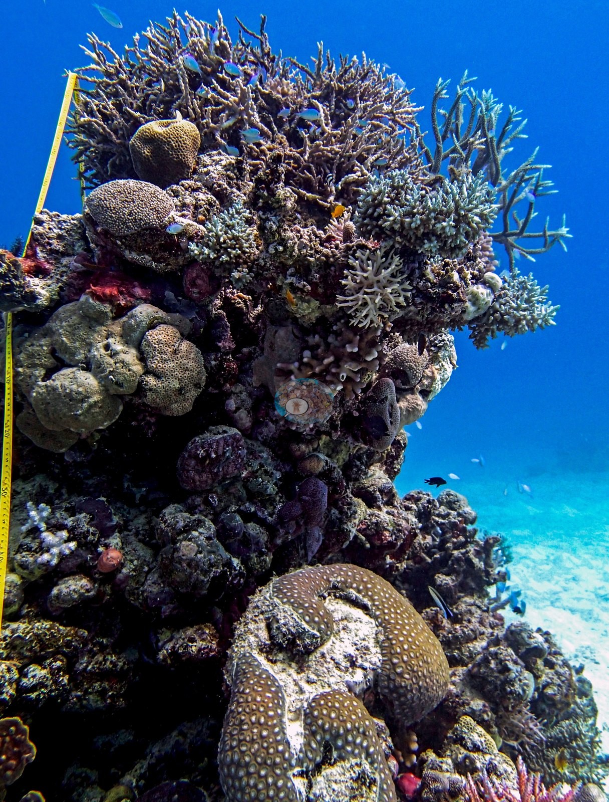
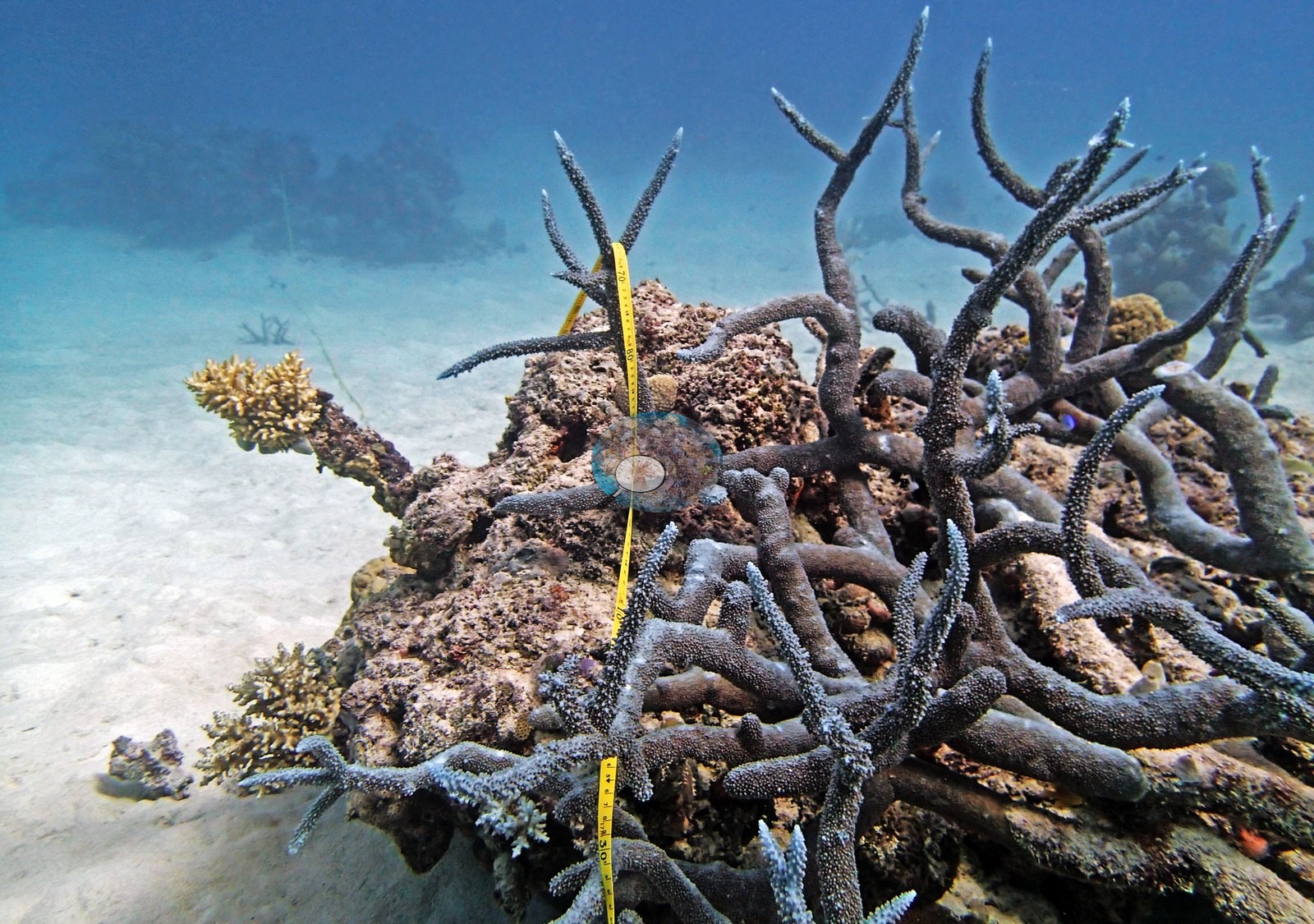
Two frames have the yellow transect tape hanging vertically down a bommie flank: around it, gnarled dark branching colonies and a lot of dead branch framework, an orange sponge, a mauve pocilloporid, and clean white sand running away at the base (e.g., Image 4, Image 5).
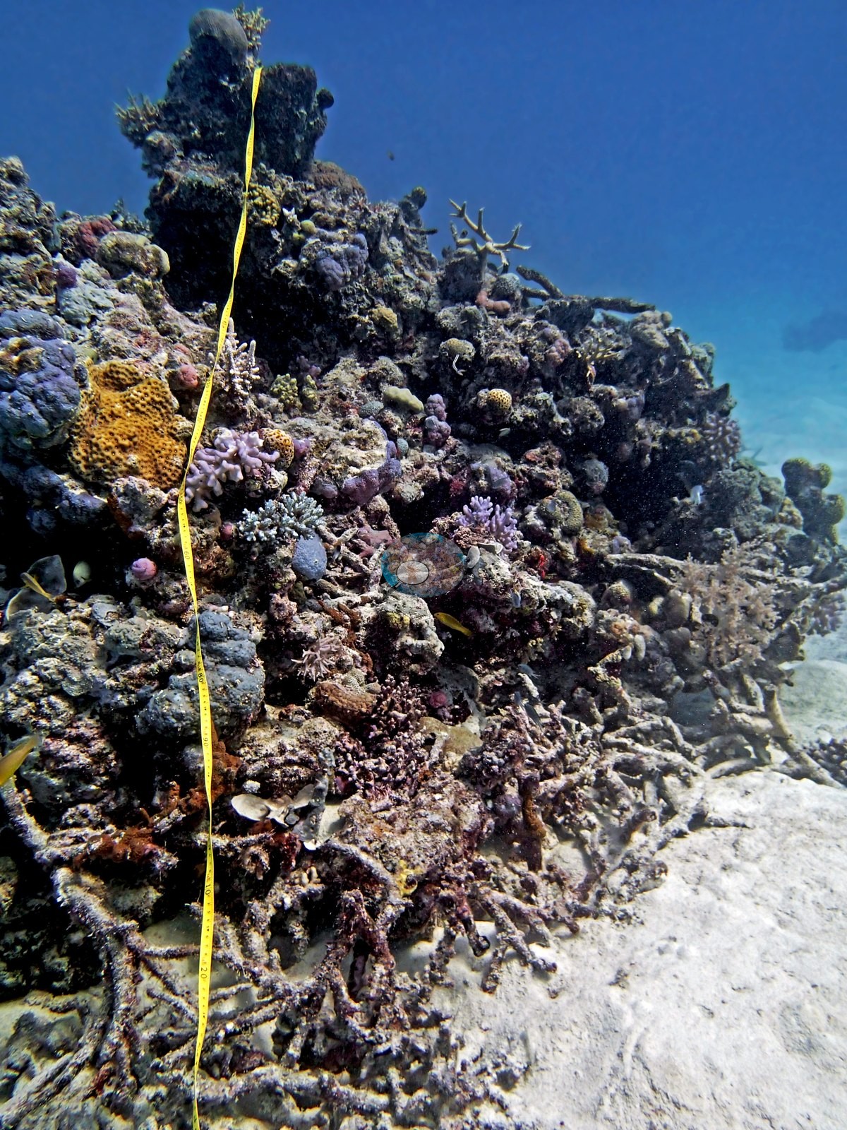
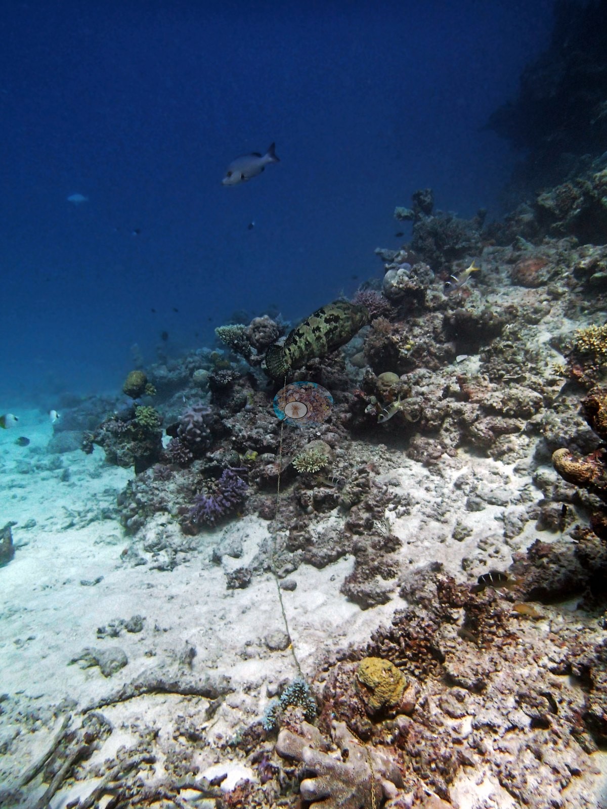
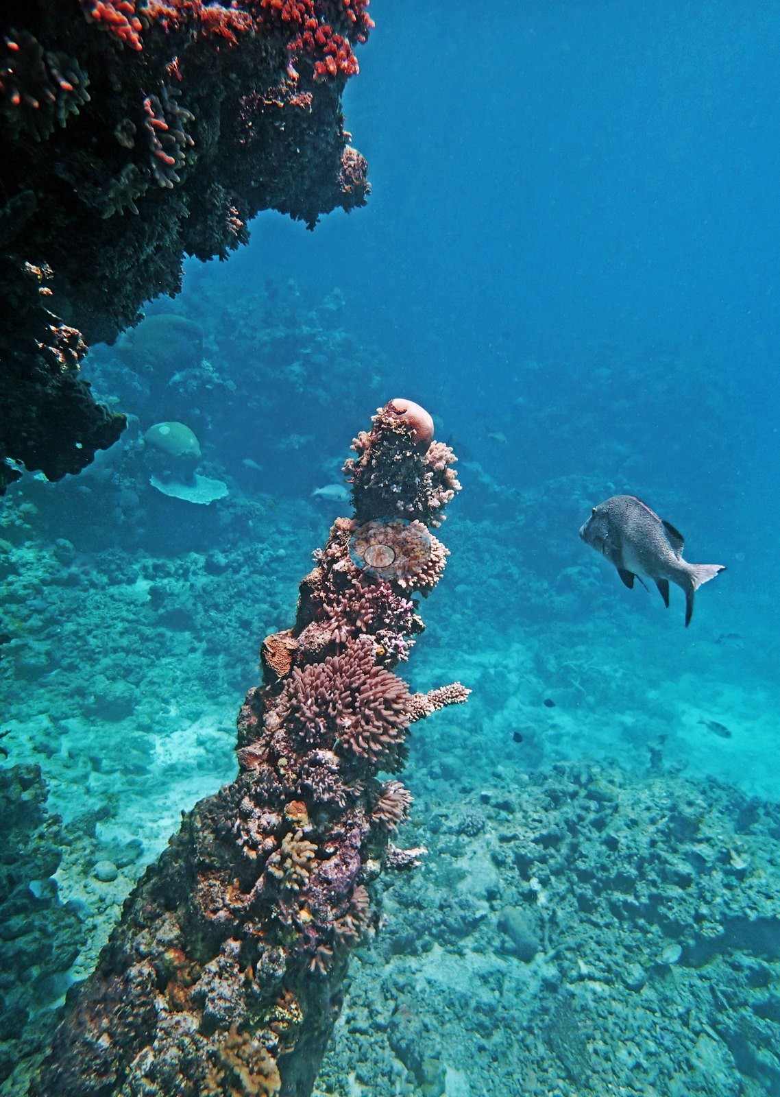
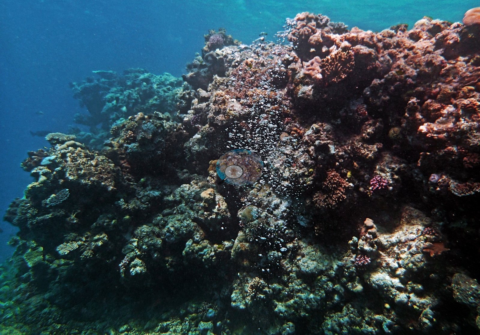
Two more look along the deeper reef, where cover thins to scattered mounding colonies, a pale Porites, and sediment-dusted pavement dropping into blue (e.g., Image 2, Image 3).
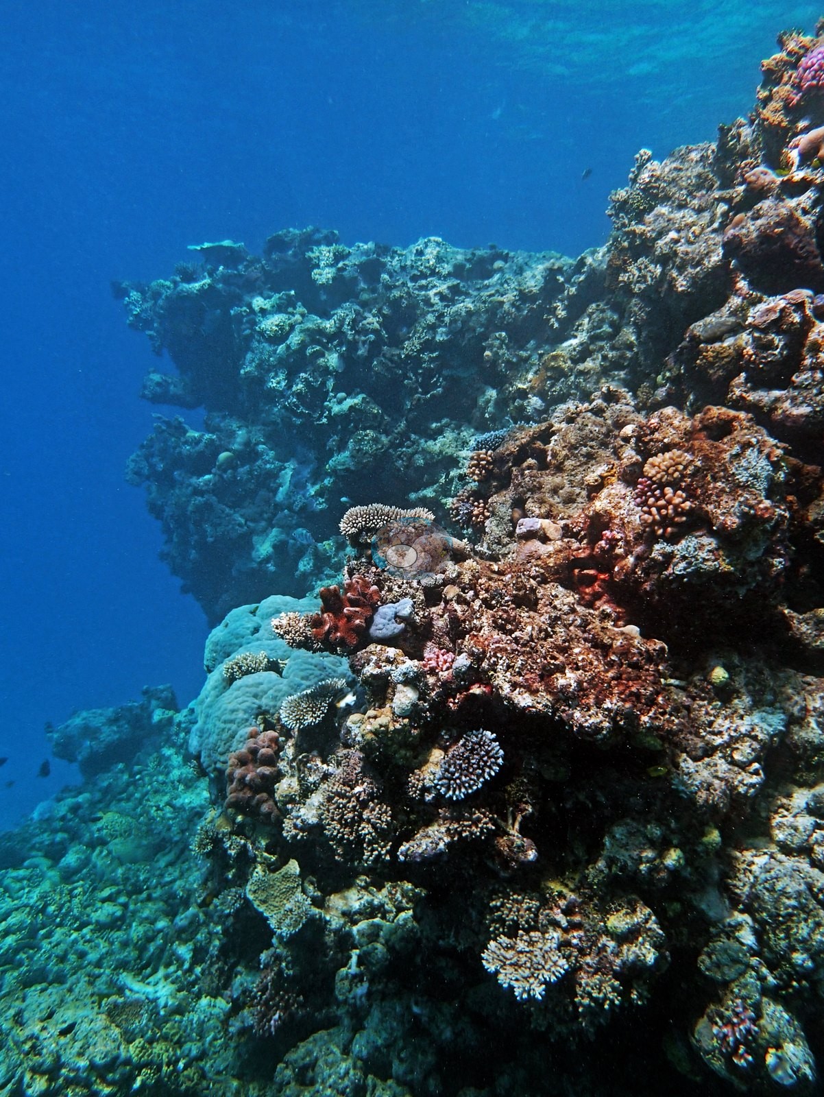
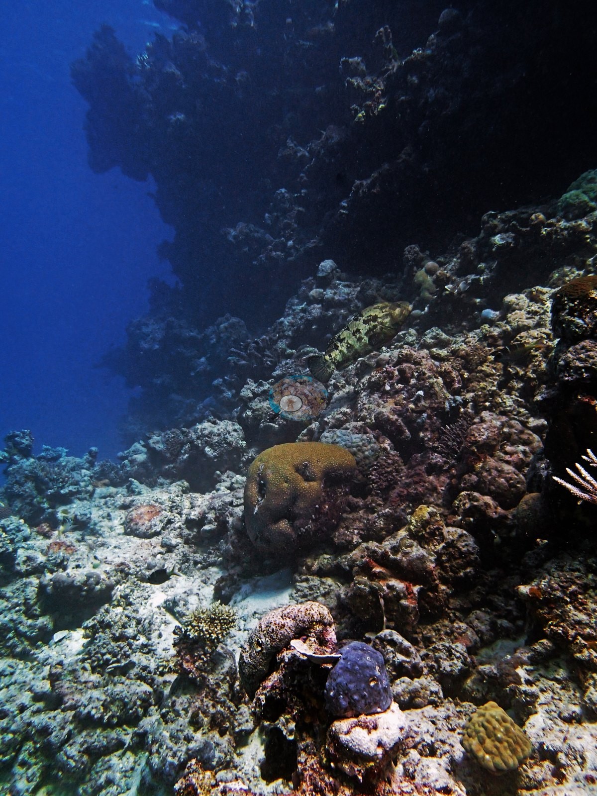
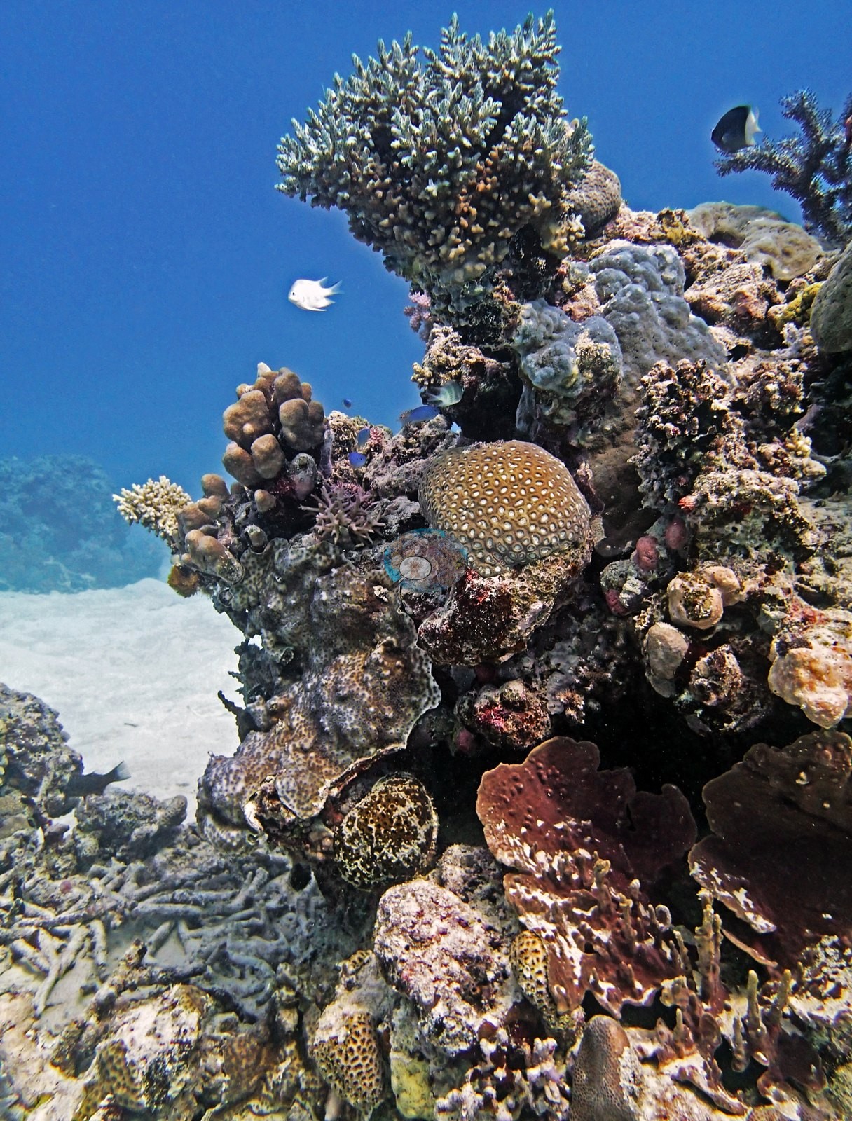
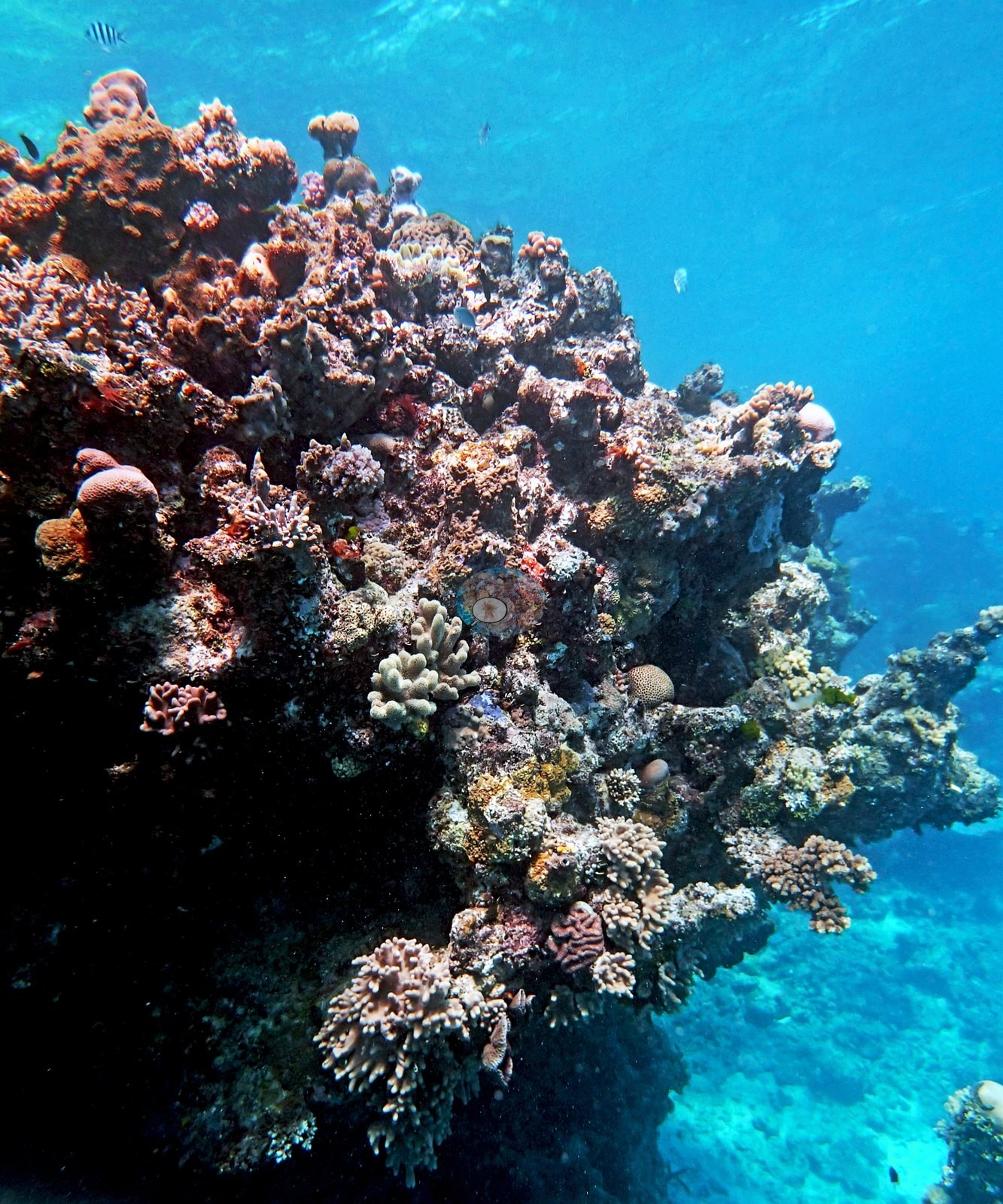
Only the shallowest frame is dense: a bommie crest carrying cream corymbose Acropora, a honeycombed mounding faviid, and maroon plating colonies, standing over rubble (e.g., Image 1).
Elsewhere cover came from sediment-covered rubble with patches of Seriatopora hystrix and Stylophora pistillata, fire coral, and branching Acropora.
Coral cover
- Reference: Khaled bin Sultan Living Oceans Foundation, Global Reef Expedition (in situ transect)
- Point-count cover measured 13%.
- One transect was scored at this station (13%; n = 1, so no SE; Living Oceans Foundation per-transect benthic data); it is the expedition's station value printed above.
Fish and other fauna
A 1.5 m gray reef shark cruised past, along with big snappers, sweetlips, and a stingray, and no bleaching, disease, or COTS were noted.
Comparisons with other data
No other surveys have been conducted at this site to date. Within 5 km, nine independent stations (AIMS LTMP, AIMS manta tow, and XL Catlin Seaview Survey) recorded 3.9–73% hard coral cover between 1993 and 2023; the nearest, AIMS manta tow at CARTER REEF, 0.90 km away, read 3.9–35% between 1993 and 2023.
Dive record
Anderson's first Carter Reef dive, on 11 September 2014, worked the base of the site's largest bommie alongside other members of the survey team, in a zone he called "beautiful but low coral cover below 7-8 m."
Independent surveys nearby
| Agency / program | Year(s) | Stations / distance | Link |
|---|---|---|---|
| AIMS LTMP | 1993–2022 | 6 stations, 3.22–4.84 km | Records ↓ |
| AIMS manta tow | 1993–2023 | 1 station, 0.90 km | Records ↓ |
| XL Catlin Seaview Survey | 2012–2017 | 2 stations, 3.63–4.81 km | Records ↓ |
 LOF Global Reef ExpeditionYear-average (illustrative only, programs differ)
Within 5 km, 9 independent survey stations recorded hard coral cover in 163 surveys between 1993 and 2023. Of the 8 stations surveyed in more than one year, 7 were scored by divers or by people annotating photographs: 7 increased (by 10.8–26.0 points) between their first and latest surveys. The other 1 was scored by automated image analysis: declined by more than 7 points. The longest record, CARTER REEF (AIMS manta tow, 0.90 km away), went from 16% in 1993 to 33% in 2023. Since 2021, station-year means average 30% (range 18–36%; n = 15 station-years from 15 surveys). This site's own estimate (13%) sits 5 points below the recent range up to 2 km away (18–33%); the methods differ, so the comparison is context, not a like-for-like test.
Collected by other programs using different methods (AIMS manta tow is a towed visual estimate in categorical bins; AIMS LTMP uses fixed photo-transects; the XL Catlin Seaview Survey uses photo-transects with automated image annotation), so these are context for the figures above, not a like-for-like comparison. Where a station was surveyed more than once, the cell shows either the range of its values or, as a single value, the mean of surveys made in one year. Station names are not dive-site names.
| Agency | Site / location | Date | Hard coral cover (%) | Distance | Link |
|---|---|---|---|---|---|
| AIMS manta tow | CARTER REEF | 1993–2023 | 3.9–35% (23 surveys) | 0.90 km | doi:10.25845/5c09b0abf315a |
| AIMS LTMP | CARTER REEF site 3 | 1993–2022 | 7.7–59% (range of yearly means; 22 surveys) | 3.22 km | doi:10.25845/5c09bc4ff315c |
| AIMS LTMP | CARTER REEF site 2 | 1993–2022 | 8.8–65% (range of yearly means; 22 surveys) | 3.51 km | doi:10.25845/5c09bc4ff315c |
| AIMS LTMP | CARTER REEF site 1 | 1993–2022 | 7.5–73% (range of yearly means; 22 surveys) | 3.84 km | doi:10.25845/5c09bc4ff315c |
| AIMS LTMP | YONGE REEF site 1 | 1993–2022 | 9.6–66% (range of yearly means; 23 surveys) | 3.84 km | doi:10.25845/5c09bc4ff315c |
| AIMS LTMP | YONGE REEF site 2 | 1993–2022 | 7.6–64% (range of yearly means; 23 surveys) | 4.25 km | doi:10.25845/5c09bc4ff315c |
| AIMS LTMP | YONGE REEF site 3 | 1993–2022 | 3.9–55% (range of yearly means; 23 surveys) | 4.84 km | doi:10.25845/5c09bc4ff315c |
| XL Catlin Seaview Survey | transect 12005 | 2012–2017 | 5.9–17% (4 surveys) | 3.63 km | doi:10.14264/uql.2019.930 |
| XL Catlin Seaview Survey | transect 12028 | 2012 | 24% | 4.81 km | doi:10.14264/uql.2019.930 |
Data & links
- Download benthic survey data (CSV) ↗
- Download all LOF-GRE data (933 sites) ↗
- Photo portfolio ↗
- Coral Reef Diagnostics country page ↗
All images from Coral Reef Diagnostics. Data are from the Khaled bin Sultan Living Oceans Foundation Global Reef Expedition, Coral Reef Diagnostics, and the organizations named in the data sources above.
 © Coral Reef Diagnostics.