
Part of the regional summaries: Australia (GBR) - Far North: Pink stations (Preservation Zone reefs) and Australia (GBR)
More info
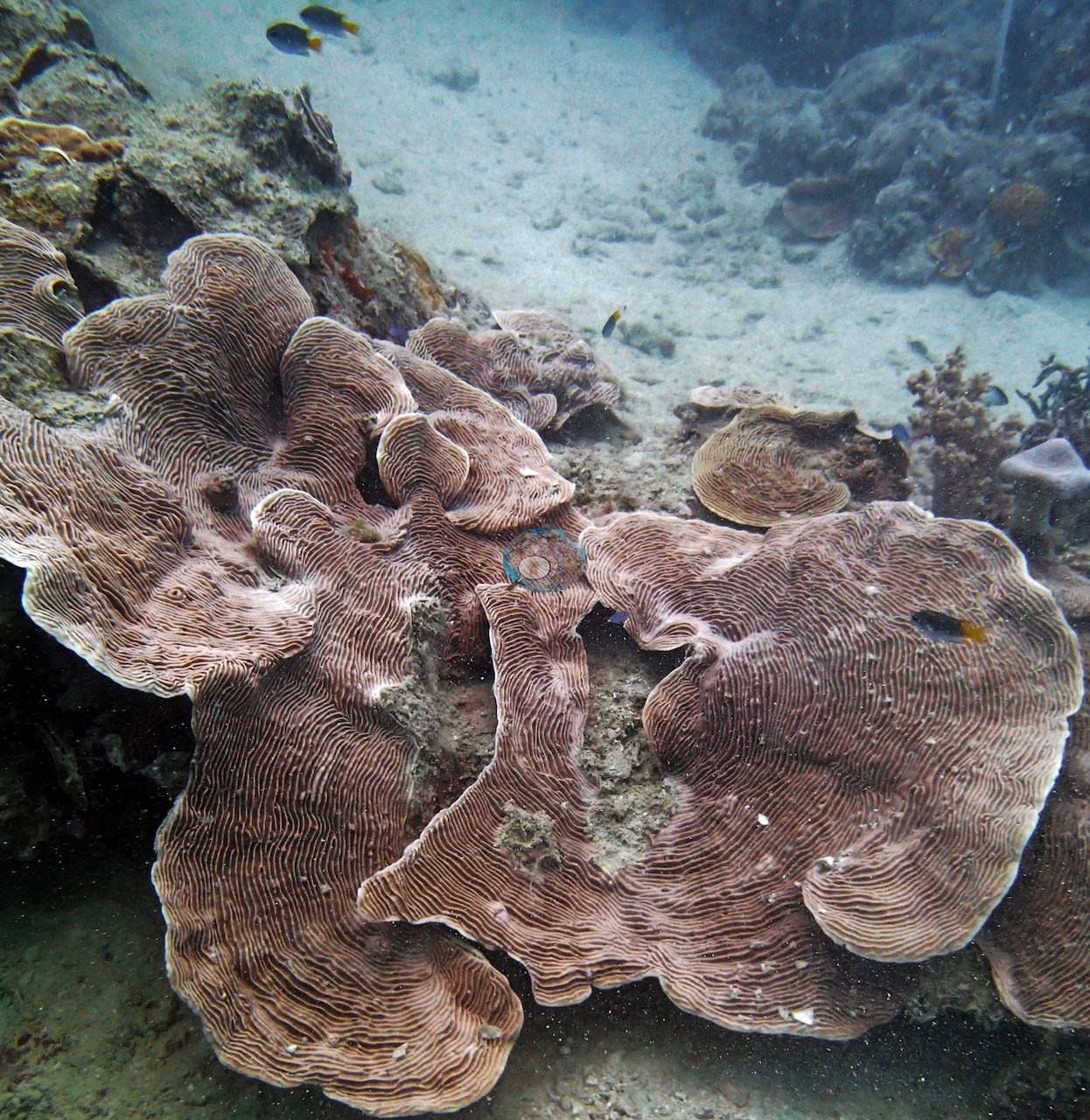
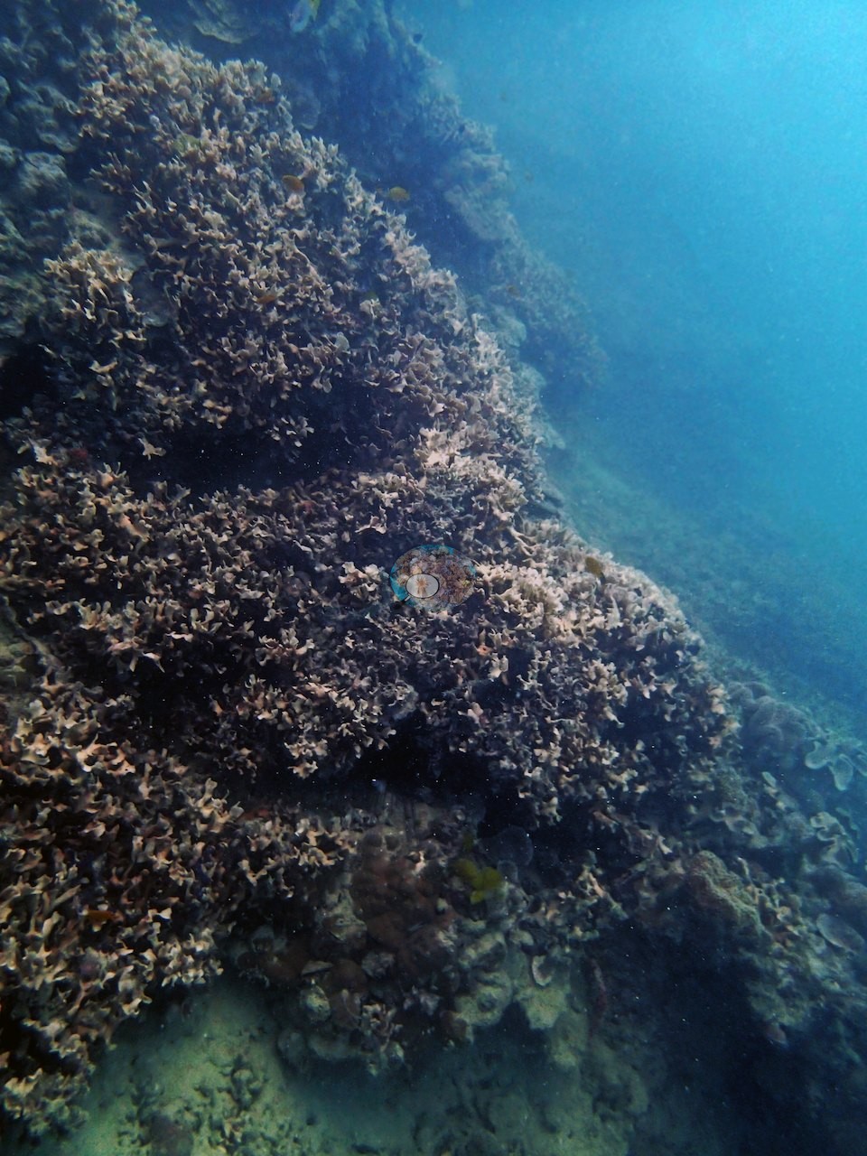
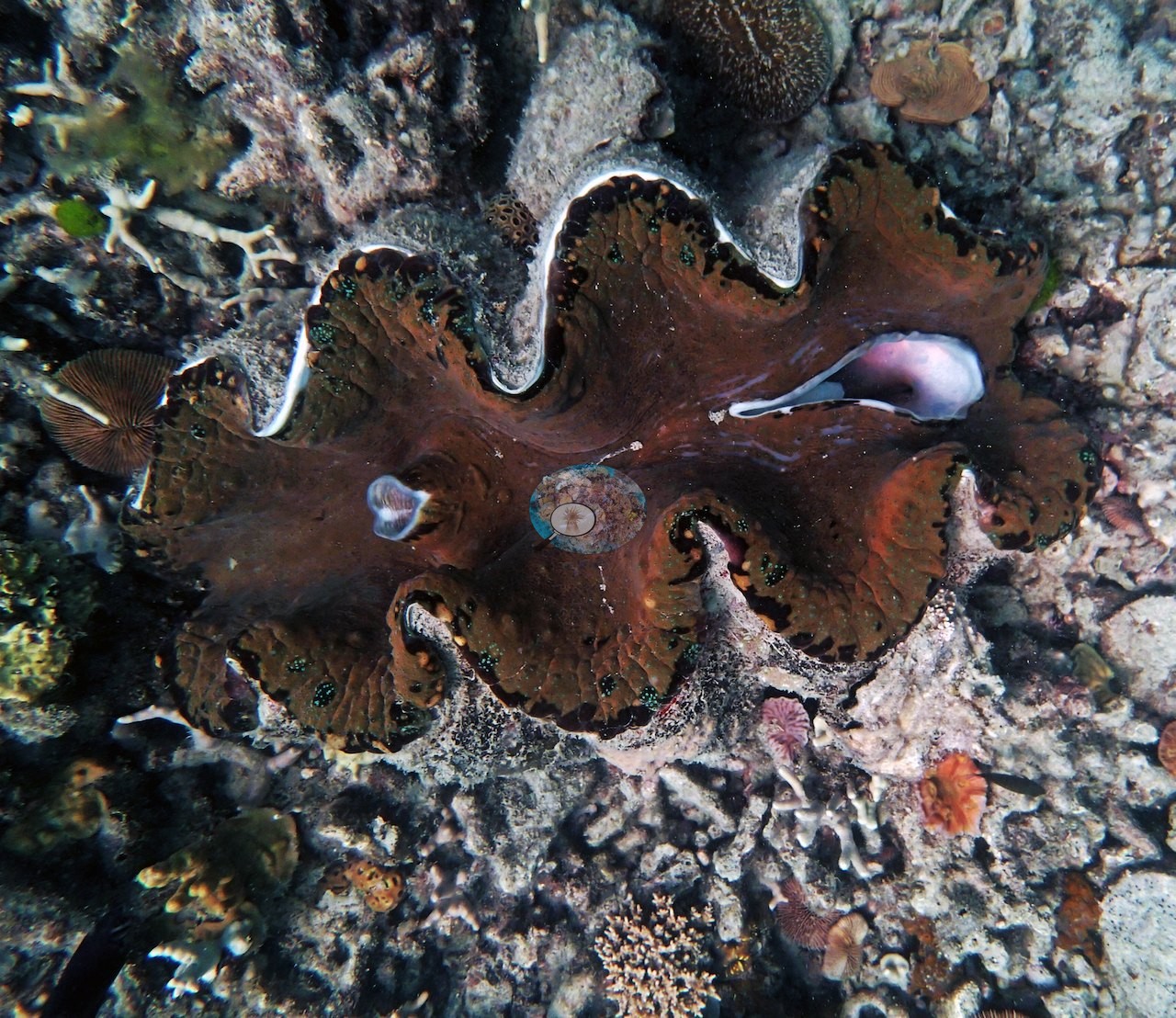
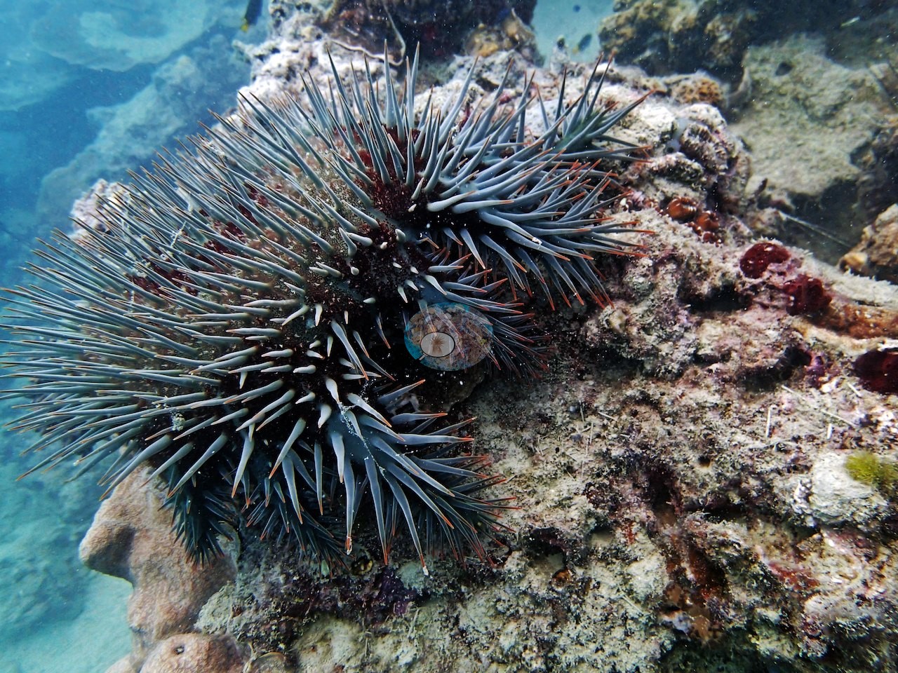
Far Northern GBR (NOAA CRW virtual station)A gradual, silt-coated slope on Parkinson Reef in 2-3 m visibility, carpeted in pale lettuce coral, Pachyseris plates several meters across, and massive Porites, with sharks patrolling the gloom. Some of the lettuce coral was dead and a crown-of-thorns starfish was seen, alongside a giant clam and large Diadema urchins. Surveyed on the Living Oceans Foundation's Global Reef Expedition.
Nine other CRD dive sites within 5 km shown in orange — click a marker to open its page.
🗺 Detailed map of the Global Reef Expedition dive sites, Parkinson and Monkman Reefs, northern Great Barrier Reef (Khaled bin Sultan Living Oceans Foundation; opens in a new window)
6 of the 18 photographs on this page are shown beside the text that discusses them under "Site description" below.
Site description
Setting
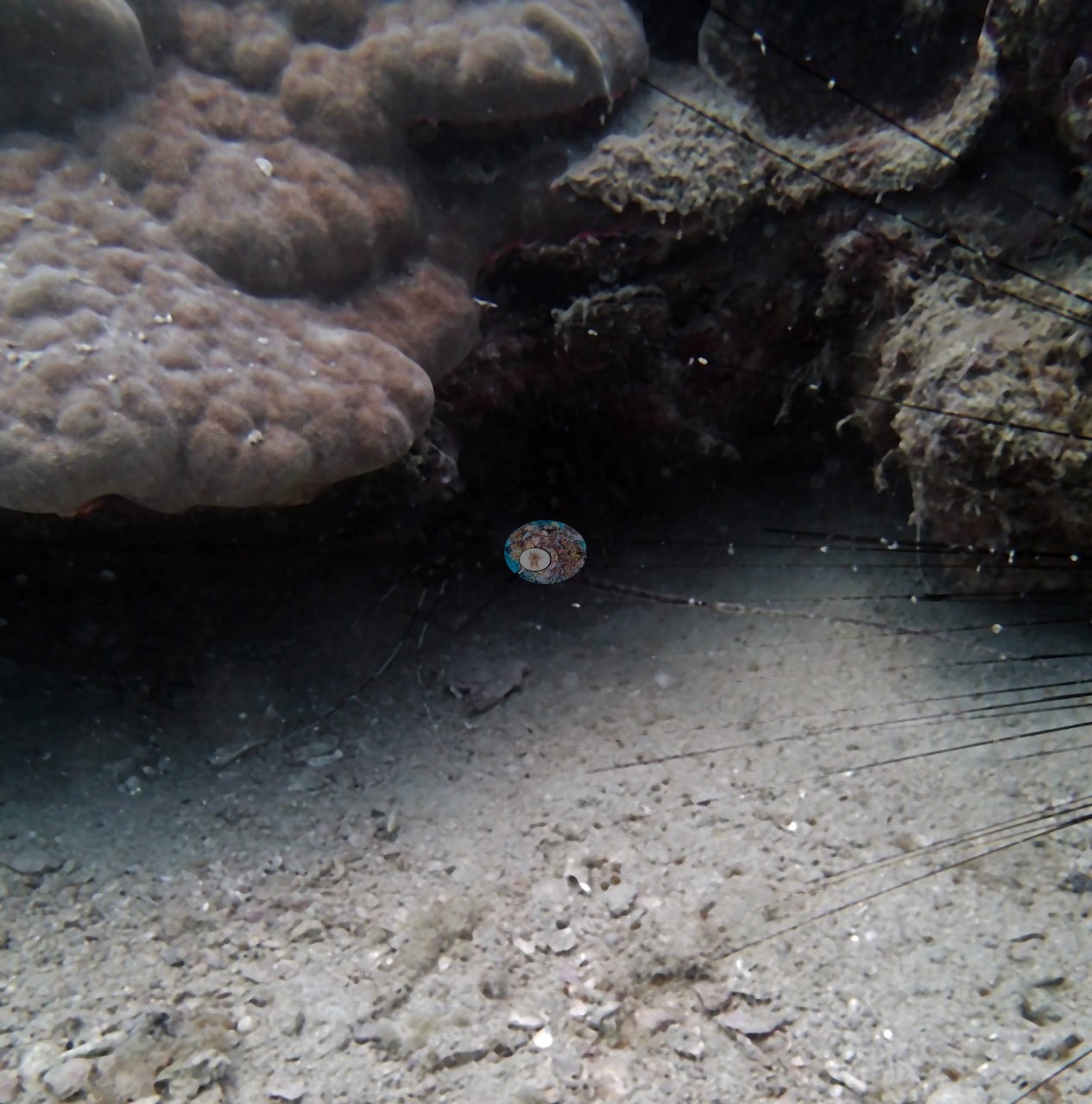
This stretch of Parkinson Reef slopes gradually past 15 m in very murky water, 2-3 m of visibility, with a fine layer of silt over everything and sharks and large fish patrolling the gloom. This reef sits within a Preservation Zone.
What the data say
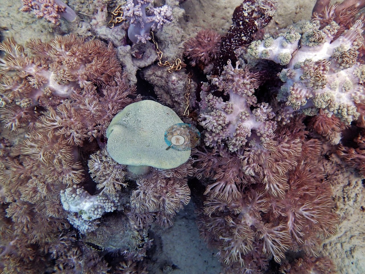
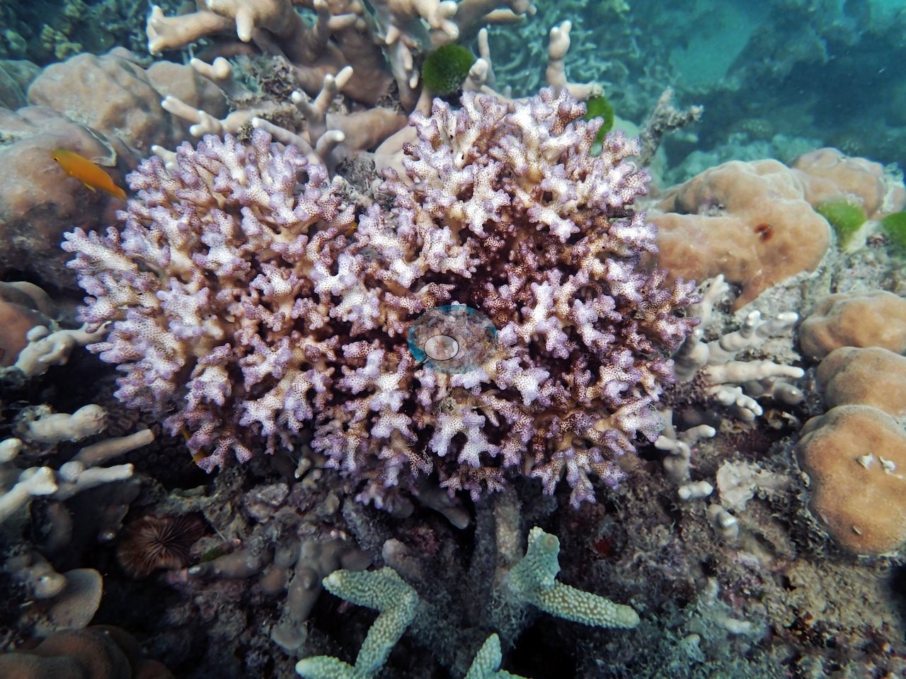
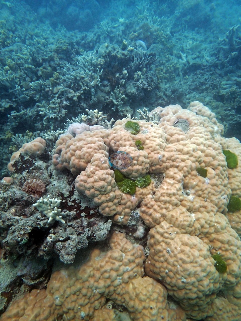
Point-count cover averaged 54%, with live coral led by Porites (40%), Echinopora (18%), and Montipora (14%), followed by Pachyseris (5.6%) and Merulina (4.2%); Anderson's photographs are a portrait gallery of notable colonies (cactus and lettuce corals, Pachyseris, Pavona, and massive poritids), not a sample of what the transect counted (Pectinia 0.9%, Pavona 2.8%). Transect mean 54 ± 7.4% SE (n = 4 transects; Living Oceans Foundation per-transect benthic data); the headline above is the expedition's station value.
What Anderson saw
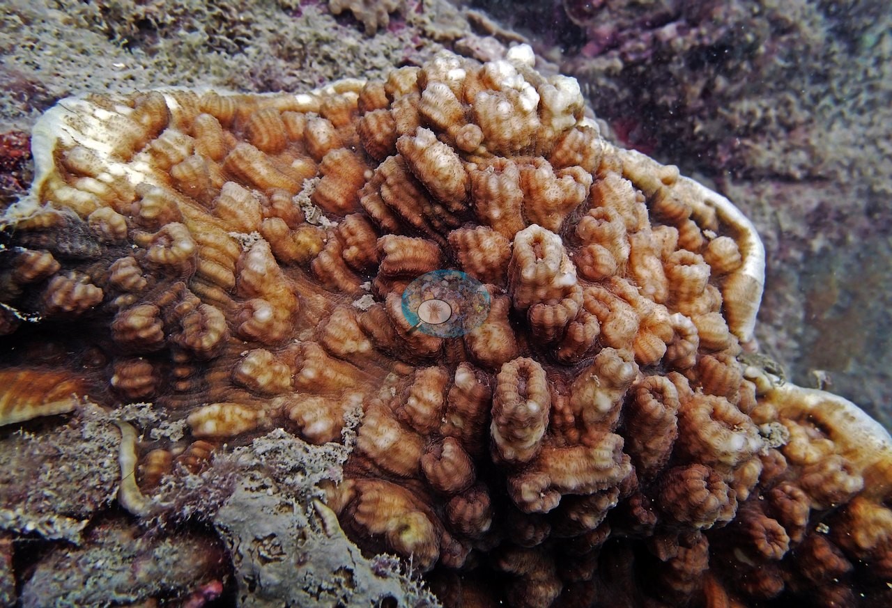
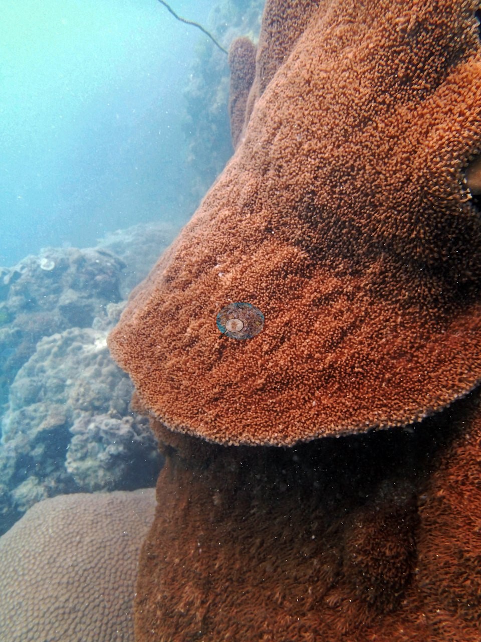
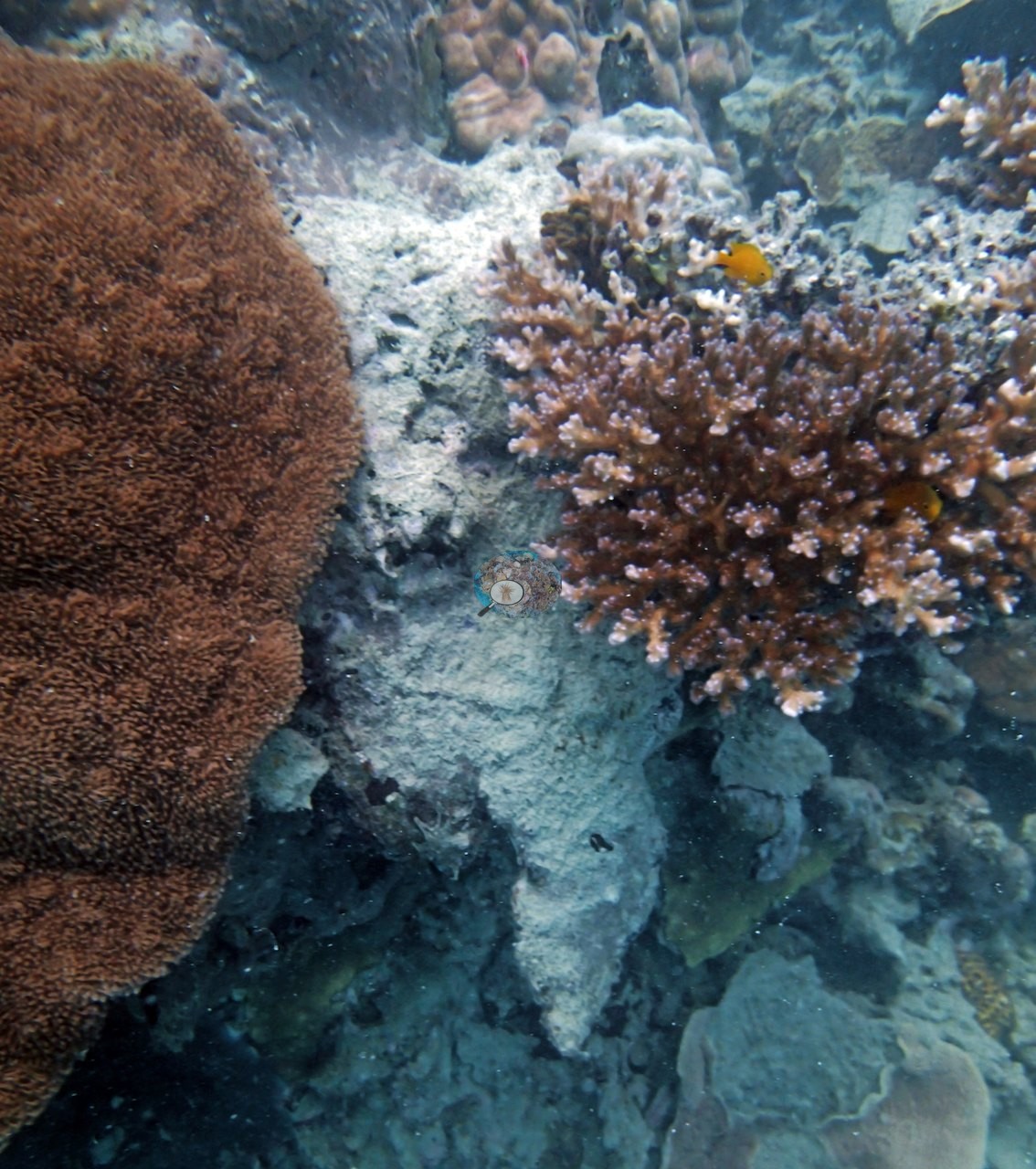
One frame is a Pachyseris colony several meters across, its fine concentric ridges running unbroken over the reef like fingerprint whorls (e.g., Image 1).
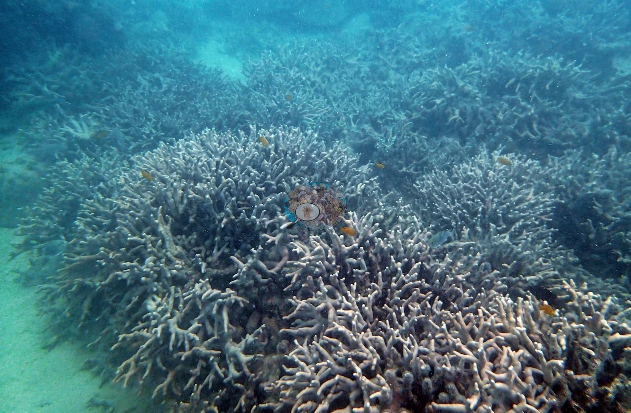
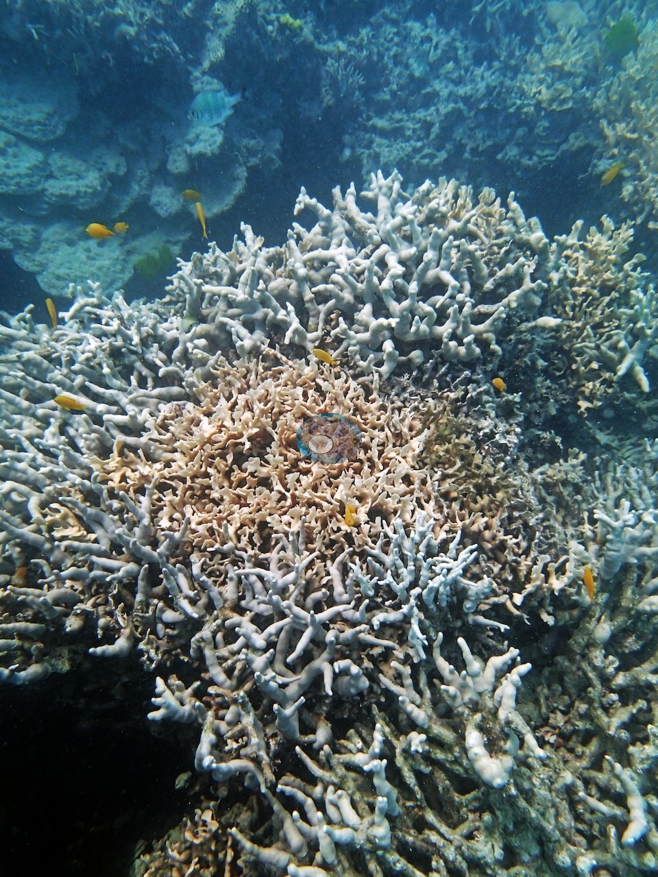
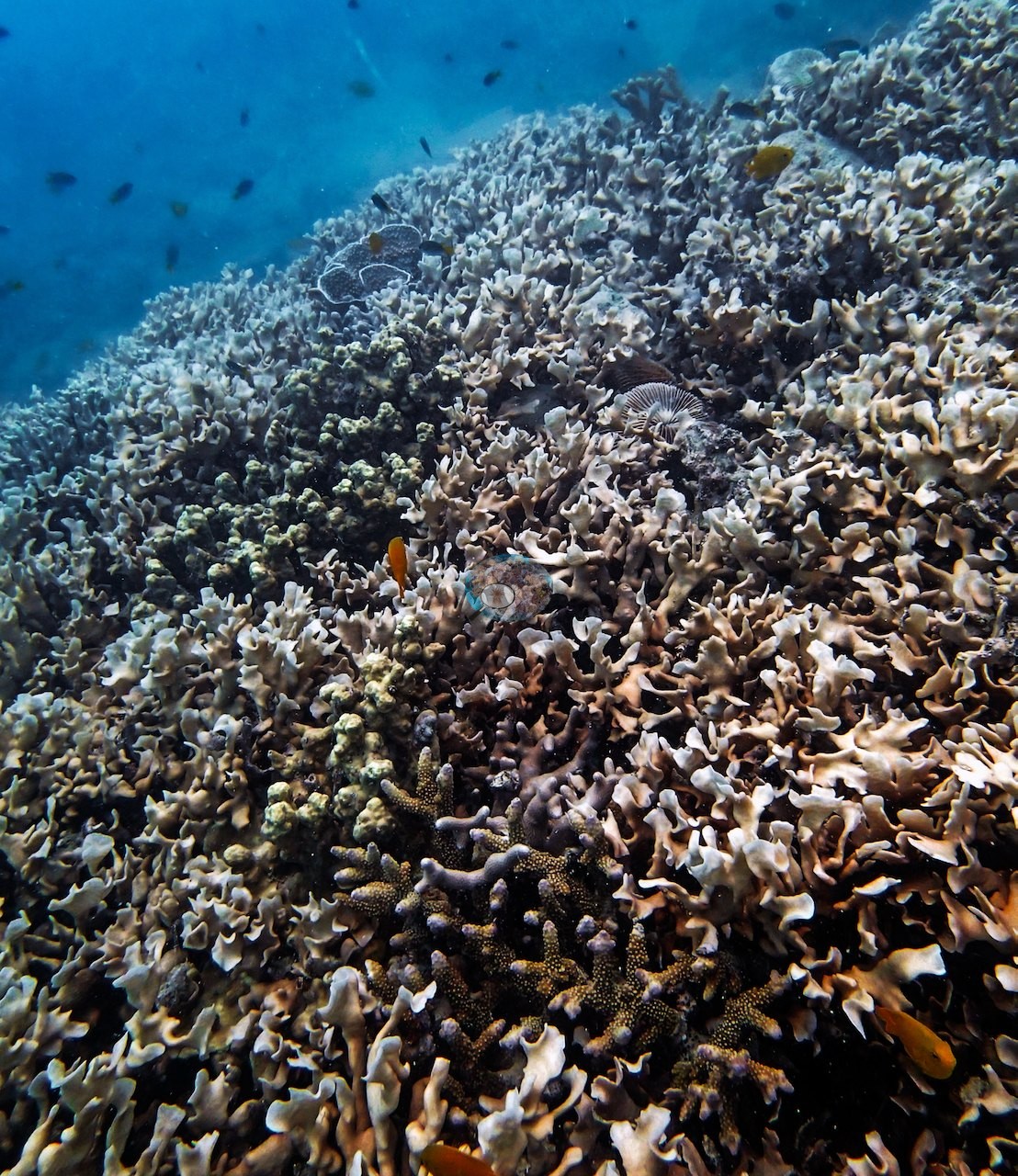
Another looks across a whole slope carpeted in pale, ruffled lettuce coral to the horizon of the reef, cover near total but noticeably washed-out in color, and some of that lettuce coral was indeed dead (e.g., Image 3).
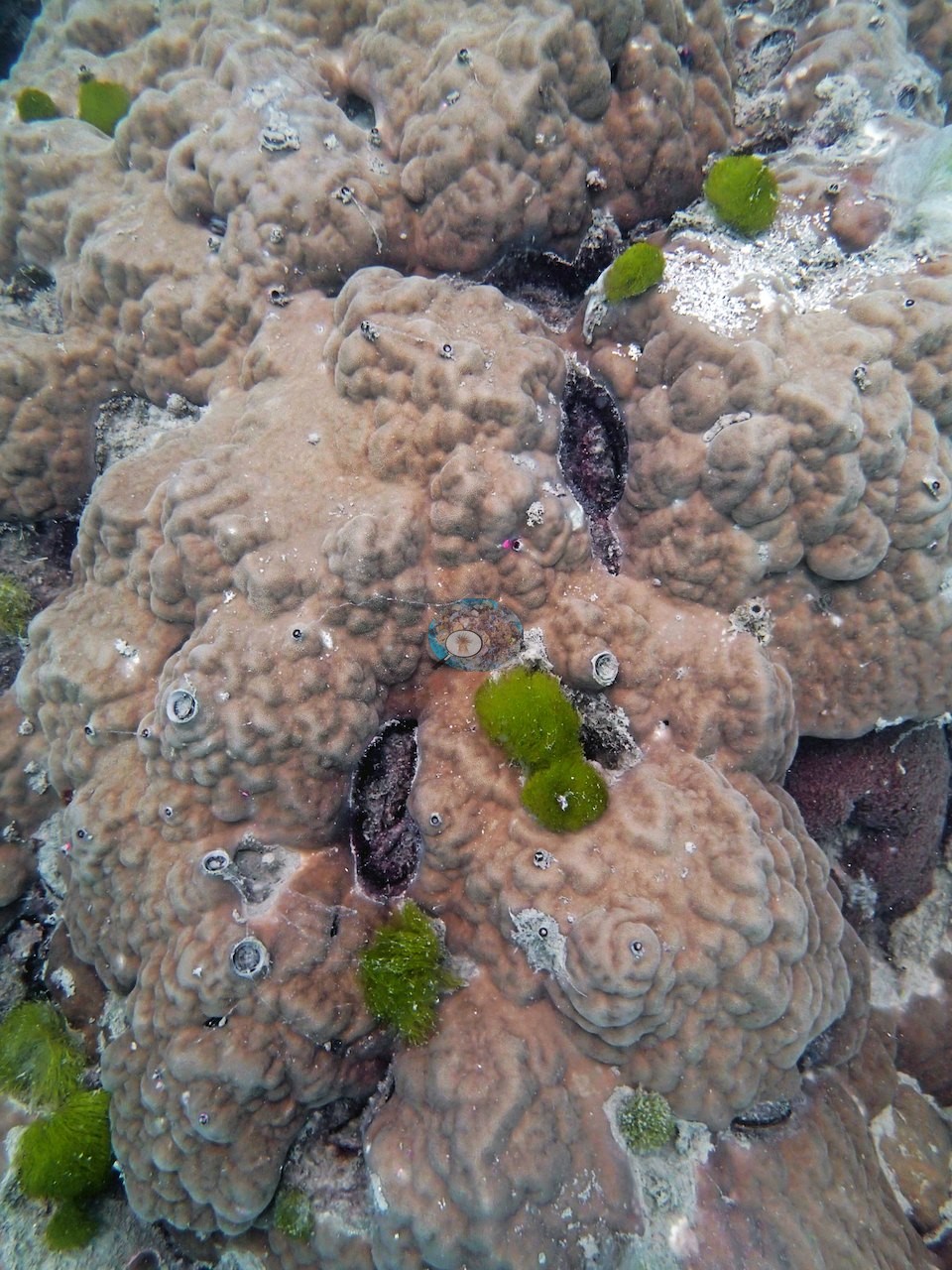
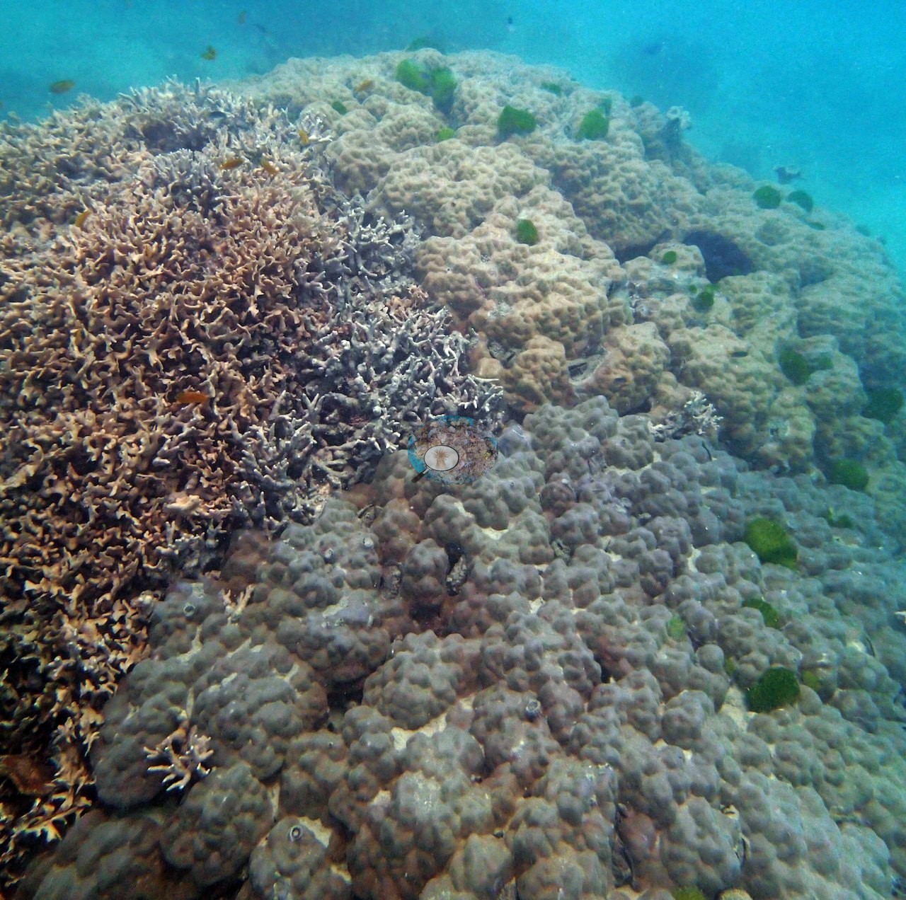
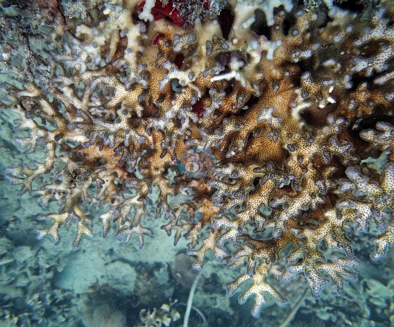
A third shows a bommie top where reticulated Porites rus branches meet a field of lumpy massive Porites studded with green algal tufts, and a close-up follows the P. rus growth form in detail (e.g., Image 2, Image 5).
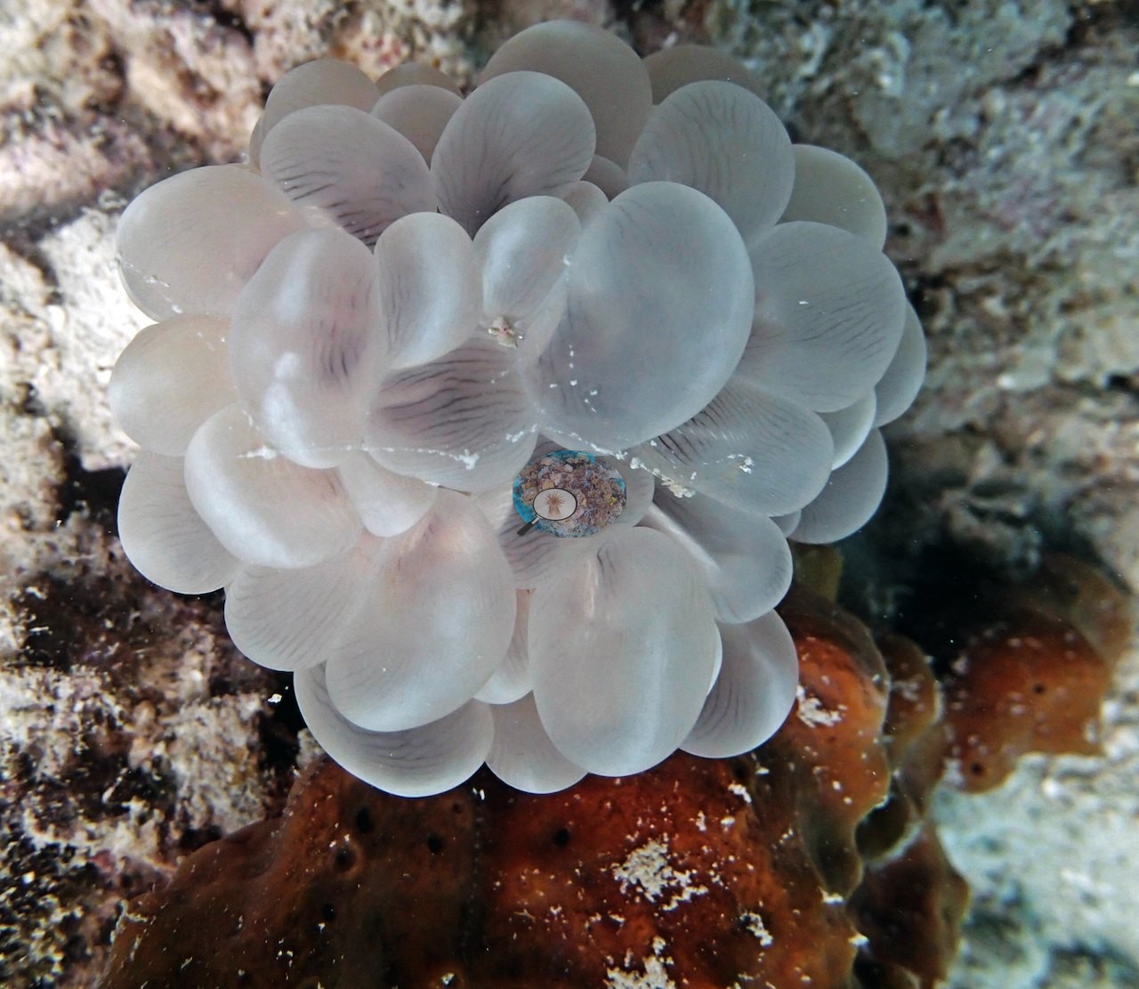
A giant clam with a chocolate-brown, green-flecked mantle fills the fifth (e.g., Image 4).
Coral cover
- Reference: Khaled bin Sultan Living Oceans Foundation, Global Reef Expedition (in situ transect)
- Transect mean 54 ± 7.4% SE (n = 4 transects; Living Oceans Foundation per-transect benthic data); the headline above is the expedition's station value.
Stressors
Anderson's notes record one crown-of-thorns starfish, photographed on dead framework (e.g., Image 7); some of the lettuce coral on his first transect (15 m) was dead, that transect also carried a lot of macroalgae, and a fine layer of silt covered everything.
Fish and other fauna
Fauna included schools of small barracuda and the biggest Diadema urchins Anderson recorded on the entire trip.
Comparisons with other data
No prior survey data from this site. If you would like to share yours, please email us.
Data & links
- Download benthic survey data (CSV) ↗
- Download all LOF-GRE data (933 sites) ↗
- Photo portfolio ↗
- Coral Reef Diagnostics country page ↗
All images from Coral Reef Diagnostics. Data are from the Khaled bin Sultan Living Oceans Foundation Global Reef Expedition and Coral Reef Diagnostics.
 © Coral Reef Diagnostics.