

Part of the regional summaries: Australia (GBR) - Far North: Pink stations (Preservation Zone reefs) and Australia (GBR)
More info
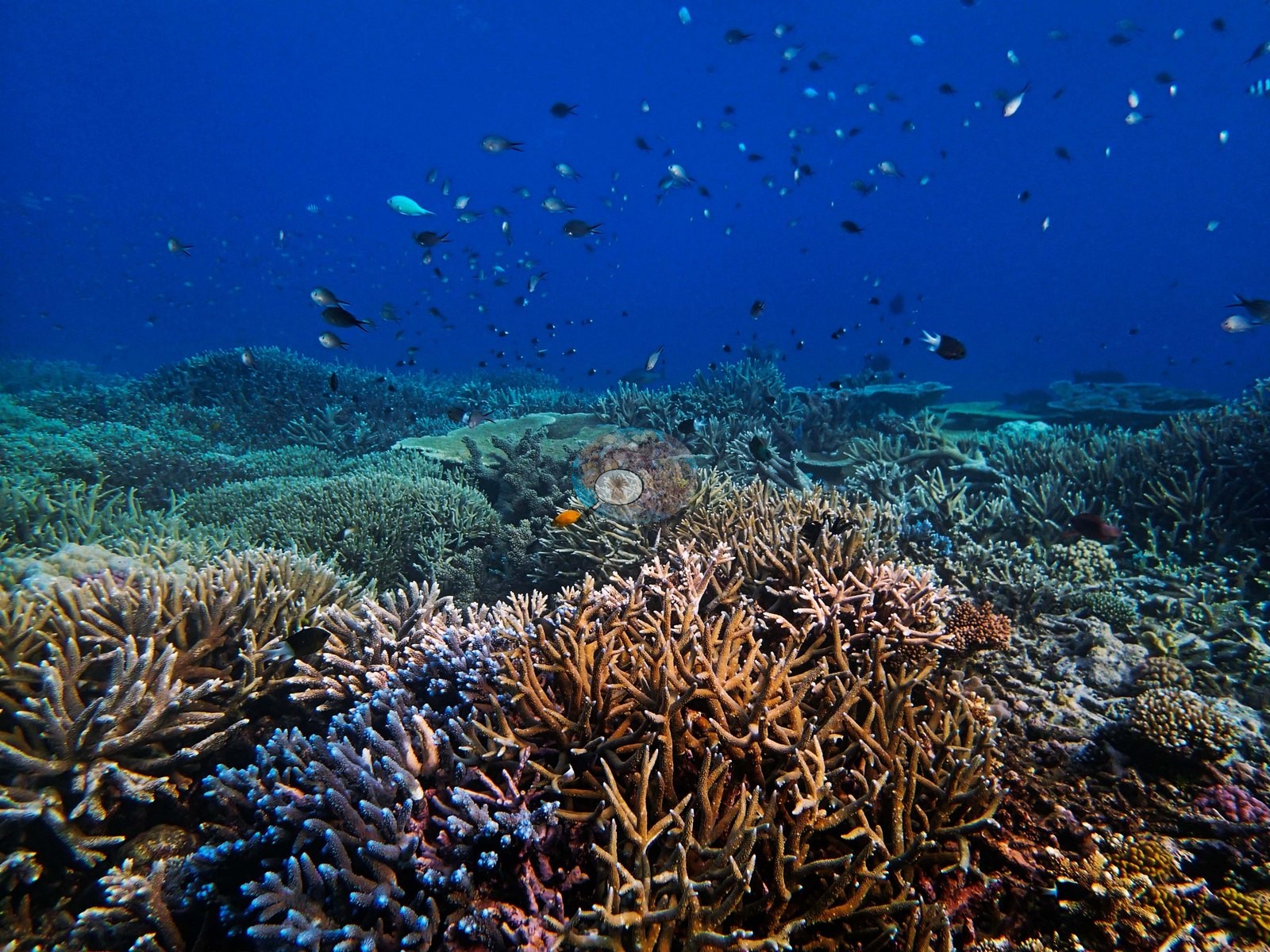
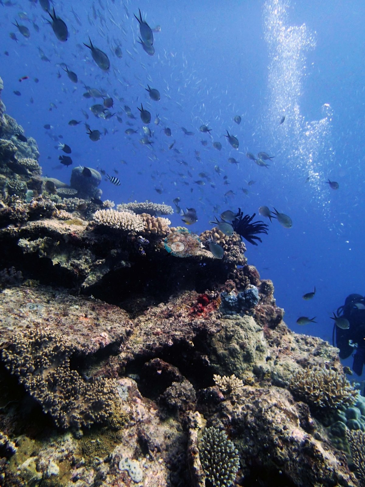
Northern GBR (NOAA CRW virtual station)Anderson's notes call this Ribbon Reef 6 pinnacle "beautiful" and "interesting", and its top shows why: branching Acropora in rust-orange, cream, and blue-tipped forms grows shoulder to shoulder beneath clouds of chromis and fusiliers, with gray reef sharks cruising above. Off the crown the pinnacle becomes a sparser reef of rock, rubble, and scattered colonies, and his field note records some Pocillopora colonies mostly bleached and covered in mucus; to him the mucus looked exogenous in origin ("Very strange"). Surveyed on the Living Oceans Foundation's Global Reef Expedition.
Two independent survey stations shown with the program’s logo — click one to see how far it is from this site.
Five other CRD dive sites within 5 km shown in orange — click a marker to open its page.
🗺 Detailed map of the Global Reef Expedition dive sites, Ribbon Reefs, northern Great Barrier Reef (Khaled bin Sultan Living Oceans Foundation; opens in a new window)
Site description
Setting
Anderson's notes call this leeward coral pinnacle on Ribbon Reef No. 6 "beautiful" and "interesting", and the photographs make clear why — and also that the site has two very different halves. This Preservation Zone site carries the Marine Park's tightest protection, with entry itself restricted.
General benthic features
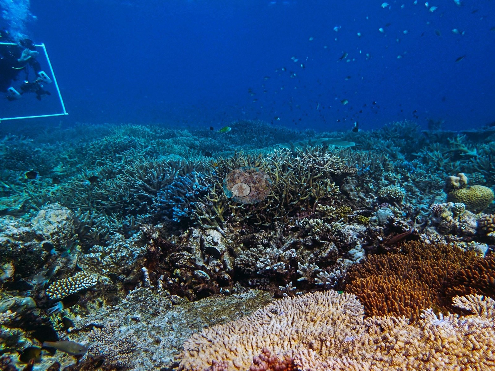
Eight frames (e.g., Image 26, Image 27, Image 28, Image 29, Image 30, Image 31, Image 32, Image 21) are shot across the top of the pinnacle in bright blue water and show a near-continuous branching-coral pavement running to the limit of visibility.
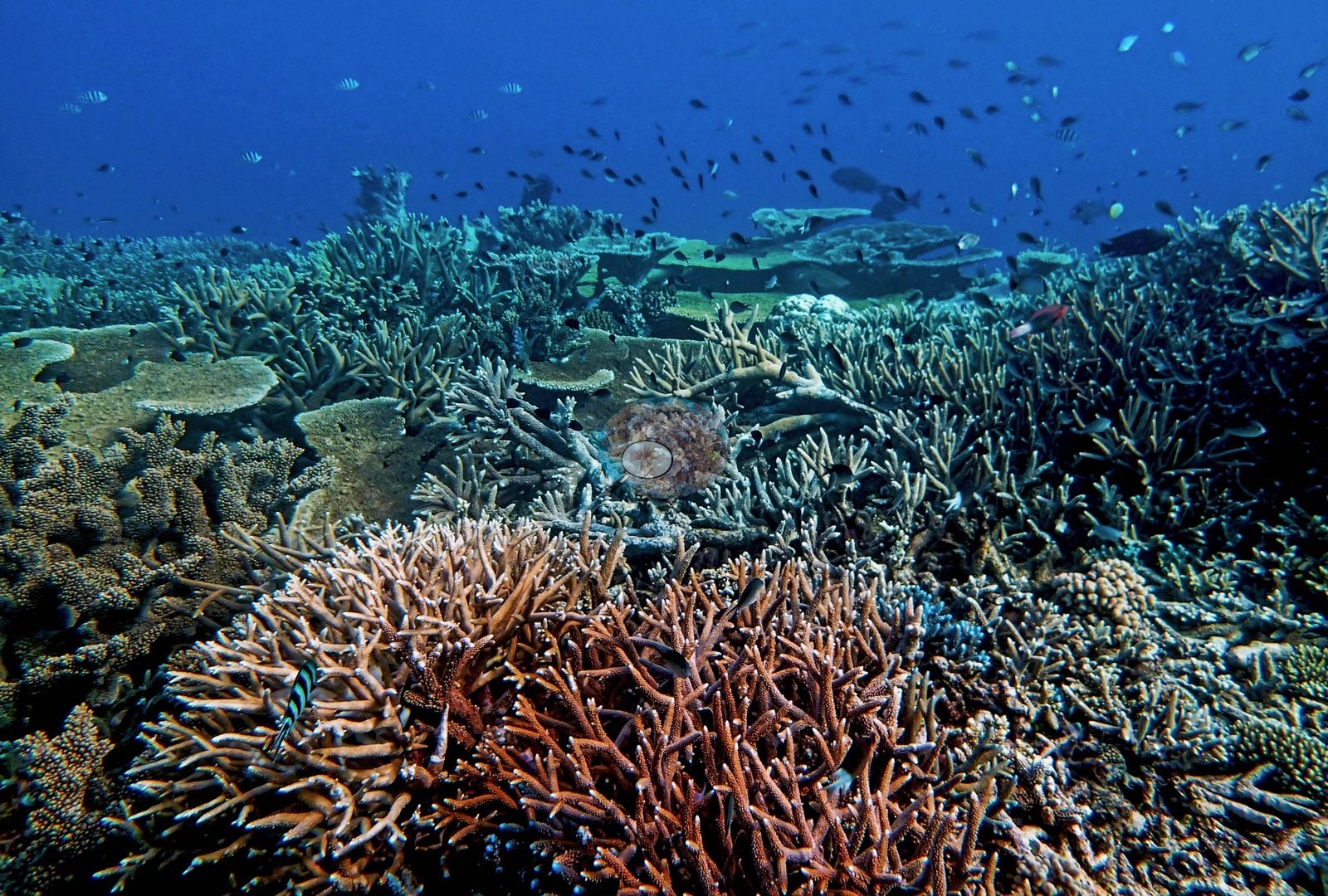
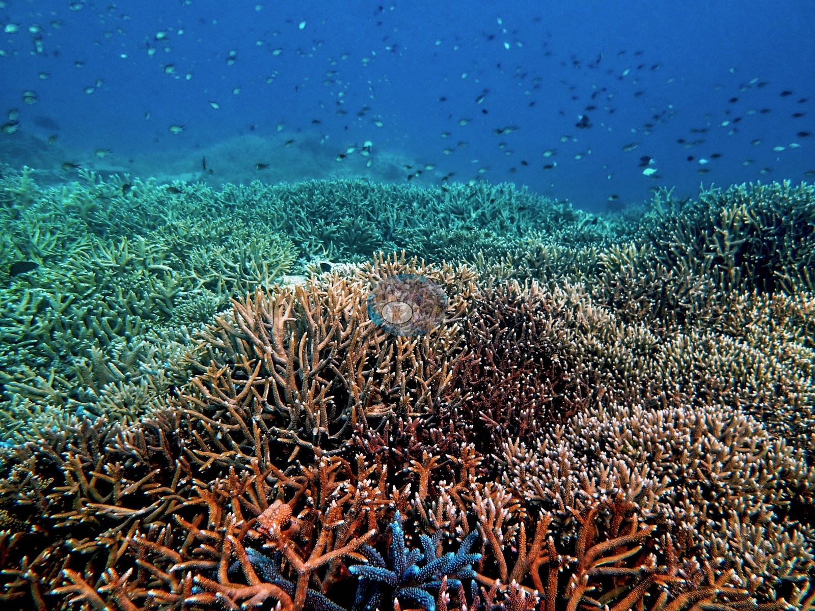
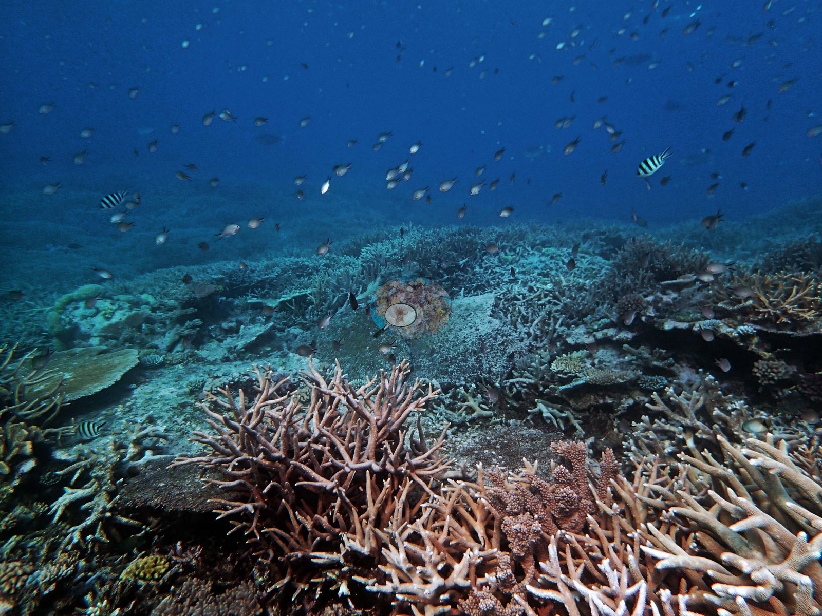
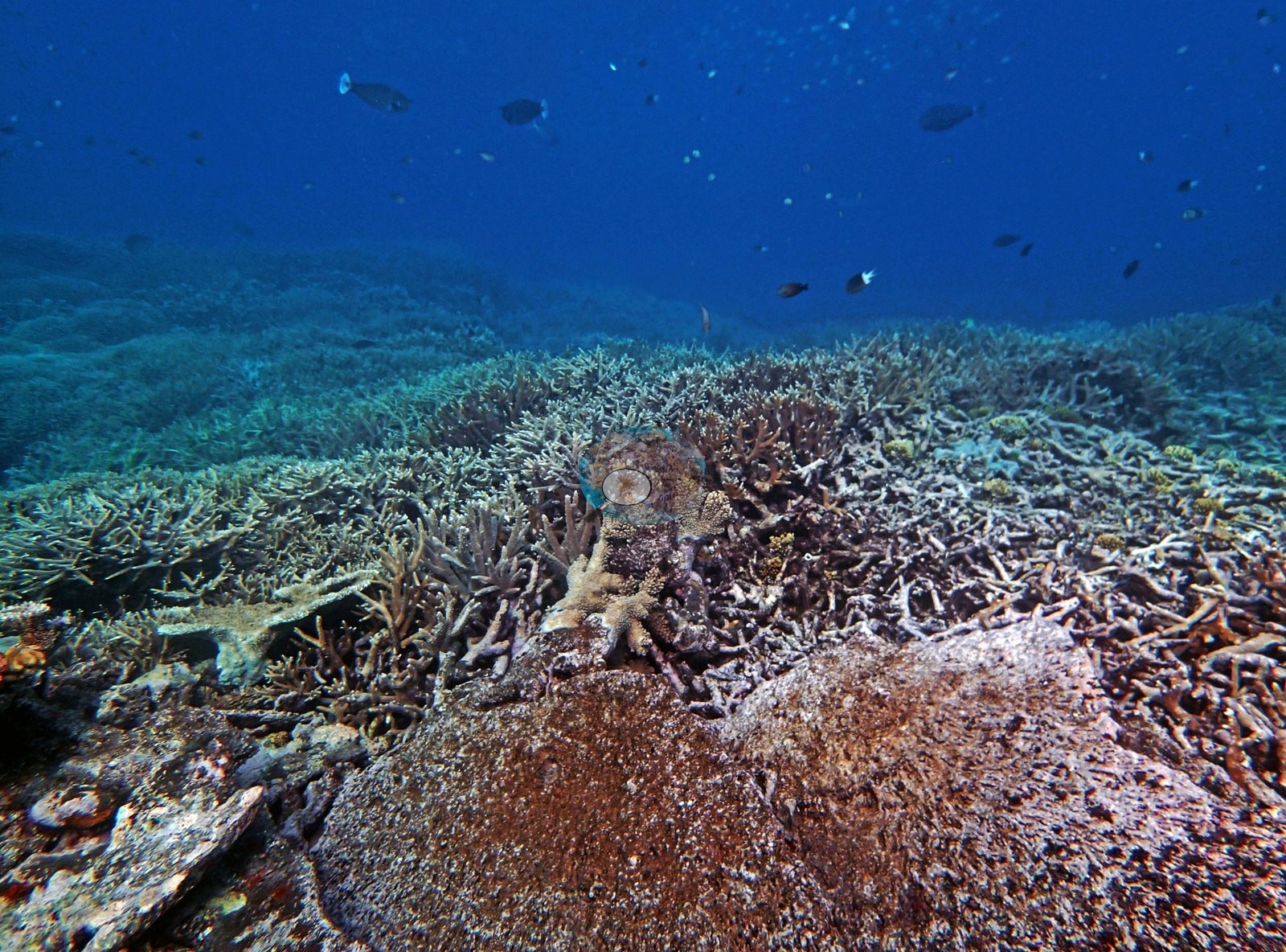
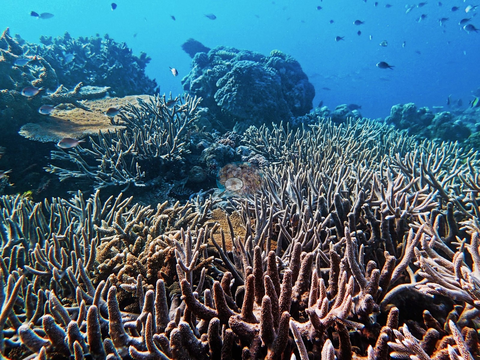
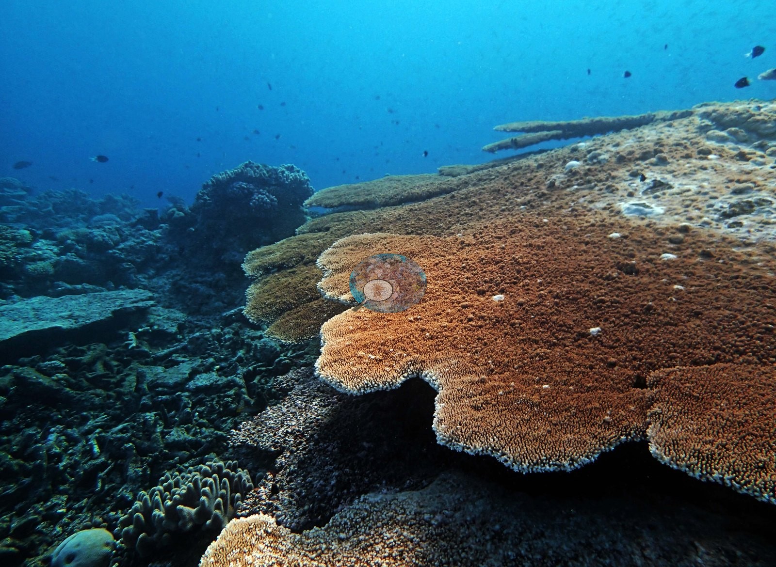
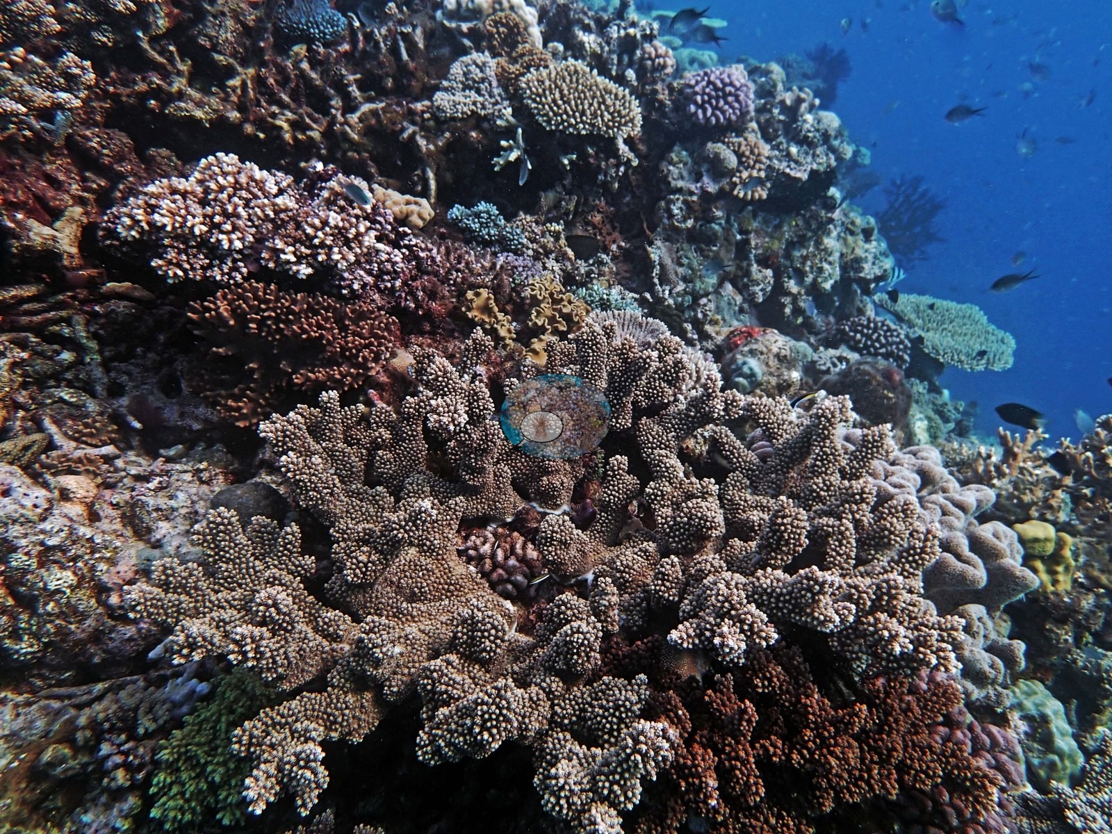
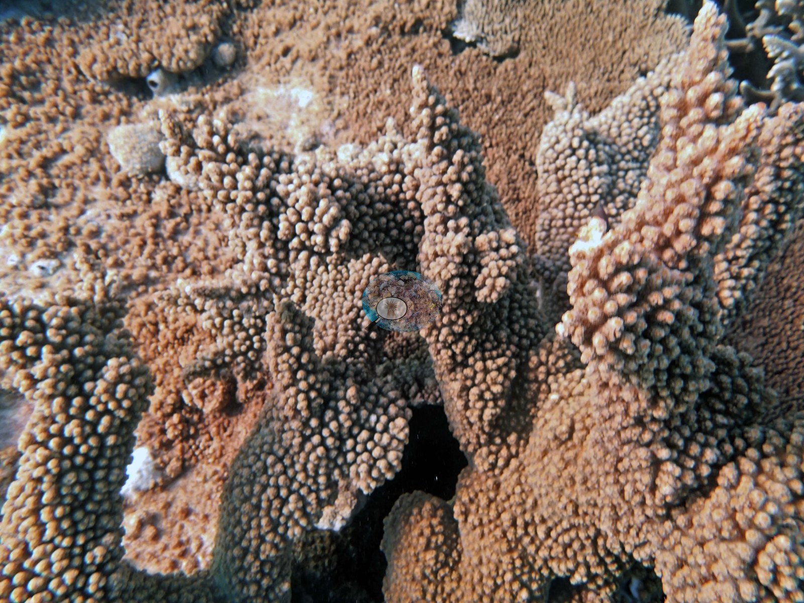
Antler- and staghorn-form Acropora dominate in rust-orange, tan, cream, and blue-gray, growing shoulder to shoulder with almost no bare substrate between colonies (e.g., Image 27, Image 28, Image 30, Image 31); blue-tipped digitate colonies are mixed through the orange thickets (e.g., Image 26, Image 28, Image 31), and stacked pale tables sit on the crest behind them (e.g., Image 27, Image 31). Two frames are given to single large tabulate Acropora plates, one roughly a meter and a half across with a clean growing rim and a shaded undercut (e.g., Image 24, Image 32).
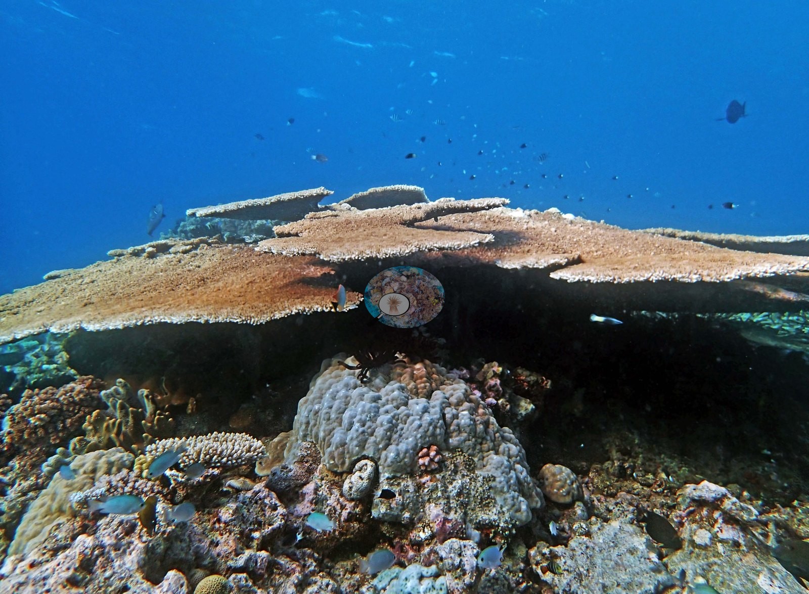
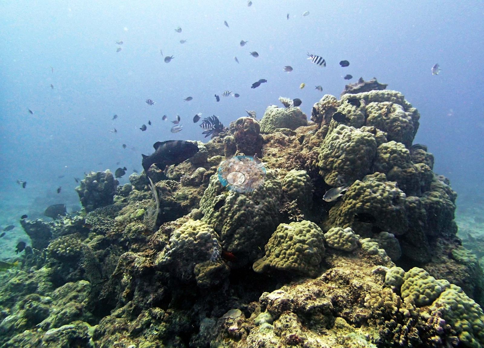
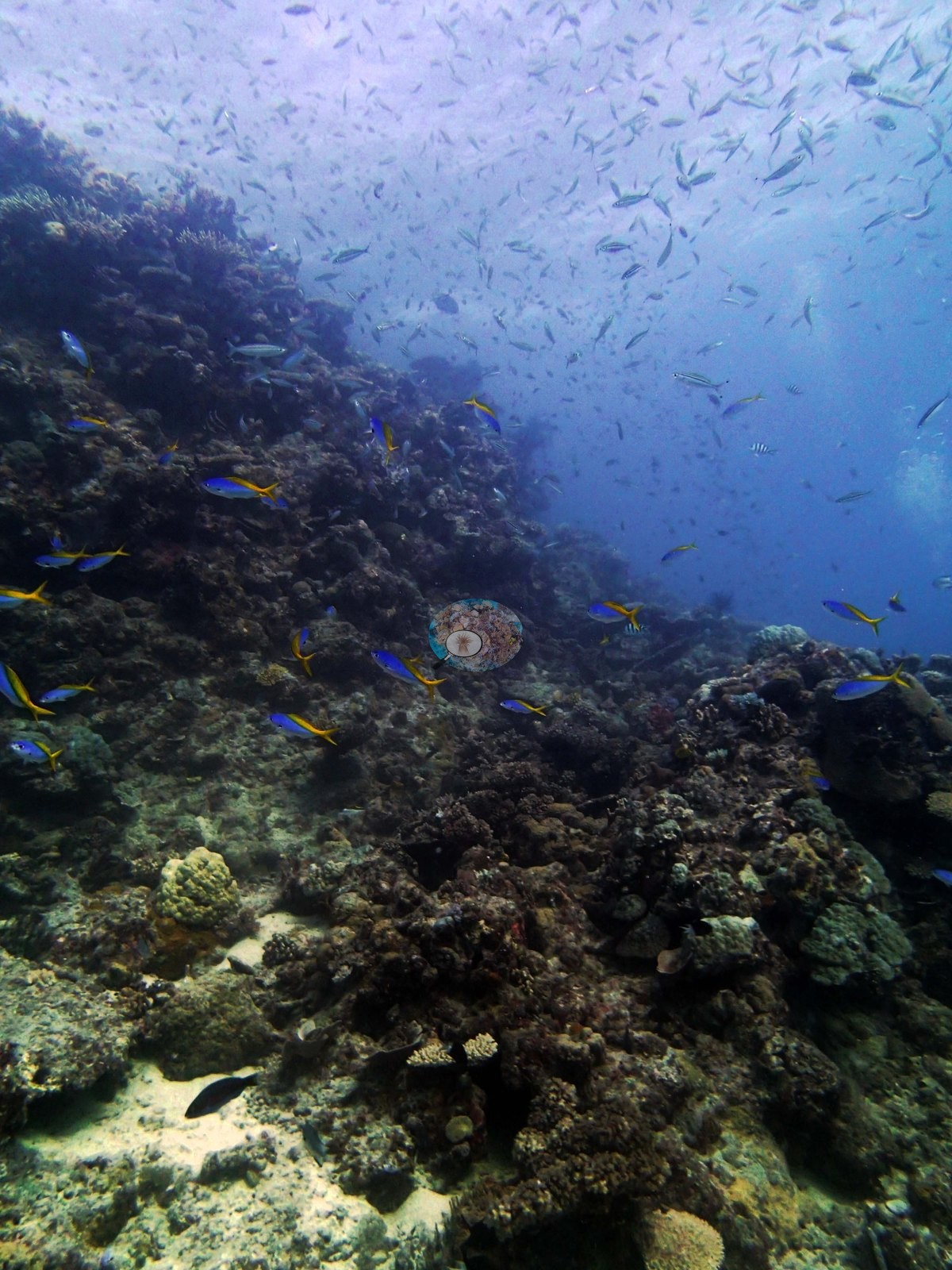
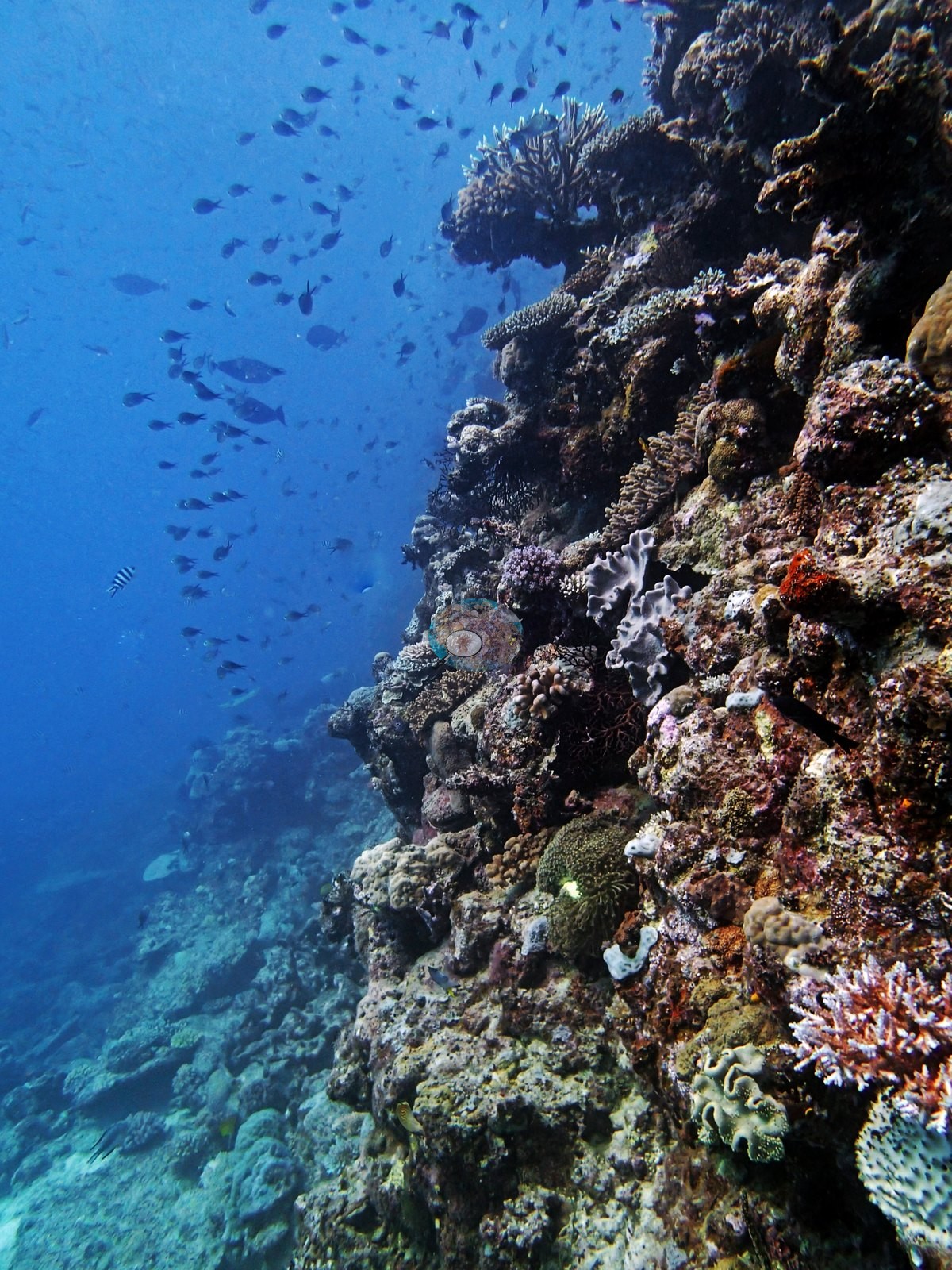
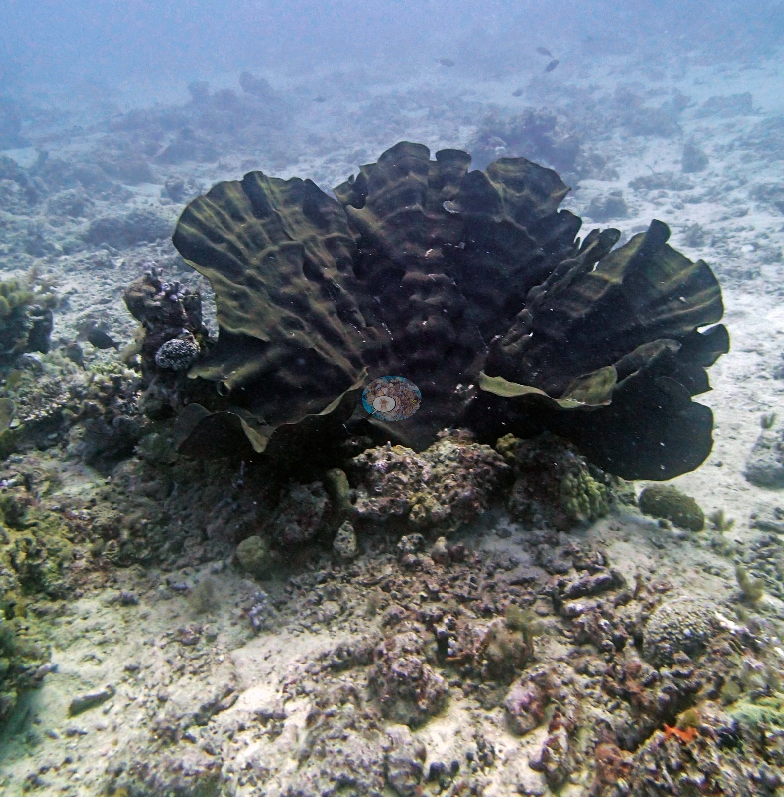
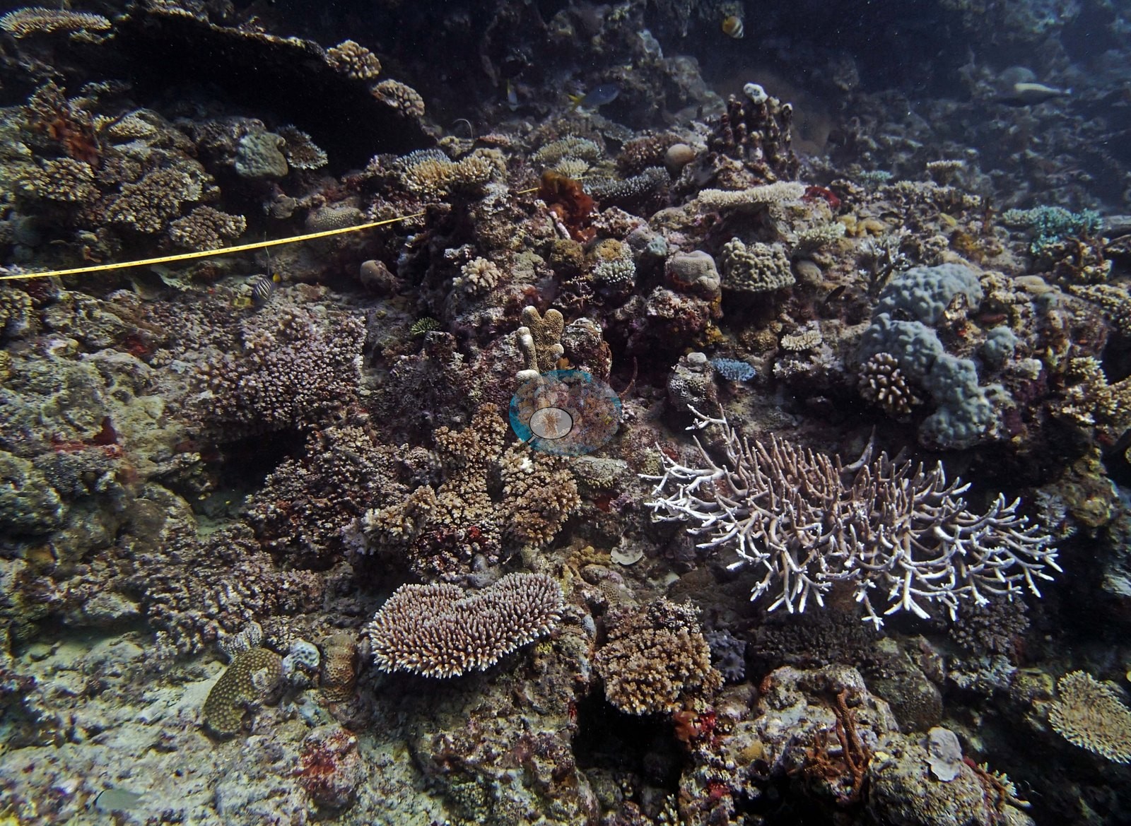
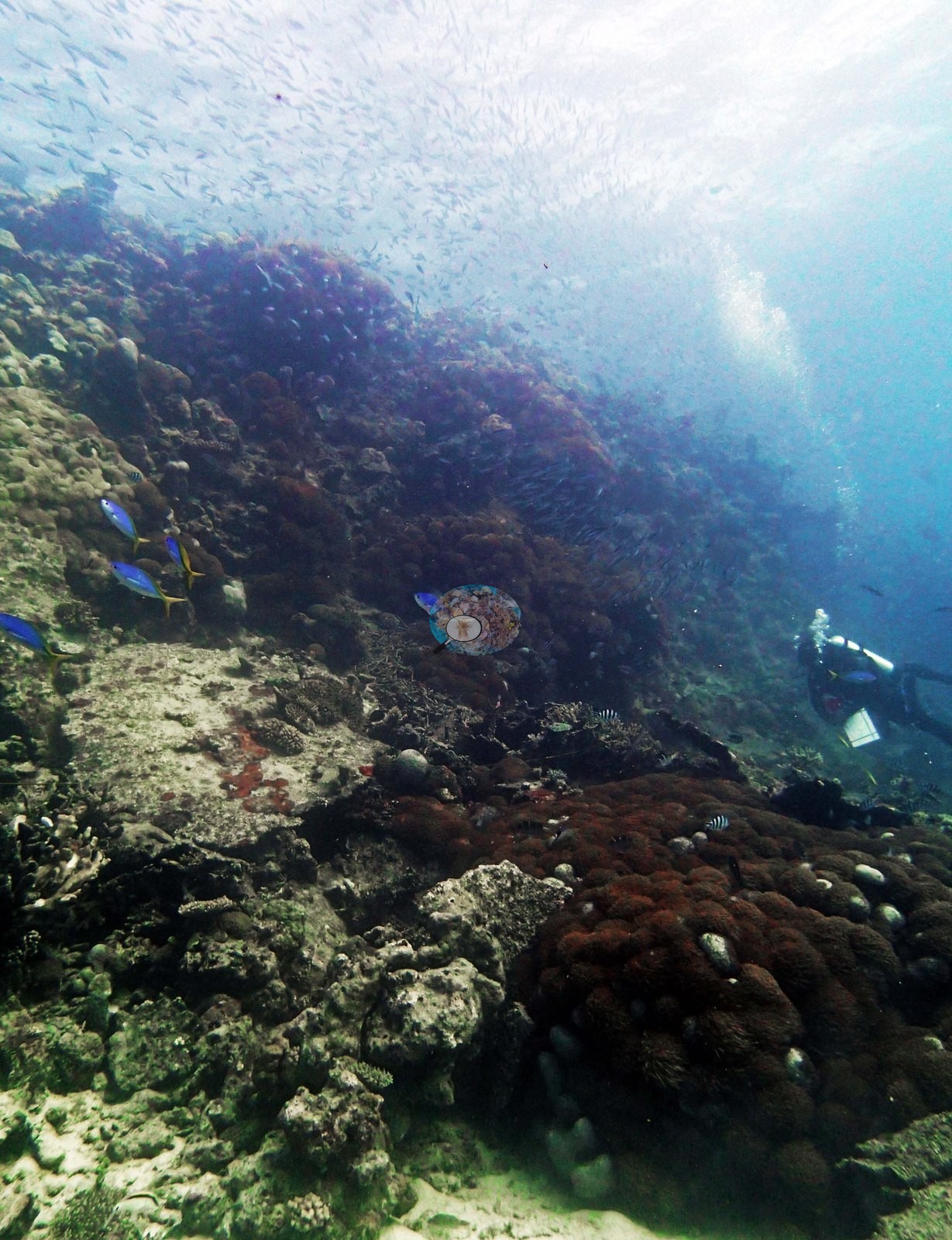
A separate frame is a carpet of pink-mauve corymbose Acropora and Pocillopora piled over one another (e.g., Image 21). A second group of frames turns down and off the pinnacle, and the character changes completely: hazier green-tinged water, mound-and-groove rock with low knobby olive-green massives and scattered small colonies (e.g., Image 7, Image 16, Image 20), sponge- and encrusting-covered rock walls dropping into blue (e.g., Image 19), and rubble-and-sand floor with isolated colonies — among them a large dark foliose colony standing alone on coarse sand (e.g., Image 2).
A last close-up shows a salmon-pink knobby encrusting colony with pale patches (e.g., Image 33).
Coral cover
- Reference: Khaled bin Sultan Living Oceans Foundation, Global Reef Expedition (in situ transect)
- Anderson's notes put coral cover at 100% over most of the 2-3 m crown and under 5% at 20 m, where rubble prevailed; these frames are the visual counterpart of the 37% site mean: the crown and the flank are not the same reef, and any single frame from this set will misrepresent the other half.
- Transect mean 36 ± 3.1% SE (n = 4 transects; Living Oceans Foundation per-transect benthic data); the headline above is the expedition's station value (the headline weights each depth equally; two depths had a single transect).
- What the frames cannot settle: none of these are planar downward views, so no cover figure can be taken from them; the split between crown and flank means frame-level impressions are strongly position-dependent.
Stressors
Five close-range frames are devoted to pale and stark-white branching colonies with polyps extended and a slack, mucus-like sheen on the tissue (e.g., Image 3, Image 5, Image 8, Image 9, Image 10).
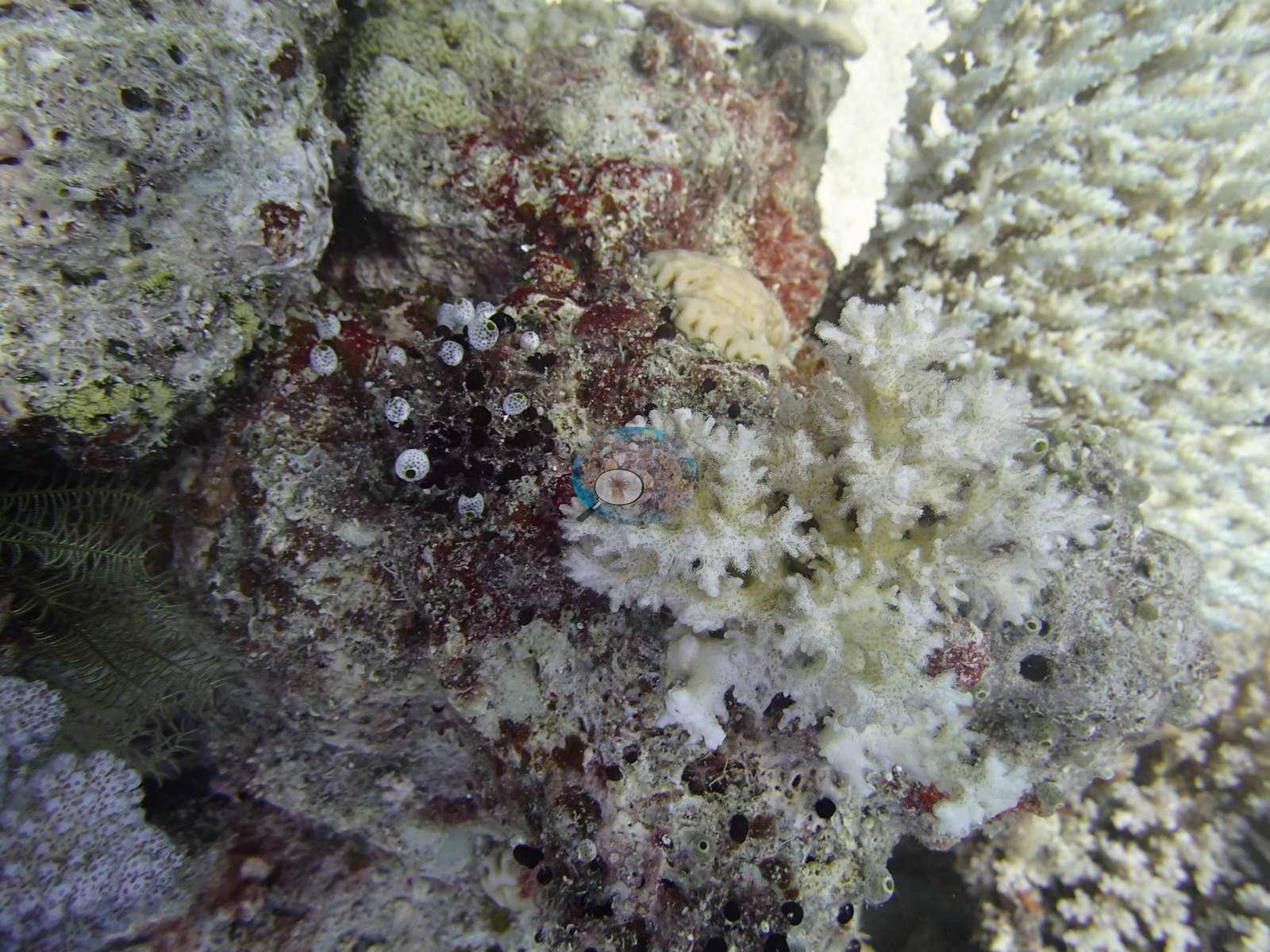
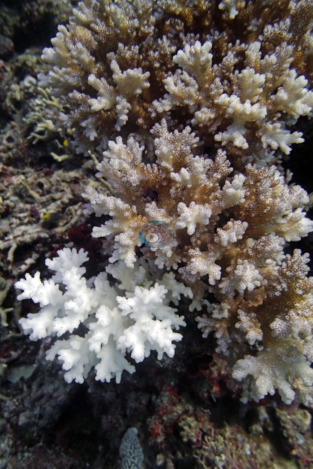
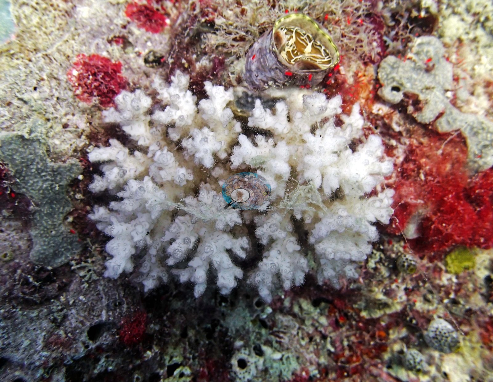
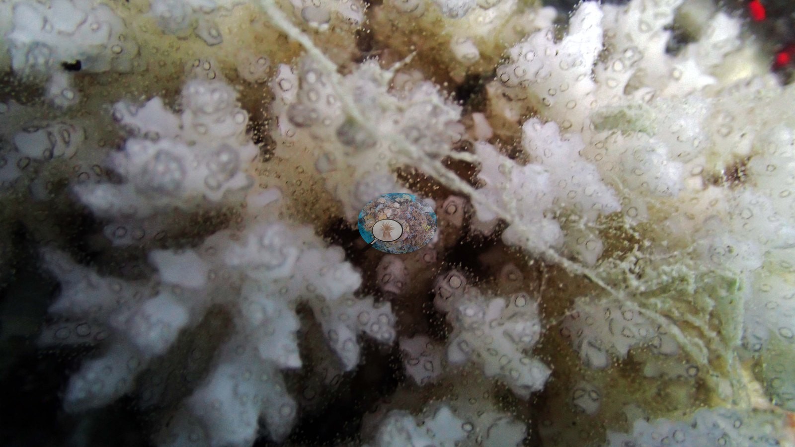
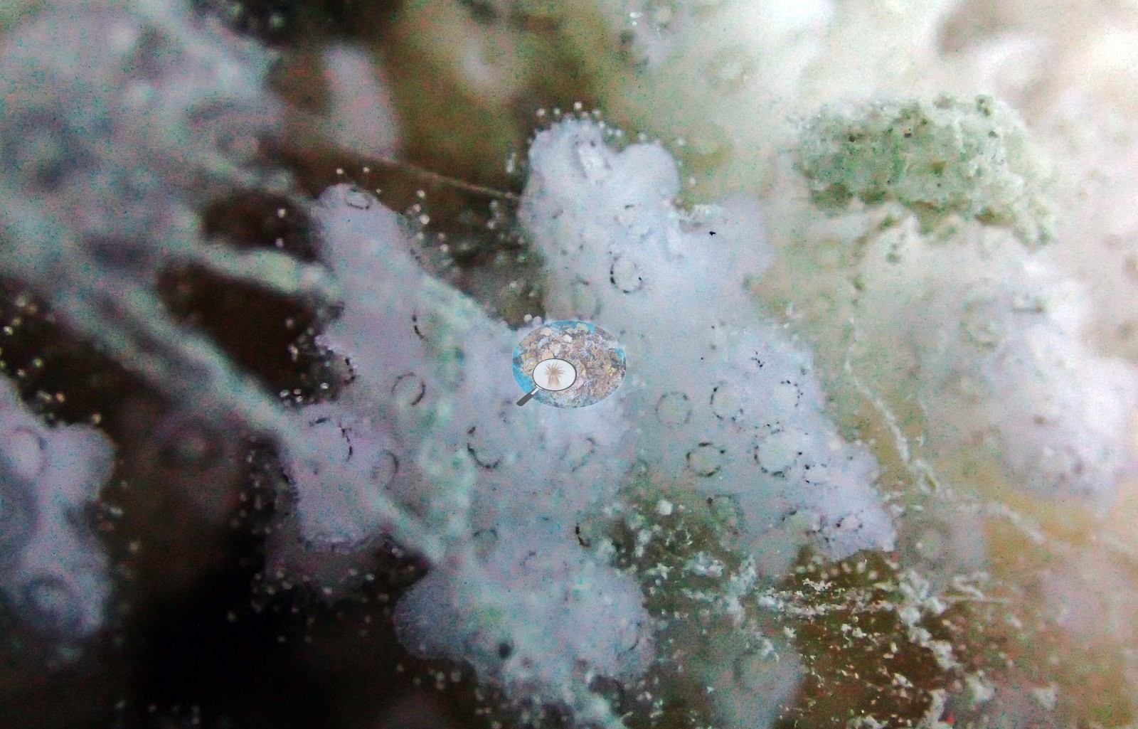
Image 8 is the clearest: a completely white branching colony ringed by scarlet and pink encrusting sponge and coralline. Image 5 shows a tan colony with a white branch group, and Image 4 shows a bright white branching colony on the reef top among darker rubble.
Anderson's field note for this site records that some Pocillopora colonies were mostly bleached and covered in mucus; the mucus, he noted, looked to be of exogenous, rather than endogenous, origin ("Very strange"), and the photographs are consistent with that. Two of the close-ups are soft-focus at that working distance (e.g., Image 9, Image 10), and the affected colonies cannot be identified to genus from the imagery. No count or extent is given here: these are targeted close-ups of the colonies that caught his eye, not a survey of how much of the reef looked like this, and the wide crown frames show no obviously bleached colonies at all. No crown-of-thorns starfish (COTS) or other corallivores evident.
Fish and other fauna
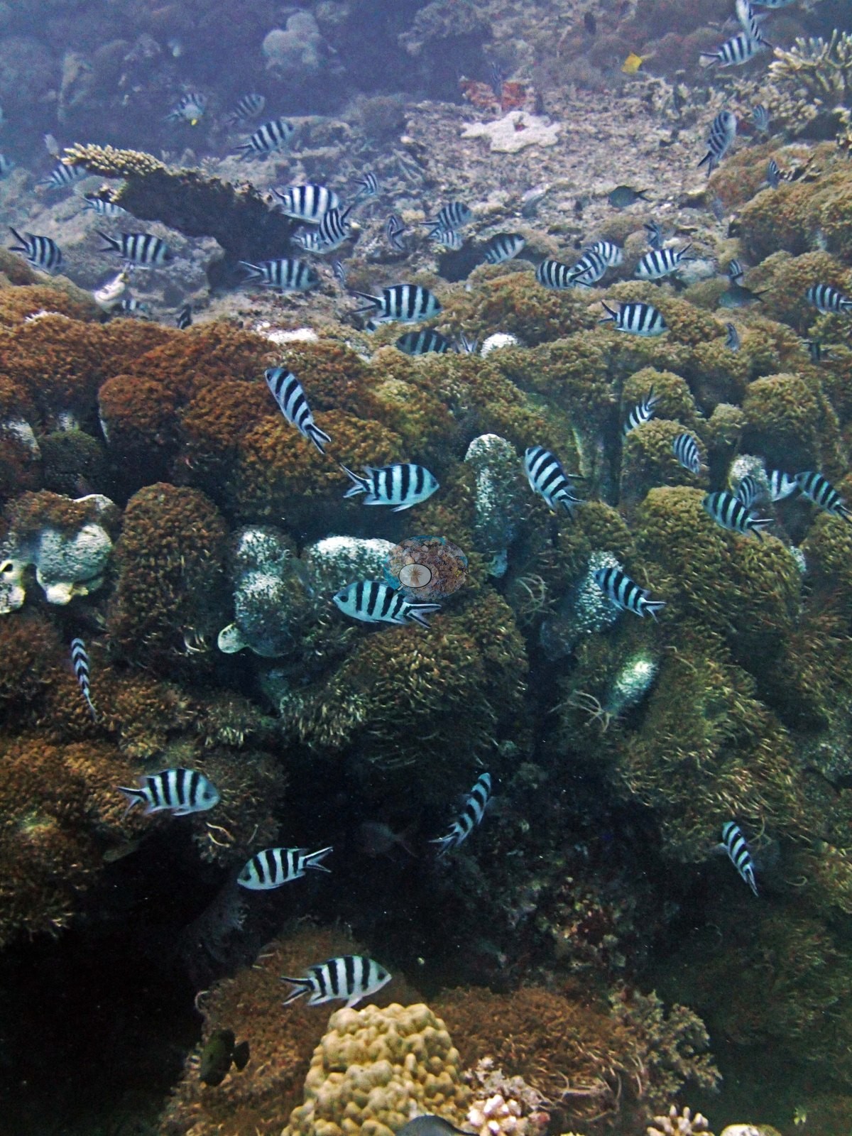
Fish are heavy over this half: clouds of chromis and small planktivores in nearly every crown frame, dense fusilier schools filling the water column (e.g., Image 17, Image 22, Image 12), and a tight shoal of sergeant-major-type damselfish over the reef top (e.g., Image 13).
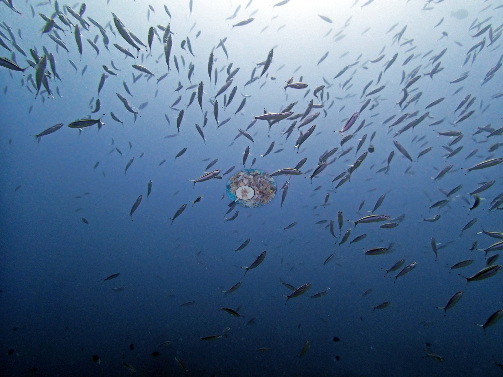
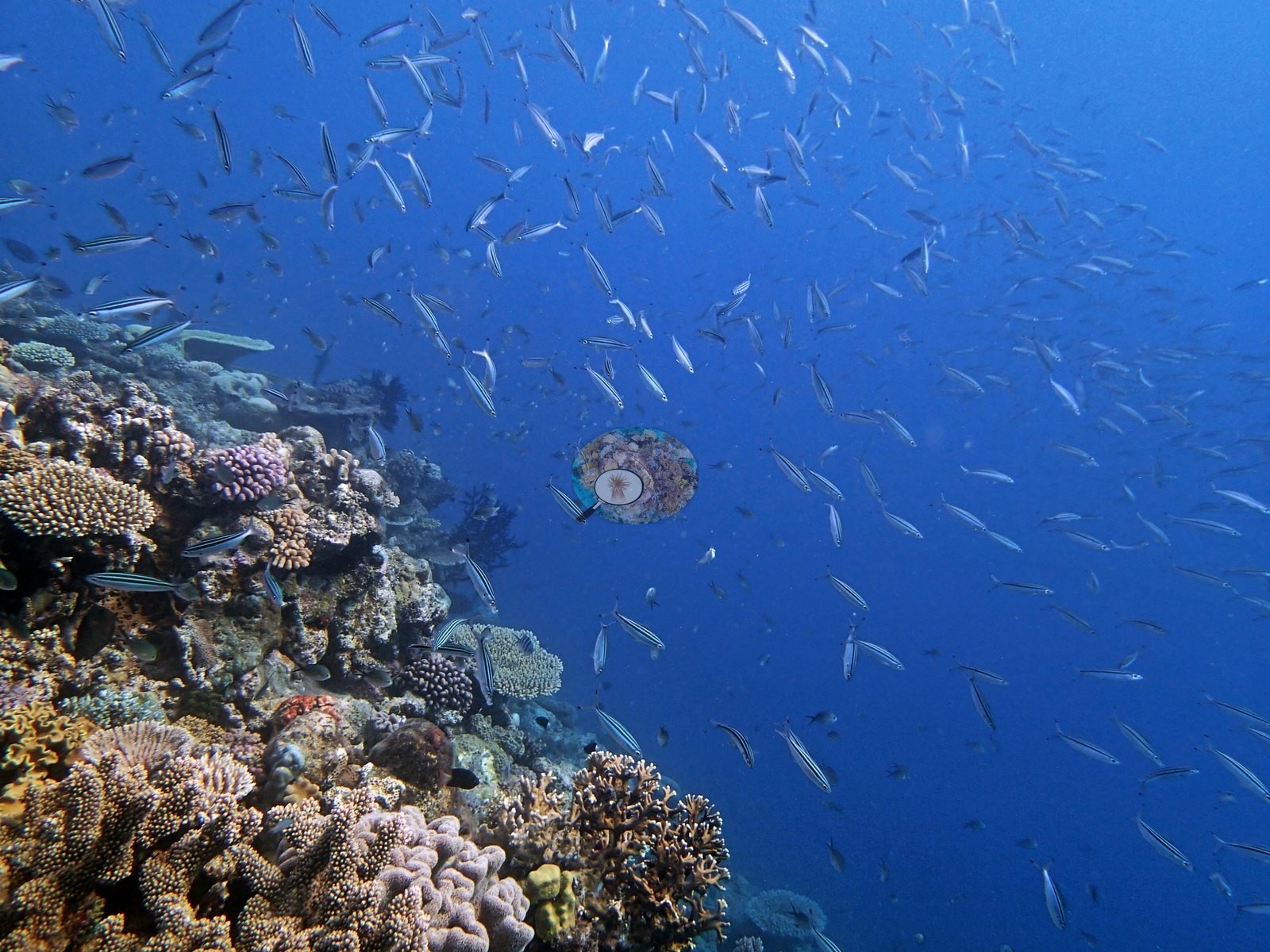
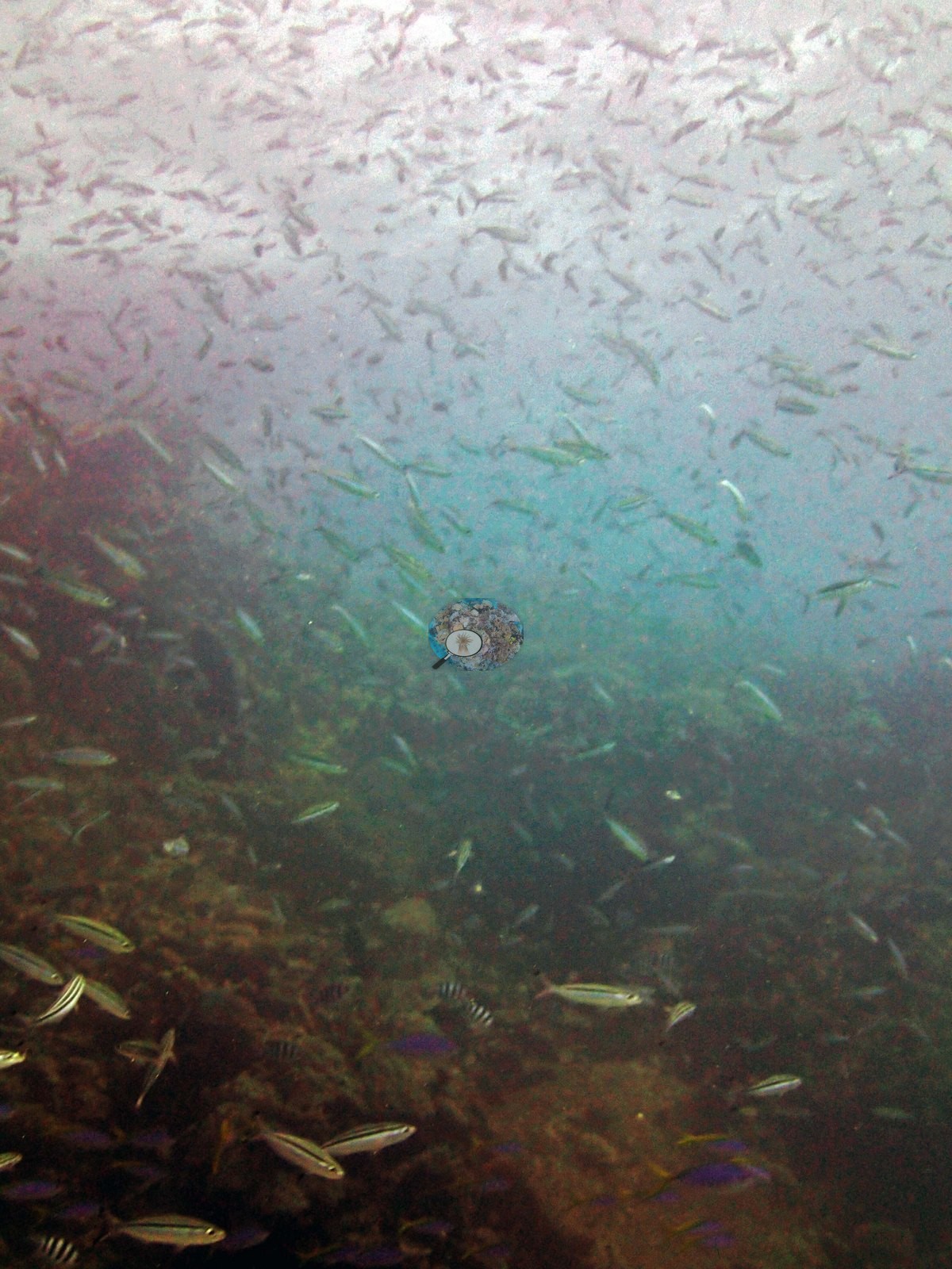
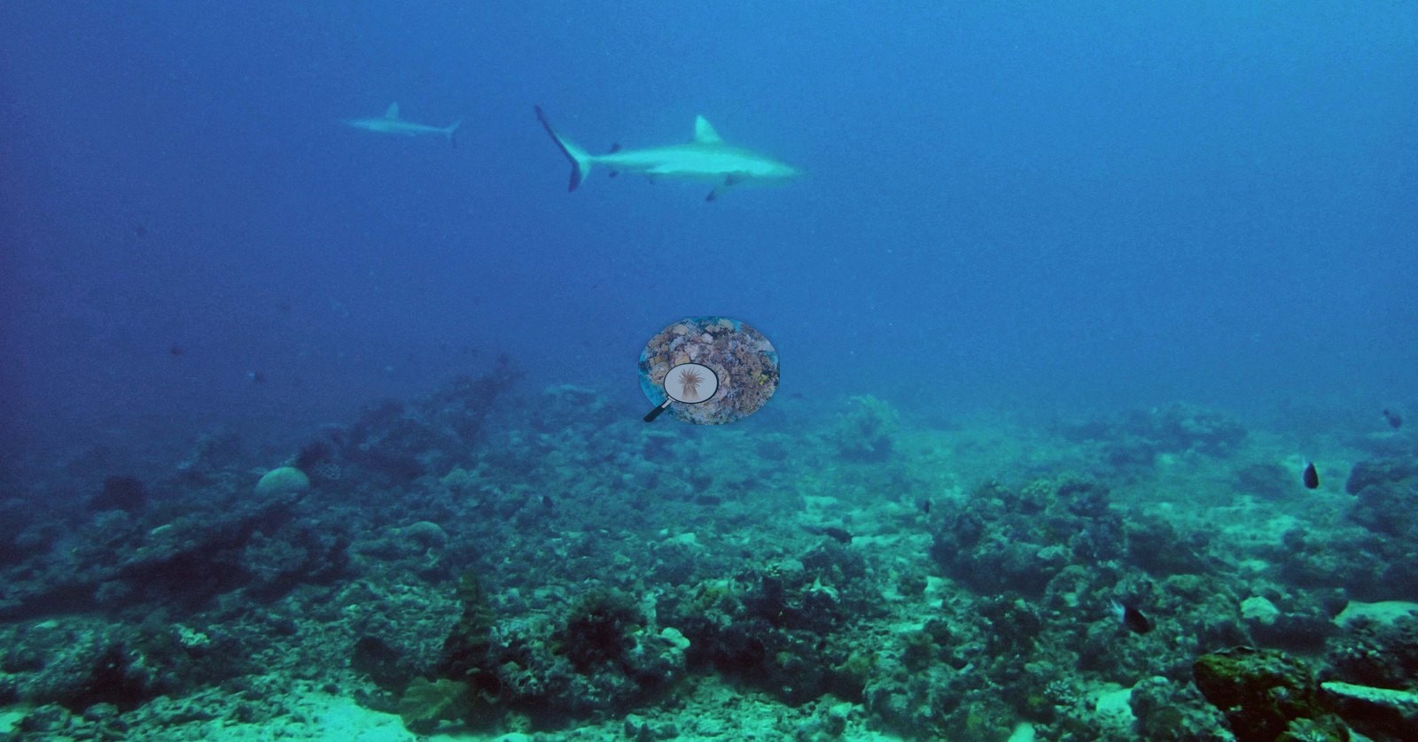
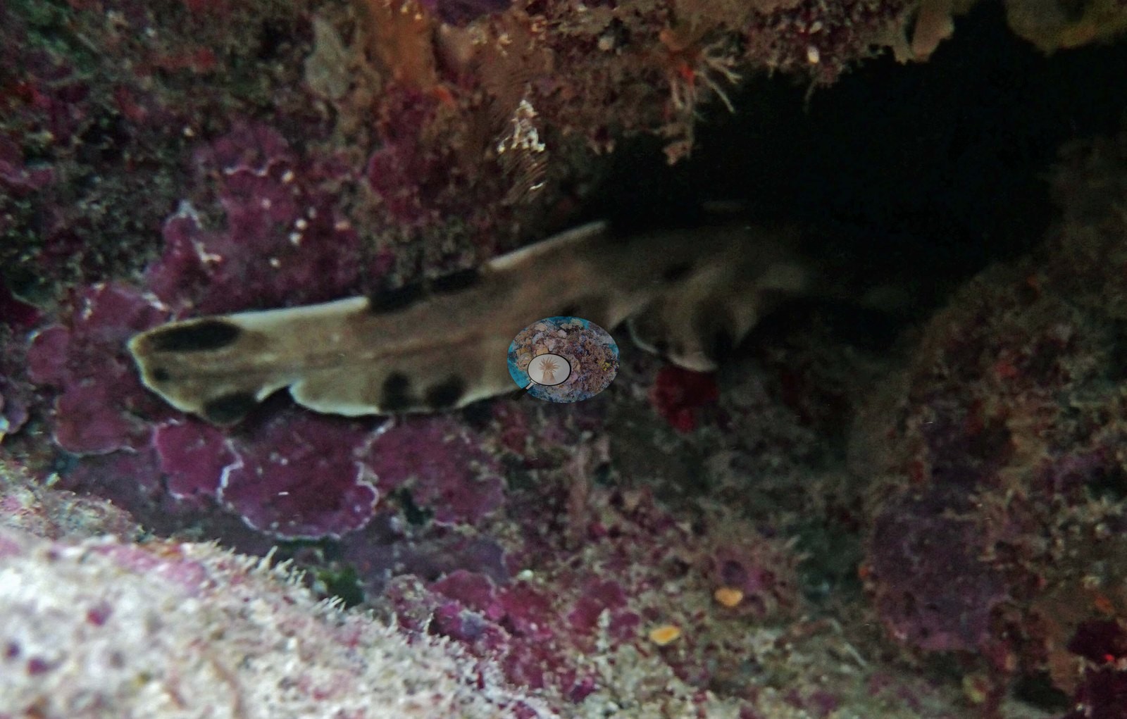
The remaining frames record the fauna. Two gray reef sharks cruise over the reef in open blue water in the opening frame (e.g., Image 1), and a slender banded shark — his "cat shark" — lies tucked under a coralline-crusted ledge (e.g., Image 23).
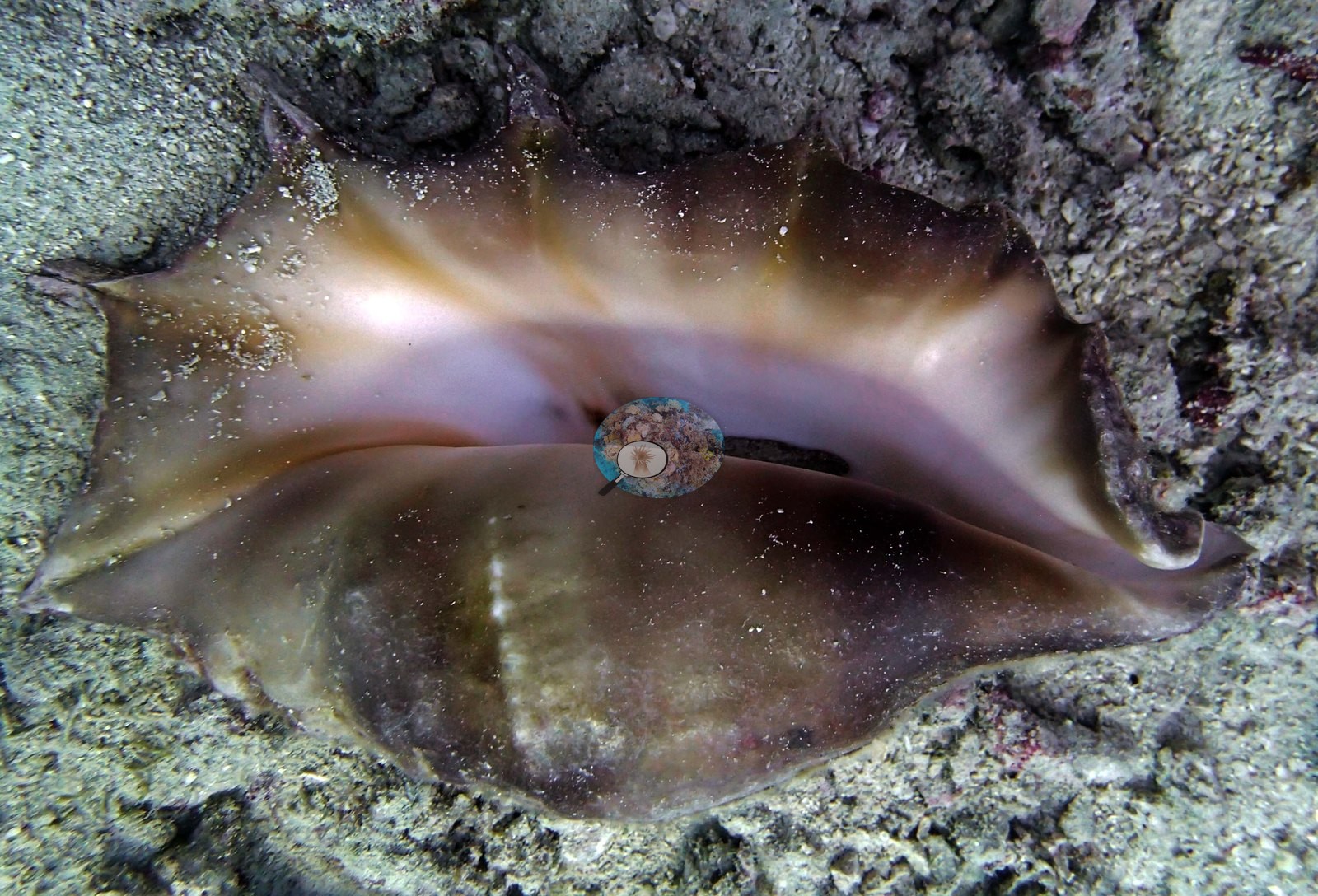
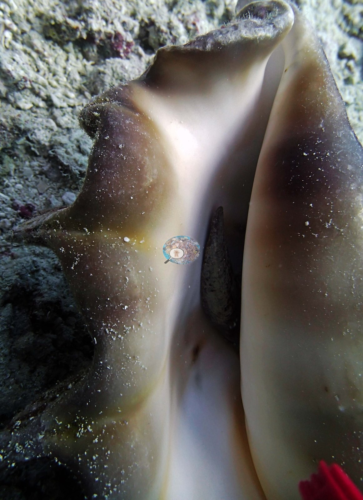
Two frames are close-ups of a single large gastropod shell on the rubble floor, one of the whole animal and one of its glossy cream aperture (e.g., Image 14, Image 15).
His notes also record a huge Alveopora colony, a large grouper (about 1 m), and a gray reef shark approaching 2.5 m.
Comparisons with other data
No other surveys have been conducted at this site to date. Within 5 km, two AIMS manta tow stations recorded 11–36% hard coral cover between 1994 and 2021; the nearest, AIMS manta tow at RIBBON NO 6 REEF, 0.86 km away, read 11–35% between 1994 and 2017.
Other notes
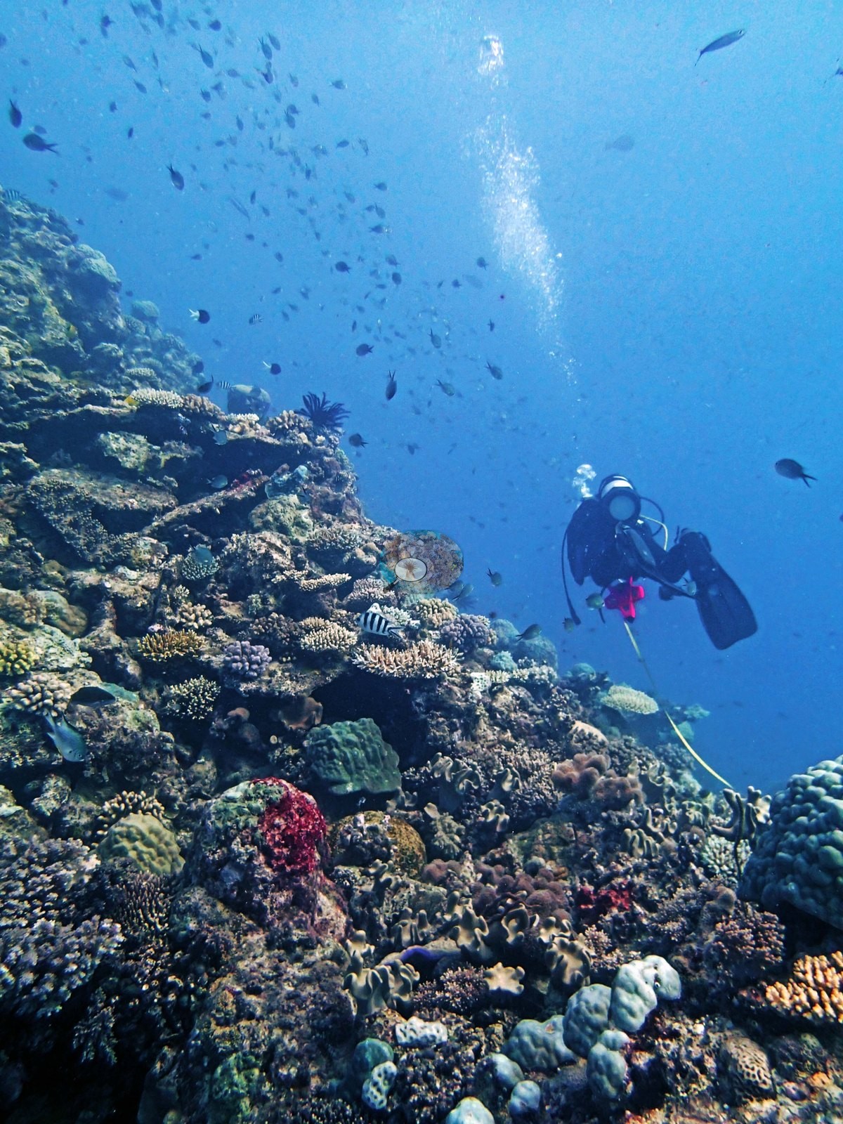
Two frames contain a diver (e.g., Image 6, Image 18), and Image 12 is almost entirely green midwater with fish and heavy backscatter.
A pale angular object intrudes at the left edge of one crown frame (e.g., Image 25) and may be survey gear rather than reef.
Depth is not resolvable from the imagery.
CV model comparison
More info
The photo row below is a methods comparison only: it is never averaged with the transect and never used as the headline. It compares site means only: the photos come from the same survey dive as the transect but not from the same points.| Method | Hard-coral cover (%) | Photos (n) ± SE |
|---|---|---|
| Transect (published) | 37.0 | |
| CoralSCOP edited | 29.3 | n = 20 · SE 4.1 |
| Claude (edited photos) | 39.6 | n = 20 · SE 6.2 |
The two computer-vision methods disagree by 10.3 pp (29–40%) and read on both sides of the in-water transect (37%); the headline is the in-water transect because a diver transect is independent of the photographs.
Independent surveys nearby
 LOF
Within 5 km, 2 independent survey stations recorded hard coral cover in 14 surveys between 1994 and 2021. Of the 2 stations surveyed in more than one year, 1 declined (by 23.8 points) and 1 increased (by 9.1 points) between their first and latest surveys. The longest record, 15034S (AIMS manta tow, 4.73 km away), went from 26% in 1996 to 35% in 2021. One survey since 2021 recorded 35%. This site's own estimate (37%) sits 2 points above the range of these surveys up to 2 km away (11–35%); the methods differ, so the comparison is context, not a like-for-like test.
Collected by other programs using different methods (AIMS manta tow is a towed visual estimate in categorical bins), so these are context for the figures above, not a like-for-like comparison. Where a station was surveyed more than once, the cell shows either the range of its values or, as a single value, the mean of surveys made in one year. Station names are not dive-site names.
| Agency | Site / location | Date | Hard coral cover (%) | Distance | Link |
|---|---|---|---|---|---|
| AIMS manta tow | RIBBON NO 6 REEF | 1994–2017 | 11–35% (6 surveys) | 0.86 km | doi:10.25845/5c09b0abf315a |
| AIMS manta tow | 15034S | 1996–2021 | 14–36% (8 surveys) | 4.73 km | doi:10.25845/5c09b0abf315a |
Data & links
- Download benthic survey data (CSV) ↗
- Download all LOF-GRE data (933 sites) ↗
- Photo portfolio ↗
- Coral Reef Diagnostics country page ↗
All images from Coral Reef Diagnostics. Data are from the Khaled bin Sultan Living Oceans Foundation Global Reef Expedition, Coral Reef Diagnostics, and the organizations named in the data sources above.
 © Coral Reef Diagnostics.