

Part of the regional summaries: Australia (GBR) - Far North: Pink stations (Preservation Zone reefs) and Australia (GBR)
More info
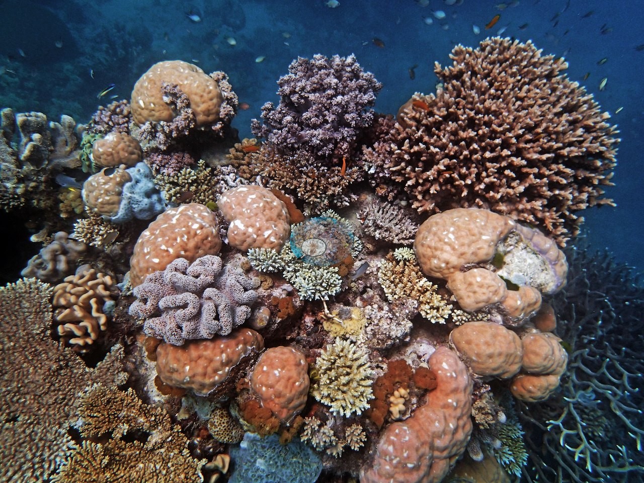
Far Northern GBR (NOAA CRW virtual station)A backreef slope on Unnamed Reef 61A, in an entry-restricted Preservation Zone, with a high 75% coral cover and a very large Pavona colony recorded in Anderson's notes. Shallow acroporids build stretches of near-100% cover, though there were scoured patches, storm-toppled colonies, and some dead Pocillopora, and an aggressive gray reef shark kept the divers company. Surveyed on the Living Oceans Foundation's Global Reef Expedition.
One independent survey station shown with the program’s logo — click one to see how far it is from this site.
Four other CRD dive sites within 5 km shown in orange — click a marker to open its page.
🗺 Detailed map of the Global Reef Expedition dive sites, Jewell, Hilder, and Eyrie Reefs, northern Great Barrier Reef (Khaled bin Sultan Living Oceans Foundation; opens in a new window)
1 of the 35 photographs on this page is shown beside the text that discusses them under "Site description" below.
Site description
Setting
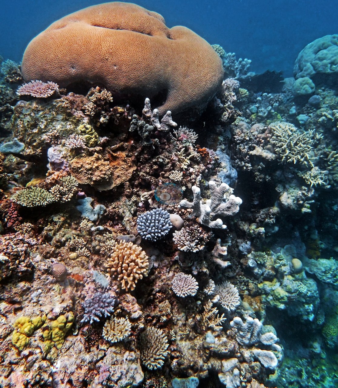
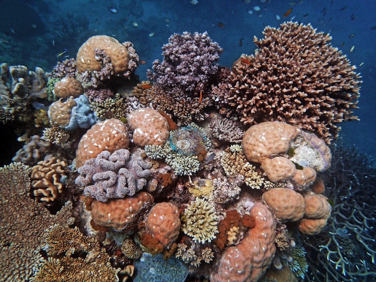
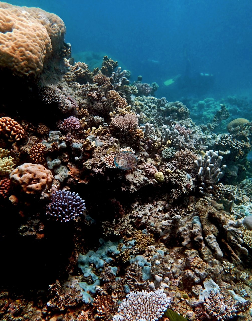
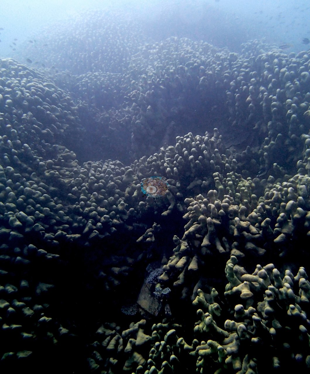
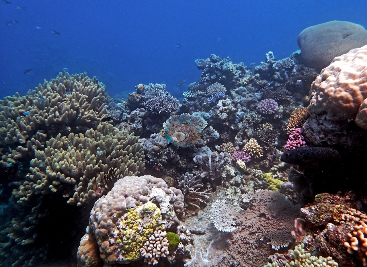
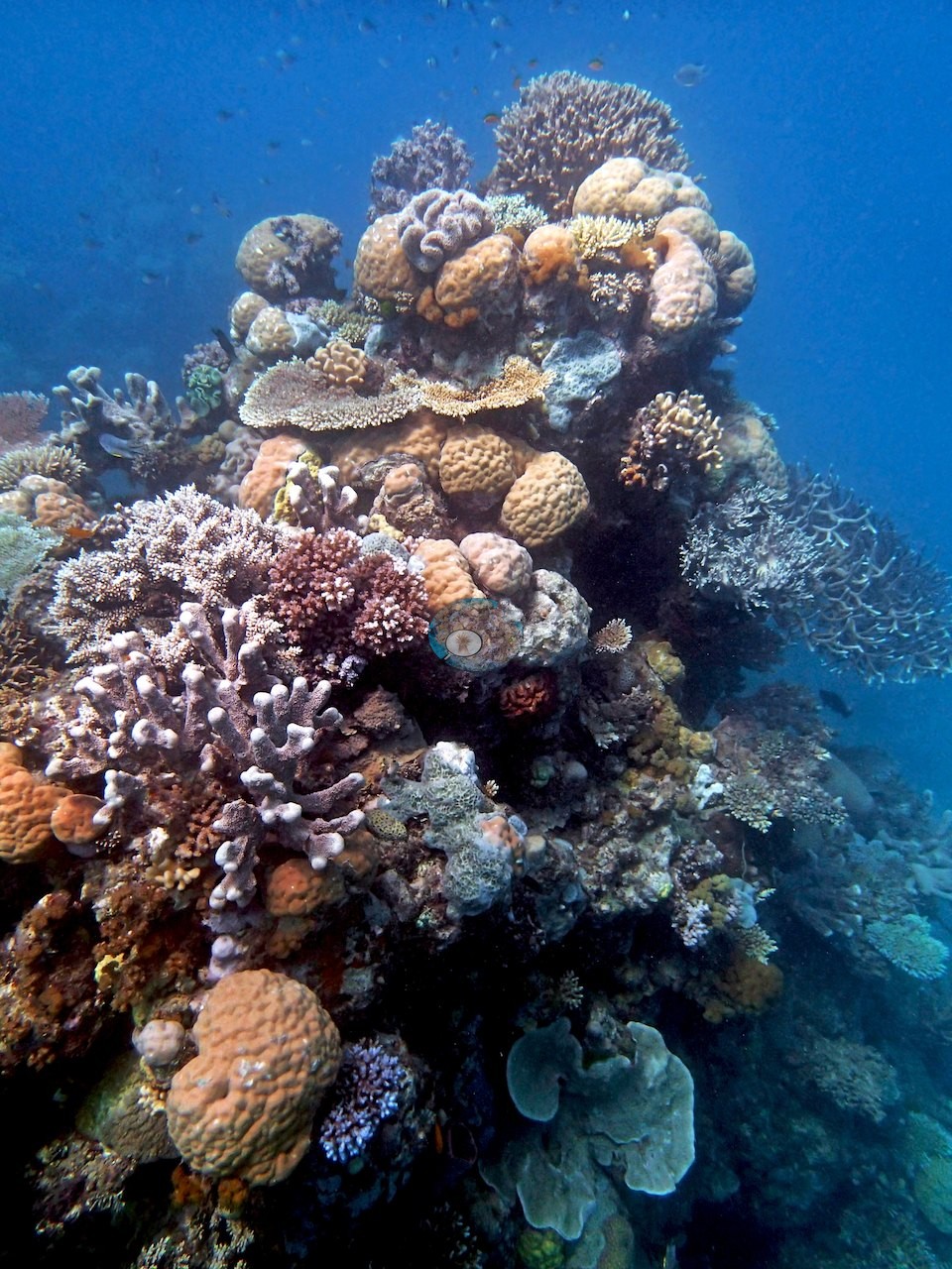
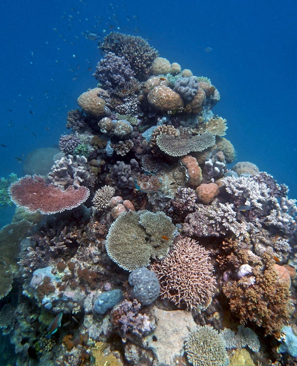
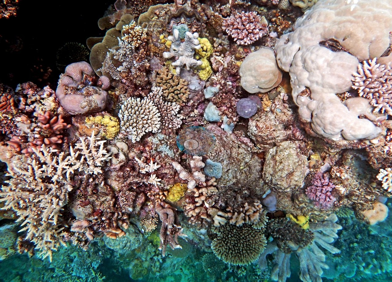
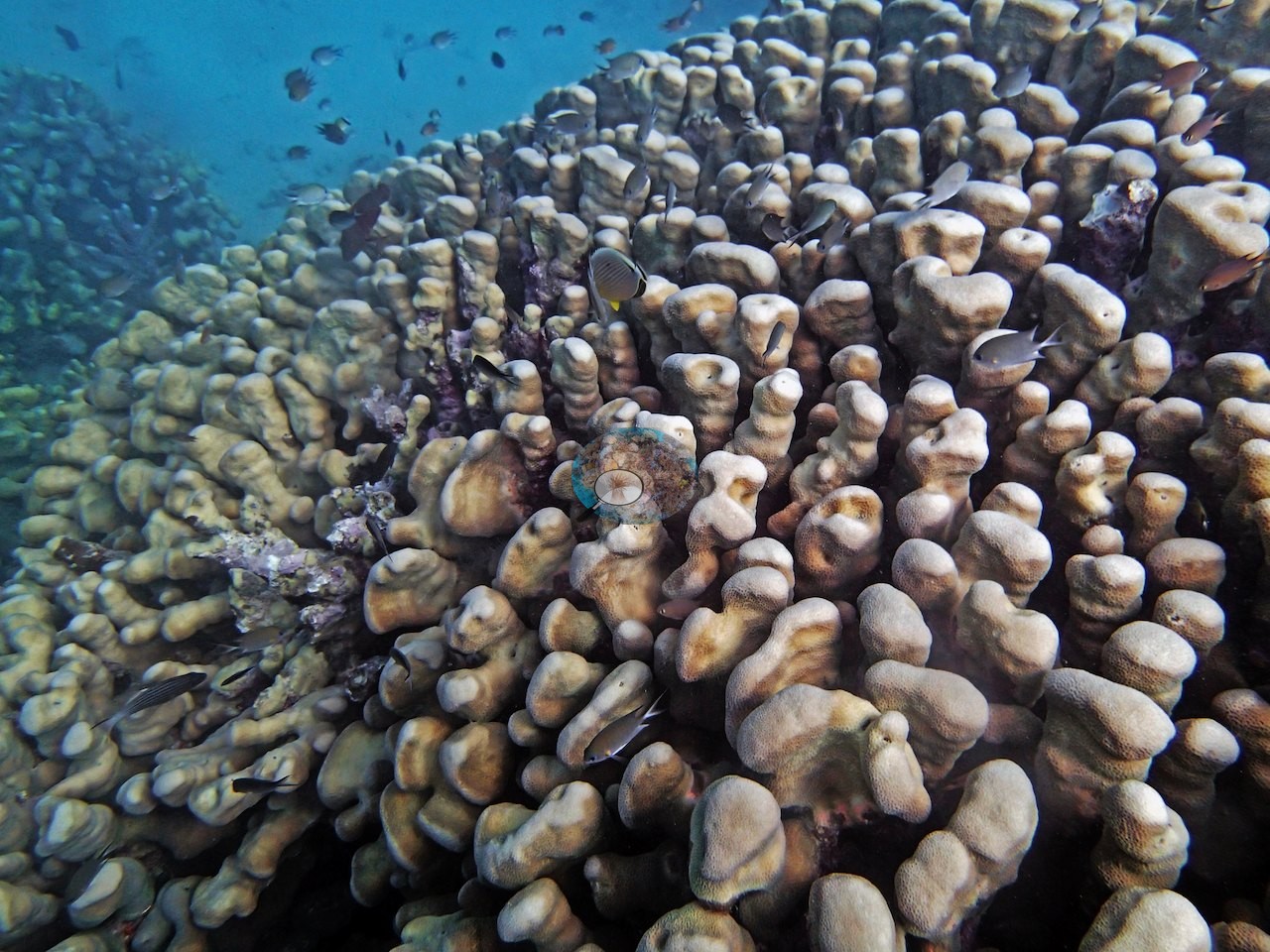
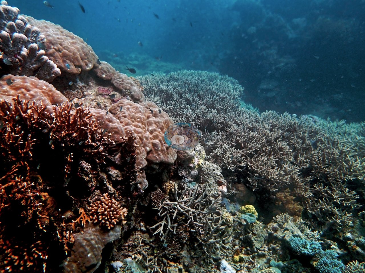
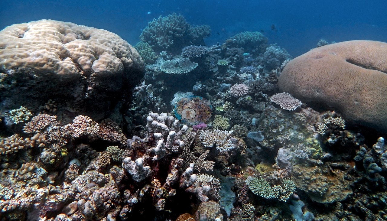
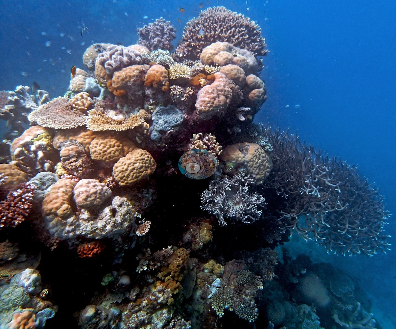
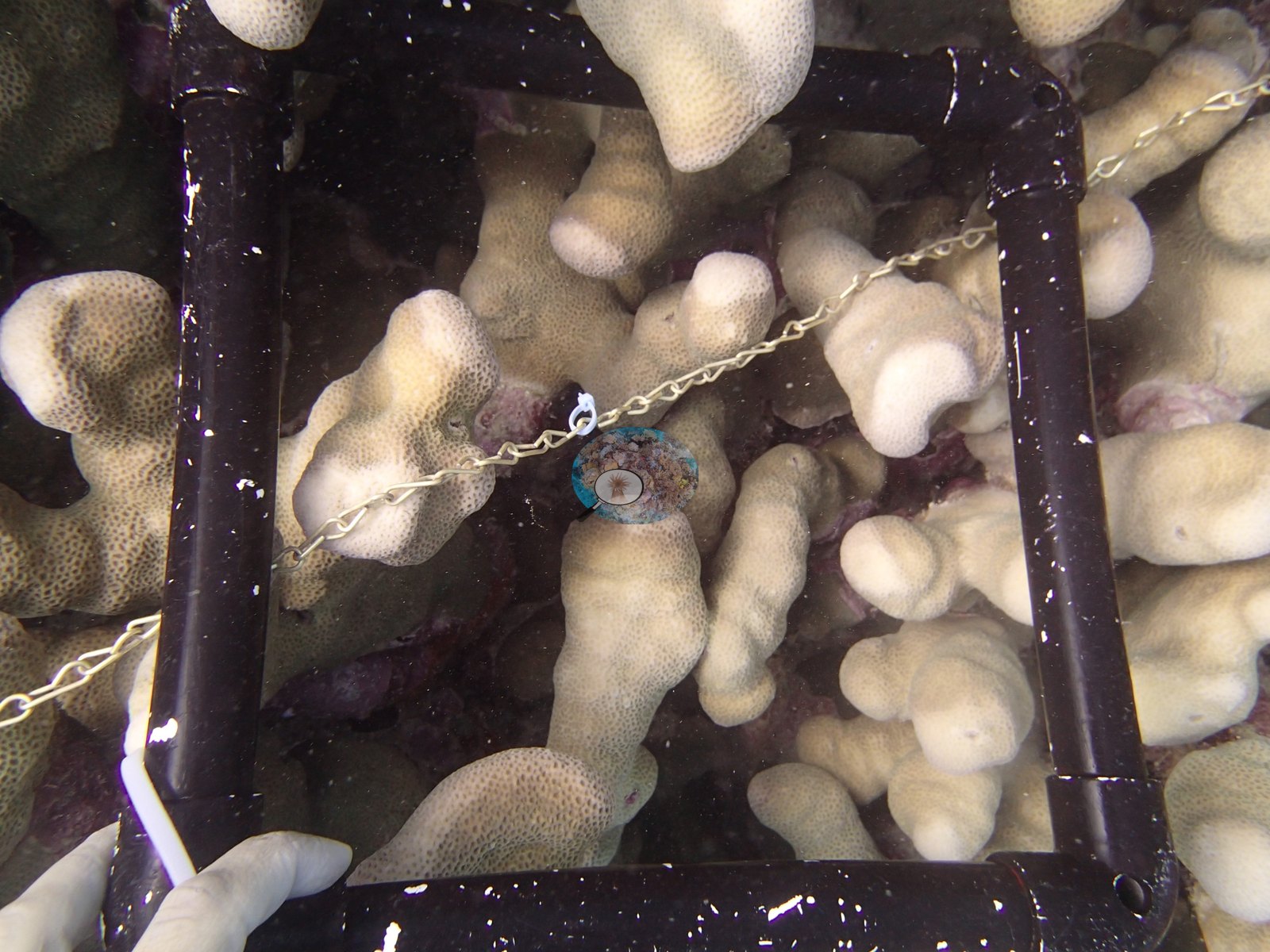
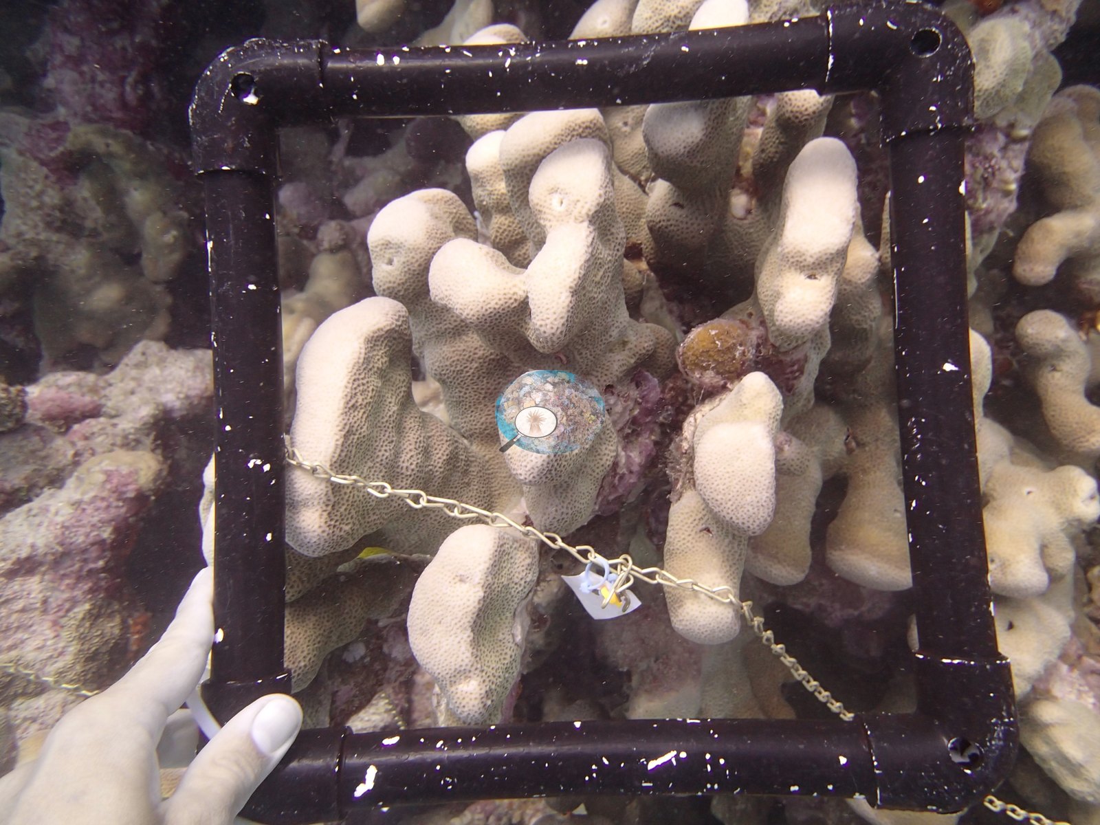
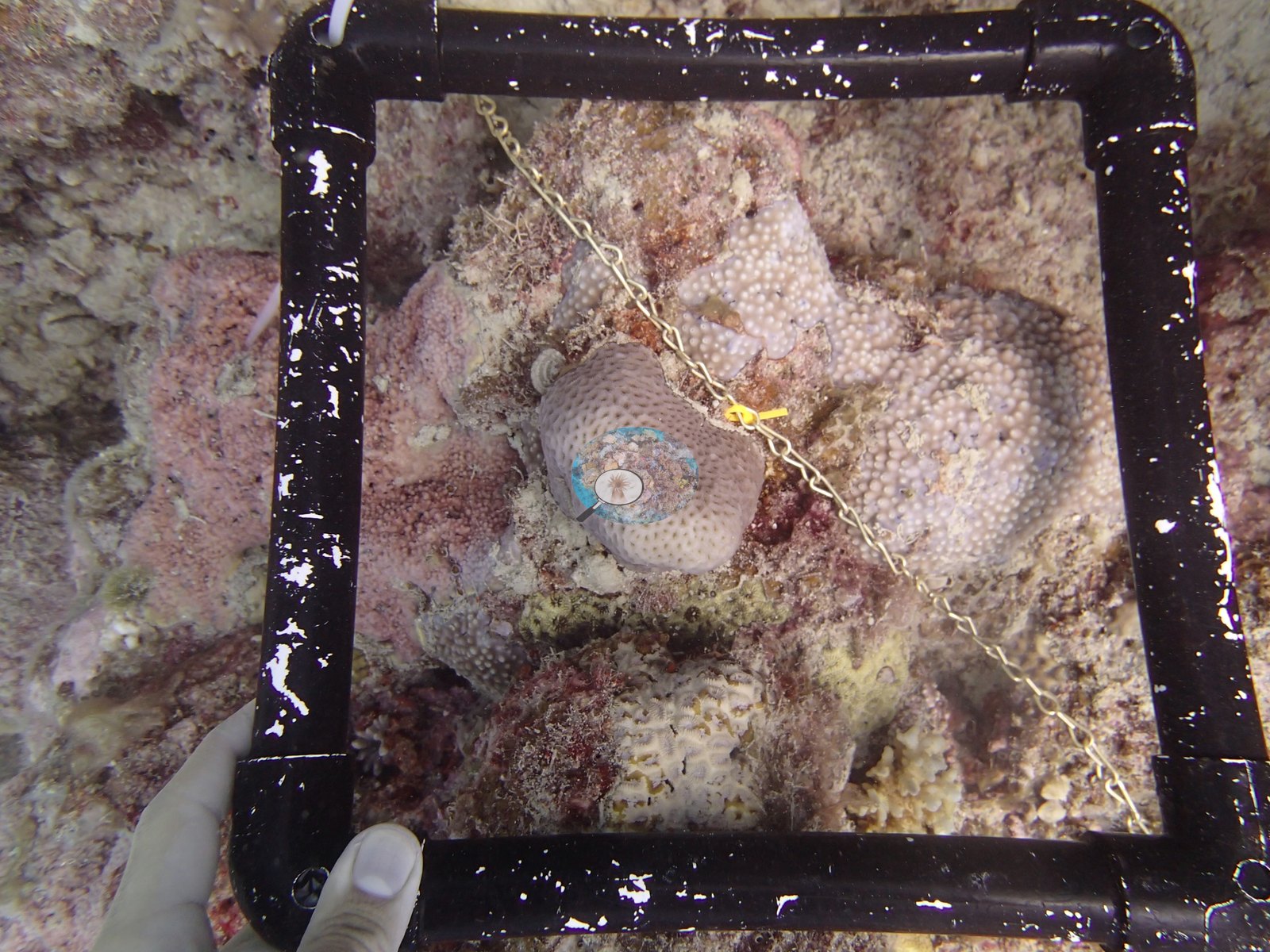
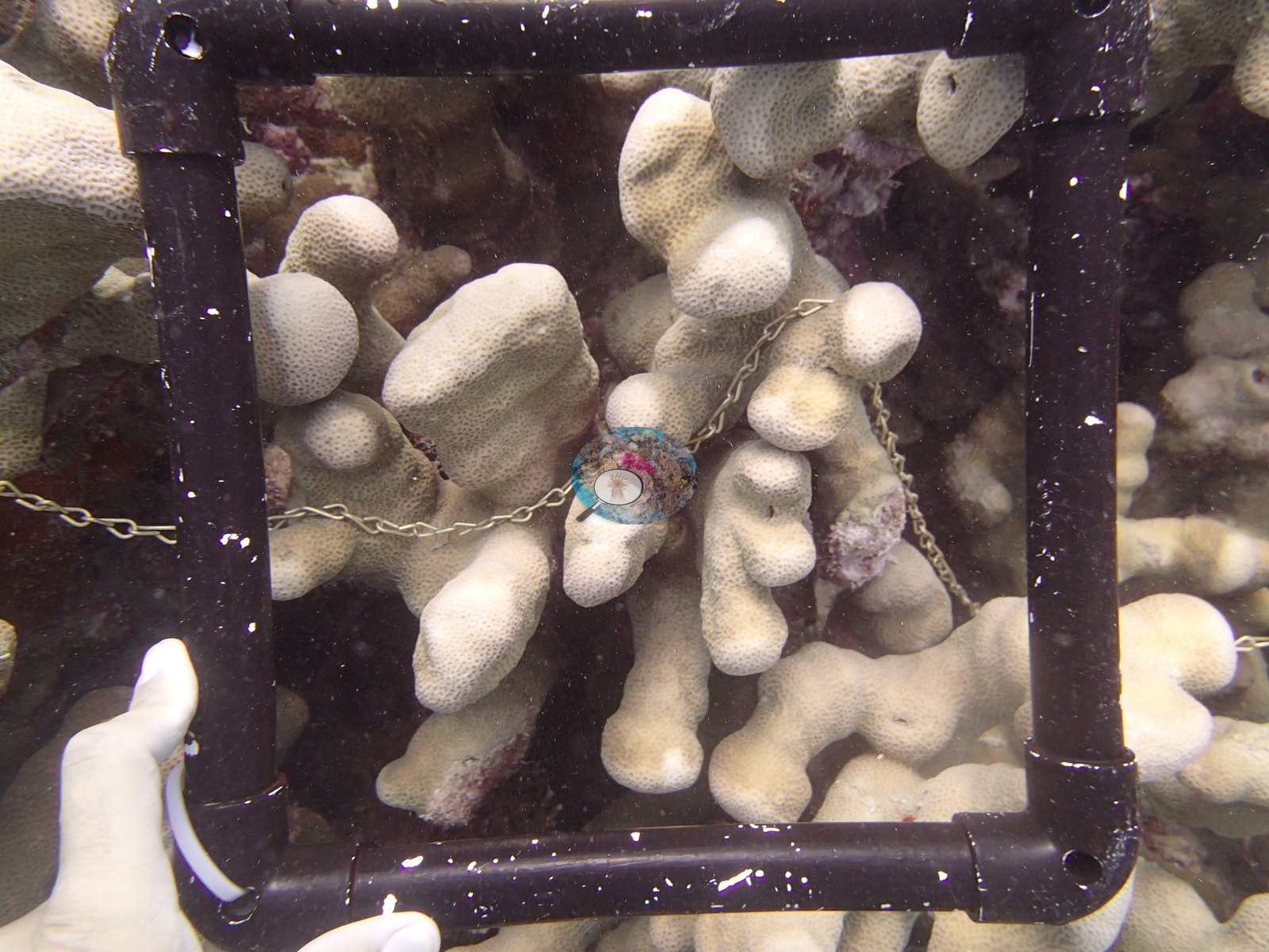
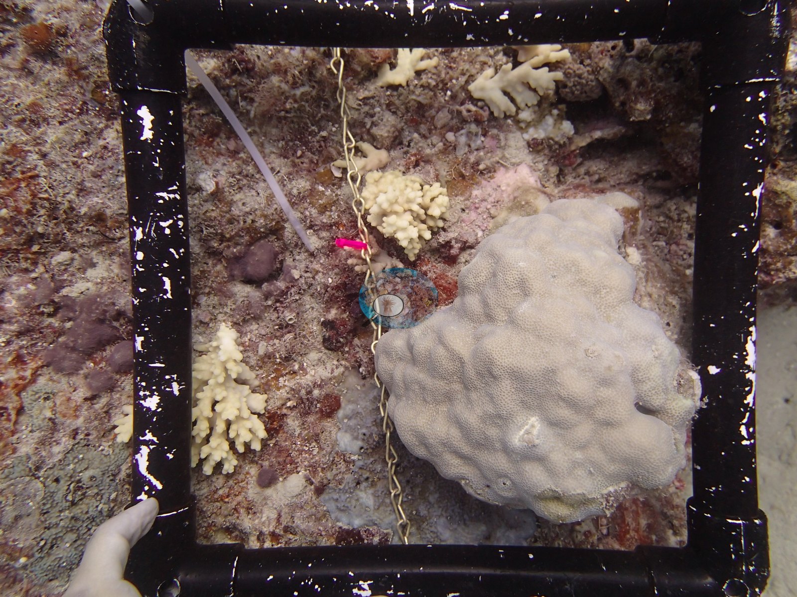
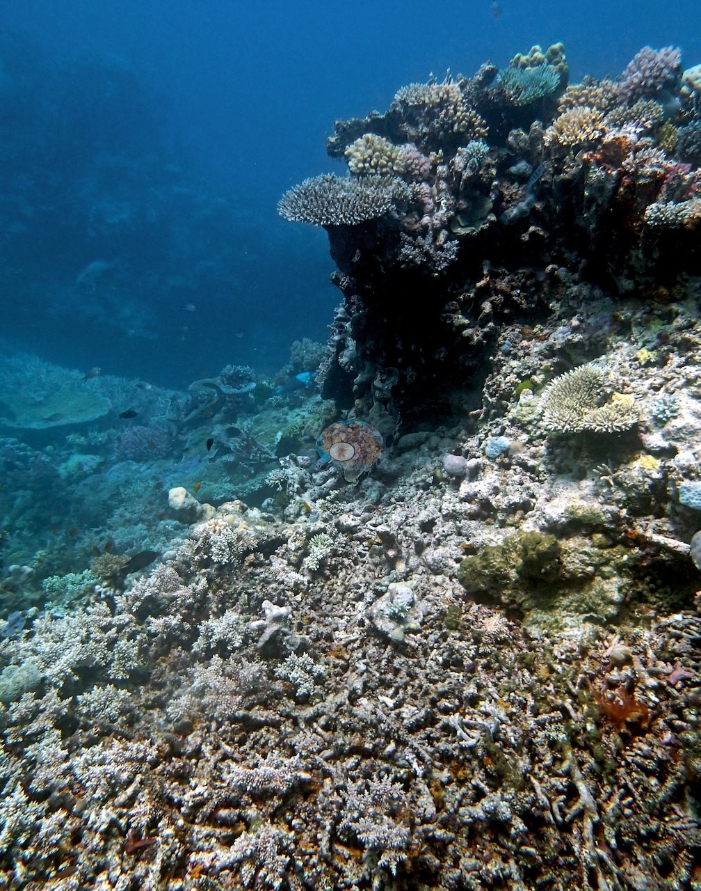
This backreef slope on Unnamed Reef 61A drops steadily to about 20-23 m before plunging to a sandy floor at 30 m. Visibility was murky (3-4 m), but pockets of the reef were genuinely spectacular — including a very large Pavona colony in Anderson's notes (on his 15 m transect), its base carpeted in 95% live cover with fire coral wedged into its crevices. Entry to this Preservation Zone reef is restricted under the strictest tier of Great Barrier Reef Marine Park protection.
General benthic features
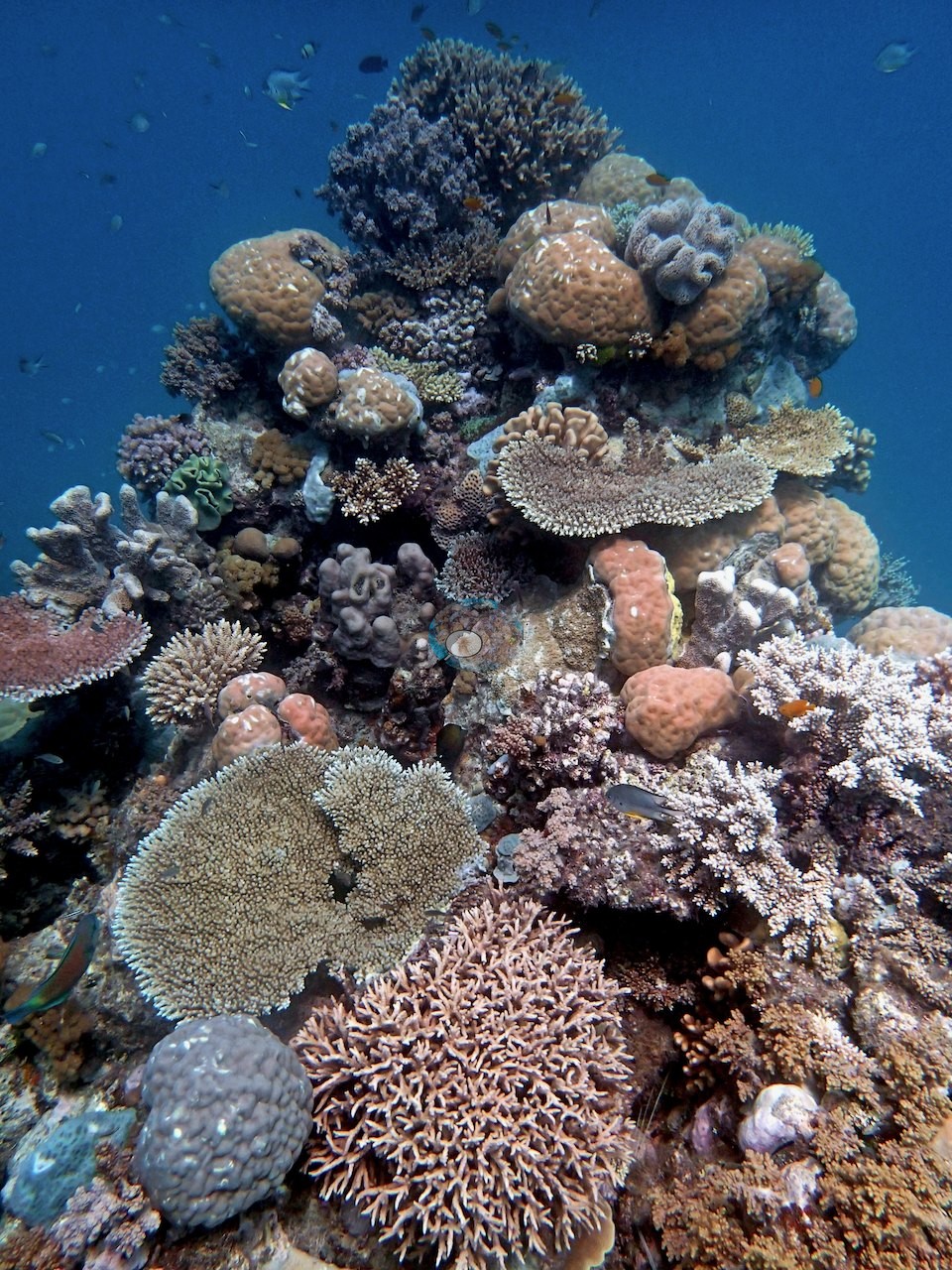
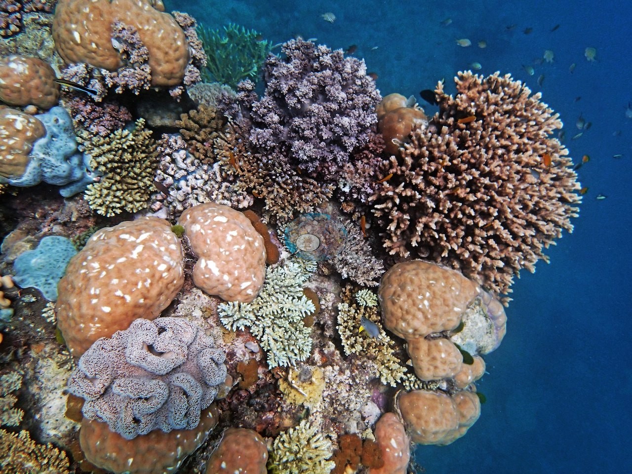
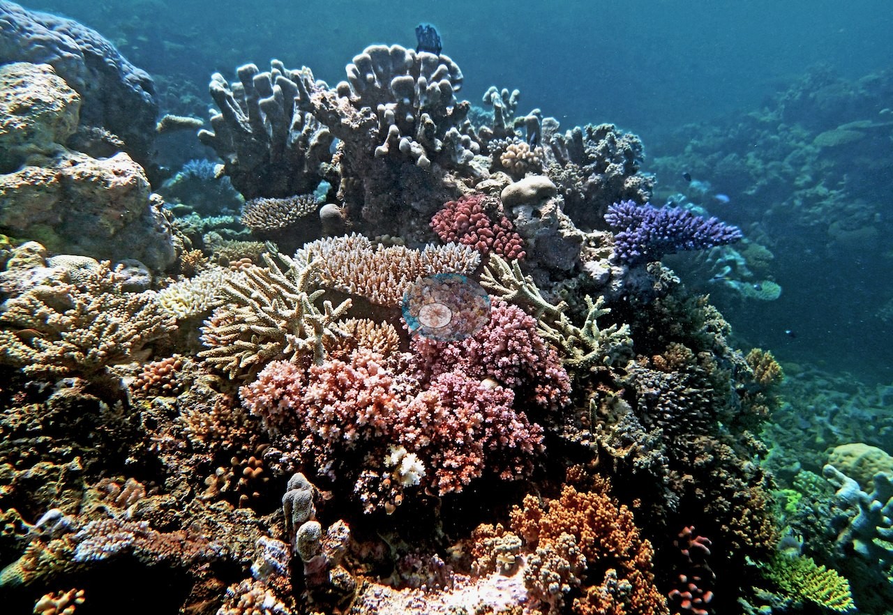
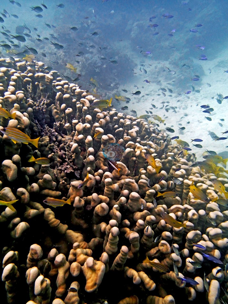
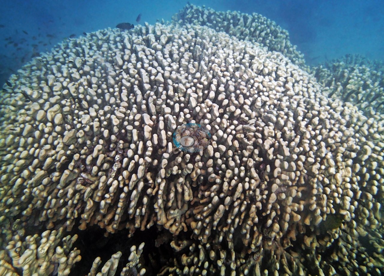
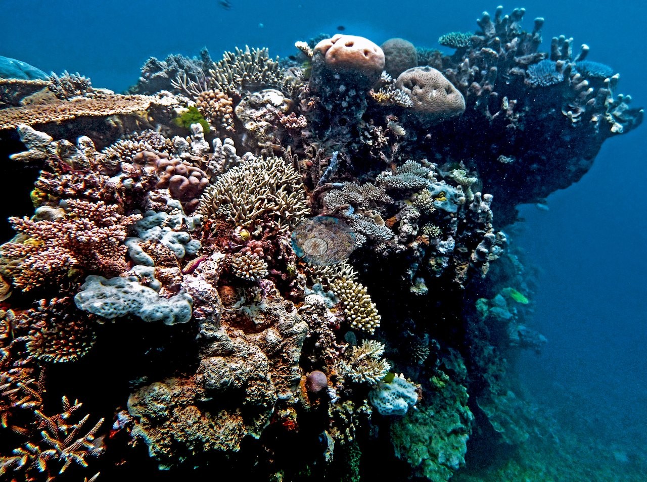
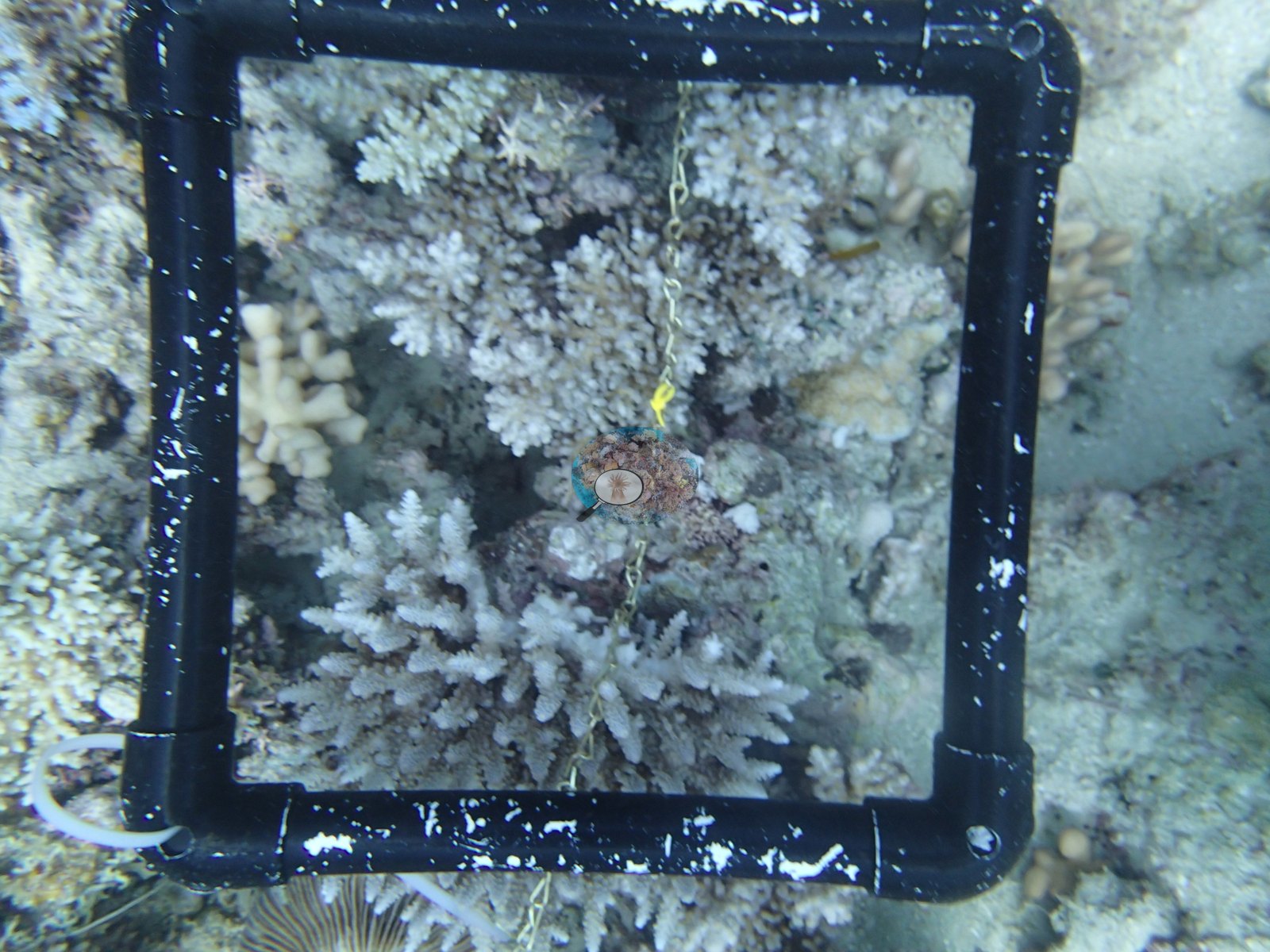
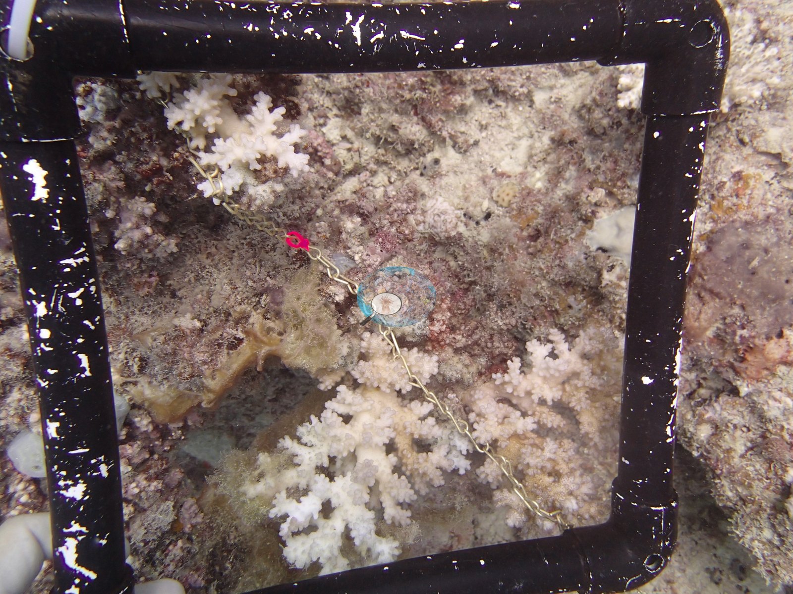
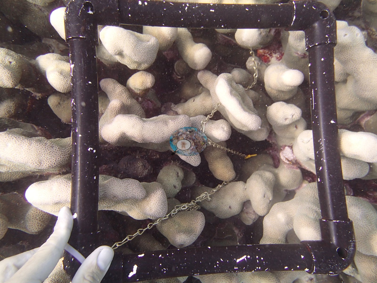
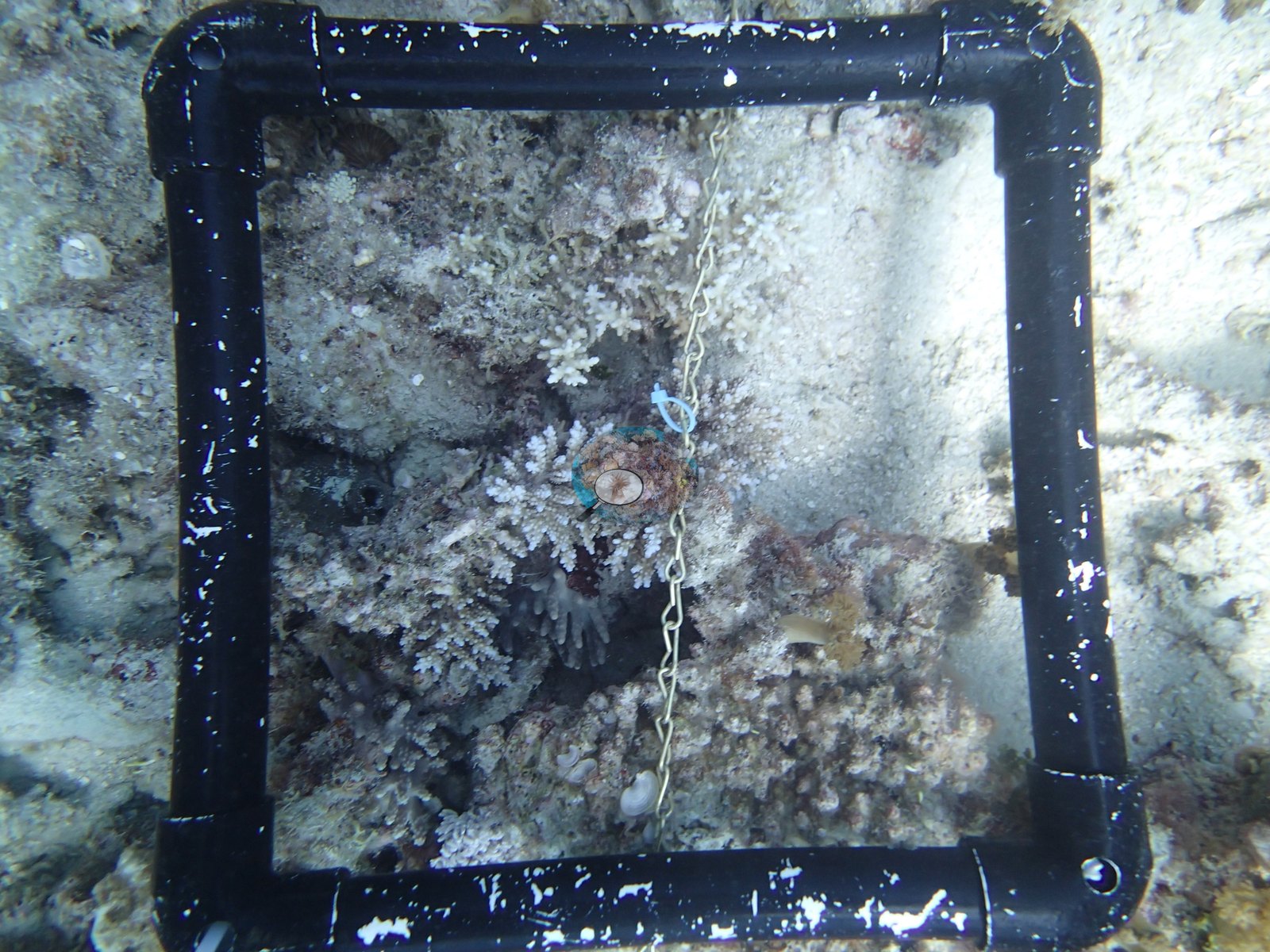
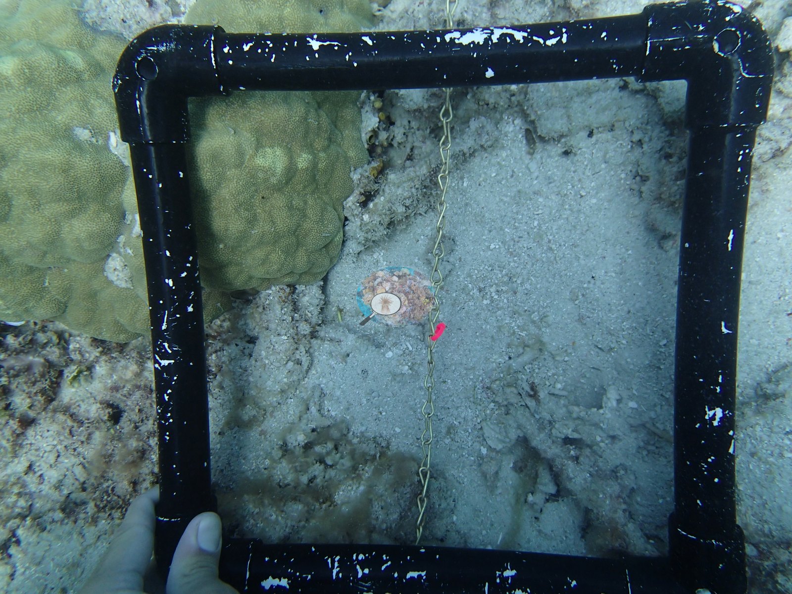
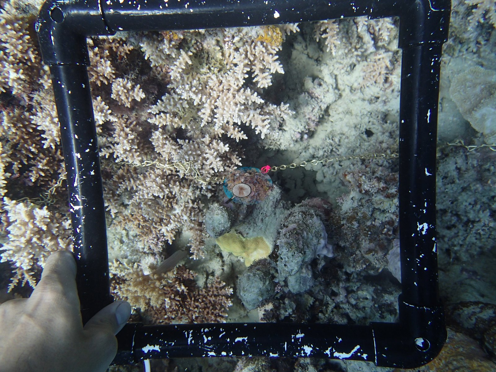
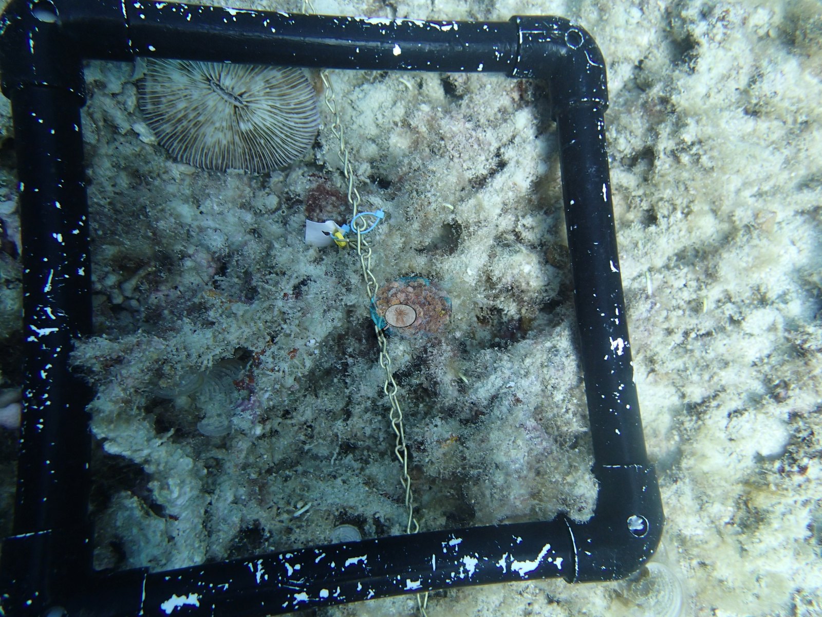
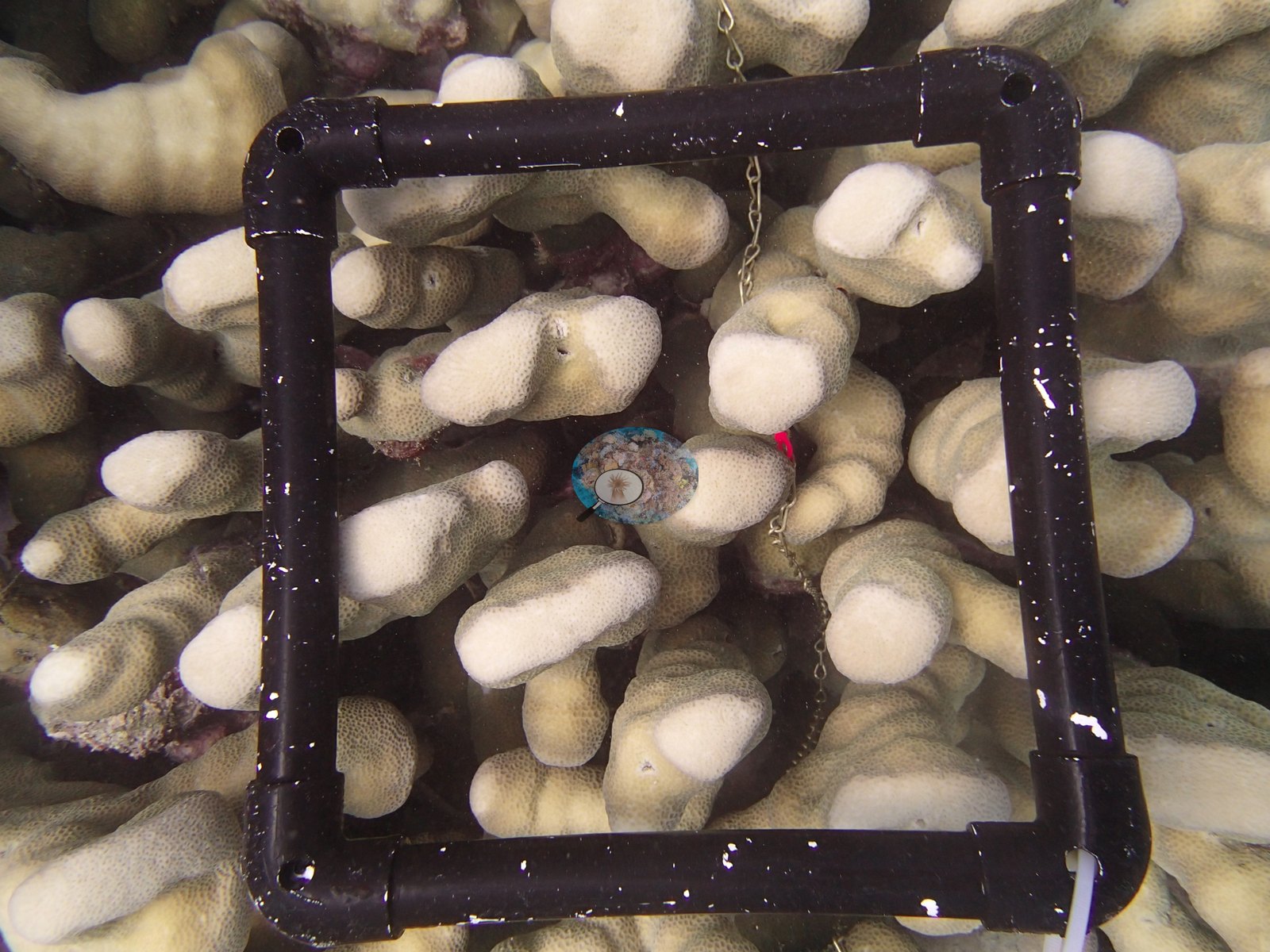
Elsewhere the picture was more mixed: some patches held scoured, low-cover hard bottom, while shallow bottlebrush, and fast-growing acroporids built stretches of near-100% cover (e.g., Image 2).
Coral cover
- Reference: Khaled bin Sultan Living Oceans Foundation, Global Reef Expedition (in situ transect)
- The expedition's in situ point-count transects at this station recorded 75% live coral cover against 12% total algal cover.
- Transect mean 76 ± 4.0% SE (n = 6 transects; Living Oceans Foundation per-transect benthic data); the headline above is the expedition's station value (the headline weights each depth equally; one depth had a single transect).
Stressors
A handful of storm-toppled colonies sat above 5 m, not yet overgrown by algae or cyanobacteria, and on his 14.5 m transect Anderson recorded dead Pocillopora damicornis and P. verrucosa amid abundant soft corals and massive poritids. No crown-of-thorns starfish (COTS) or other corallivores evident.
Fish and other fauna
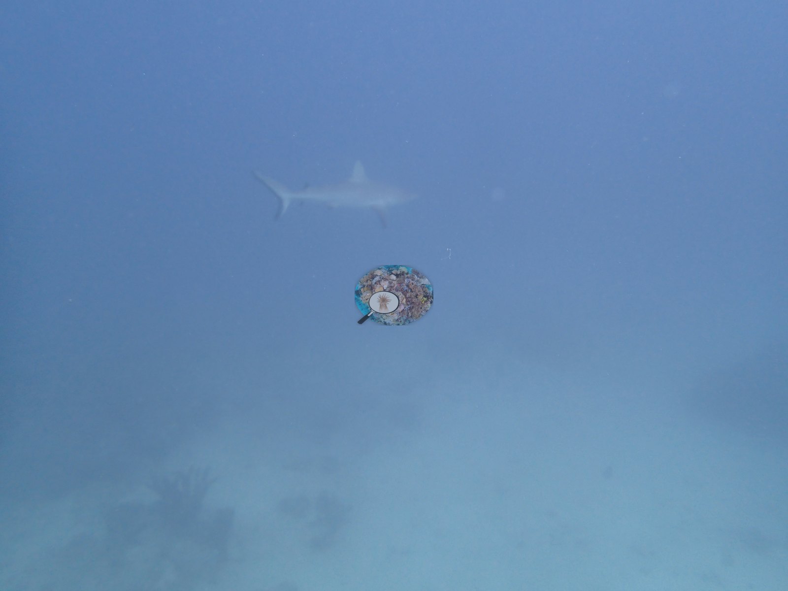
An aggressive gray reef shark kept the divers company throughout.
Comparisons with other data
No other surveys have been conducted at this site to date. Within 5 km, one independent station, AIMS manta tow at SAND BANK NO 8 REEF, 2.91 km away, read 19–43% between 1993 and 2023.
Independent surveys nearby
 LOF
Within 5 km, 1 independent survey station recorded hard coral cover in 6 surveys between 1993 and 2023. The one station surveyed in more than one year increased by 8.5 points between its first and latest surveys. The longest record, SAND BANK NO 8 REEF (AIMS manta tow, 2.91 km away), went from 35% in 1993 to 43% in 2023. Since 2021, station-year means average 34% (range 25–43%; n = 2 station-years from 2 surveys). This site's own estimate (75%) is not compared with these surveys: none lies within 2 km.
Collected by other programs using different methods (AIMS manta tow is a towed visual estimate in categorical bins), so these are context for the figures above, not a like-for-like comparison. Where a station was surveyed more than once, the cell shows either the range of its values or, as a single value, the mean of surveys made in one year. Station names are not dive-site names.
| Agency | Site / location | Date | Hard coral cover (%) | Distance | Link |
|---|---|---|---|---|---|
| AIMS manta tow | SAND BANK NO 8 REEF | 1993–2023 | 19–43% (6 surveys) | 2.91 km | doi:10.25845/5c09b0abf315a |
Data & links
- Download benthic survey data (CSV) ↗
- Download all LOF-GRE data (933 sites) ↗
- Photo portfolio ↗
- Coral Reef Diagnostics country page ↗
All images from Coral Reef Diagnostics. Data are from the Khaled bin Sultan Living Oceans Foundation Global Reef Expedition, Coral Reef Diagnostics, and the organizations named in the data sources above.
 © Coral Reef Diagnostics.