

Part of the regional summaries: Australia (GBR) - Far North: Pink stations (Preservation Zone reefs) and Australia (GBR)
More info
Far Northern GBR (NOAA CRW virtual station)A steep Hilder Reef slope with 70% coral cover on the survey transects (Anderson's own by-eye estimates ran mostly 15-20%, much of it soft coral), where banks of bright pink and mauve Pocillopora-type thickets, table Acropora, and Porites domes carpet the crest and a near-vertical buttress. Around 10 m, though, lies a field of broken, dead branch rubble with only isolated survivors. Surveyed on the Living Oceans Foundation's Global Reef Expedition.
One independent survey station shown with the program’s logo — click one to see how far it is from this site.
Eight other CRD dive sites within 5 km shown in orange — click a marker to open its page.
🗺 Detailed map of the Global Reef Expedition dive sites, Jewell, Hilder, and Eyrie Reefs, northern Great Barrier Reef (Khaled bin Sultan Living Oceans Foundation; opens in a new window)
14 of the 15 photographs on this page are shown beside the text that discusses them under "Site description" below.
Site description
Setting
Hilder Reef's first dive of the day traced a steep slope flattening at 20 m, in visibility no better than 10 m, and the point-count survey read 70% live coral.
General benthic features
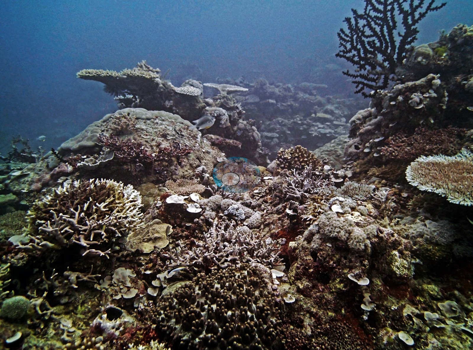
Nine or ten frames show dense, structurally complex reef: bright pink and mauve Pocillopora-type thickets run in banks across the crest (e.g., Image 6, Image 7, Image 8, Image 10, Image 11), with tabulate and corymbose Acropora carrying pale growing tips (e.g., Image 9, Image 10, Image 12, Image 13), cream and tan knobby massive Porites domes set among them (e.g., Image 11, Image 13), orange and rust-red encrusting sheets and foliose colonies (e.g., Image 8, Image 13, Image 14), purple and mauve encrusting patches, orange sponge, and crinoids tucked into the framework.
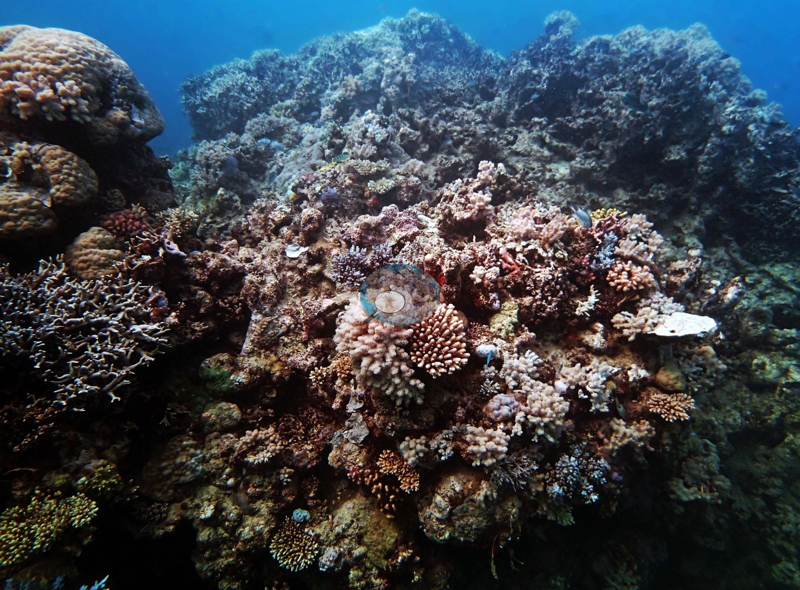
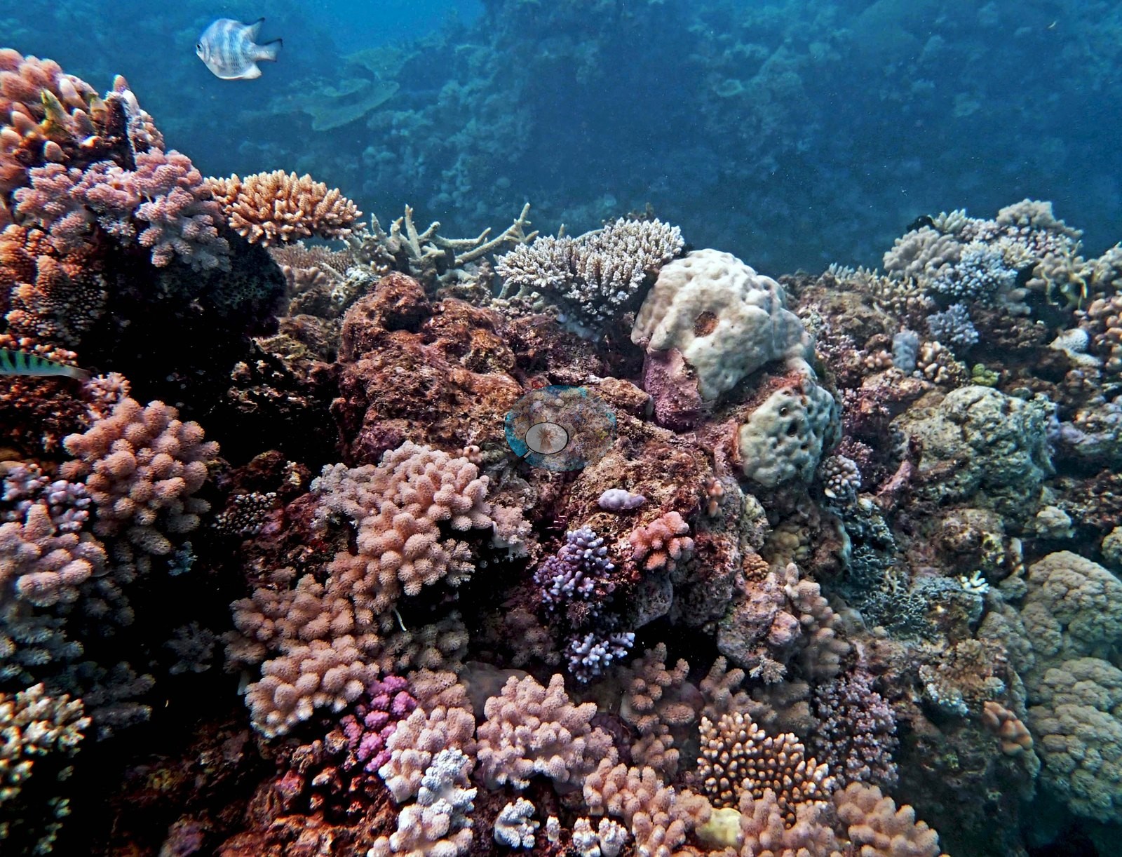
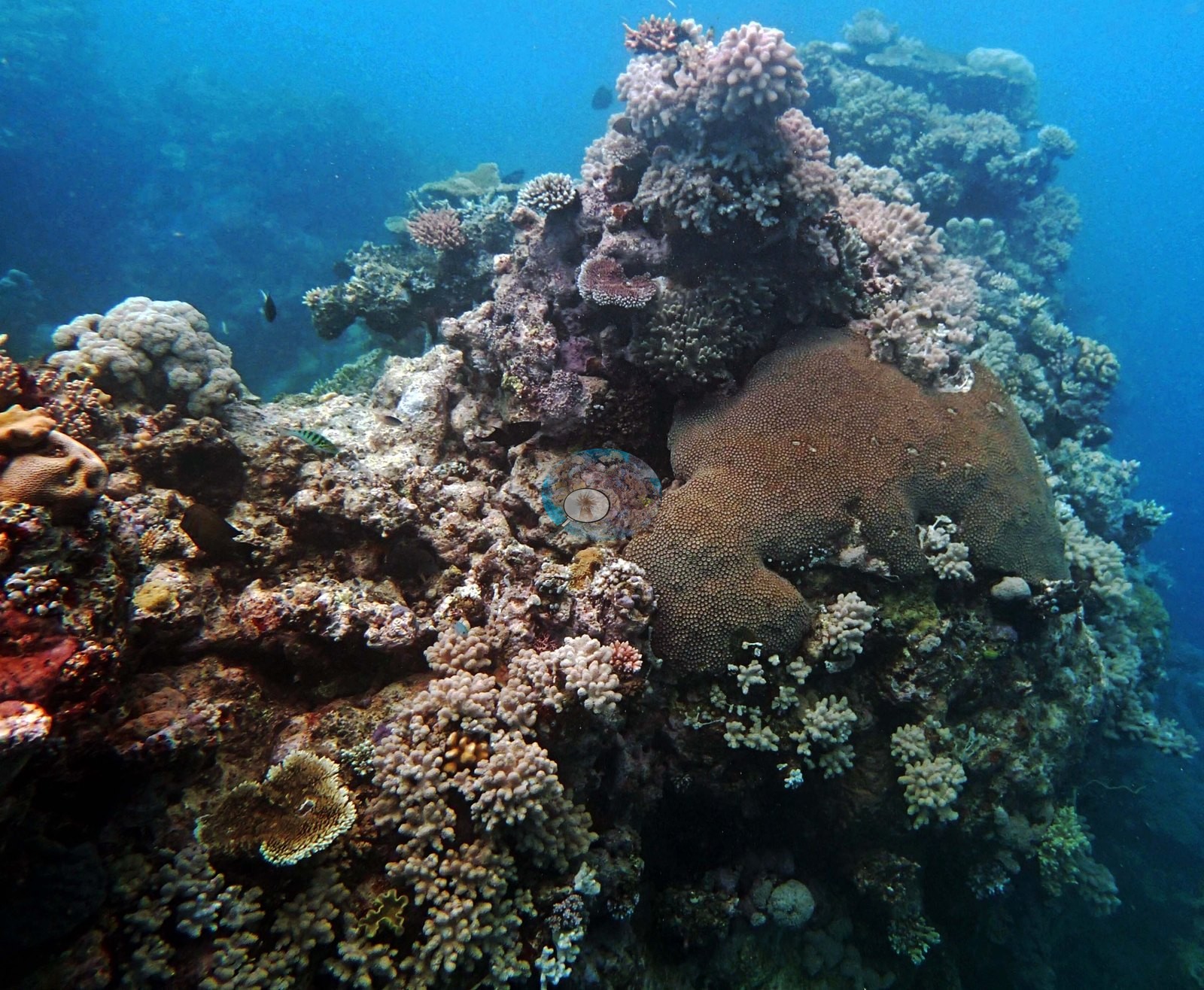
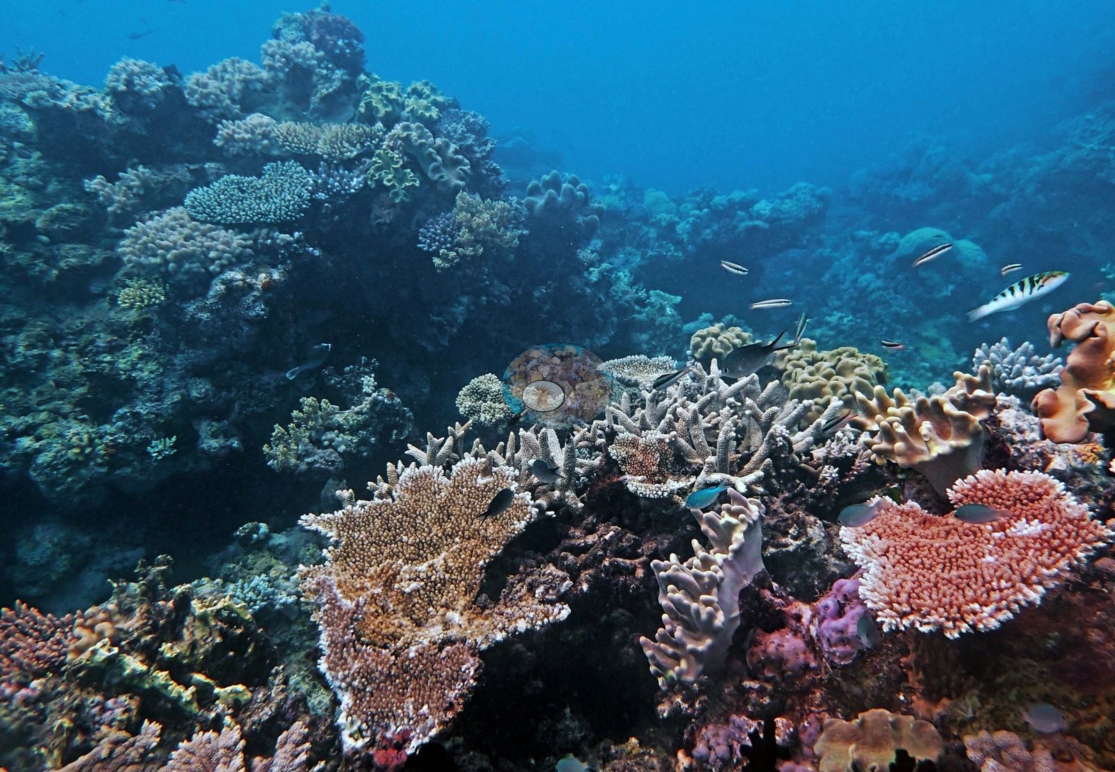
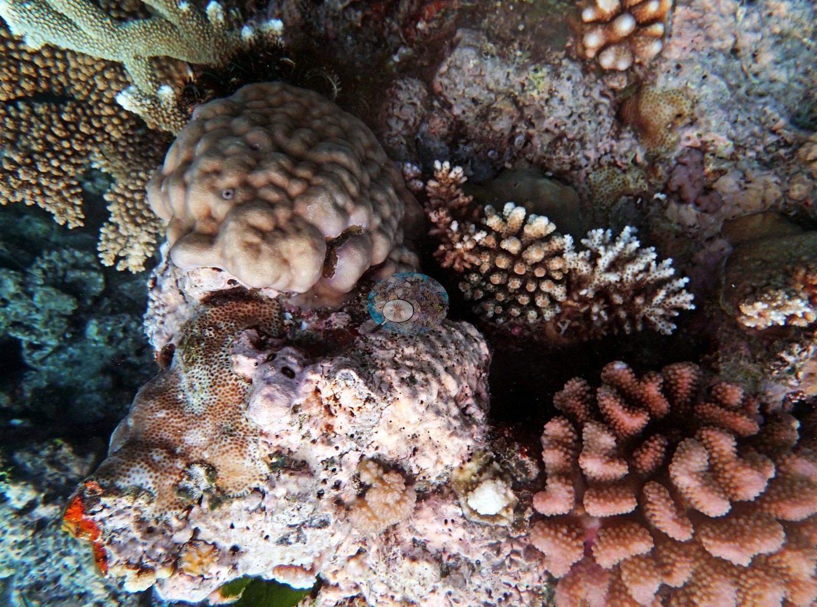
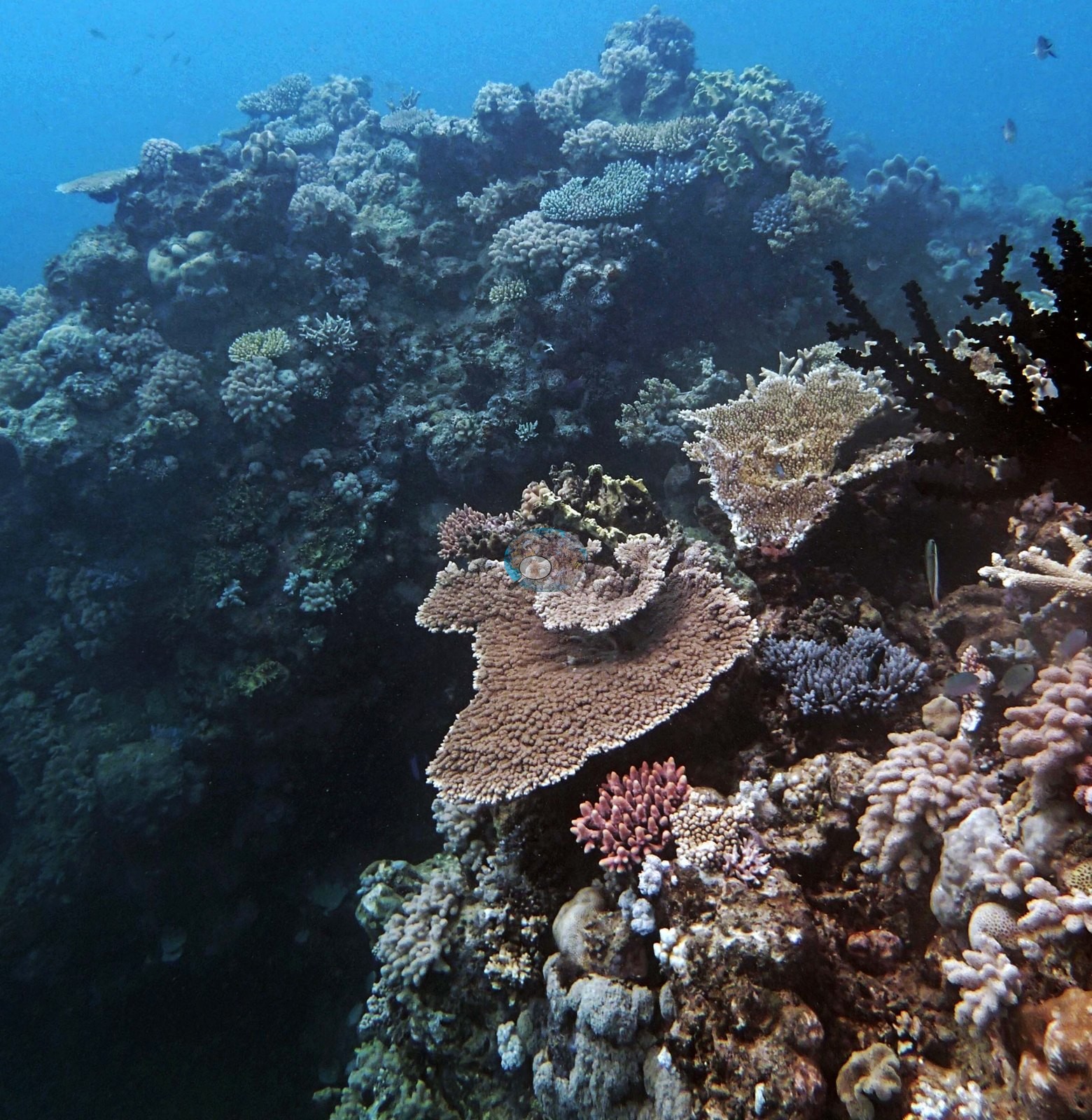
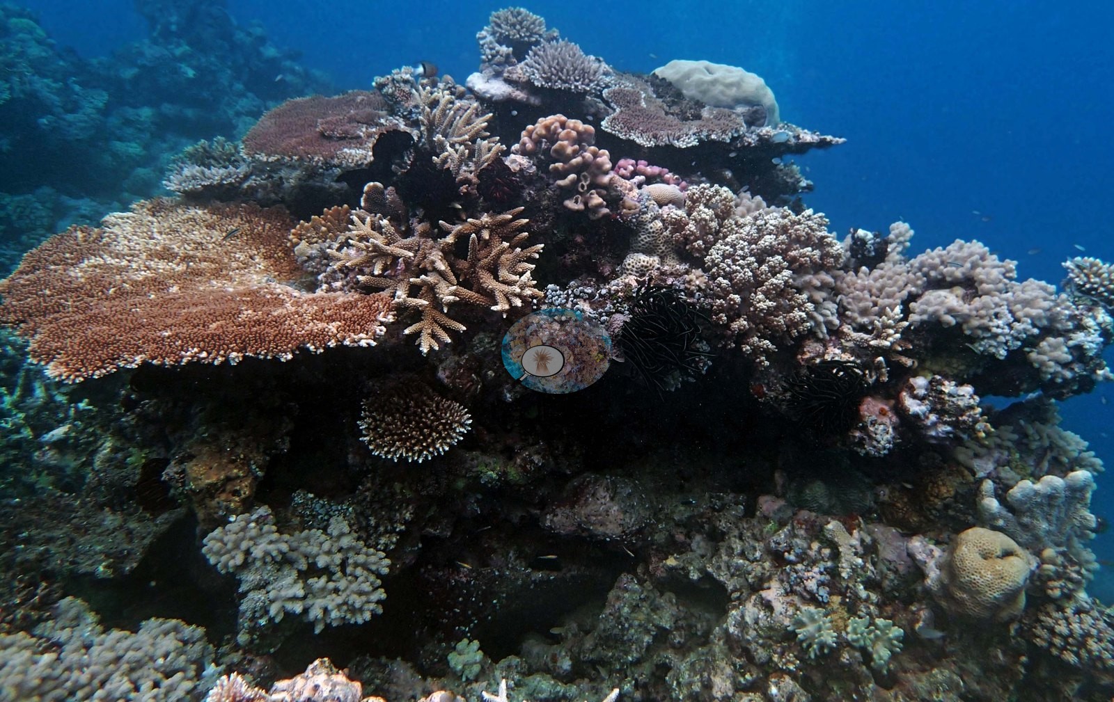
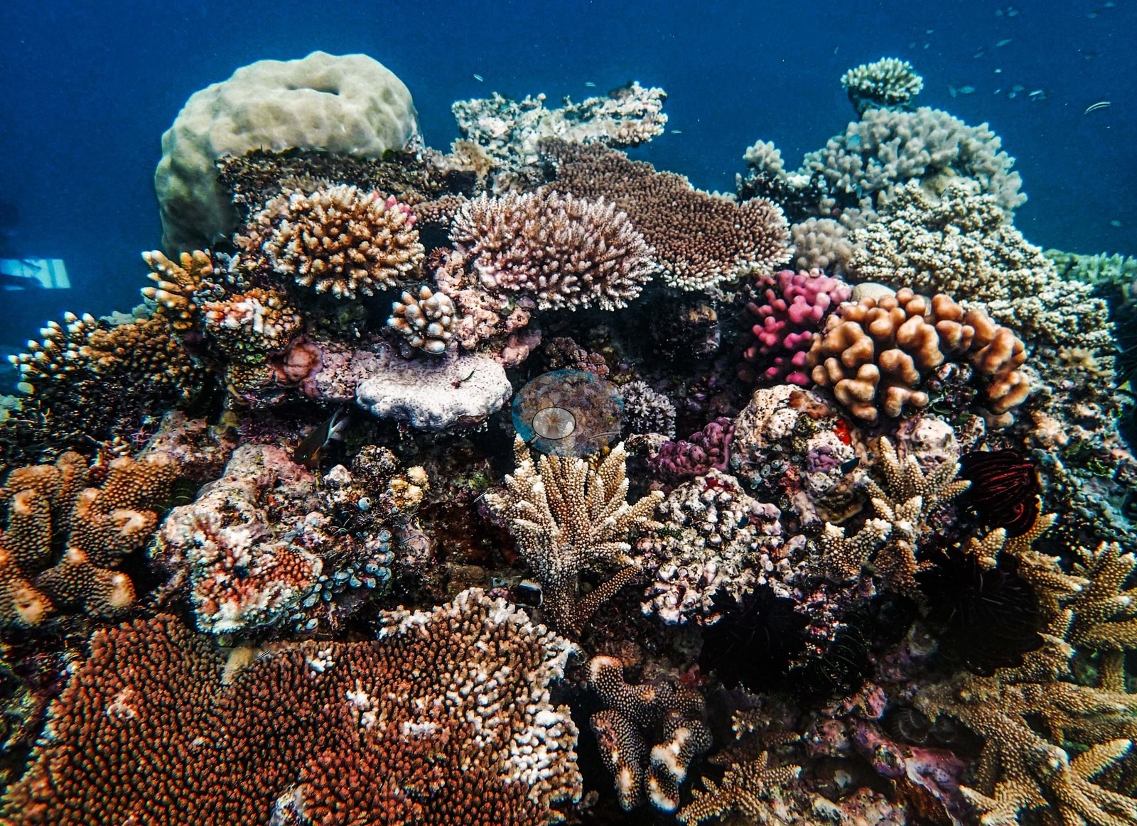
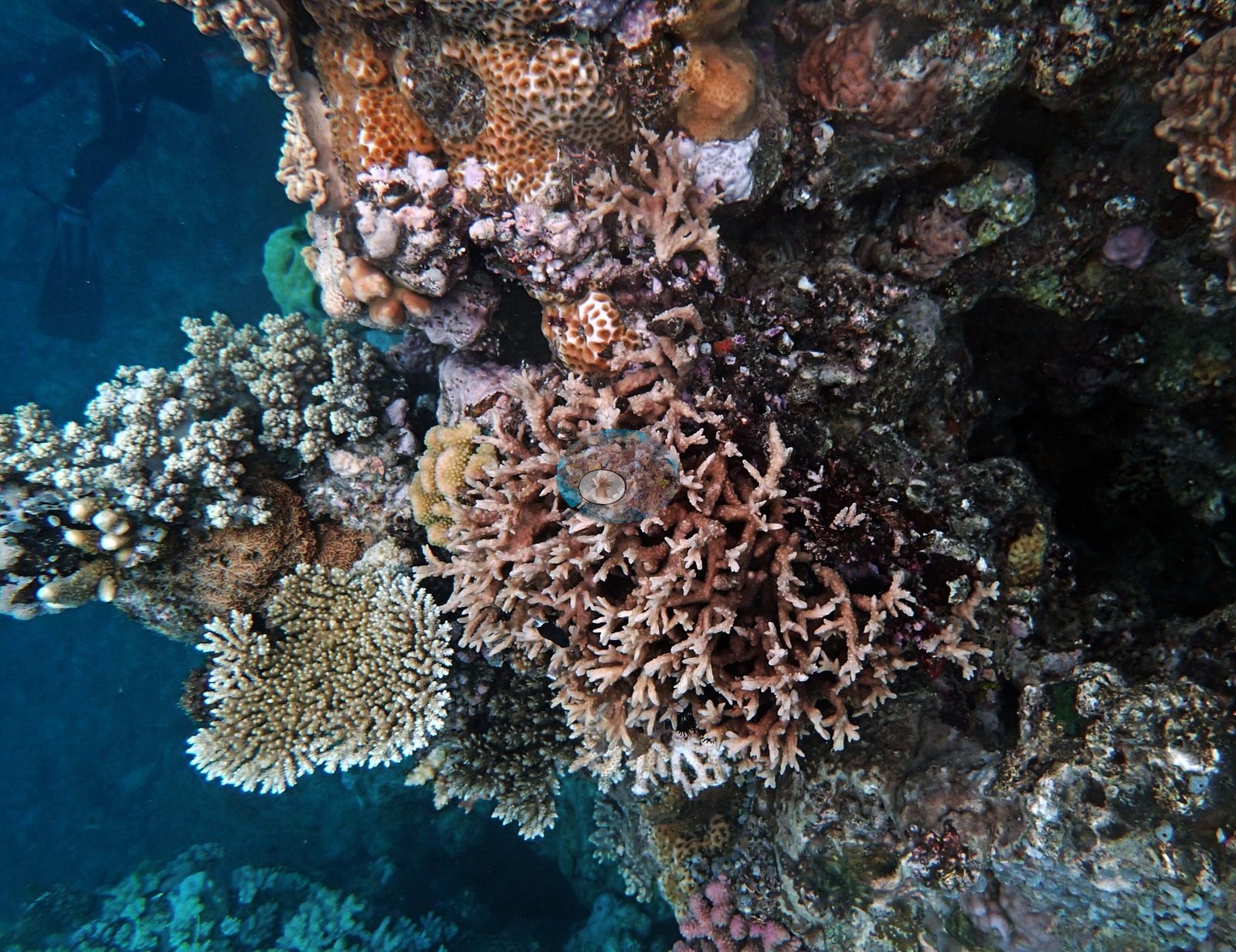
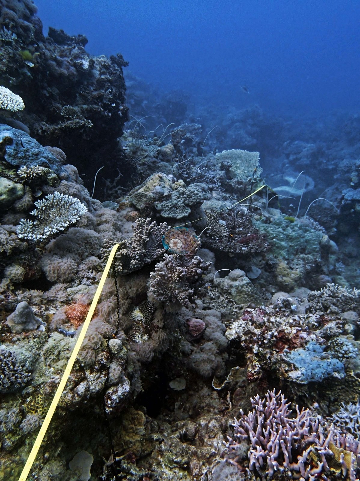
Image 14 looks along a near-vertical buttress carpeted in a tan-and-pink branching thicket with orange colonies on the overhang — the steep-slope habitat of this site. Image 15 shows dimmer, pale mound-and-rubble ground at the transition.
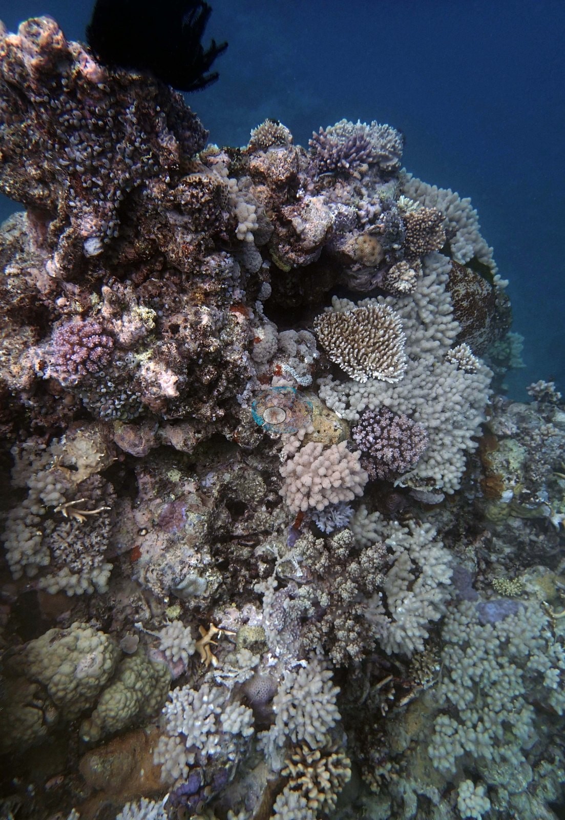
Elsewhere table Acropora, Stylophora pistillata, Porites cylindrica, and massive Porites filled out a more typical community.
Coral cover
- Reference: Khaled bin Sultan Living Oceans Foundation, Global Reef Expedition (in situ transect)
- Coral cover 70%, from the LOF-GRE in situ diver point-count transects (Global Reef Expedition site data, 933 sites). Anderson's own by-eye estimates on his six transects (9-21 m) ran 1-25% live coral, mostly 15-20%; he put the 5 m band at about 20%, mainly soft corals, and noted one soft-coral species dominating the entire site, so the transect figure sits well above his in-water impression.
- Transect mean 63 ± 9.6% SE (n = 9 transects; Living Oceans Foundation per-transect benthic data); the headline above is the expedition's station value (the headline weights each depth equally).
Stressors
Against that, three frames record the damaged ground Anderson logged at around 10 m: a broad, low-relief field of loose broken branch fragments, dead skeleton dulled to gray-white and already taking algal film, lying across pavement with only isolated survivors left standing — a blue-gray mounding colony and a few small pink corymbose colonies among the debris (e.g., Image 4, Image 5), with a further frame of largely dead branch rubble carrying black wire corals and one brown foliose colony (e.g., Image 3).
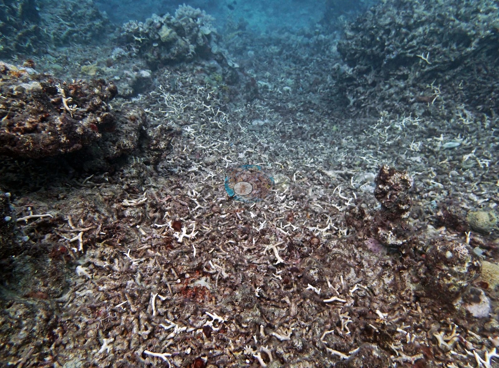
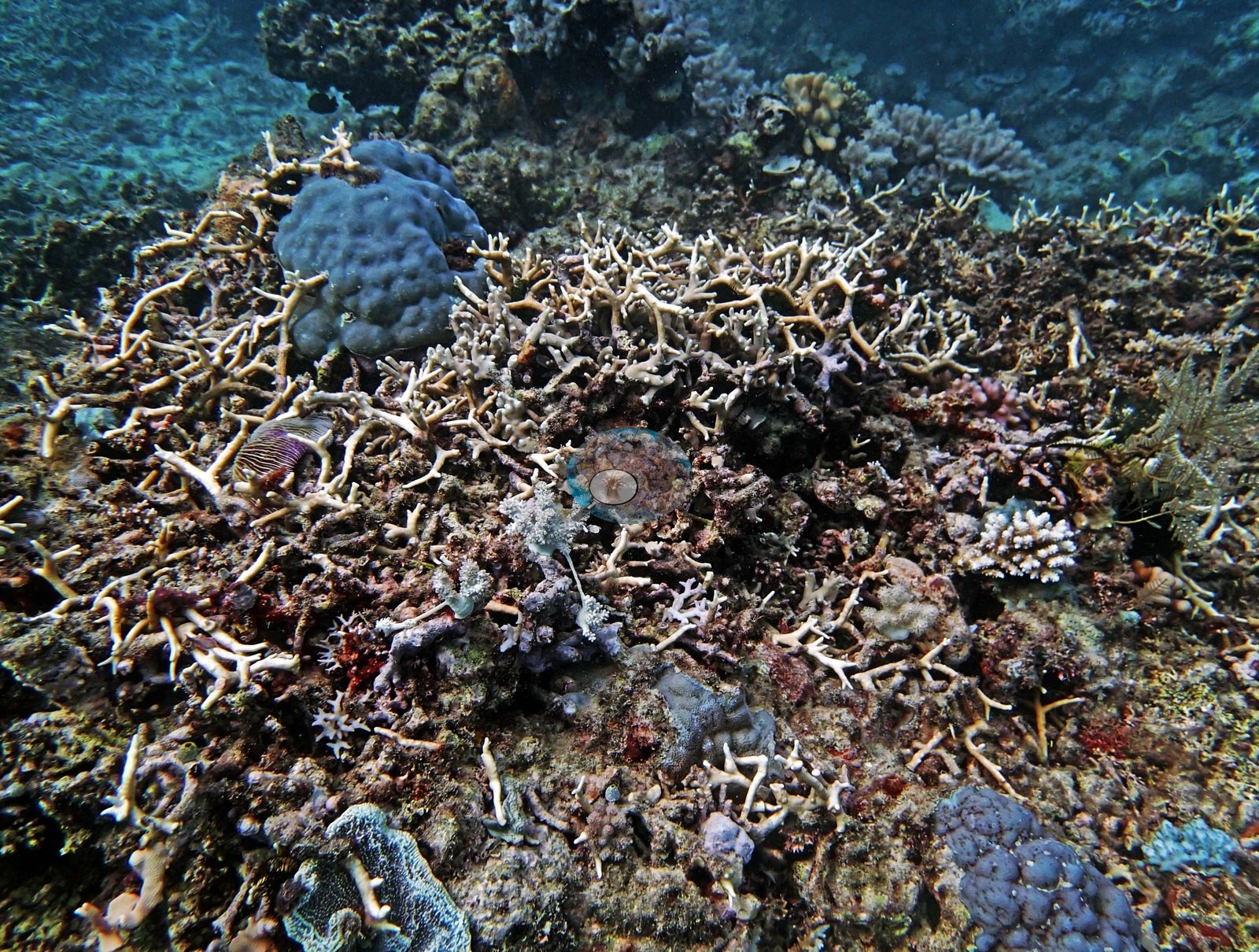
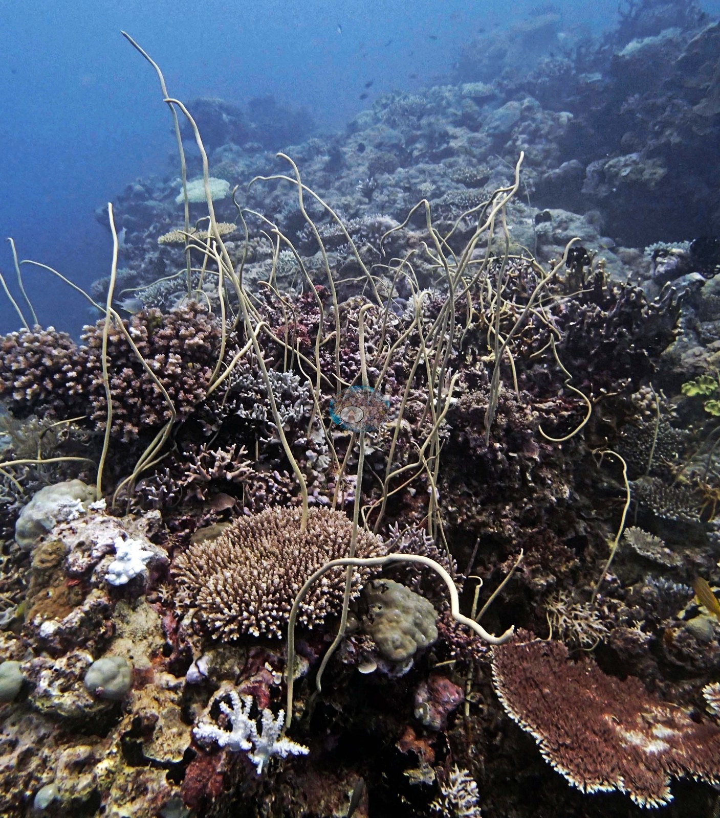
These are dead, broken skeletons rather than live bleached tissue, and no bleaching extent is inferred from them. No disease lesions and no crown-of-thorns seastars are visible in any frame. He put the branch-rubble damage down to a relatively recent storm; live cover crashed to about 1% there, though some fire coral was already regrowing. Separately, sickly Seriatopora hystrix turned up at a couple of transects.
Comparisons with other data
No other surveys have been conducted at this site to date. Within 5 km, one independent station, AIMS manta tow at HILDER REEF, 2.74 km away, read 5.5–40% between 1994 and 2023.
Other notes
The 15 frames show both halves of the site. One frame is a survey working frame, with the yellow transect tape running away across the reef (e.g., Image 2).
Independent surveys nearby
 LOF
Within 5 km, 1 independent survey station recorded hard coral cover in 4 surveys between 1994 and 2023. The one station surveyed in more than one year declined by 0.3 points between its first and latest surveys. The longest record, HILDER REEF (AIMS manta tow, 2.74 km away), went from 39% in 1994 to 39% in 2023. One survey since 2021 recorded 39%. This site's own estimate (70%) is not compared with these surveys: none lies within 2 km.
Collected by other programs using different methods (AIMS manta tow is a towed visual estimate in categorical bins), so these are context for the figures above, not a like-for-like comparison. Where a station was surveyed more than once, the cell shows either the range of its values or, as a single value, the mean of surveys made in one year. Station names are not dive-site names.
| Agency | Site / location | Date | Hard coral cover (%) | Distance | Link |
|---|---|---|---|---|---|
| AIMS manta tow | HILDER REEF | 1994–2023 | 5.5–40% (4 surveys) | 2.74 km | doi:10.25845/5c09b0abf315a |
Data & links
- Download benthic survey data (CSV) ↗
- Download all LOF-GRE data (933 sites) ↗
- Photo portfolio ↗
- Coral Reef Diagnostics country page ↗
All images from Coral Reef Diagnostics. Data are from the Khaled bin Sultan Living Oceans Foundation Global Reef Expedition, Coral Reef Diagnostics, and the organizations named in the data sources above.
 © Coral Reef Diagnostics.