

Part of the regional summaries: Australia (GBR) - Far North: Pink stations (Preservation Zone reefs) and Australia (GBR)
More info
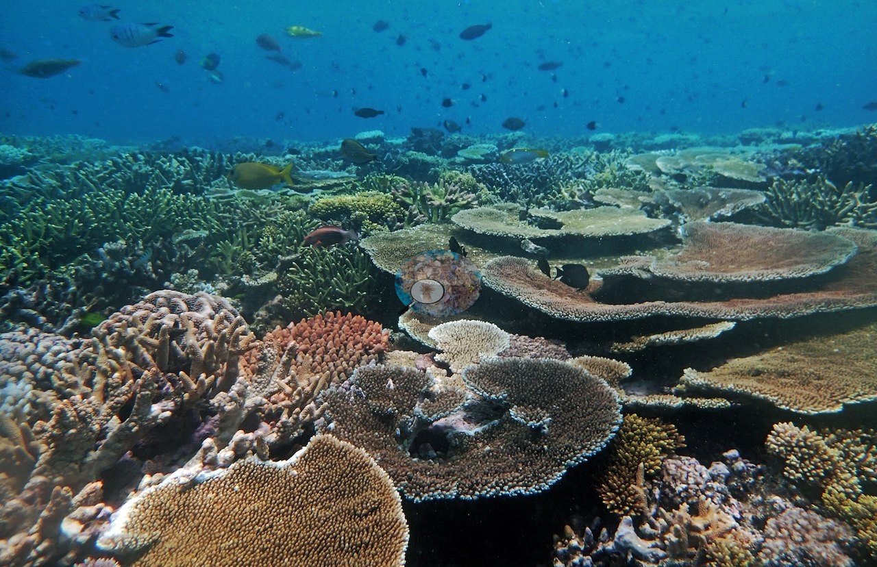
Far Northern GBR (NOAA CRW virtual station)A Pearson Reef dive crossing three distinct zones: a deep terrace of stacked, finely ridged Pachyseris plates, mid-depth terraces of overlapping pink and salmon table Acropora over a meter across, and low-relief rubble flats, at 62% cover. Anderson's notes record needle coral (Seriatopora hystrix) as likely the most common coral at 10 m, most of it looking bleached. Surveyed on the Living Oceans Foundation's Global Reef Expedition.
One independent survey station shown with the program’s logo — click one to see how far it is from this site.
Five other CRD dive sites within 5 km shown in orange — click a marker to open its page.
🗺 Detailed map of the Global Reef Expedition dive sites, Pearson and Siddons Reefs, northern Great Barrier Reef (Khaled bin Sultan Living Oceans Foundation; opens in a new window)
This page shows 50 of the 83 photographs from this site, including every one the text cites.
47 of the 50 photographs on this page are shown beside the text that discusses them under "Site description" below.
Site description
General benthic features
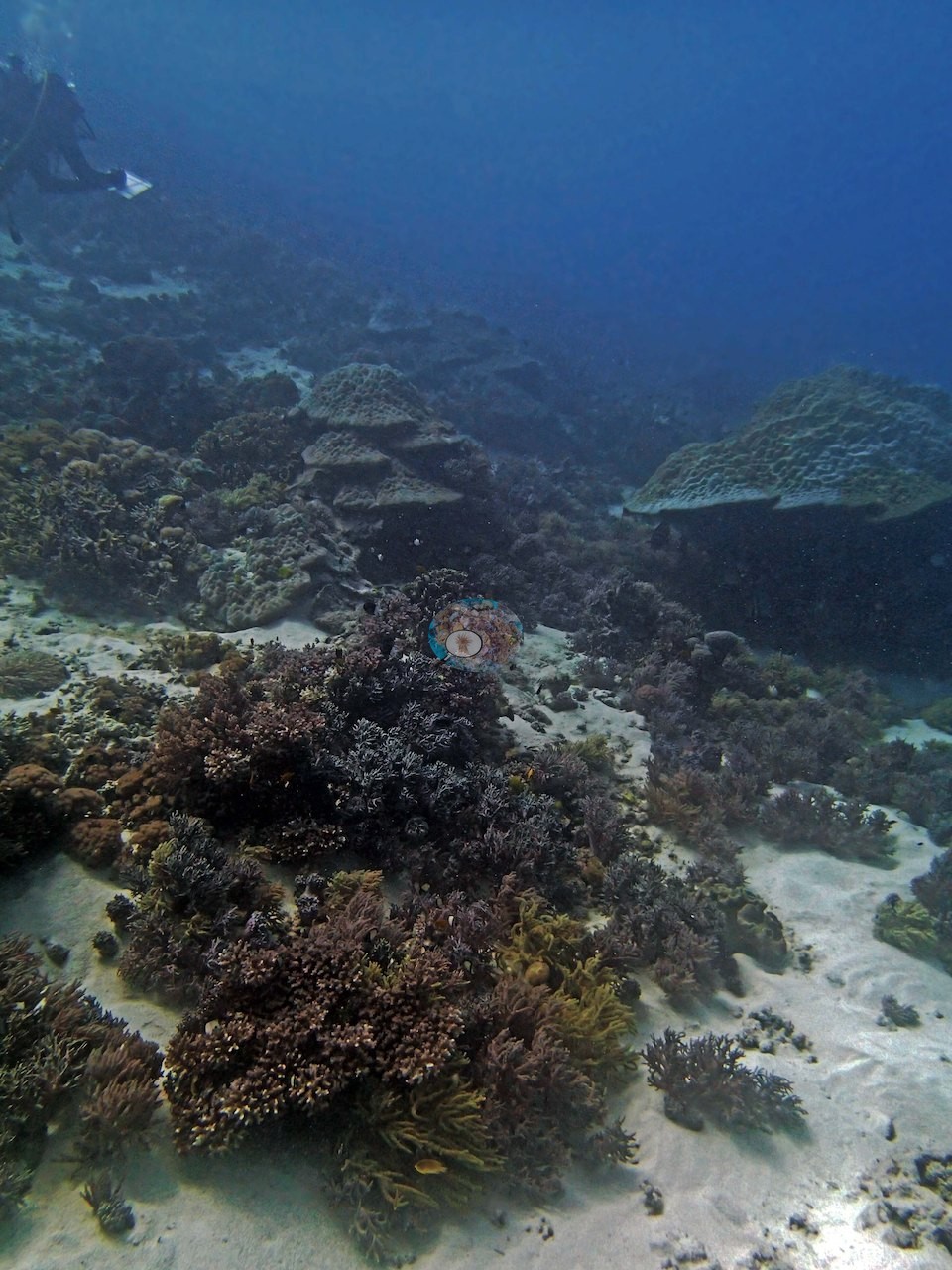
The 61 posted frames show a single dive that crosses three quite different grounds. The deep end of the dive is the plating ground. A run of frames (e.g., Image 6, Image 7, Image 13, Image 14, Image 17, Image 18, Image 19, Image 20) looks along tier upon tier of rippled gray-tan laminar plates stacked one over another up the slope, the fine parallel ridging of Pachyseris clearly visible on the plate surfaces; Image 7 is the classic view, the stacked plates rising off a smooth brown massive Porites head with open blue behind.
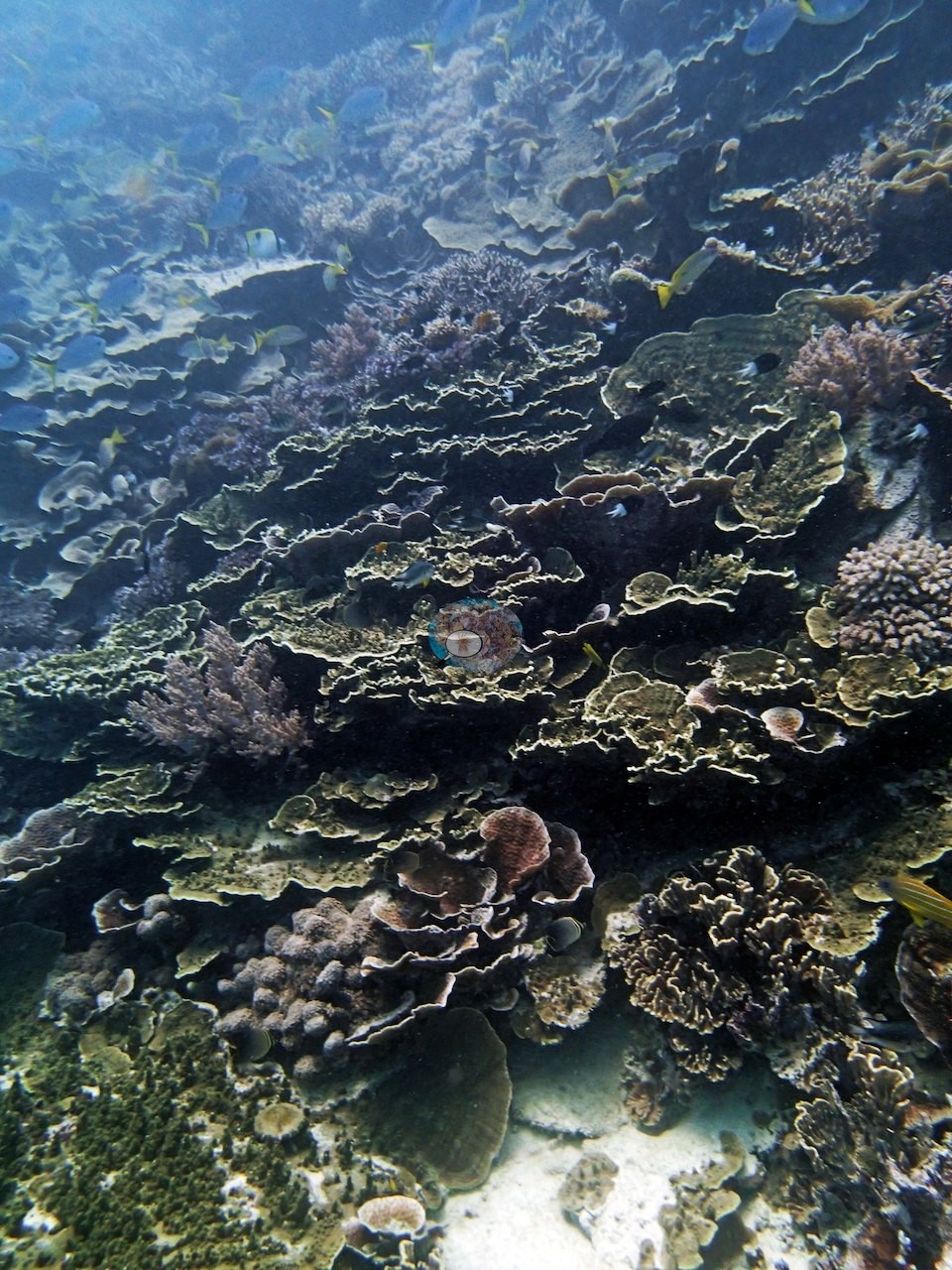
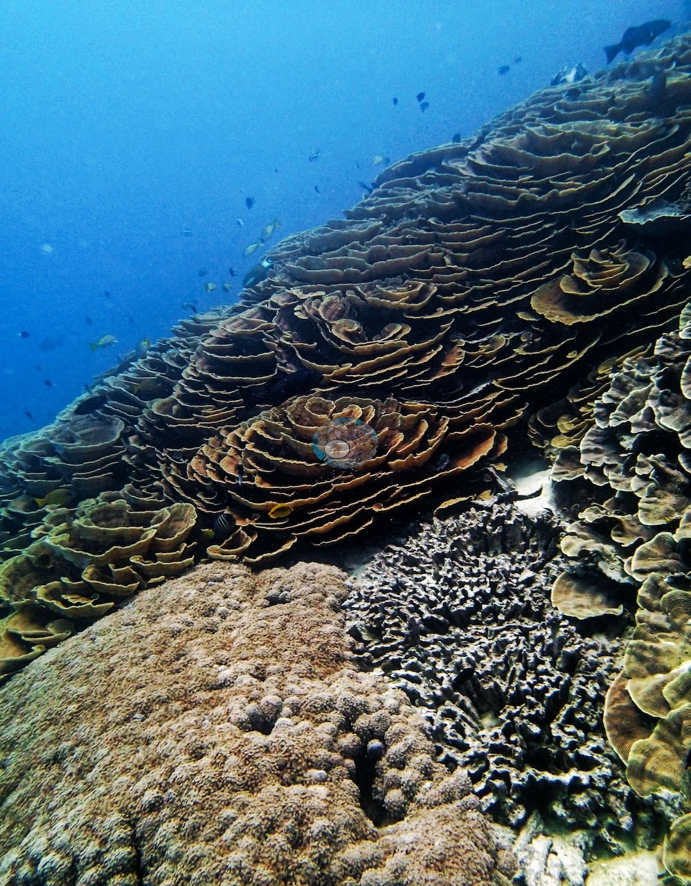
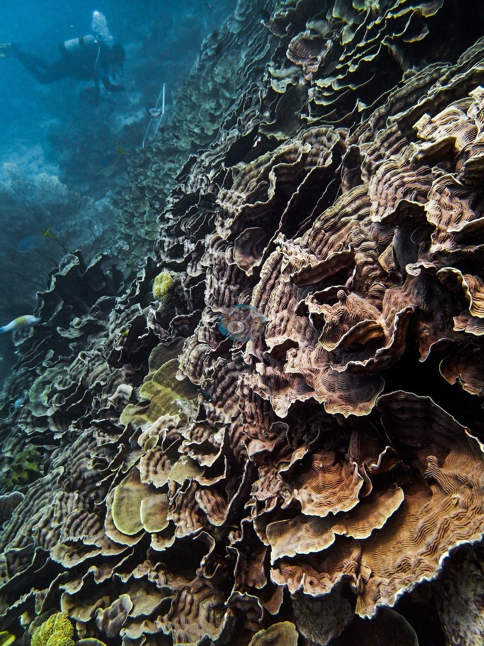
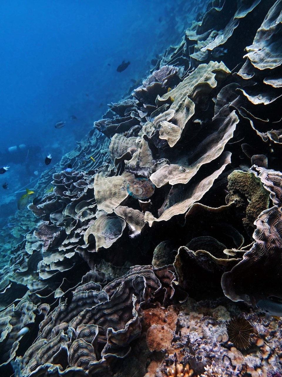
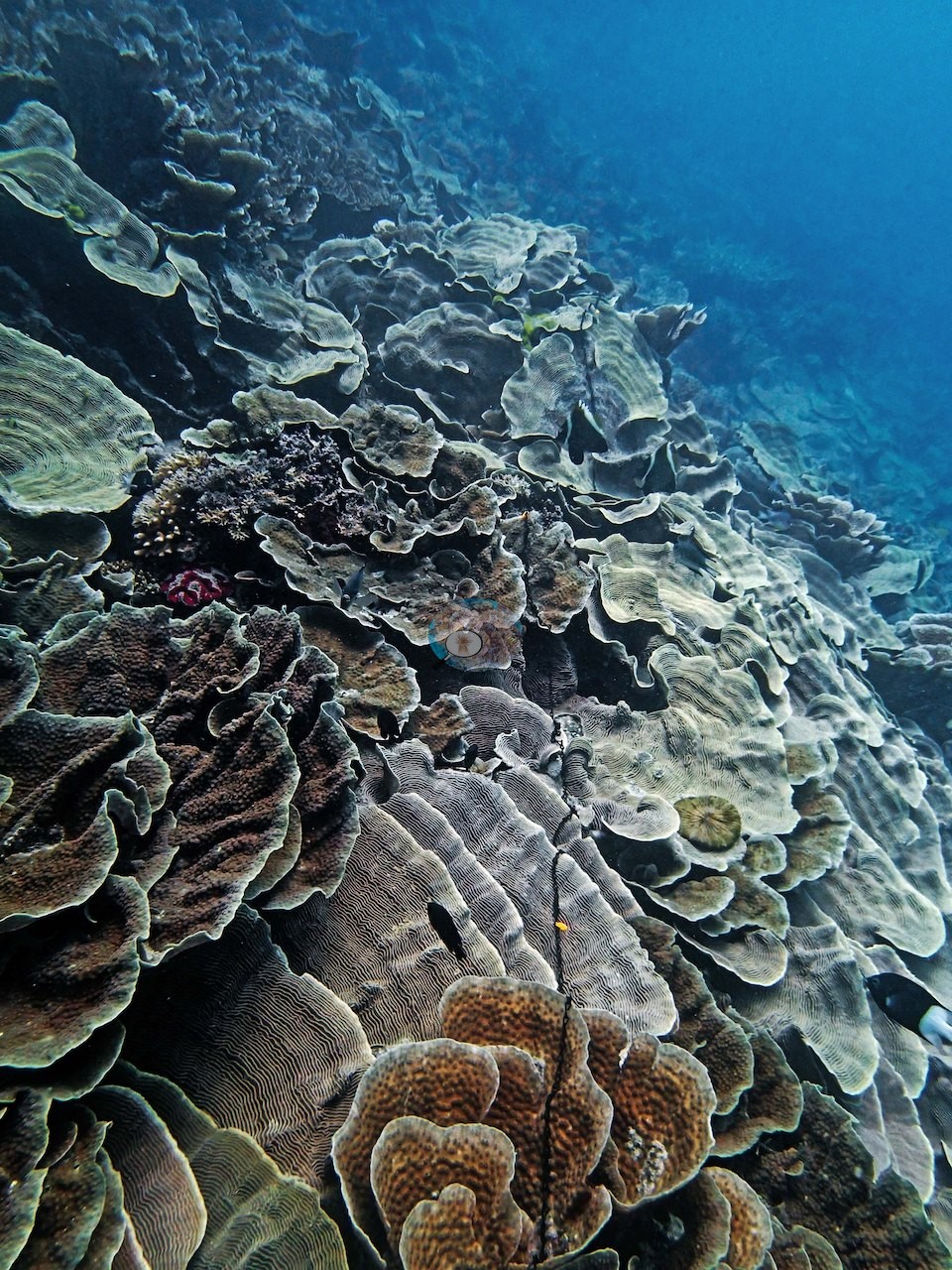
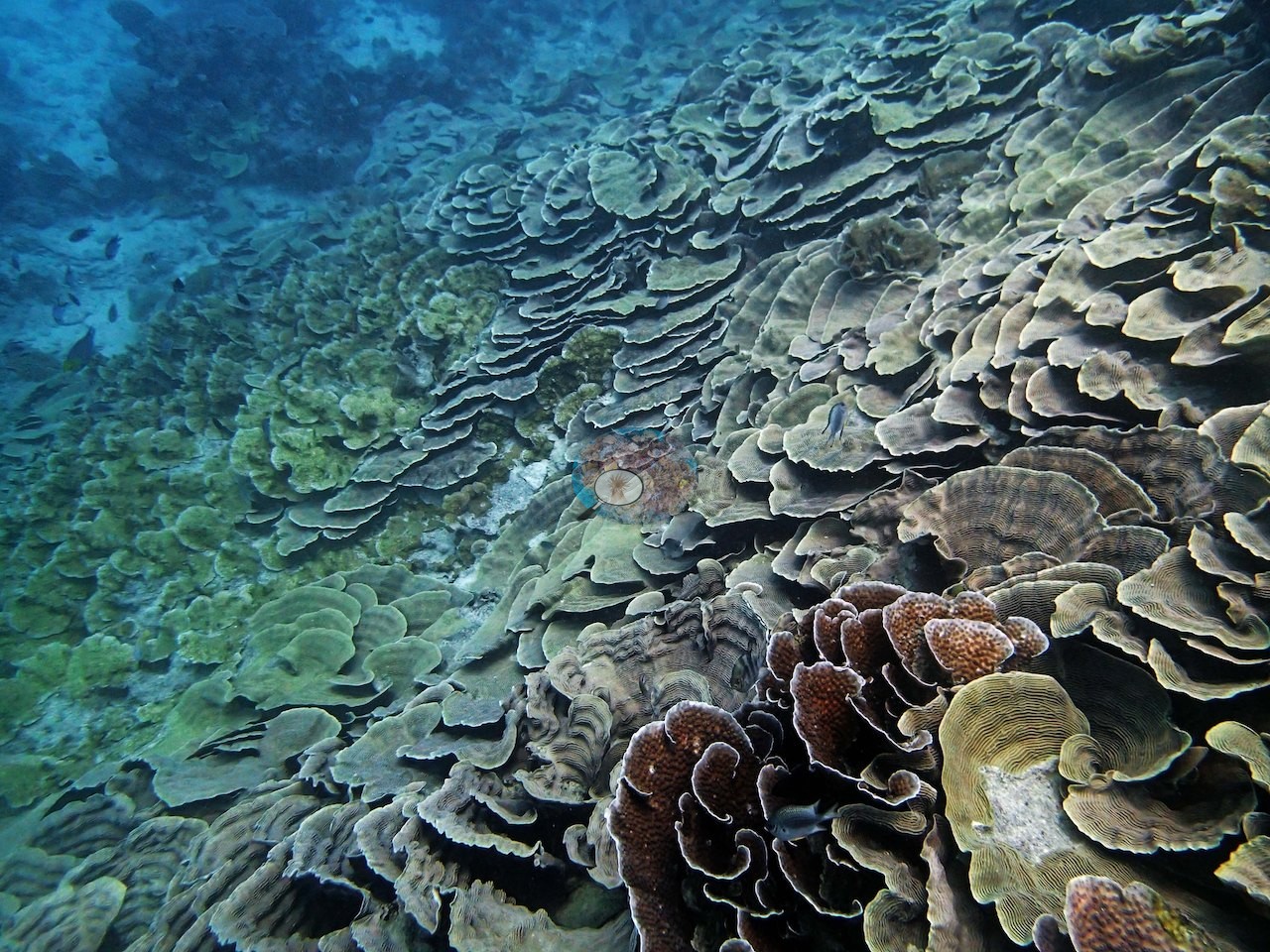
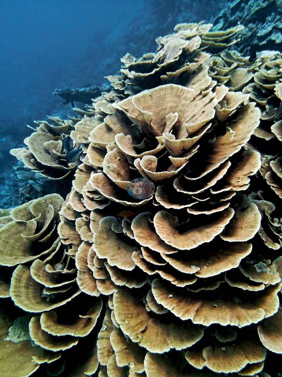
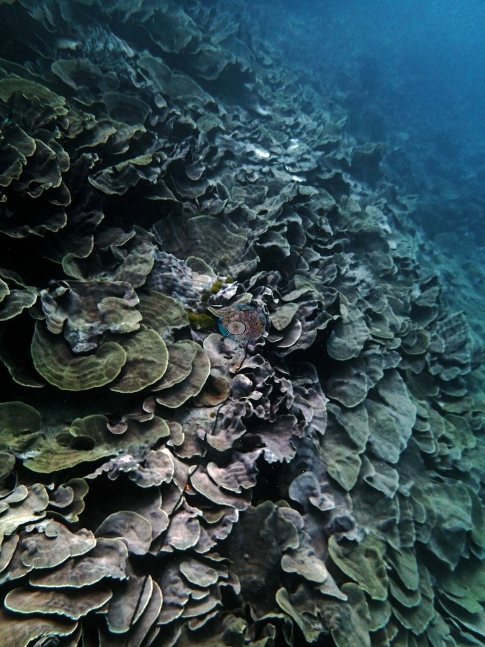
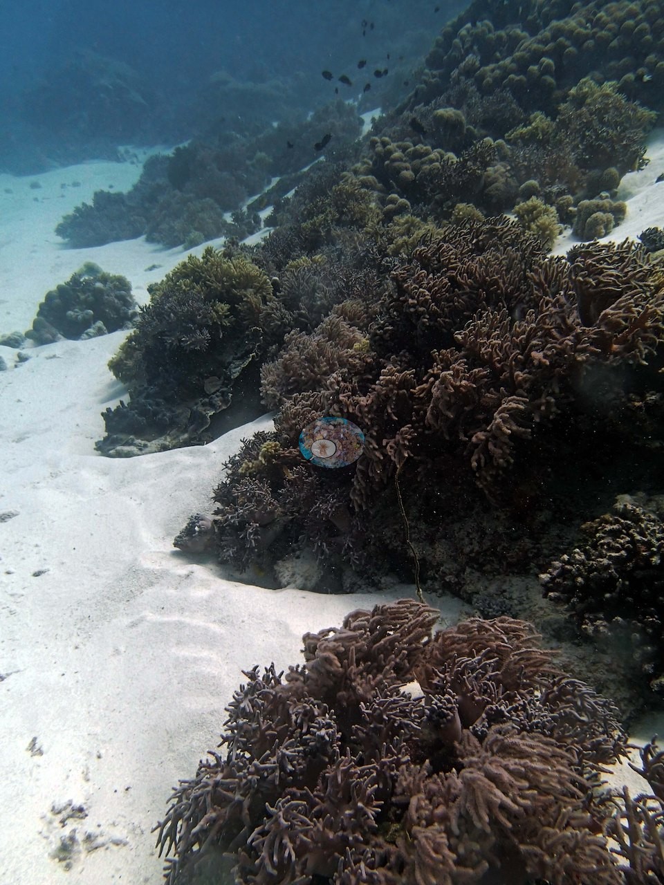
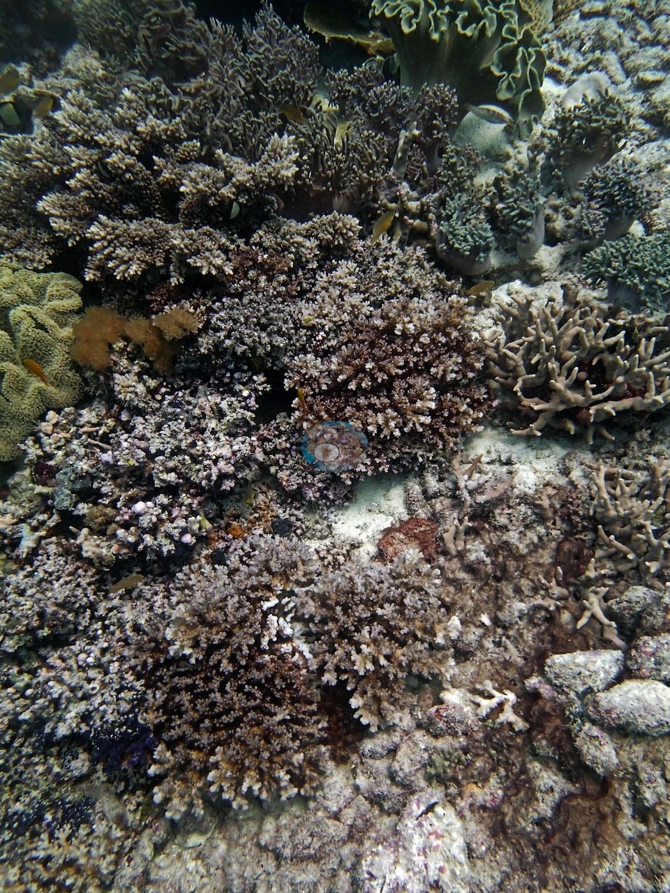
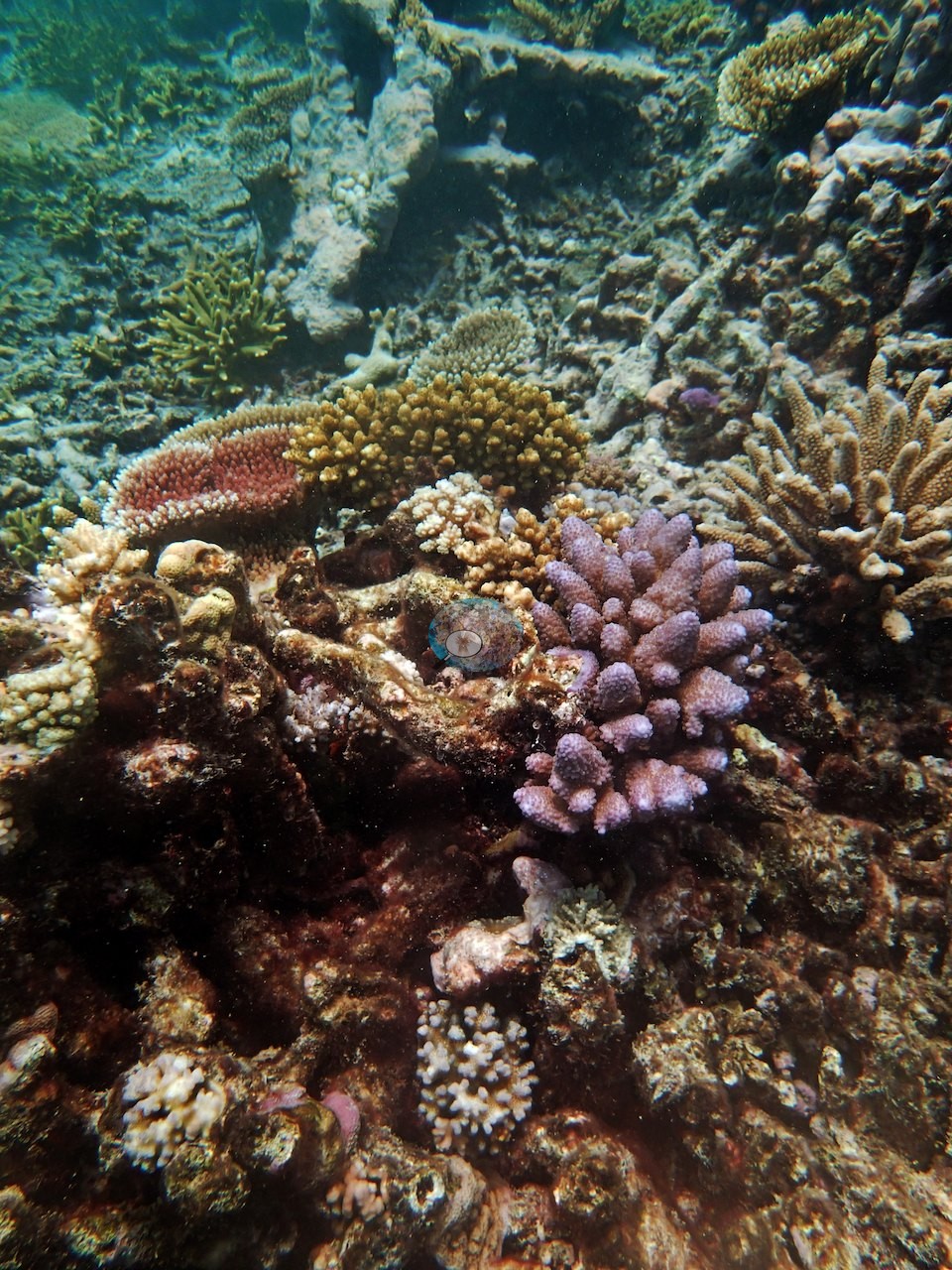
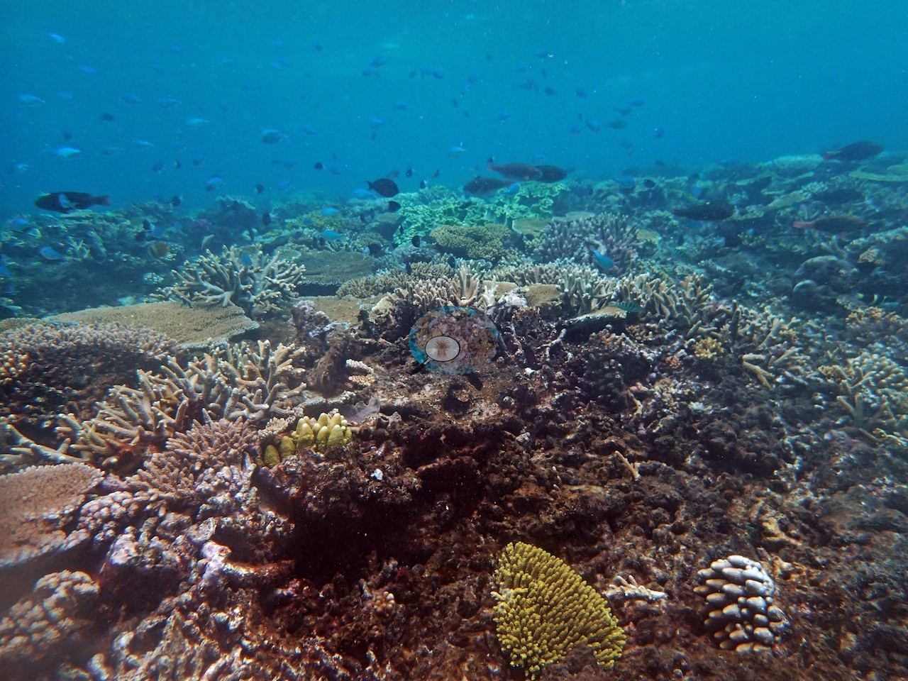
Image 18 and Image 20 pull back to show the same plate terracing running out of frame in both directions. Mid-depth the reef switches to a mixed branching-and-tabular mosaic, and this is what most of the set shows (e.g., Image 23, Image 26, Image 27, Image 29, Image 30, Image 31, Image 34, Image 35, Image 39, Image 42, Image 43, Image 44, Image 45, Image 48, Image 52, Image 55, Image 56, Image 57, Image 58).
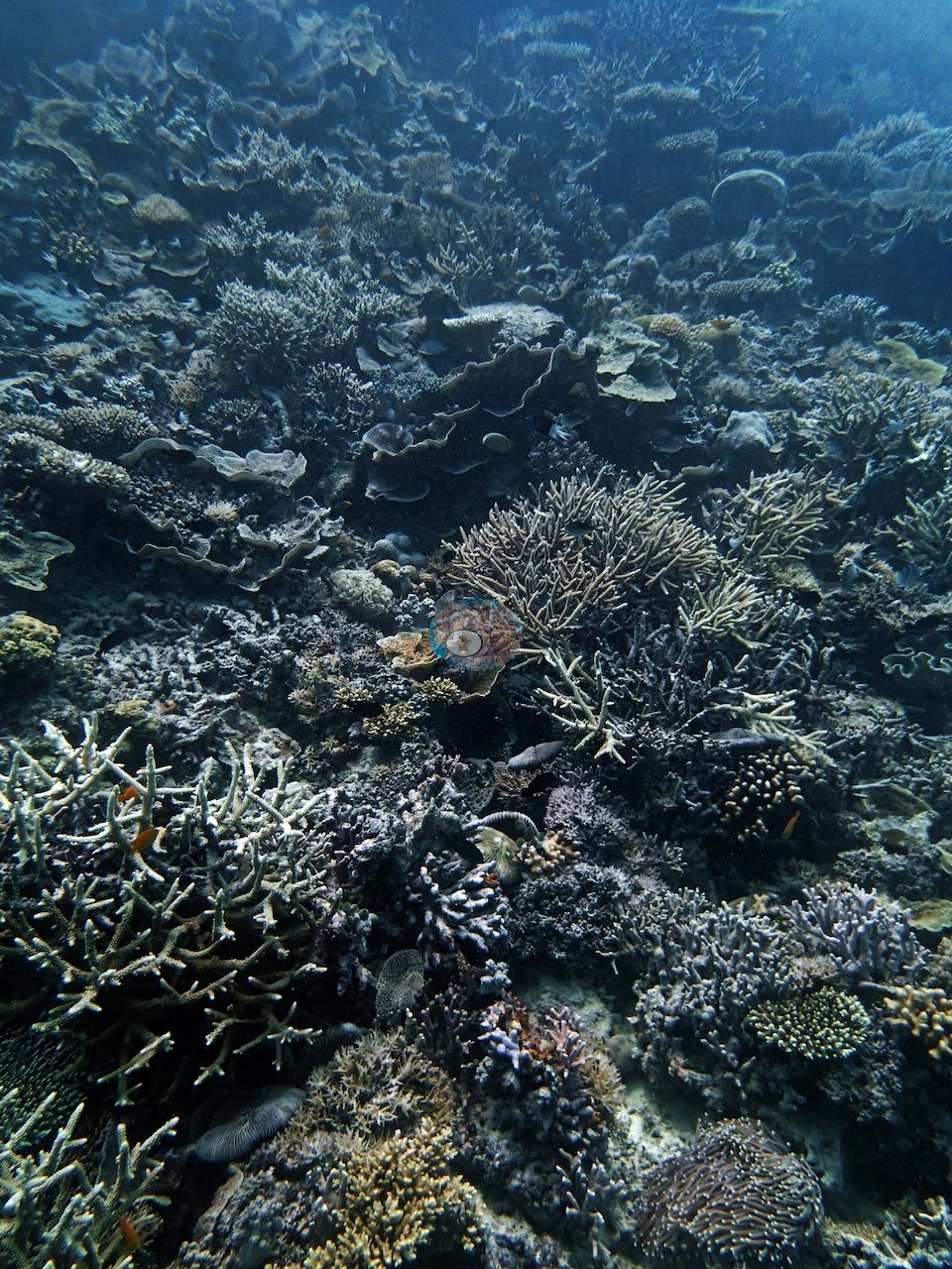
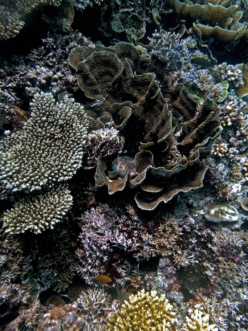
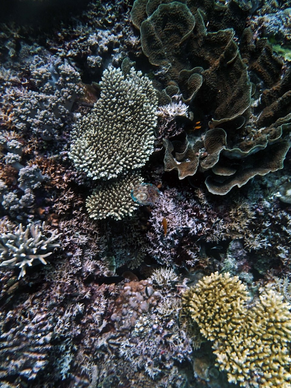
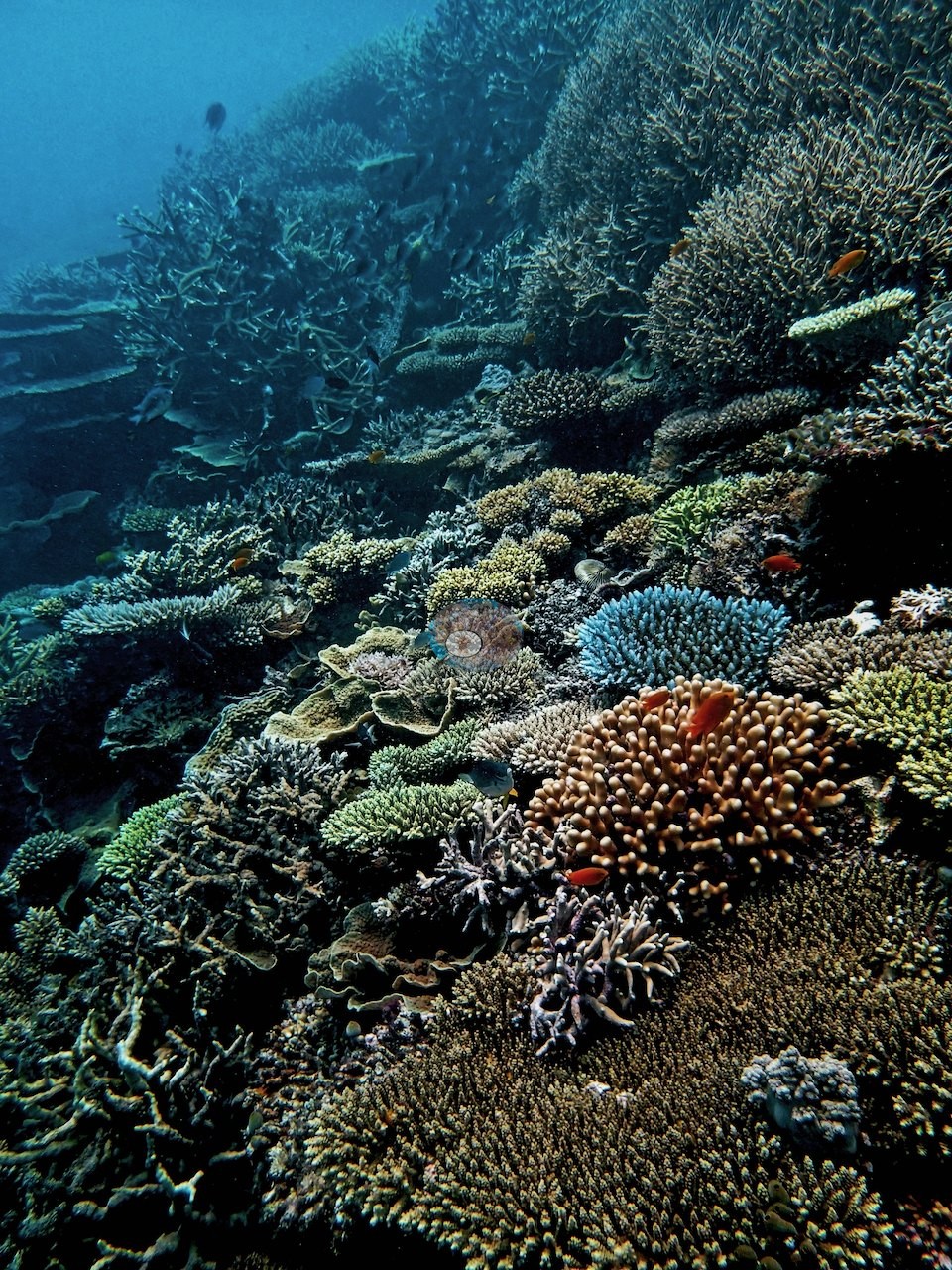
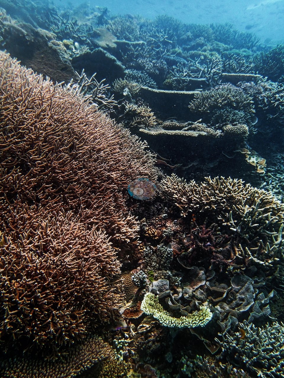
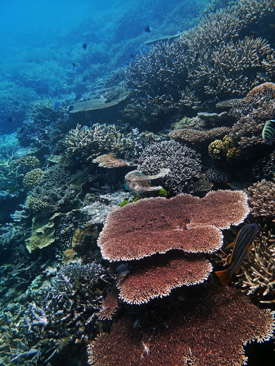
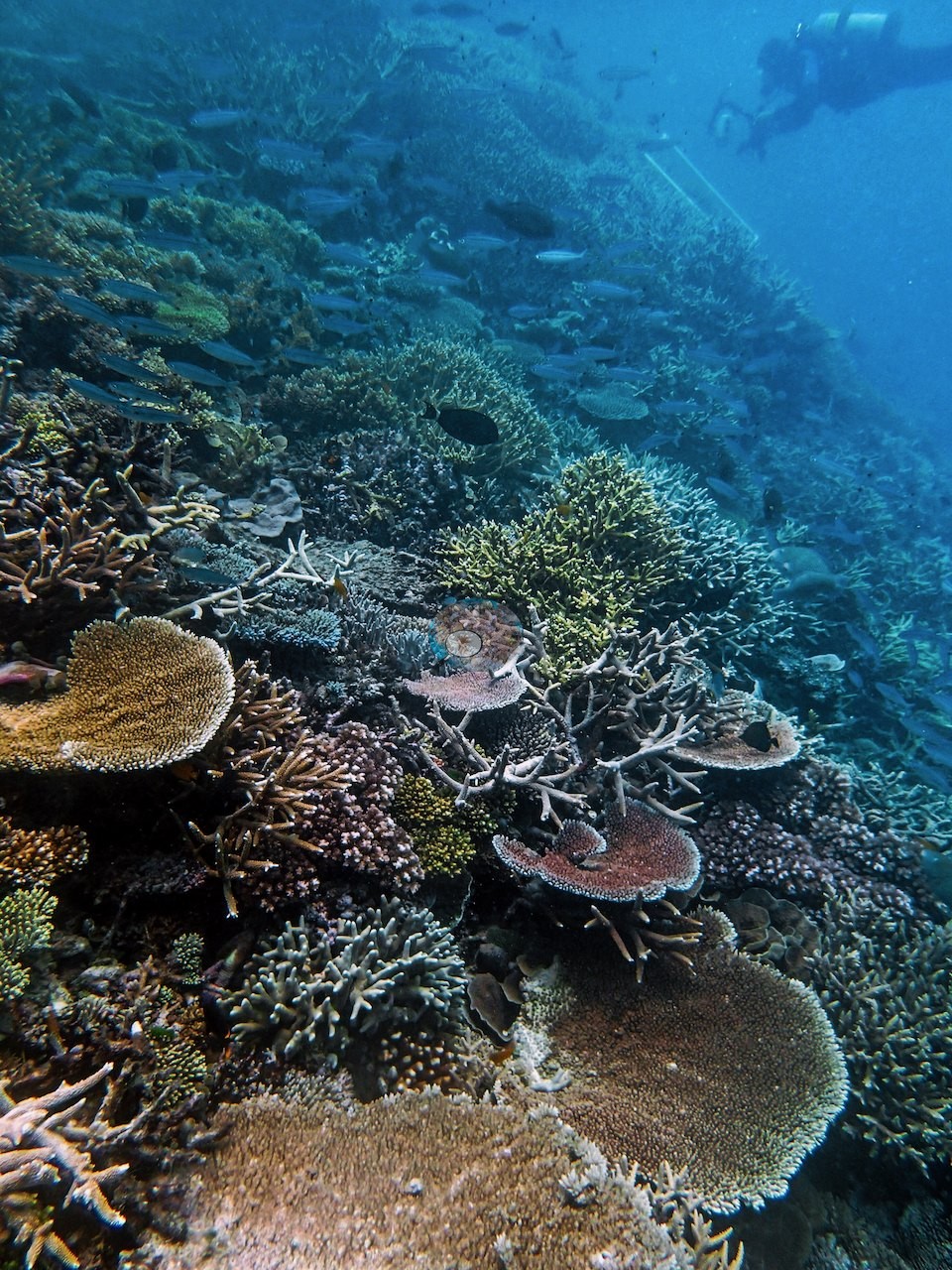
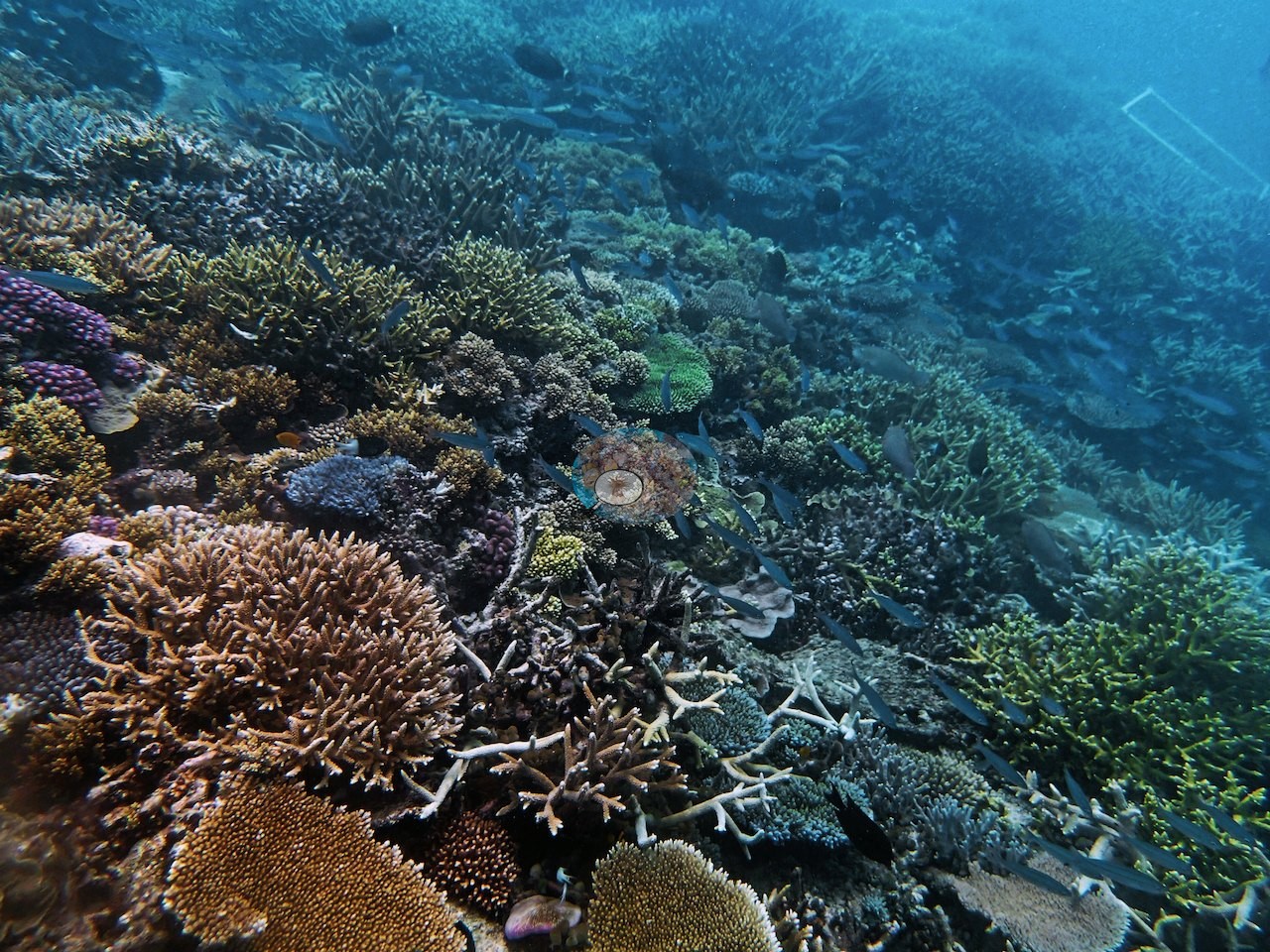
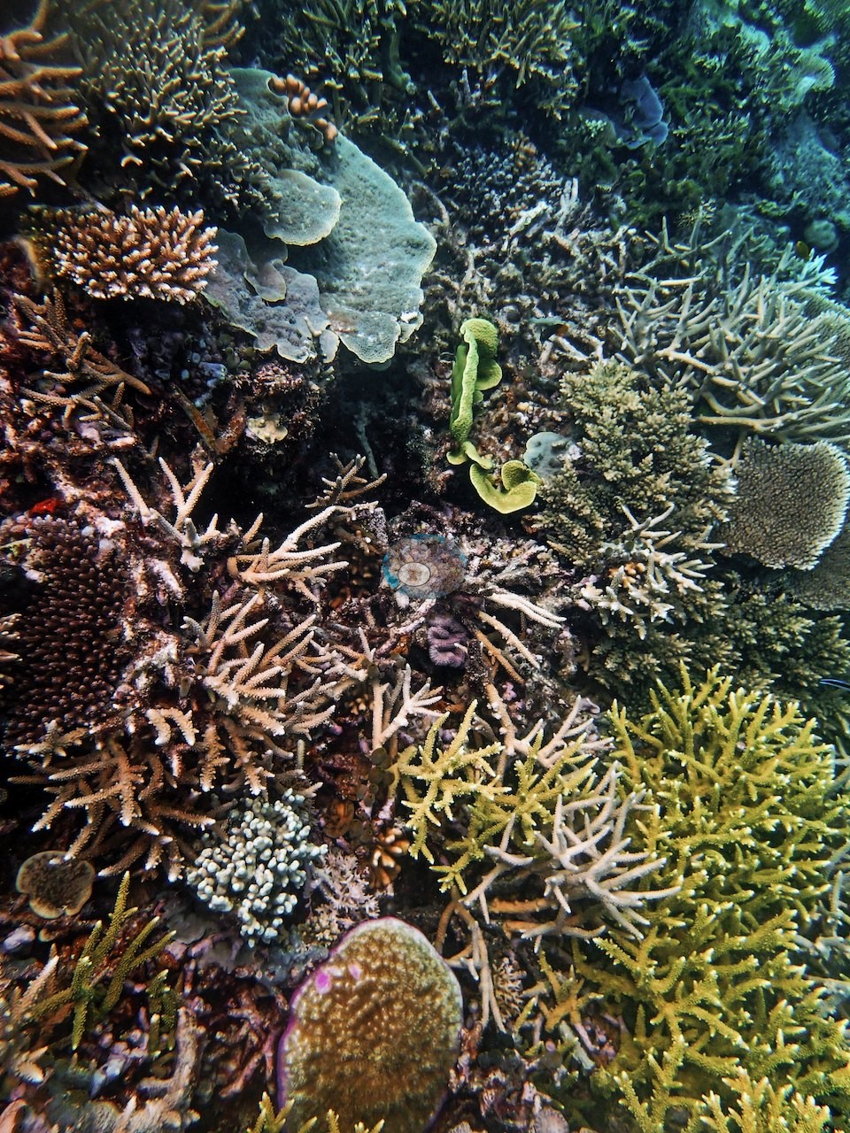
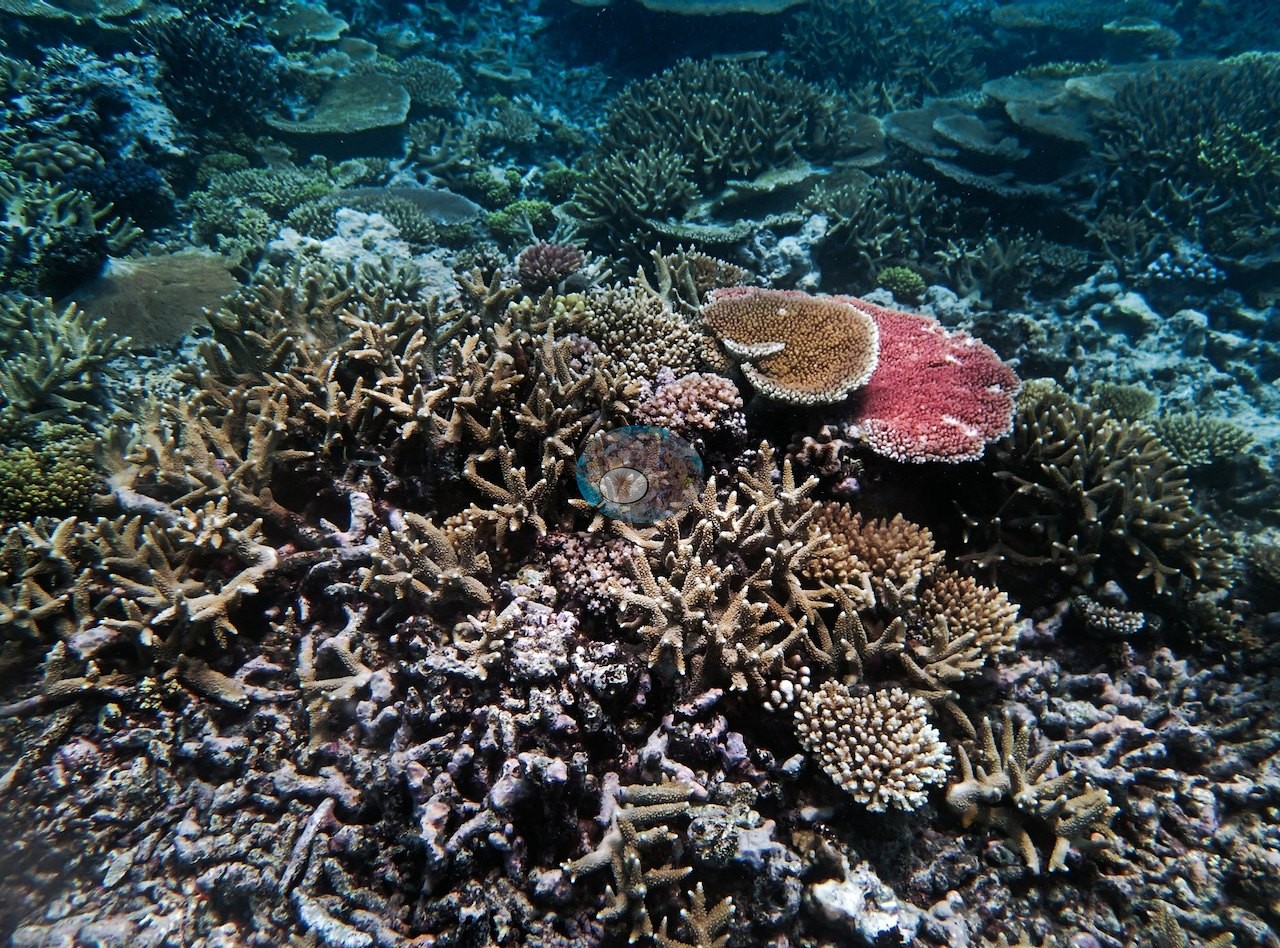
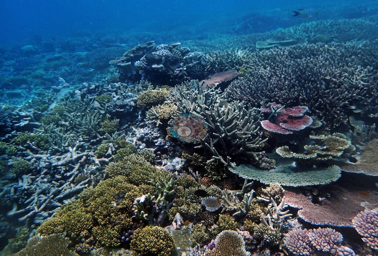
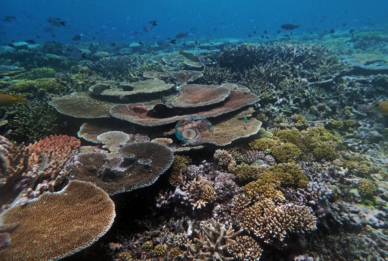
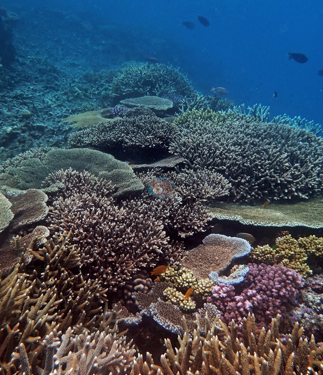
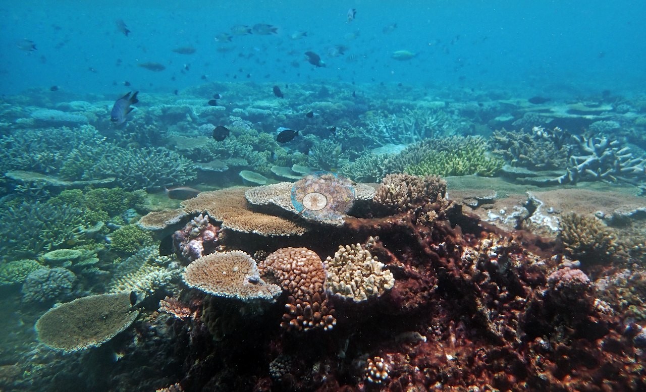
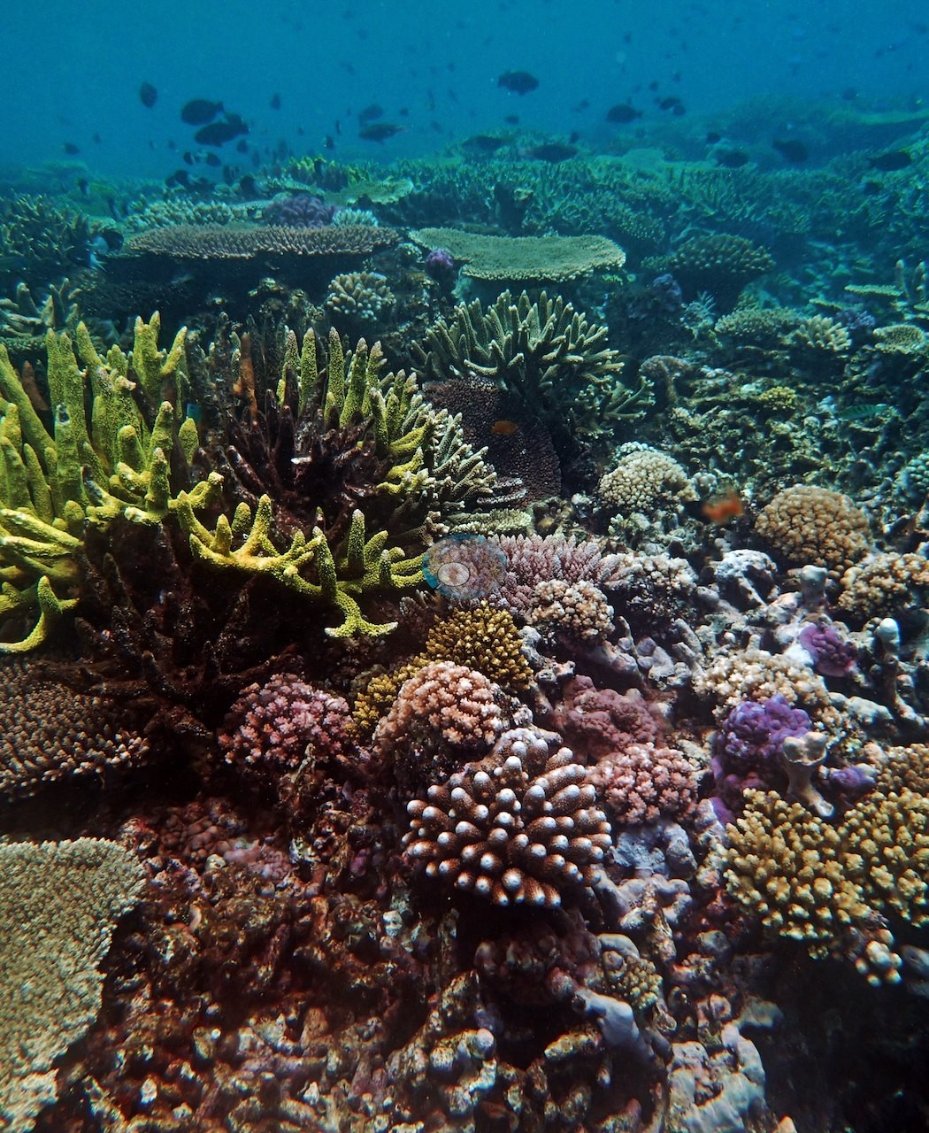
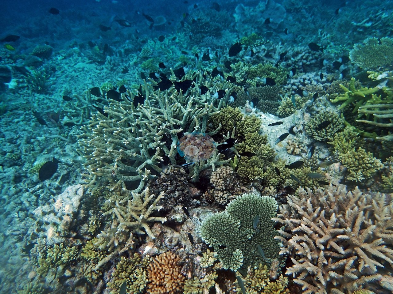
Tabular Acropora is the signature form here — Image 44 and Image 45 look across whole terraces of overlapping tables, some over a meter across, several tinted pink or salmon (e.g., Image 31, Image 42, Image 53).
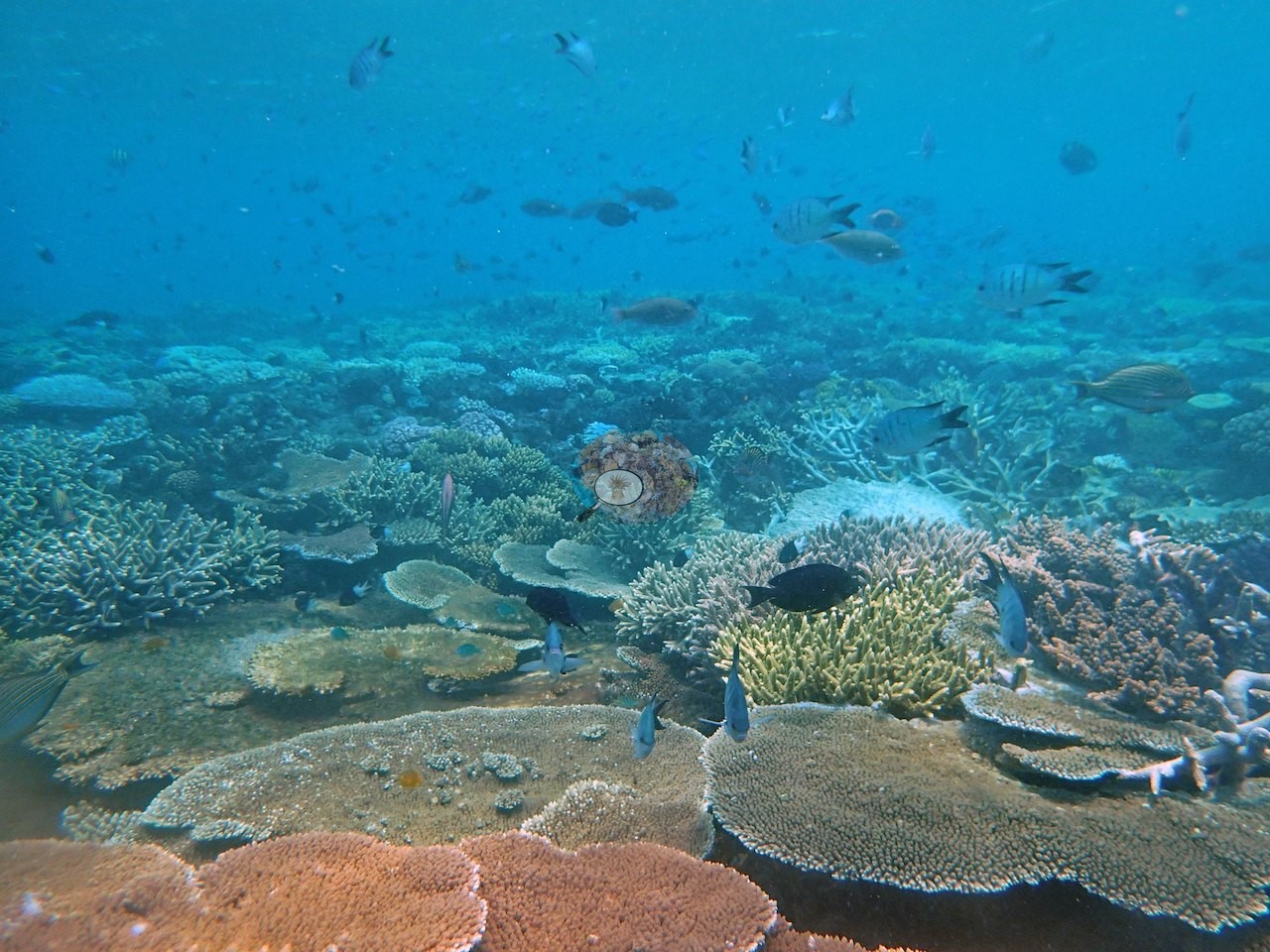
Around and under them are corymbose and digitate Acropora, thick tan and cream staghorn thickets (e.g., Image 40, Image 47, Image 54), a large pinkish-brown finely branched thicket in Image 30, bright yellow-green branching colonies in Image 50 and Image 57, mustard-yellow branching fire coral (Millepora) at several points (e.g., Image 26, Image 39, Image 56), mounding faviids and smooth Porites domes, foliose and encrusting Montipora-type sheets, pink Pocillopora clumps (e.g., Image 55), and green algal turf and pink coralline crust filling the gaps.
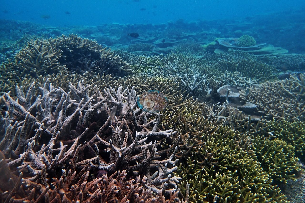
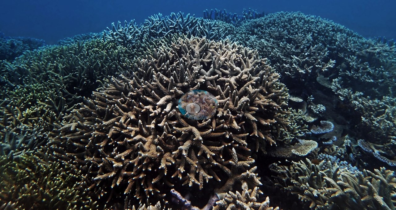
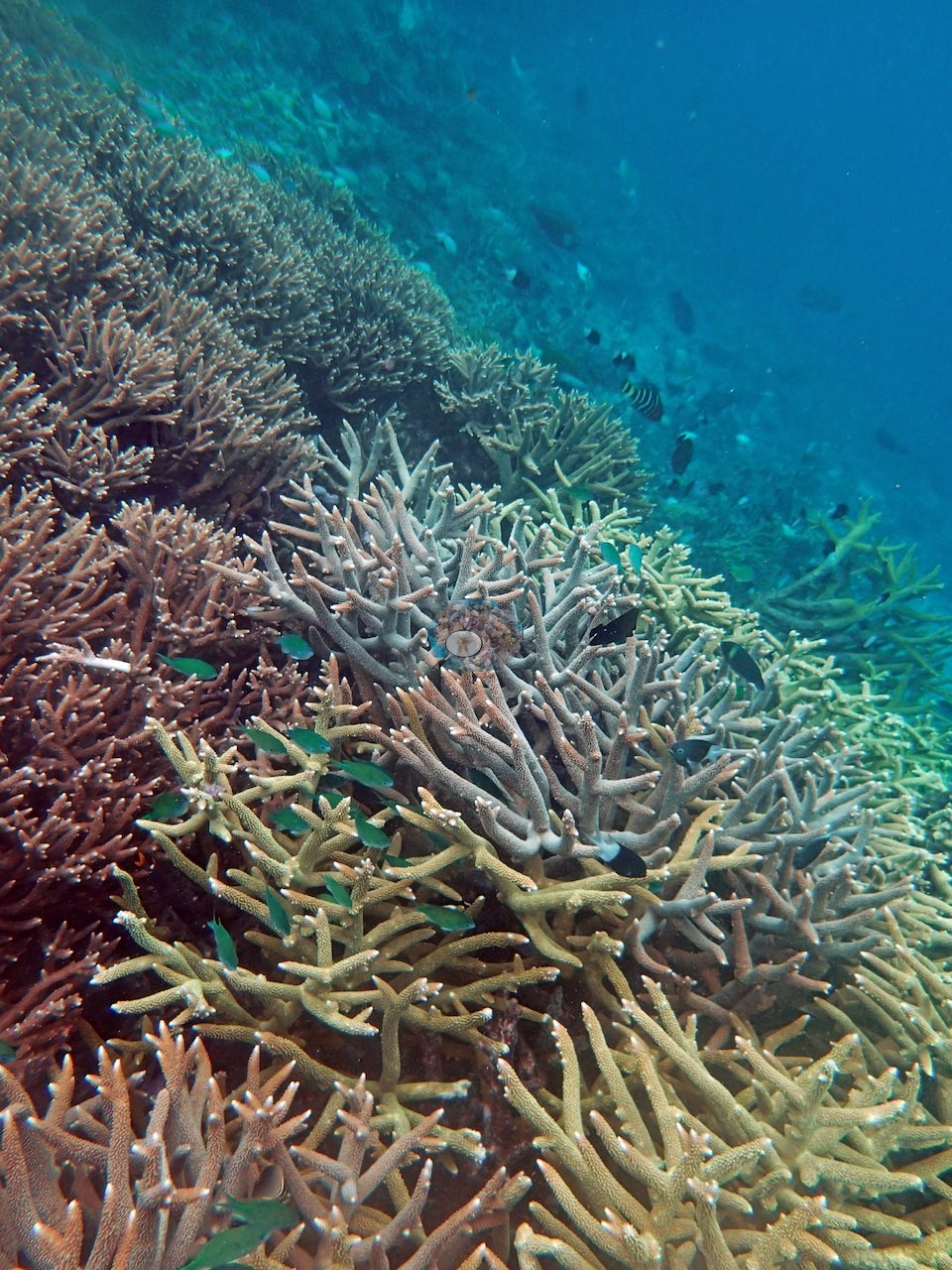
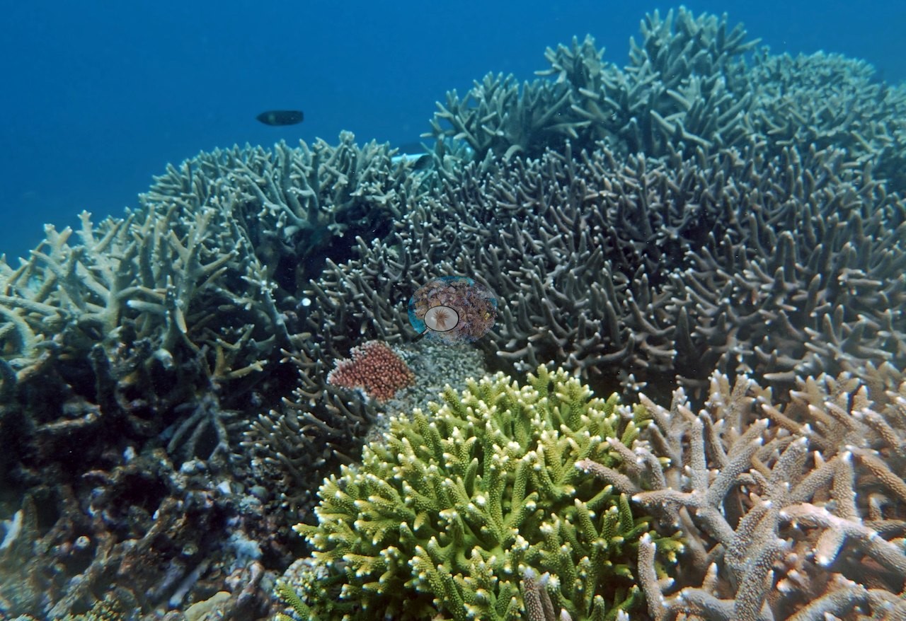
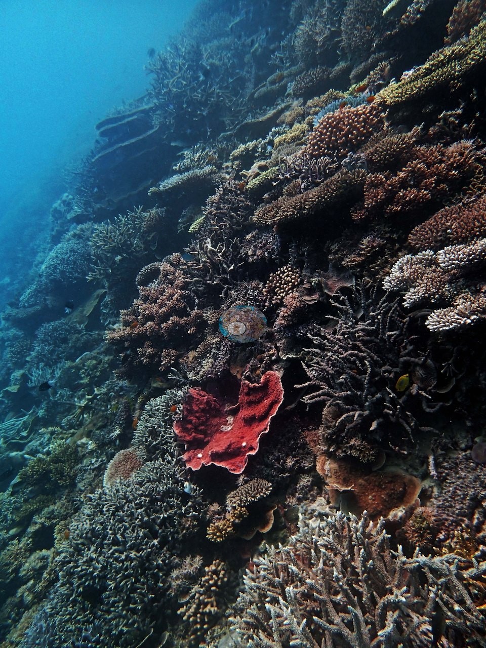
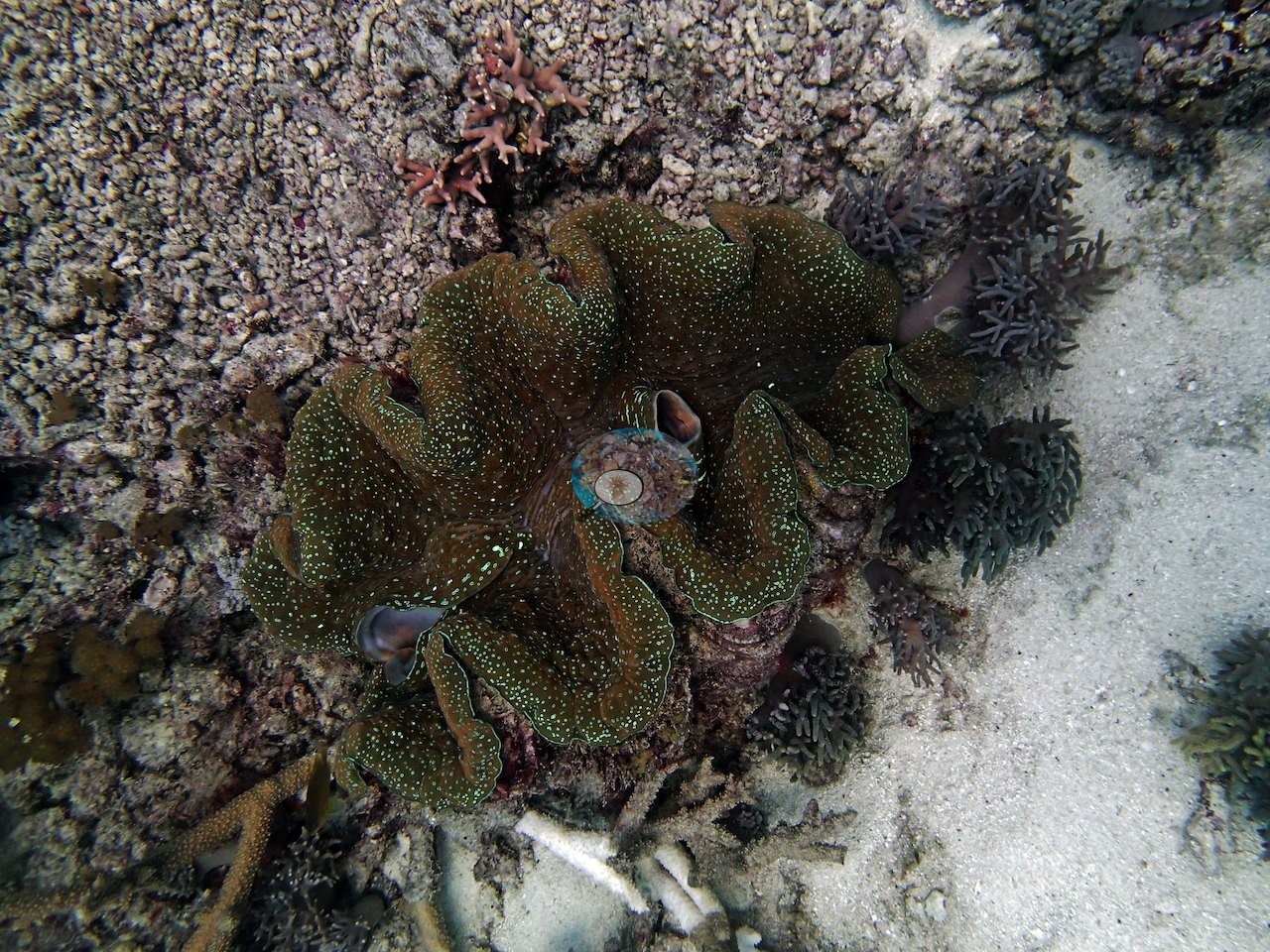
Image 35 and Image 29 are the most diverse single frames in the set — half a dozen growth forms in one view. A vivid red encrusting sponge stands out on the slope in Image 28, and a giant clam (Tridacna) with a green-and-brown fluted mantle sits wedged into rubble and coralline crust in Image 4.
The third ground is the flat. Image 51, Image 59, Image 61, and to a lesser extent Image 41, Image 46, and Image 5 look out over broad low-relief plains of loose branch rubble, pavement, and turf running to the visibility limit with only scattered small colonies on them.
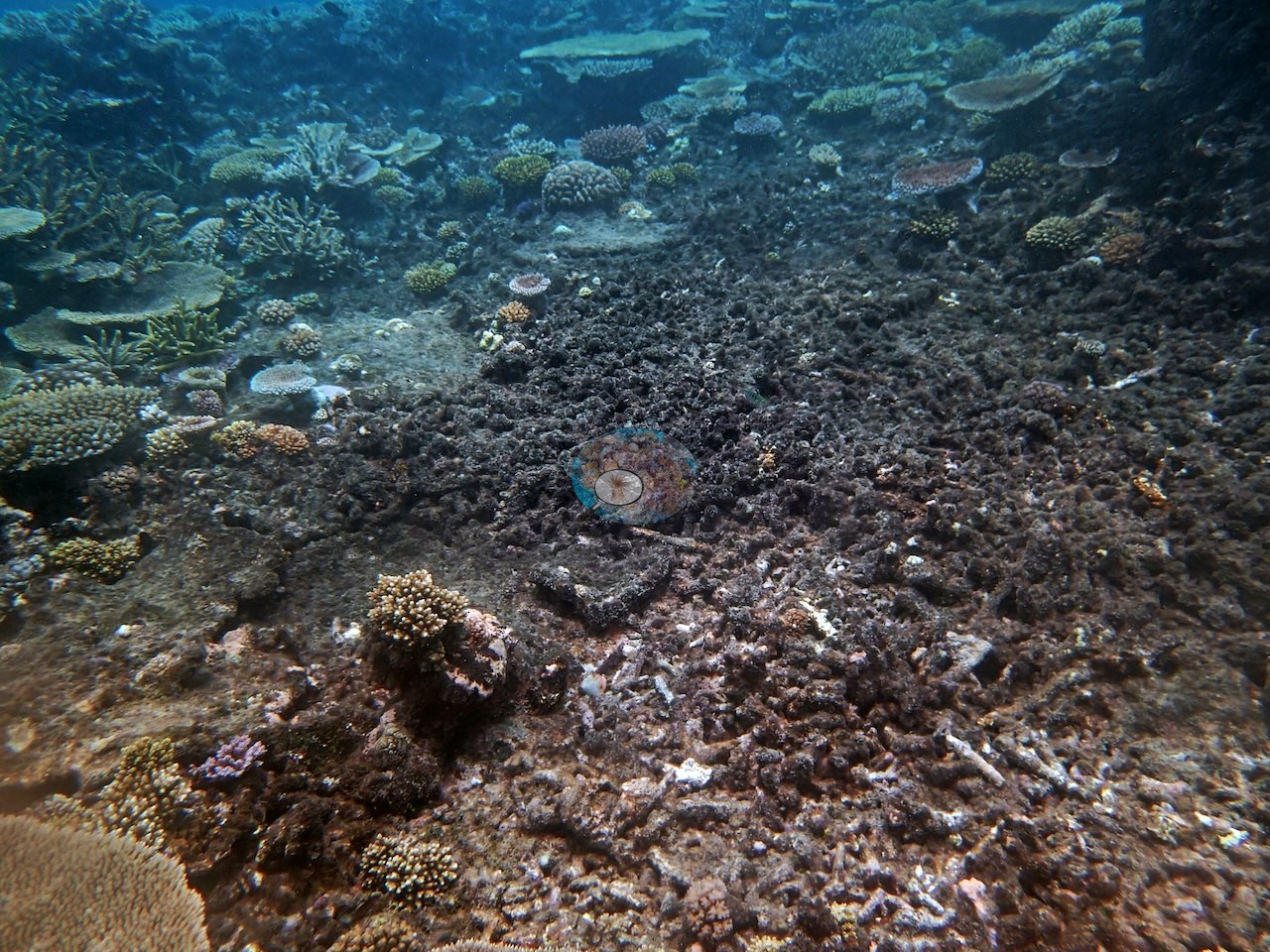
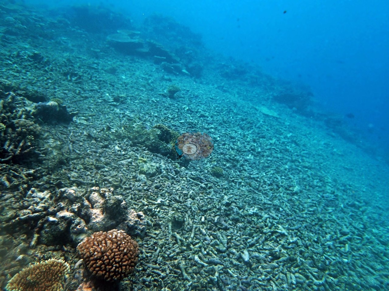
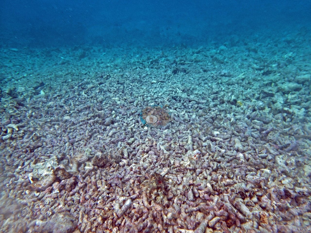
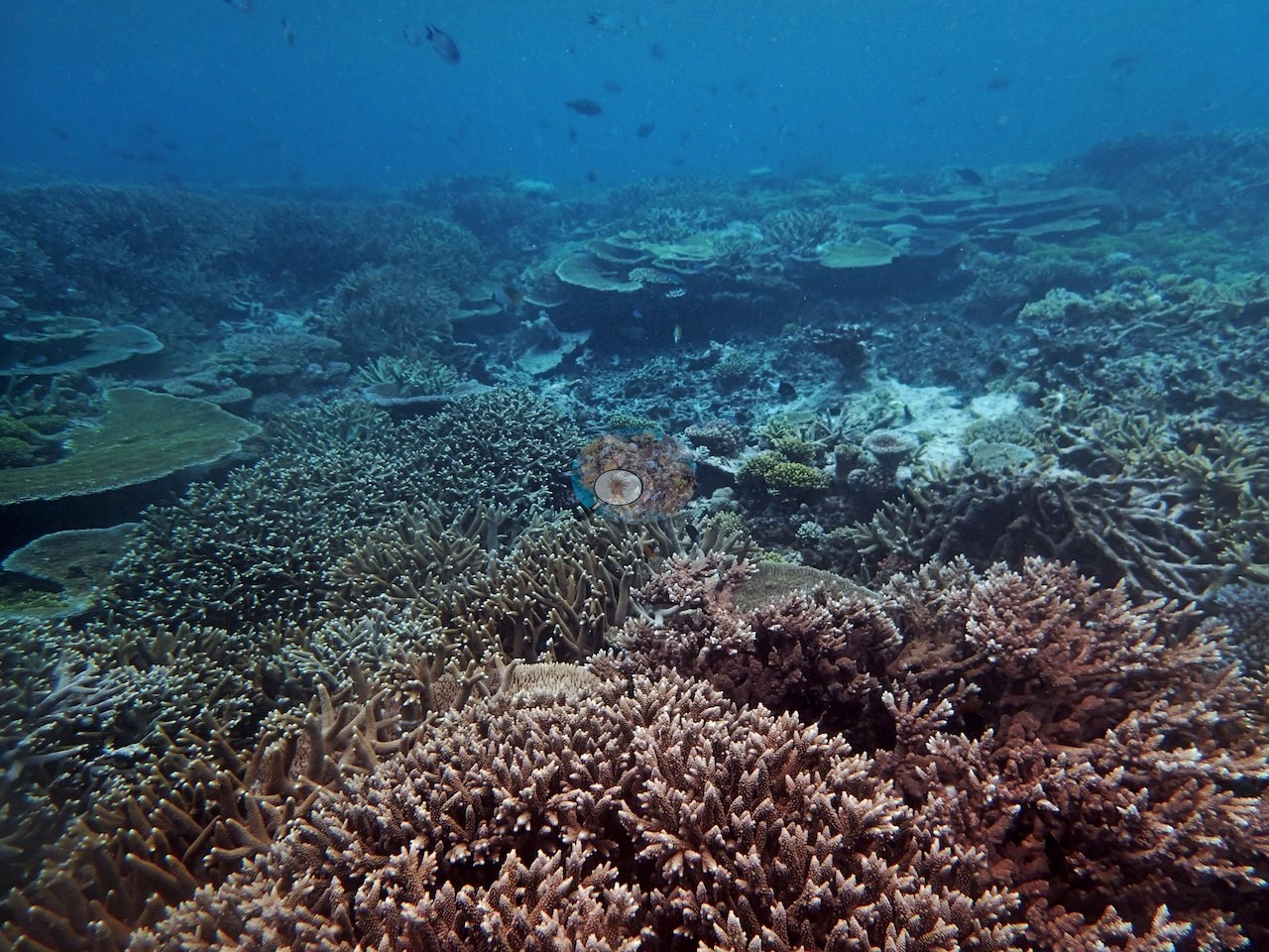
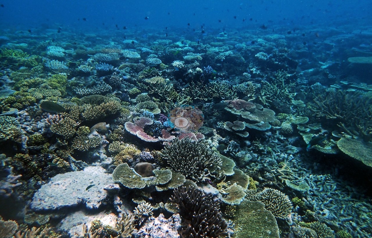
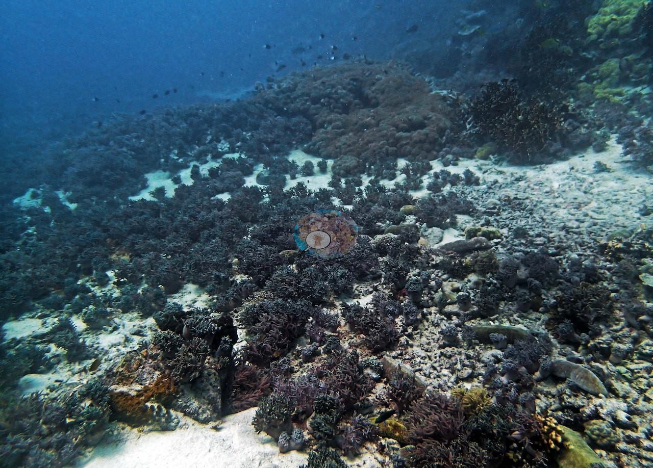
Image 61 is nothing but rubble. These frames are as much a part of this station as the plate wall is, and any reading of the site should carry both.
Coral cover
- Reference: Khaled bin Sultan Living Oceans Foundation, Global Reef Expedition (in situ transect)
- The point-count survey read 62% live coral on a dive to 21.0 meters.
- Transect mean 62 ± 2.6% SE (n = 6 transects; Living Oceans Foundation per-transect benthic data); the headline above is the expedition's station value.
Stressors
Two close frames (e.g., Image 15, Image 16) are worth flagging for the health record: a large ridged plate colony carrying a broad patch of clean bare white skeleton with a narrow dark brown band along its edge — a discrete tissue-loss lesion, cause not stated, on an otherwise pigmented colony, not general paling, and it is the only injury of that kind in the set.
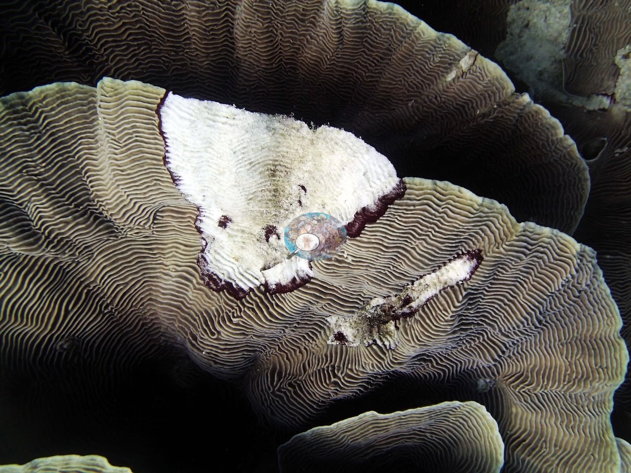
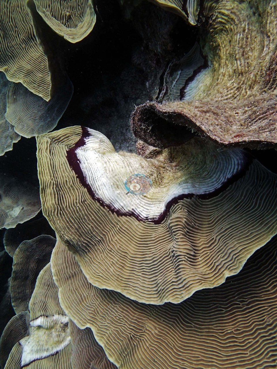
Anderson's field notes record Seriatopora hystrix as likely the most common coral here, most of it looking bleached; in the photographs, pigmentation is normal across the great majority of frames. No frame in the set clearly shows the bleached needle coral he recorded, so no photograph is cited for it and no percentage is estimated from the photographs. No crown-of-thorns and no other tissue-loss lesions beyond the single bare patch in Image 15/Image 16 appear anywhere in the set. His notes also record black cyanobacteria on his first transect (14 m).
Fish and other fauna
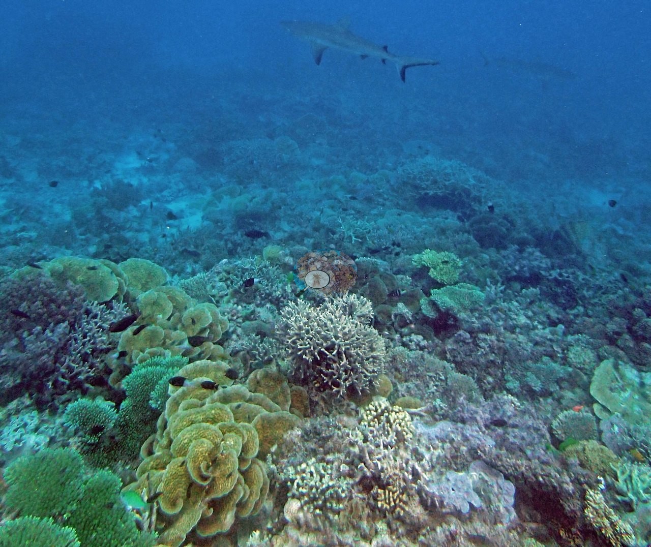
The deeper zone drew two white tip and two gray reef sharks, and Anderson also logged a nearly pure stand of Goniopora at 20 m running about 95% cover.
Comparisons with other data
No other surveys have been conducted at this site to date. Within 5 km, one independent station, AIMS manta tow at PEARSON REEF, 0.75 km away, read 10–32% between 1995 and 2023.
Dive record
Pearson Reef, dived 25 September 2014.
Other notes
Survey gear is in frame at four points: yellow transect tape with a numbered tag reel across the reef in Image 10 and Image 11, and a rectangular PVC quadrat frame set on the substrate with the tape in Image 25 and Image 38 — these are method frames and record the transect, not a separate habitat.
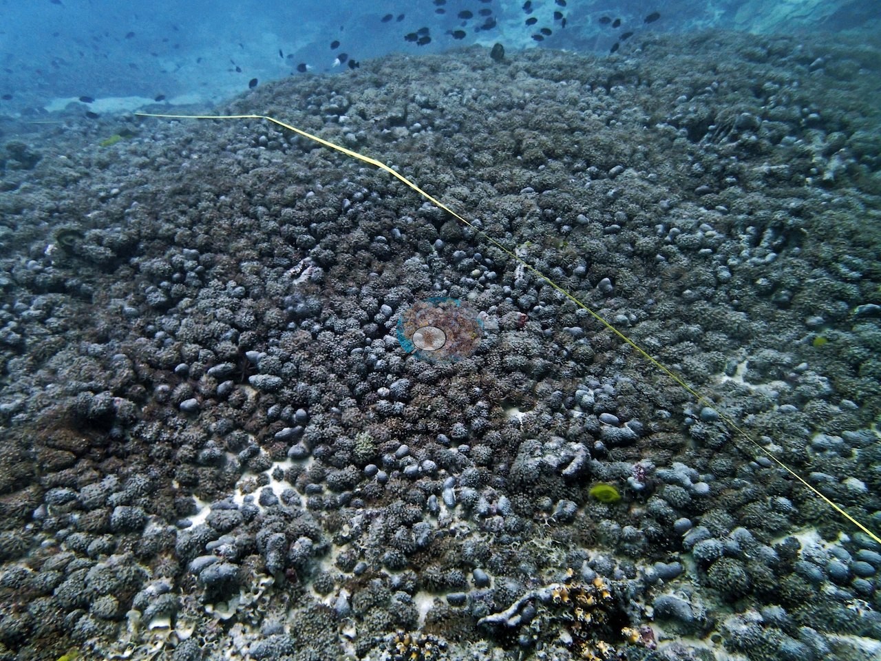
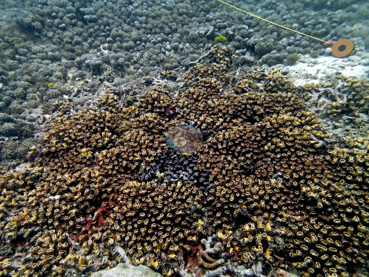
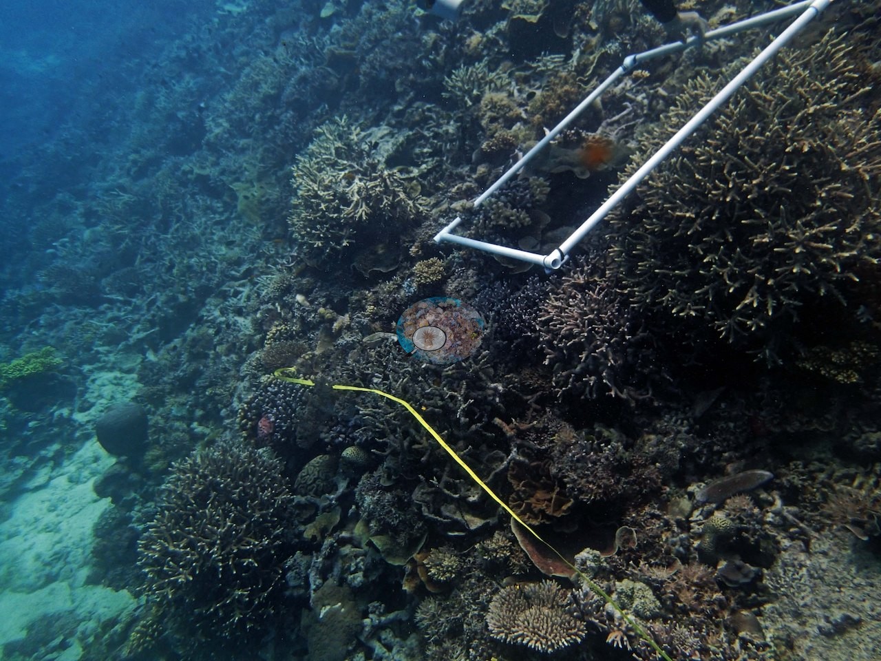
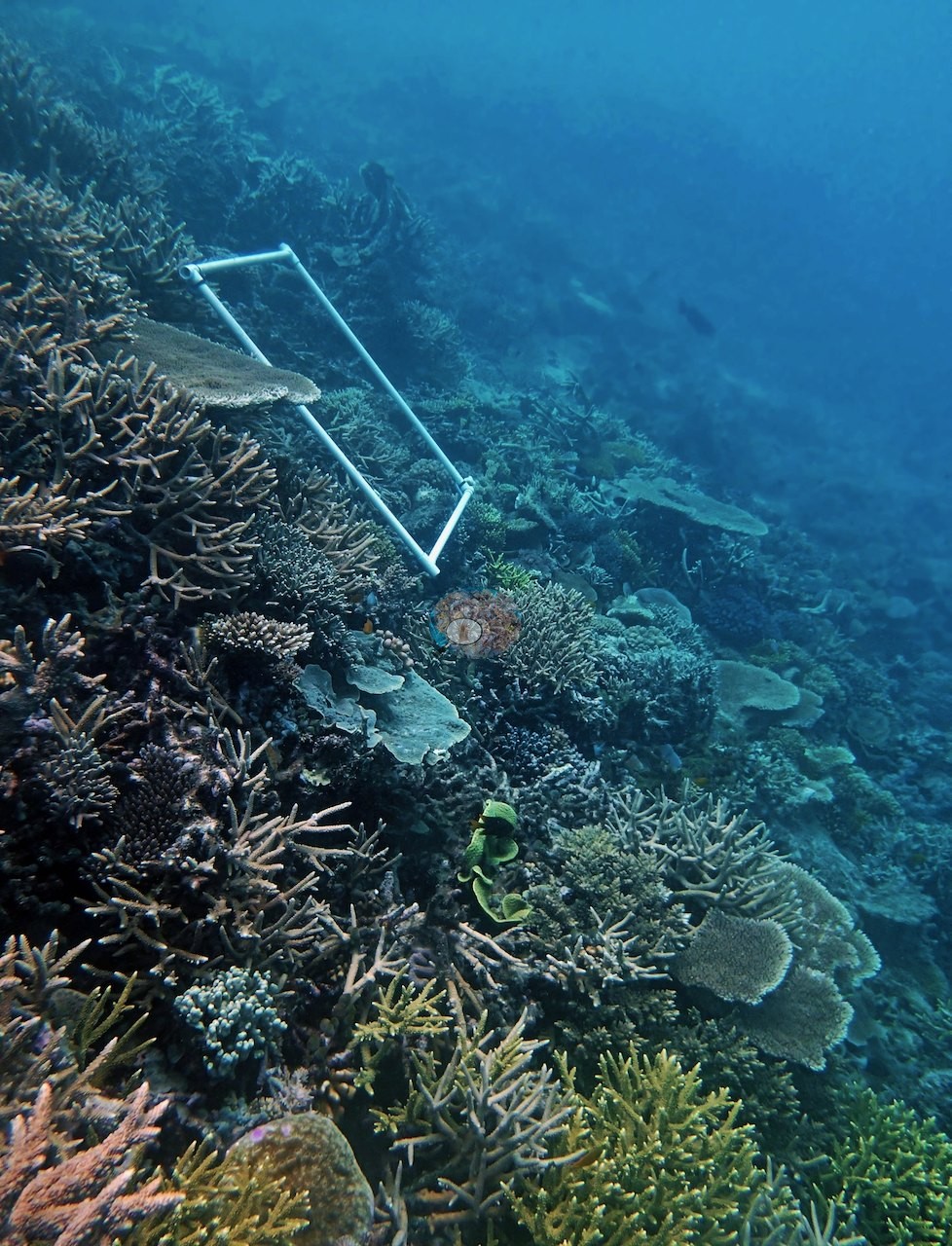
Image 37 shows a gray reef shark swimming over a slope of plating and branching colonies, consistent with the whitetip and gray reef sharks Anderson logged.
What the frames cannot settle: depth is not recoverable frame by frame, so the plate/branching/rubble sequence above is a habitat ordering, not a depth profile; the nearly pure Goniopora stand Anderson logged does not appear in this photo set; and several of the fine-branched and corymbose colonies cannot be taken past genus from these images.
CV model comparison
More info
The photo row below is a methods comparison only: it is never averaged with the transect and never used as the headline. It compares site means only: the photos come from the same survey dive as the transect but not from the same points.| Method | Hard-coral cover (%) | Photos (n) ± SE |
|---|---|---|
| Transect (published) | 61.7 | |
| CoralSCOP edited | 35.2 | n = 52 · SE 3.0 |
| Claude (edited photos) | 57.0 | n = 52 · SE 3.7 |
The two computer-vision methods disagree by 21.8 pp (35–57%) and read 4.7–26.5 pp below the in-water transect (62%); the headline is the in-water transect because a diver transect is independent of the photographs.
Independent surveys nearby
 LOF
Within 5 km, 1 independent survey station recorded hard coral cover in 9 surveys between 1995 and 2023. The one station surveyed in more than one year declined by 5.8 points between its first and latest surveys. The longest record, PEARSON REEF (AIMS manta tow, 0.75 km away), went from 26% in 1995 to 20% in 2023. Since 2021, station-year means average 24% (range 19–32%; n = 3 station-years from 3 surveys). This site's own estimate (62%) sits 30 points above the recent range (19–32%); the methods differ, so the comparison is context, not a like-for-like test.
Collected by other programs using different methods (AIMS manta tow is a towed visual estimate in categorical bins), so these are context for the figures above, not a like-for-like comparison. Where a station was surveyed more than once, the cell shows either the range of its values or, as a single value, the mean of surveys made in one year. Station names are not dive-site names.
| Agency | Site / location | Date | Hard coral cover (%) | Distance | Link |
|---|---|---|---|---|---|
| AIMS manta tow | PEARSON REEF | 1995–2023 | 10–32% (9 surveys) | 0.75 km | doi:10.25845/5c09b0abf315a |
Data & links
- Download benthic survey data (CSV) ↗
- Download all LOF-GRE data (933 sites) ↗
- Photo portfolio ↗
- Coral Reef Diagnostics country page ↗
All images from Coral Reef Diagnostics. Data are from the Khaled bin Sultan Living Oceans Foundation Global Reef Expedition, Coral Reef Diagnostics, and the organizations named in the data sources above.
 © Coral Reef Diagnostics.