

Part of the regional summaries: Australia (GBR) - Far North: Pink stations (Preservation Zone reefs) and Australia (GBR)
More info
Far Northern GBR (NOAA CRW virtual station)A maze of interconnected bommies, some over 30 m across, on the backreef of Unnamed Reef 61A inside a Preservation Zone, the Marine Park's strictest, entry-restricted tier. Anderson found the 5-10 m band spectacular, bommie faces packed with pink, mauve, and cream branching corals and at least 20 hard coral species on two transects, at 53% cover; two or three small gray reef sharks patrolled. Surveyed on the Living Oceans Foundation's Global Reef Expedition.
One independent survey station shown with the program’s logo — click one to see how far it is from this site.
Four other CRD dive sites within 5 km shown in orange — click a marker to open its page.
🗺 Detailed map of the Global Reef Expedition dive sites, Jewell, Hilder, and Eyrie Reefs, northern Great Barrier Reef (Khaled bin Sultan Living Oceans Foundation; opens in a new window)
Site description
Setting
Global Reef Expedition station AU61A61 on Unnamed Reef 61A, far northern Great Barrier Reef (-13.3893, 143.9565), the first of Anderson's three dives on this reef on 13 September 2014. His notes describe a backreef site with interesting topography, "basically, a series of inter-connected bommies of varied heights and sizes"; the large bommies (more than 30 m across) were likely the ones surveyed by the other divers. Visibility was 5 m or less. This reef lies in a Preservation (Pink) Zone, the Marine Park's strictest, entry-restricted tier.
General benthic features
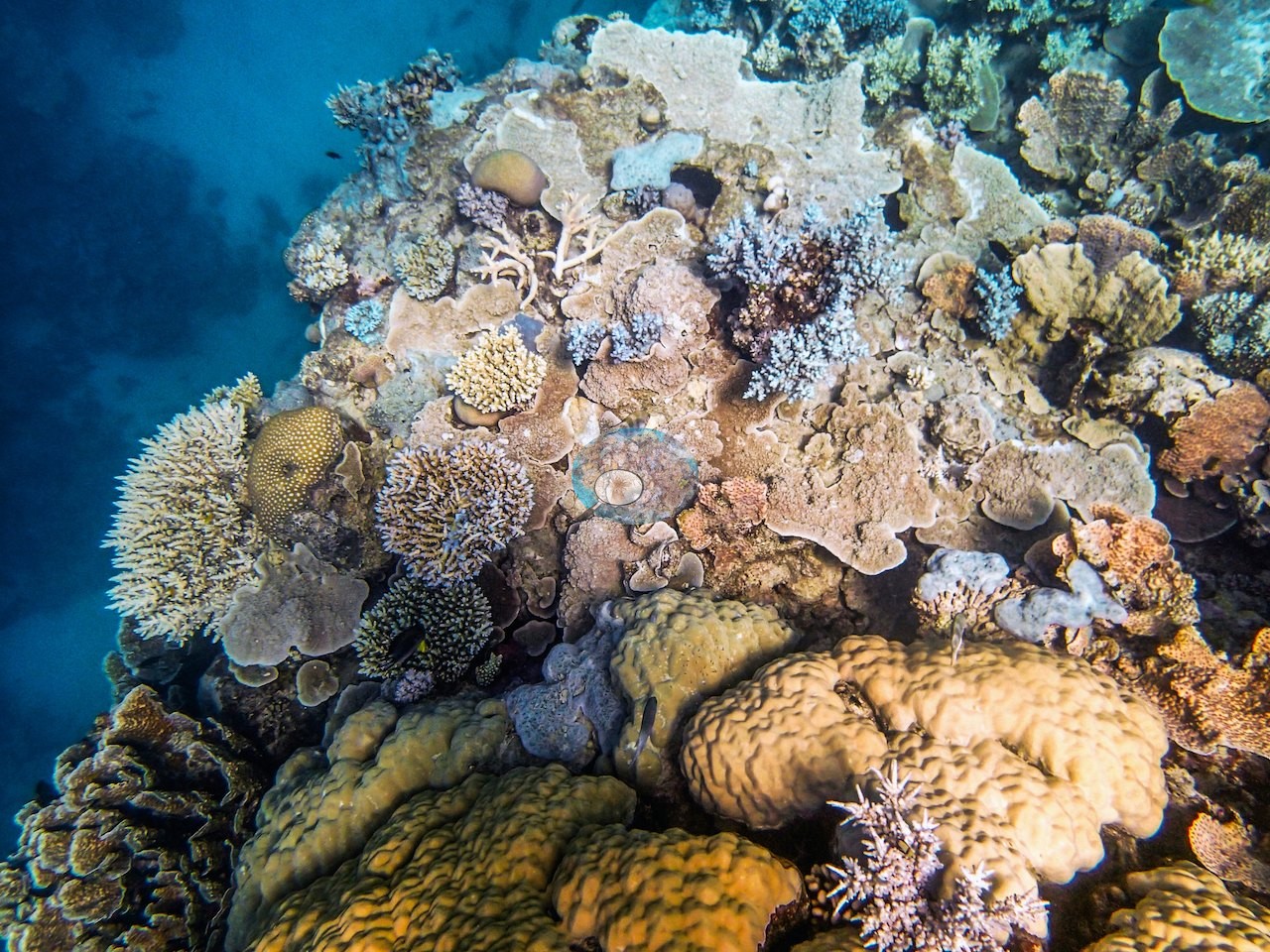
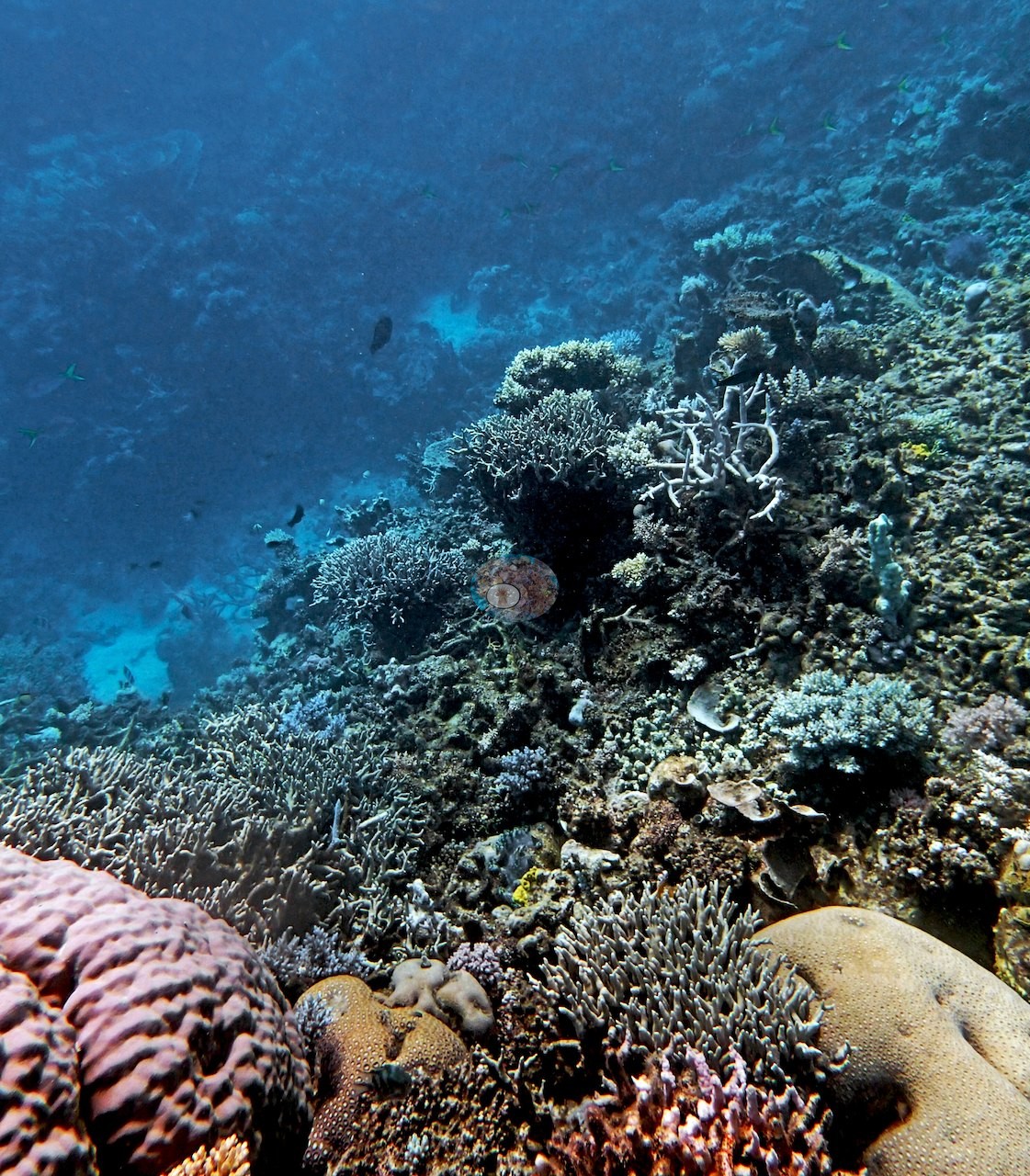
His bommie-versus-sand measurements put coral-based hard platforms and bommies at 57 ± 4.3% of the benthos in the 15 m sand apron, the deepest area within swimming distance of the reef, and Isopora was everywhere. Under the boat at 5-10 m, "the coral cover and diversity were both spectacular." On his transects at 14.5-15 m he recorded encrusting corals, branching acroporids, Pachyseris, plating Echinopora, an extensive Millepora thicket, Pocillopora damicornis, P. acuta, and Seriatopora hystrix, with at least 20 hard coral species on his first transect and 20-30 on his third, and he noted the absence of Stylophora pistillata at the site; his 9 m transect crossed an almost solid Acropora meadow (100% cover) that was very brittle and poorly cemented to the reef. The 18 posted frames from this dive show that bommie country in wide and mid-range views: steep bommie faces packed with branching, plating, and massive colonies rising into blue water (e.g., Image 3, Image 4, Image 6, Image 8, Image 11, Image 17); bommie tops crowded with plating and lobed massive colonies, soft corals, and bright yellow encrusting growth (e.g., Image 2, Image 5, Image 12, Image 13); a large, smooth lobed massive dome under a school of fusiliers (e.g., Image 9); tiers of tan plating colonies over fine branching thickets (e.g., Image 7, Image 10, Image 16); dense fine-branching thickets in cream and brown (e.g., Image 18); and coral-covered bommie bases on clean white sand (e.g., Image 14, Image 15).
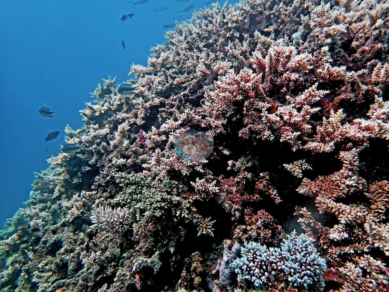
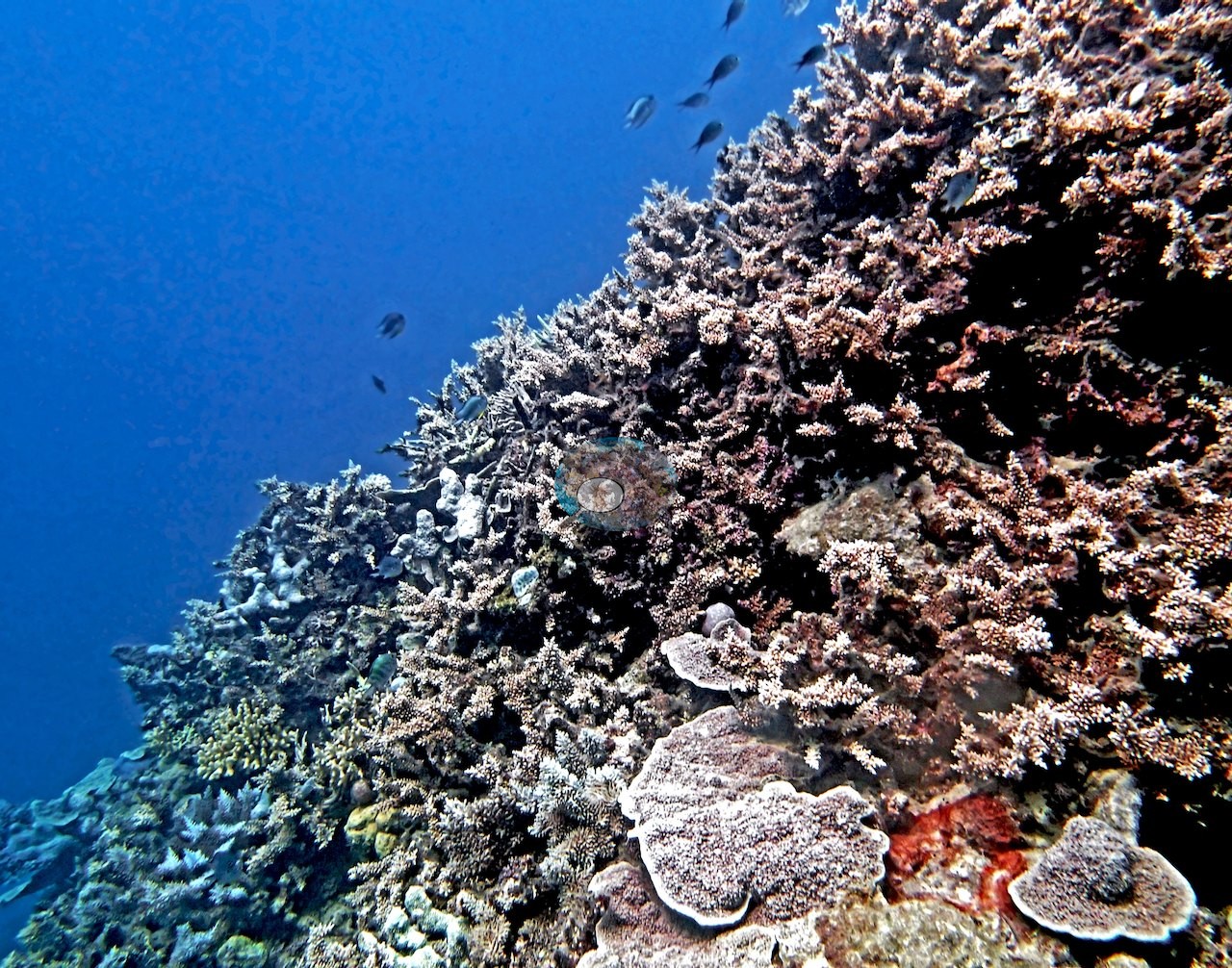
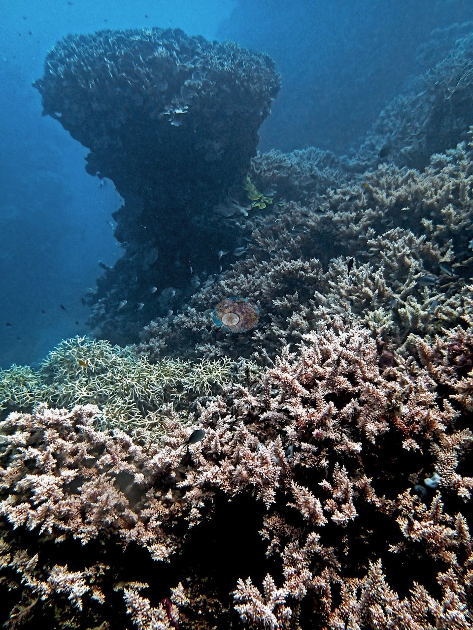
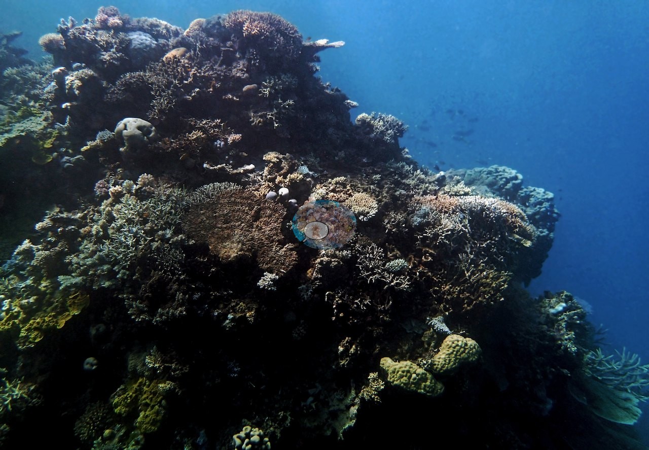
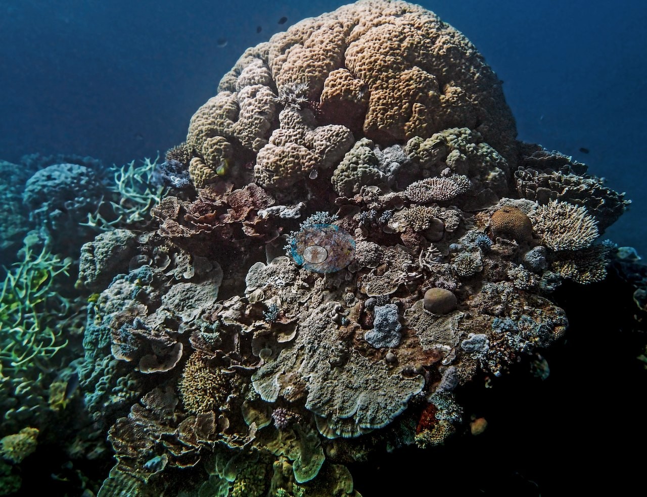
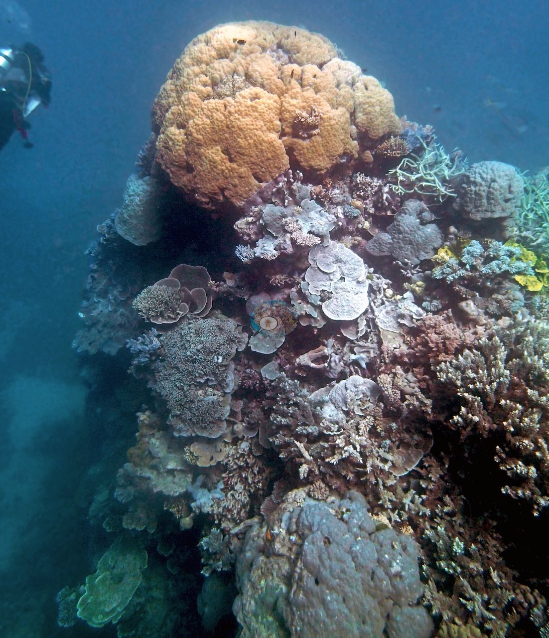
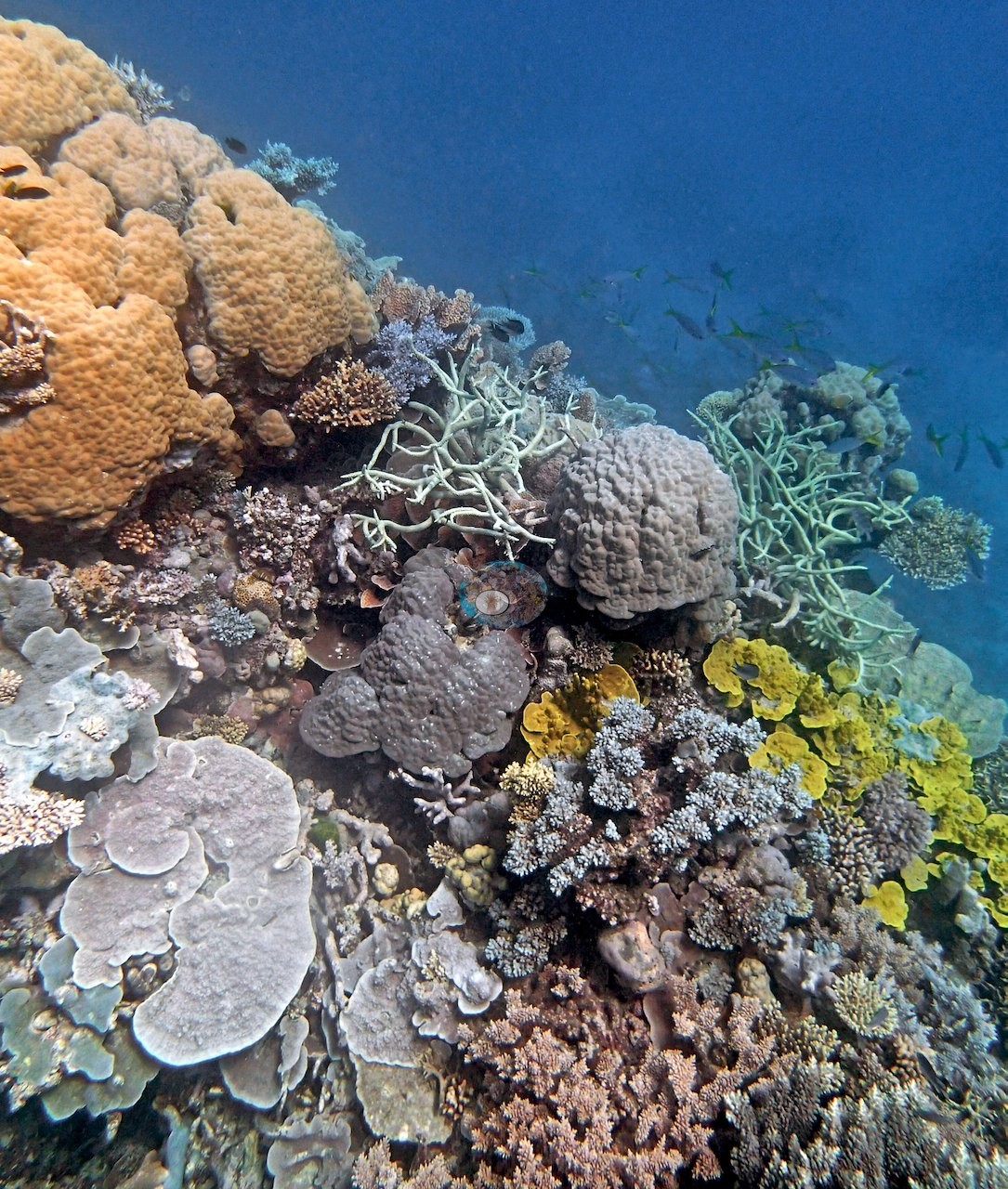
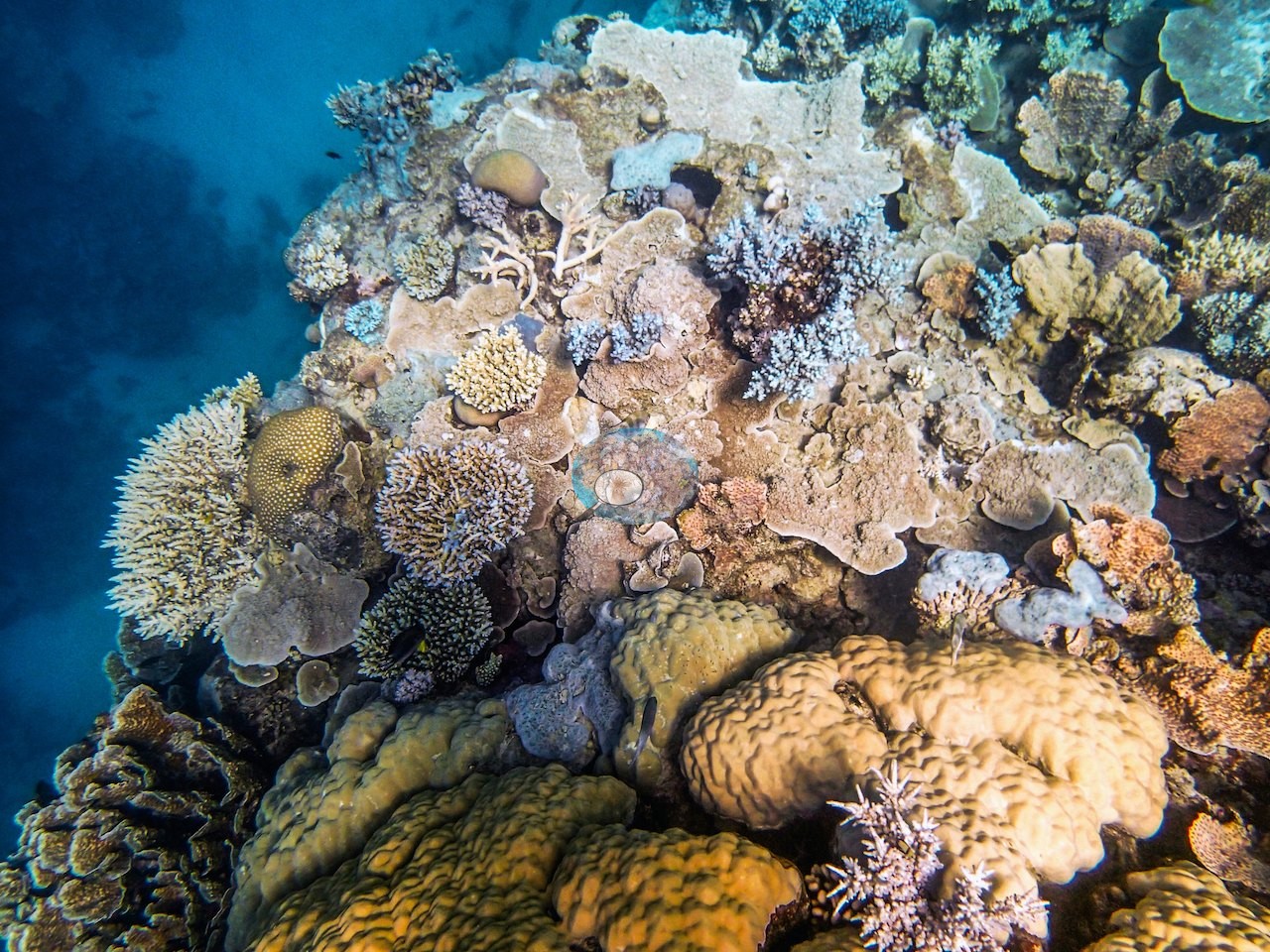
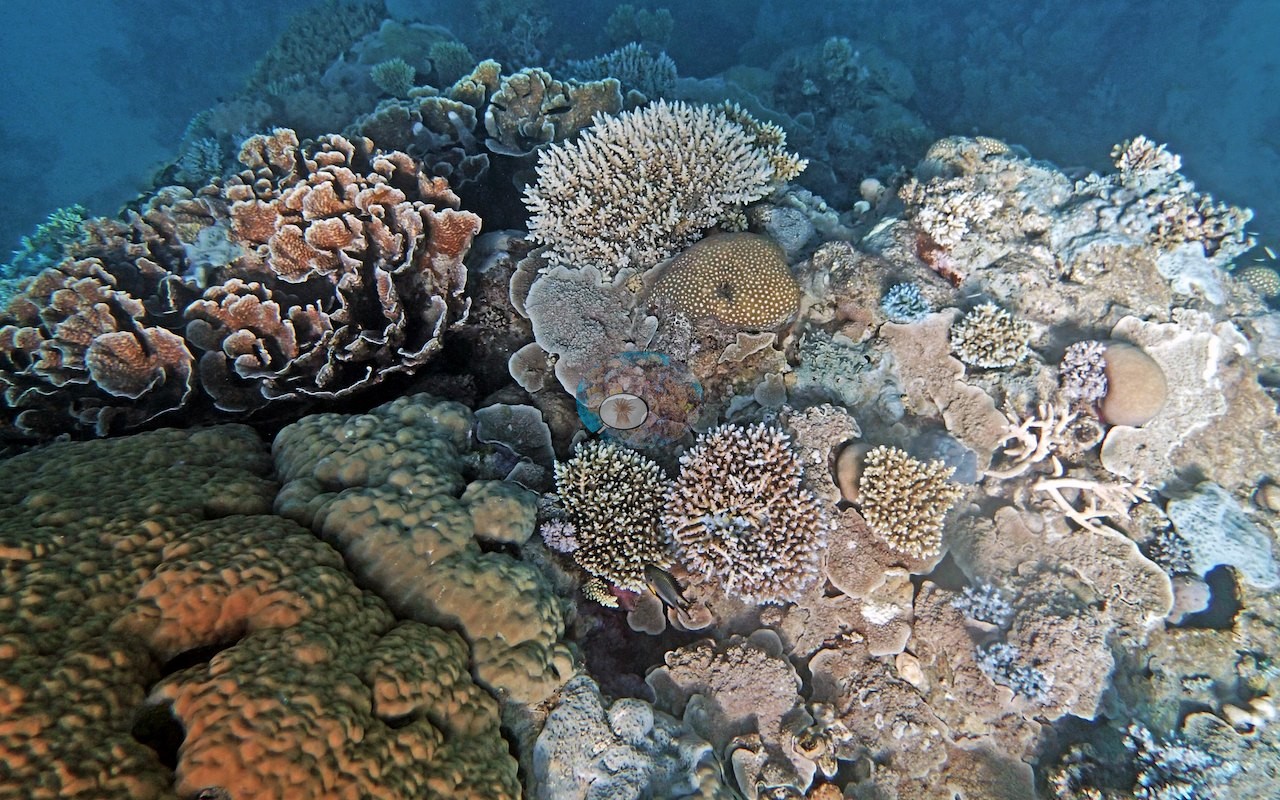
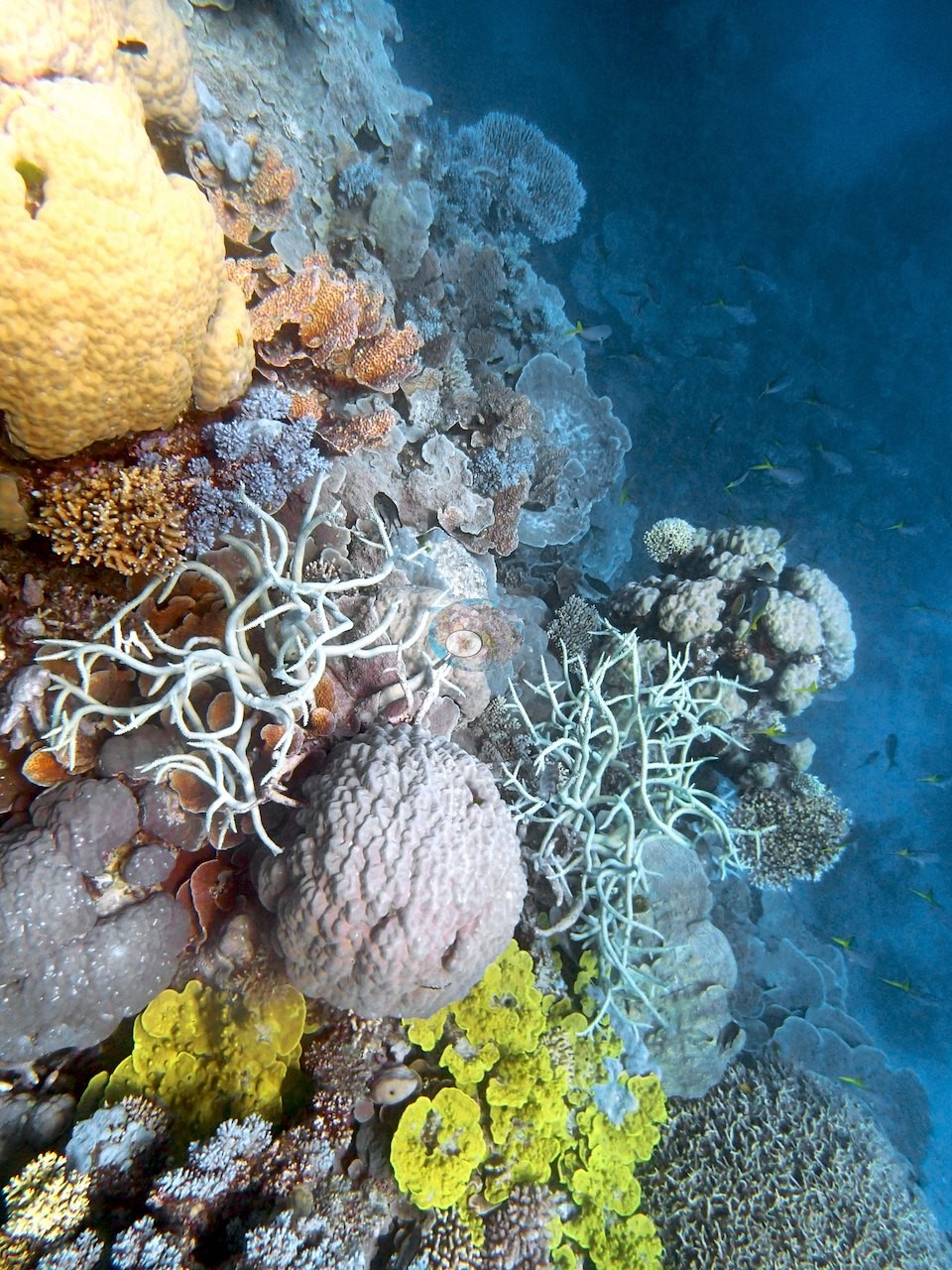
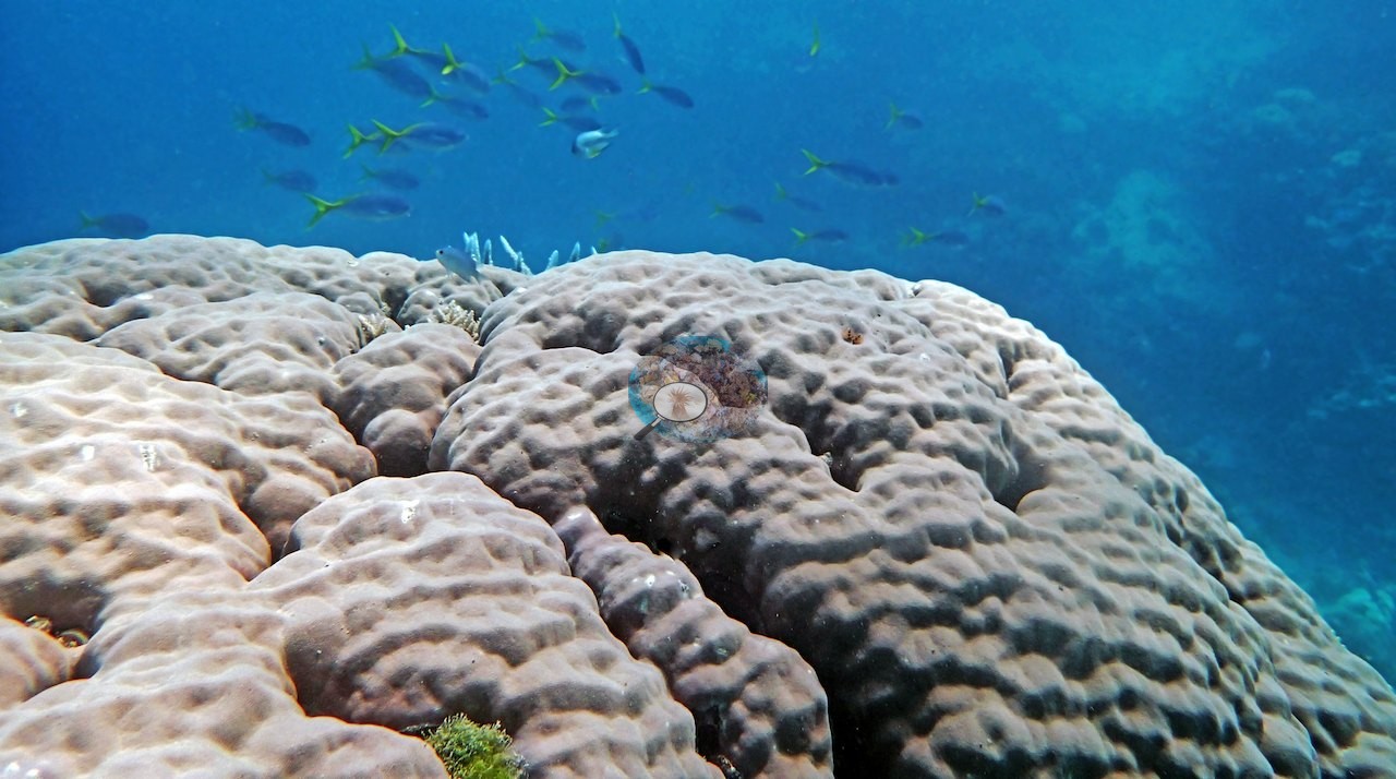
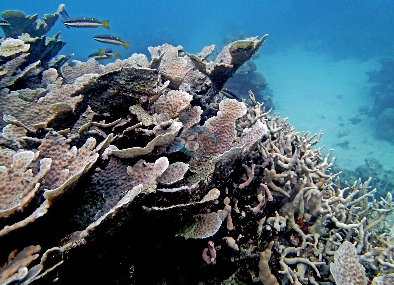
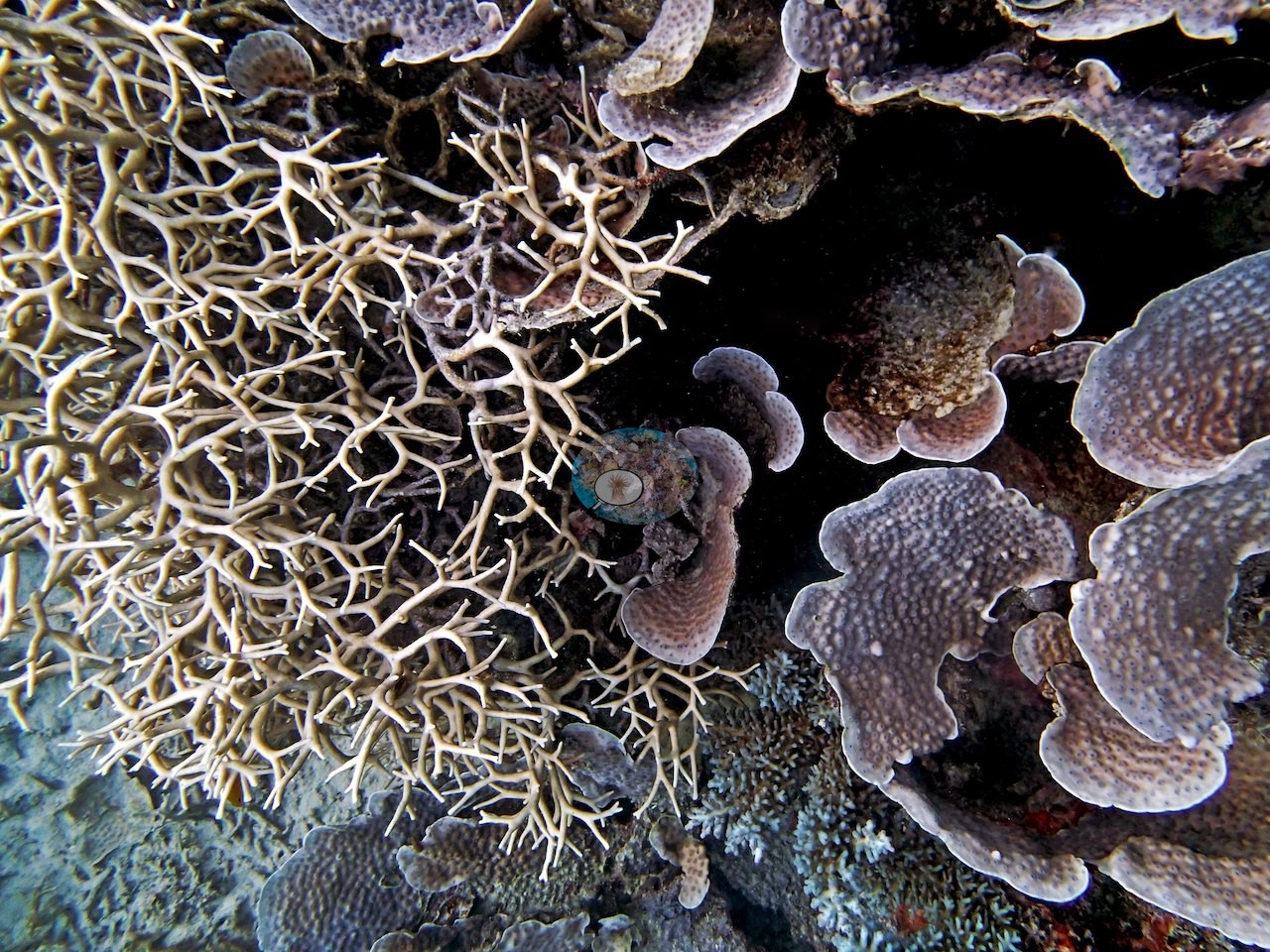
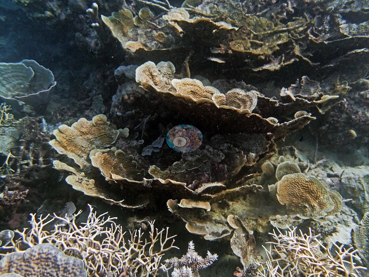
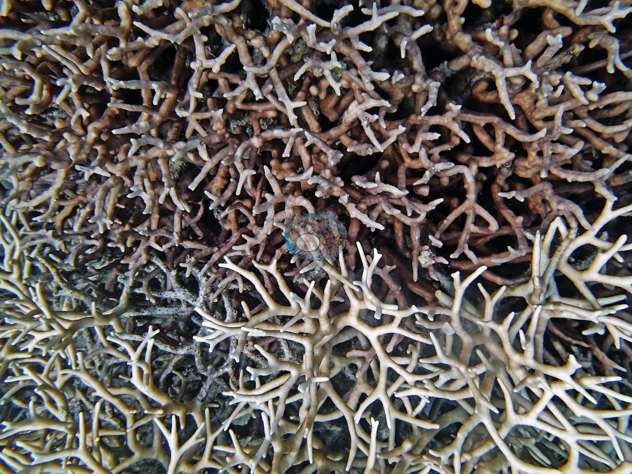
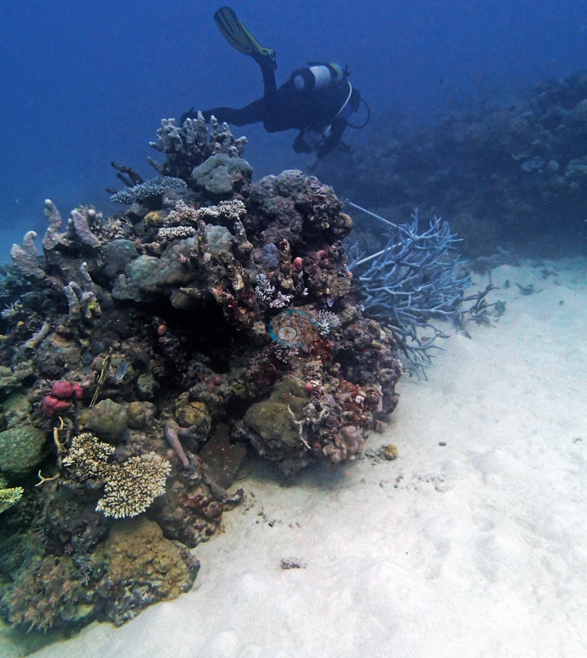
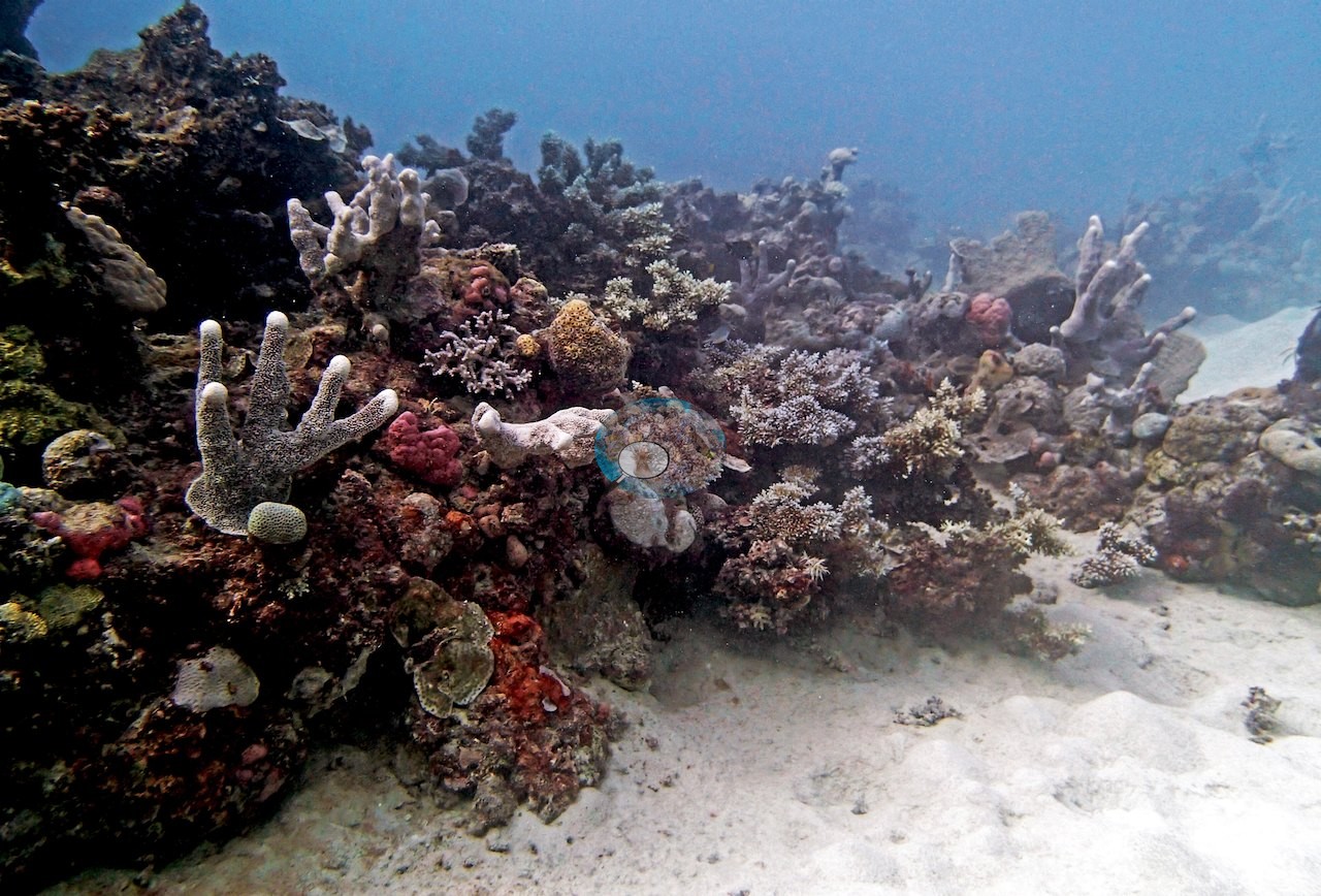
Image 1 looks across a slope of mixed colonies, with lobed pink and tan massive colonies in the foreground.
Coral cover
- Reference: Khaled bin Sultan Living Oceans Foundation, Global Reef Expedition (in situ transect)
- The point-count survey read 53% live coral. Anderson's by-eye estimates on his four transects were 30-40% (14.5 m), 25-35% (14.5 m), 30-40% (15 m), and 100% across the 9 m Acropora meadow.
- Transect mean 51 ± 5.6% SE (n = 4 transects; Living Oceans Foundation per-transect benthic data); the headline above is the expedition's station value (the headline weights each depth equally; one depth had a single transect).
Stressors
Anderson's notes for this dive record no bleaching, disease, or crown-of-thorns starfish. He logged a blue-and-white branching coral on his third transect; the pale branching thickets in Image 16 and Image 18 are evenly colored from base to tip beside fully pigmented neighbors, and no paling is called from them.
Fish and other fauna
His notes list two or three small gray reef sharks. A school of fusiliers passes over the massive dome in Image 9, and a diver appears in Image 14 and Image 17.
Comparisons with other data
No other surveys have been conducted at this site to date. Within 5 km, one independent station, AIMS manta tow at SAND BANK NO 8 REEF, 3.45 km away, read 19–43% between 1993 and 2023.
Other notes
By their capture times, the 36 frames matched to this reef by boat GPS position and date belong to the second dive here (AU61A63), whose page carries them; this page describes its own 18 frames and Anderson's notes for this dive.
Independent surveys nearby
 LOF
Within 5 km, 1 independent survey station recorded hard coral cover in 6 surveys between 1993 and 2023. The one station surveyed in more than one year increased by 8.5 points between its first and latest surveys. The longest record, SAND BANK NO 8 REEF (AIMS manta tow, 3.45 km away), went from 35% in 1993 to 43% in 2023. Since 2021, station-year means average 34% (range 25–43%; n = 2 station-years from 2 surveys). This site's own estimate (53%) is not compared with these surveys: none lies within 2 km.
Collected by other programs using different methods (AIMS manta tow is a towed visual estimate in categorical bins), so these are context for the figures above, not a like-for-like comparison. Where a station was surveyed more than once, the cell shows either the range of its values or, as a single value, the mean of surveys made in one year. Station names are not dive-site names.
| Agency | Site / location | Date | Hard coral cover (%) | Distance | Link |
|---|---|---|---|---|---|
| AIMS manta tow | SAND BANK NO 8 REEF | 1993–2023 | 19–43% (6 surveys) | 3.45 km | doi:10.25845/5c09b0abf315a |
Data & links
- Download benthic survey data (CSV) ↗
- Download all LOF-GRE data (933 sites) ↗
- Photo portfolio ↗
- Coral Reef Diagnostics country page ↗
All images from Coral Reef Diagnostics. Data are from the Khaled bin Sultan Living Oceans Foundation Global Reef Expedition, Coral Reef Diagnostics, and the organizations named in the data sources above.
 © Coral Reef Diagnostics.