

Part of the regional summaries: Australia (GBR) - Far North: Pink stations (Preservation Zone reefs) and Australia (GBR)
More info
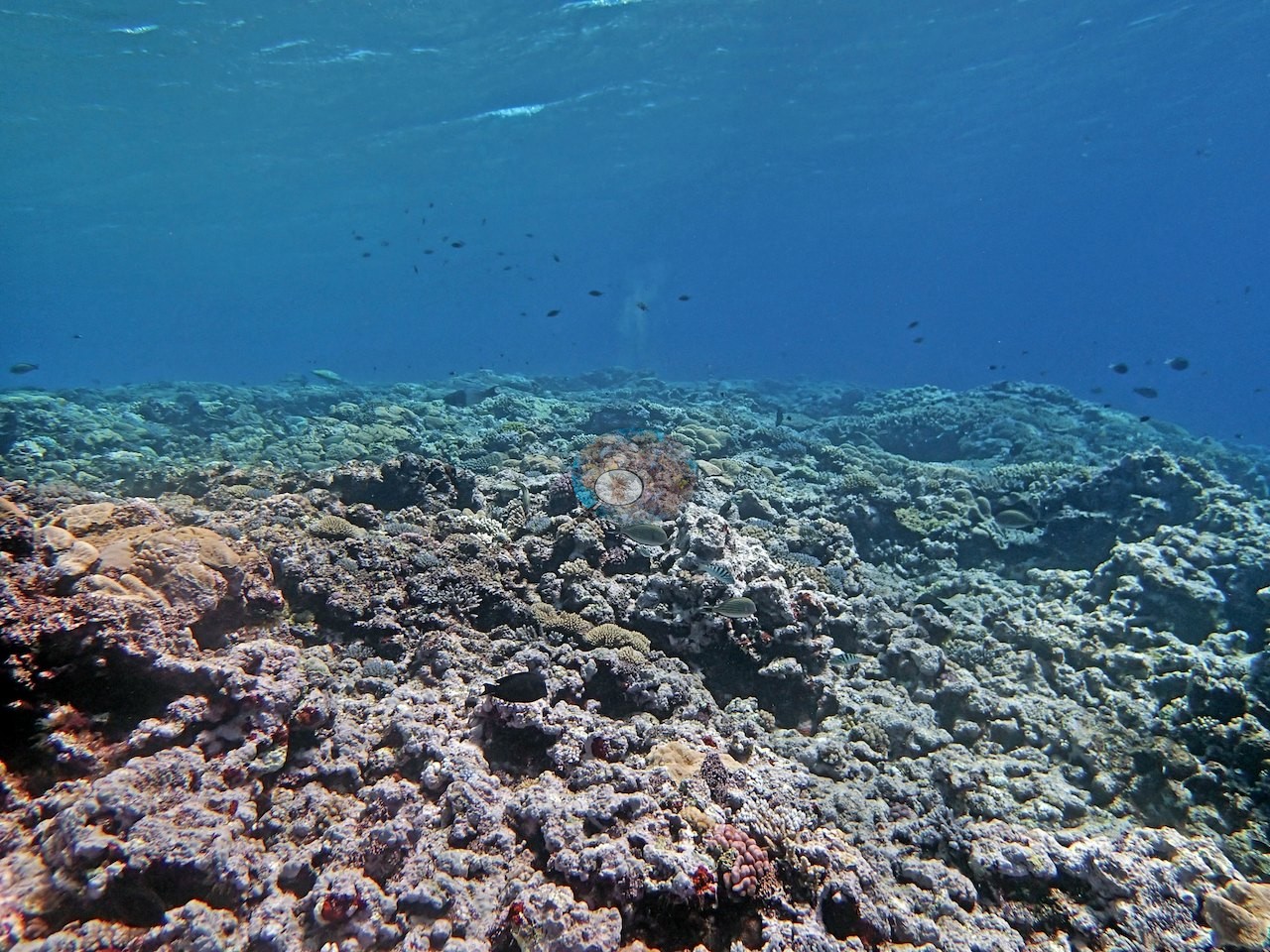
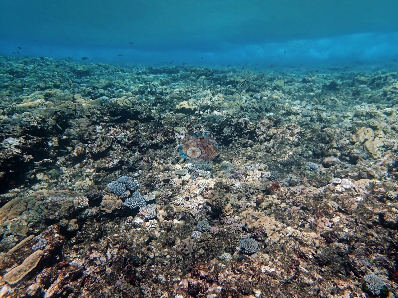
Northern GBR (NOAA CRW virtual station)A steep windward slope from the reef crest at 3-4 m to 30-35 m, at 35% cover; the posted frames show mostly the shallow crest's mosaic of gray-lilac Montipora-type colonies. Six frames show stark-white needle coral and Pocillopora colonies beside normally pigmented neighbors, and Anderson's field notes record that nearly all of the needle coral (Seriatopora) had bleached. Surveyed on the Living Oceans Foundation's Global Reef Expedition.
One independent survey station shown with the program’s logo — click one to see how far it is from this site.
Six other CRD dive sites within 5 km shown in orange — click a marker to open its page.
🗺 Detailed map of the Global Reef Expedition dive sites, Ribbon Reefs, northern Great Barrier Reef (Khaled bin Sultan Living Oceans Foundation; opens in a new window)
Site description
Setting
This site falls in a Preservation Zone, where entry itself is restricted.
General benthic features
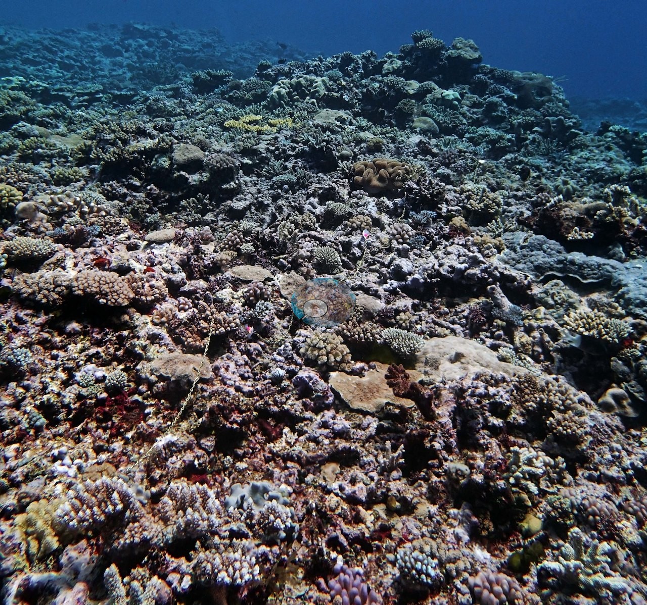
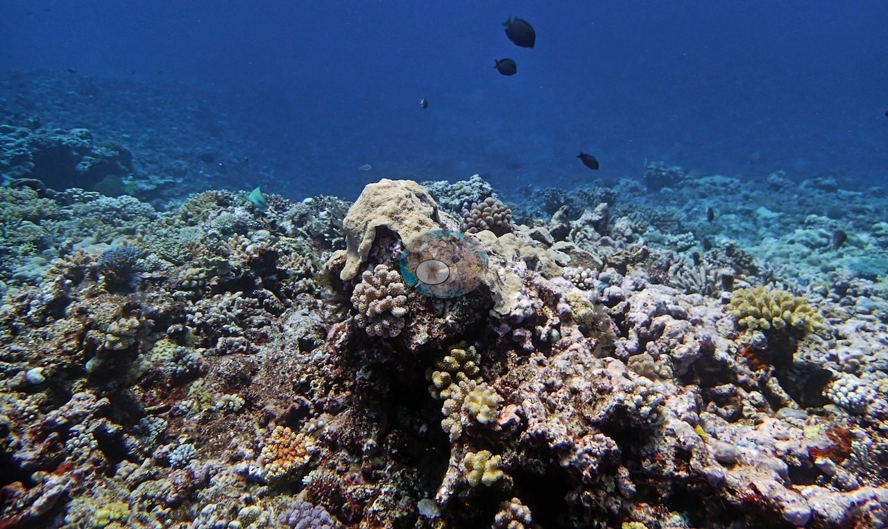
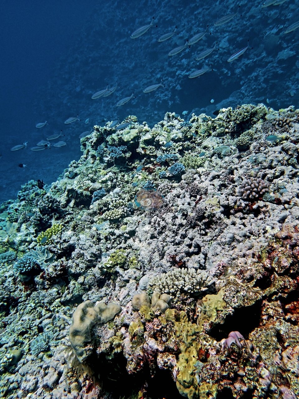
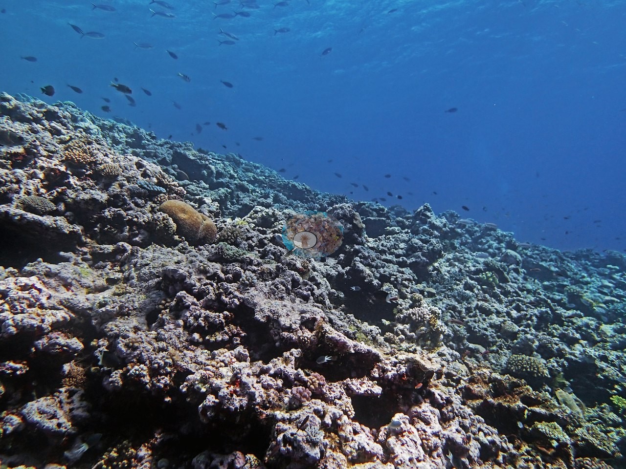
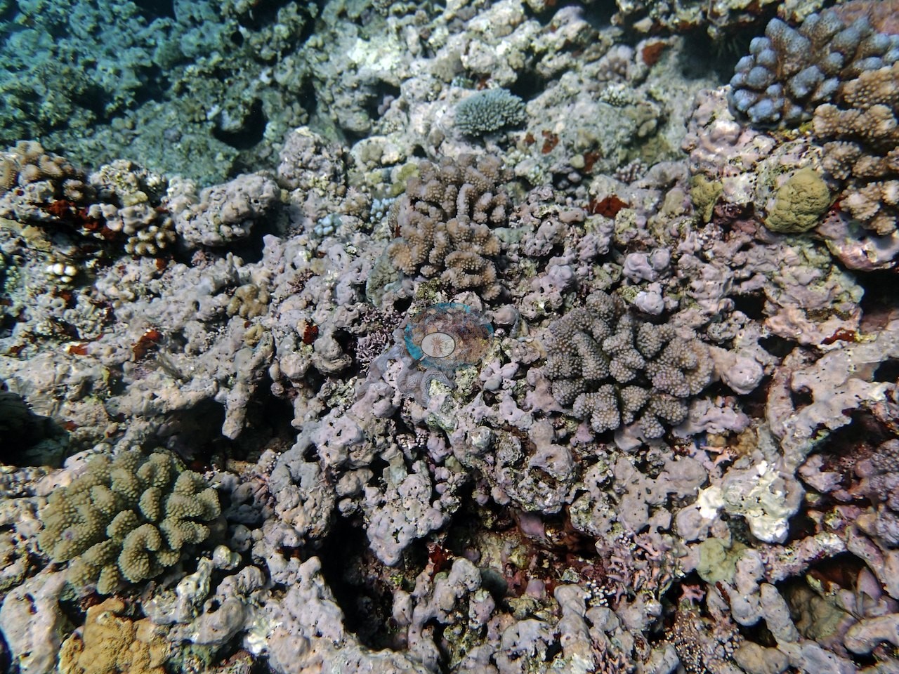
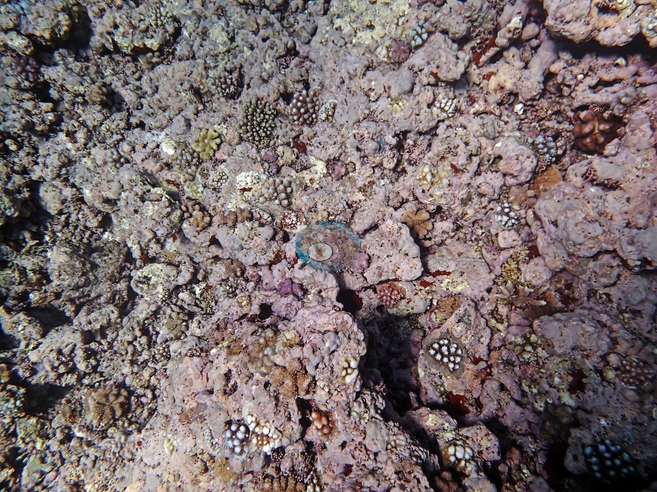
Anderson's notes describe a typical windward reef with a fairly steep slope from the reef crest at 3-4 m to 30-35 m; coral cover was high (above 30-40%) at 3-5 m, with large areas of crustose-coralline-coated substrate and recruits between the corals. The posted frames come mostly from the shallow crest: a broad, low-relief pavement under a visibly rippled surface, lit flat and blue (e.g., Image 7, Image 10, Image 12, Image 13, Image 16, Image 18, Image 19, Image 20, Image 21, Image 22, Image 23, Image 24).
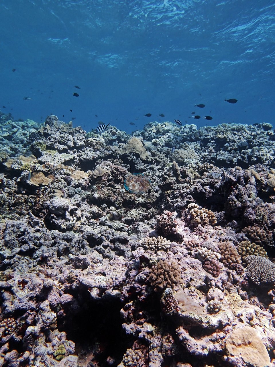
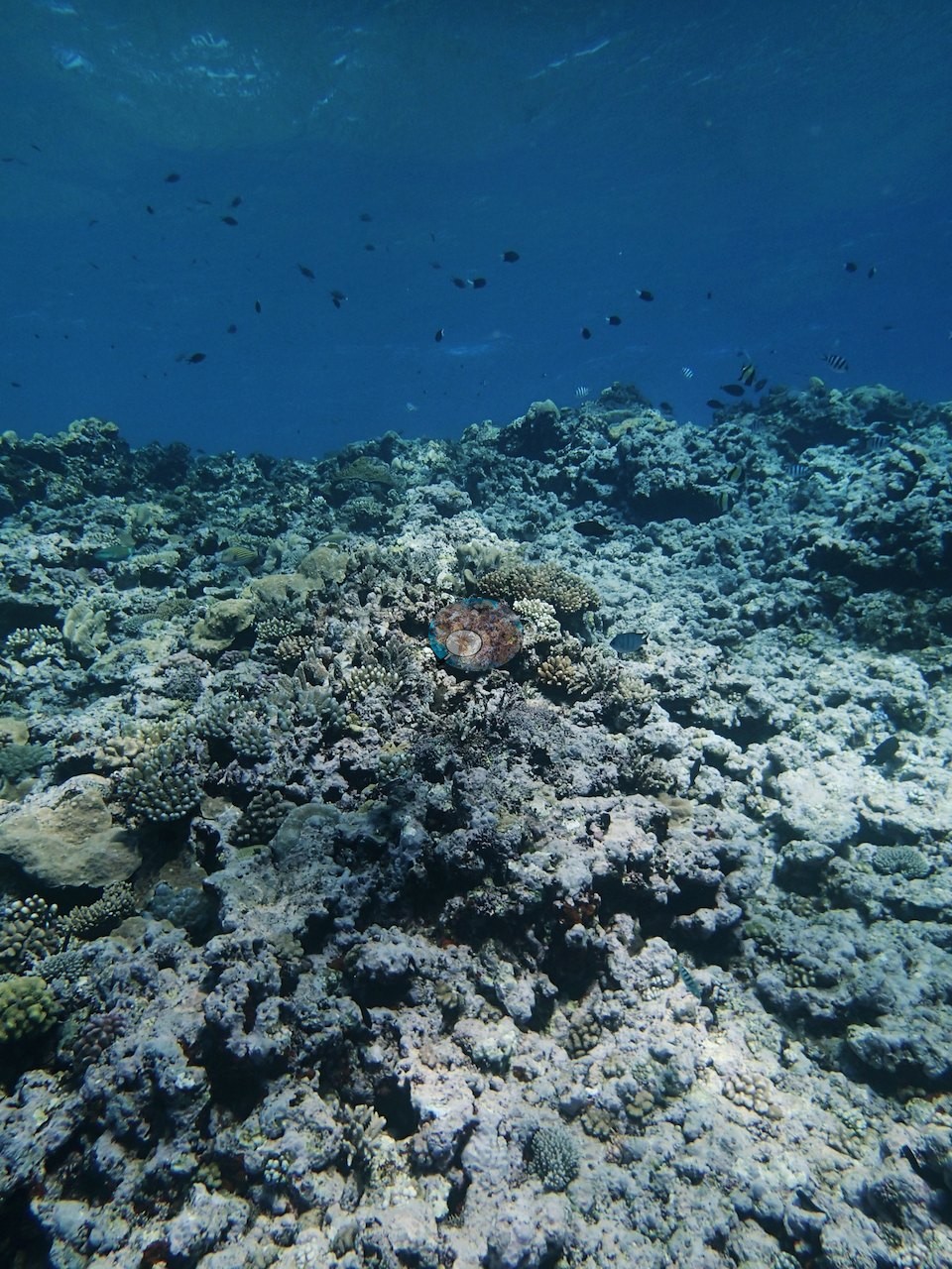
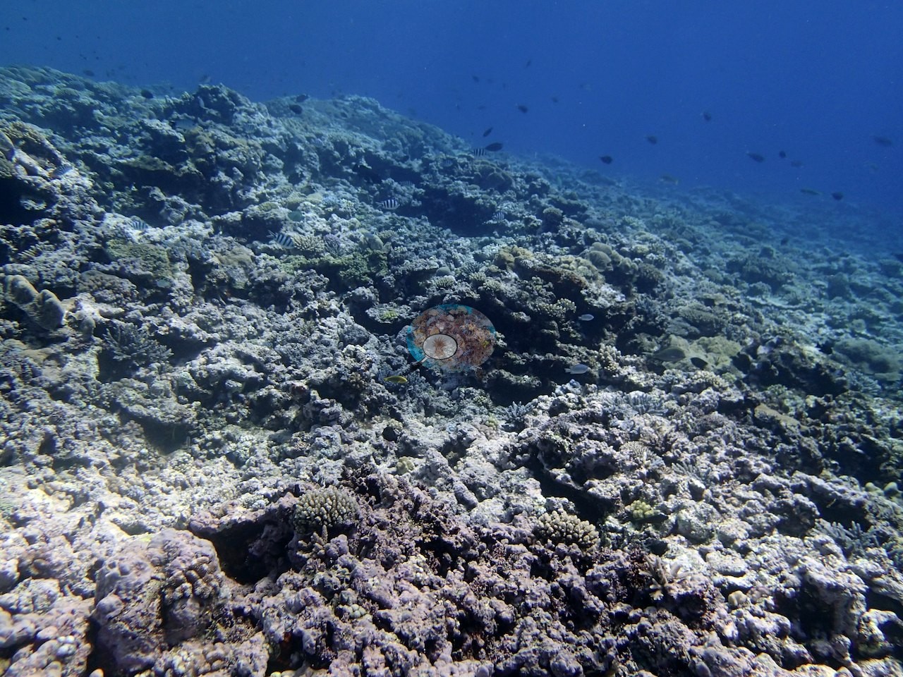
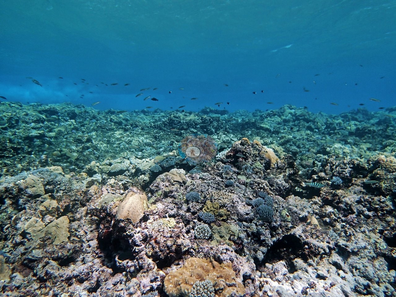
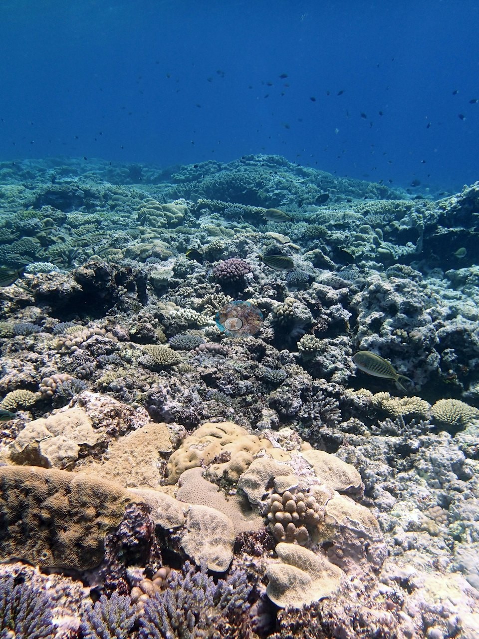
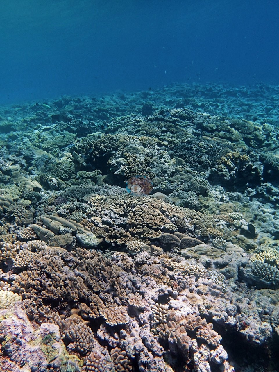
Close overhead frames show what that pavement is made of — a tight mosaic of gray-lilac digitate and encrusting Montipora-form colonies, olive-green massive heads, small knobby colonies, brown corymbose acroporids, purple to pink crustose coralline algae, and red encrusting algae between them, with turfed dead framework and coral rubble filling the gaps (e.g., Image 8, Image 9, Image 11, Image 14, Image 15, Image 17).
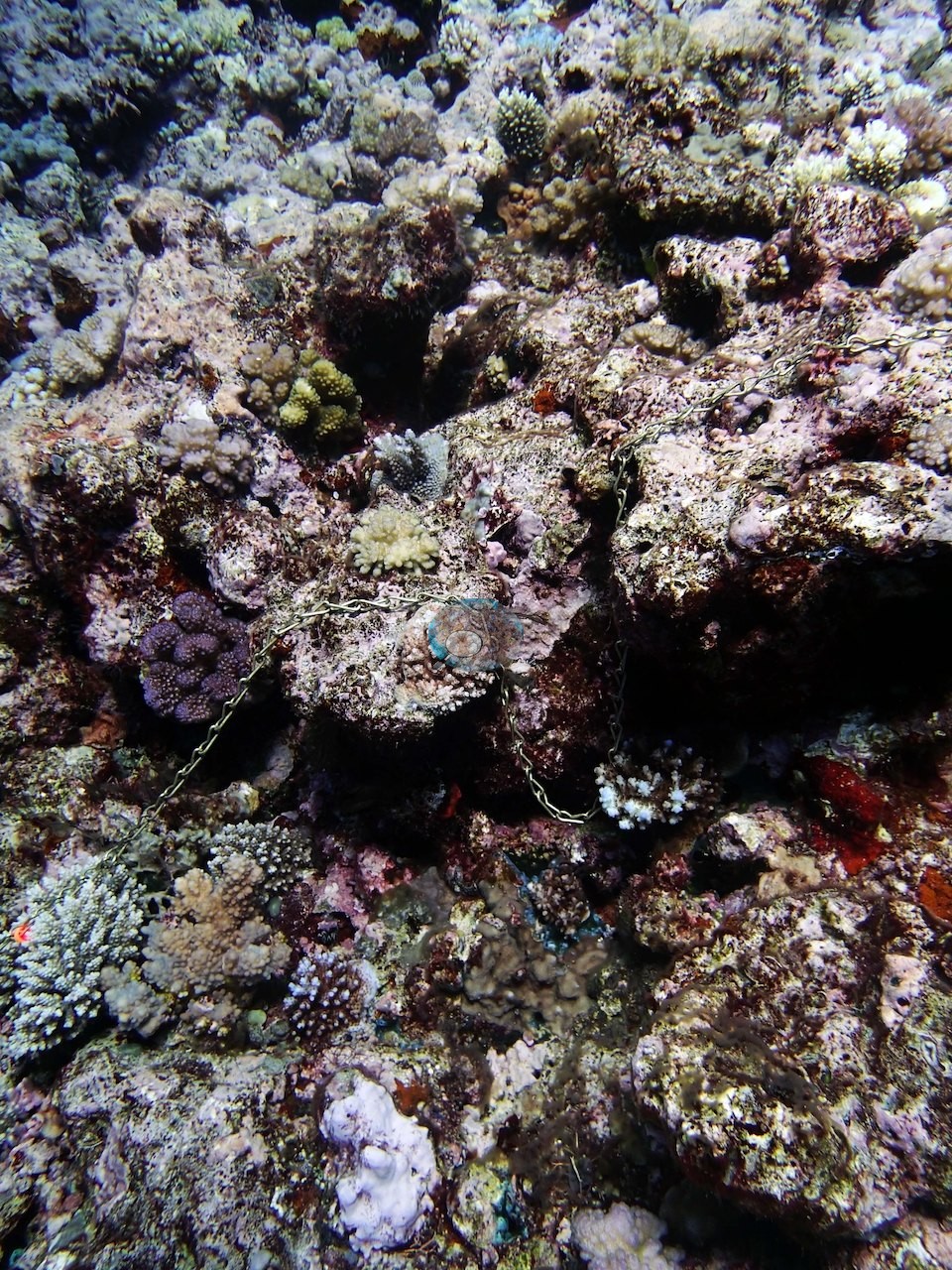
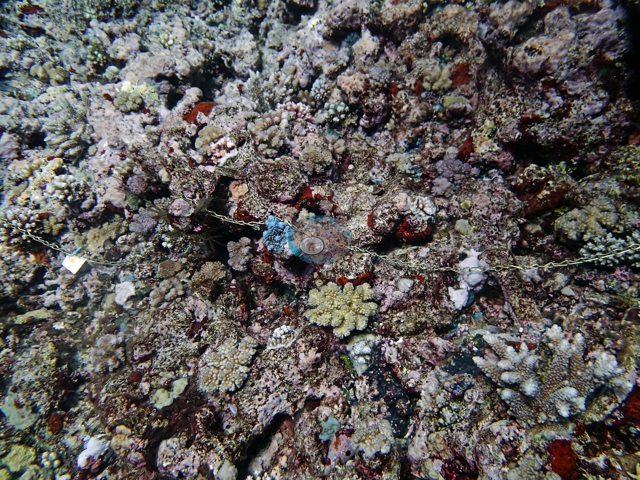
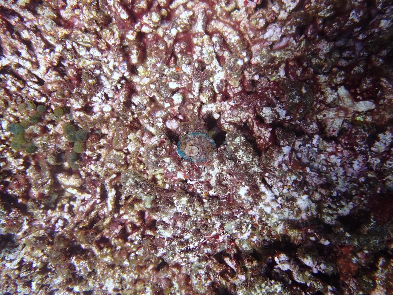
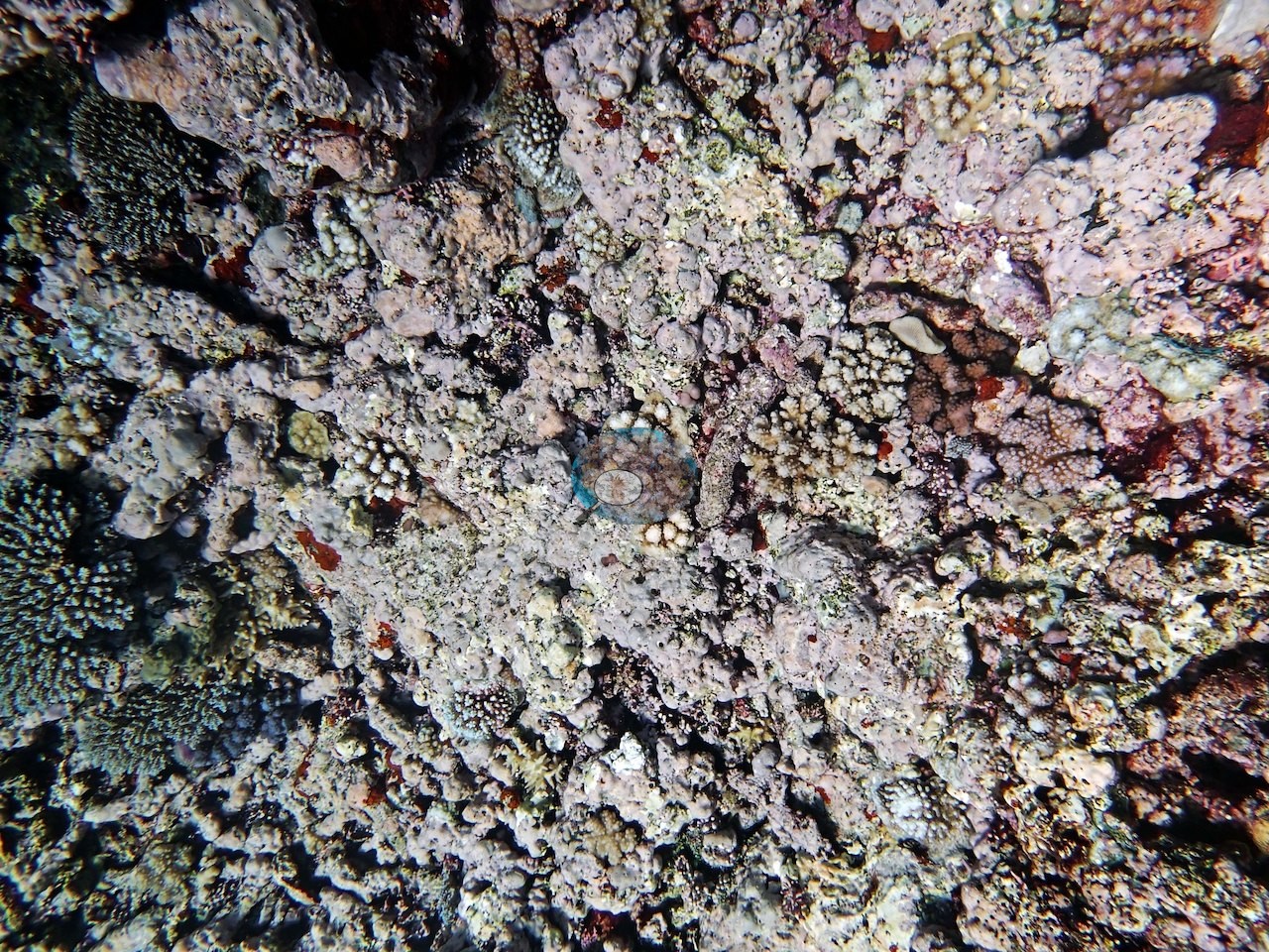
Coral cover
- Reference: Khaled bin Sultan Living Oceans Foundation, Global Reef Expedition (in situ transect)
- Coral cover 35%, from the LOF-GRE in situ point-count transects (Global Reef Expedition site data, 933 sites).
- Transect mean 35 ± 7.8% SE (n = 3 transects; Living Oceans Foundation per-transect benthic data); the headline above is the expedition's station value.
Stressors
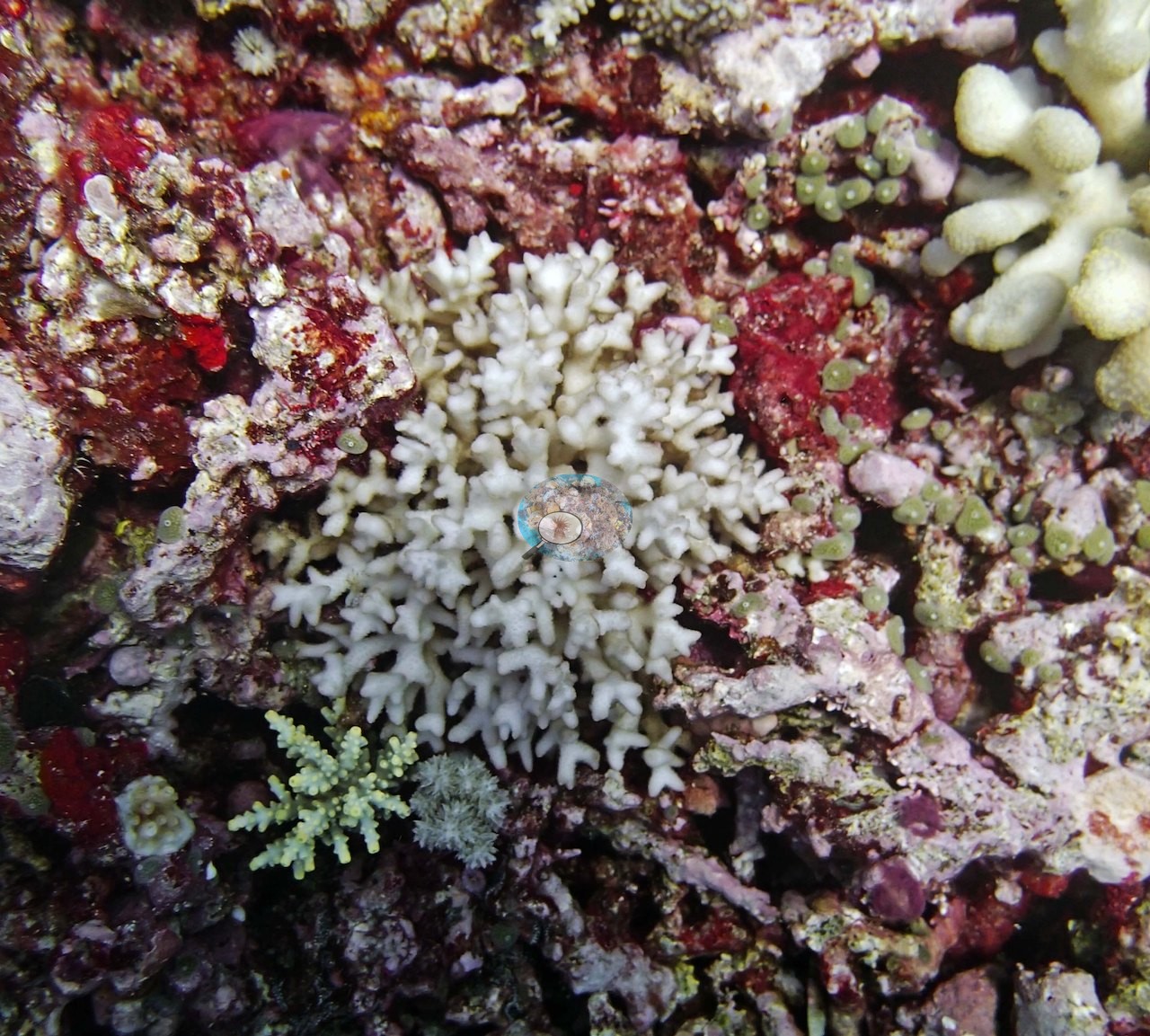
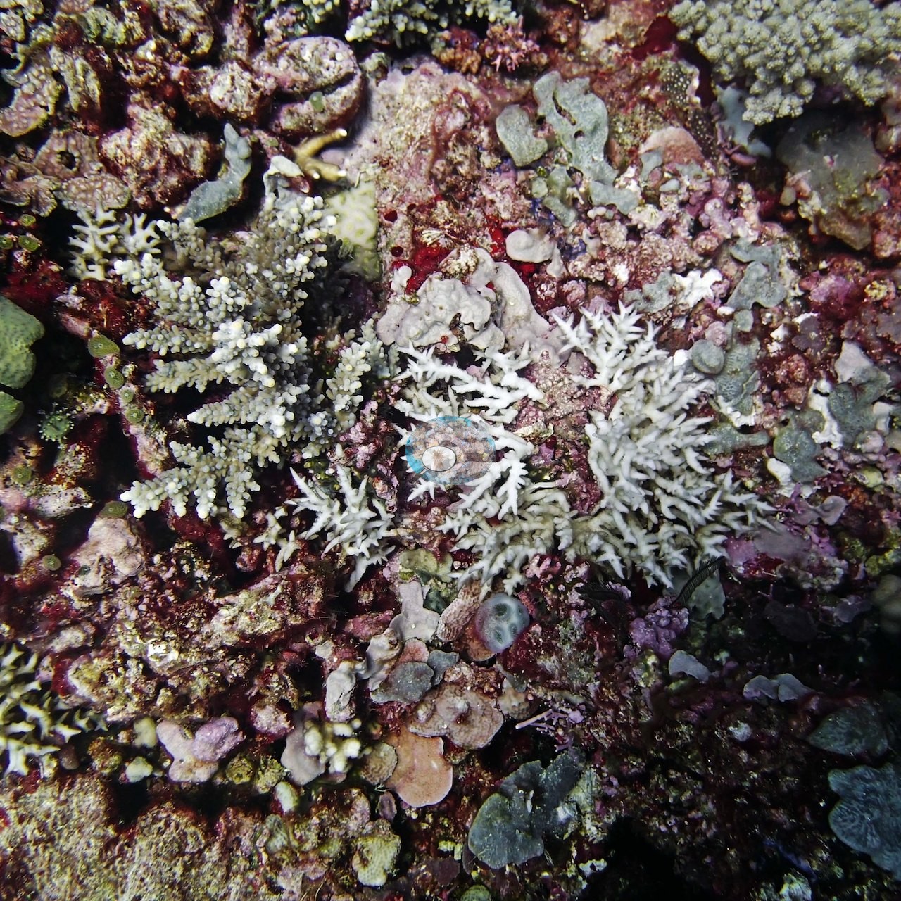
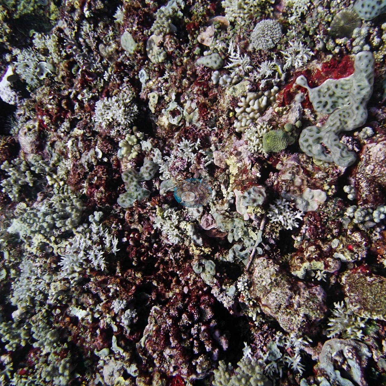
The four earliest are all close work on the same subject: bone-white, fine-branched colonies of the needle-coral growth form sitting on rock crusted in dark red encrusting algae and pink coralline, their branch tips intact and structurally sound rather than eroded, with normally pigmented olive-green knobby colonies, a cream Pocillopora, and small pale-green acroporid recruits in the same frame (e.g., Image 1, Image 2, Image 3); the fourth is a wider view of the same crusted pavement (e.g., Image 4).
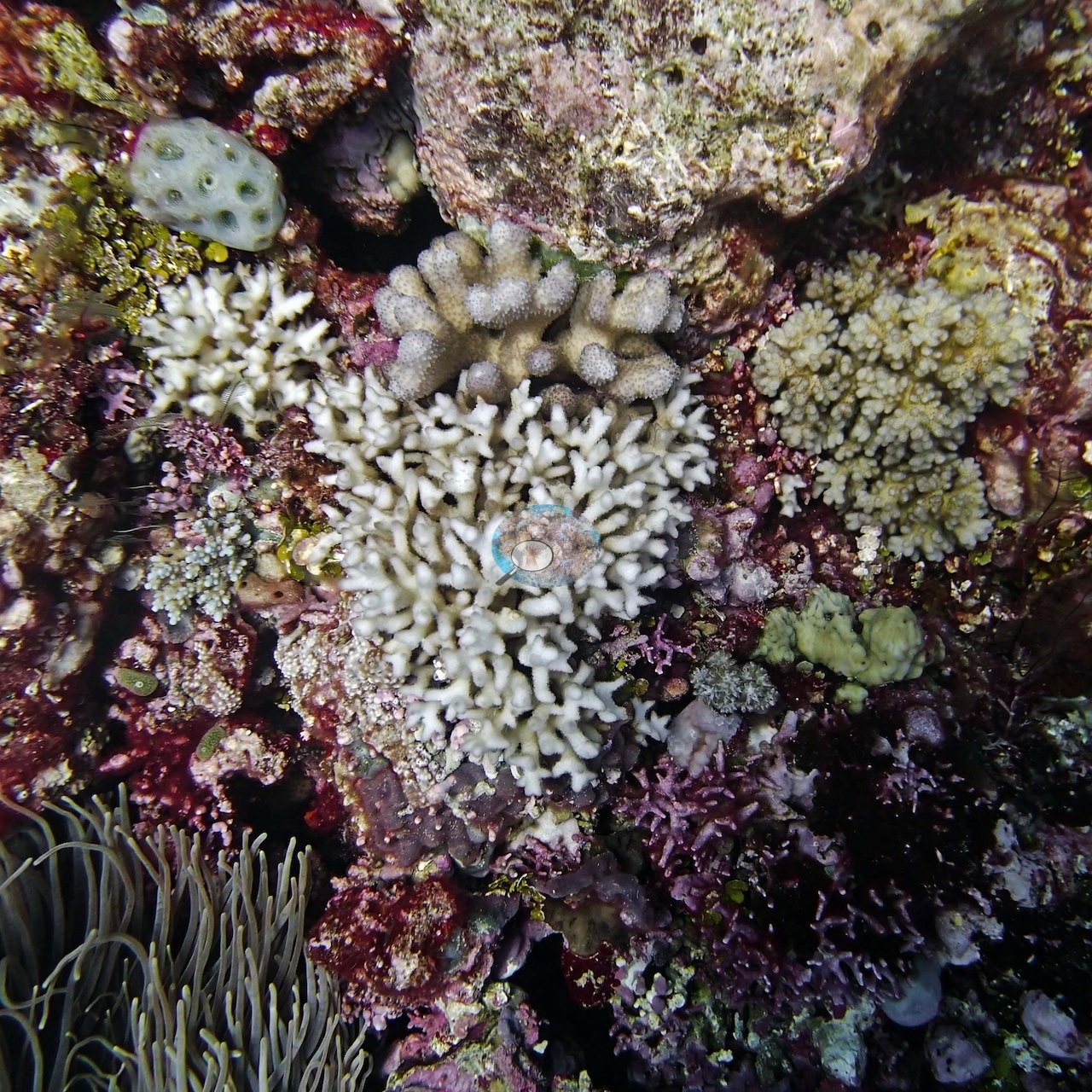
Two more white colonies appear in the set — a cream-white Pocillopora-form colony wedged between an olive-green colony and a blood-red encrusting sponge (e.g., Image 5), and a frame filled edge to edge by a single white knobby colony with rounded, swollen branch tips (e.g., Image 6).
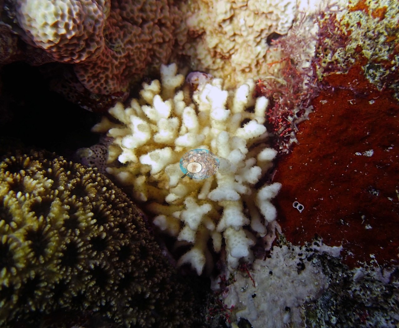
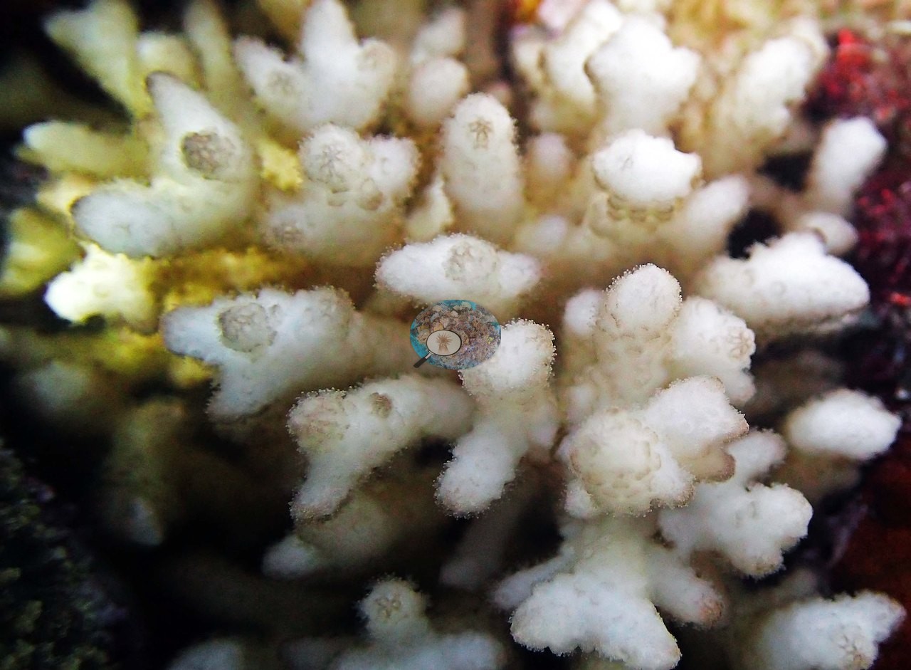
That is six frames carrying stark-white tissue: they are photographs of white colonies, not the basis for any bleaching figure, and nothing in the set says how much of the reef was affected. Anderson's field notes for this dive record that, as on the previous day's dives, nearly all of the Seriatopora had bleached. No crown-of-thorns starfish (COTS) or other corallivores evident.
Fish and other fauna
Fish are sparse in frame, scattered small planktivores over the flat; Anderson's notes record an aggressive blacktip reef shark on this dive (not photographed).
Comparisons with other data
No other surveys have been conducted at this site to date. Within 5 km, one independent station, AIMS manta tow at RIBBON NO 6 REEF, 1.92 km away, read 11–35% between 1994 and 2017.
Other notes
There are no topside, boat, or diver frames in this set.
CV model comparison
More info
The photo row below is a methods comparison only: it is never averaged with the transect and never used as the headline. It compares site means only: the photos come from the same survey dive as the transect but not from the same points.| Method | Hard-coral cover (%) | Photos (n) ± SE |
|---|---|---|
| Transect (published) | 35.0 | |
| CoralSCOP edited | 16.0* | n = 19 · SE 2.3 |
| Claude (edited photos) | 13.2* | n = 19 · SE 3.0 |
The two computer-vision methods agree within 2.8 pp (13–16%) and read 19.0–21.8 pp below the in-water transect (35%); the headline is the in-water transect because a diver transect is independent of the photographs.
*Based on only 19 reef-habitat photos; this estimate is less certain.
Independent surveys nearby
 LOF
Within 5 km, 1 independent survey station recorded hard coral cover in 6 surveys between 1994 and 2017. The one station surveyed in more than one year declined by 23.8 points between its first and latest surveys. The longest record, RIBBON NO 6 REEF (AIMS manta tow, 1.92 km away), went from 35% in 1994 to 11% in 2017. The most recent nearby survey is from 2017, so these values predate recent heat stress. This site's own estimate (35%) sits within the range of these surveys (11–35%); the methods differ, so the comparison is context, not a like-for-like test.
Collected by other programs using different methods (AIMS manta tow is a towed visual estimate in categorical bins), so these are context for the figures above, not a like-for-like comparison. Where a station was surveyed more than once, the cell shows either the range of its values or, as a single value, the mean of surveys made in one year. Station names are not dive-site names.
| Agency | Site / location | Date | Hard coral cover (%) | Distance | Link |
|---|---|---|---|---|---|
| AIMS manta tow | RIBBON NO 6 REEF | 1994–2017 | 11–35% (6 surveys) | 1.92 km | doi:10.25845/5c09b0abf315a |
Data & links
- Download benthic survey data (CSV) ↗
- Download all LOF-GRE data (933 sites) ↗
- Photo portfolio ↗
- Coral Reef Diagnostics country page ↗
All images from Coral Reef Diagnostics. Data are from the Khaled bin Sultan Living Oceans Foundation Global Reef Expedition, Coral Reef Diagnostics, and the organizations named in the data sources above.
 © Coral Reef Diagnostics.