
Part of the regional summaries: Australia (GBR) - Far North: Pink stations (Preservation Zone reefs) and Australia (GBR)
More info
Far Northern GBR (NOAA CRW virtual station)A scattered field of bommies and patch reefs on Milman Reef whose 5-7 m band holds genuinely spectacular structure, with Porites rus, Turbinaria plates, P. cylindrica, plating acroporids, and fire coral at nearly 100% cover in places. Fish life was unusually abundant, including a nurse shark and a stingray; one frame shows a crown-of-thorns starfish, and his notes mention no bleaching or disease. Surveyed on the Living Oceans Foundation's Global Reef Expedition.
Four other CRD dive sites within 5 km shown in orange — click a marker to open its page.
🗺 Detailed map of the Global Reef Expedition dive sites, Milman and Alpin Reefs, northern Great Barrier Reef (Khaled bin Sultan Living Oceans Foundation; opens in a new window)
This page shows 50 of the 63 photographs from this site, including every one the text cites.
48 of the 50 photographs on this page are shown beside the text that discusses them under "Site description" below.
Site description
Setting
Milman Reef's second dive trades the continuous reef sheet of the first stop for a scattered field of coral bommies and patch reefs rising 1-2 m out of the sand, explored in murky water with a light current. The site sits within a strict no-take Preservation Zone. The expedition's own site table classifies AUMM87 as an inner open lagoon reef; Anderson's own dive sheet records it as a leeward midshelf reef.
General benthic features
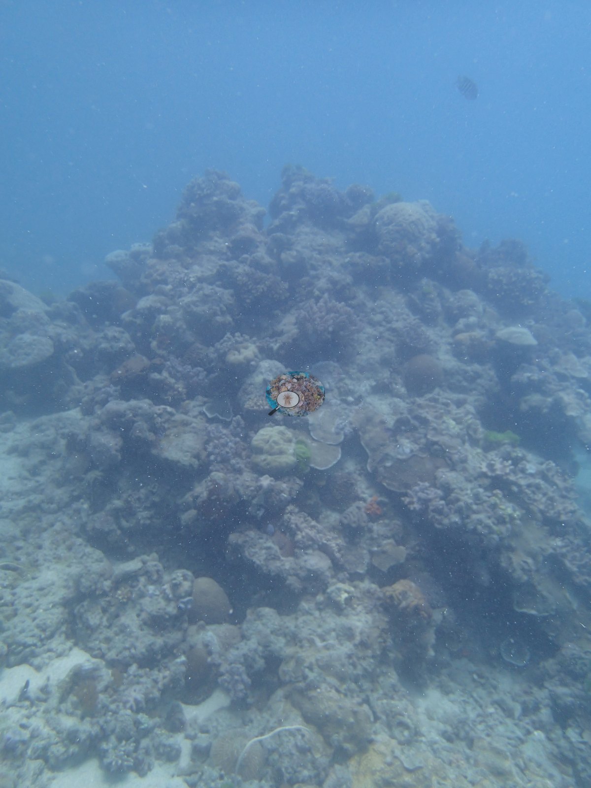
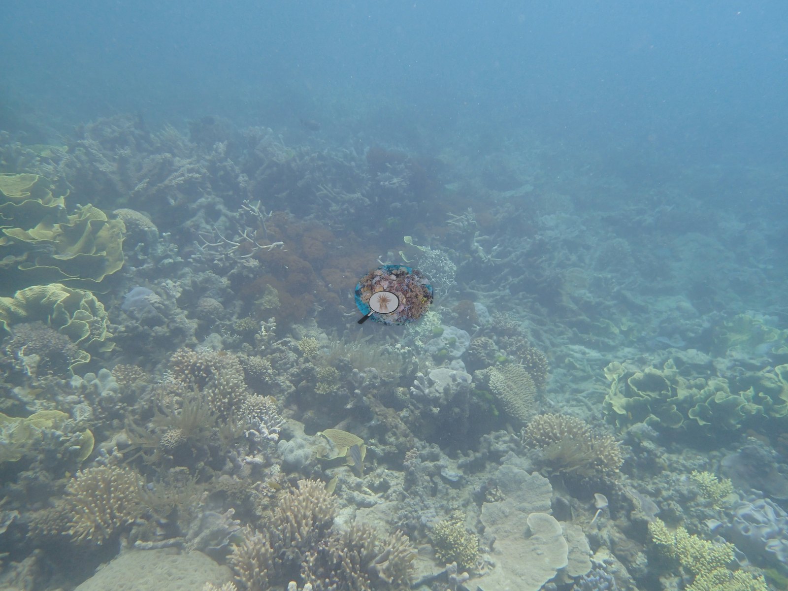
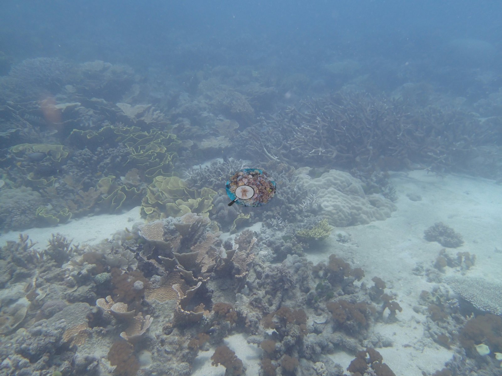
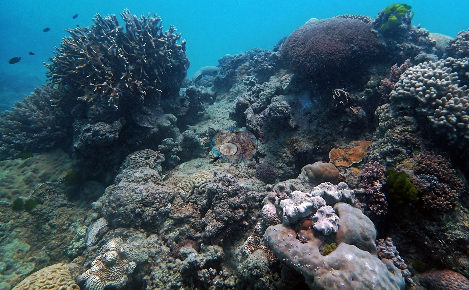
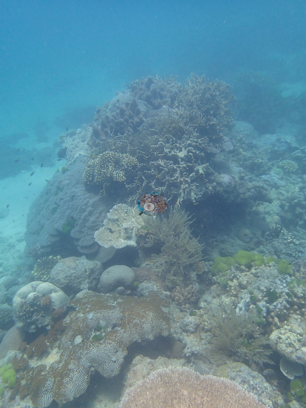
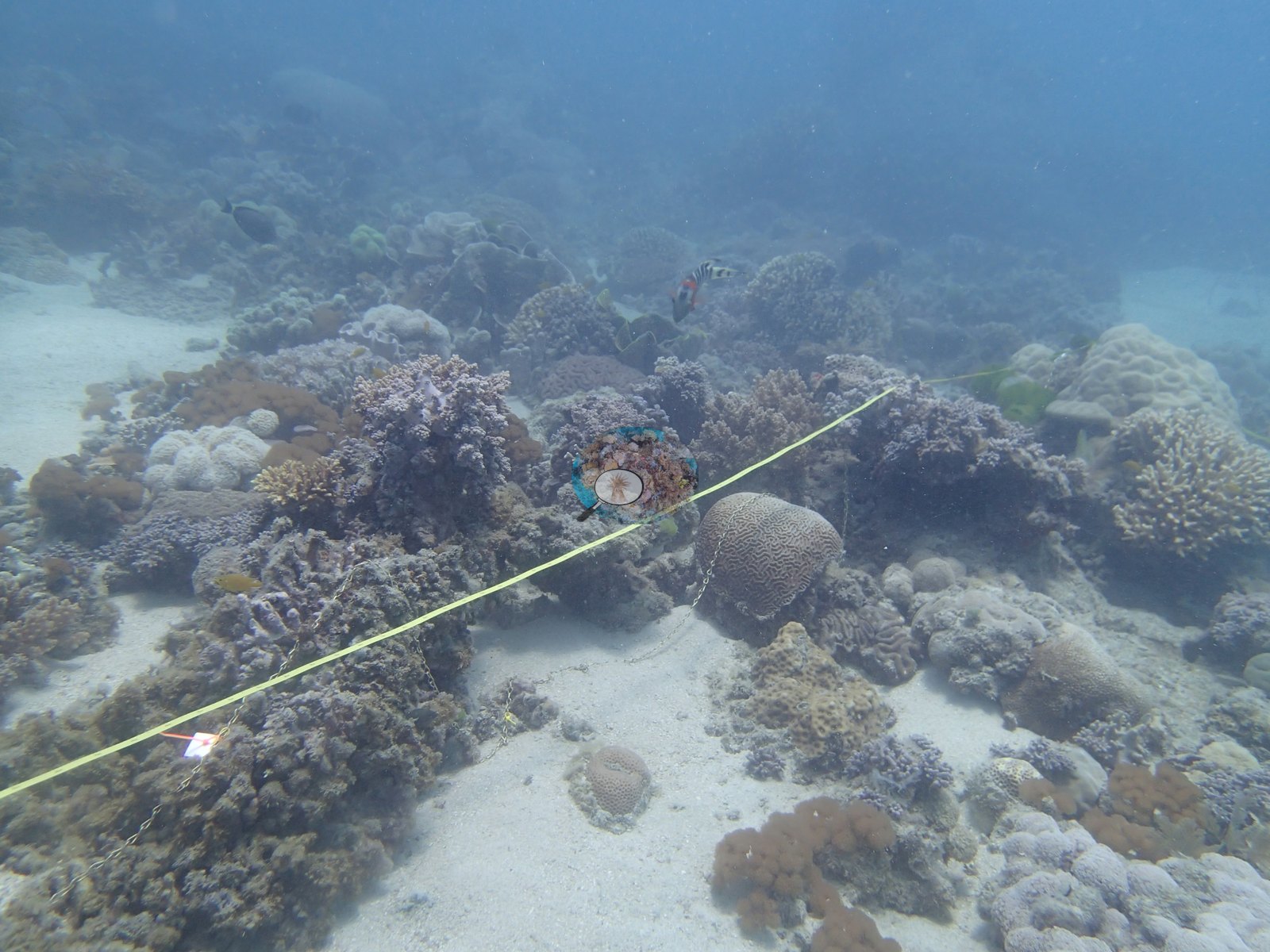
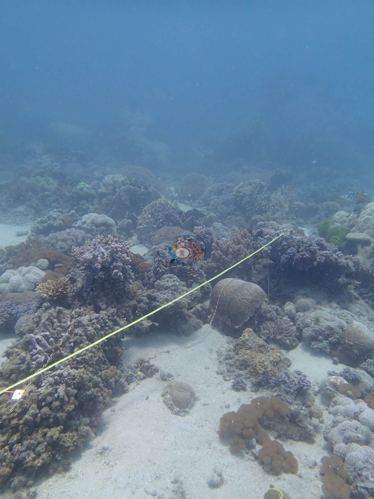
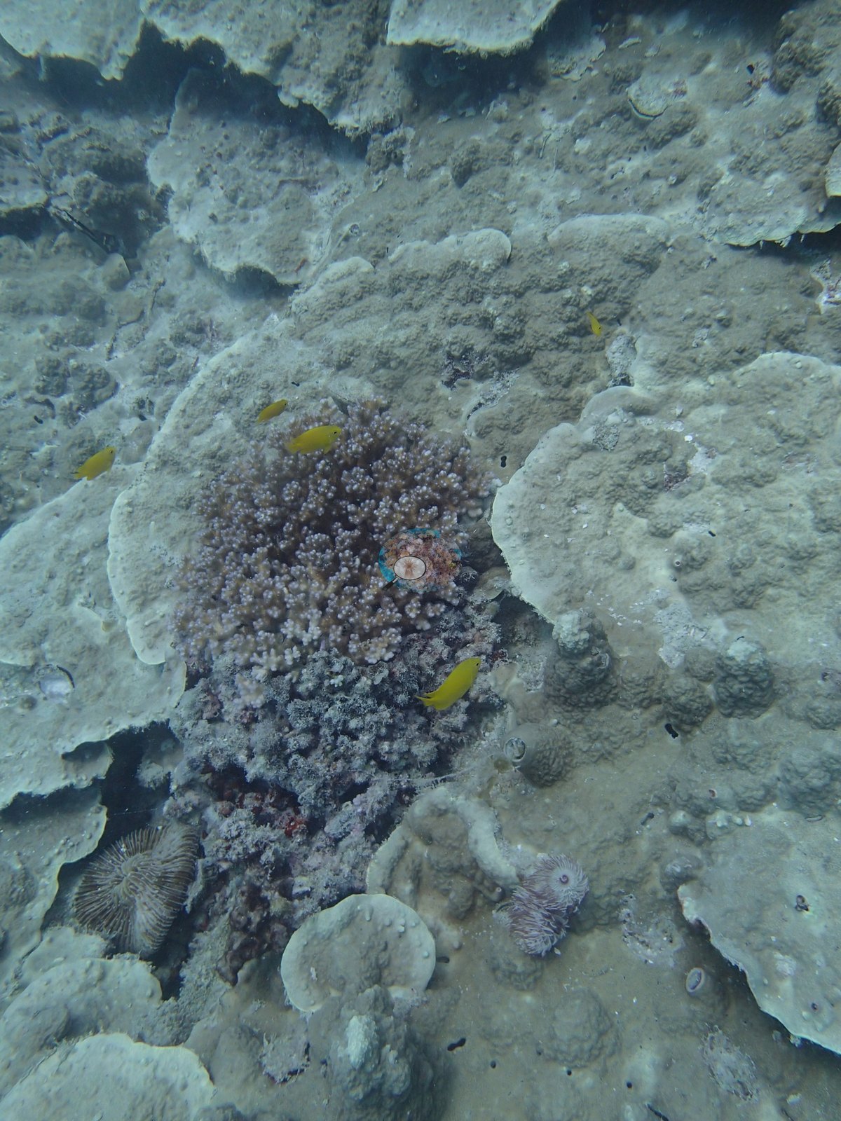
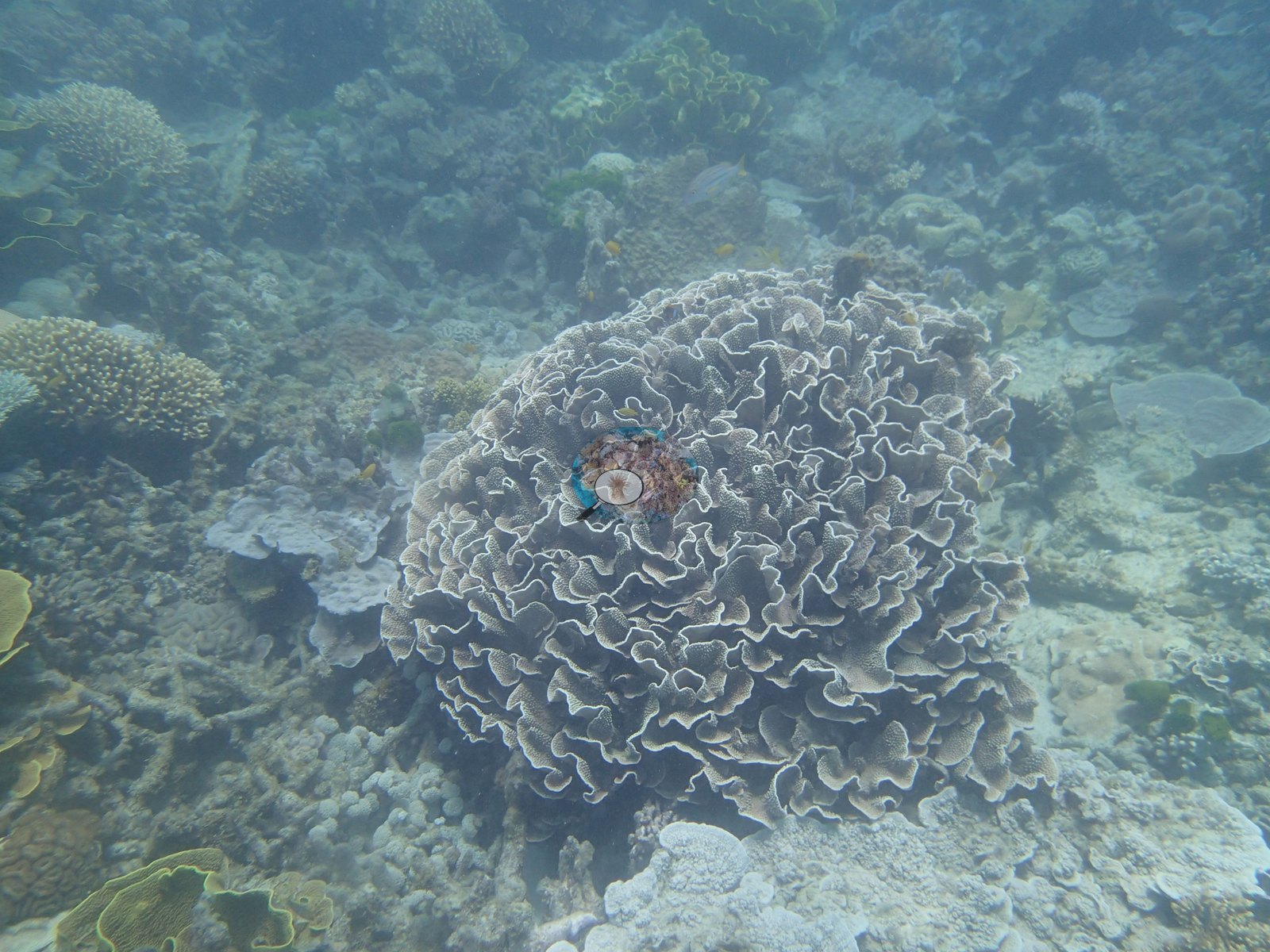
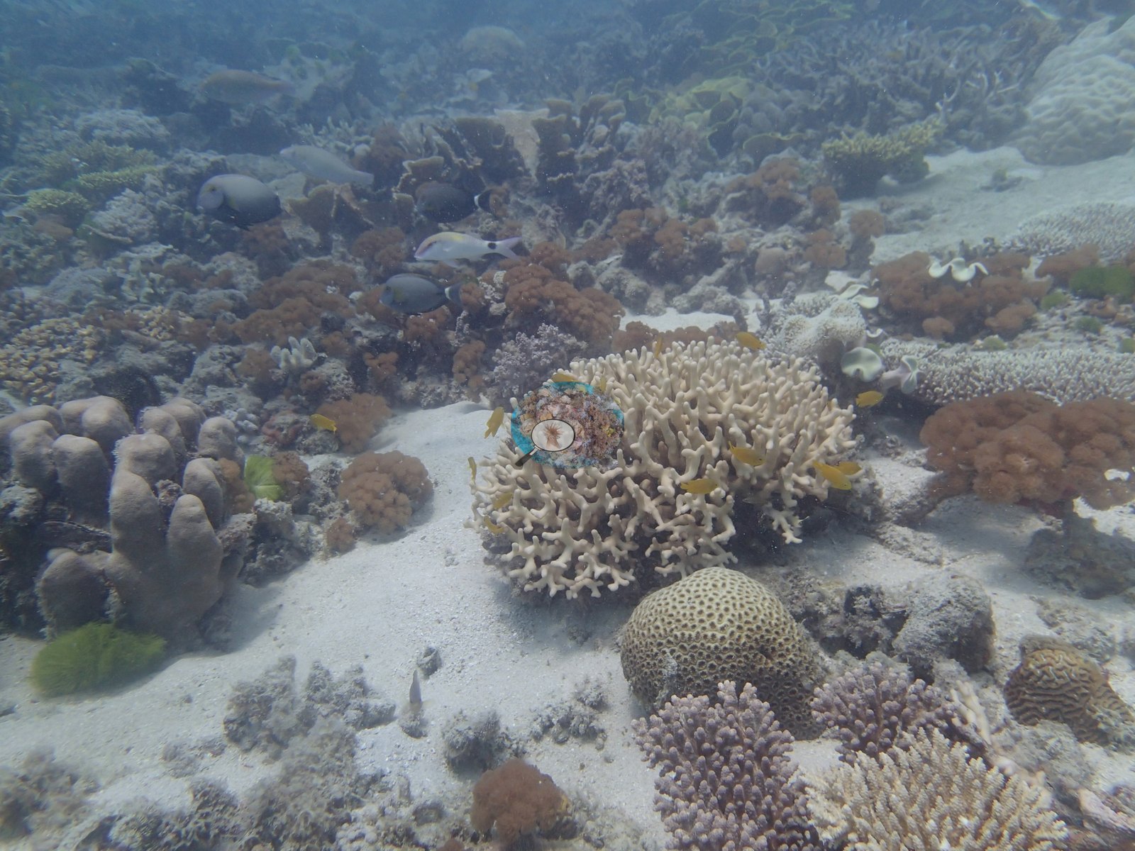
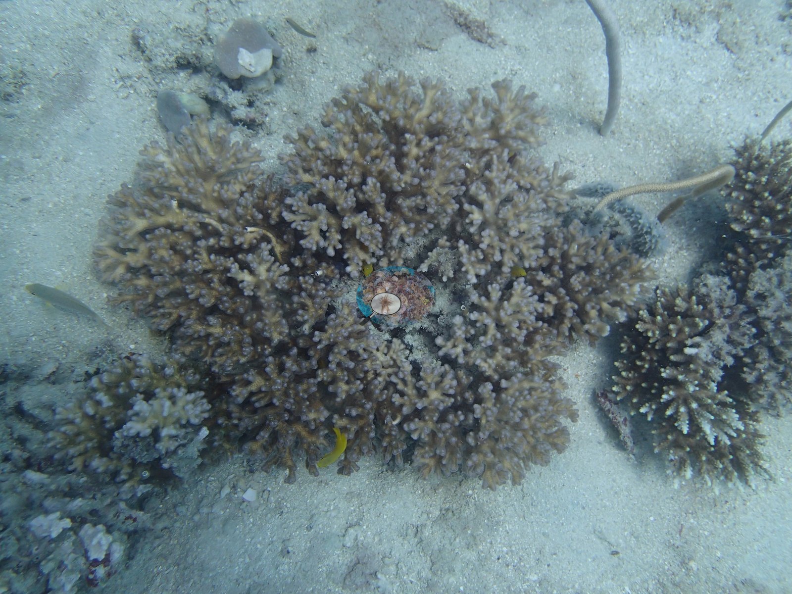
The real highlight sits at 5-7 m, where Porites rus, Turbinaria plates, P. cylindrica, plating acroporids, and fire coral crowd together at nearly 100% cover in places — genuinely spectacular reef structure. A wide frame shows a bommie in that field, carrying an arborescent branching colony, a large dark rounded colony, meandroid brain colonies, lobed massive colonies, and a small orange plate (e.g., Image 2); others show bommies and patch reefs rising from sand (e.g., Image 10, Image 21) and the transect tape run across a patch-reef-and-sand bottom (e.g., Image 33, Image 37).
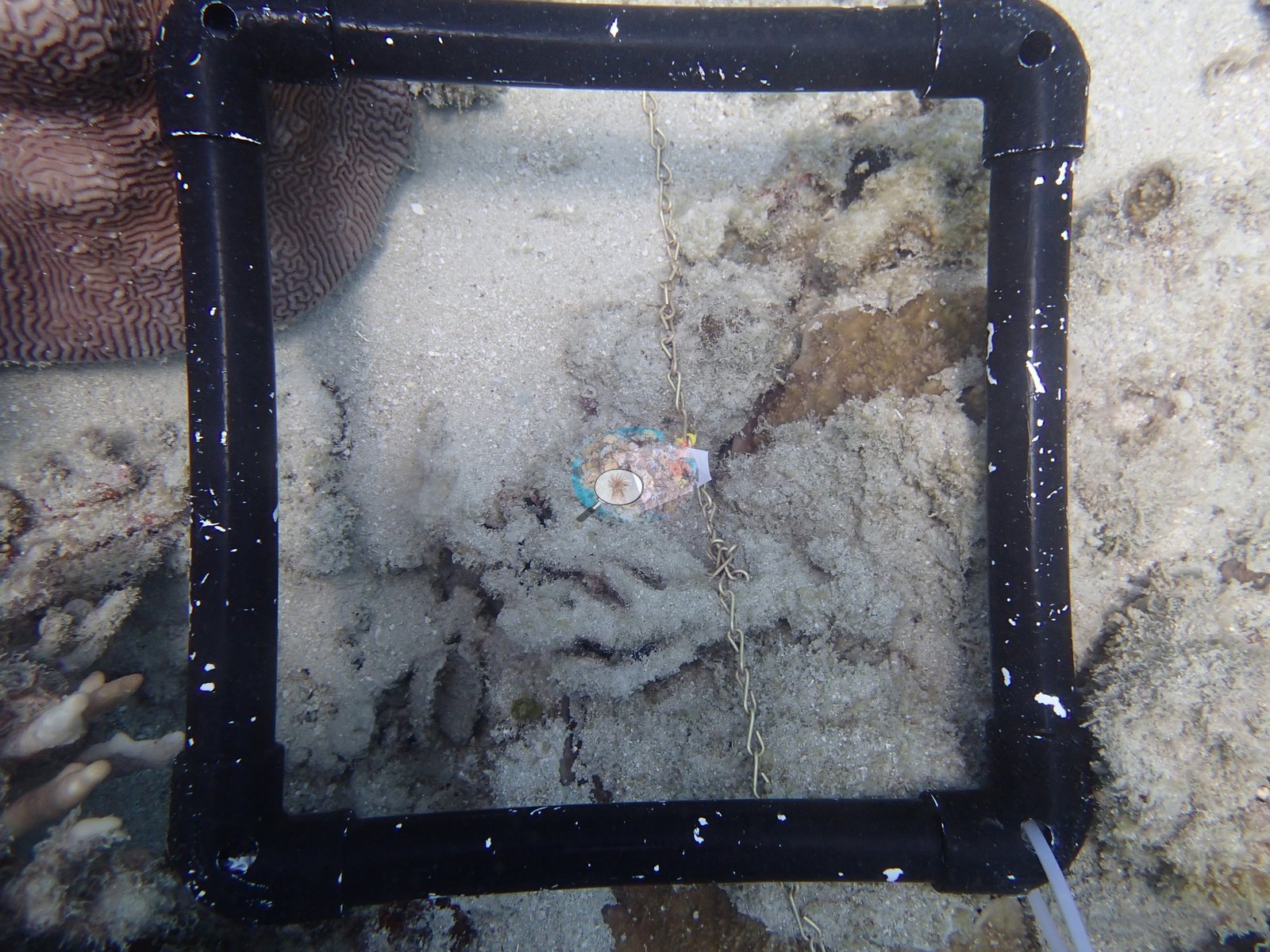
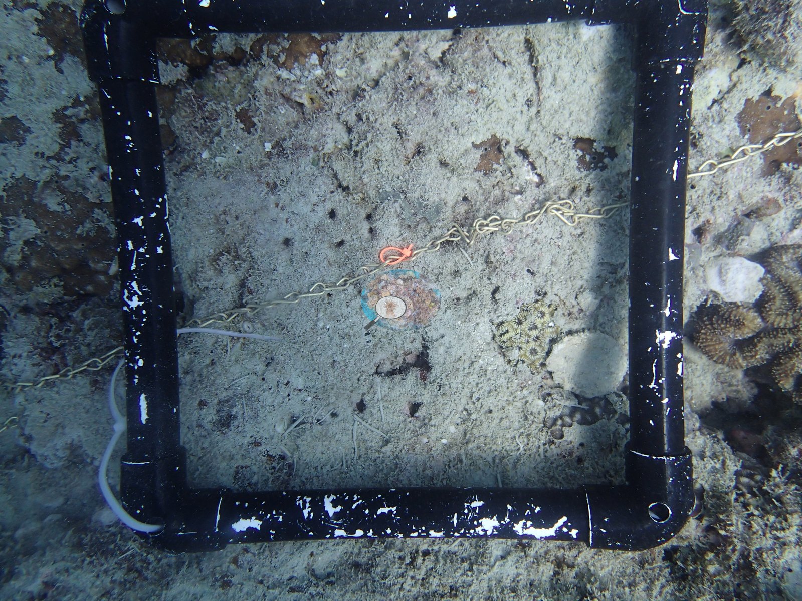
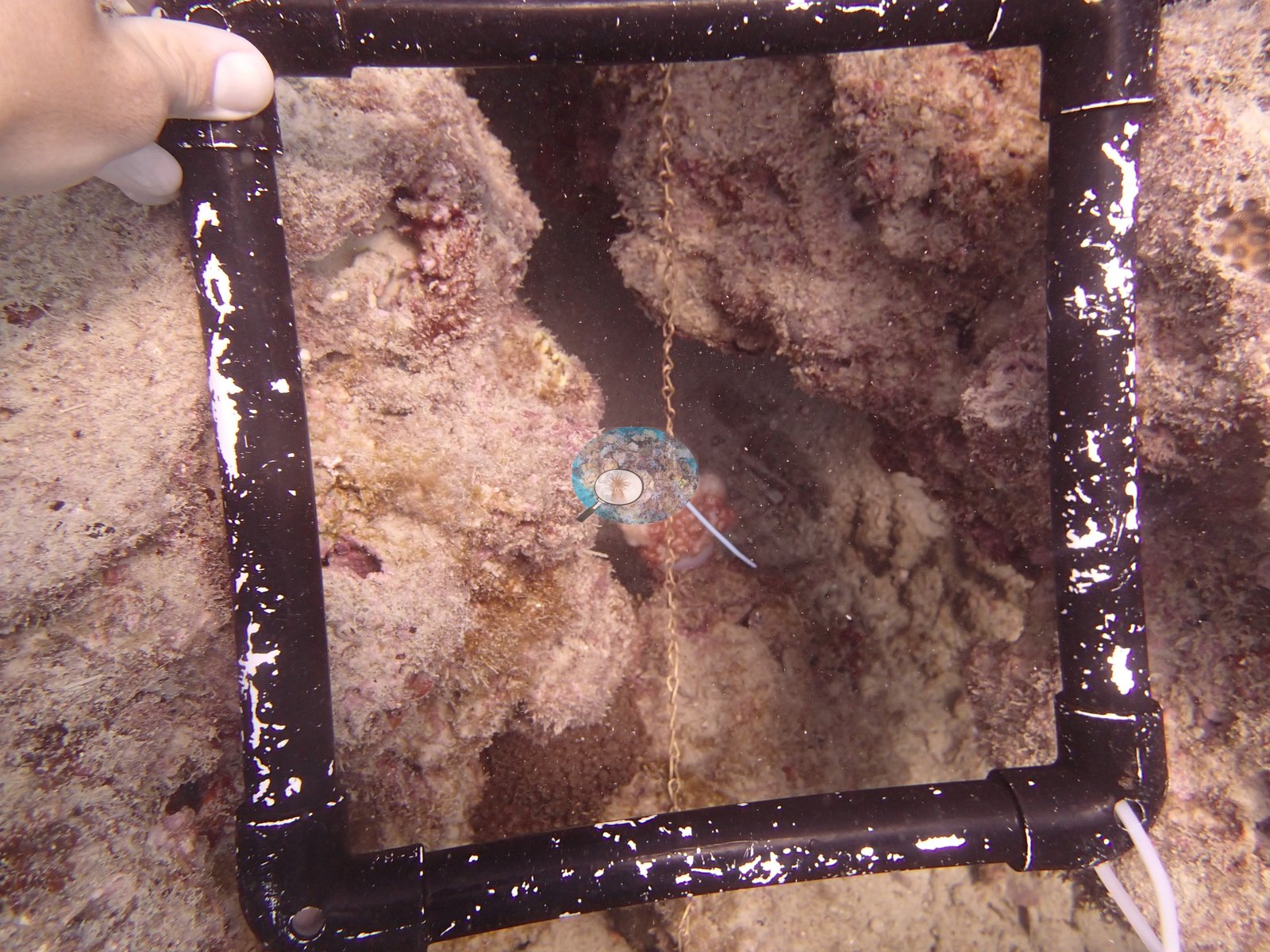
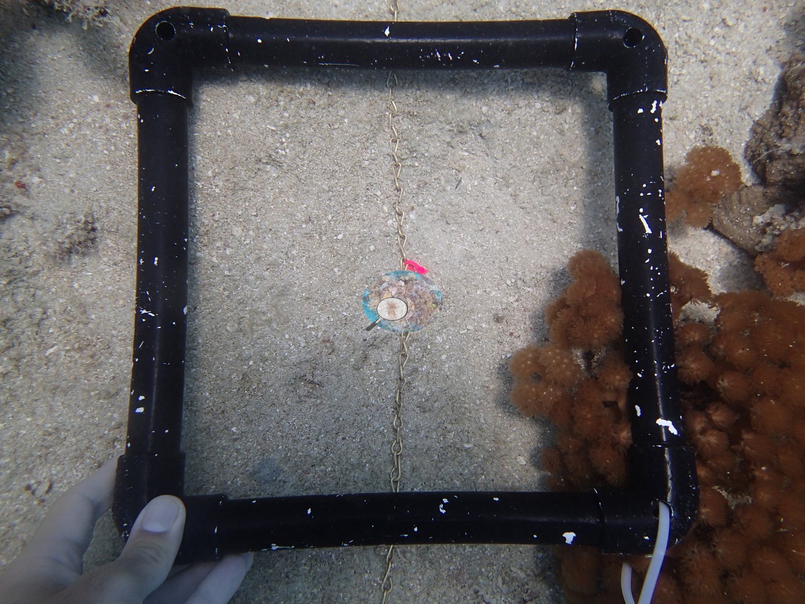
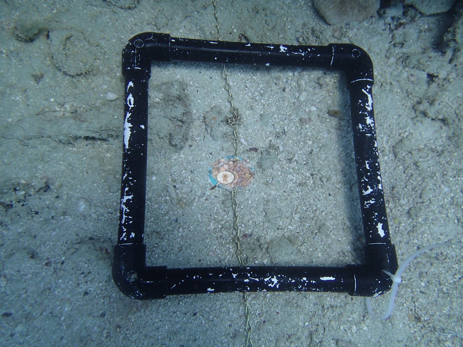
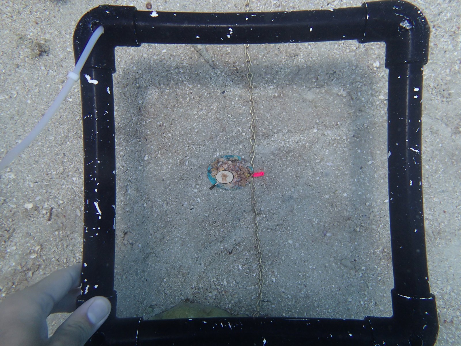
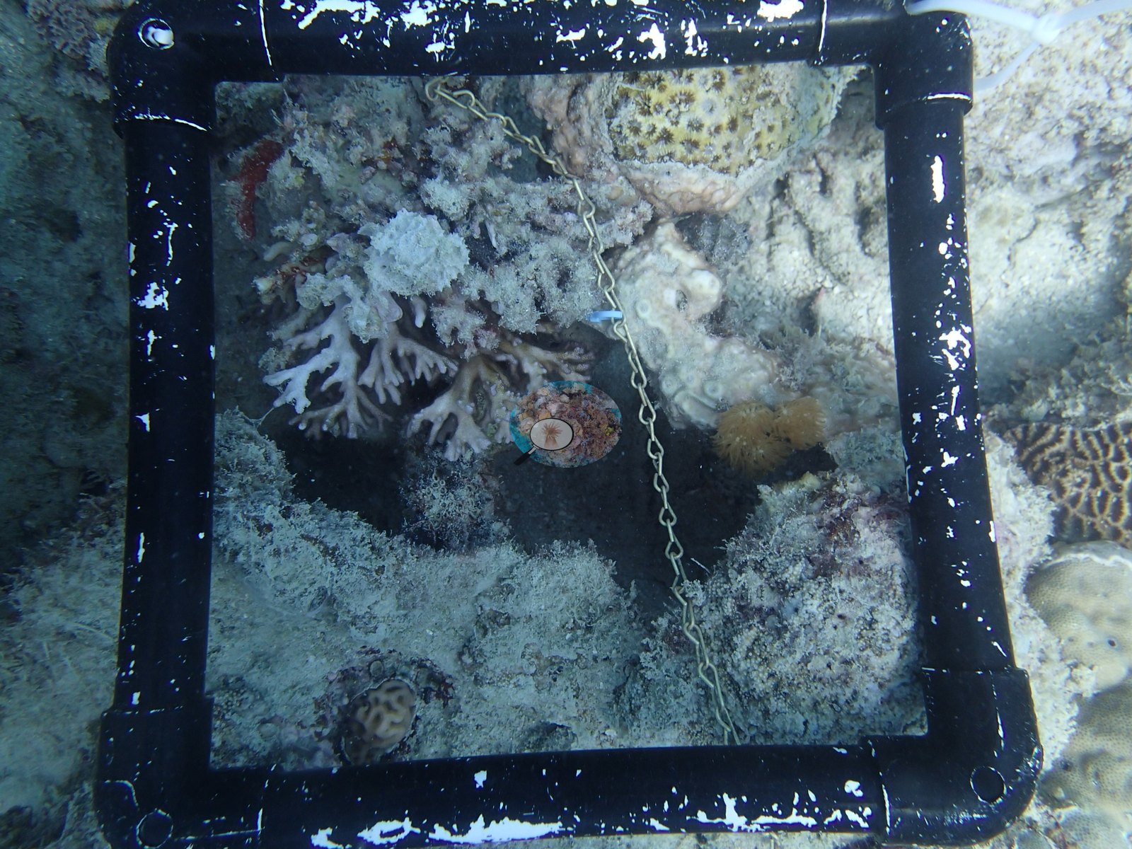
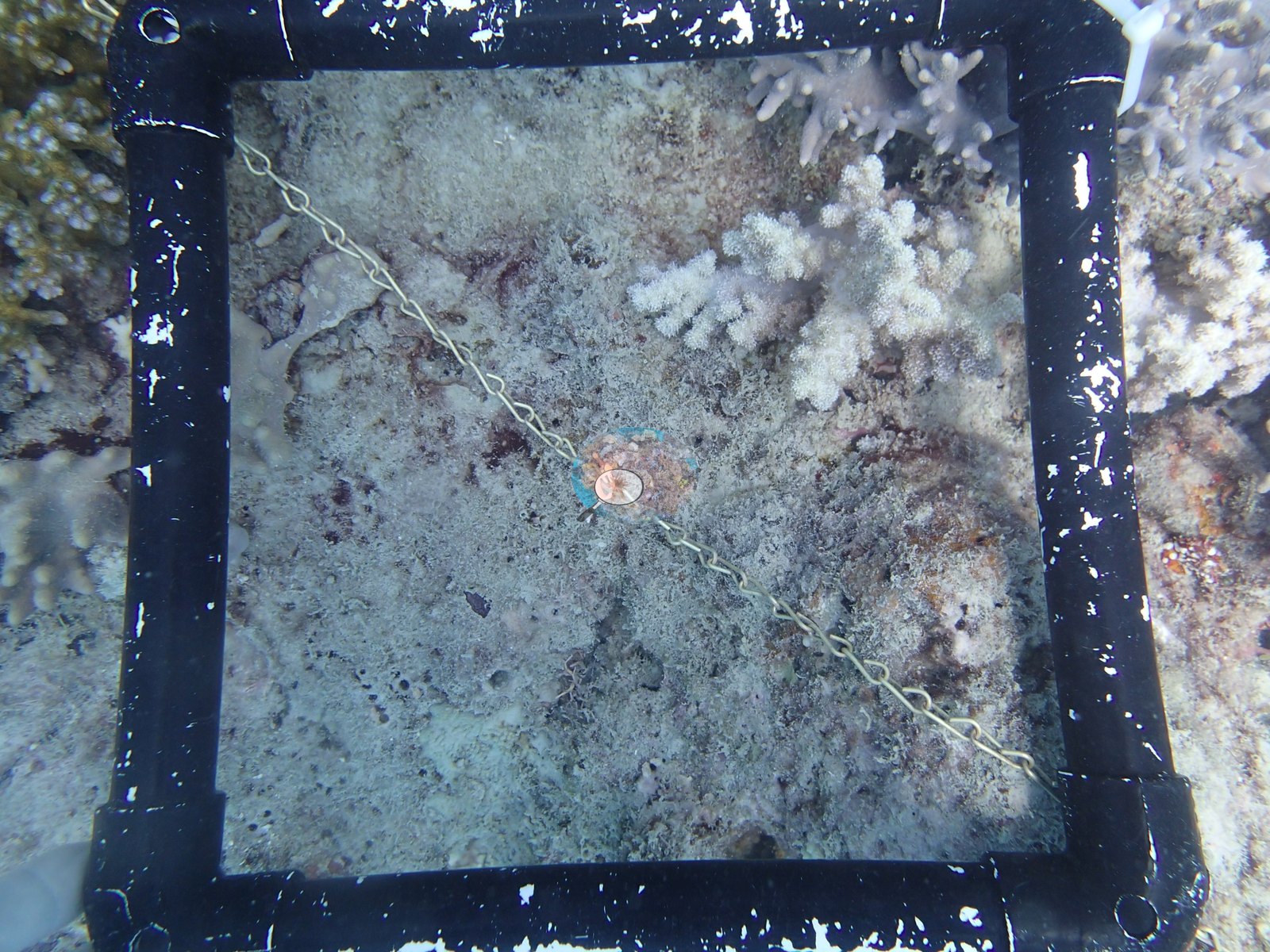
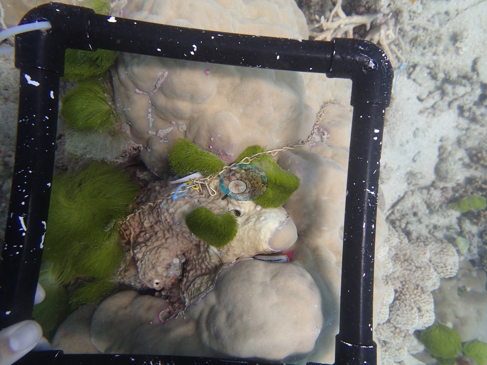
Most of the set is the survey itself: downward photo-quadrats through a black PVC frame strung with a chain (e.g., Image 3, Image 4, Image 5, Image 7, Image 8, Image 9, Image 13, Image 14, Image 15, Image 22, Image 25, Image 28, Image 29, Image 31, Image 32, Image 34, Image 36, Image 39, Image 41, Image 42, Image 45, Image 46, Image 47, Image 50, Image 51, Image 52, Image 53, Image 57), landing on bare sand and silt (e.g., Image 14, Image 22, Image 29, Image 36, Image 41, Image 46), on rubble and crusted pavement, and on living massive and encrusting colonies (e.g., Image 31, Image 39, Image 57).
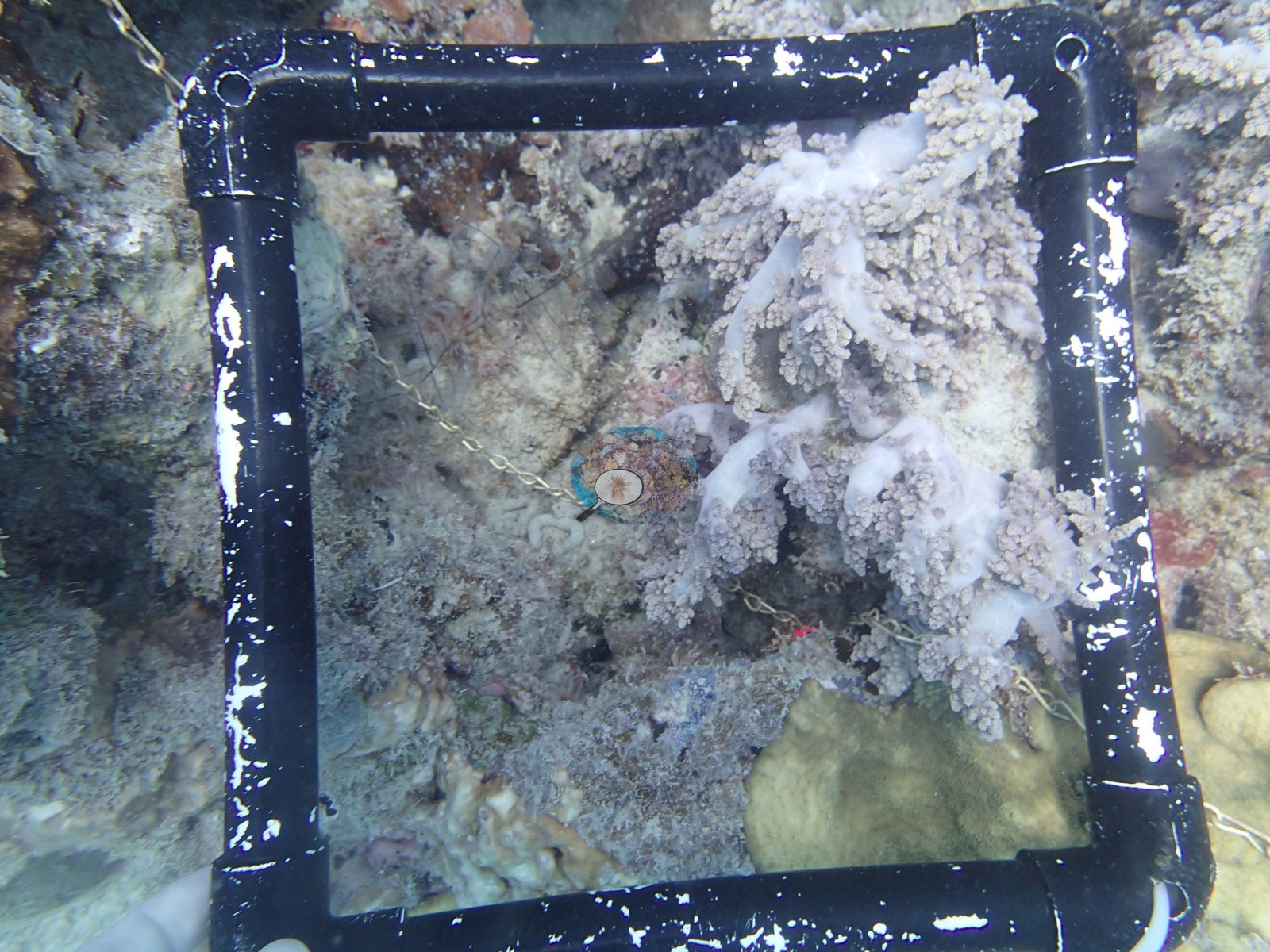
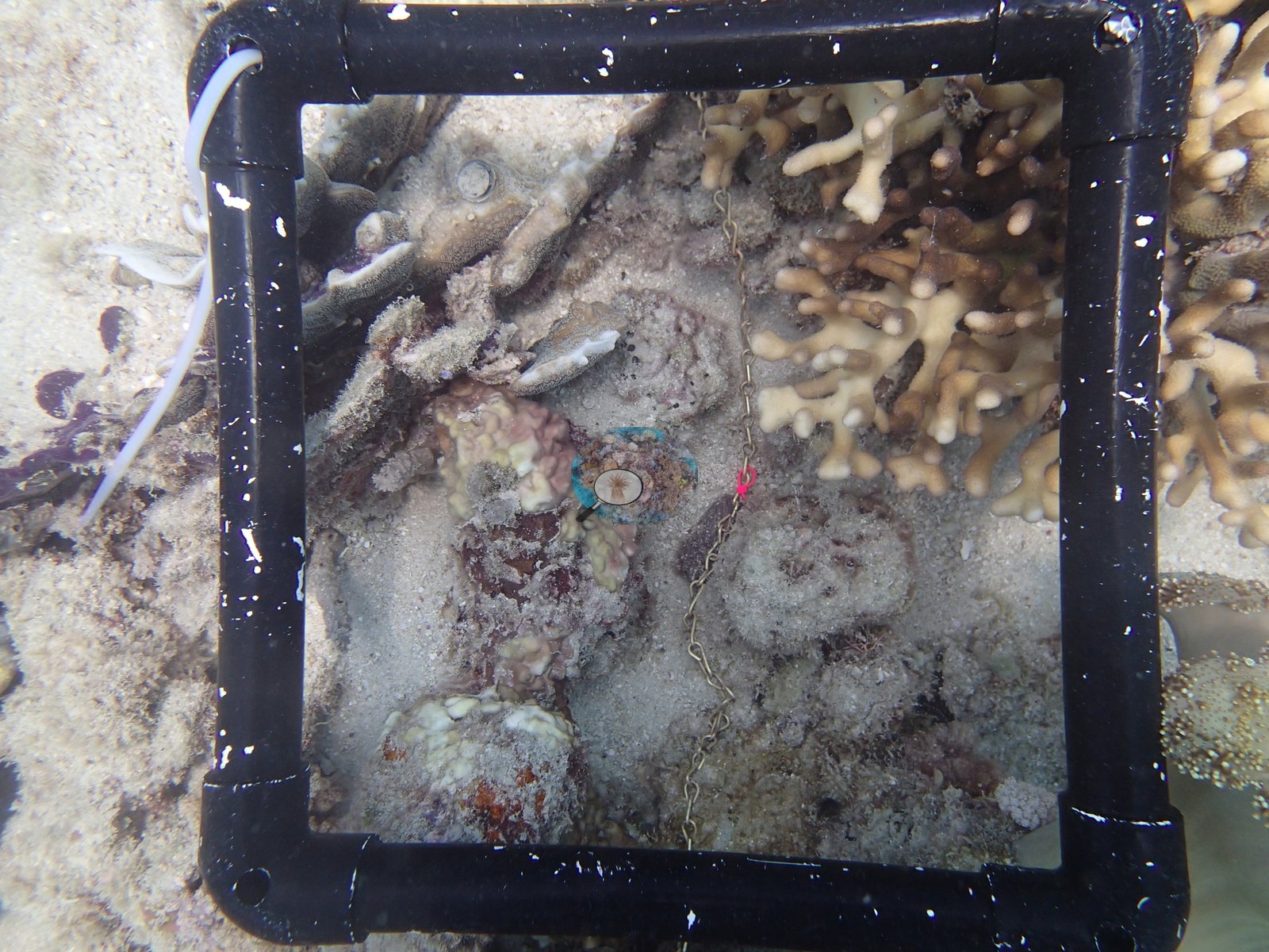
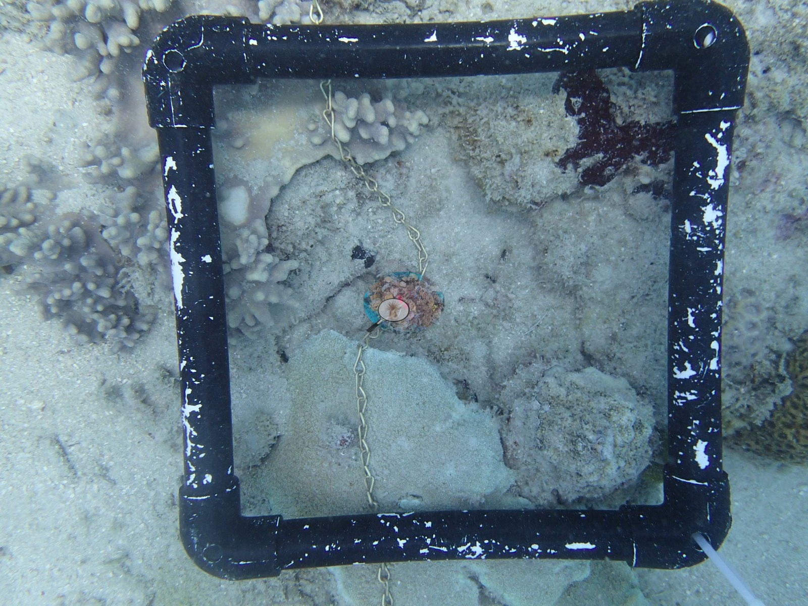
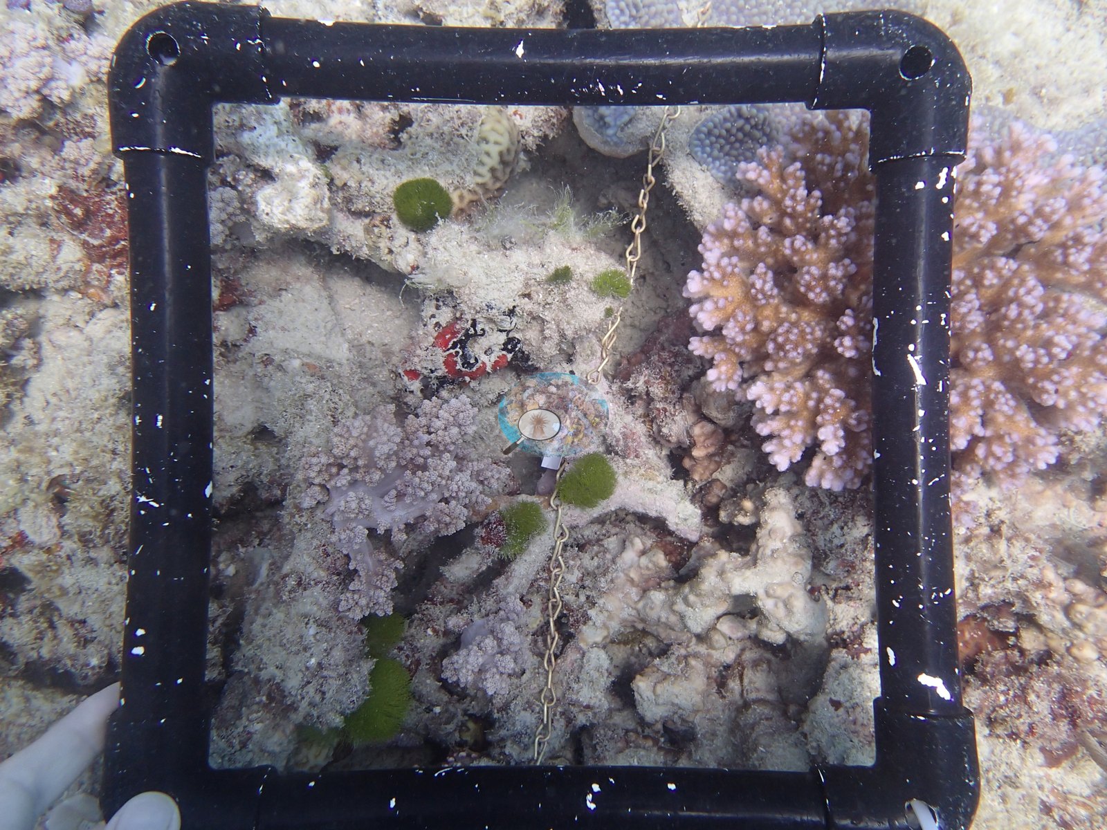
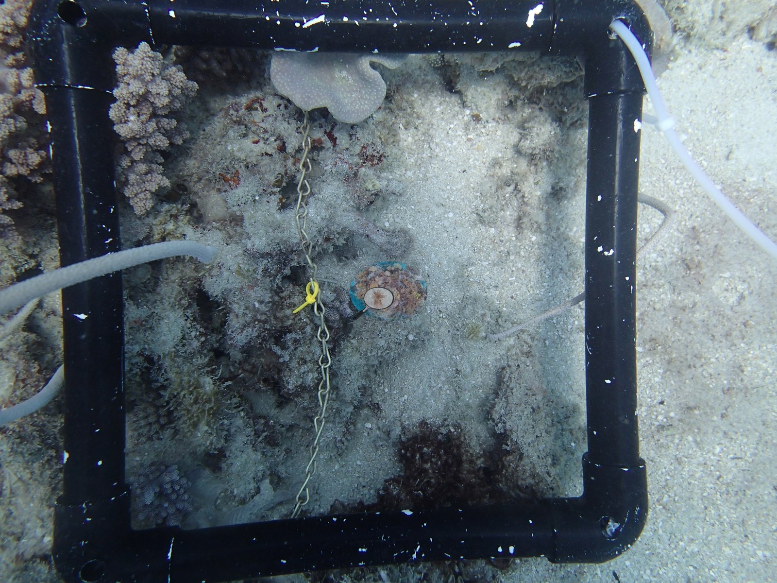
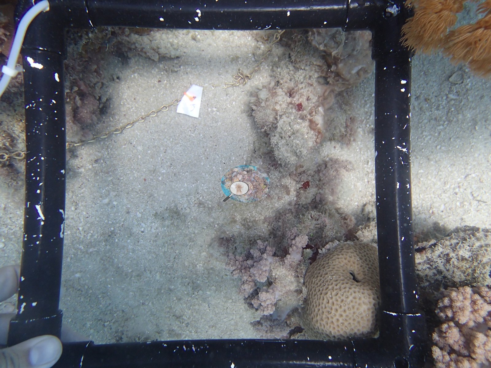
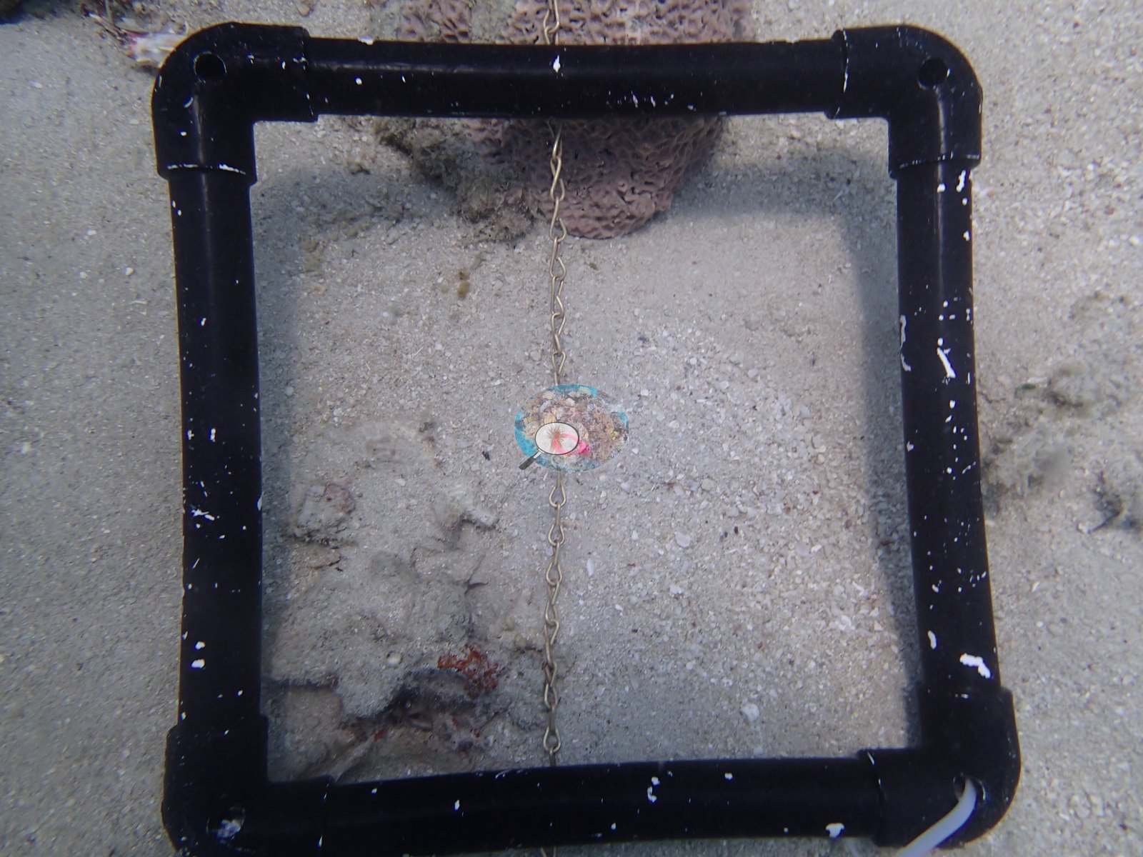
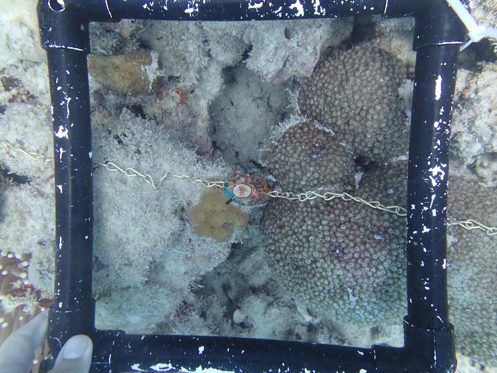
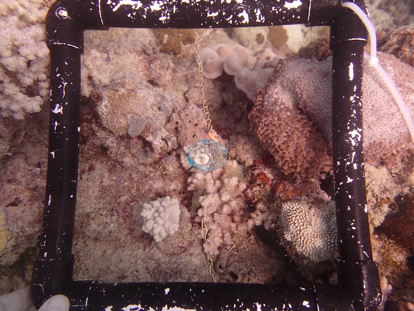
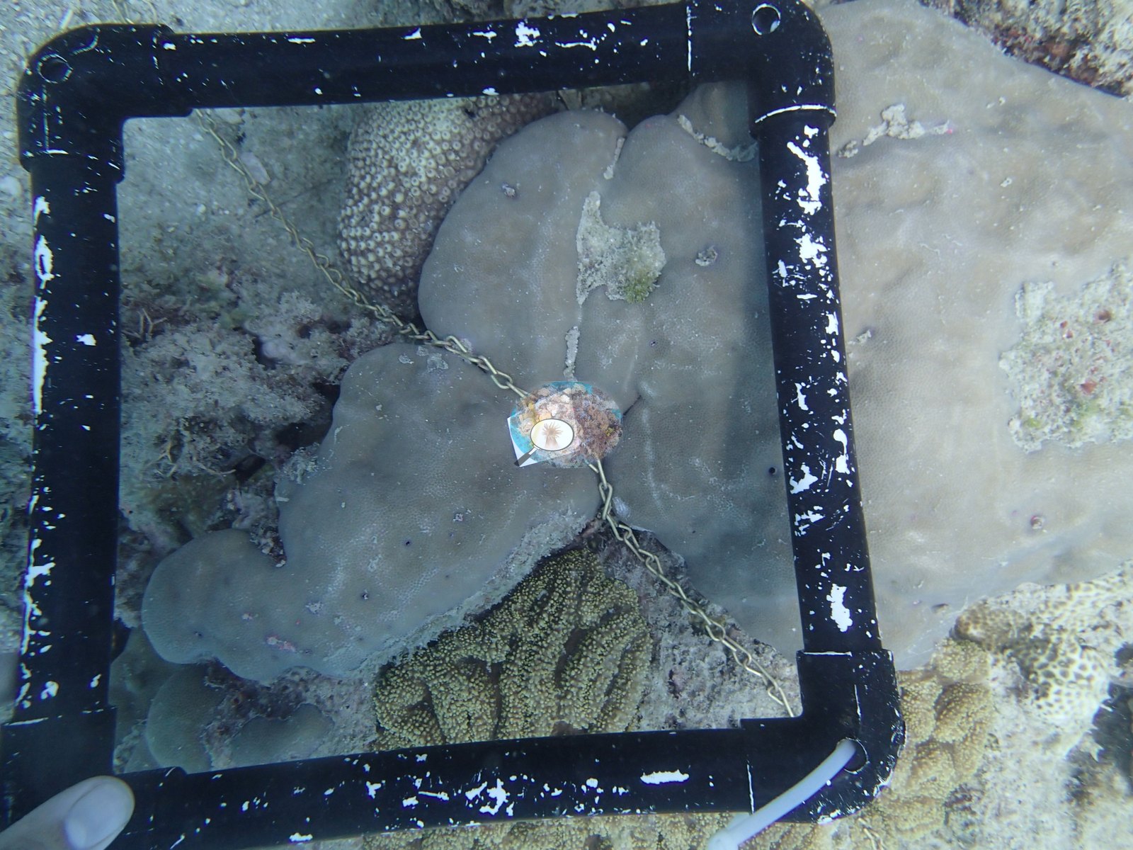
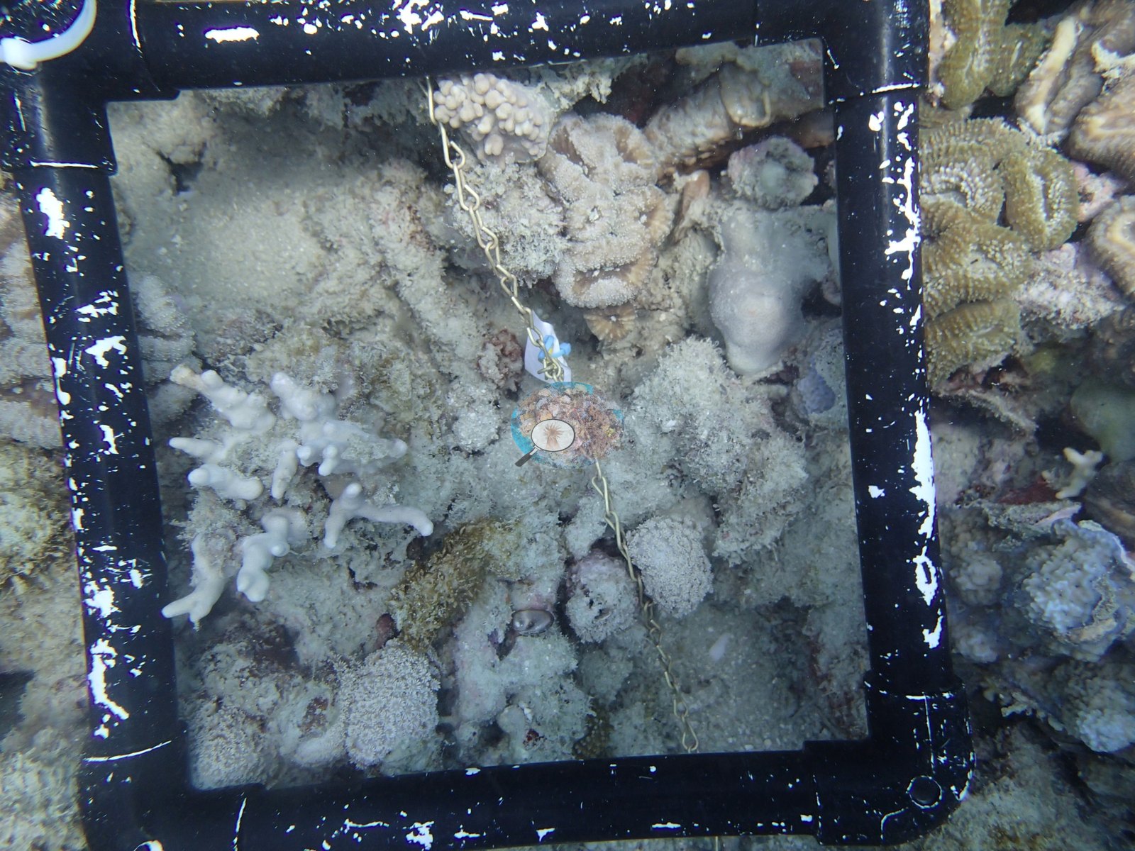
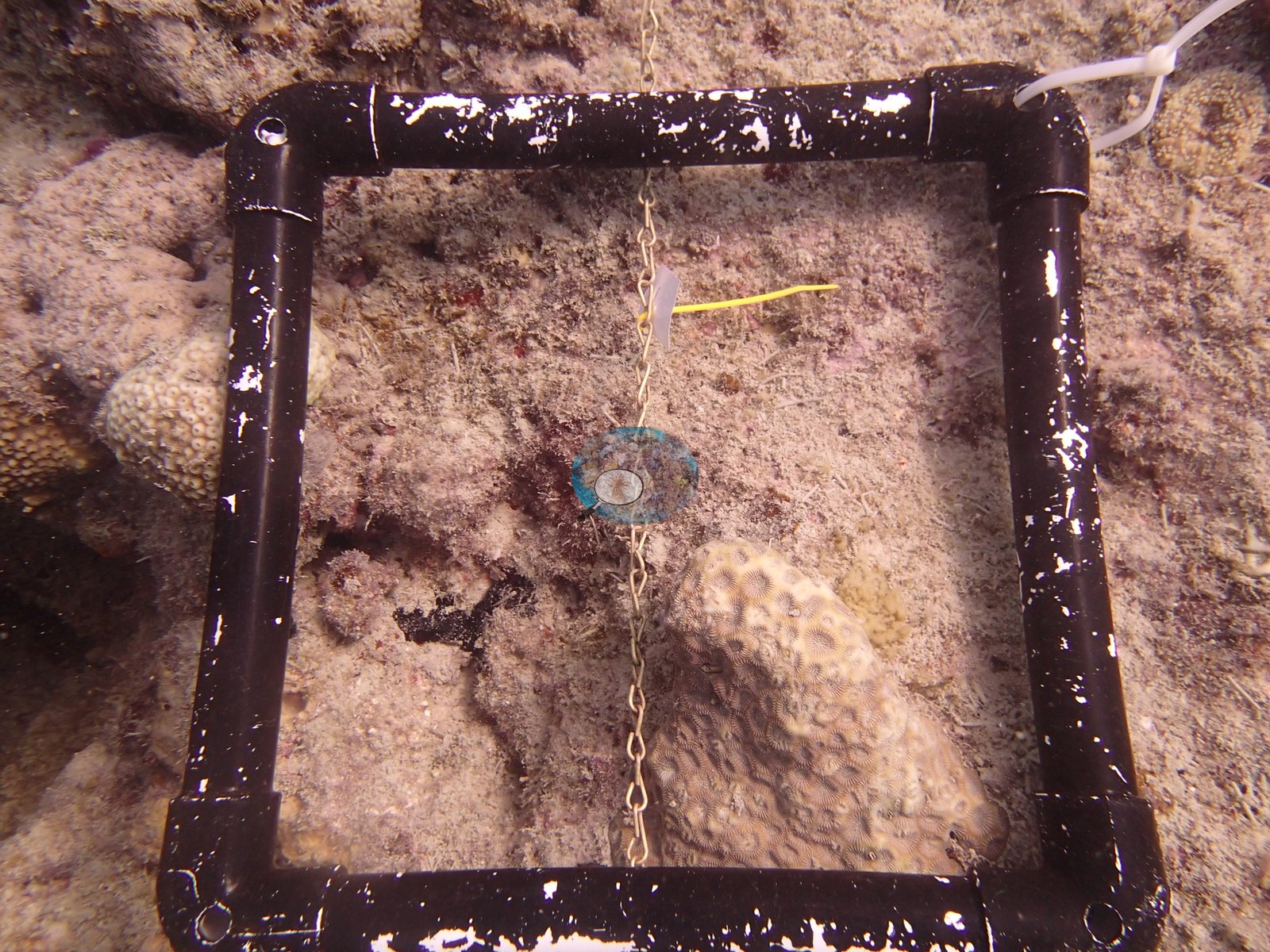
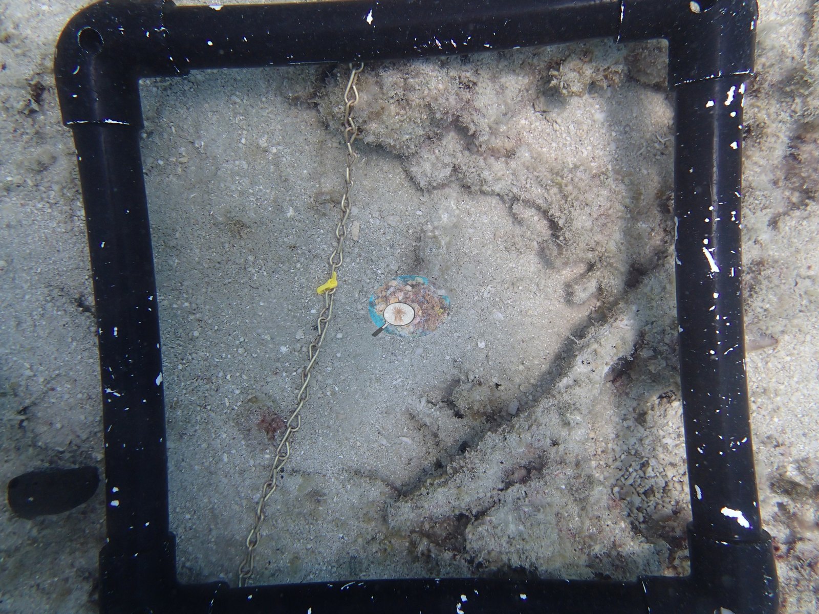
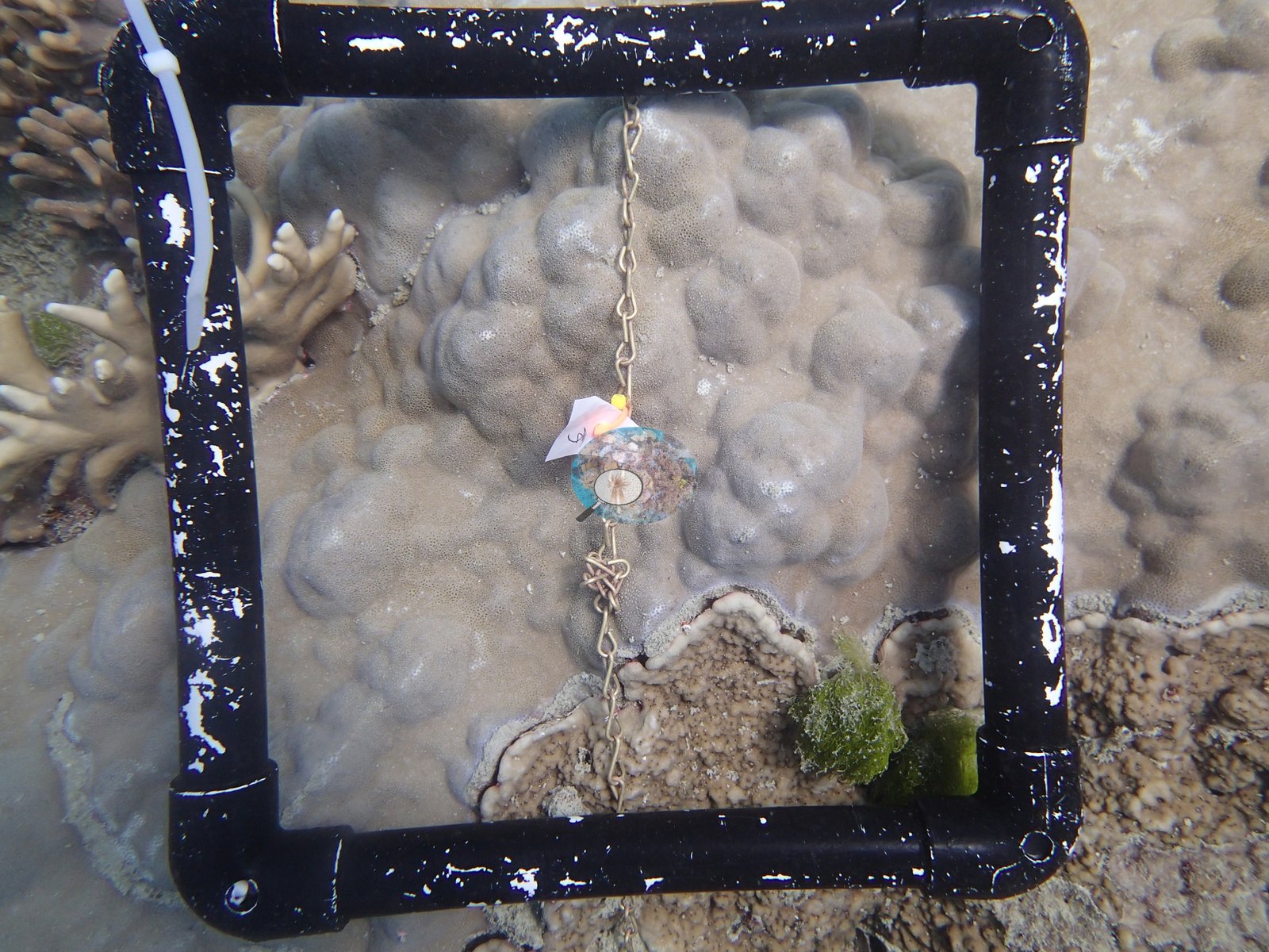
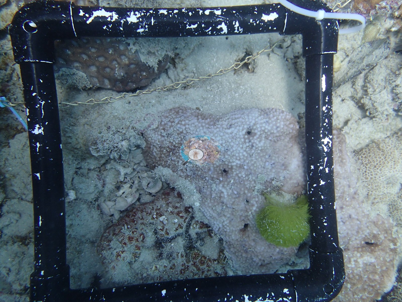
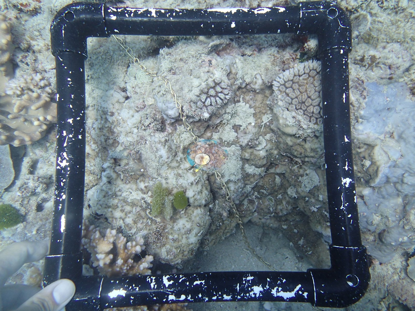
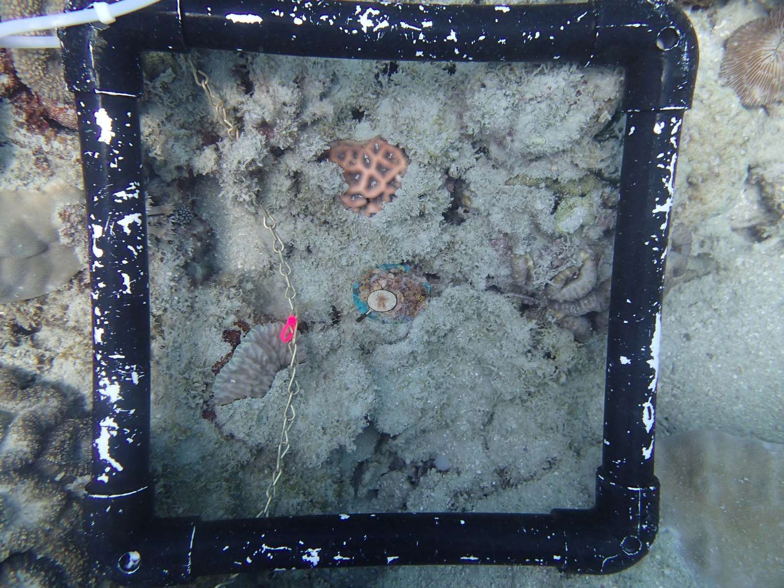
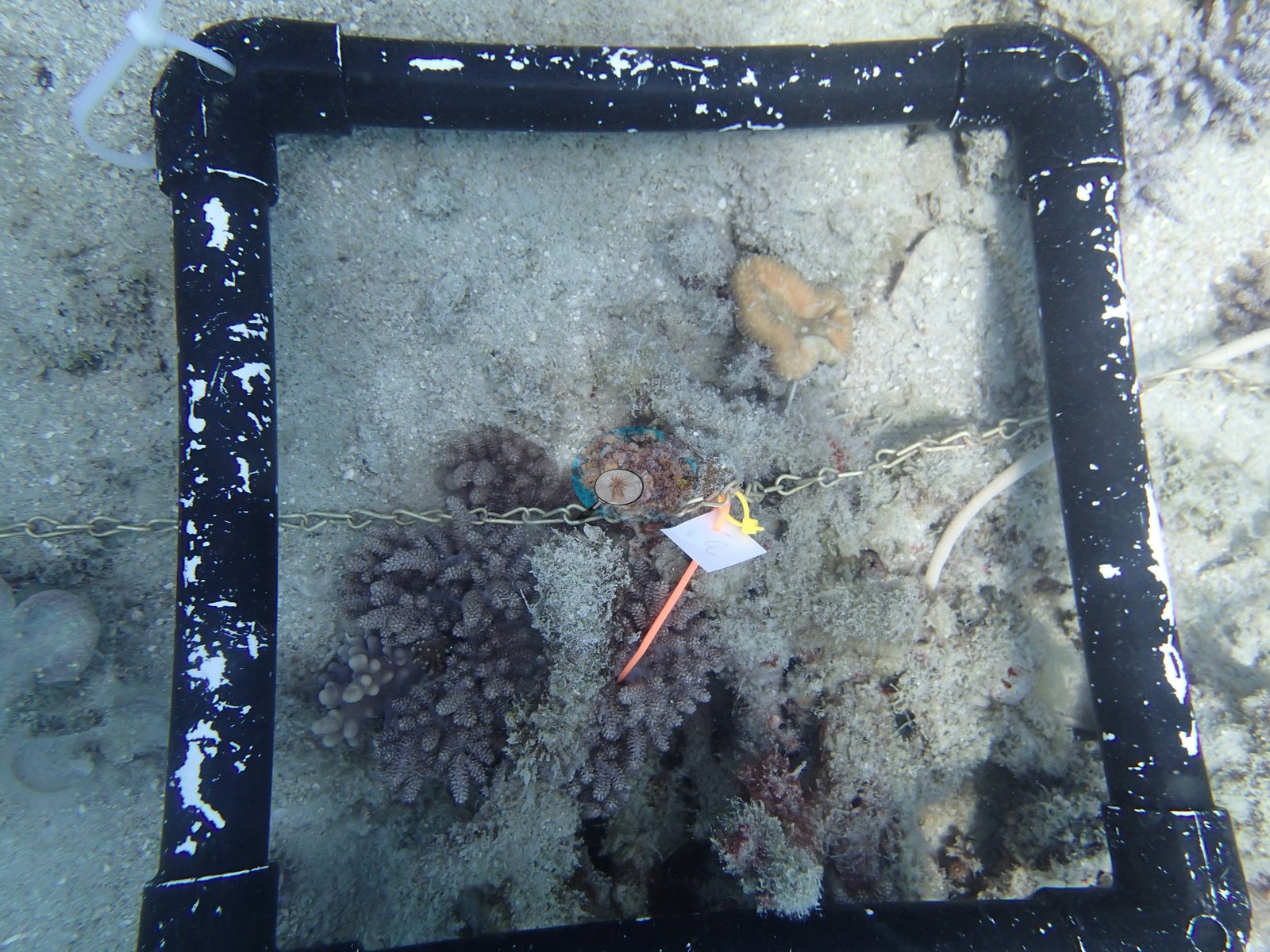
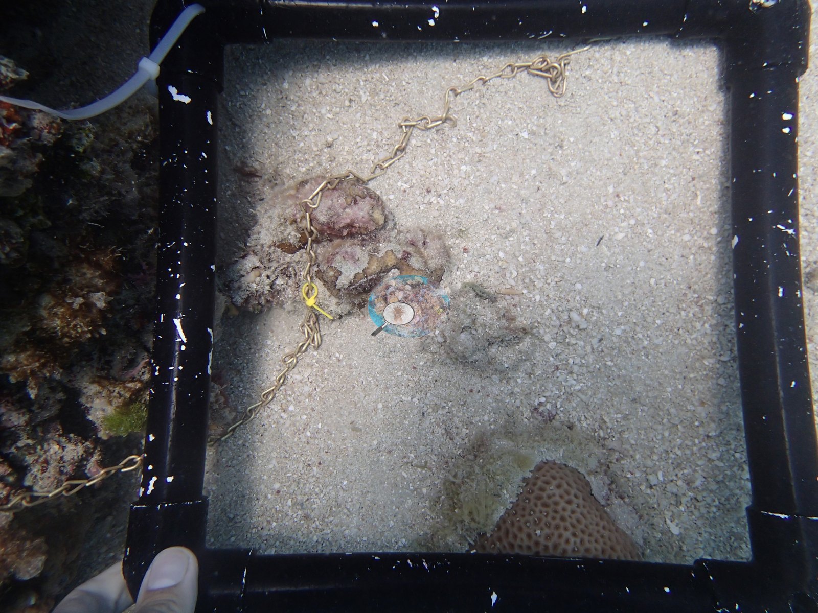
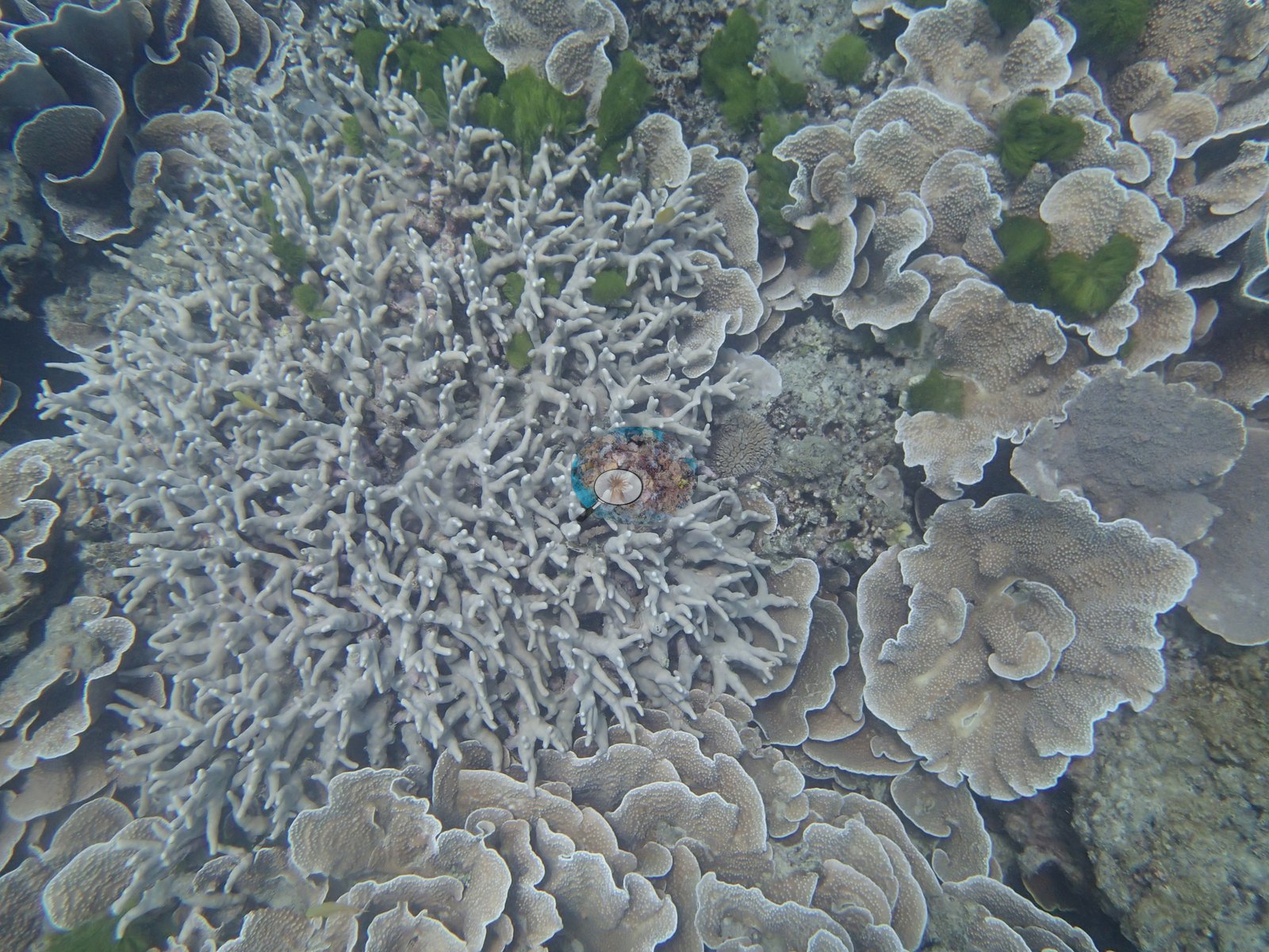
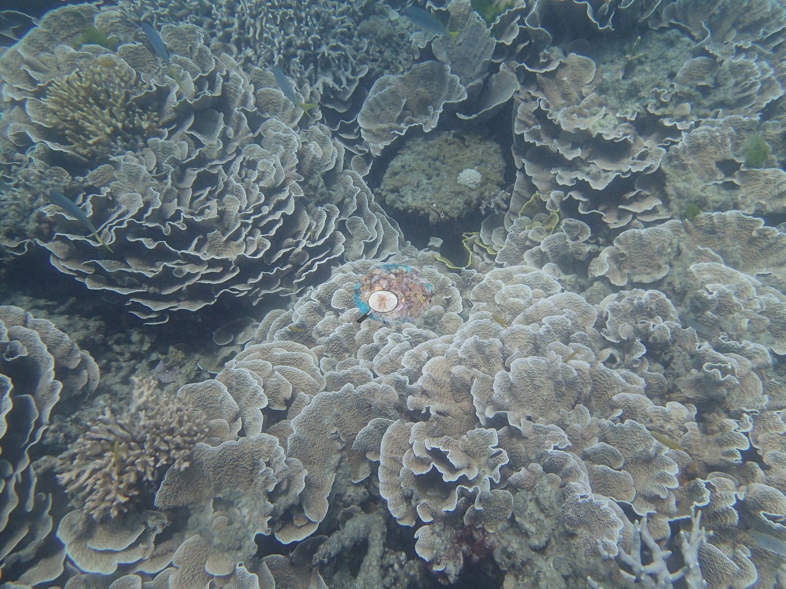
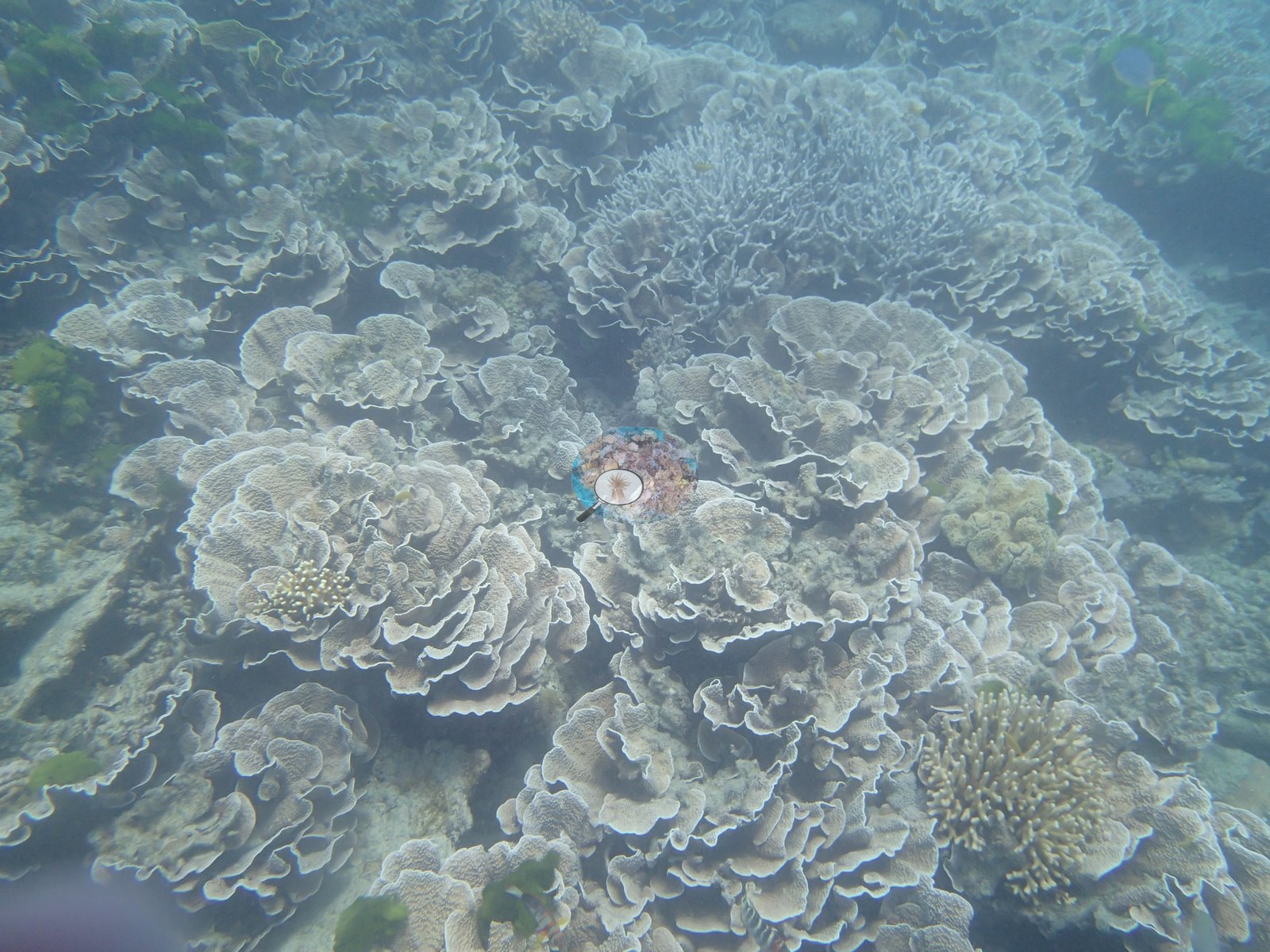
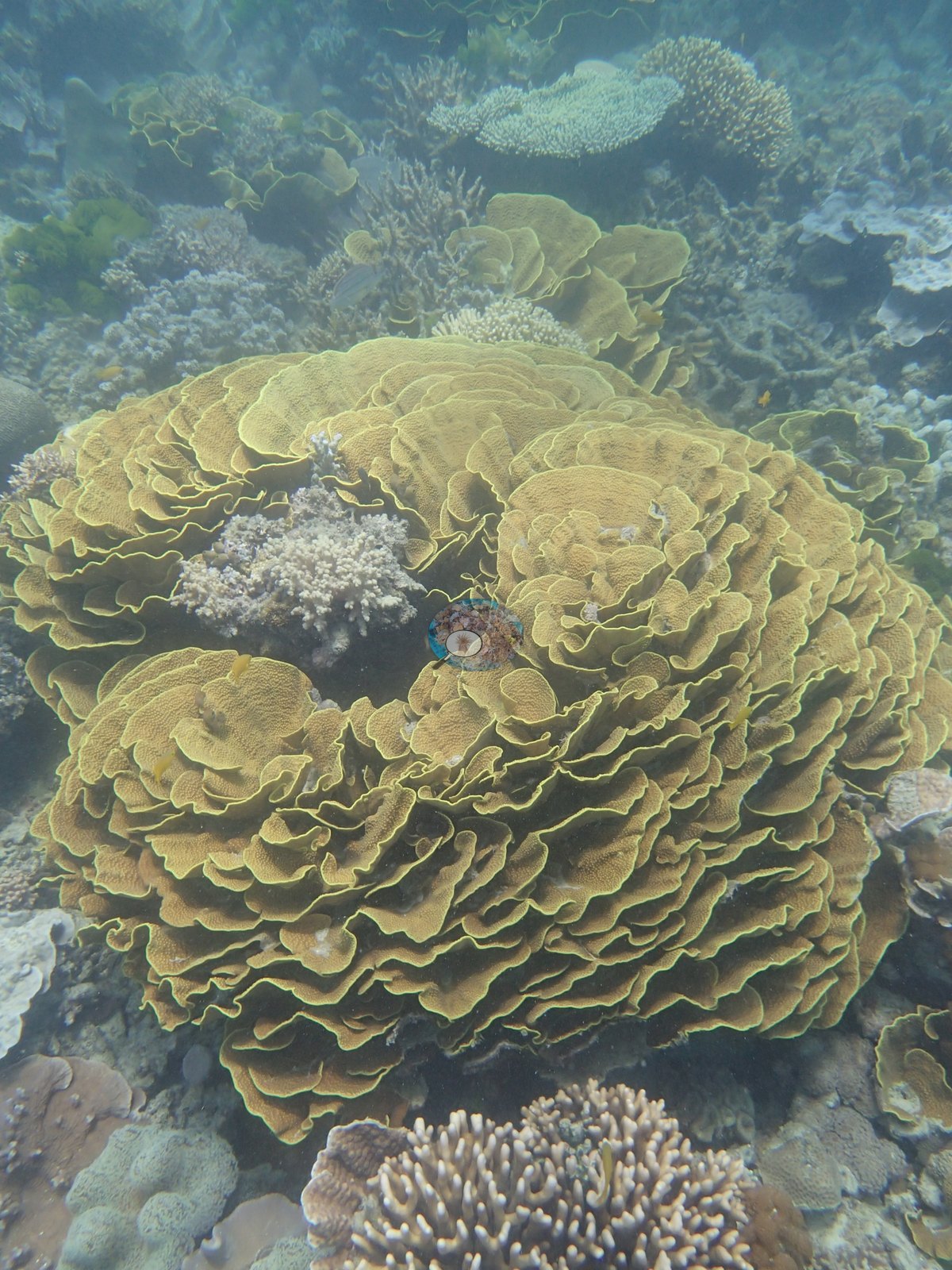
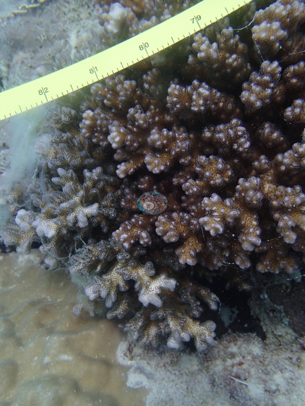
Between the quadrats, the wide and mid-range frames show fields of pale, cabbage-like whorled plates (e.g., Image 17, Image 20, Image 30, Image 54), a large yellow-green convoluted foliose colony well over a meter across (e.g., Image 24), a ruffled foliose mound (e.g., Image 16), meandroid plating colonies beside soft corals (e.g., Image 11, Image 27), and discrete branching bushes on sand (e.g., Image 35, Image 56); a measuring tape is laid against a brown branching colony in Image 59.
Alongside the hard coral already reported for this site, the same transects recorded 1.7% turf and 0.3% macroalgae. Non-living substrate came to 7.0% rubble and 13% sand. These figures come from the expedition's own 933-site benthic master and are survey results, not photographic estimates.
Coral cover
- Reference: Khaled bin Sultan Living Oceans Foundation, Global Reef Expedition (in situ transect)
- Deeper transects at 8-10 m were quieter (Anderson's by-eye estimates of 10-30%; the point counts returned 46%), built from a mix of Lobophyllia, Galaxea, massive Porites, Acropora, and soft corals.
- Transect mean 46 ± 11% SE (n = 3 transects; Living Oceans Foundation per-transect benthic data); the headline above is the expedition's station value.
Stressors
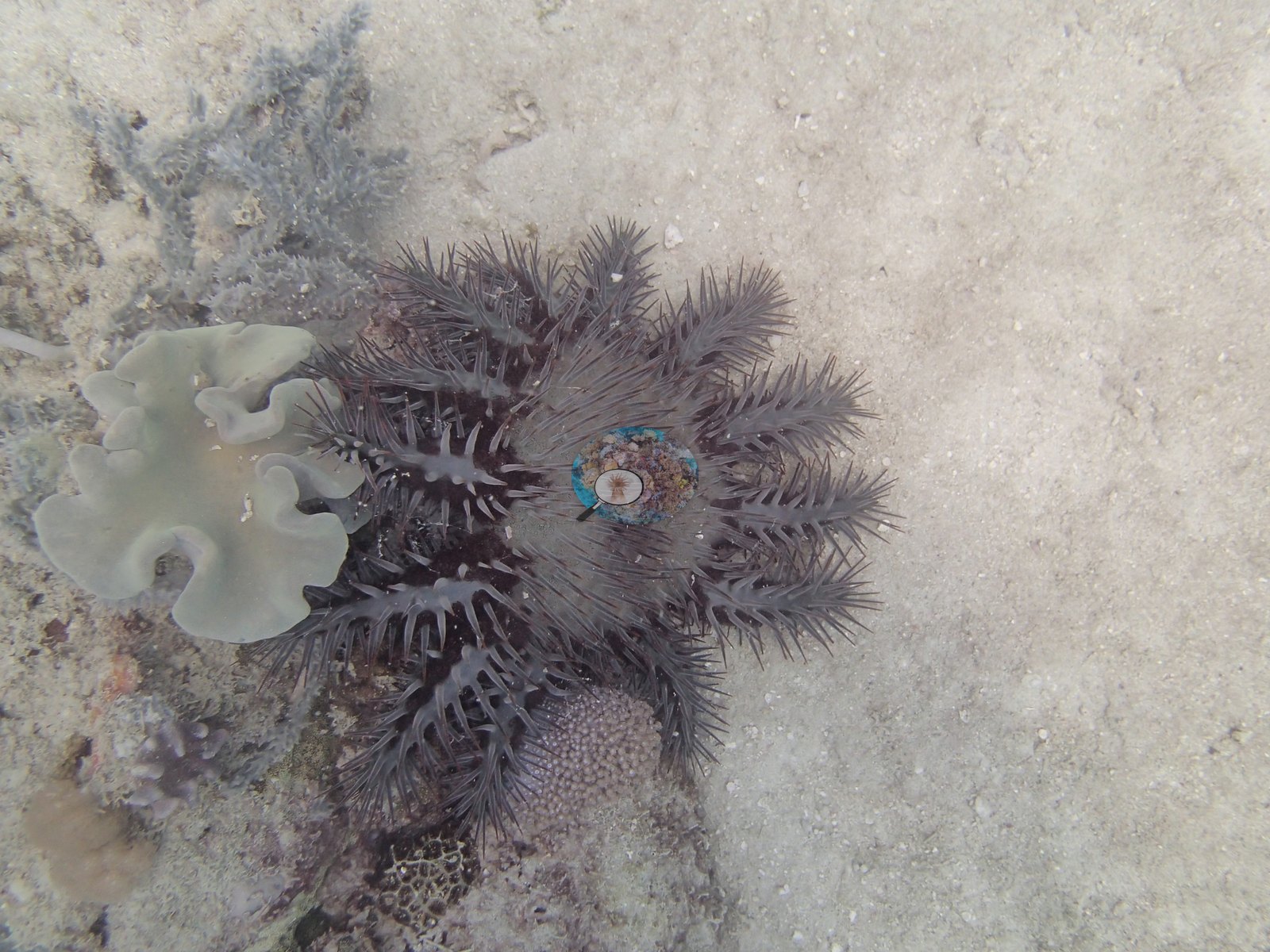
Anderson's notes for this dive do not mention coral bleaching or disease and list no crown-of-thorns starfish, but one frame from the start of the dive shows a crown-of-thorns starfish on open sand beside a pale soft coral (e.g., Image 43).
Fish and other fauna
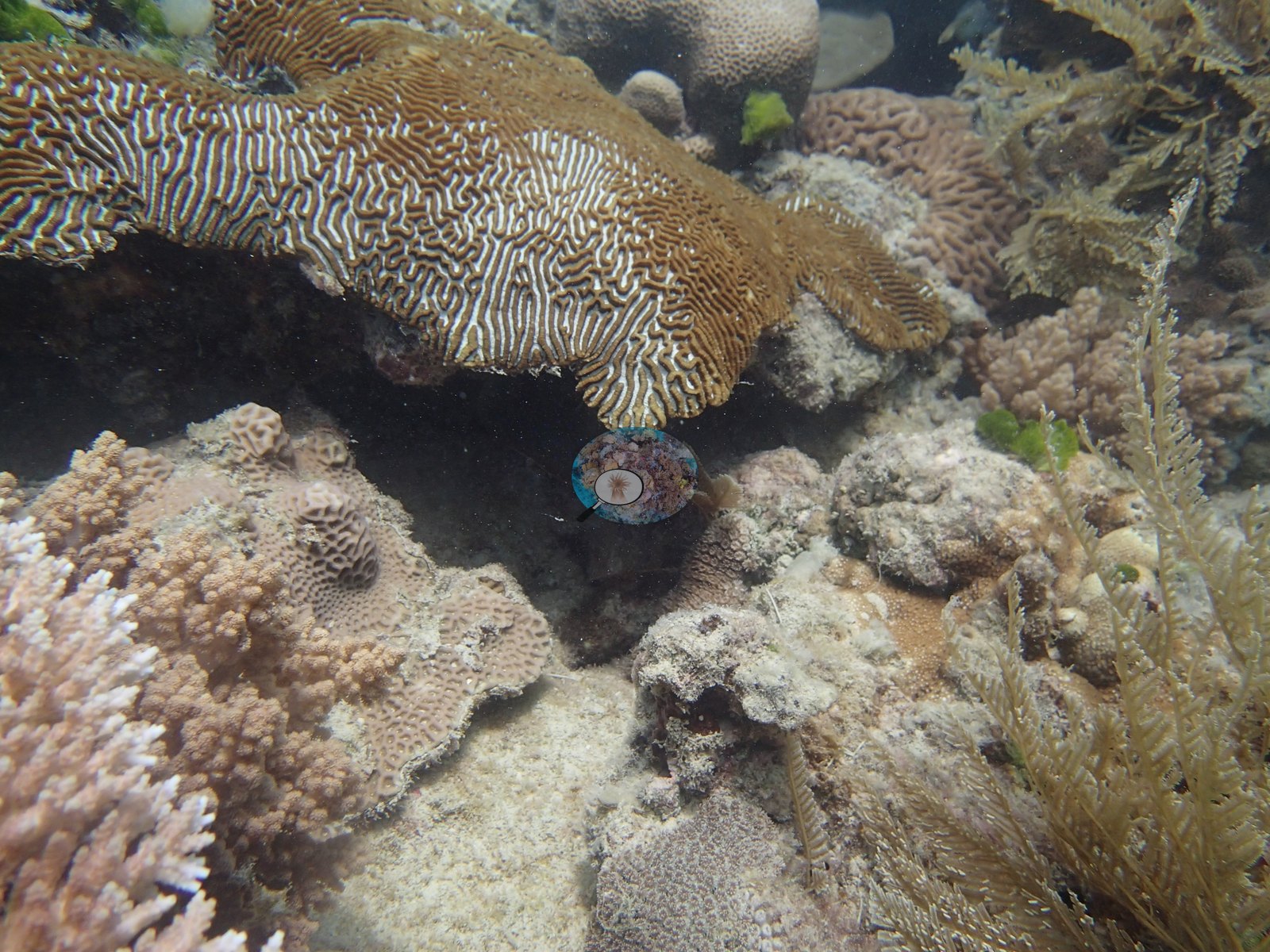
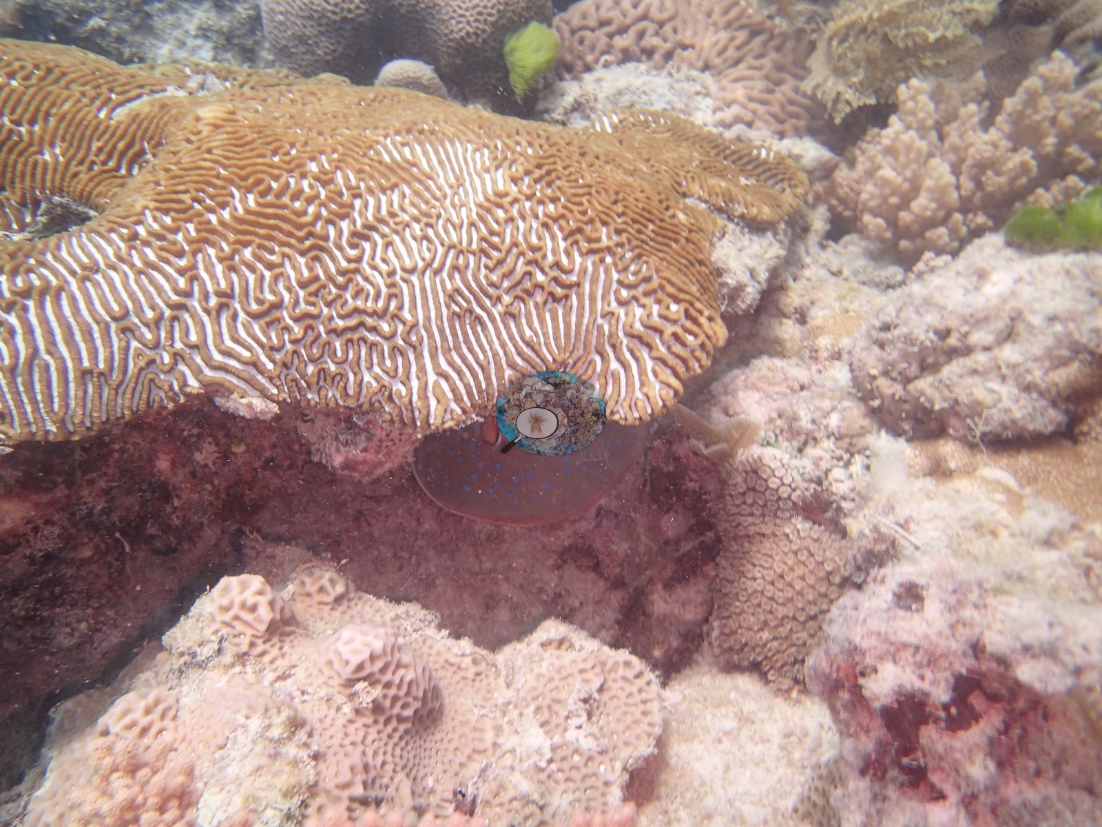
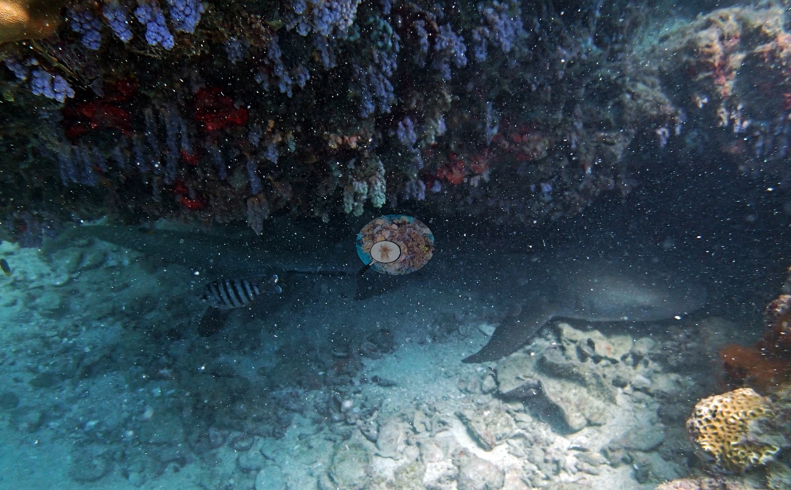
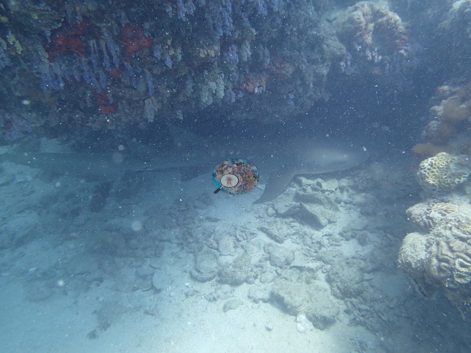
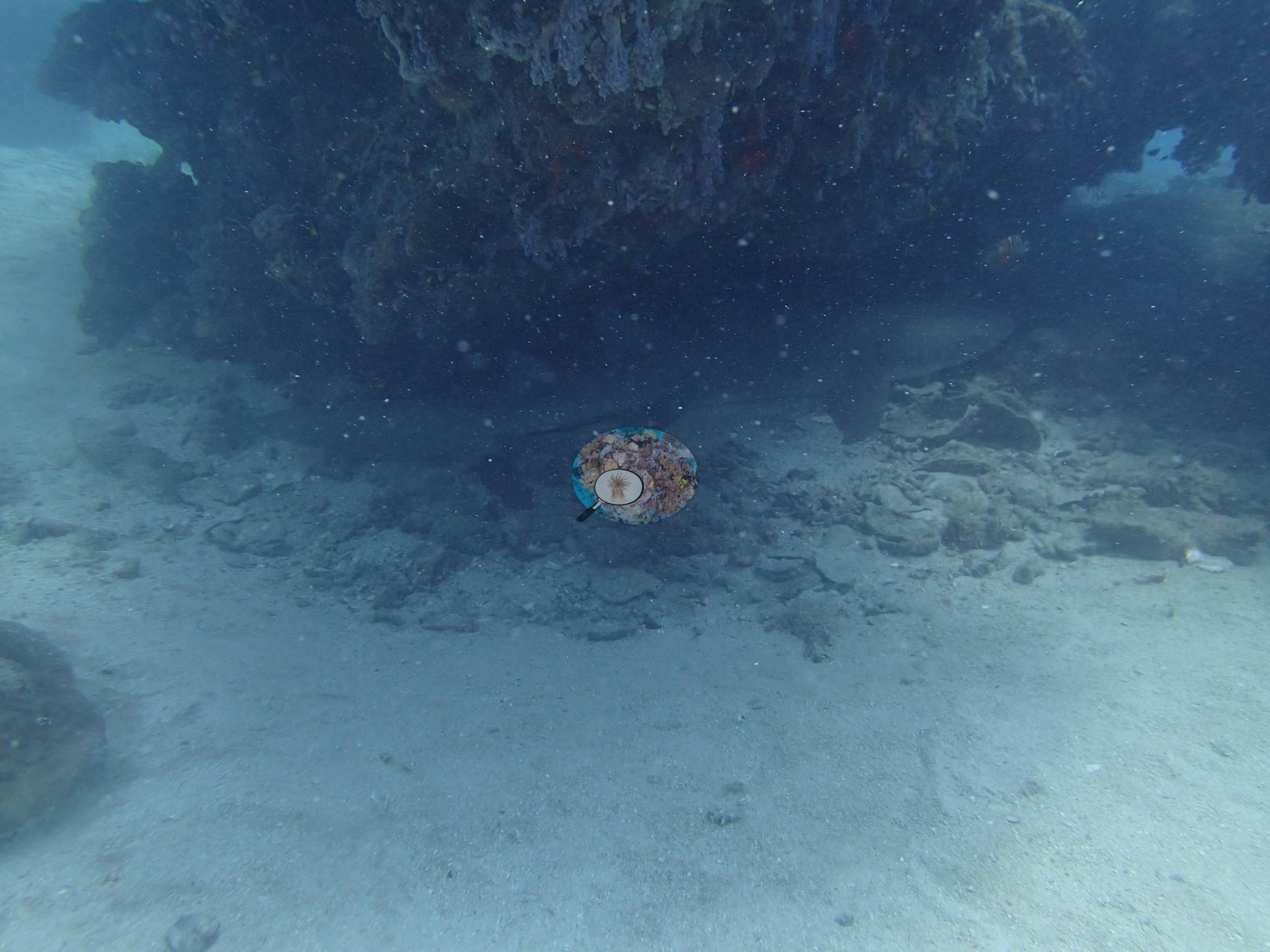
Fish life stood out as unusually healthy and abundant here, with a nurse shark and a stingray among the notable sightings. Two frames look under a ledge whose roof is hung with blue-purple and red encrusting growths, with a shark resting on the sand beneath it, consistent with the nurse shark in his notes (e.g., Image 1, Image 12); Image 18 shows the same ledge.
Paired fish transects recorded about 29 fish species per transect and about 19 kg per 100 m2 of biomass.
Comparisons with other data
No prior survey data from this site. If you would like to share yours, please email us.
CV model comparison
More info
The photo row below is a methods comparison only: it is never averaged with the transect and never used as the headline. It compares site means only: the photos come from the same survey dive as the transect but not from the same points.| Method | Hard-coral cover (%) | Photos (n) ± SE |
|---|---|---|
| Transect (published) | 45.7 | |
| CoralSCOP unedited | 29.6 | n = 20 · SE 3.1 |
| Claude | 29.7 | n = 20 · SE 4.6 |
The two computer-vision methods agree within 0.1 pp (30%) and read 16.0–16.1 pp below the in-water transect (46%); the headline is the in-water transect because a diver transect is independent of the photographs.
Data & links
- Download benthic survey data (CSV) ↗
- Download all LOF-GRE data (933 sites) ↗
- Photo portfolio ↗
- Coral Reef Diagnostics country page ↗
All images from Coral Reef Diagnostics. Data are from the Khaled bin Sultan Living Oceans Foundation Global Reef Expedition and Coral Reef Diagnostics.
 © Coral Reef Diagnostics.