

Part of the regional summaries: Australia (GBR) - Far North: Pink stations (Preservation Zone reefs) and Australia (GBR)
More info
Far Northern GBR (NOAA CRW virtual station)In Anderson's notes, a highly rugose reef: a steep Pearson Reef slope with coral to about 20 m and a lone bommie at 22-23 m, at a striking 65% cover. Massive and branching Porites, huge sheets of encrusting Montipora, and giant Diploastrea host many damselfish nests, and the trip's first scorpionfish was seen, but needle coral was "still" looking unwell. Surveyed on the Living Oceans Foundation's Global Reef Expedition.
One independent survey station shown with the program’s logo — click one to see how far it is from this site.
Five other CRD dive sites within 5 km shown in orange — click a marker to open its page.
🗺 Detailed map of the Global Reef Expedition dive sites, Pearson and Siddons Reefs, northern Great Barrier Reef (Khaled bin Sultan Living Oceans Foundation; opens in a new window)
7 of the 23 photographs on this page are shown beside the text that discusses them under "Site description" below.
Site description
Setting
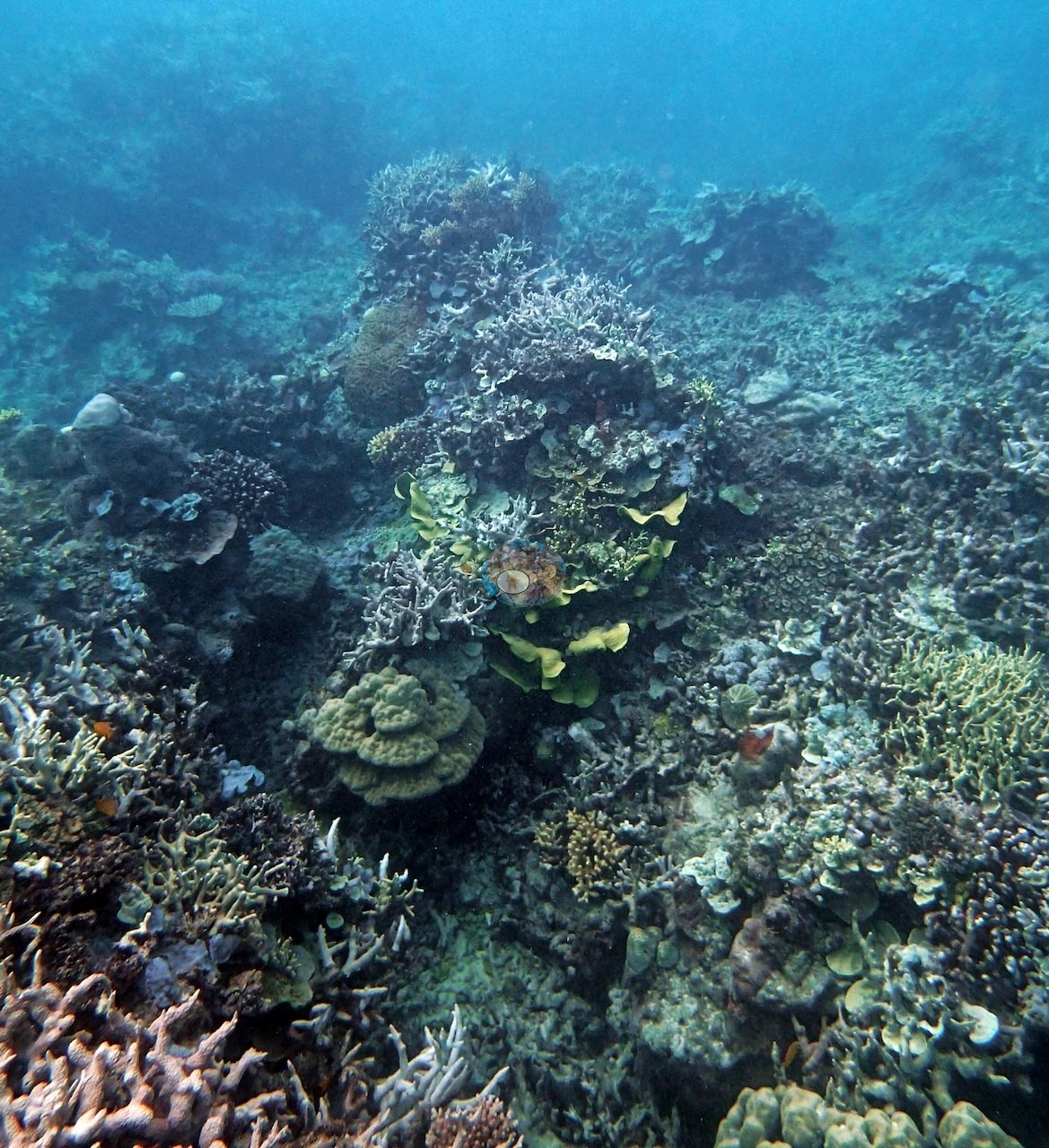
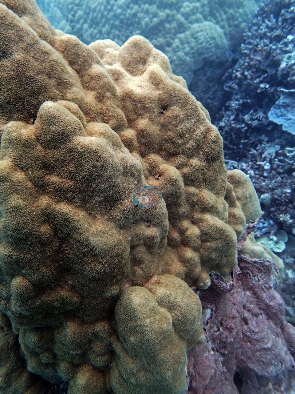
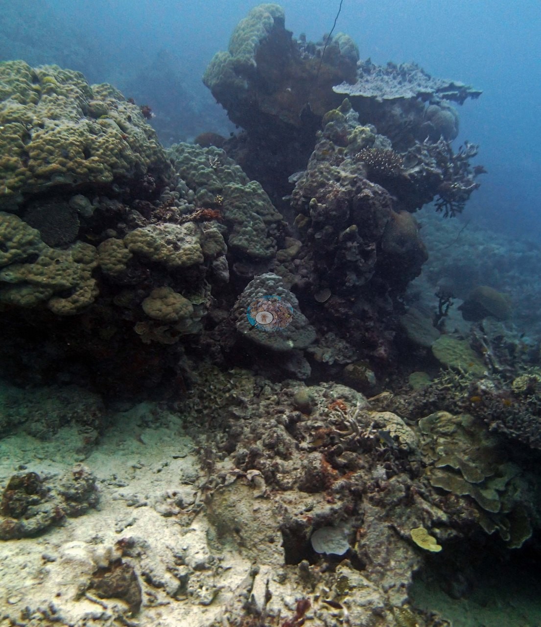
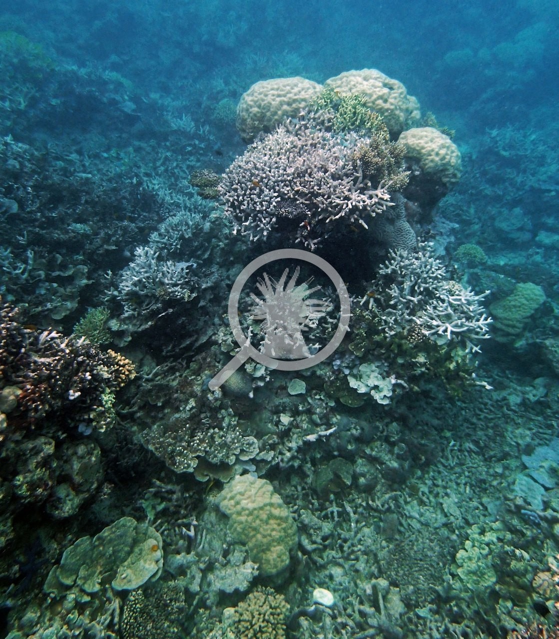
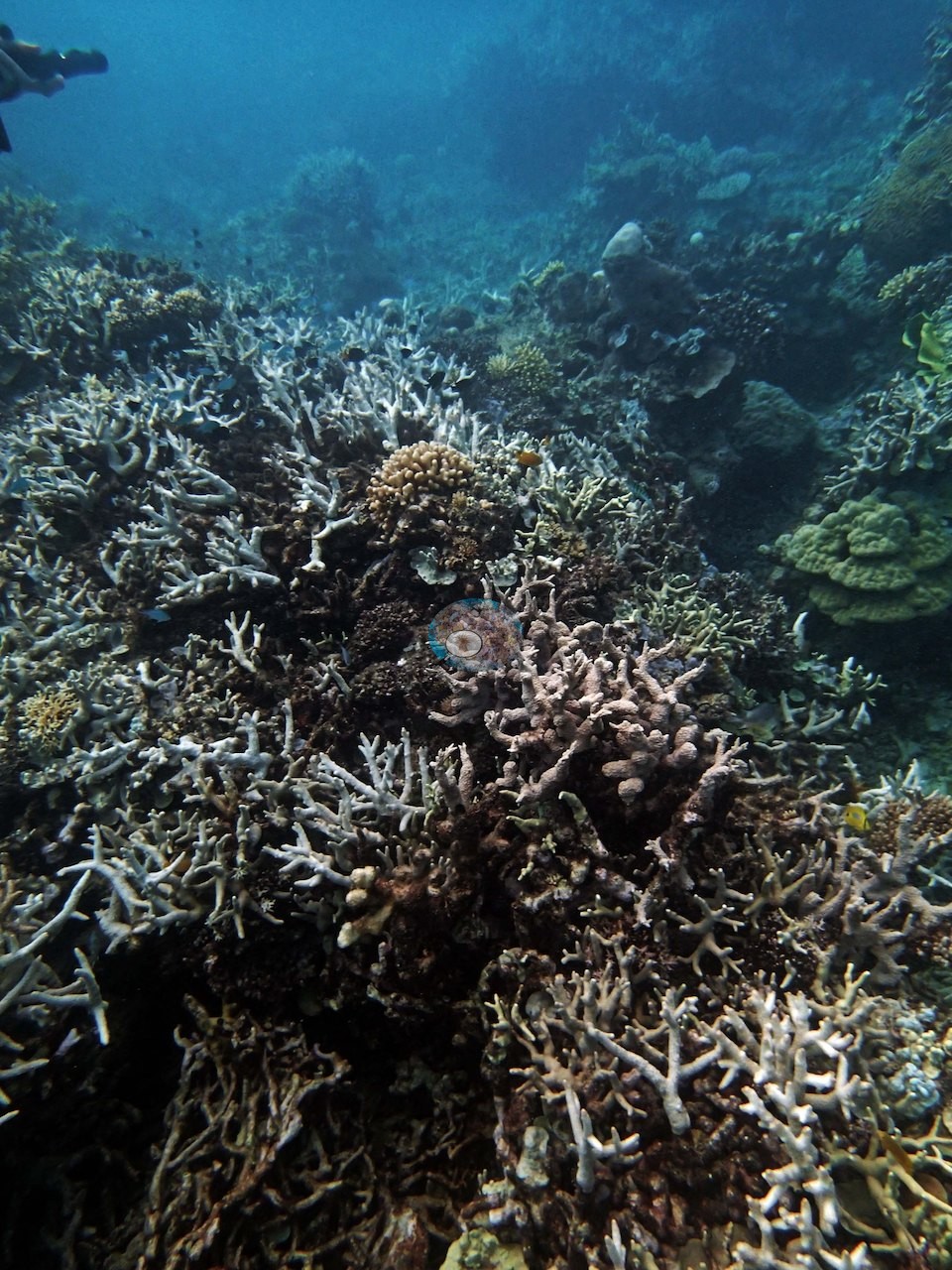
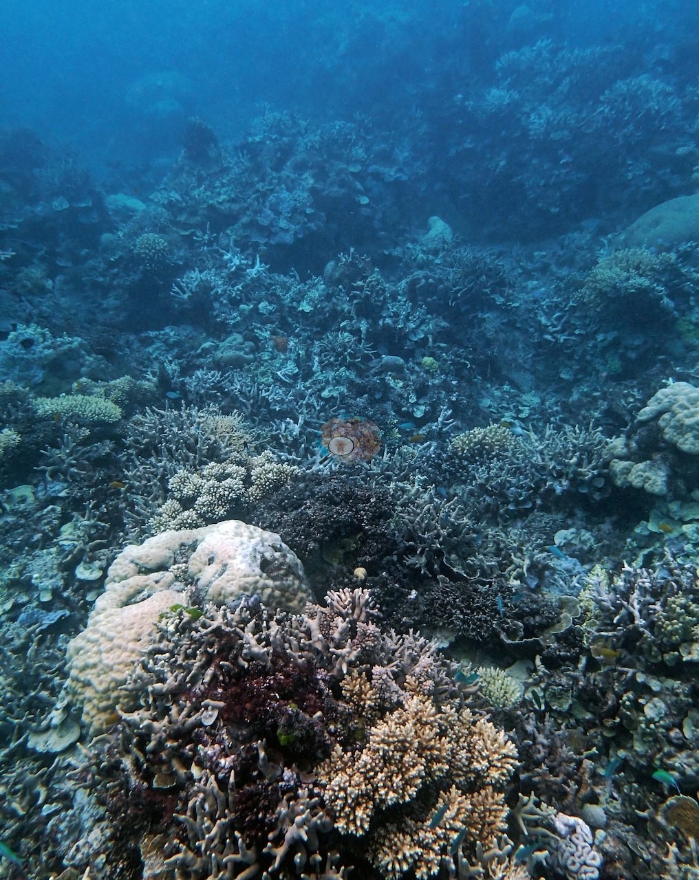
Anderson's notes describe this mid-shelf stop at Pearson Reef as highly rugose, with a steep slope carrying coral down to around 20 m and a lone bommie clinging on as deep as 22-23 m (e.g., Image 4, Image 5).
This reef falls within the GBR's most strictly protected zoning tier, closed to entry without a permit and to any take.
Coral cover
- Reference: Khaled bin Sultan Living Oceans Foundation, Global Reef Expedition (in situ transect)
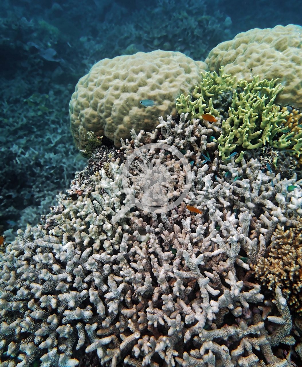
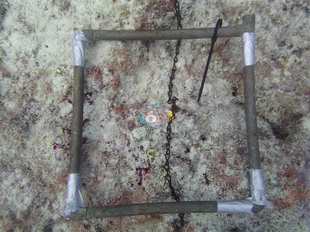
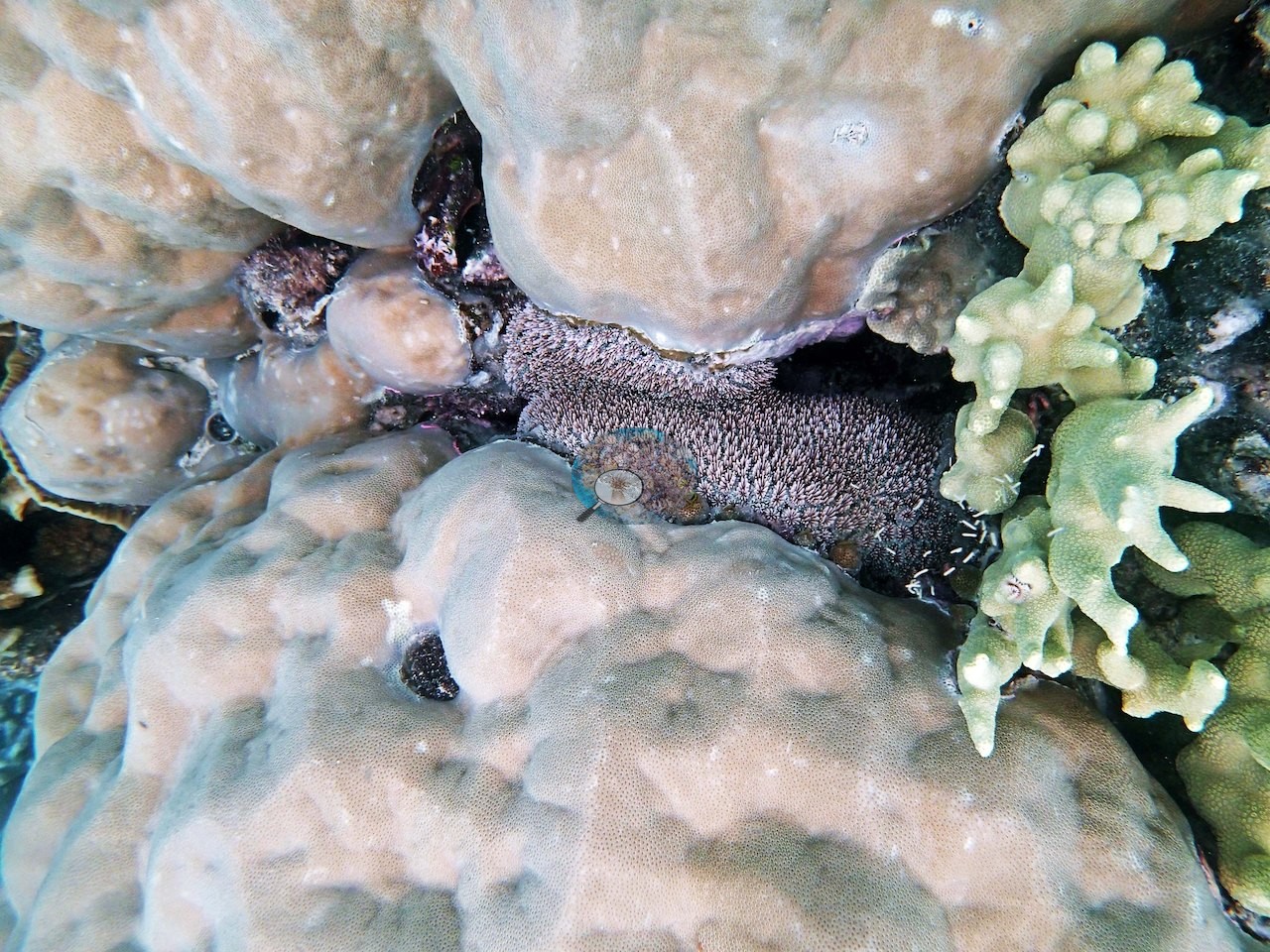
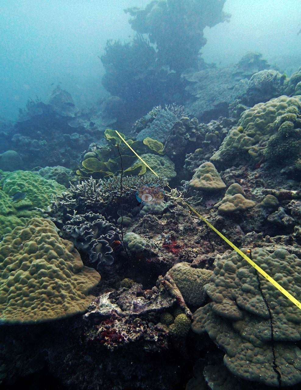
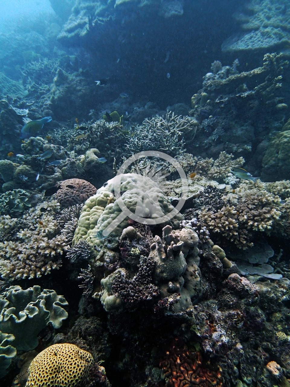
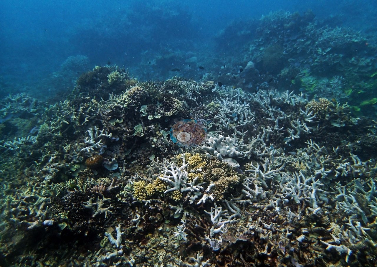
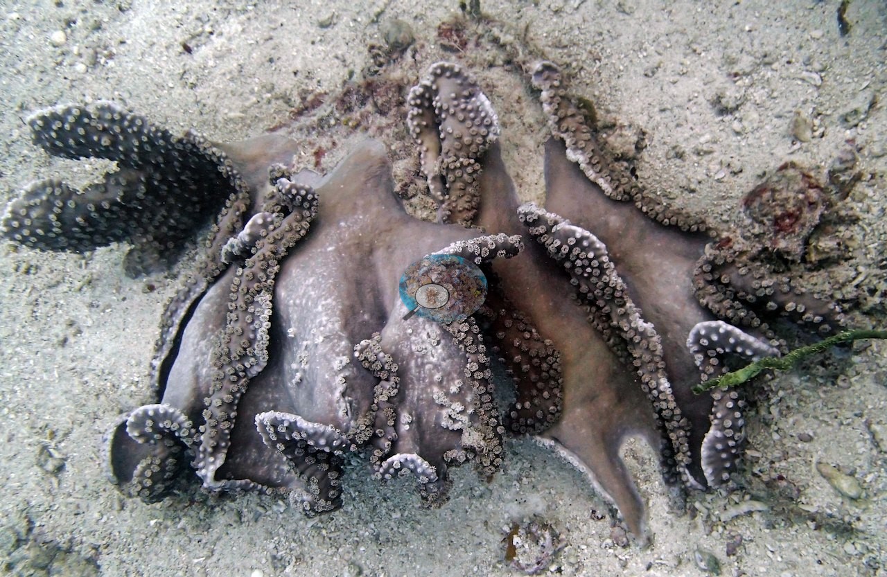
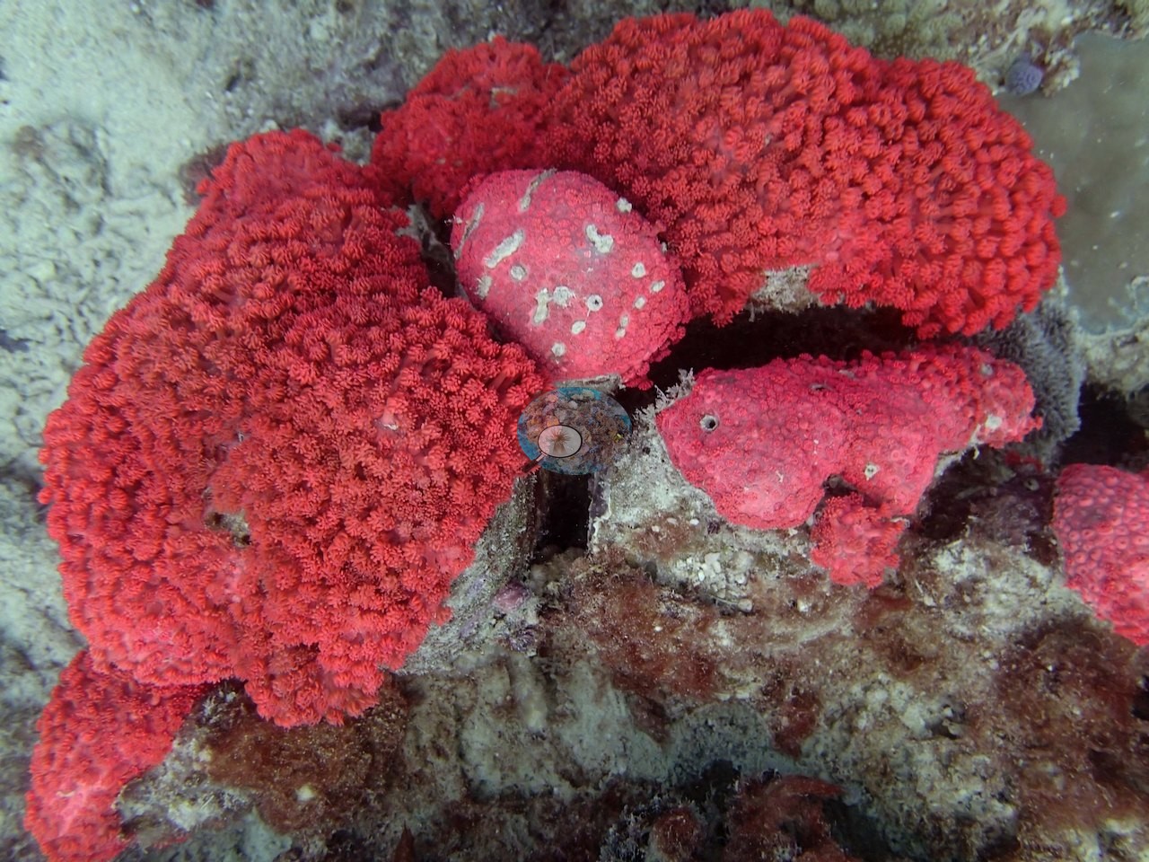
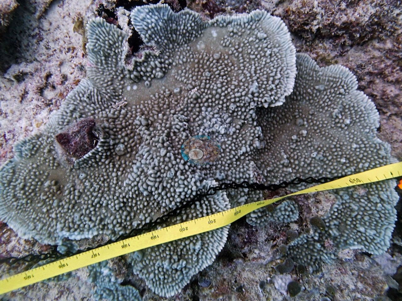
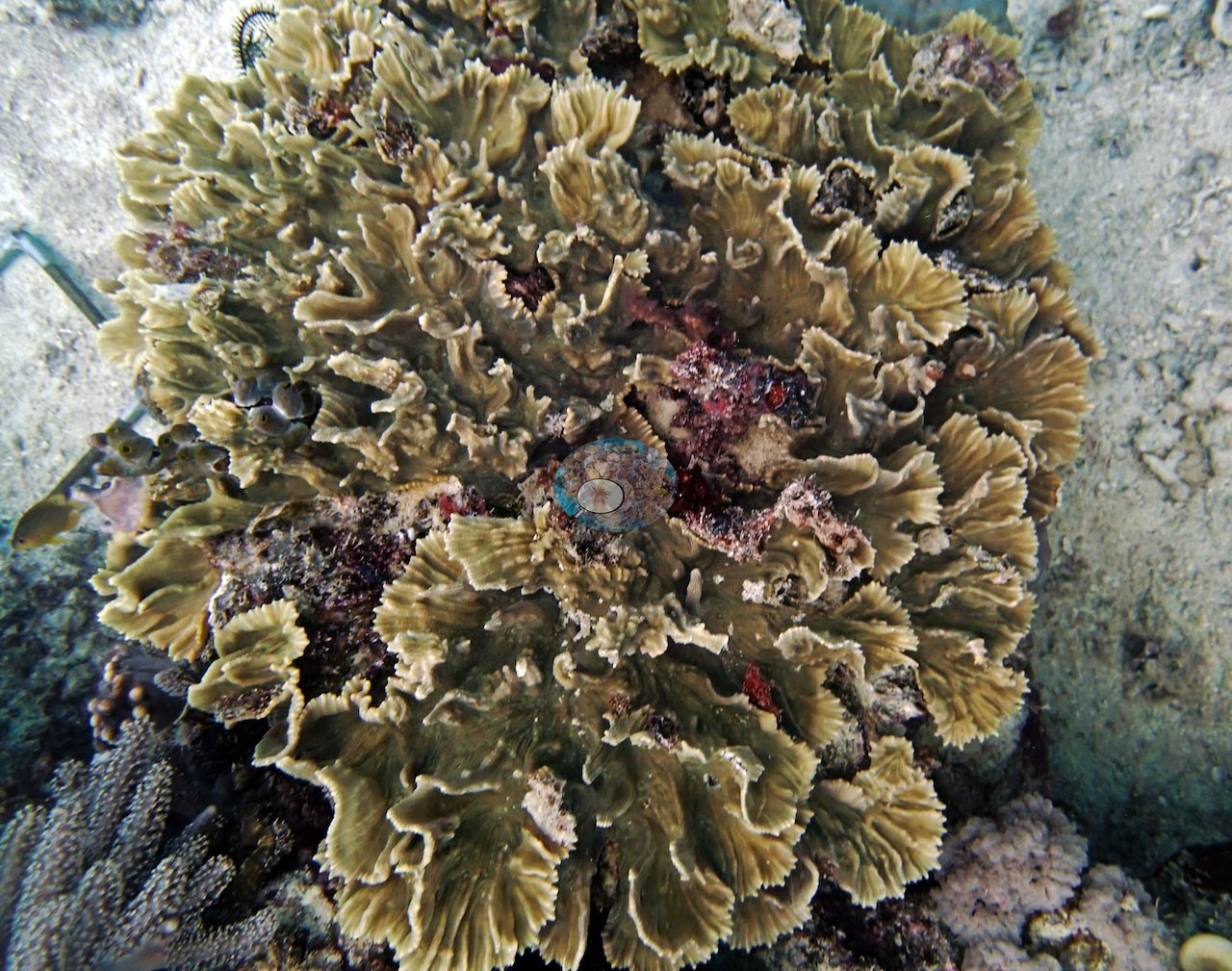
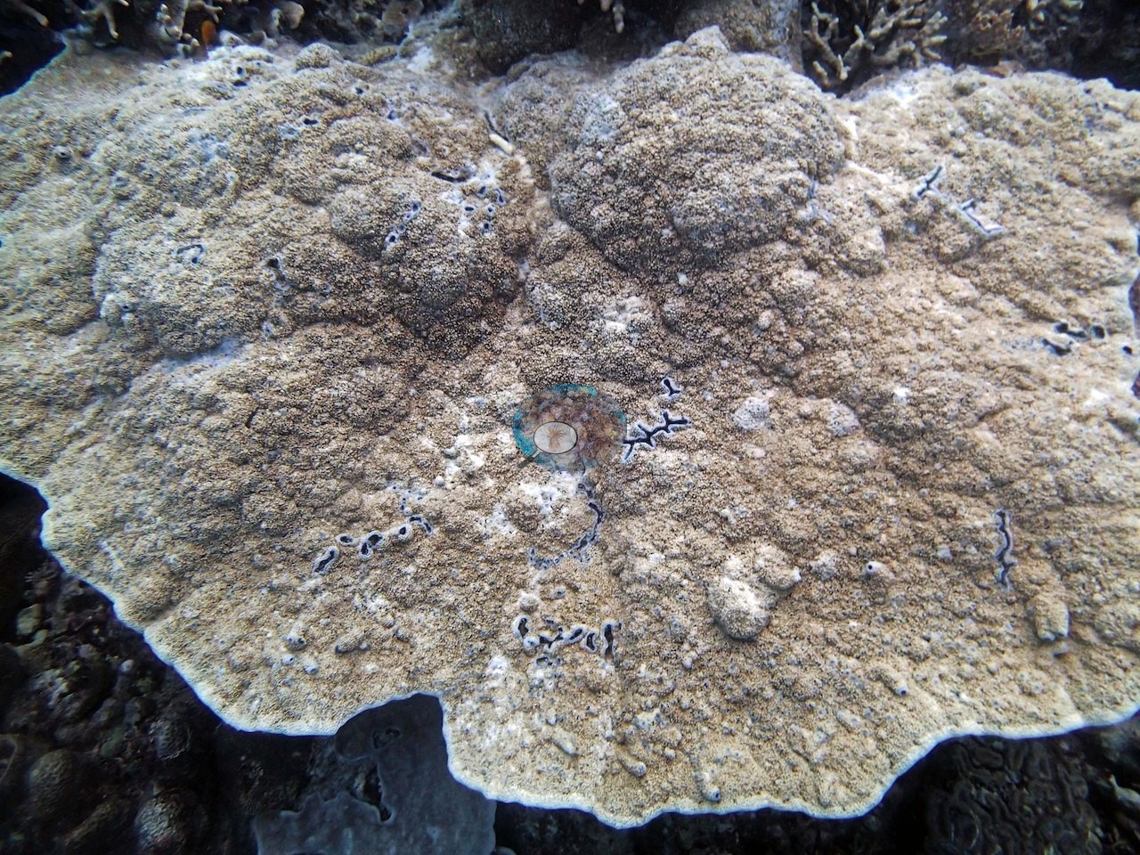
- Coral cover across the site measured a striking 65%, built from massive and branching Porites, several species of branching Acropora, huge sheets of encrusting Montipora, Stylophora pistillata, Lobophyllia, and the reef-building giant Diploastrea, all set among numerous damselfish nests (e.g., Image 1, Image 2, Image 3).
- Transect mean 65 ± 6.0% SE (n = 6 transects; Living Oceans Foundation per-transect benthic data); the headline above is the expedition's station value.
Stressors
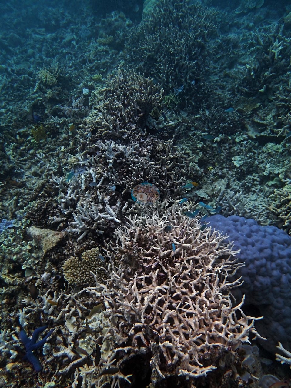
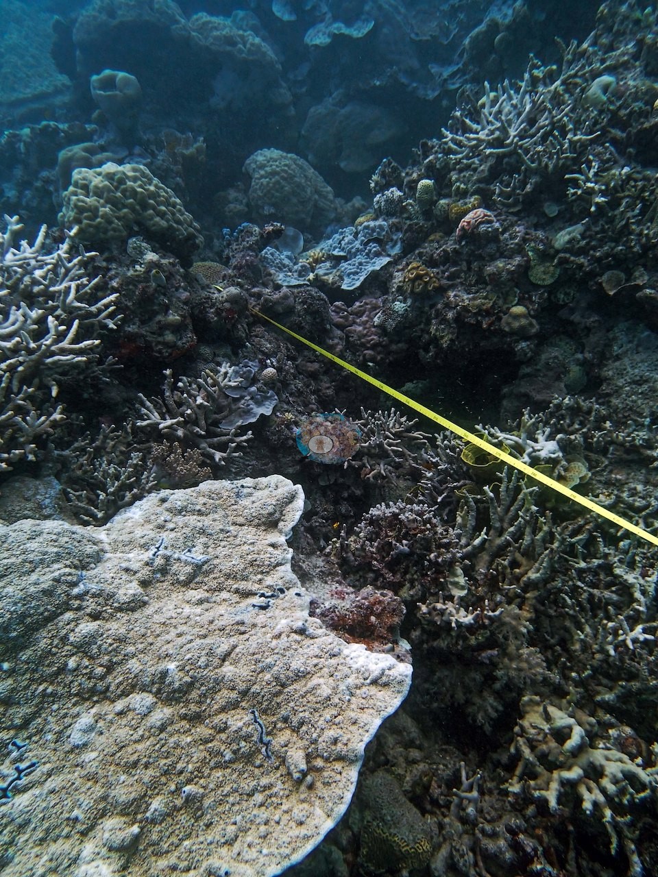
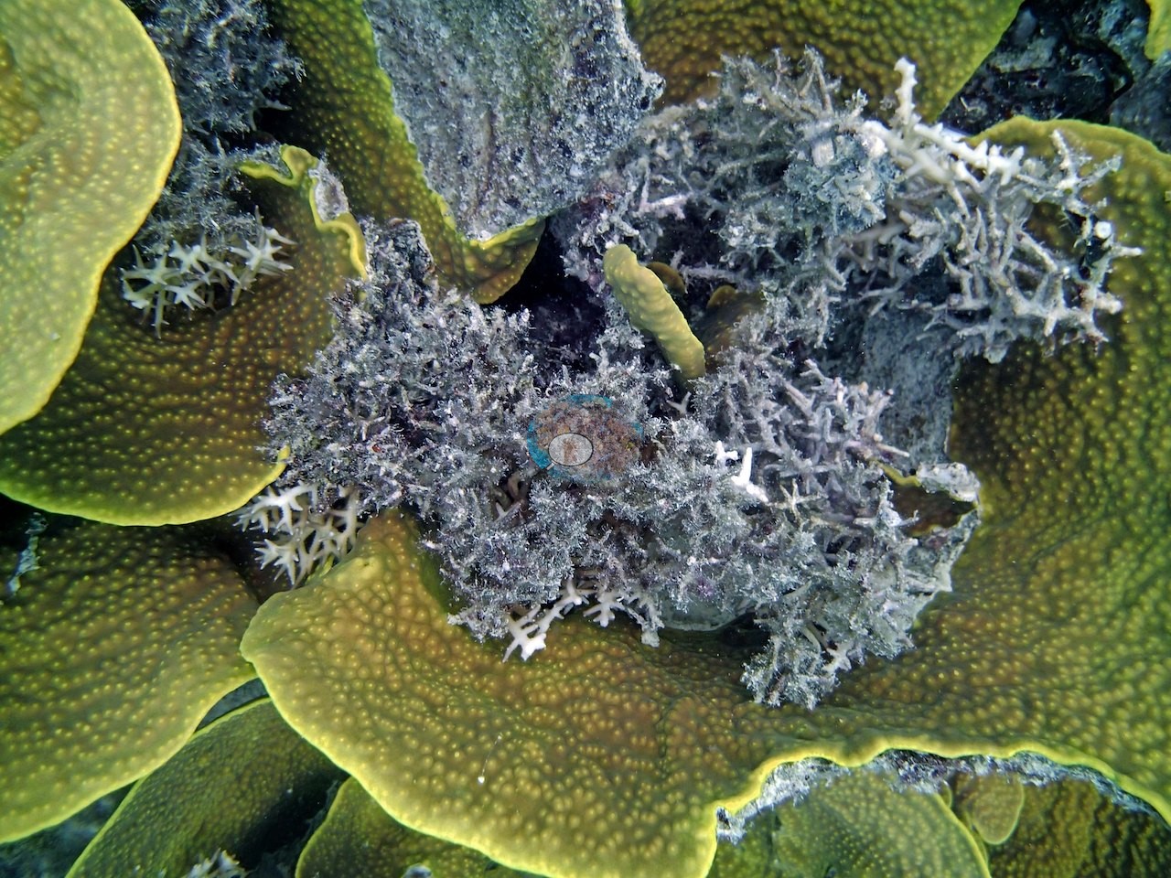
The one persistent worry here: Anderson's notes say needle coral (Seriatopora hystrix) "still looks bad"; one frame shows a fine-branching colony that is mostly dead and overgrown by gray filamentous algae, with a few stark-white branch tips (e.g., Image 11).
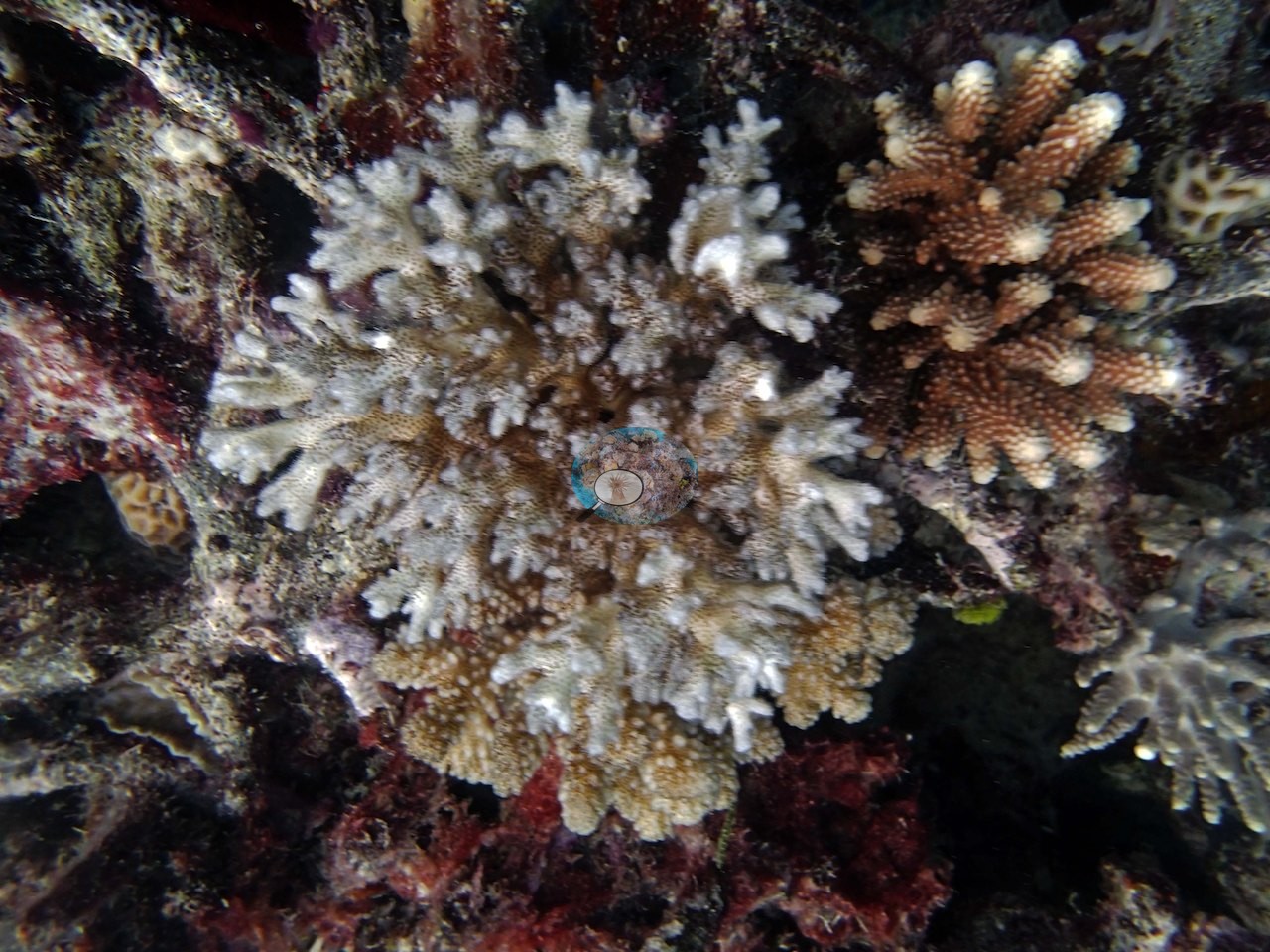
One corymbose colony has gray-white upper branches with their tissue intact over a tan base, paler than the brown corymbose colony beside it: a partly bleached (paling) colony (e.g., Image 28).
Fish and other fauna
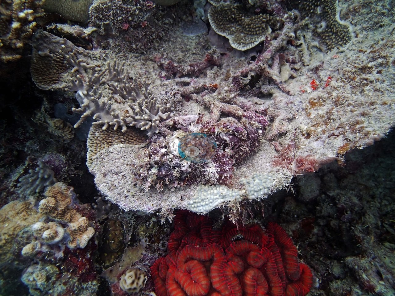
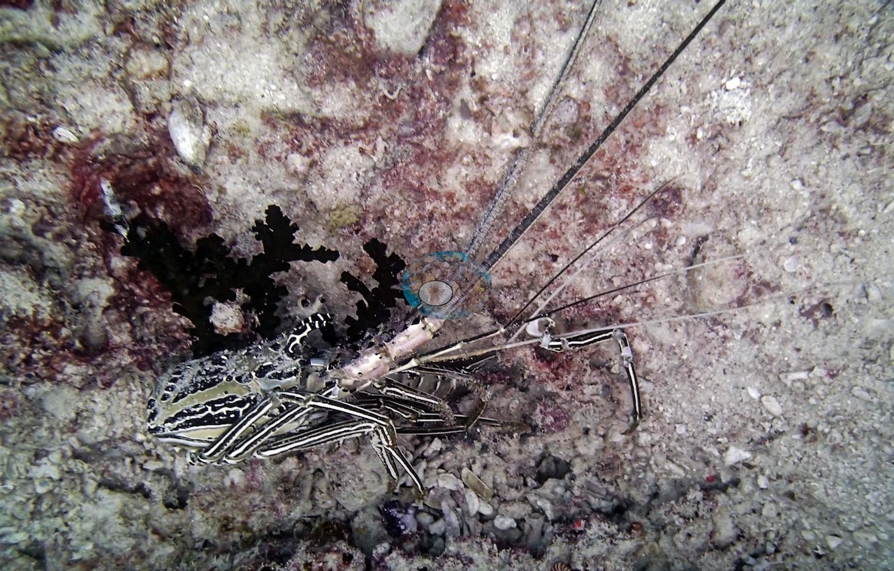
A scorpionfish — the trip's first — was a welcome surprise.
Comparisons with other data
No other surveys have been conducted at this site to date. Within 5 km, one independent station, AIMS manta tow at PEARSON REEF, 0.97 km away, read 10–32% between 1995 and 2023.
Independent surveys nearby
 LOF
Within 5 km, 1 independent survey station recorded hard coral cover in 9 surveys between 1995 and 2023. The one station surveyed in more than one year declined by 5.8 points between its first and latest surveys. The longest record, PEARSON REEF (AIMS manta tow, 0.97 km away), went from 26% in 1995 to 20% in 2023. Since 2021, station-year means average 24% (range 19–32%; n = 3 station-years from 3 surveys). This site's own estimate (65%) sits 33 points above the recent range (19–32%); the methods differ, so the comparison is context, not a like-for-like test.
Collected by other programs using different methods (AIMS manta tow is a towed visual estimate in categorical bins), so these are context for the figures above, not a like-for-like comparison. Where a station was surveyed more than once, the cell shows either the range of its values or, as a single value, the mean of surveys made in one year. Station names are not dive-site names.
| Agency | Site / location | Date | Hard coral cover (%) | Distance | Link |
|---|---|---|---|---|---|
| AIMS manta tow | PEARSON REEF | 1995–2023 | 10–32% (9 surveys) | 0.97 km | doi:10.25845/5c09b0abf315a |
Data & links
- Download benthic survey data (CSV) ↗
- Download all LOF-GRE data (933 sites) ↗
- Photo portfolio ↗
- Coral Reef Diagnostics country page ↗
All images from Coral Reef Diagnostics. Data are from the Khaled bin Sultan Living Oceans Foundation Global Reef Expedition, Coral Reef Diagnostics, and the organizations named in the data sources above.
 © Coral Reef Diagnostics.