

Part of the regional summaries: Australia (GBR) - Far North: Pink stations (Preservation Zone reefs) and Australia (GBR)
More info
Far Northern GBR (NOAA CRW virtual station)A steep backreef wall dropping to about 22 m, with the densest coral packed into the top 1-5 m where fast-growing Acropora reached 50% cover or more. Algae-crusted rubble hinted at past disturbance, but enough recruitment suggested recovery, and a bleached needle coral, a bold 2 m gray reef shark, and a cuttlefish were logged. Surveyed on the Living Oceans Foundation's Global Reef Expedition.
One independent survey station shown with the program’s logo — click one to see how far it is from this site.
Five other CRD dive sites within 5 km shown in orange — click a marker to open its page.
🗺 Detailed map of the Global Reef Expedition dive sites, Jewell, Hilder, and Eyrie Reefs, northern Great Barrier Reef (Khaled bin Sultan Living Oceans Foundation; opens in a new window)
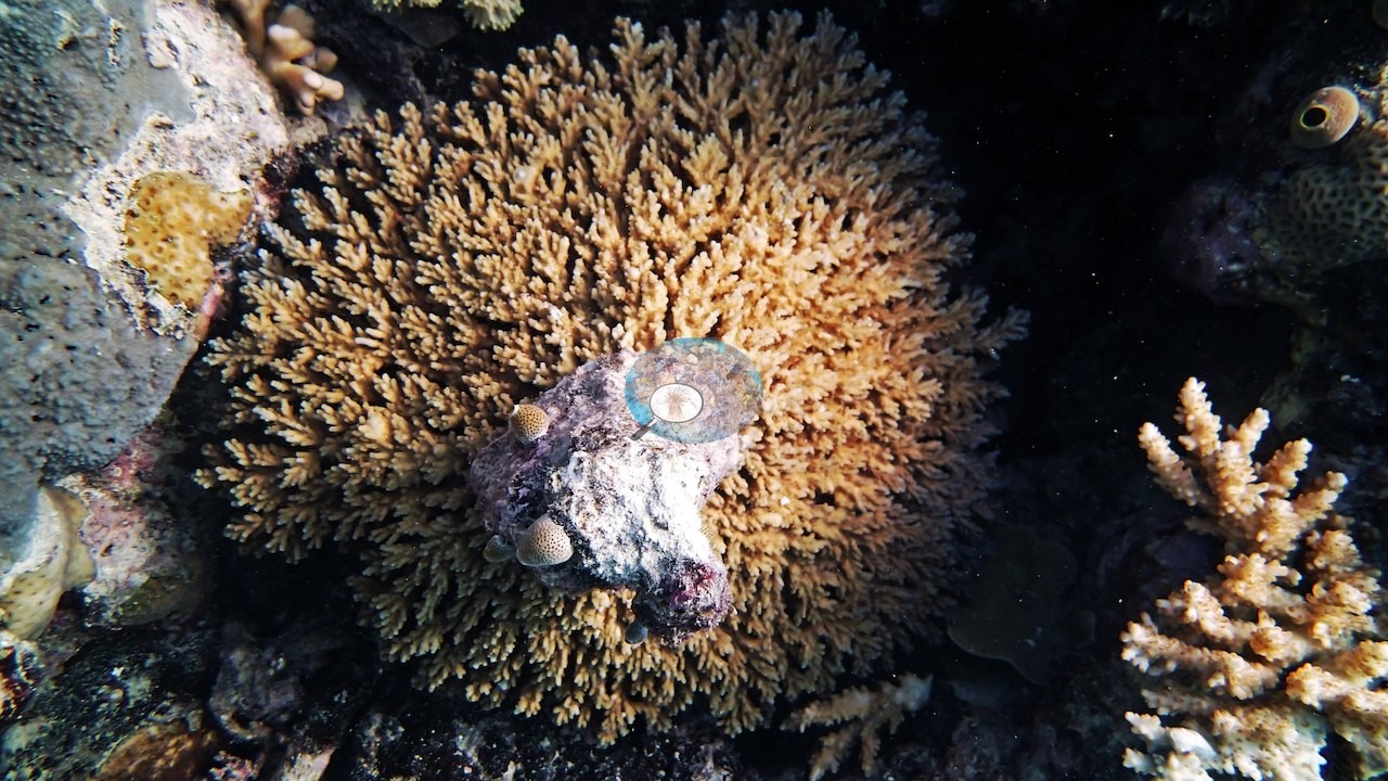
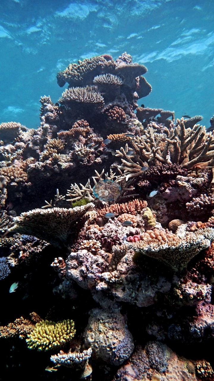
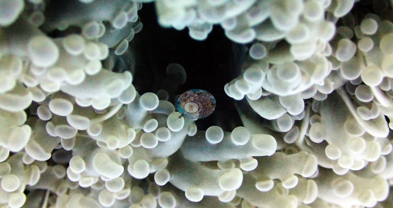
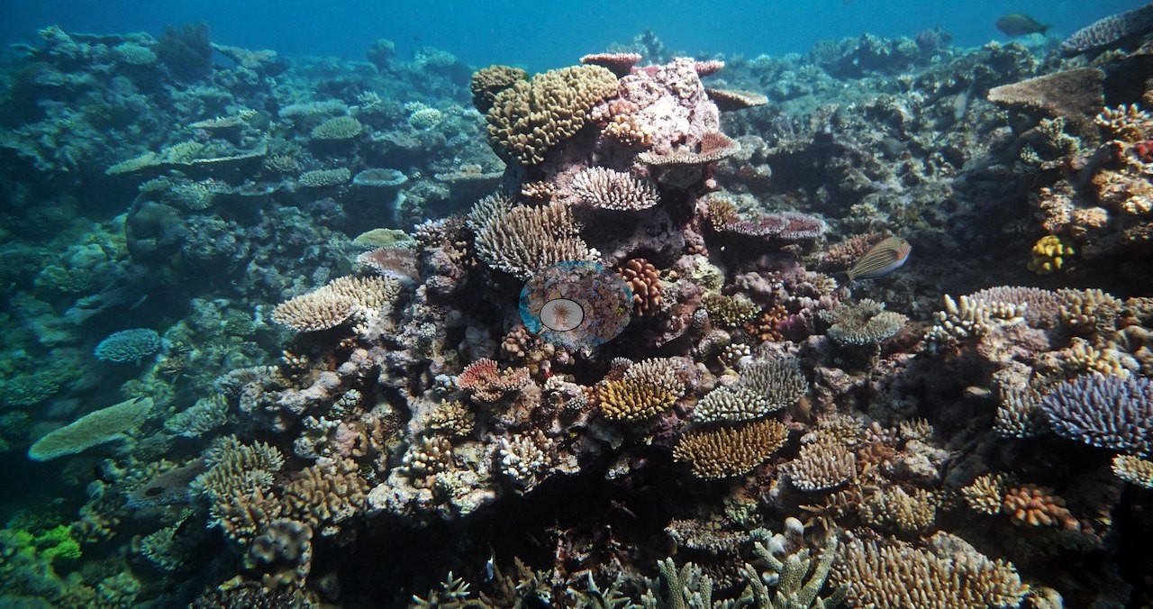
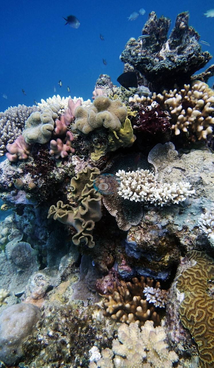
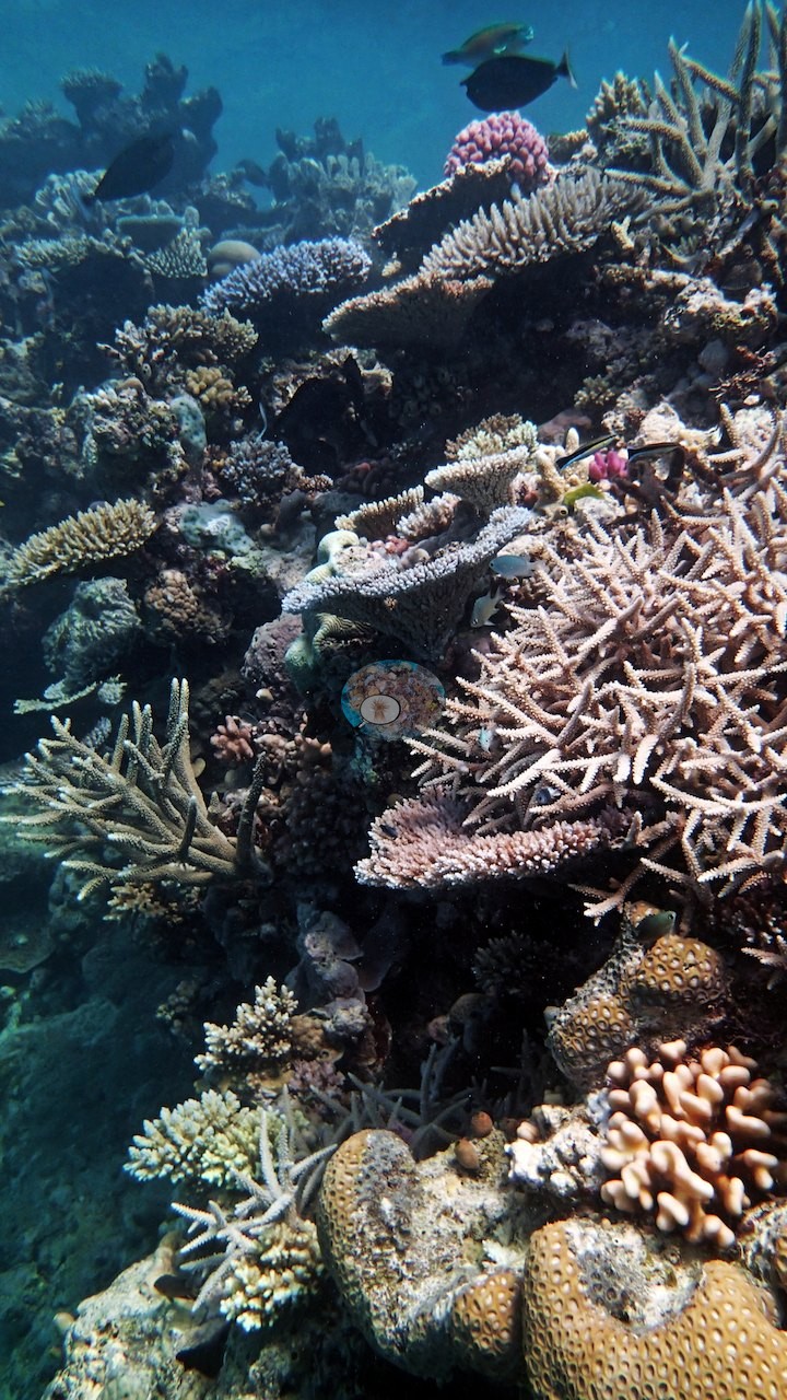
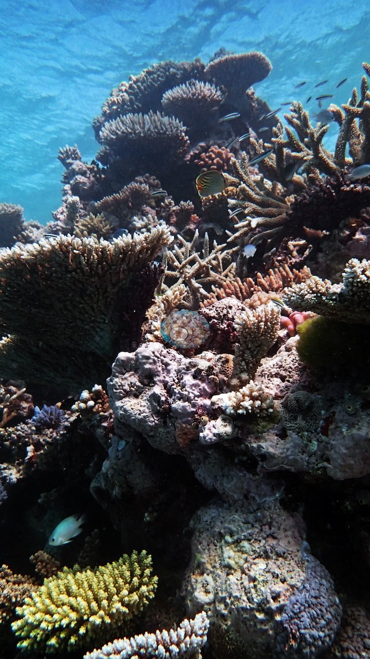
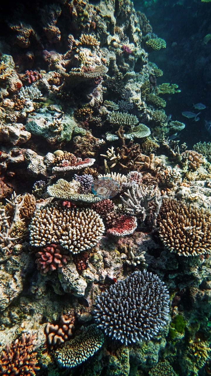
3 of the 32 photographs on this page are shown beside the text that discusses them under "Site description" below.
Site description
Setting
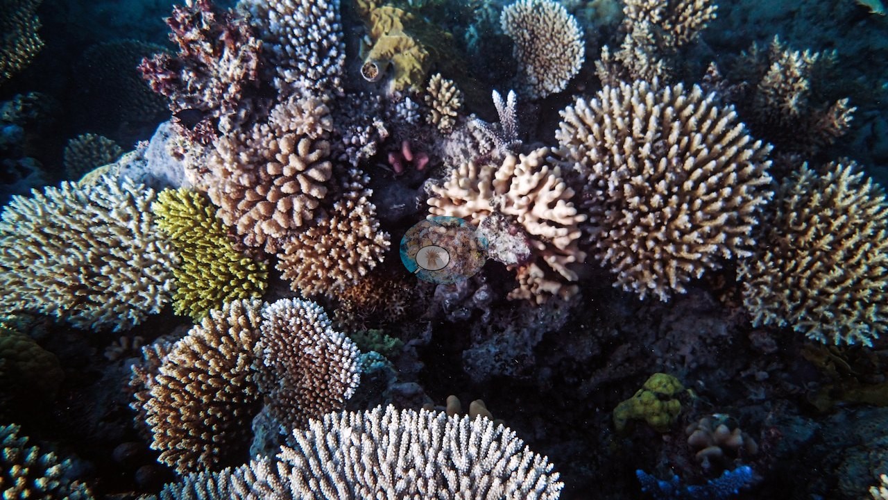
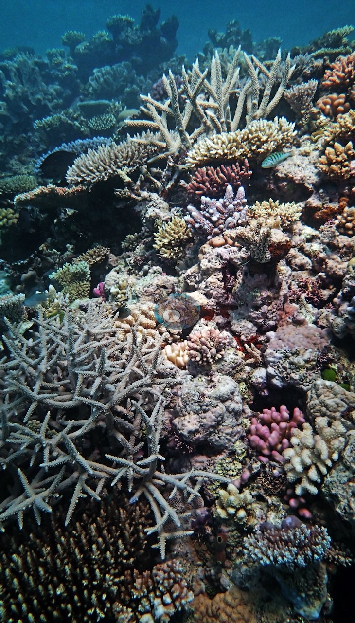
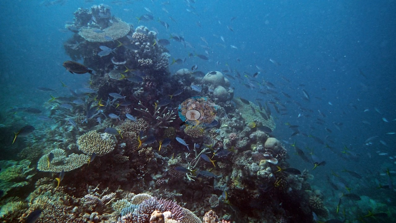
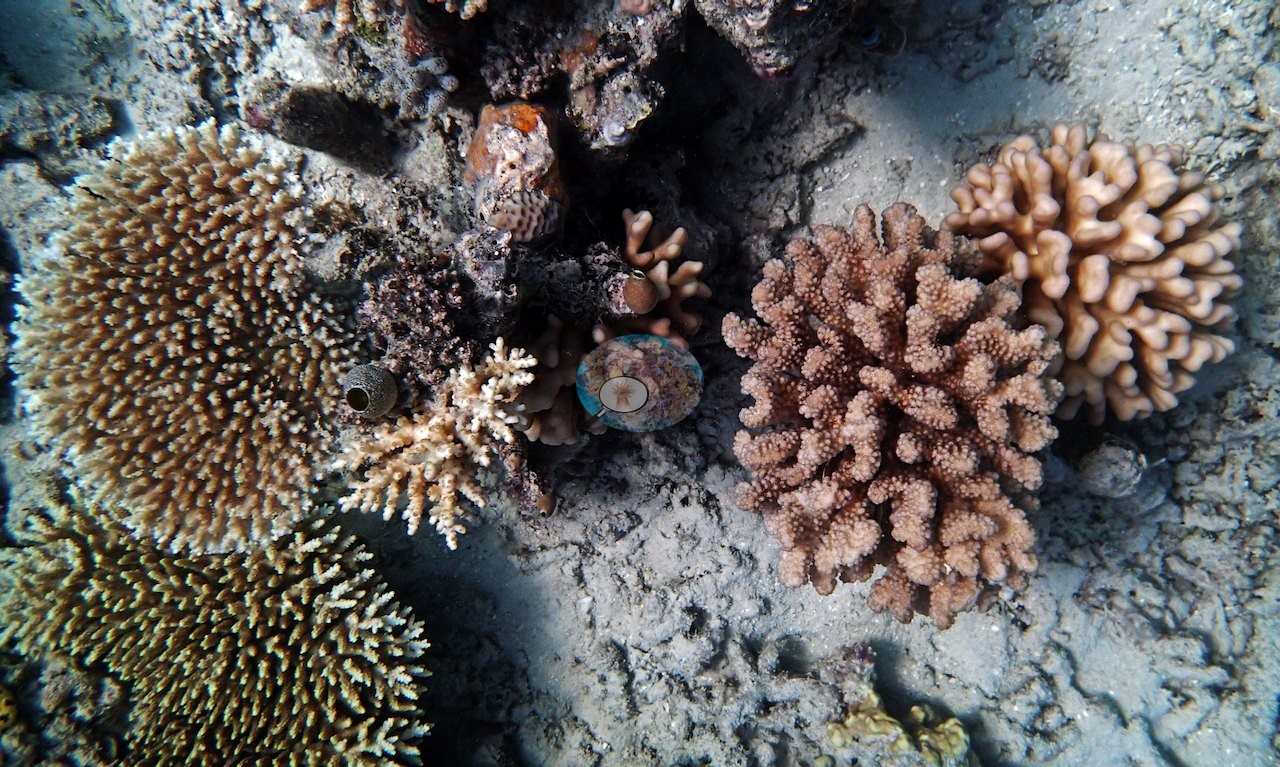
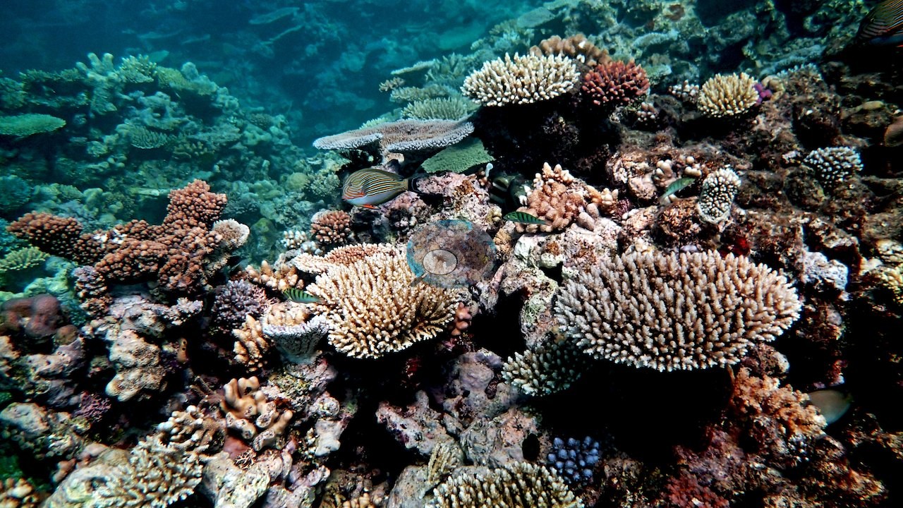
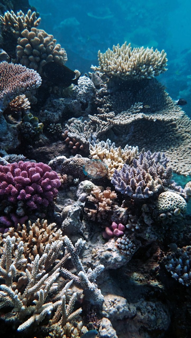
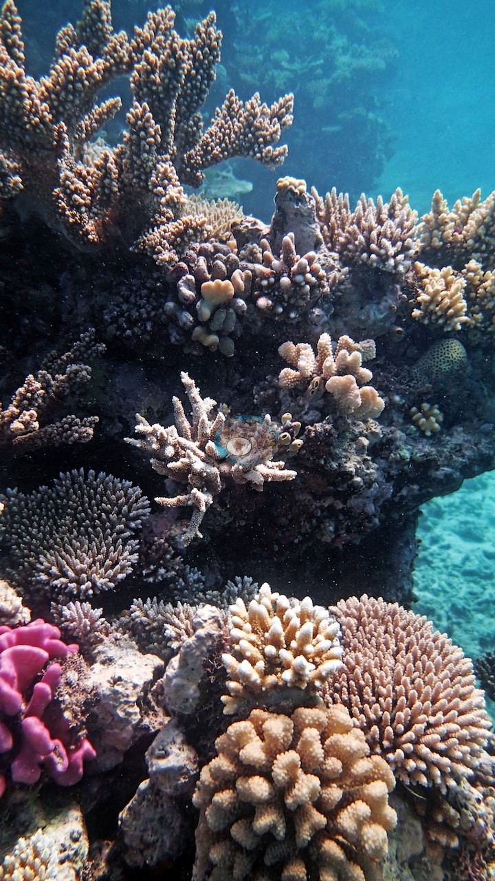
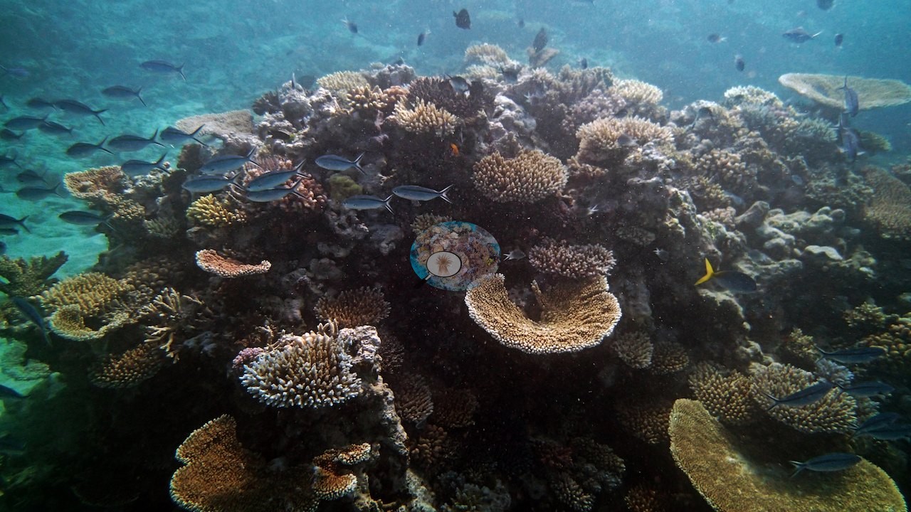
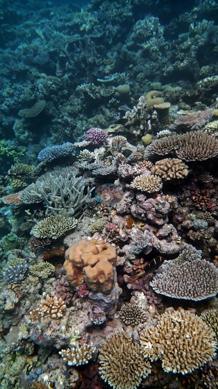
This steep backreef wall at Unnamed Reef 61A drops from a shallow shelf to about 22 m, with coral only really taking hold from roughly 20 m up and the densest cover packed into the top 1-5 m, where fast-growing acroporids reach 50% coverage or more (e.g., Image 4).
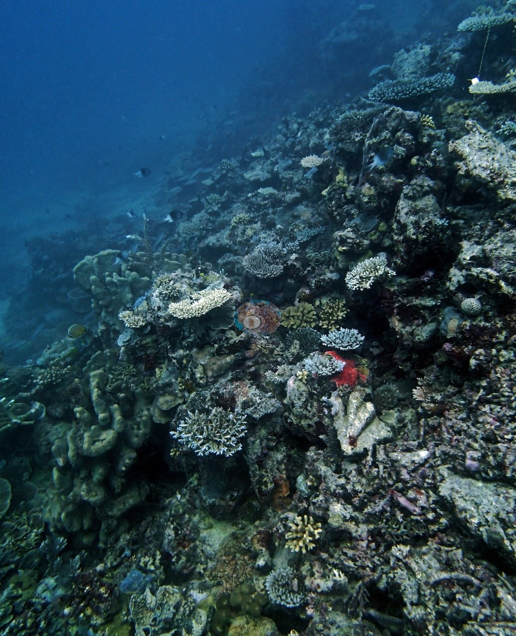
This backreef sits within a Preservation Zone, the Great Barrier Reef's most restrictive protection tier, where entry itself is limited.
Coral cover
- Reference: Khaled bin Sultan Living Oceans Foundation, Global Reef Expedition (in situ transect)
- Coral cover here averaged 49%.
- Transect mean 49 ± 6.0% SE (n = 2 transects; Living Oceans Foundation per-transect benthic data); the headline above is the expedition's station value.
Stressors
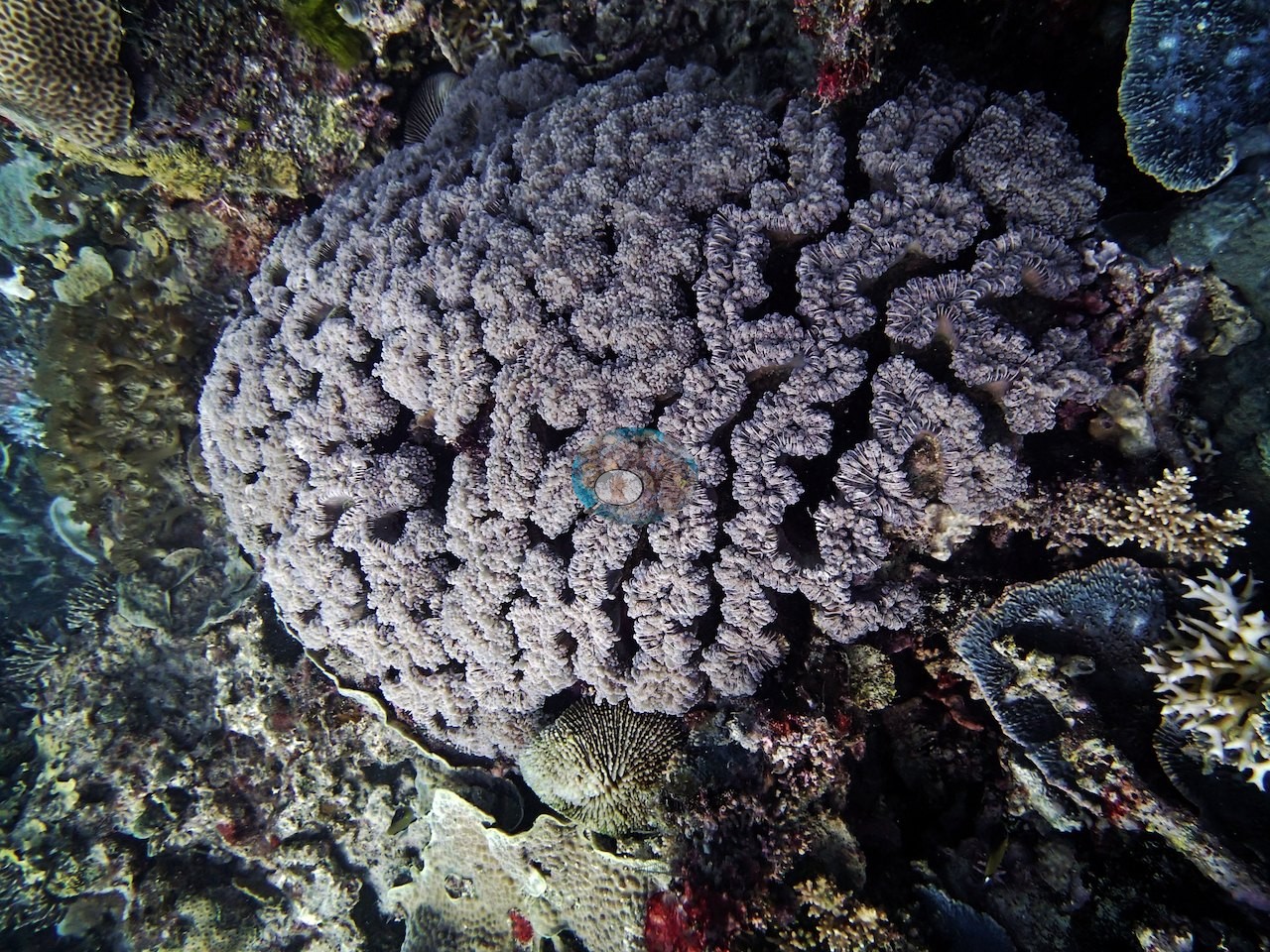
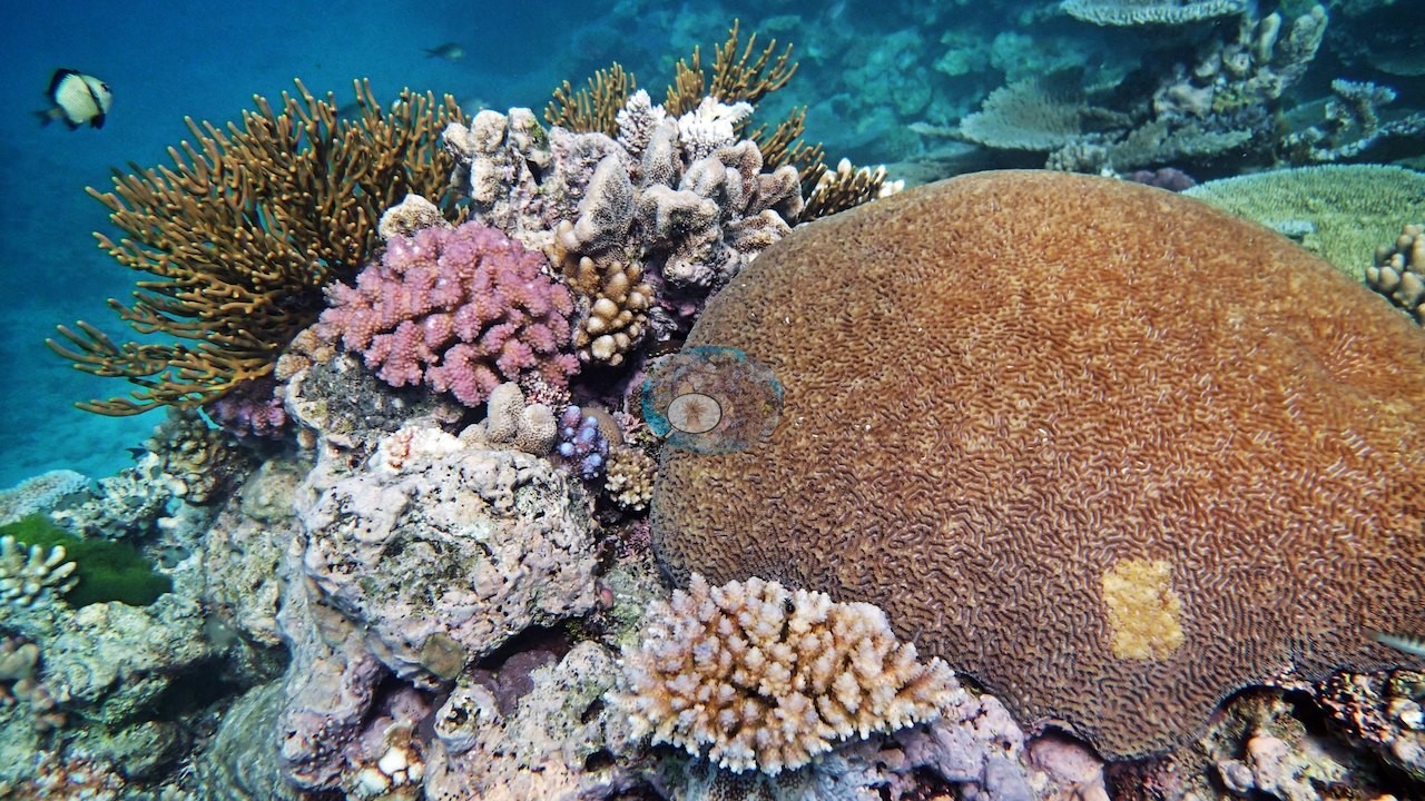
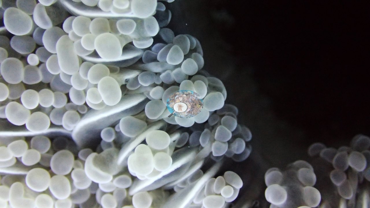
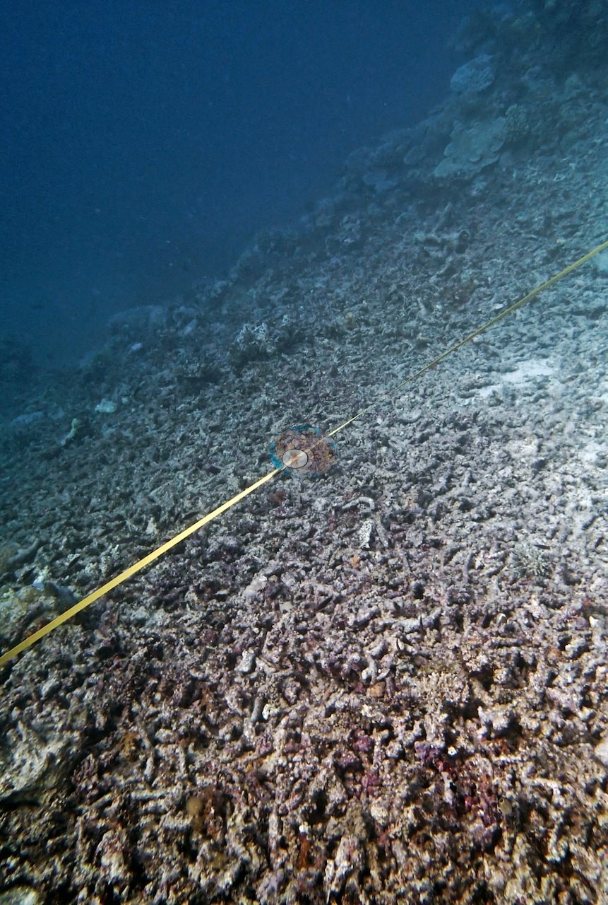
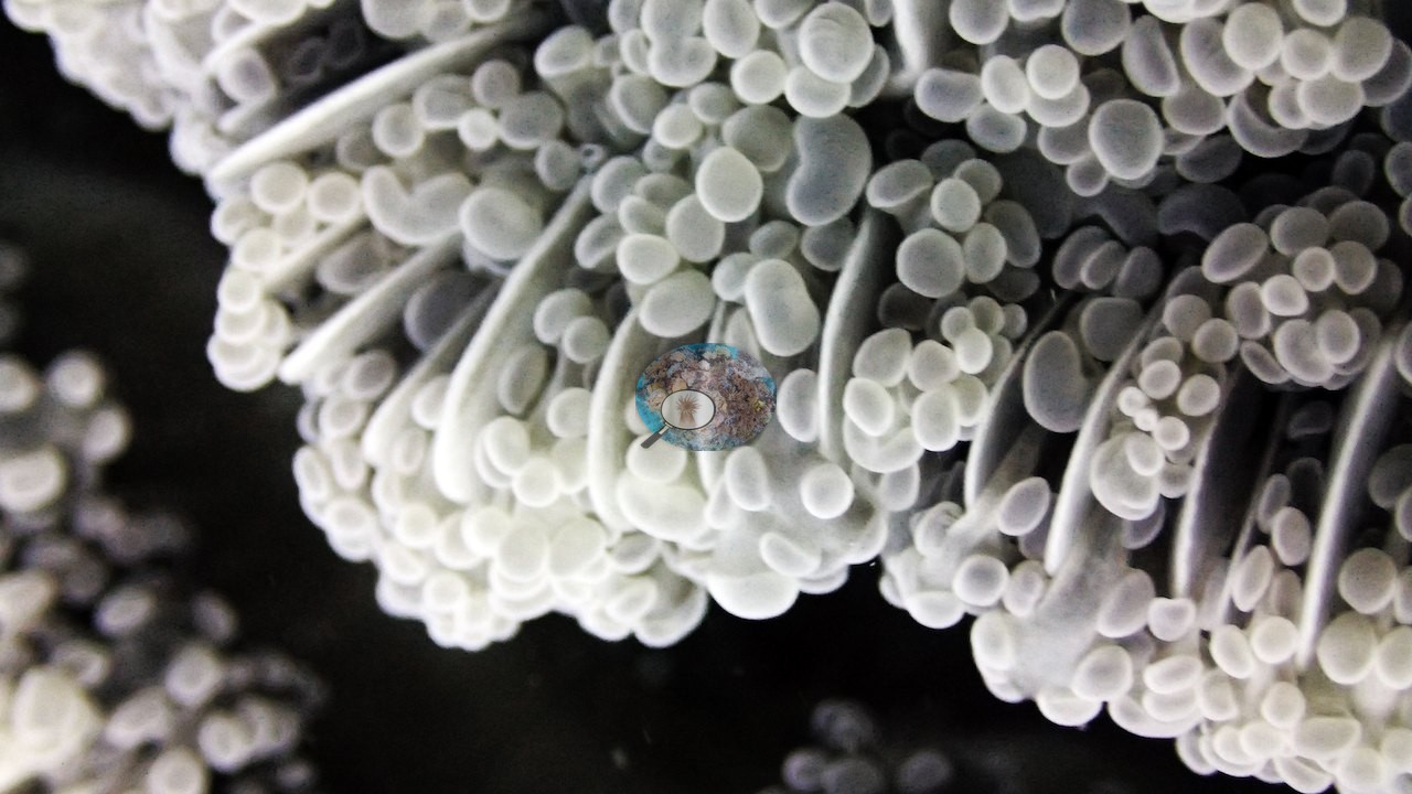
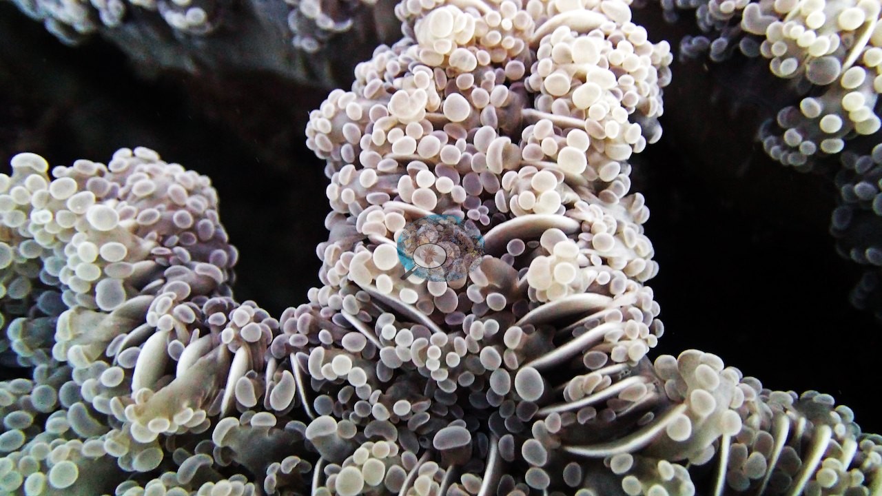
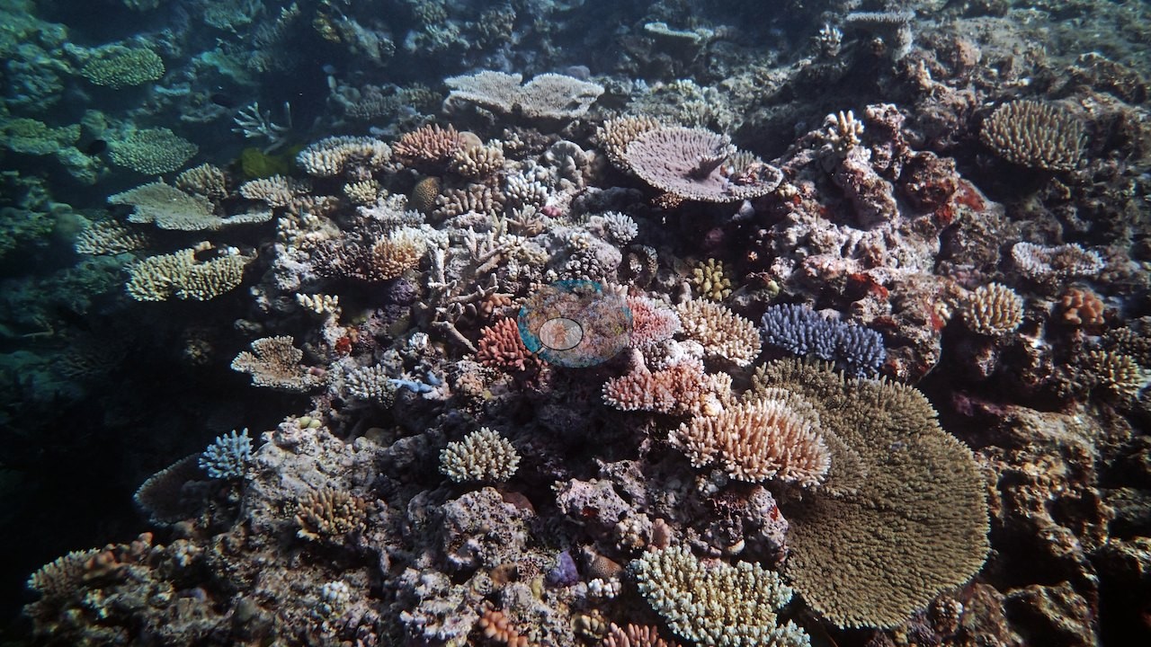
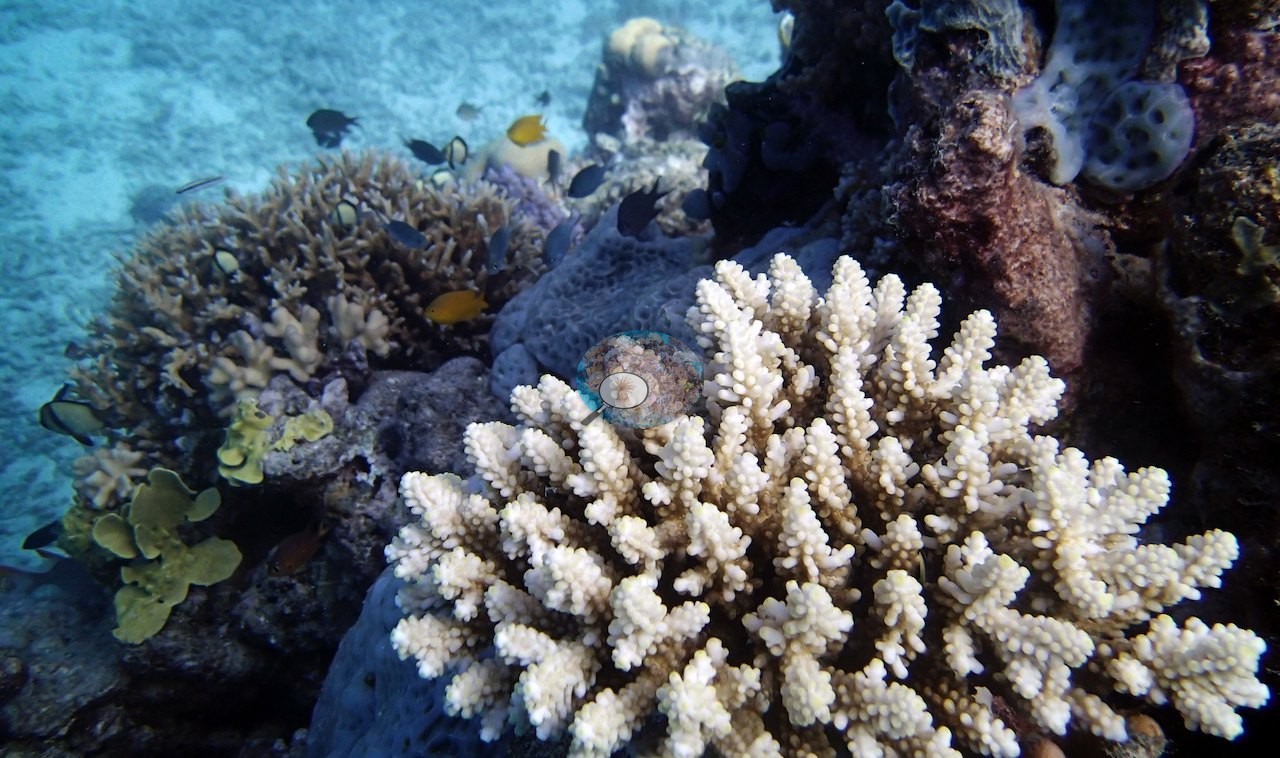
Low visibility (3-5 m) and rubble patches overgrown with algae and coralline algae hinted at past disturbance, though enough new coral recruitment was underway to suggest the reef was recovering rather than freshly damaged. One 15-m transect turned up a paled, bleached colony of needle coral (Seriatopora hystrix) tucked among otherwise healthy-looking Acropora gardens and a Euphyllia colony. One corymbose colony is cream-white from base to tip with its tissue and polyps intact, beside a brown corymbose neighbor: a bleached colony (e.g., Image 31).
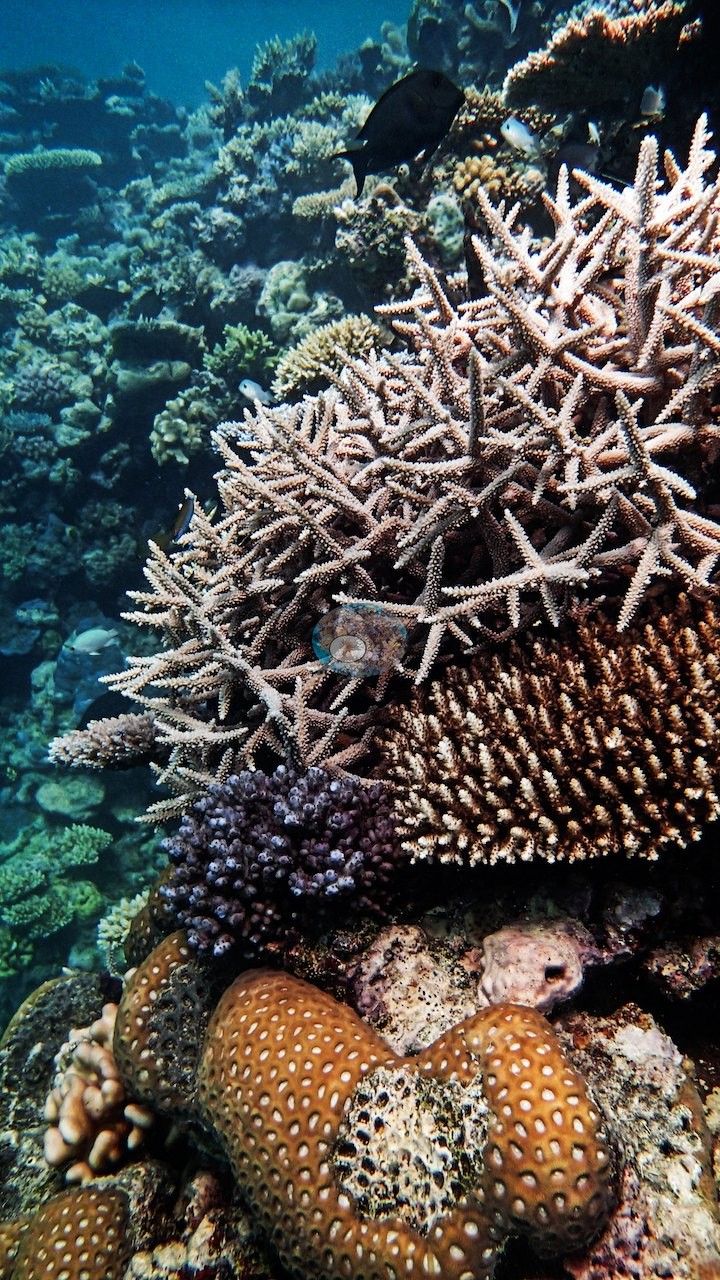
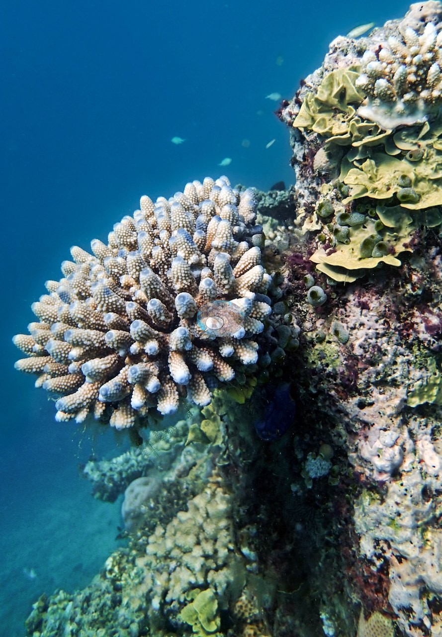
A tan corymbose colony in another frame has bluish-white branch tips; those are normal growing tips, not bleaching (e.g., Image 6).
No crown-of-thorns starfish (COTS) or other corallivores evident.
Fish and other fauna
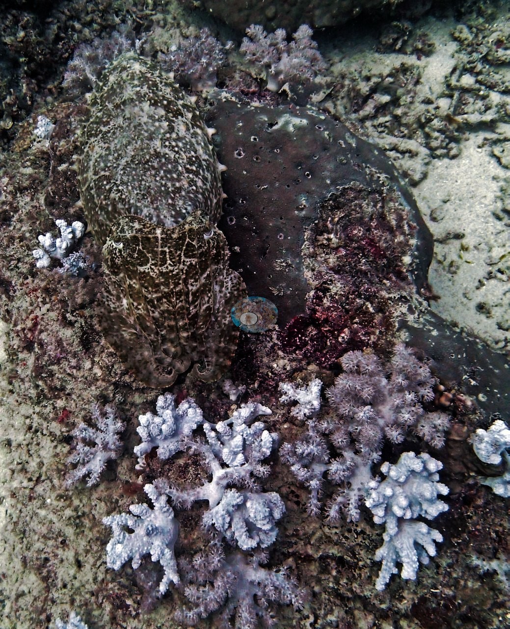
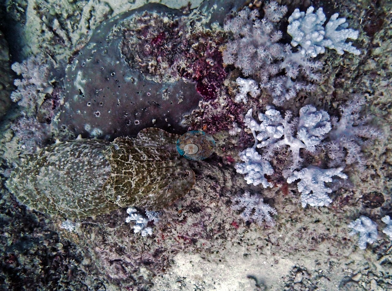
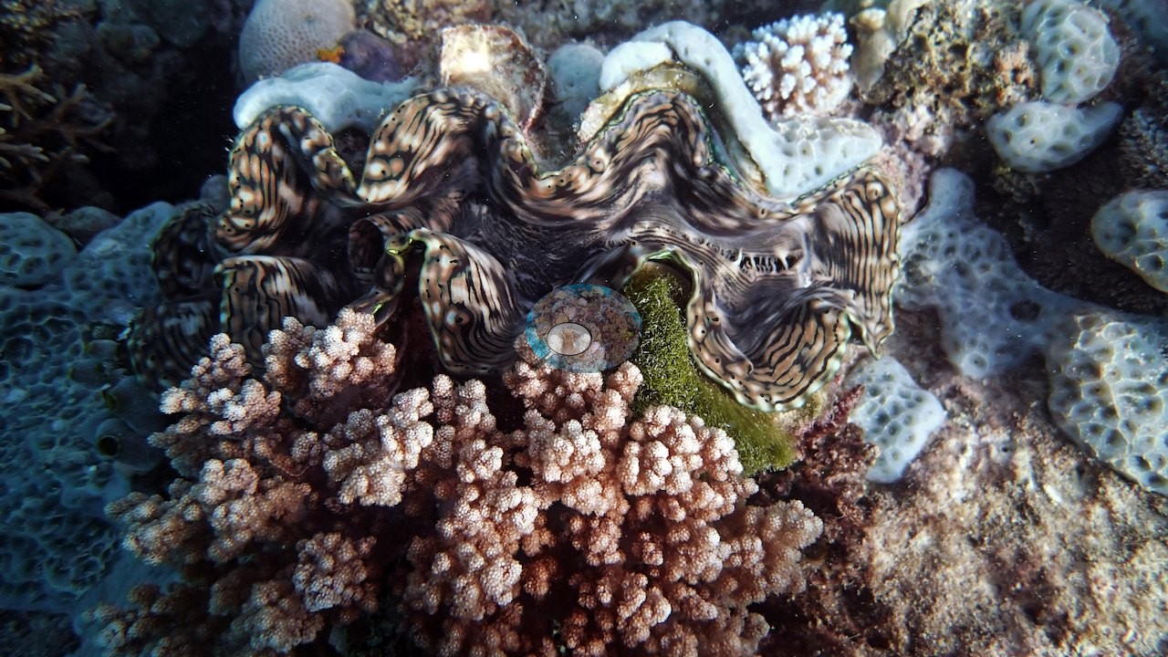
A large, assertive 2-m gray reef shark and a cuttlefish at 20 m rounded out the dive's wildlife.
Comparisons with other data
No other surveys have been conducted at this site to date. Within 5 km, one independent station, AIMS manta tow at SAND BANK NO 8 REEF, 4.52 km away, read 19–43% between 1993 and 2023.
CV model comparison
More info
The photo row below is a methods comparison only: it is never averaged with the transect and never used as the headline. It compares site means only: the photos come from the same survey dive as the transect but not from the same points.| Method | Hard-coral cover (%) | Photos (n) ± SE |
|---|---|---|
| Transect (published) | 49.0 | |
| CoralSCOP edited | 38.4* | n = 18 · SE 4.0 |
| Claude (edited photos) | 34.0* | n = 18 · SE 4.3 |
The two computer-vision methods agree within 4.4 pp (34–38%) and read 10.6–15.0 pp below the in-water transect (49%); the headline is the in-water transect because a diver transect is independent of the photographs.
*Based on only 18 reef-habitat photos; this estimate is less certain.
Independent surveys nearby
 LOF
Within 5 km, 1 independent survey station recorded hard coral cover in 6 surveys between 1993 and 2023. The one station surveyed in more than one year increased by 8.5 points between its first and latest surveys. The longest record, SAND BANK NO 8 REEF (AIMS manta tow, 4.52 km away), went from 35% in 1993 to 43% in 2023. Since 2021, station-year means average 34% (range 25–43%; n = 2 station-years from 2 surveys). This site's own estimate (49%) is not compared with these surveys: none lies within 2 km.
Collected by other programs using different methods (AIMS manta tow is a towed visual estimate in categorical bins), so these are context for the figures above, not a like-for-like comparison. Where a station was surveyed more than once, the cell shows either the range of its values or, as a single value, the mean of surveys made in one year. Station names are not dive-site names.
| Agency | Site / location | Date | Hard coral cover (%) | Distance | Link |
|---|---|---|---|---|---|
| AIMS manta tow | SAND BANK NO 8 REEF | 1993–2023 | 19–43% (6 surveys) | 4.52 km | doi:10.25845/5c09b0abf315a |
Data & links
- Download benthic survey data (CSV) ↗
- Download all LOF-GRE data (933 sites) ↗
- Photo portfolio ↗
- Coral Reef Diagnostics country page ↗
All images from Coral Reef Diagnostics. Data are from the Khaled bin Sultan Living Oceans Foundation Global Reef Expedition, Coral Reef Diagnostics, and the organizations named in the data sources above.
 © Coral Reef Diagnostics.