

Part of the regional summaries: Australia (GBR) - Far North: Pink stations (Preservation Zone reefs) and Australia (GBR)
More info
Northern GBR (NOAA CRW virtual station)Two large, weathered bommies at Hilder Reef rising to about 10 m, one topped by a patch estimated at 60-70% coral cover. Needle coral condition was mixed, sickly on two transects but healthy nearby. Surveyed on the Living Oceans Foundation's Global Reef Expedition.
One independent survey station shown with the program’s logo — click one to see how far it is from this site.
Five other CRD dive sites within 5 km shown in orange — click a marker to open its page.
🗺 Detailed map of the Global Reef Expedition dive sites, Jewell, Hilder, and Eyrie Reefs, northern Great Barrier Reef (Khaled bin Sultan Living Oceans Foundation; opens in a new window)
2 of the 21 photographs on this page are shown beside the text that discusses them under "Site description" below.
Site description
Setting
Global Reef Expedition station AUHI166 at Hilder Reef, northern Great Barrier Reef (-14.4641, 145.4119), surveyed on 2 October 2014.
General benthic features
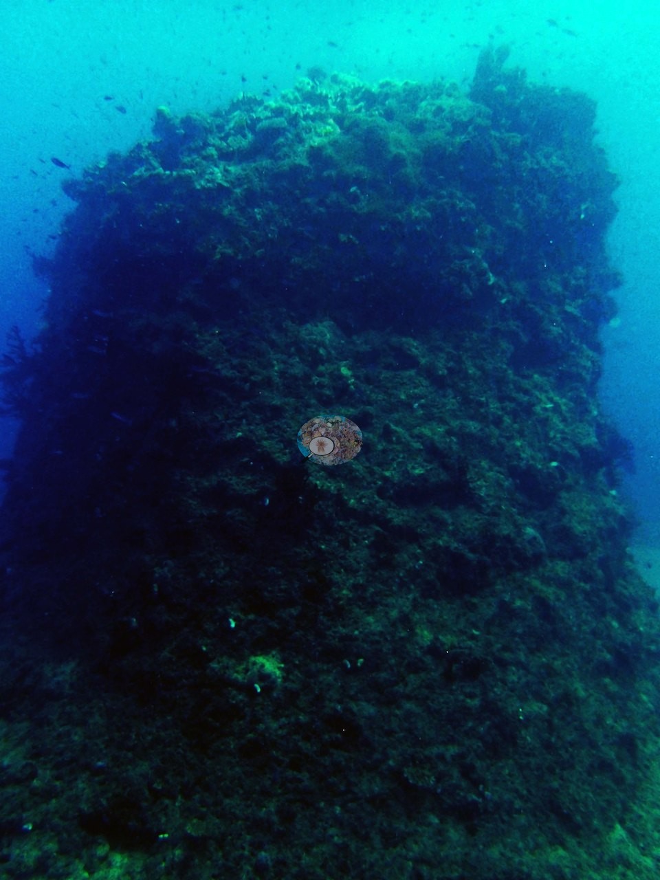
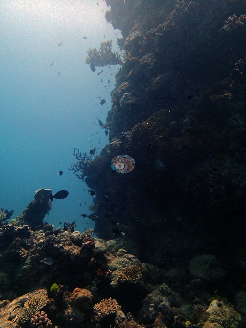
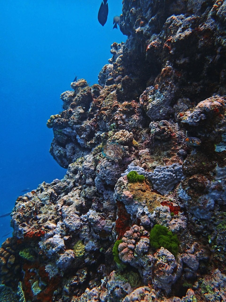
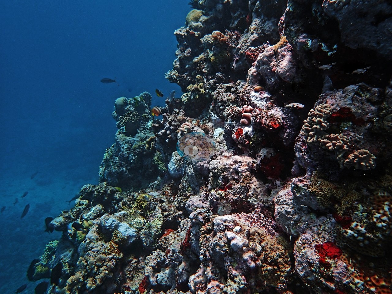
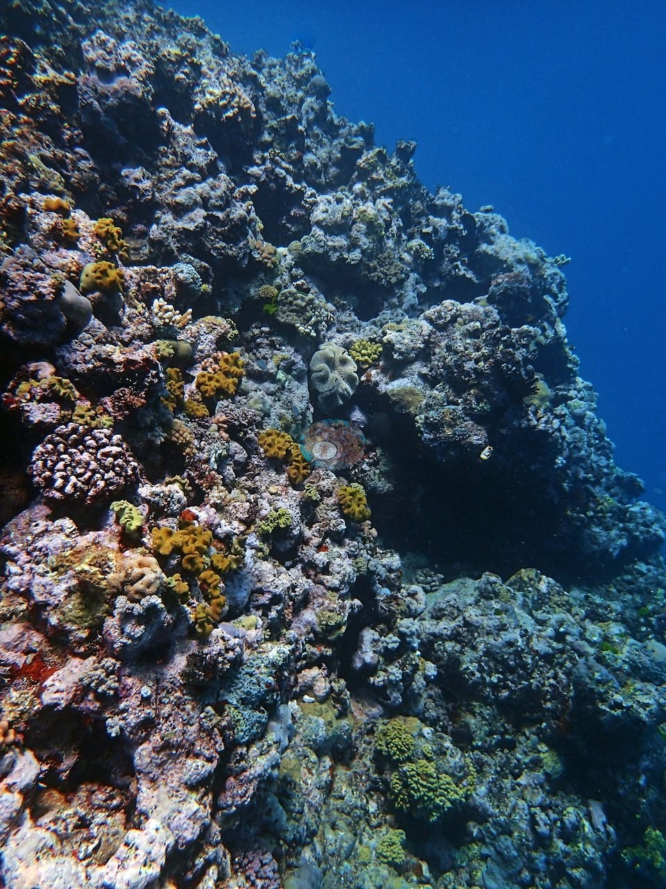
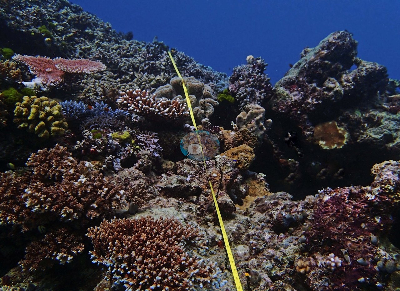
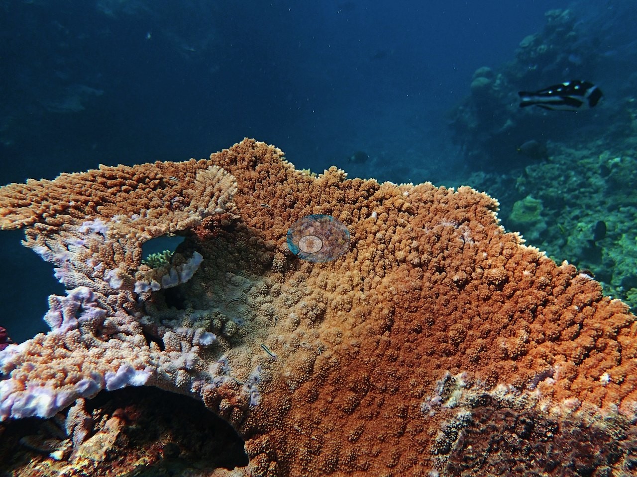
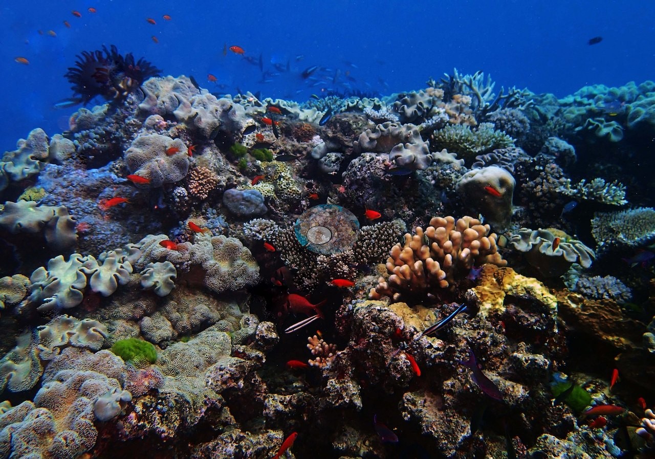
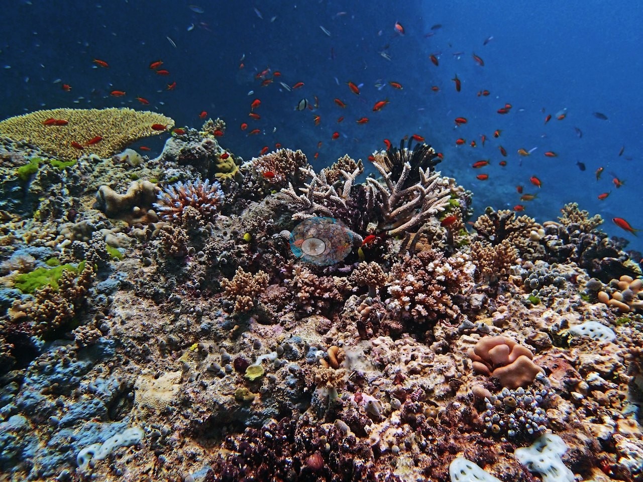
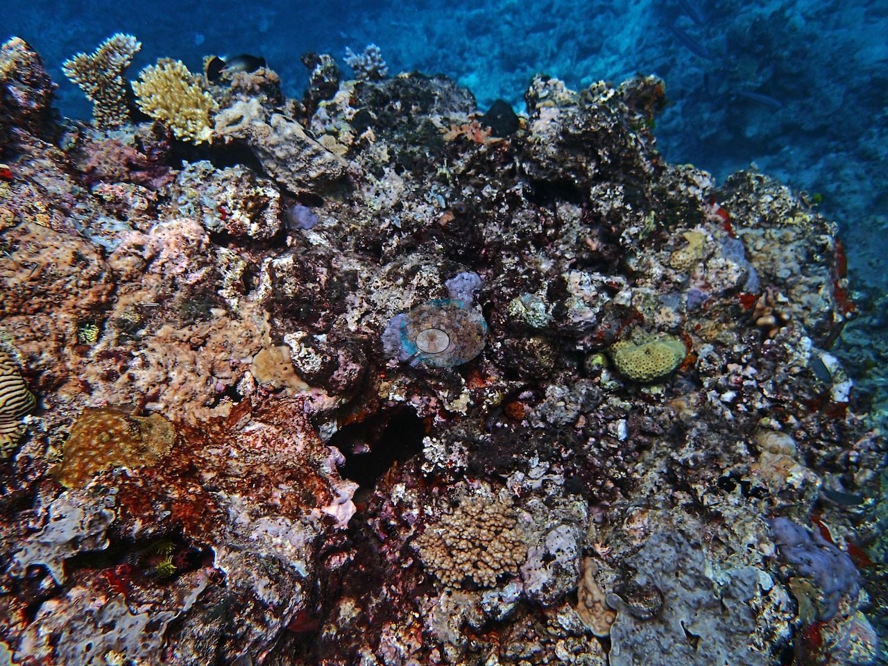
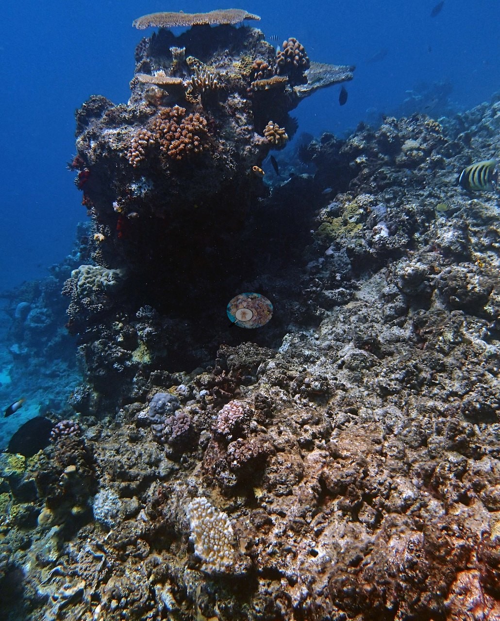
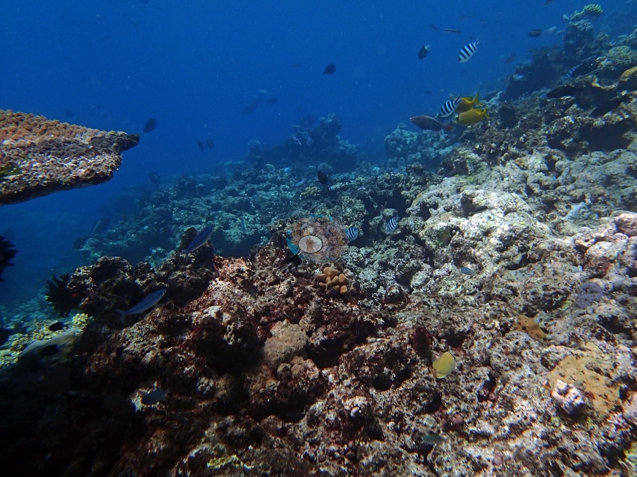
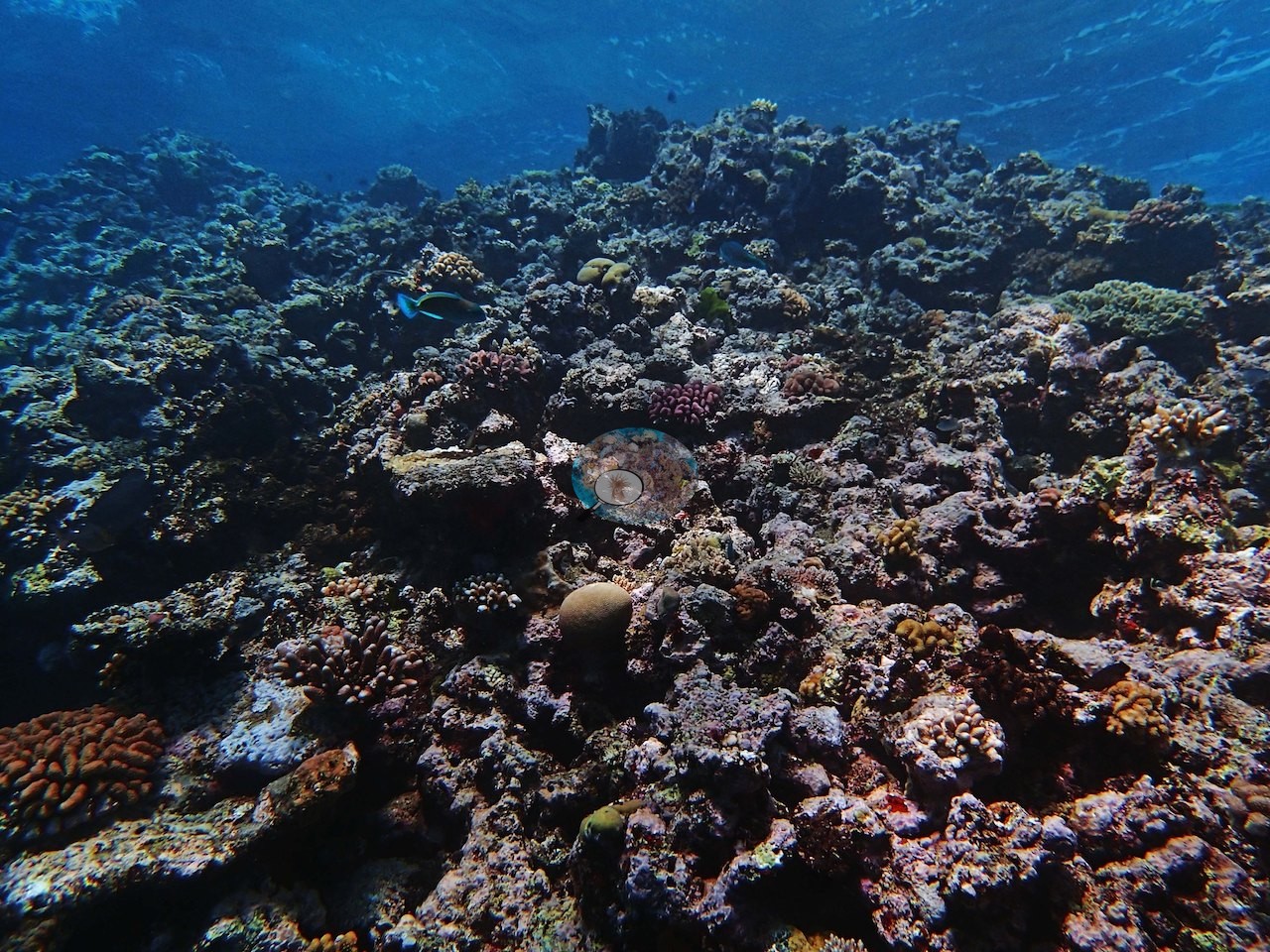
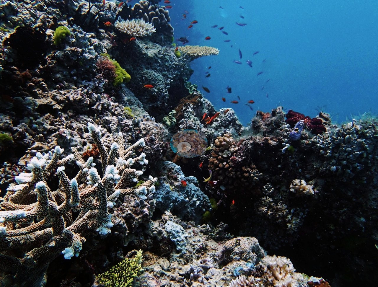
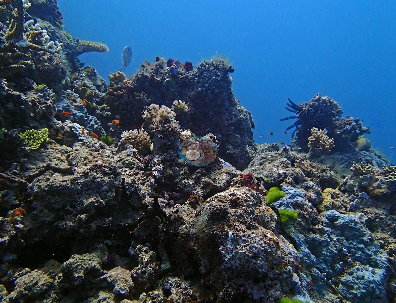
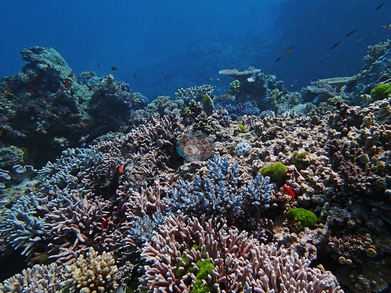
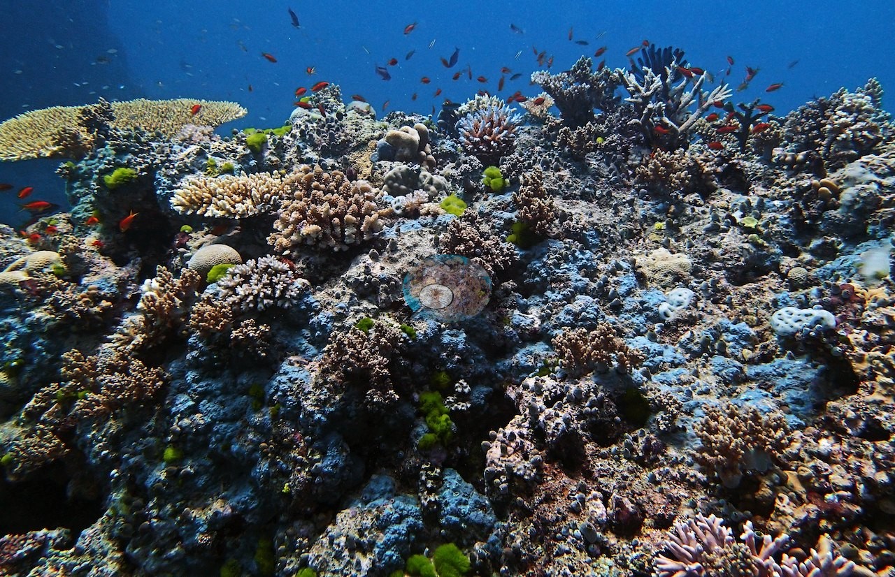
The notes describe two large, weathered bommies rising to about 10 m, their eroded flanks still carrying coral on top, with the standout patch estimated by eye at 60-70% cover atop one bommie at 9.5 m on Pocillopora acuta, Porites rus, P. cylindrica and Montipora (e.g., Image 1, Image 3).
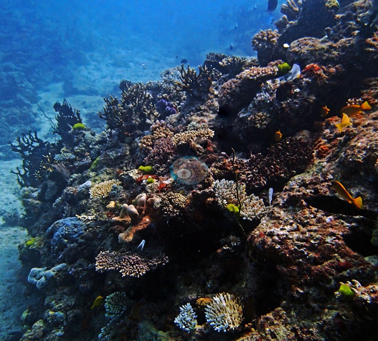
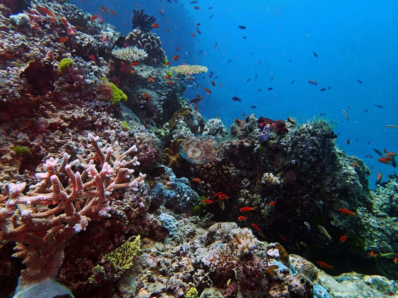
Isopora, branching Porites, several Pocillopora species, and a large Diploastrea filled out the assemblage, with abundant crustose coralline algae in the shallows.
Coral cover
- Reference: Khaled bin Sultan Living Oceans Foundation, Global Reef Expedition (in situ transect)
- The in situ benthic transects recorded 36% live coral cover against a 13% algal fraction on a dive to 18.6 m; the coral fraction is nearly three times the algal fraction.
- Transect mean 36 ± 8.5% SE (n = 2 transects; Living Oceans Foundation per-transect benthic data); the headline above is the expedition's station value.
Stressors
Recorded condition was mixed: sickly Seriatopora hystrix at two transects, healthy S. hystrix persisting nearby. Regional context only: surveyed about eighteen months before the 2016 mass bleaching, an event that severely bleached hundreds of reefs on the northern Great Barrier Reef (Hughes et al. 2017); 5-year mean annual maximum thermal stress at the Northern GBR virtual station is 7.8 degree heating weeks. No crown-of-thorns starfish (COTS) or other corallivores evident.
Comparisons with other data
No other surveys have been conducted at this site to date. Within 5 km, one independent station, AIMS manta tow at HILDER REEF, 2.52 km away, read 5.5–40% between 1994 and 2023.
Independent surveys nearby
 LOF
Within 5 km, 1 independent survey station recorded hard coral cover in 4 surveys between 1994 and 2023. The one station surveyed in more than one year declined by 0.3 points between its first and latest surveys. The longest record, HILDER REEF (AIMS manta tow, 2.52 km away), went from 39% in 1994 to 39% in 2023. One survey since 2021 recorded 39%. This site's own estimate (36%) is not compared with these surveys: none lies within 2 km.
Collected by other programs using different methods (AIMS manta tow is a towed visual estimate in categorical bins), so these are context for the figures above, not a like-for-like comparison. Where a station was surveyed more than once, the cell shows either the range of its values or, as a single value, the mean of surveys made in one year. Station names are not dive-site names.
| Agency | Site / location | Date | Hard coral cover (%) | Distance | Link |
|---|---|---|---|---|---|
| AIMS manta tow | HILDER REEF | 1994–2023 | 5.5–40% (4 surveys) | 2.52 km | doi:10.25845/5c09b0abf315a |
Data & links
- Download benthic survey data (CSV) ↗
- Download all LOF-GRE data (933 sites) ↗
- Photo portfolio ↗
- Coral Reef Diagnostics country page ↗
All images from Coral Reef Diagnostics. Data are from the Khaled bin Sultan Living Oceans Foundation Global Reef Expedition, Coral Reef Diagnostics, and the organizations named in the data sources above.
 © Coral Reef Diagnostics.