
Regional summary of 26 dive sites. Figures are averages across the sites that report them (n = sites with a value); each site's own page has its individual values. Part of the Indonesia - Maluku overview.
⬇ Download this region as a report card
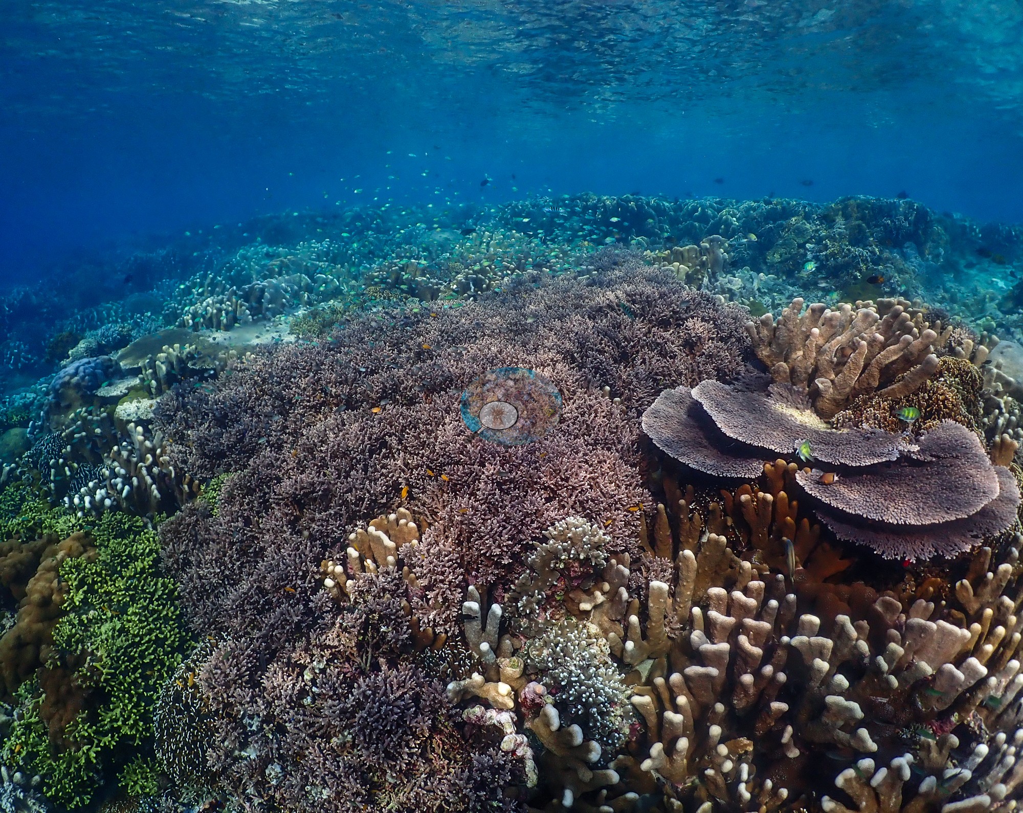

Halmahera's August 2026 liveaboard dives, from Ternate-Tidore strait reefs to current-swept points and offshore seamounts, typically rise from sponge-crusted walls to shallow crests of near-continuous staghorn and table corals. Most dives showed no bleaching, and one produced the largest devil ray school Anderson has seen.
Heat stress
Long-term record: 2 years from 1985 through 2025 reached 8 or more °C-weeks at NOAA’s North Maluku, Indonesia station. Download the annual DHW data (CSV).
26 sites in this region — click a marker to open that site.
Regional setting
Spalding et al. (2001) treat Halmahera as part of the Moluccas, the island groups west of Irian Jaya, which they place in a deep-water sub-region of complex bathymetry where even close neighbors can be separated by more than 1,000 m of water. They say little about Halmahera itself beyond its currents and outlying reefs. During the Northeast Monsoon, a current runs north through the passage between Irian Jaya and Halmahera, reversing in the Southeast Monsoon, and several small atolls lie offshore to the east of the island. Nationally, they estimate Indonesia's reef area at about 51,020 km², around 18% of the world total, with 443 coral species recorded and a higher estimate of 581-602 for the wider biogeographic region. Souter et al. (2021) group the Halmahera ecoregion with the Papua, Banda Sea, Northeast Sulawesi, Gulf of Papua, and Arafura Sea ecoregions in one East Asian Seas subregion of 20,568 km², 26% of the region's reef. The region as a whole holds 78,272 km² of reef and nearly 600 reef-building coral species.
In that subregion, Souter et al. (2021) found that modeled hard coral cover fluctuated considerably over the record while algal cover stayed roughly constant, but the estimate rests on 503 sites, only six of them monitored for more than 15 years. Across the East Asian Seas, the 2010 and 2016 bleaching events cut coral cover, and of 55 long-monitored sampling units that lost at least a fifth of their coral, 25 had not regained 90% of their earlier cover by the 2020 assessment. Earlier, Wilkinson (2006) had described Southeast Asian reefs as still declining in 2004, with some recovery in Indonesia, and judged that only 10-20% of the region's more than 630 marine protected areas were effectively managed.
Overview
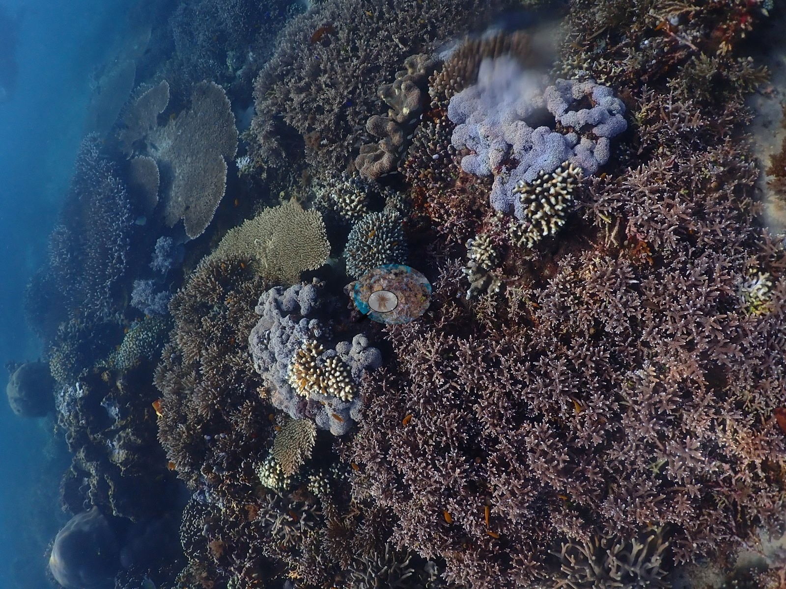
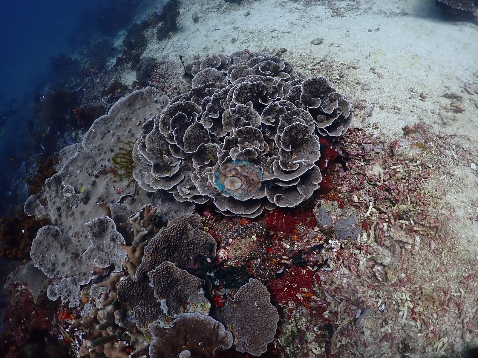
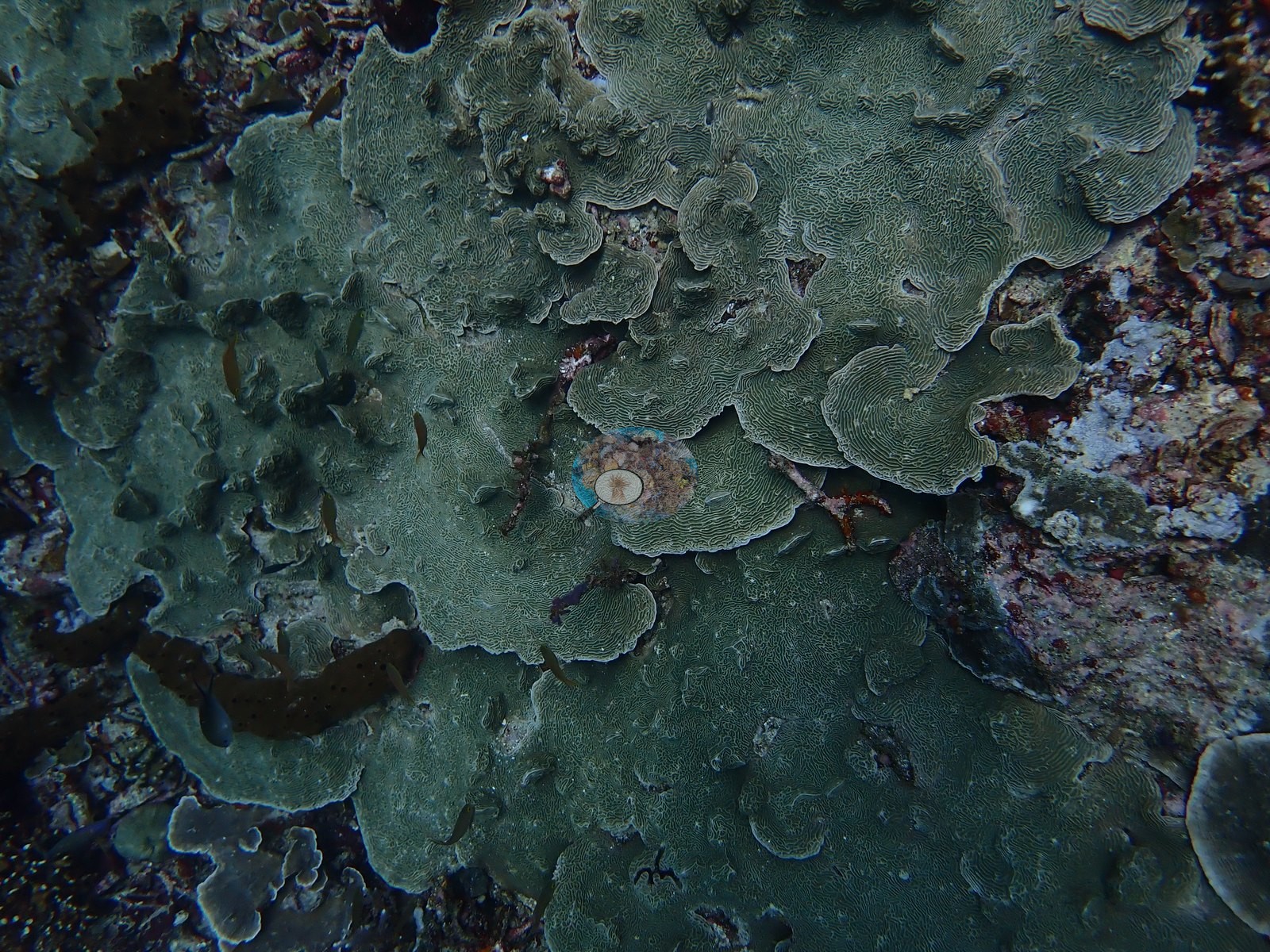
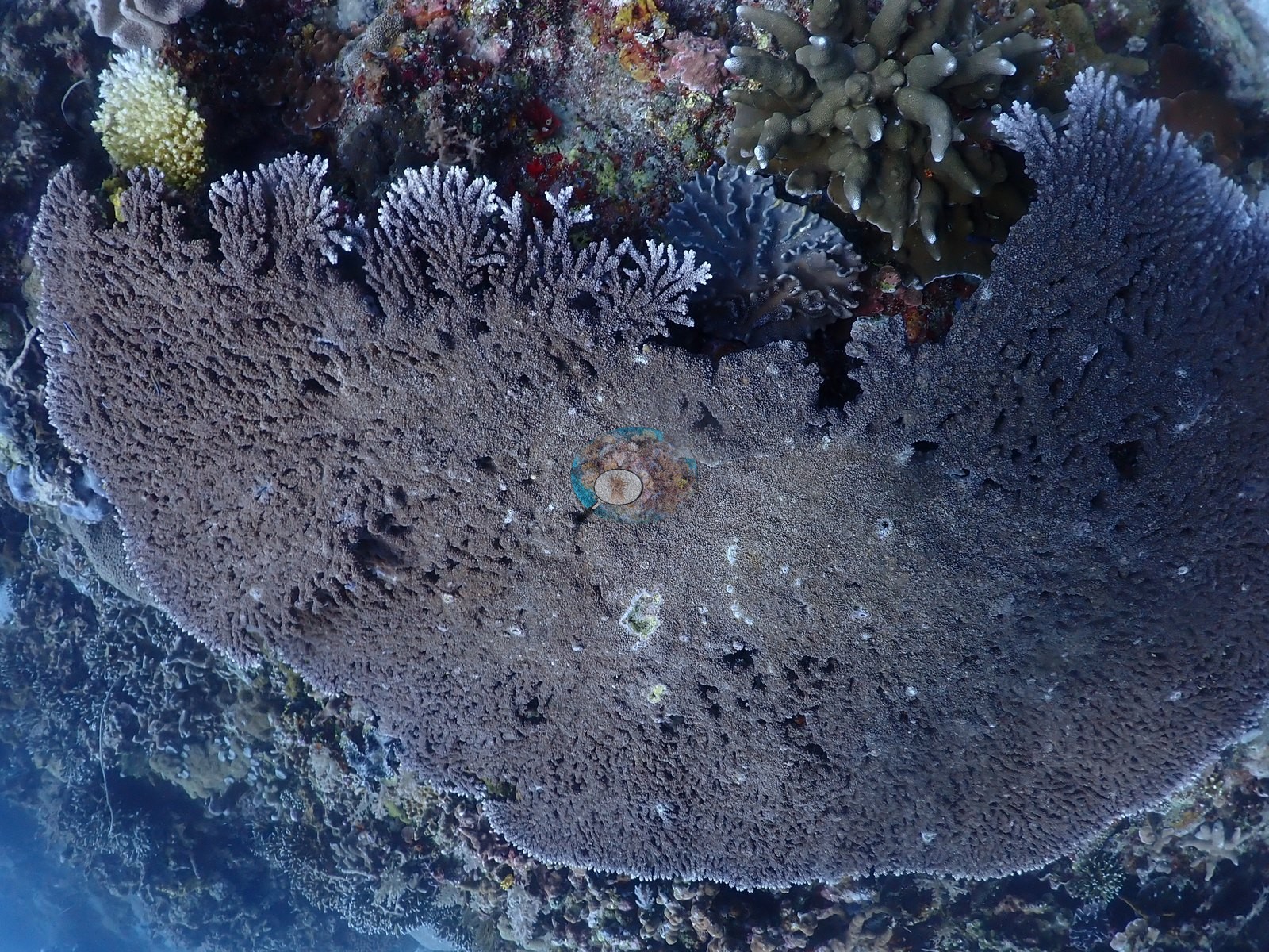
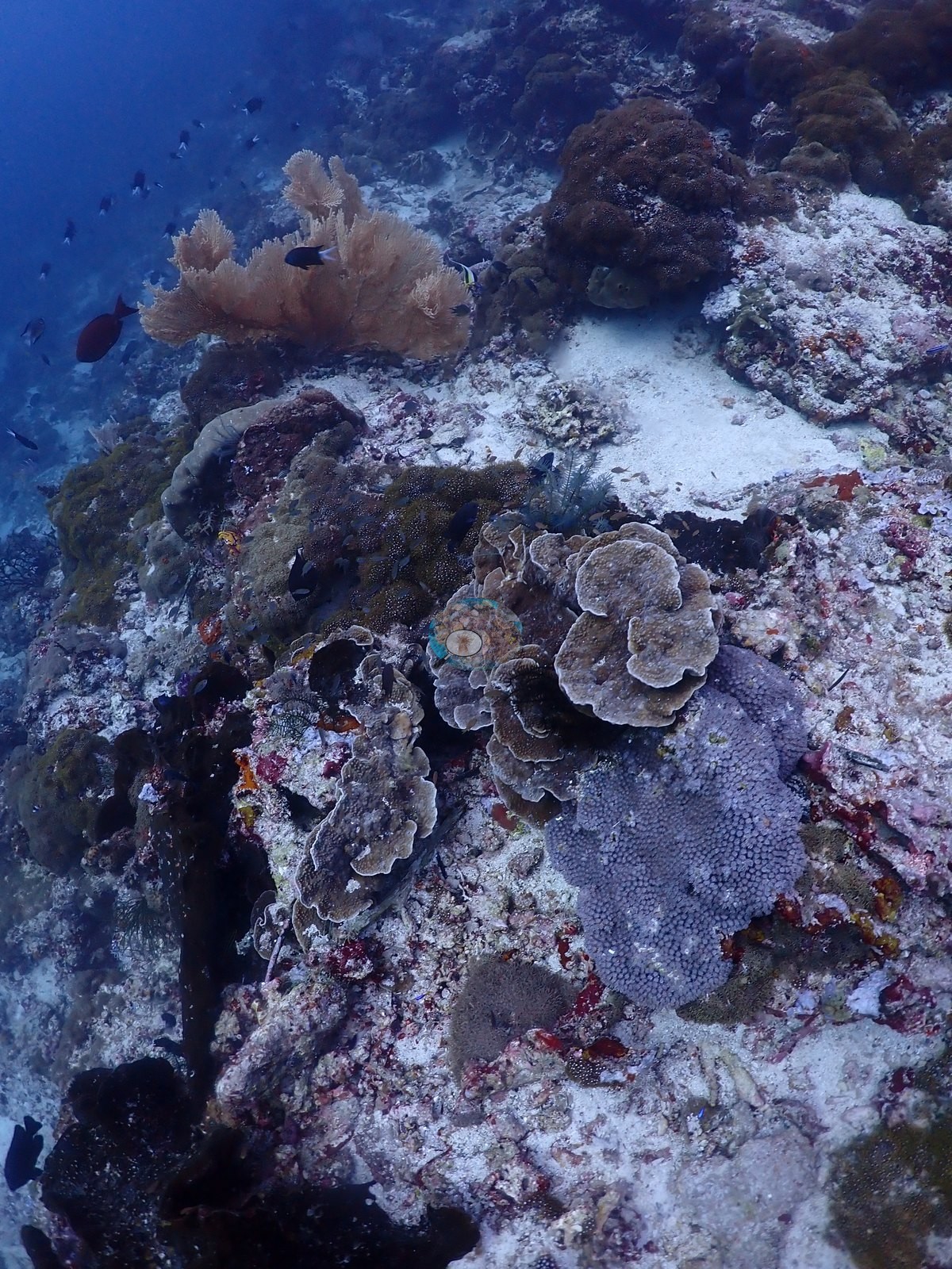
The Halmahera sites were dived on an August 2026 liveaboard crossing and fall into three groups. The northern group, in the Ternate-Tidore strait, includes Maitara North, Failonga, AM Point 2, a night dive off the Ternate waterfront (Pantai Falajawa), and a night dive under the ferry jetty at Maliang Island. A southern group holds current-swept points and drifts such as Pulau Sebatang, Kusu Drift, Tower Corner, Proco, and Jerot. A western group is made up of offshore seamounts and boulder fields, among them Batu Mandi, Batu Balong, Siko Pinnacle, and Reene's Rock. Most day dives share one profile. Sand, rubble, or sponge-crusted walls sit at 25-35 m, the mid-slope carries shingled foliose plates (Montipora, Echinopora, Pachyseris-type), and the shallow crest is near-continuous staghorn and tabulate Acropora.
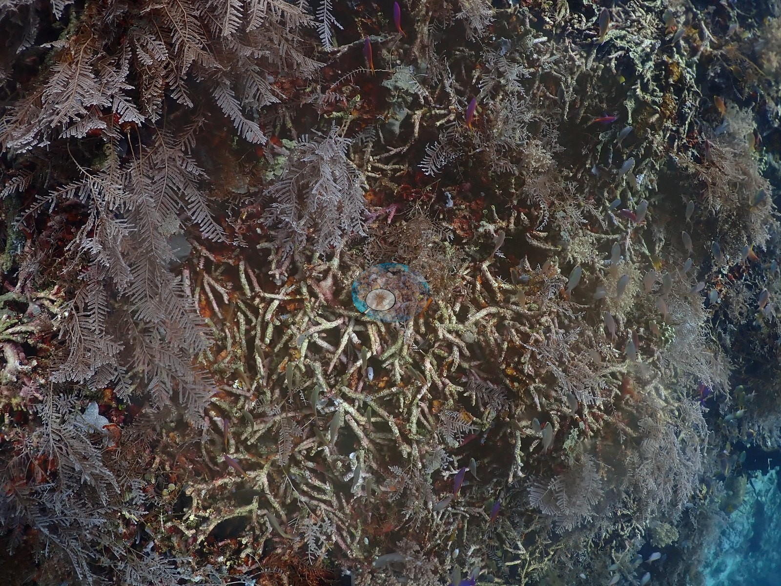
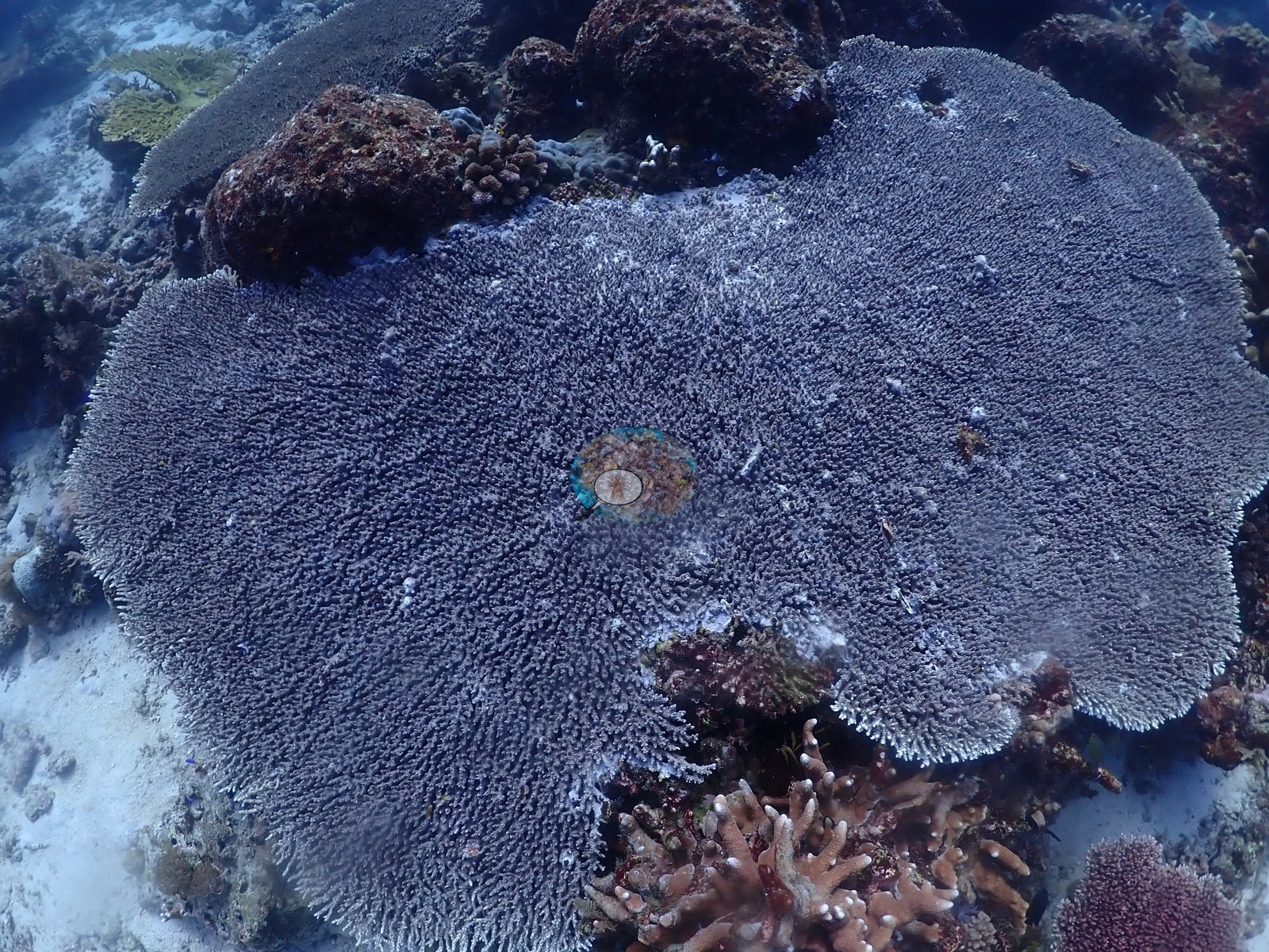
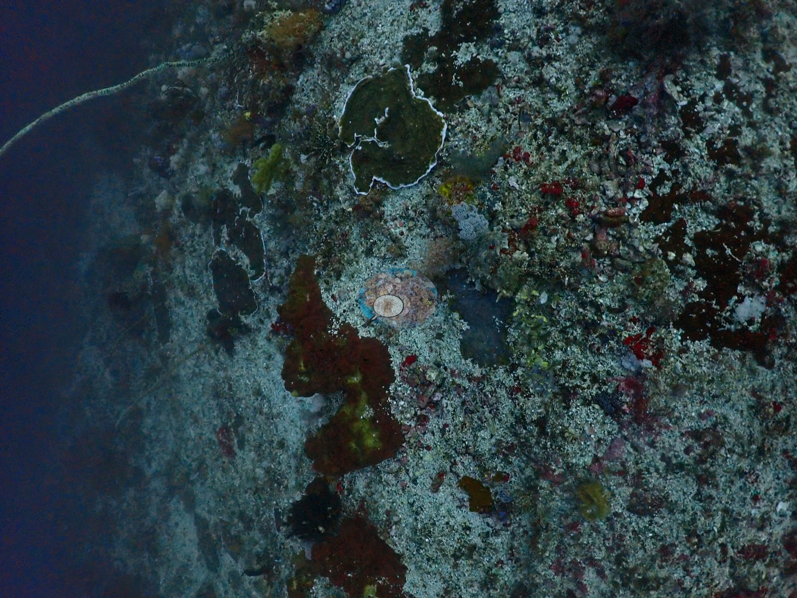
The shallows hold the best coral. Pulau Sebatang had near-continuous shallow Acropora, Tower Corner peaked at 2-7 m, and at Proco no frame came close to bare substrate. Other sites are defined by different communities. Maitara North has a shingled tower of plate coral, while the Sali Bay-Batu Mangga wall and Reene's Rock are dominated by sponges, ascidians, and soft corals. Batu Mandi's summit is blanketed in arborescent soft coral. Hard coral cover (Claude CV) across 22 daytime sites ranged from 12% at Siko Pinnacle to 57% in the Batu Balong shallows near the anchorage. Jerot logged 22-25°C and thermoclines (Anderson's note: "super cold, weird thermoclines. Is this actually an upwelling area?").
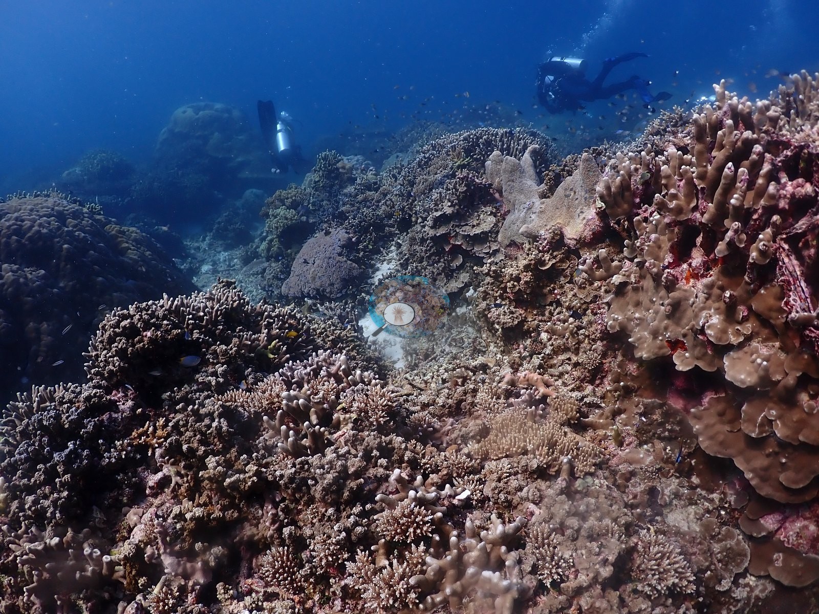
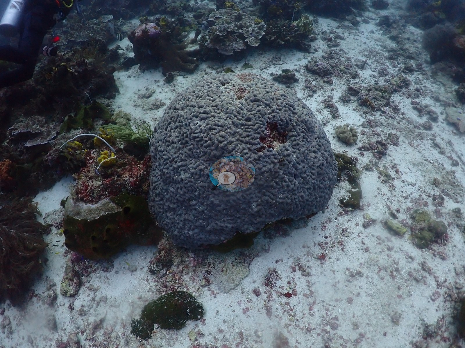
Most dives recorded no bleaching, disease, or crown-of-thorns. Old, coralline-bound mortality is common: standing dead staghorn at Failonga and Siko Tanjung, and rubble aprons at Tanjung Naraka and AM Point 2. Recent stress is patchy. Crown-of-thorns were photographed at Merida Cavern, under an overhang below a stark-white massive coral (fresh feeding damage or bleaching; the photograph cannot tell), and at Mugia. Lelay Utara appeared to show active partial bleaching (read from the photographs) on part of its shallow plateau. Single white or pale colonies turned up at Kusu Drift, Kusu Ridge, and Tanjung Dehebra (two small colonies); several massive colonies read pale at Batu Mandi, though no frame shows unambiguous bleaching; and Siko Tanjung had a handful of pale gray-white massives that may be bleached or naturally pale. One plating colony at Sali Bay-Batu Mangga had a recently dead white patch, cause not known.
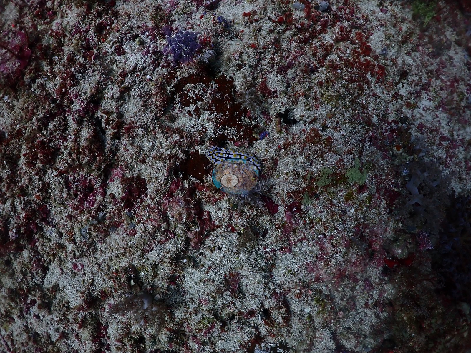
Notable sightings include walking sharks (most likely the Halmahera walking shark) at Pantai Falajawa, ornate ghost pipefish at Cimitero, and a large school of devil rays, logged at Tanjung Naraka.
Highlights
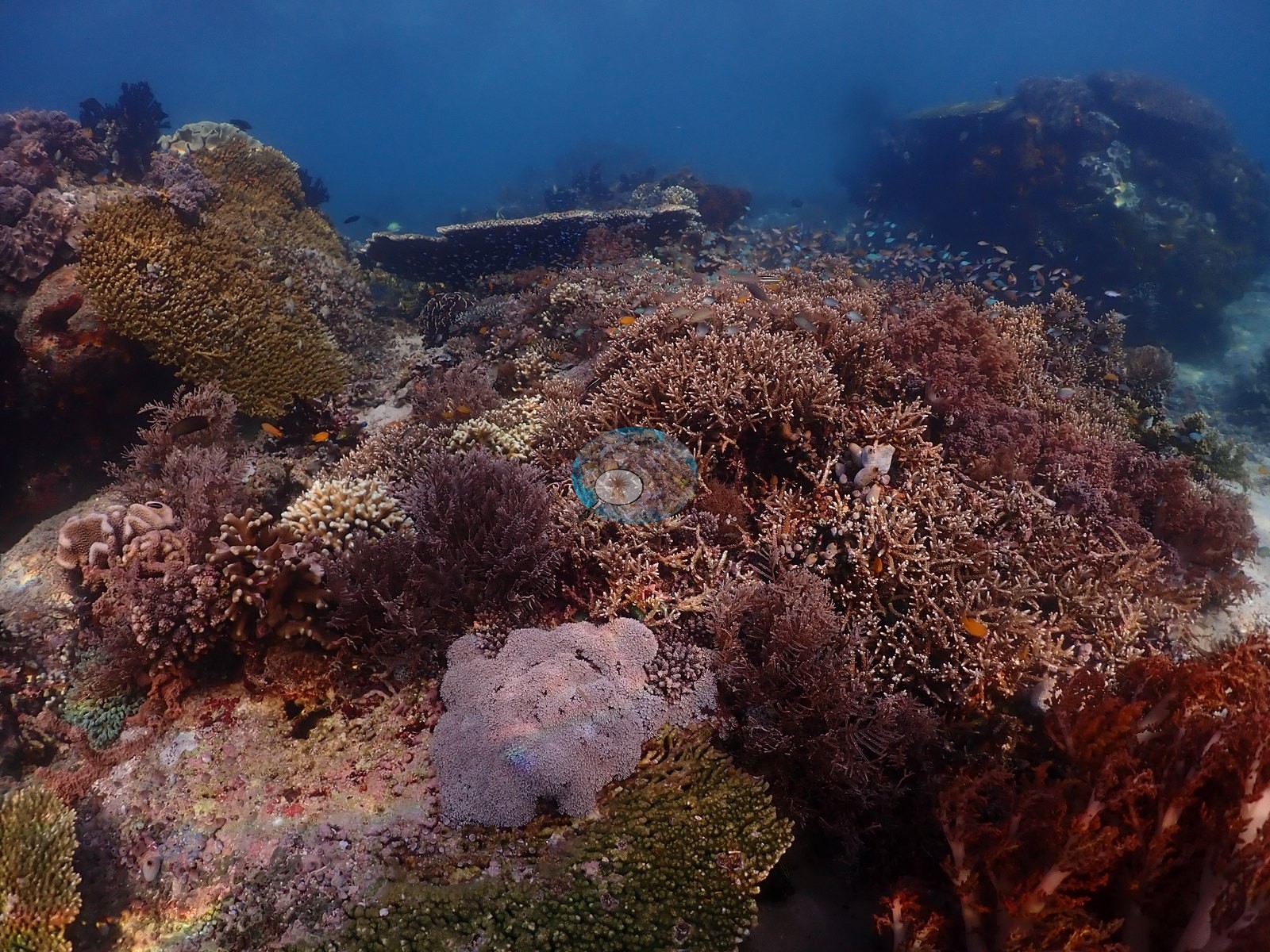
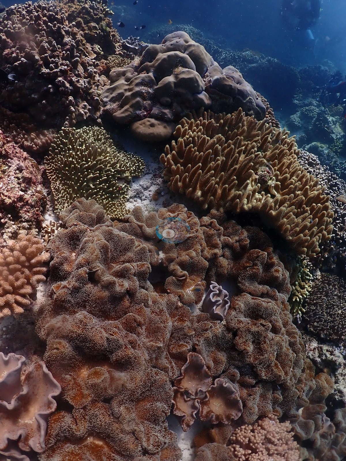
- Near-continuous shallow Acropora at Pulau Sebatang, Tower Corner (2-7 m), Proco, and the Batu Balong plateau
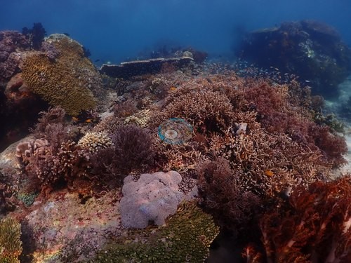 photo: Indonesia - Halmahera: Pulau Sebatang
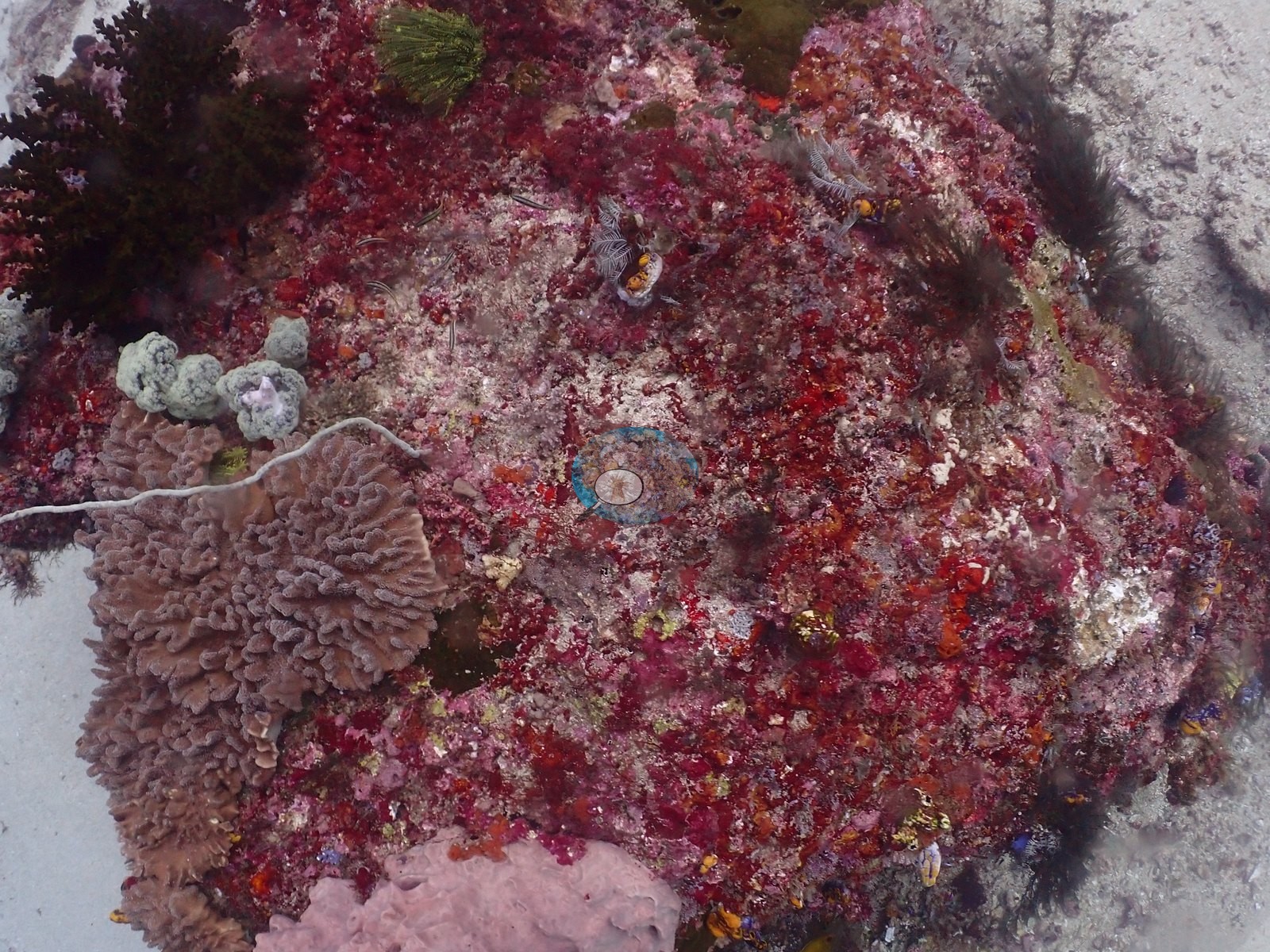
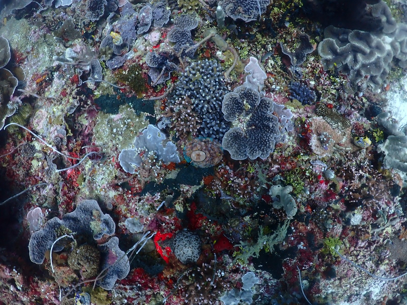
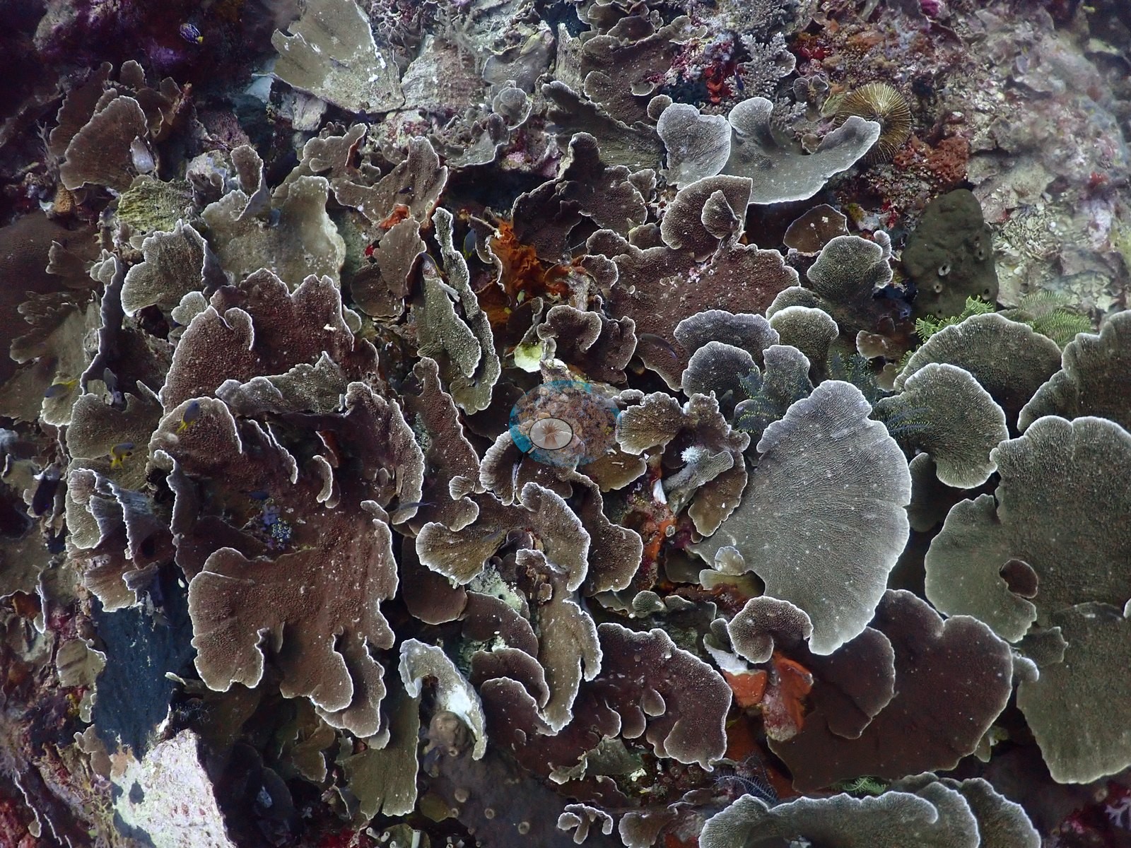
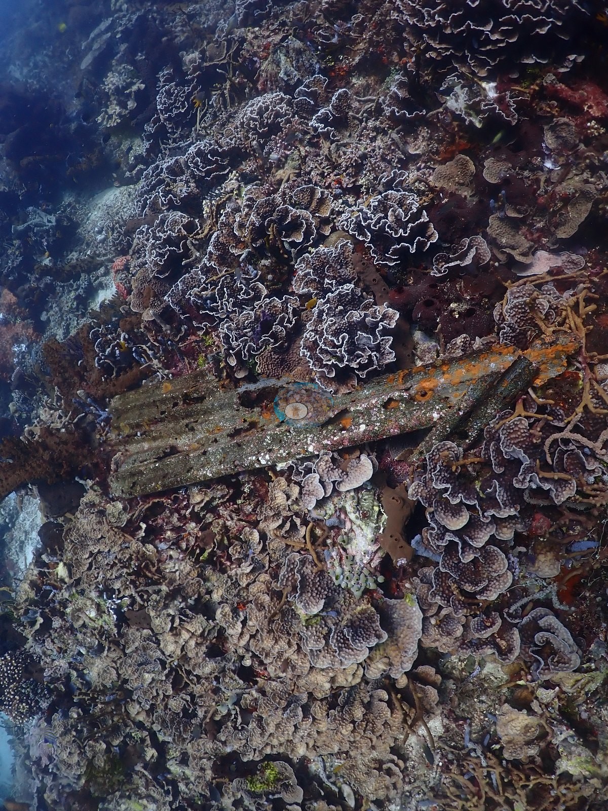
- Shingled foliose plate fields define Maitara North and the Kusu Ridge mid-slope
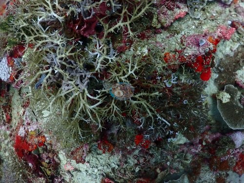 photo: Indonesia - Halmahera: Maitara North
- Jerot logged 22-25°C and thermoclines; Anderson's field note asks whether it is an upwelling area
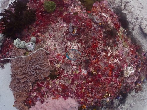 photo: Indonesia - Halmahera: Jerot
- Merida Cavern pairs a limestone swim-through with a reef of meter-wide tabulate Acropora
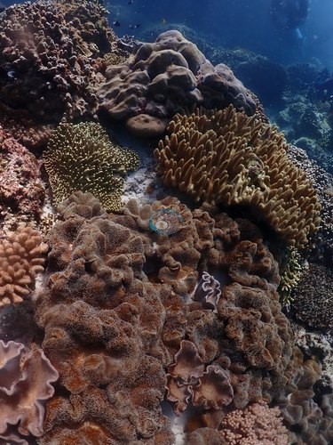 photo: Indonesia - Halmahera: Merida Cavern
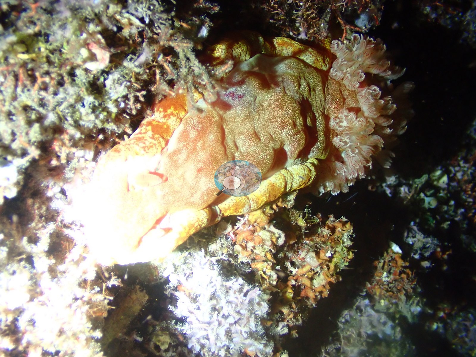
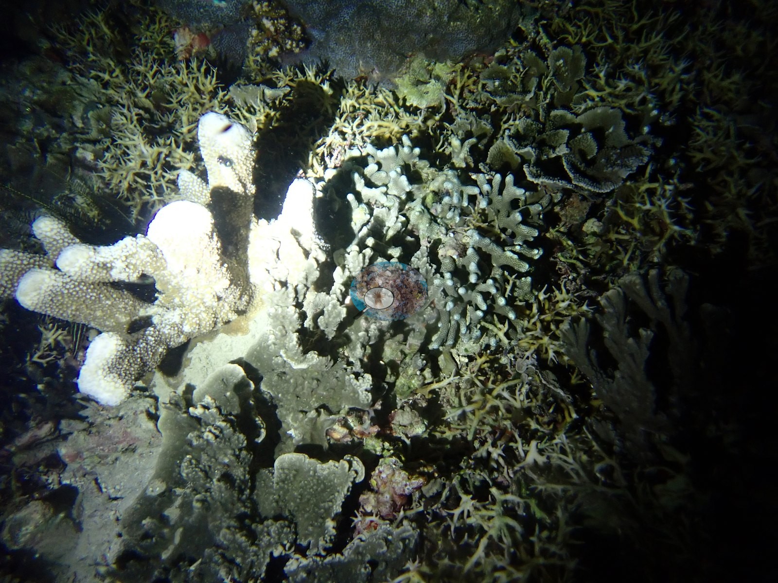
- Night dives: walking sharks at Pantai Falajawa, ornate ghost pipefish at Cimitero
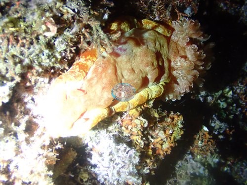 photo: Indonesia - Halmahera: Pantai Falajawa
Ini adalah terjemahan mesin dari ringkasan berbahasa Inggris; teks berbahasa Inggris adalah versi yang otoritatif. AI translation of this summary; the English is authoritative.
Regional setting
Spalding et al. (2001) memperlakukan Halmahera sebagai bagian dari Maluku (Moluccas), gugus-gugus pulau di sebelah barat Irian Jaya, yang mereka tempatkan dalam subkawasan perairan dalam dengan batimetri kompleks, tempat pulau-pulau yang berdekatan pun dapat dipisahkan oleh perairan sedalam lebih dari 1,000 m. Mereka hanya sedikit membahas Halmahera sendiri selain arus dan terumbu-terumbu terluarnya. Selama Muson Timur Laut, arus mengalir ke utara melalui selat antara Irian Jaya dan Halmahera, lalu berbalik arah pada Muson Tenggara, dan beberapa atol kecil terletak di lepas pantai sebelah timur pulau tersebut. Secara nasional, mereka memperkirakan luas terumbu Indonesia sekitar 51,020 km², sekitar 18% dari total dunia, dengan 443 spesies karang tercatat dan perkiraan yang lebih tinggi, 581-602 spesies, untuk kawasan biogeografis yang lebih luas. Souter et al. (2021) mengelompokkan ekoregion Halmahera bersama ekoregion Papua, Laut Banda (Banda Sea), Sulawesi Timur Laut (Northeast Sulawesi), Teluk Papua (Gulf of Papua), dan Laut Arafura (Arafura Sea) dalam satu subkawasan Laut Asia Timur (East Asian Seas) seluas 20,568 km², atau 26% dari terumbu kawasan tersebut. Kawasan ini secara keseluruhan memiliki 78,272 km² terumbu dan hampir 600 spesies karang pembentuk terumbu.
Di subkawasan tersebut, Souter et al. (2021) mendapati bahwa tutupan karang keras hasil pemodelan berfluktuasi cukup besar sepanjang periode data, sementara tutupan alga relatif tetap, tetapi perkiraan ini bertumpu pada 503 lokasi, dan hanya enam di antaranya yang dipantau selama lebih dari 15 tahun. Di seluruh Laut Asia Timur, peristiwa pemutihan tahun 2010 dan 2016 menurunkan tutupan karang, dan dari 55 unit pengambilan sampel yang dipantau jangka panjang dan kehilangan sedikitnya seperlima karangnya, 25 unit belum kembali mencapai 90% dari tutupan sebelumnya pada saat penilaian tahun 2020. Sebelumnya, Wilkinson (2006) menggambarkan terumbu Asia Tenggara masih terus menurun pada tahun 2004, dengan sedikit pemulihan di Indonesia, dan menilai bahwa hanya 10-20% dari lebih dari 630 kawasan konservasi perairan di kawasan tersebut yang dikelola secara efektif.
Overview
Lokasi-lokasi Halmahera diselami dalam pelayaran kapal liveaboard pada Agustus 2026 dan terbagi menjadi tiga kelompok. Kelompok utara, di selat Ternate-Tidore, meliputi Maitara North, Failonga, AM Point 2, penyelaman malam di lepas tepi laut kota Ternate (Pantai Falajawa), dan penyelaman malam di bawah dermaga feri di Pulau Maliang. Kelompok selatan berisi tanjung dan jalur hanyut (drift) yang tersapu arus, seperti Pulau Sebatang, Kusu Drift, Tower Corner, Proco, dan Jerot. Kelompok barat terdiri atas gunung laut (seamount) lepas pantai dan hamparan bongkahan batu, di antaranya Batu Mandi, Batu Balong, Siko Pinnacle, dan Reene's Rock. Sebagian besar penyelaman siang memiliki profil yang sama. Pasir, pecahan karang, atau dinding berkerak spons berada pada kedalaman 25-35 m, lereng tengah ditumbuhi karang lembaran foliosa yang bersusun seperti sirap (tipe Montipora, Echinopora, Pachyseris), dan puncak terumbu yang dangkal berupa Acropora tanduk rusa dan berbentuk meja yang nyaris tak terputus.
Perairan dangkal menyimpan karang terbaik. Pulau Sebatang memiliki Acropora dangkal yang nyaris tak terputus, Tower Corner mencapai puncaknya pada kedalaman 2-7 m, dan di Proco tidak ada satu bingkai foto pun yang mendekati substrat gundul. Lokasi lain dicirikan oleh komunitas yang berbeda. Maitara North memiliki menara karang lembaran yang bersusun seperti sirap, sedangkan dinding Sali Bay-Batu Mangga dan Reene's Rock didominasi spons, ascidian, dan karang lunak. Puncak Batu Mandi diselimuti karang lunak berbentuk pohon. Tutupan karang keras (Claude CV) di 22 lokasi siang hari berkisar dari 12% di Siko Pinnacle hingga 57% di perairan dangkal Batu Balong dekat tempat berlabuh. Jerot mencatat suhu 22-25°C dan termoklin (catatan Anderson: "super cold, weird thermoclines. Is this actually an upwelling area?").
Sebagian besar penyelaman tidak mencatat pemutihan, penyakit, atau bintang laut mahkota duri. Kematian lama yang sudah terikat alga koralin umum dijumpai: tanduk rusa mati yang masih berdiri di Failonga dan Siko Tanjung, serta hamparan pecahan karang di Tanjung Naraka dan AM Point 2. Tekanan baru hanya terjadi setempat-setempat. Bintang laut mahkota duri difoto di Merida Cavern, di bawah sebuah naungan batu di bawah karang masif yang putih bersih (bekas makan yang masih baru atau pemutihan; foto tidak dapat memastikannya), dan di Mugia. Lelay Utara tampaknya menunjukkan pemutihan sebagian yang aktif (dibaca dari foto) pada sebagian dataran dangkalnya. Koloni tunggal yang putih atau pucat dijumpai di Kusu Drift, Kusu Ridge, dan Tanjung Dehebra (dua koloni kecil); beberapa koloni masif tampak pucat di Batu Mandi, meskipun tidak ada bingkai foto yang menunjukkan pemutihan secara jelas; dan di Siko Tanjung terdapat beberapa koloni masif berwarna putih keabu-abuan pucat yang mungkin memutih atau memang pucat secara alami. Satu koloni lembaran di Sali Bay-Batu Mangga memiliki petak putih yang baru mati, dengan penyebab yang tidak diketahui.
Penampakan yang patut dicatat meliputi hiu berjalan (kemungkinan besar hiu berjalan Halmahera) di Pantai Falajawa, ikan pipa hantu hias (ornate ghost pipefish) di Cimitero, dan kawanan besar pari setan (devil ray), tercatat di Tanjung Naraka.
Highlights
- Acropora dangkal yang nyaris tak terputus di Pulau Sebatang, Tower Corner (2-7 m), Proco, dan dataran Batu Balong
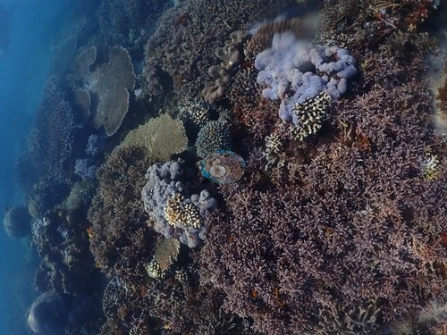 photo: Indonesia - Halmahera: Pulau Sebatang
- Hamparan karang lembaran foliosa yang bersusun seperti sirap menjadi ciri Maitara North dan lereng tengah Kusu Ridge
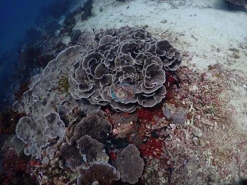 photo: Indonesia - Halmahera: Maitara North
- Jerot mencatat suhu 22-25°C dan termoklin; catatan lapangan Anderson mempertanyakan apakah ini kawasan upwelling
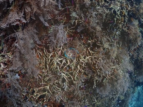 photo: Indonesia - Halmahera: Jerot
- Merida Cavern memadukan lorong renang (swim-through) batu kapur dengan terumbu berisi Acropora berbentuk meja selebar satu meter
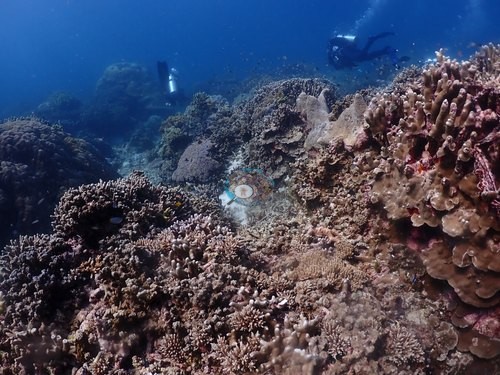 photo: Indonesia - Halmahera: Merida Cavern
- Penyelaman malam: hiu berjalan di Pantai Falajawa, ikan pipa hantu hias di Cimitero
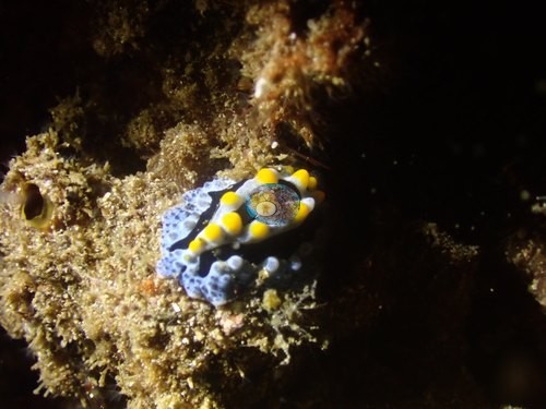 photo: Indonesia - Halmahera: Pantai Falajawa
Notable observations (12)
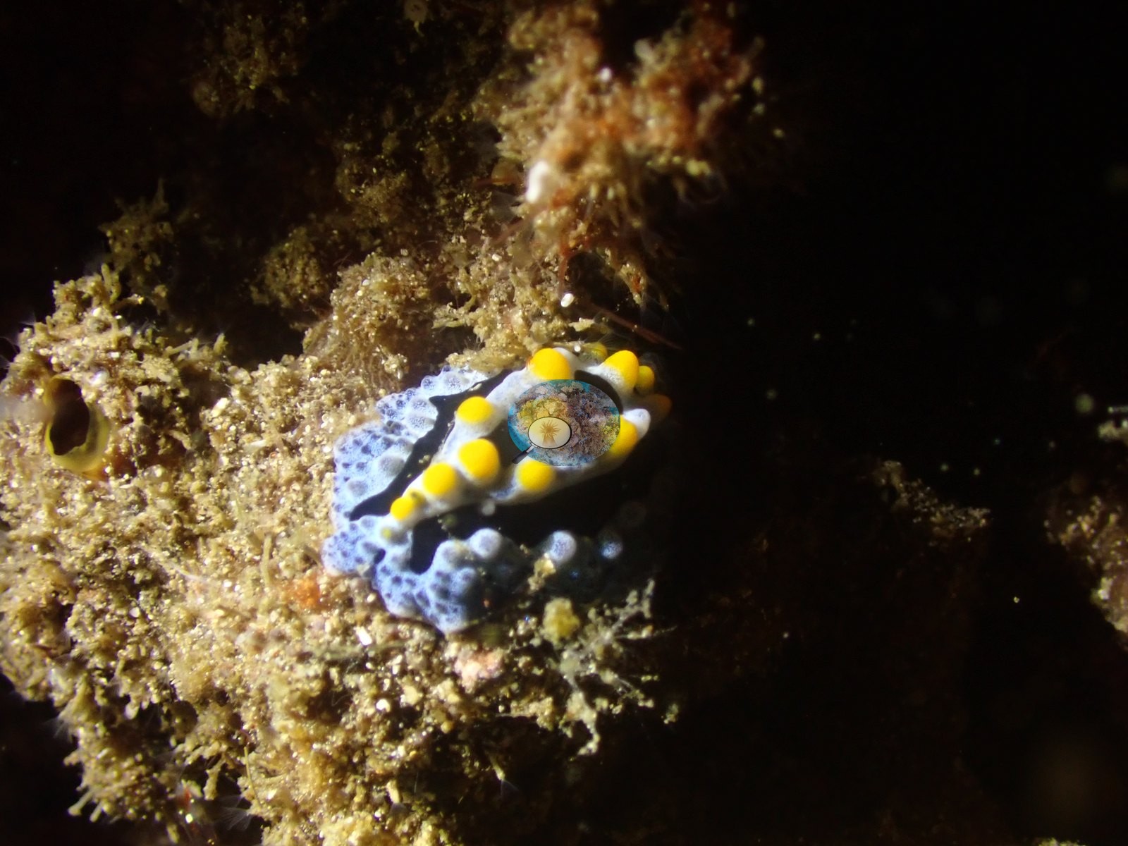
- Indonesia - Halmahera: Merida Cavern: crown-of-thorns starfish (COTS): a crown-of-thorns starfish under an overhang below a stark-white massive coral (fresh feeding damage or bleaching; the photograph cannot tell), with similar sharply bounded white patches on two neighboring colonies
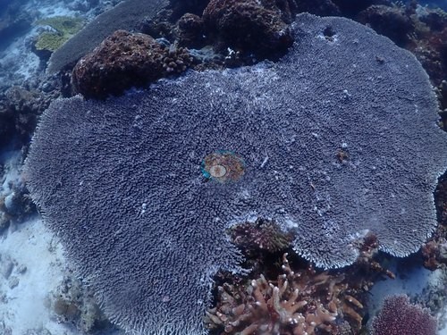
- Indonesia - Halmahera: Mugia: COTS: a large Acanthaster-type crown-of-thorns starfish in two frames (possibly one animal), amid turf-covered dead branching rubble; no feeding scar caught on living coral
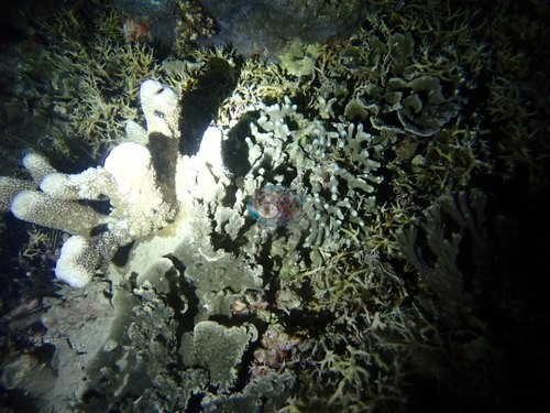
- Indonesia - Halmahera: Lelay Utara (north): Possible bleaching: partial bleaching on the shallow plateau, read from the photographs; one discrete colony bone-white beside pigmented neighbors and widespread paling across that section; read as active, recent, and partial
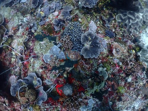
- Indonesia - Halmahera: Kusu Drift: Bleaching: one large meandroid colony with a sharply bounded bleached-but-living sector covering about a third of its surface; single-colony, not site-wide
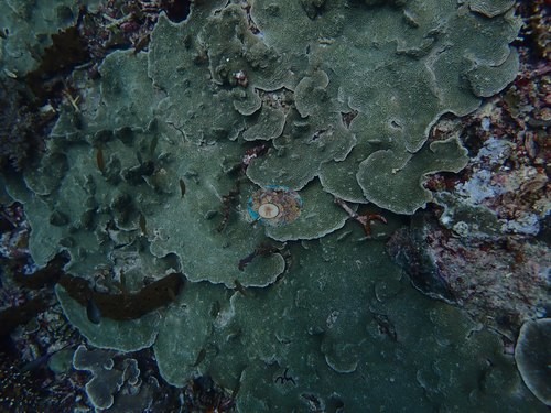
- Indonesia - Halmahera: Siko Tanjung: Possible bleaching: a handful of massive colonies are pale gray-white, clearly paler than their normally pigmented neighbors, and may be bleached or naturally pale; the photographs cannot settle which. A cushion star sat beside two small snow-white branching colonies (not a crown-of-thorns starfish). Large tracts of old, coralline-overgrown dead staghorn framework underlie the living thicket
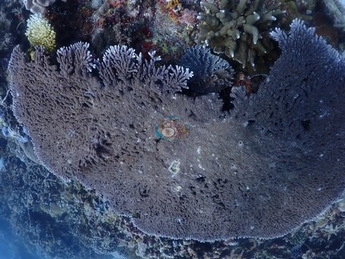
- Indonesia - Halmahera: Kusu Ridge: Bleaching or recent mortality: one plating colony about 1.5 m across is chalky white-gray against dark brown neighbors and may be bleached or recently dead; a few plate sections elsewhere on the slope are bare white skeleton. Cause not resolvable; no crown-of-thorns starfish
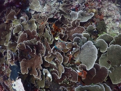
- Indonesia - Halmahera: Tanjung Dehebra: Possible bleaching or recent partial mortality on two small stark-white branching colonies on the side of a larger brown massive; nothing like them recurs elsewhere on the dive
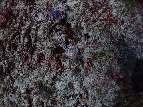
- Indonesia - Halmahera: Kusu Drift (round 2): One pale-white cauliflower-form colony, hedged as possible partial bleaching or a natural pale morph
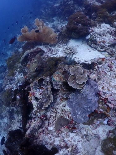
- Indonesia - Halmahera: Batu Mandi: Several massive Porites read pale cream in the deep, unstrobed light; no frame shows unambiguous bleaching. One brain coral carries two small reddish-brown patches of missing tissue (a healed injury fits as well as disease)
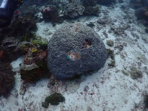
- Indonesia - Halmahera: Sali Bay-Batu Mangga: One large tabulate Acropora distinctly whiter than its neighbors, logged as unresolved rather than bleaching; on the same dive one brown plating colony carries a sharp-edged, stark-white bare patch, recently dead, cause not known
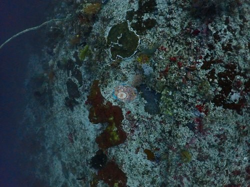
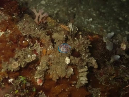
- Indonesia - Halmahera: Maitara North: Debris: a long corrugated, roofing-type sheet across foliose plate corals on the mid-slope and a printed wrapper wedged under a sponge at the reef base. Fine silt sits in the cups of many plates; no crown-of-thorns starfish or active disease in the 28 of 176 frames examined
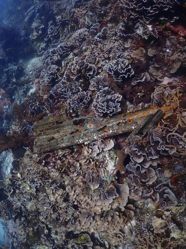
- Indonesia - Halmahera: Pantai Falajawa: Debris: a bottle- or can-shaped object, crusted with coralline and red growth, on the algal bed beside a walking shark
Sites in this region (26)
- Indonesia - Halmahera: AM Point 2 — 40% coral cover
- Indonesia - Halmahera: Batu Balong — 39% coral cover
- Indonesia - Halmahera: Batu Balong shallows-near anchorage — 57% coral cover
- Indonesia - Halmahera: Batu Mandi — 12% coral cover
- Indonesia - Halmahera: Cimitero
- Indonesia - Halmahera: Failonga — 33% coral cover
- Indonesia - Halmahera: Ferry Jetty
- Indonesia - Halmahera: Jerot — 23% coral cover
- Indonesia - Halmahera: Kusu Drift — 26% coral cover
- Indonesia - Halmahera: Kusu Drift (round 2) — 43% coral cover
- Indonesia - Halmahera: Kusu Ridge — 45% coral cover
- Indonesia - Halmahera: Lelay Utara (north) — 48% coral cover
- Indonesia - Halmahera: Maitara North — 33% coral cover
- Indonesia - Halmahera: Merida Cavern — 27% coral cover
- Indonesia - Halmahera: Mugia
- Indonesia - Halmahera: Pantai Falajawa
- Indonesia - Halmahera: Pretty Shallow — 32% coral cover
- Indonesia - Halmahera: Proco — 32% coral cover
- Indonesia - Halmahera: Pulau Sebatang — 41% coral cover
- Indonesia - Halmahera: Reene's Rock (Pulau Gewang) — 13% coral cover
- Indonesia - Halmahera: Sali Bay-Batu Mangga — 25% coral cover
- Indonesia - Halmahera: Siko Pinnacle — 12% coral cover
- Indonesia - Halmahera: Siko Tanjung — 41% coral cover
- Indonesia - Halmahera: Tanjung Dehebra — 25% coral cover
- Indonesia - Halmahera: Tanjung Naraka — 30% coral cover
- Indonesia - Halmahera: Tower Corner — 34% coral cover
Nearby external survey stations
15 independent survey records within 5 km of a site in this region (each record counted once; 14 lines, and a line that pools several records says how many).
- WCS Indonesia via MERMAID — Guraici (2024): 34% hard coral cover
- WCS Indonesia via MERMAID — Inti Gafi (2024): 50% hard coral cover
- WCS Indonesia via MERMAID — Inti Siko (2024): 25% hard coral cover
- WCS Indonesia via MERMAID — Joronga (2024): 55% hard coral cover
- WCS Indonesia via MERMAID — Legoma (2024): 19% hard coral cover
- WCS Indonesia via MERMAID — Lelei (2024): 18% hard coral cover
- WCS Indonesia via MERMAID — Pulau Kelo (2024): 45% hard coral cover
- WCS Indonesia via MERMAID — Pulau Rajawali (2024): 51% hard coral cover
- WCS Indonesia via MERMAID — Shark Point (2024): 59% hard coral cover
- WCS Indonesia via MERMAID — Tanjung Lepa (2024): 33% hard coral cover
- WCS Indonesia via MERMAID — Tanjung Marikoko (2024): 19% hard coral cover
- WCS Indonesia via MERMAID — Temo Madofa (2024): 38% hard coral cover
- WCS Indonesia via MERMAID — Tomalou (2024): 47% hard coral cover
- WCS Indonesia via MERMAID — Tunguwai (2024): 45% hard coral cover, mean of 2 surveys (2 records)
All images from Coral Reef Diagnostics. Data are from Coral Reef Diagnostics and WCS Indonesia.
© Coral Reef Diagnostics.
References
- Souter D, et al. (eds) (2021) Status of Coral Reefs of the World: 2020. International Coral Reef Initiative / Global Coral Reef Monitoring Network. [PDF]
- Spalding MD, et al. (2001) World Atlas of Coral Reefs. University of California Press, Berkeley. [PDF]
- Wilkinson C (2006) Status of coral reefs of the world: summary of threats and remedial action. In: Côté IM, Reynolds JD (eds) Coral Reef Conservation. Cambridge University Press, Cambridge. [PDF]