
Indonesia - Halmahera: Batu Balong shallows-near anchorage
Part of the regional summaries: Indonesia - Halmahera and Indonesia - Maluku
More info
North Maluku (NOAA CRW virtual station)A short solo dive in the 1–6 m shallows beside the Batu Balong anchorage, where interlocking mauve, lavender, and olive staghorn Acropora thickets fill whole frames among massive Porites bommies, stacked foliose plates, and white sand lanes. No bleaching, disease, or crown-of-thorns starfish (COTS) observed. A blind Claude computer-vision point count puts coral cover around 57%.
Penyelaman singkat seorang diri di perairan dangkal 1–6 m di dekat tempat berlabuh Batu Balong, tempat semak Acropora bercabang berwarna ungu muda, lavender, dan hijau zaitun saling mengunci memenuhi seluruh bingkai foto, di antara bongkah Porites masif, lembaran karang foliosa yang bersusun, dan lorong pasir putih. Tidak teramati pemutihan, penyakit, maupun bintang laut mahkota duri. Penghitungan titik buta visi komputer Claude memperkirakan tutupan karang sekitar 57%.
Terjemahan ringkasan ini oleh AI; versi bahasa Inggris yang berlaku.
Nine independent survey stations shown with the program’s logo — click one to see how far it is from this site.
Three other CRD dive sites within 5 km shown in orange — click a marker to open its page.
23 of these 55 photographs are shown beside the text that discusses them under "Site description" below.
Site description
Setting
Batu Balong shallows, near the anchorage (Halmahera dive 22), was a short solo dive on 14 August 2026 during the Halmahera crossing aboard the liveaboard Ambai (Wallacea Dive Cruises): in at 12:53 for 32 minutes, to a maximum depth of 5.9 m, in water of 26–27°C. It followed the main Batu Balong dive, and Anderson went on his own to explore the hard corals of the 1–6 m shallows beside the anchorage.
General benthic features
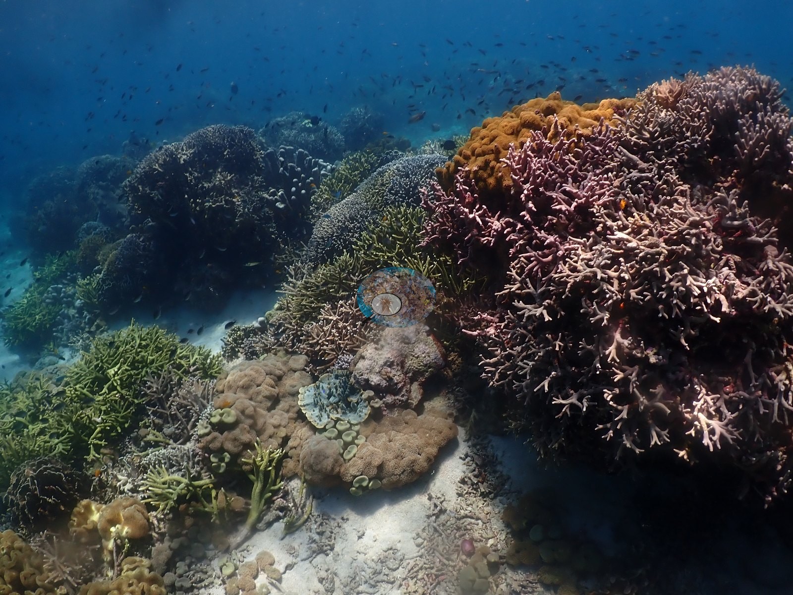
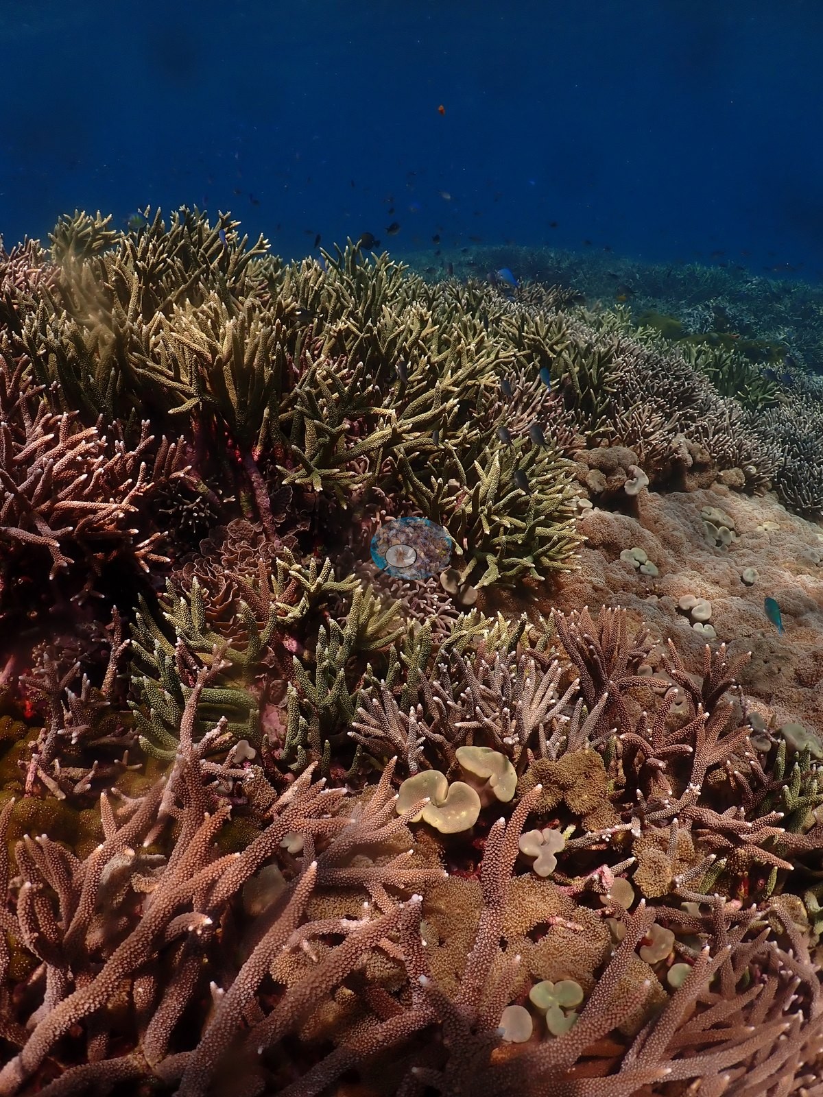
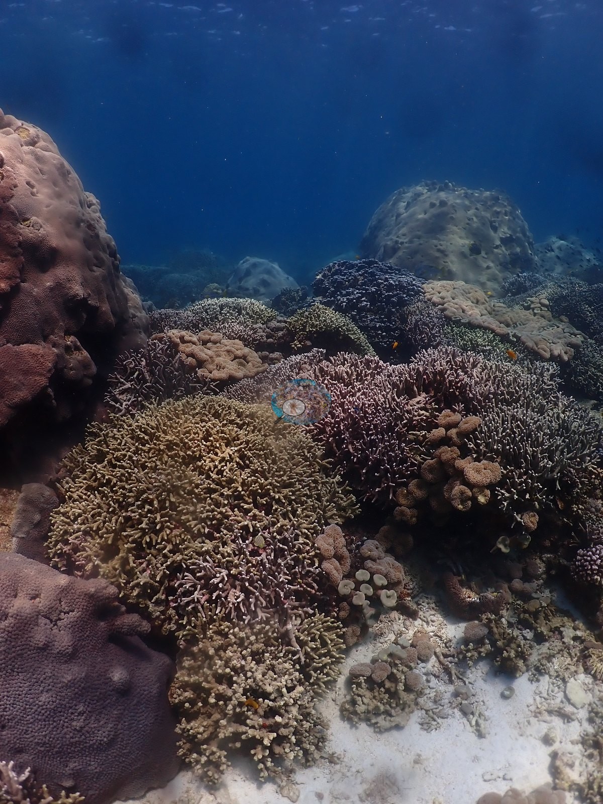
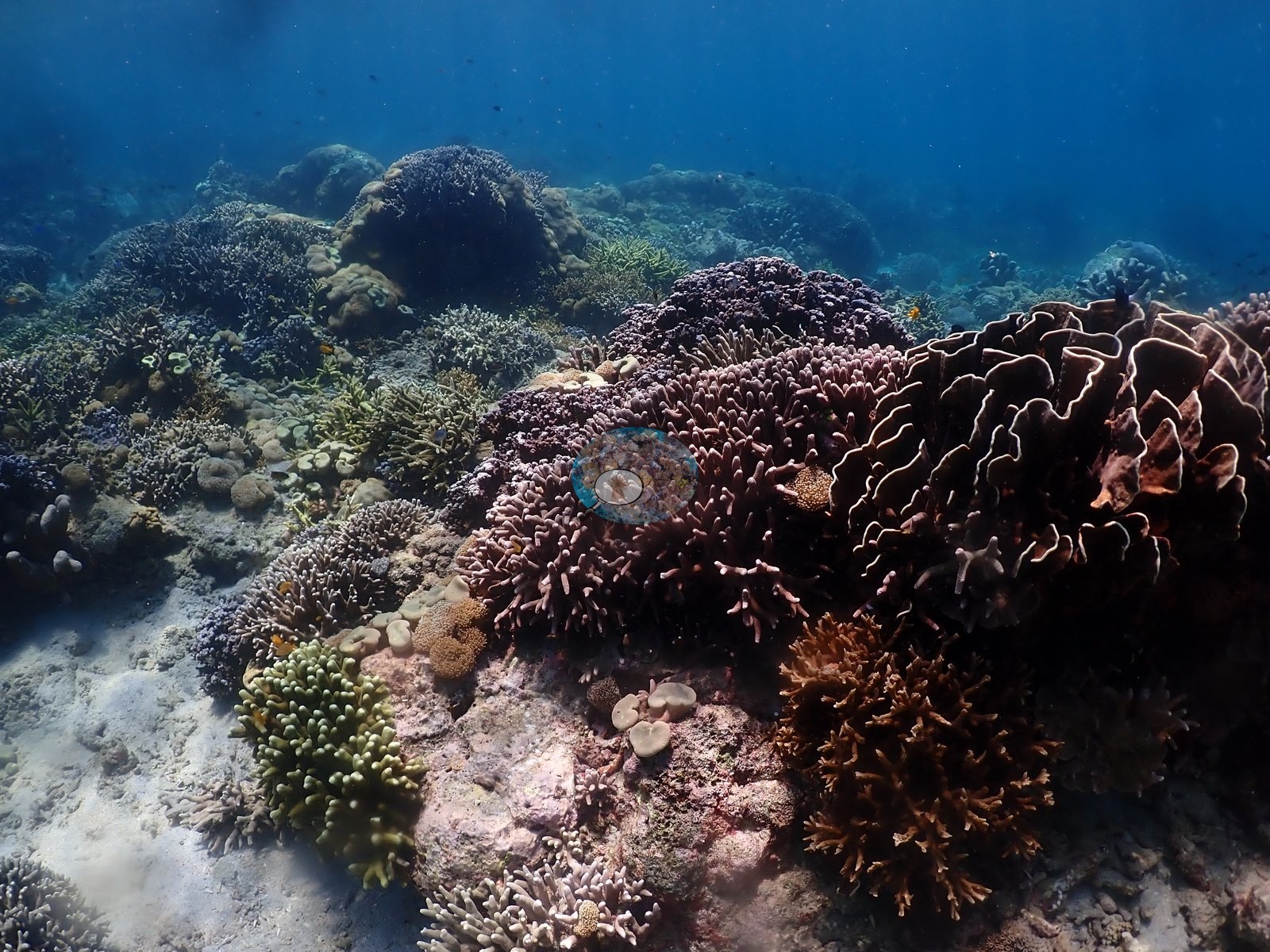
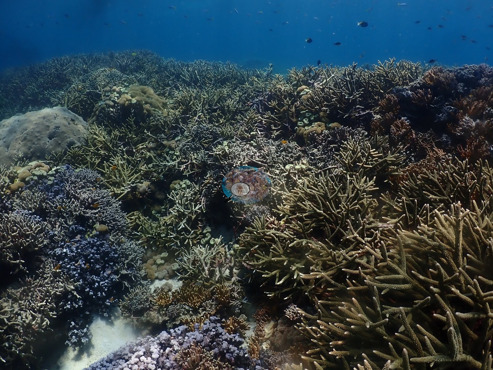
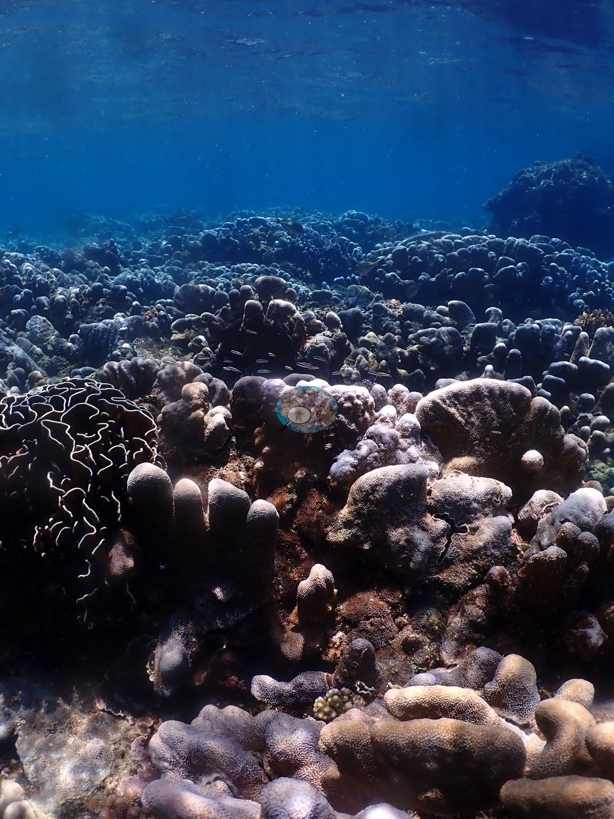
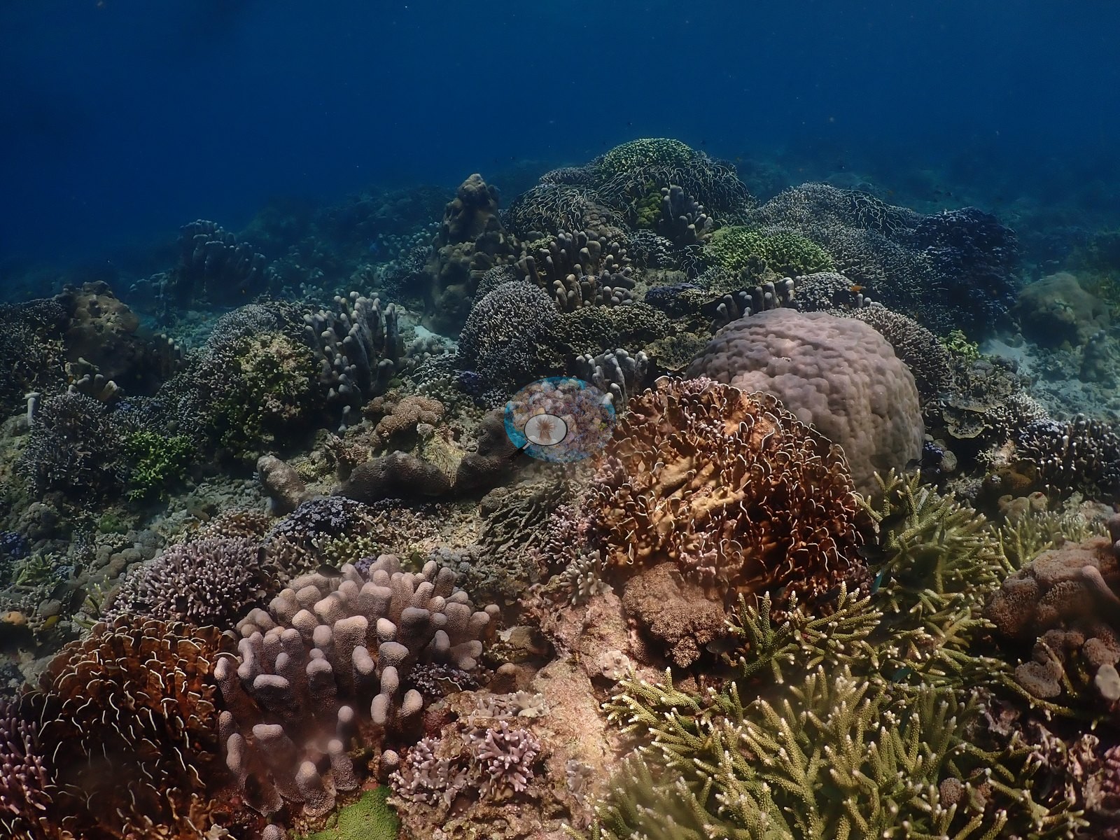
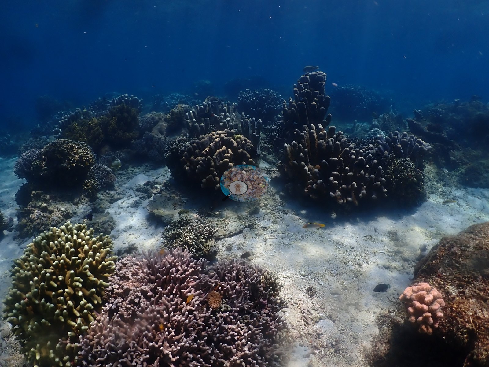
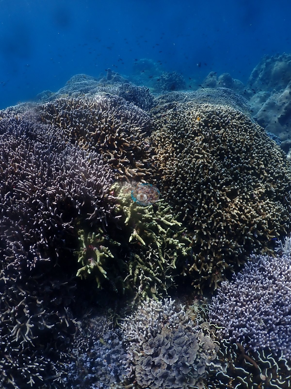
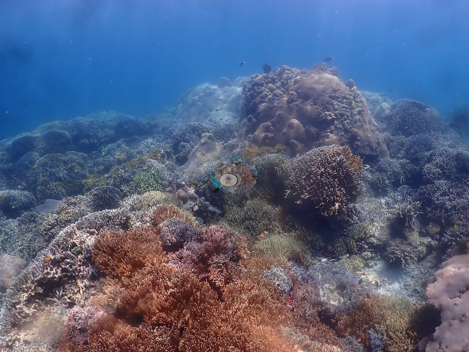
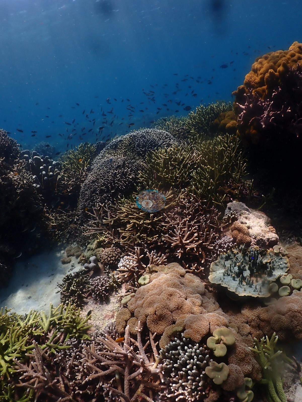
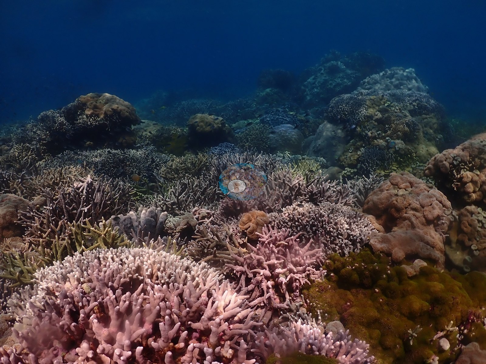
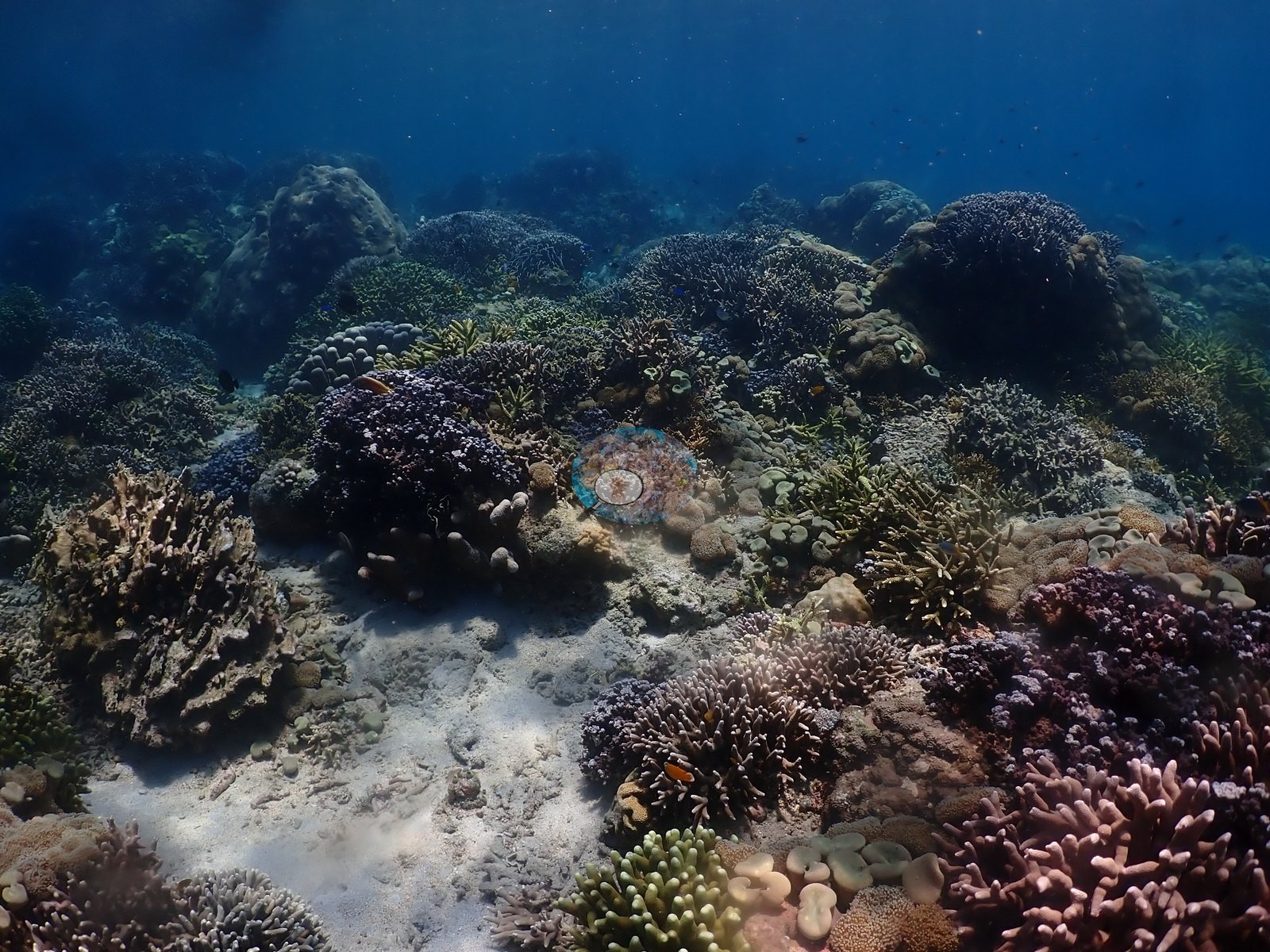
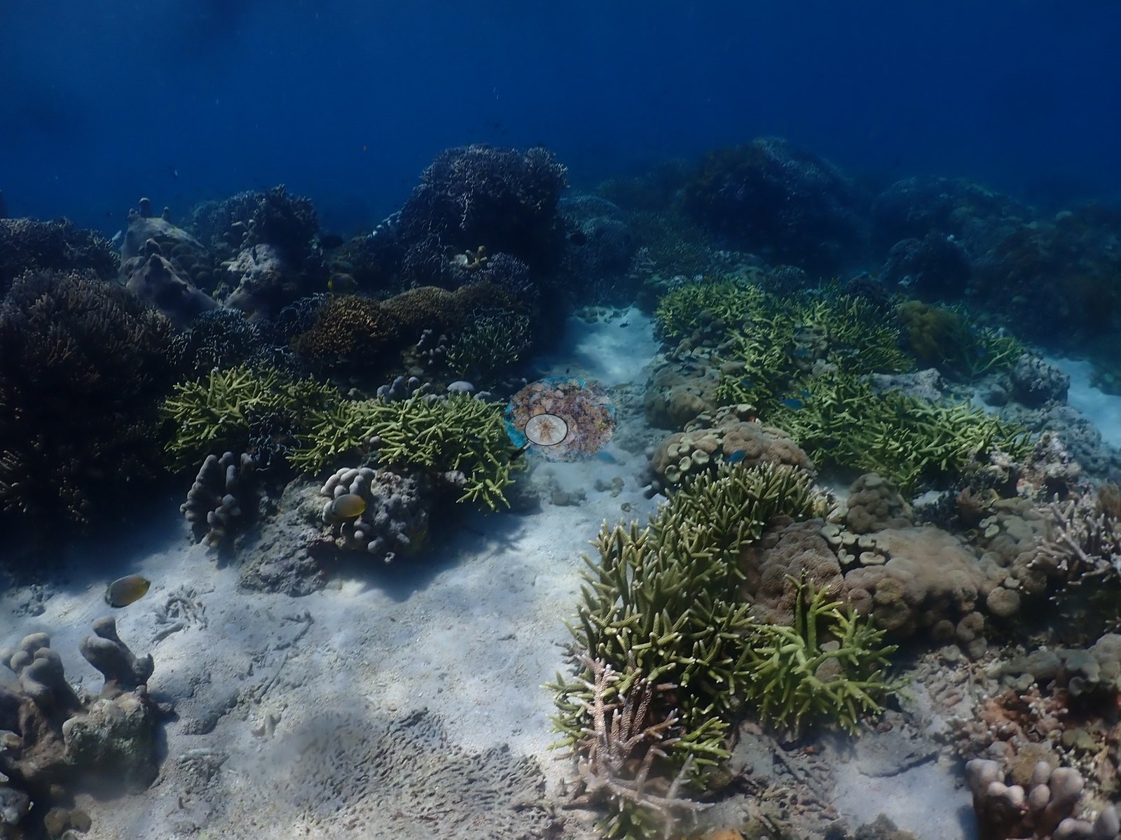
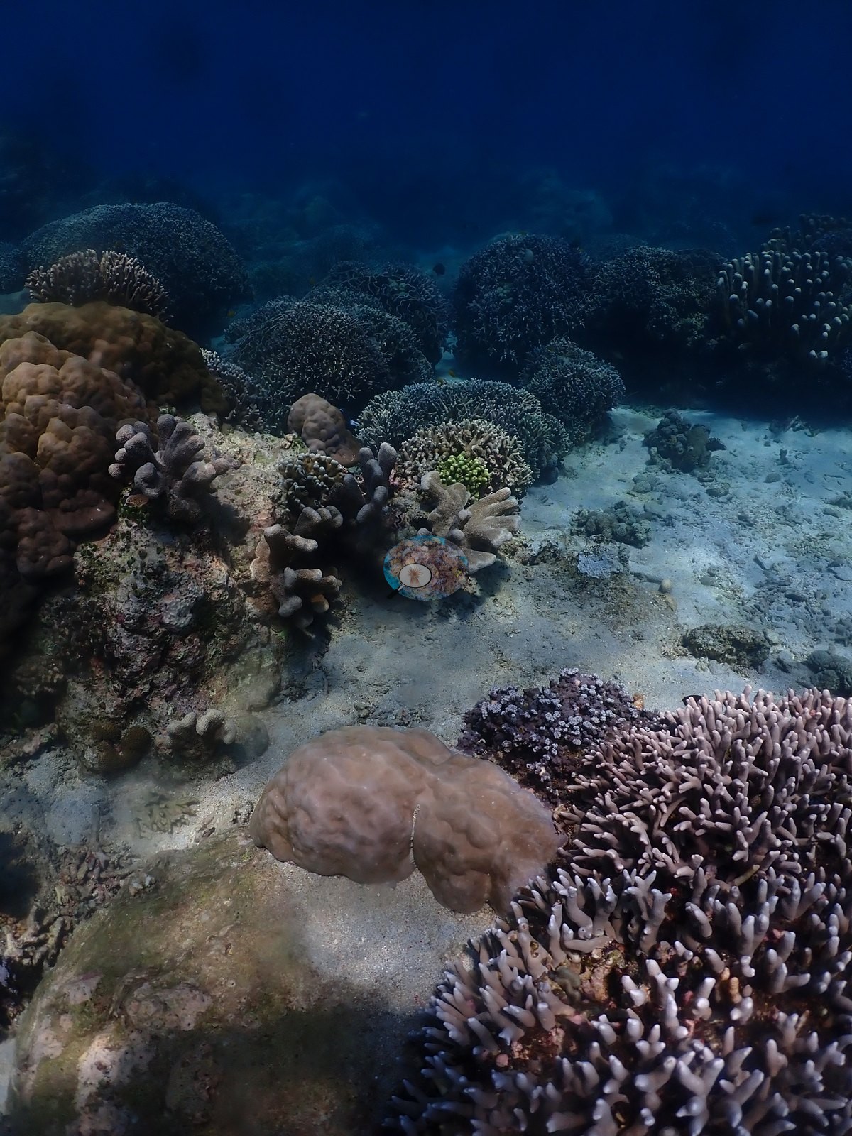
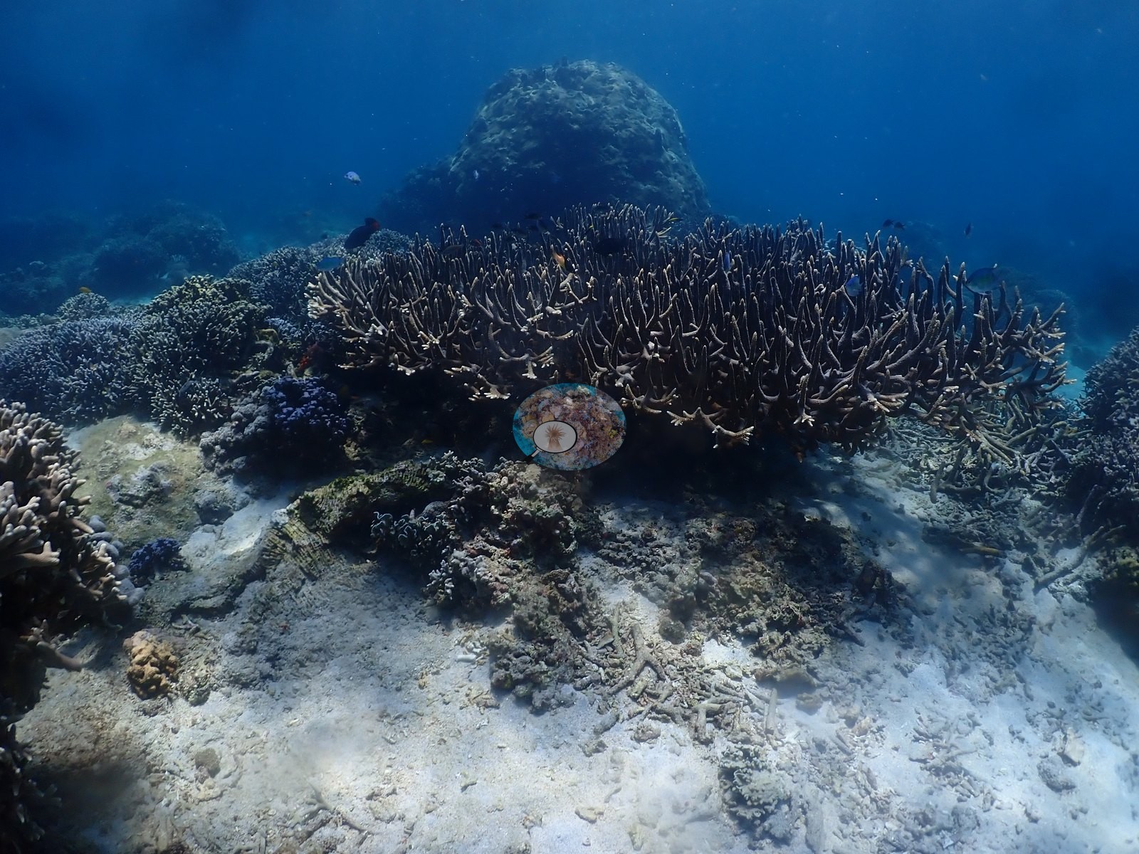
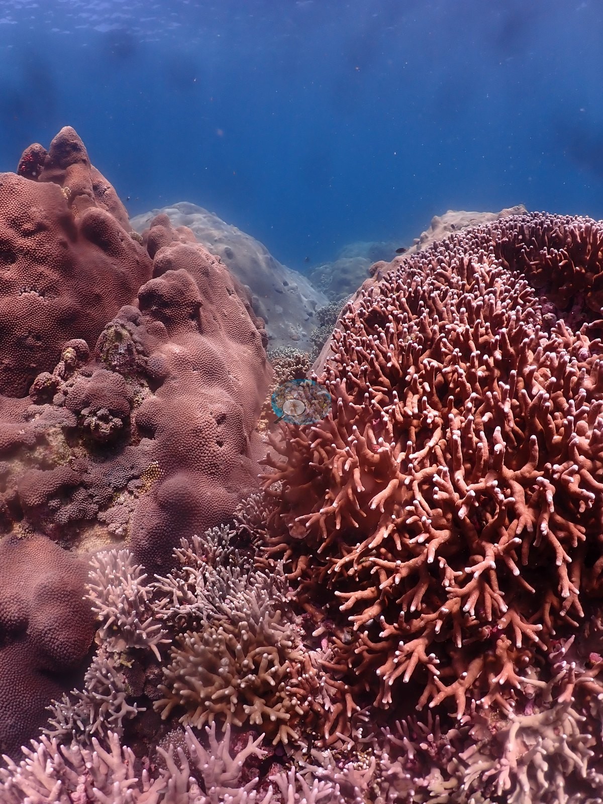
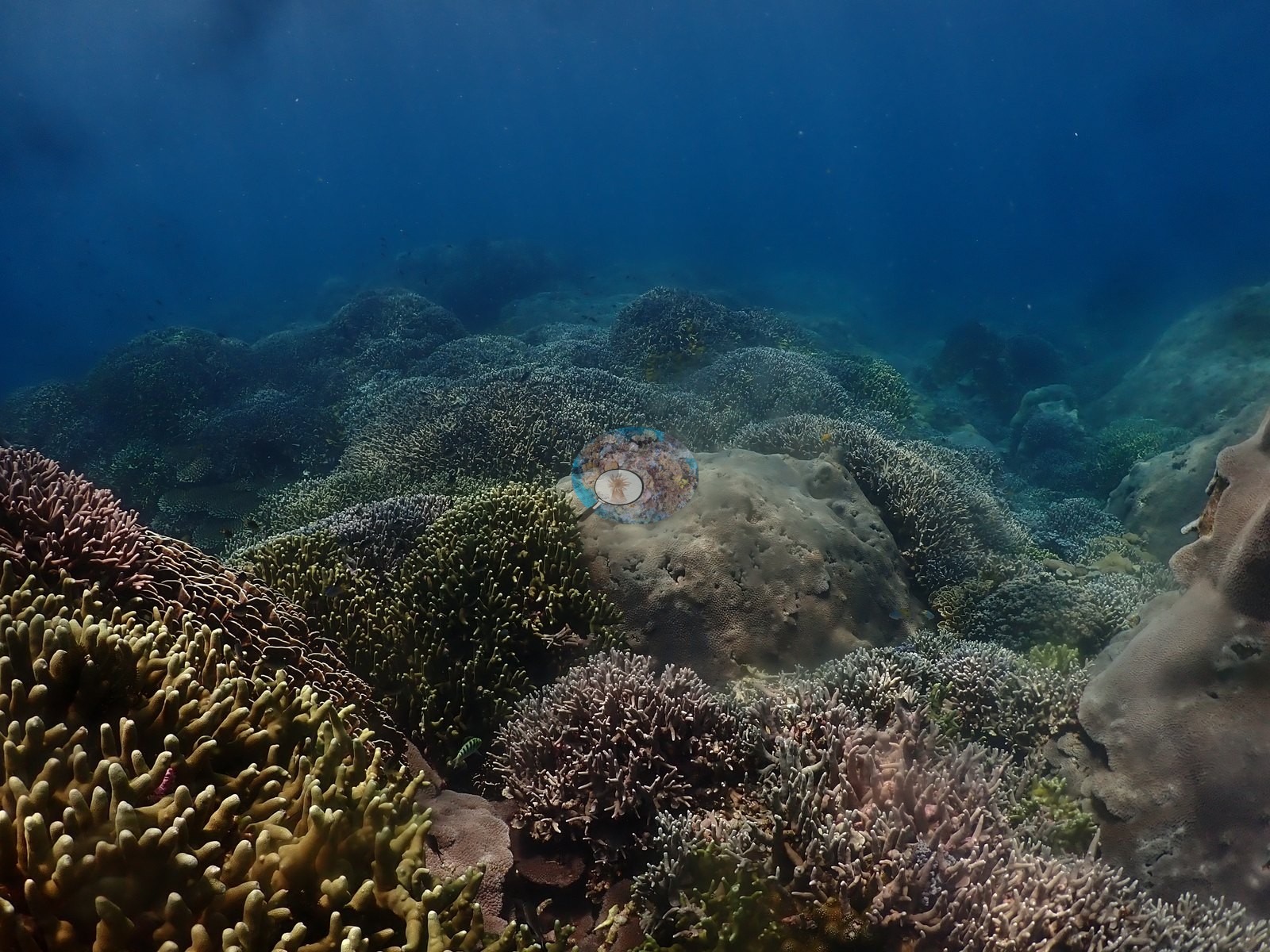
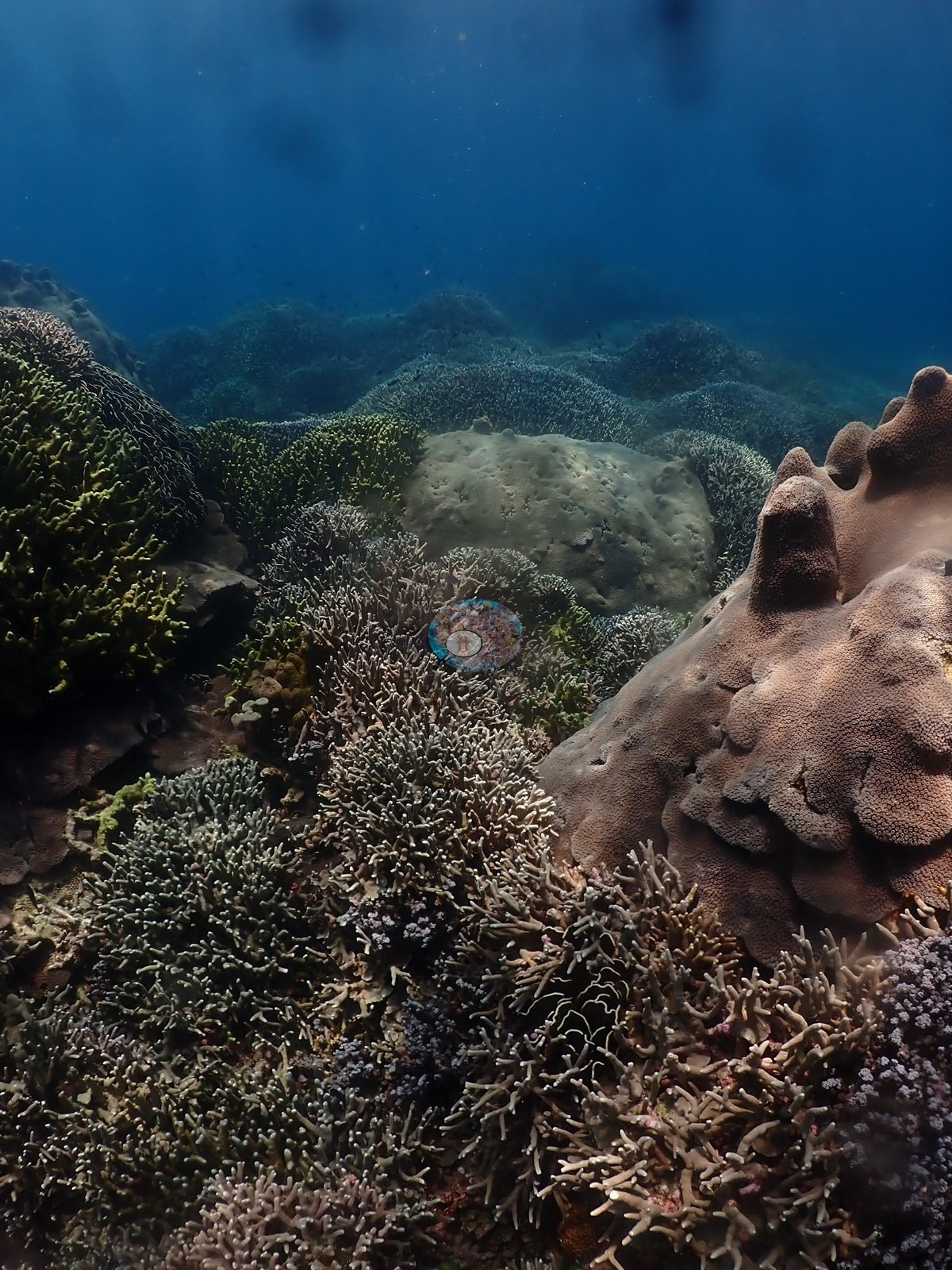
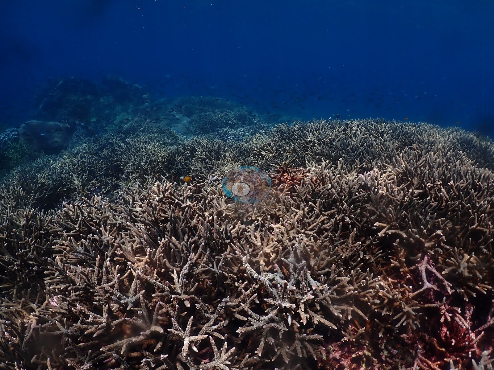
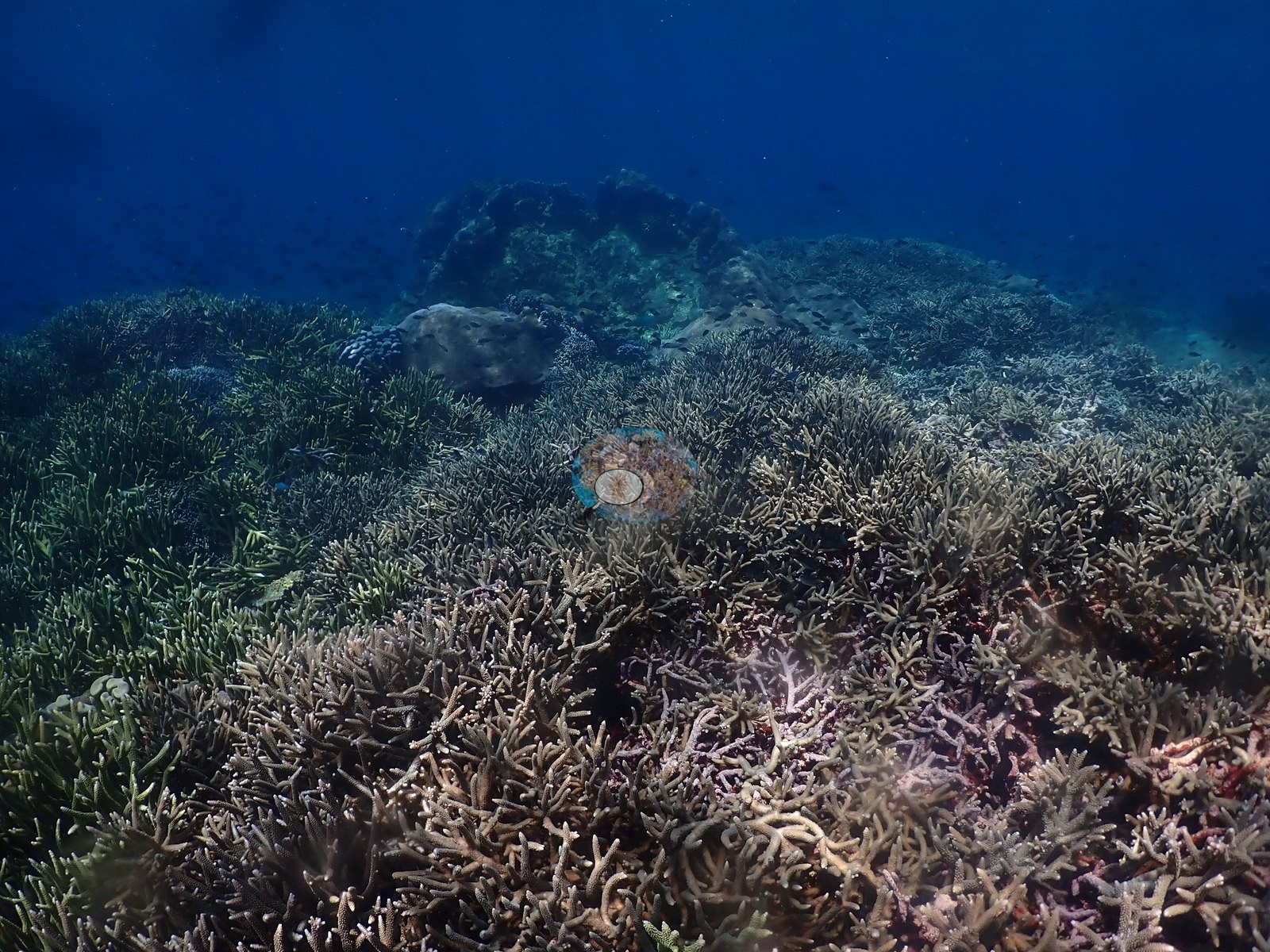
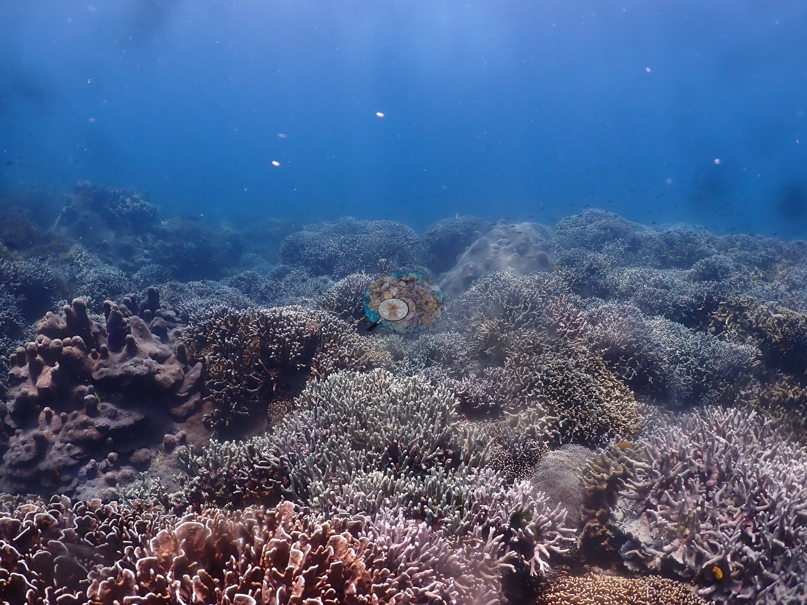
The signature habitat, and the reason for the dive, is branching Acropora thicket at 1–4 m: mauve, lavender, tan, and olive staghorn stands consistent with Acropora formosa/muricata, interlocking across whole frames with almost no substrate visible between branches (e.g., Image 2, Image 3, Image 6, Image 17, Image 36, Image 37).
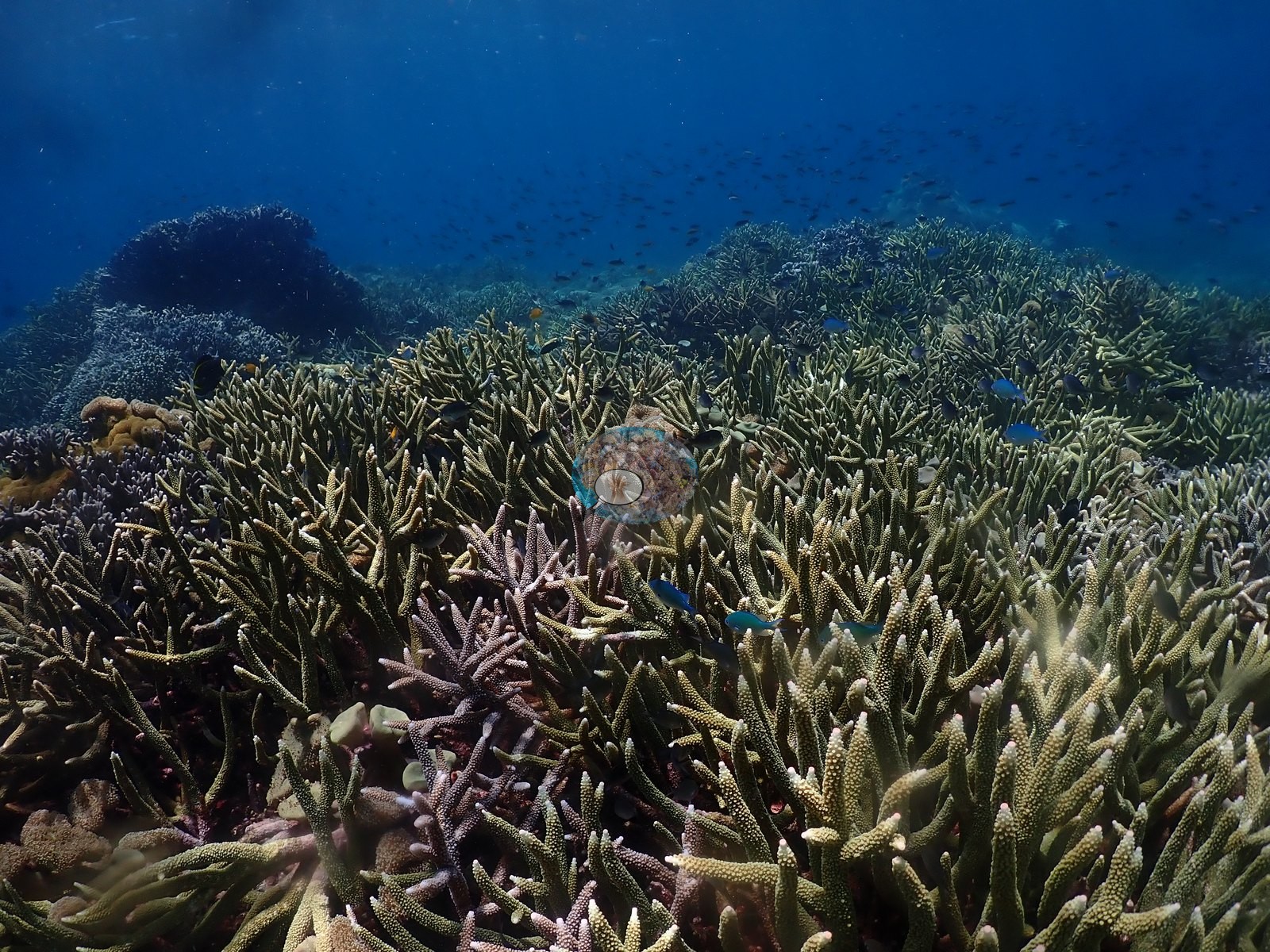
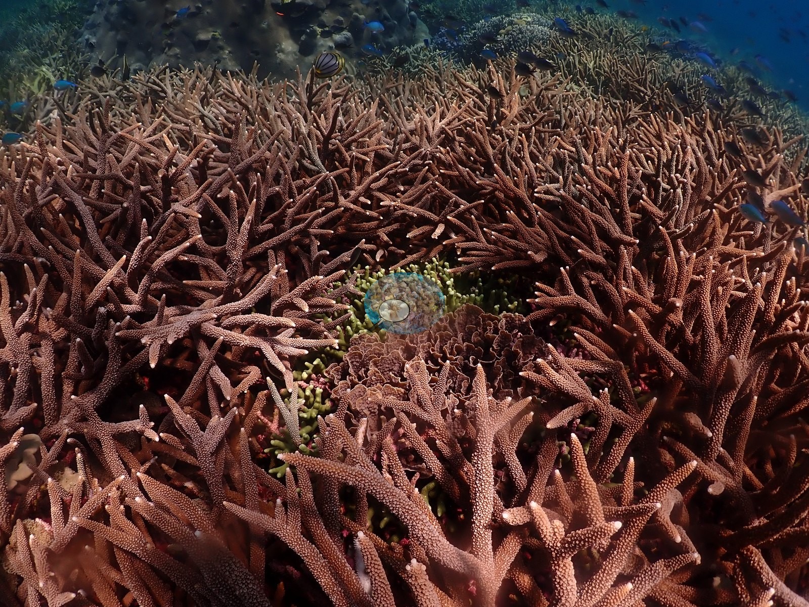
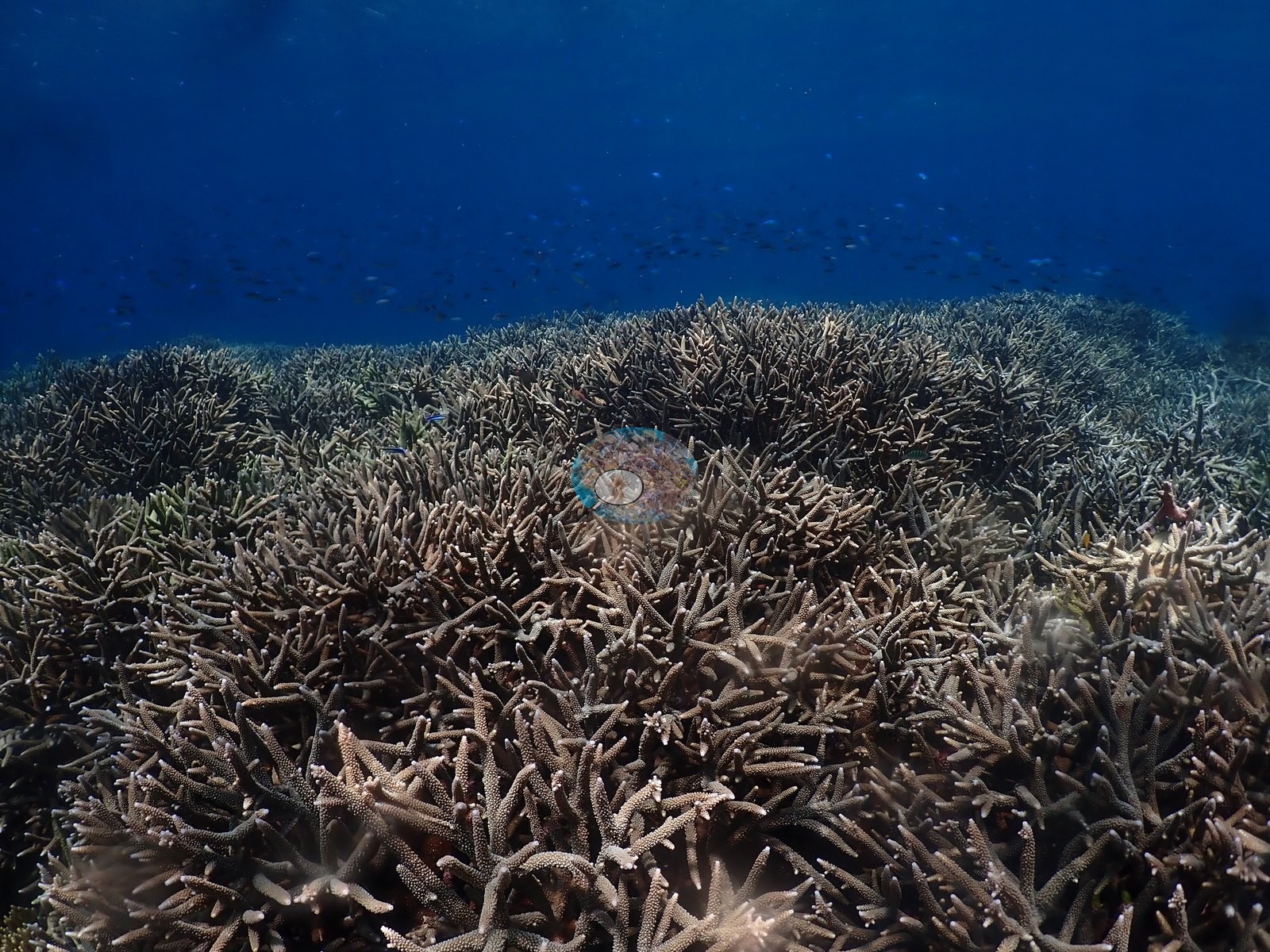
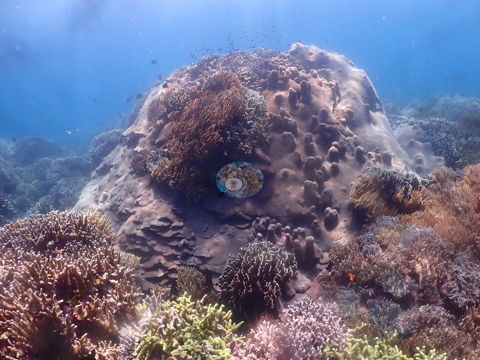
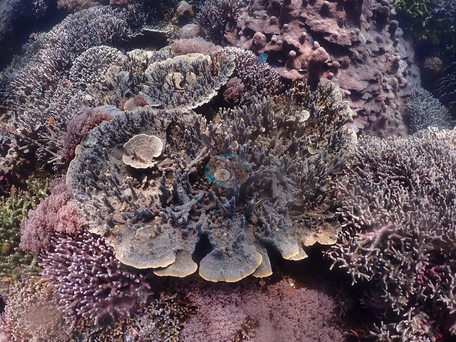
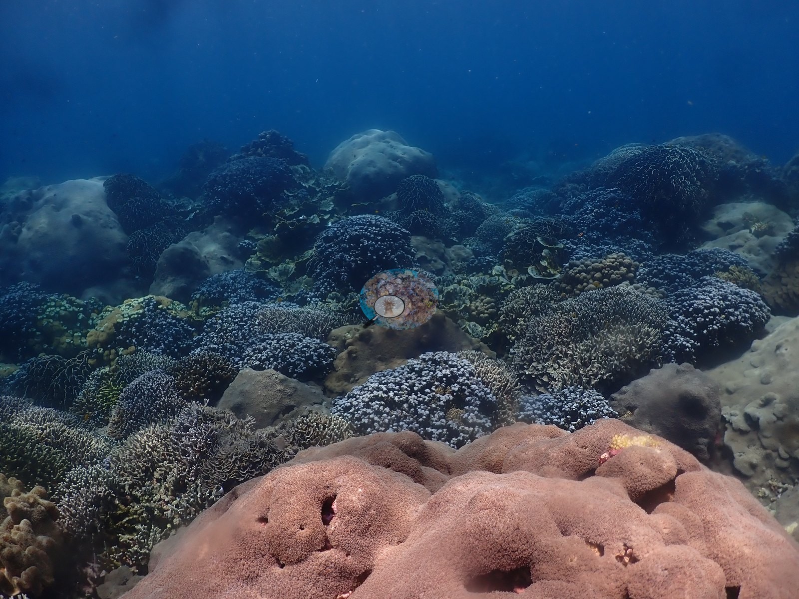
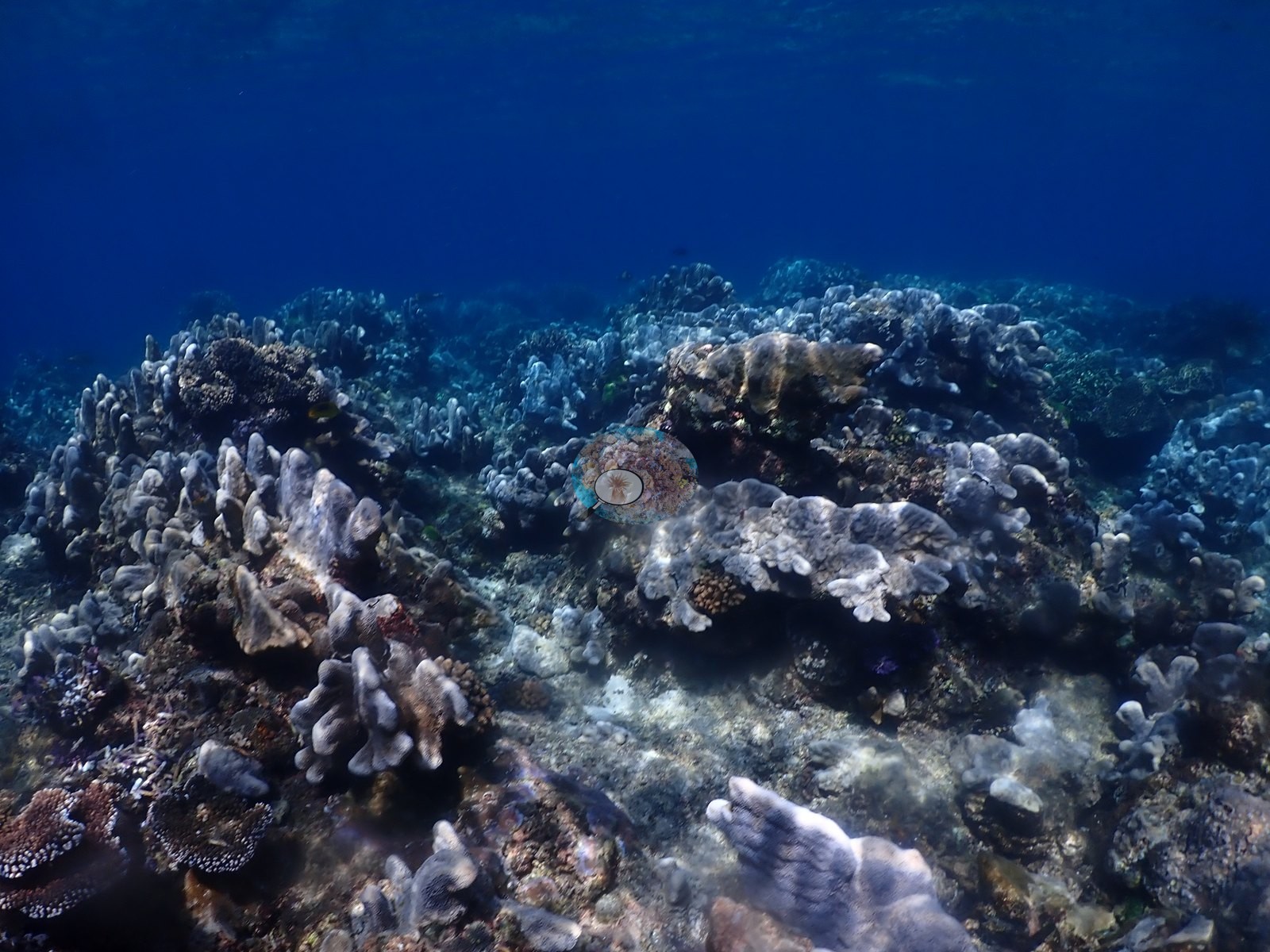
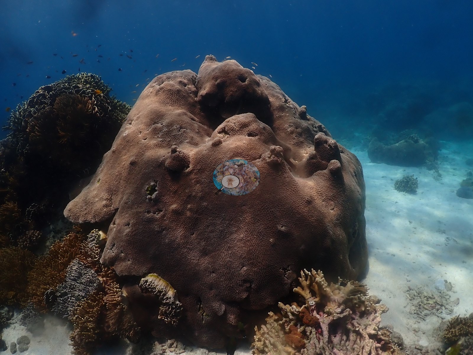
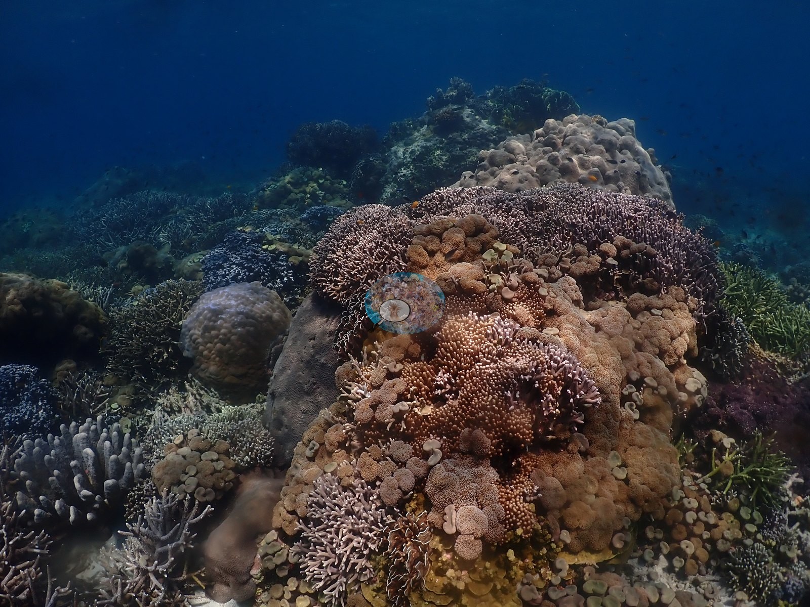
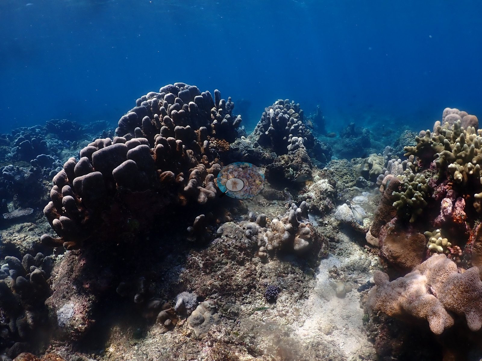
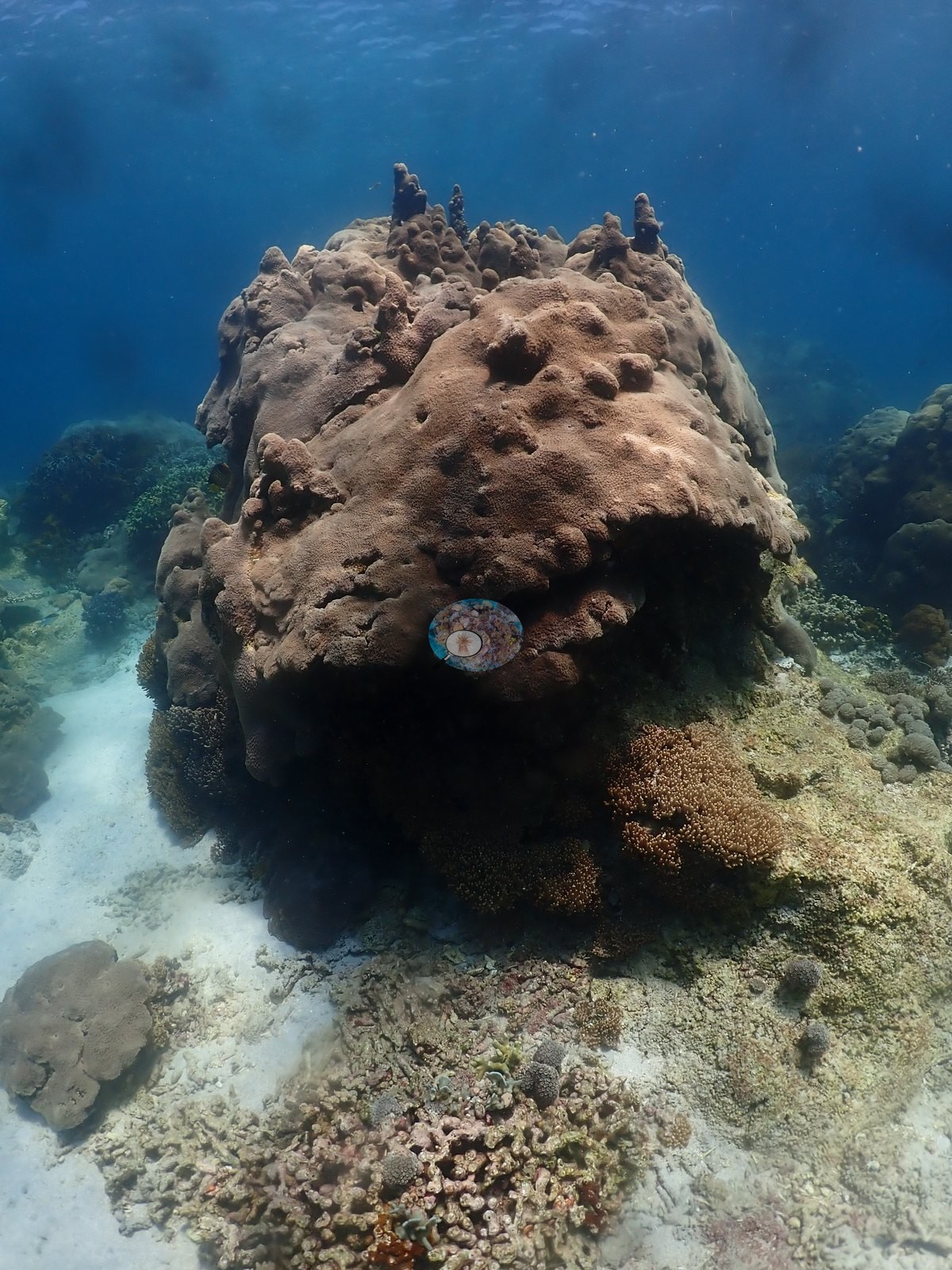
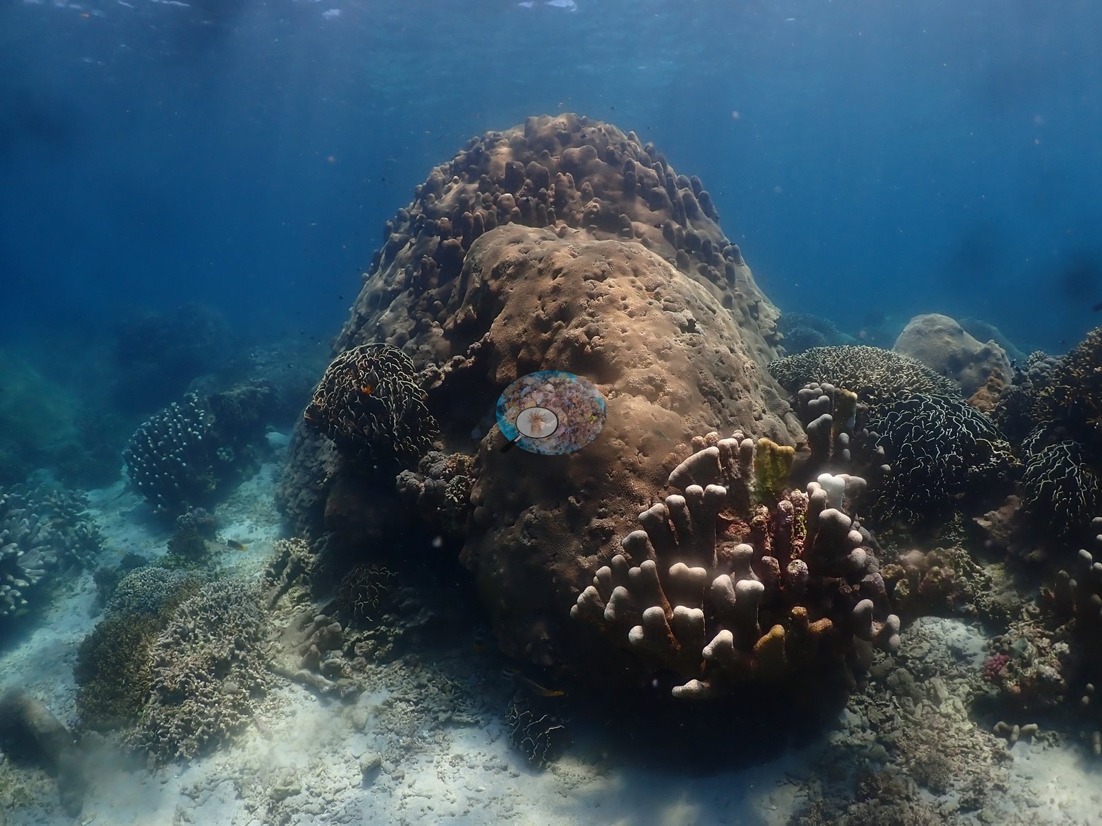
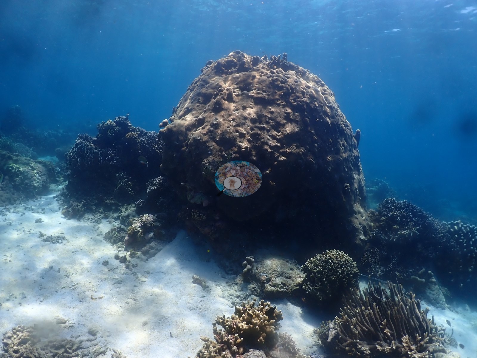
Around them the crest is a mixed shallow community — corymbose and digitate Acropora, fine-branched colonies consistent with Seriatopora and Stylophora, and Pocillopora-type heads packed over old framework — with large smooth and knobbed Porites bommies and columns, several meters across, often with encrusting Montipora running over their flanks (e.g., Image 8, Image 10, Image 12, Image 26, Image 38).
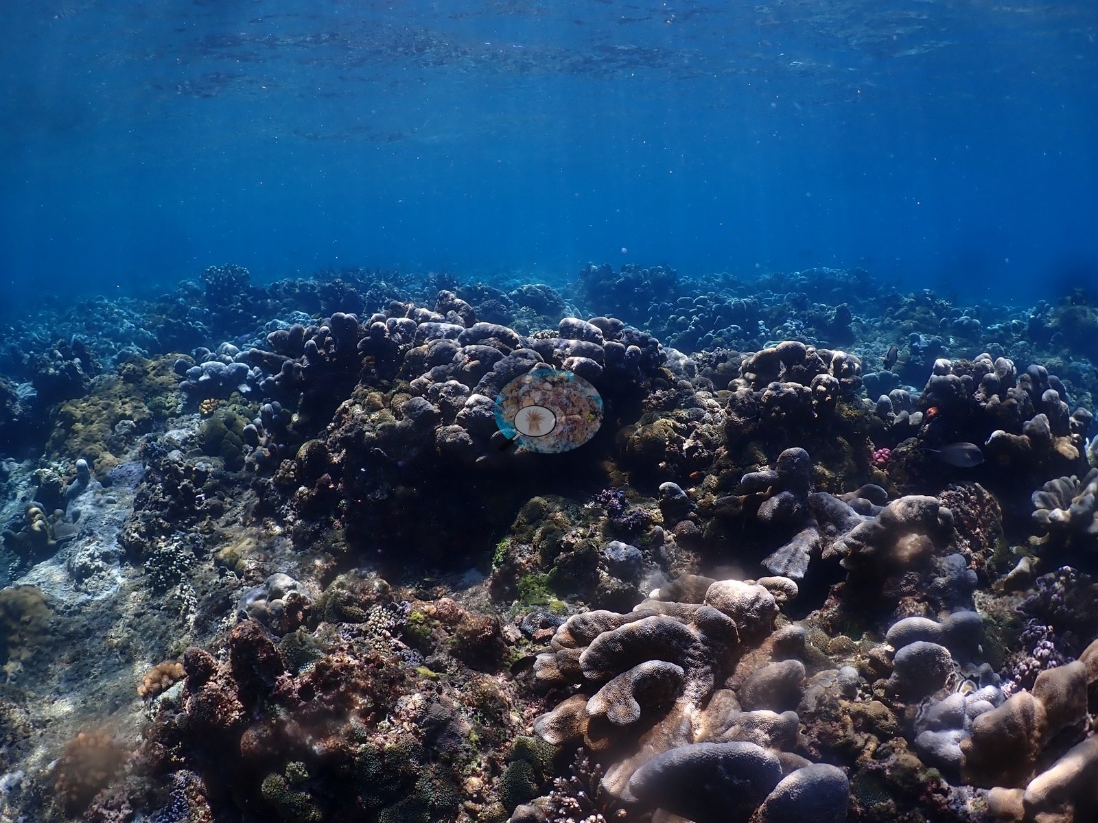
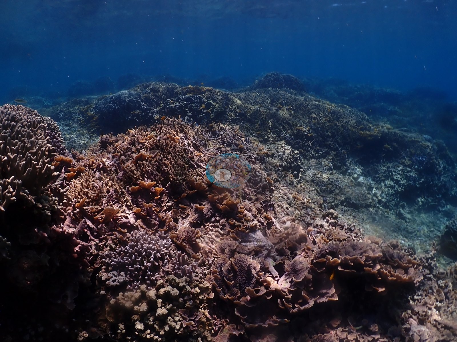
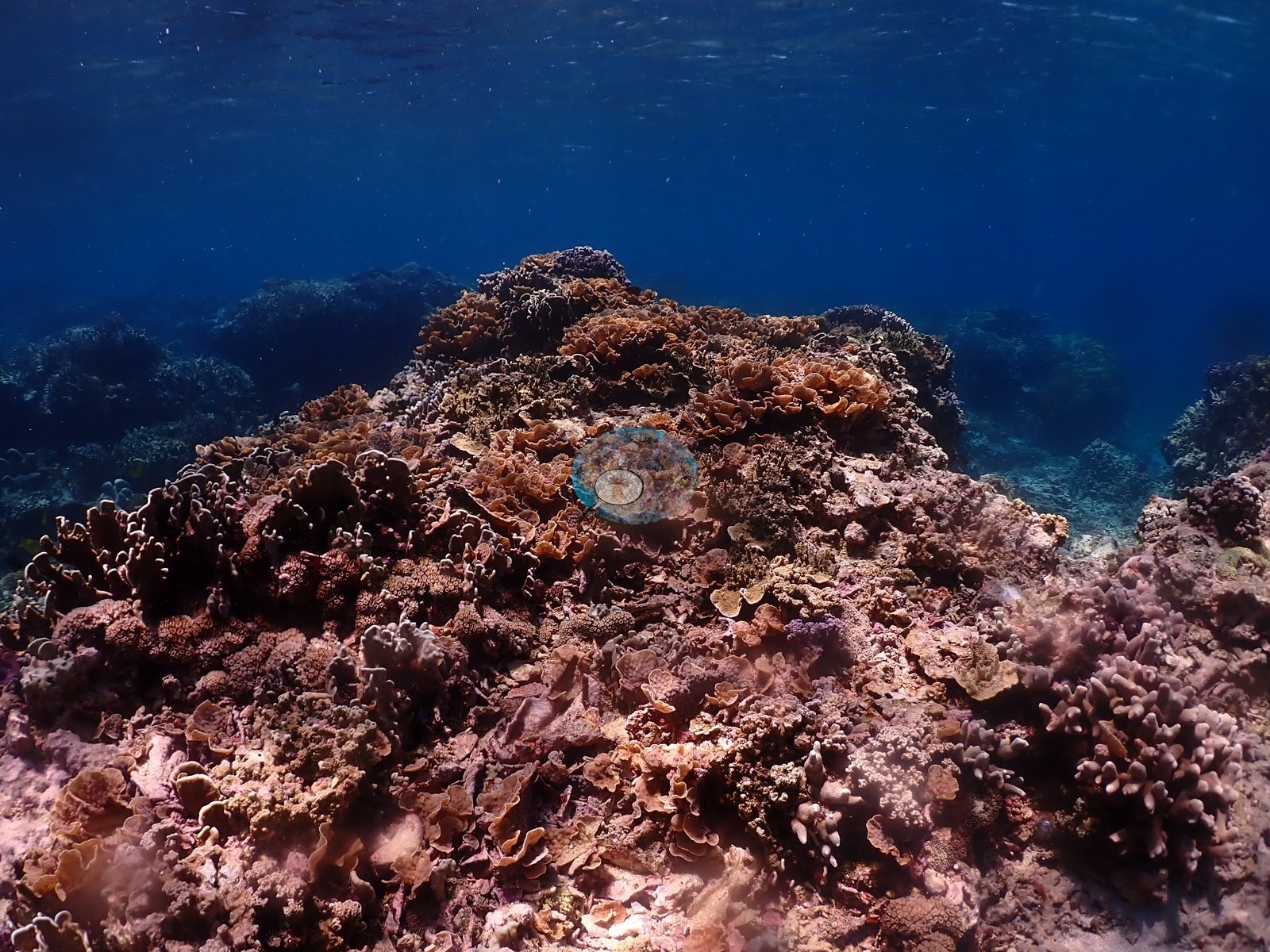
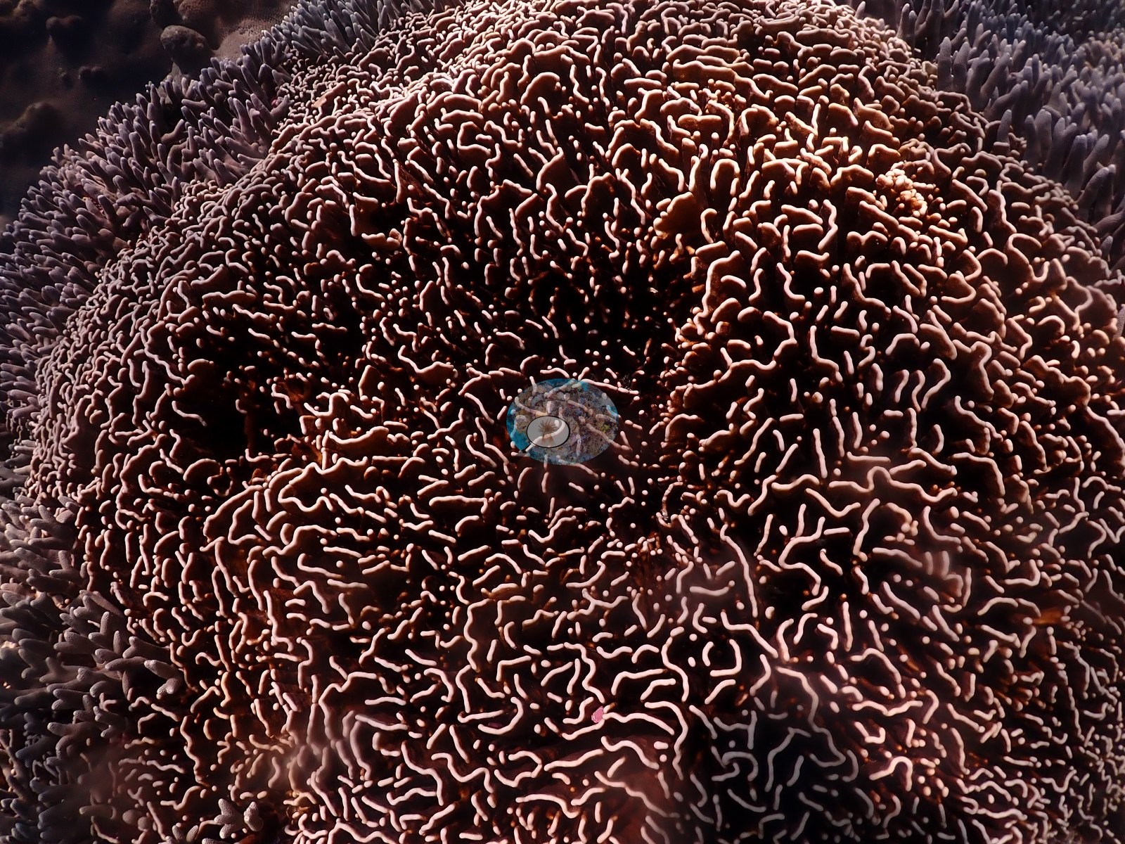
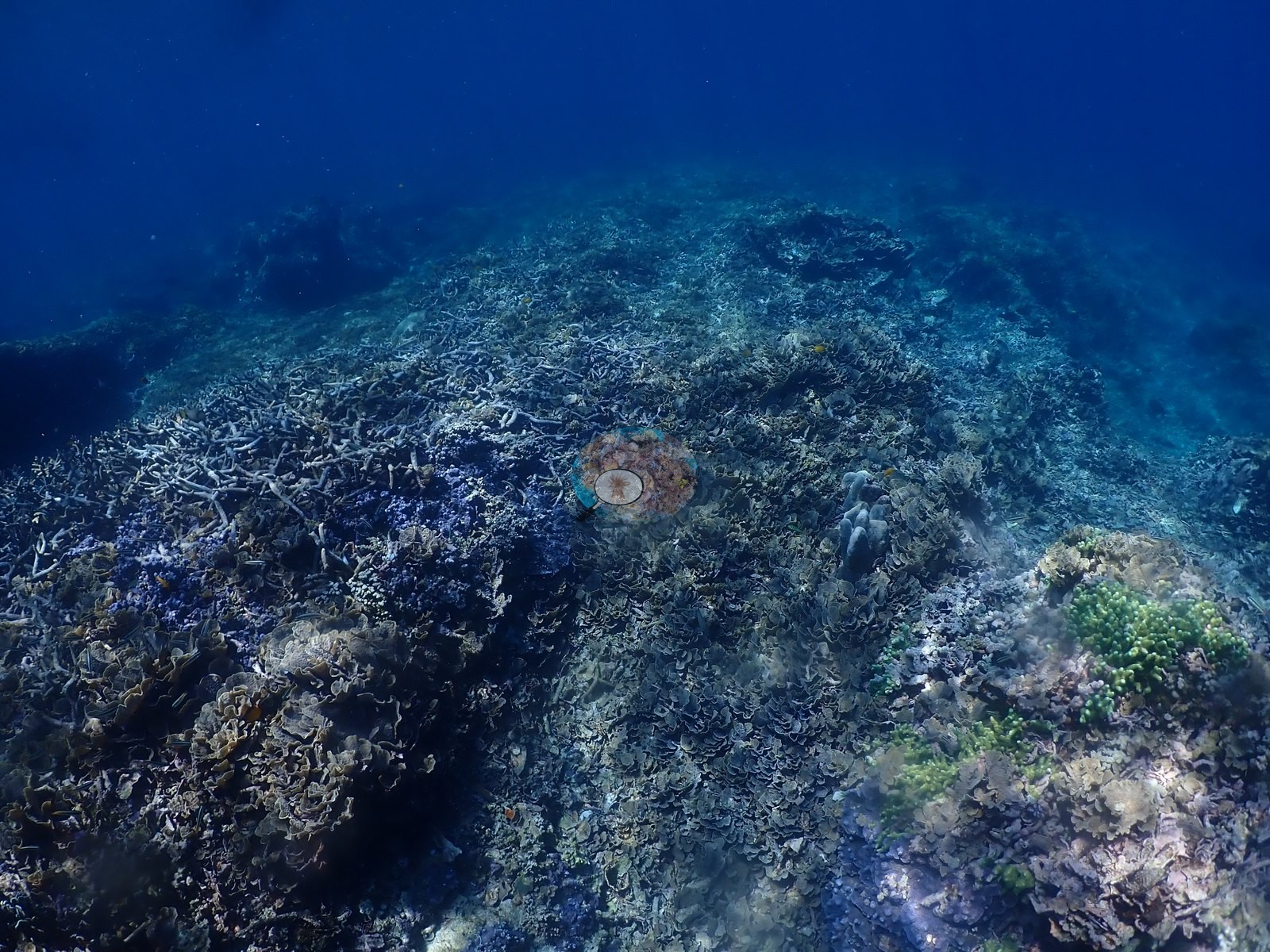
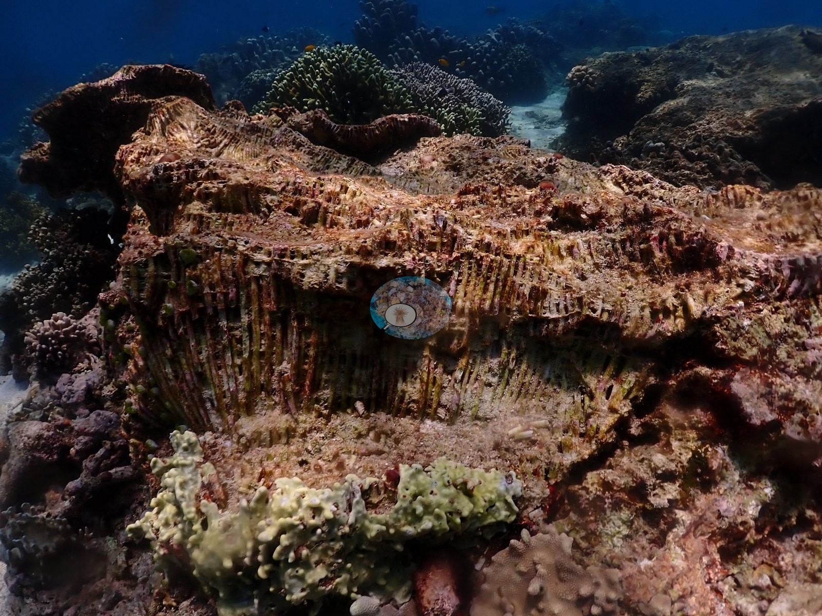
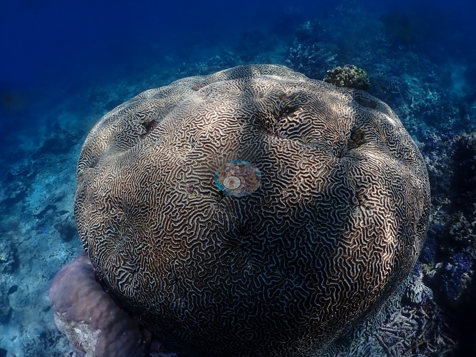
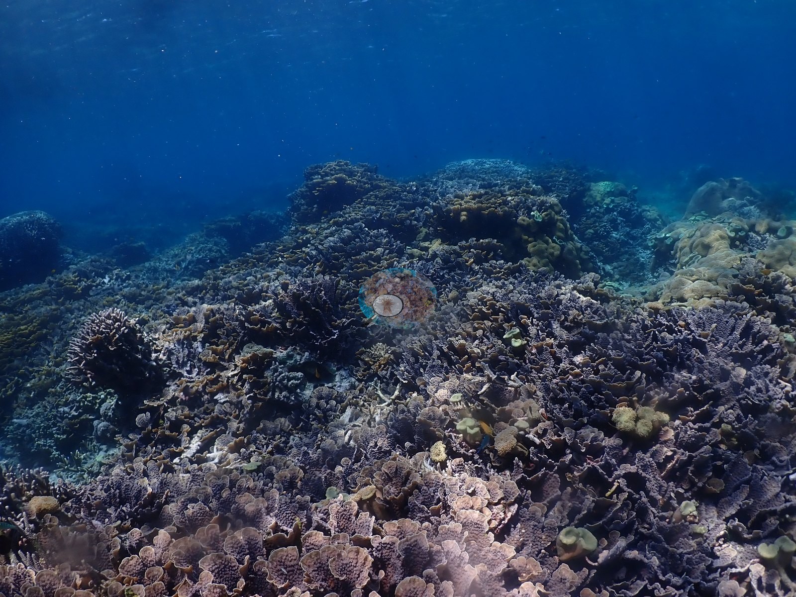
Where the reef top rolls over, tiered foliose plates consistent with Montipora, Echinopora, and Turbinaria form stacked brown and violet terraces, and meandering-valley brain corals consistent with Platygyra or Leptoria, with Goniastrea- and Favites-type heads, are scattered through the massive ground (e.g., Image 4, Image 15, Image 23, Image 25, Image 49).
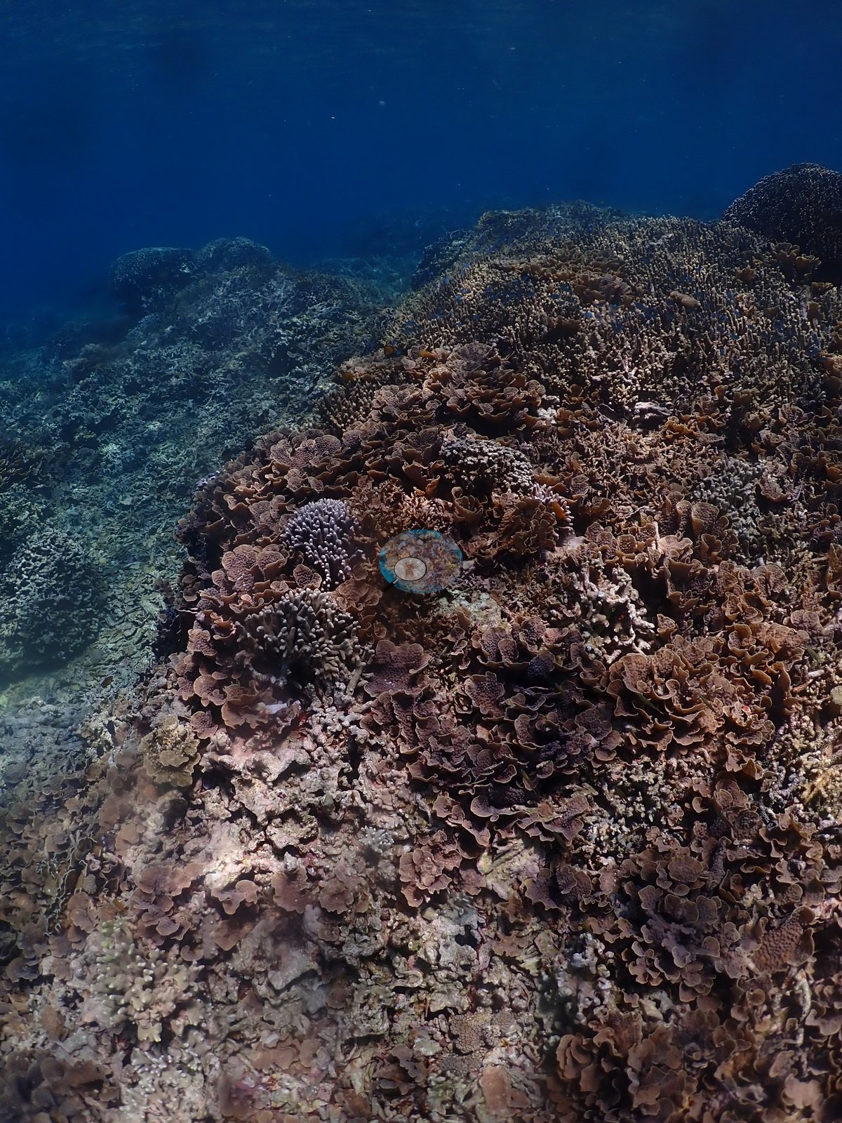
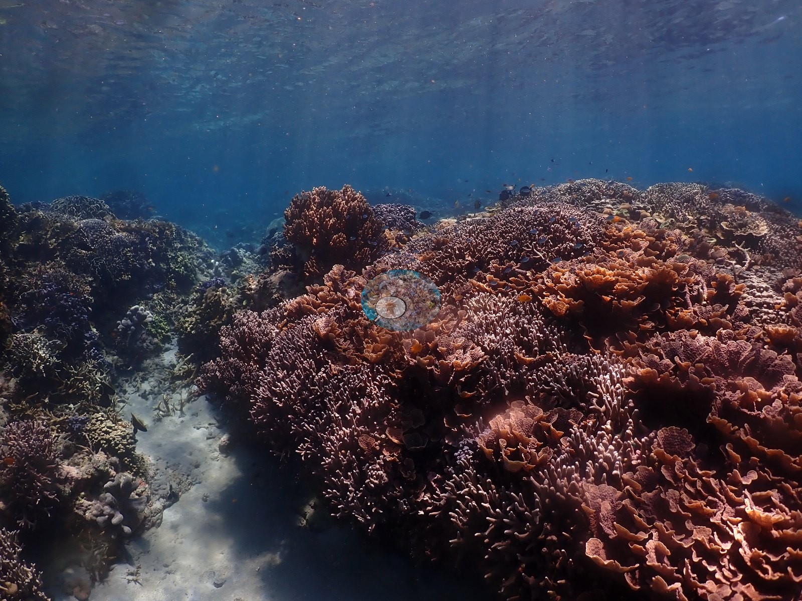
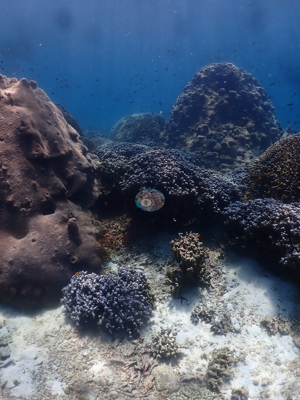
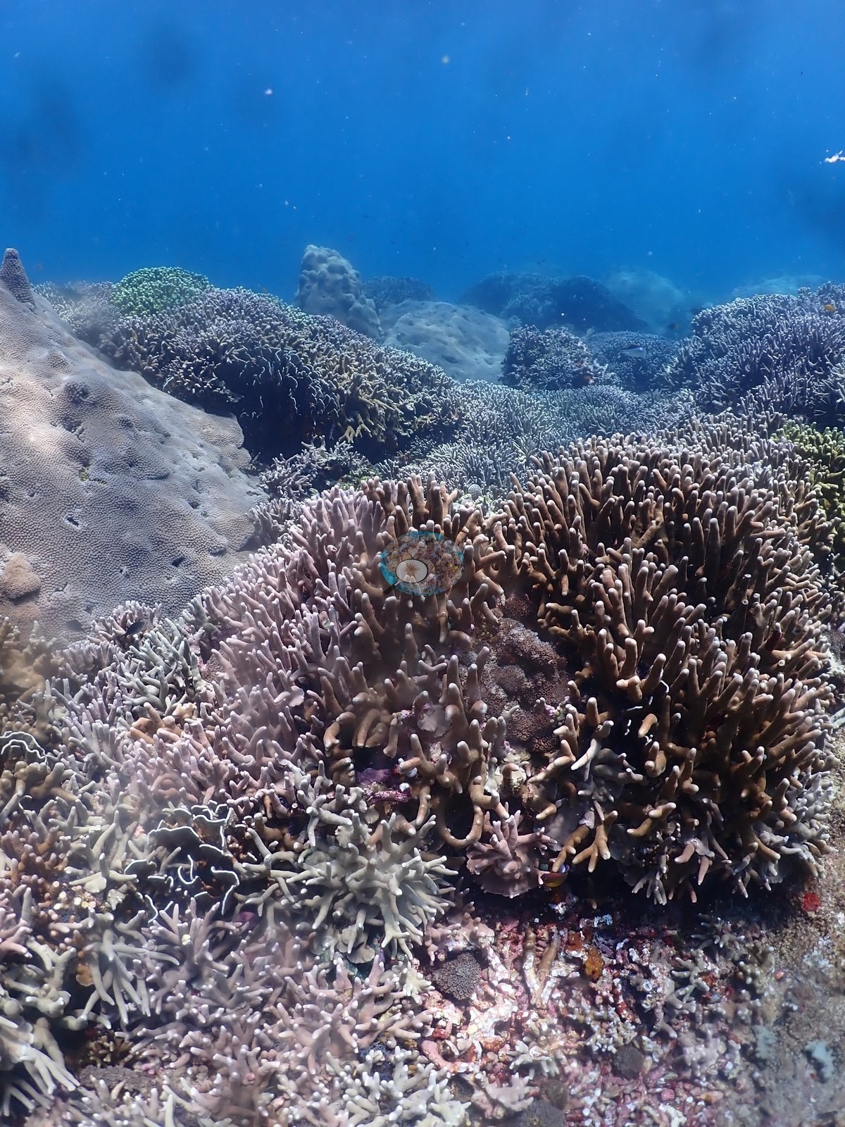
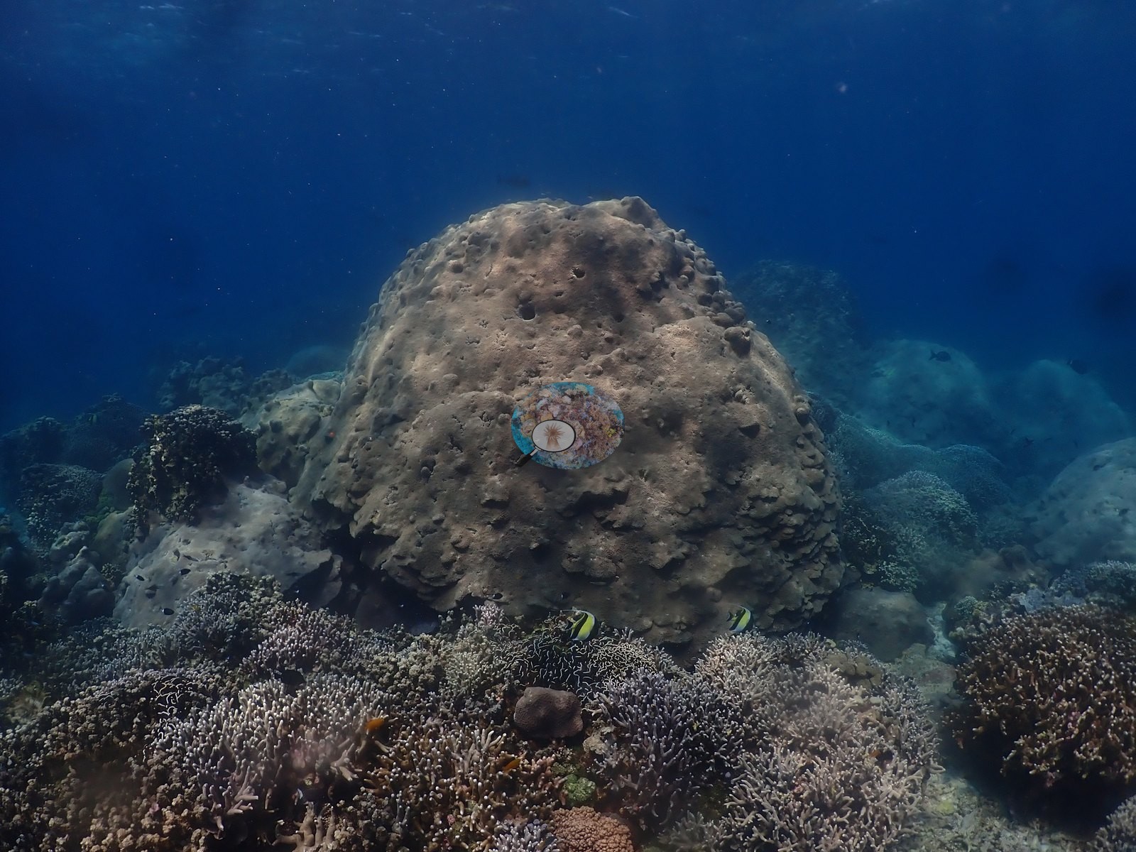
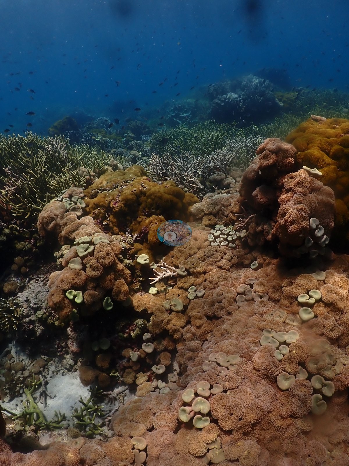
White sand lanes floored with rubble run between the coral ridges, lined with leathery Sarcophyton- and Lobophytum-type soft corals and brown pulsing xeniids; a minority of frames show old rubble and turfed framework under pink coralline crust, with foliose corals recolonizing it (e.g., Image 5, Image 11, Image 34, Image 35).
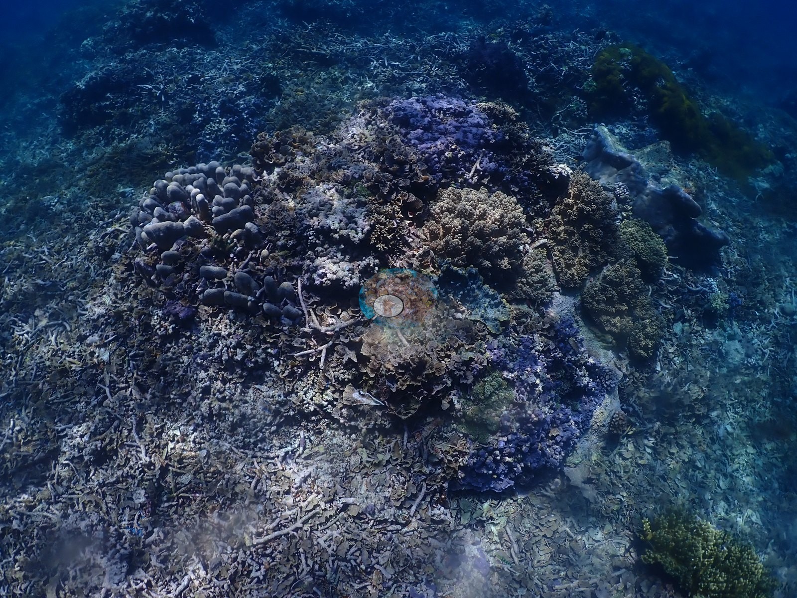
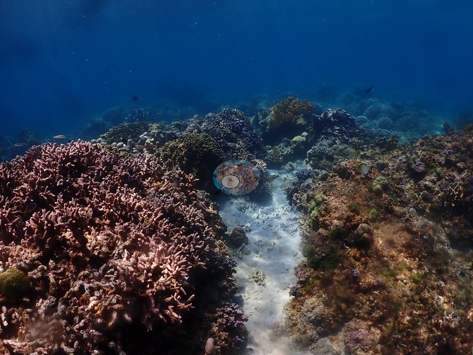
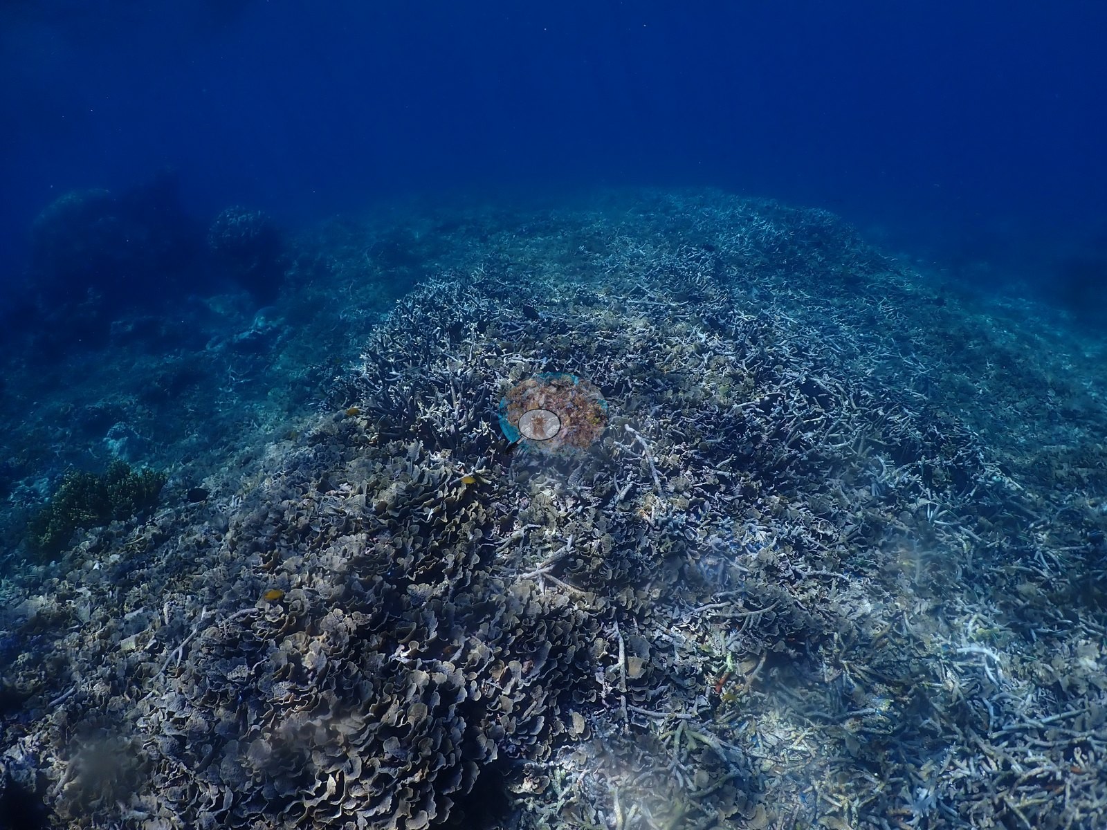
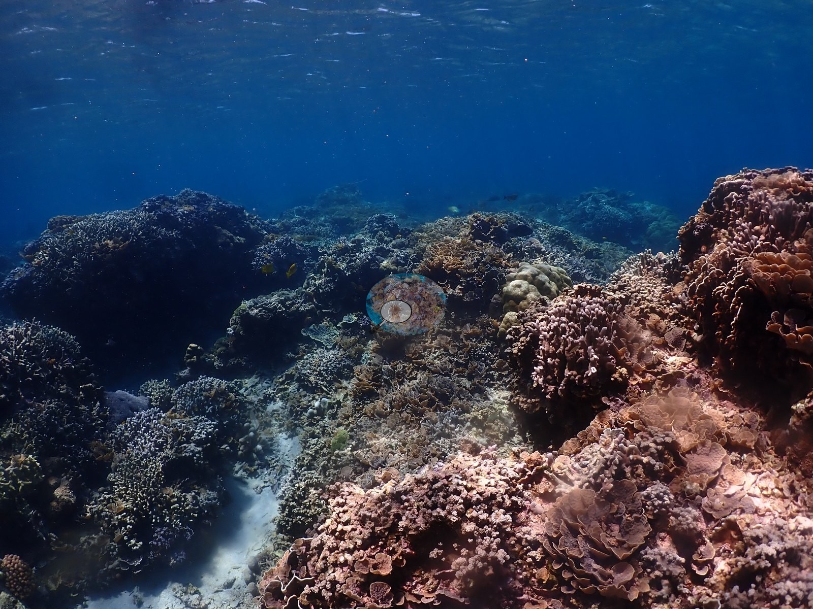
Coral cover
Coral cover: 57% — a blind Claude computer-vision point count of 213 of Anderson's unedited photographs (20 points per photo; water, fish, and obstructions excluded). Other computer-vision methods are listed in the method table.
Stressors
No bleaching was evident: the pale and white branch tips through the Acropora thickets are actively growing tissue, and the colonies behind them are fully pigmented (e.g., Image 48, Image 53).
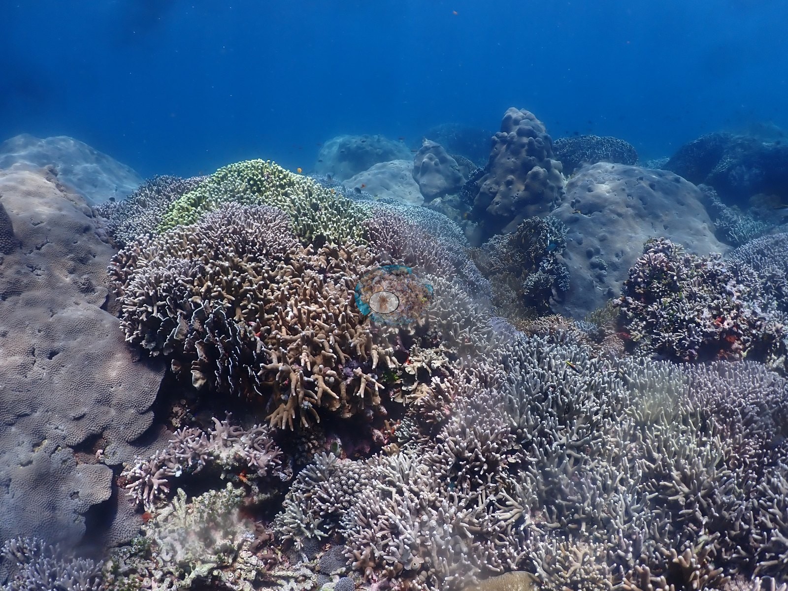
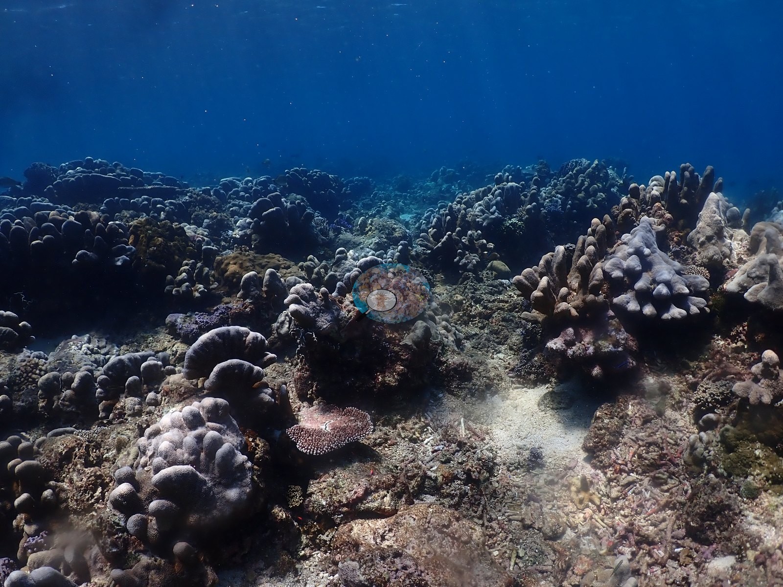
No diagnosable disease, fresh mortality, crown-of-thorns starfish, or predation scars were seen in the frames reviewed; where dead ground occurs it is old, consolidated rubble and framework under turf and coralline algae, already being overgrown. For a reef at 1–6 m, exposed to the most light and the most wave energy, this is a notably intact shallow coral community.
Fish and other fauna
Clouds of blue-green damselfish consistent with Chromis viridis hovered over the Acropora thickets and dropped into them when approached, and anthias, other damselfishes, small wrasses, butterflyfishes, and a surgeonfish were recorded over the crest.
Comparisons with other data
No independent survey was made at this exact site; the nearest ones are listed in the table below.
Other notes
Anderson's field note: “went on my own to explore the spectacular hard corals of the shallows (1-6 m, near anchorage)” (e.g., Image 2, Image 6, Image 10, Image 17, Image 31, Image 36)
CV model comparison
More info
DINOv3 and CoralSCOP were run on the same photos and are listed for comparison. Coralscapes v2 and v1 were also run but are not shown: Anderson does not consider Coralscapes reliable for these photos. No diver transect exists for this trip, so agreement between the rows is not accuracy, and as of September 2026 no computer-vision method estimates coral cover accurately on new images; treat every row as indicative.| Method | Hard-coral cover (%) |
|---|---|
| In-house DINOv3 | 33.3 |
| CoralSCOP unedited | 38.1 |
| Claude | 56.5 |
Independent surveys nearby
Within 5 km, 9 independent survey stations recorded hard coral cover in 2024. Surveys since 2021 average 40% (range 18–59%, n=10). This site's own estimate (57%) sits within the recent range (18–59%); the methods differ, so the comparison is context, not a like-for-like test.
Collected by other programs using different methods (MERMAID is a data platform: each MERMAID row names the organization that did the survey, and its method is in the row's hover text), so these are context for the figures above, not a like-for-like comparison. Where a station was surveyed more than once the range is shown. Station names are not dive-site names.
Data & links
All images from Coral Reef Diagnostics. Data are from Coral Reef Diagnostics and the organizations named in the data-sources table above.
© Coral Reef Diagnostics.