
Indonesia - Halmahera: Kusu Ridge
Part of the regional summaries: Indonesia - Halmahera and Indonesia - Maluku
More info
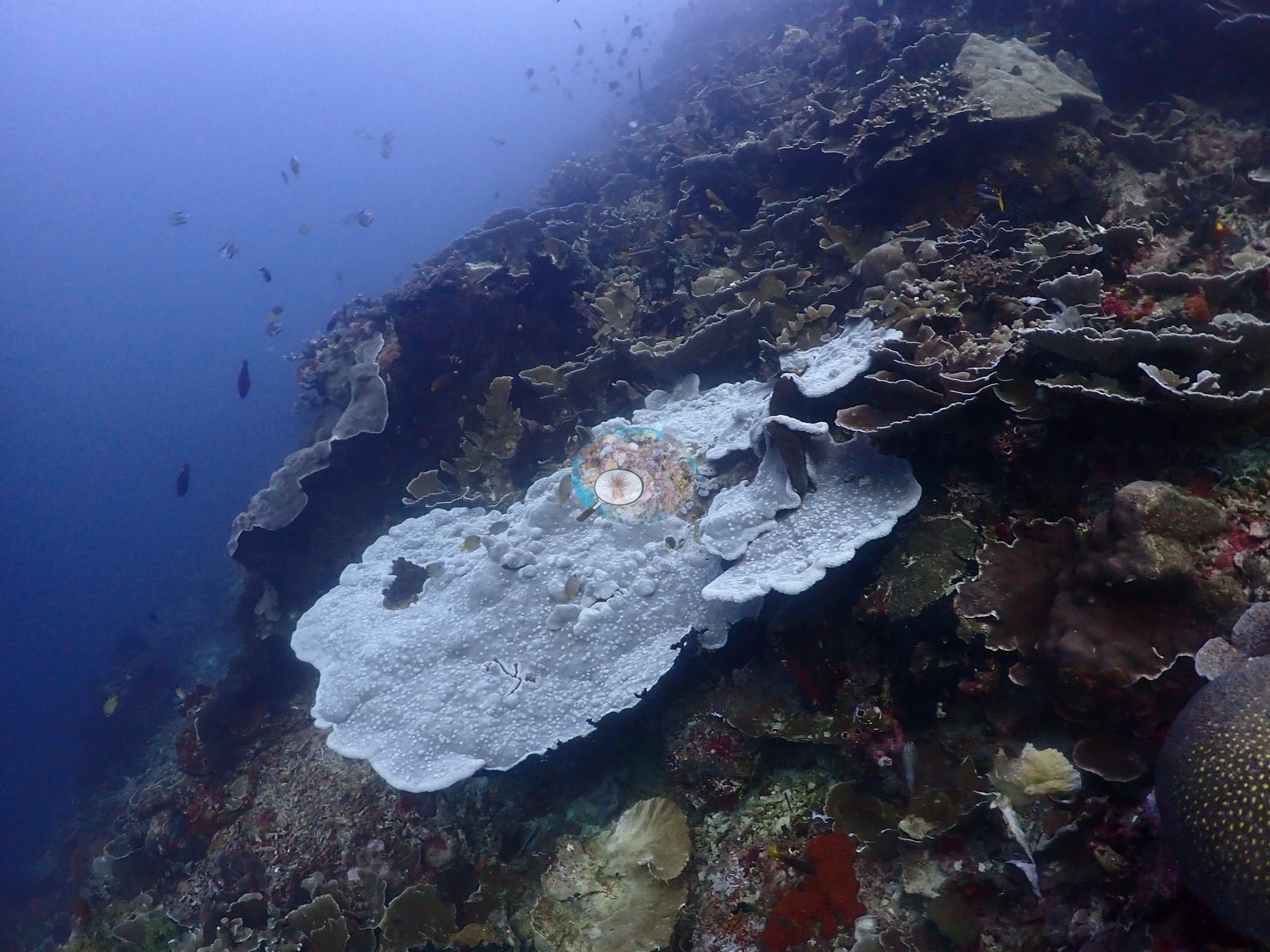
North Maluku (NOAA CRW virtual station)Kusu Ridge matches Anderson's log note exactly - epic schools of snapper and reef fish over a dim, current-worked deep pavement, finishing in near-continuous foliose plate meadows and mixed Acropora meadows in the shallows. One large plating colony stands out completely bright white against normally pigmented neighbors, worth flagging. A blind Claude computer-vision point count puts coral cover around 45%.
Kusu Ridge cocok persis dengan catatan Anderson — gerombolan ikan kakap dan ikan karang yang luar biasa di atas hamparan dalam yang remang dan tergarap arus, berakhir pada padang karang lembaran yang hampir menyambung dan padang Acropora campuran di perairan dangkal. Satu koloni lembaran besar menonjol sepenuhnya putih terang di antara tetangganya yang berpigmen normal, layak dicatat. Penghitungan titik buta visi komputer Claude memperkirakan tutupan karang sekitar 45%.
Terjemahan ringkasan ini oleh AI; versi bahasa Inggris yang berlaku.
Eight other CRD dive sites within 5 km shown in orange — click a marker to open its page.
44 of these 54 photographs are shown beside the text that discusses them under "Site description" below.
Site description
General benthic features
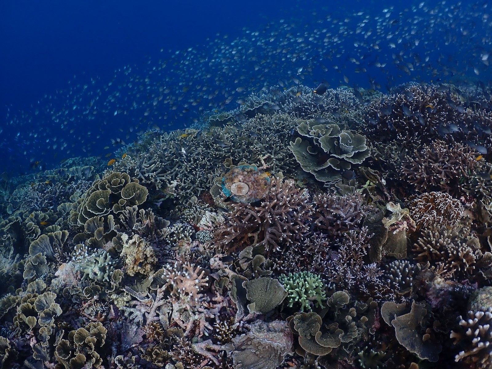
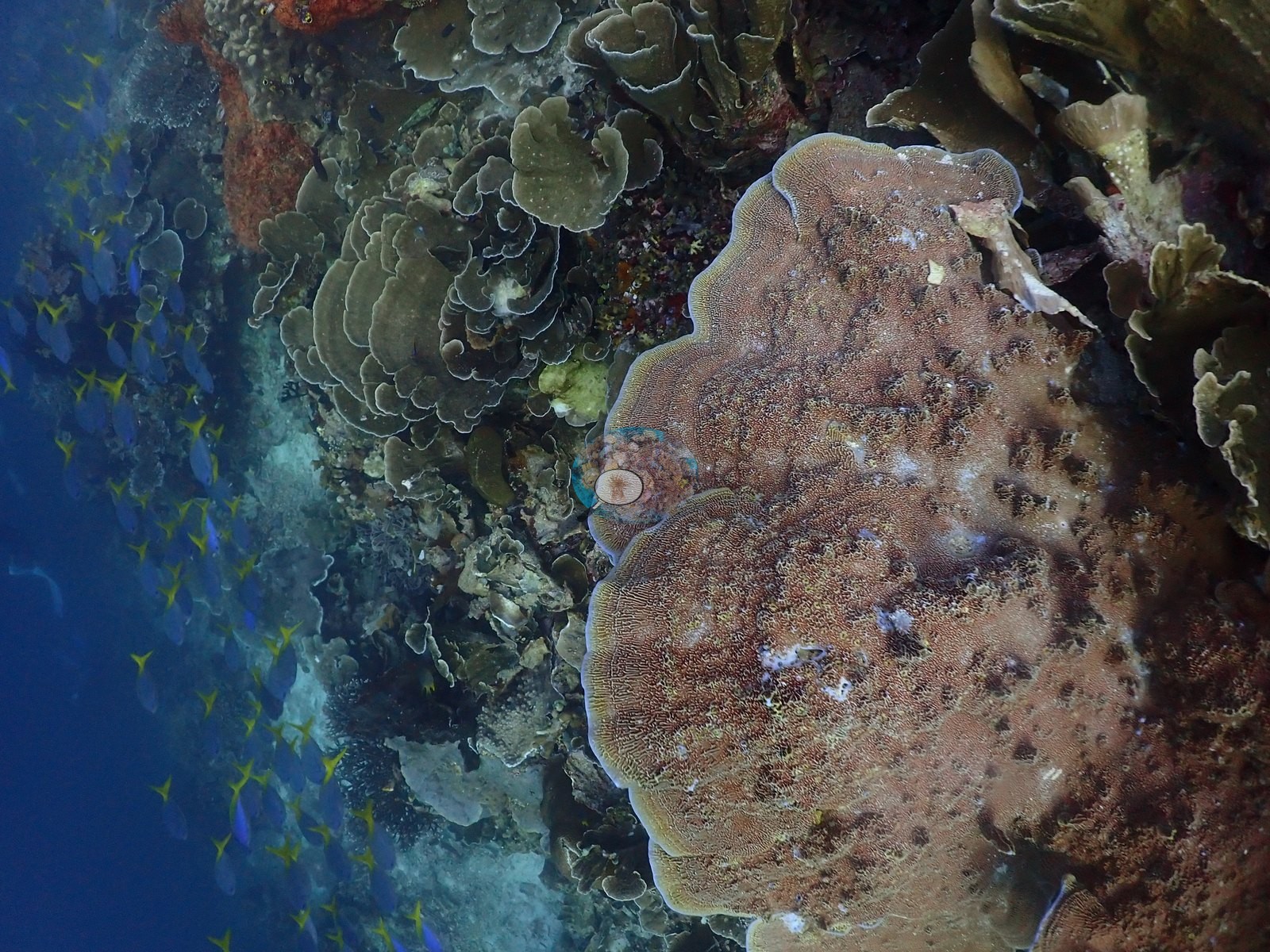
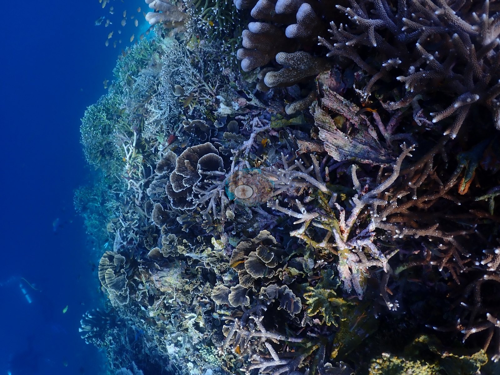
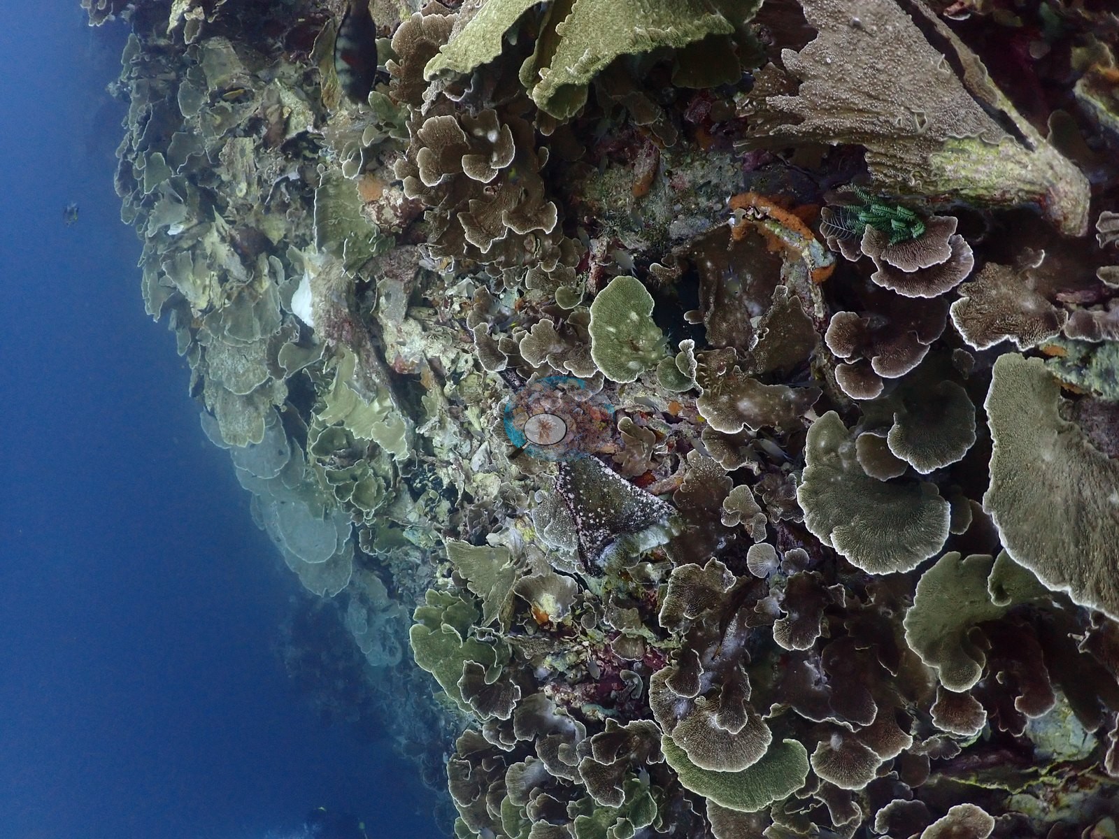
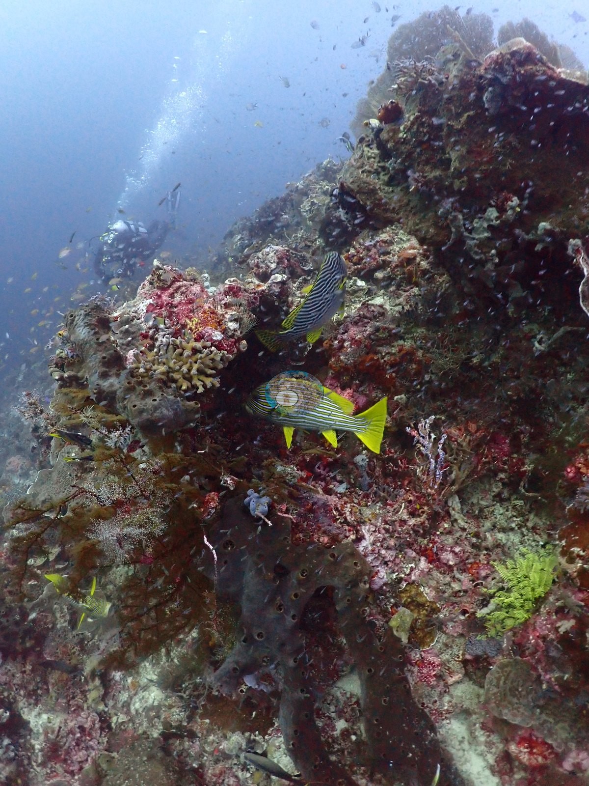
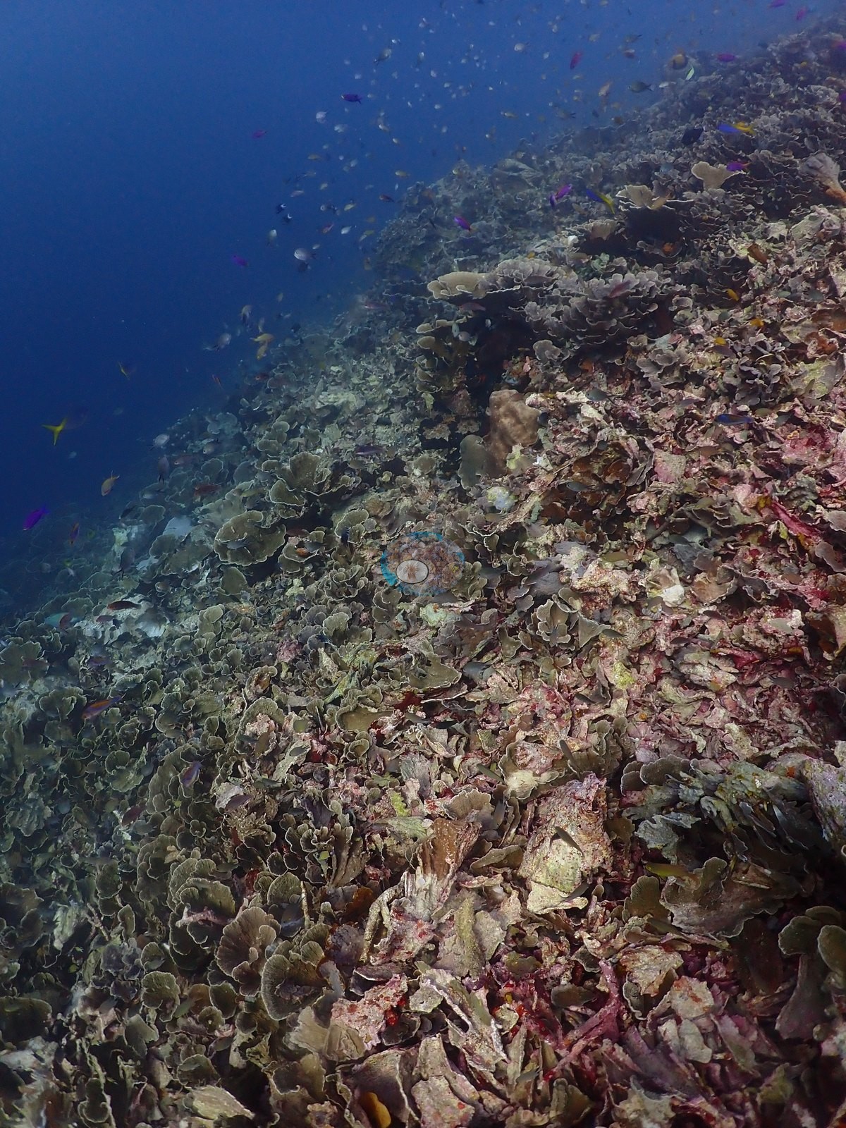
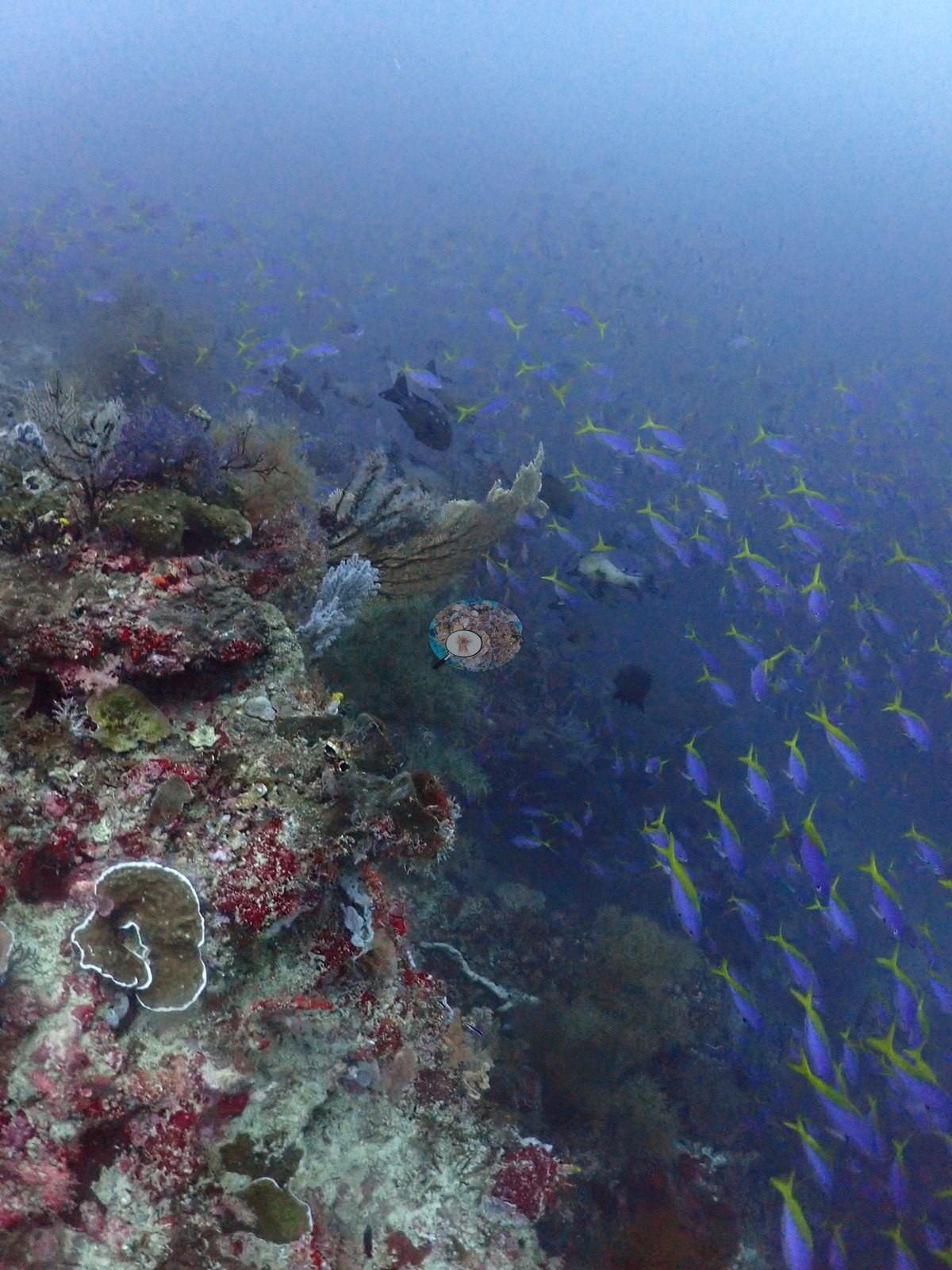
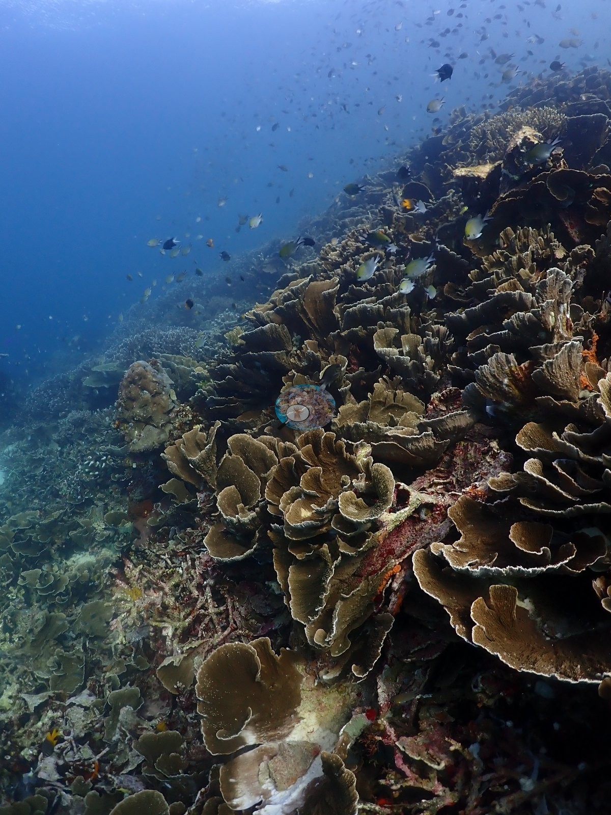
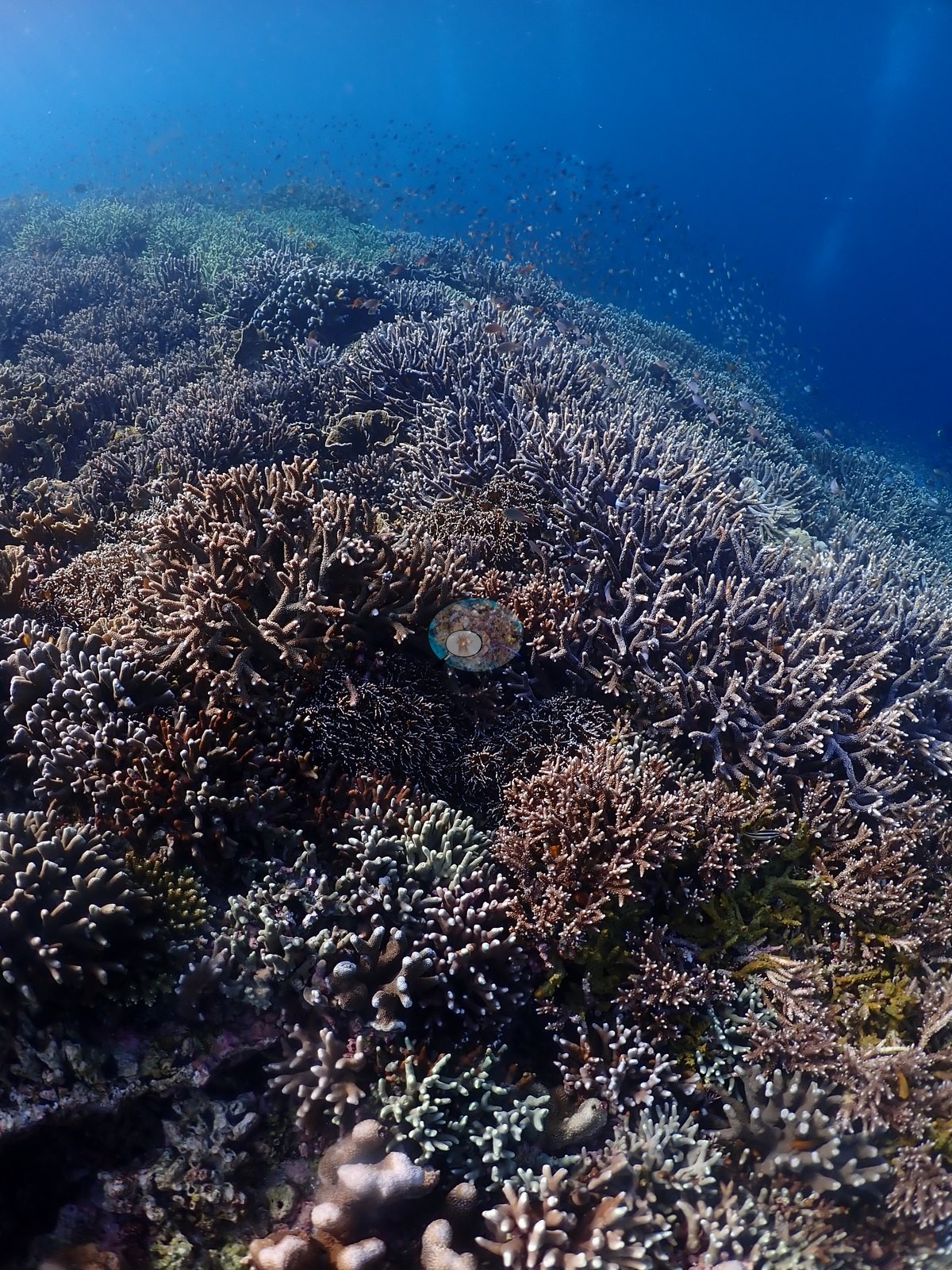
The deep ridge is dim, current-worked pavement crusted in coralline algae with orange, red, violet, and black encrusting sponges, gray sea fans standing off the rock, and laminar plate corals (Pachyseris-type) scattered across rubble — these are the low-cover frames, and the blue water above them carried the schooling fish the field note describes: massed yellowtail fusiliers, snapper, and clouds of anthias (e.g., Image 2, Image 14, Image 17, Image 21, Image 24, Image 28, Image 37, Image 38).
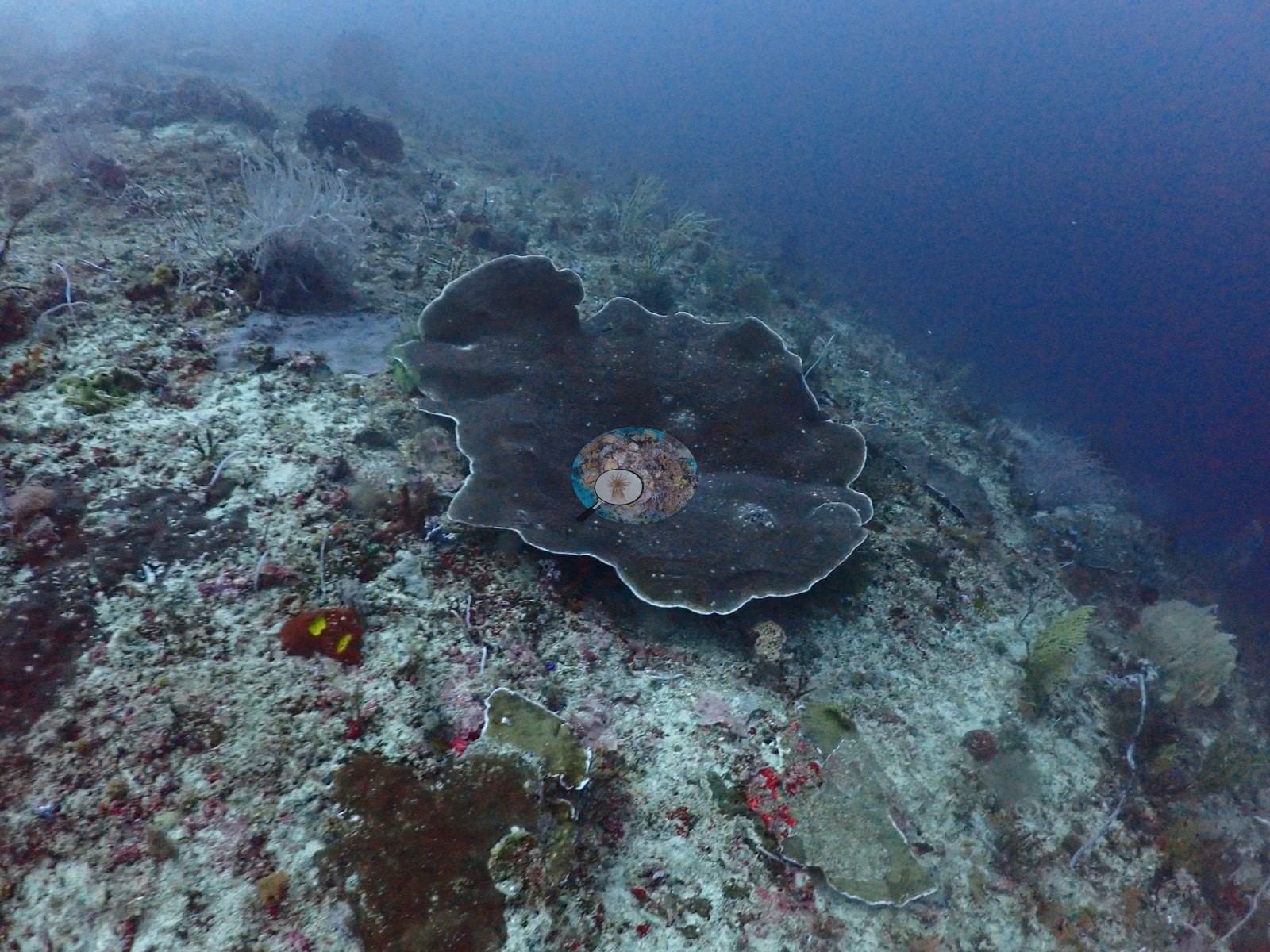
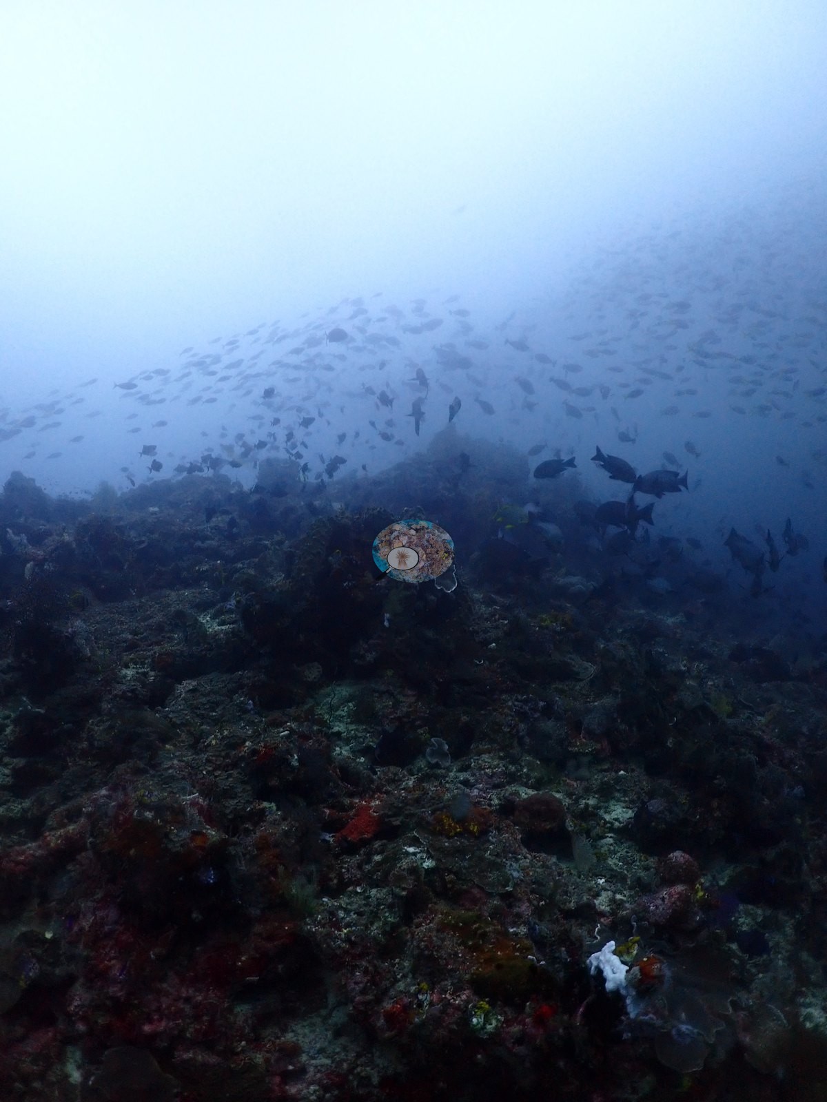
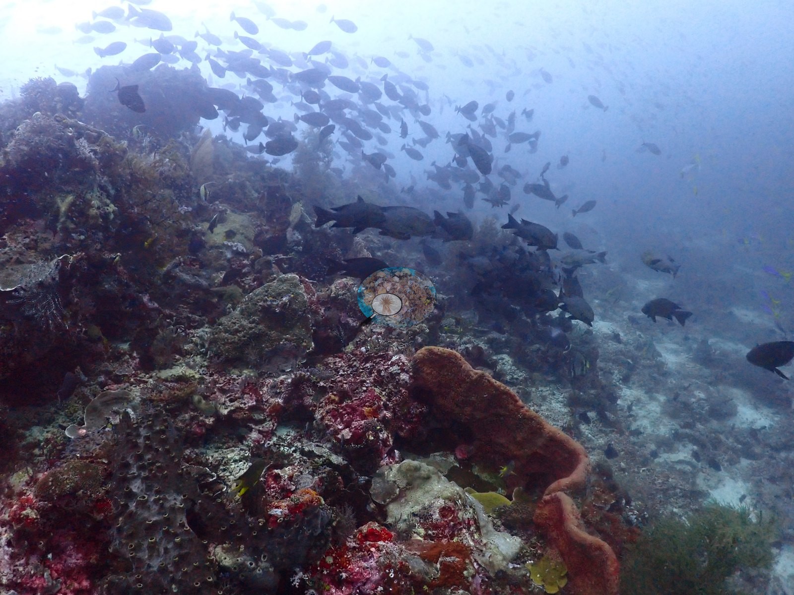
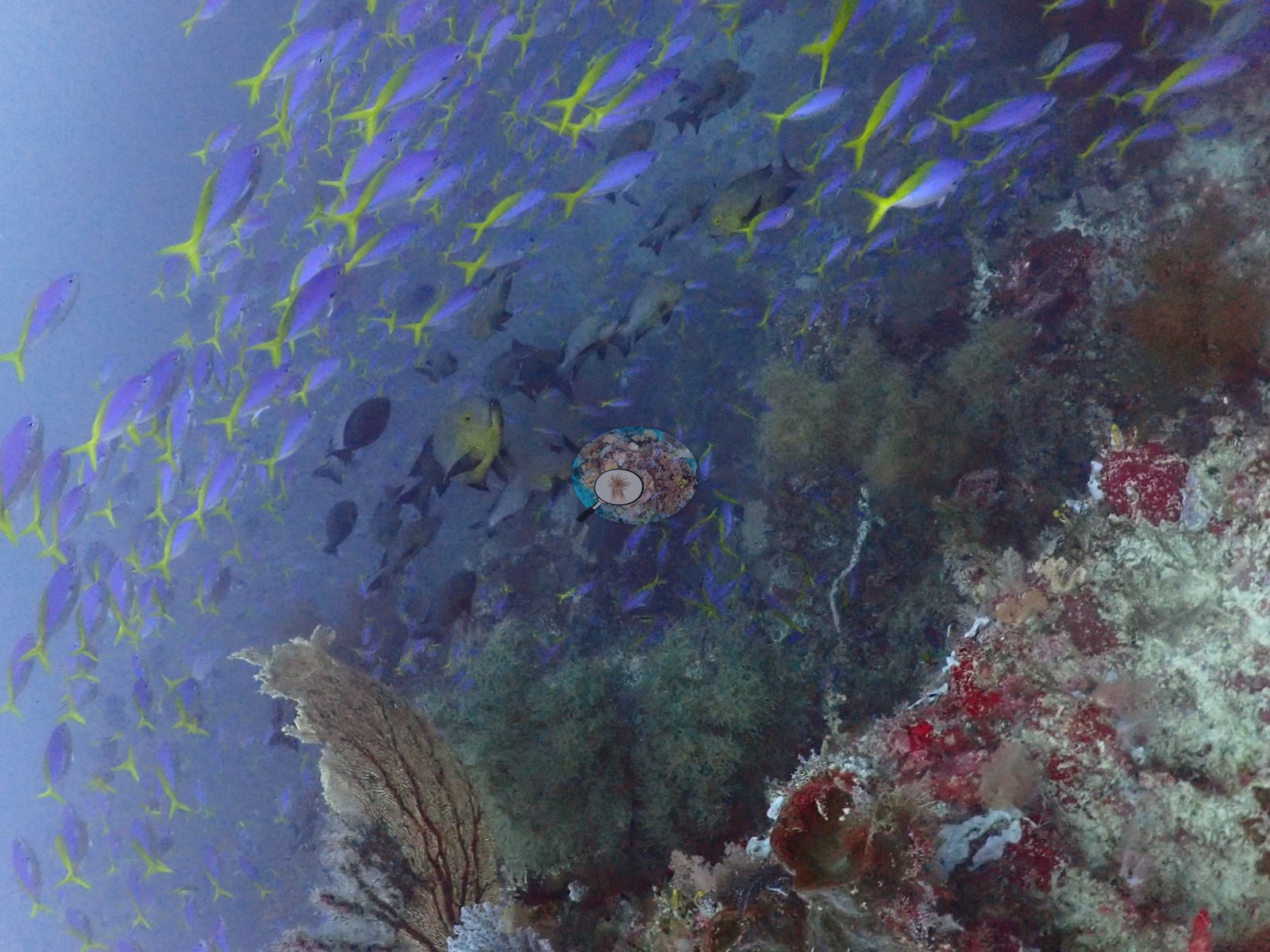
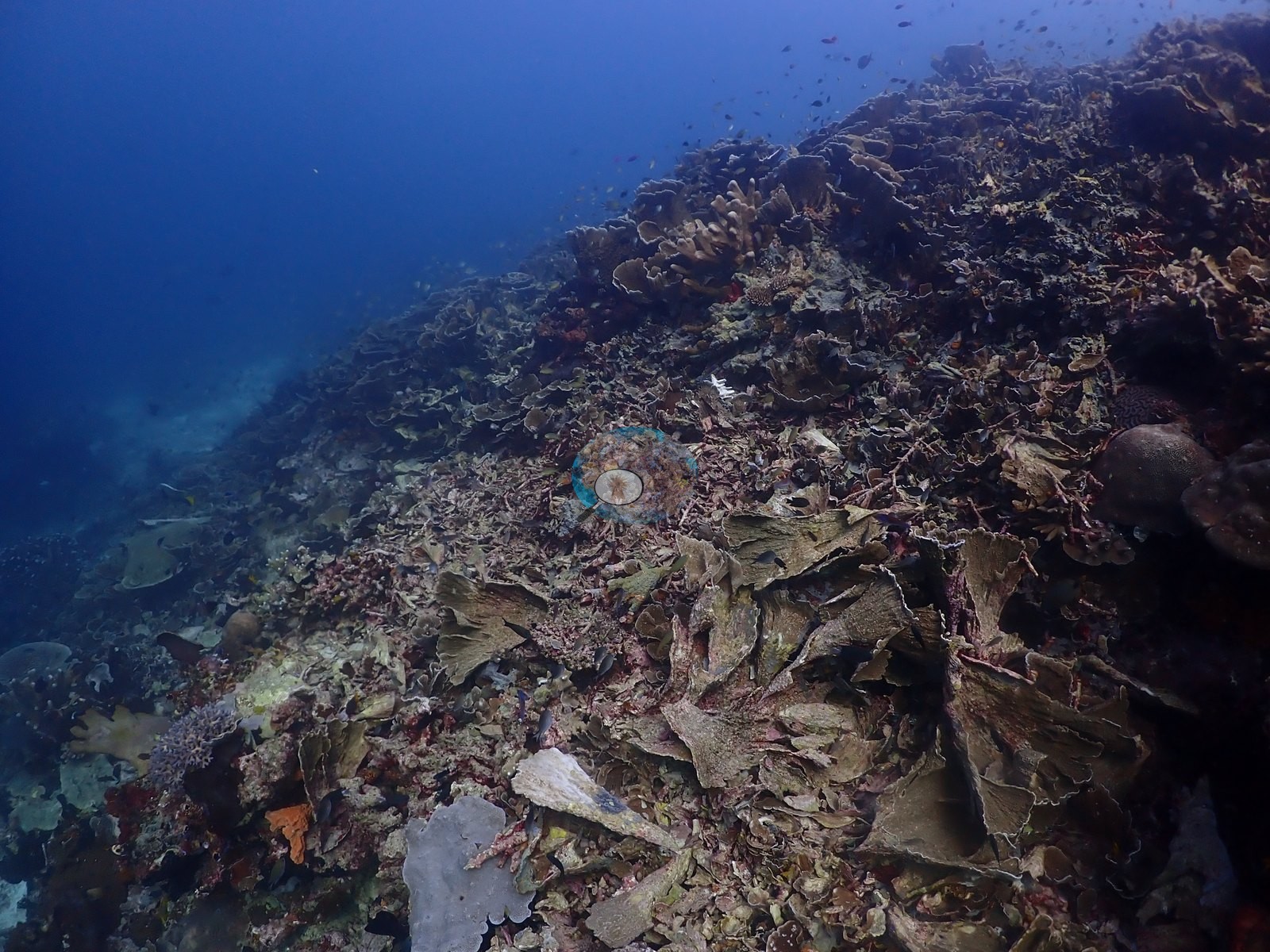
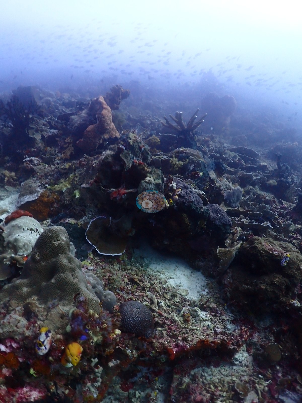
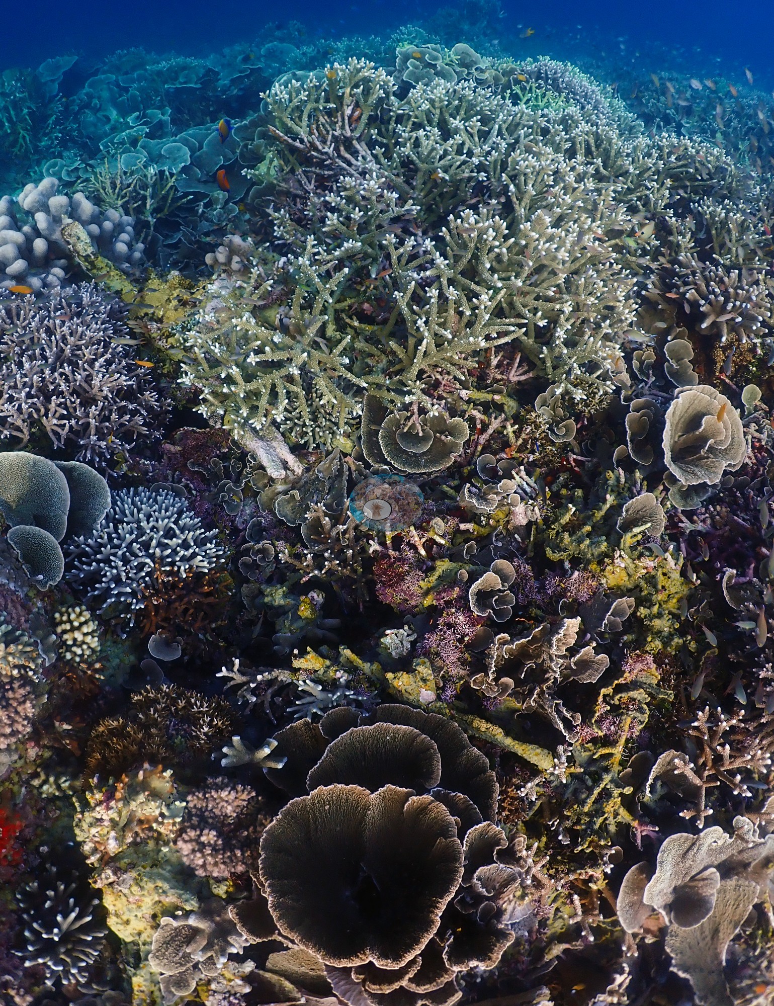
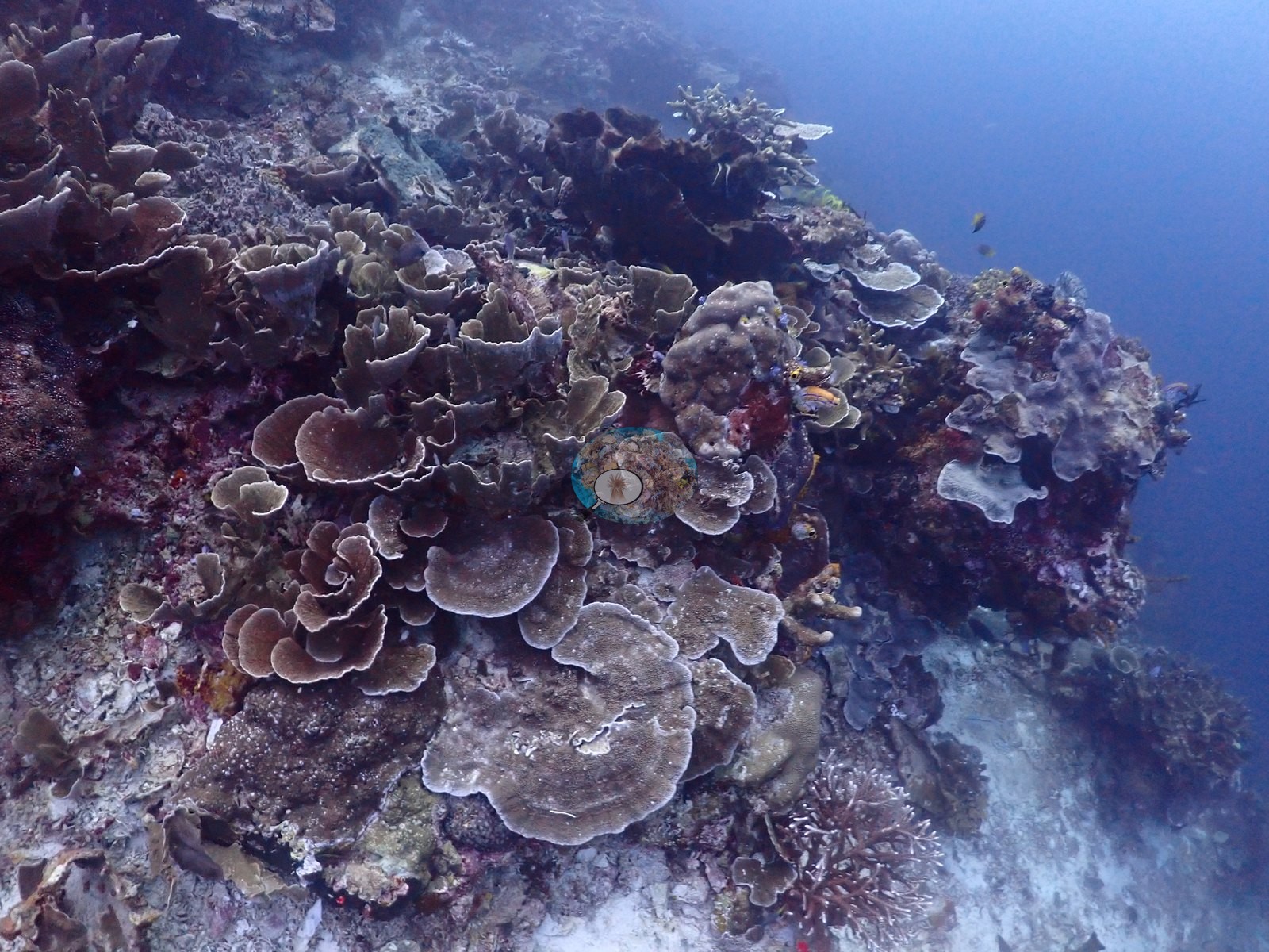
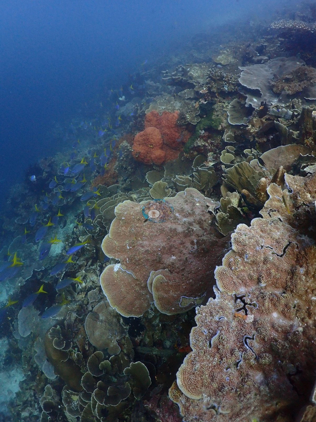
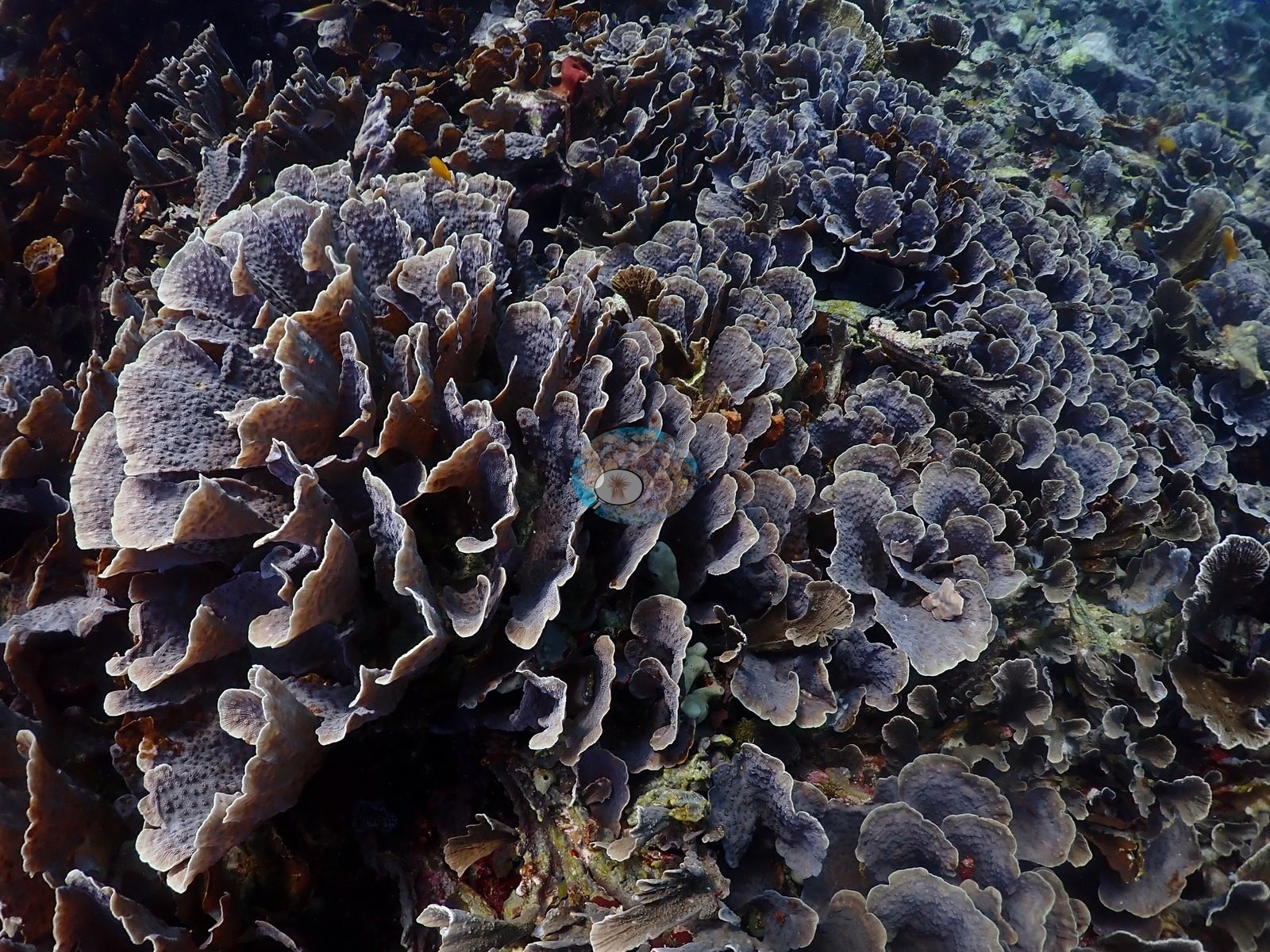
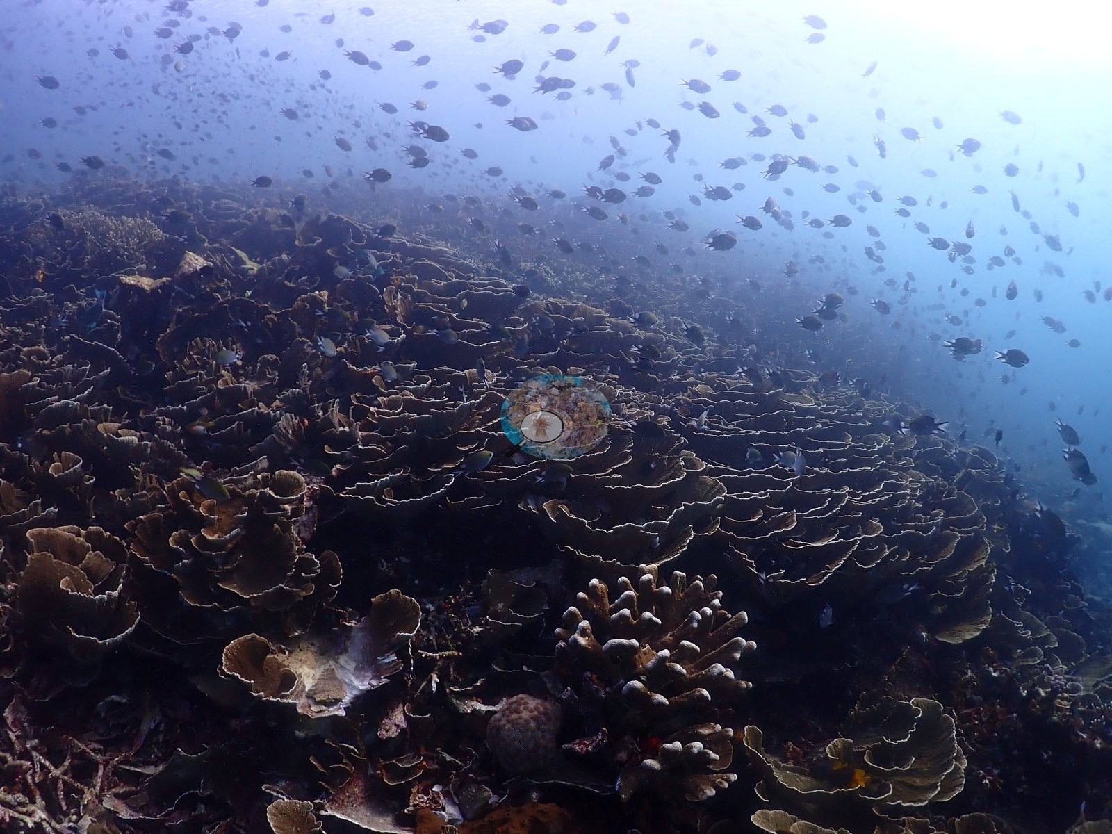
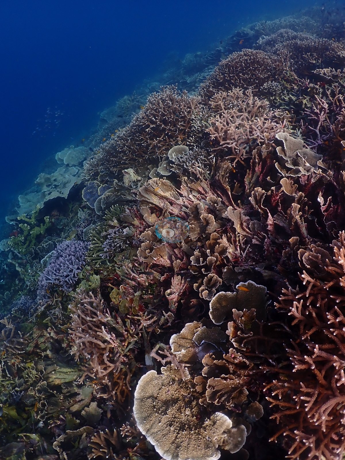
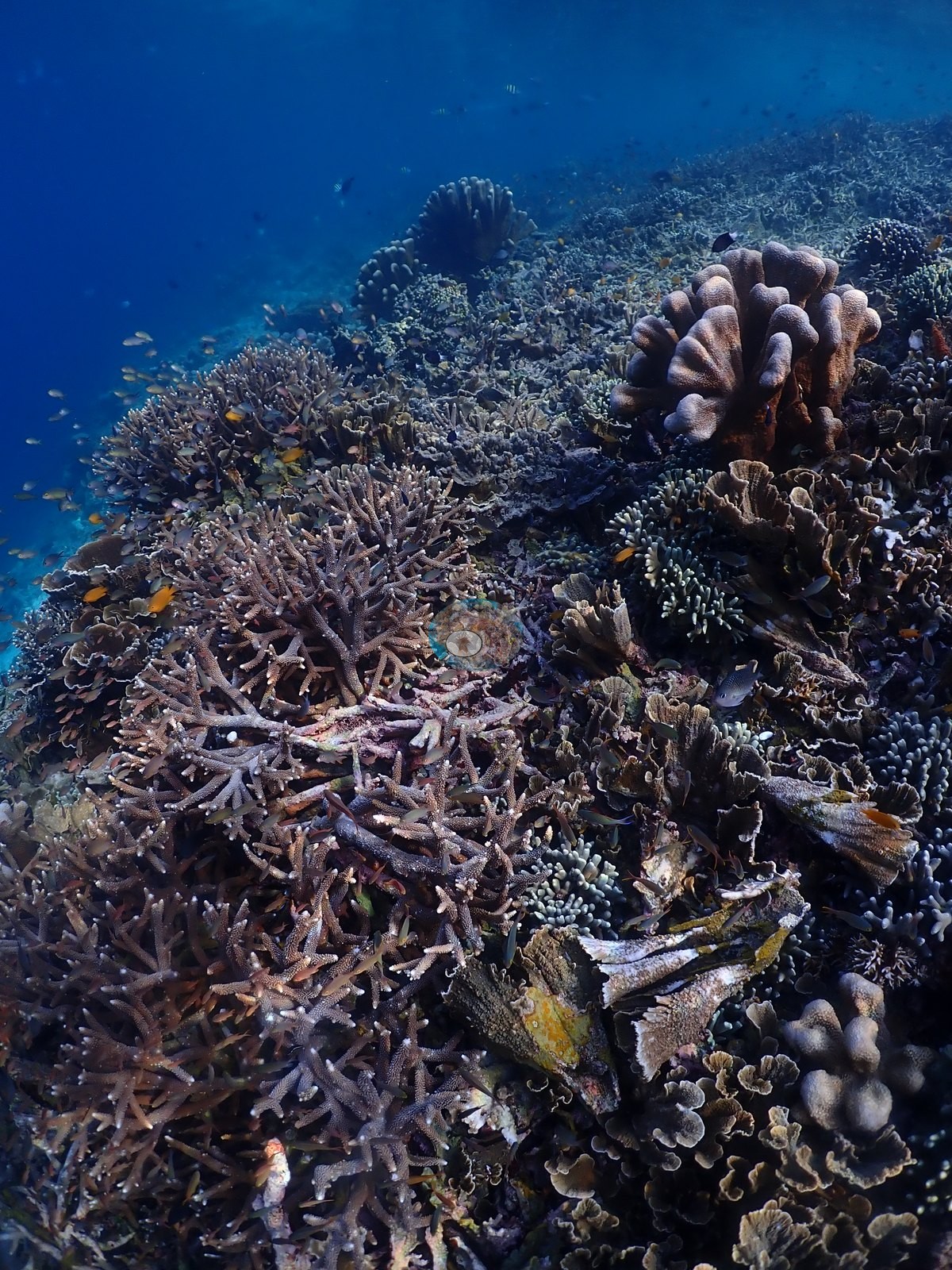
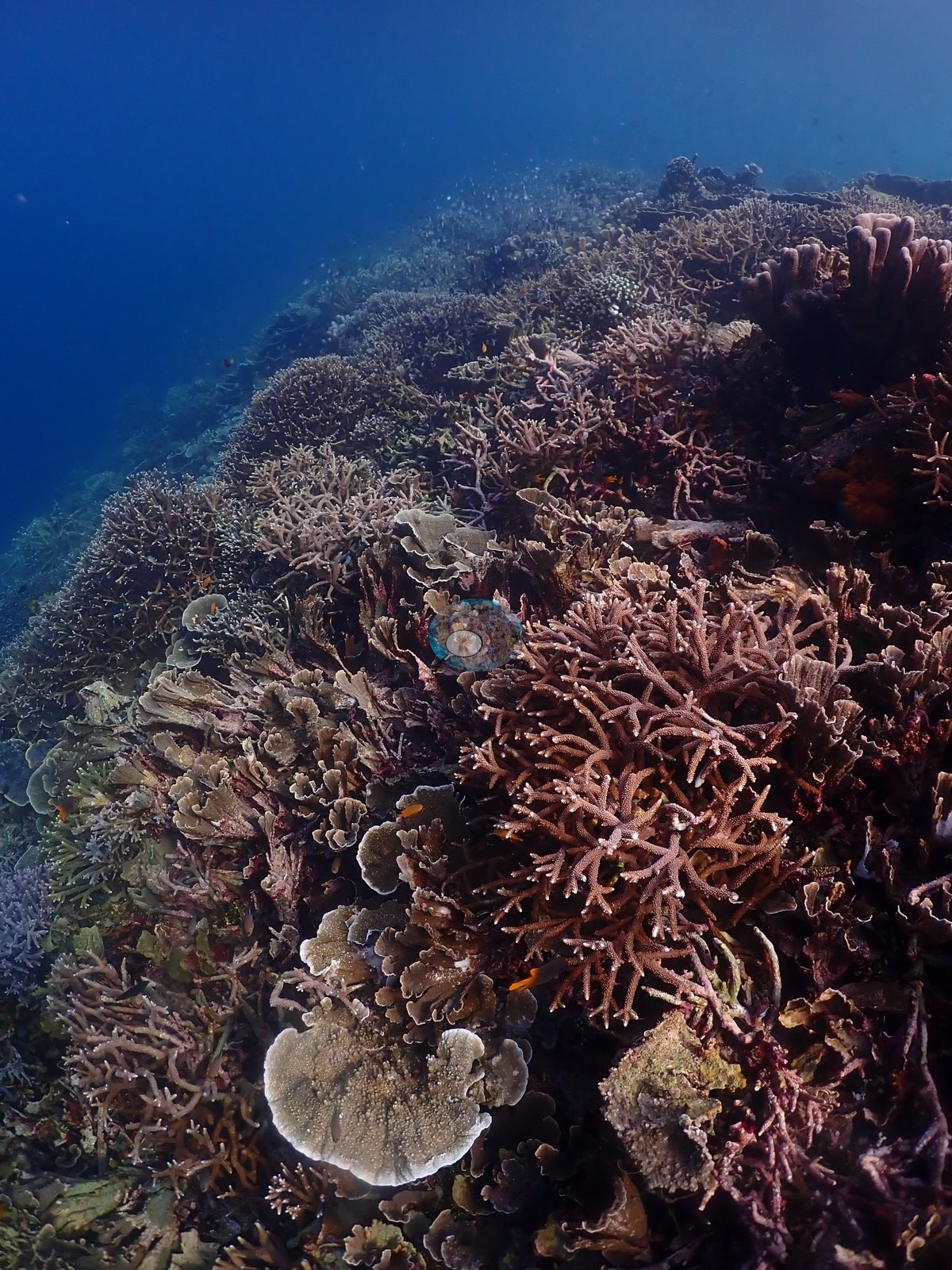
A sand-floored section holds isolated bommies, one crowned by a large table Acropora on a narrow pedestal with cardinalfish and glassfish packed beneath it. The mid-slope is the site's real signature: near-continuous foliose plating meadows running frame to frame in brown, olive, pale green-gray, and a striking violet-purple, consistent with Montipora, Echinopora, and Pachyseris, shingled over one another so tightly that little substrate shows (e.g., Image 1, Image 9, Image 10, Image 13, Image 20, Image 22, Image 25, Image 27, Image 35, Image 40, Image 42, Image 44, Image 47, Image 49, Image 50, Image 53).
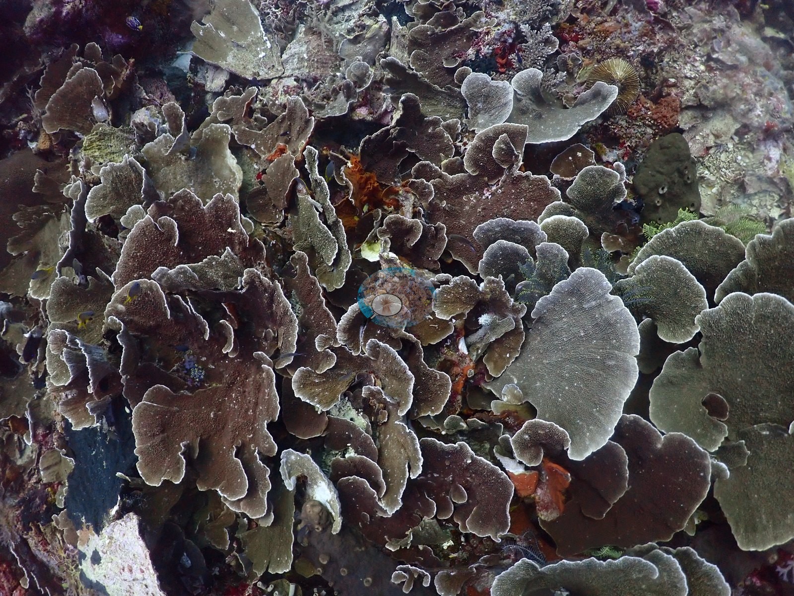
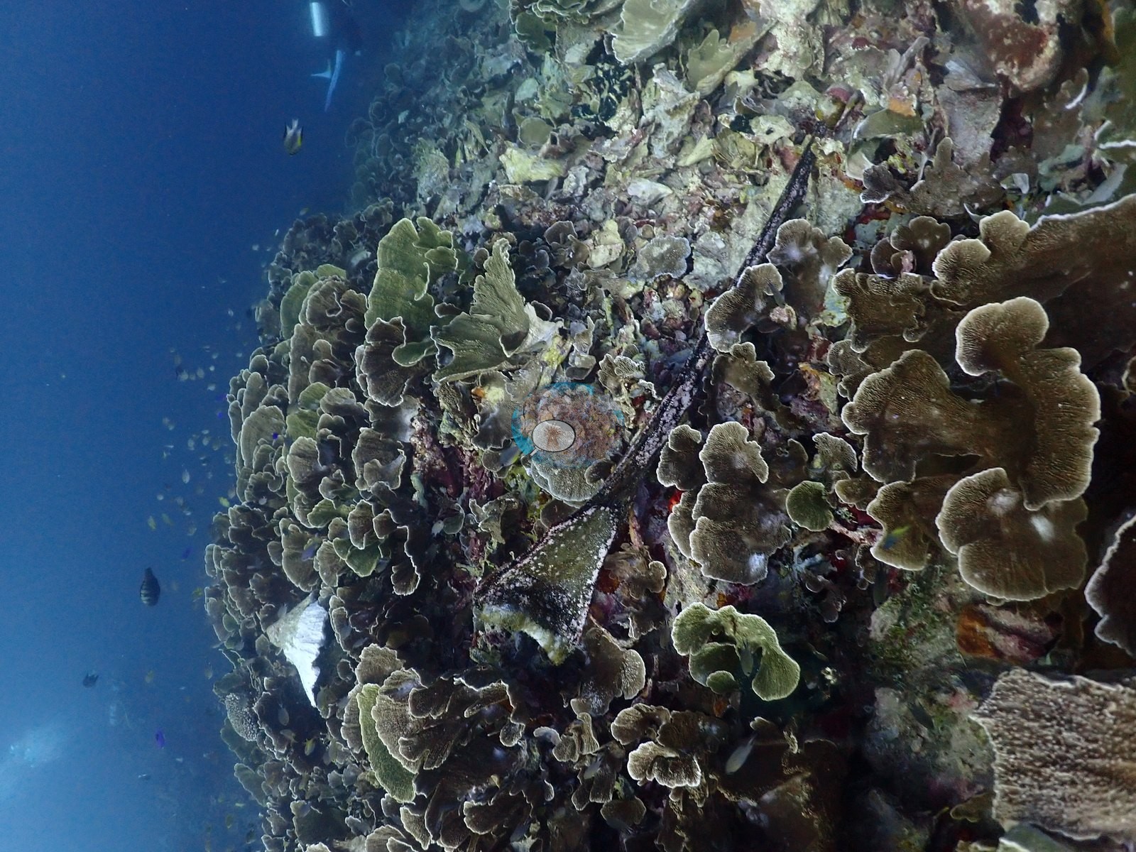
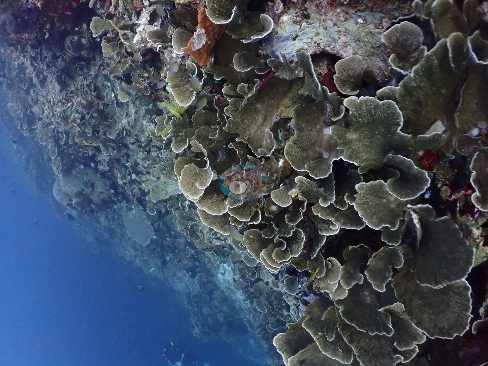
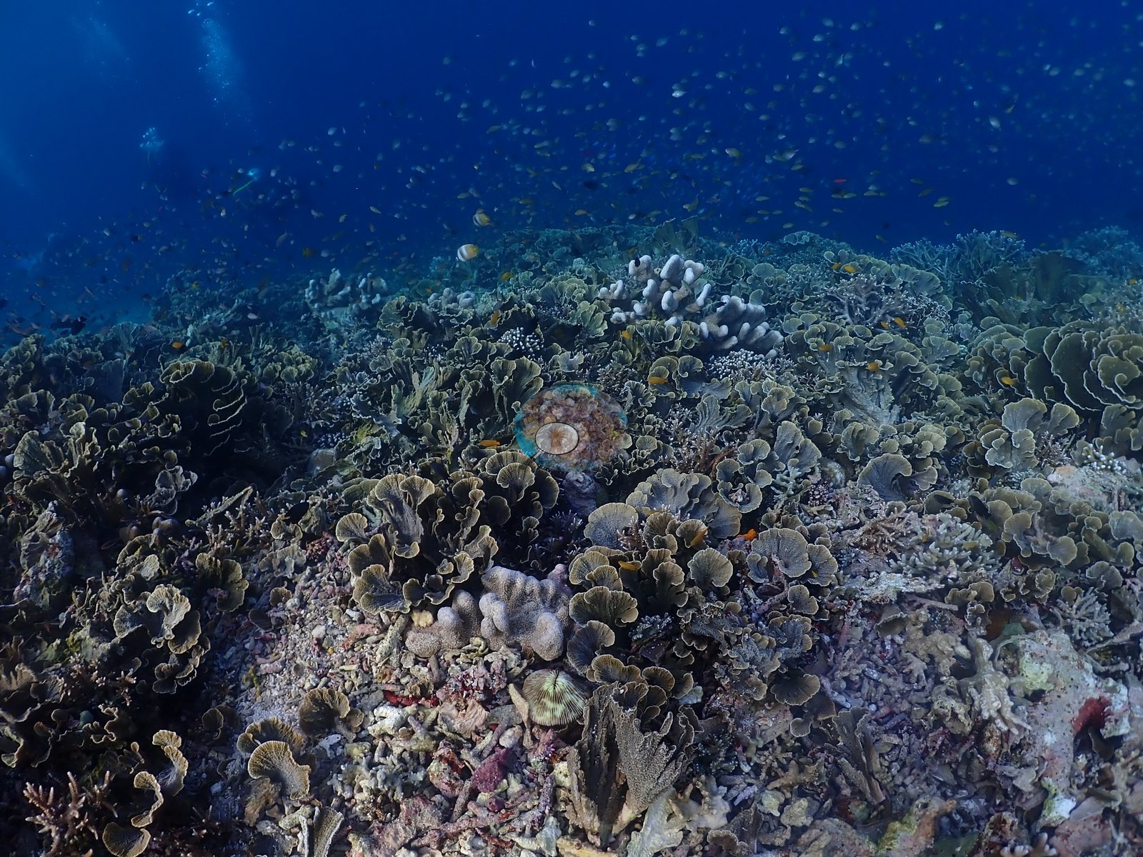
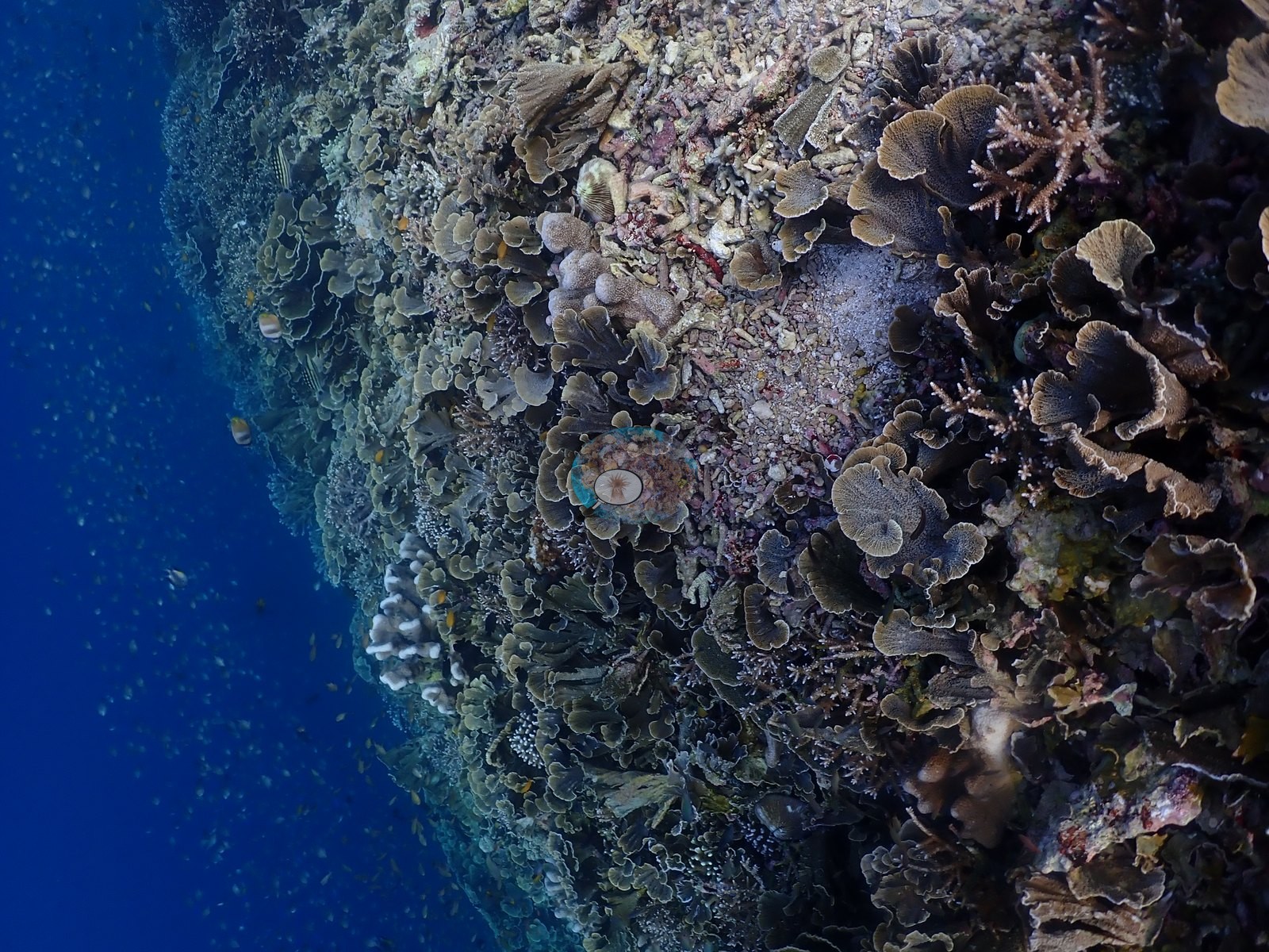
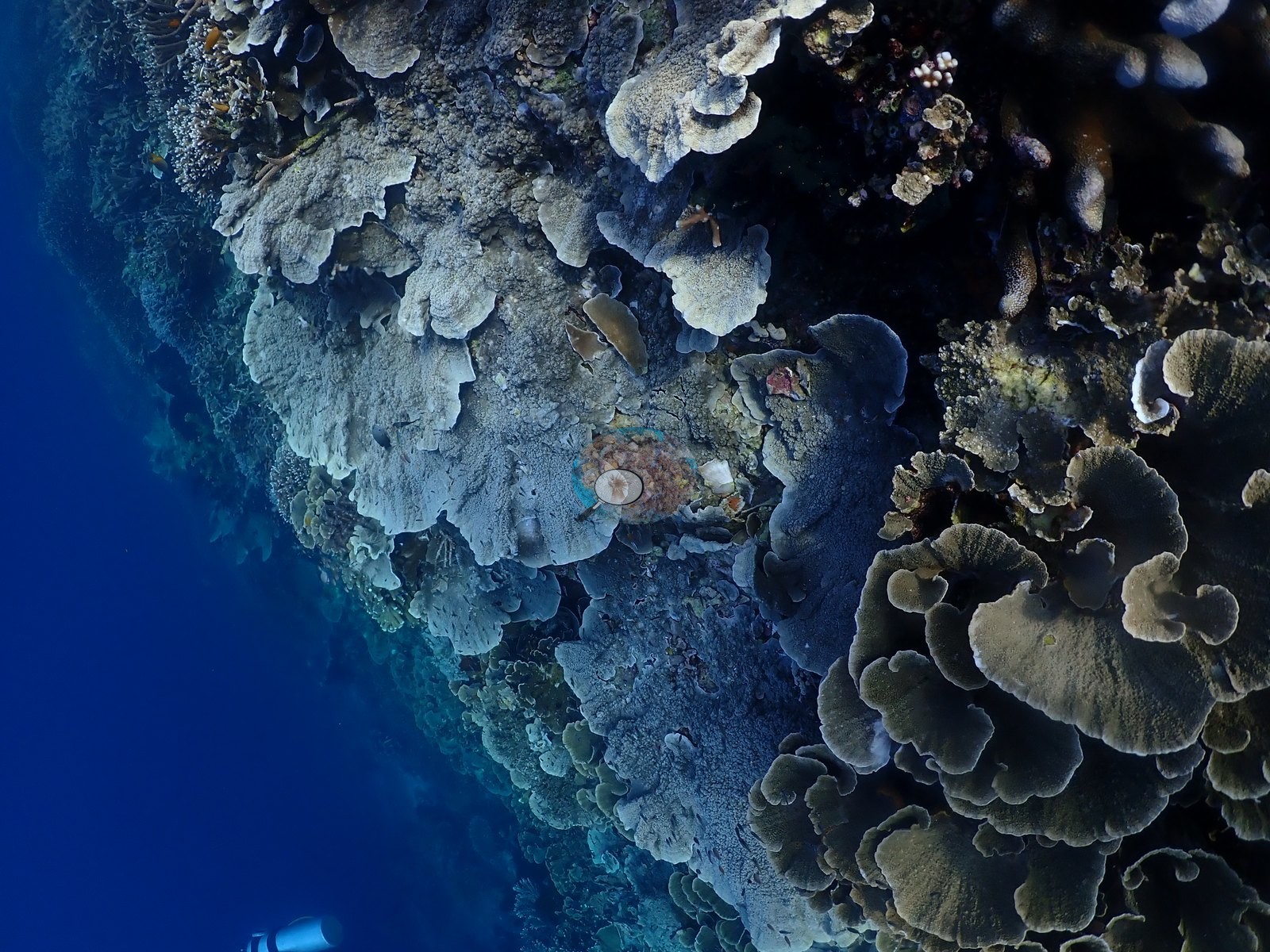
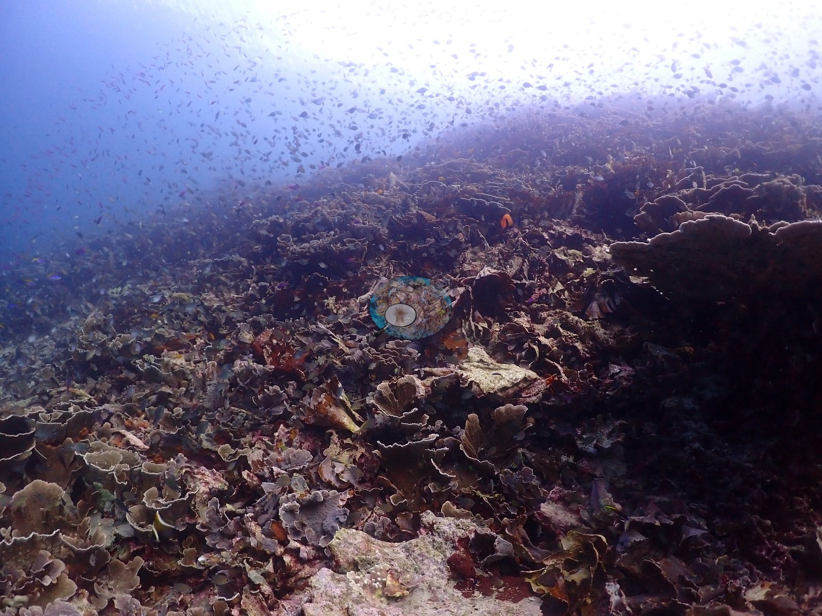
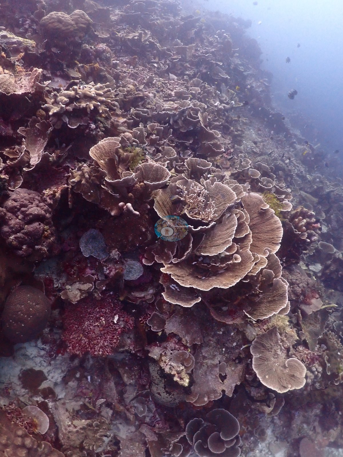
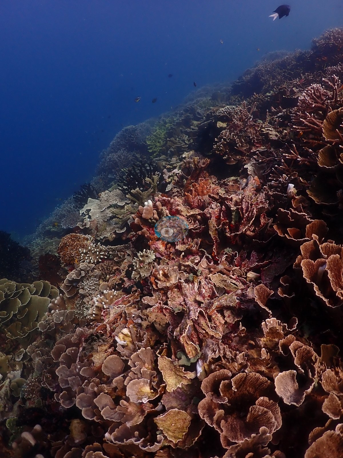
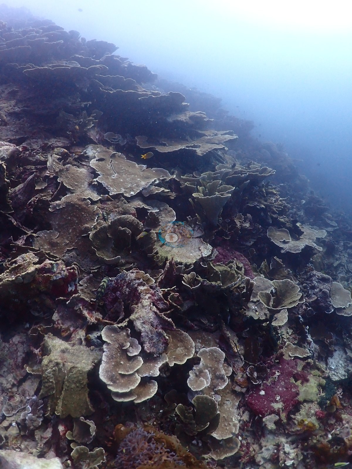
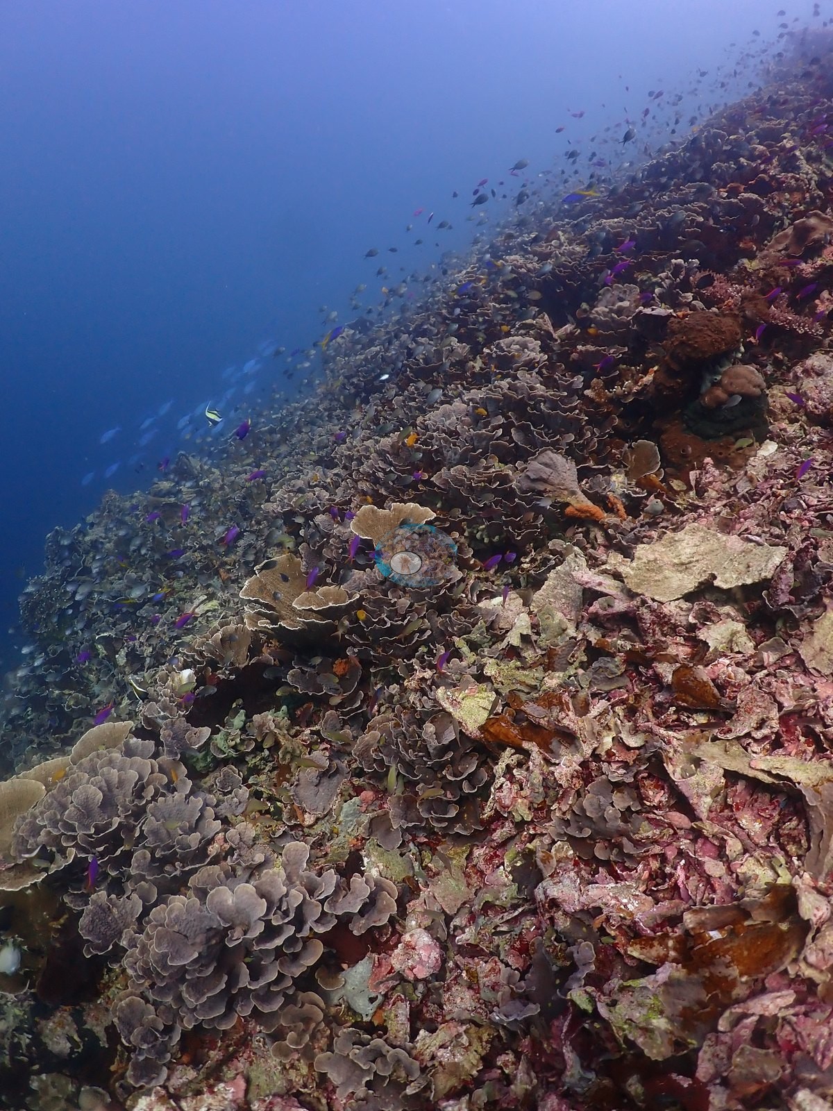
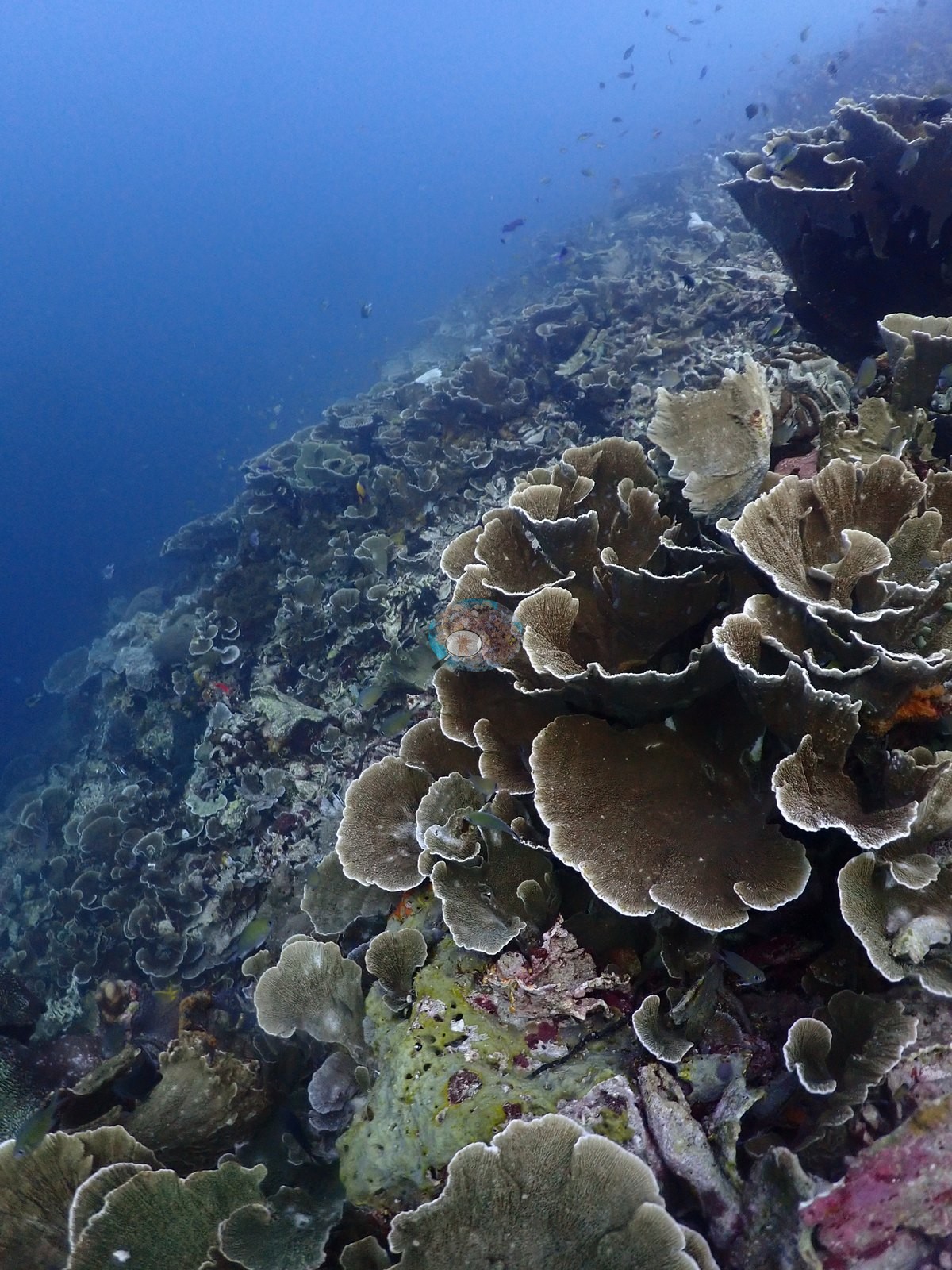
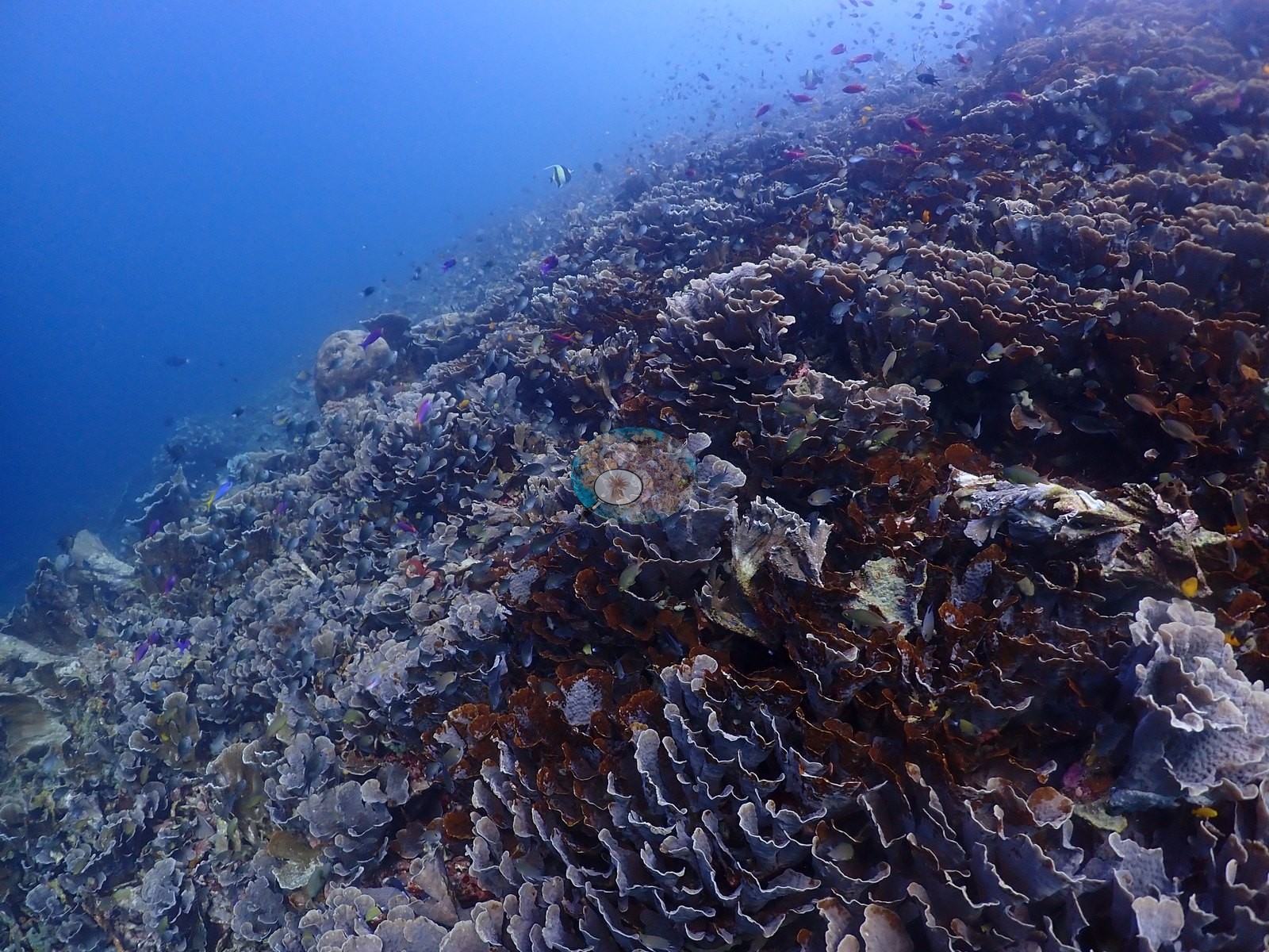
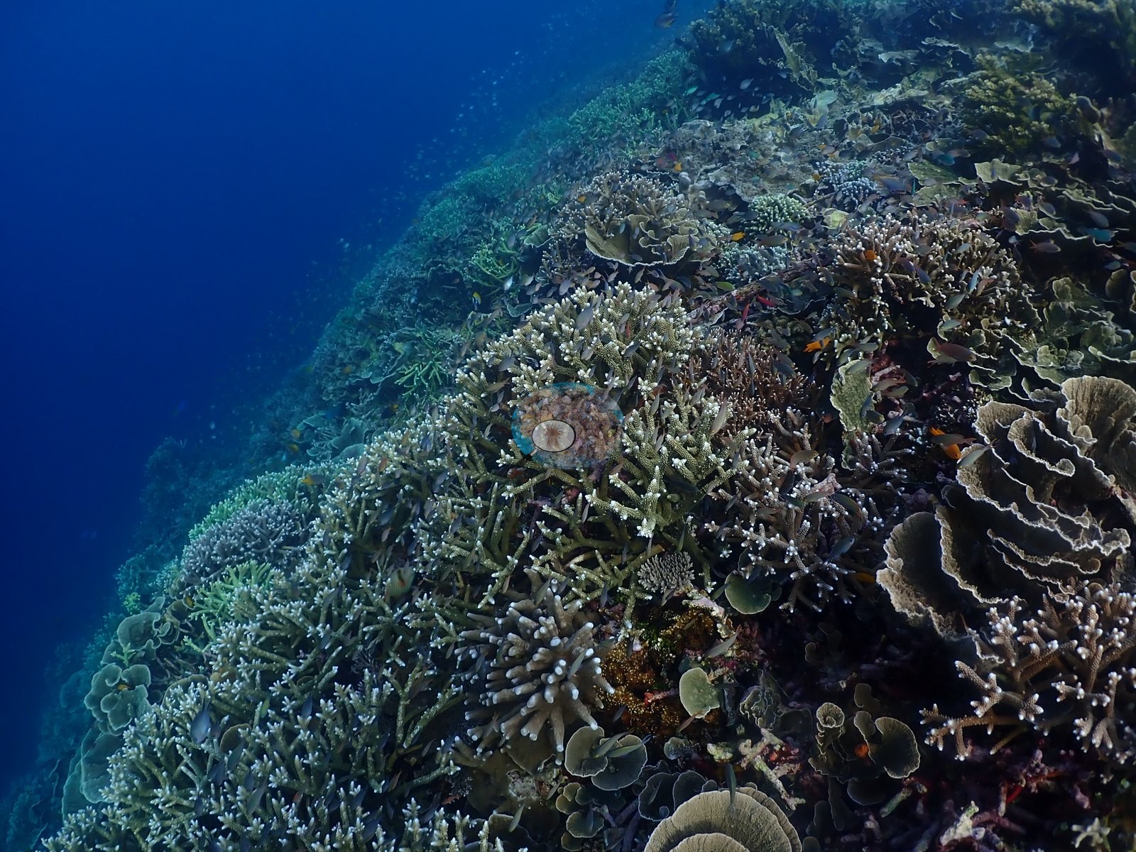
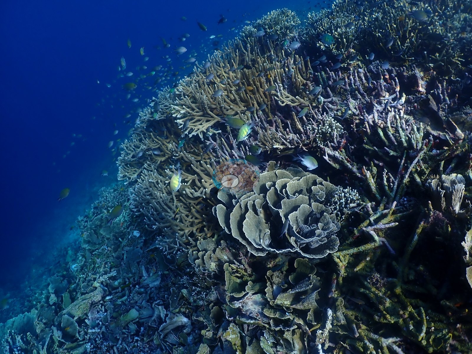
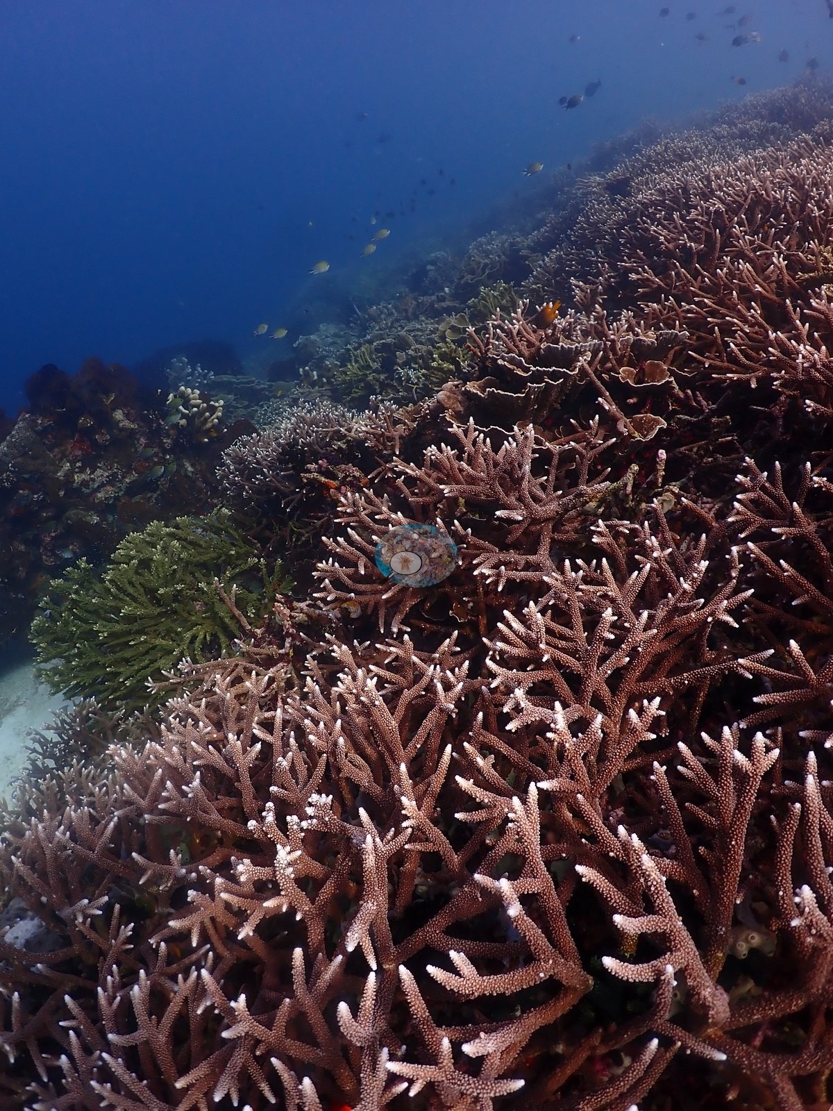
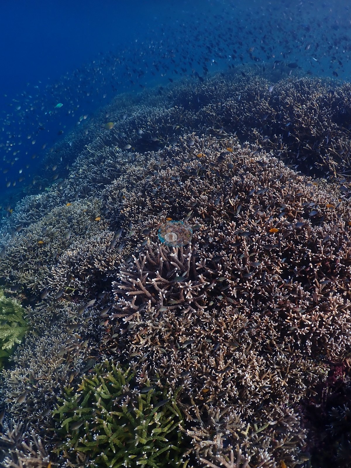
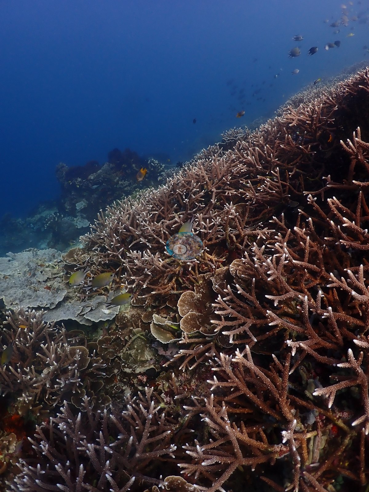
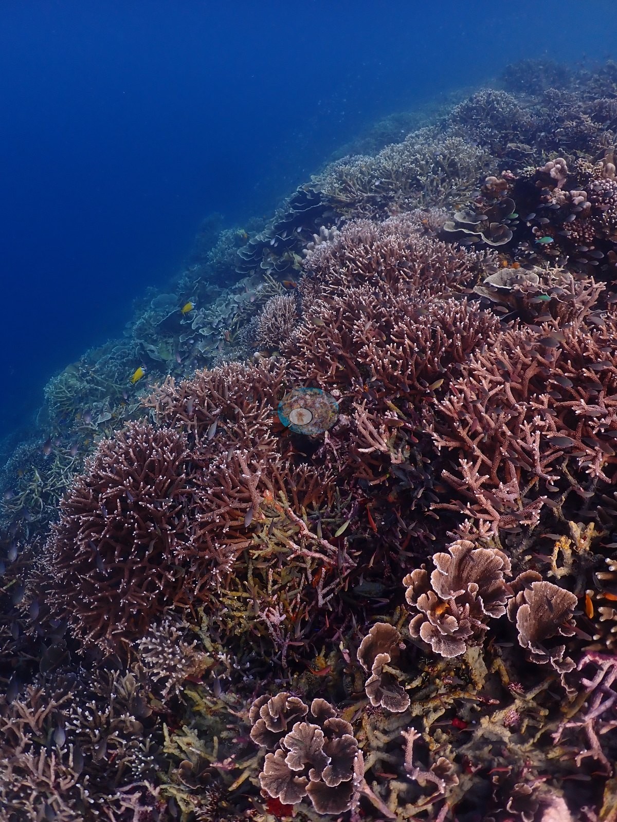
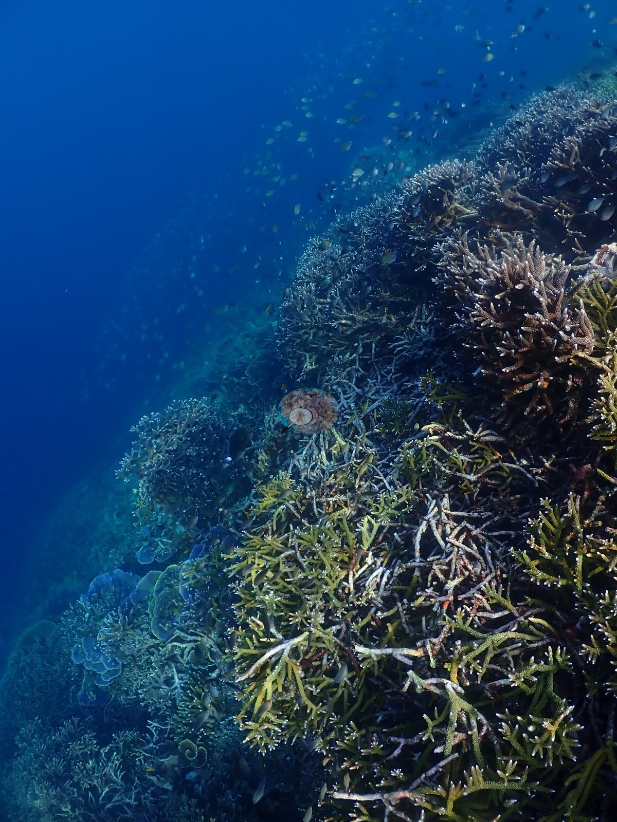
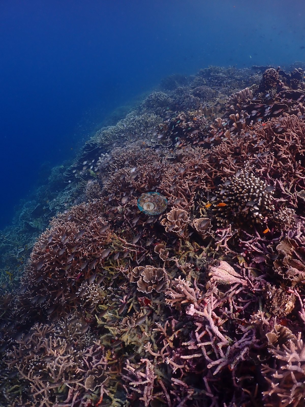
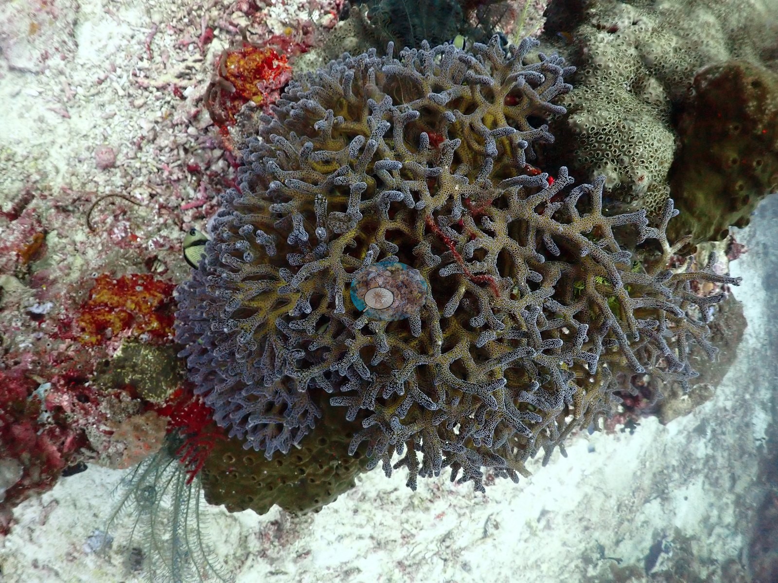
The shallows hand over to mixed Acropora — pink and mauve staghorn thickets, bright yellow-green branching stands, blue-gray corymbose colonies, Seriatopora, and Pocillopora — interleaved with the same foliose plates and worked over by chromis and damselfish (e.g., Image 3, Image 4, Image 5, Image 7, Image 8, Image 11, Image 15, Image 16, Image 26, Image 29, Image 30, Image 32, Image 36, Image 39, Image 41, Image 43, Image 45, Image 46, Image 54).
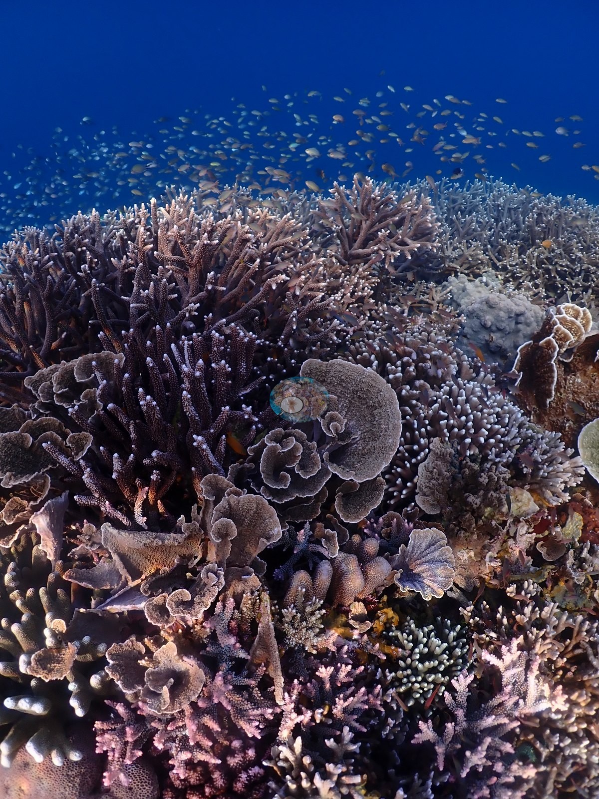
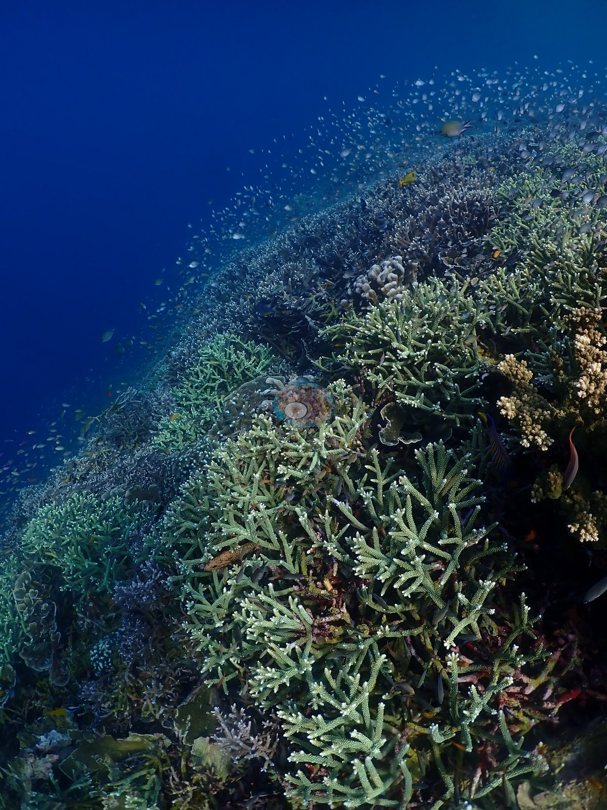
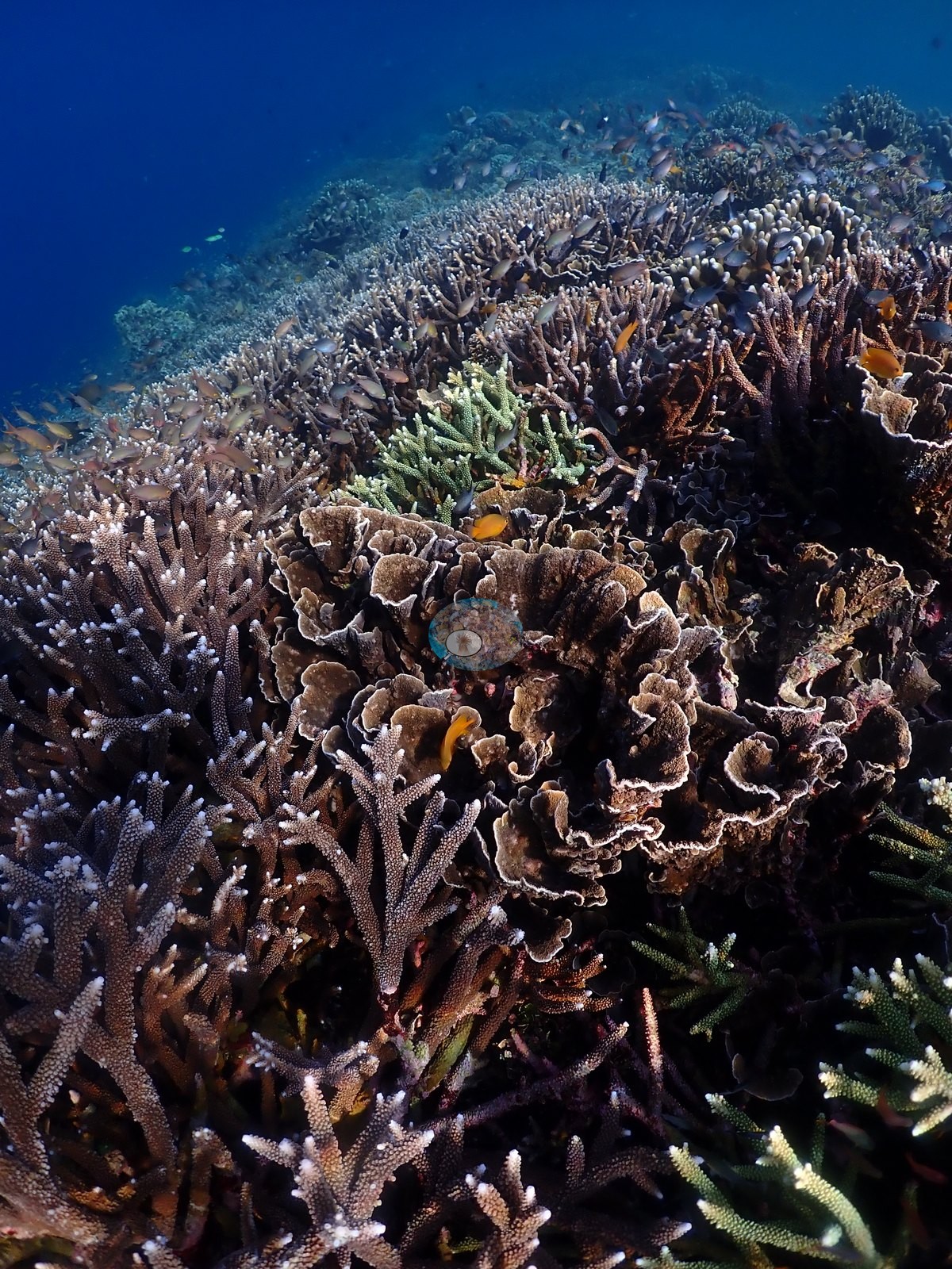
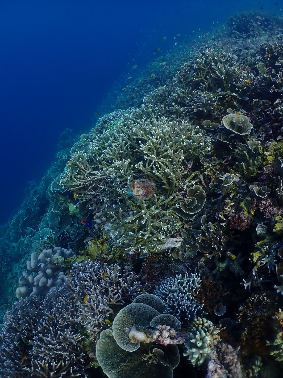
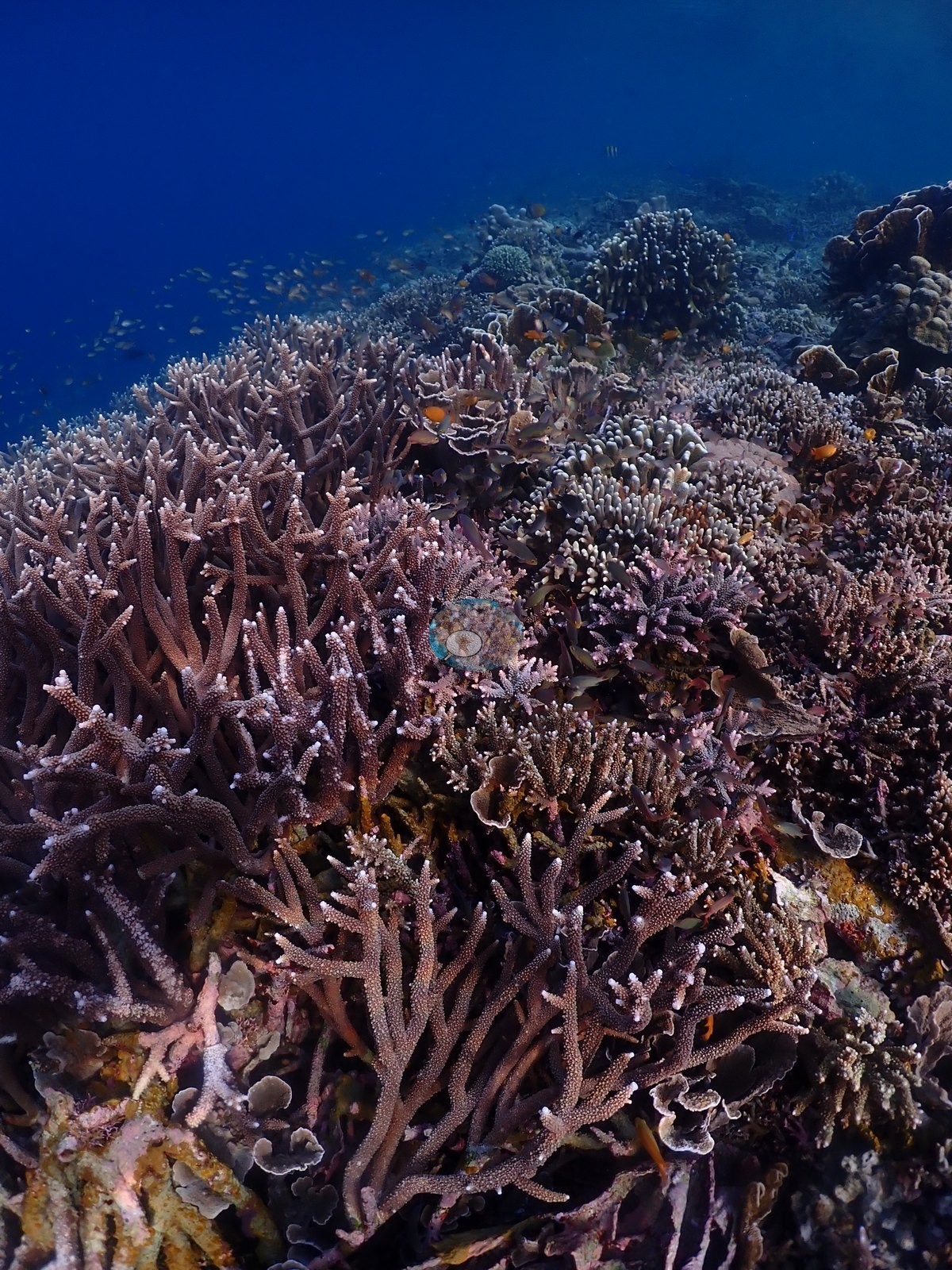
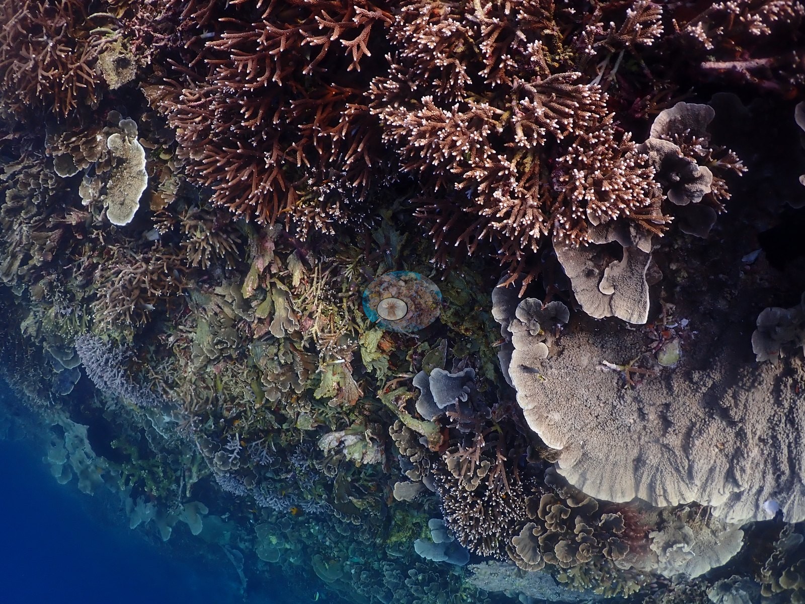
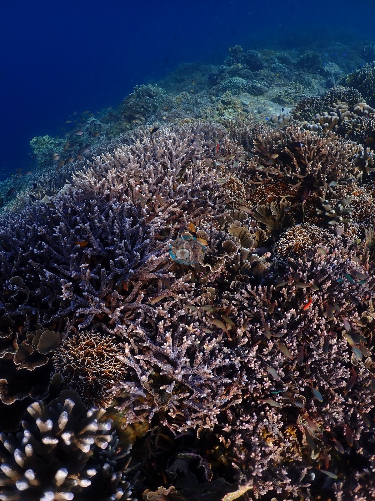
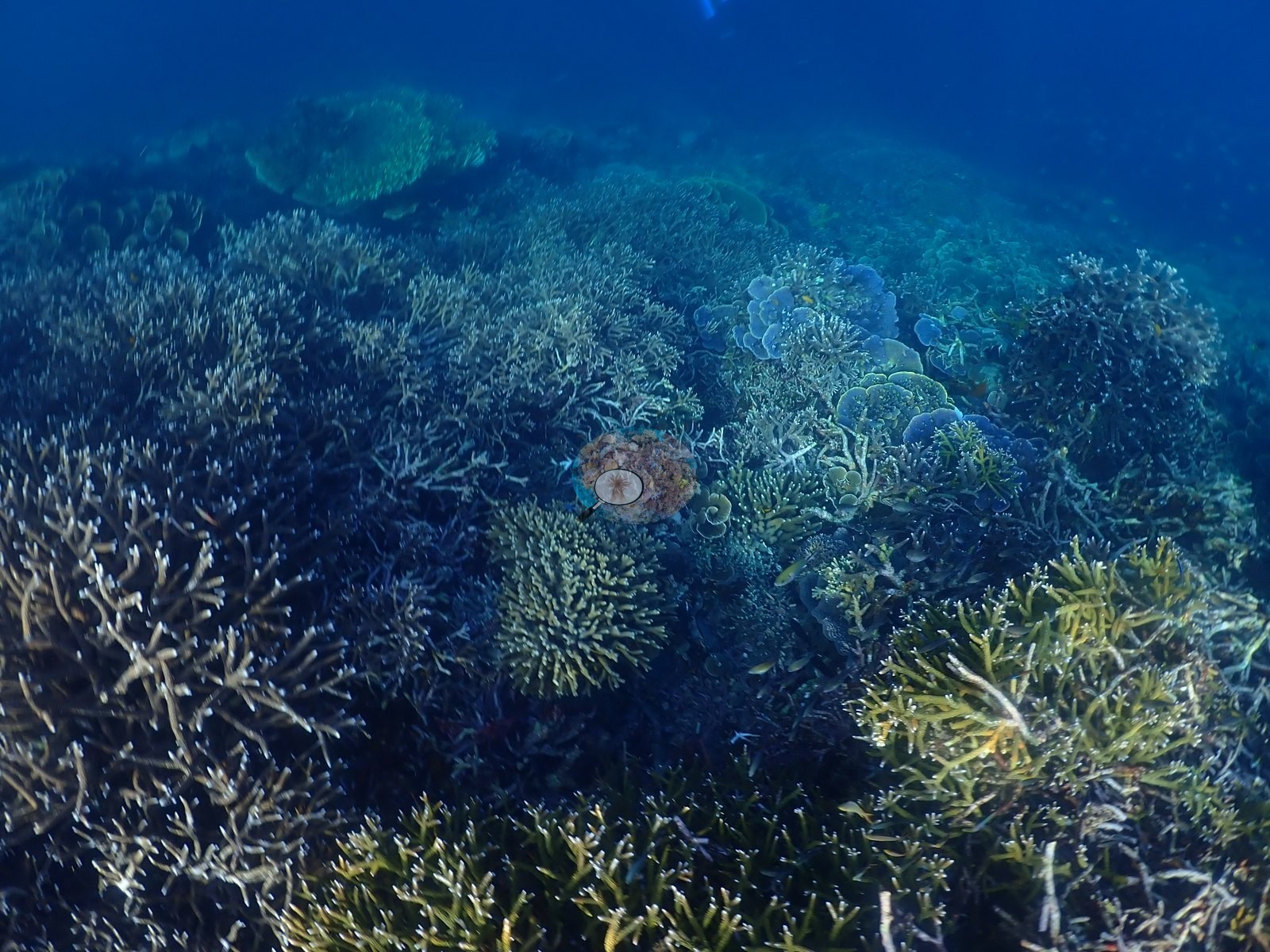
Coral cover
Coral cover: 45% — a blind Claude computer-vision point count of 249 of Anderson's unedited photographs (20 points per photo; water, fish, and obstructions excluded). Other computer-vision methods are listed in the method table.
Stressors
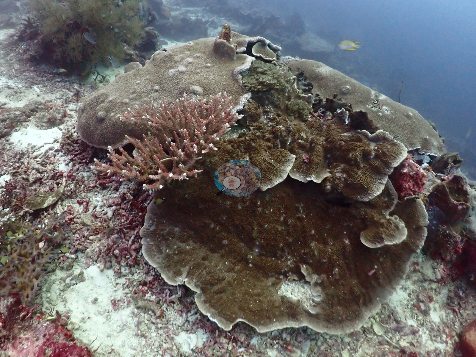
One large plating colony, roughly 1.5 m across, stands out on the deep ridge as stark bright white over its entire surface with no algal film, while every plate around it is normally pigmented (see flags) (e.g., Image 34).
Comparisons with other data
No prior survey data from this site. If you would like to share yours, please email us.
Dive record
A deep ridge dive on 2026-08-12 run to 33.6 m at 25–26°C and finished shallow, and Anderson's field note tracks that profile exactly: "epic dive with tons of snapper and other reef fish at depth, finishing in amazing coral meadows in shallows."
CV model comparison
More info
DINOv3 and CoralSCOP were run on the same photos and are listed for comparison. Coralscapes v2 and v1 were also run but are not shown: Anderson does not consider Coralscapes reliable for these photos. No diver transect exists for this trip, so agreement between the rows is not accuracy, and as of September 2026 no computer-vision method estimates coral cover accurately on new images; treat every row as indicative.| Method | Hard-coral cover (%) |
|---|---|
| In-house DINOv3 | 42.7 |
| CoralSCOP unedited | 27.7 |
| Claude | 45.2 |
Data & links
All images from Coral Reef Diagnostics. Data are from Coral Reef Diagnostics.
© Coral Reef Diagnostics.