
Indonesia - Halmahera: Reene's Rock (Pulau Gewang)
Part of the regional summaries: Indonesia - Halmahera and Indonesia - Maluku
More info
North Maluku (NOAA CRW virtual station)Reene's Rock, per Anderson's own note, isn't a reef at all but a coral community growing on massive boulders, dominated by encrusting sponges, blue ascidians, and soft corals with scattered stony coral - table Acropora, brain corals, and Pachyseris plates - set into it, plus a genuine continuous Acropora thicket at the shallow crest. Condition was good, with no bleaching, disease, or crown-of-thorns starfish (COTS). A blind Claude computer-vision point count puts coral cover around 13%.
Reene's Rock, menurut catatan Anderson sendiri, sama sekali bukan terumbu melainkan komunitas karang yang tumbuh di atas bongkahan batu besar, didominasi spons mengerak, askidia biru, dan karang lunak dengan karang batu yang tersebar — Acropora meja, karang otak, dan lembaran Pachyseris — tertanam di dalamnya, ditambah rumpun Acropora yang benar-benar menyambung di tubir dangkalnya. Kondisinya baik, tanpa pemutihan, penyakit, maupun bintang laut mahkota duri. Penghitungan titik buta visi komputer Claude memperkirakan tutupan karang sekitar 13%.
Terjemahan ringkasan ini oleh AI; versi bahasa Inggris yang berlaku.
Nine independent survey stations shown with the program’s logo — click one to see how far it is from this site.
Three other CRD dive sites within 5 km shown in orange — click a marker to open its page.
38 of these 39 photographs are shown beside the text that discusses them under "Site description" below.
Site description
General benthic features
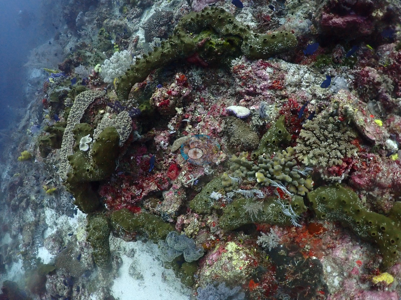
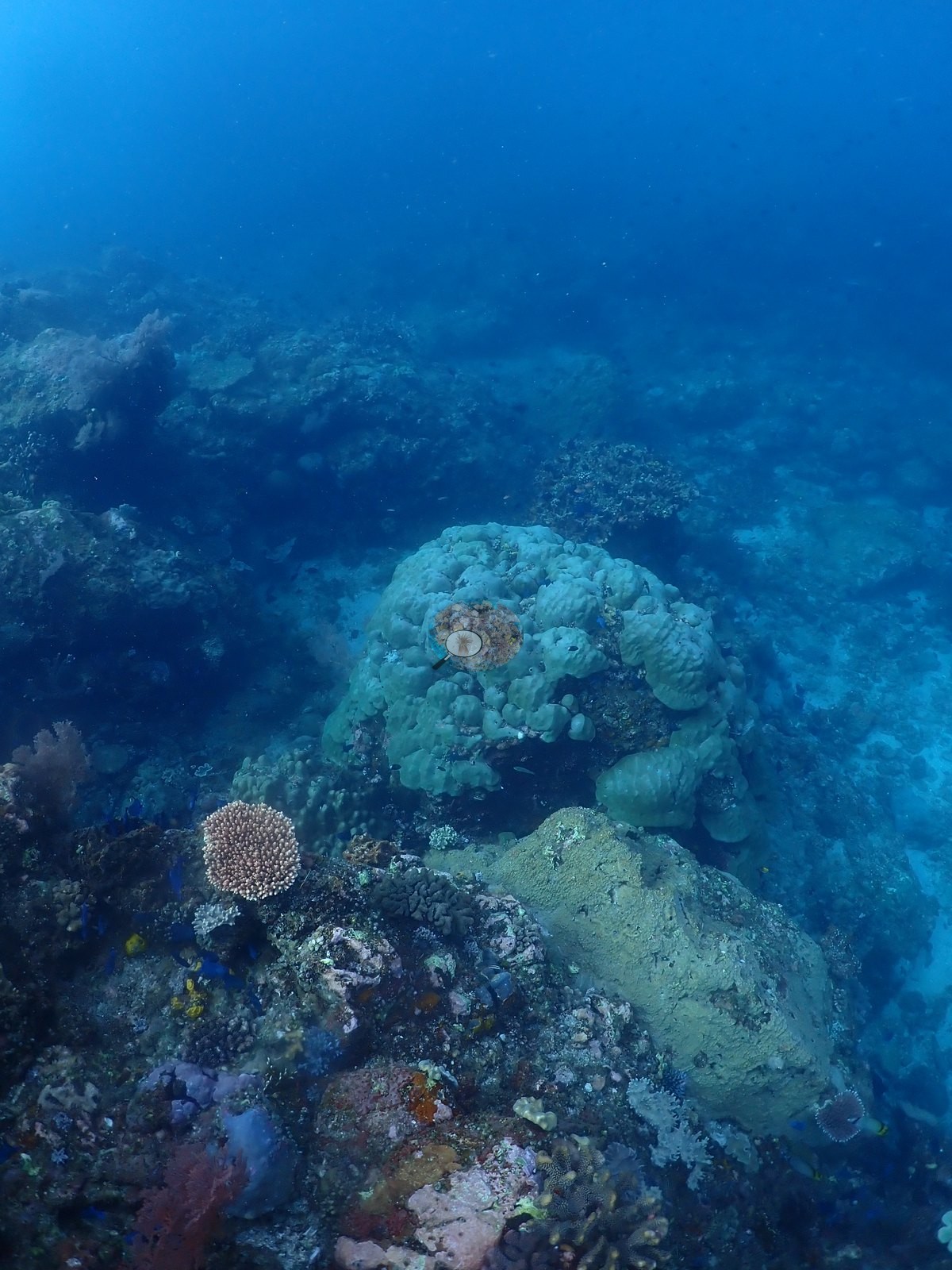
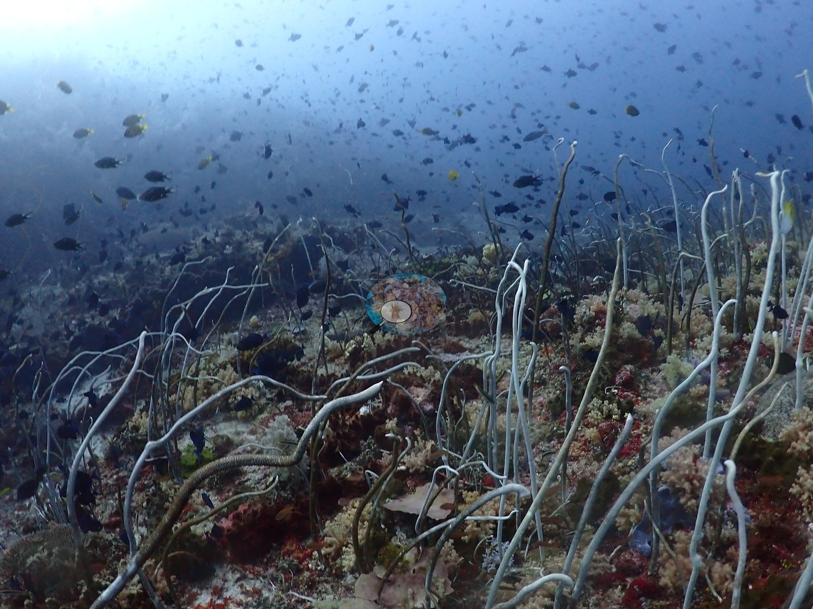
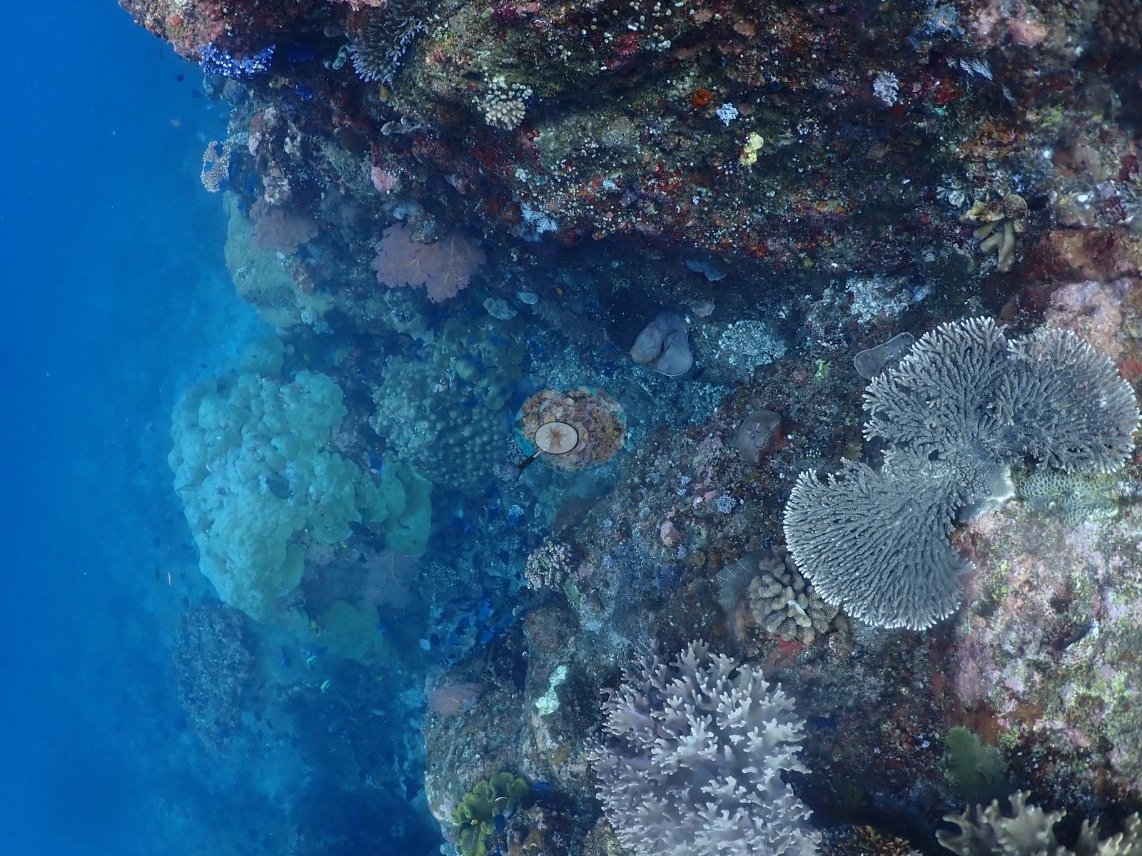
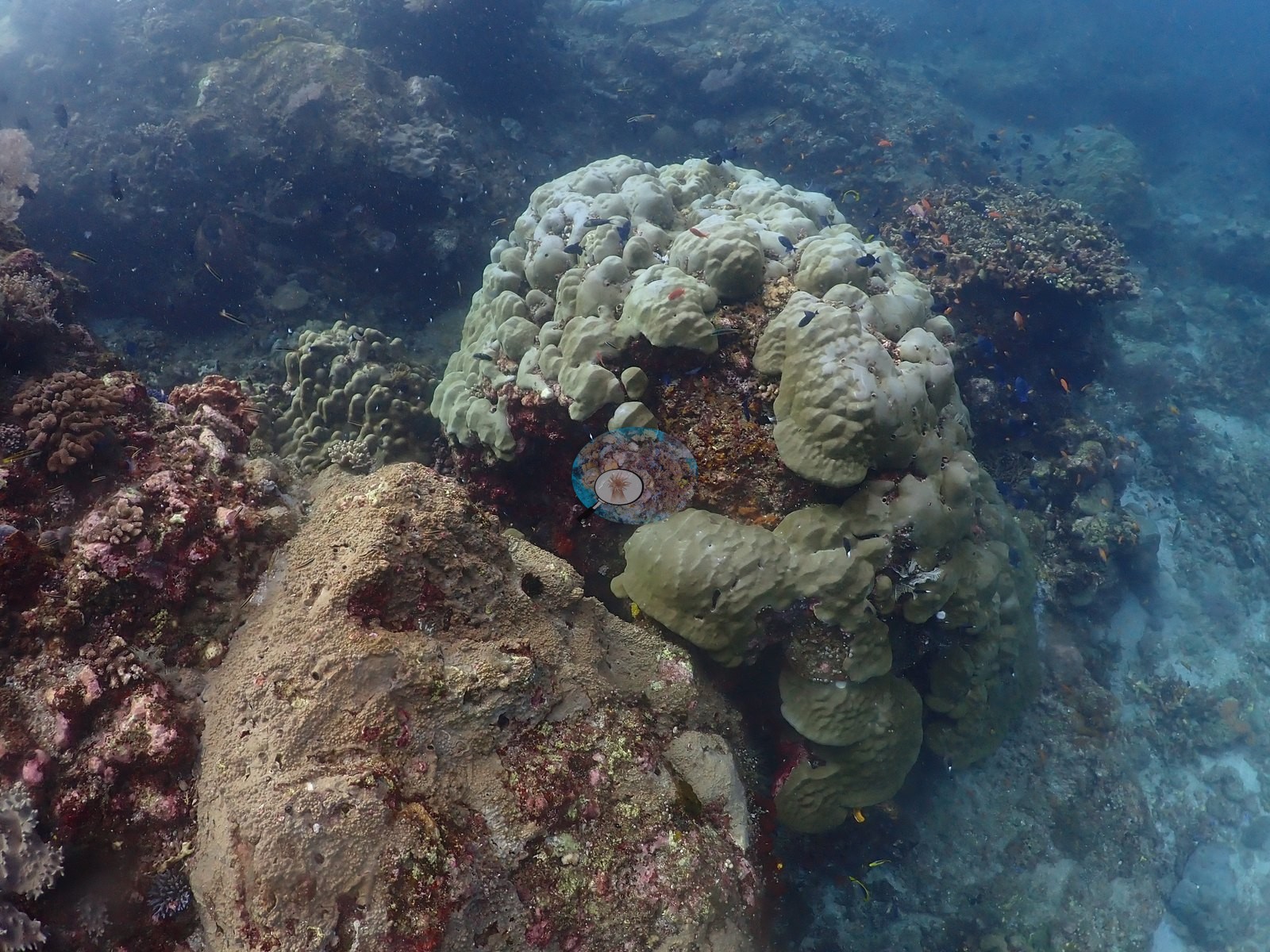
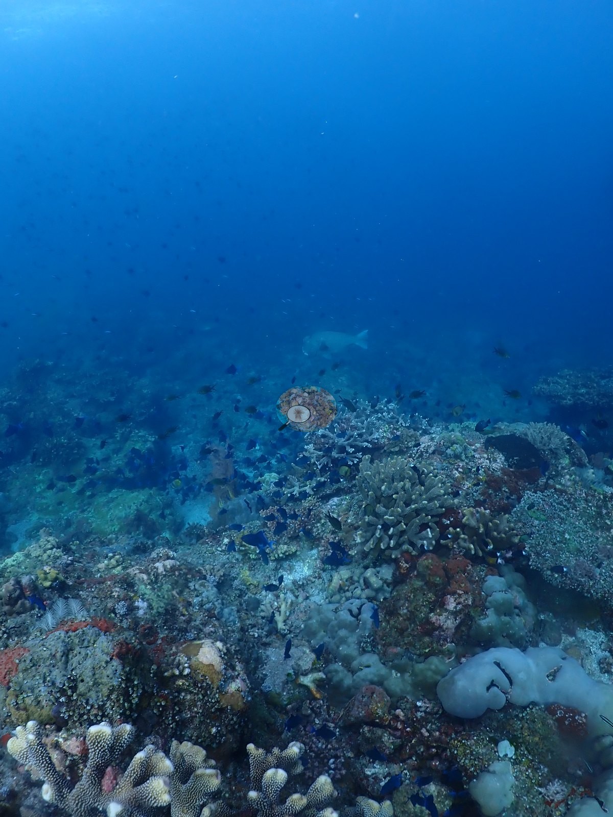
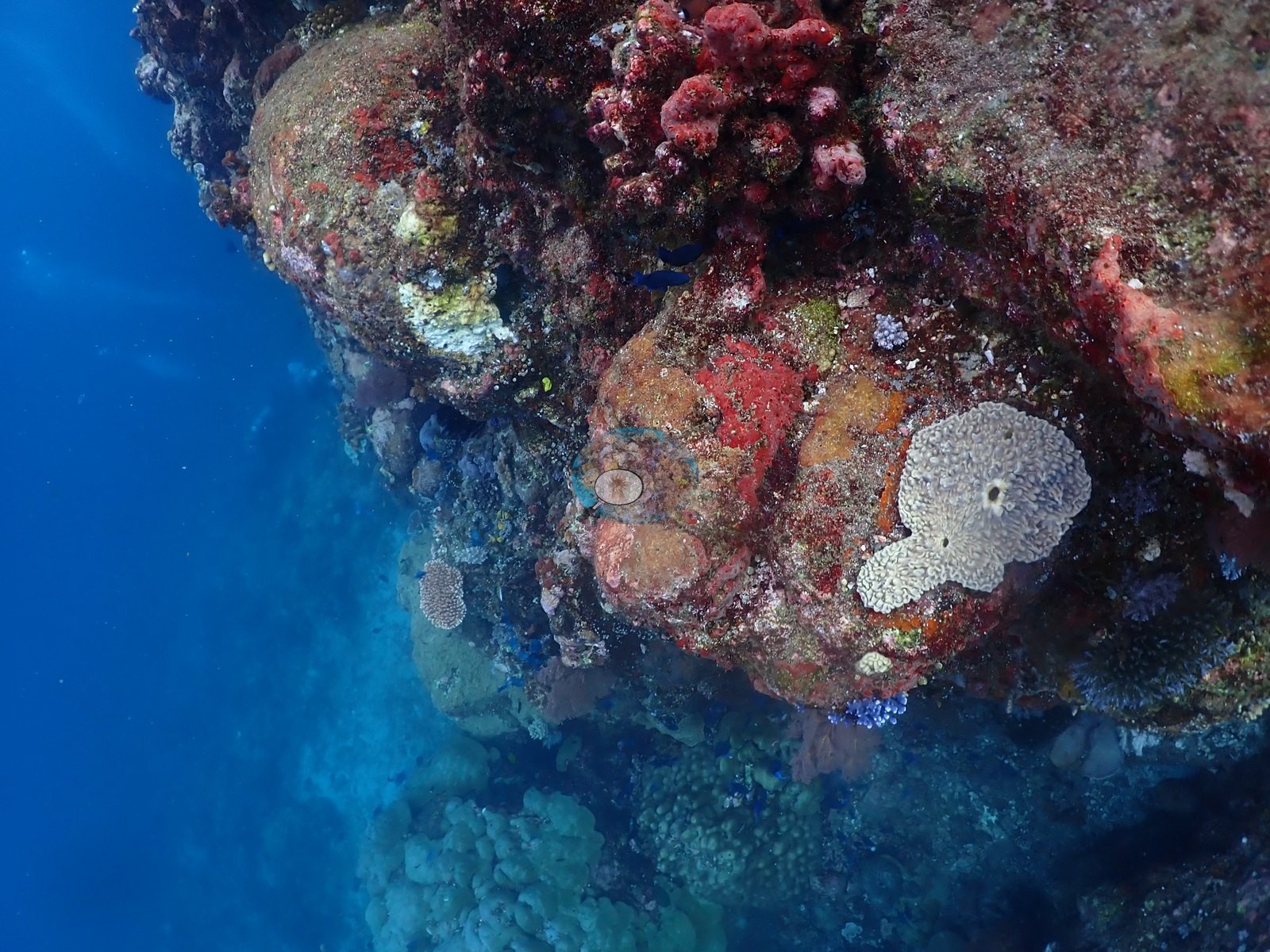
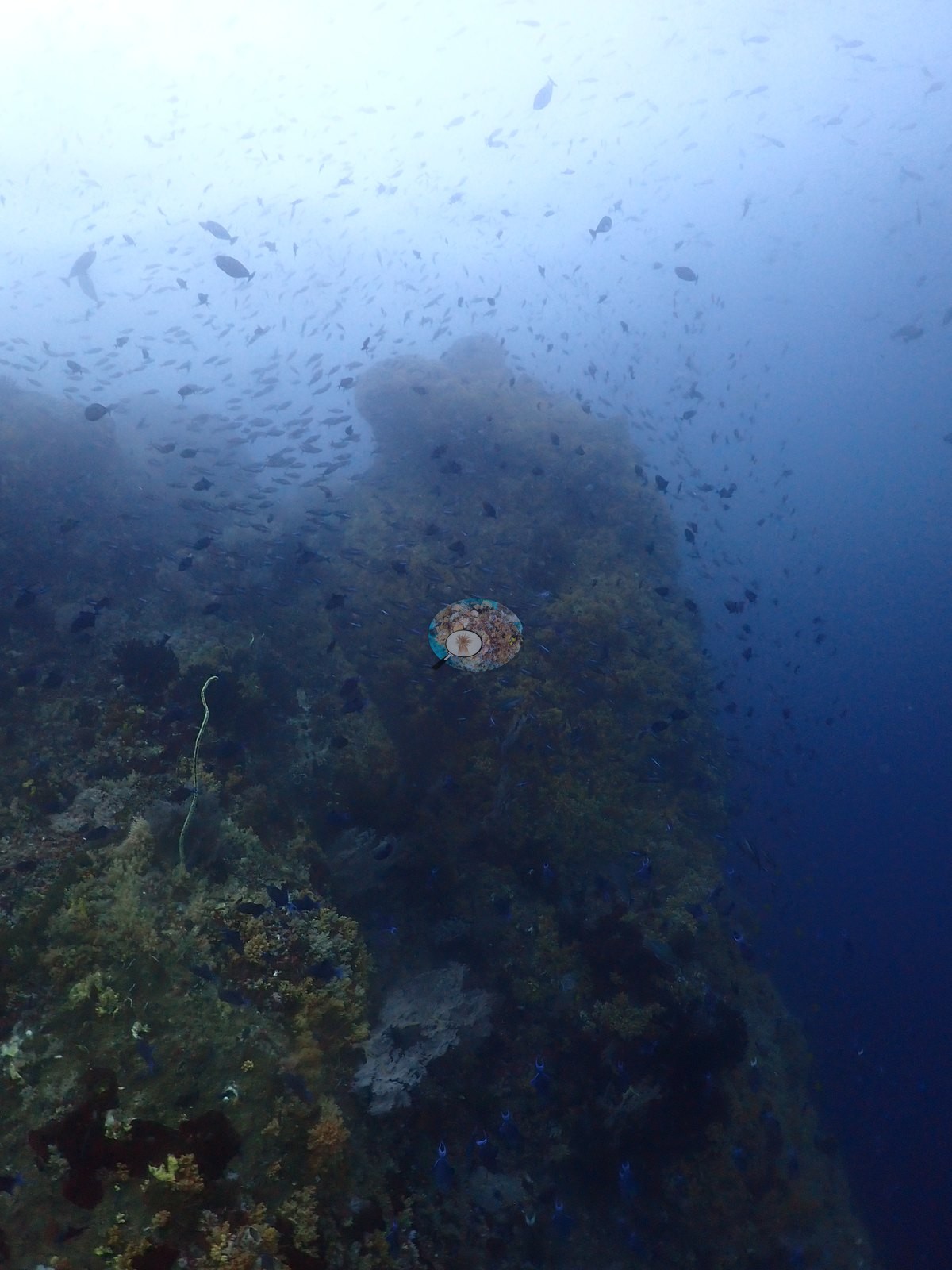
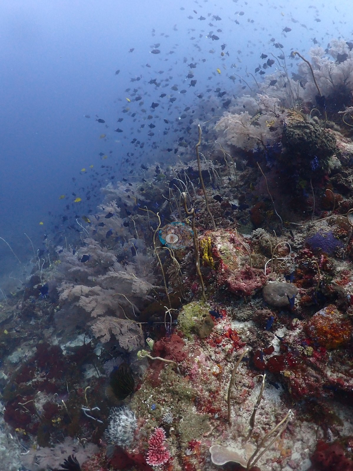
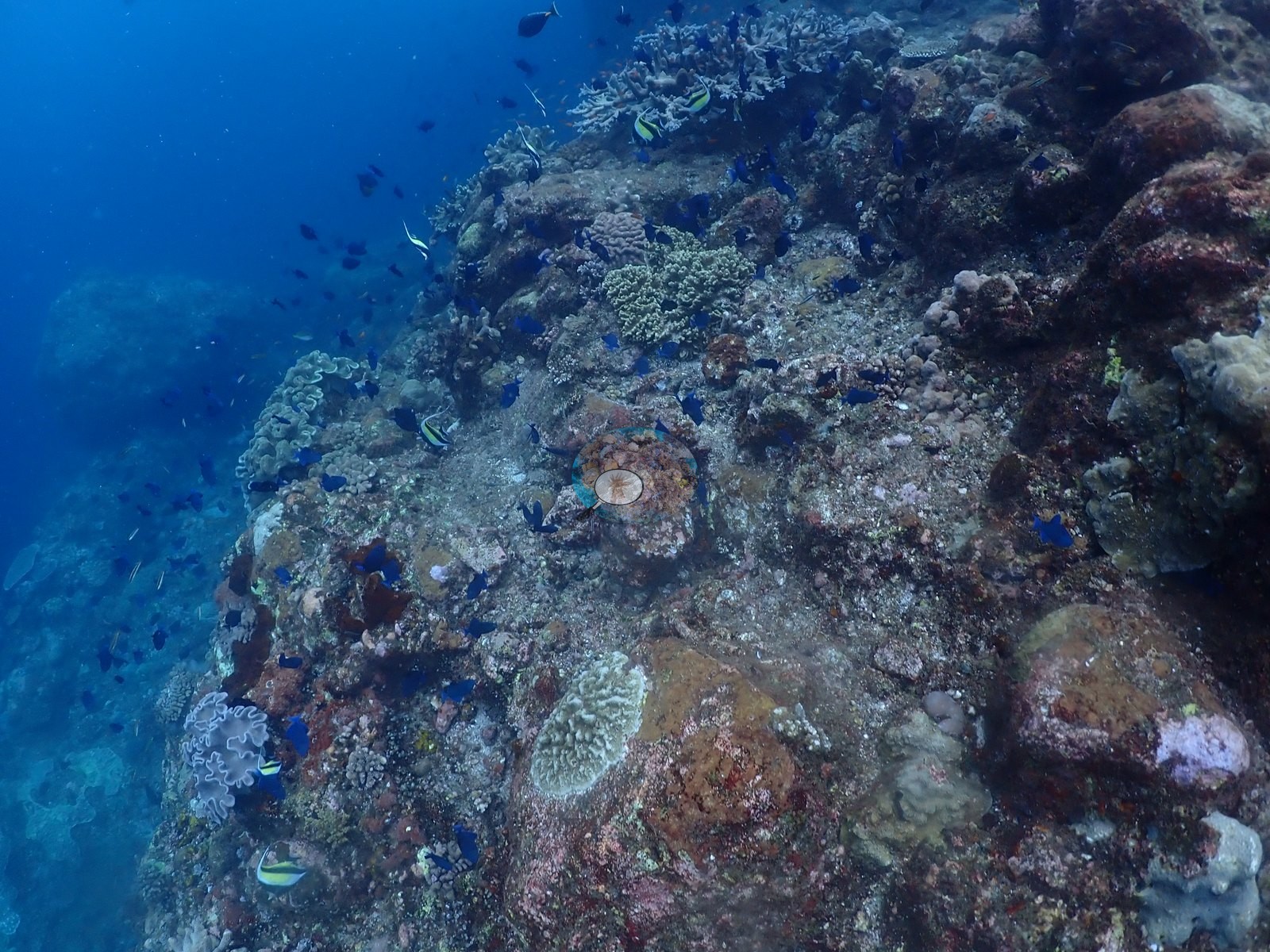
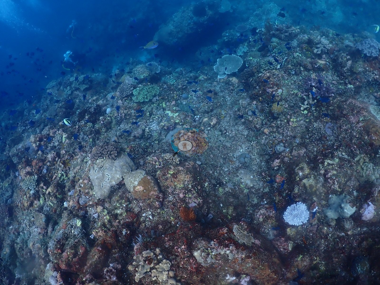
What the photographs show is a field of very large rounded boulders, several of them meters across, standing on coralline-pink rubble pavement and clean sand channels, with a dense encrusting community over their tops and flanks (e.g., Image 7, Image 9, Image 36).
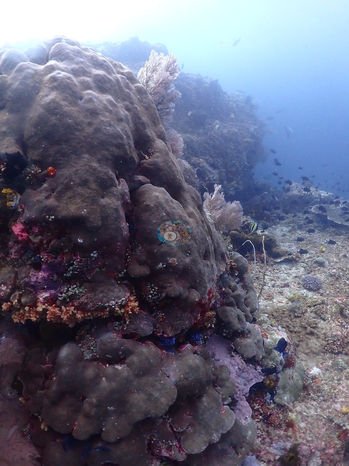
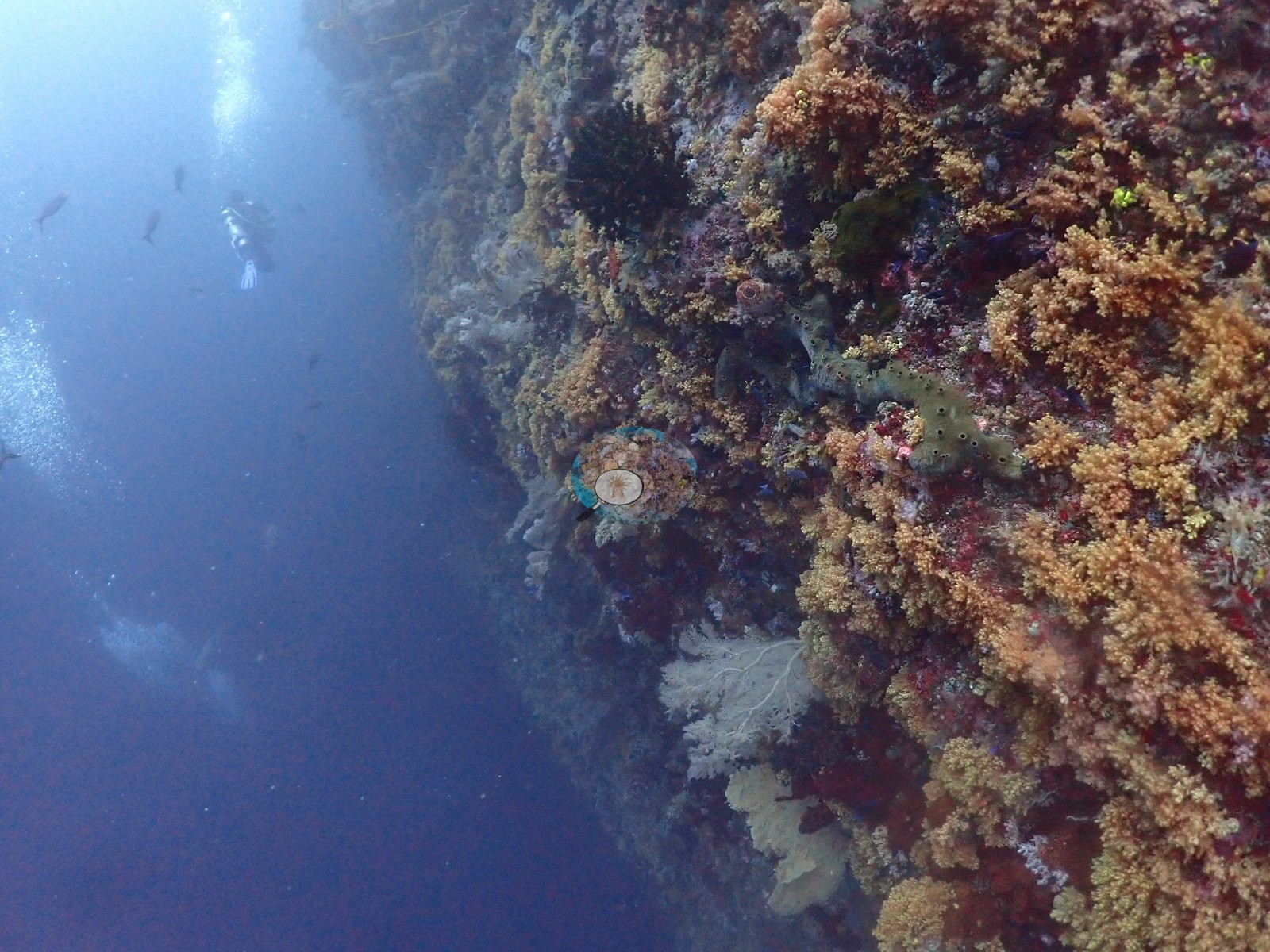
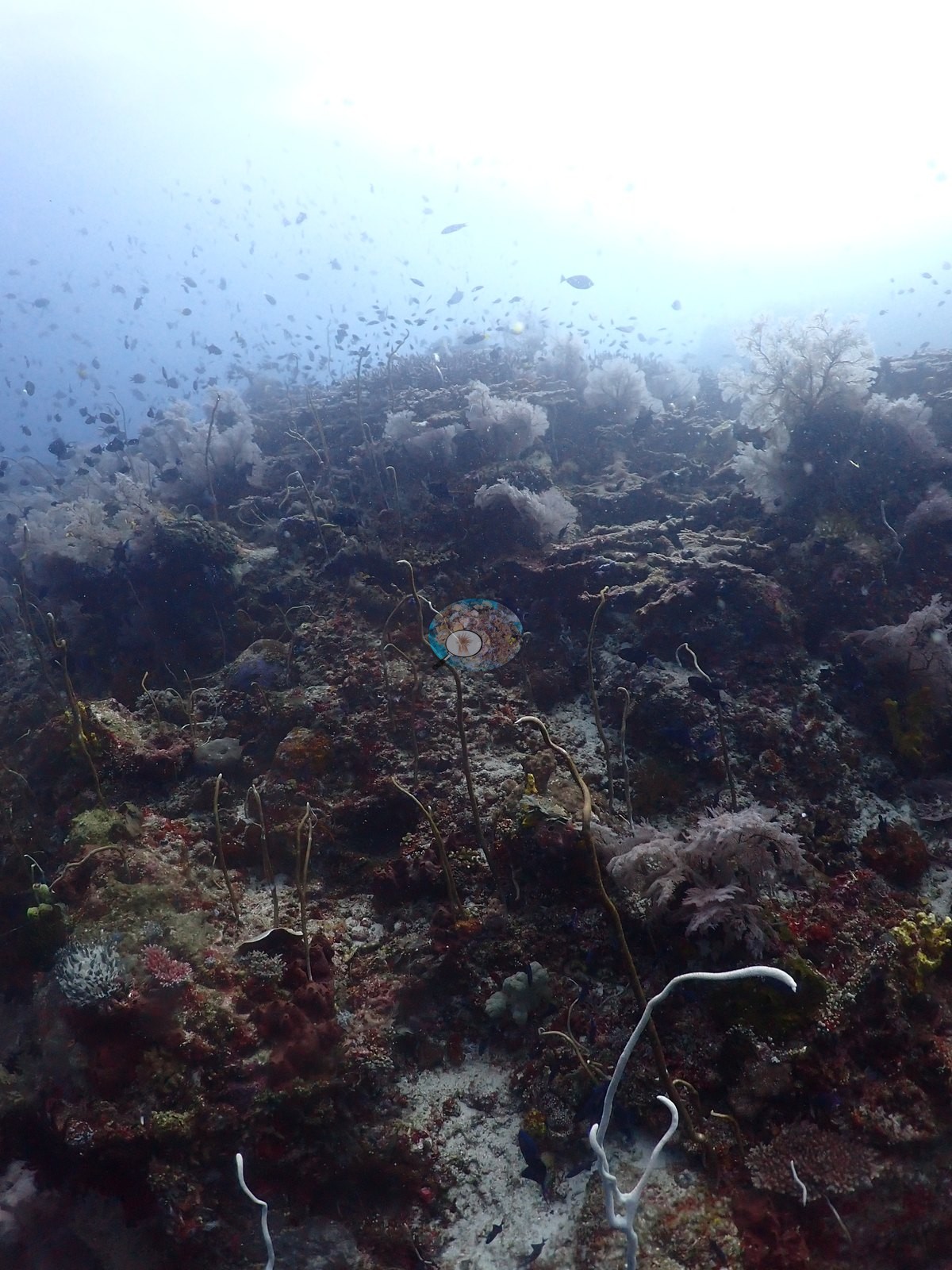
The boulder-top community (roughly 24 frames) is the site's defining habitat and it is more filter feeder than stony coral: crimson and pink branching and encrusting sponges, orange, yellow, and dark-red sponge sheets, cobalt-blue colonial ascidians scattered like beads across every rock face, pink and mauve Dendronephthya-type soft corals, whip corals consistent with Junceella and Cirrhipathes standing up in the current in two frames, gorgonian fans, green algal turf, and pink crustose coralline algae (e.g., Image 1, Image 8, Image 14, Image 15, Image 16, Image 17, Image 22, Image 26, Image 30, Image 31, Image 44).
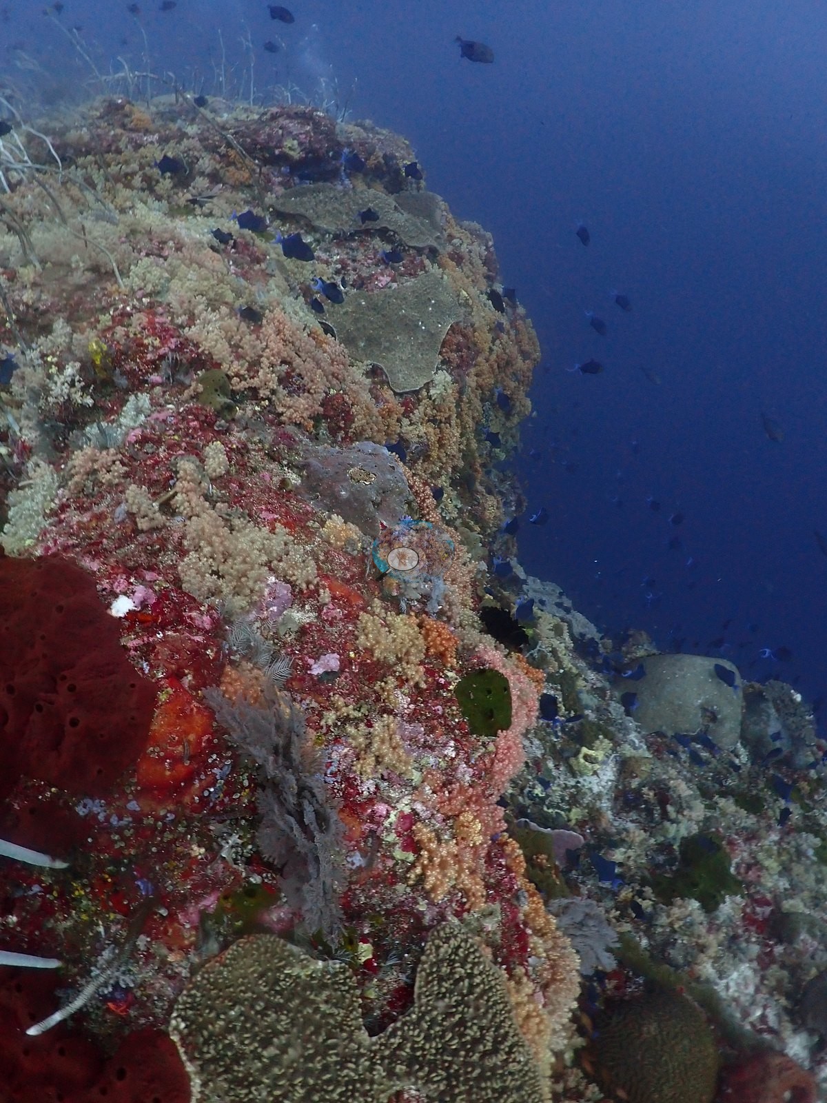
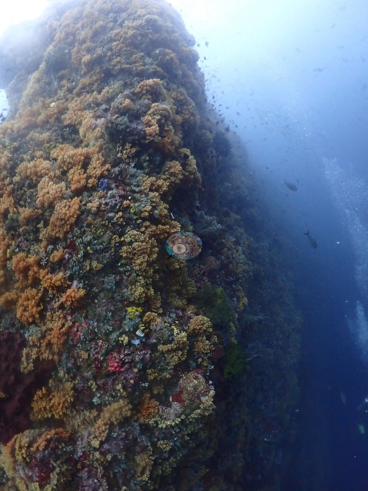
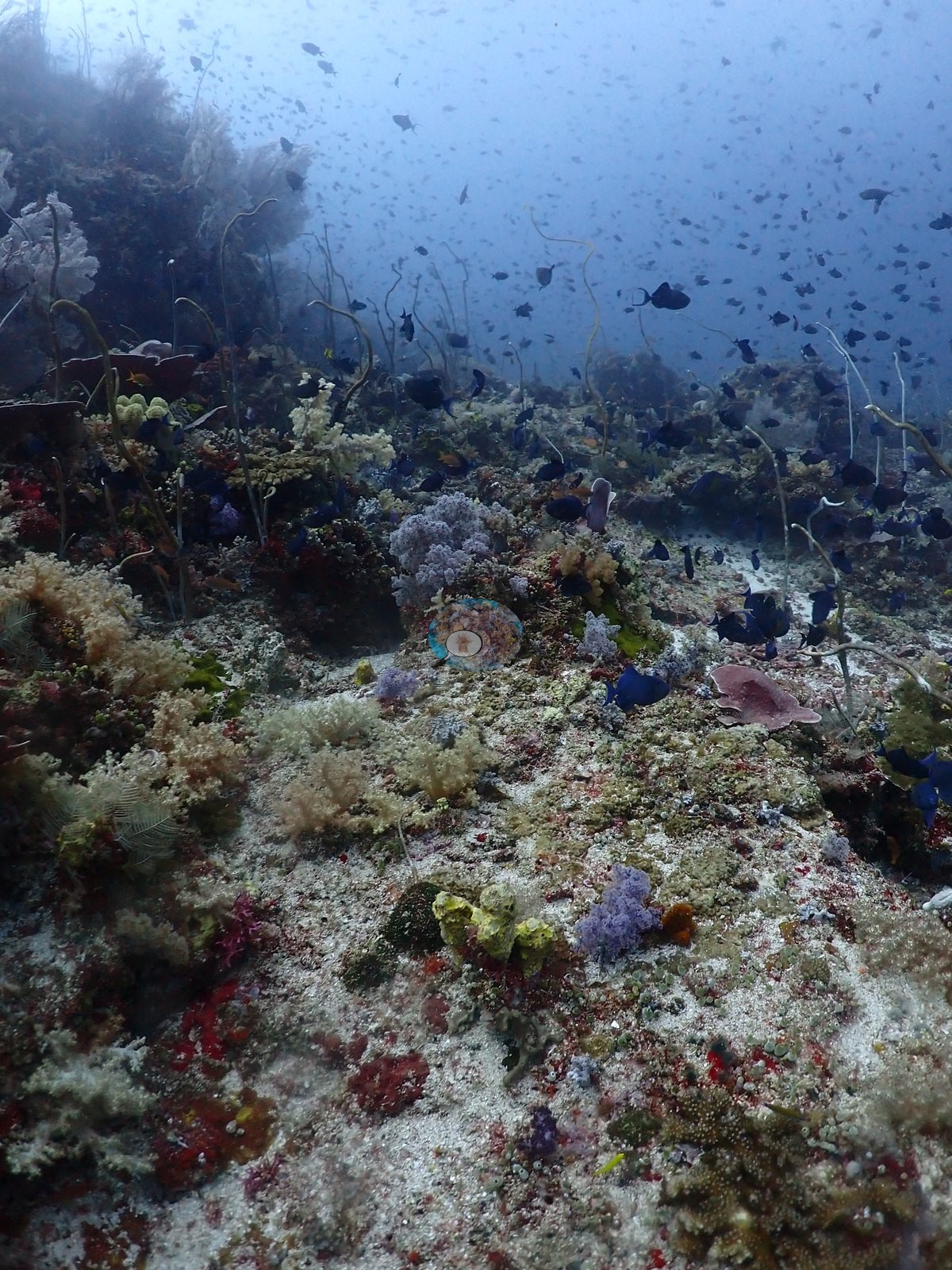
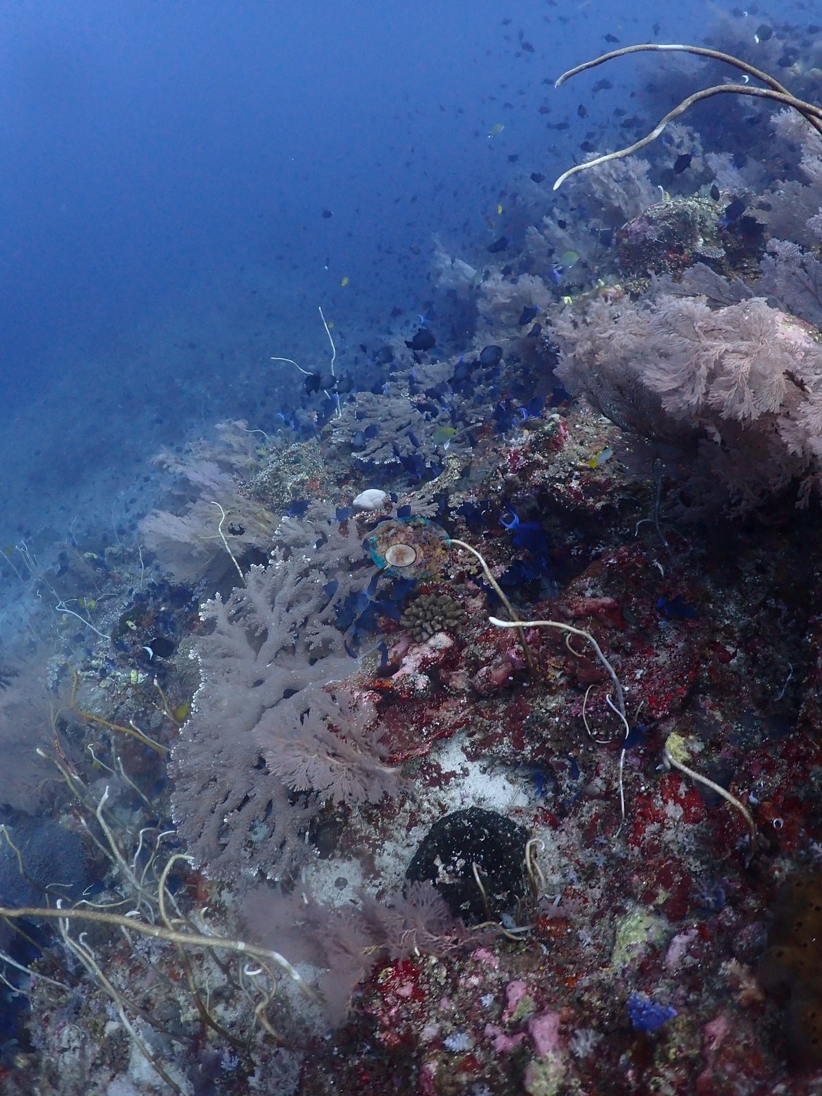
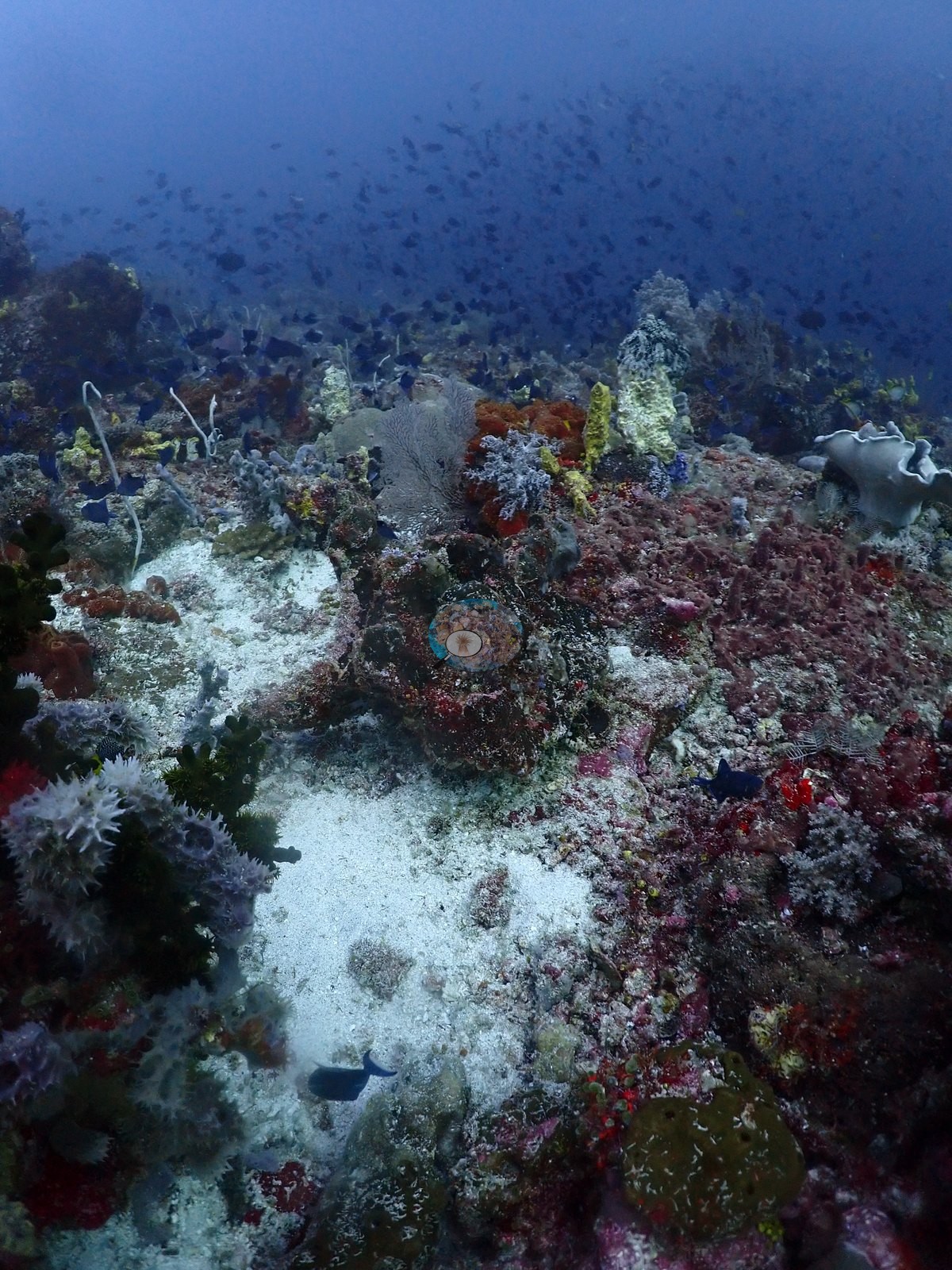
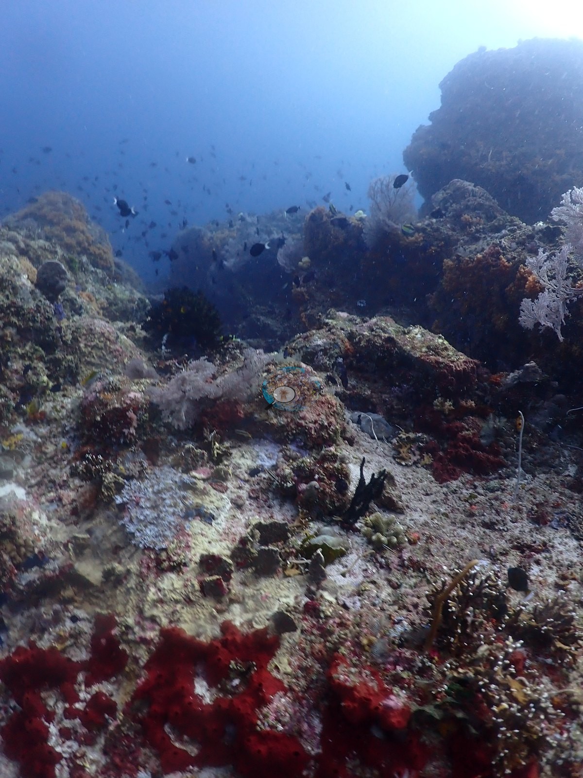
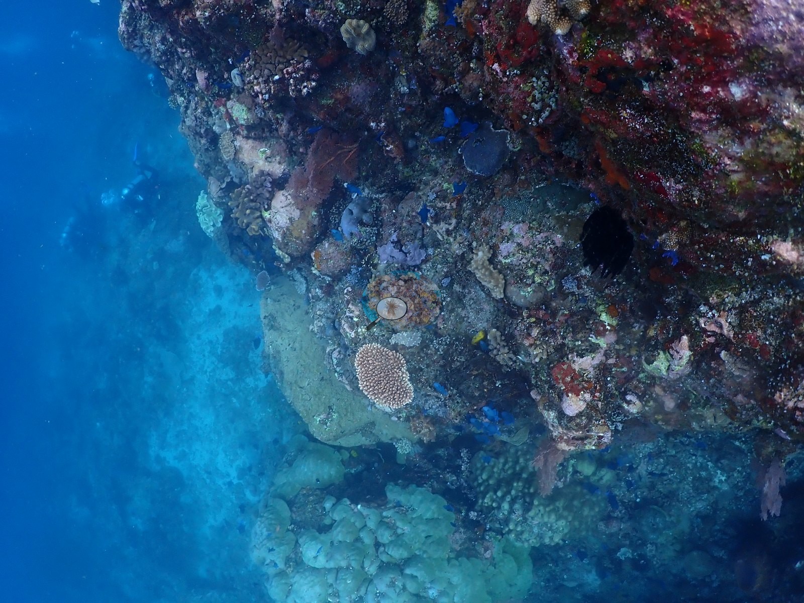
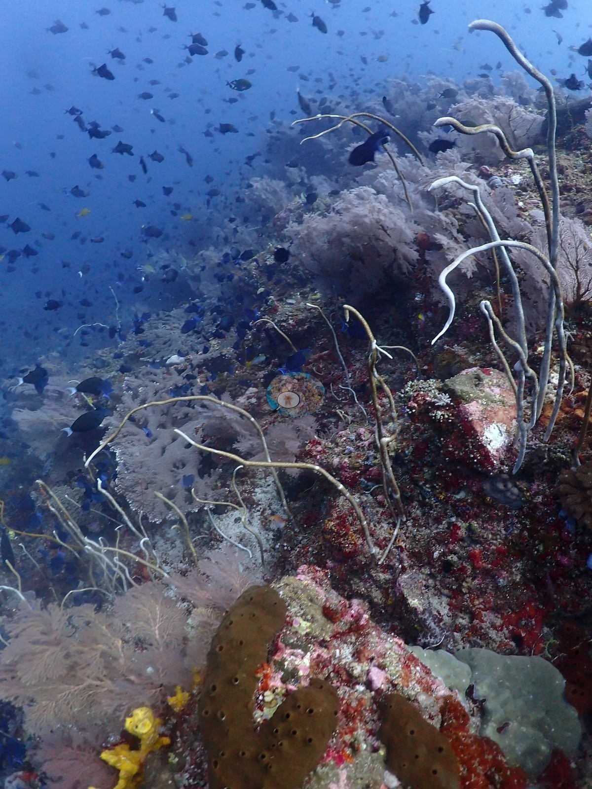
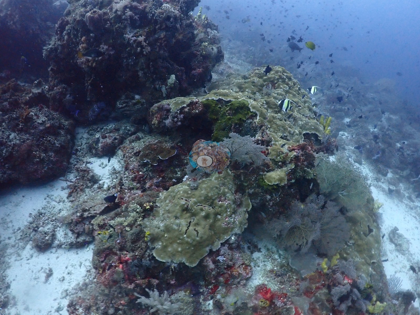
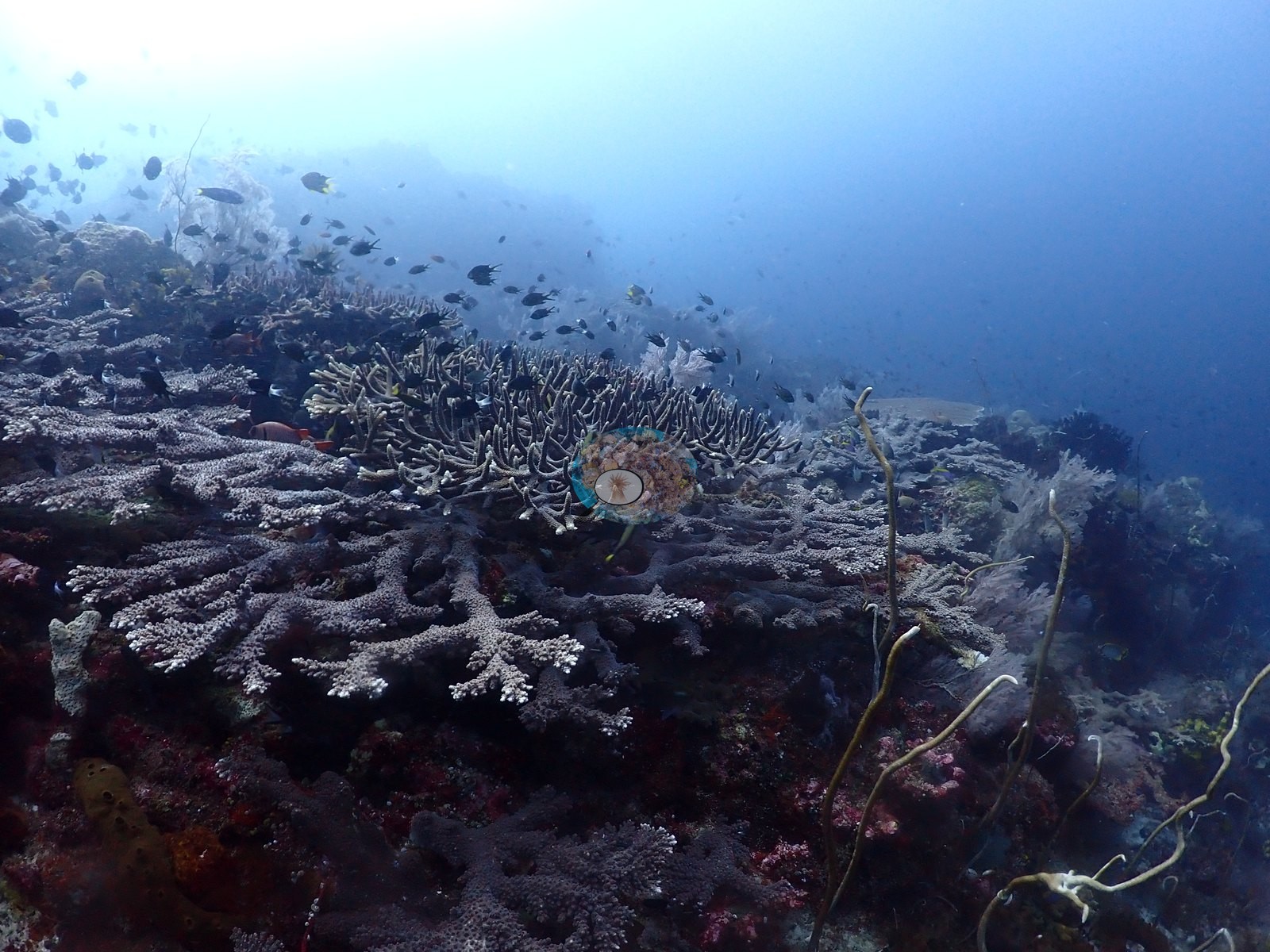
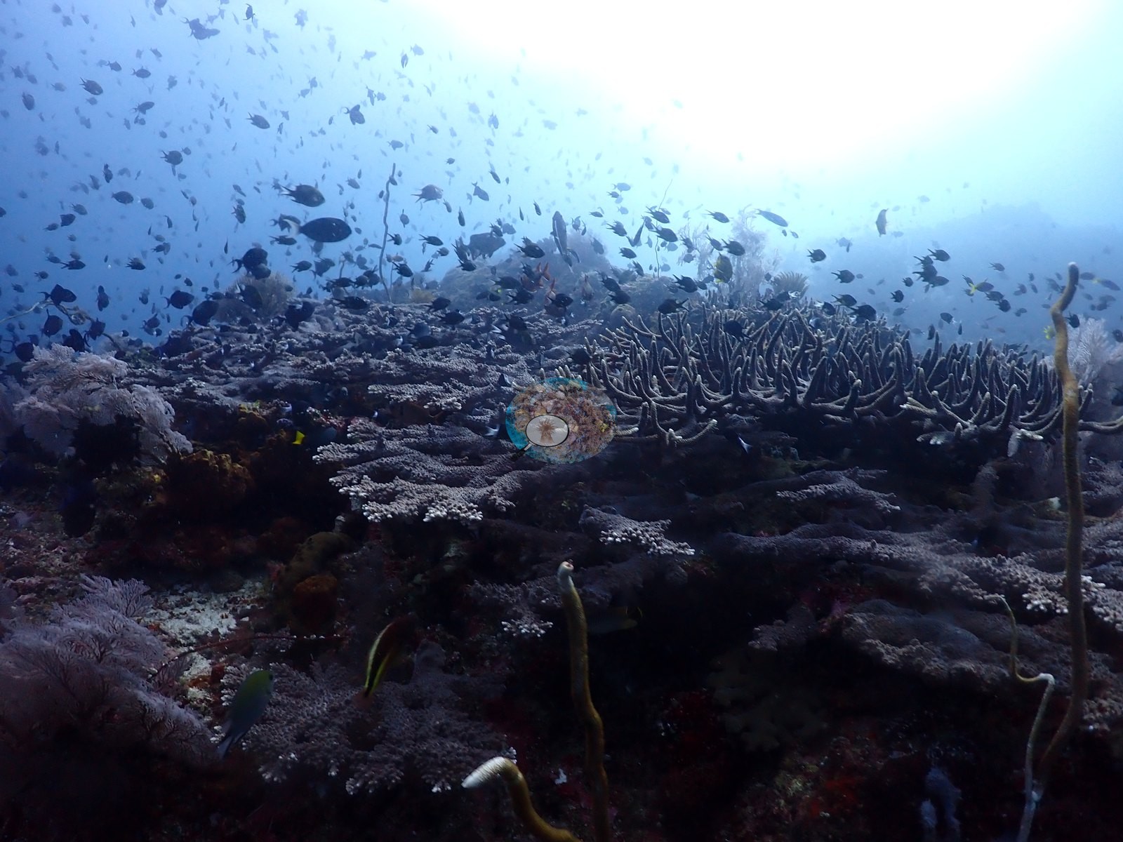
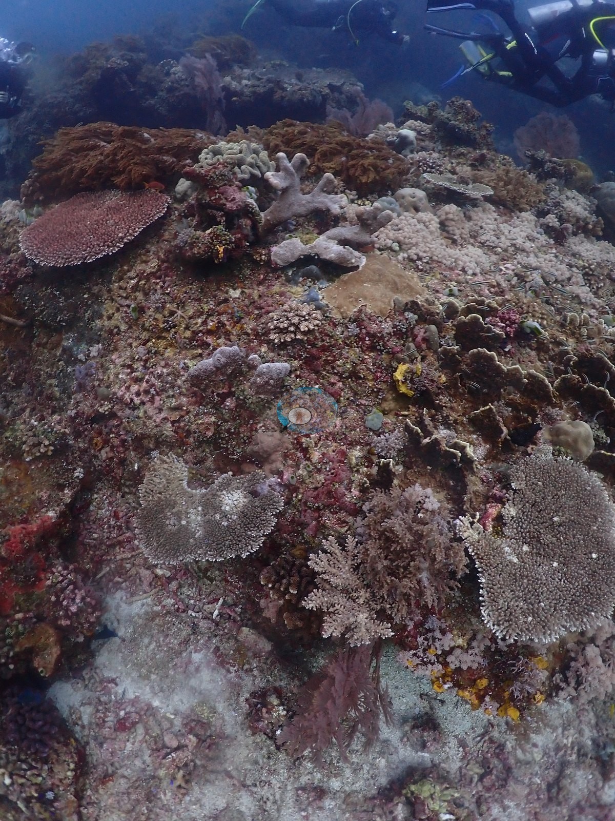
Set into it is a real but scattered stony-coral assemblage: gray-white table and corymbose Acropora perched on the boulder crests, tan meandroid brains consistent with Platygyra and Favites, extensive concentrically ridged gray plates consistent with Pachyseris covering most of one boulder, cream foliose and laminar discs, and pale yellow-green lobed massive colonies consistent with Porites in one frame (e.g., Image 3, Image 4, Image 6, Image 18, Image 19, Image 24, Image 29, Image 38).
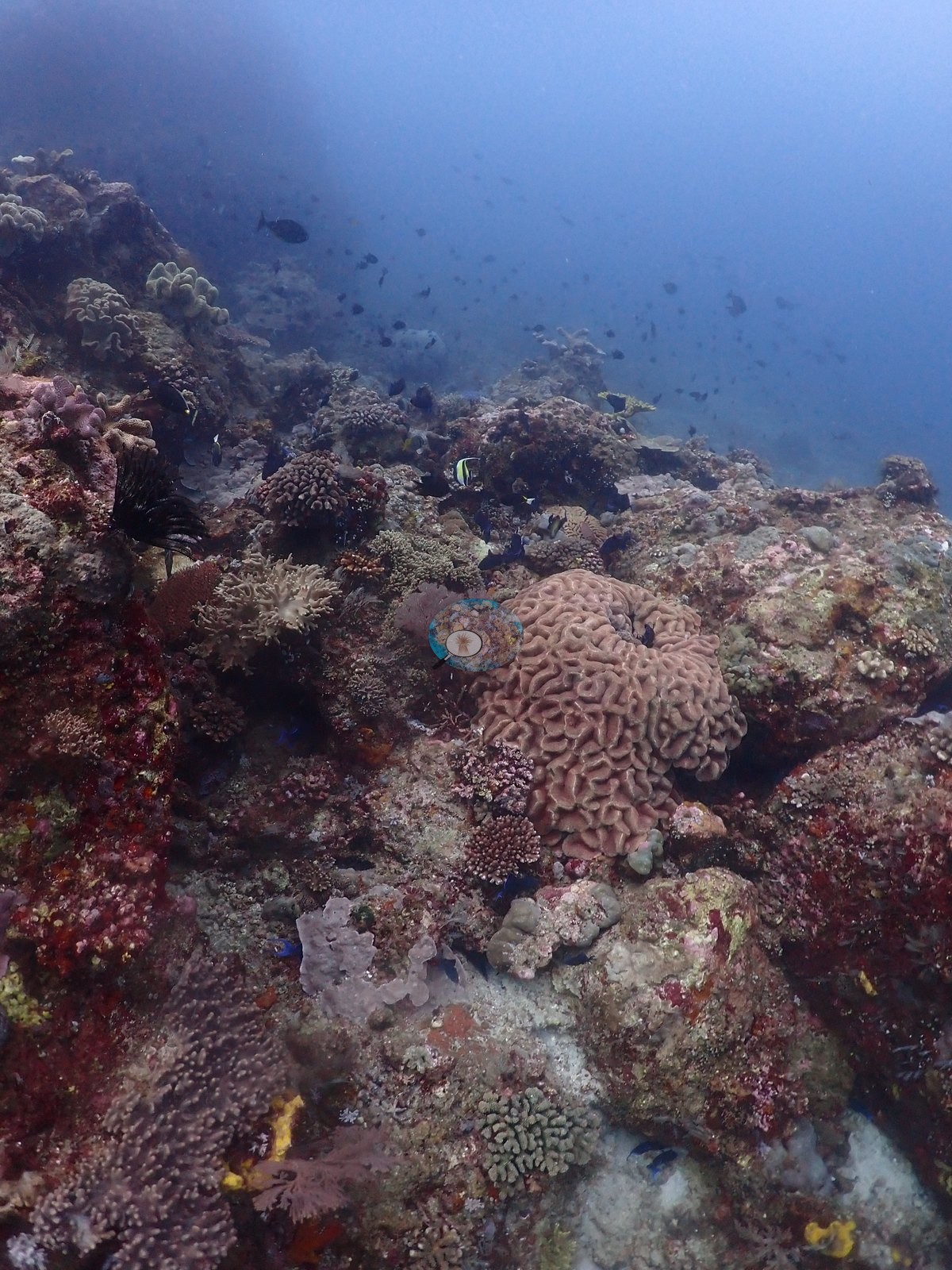
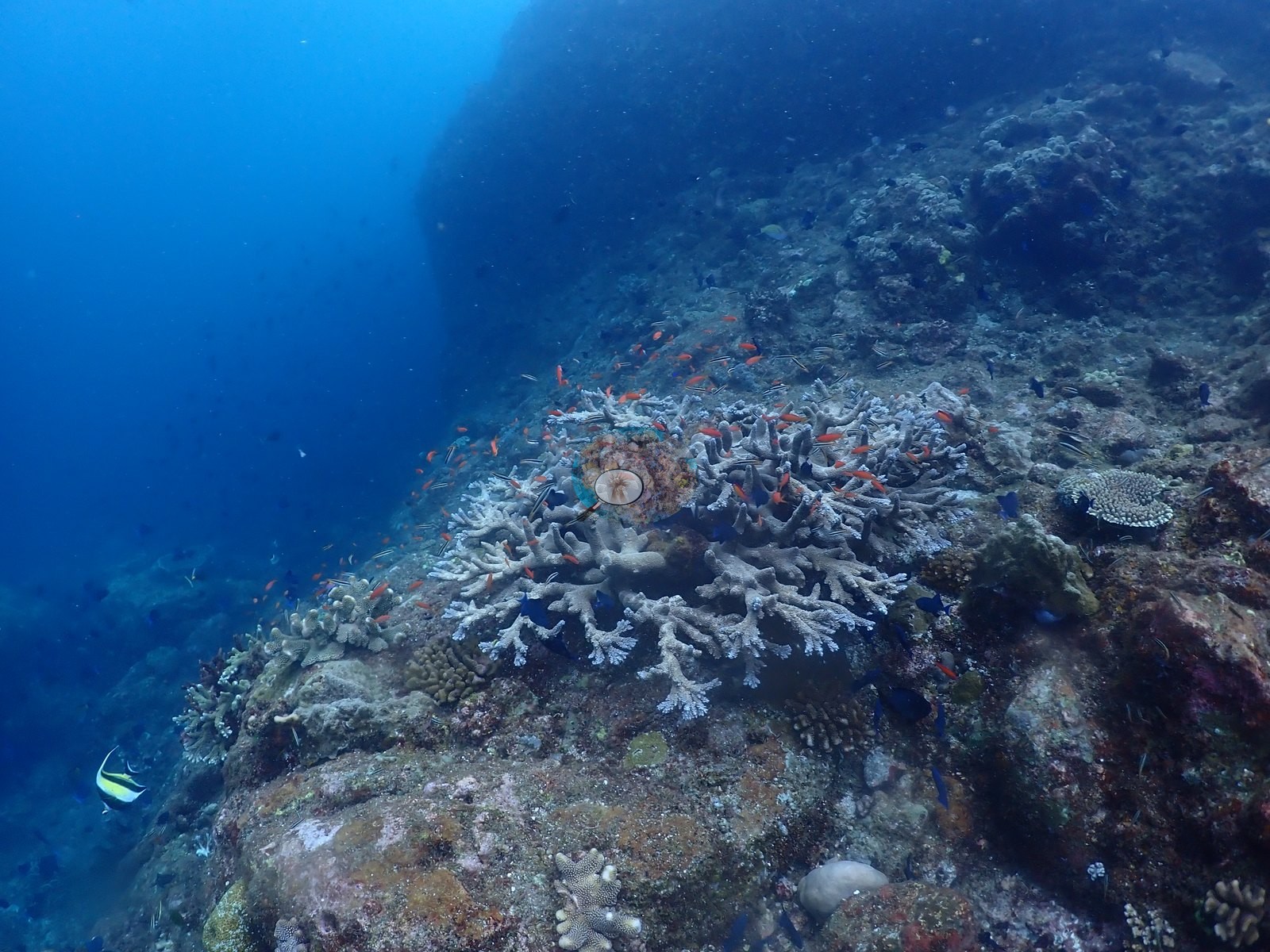
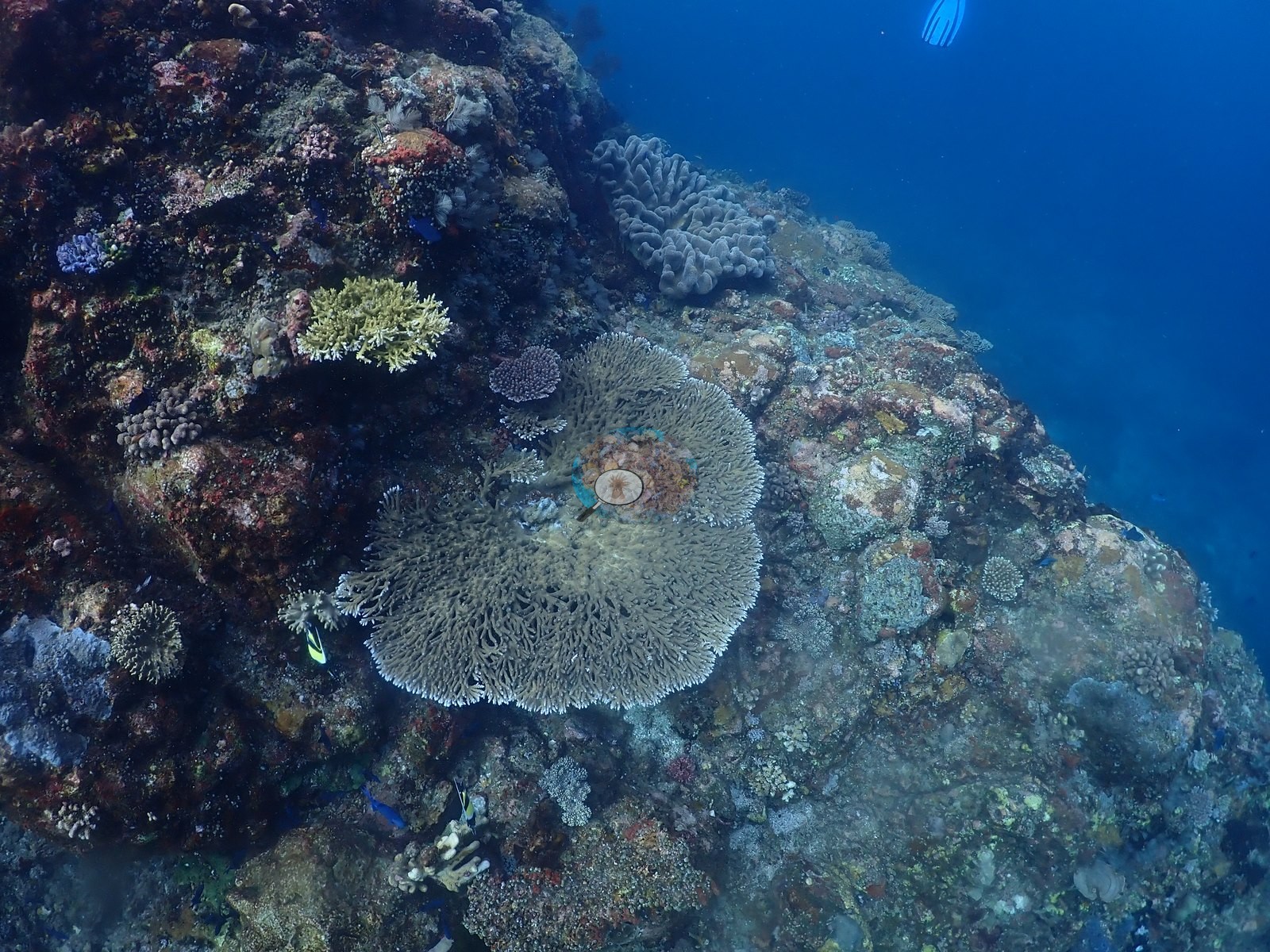
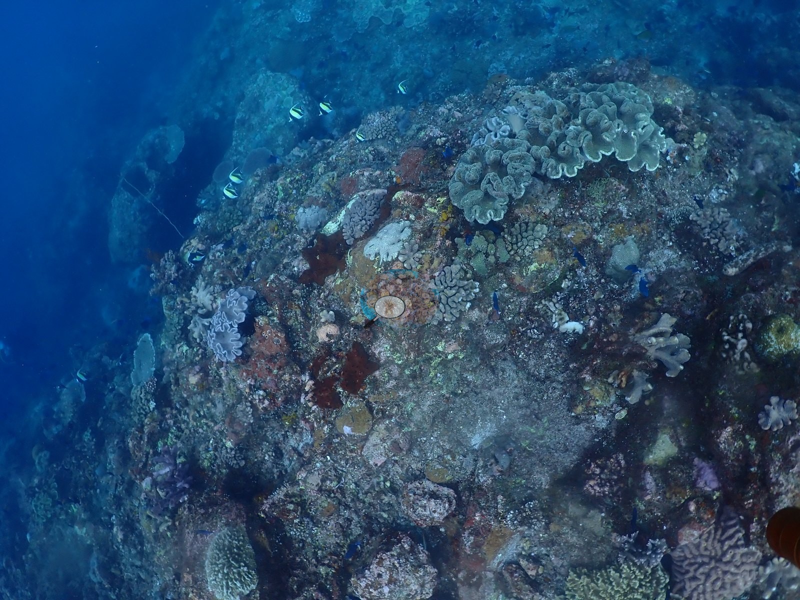
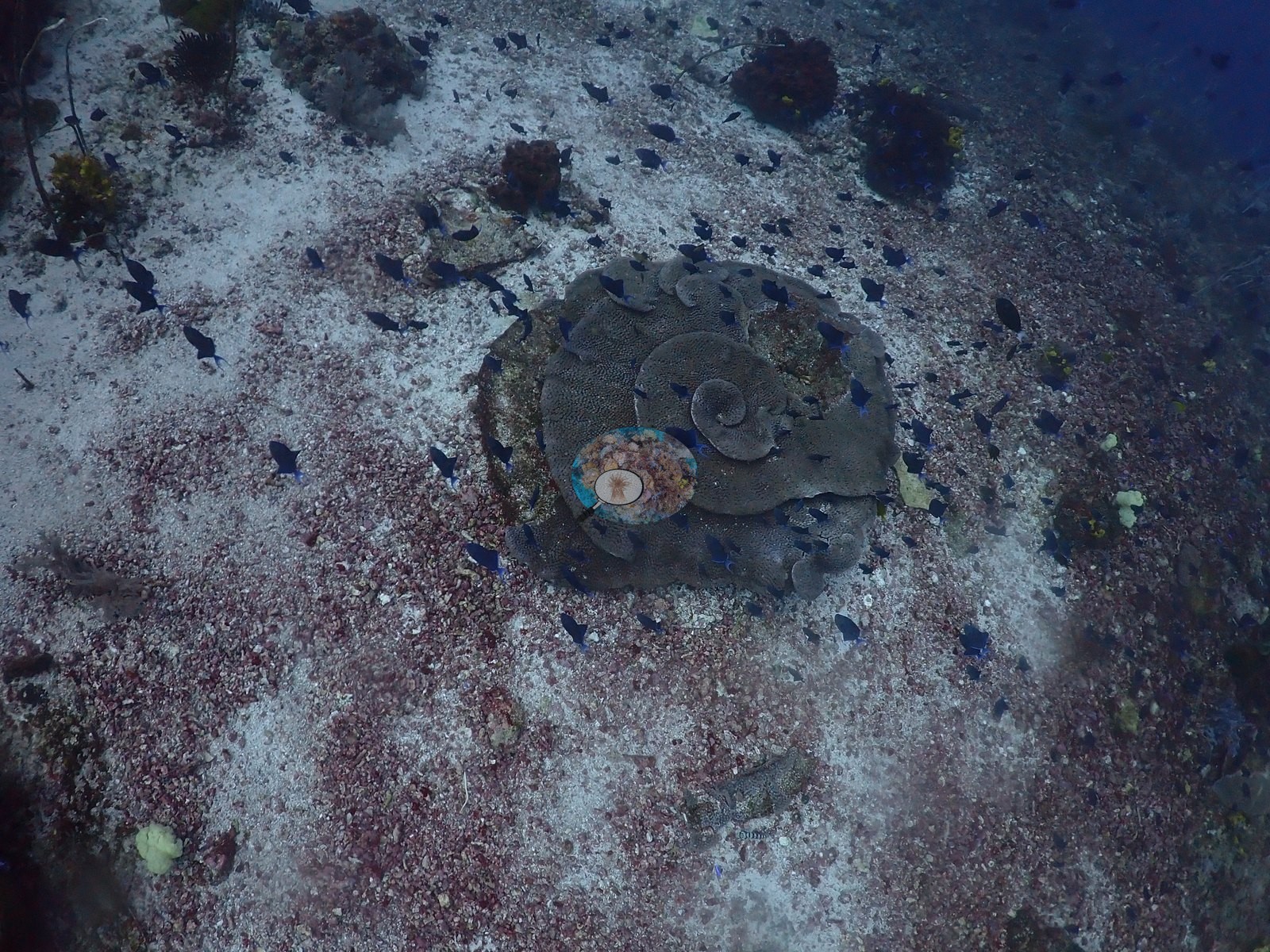
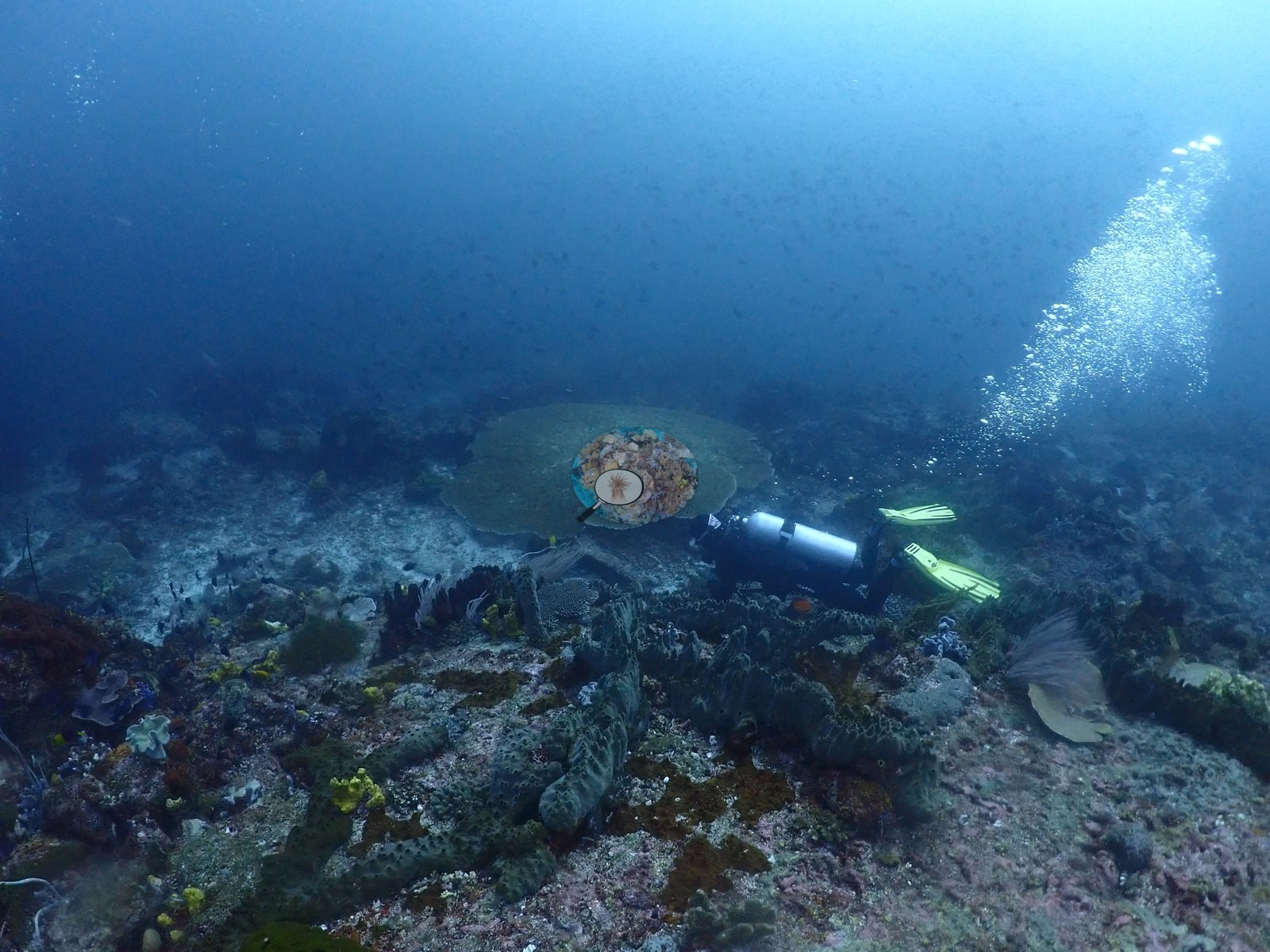
The rubble-and-sand pavement between the boulders (about 6 frames) is genuinely sparse — coralline-encrusted rubble with isolated colonies on it, the finest of which is a large, perfectly concentric spiral scroll coral consistent with Turbinaria, sitting alone on pavement (e.g., Image 2, Image 37, Image 42).
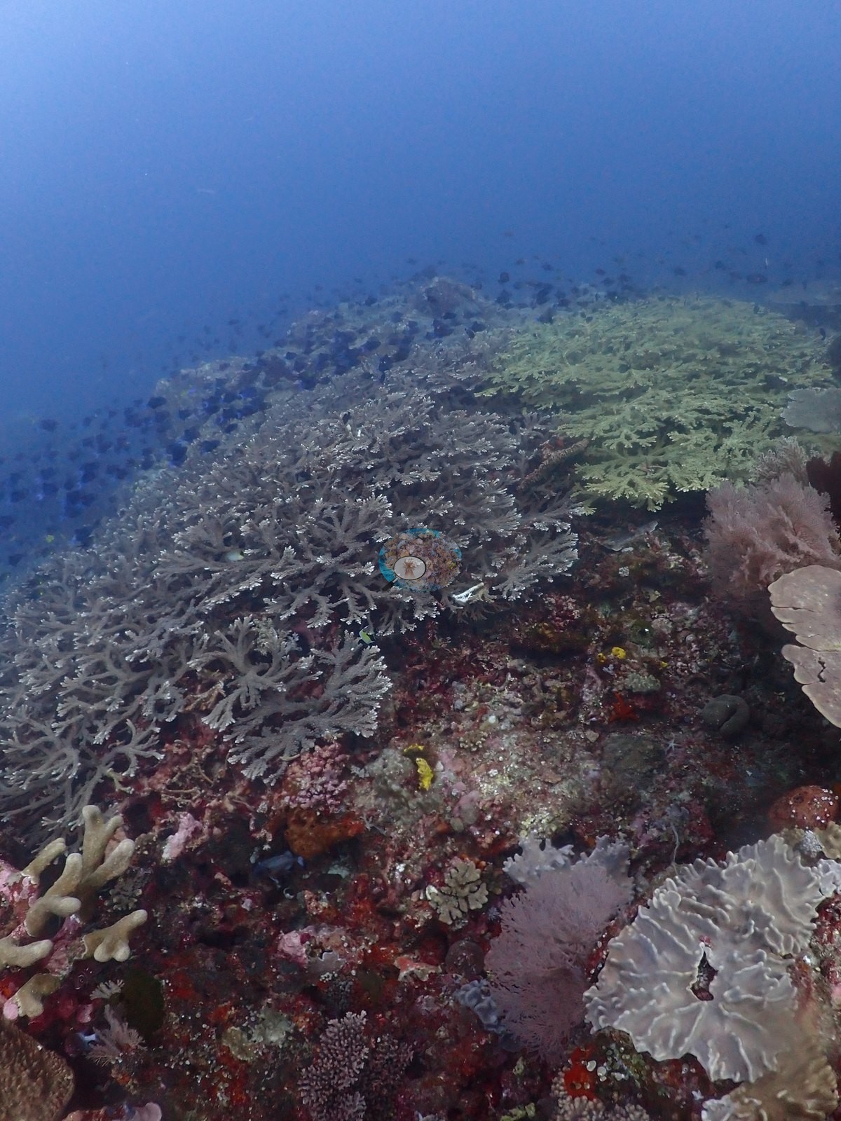
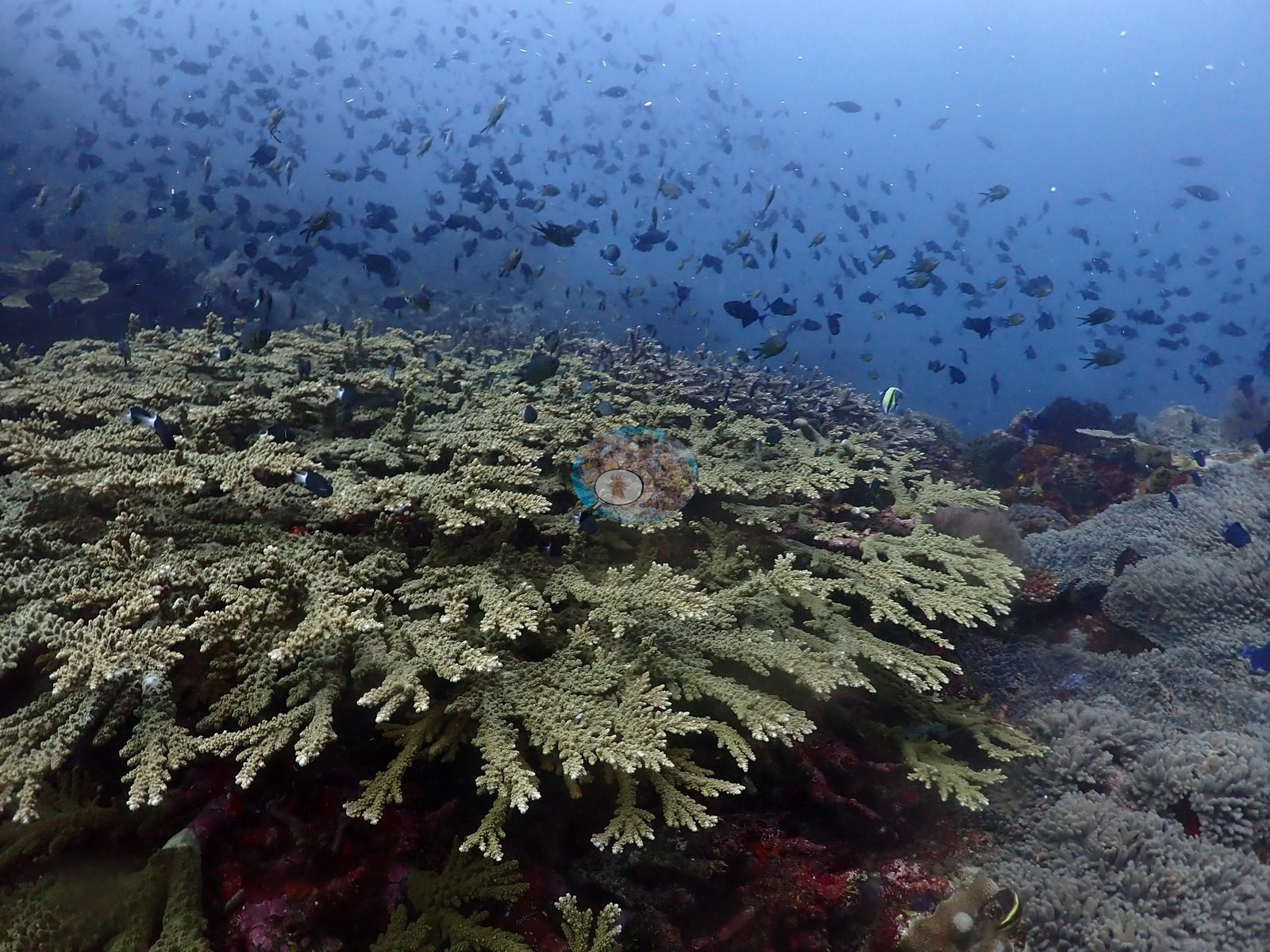
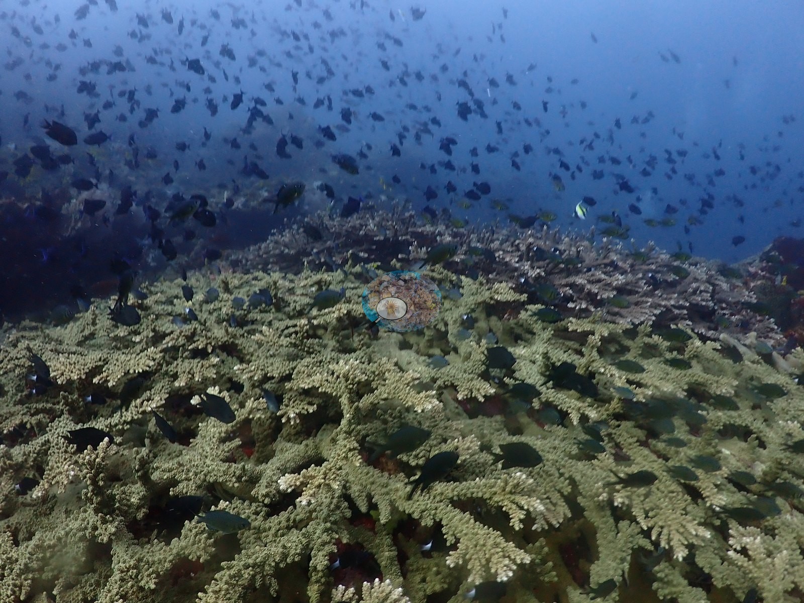
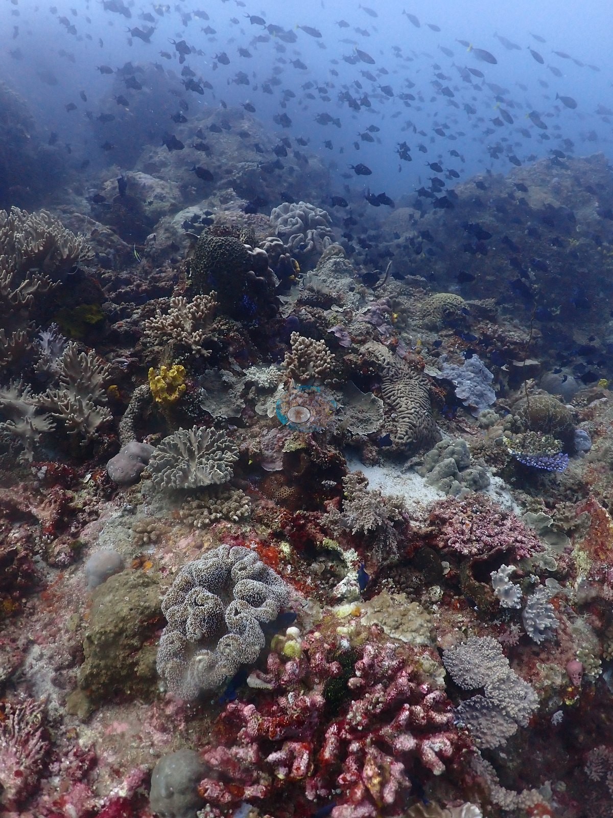
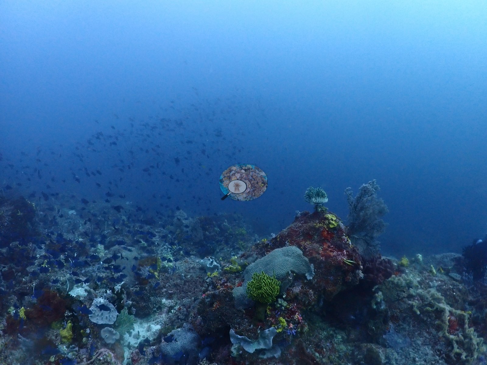
The shallow crest at the end of the dive is the one place where the site behaves like a reef: two frames cross a continuous olive-cream thicket of fine-branched Acropora running to the limit of visibility with no bare substrate in it at all, under a wall of damselfish (e.g., Image 39, Image 43).
The brown boulder beside the massives in that frame carries a fine sediment and turf skin, which at this site is bare rock rather than dead coral.
Coral cover
The number. Coral cover: 13% — a blind Claude computer-vision point count of 39 of Anderson's unedited photographs (20 points per photo; water, fish, and obstructions excluded). Other computer-vision methods are listed in the method table. One close, brightly lit boulder face is mostly crimson encrusting sponge, blue ascidians, and a sediment-covered lobed mass, with live stony coral perhaps a quarter of it (e.g., Image 12).
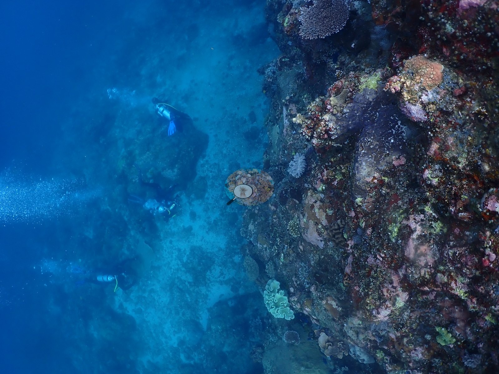
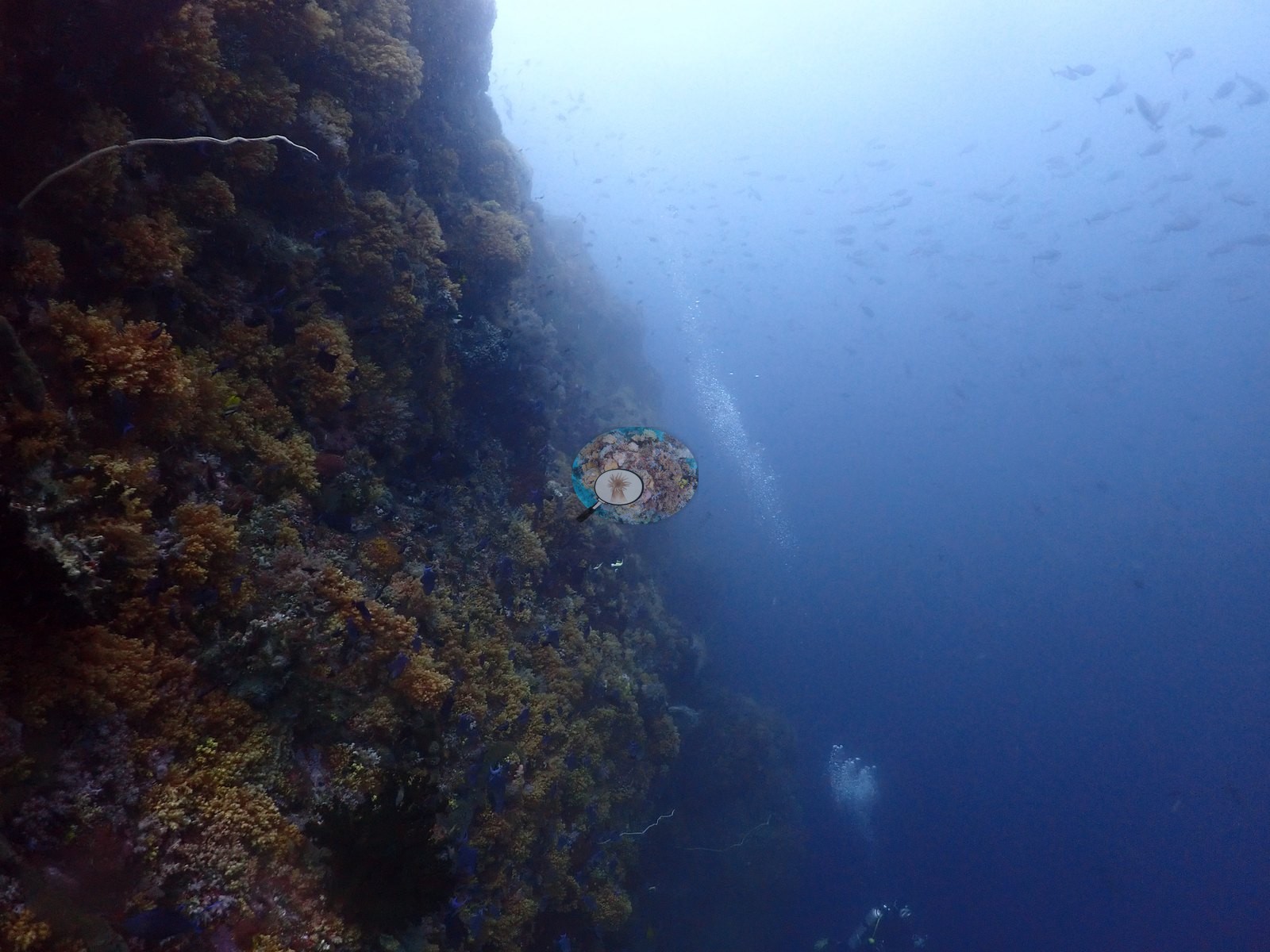
Another frame is two-thirds open blue water with divers, with an orange-brown encrusting community on the boulder wall filling the left third (e.g., Image 11).
The shallow thicket appears in two consecutive frames of the same continuous Acropora thicket, Anderson further back in the first. A crop of the second frame at full sensor resolution settles that these are branching stony corals with fine radial corallites, not octocorals.
Stressors
Condition was good and unremarkable. No bleaching, no disease, no crown-of-thorns, and no predation scars were seen in any of the 39 frames. Two pale subjects were checked and resolved: the pale yellow-green lobed massives have normal lobing, texture, and clear green pigment and are a natural Porites color morph rather than bleached tissue, and the blue-white Acropora in two frames is ambient-blue-light white balance at 24–30 m on intact, normally textured branches.
Fish and other fauna
Fauna was the strong point, as the field note says: dense clouds of anthias and blue-green chromis over every boulder crest, damselfish walls in the shallow thicket, butterflyfish, a yellow-tail fusilier school, bicolor chromis, blue-green, and neon damsels over the pavement, black crinoids, and cobalt ascidians on every rock (e.g., Image 10, Image 21, Image 23, Image 28, Image 34, Image 35, Image 40).
Comparisons with other data
No independent survey was made at this exact site; the nearest ones are listed in the table below.
Dive record
Reene's Rock, off Pulau Gewang, was dived once on 15 August 2026, the first dive of the day on the August 2026 Halmahera crossing aboard the liveaboard Ambai (Wallacea Dive Cruises), to a maximum of 26.8 m in 24-25°C water.
Other notes
Anderson's own field note is the most accurate one-line description of the place and the imagery confirms it in every frame: he fought very strong current for most of the dive, the fish life was good, and the site is not a reef but a coral community growing on boulders (e.g., Image 5, Image 20).
All 39 surviving frames were reviewed.
CV model comparison
More info
DINOv3 and CoralSCOP were run on the same photos and are listed for comparison. Coralscapes v2 and v1 were also run but are not shown: Anderson does not consider Coralscapes reliable for these photos. No diver transect exists for this trip, so agreement between the rows is not accuracy, and as of September 2026 no computer-vision method estimates coral cover accurately on new images; treat every row as indicative.| Method | Hard-coral cover (%) |
|---|---|
| In-house DINOv3 | 18.4 |
| CoralSCOP unedited | 22.9 |
| Claude | 13.1 |
Independent surveys nearby
Within 5 km, 9 independent survey stations recorded hard coral cover in 2024. Surveys since 2021 average 40% (range 18–59%, n=10). This site's own estimate (13%) is indistinguishable from the recent range (18–59%): the 4.4-point gap is inside the ±7 percentage-point noise between methods; the methods differ, so the comparison is context, not a like-for-like test.
Collected by other programs using different methods (MERMAID is a data platform: each MERMAID row names the organization that did the survey, and its method is in the row's hover text), so these are context for the figures above, not a like-for-like comparison. Where a station was surveyed more than once the range is shown. Station names are not dive-site names.
Data & links
All images from Coral Reef Diagnostics. Data are from Coral Reef Diagnostics and the organizations named in the data-sources table above.
© Coral Reef Diagnostics.