
Indonesia - Halmahera: Lelay Utara (north)
Part of the regional summaries: Indonesia - Halmahera and Indonesia - Maluku
More info
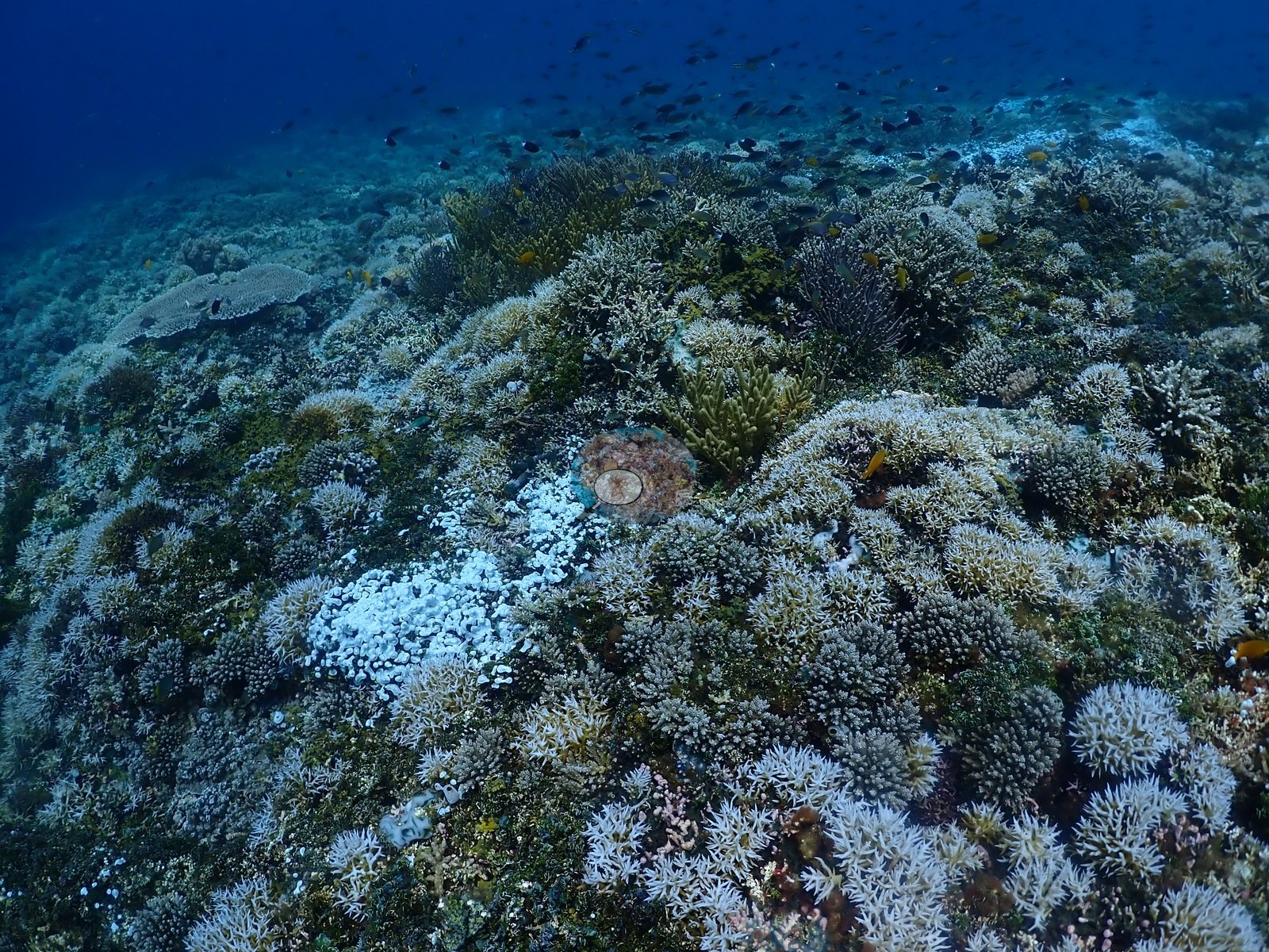
North Maluku (NOAA CRW virtual station)Lelay Utara splits sharply between a deep sand plain with isolated coral mounds and a shallow plateau of near-continuous branching coral. A section of that shallow plateau shows real, active partial bleaching - discrete colonies bone-white against normally pigmented tan and olive neighbors under the same light - not yet a completed mortality event. A blind Claude computer-vision point count puts coral cover around 48%.
Lelay Utara terbelah tajam antara dataran pasir dalam dengan gundukan karang yang terpisah-pisah dan dataran dangkal berisi karang bercabang yang hampir menyambung. Satu bagian dataran dangkal itu memperlihatkan pemutihan sebagian yang nyata dan aktif — koloni-koloni tertentu berwarna putih tulang di antara tetangganya yang berpigmen cokelat dan zaitun normal di bawah cahaya yang sama — dan belum merupakan peristiwa kematian yang tuntas. Penghitungan titik buta visi komputer Claude memperkirakan tutupan karang sekitar 48%.
Terjemahan ringkasan ini oleh AI; versi bahasa Inggris yang berlaku.
Five independent survey stations shown with the program’s logo — click one to see how far it is from this site.
Three other CRD dive sites within 5 km shown in orange — click a marker to open its page.
20 of these 55 photographs are shown beside the text that discusses them under "Site description" below.
Site description
General benthic features
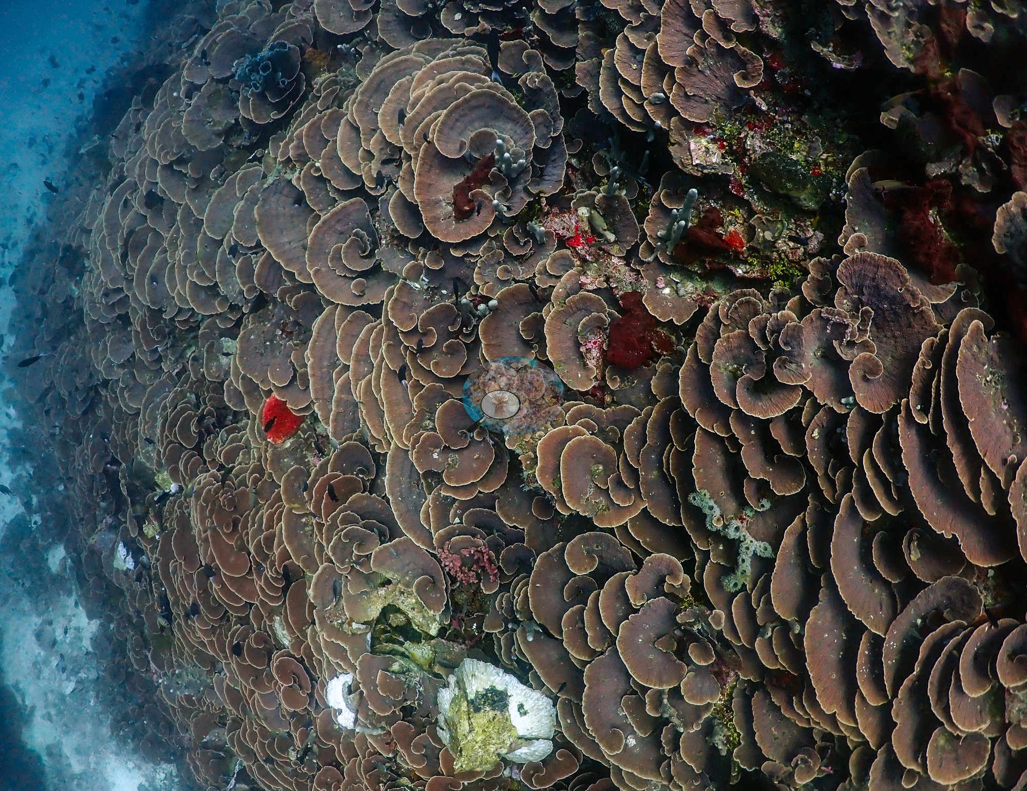
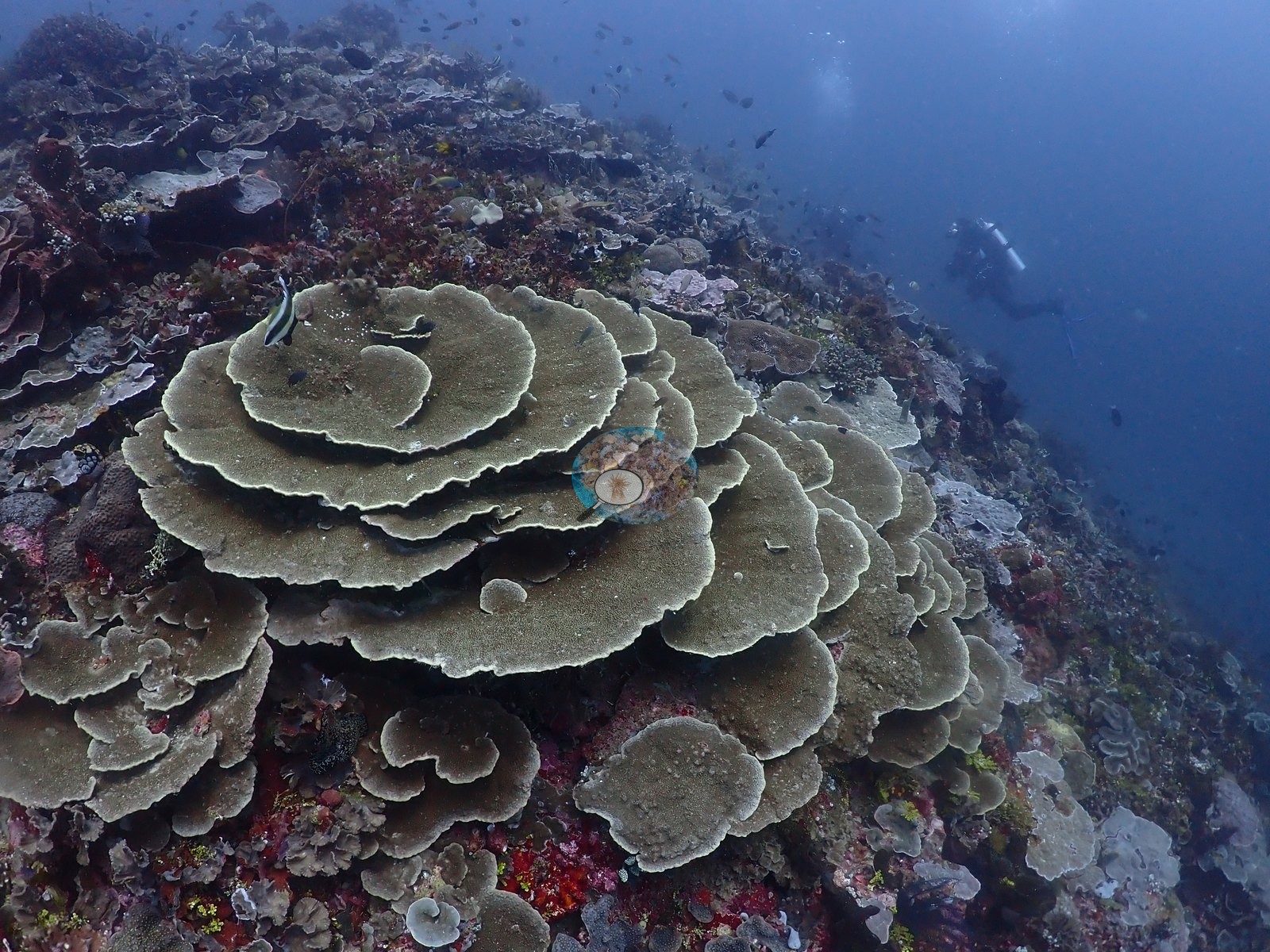
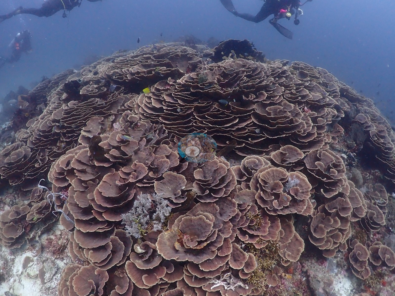
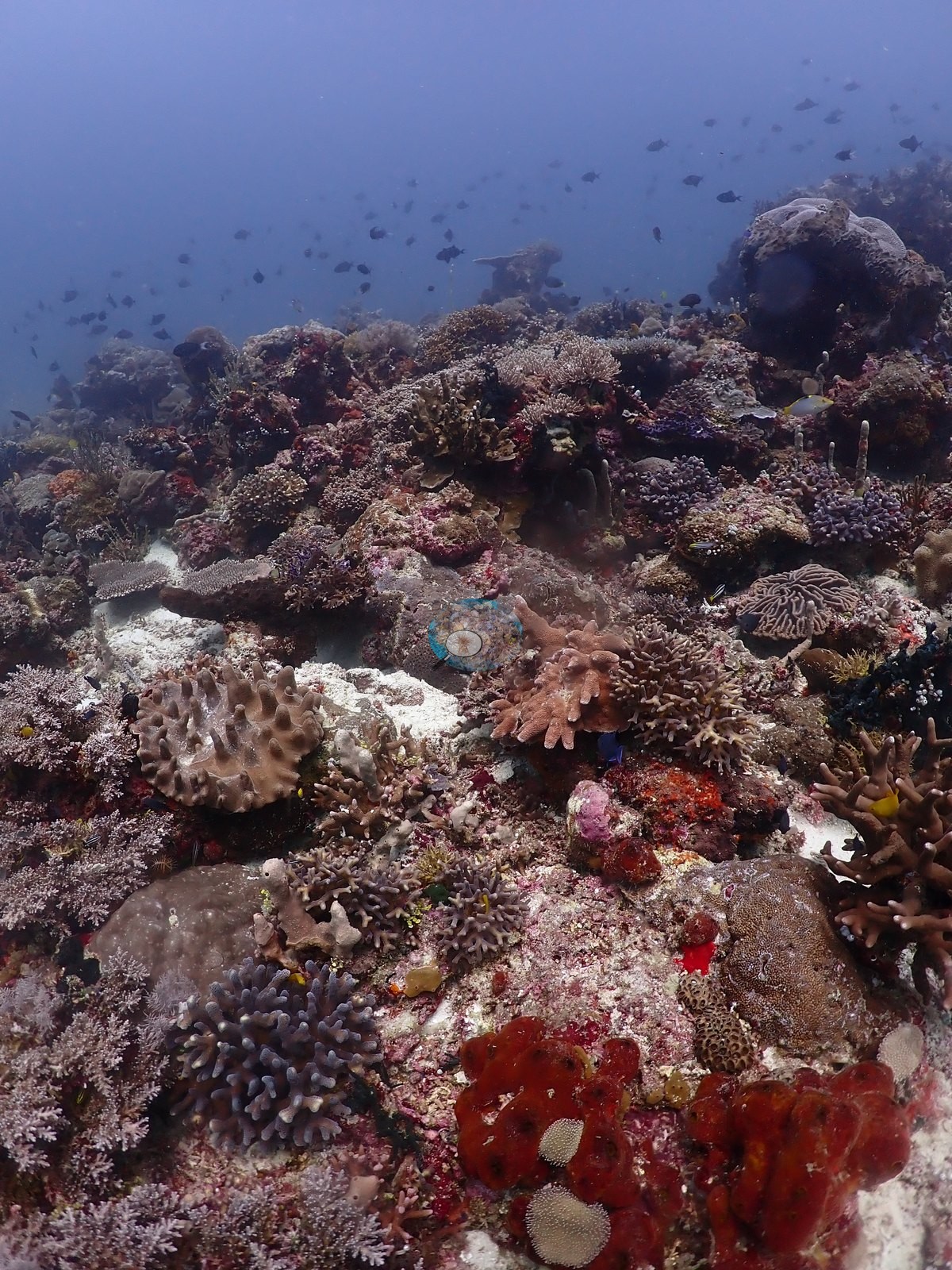
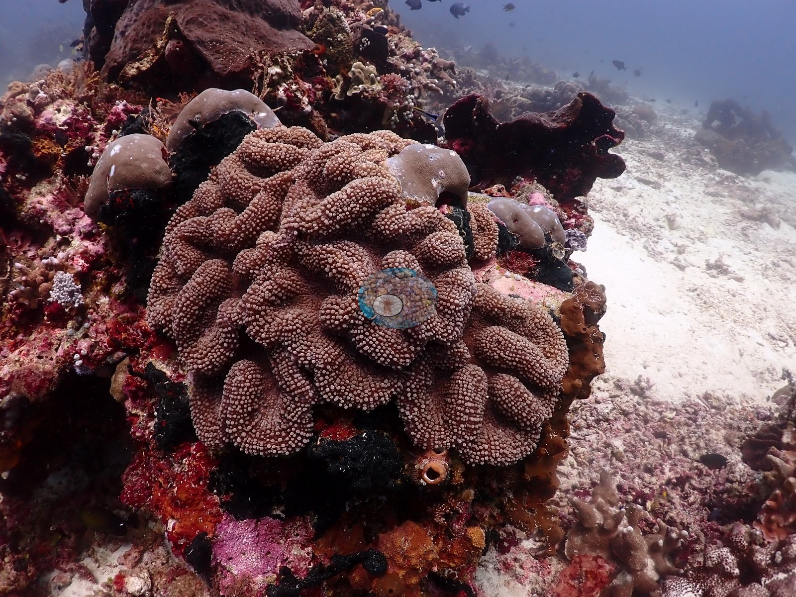
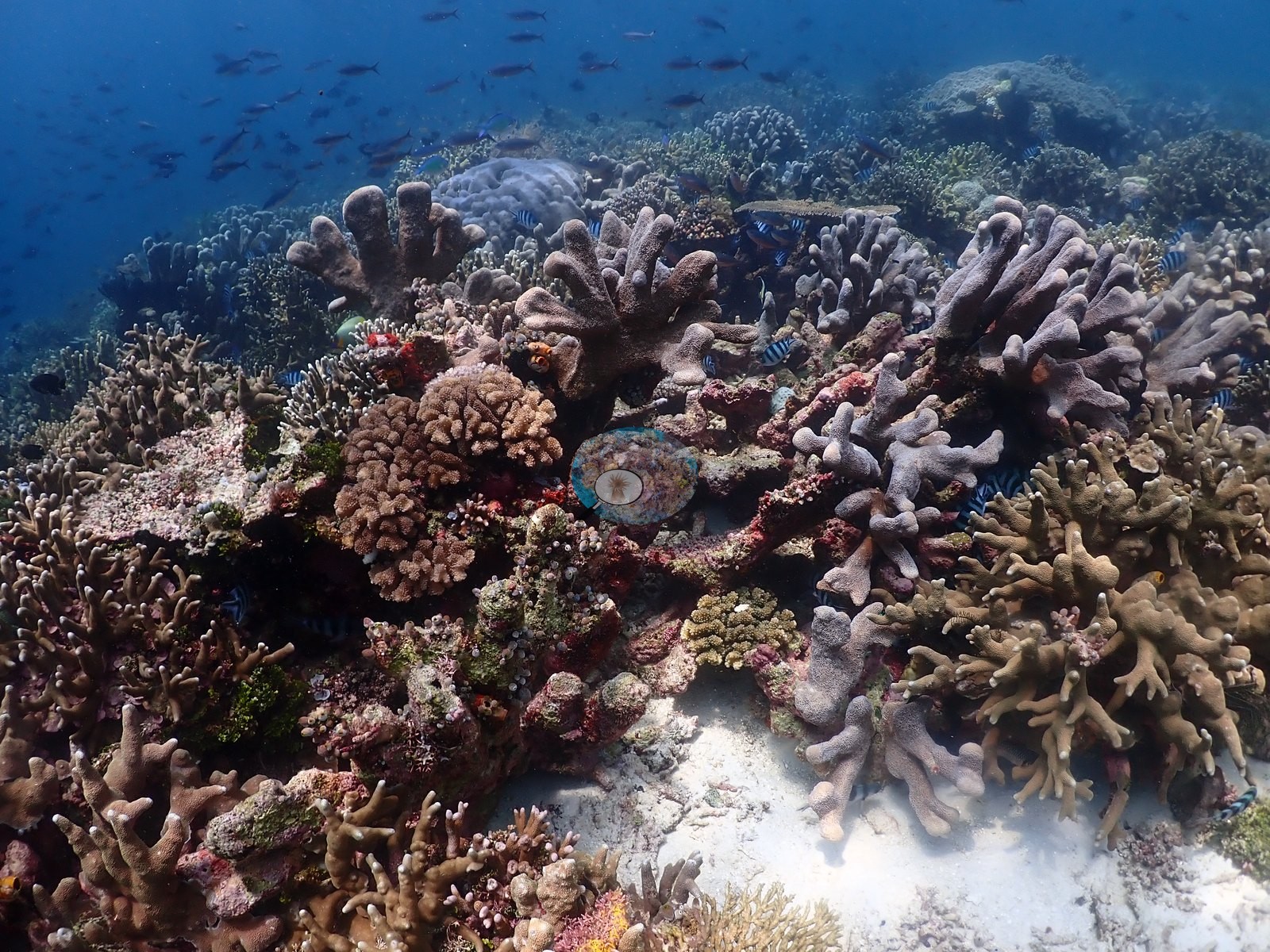
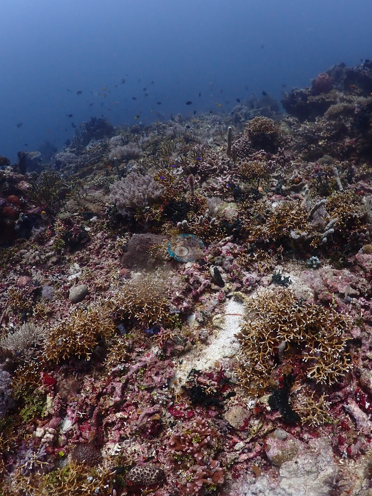
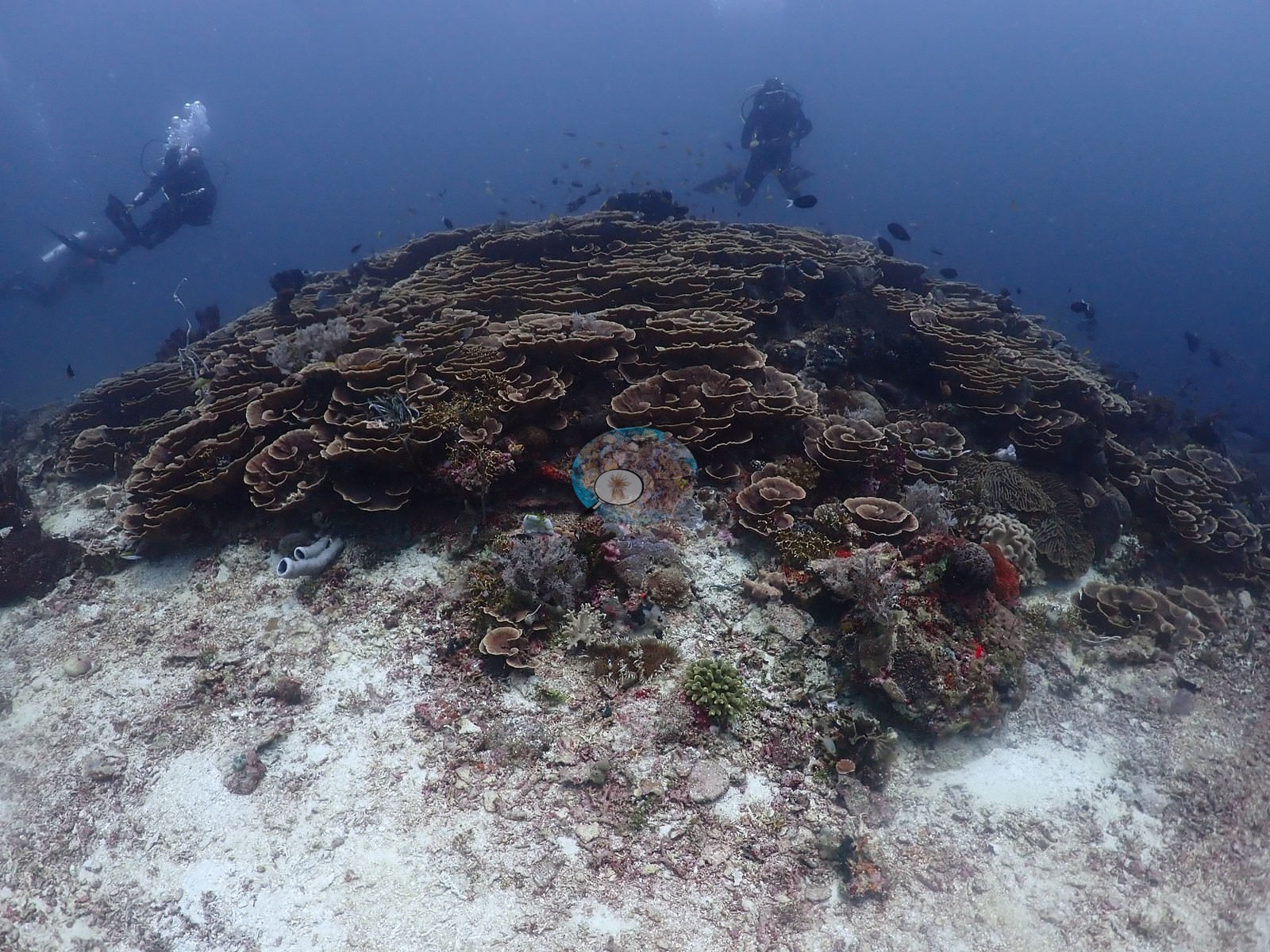
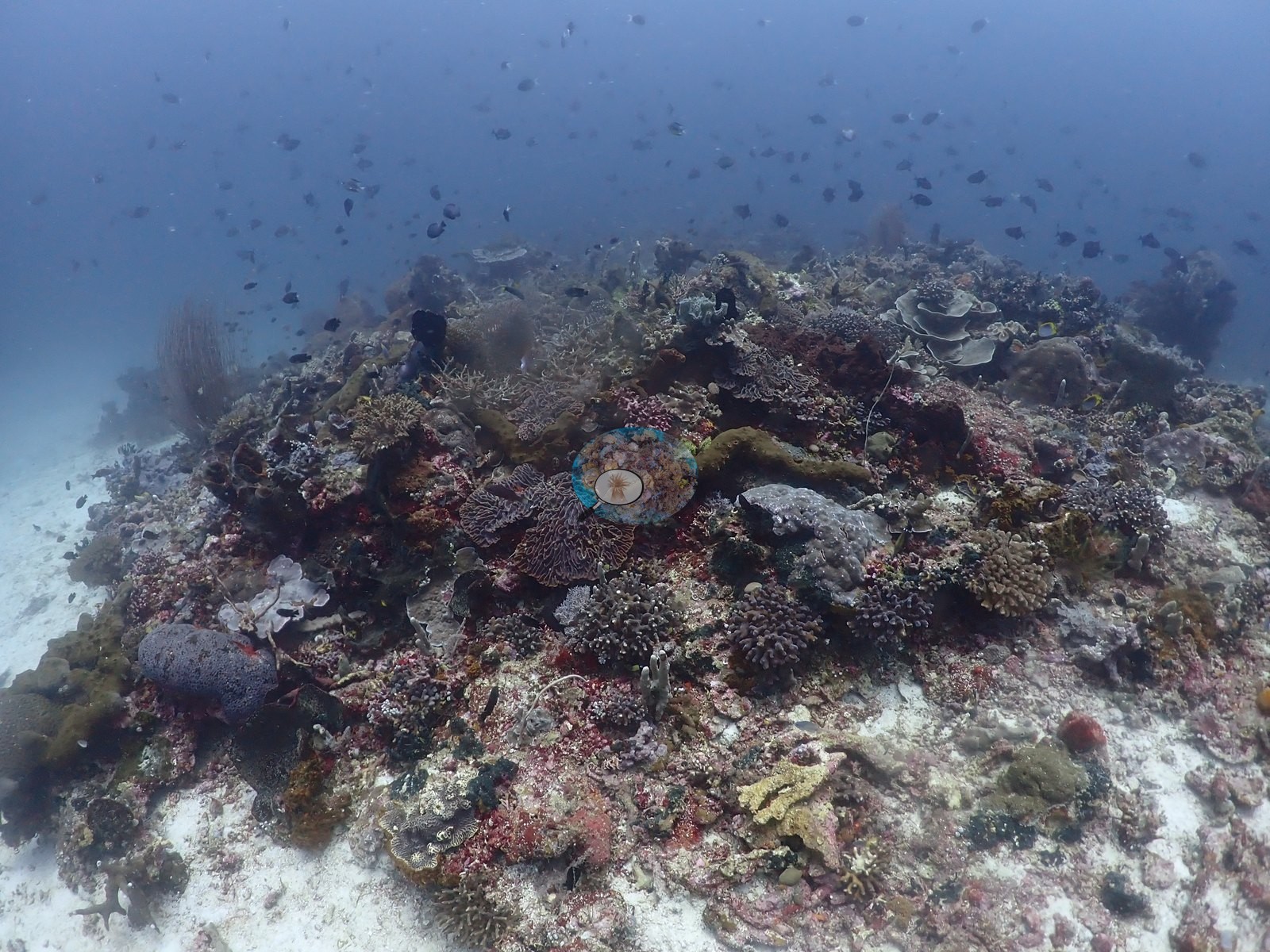
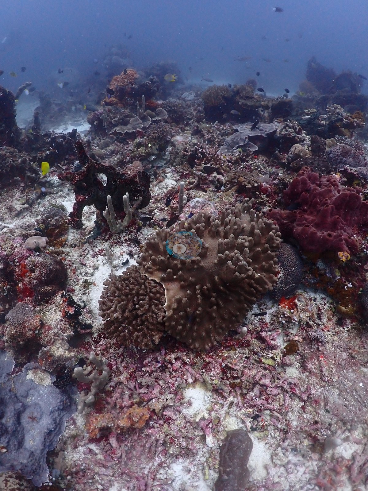
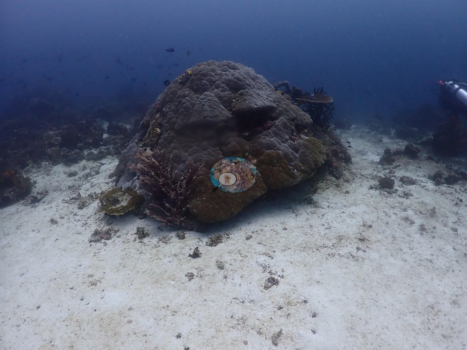
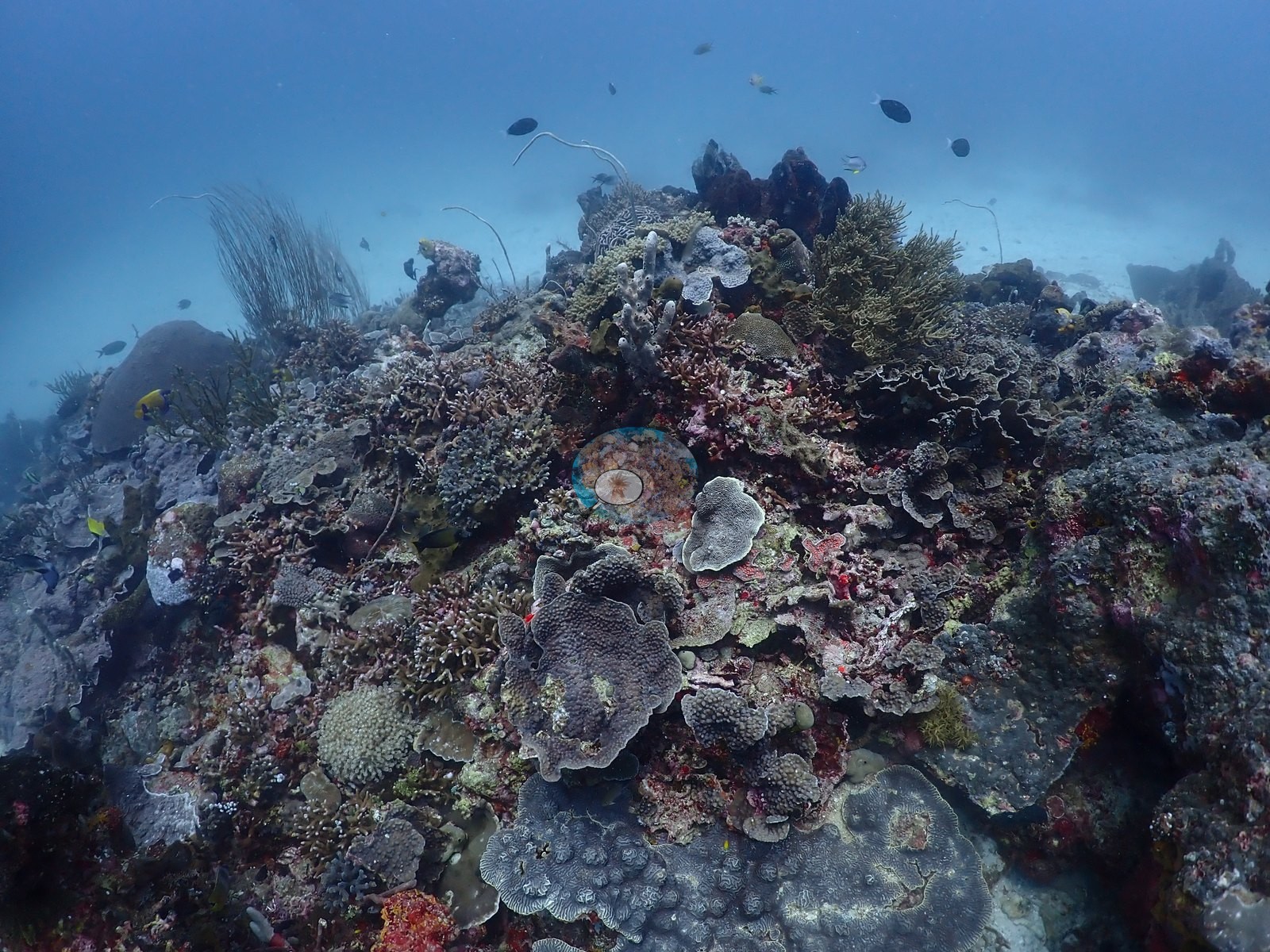
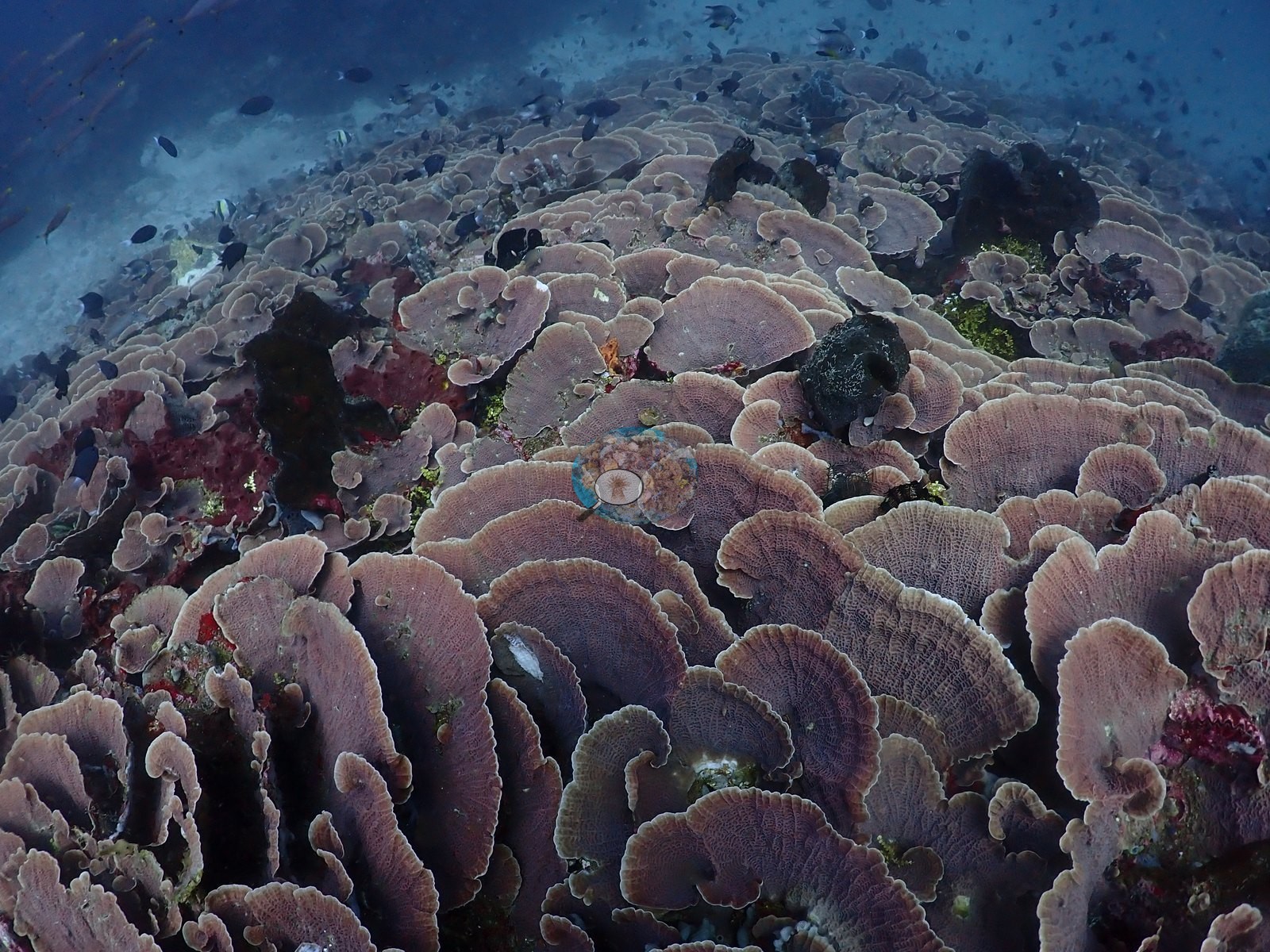
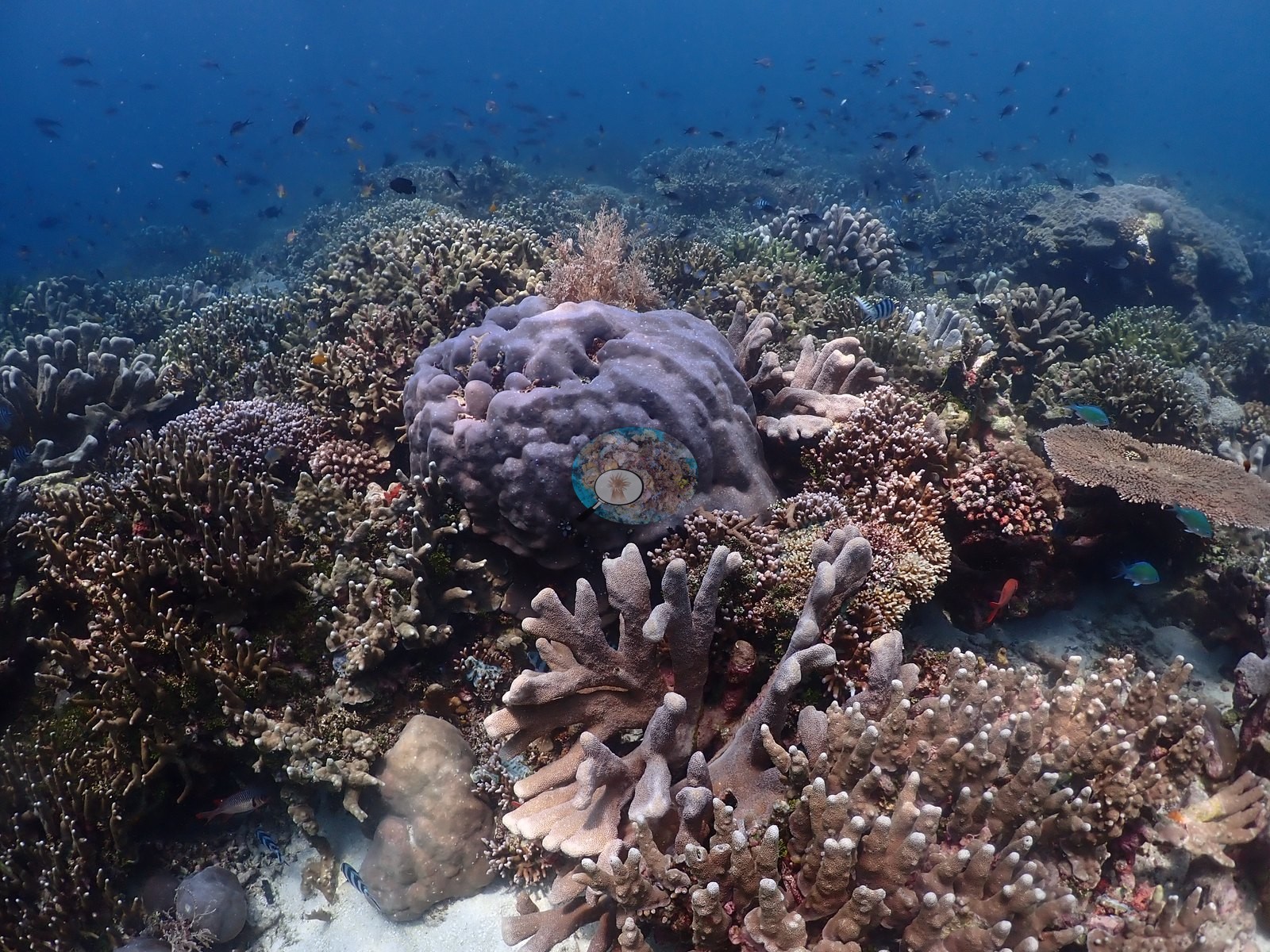
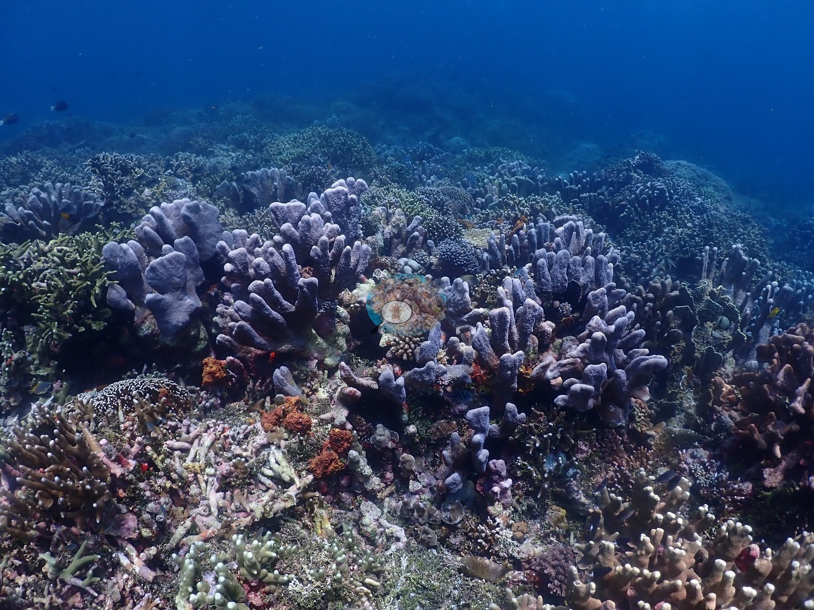
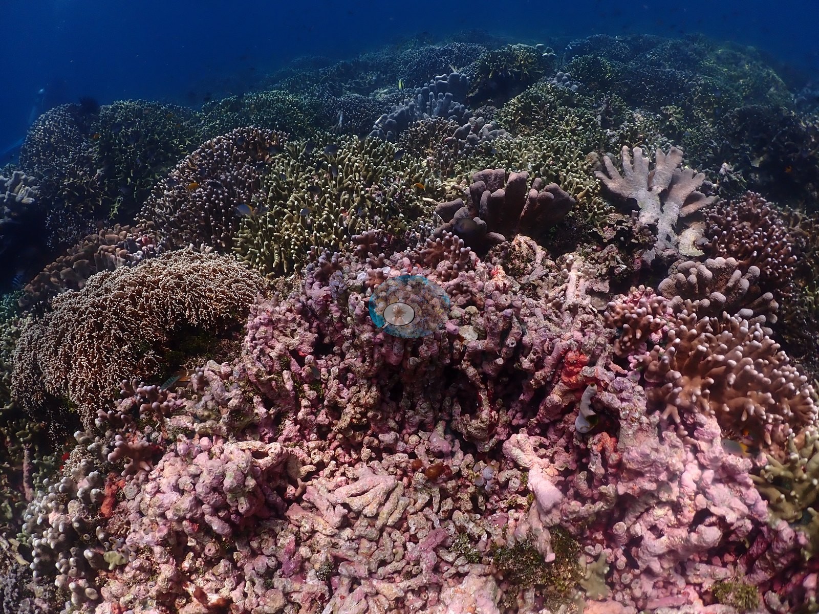
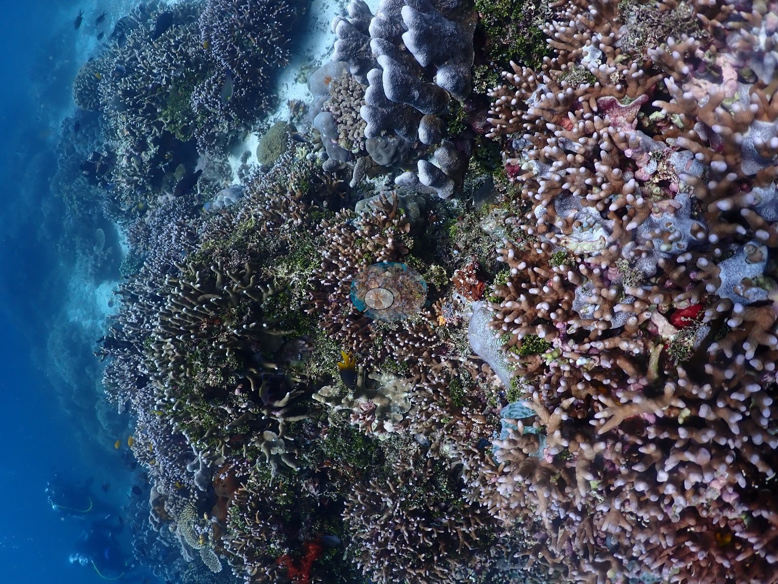
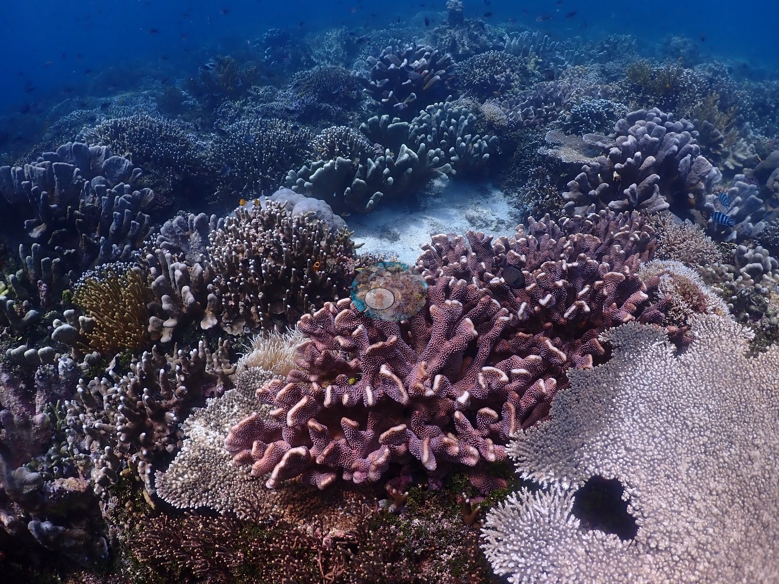
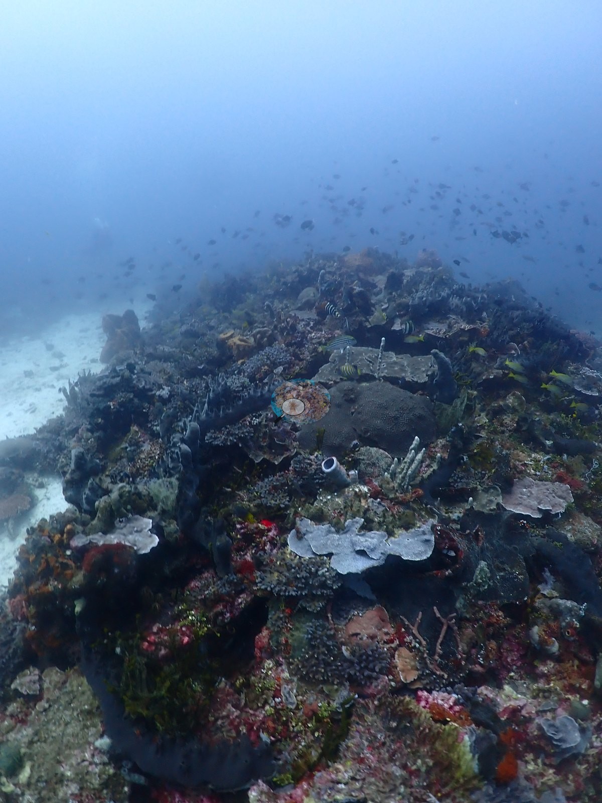
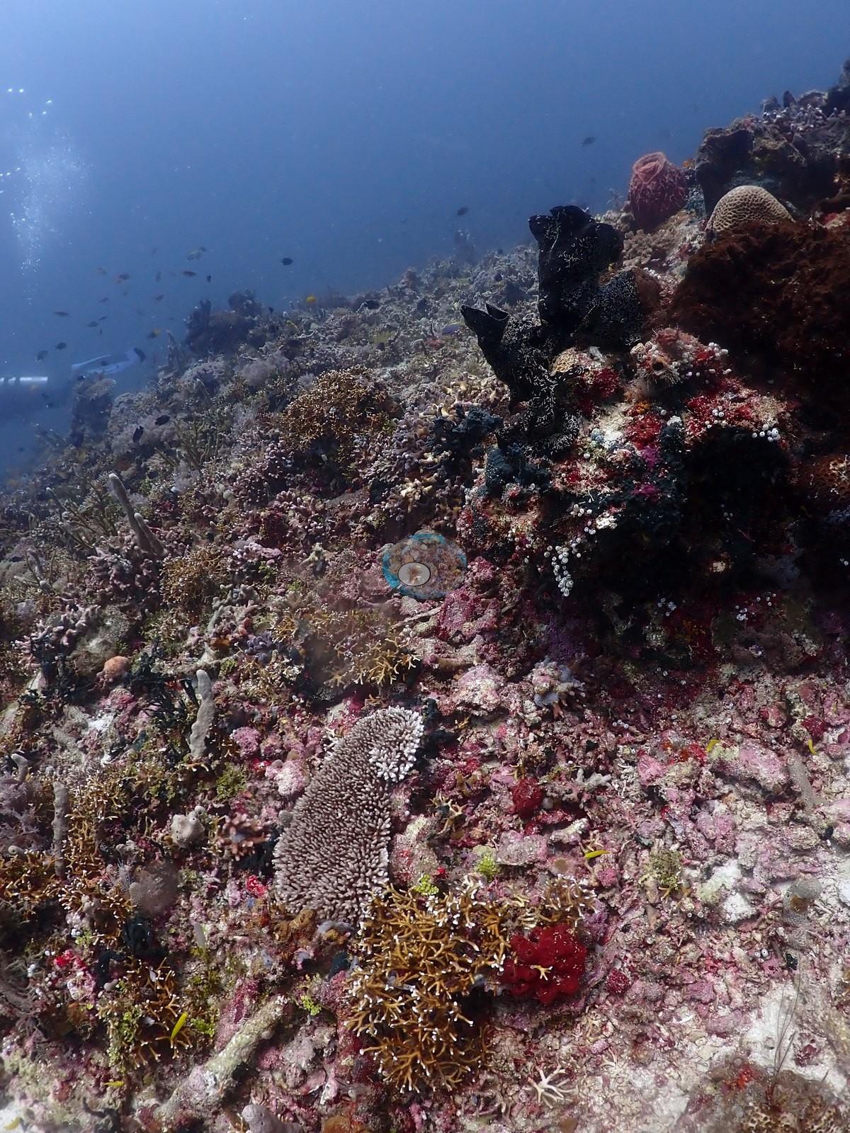
Deep half is a white carbonate sand plain carrying discrete coral mounds, ridges, and isolated bommies rather than continuous reef — shingled foliose plating stands in mauve, pink, and gray (Montipora/Echinopora/Pachyseris/Turbinaria-type) recur throughout, and isolated tabulate Acropora and staghorn thickets stand alone on open sand (e.g., Image 2, Image 4, Image 7, Image 13, Image 19, Image 54).
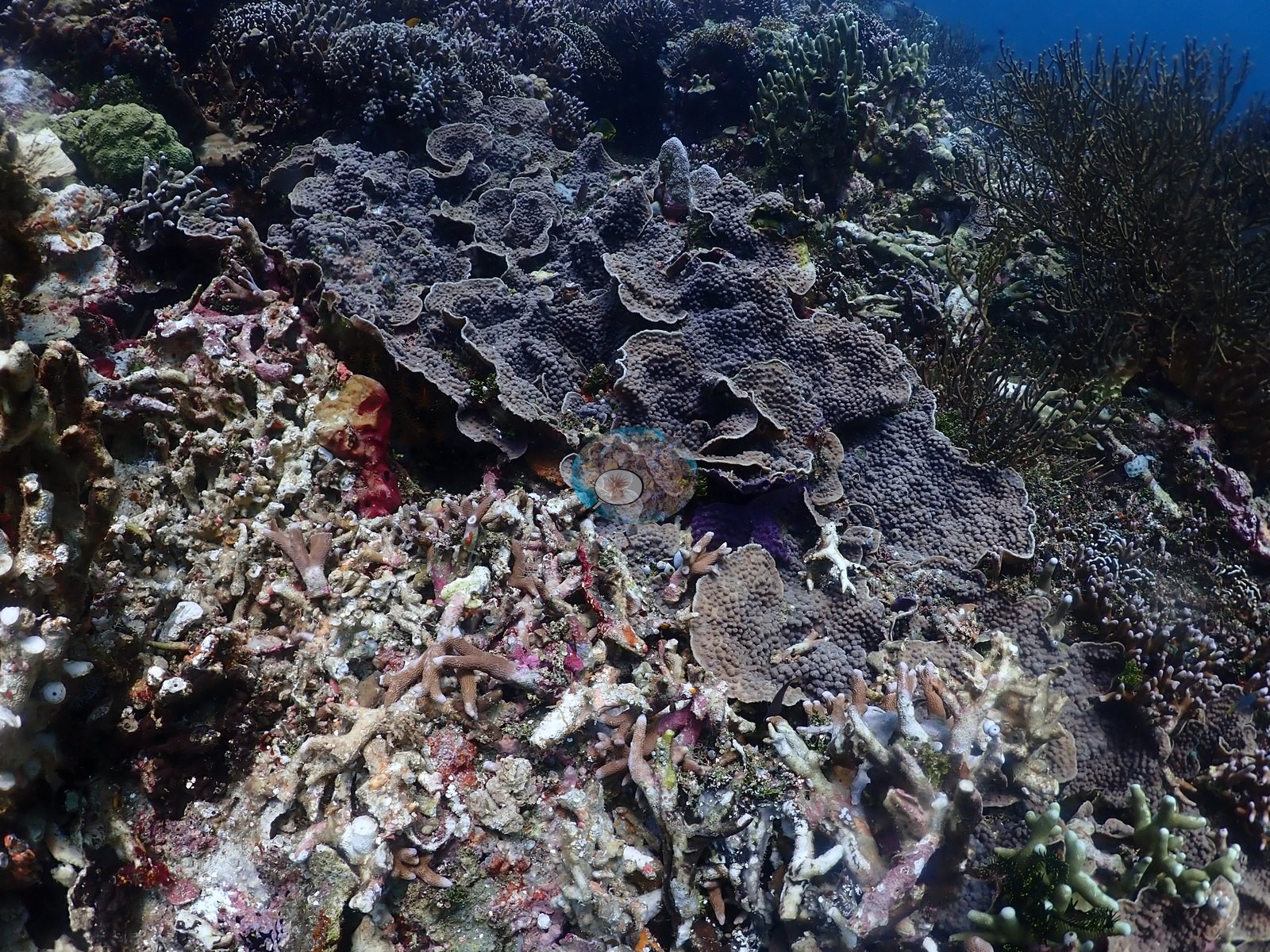
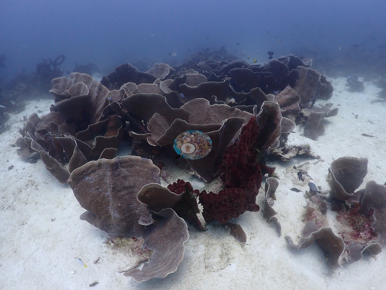
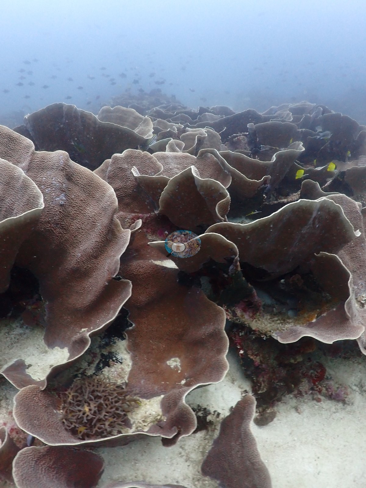
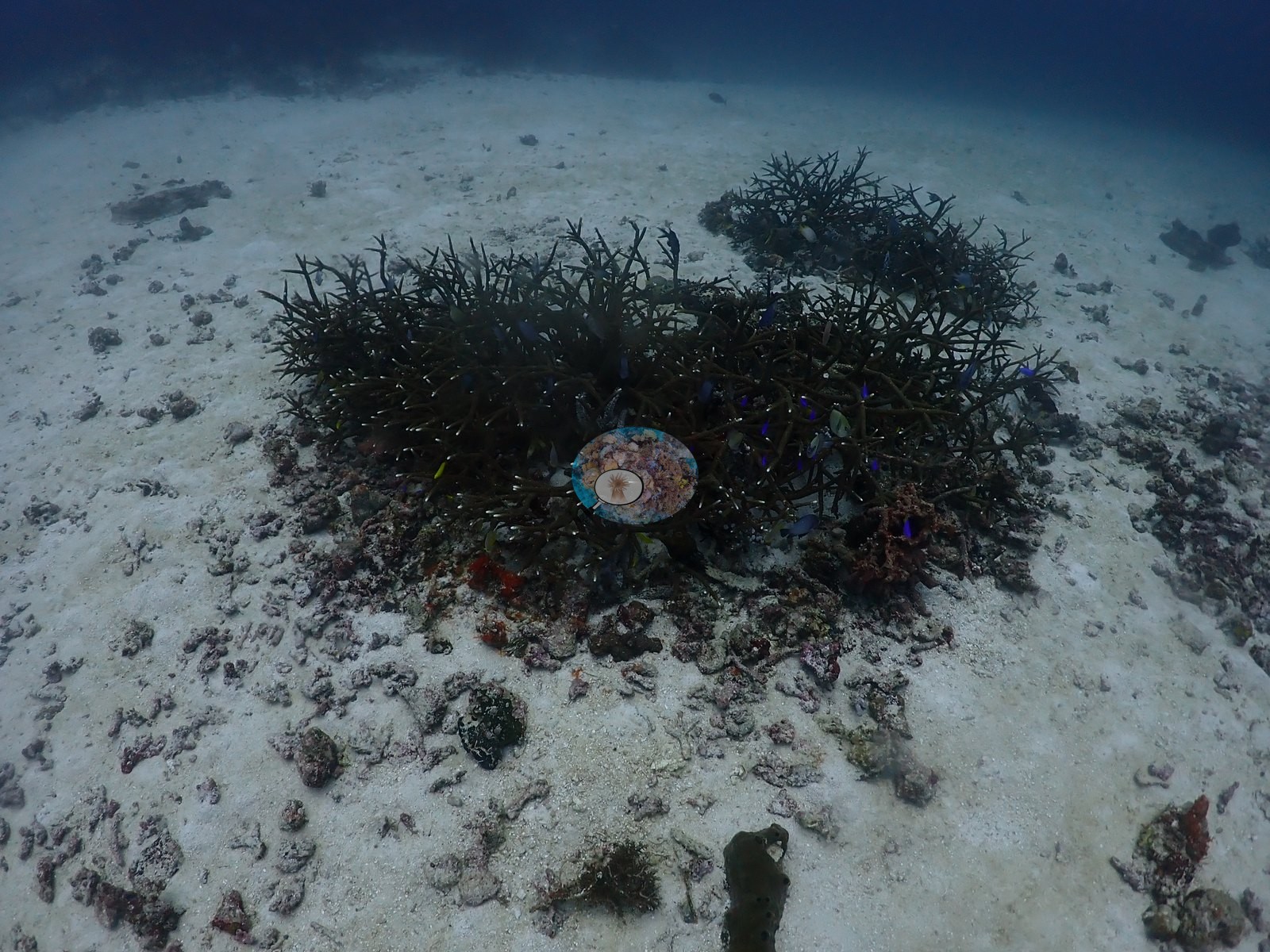

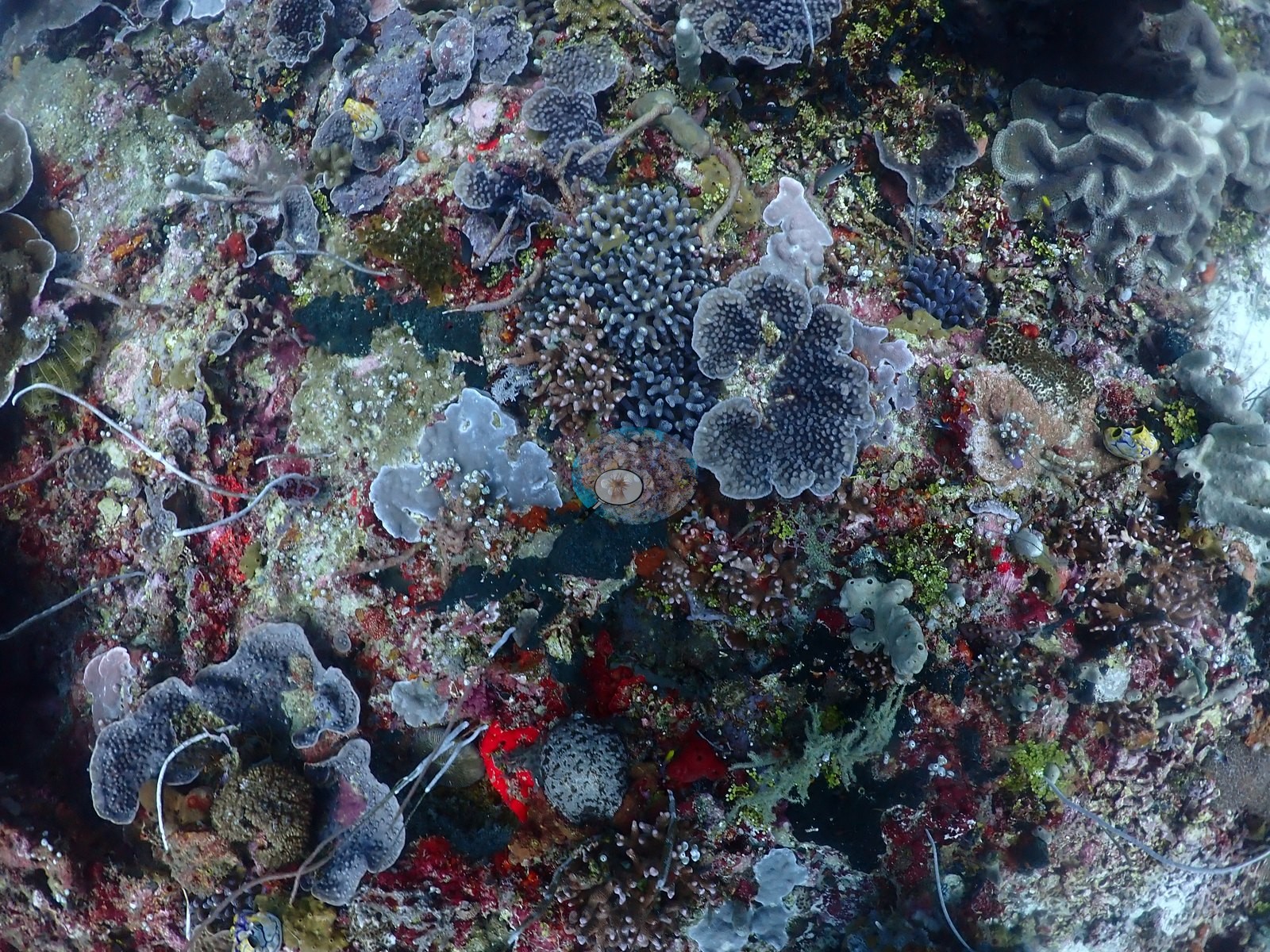
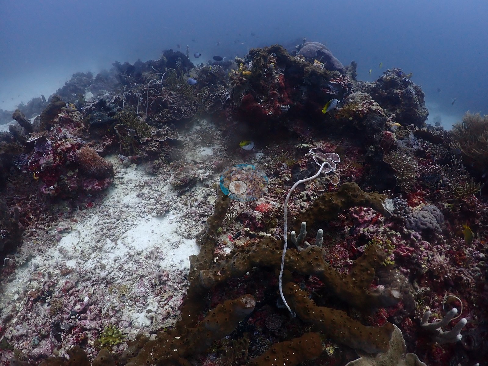
Sponge and coralline cover on this deep half is unusually heavy: crimson and maroon massives, blue-gray tubes, teal Neopetrosia-type sponges, and thick pink crustose coralline pavement between the mounds (e.g., Image 28, Image 53, Image 55).
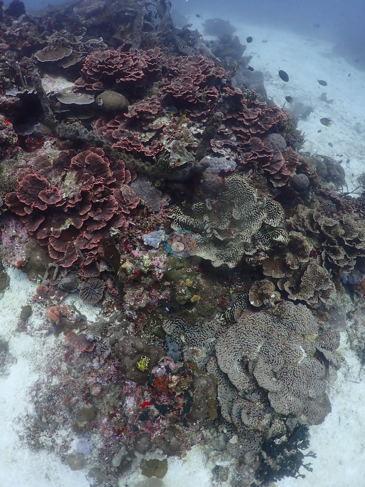
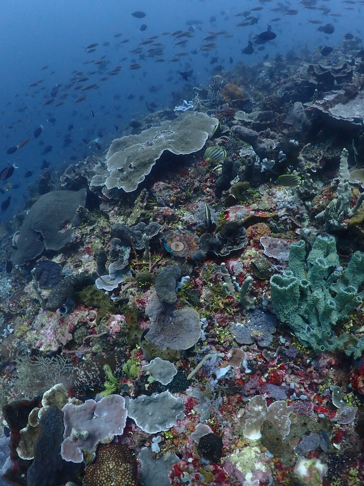
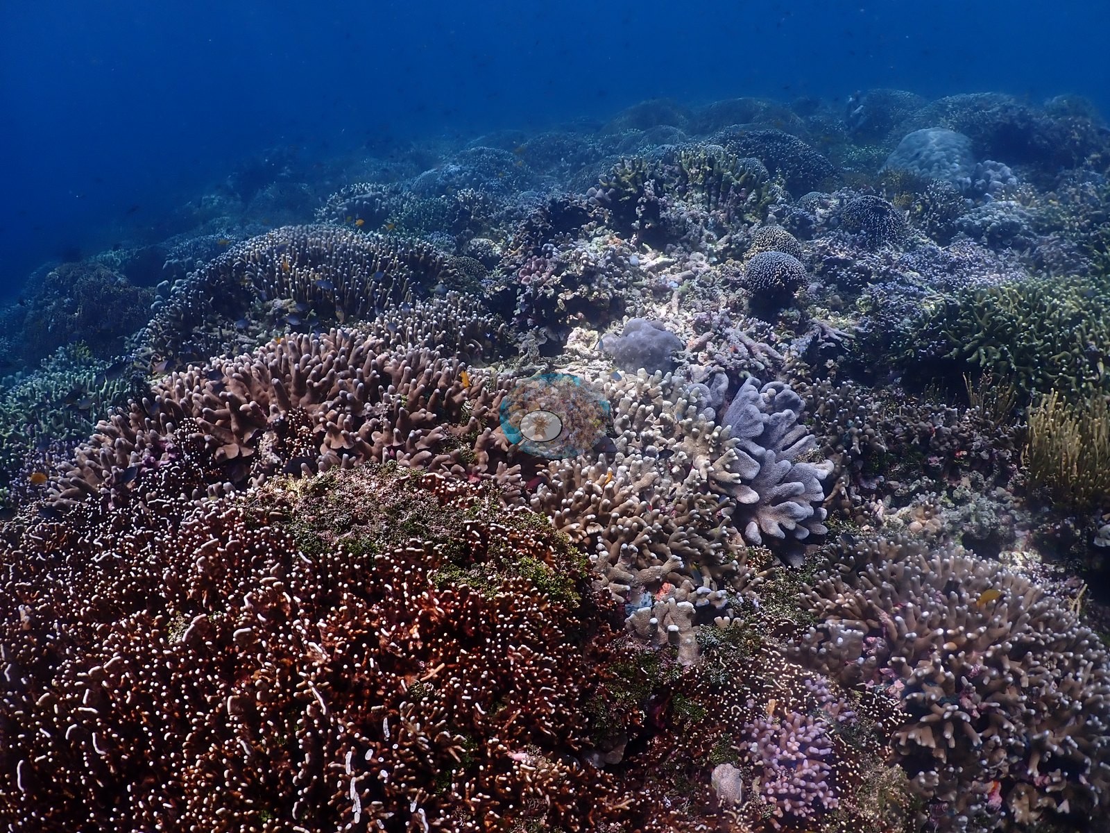
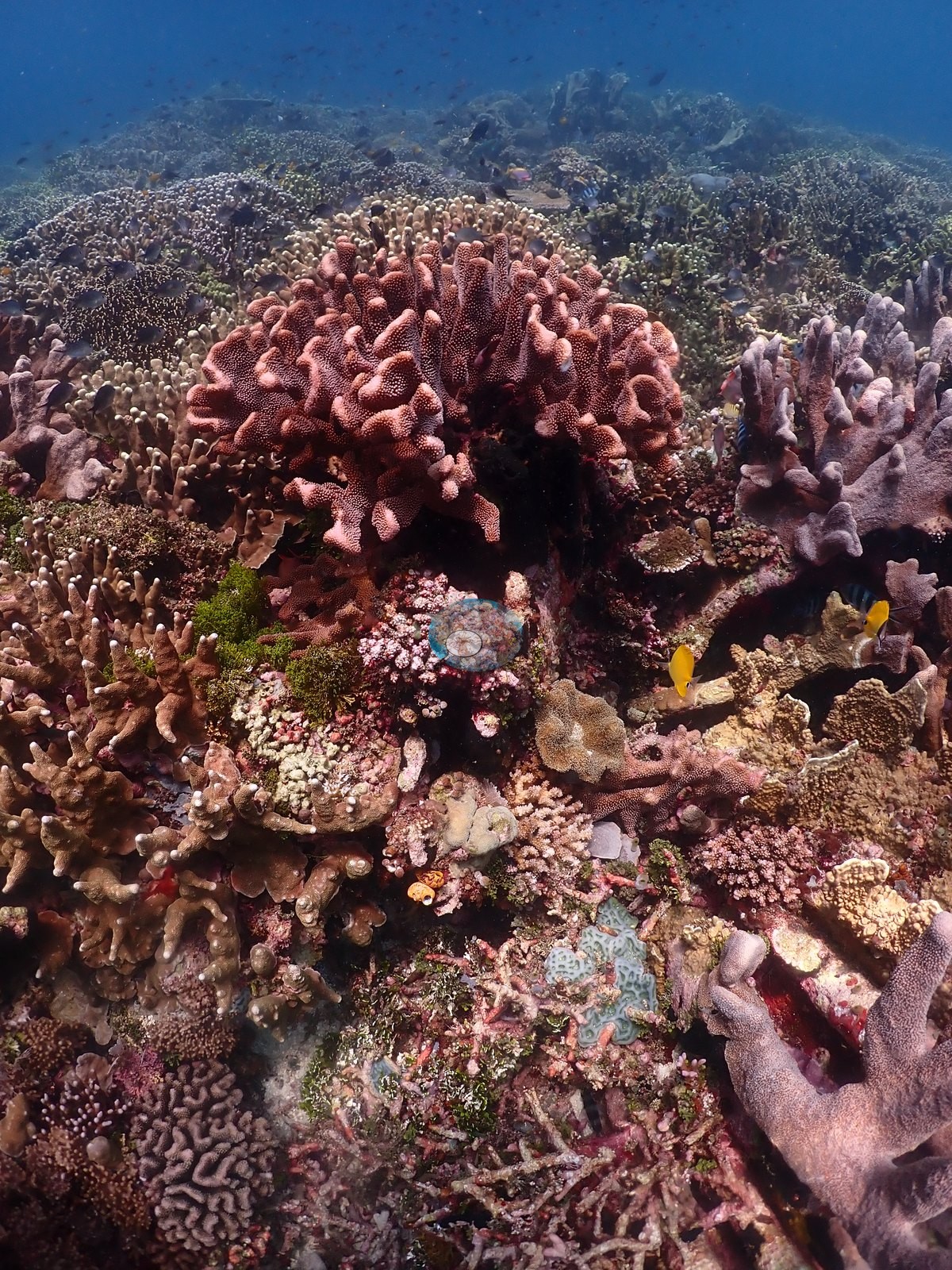
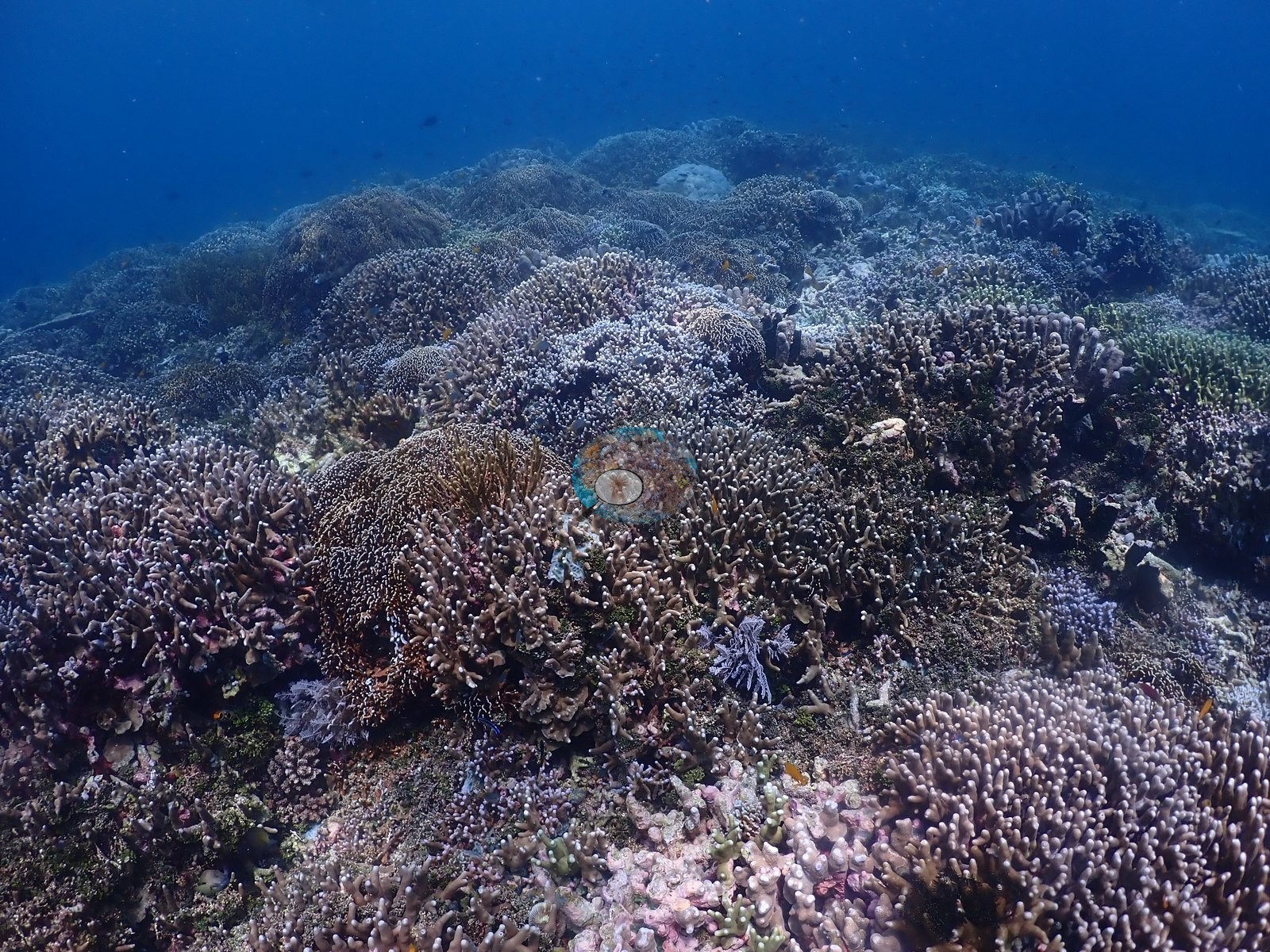
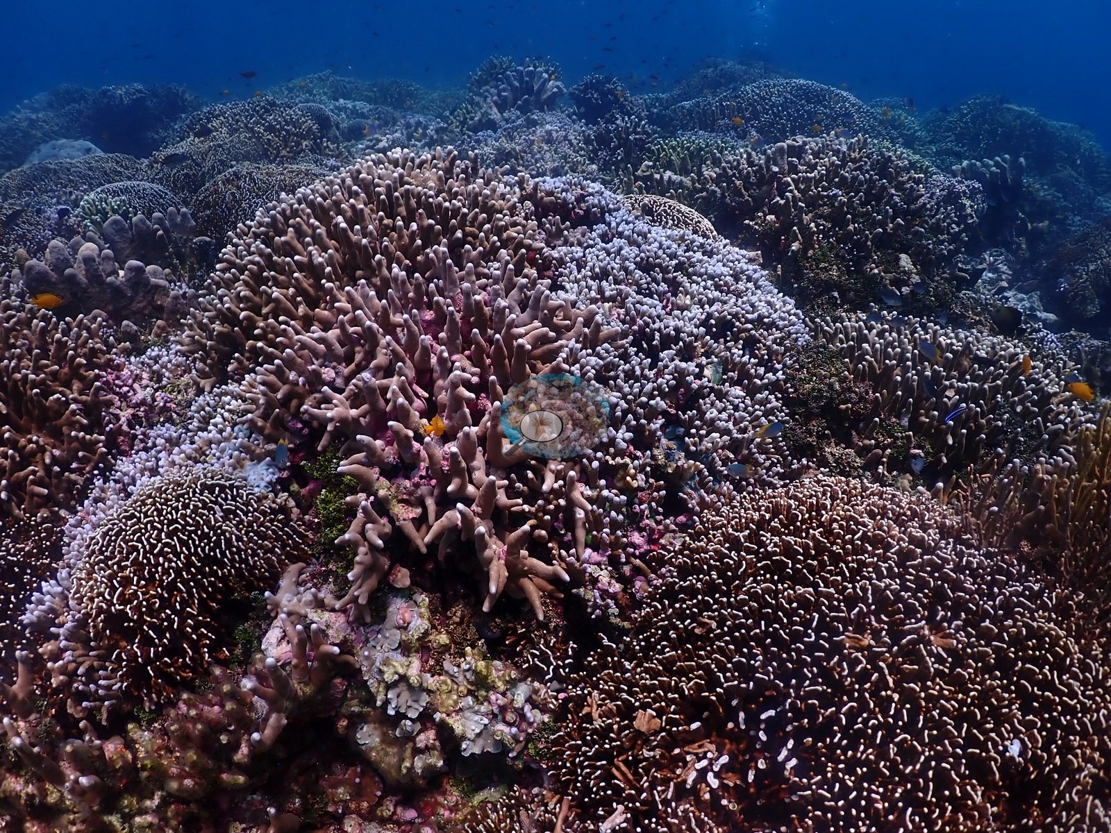
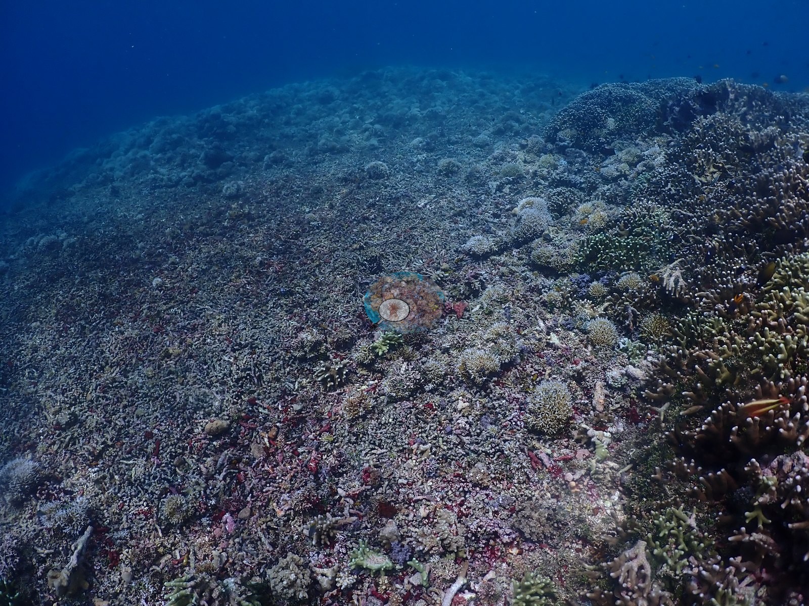
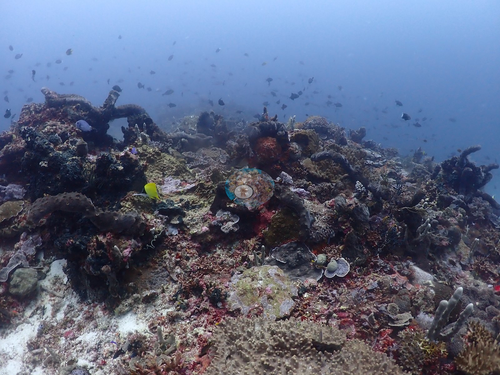
Transition shows coral closing the gaps between mounds, cover climbing steadily as fish shoals thicken overhead (e.g., Image 8, Image 11, Image 38).
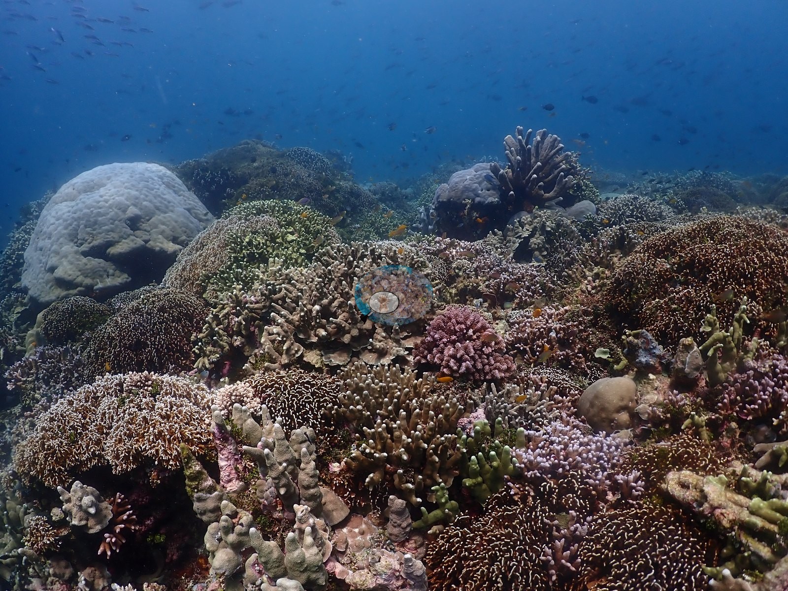
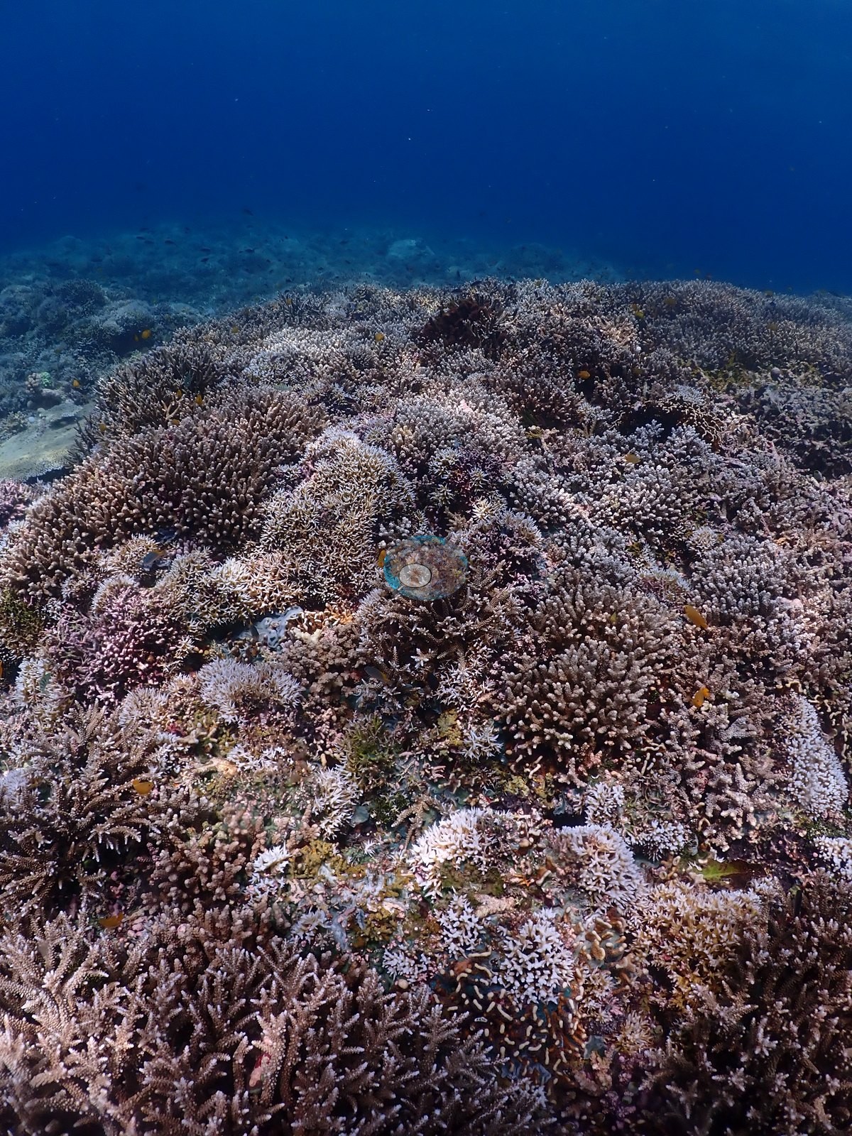
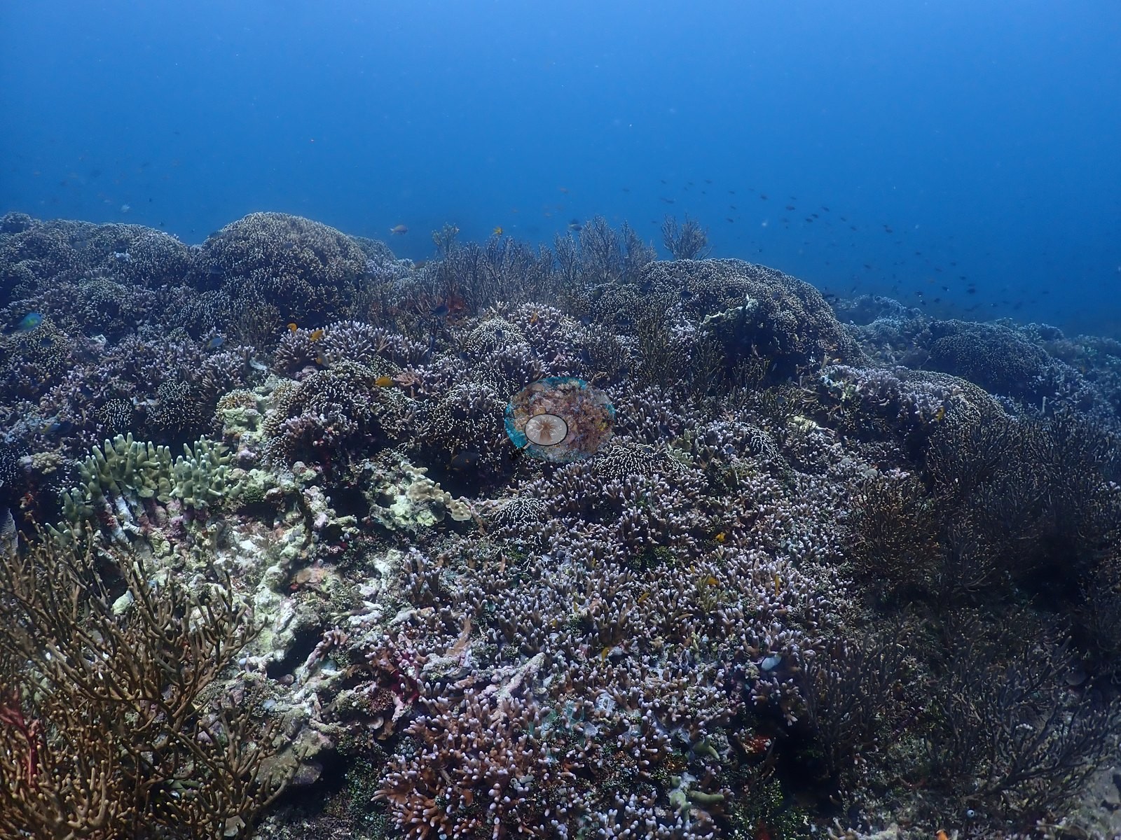
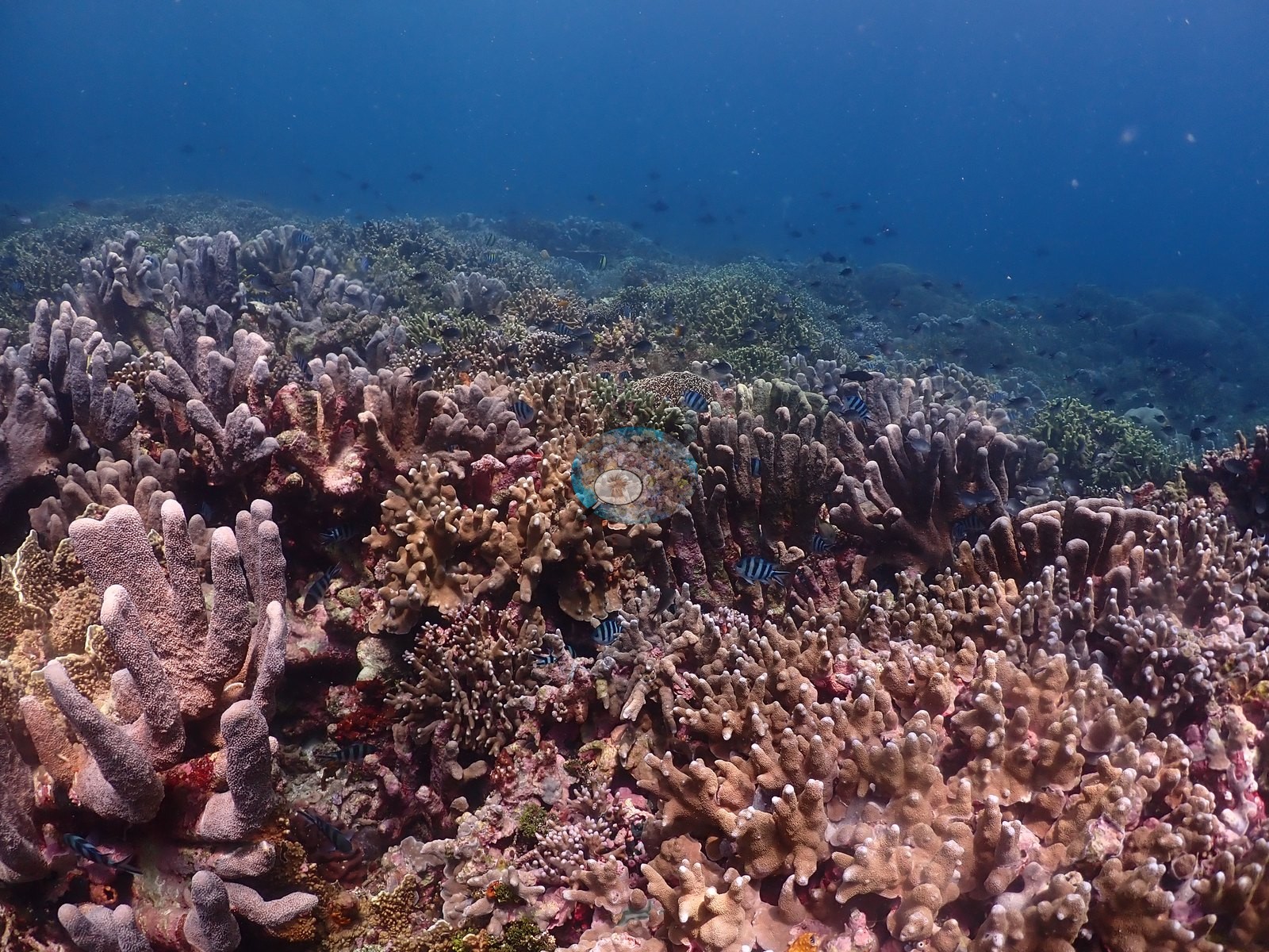
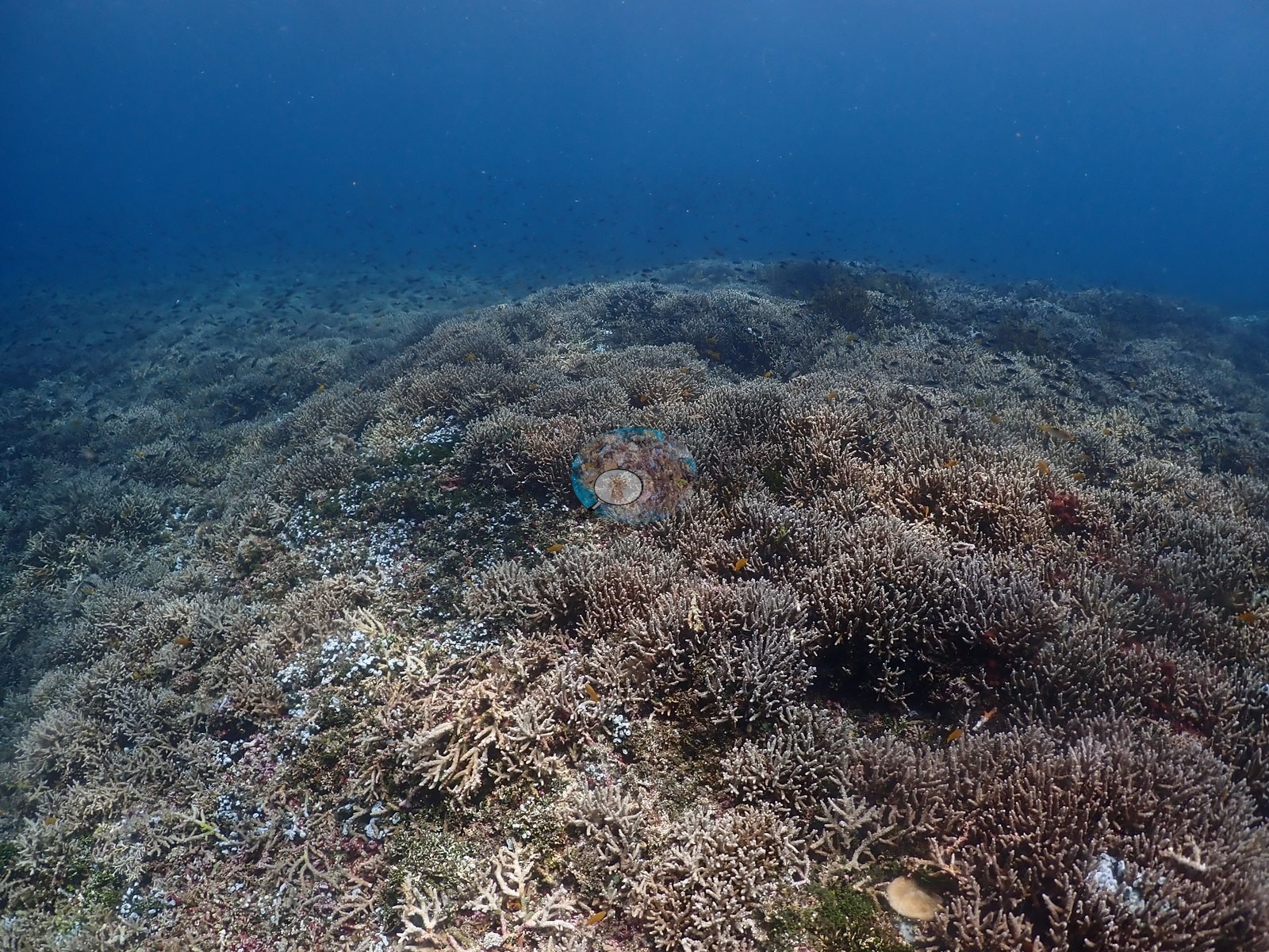
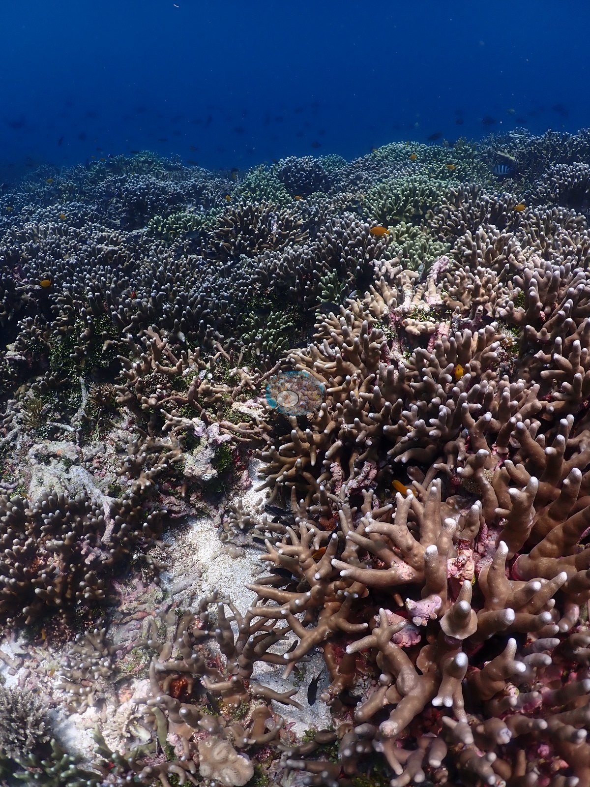
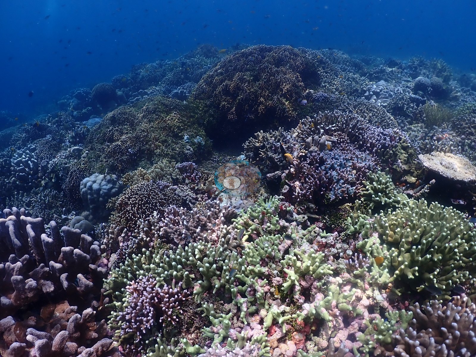
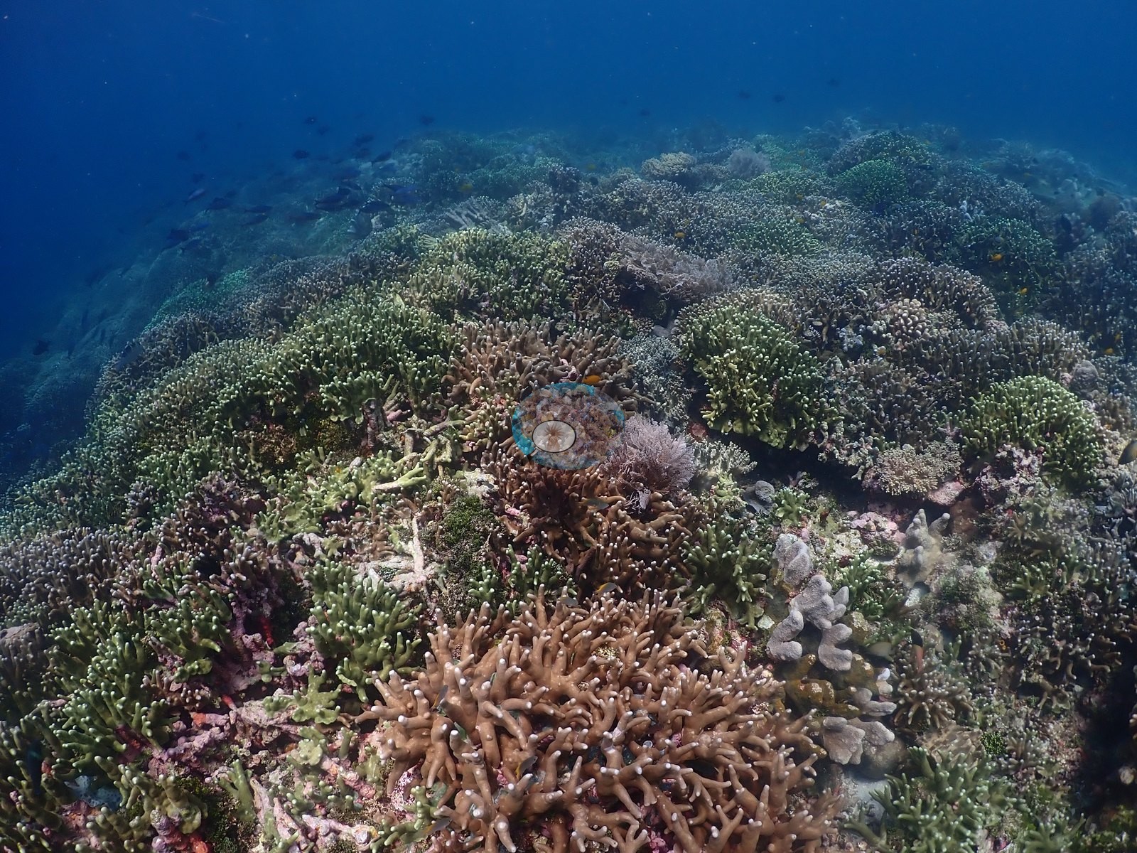
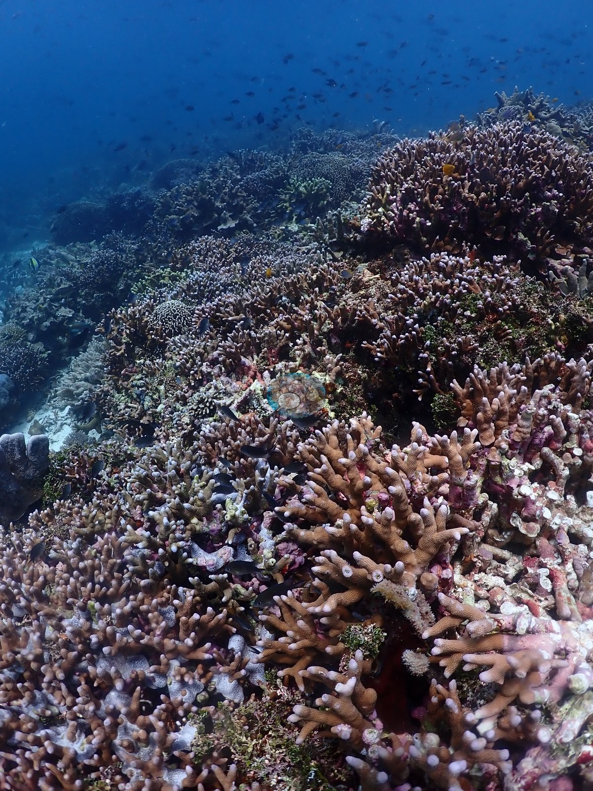
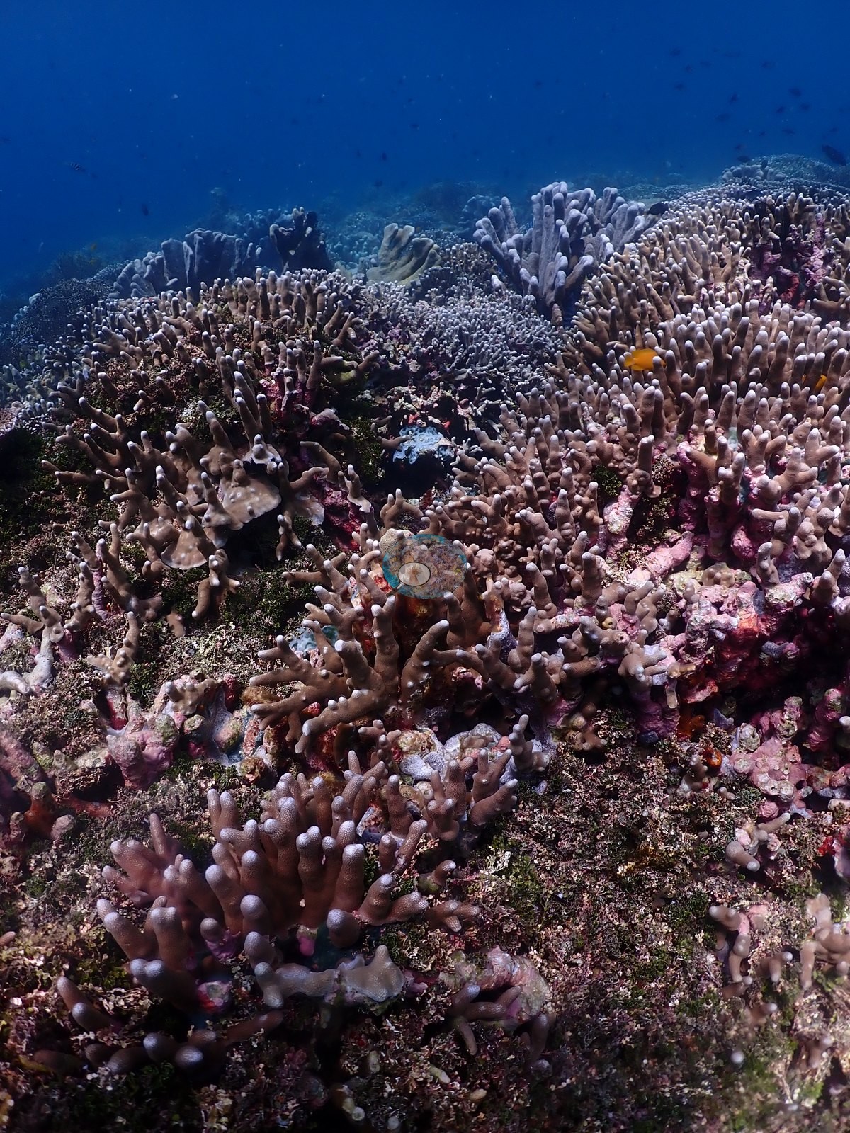
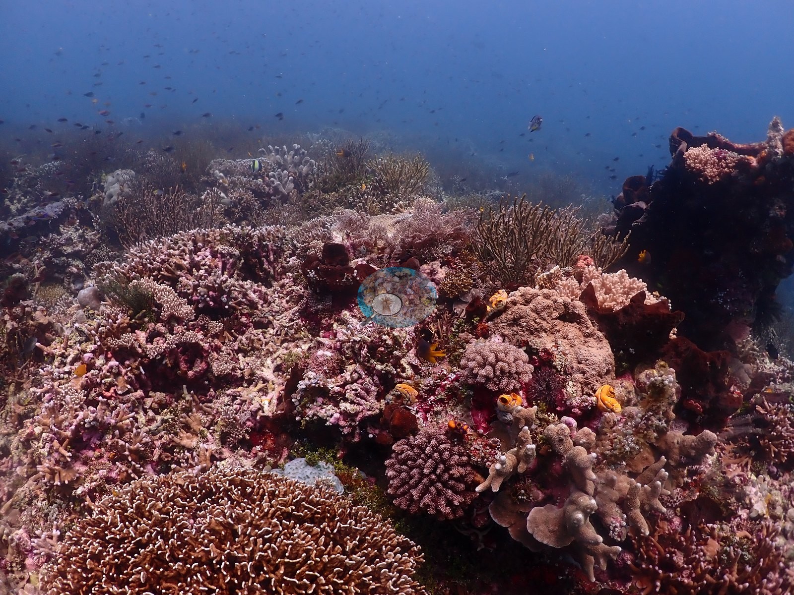
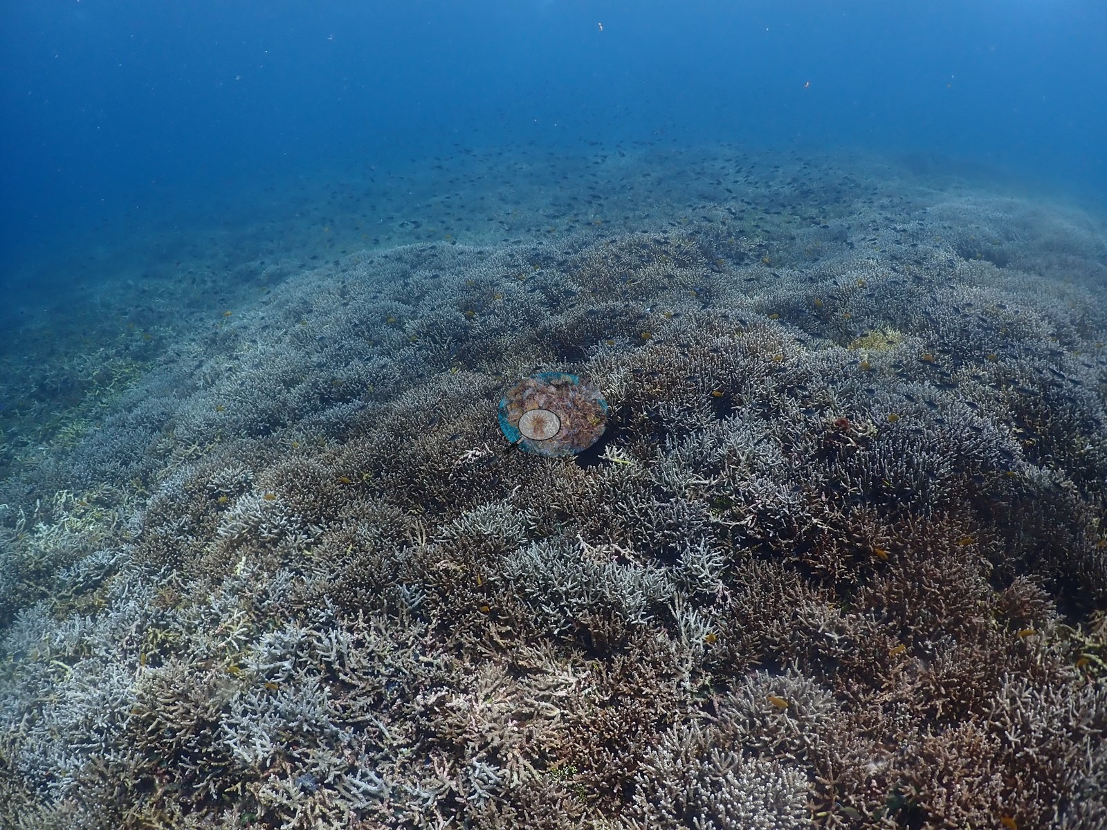
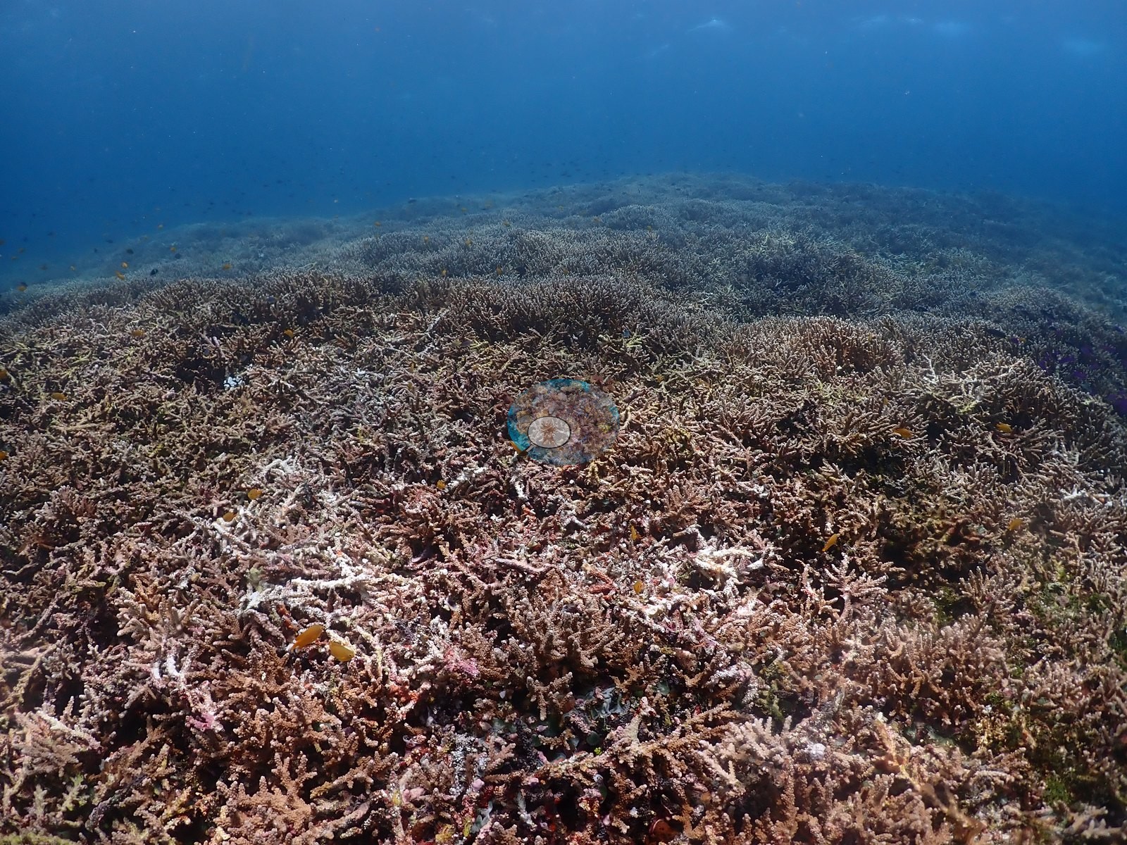
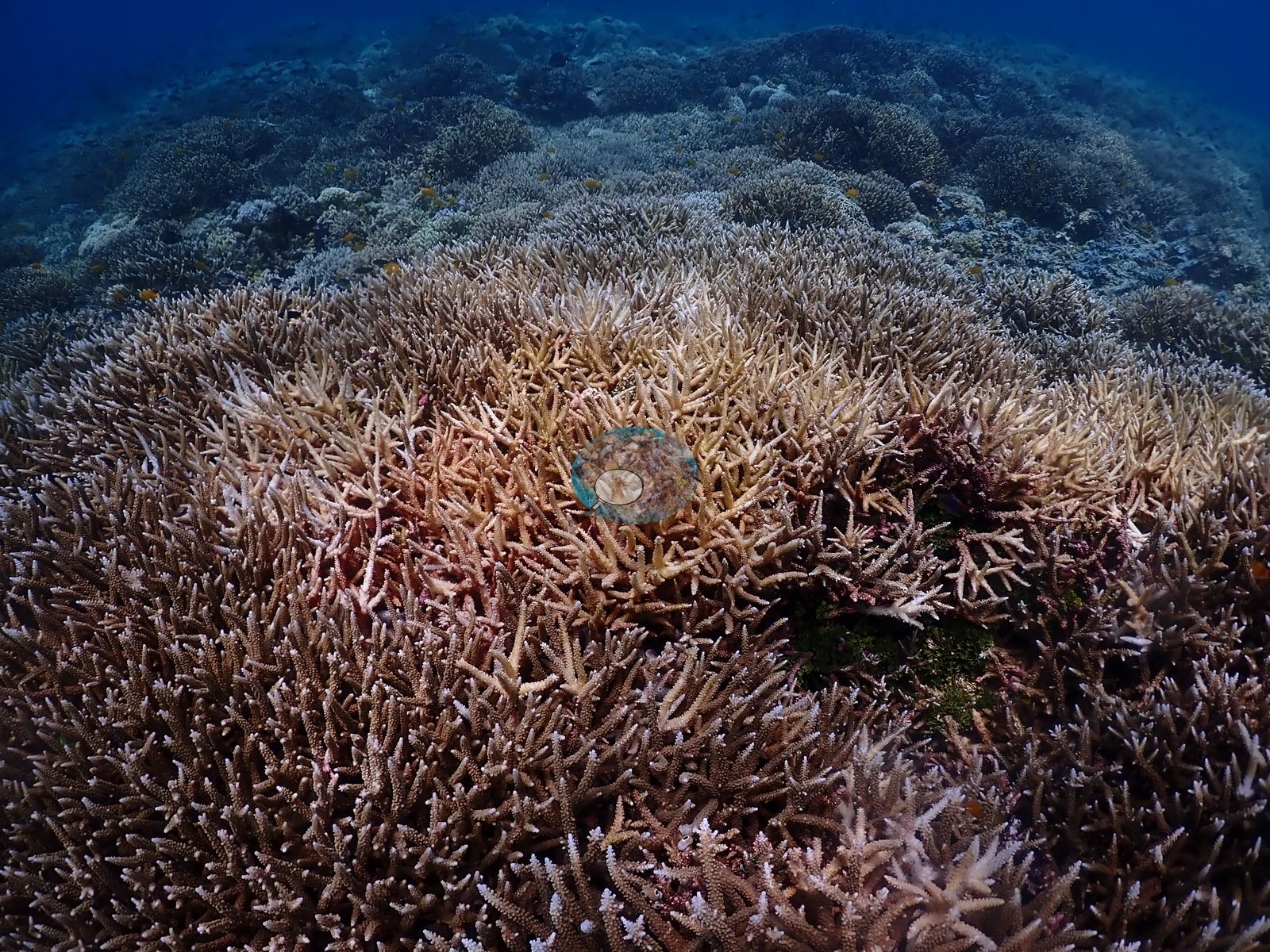
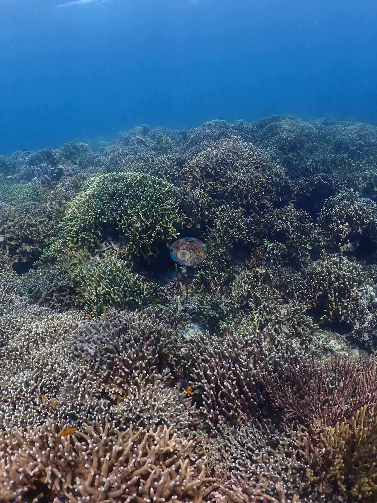
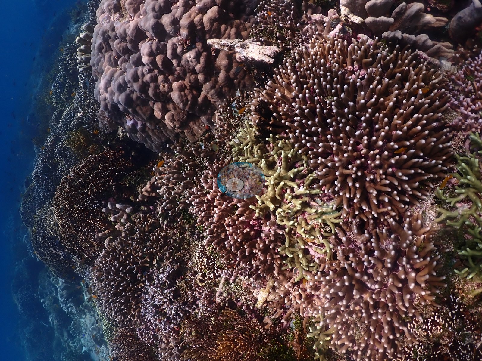
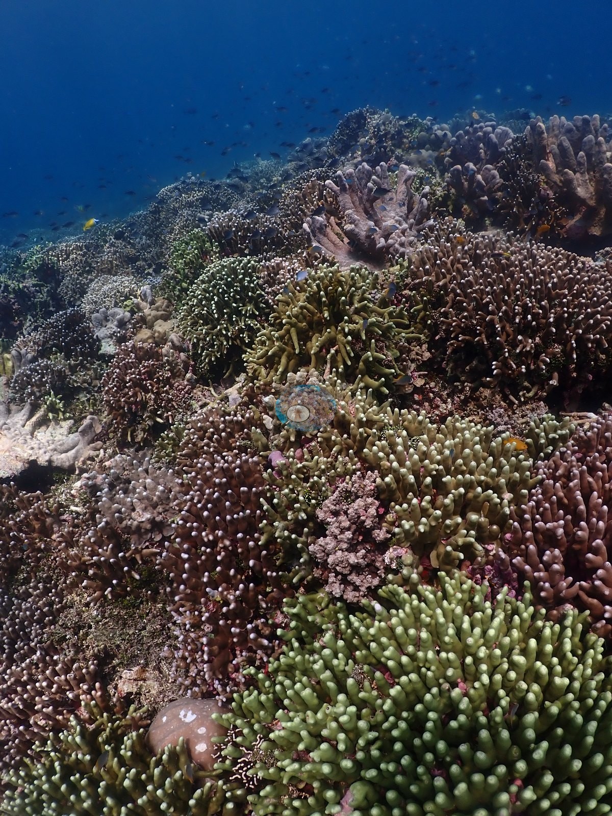
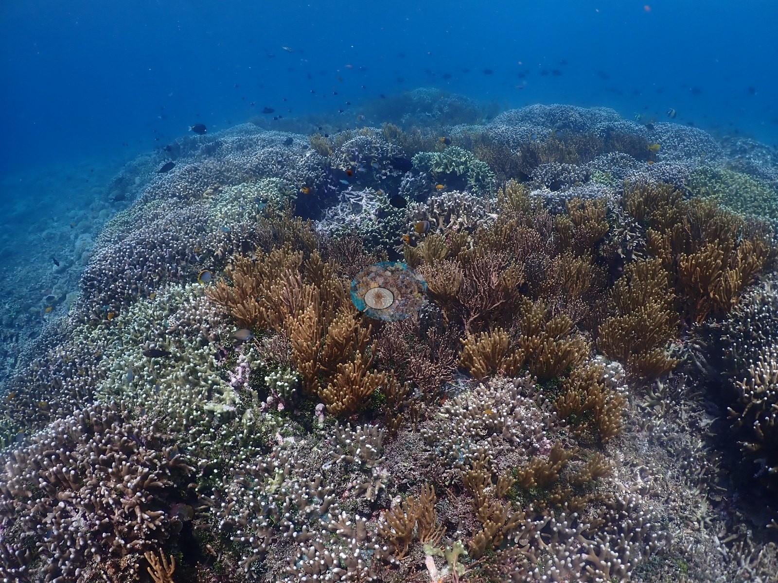
Shallow plateau is a near-continuous branching-coral field — sprawling fields of corymbose and digitate Acropora, Seriatopora, Stylophora, Pocillopora, pale Porites cylindrica fingers, and Millepora, with olive gorgonian, and sea-whip bushes standing over them and fusilier and damsel shoals running overhead throughout (e.g., Image 21, Image 24, Image 32, Image 51, Image 52).
Stressors
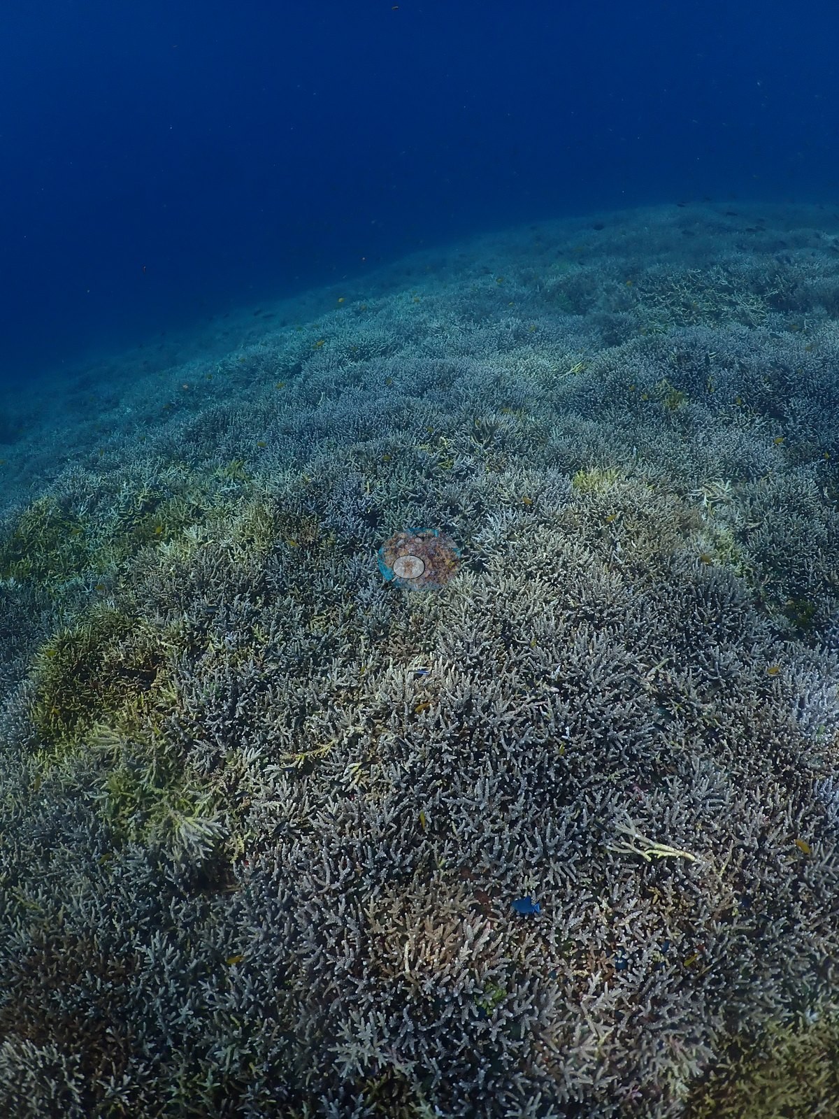
Condition: a real, hedged bleaching signal on the shallow plateau. Over the last stretch of the dive, much of the branching-coral field reads noticeably paler than the tan-to-mauve colonies earlier in the same habitat, and three frames (re-opened at full resolution) settle it as more than a lighting effect: a discrete colony in the middle frame is stark bone-white against immediately adjacent tan-brown and olive colonies in the same frame under the same light, which rules out white-balance alone (e.g., Image 36).
The surrounding field in the other two frames carries widespread paling — many colonies pale cream to white rather than the tan/olive/mauve seen on the same growth forms earlier in the dive — consistent with a partial bleaching event across this section of the plateau rather than an isolated colony (e.g., Image 10).
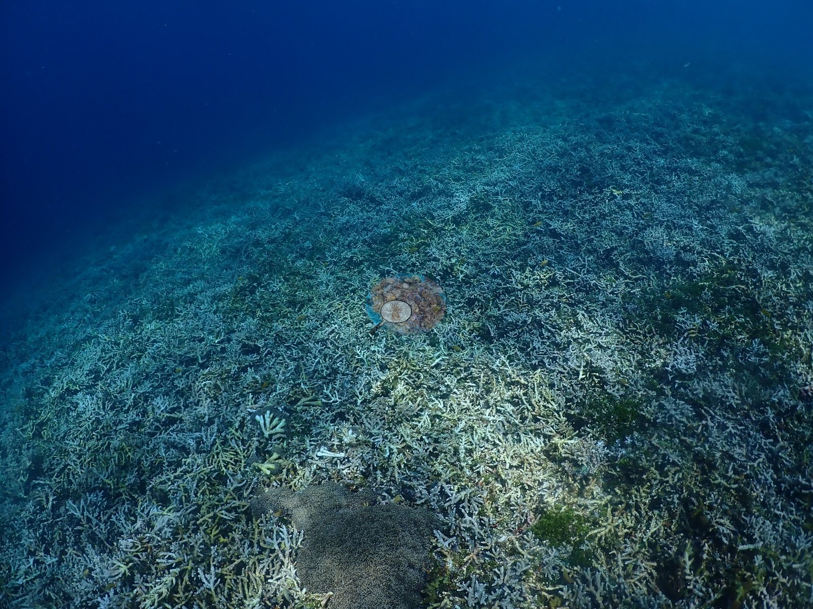
No dead or algae-covered skeleton was seen alongside the pale tissue, so this reads as active, recent, and partial rather than a completed mortality event. No disease, crown-of-thorns, or predation was seen anywhere in the 175 frames reviewed.
Fish and other fauna
A large sea cucumber crosses the sand (e.g., Image 6).
Comparisons with other data
No independent survey was made at this exact site; the nearest ones are listed in the table below.
Other notes
Two sharply different habitats in one 29 m dive, which is what drives the spread (Claude: 48% ± 26, range=0–100%). A diver's dive-computer check-in gesture opens the sequence and closes it again near the end, bracketing the dive.
CV model comparison
More info
DINOv3 and CoralSCOP were run on the same photos and are listed for comparison. Coralscapes v2 and v1 were also run but are not shown: Anderson does not consider Coralscapes reliable for these photos. No diver transect exists for this trip, so agreement between the rows is not accuracy, and as of September 2026 no computer-vision method estimates coral cover accurately on new images; treat every row as indicative.| Method | Hard-coral cover (%) |
|---|---|
| In-house DINOv3 | 31.1 |
| CoralSCOP unedited | 30.1 |
| Claude | 47.8 |
Independent surveys nearby
Within 5 km, 5 independent survey stations recorded hard coral cover in 2024. Surveys since 2021 average 43% (range 18–59%, n=6). This site's own estimate (48%) sits within the recent range (18–59%); the methods differ, so the comparison is context, not a like-for-like test.
Collected by other programs using different methods (MERMAID is a data platform: each MERMAID row names the organization that did the survey, and its method is in the row's hover text), so these are context for the figures above, not a like-for-like comparison. Where a station was surveyed more than once the range is shown. Station names are not dive-site names.
| Agency | Site / location | Date | Hard coral cover (%) | Distance | Link |
|---|---|---|---|---|---|
| WCS Indonesia via MERMAID | Lelei | 2024 | 18% | 0.00 km | Adiyoga D, Cholic O, Gunawan I, Rayhan A, Sutanto S, Syah L, Zulfikri M. 2024. Guraici MPA 2024. MERMAID |
| WCS Indonesia via MERMAID | Guraici | 2024 | 34% | 1.11 km | Adiyoga D, Cholic O, Gunawan I, Rayhan A, Sutanto S, Syah L, Zulfikri M. 2024. Guraici MPA 2024. MERMAID |
| WCS Indonesia via MERMAID | Shark Point | 2024 | 59% | 1.52 km | Adiyoga D, Cholic O, Gunawan I, Rayhan A, Sutanto S, Syah L, Zulfikri M. 2024. Guraici MPA 2024. MERMAID |
| WCS Indonesia via MERMAID | Joronga | 2024 | 55% | 2.04 km | Adiyoga D, Cholic O, Gunawan I, Rayhan A, Sutanto S, Syah L, Zulfikri M. 2024. Guraici MPA 2024. MERMAID |
| WCS Indonesia via MERMAID | Pulau Kelo | 2024 | 45% (9 surveys) | 4.66 km | Adiyoga D, Cholic O, Gunawan I, Rayhan A, Sutanto S, Syah L, Zulfikri M. 2024. Guraici MPA 2024. MERMAID |
Data & links
All images from Coral Reef Diagnostics. Data are from Coral Reef Diagnostics and the organizations named in the data-sources table above.
© Coral Reef Diagnostics.