
Indonesia - Halmahera: Maitara North
Part of the regional summaries: Indonesia - Halmahera and Indonesia - Maluku
More info
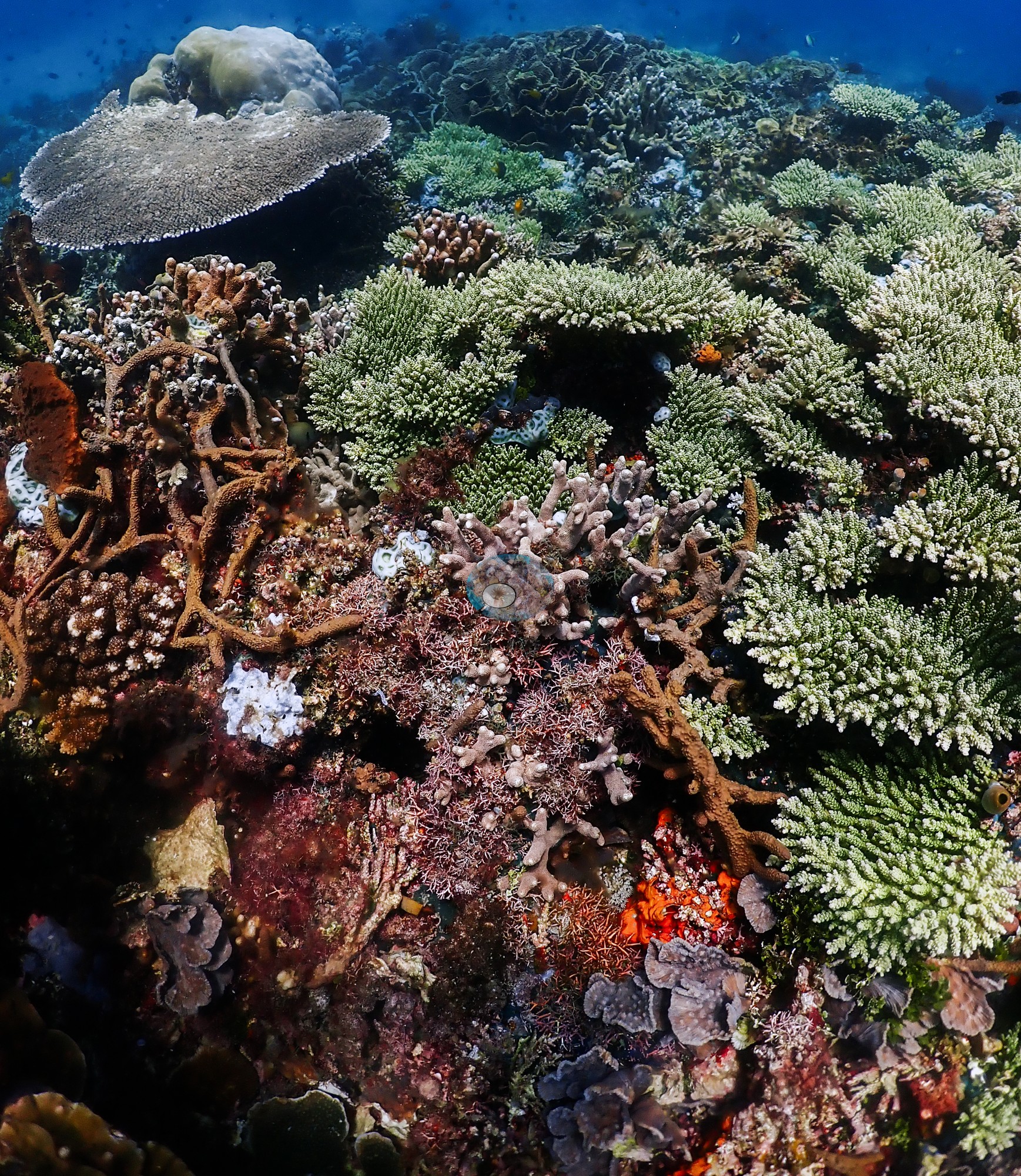
North Maluku (NOAA CRW virtual station)Maitara North is built around a shingled tower of whorled Montipora plate coral running unbroken into blue water, above a sponge- and coralline-dominated pavement ridge and a sand apron holding a large mottled giant clam. No bleaching, crown-of-thorns starfish (COTS), or disease observed; sediment sits in many plate cups. A blind Claude computer-vision point count puts coral cover around 33%.
Maitara North terbangun di sekitar menara bersusun dari karang lembaran Montipora melingkar yang menurun tanpa putus ke perairan biru, di atas punggungan hamparan yang didominasi spons dan alga koralin serta hamparan pasir yang menampung satu kima raksasa berbercak besar. Tidak teramati pemutihan, bintang laut mahkota duri, maupun penyakit; sedimen mengendap di banyak cawan karang lembaran. Penghitungan titik buta visi komputer Claude memperkirakan tutupan karang sekitar 33%.
Terjemahan ringkasan ini oleh AI; versi bahasa Inggris yang berlaku.
Three independent survey stations shown with the program’s logo — click one to see how far it is from this site.
22 of these 54 photographs are shown beside the text that discusses them under "Site description" below.
Site description
Setting
Maitara North is the north side of the small volcanic cone of Maitara, the island that sits in the strait between Ternate and Tidore, dived on 9 August 2026 during the Halmahera crossing aboard the liveaboard Ambai (Wallacea Dive Cruises).
General benthic features
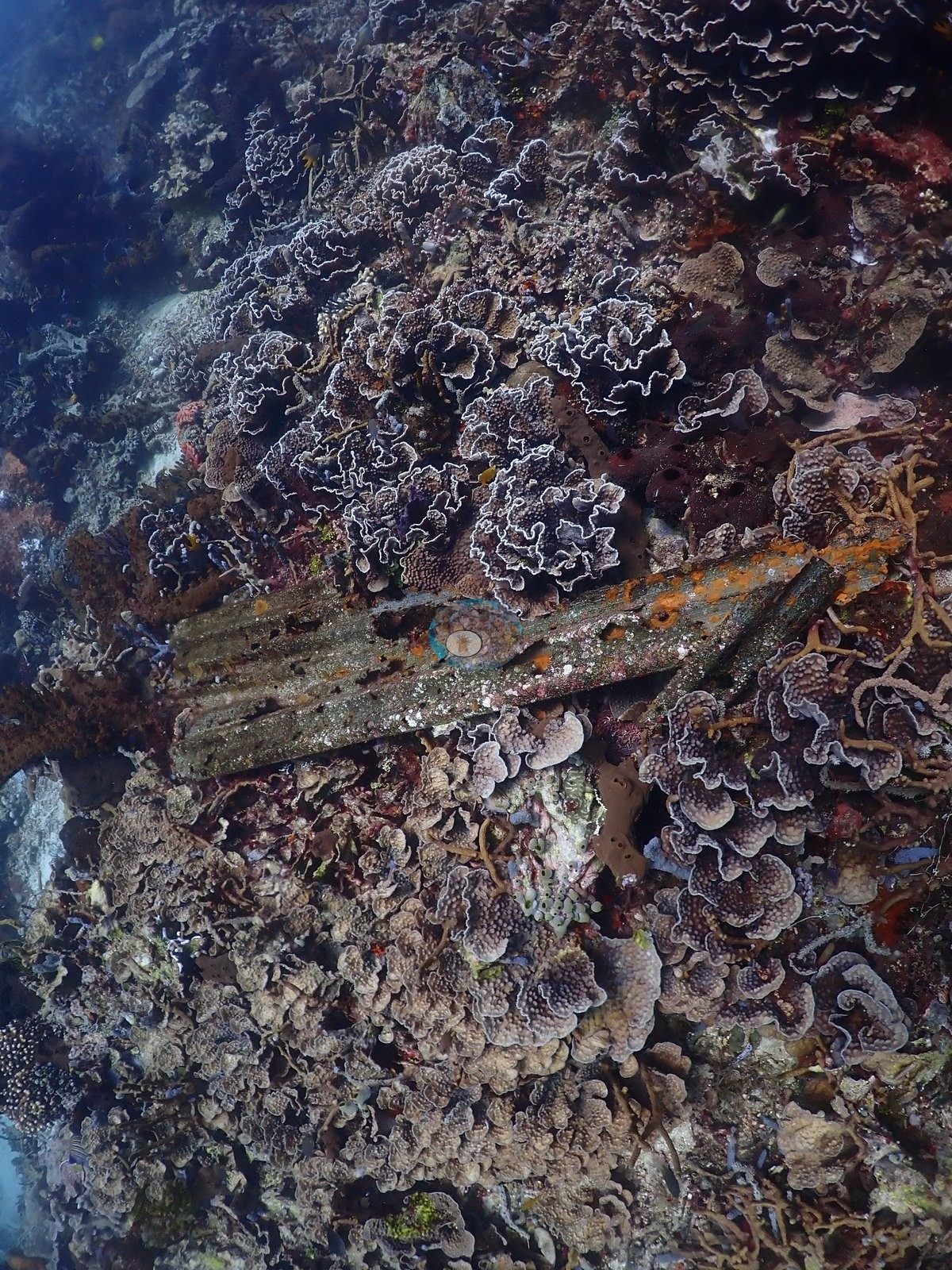
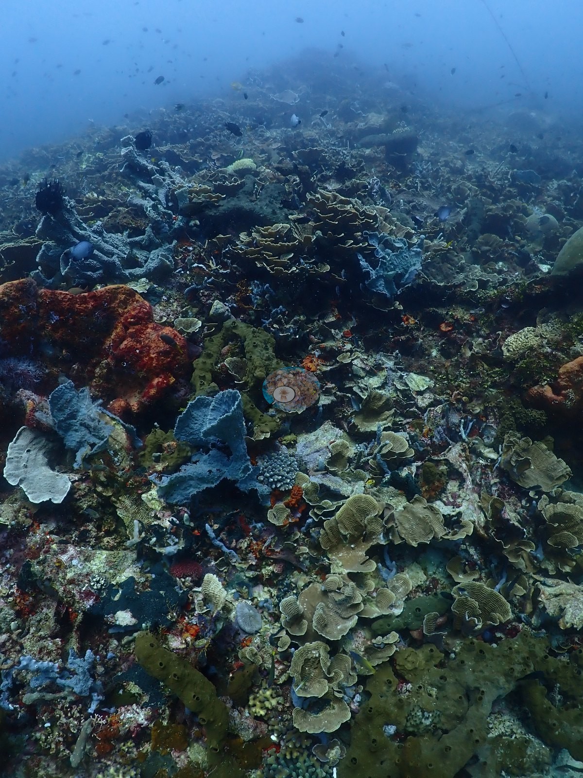
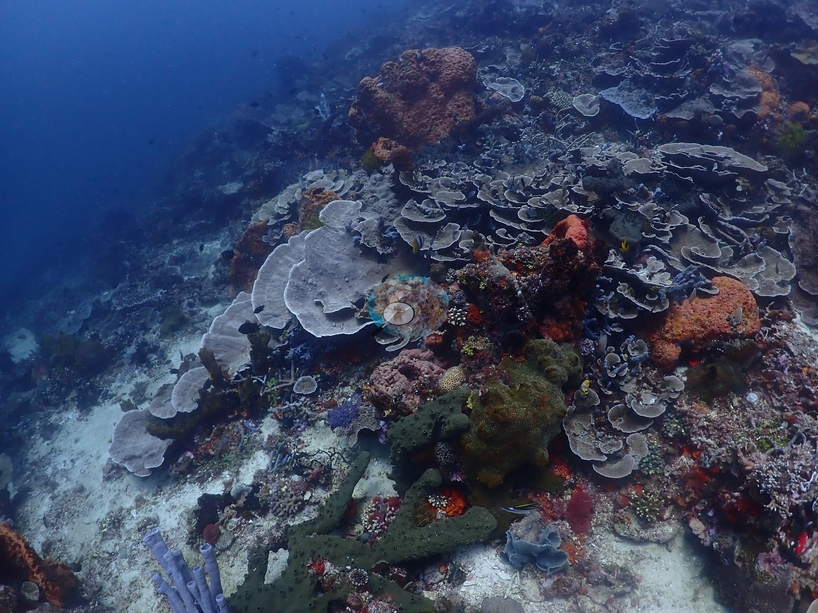
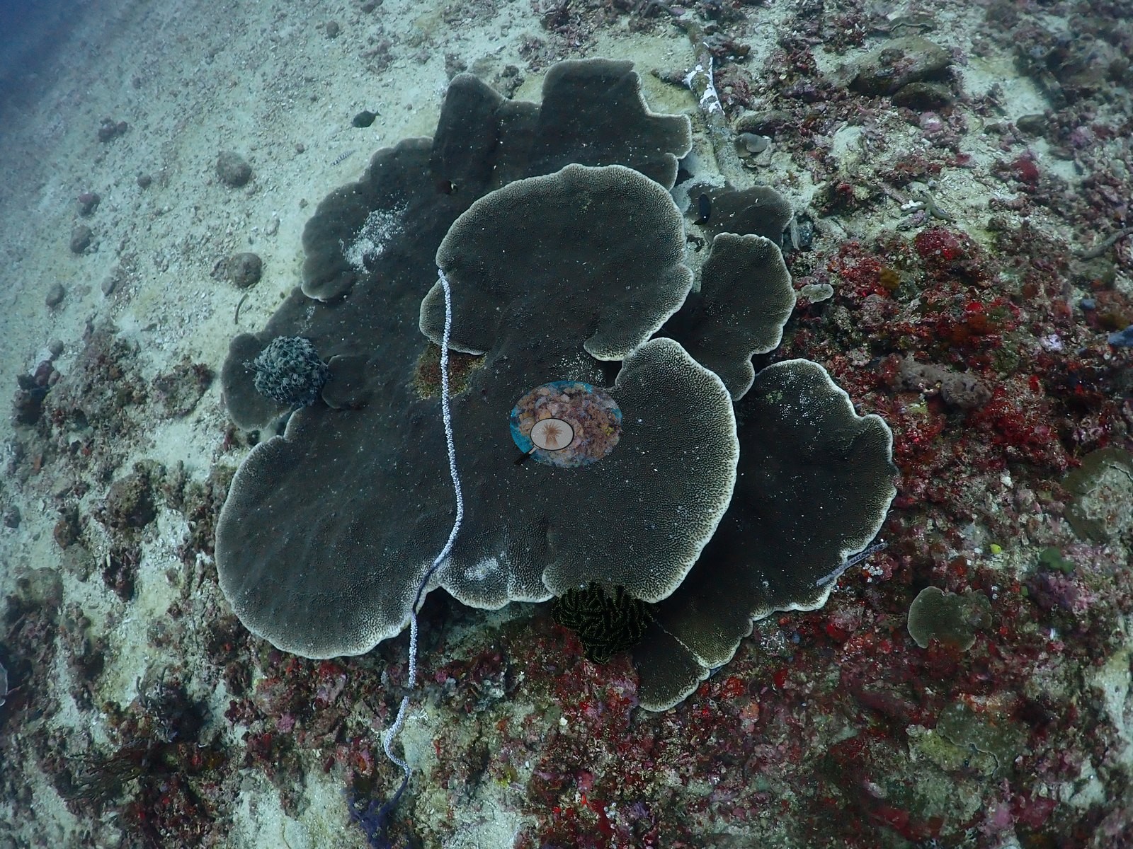
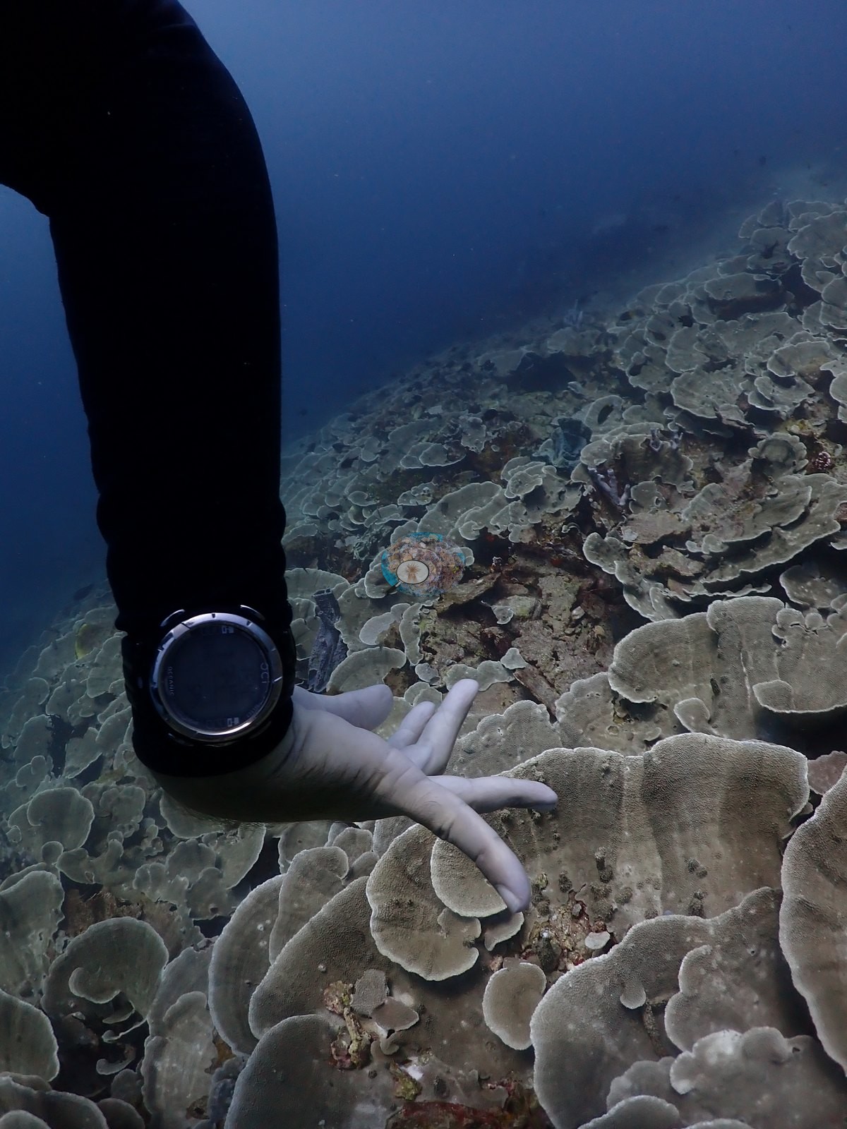
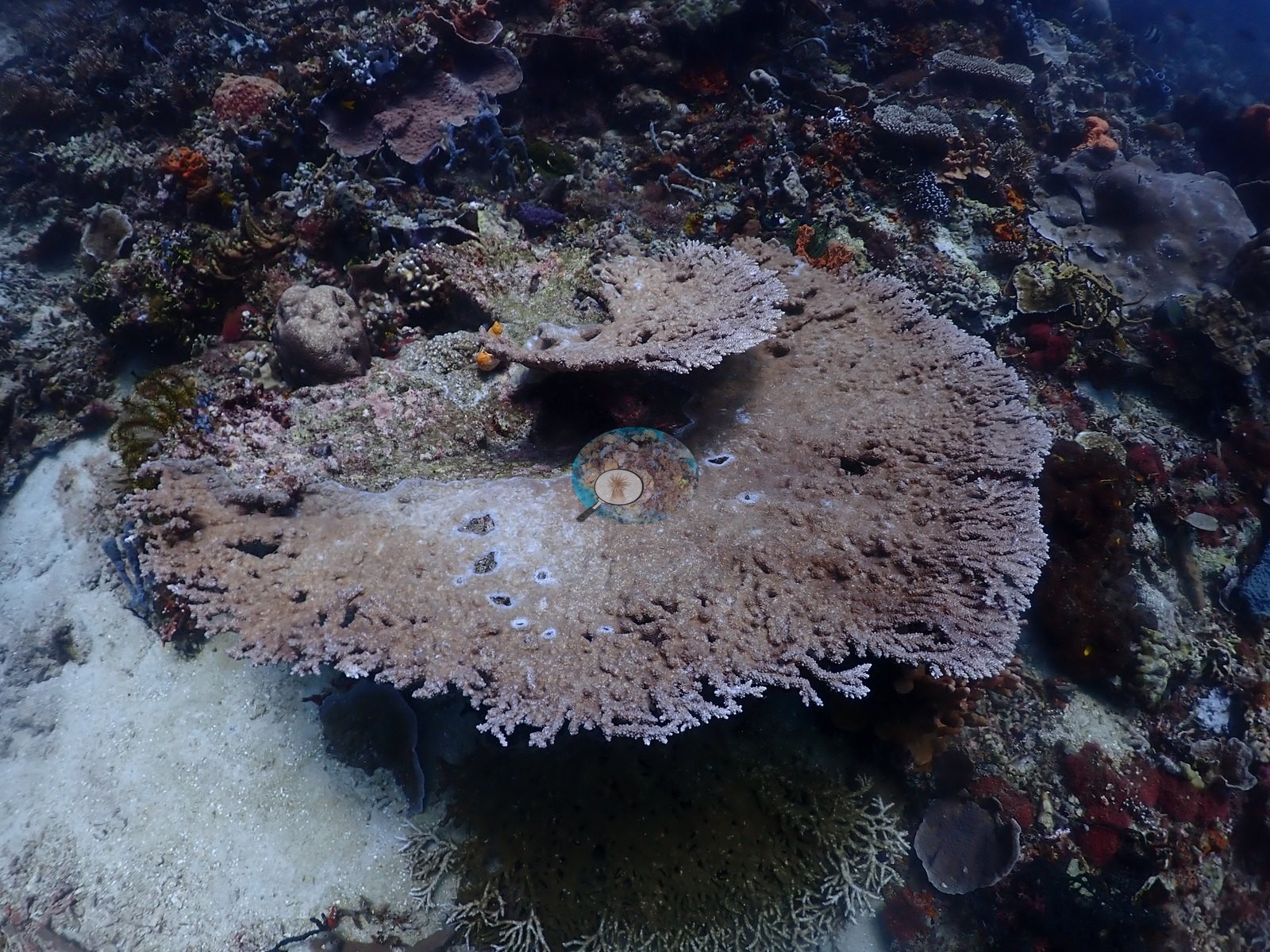
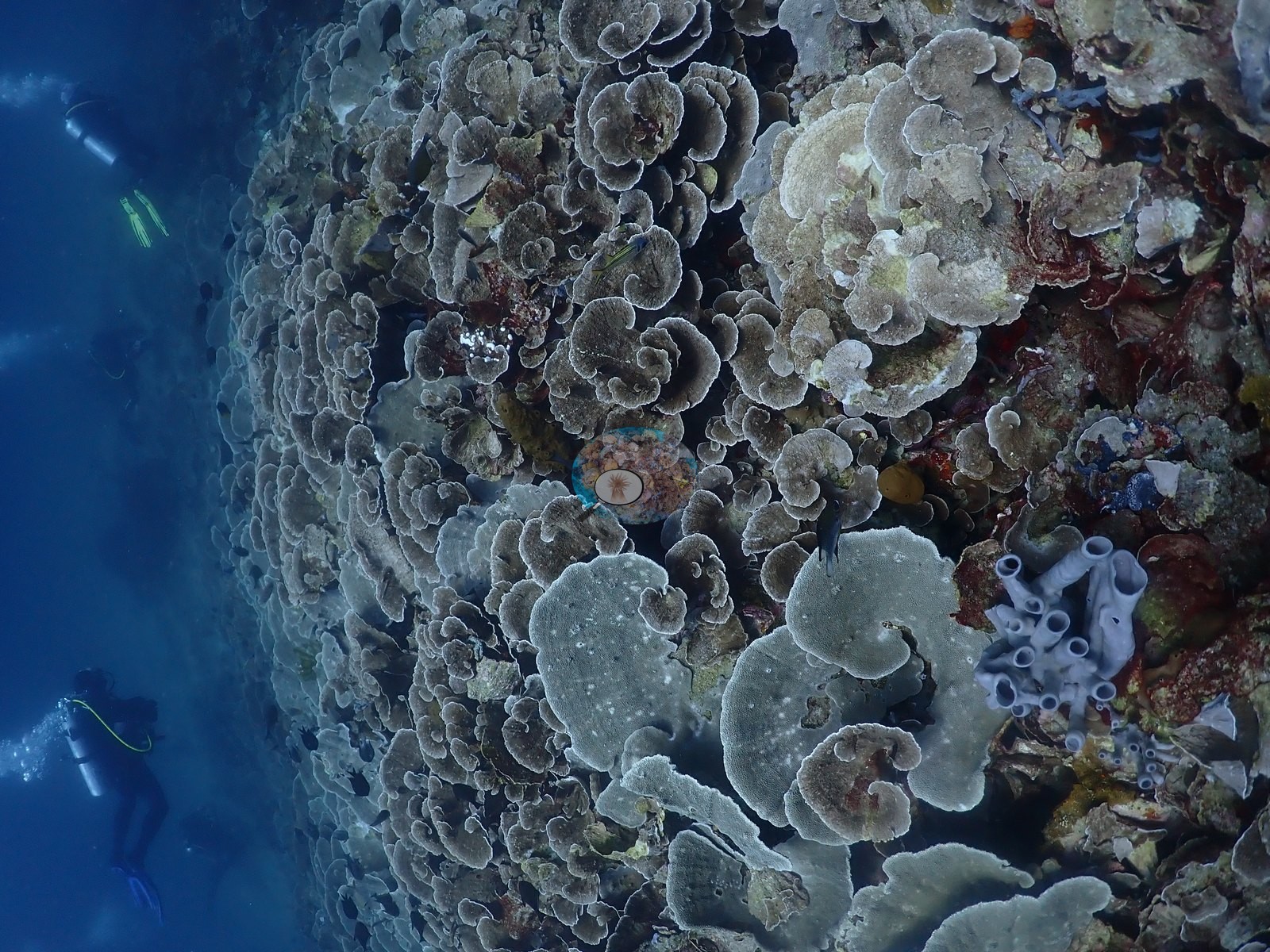
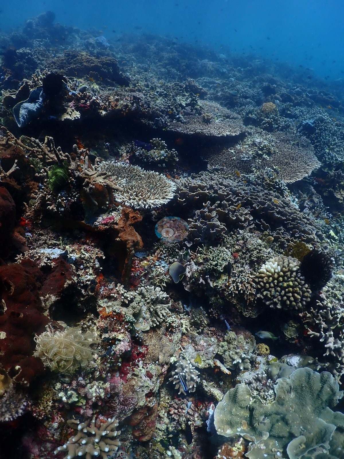
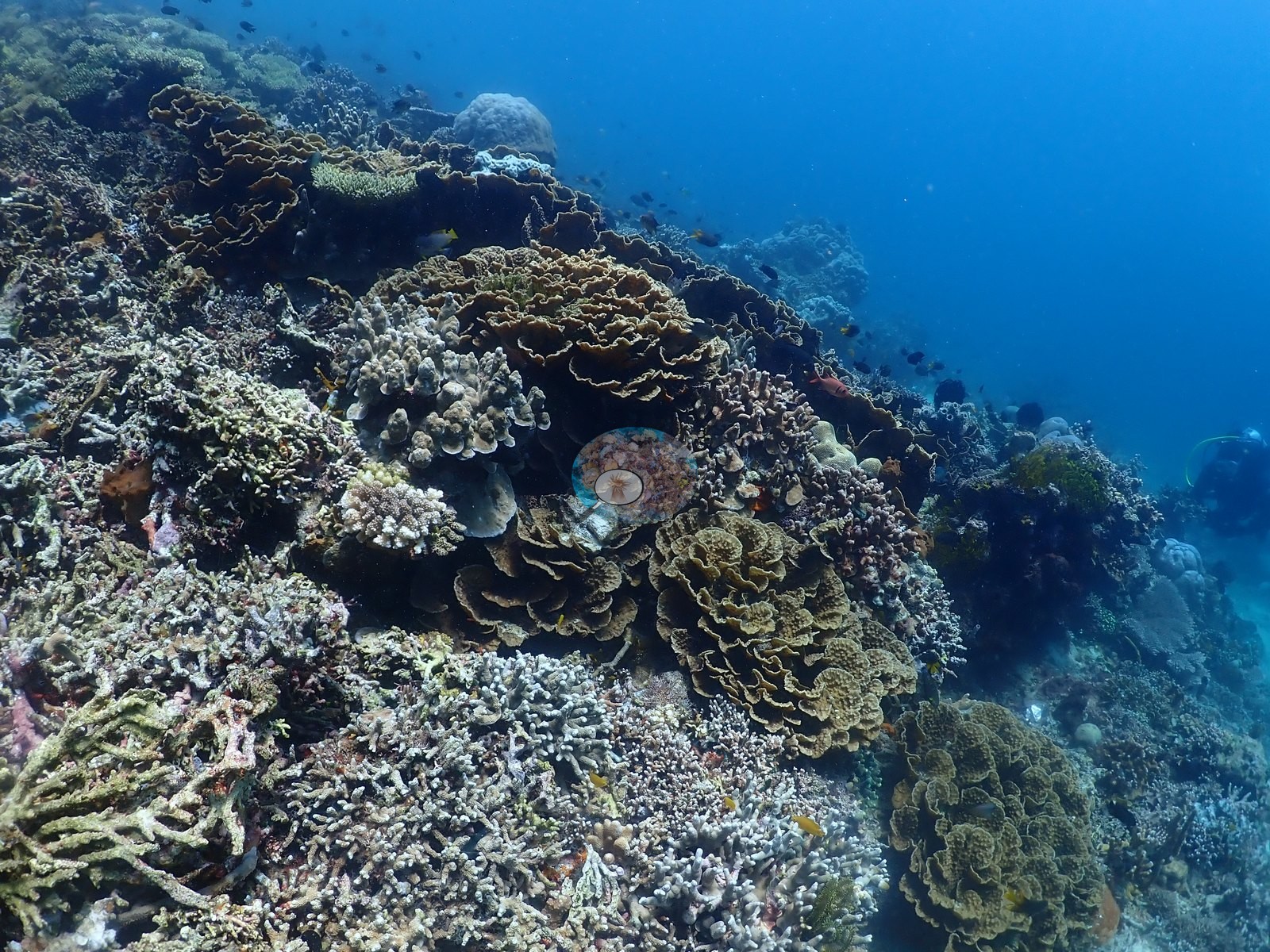
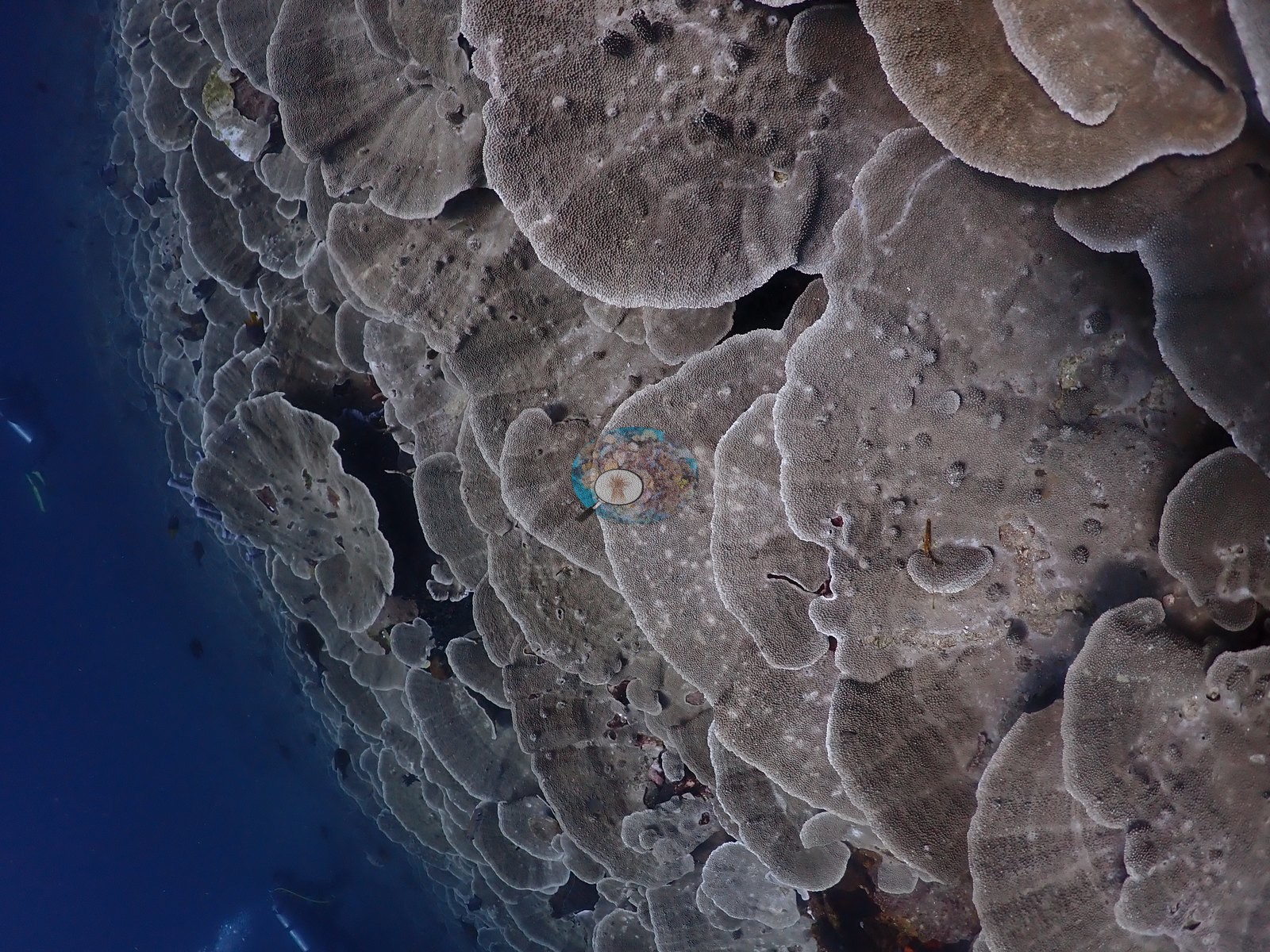
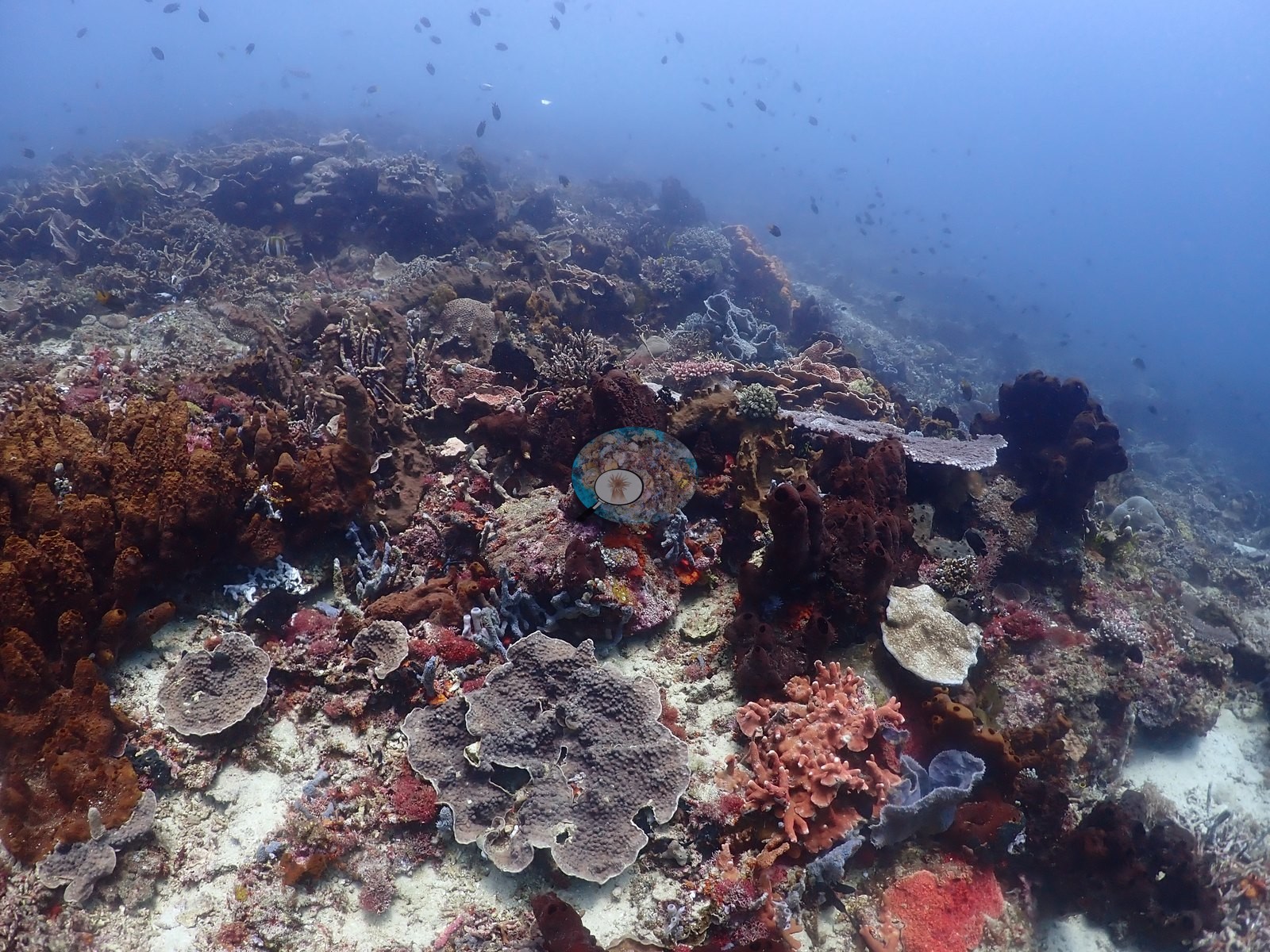
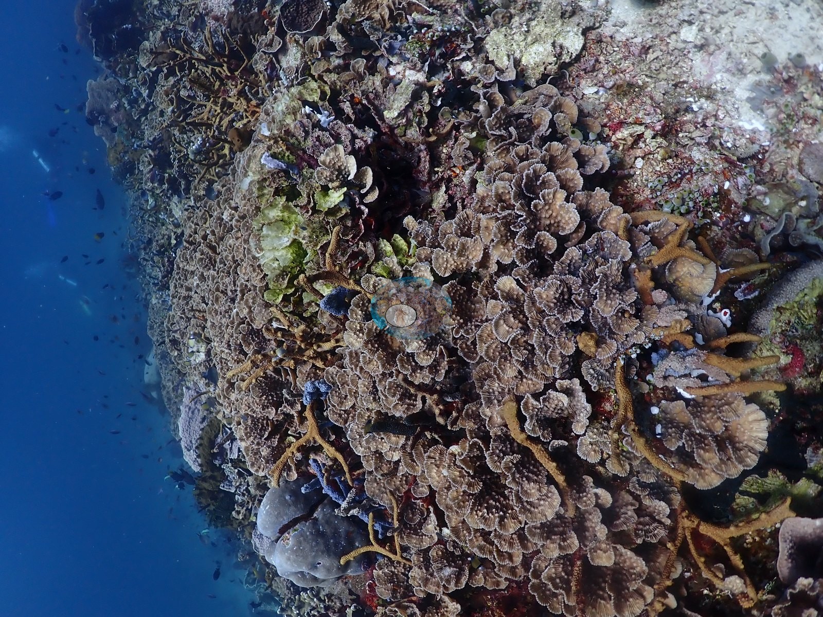
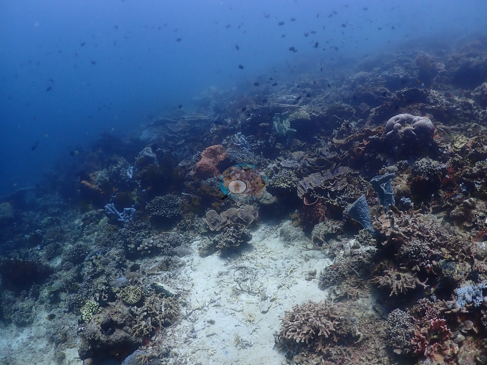
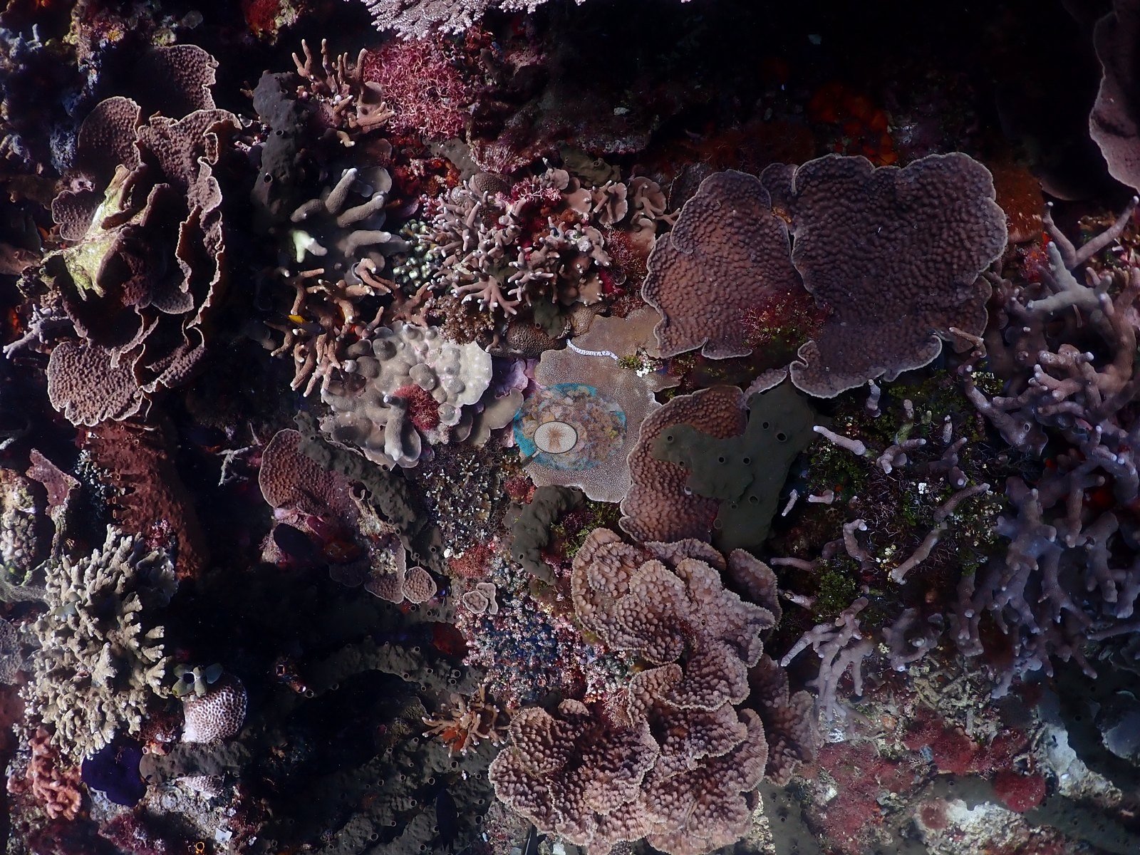
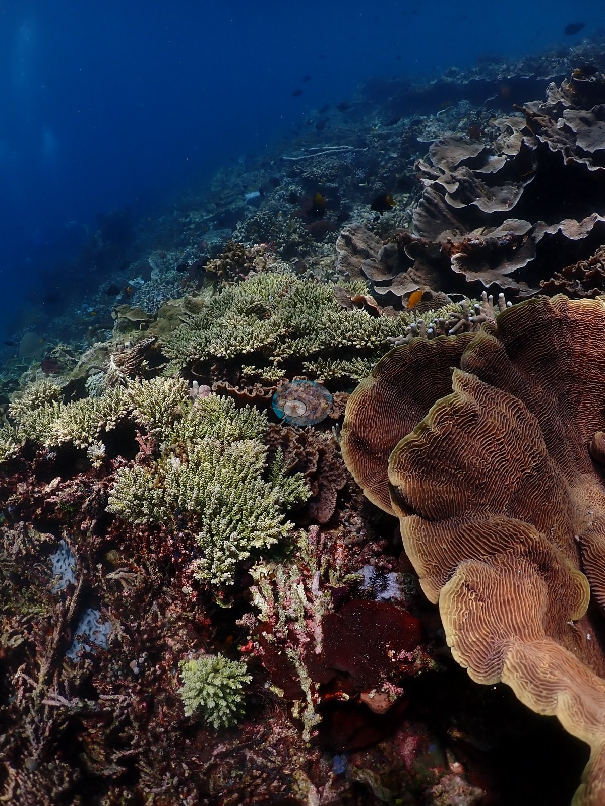
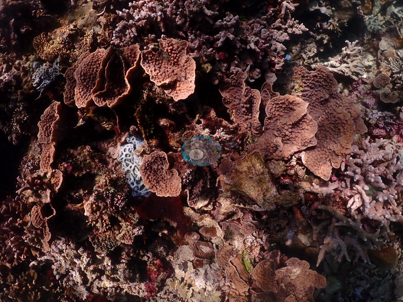
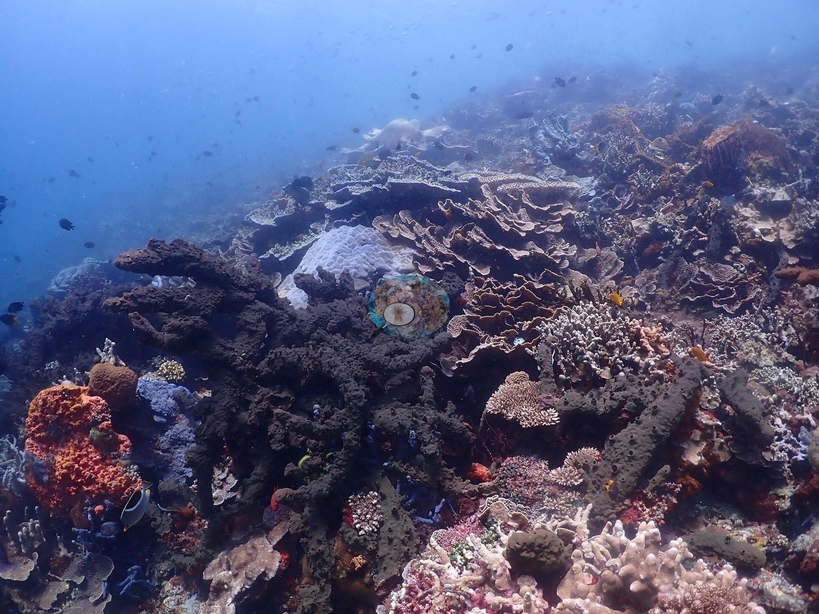
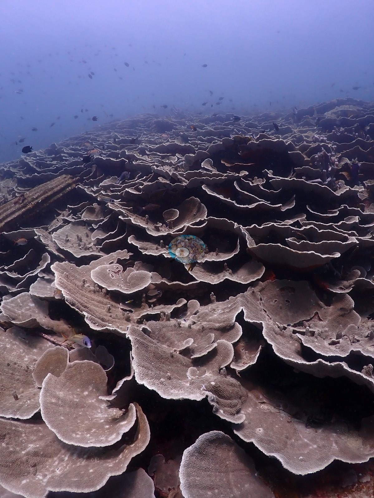
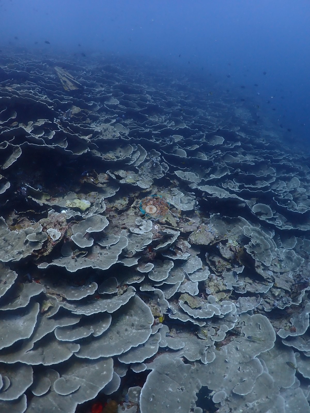
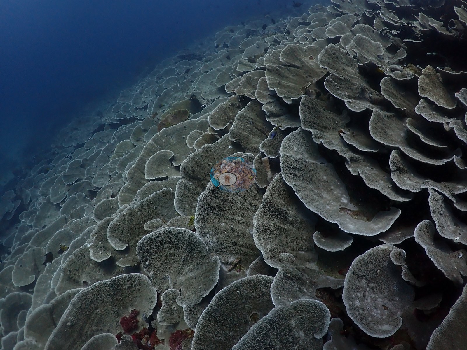
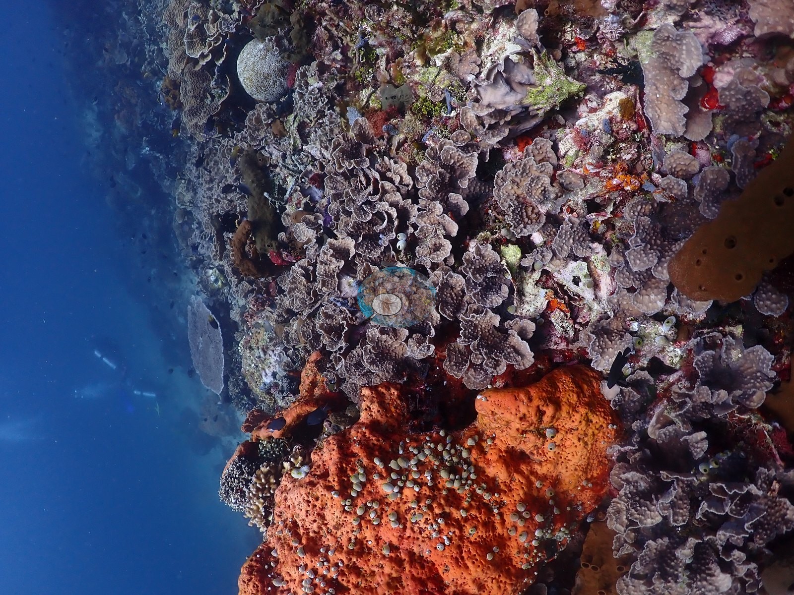
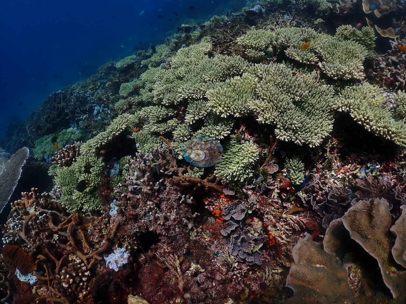
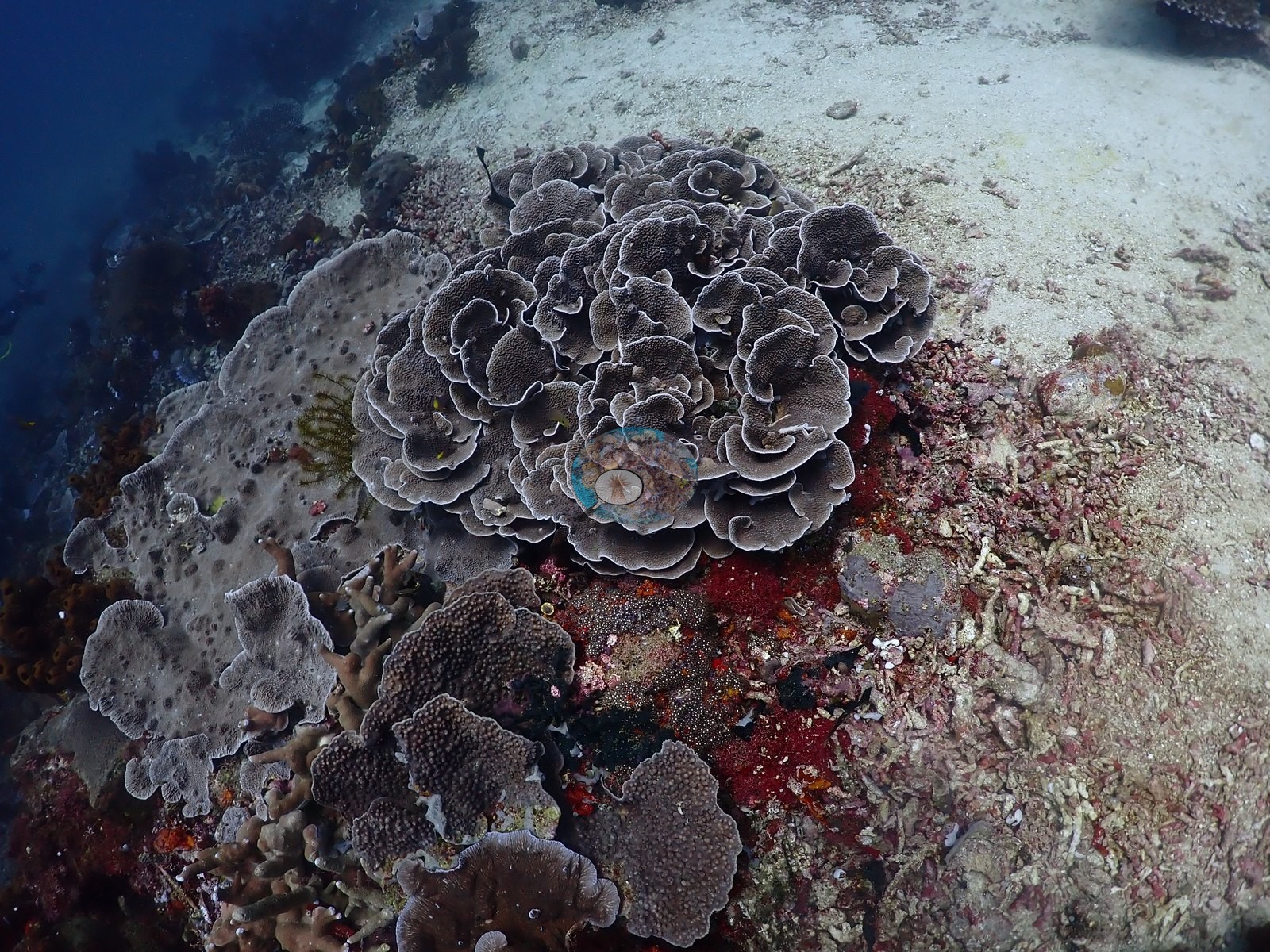
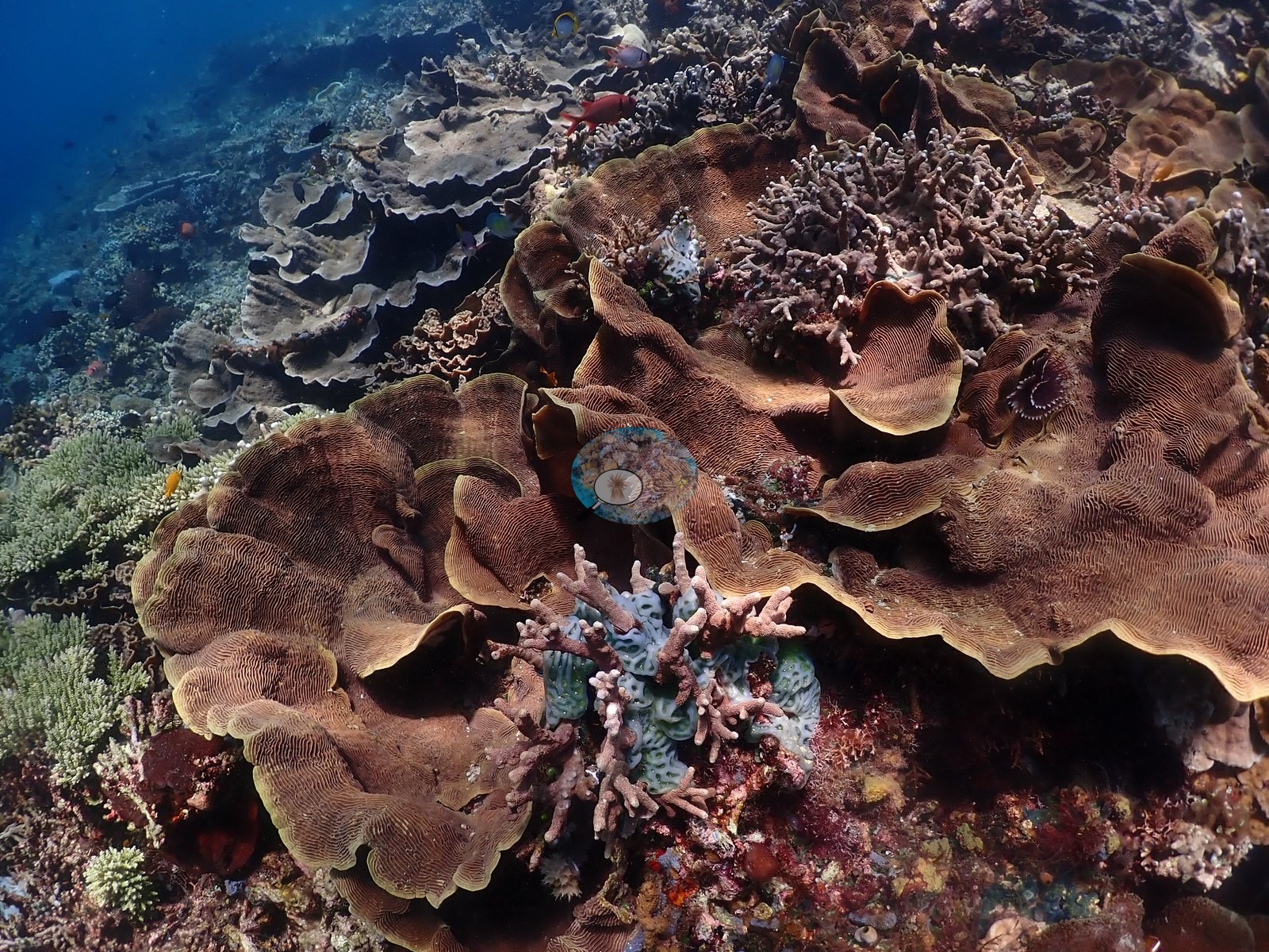
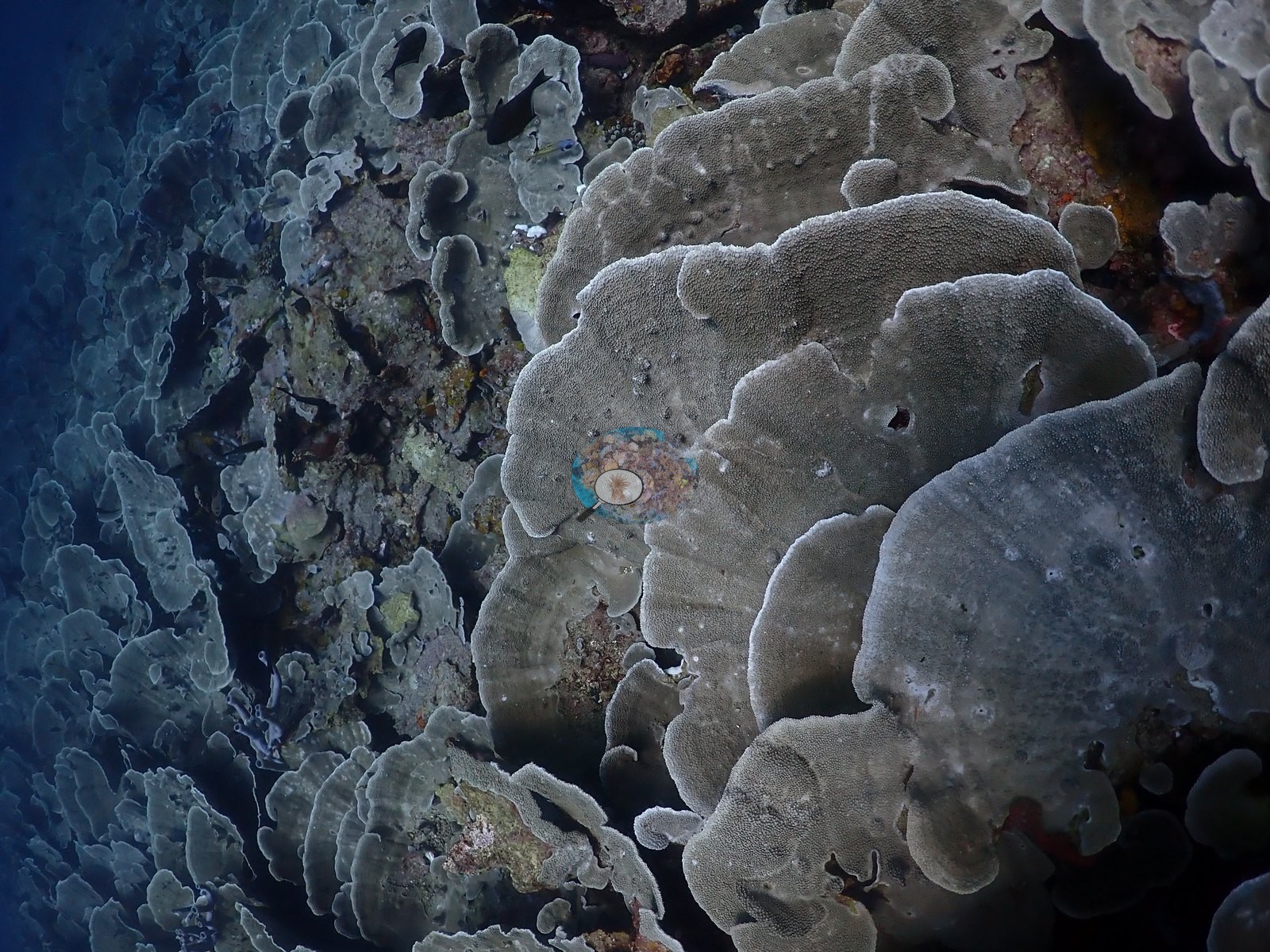
The habitats. The dive is built around a shingled foliose plate field that covers whole faces of the slope, tier on tier of thin, whorled, up-turned plates consistent with Montipora (M. aequituberculata/foliosa-type) with Echinopora lamellosa-type colonies mixed in — in several frames it is the only thing in the picture, running unbroken from the foreground into blue water, which is exactly the "shingling tower" of the field note (e.g., Image 14, Image 15, Image 40, Image 41).
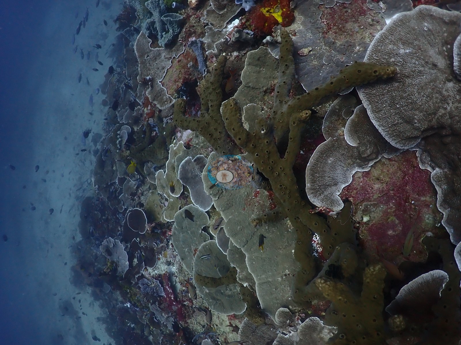
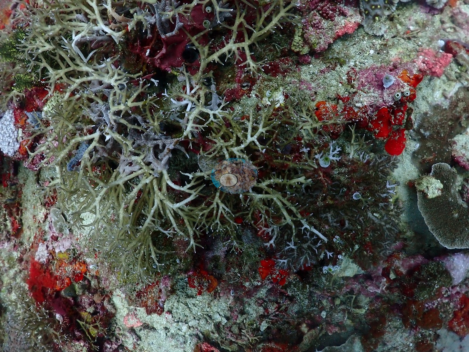
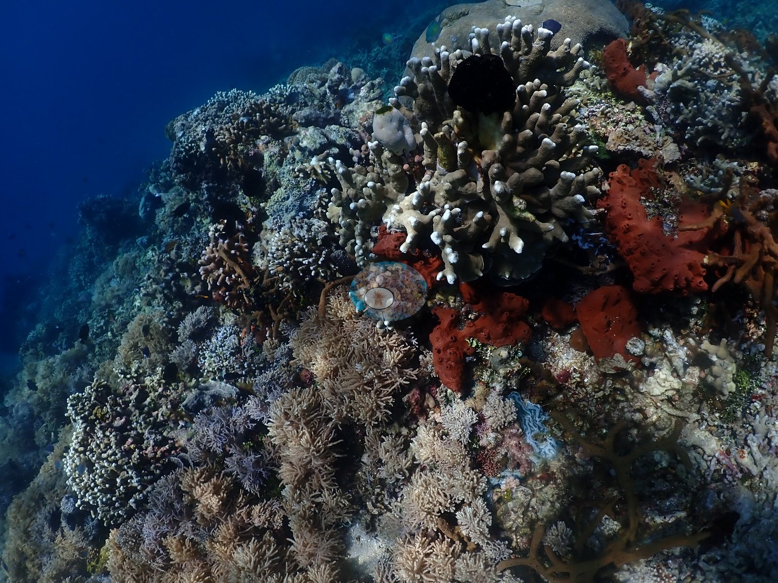
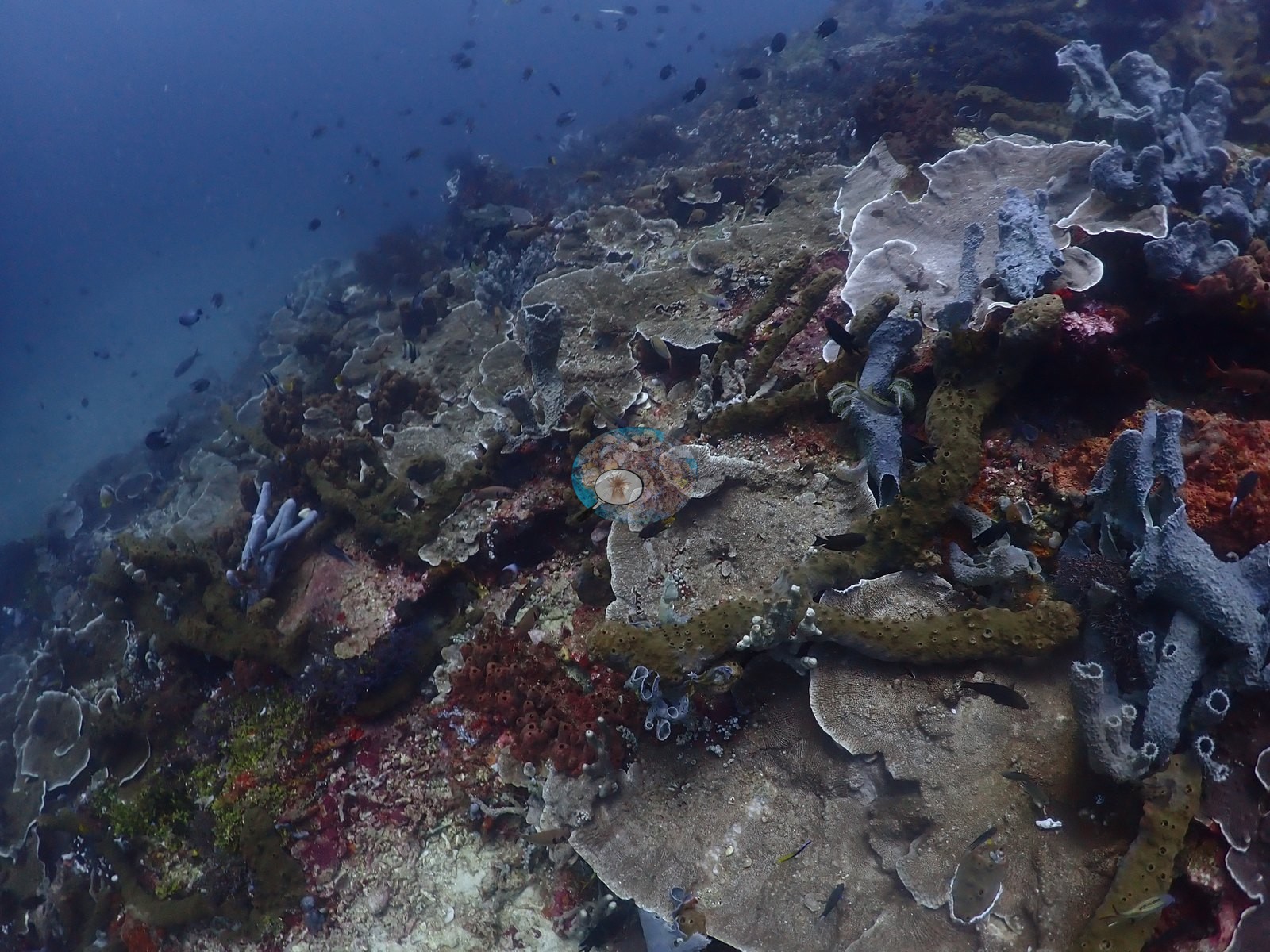
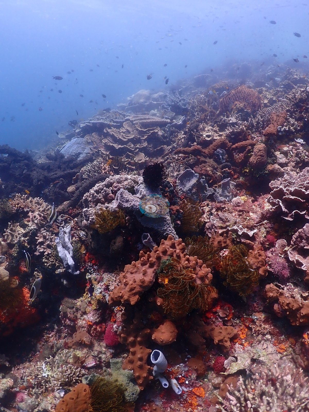
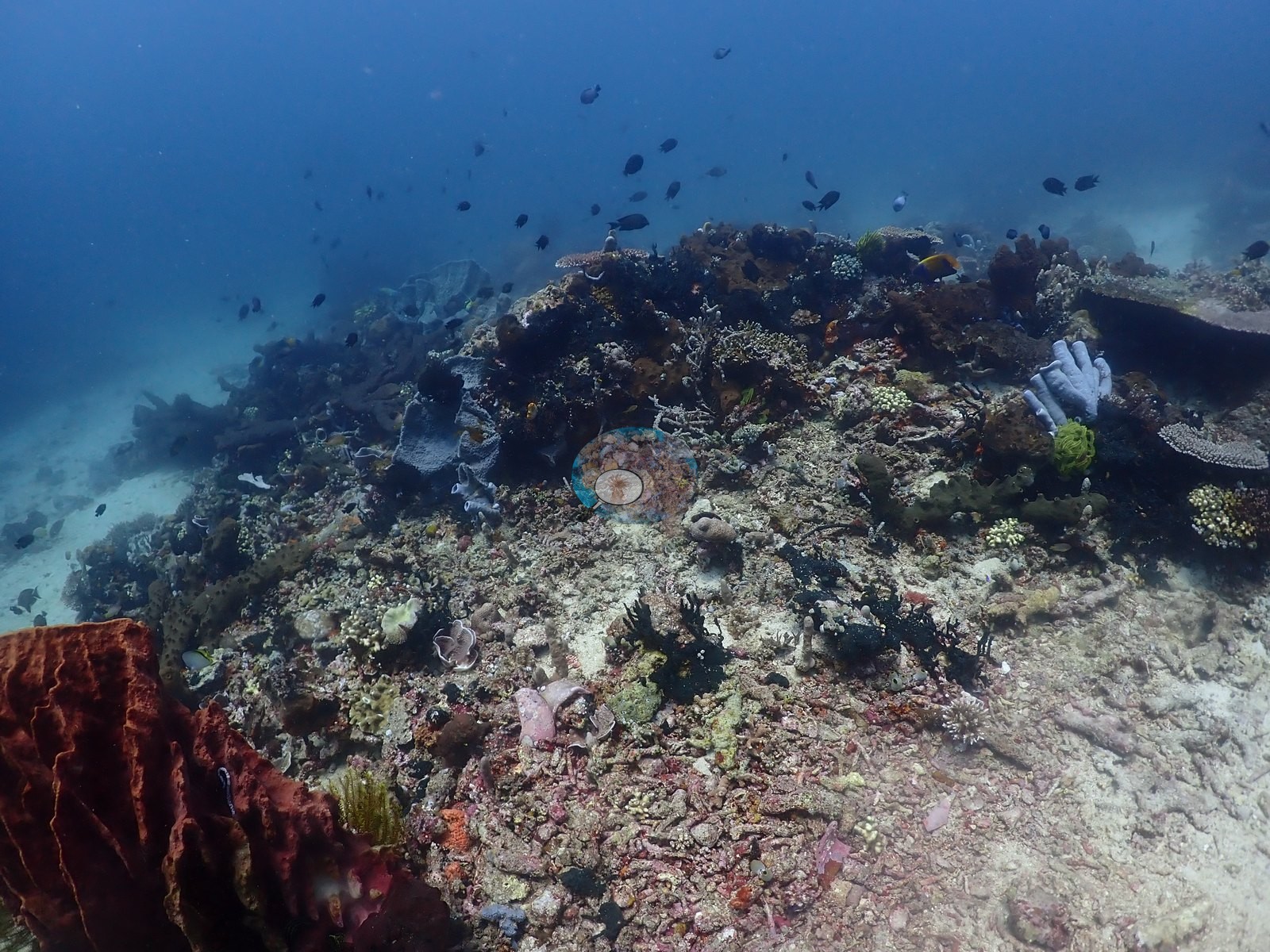
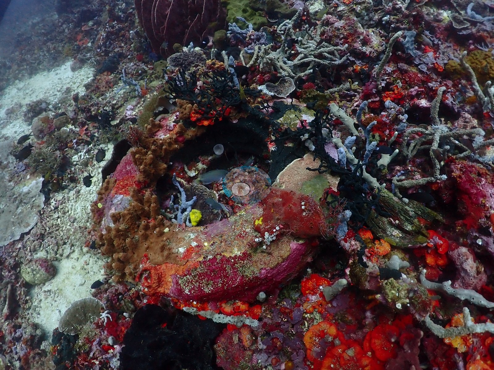
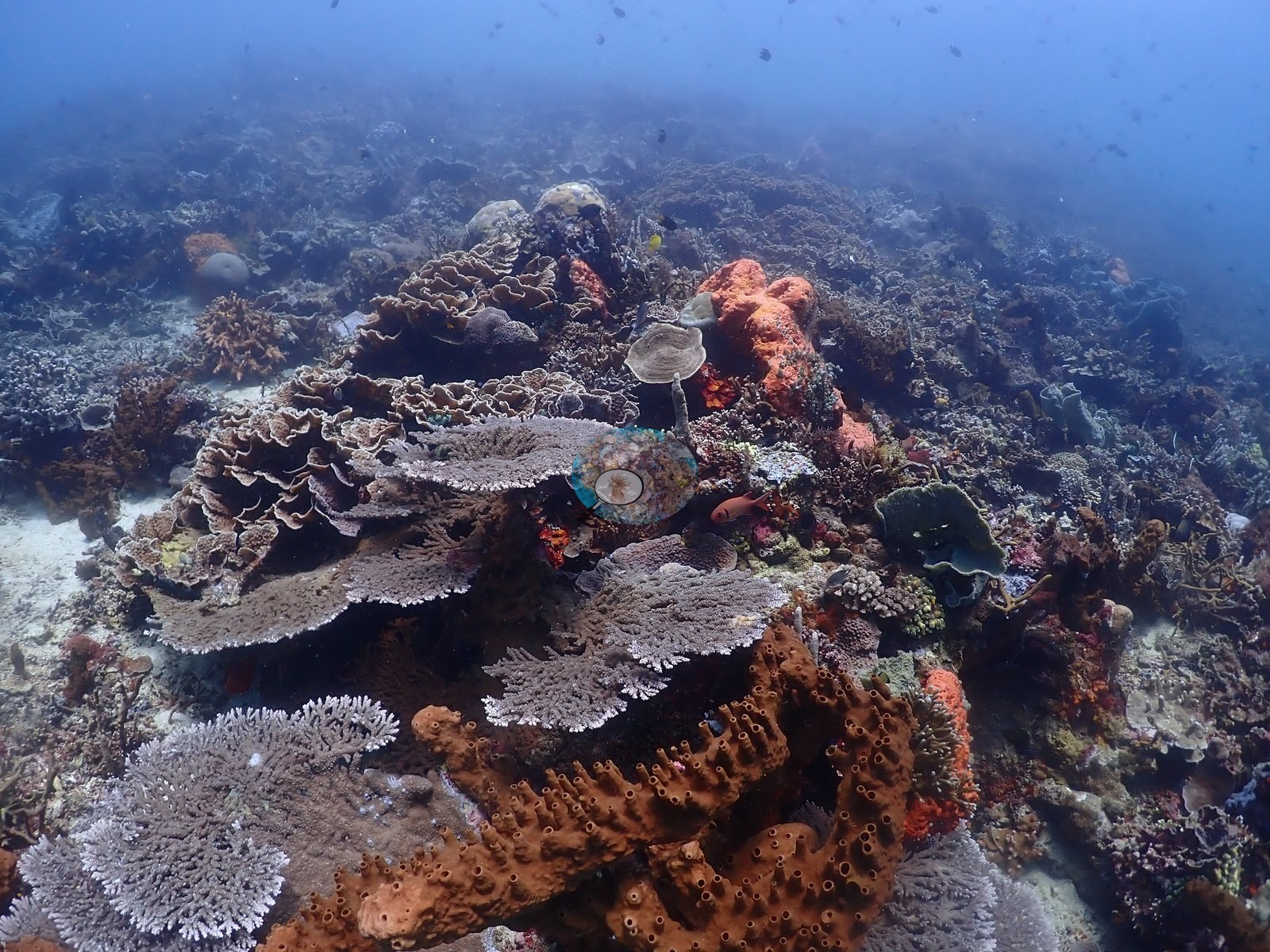
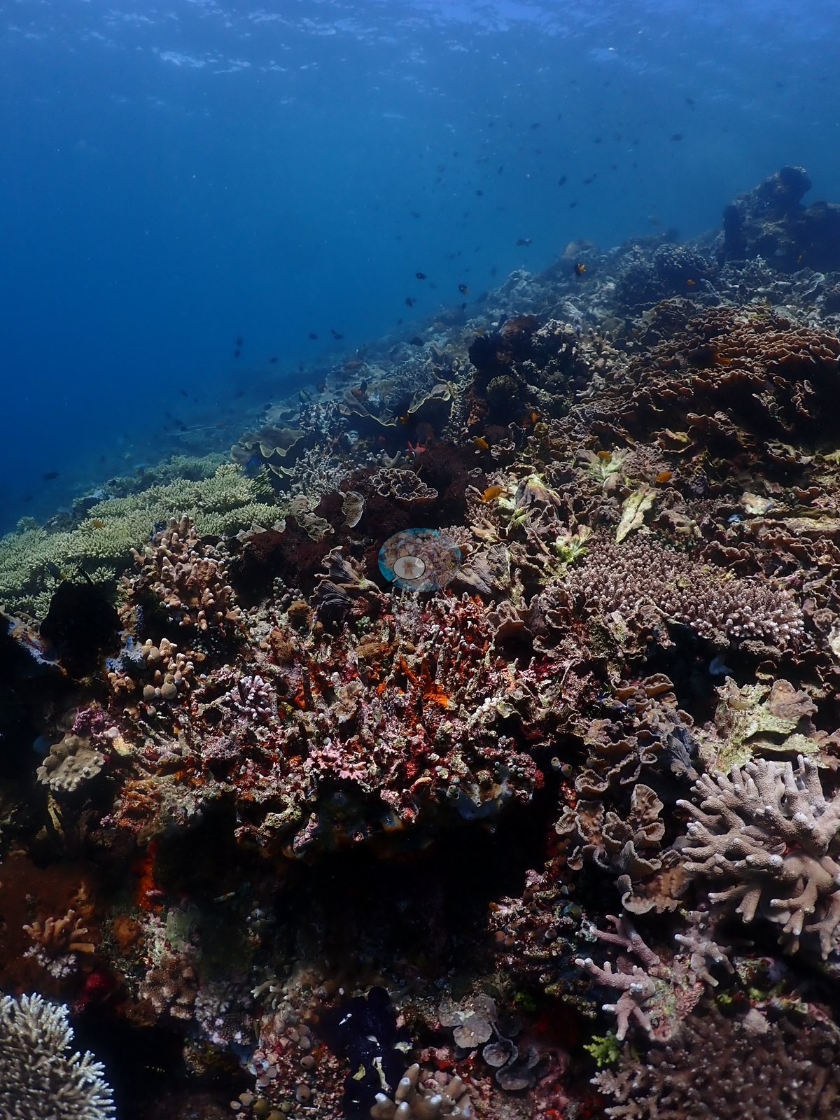
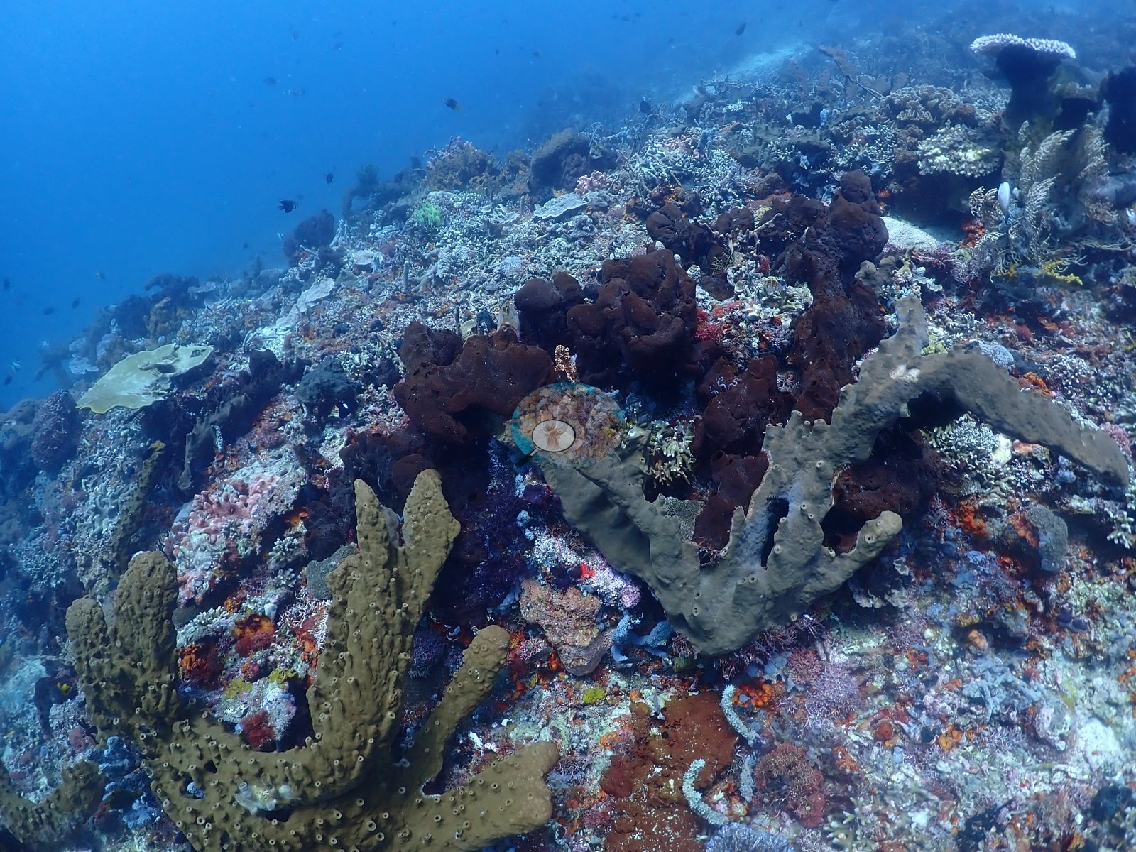
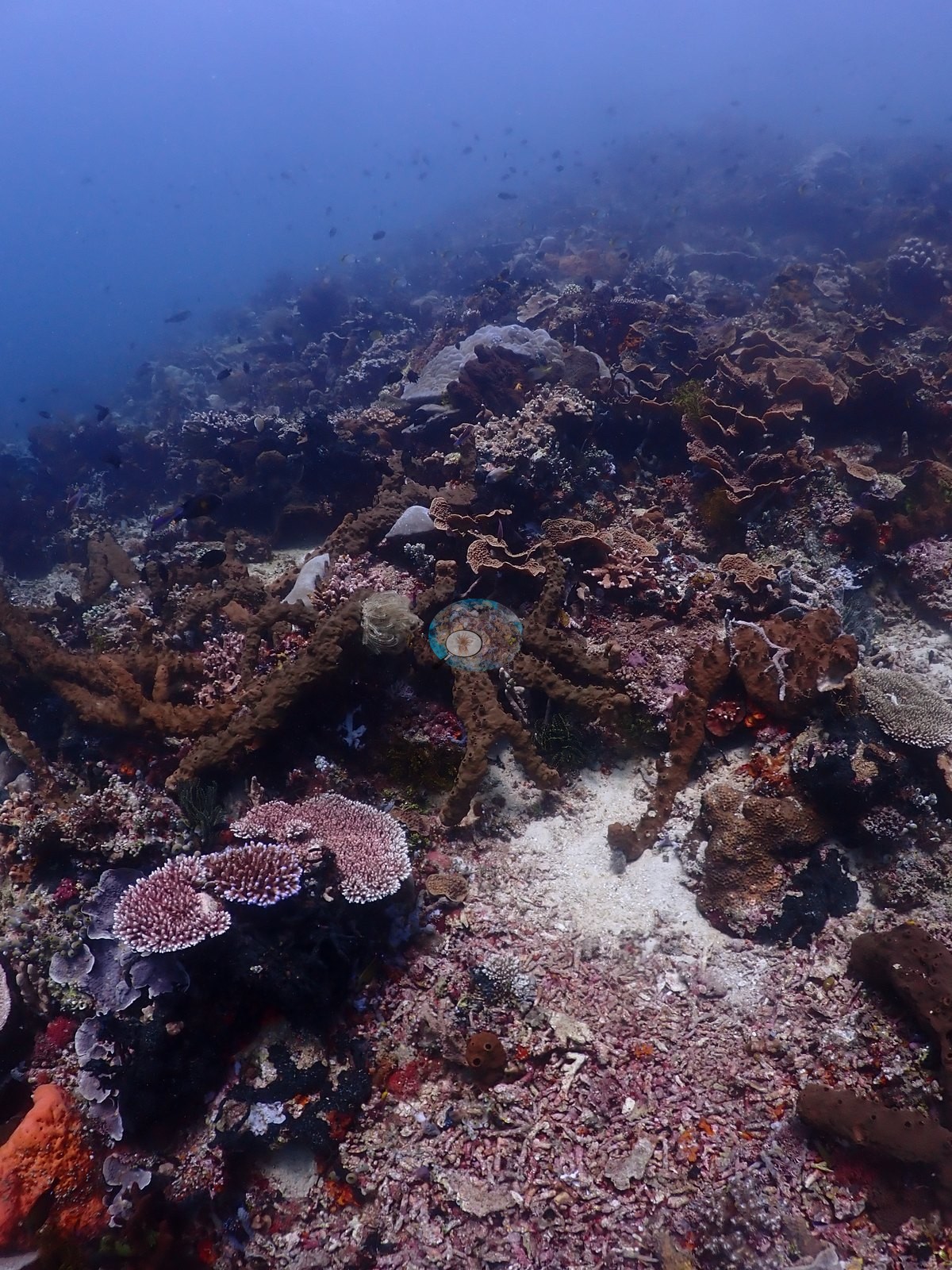
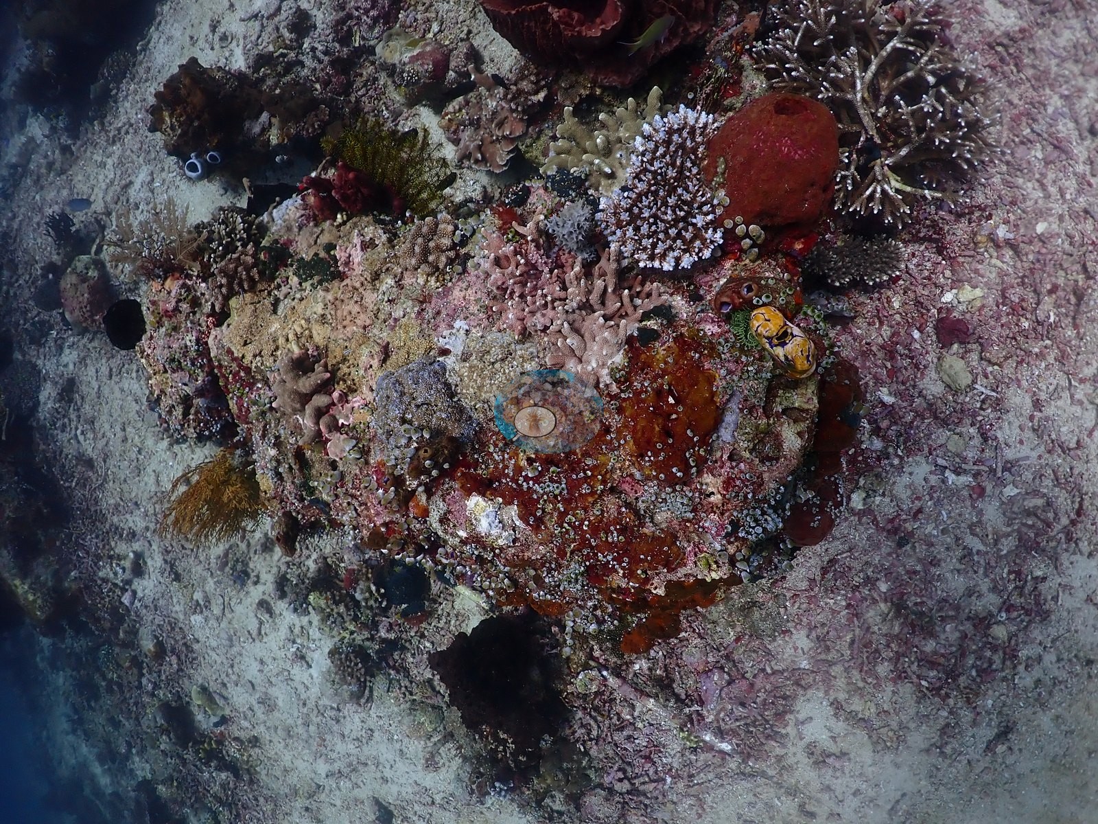
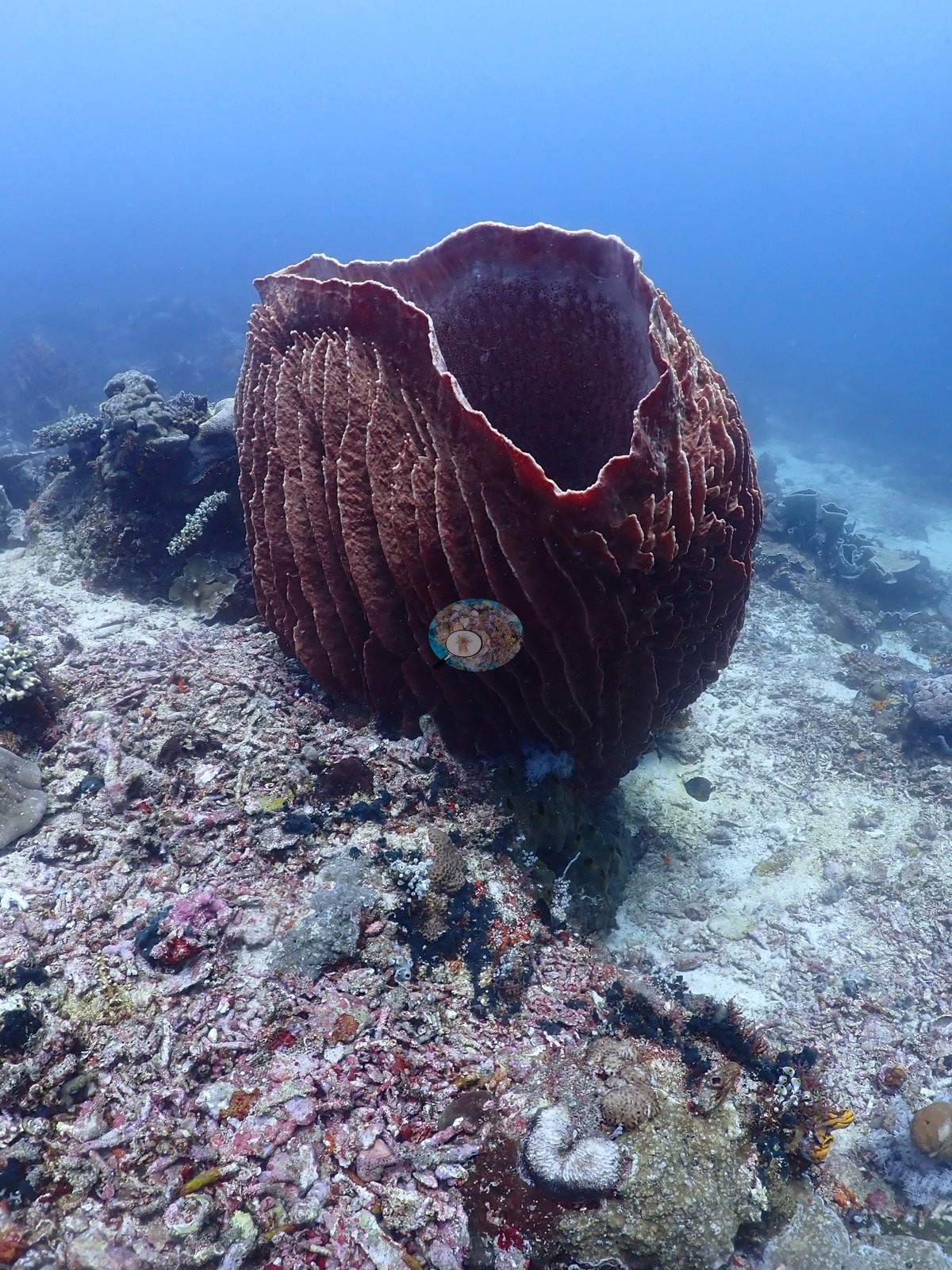
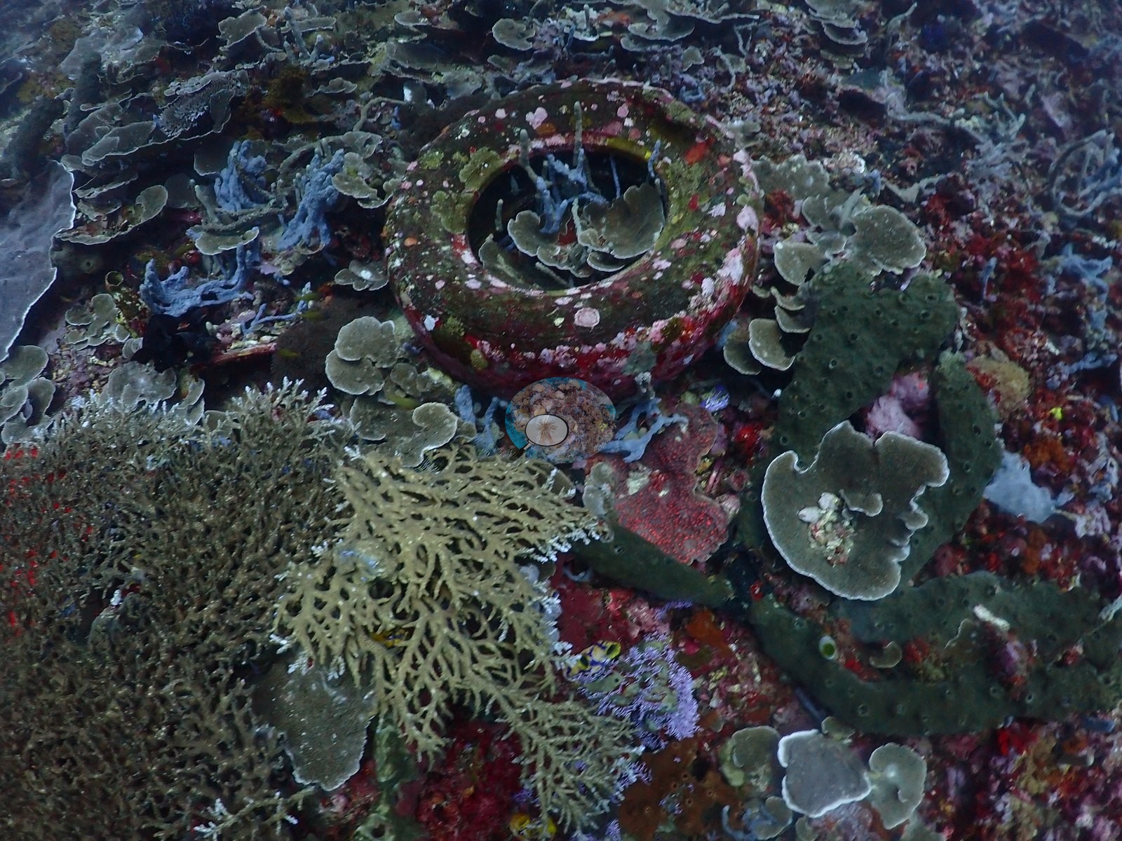
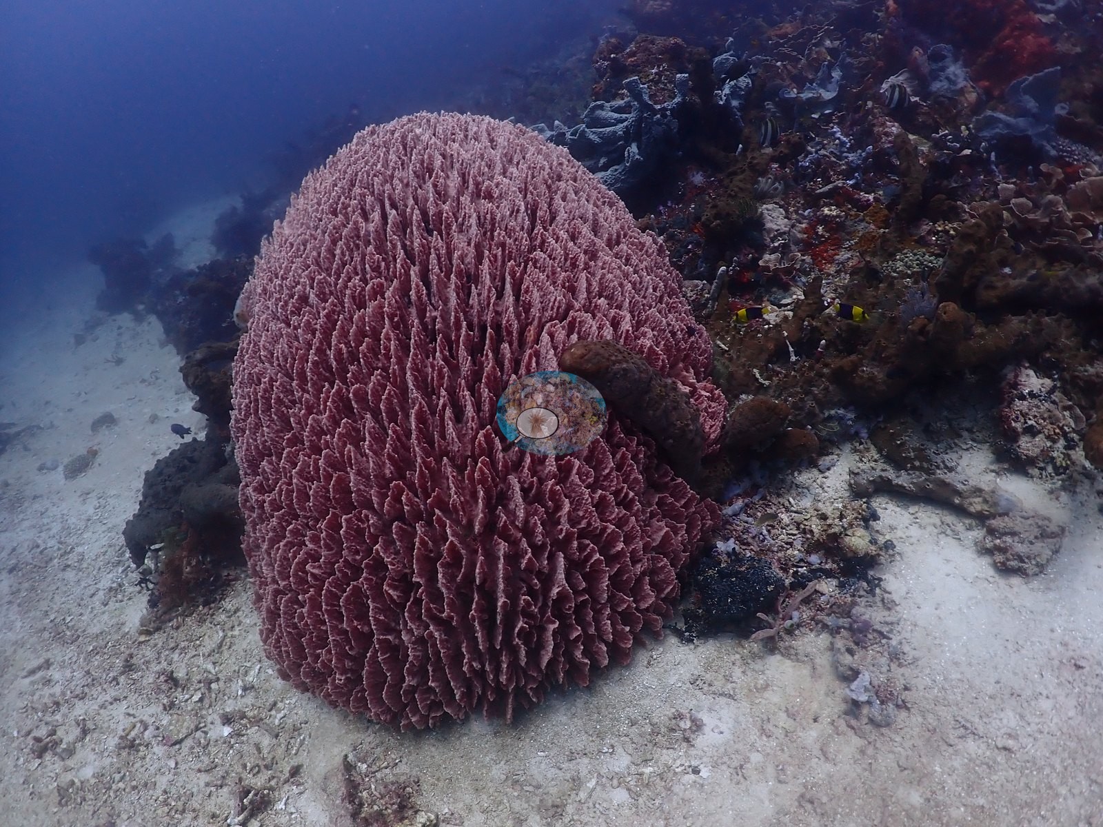
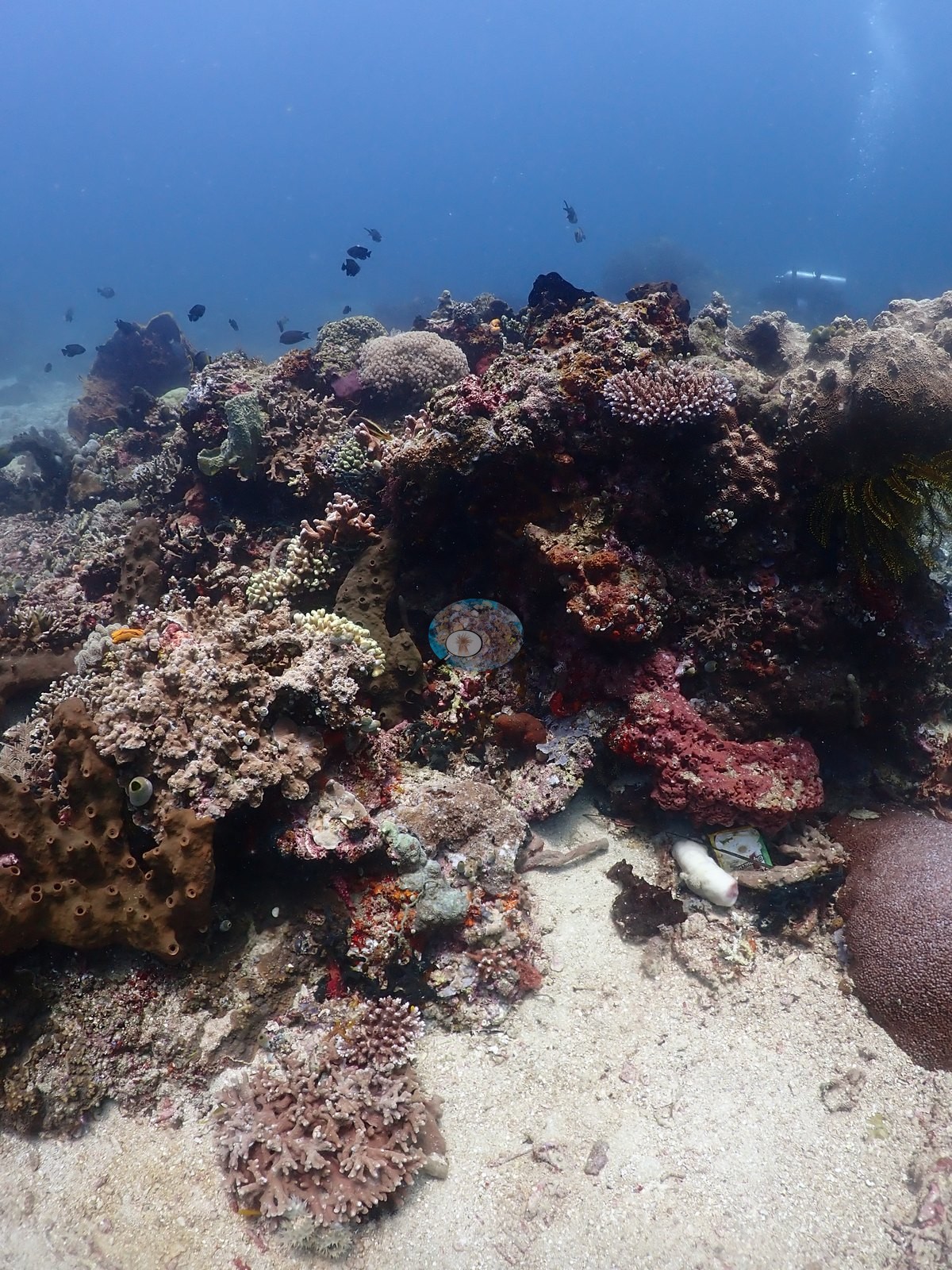
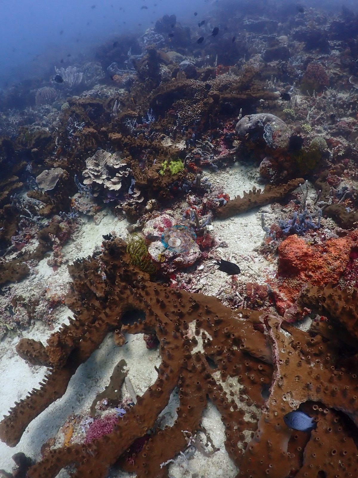
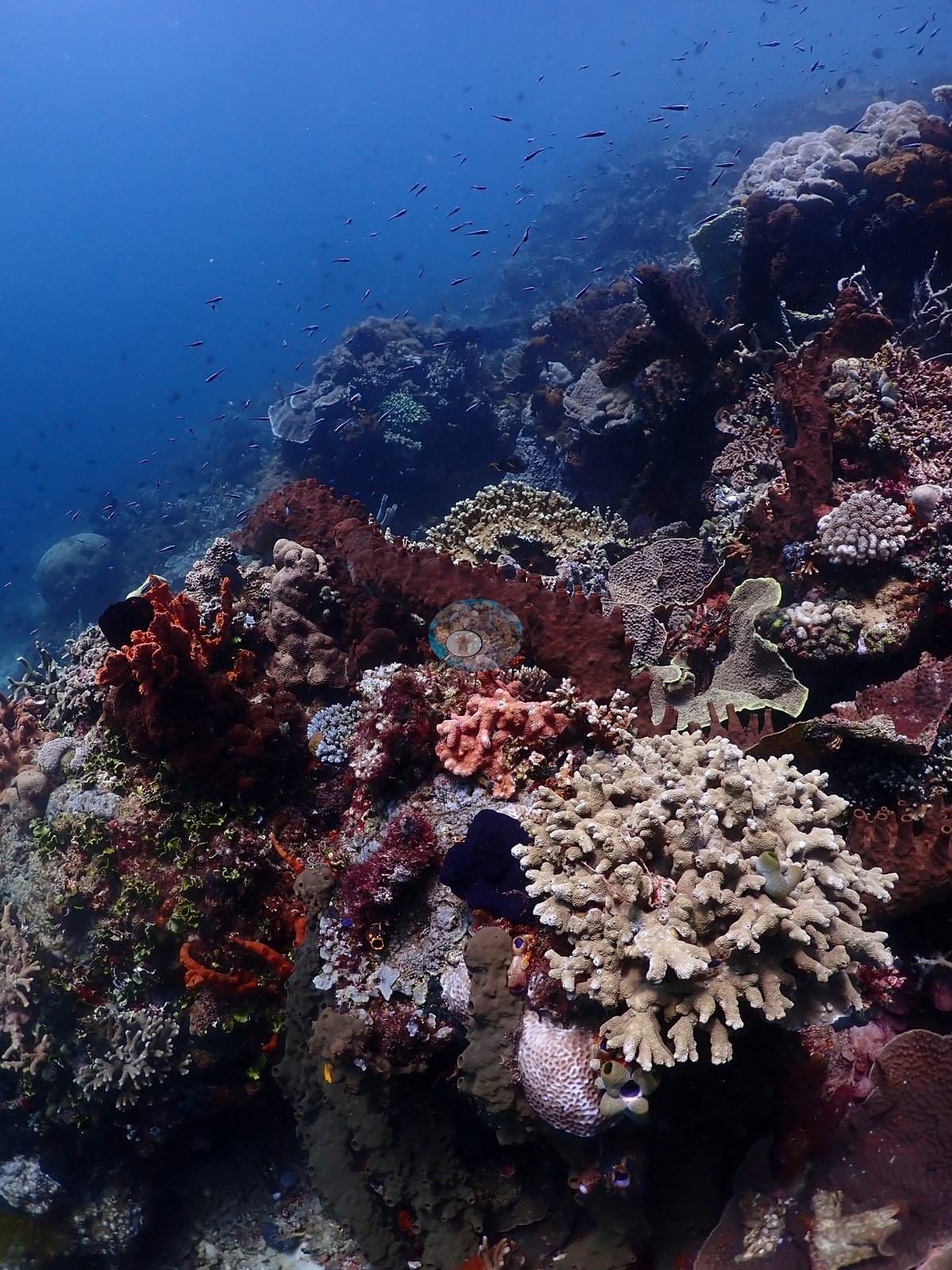
Above and between those faces sits a sponge- and coralline-dominated pavement ridge: crimson, scarlet, and orange encrusting sponges, tan barrel and knobbly tube sponges, pale blue-gray branching tube sponges (Callyspongia-type), pink and mauve crustose coralline algae, bushy red-brown gorgonians, wire, and whip corals, and dense yellow and black feather stars (e.g., Image 4, Image 9, Image 23, Image 51, Image 54).
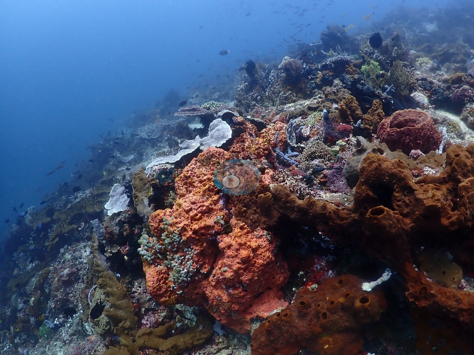
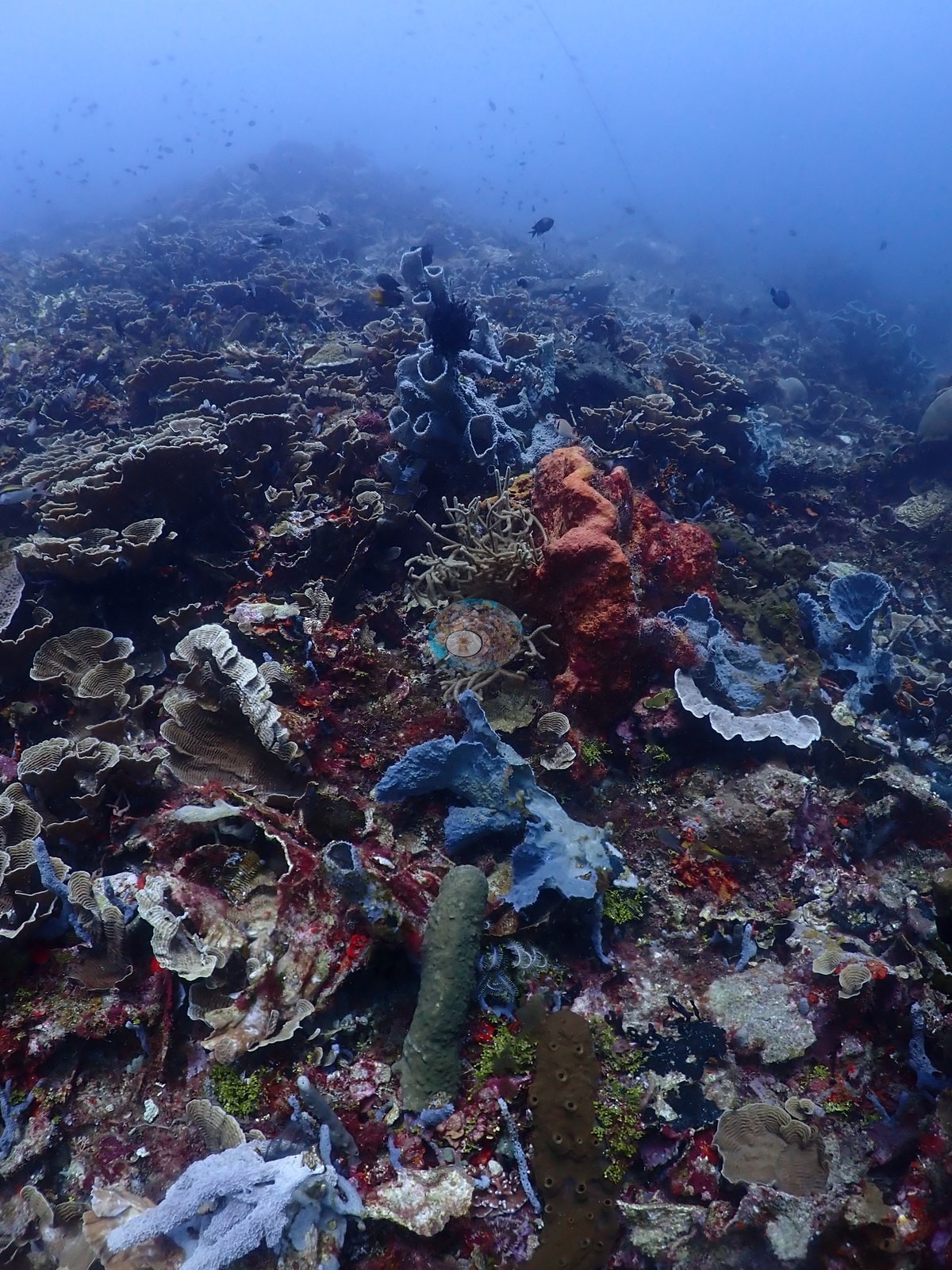
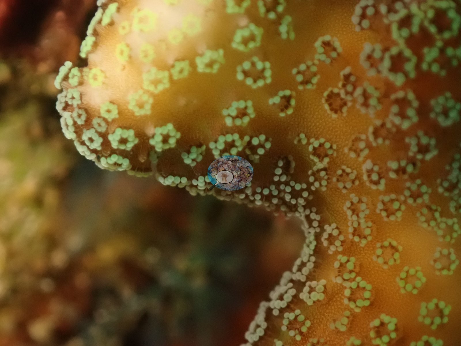
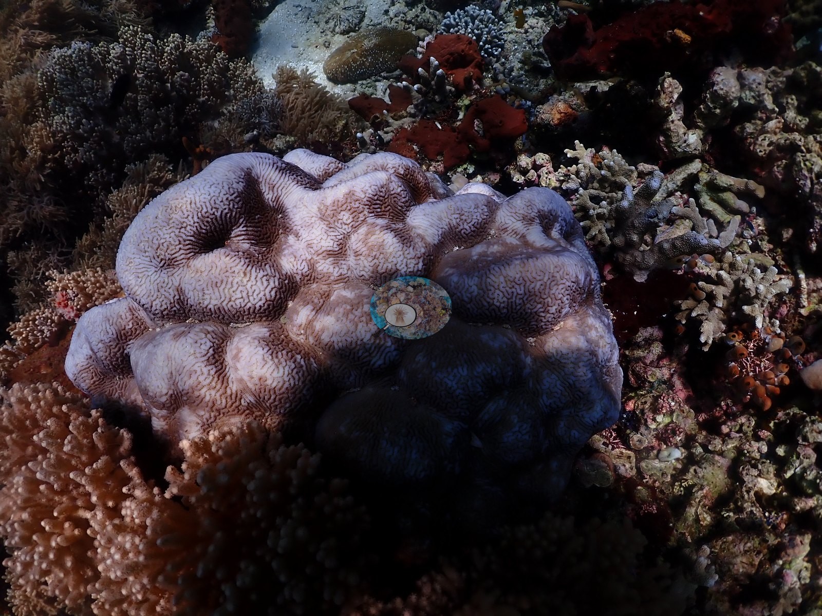
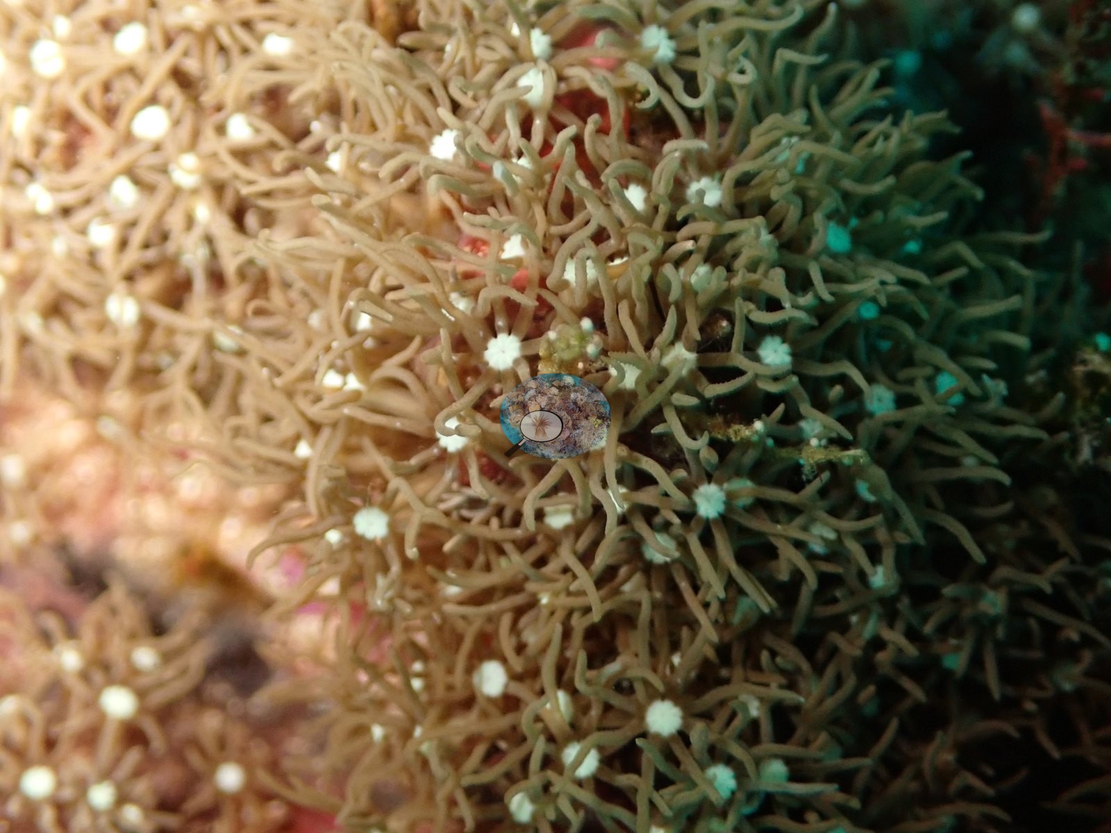
Hard coral there is a mix of laminar and encrusting Montipora, brown and gray Pachyseris/agariciid plates, Turbinaria-type cups, cerioid Favites/Dipsastraea-type heads, dome-shaped Porites, and a green Cyphastrea/Goniastrea-type massive with pink polyps (e.g., Image 28).
A coarse sand and rubble apron runs below the reef, and the near-zero frames come from it — open pale sediment with scattered coral fragments, one large fluted giant clam (Tridacna) with a black-and-cream mottled mantle, and a big mauve fleshy colony beside it (e.g., Image 17, Image 33, Image 37).
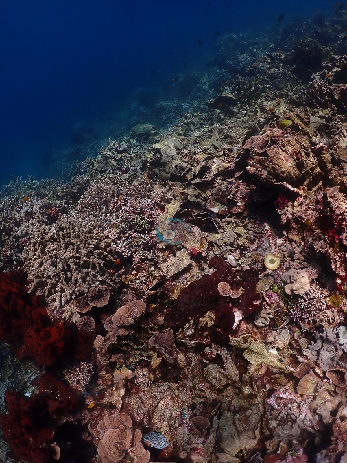
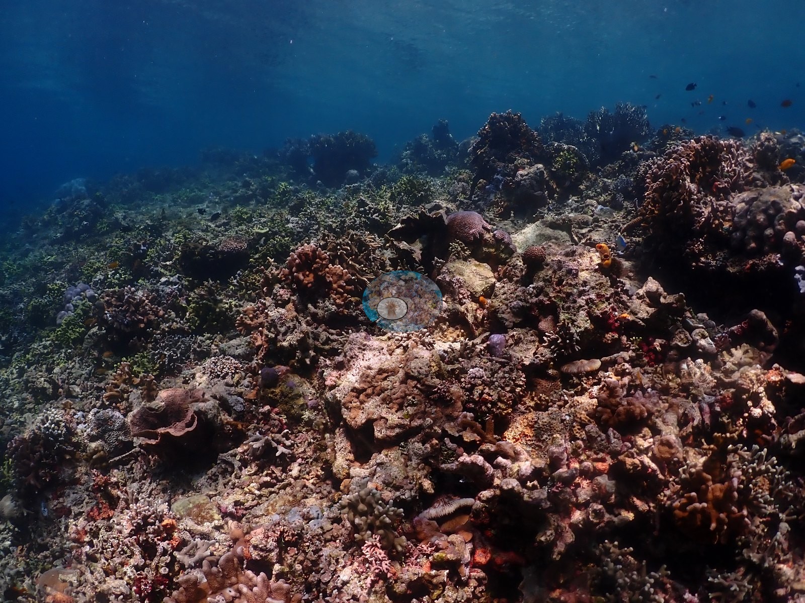
The shallow reef top, photographed under surface light at the end of the dive, is a different reef again: low-relief pavement carrying digitate and corymbose Acropora, tan branching Porites cylindrica-type stands, Pocillopora, and encrusting Millepora-type colonies among clouds of anthias and damselfish (e.g., Image 20, Image 35).
Coral cover
Coral cover. Coral cover: 33% — a blind Claude computer-vision point count of 171 of Anderson's unedited photographs (20 points per photo; water, fish, and obstructions excluded). Other computer-vision methods are listed in the method table.
Stressors
Condition. No unambiguously bleached colony appeared in the 28 frames reviewed. The plate fields photographed without strobe read uniformly pale gray-tan, but that is depth-driven color attenuation, not paling — the same colonies shot with strobe show normal olive-brown and lavender pigment (e.g., Image 50, Image 53).
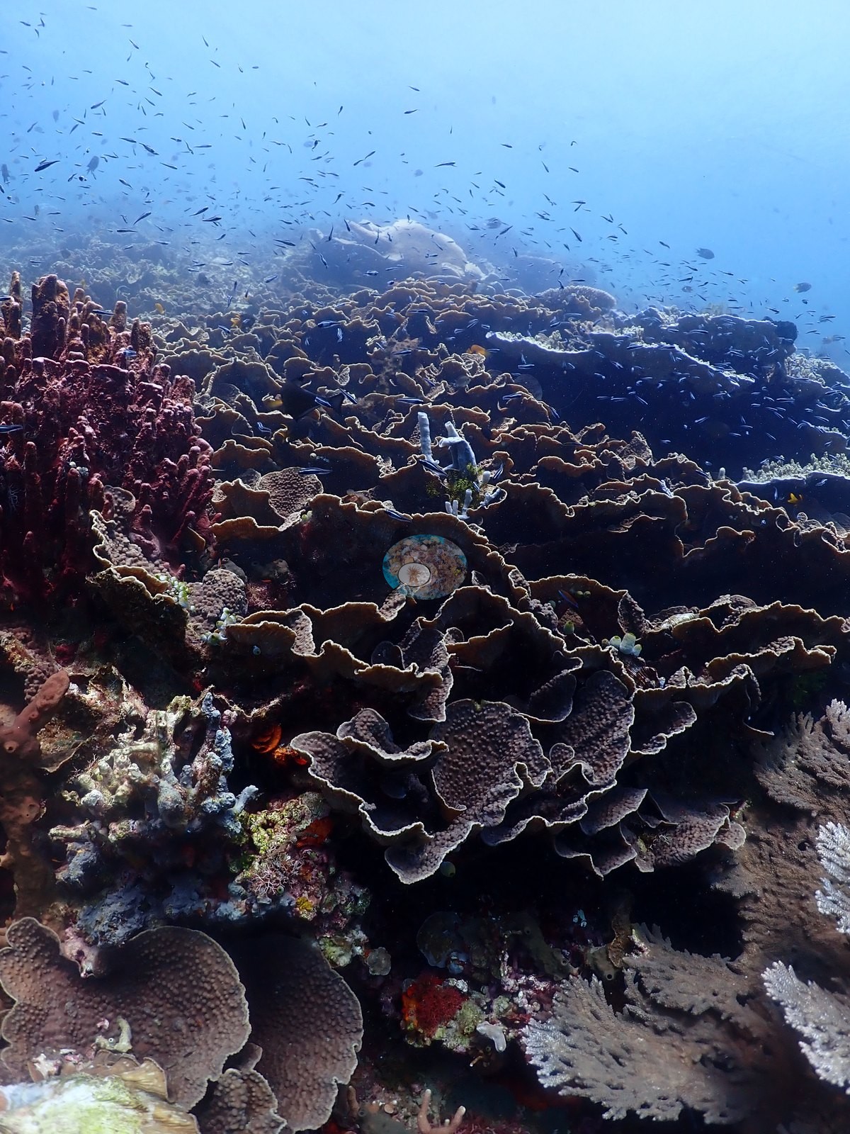
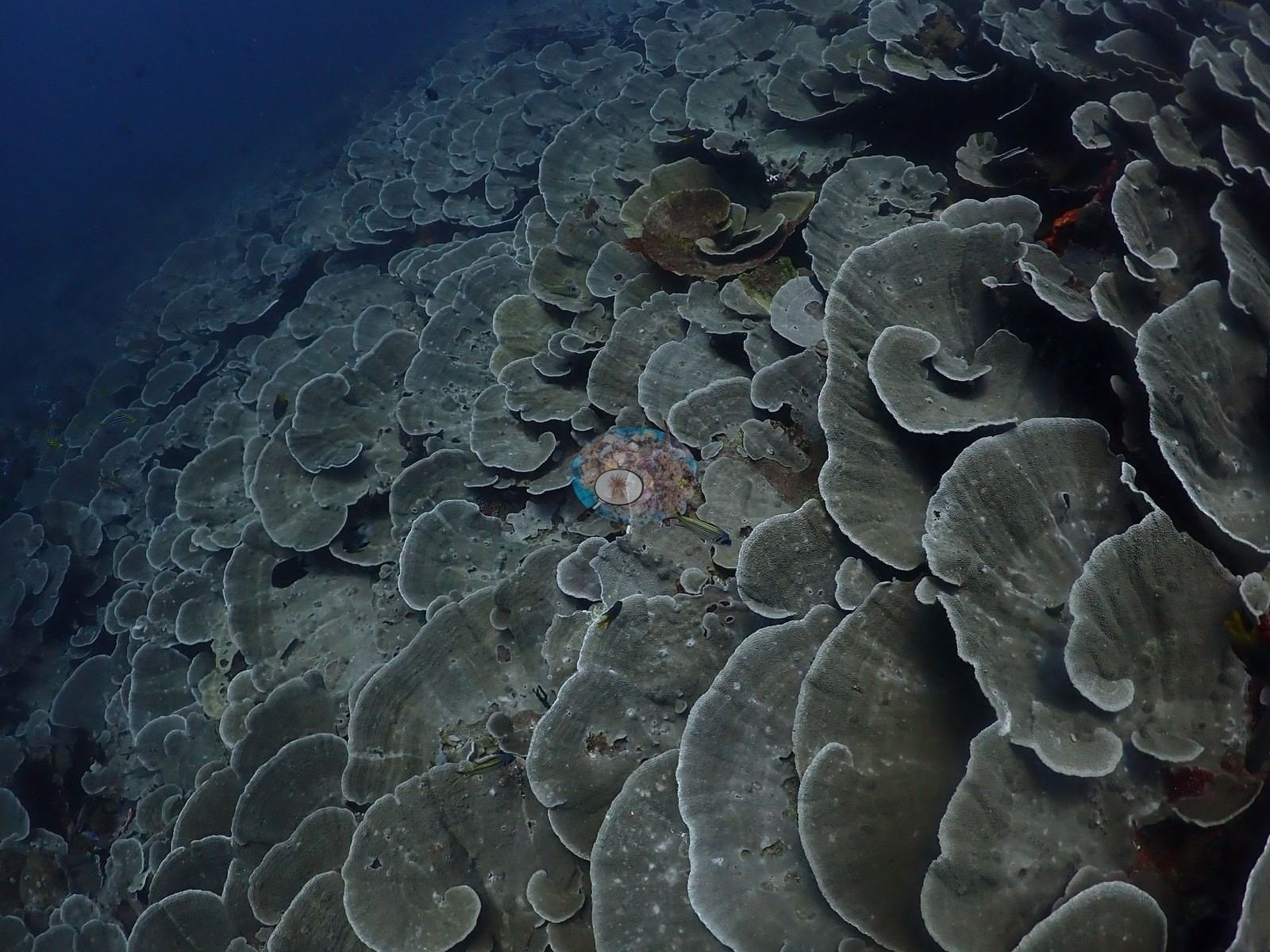
What the frames do show is sediment: fine silt sits in the cups of many plates, and one broad mid-slope terrace is an old, consolidated field of dead branching coral bound by turf and coralline. No crown-of-thorns, no Drupella aggregations, and no active disease lesions were recorded.
Fish and other fauna
Fauna. Moorish idols, anthias, chromis, fusiliers, and damselfish in the water column; feather stars everywhere on the ridge; the giant clam on the apron (e.g., Image 22, Image 31).
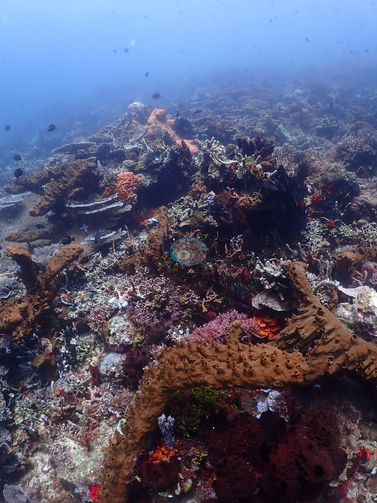
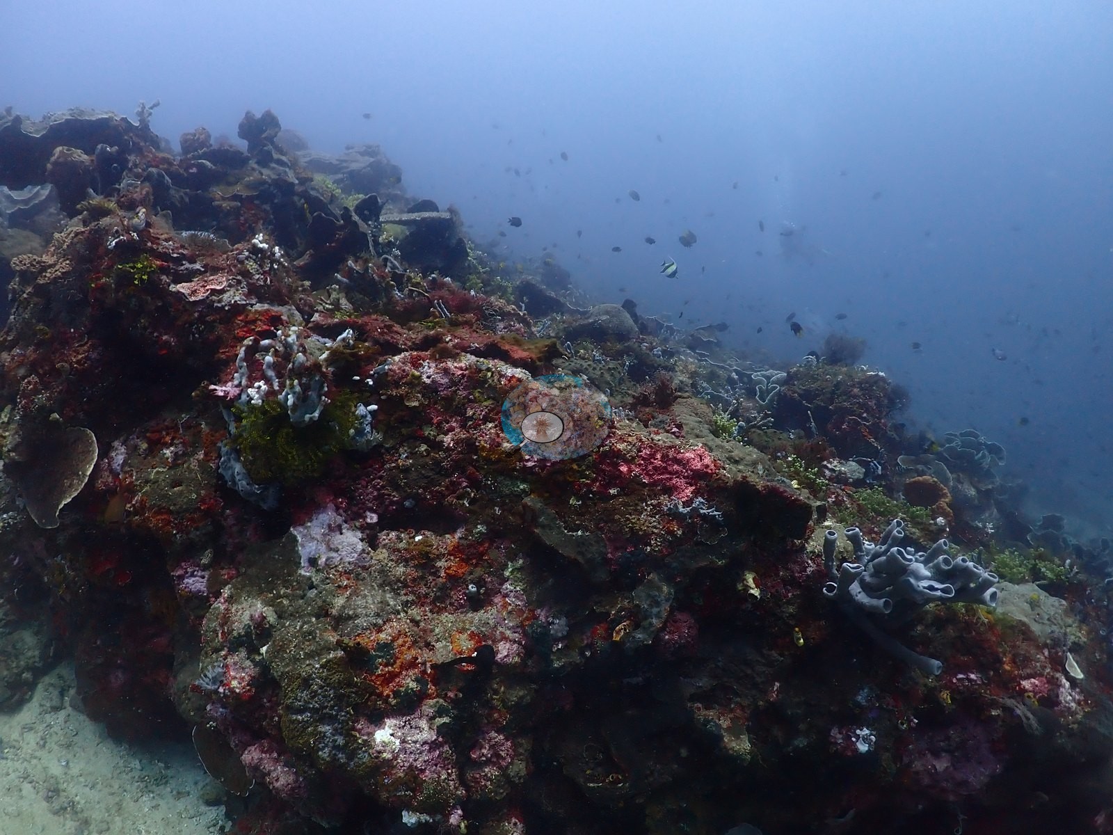
The blacktip shark and the large Napoleon wrasse from the dive log are not resolved in the sampled stills.
Comparisons with other data
No independent survey was made at this exact site; the nearest ones are listed in the table below.
Dive record
The dive reached 28.3 m at 26–27°C.
Other notes
Anderson's field note reads: "black tip, huge Napoleon, shingling tower of Montipora (?)" — and the photographs make the third of those the defining feature of the site (e.g., Image 2, Image 5, Image 13).
CV model comparison
More info
DINOv3 and CoralSCOP were run on the same photos and are listed for comparison. Coralscapes v2 and v1 were also run but are not shown: Anderson does not consider Coralscapes reliable for these photos. No diver transect exists for this trip, so agreement between the rows is not accuracy, and as of September 2026 no computer-vision method estimates coral cover accurately on new images; treat every row as indicative.| Method | Hard-coral cover (%) |
|---|---|
| In-house DINOv3 | 33.6 |
| CoralSCOP unedited | 26.3 |
| Claude | 33.1 |
Independent surveys nearby
| Agency / program | Year(s) | Stations / distance | Link |
|---|---|---|---|
| Kalea A. & Ocean cholic* | 2021 | 2 stations, 1.21–1.60 km | Records ↓ |
| MERMAID project “Monitoring Maitara 2021”* | 2021 | 1 station, 1.21 km | Records ↓ |
Within 5 km, 3 independent survey stations recorded hard coral cover in 2021. Surveys since 2021 average 9.6% (range 1.5–17%, n=4). This site's own estimate (33%) sits 16.1 points above the recent range (1.5–17%); the methods differ, so the comparison is context, not a like-for-like test.
Collected by other programs using different methods (MERMAID is a data platform: each MERMAID row names the organization that did the survey, and its method is in the row's hover text. *Conducted by citizen scientists), so these are context for the figures above, not a like-for-like comparison. Where a station was surveyed more than once the range is shown. Station names are not dive-site names.
| Agency | Site / location | Date | Hard coral cover (%) | Distance | Link |
|---|---|---|---|---|---|
| MERMAID project “Monitoring Maitara 2021”* | Maitara 1 | 2021 | 17% (2 surveys) | 1.21 km | Rani T. 2021. Monitoring Maitara 2021. MERMAID |
| Kalea A. & Ocean cholic* | Maitara Land 2 | 2021 | 2.7% | 1.21 km | Cholic O, Kalea A. 2022. Rachmat. MERMAID |
| Kalea A. & Ocean cholic* | Maitara land | 2021 | 1.5% (2 surveys) | 1.60 km | Cholic O, Kalea A. 2022. Rachmat. MERMAID |
Data & links
All images from Coral Reef Diagnostics. Data are from Coral Reef Diagnostics and the organizations named in the data-sources table above.
© Coral Reef Diagnostics.