
Indonesia - Halmahera: Siko Pinnacle
Part of the regional summaries: Indonesia - Halmahera and Indonesia - Maluku
More info
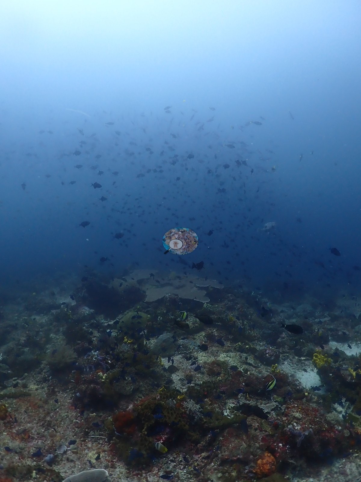
North Maluku (NOAA CRW virtual station)Siko Pinnacle is a mid-water seamount rising from open blue water, opening on small tuna and jacks in silhouette before closing in on a sponge- and coral-encrusted flank built on large plate and table corals. The dive's real strength is macro life - a honeycomb-patterned nudibranch and an emerald-green Nembrotha-type species both photographed repeatedly. No bleaching, disease, or crown-of-thorns starfish (COTS) observed. A blind Claude computer-vision point count puts coral cover around 12%.
Siko Pinnacle adalah gunung bawah laut di tengah kolom air yang menjulang dari perairan biru terbuka, dibuka dengan siluet tuna kecil dan ikan kuwe sebelum mendekat ke lerengnya yang berkerak spons dan karang, terbangun di atas karang lembaran dan meja berukuran besar. Kekuatan sesungguhnya penyelaman ini adalah kehidupan makro — nudibranch bercorak sarang lebah dan satu jenis bertipe Nembrotha berwarna hijau zamrud, keduanya terfoto berulang kali. Tidak teramati pemutihan, penyakit, maupun bintang laut mahkota duri.
Terjemahan ringkasan ini oleh AI; versi bahasa Inggris yang berlaku. Translated from the site’s shorter map summary.
Two independent survey stations shown with the program’s logo — click one to see how far it is from this site.
One other CRD dive site within 5 km shown in orange — click a marker to open its page.
30 of these 49 photographs are shown beside the text that discusses them under "Site description" below.
Site description
Setting
Siko Pinnacle (Halmahera dive 25) is a mid-water seamount rising from open blue water, dived to a maximum of 34.3 m in 26-27°C water.
General benthic features
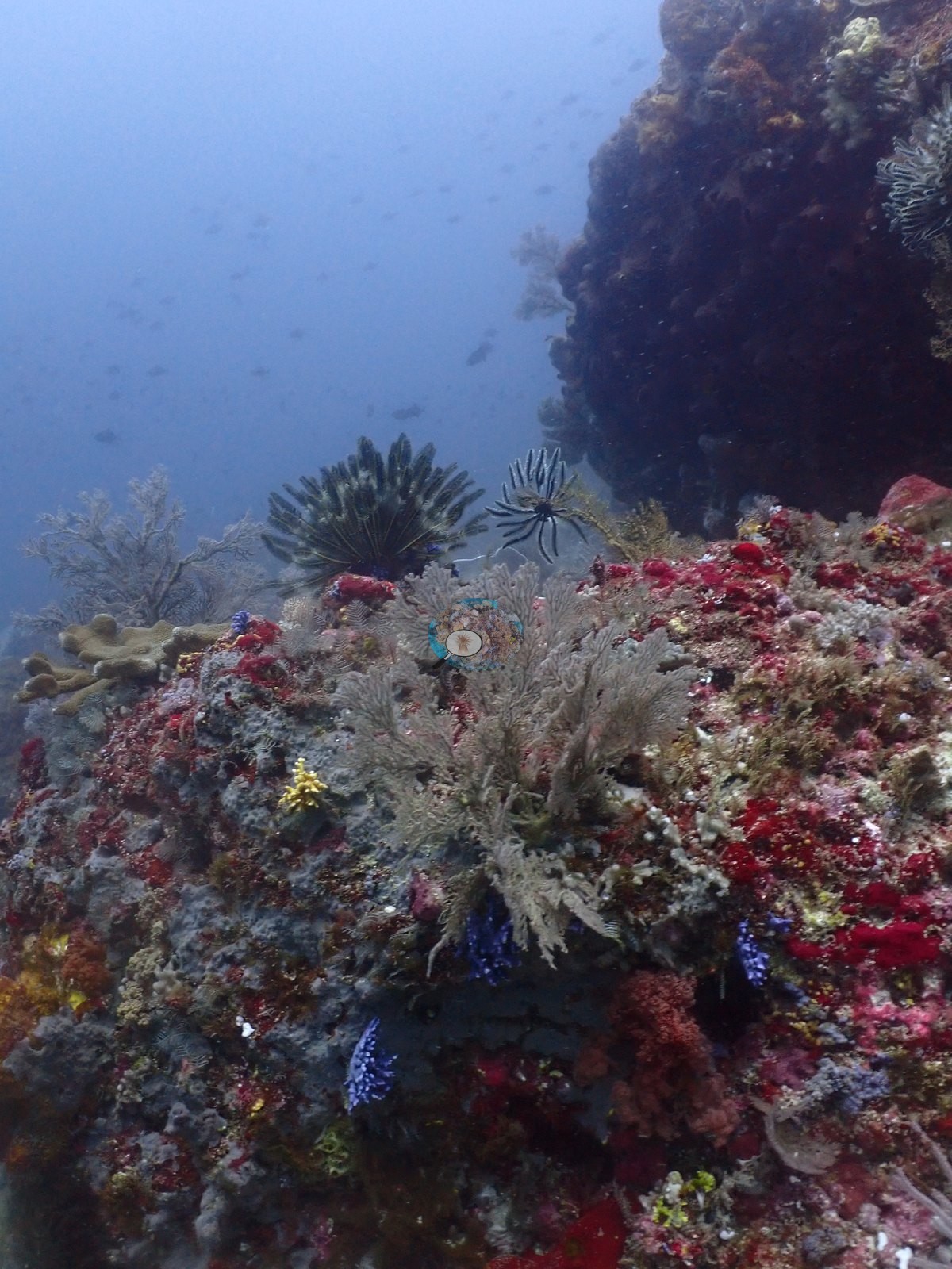
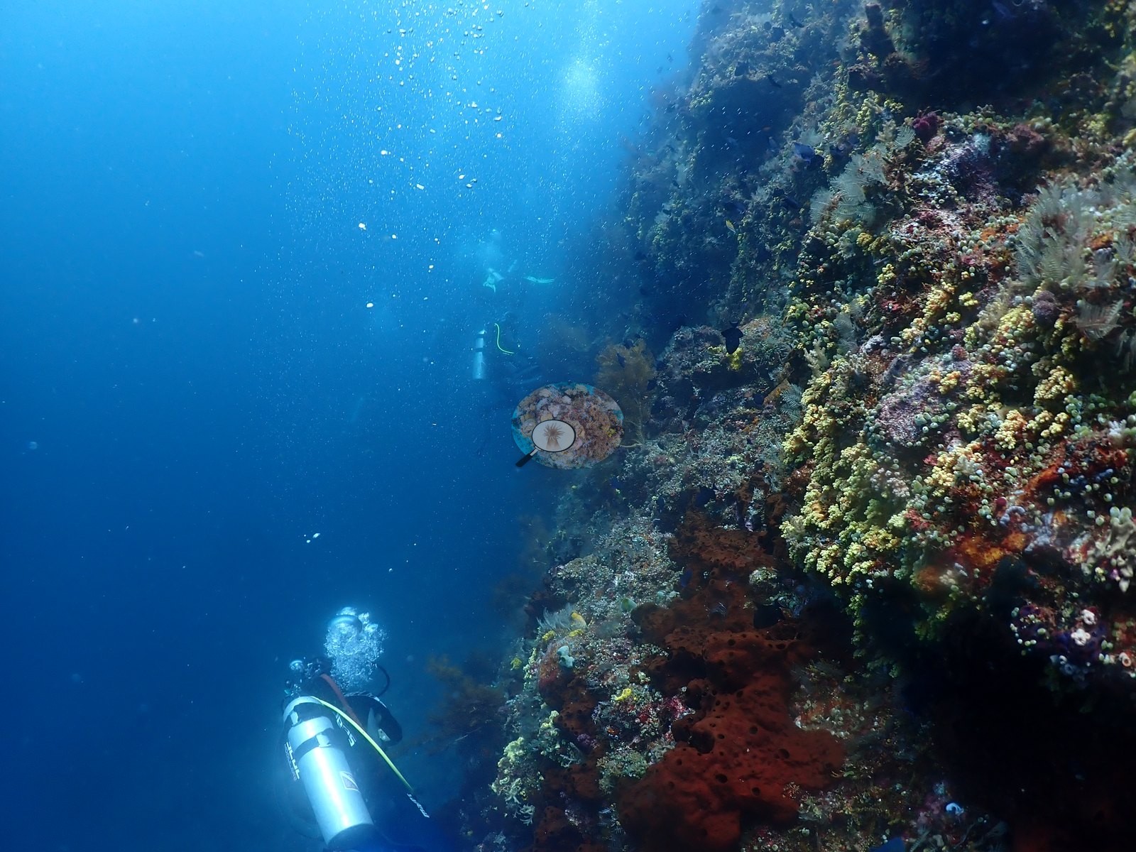
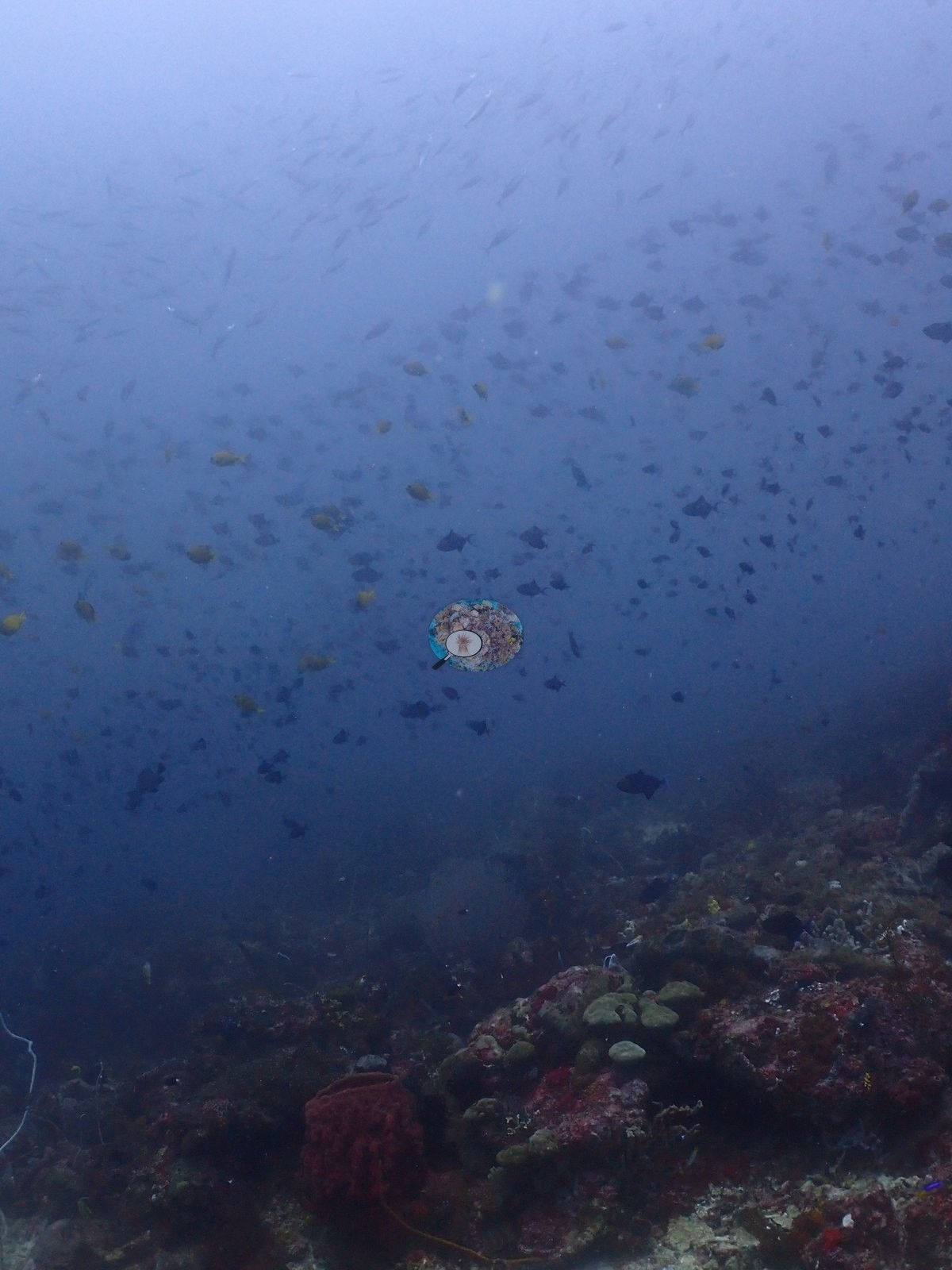
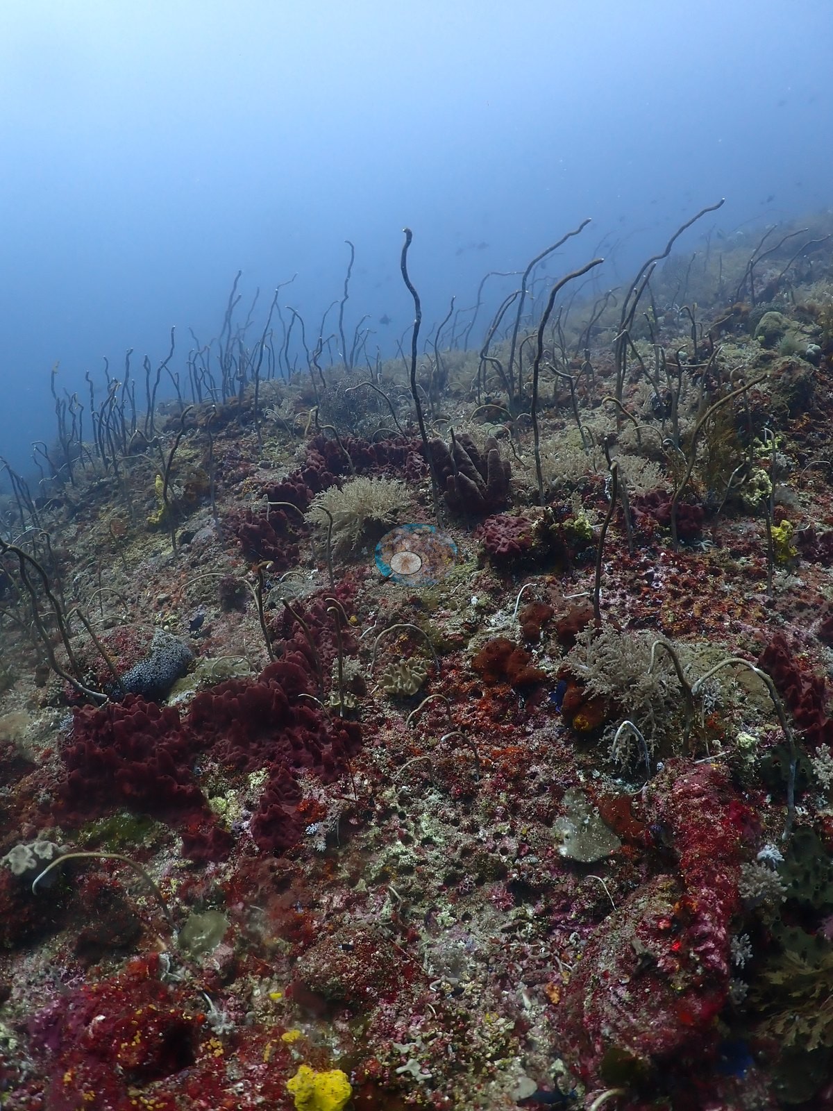
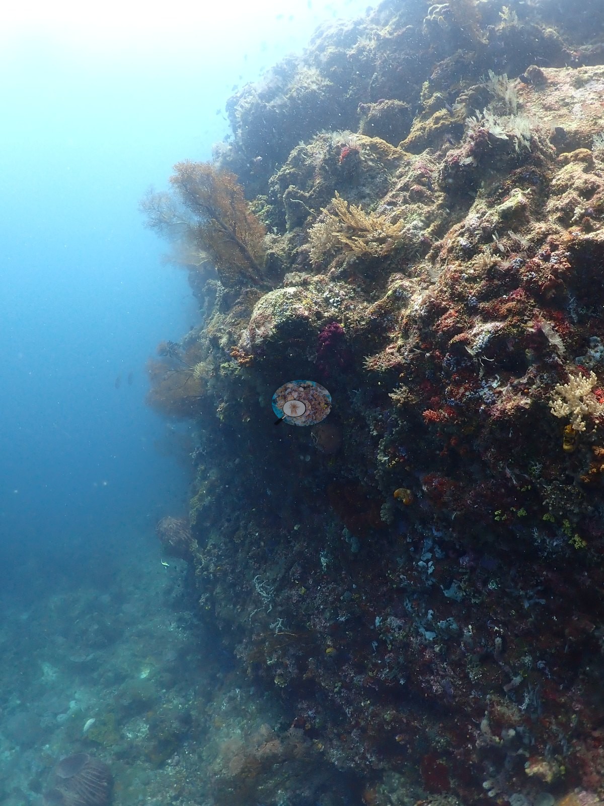
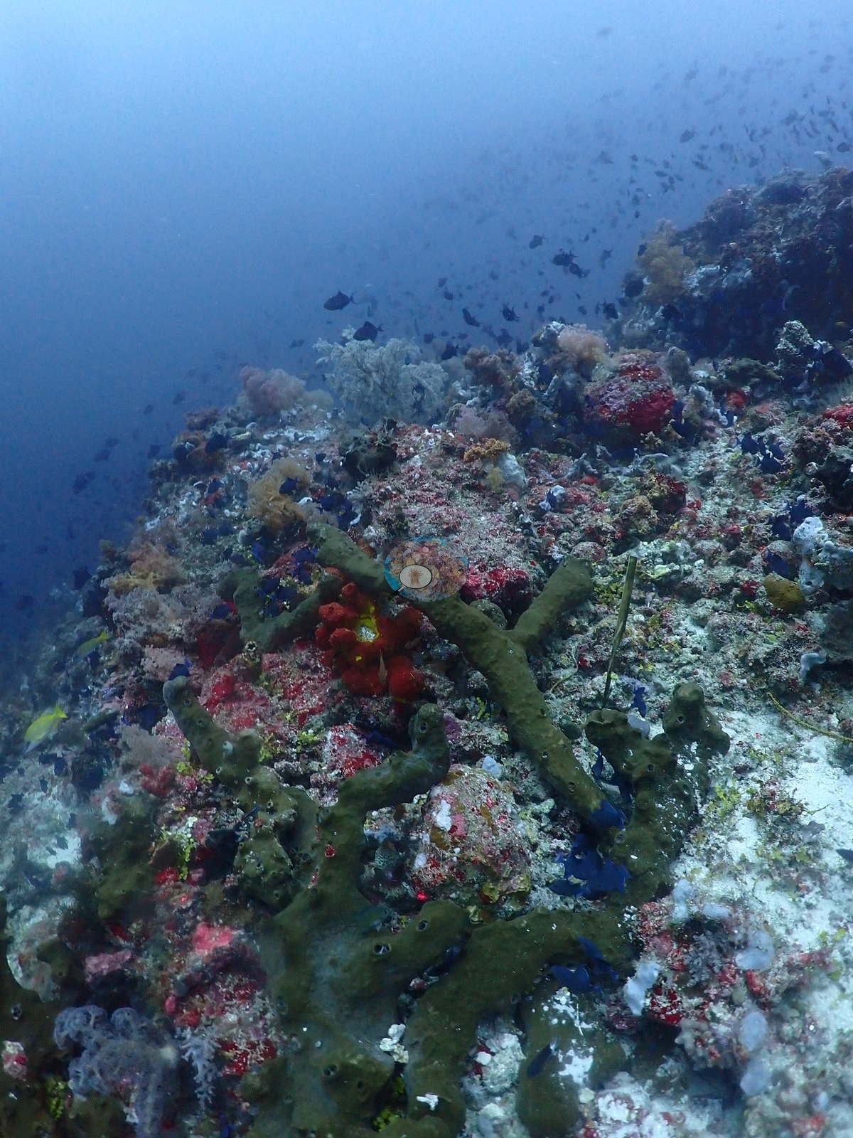
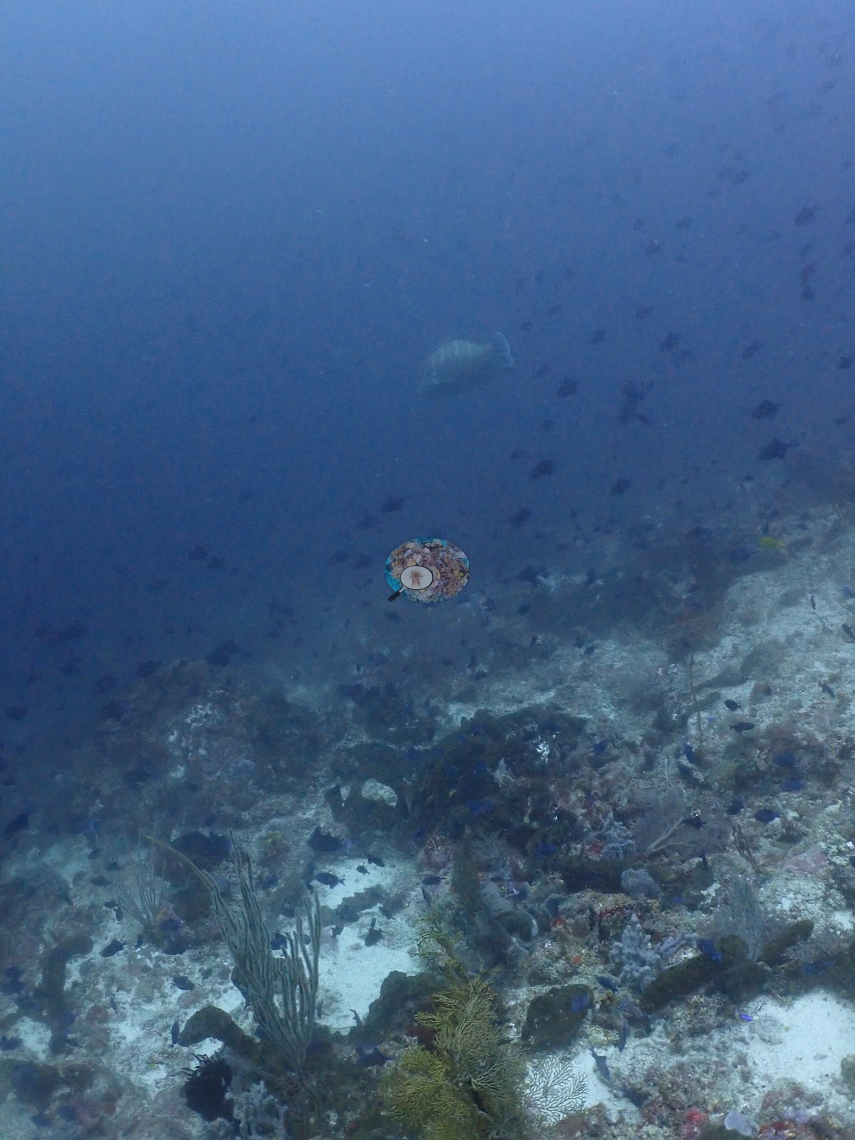
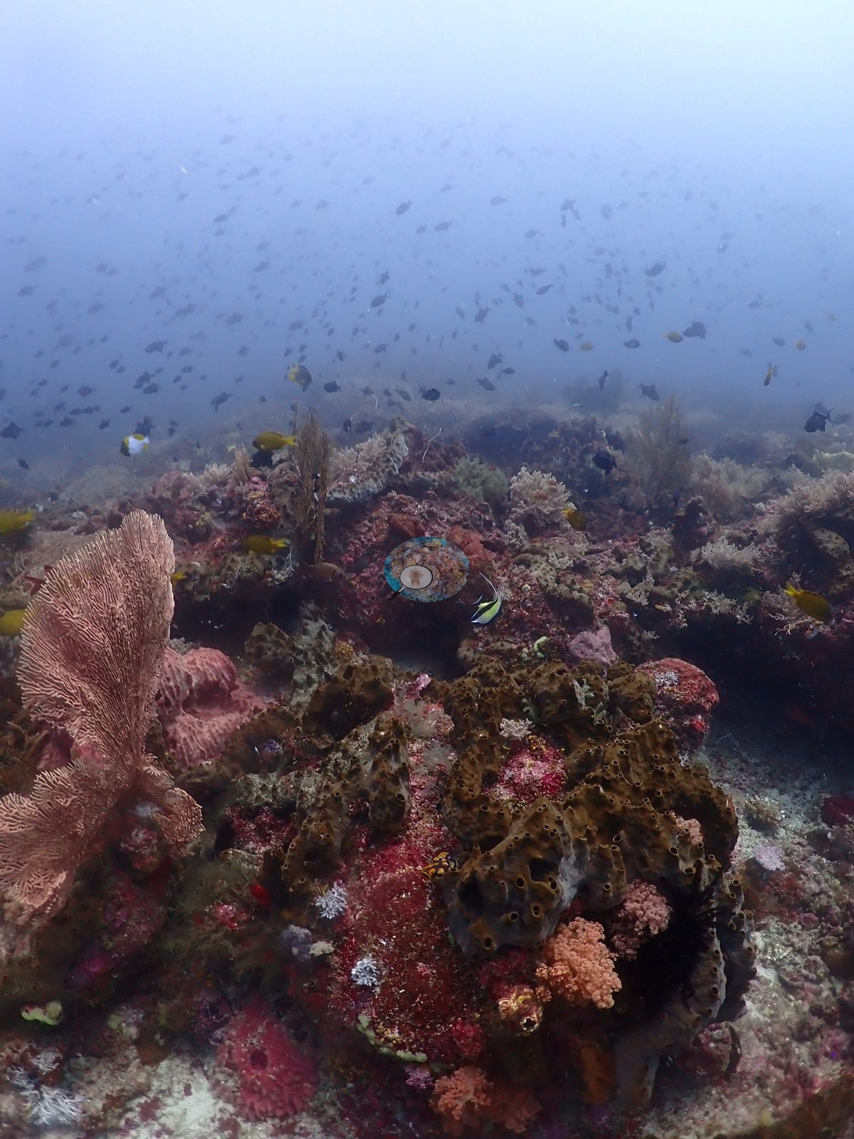
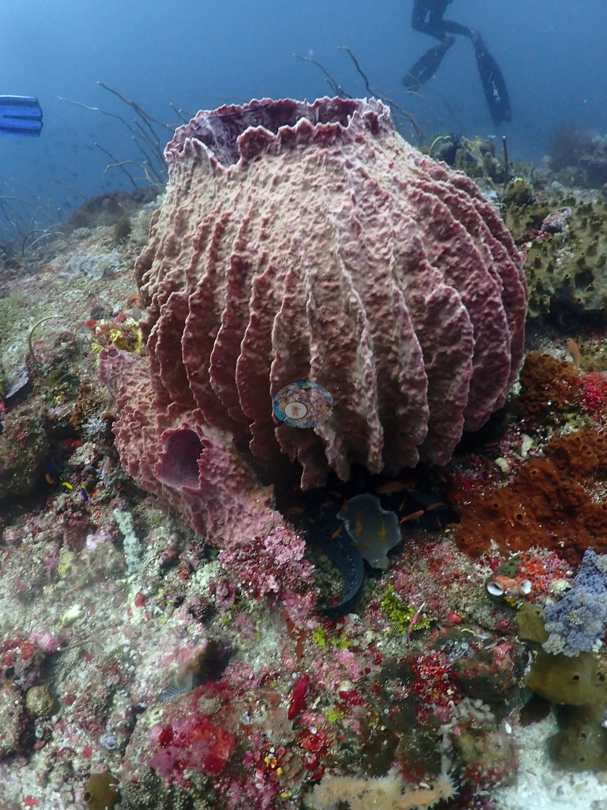
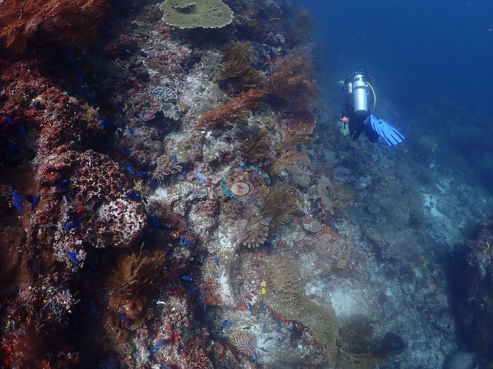
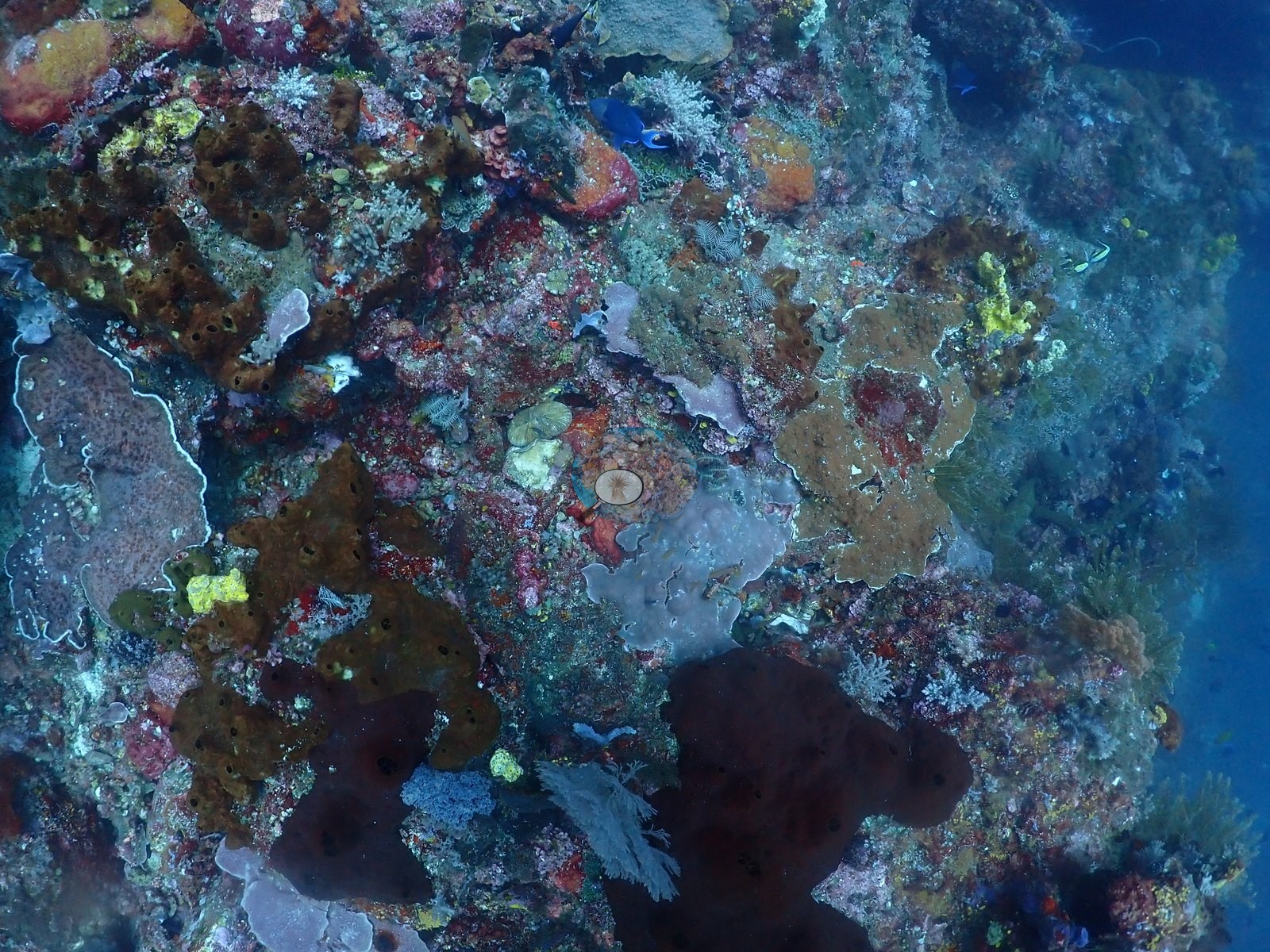
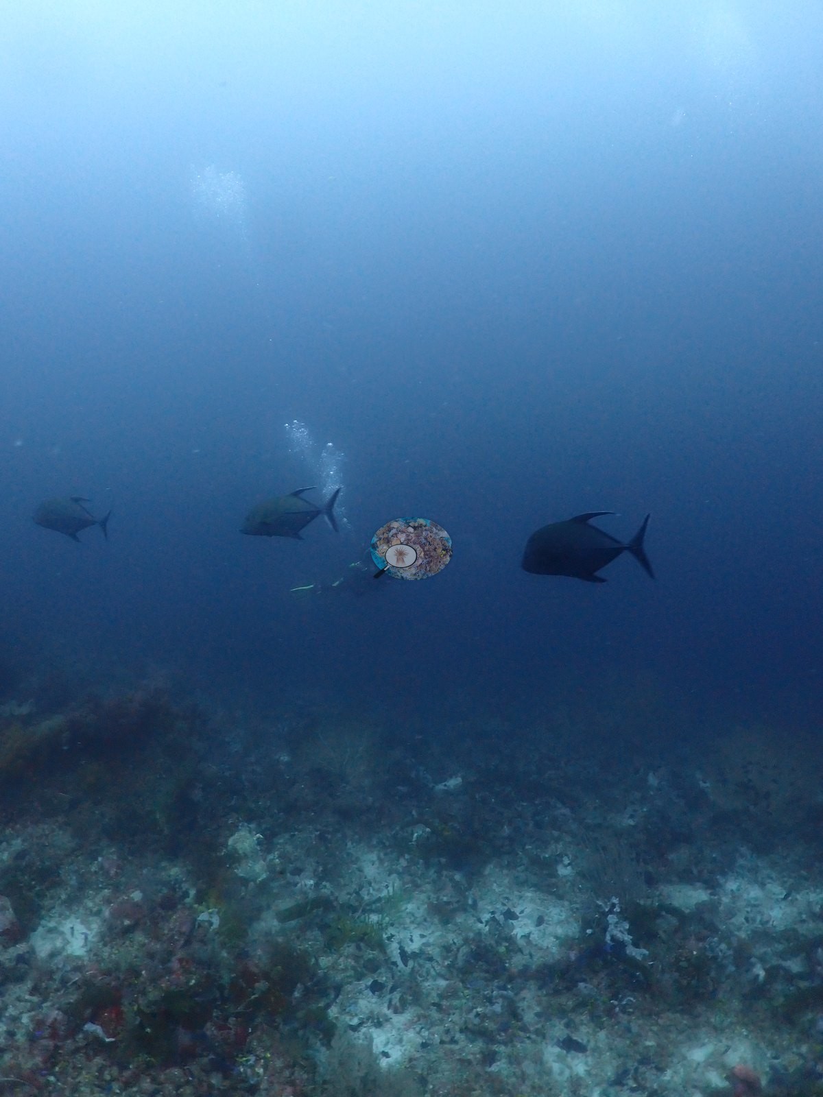
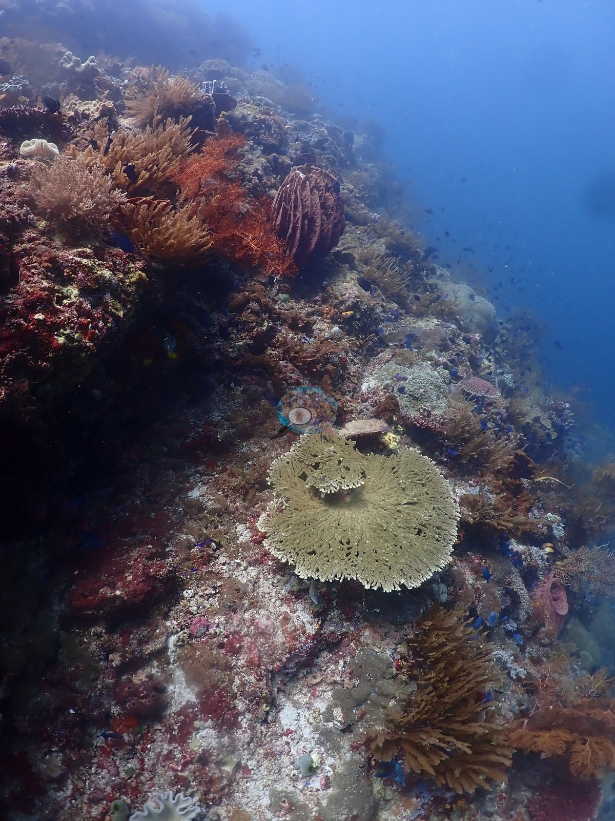
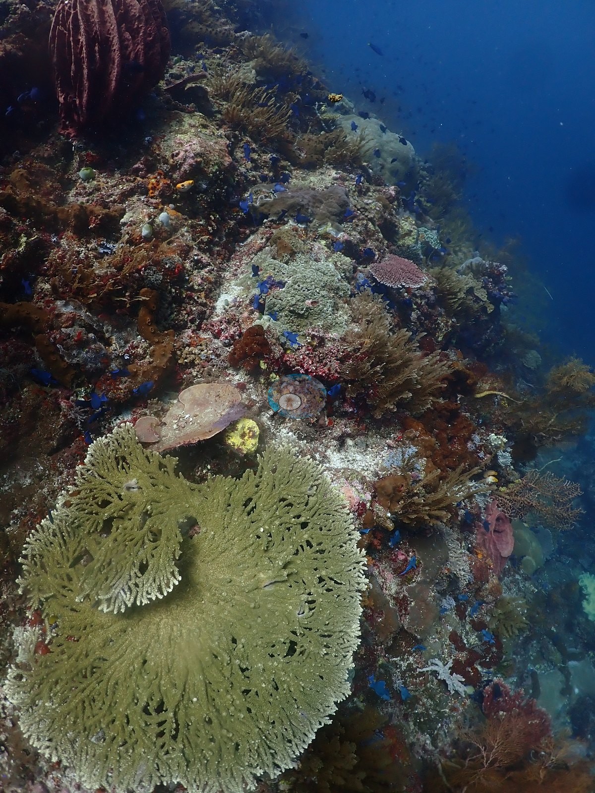
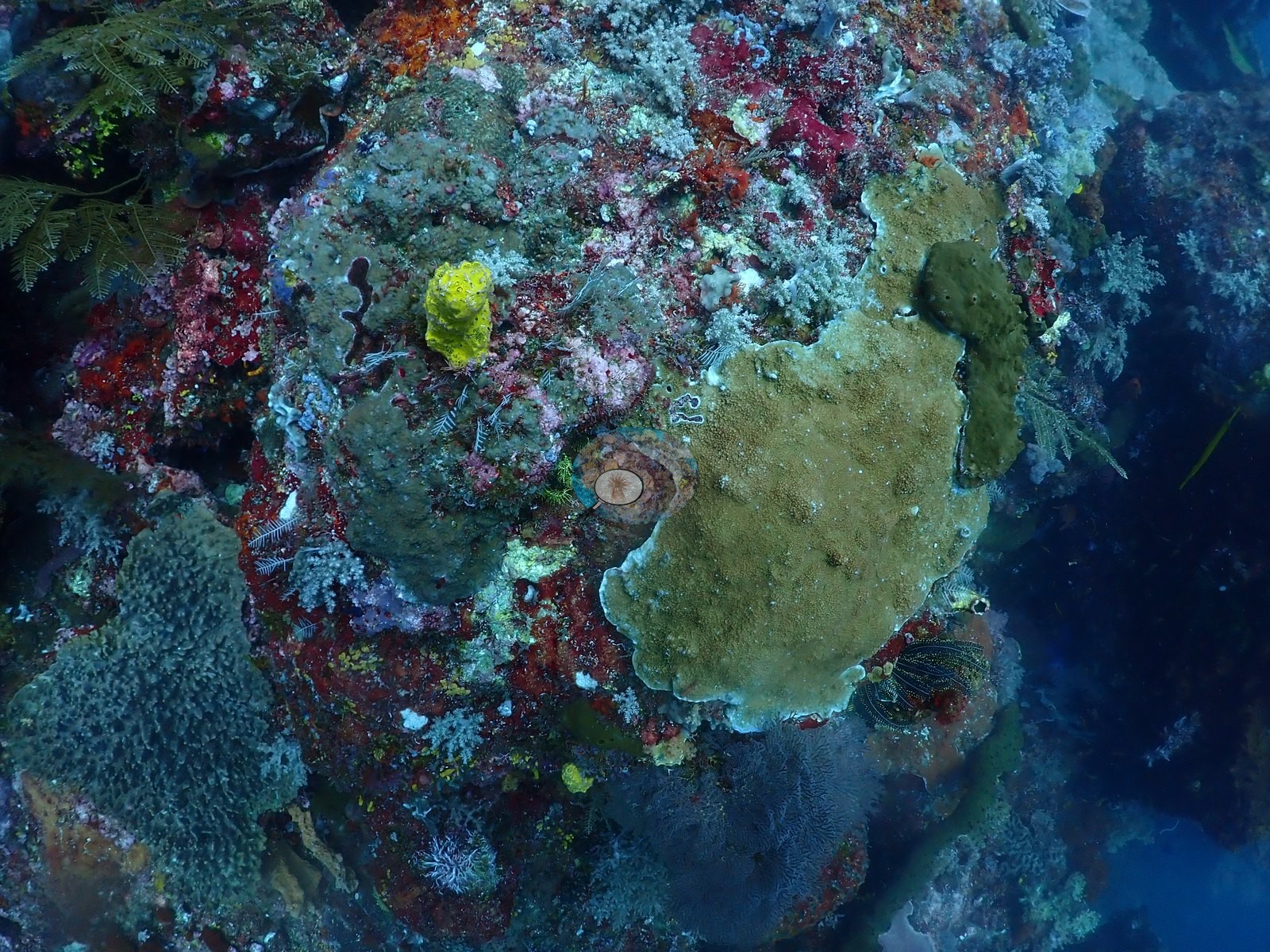
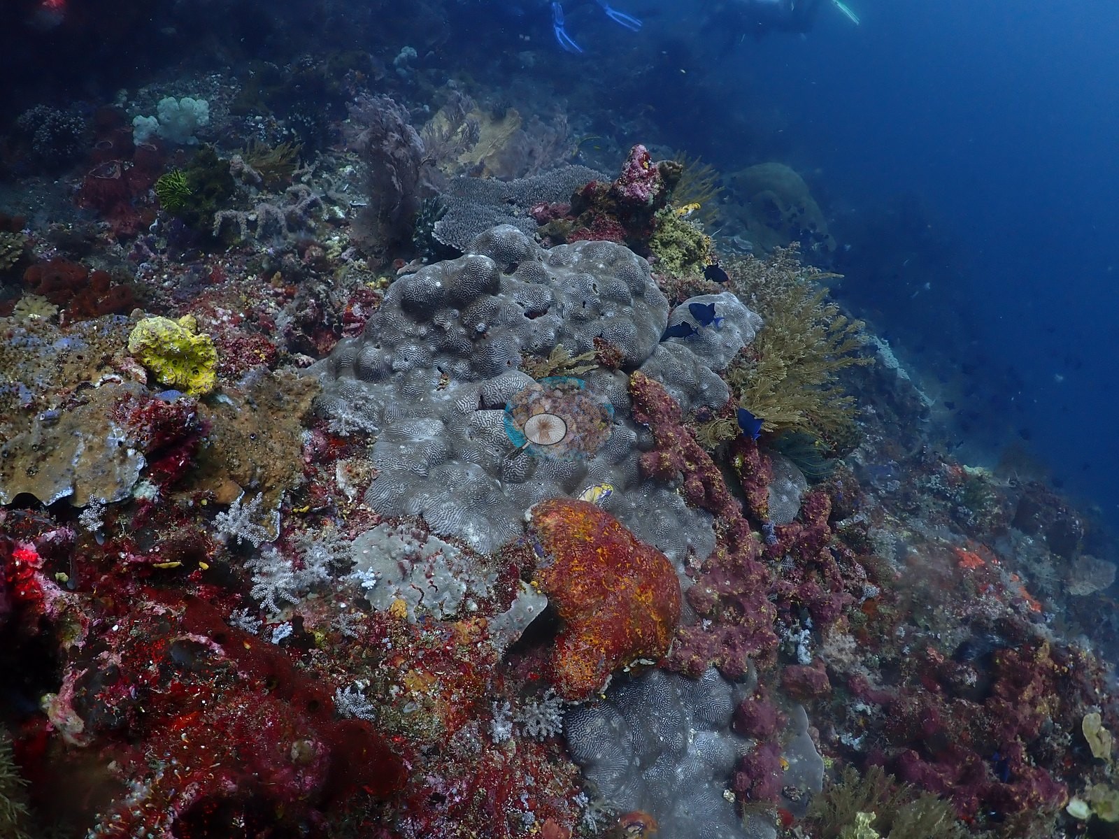
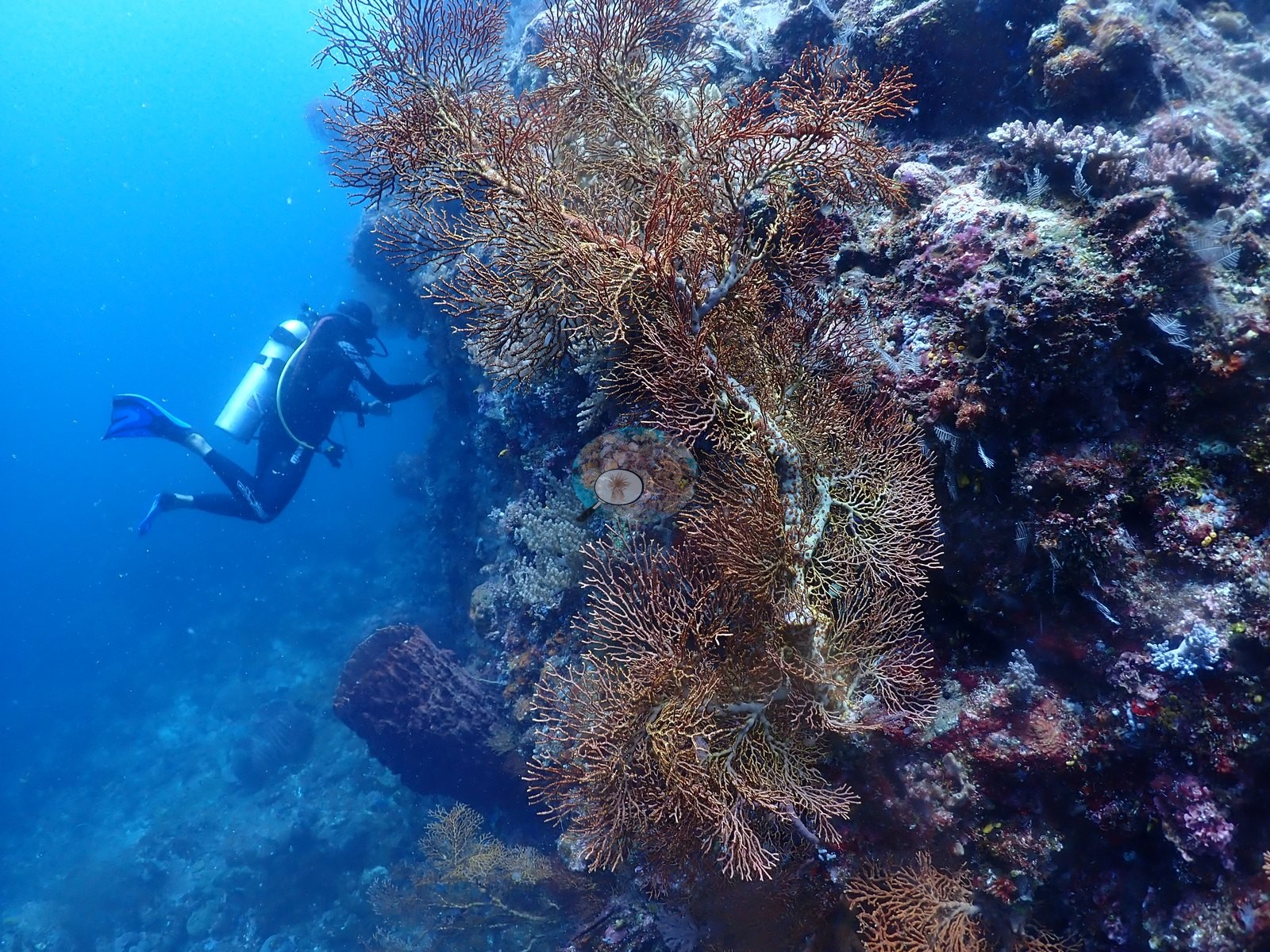
The opening frames confirm the log note directly — small tuna and jacks in silhouette over blue water and a diver signaling with a dive computer against open water — before the pinnacle's flank closes in: a crowded, coralline-pink and maroon encrusting wall dense with sponges, small gorgonians, and scattered coral (e.g., Image 2, Image 6, Image 12, Image 15, Image 17).
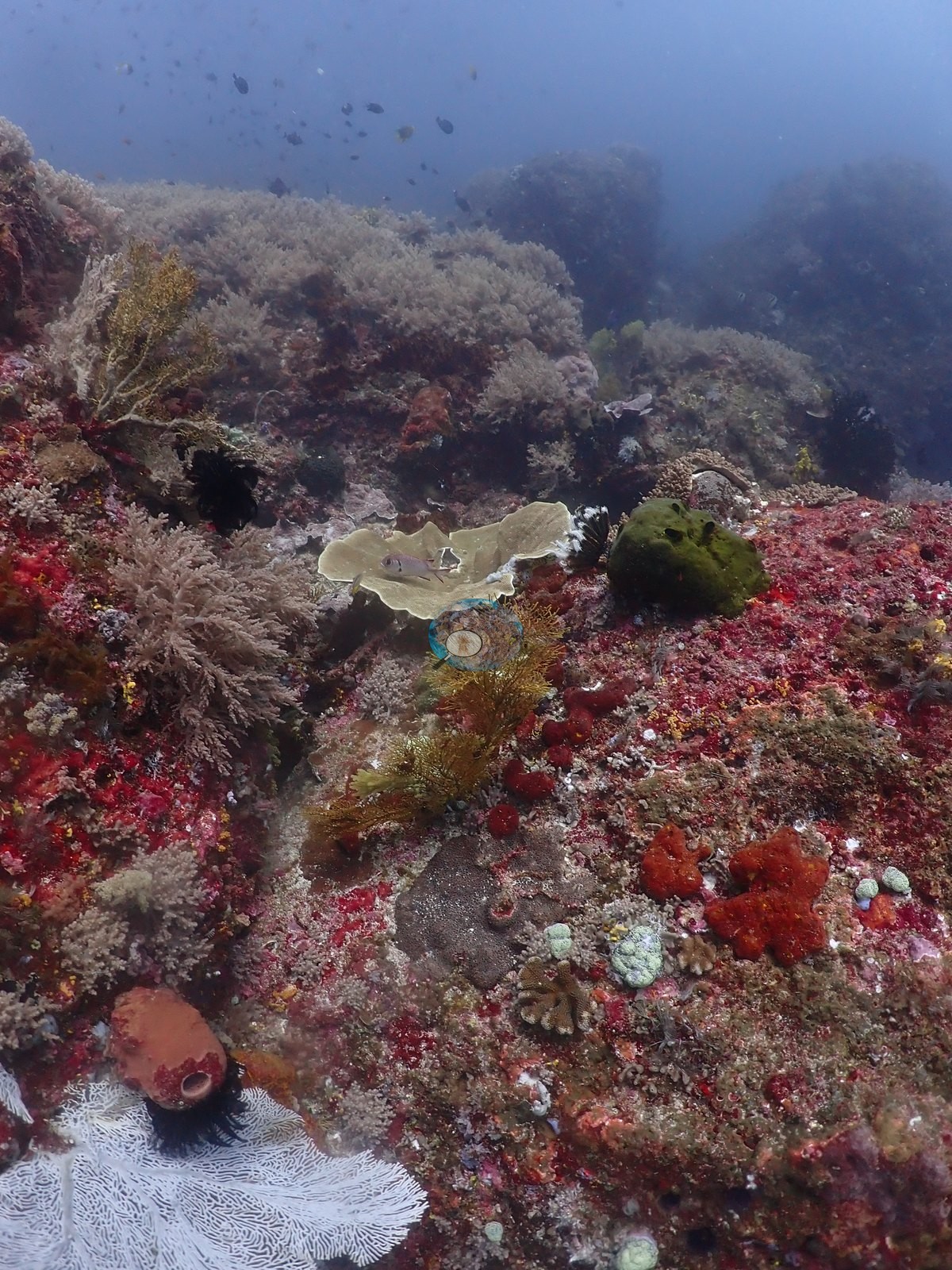
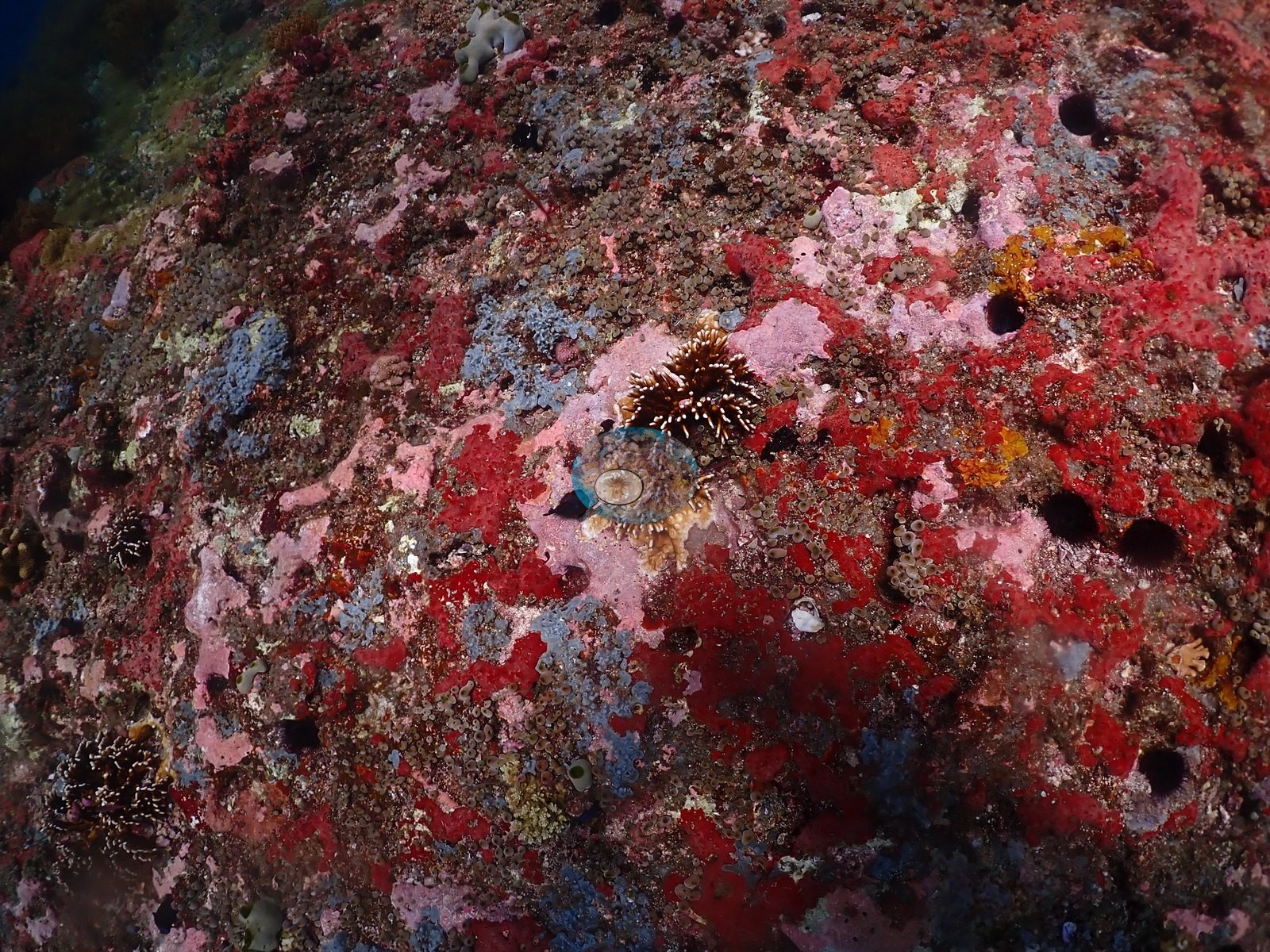
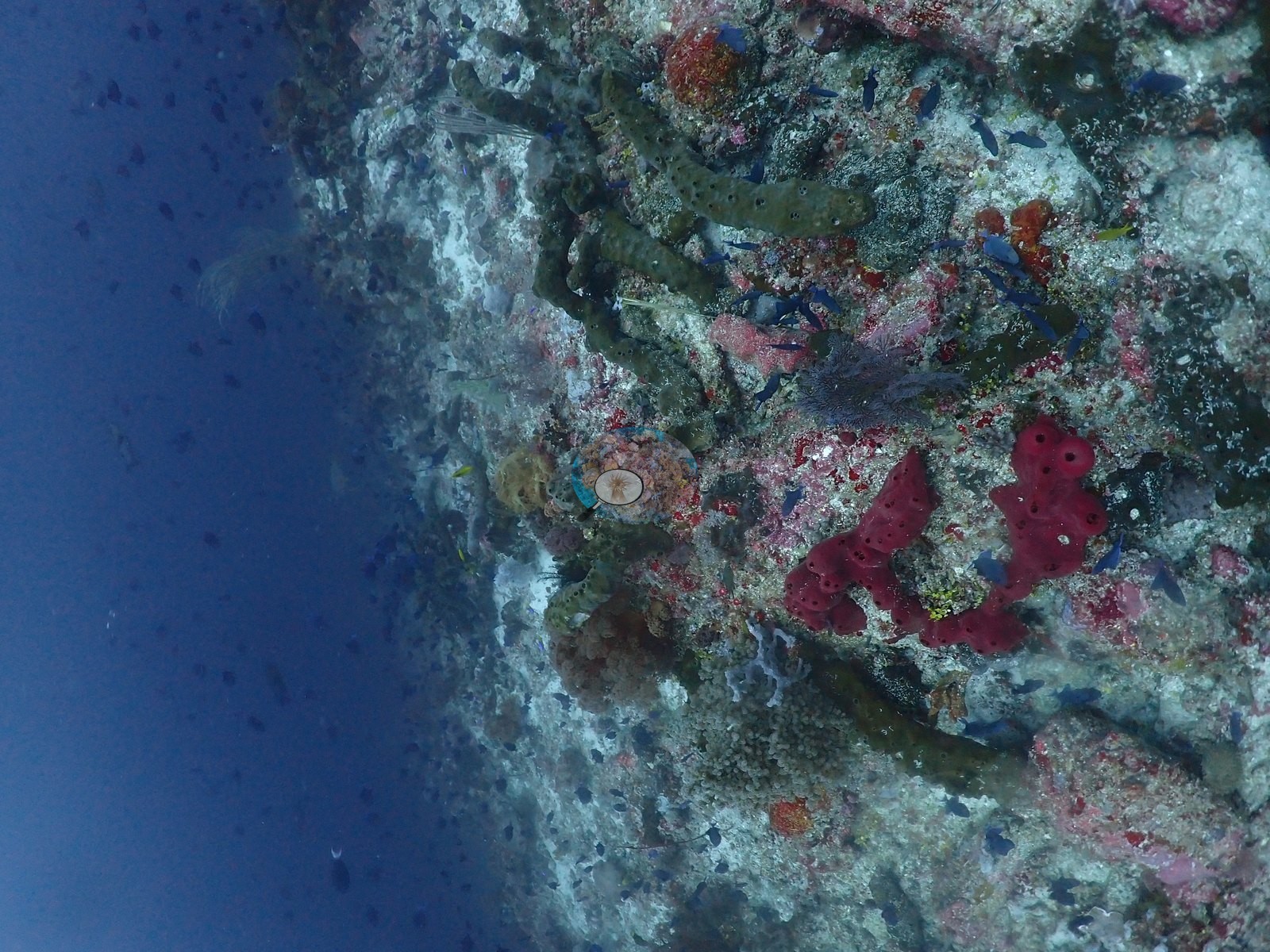
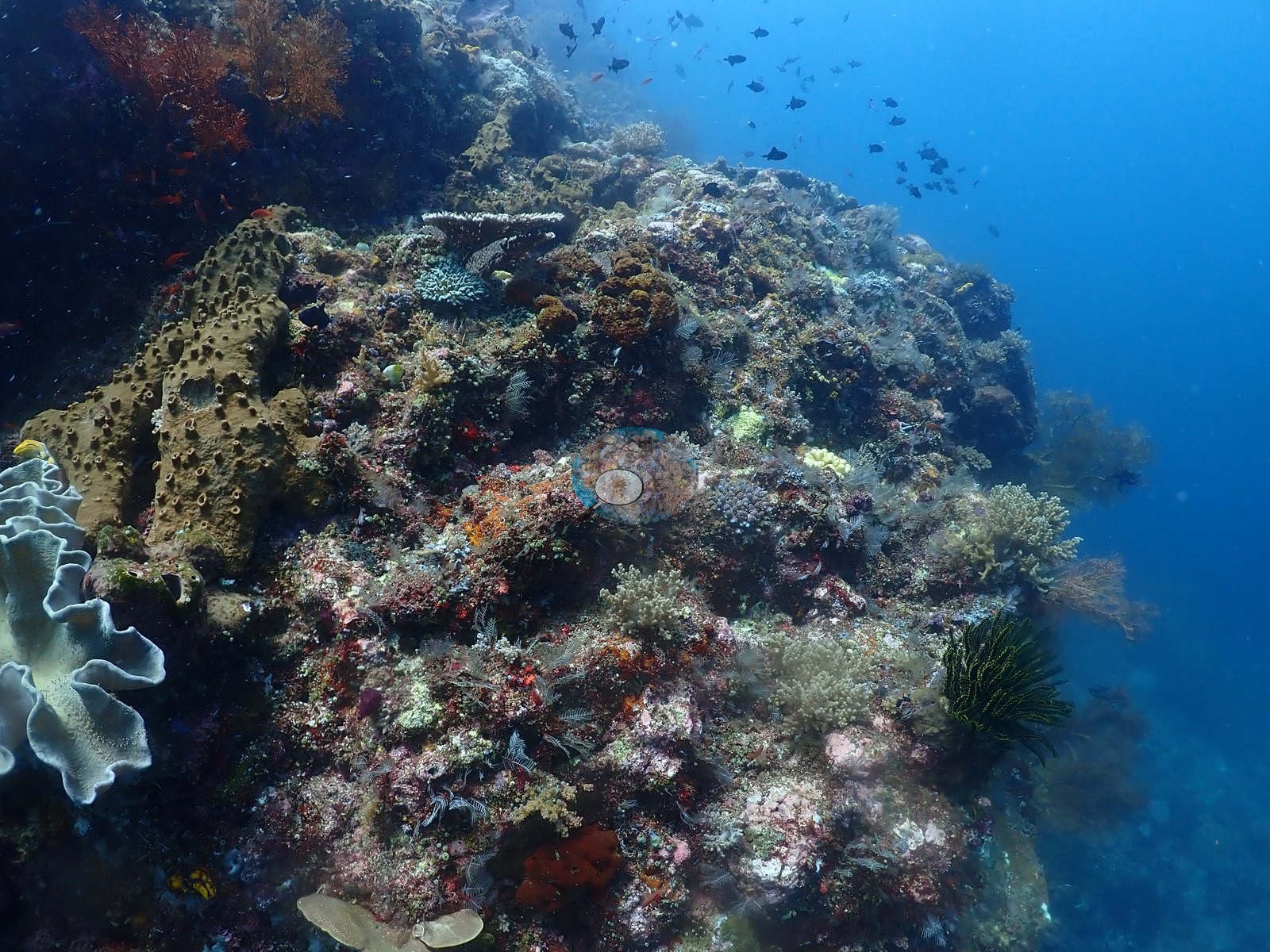
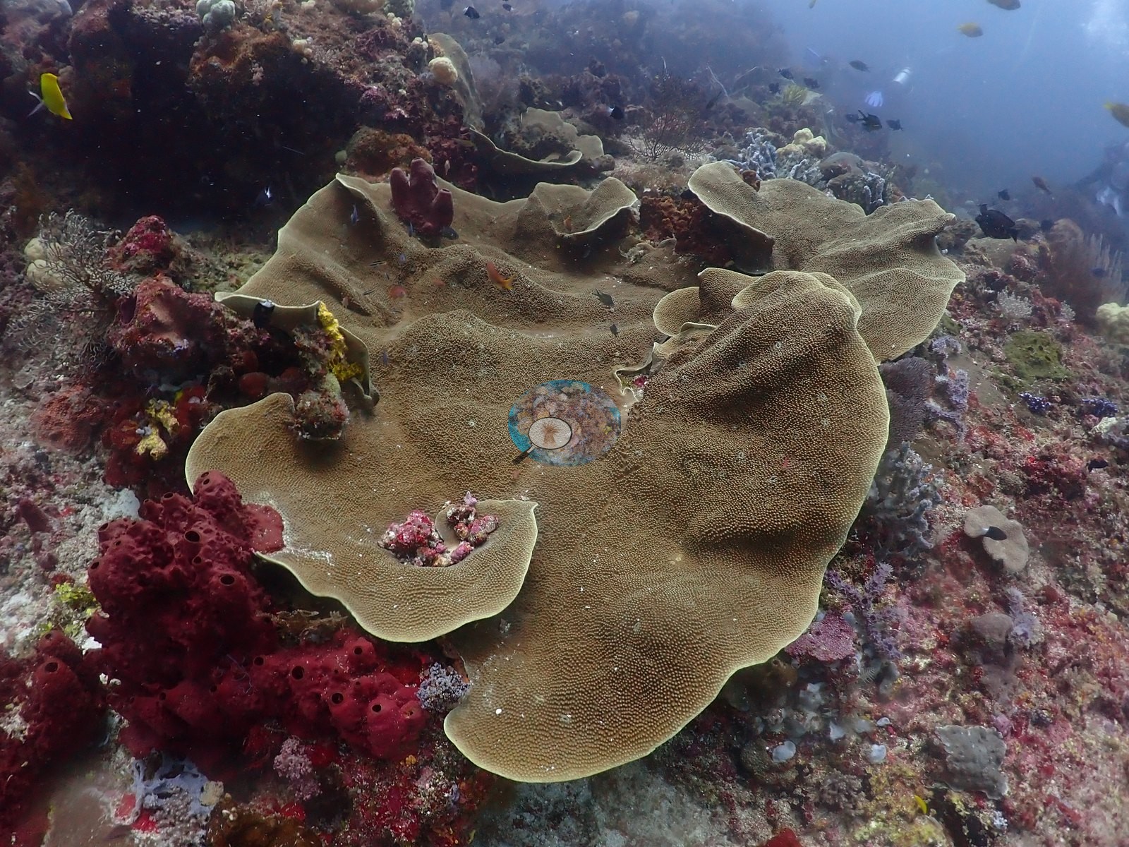
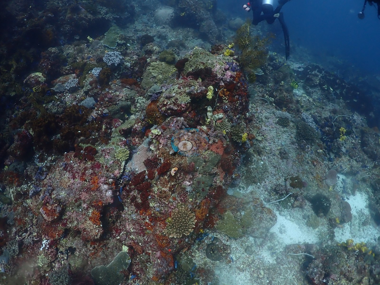
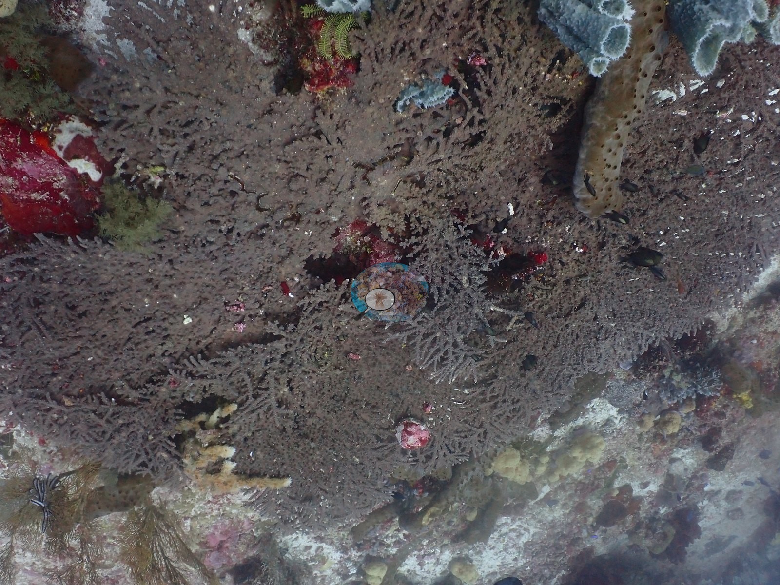
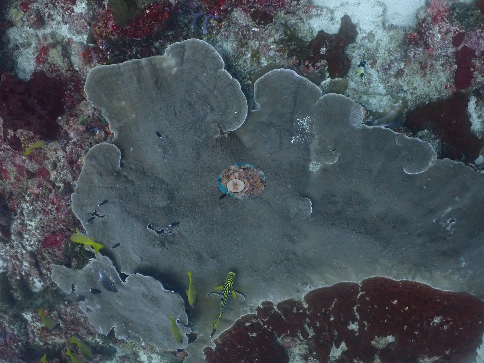
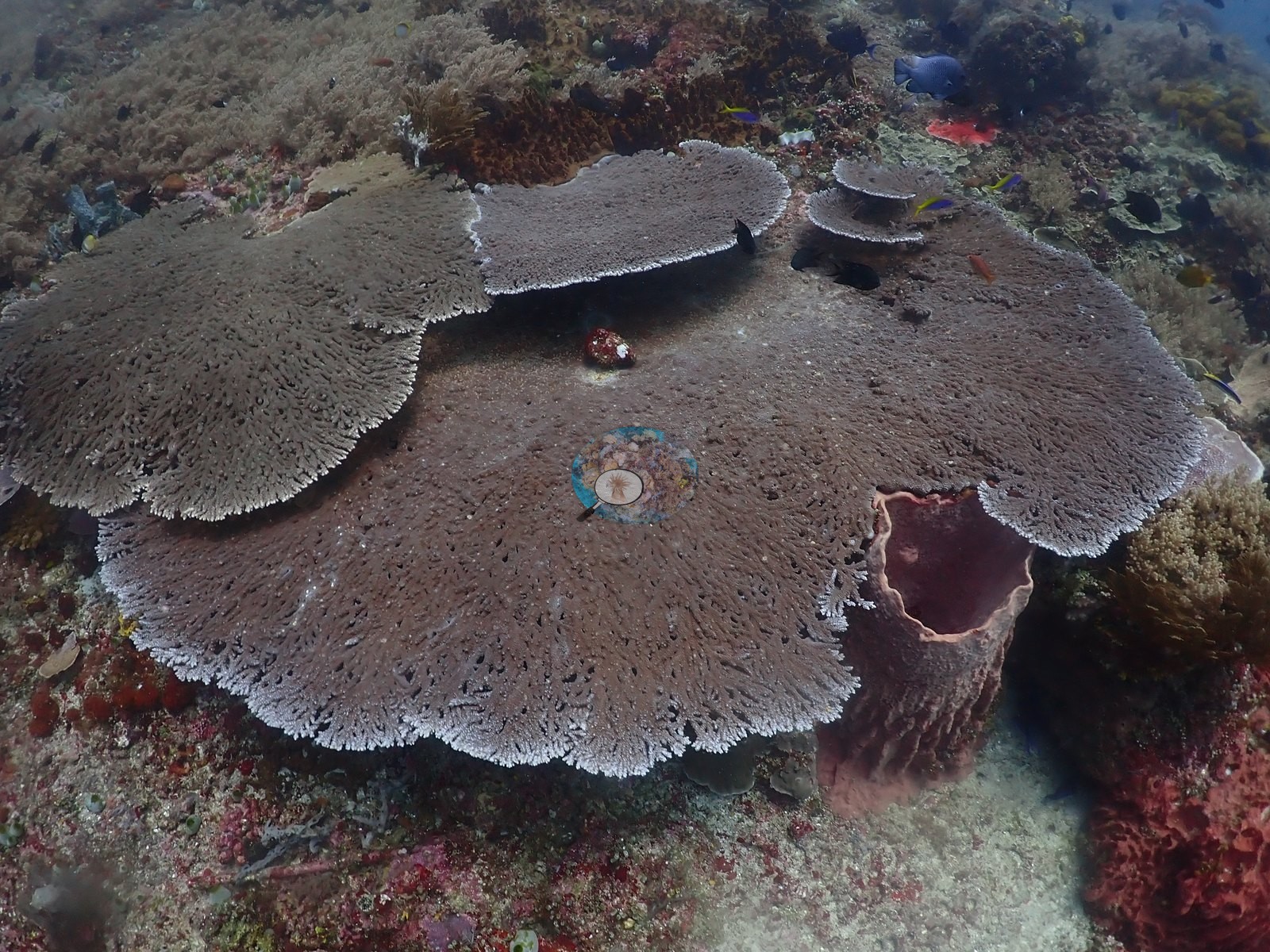
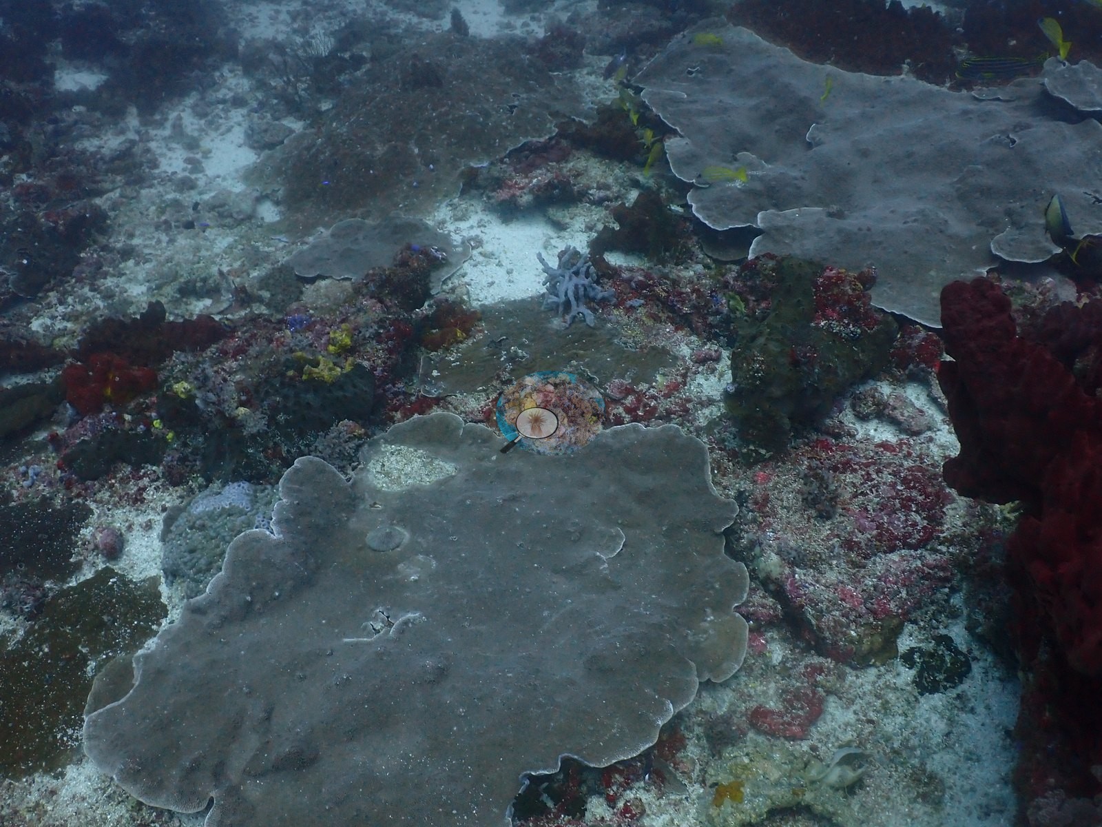
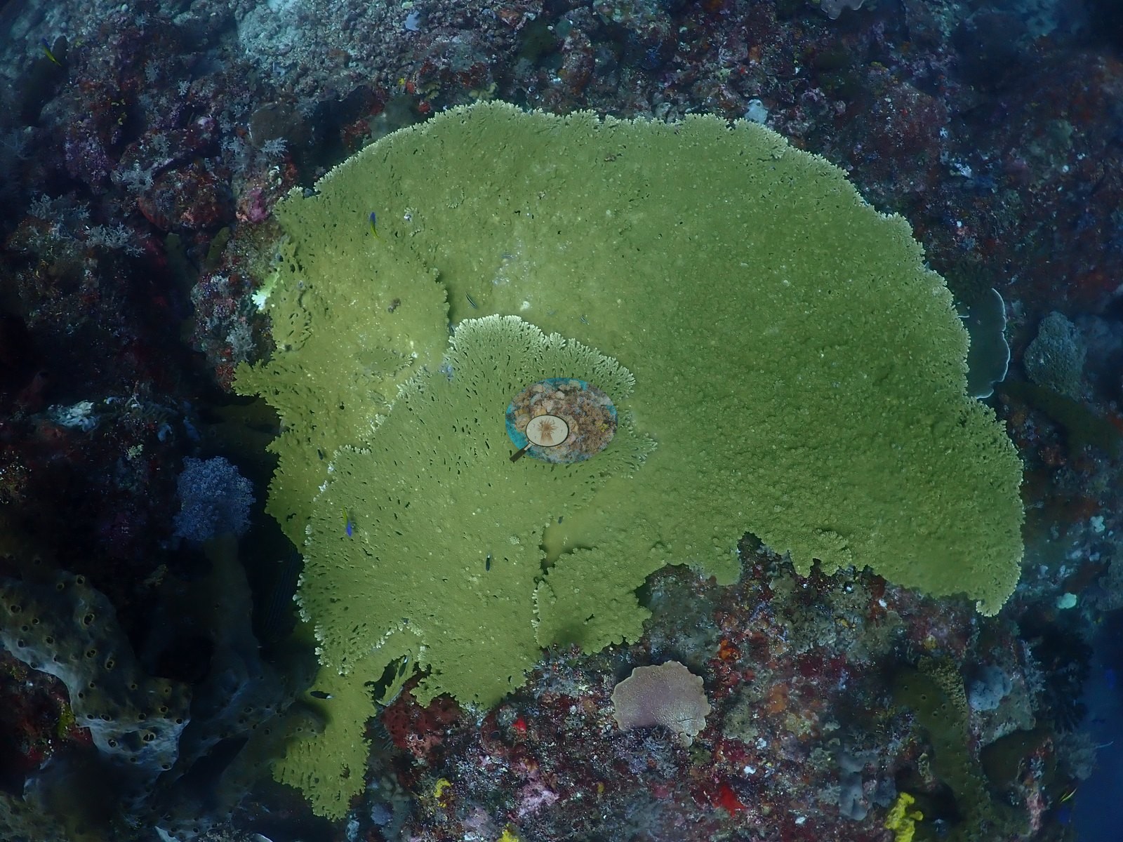
Growth here is dominated by large plate and table corals, gray, tan, and olive-green foliose discs up to a meter or more across, recurrent through the dive and often the single largest subject in frame; several show visible bite/graze marks or thin margins consistent with normal turnover rather than damage (e.g., Image 1, Image 5, Image 13, Image 20, Image 26, Image 30, Image 40, Image 43, Image 49, Image 52).
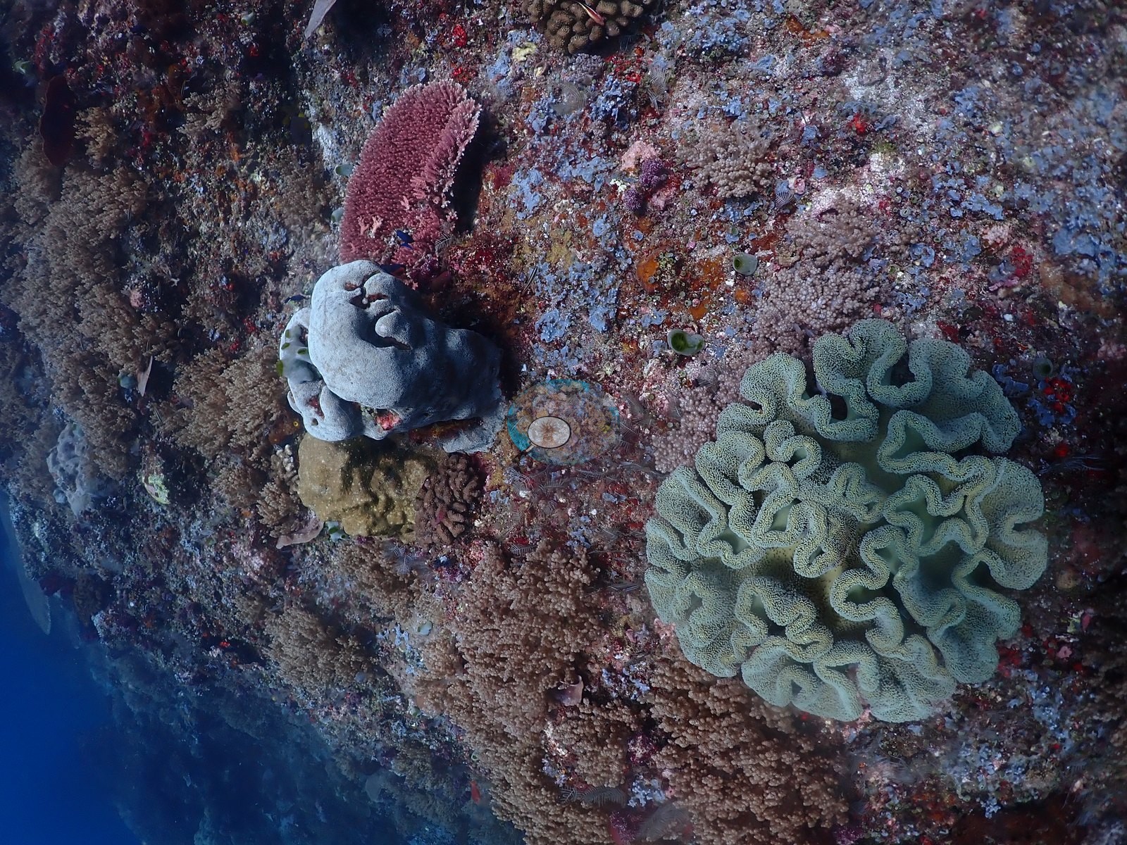
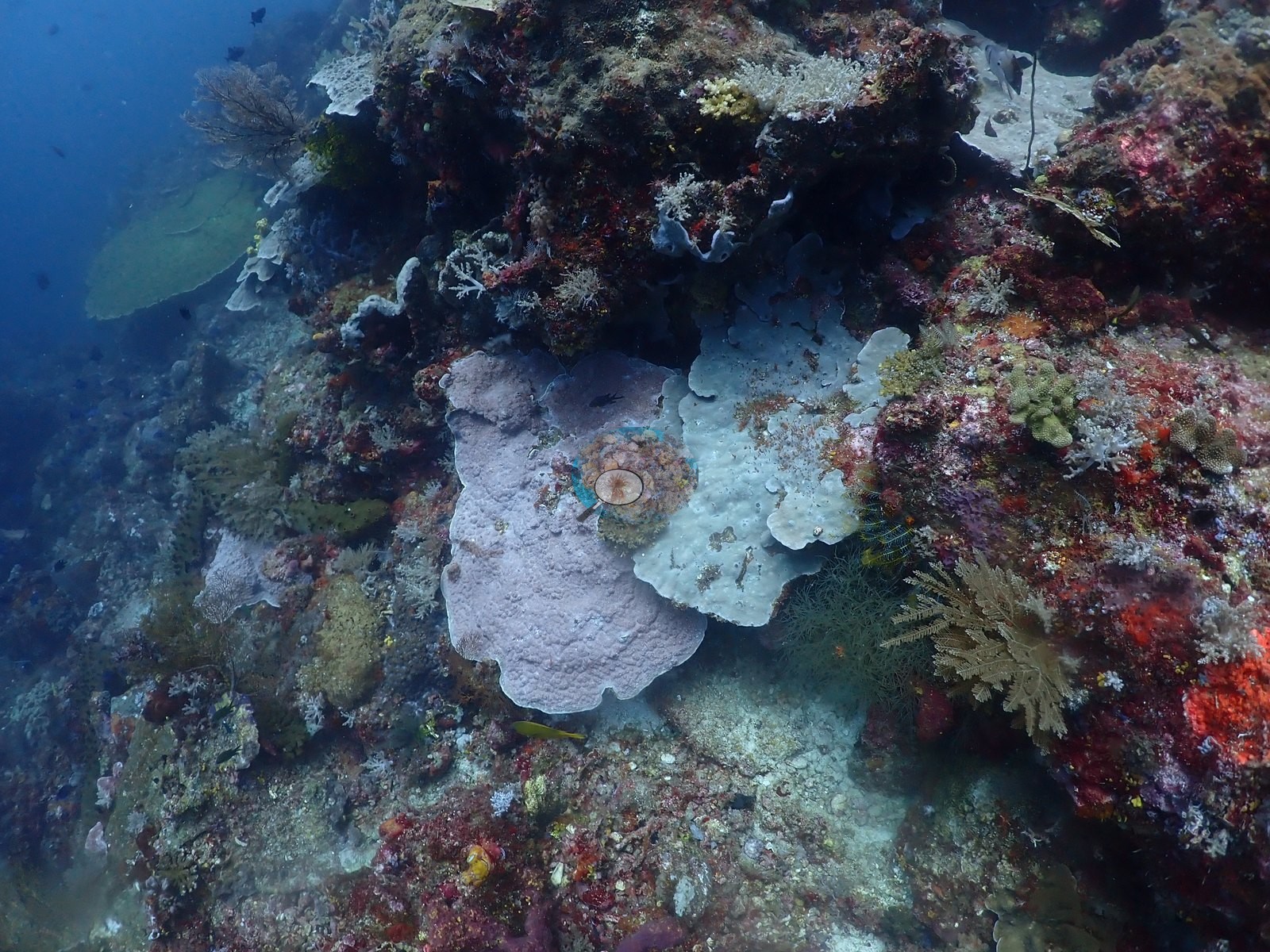
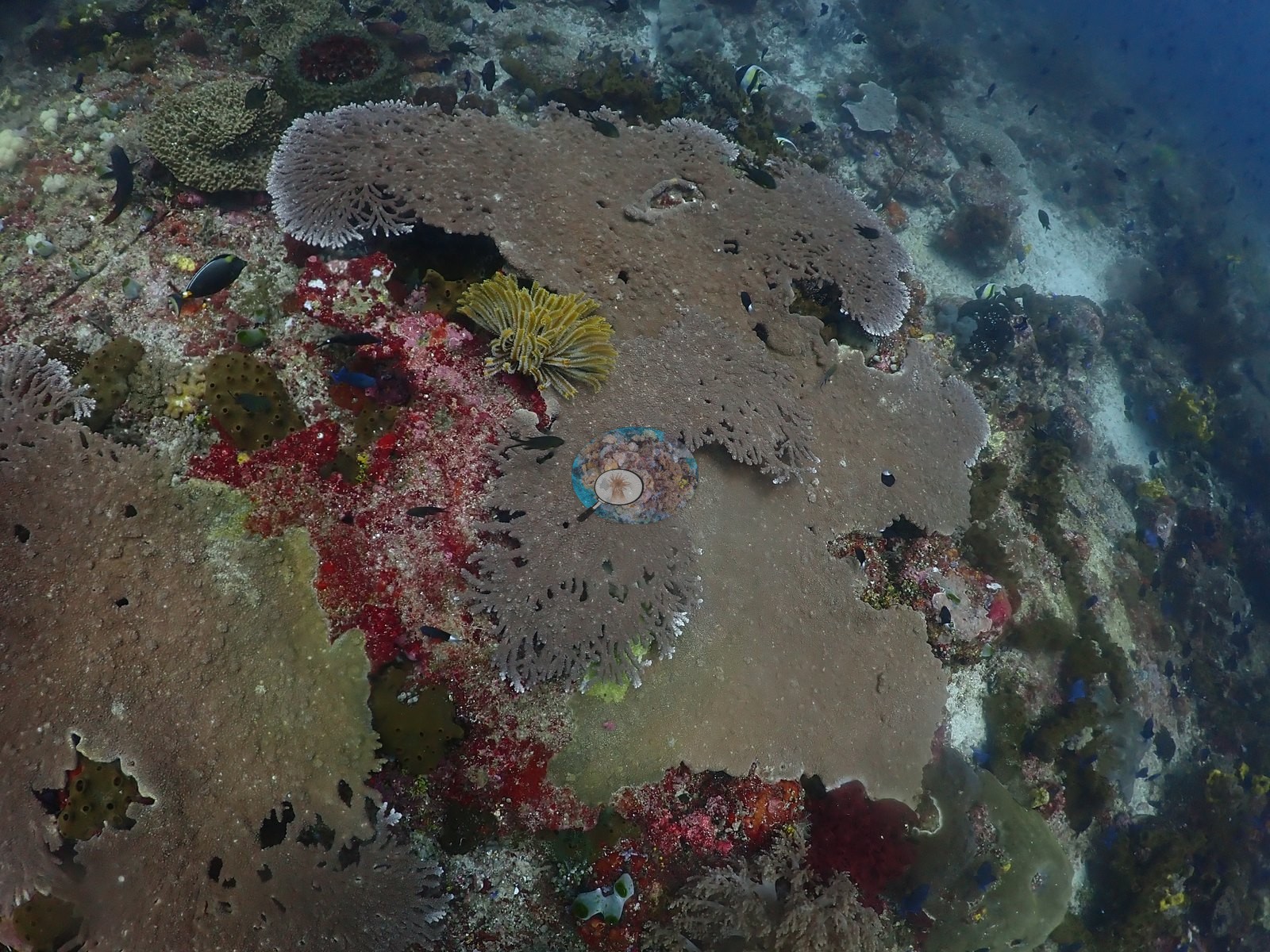
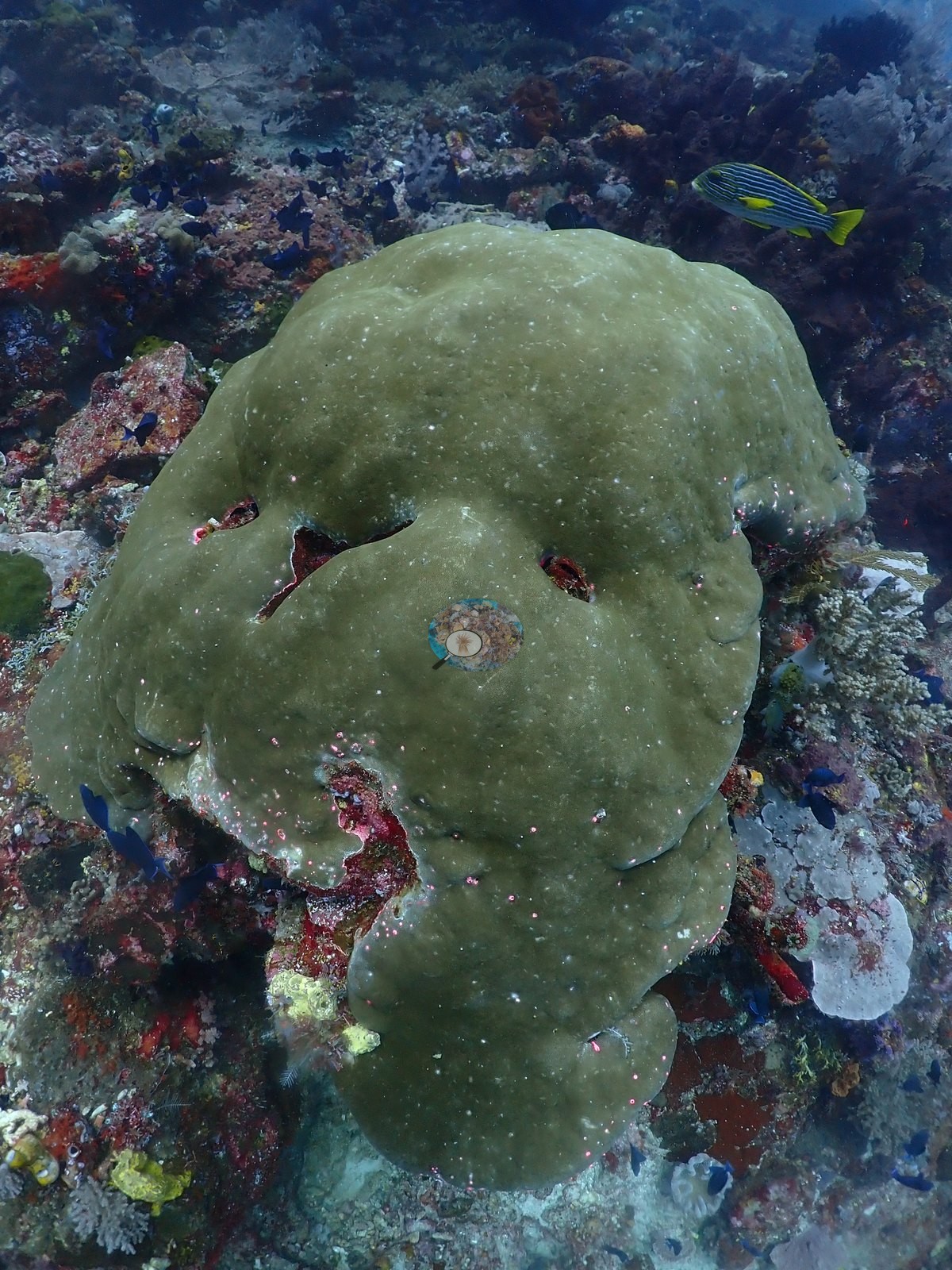
Massive smooth colonies, olive-green to gray-brown domes consistent with Porites/Diploastrea-type, recur through the mid-dive stretch (e.g., Image 3, Image 35, Image 41).
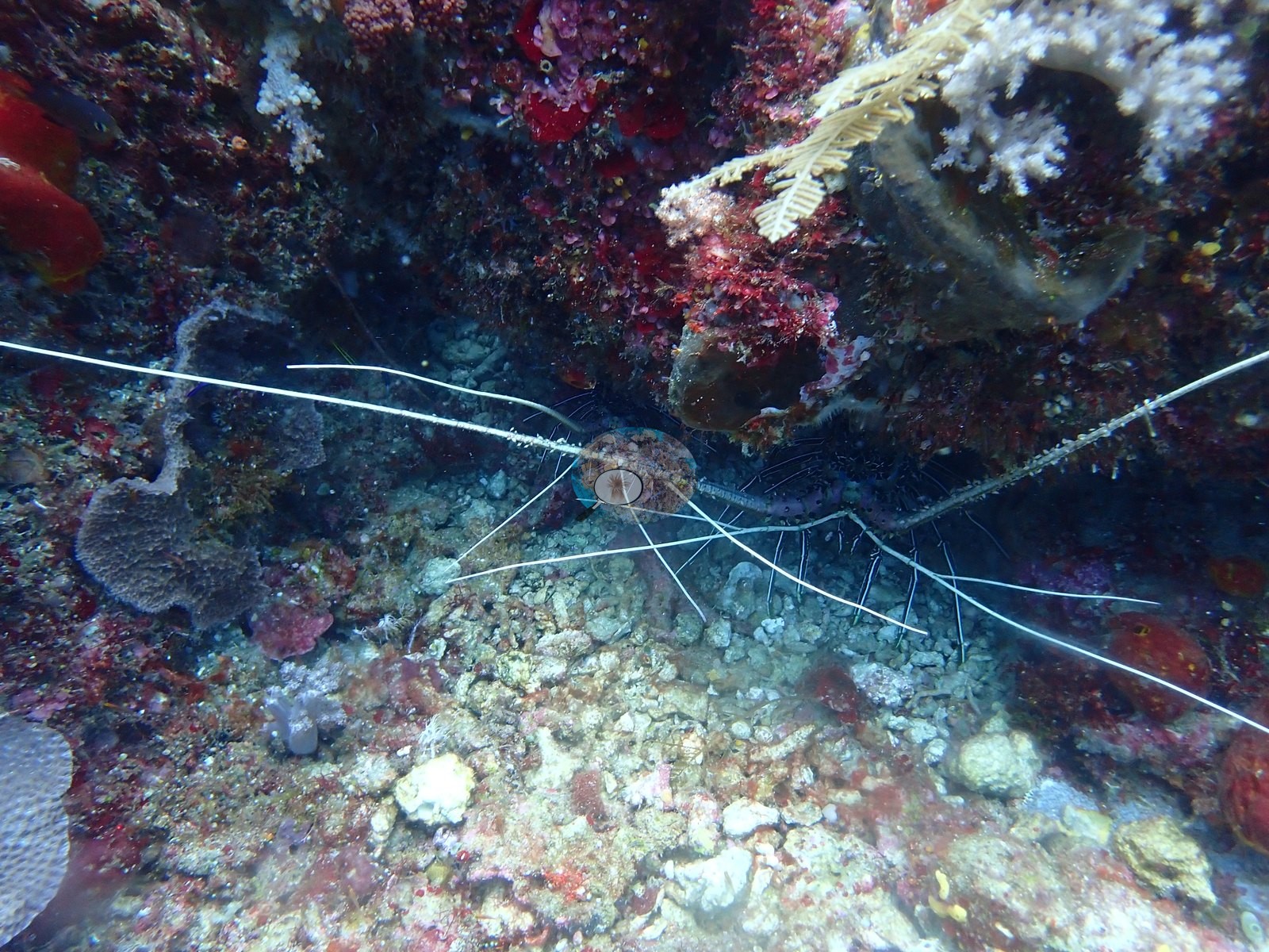
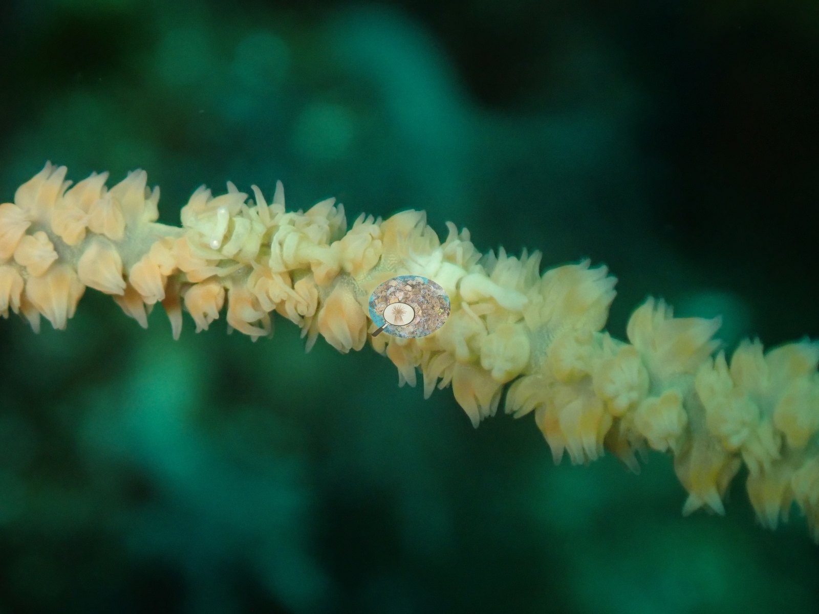
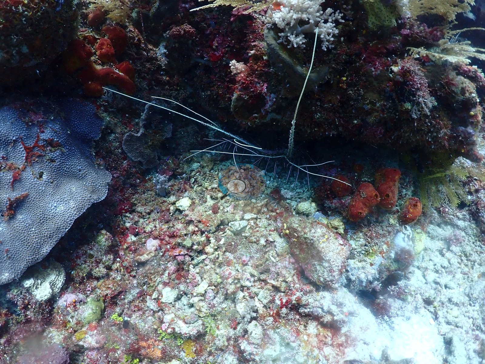
A pair of white sea whips or wire corals stands up from the substrate in two frames, alongside a banded shrimp with long white antennae, and a chain of pale yellow encrusting ascidians/polyps is shot in close-up against green water (e.g., Image 10, Image 25, Image 32).
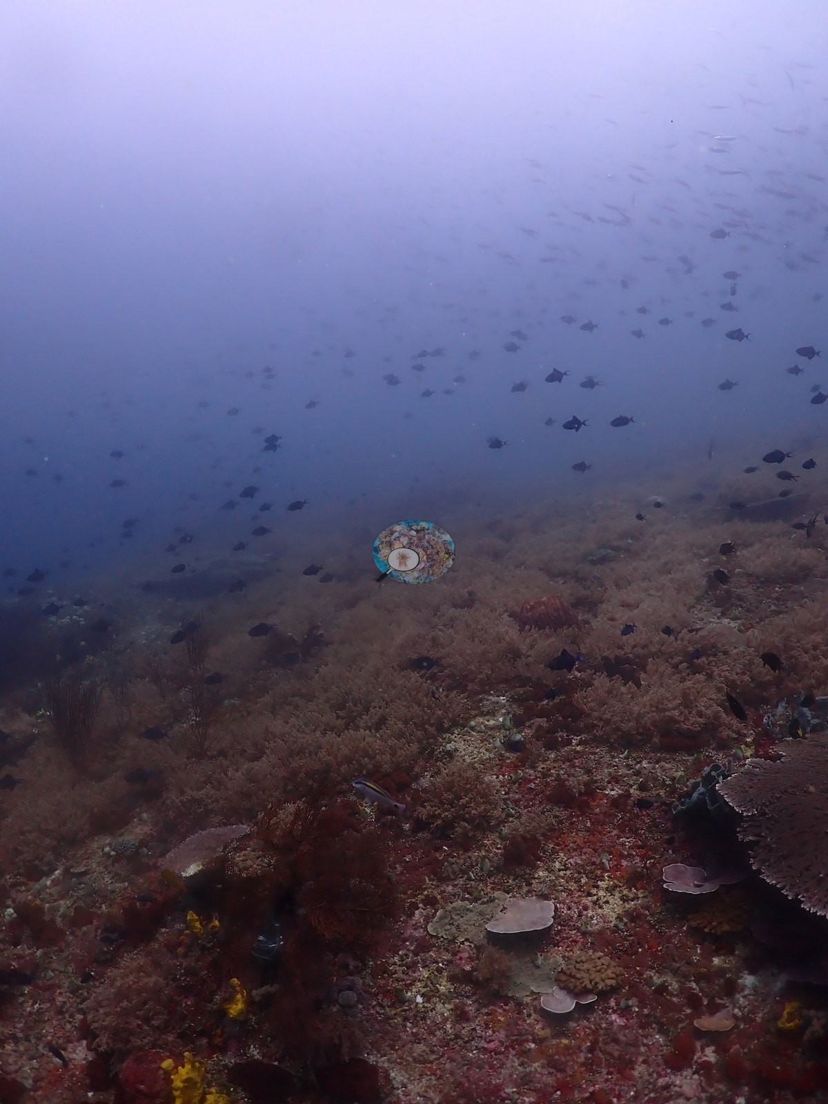
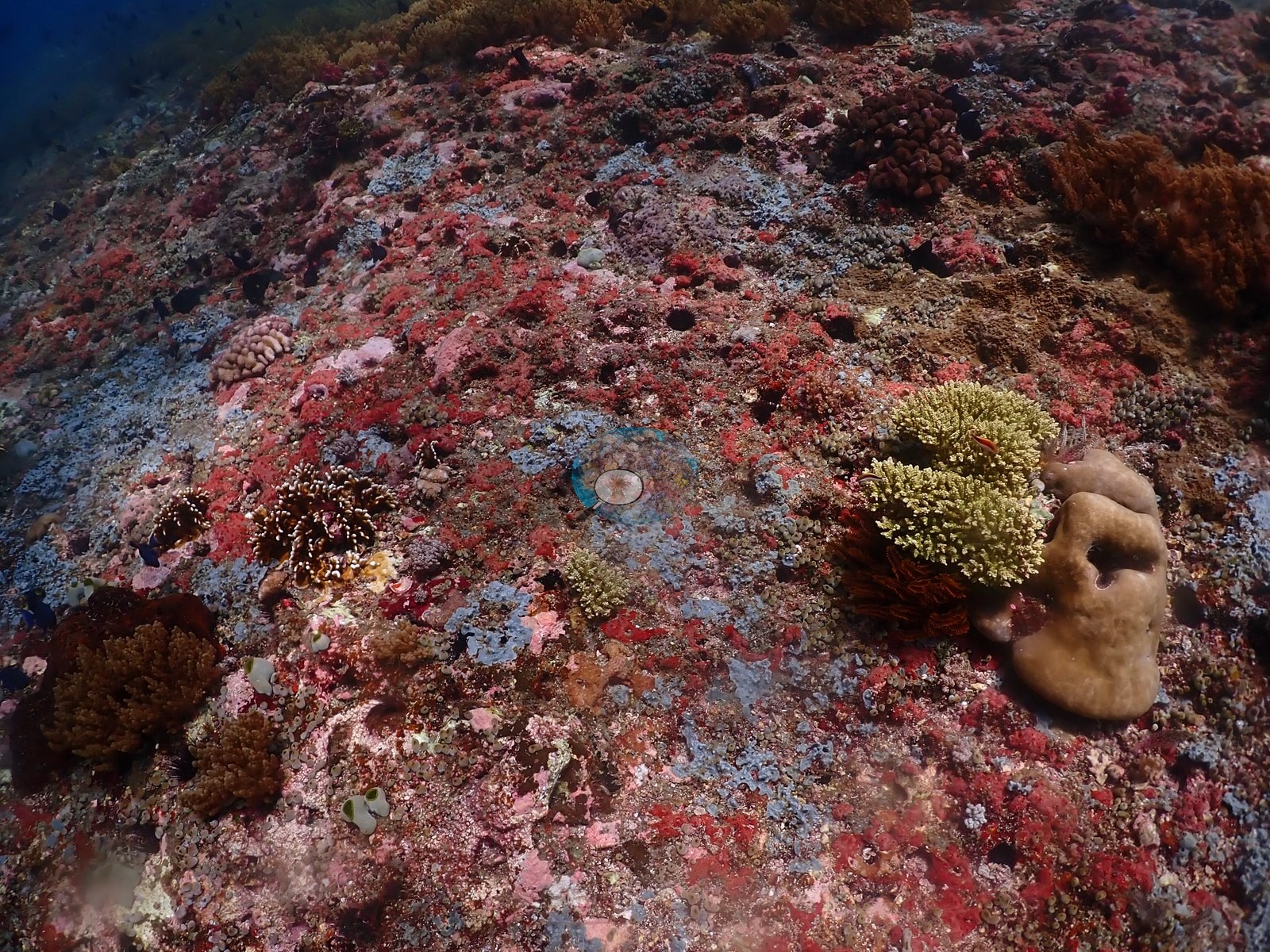
Extensive stretches of the pinnacle's flank carry a dense, fuzzy brown-olive turf that reads as either a soft-coral/zoanthid mat or dense fine-branching coral seen at range — not resolvable to genus at this distance — interspersed with small cream and pink coral colonies and crustose coralline patches (e.g., Image 19, Image 22, Image 34, Image 54).
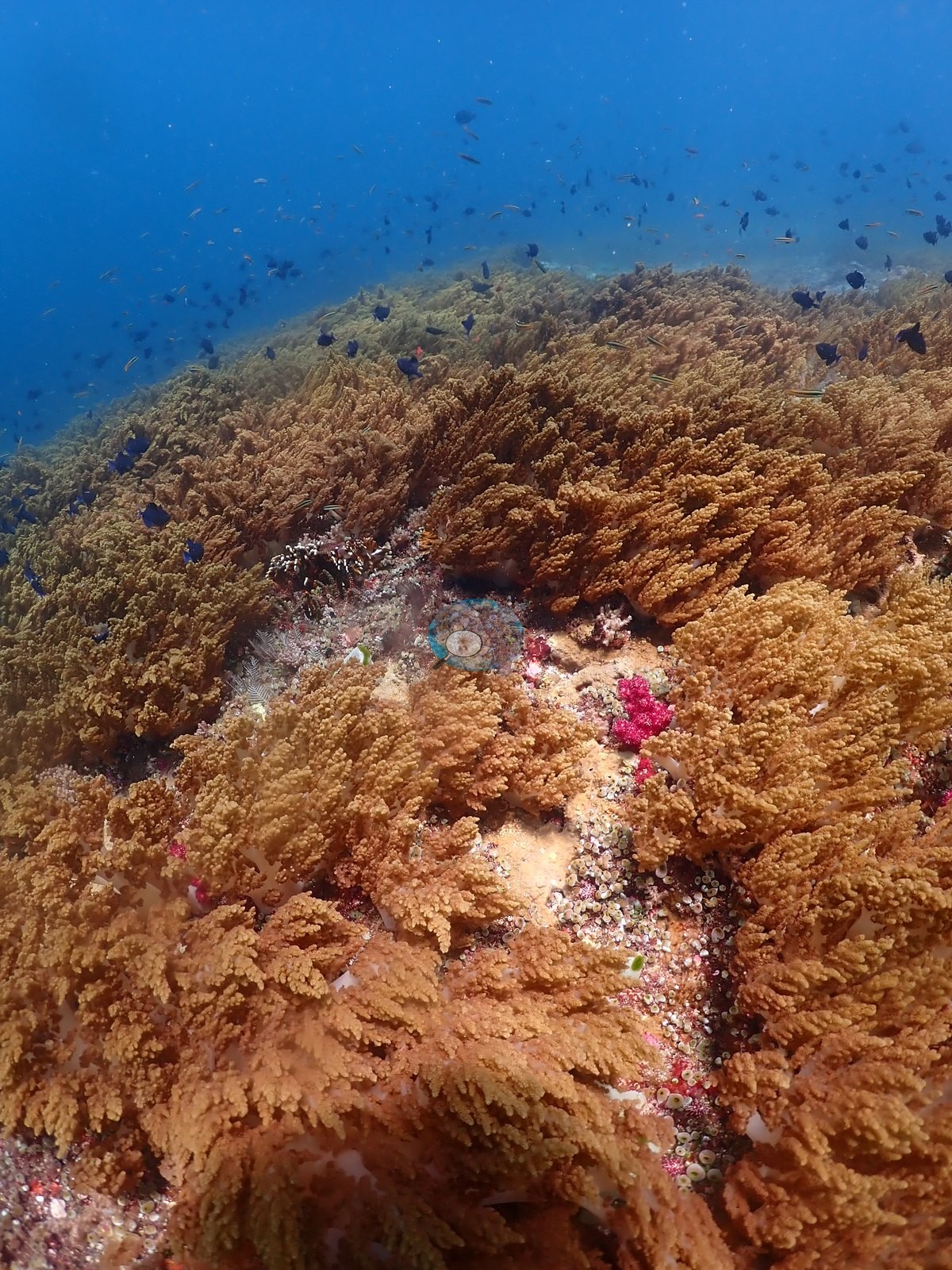
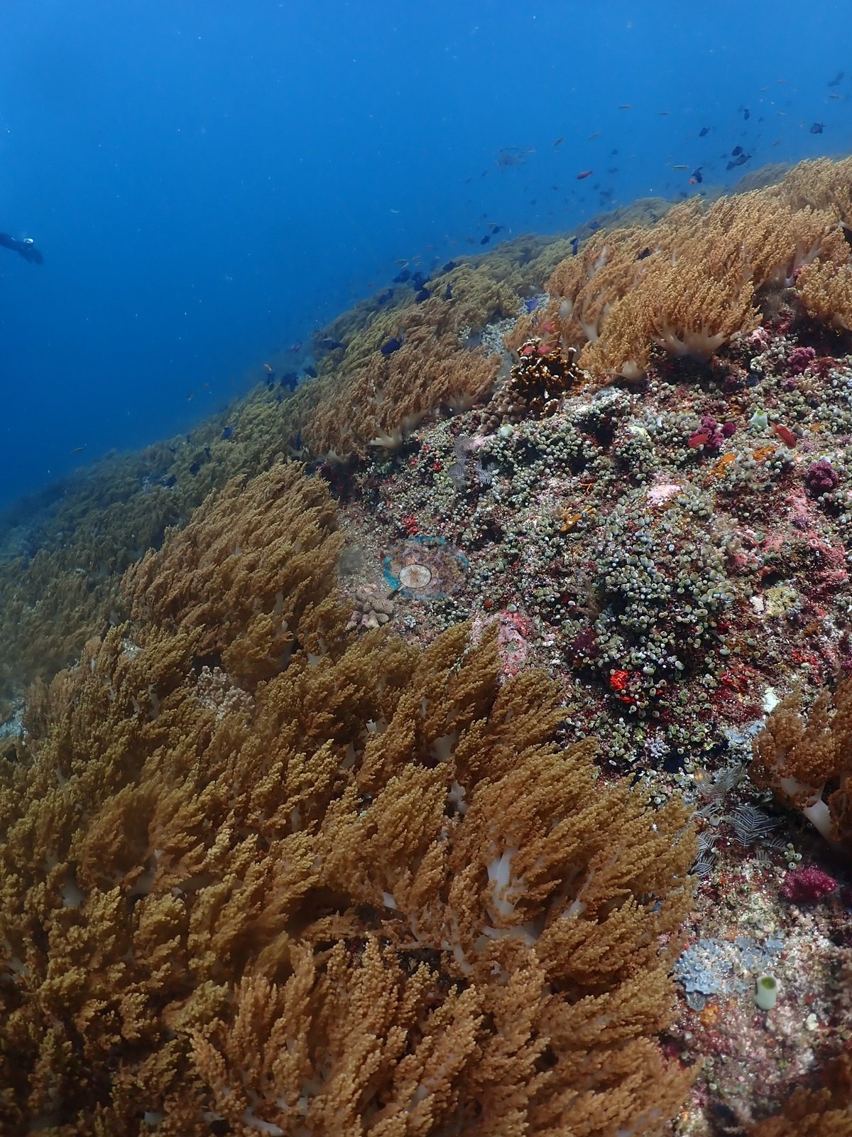
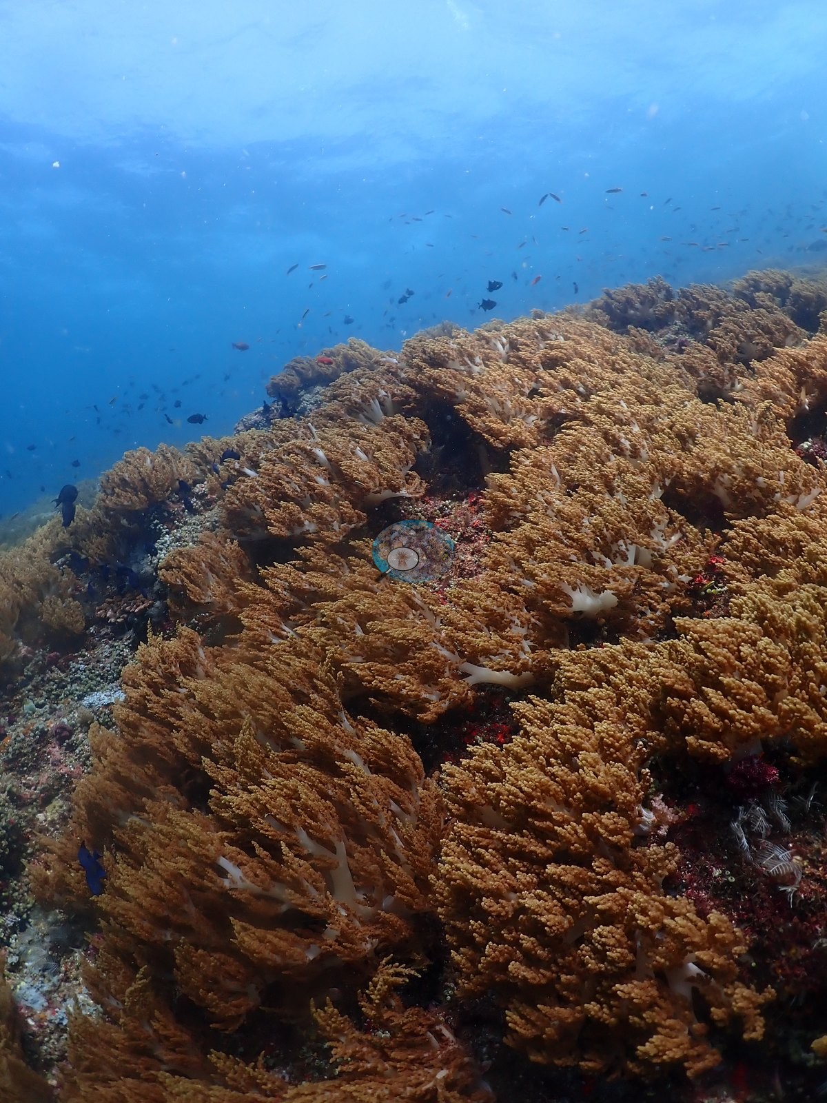
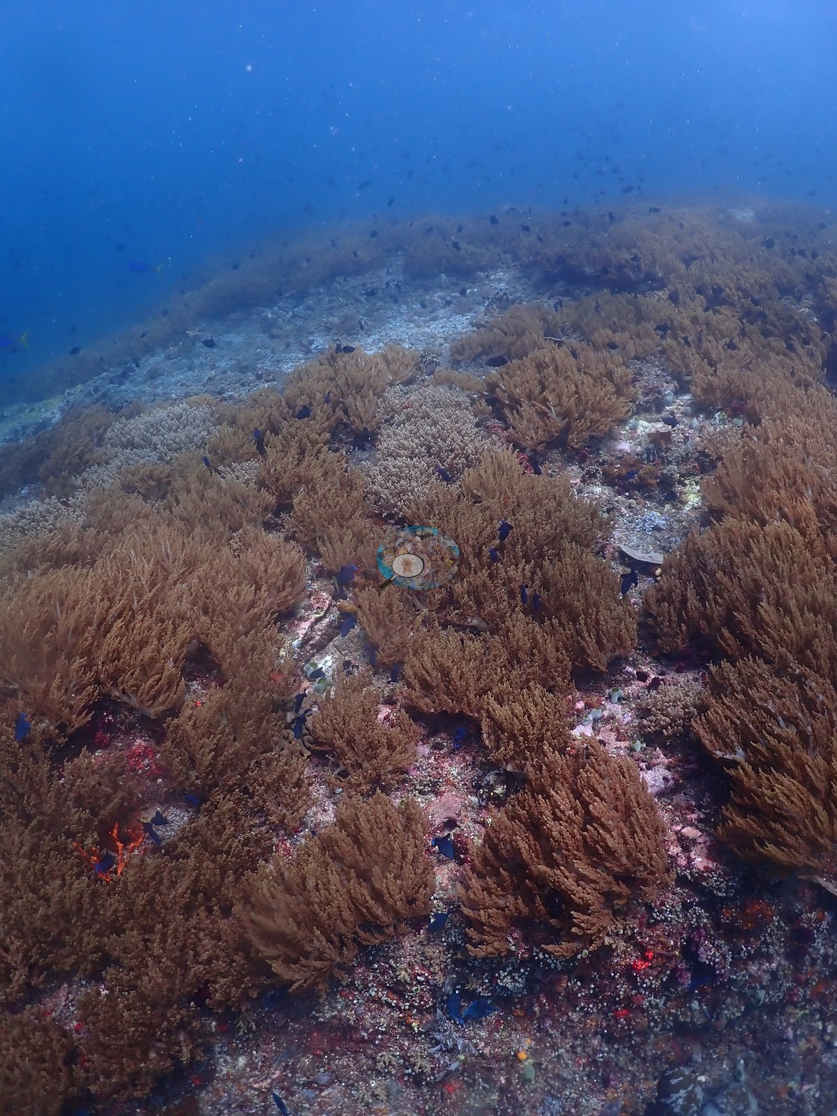
Coral cover
Coral cover: 12% — a blind Claude computer-vision point count of 48 of Anderson's unedited photographs (20 points per photo; water, fish, and obstructions excluded). Other computer-vision methods are listed in the method table.
Stressors
No bleaching, disease, crown-of-thorns, or predation was seen in any of the 60 frames reviewed; growth forms and pigmentation throughout are normal for the depth and light.
Fish and other fauna
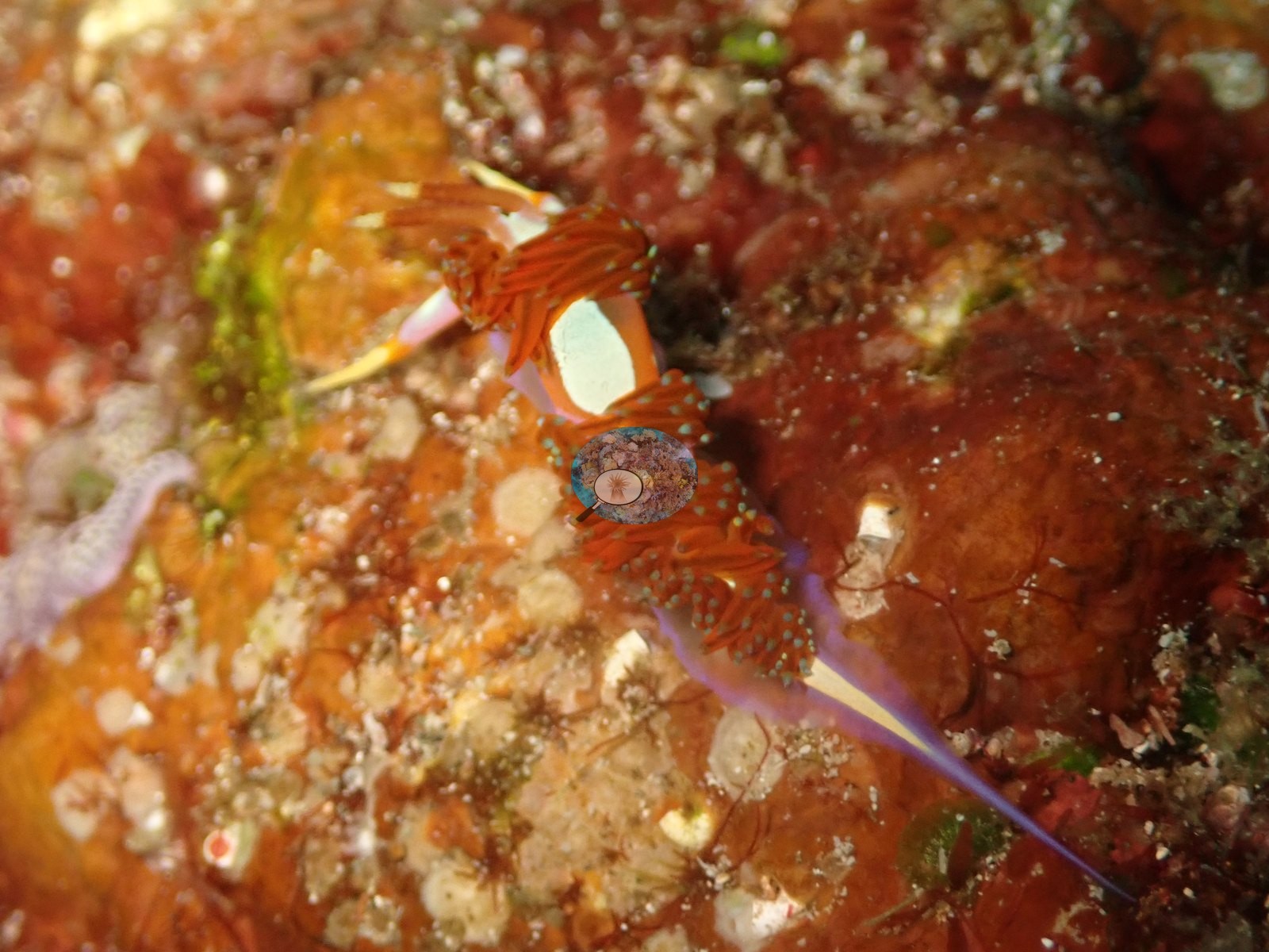
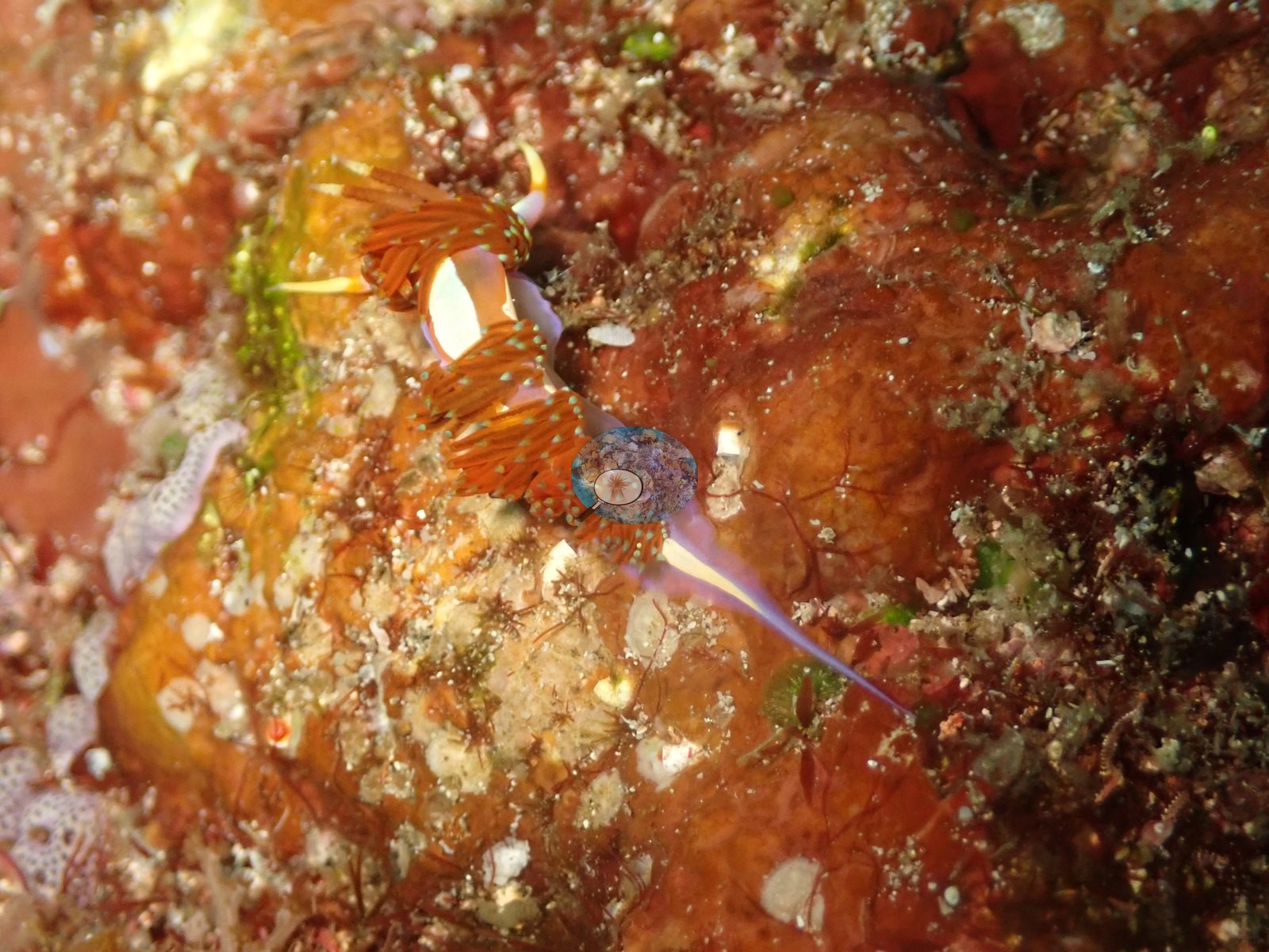
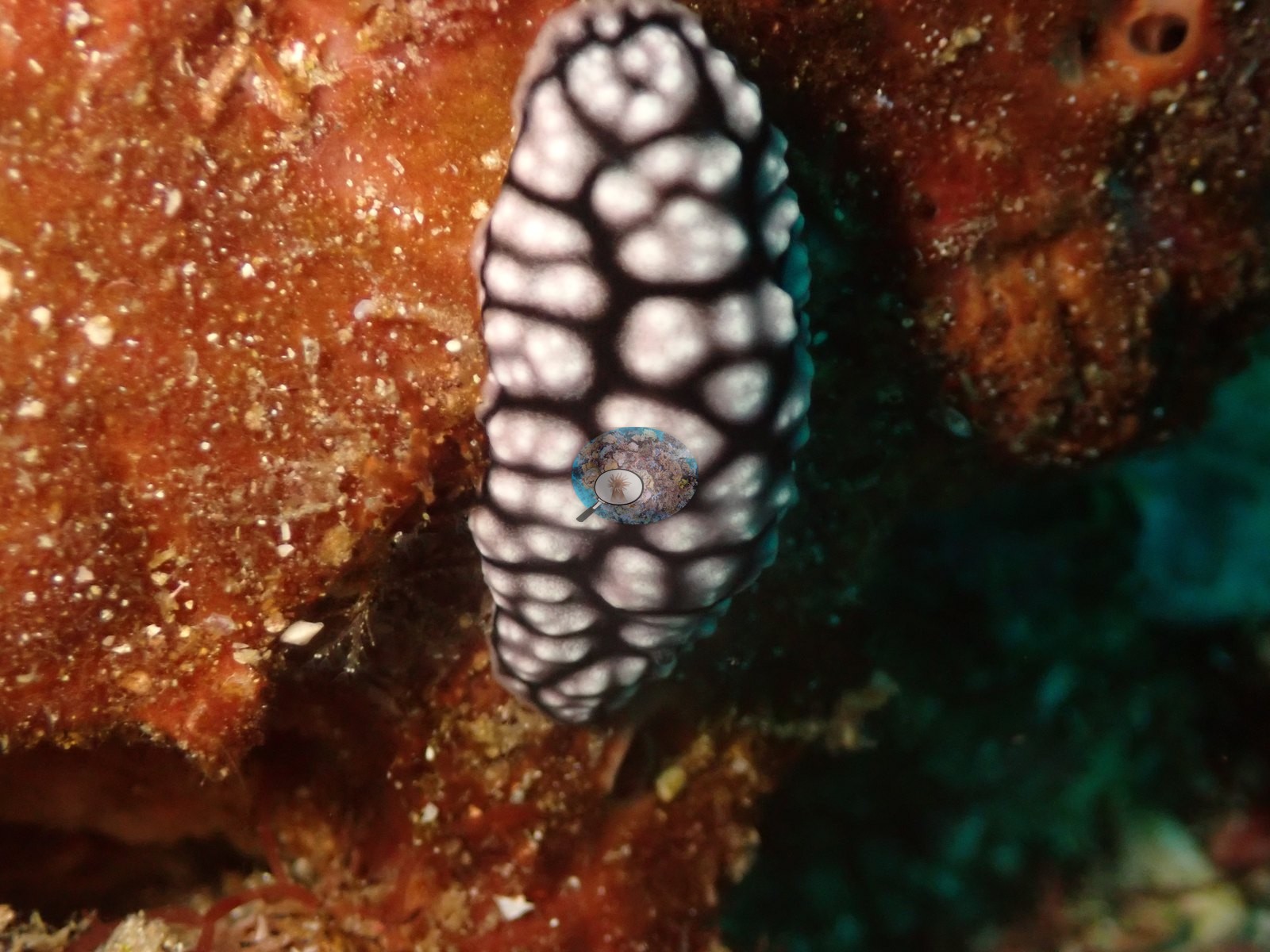
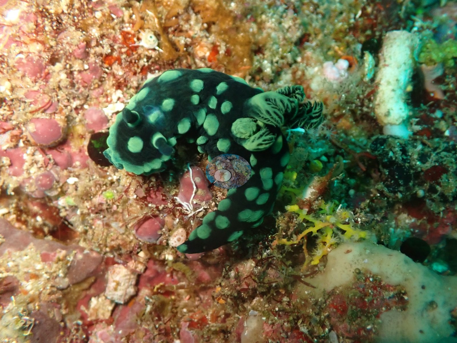
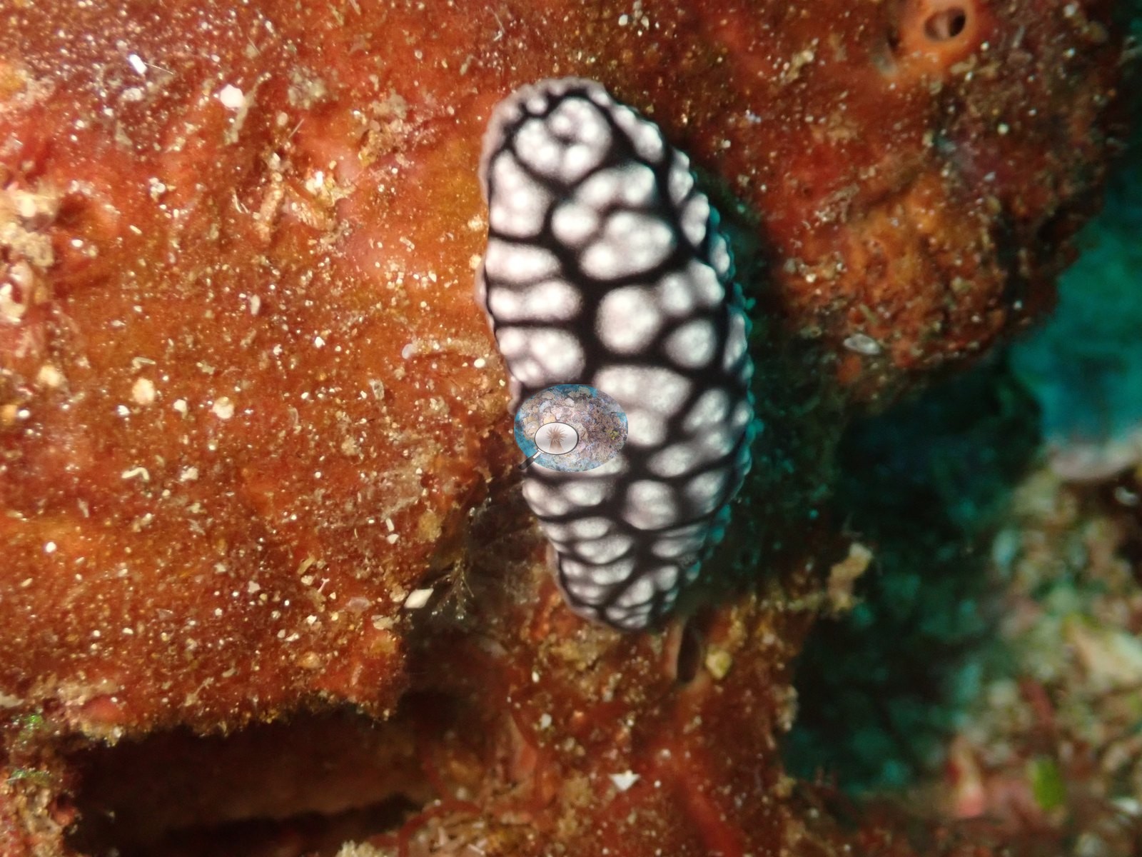
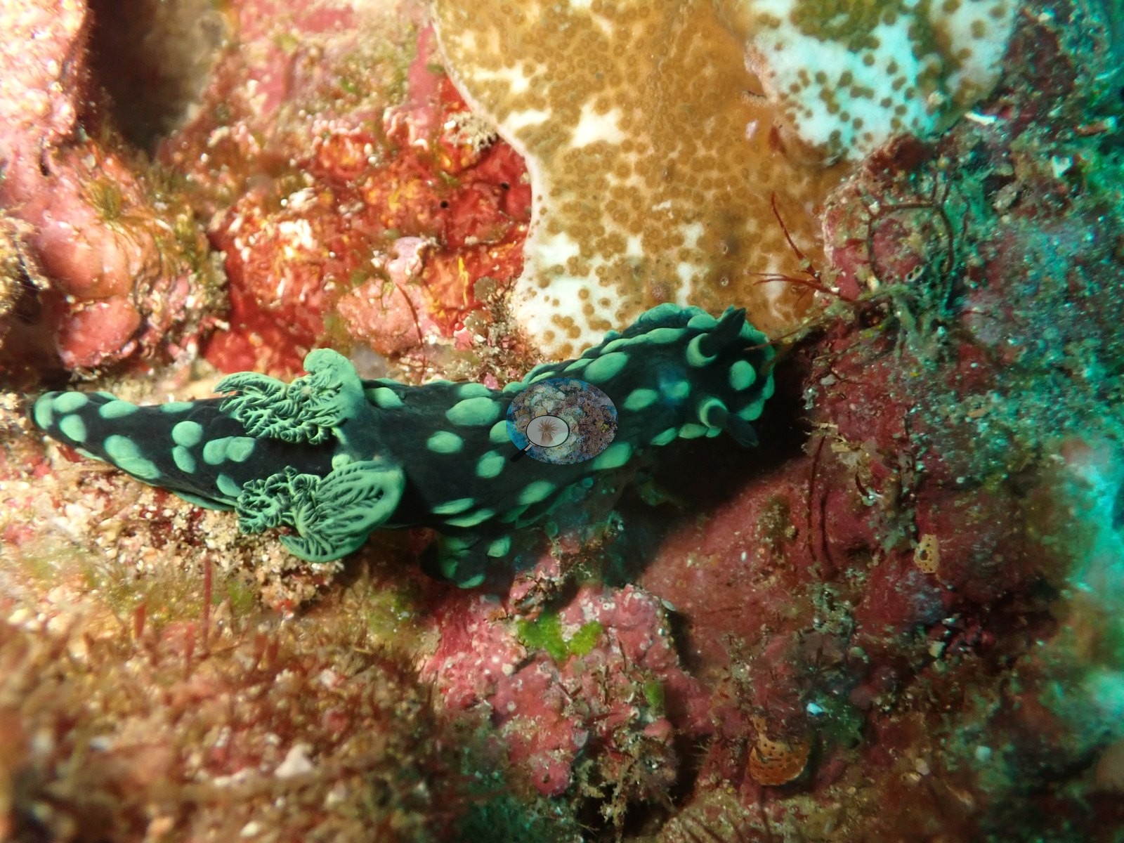
Fauna is the strongest part of this dive, exactly as logged: a striking cream-and-black honeycomb-patterned nudibranch, consistent with a Phyllidia/Jorunna-type species, across four consecutive frames; an emerald-green, black-spotted nudibranch consistent with Nembrotha/Tambja-type across four frames; a small orange dorid shot close against pink substrate; and a pair of slender fish with vertical white-and-orange banding tucked in orange sponge, consistent with juvenile sweetlips or a shrimpfish/pipefish pair, not settled from the frame (e.g., Image 9, Image 11, Image 31, Image 33).
Comparisons with other data
No independent survey was made at this exact site; the nearest ones are listed in the table below.
Dive record
Anderson's field note: “switched to larger tank; small tuna, small jacks, plentiful reef fish, tons of nudibranchs”
Other notes
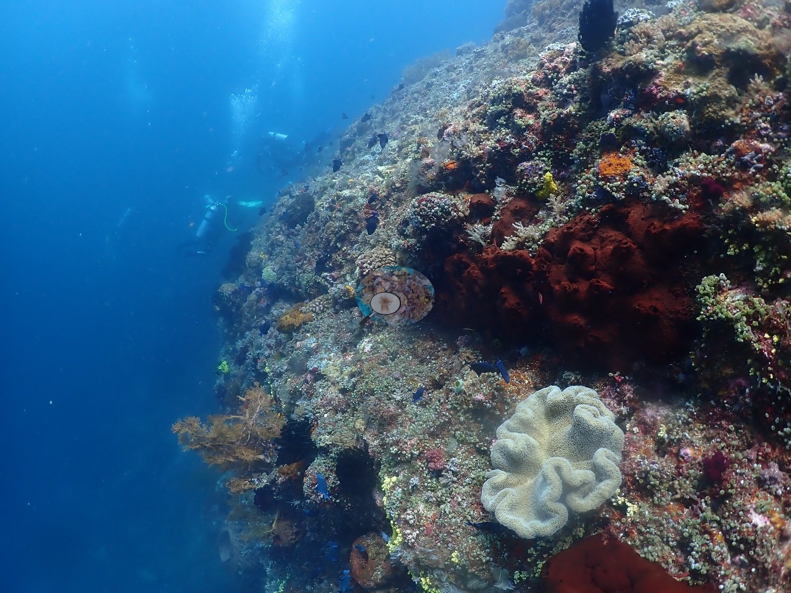
Divers with bubble trails and gorgonian fans recur on the outer wall in the closing stretch (e.g., Image 4).
CV model comparison
More info
DINOv3 and CoralSCOP were run on the same photos and are listed for comparison. Coralscapes v2 and v1 were also run but are not shown: Anderson does not consider Coralscapes reliable for these photos. No diver transect exists for this trip, so agreement between the rows is not accuracy, and as of September 2026 no computer-vision method estimates coral cover accurately on new images; treat every row as indicative.| Method | Hard-coral cover (%) |
|---|---|
| In-house DINOv3 | 18.8 |
| CoralSCOP unedited | 26.6 |
| Claude | 11.6 |
Independent surveys nearby
Within 5 km, 2 independent survey stations recorded hard coral cover in 2024. Surveys since 2021 average 37% (range 25–50%, n=2). This site's own estimate (12%) sits 13.3 points below the recent range (25–50%); the methods differ, so the comparison is context, not a like-for-like test.
Collected by other programs using different methods (MERMAID is a data platform: each MERMAID row names the organization that did the survey, and its method is in the row's hover text), so these are context for the figures above, not a like-for-like comparison. Where a station was surveyed more than once the range is shown. Station names are not dive-site names.
| Agency | Site / location | Date | Hard coral cover (%) | Distance | Link |
|---|---|---|---|---|---|
| WCS Indonesia via MERMAID | Inti Siko | 2024 | 25% | 0.00 km | Adiyoga D, Cholic O, Gunawan I, Rayhan A, Sutanto S, Syah L, Zulfikri M. 2024. Guraici MPA 2024. MERMAID |
| WCS Indonesia via MERMAID | Inti Gafi | 2024 | 50% | 3.69 km | Adiyoga D, Cholic O, Gunawan I, Rayhan A, Sutanto S, Syah L, Zulfikri M. 2024. Guraici MPA 2024. MERMAID |
Data & links
All images from Coral Reef Diagnostics. Data are from Coral Reef Diagnostics and the organizations named in the data-sources table above.
© Coral Reef Diagnostics.