
Indonesia - Halmahera: Failonga
Part of the regional summaries: Indonesia - Halmahera and Indonesia - Maluku
More info
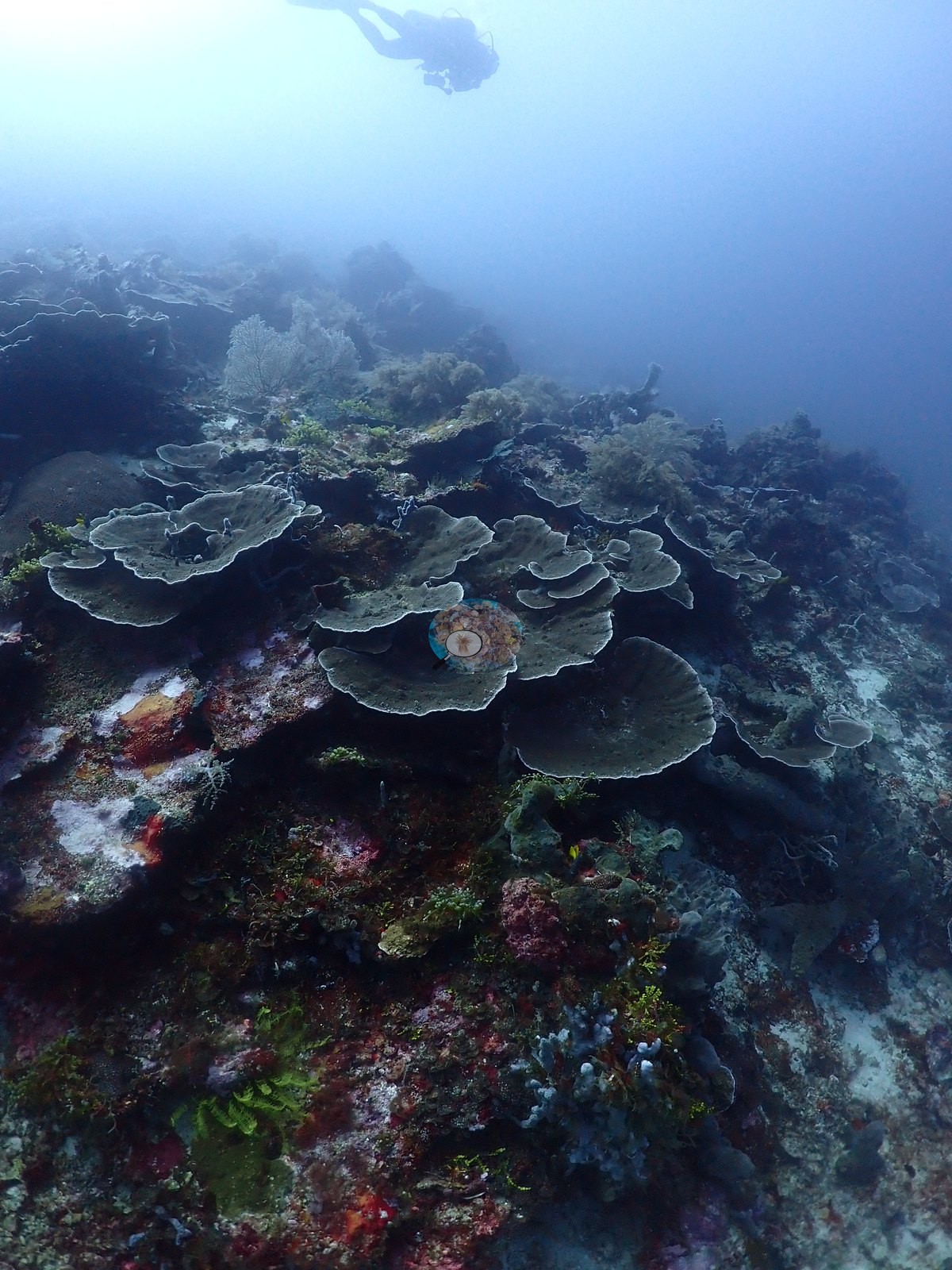
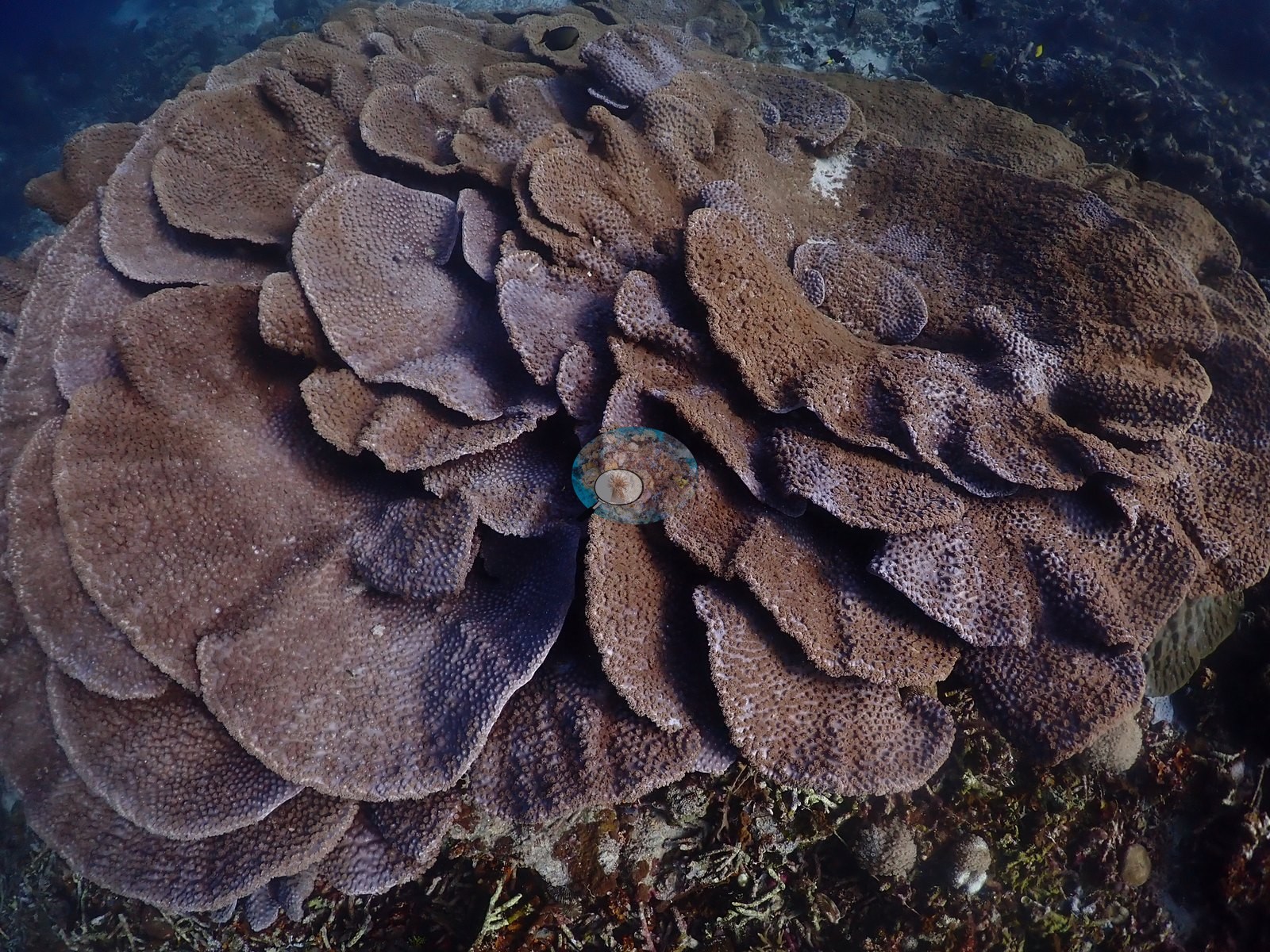
North Maluku (NOAA CRW virtual station)Failonga lives up to Anderson's log note of lush foliaceous corals - broad Turbinaria and Pavona-type plate gardens stacked several tiers deep - though one extensive field of long-dead, coralline-bound staghorn skeletons shows an old mortality event now being recolonized by young Acropora and soft coral. No bleaching, crown-of-thorns starfish (COTS), or active disease. A blind Claude computer-vision point count puts coral cover around 33%.
Failonga sepadan dengan catatan Anderson tentang karang foliaseus yang subur — taman karang lembaran Turbinaria dan bertipe Pavona yang lebar dan bersusun beberapa tingkat — meskipun satu hamparan luas kerangka karang bercabang yang telah lama mati dan terikat alga koralin menunjukkan peristiwa kematian lama yang kini sedang ditumbuhi kembali oleh Acropora muda dan karang lunak. Tanpa pemutihan, bintang laut mahkota duri, maupun penyakit aktif. Penghitungan titik buta visi komputer Claude memperkirakan tutupan karang sekitar 33%.
Terjemahan ringkasan ini oleh AI; versi bahasa Inggris yang berlaku.
Two independent survey stations shown with the program’s logo — click one to see how far it is from this site.
One other CRD dive site within 5 km shown in orange — click a marker to open its page.
32 of these 54 photographs are shown beside the text that discusses them under "Site description" below.
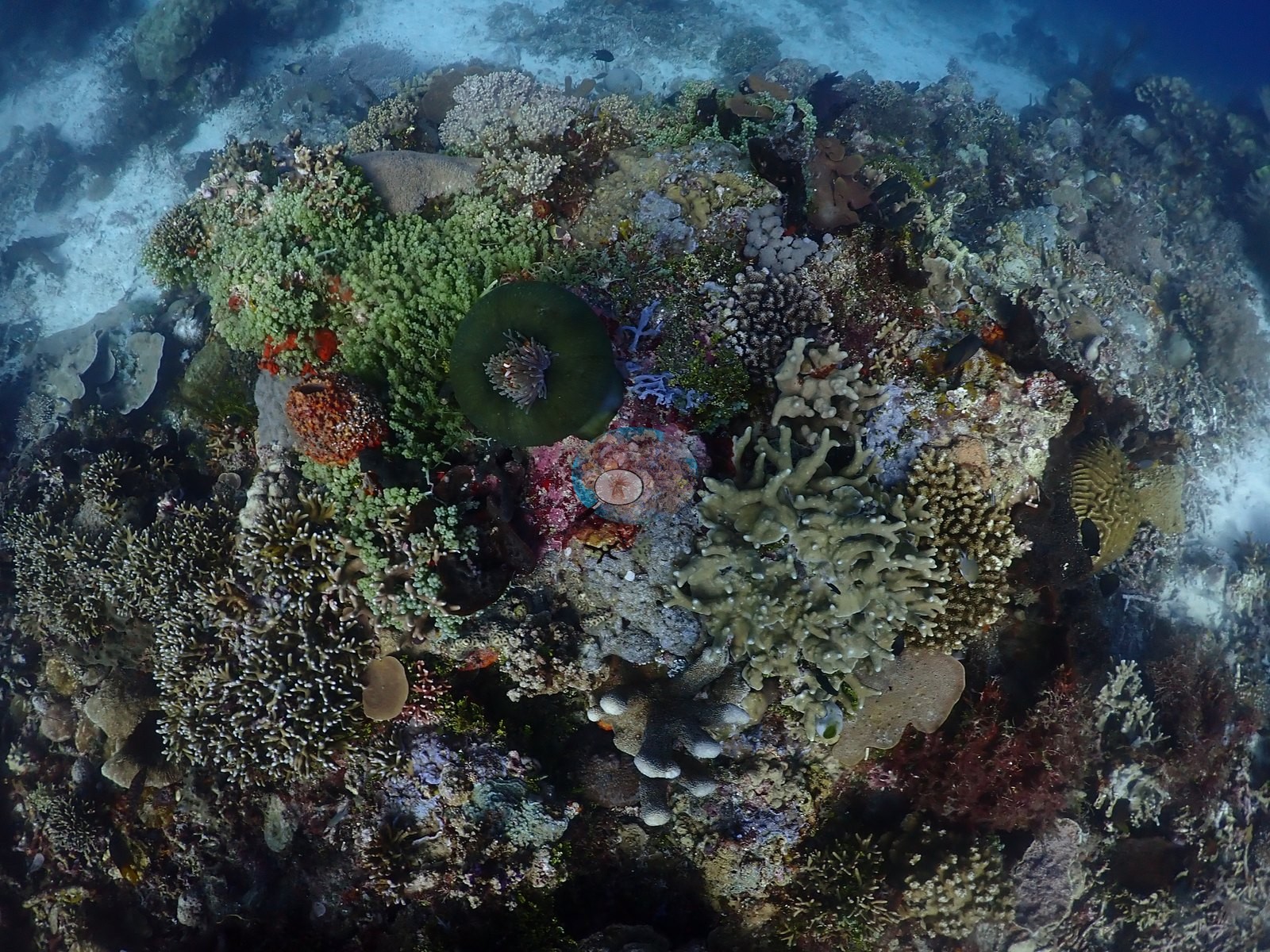
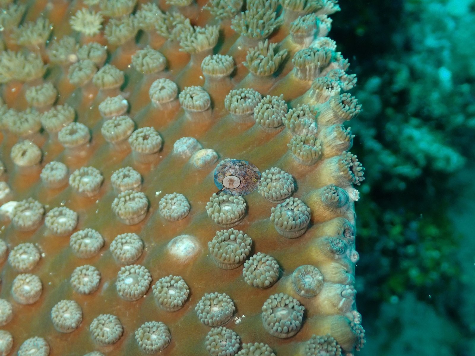
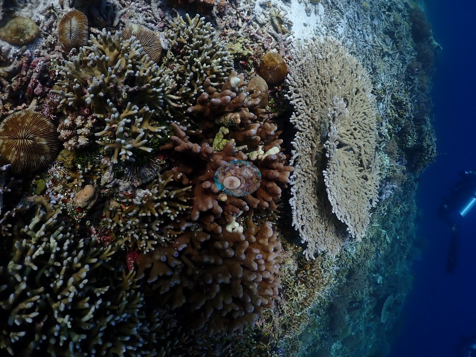
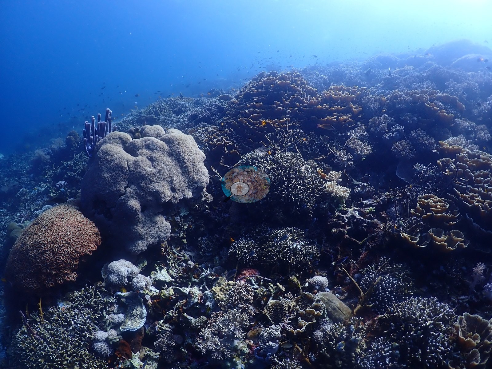
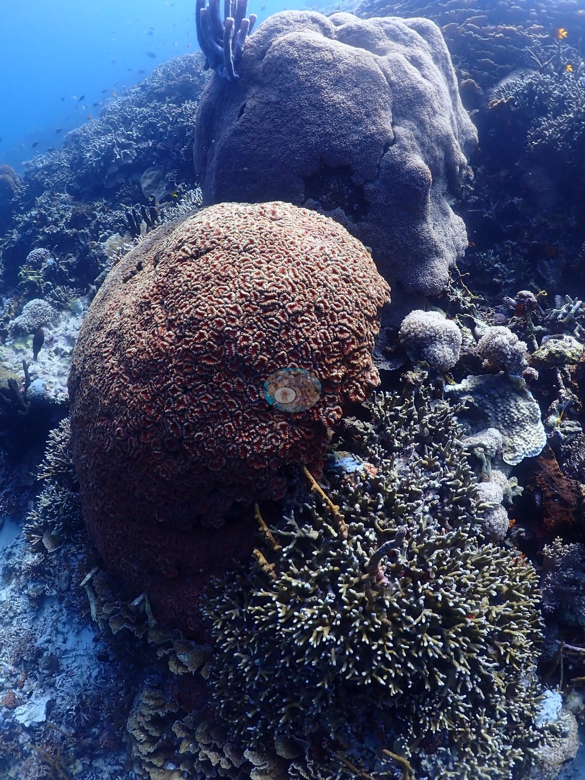
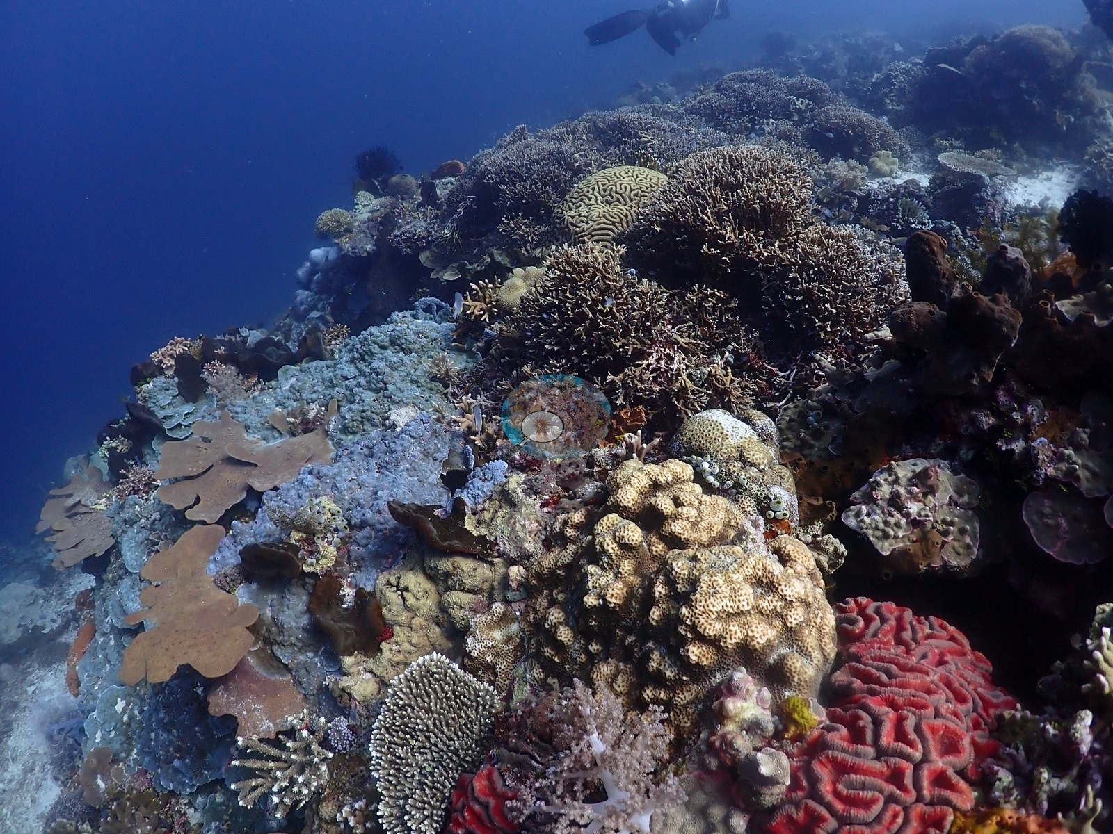
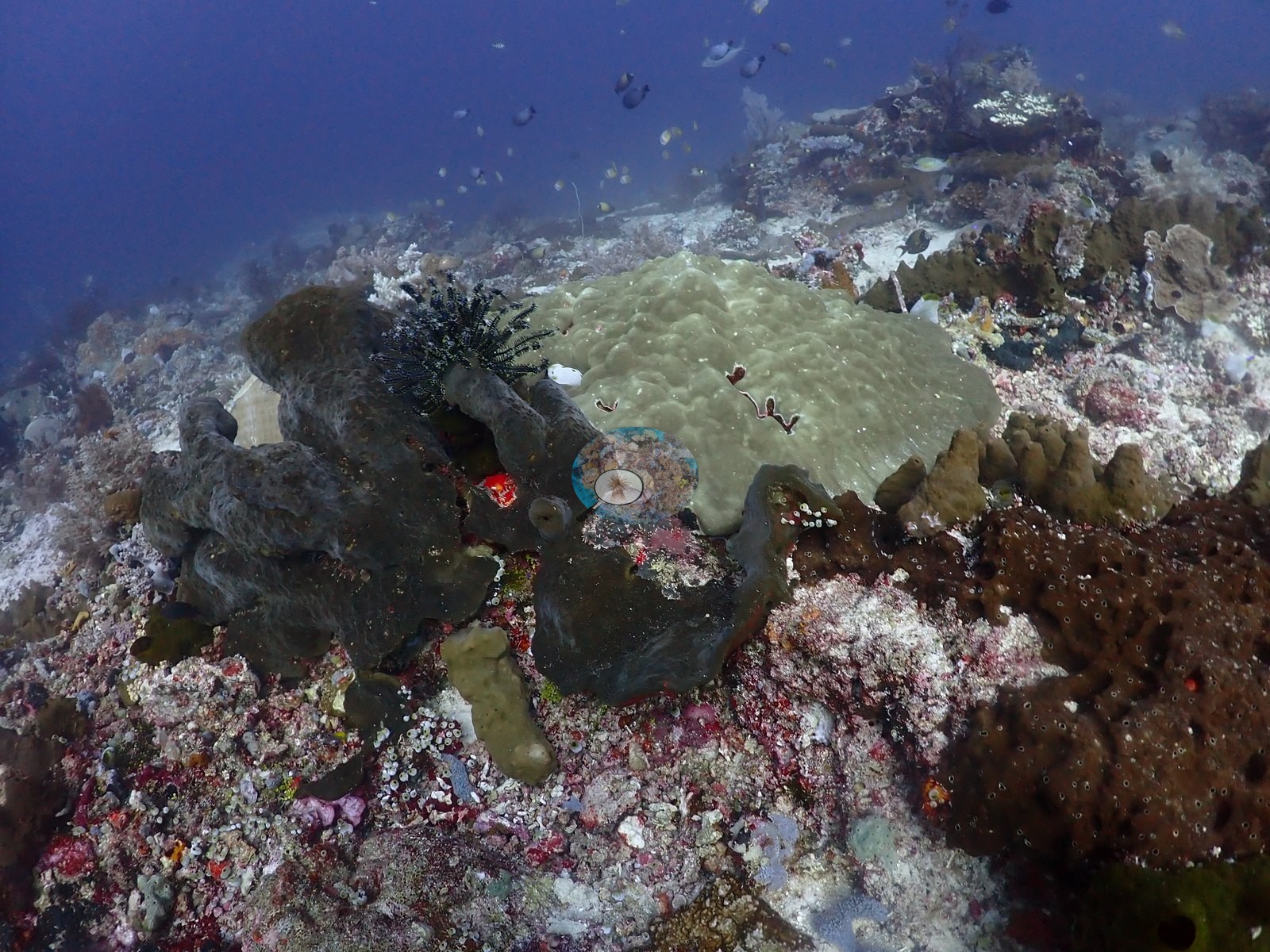
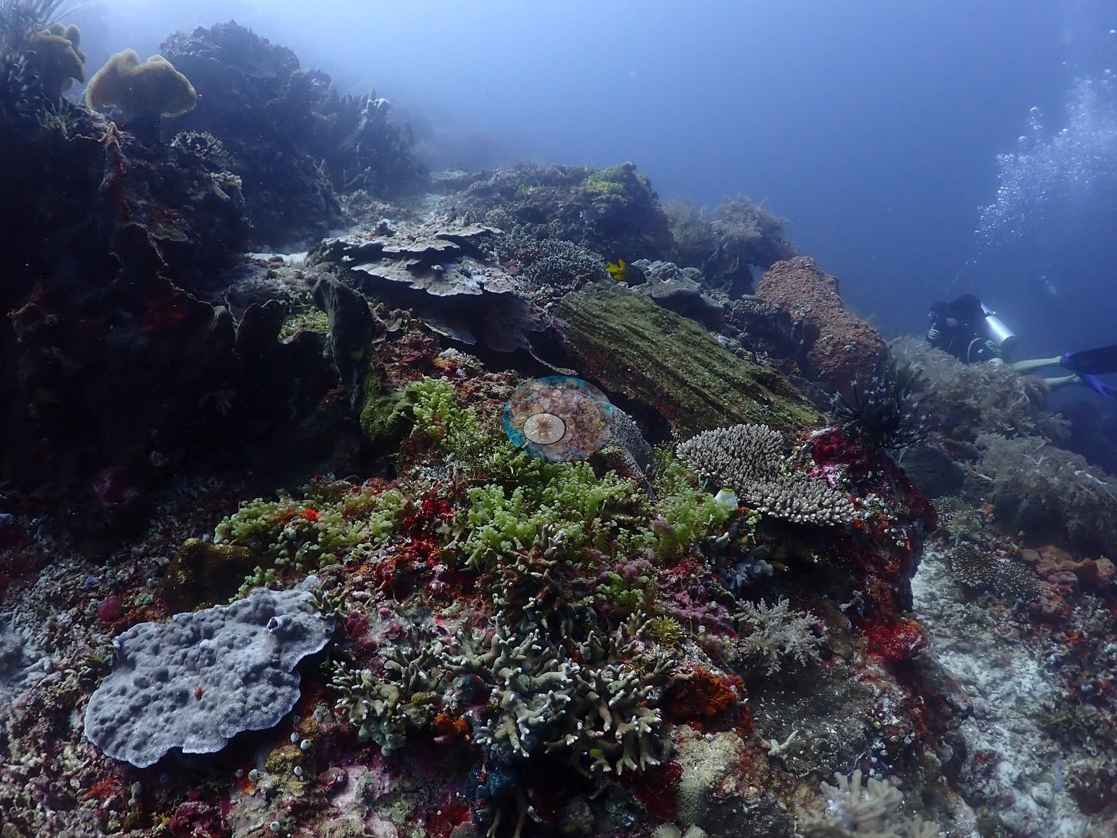
Site description
Setting
Failonga is a small island off Tidore, dived on 9 August 2026 during the Halmahera crossing aboard the liveaboard Ambai (Wallacea Dive Cruises). Anderson's field note reads: "a small island normally with strong currents, black tip, turtle, lush foliaceous corals", and the photographs bear out the last phrase emphatically.
General benthic features
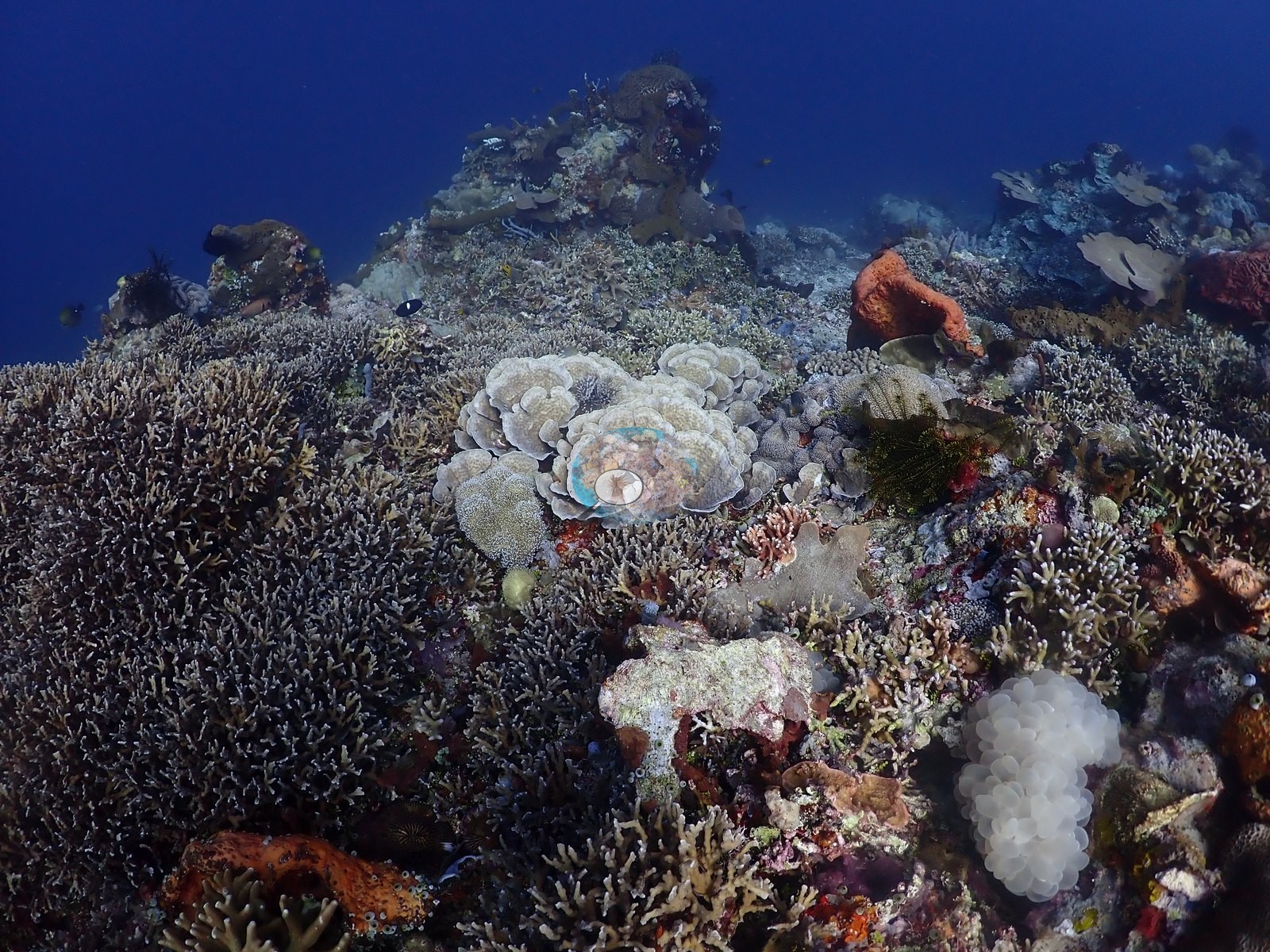
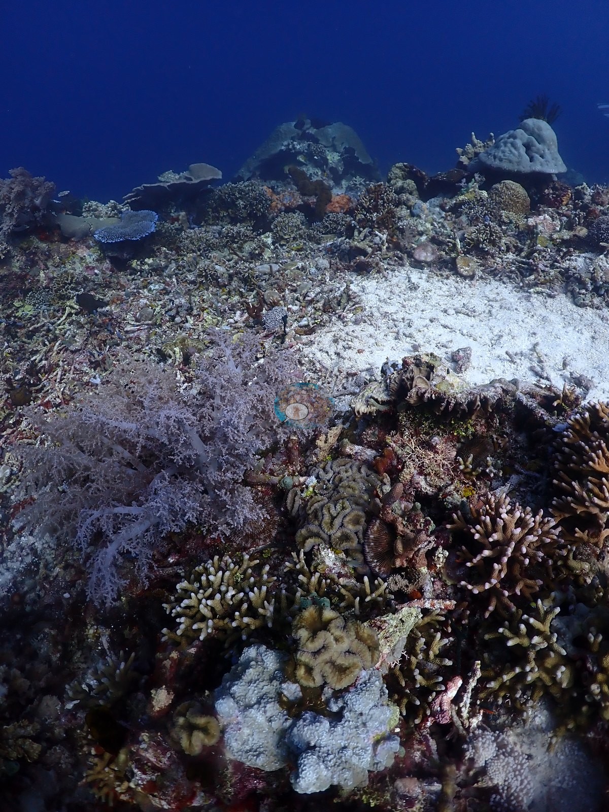
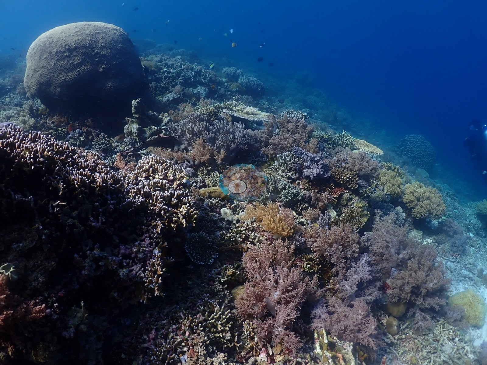
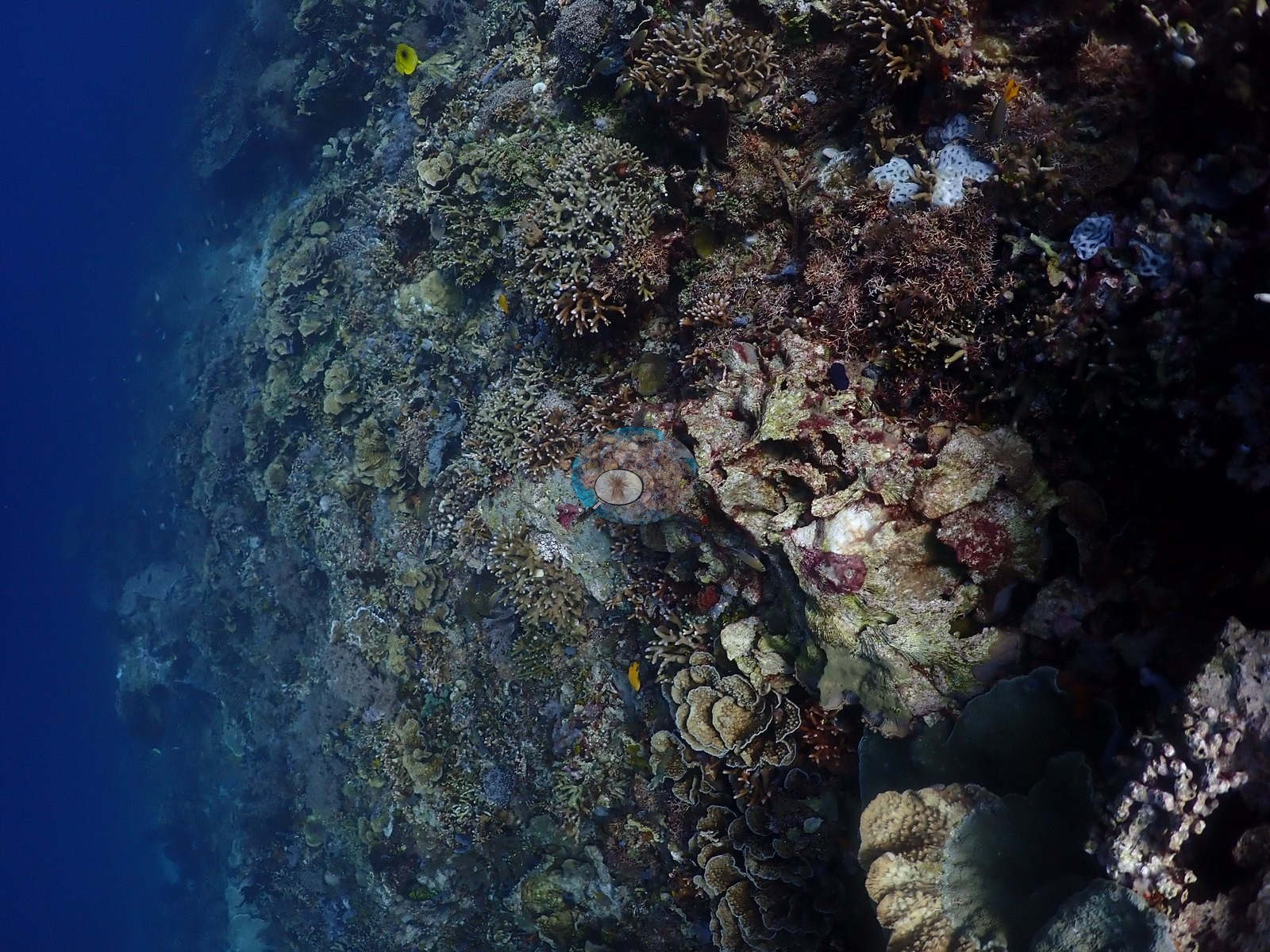
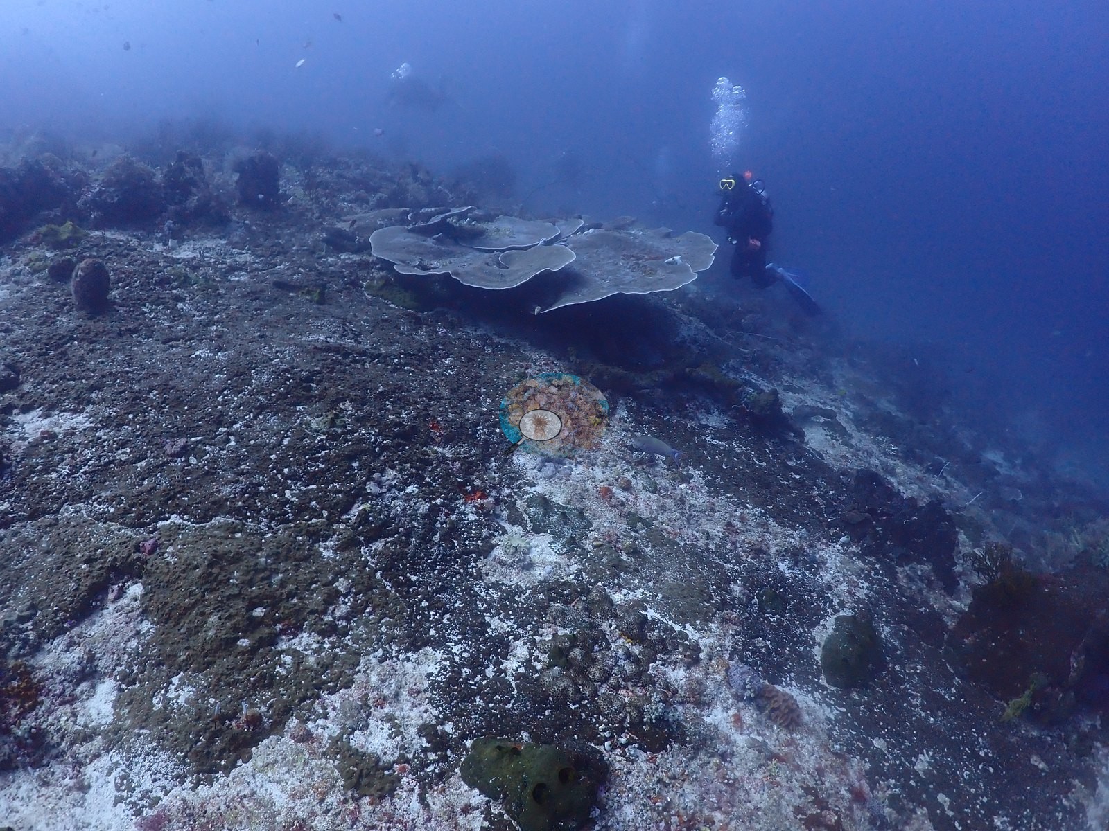
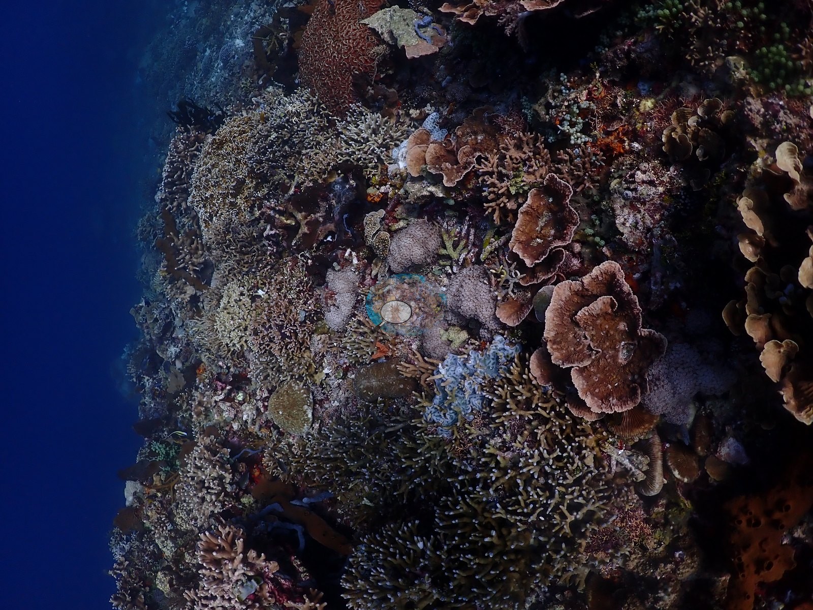
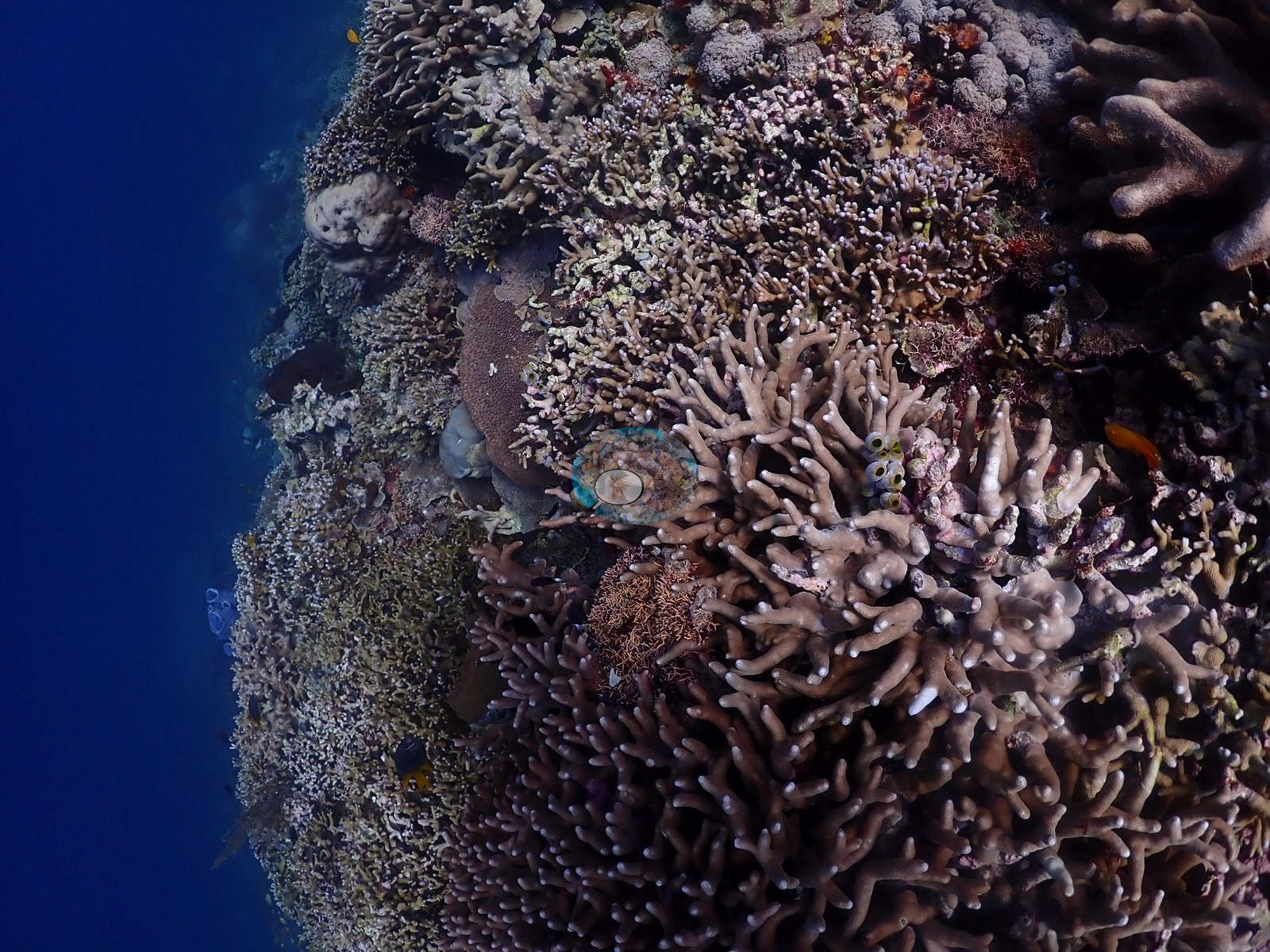
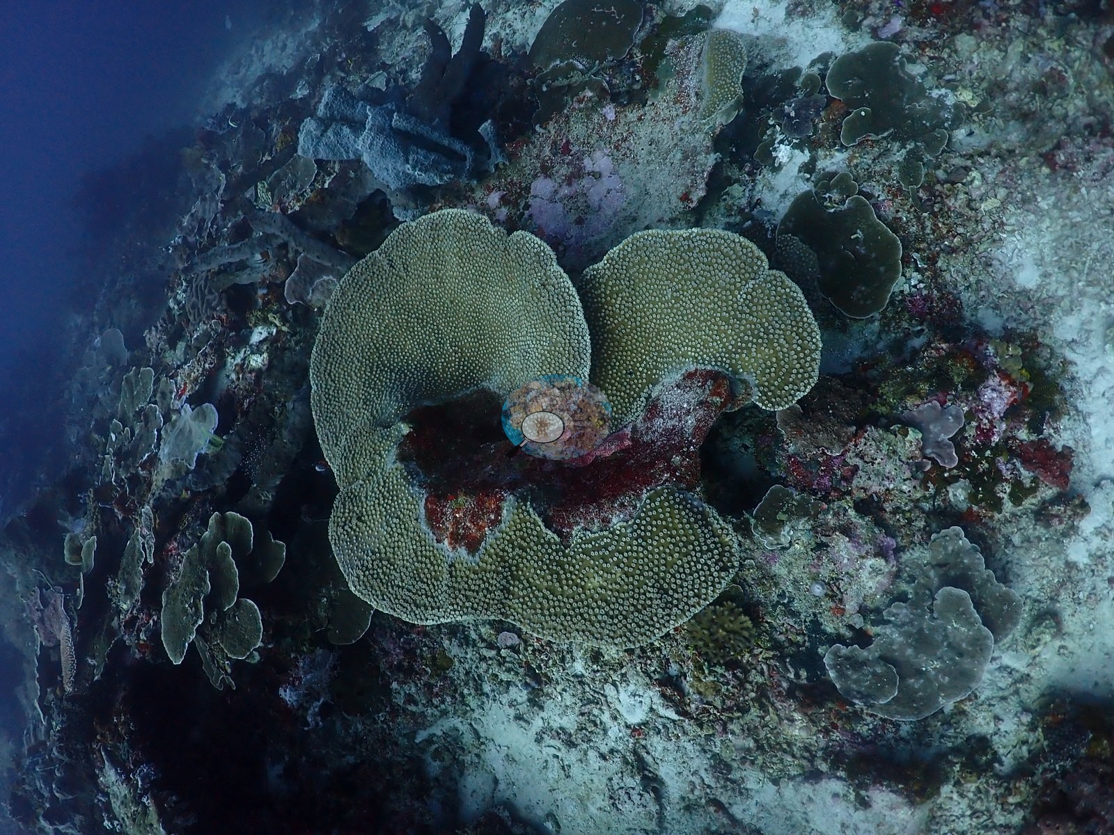
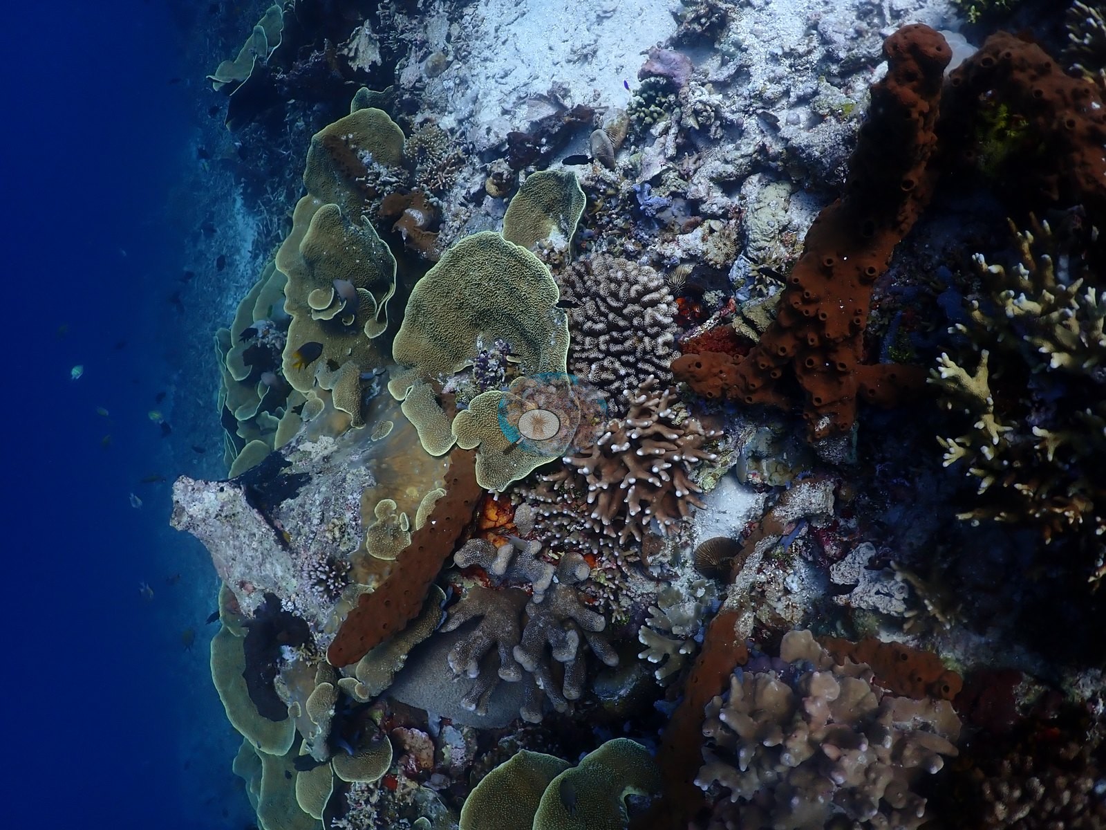
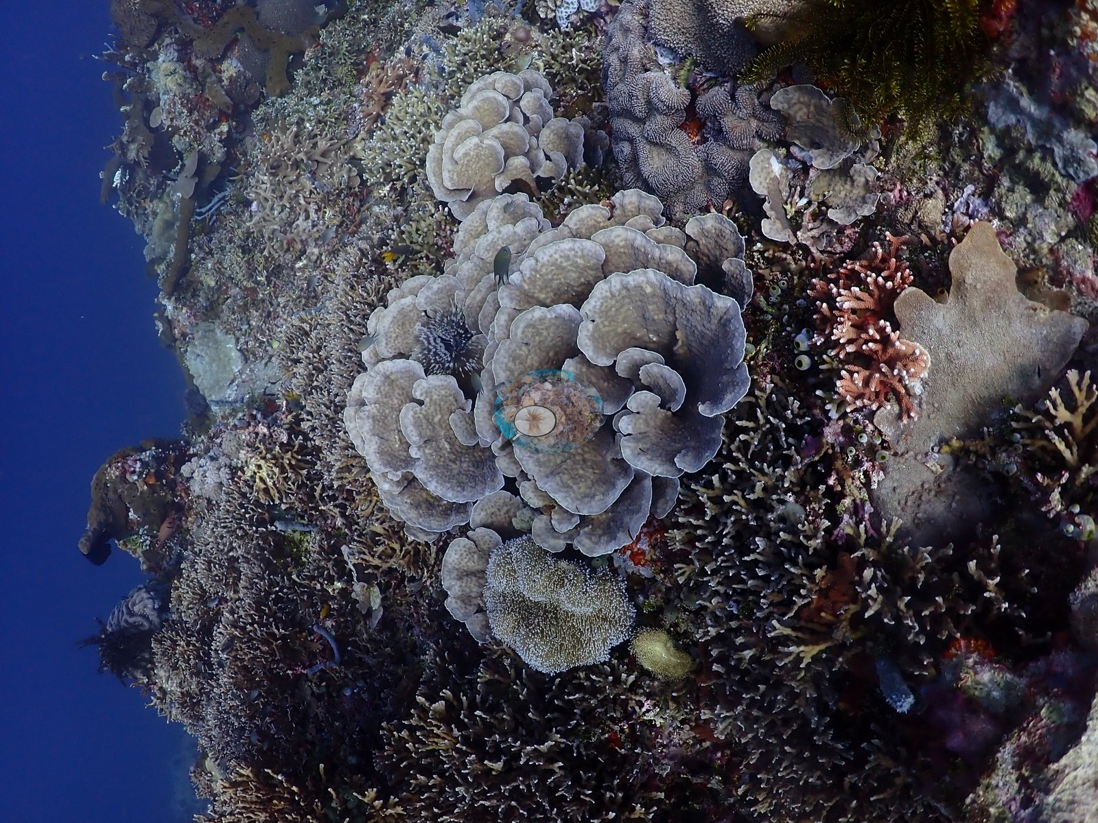
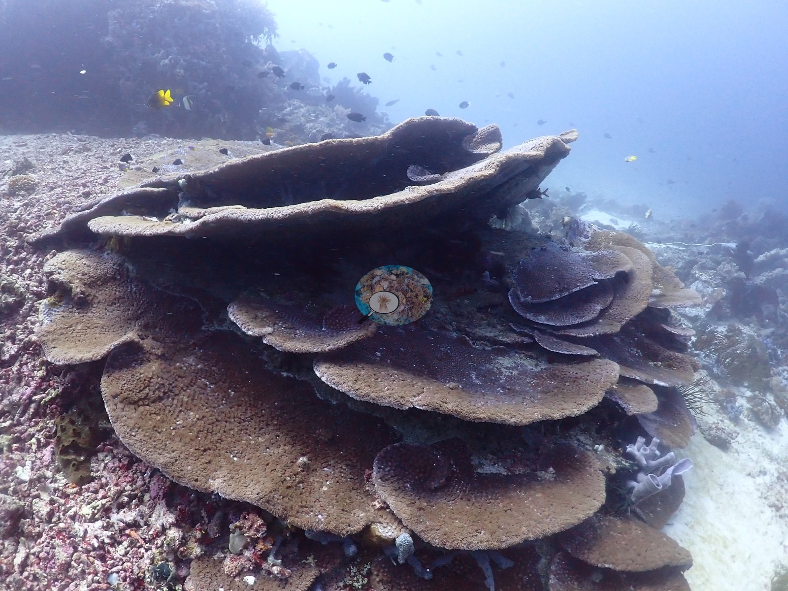
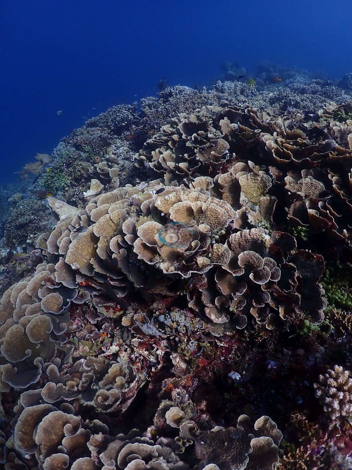
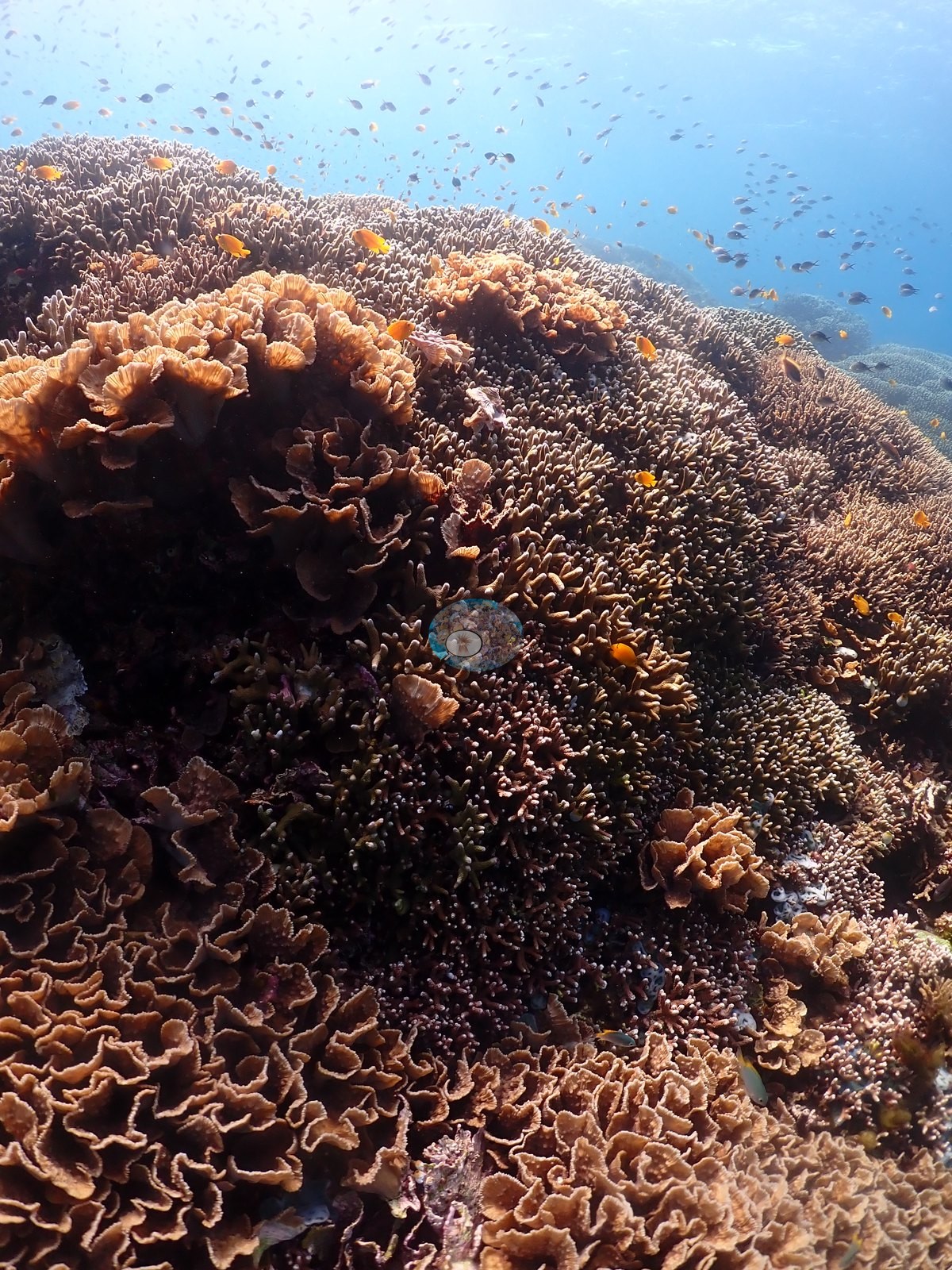
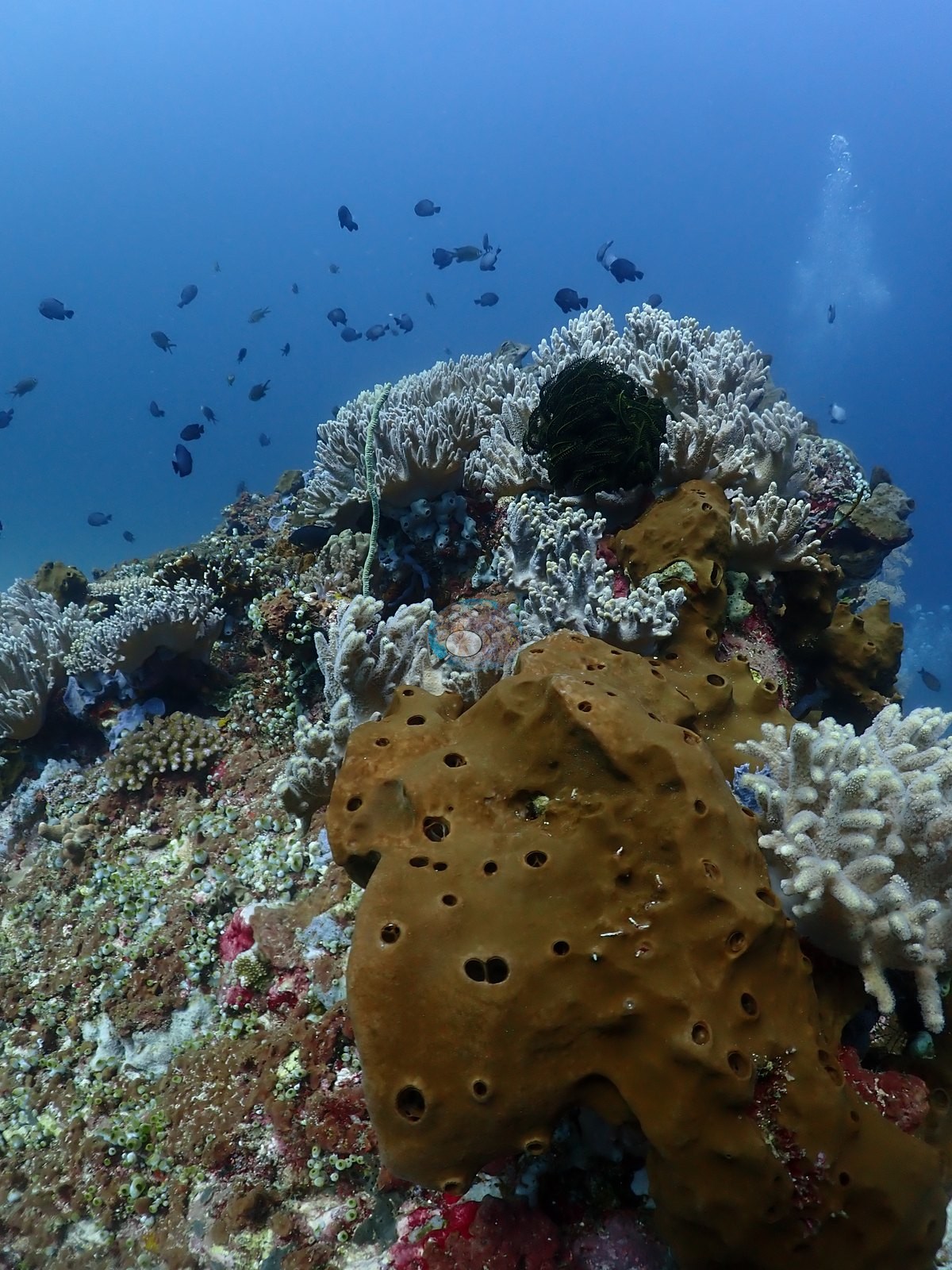
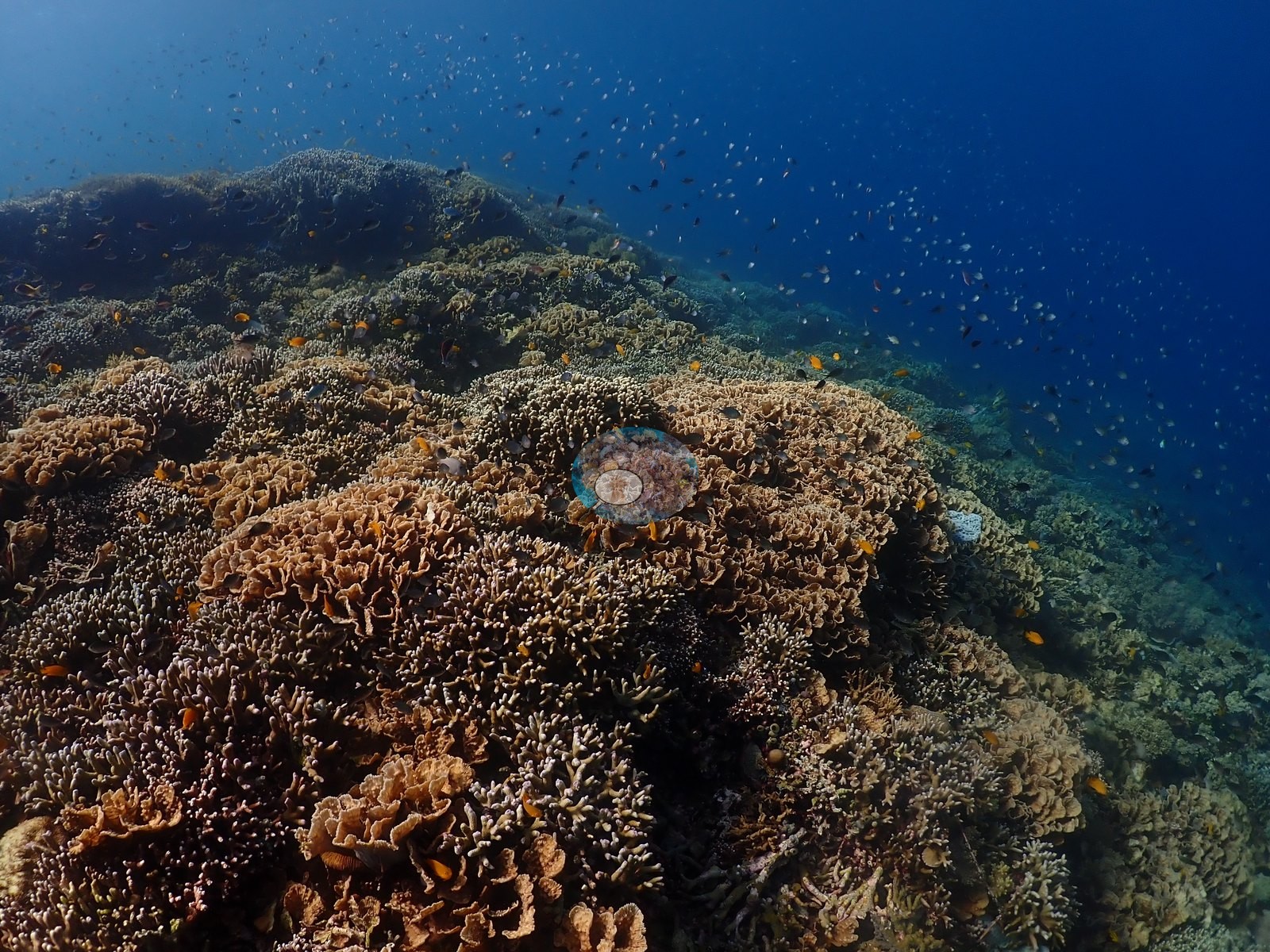
The habitats. The dive's signature is a foliose plate garden: broad, pale olive-yellow whorled plates and vases consistent with Turbinaria reniformis and Pavona/Echinopora-type colonies, stacked several tiers deep and running for meters across the upper slope, with tabular and corymbose Acropora growing through them (e.g., Image 1, Image 8, Image 12, Image 18, Image 26, Image 28, Image 33, Image 40, Image 43).
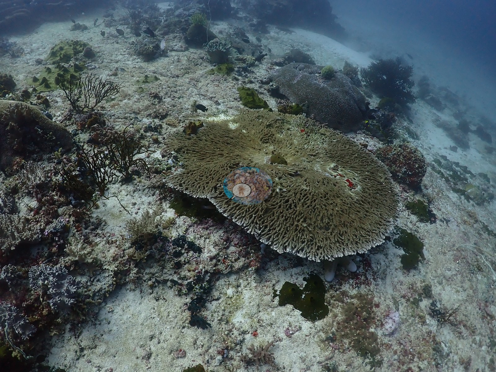
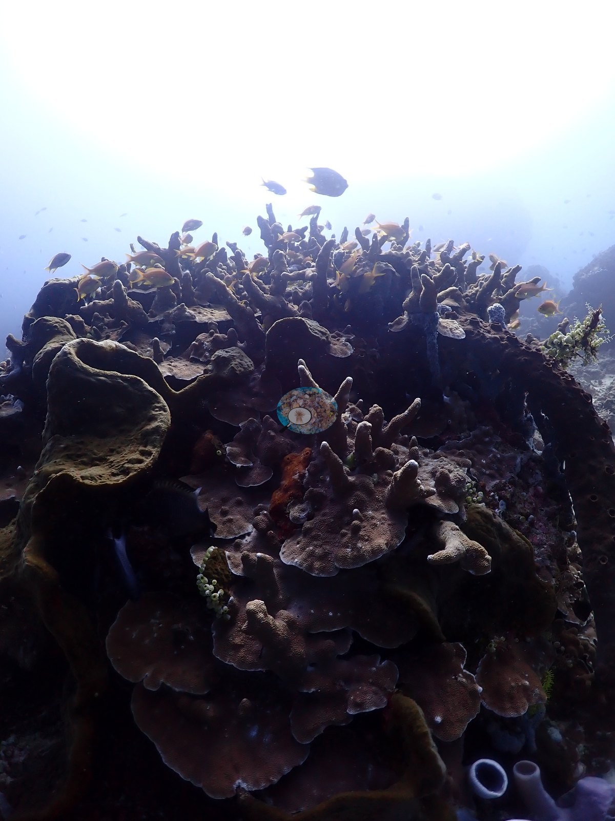
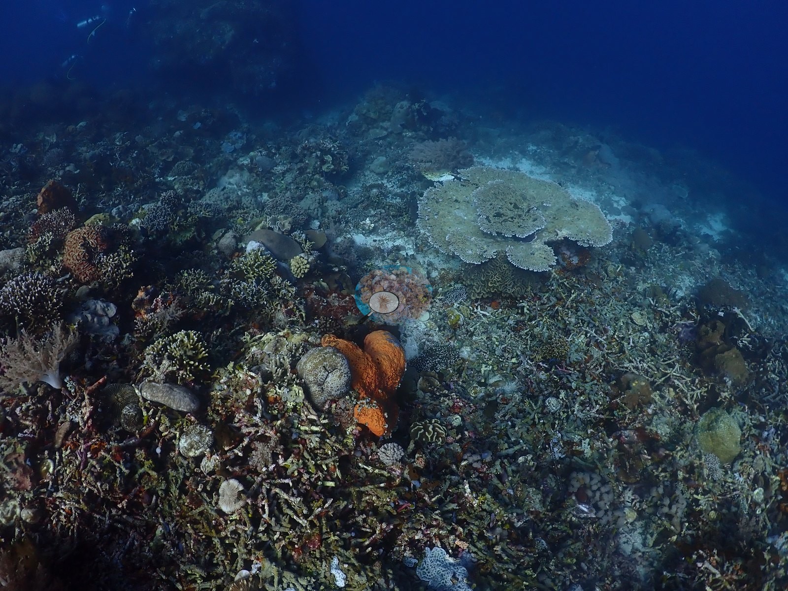
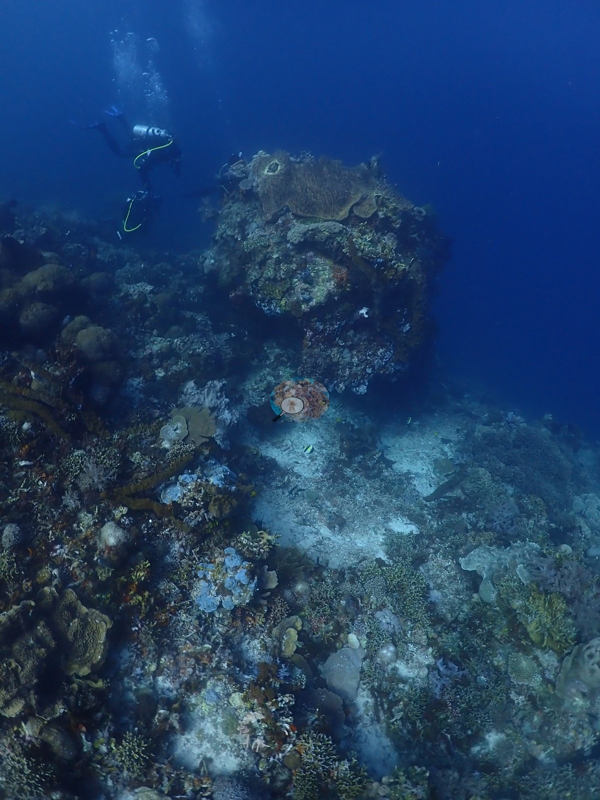
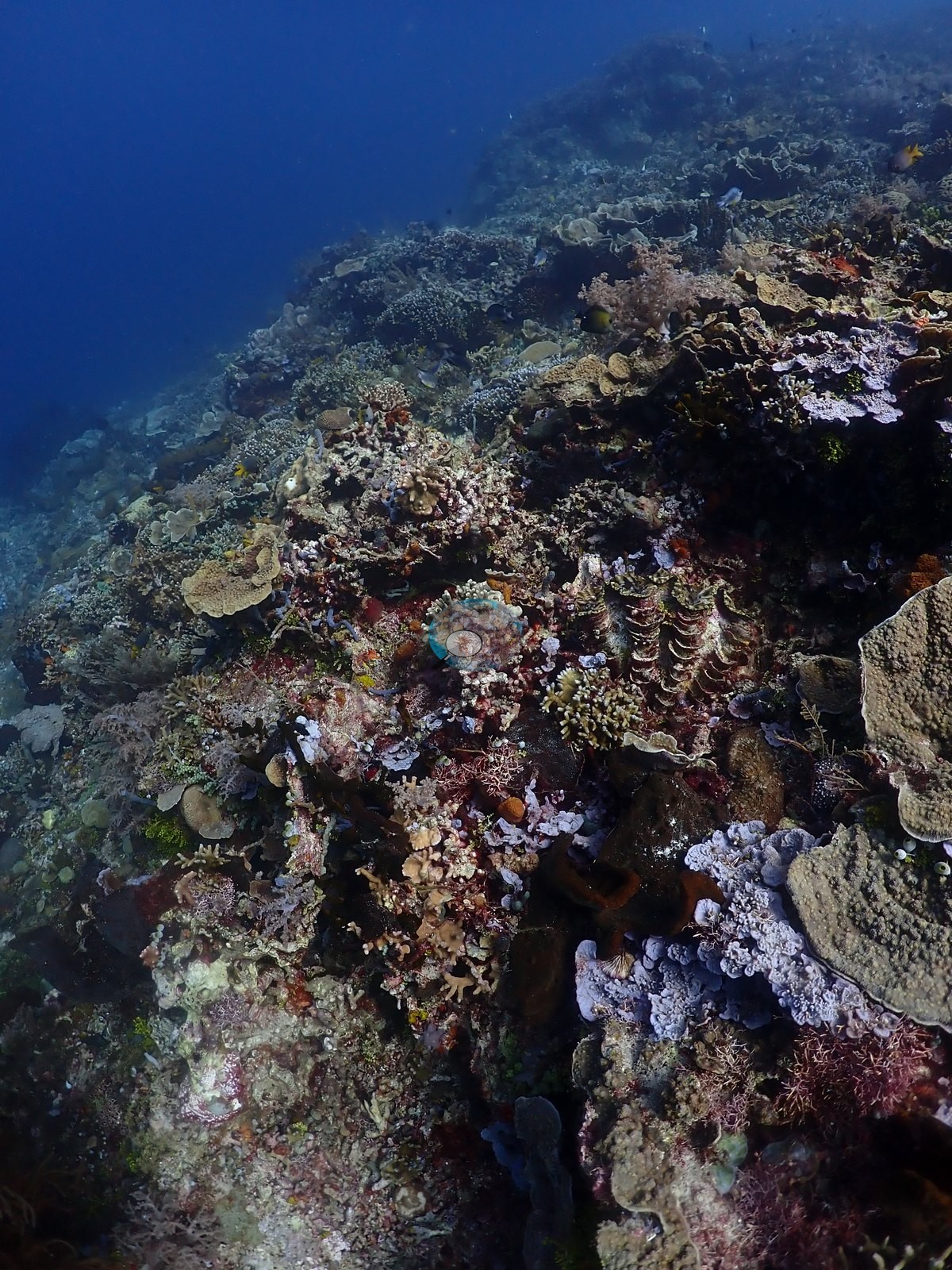
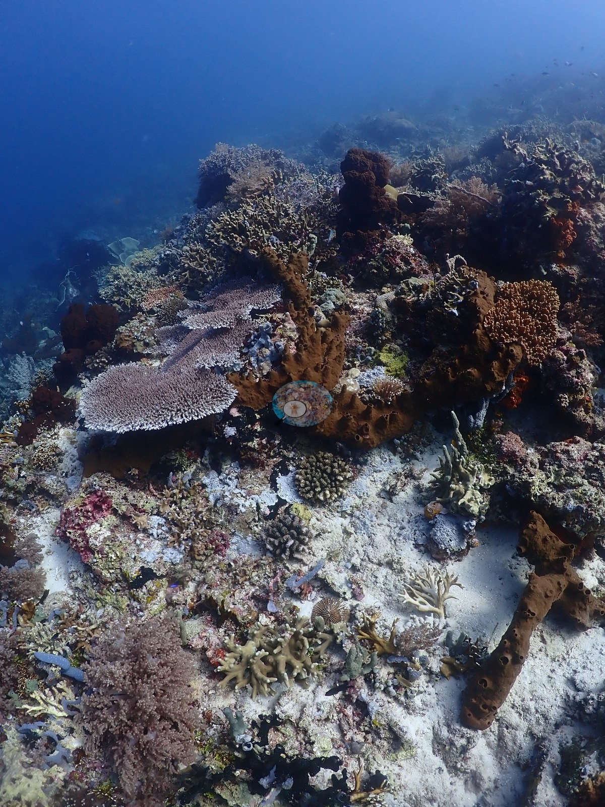
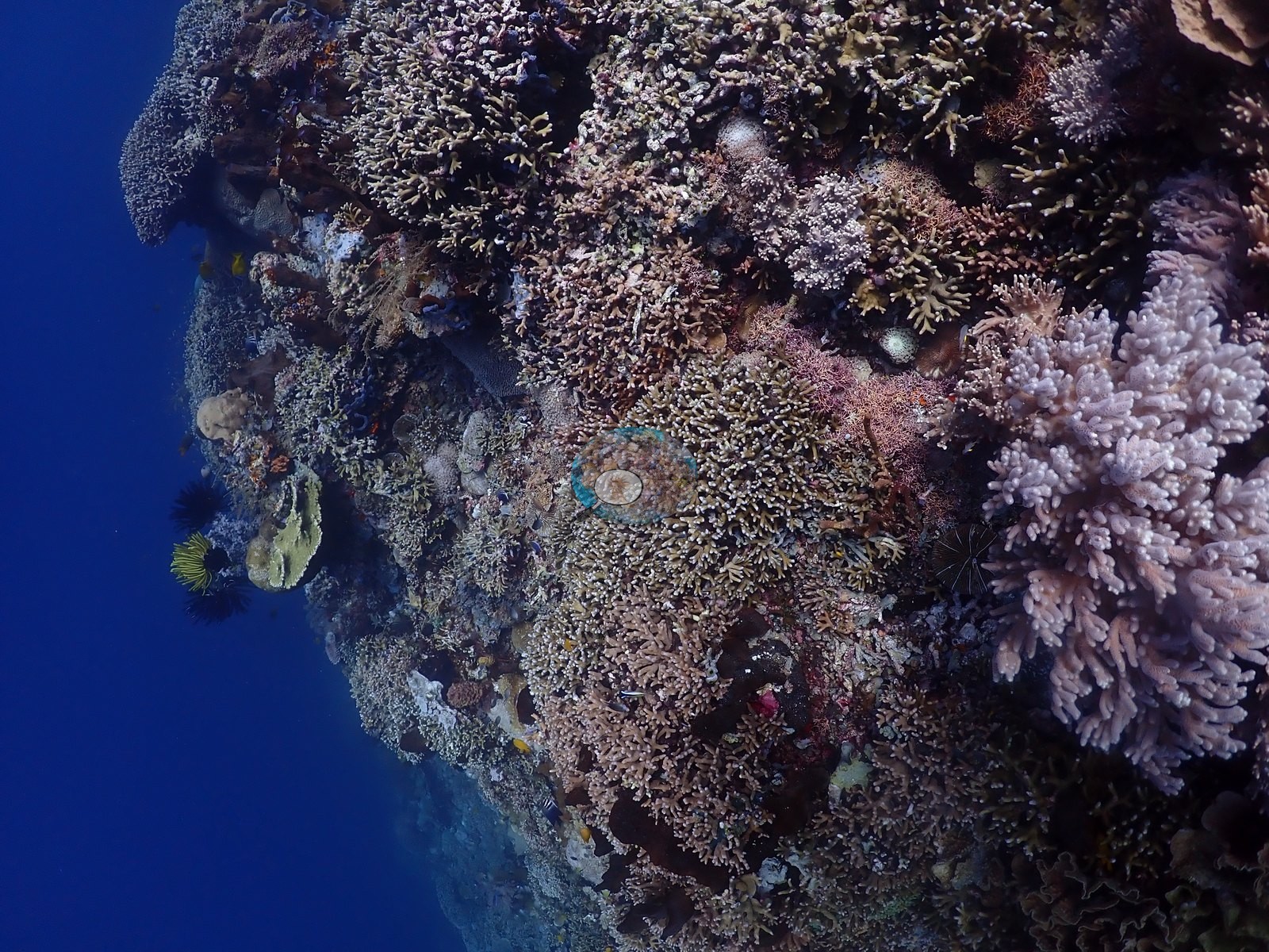
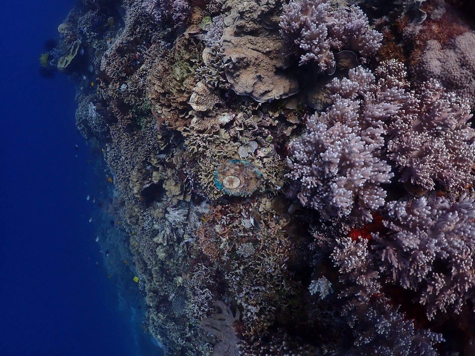
Below that, a bommie-and-sand slope carries isolated coral heads on open white sediment — the near-zero frames — with the bommies themselves crusted in crimson, orange, and ochre sponges, pink, and mauve coralline algae, tan branching tube sponges, sea whips, gorgonian fans, and feather stars (e.g., Image 14, Image 22, Image 30, Image 34, Image 41, Image 46, Image 47, Image 49).
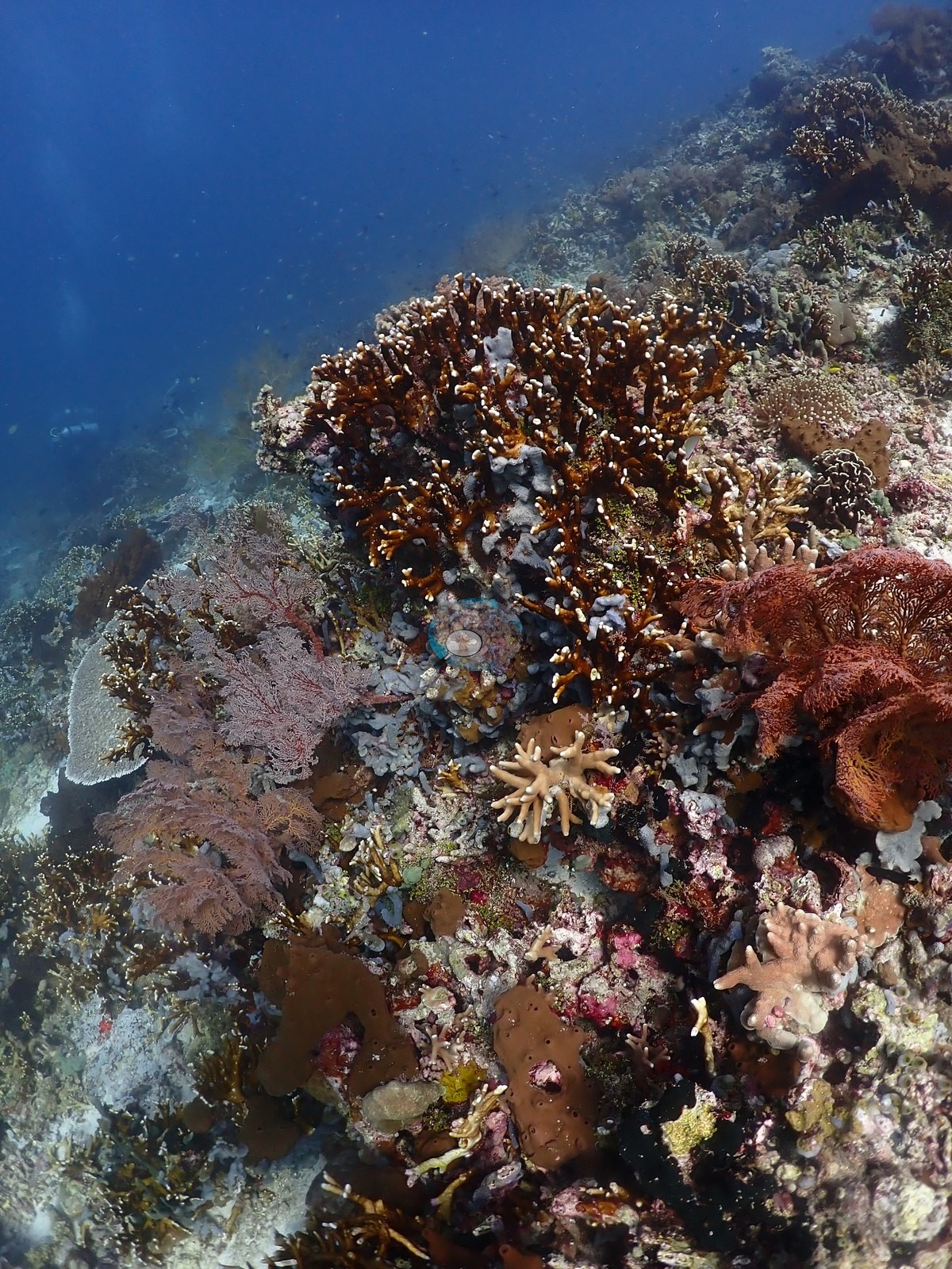
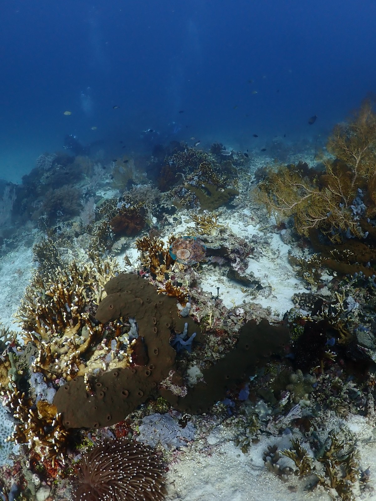
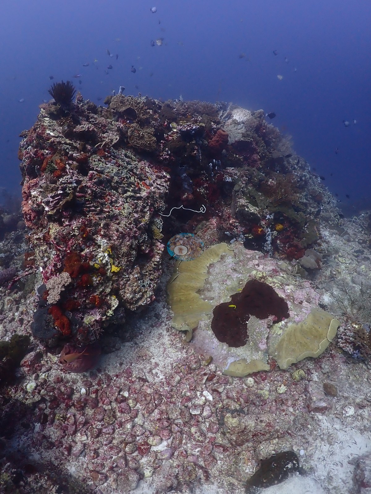
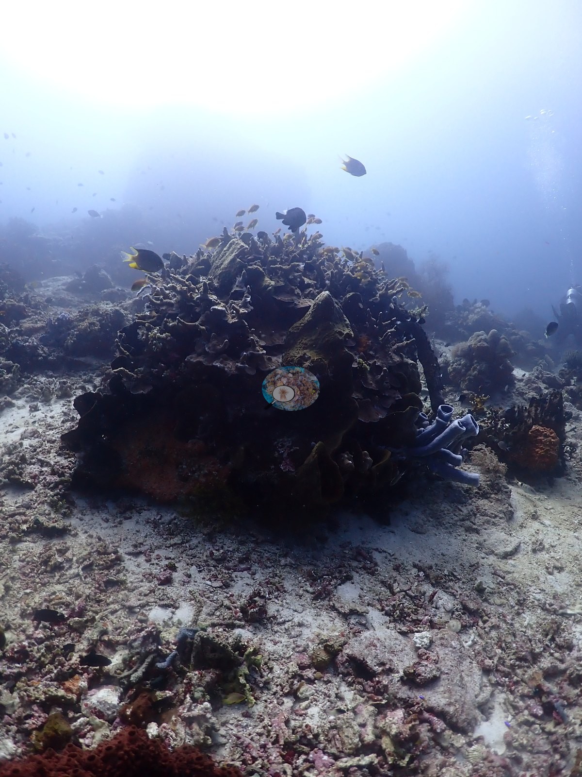
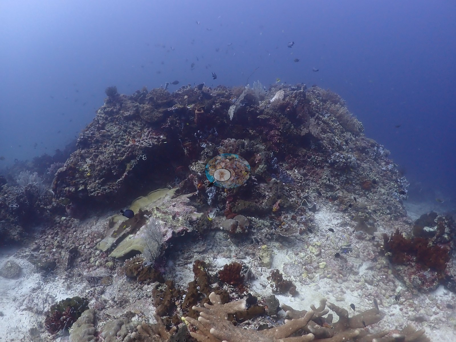
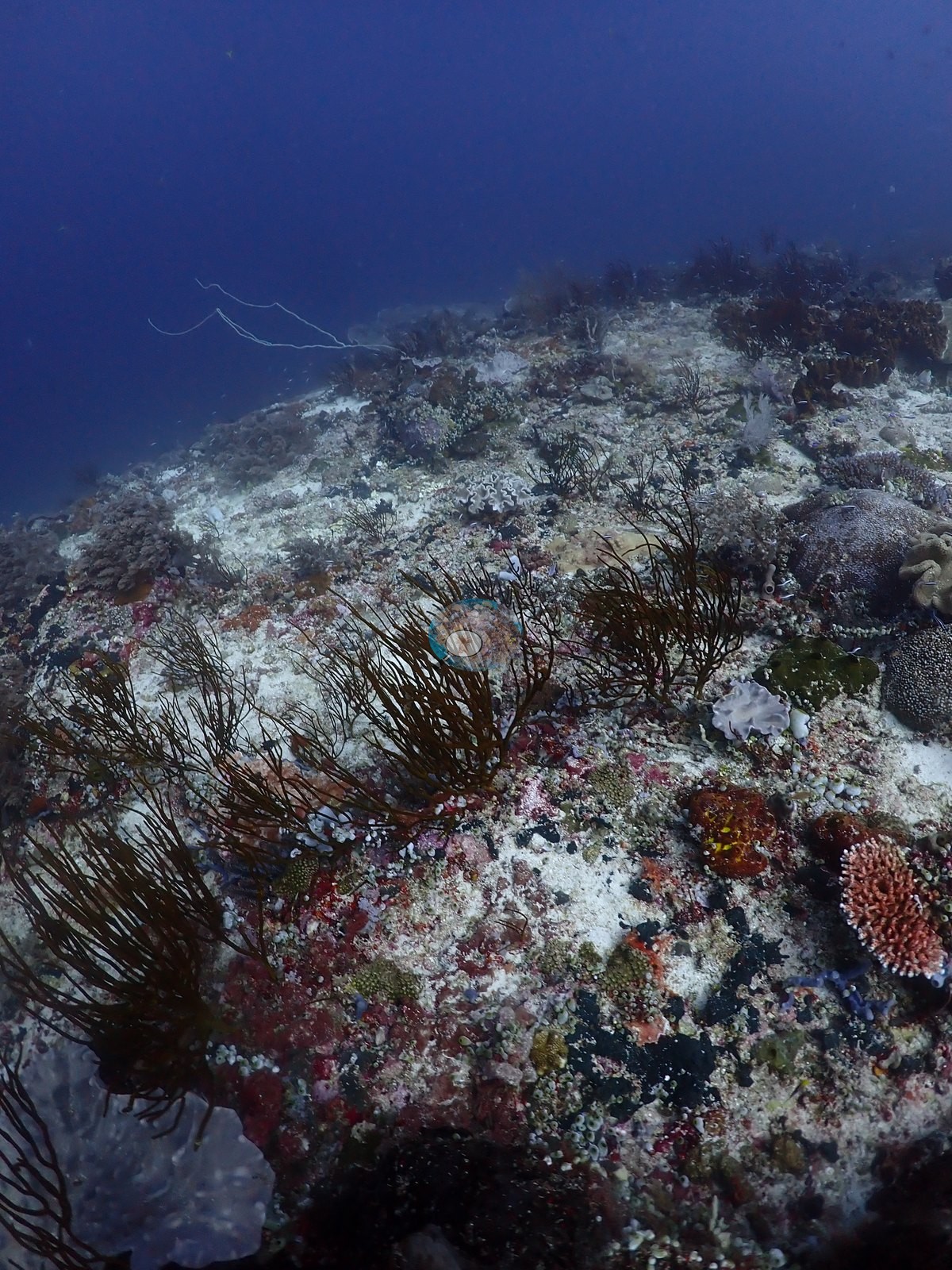
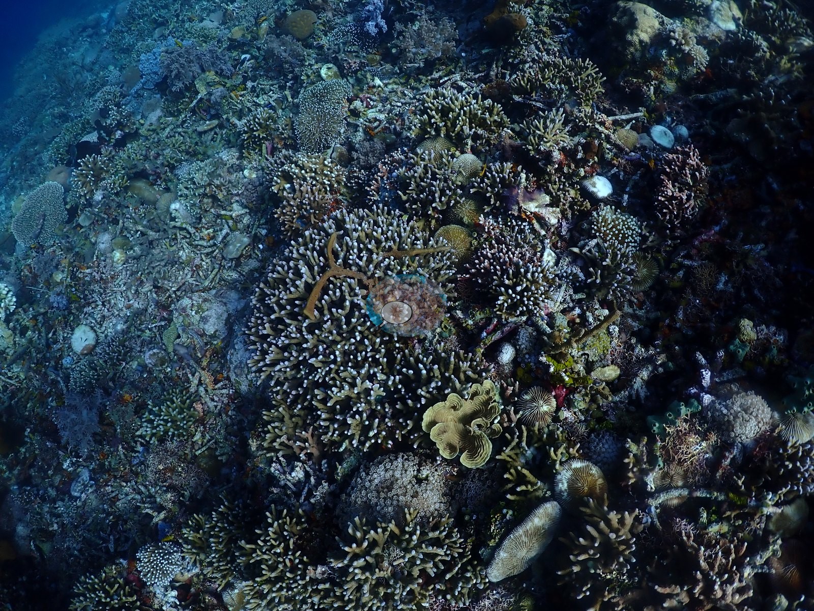
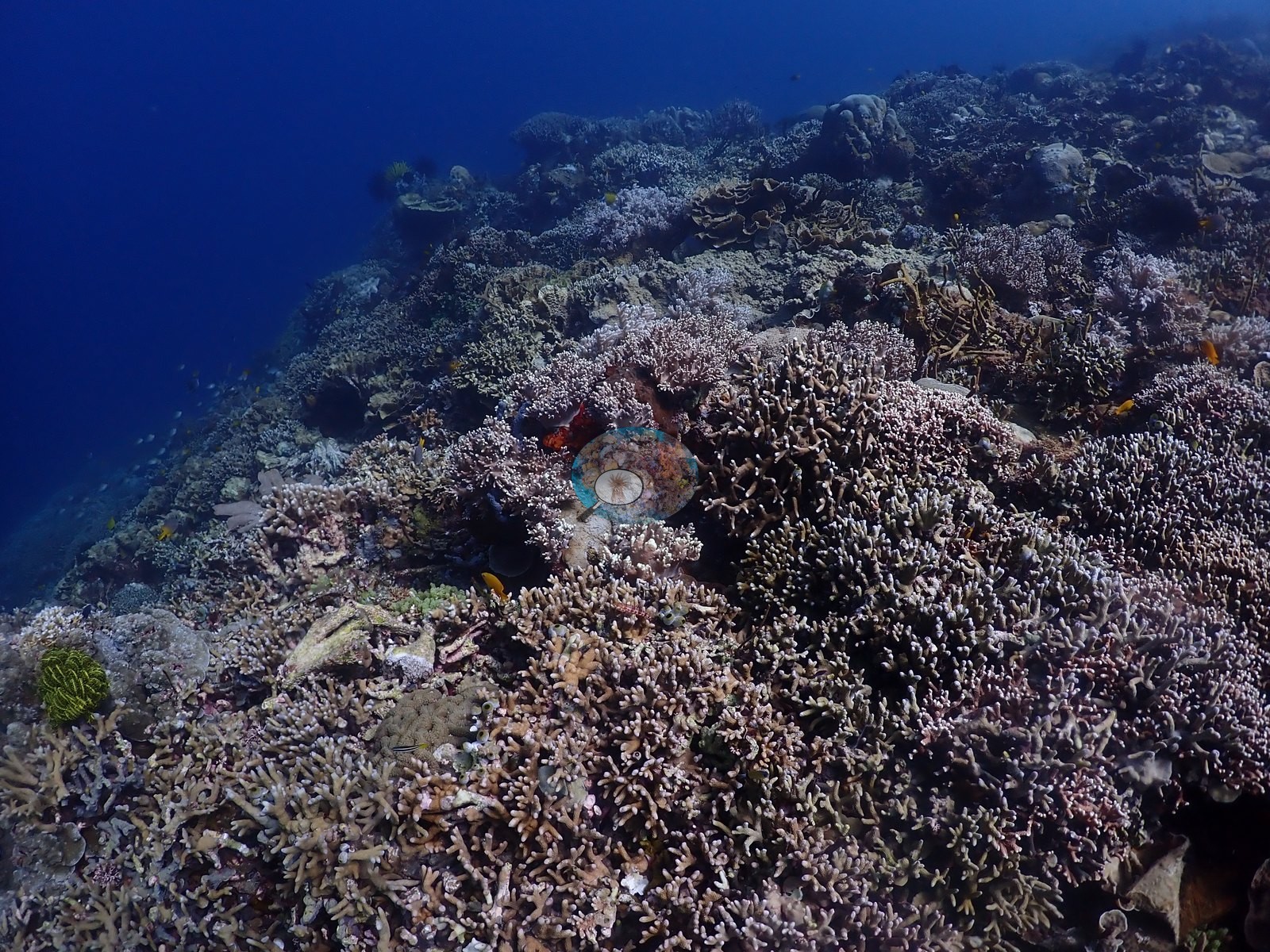
A mixed branching zone on the mid-slope runs staghorn and bottlebrush Acropora, Seriatopora, Pocillopora, Stylophora, Porites cylindrica-type stands, Millepora-type fire coral, and pink Dendronephthya, and closes over into an almost continuous Acropora carpet on the upper reef in strong light (e.g., Image 2, Image 5, Image 10, Image 11, Image 13, Image 20, Image 21, Image 31, Image 37).
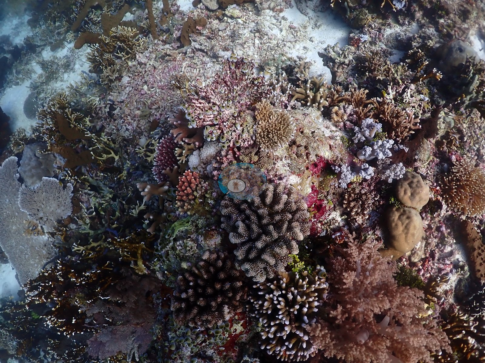
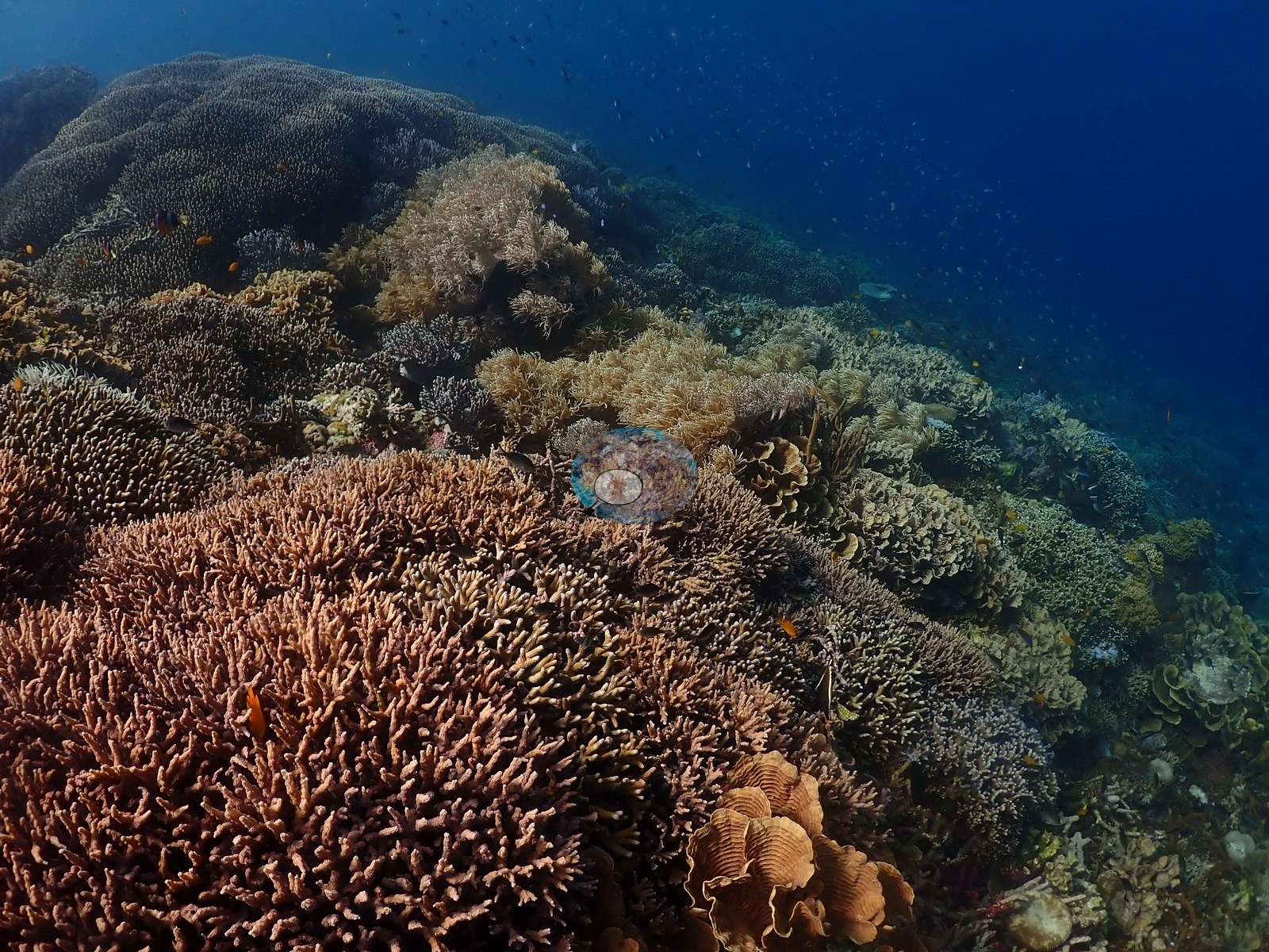
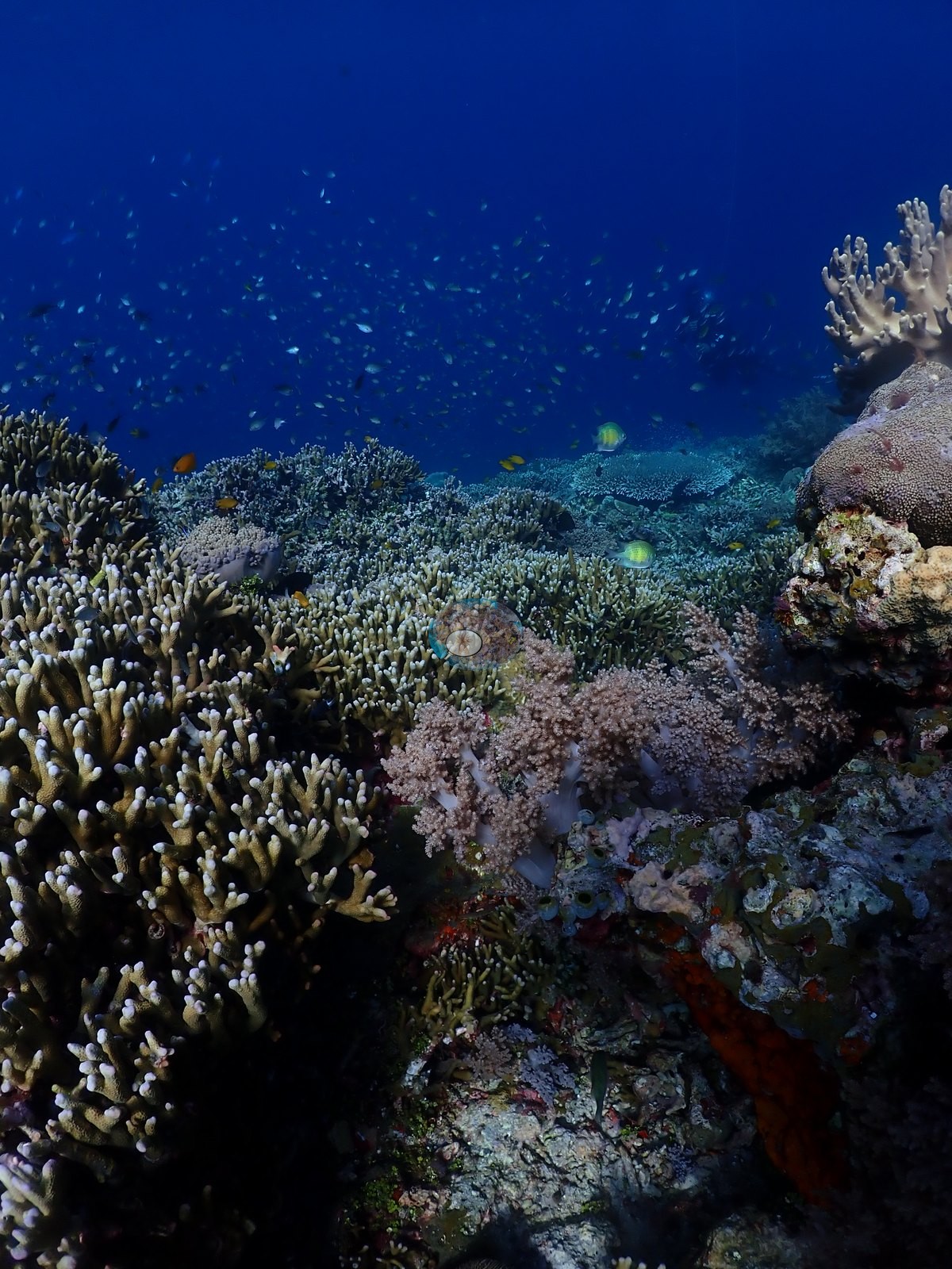
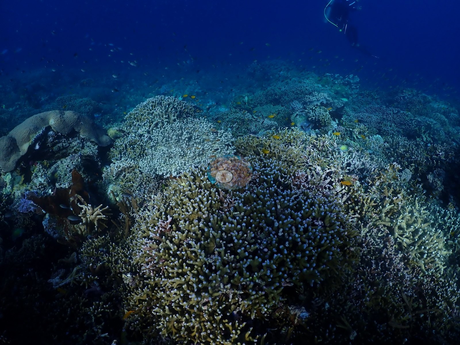
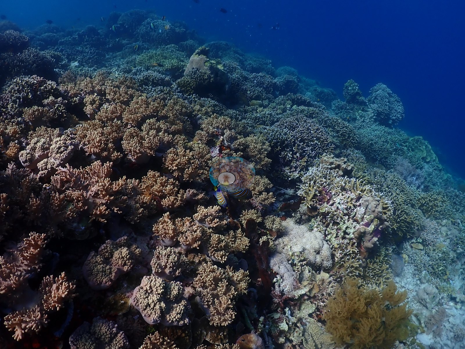
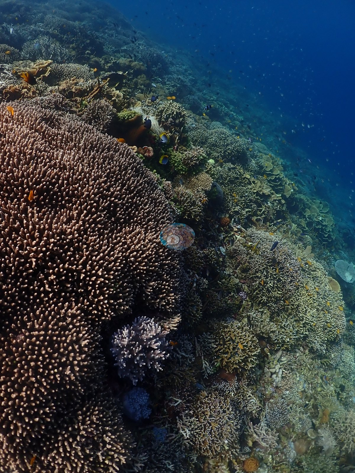
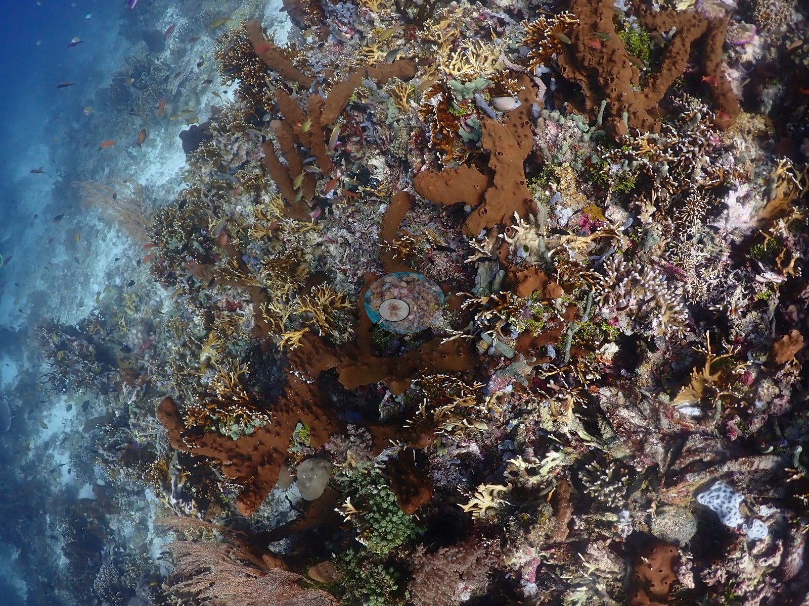
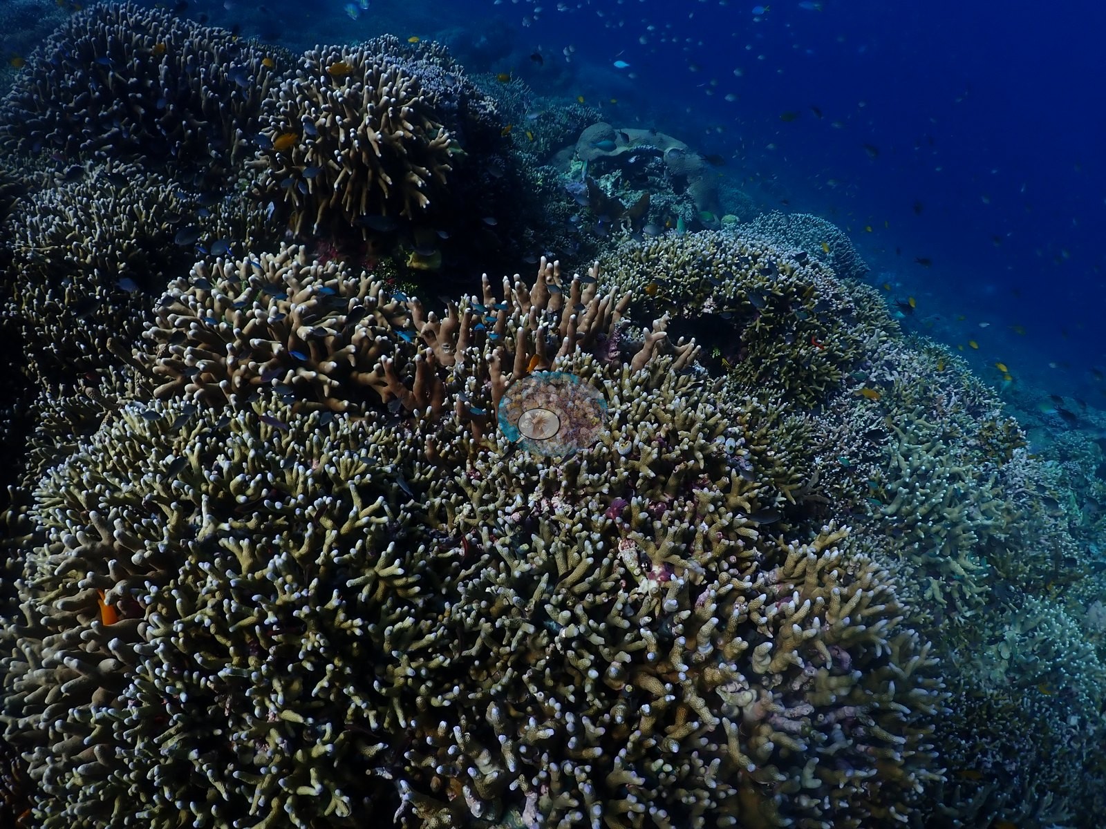
The shallow crest is a low-relief pavement of corymbose Acropora and Montipora plates under clouds of anthias and chromis, and one soft-coral garden on the current-swept corner is packed with lilac, tan, and cream arborescent soft corals (Dendronephthya/Scleronephthya/Nephthea-type) over the drop (e.g., Image 24, Image 27, Image 53).
Coral cover
Coral cover: 33% — a blind Claude computer-vision point count of 201 of Anderson's unedited photographs (20 points per photo; water, fish, and obstructions excluded). Other computer-vision methods are listed in the method table.
Stressors
Condition. One extensive field of standing dead branching Acropora sits on the upper slope, the skeletons still articulated and bound by pink coralline algae and turf, with living Acropora, Pocillopora, and soft coral recruiting through it — an old mortality event of unknown cause, not a recent one (e.g., Image 4).
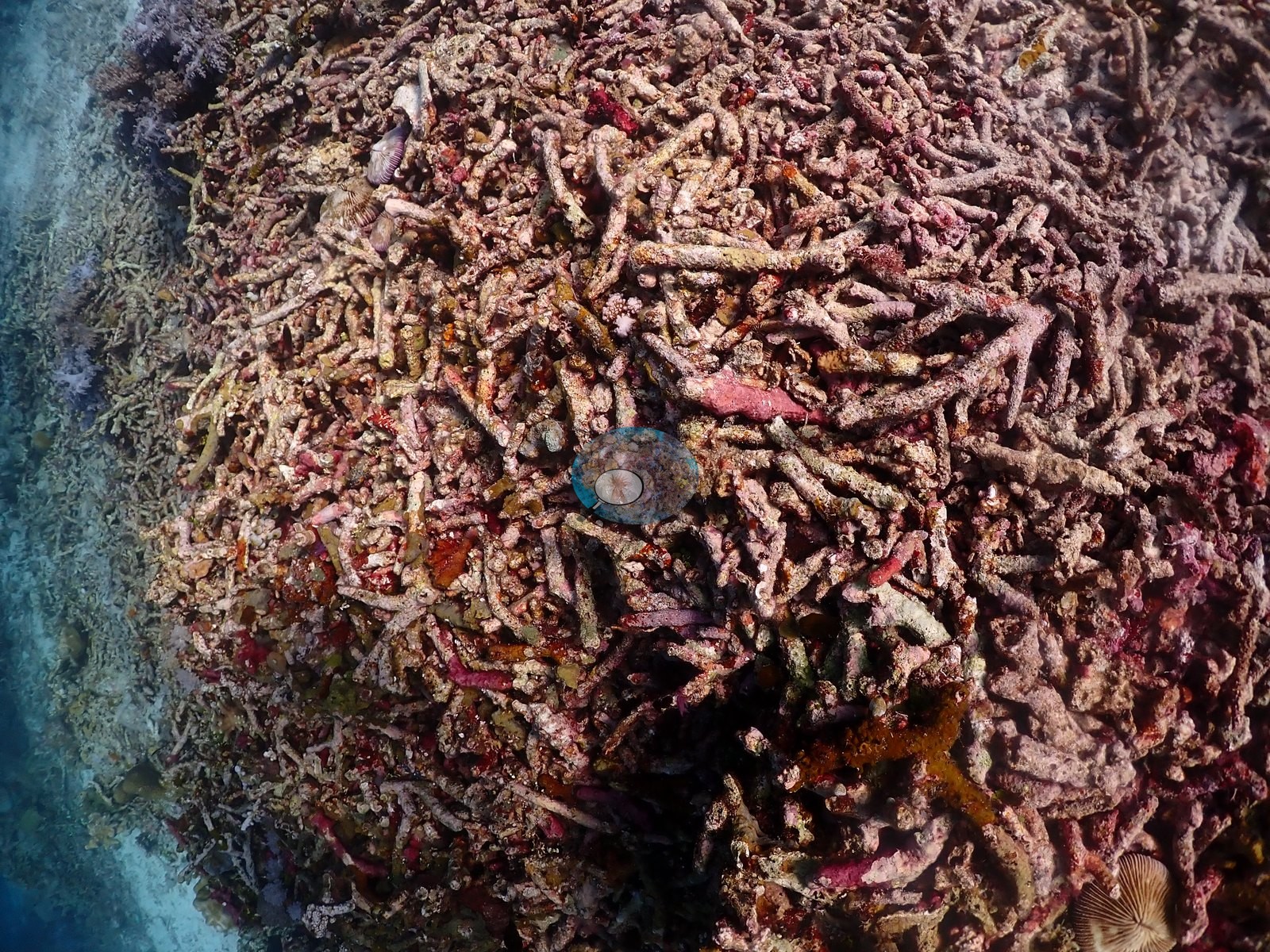
No unambiguously bleached colony appeared in the frames reviewed; the two conspicuous white objects in one frame resolve on close inspection as an encrusting sponge and a shell or sponge disc, not bleached coral tissue. No crown-of-thorns, no Drupella aggregations, and no active disease lesions were recorded.
Fish and other fauna
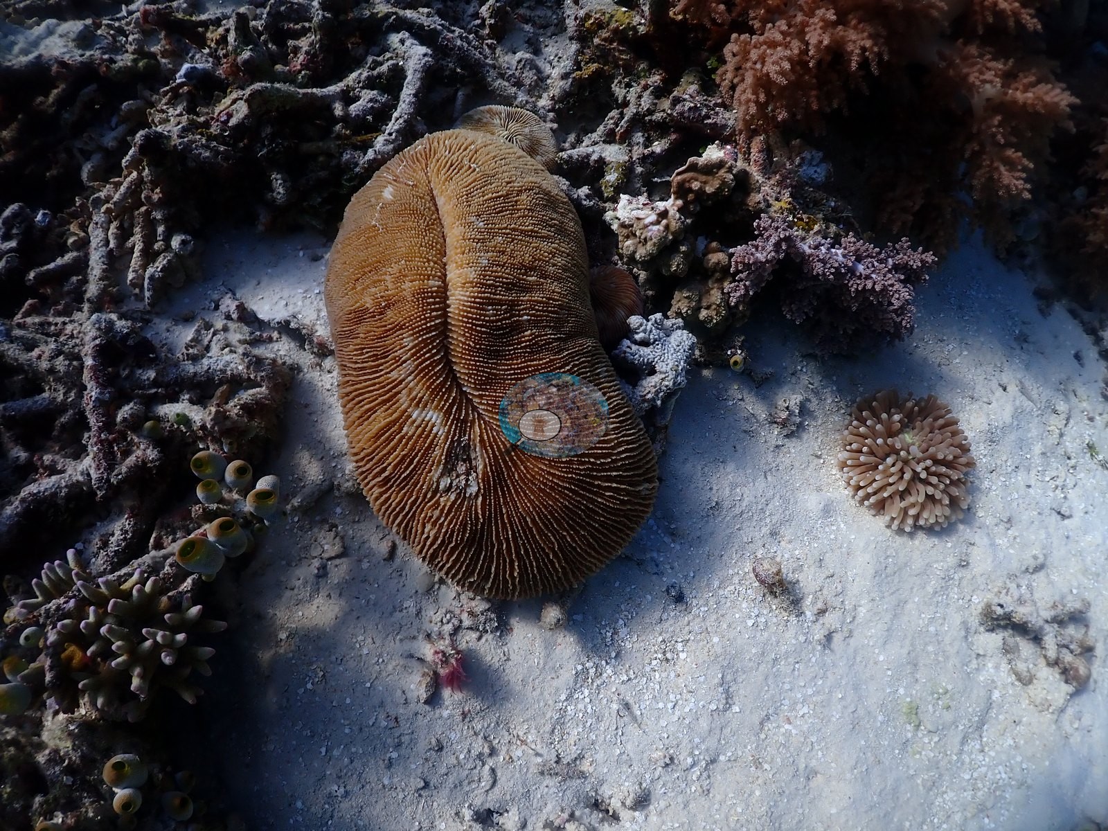
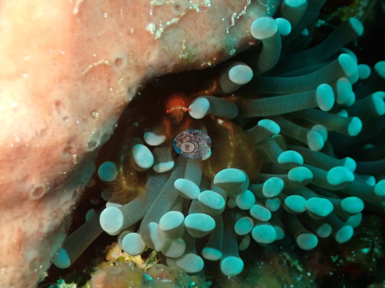
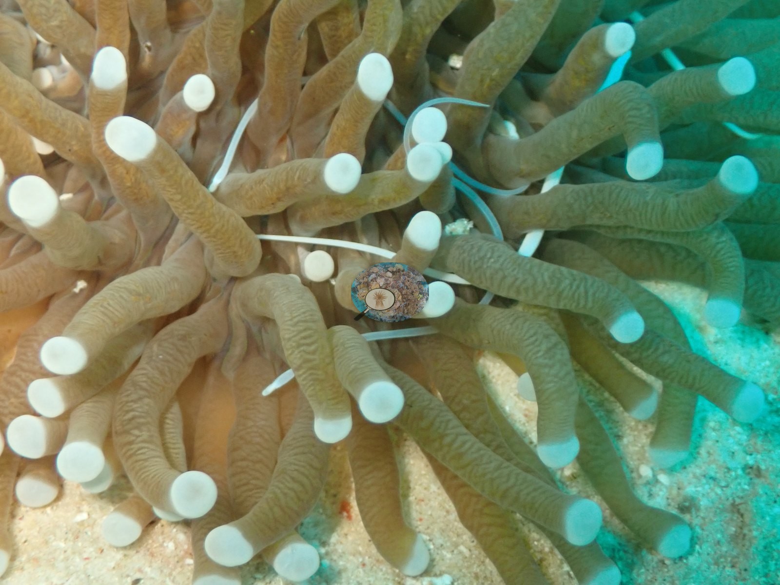
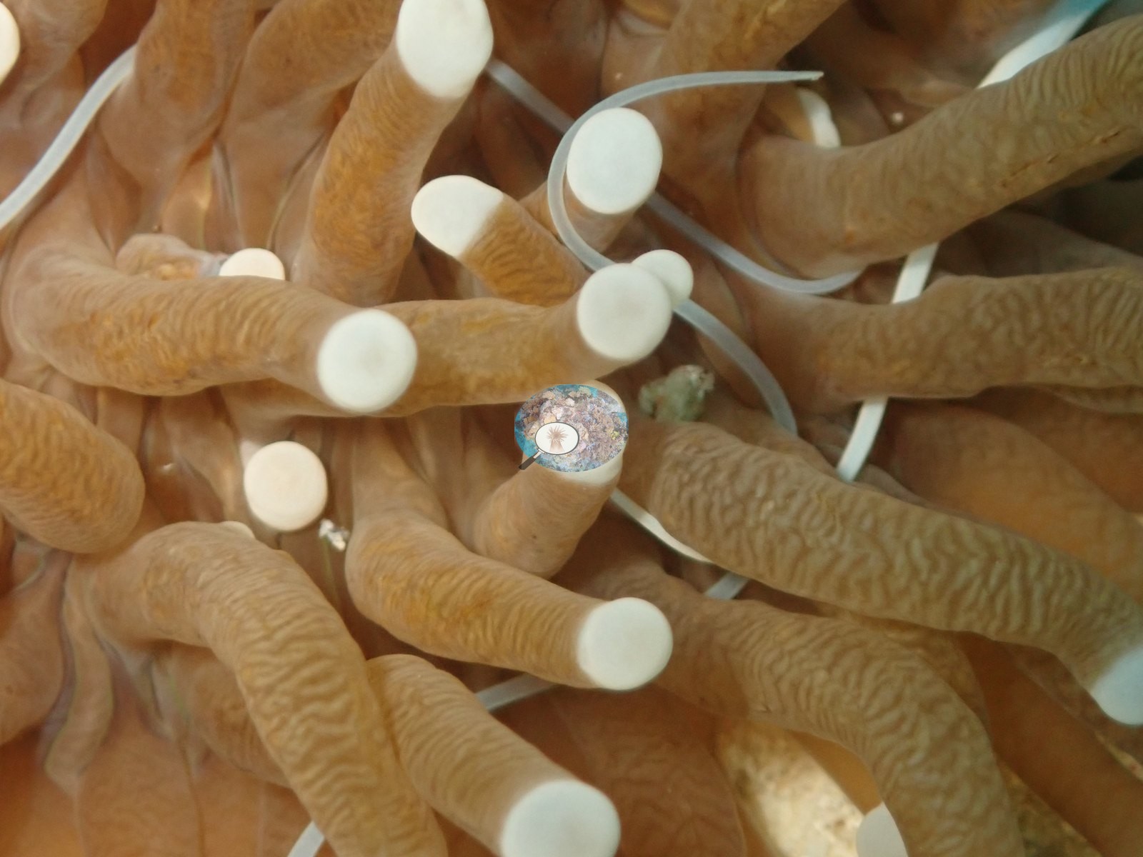
Fauna. A large long-tentacle mushroom coral (Heliofungia actiniformis) with white-tipped tentacles was photographed close up; a giant clam (Tridacna) sat on the mid-slope; and anthias, chromis, damselfish, fusiliers, and butterflyfish were constant (e.g., Image 29, Image 51).
The blacktip shark and the turtle from the dive log are not resolved in the sampled stills.
Comparisons with other data
No independent survey was made at this exact site; the nearest ones are listed in the table below.
Dive record
The dive reached 29 m at 26–27°C.
CV model comparison
More info
DINOv3 and CoralSCOP were run on the same photos and are listed for comparison. Coralscapes v2 and v1 were also run but are not shown: Anderson does not consider Coralscapes reliable for these photos. No diver transect exists for this trip, so agreement between the rows is not accuracy, and as of September 2026 no computer-vision method estimates coral cover accurately on new images; treat every row as indicative.| Method | Hard-coral cover (%) |
|---|---|
| In-house DINOv3 | 31.4 |
| CoralSCOP unedited | 31.7 |
| Claude | 32.6 |
Independent surveys nearby
Within 5 km, 2 independent survey stations recorded hard coral cover in 2024. Surveys since 2021 average 46% (range 45–47%, n=3). This site's own estimate (33%) sits 12.8 points below the recent range (45–47%); the methods differ, so the comparison is context, not a like-for-like test.
Collected by other programs using different methods (MERMAID is a data platform: each MERMAID row names the organization that did the survey, and its method is in the row's hover text), so these are context for the figures above, not a like-for-like comparison. Where a station was surveyed more than once the range is shown. Station names are not dive-site names.
| Agency | Site / location | Date | Hard coral cover (%) | Distance | Link |
|---|---|---|---|---|---|
| WCS Indonesia via MERMAID | Tunguwai | 2024 | 45% (4 surveys) | 1.46 km | Cholic O, Gunawan I, Rayhan A. 2024. MPA Mare 2024. MERMAID |
| WCS Indonesia via MERMAID | Tomalou | 2024 | 47% | 3.19 km | Cholic O, Gunawan I, Rayhan A. 2024. MPA Mare 2024. MERMAID |
Data & links
All images from Coral Reef Diagnostics. Data are from Coral Reef Diagnostics and the organizations named in the data-sources table above.
© Coral Reef Diagnostics.