
Indonesia - Halmahera: Siko Tanjung
Part of the regional summaries: Indonesia - Halmahera and Indonesia - Maluku
More info
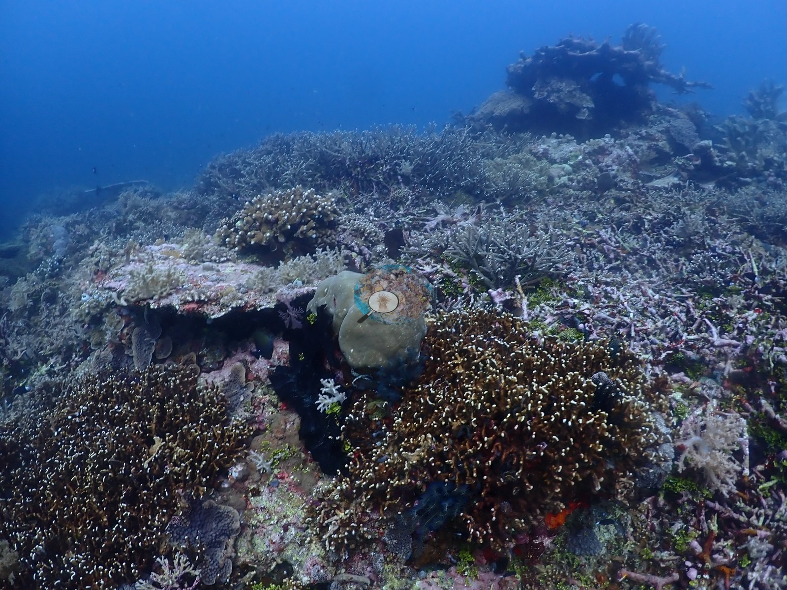
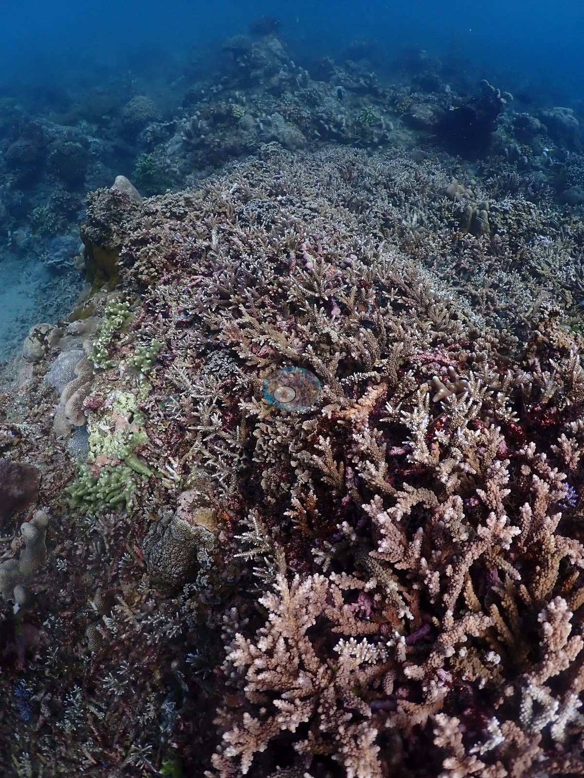
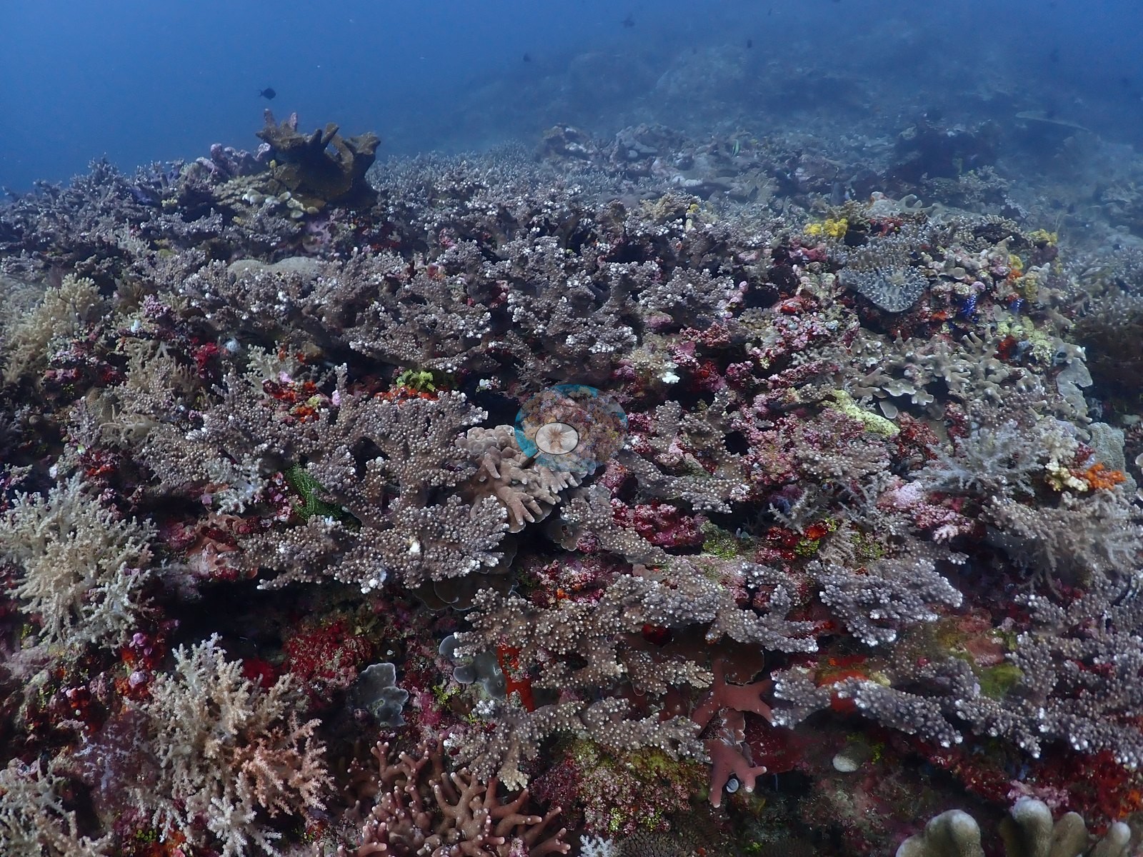
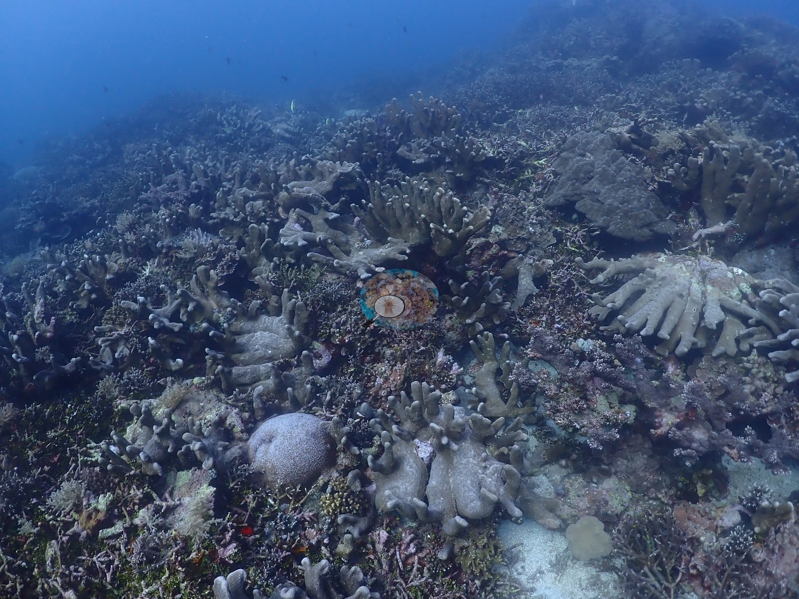
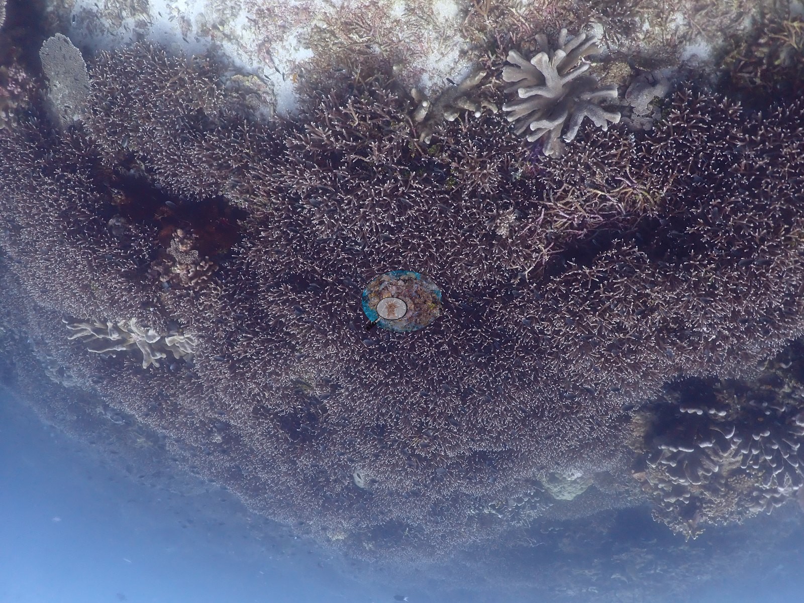
North Maluku (NOAA CRW virtual station)Siko Tanjung is an extensive branching Acropora reef flat worked in bad visibility and strong current, built partly on large tracts of old dead, coralline-overgrown staghorn framework that the living thicket now grows through. A handful of massive colonies are stark chalk-white against normally pigmented neighbors, worth flagging as a possible bleaching signal. A blind Claude computer-vision point count puts coral cover around 41%.
Siko Tanjung adalah rataan terumbu Acropora bercabang yang luas, digarap dalam jarak pandang buruk dan arus kuat, sebagian terbangun di atas bentangan luas kerangka karang bercabang mati yang ditumbuhi alga koralin, yang kini ditembus oleh rumpun yang masih hidup. Segelintir koloni masif tampak putih kapur mencolok di antara tetangganya yang berpigmen normal, layak dicatat sebagai kemungkinan sinyal pemutihan.
Terjemahan ringkasan ini oleh AI; versi bahasa Inggris yang berlaku. Translated from the site’s shorter map summary.
Two independent survey stations shown with the program’s logo — click one to see how far it is from this site.
One other CRD dive site within 5 km shown in orange — click a marker to open its page.
26 of these 52 photographs are shown beside the text that discusses them under "Site description" below.
Site description
Setting
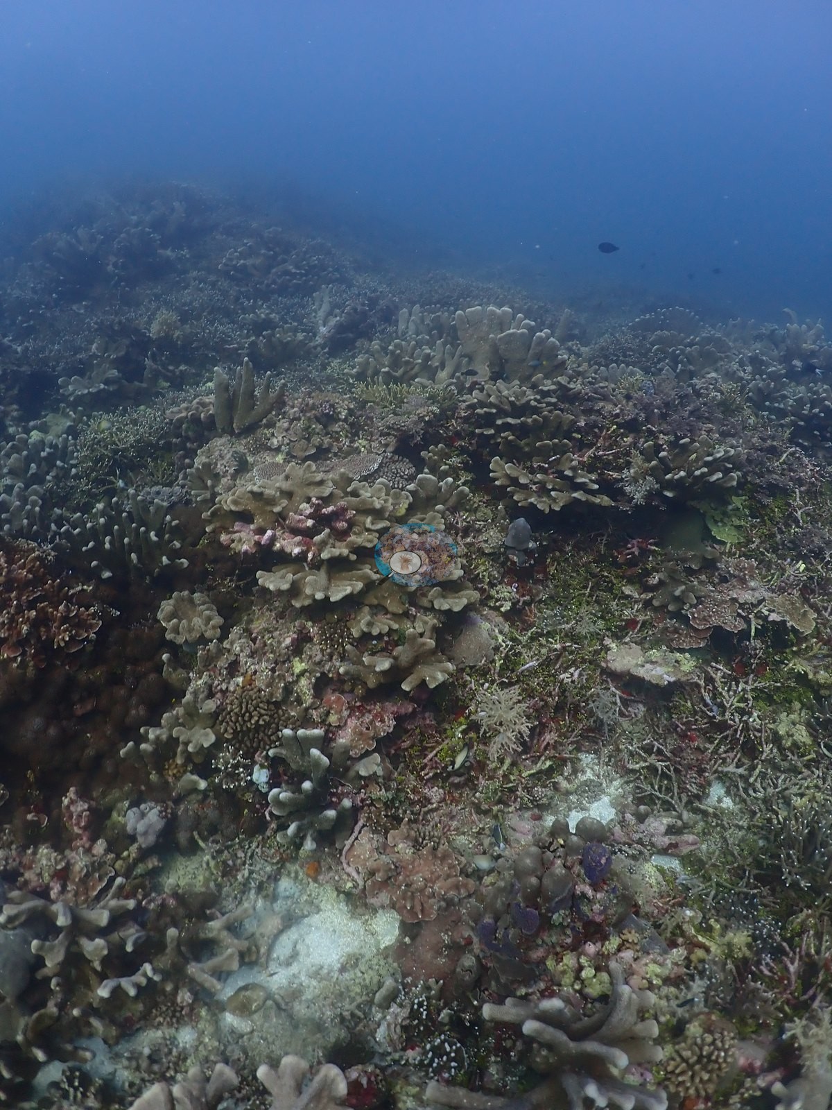
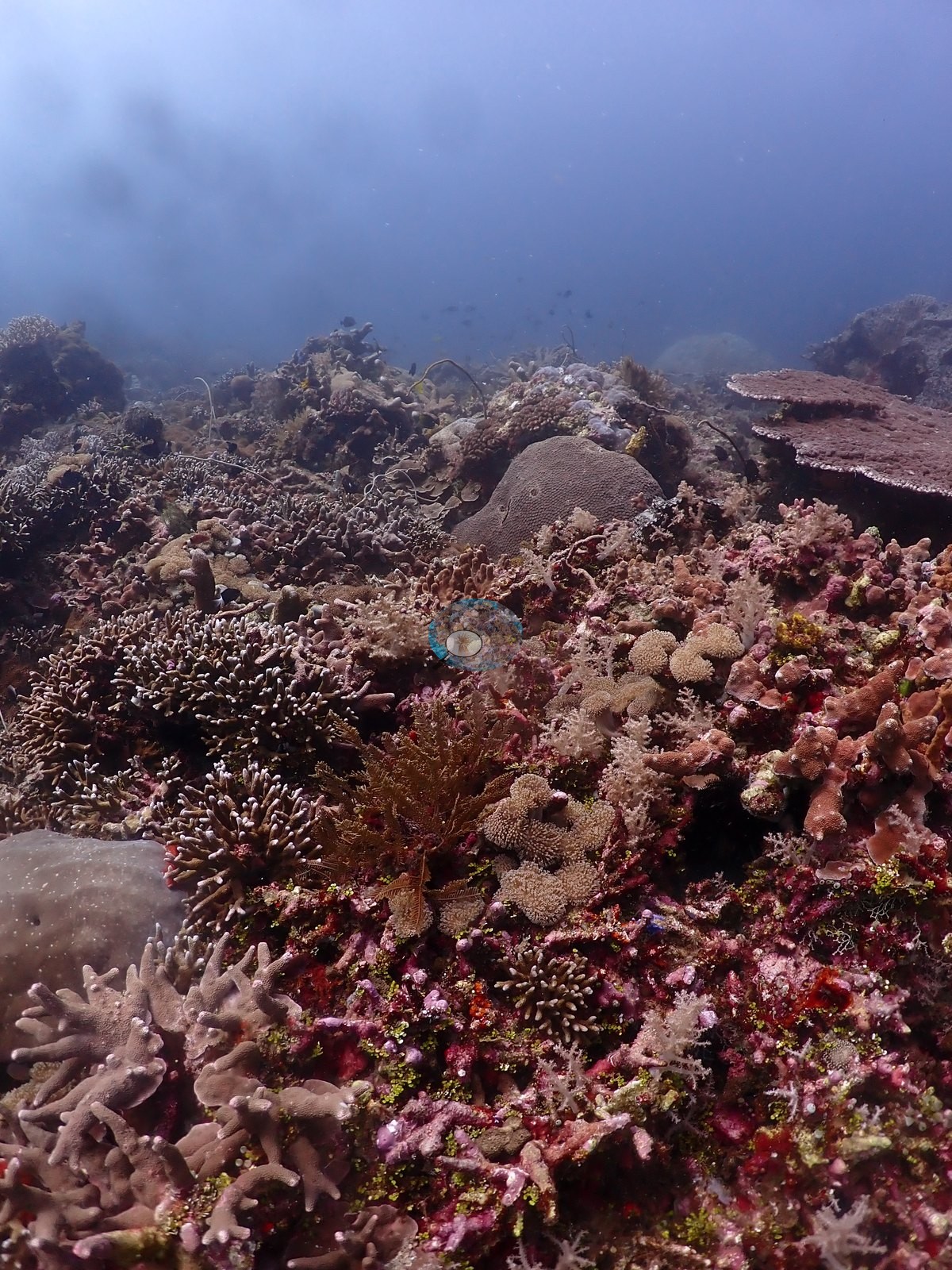
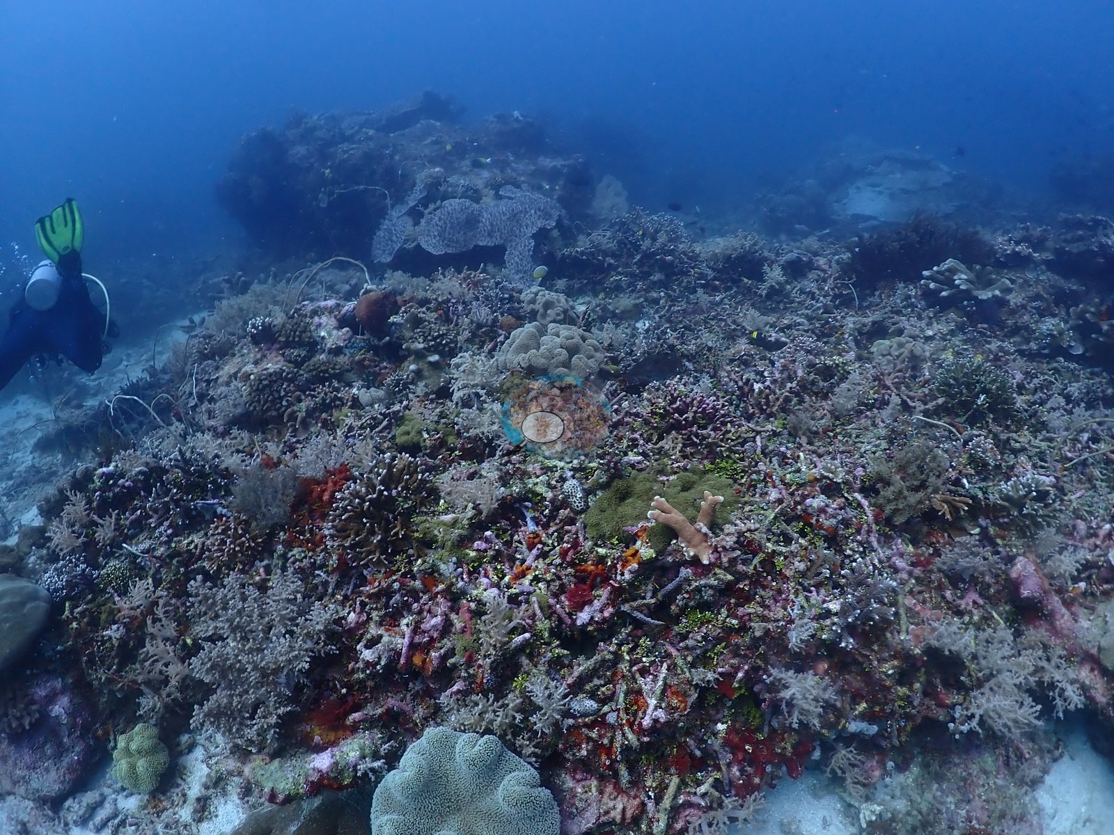
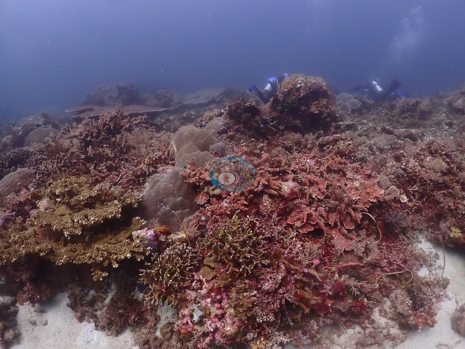
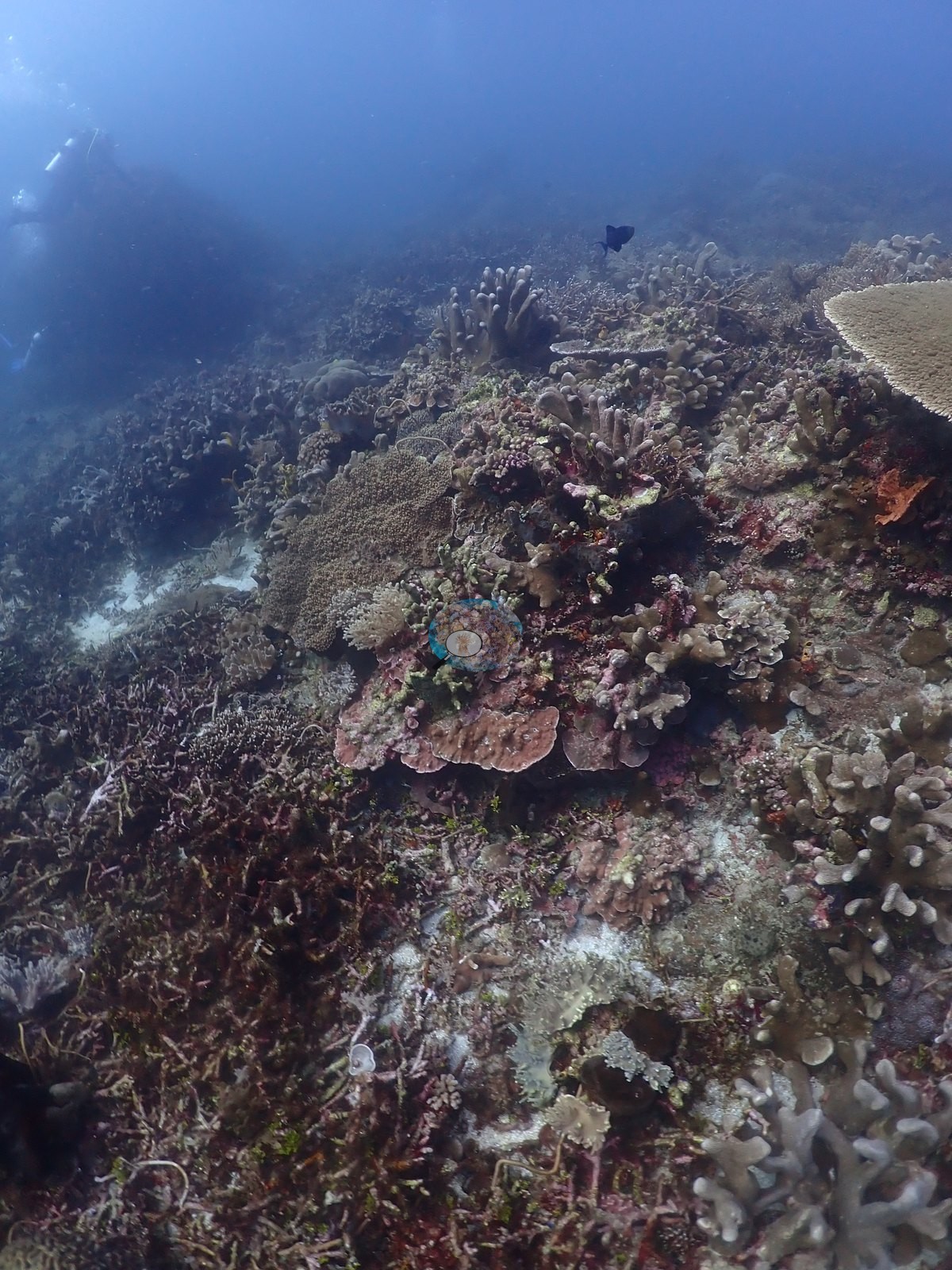
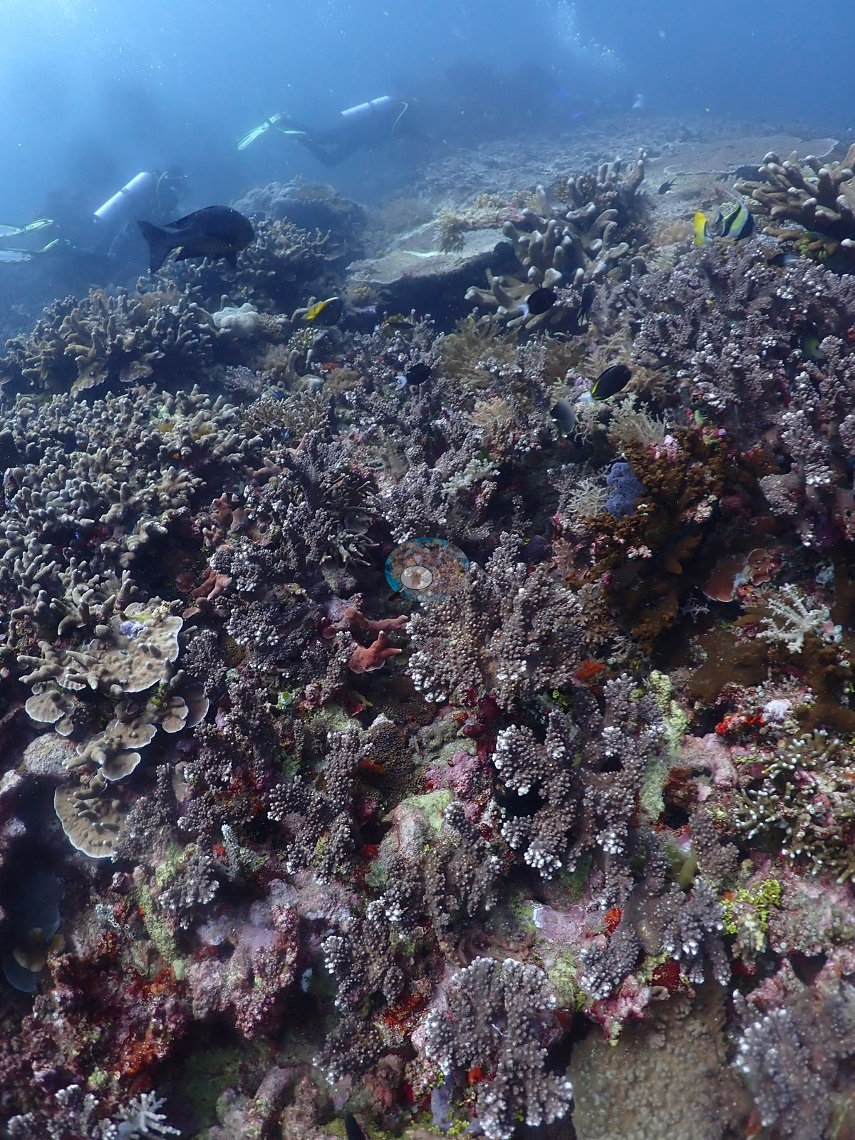
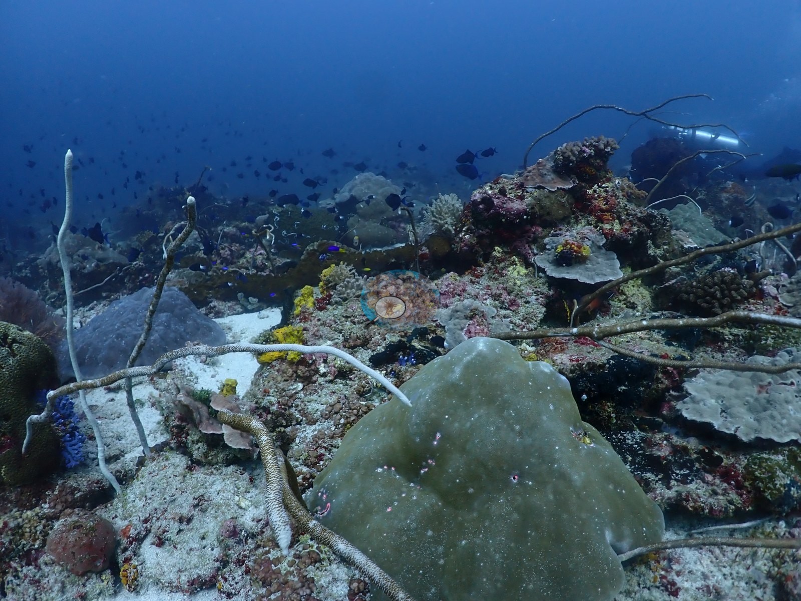
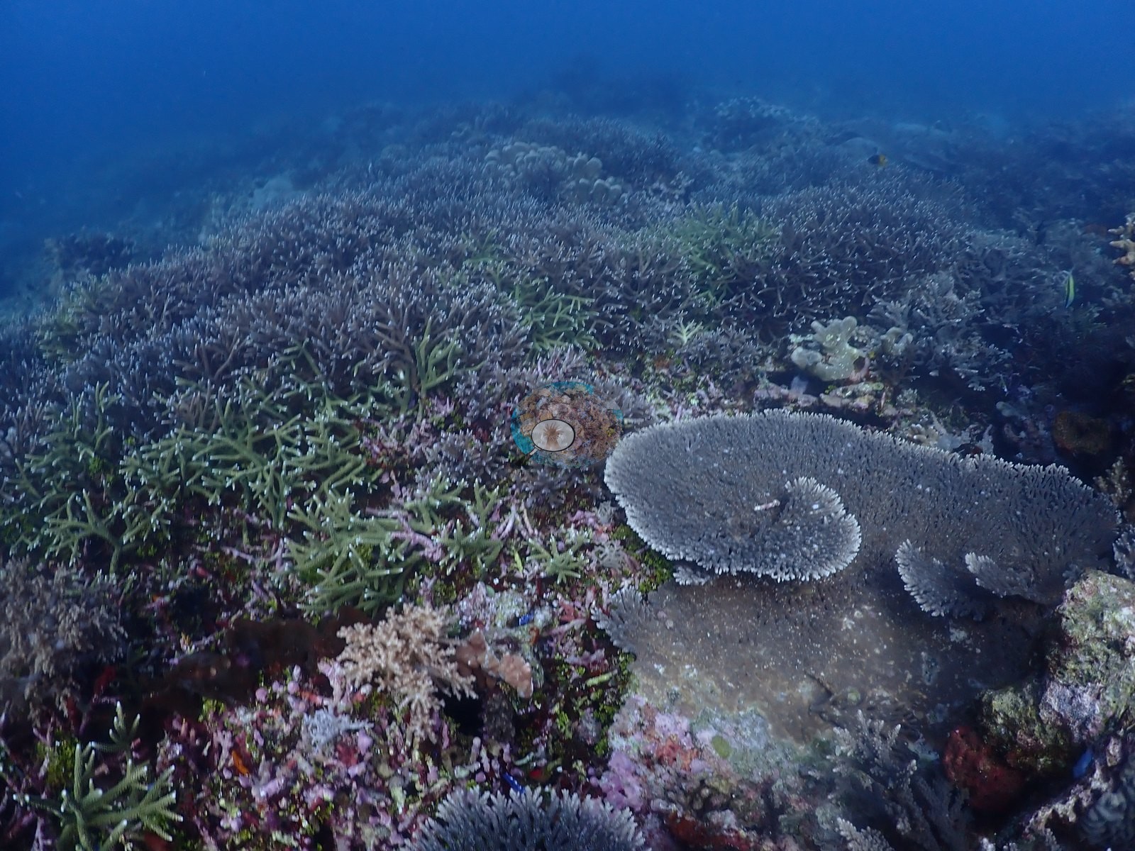
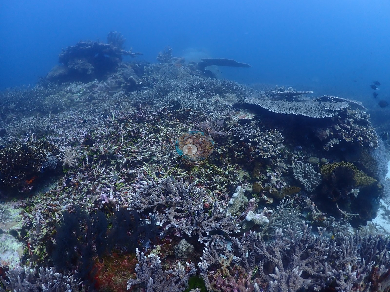
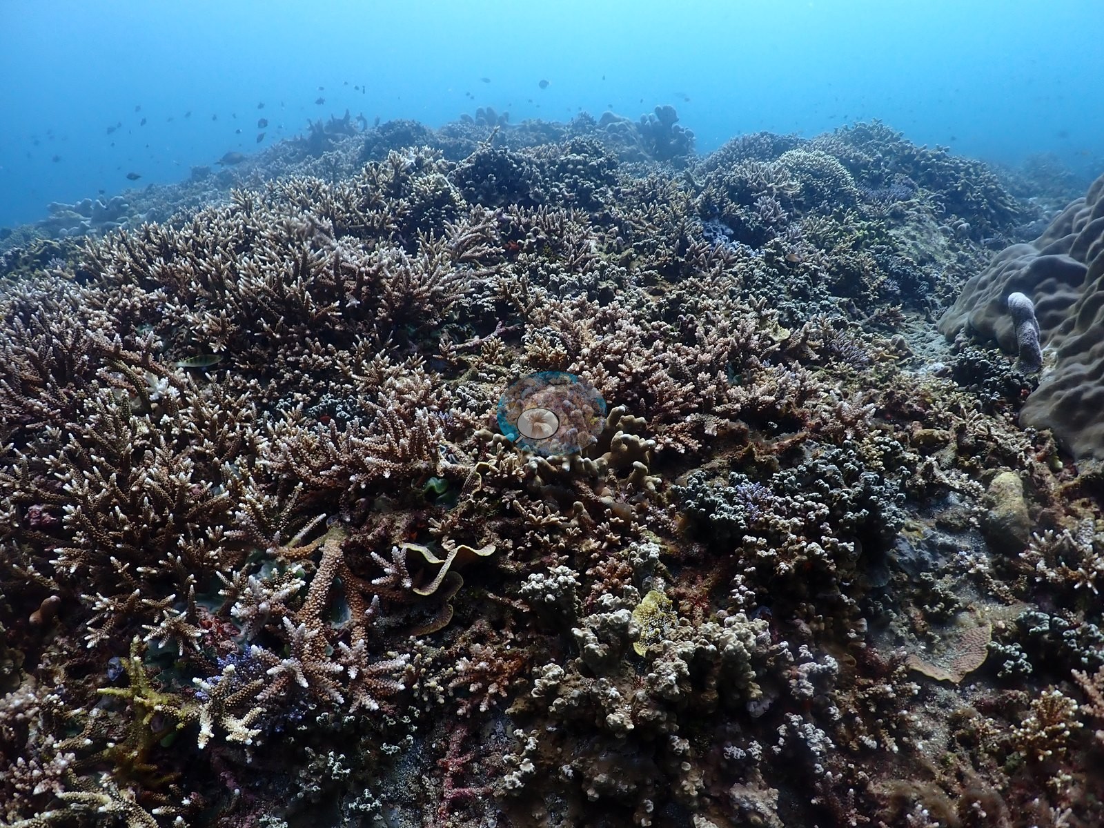
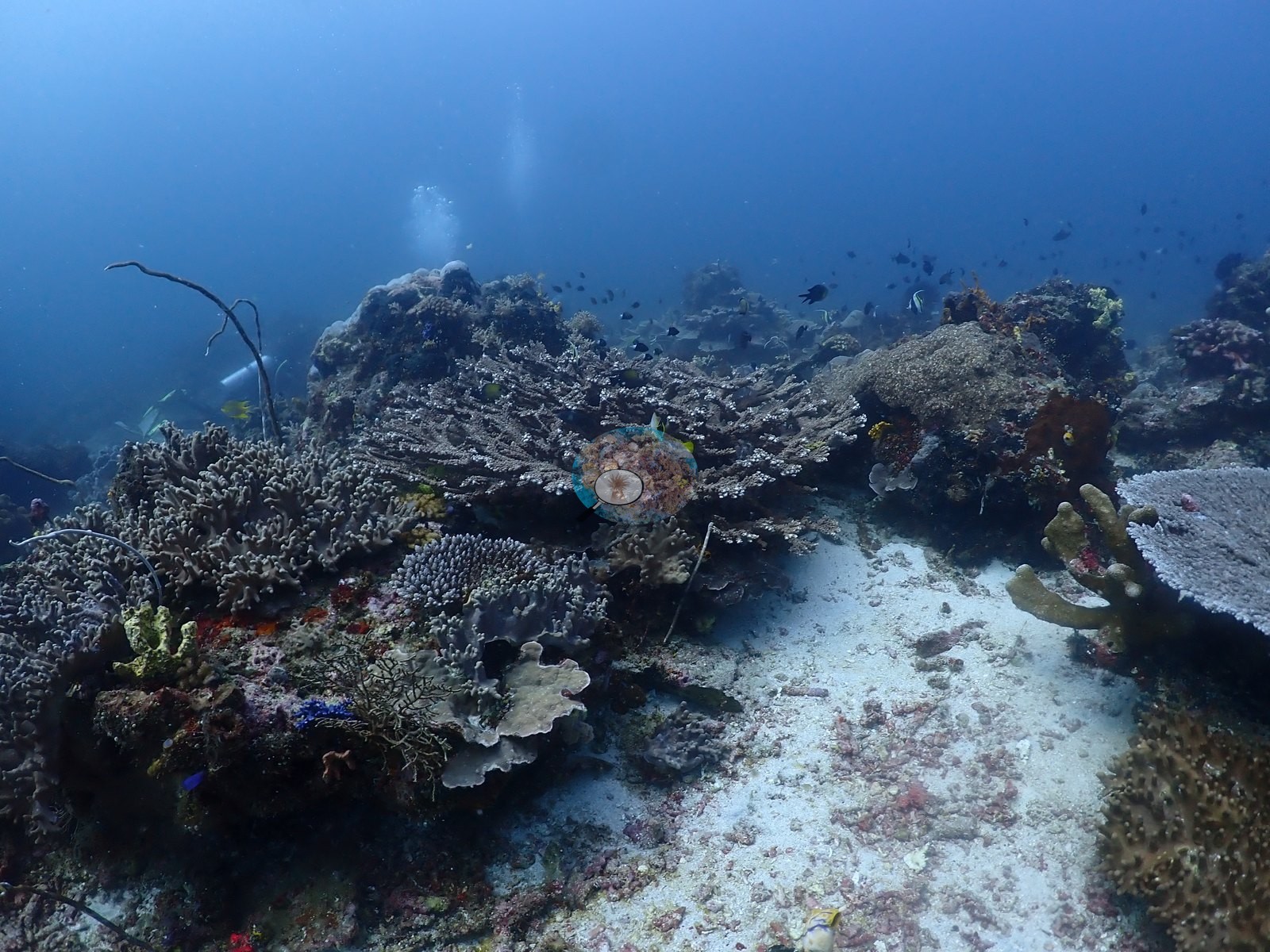
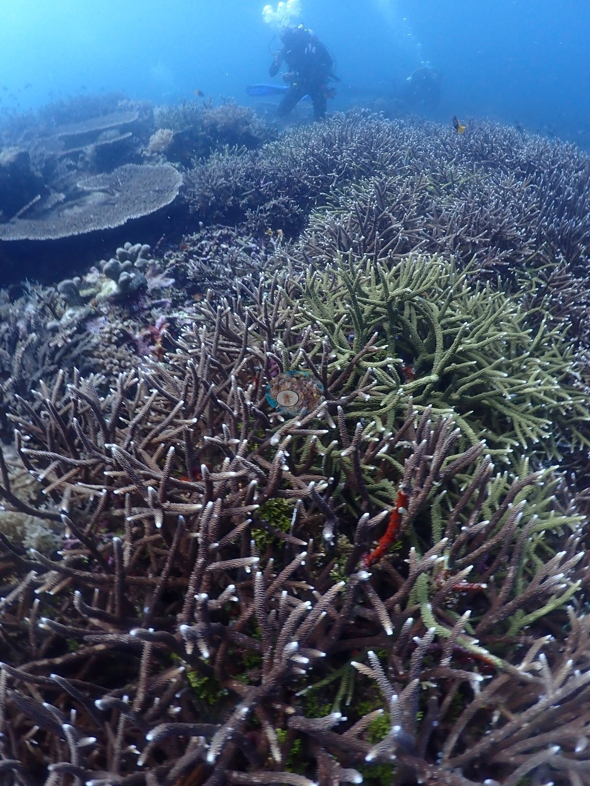
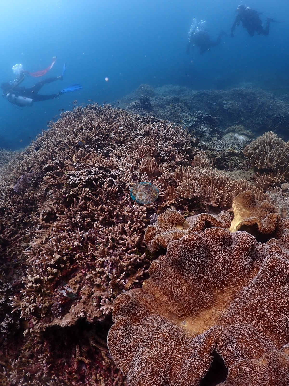
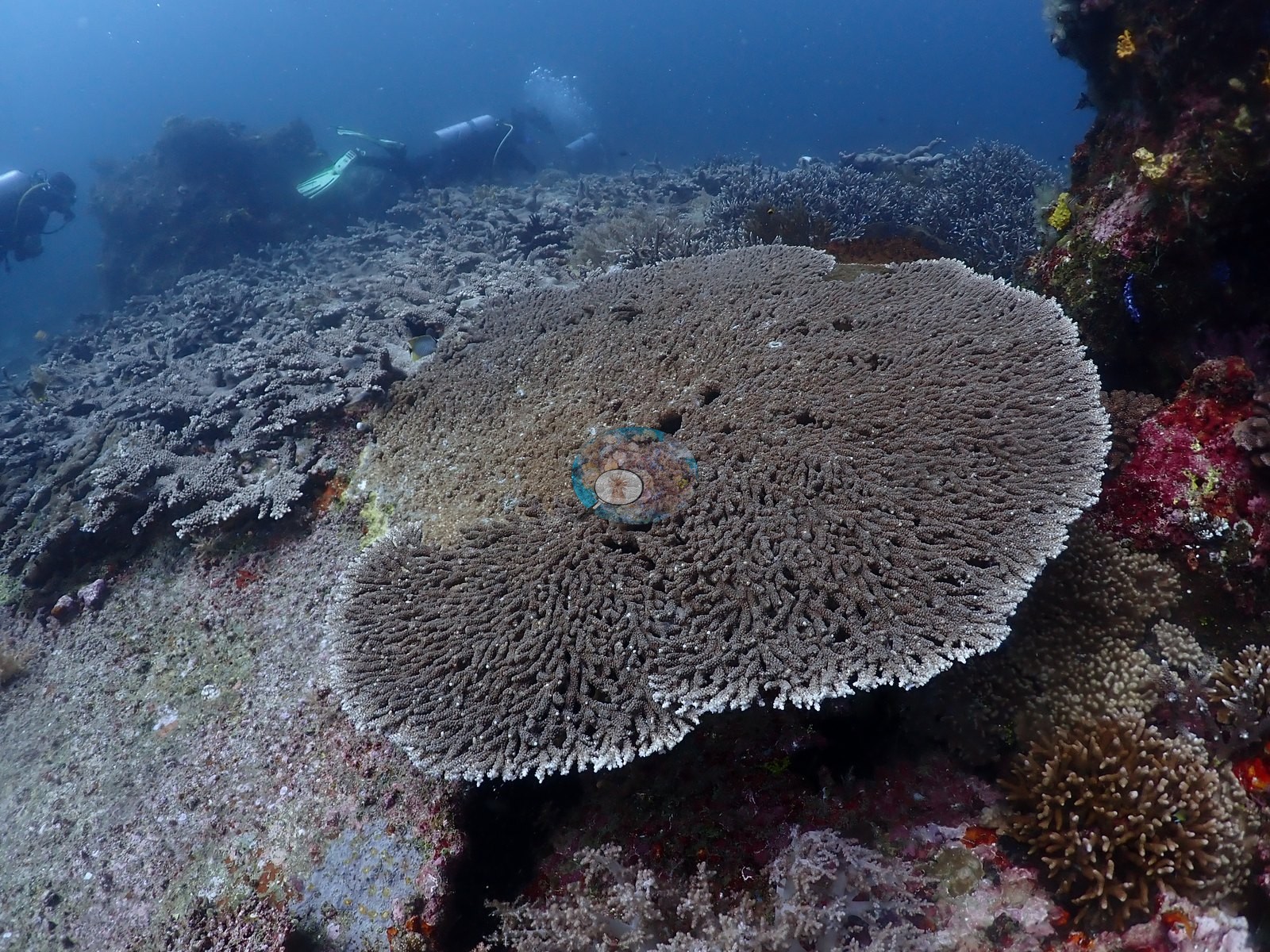
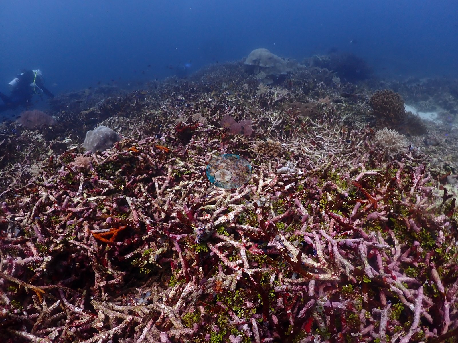
Siko Tanjung is a broad, gently domed reef top worked in the conditions Anderson's field note records: “bad visibility and fought strong currents for much of the dive.” The imagery carries that plainly — most wide frames are hazy and blue-flat, with the far side of each bommie already lost in suspended particles, and divers appear repeatedly hanging in current above the reef (e.g., Image 7, Image 20, Image 25, Image 33, Image 40, Image 46).
General benthic features
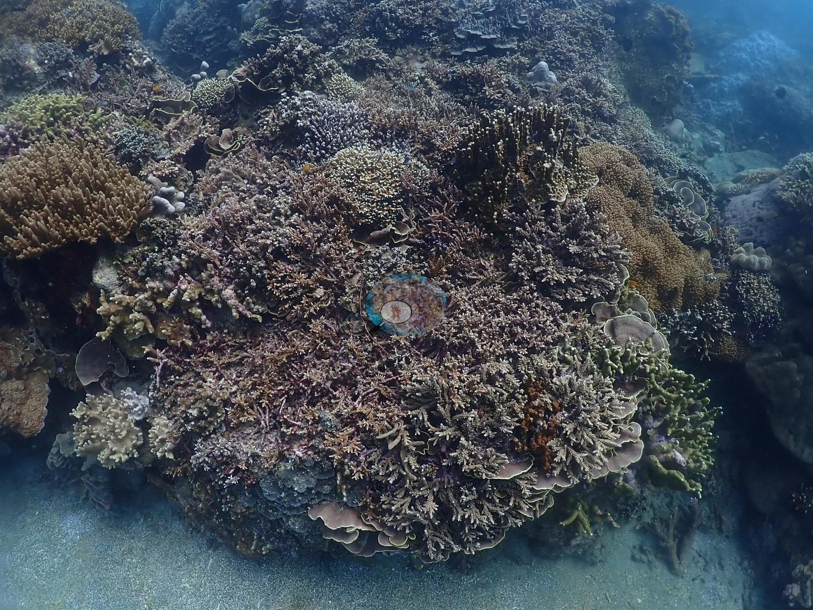
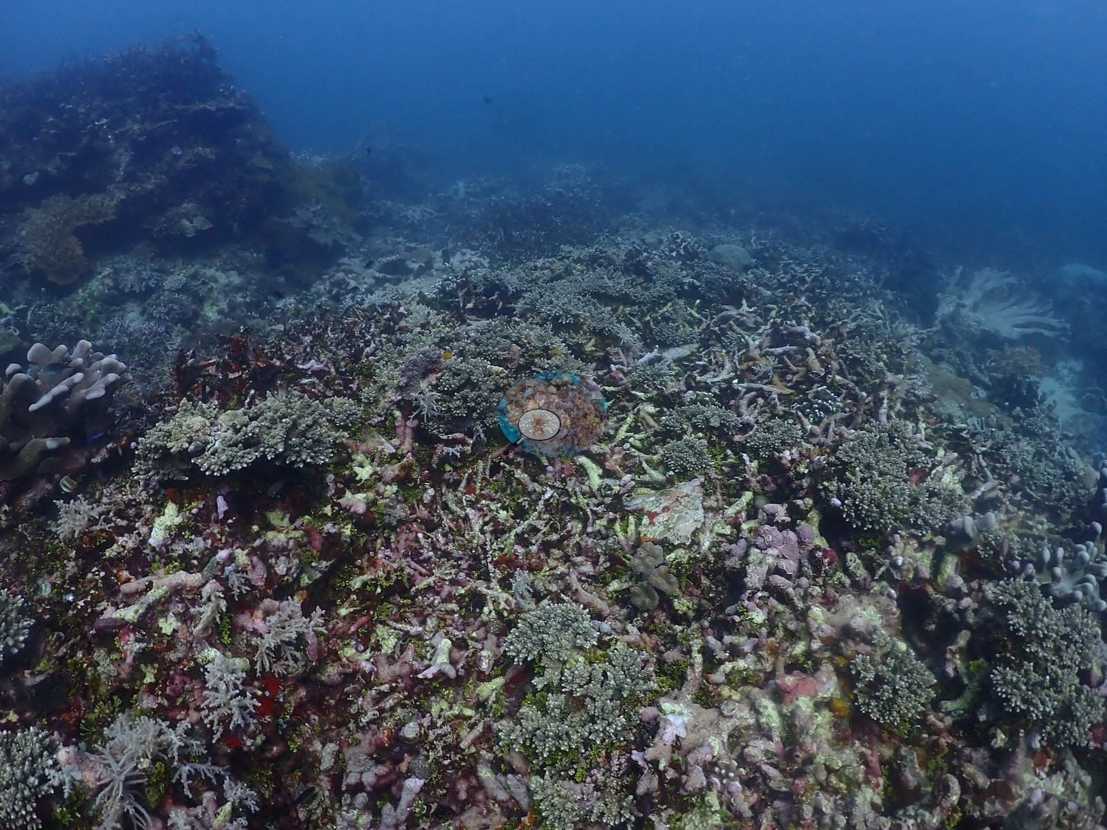
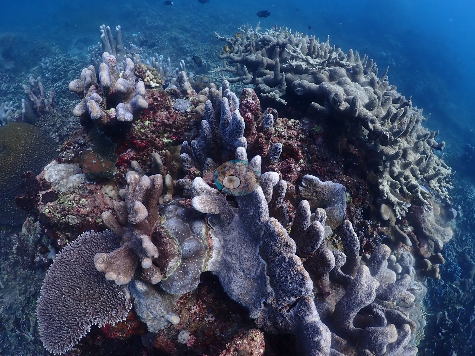
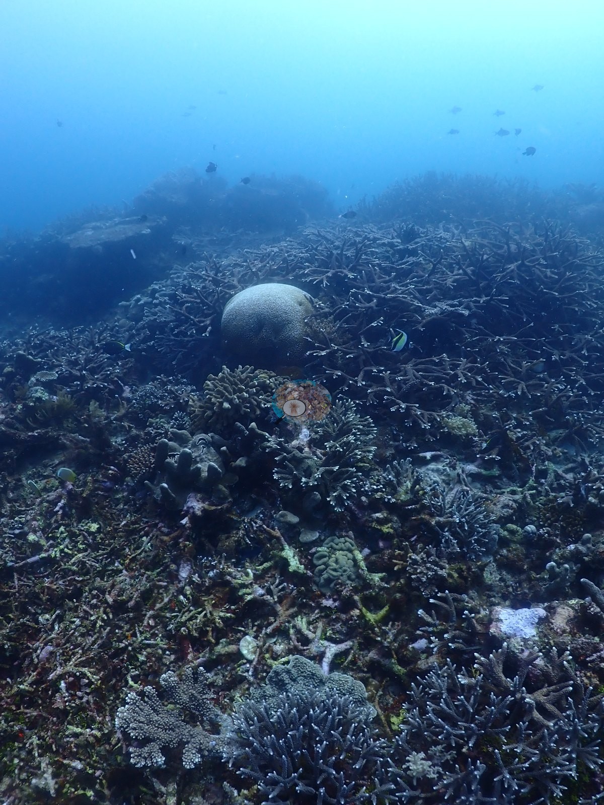
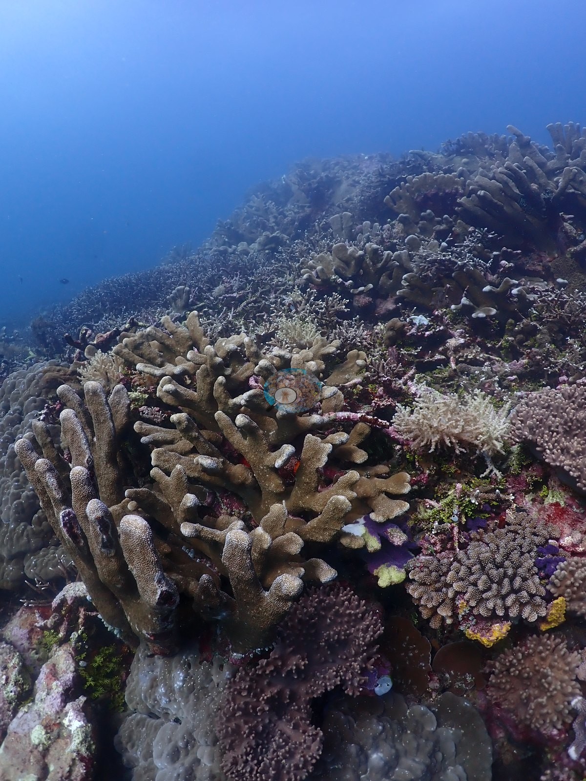
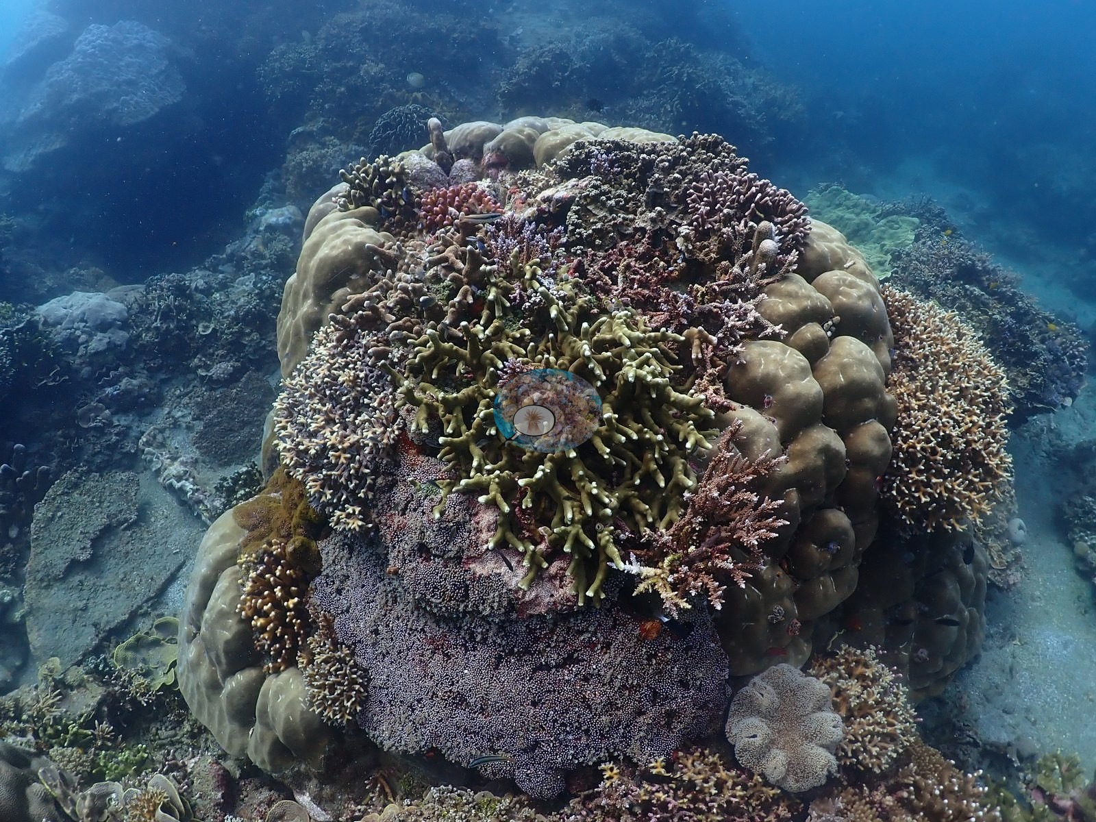
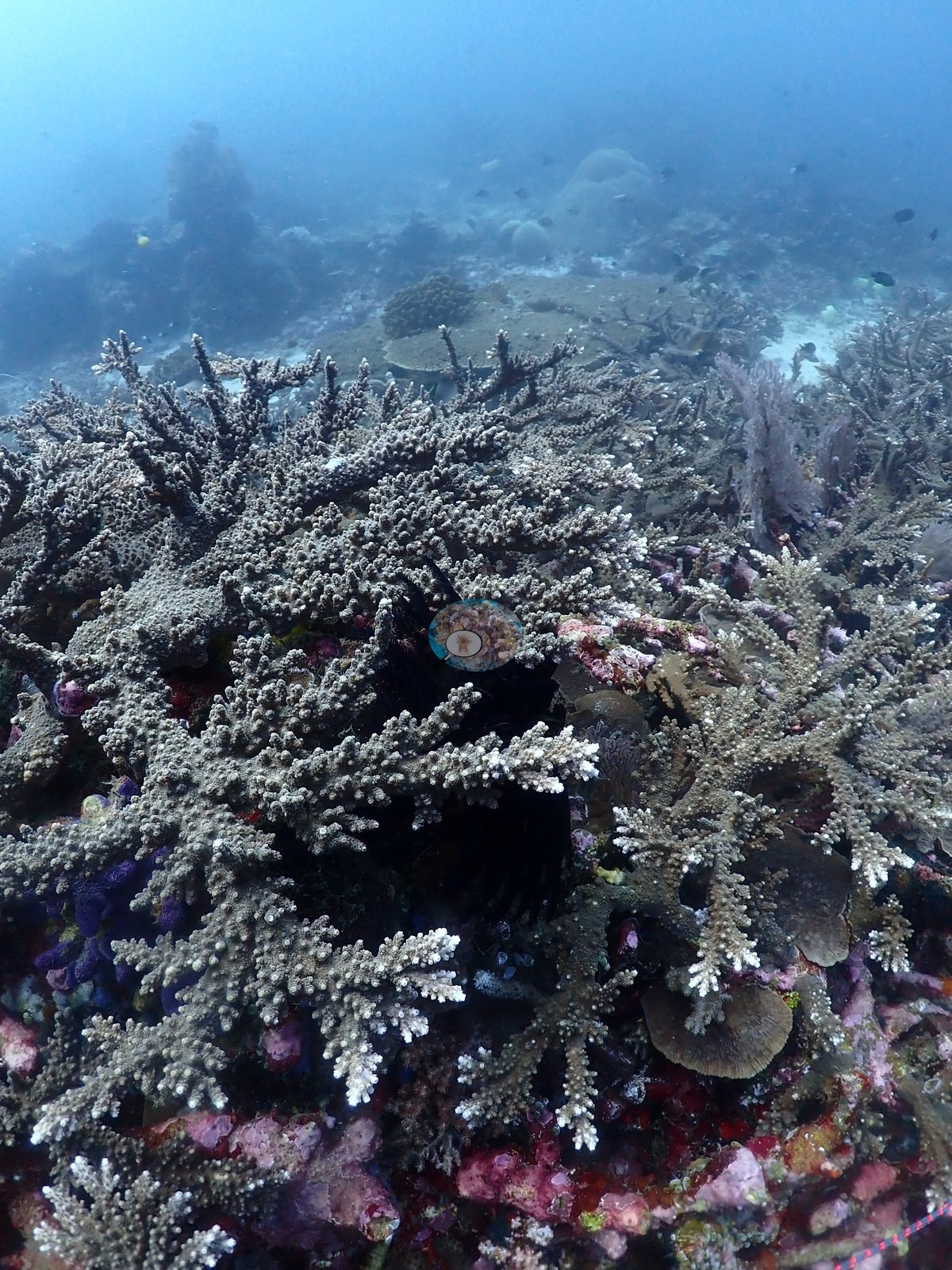
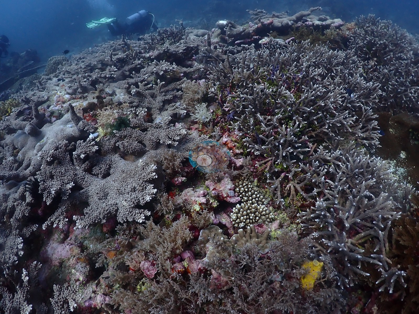
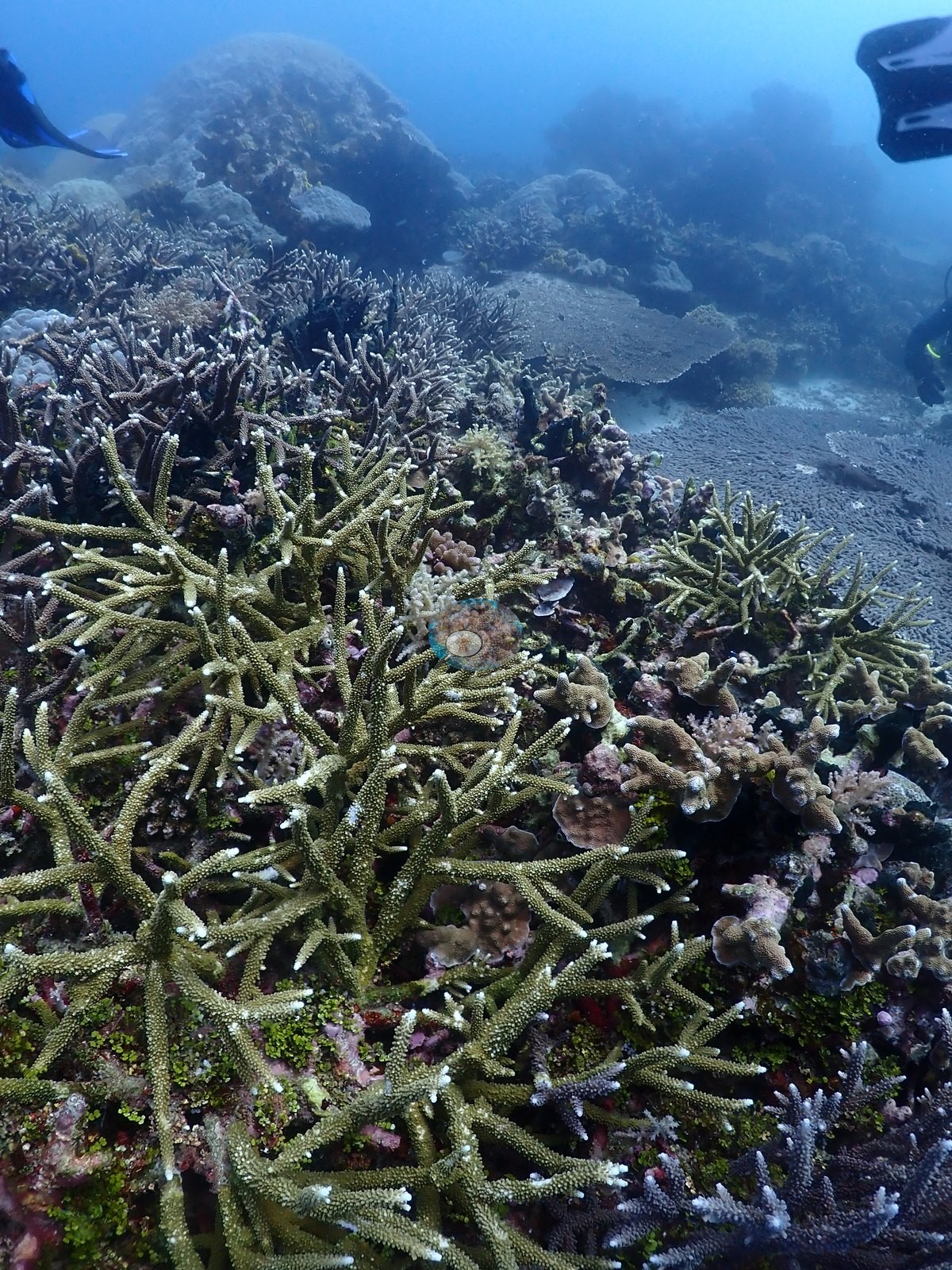
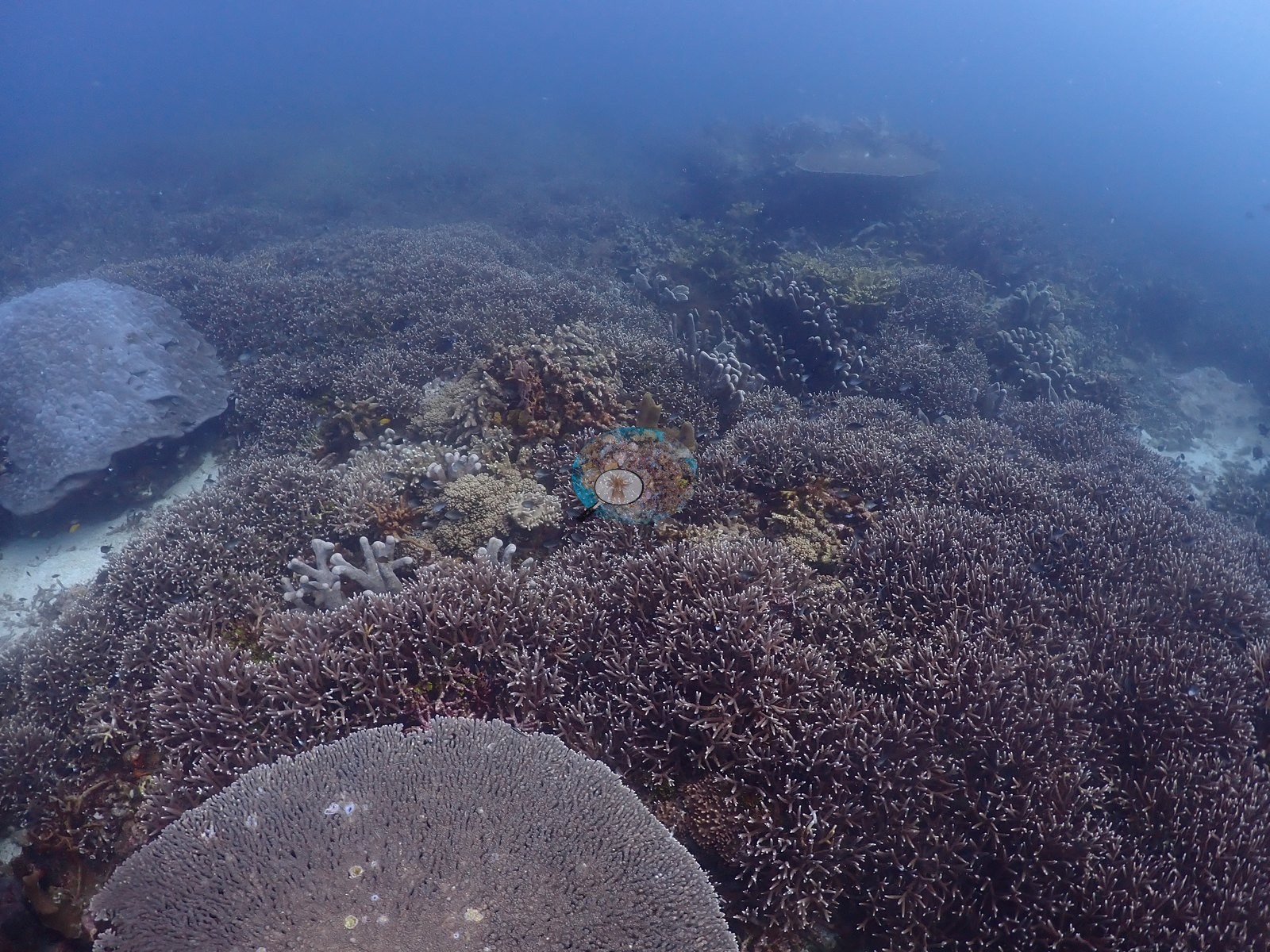
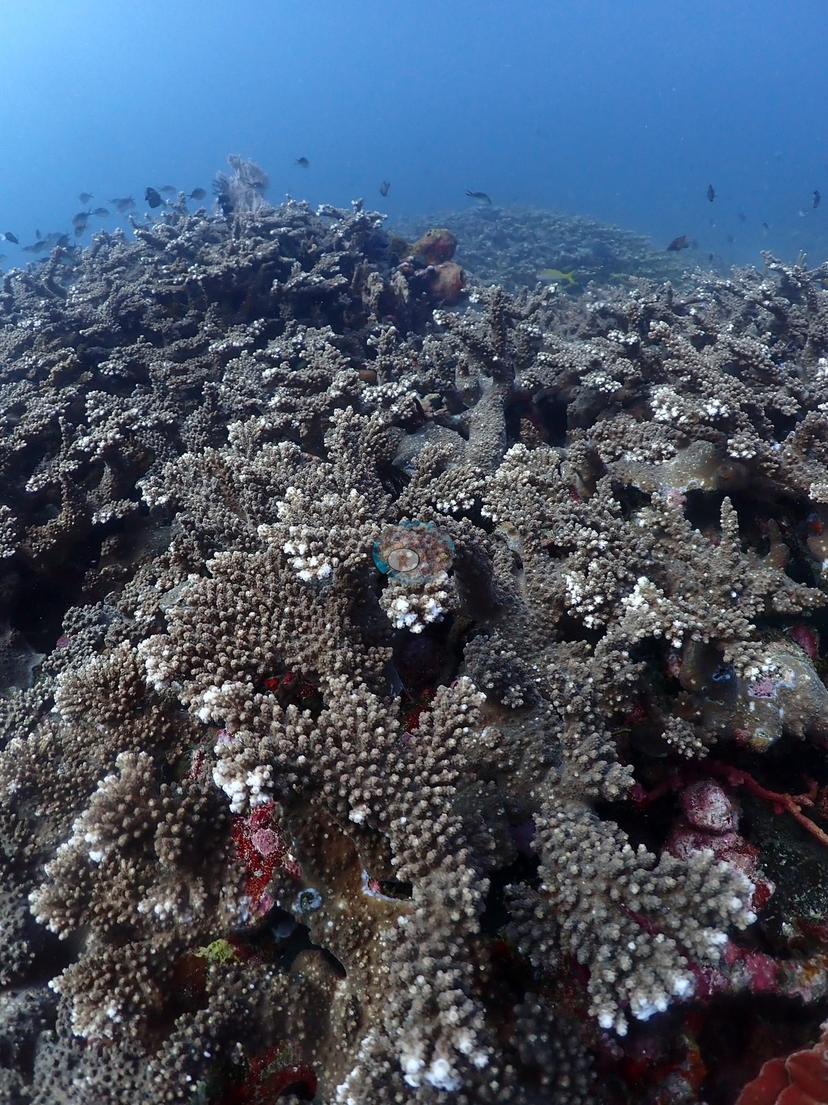
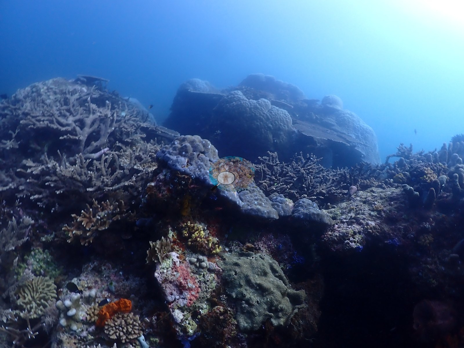
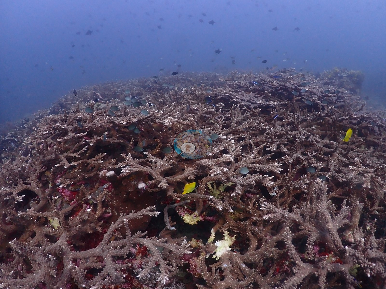
What the site actually holds is a very extensive branching Acropora reef flat: acre-scale staghorn and bottlebrush thicket in dusty pink, lavender, and olive, running unbroken through dozens of frames (e.g., Image 2, Image 6, Image 34, Image 45, Image 49, Image 53).
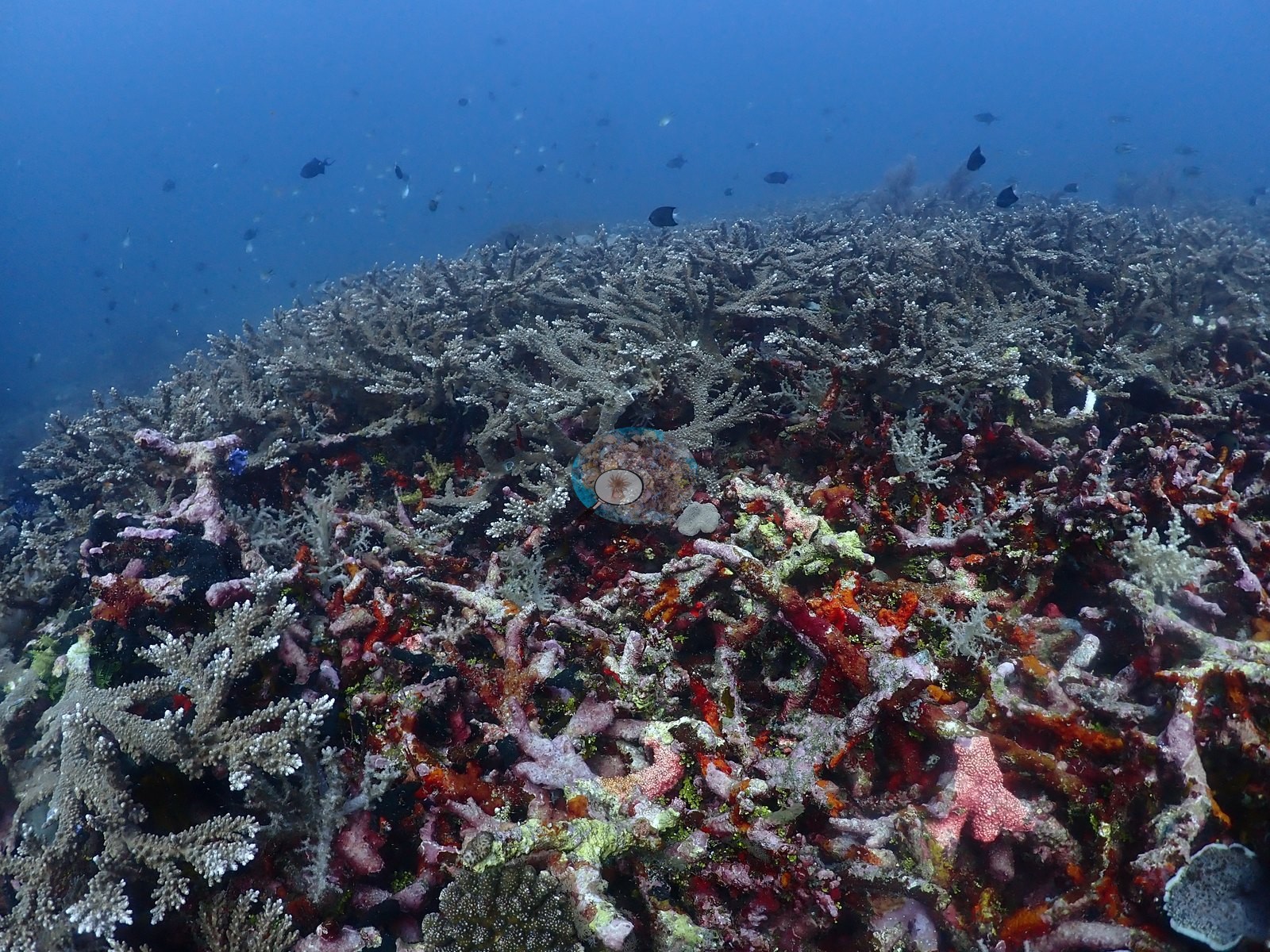
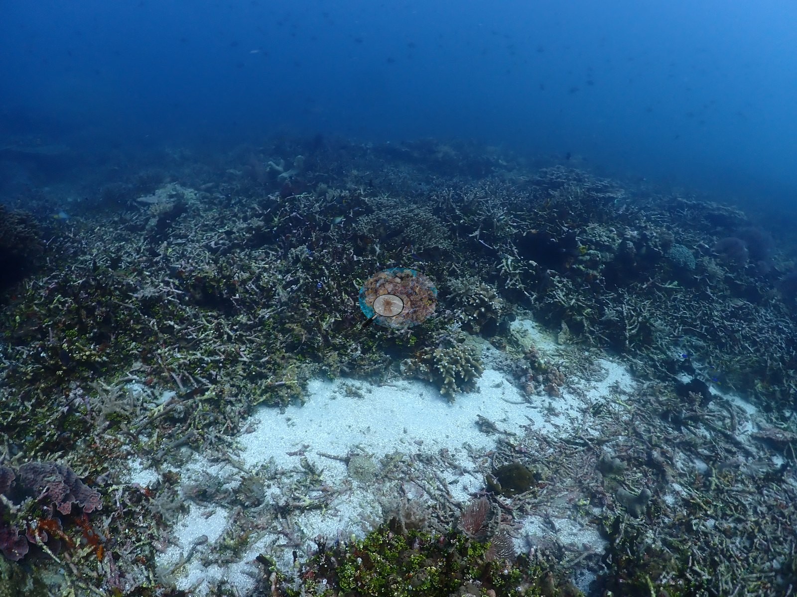
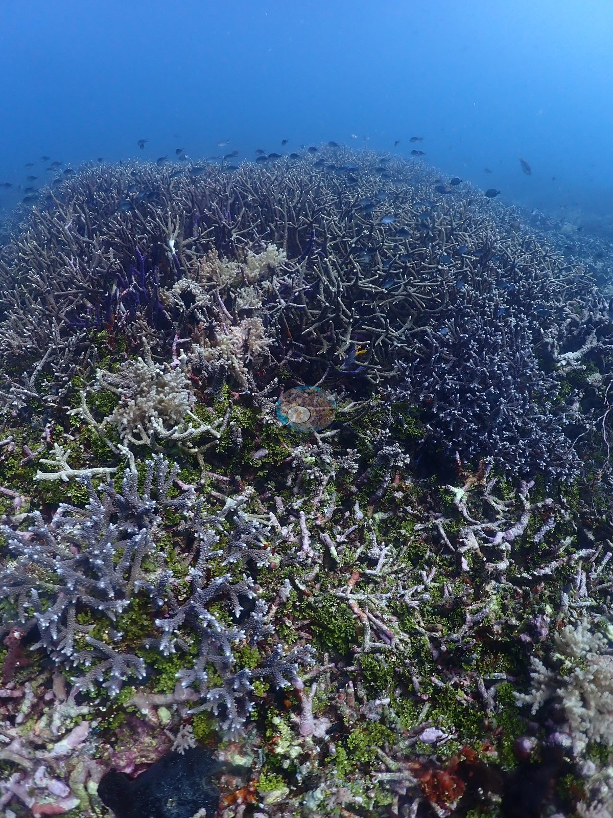
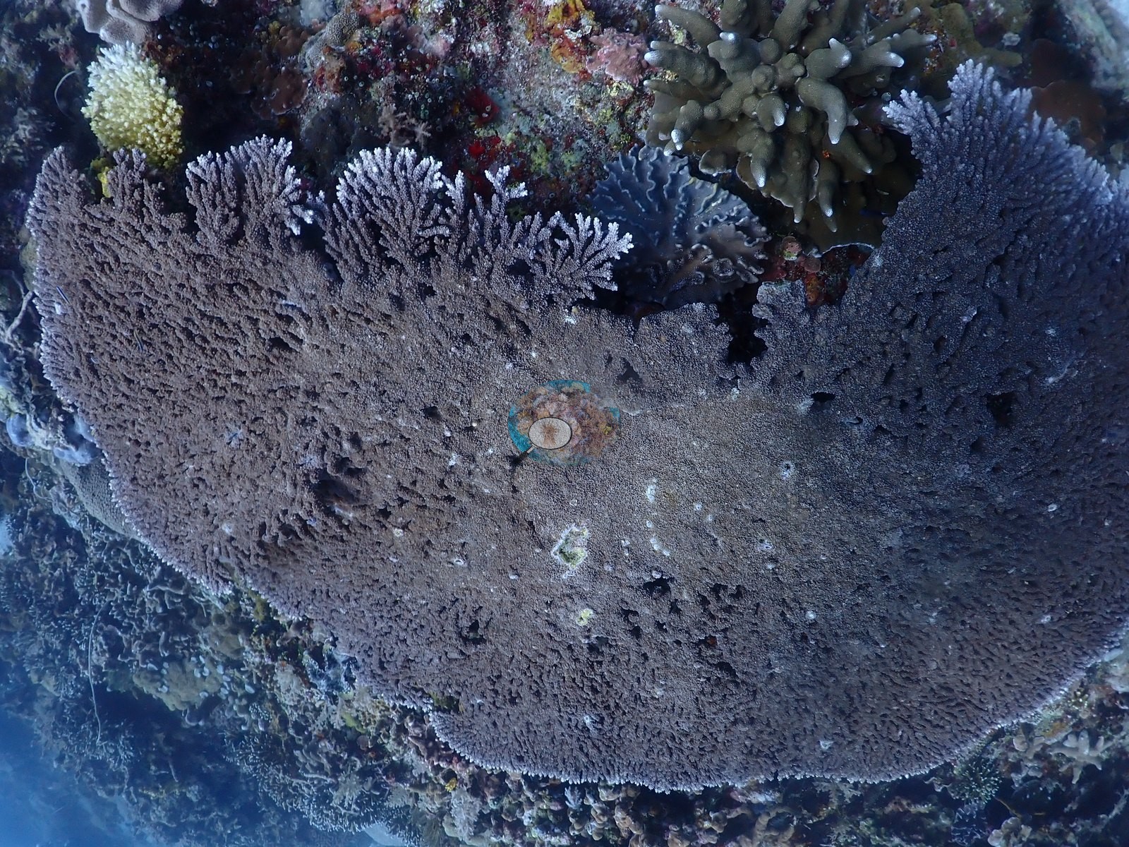
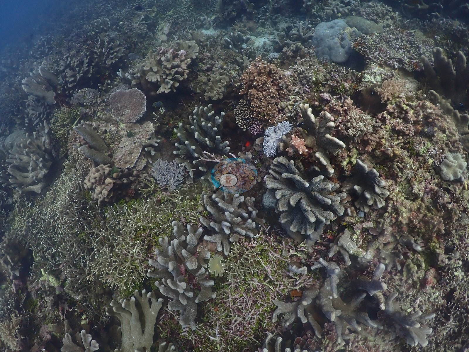
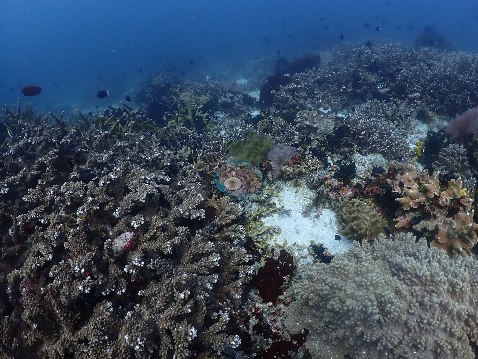
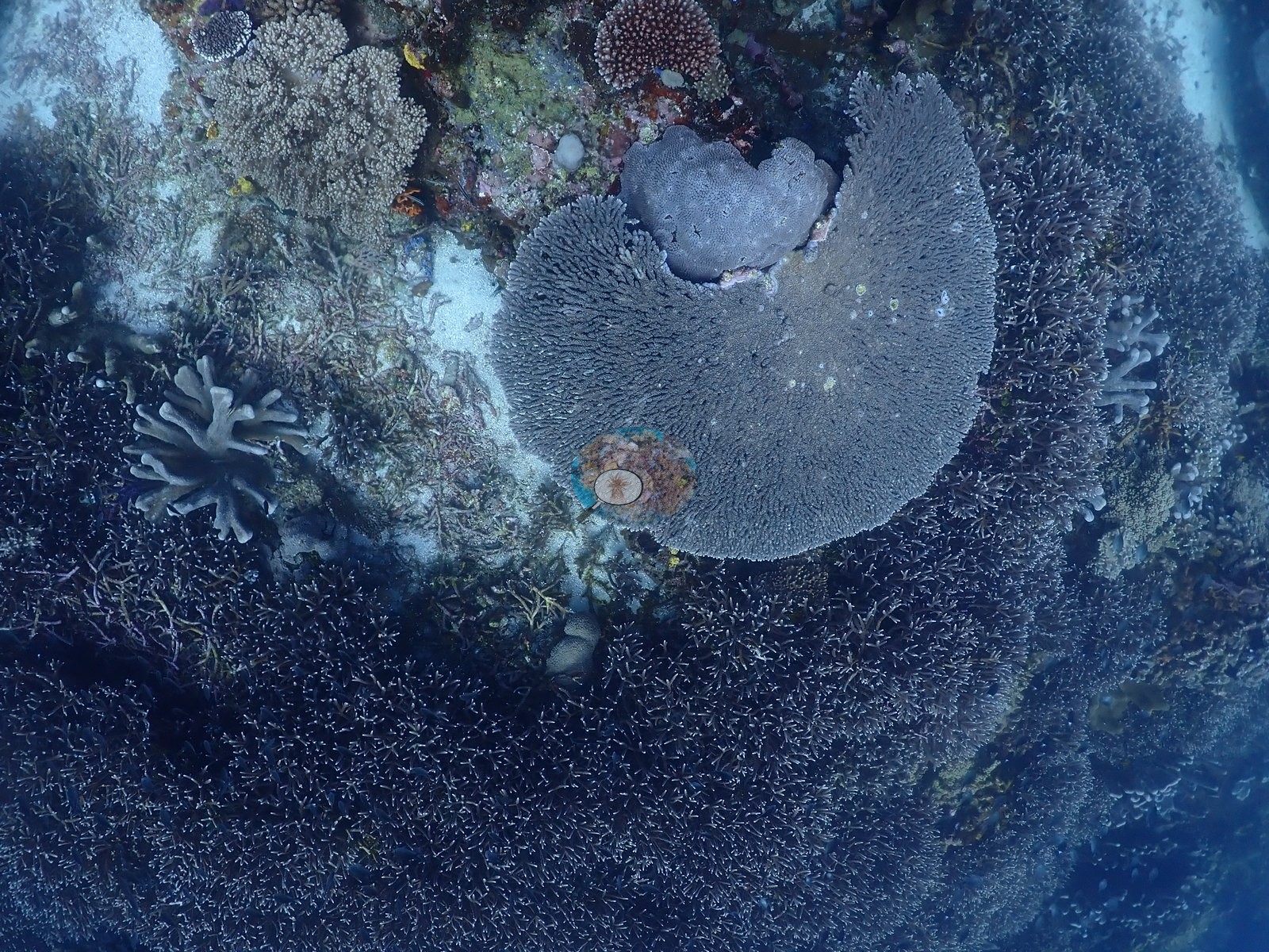
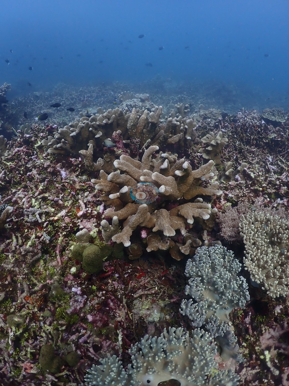
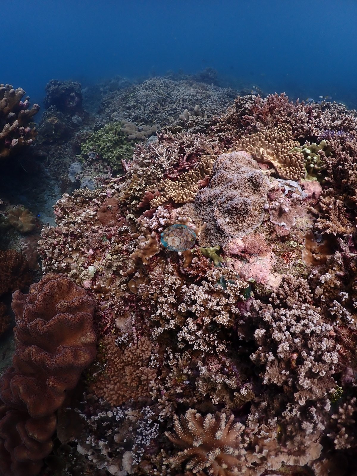
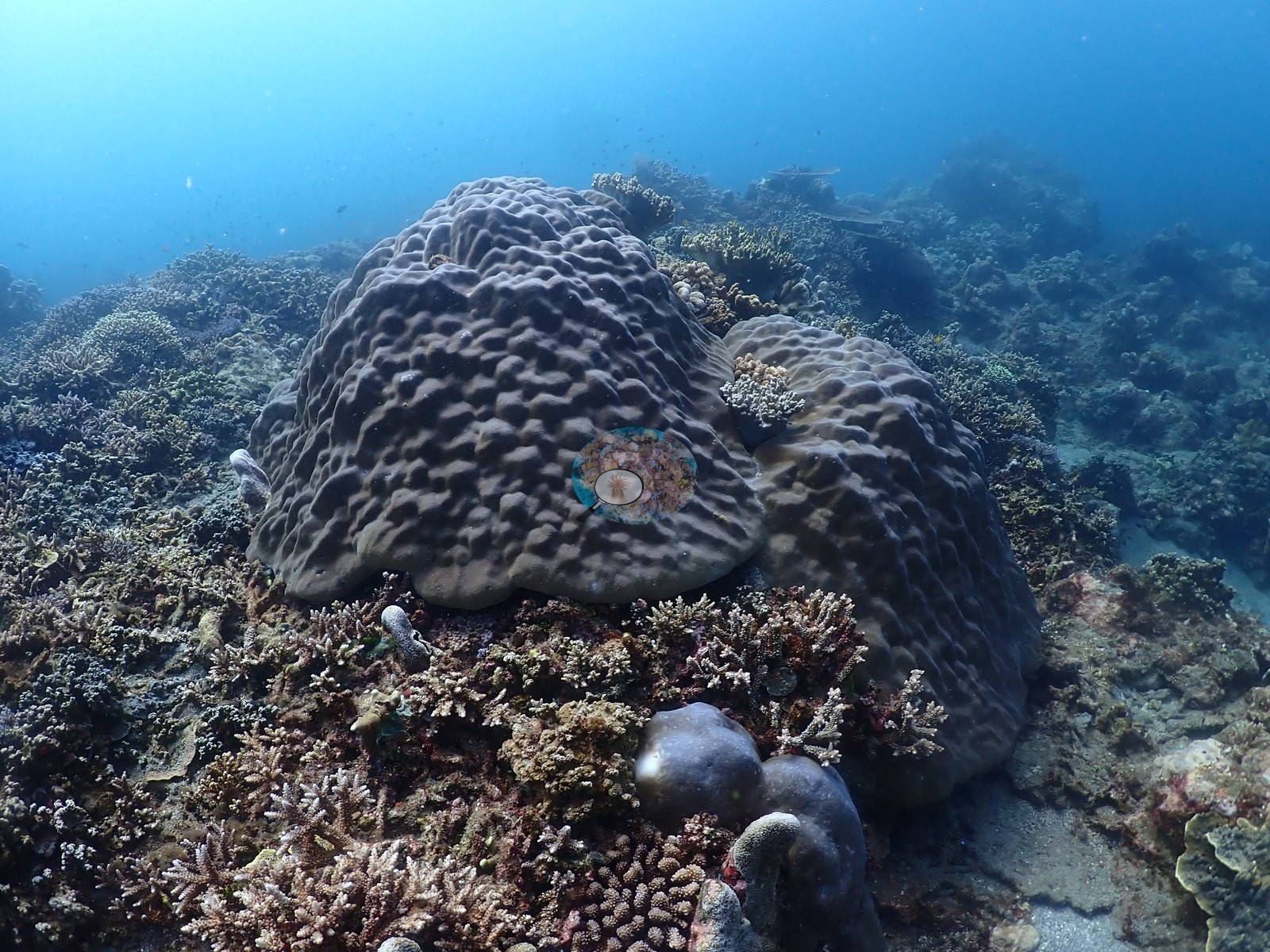
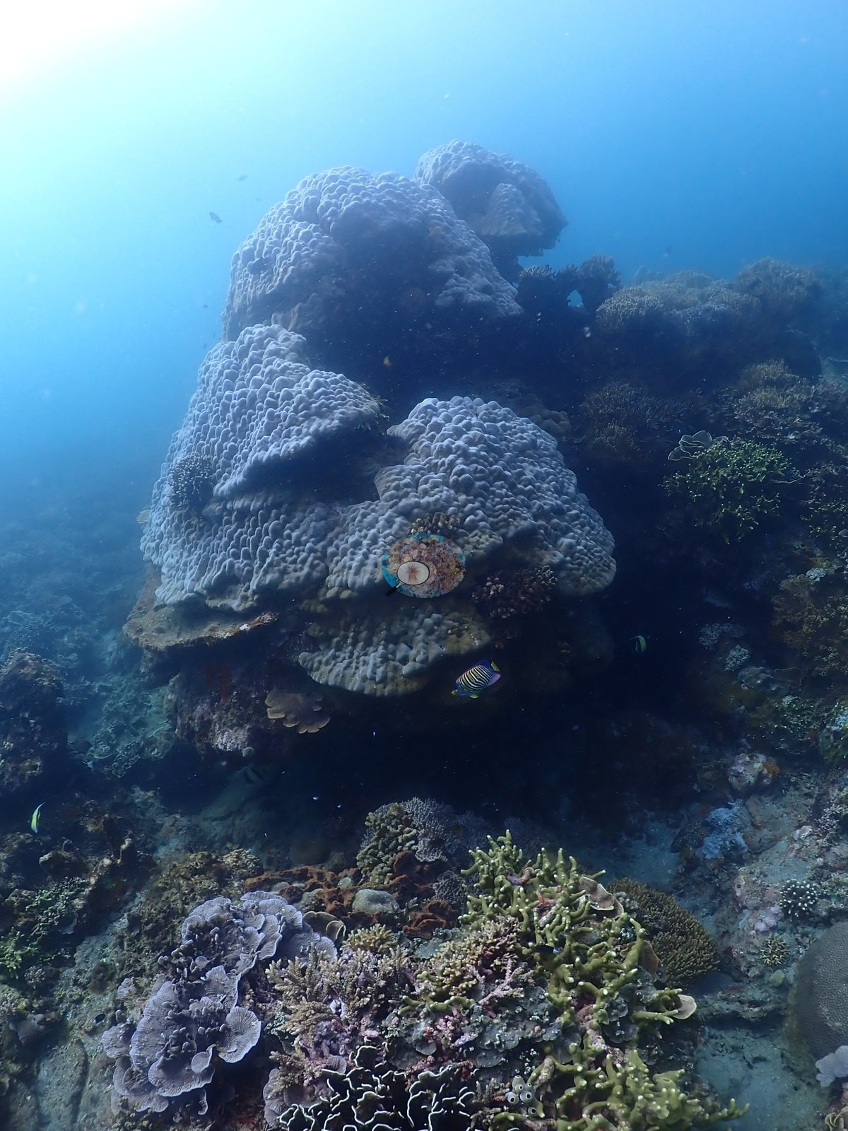
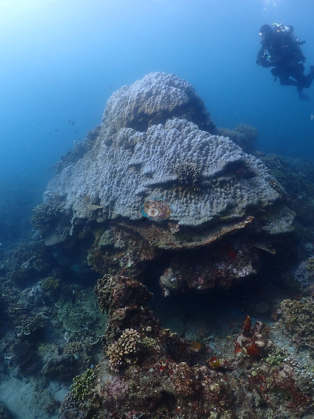
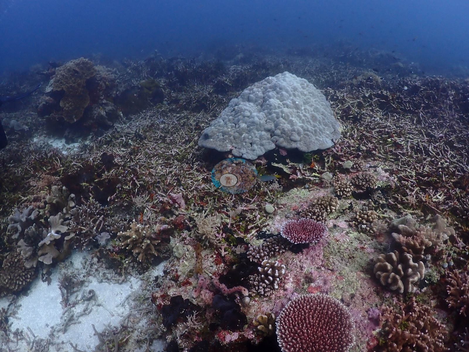
Standing above it are big flat-topped tabulate Acropora plates, some over a meter across, digitate and corymbose colonies, foliose plates, brown Lobophytum, and Sinularia leathers, and a scatter of massive Porites and one textbook meandroid brain coral (e.g., Image 1, Image 3, Image 9, Image 11, Image 21, Image 26, Image 38, Image 42, Image 43).
Coral cover
Coral cover: 41% — a blind Claude computer-vision point count of 143 of Anderson's unedited photographs (20 points per photo; water, fish, and obstructions excluded). Other computer-vision methods are listed in the method table.
Stressors
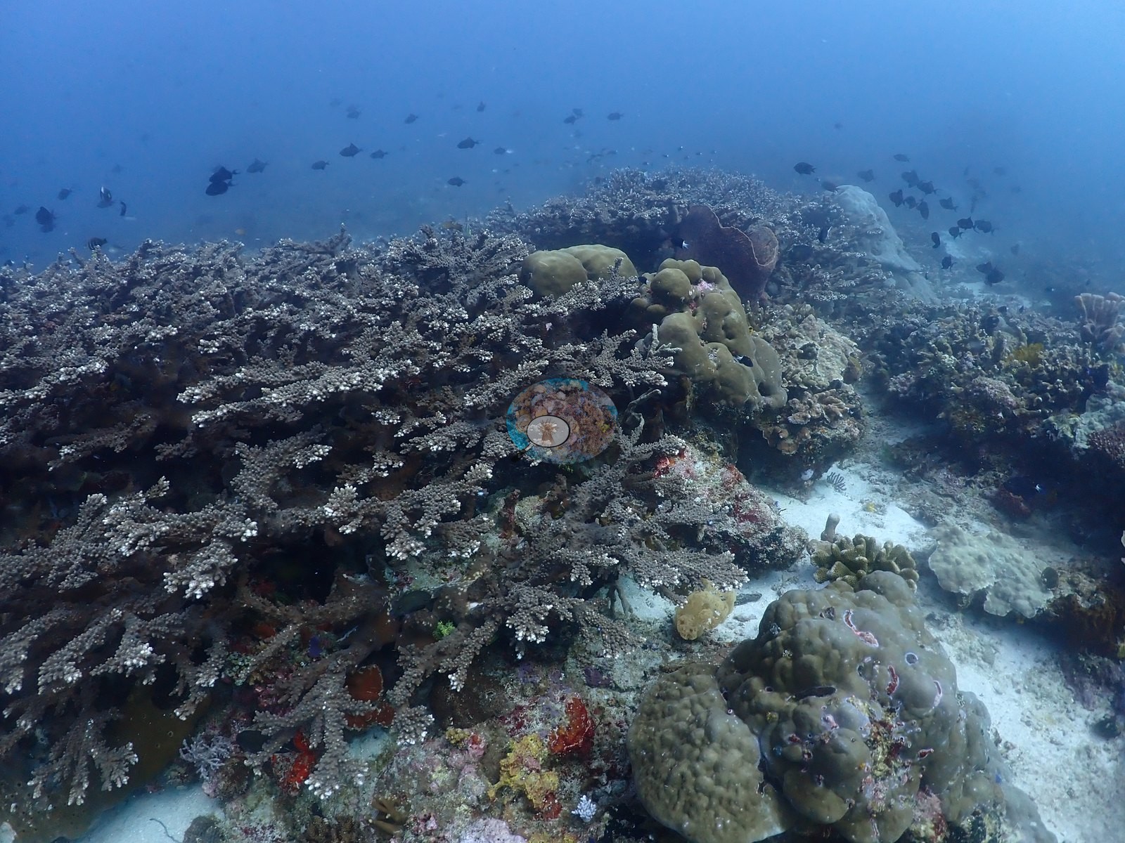
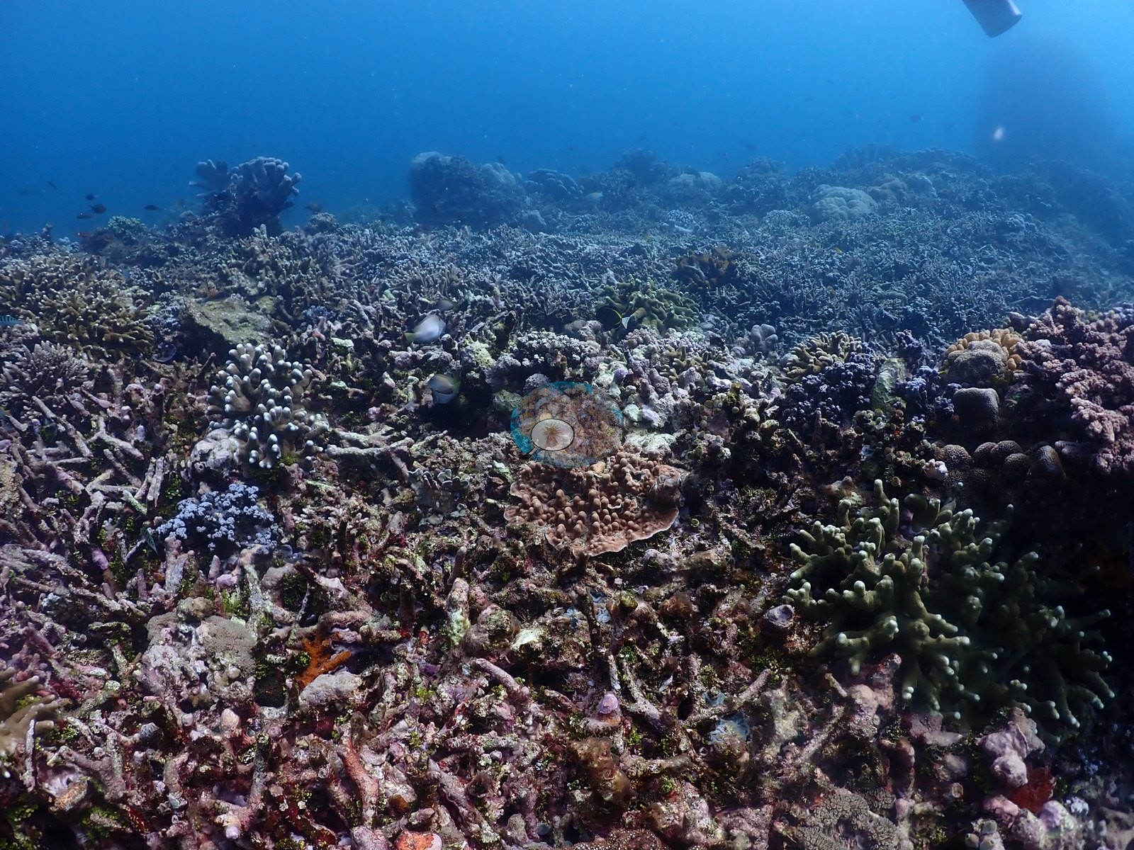
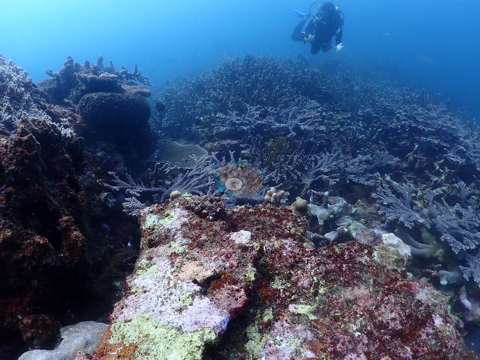
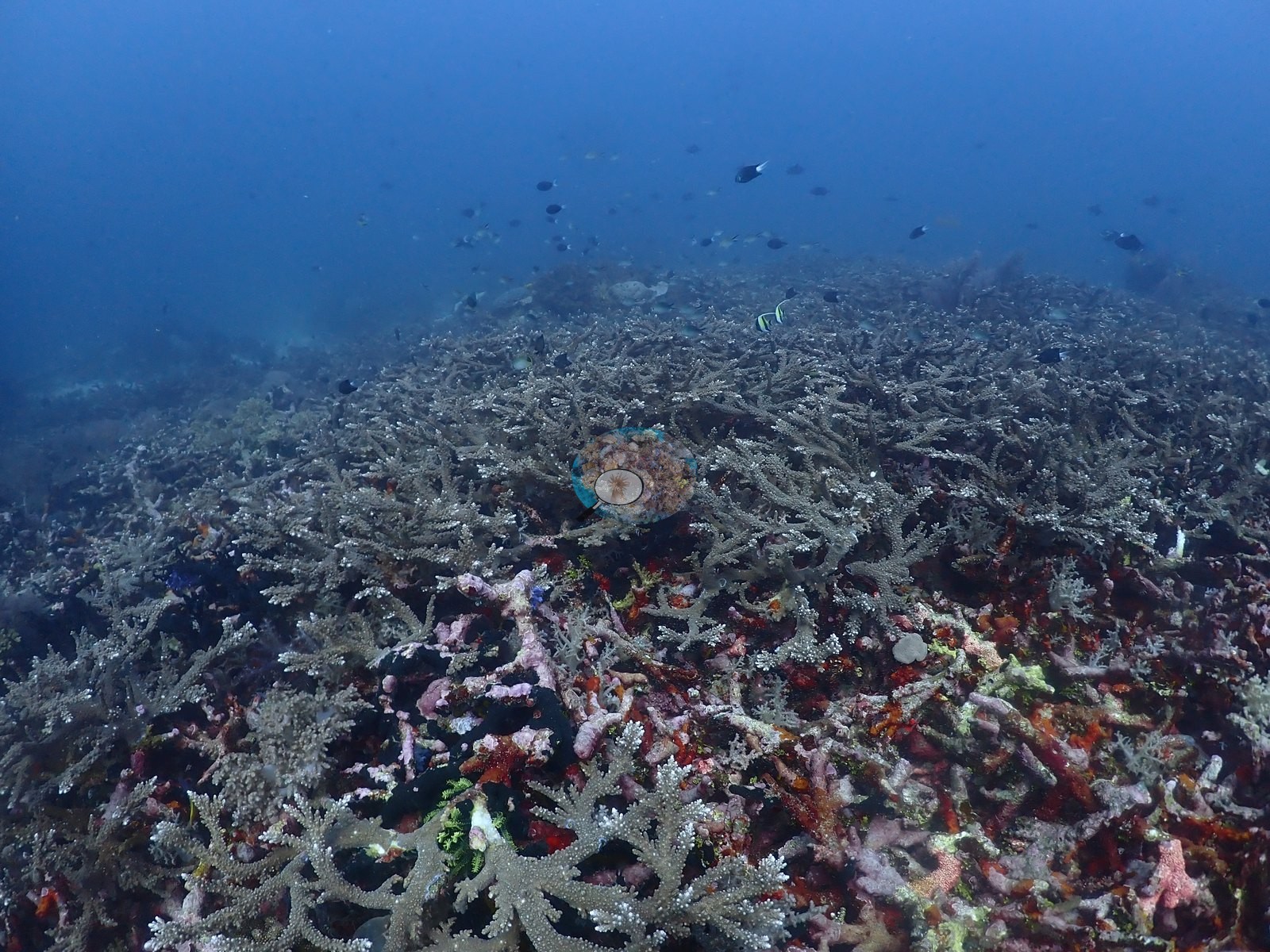
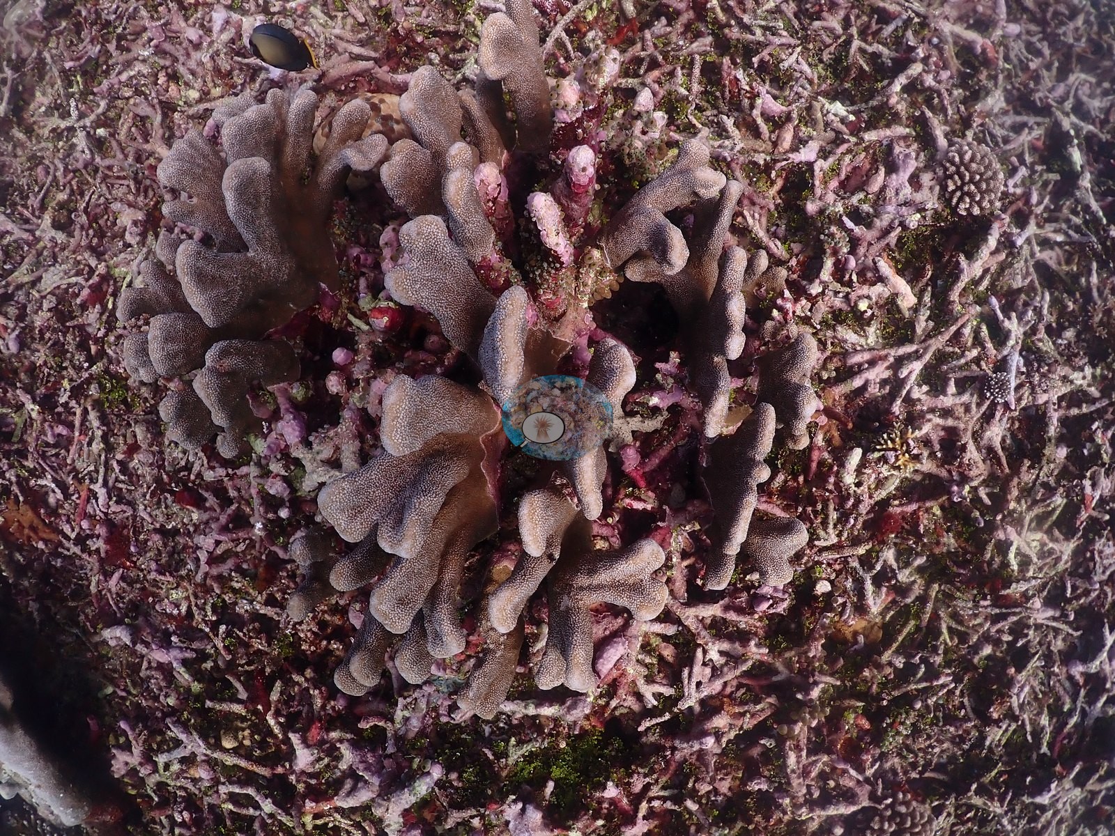
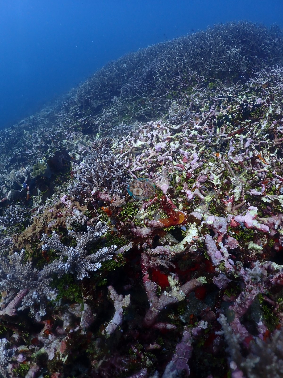
Two things stand out beyond the composition. First, large tracts of the flat are dead standing and broken staghorn framework, bleached-out skeleton overgrown by pink and magenta coralline algae and green turf (clearest in four frames), interleaved with the living thicket — an old mortality event that the reef is still built on (e.g., Image 4, Image 13, Image 44, Image 52).
Second, a handful of massive colonies are stark chalk-white while every neighbor holds normal color, one of them photographed three times (e.g., Image 8).
Fish and other fauna
A cushion star, Culcita novaeguineae, sits on the rubble beside two small snow-white branching colonies.
Comparisons with other data
No independent survey was made at this exact site; the nearest ones are listed in the table below.
CV model comparison
More info
DINOv3 and CoralSCOP were run on the same photos and are listed for comparison. Coralscapes v2 and v1 were also run but are not shown: Anderson does not consider Coralscapes reliable for these photos. No diver transect exists for this trip, so agreement between the rows is not accuracy, and as of September 2026 no computer-vision method estimates coral cover accurately on new images; treat every row as indicative.| Method | Hard-coral cover (%) |
|---|---|
| In-house DINOv3 | 30.5 |
| CoralSCOP unedited | 32.3 |
| Claude | 41.3 |
Independent surveys nearby
Within 5 km, 2 independent survey stations recorded hard coral cover in 2024. Surveys since 2021 average 37% (range 25–50%, n=2). This site's own estimate (41%) sits within the recent range (25–50%); the methods differ, so the comparison is context, not a like-for-like test.
Collected by other programs using different methods (MERMAID is a data platform: each MERMAID row names the organization that did the survey, and its method is in the row's hover text), so these are context for the figures above, not a like-for-like comparison. Where a station was surveyed more than once the range is shown. Station names are not dive-site names.
| Agency | Site / location | Date | Hard coral cover (%) | Distance | Link |
|---|---|---|---|---|---|
| WCS Indonesia via MERMAID | Inti Siko | 2024 | 25% | 0.00 km | Adiyoga D, Cholic O, Gunawan I, Rayhan A, Sutanto S, Syah L, Zulfikri M. 2024. Guraici MPA 2024. MERMAID |
| WCS Indonesia via MERMAID | Inti Gafi | 2024 | 50% | 3.69 km | Adiyoga D, Cholic O, Gunawan I, Rayhan A, Sutanto S, Syah L, Zulfikri M. 2024. Guraici MPA 2024. MERMAID |
Data & links
All images from Coral Reef Diagnostics. Data are from Coral Reef Diagnostics and the organizations named in the data-sources table above.
© Coral Reef Diagnostics.