
Indonesia - Halmahera: Kusu Drift
Part of the regional summaries: Indonesia - Halmahera and Indonesia - Maluku
More info
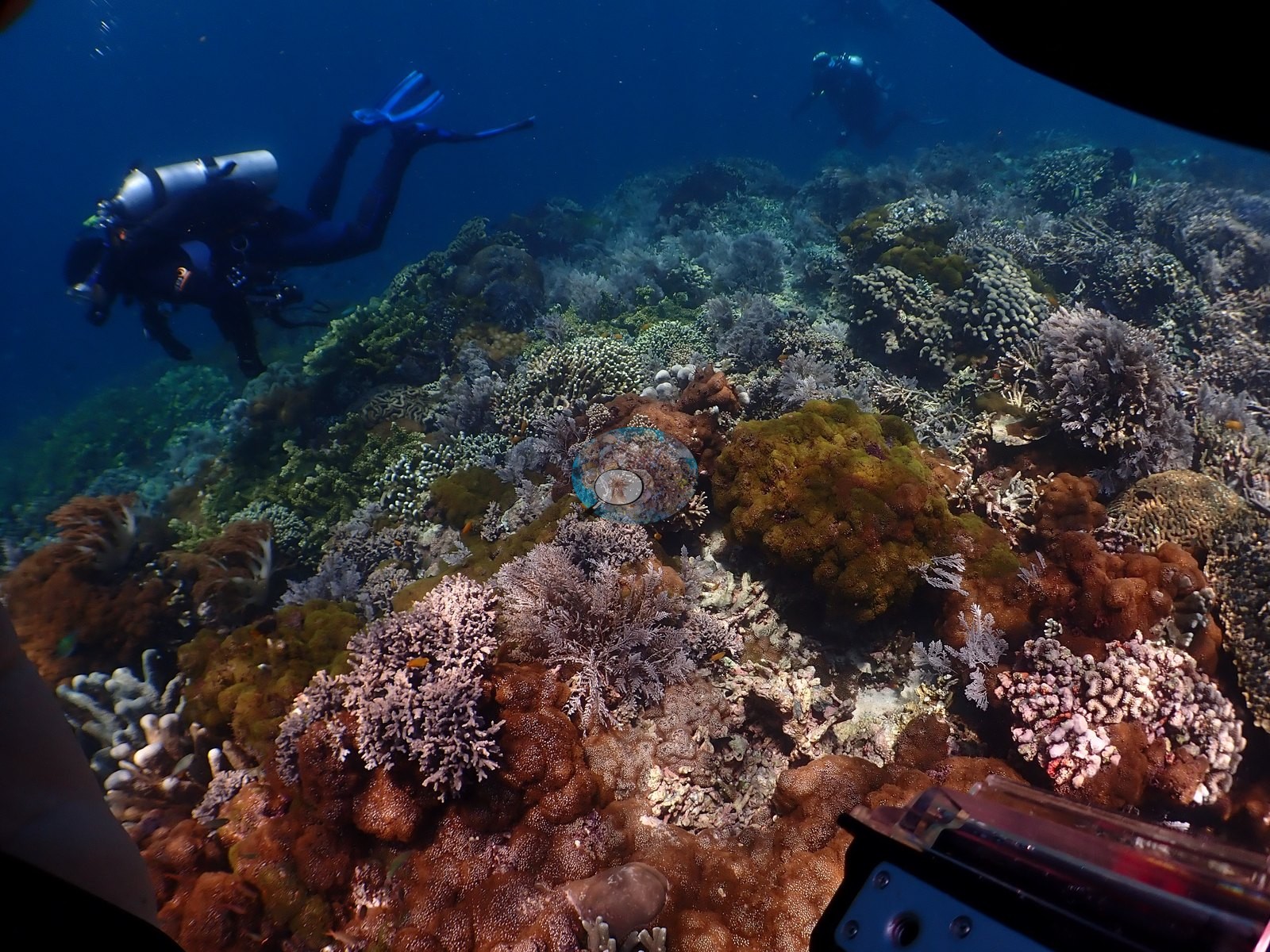
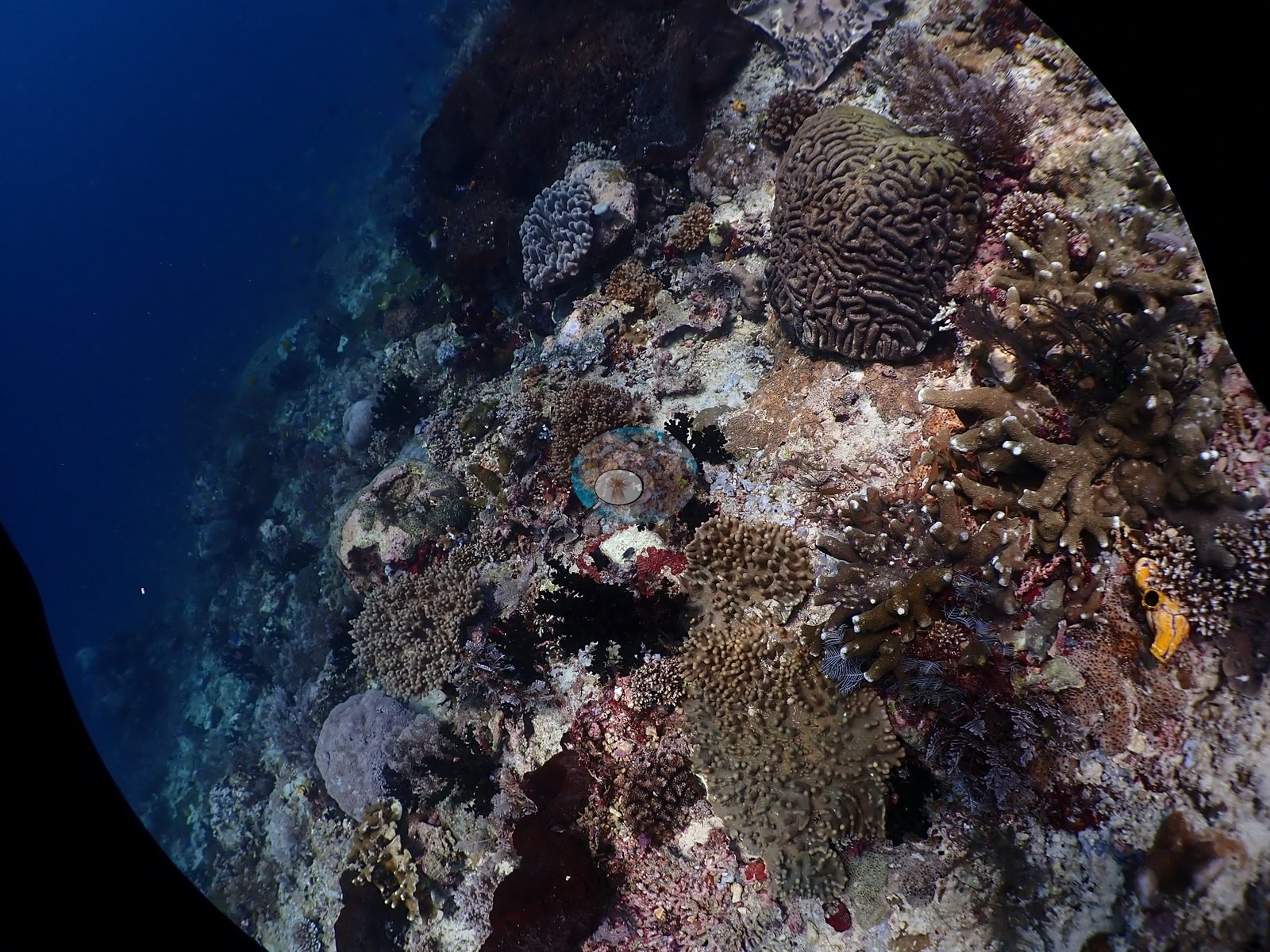
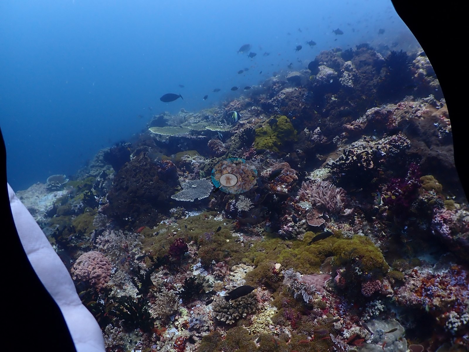
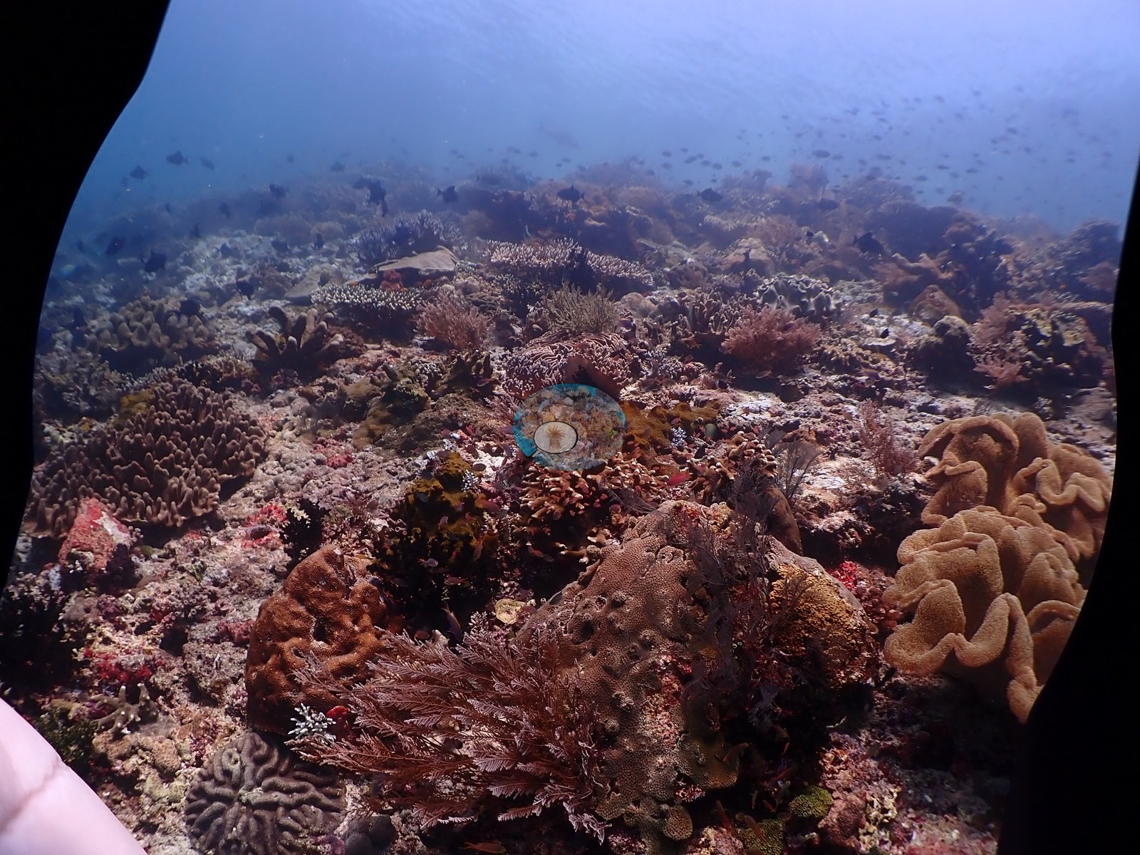
North Maluku (NOAA CRW virtual station)Kusu Drift's camera flooded partway through the dive, leaving water intrusion visible in most later frames, but the reef itself runs from a sponge- and soft-coral-dominated deep wall into a dense mixed Acropora garden at the crest. One large meandroid colony shows a sharply bounded, roughly one-third bleached-but-living sector - a single-colony event, not reef-wide. A blind Claude computer-vision point count puts coral cover around 26%.
Kamera di Kusu Drift kemasukan air di tengah penyelaman, sehingga rembesan air terlihat pada sebagian besar bingkai berikutnya, tetapi terumbunya sendiri membentang dari dinding dalam yang didominasi spons dan karang lunak menuju taman Acropora campuran yang rapat di tubirnya. Satu koloni meandroid besar memperlihatkan sektor yang berbatas tegas, kira-kira sepertiganya memutih namun masih hidup — peristiwa pada satu koloni, bukan pada seluruh terumbu. Penghitungan titik buta visi komputer Claude memperkirakan tutupan karang sekitar 26%.
Terjemahan ringkasan ini oleh AI; versi bahasa Inggris yang berlaku.
Eight other CRD dive sites within 5 km shown in orange — click a marker to open its page.
30 of these 53 photographs are shown beside the text that discusses them under "Site description" below.
Site description
General benthic features
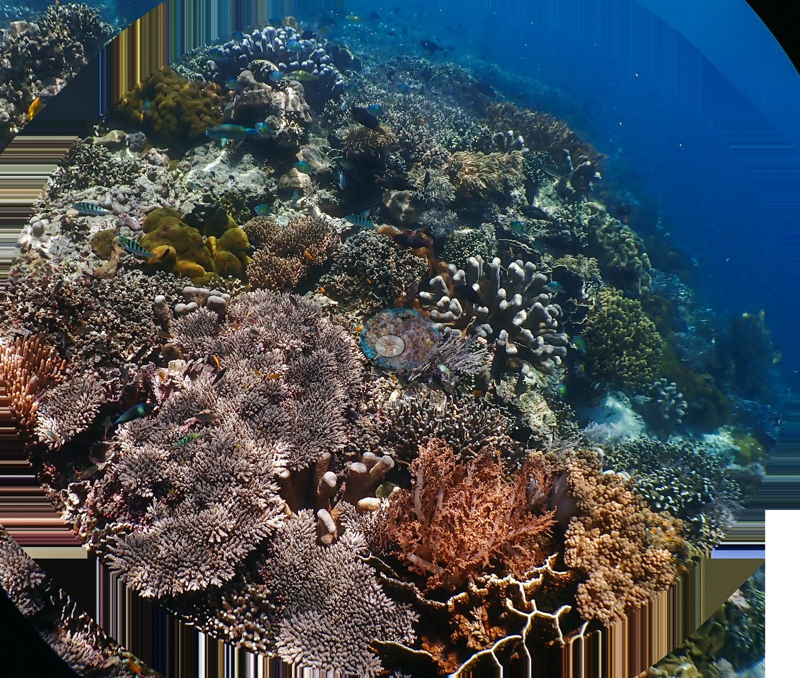
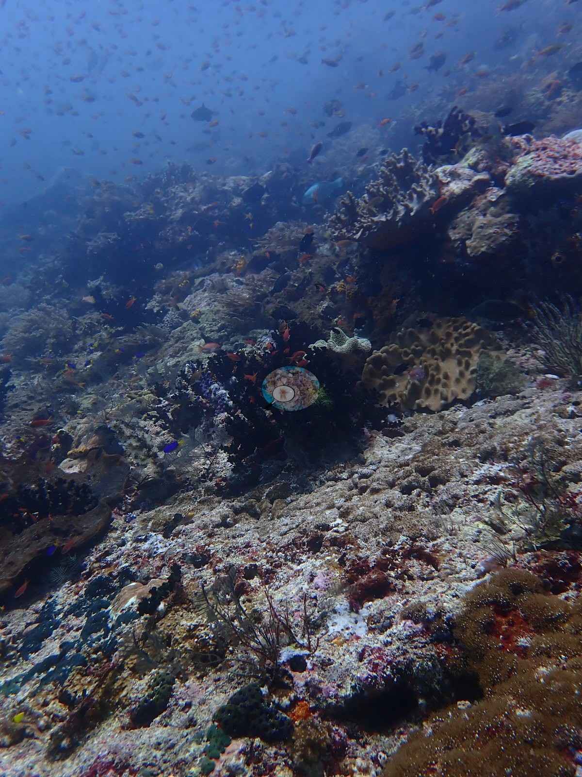
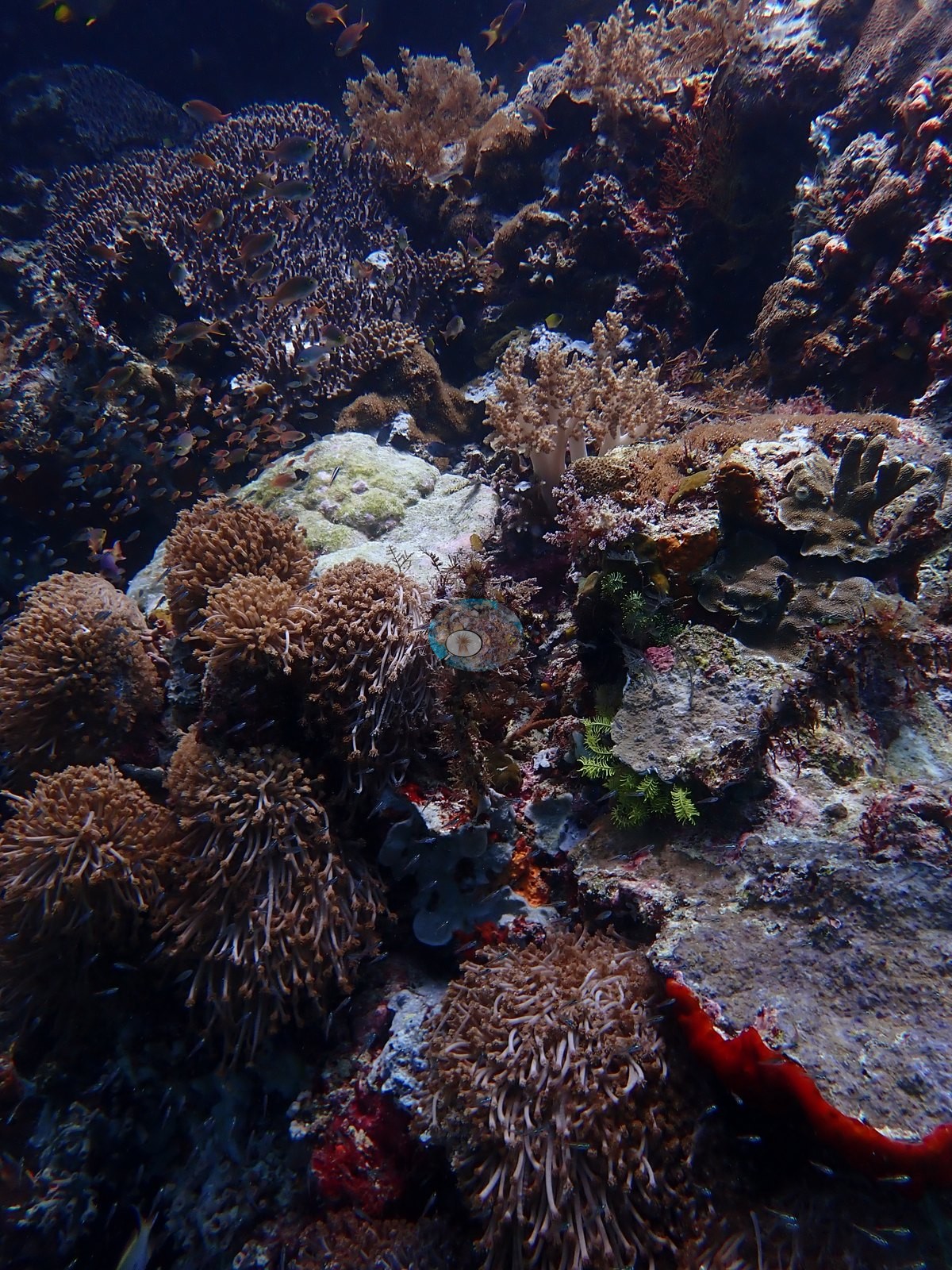
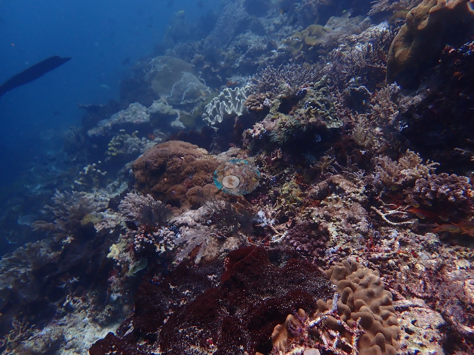
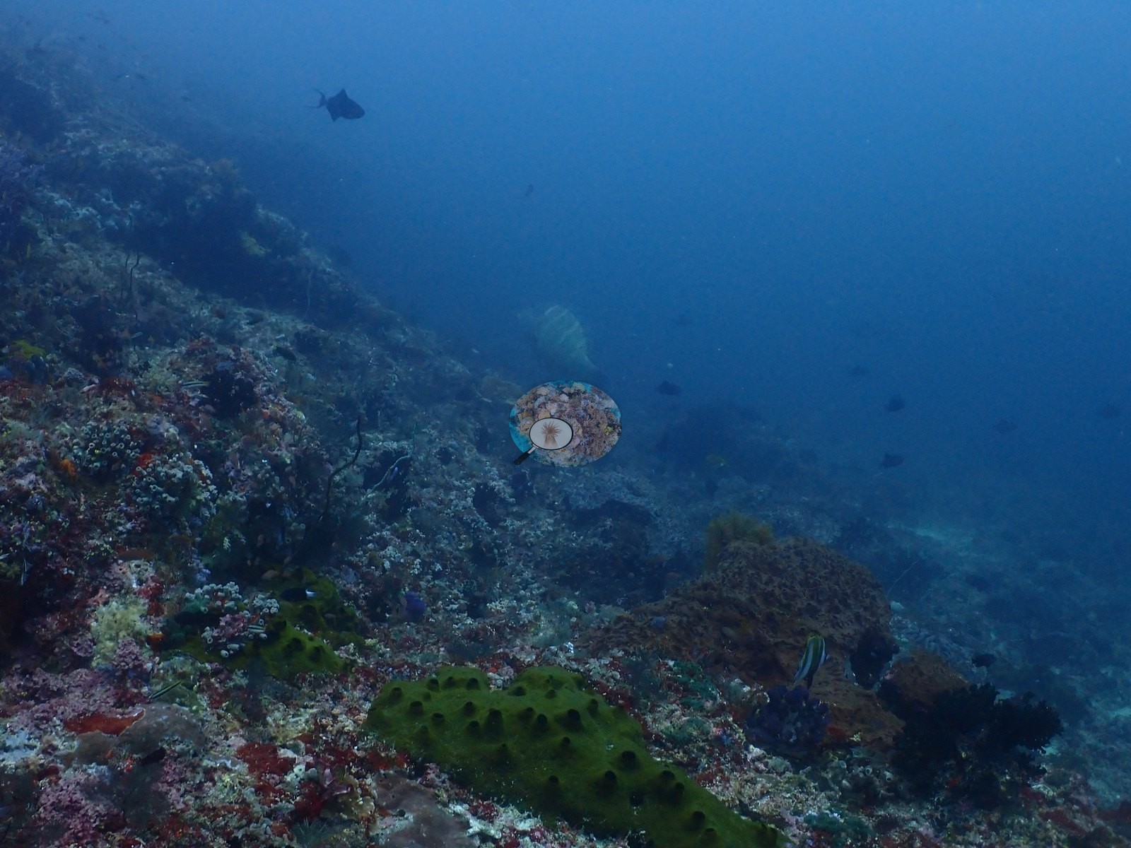
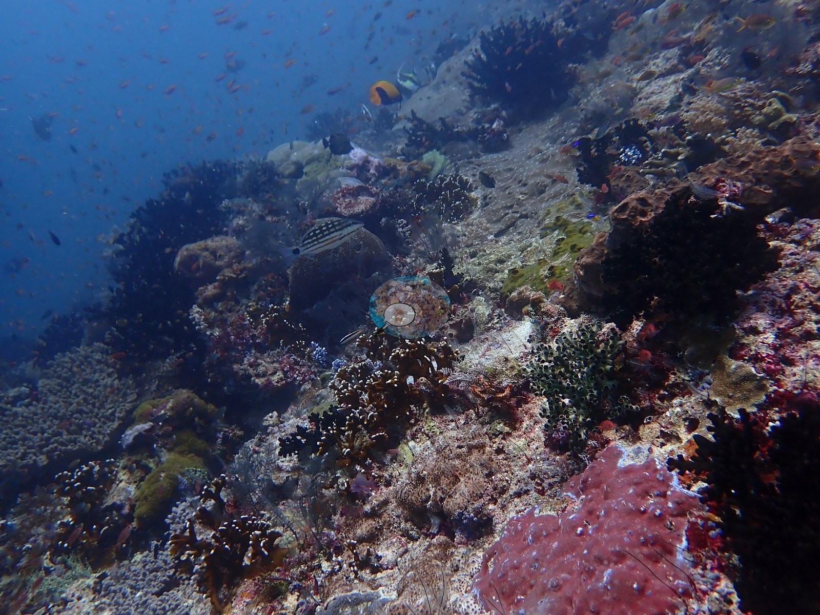
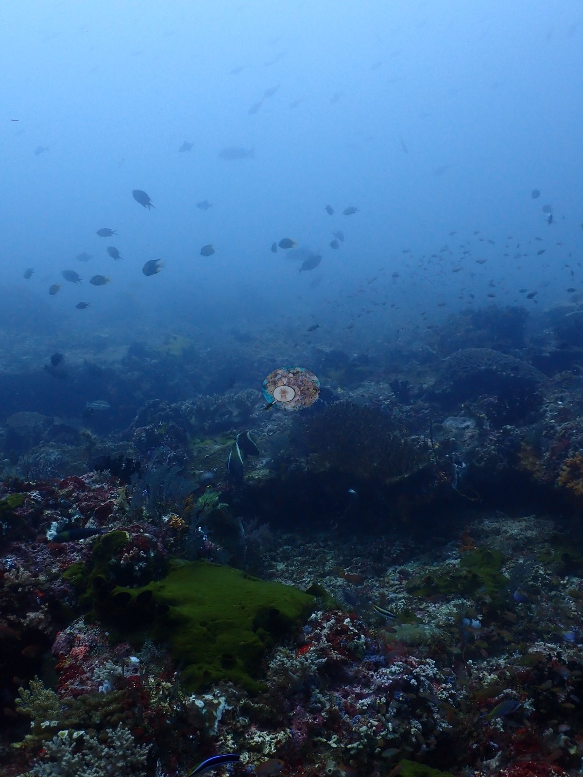
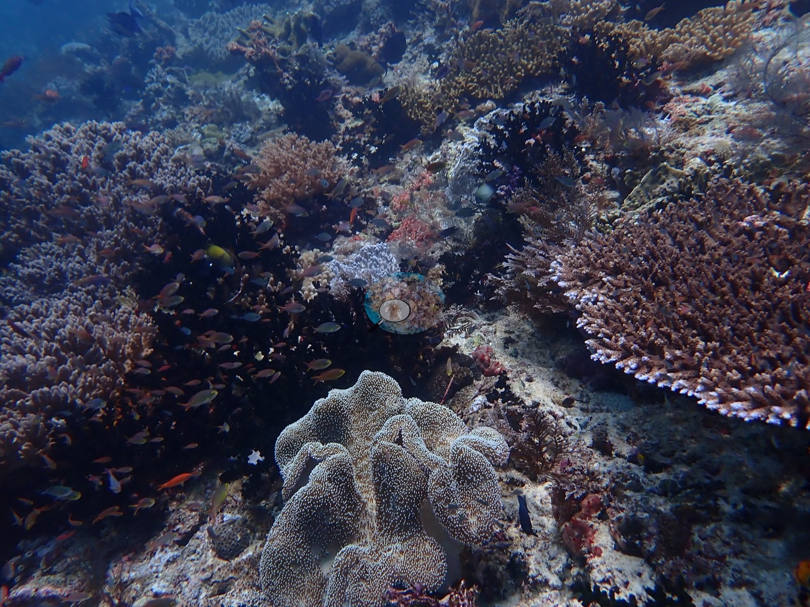
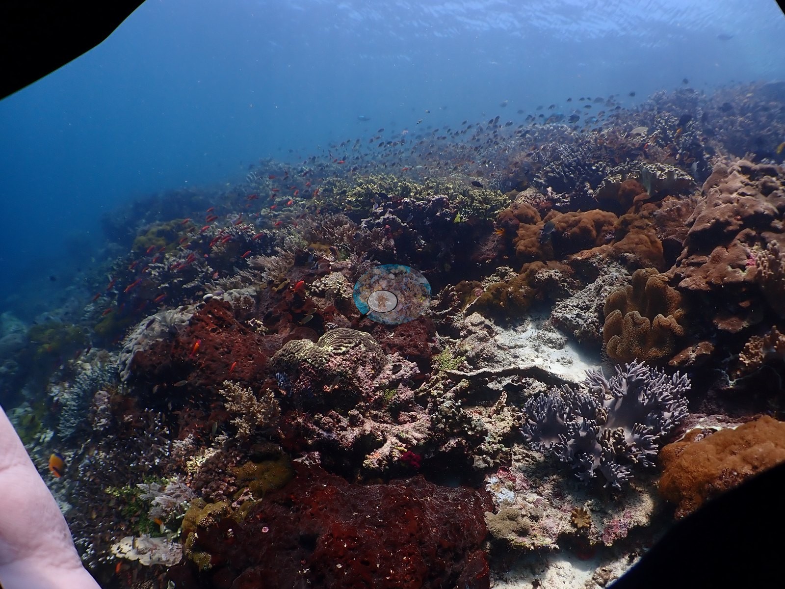
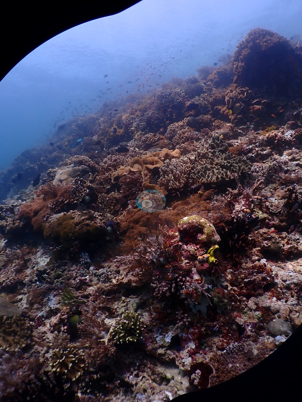
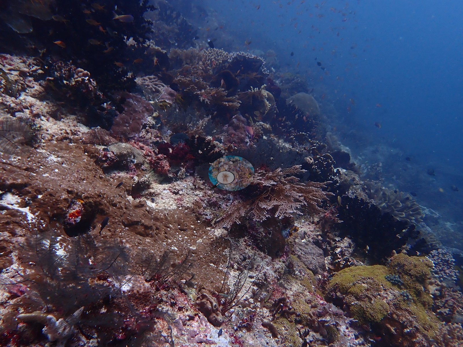
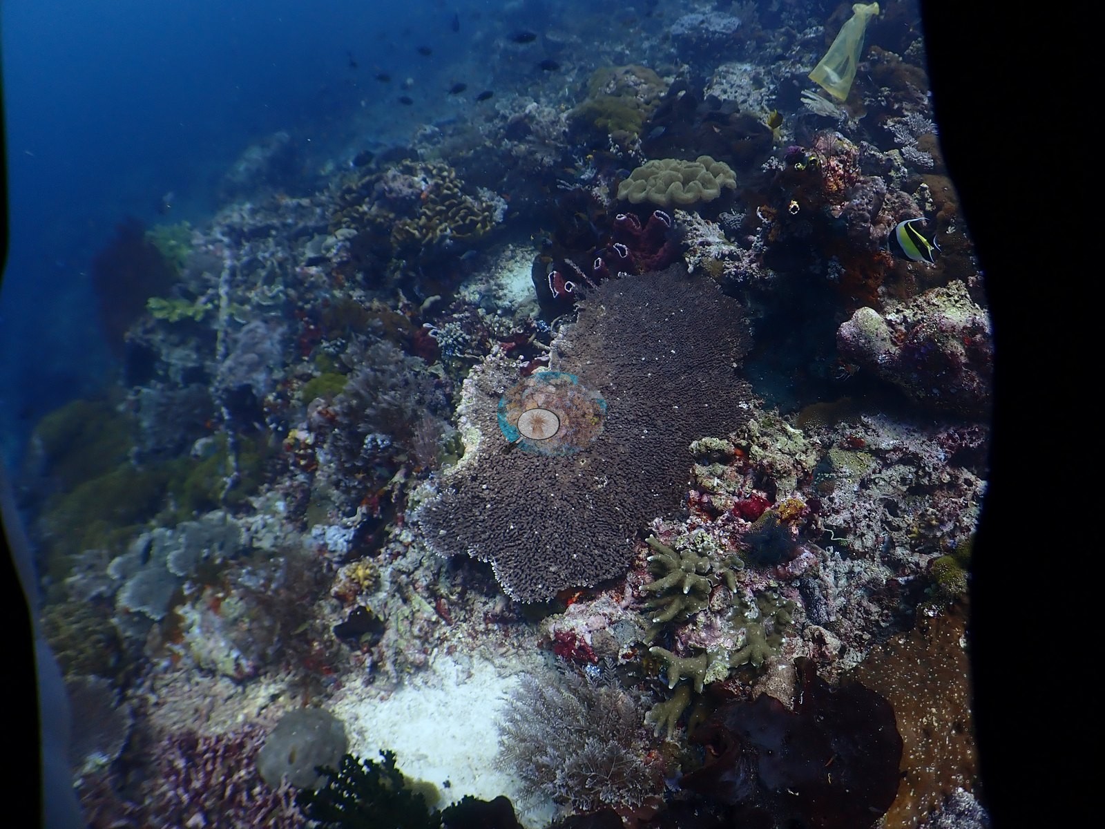
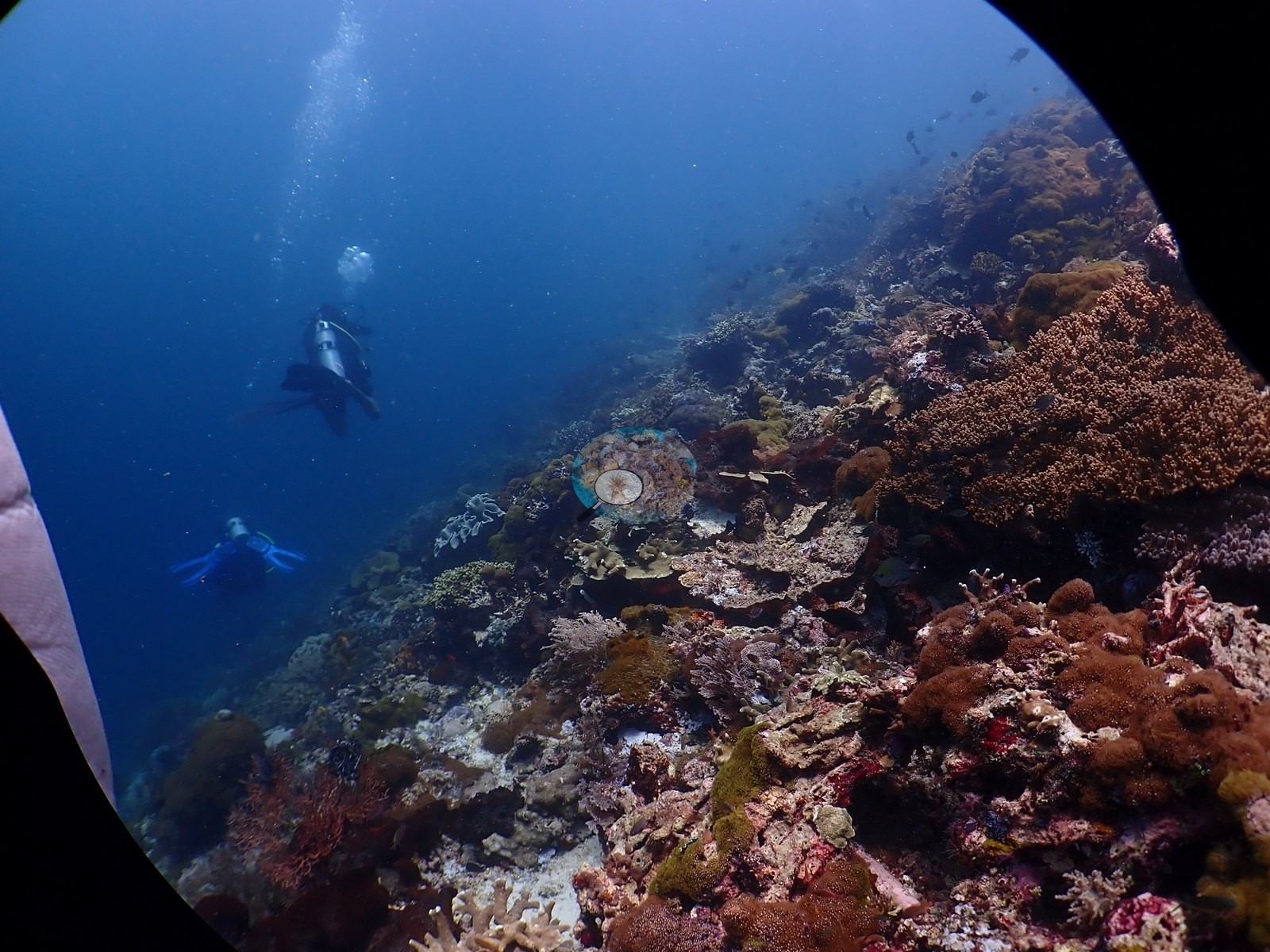
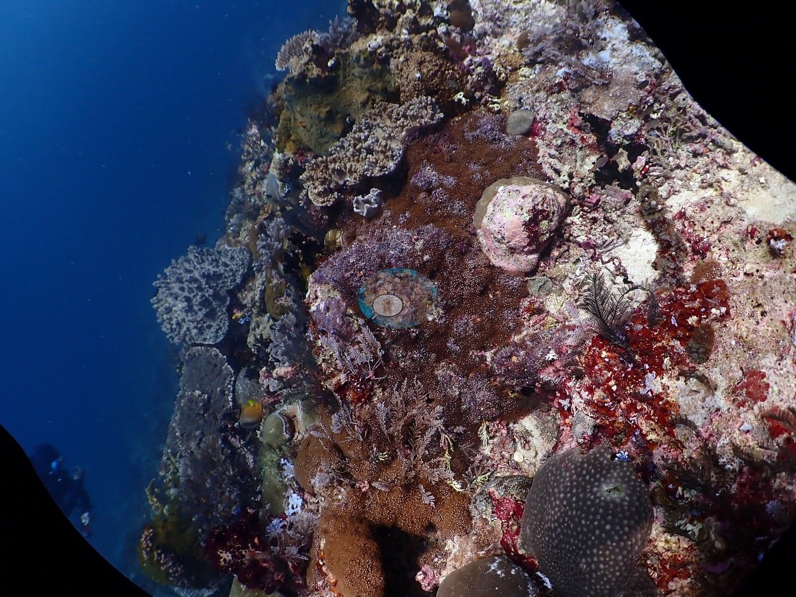
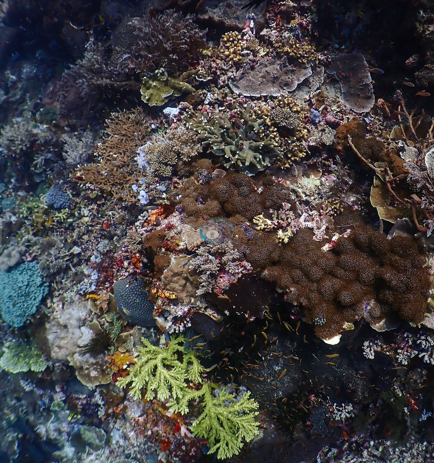
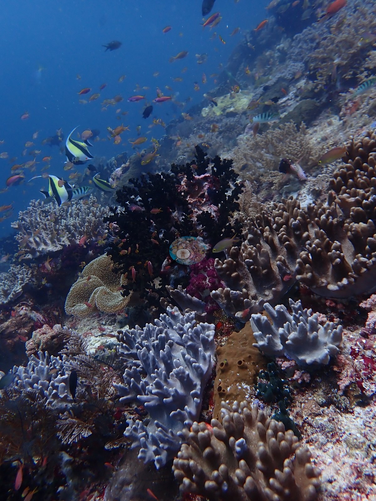
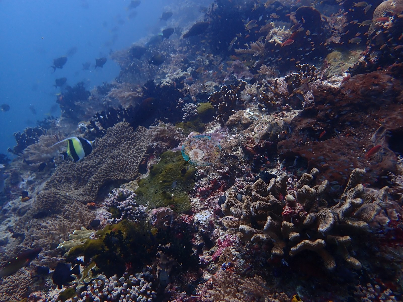
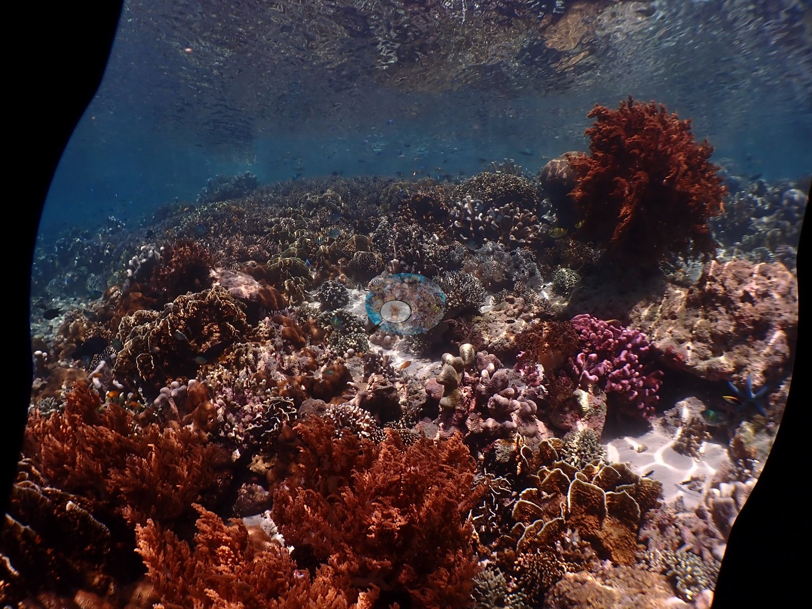
The habitats. The deep drift wall is sponge and soft coral rather than hard coral — maroon and ochre encrusting sponges, tan barrel sponges, jet-black bushy antipatharian (black coral) colonies, pale blue-gray and lavender Sinularia/Nephthea-type digitate soft corals, crimson Dendronephthya, and dense white and black feather stars, all under a continuous curtain of anthias and fusiliers (e.g., Image 4, Image 46).
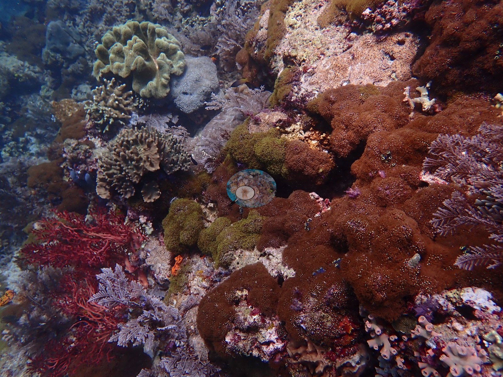
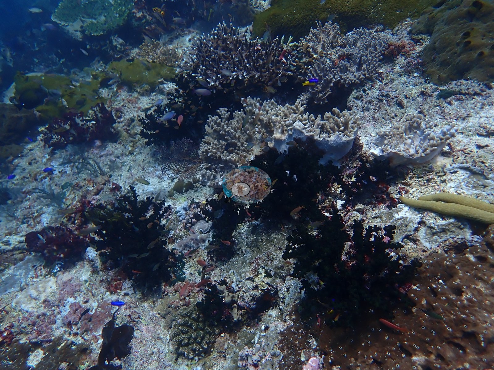
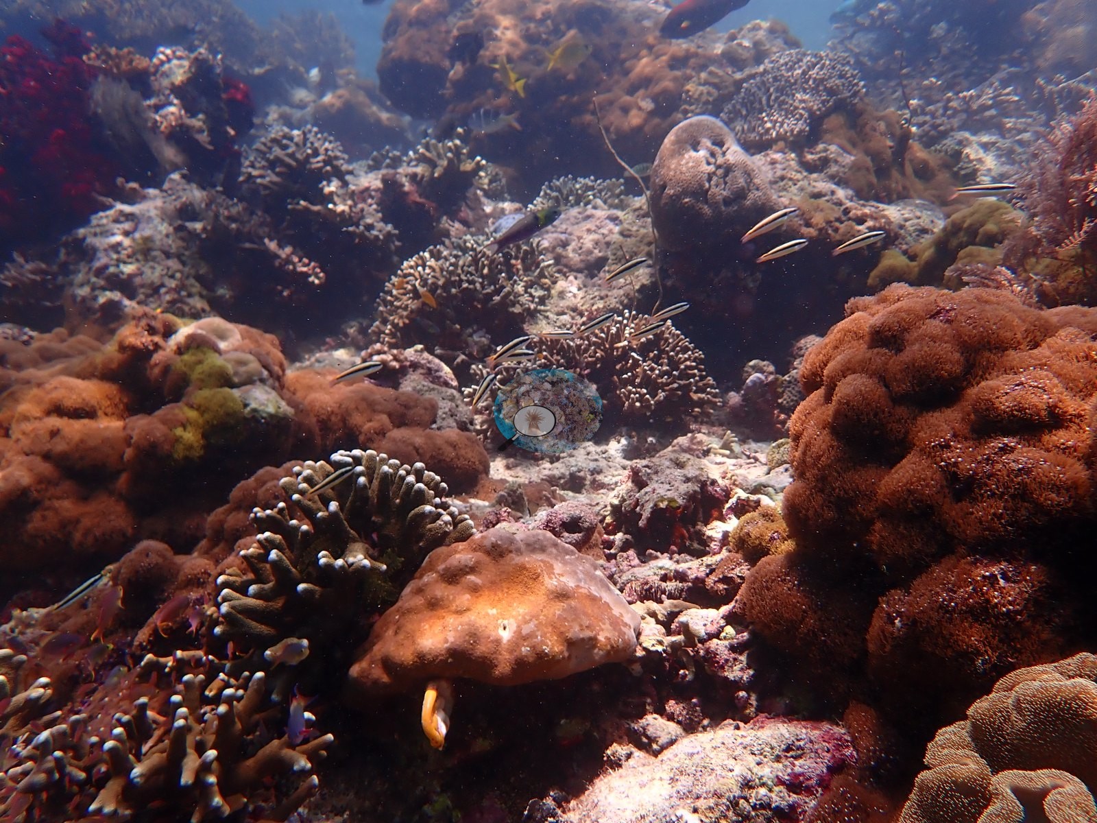
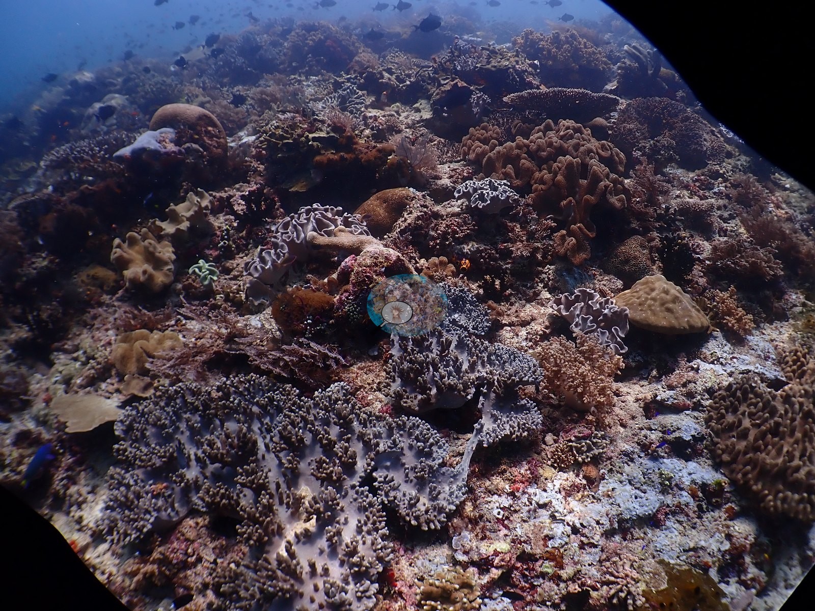
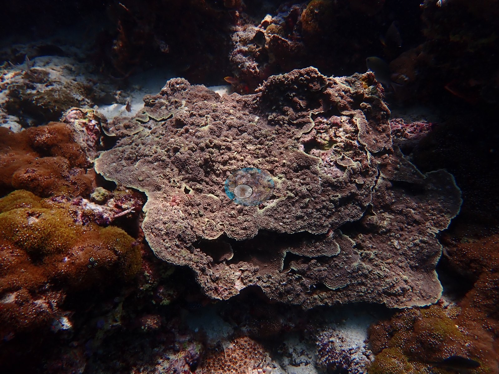
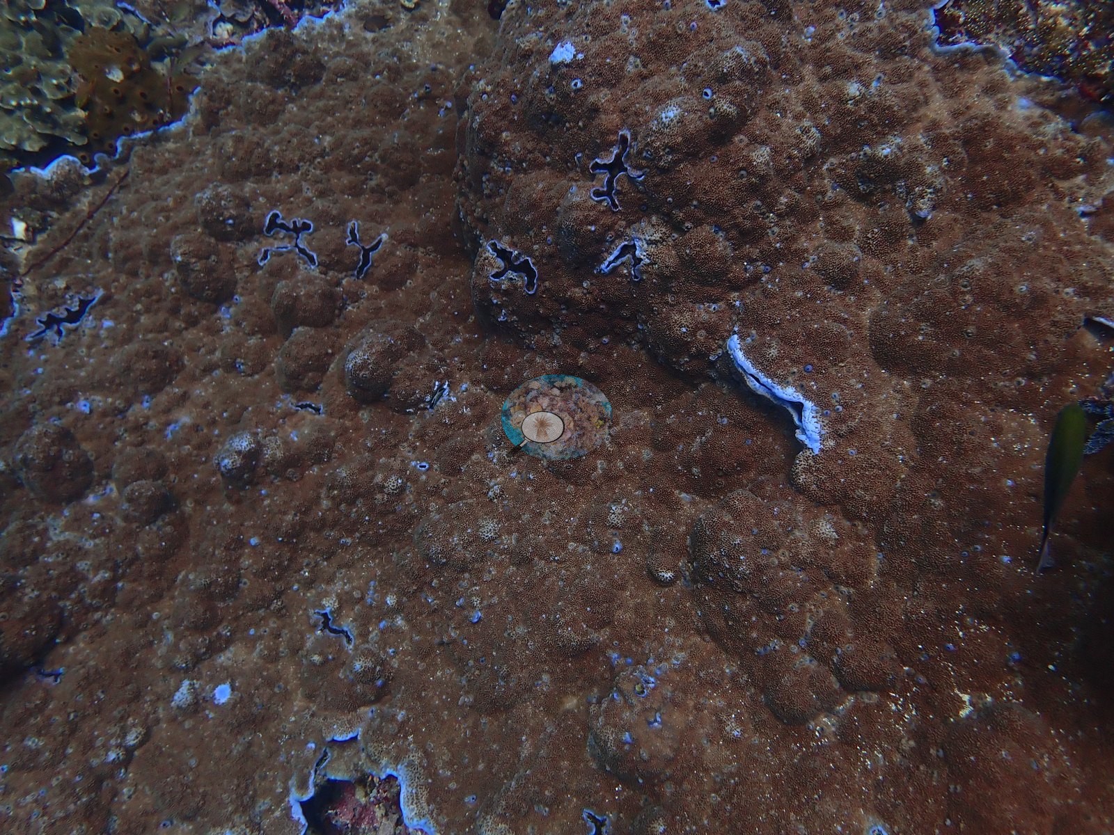
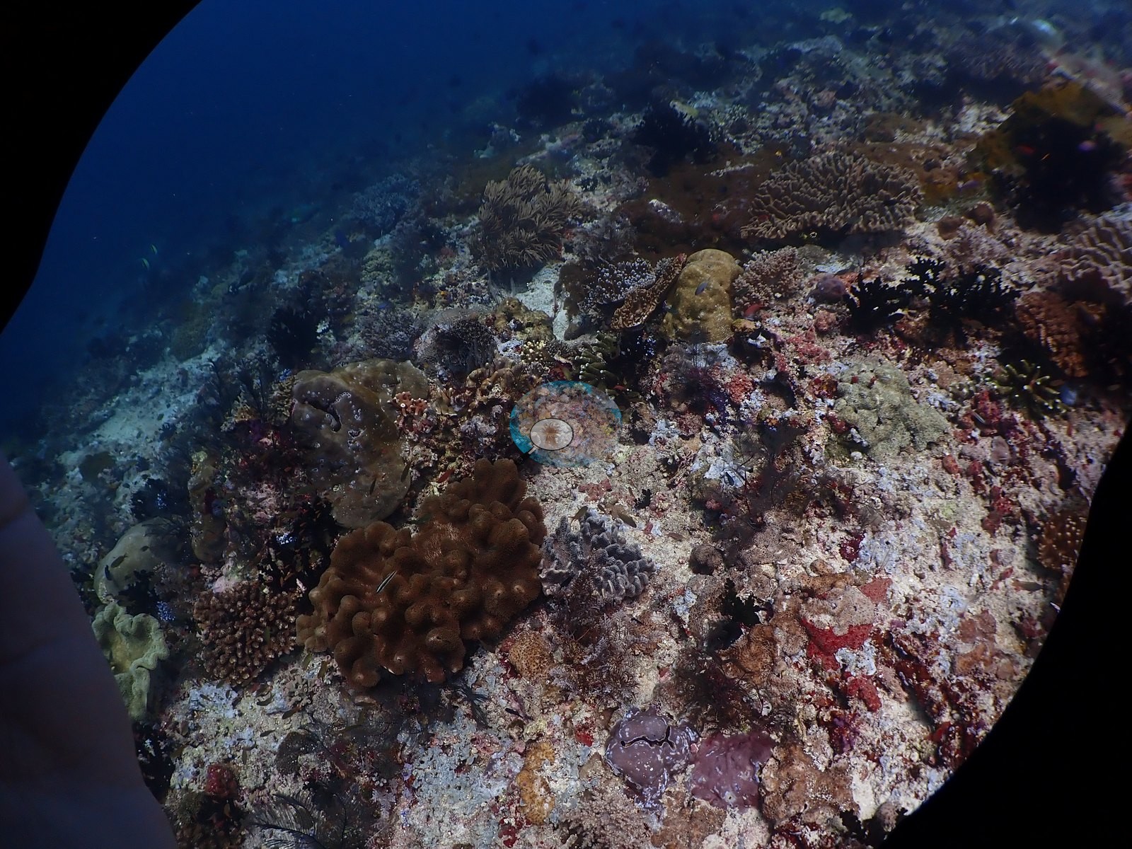
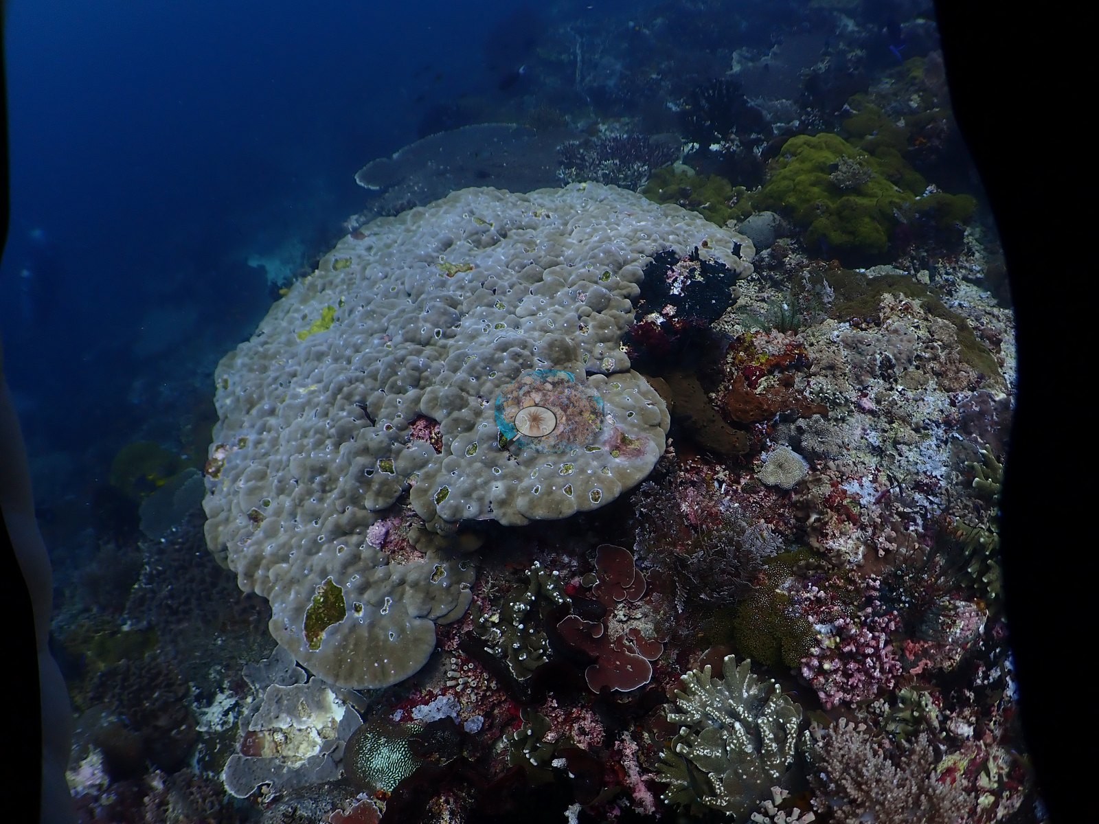
The mid-slope terrace carries broad foliose and laminar plate fields (Montipora, Echinopora, Pachyseris-type), enormous single lobate Turbinaria/Montipora-type plates several meters across, tabulate Acropora laid flat on coralline pavement, and massive Porites heads riddled with crevices (e.g., Image 1, Image 3, Image 14, Image 18, Image 30, Image 31, Image 54).
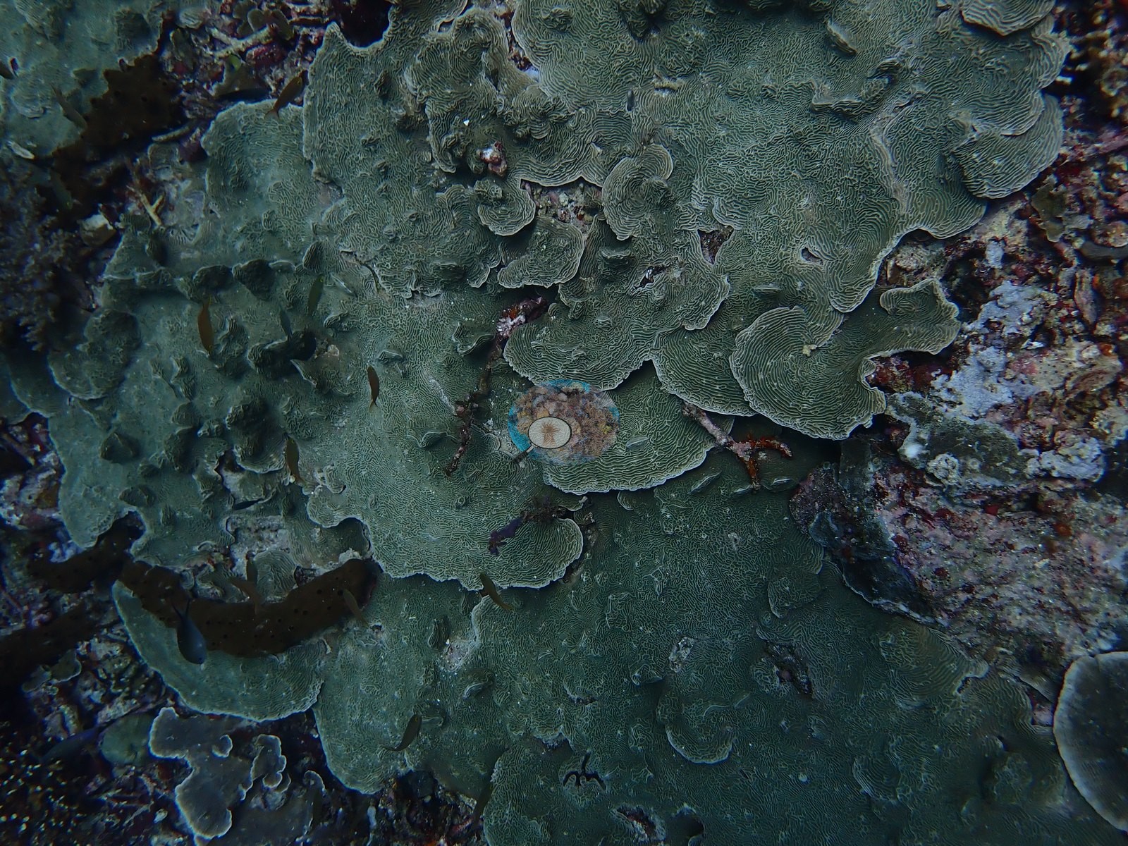
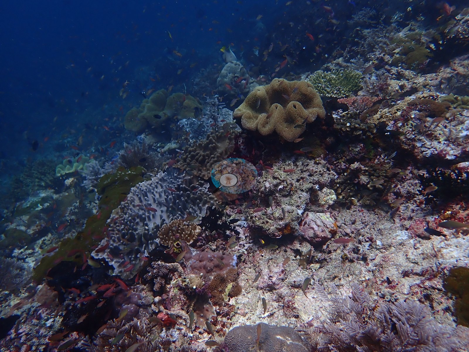
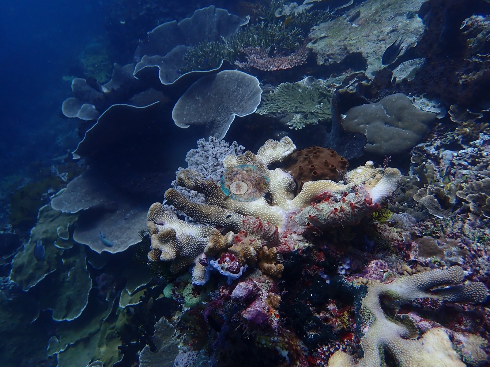
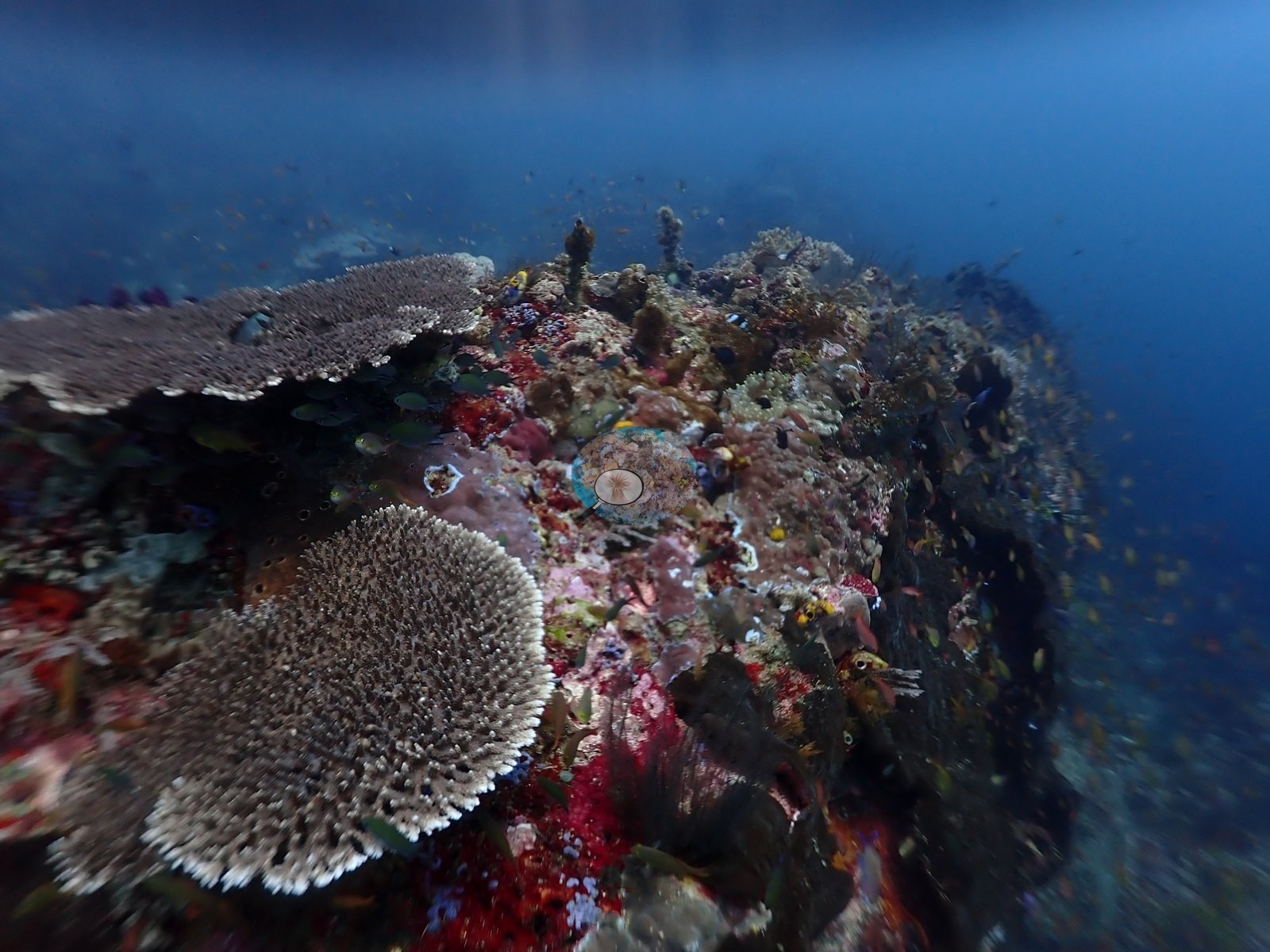
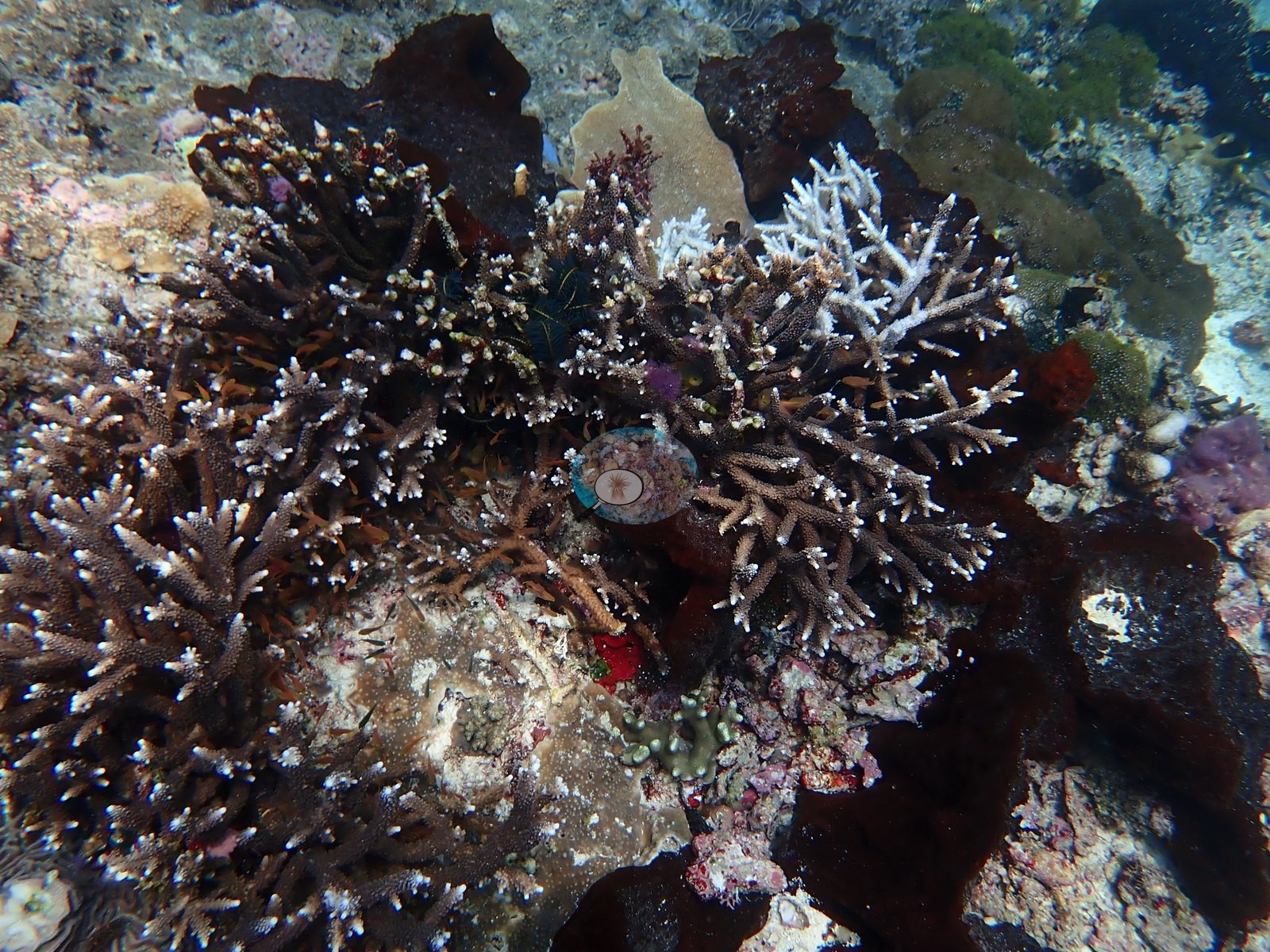
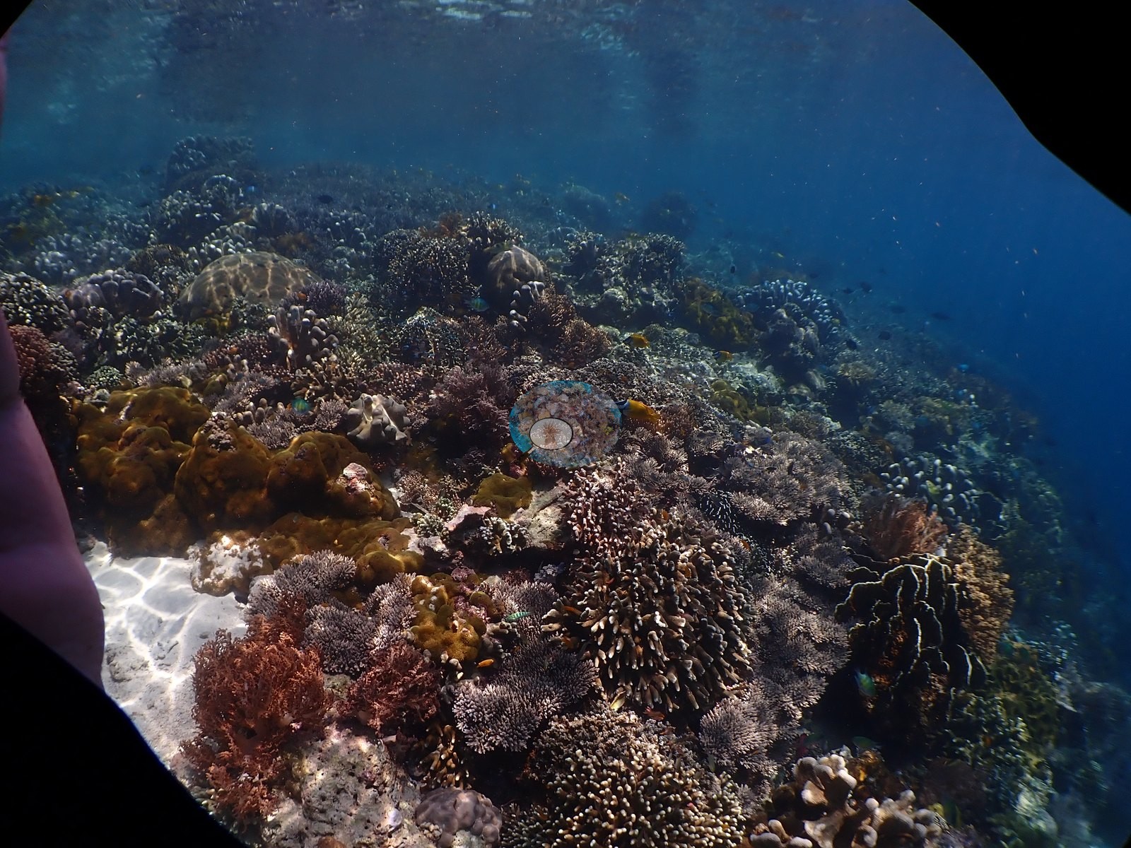
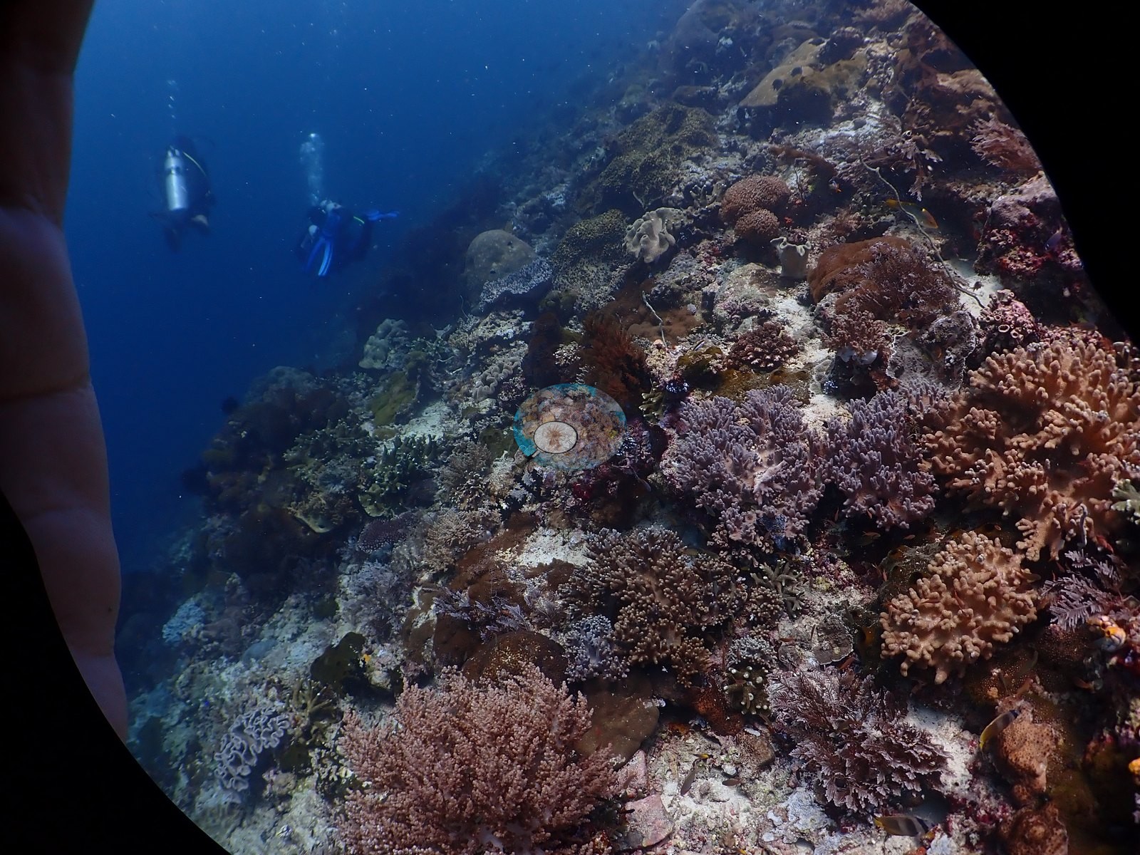
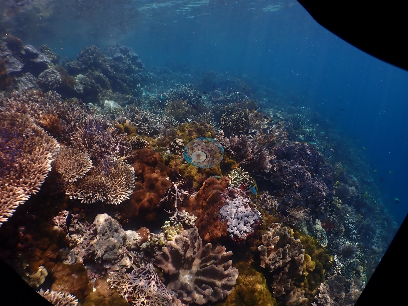
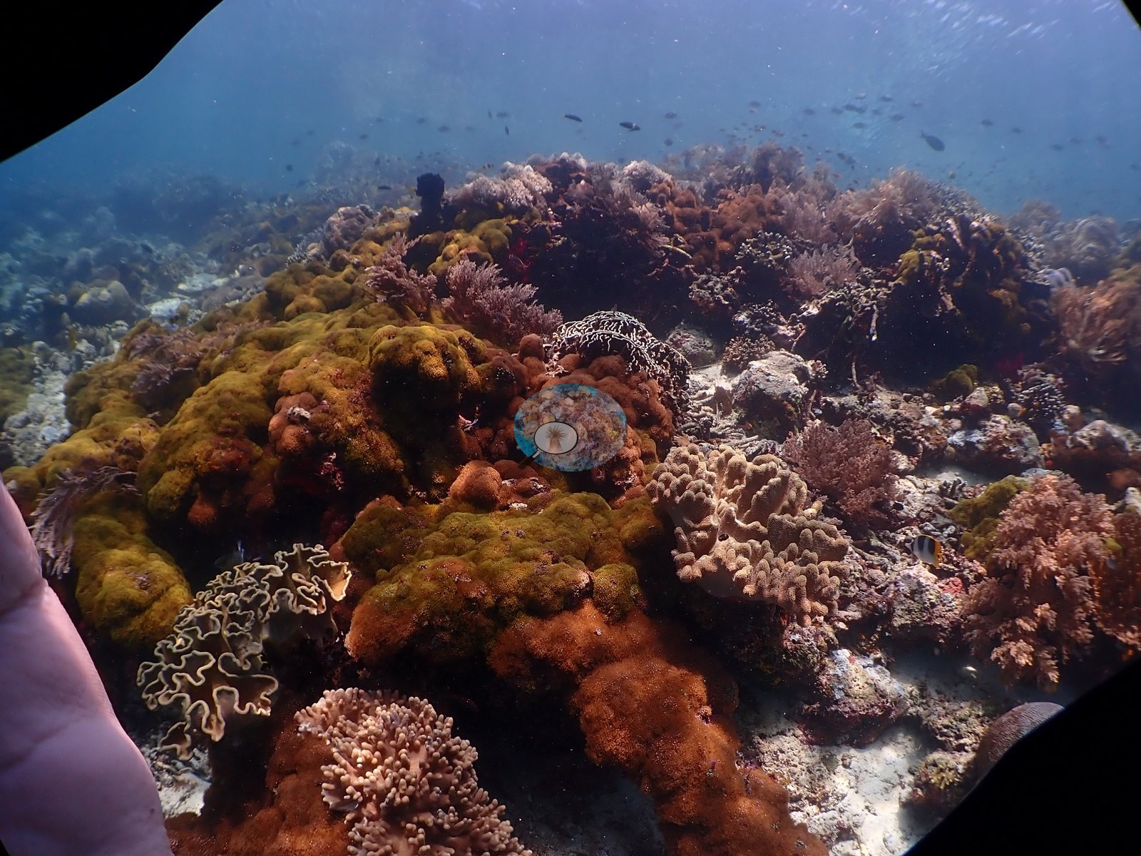
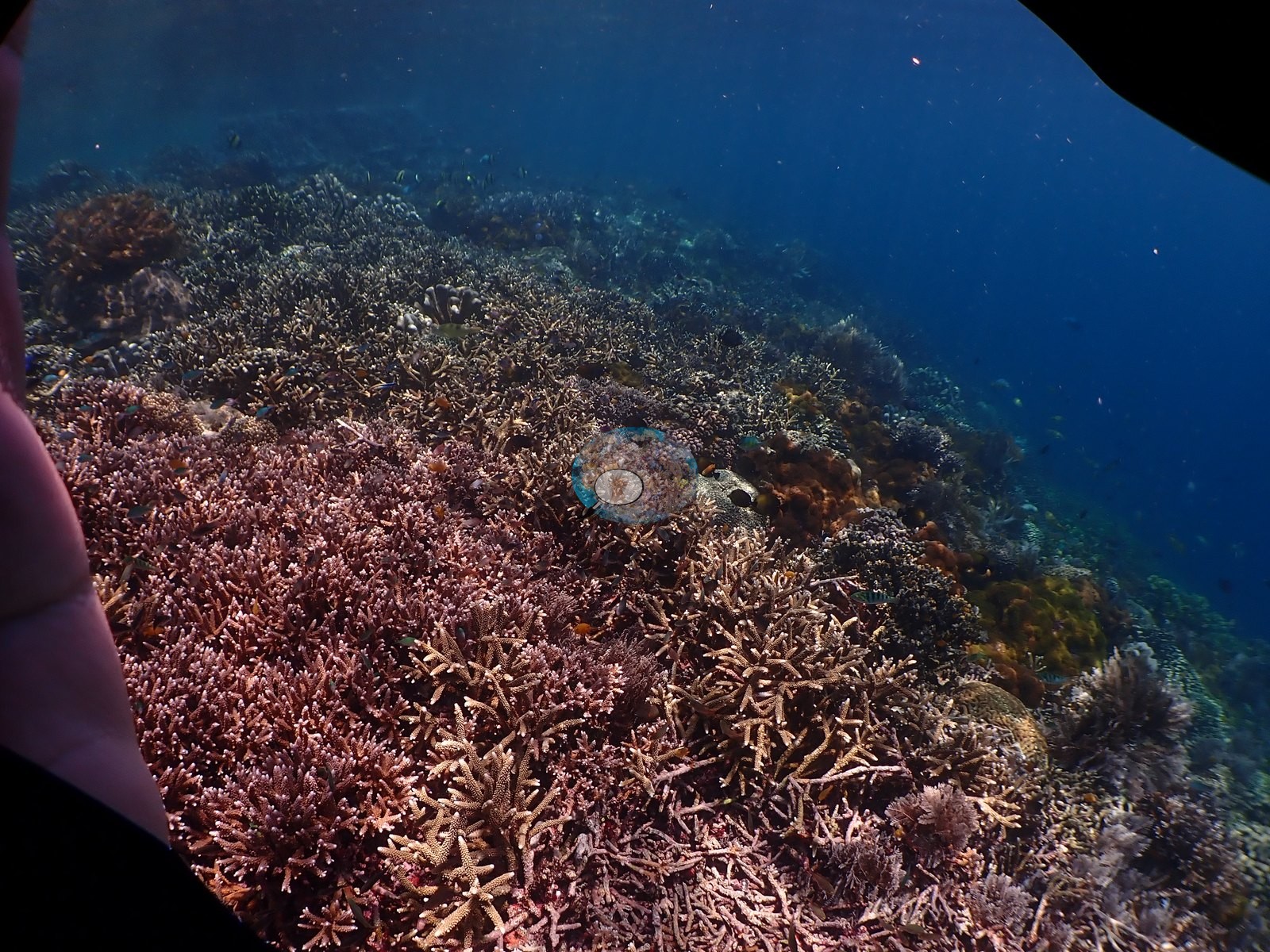
The upper slope and reef crest is a dense mixed garden: mauve, pink, and lilac corymbose and staghorn Acropora, brown and tan Pocillopora, Stylophora, blade-like, and digitate Millepora-type fire coral, orange, ochre, and rust-red arborescent soft corals, and green-brown Sinularia mats, running right up under the surface (e.g., Image 6, Image 16, Image 5, Image 21, Image 32, Image 47, Image 50).
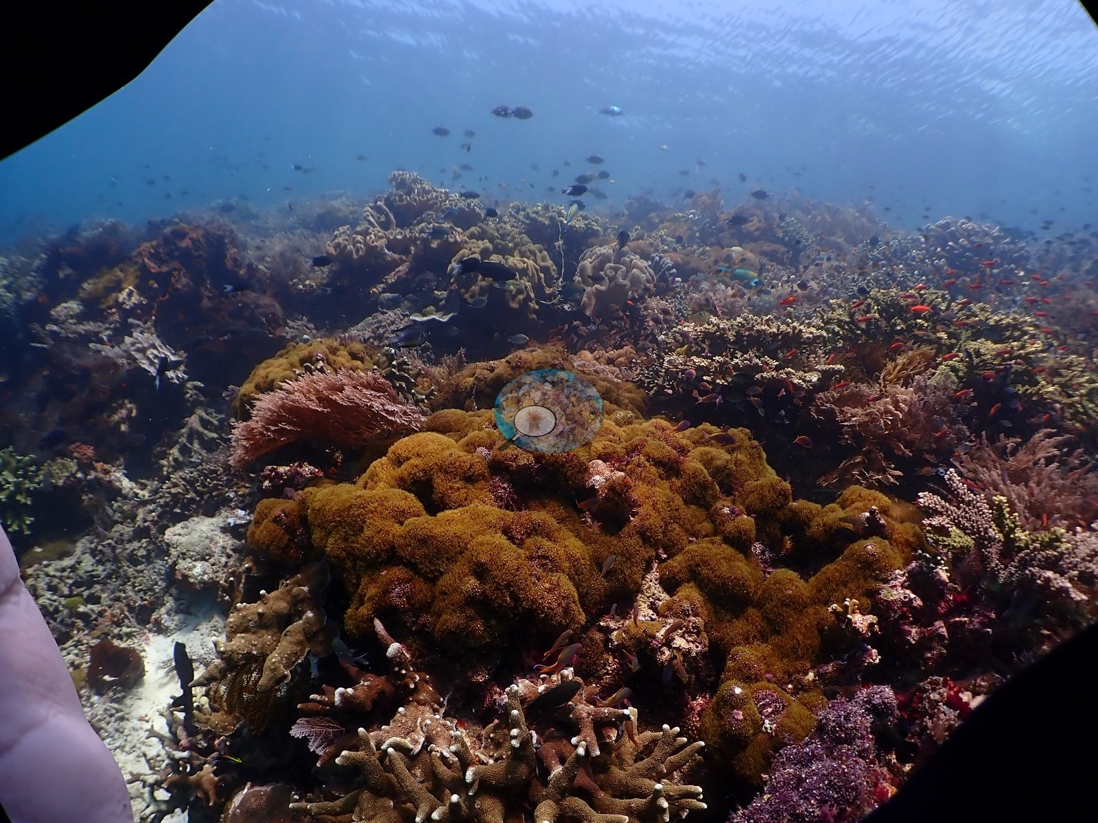
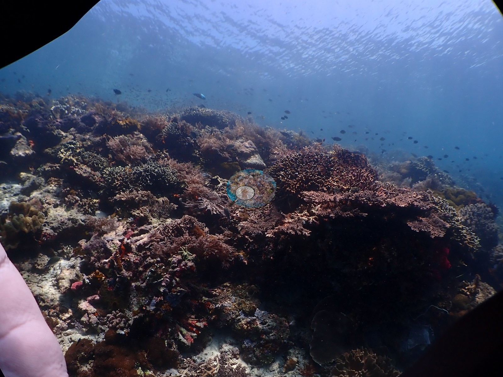
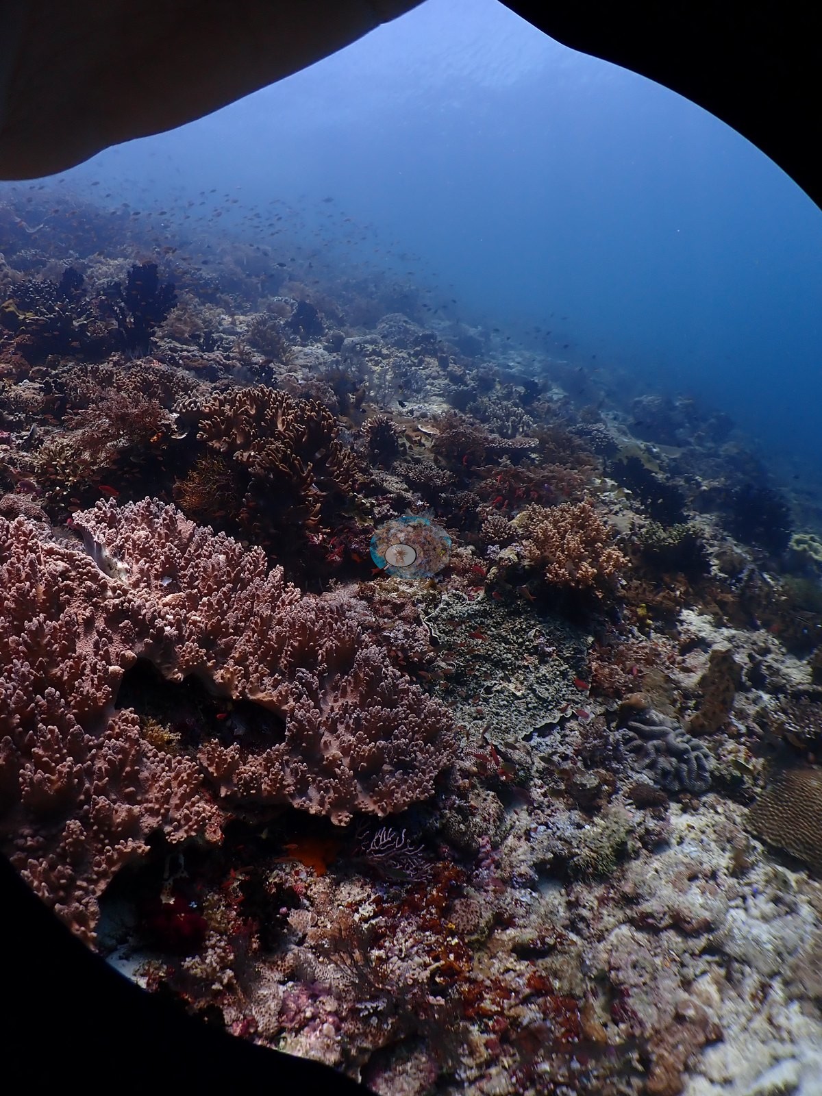
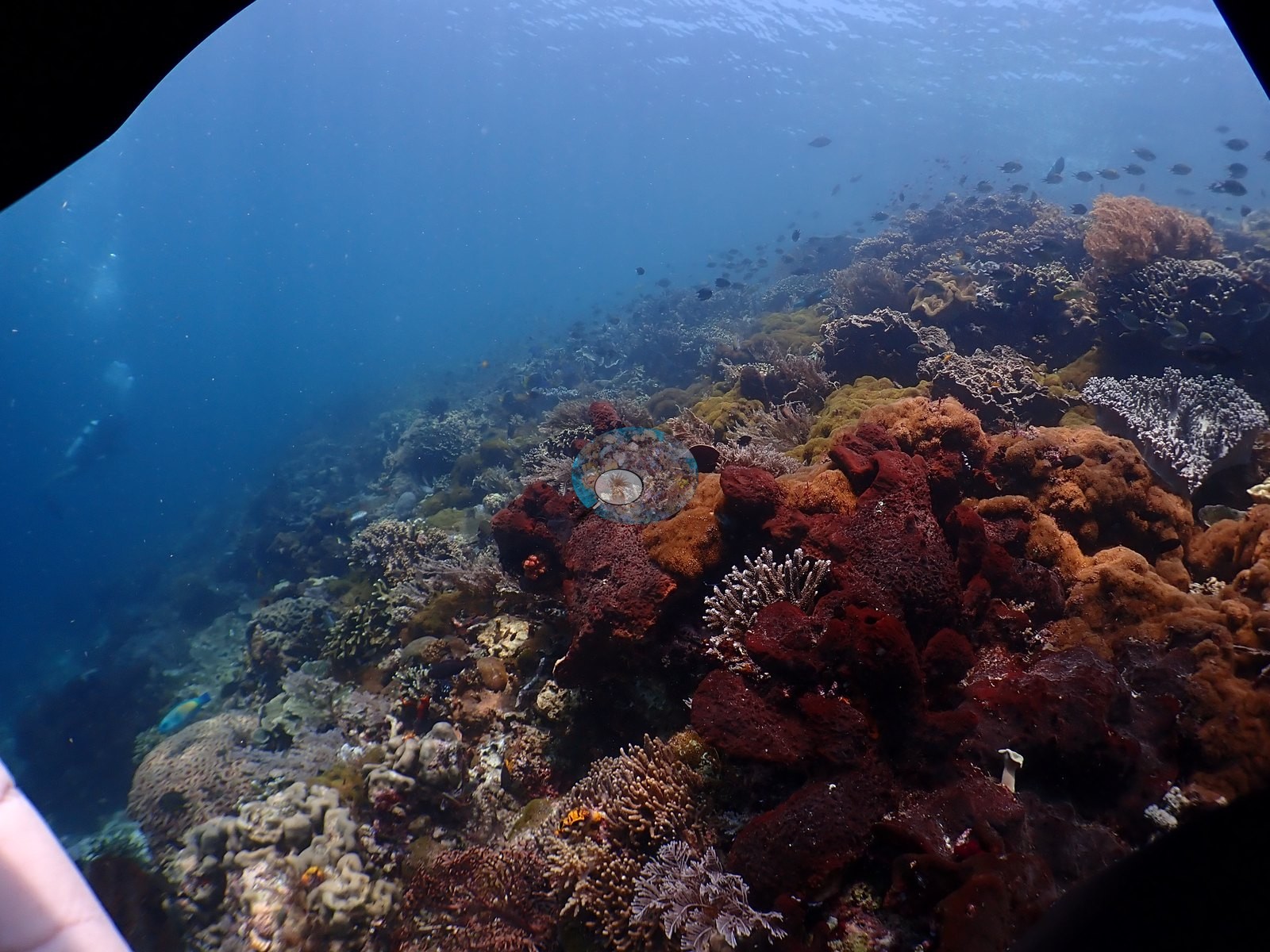
Coral cover
Coral cover. Coral cover: 26% — a blind Claude computer-vision point count of 143 of Anderson's unedited photographs (20 points per photo; water, fish, and obstructions excluded). Other computer-vision methods are listed in the method table.
Stressors
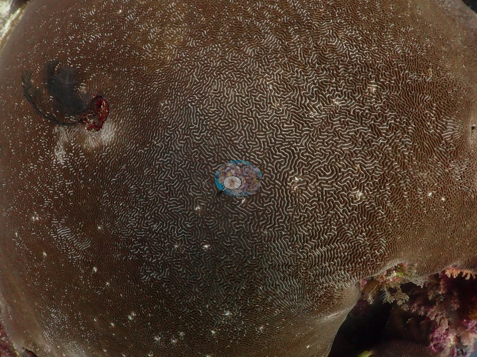
Condition. One large meandroid colony consistent with Lobophyllia/Symphyllia carried a stark-white, sharply bounded bleached sector covering roughly a third of its surface. The white tissue is smooth, swollen, and un-fouled, the meandroid ridges intact, and it grades into normal dark brown through a narrow tan band — the signature of bleached-but-living tissue rather than recently killed skeleton, which would be dull, fouled, and showing exposed septa. The rest of the colony and every neighboring coral in the frame is normally pigmented, so this is a single-colony partial bleaching record, not a site-wide event. No other bleached colony, no crown-of-thorns, no Drupella aggregations, and no disease lesions were recorded in the frames reviewed.
Fish and other fauna
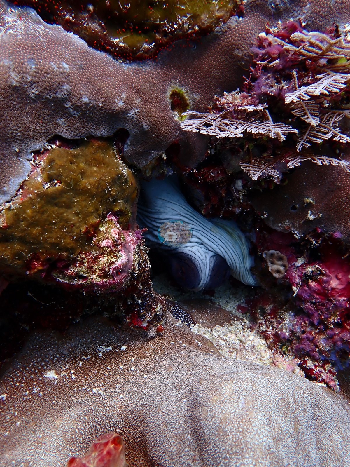
Fauna. A blue-gray moray photographed twice from its crevice among massive Porites; an anemone with resident anemonefish on the deep wall; Moorish idols, anthias, fusiliers, chromis, damselfish, and wrasse throughout (e.g., Image 2, Image 26, Image 52, Image 55).
The sharks in the dive log are not resolved in the sampled stills.
Comparisons with other data
No prior survey data from this site. If you would like to share yours, please email us.
Dive record
Kusu Drift was dived on 10 August 2026 during the Halmahera crossing aboard the liveaboard Ambai (Wallacea Dive Cruises), at 25–26°C.
Other notes
Anderson's field note reads: "camera flooded at 35 m, lots of sharks", and the flood is written straight into the photographic record. From partway through the dive onward, irregular black lobes intrude from the edges of almost every picture — water inside the housing, not vignetting — and in the later frames the photographer's own fingertip appears at the lower left where the camera was being handled (e.g., Image 5, Image 7, Image 8, Image 10, Image 11, Image 13, Image 15, Image 19, Image 24, Image 25, Image 33).
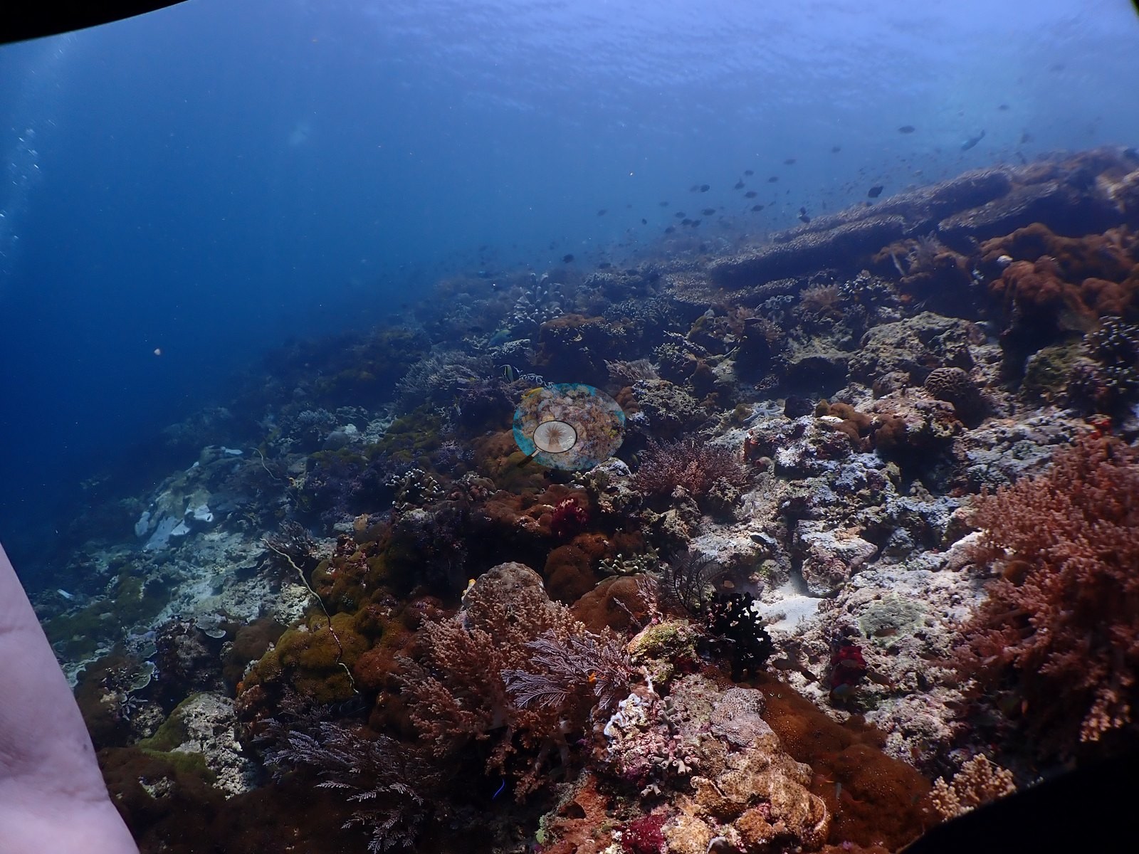
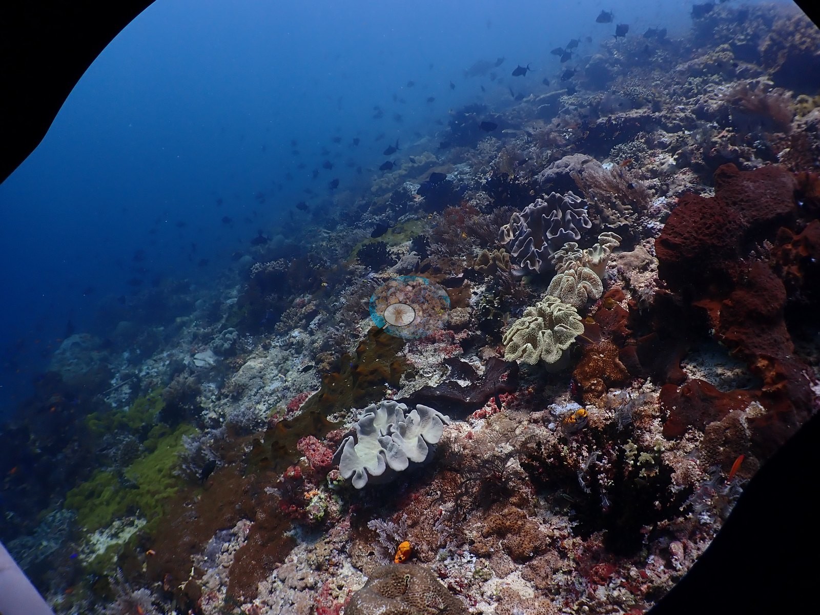
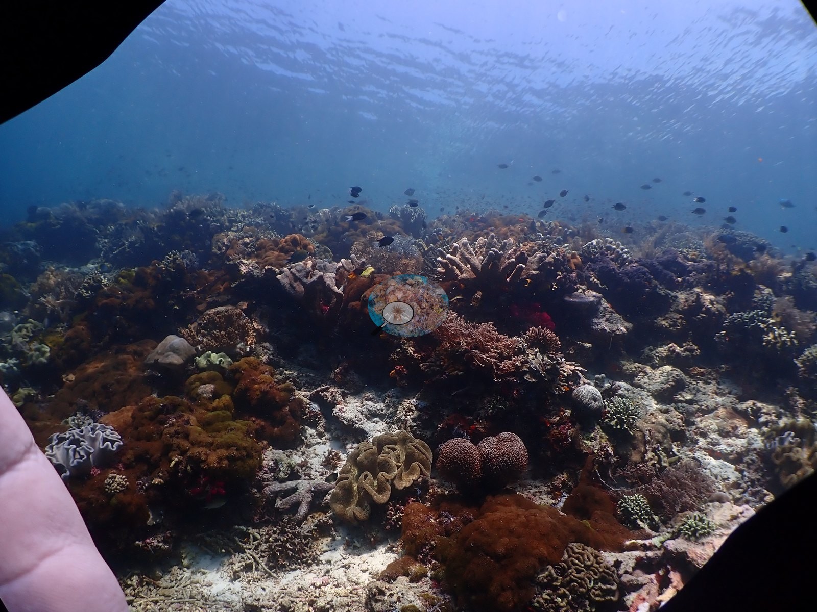
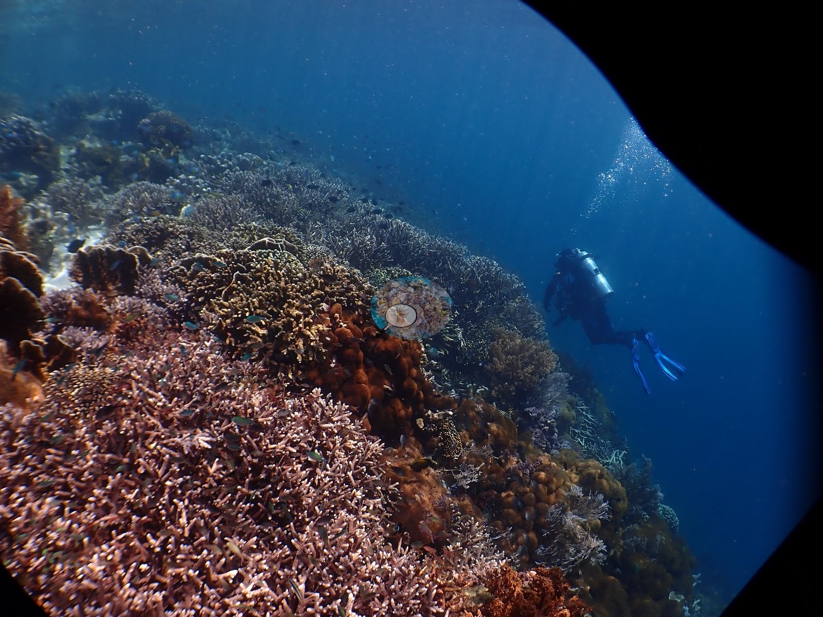
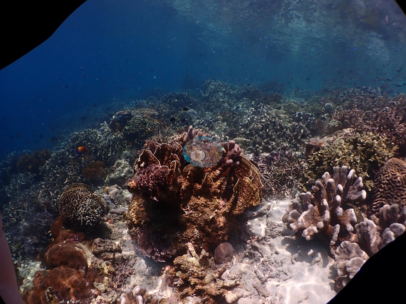
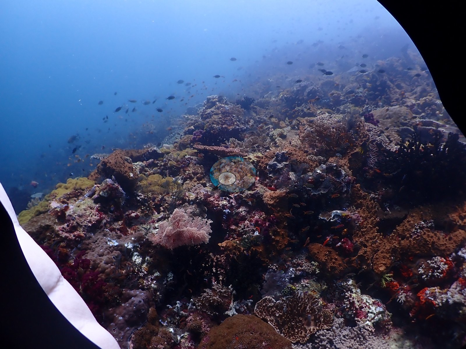
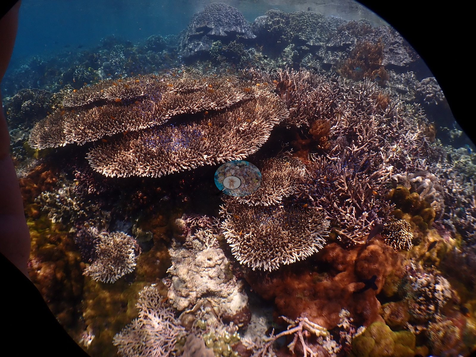
This site records a maximum depth of 24.4 m against the note's 35 m; that discrepancy is not resolved here.
CV model comparison
More info
DINOv3 and CoralSCOP were run on the same photos and are listed for comparison. Coralscapes v2 and v1 were also run but are not shown: Anderson does not consider Coralscapes reliable for these photos. No diver transect exists for this trip, so agreement between the rows is not accuracy, and as of September 2026 no computer-vision method estimates coral cover accurately on new images; treat every row as indicative.| Method | Hard-coral cover (%) |
|---|---|
| In-house DINOv3 | 27.6 |
| CoralSCOP unedited | 33.9 |
| Claude | 26.1 |
Data & links
All images from Coral Reef Diagnostics. Data are from Coral Reef Diagnostics.
© Coral Reef Diagnostics.