
Indonesia - Halmahera: Batu Mandi
Part of the regional summaries: Indonesia - Halmahera and Indonesia - Maluku
More info
North Maluku (NOAA CRW virtual station)Batu Mandi is a remote, current-battered seamount stacking three distinct habitats - a sparse sand-and-rubble base with widely spaced giant Porites and brain corals, sponge- and coralline-crusted rim walls, and a summit blanketed in arborescent soft coral with Acropora thickets on its flanks. A whitetip reef shark crossed the rubble. A blind Claude computer-vision point count puts coral cover around 12%. It swings widely from habitat to habitat.
Batu Mandi adalah gunung bawah laut terpencil yang dihantam arus, menumpuk tiga habitat yang berbeda — dasar berpasir dan berpecahan karang yang jarang dengan Porites raksasa dan karang otak yang berjauhan, dinding tepi berkerak spons dan alga koralin, serta puncak yang berselimut karang lunak arboresen dengan rumpun Acropora di lerengnya. Seekor hiu karang sirip putih melintasi hamparan pecahan karang. Penghitungan titik buta visi komputer Claude memperkirakan tutupan karang sekitar 12%. Nilainya berayun lebar antar habitat.
Terjemahan ringkasan ini oleh AI; versi bahasa Inggris yang berlaku.
One independent survey station shown with the program’s logo — click one to see how far it is from this site.
One other CRD dive site within 5 km shown in orange — click a marker to open its page.
21 of these 24 photographs are shown beside the text that discusses them under "Site description" below.
Site description
General benthic features
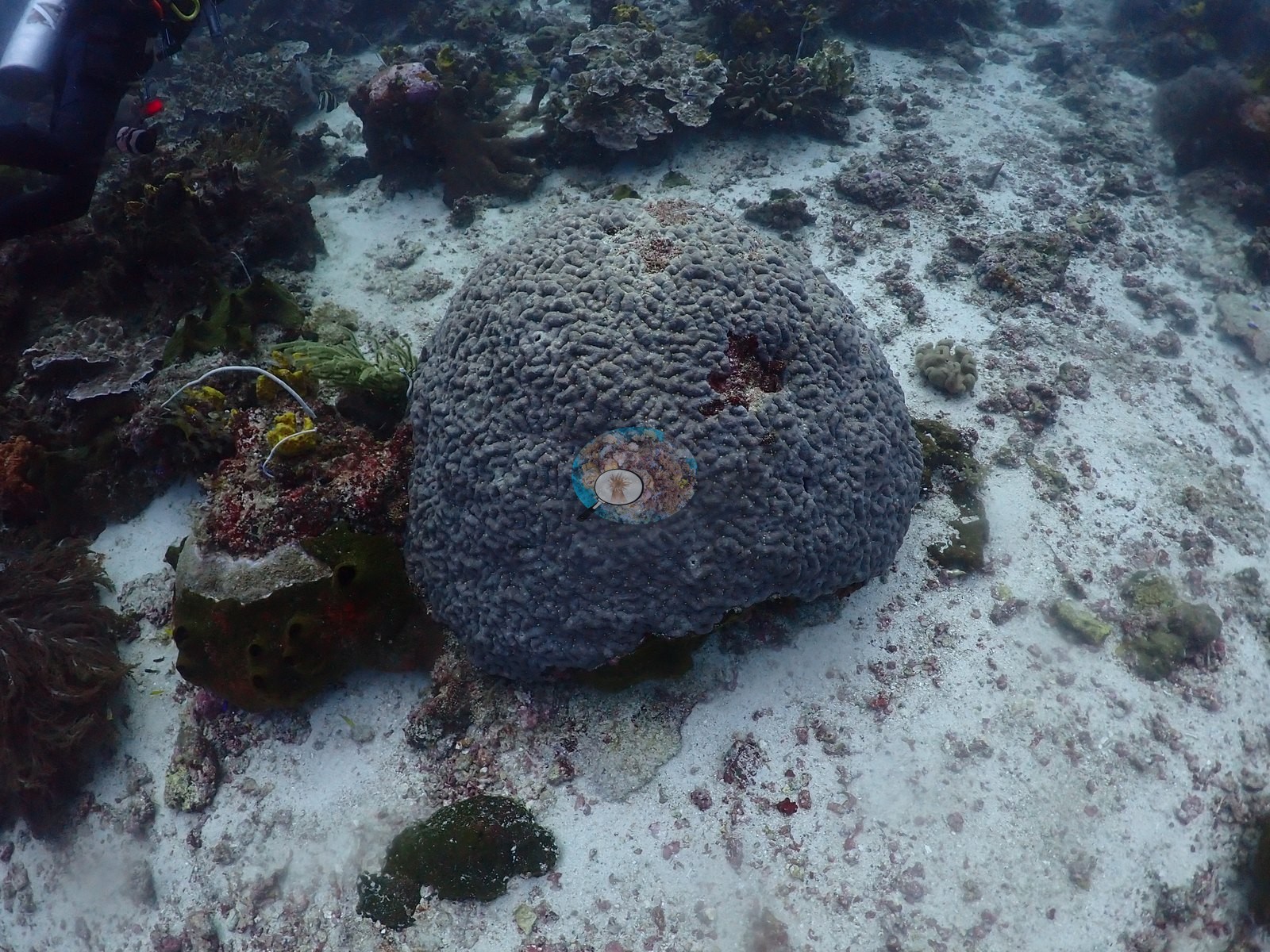
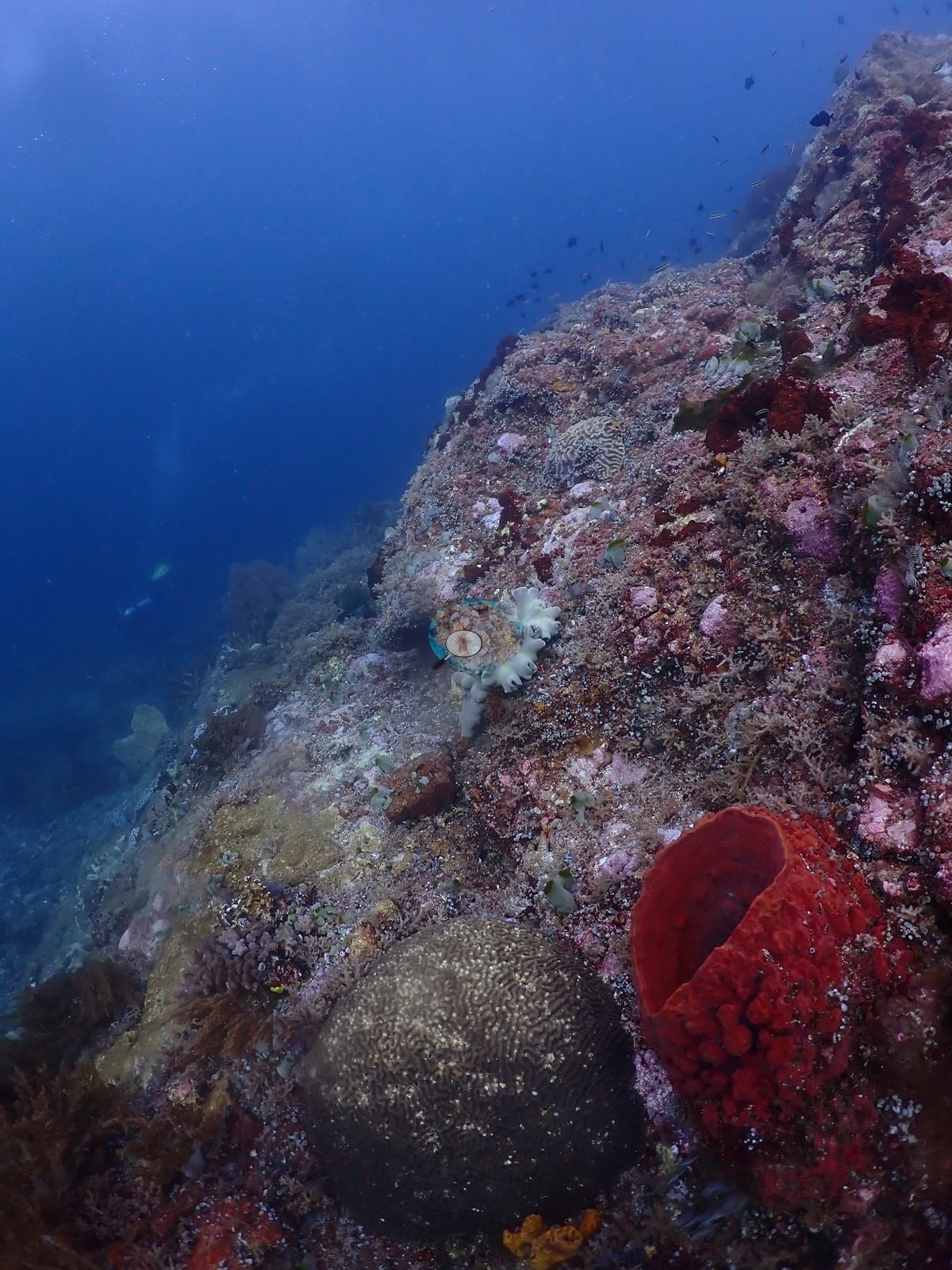
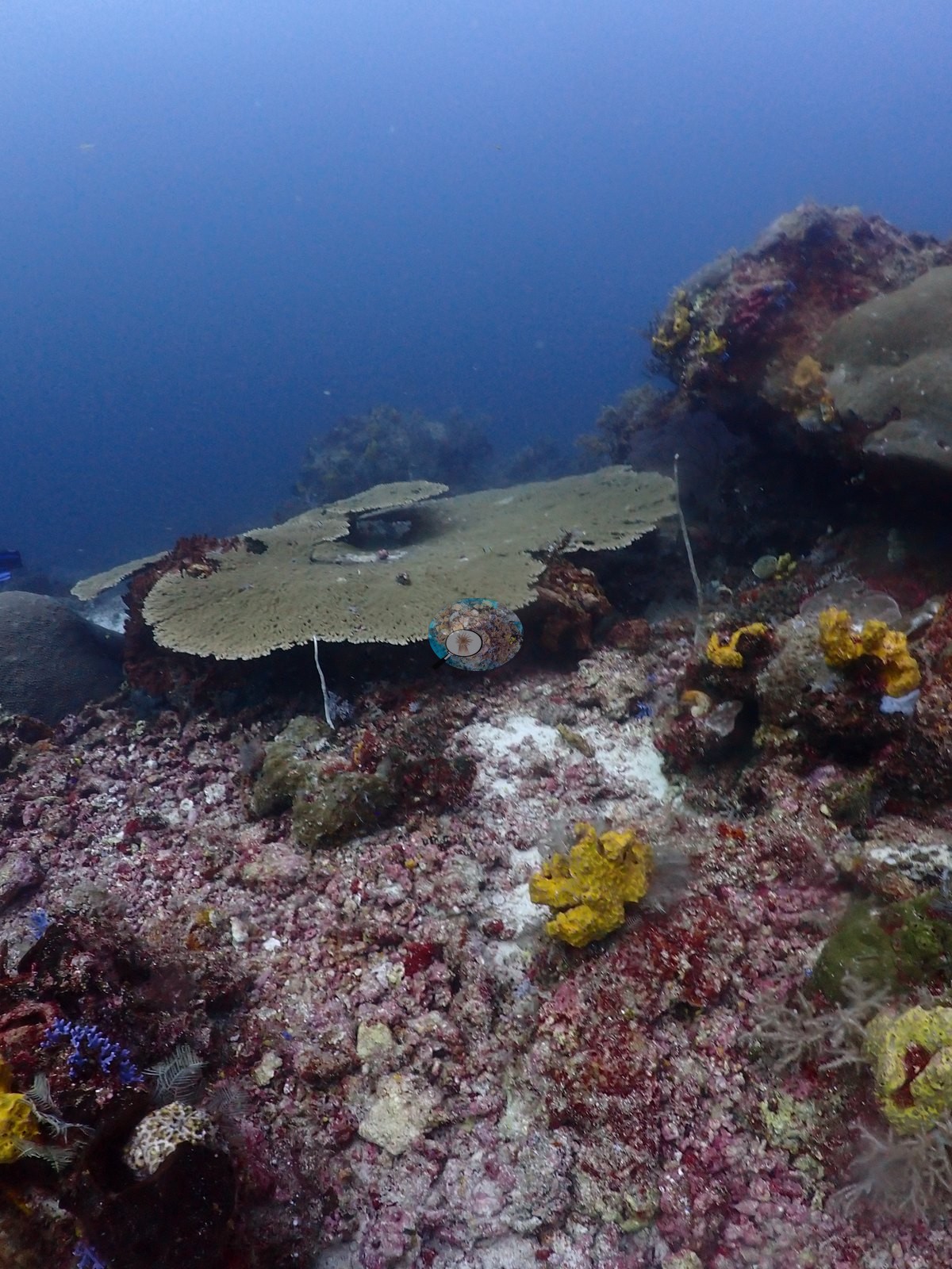
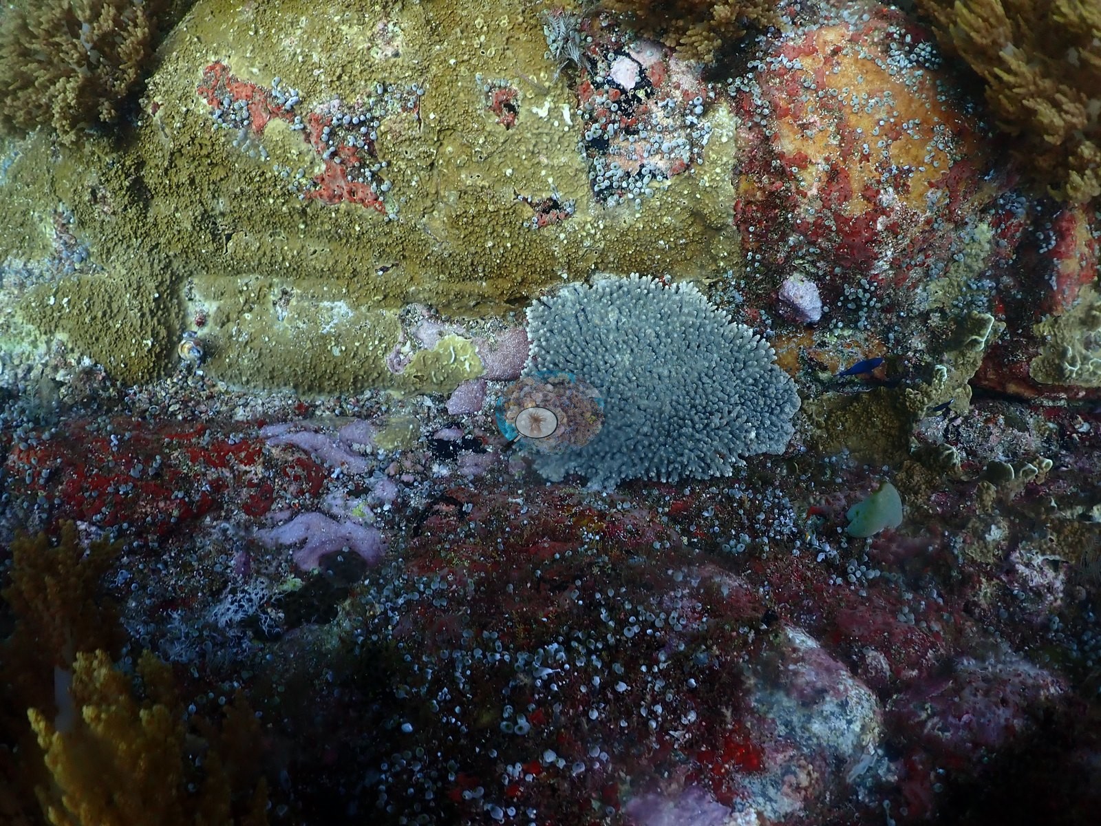
A remote offshore sea mount worked in heavy current to 32.6 m at 25–26°C, stacking three quite different habitats — which is why cover is so unstable (Claude: 12% ± 13 over only 22 frames, spanning 0–53.3%). The deep base and terrace (9 of 24 frames) is a white sand-and-rubble plain over crustose-coralline pavement carrying widely spaced giant colonies and little between them: pale cream lobate Porites (e.g., Image 6, Image 15, Image 16, Image 18), a gray meandroid brain coral (Platygyra/Leptoria-type) free on open sand (e.g., Image 1), broad laminar plates consistent with Turbinaria or Echinophyllia (e.g., Image 2, Image 24, Image 29), and solitary fungiids.
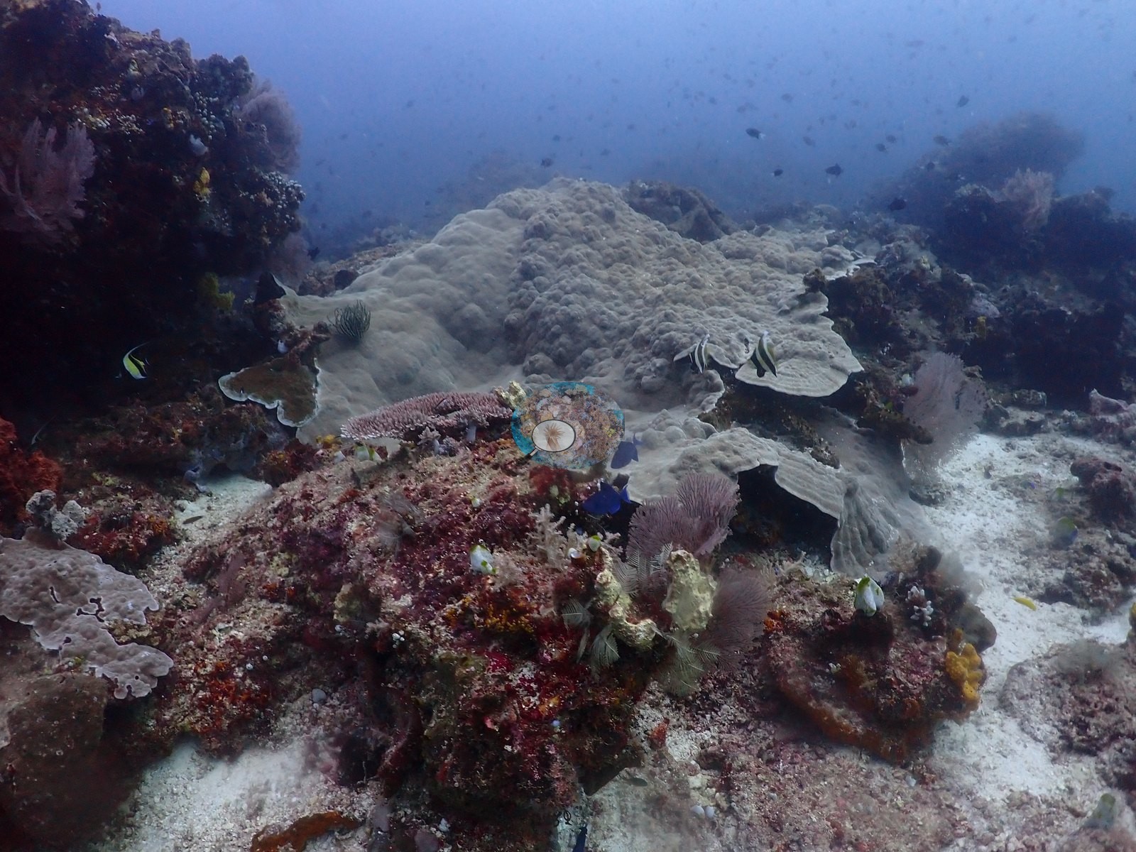
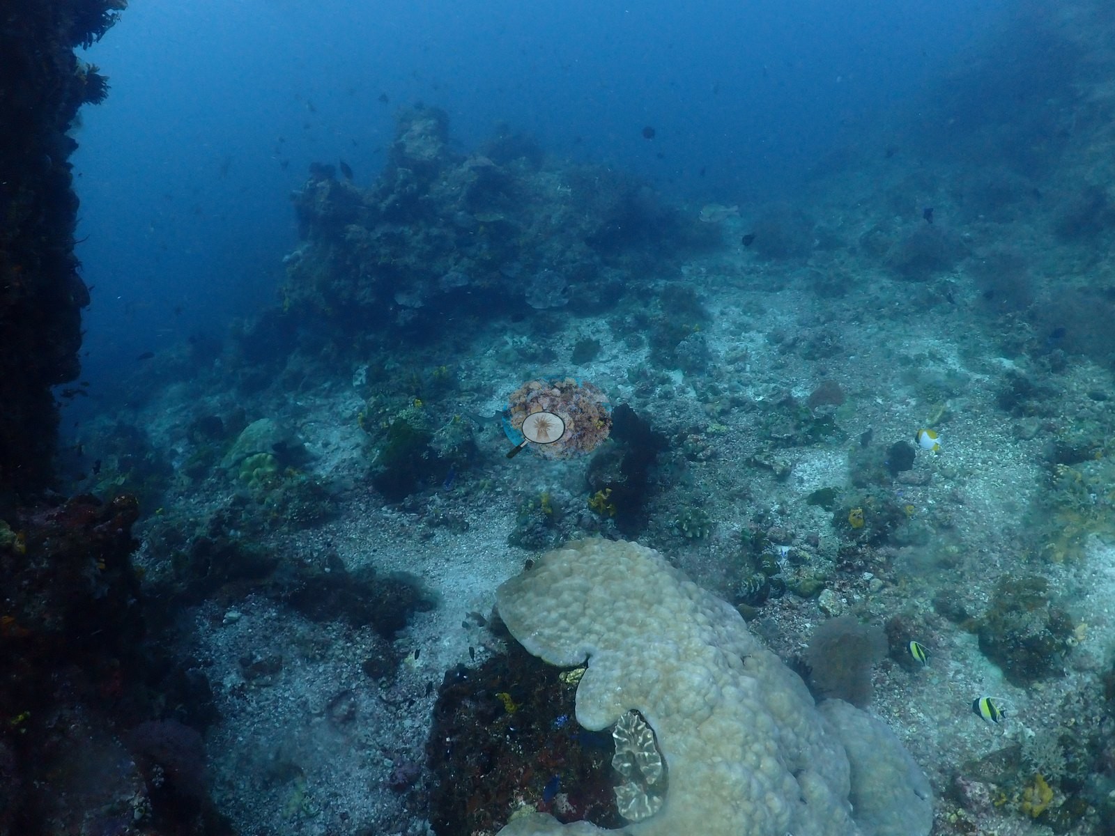
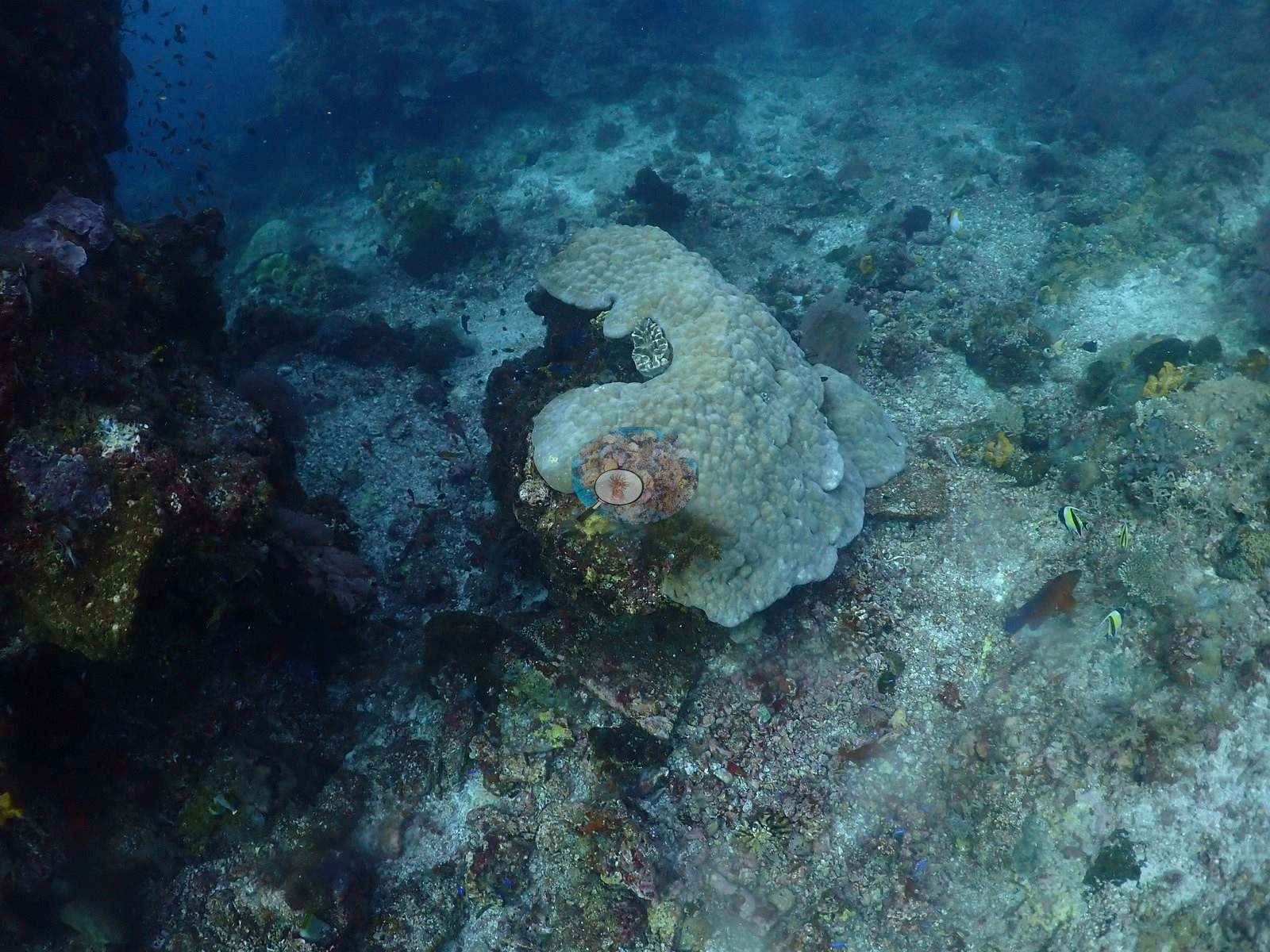
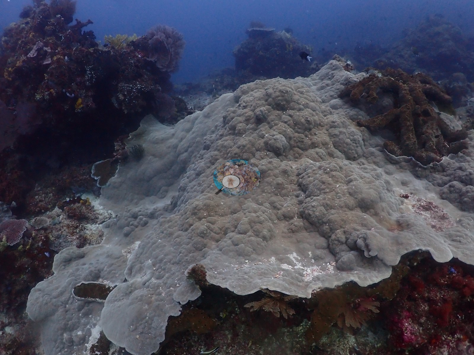
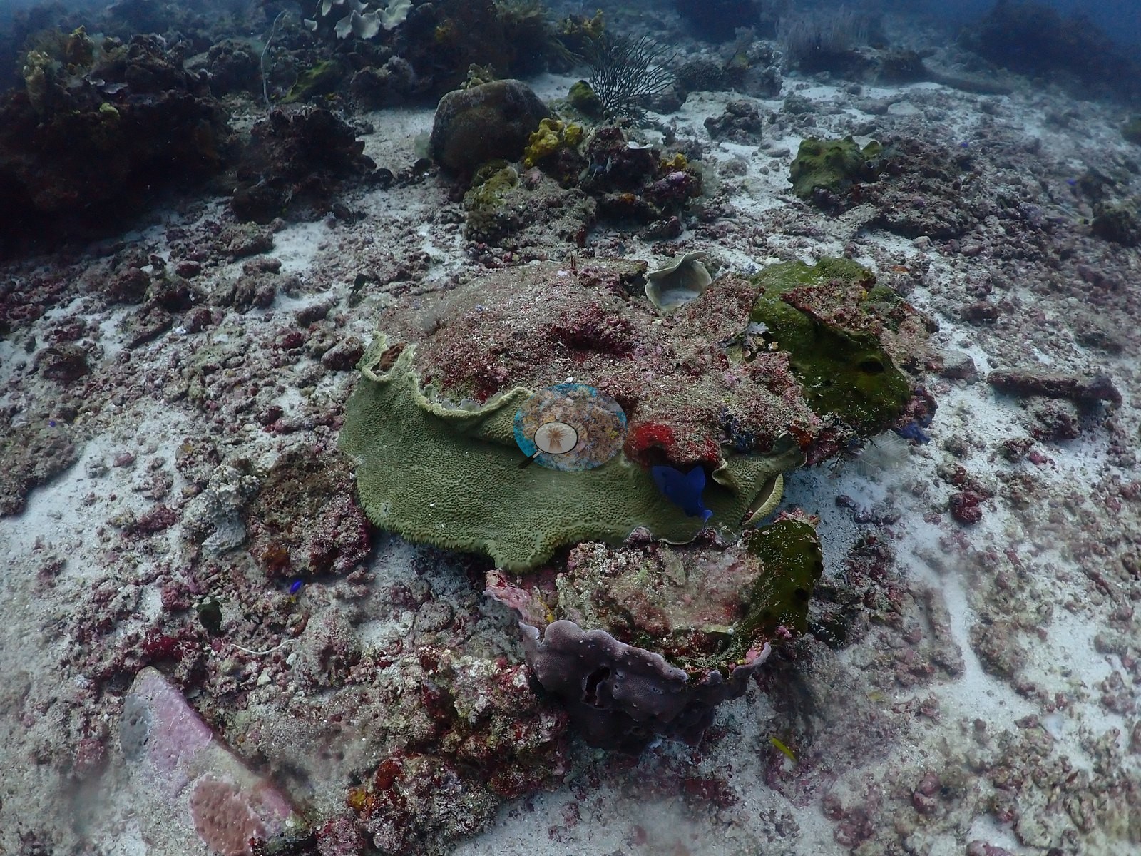
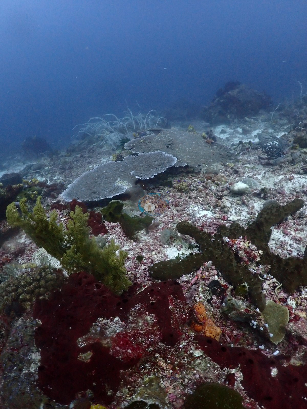
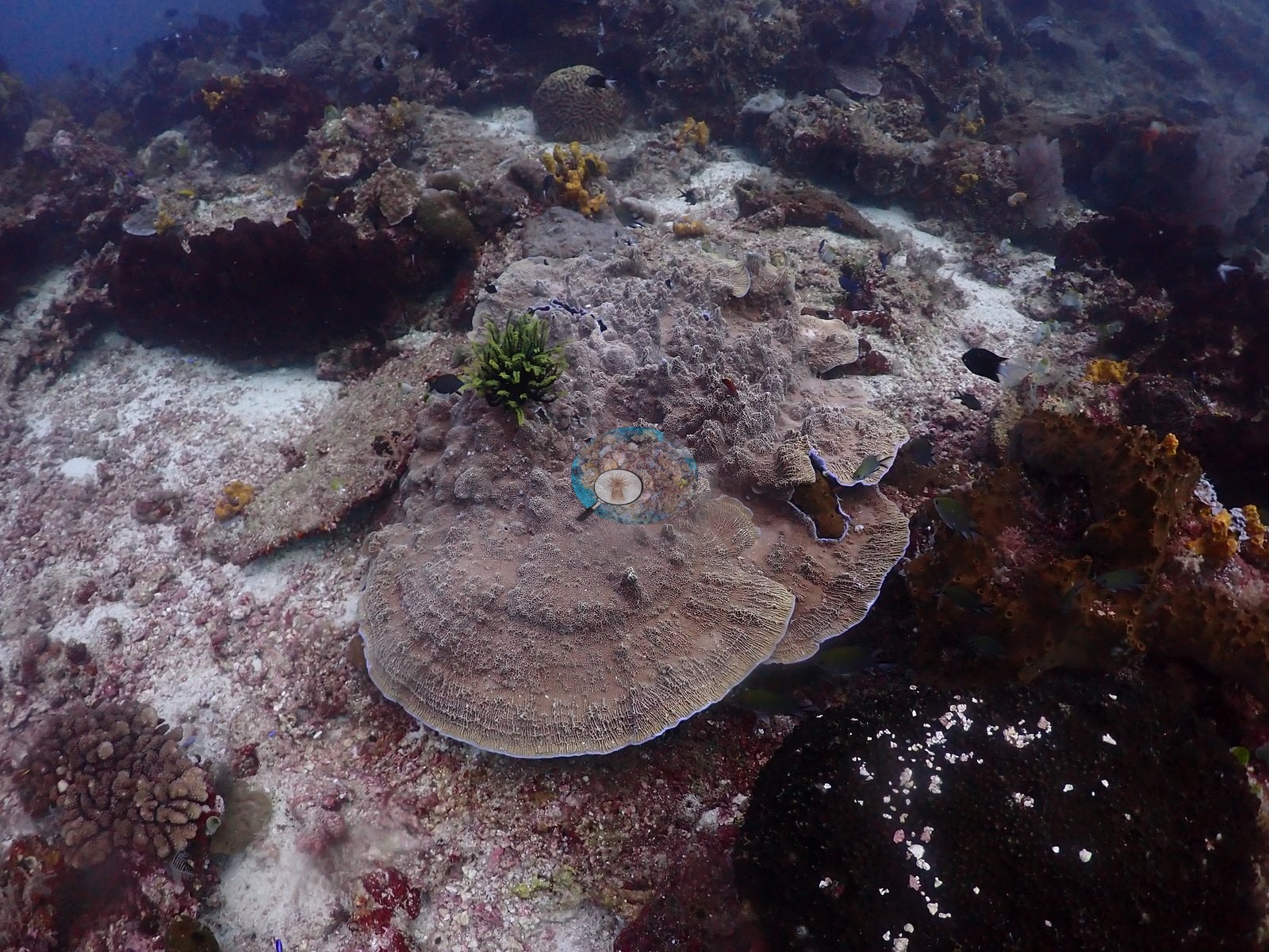
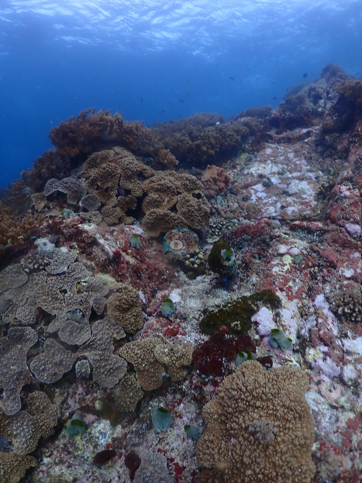
These are the near-zero frames. The rim walls (6 frames) drop straight into blue water and are plastered with pink and red crustose coralline algae, maroon, scarlet, yellow, orange, and violet sponges, gray didemnid ascidian clusters, and feather stars (e.g., Image 3, Image 19, Image 22); hard coral there is thin encrusting/plating Montipora-type plus tabulate Acropora cantilevered over the lip (e.g., Image 9).
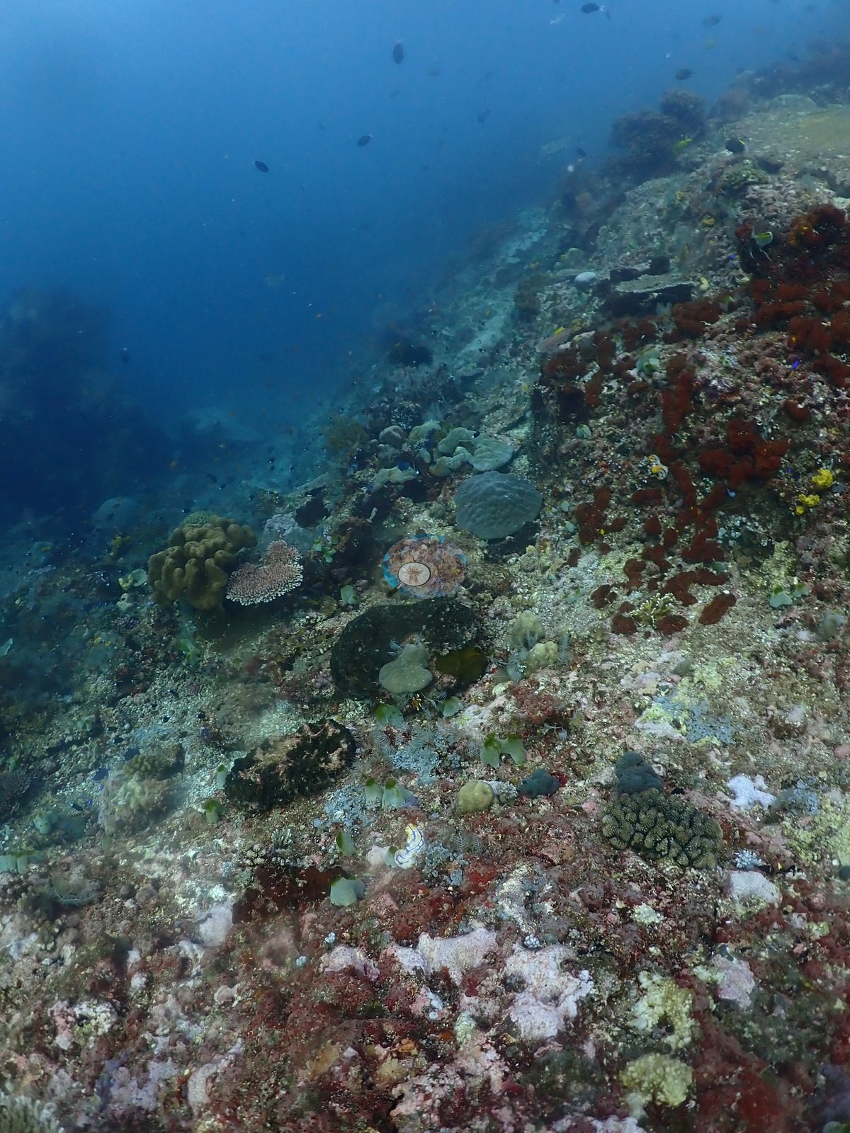
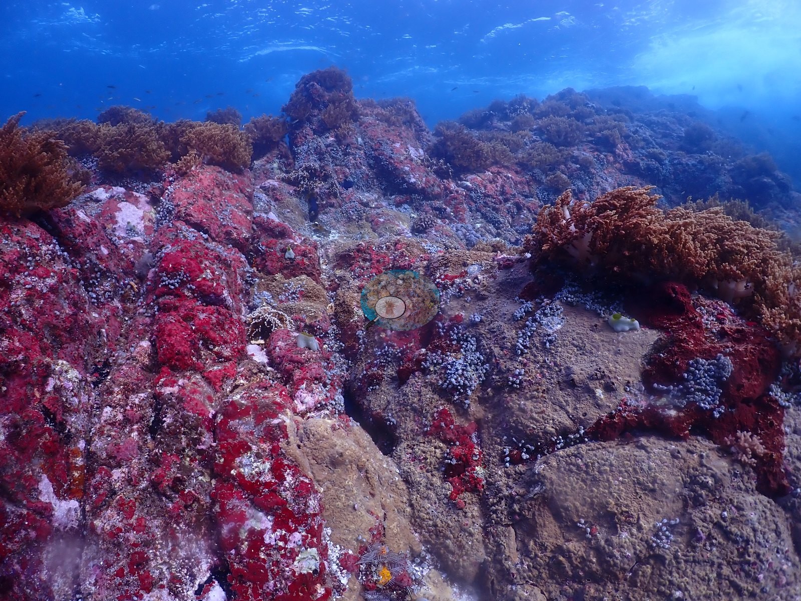
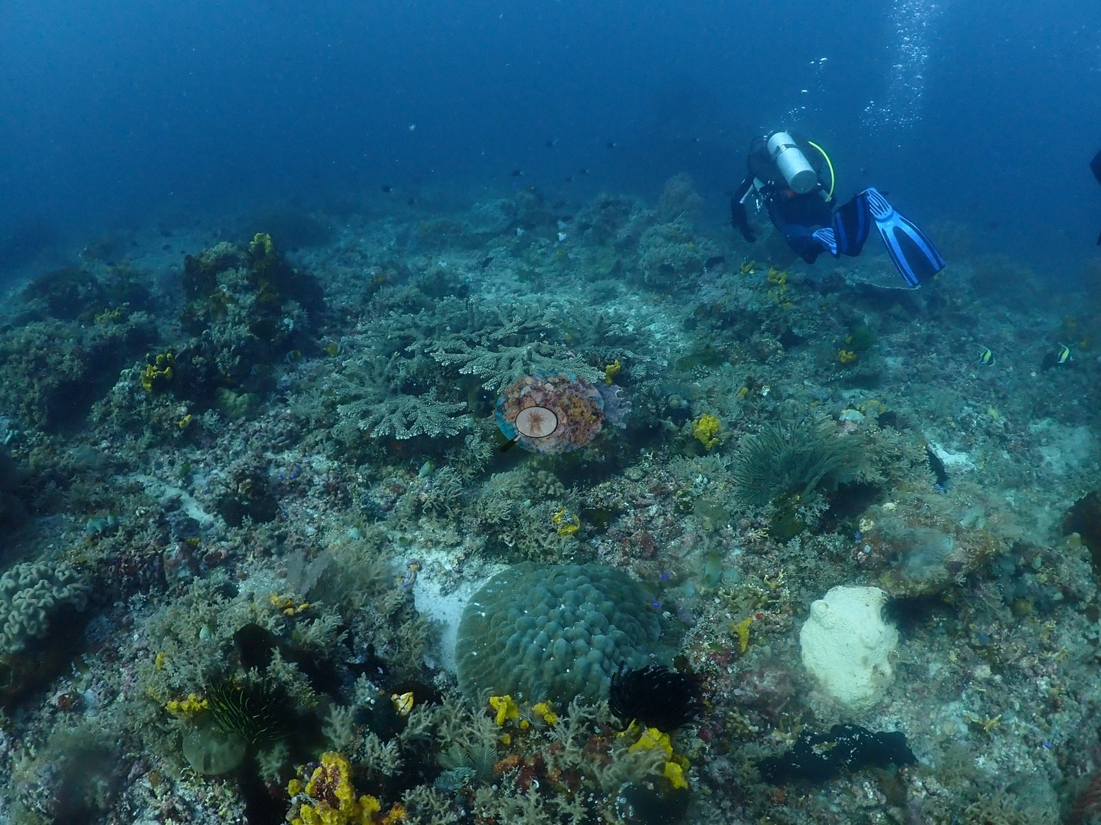
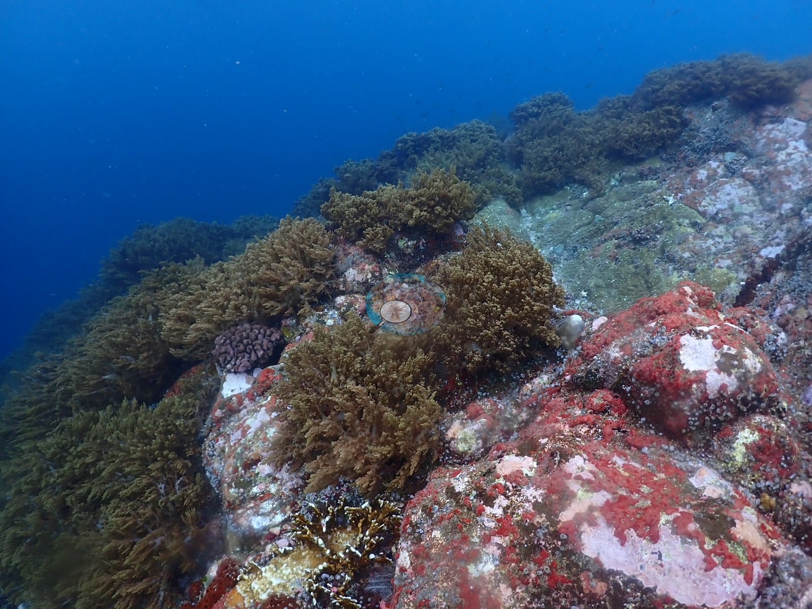
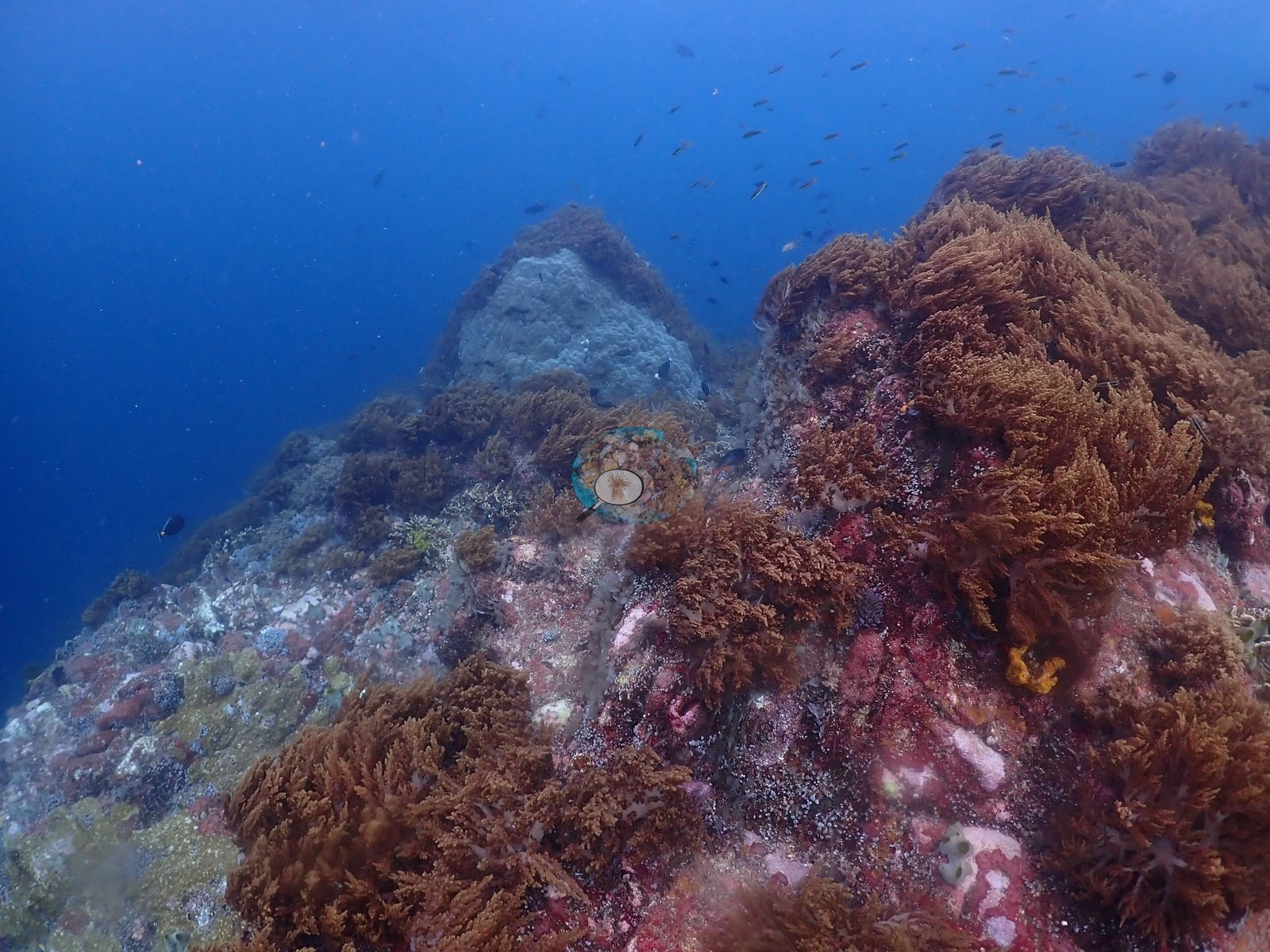
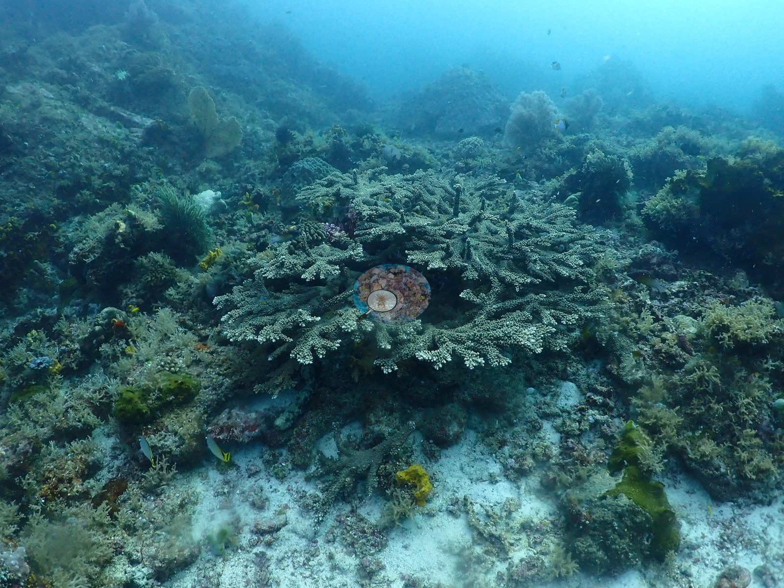
The summit is the site's signature: in 6 of 24 frames the current-swept crest is blanketed almost wall-to-wall in rust-brown to olive arborescent soft coral (Dendronephthya/Nephthea/Litophyton-type) over crimson encrusting sponge (e.g., Image 8, Image 17, Image 20, Image 25), with pale blue-gray Porites domes rising through it (e.g., Image 21, Image 28); corymbose and staghorn Acropora thickets on the mid-flank supply the highest-cover frames (e.g., Image 4, Image 5).
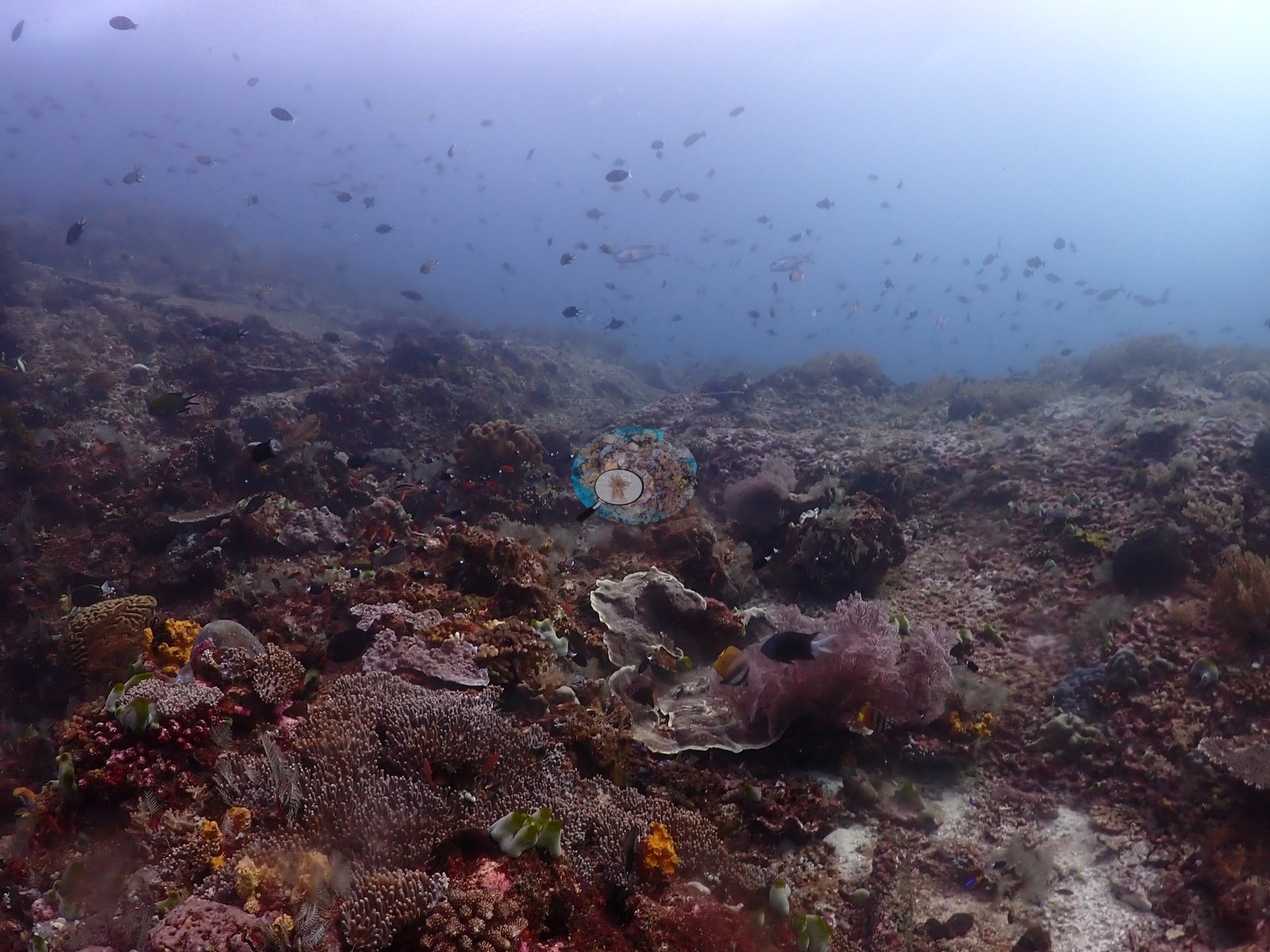
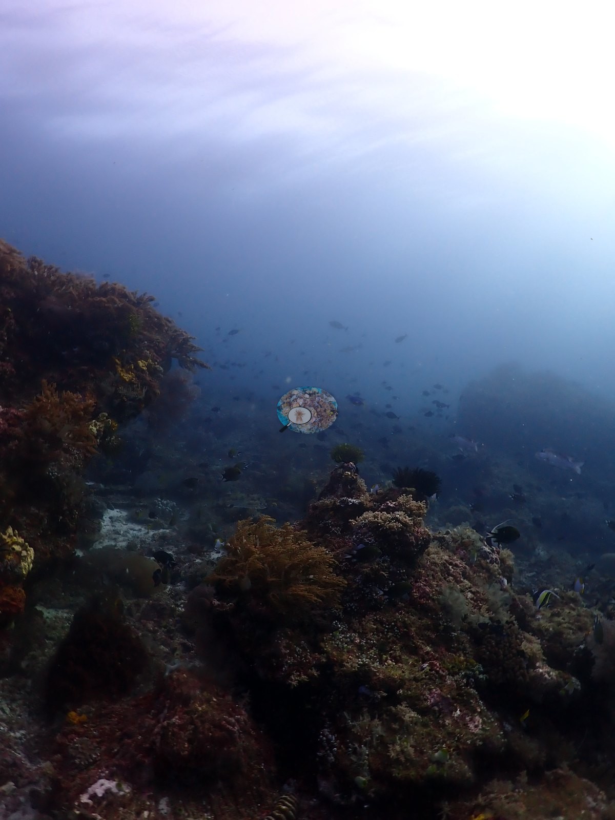
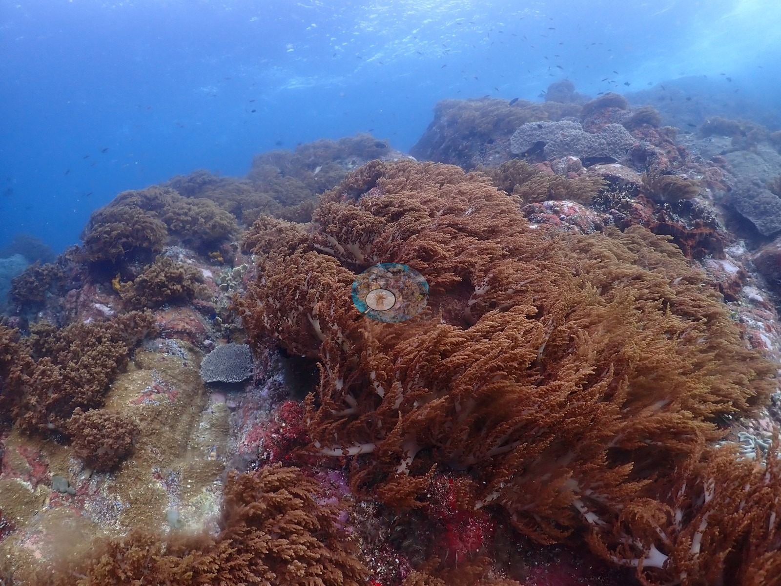
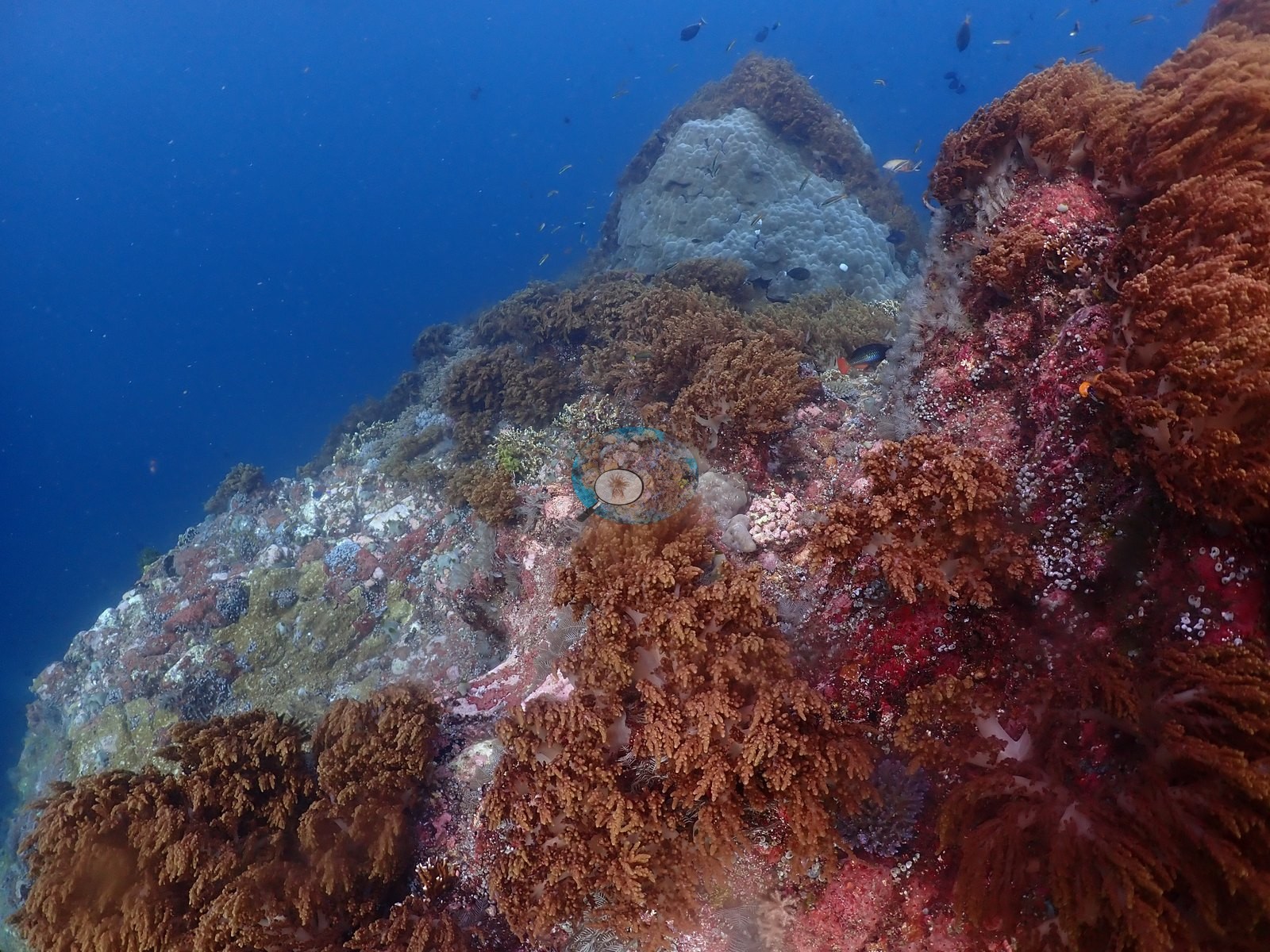
Coral cover
Coral cover: 12% — a blind Claude computer-vision point count of 22 of Anderson's unedited photographs (20 points per photo; water, fish, and obstructions excluded). Other computer-vision methods are listed in the method table.
Fish and other fauna
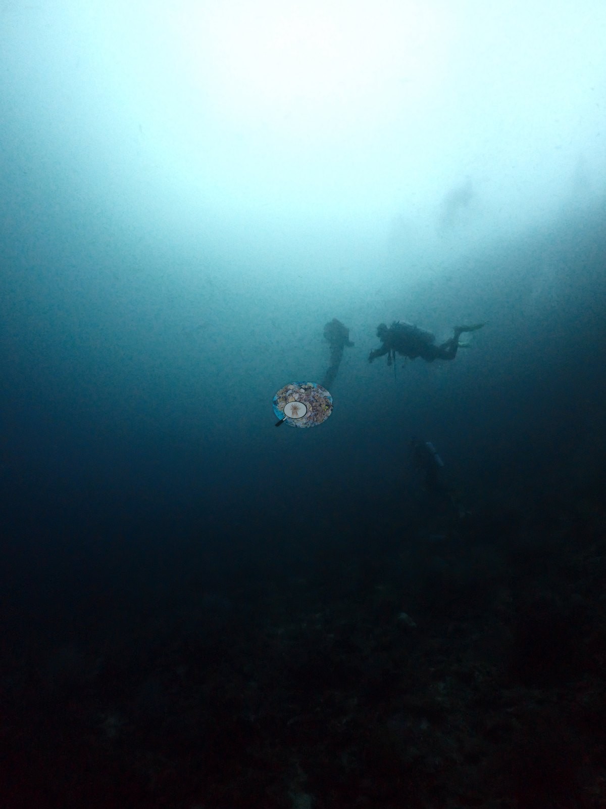
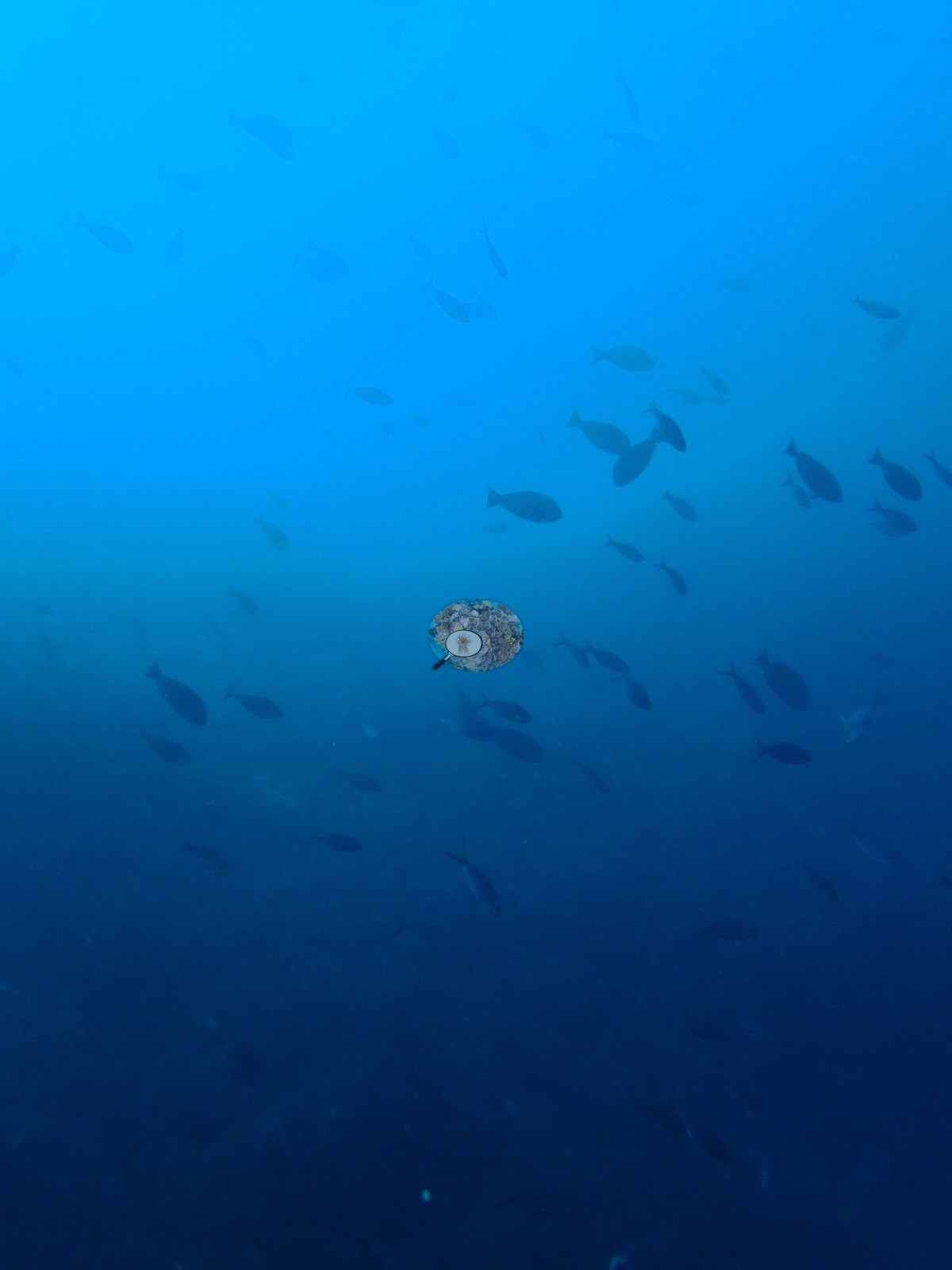
Two frames are pure blue water holding a dense fusilier/jack school (e.g., Image 26).
A whitetip reef shark crosses the rubble in one frame; the log's Napoleon wrasse, bumphead parrotfish, and stingrays are not resolved in the stills.
Comparisons with other data
No independent survey was made at this exact site; the nearest ones are listed in the table below.
Other notes
Anderson's field note: “crazy currents on top of remote sea mount, sharks, Napoleons, bumphead parrotfish, stingrays”
CV model comparison
More info
DINOv3 and CoralSCOP were run on the same photos and are listed for comparison. Coralscapes v2 and v1 were also run but are not shown: Anderson does not consider Coralscapes reliable for these photos. No diver transect exists for this trip, so agreement between the rows is not accuracy, and as of September 2026 no computer-vision method estimates coral cover accurately on new images; treat every row as indicative.| Method | Hard-coral cover (%) |
|---|---|
| In-house DINOv3 | 17.0 |
| CoralSCOP unedited | 28.4 |
| Claude | 11.9 |
Independent surveys nearby
Within 5 km, 1 independent survey station recorded hard coral cover in 2024. One survey since 2021 recorded 19%. This site's own estimate (12%) is indistinguishable from the recent value (19%): the 7.0-point gap is inside the ±7 percentage-point noise between methods; the methods differ, so the comparison is context, not a like-for-like test.
Collected by other programs using different methods (MERMAID is a data platform: each MERMAID row names the organization that did the survey, and its method is in the row's hover text), so these are context for the figures above, not a like-for-like comparison. Where a station was surveyed more than once the range is shown. Station names are not dive-site names.
| Agency | Site / location | Date | Hard coral cover (%) | Distance | Link |
|---|---|---|---|---|---|
| WCS Indonesia via MERMAID | Legoma | 2024 | 19% | 0.00 km | Adiyoga D, Cholic O, Gunawan I, Rayhan A, Sutanto S, Syah L, Zulfikri M. 2024. Guraici MPA 2024. MERMAID |
Data & links
All images from Coral Reef Diagnostics. Data are from Coral Reef Diagnostics and the organizations named in the data-sources table above.
© Coral Reef Diagnostics.