
Indonesia - Halmahera: Merida Cavern
Part of the regional summaries: Indonesia - Halmahera and Indonesia - Maluku
More info
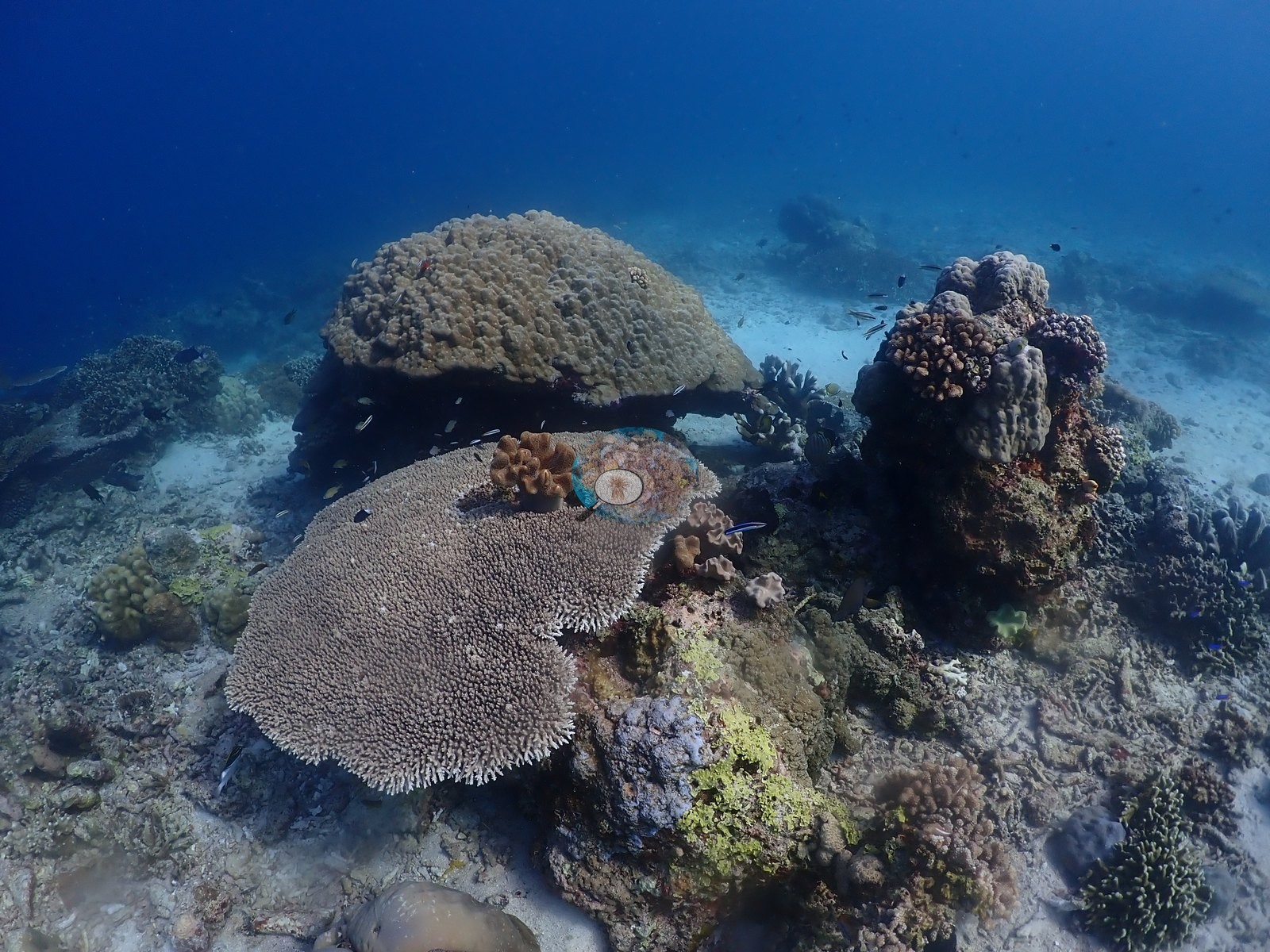
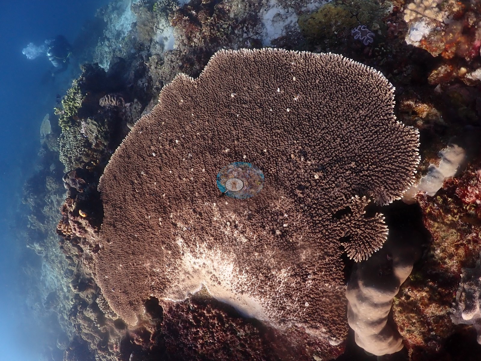
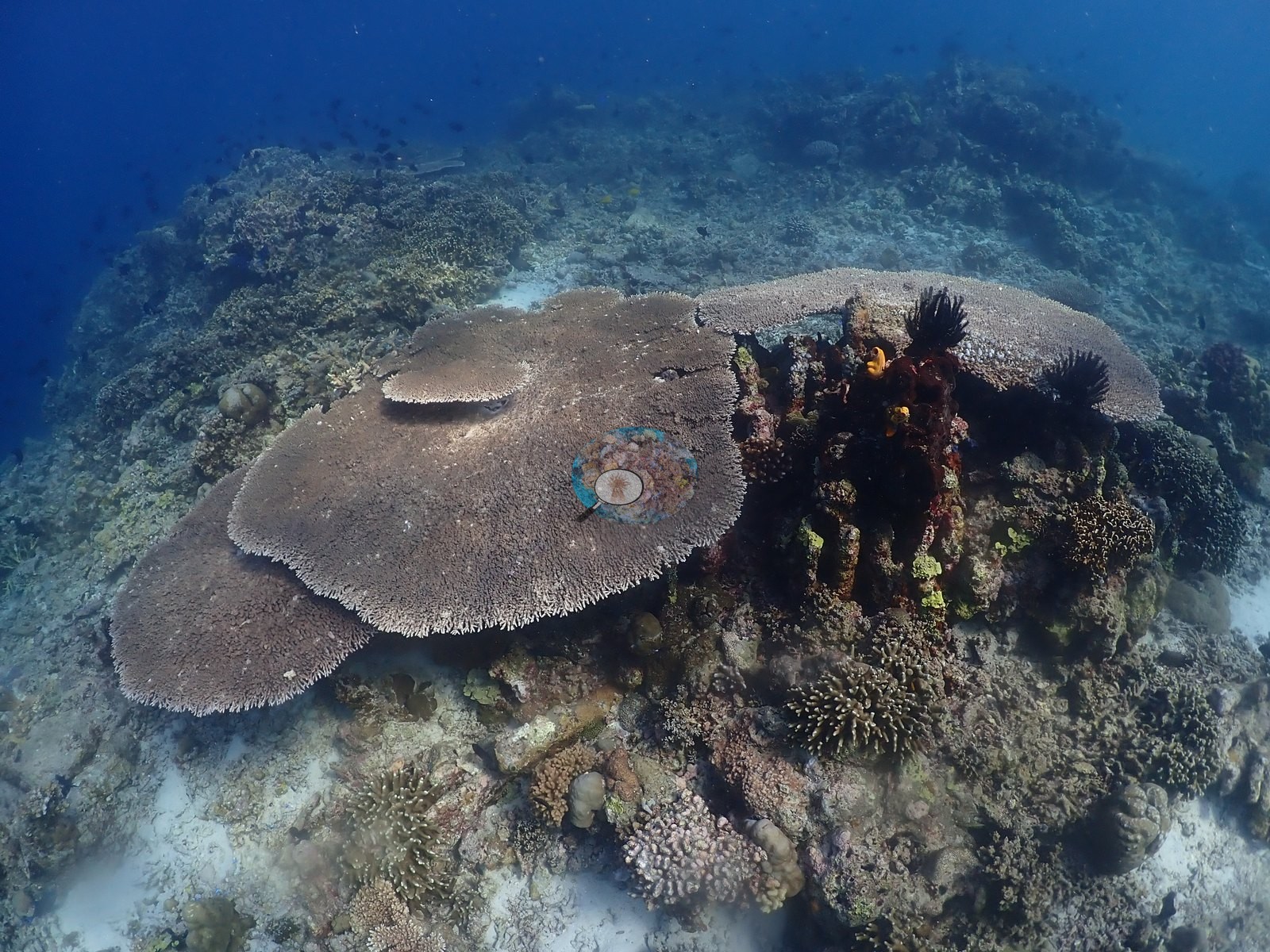
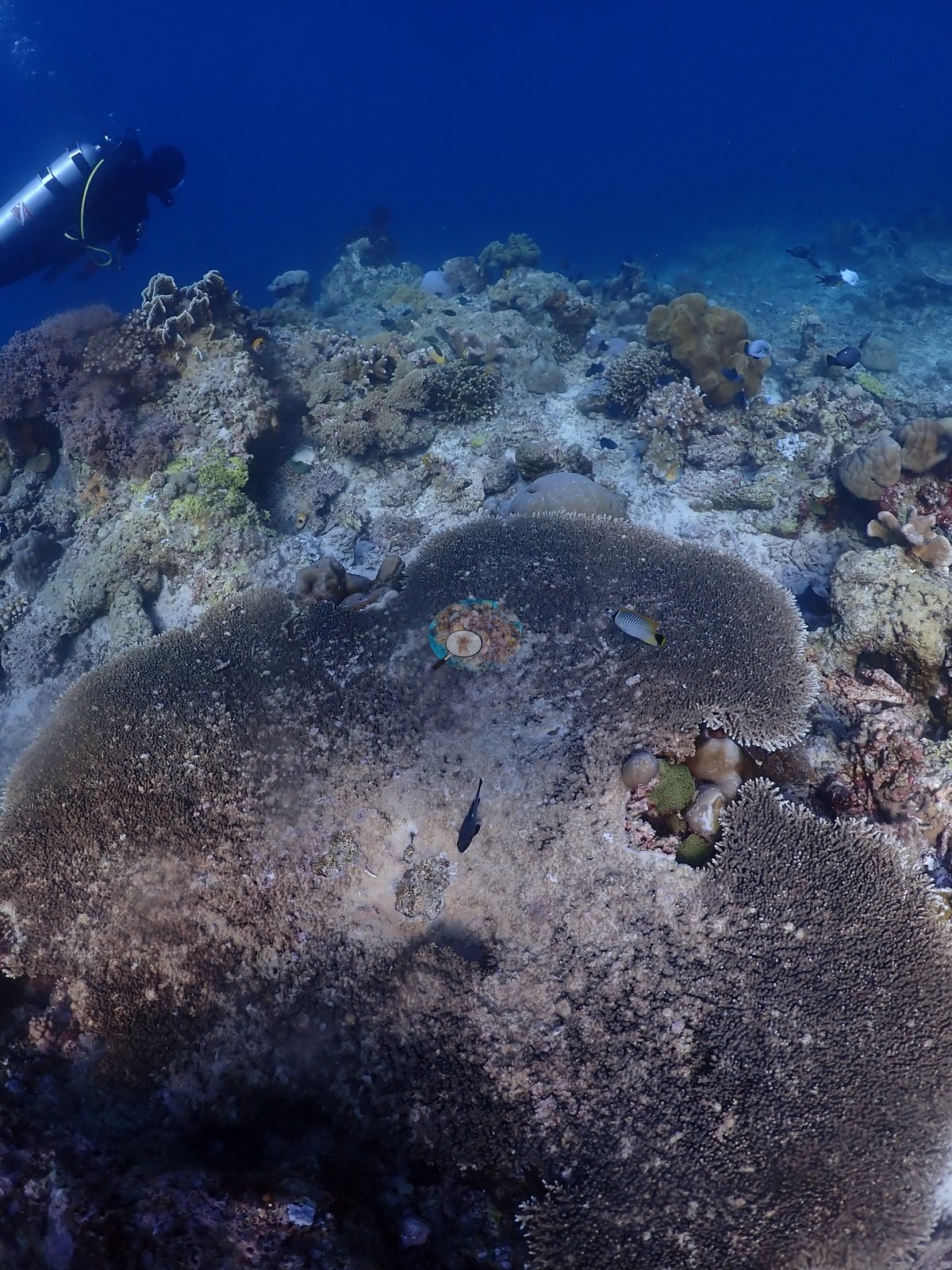
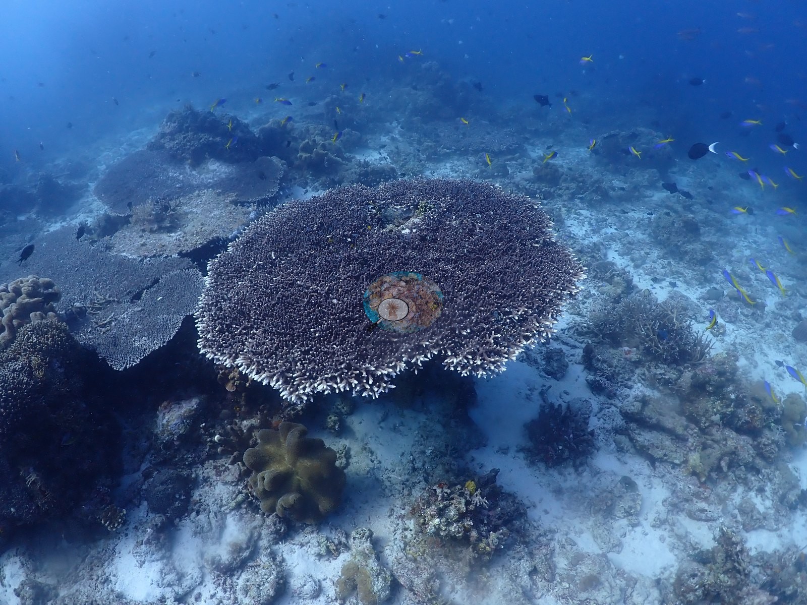
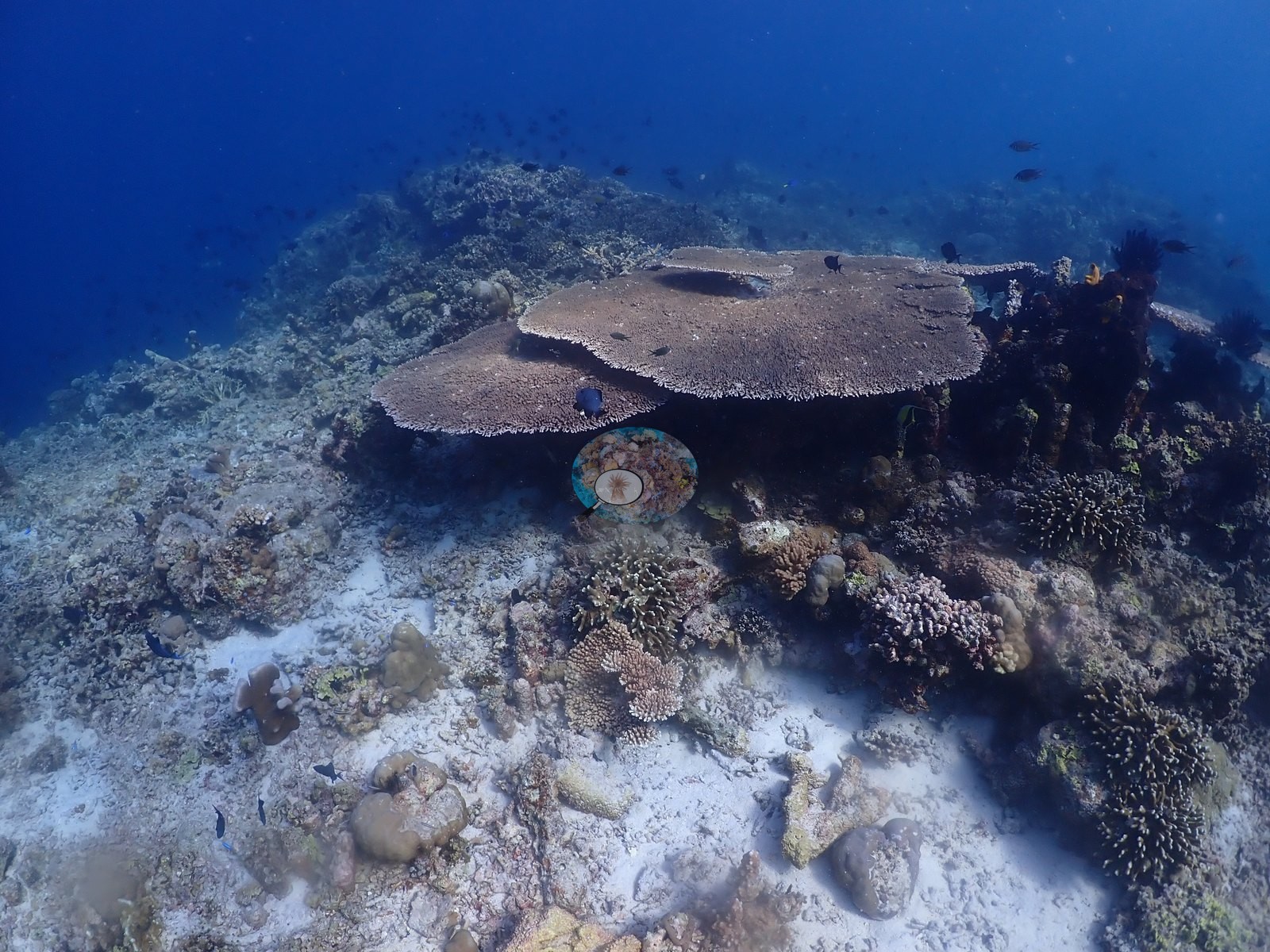
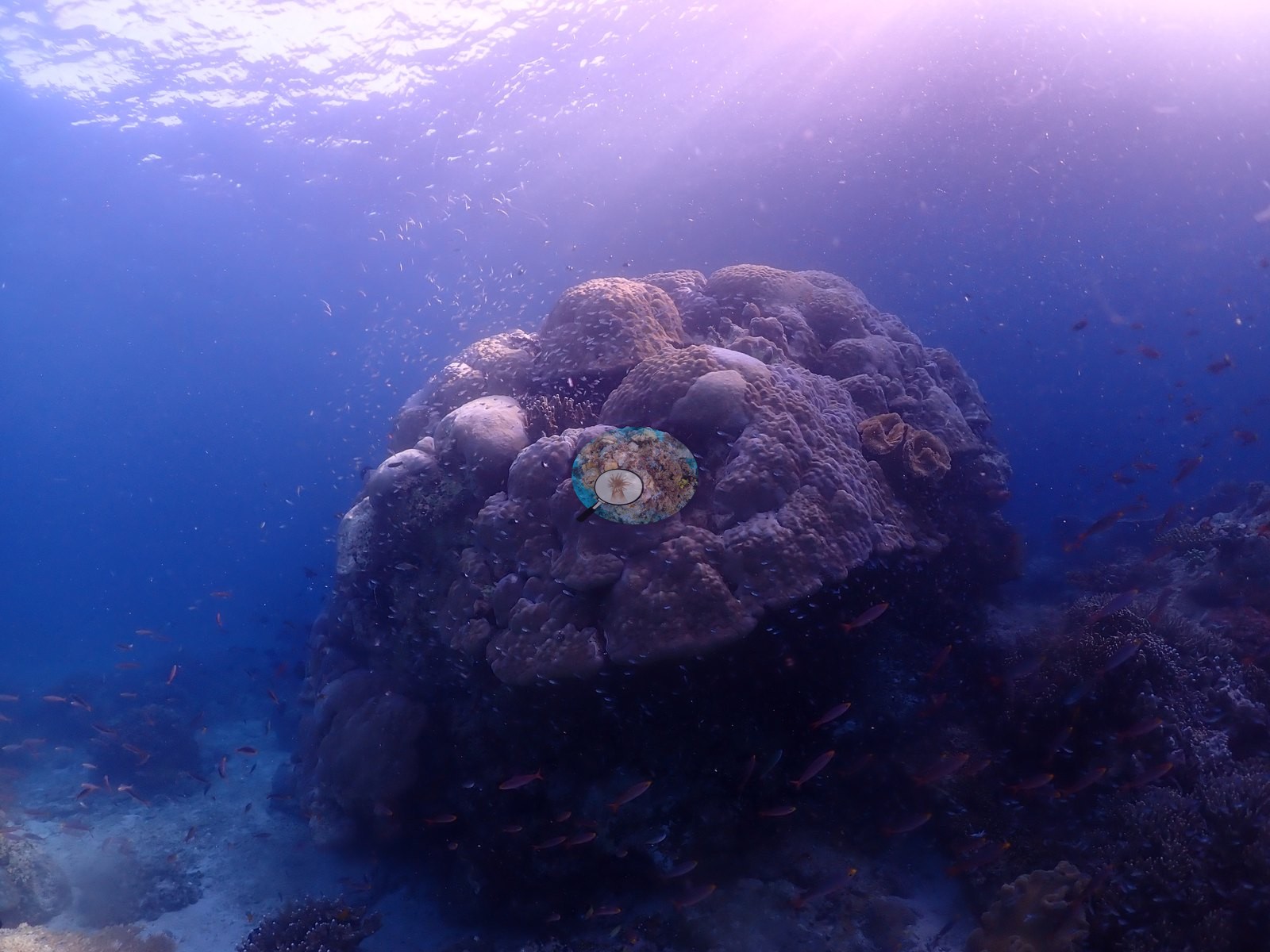
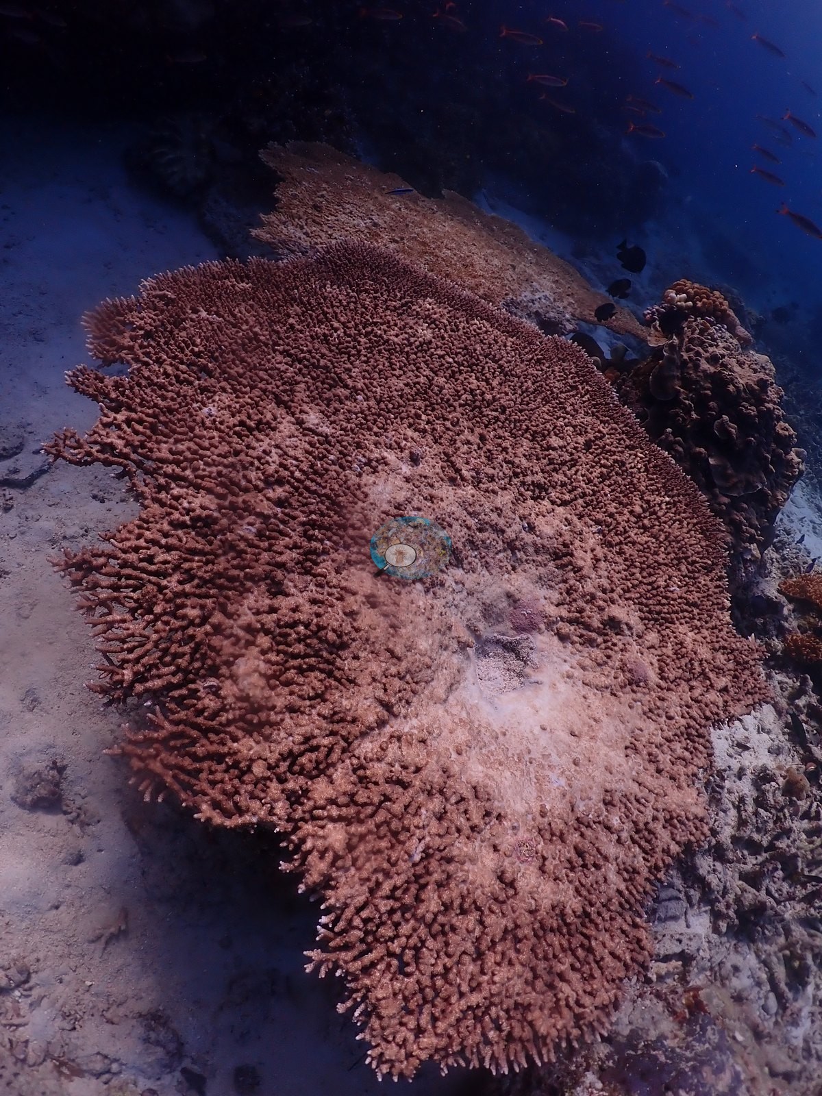
North Maluku (NOAA CRW virtual station)Merida Cavern is two dives in one - a nearly coral-free limestone swim-through with shafts of light, and a reef outside it studded with enormous meter-wide tabulate Acropora and massive Porites domes. A crown-of-thorns starfish was found under an overhang beside a freshly grazed, stark-white massive coral and further clean feeding scars on neighboring colonies - a real, active stressor. A blind Claude computer-vision point count puts coral cover around 27%. The wide spread reflects the cavern-versus-reef split rather than measurement noise.
Merida Cavern adalah dua penyelaman dalam satu — terowongan renang batu gamping yang nyaris tanpa karang dengan berkas-berkas cahaya, dan terumbu di luarnya yang bertaburan Acropora tabulat raksasa selebar satu meter serta kubah Porites masif. Seekor bintang laut mahkota duri ditemukan di bawah ceruk, di samping karang masif yang baru saja digerogoti hingga putih bersih, dengan bekas pemangsaan bersih lainnya pada koloni-koloni tetangga — sebuah pemicu tekanan yang nyata dan aktif.
Terjemahan ringkasan ini oleh AI; versi bahasa Inggris yang berlaku. Translated from the site’s shorter map summary.
One independent survey station shown with the program’s logo — click one to see how far it is from this site.
One other CRD dive site within 5 km shown in orange — click a marker to open its page.
41 of these 52 photographs are shown beside the text that discusses them under "Site description" below.
Site description
Setting
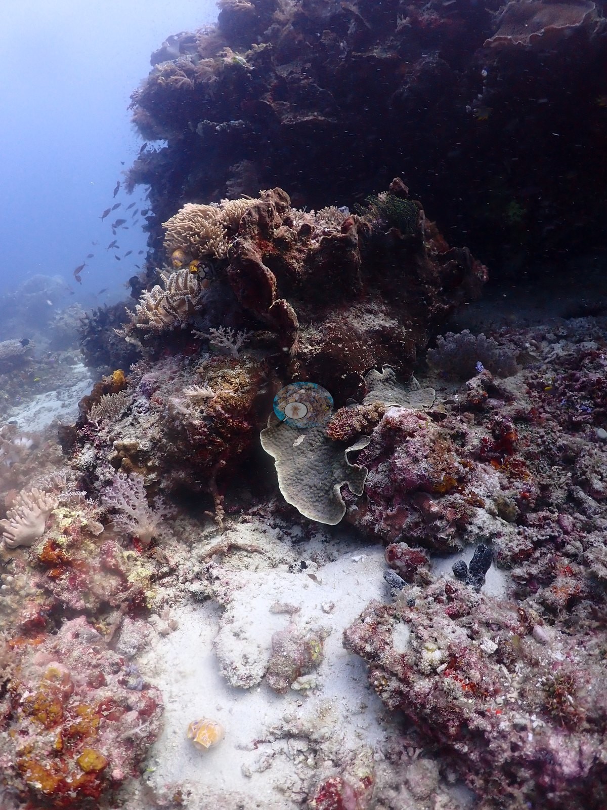
Merida Cavern is two dives in one, and Anderson's field note draws the line himself: “an amazing cavern with beautiful lighting, nice corals outside the cave, less spectacular along drop-off.” The cavern is a limestone chamber and swim-through worked at 15 m: bare eroded rock walls, a rippled white sand floor, divers on torches, and shafts of surface light coming down through the roof openings (eleven frames are the classic light-shaft frames) (e.g., Image 8, Image 18, Image 21, Image 38, Image 41, Image 42).
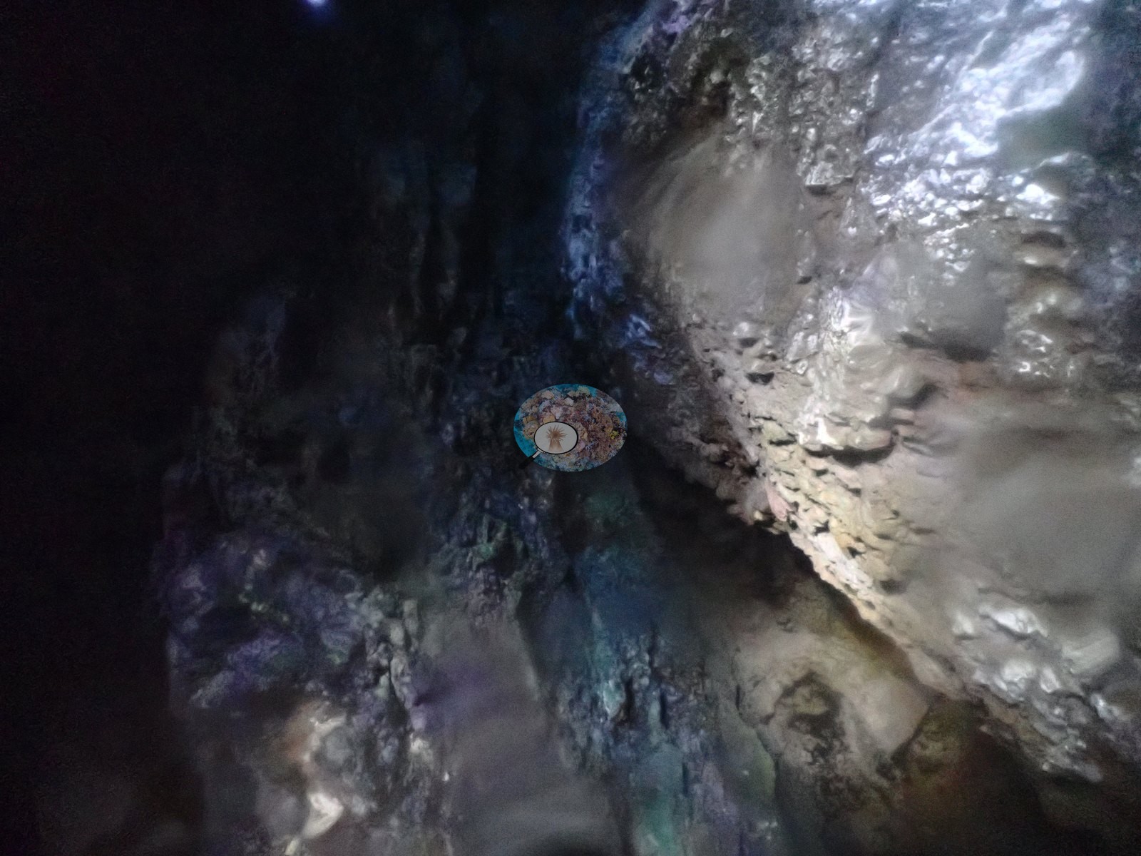
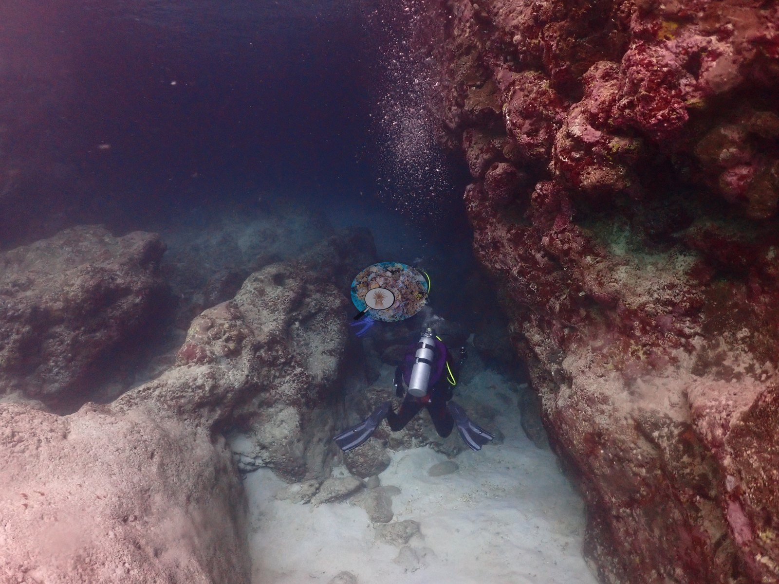
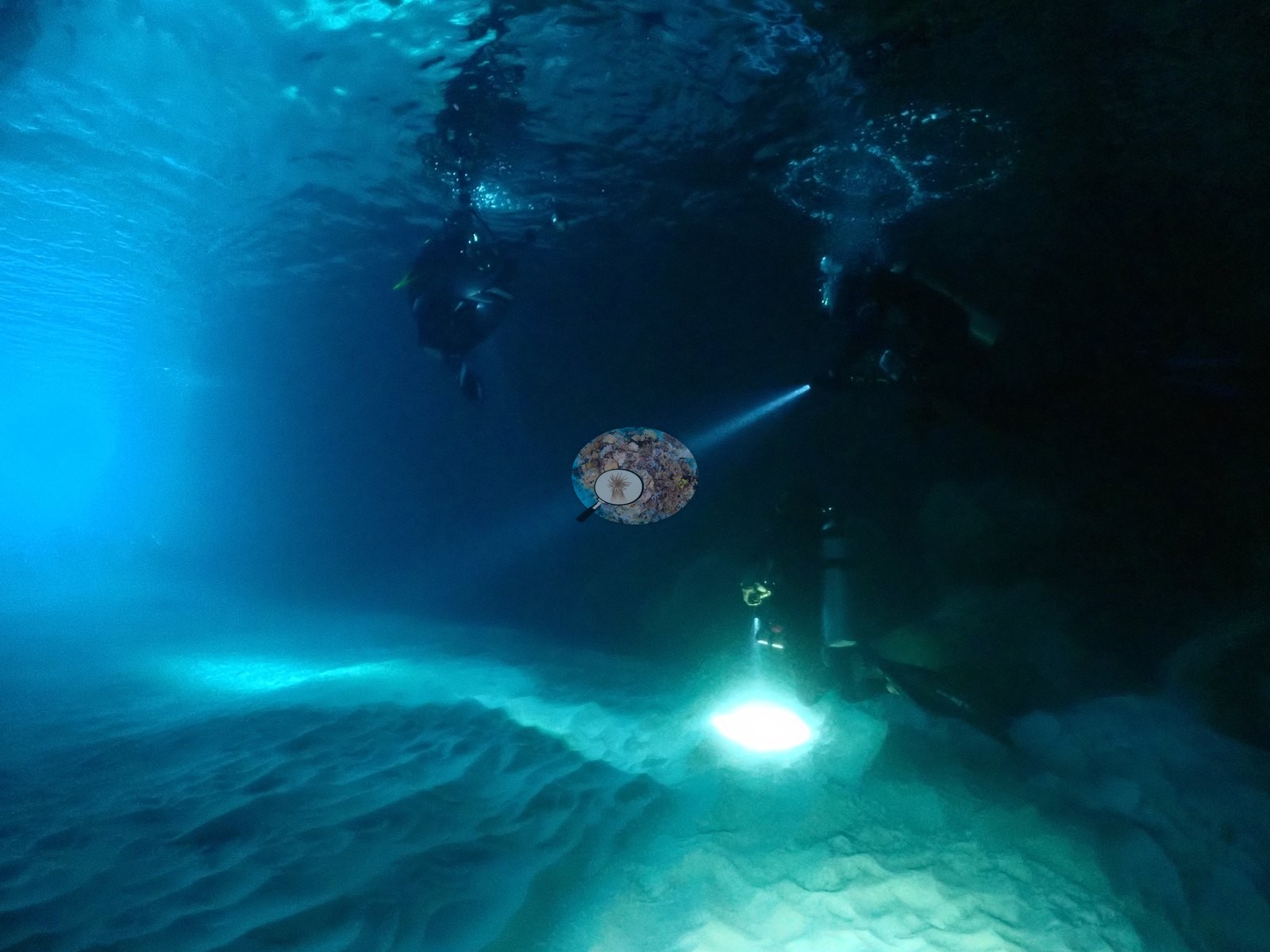
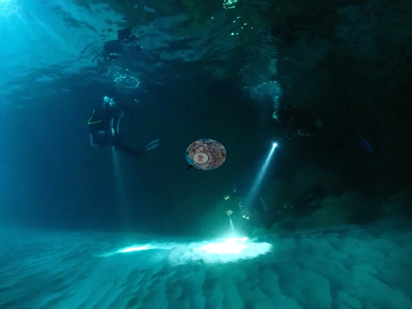
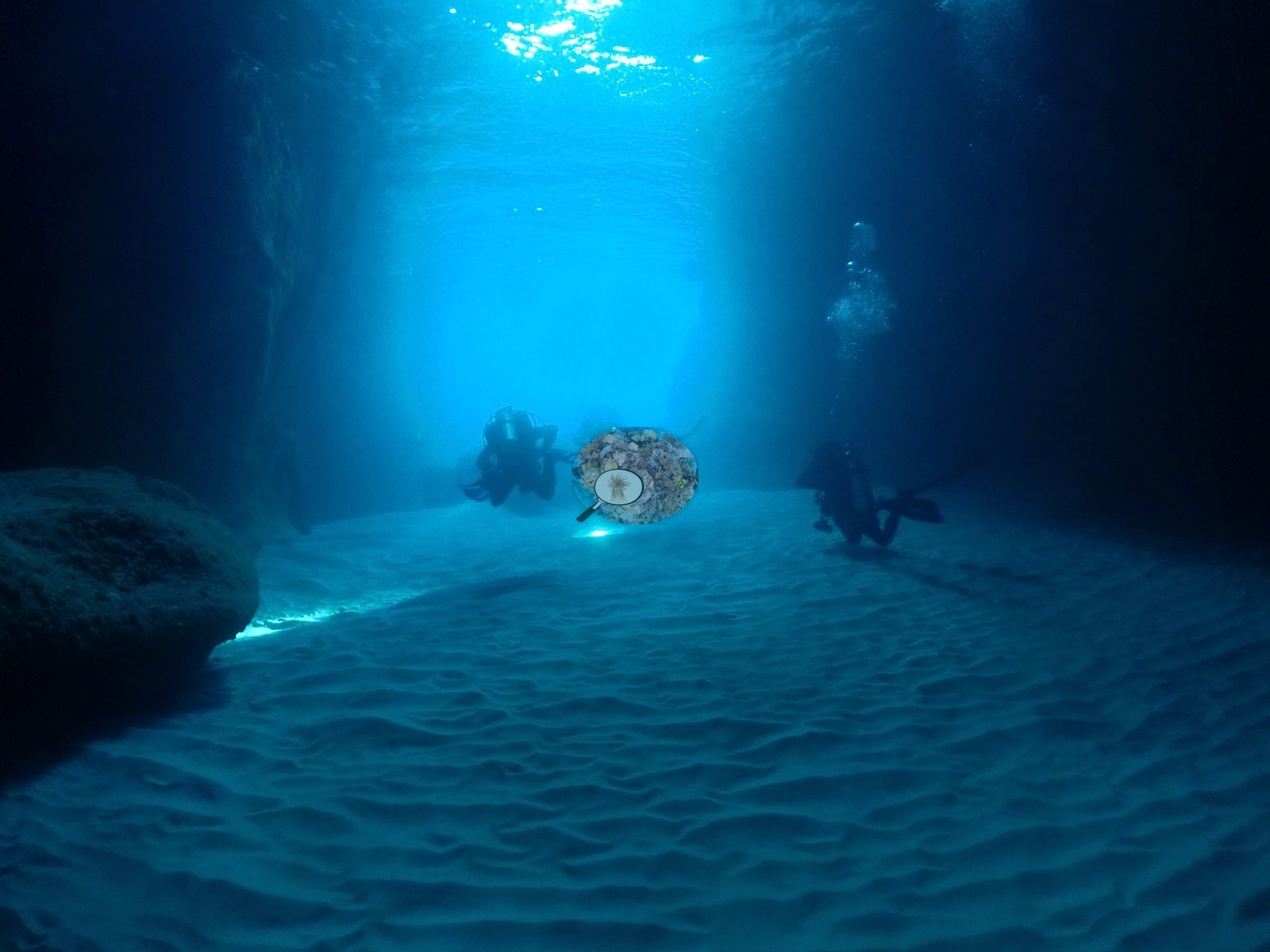
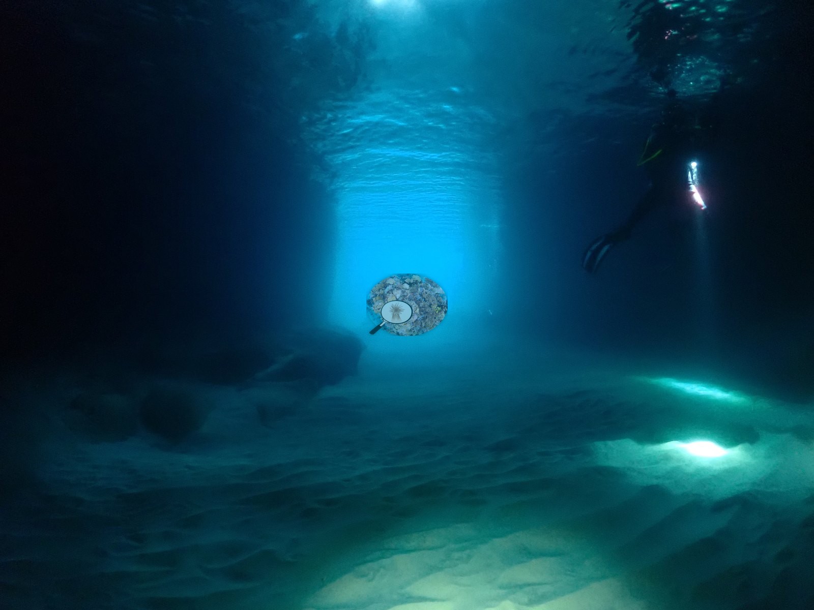
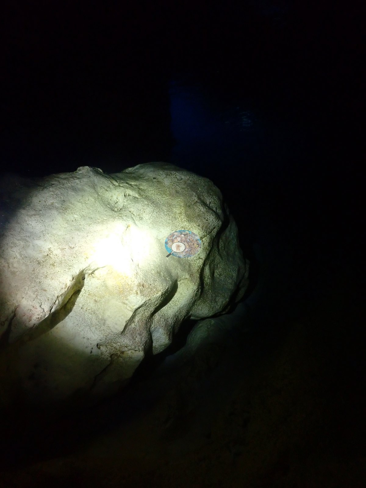
Almost no coral grows in there, and these are the dive's lowest readings (e.g., Image 25).
General benthic features
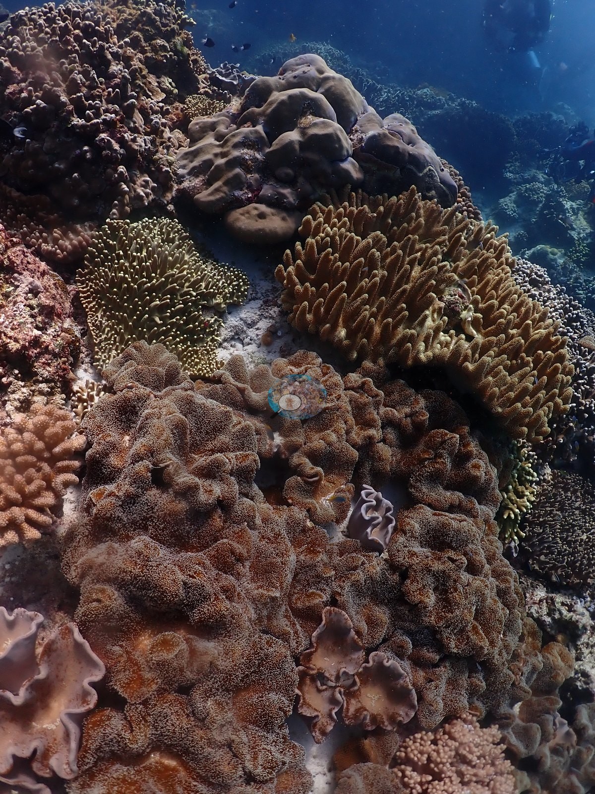
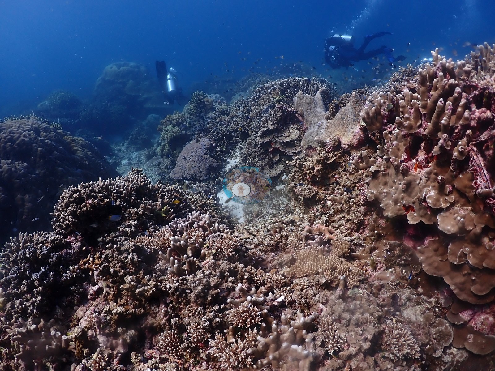
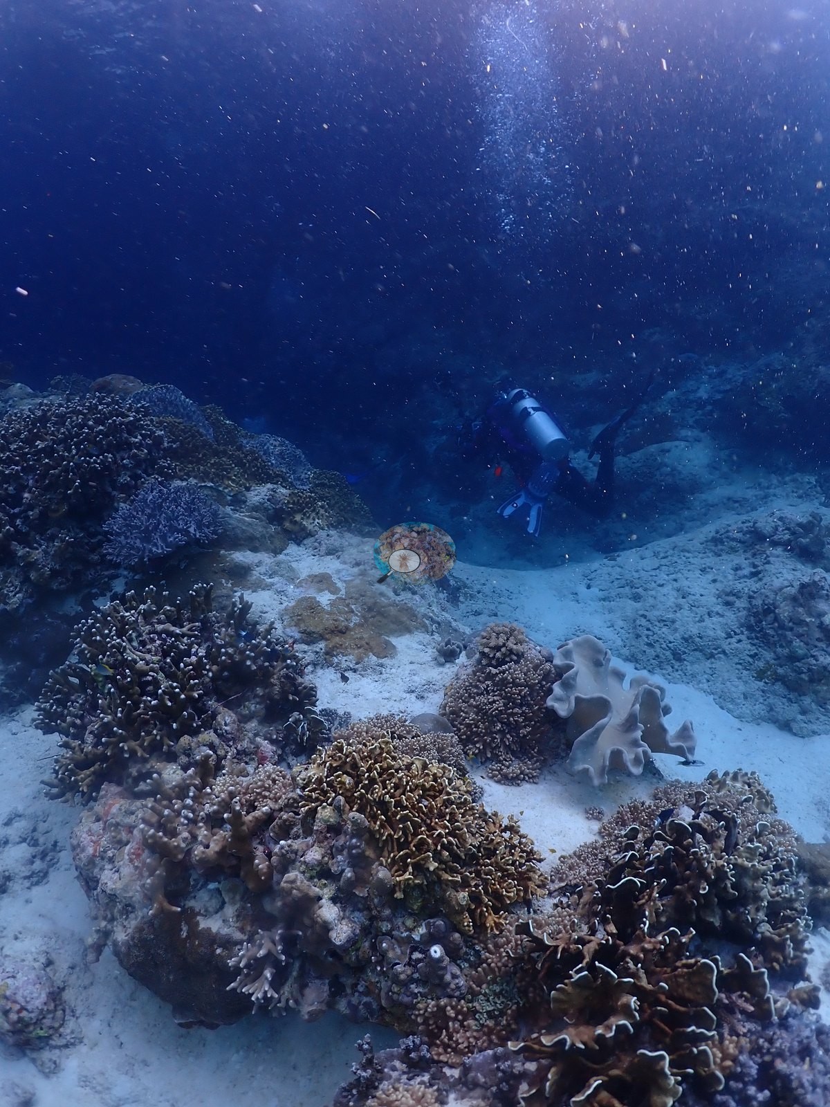
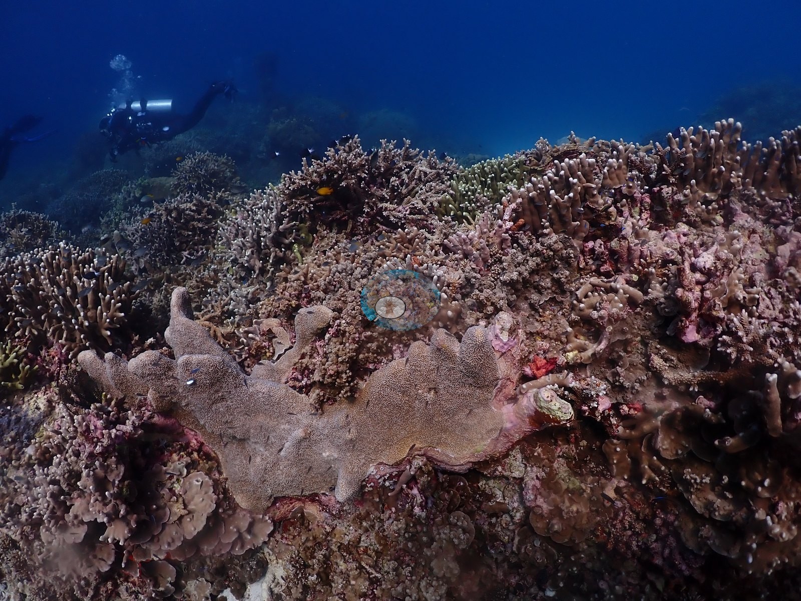
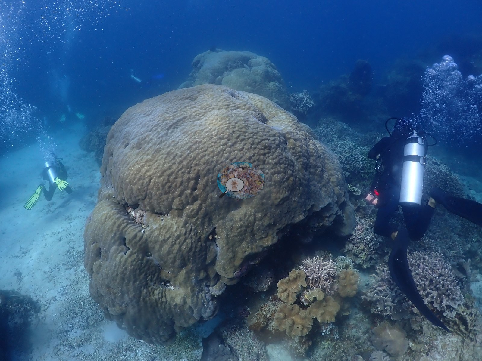
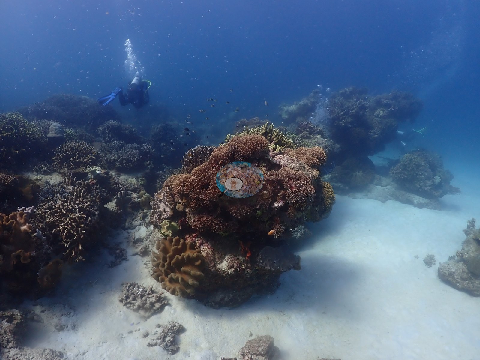
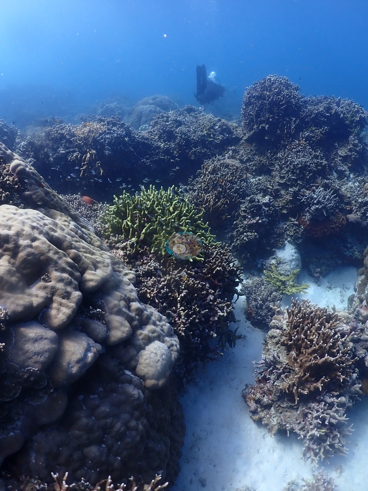
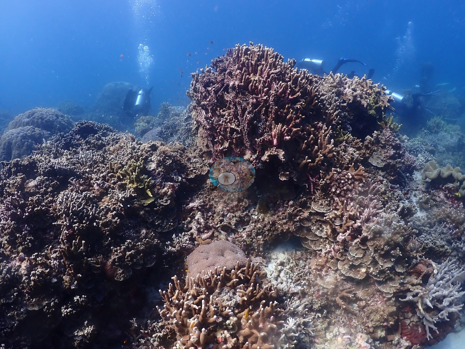
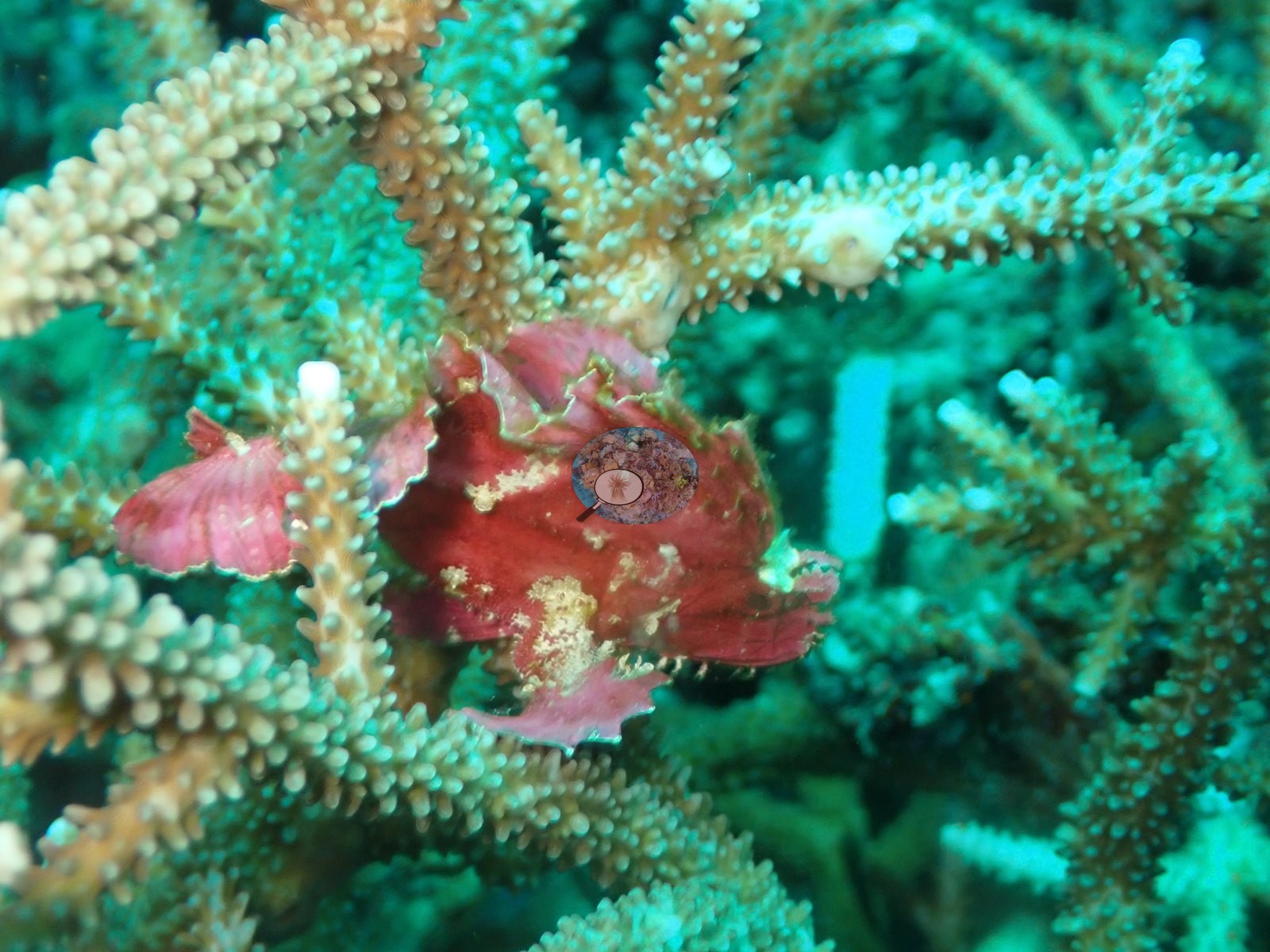
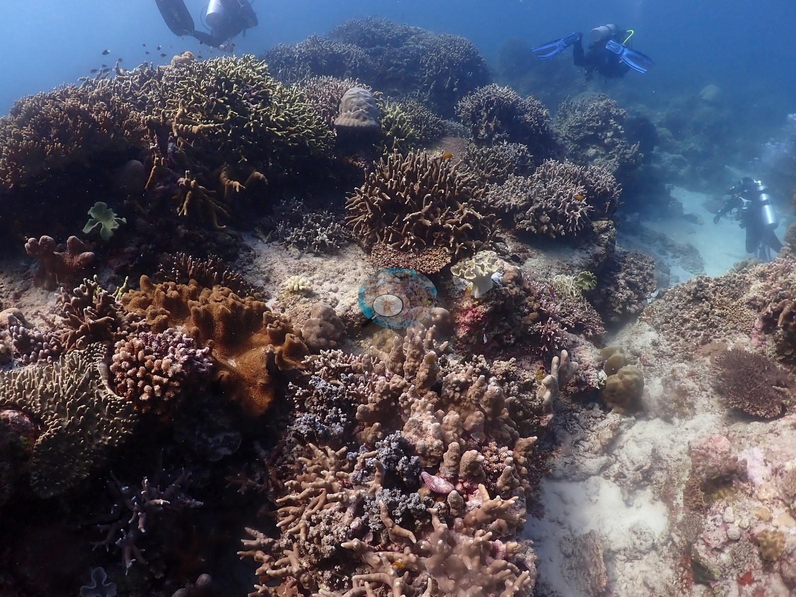
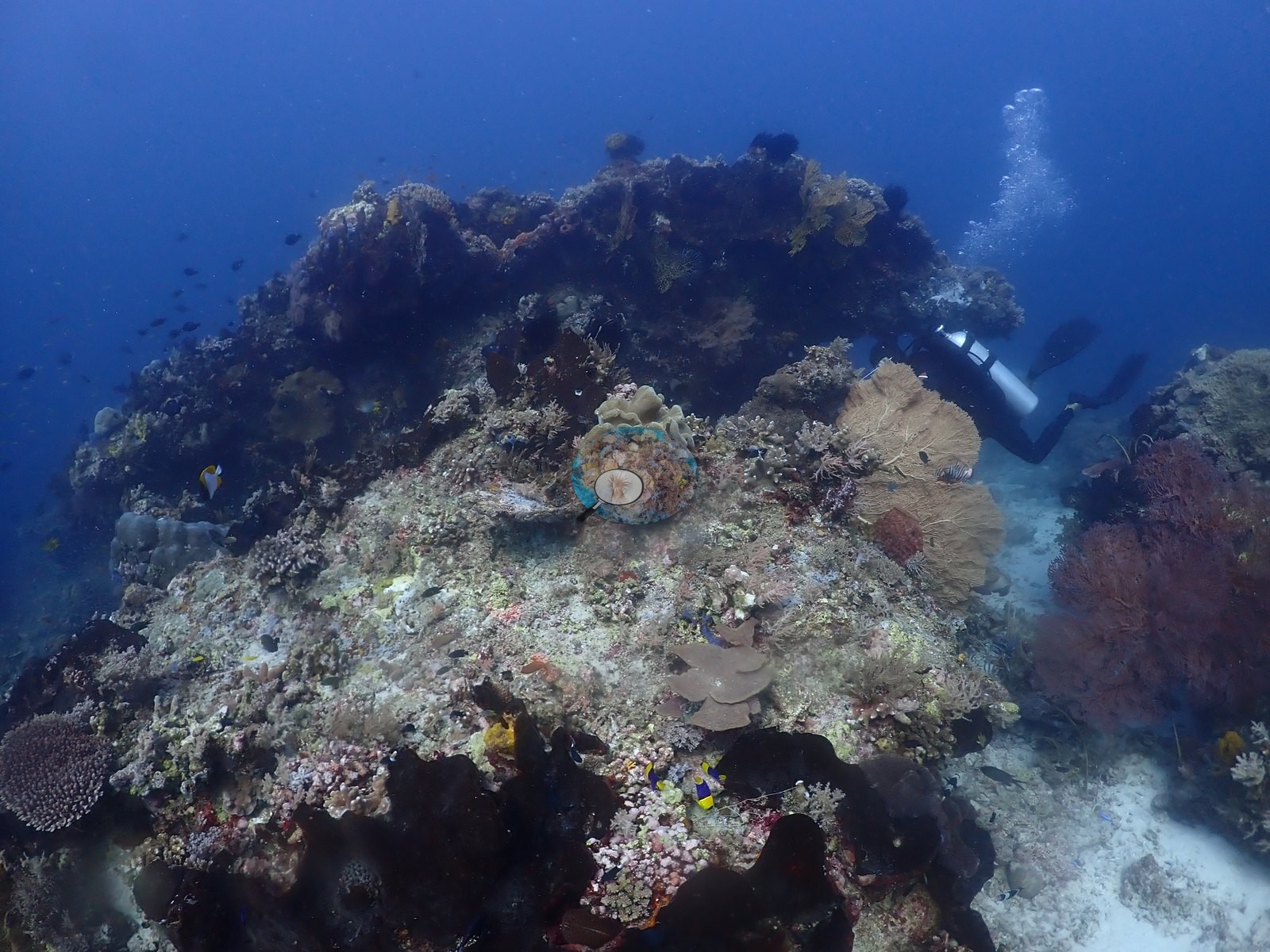
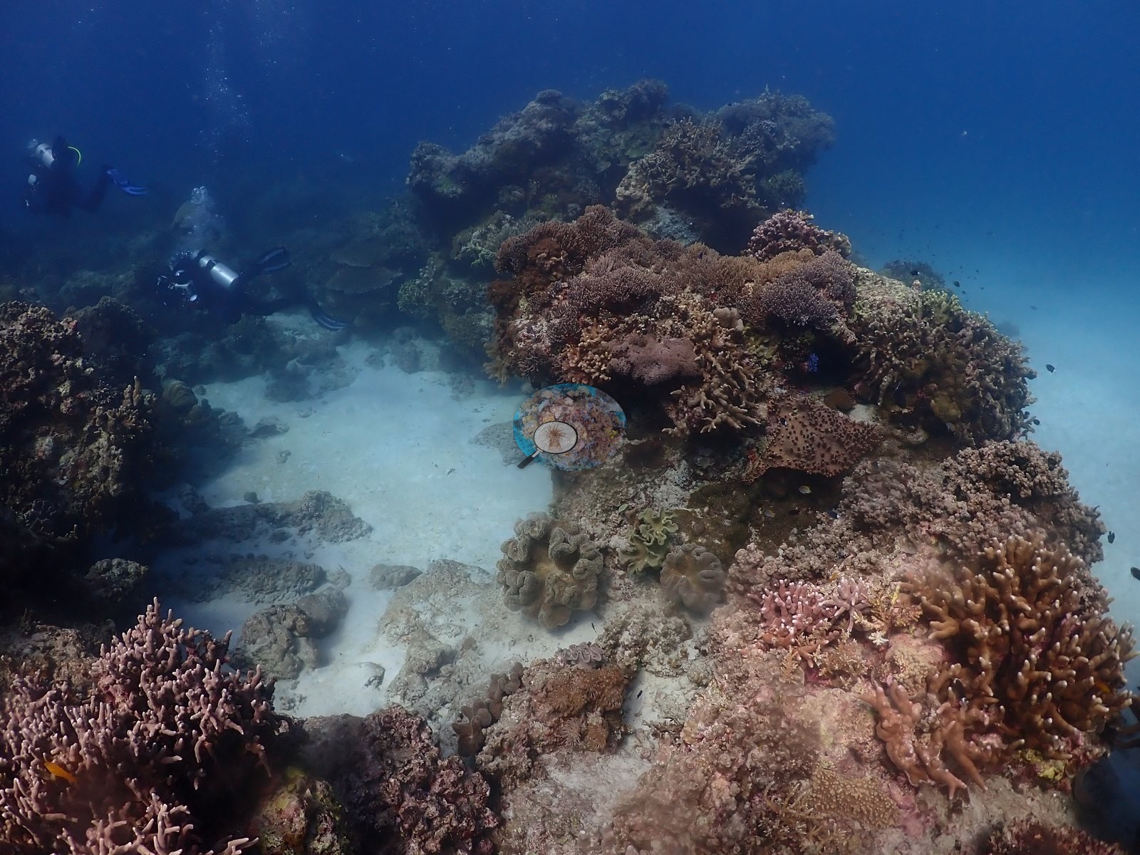
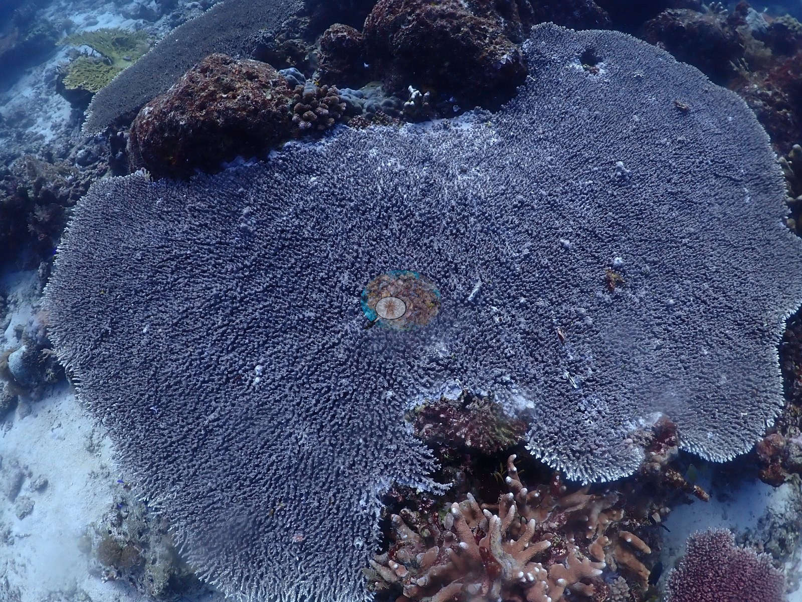
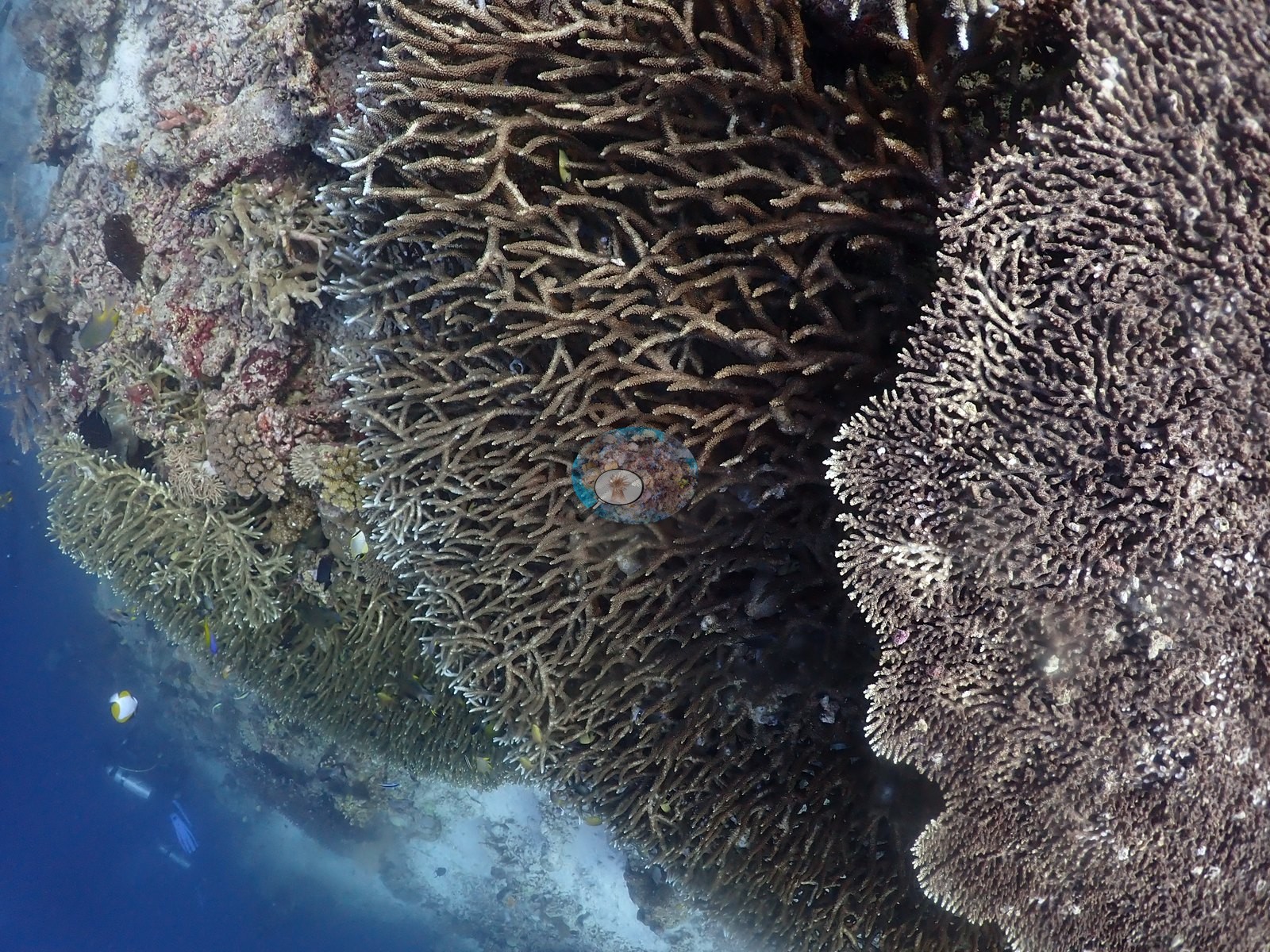
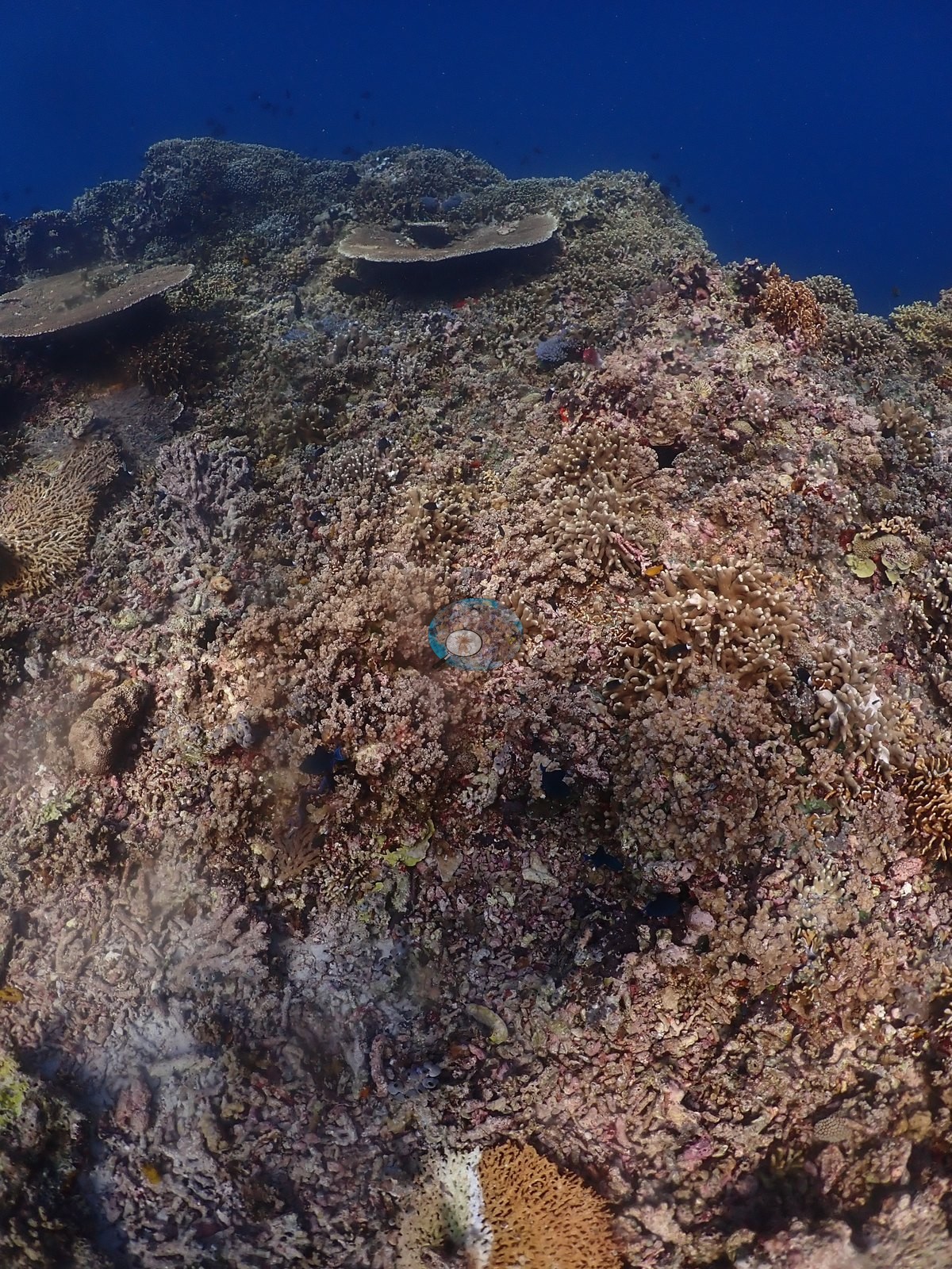
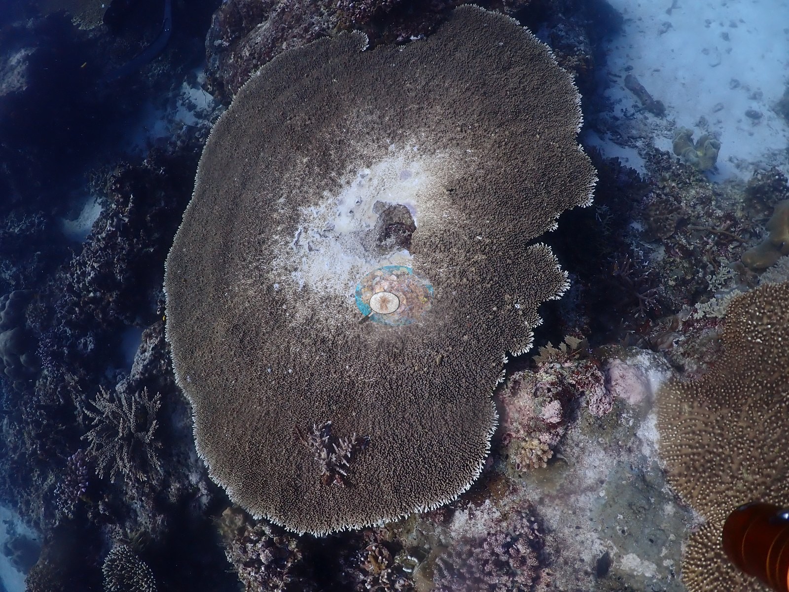
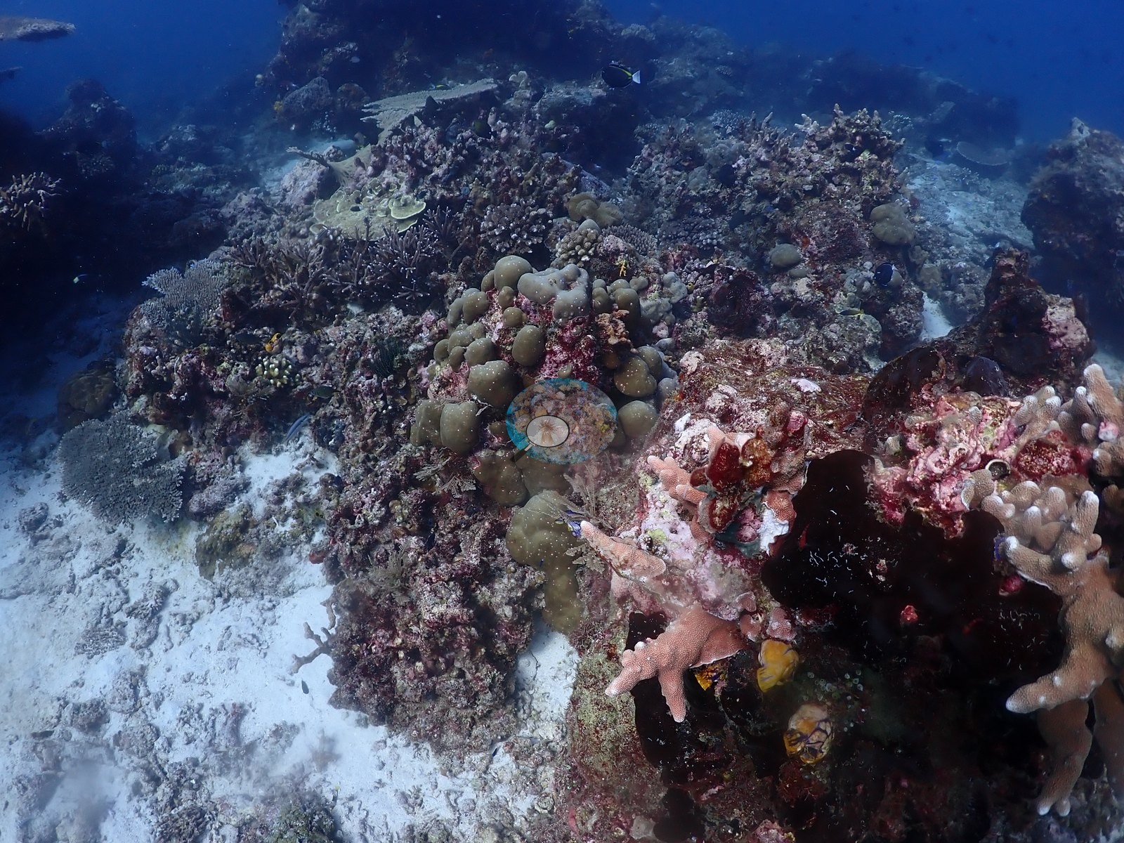
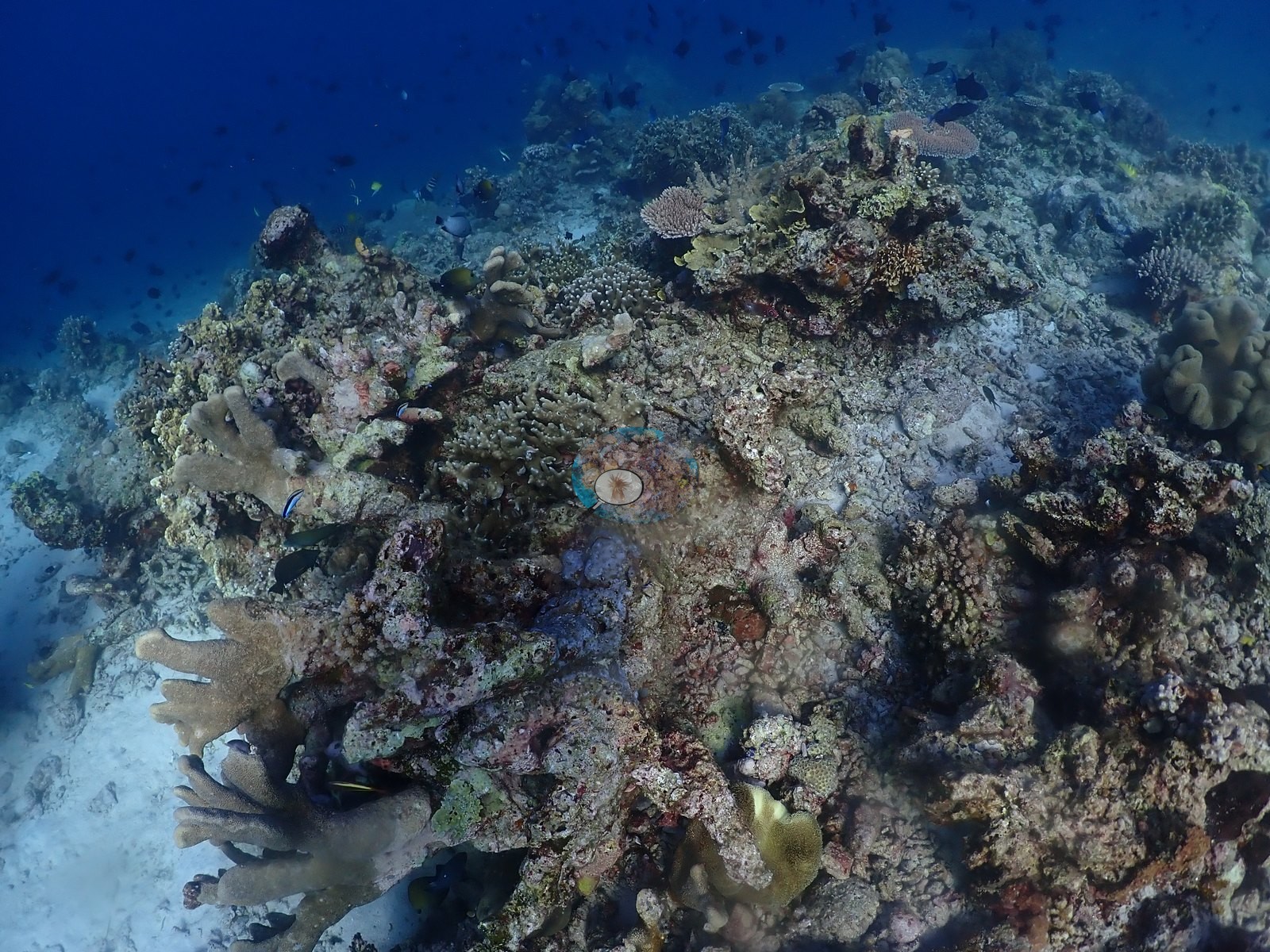
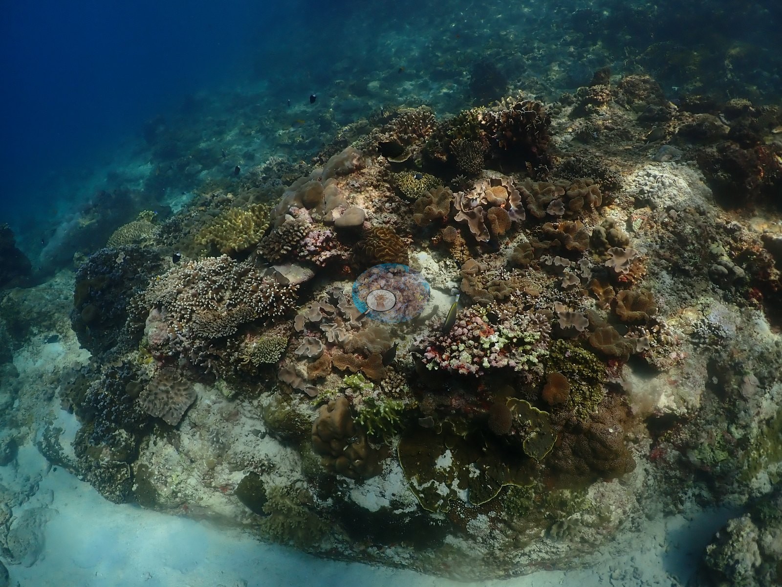
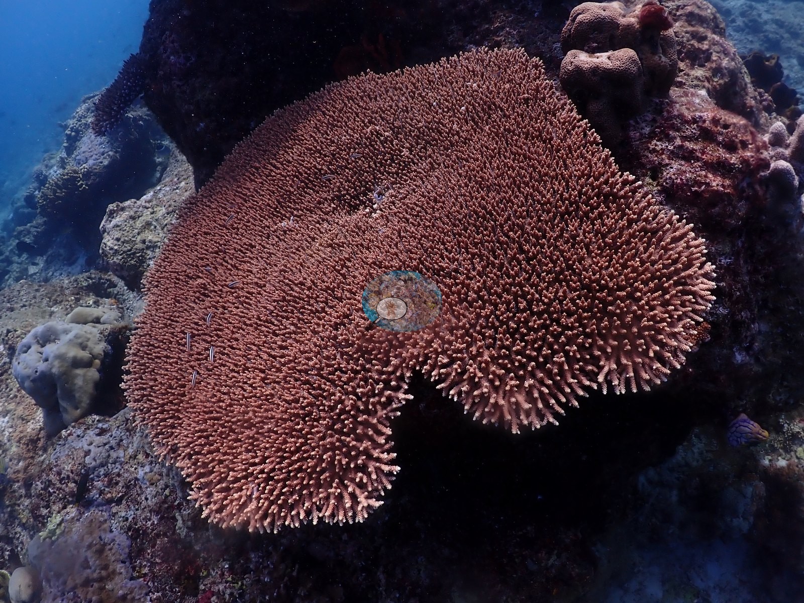
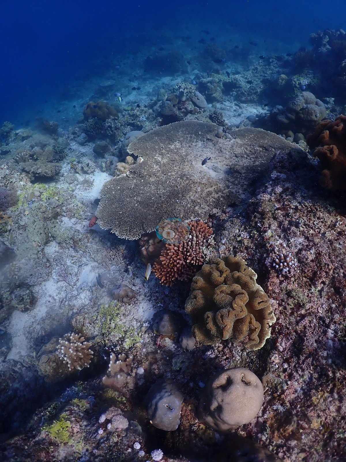
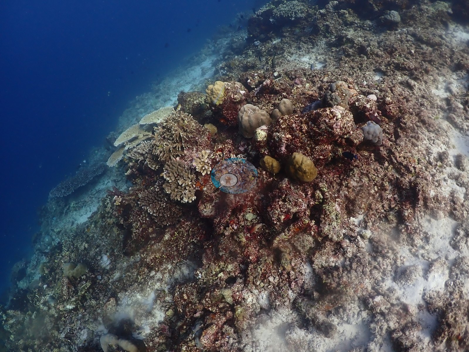
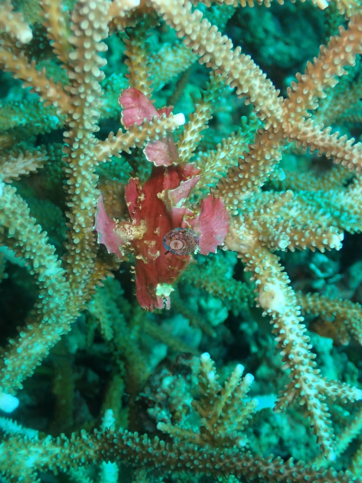
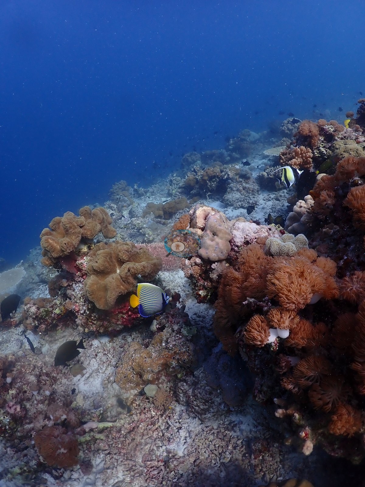
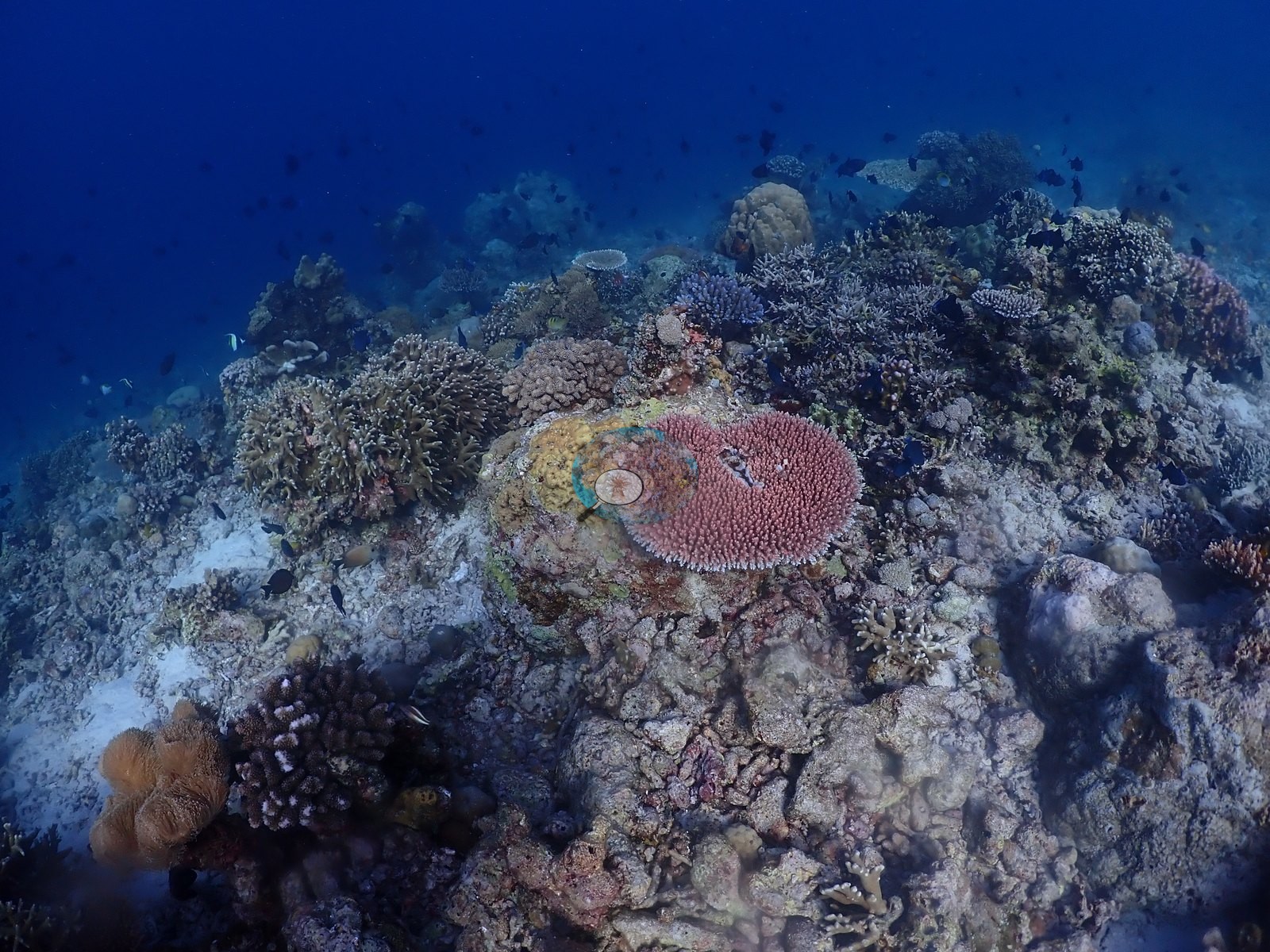
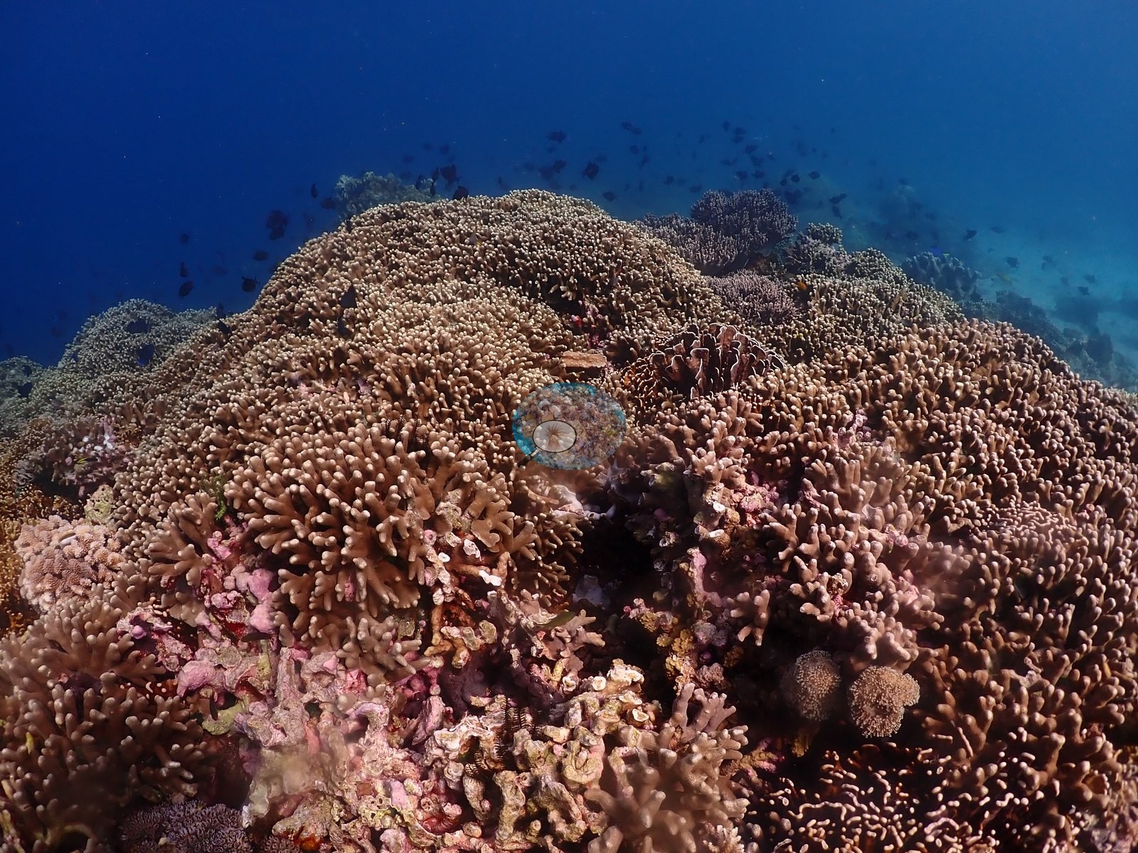
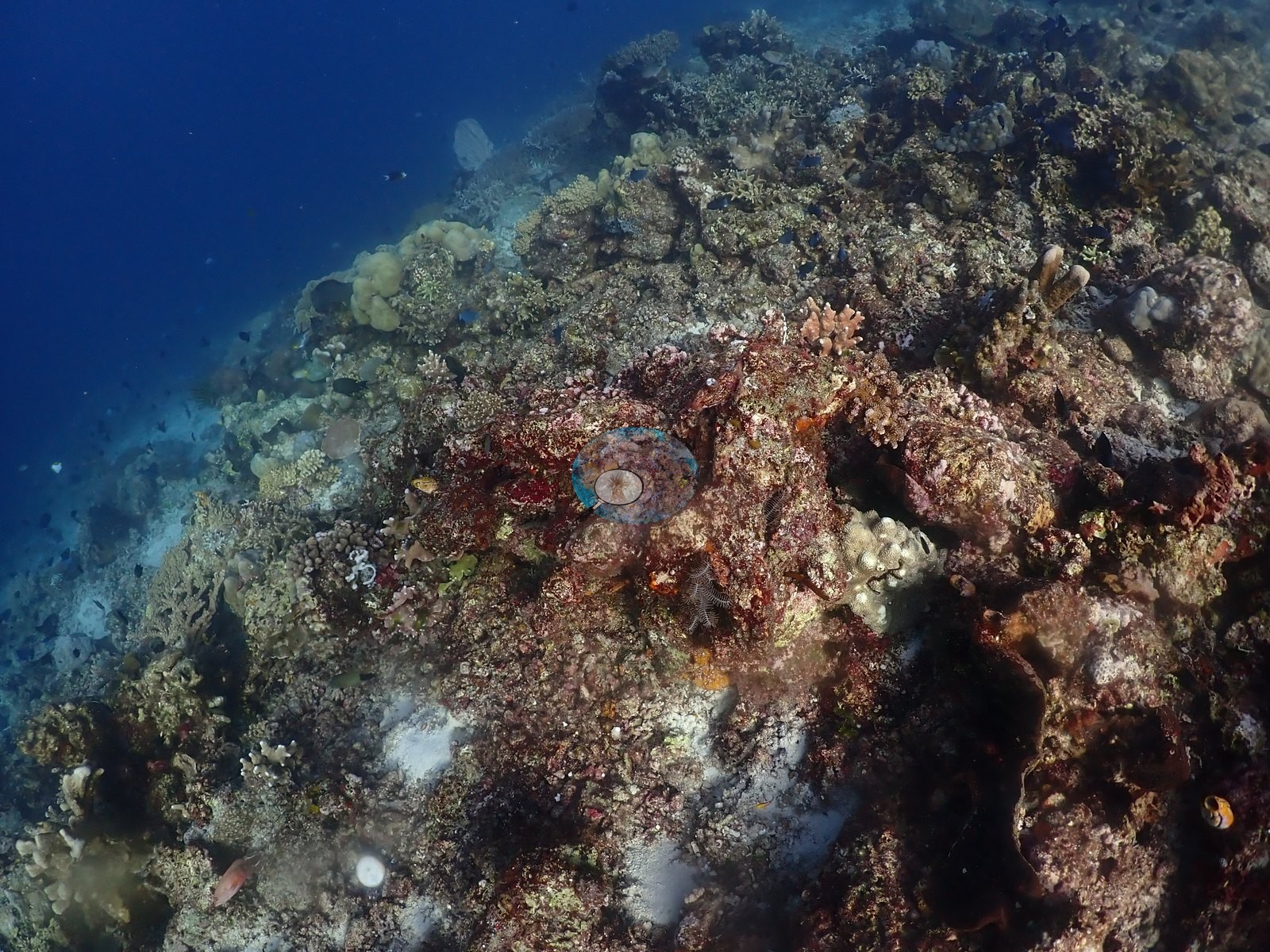
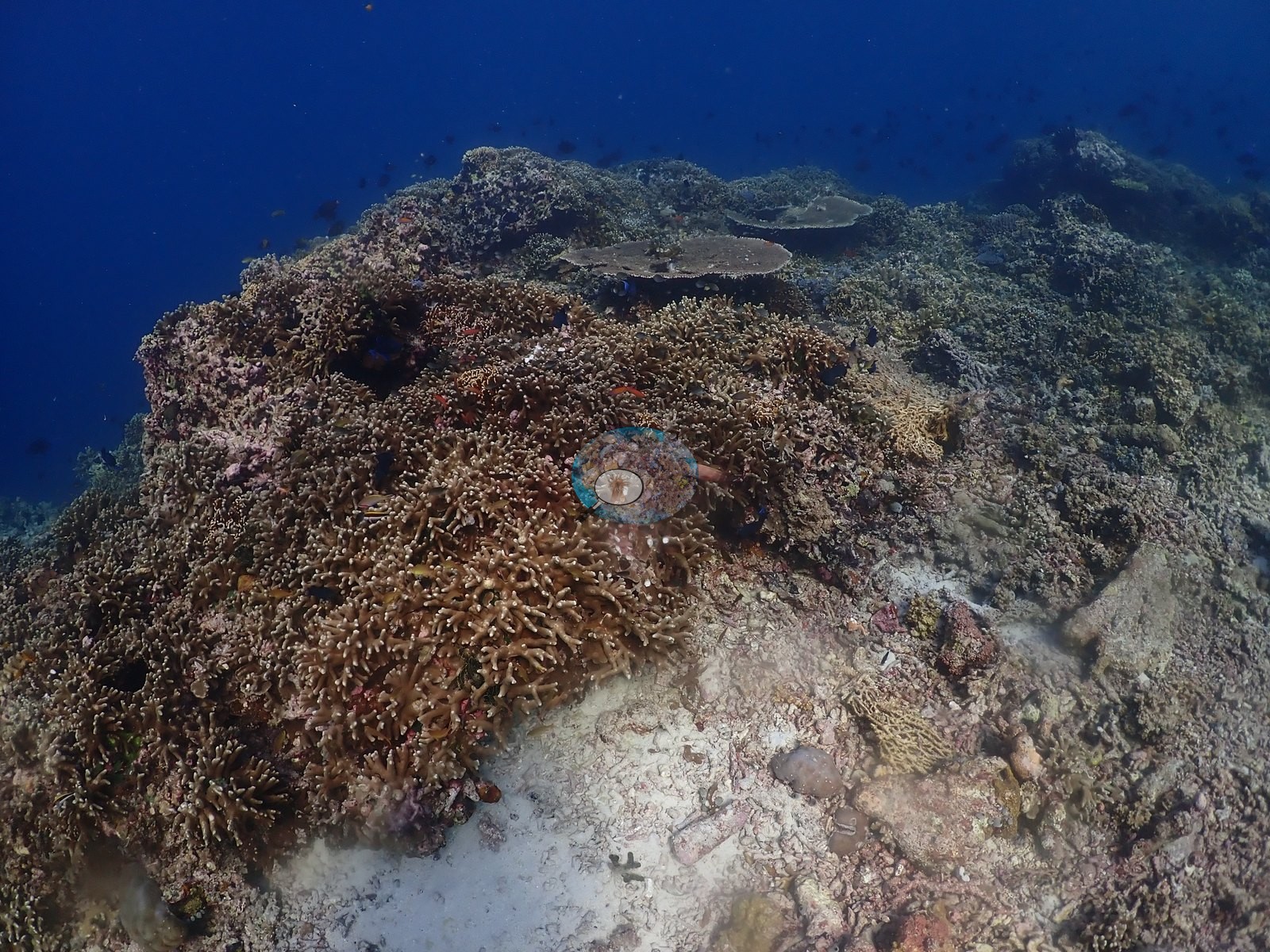
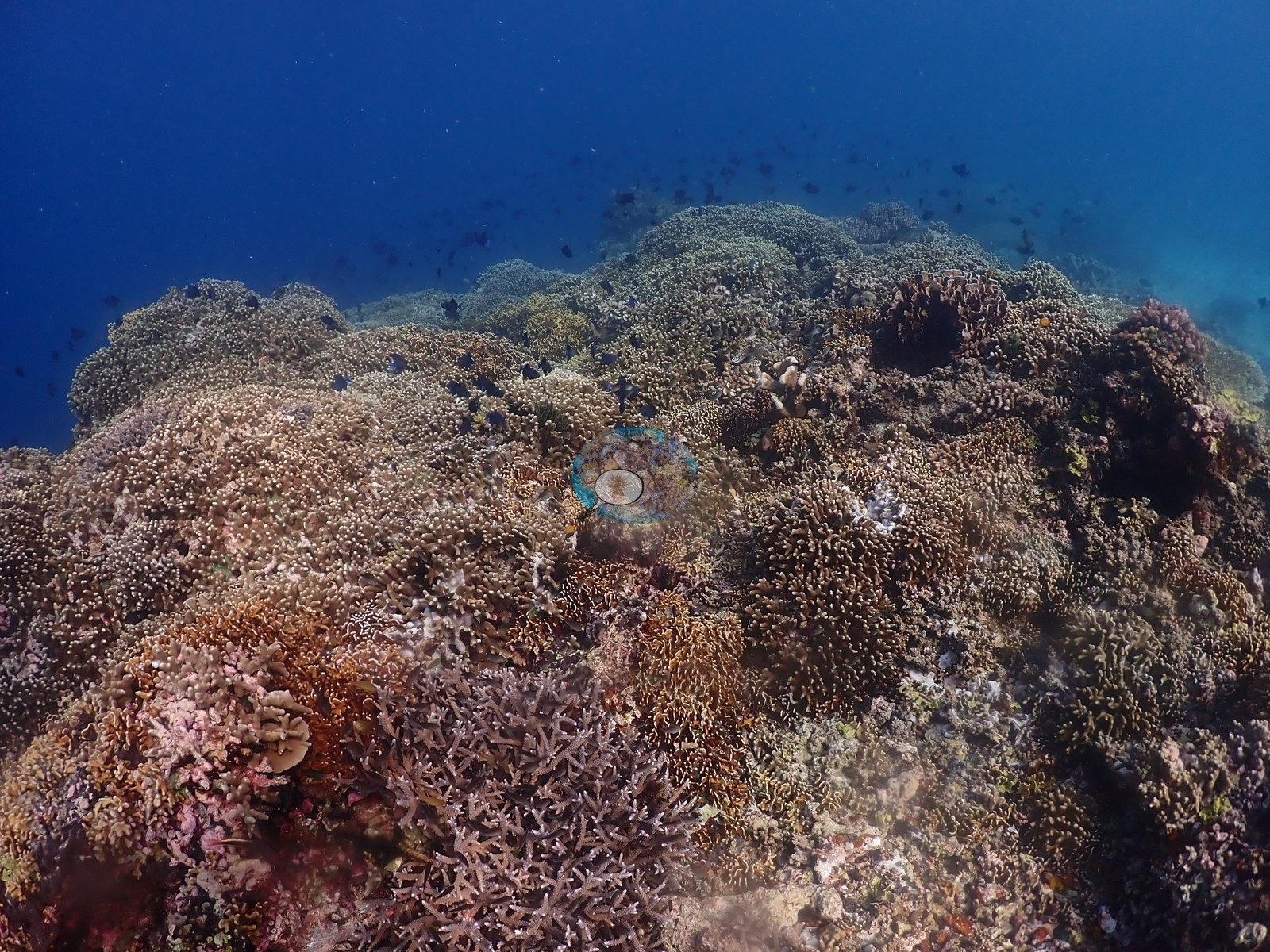
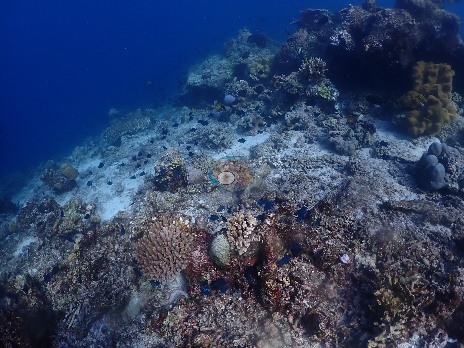
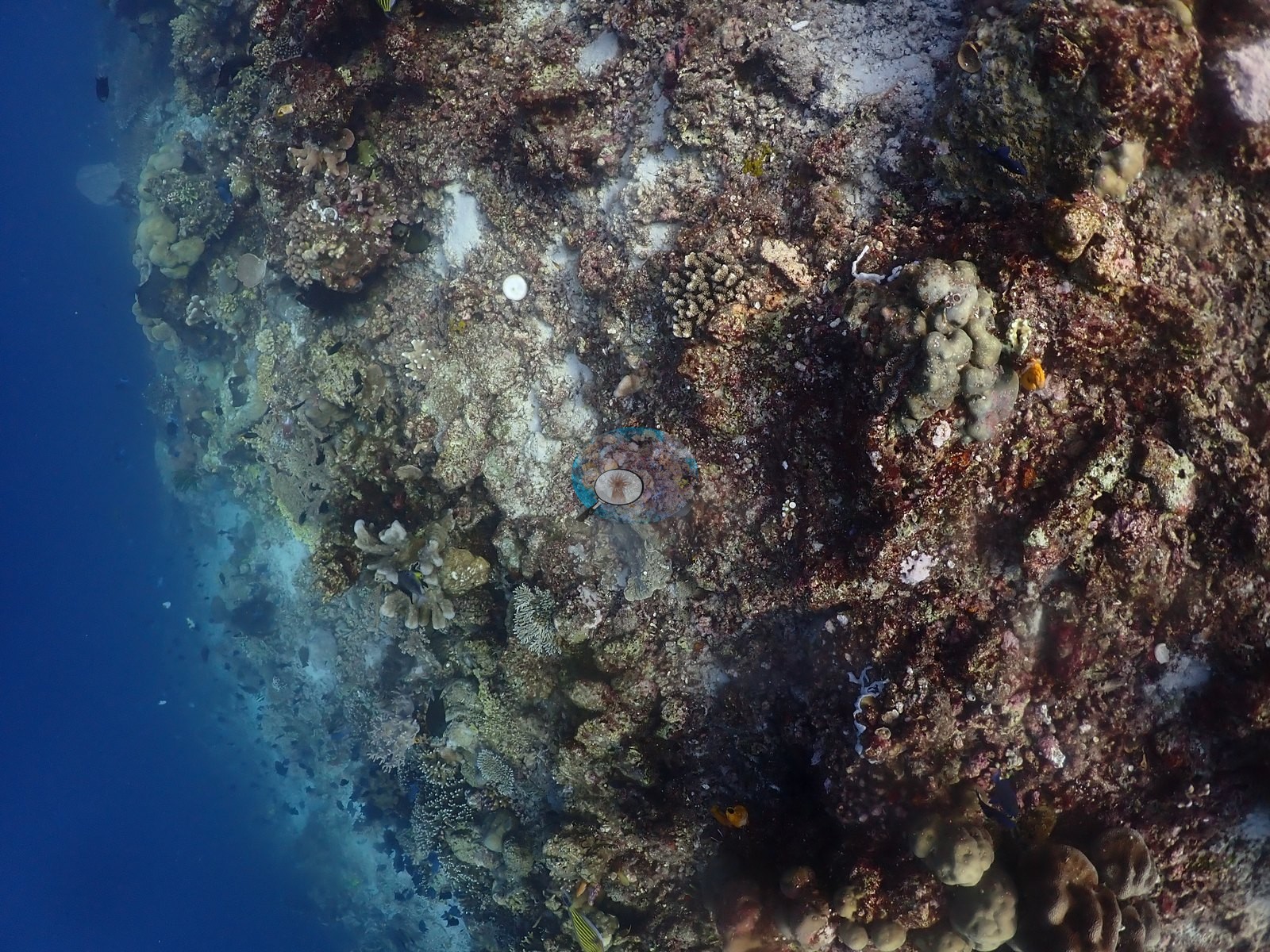
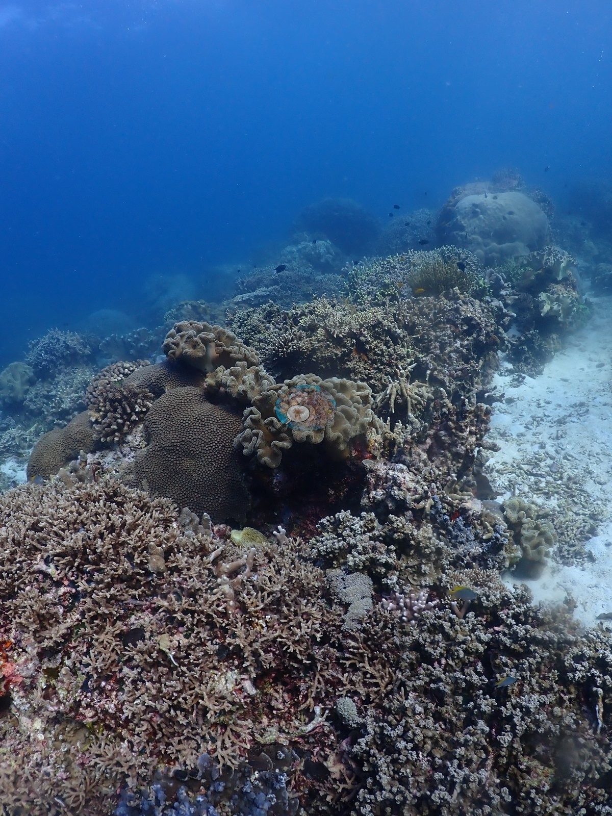
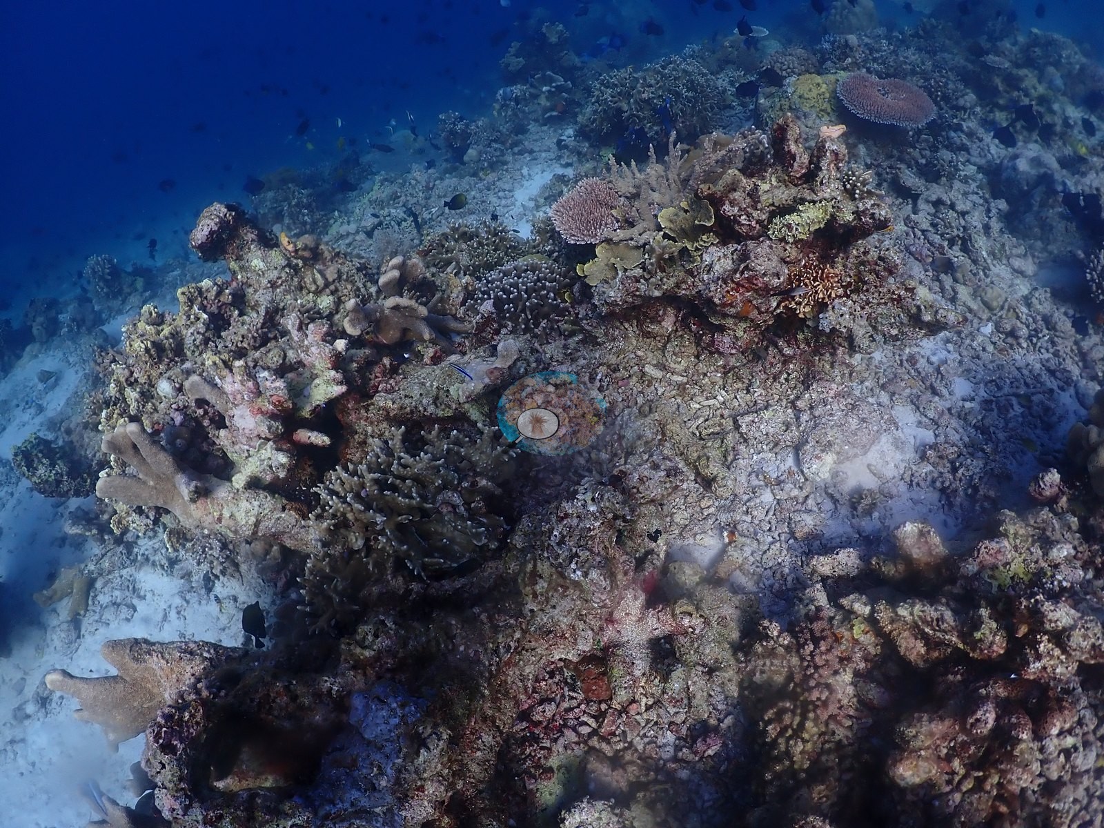
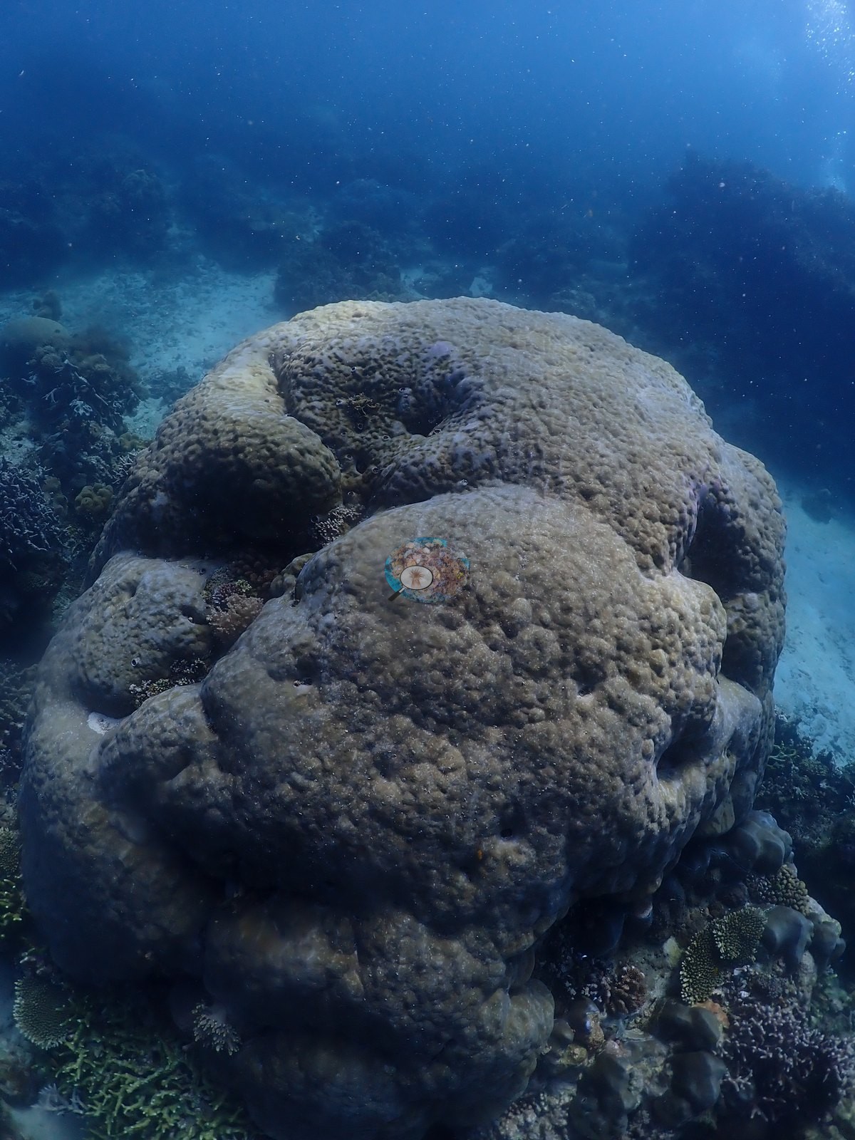
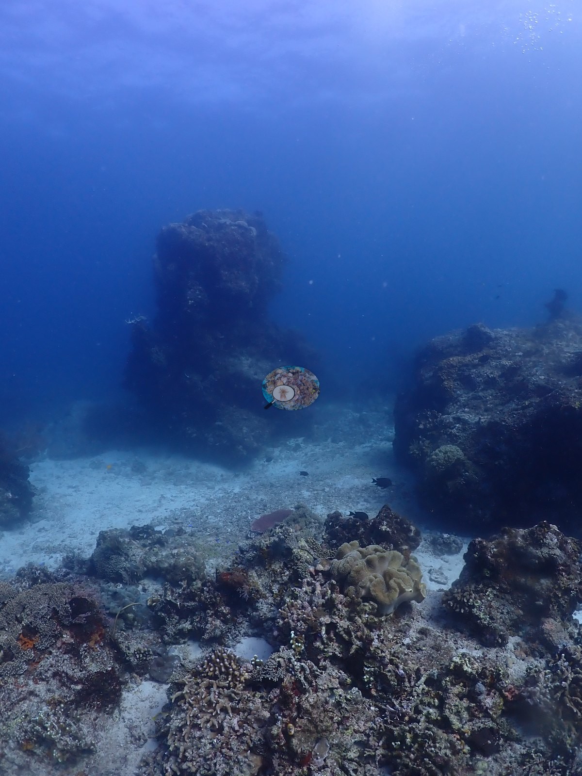
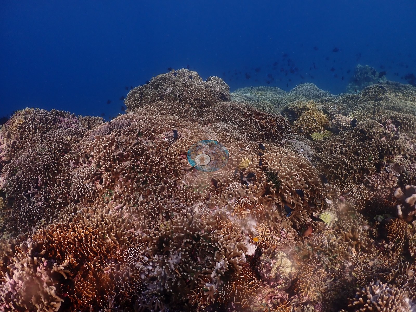
Outside the cave the reef opens onto a hard pavement and sand slope studded with coral bommies, and this is where the site earns its cover: enormous flat-topped tabulate Acropora, many more than a meter across, sit alone on pale pavement with clear sand around them, alongside massive Porites and Diploastrea domes, branching and corymbose Acropora thickets, green digitate Acropora, foliose, and encrusting plates, brown Lobophytum and Sarcophyton leathers and, on the drop-off wall, plenty of crustose coralline pavement with comparatively little live coral — matching the “less spectacular along drop-off” half of the note (e.g., Image 1, Image 3, Image 4, Image 5, Image 6, Image 9, Image 10, Image 11, Image 12, Image 13, Image 15, Image 19, Image 20, Image 22, Image 23, Image 24, Image 28, Image 30, Image 31, Image 32, Image 33, Image 35, Image 36, Image 40, Image 43, Image 45, Image 46, Image 47, Image 48, Image 50, Image 51, Image 52, Image 53, Image 54).
Coral cover
Coral cover: 27% — a blind Claude computer-vision point count of 125 of Anderson's unedited photographs (20 points per photo; water, fish, and obstructions excluded). Other computer-vision methods are listed in the method table.
Stressors
The dive carries a real ecological finding: a crown-of-thorns starfish under an overhang with a stark-white, freshly grazed massive coral immediately above it, plus further clean white feeding scars on neighboring colonies in the same frame and the next. The spread in cover is the cavern-versus-reef split, not measurement scatter.
Comparisons with other data
No independent survey was made at this exact site; the nearest ones are listed in the table below.
CV model comparison
More info
DINOv3 and CoralSCOP were run on the same photos and are listed for comparison. Coralscapes v2 and v1 were also run but are not shown: Anderson does not consider Coralscapes reliable for these photos. No diver transect exists for this trip, so agreement between the rows is not accuracy, and as of September 2026 no computer-vision method estimates coral cover accurately on new images; treat every row as indicative.| Method | Hard-coral cover (%) |
|---|---|
| In-house DINOv3 | 24.3 |
| CoralSCOP unedited | 31.4 |
| Claude | 27.3 |
Independent surveys nearby
Within 5 km, 1 independent survey station recorded hard coral cover in 2024. One survey since 2021 recorded 19%. This site's own estimate (27%) sits 8.4 points above the recent value (19%); the methods differ, so the comparison is context, not a like-for-like test.
Collected by other programs using different methods (MERMAID is a data platform: each MERMAID row names the organization that did the survey, and its method is in the row's hover text), so these are context for the figures above, not a like-for-like comparison. Where a station was surveyed more than once the range is shown. Station names are not dive-site names.
| Agency | Site / location | Date | Hard coral cover (%) | Distance | Link |
|---|---|---|---|---|---|
| WCS Indonesia via MERMAID | Legoma | 2024 | 19% | 0.00 km | Adiyoga D, Cholic O, Gunawan I, Rayhan A, Sutanto S, Syah L, Zulfikri M. 2024. Guraici MPA 2024. MERMAID |
Data & links
All images from Coral Reef Diagnostics. Data are from Coral Reef Diagnostics and the organizations named in the data-sources table above.
© Coral Reef Diagnostics.