
Regional summary of 54 dive sites. Figures are averages across the sites that report them (n = sites with a value); each site's own page has its individual values. Part of the Australia (GBR) overview.
⬇ Download this region as a report card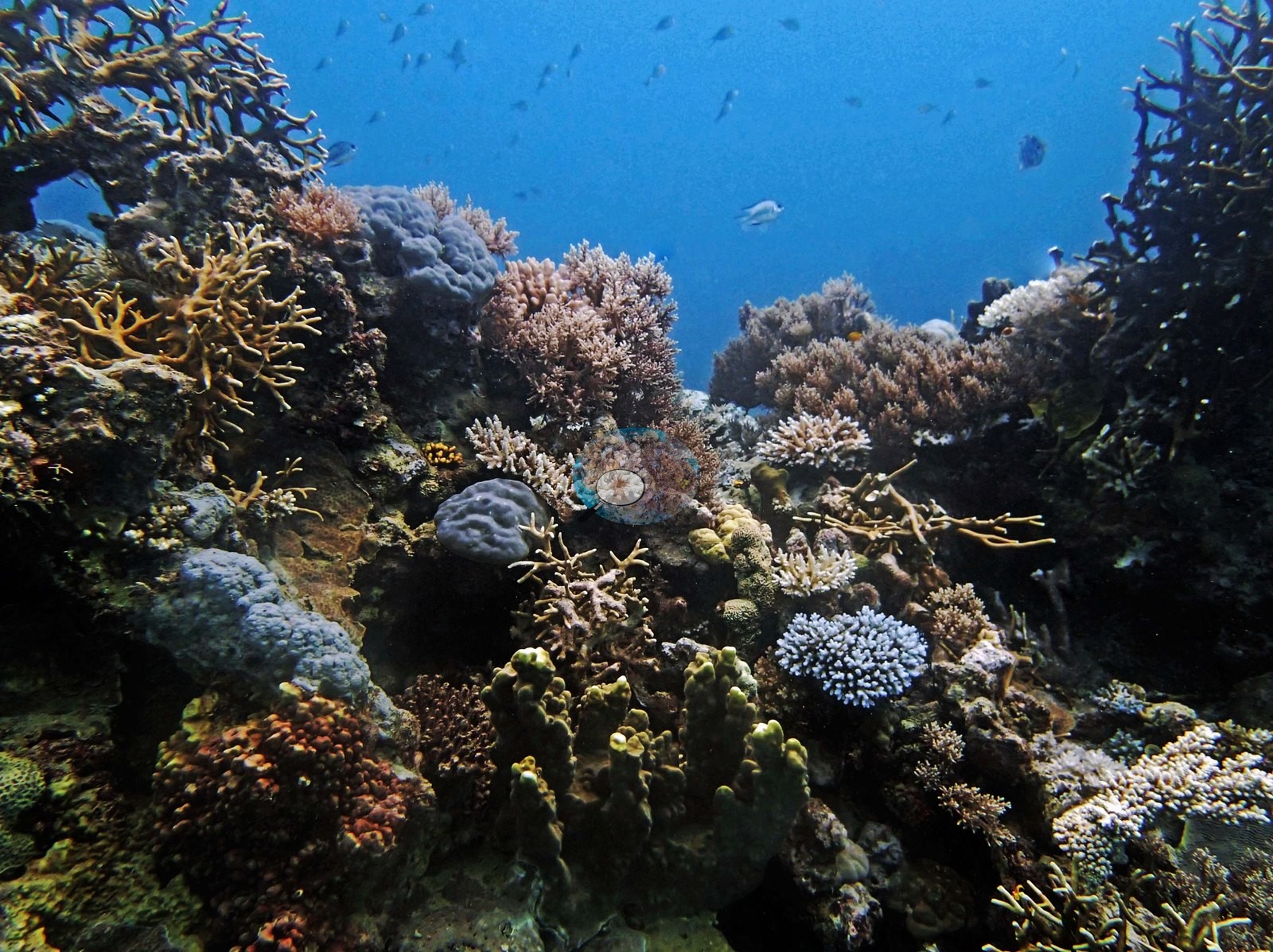

Fifty-four far northern Great Barrier Reef stations, from clear offshore walls and bommie fields to silty inshore reefs, were surveyed by transect in September 2014. Cover ranged from 9.8% to 70% in a best patch, with crown-of-thorns outbreaks at some stations and stressed needle coral across the zone.
Heat stress
Long-term record: 7 years since 1985 reached 8 or more °C-weeks at NOAA’s Far Northern GBR, Northern GBR stations. Download the annual DHW data (CSV).
54 sites in this region — click a marker to open that site.
Regional setting
In the far north, Spalding et al. (2001) describe a Great Barrier Reef quite unlike its central and southern sections. Off Cape York the shelf is broad at first, then narrows sharply toward Raine Island and continues as a platform usually less than 50 km across. Its outer edge is lined by ribbon reefs, typically under 500 m wide but up to 25 km long, separated by narrow passes and sitting right on the shelf break, where the seabed falls past 1,000 m within a few hundred meters of some reefs. Behind them lie well-developed mid-shelf and inner-shelf reefs, submerged shoals and banks dominated by Halimeda, and fringing reefs along the mainland itself, although coral cover and diversity there are limited; Lizard Island and the Flinders group are among the few high islands. The north holds most of the roughly 350 coral species known from the Great Barrier Reef. Spalding et al. (2001) estimate about 48,960 km² of coral reef for Australia as a whole, and Souter et al. (2021) give 35,487 km² for the GCRMN subregion covering the Torres Strait–northern GBR, central–southern GBR, and Tweed–Moreton ecoregions. The atlas describes a park zoning plan that paired strictly protected areas with much larger multiple-use areas; at that time roughly 80% of the park's area allowed general use, with commercial fishing and trawling permitted under license.
Souter et al. (2021) identify the 2016 marine heatwave as the heaviest recent blow to the northern GBR: severe bleaching killed roughly 30% of shallow-reef coral in the northern third, and bleaching and mortality reached mesophotic reefs at 40 m. A second event in 2017 centered on the central third, so between them the two events touched the reef's northern two-thirds. Earlier, between 2002 and 2008, the Torres Strait and northern GBR had gained coral cover. Over the past two decades, 11 severe cyclones exposed most of the GBR to damaging winds and waves, and a crown-of-thorns outbreak that began in the Cairns–Cooktown section in 2010 spread southward. Across the whole GBR, average coral cover fell from about 34% in 1996–1999 to 24% in 2019.
Overview
This summary covers the 54 far northern Great Barrier Reef stations in the Blue zone from Anderson's September 2014 survey. Blue is the Marine Park's Habitat Protection Zone, a fished zone open to line fishing; on the park's zoning map, 52 of the 54 stations lie inside it and the other two in neighboring zones. The stations are not a single place. They span roughly 11 to 15.4°S and include Ribbon Reef 5, Hicks Reef, Jewell Reef, and Unnamed Reefs 116, 122, and 128, among others. They were dived between 5 and 30 September 2014. All of them have in situ transect cover, mostly at 5-9 m; recorded depths ran from 4.9 m at AU238142 (the other expedition team's survey depth) to 24.6 m at AUR515.
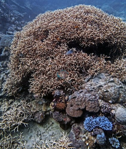
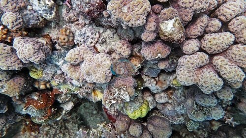
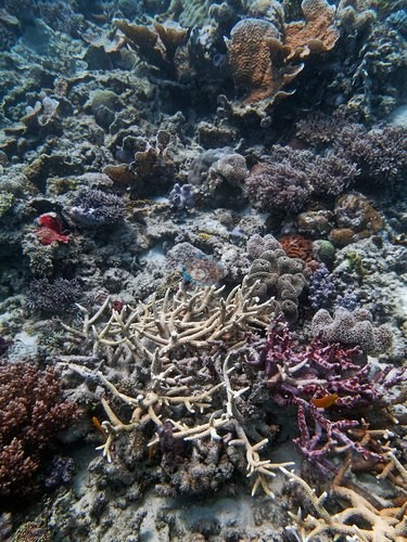
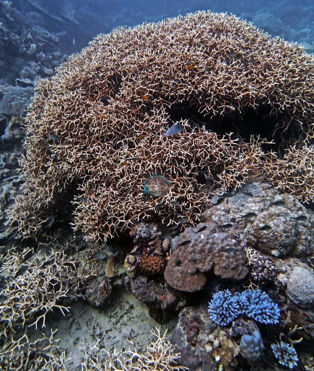
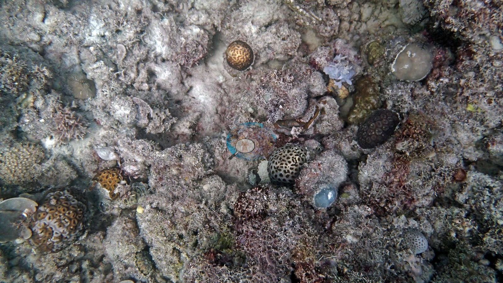
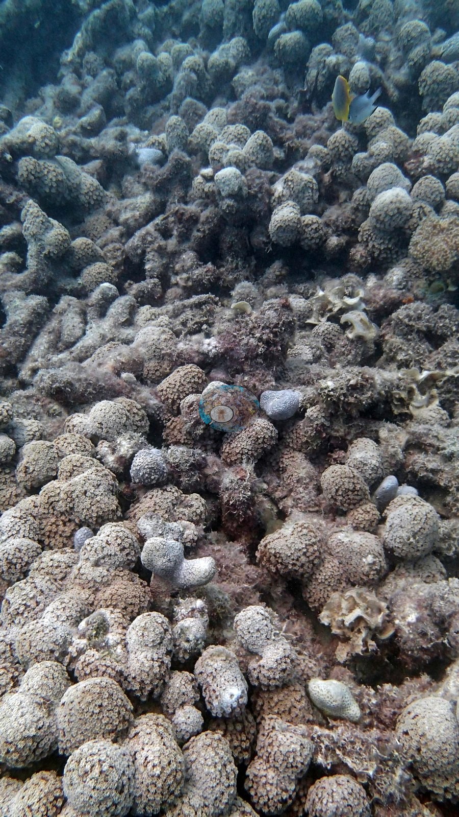
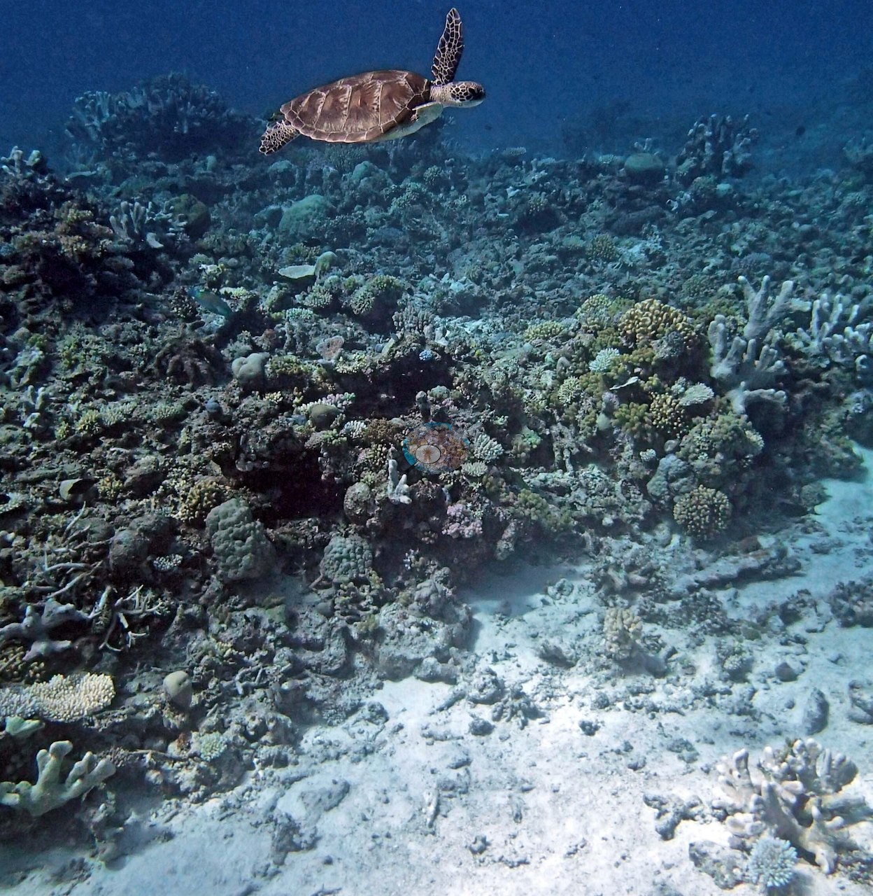
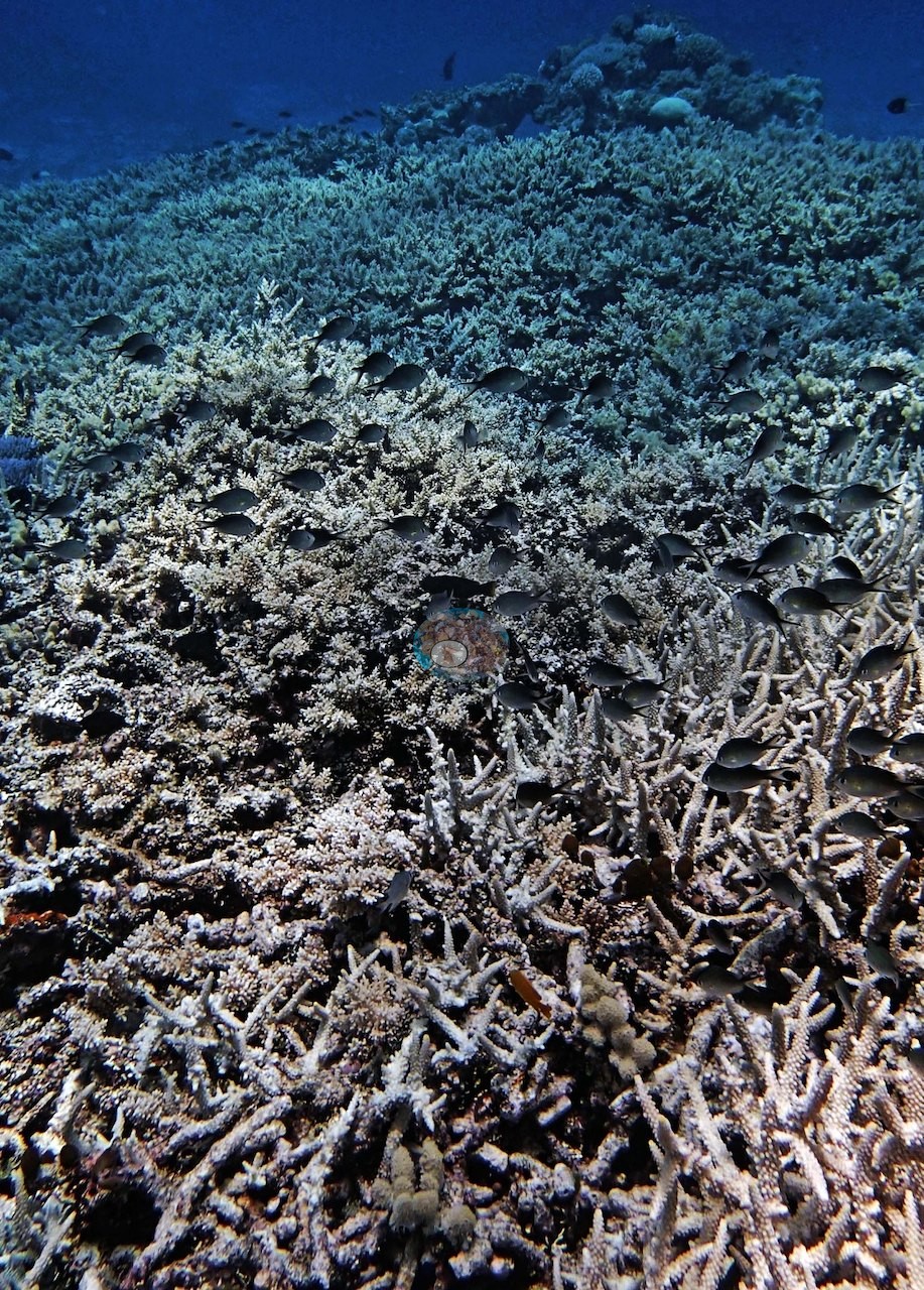
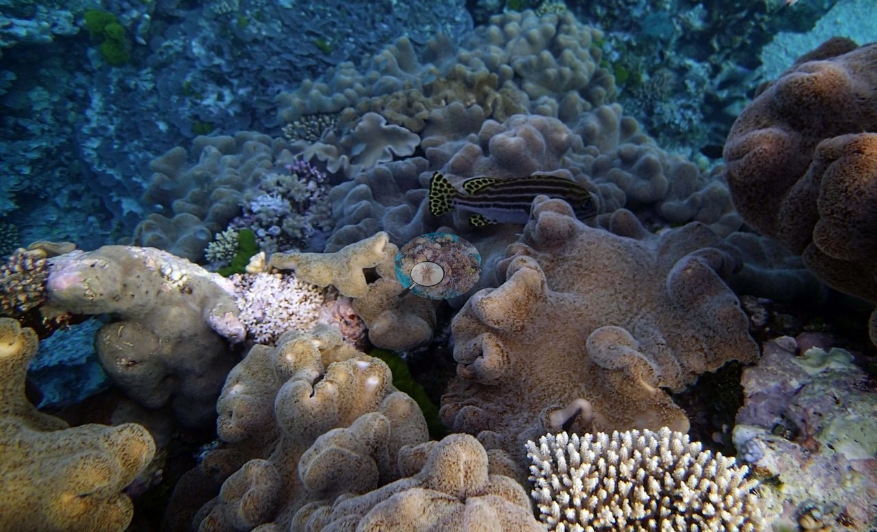
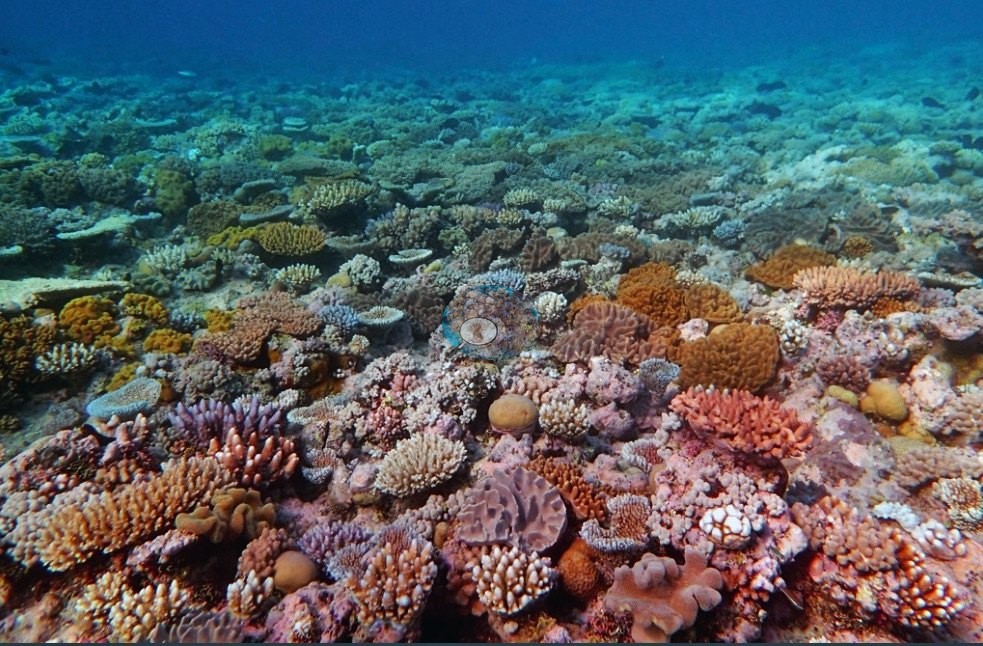
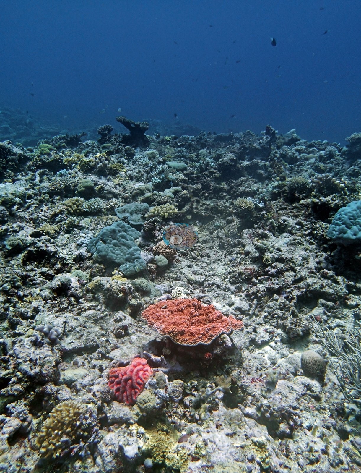
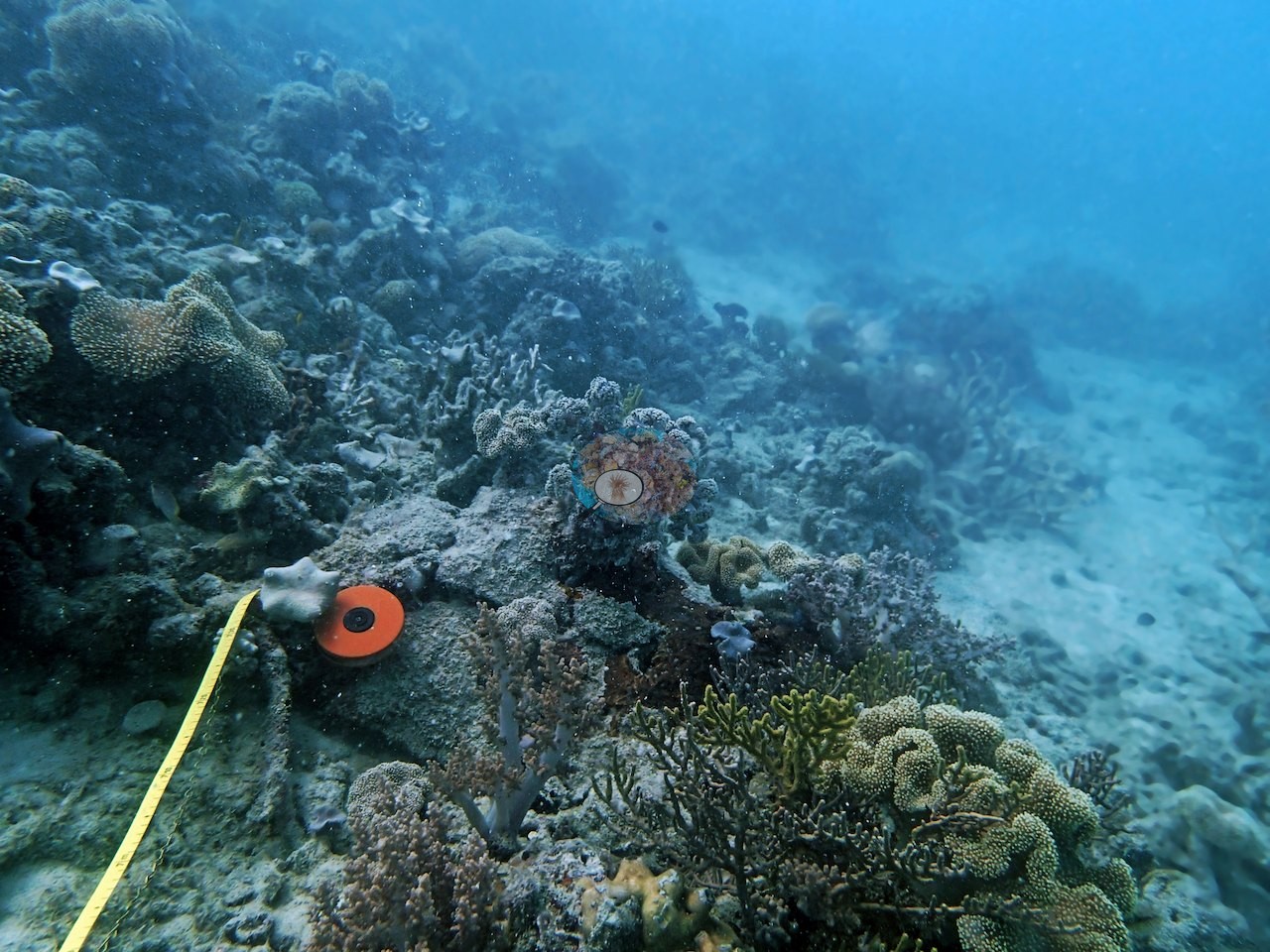
Reef form varies widely within the zone. There are bommie fields on Unnamed Reef 116, a near-vertical windward wall on Ribbon Reef 5 carrying coral to about 30 m, and a wall on Unnamed Reef 128 that carries coral to at least 40 m, with a 3-4 knot current in the shallows (AU5R143). Some reefs are very shallow, such as AU3975, where coral gives out at 9-10 m. Hicks Reef has sheer walls and 9 m bommies. Clear offshore stations had 30-40 m visibility and dense Acropora thickets, and their transect cover was mostly 45-62%. Silty inshore reefs near 15.4°S sat far lower, at 9.8% at AU4333 and 10% at AU4336. At AU4333, soft corals, sponges, and a forest of red and pink sea fans covered much of the reef in 2014. Cover across the zone ranged from those lows to 70% at AU116157, a murky leeward reef where individual transects were estimated at 90-95%.
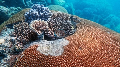
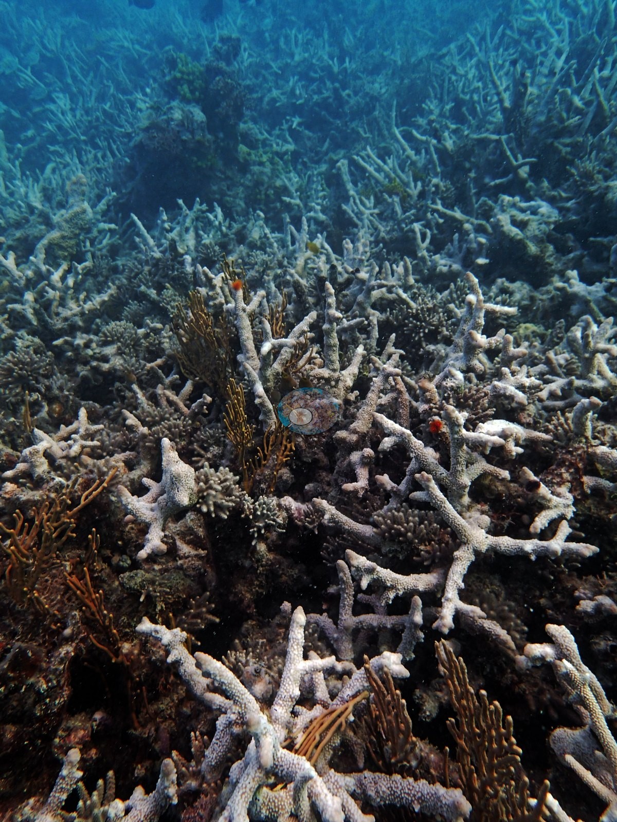
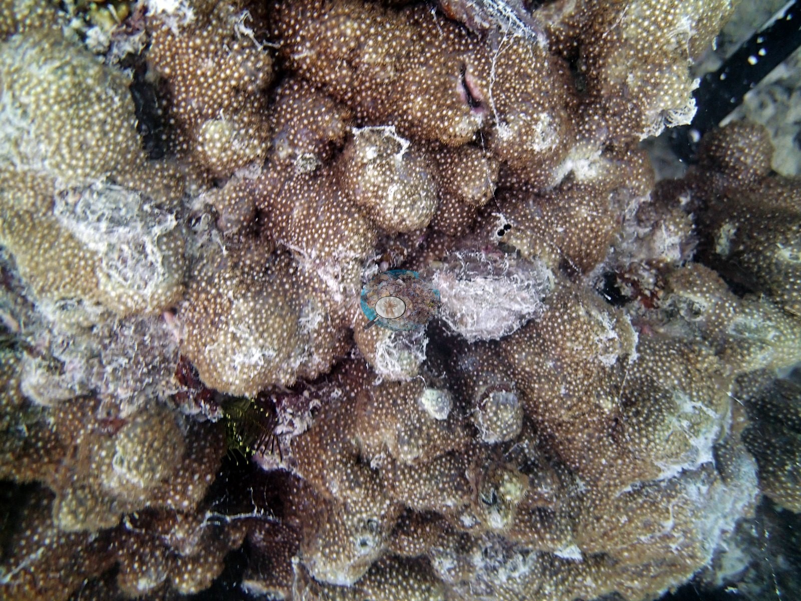
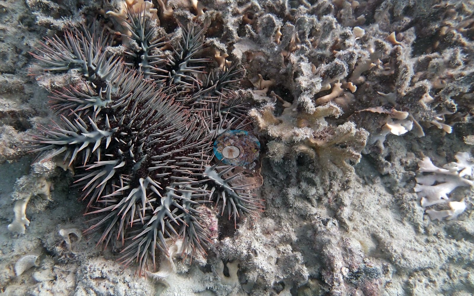
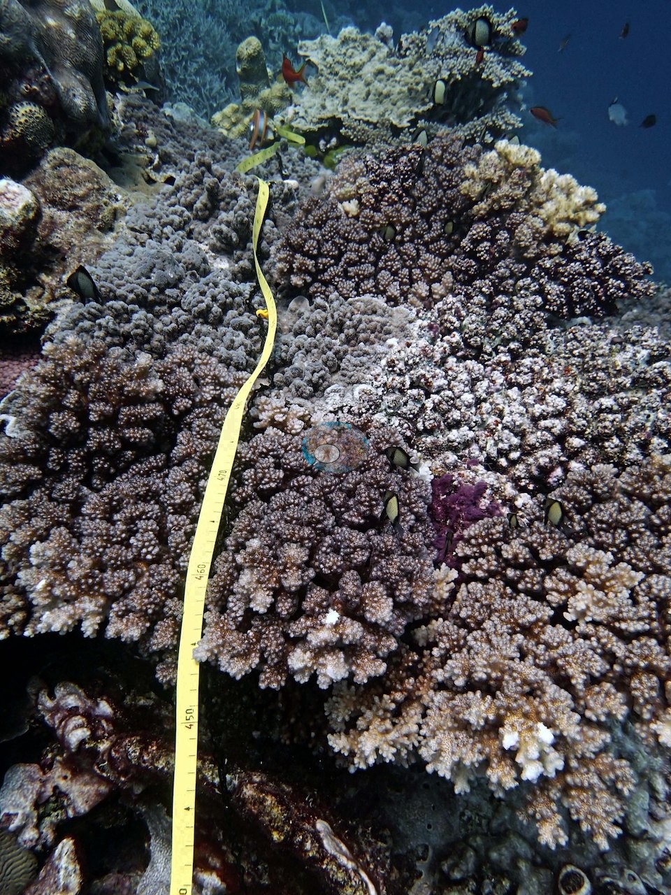
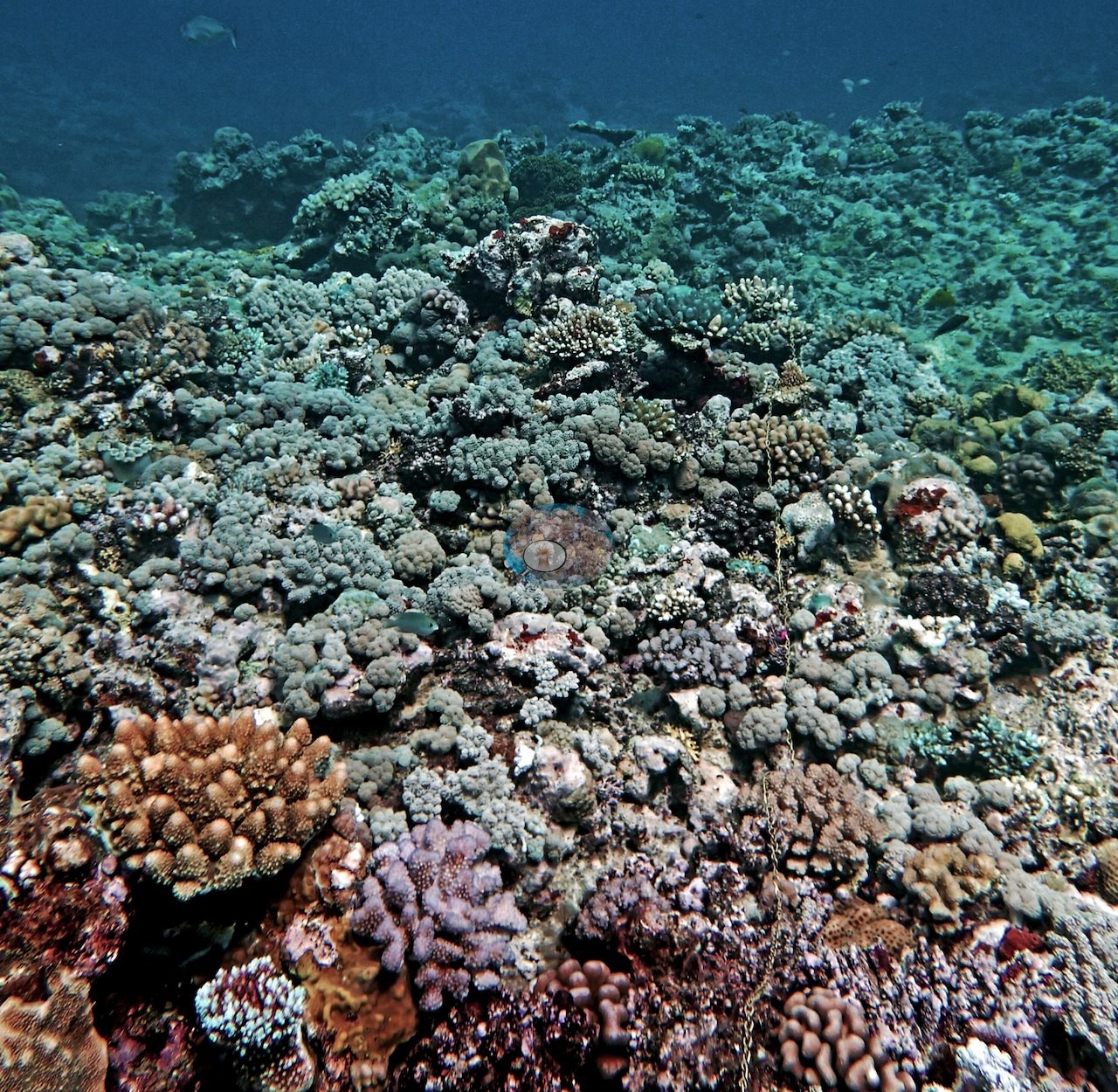
Condition problems were concentrated in two places. First, crown-of-thorns starfish were logged on Anderson's dives at AU2577, AU3995, AU4331, AU4333, and AU4335, and their feeding damage at AU122135. AU4335 had an active outbreak of about 30 starfish, and eight were logged at AU4333. Second, needle coral (Seriatopora) was pale, sickly, bleached, or dying across much of the zone, sometimes alongside pale Pocillopora. Photographs from AU122135, AU238141, AU5R145, and AUHK45 show bleached or very pale branching colonies, several of them beside pigmented neighbors. On the lagoon reefs near 11°S (AU2591, AU3995), Anderson recorded silt-smothered corals and old dead staghorn, and at AU3995 noted that Pavona cactus had mostly died and been replaced by finger Porites. Other sites were in better shape. AU3975 had 17% algal cover, 26 juvenile corals, and no crown-of-thorns, bleaching, or disease in Anderson's notes, though cyanobacteria filmed much of the sand between the coral patches. Gray and whitetip reef sharks, Napoleon wrasse, turtles, and aggressive sea snakes were all logged, and on Hicks Reef a whitetip tried to bite the survey chain. All of these surveys came about eighteen months before the 2016 mass bleaching.
Highlights
- AU116157 on Unnamed Reef 116: 70% coral, with individual transects estimated at 90-95%
- The silty inshore reefs near 15.4°S had 9.8% (AU4333) and 10% (AU4336) live coral; at AU4333, soft corals, sponges, and sea fans in red and pink covered much of the reef
- An active crown-of-thorns outbreak of about 30 starfish at AU4335
- Walls on Unnamed Reef 128 (AU238141, AU5R143) carry coral to at least 30-40 m, and Ribbon Reef 5 (AUR513) to about 30 m
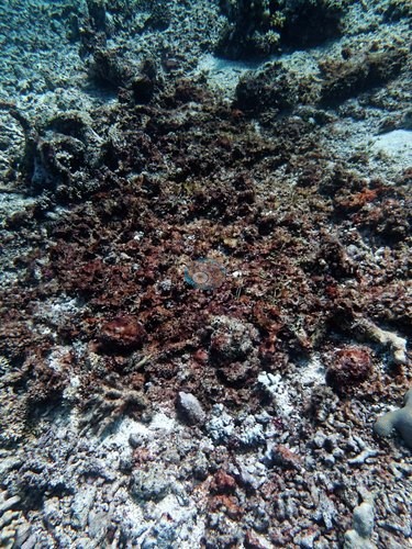
- Needle coral (Seriatopora) pale, sickly, or bleached on every transect at AU5R139 and 'terrible virtually everywhere' at AU238141
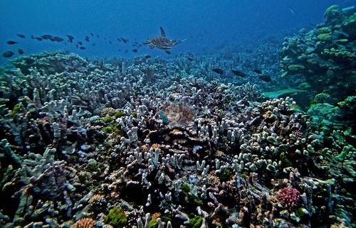
- AU3975: low algae and 26 juvenile corals counted
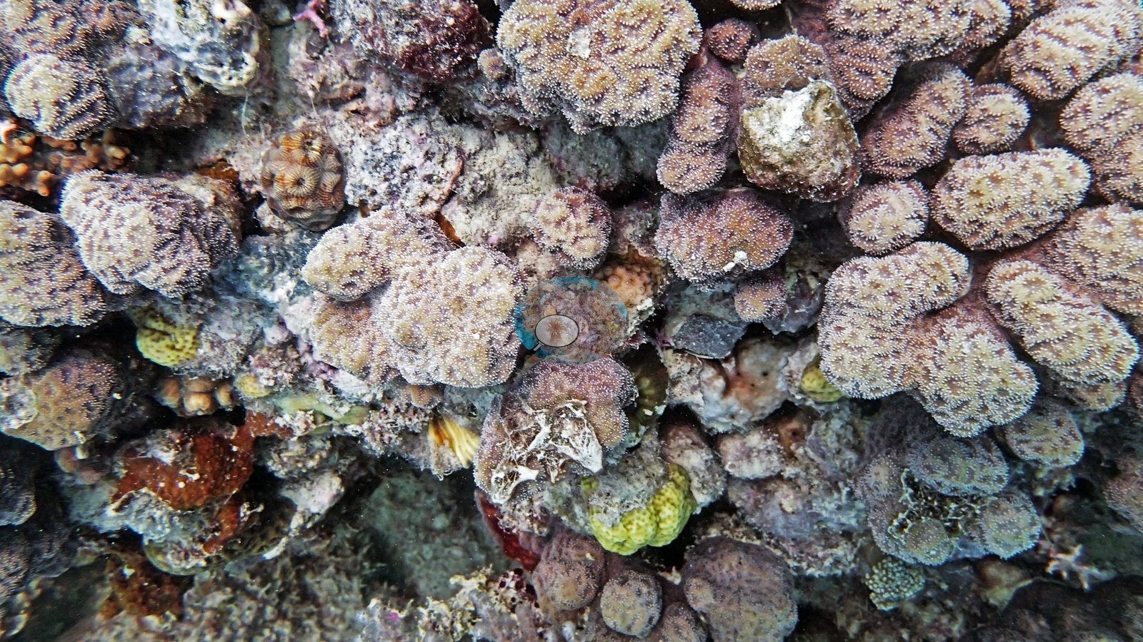
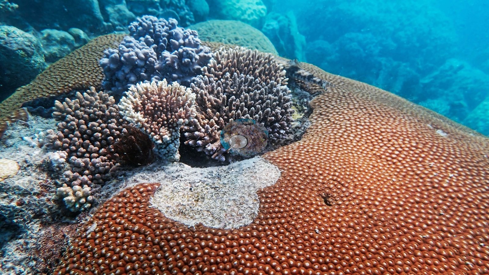
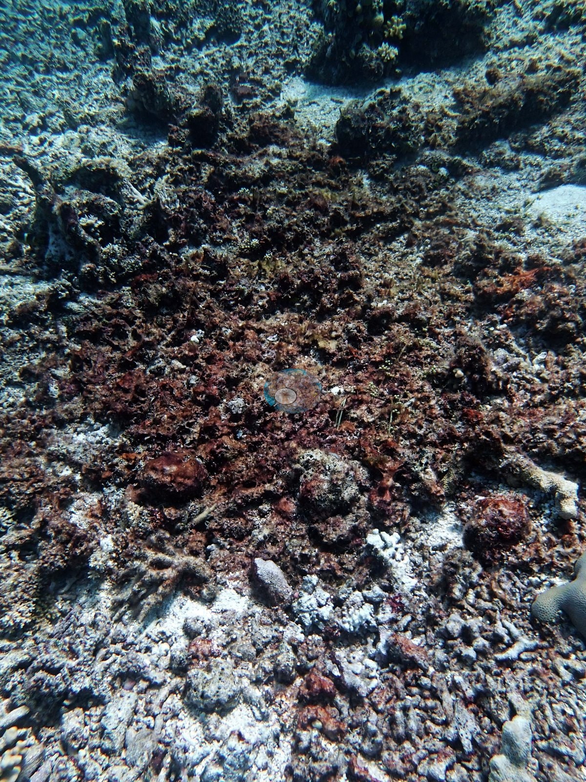
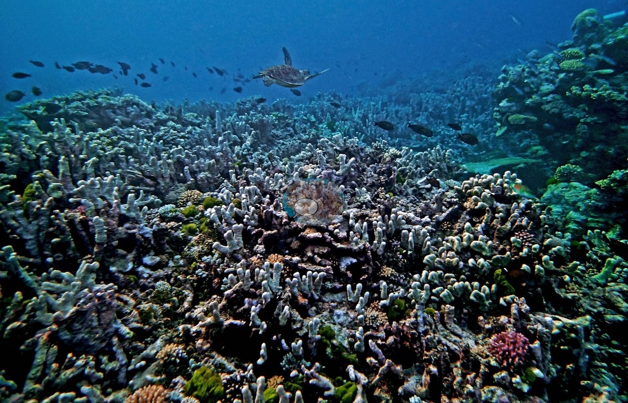
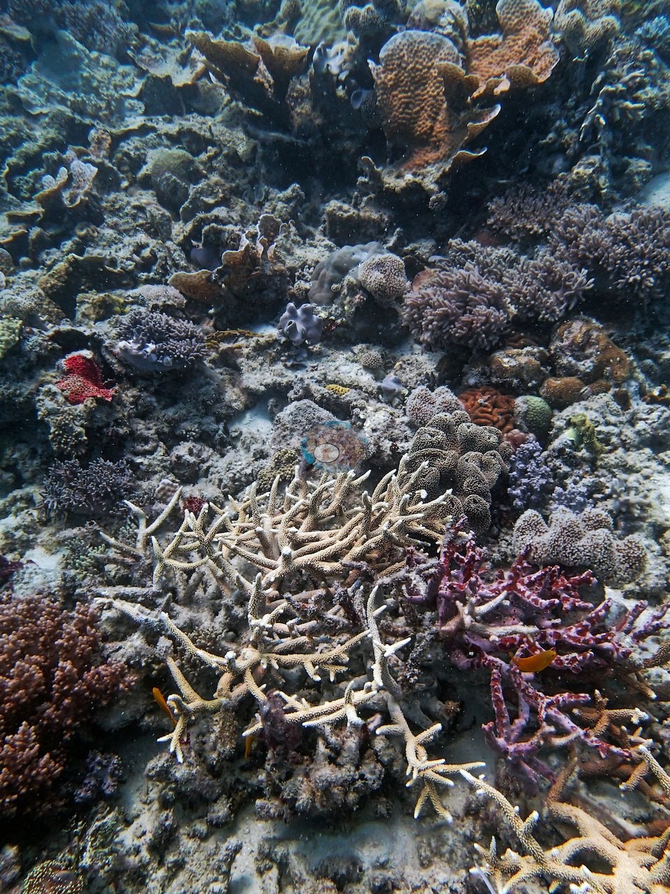
Notable observations (18)
- N. GBR - Blue (AU2577): several crown-of-thorns starfish seen; Anderson noted it was unclear how much of the staghorn die-off (more than 80% dead) they explained
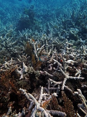
- N. GBR - Blue (AU3995): a lone crown-of-thorns starfish; Pavona cactus mostly dead and replaced by finger Porites
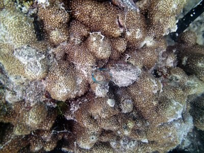
- N. GBR - Blue (AU4331): four crown-of-thorns starfish logged; dead, turf-furred staghorn
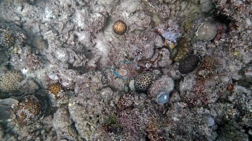
- N. GBR - Blue (AU4333): eight crown-of-thorns starfish logged; one Pachyseris-type plate stark white, either recently bleached or freshly dead
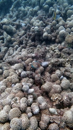
- N. GBR - Blue (AU4335): active crown-of-thorns outbreak, an estimated 30 starfish; one had devoured an entire Leptoseris 'garden', others grazing Millepora fire coral
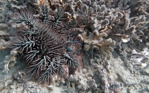
- N. GBR - Blue (AU122135): crown-of-thorns damage at 5 m; bleached Seriatopora hystrix and S. caliendrum at 6-7 m and on the 10.5 m bommie transect; many Pocillopora damicornis / P. acuta 'extremely pale'
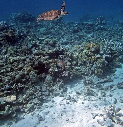
- N. GBR - Blue (AU122137): sickly Seriatopora throughout; bleached S. caliendrum at 10 m
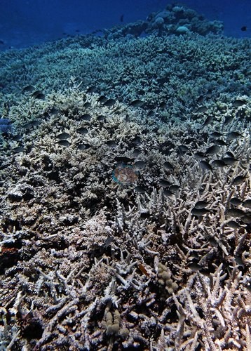
- N. GBR - Blue (AU5R139): pale, sickly, or bleached needle coral (Seriatopora) on every transect
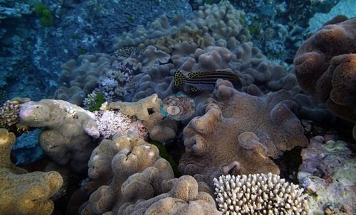
- N. GBR - Blue (AU5R143): sickly needle corals (Seriatopora hystrix) on his 16 m transect (his notes)
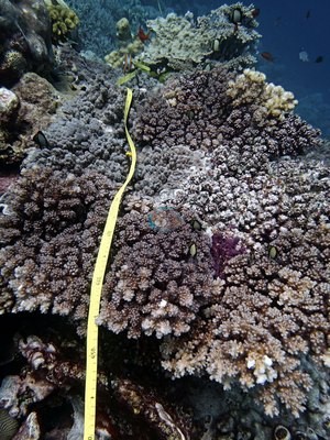
- N. GBR - Blue (AU5R145): bleached Seriatopora hystrix at 6-7 m (one stark-white colony photographed); sickly S. hystrix at 20 m; a large meandroid dome recently dead over its upper half, cause unclear
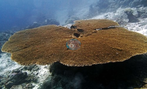
- N. GBR - Blue (AU238141): Seriatopora hystrix 'looks terrible virtually everywhere'; dead colonies at 15 m alongside dead Acropora; two bleached branching colonies photographed side by side
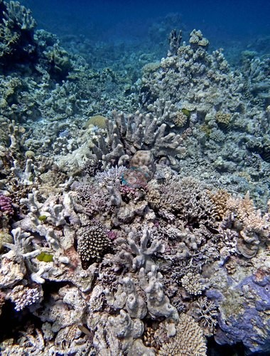
- N. GBR - Blue (AU116153): dying Seriatopora hystrix on most transects
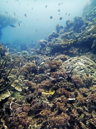
- N. GBR - Blue (AU116157): needle corals dying in some shallow patches, healthy on one of the best transects
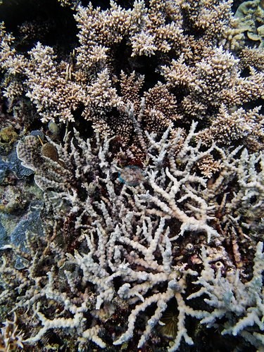
- N. GBR - Blue (AUR515): most of the reef's Seriatopora bleached along with some Pocillopora damicornis; toppled Acropora at 5-8 m suggested fairly recent storm damage
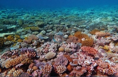
- N. GBR - Blue (AUJW55): a few 'pitiful looking' needle corals at 25 m; bleached S. hystrix on his first transect (20.5 m)
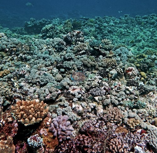
- N. GBR - Blue (AUHK45): some Seriatopora hystrix colonies looked unhealthy on the 15.8 m transect; one small bleached colony photographed beside the survey chain
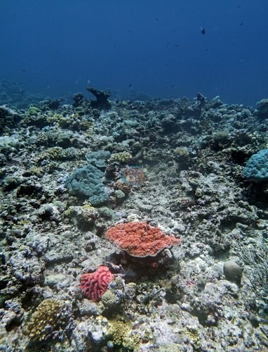
- N. GBR - Blue (AU3973): dead Acropora framework and a few dying Echinopora plates; very high sediment load
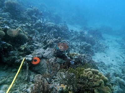
- N. GBR - Blue (AU2591): old dead staghorn and a smothered brain coral on deeper transects
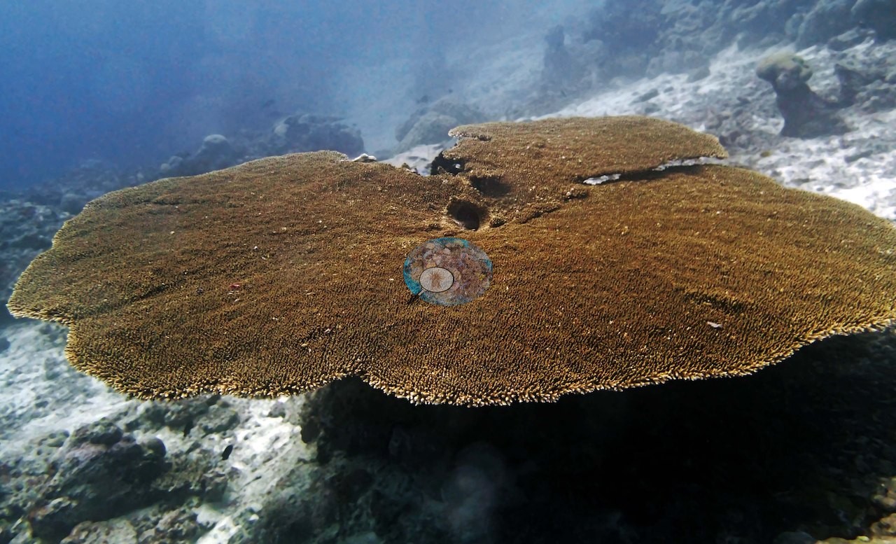
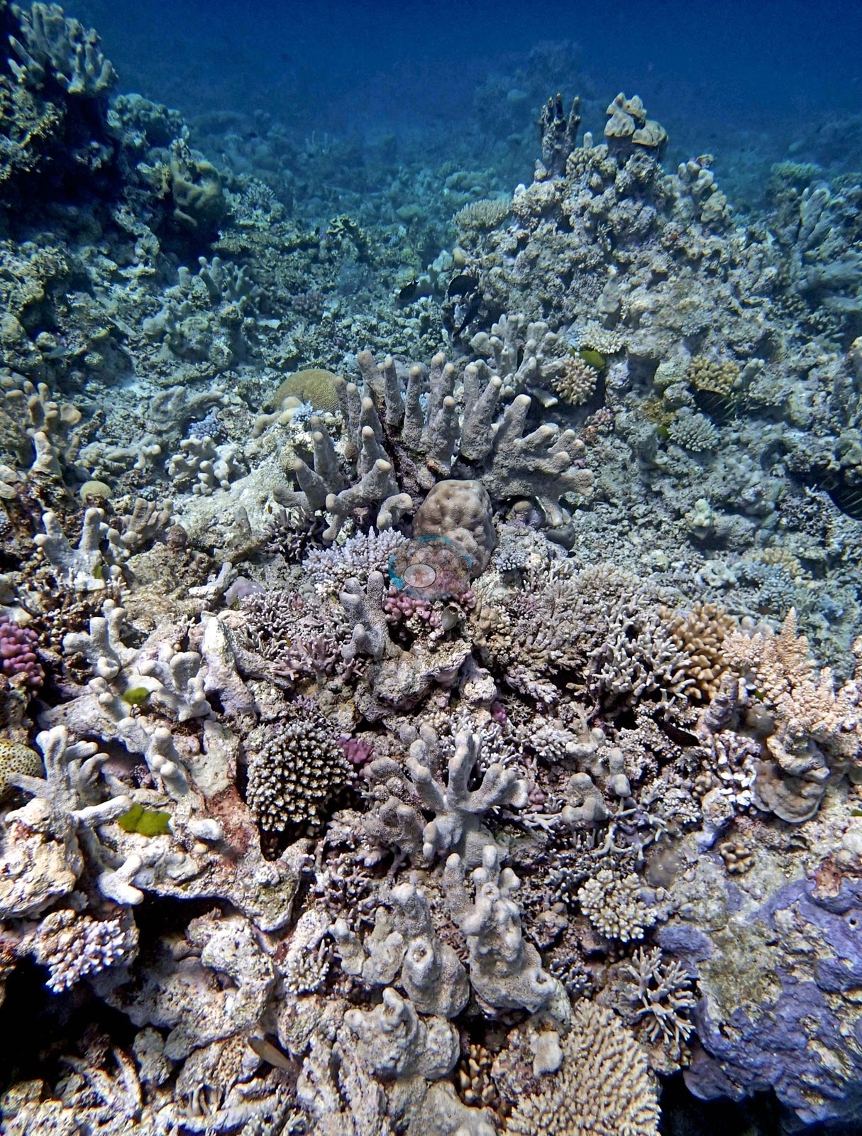
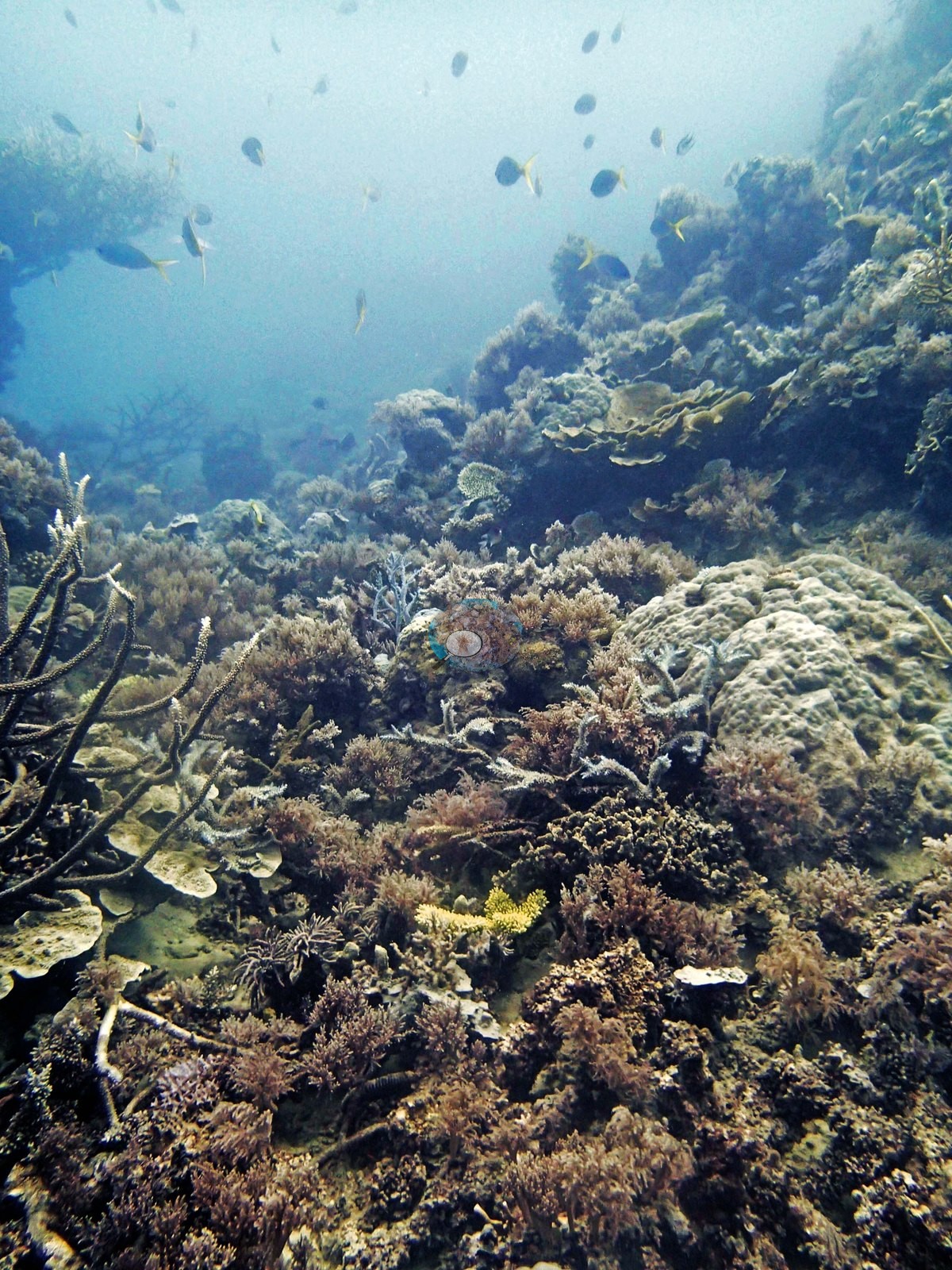
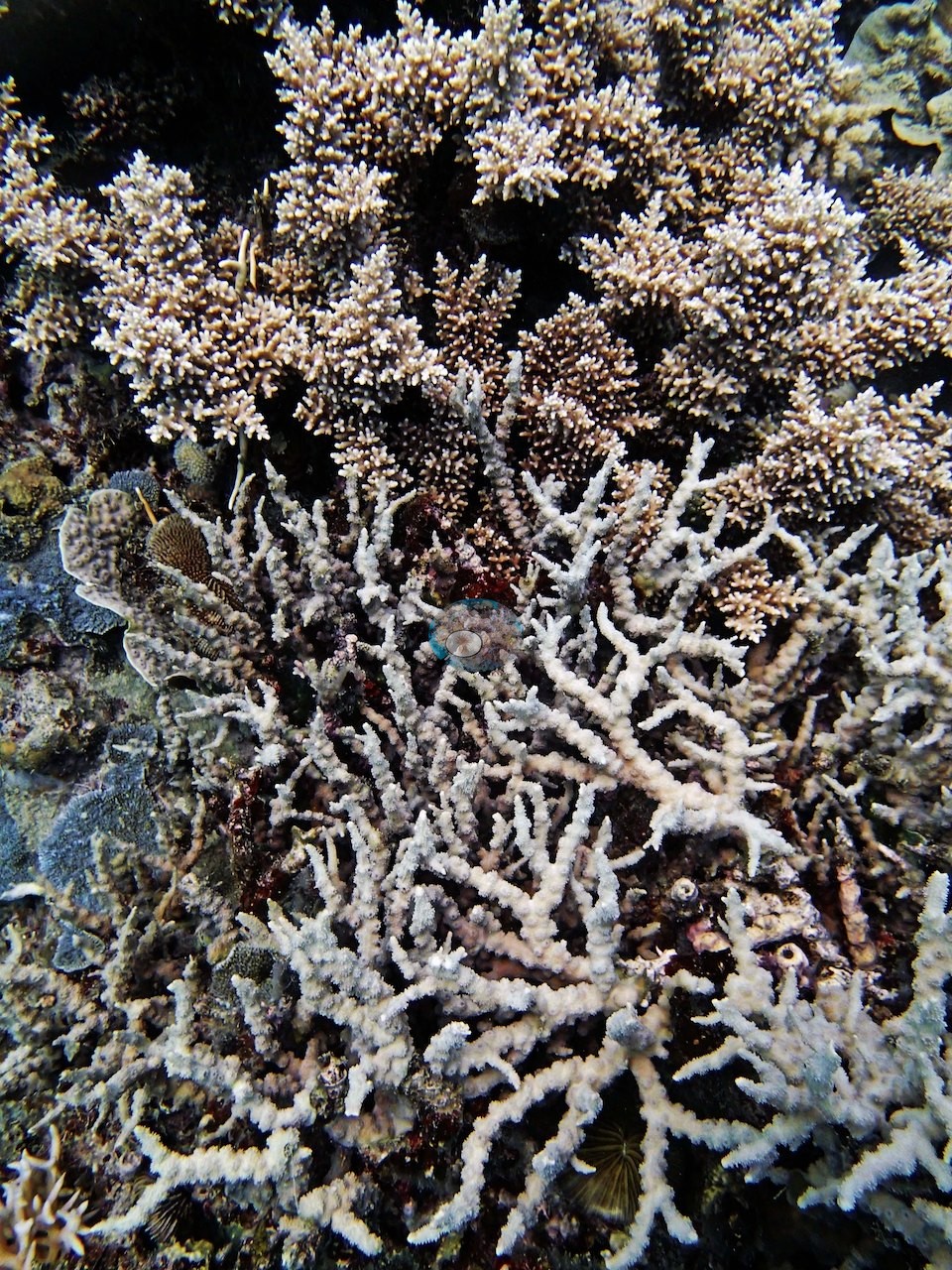
Coral cover over time (pooled)
 the year includes his Global Reef Expedition dives with the Khaled bin Sultan Living Oceans Foundation (CRD+LOF data).
Sites in this region (54)
- N. GBR - Blue (AU116153) — 57% coral cover
- N. GBR - Blue (AU116154) — 53% coral cover
- N. GBR - Blue (AU116155) — 63% coral cover
- N. GBR - Blue (AU116156) — 37% coral cover
- N. GBR - Blue (AU116157) — 70% coral cover
- N. GBR - Blue (AU116158) — 41% coral cover
- N. GBR - Blue (AU122135) — 18% coral cover
- N. GBR - Blue (AU122136) — 50% coral cover
- N. GBR - Blue (AU122137) — 46% coral cover
- N. GBR - Blue (AU122138) — 57% coral cover
- N. GBR - Blue (AU238141) — 55% coral cover
- N. GBR - Blue (AU238142) — 48% coral cover
- N. GBR - Blue (AU238144) — 52% coral cover
- N. GBR - Blue (AU2577) — 32% coral cover
- N. GBR - Blue (AU2578) — 42% coral cover
- N. GBR - Blue (AU2591) — 42% coral cover
- N. GBR - Blue (AU2592) — 29% coral cover
- N. GBR - Blue (AU2593) — 23% coral cover
- N. GBR - Blue (AU2594) — 39% coral cover
- N. GBR - Blue (AU3973) — 49% coral cover
- N. GBR - Blue (AU3974) — 59% coral cover
- N. GBR - Blue (AU3975) — 46% coral cover
- N. GBR - Blue (AU3976) — 50% coral cover
- N. GBR - Blue (AU3995) — 41% coral cover
- N. GBR - Blue (AU3996) — 47% coral cover
- N. GBR - Blue (AU4331) — 20% coral cover
- N. GBR - Blue (AU4332) — 10% coral cover
- N. GBR - Blue (AU4333) — 9.8% coral cover
- N. GBR - Blue (AU4334) — 20% coral cover
- N. GBR - Blue (AU4335) — 23% coral cover
- N. GBR - Blue (AU4336) — 10% coral cover
- N. GBR - Blue (AU5R139) — 51% coral cover
- N. GBR - Blue (AU5R140) — 51% coral cover
- N. GBR - Blue (AU5R143) — 59% coral cover
- N. GBR - Blue (AU5R145) — 62% coral cover
- N. GBR - Blue (AU5R146) — 37% coral cover
- N. GBR - Blue (AUHK43) — 37% coral cover
- N. GBR - Blue (AUHK44) — 33% coral cover
- N. GBR - Blue (AUHK45) — 28% coral cover
- N. GBR - Blue (AUHK46) — 31% coral cover
- N. GBR - Blue (AUHK47) — 21% coral cover
- N. GBR - Blue (AUHK48) — 27% coral cover
- N. GBR - Blue (AUJW55) — 20% coral cover
- N. GBR - Blue (AUJW56) — 48% coral cover
- N. GBR - Blue (AUJW57) — 23% coral cover
- N. GBR - Blue (AUJW58) — 16% coral cover
- N. GBR - Blue (AUPK59) — 20% coral cover
- N. GBR - Blue (AUPK60) — 17% coral cover
- N. GBR - Blue (AUR513) — 50% coral cover
- N. GBR - Blue (AUR514) — 48% coral cover
- N. GBR - Blue (AUR515) — 45% coral cover
- N. GBR - Blue (AUR516) — 25% coral cover
- N. GBR - Blue (AUR517) — 37% coral cover
- N. GBR - Blue (AUR518) — 31% coral cover
Nearby external survey stations
44 independent survey records within 5 km of a site in this region (each record counted once).
Show all 44 records
- AIMS manta tow — 15034S (1996): 26% hard coral cover, 2.00 km from N. GBR - Blue (AUR516)
- AIMS manta tow — 15034S (1999): 36% hard coral cover, 2.00 km from N. GBR - Blue (AUR516)
- AIMS manta tow — 15034S (2002): 25% hard coral cover, 2.00 km from N. GBR - Blue (AUR516)
- AIMS manta tow — 15034S (2005): 26% hard coral cover, 2.00 km from N. GBR - Blue (AUR516)
- AIMS manta tow — 15034S (2010): 22% hard coral cover, 2.00 km from N. GBR - Blue (AUR516)
- AIMS manta tow — 15034S (2013): 24% hard coral cover, 2.00 km from N. GBR - Blue (AUR516)
- AIMS manta tow — 15034S (2017): 14% hard coral cover, 2.00 km from N. GBR - Blue (AUR516)
- AIMS manta tow — 15034S (2021): 35% hard coral cover, 2.00 km from N. GBR - Blue (AUR516)
- AIMS manta tow — 15037S (2009): 26% hard coral cover, 3.10 km from N. GBR - Blue (AUR516)
- AIMS manta tow — HILDER REEF (1994): 39% hard coral cover, 4.51 km from N. GBR - Blue (AUJW55)
- AIMS manta tow — HILDER REEF (2000): 40% hard coral cover, 4.51 km from N. GBR - Blue (AUJW55)
- AIMS manta tow — HILDER REEF (2006): 5.5% hard coral cover, 4.51 km from N. GBR - Blue (AUJW55)
- AIMS manta tow — HILDER REEF (2023): 39% hard coral cover, 4.51 km from N. GBR - Blue (AUJW55)
- Reef Check — Ribbon Reef #5 southern patch (1999): 53% hard coral cover, 1.46 km from N. GBR - Blue (AUR514)
- Reef Check — Ribbon Reef 3 - Clam Beds (Back reef slope) Site 1 (2004): 43% hard coral cover, 1.87 km from N. GBR - Blue (AUR513)
- Reef Check — Ribbon Reef 3 - Clam Beds (Back reef slope) Site 1 (2005): 47% hard coral cover, 1.70 km from N. GBR - Blue (AUR513)
- Reef Check — Ribbon Reef 3 - Clam Beds (Back reef slope) Site 1 (2006): 44% hard coral cover, 1.70 km from N. GBR - Blue (AUR513)
- Reef Check — Ribbon Reef 3 - Clam Beds (Back reef slope) Site 1 (2007): 41% hard coral cover, 1.70 km from N. GBR - Blue (AUR513)
- Reef Check — Ribbon Reef 3 - Clam Beds (Back reef slope) Site 1 (2008): 49% hard coral cover, 1.70 km from N. GBR - Blue (AUR513)
- XL Catlin Seaview Survey — transect 12003 (2012): 38% hard coral cover, 1.72 km from N. GBR - Blue (AUR513)
- XL Catlin Seaview Survey — transect 12007 (2012): 18% hard coral cover, 2.22 km from N. GBR - Blue (AUHK44)
- XL Catlin Seaview Survey — transect 12026 (2012): 19% hard coral cover, 4.68 km from N. GBR - Blue (AUHK47)
- XL Catlin Seaview Survey — transect 12026 (2014): 11% hard coral cover, 4.88 km from N. GBR - Blue (AUHK47)
- XL Catlin Seaview Survey — transect 12026 (2016): 7.3% hard coral cover, 4.89 km from N. GBR - Blue (AUHK47)
- XL Catlin Seaview Survey — transect 12026 (2017): 7.5% hard coral cover, 3.10 km from N. GBR - Blue (AUHK47)
- XL Catlin Seaview Survey — transect 12027 (2012): 24% hard coral cover, 2.54 km from N. GBR - Blue (AUHK47)
- XL Catlin Seaview Survey — transect 12027 (2014): 14% hard coral cover, 2.57 km from N. GBR - Blue (AUHK47)
- XL Catlin Seaview Survey — transect 12027 (2016): 7.8% hard coral cover, 2.54 km from N. GBR - Blue (AUHK47)
- XL Catlin Seaview Survey — transect 12027 (2017): 7.3% hard coral cover, 1.65 km from N. GBR - Blue (AUHK44)
- XL Catlin Seaview Survey — transect 12036 (2012): 15% hard coral cover, 0.68 km from N. GBR - Blue (AUR518)
- XL Catlin Seaview Survey — transect 12036 (2014): 17% hard coral cover, 0.77 km from N. GBR - Blue (AUR518)
- XL Catlin Seaview Survey — transect 12036 (2016): 12% hard coral cover, 0.21 km from N. GBR - Blue (AUR514)
- XL Catlin Seaview Survey — transect 12036 (2017): 11% hard coral cover, 0.05 km from N. GBR - Blue (AUR514)
- XL Catlin Seaview Survey — transect 12037 (2012): 18% hard coral cover, 2.15 km from N. GBR - Blue (AUR514)
- XL Catlin Seaview Survey — transect 12037 (2016): 7.0% hard coral cover, 1.63 km from N. GBR - Blue (AUR513)
- XL Catlin Seaview Survey — transect 12037 (2017): 9.5% hard coral cover, 1.62 km from N. GBR - Blue (AUR513)
- XL Catlin Seaview Survey — transect 12038 (2012): 14% hard coral cover, 1.42 km from N. GBR - Blue (AUR516)
- XL Catlin Seaview Survey — transect 12038 (2014): 27% hard coral cover, 1.24 km from N. GBR - Blue (AUR515)
- XL Catlin Seaview Survey — transect 12038 (2016): 8.0% hard coral cover, 1.27 km from N. GBR - Blue (AUR515)
- XL Catlin Seaview Survey — transect 12038 (2017): 10% hard coral cover, 1.24 km from N. GBR - Blue (AUR515)
- XL Catlin Seaview Survey — transect 15022 (2012): 32% hard coral cover, 4.38 km from N. GBR - Blue (AU116153)
- XL Catlin Seaview Survey — transect 15022 (2016): 17% hard coral cover, 2.77 km from N. GBR - Blue (AU116153)
- XL Catlin Seaview Survey — transect 15023 (2012): 32% hard coral cover, 0.54 km from N. GBR - Blue (AU116155)
- XL Catlin Seaview Survey — transect 15023 (2016): 26% hard coral cover, 0.53 km from N. GBR - Blue (AU116155)
All images from Coral Reef Diagnostics. Data are from the Khaled bin Sultan Living Oceans Foundation Global Reef Expedition, Coral Reef Diagnostics, Reef Check Foundation, Australian Institute of Marine Science, Global Coral Reef Monitoring Network, and XL Catlin Seaview Survey (University of Queensland).
 © Coral Reef Diagnostics.
References
- Souter D, et al. (eds) (2021) Status of Coral Reefs of the World: 2020. International Coral Reef Initiative / Global Coral Reef Monitoring Network. [PDF]
- Spalding MD, et al. (2001) World Atlas of Coral Reefs. University of California Press, Berkeley. [PDF]