
Part of the regional summaries: Australia (GBR) - Far North: Blue stations (Habitat Protection Zone reefs) and Australia (GBR)
More info
Far Northern GBR (NOAA CRW virtual station)A murky bommie-field dive (5-6 m visibility) on Unnamed Reef 116 with 63% live coral cover, led by Acropora (27%), Porites (21%), and Millepora (13%) of the live coral, with tier on tier of whorled brown and lavender Echinopora plates (6.3% of the coral) threaded with fusiliers and cardinalfish. A Napoleon wrasse was seen, and the dive had no bleaching, disease, or crown-of-thorns flags. Surveyed on the Living Oceans Foundation's Global Reef Expedition.
Two independent survey stations shown with the program’s logo — click one to see how far it is from this site.
Six other CRD dive sites within 5 km shown in orange — click a marker to open its page.
5 of the 6 photographs on this page are shown beside the text that discusses them under "Site description" below.
Site description
Setting
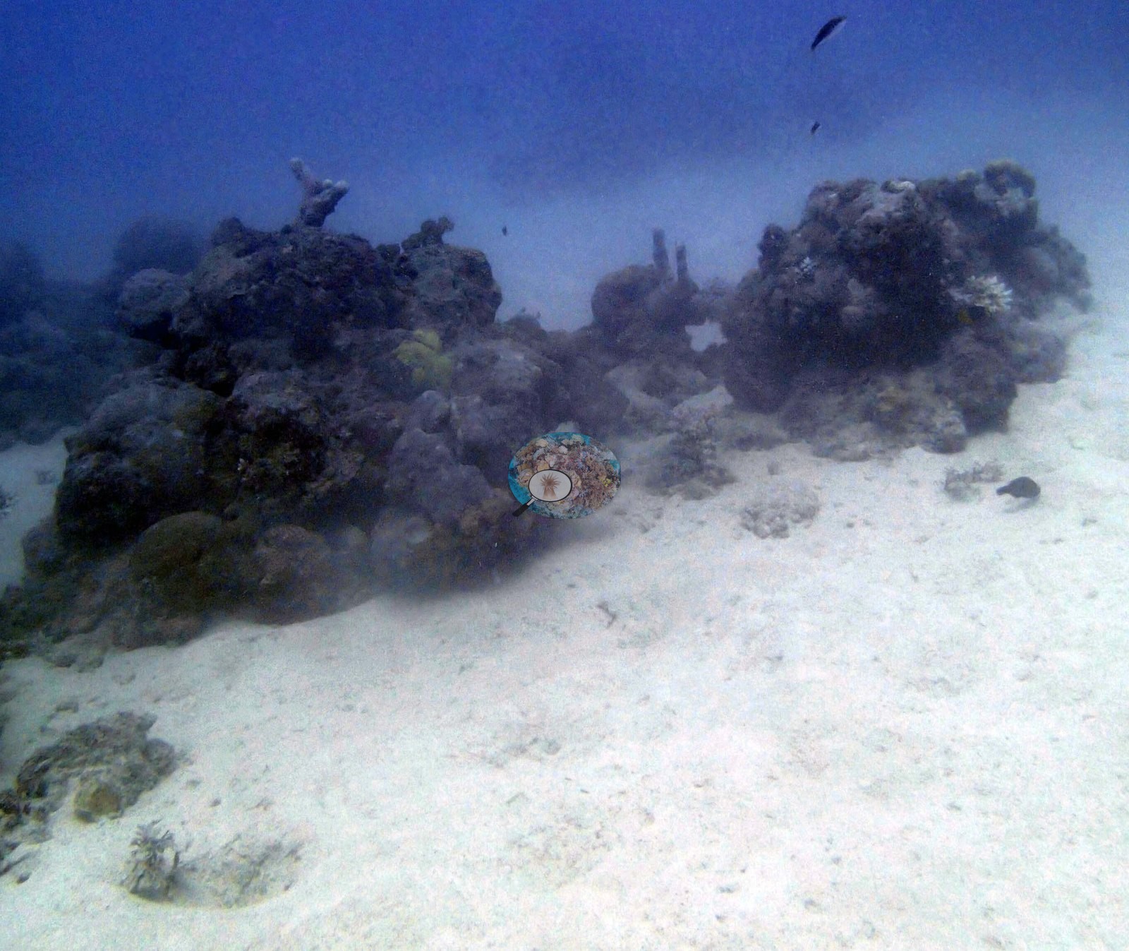
Anderson's second bommie-field dive at Unnamed Reef 116 dropped into much murkier water than the first, only 5-6 m of visibility, with coral appearing from about 7-8 m down.
General benthic features
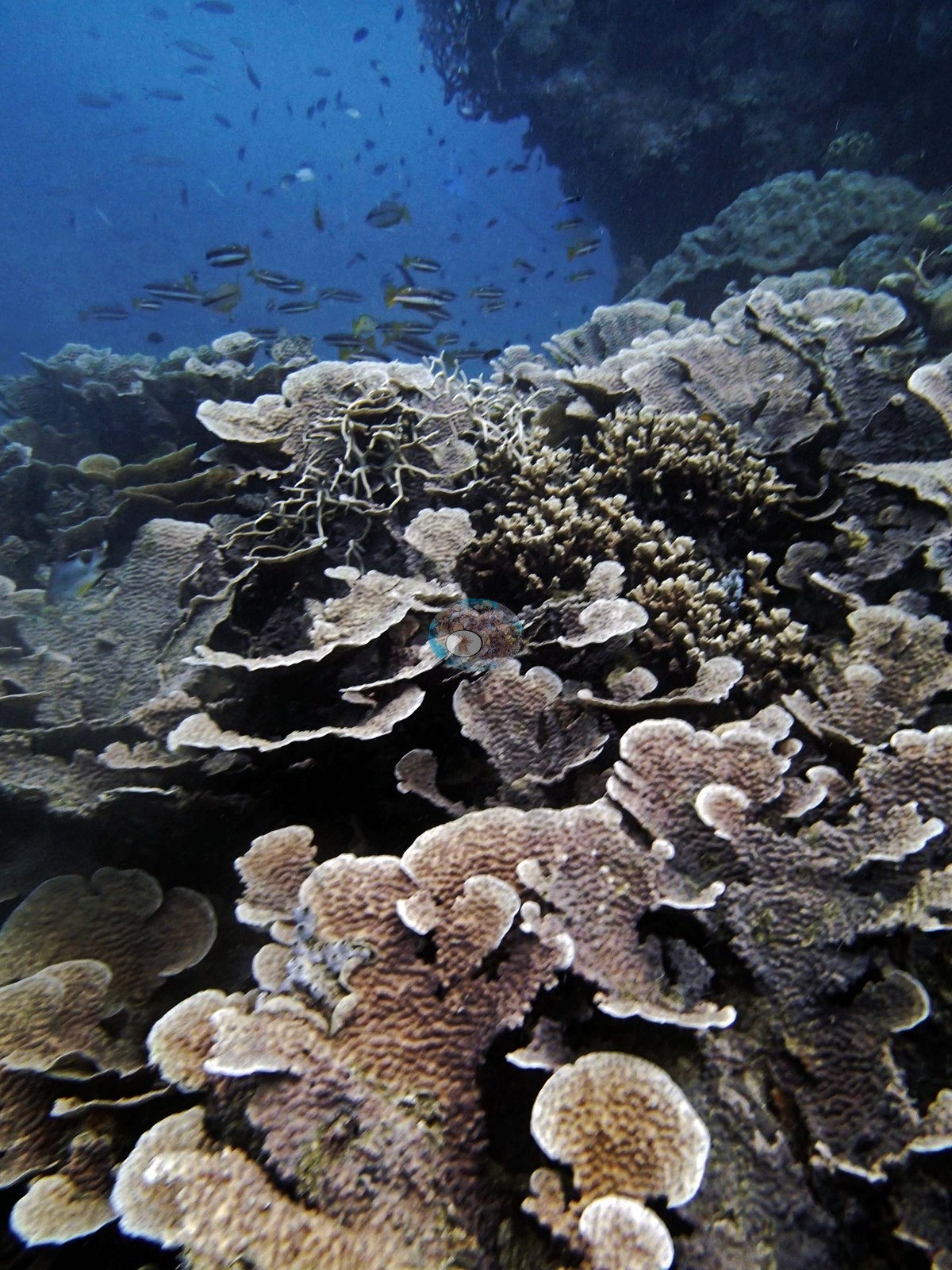
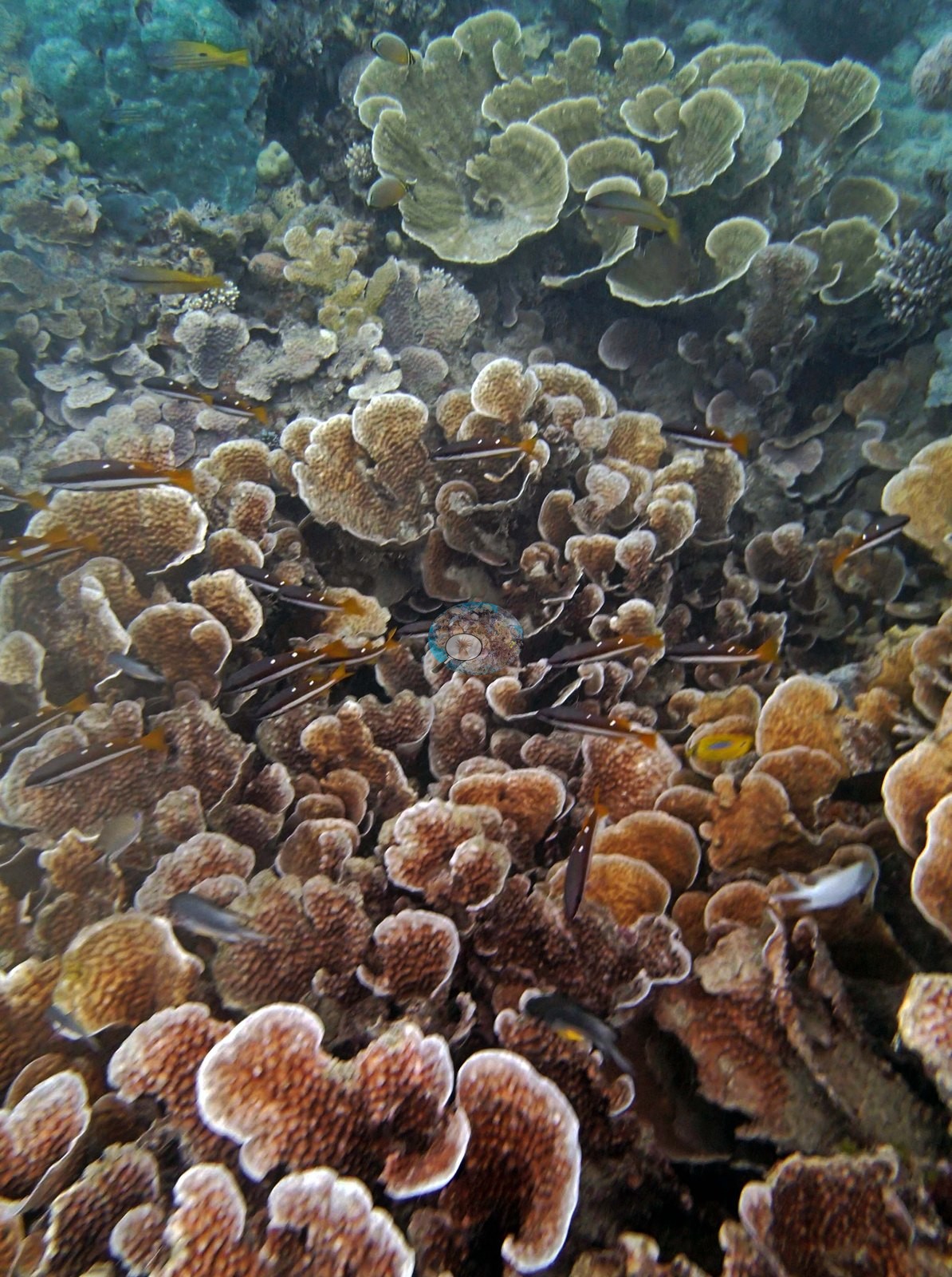
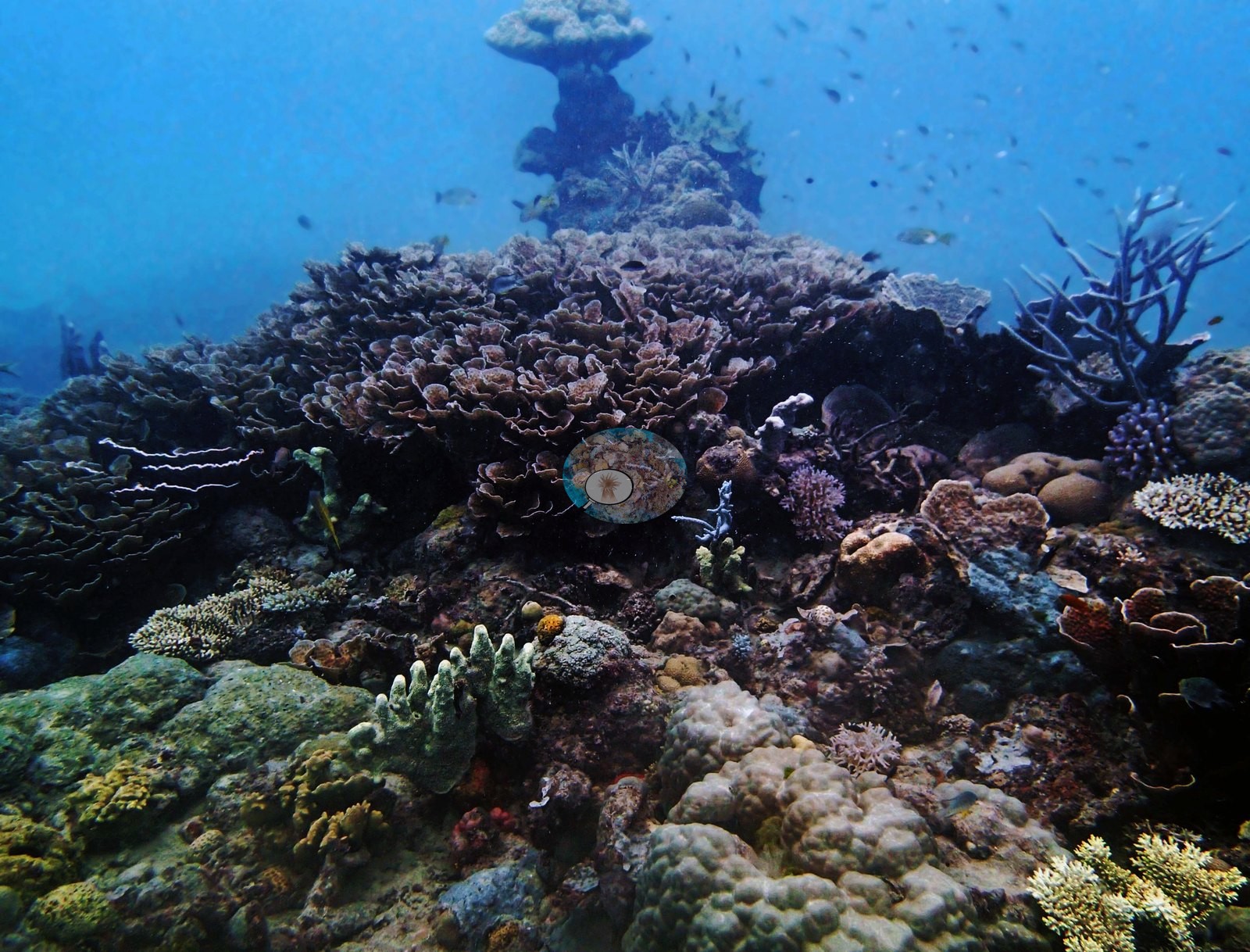
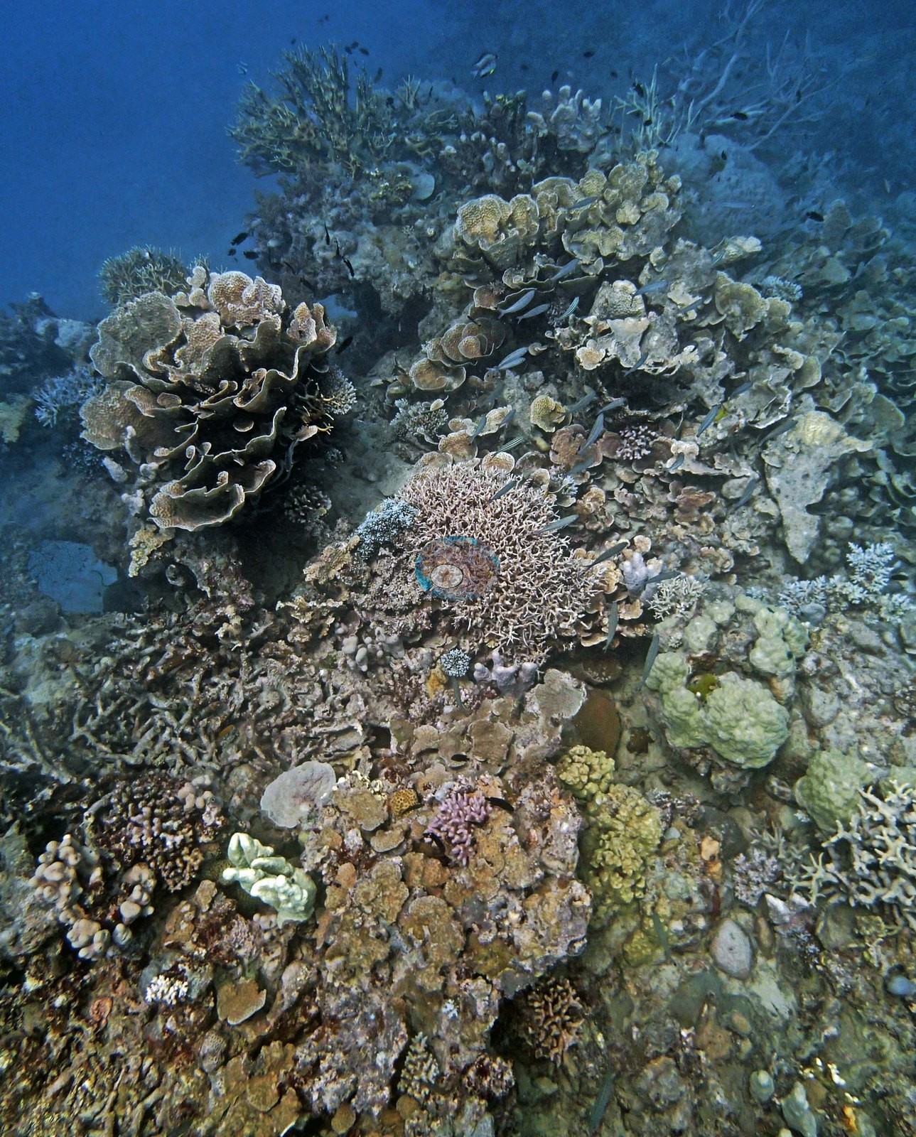
Two frames are almost wall-to-wall whorled Echinopora plates, tier on tier of rippled brown and lavender lamellae with pale growing rims, threaded with fusiliers and cardinalfish (e.g., Image 2, Image 3).
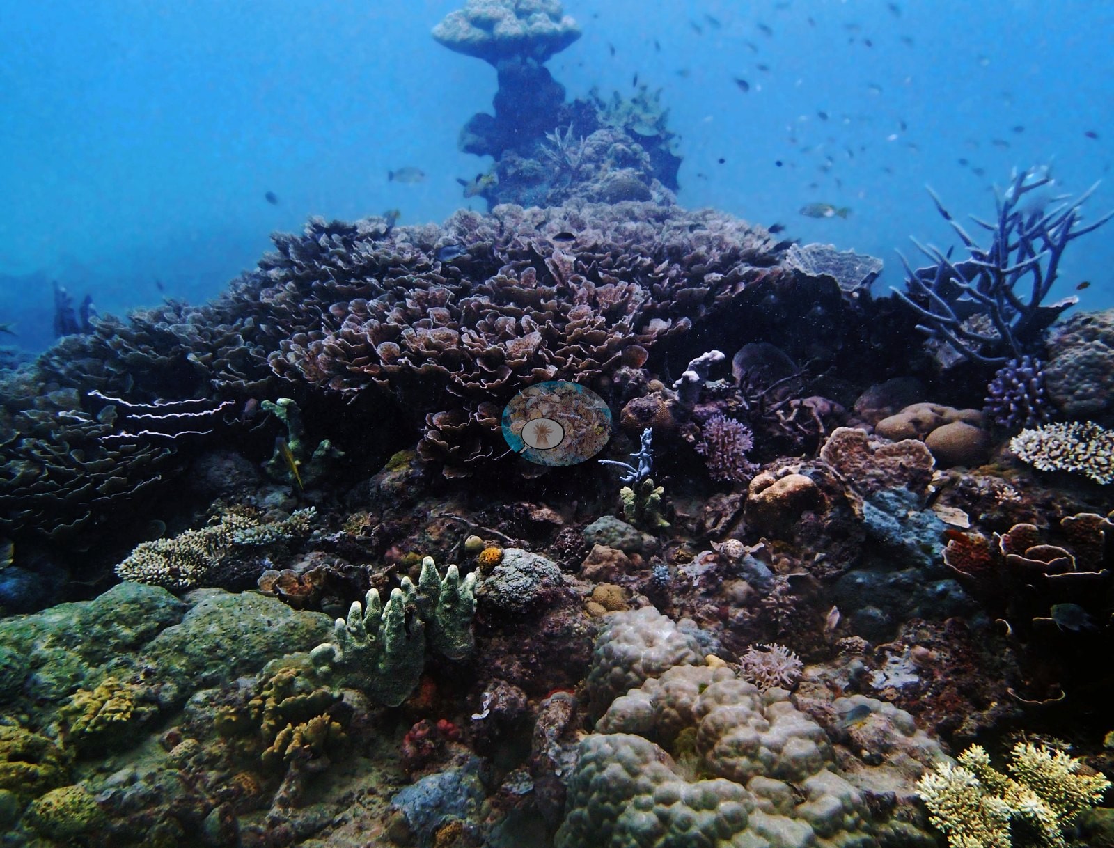
A wider shot shows a bommie crowned by one large Echinopora rosette with blue-purple branching Acropora and columnar fire coral on its flanks, mounding Porites and sponges filling the base, and a second bommie fading into the haze behind (e.g., Image 4).
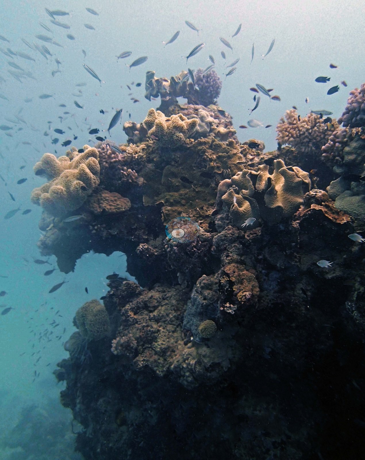
The last frame is a soft-coral-capped head, leathery Sinularia lobes over dark reef rock, hanging in a cloud of damselfish (e.g., Image 5).
Recorded species included Pocillopora acuta, Galaxea, several Acropora, and Seriatopora hystrix, plus a Napoleon wrasse. Acropora was the most common coral genus on this station's transects (17% of the benthos), followed by Porites (13%), Millepora (8.3%), Turbinaria (8.0%), Montipora (6.7%), and Echinopora (4.0%); bare substrate covered 22%, the largest non-coral class. Among the algal classes on this station's transects, crustose coralline algae (8.8%) led, followed by turf (6.0%) and erect coralline algae (0.3%).
Coral cover
- Reference: Khaled bin Sultan Living Oceans Foundation, Global Reef Expedition (in situ transect)
- The point-count survey read 63% live coral on a dive to 17.7 meters, and the photographs are dominated by exactly what Anderson logged: plating coral (e.g., Image 1).
- Transect mean 63 ± 6.3% SE (n = 6 transects; Living Oceans Foundation per-transect benthic data); the headline above is the expedition's station value.
Stressors
Notably, this dive carried no flags for bleaching, disease, or crown-of-thorns starfish.
Comparisons with other data
No other surveys have been conducted at this site to date. Within 5 km, two XL Catlin Seaview Survey stations recorded 17–32% hard coral cover between 2012 and 2016; the nearest, XL Catlin Seaview Survey at transect 15023, 0.53 km away, read 26–32% between 2012 and 2016.
Independent surveys nearby
 LOF Global Reef ExpeditionYear-average (illustrative only, programs differ)
Within 5 km, 2 independent survey stations recorded hard coral cover in 4 surveys between 2012 and 2016. Of the 2 stations surveyed in more than one year, 1 declined by more than 7 points between their first and latest surveys; 1 changed by 7 points or less, inside the 7-point method-noise floor (inconclusive). Two stations share the longest span (2012–2016); one, transect 15023 (XL Catlin Seaview Survey, 0.53 km away), went from 32% in 2012 to 26% in 2016. The most recent nearby survey is from 2016, so these values predate recent heat stress. This site's own estimate (63%) sits 31 points above the range of these surveys up to 2 km away (26–32%); the methods differ, so the comparison is context, not a like-for-like test.
Collected by other programs using different methods (the XL Catlin Seaview Survey uses photo-transects with automated image annotation), so these are context for the figures above, not a like-for-like comparison. Where a station was surveyed more than once, the cell shows either the range of its values or, as a single value, the mean of surveys made in one year. Station names are not dive-site names.
| Agency | Site / location | Date | Hard coral cover (%) | Distance | Link |
|---|---|---|---|---|---|
| XL Catlin Seaview Survey | transect 15023 | 2012–2016 | 26–32% (2 surveys) | 0.53 km | doi:10.14264/uql.2019.930 |
| XL Catlin Seaview Survey | transect 15022 | 2012–2016 | 17–32% (2 surveys) | 3.67 km | doi:10.14264/uql.2019.930 |
Data & links
- Download benthic survey data (CSV) ↗
- Download all LOF-GRE data (933 sites) ↗
- Photo portfolio ↗
- Coral Reef Diagnostics country page ↗
All images from Coral Reef Diagnostics. Data are from the Khaled bin Sultan Living Oceans Foundation Global Reef Expedition, Coral Reef Diagnostics, and the organizations named in the data sources above.
 © Coral Reef Diagnostics.