
Part of the regional summaries: Australia (GBR) - Far North: Blue stations (Habitat Protection Zone reefs) and Australia (GBR)
More info
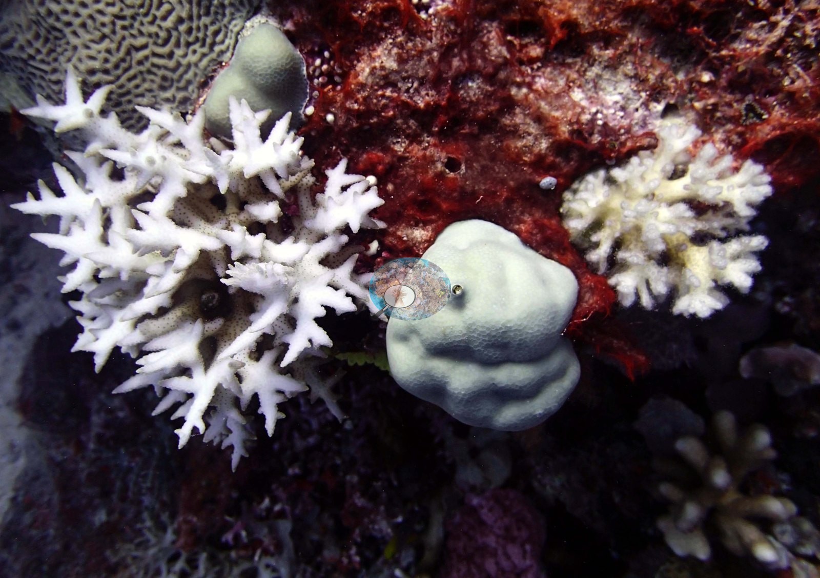
Far Northern GBR (NOAA CRW virtual station)This station on Unnamed Reef 128 (reef ID 11-238) carried 55% live coral cover, with a swath of bottlebrush Acropora beneath the boat and reef running to at least 30 m. Anderson wrote that needle coral (Seriatopora hystrix) looked terrible nearly everywhere, with dead colonies at 15 m, and one photograph shows two bleached branching colonies. Surveyed on the Living Oceans Foundation's Global Reef Expedition.
Five other CRD dive sites within 5 km shown in orange — click a marker to open its page.
🗺 Detailed map of the Global Reef Expedition dive sites, Five Reefs and unnamed reef 11-238, northern Great Barrier Reef (Khaled bin Sultan Living Oceans Foundation; opens in a new window)
5 of the 15 photographs on this page are shown beside the text that discusses them under "Site description" below.
Site description
Setting
Global Reef Expedition station AU238141 on Unnamed Reef 128 (reef ID 11-238), far northern Great Barrier Reef (-11.9191, 143.8412).
General benthic features
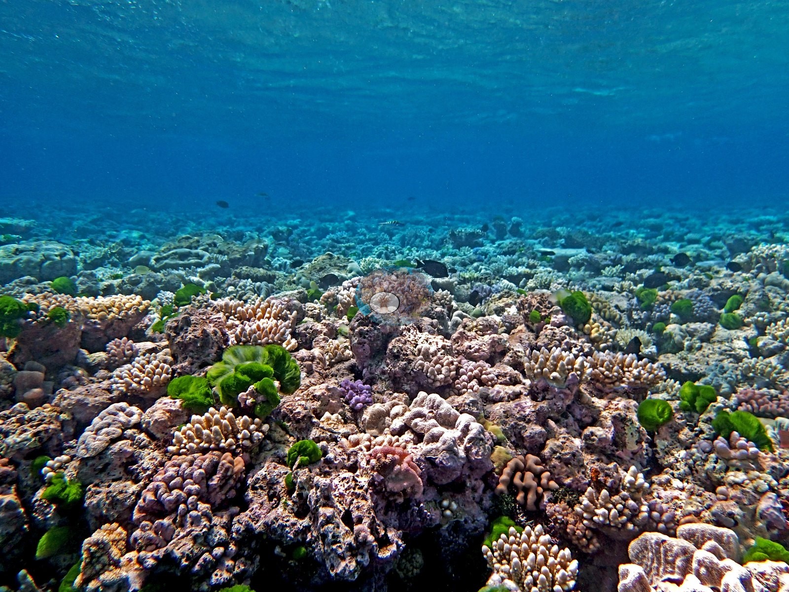
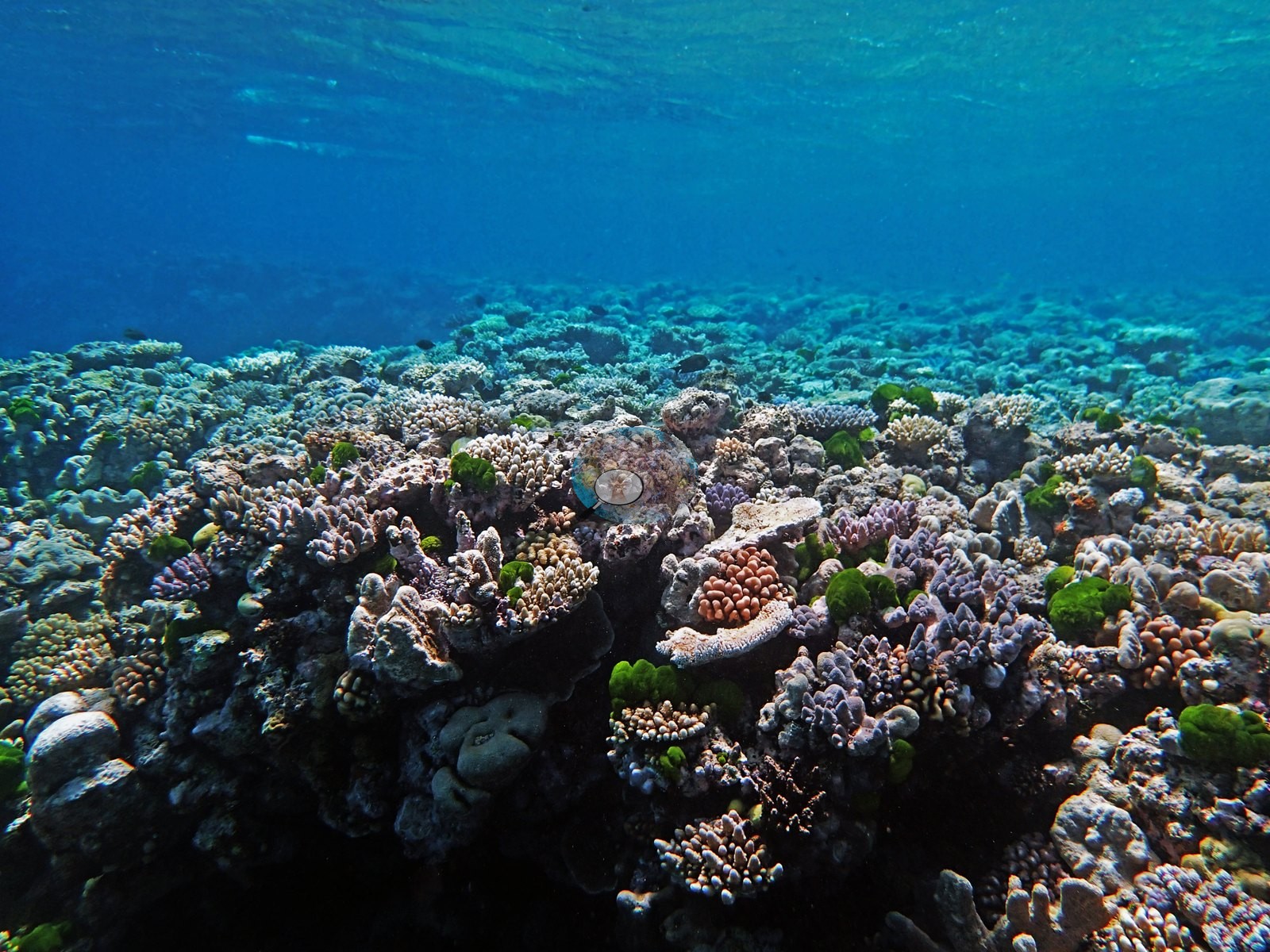
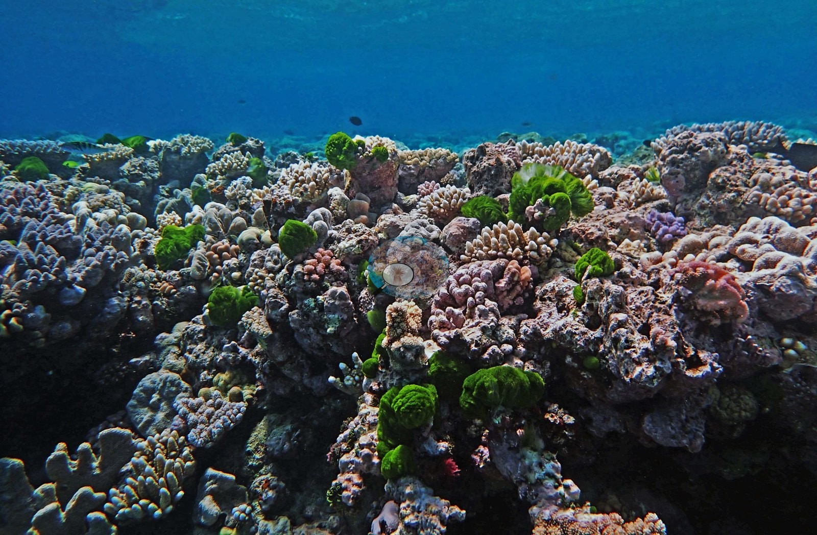
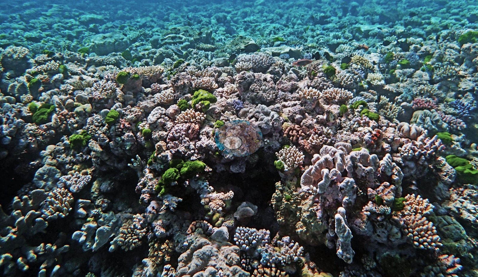
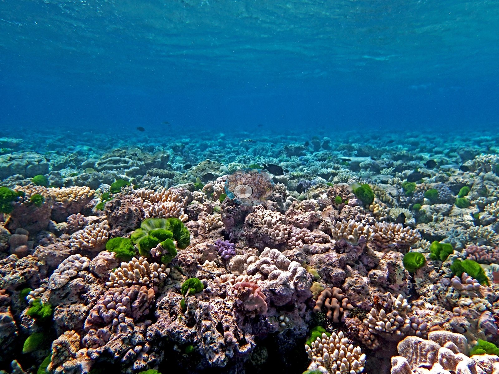
The notes record 30-40 m visibility, a swath of bottlebrush Acropora beneath the boat, and reef running to at least 30 m, with a 15 m transect estimated by eye at 60% cover while shallower rubble flats near 5 m held almost none. One shallow frame, taken close under a rippled surface, shows a dense pavement of small colonies packed together with barely a gap: cream and lavender corymbose Acropora, pink Pocillopora, encrusting and finger Porites, and bright green algal tufts sprouting between them (e.g., Image 3).
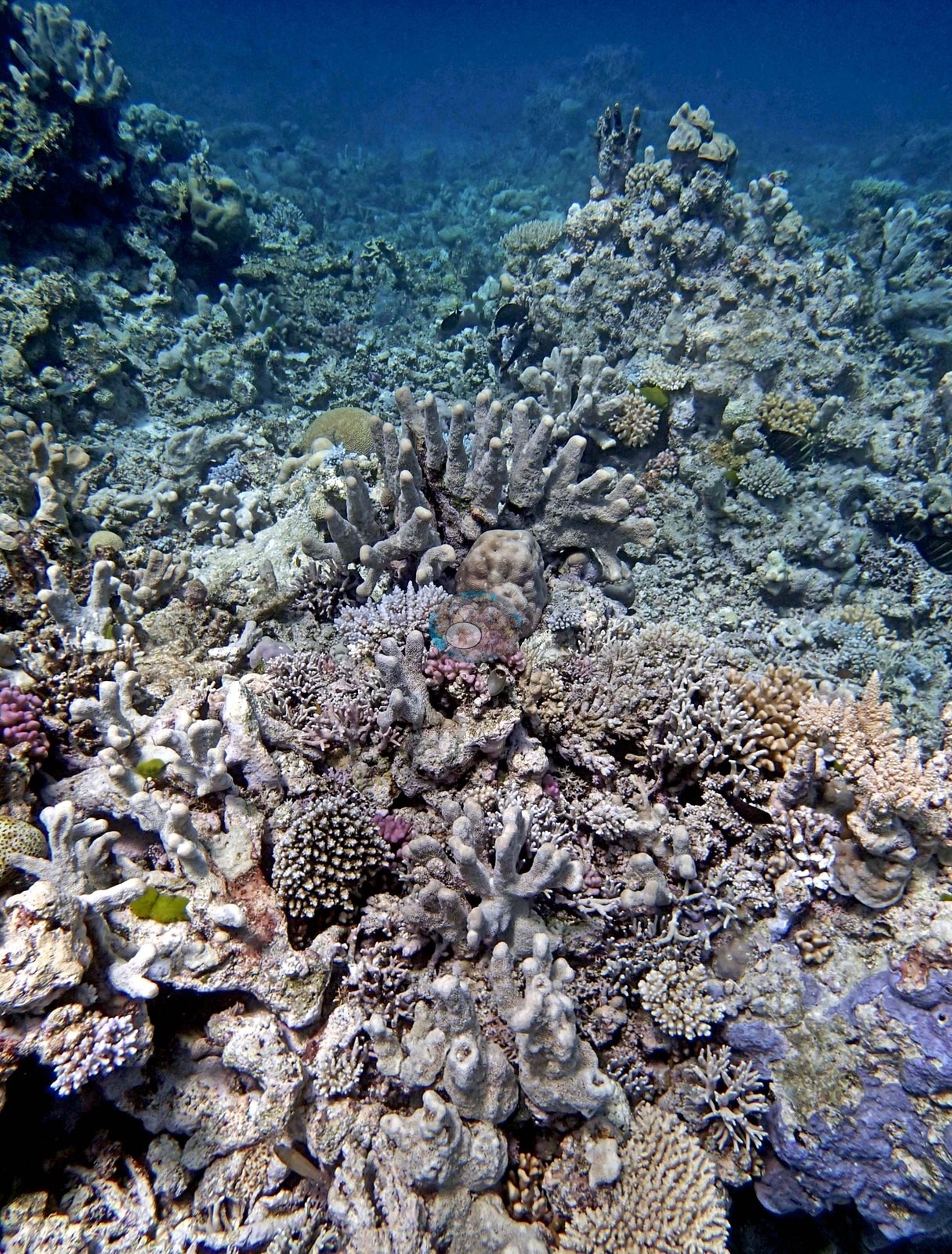
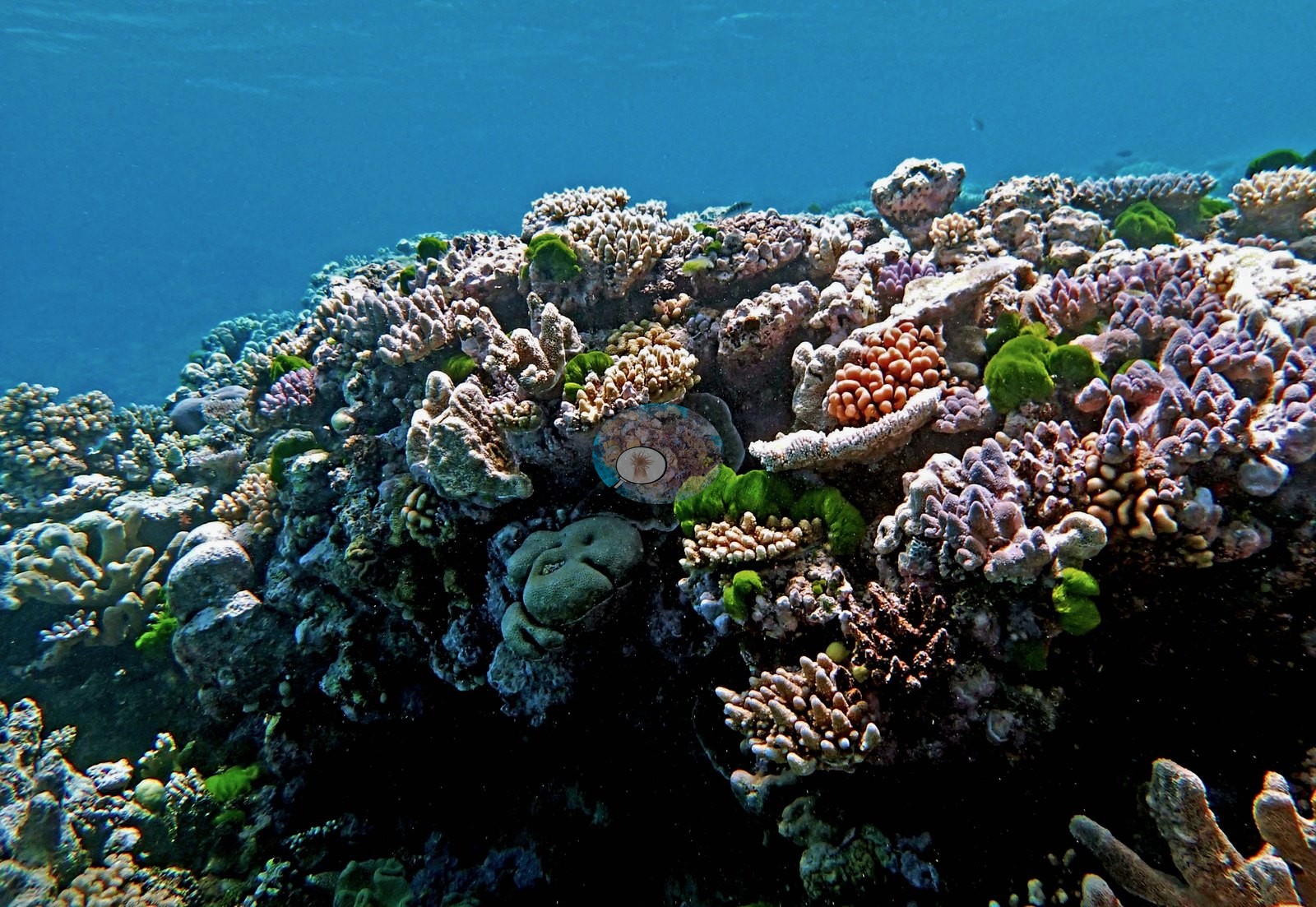
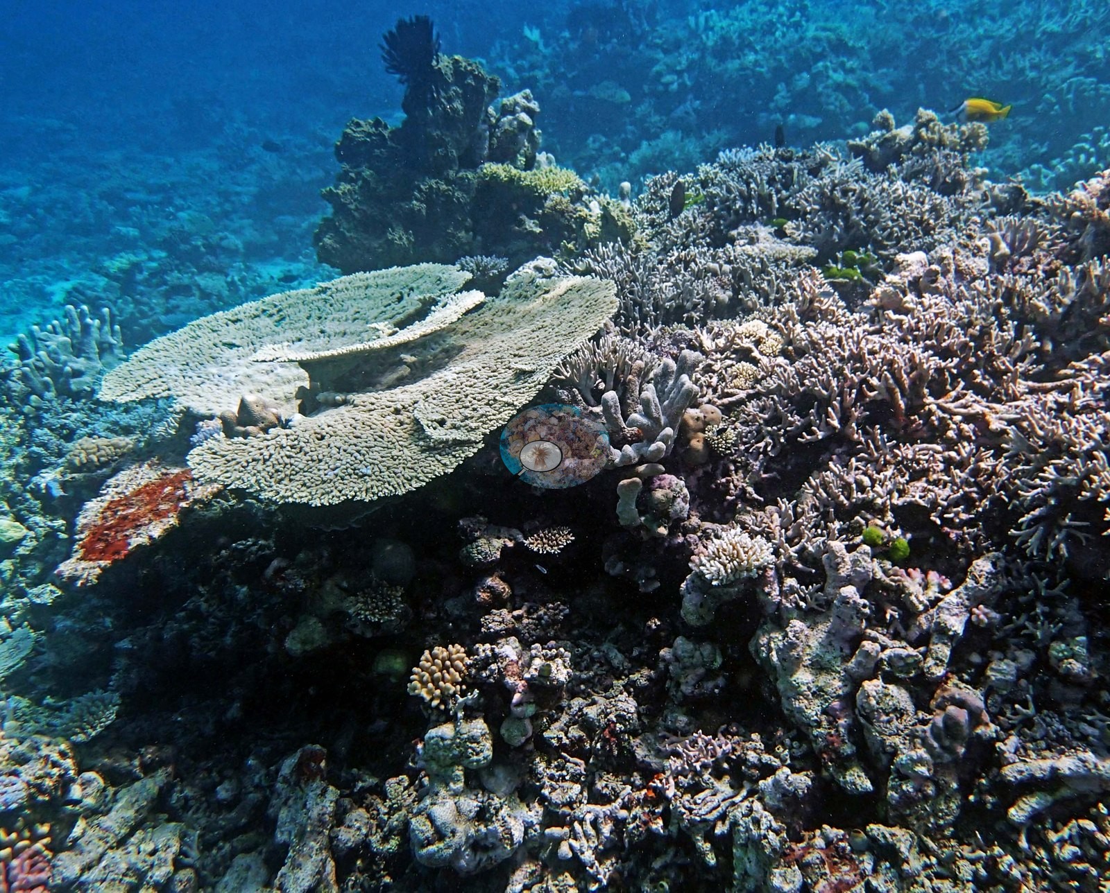
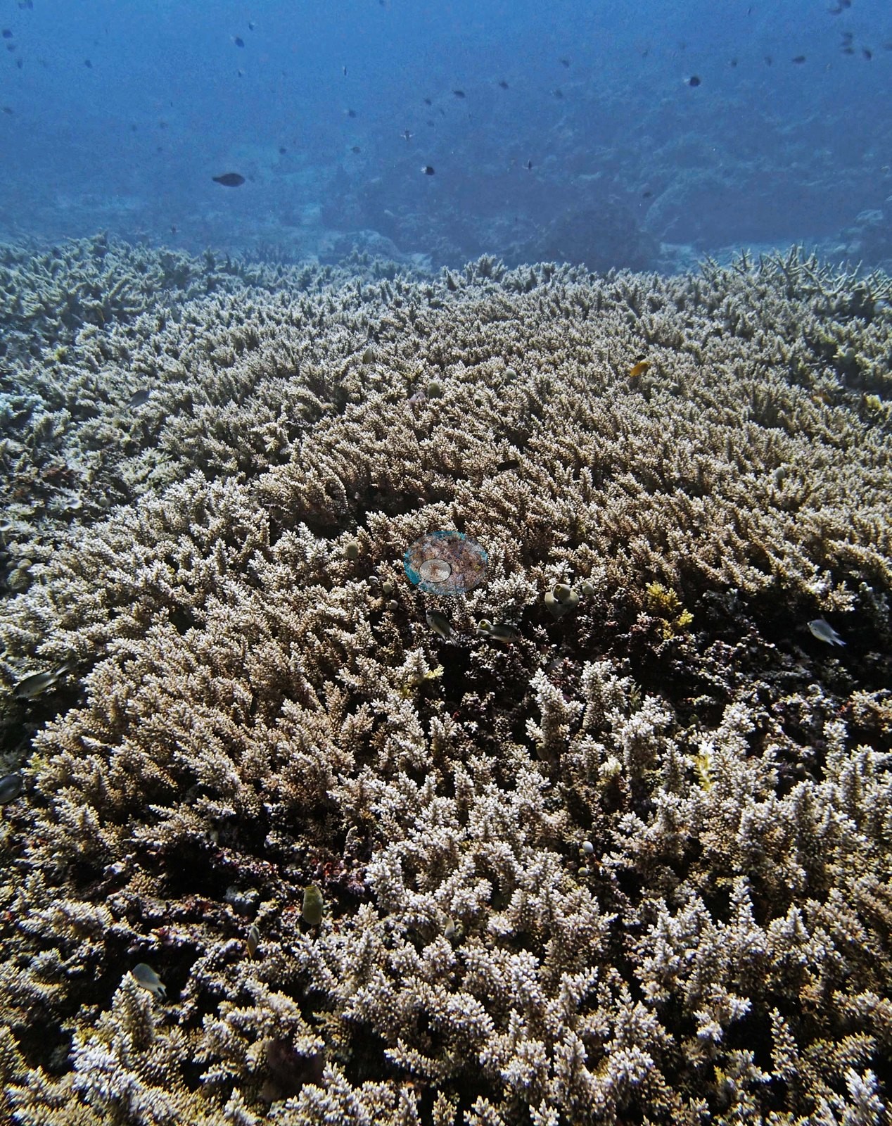
Another is a near-solid meadow of pale corymbose Acropora running out into hazy blue (e.g., Image 4).
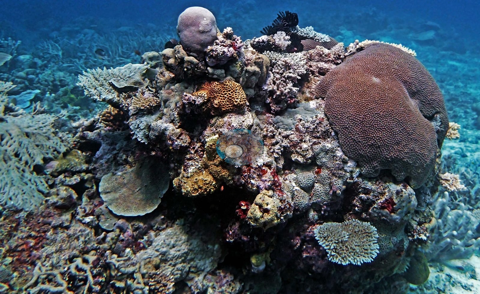
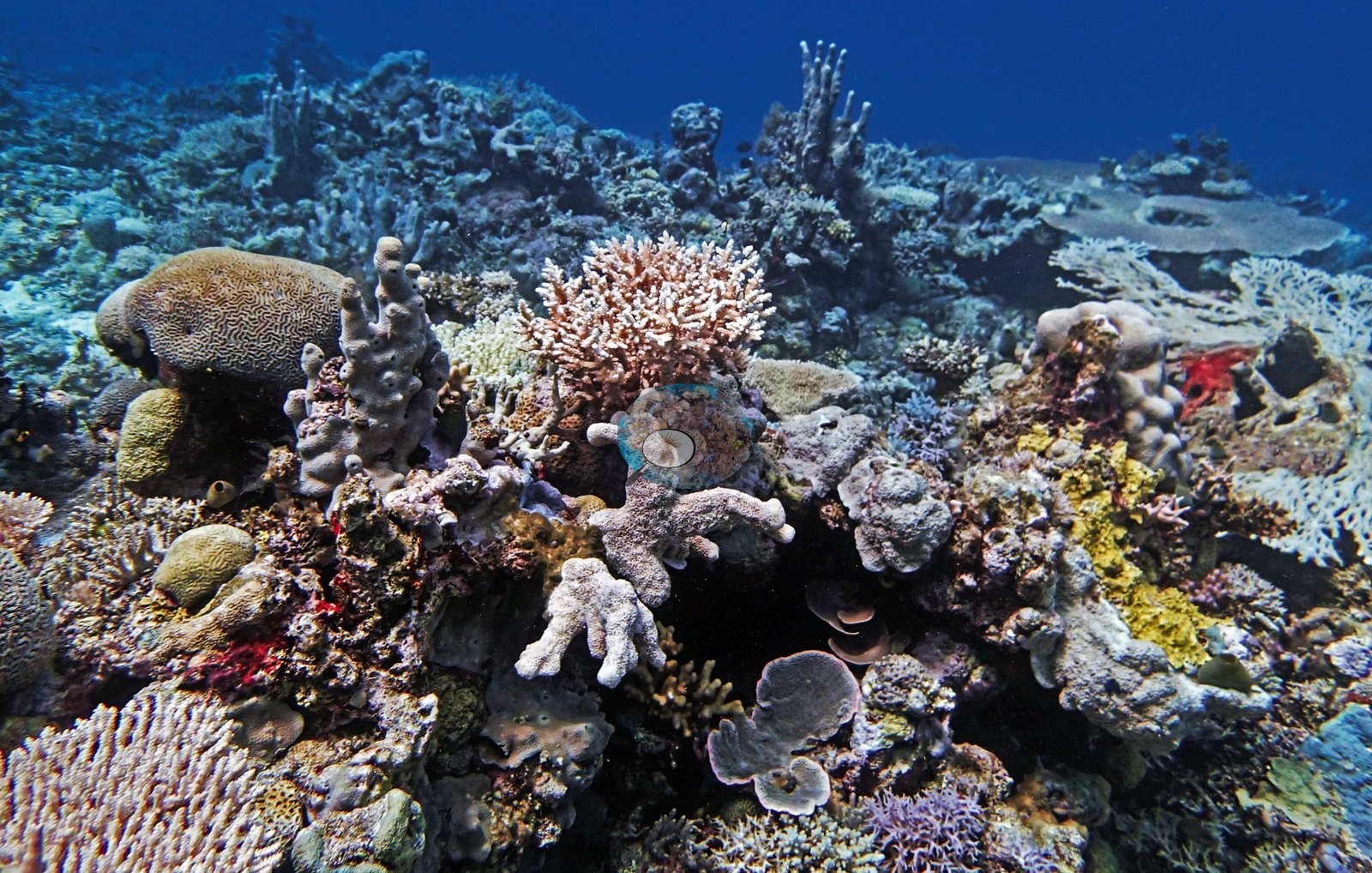
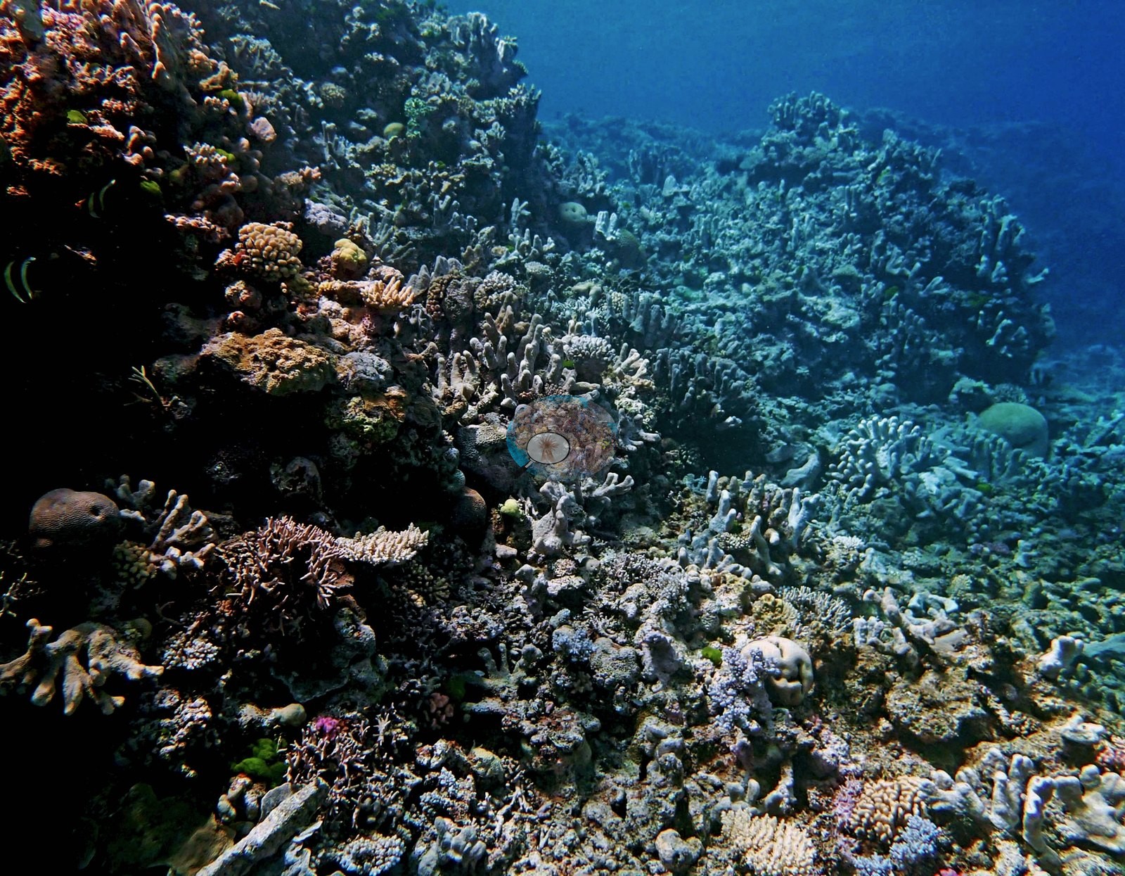
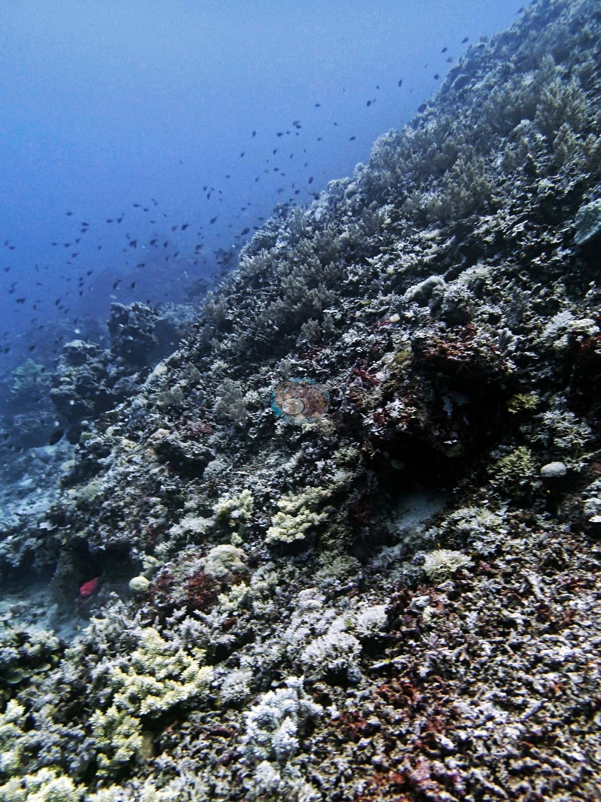
A third looks along a steep face carrying low-relief mixed coral and turf with a wide cloud of chromis strung out over open water (e.g., Image 5).
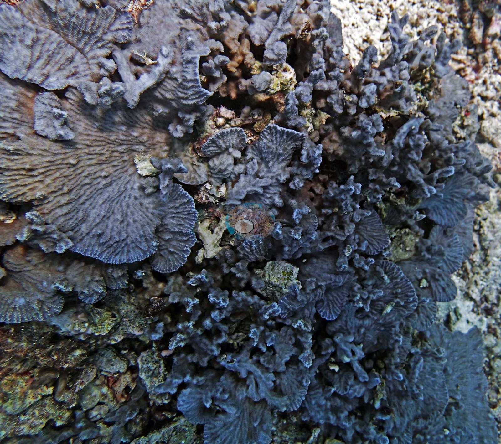
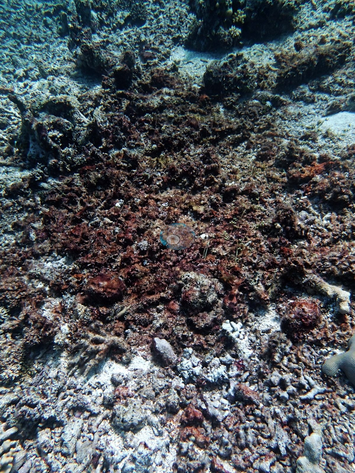
One downward frame is algal-turfed rubble and dead pavement, red and rust-colored (e.g., Image 1).
Acropora was the most common coral genus on this station's transects (18% of the benthos), followed by Porites (12%), Isopora (9.1%), Diploastrea (7.5%), Stylophora (3.0%), and Seriatopora (2.3%); bare substrate covered 28%, the largest non-coral class. Among the algal classes on this station's transects, crustose coralline algae (9.6%) led, followed by sediment-laden turf (5.8%).
Coral cover
- Reference: Khaled bin Sultan Living Oceans Foundation, Global Reef Expedition (in situ transect)
- The expedition's in situ point-count transects at this station recorded 55% live coral cover against 15% total algal cover.
- Transect mean 51 ± 5.3% SE (n = 8 transects; Living Oceans Foundation per-transect benthic data); the headline above is the expedition's station value (the headline weights each depth equally; one depth had a single transect).
Stressors
Recorded condition: Anderson wrote that Seriatopora hystrix looked terrible virtually everywhere, with dead colonies at 15 m alongside dead Acropora, and only one shallow patch of possibly healthy S. hystrix. One frame shows two bleached branching colonies side by side: a thick-tipped colony stark white with its polyps still visible and a fine-branching colony white-cream beside it (e.g., Image 13).
Regional context only: about eighteen months before the 2016 mass bleaching, in a sector it hit severely; 5-year mean annual maximum thermal stress at the Far Northern GBR virtual station is 11.1 degree heating weeks. No crown-of-thorns starfish (COTS) or other corallivores evident.
Comparisons with other data
No prior survey data from this site. If you would like to share yours, please email us.
Dive record
It was dived on 28 September 2014.
Other notes
Reef name: Anderson's field notes, his sheet, and his photo folder label this station AU128141 on 'Unnamed Reef 128'; the expedition's field report itinerary (28 September 2014), the station code AU238141, and the LOF map name the reef UN Reef 11-238. The pin keeps its station code. The page leads with his dive-log name, with the reef ID 11-238 second.
Data & links
- Download benthic survey data (CSV) ↗
- Download all LOF-GRE data (933 sites) ↗
- Photo portfolio ↗
- Coral Reef Diagnostics country page ↗
All images from Coral Reef Diagnostics. Data are from the Khaled bin Sultan Living Oceans Foundation Global Reef Expedition and Coral Reef Diagnostics.
 © Coral Reef Diagnostics.