
Part of the regional summaries: Australia (GBR) - Far North: Blue stations (Habitat Protection Zone reefs) and Australia (GBR)
More info
Far Northern GBR (NOAA CRW virtual station)Despite murky 3-5 m visibility, this leeward reef held an exceptional coral community at 5-10 m, with individual transects up to 90-95% live cover and frames packed with tiered rosettes, bottlebrush Acropora, and meters-wide Porites sheets. A huge fish school, giant trevally, and barracuda passed through, while needle corals were dying in some shallow patches but healthy on one of the best transects. Surveyed on the Living Oceans Foundation's Global Reef Expedition.
One independent survey station shown with the program’s logo — click one to see how far it is from this site.
Two other CRD dive sites within 5 km shown in orange — click a marker to open its page.
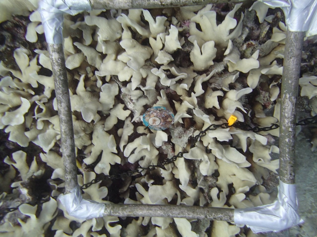
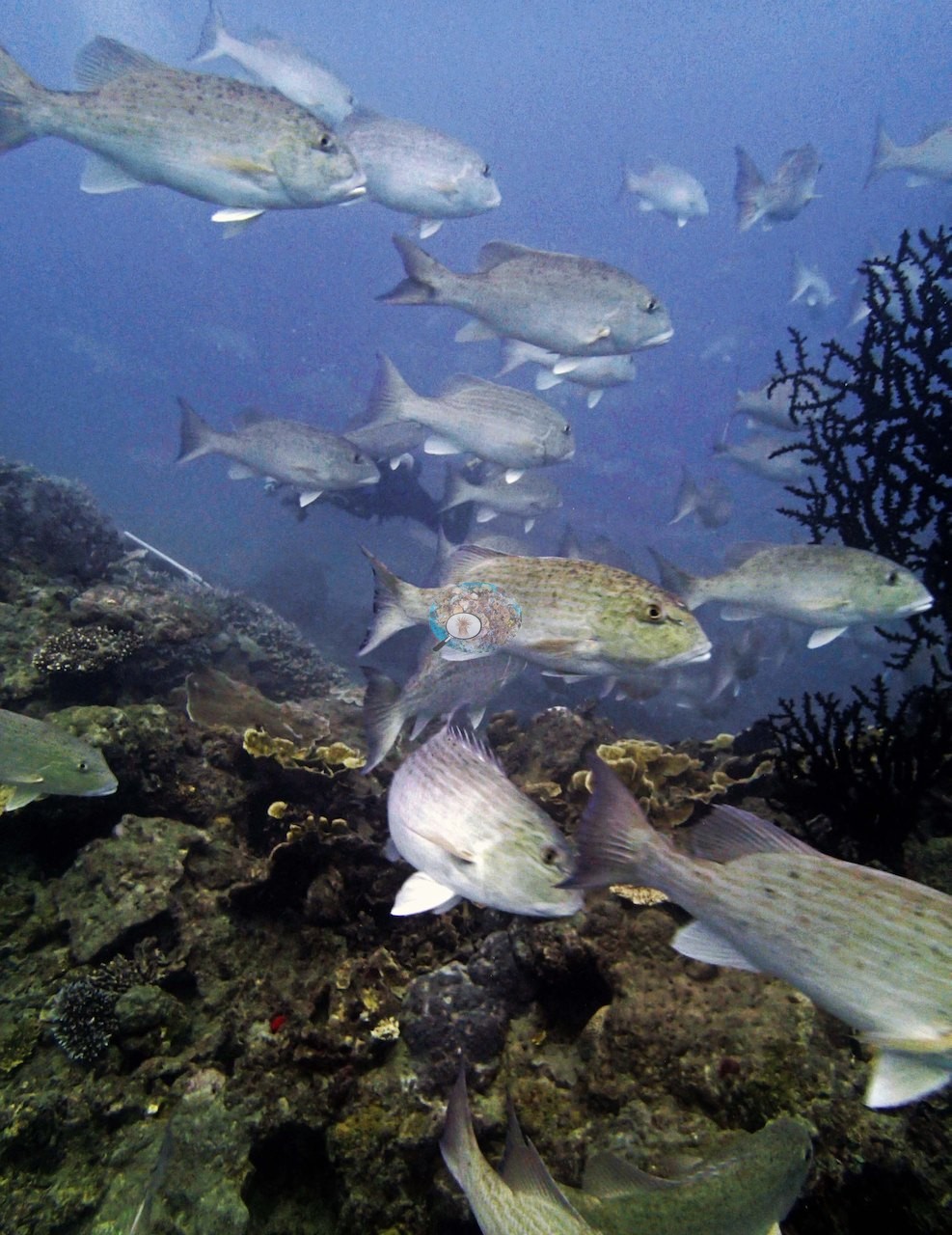
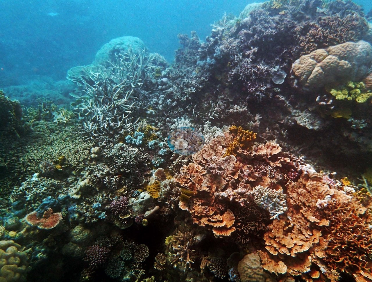
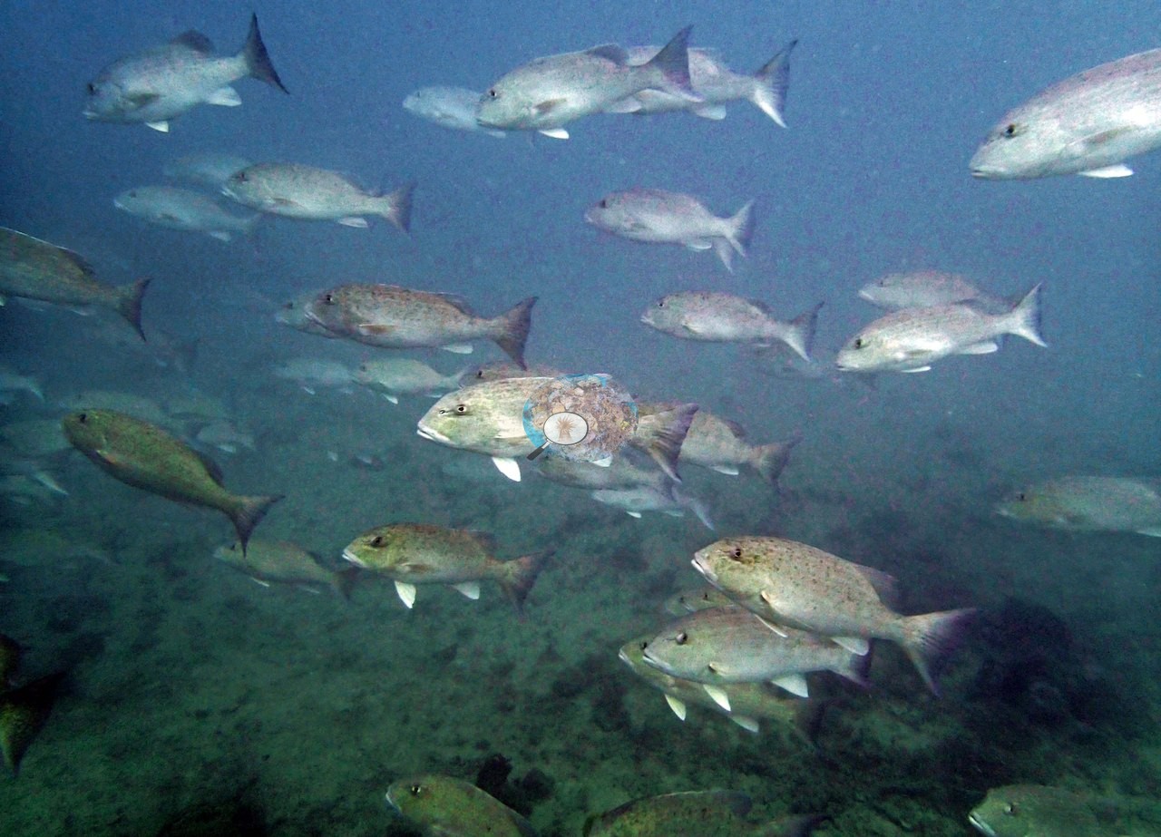
4 of the 31 photographs on this page are shown beside the text that discusses them under "Site description" below.
Site description
Setting
Unnamed Reef 116's third and final dive of the day found a murky leeward reef, 3-5 m of visibility, with an exceptional coral community in the 5-10 m band, where Anderson recorded up to 90-95% live cover on individual transects.
General benthic features
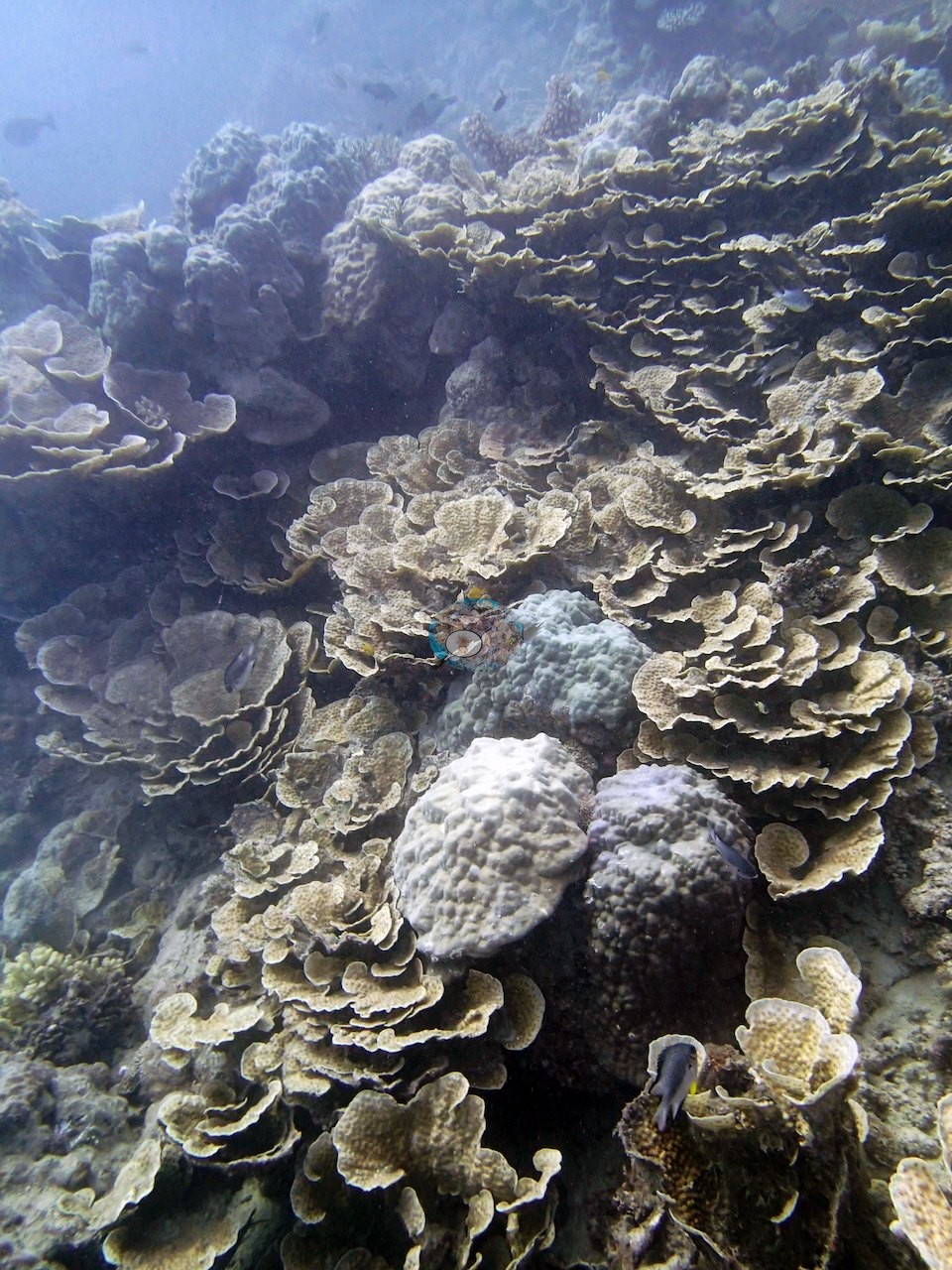
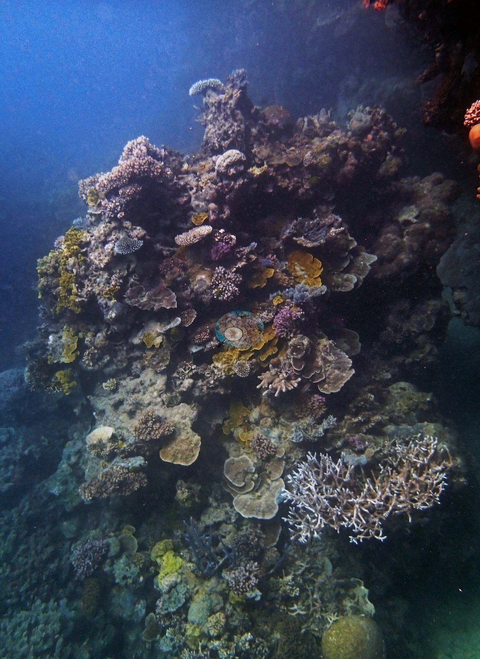
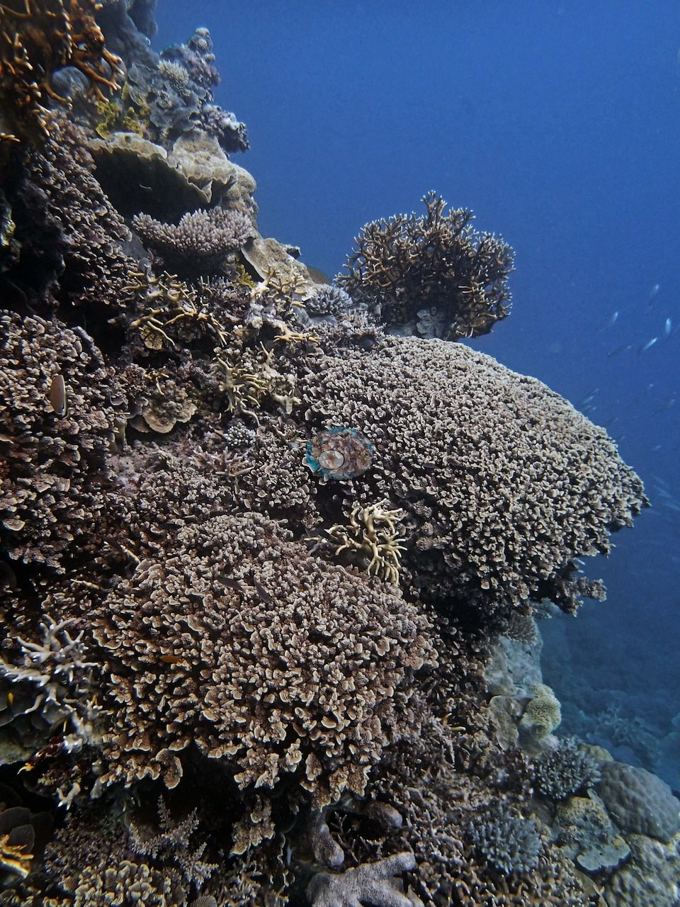
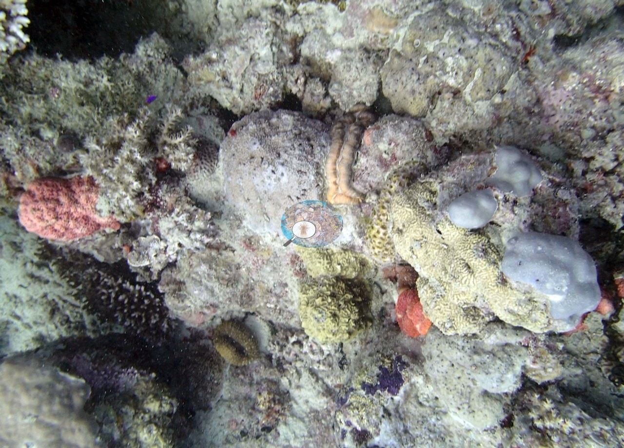
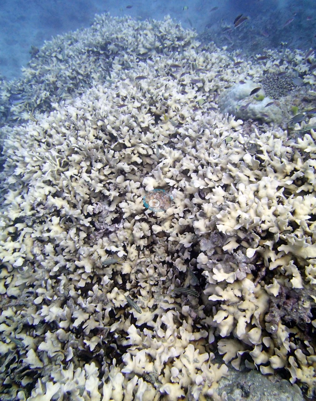
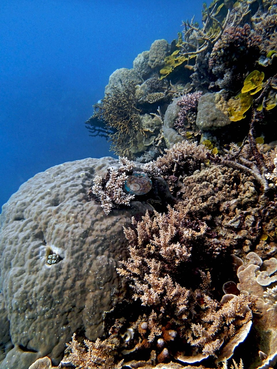
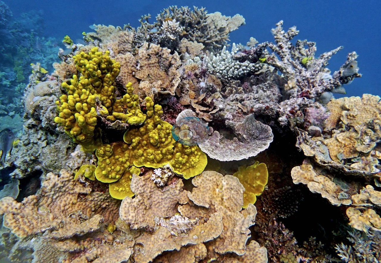
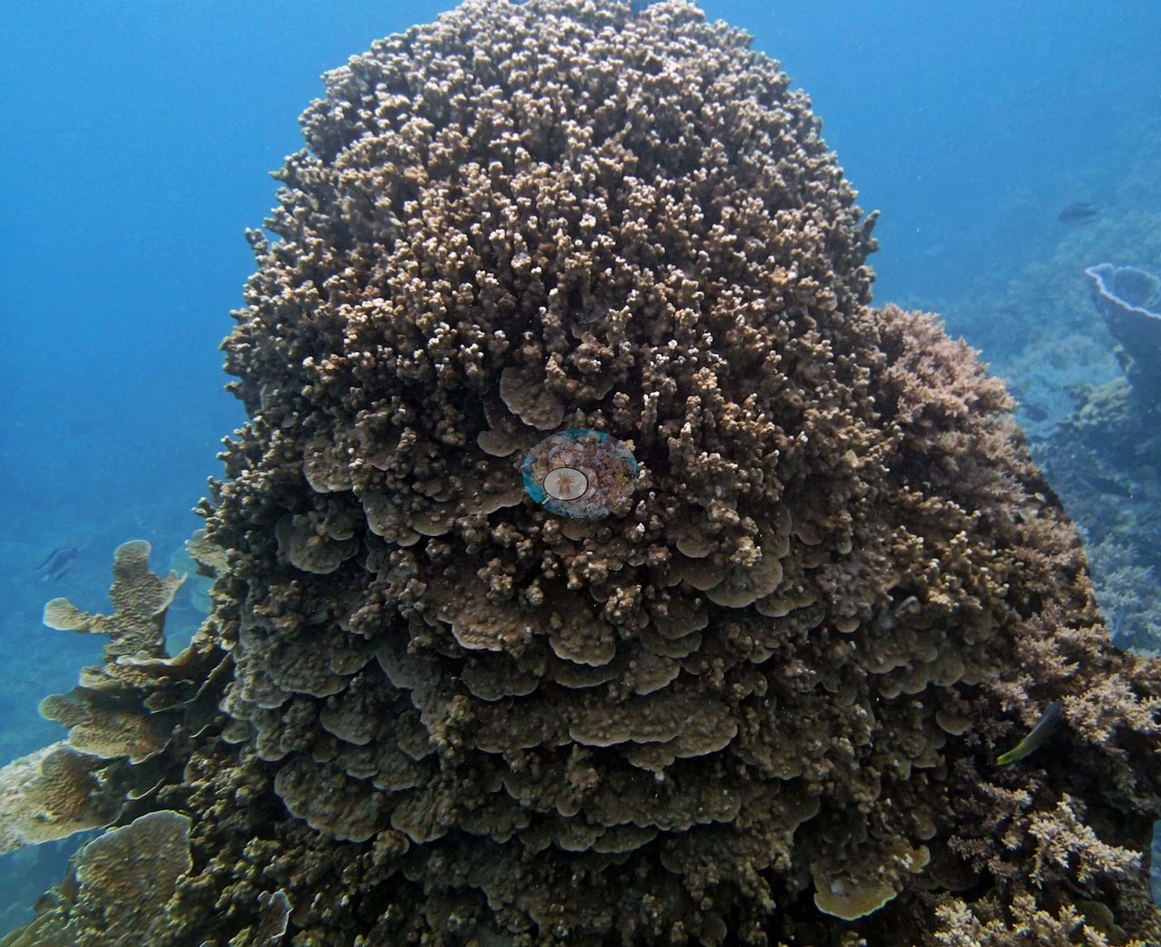
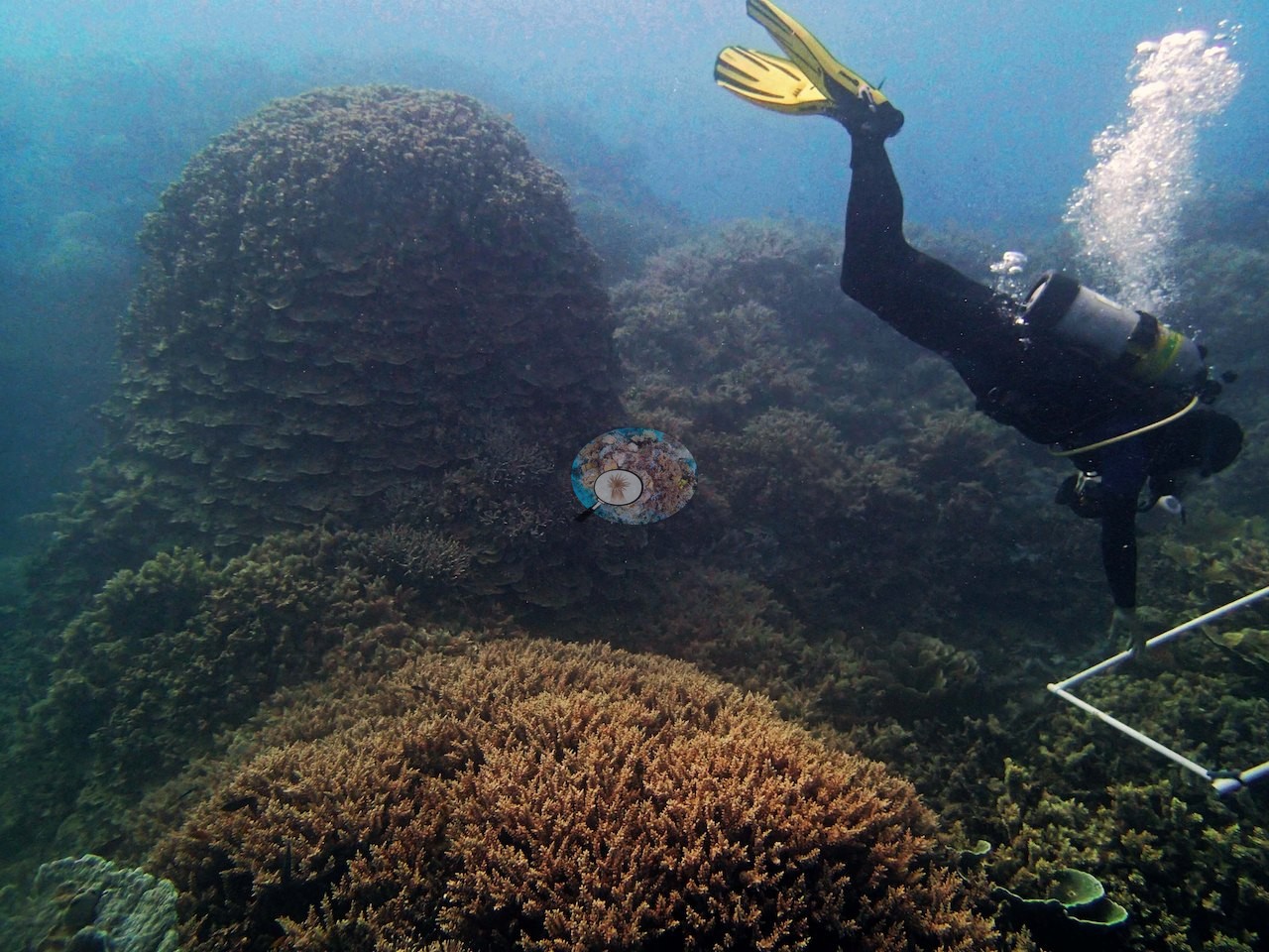
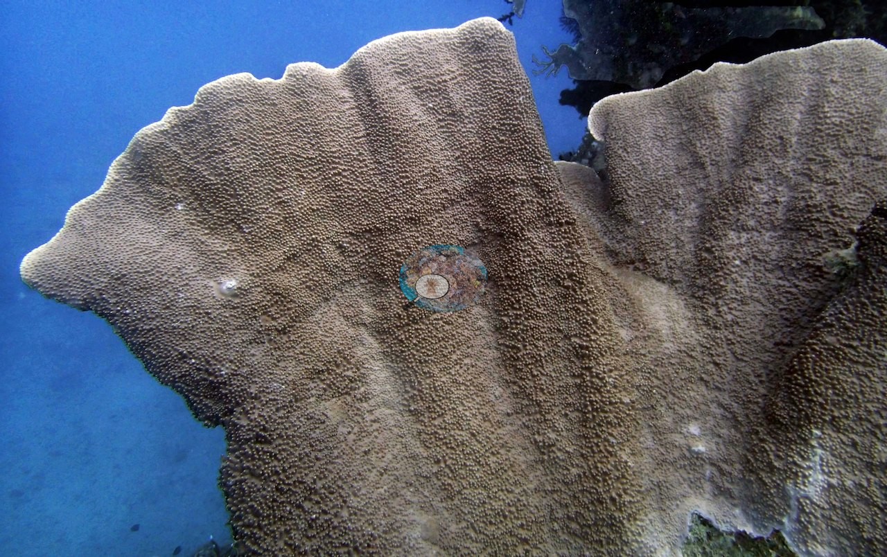
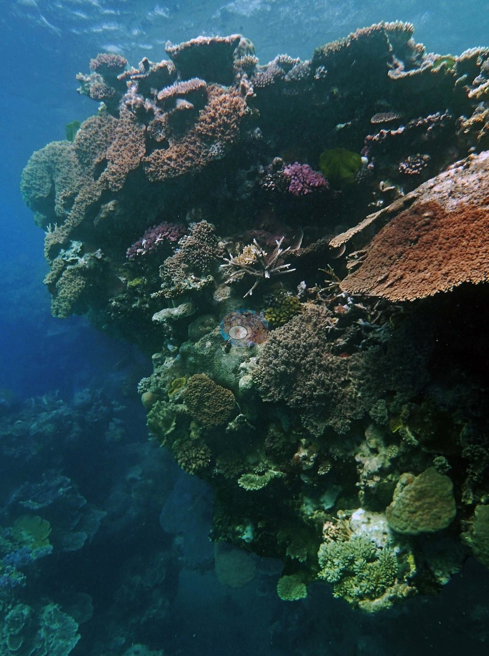
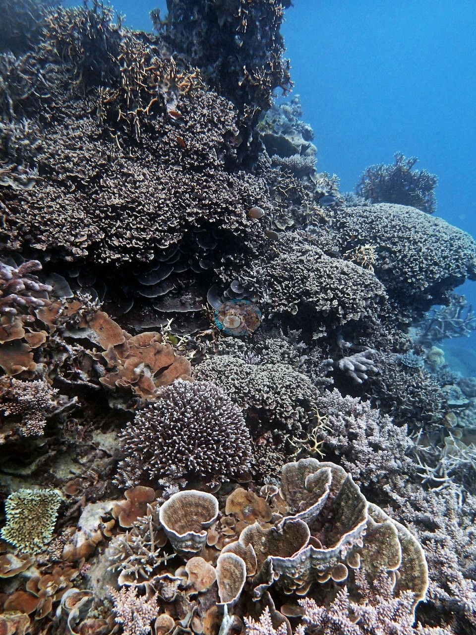
The photographs show whole frames of coral with no visible rock, tiered Echinopora rosettes and bottlebrush Acropora climbing a bommie face into the haze, and a broad sheet of plating and encrusting Porites spreading meters across, edged by golden fire coral and one yellow sponge (e.g., Image 4, Image 5).
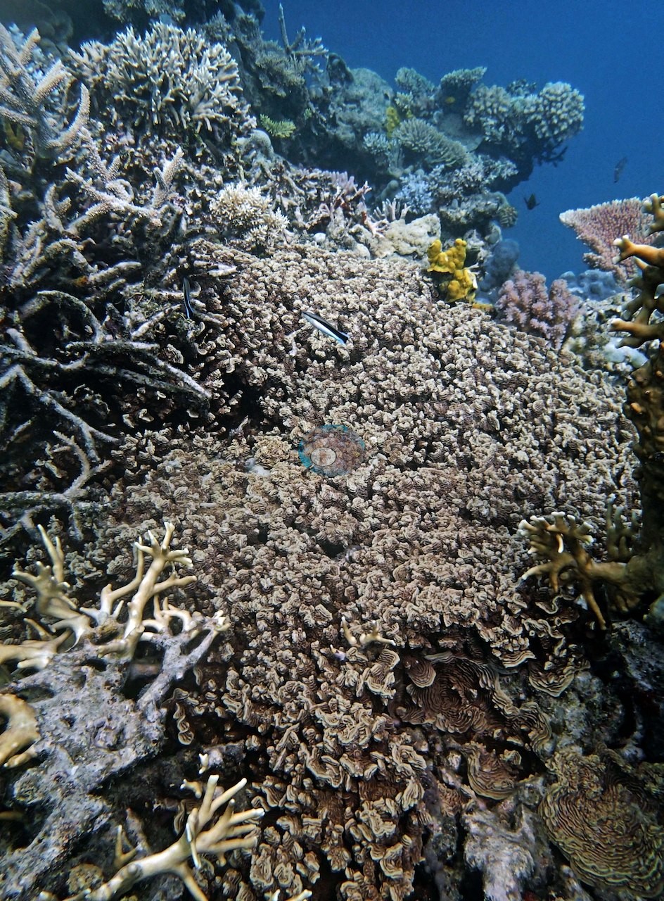
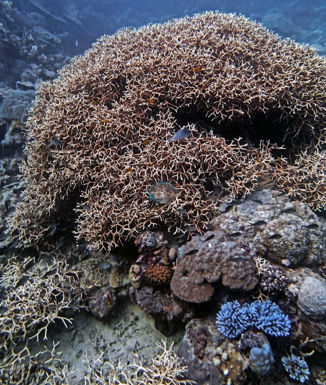
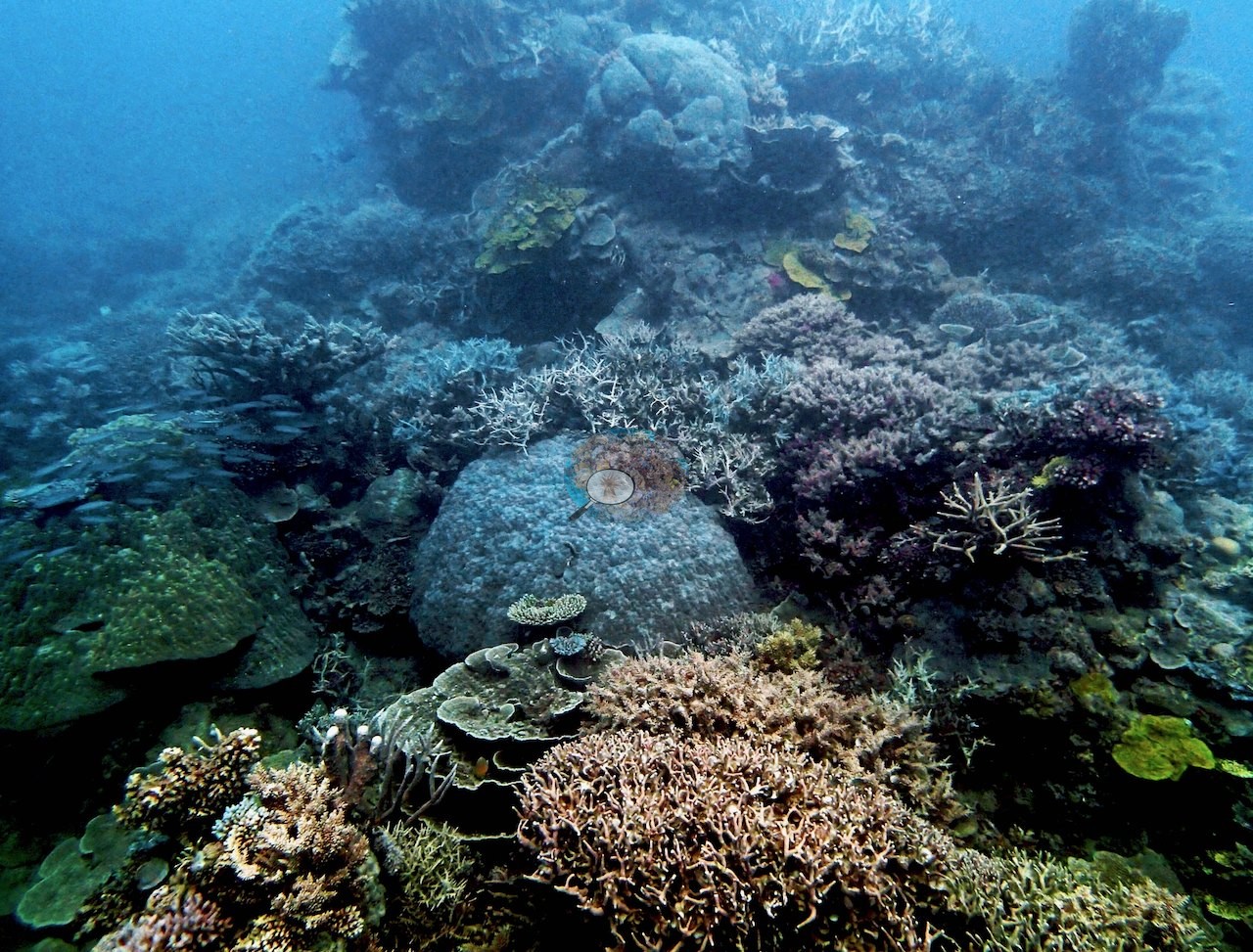
One frame is a single dome-shaped thicket of fine gold branches nearly two meters across, with a vivid blue digitate colony tucked at its foot and glassfish sheltering underneath (e.g., Image 1).
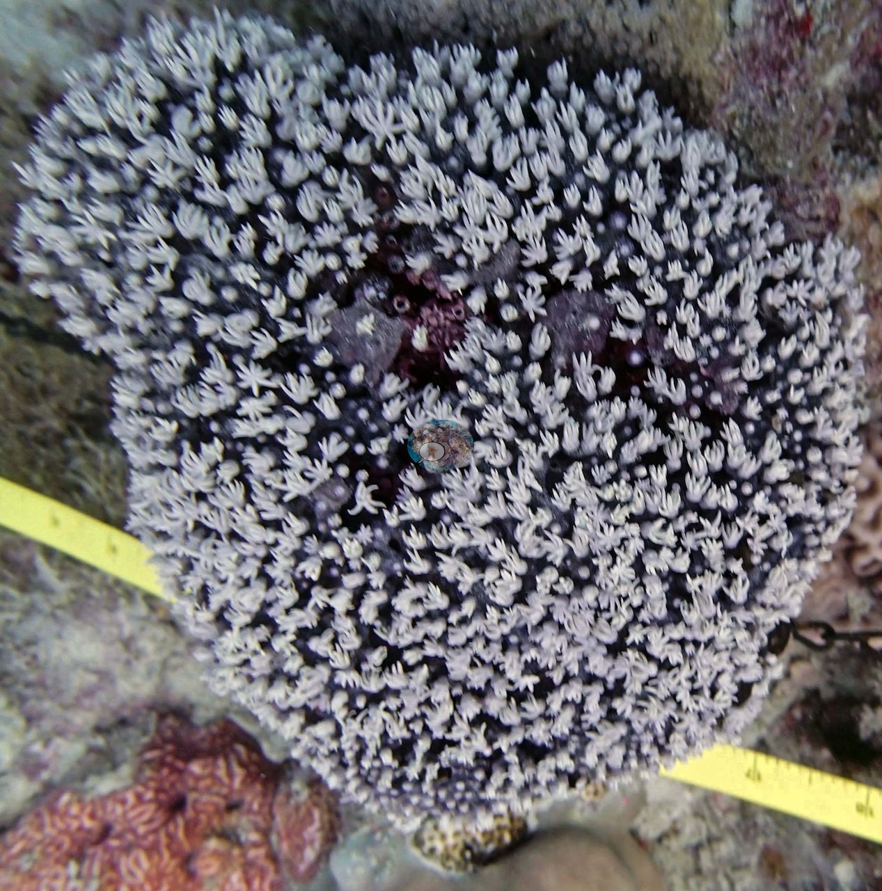
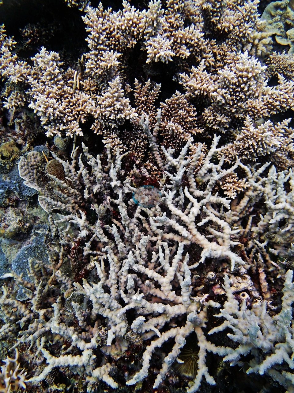
Another shows corymbose Acropora above and a pale, whitish fine-branched thicket below (e.g., Image 2).
Acropora was the most common coral genus on this station's transects (35% of the benthos), followed by Echinopora (17%), Porites (7.0%), Montipora (2.7%), Pocillopora (2.3%), and Fungia and Stylophora (1.3% each); bare substrate covered 0.3%, behind macroalgae (11%), the largest non-coral class. Among the algal classes on this station's transects, macroalgae (11%) led, followed by cyanobacteria (10%) and turf (5.7%).
Coral cover
- Reference: Khaled bin Sultan Living Oceans Foundation, Global Reef Expedition (in situ transect)
- The expedition's in situ point-count transects at this station recorded 70% live coral cover against 29% total algal cover.
- Transect mean 70 ± 8.0% SE (n = 3 transects; Living Oceans Foundation per-transect benthic data); the headline above is the expedition's station value.
Stressors
Needle coral (Seriatopora hystrix) told a mixed story here: dying colonies in the productive shallow band, but healthy S. hystrix on one of the site's best transects. No crown-of-thorns starfish (COTS) or other corallivores evident.
Fish and other fauna
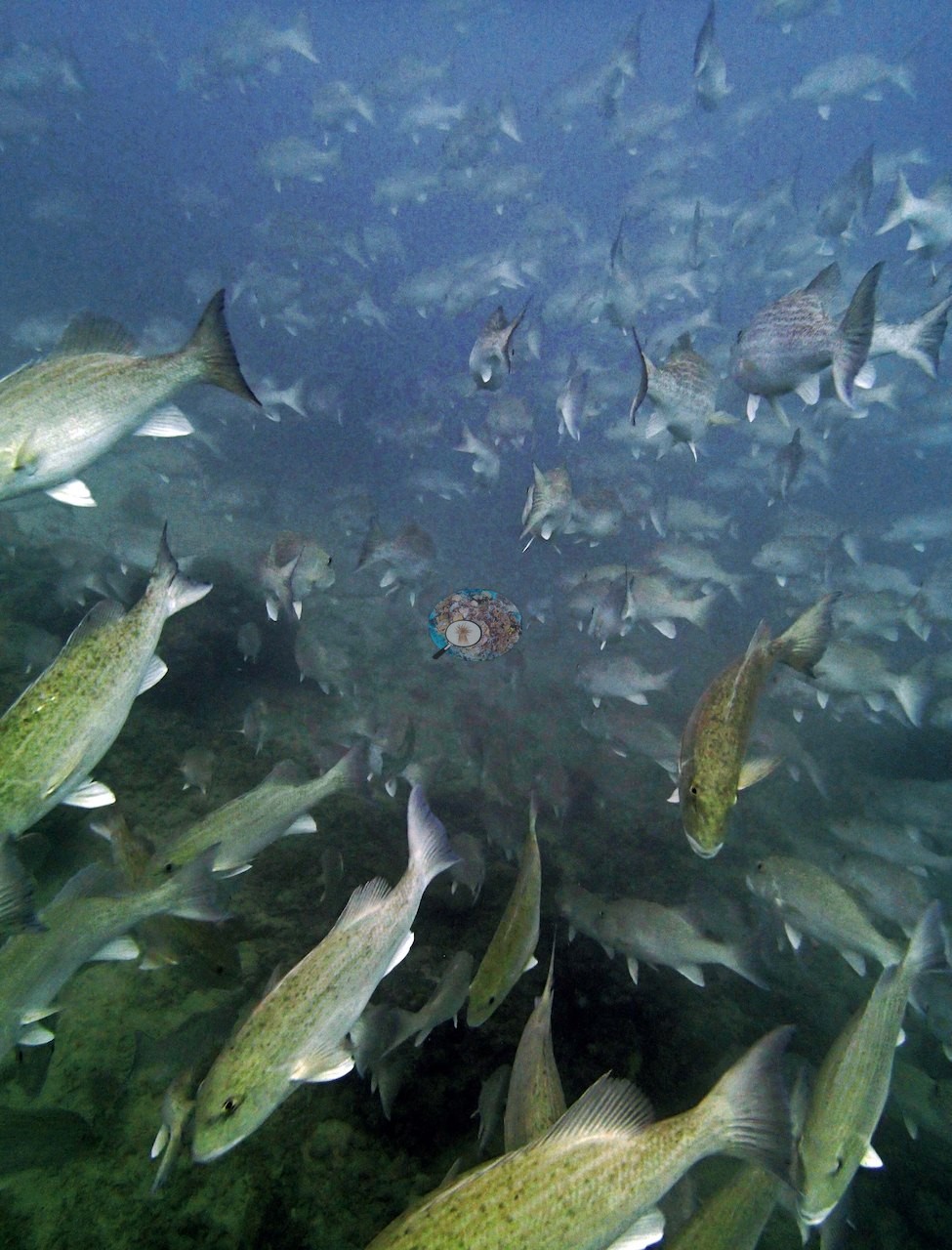
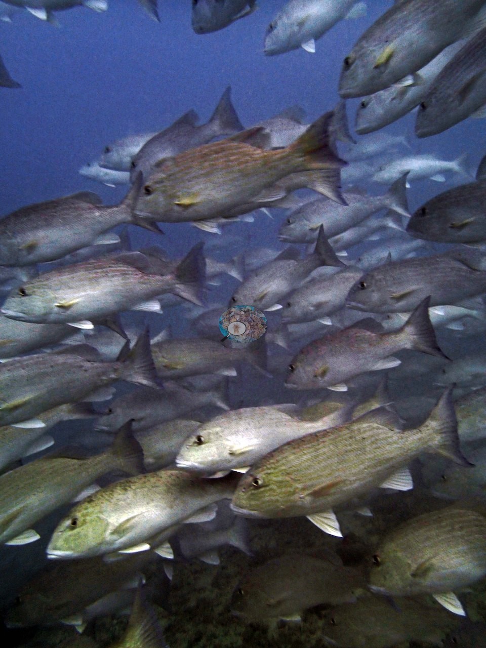
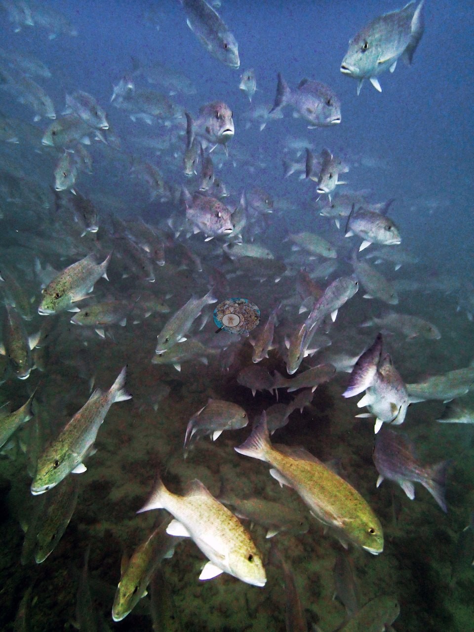
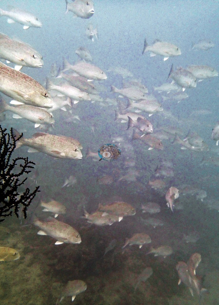
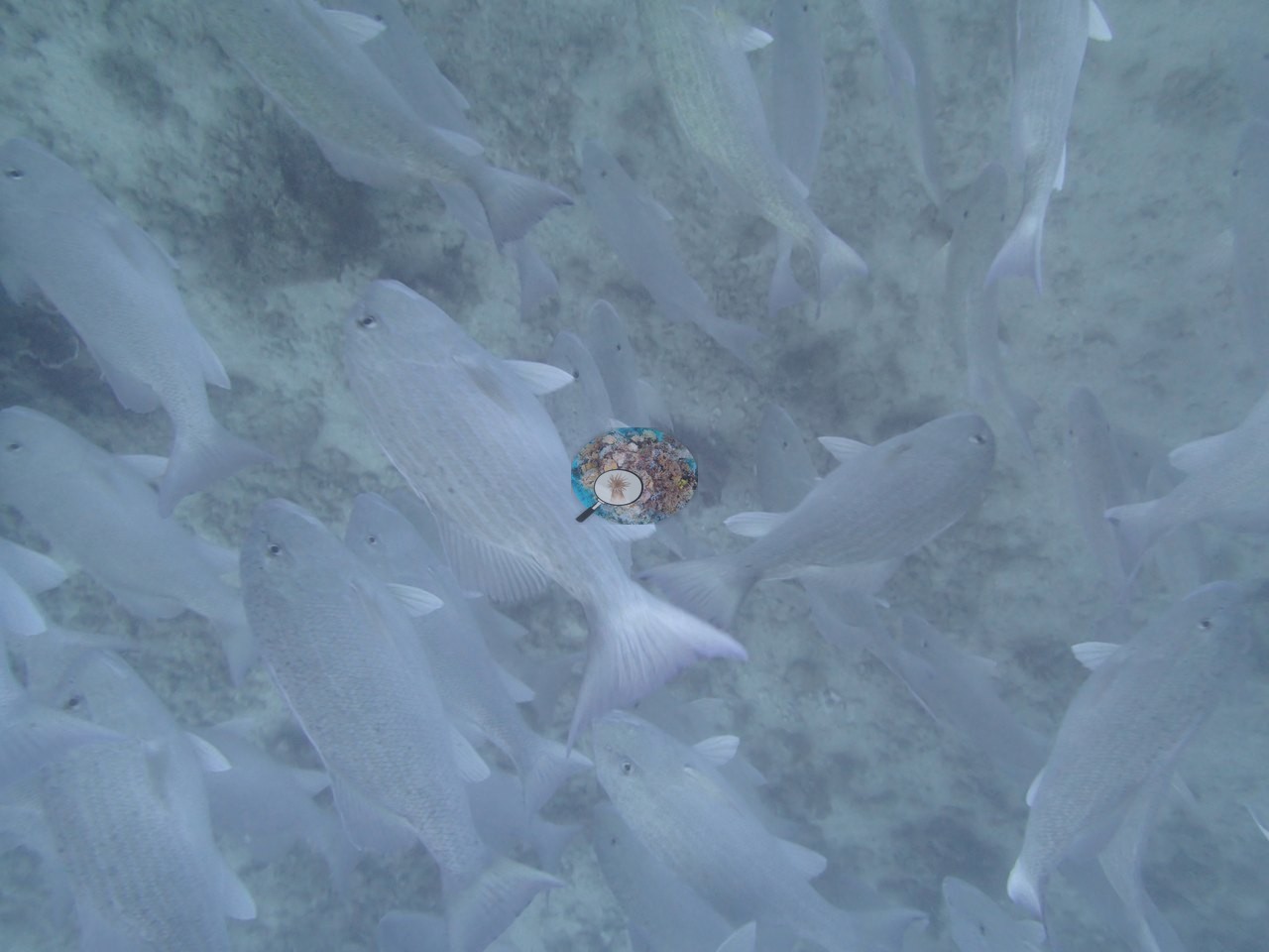
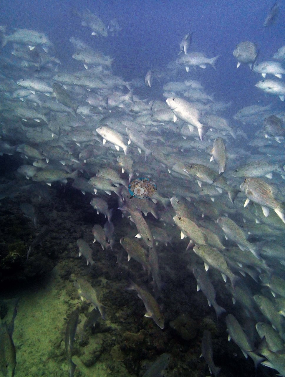
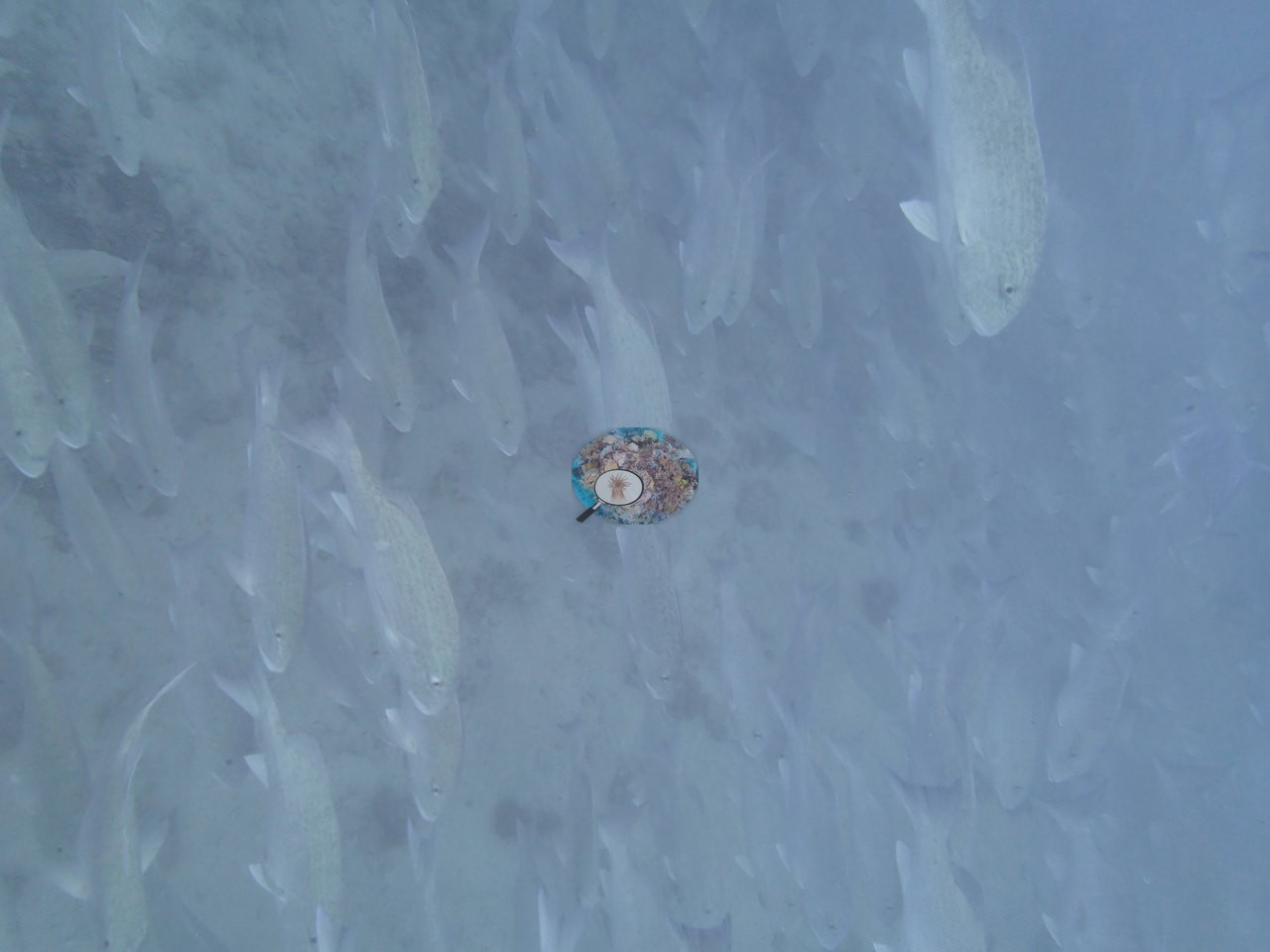
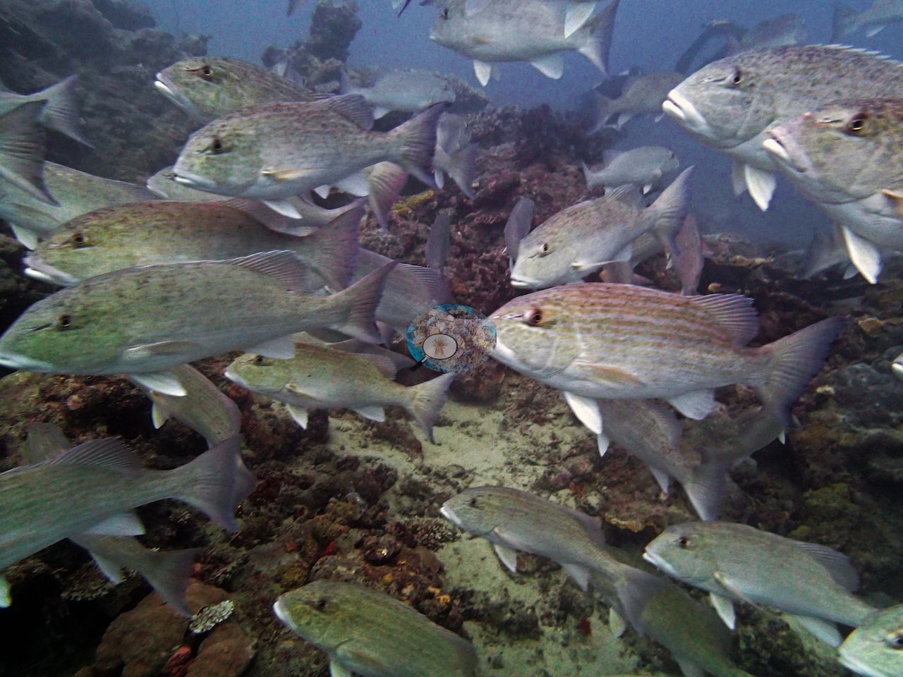
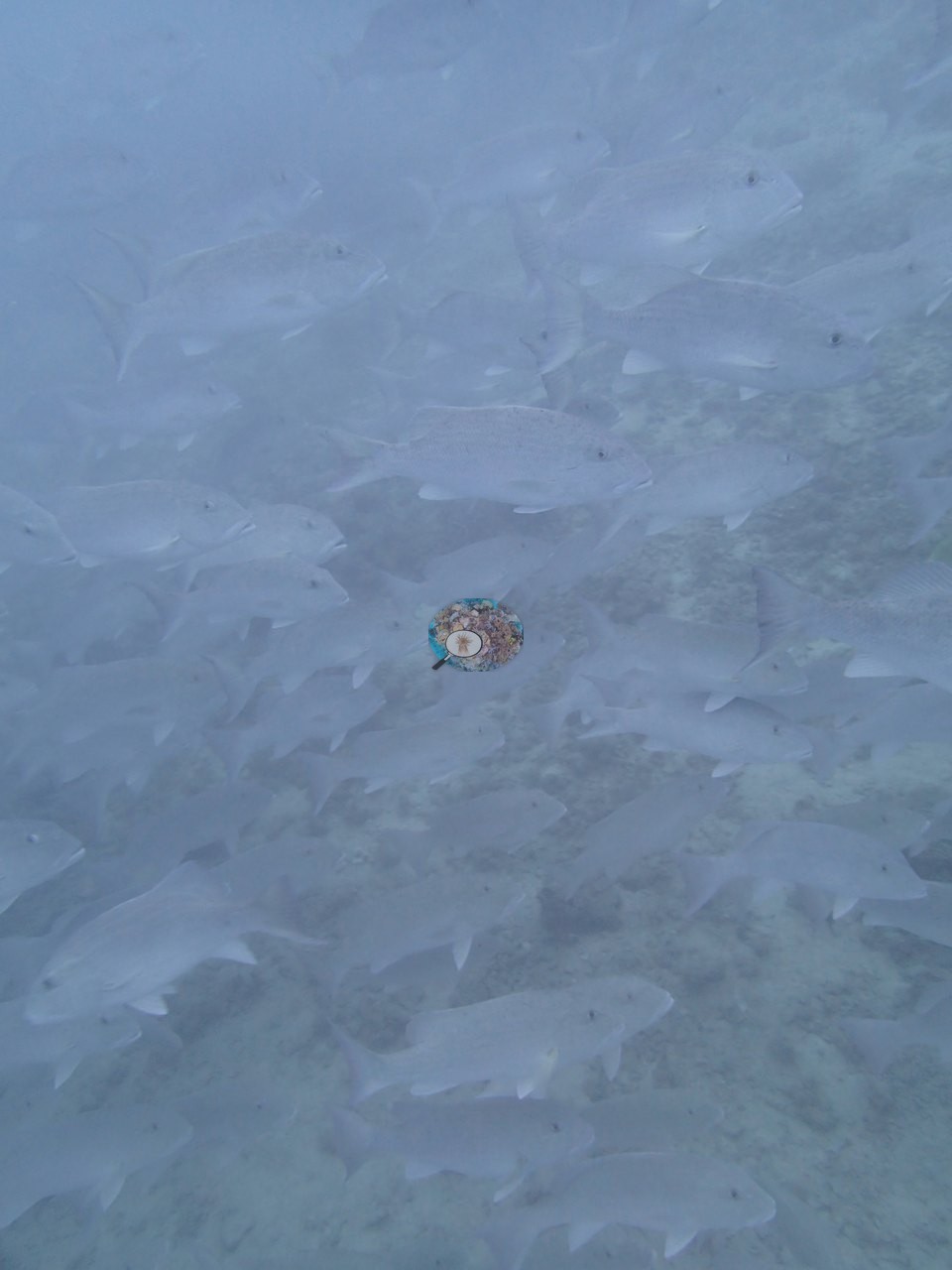
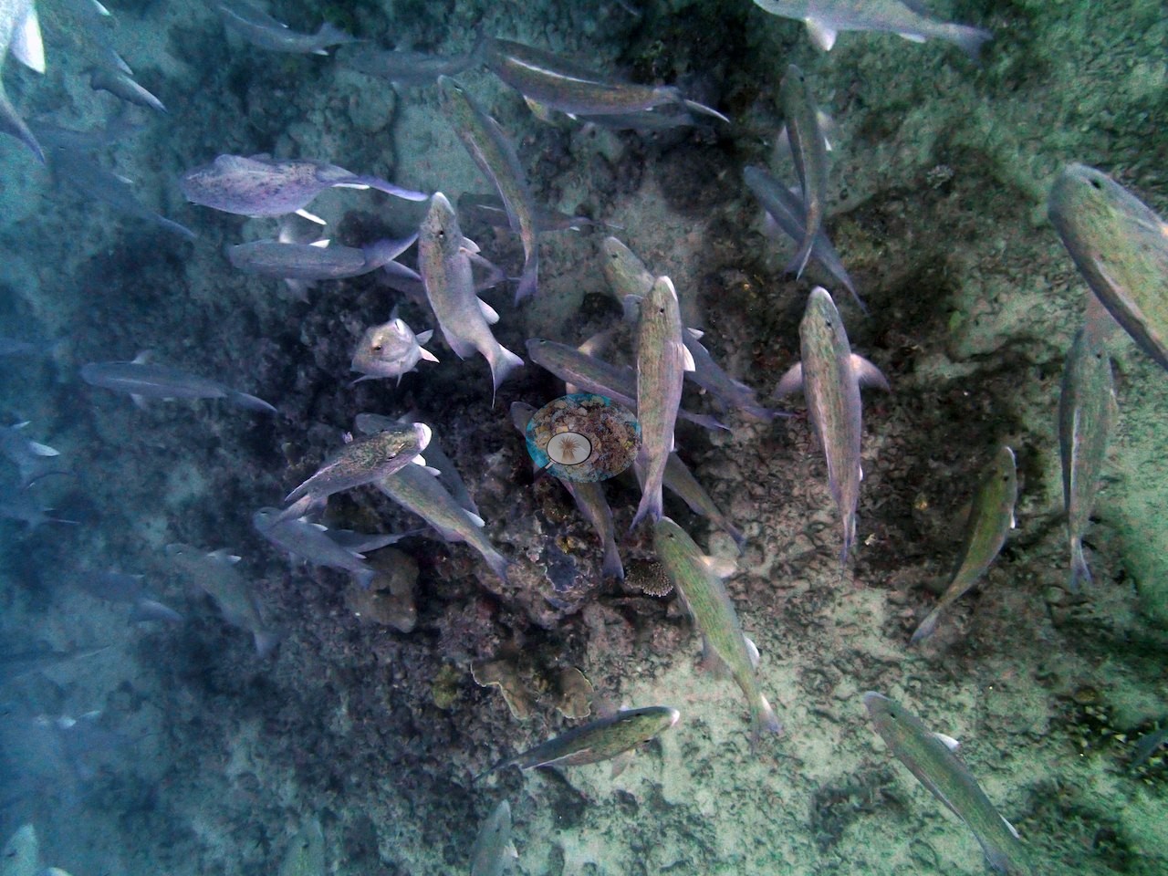
A huge school of unidentified fish, giant trevally, and barracuda made for a memorable dive.
Comparisons with other data
No other surveys have been conducted at this site to date. Within 5 km, one independent station, XL Catlin Seaview Survey at transect 15023, 4.98 km away, read 26–32% between 2012 and 2016.
Other notes
Aspect: Anderson's field notes describe a murky leeward reef sloping down to 25 m, the wording printed here; the expedition's 933-site table lists the station's exposure as 'exposed'.
Independent surveys nearby
 LOF Global Reef ExpeditionYear-average (illustrative only, programs differ)
Within 5 km, 1 independent survey station recorded hard coral cover in 2 surveys between 2012 and 2016. The one station surveyed in more than one year changed by 7 points or less between its first and latest surveys, inside the 7-point method-noise floor (inconclusive). The longest record, transect 15023 (XL Catlin Seaview Survey, 4.98 km away), went from 32% in 2012 to 26% in 2016. The most recent nearby survey is from 2016, so these values predate recent heat stress. This site's own estimate (70%) is not compared with these surveys: none lies within 2 km.
Collected by other programs using different methods (the XL Catlin Seaview Survey uses photo-transects with automated image annotation), so these are context for the figures above, not a like-for-like comparison. Where a station was surveyed more than once, the cell shows either the range of its values or, as a single value, the mean of surveys made in one year. Station names are not dive-site names.
| Agency | Site / location | Date | Hard coral cover (%) | Distance | Link |
|---|---|---|---|---|---|
| XL Catlin Seaview Survey | transect 15023 | 2012–2016 | 26–32% (2 surveys) | 4.98 km | doi:10.14264/uql.2019.930 |
Data & links
- Download benthic survey data (CSV) ↗
- Download all LOF-GRE data (933 sites) ↗
- Photo portfolio ↗
- Coral Reef Diagnostics country page ↗
All images from Coral Reef Diagnostics. Data are from the Khaled bin Sultan Living Oceans Foundation Global Reef Expedition, Coral Reef Diagnostics, and the organizations named in the data sources above.
 © Coral Reef Diagnostics.