
Part of the regional summaries: Australia (GBR) - Far North: Blue stations (Habitat Protection Zone reefs) and Australia (GBR)
More info
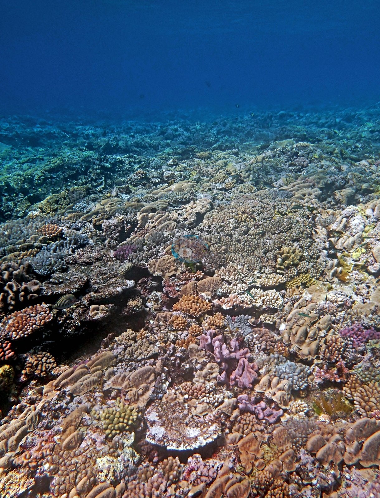
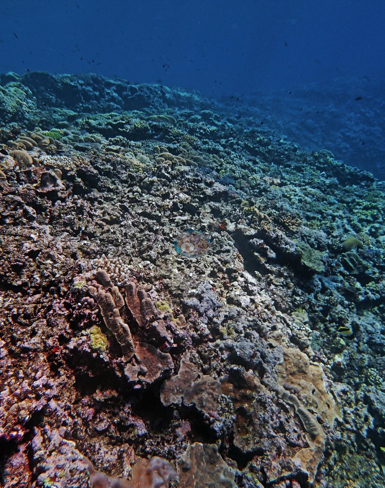
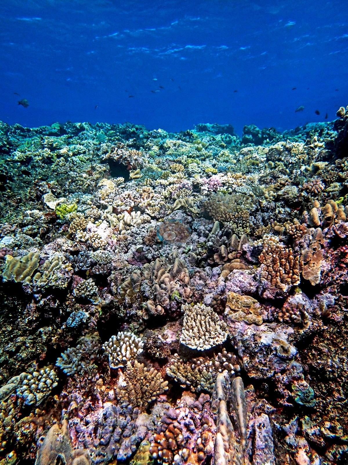
Northern GBR (NOAA CRW virtual station)A sheer wall on Hicks Reef dropping from a crowded 3 m crest of small Acropora, Porites, and soft corals into 20-30 m visibility, with cover thinning to 5.0-10% on scoured rock by 20 m. Snappers, a large barracuda, and an unidentified egg case were logged, with no bleaching, disease, or crown-of-thorns. Surveyed on the Living Oceans Foundation's Global Reef Expedition.
Two independent survey stations shown with the program’s logo — click one to see how far it is from this site.
Four other CRD dive sites within 5 km shown in orange — click a marker to open its page.
🗺 Detailed map of the Global Reef Expedition dive sites, Yonge, Hicks, and Carter Reefs, northern Great Barrier Reef (Khaled bin Sultan Living Oceans Foundation; opens in a new window)
5 of the 19 photographs on this page are shown beside the text that discusses them under "Site description" below.
Site description
Setting
Anderson's first Hicks Reef dive, on 10 September 2014, dropped down a sheer wall from a lively 3 m crest into clear water, 20-30 m of visibility, with a light current at 20 m that eased in shallower water. This site lies in a Habitat Protection (Blue) Zone, where line fishing is permitted.
General benthic features
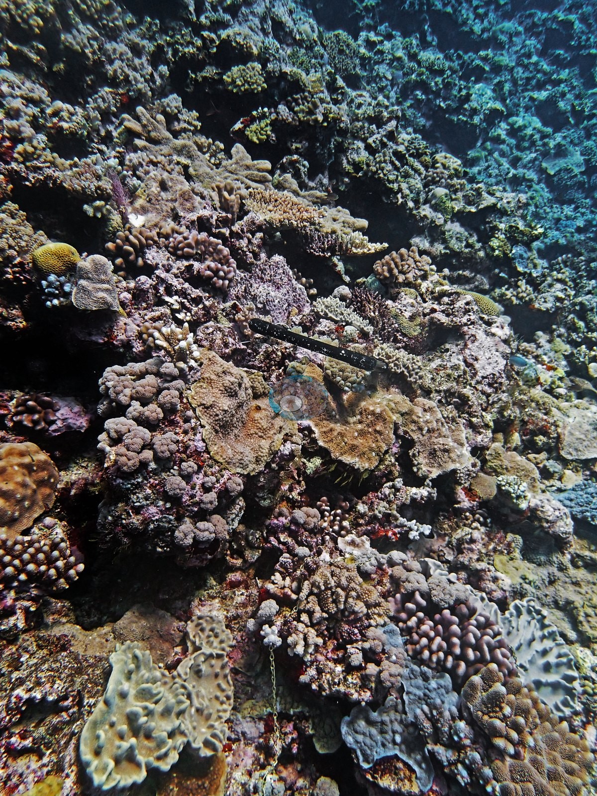
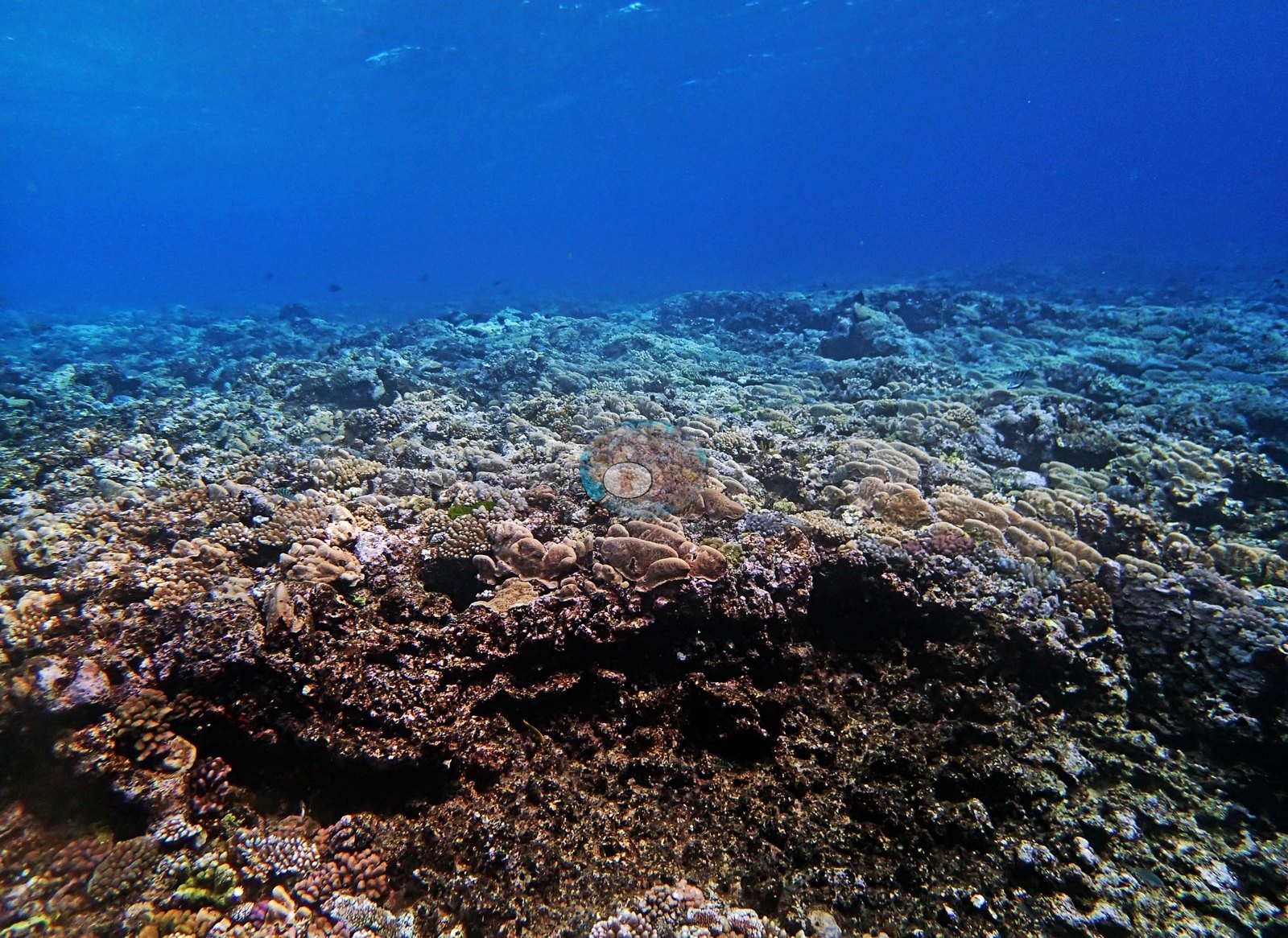
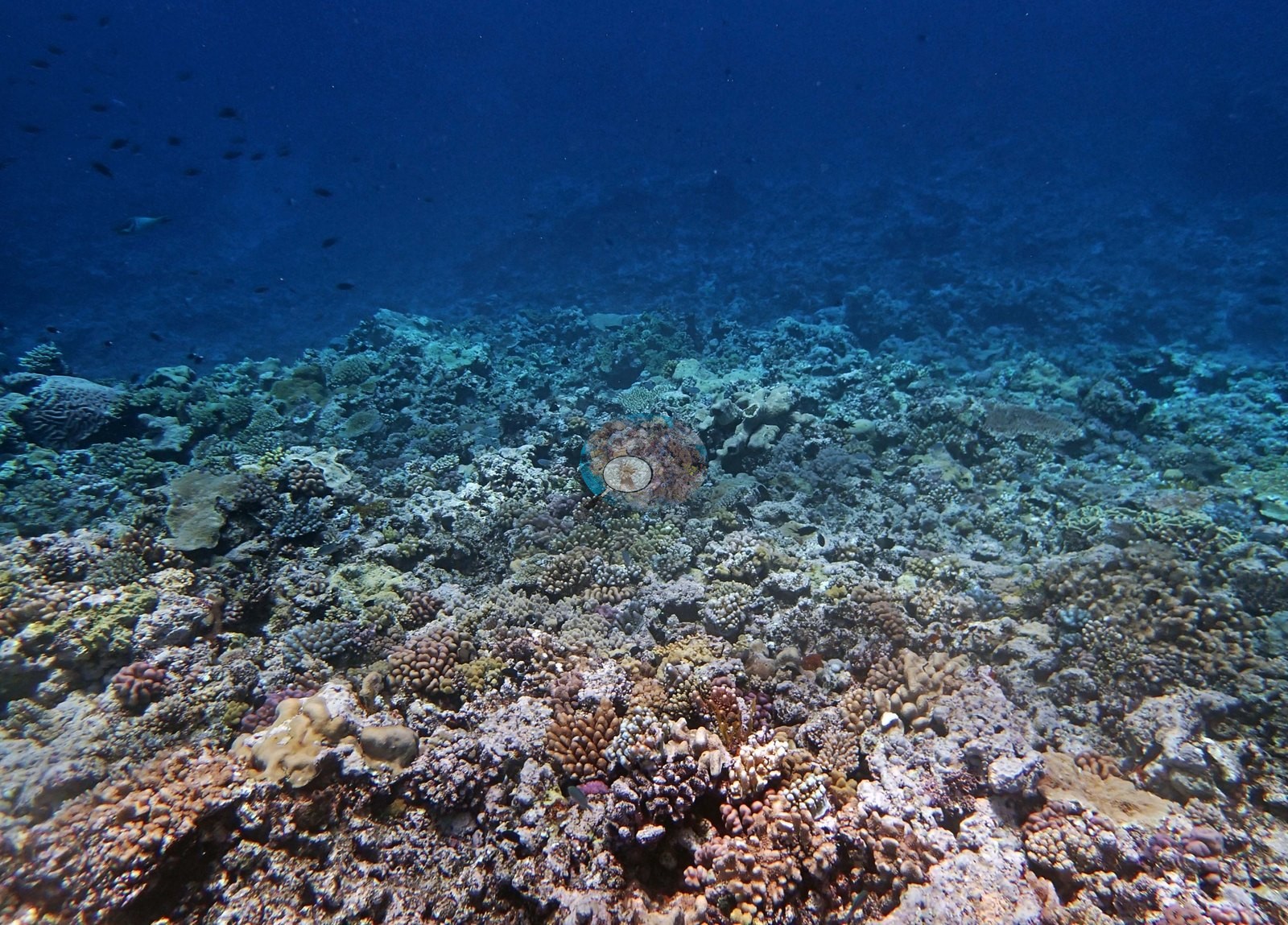
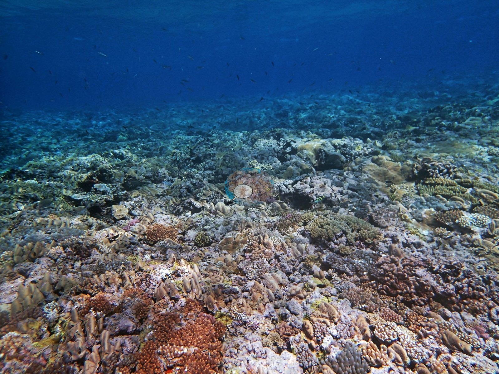
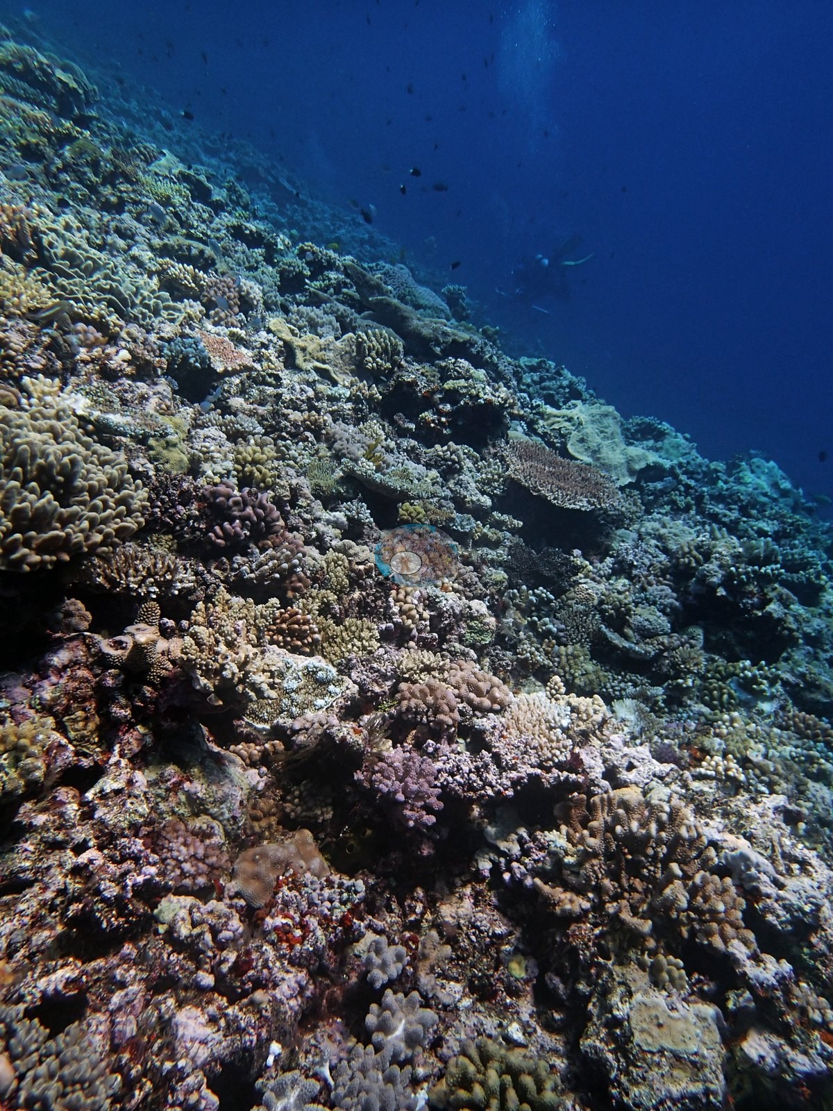
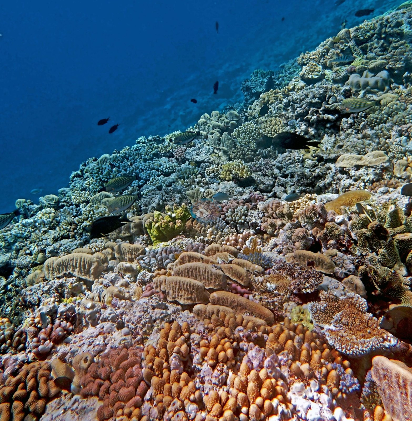
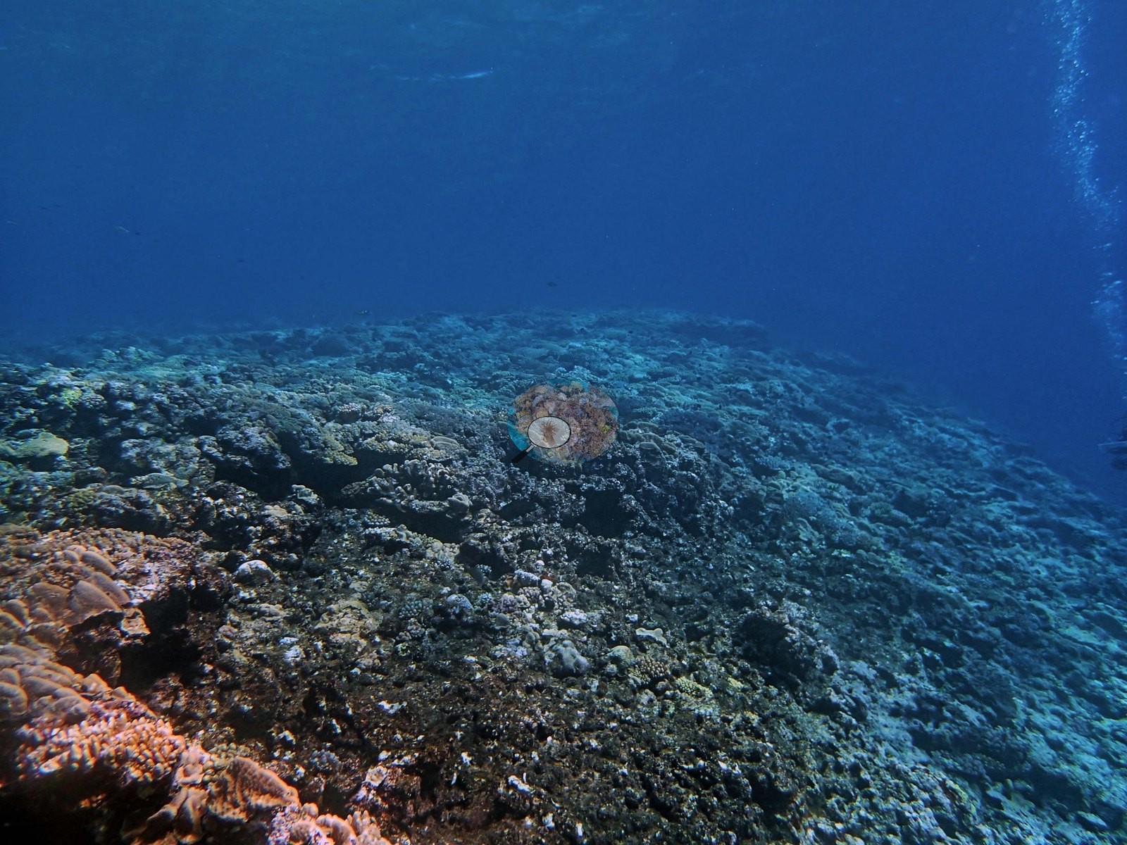
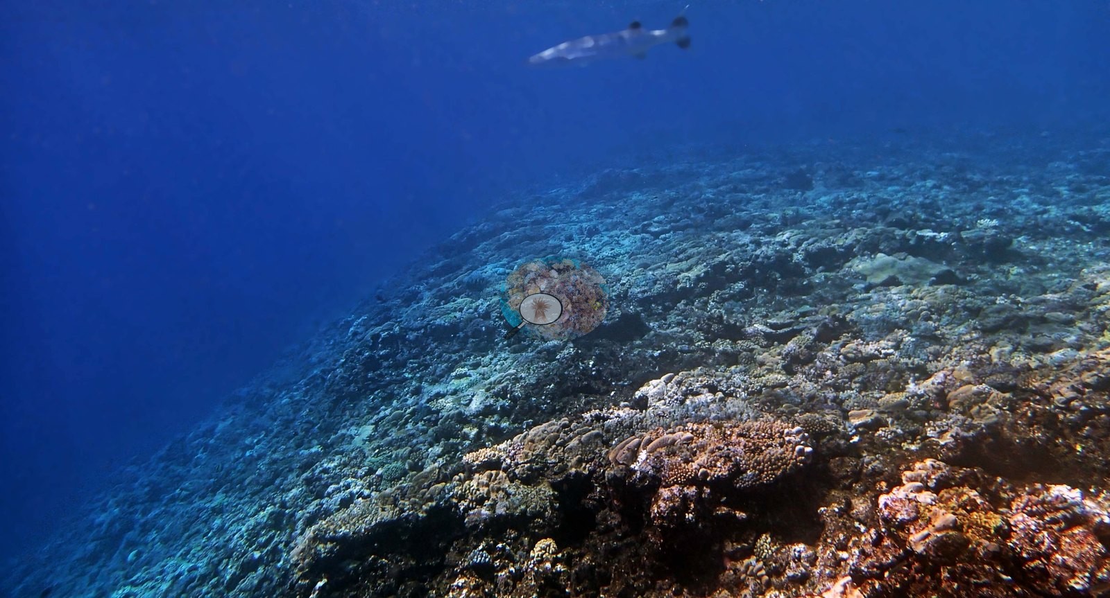
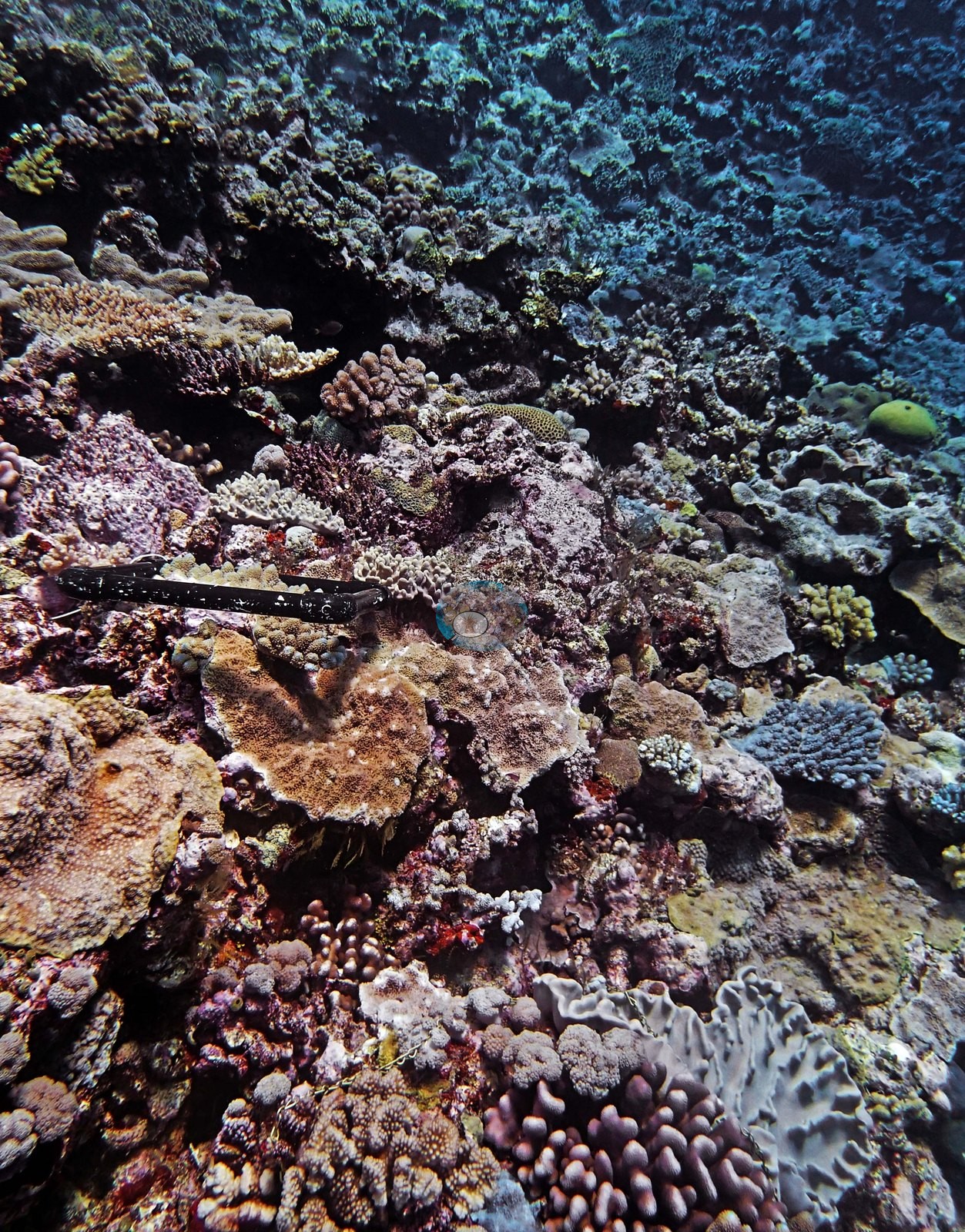
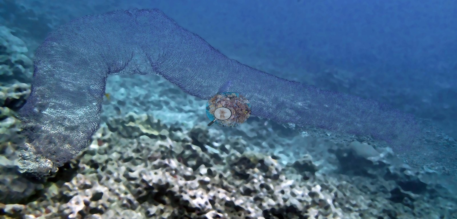
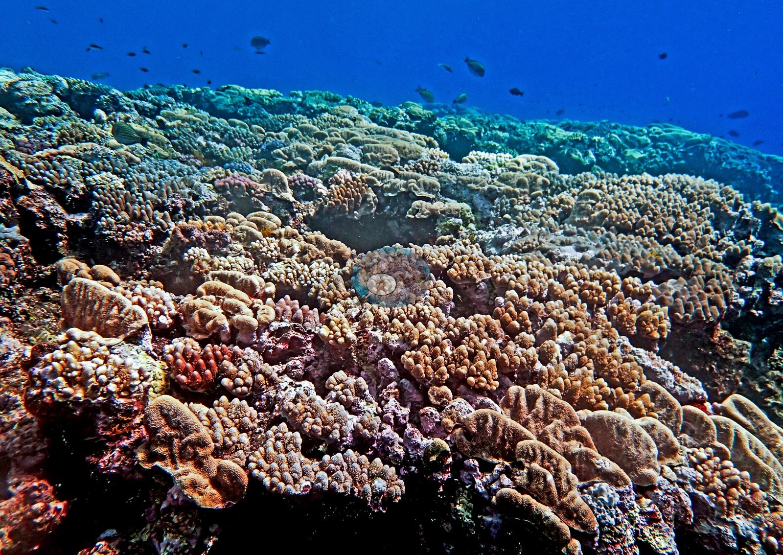
The photographs track that gradient. Shallow frames show a crest crowded with small colonies, corymbose Acropora, mounding Porites, pocilloporids, and pale leathery soft corals, packed tight under bright blue water; Anderson logged 30-50% cover in places up here (e.g., Image 1, Image 2, Image 4).
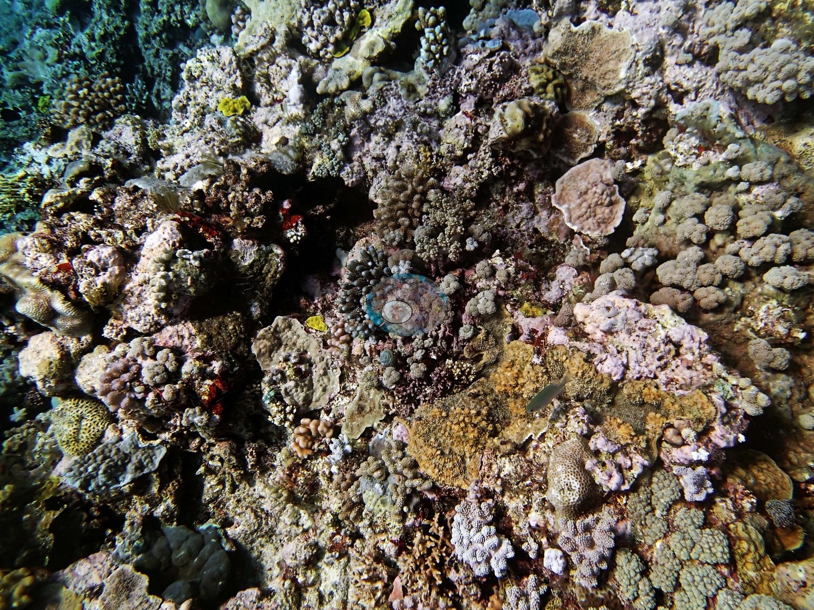
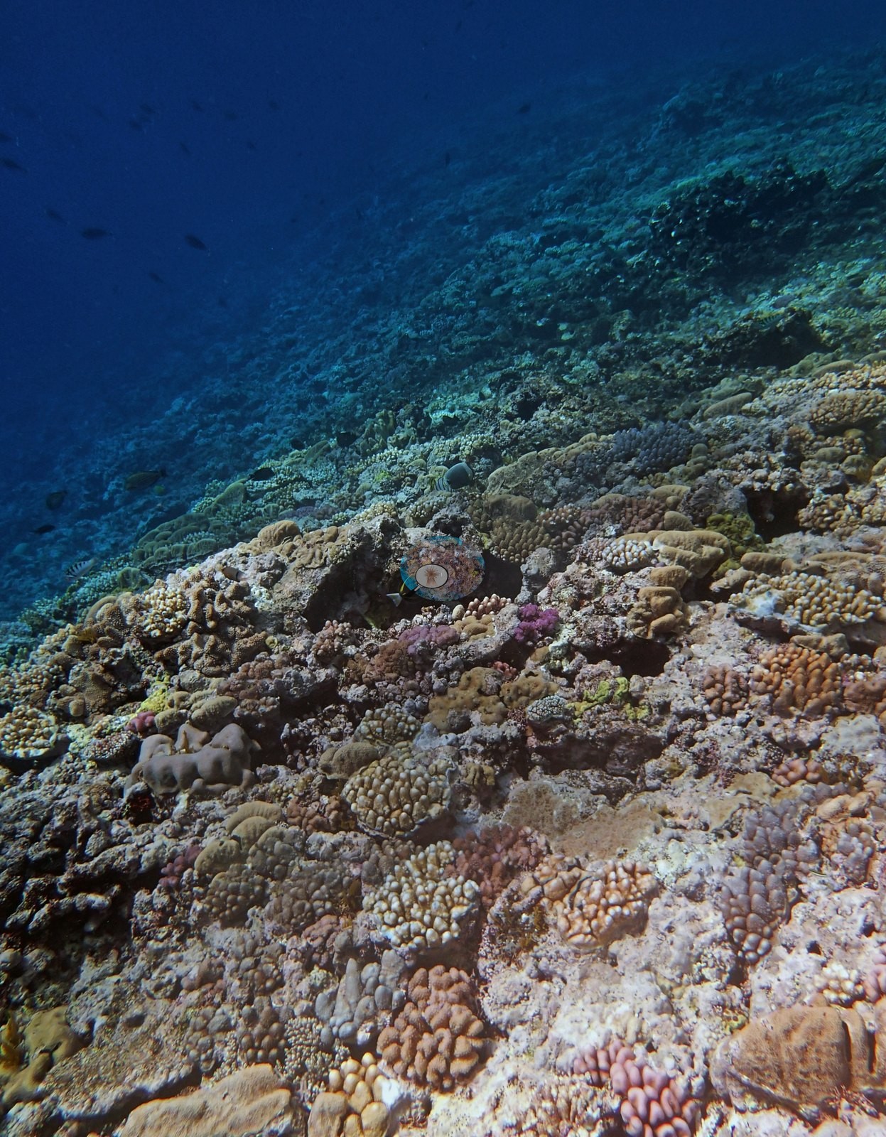
A mid-slope frame catches the diversity well: a lavender meandering brain coral a meter across, purple and rust encrusting sheets, chartreuse plating colonies, and the numbered survey chain running through the shot (e.g., Image 3).
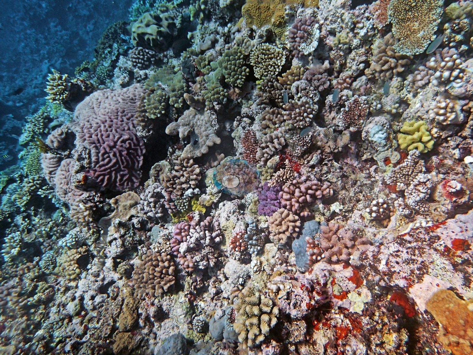
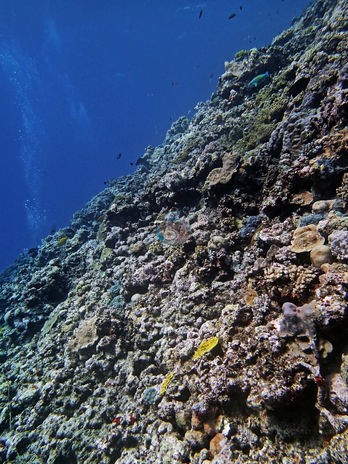
Deeper frames show what Anderson described next, cover thinning to 5.0-10% by 20 m as scoured, coralline-crusted substrate takes over, with the slope falling away into blue and two divers small in the distance (e.g., Image 5).
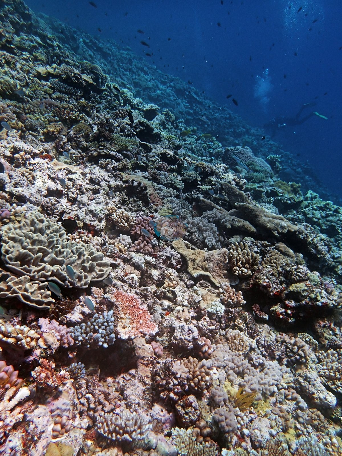
Coral cover
- Reference: Khaled bin Sultan Living Oceans Foundation, Global Reef Expedition (in situ transect)
- Point-count cover for this survey point measured 37%.
- One transect was scored at this station (37%; n = 1, so no SE; Living Oceans Foundation per-transect benthic data); it is the expedition's station value printed above.
Stressors
No bleaching, disease, or crown-of-thorns starfish here.
Fish and other fauna
Along the way Anderson spotted a plethora of snappers, a large barracuda, and a curious unidentified egg case.
Comparisons with other data
No other surveys have been conducted at this site to date. Within 5 km, two XL Catlin Seaview Survey stations recorded 7.3–24% hard coral cover between 2012 and 2017; the nearest, XL Catlin Seaview Survey at transect 12027, 4.15 km away, read 7.3–24% between 2012 and 2017.
CV model comparison
More info
The photo row below is a methods comparison only: it is never averaged with the transect and never used as the headline. It compares site means only: the photos come from the same survey dive as the transect but not from the same points.| Method | Hard-coral cover (%) | Photos (n) ± SE |
|---|---|---|
| Transect (published) | 37.2 | |
| CoralSCOP edited | 22.8* | n = 18 · SE 3.2 |
| Claude (edited photos) | 18.3* | n = 18 · SE 3.9 |
The two computer-vision methods agree within 4.5 pp (18–23%) and read 14.4–18.9 pp below the in-water transect (37%); the headline is the in-water transect because a diver transect is independent of the photographs.
*Based on only 18 reef-habitat photos; this estimate is less certain.
Independent surveys nearby
 LOF Global Reef ExpeditionYear-average (illustrative only, programs differ)
Within 5 km, 2 independent survey stations recorded hard coral cover in 5 surveys between 2012 and 2017. The one station surveyed in more than one year declined by more than 7 points between its first and latest surveys. The longest record, transect 12027 (XL Catlin Seaview Survey, 4.15 km away), went from 24% in 2012 to 7.3% in 2017. The most recent nearby survey is from 2017, so these values predate recent heat stress. This site's own estimate (37%) is not compared with these surveys: none lies within 2 km.
Collected by other programs using different methods (the XL Catlin Seaview Survey uses photo-transects with automated image annotation), so these are context for the figures above, not a like-for-like comparison. Where a station was surveyed more than once, the cell shows either the range of its values or, as a single value, the mean of surveys made in one year. Station names are not dive-site names.
| Agency | Site / location | Date | Hard coral cover (%) | Distance | Link |
|---|---|---|---|---|---|
| XL Catlin Seaview Survey | transect 12027 | 2012–2017 | 7.3–24% (4 surveys) | 4.15 km | doi:10.14264/uql.2019.930 |
| XL Catlin Seaview Survey | transect 12026 | 2017 | 7.5% | 4.92 km | doi:10.14264/uql.2019.930 |
Data & links
- Download benthic survey data (CSV) ↗
- Download all LOF-GRE data (933 sites) ↗
- Photo portfolio ↗
- Coral Reef Diagnostics country page ↗
All images from Coral Reef Diagnostics. Data are from the Khaled bin Sultan Living Oceans Foundation Global Reef Expedition, Coral Reef Diagnostics, and the organizations named in the data sources above.
 © Coral Reef Diagnostics.