
Chagos Archipelago - Salomon / Blenheim / Speakers Bank

Regional summary of 25 dive sites. Figures are averages across the sites that report them (n = sites with a value); each site's own page has its individual values. Part of the Chagos Archipelago overview.
⬇ Download this region as a report card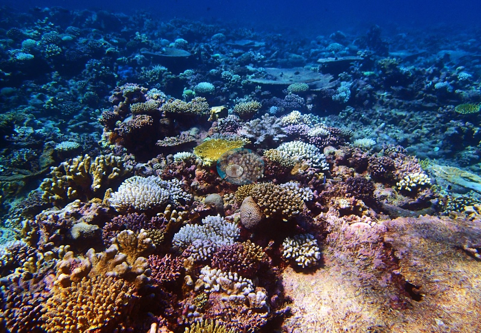

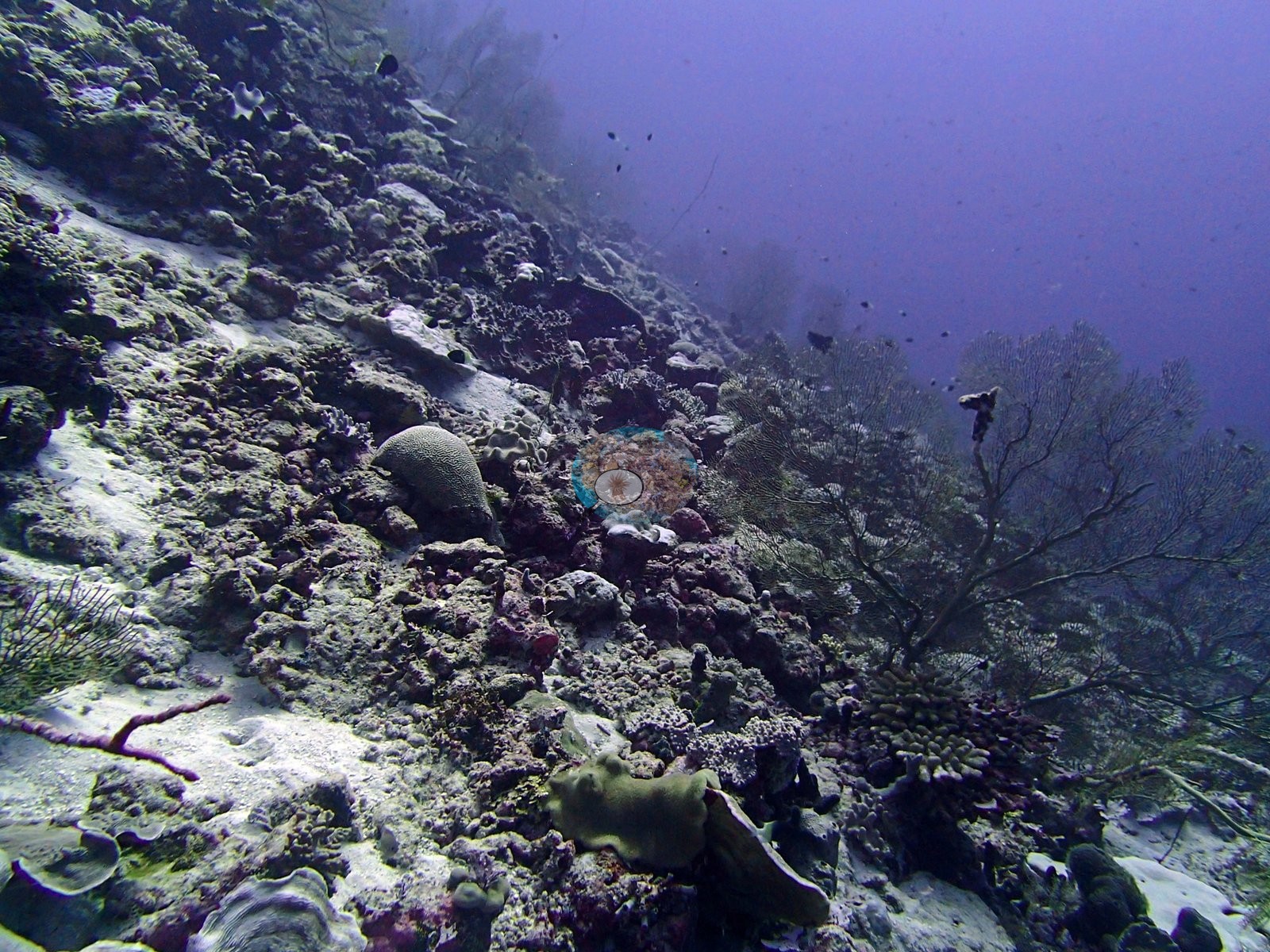
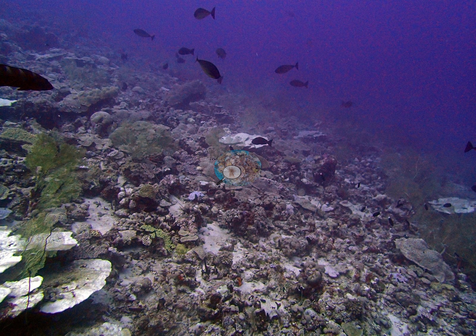
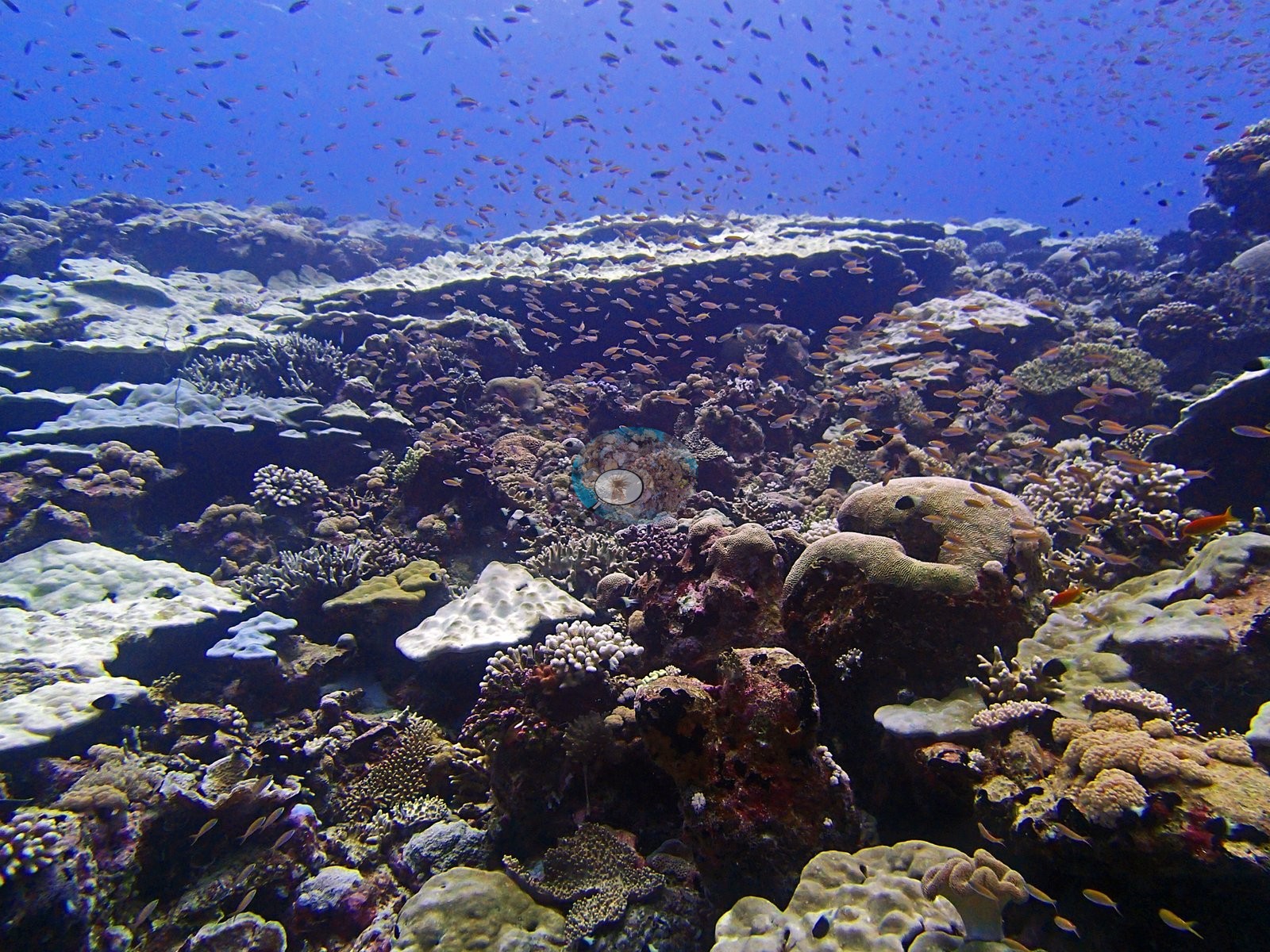
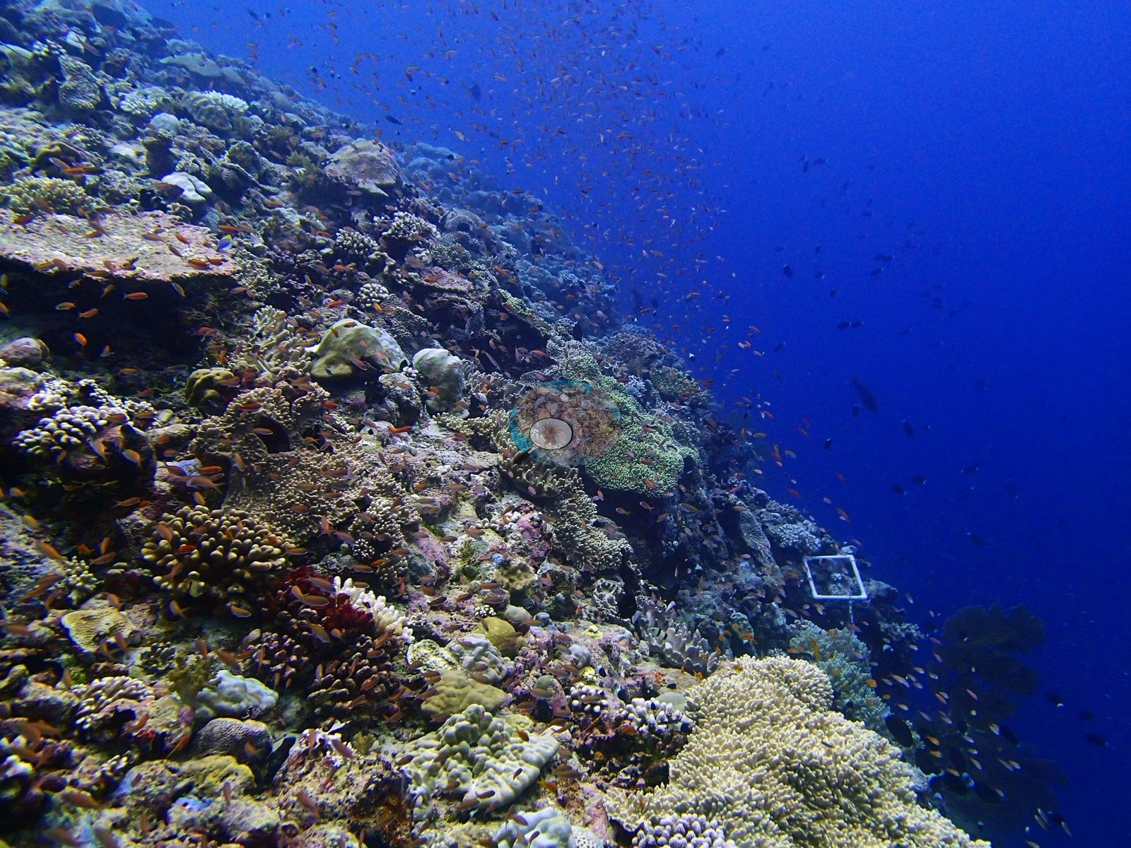
Northern Chagos lagoon, bank, and forereef sites at Salomon, Blenheim, and Speakers Bank, dived in 2015, include multi-layered canopies of table corals and the archipelago's most coral-diverse site, with 36 genera. Salomon's exposed forereefs were among the most heavily bleached in Chagos.
Heat stress
Long-term record: 3 years since 1985 reached 8 or more °C-weeks at NOAA’s Chagos station. Download the annual DHW data (CSV).
25 sites in this region — click a marker to open that site.
Regional setting
Salomon and Blenheim Reef are two of the five true atolls that Spalding et al. (2001) recognize in the Chagos Archipelago, and Speakers Bank is one of its submerged banks. Salomon, like the other northern atolls, has only small islands scattered along its rim, and the atlas pictures a small coral cay sitting on its reef flat. It is also the atoll the authors single out for human impact. As of 2001 the outer islands had no residents, but visiting yachts were thought to be causing local anchor damage and sewage pollution in Salomon's enclosed lagoon. A 1996 photograph of shallow Salomon lagoon reefs is captioned as showing reefs later devastated by the 1998 bleaching. Across the archipelago, coral had typically covered 50–80% of seaward and lagoon slopes down to about 40 m before 1998, and seaward coral loss in that event averaged an estimated 80–85%. The Chagos reefs hold some 220 scleractinian species, among the richest coral faunas in the Indian Ocean, including Ctenella chagius, a coral that may occur only here apart from a single reported sighting at Mauritius. Spalding et al. (2001) estimate about 3,770 km² of reef across the whole archipelago, and Souter et al. (2021), using a newer map, give 2,731 km² for the Chagos ecoregion.
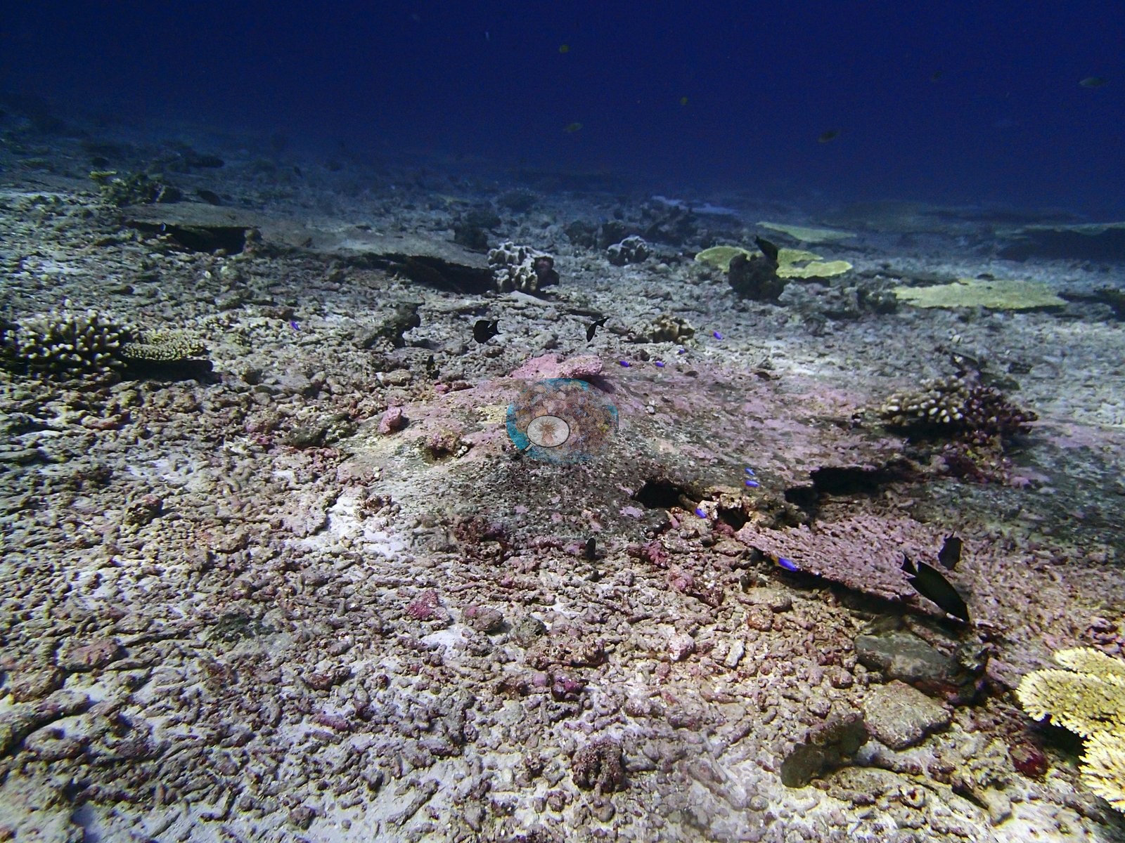
Reefs in the Chagos showed encouraging recovery in the years after 1998, according to Wilkinson's (2006) summary of the 2004 status report. Souter et al. (2021) trace coral cover in the Chagos subregion rising until about 2015 and falling again after the 2016 bleaching, an event that killed more than 42% of living hard coral across South Asia. Region-wide, smaller and more localized bleaching between 2017 and 2019 prolonged the decline, and algal cover crept up from about 10% before 2008 to 14% by 2018. Because the Chagos atolls combine restricted access with the region's largest marine protected area (MPA), Souter et al. (2021) rank them among the South Asian reefs under least human pressure and name bleaching as the chief threat. Fishing was not absent, though: as of 2001, Spalding et al. reported illegal fishing for sharks and sea cucumbers, countered by a British Indian Ocean Territory (BIOT) fisheries protection vessel.
Overview
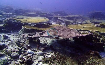
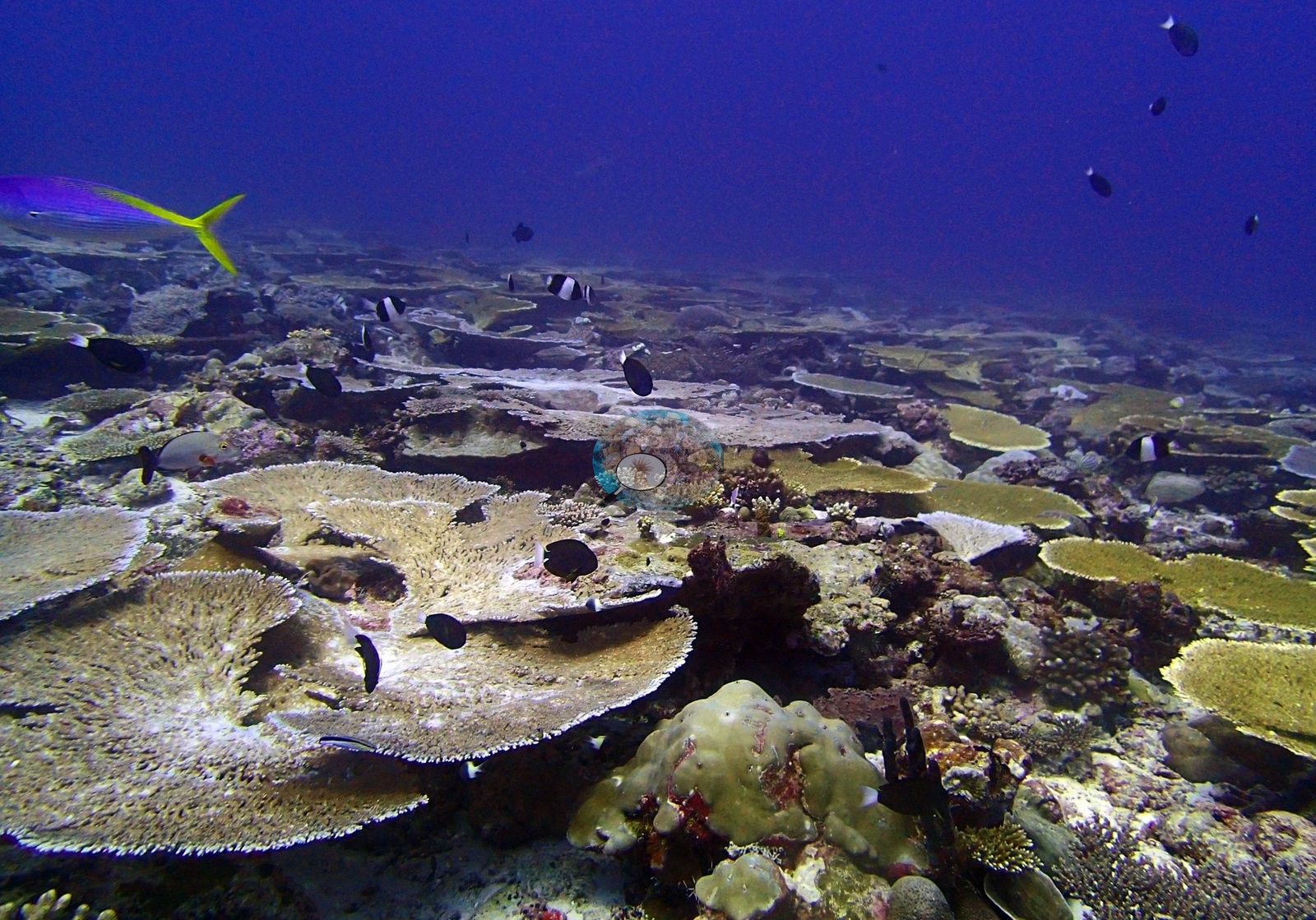
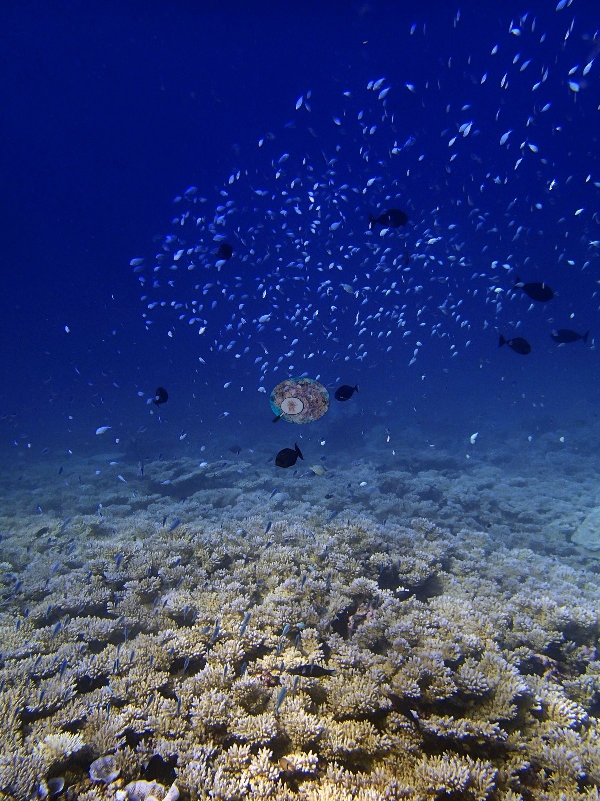
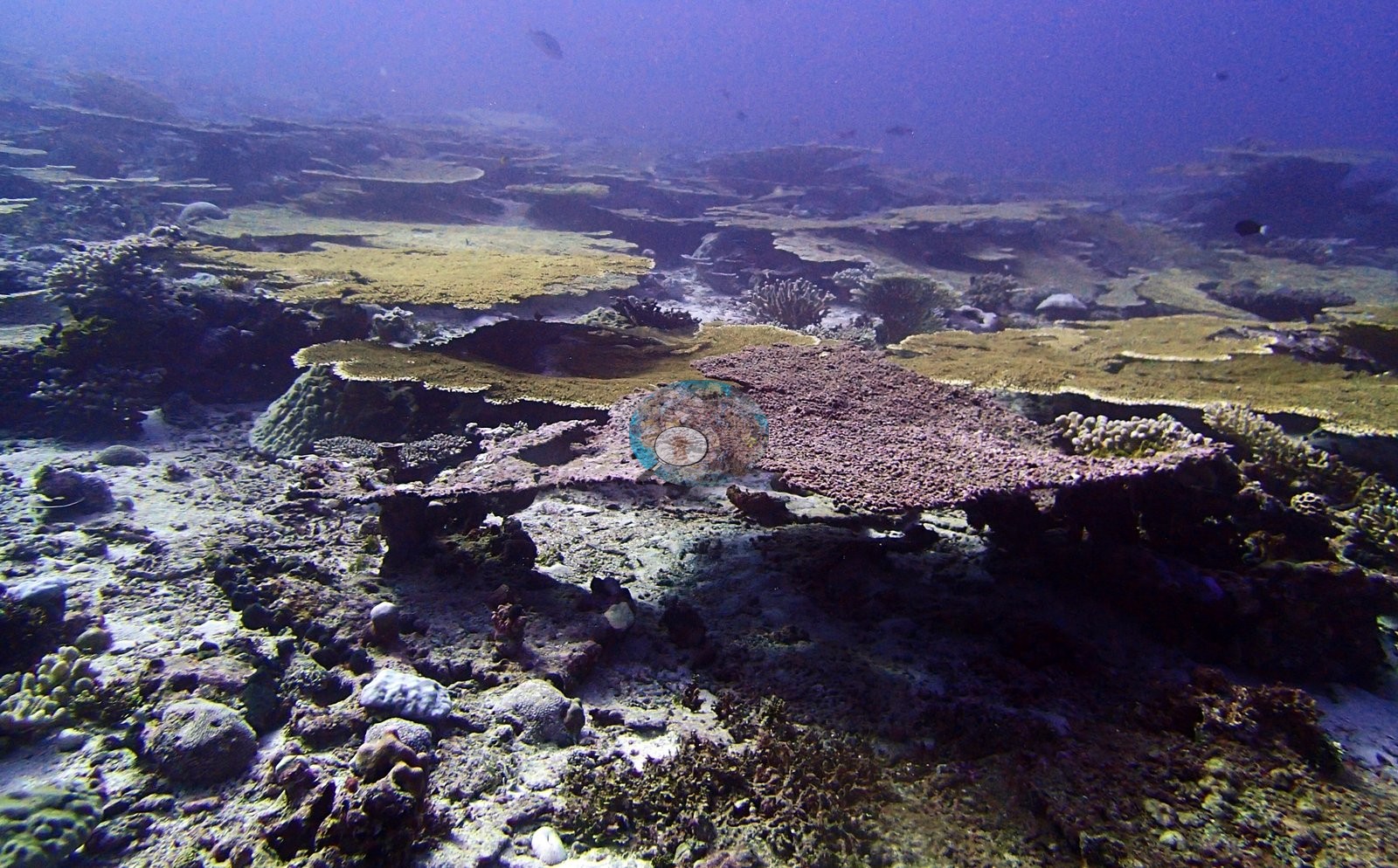
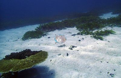
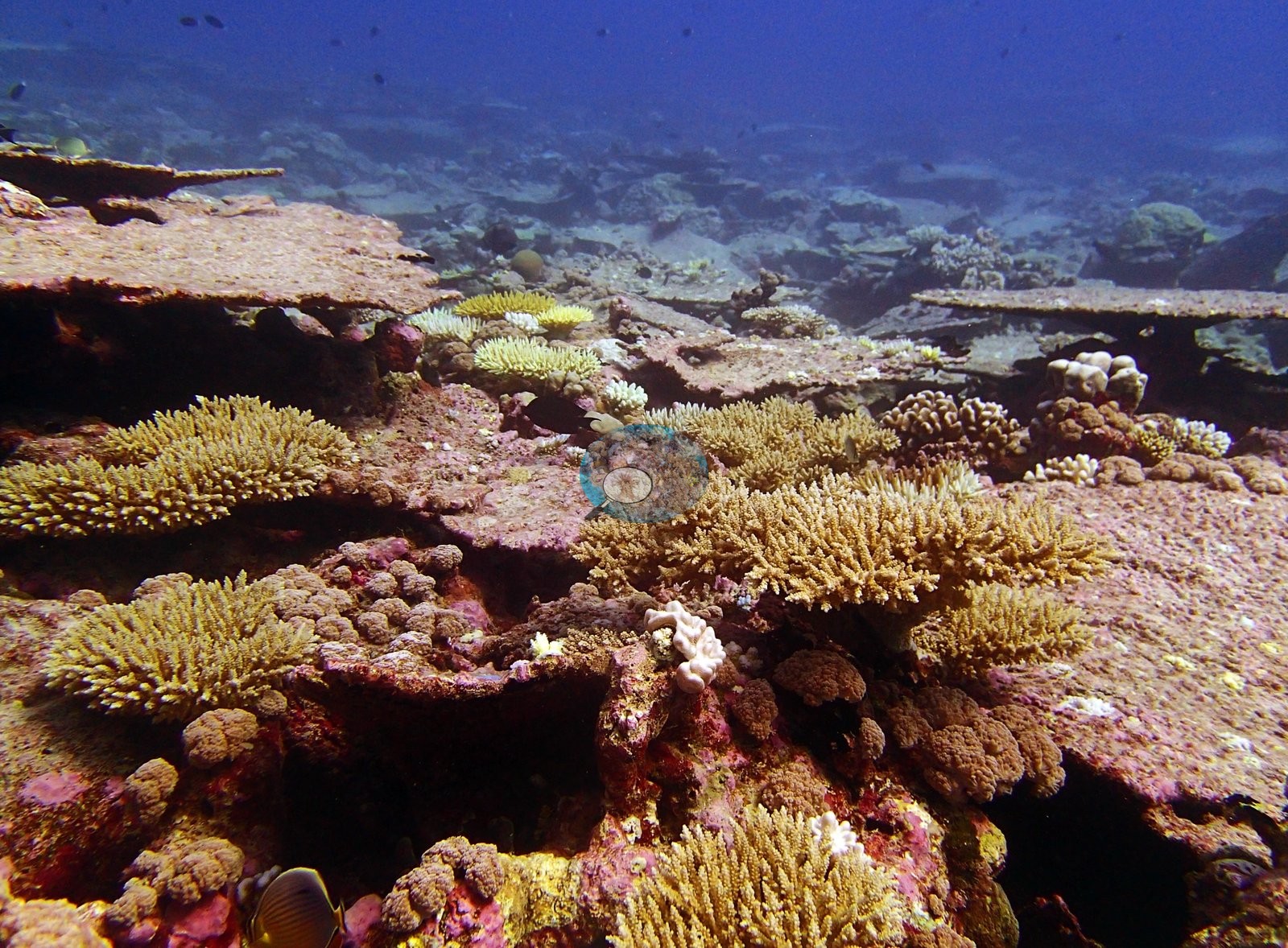
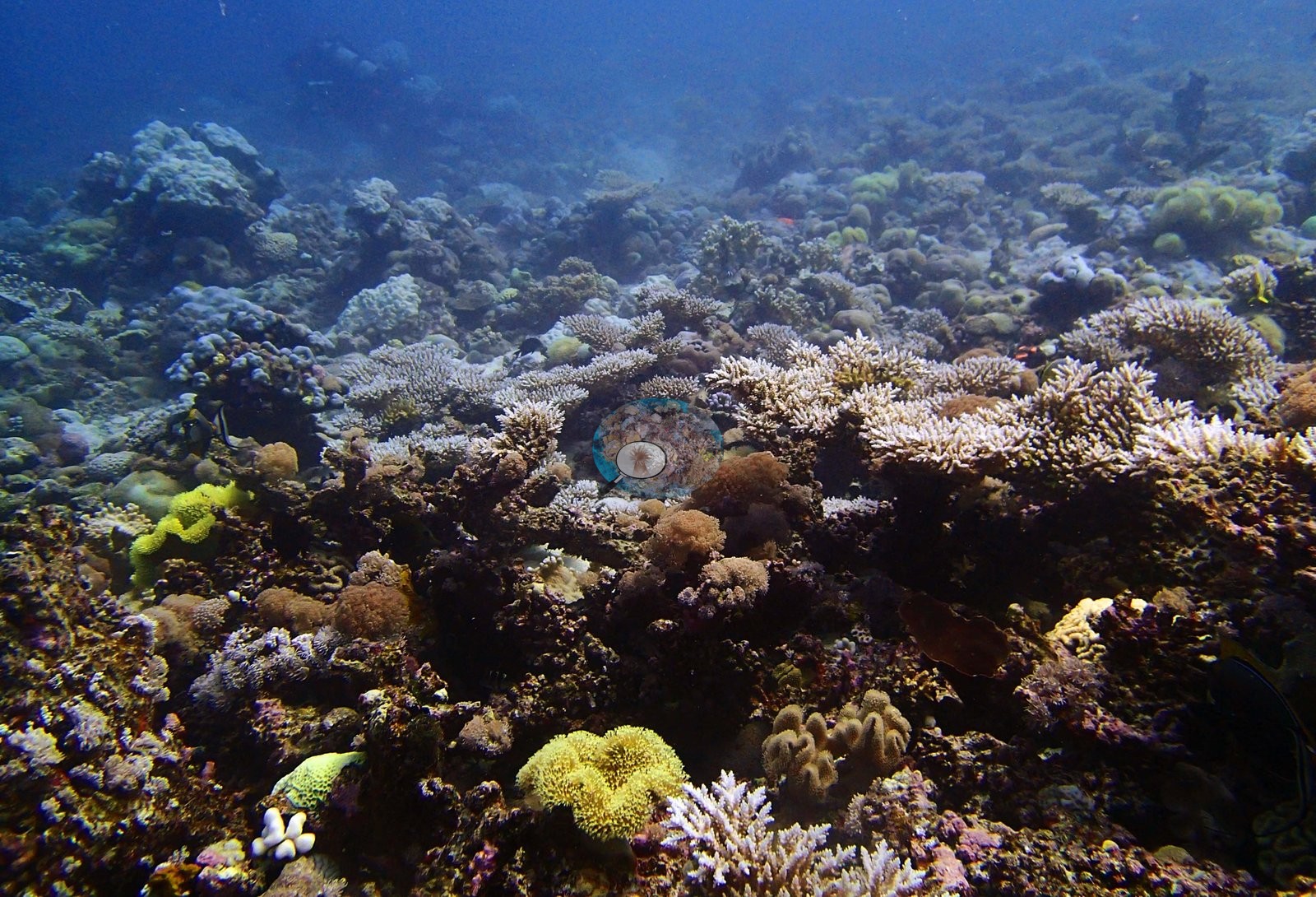
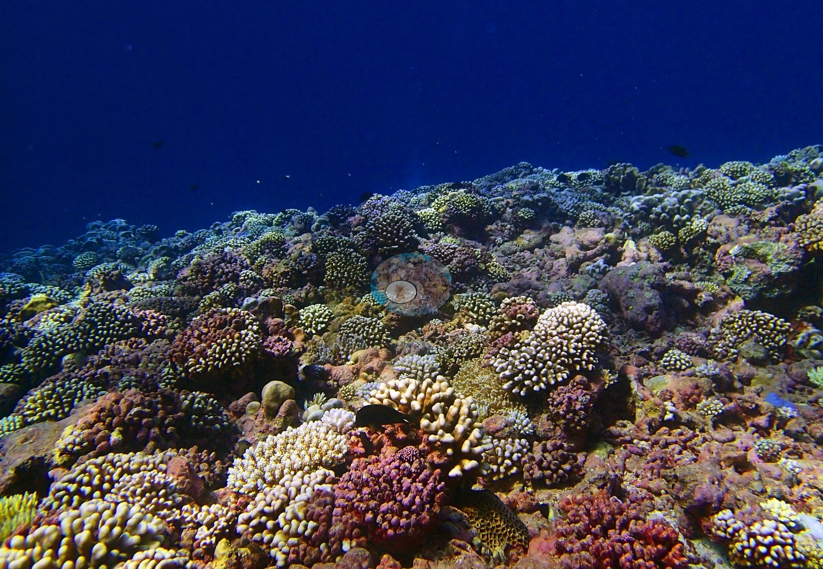
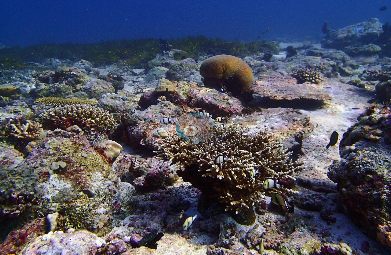
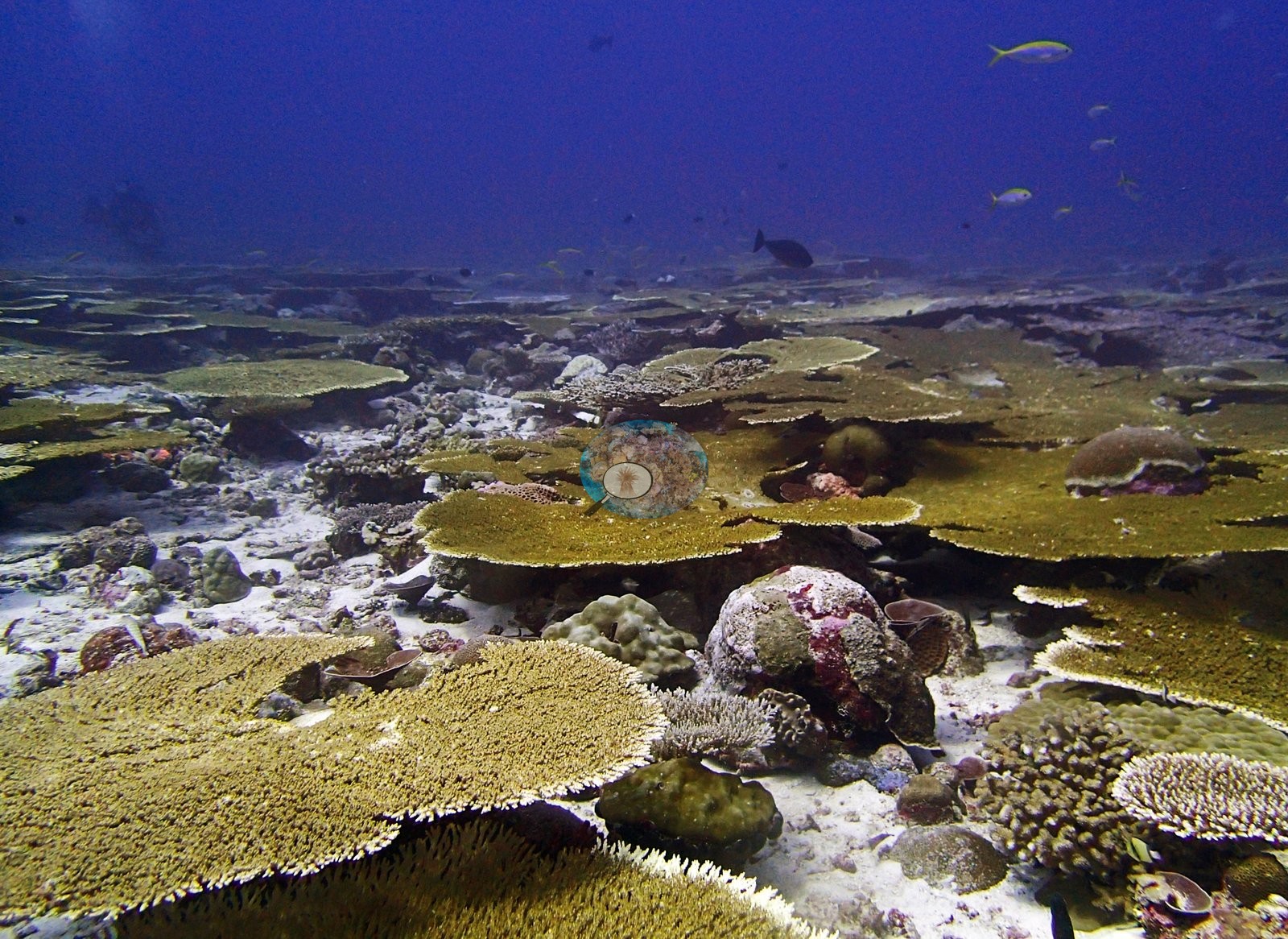
This unit pools 25 stations in three neighboring northern survey areas dived between 22 April and 3 May 2015: the Blenheim forereefs, the lagoon and outer forereefs of Salomon atoll, and the lagoon and bank reefs of Speakers Bank, the northernmost Chagos survey area. Logged maximum depths ran from 15.5 m at BISA97 to 31.1 m on the Blenheim forereef at BIBL82 (BISA98 and BISA106 have no logged depth). Speakers Bank reefs are dominated by Acropora tables. Acropora makes up 83% of the coral at BISP101, and at BISP96 overlapping tables form a multi-layered canopy. Salomon's lagoon reefs are often not Acropora reefs at all. Porites, Lobophyllia and Goniopora lead at BISA105, and Acropora is almost absent at BISA94. At BISA91 the lead passes with depth from Acropora through Goniopora and Porites to a deep transect of 77% Montipora.
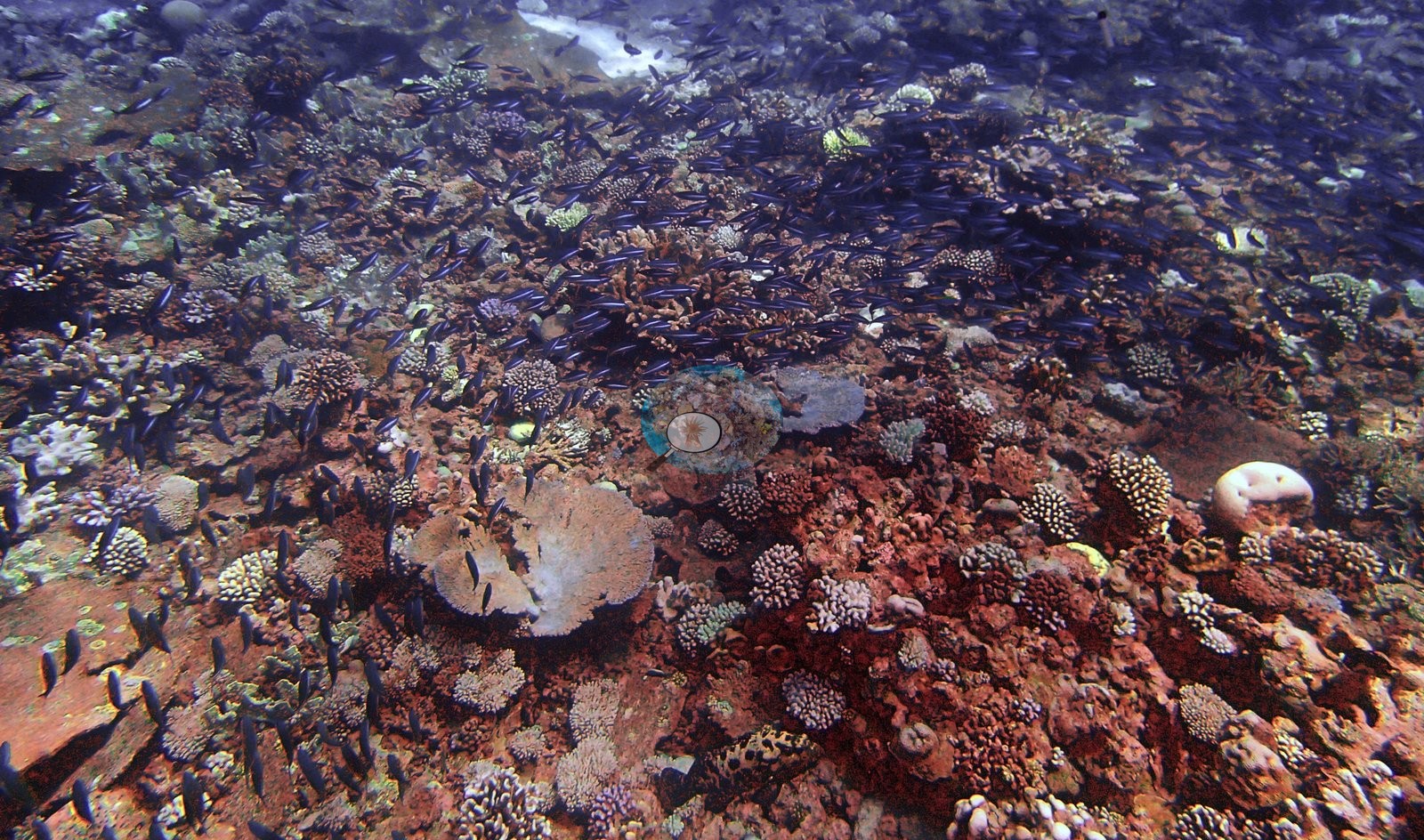
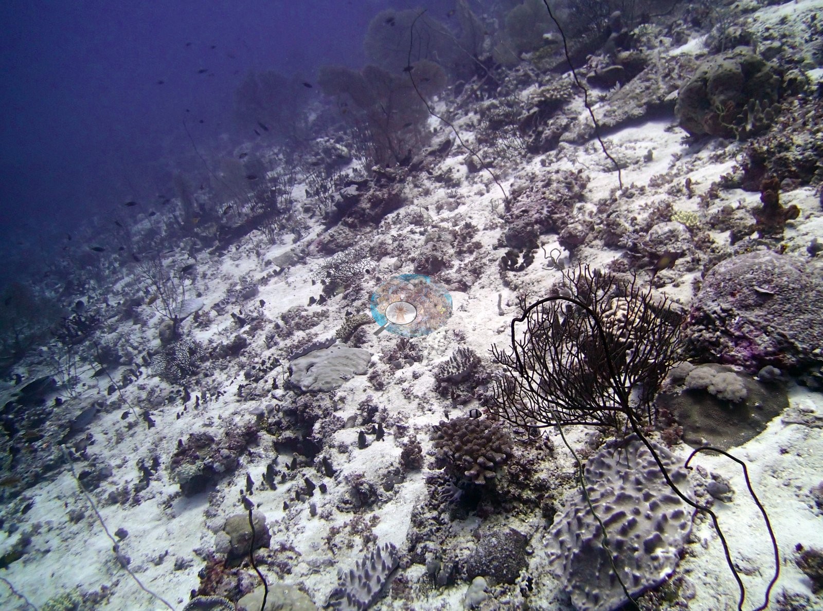
Cover ranged from 24.5% on the BISA92 wall, where sponges, sea squirts, meter-wide sea fans, and black wire corals outweigh the coral, to 56.9% at BISP95, with BISA107 (24.6%) at the low end beside BISA92. BISP96 recorded 86% and BISA98 71%, the latter from a single transect, and both are best read as best-patch values rather than site means. Coral diversity is high: BIBL87 carries 36 genera, the highest count stated on any Chagos station, and BISA93 carries 34. The Chagos-endemic Ctenella was recorded at BISA93 and BISP90. At Blenheim, BIBL86 is heavily turf-dominated, with fire coral (Millepora) rather than Acropora as its leading taxon. BISP96 also has the lowest algal cover of any Chagos station, 10.3%.
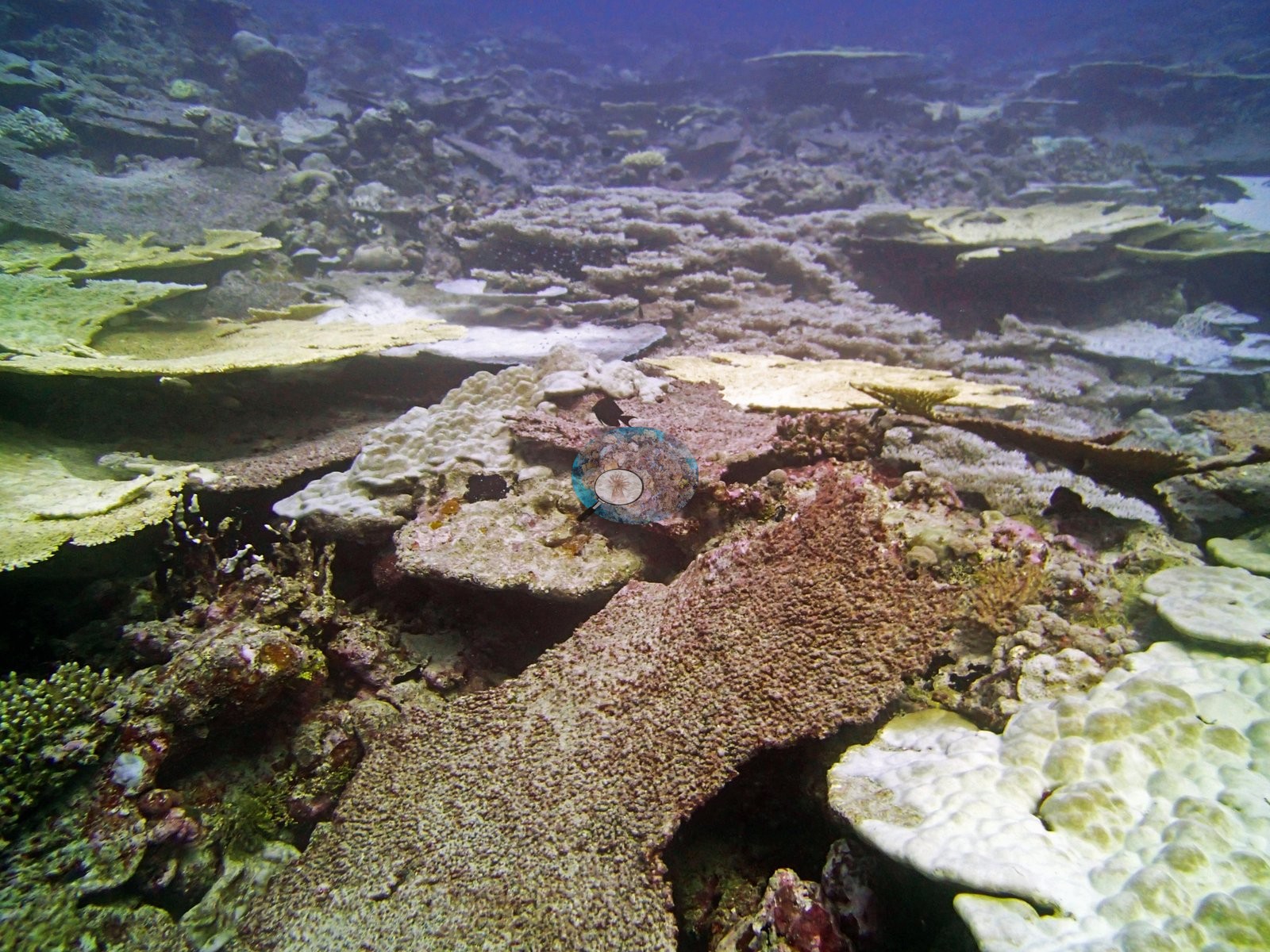
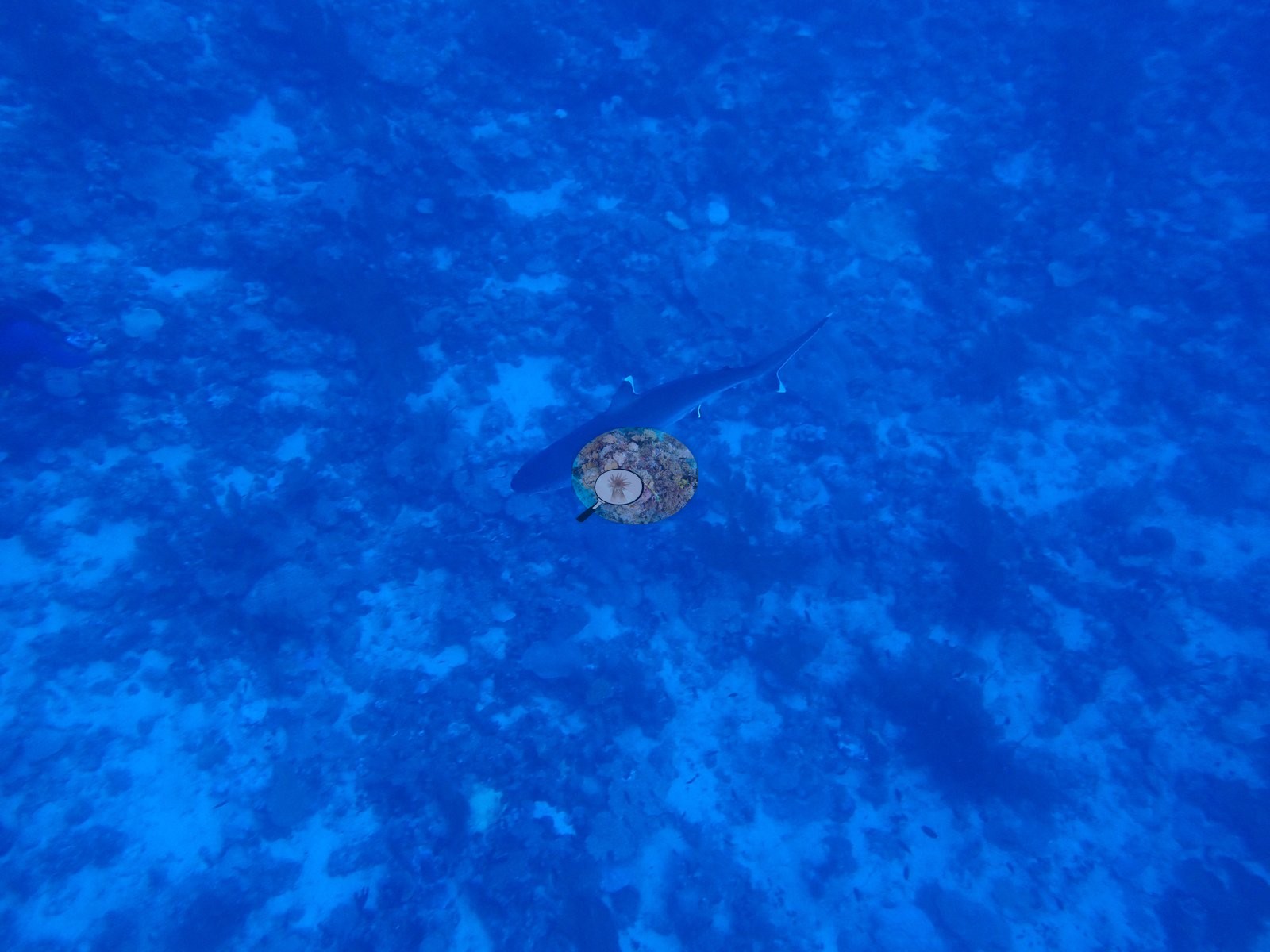
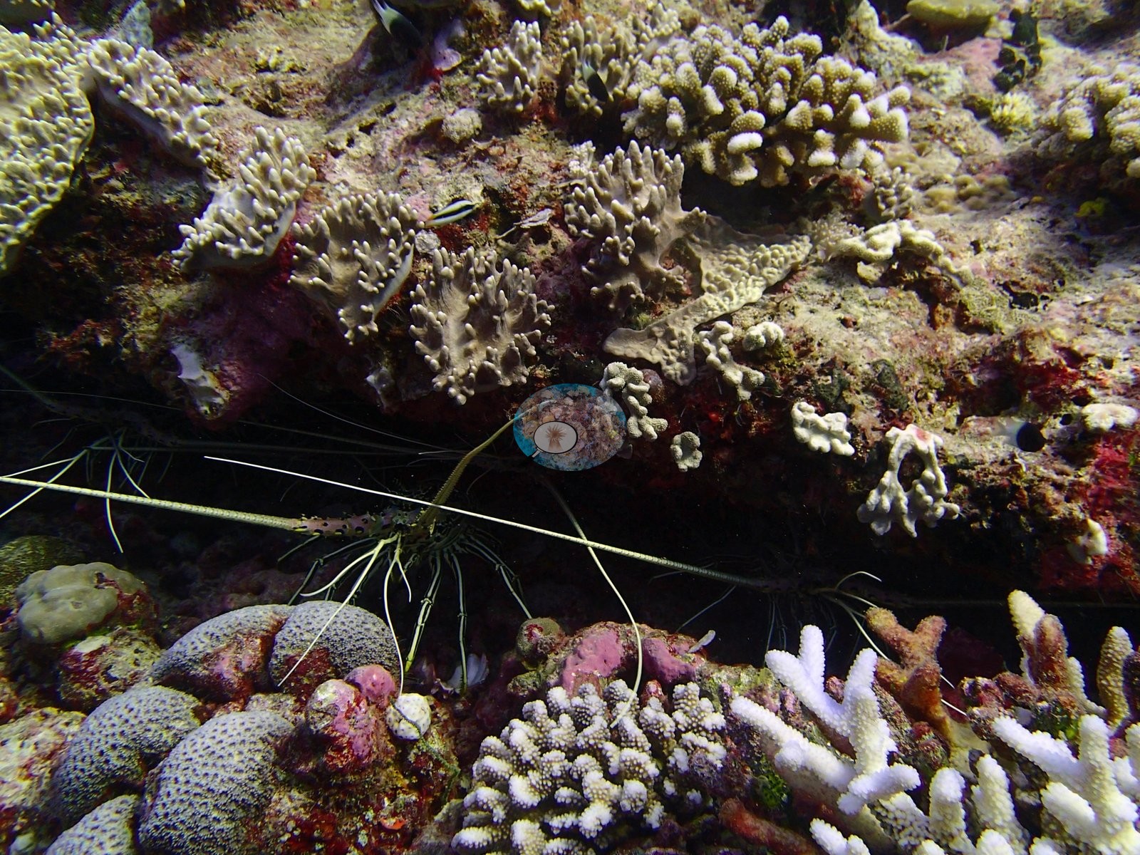
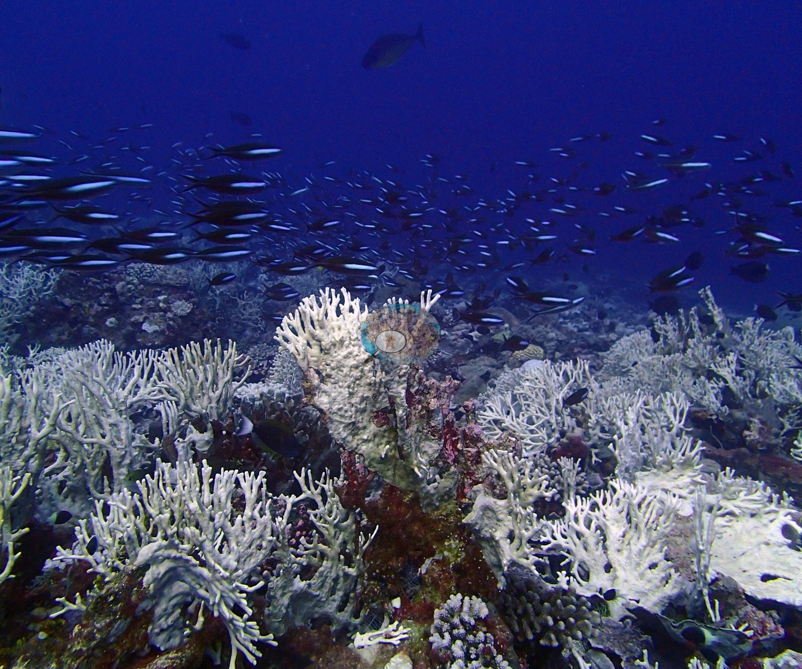
Condition split by area. The exposed Salomon forereefs carried some of the highest bleaching in Chagos: 34.0% at BISA84 and 31.5% at BISA104, second and third only to BIPB112 at Peros Banhos among all 112 Chagos stations, then 24.1% at BISA103 and 19.2% at BISA102, with stark-white colonies beside pigmented neighbors. Speakers Bank values were lower, from 2.1% at BISP90 to 9.2% at BISP89. BISP115 has no published figure, but its photos show unmistakable bleaching. At BISA107 an abandoned fishing net was photographed draped across live coral inside the no-take marine protected area. No crown-of-thorns or disease was reported at the sites that recorded their absence. Wildlife included a hawksbill turtle resting at BIBL83, a silvertip-type shark and two giant morays at BISA102, and three sharks and a spiny lobster at BISA107.
Highlights
- BIBL87 carries 36 coral genera, the highest count stated on any Chagos station
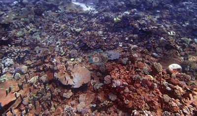
- BISP96: overlapping Acropora tables in a multi-layered canopy, with the lowest algal cover of any Chagos station, 10.3% (86% cover, a best-patch value)
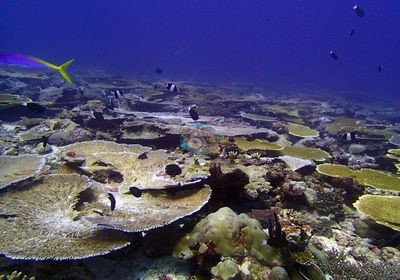
- Salomon's exposed forereefs were among the most bleached in Chagos (34.0% at BISA84, 31.5% at BISA104)
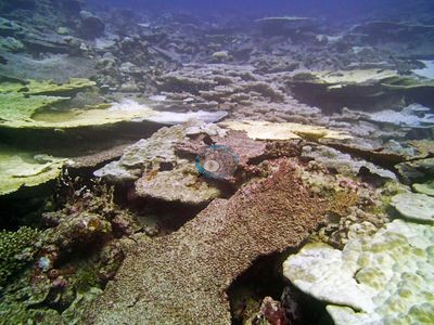
- Abandoned fishing net draped across live coral at BISA107, inside the no-take marine protected area
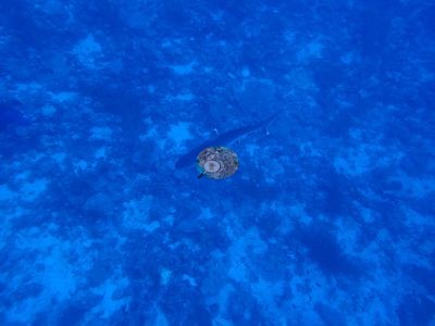
- Logged depths from 15.5 m (BISA97) to 31.1 m (BIBL82 Blenheim forereef)

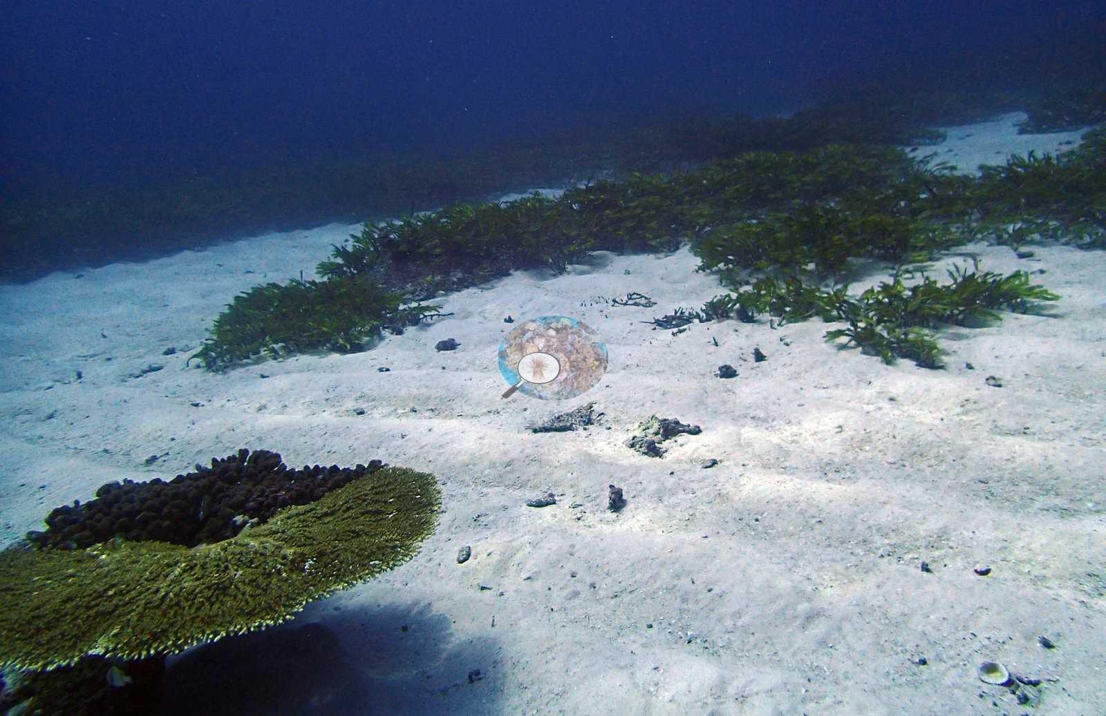
- BISP95 pairs Acropora tables with a broad meadow of strap-leaved, seagrass-type plants
Notable observations (17)
- Chagos Archipelago - Salomons Island (BISA107): Fishing gear: an abandoned fishing net photographed draped across live coral and pavement inside the BIOT no-take MPA.
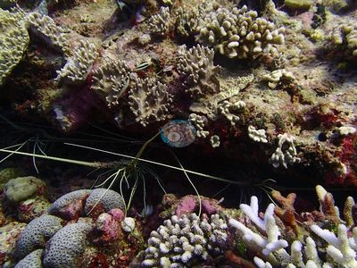
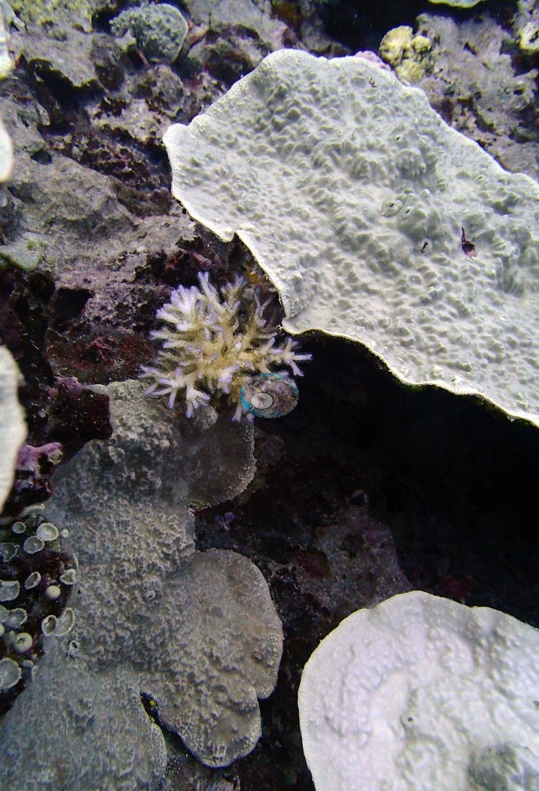
- Chagos Archipelago - Salomons Island (BISA84): Bleaching 34.0%; uniformly white branching colonies against pigmented neighbors in several frames. No crown-of-thorns or disease signs in the 10 stills reviewed.
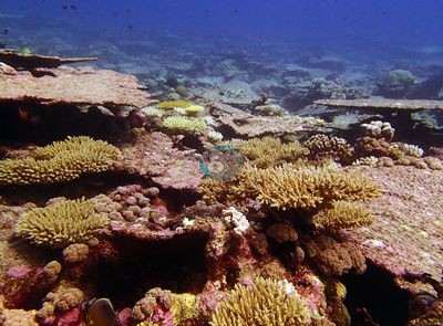
- Chagos Archipelago - Salomons Island (BISA104): Bleaching 31.5%, widespread and visually severe across multiple morphologies; a table-like colony almost entirely white.
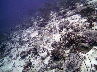
- Chagos Archipelago - Salomons Island (BISA103): Bleaching 24.1%, common and conspicuous across multiple frames.
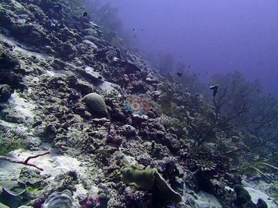
- Chagos Archipelago - Salomons Island (BISA102): Bleaching 19.2%; a branching colony stark white beside pigmented ones. No crown-of-thorns, disease, or predation.
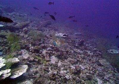
- Chagos Archipelago - Salomons Island (BISA93): Published bleaching 11.9%, but photos read considerably worse, with whitening in most frames, including a massive dome bleached across half its surface. No crown-of-thorns, disease band, or fresh predation scar.
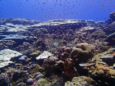
- Chagos Archipelago - Salomons Island (BISA92): Bleaching 9.07%; pale-to-white branching colonies at the reef top and two large sea anemones with stark white tentacles, described as genuine thermal stress. No crown-of-thorns or disease.
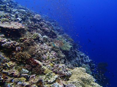
- Chagos Archipelago - Salomons Island (BISA91): Bleaching 12.37%; three frames show unambiguous colony-scale bleaching, including a bone-white branching colony and a brilliant white massive colony. No crown-of-thorns or disease.
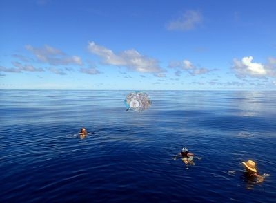
- Chagos Archipelago - Salomons Island (BISA88): Bleaching 12.0%; several sharply white colonies. No crown-of-thorns or disease in 19 stills.
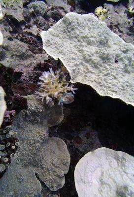
- Chagos Archipelago - Salomons Island (BISA97): Bleaching 8.8%; convincing bleaching in branching colonies and one large table.
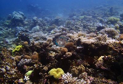
- Chagos Archipelago - Speakers Bank (BISP115): No published bleaching figure, but unambiguous colony-scale bleaching in at least five frames, including a bone-white table on a dead one. No disease, predation, or crown-of-thorns.
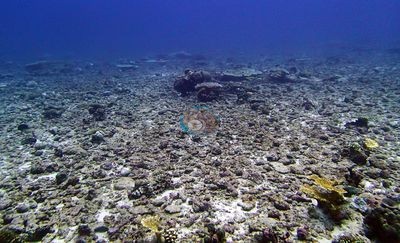
- Chagos Archipelago - Blenheim (BIBL86): Bleaching 10.1%; extensive white branching thickets, though pale fire coral and bleached stony coral cannot be separated from imagery. No crown-of-thorns or disease in 27 stills.
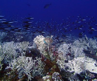
- Chagos Archipelago - Blenheim (BIBL82): Bleaching 7.8%, limited mostly to branching Acropora and Pocillopora; massive and meandroid corals fully pigmented.
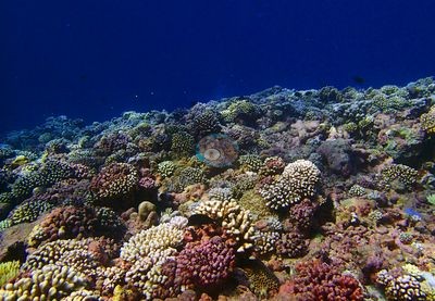
- Chagos Archipelago - Speakers Bank (BISP95): Localized partial bleaching in branching colonies, high confidence (6.5%).
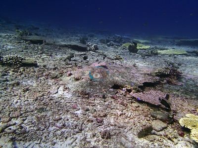
- Chagos Archipelago - Speakers Bank (BISP100): One partly bleached colony; partial bleaching plausible at medium confidence.
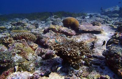
- Chagos Archipelago - Speakers Bank (BISP96): One branching colony with white branch tips and patches; partial bleaching plausible at medium confidence.
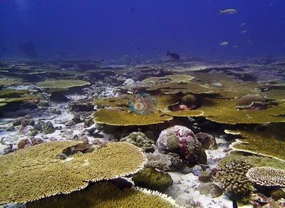
- Chagos Archipelago - Speakers Bank (BISP101): Localized bleaching in one pale branching thicket (7.1%).
Coral cover over time (pooled)
 the year includes his Global Reef Expedition dives with the Khaled bin Sultan Living Oceans Foundation (CRD+LOF data).
Sites in this region (25)
- Chagos Archipelago - Blenheim (BIBL82) — 38% coral cover
- Chagos Archipelago - Blenheim (BIBL83) — 33% coral cover
- Chagos Archipelago - Blenheim (BIBL86) — 47% coral cover
- Chagos Archipelago - Blenheim (BIBL87) — 41% coral cover
- Chagos Archipelago - Salomons Island (BISA102) — 31% coral cover
- Chagos Archipelago - Salomons Island (BISA103) — 33% coral cover
- Chagos Archipelago - Salomons Island (BISA104) — 36% coral cover
- Chagos Archipelago - Salomons Island (BISA105) — 50% coral cover
- Chagos Archipelago - Salomons Island (BISA106) — 46% coral cover
- Chagos Archipelago - Salomons Island (BISA107) — 25% coral cover
- Chagos Archipelago - Salomons Island (BISA84) — 49% coral cover
- Chagos Archipelago - Salomons Island (BISA88) — 57% coral cover
- Chagos Archipelago - Salomons Island (BISA91) — 52% coral cover
- Chagos Archipelago - Salomons Island (BISA92) — 25% coral cover
- Chagos Archipelago - Salomons Island (BISA93) — 39% coral cover
- Chagos Archipelago - Salomons Island (BISA94) — 40% coral cover
- Chagos Archipelago - Salomons Island (BISA97) — 54% coral cover
- Chagos Archipelago - Salomons Island (BISA98) — 71% coral cover
- Chagos Archipelago - Speakers Bank (BISP100) — 54% coral cover
- Chagos Archipelago - Speakers Bank (BISP101) — 50% coral cover
- Chagos Archipelago - Speakers Bank (BISP115) — 42% coral cover
- Chagos Archipelago - Speakers Bank (BISP89) — 33% coral cover
- Chagos Archipelago - Speakers Bank (BISP90) — 40% coral cover
- Chagos Archipelago - Speakers Bank (BISP95) — 57% coral cover
- Chagos Archipelago - Speakers Bank (BISP96) — 86% coral cover
% coral cover by method
Pooled across 104 dive sites
| Method | Mean % coral cover | Std. dev. between dive sites | n dive sites | Note |
|---|---|---|---|---|
| Manual point count (author) | 34.0% | ±13 | 28 | frame-weighted 40.1% over 613 frames |
| CoralNet automated point classifier | 32.8% | ±11 | 89 | frame-weighted 34.0% over 1,895 frames |
| CoralSCOP (SAM-based mask-sum), edited photos | 32.2% | ±8.3 | 104 | frame-weighted 33.9% over 2,498 frames |
| Claude (Anthropic), blind point count | 26.5% | ±11 | 104 | frame-weighted 29.0% over 2,495 frames |
| In-house DINOv3 point classifier | 30.5% | ±11 | 104 | frame-weighted 31.2% over 2,500 frames |
| In-water diver transect (line/point intercept) | 37.7% | ±16 | 101 | — |
The mean is an UNWEIGHTED mean of the dive site values — each dive site counts once, whatever its photo count — which is the convention of the published tables and of every other figure on this page. The frame-weighted alternative is given per method in the Note column; where the two differ, the difference is a photo-count imbalance, not a coral-cover finding.
Closest to the reference
Over the dive sites where an independent reference exists, Manual point count (author) sits closest to it — a mean absolute deviation of 9.5 pp across 27 dive sites, then CoralNet automated point classifier 10.5 pp (n=86), Claude (Anthropic), blind point count 13.2 pp (n=101). A mean absolute deviation is not an accuracy score: a model with a consistent offset is correctable, while one with the same deviation scattered in both directions is not.
By dive site
| Dive site | Manual point count | CoralNet | CoralSCOP (edited) | Claude | DINOv3 | Diver transect | coralscapes_v1 | coralscapes |
|---|---|---|---|---|---|---|---|---|
| BIBL82 | 17.5% n=4 | 27.6% n=18 | 35.8% n=22 | 28.3% n=22 | 26.1% n=22 | 37.9% | 42.0% n=22 | 50.2% n=22 |
| BIBL83 | 20.8% n=9 | 25.6% n=6 | 40.7% n=15 | 23.8% n=15 | 24.7% n=15 | 33.1% | 42.2% n=15 | 45.2% n=15 |
| BIBL86 | — | 31.9% n=27 | 25.1% n=27 | 34.4% n=27 | 36.0% n=27 | 47.2% | 50.5% n=27 | 49.4% n=27 |
| BIBL87 | — | 27.9% n=35 | 29.5% n=35 | 30.3% n=35 | 34.0% n=35 | 40.6% | 41.5% n=35 | 48.0% n=35 |
| BICC35 | — | 17.0% n=15 | 20.5% n=15 | 6.7% n=15 | 13.1% n=15 | 13.8% | 21.0% n=15 | 23.9% n=15 |
| BICC36 | — | 19.4% n=15 | 24.7% n=15 | 6.4% n=15 | 18.2% n=15 | 5.8% | 21.0% n=15 | 26.5% n=15 |
| BICC50 | — | 29.4% n=11 | 28.8% n=11 | 15.7% n=11 | 30.0% n=11 | 12.1% | 36.9% n=11 | 48.0% n=11 |
| BICC51 | — | 21.9% n=17 | 27.5% n=17 | 20.7% n=17 | 24.1% n=17 | 15.4% | 26.9% n=17 | 28.4% n=17 |
| BIDI08 | — | 36.4% n=35 | 38.9% n=35 | 35.2% n=35 | 29.1% n=35 | 59.0% | 50.2% n=35 | 53.1% n=35 |
| BIDI09 | — | 38.0% n=30 | 32.2% n=30 | 33.6% n=30 | 23.6% n=30 | 37.7% | 56.2% n=30 | 61.0% n=30 |
| BIDI10 | — | 27.1% n=13 | 32.9% n=13 | 22.5% n=13 | 16.2% n=13 | 23.0% | 44.2% n=13 | 49.4% n=13 |
| BIDI12 | — | 10.4% n=14 | 17.9% n=14 | 2.9% n=14 | 11.0% n=14 | 4.2% | 8.2% n=14 | 10.0% n=14 |
| BIDI13 | — | 20.5% n=11 | 24.9% n=11 | 17.8% n=11 | 18.2% n=11 | 7.8% | 22.0% n=11 | 23.5% n=11 |
| BIDI14 | — | 23.5% n=9 | 30.3% n=9 | 19.2% n=9 | 21.9% n=9 | 15.2% | 26.7% n=9 | 26.2% n=9 |
| BIDI15 | — | 24.6% n=9 | 20.6% n=9 | 36.4% n=9 | 37.0% n=9 | 20.1% | 45.3% n=9 | 48.3% n=9 |
| BIDI16 | — | 25.6% n=13 | 30.9% n=13 | 24.4% n=13 | 22.3% n=13 | 30.4% | 32.2% n=13 | 35.6% n=13 |
| BIEA18 | — | 22.3% n=35 | 28.1% n=35 | 17.7% n=35 | 14.6% n=35 | 20.7% | 32.9% n=35 | 32.4% n=34 |
| BIEA19 | — | 27.2% n=14 | 39.2% n=14 | 30.8% n=14 | 25.5% n=14 | 27.5% | 41.9% n=14 | 44.8% n=14 |
| BIEA20 | — | 24.6% n=19 | 27.1% n=19 | 22.2% n=19 | 16.0% n=19 | 10.8% | 30.8% n=19 | 35.4% n=19 |
| BIEA22 | — | 49.2% n=23 | 50.0% n=23 | 30.8% n=23 | 44.8% n=23 | 21.6% | 44.0% n=23 | 46.1% n=23 |
| BIEA23 | — | 35.7% n=24 | 39.5% n=24 | 28.5% n=24 | 28.8% n=24 | 24.6% | 43.8% n=24 | 49.2% n=24 |
| BIEA24 | — | 40.6% n=11 | 39.2% n=11 | 37.4% n=11 | 41.2% n=11 | 12.7% | 48.5% n=11 | 49.3% n=11 |
| BIEA25 | — | 29.5% n=19 | 29.8% n=19 | 16.4% n=19 | 25.6% n=19 | 15.7% | 31.1% n=19 | 32.8% n=19 |
| BIEA26 | — | 21.0% n=30 | 27.2% n=30 | 14.5% n=30 | 14.1% n=30 | 21.0% | 23.3% n=30 | 28.4% n=30 |
| BIEA52 | — | 38.1% n=22 | 39.1% n=22 | 34.5% n=22 | 21.8% n=22 | 34.1% | 49.6% n=22 | 50.0% n=22 |
| BIEG02 | 25.5% n=21 | — | 23.7% n=21 | 18.2% n=21 | 23.7% n=21 | 31.8% | 31.1% n=21 | 34.5% n=21 |
| BIEG03 | 23.9% n=36 | — | 25.7% n=36 | 16.6% n=36 | 18.4% n=36 | 37.3% | 31.5% n=36 | 34.0% n=36 |
| BIEG04 | 33.9% n=19 | — | 28.2% n=19 | 25.9% n=19 | 35.1% n=19 | 29.2% | 36.4% n=19 | 38.7% n=19 |
| BIEG05 | 40.7% n=35 | 57.8% n=24 | 41.4% n=59 | 39.1% n=59 | 40.2% n=59 | 46.7% | 61.2% n=59 | 63.6% n=59 |
| BIEG06 | — | 44.2% n=30 | 22.6% n=30 | 31.6% n=30 | 34.0% n=30 | 43.5% | 46.0% n=30 | 46.5% n=30 |
| BIEG07 | 40.6% n=8 | — | 26.8% n=8 | 28.5% n=8 | 56.7% n=8 | 47.5% | 30.9% n=8 | 33.5% n=8 |
| BINI77 | — | 29.8% n=11 | 33.5% n=11 | 25.7% n=11 | 26.1% n=11 | 43.0% | 38.2% n=11 | 41.1% n=11 |
| BINI78 | — | 24.4% n=16 | 28.4% n=16 | 24.8% n=16 | 29.0% n=16 | 19.1% | 26.9% n=16 | 28.6% n=16 |
| BINI79 | — | 19.4% n=15 | 21.2% n=15 | 17.9% n=15 | 21.6% n=15 | 31.5% | 27.2% n=15 | 25.0% n=15 |
| BINI80 | 37.6% n=10 | 26.8% n=14 | 34.9% n=24 | 29.4% n=24 | 36.9% n=24 | 42.8% | 42.4% n=24 | 45.9% n=24 |
| BIPB110 | — | 36.6% n=45 | 36.7% n=44 | 29.5% n=45 | 36.6% n=45 | 39.3% | 44.3% n=43 | 49.6% n=43 |
| BIPB112 | 43.6% n=14 | — | 37.7% n=14 | 28.7% n=14 | 44.3% n=14 | 45.0% | 50.6% n=14 | 55.0% n=14 |
| BIPB114 | 29.0% n=22 | 34.4% n=7 | 35.2% n=29 | 20.0% n=29 | 31.7% n=29 | 39.6% | 37.0% n=29 | 38.5% n=29 |
| BIPB60 | 38.8% n=38 | — | 41.9% n=38 | 29.5% n=38 | 33.4% n=38 | 42.2% | 55.5% n=38 | 57.2% n=38 |
| BIPB61 | 17.9% n=14 | — | 32.5% n=14 | 17.0% n=14 | 22.1% n=14 | 20.0% | 41.0% n=14 | 43.0% n=14 |
| BIPB62 | 48.0% n=19 | — | 31.6% n=19 | 33.6% n=19 | 35.3% n=19 | 59.6% | 57.6% n=18 | 57.5% n=18 |
| BIPB63 | 46.9% n=29 | — | 38.4% n=29 | 35.0% n=29 | 33.3% n=29 | 56.0% | 66.2% n=29 | 66.7% n=29 |
| BIPB64 | 22.7% n=21 | — | 33.3% n=21 | 22.8% n=21 | 26.2% n=21 | 31.2% | 34.3% n=21 | 41.4% n=21 |
| BIPB65 | 32.9% n=19 | — | 27.5% n=19 | 30.3% n=19 | 32.3% n=19 | 41.4% | 52.3% n=19 | 54.9% n=19 |
| BIPB66 | 12.5% n=6 | — | 28.8% n=6 | 2.3% n=6 | 26.1% n=6 | 7.0% | 41.9% n=6 | 40.9% n=6 |
| BIPB67 | 36.4% n=41 | — | 29.5% n=41 | 26.1% n=41 | 33.8% n=41 | 41.9% | 49.3% n=41 | 52.2% n=41 |
| BIPB68 | 44.9% n=43 | — | 39.2% n=43 | 36.8% n=43 | 38.5% n=43 | 55.0% | 71.9% n=43 | 73.8% n=43 |
| BIPB69 | 54.2% n=110 | 56.1% n=6 | 42.6% n=116 | 39.1% n=116 | 47.4% n=116 | 64.7% | 74.4% n=116 | 75.4% n=116 |
| BIPB70 | 45.4% n=28 | 45.1% n=27 | 35.7% n=55 | 34.9% n=55 | 40.2% n=55 | 60.3% | 56.6% n=55 | 59.5% n=55 |
| BIPB72 | 50.5% n=41 | 56.1% n=34 | 39.9% n=75 | 44.3% n=75 | 49.2% n=75 | 72.4% | 64.4% n=75 | 69.0% n=75 |
| BIPB73 | — | 45.2% n=45 | 46.9% n=45 | 37.6% n=45 | 45.3% n=45 | 50.1% | 48.0% n=45 | 50.6% n=45 |
| BIPB74 | 39.3% n=8 | 56.0% n=13 | 47.1% n=21 | 51.1% n=21 | 48.9% n=21 | 62.4% | 64.5% n=21 | 65.9% n=21 |
| BIPB75 | — | 39.2% n=9 | 43.7% n=9 | 32.4% n=9 | 42.2% n=9 | 43.9% | 51.0% n=9 | 56.5% n=9 |
| BIPB76 | — | 29.9% n=20 | 29.0% n=20 | 20.9% n=20 | 31.5% n=20 | 35.9% | 34.7% n=20 | 39.8% n=20 |
| BISA102 | — | 31.1% n=27 | 34.4% n=27 | 21.5% n=27 | 30.1% n=27 | 30.9% | 33.2% n=27 | 34.7% n=27 |
| BISA103 | — | 28.4% n=19 | 36.1% n=19 | 30.1% n=19 | 37.2% n=19 | 32.5% | 40.5% n=19 | 44.5% n=19 |
| BISA104 | — | 44.2% n=16 | 41.0% n=16 | 35.7% n=16 | 45.6% n=16 | 36.2% | 46.0% n=16 | 50.6% n=16 |
| BISA105 | — | 23.8% n=19 | 23.4% n=19 | 27.8% n=19 | 36.0% n=19 | 50.3% | 41.8% n=19 | 47.0% n=19 |
| BISA107 | — | 18.0% n=12 | 21.7% n=12 | 18.5% n=12 | 20.6% n=12 | 24.6% | 32.1% n=12 | 41.2% n=12 |
| BISA84 | 25.8% n=2 | 16.7% n=5 | 40.1% n=7 | 17.5% n=7 | 28.6% n=7 | 48.8% | 35.3% n=7 | 34.3% n=7 |
| BISA88 | — | 45.8% n=13 | 43.4% n=13 | 42.7% n=13 | 54.1% n=13 | 56.7% | 55.3% n=13 | 59.9% n=13 |
| BISA91 | — | 46.7% n=13 | 44.0% n=13 | 40.3% n=13 | 55.6% n=13 | 52.4% | 58.0% n=13 | 64.8% n=13 |
| BISA92 | — | 29.4% n=39 | 29.0% n=39 | 18.8% n=39 | 25.6% n=39 | 24.5% | 33.1% n=39 | 34.3% n=39 |
| BISA93 | — | 38.7% n=27 | 26.4% n=28 | 33.0% n=27 | 26.4% n=28 | 39.1% | 58.3% n=26 | 61.0% n=27 |
| BISA94 | — | 47.4% n=2 | 21.4% n=2 | 23.1% n=2 | 56.7% n=2 | 40.3% | 43.5% n=2 | 63.2% n=2 |
| BISA97 | — | 51.1% n=12 | 29.4% n=12 | 51.1% n=12 | 49.7% n=12 | 54.4% | 67.8% n=12 | 69.3% n=12 |
| BISP100 | — | 21.7% n=7 | 27.0% n=7 | 31.9% n=7 | 34.8% n=7 | 53.9% | 42.2% n=7 | 43.2% n=7 |
| BISP101 | — | 39.1% n=13 | 32.6% n=13 | 23.0% n=13 | 32.1% n=13 | 50.0% | 42.2% n=13 | 43.5% n=13 |
| BISP89 | — | 17.2% n=13 | 27.6% n=13 | 19.9% n=13 | 21.5% n=13 | 33.2% | 28.6% n=13 | 29.9% n=13 |
| BISP90 | — | 27.6% n=8 | 37.9% n=8 | 24.7% n=8 | 30.8% n=8 | 39.8% | 41.6% n=8 | 43.2% n=8 |
| BISP95 | — | 21.9% n=26 | 23.1% n=25 | 17.8% n=26 | 20.4% n=26 | 56.9% | 28.0% n=26 | 27.6% n=26 |
| BISP96 | — | 55.6% n=18 | 48.2% n=18 | 51.5% n=18 | 49.3% n=18 | 86.0% | 69.0% n=18 | 72.7% n=18 |
| BITB27 | — | 34.5% n=16 | 37.5% n=16 | 23.8% n=16 | 24.4% n=16 | 36.6% | 45.9% n=16 | 47.8% n=16 |
| BITB28 | — | 26.9% n=43 | 29.0% n=43 | 18.5% n=43 | 20.2% n=43 | 28.5% | 33.5% n=43 | 37.5% n=43 |
| BITB29 | — | 29.6% n=49 | 25.9% n=49 | 18.5% n=49 | 23.7% n=49 | 30.2% | 39.5% n=49 | 42.1% n=49 |
| BITB30 | — | 29.9% n=12 | 30.3% n=12 | 14.0% n=12 | 18.3% n=12 | 42.5% | 33.9% n=12 | 38.2% n=12 |
| BITB32 | — | 16.7% n=19 | 19.9% n=19 | 11.7% n=19 | 11.8% n=19 | 30.3% | 17.9% n=19 | 19.8% n=19 |
| BITB33 | — | 20.3% n=27 | 22.3% n=27 | 7.9% n=27 | 11.5% n=27 | 18.5% | 18.4% n=26 | 17.5% n=26 |
| BITB34 | — | 41.4% n=11 | 46.6% n=11 | 37.0% n=11 | 34.5% n=11 | 61.1% | 56.5% n=11 | 66.7% n=10 |
| BITB37 | — | 37.3% n=56 | 42.4% n=57 | 29.0% n=56 | 29.6% n=57 | 38.8% | 51.2% n=55 | 54.5% n=55 |
| BITB38 | — | 33.7% n=44 | 31.5% n=44 | 26.3% n=44 | 28.1% n=44 | 56.0% | 54.1% n=44 | 56.3% n=44 |
| BITB39 | — | 40.1% n=60 | 44.4% n=61 | 36.7% n=60 | 31.7% n=61 | 50.3% | 53.3% n=59 | 57.5% n=59 |
| BITB40 | — | 28.5% n=5 | 30.8% n=5 | 23.6% n=5 | 22.7% n=5 | 44.9% | 39.7% n=5 | 45.7% n=5 |
| BITB41 | — | 31.8% n=13 | 39.5% n=13 | 24.9% n=13 | 31.8% n=13 | 41.9% | 40.3% n=13 | 42.0% n=13 |
| BITB42 | — | 31.1% n=49 | 35.4% n=51 | 22.6% n=49 | 24.4% n=51 | 36.2% | 39.5% n=50 | 42.8% n=51 |
| BITB43 | — | 35.9% n=12 | 36.6% n=12 | 22.3% n=12 | 14.7% n=12 | 28.7% | 46.7% n=12 | 50.3% n=12 |
| BITB44 | — | 33.2% n=36 | 38.7% n=36 | 26.9% n=36 | 29.4% n=36 | 40.5% | 44.2% n=36 | 47.0% n=36 |
| BITB45 | — | 44.5% n=13 | 36.1% n=13 | 33.3% n=13 | 39.2% n=13 | 45.6% | 50.5% n=13 | 51.9% n=13 |
| BITB46 | — | 27.5% n=11 | 31.3% n=11 | 18.4% n=11 | 15.2% n=11 | 25.8% | 34.5% n=10 | 37.7% n=10 |
| BITB47 | — | 43.0% n=2 | 33.2% n=2 | 25.5% n=2 | 35.0% n=2 | 53.7% | 46.0% n=2 | 45.2% n=2 |
| BITB53 | — | 35.2% n=22 | 27.4% n=22 | 23.4% n=22 | 30.8% n=22 | 36.7% | 40.7% n=22 | 42.0% n=22 |
| BITB54 | — | 34.3% n=99 | 30.9% n=99 | 29.8% n=99 | 20.8% n=99 | 49.5% | 50.0% n=97 | 53.9% n=97 |
| BITB55 | — | 43.3% n=14 | 38.3% n=14 | 33.2% n=14 | 33.8% n=14 | 47.6% | 47.1% n=14 | 51.0% n=14 |
| BITB56 | — | 19.9% n=13 | 18.0% n=13 | 19.4% n=13 | 20.3% n=13 | 21.3% | 25.0% n=13 | 26.2% n=13 |
| BITB57 | — | 44.0% n=111 | 36.4% n=111 | 43.4% n=111 | 33.2% n=111 | 40.1% | 65.6% n=111 | 67.8% n=111 |
| BITB58 | — | 31.0% n=1 | 29.9% n=1 | 31.0% n=1 | 40.0% n=1 | 67.0% | 28.1% n=1 | 32.6% n=1 |
| BIVB108 | 40.0% n=1 | 25.1% n=10 | 28.2% n=11 | 11.7% n=11 | 23.9% n=11 | 45.7% | 23.2% n=10 | 18.1% n=11 |
| BIVB109 | 36.7% n=1 | 35.0% n=32 | 24.9% n=33 | 35.0% n=33 | 39.0% n=33 | 34.7% | 67.3% n=33 | 66.1% n=33 |
| BIVB81 | — | 37.8% n=5 | 49.2% n=5 | 56.7% n=5 | 44.7% n=5 | 51.7% | 60.9% n=5 | 63.4% n=5 |
| BIVB99 | — | 20.8% n=11 | 18.5% n=11 | 35.4% n=11 | 24.5% n=11 | 55.6% | 64.2% n=11 | 62.9% n=11 |
| BICA01 | 0.0% n=1 | — | 0.3% n=1 | 0.0% n=1 | 3.3% n=1 | 4.6% | 1.3% n=1 | 0.4% n=1 |
| BIDI16.5 | 45.6% n=13 | 38.7% n=11 | 29.7% n=11 | 26.3% n=11 | 41.8% n=11 | — | 37.2% n=11 | 39.4% n=11 |
| BIEA24.5 | — | 19.6% n=5 | 21.2% n=5 | 15.2% n=5 | 20.7% n=5 | — | 20.3% n=5 | 22.0% n=5 |
| BITB34.5 | — | 47.2% n=3 | 33.4% n=3 | 21.9% n=3 | 53.3% n=3 | — | 29.2% n=3 | 28.6% n=3 |
n under each value is the number of photographs that method scored at that dive site. ⚠ marks a cell that is not an independent check.
Reference: IN-WATER DIVER TRANSECT, independent of the imagery (Mayfield & Dempsey 2026, Oceans 7:1). Denominator: line/point intercept along the transect; not a photo-point denominator. Source: published (Mayfield & Dempsey 2026, Oceans 7:1, suppl. S1); formal 38.7% cover / 30.5% bleaching, tourist-diver 35.1% / 31.8% ⚠ The reference here is NOT the same instrument as at Mauritius, Oman, Kenya or the Red Sea. Those are point counts on the photographs; this is a diver swimming a transect. The models and the reference never saw the same thing. ⚠ SITE-LEVEL ONLY. The 2,500 frames were not associated with any transect taken within 200 m of them, so transect-vs-image comparisons are site means, never frames. The transect value is already in the pin `cover` field (109 of 112 pins, sourced to the paper's suppl. S1) and is read from there, never re-imported.
Nearby external survey stations
29 independent survey records within 5 km of a site in this region (deduplicated across sites).
Show all 29 records
- Lange et al. (2021) — Salomon Atoll (2006): 29% hard coral cover, 0.97 km from Chagos Archipelago - Salomons Island (BISA103)
- Lange et al. (2021) — Salomon Atoll (2006): 39% hard coral cover, 1.95 km from Chagos Archipelago - Salomons Island (BISA97)
- Lange et al. (2021) — Salomon Atoll (2006): 48% hard coral cover, 0.48 km from Chagos Archipelago - Salomons Island (BISA98)
- Lange et al. (2021) — Salomon Atoll (2010): 43% hard coral cover, 0.97 km from Chagos Archipelago - Salomons Island (BISA103)
- Lange et al. (2021) — Salomon Atoll (2010): 53% hard coral cover, 1.95 km from Chagos Archipelago - Salomons Island (BISA97)
- Lange et al. (2021) — Salomon Atoll (2010): 63% hard coral cover, 0.48 km from Chagos Archipelago - Salomons Island (BISA98)
- Lange et al. (2021) — Salomon Atoll (2016): 9.9% hard coral cover, 0.97 km from Chagos Archipelago - Salomons Island (BISA103)
- Lange et al. (2021) — Salomon Atoll (2018): 6.8% hard coral cover, 0.48 km from Chagos Archipelago - Salomons Island (BISA98)
- Lange et al. (2021) — Salomon Atoll (2019): 14% hard coral cover, 0.97 km from Chagos Archipelago - Salomons Island (BISA103)
- Lange et al. (2021) — Salomon Atoll (2019): 19% hard coral cover, 1.95 km from Chagos Archipelago - Salomons Island (BISA97)
- Lange et al. (2021) — Salomon Atoll (2019): 23% hard coral cover, 0.48 km from Chagos Archipelago - Salomons Island (BISA98)
- Lange et al. (2021) — Salomon Atoll (2020): 12% hard coral cover, 0.97 km from Chagos Archipelago - Salomons Island (BISA103)
- Lange et al. (2021) — Salomon Atoll (2020): 17% hard coral cover, 1.95 km from Chagos Archipelago - Salomons Island (BISA97)
- Lange et al. (2021) — Salomon Atoll (2020): 21% hard coral cover, 0.48 km from Chagos Archipelago - Salomons Island (BISA98)
- MERMAID* — Salomon 219 (2020): 30% hard coral cover, 0.93 km from Chagos Archipelago - Salomons Island (BISA84)
- MERMAID* (MERMAID test project) — Salomon 219 (2020): 30% hard coral cover, 0.93 km from Chagos Archipelago - Salomons Island (BISA84)
- Sheppard et al. (2008) — Salomon (2006): 32% hard coral cover, 1.27 km from Chagos Archipelago - Salomons Island (BISA88)
- Spalding et al. 2025 (Chagos 2024 bleaching report) — Salomon - Boddam Lagoon (N, 1-4 m) (2024): 65% hard coral cover, 1.42 km from Chagos Archipelago - Salomons Island (BISA94)
- XL Catlin Seaview Survey — transect 36013 (2015): 28% hard coral cover, 0.82 km from Chagos Archipelago - Salomons Island (BISA84)
- XL Catlin Seaview Survey — transect 36014 (2015): 34% hard coral cover, 1.14 km from Chagos Archipelago - Salomons Island (BISA93)
- XL Catlin Seaview Survey — transect 36015 (2015): 28% hard coral cover, 0.66 km from Chagos Archipelago - Salomons Island (BISA94)
- XL Catlin Seaview Survey — transect 36016 (2015): 19% hard coral cover, 0.66 km from Chagos Archipelago - Salomons Island (BISA93)
- XL Catlin Seaview Survey — transect 36017 (2015): 22% hard coral cover, 0.43 km from Chagos Archipelago - Salomons Island (BISA102)
- XL Catlin Seaview Survey — transect 36018 (2015): 22% hard coral cover, 1.25 km from Chagos Archipelago - Salomons Island (BISA98)
- XL Catlin Seaview Survey — transect 36019 (2015): 29% hard coral cover, 0.42 km from Chagos Archipelago - Blenheim (BIBL82)
- XL Catlin Seaview Survey — transect 36020 (2015): 17% hard coral cover, 0.90 km from Chagos Archipelago - Blenheim (BIBL83)
- XL Catlin Seaview Survey — transect 36021 (2015): 21% hard coral cover, 2.93 km from Chagos Archipelago - Speakers Bank (BISP95)
- XL Catlin Seaview Survey — transect 36022 (2015): 30% hard coral cover, 1.99 km from Chagos Archipelago - Speakers Bank (BISP95)
- XL Catlin Seaview Survey — transect 36023 (2015): 20% hard coral cover, 4.71 km from Chagos Archipelago - Speakers Bank (BISP95)
All images from Coral Reef Diagnostics. Data are from Coral Reef Diagnostics and XL Catlin Seaview Survey (University of Queensland).
© Coral Reef Diagnostics.
References
- Souter D, et al. (eds) (2021) Status of Coral Reefs of the World: 2020. International Coral Reef Initiative / Global Coral Reef Monitoring Network. [PDF]
- Spalding MD, et al. (2001) World Atlas of Coral Reefs. University of California Press, Berkeley. [PDF]
- Wilkinson C (2006) Status of coral reefs of the world: summary of threats and remedial action. In: Côté IM, Reynolds JD (eds) Coral Reef Conservation. Cambridge University Press, Cambridge. [PDF]
- Mayfield AB, Dempsey AC (2026). Using tourist diver images to estimate coral cover and bleaching prevalence in a remote Indian Ocean coral reef system. Oceans 7(1):1. PDF
- Lange ID, Benkwitt CE, McDevitt-Irwin JM, Tietjen KL, Taylor B, Chinkin M, et al. (2021). Wave exposure shapes reef community composition and recovery trajectories at a remote coral atoll. Coral Reefs 40:1819-1829. PDF
- Sheppard C, Harris A, Sheppard A (2008). Archipelago-wide coral recovery patterns since 1998 in the Chagos Archipelago, central Indian Ocean. Marine Ecology Progress Series 362:109-117. PDF
- Spalding M, Bourasseau M, et al. (2025). Coral bleaching and mortality in the Chagos Archipelago, 2024. British Indian Ocean Territory Administration report (gray literature). PDF