
Part of the regional summaries: Chagos Archipelago - Salomon / Blenheim / Speakers Bank and Chagos Archipelago
More info
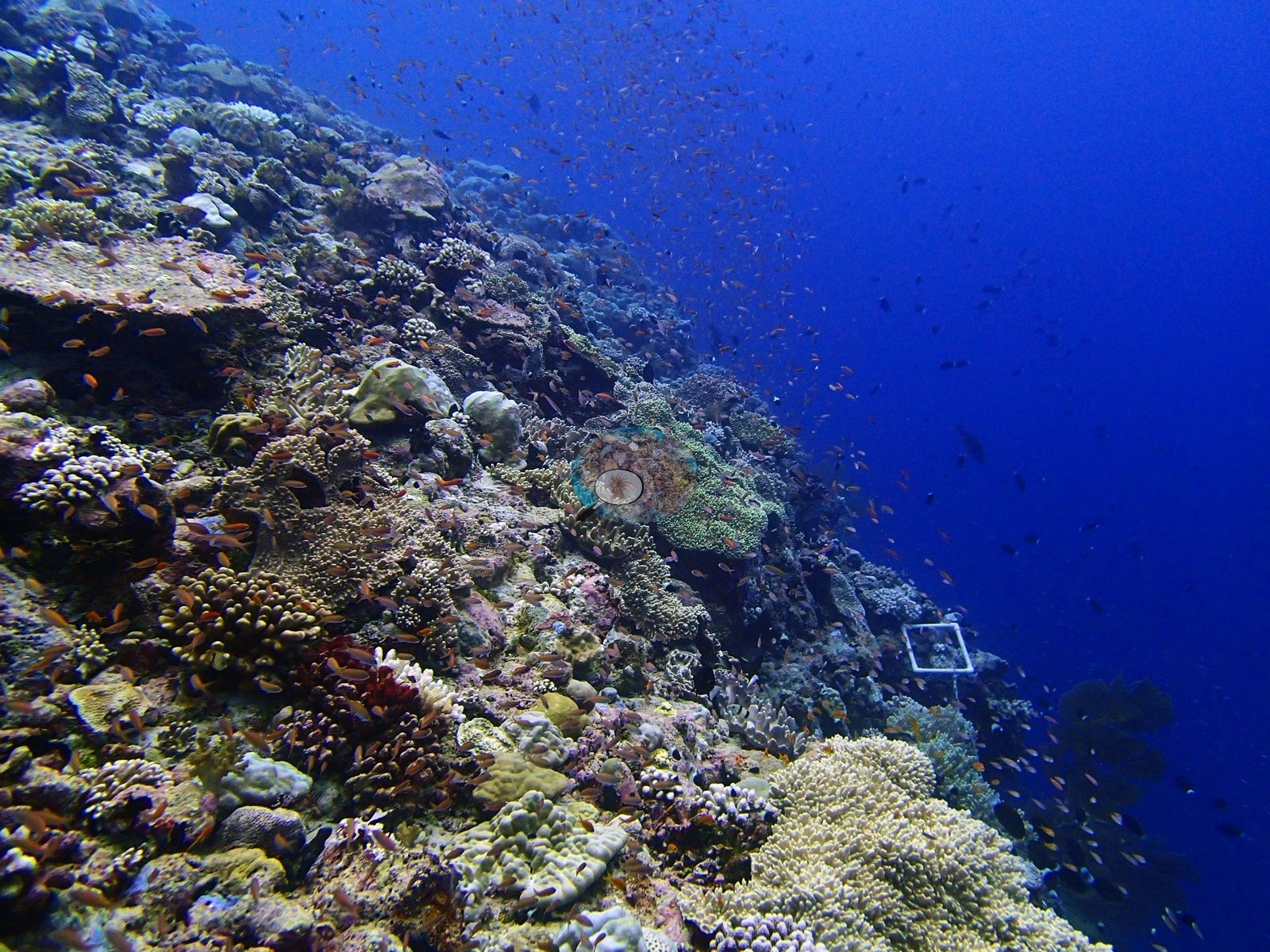
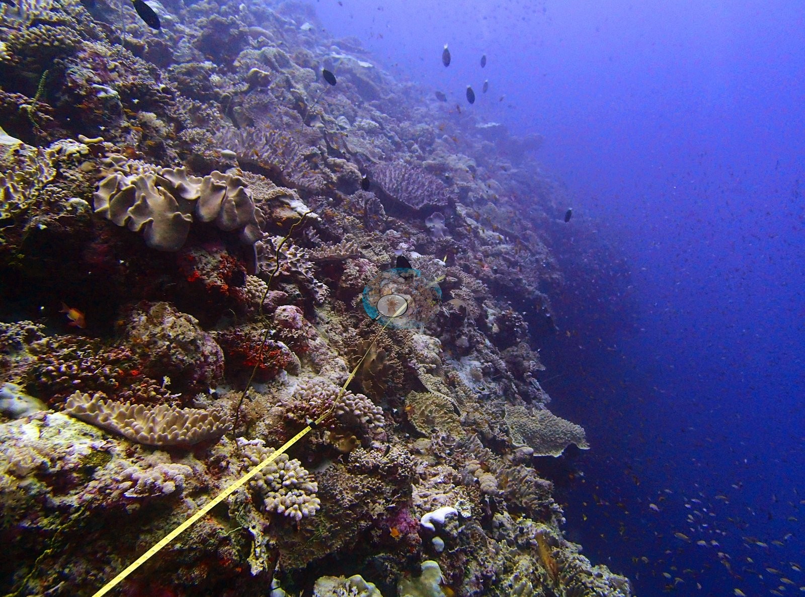
Chagos (NOAA CRW virtual station)The deepest site in the Chagos 2015 set (34 m), an exposed wall that is grand to look at but held together more by sponges, sea squirts, meter-wide sea fans, and black wire corals than by coral (25% cover, though 31 genera). Pale-to-white branching colonies and two anemones with stark-white tentacles point to genuine heat stress. Surveyed on the Living Oceans Foundation's Global Reef Expedition.
Three independent survey stations shown with the program’s logo — click one to see how far it is from this site.
Seven other CRD dive sites within 5 km shown in orange — click a marker to open its page.
🗺 Detailed map of the Global Reef Expedition dive sites, Salomon Atoll, Chagos (Khaled bin Sultan Living Oceans Foundation; opens in a new window)
5 of these 44 photographs are shown beside the text that discusses them under "Site description" below.
Site description
Setting
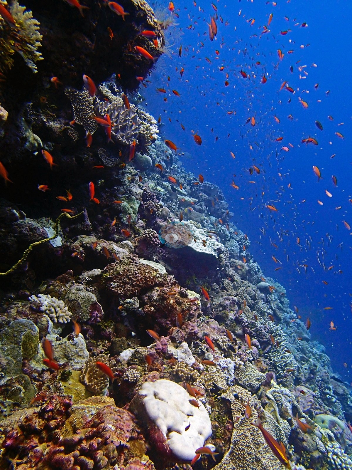
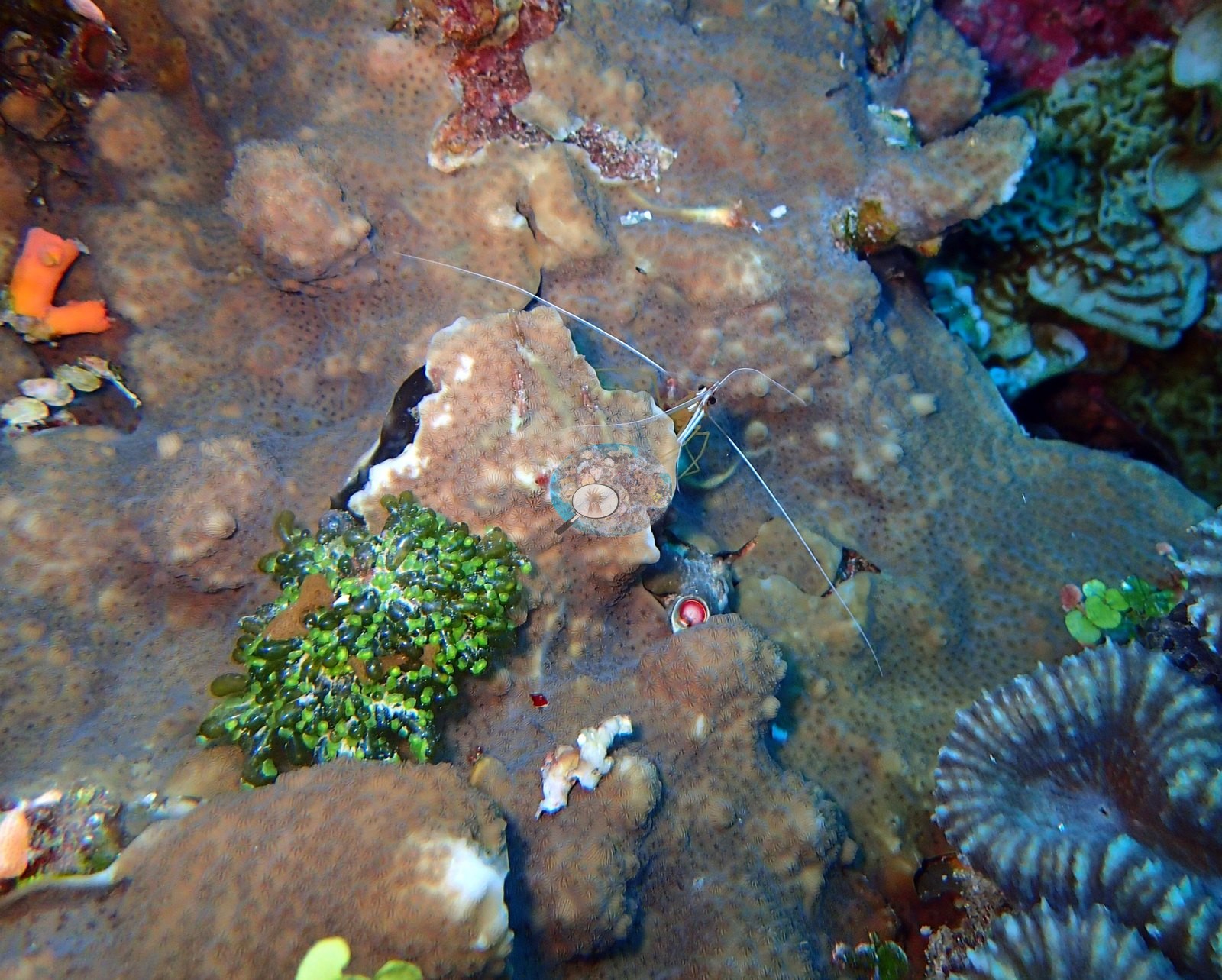
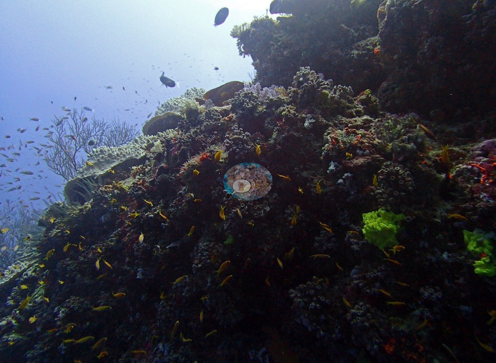
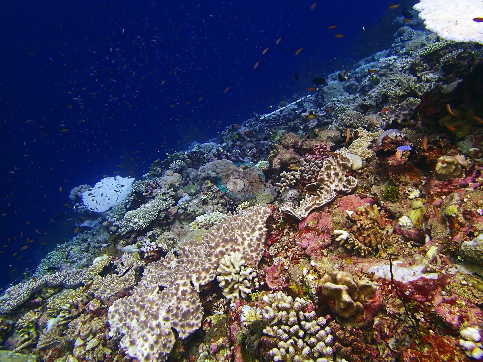
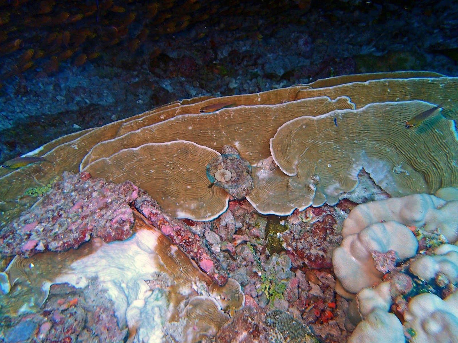
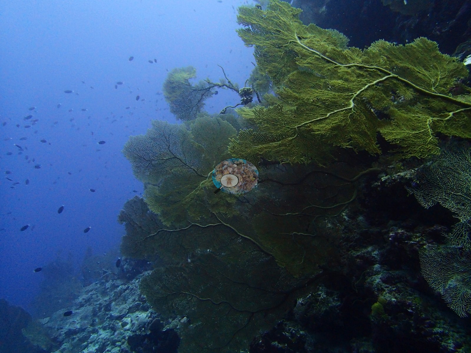
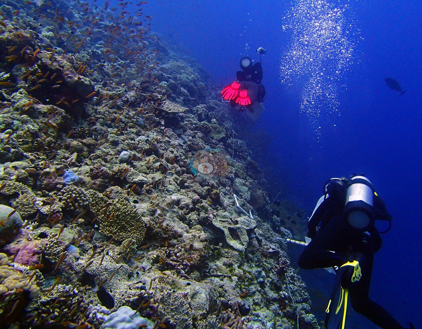
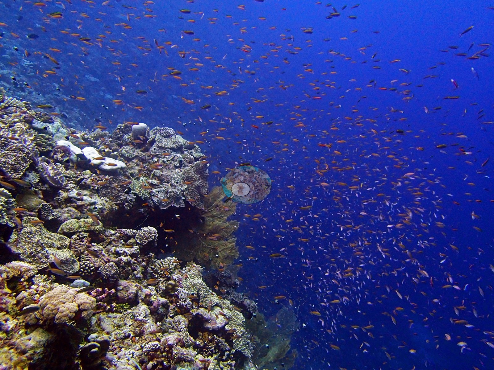
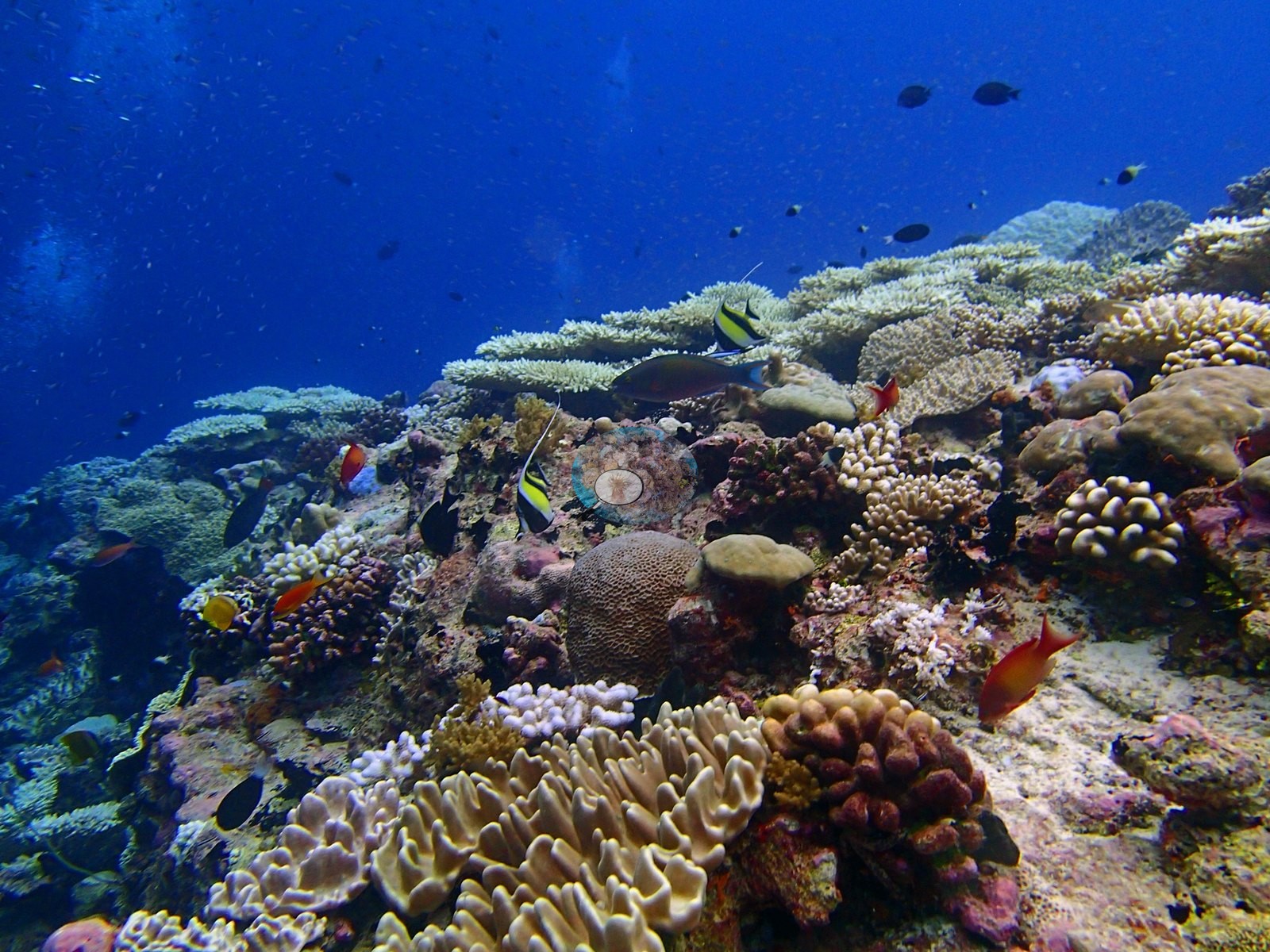
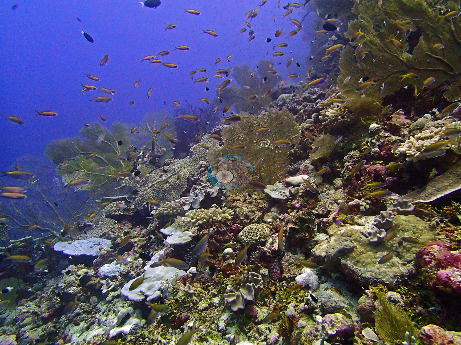
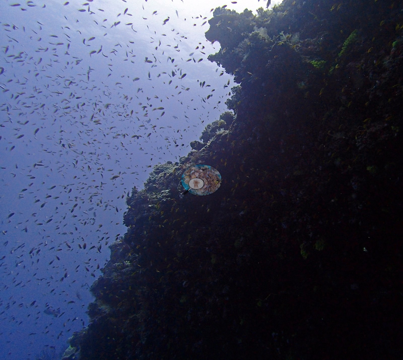
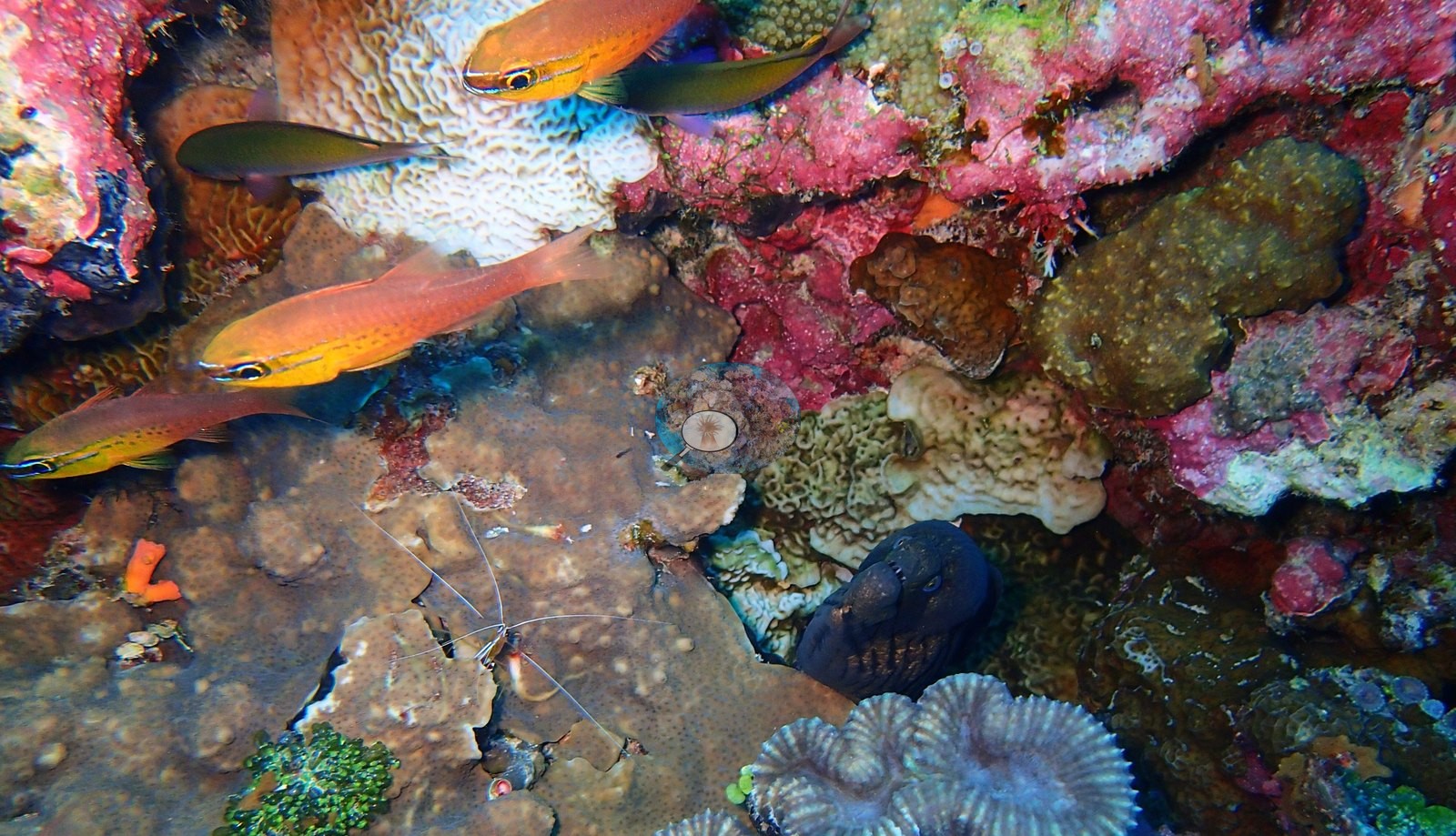
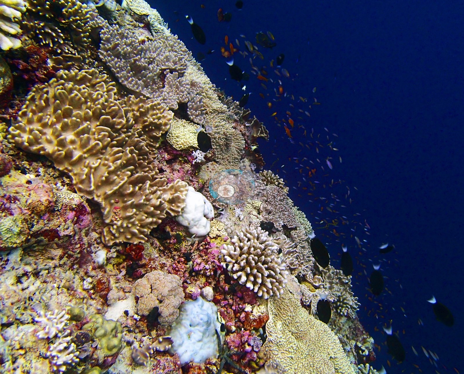
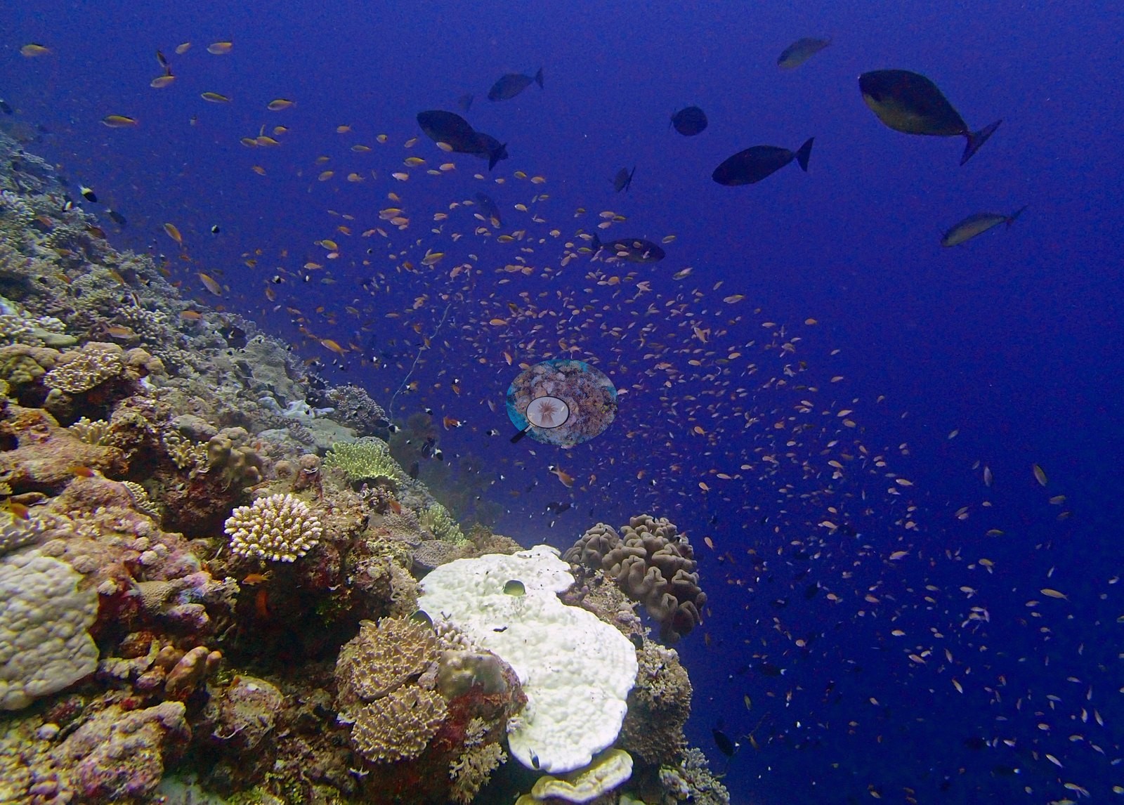
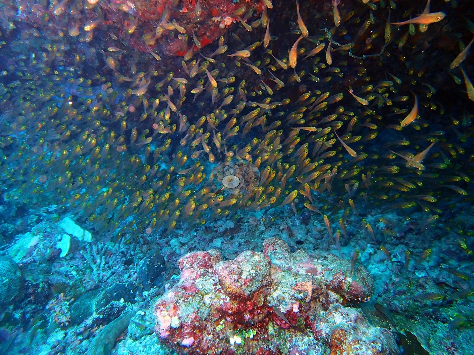
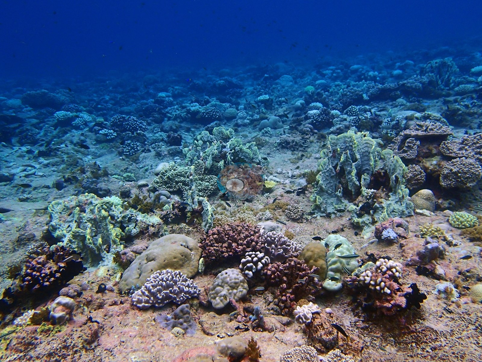
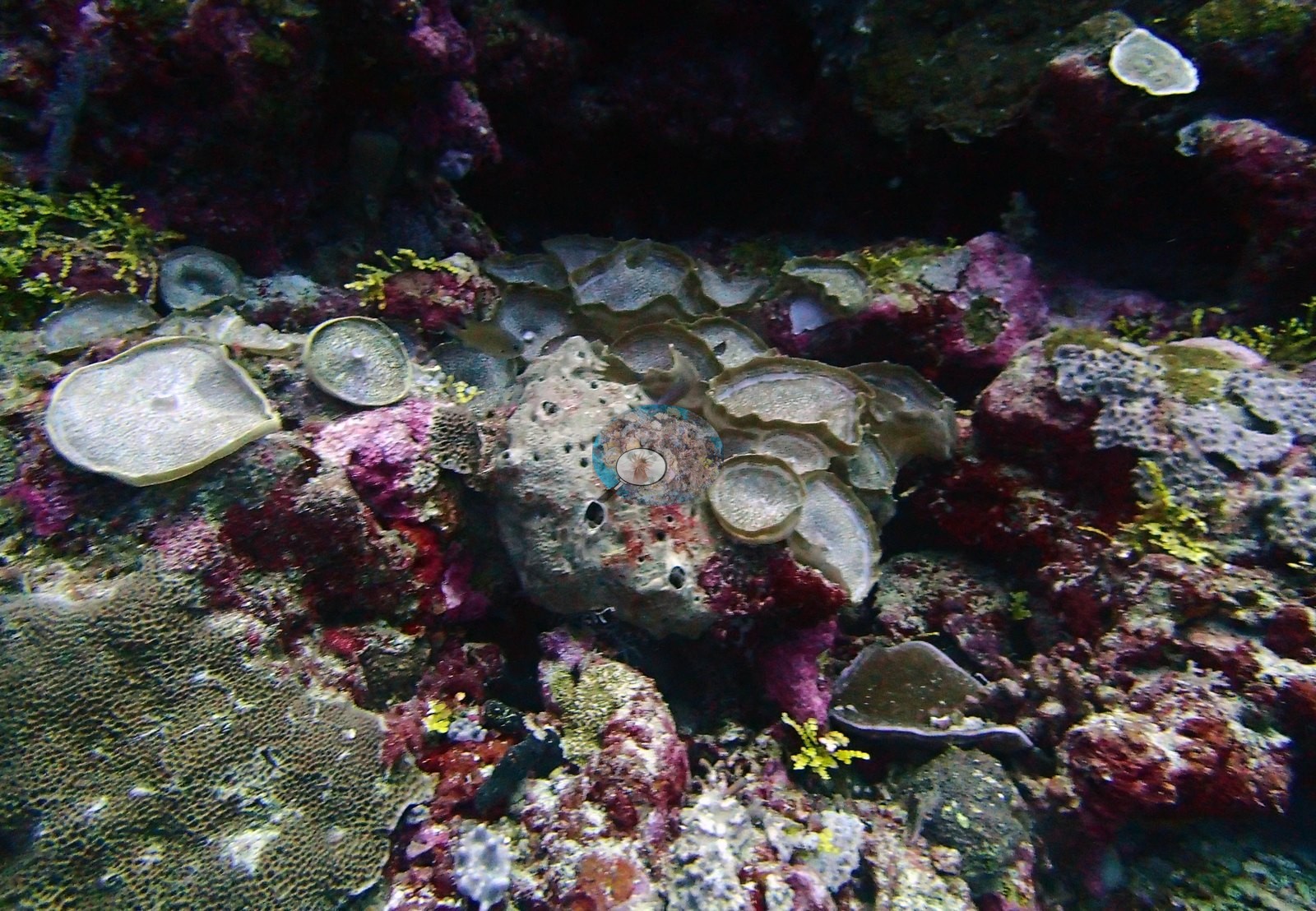
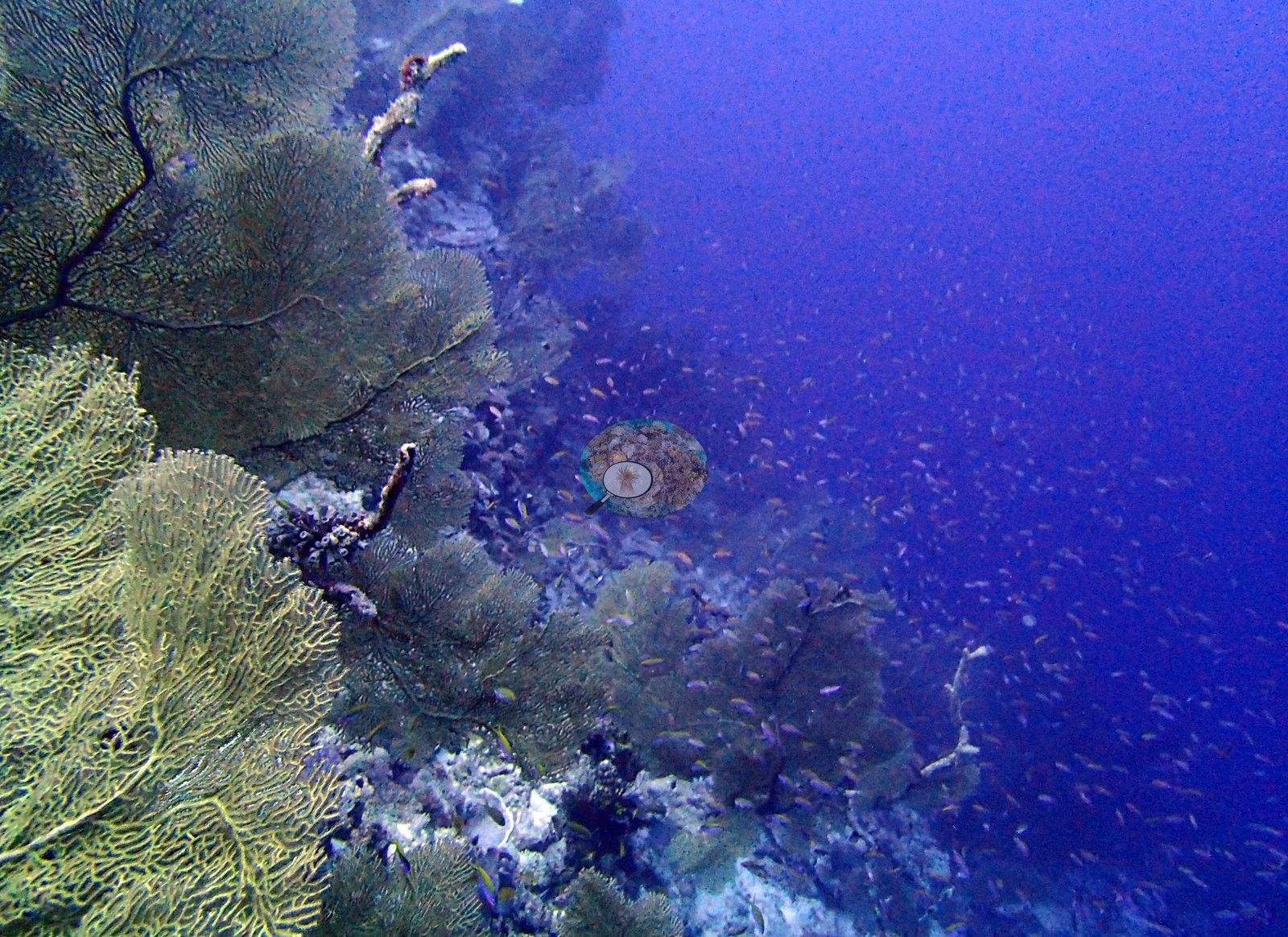
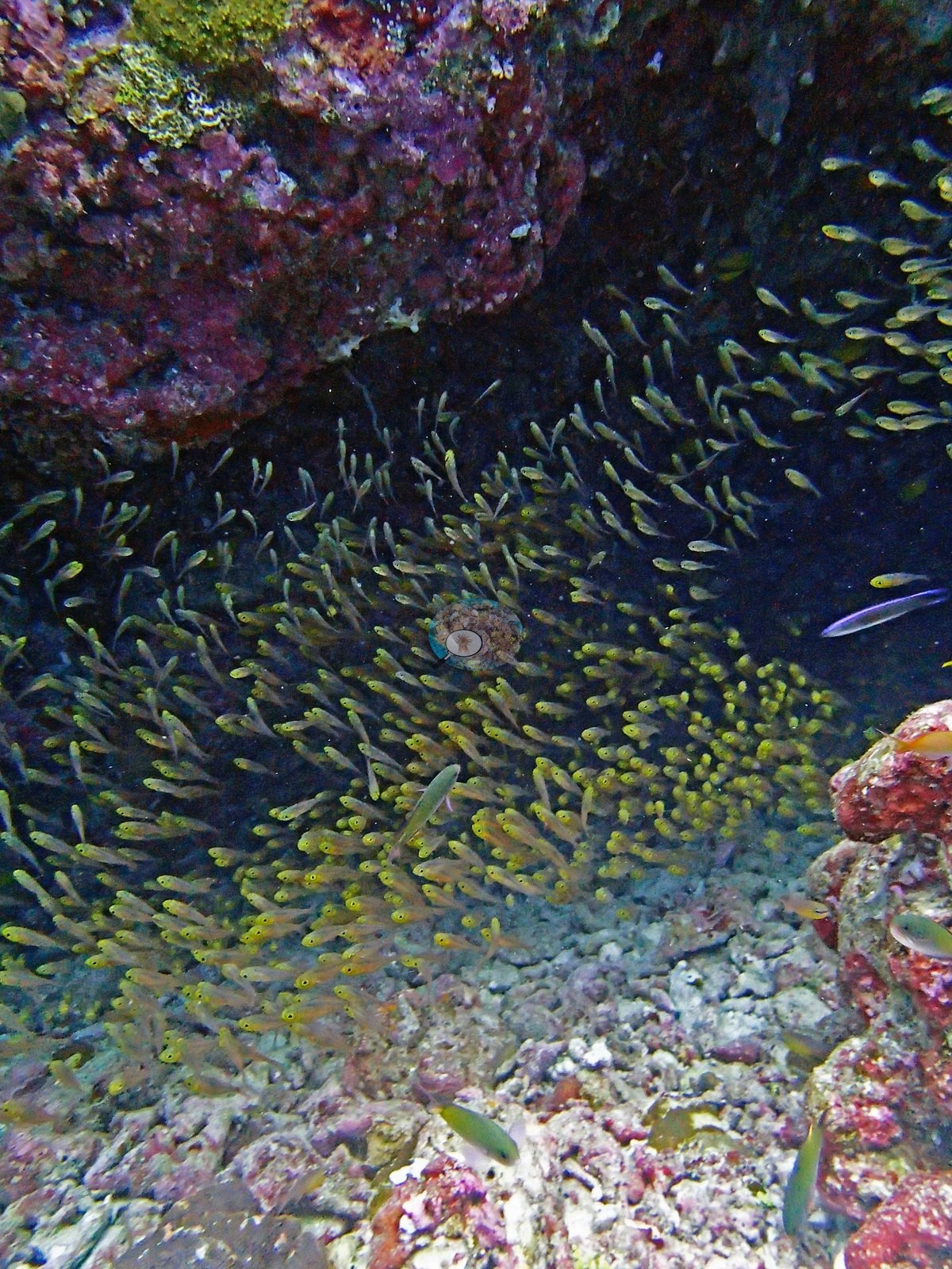
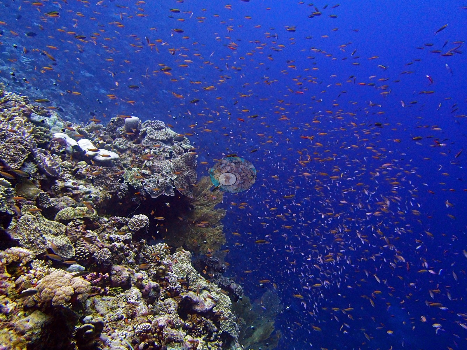
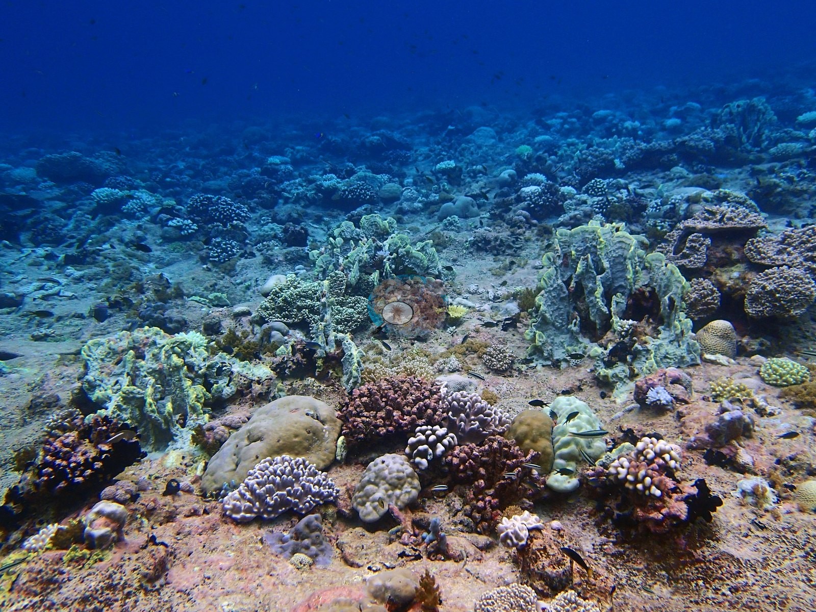
BISA92 is an exposed windward emergent forereef outside Salomon lagoon and the deepest site in the whole Chagos 2015 set at 34.0 m, surveyed 25 April 2015 (e.g., Image 1, Image 3).
General benthic features
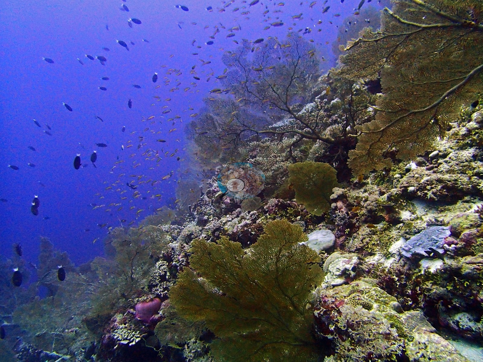
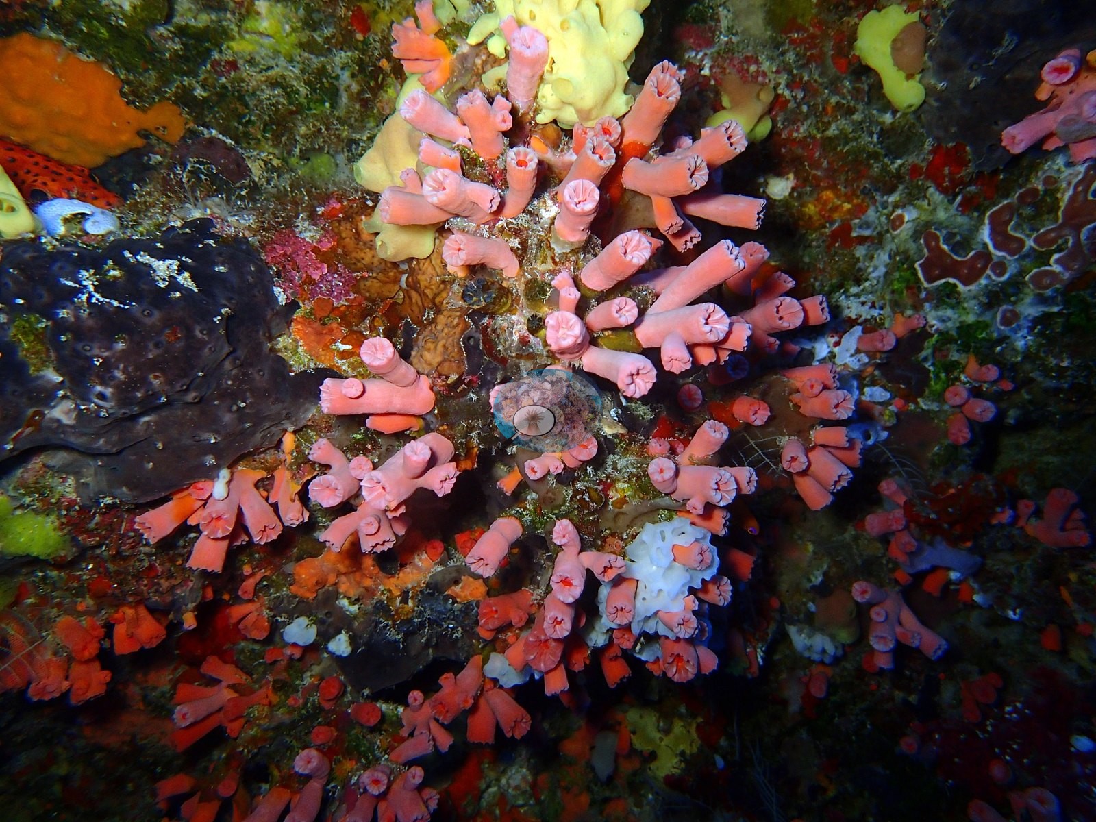
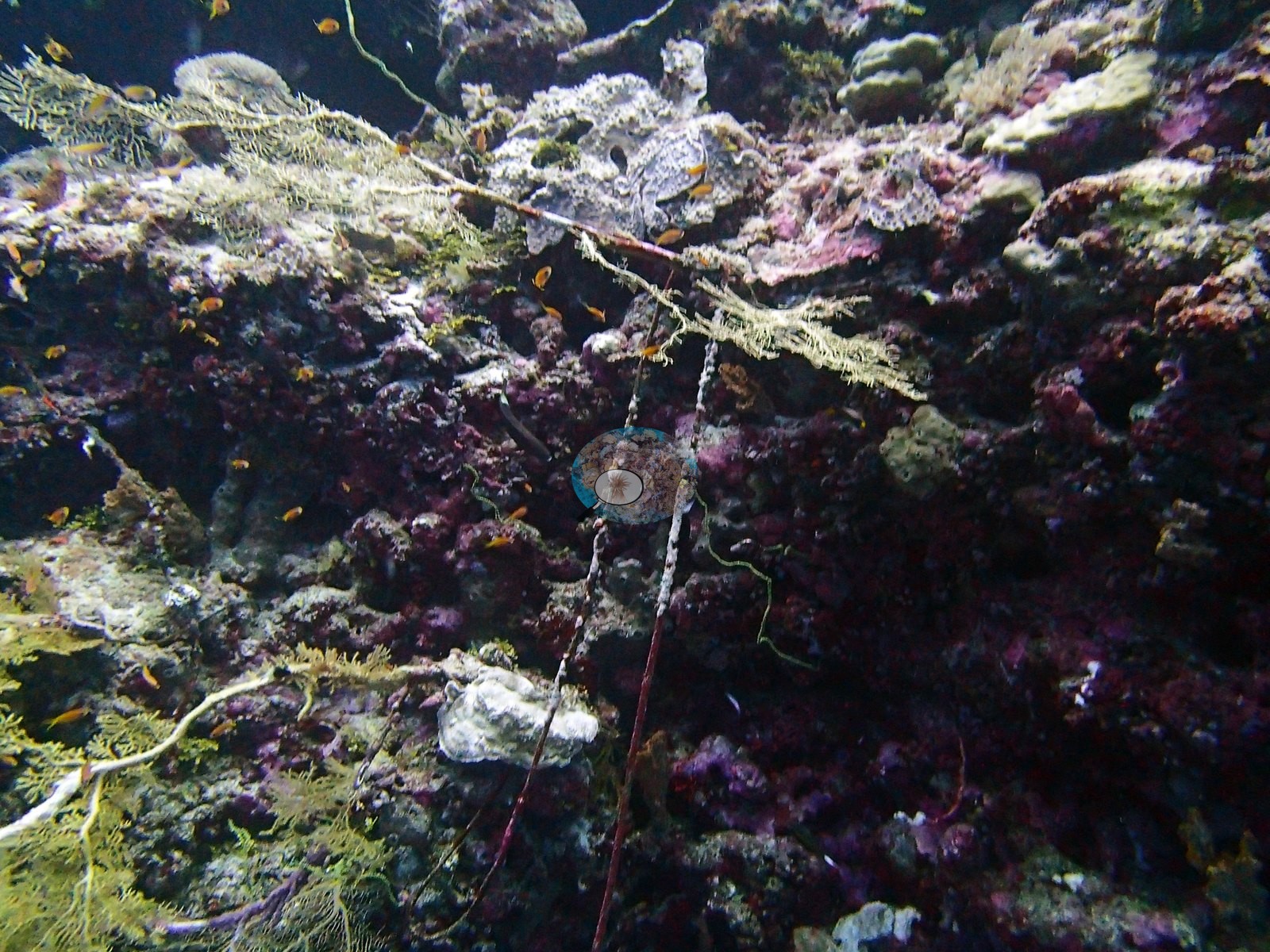
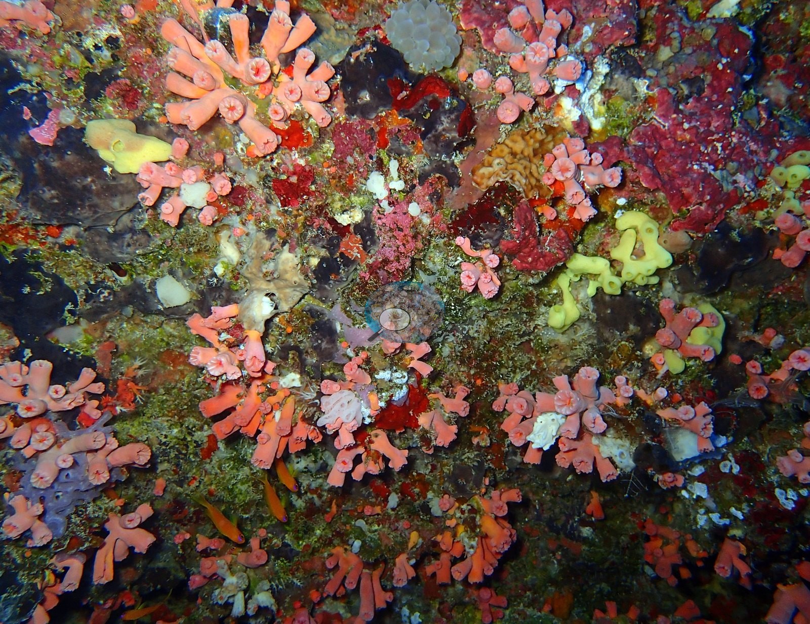
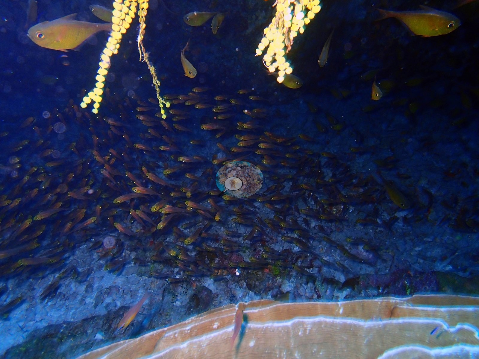
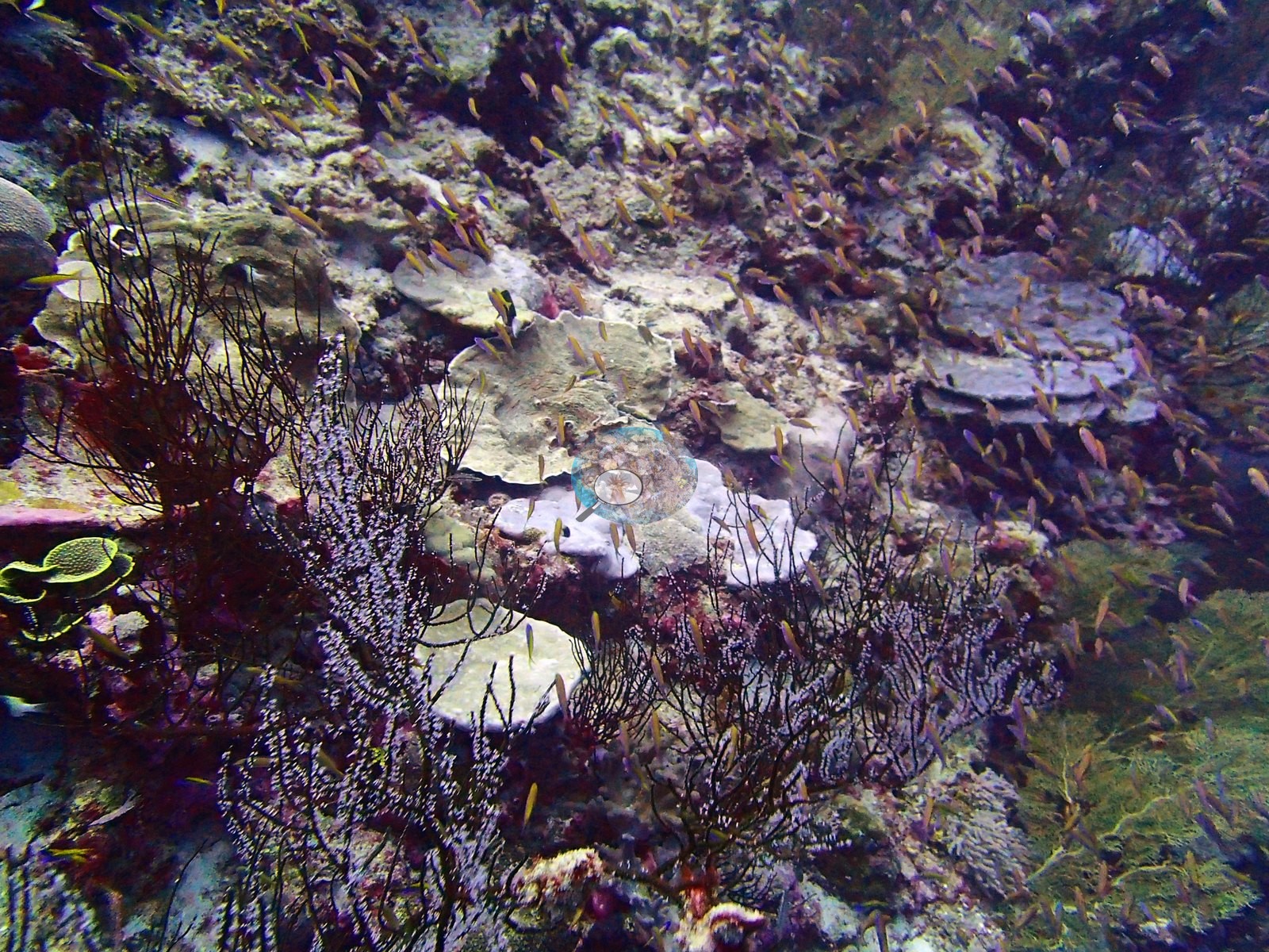
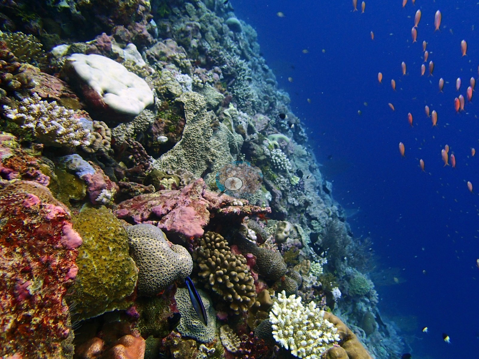
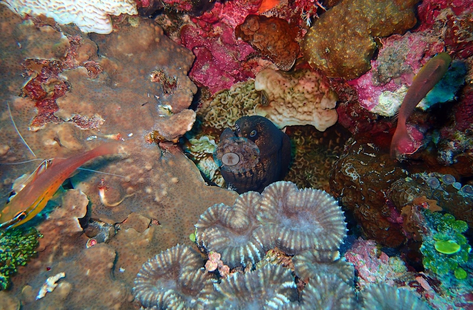
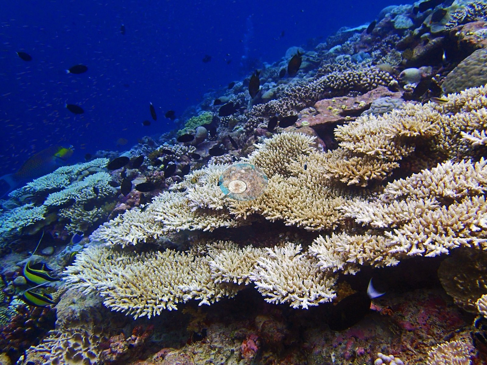
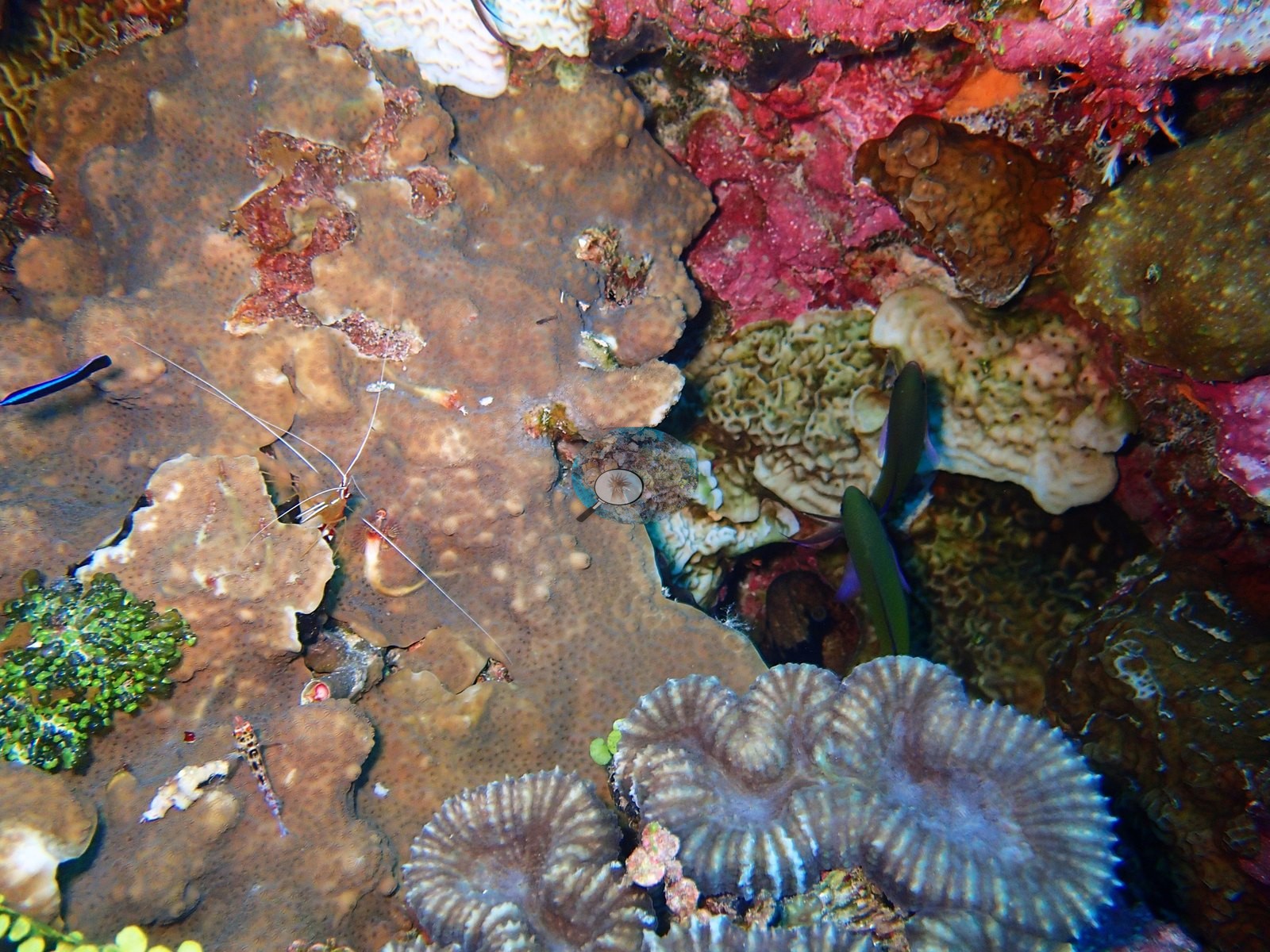
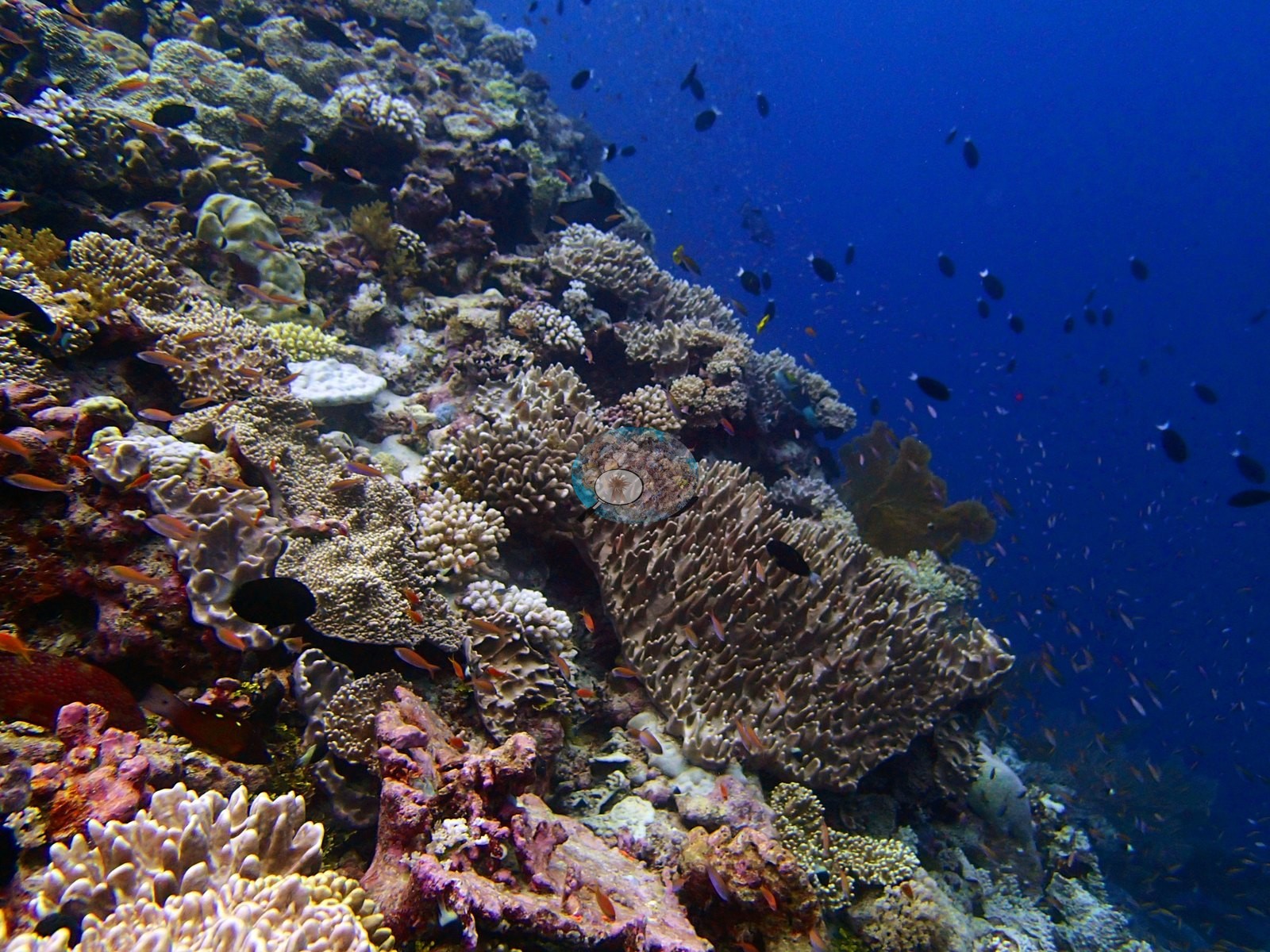
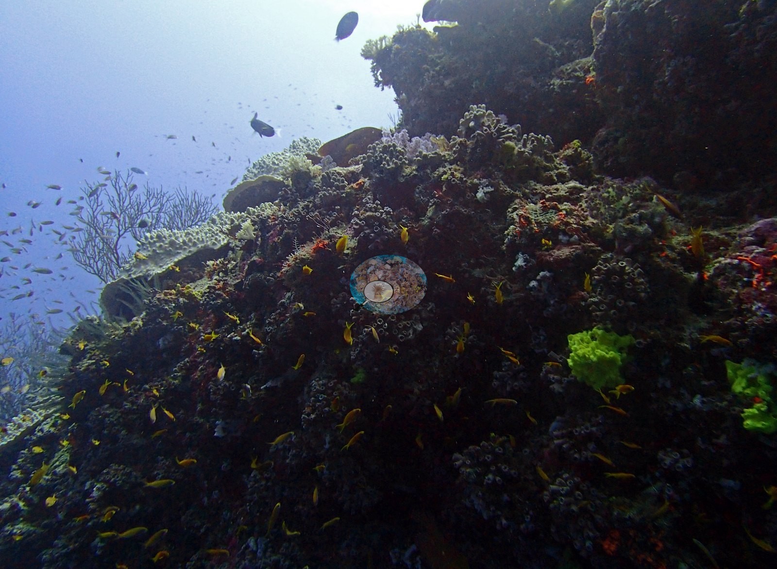
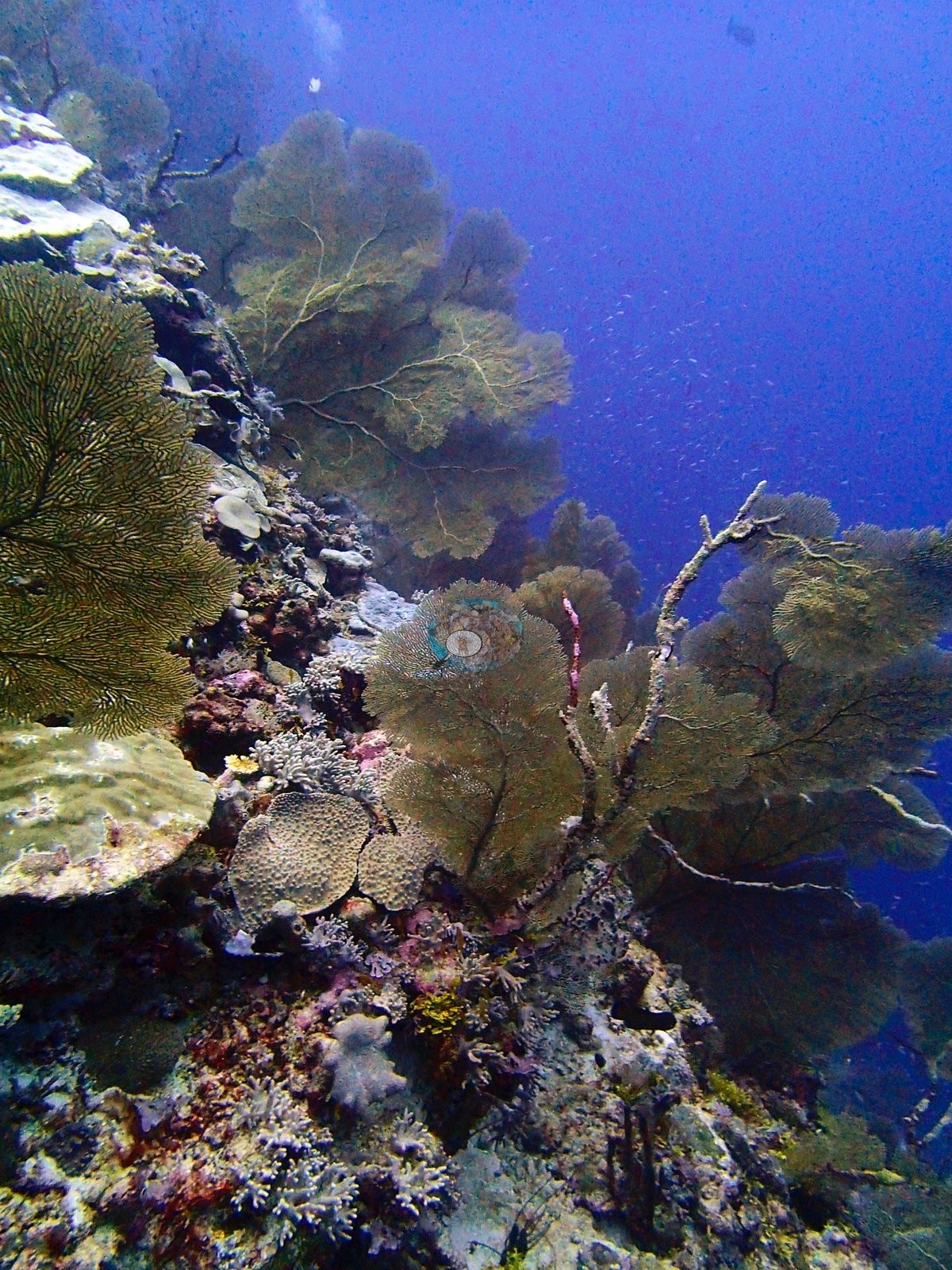
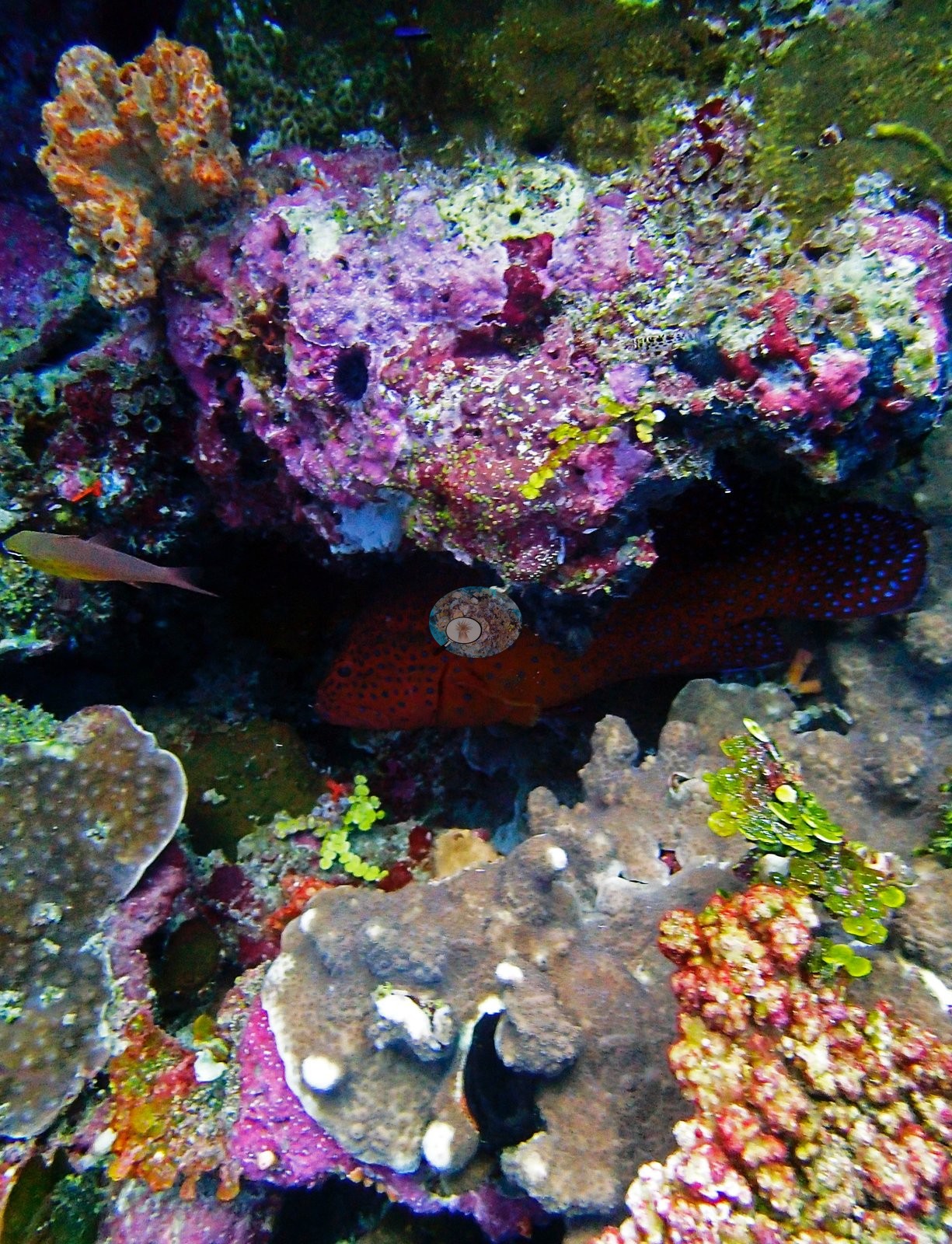
What holds the wall is not coral — non-coral invertebrates take 26.0% of the benthos, more than the coral does, with coralline algae a further 20.6%, and the photographs show sponge- and ascidian-carpeted panels, meter-wide gorgonian sea fans, and black wire corals (e.g., Image 2, Image 4).
Porites leads at 7.00% of the benthos, 29% of all coral, with 22 genera under 1%.
Coral cover
It is the clearest case here of a reef whose grandeur and whose cover number point opposite ways: formal transects recorded only 24.5% coral, 87th of 109 Chagos sites and bottom quartile, against 41.3% algae, yet genus richness is 31 genera, 13th-highest of the 109. The five strata are not a gradient but a rise, two falls, and a rebound — 18.0%, 35.3%, 23.4%, 17.7%, 28.0% — invertebrate cover peaking at 35.7% mid-profile, and the single deepest transect carries a wholly different eight-genus assemblage that supplies all of the site's Hydnophora and most of its Montastrea and Pachyseris. Uniquely among these sites the image methods read higher than the transects (CoralNet 27.5%, Coralscapes 29.5%), consistent with models scoring sponge and coralline surfaces as coral; the three should not be averaged.
Stressors
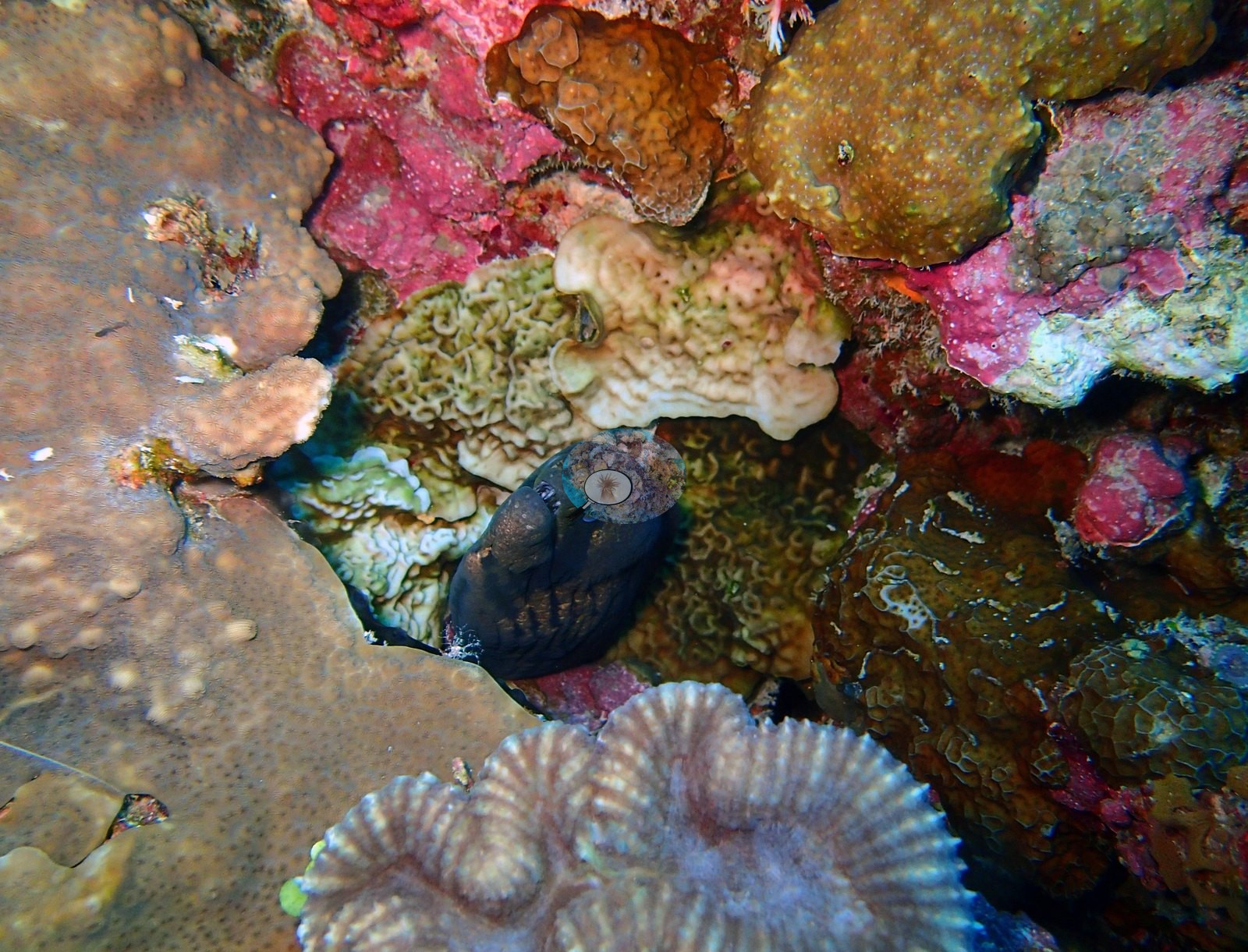
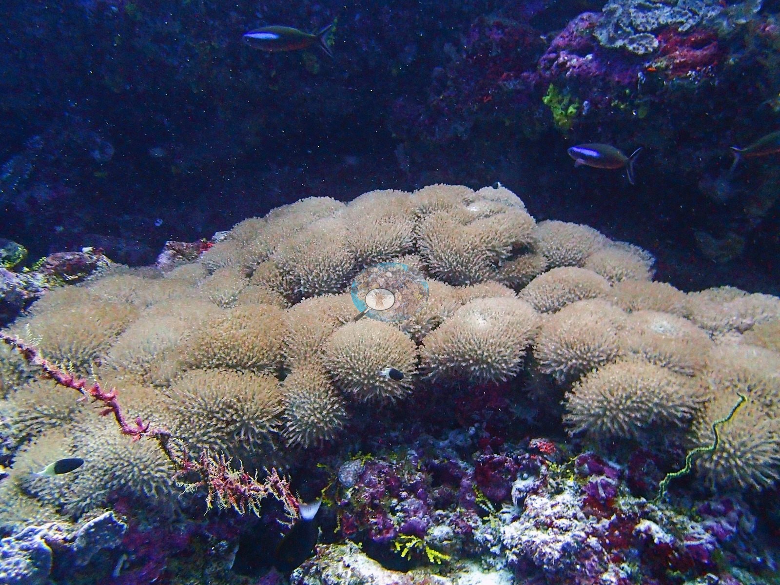
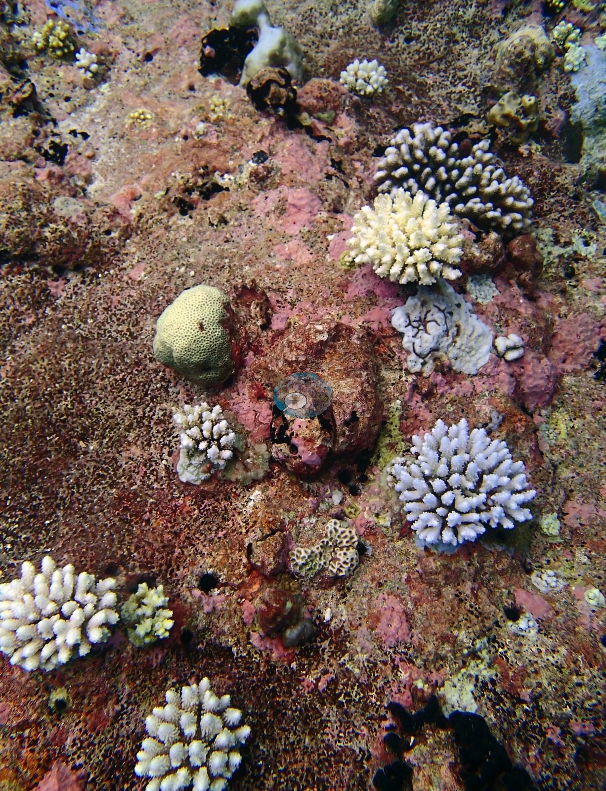
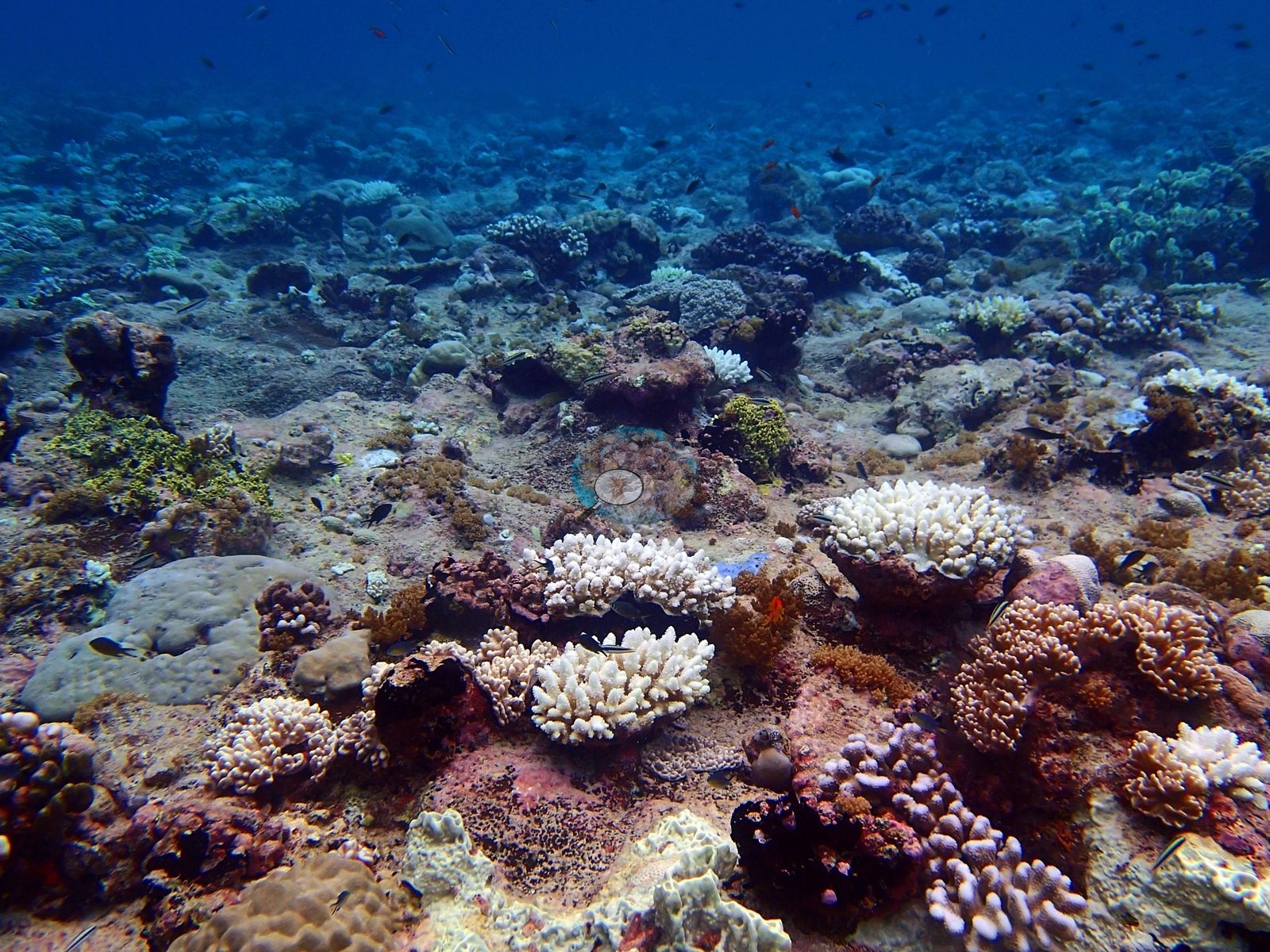
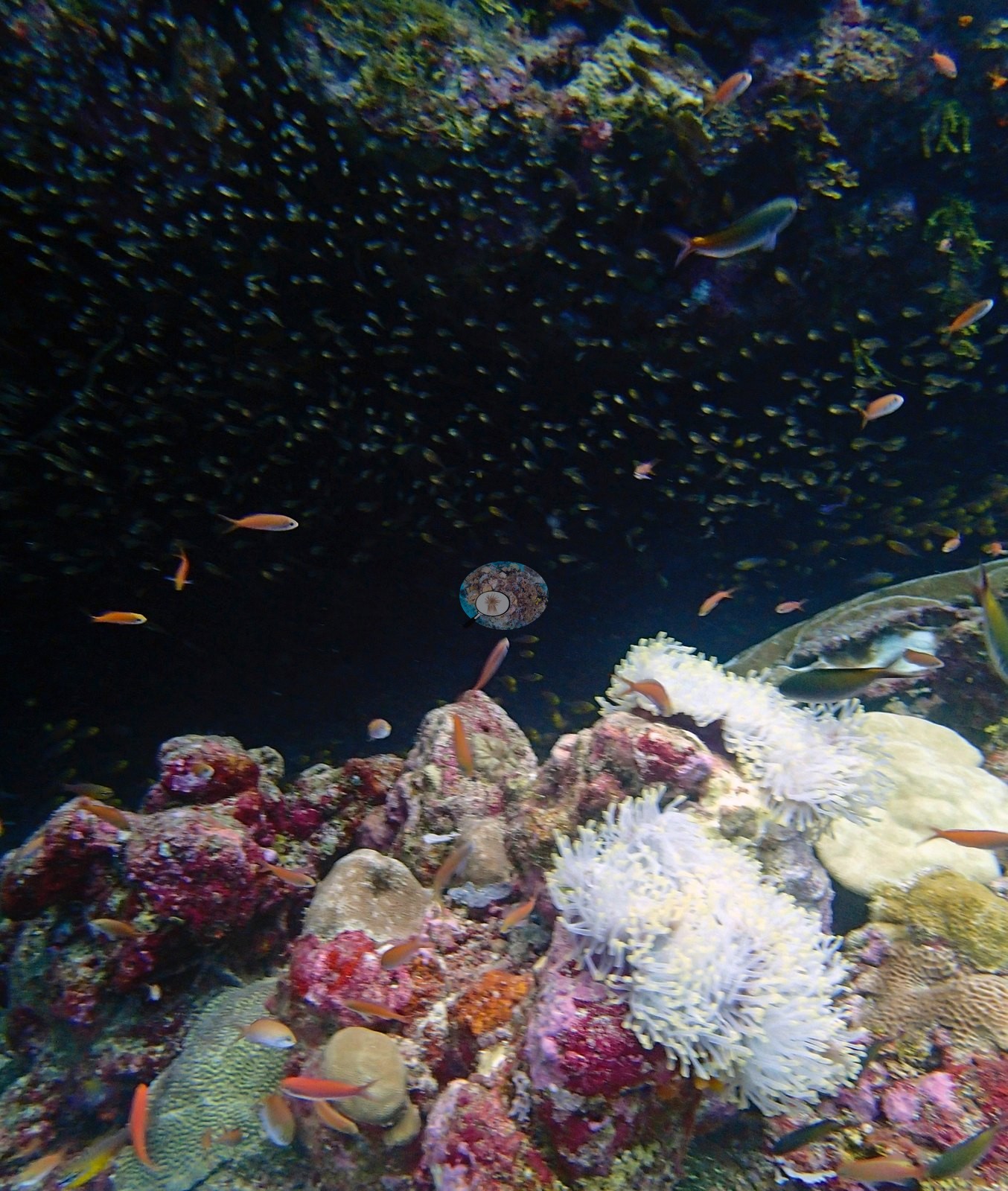
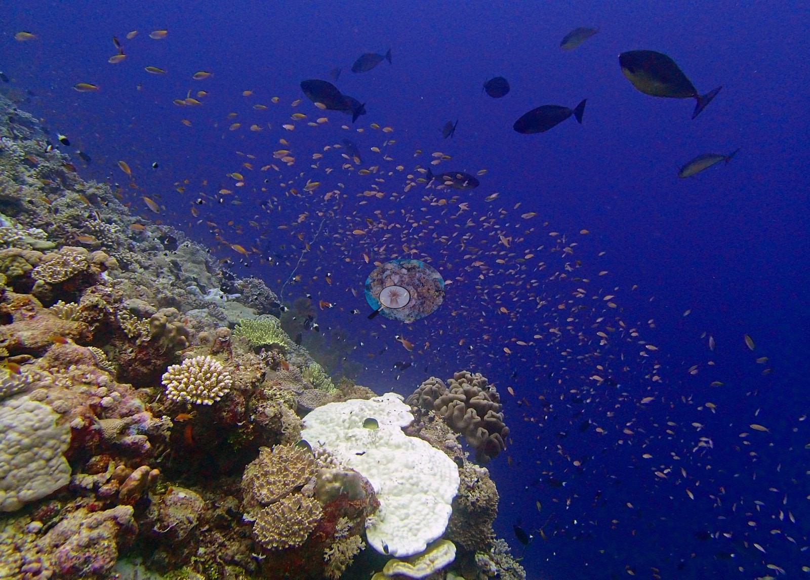
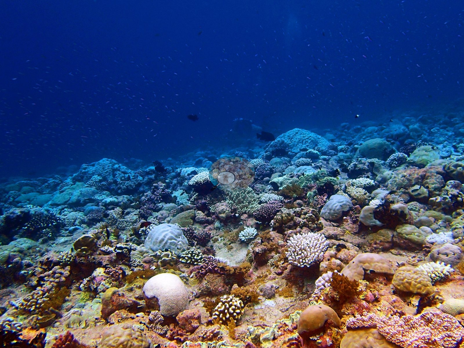
Bleaching on the canonical % bleaching (2nd training) column is 9.07%, 43rd of 110 dives, upper-middle severity, and both runs agree. Twenty of 39 frames were re-examined on top of an earlier full pass: several pale-to-white branching colonies sit among pigmented neighbors at the reef top, and two large sea anemones have stark white tentacles — genuine thermal stress, though anemones are not scleractinian and enter neither the cover nor the bleaching figures (e.g., Image 5).
No crown-of-thorns or disease.
Comparisons with other data
No independent survey was made at this exact site; the nearest ones are listed in the table below.
CV model comparison
More info
Those are point counts on the photographs; this is a diver swimming a transect. The models and the reference never saw the same thing. ⚠ SITE-LEVEL ONLY. The 2,500 frames were not associated with any transect taken within 200 m of them, so transect-vs-image comparisons are site means, never frames. The transect value is already in the pin `cover` field (109 of 112 pins, sourced to the paper's suppl. S1) and is read from there, never re-imported. The transect is THE coral-cover value for this site and stands alone. The rows below it are a methods comparison only: no computer-vision value is averaged with it, feeds the headline, or carries over to the site's cover figure (Anderson, 2026-09-22).| Method | Hard-coral cover (%) |
|---|---|
| Transect (published) | 24.5 |
| CoralNet | 29.4 |
| In-house DINOv3 | 25.6 |
| CoralSCOP edited | 29.0 |
| Claude | 18.8 |
Independent surveys nearby
| Agency / program | Year(s) | Stations / distance | Link |
|---|---|---|---|
| Lange et al. (2021) | 2006–2020 | 1 station, 3.23 km | Records ↓ |
| XL Catlin Seaview Survey | 2015 | 2 stations, 4.01–4.56 km | Records ↓ |
 Dr. Coral (CRD)
Within 5 km, 3 independent survey stations recorded hard coral cover in 7 records between 2006 and 2020. Of the 1 station surveyed in more than one year, 1 declined between their first and latest surveys. The longest record, Salomon Atoll (Lange et al. 2021, 3.23 km away), went from 29% in 2006 to 12% in 2020. The most recent nearby survey is from 2020, so these values predate recent heat stress. This site's own estimate (25%) sits within the range of these surveys (9.9–43%); the methods differ, so the comparison is context, not a like-for-like test.
Collected by other programs using different methods (the XL Catlin Seaview Survey uses photo-transects with automated image annotation), so these are context for the figures above, not a like-for-like comparison. Where a station was surveyed more than once the range is shown. Station names are not dive-site names.
| Agency | Site / location | Date | Hard coral cover (%) | Distance | Link |
|---|---|---|---|---|---|
| Lange et al. (2021) | Salomon Atoll | 2006–2020 | 9.9–43% (5 surveys) | 3.23 km | HeatCRD database |
| XL Catlin Seaview Survey | transect 36014 | 2015 | 34% | 4.01 km | — |
| XL Catlin Seaview Survey | transect 36016 | 2015 | 19% | 4.56 km | — |
Data & links
- Read the full site report ↗
- Download benthic survey data (CSV) ↗
- Download all LOF-GRE data (933 sites) ↗
- CoralNet image repository for this region ↗
- HeatCRD database ↗
- (reference) ↗
- Photo portfolio ↗
- Coral Reef Diagnostics page for this area ↗
All images from Coral Reef Diagnostics. Data are from Coral Reef Diagnostics and the organizations named in the data-sources table above.
 © Coral Reef Diagnostics.
References
- Mayfield AB, Dempsey AC (2026). Using tourist diver images to estimate coral cover and bleaching prevalence in a remote Indian Ocean coral reef system. Oceans 7(1):1. PDF
- Lange ID, Benkwitt CE, McDevitt-Irwin JM, Tietjen KL, Taylor B, Chinkin M, et al. (2021). Wave exposure shapes reef community composition and recovery trajectories at a remote coral atoll. Coral Reefs 40:1819-1829. PDF