
Part of the regional summaries: Chagos Archipelago - Salomon / Blenheim / Speakers Bank and Chagos Archipelago
More info
Chagos (NOAA CRW virtual station)This Blenheim site (33% coral cover) runs from a rich, structurally complex shallow reef - plating and massive Porites domes, small Acropora, abundant crustose coralline algae - down onto a hazier, lower-relief deep slope. A hawksbill turtle was photographed resting on the reef across several frames, and no bleaching, disease, or crown-of-thorns was seen. Surveyed on the Living Oceans Foundation's Global Reef Expedition.
One independent survey station shown with the program’s logo — click one to see how far it is from this site.
🗺 Detailed map of the Global Reef Expedition dive sites, Blenheim Reef, Chagos (Khaled bin Sultan Living Oceans Foundation; opens in a new window)
14 of these 16 photographs are shown beside the text that discusses them under "Site description" below.
Site description
Setting
The 16-frame set is much broader than the handful of published images and shows a dive that runs from a rich, structurally complex shallow reef down onto a hazy, lower-relief deeper slope.
General benthic features
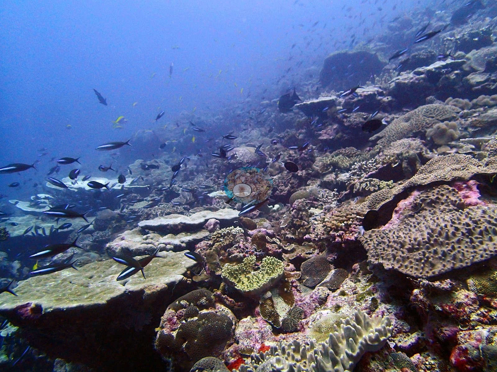
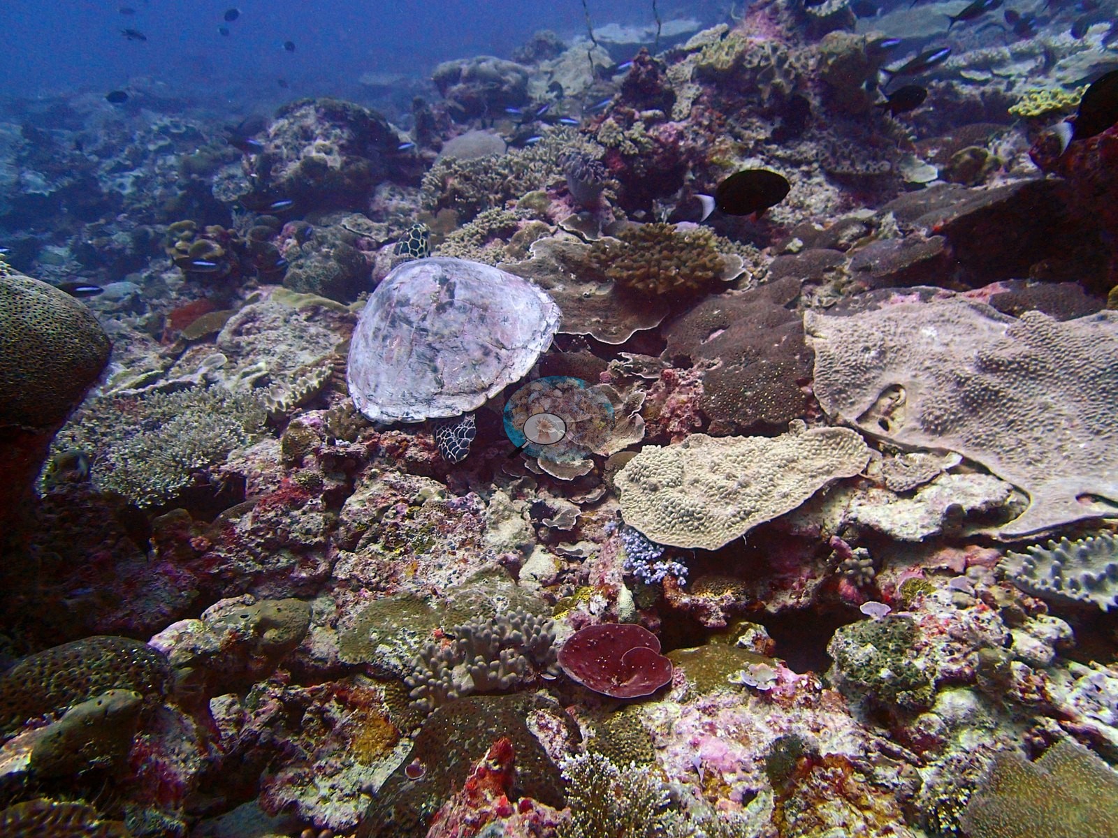
The shallow ground is the best of it (e.g., Image 1, Image 2, Image 3, Image 4, Image 6, Image 7, Image 10, Image 15).
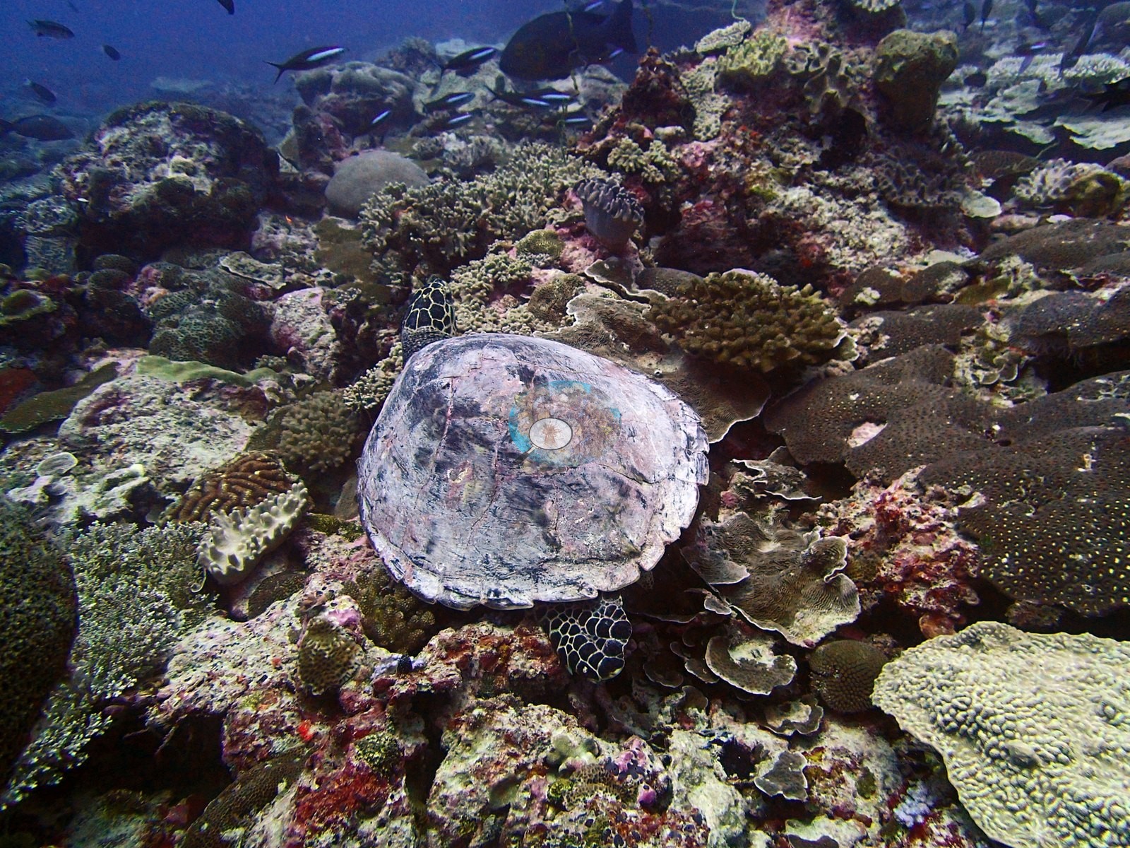
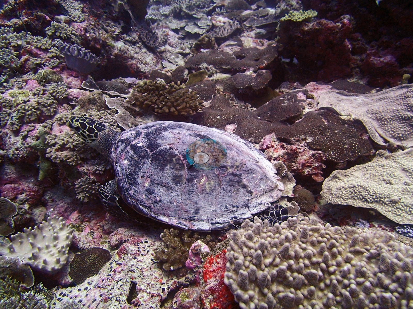
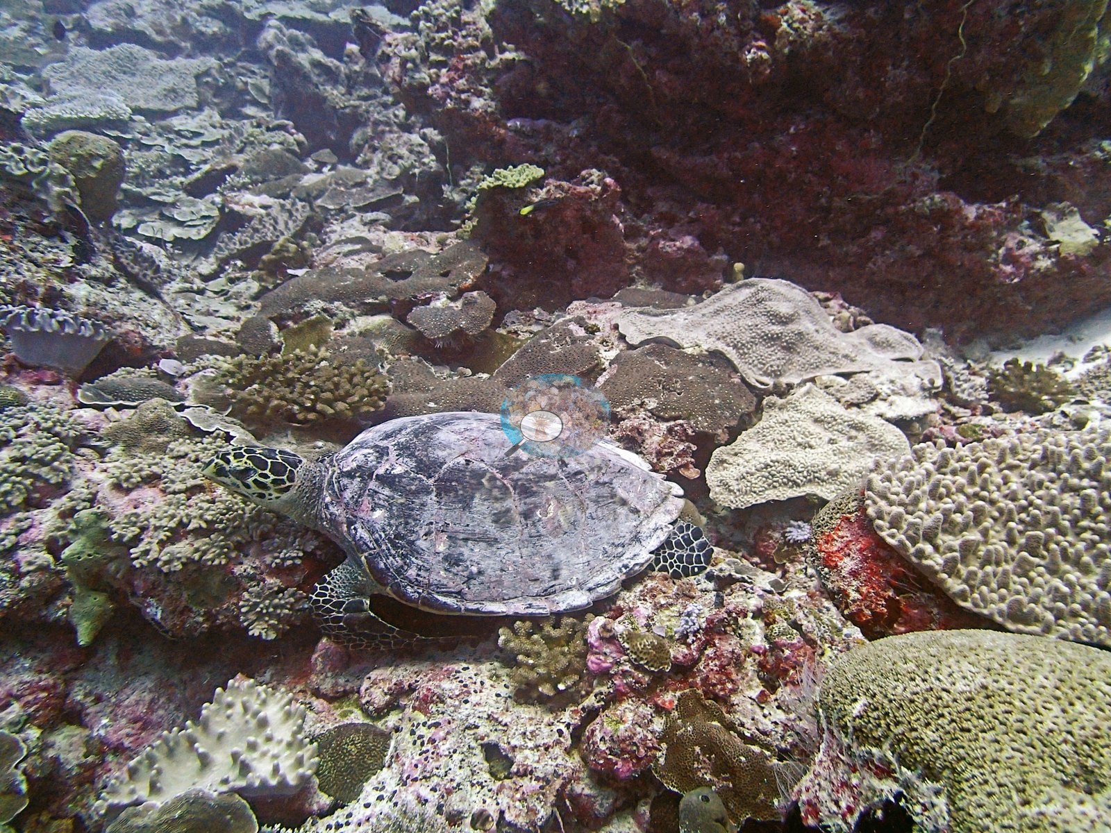
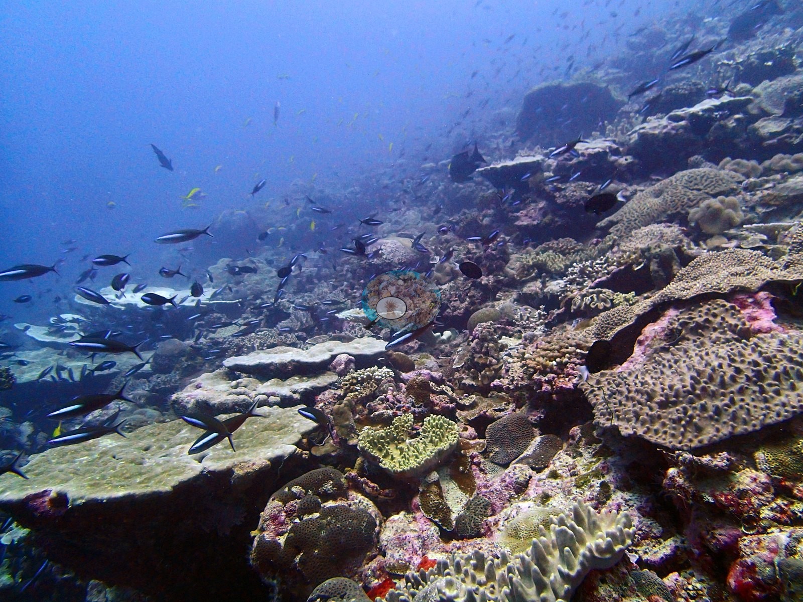
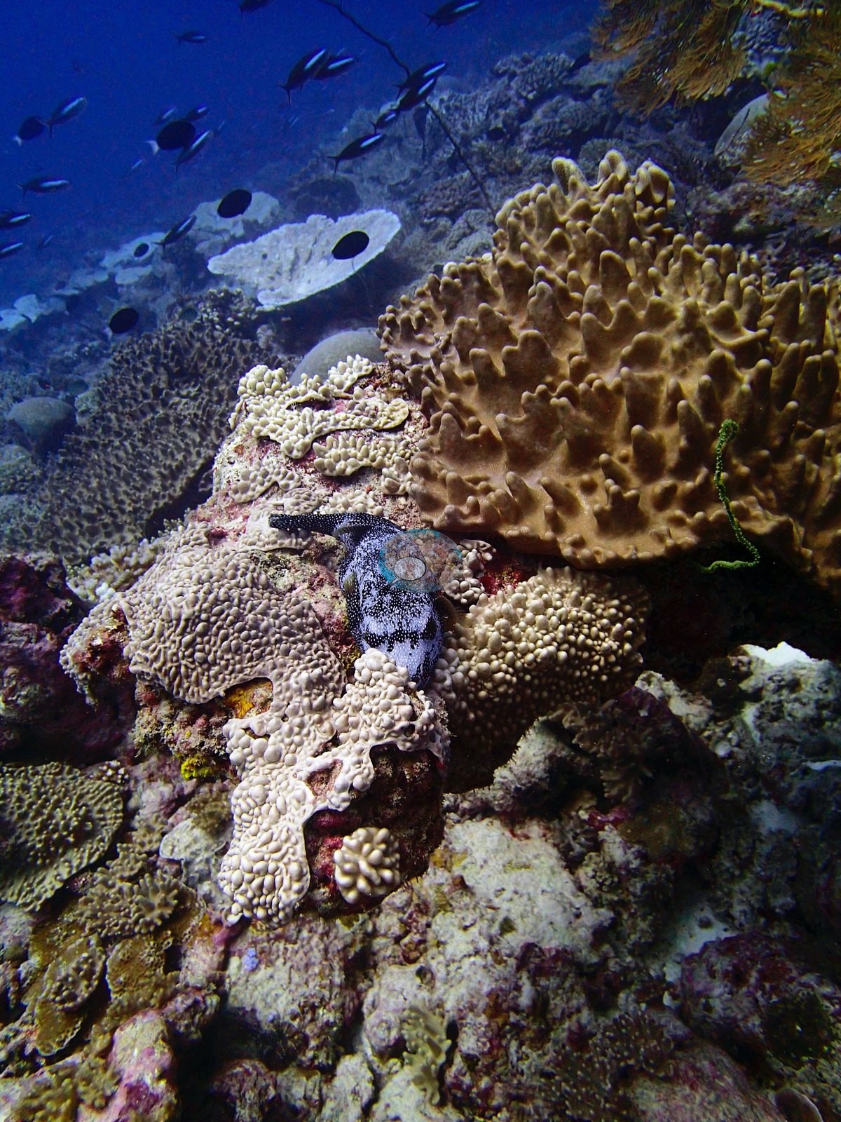
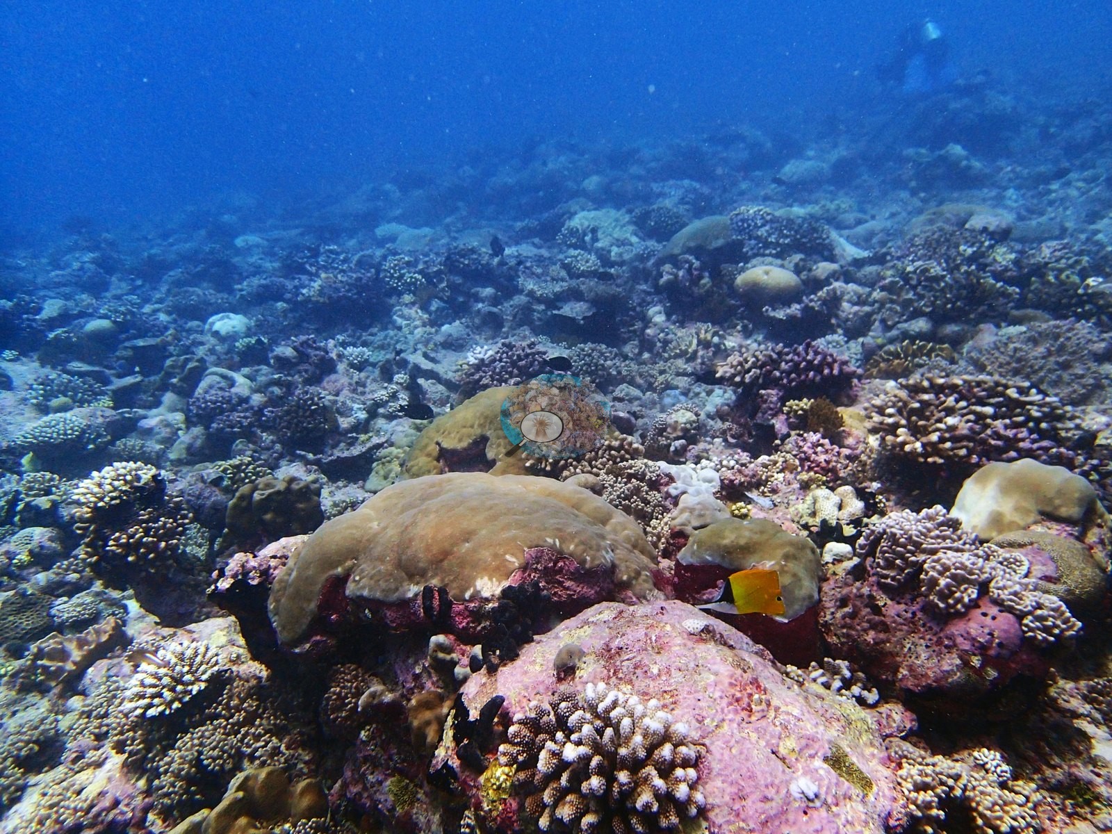
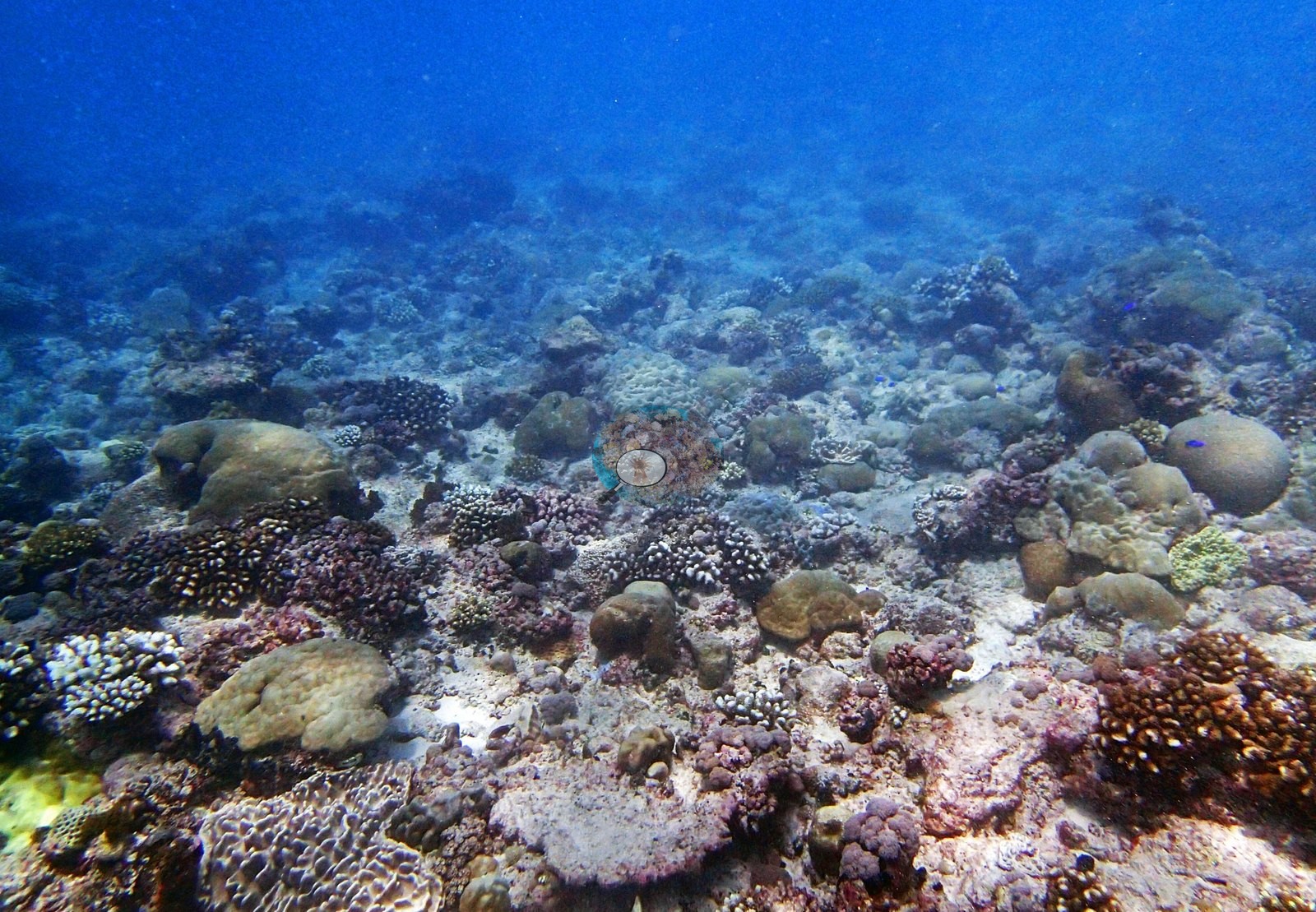
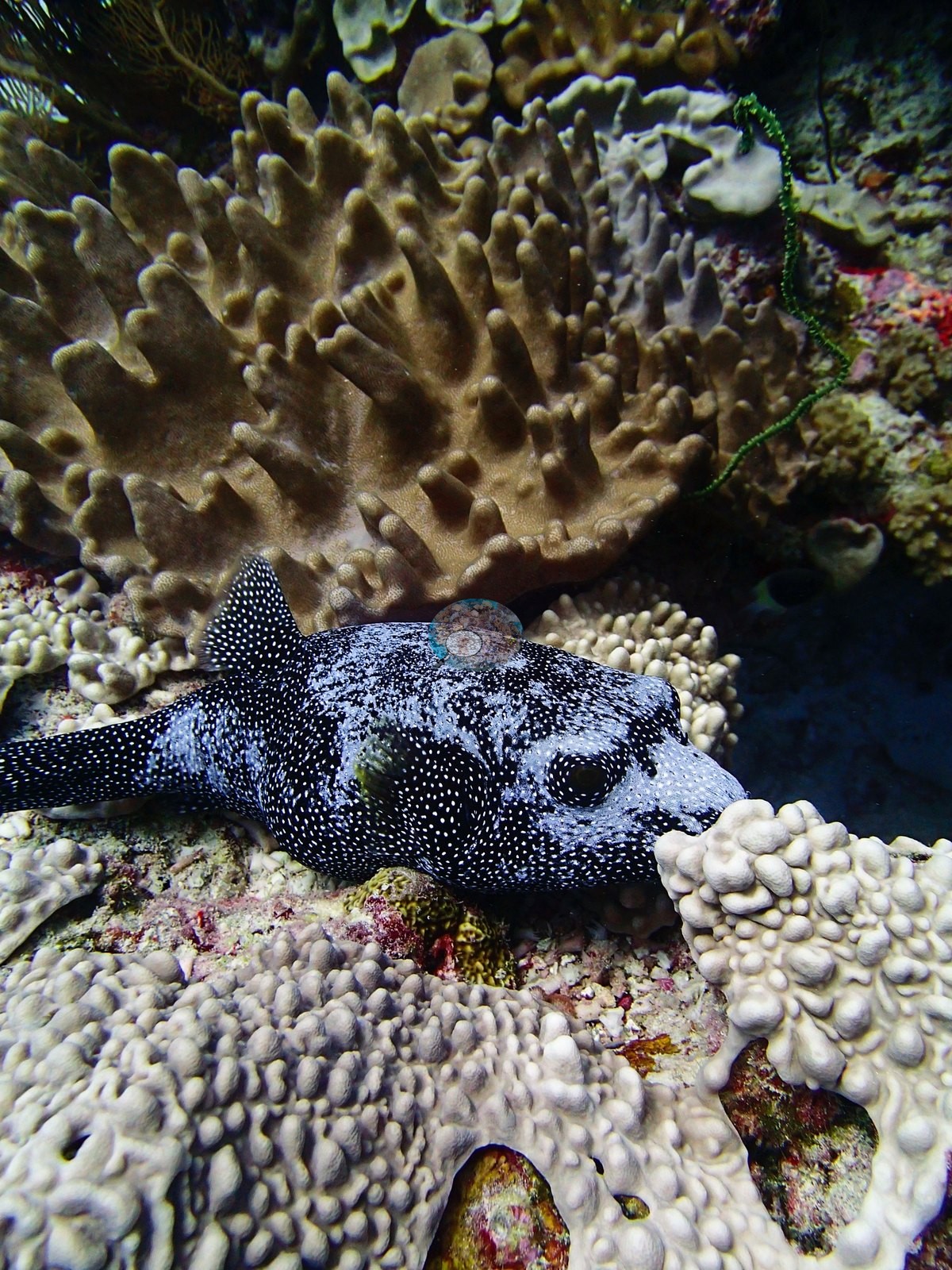
It is a mixed, tightly packed reef of cream and tan plating and laminar colonies, honeycomb-textured massives with neat polygonal corallites consistent with Favites or Goniastrea, large smooth tan and olive massive Porites domes (e.g., Image 10, Image 15), meandering-valleyed brain colonies, small digitate and corymbose Acropora in cream with pale tips, mauve and pink Pocillopora, and a great deal of pink and magenta crustose coralline algae with bright red encrusting sponge threaded through it (e.g., Image 1, Image 2, Image 10). Image 7 is the most striking close frame: a very large tan leathery soft coral with thick digitate lobes (Sinularia/Lobophytum-type) filling the frame, a fine-textured pale gray tabular plate behind it in the water column, a green wire coral (Cirrhipathes-type) hanging beside it, and fusiliers streaming past overhead. Image 6 looks along the slope through a dense mid-water school of fusiliers over broad plating and tabular colonies. The deeper ground (e.g., Image 5, Image 9, Image 12, Image 13, Image 14, Image 16) is a different reef: hazier, lower in relief, with more sand and pavement between colonies, scattered mounding Porites and faviids, small branching colonies and rubble, and much less of the coralline-crusted framework.
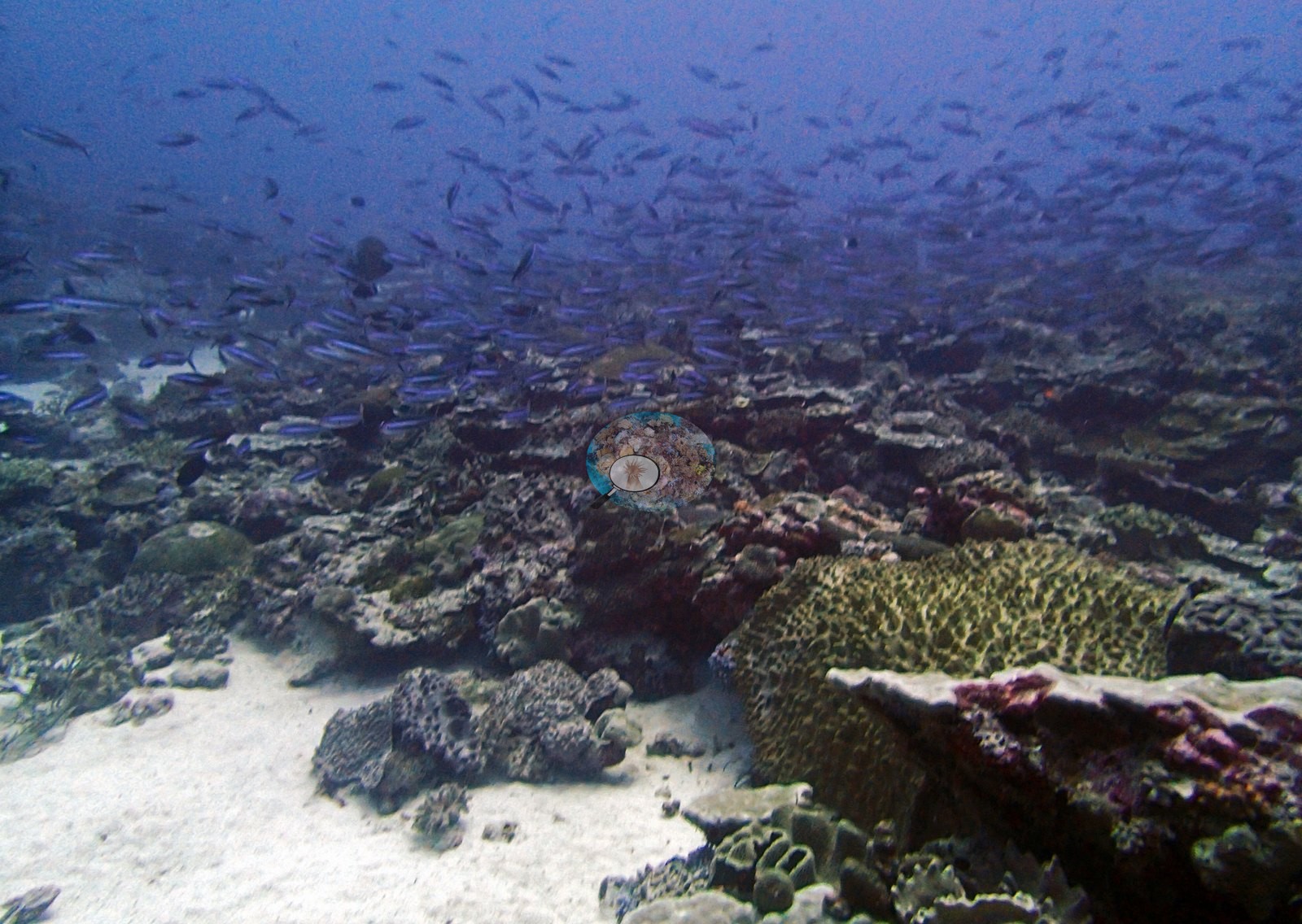
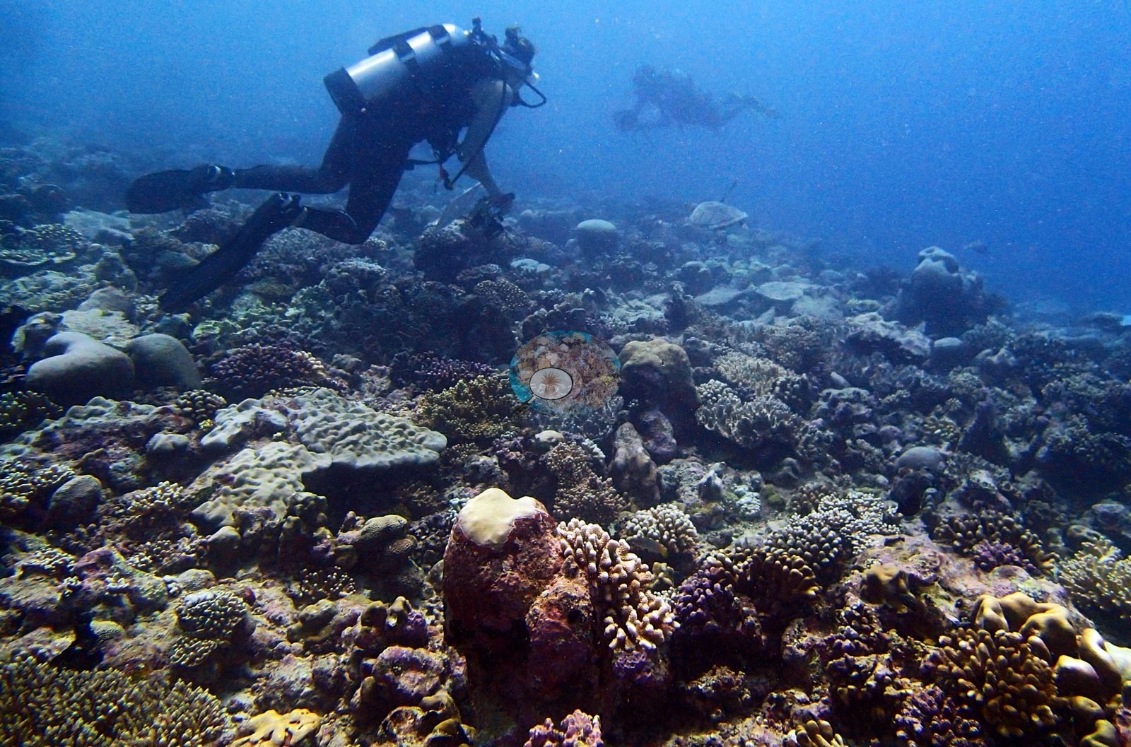
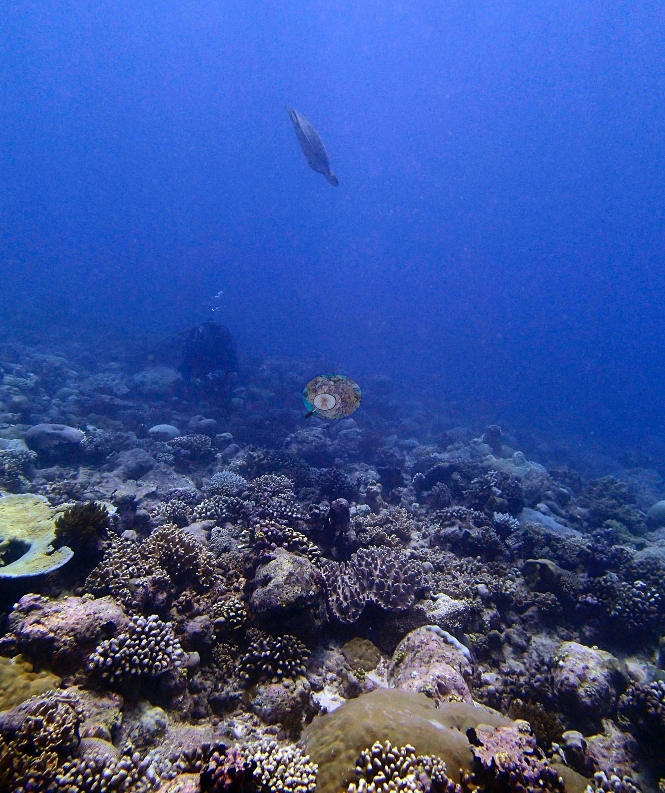
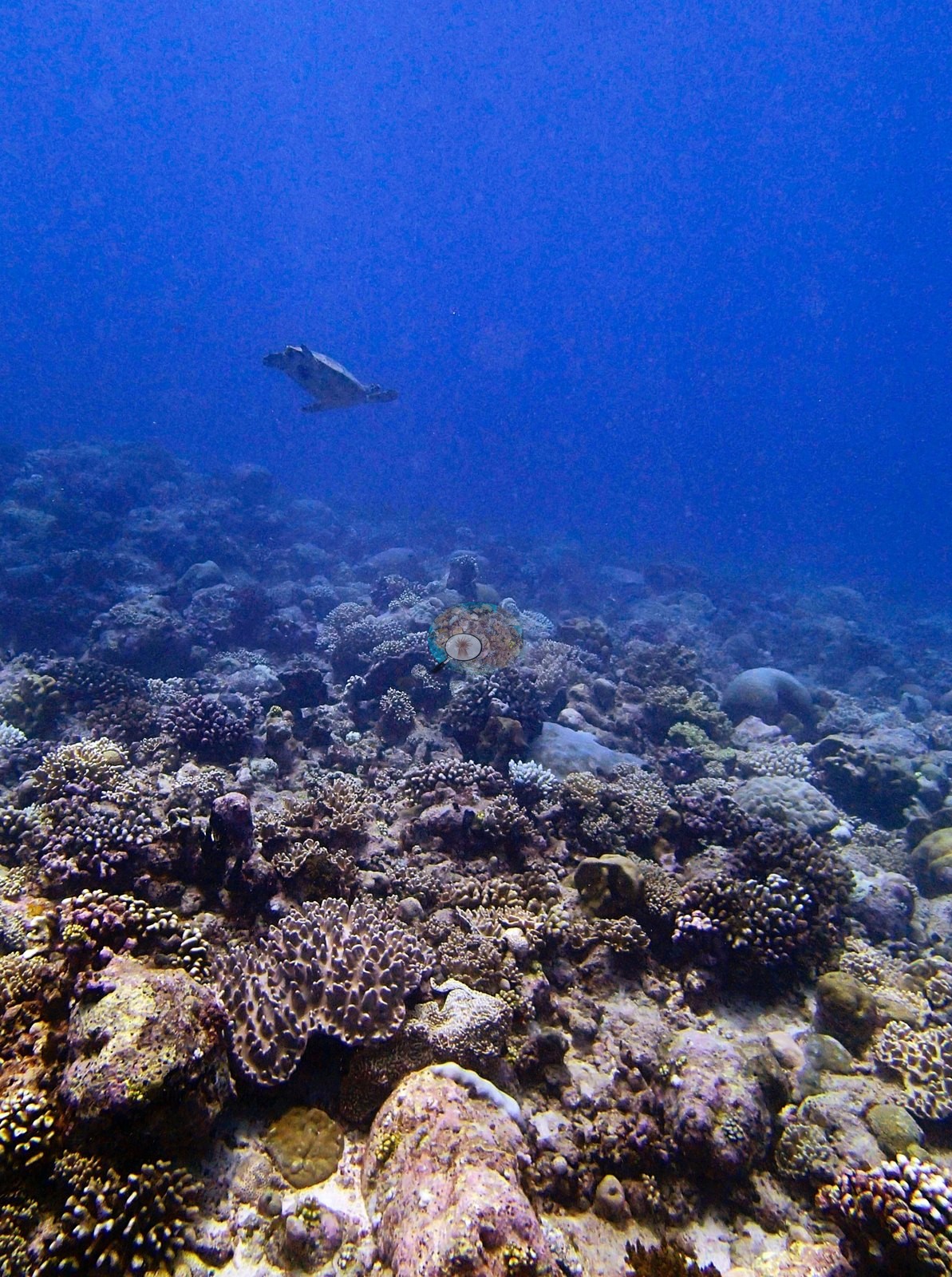
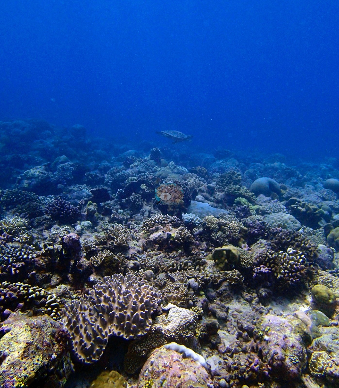
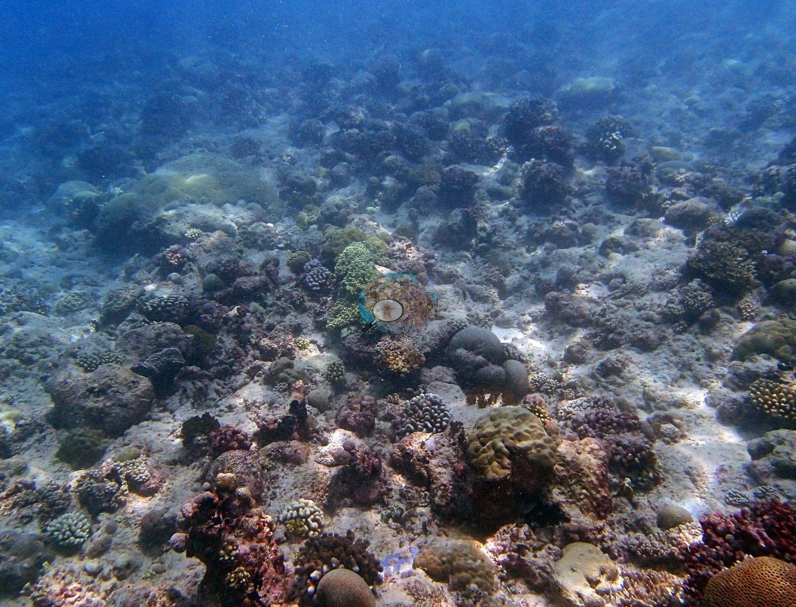
Image 5 looks across open sand with isolated massives; Image 16 is the haziest and shows an extensive low-relief field of small colonies and rubble.
Coral cover
Coral cover is 33%, from LOF BIOT-1 in situ transects (Mayfield & Dempsey 2026, Oceans, suppl. S1) — a diver transect measurement, not a computer vision estimate. The frames cannot corroborate or contradict that figure, and no cover was estimated from them.
Stressors
Condition, qualitatively: no obviously bleached, stark-white, or recently dead colonies appear in any of the 16 frames, and there are no disease lesions, no predation scars, no crown-of-thorns seastars, and nothing man-made. Some of the small digitate Acropora in Image 15 is cream with white tips, but at that working distance a photograph cannot separate naturally pale pigmentation from paling, and no bleaching figure is estimated here.
Fish and other fauna
A hawksbill-type turtle is the subject of four consecutive frames (e.g., Image 1, Image 2, Image 3, Image 4), resting on the reef with a pale, encrusted carapace as Anderson worked around it; those four are turtle portraits as much as habitat frames, though all four carry usable substrate. Fauna beyond the turtle: dense mid-water fusilier schools (e.g., Image 6, Image 7), dark surgeonfishes, damselfishes over the reef, and a dark, densely white-spotted fish resting on the substrate in Image 7 and Image 8 (puffer- or moray-type; the frames do not settle which).
Comparisons with other data
Also on record for this site: BIBL83 (Blenheim): surveyed 22 Apr 2015 during the Khaled bin Sultan Living Oceans Foundation Global Reef Expedition. Live hard coral cover across methods: (n=16 photos): transect 33.1% · CoralNet points 24.8% · Coralscapes 21.6%.
Dive record
Blenheim, dived 22 April 2015.
Other notes
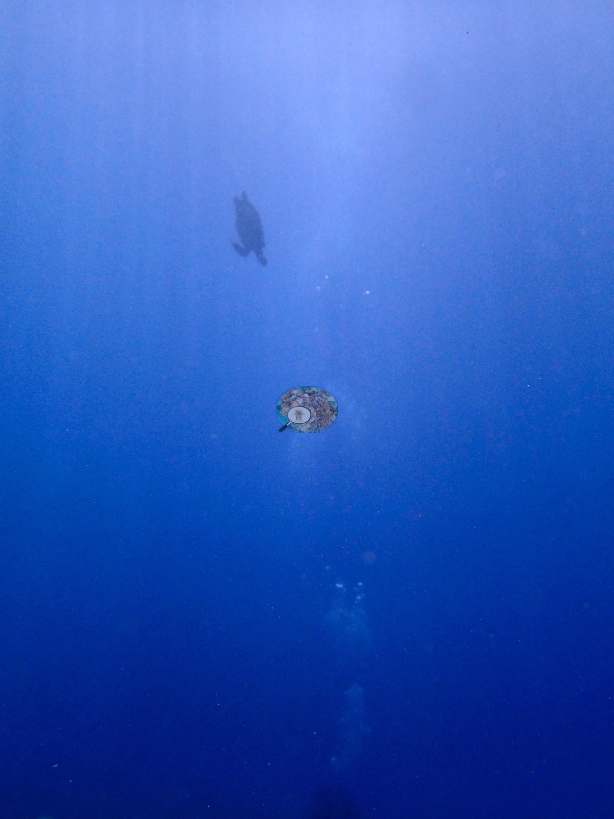
Image 9 has two divers over that ground, Image 13 a distant turtle in the blue, and Image 11 is open blue water with a single fish and no substrate at all. What the frames cannot settle: depth is not recoverable frame by frame, so the shallow/deep contrast above is a habitat ordering rather than a measured profile; the haze in the deeper frames limits what can be identified there beyond growth form; and most colonies in this set cannot be taken past genus.
CV model comparison
More info
Those are point counts on the photographs; this is a diver swimming a transect. The models and the reference never saw the same thing. ⚠ SITE-LEVEL ONLY. The 2,500 frames were not associated with any transect taken within 200 m of them, so transect-vs-image comparisons are site means, never frames. The transect value is already in the pin `cover` field (109 of 112 pins, sourced to the paper's suppl. S1) and is read from there, never re-imported. The transect is THE coral-cover value for this site and stands alone. The rows below it are a methods comparison only: no computer-vision value is averaged with it, feeds the headline, or carries over to the site's cover figure (Anderson, 2026-09-22).| Method | Hard-coral cover (%) |
|---|---|
| Transect (published) | 33.1 |
| CoralNet | 25.6 |
| In-house DINOv3 | 24.7 |
| CoralSCOP edited | 40.7 |
| Claude | 23.8 |
Independent surveys nearby
Within 5 km, 1 independent survey station recorded hard coral cover in 2015. The most recent nearby survey is from 2015, so these values predate recent heat stress. This site's own estimate (33%) sits 16.3 points above the range of these surveys (17%); the methods differ, so the comparison is context, not a like-for-like test.
Collected by other programs using different methods (the XL Catlin Seaview Survey uses photo-transects with automated image annotation), so these are context for the figures above, not a like-for-like comparison. Where a station was surveyed more than once the range is shown. Station names are not dive-site names.
| Agency | Site / location | Date | Hard coral cover (%) | Distance | Link |
|---|---|---|---|---|---|
| XL Catlin Seaview Survey | transect 36020 | 2015 | 17% | 0.90 km | — |
Data & links
- Read the full site report ↗
- Download benthic survey data (CSV) ↗
- Download all LOF-GRE data (933 sites) ↗
- CoralNet image repository for this region ↗
- HeatCRD database ↗
- (reference) ↗
- Photo portfolio ↗
- Coral Reef Diagnostics page for this area ↗
All images from Coral Reef Diagnostics. Data are from Coral Reef Diagnostics and the organizations named in the data-sources table above.
 © Coral Reef Diagnostics.