
Regional summary of 32 dive sites (28 with their own page). Figures are averages across the sites that report them (n = sites with a value); each site's own page has its individual values. Part of the Tonga overview.
⬇ Download this region as a report card
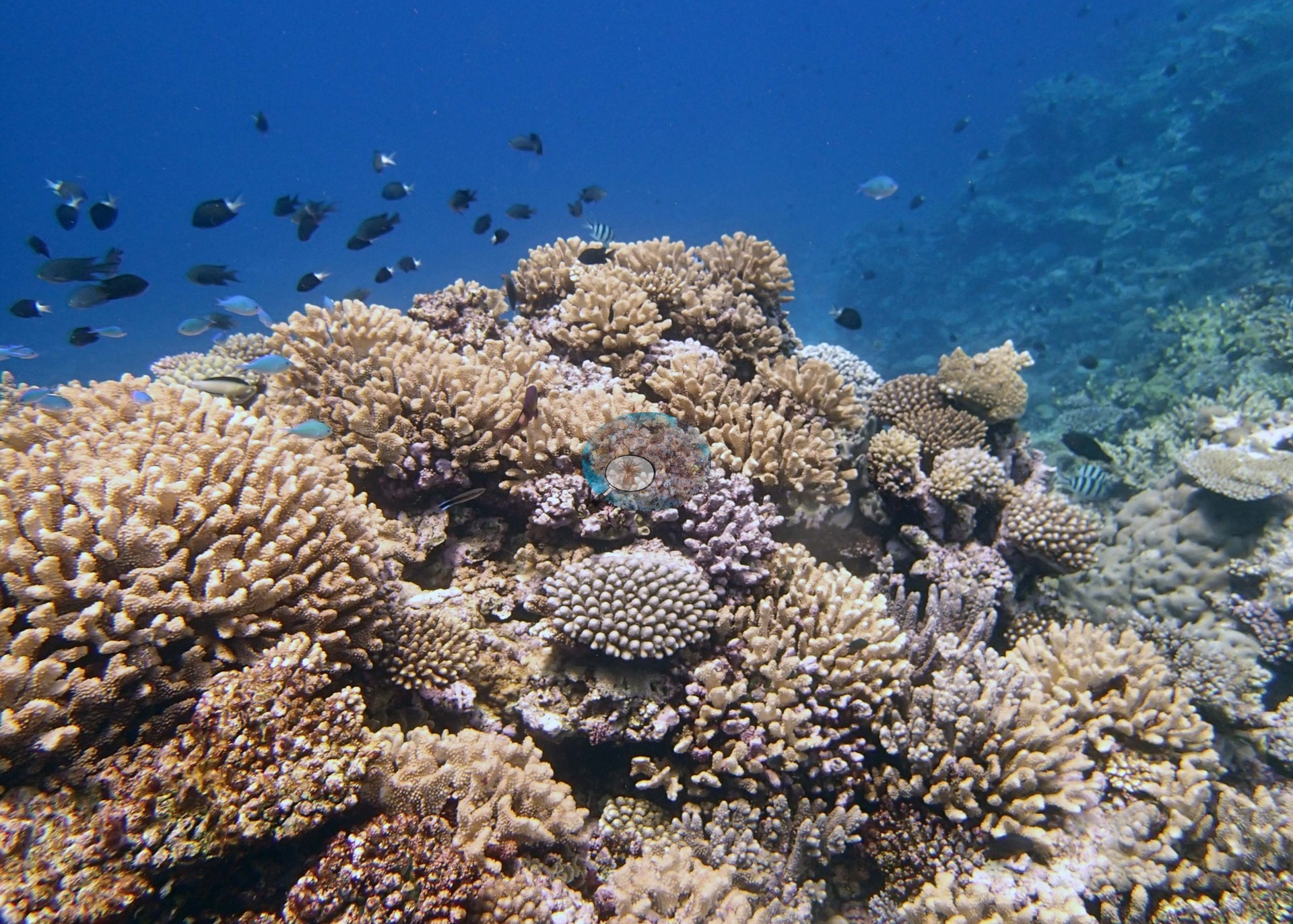

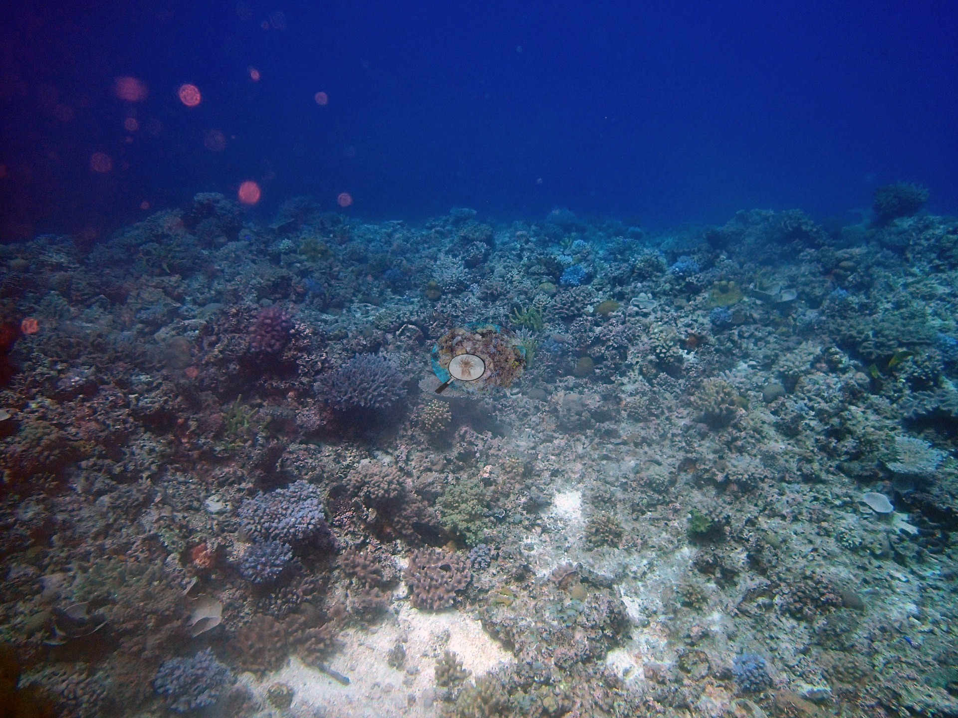
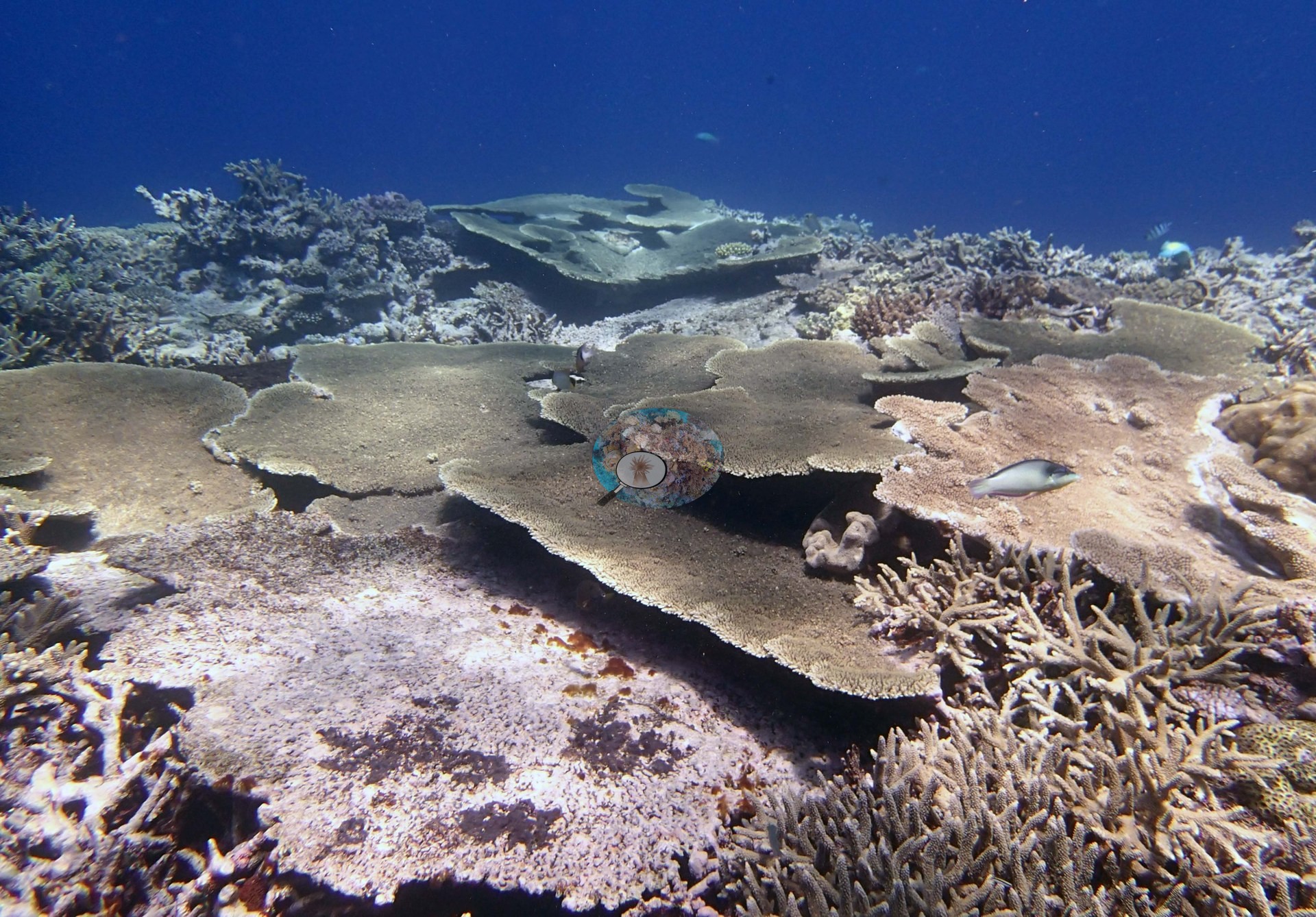
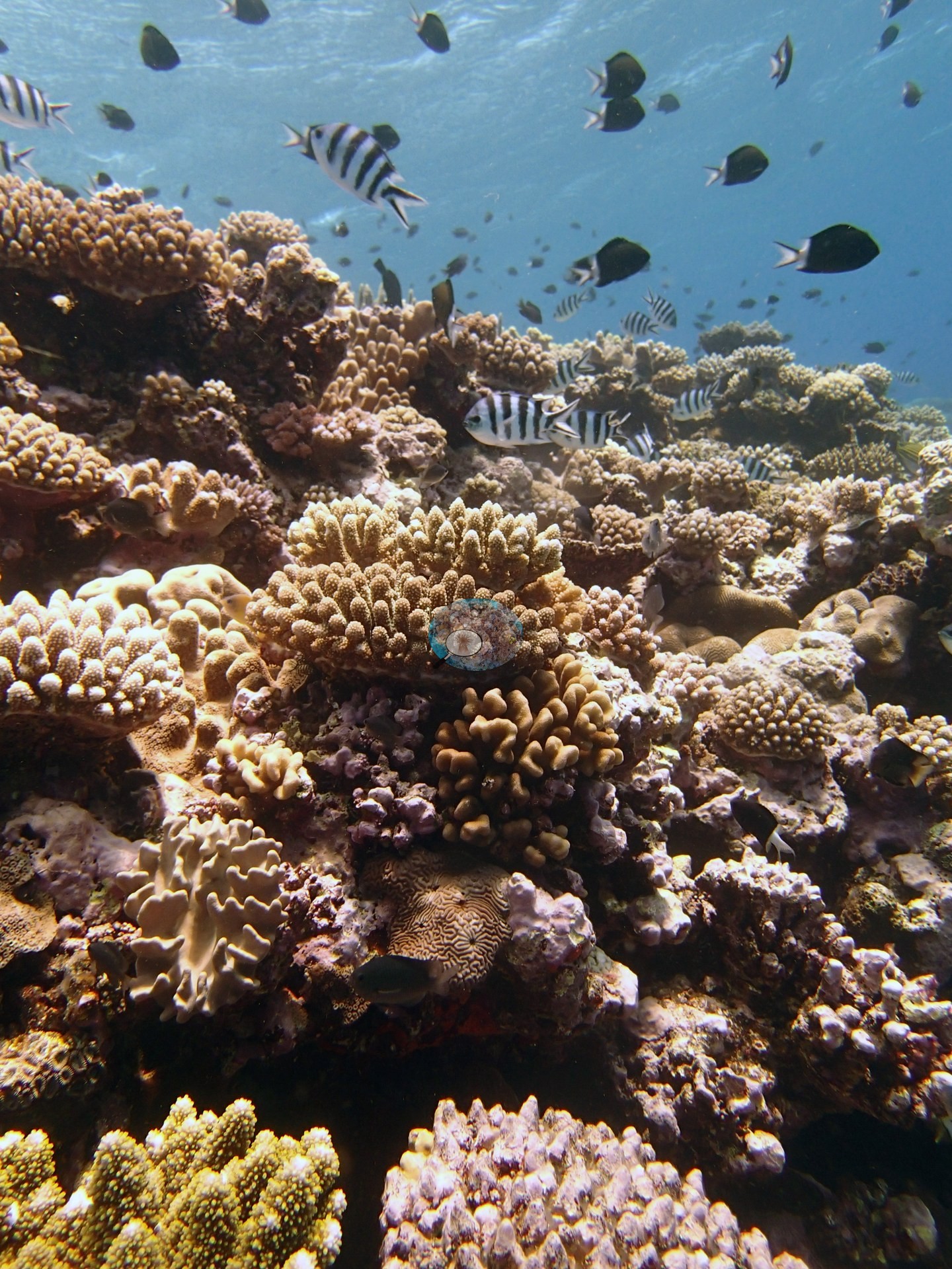
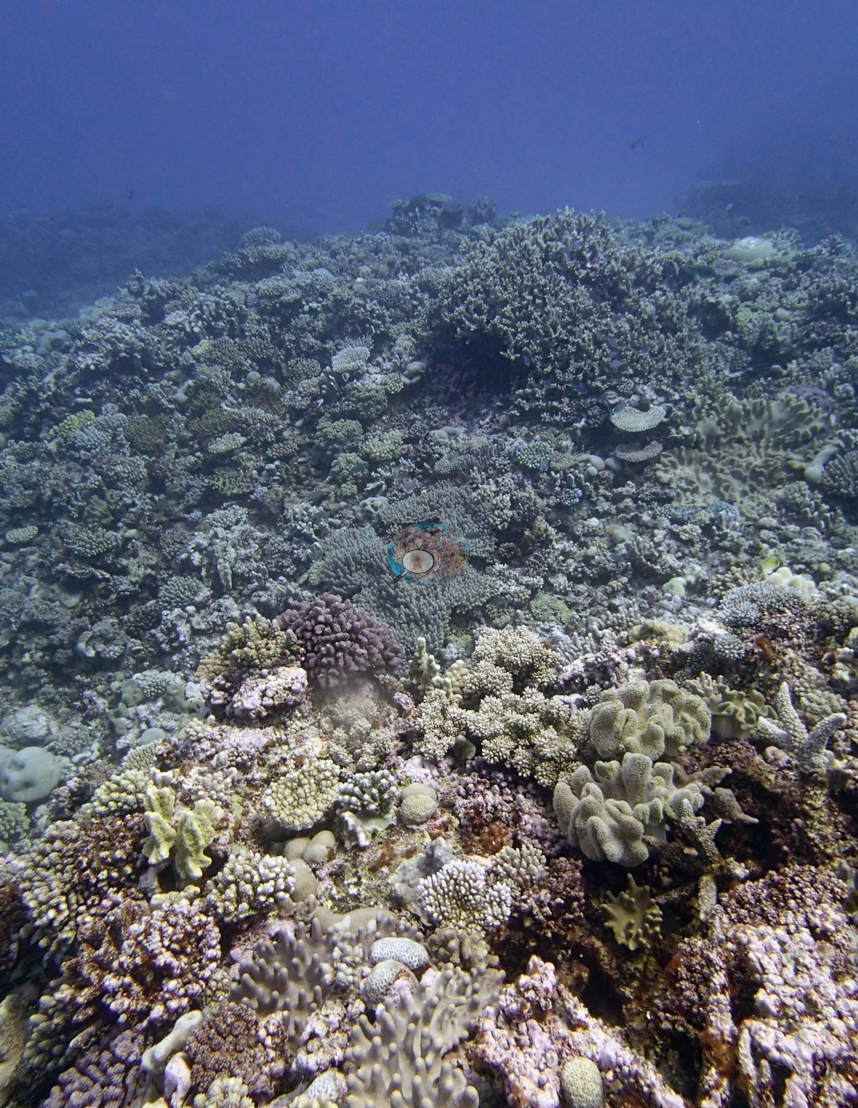
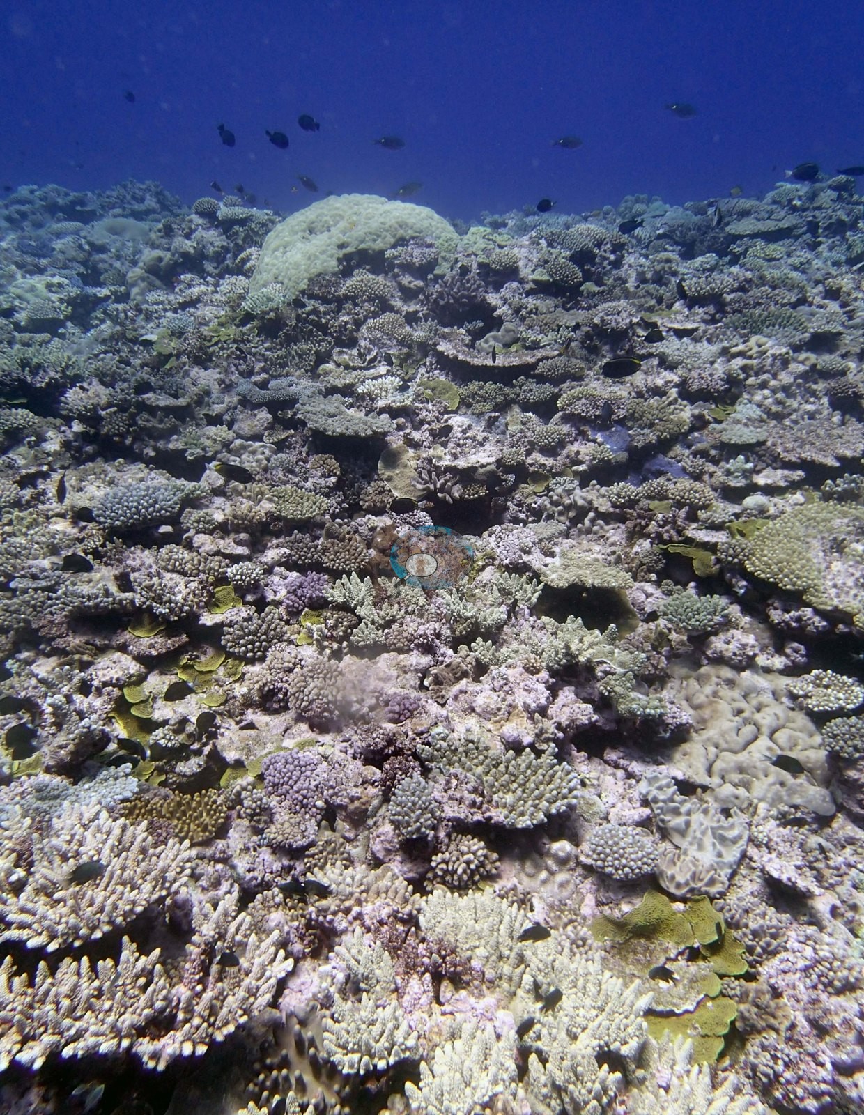
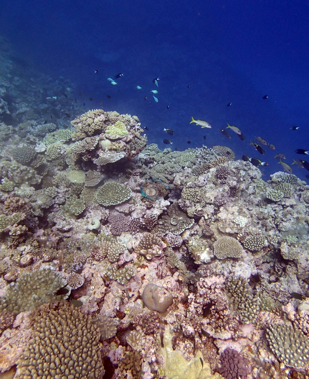
Ha'apai's 32 stations, surveyed in September 2013, are built around large shallow mounds and spurs topped with table and staghorn corals and separated by sand channels. Cover reached 53%, but condition often did not track cover, and crown-of-thorns starfish, coral-eating snails, and white syndrome recurred.
Heat stress
Long-term record: 8 years from 1985 through 2025 reached 8 or more °C-weeks at NOAA’s Southern Tonga station. Download the annual DHW data (CSV).
32 sites in this region — click a marker to open that site.
Regional setting
Tonga's islands run for more than 800 km from north to south along the convergent boundary of the Indo-Australian and Pacific plates, with the Tonga Trench, close to 11,000 m deep, lying to the east. Spalding et al. (2001) divide them into two arcs. The western line of high volcanic islands along the Tofua Arc, many still active, is mostly too unstable for significant reef growth, while the eastern arc, where most of Tonga's islands lie, is built largely of reef material with some volcanic ash. Ha'apai, the central group of that eastern arc, is described as a complex scatter of reefs and low-lying islands, and it holds the most extensive areas of reef in Tonga. Across Tonga, fringing reefs line most coasts, and platform and barrier-type reefs occur in most of the main island groups. Spalding et al. (2001) estimate about 1,500 km² of coral reef nationwide. Their account adds that the whole of Ha'apai had been declared a Conservation Area on the advice of the South Pacific Regional Environment Programme, and that causeway building there had caused problems. As of 2001, crown-of-thorns starfish were common in many areas of Tonga, but no major outbreak had been recorded, cyclones had damaged reefs in 1995, 1997, 1999, and 2000, and Tongan reefs, largely spared in 1998, appeared to have bleached heavily in 2000, as Fiji's did.
Later assessments treat Tonga only within larger regions. Summarizing the 2004 status report for Polynesia Mana, a network that includes Tonga, Wilkinson (2006) judged its reefs mostly healthy and at low short-term risk because of their remoteness, but named climate change, more frequent cyclones, and bleaching as the chief concerns, alongside sedimentation, overfishing, dredging, and nutrient pollution around the more populated islands. Across the whole Pacific, Souter et al. (2021) found that average hard coral cover, steady at about 37% before 1998, had slipped to 31% by 2019, with bleaching the main cause of loss and the El Niño years of 2015 and 2016 driving the steepest recent drop. Neither report gives figures for Ha'apai or for Tonga on its own.
Overview
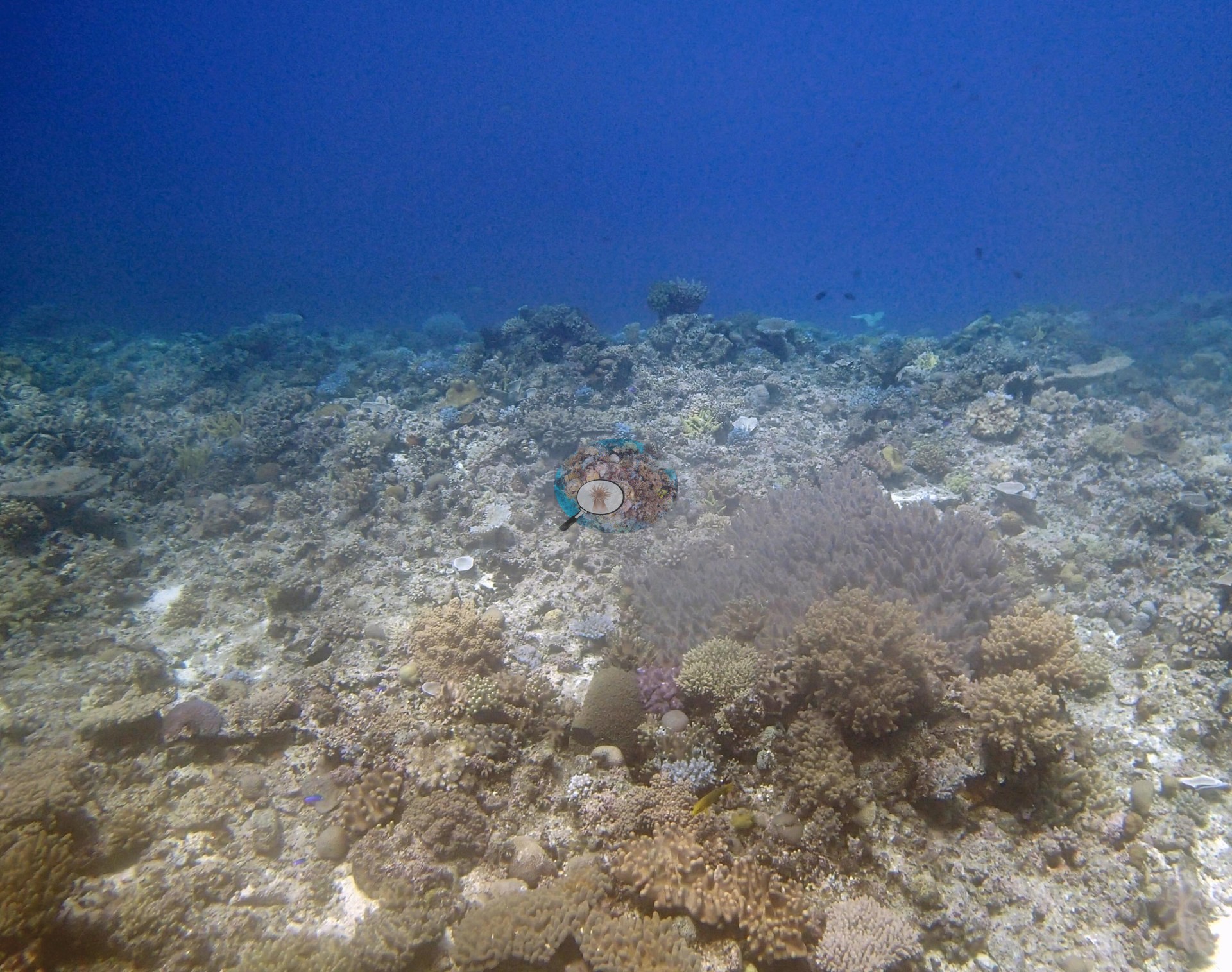
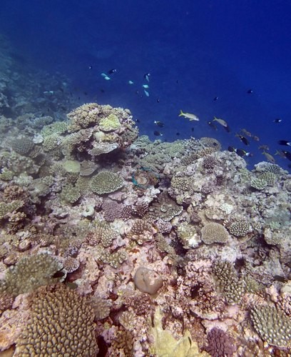
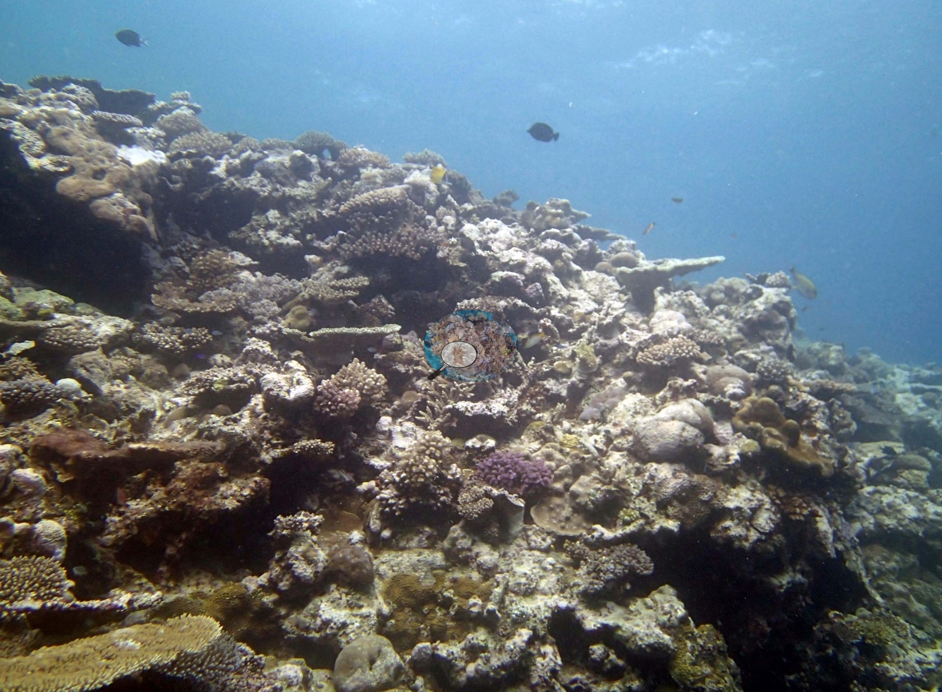
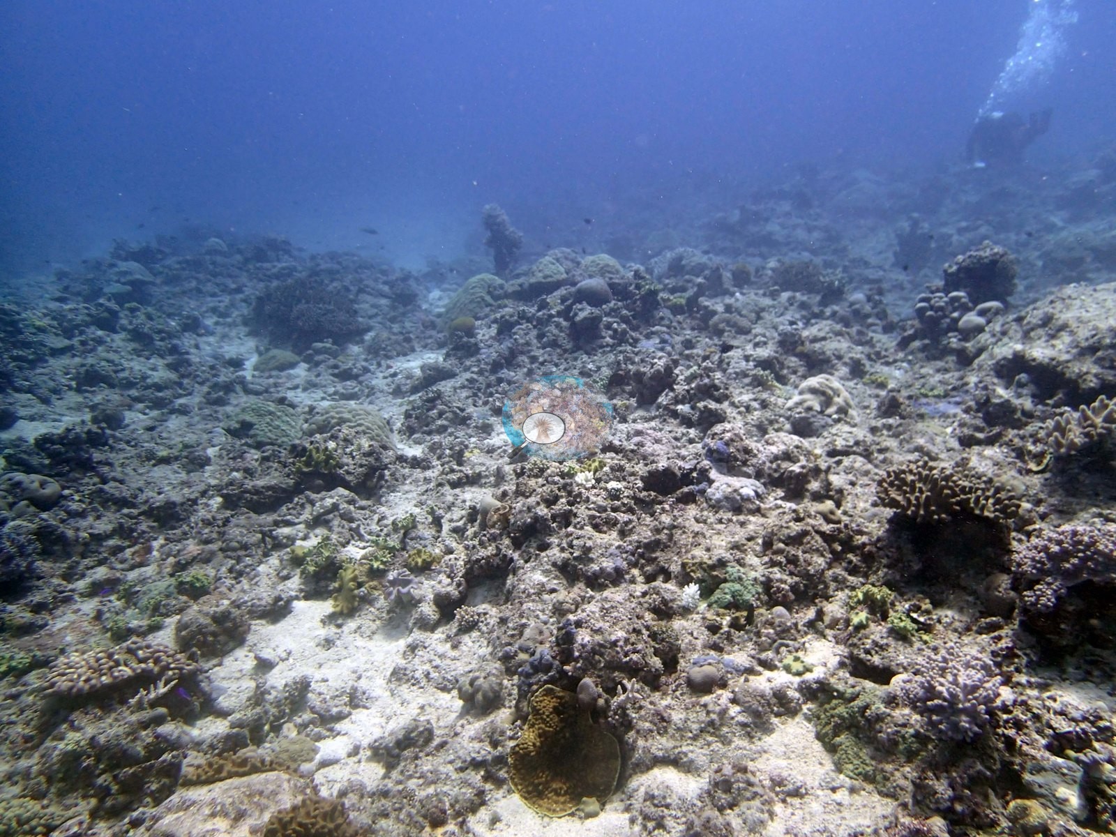
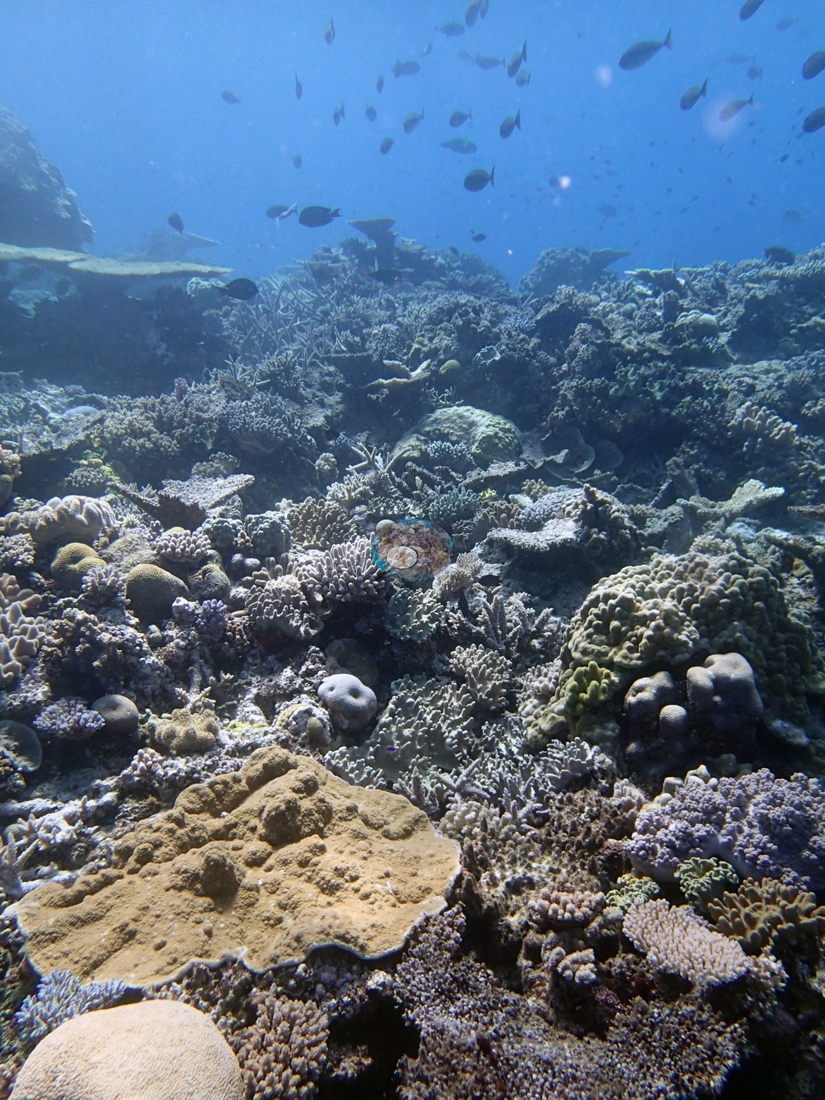
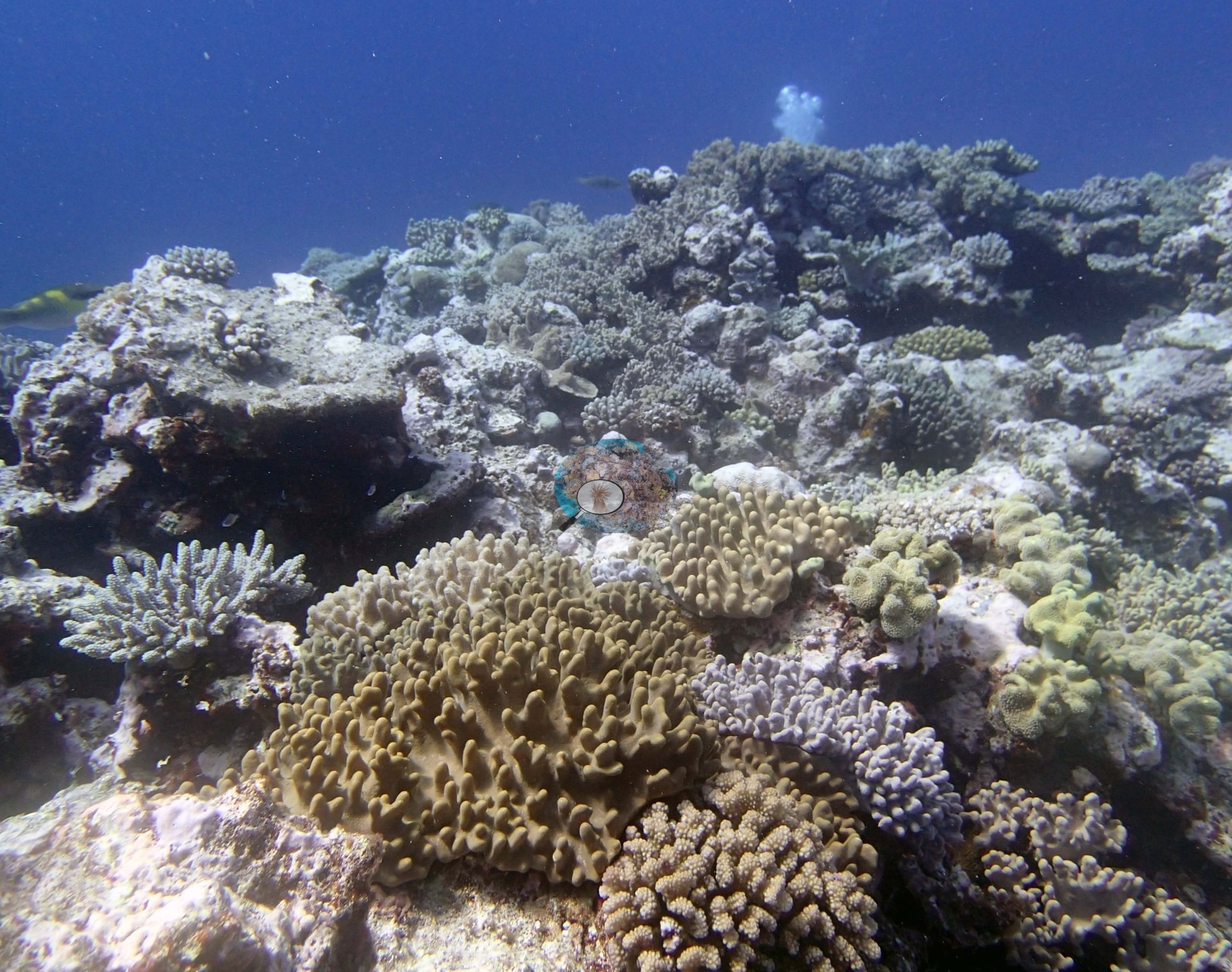
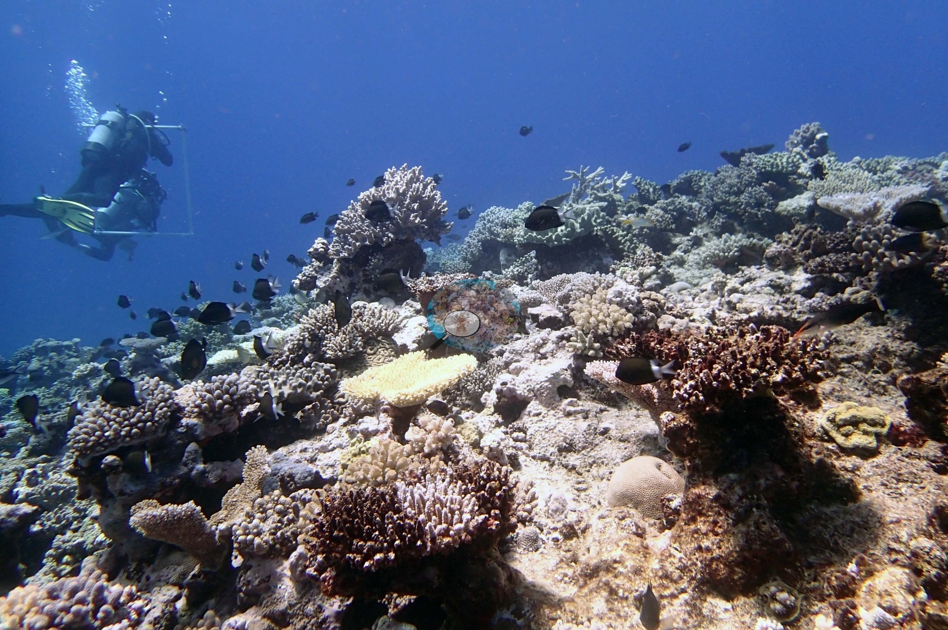
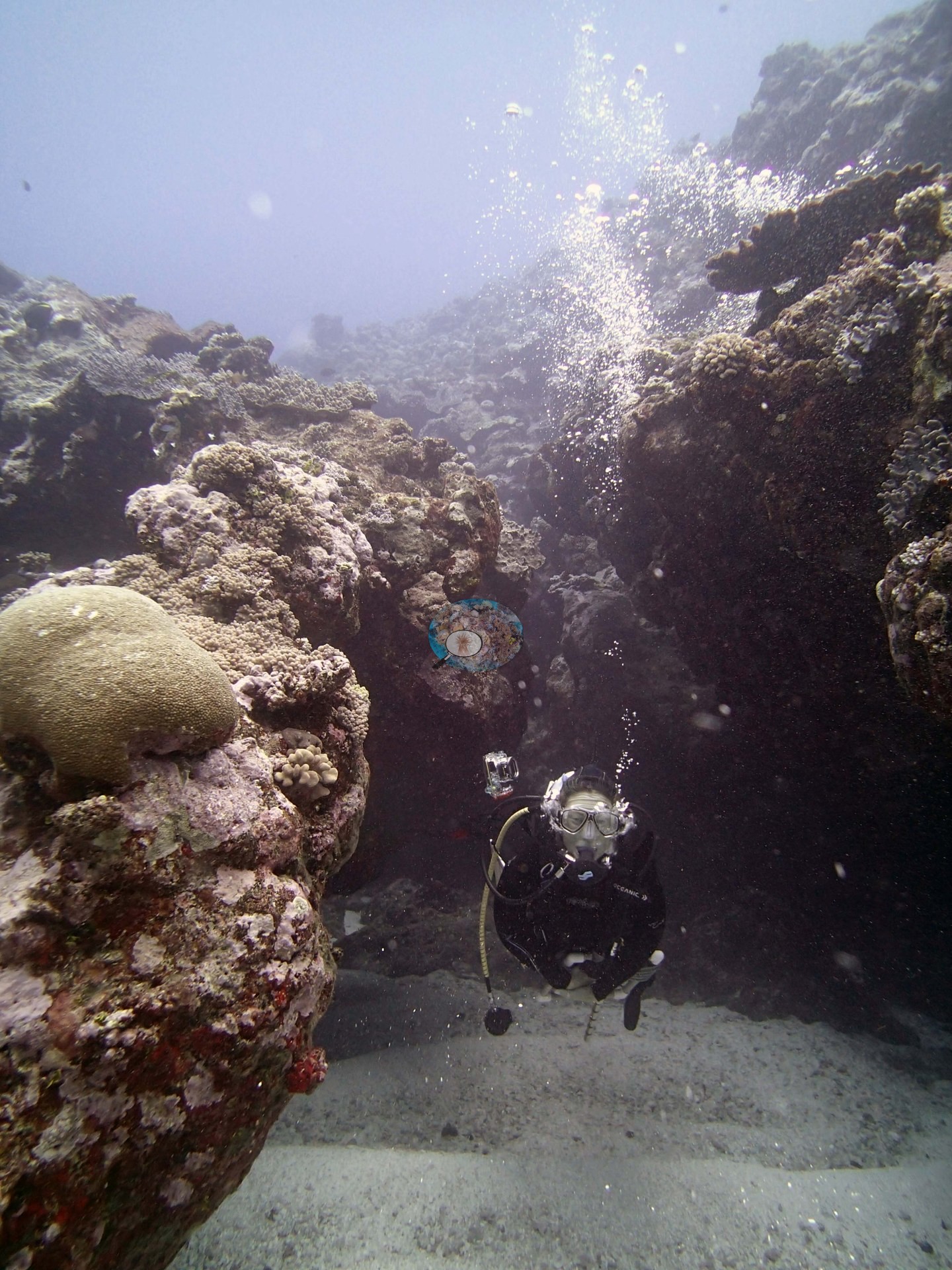
The 32 Ha'apai stations were surveyed between 11 and 21 September 2013, at maximum depths dived from 13.1 m (TOHA07) to 32.3 m (TOHA18), and span lagoonal patch reefs, fringing reefs around low and uplifted islands, long offshore spurs, and a barrier fore reef in the northeast. The recurring structure is a set of large shallow mounds or spurs, often 20-50 m wide and hundreds of meters long, separated by sand and rubble channels and dropping steeply to sand at 25-40 m. At TOHA30 the mounds fall near vertically from 10 m to 30-40 m, with ledges and overhangs, while TOHA21 is a scoured terrace littered with 3-5 m boulders fallen from shore and TOHA25 consists of narrow surge channels between undercut walls.
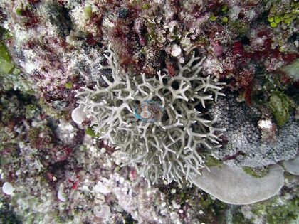
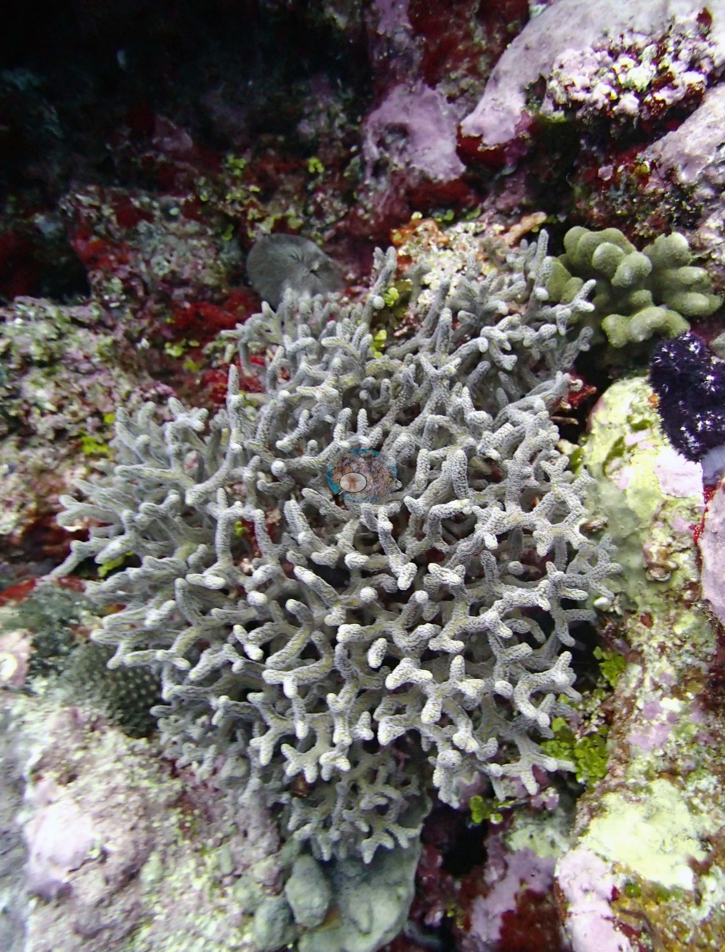
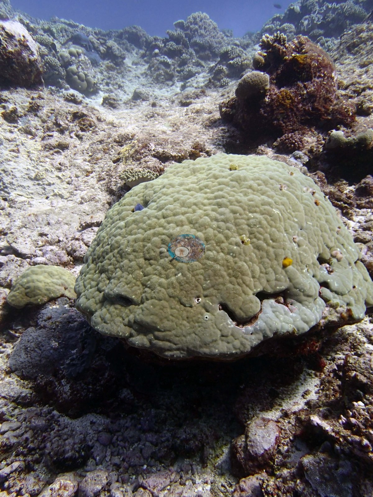
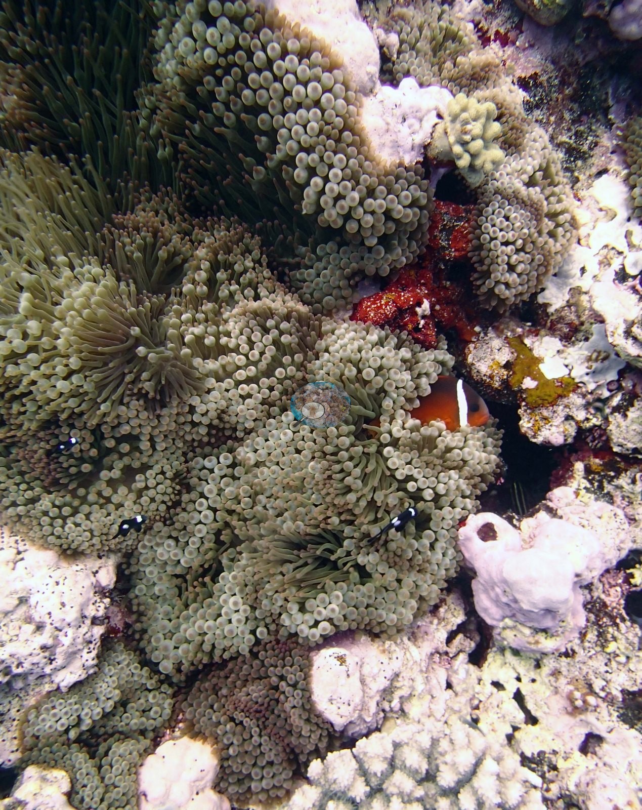
Table, staghorn, and bottlebrush Acropora with Pocillopora dominate the mound tops and spur edges across most of the group, with Porites rus, large mounding Porites lobata in the channels, and deeper plating communities of Pachyseris, Mycedium, Merulina, and Coscinaraea; TOHA08 carries monospecific bands 10-30 m wide on its slope. Soft corals take over in places, from the 60% leathery shallows of TOHA20 to Lobophytum colonies 6-7 m across at TOHA29, and corallimorpharians carpet the pavement at TOHA24 and cover 20-30% of the slopes at TOHA32.
Transect cover ranged from 8.6% at TOHA25, where algae covered 84% of the benthos, to 53% at TOHA18, with local patches of 50-80% on the mound edges at TOHA28 and TOHA11; algae was 20% at TOHA14. Cover and condition did not track each other. Of the eleven stations with a Coral Health Index, TOHA18 scored 1.00, TOHA19 1.01, and TOHA01 1.13, all well into the stressed range, whereas TOHA15 (3.50), TOHA26 (3.20), and TOHA07 (3.03) scored higher (scale of zero to five; higher is healthier).
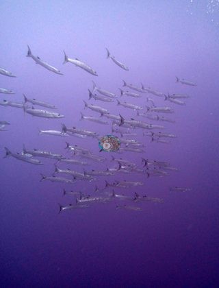
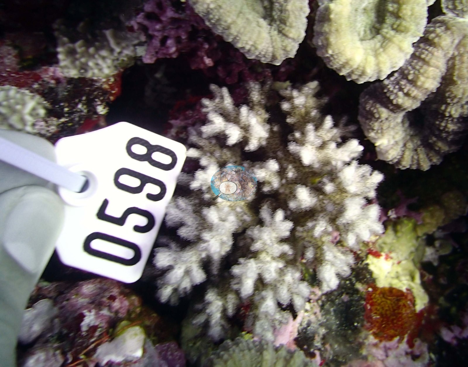
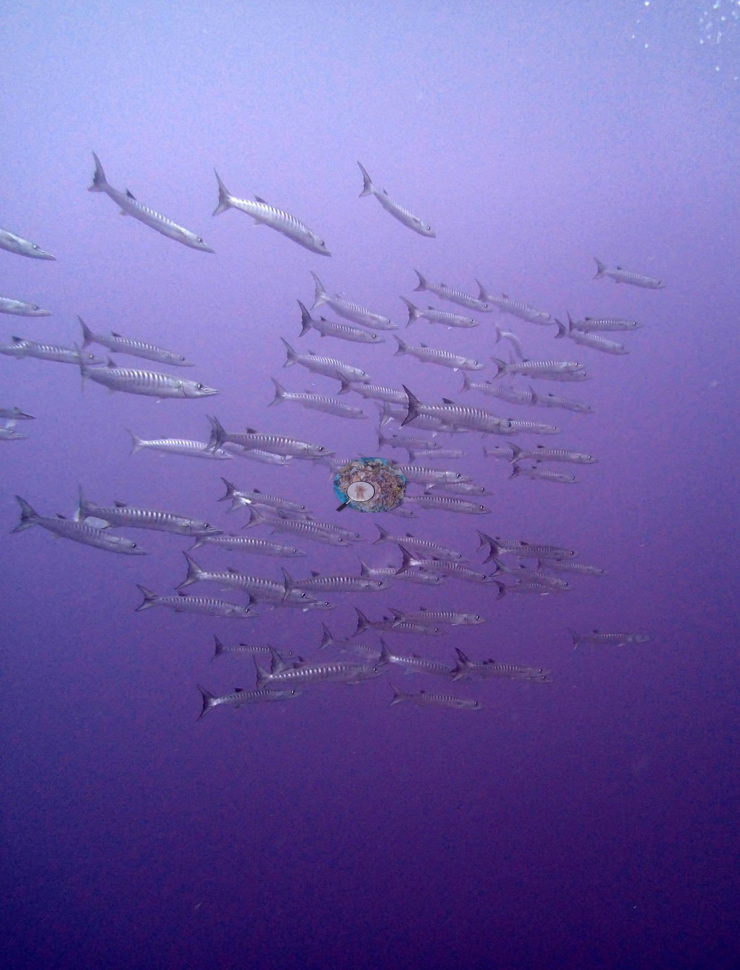
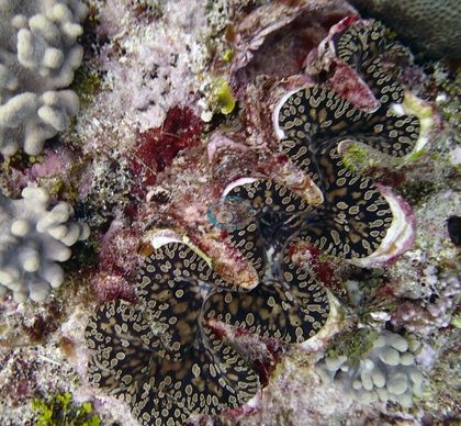
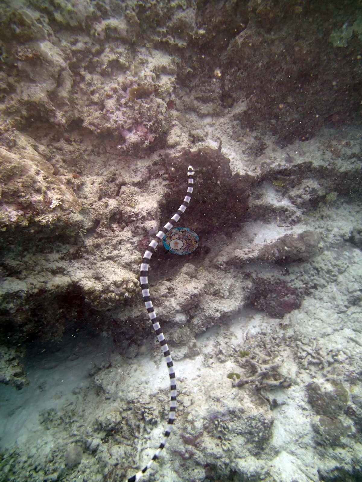
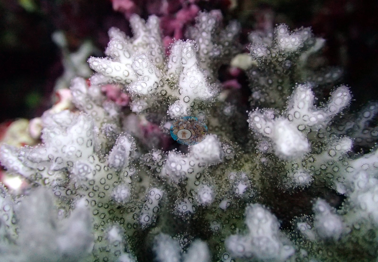
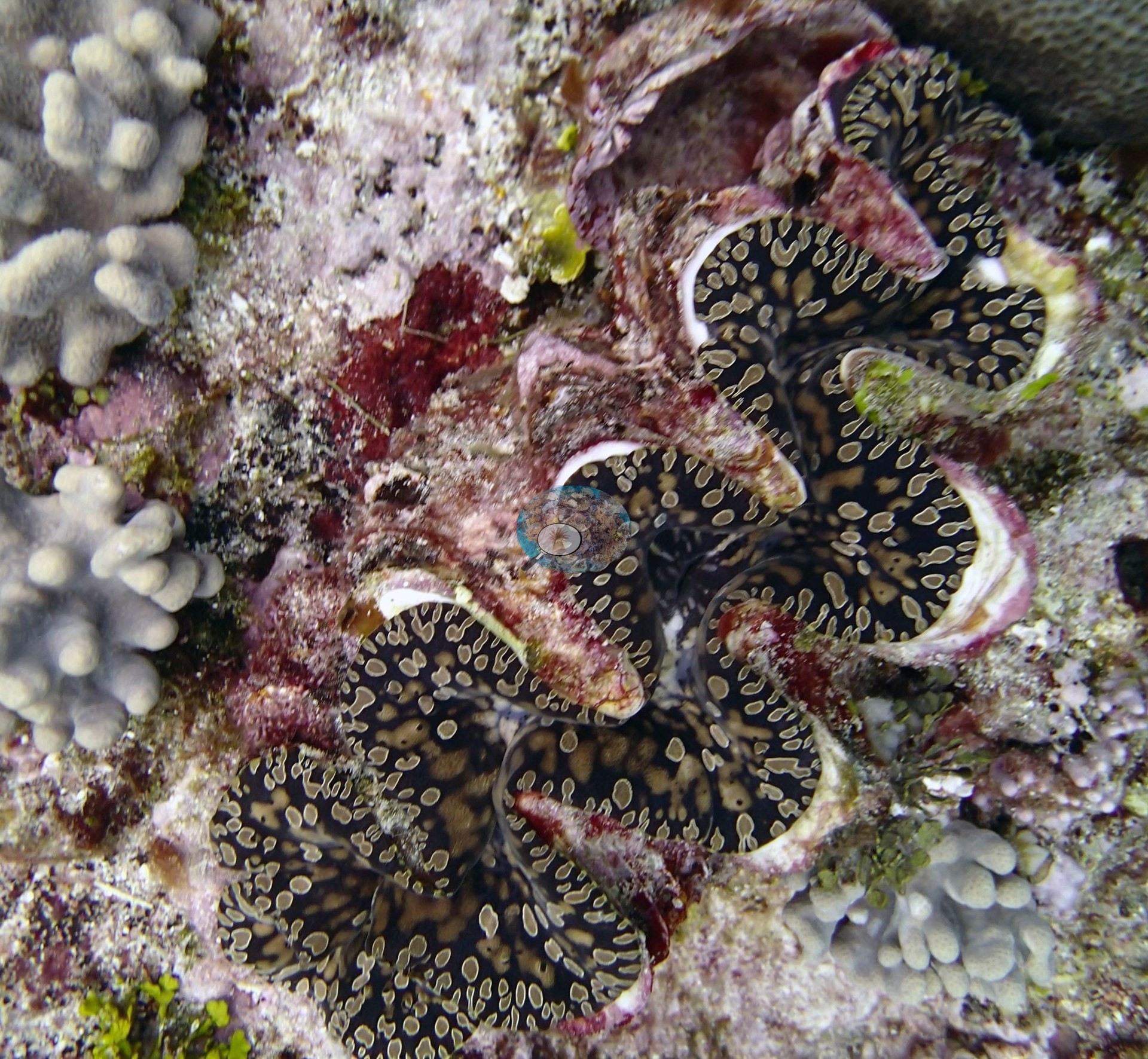
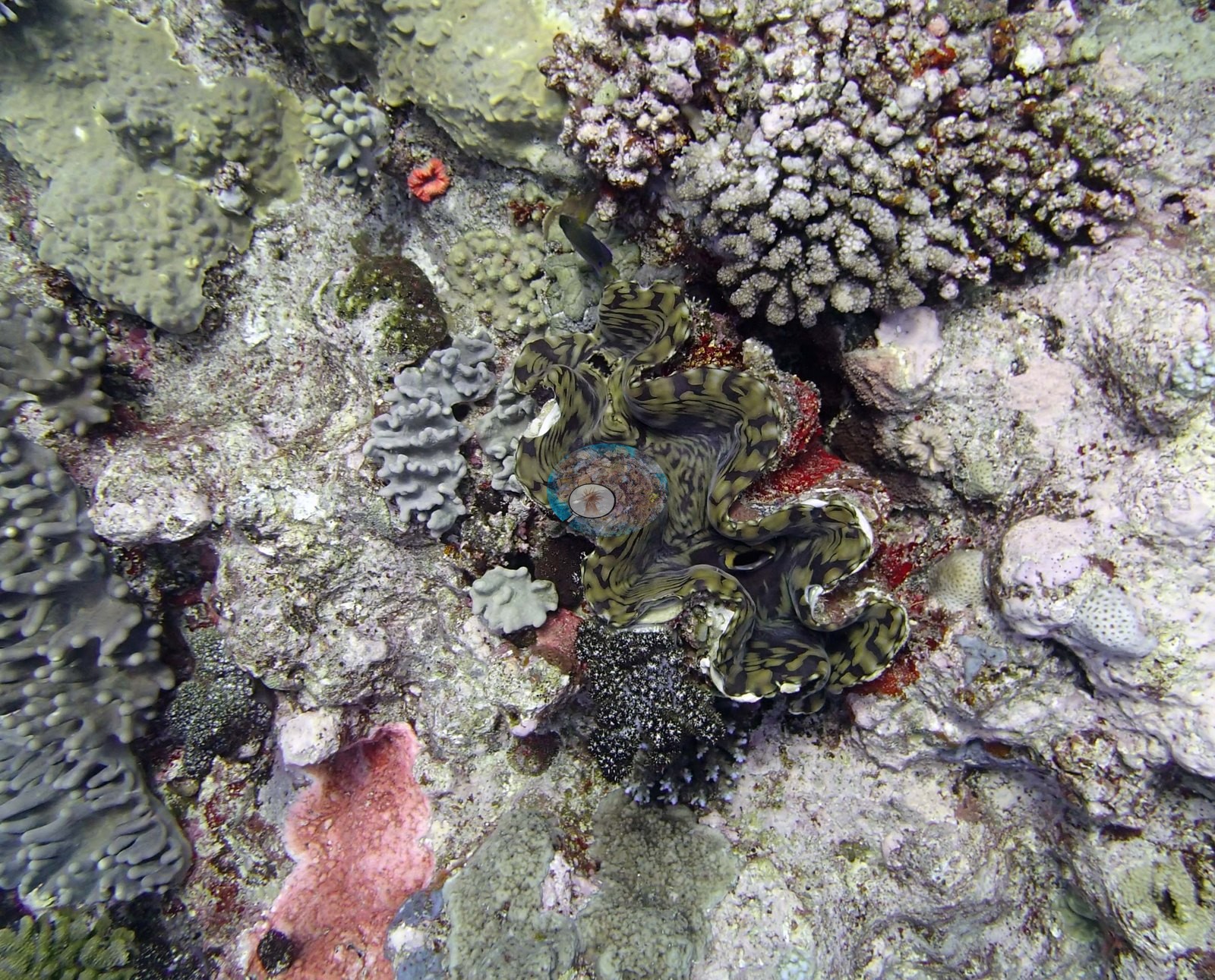
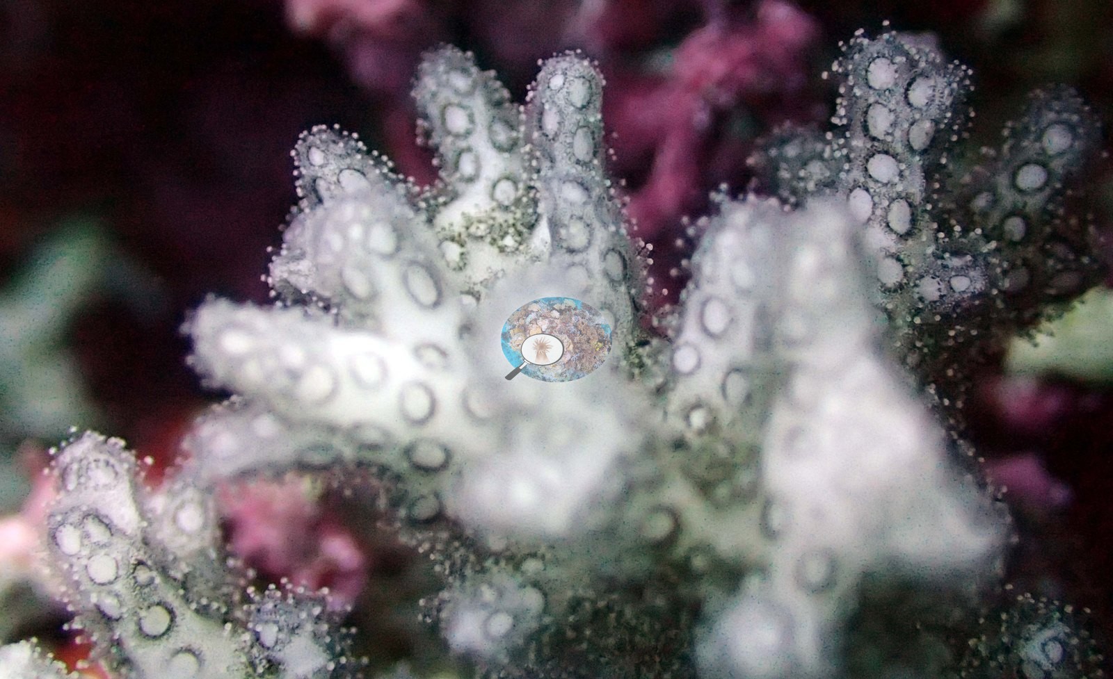
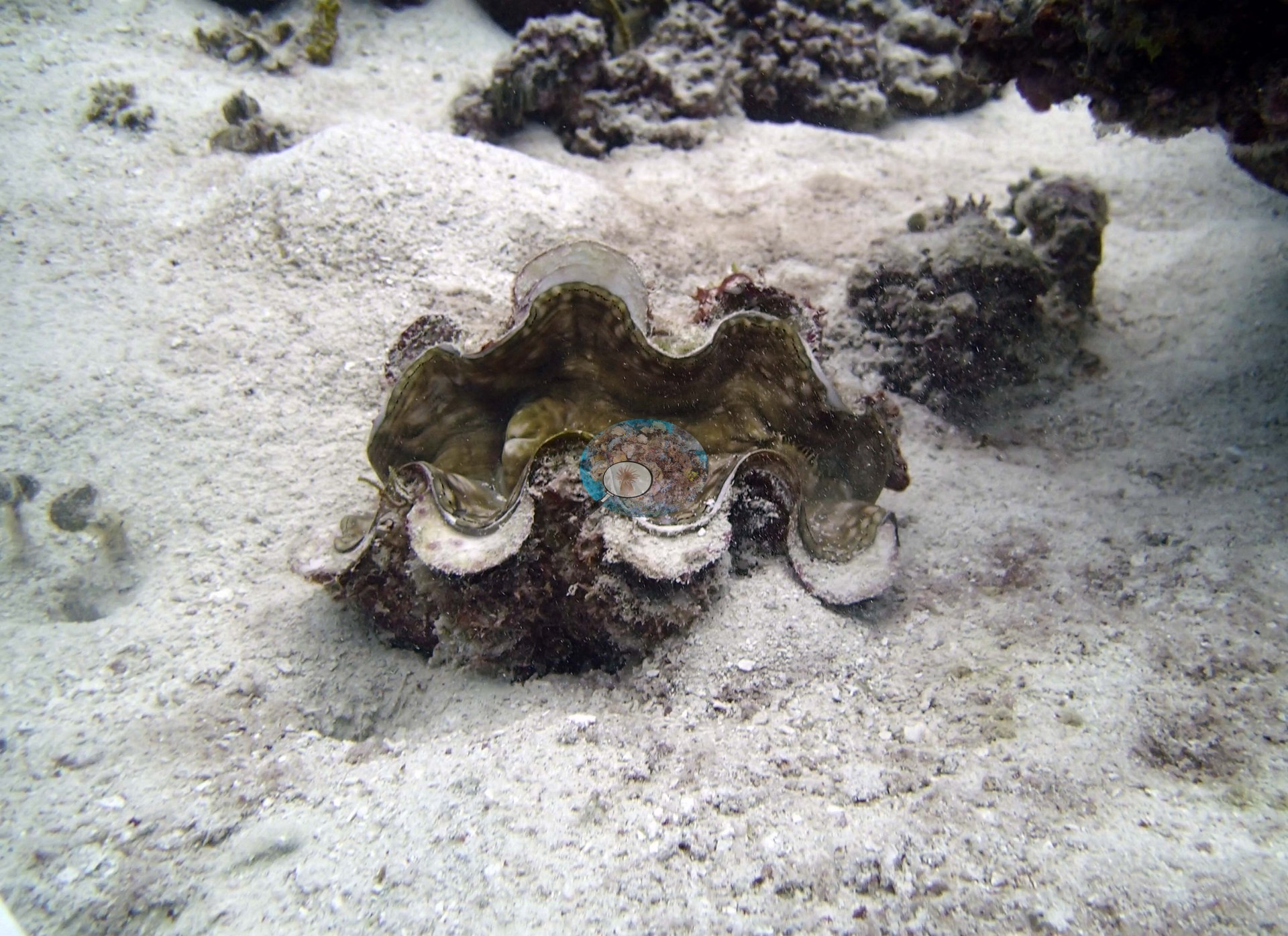
Corallivores were a consistent theme. The expedition's field report notes an unusually high abundance of Culcita cushion stars in both Ha'apai and Vava'u and generally low numbers of crown-of-thorns starfish (Bruckner 2014). Crown-of-thorns starfish were recorded at seven stations, among them one with 12 starfish and about two dozen patches of freshly eaten corals and another with a minor outbreak, and Culcita and Drupella turned up at many stations. White syndrome was noted at TOHA01, TOHA04, TOHA09, TOHA18, and TOHA20, and dead or partly dead staghorn stands full of damselfish algal lawns recur from TOHA12 to TOHA28. Anderson's photographs also record bleaching in the 2013 frames: pale gray-white staghorn and a small stark-white colony at TOHA01, a partly bleached poritid at TOHA04, bleached staghorn stands at TOHA18, a large bleached table at TOHA27, two small fully bleached pocilloporids at TOHA28 (recorded as dying), and paling branching colonies at TOHA29. The sampling sheets record bleaching among the Pocillopora sampled at nine Ha'apai stations (TOHA01, TOHA04, TOHA08, TOHA09, TOHA10, TOHA19, TOHA23, TOHA26, and TOHA28), among them three of five colonies 90-100% bleached at TOHA23 and three of seven fully bleached at TOHA19. Giant clams were photographed at several stations, and TOHA03 had a banded sea snake, TOHA06 a large blotched stingray, and TOHA24 a passing school of barracuda.
Highlights
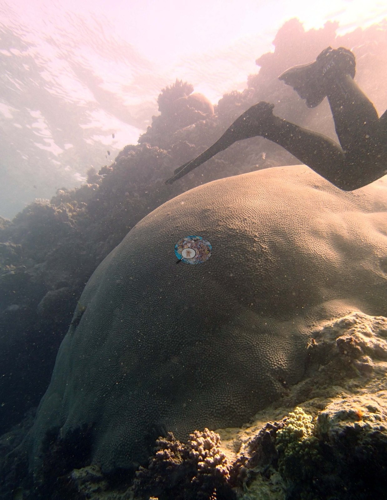
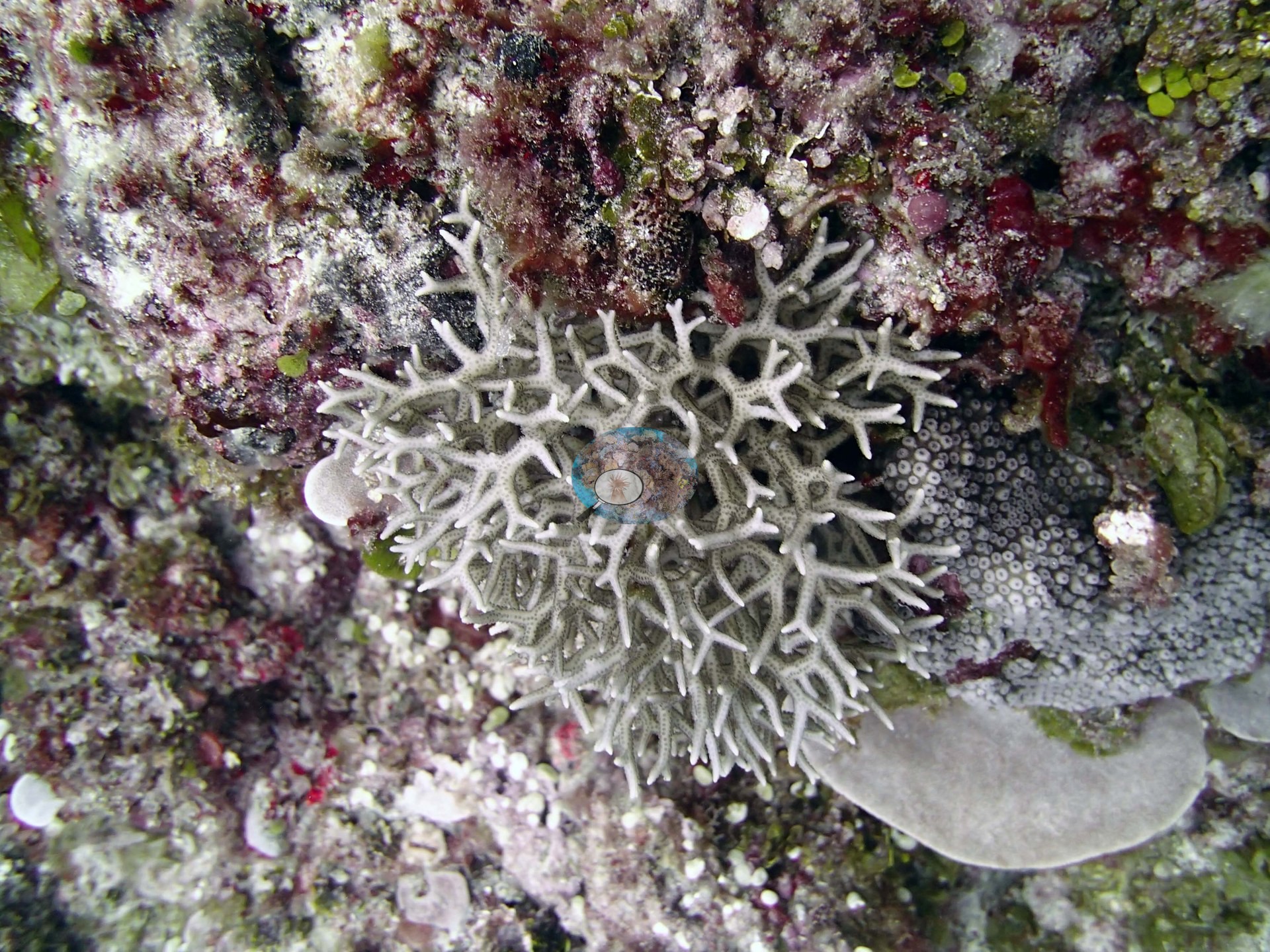
- A single enormous mound blanketed in branching and staghorn Acropora, which Anderson named an Acropora mountain (TOHA03).
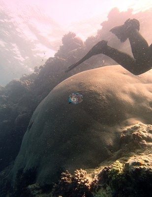
- 53% transect cover, on high-relief mounds and spurs, yet a Coral Health Index of only 1.00 (TOHA18).
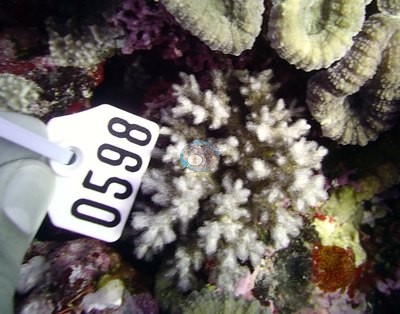
- Monospecific bands 10-30 m wide on the slope, including a Coscinaraea plate mound over 20 by 20 m (TOHA08).
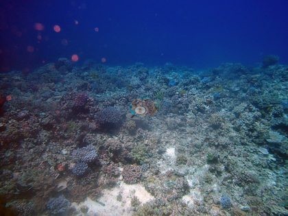
- Crown-of-thorns starfish recorded at seven stations, including a minor outbreak at one and 12 starfish at another.
- Corallimorpharian carpets at TOHA24 and TOHA32, and Lobophytum colonies 6-7 m wide at TOHA29.
- 8.6% cover, in narrow surge channels between undercut walls (TOHA25).
Ko e liliu fakamīsini ʻeni ʻo e fakamatala nounou ʻi he lea faka-Pilitānia; ko e tohi faka-Pilitānia pē ʻa e tatau ʻoku mafai mo fakafalalaʻanga. AI translation of this summary, low confidence and not yet reviewed by a native speaker; the English is authoritative.
Regional setting
ʻOku mafola atu ʻa e ngaahi motu ʻo Tonga ʻo laka hake ʻi he 800 km mei he tokelau ki he tonga, ʻo muimui ʻi he kauʻāfonua ʻoku fetaulaki ai ʻa e ongo papa ʻo e māmani (tectonic plates) Indo-Australian mo Pasifiki (Pacific), pea ʻoku tuʻu ʻi he potu hahake ʻa e Tonga Trench, ʻa ia ʻoku meimei loloto ʻaki ʻa e 11,000 m. ʻOku vahevahe ʻe Spalding et al. (2001) ʻa e ngaahi motu ni ki ha ongo laine (arcs) ʻe ua. Ko e laine ʻi he hihifo, ko e ngaahi motu māʻolunga mei he moʻungaafi ʻi he Tofua Arc, pea ʻoku kei ngāue ha tokolahi ʻo kinautolu, ʻoku ʻikai fuʻu tuʻumaʻu feʻunga ia ke tupu lahi ai ha hakau; ka ko e laine ʻi he hahake, ʻa ia ʻoku ʻi ai ʻa e lahi taha ʻo e ngaahi motu ʻo Tonga, naʻe langa lahi ia mei he ngaahi meʻa mei he hakau fakataha mo ha kiʻi efuefu moʻungaafi. Ko Haʻapai, ko e ʻotu motu ʻi he lotomālie ʻo e laine hahake ko ia, ʻoku fakamatalaʻi ko ha fakamafola faingataʻa ʻo e ngaahi hakau mo e ngaahi motu maʻulalo, pea ʻoku ʻi ai ʻa e ngaahi feituʻu hakau ʻoku mafola lahi taha ʻi Tonga. ʻI Tonga kotoa, ʻoku ʻi ai ʻa e ngaahi hakau matafonua (fringing reefs) ʻi he lahi taha ʻo e ngaahi matātahi, pea ʻoku maʻu ʻa e ngaahi hakau fakapapa (platform reefs) mo e hakau fakaā (barrier-type reefs) ʻi he lahi taha ʻo e ngaahi ʻotu motu lalahi. ʻOku fakafuofua ʻe Spalding et al. (2001) ʻoku ʻi ai ʻa e hakau feo (coral reef) ʻo meimei 1,500 km² ʻi he fonua kotoa. ʻOku toe tānaki mai ʻi heʻenau fakamatala naʻe fakahā ʻa Haʻapai kotoa ko ha Feituʻu Maluʻi (Conservation Area) ʻi he faleʻi ʻa e South Pacific Regional Environment Programme, pea naʻe fakatupu palopalema ʻi ai ʻa e langa ʻo e ngaahi hala ʻi he tahi (causeways). ʻI he 2001, naʻe lahi ʻa e ʻalamea (crown-of-thorns starfish) ʻi ha ngaahi feituʻu lahi ʻo Tonga, ka naʻe teʻeki ke lēkooti ha tupu lahi fau (outbreak) ʻo kinautolu; naʻe maumauʻi ʻe he ngaahi afā ʻa e ngaahi hakau ʻi he 1995, 1997, 1999, mo e 2000; pea ko e ngaahi hakau ʻo Tonga, ʻa ia naʻe hao lahi ʻi he 1998, naʻe hā ngali naʻe hinehina lahi (coral bleaching) ʻi he 2000, ʻo hangē ko e ngaahi hakau ʻo Fisi.
Ko e ngaahi vakavakaʻi ki mui ange ʻoku nau lau pē ʻa Tonga ko ha konga ʻo ha ngaahi vāhenga lalahi ange. ʻI hono fakanounouʻi ʻo e lipooti ʻo e 2004 ki he tuʻunga ʻo e ngaahi hakau ʻi he Polynesia Mana, ko ha kupenga (network) ʻoku kau ai ʻa Tonga, naʻe pehē ʻe Wilkinson (2006) ko hono ngaahi hakau naʻe moʻui lelei lahi pea siʻi ʻa e fakatuʻutāmaki ʻi he taimi nounou koeʻuhi ko ʻenau mamaʻo, ka naʻa ne fakahingoa ʻa e feliuliuaki ʻo e ʻea (climate change), ʻa e tuʻo lahi ange ʻa e ngaahi afā, mo e hinehina ʻa e feo ko e ngaahi hohaʻa tefito, fakataha mo e fakafonu ʻe he kelekele (sedimentation), toutai lahi fau, keli ʻo e takele tahi (dredging), mo e ʻuliʻi ʻaki ʻa e ngaahi meʻa fakatupu (nutrient pollution) ʻi he ngaahi motu ʻoku tokolahi ange ai ʻa e kakai. ʻI he Pasifiki kotoa, naʻe ʻilo ʻe Souter et al. (2021) ko e ʻavalisi ʻo e ʻufiʻufi ʻe he feo fefeka (hard coral cover), ʻa ia naʻe tuʻumaʻu ʻi he meimei 37% ki muʻa ʻi he 1998, naʻe holo ki he 31% ʻi he 2019, pea ko e hinehina ʻa e feo ʻa e tupuʻanga tefito ʻo e mole, pea ko e ngaahi taʻu El Niño ʻo e 2015 mo e 2016 naʻa ne fakatupu ʻa e holo lahi taha ki mui ni. ʻOku ʻikai ha fika ʻi ha lipooti ʻe taha ki Haʻapai pe ki Tonga pē ʻiate ia.
Overview
Naʻe savea ʻa e potu (stations) ʻe 32 ʻi Haʻapai ʻi he vahaʻa ʻo e 11 mo e 21 Sepitema 2013, ʻi he loloto taha naʻe uku ki ai mei he 13.1 m (TOHA07) ki he 32.3 m (TOHA18), pea ʻoku kau ai ʻa e ngaahi kiʻi hakau ʻi he namo (lagoonal patch reefs), ngaahi hakau matafonua ʻi he ngaahi motu maʻulalo mo e ngaahi motu kuo hiki hake, ngaahi tafaʻaki hakau loloa (spurs) ʻi tahi, mo e tafaʻaki tuʻa ʻo ha hakau fakaā (barrier fore reef) ʻi he tokelau hahake. Ko e fōtunga ʻoku toutou hā ko ha ngaahi puke lalahi mo mamaha (mounds) pe spurs, ʻoku faʻa fālahi ʻaki ʻa e 20-50 m pea loloa ʻaki ʻa e mita ʻe ngaahi teau, ʻoku vaheʻi kinautolu ʻe ha ngaahi hala vai ʻo e ʻoneʻone mo e maka momoa (rubble), pea ʻoku nau tō hifo fakafokifā ki he ʻoneʻone ʻi he 25-40 m. ʻI TOHA30, ʻoku tō hifo meimei hangatonu ʻa e ngaahi mounds mei he 10 m ki he 30-40 m, mo e ngaahi tafungofunga (ledges) mo e ngaahi feituʻu ʻoku tuʻu atu ki tuʻa (overhangs), lolotonga ko TOHA21 ko ha tuʻunga kuo tafiʻi ʻoku mafola ai ha ngaahi maka lalahi ʻo e 3-5 m kuo tō mai mei he matātahi, pea ko TOHA25 ko ha ngaahi hala vai fāsiʻi ʻo e peau ʻi he vahaʻa ʻo e ngaahi holisi (walls) kuo keli ʻi lalo.
Ko e Acropora fakatēpile (table), fakavaʻavaʻa (staghorn) mo fakapulumu (bottlebrush), fakataha mo e Pocillopora, ʻoku nau puleʻi ʻa e funga ʻo e ngaahi mounds mo e ngaahi kaungatuʻa ʻo e spurs ʻi he lahi taha ʻo e ʻotu motu; ʻoku toe ʻi ai ʻa e Porites rus, ʻa e Porites lobata lalahi fakapuke ʻi he ngaahi hala vai, mo e ngaahi kulupu fakapaleti (plating) ʻoku loloto ange ʻo e Pachyseris, Mycedium, Merulina mo e Coscinaraea; ʻoku ʻi he tafaʻaki ʻo TOHA08 ha ngaahi laine ʻo e faʻahinga pē ʻe taha (monospecific bands) ʻoku fālahi ʻaki ʻa e 10-30 m. ʻOku puleʻi ʻe he feo molū (soft corals) ʻa e ngaahi feituʻu ʻe niʻihi, mei he 60% ʻo e feo molū fakakiliʻi ʻi he mamaha ʻo TOHA20 ki he ngaahi kolonī Lobophytum ʻoku fālahi ʻaki ʻa e 6-7 m ʻi TOHA29, pea ʻoku ʻufiʻufi ʻe he corallimorpharians ʻa e maka lafalafa ʻi TOHA24 pea ʻoku nau ʻufiʻufi ʻa e 20-30% ʻo e ngaahi tafaʻaki ʻi TOHA32.
Naʻe kehekehe ʻa e ʻufiʻufi ʻe he feo ʻi he ngaahi transect (transect cover) mei he 8.6% ʻi TOHA25, ʻa ia naʻe ʻufiʻufi ai ʻe he limu ʻa e 84% ʻo e kelekele ʻi lalo, ki he 53% ʻi TOHA18, pea naʻe ʻi ai ha ngaahi konga ʻo e 50-80% ʻi he ngaahi kaungatuʻa ʻo e mounds ʻi TOHA28 mo TOHA11; naʻe 20% ʻa e limu ʻi TOHA14. Naʻe ʻikai fehoanaki ʻa e ʻufiʻufi mo e tuʻunga ʻo e moʻui lelei. ʻI he potu ʻe hongofulu mā taha ʻoku ʻi ai ʻenau Coral Health Index, naʻe maʻu ʻe TOHA18 ʻa e 1.00, ko TOHA19 ko e 1.01, pea ko TOHA01 ko e 1.13, ʻoku nau ʻi loto kotoa ʻi he tuʻunga ʻo e faingataʻaʻia (stressed range), ka ko TOHA15 (3.50), TOHA26 (3.20) mo TOHA07 (3.03) naʻe māʻolunga ange (sikēlī mei he noa ki he nima; ko e māʻolunga ange, ko e moʻui lelei ange ia).
Ko e ngaahi manu ʻoku kai feo (corallivores) ko ha kaveinga maʻu pē ia. ʻOku fakamatalaʻi ʻe he lipooti ʻa e ʻekisipeteni ʻa e lahi ʻaupito ʻo e fetuʻu tahi Culcita (cushion stars) ʻi Haʻapai mo Vavaʻu fakatouʻosi, mo e siʻisiʻi ʻi he angamaheni ʻo e ʻalamea (crown-of-thorns starfish) (Bruckner 2014). Naʻe lēkooti ʻa e ʻalamea ʻi he potu ʻe fitu, kau ai ha potu ʻe taha naʻe ʻi ai ʻa e ʻalamea ʻe 12 mo e meimei tasini ʻe ua ʻo e ngaahi konga feo naʻe toki kai, mo ha potu ʻe taha naʻe ʻi ai ha kiʻi tupu lahi (minor outbreak), pea naʻe hā ʻa e Culcita mo e Drupella ʻi he potu lahi. Naʻe fakatokangaʻi ʻa e white syndrome ʻi TOHA01, TOHA04, TOHA09, TOHA18 mo TOHA20, pea ʻoku toutou hā mei TOHA12 ki TOHA28 ʻa e ngaahi feo fakavaʻavaʻa kuo mate pe mate fakakonga ʻoku fonu ʻi he ngaahi ngoue limu ʻa e ika damselfish. ʻOku toe lēkooti ʻe he ngaahi taā ʻa Anderson ʻa e hinehina (bleaching) ʻi he ngaahi taā ʻo e 2013: feo fakavaʻavaʻa hinehina-efuefu vaivai mo ha kiʻi feo hinehina kakato ʻi TOHA01, ha poritid kuo hinehina fakakonga ʻi TOHA04, ngaahi feo fakavaʻavaʻa kuo hinehina ʻi TOHA18, ha feo tēpile lahi kuo hinehina ʻi TOHA27, ha ongo kiʻi pocilloporid kuo hinehina kakato ʻi TOHA28 (naʻa ne lēkooti ʻoku nau mate), mo ha ngaahi feo fakavaʻavaʻa ʻoku hinehina vaivai ʻi TOHA29. ʻOku lēkooti ʻe heʻene ngaahi pepa sampling ʻa e hinehina ʻi he Pocillopora naʻa ne toʻo ʻi he potu ʻe hiva ʻi Haʻapai (TOHA01, TOHA04, TOHA08, TOHA09, TOHA10, TOHA19, TOHA23, TOHA26 mo TOHA28), kau ai ʻa e feo ʻe tolu ʻi he nima naʻe hinehina ʻaki ʻa e 90-100% ʻi TOHA23 mo e feo ʻe tolu ʻi he fitu naʻe hinehina kakato ʻi TOHA19. Naʻe faitaaʻi ʻa e vasuva lalahi (giant clams) ʻi he potu lahi, pea naʻe ʻi TOHA03 ha ngata tahi (banded sea snake), ʻi TOHA06 ha fai lahi (blotched stingray), pea ʻi TOHA24 ha kulupu ʻo e ika hapatu (barracuda) naʻe ʻalu atu.
Highlights
- Ko ha fuʻu mound lahi ʻaupito ʻe taha kuo ʻufiʻufi ʻe he Acropora fakavaʻavaʻa mo e staghorn, ʻa ia naʻe ui ʻe Anderson ko e moʻunga Acropora (TOHA03).
- Ko e ʻufiʻufi ʻi he transect ko e 53%, ʻi he ngaahi mounds mo e spurs māʻolunga, ka ko e Coral Health Index pē ko e 1.00 (TOHA18).
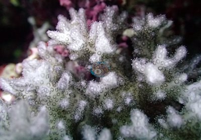
- Ngaahi laine ʻo e faʻahinga pē ʻe taha ʻoku fālahi ʻaki ʻa e 10-30 m ʻi he tafaʻaki, kau ai ha mound fakapaleti Coscinaraea ʻoku laka hake ʻi he 20 ʻi he 20 m (TOHA08).
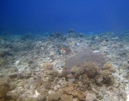
- Naʻe lēkooti ʻa e ʻalamea (crown-of-thorns starfish) ʻi he potu ʻe fitu, kau ai ha kiʻi tupu lahi ʻi he potu ʻe taha mo e ʻalamea ʻe 12 ʻi ha potu ʻe taha.
- Ngaahi fala corallimorpharian ʻi TOHA24 mo TOHA32, mo e ngaahi kolonī Lobophytum ʻoku fālahi ʻaki ʻa e 6-7 m ʻi TOHA29.
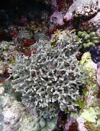
- Ko e ʻufiʻufi siʻisiʻi taha, 8.6%, ʻi he ngaahi hala vai fāsiʻi ʻo e peau ʻi he vahaʻa ʻo e ngaahi holisi kuo keli ʻi lalo (TOHA25).
Notable observations (23)
- Tonga - Ha'apai (TOHA01): Drupella on a small number of acroporids; Culcita with small recently eaten corals; a few isolated cases of white syndrome and a few colonies with tumors; bleaching (Anderson's reading of the frames): a pale gray-white staghorn thicket and a small stark-white branching colony
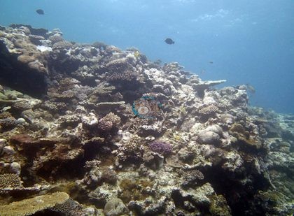
- Tonga - Ha'apai (TOHA02): Isopora colonies frequently showing recent white lesions; Platygyra and Goniastrea with patches of recent, turf-colonized mortality
- Tonga - Ha'apai (TOHA04): Bleaching: a partly bleached poritid on the lower plate of the mound called a "beautiful coral pillar"; the mound bases are dark dead framework
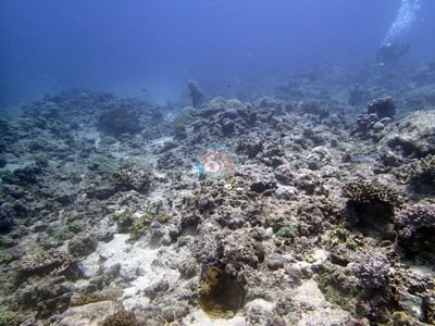
- Tonga - Ha'apai (TOHA05): Found 6 crown-of-thorns starfish (COTS) and 2 Culcita; numerous recently eaten corals, especially bottlebrush Acropora; 10-15% dead colonies
- Tonga - Ha'apai (TOHA09): Between 2-5% of the table acroporids and Pocillopora show signs of white syndrome; 1 Culcita
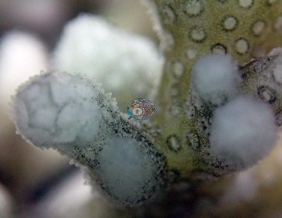
- Tonga - Ha'apai (TOHA10): Stark white colonies in two photographs and a pale table in a third; cause not settled from the frames (survey notes: large Drupella snails in high numbers). Anderson's sheet records one of three sampled colonies 20-30% bleached
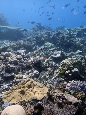
- Tonga - Ha'apai (TOHA12): Some shallow Acropora with white lesions (approx. 5%); numerous small corals eaten by Culcita; staghorn stands 60-80% dead
- Tonga - Ha'apai (TOHA13): Survey noted an orange coralline-algal disease at this site (not resolvable in photographs)
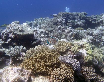
- Tonga - Ha'apai (TOHA14): A healthy table colony with about a dozen small white spots, possibly feeding scars (no corallivore visible)
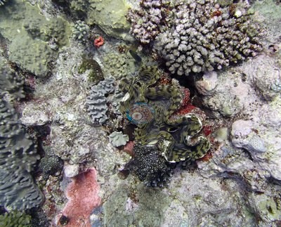
- Tonga - Ha'apai (TOHA15): Table-Acropora mortality (dead-in-position tables) and a white lesion patch; some colonies with pale bands or recent tissue loss; cause not attributable
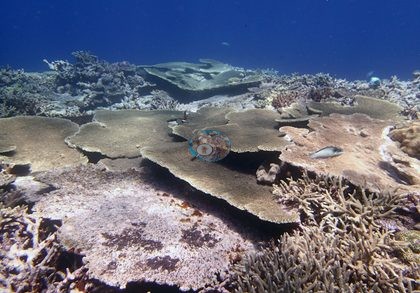
- Tonga - Ha'apai (TOHA16): Five COTS; four Culcita
- Tonga - Ha'apai (TOHA18): Extensive pale gray-white staghorn bleached but alive (Anderson's reading), and a bleached ruffled colony (possibly a soft coral) in one frame; survey recorded some staghorn dead or partly dead
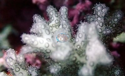
- Tonga - Ha'apai (TOHA19): Two conspicuously pale cream plates - pale morph, bleaching or recent mortality, not resolvable; survey gear (quadrat) in frame; Anderson's sampling sheet records three of seven sampled Pocillopora fully bleached and two more partly bleached
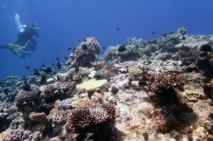
- Tonga - Ha'apai (TOHA20): 3 Culcita, 4 COTS, Drupella, white syndrome on acroporids
- Tonga - Ha'apai (TOHA22): Possible predation: a corallivorous snail (Anderson's identification) at the base of a branching colony (one frame)
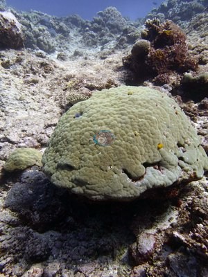
- Tonga - Ha'apai (TOHA23): 12 COTS seen and 1 Culcita; about two dozen areas with aggregates of small recently eaten corals from COTS
- Tonga - Ha'apai (TOHA25): Thin taut man-made line across one frame (fishing line or survey line, unidentifiable)
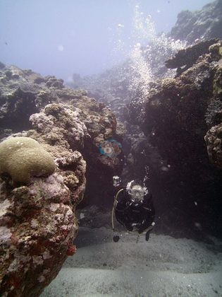
- Tonga - Ha'apai (TOHA26): Minor outbreak of COTS - collected 7, saw 5 additional; 5-10 recently eaten corals near each den
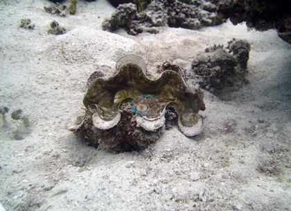
- Tonga - Ha'apai (TOHA27): 3 Culcita; several acroporids and Pocillopora with corallivorous snails; bleaching: a large table colony, 1.5-2 m across, bleached pale cream-white
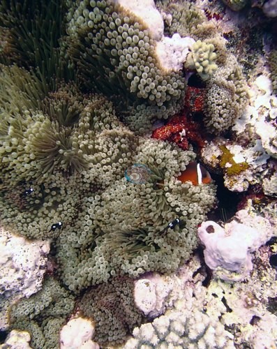
- Tonga - Ha'apai (TOHA28): Considerable COTS damage at 20-23 m; many Goniastrea with large multifocal lesions; staghorn 30-40% dead; bleaching: two small pocilloporids fully bleached but still alive (recorded as dying), with more stark-white branching colonies in other frames
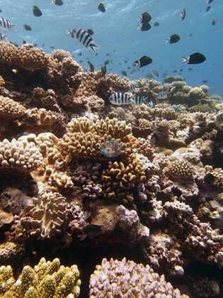
- Tonga - Ha'apai (TOHA29): Paling: branching colonies gray-white to cream-white with whiter tips beside pigmented neighbors, an early stage of bleaching
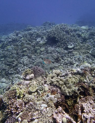
- Tonga - Ha'apai (TOHA31): Many Favia stelligera and a few other corals were partially bleached; snail damage on Acropora; 2 Culcita
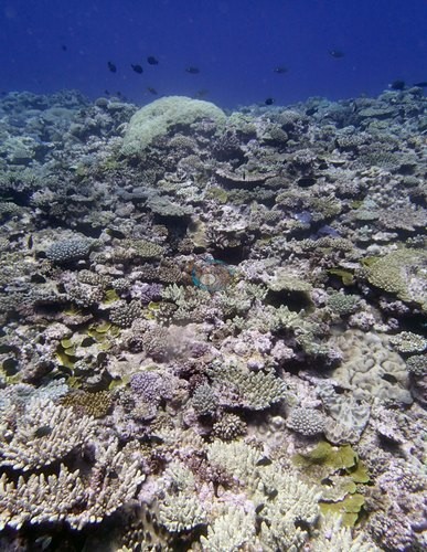
- Tonga - Ha'apai (TOHA32): 3 Culcita on the top of the reef; survey gear (collection bag and line) lying on coral in one frame
Sites in this region (32)
- Tonga - Ha'apai (TOHA01) — 30% coral cover
- Tonga - Ha'apai (TOHA02) — 31% coral cover
- Tonga - Ha'apai (TOHA03) — 20% coral cover
- Tonga - Ha'apai (TOHA04) — 25% coral cover
- Tonga - Ha'apai (TOHA05) — 35% coral cover
- Tonga - Ha'apai (TOHA06) — 23% coral cover
- Tonga - Ha'apai (TOHA07) — 16% coral cover
- Tonga - Ha'apai (TOHA08) — 22% coral cover
- Tonga - Ha'apai (TOHA09) — 25% coral cover
- Tonga - Ha'apai (TOHA10) — 40% coral cover
- Tonga - Ha'apai (TOHA11) — 50% coral cover
- Tonga - Ha'apai (TOHA12) — 45% coral cover
- Tonga - Ha'apai (TOHA13) — 23% coral cover
- Tonga - Ha'apai (TOHA14) — 44% coral cover
- Tonga - Ha'apai (TOHA15) — 41% coral cover
- Tonga - Ha'apai (TOHA16) — 18% coral cover
- Tonga - Ha'apai (TOHA17) — 21% coral cover
- Tonga - Ha'apai (TOHA18) — 53% coral cover
- Tonga - Ha'apai (TOHA19) — 26% coral cover
- Tonga - Ha'apai (TOHA20) — 26% coral cover
- Tonga - Ha'apai (TOHA21) — 35% coral cover
- Tonga - Ha'apai (TOHA22) — 40% coral cover
- Tonga - Ha'apai (TOHA23) — 37% coral cover
- Tonga - Ha'apai (TOHA24) — 26% coral cover
- Tonga - Ha'apai (TOHA25) — 8.6% coral cover
- Tonga - Ha'apai (TOHA26) — 31% coral cover
- Tonga - Ha'apai (TOHA27) — 31% coral cover
- Tonga - Ha'apai (TOHA28) — 31% coral cover
- Tonga - Ha'apai (TOHA29) — 42% coral cover
- Tonga - Ha'apai (TOHA30) — 40% coral cover
- Tonga - Ha'apai (TOHA31) — 34% coral cover
- Tonga - Ha'apai (TOHA32) — 34% coral cover
% coral cover by method
Pooled across 14 dive sites
| Method | Mean % coral cover | Std. dev. between dive sites | n dive sites | Note |
|---|---|---|---|---|
| CoralSCOP (SAM-based mask-sum), unedited photos | 32% | ±6.2 | 14 | — |
| Claude (Anthropic), blind point count | 33% | ±11 | 14 | — |
| In-water diver transect (line/point intercept) | 35% | ±8.9 | 14 | — |
The mean is an UNWEIGHTED mean of the dive site values — each dive site counts once, whatever its photo count — which is the convention of the published tables and of every other figure on this page. Each value is the one printed on that dive site's own page; a page that prints no value for a method (fewer than 10 photographs) is left out of that method's mean.
This table pools only the 14 dive sites in this unit that have a method comparison; the table for all 22 dive sites is on the Tonga page.
Deviation from the reference
Over the dive sites where an independent reference exists, Claude (Anthropic), blind point count has a mean absolute deviation of 8.2 pp from it across 14 dive sites. Not in this ranking: CoralSCOP (unedited), which is not comparable with this reference. A mean absolute deviation is not an accuracy score: a model with a consistent offset is correctable, while one with the same deviation scattered in both directions is not.
By dive site
| Dive site | CoralSCOP (unedited) | Claude | Diver transect |
|---|---|---|---|
| TOHA03 | 32% n=16 | 20% n=16 | 20% |
| TOHA04 | 26% n=14 | 18% n=14 | 25% |
| TOHA08 | 28% n=26 | 34% n=26 | 22% |
| TOHA10 | 25% n=23 | 29% n=23 | 40% |
| TOHA14 | 33% n=38 | 36% n=38 | 44% |
| TOHA18 | 29% n=16 | 48% n=16 | 53% |
| TOHA21 | 38% n=12 | 32% n=12 | 35% |
| TOHA22 | 21% n=21 | 12% n=21 | 40% |
| TOHA27 | 39% n=13 | 25% n=13 | 31% |
| TOHA28 | 32% n=17 | 46% n=17 | 31% |
| TOHA29 | 41% n=13 | 45% n=13 | 42% |
| TOHA30 | 36% n=10 | 36% n=10 | 40% |
| TOHA31 | 39% n=18 | 37% n=18 | 34% |
| TOHA32 | 27% n=11 | 44% n=11 | 34% |
n under each value is the number of photographs that method scored at that dive site. ⚠ marks a cell that is not an independent check.
Reference: Living Oceans Foundation (LOF) Global Reef Expedition in-water transects (mean of all the station's transects, Living Oceans Foundation per-transect benthic data). Denominator: line/point intercept along the transect; not a photo-point denominator. Source: LOF Global Reef Expedition 2013, per-transect benthic data ('GRE data-full benthic'): the mean of all of each station's transects For all 22 dive sites in the comparison: The transect is THE coral-cover value at every site; the Claude photo estimate is a methods comparison only, never averaged with the transect and never a headline. Site-level only: the photos come from the survey dives, not from the transect points. Accuracy, Claude vs transect, the 22 sites with 10 or more reef-habitat photos (sampled-colony close-ups left out; sites with fewer than 10 have no Claude row): mean difference -4.2 pp (95% CI -8.8 to +0.5), mean absolute difference 8.4 pp, r 0.43. Claude tracks the transect only weakly from site to site in Tonga. This is a methods comparison, not a ranking.
Nearby external survey stations
2 independent survey records within 5 km of a site in this region (each record counted once; 1 lines, and a line that pools several records says how many).
- Reef Check — Kito si'I (2002): 18% hard coral cover, mean of 2 surveys (3 m and 10 m), 2.11 km from Tonga - Ha'apai (TOHA03) (2 records)
All images from Coral Reef Diagnostics. Data are from the Khaled bin Sultan Living Oceans Foundation Global Reef Expedition, Coral Reef Diagnostics, and Reef Check Foundation.
© Coral Reef Diagnostics.
References
- Souter D, et al. (eds) (2021) Status of Coral Reefs of the World: 2020. International Coral Reef Initiative / Global Coral Reef Monitoring Network. [PDF]
- Spalding MD, et al. (2001) World Atlas of Coral Reefs. University of California Press, Berkeley. [PDF]
- Wilkinson C (2006) Status of coral reefs of the world: summary of threats and remedial action. In: Côté IM, Reynolds JD (eds) Coral Reef Conservation. Cambridge University Press, Cambridge. [PDF]
- Bruckner AW (2014). Global Reef Expedition: Kingdom of Tonga. Field Report. Khaled bin Sultan Living Oceans Foundation, Landover, MD. 28 pp. PDF