
Part of the regional summaries: Tonga - Ha'apai and Tonga
More info
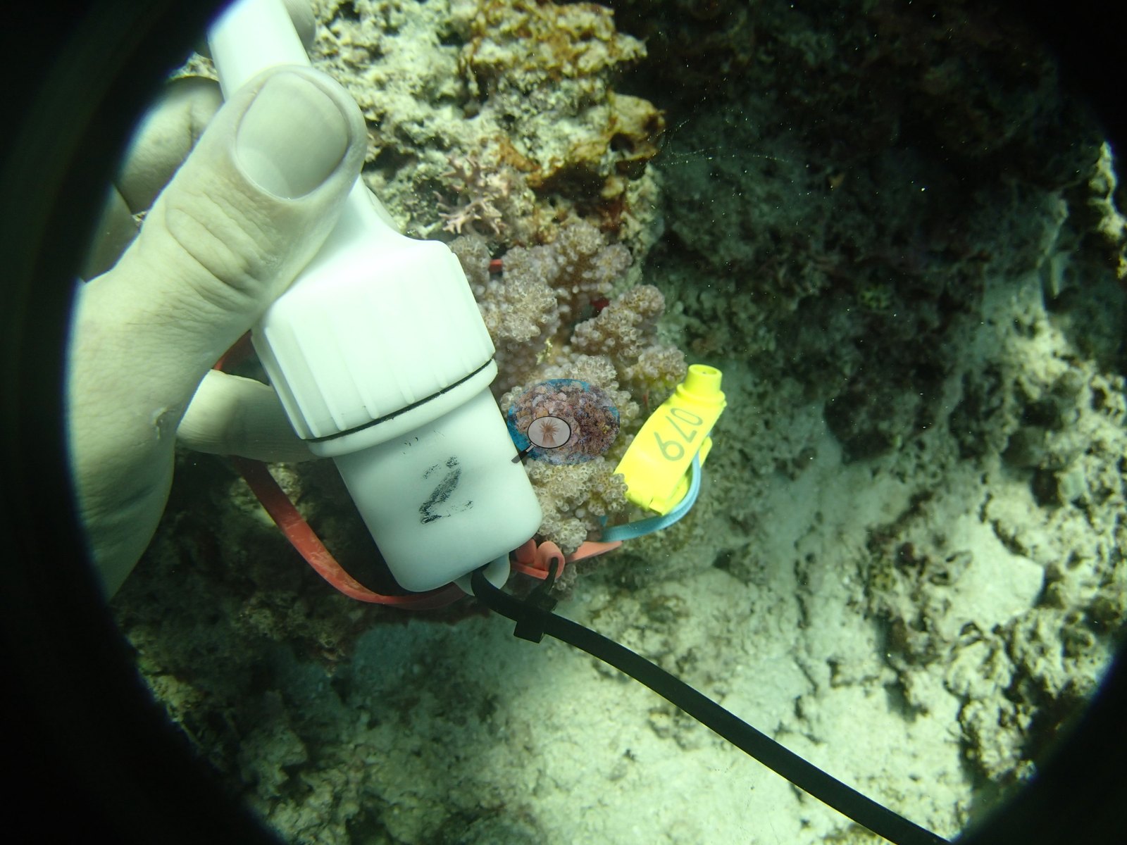
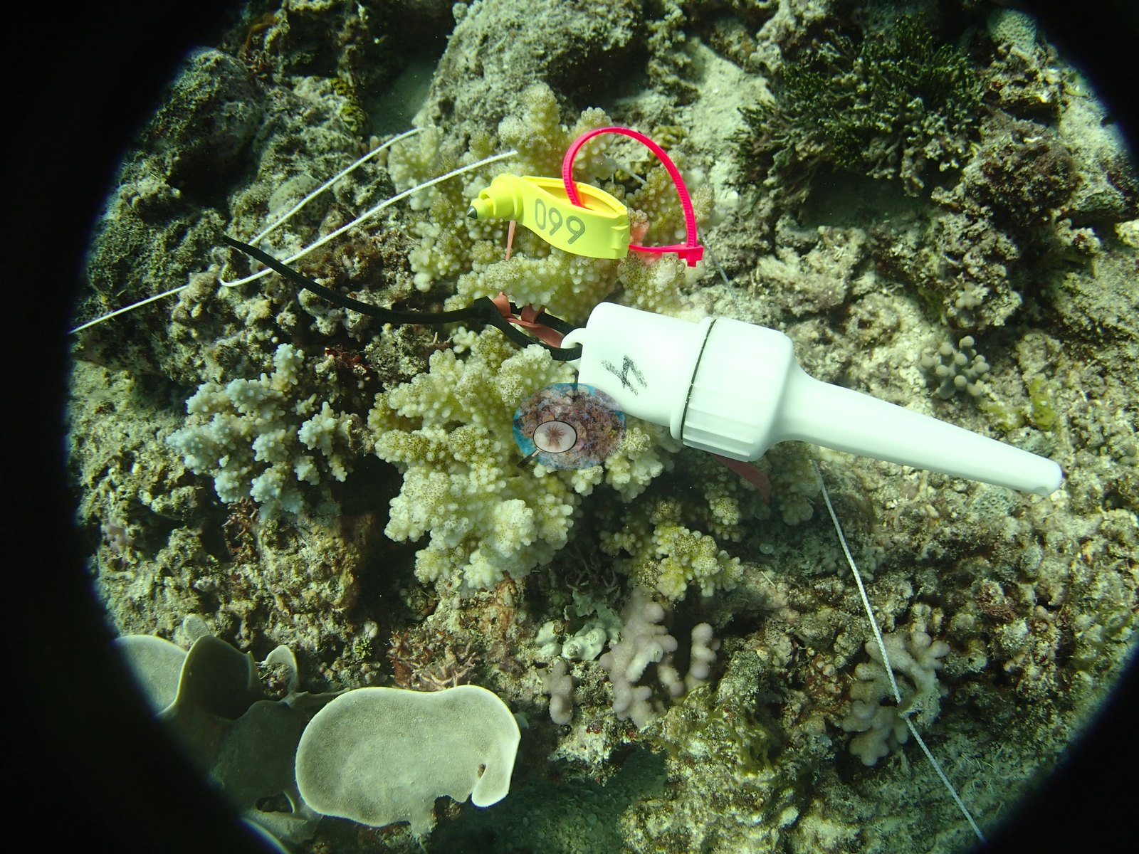
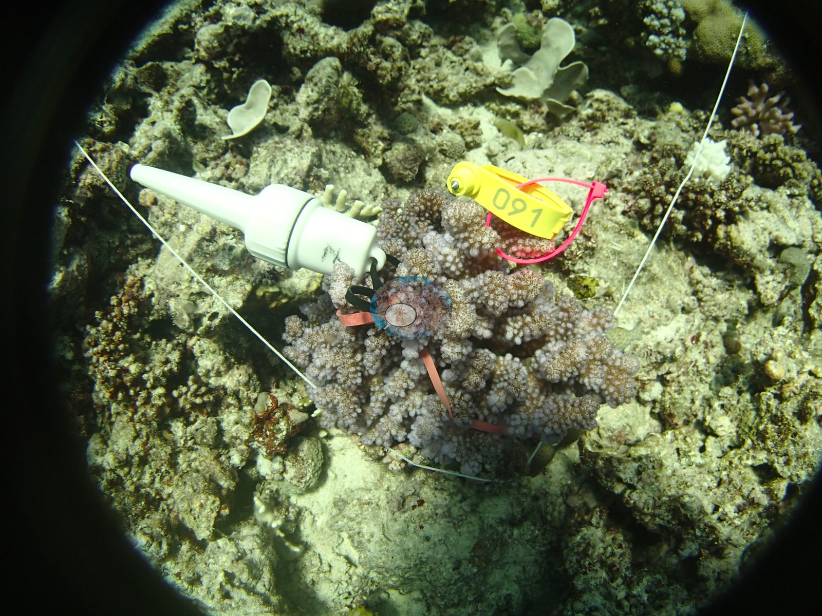
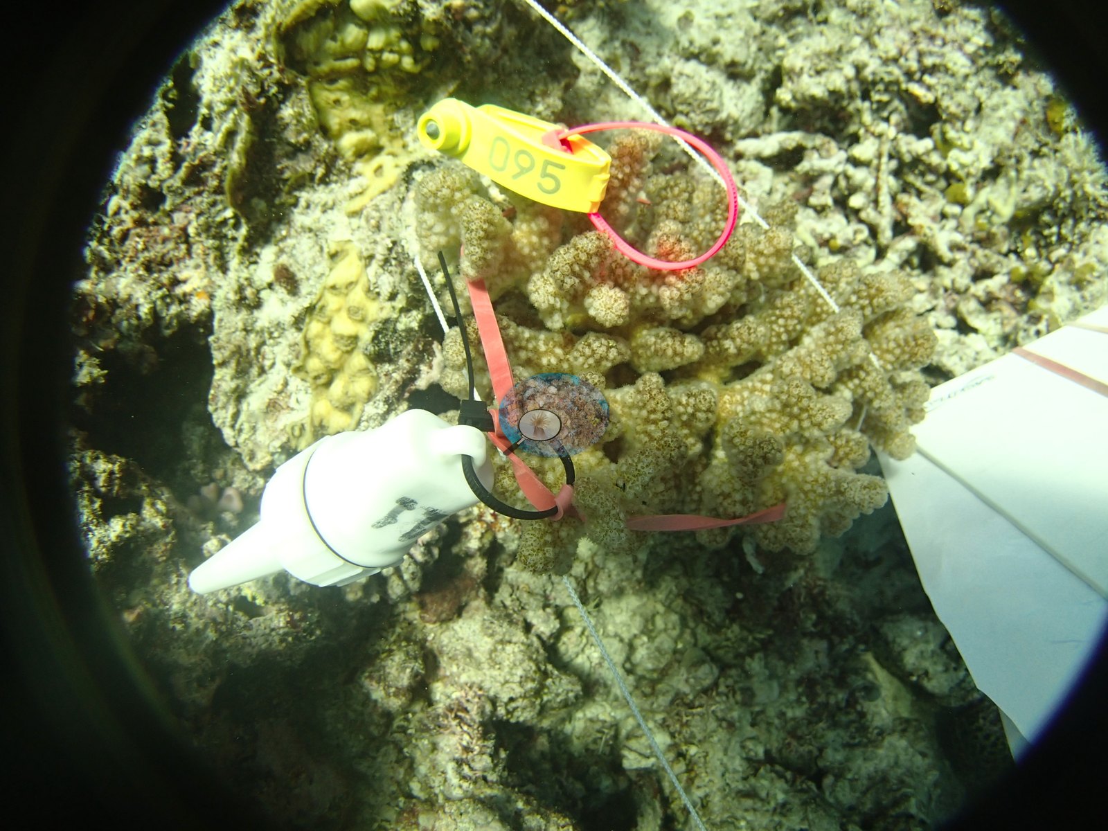
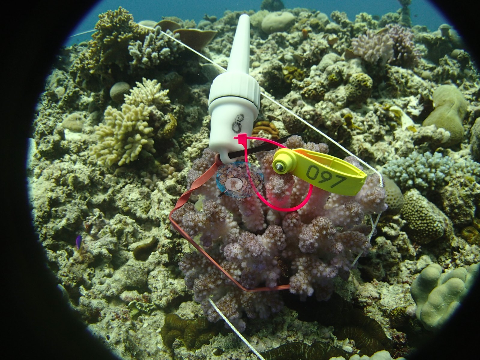
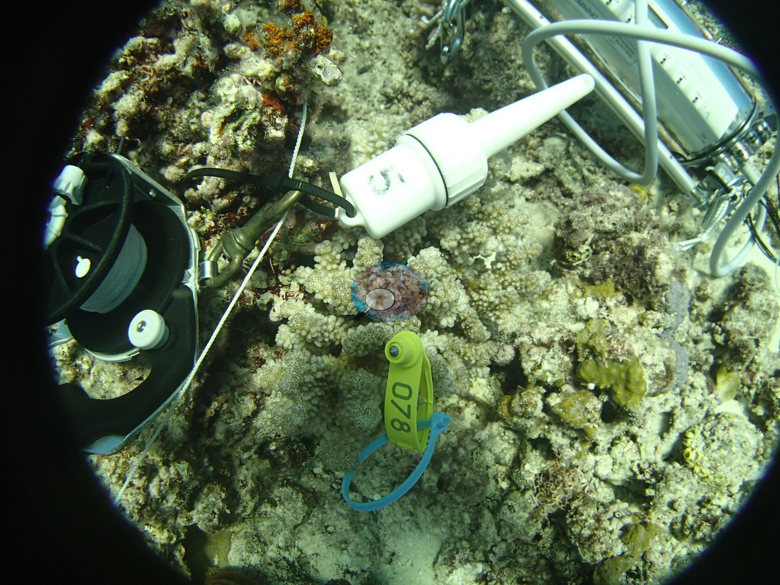
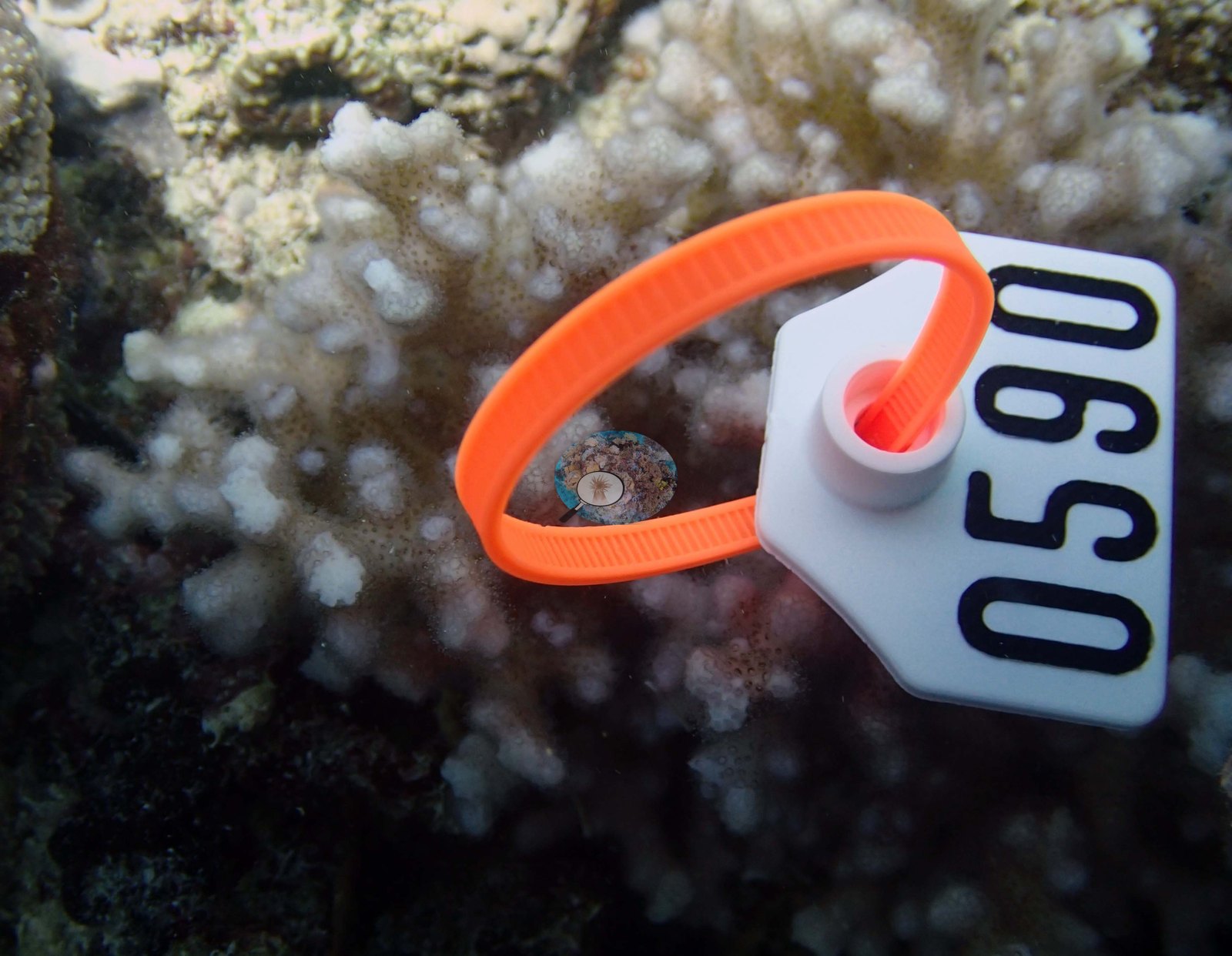
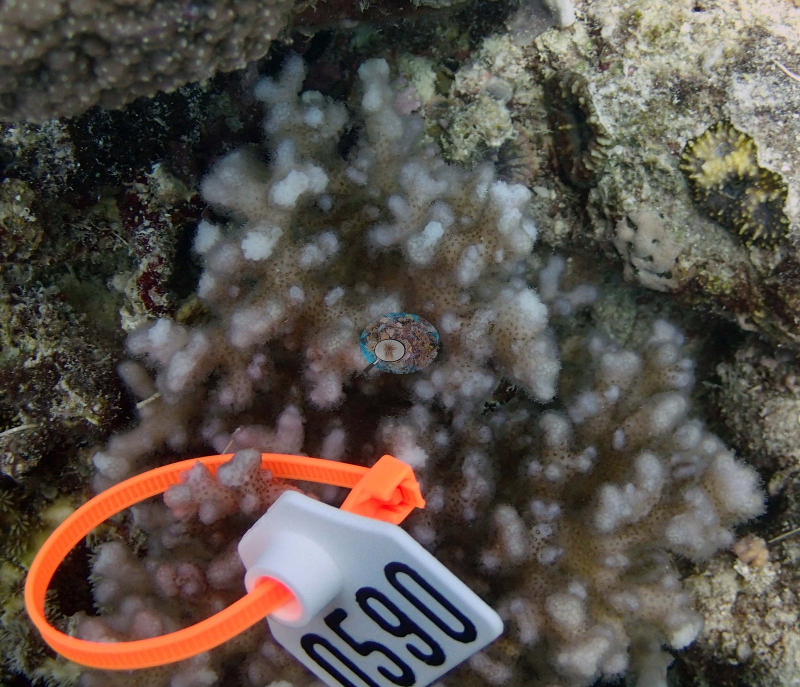
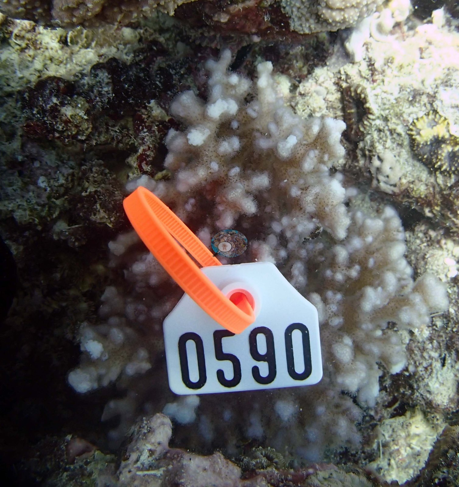
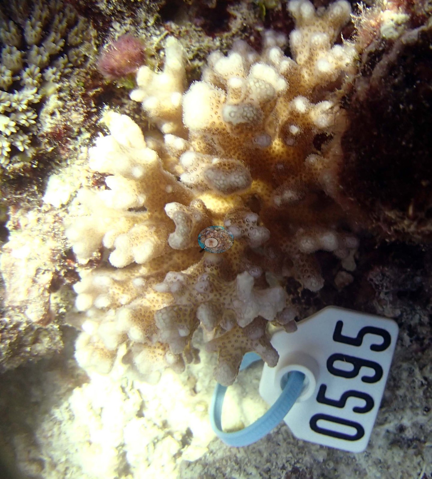
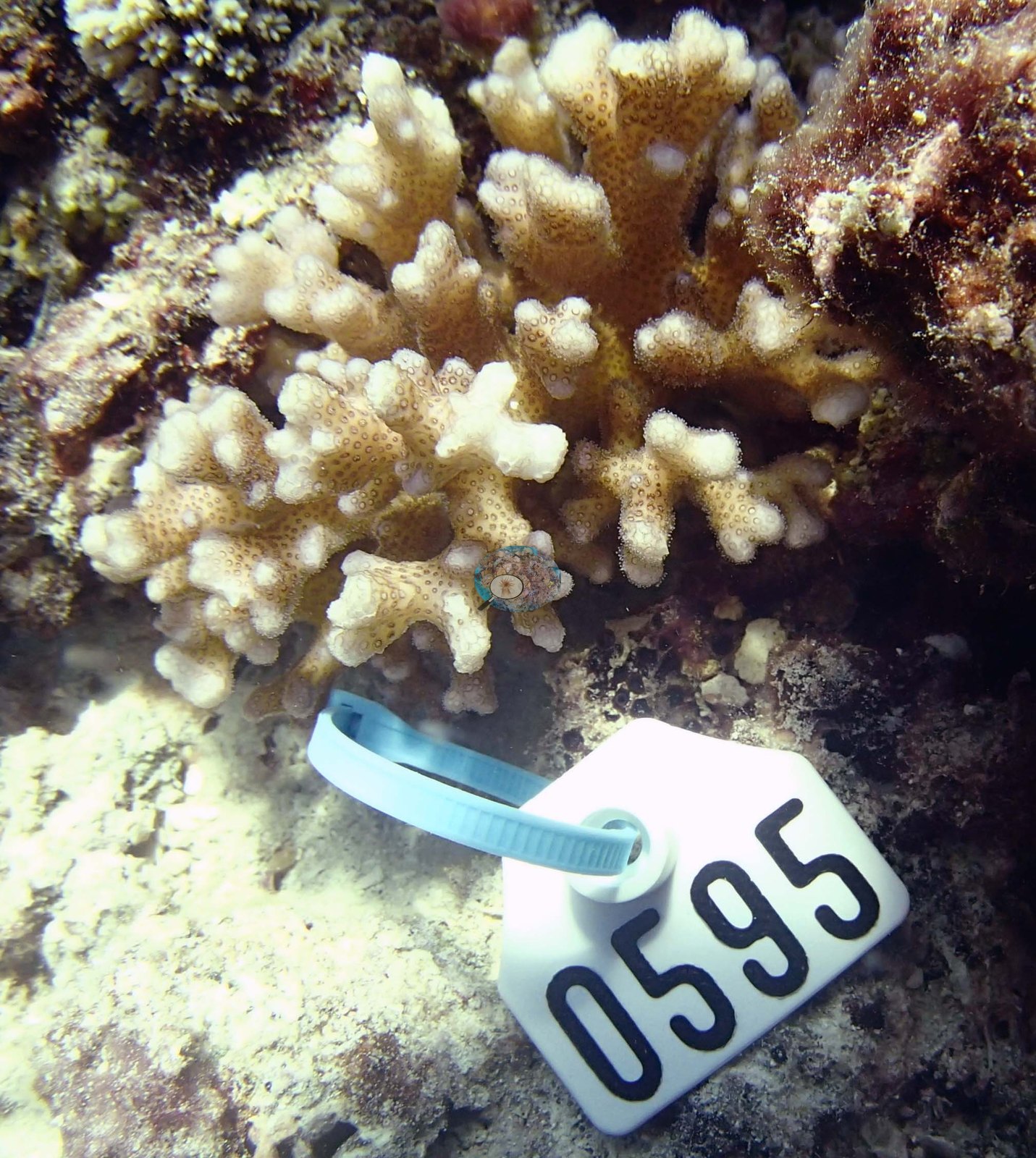
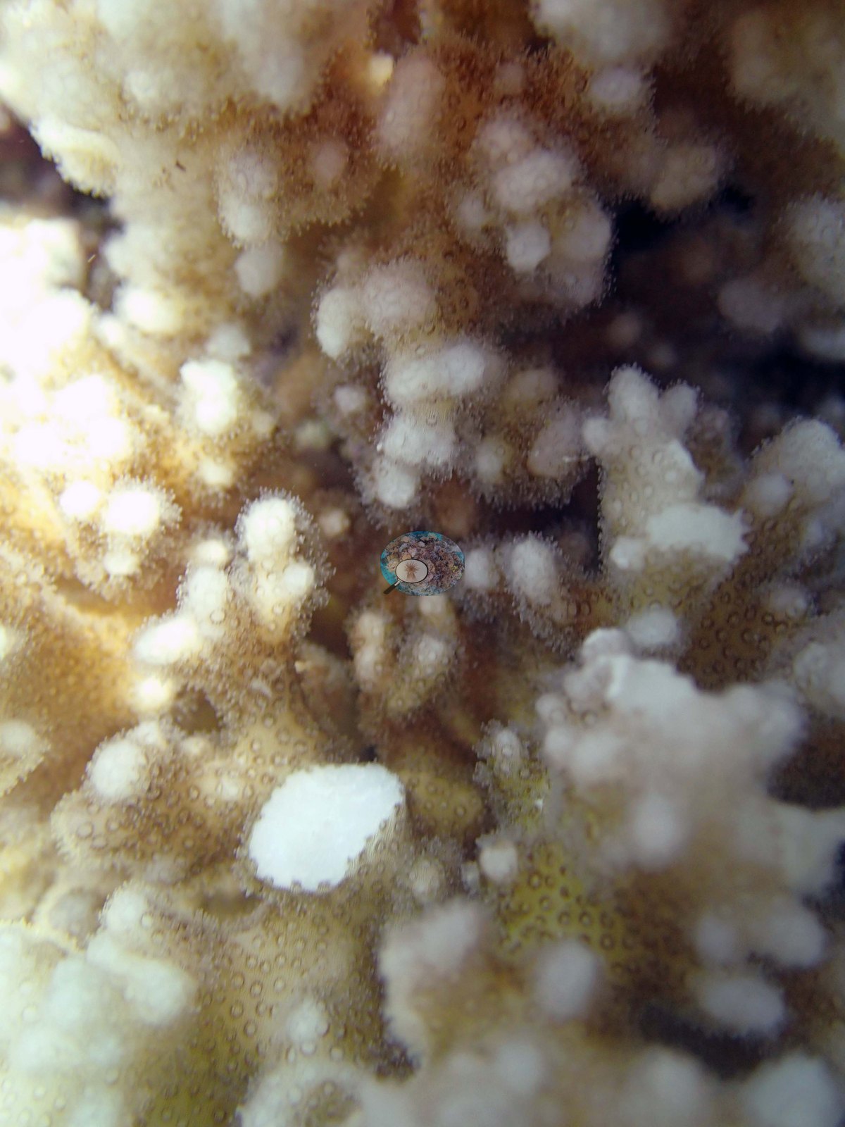
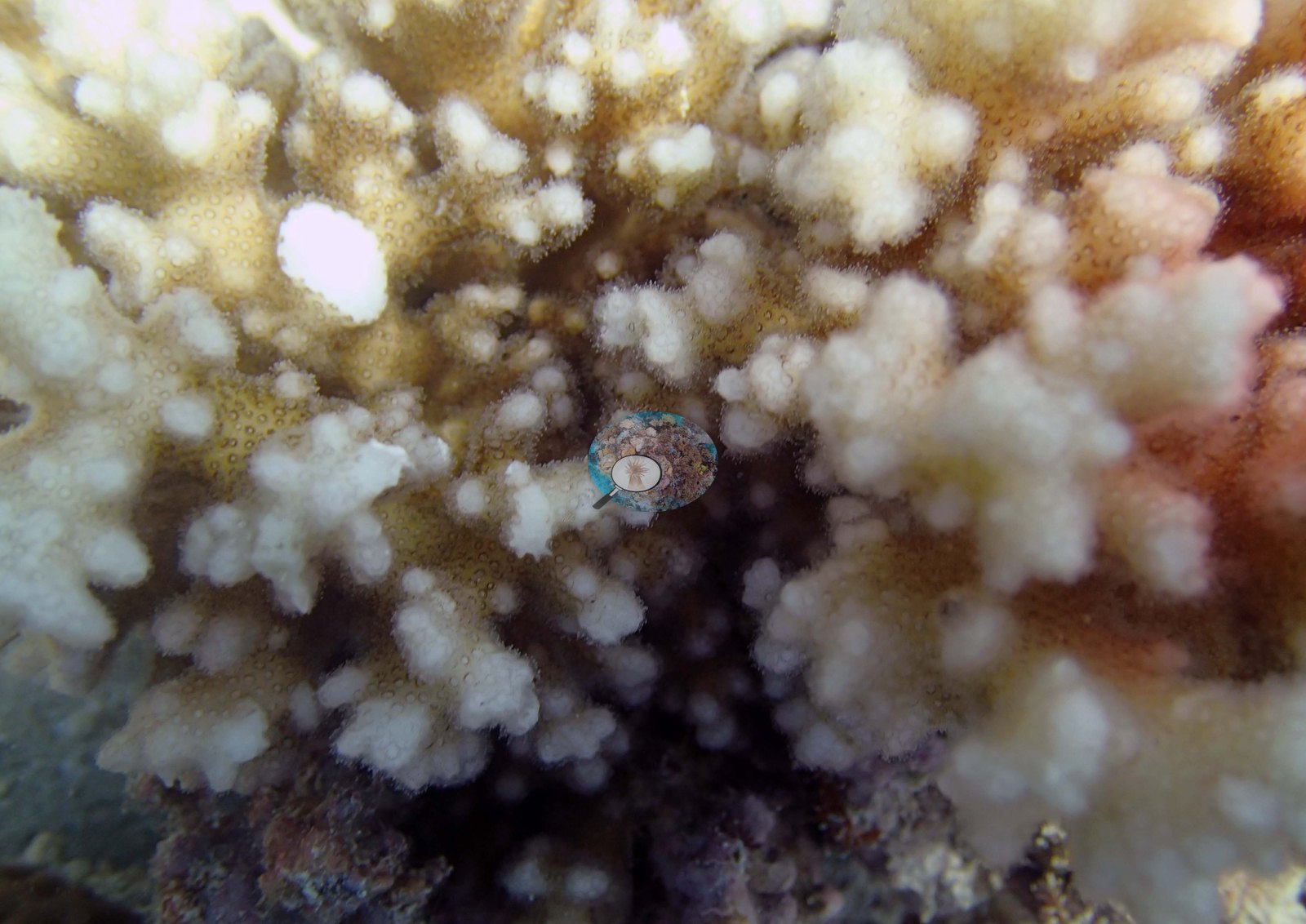
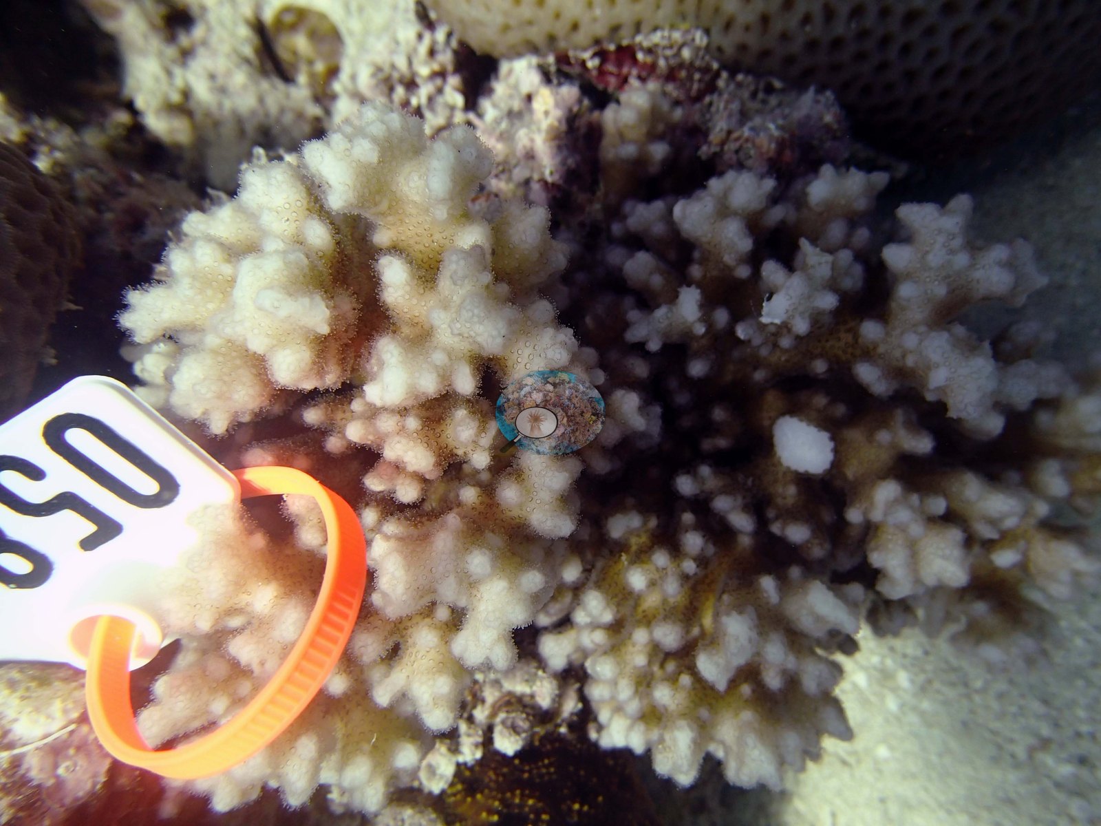
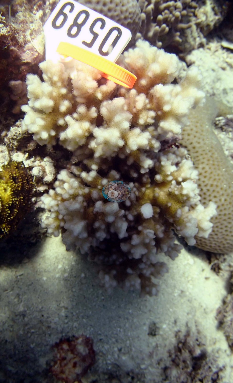
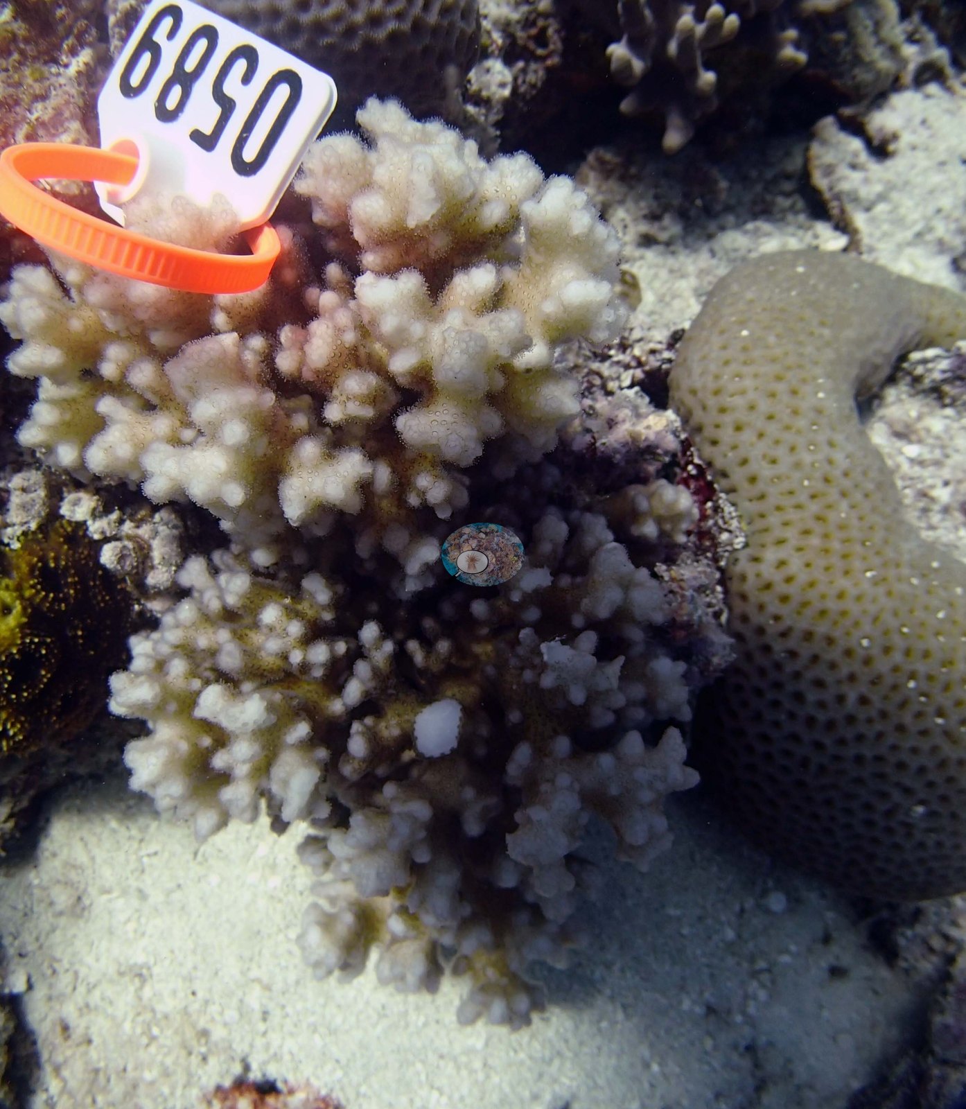
Southern Tonga (NOAA CRW virtual station)A low-relief lagoon patch reef in Ha'apai: sand from 8 to 25 m scattered with coral bommies up to 20 m wide, some dominated by Lobophyllia, with 2-3 m Diploastrea at the deep end and unusual species such as Euphyllia and foliose Pachyseris mounds. The photographs are close-ups of three tagged Pocillopora colonies sampled for research, not a view of the wider reef. Surveyed on the Living Oceans Foundation's Global Reef Expedition.
Ko ha kiʻi hakau māʻulalo ʻi he namo (lagoon patch reef) ʻi Haʻapai: ko e ʻoneʻone mei he 8 ki he 25 m ʻoku mafola ai ʻa e ngaahi bommie feo ʻo aʻu ki he 20 m hono fālahi, ko e niʻihi ʻoku puleʻi ʻe he Lobophyllia, mo e Diploastrea ʻo e 2-3 m ʻi he tafaʻaki loloto, mo ha ngaahi faʻahinga taʻe-angamaheni hangē ko e Euphyllia mo e ngaahi puke ʻo e Pachyseris fakalaʻā (foliose). Ko e ngaahi tā ko e ngaahi tā ofi pē ʻo ha kulupu Pocillopora ʻe tolu naʻe fakaʻilongaʻi (tagged) pea toʻo sīpinga mei ai ki he fakatotolo, ʻo ʻikai ko ha vakai ki he hakau kotoa.
AI translation of this summary; the English is authoritative. (low confidence)
CTD-cast midpoint of 24.2–24.3°C
Two other CRD dive sites with their own pages within 5 km shown in orange — click a marker to open its page.
Site description
Setting
The expedition's own site table classifies TOHA07 as a patch reef on a protected aspect, surveyed in the lagoon.
General benthic features
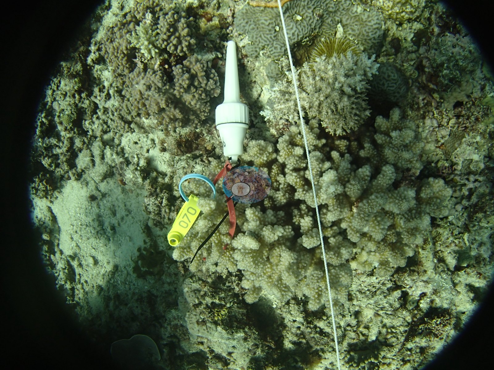
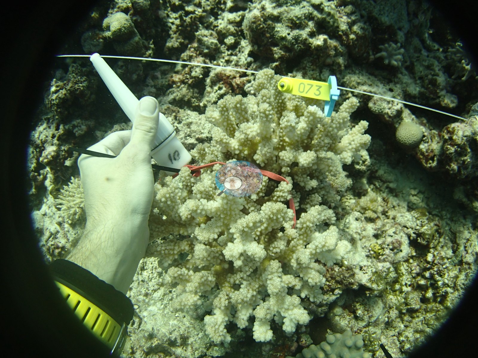
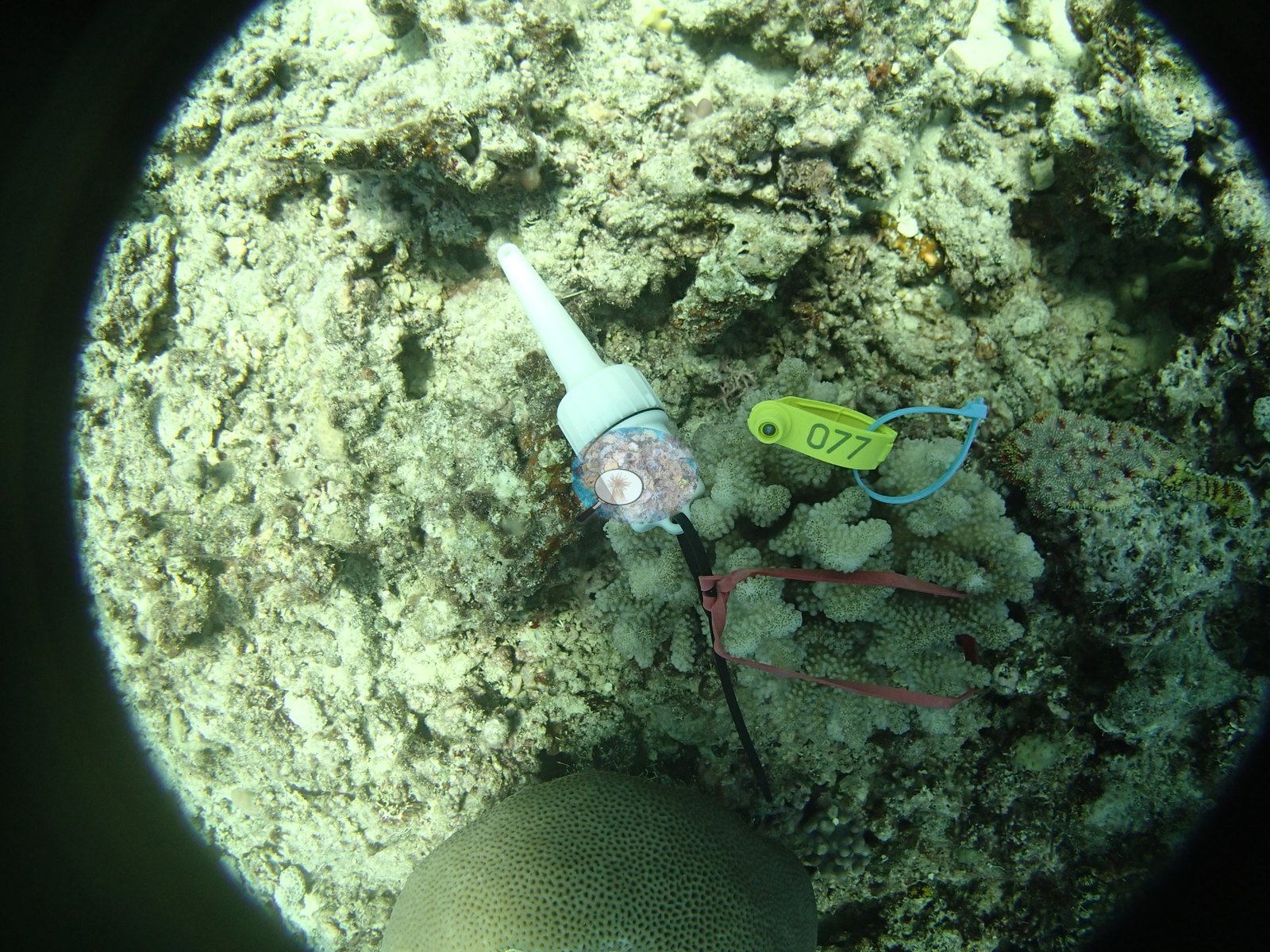
What Anderson's frames from this dive show, consistently across all nine, is a low-relief bottom of pale turf-covered rubble and consolidated pavement with open sand nearby, and a fine-scale coral community made up of small colonies: cream, mauve, and pink-gray Pocillopora heads are the tagged subjects in the majority of frames; scattered around them are small pale digitate and corymbose acroporids, thin tan and gray foliose or laminar plates, small tan massive colonies with fine or polygonal corallites, and patches of yellow encrusting growth. Dark green turf or fine macroalgal tufts appear in some frames, and turf on rubble is the matrix in every frame. Only one frame carries any distance at all — open blue water above a bottom of small, well-spaced colonies — and it is the single frame that is even loosely consistent with the survey's low-relief patch-reef description; one frame cannot establish that. Alongside the hard coral already reported for this site, the same transects recorded 28% crustose coralline algae, 26% turf, 2.6% macroalgae, 1.6% erect algae, and 4.9% cyanobacteria (63% algae in all). Non-living substrate came to 61% pavement, 1.5% dead coral, 17% rubble, and 4.4% sand. All of these figures are means of all of this station's own transects in the expedition's per-transect benthic records, so they are survey results, not photographic estimates.
Coral cover
- Reference: Khaled bin Sultan Living Oceans Foundation, Global Reef Expedition (in situ transect)
- Coral cover 16%, from an LOF-GRE in situ transect — a diver transect measurement, not a photographic or computer vision estimate; the photographs here are qualitative only. Coral Health Index 3.03/5 (Mayfield & Dempsey 2025, Discover Oceans formula).
- Transect mean 16 ± 2.4% SE (n = 5 transects; Living Oceans Foundation per-transect benthic data); the headline above is this all-transect mean.
Stressors
The Living Oceans Foundation transects here recorded 4.9% cyanobacteria and no recently dead coral but carry no bleaching, disease, or crown-of-thorns starfish field; the survey team's notes report a lot of cyanobacteria in the shallows. Anderson's sample sheet records all three Pocillopora damicornis colonies sampled here as healthy, with 0% of each colony bleached. Island-level context, not an observation at this station: the Living Oceans Foundation Tonga field report notes considerable partial coral mortality at many Ha'apai locations, attributed to damselfish algal lawns, Culcita sea stars, and Drupella snails.
Fish and other fauna
Paired fish transects recorded about 15 fish species per transect and about 1.3 kg per 100 m2 of biomass.
Comparisons with other data
Apart from the Living Oceans Foundation survey shown here, we found no other surveys at this site as of 2026. If you would like to share yours, please email us.
Other notes
An important caveat first: all nine "habitat" frames come from a single set of tagged colonies, and every one of them is a close-range fisheye shot of an individually tagged coral — yellow and green cattle numbered tags, red and black cable ties, a white sampling syringe and, in several frames, a bare hand or a reel in the picture. There is no wide reef view in this set at all. The frames therefore record the bottom immediately around a tagged colony, not the site, and nothing below should be read as a site-wide account of habitat, zonation, relief, or condition; the quantitative record for TOHA07 is the Living Oceans Foundation benthic transect, not these photographs. A white transect line runs through some frames, so these were shot on or beside a survey line. No frame contains a scale reference, so no colony dimension can be read from them, and no bleaching, disease lesion, or predation scar can be resolved with confidence at these ranges and color balances. One frame is heavily vignetted and half filled with dive gear, and contributes almost nothing. Three Pocillopora colonies were sampled at this site (colonies 10, 11, and 12), all three labeled P. damicornis in Anderson's own field records; the 10 close-ups are repeat macro and setting shots of only those three colonies, carrying numbered tags, and describe the colonies, not the reef.
Survey team's site notes: Low-relief patch reef. The shallow part sloped from 3-4 m to 8-10 m ending in sand. This area had very little coral, less than 0.5 m relief and consisted mostly of a low cover of soft corals with a lot of cyanobacteria. The substrate was 8-25 m deep and was largely sand with low cover of Halimeda, with numerous small to medium coral bommies that were 1-3 m tall and up to 20 m wide. The coral bommies extended up to 5 m in some cases, but the highest concentration came up to 8-15 m depth. Some of these formed elongate spur like structures that had slight build-ups on the seaward edge and a steep slope to the sandflat at 20-25 m, while others were small (2-5 m) circular mounds less than 1 m height. These varied considerably in composition. Several were dominated by 30-50% cover of Lobophyllia. Others had a more mixed community. The deeper area had lower coral cover (10-15%) with a mix of Goniastrea, Favites, Favia, small table acroporids, Acanthastrea, Echinopora, Montastrea, Stylophora, and many other genera with 5.0-10% cover soft corals, 60% cover turf algae, and 5.0% cyanobacteria. At the deeper end of the reef (22 m) there were some 2-3 m Diploastrea. Small stands of staghorn coral at the bases of the bommies. Many unusual species were found including Euphyllia, Hydnophora, Caulastraea, and the first reef where we identified several large mounds with a foliaceous growth form of Pachyseris.
Data & links
- Download benthic survey data (CSV) ↗
- Download all LOF-GRE data (933 sites) ↗
- Photo portfolio ↗
- Coral Reef Diagnostics region page ↗
All images from Coral Reef Diagnostics. Data are from the Khaled bin Sultan Living Oceans Foundation Global Reef Expedition and Coral Reef Diagnostics.
 © Coral Reef Diagnostics.