
Part of the regional summaries: Tonga - Ha'apai and Tonga
More info
Southern Tonga (NOAA CRW virtual station)A Ha'apai station defined by its steep, near-vertical wall falling into violet-blue water, heavily textured with encrusting and plating corals and hung with schools of surgeonfish, unicornfish, and planktivores. The reef top above is a patchier mosaic of small mixed colonies and bare pavement. Surveyed on the Living Oceans Foundation's Global Reef Expedition.
Ko ha potu (station) ʻi Haʻapai ʻoku ʻiloa ʻi hono holisi tuʻu meimei hangatonu ʻoku tō hifo ki he tahi lanu vaioleti-pulū, ʻoku fonu ʻi he ngaahi feo pipiki (encrusting) mo fakapaleti (plating) pea tautau ai ʻa e ngaahi kulupu ʻo e surgeonfish, unicornfish, mo e ika kai plankton (planktivores). Ko e funga ʻo e hakau ʻi ʻolunga ko ha fefiofiofi taʻe-tatau ange ʻo e ngaahi kiʻi kulupu kehekehe mo e tuʻunga maka tukuʻau (bare pavement).
AI translation of this summary; the English is authoritative. (low confidence)
CTD-cast midpoint of 24.6–26.0°C
23 of the 24 photographs on this page are shown beside the text that discusses them under "Site description" below.
Site description
Setting
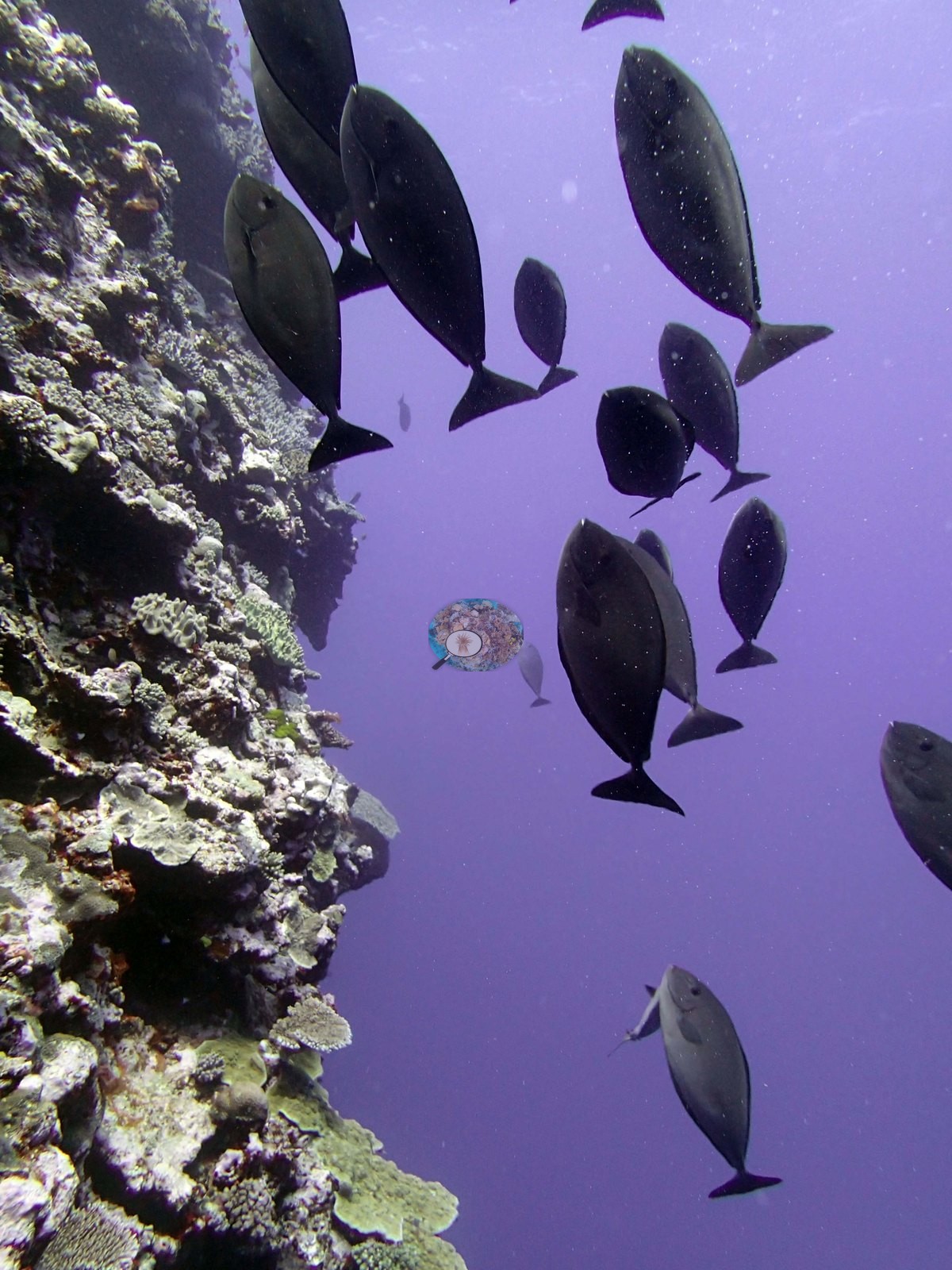
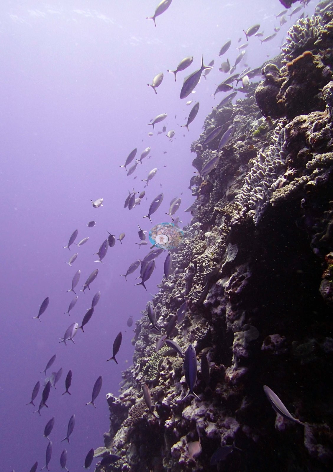
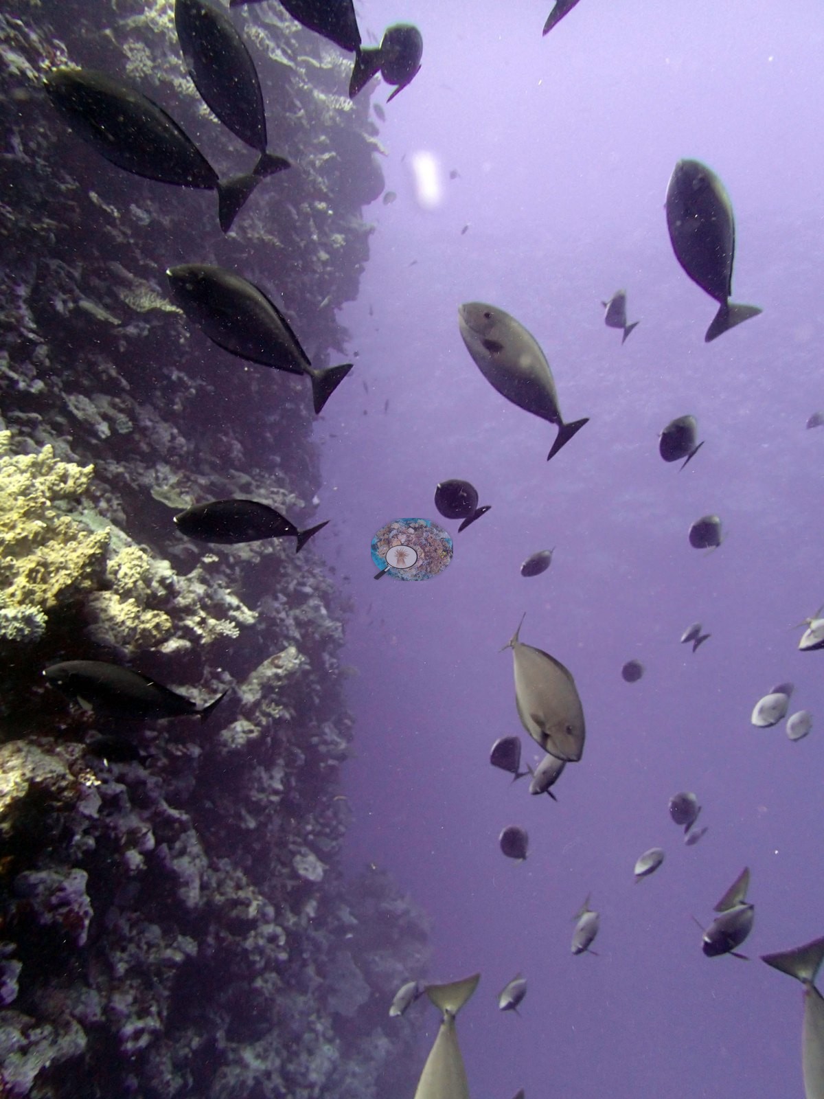
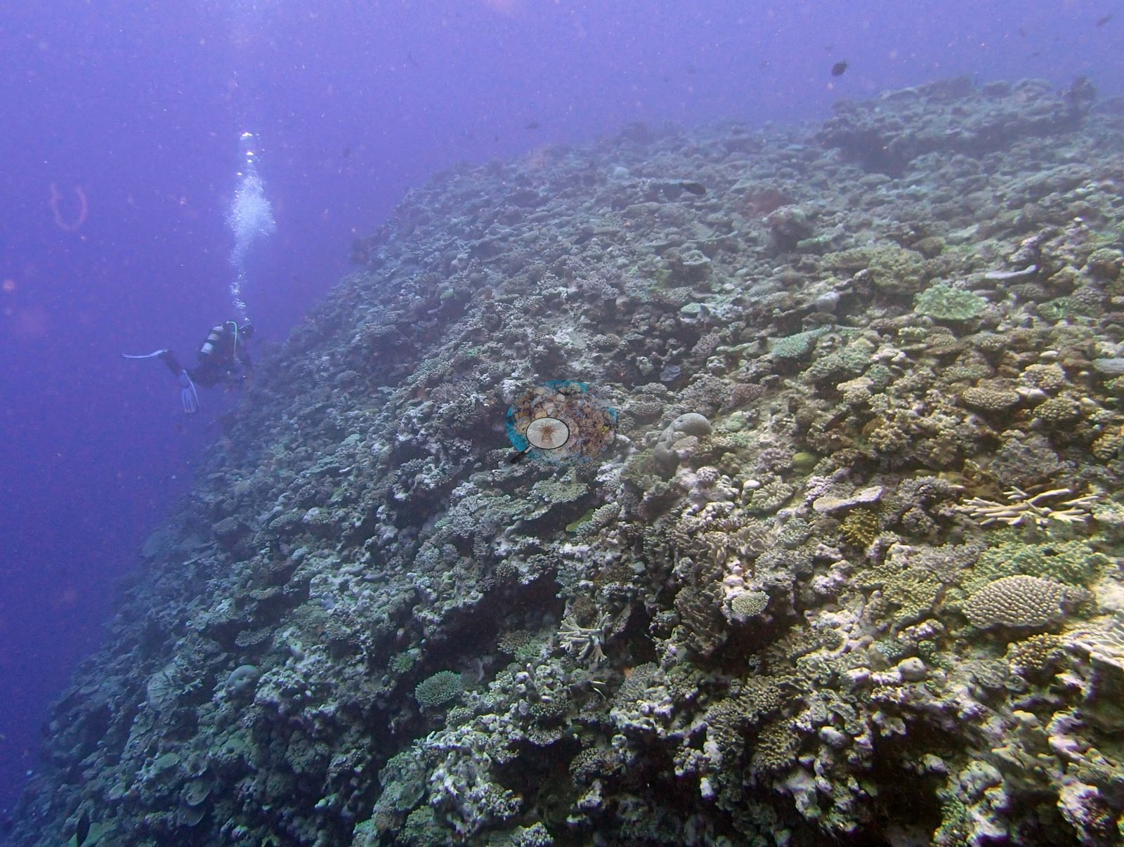
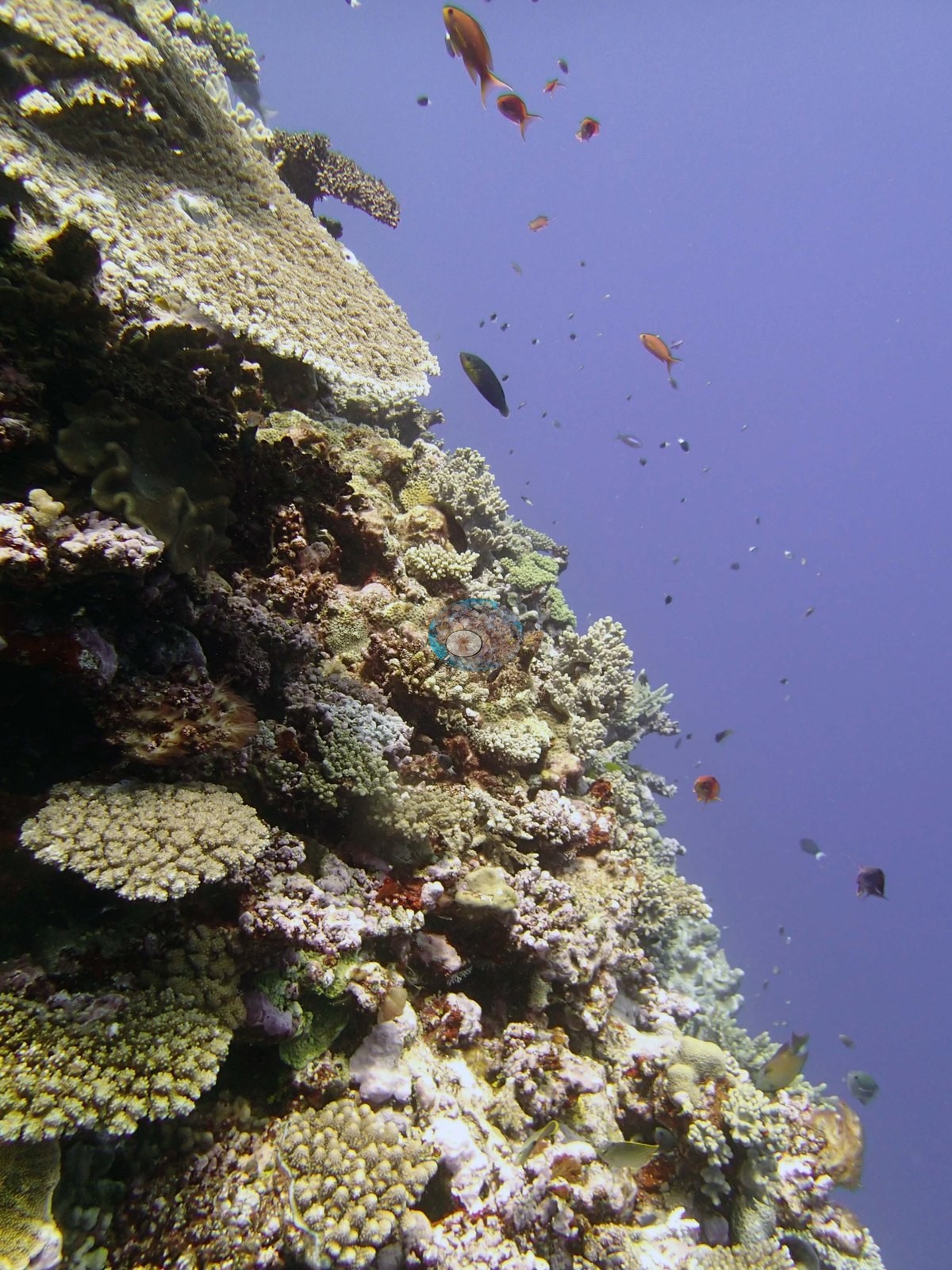
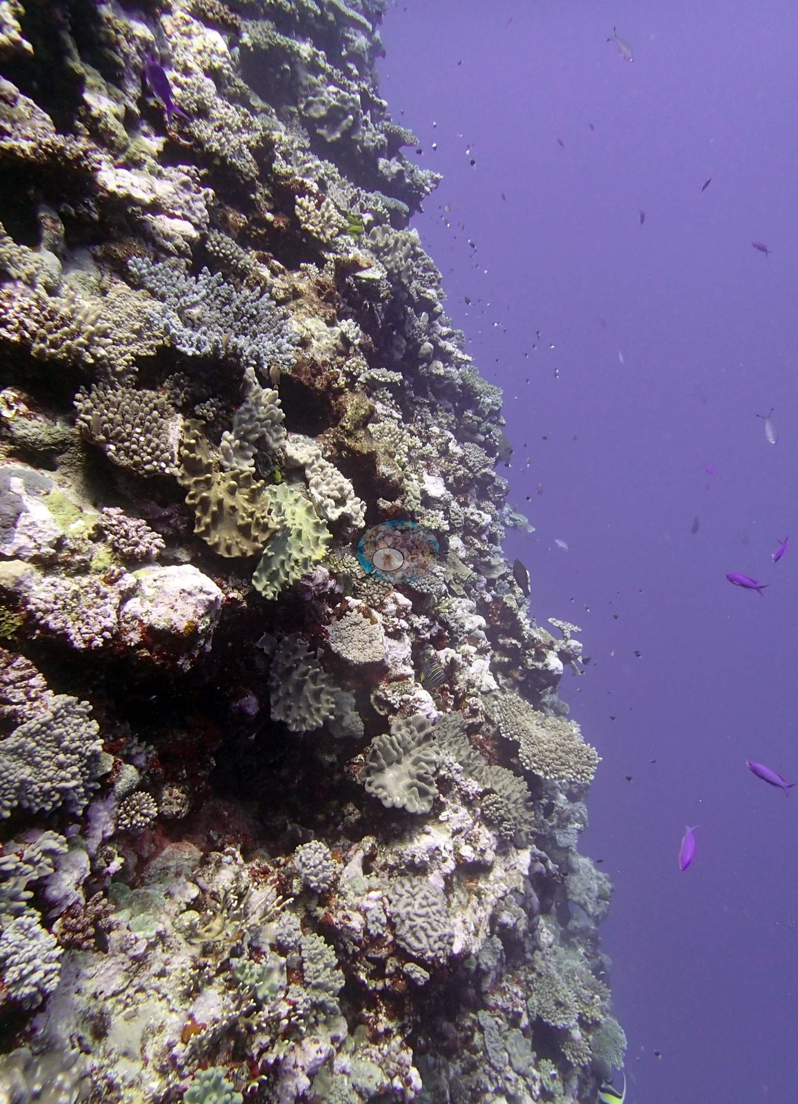
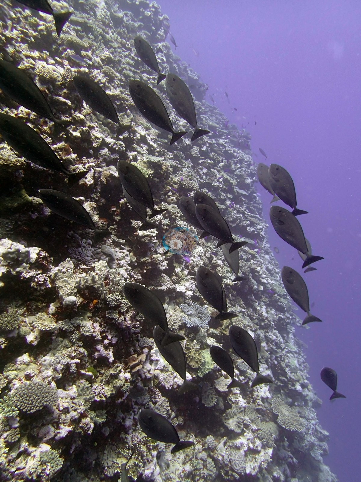
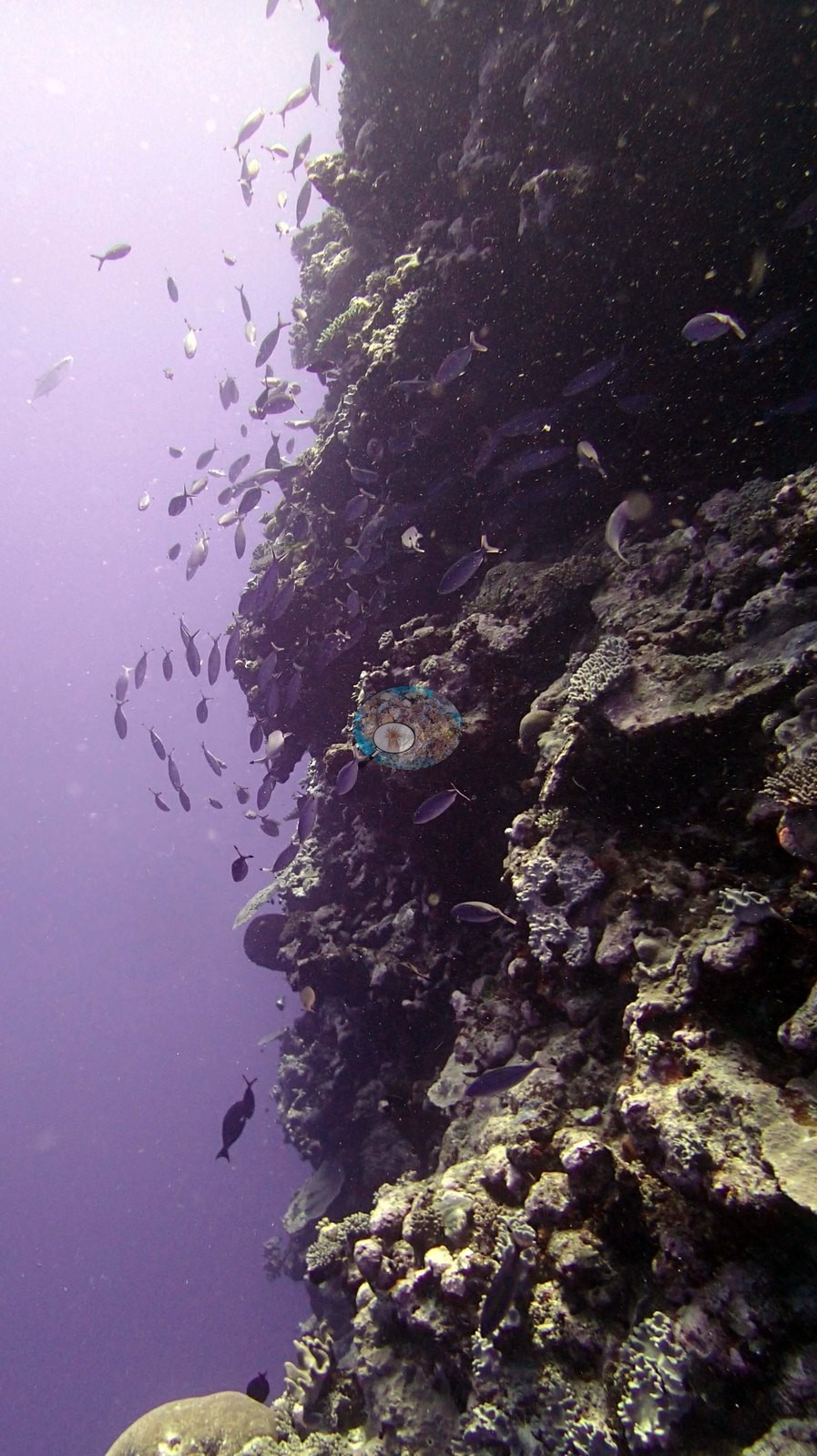
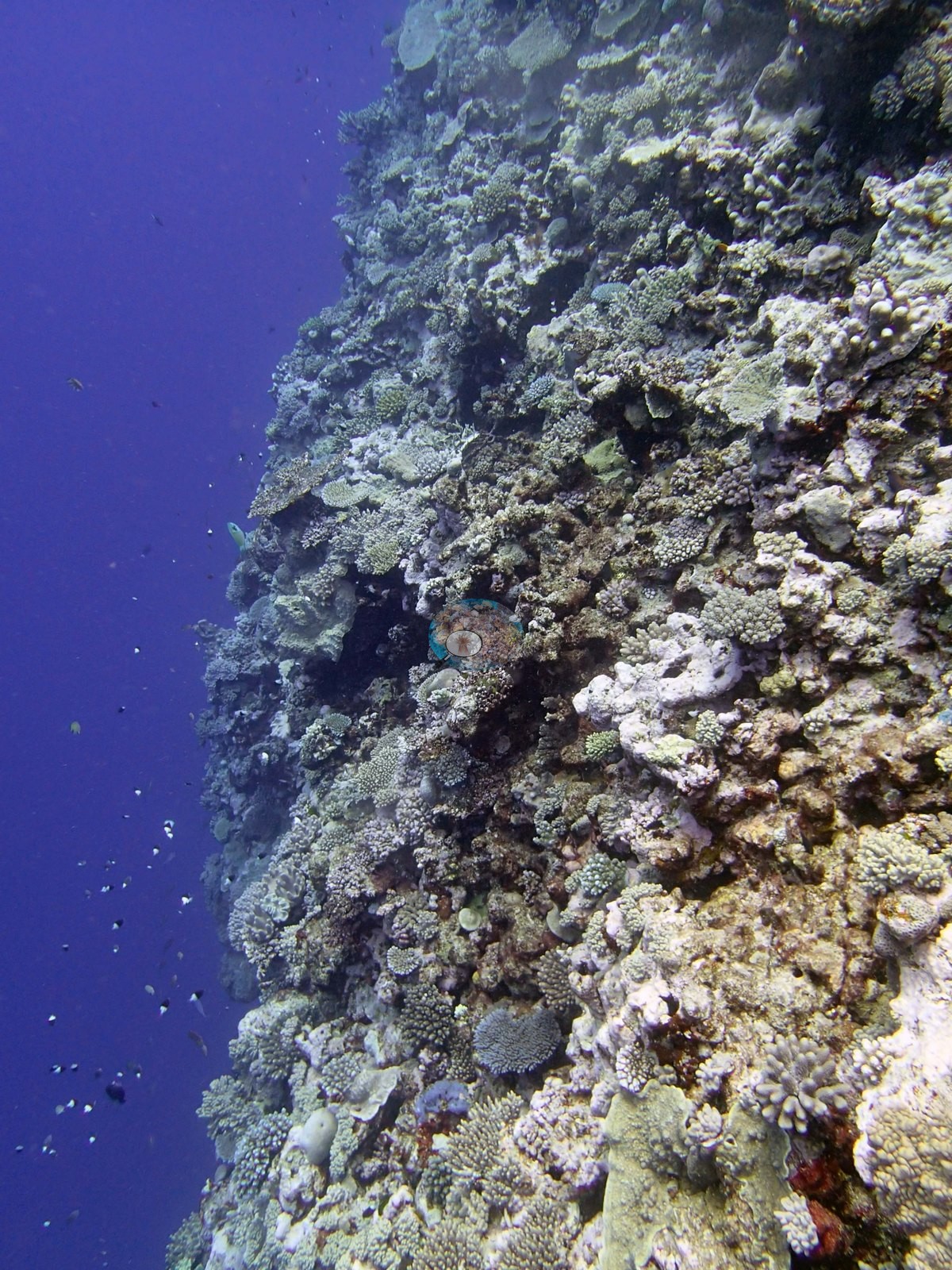
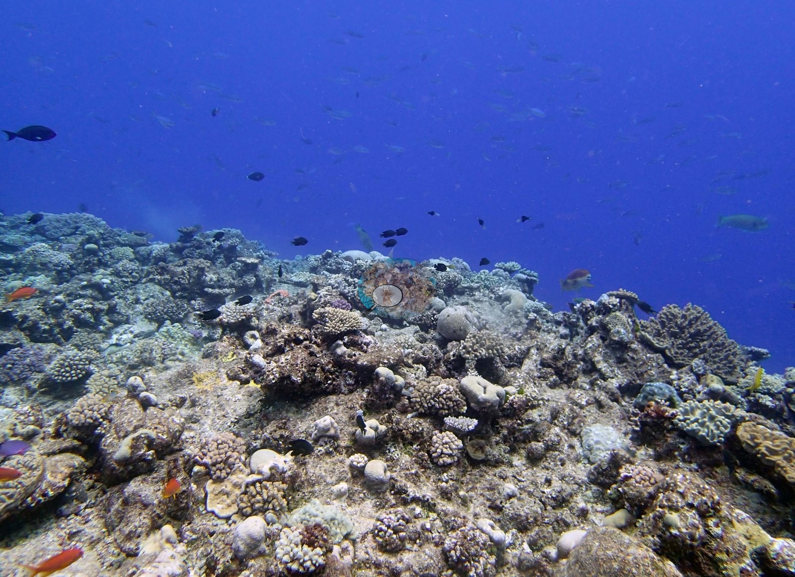
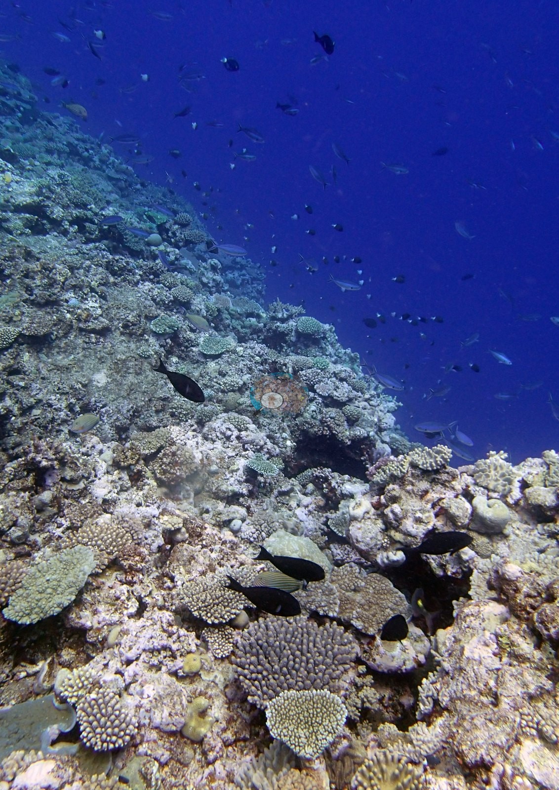
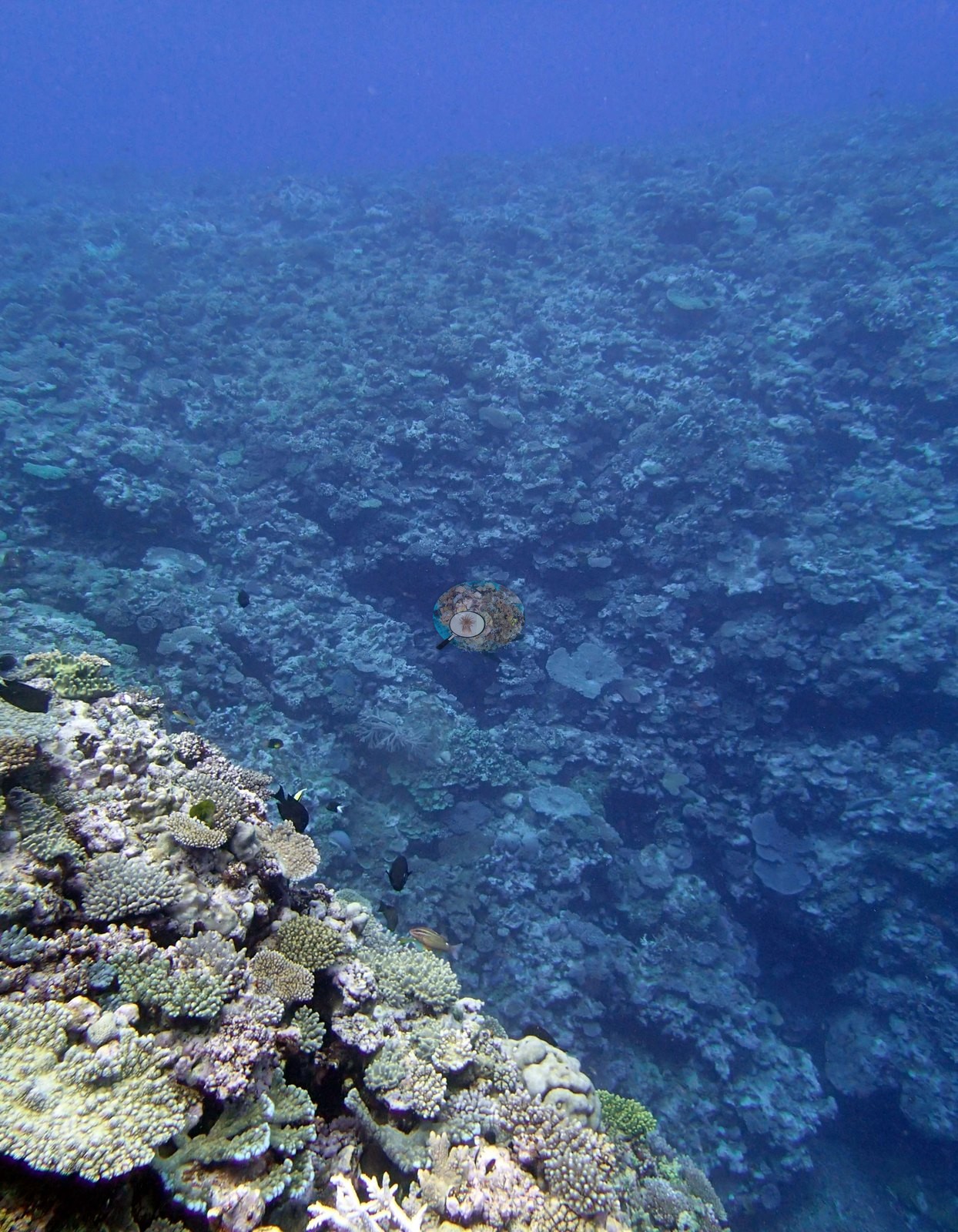
The set divides almost exactly in half between the reef top and the wall, and it is the wall frames that give this station its character. Nine frames are shot along or up a steep to near-vertical face falling away into violet-blue open water (e.g., Image 7, Image 6, Image 3, Image 13, Image 10, Image 9, Image 8, Image 4, Image 11).
General benthic features
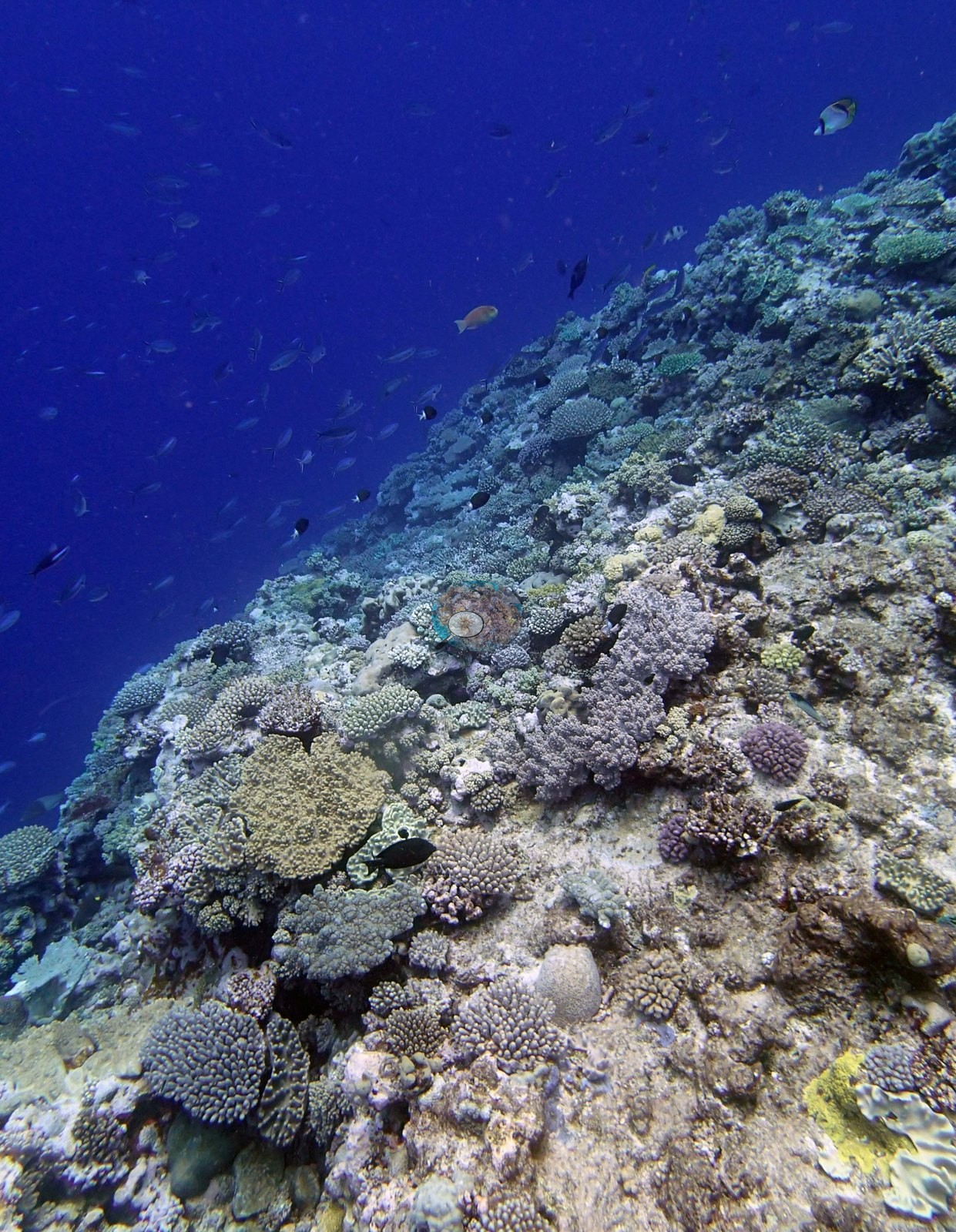
The face is heavily textured rather than smooth: knobbly encrusting and plating growth, pale cream and tan branching heads set into the vertical surface, small ledges and shadowed recesses, and stretches of algal- and coralline-toned rock between colonies. On the reef top and upper slope, the remaining wide frames look across a low-relief pavement of mixed small colonies rather than a thicket (e.g., Image 21, Image 19, Image 16, Image 12, Image 22, Image 20, Image 24).
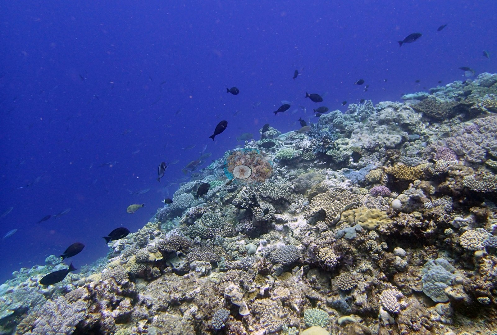
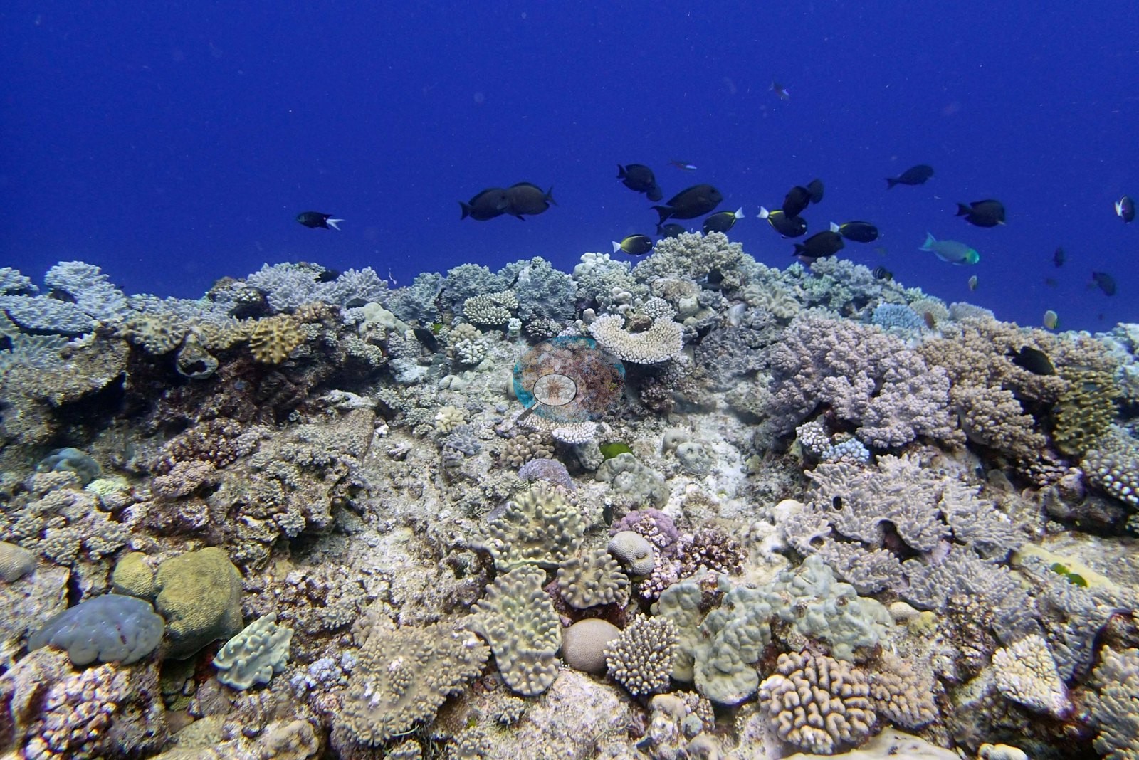
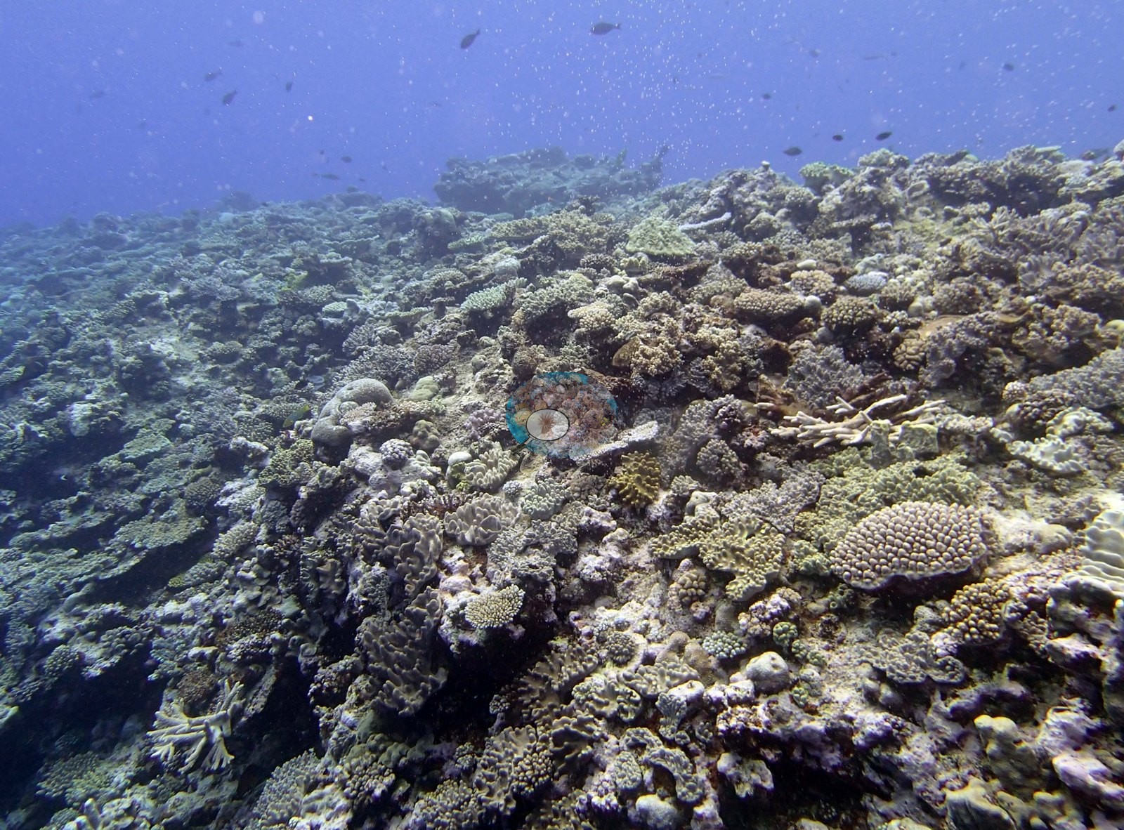
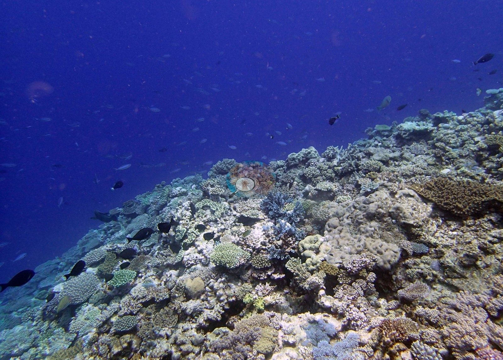
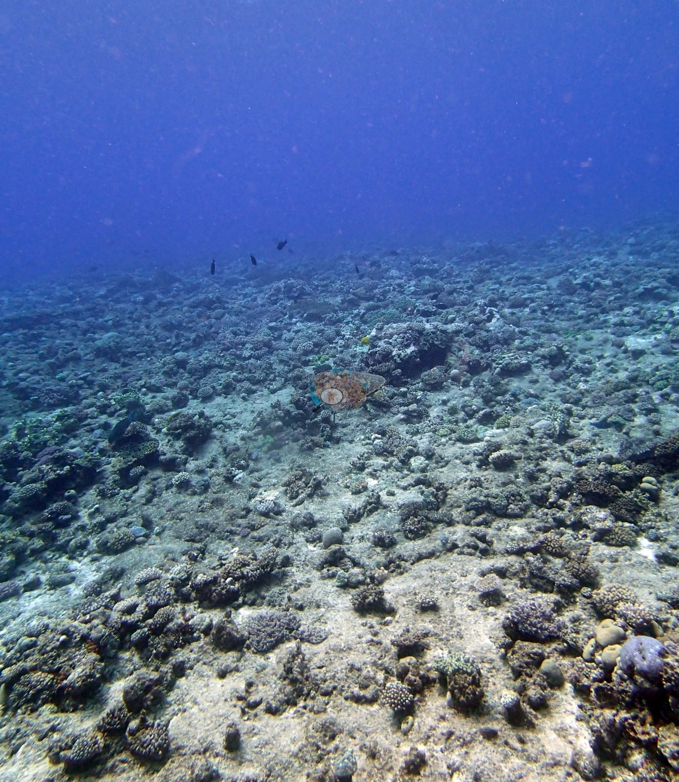
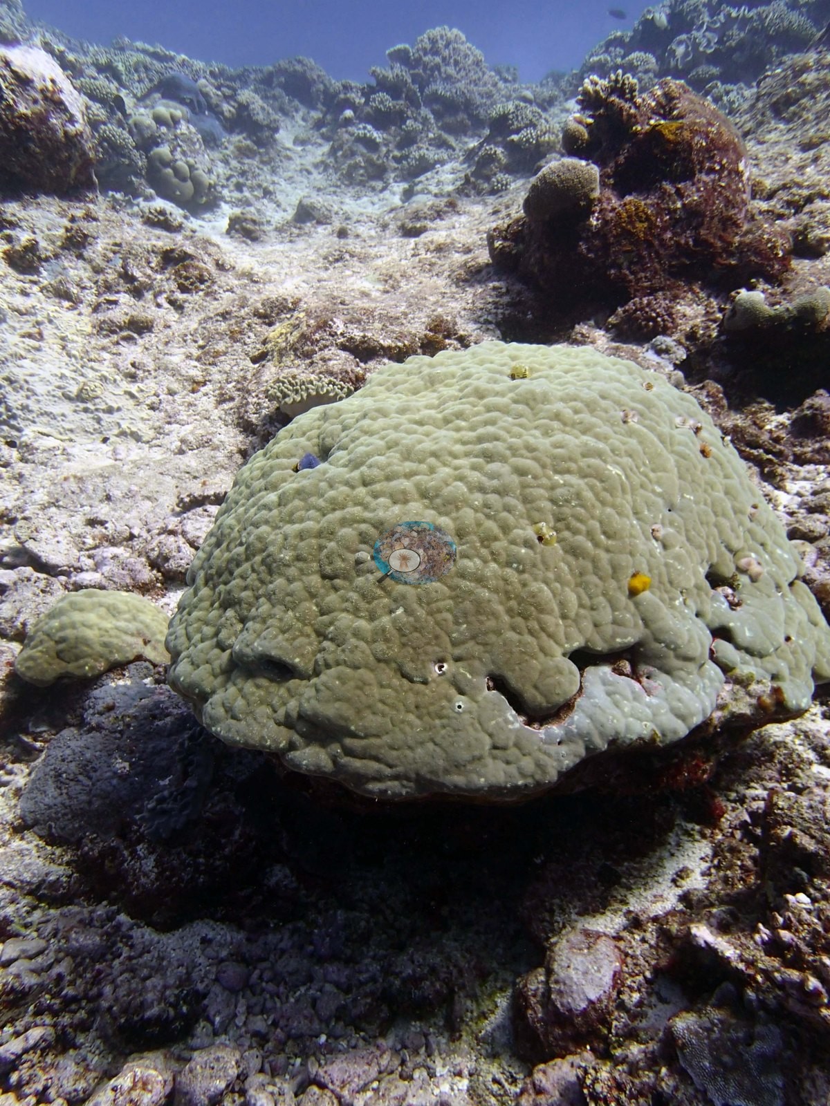
Small digitate and corymbose acroporids, low tan and olive massives, pale cream branching heads, brown plating and encrusting growth, and considerable exposed pavement and coralline-toned rock between colonies are visible throughout; this is a mosaic reef, not a continuous coral carpet, and the frames are consistent with the survey note that the shallow area here is patchier than the wall. A single large pale dome-shaped massive coral (a Porites-type growth form) sitting on rubble gets its own frame (e.g., Image 1).
Coral cover
- Reference: Khaled bin Sultan Living Oceans Foundation, Global Reef Expedition (in situ transect)
- What the frames cannot settle: no frame is a planar downward view and several are shot at long range through green water (e.g., Image 17, Image 13, Image 24), so nothing here supports a cover figure.
- Wall frames are strongly oblique and foreshortened, which exaggerates apparent cover on the face.
- Coral cover 40%, from LOF-GRE in situ transects (the mean of all of this station's own transects in the expedition's per-transect benthic data) — a diver transect measurement, not a photographic or computer vision estimate.
- Transect mean 40 ± 4.5% SE (n = 5 transects; Living Oceans Foundation per-transect benthic data); the headline above is this all-transect mean.
Stressors
No colony in the set reads as bleached or recently dead, though the flat ambient light and green cast wash the colors out and a subtle paling could not be detected in this material. The Living Oceans Foundation transects here recorded 2.0% cyanobacteria and no recently dead coral.
Fish and other fauna
Schooling fish hang off the face in most of these frames — dark, deep-bodied surgeonfish- and unicornfish-shaped silhouettes in loose formation (e.g., Image 7, Image 3, Image 8), a tight school of pale-flanked fish in mid-blue (e.g., Image 5), and clouds of small planktivores tight against the rock (e.g., Image 6, Image 9, Image 4).
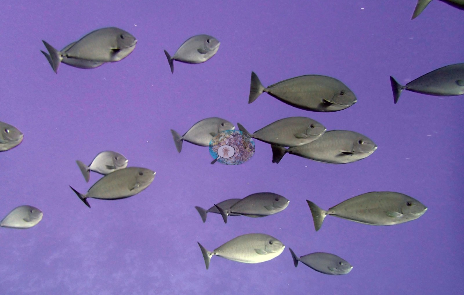
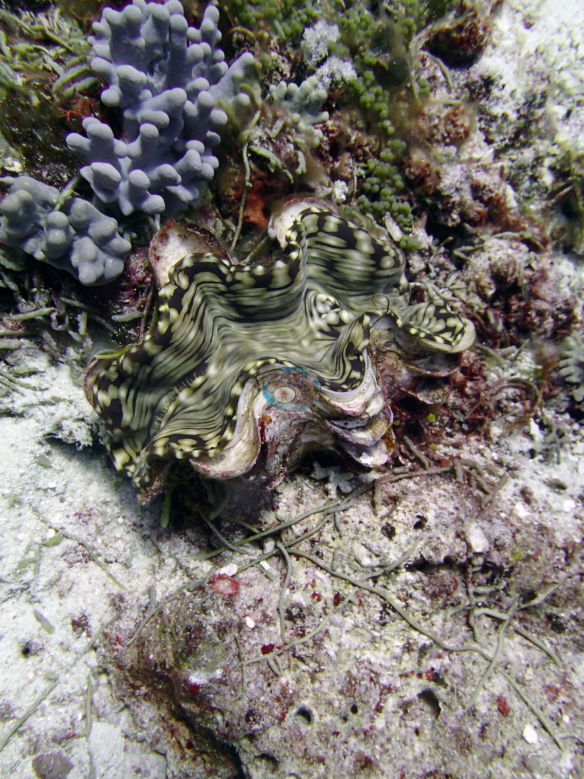
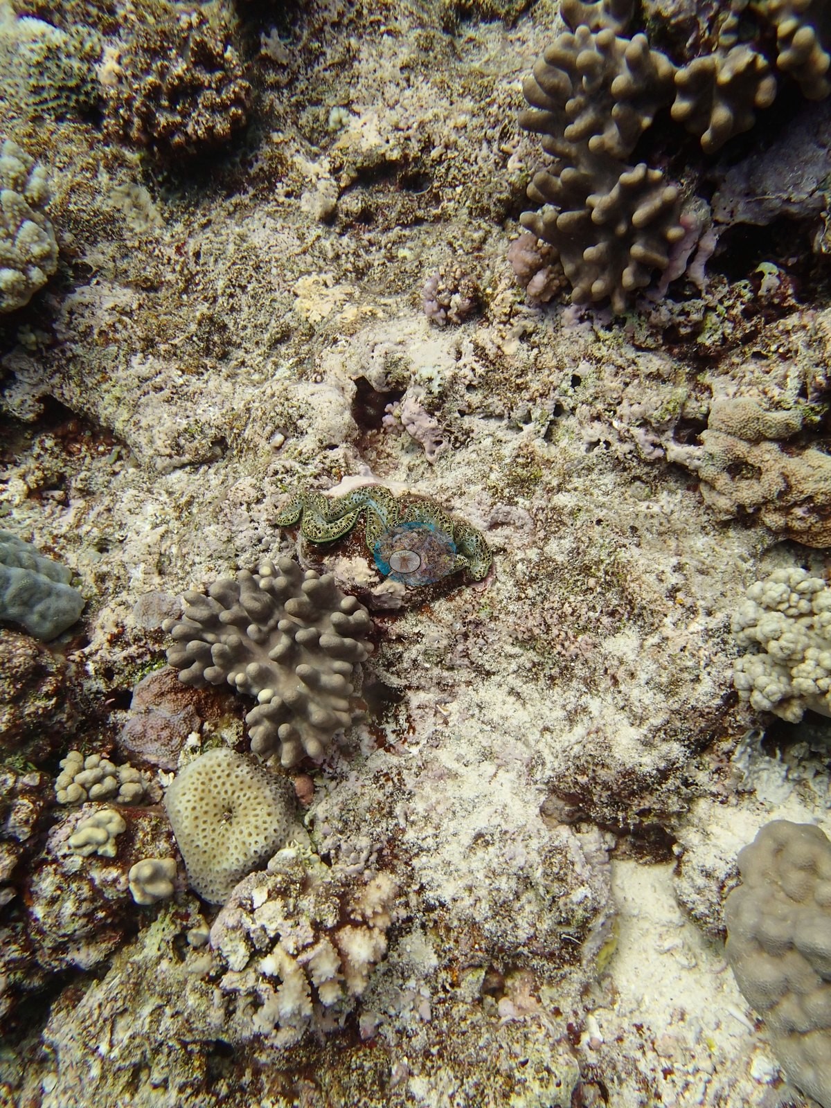
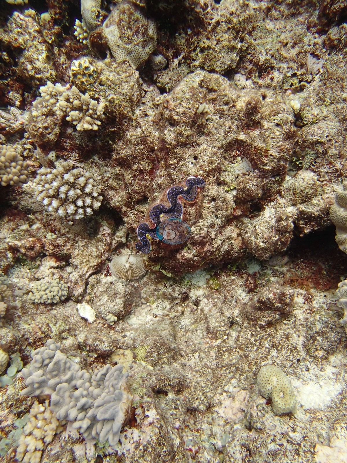
Damselfish and small planktivores are present over the reef top in most of these but not in the dense clouds seen on the wall. Three frames are giant clams (Tridacna) set into the pavement, mantles showing the characteristic wavy blue-and-olive zigzag banding, in one case flanked by small digitate colonies and encrusting growth (e.g., Image 2, Image 14, Image 15).
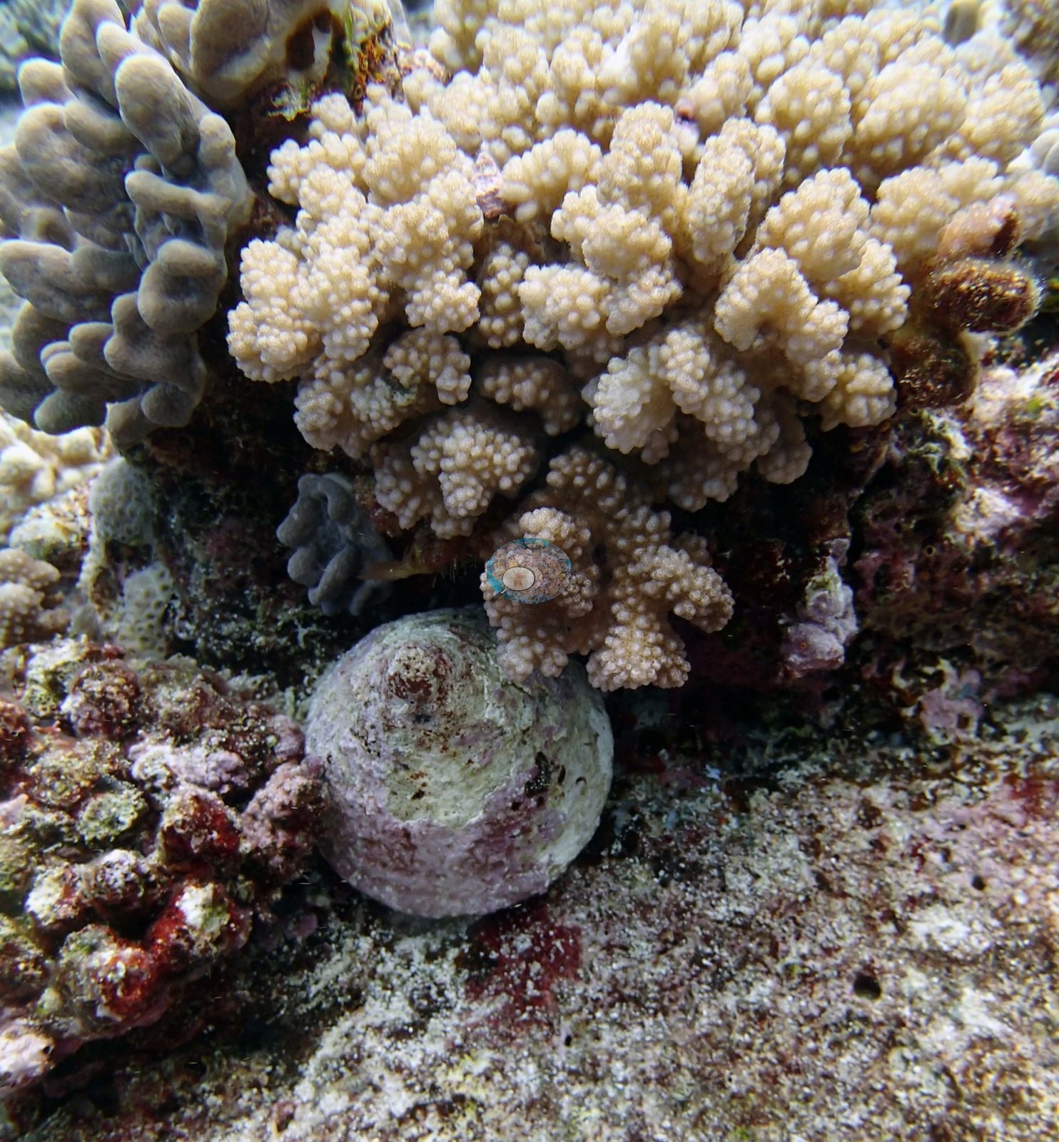
One frame shows a cream-white branching colony with a large round-whorled gastropod, which Anderson identified as a corallivorous snail, sitting at its base on the rubble — a field identification, so possible predation (one frame, Image 18).
In two frames Anderson recorded a Napoleon wrasse (e.g., Image 17) and a turtle (e.g., Image 24); both are wide hazy reef views in green-tinged water in which the animal cannot be made out, and those field identifications stand as the field record.
Comparisons with other data
Apart from the Living Oceans Foundation survey shown here, we found no other surveys at this site as of 2026. If you would like to share yours, please email us.
Other notes
One of Anderson's photographs shows the wall (e.g., Image 11), and in another noted the wall covered in fish (e.g., Image 4). Depth is not resolvable from the imagery; the wall frames give no reliable sense of how deep along the face they were taken.
Survey team's site notes: Fringing reef off another island in the north. This area has fairly low coral cover (10-20%), mostly small table and digitate acroporids, Pocillopora, Astreopora, small Porites, and high numbers of small Montastrea, with large numbers of soft corals (30-40% cover); exposed reef surfaces have good cover of CCA. Near vertical wall slopes to 40 + meters with deep, narrow channels. Much of the framework on the wall is thick branched corals. Interspersed are patches containing mostly plating corals on vertical surfaces including Echinophyllia, Pachyseris, Leptoseris scabra, Mycedium, and Montipora. Entire wall has very high relief with small ledges, crevices, and depressions in the wall that are up to 1-2 m wide and 1 m deep. The sides of these tend to have the highest cover, while Caulerpa was densest on the exposed outer surfaces of the wall.
CV model comparison
More info
The photo row below is a methods comparison only: it is never averaged with the transect and never used as the headline. It compares site means only: the photos come from the same survey dive as the transect but not from the same points.| Method | Hard coral cover (%) | Photos (n) ± SE |
|---|---|---|
| Transect mean (all transects) | 40.4 | |
| CoralSCOP unedited | 21.3 | n = 21 · SE 2.6 |
| Claude | 11.8 | n = 21 · SE 2.3 |
The two computer-vision methods differ by 9.5 pp (11.8–21.3%) and read 19.1–28.6 pp below the in-water transect (40.4%); the headline is the in-water transect because a diver transect is independent of the photographs.
See a more detailed, stand-alone version of this table.
Data & links
- Download benthic survey data (CSV) ↗
- Download all LOF-GRE data (933 sites) ↗
- Photo portfolio ↗
- Coral Reef Diagnostics region page ↗
All images from Coral Reef Diagnostics. Data are from the Khaled bin Sultan Living Oceans Foundation Global Reef Expedition and Coral Reef Diagnostics.
 © Coral Reef Diagnostics.