
Part of the regional summaries: Tonga - Ha'apai and Tonga
More info
Southern Tonga (NOAA CRW virtual station)A fringing reef of very large mounds off the north side of the island, with dense coral and soft coral at the mound edges and big Porites lobata heads scattered in the rubble channels. Coral death increased with depth, snail damage on Acropora was common, and many Favia stelligera colonies were partially bleached. Surveyed on the Living Oceans Foundation's Global Reef Expedition.
Ko ha hakau matafonua (fringing reef) ʻo e ngaahi puke lalahi ʻaupito ʻi he tafaʻaki tokelau ʻo e motu, mo e feo fefuʻifuʻi mo e feo molū (soft coral) ʻi he ngaahi tafaʻaki ʻo e puke pea mo e ngaahi tumutumu Porites lobata lalahi ʻoku mafola ʻi he ngaahi hala vai maka momoa (rubble channels). Naʻe lahi ange ʻa e mate ʻa e feo ʻi he loloto ange, naʻe angamaheni ʻa e maumau ʻa e ʻelele (snail damage) ʻi he Acropora, pea naʻe hinehina ha konga ʻo ha ngaahi kulupu Favia stelligera lahi.
AI translation of this summary; the English is authoritative. (low confidence)
CTD-cast midpoint of 26.0–26.1°C
More info
Anderson's dive computer read 23.9°C (a single reading, probably a dive mean).Two other CRD dive sites with their own pages within 5 km shown in orange — click a marker to open its page.
16 of the 22 photographs on this page are shown beside the text that discusses them under "Site description" below.
Site description
Setting
Fringing reef off north side of island. A series of very large mounds, some 3-4 m from the surface, and other seaward mounds coming up to 4-5 m. The mounds sloped moderately steeply on the sides and seaward end to sand/rubble channels and a sand field at 30 m.
General benthic features
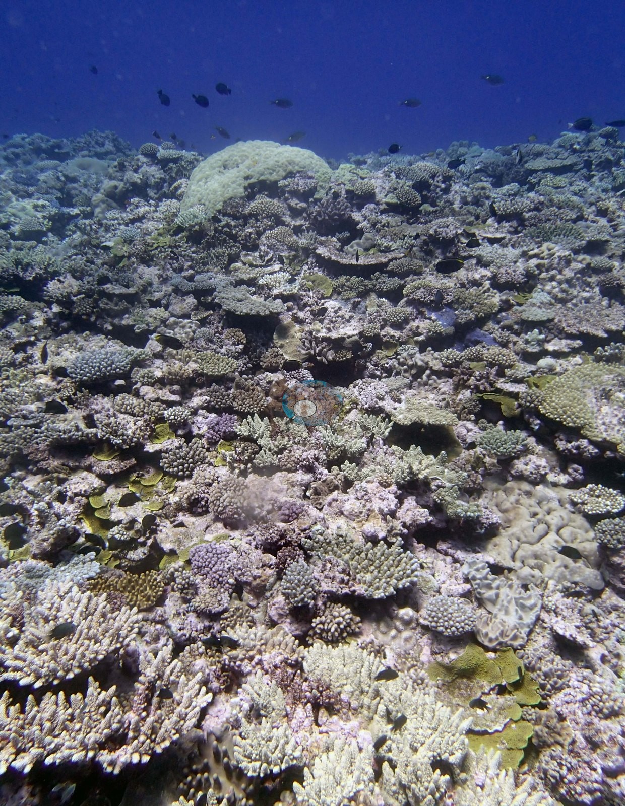
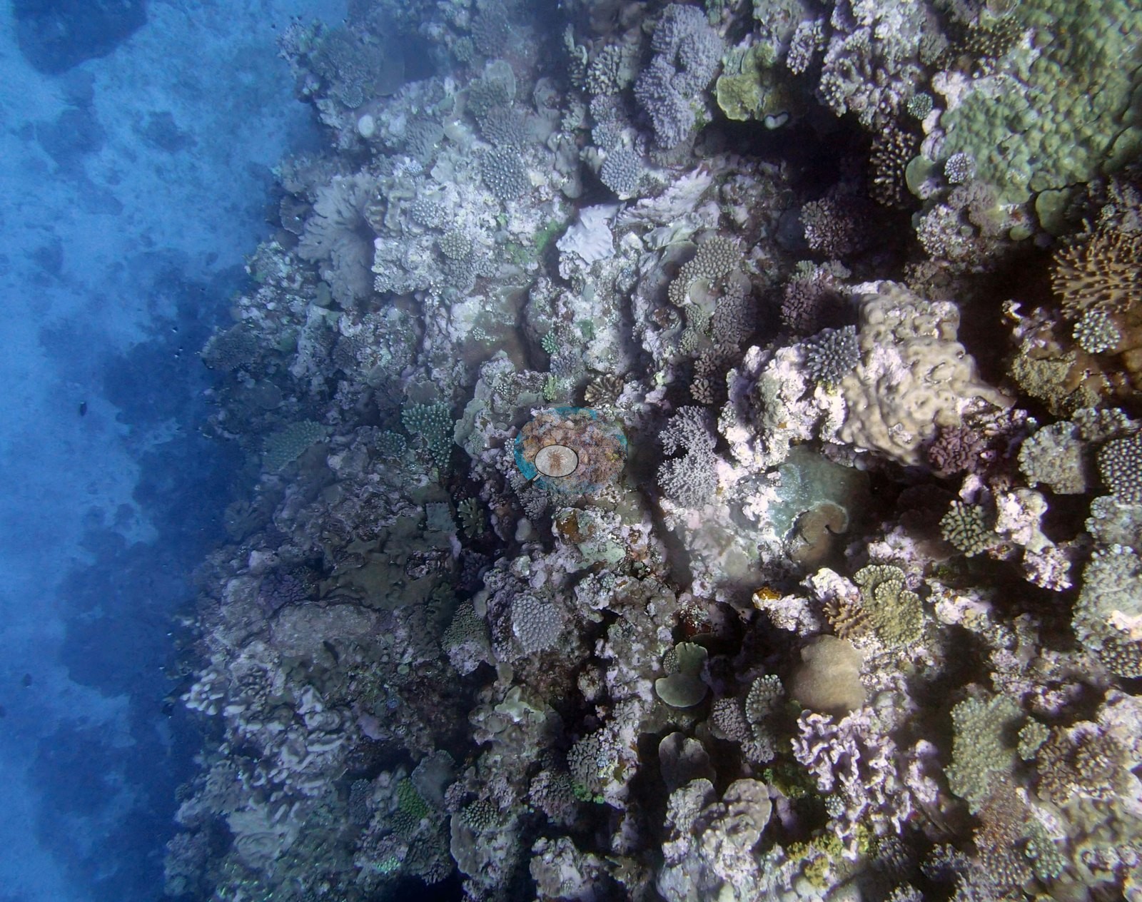
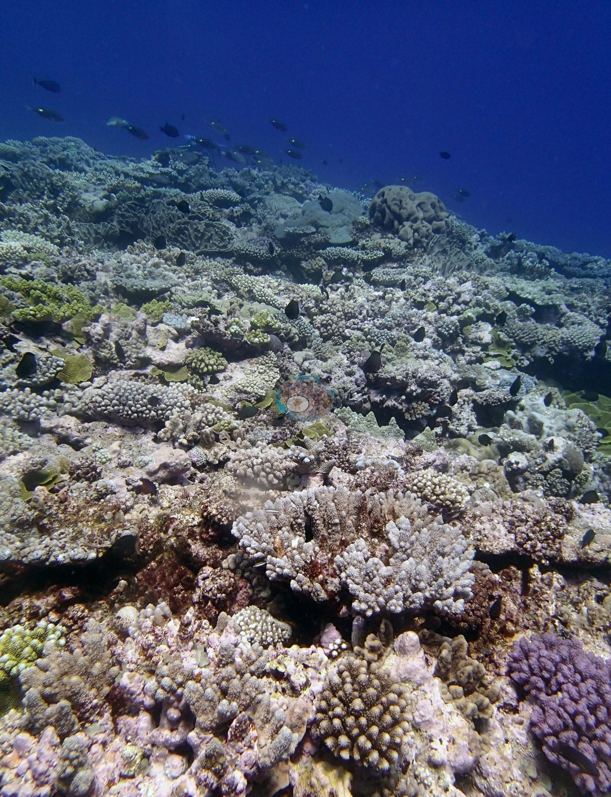
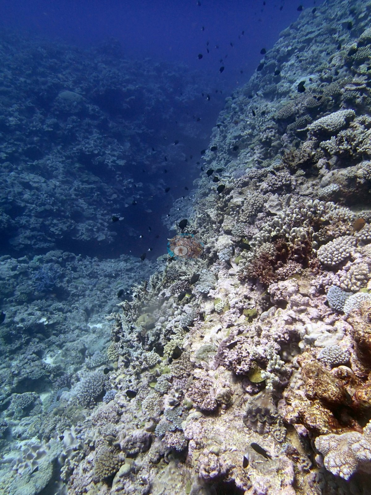
The fifteen reef views are consistent with the mound-and-channel topography the surveyors recorded. Several look along a gently convex reef top that carries dense, structurally complex coral almost to the frame edges (e.g., Image 1, Image 4, Image 16, Image 25), and three look over the shoulder of that surface as it falls away into open blue water with the coral concentrated at the break (e.g., Image 6, Image 18, Image 23).
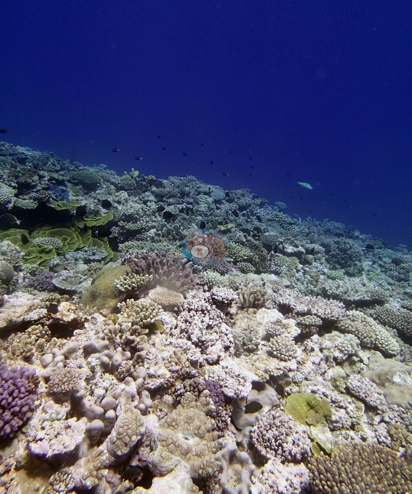
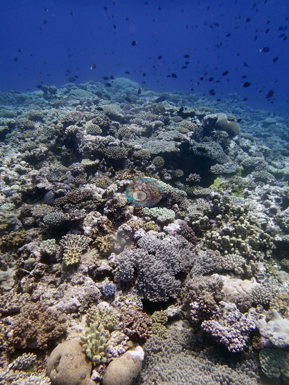
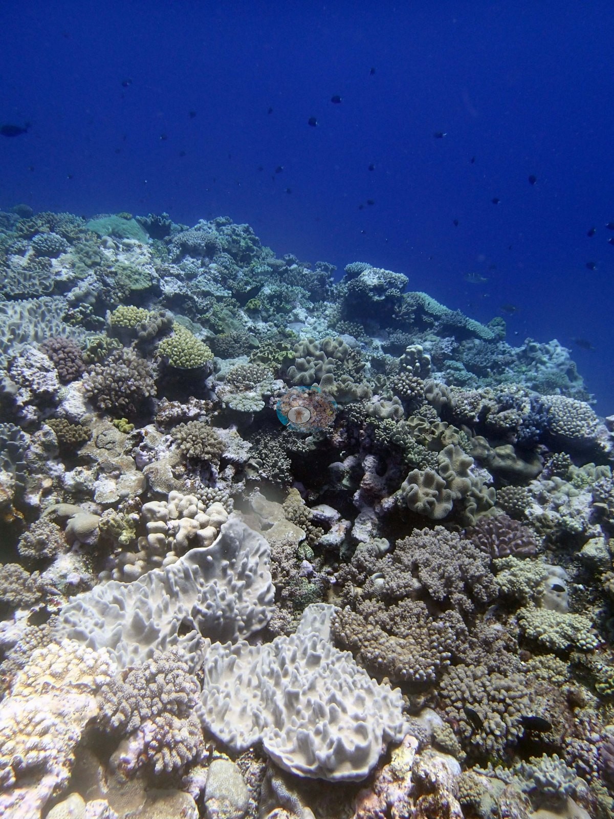
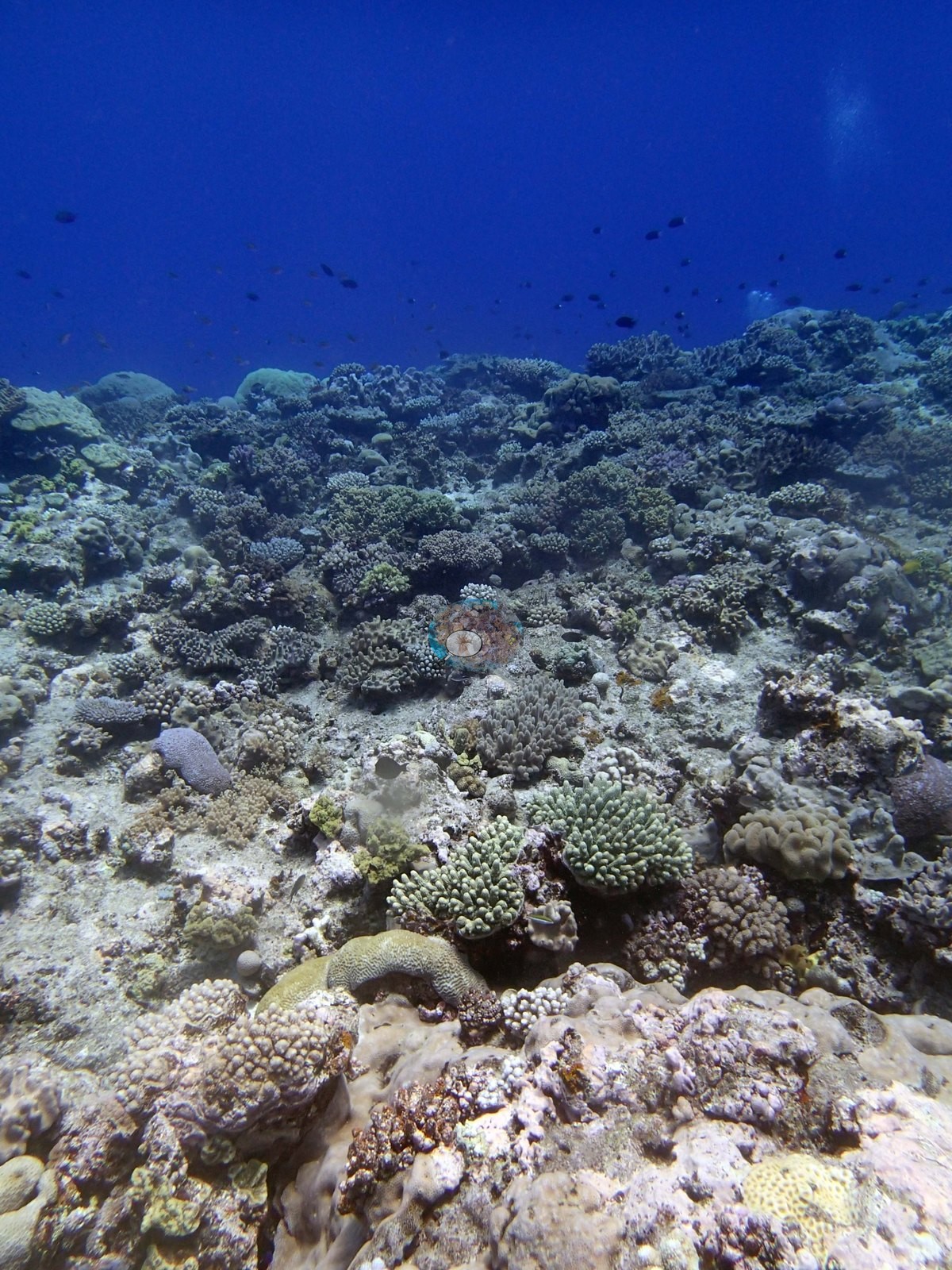
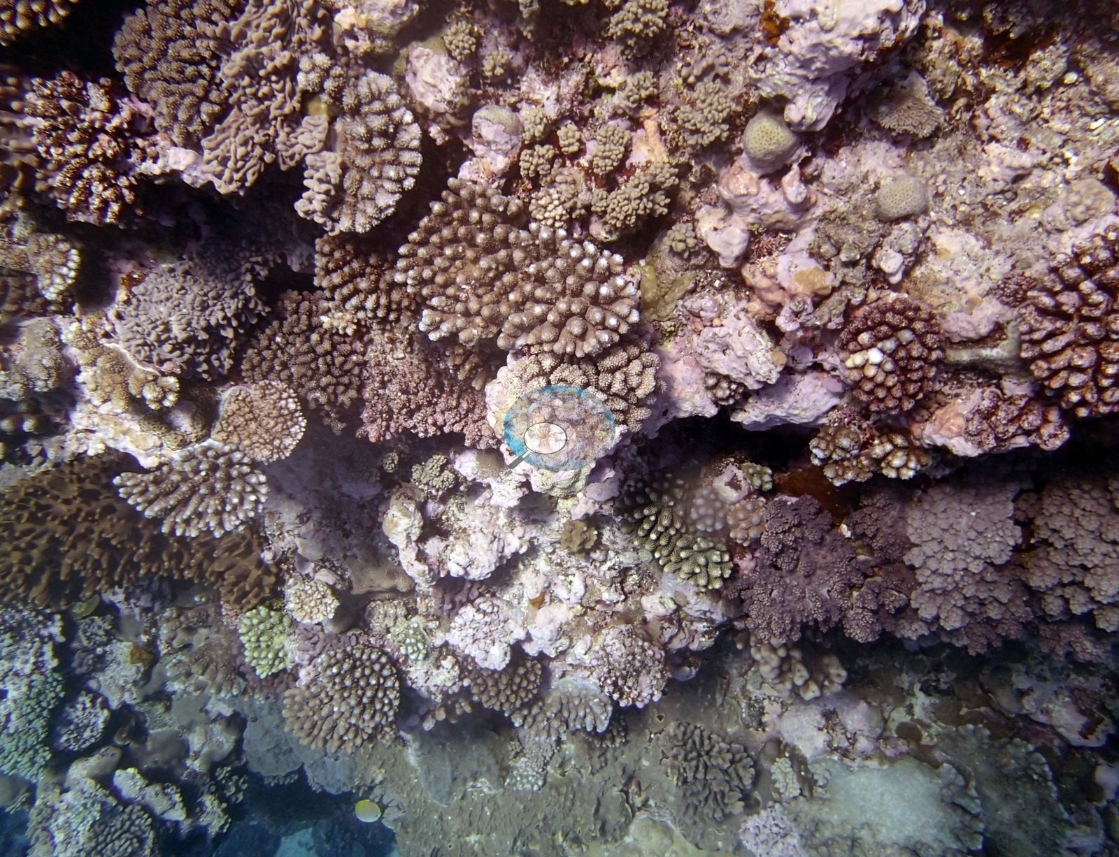
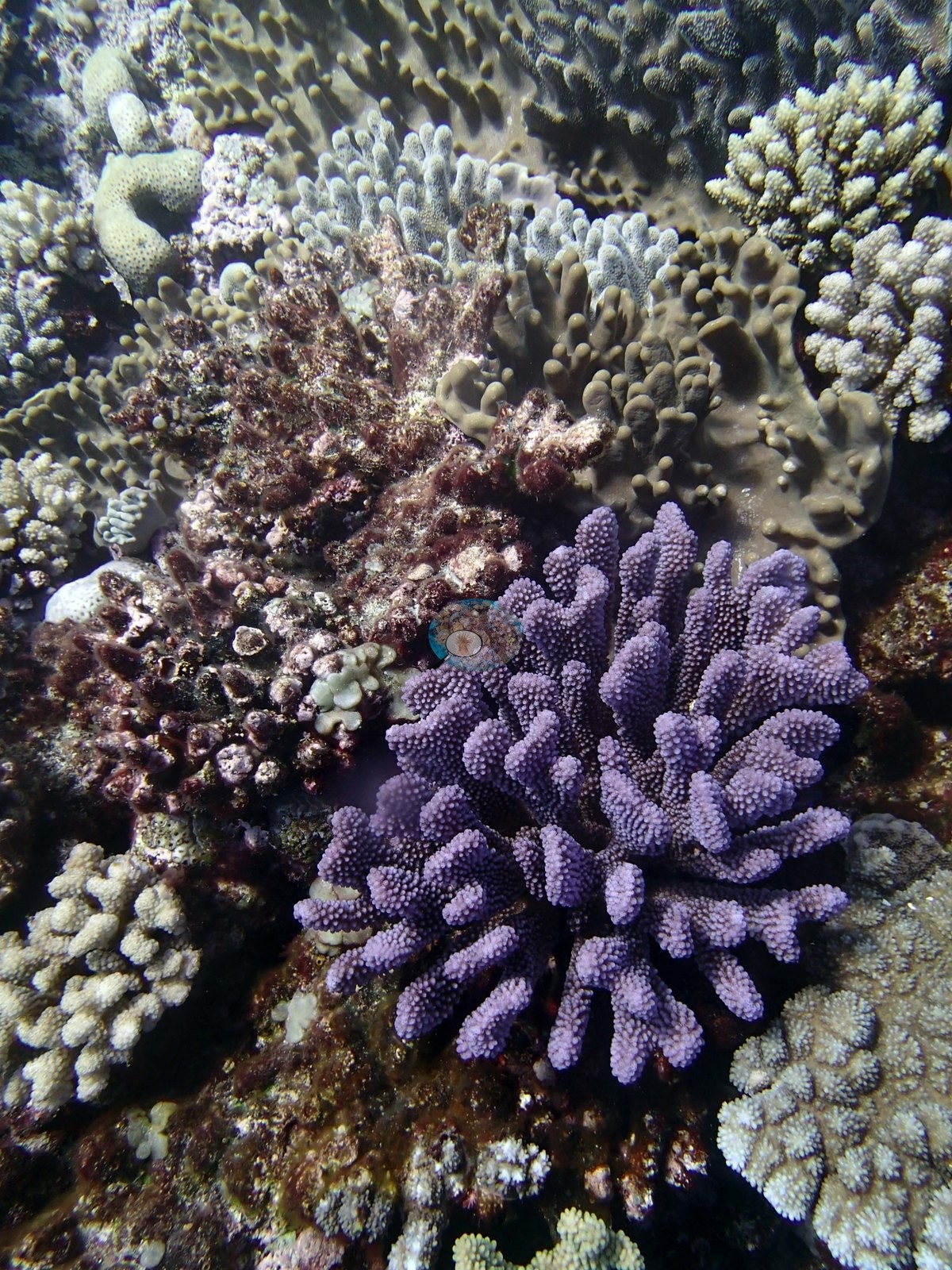
Where the camera sits on the mound top the community is a tightly packed mosaic rather than a stand of any one growth form: short digitate and corymbose branching colonies of many colors — cream, tan, pale blue-gray, lilac, and a striking violet-purple digitate colony that dominates the close view (e.g., Image 2) and reappears in Image 3, Image 4, and Image 24 — packed between knobby and encrusting heads, low mounding massives, olive and yellow-green plating and encrusting sheets, and pink and maroon coralline crusts filling the interstices. Image 10 and Image 20 add the larger mounding component, including a big smooth brown massive in Image 20 with a pink-mauve digitate colony perched on it.
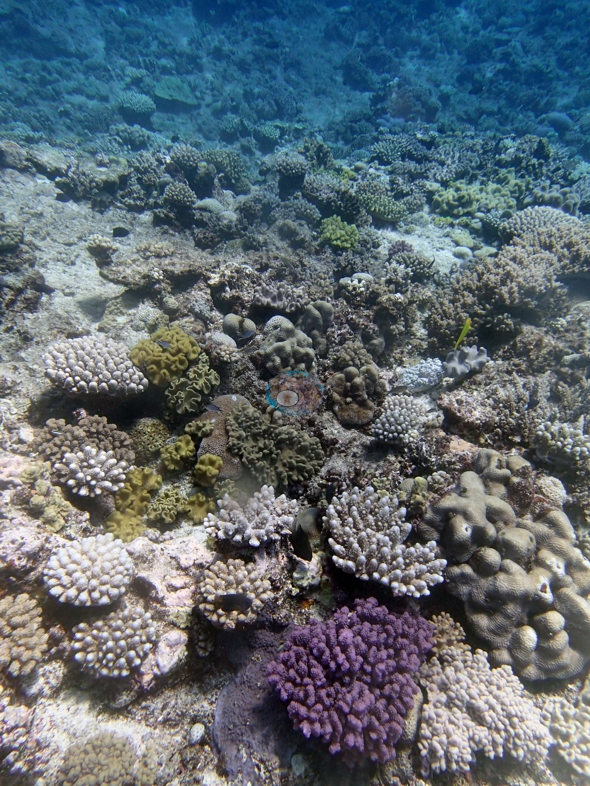
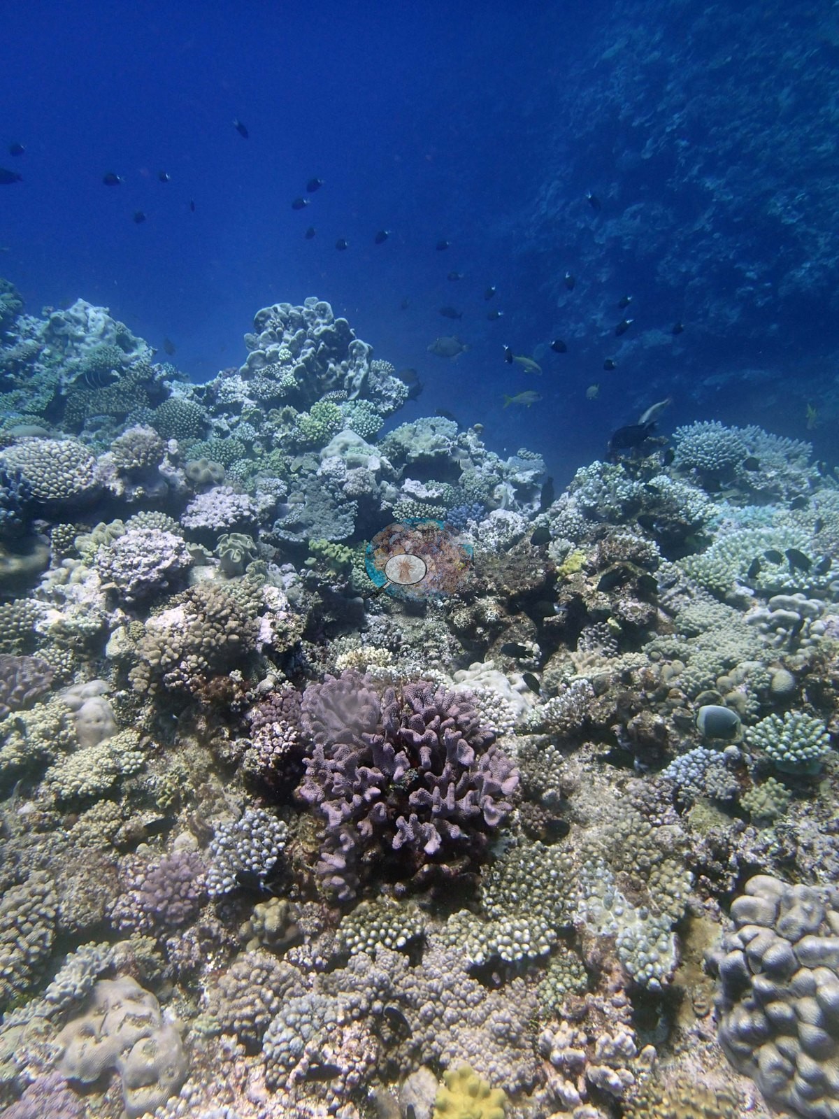
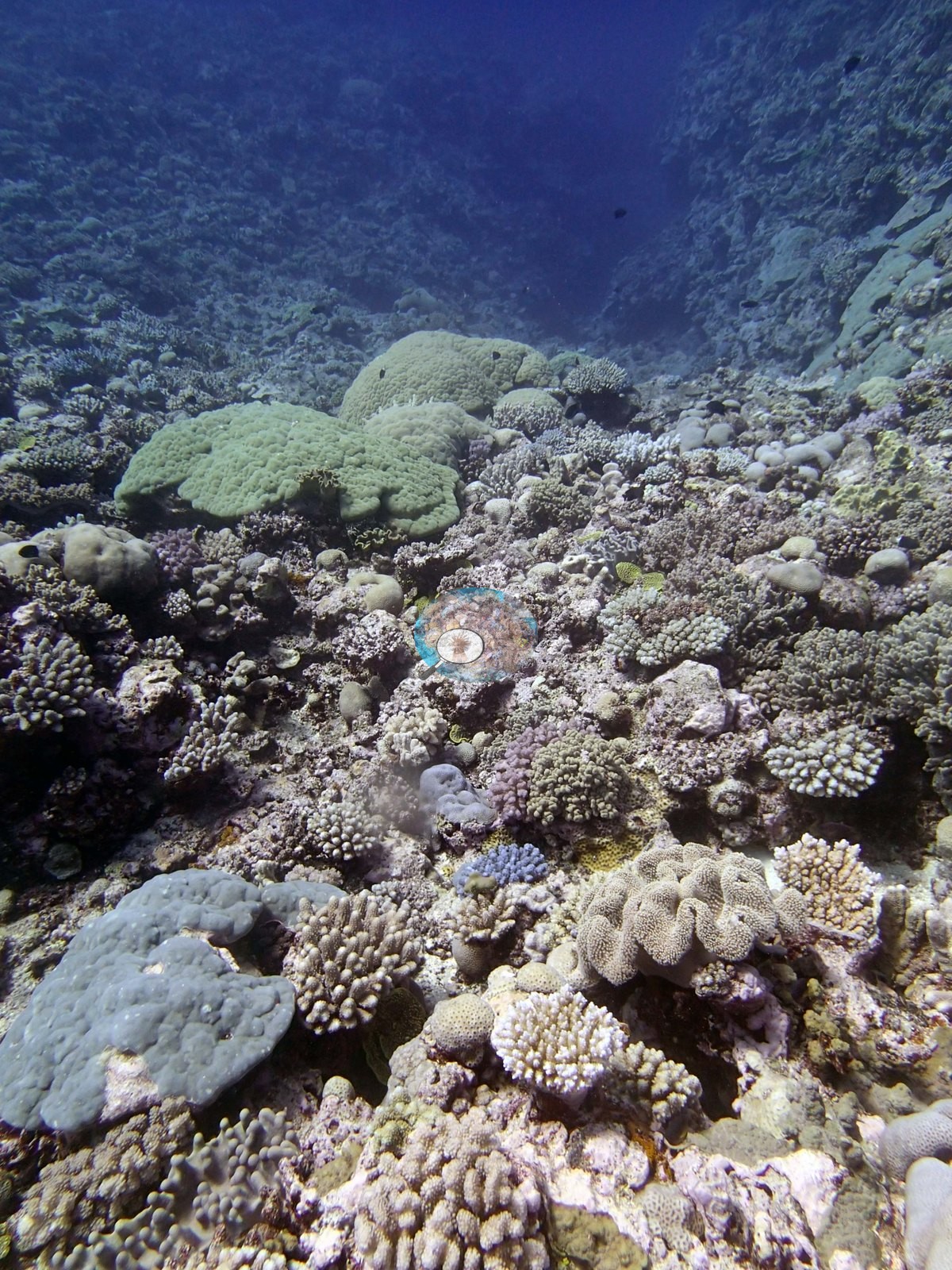
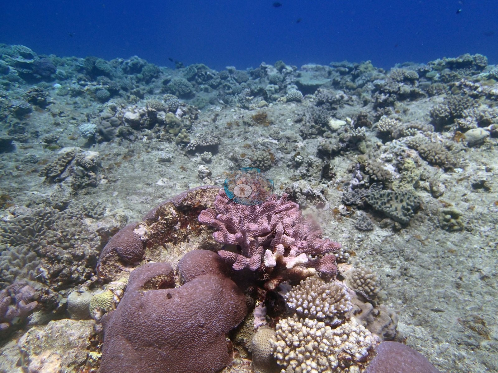
The frames also record the low-cover end of the same reef that the surveyors described: Image 13 and Image 20 look across broad, flat, scoured-looking hardground with sparse, widely spaced colonies and a dull pavement between them, and the upper background of Image 4 and Image 18 is similar. Image 8 and Image 19 are giant clams, both with the fluted mantle open, one sitting beside a large pale meandroid brain colony.
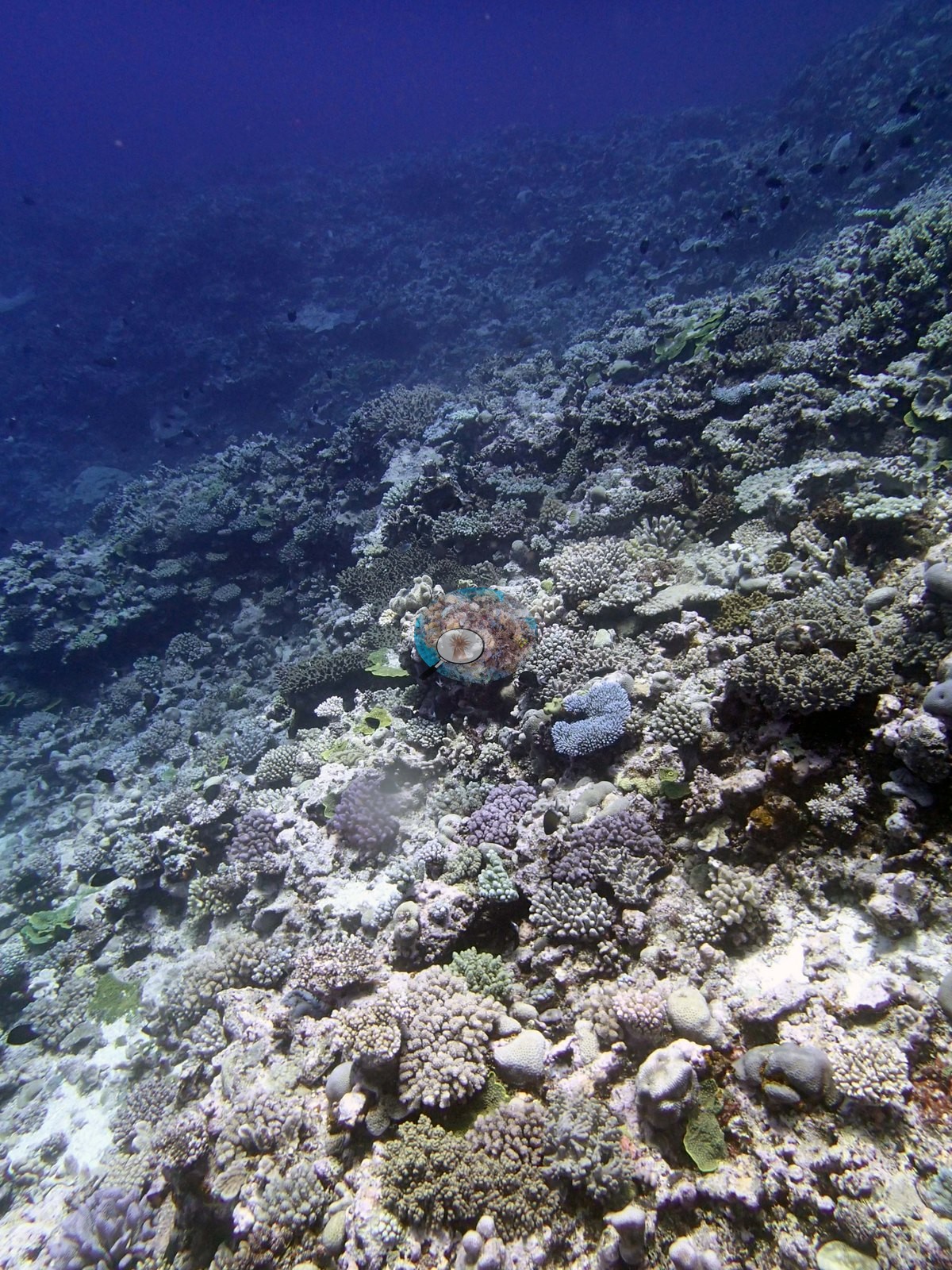
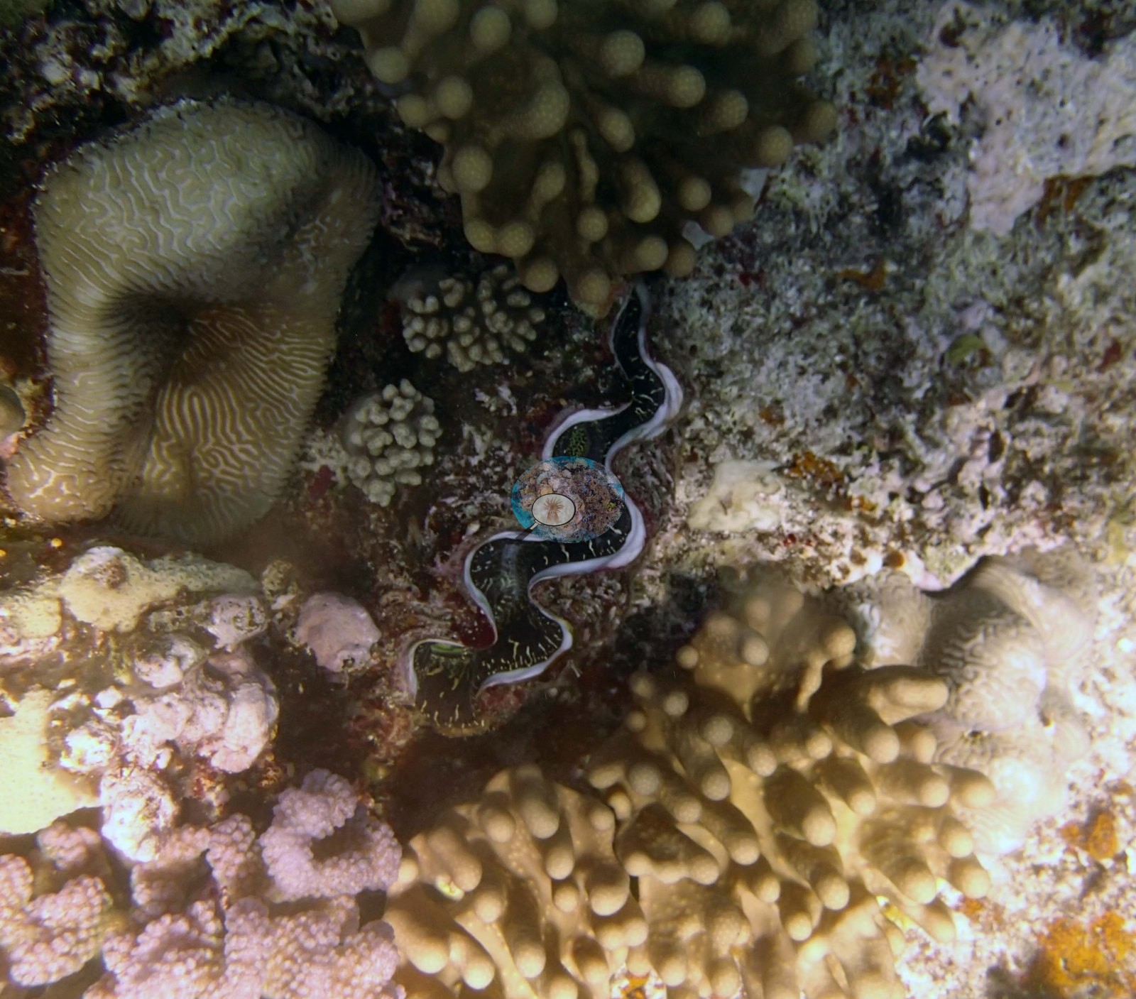
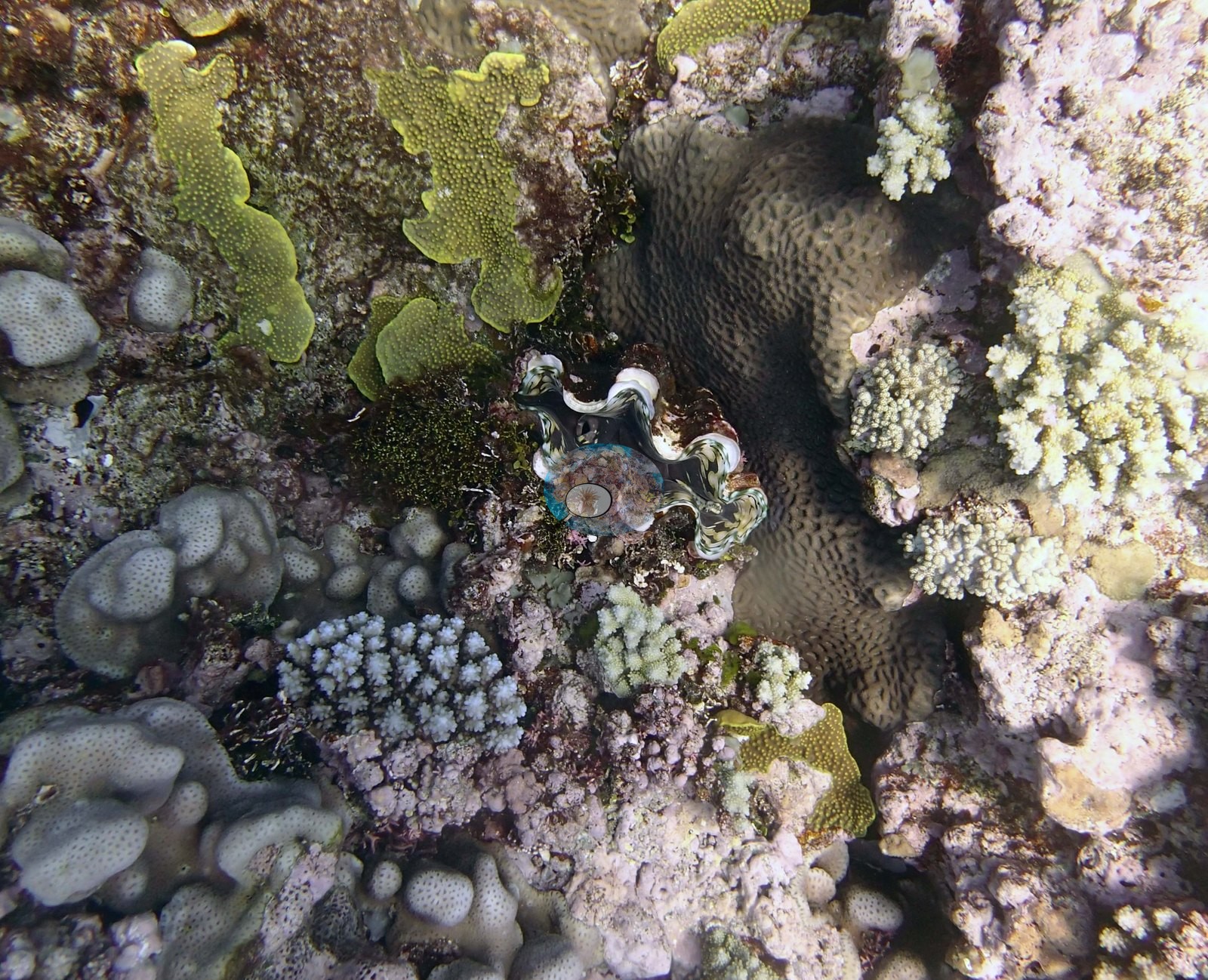
The tops of the mounds ranged from low cover, scoured turf colonized hardground away from the edge, to dense coral and soft coral communities at the edges of the slope. Turf algae increased from sparse coverage (5.0–10%) on the tops of the mounds to 60-80% with dense carpets in damselfish territories.
Coral cover
- Reference: Khaled bin Sultan Living Oceans Foundation, Global Reef Expedition (in situ transect)
- 34%, from the Khaled bin Sultan Living Oceans Foundation's in situ transect survey (Global Reef Expedition site data); the photographs illustrate the site.
- Both extremes — near-continuous coral at the crest, sparse colonies on the scoured flats — appear in this set.
- There is no scale object, quadrat, or transect tape in any image, so no colony dimension can be read from them, and no frame carries depth information, so the survey’s finding that live cover falls from about 20% to 5.0% between the mound tops and 30 m is neither confirmed nor contradicted here.
- Transect mean 34 ± 4.2% SE (n = 5 transects; Living Oceans Foundation per-transect benthic data); the headline above is this all-transect mean.
Stressors
The amount of partial and whole colony mortality increased with depth, with live coral cover declining from 20% to 5.0% at 30 m. Pale cream and near-white colonies are common in the sunlit shallow frames, but at these ranges natural pale pigmentation, surface glare and water-column attenuation cannot be separated from tissue paling, so the partial bleaching of Favia stelligera the surveyors reported is not something this photographic set can verify; nor could the snail-feeding scars on acroporids or the two Culcita be identified with confidence in any frame. Many Favia stelligera and a few other corals were partially bleached. Many small dead corals were found on the tops of the mounds. Typical recent thermal stress: mean annual maximum of 8.1°C-weeks (Degree Heating Weeks, 2021-2025, NOAA CRW; Southern Tonga virtual station). The 2013 survey notes for this site record common recent snail damage on Acropora and two Culcita cushion stars (Khaled bin Sultan Living Oceans Foundation expedition site notes, 2013; regional summary in Bruckner 2014). The Living Oceans Foundation transects here recorded 1.8% cyanobacteria and no recently dead coral.
Fish and other fauna
Conspicuous non-coral fauna is well represented because Anderson photographed it on purpose. Image 7 shows a large mottled gastropod identified as a Triton’s trumpet, wedged into the framework among bright green plating colonies; tritons are one of several known predators of Acanthaster.
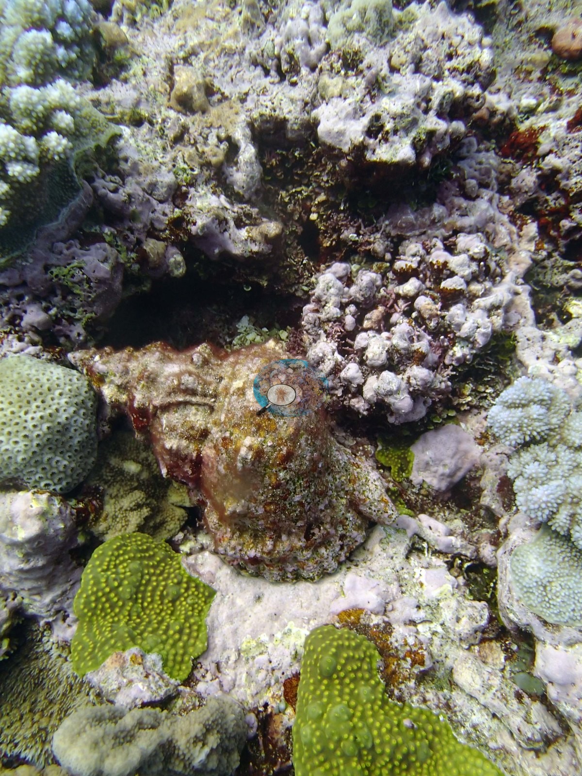
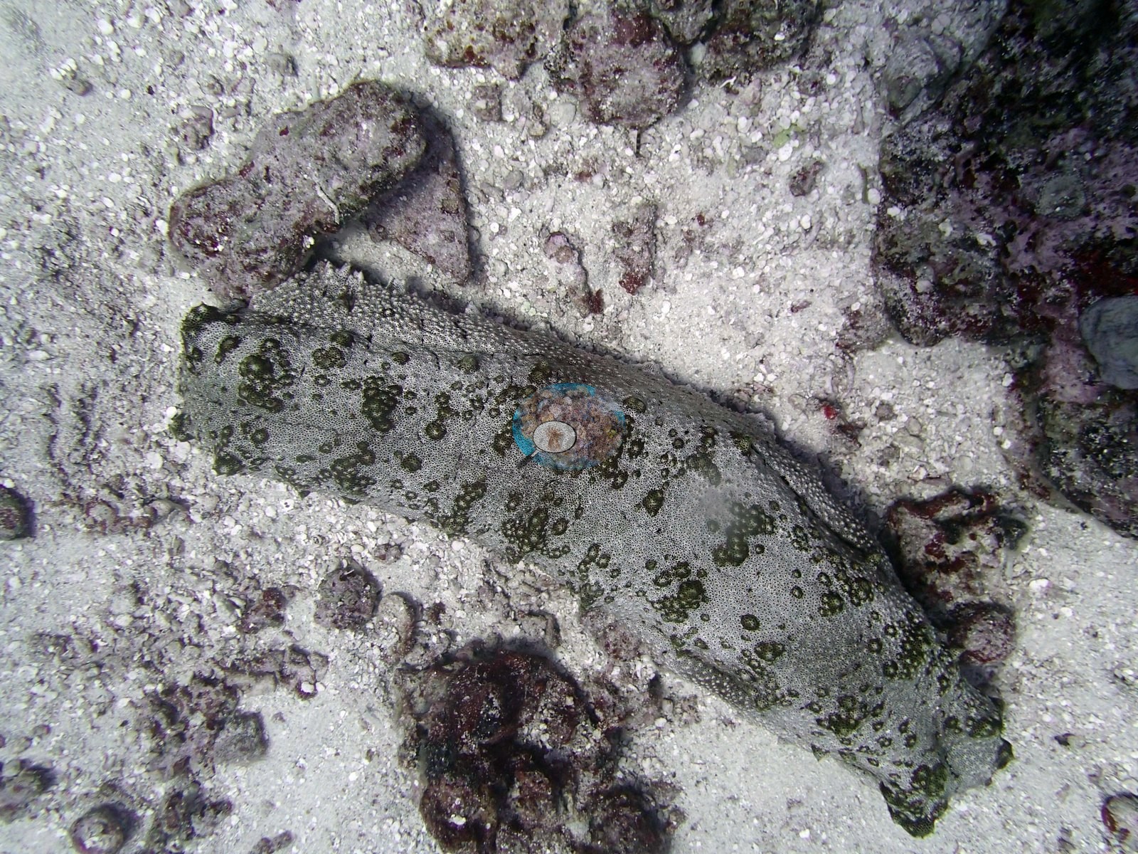
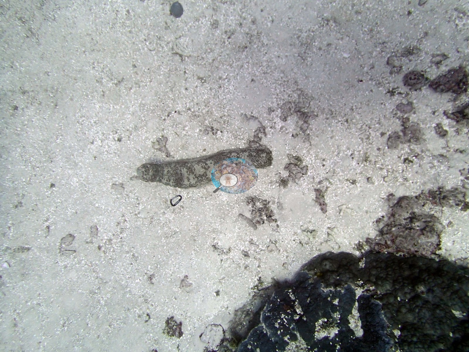
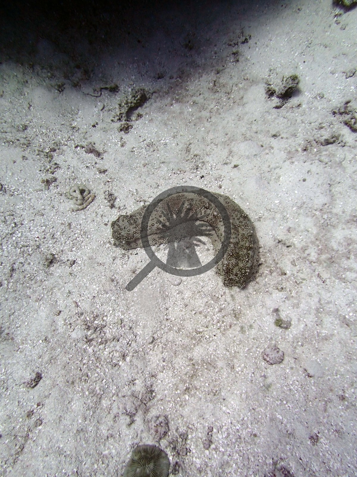
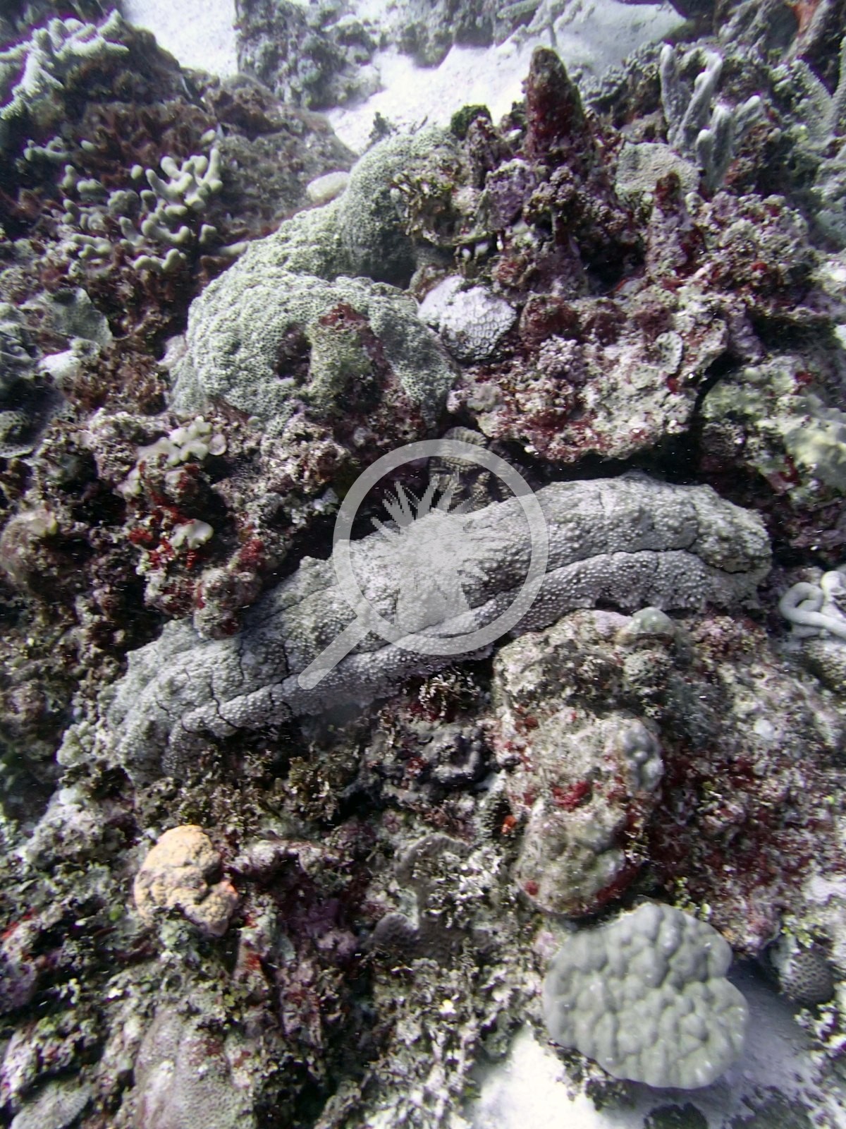
Small planktivorous damselfishes and other reef fish appear over the reef top in most of the wide frames, densely so in Image 25. Several sea cucumbers lay in the sand channels.
Comparisons with other data
James Cook University and the Ministry of Fisheries Tonga surveyed a nearby station (Moungaone SMA), 0.41 km from the pin; we could not confirm that it is the same reef. If you have survey data from this site to share, please email us.
Other notes
Twenty-two habitat frames survive from the Ha'apai dive of 21 Sep 2013, and no sampled-colony frames at all. None of the target Pocillopora of Anderson's colony sampling program ('no Pdam') was found here to sample. That annotation is the reason the site has habitat photography and no colony photography, and it is a genuine observation about the site in its own right. Fifteen of the frames are wide and mid-range reef views and seven are deliberate subject shots of animals Anderson identified (a Triton’s trumpet, two giant clams, four sea cucumbers); all twenty-two were staged as habitat, and the account on this page leans on the fifteen reef views.
Survey team's site notes: Channels are sand with a lot of rubble, along with scattered large (1-3 m) mounding Porites lobata. The tops of the mounds were dominated by Digitate acroporids, Astreopora, Pocillopora, Montipora plates, and small massive colonies, Goniastrea, large (up to 1 m) massive Turbinaria peltata and many other smaller corals with 20% soft coral. The sides had more Porites, Coscinaraea, Favia stelligera columns, Goniastrea, and Astreopora mixed with plating Montipora, Isopora, small table acroporids, and other species. Similar massive faviids (especially Goniastrea, Favia stelligera, Favia favus, Platygyra, and crusts of favites), Stylophora, Porites, Leptoria, and Isopora occurred on the deeper reef but these had high mortality.
CV model comparison
More info
The photo row below is a methods comparison only: it is never averaged with the transect and never used as the headline. It compares site means only: the photos come from the same survey dive as the transect but not from the same points.| Method | Hard coral cover (%) | Photos (n) ± SE |
|---|---|---|
| Transect mean (all transects) | 34.5 | |
| CoralSCOP unedited | 39.2* | n = 18 · SE 2.1 |
| Claude (edited photos) | 36.6* | n = 18 · SE 2.5 |
The two computer-vision methods agree within 2.6 pp (36.6–39.2%) and read within 4.7 pp of the in-water transect (34.5%).
*Based on only 18 reef-habitat photos; this estimate is less certain.
See a more detailed, stand-alone version of this table.
Data & links
- Download benthic survey data (CSV) ↗
- Download all LOF-GRE data (933 sites) ↗
- Photo portfolio ↗
- Coral Reef Diagnostics region page ↗
All images from Coral Reef Diagnostics. Data are from the Khaled bin Sultan Living Oceans Foundation Global Reef Expedition and Coral Reef Diagnostics.
 © Coral Reef Diagnostics.