

Part of the regional summaries: Tonga - Ha'apai and Tonga
More info
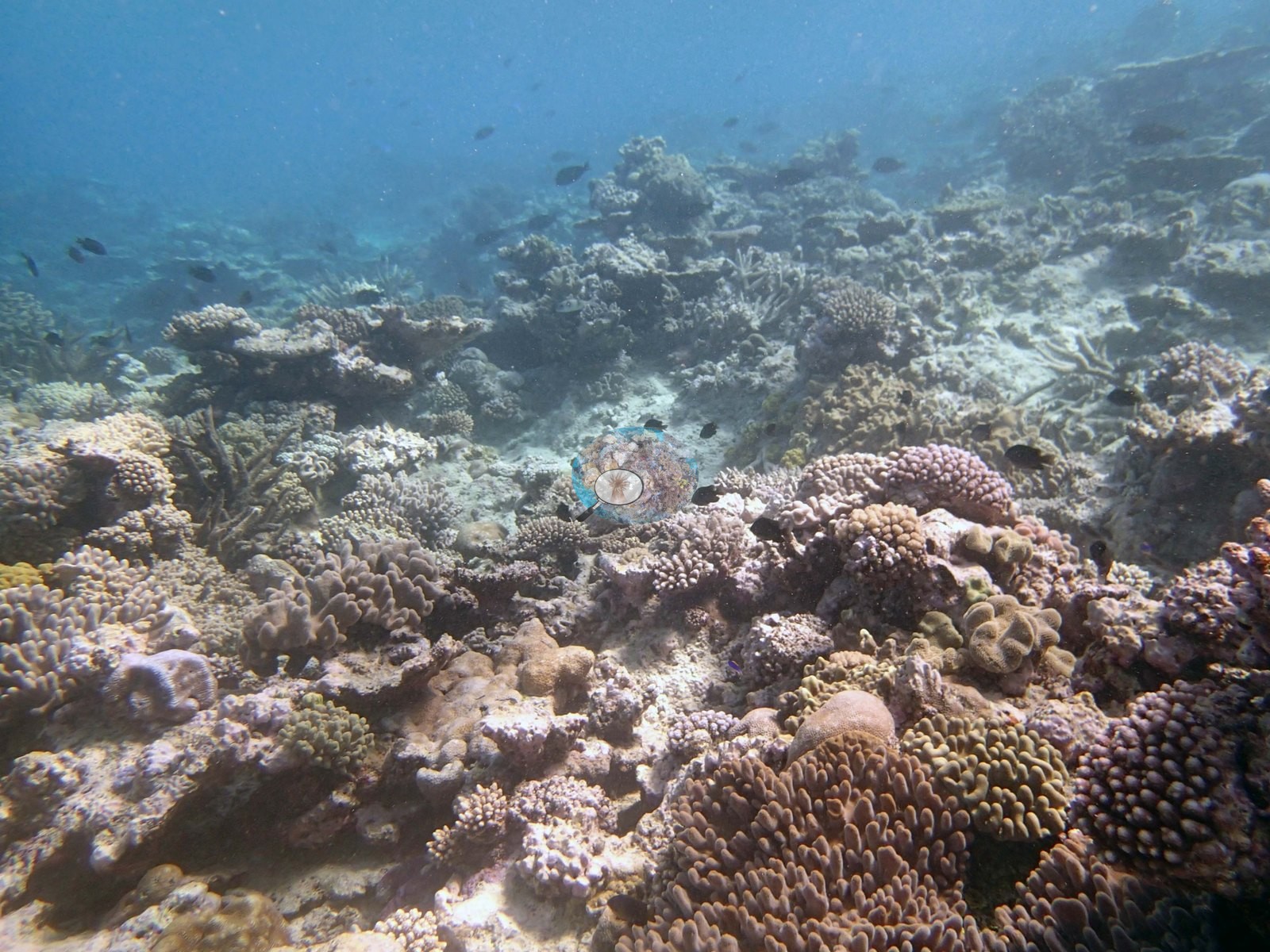
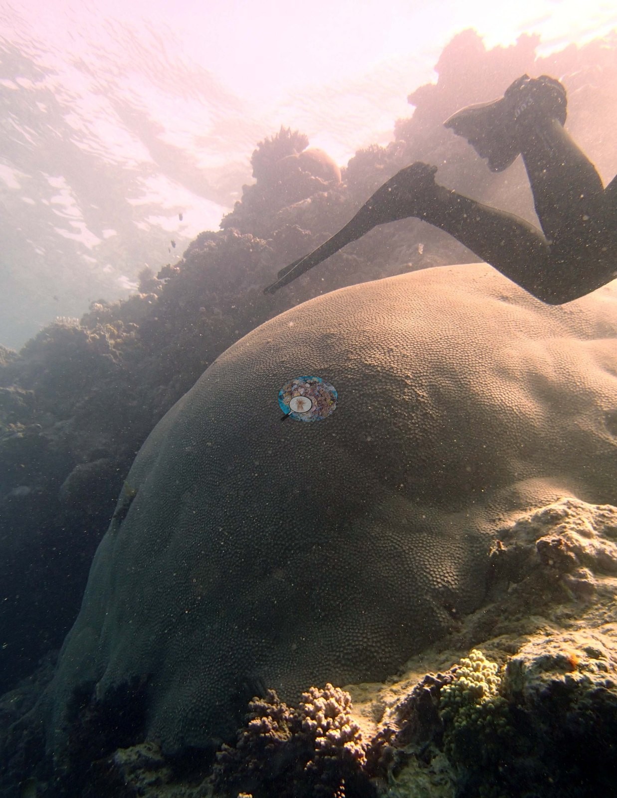
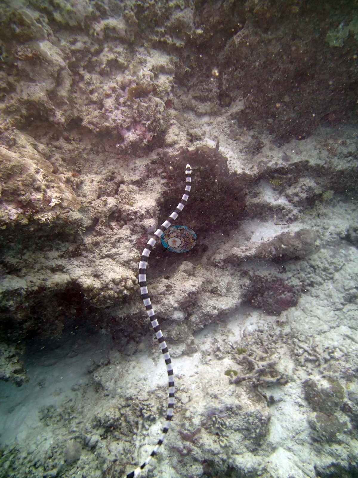
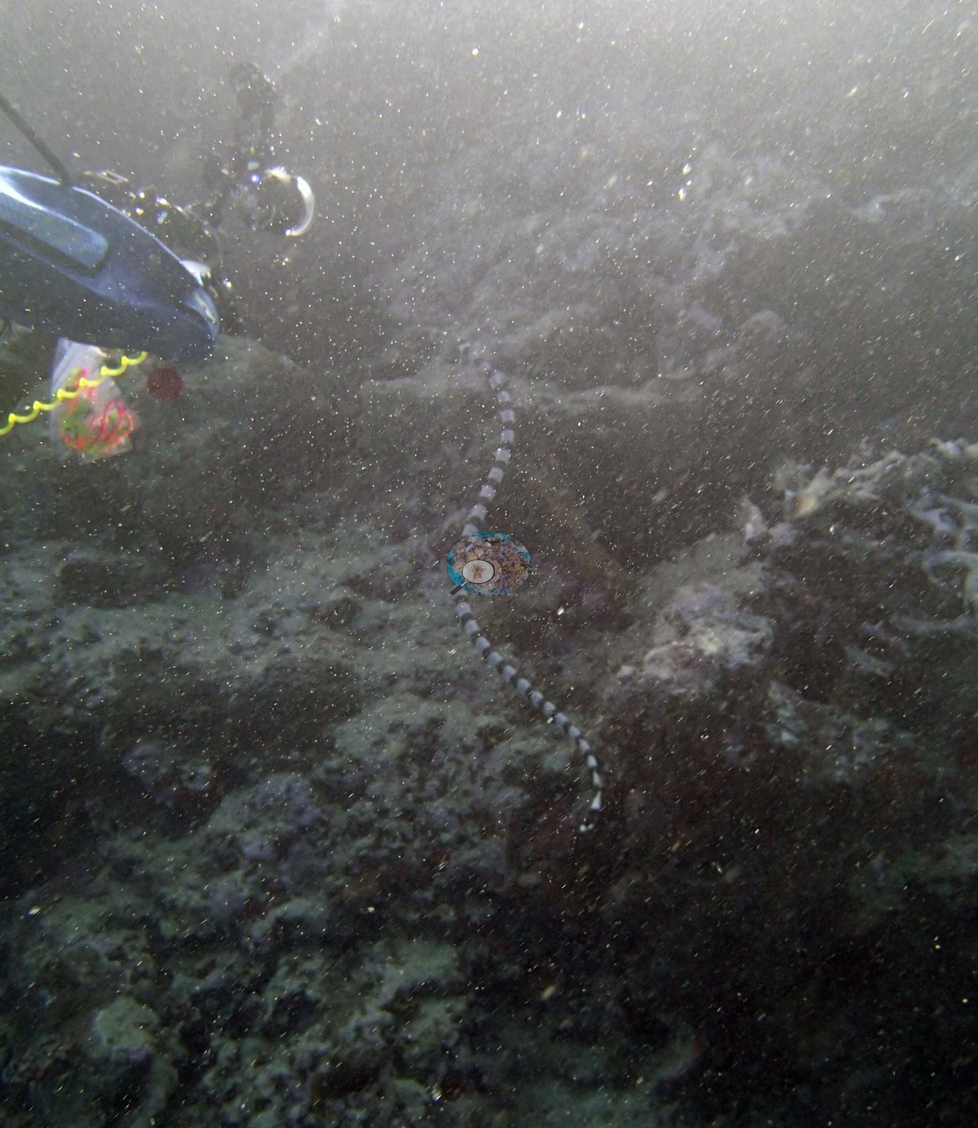
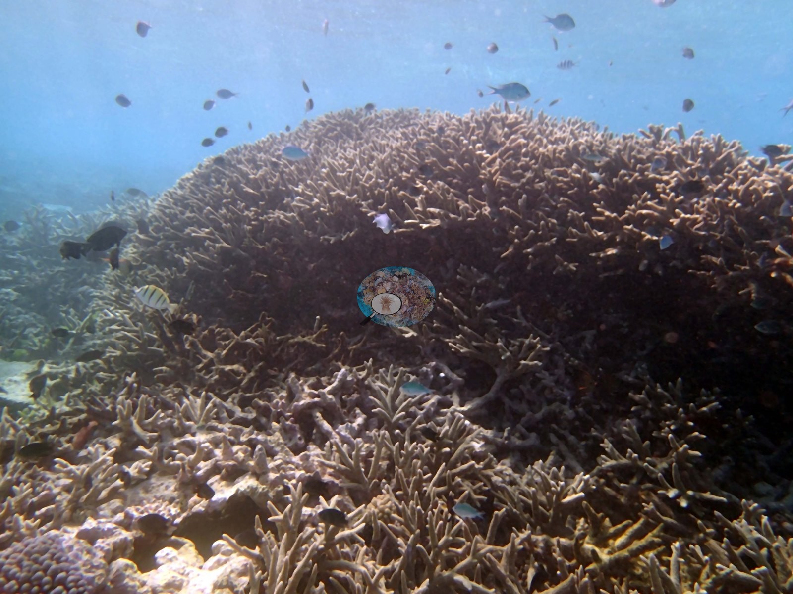
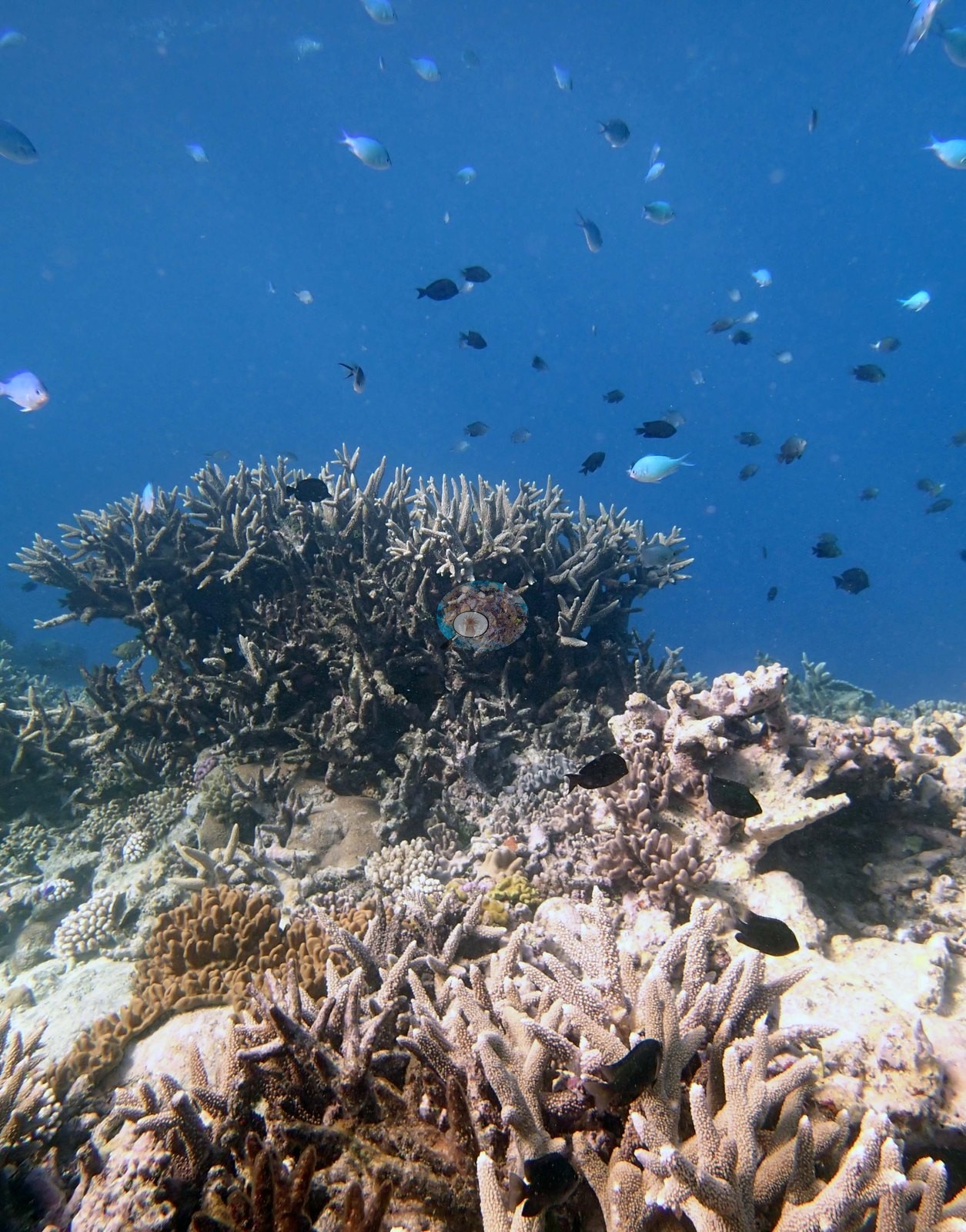
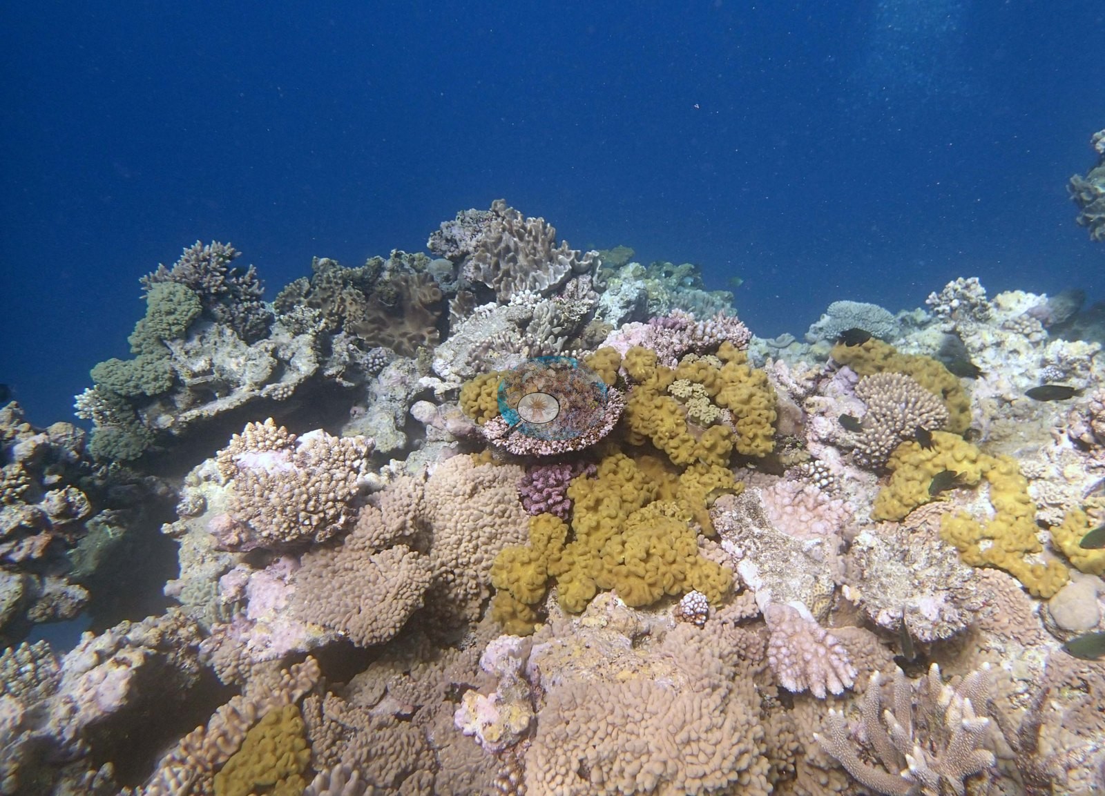
Southern Tonga (NOAA CRW virtual station)TOHA03 is not uniformly low-relief: alongside sparse mound-top mosaics, the photos reveal an 'Acropora mountain,' Anderson's own name for an enormous mound blanketed in branching and staghorn coral reaching almost to the surface, and a soft coral garden of mustard-yellow and gray-green lobed colonies. A banded sea snake tracks across coralline rubble and sand in two frames; cover measured 20%, and no bleaching, disease lesion, or crown-of-thorns feeding scar is visible in any of the 17 frames. Surveyed on the Living Oceans Foundation's Global Reef Expedition.
ʻOku ʻikai ke tatau pē hono māʻulalo ʻo TOHA03: fakataha mo e ngaahi konga feo siʻisiʻi ʻi he funga ʻo e ngaahi puke (mounds), ʻoku fakahā ʻe he ngaahi tā ha 'Acropora mountain' (moʻunga Acropora), ko e hingoa ʻo Anderson ki ha puke lahi ʻaupito kuo ʻufiʻufi ʻe he feo fakavaʻavaʻa mo e staghorn ʻo meimei aʻu ki he funga tahi, mo ha ngoue ʻo e feo molū (soft coral) ʻo e ngaahi kulupu lanu engeenga-mastati (mustard-yellow) mo e efuefu-mata. ʻOku kolo atu ha ngata tahi (banded sea snake) ʻi he maka momoa feo mo e ʻoneʻone ʻi he tā ʻe ua; naʻe 20% ʻa e ʻufiʻufi, pea ʻoku ʻikai hā ha hinehina (bleaching), lavea mahaki, pe mata kai ʻa e ʻalamea (crown-of-thorns) ʻi ha taha ʻo e tā ʻe 17.
AI translation of this summary; the English is authoritative. (low confidence)
CTD-cast midpoint of 23.9–24.0°C
One independent survey station shown with the program’s logo — click one to see how far it is from this site.
One other CRD dive site with its own page within 5 km shown in orange — click a marker to open its page.
14 of the 17 photographs on this page are shown beside the text that discusses them under "Site description" below.
Site description
Setting
The site is not uniformly low-relief: it has locally dense, high-relief Acropora stands as well as the sparse ground. The undercut structure recorded in the survey notes shows up directly: Image 13 and Image 11 look along a ledge with a dark overhung recess beneath a coral-crowned lip, and Image 5 looks up the flank of a mound built of stacked plating and branching colonies from the channel below.
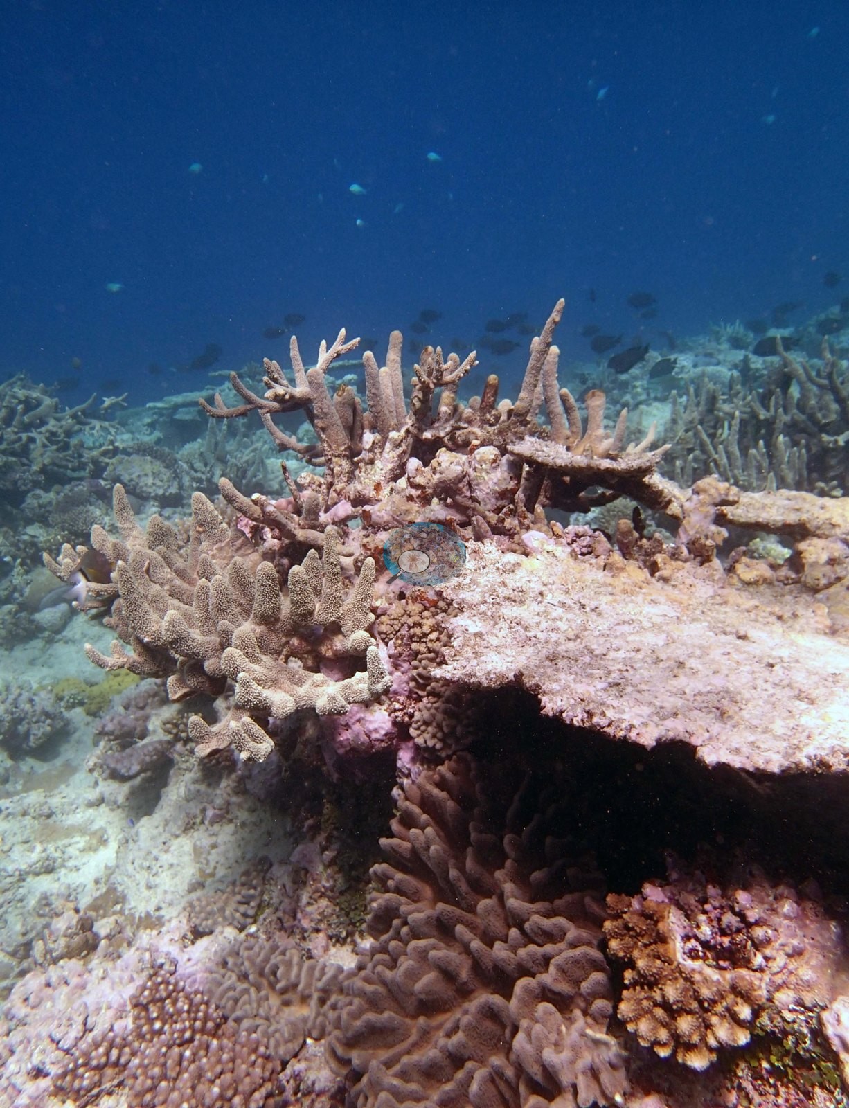
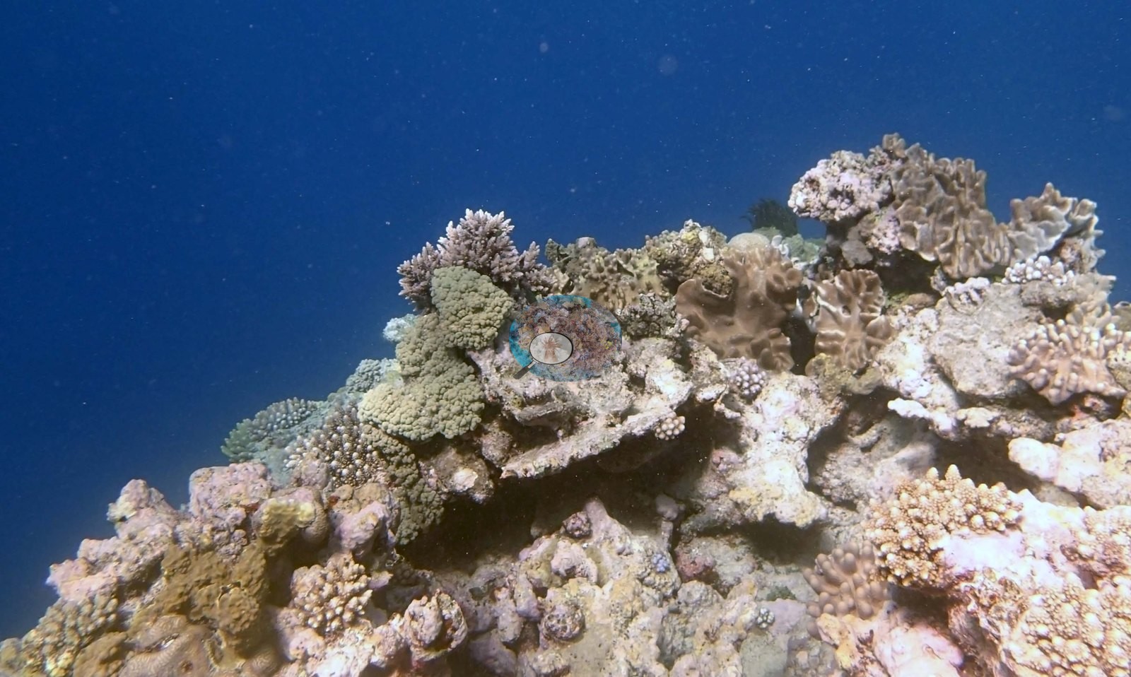
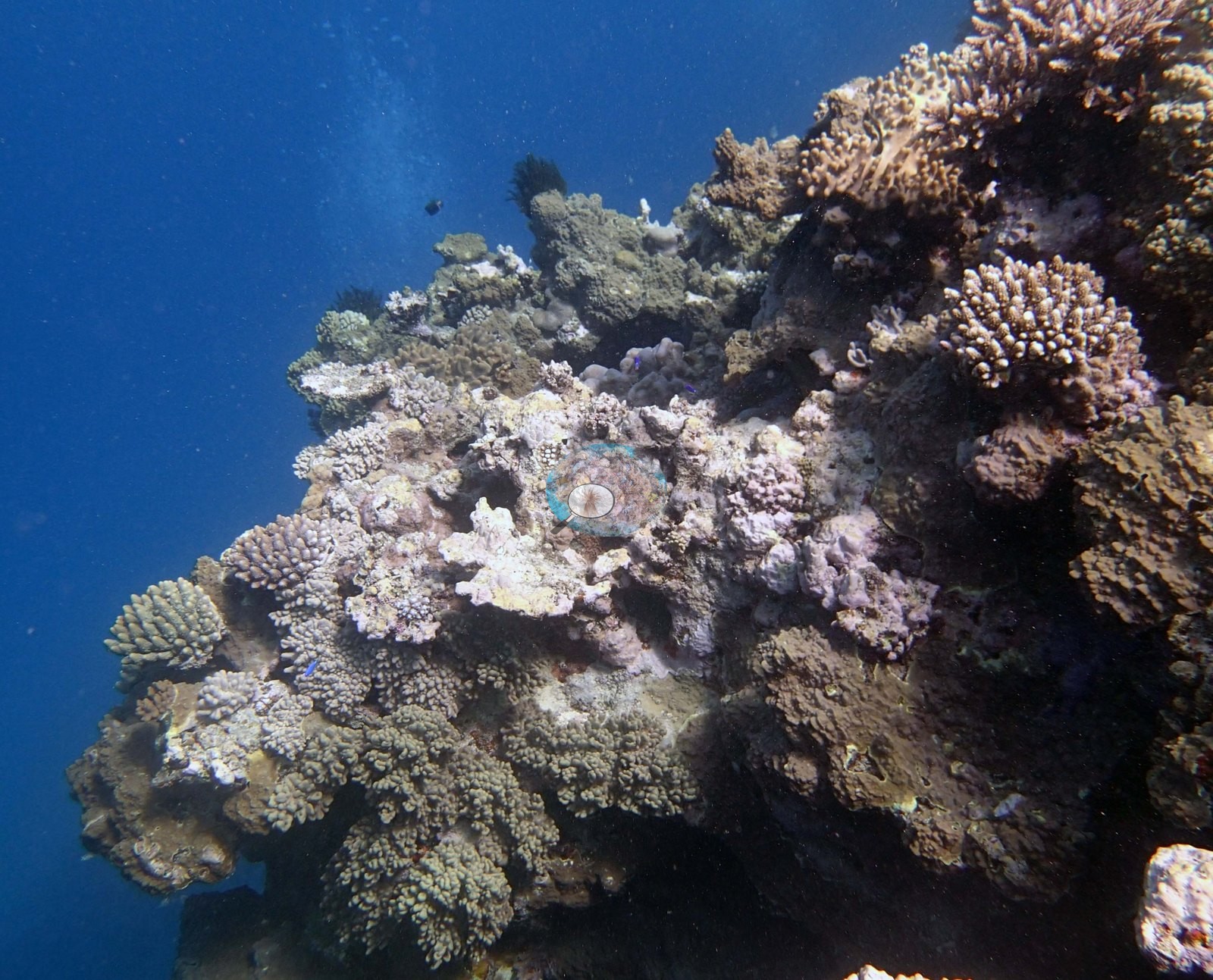
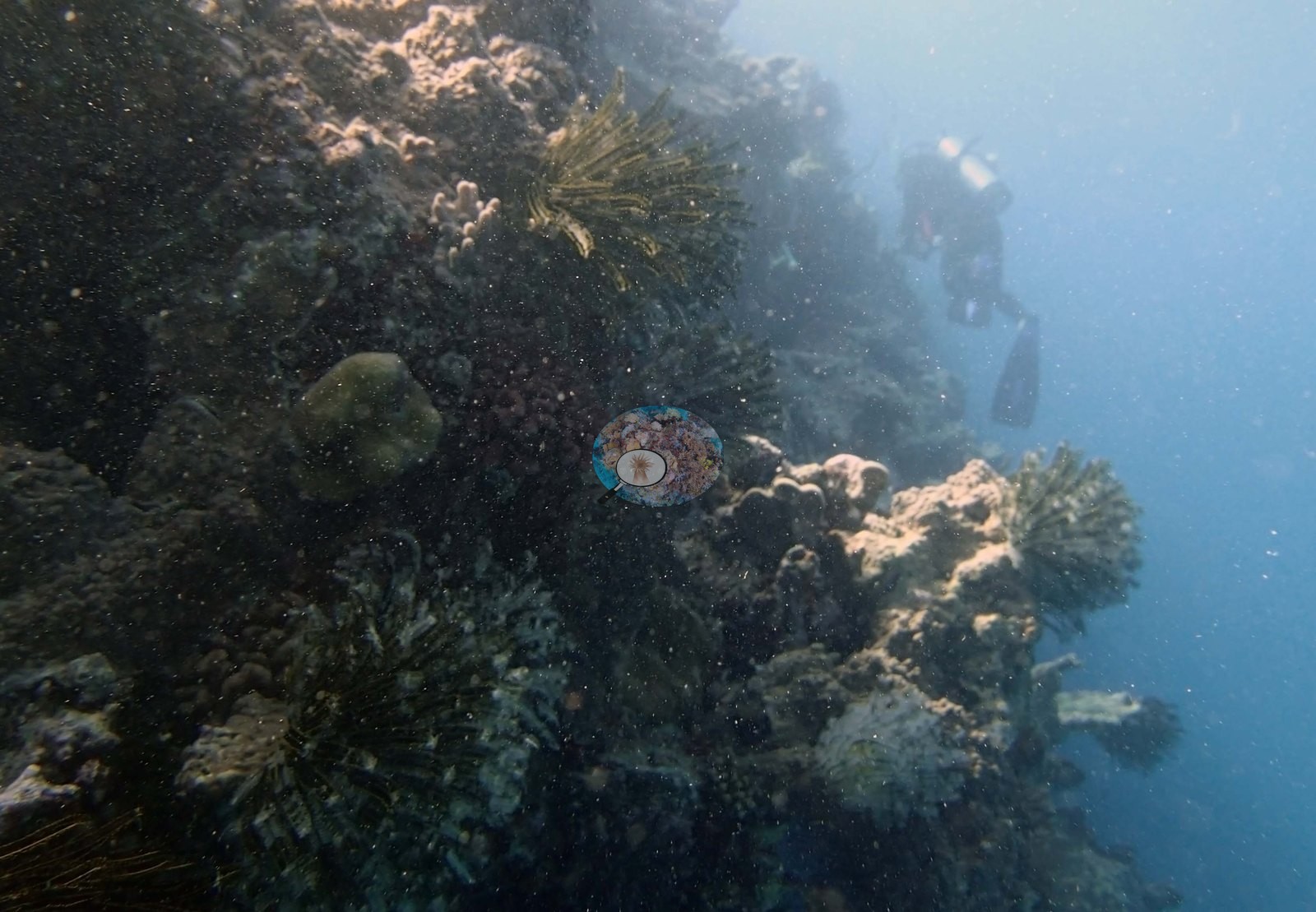
Image 4 is the poor-visibility frame — a diver hanging in green-gray water over a steep, dimly resolved wall — and stands as the honest counterweight to the clear frames.
General benthic features
Two frames are given over to a single enormous mound blanketed in branching and staghorn Acropora, branch tips reaching almost to the surface, so completely covered that no substrate shows — a structure Anderson described as an Acropora mountain and photographed a second time from further back with the whole mound rising out of a rubble apron (e.g., Image 8, Image 9).
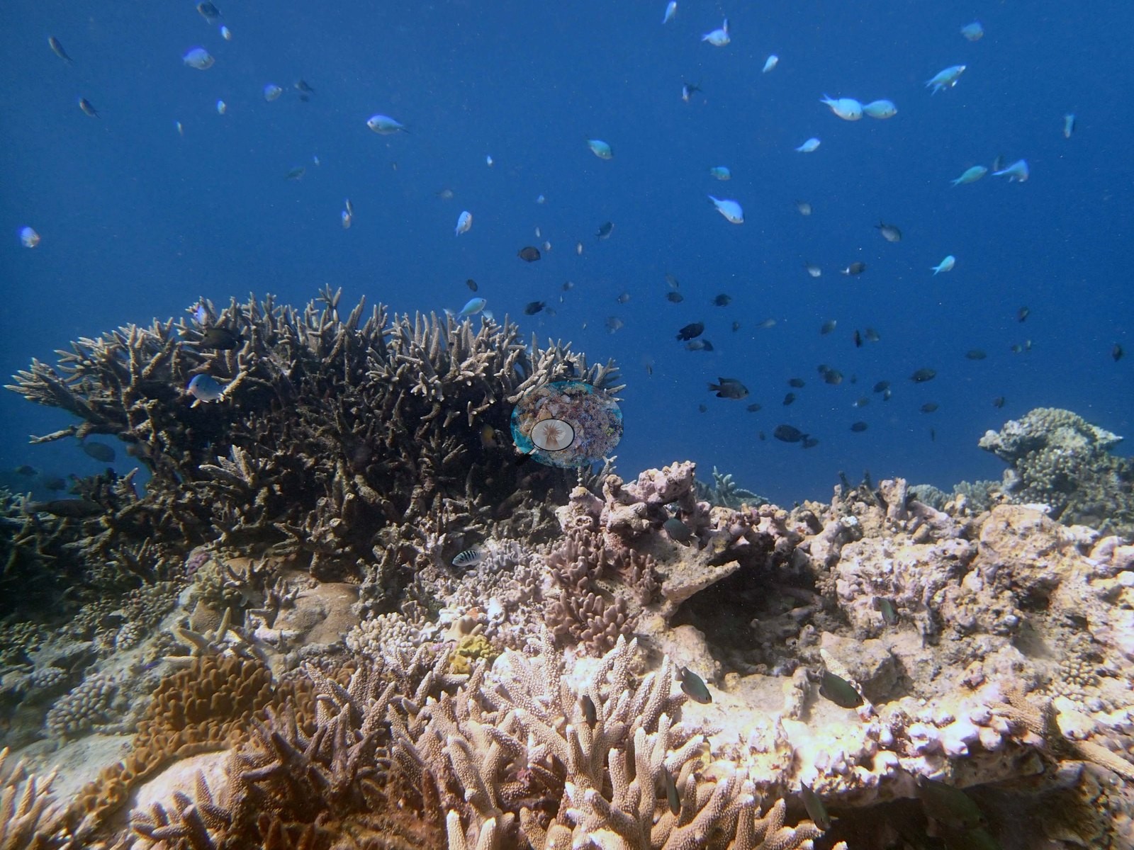
A third frame Anderson calls an Acropora garden: open, well-spaced arborescent colonies across the mound top with a thick cloud of small planktivores hanging over them against blue water (e.g., Image 10).
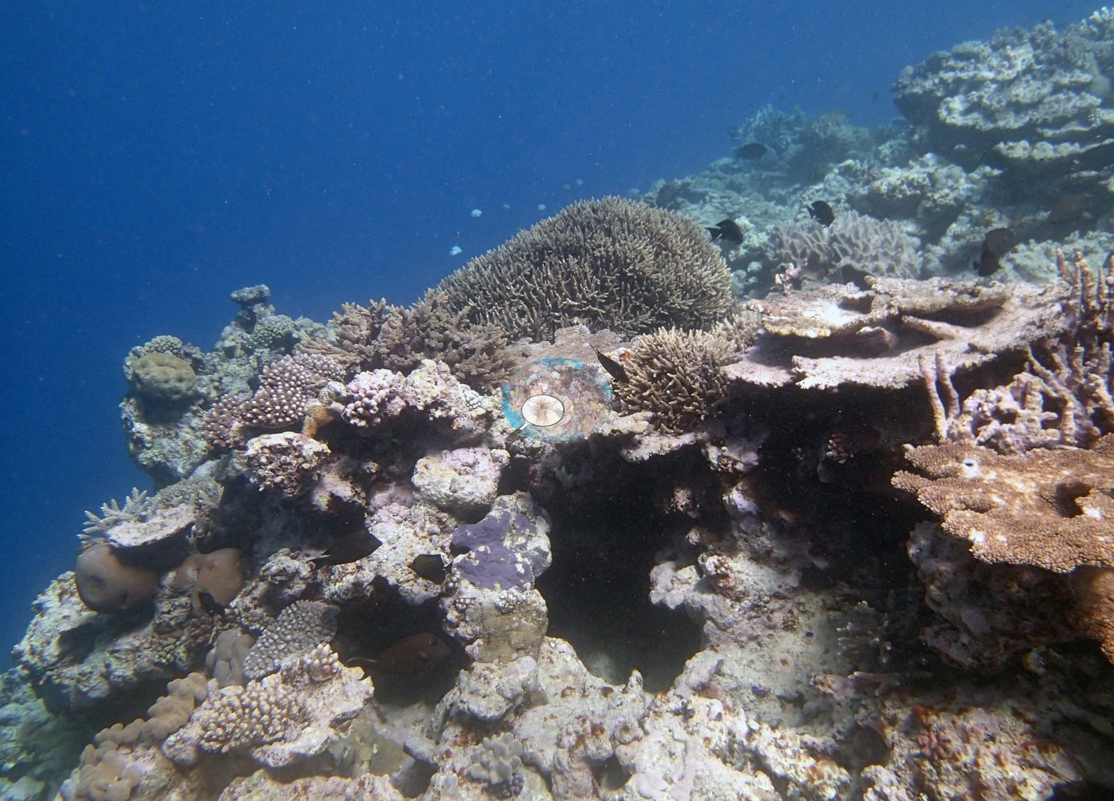
A fourth frame centers on a broad pale table Acropora on a dark mound flank with staghorn stands behind it (e.g., Image 17).
The mound tops themselves are a crowded low-relief mosaic — small mauve and pink corymbose Acropora and Pocillopora, tan corymbose and digitate colonies, encrusting and submassive Porites-type mounds, mauve plating colonies, and coralline-crusted pavement between them, with sand pockets and loose rubble threading through (e.g., Image 6, Image 7, Image 11, Image 14, Image 15, Image 16).
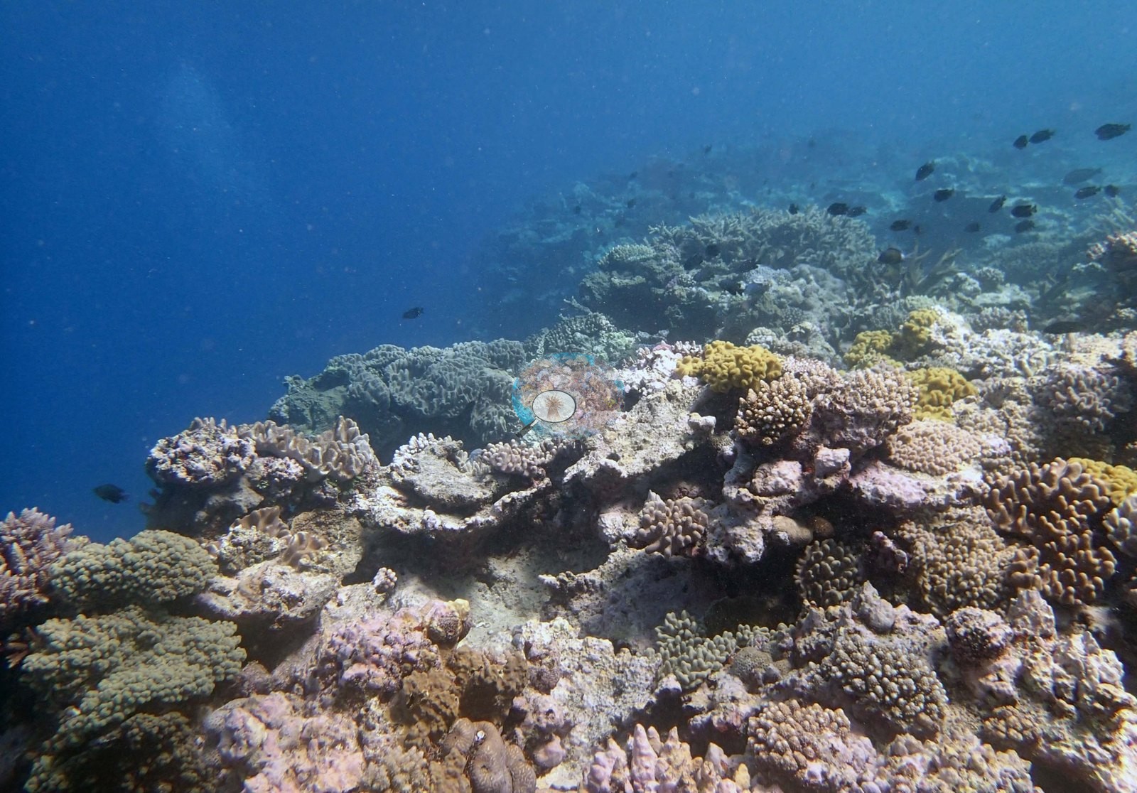
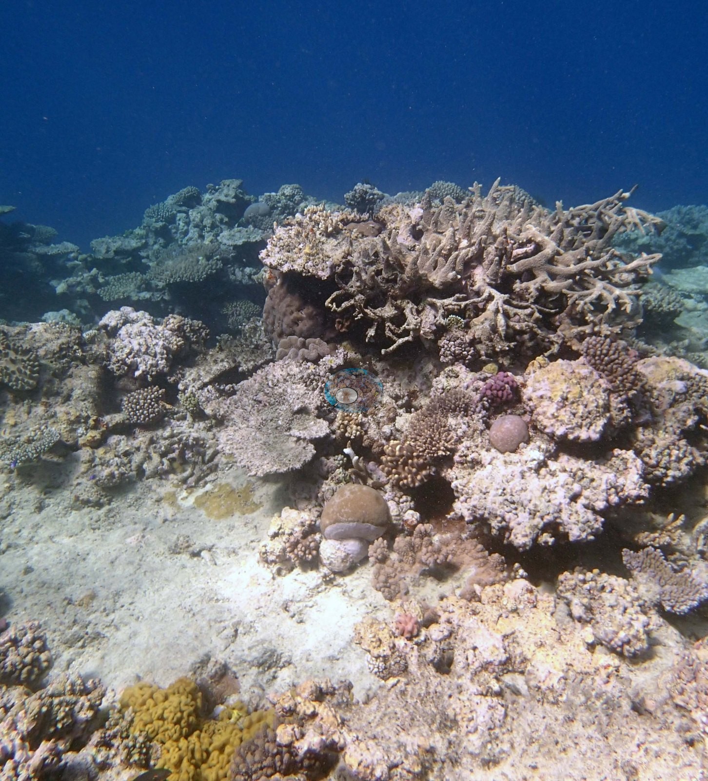
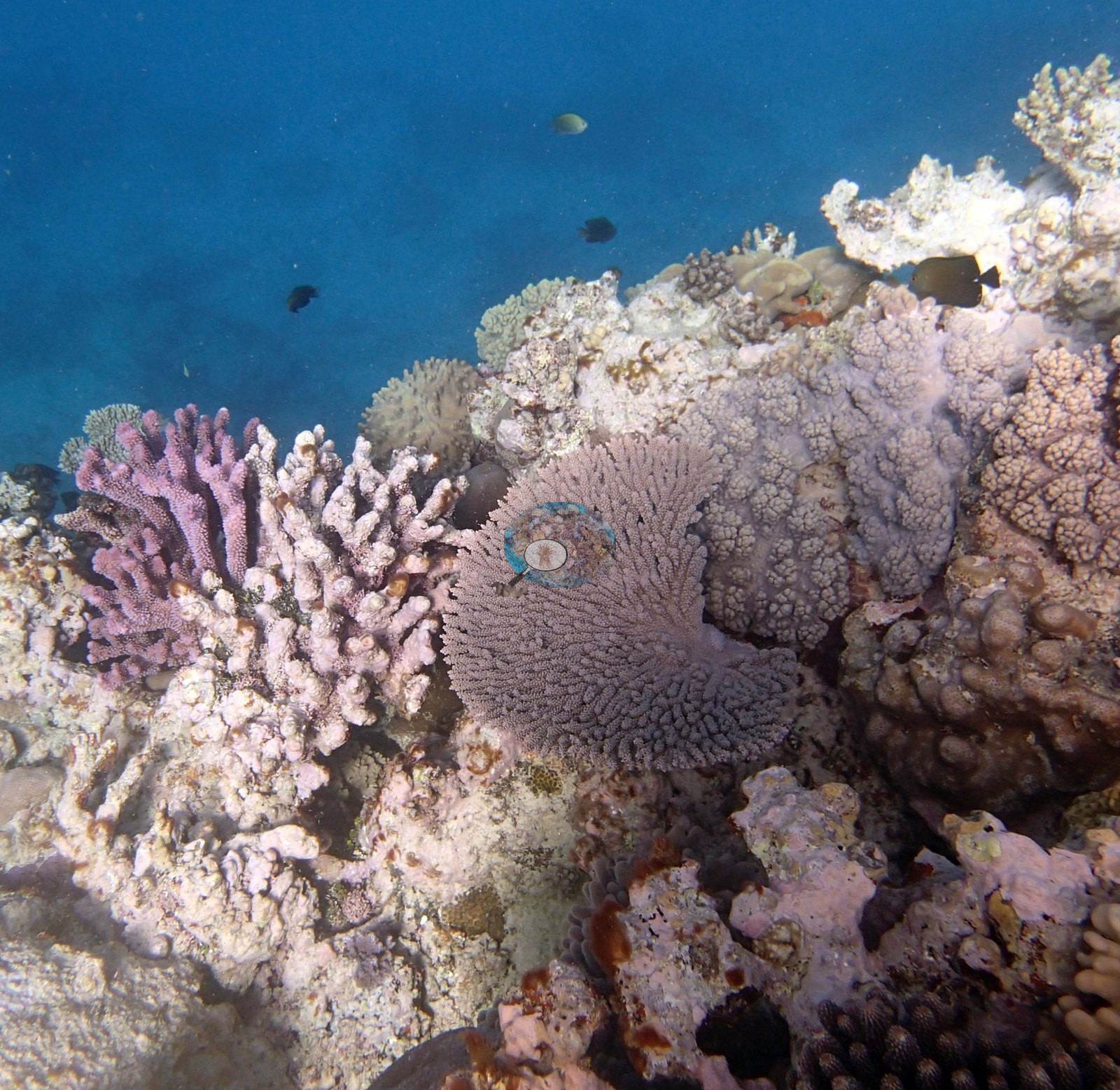
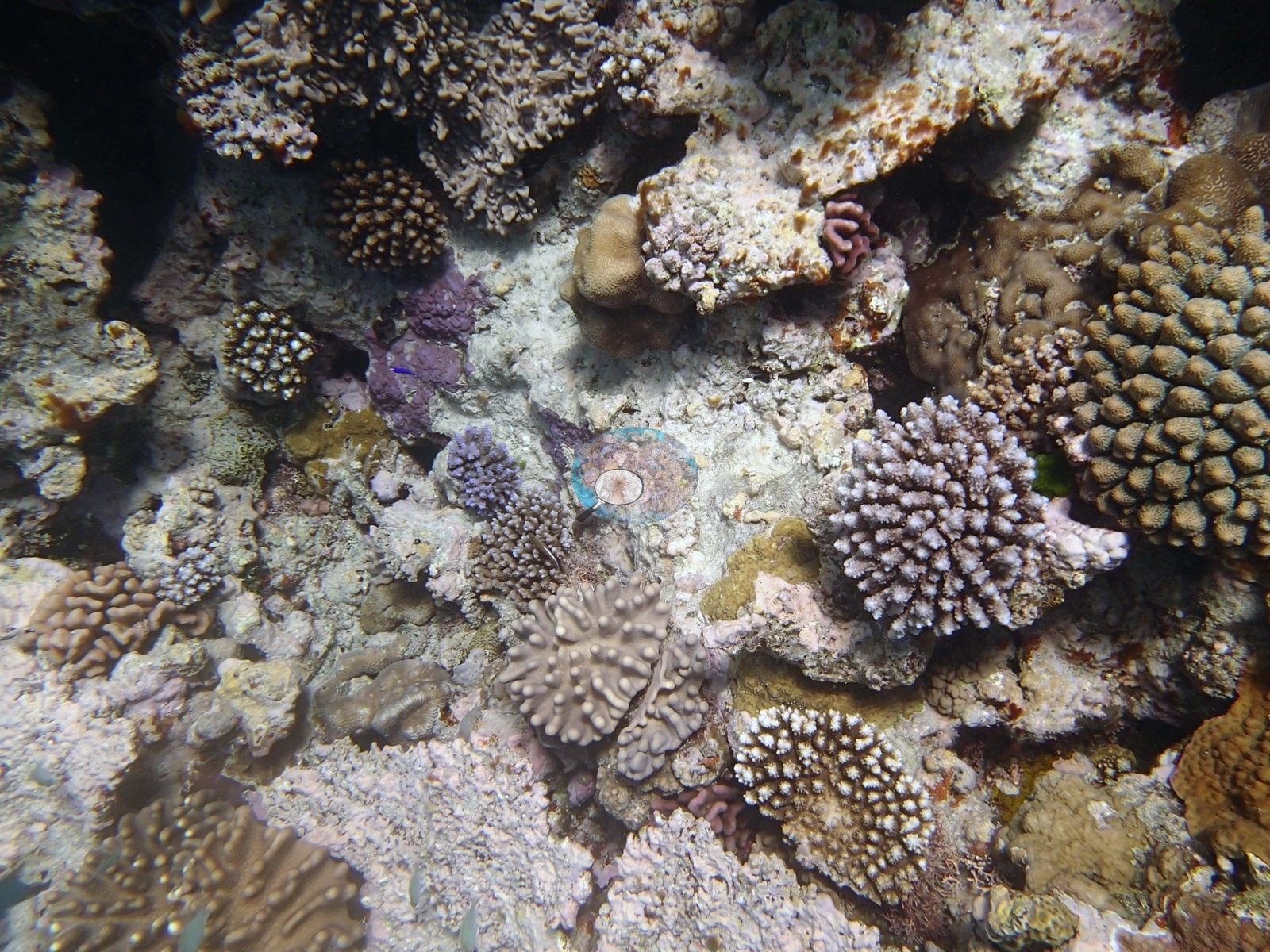
Fleshy soft corals are a genuine component and not an incidental one: mustard-yellow and gray-green lobed and digitate colonies (Sinularia/Lobophytum-type) run through the foreground of the frame Anderson simply calls a soft coral garden (e.g., Image 12) and recur in Image 15, Image 7, and Image 16.
Coral cover
- Reference: Khaled bin Sultan Living Oceans Foundation, Global Reef Expedition (in situ transect)
- Coral cover 20%, from LOF-GRE in situ transects (the mean of all of this station's own transects in the expedition's per-transect benthic data) — a diver transect measurement, not a photographic or computer vision estimate.
- Transect mean 20 ± 4.0% SE (n = 5 transects; Living Oceans Foundation per-transect benthic data); the headline above is this all-transect mean.
Stressors
Standing dead branching skeletons and bare rubble appear in several mound-top frames, but no bleaching, disease lesion, or crown-of-thorns feeding scar is visible in any of the 17 frames. The Living Oceans Foundation transects here recorded 0.4% cyanobacteria and no recently dead coral.
Fish and other fauna
Two frames are a banded sea snake, which Anderson identified, one photographed alone as it tracks across coralline rubble and sand and one with a diver in the frame; that field identification is used here.
Comparisons with other data
Apart from the Living Oceans Foundation survey shown here, we found no other surveys at this site as of 2026. Within 5 km, one independent station, Reef Check at Kito si'I, 2.11 km away, read 18% in 2002.
Other notes
The site's photographs show shallow mound tops and rubble, and also the site's most striking structure. What the set still cannot show is the deeper channel slope and the 18 m sand base in the survey notes — the frames stop on the mounds and their immediate flanks.
Survey team's site notes: Shallow, 1-3 m flattopped mounds separated by sand channels up to 3 m below top. They are undercut with small caves and ledges and high abundance of Tubastraea and smaller plating corals under overhangs. Sides of channel slope steeply to 18 m, ending in sand. Sand continuous out getting progressively deeper; soft bottom has large ripples and depressions from waves and currents and low cover of Halophila sea grass.
CV model comparison
More info
The photo row below is a methods comparison only: it is never averaged with the transect and never used as the headline. It compares site means only: the photos come from the same survey dive as the transect but not from the same points.| Method | Hard coral cover (%) | Photos (n) ± SE |
|---|---|---|
| Transect mean (all transects) | 20.1 | |
| CoralSCOP unedited | 32.0* | n = 16 · SE 4.4 |
| Claude (edited photos) | 20.4* | n = 16 · SE 3.7 |
The two computer-vision methods disagree by 11.6 pp (20.4–32.0%) and read 0.3–11.9 pp above the in-water transect (20.1%); the headline is the in-water transect because a diver transect is independent of the photographs.
*Based on only 16 reef-habitat photos; this estimate is less certain.
See a more detailed, stand-alone version of this table.
Independent surveys nearby
Within 5 km, 1 independent survey station recorded hard coral cover in 2002. The most recent nearby survey is from 2002, so these values predate recent heat stress. This site's own estimate (20%) is not compared with these surveys: none lies within 2 km.
Collected by other programs using different methods (Reef Check uses point-intercept transects), so these are context for the figures above, not a like-for-like comparison. Where a station was surveyed more than once, the cell shows either the range of its values or, as a single value, the mean of surveys made in one year. Station names are not dive-site names.
| Agency | Site / location | Date | Hard coral cover (%) | Distance |
|---|---|---|---|---|
| Reef Check | Kito si'I | 2002 | 18%, mean of 2 surveys (3 m and 10 m) | 2.11 km |
Data & links
- Download benthic survey data (CSV) ↗
- Download all LOF-GRE data (933 sites) ↗
- Photo portfolio ↗
- Coral Reef Diagnostics region page ↗
All images from Coral Reef Diagnostics. Data are from the Khaled bin Sultan Living Oceans Foundation Global Reef Expedition, Coral Reef Diagnostics, and the organizations named in the data sources above.
 © Coral Reef Diagnostics.