
Part of the regional summaries: Tonga - Ha'apai and Tonga
More info
Southern Tonga (NOAA CRW virtual station)TOHA04's dominant habitat is a broad, low-relief pavement and spur ground with sparse live coral, small scattered colonies over turf-darkened dead framework, but isolated coral pillars, one a multi-tiered plate-crowned column, another a massive Porites dome, punctuate the scoured ground. Cover measured 25%; the written notes record numerous Culcita cushion stars (5 counted) and patches of cyanobacteria and turf algae at 10-20 m (the transects recorded under 0.1% cyanobacteria). Surveyed on the Living Oceans Foundation's Global Reef Expedition.
Ko e nofoʻanga tefito ʻo TOHA04 ko ha tuʻunga fālahi mo māʻulalo (pavement) mo e ngaahi spurs ʻoku siʻi ai ʻa e feo moʻui, ko e ngaahi kiʻi kulupu mavahevahe ʻi he funga ʻo e ngaahi hakau mate kuo ʻuliʻuli ʻi he limu nounou (turf), ka ʻoku ʻi ai ha ngaahi pou feo (coral pillars) mavahevahe, ko e taha ko ha pou ʻoku ʻi ai hono ngaahi tuʻunga mo e ngaahi feo fakapaleti (plate) ʻi ʻolunga, pea ko e taha ko ha tumutumu Porites lahi, ʻoku nau tuʻu ʻi he kelekele kuo tafiʻi. Naʻe 25% ʻa e ʻufiʻufi; ʻoku lēkooti ʻe he ngaahi nouti tohi ʻa e Culcita (cushion stars) lahi (naʻe lau ʻa e 5) mo e ngaahi konga ʻo e cyanobacteria mo e limu nounou (turf algae) ʻi he 10-20 m (naʻe lēkooti ʻe he ngaahi transect ʻa e cyanobacteria ʻoku siʻi hifo ʻi he 0.1%).
AI translation of this summary; the English is authoritative. (low confidence)
CTD-cast midpoint of 24.2–24.3°C
One other CRD dive site with its own page within 5 km shown in orange — click a marker to open its page.
11 of the 14 photographs on this page are shown beside the text that discusses them under "Site description" below.
Site description
General benthic features
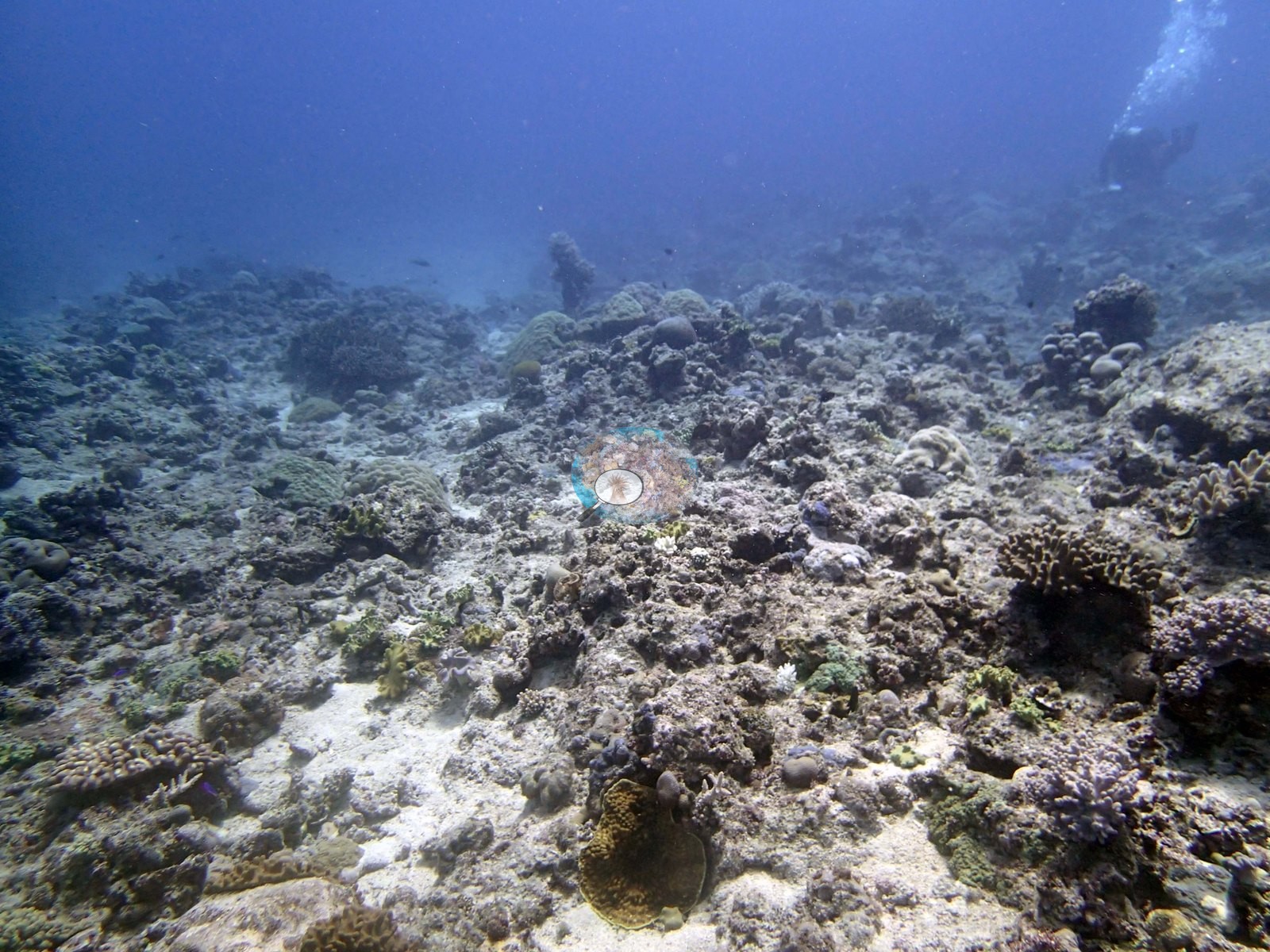
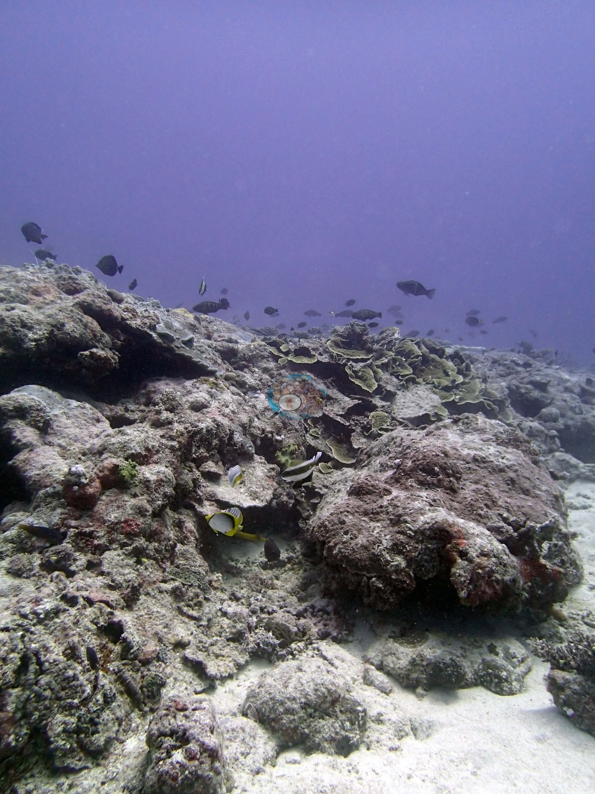
Most of the 14 frames show the low-relief spur and pavement zone; none shows the dense table-coral canopy that the survey notes record on the mound tops. Three frames put the mound-and-massive structure on record. Image 6, which Anderson identified as Diploastrea, is a key frame in the set: a large smooth-domed massive colony filling the left half of the image, its fine even corallite texture legible across the surface, rising well clear of the surrounding bottom. Image 12 and Image 13 are both isolated mounds standing off the surrounding pavement and crowned with three or four overlapping thick horizontal plates stacked into a tiered canopy, their bases dark turf-covered dead framework with small colonies around the foot; Image 13 is shot from further off and silhouetted against blue, and Image 12 is shot from close range with small fish over it.
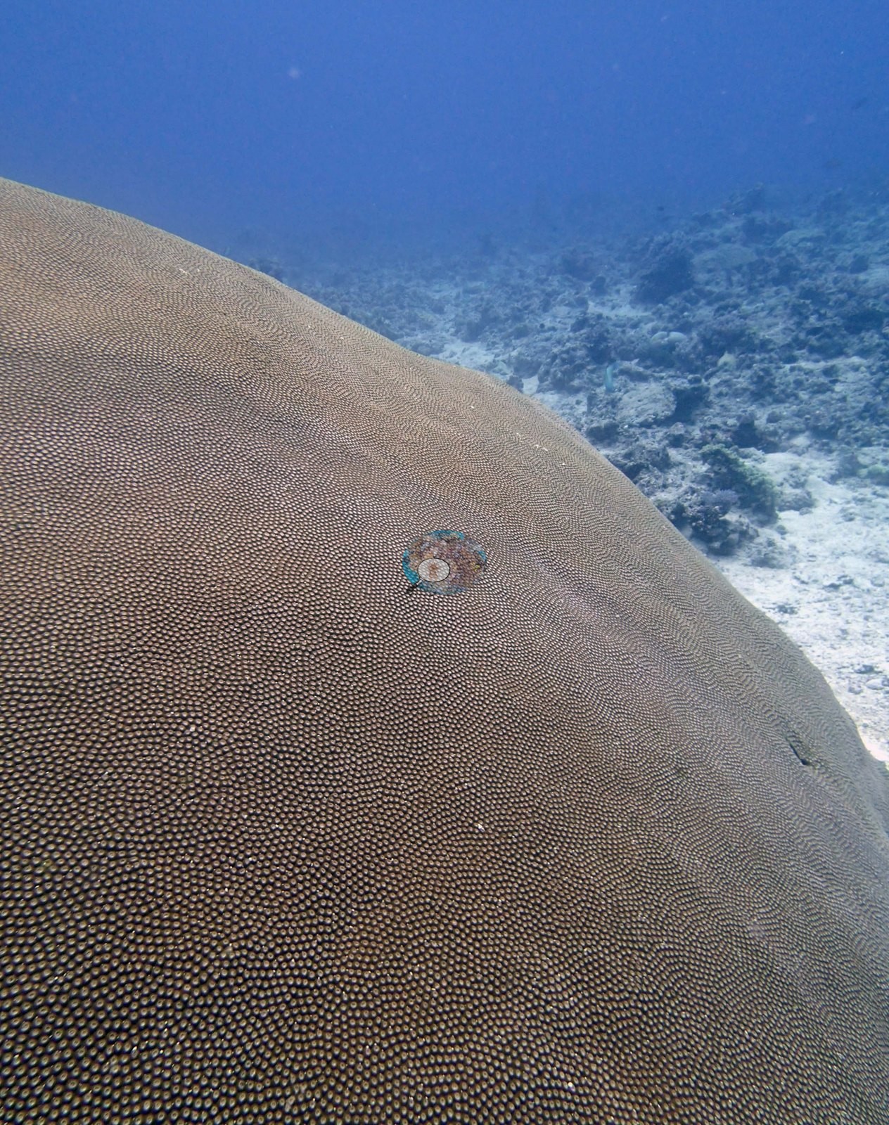
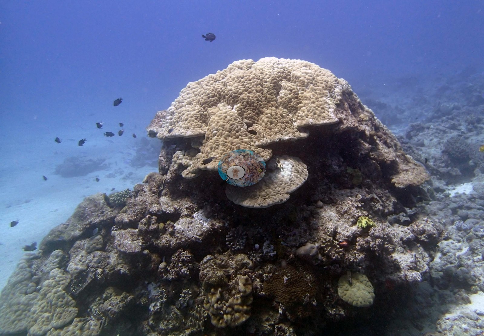
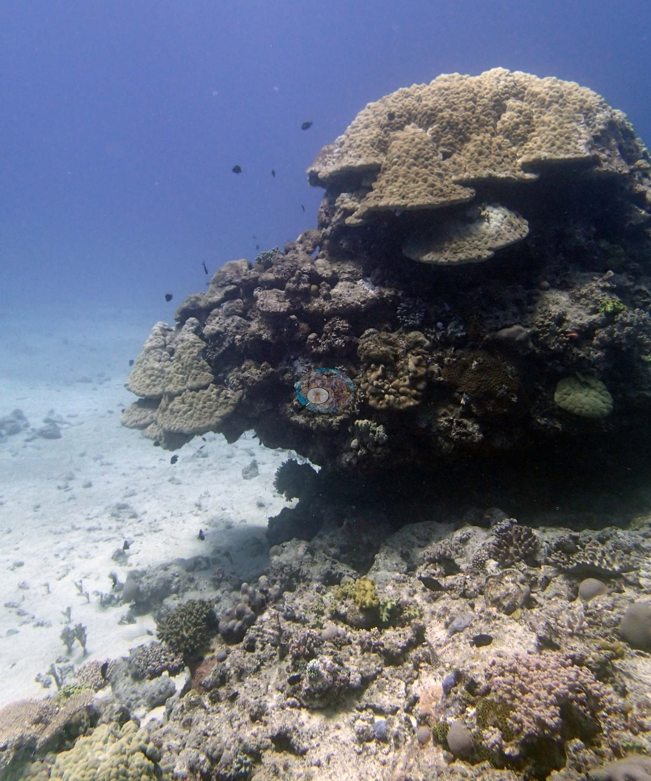
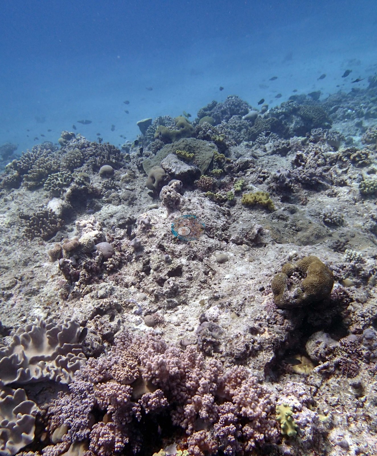
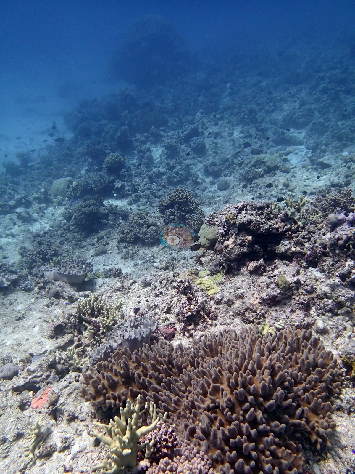
Those are the multi-layered table colonies on the mound tops the notes describe, though neither frame shows the dense 40-60% canopy cover the notes record — both mounds carry a handful of plates, not a closed table field (e.g., Image 12, Image 13). The pavement and spur habitat is the bulk of the set. Image 2, Image 1, Image 13, Image 4, Image 12, Image 11, and Image 14 all look across broad, low-relief hardground — pale sediment-dusted pavement crusted in pink coralline and dark turf, with sand pockets and rubble — carrying small scattered colonies seldom more than a couple of hand spans across and relief on the order of tens of centimeters, fading into milky blue within 10-15 m. Image 10, which Anderson identified as a massive Porites, is a good single-subject frame from that zone: one isolated mound of maybe half a meter sitting alone on rubble and sand, matching the "numerous large massive porites" in the survey notes.
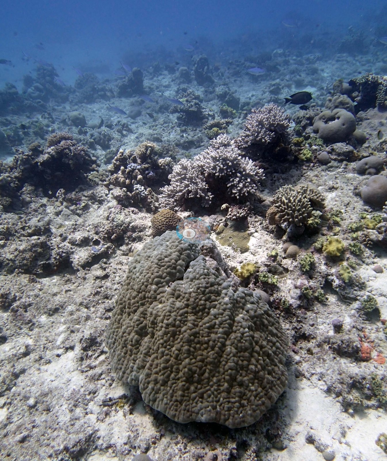
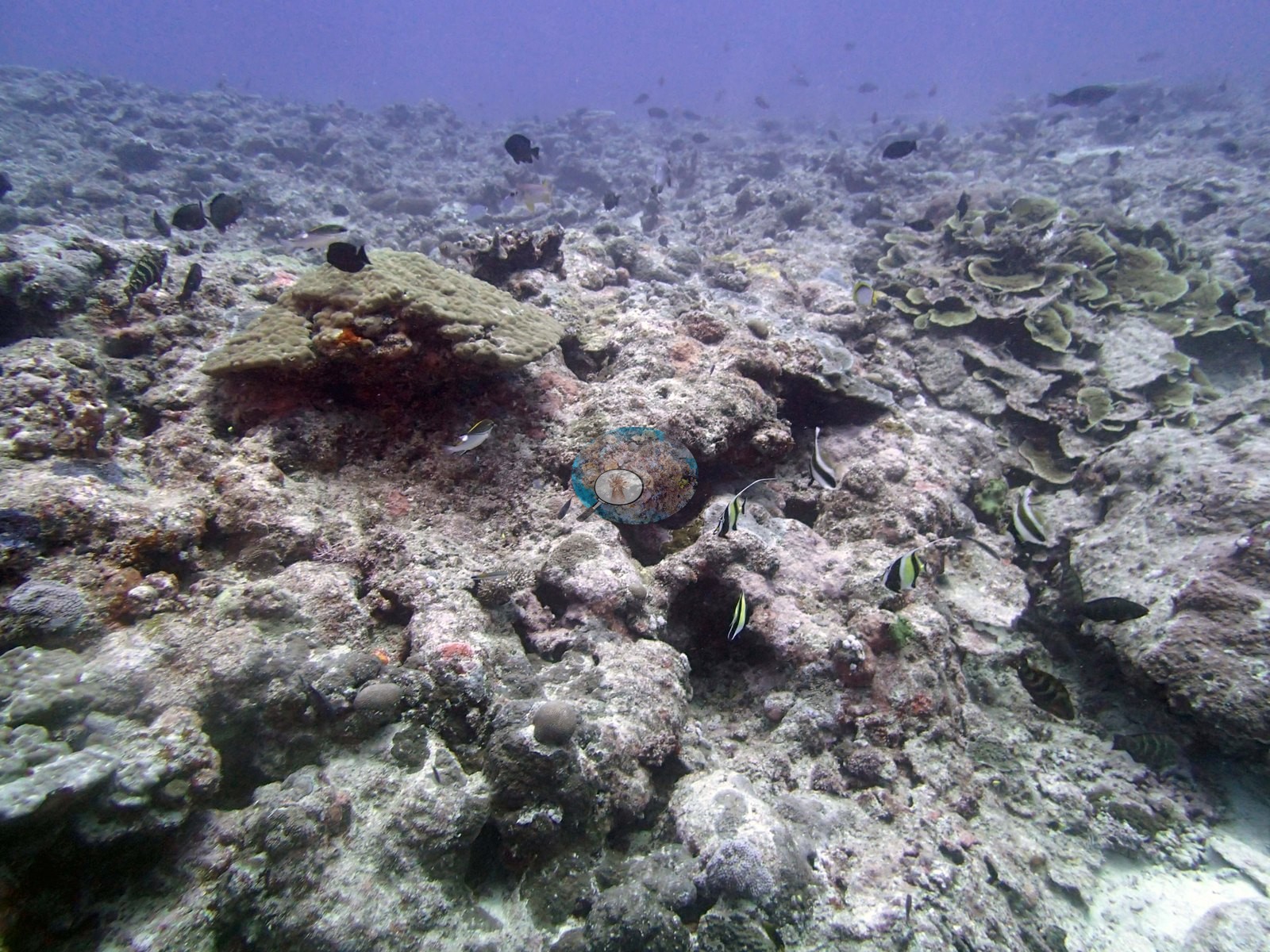
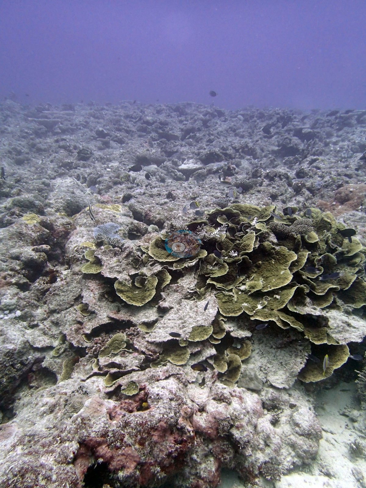
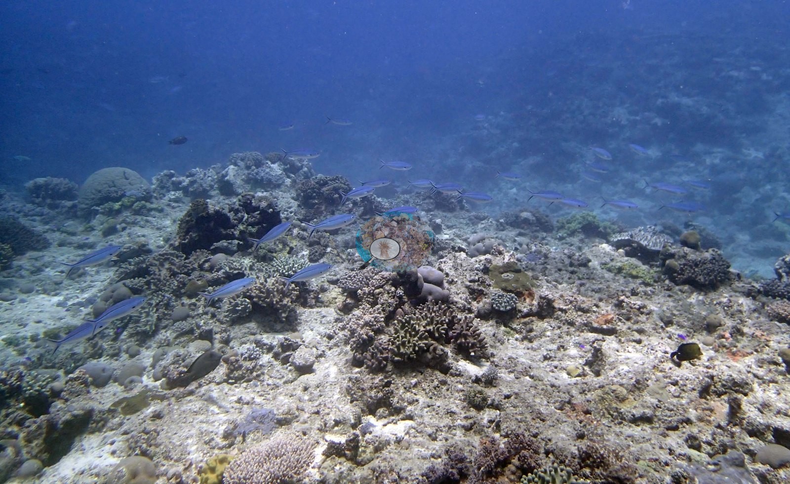
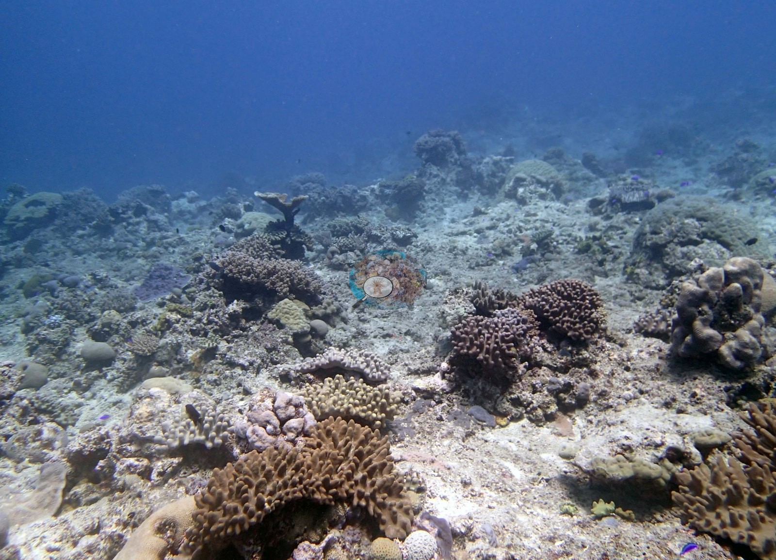
Image 9, identified as a Porites pillar, is a domed pillar seen at a distance.
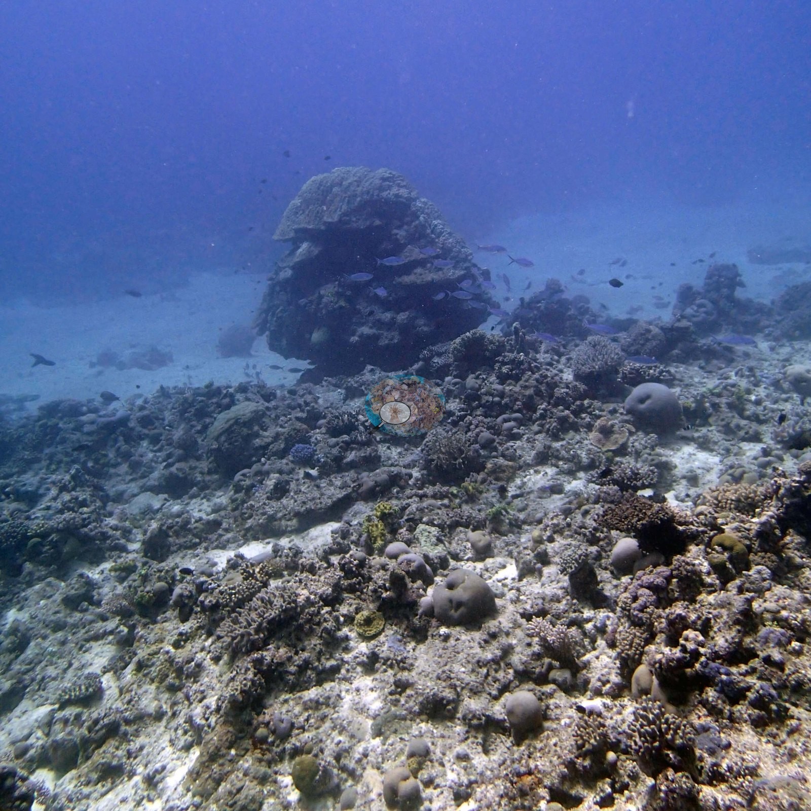
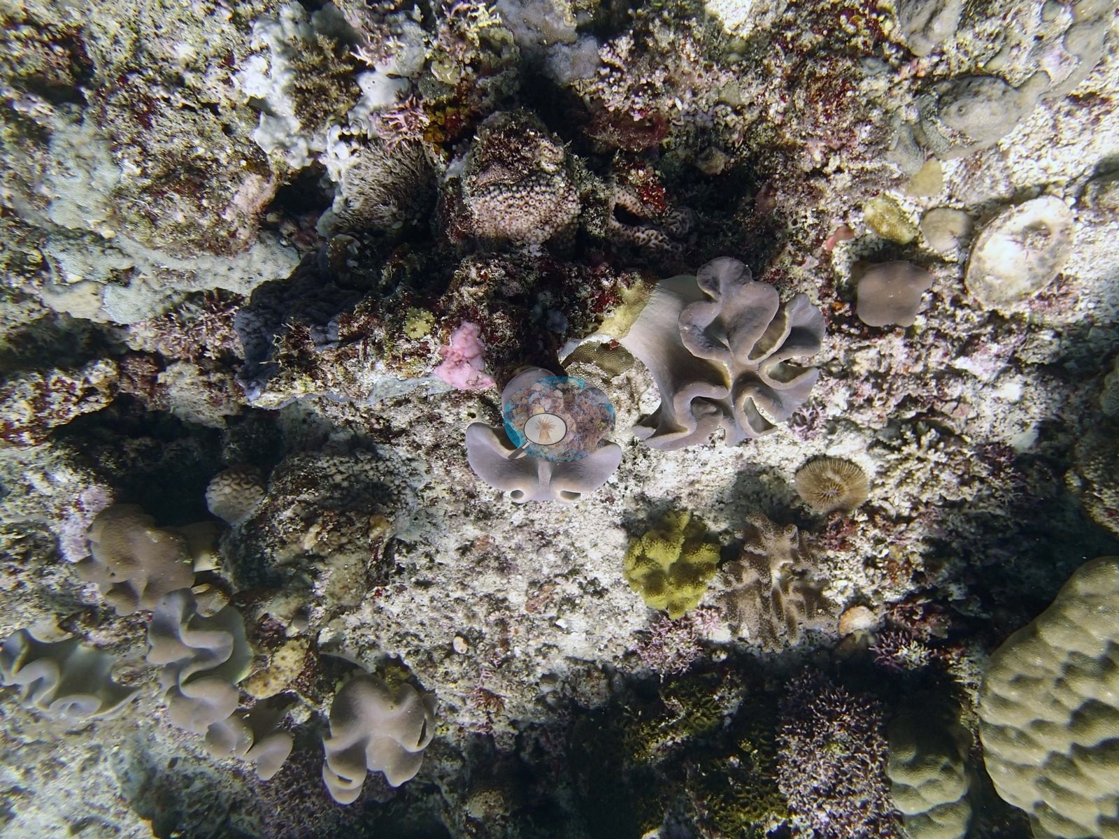
Two further frames add community detail. Image 4, which Anderson identified as Turbinaria, shows a dense stand of tiered, overlapping foliose gray-cream plates rising off the pavement. Image 5 is the best close-range frame in the set: pale mauve-brown ruffled soft coral lobes with a fleshy stalked habit, small yellow-green soft corals beside them, a knobby tan hard coral at the lower right, pink coralline crust and dark turf between — a compact picture of the mixed soft-coral-and-turf surface the notes describe as 40-60% turf algae.
Coral cover
- Reference: Khaled bin Sultan Living Oceans Foundation, Global Reef Expedition (in situ transect)
- Coral cover 25%, from LOF-GRE in situ transects (the mean of all of this station's own transects in the expedition's per-transect benthic data) — a diver transect measurement, not a photographic or computer-vision estimate.
- Transect mean 25 ± 3.7% SE (n = 5 transects; Living Oceans Foundation per-transect benthic data); the headline above is this all-transect mean.
Stressors
On condition, this set is quiet. The plate-crowned mound in Image 12 carries a white patch on its lower plate, a partly bleached poritid (Anderson), and the mound bases in Image 12 and Image 13 are dark dead framework. No bleaching extent is estimated from the photographs; Anderson's sampling sheet for this dive records one sampled Pocillopora acuta colony as very pale and mostly bleached ('possibly unhealthy') and a P. damicornis colony with a pale exterior. The white lesions from snails and white syndrome that the notes report on 2 to 5% of the table colonies, and the Culcita, sea cucumbers, cyanobacteria patches, Tydemania, Cladophora, and Caulerpa rest on the survey team's site notes alone; the frames neither support nor refute them. The 2013 survey notes for this site record snail and white-syndrome lesions on 2 to 5% of the table corals and numerous Culcita cushion stars (five counted) (Khaled bin Sultan Living Oceans Foundation expedition site notes, 2013; regional summary in Bruckner 2014). The Living Oceans Foundation transects here recorded under 0.1% cyanobacteria and no recently dead coral.
Fish and other fauna
Image 11 also carries a loose school of small dark fish over the pavement.
Comparisons with other data
James Cook University and the Ministry of Fisheries Tonga surveyed a nearby station (Luangahu 2), 0.26 km from the pin; we could not confirm that it is the same reef. If you have survey data from this site to share, please email us.
Other notes
The frames for this station are habitat photography: no quadrats and no sampled colonies.
Survey team's site notes: The mounds have a very high abundance of table acroporids on the top and sides, most 50-150 cm in diameter with multiple canopy layers, interspersed with staghorn coral and smaller massives. The spurs have sparse coral communities with 10-15% live coral dominated by small to medium Goniastrea, Favia and other favids, small to medium table acroporids and staghorn coral, encrusting Montipora up to 1 m diameter, and scattered large Porites 0.5-1 m diameter. At 15 m is a band of foliaceous gray leather corals, about 5.0% cover, which drop out below 20 m. The reef ends in sand/rubble at 25 m depth. Patches of cyanobacteria, 5.0–10% cover found throughout mid depths (10-20 m) and much of the substrate is covered in turf algae (40-60%). Low amount of Tydemania (2.0% at 10 m), small tufts of green Cladophora and patches of 10% cover of Caulerpa at 15 m. Moderate abundance of sea cucumbers.
CV model comparison
More info
The photo row below is a methods comparison only: it is never averaged with the transect and never used as the headline. It compares site means only: the photos come from the same survey dive as the transect but not from the same points.| Method | Hard coral cover (%) | Photos (n) ± SE |
|---|---|---|
| Transect mean (all transects) | 25.2 | |
| CoralSCOP unedited | 25.8* | n = 14 · SE 4.1 |
| Claude (edited photos) | 18.4* | n = 14 · SE 4.7 |
The two computer-vision methods differ by 7.4 pp (18.4–25.8%) and read within 6.8 pp of the in-water transect (25.2%); the headline is the in-water transect because a diver transect is independent of the photographs.
*Based on only 14 reef-habitat photos; this estimate is less certain.
See a more detailed, stand-alone version of this table.
Data & links
- Download benthic survey data (CSV) ↗
- Download all LOF-GRE data (933 sites) ↗
- Photo portfolio ↗
- Coral Reef Diagnostics region page ↗
All images from Coral Reef Diagnostics. Data are from the Khaled bin Sultan Living Oceans Foundation Global Reef Expedition and Coral Reef Diagnostics.
 © Coral Reef Diagnostics.