
Part of the regional summaries: Tonga - Ha'apai and Tonga
More info
Southern Tonga (NOAA CRW virtual station)Fringing reef at both ends of a Ha'apai island, with terraces of branching and table Acropora dropping down steep sides and walls. The standout feature is the corallimorpharians (coral-like anemones), covering 20-30% of the slopes in patches up to 5-6 m wide, and a well-developed plating coral community at the base of the wall. Surveyed on the Living Oceans Foundation's Global Reef Expedition.
Ko ha hakau matafonua (fringing reef) ʻi he ngataʻanga ʻe ua ʻo ha motu ʻi Haʻapai, mo e ngaahi tuʻunga (terraces) ʻo e Acropora fakavaʻavaʻa mo fakatēpile (table) ʻoku tō hifo ʻi he ngaahi tafaʻaki tuʻu mo e ngaahi holisi (walls). Ko e meʻa mahuʻinga taha ko e corallimorpharian (ngaahi ʻanemone ʻoku hangē ha feo), ʻoku nau ʻufiʻufi ʻa e 20-30% ʻo e ngaahi tafaʻaki ʻi ha ngaahi konga ʻoku aʻu ki he 5-6 m hono fālahi, mo ha kulupu lelei ʻo e ngaahi feo fakapaleti (plating corals) ʻi he takele ʻo e holisi.
AI translation of this summary; the English is authoritative. (low confidence)
CTD-cast midpoint of 26.0–26.2°C
More info
Anderson's dive computer read 23.9°C (a single reading, probably a dive mean).One other CRD dive site with its own page within 5 km shown in orange — click a marker to open its page.
Site description
Setting
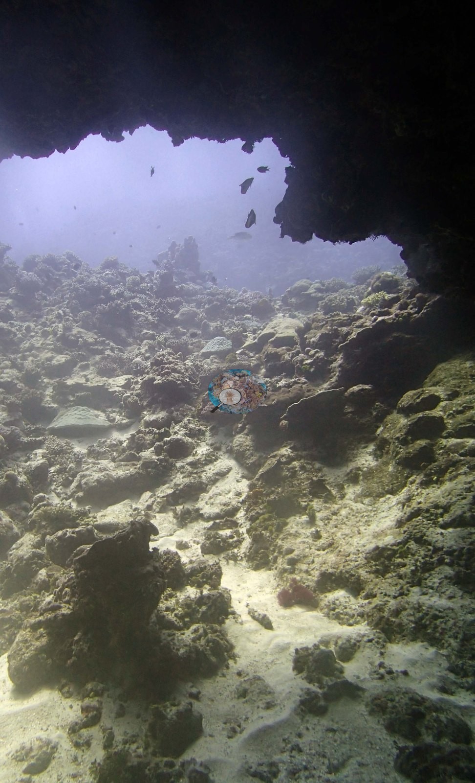
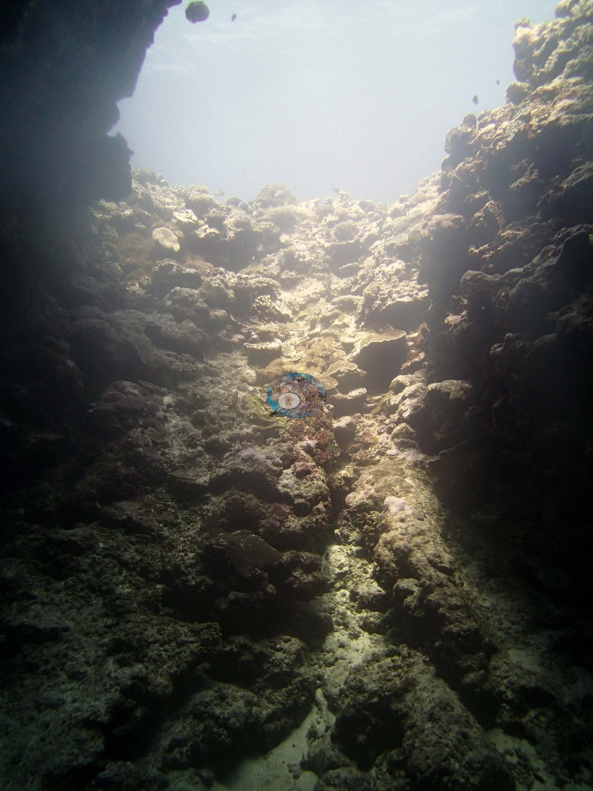
Two cave frames are the weakest in the set. Image 12 looks out from under an overhang across rubble and low pavement, hazy with backscatter, and Image 11 is the interior of a narrow, steep-sided channel with the bright surface at the top of the frame and the walls almost entirely in silhouette.
General benthic features
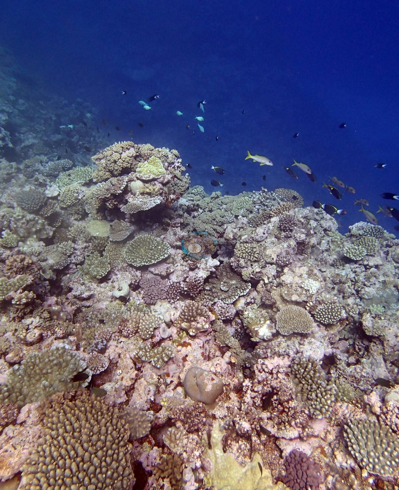
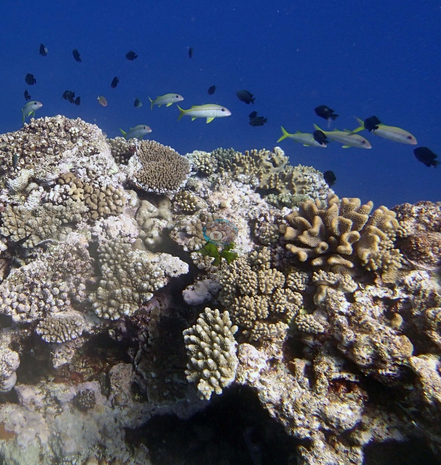
The frames are of a coral-built reef top and its edge, dropping away into blue water. Image 1, Image 4, Image 9, Image 14, and Image 5 all look across a reef top packed with small colonies at low relief: corymbose and digitate acroporids, tan and pink pocilloporid clumps, small encrusting and submassive heads, and rounded tan massives, set into pavement heavily crusted in pink and mauve coralline algae.
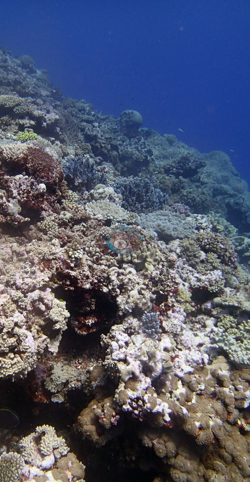
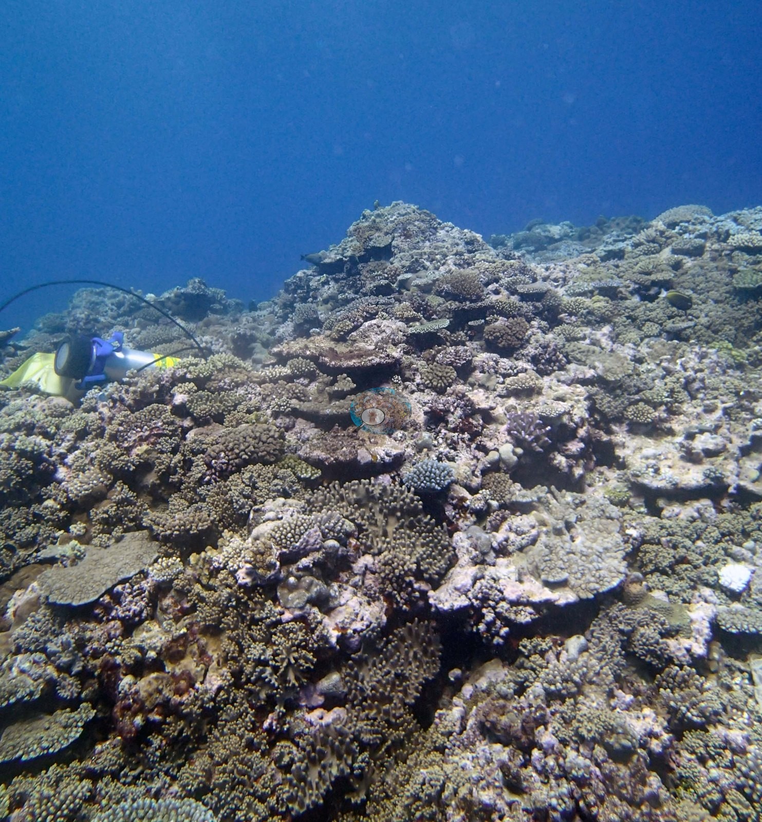
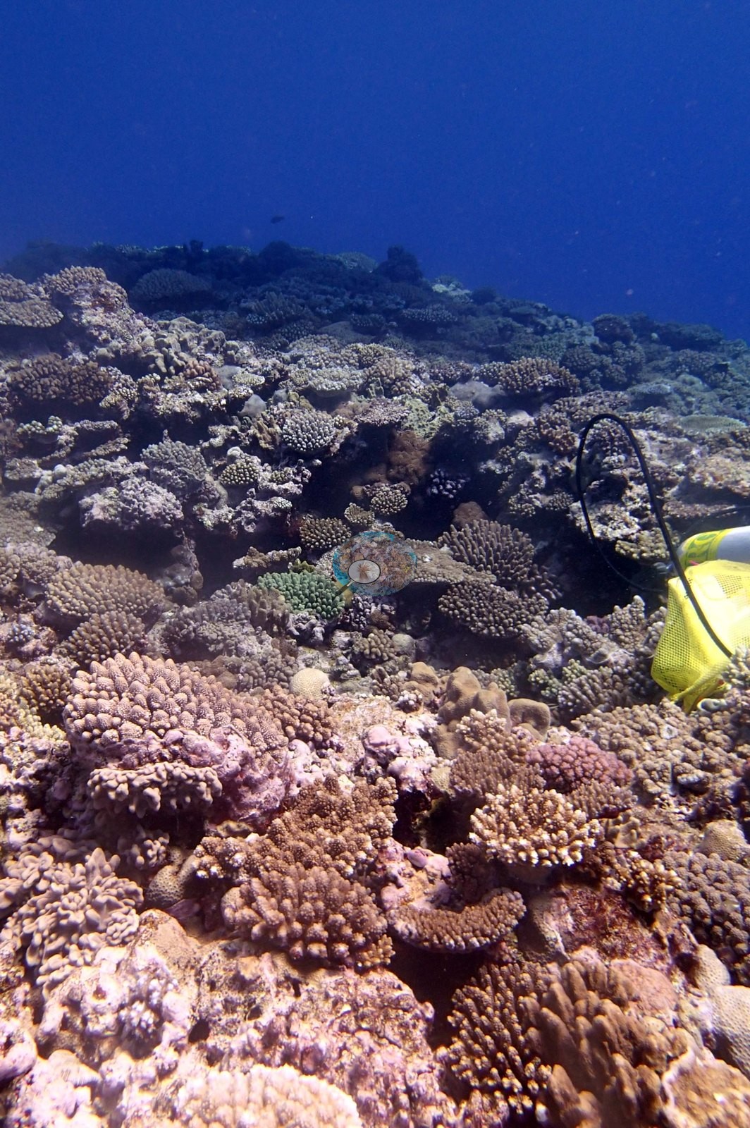
The colonies in these frames are consistently small — fist-sized to a hand's span at the scale the frames imply — rather than large framework builders, and the packing is dense enough that bare substrate is hard to find in the foreground. Image 2, in which Anderson noted high coral cover, is the extreme of this: a close down-view in which branching and corymbose colonies fill the frame edge to edge.
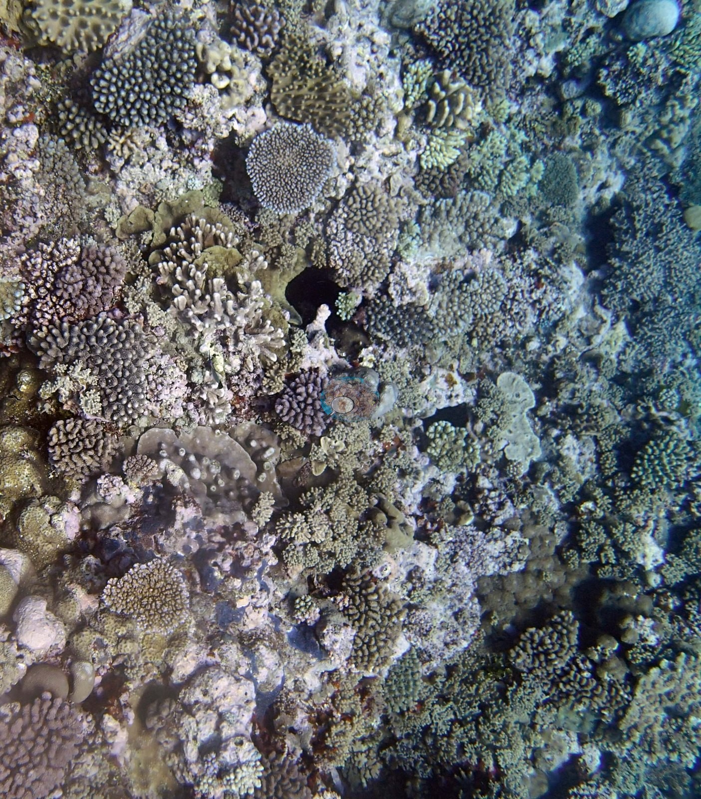
Two frames record the deeper structure. Image 3 looks along a near-vertical face tiered with overlapping foliose and plating sheets, dozens of plates stacked one above another down into the blue — the strongest photographic support for the plating community the surveyors described at the base of the wall, though the frame is badly attenuated to blue-green and neither species nor condition can be read from it. Image 8, which Anderson identified as a blue acroporid, shows a large dark blue-violet bushy colony sitting on the reef edge against open water, a distinctive single colony; 'acroporid' is a field identification, not one derived from the photograph.
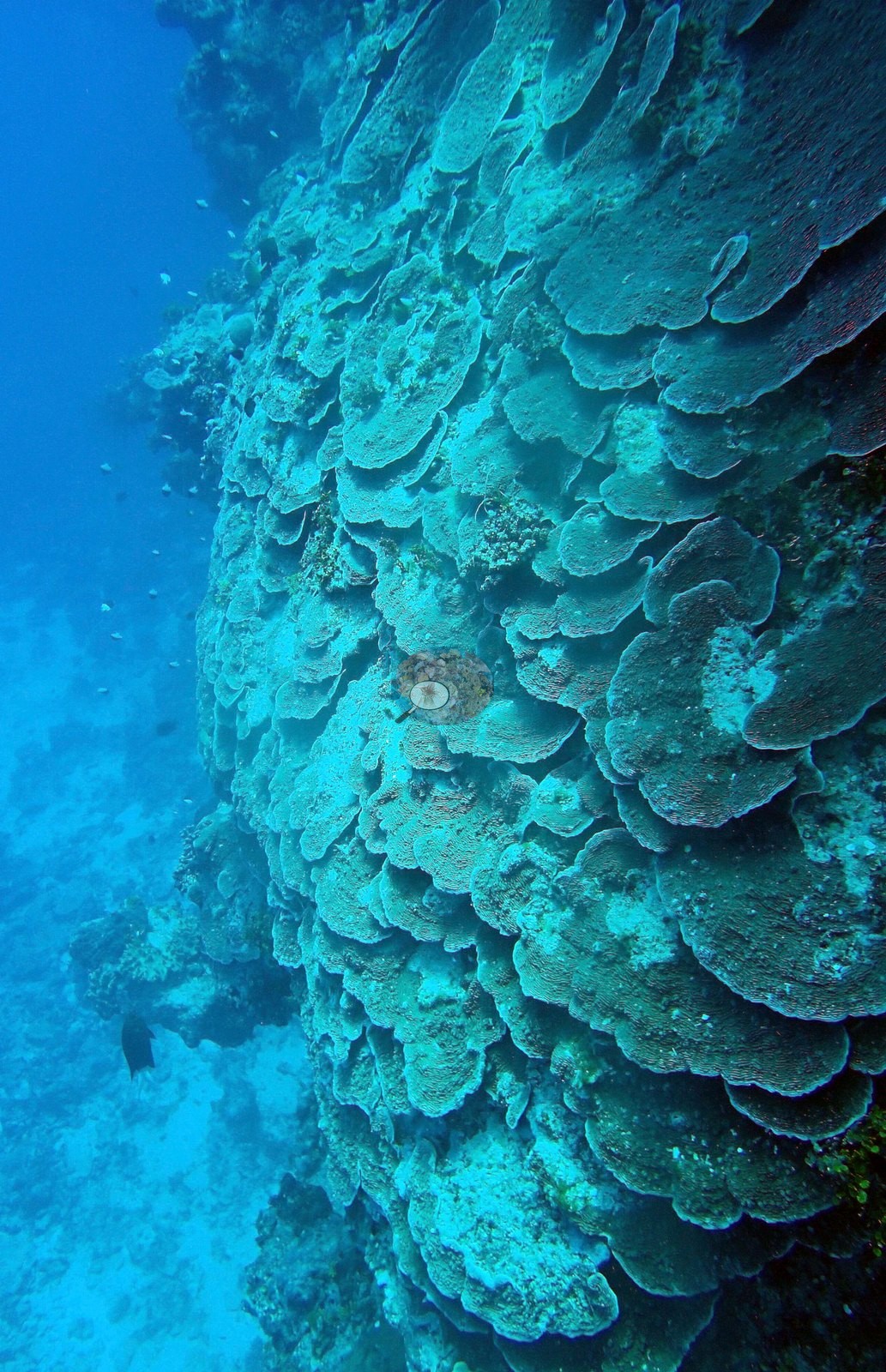
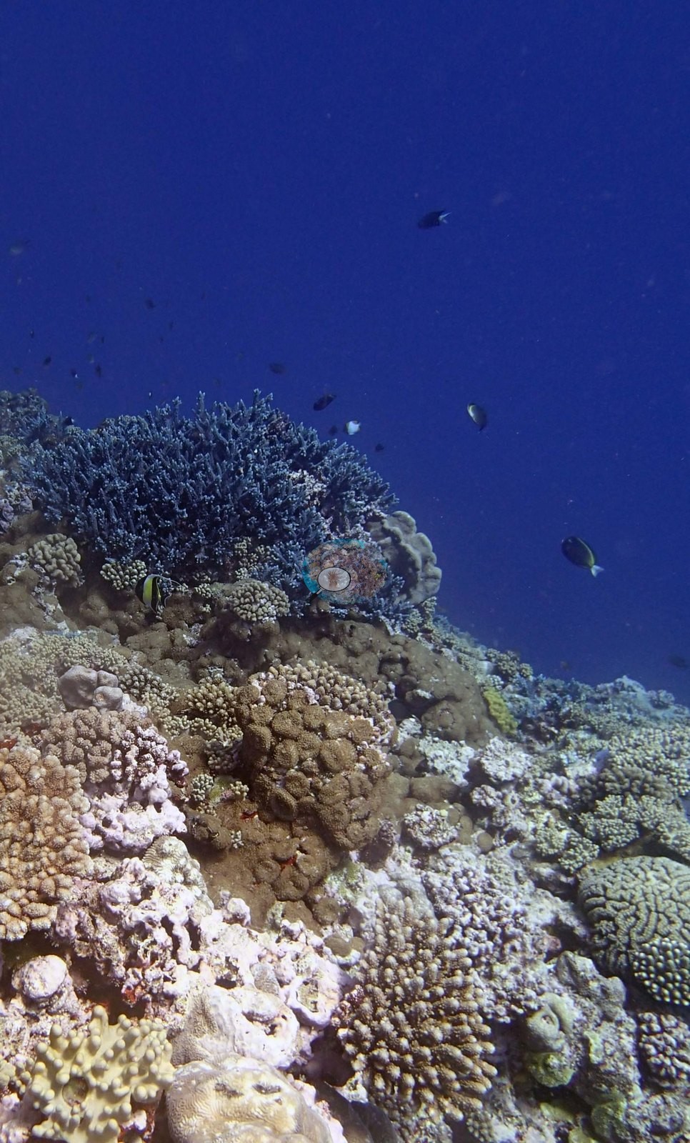
The site's non-coral cover shows up as clearly as its corals. Image 10, in which Anderson identified corallimorphs, is a wide oblique view over the reef top in which extensive low, pale gray-green mat-like cover spreads across the substrate between the coral colonies — consistent with the 20–30% corallimorph cover the survey narrative records for this reef.
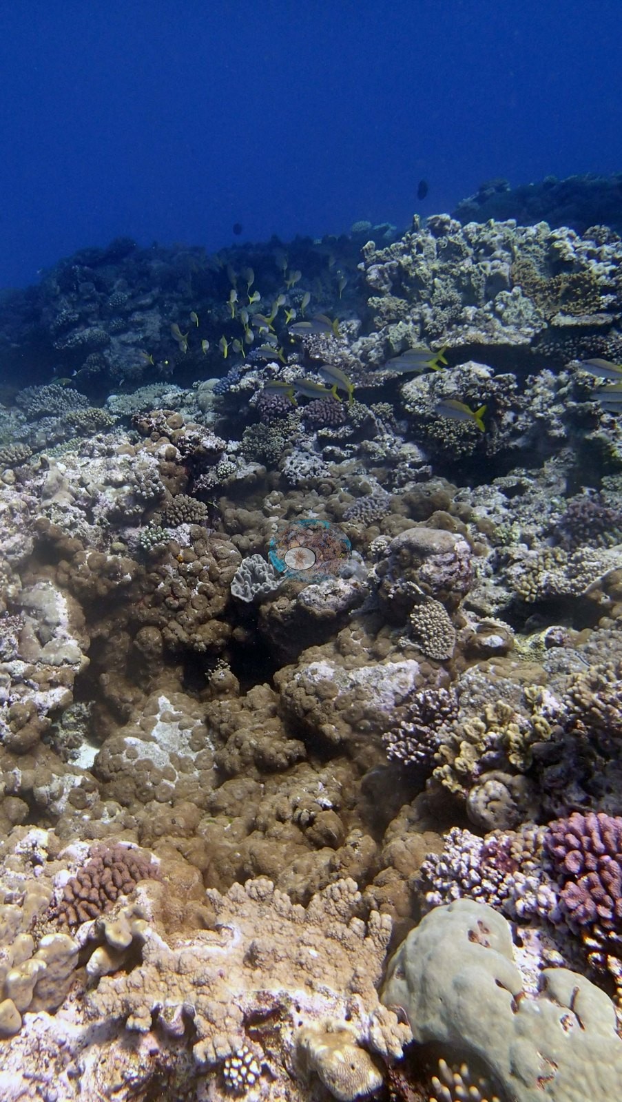
The two cave frames establish that overhangs and a cut channel exist here, and little else.
Coral cover
- Reference: Khaled bin Sultan Living Oceans Foundation, Global Reef Expedition (in situ transect)
- 34%, from the Khaled bin Sultan Living Oceans Foundation's in situ transect survey (Global Reef Expedition site data); the photographs illustrate the site.
- Anderson's 'high coral cover' caption on Image 2 is an assessment of that one frame, not a measurement; the site's cover value comes from the transect.
- Transect mean 34 ± 7.6% SE (n = 5 transects; Living Oceans Foundation per-transect benthic data); the headline above is this all-transect mean.
Stressors
No bleaching, disease lesion, or corallivore feeding scar resolves with confidence anywhere in the set. The survey notes record three Culcita cushion stars on the top of the reef. Typical recent thermal stress: mean annual maximum of 8.1°C-weeks (Degree Heating Weeks, 2021-2025, NOAA CRW; Southern Tonga virtual station). The Living Oceans Foundation transects here recorded under 0.1% cyanobacteria and no recently dead coral.
Fish and other fauna
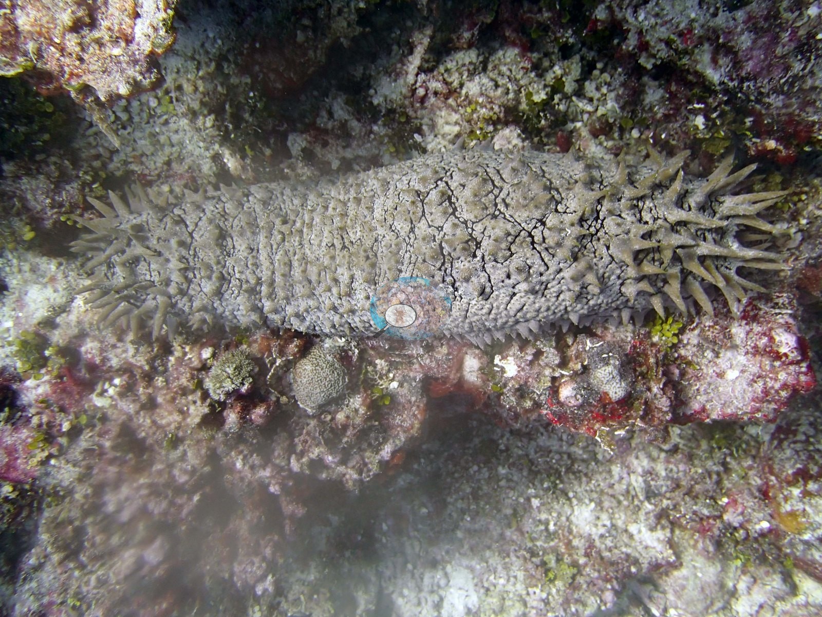
Image 7 is a dark, close, low-light frame of a giant clam (Anderson's identification) with a mottled cream and olive mantle wedged into the framework among branching colonies and red encrusting growth, and Image 13 is a close-up of a large pale knobbly holothurian lying on coralline-crusted pavement; both are subject photographs and carry no habitat information.
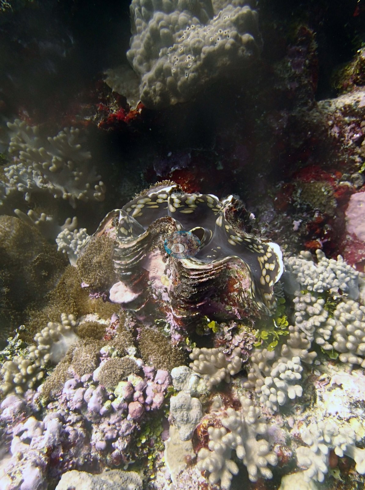
Fish are present without dominating: small dark planktivorous damselfishes over the reef top in Image 1, Image 8, and Image 9, a loose school of yellow-striped goatfish or snappers along the reef edge in Image 1 and Image 9, and scattered small yellow fish.
Comparisons with other data
Apart from the Living Oceans Foundation survey shown here, we found no other surveys at this site as of 2026. If you would like to share yours, please email us.
Other notes
Fourteen habitat frames survive from the dive (Ha'apai, 21 Sep 2013). None of the target Pocillopora ('no Pdam'), Anderson's sampling target on this expedition, was found here, so the site carries no sampled-colony series; Image 6 is a colony portrait, not a sample.
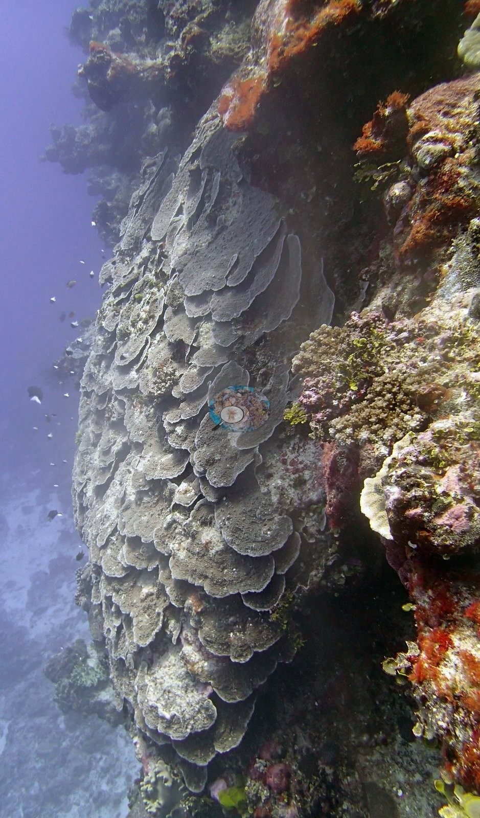
A diver with a yellow mesh collecting bag appears in Image 14 and again at the right edge of Image 5. There is no scale object, quadrat, or transect line in any frame, so no colony dimension here should be treated as measured. The frames cannot establish the site's depth zonation, cannot confirm the survey's account of the deep Porites spur at 20–35 m, and cannot be used to check its soft-coral or Halimeda percentages. The one colony frame is Image 6, a gray tiered plating colony photographed on the wall; it is a photographic record of a colony, not of the reef.
Survey team's site notes: Fringing reef, northern tip of the island. Reef has a shallow terrace at 4-5 m that is scoured in the center and has an Acropora/Pocillopora-dominated community at the edge with 20% soft corals and up to 30% corallimorphs. The sides are steeply sloping from 8-18 m depth with a mix of small to medium colonies of staghorn coral, table acroporids, Pocillopora, massive Porites, Stylophora, Coscinaraea, and other species. On near vertical surfaces there is 10-20% Halimeda and 2.0–5.0% tufts of Cladophora. The sides have 20-30% cover of Corallimorphs which can be 2-5 m wide in places. Slightly deeper at 15-20 m is an increase in plates and crusts of Montipora, Isopora, Pachyseris, Mycedium, and other species along with large columnar Coscinaraea. Fringing reef, southwestern end of island. Shallow reef terrace extends from 3-8 m, then drops vertically to 25 m, then continues to slope more gradually into deep water. The top of the reef is a scoured hardground nearest to the reef crest (3-4 m depth), with high cover of digitate and staghorn acroporids, thickly branched tables and plates of Acropora, Isopora, Goniastrea, Lobophyllia, Gardineroseris, and many other species. There is 20% cover by soft corals and large patches, 5-6 m diameter of Corallimorphs at the edge of the slope and running down the slope to 20 m depth. The base of the wall has a well developed plating coral community with large overlapping sheets of Pachyseris (e.g., Image 3), and a large patch (5 m wide) of plating coral tentatively recorded as Turbinaria peltata. Also Montipora plates and crusts, large Leptastrea crusts, Favites crusts, and Porites, intermixed with columnar Favia stelligera and Coscinaraea columna. Cover ranges from 20-80%. Adjacent to this large structure is a sand channel and a deeper reef framework that runs parallel to the southern side of the wall, sloping from 15 m to 35+ m before ending in sand. This spur is about 30-40 m wide and up to 2 m above adjacent sand channel. It is constructed of a Porites framework and has 20-50% cover of large live massive Porites. These are 0.5-1 m tall and up to 2 m wide. Between the Porites colonies is a complex reef community with many species of plating, massive, submassive, and branched corals, including some 1-2 m stout staghorn corals, Isopora, Goniastrea, Goniopora, small Euphyllia, large Coscinaraea pillars (up to 1 m X 1 m), plates of Pachyseris, Montipora and Leptoseris, and mounds of Porites rus. Porites colonies increase in abundance between 20-35 m. The wall and base of the wall had 10-30% cover of Halimeda, small patches of Cladophora, and 20-30% turf algae.
CV model comparison
More info
The photo row below is a methods comparison only: it is never averaged with the transect and never used as the headline. It compares site means only: the photos come from the same survey dive as the transect but not from the same points.| Method | Hard coral cover (%) | Photos (n) ± SE |
|---|---|---|
| Transect mean (all transects) | 33.5 | |
| CoralSCOP unedited | 26.8* | n = 11 · SE 3.5 |
| Claude (edited photos) | 44.4* | n = 11 · SE 6.1 |
The two computer-vision methods disagree by 17.6 pp (26.8–44.4%) and read on both sides of the in-water transect (33.5%); the headline is the in-water transect because a diver transect is independent of the photographs.
*Based on only 11 reef-habitat photos; this estimate is less certain.
See a more detailed, stand-alone version of this table.
Data & links
- Download benthic survey data (CSV) ↗
- Download all LOF-GRE data (933 sites) ↗
- Photo portfolio ↗
- Coral Reef Diagnostics region page ↗
All images from Coral Reef Diagnostics. Data are from the Khaled bin Sultan Living Oceans Foundation Global Reef Expedition and Coral Reef Diagnostics.
 © Coral Reef Diagnostics.