Island summary of 20 dive sites. Figures are averages across the sites that report them (n = sites with a value); each site's own page has its individual values. Part of the Fiji - Northern Lau (Vanua Balavu / Cicia / Nayau) regional summary.
Heat-stress figures: NOAA Coral Reef Watch — Fiji 5-km virtual station. Each pill links its source record and carries the values behind it.
Island summary
Vanua Balavu was the weakest island surveyed in Fiji in June 2013: 17 of 19 stations held under 30% coral and algae dominated, though a steep slope edge and a deep pinnacle still carried abundant Acropora.
Heat stress
sea surface temperature (SST) (left axis)DHW under 2DHW 2–3DHW 3–5DHW 5–8DHW 8–10DHW over 10 (🔥 above 12)
Daily SST (line) and weekly maximum Degree Heating Weeks (bars), Jan 2023–Oct 2026, NOAA Coral Reef Watch 5-km Fiji virtual station. Dashed line: bleaching threshold (maximum monthly mean 28.4°C + 1°C). DHW ≥ 4: bleaching likely; ≥ 8: severe bleaching and mortality likely. A bar is drawn only where DHW exceeds zero, so a stretch with no bar is accumulated heat stress of zero, not missing data — the SST line runs the full period.
20 sites in this region — click a marker to open that site.
Overview
Nineteen Global Reef Expedition stations were surveyed around Vanua Balavu, in northern Lau, between 21 and 26 June 2013, the last stops of the Fiji mission, plus an island-level marker. Maximum dive depths ran from 12.5 m at FJVB57 and FJVB58 to 31.7 m at FJVB61 (FJVB59 has no logged dive; station CTD cast to 4.0 m), on slopes, terraces, flat hard-bottom reef, and sand-and-rubble ground.
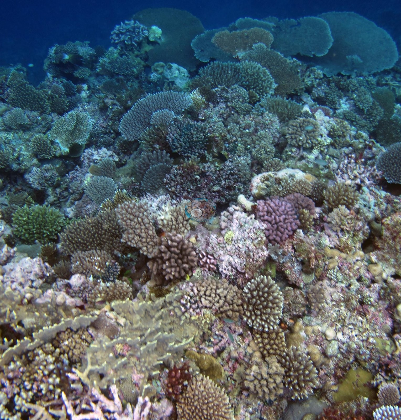
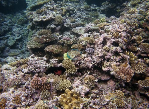
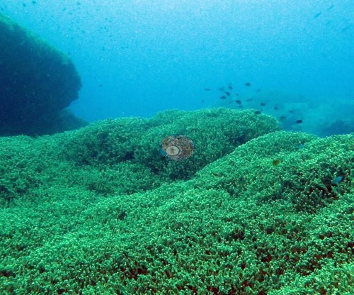
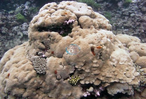
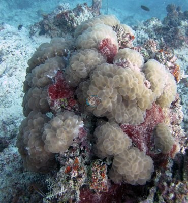
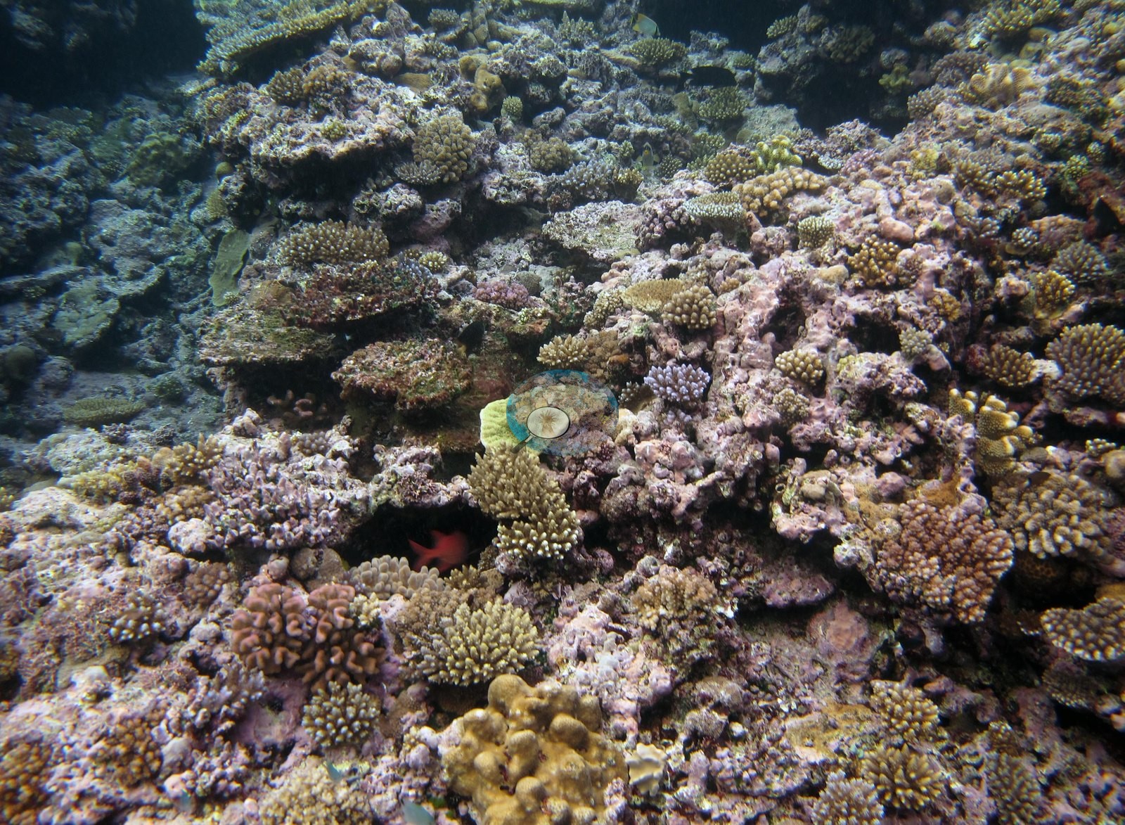
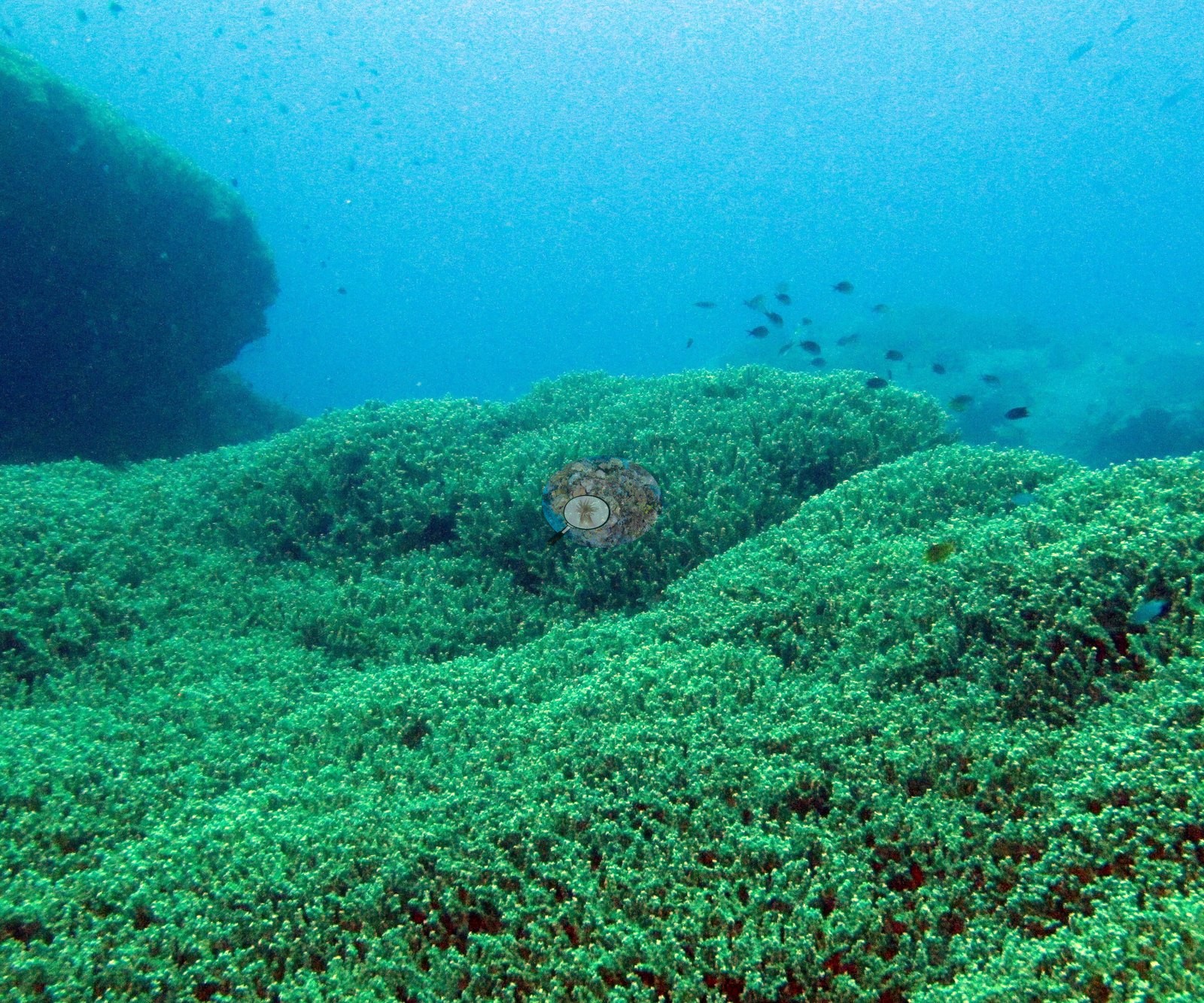
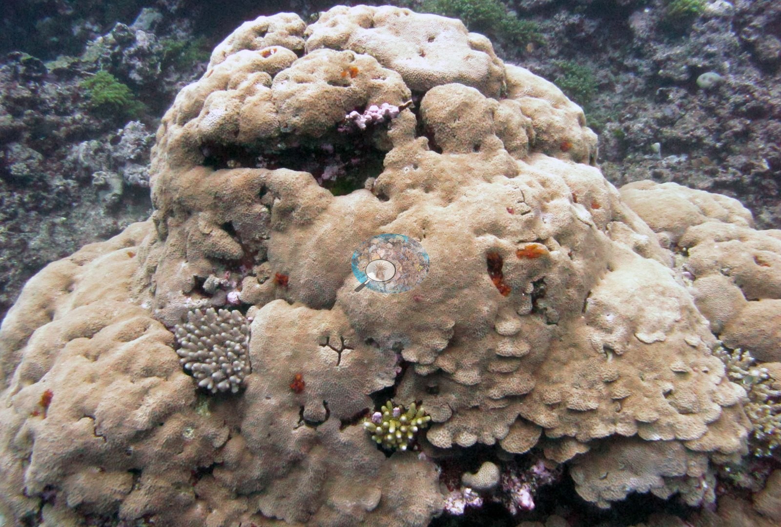
Seventeen of its 19 survey stations had less than 30% coral, and algae held most of the benthos, reaching 83% at FJVB58 and 90% at FJVB69. Cover was 2.5% at FJVB64 and 3.3% at FJVB65; at FJVB65, low, algae-crusted rubble mounds sit on white sand. The exceptions are the steep slope edge at FJVB52 (47%), densely built with tables, staghorn, and corymbose Acropora among smooth tan massive boulders; the coral-covered rise at FJVB54 (37%), which carries tiered plate and table Acropora among dense branching colonies. FJVB55 (29%) sits just below the 30% line. FJVB68 (just under 30%) is an unbroken field of fine-branched coral (branching Galaxea, by Anderson's dive-log note) rolling over low mounds beside a large dark bommie. Survey notes also describe cyanobacteria mats, old dead coral, leather corals, Millepora, and a Pavona clavus colony at least 10 m across, and the transects at FJVB60 logged 13% dead coral.
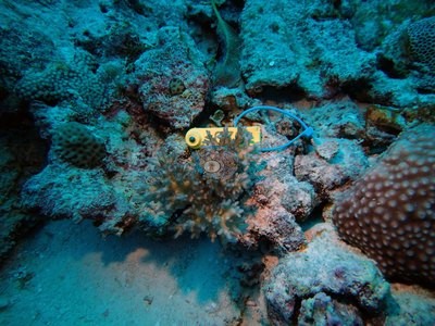
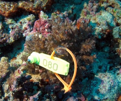
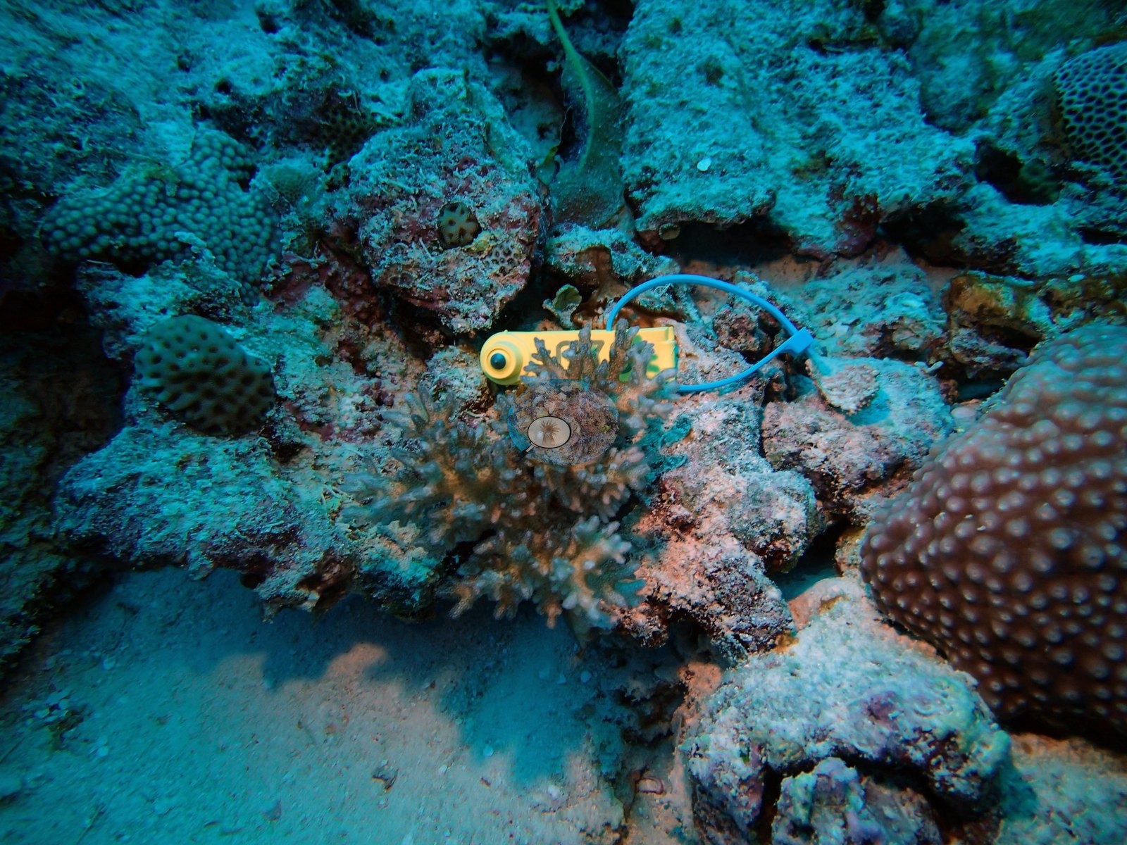
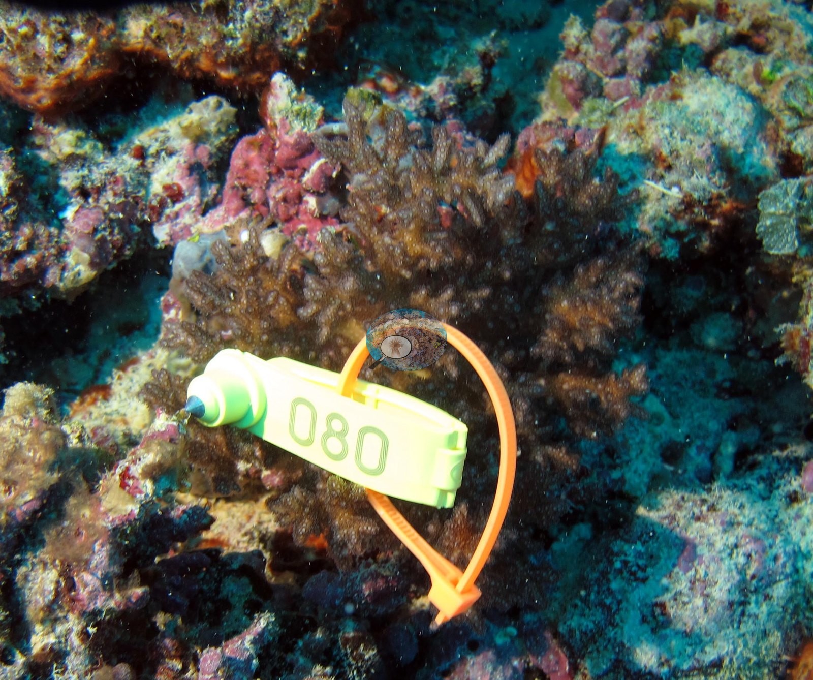
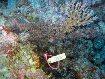
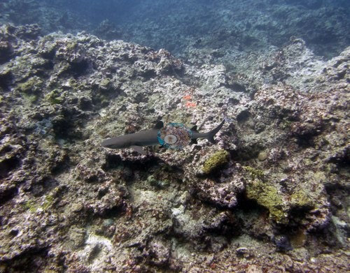
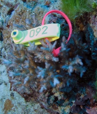
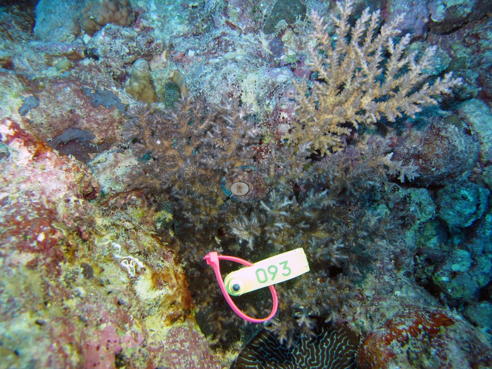
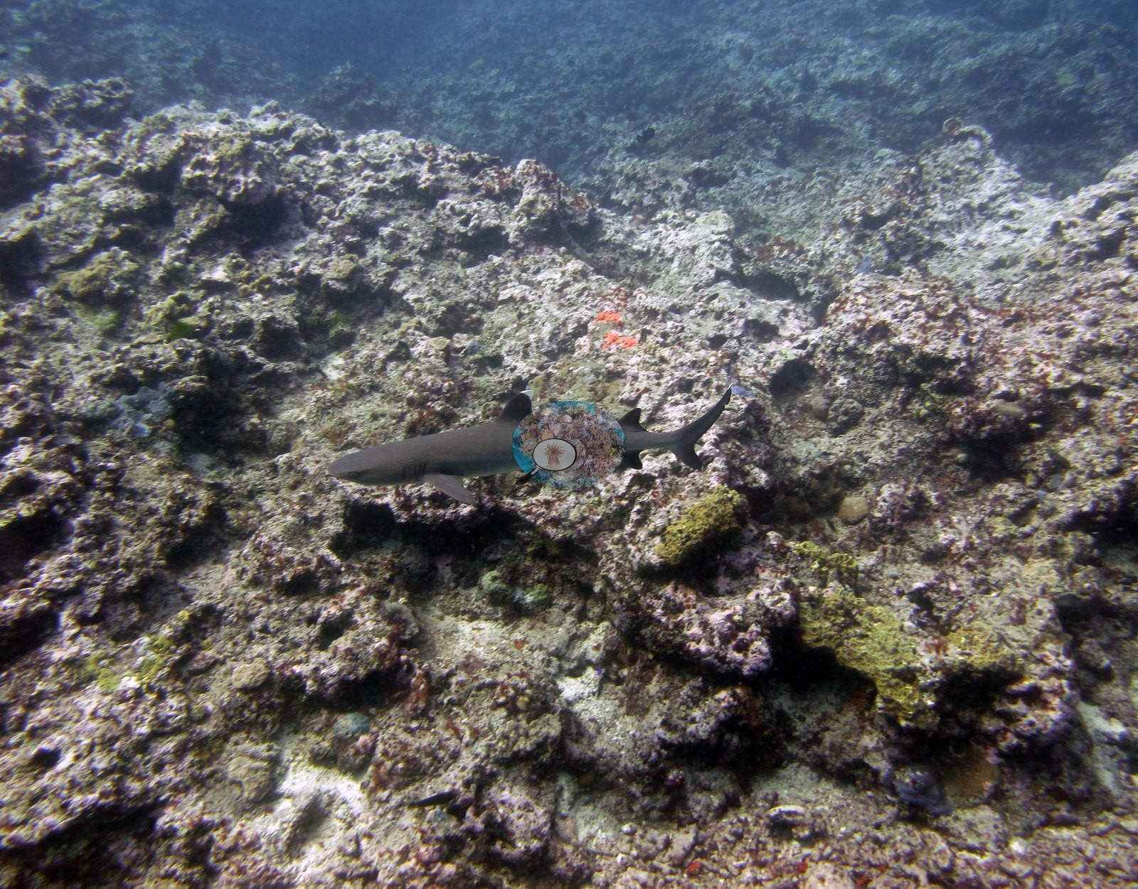
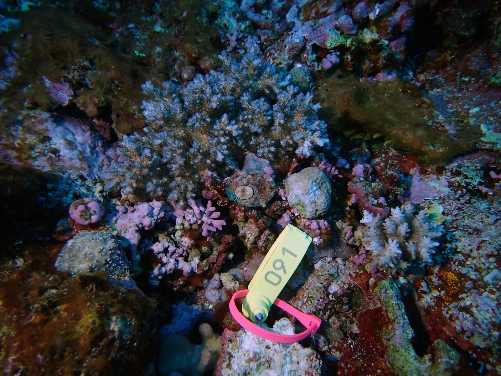
Anderson's sampling sheet records partly to mostly bleached sampled colonies at several stations, up to 90% at FJVB60 and FJVB63, and the photographs show bleached unsampled colonies beside sampled ones at both (see the FJVB60 thumbnail; the diver's FJVB63 frames are not shown). Island-level physiological screening (Mayfield et al. 2017, PLoS ONE) flagged 4 of the 18 corals with an outlier score; the one colony sampled at FJVB67 and half of those at FJVB63 were flagged. Survey notes record some crown-of-thorns predation at FJVB55, a mortality gradient on Diploastrea with abundant trematodes plus common diseasedPorites at FJVB61, and extensive mortality on several large Porites lobata and Diploastrea colonies at FJVB70. Sightings include a manta ray at FJVB65, a dogtooth tuna at FJVB54, a green turtle at FJVB69, a triton's trumpet at FJVB67, whitetip and other reef sharks, and a giant clam at FJVB68.
Highlights
47% cover on a steep slope edge built of nearly every Acropora growth form, under clouds of damselfish and anthias (FJVB52).
Tiered plate and table Acropora among dense branching colonies, one of them lavender, and a large fish Anderson identified as a dogtooth tuna crossing open blue water (FJVB54).
An unbroken field of fine-branched coral rolling over low mounds beside a large dark bommie, with a giant clam wedged into a massive colony (FJVB68).
Seventeen of the 19 survey stations held less than 30% coral, and algae reached 90% (FJVB69).
A manta ray gliding low over white sand and algae-crusted rubble mounds at 3.3% cover (FJVB65).
A whitetip reef shark over dark rubble cut by bright sand channels, and a large jellyfish drifting just above the bottom (FJVB55).
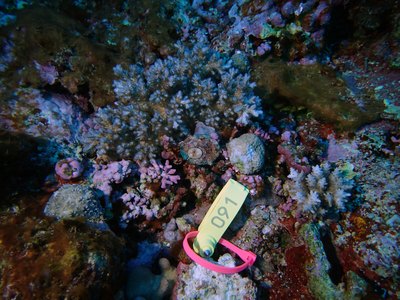
Fiji - Vanua Balavu (FJVB67): Physiological stress outliers: the one coral colony Anderson sampled here (F153, recorded on the sheet as 10% bleached) was flagged as a physiological stress outlier (Mayfield et al. 2017, PLoS ONE); island-level screening flagged 4 of the 18 corals with an outlier score.
1 of these 1 values rests on 10–19 photographs (*)
Claude (Anthropic), blind point count
39%*
—
1
1 of these 1 values rests on 10–19 photographs (*)
In-water diver transect (line/point intercept)
47%
—
1
—
The mean is an UNWEIGHTED mean of the dive site values — each dive site counts once, whatever its photo count — which is the convention of the published tables and of every other figure on this page. Each value is the one printed on that dive site's own page; a page that prints no value for a method (fewer than 10 photographs) is left out of that method's mean.
This table pools only the one dive site in this unit that has a method comparison; the table for all 10 dive sites is on the Fiji - Lau page.
Deviation from the reference
Over the dive sites where an independent reference exists, Claude (Anthropic), blind point count has a mean absolute deviation of 8.0 pp from it across 1 dive site. Not in this ranking: CoralSCOP (edited), which measures coral area rather than points. A mean absolute deviation is not an accuracy score: a model with a consistent offset is correctable, while one with the same deviation scattered in both directions is not.
By dive site
Dive site
CoralSCOP (edited)
Claude
Diver transect
FJVB52
34%*
n=11
39%*
n=11
47%
n under each value is the number of photographs that method scored at that dive site. ⚠ marks a cell that is not an independent check. * marks a value resting on only 10–19 photographs, which is less certain.
Reference: Living Oceans Foundation (LOF) Global Reef Expedition in-water transects (mean of all the station's transects, Living Oceans Foundation per-transect benthic data). Denominator: line/point intercept along the transect; not a photo-point denominator. Source: LOF Global Reef Expedition 2013, per-transect benthic data ('GRE data-full benthic'): the mean of all of each station's transects For all 10 dive sites in the comparison: The transect is THE coral-cover value at every site; the Claude photo estimate is a methods comparison only, never averaged with the transect and never a headline. Site-level only: the photos come from the survey dives, not from the transect points. Few usable habitat photos exist for Fiji: only 10 sites have 10 or more, and 9 of them have fewer than 20 (low-n), so these are not confident site estimates. Accuracy, Claude vs transect, 10 sites: mean difference -5.4 pp (95% CI -12.7 to +1.9), mean absolute difference 10.3 pp, r 0.35. Claude reads lower than the transect at most sites and does not track it from site to site. This is a methods comparison, not a ranking.
Nearby external survey stations
3 independent survey records within 5 km of a site in this region (each record counted once).
Vatuvara Foundation Fiji / WCS Fiji via MERMAID — Ada01 (2017): 7.0% hard coral cover, 4.68 km from Fiji - Lau Islands: Vanua Balavu
Vatuvara Foundation Fiji / WCS Fiji via MERMAID — Ada04 (2017): 9.3% hard coral cover, 4.50 km from Fiji - Vanua Balavu (FJVB54)
Vatuvara Foundation Fiji / WCS Fiji via MERMAID — Kan04 (2017): 9.7% hard coral cover, 4.86 km from Fiji - Vanua Balavu (FJVB54)


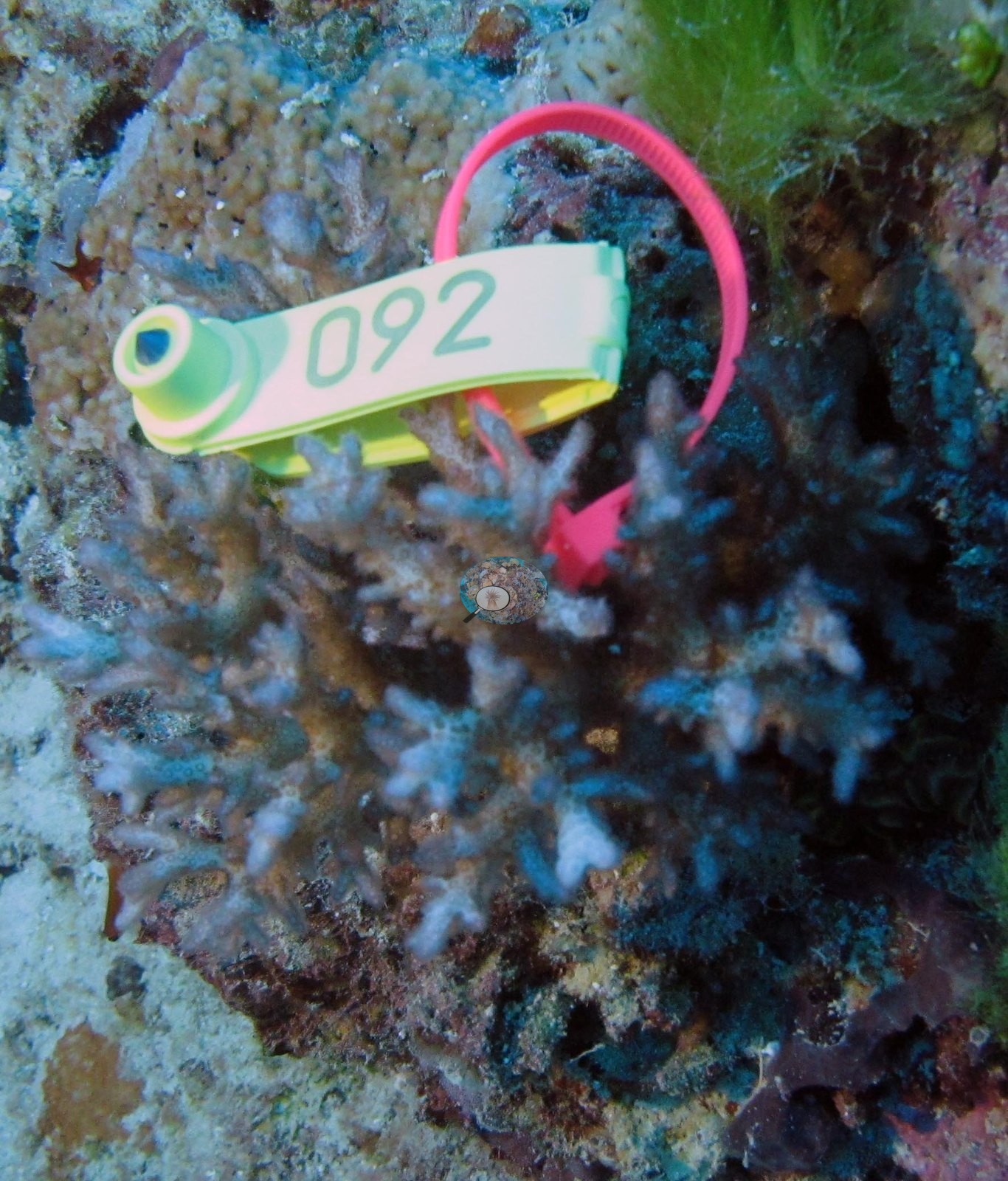
 © Coral Reef Diagnostics.