

Part of the regional summaries: Fiji - Vanua Balavu, Fiji - Northern Lau (Vanua Balavu / Cicia / Nayau), and Fiji - Lau
More info
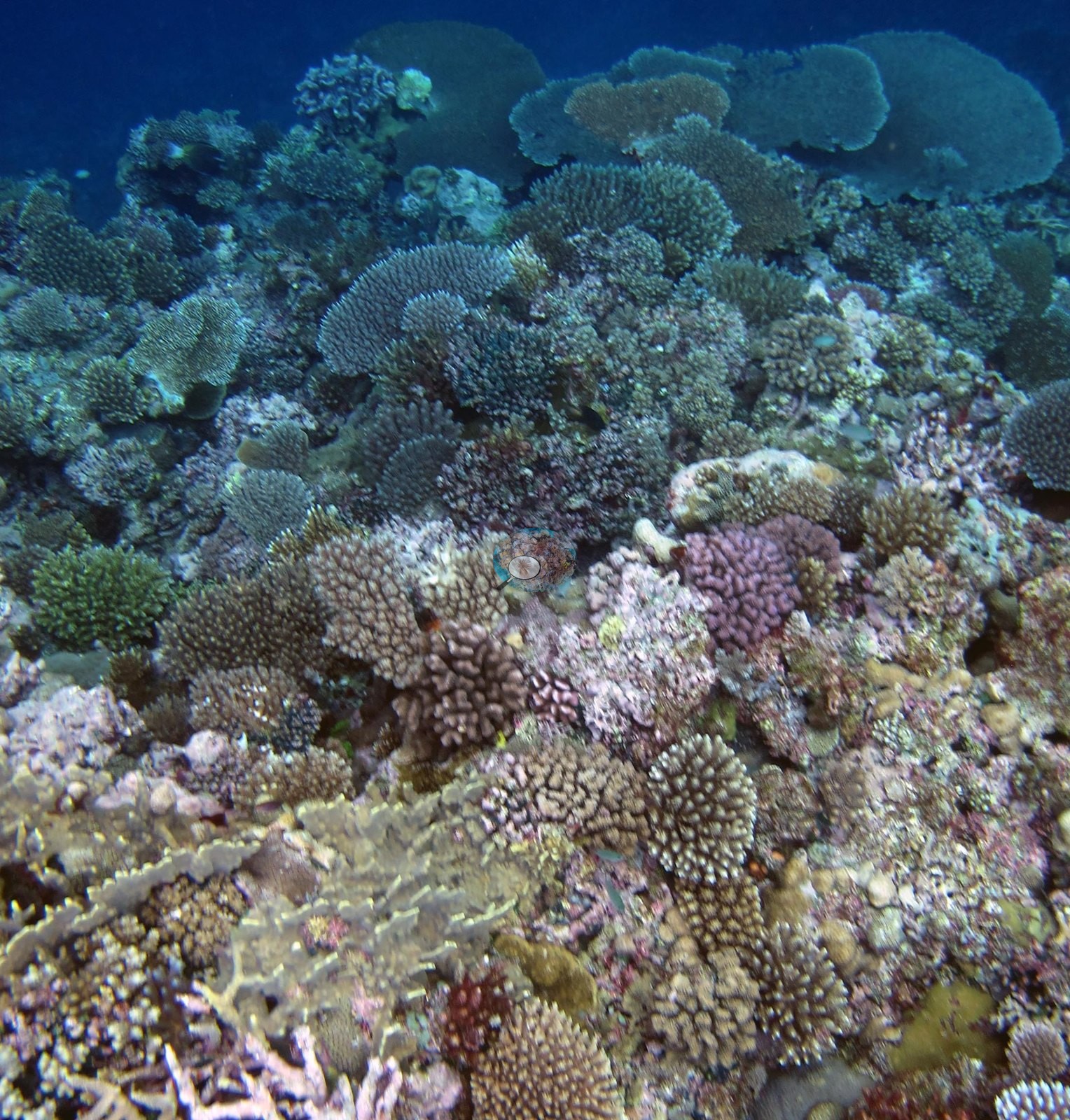
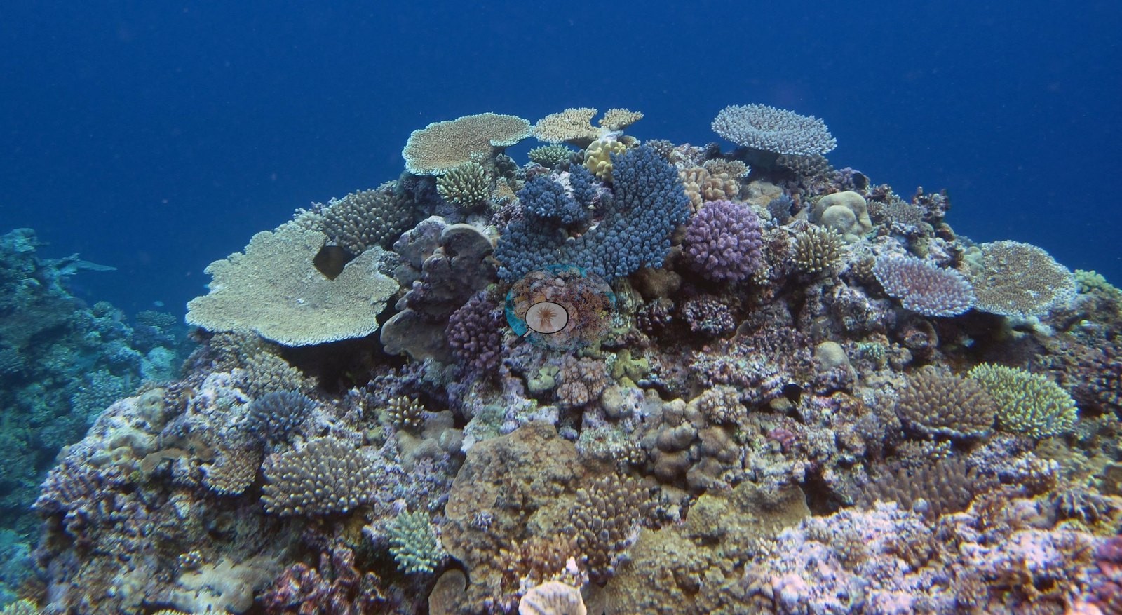
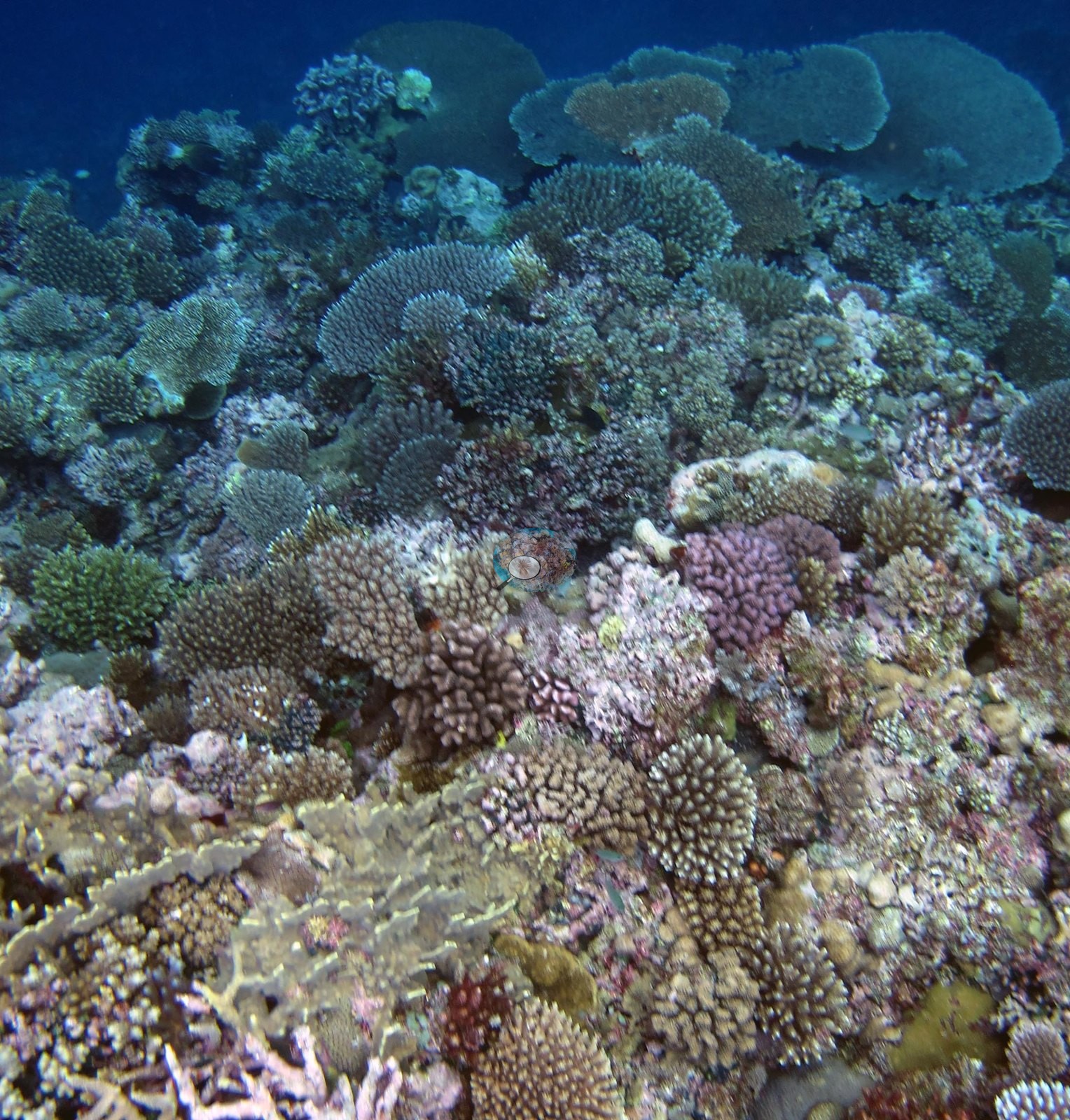
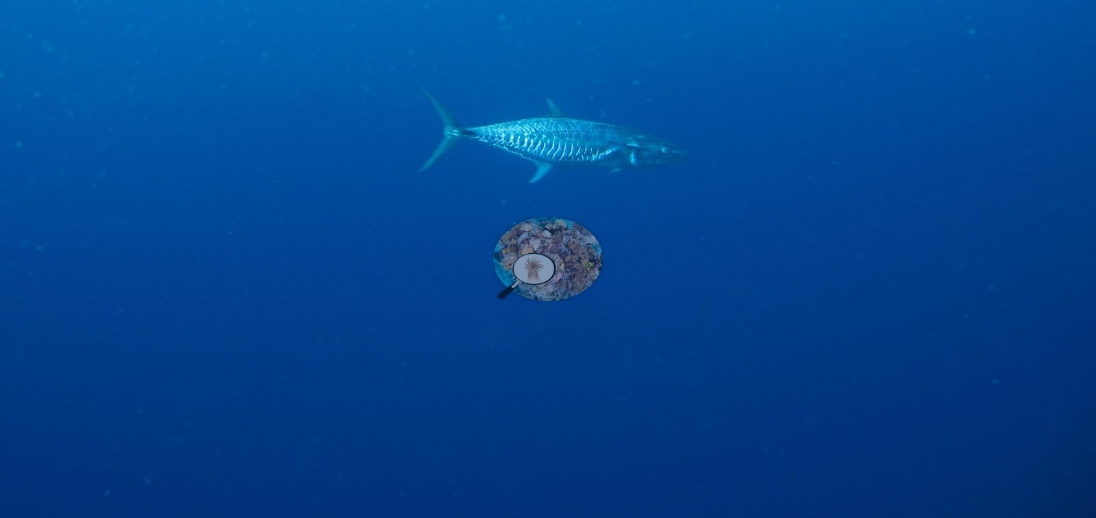
Fiji (NOAA CRW virtual station)A Vanua Balavu reef known from three photographs: tiered plate and table Acropora among dense branching colonies, one of them conspicuously lavender, over pink coralline-cemented pavement, at 37% cover. A fourth frame shows a large fish, which Anderson identified as a dogtooth tuna, crossing open blue water. Surveyed on the Living Oceans Foundation's Global Reef Expedition.
E dua na cakau e Vanua Balavu e kilai mai na tolu na itaba: na Acropora vakaiteba kei na vakatepeli e veitabaki ena maliwa ni lase vakatabataba e vonu tu, e dua vei ira e roka (lavender) vakaidina, ena dela ni vatu raraba e vakadeitaki ena lumi vakalase (coralline) e roka (pink), ka 37% na ubi ni lase (coral cover). Na ikava ni itaba, e vakaiyacataka ko Anderson me dogtooth tuna, e vakaraitaka e dua na ika levu e qalo sivita na wasawasa karakarawa.
AI translation of this summary; the English is authoritative. (low confidence)
CTD-cast midpoint; the cast read 27.1°C throughout
Two independent survey stations shown with the program’s logo — click one to see how far it is from this site.
🗺 Detailed map of the Global Reef Expedition dive sites, Vanua Balavu, Fiji (Khaled bin Sultan Living Oceans Foundation; opens in a new window)
Site description
Setting
FJVB54 is a Vanua Balavu station in northern Lau, surveyed on 21 June 2013 during the Khaled bin Sultan Living Oceans Foundation's Global Reef Expedition.
General benthic features
The widest frame looks up at a coral-covered rise standing against clear blue water, its top carrying tiered plate and table Acropora among dense corymbose and digitate branching colonies, with one conspicuously lavender-purple branching colony set among the tan and olive ones (e.g., Image 2).
A second frame, taken close over the substrate, shows the same mixed branching assemblage growing out of an extensive pink-white crust of coralline algae that cements the older dead framework; a small red fish shelters in a hollow beneath the branches (e.g., Image 1).
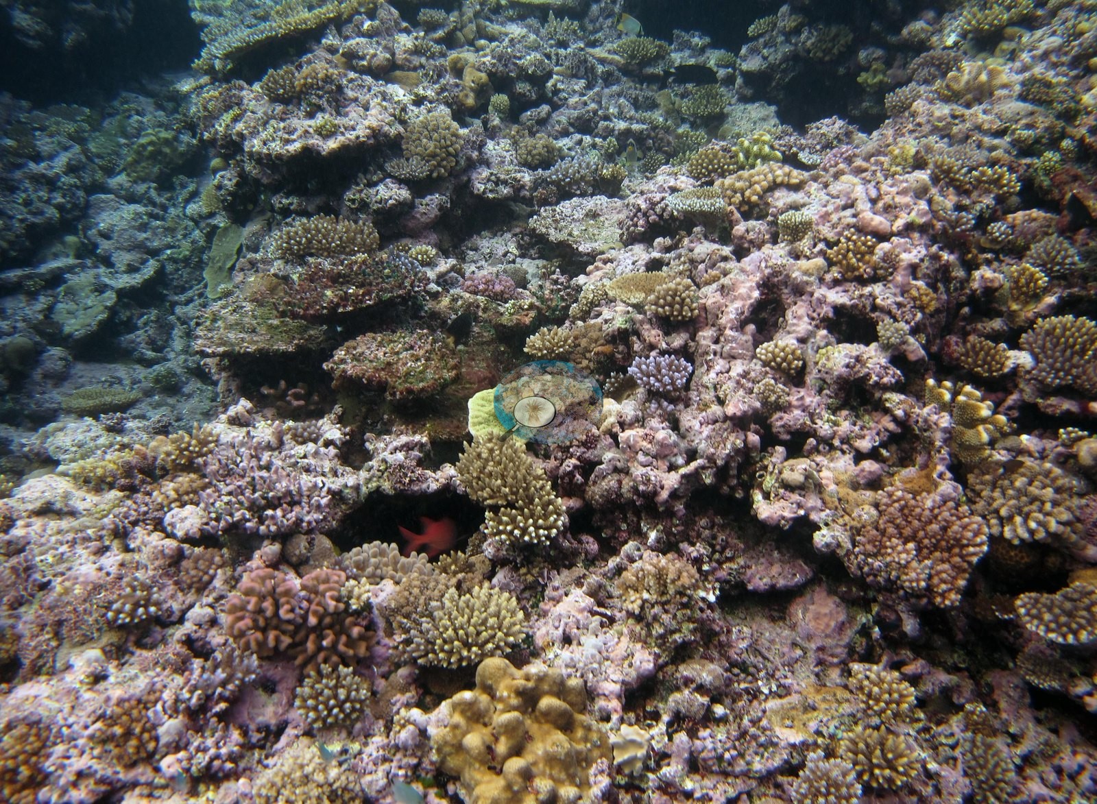
A third shows a slope of tabulate Acropora stacked in overlapping tiers with branching colonies filling the spaces between (e.g., Image 3).
Coral cover
- Reference: Khaled bin Sultan Living Oceans Foundation, Global Reef Expedition (in situ transect)
- Coral cover: 37%. Live hard coral measured on in situ benthic transects during the Global Reef Expedition (LOF-GRE in situ transects; mean of all of this station's own transects), against 49% algal cover recorded on the same transect.
- Transect data are this site's authoritative cover value; no image-derived product overrides it.
- Transect mean 37 ± 11% SE (n = 4 transects; Living Oceans Foundation per-transect benthic data); the headline above is this all-transect mean.
Stressors
Anderson's frames from this station establish that plating and branching acroporids over coralline-cemented pavement were present at this station; they are too few and too loosely located to settle the site's zonation, relief, depth structure, or overall condition, and the survey data carry the quantitative account. The Living Oceans Foundation transects here recorded 4.0% cyanobacteria and no recently dead coral; they carry no bleaching, disease, or crown-of-thorns field.
Fish and other fauna
The fourth frame is open blue water crossed by a single large pelagic fish, which Anderson identified as a dogtooth tuna (e.g., Image 4).
Comparisons with other data
Apart from the Living Oceans Foundation survey shown here, we found no other surveys at this site as of 2026. Within 5 km, two Vatuvara Foundation Fiji / WCS Fiji via MERMAID stations recorded station-year means of 9.3–9.7% hard coral cover in 2017; the nearest, Vatuvara Foundation Fiji / WCS Fiji via MERMAID at Ada04, 4.50 km away, read 9.3% in 2017.
Other notes
Four photographs survive from the site, all of them habitat frames and none of them sampled-colony close-ups; three show reef and the fourth is open water.
Independent surveys nearby
Within 5 km, 2 independent survey stations recorded hard coral cover in 2017. The most recent nearby survey is from 2017, so these values predate recent heat stress. This site's own estimate (37%) is not compared with these surveys: none lies within 2 km.
Collected by other programs using different methods (MERMAID is a data platform: each MERMAID row names the organization that did the survey, and its method is in the row's hover text), so these are context for the figures above, not a like-for-like comparison. Where a station was surveyed more than once, the cell shows either the range of its values or, as a single value, the mean of surveys made in one year. Station names are not dive-site names.
| Agency | Site / location | Date | Hard coral cover (%) | Distance | Link |
|---|---|---|---|---|---|
| Vatuvara Foundation Fiji / WCS Fiji via MERMAID | Ada04 | 2017 | 9.3% | 4.50 km | Darling E, Fisher K, Greiner A, Miller K, Nand Y. 2017. 2017_Northern Lau. MERMAID |
| Vatuvara Foundation Fiji / WCS Fiji via MERMAID | Kan04 | 2017 | 9.7% | 4.86 km | Darling E, Fisher K, Greiner A, Miller K, Nand Y. 2017. 2017_Northern Lau. MERMAID |
Data & links
- Download benthic survey data (CSV) ↗
- Download all LOF-GRE data (933 sites) ↗
- Photo portfolio ↗
- Coral Reef Diagnostics page for this area ↗
All images from Coral Reef Diagnostics. Data are from the Khaled bin Sultan Living Oceans Foundation Global Reef Expedition, Coral Reef Diagnostics, and the organizations named in the data sources above.
 © Coral Reef Diagnostics.