
Indonesia - Raja Ampat

Regional summary of 21 dive sites (13 with their own page). Figures are averages across the sites that report them (n = sites with a value); each site's own page has its individual values.
⬇ Download this region as a report card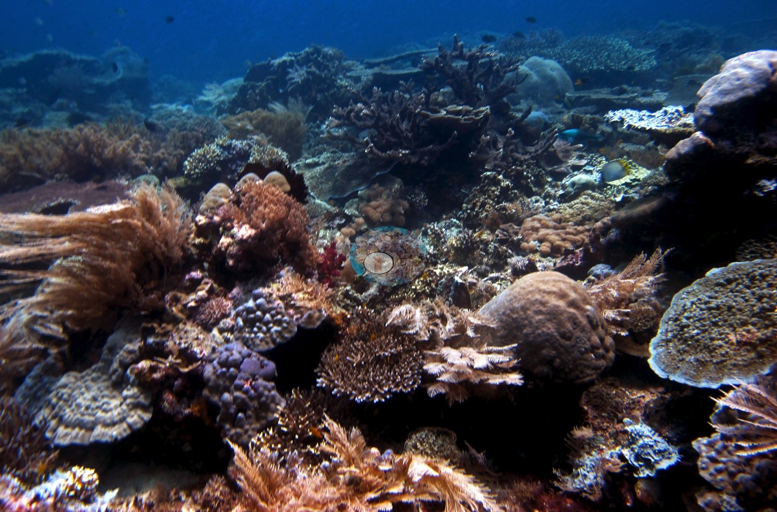

Raja Ampat's pinnacles, seamounts, and limestone walls, dived in October 2018, hold abundant soft corals, sea fans, and black coral, with hard coral concentrated on reef tops and in the shallows. Fish life was very high, including gray reef sharks, wobbegongs, and pygmy seahorses.
Heat stress
Long-term record: 5 years from 1985 through 2025 reached 8 or more °C-weeks at NOAA’s West Papua station. Download the annual DHW data (CSV).
21 sites in this region — click a marker to open that site.
Regional setting
Spalding et al. (2001) never name Raja Ampat. The nearest landmark in their Indonesia chapter is the Bird's Head (Doberai) Peninsula, which falls in the last of the sub-regions in their account, the Moluccas and Irian Jaya. They characterize that sub-region as bathymetrically complex, with clear oceanic water so deep that islands only tens of kilometers apart can lie on either side of channels more than 1,000 m deep. One of its only two true continental-shelf areas is a shallow platform west of the Bird's Head, yet the authors had little or no information on the reef communities around the peninsula, and they describe Indonesia as holding a huge range of reefs, many poorly known or not described at all. For the country as a whole, they estimate about 51,020 km² of coral reef, roughly 18% of the global total and more than any other nation, and list 443 recorded coral species against an estimate of 581-602 for its wider biogeographic region. Souter et al. (2021) include Indonesia in the East Asian Seas region, which overlaps the Coral Triangle and holds 78,272 km² of reef (just over 30% of the world's total) and nearly 600 reef-building coral species.
Wilkinson (2006), summarizing the 2004 Southeast Asia assessment, reported that reef condition across the region had kept declining, though Indonesia showed some signs of coral recovery; the main direct pressures were overfishing and destructive fishing, land-based pollution, and sediment from coastal development and deforestation. For the East Asian Seas as a whole, Souter et al. (2021) estimate that hard coral cover climbed from 33% in 1999 to 41% in 2009, fell to 35% by 2012 after the 2010 mass bleaching, dipped to 33.9% in 2017 after the 2016 event, and stood near 36.8% in 2019. They caution that even the earliest records probably describe reefs already altered by people, and that monitoring has favored accessible, well-known sites, while many reefs in the large archipelagic nations remain hard for researchers to reach. Razak et al. (2026), pooling two decades of Indonesian reef monitoring, found no significant trend in hard coral cover at the two Raja Ampat locations nearest this region’s sites: southern Waigeo (seven sites, 2006–2010) and Misool (eight sites, 2009–2015).
Overview
This region covers 21 sites from a liveaboard trip dived between 16 and 23 October 2018. Most lie in two parts of Raja Ampat: the Dampier Strait and Fam/Penemu group in the north (Cape Kri, Blue Magic, Mioskon, My Reef, Melissa's Garden) and the Misool area in the south (Shadow Reef, Barracuda Rock, Four Kings, Nudi Rock, Little Juliet, Anchovy, Two Tree Island). It also includes Karang Paradise, whose region is not established. Settings range from pinnacles and seamounts (Blue Magic, Four Kings, My Reef) to sheer walls below undercut limestone islets (Nudi Rock, Two Tree Island), a very sheltered fringing reef at Barracuda Rock, and a sand muck site beside a Dampier Strait town pier. Logged maximum depths ran from 15.4 m at Nudi Rock to 35.3 m at Cape Kri.
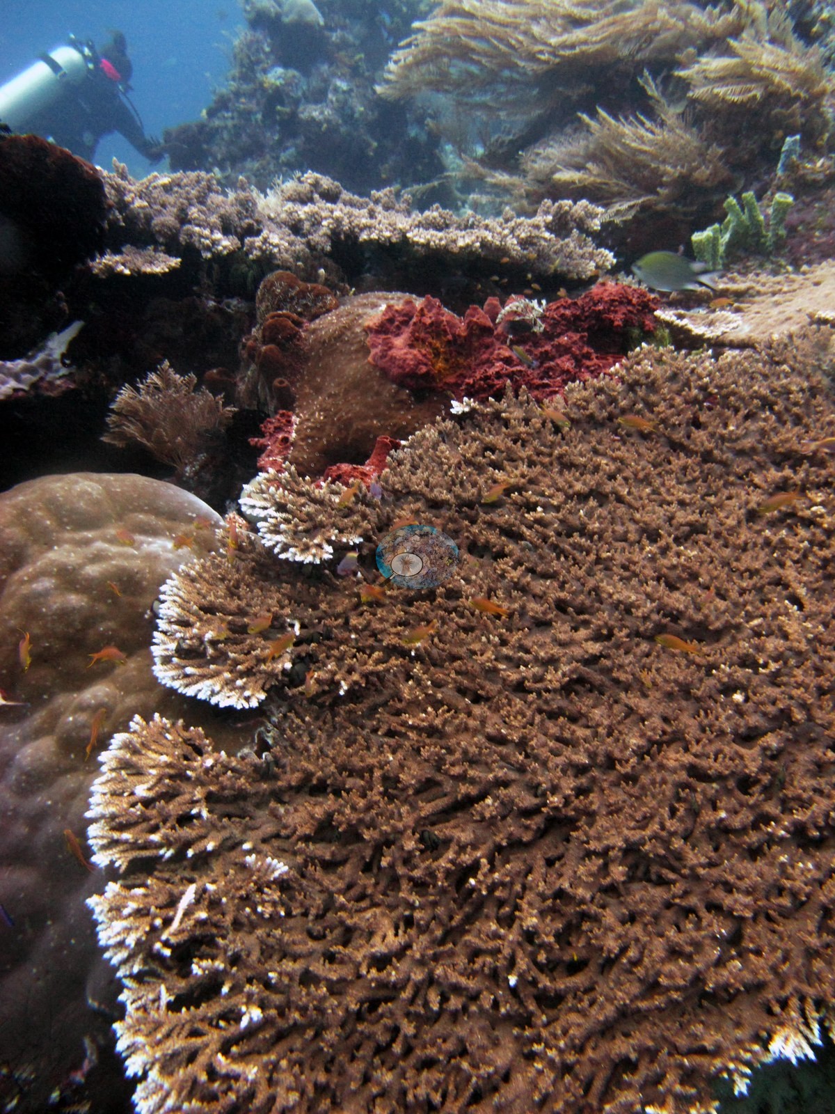
Soft corals are prominent almost everywhere: Sinularia and Sarcophyton recur on most dives, soft-coral cover exceeded hard at Shadow Reef and Little Juliet, and deeper walls carry sea fans, black coral, and green Tubastraea. Hard coral concentrates on reef tops and shallows. Melissa's Garden logged Acropora tables 5 m across and branching acroporids at 100% cover through most of the shallows; Barracuda Rock logged at least 50-60 coral species. Seriatopora hystrix and S. caliendrum are common at many sites, and plating Pachyseris and Montipora dominate at depth. Hard coral cover (Claude CV) across 10 sites ran from 7.2% at Two Tree Island to 44% at Karang Paradise, with Melissa's Garden at 41%; Anderson's in-water impressions were sometimes higher, more than 40-50% in places at Nudi Rock.
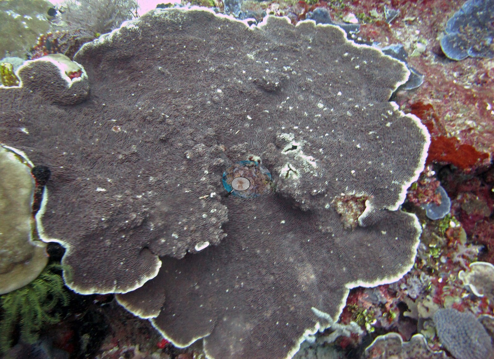
The majority of dives logged no bleaching, but one possibly bleached branching colony was photographed at Mioskon (one frame); at Blue Magic a few colonies are white or pale beside pigmented neighbors (the white plates bleached or recently dead, unresolved); the Blue Magic frames are flagged rather than diagnosed. Some Seriatopora hystrix looked white or sickly at My Reef and The Lagoon. At Karang Paradise bands of recently dead, bare white corallites run across several colonies of the dominant coral (Galaxea, by Anderson's call), cause unclear, and a fishing line was snagged across a staghorn thicket, matching the fishing gear damage and waste in the dive log; the Dampier Strait muck dive had pockets of trash. Fish biomass was very high, with giant trevally, tuna, barracuda, batfish, Napoleon wrasse, and gray reef sharks at several sites, three wobbegongs at My Reef, epaulette sharks on the Misool night dive, a hammerhead at Karang Paradise, and pygmy seahorses at Anchovy and Little Juliet. Strong current shaped the dives at My Reef and Two Tree Island.
Highlights
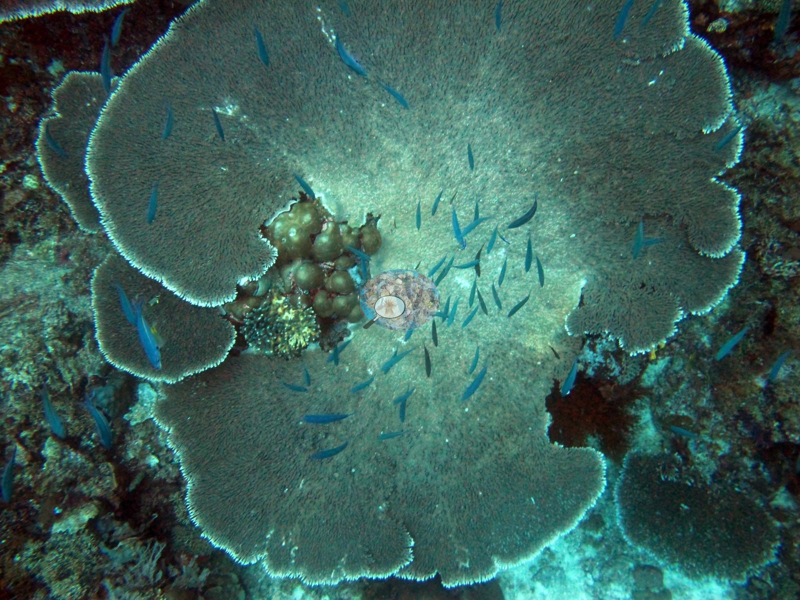
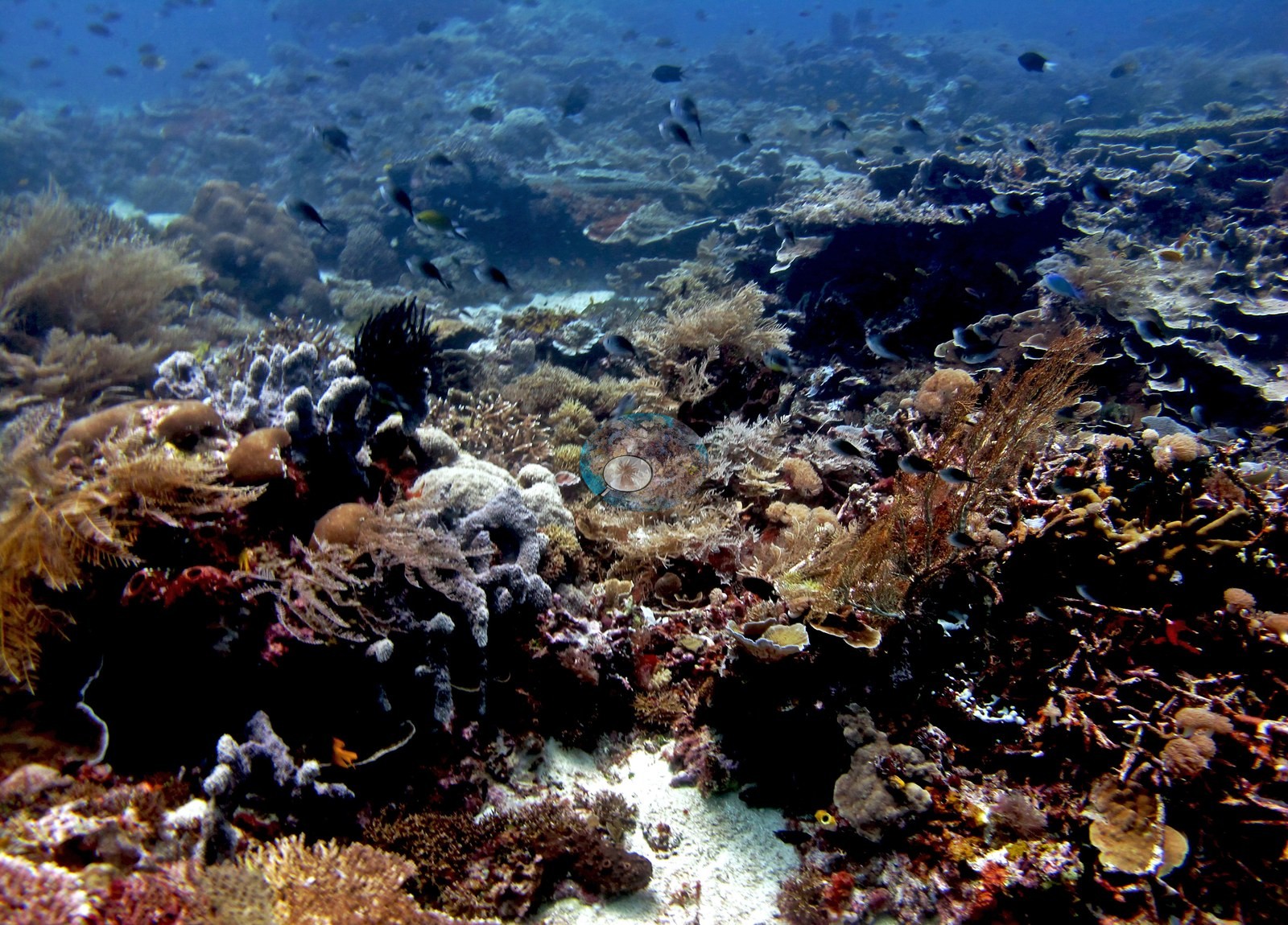
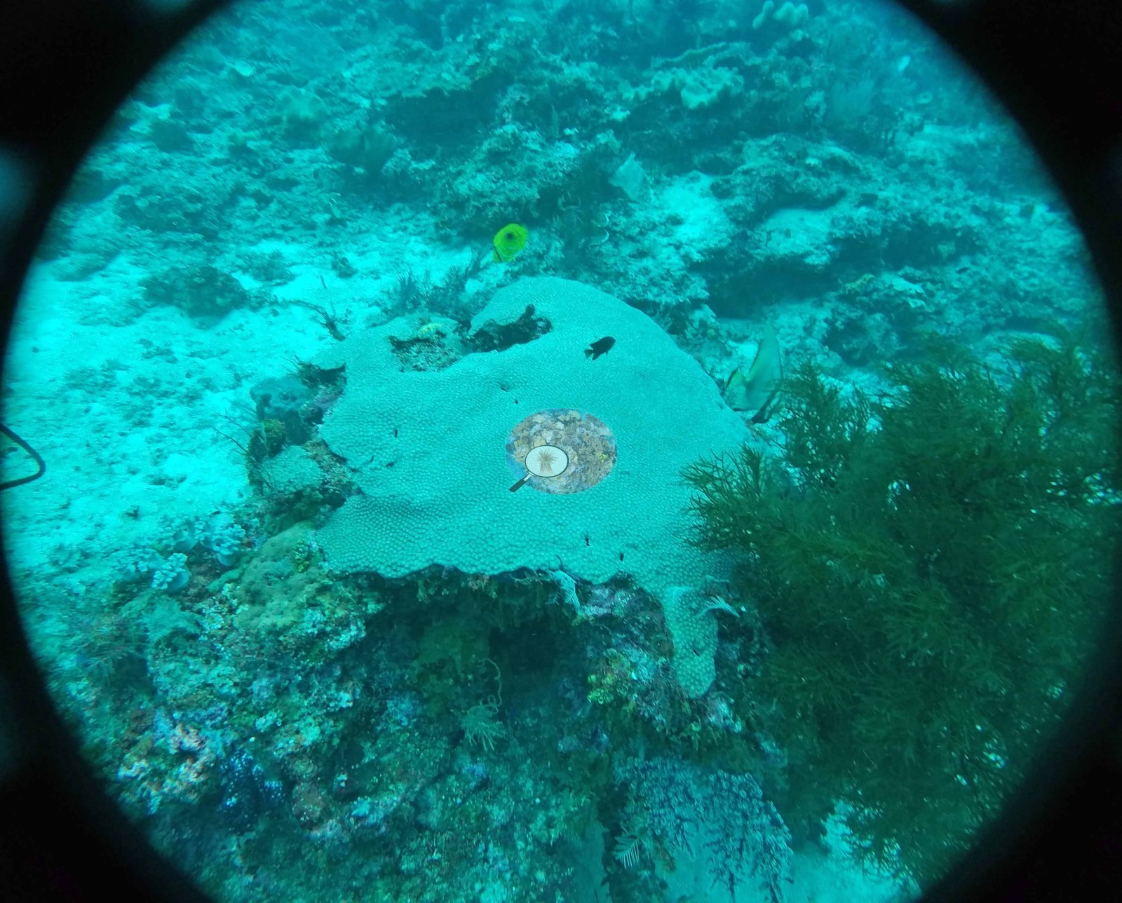
- Melissa's Garden (Fam/Penemu): Acropora tables up to 5 m across and branching acroporids at 100% cover through most of the shallows, per Anderson's log
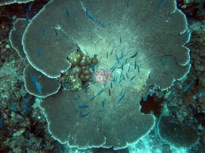 photo: Raja Ampat - Melissa's Garden (Fam/Penemu)
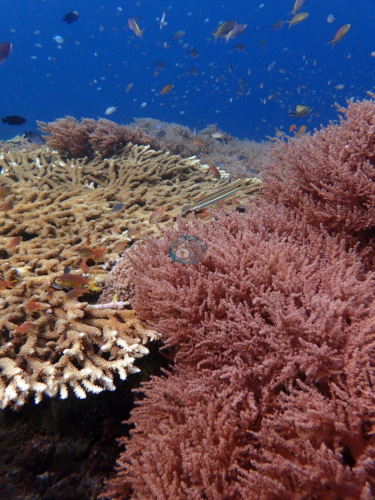
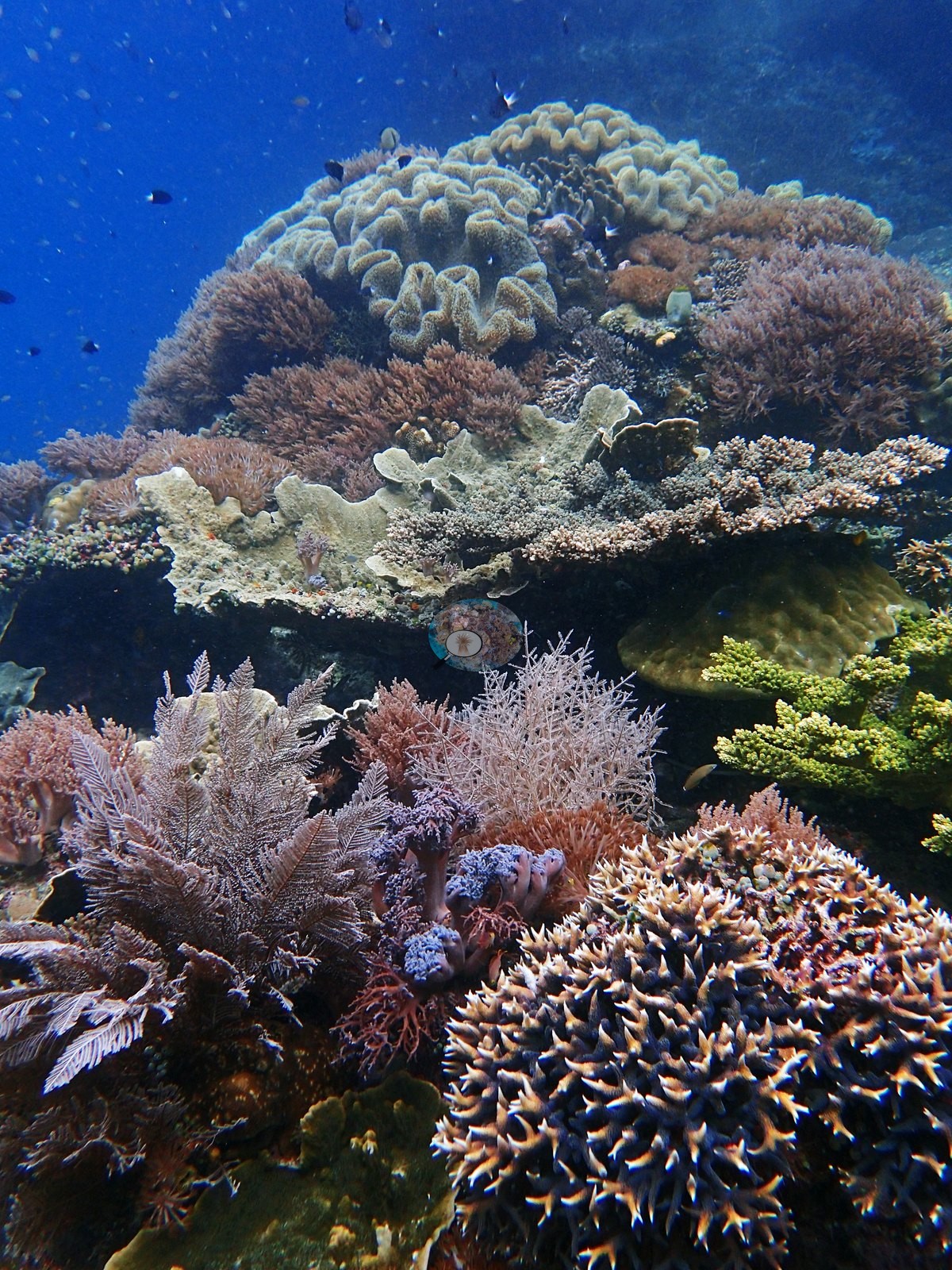
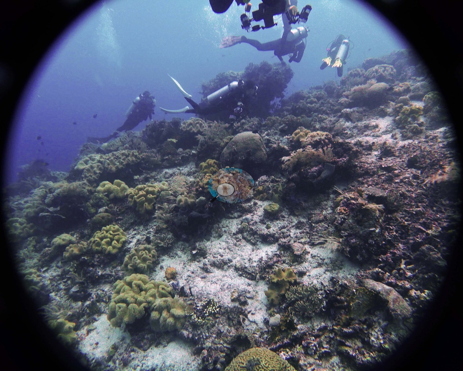
- Barracuda Rock (Misool): at least 50-60 coral species logged on a very sheltered fringing reef, including a thick-branched Seriatopora noted as possibly new
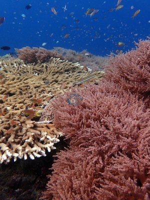 photo: Raja Ampat - Barracuda Rock
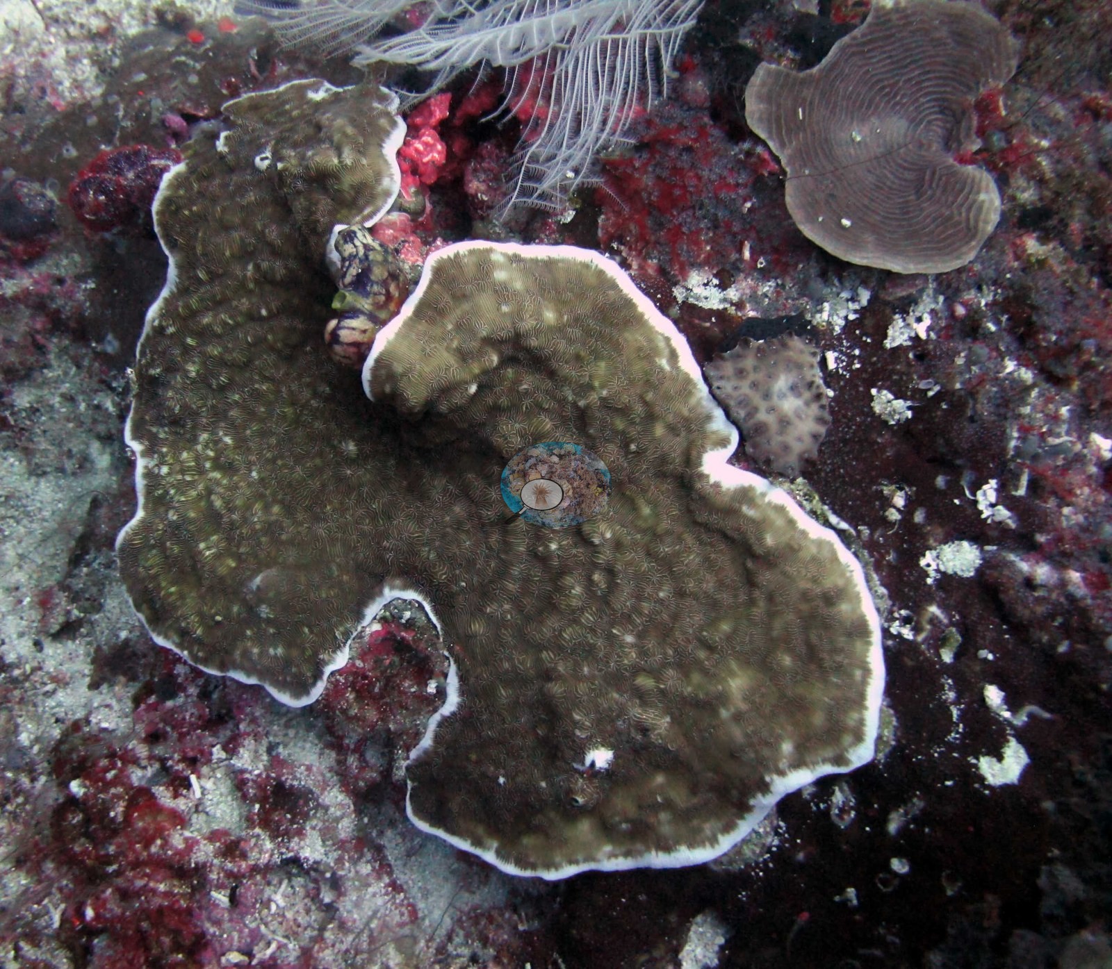
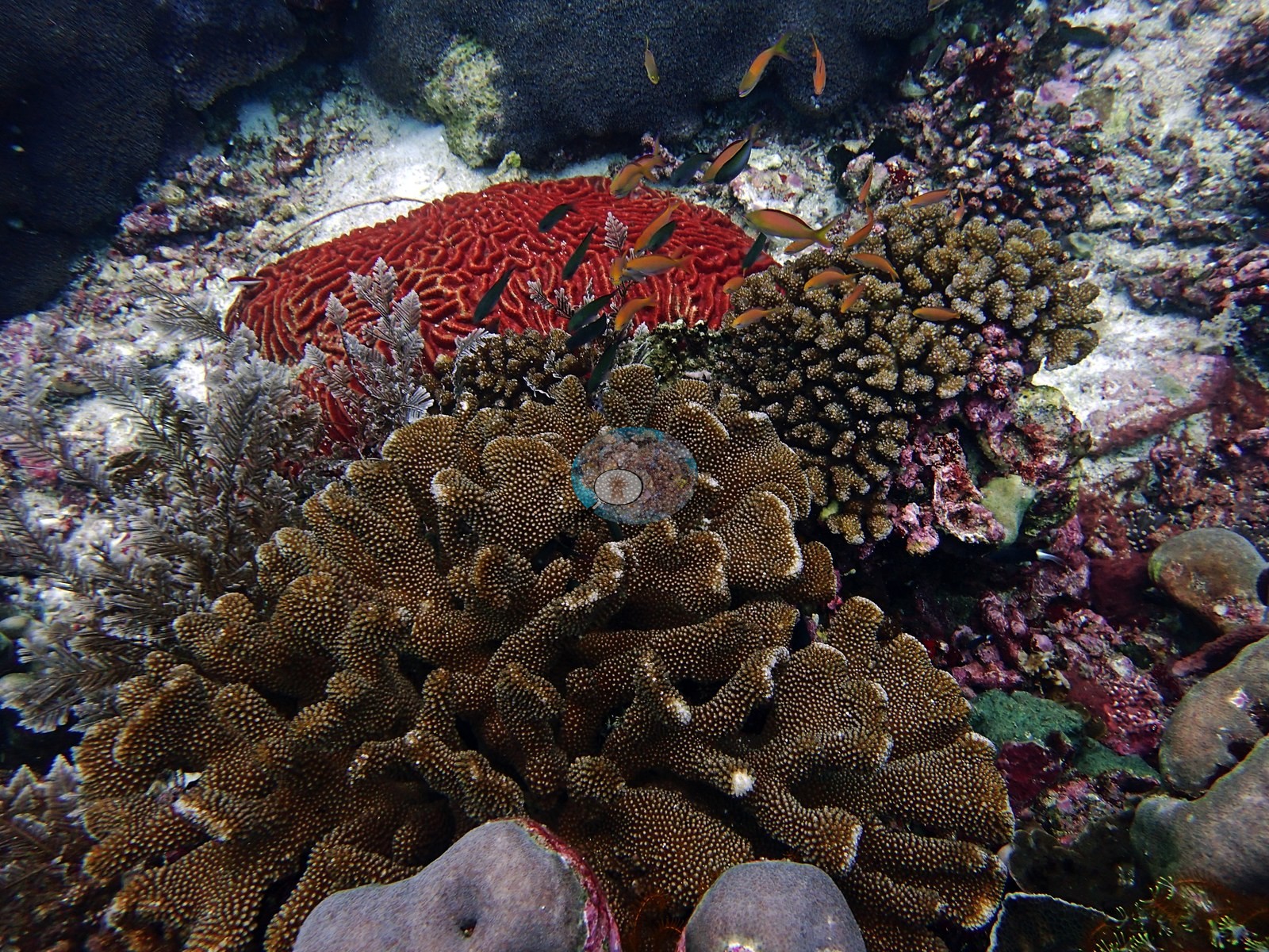
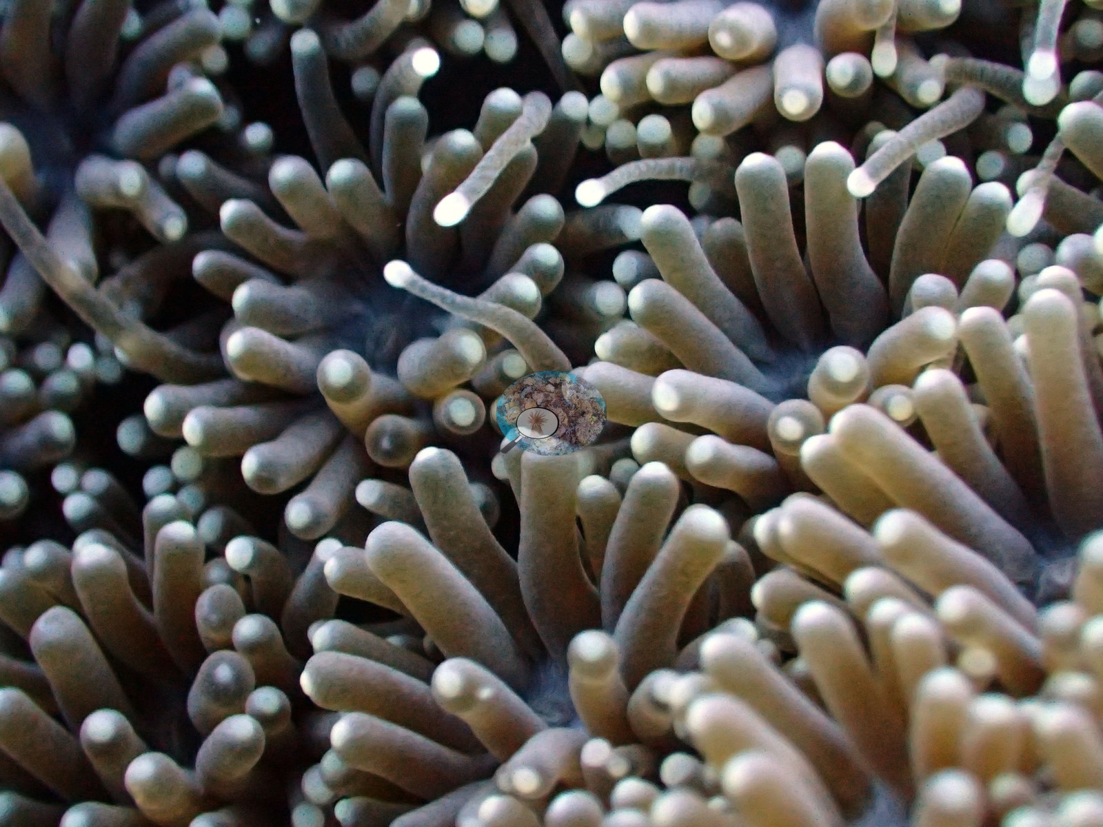
- Hard coral cover (Claude CV) from 7.2% (Two Tree Island) to 44% (Karang Paradise) across 10 sites
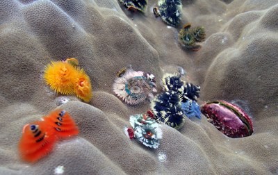 photo: Raja Ampat - Karang Paradise
- Walls and seamounts are dominated by soft corals, sea fans, black coral, and green Tubastraea, with hard coral concentrated at roughly 5-15 m
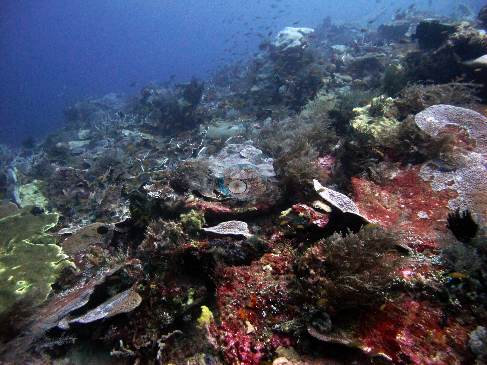
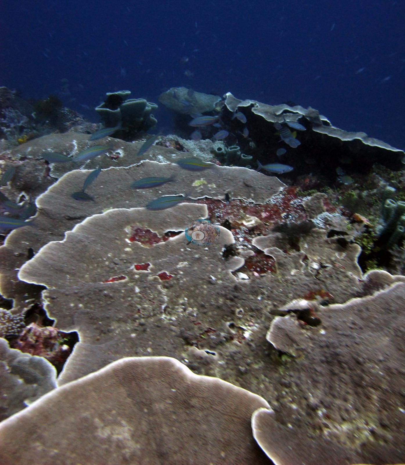
- Corals logged to about 35 m on the My Reef seamount, with cover at 30 m still 20-30% by Anderson's estimate
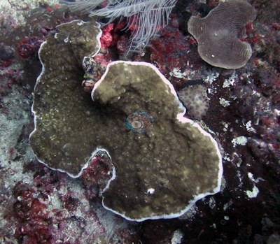 photo: Raja Ampat - My Reef
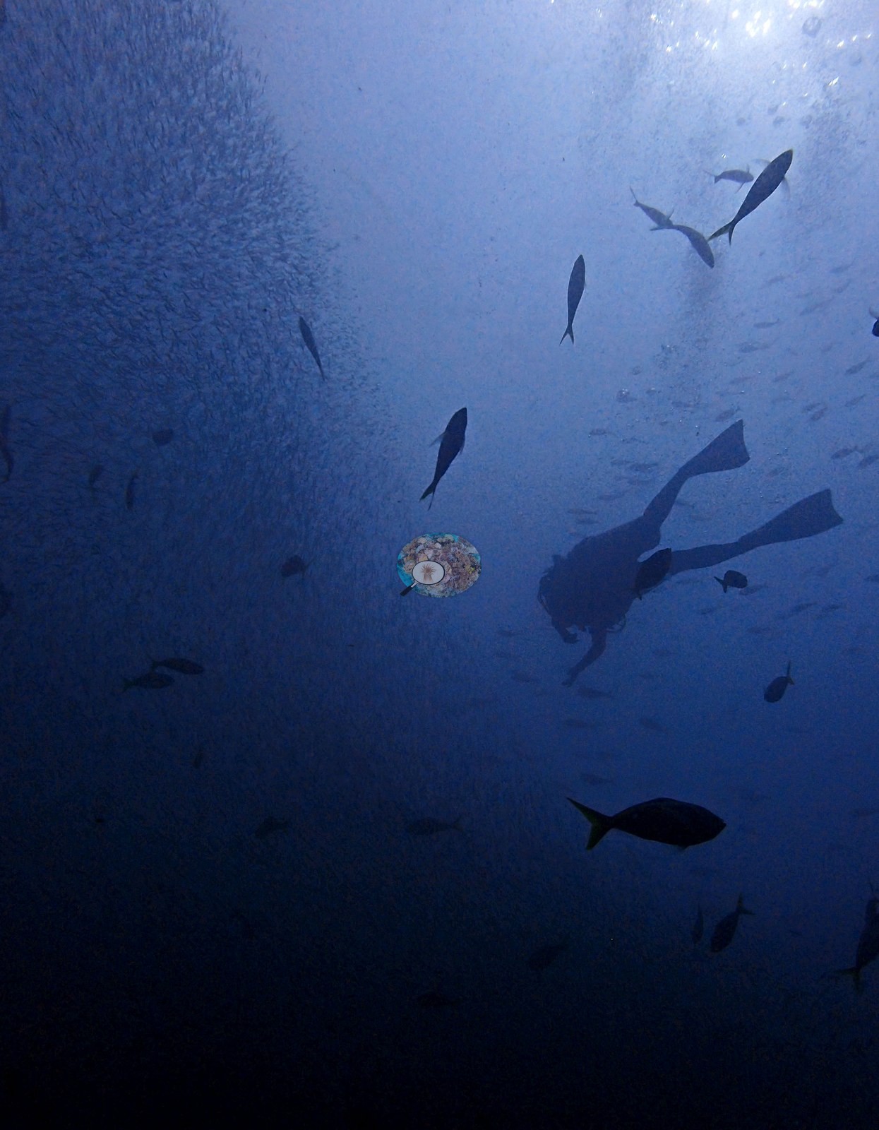
- Sharks on many dives: gray reef sharks, three wobbegongs at My Reef, epaulette sharks at night off Misool, and a hammerhead at Karang Paradise
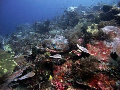 photo: Raja Ampat - My Reef
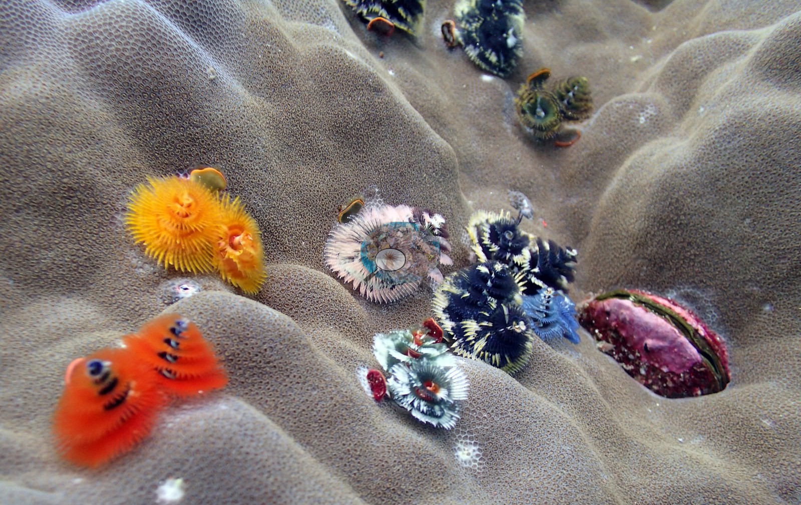
Ini adalah terjemahan mesin dari ringkasan berbahasa Inggris; teks berbahasa Inggris adalah versi yang otoritatif. AI translation of this summary; the English is authoritative.
Regional setting
Spalding et al. (2001) tidak pernah menyebut Raja Ampat. Penanda terdekat dalam bab Indonesia mereka adalah Semenanjung Kepala Burung (Doberai), yang termasuk dalam subkawasan terakhir dalam uraian mereka, Maluku dan Irian Jaya. Mereka menggambarkan subkawasan itu memiliki batimetri yang rumit, dengan perairan samudra yang jernih dan begitu dalam sehingga pulau-pulau yang hanya berjarak puluhan kilometer dapat terletak di kedua sisi kanal yang dalamnya lebih dari 1,000 m. Salah satu dari hanya dua kawasan paparan benua sejati di sana adalah dataran dangkal di sebelah barat Kepala Burung, namun para penulis memiliki sedikit atau tidak ada informasi tentang komunitas terumbu di sekitar semenanjung itu, dan mereka menggambarkan Indonesia memiliki ragam terumbu yang sangat besar, banyak di antaranya kurang dikenal atau sama sekali belum dideskripsikan. Untuk negara secara keseluruhan, mereka memperkirakan sekitar 51,020 km² terumbu karang, kira-kira 18% dari total dunia dan lebih banyak daripada negara lain mana pun, dan mencantumkan 443 spesies karang yang tercatat dibandingkan perkiraan 581-602 untuk kawasan biogeografisnya yang lebih luas. Souter et al. (2021) memasukkan Indonesia ke dalam kawasan Laut Asia Timur, yang tumpang tindih dengan Segitiga Terumbu Karang dan memiliki 78,272 km² terumbu (sedikit di atas 30% dari total dunia) serta hampir 600 spesies karang pembentuk terumbu.
Wilkinson (2006), merangkum penilaian Asia Tenggara tahun 2004, melaporkan bahwa kondisi terumbu di seluruh kawasan terus menurun, meskipun Indonesia menunjukkan beberapa tanda pemulihan karang; tekanan langsung utamanya adalah penangkapan ikan berlebih dan penangkapan ikan yang merusak, pencemaran dari darat, serta sedimen dari pembangunan pesisir dan penggundulan hutan. Untuk Laut Asia Timur secara keseluruhan, Souter et al. (2021) memperkirakan tutupan karang keras naik dari 33% pada 1999 menjadi 41% pada 2009, turun menjadi 35% pada 2012 setelah pemutihan massal 2010, menurun ke 33.9% pada 2017 setelah peristiwa 2016, dan berada di sekitar 36.8% pada 2019. Mereka mengingatkan bahwa catatan paling awal pun kemungkinan menggambarkan terumbu yang sudah diubah oleh manusia, dan bahwa pemantauan lebih banyak dilakukan di lokasi yang mudah dijangkau dan terkenal, sementara banyak terumbu di negara-negara kepulauan besar tetap sulit dijangkau para peneliti. Razak et al. (2026), yang menggabungkan dua dekade pemantauan terumbu Indonesia, tidak menemukan tren yang signifikan pada tutupan karang keras di dua lokasi Raja Ampat yang paling dekat dengan lokasi-lokasi di kawasan ini: Waigeo selatan (tujuh lokasi, 2006–2010) dan Misool (delapan lokasi, 2009–2015).
Overview
Kawasan ini mencakup 21 lokasi dari perjalanan kapal pesiar selam (liveaboard) yang diselami antara 16 dan 23 Oktober 2018. Sebagian besar terletak di dua bagian Raja Ampat: Selat Dampier dan gugus Fam/Penemu di utara (Cape Kri, Blue Magic, Mioskon, My Reef, Melissa's Garden) dan kawasan Misool di selatan (Shadow Reef, Barracuda Rock, Four Kings, Nudi Rock, Little Juliet, Anchovy, Two Tree Island). Kawasan ini juga mencakup Karang Paradise, yang kawasannya belum dipastikan. Lingkungannya berkisar dari puncak karang dan gunung laut (Blue Magic, Four Kings, My Reef) hingga dinding tegak di bawah pulau-pulau kecil batu kapur yang tergerus (Nudi Rock, Two Tree Island), terumbu tepi yang sangat terlindung di Barracuda Rock, dan lokasi muck berpasir di samping dermaga kota di Selat Dampier. Kedalaman maksimum yang tercatat di log berkisar dari 15.4 m di Nudi Rock hingga 35.3 m di Cape Kri.
Karang lunak menonjol hampir di mana-mana: Sinularia dan Sarcophyton muncul berulang pada sebagian besar penyelaman, tutupan karang lunak melebihi karang keras di Shadow Reef dan Little Juliet, dan dinding yang lebih dalam ditumbuhi kipas laut, karang hitam, dan Tubastraea hijau. Karang keras terpusat di puncak terumbu dan perairan dangkal. Melissa's Garden mencatat meja Acropora selebar 5 m dan acroporid bercabang dengan tutupan 100% di sebagian besar perairan dangkal; Barracuda Rock mencatat sedikitnya 50-60 spesies karang. Seriatopora hystrix dan S. caliendrum umum di banyak lokasi, dan karang lembaran Pachyseris dan Montipora mendominasi di kedalaman. Tutupan karang keras (Claude CV) di 10 lokasi berkisar dari 7.2% di Two Tree Island hingga 44% di Karang Paradise, dengan Melissa's Garden 41%; kesan Anderson di dalam air kadang lebih tinggi, lebih dari 40-50% di beberapa bagian Nudi Rock.
Sebagian besar penyelaman tidak mencatat pemutihan, tetapi satu koloni bercabang yang mungkin memutih difoto di Mioskon (satu foto); di Blue Magic beberapa koloni tampak putih atau pucat di samping tetangga yang berpigmen (lembaran putih itu memutih atau baru mati, belum dapat dipastikan); bingkai foto dari Blue Magic ditandai, bukan didiagnosis. Sebagian Seriatopora hystrix tampak putih atau sakit di My Reef dan The Lagoon. Di Karang Paradise, pita koralit putih gundul yang baru mati membentang di beberapa koloni karang dominan (Galaxea menurutnya), dengan penyebab yang belum jelas, dan seutas tali pancing tersangkut melintasi rumpun tanduk rusa, sesuai dengan kerusakan akibat alat tangkap dan sampah dalam log Anderson; penyelaman muck di Selat Dampier memiliki kantong-kantong sampah. Biomassa ikan sangat tinggi, dengan kuwe raksasa, tuna, barakuda, ikan kelelawar, ikan Napoleon, dan hiu karang abu-abu di beberapa lokasi, tiga hiu wobbegong di My Reef, hiu berjalan (epaulette shark) pada penyelaman malam di Misool, seekor hiu martil di Karang Paradise, dan kuda laut kerdil di Anchovy dan Little Juliet. Arus kuat membentuk penyelaman di My Reef dan Two Tree Island.
Highlights
- Melissa's Garden (Fam/Penemu): meja Acropora selebar hingga 5 m dan acroporid bercabang dengan tutupan 100% di sebagian besar perairan dangkal, menurut log Anderson
 photo: Raja Ampat - Melissa's Garden (Fam/Penemu)
- Barracuda Rock (Misool): sedikitnya 50-60 spesies karang tercatat di terumbu tepi yang sangat terlindung, termasuk Seriatopora bercabang tebal yang dicatat mungkin spesies baru
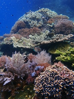 photo: Raja Ampat - Barracuda Rock
- Tutupan karang keras (Claude CV) dari 7.2% (Two Tree Island) hingga 44% (Karang Paradise) di 10 lokasi
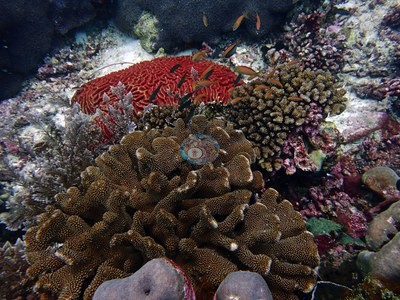 photo: Raja Ampat - Karang Paradise
- Dinding dan gunung laut didominasi karang lunak, kipas laut, karang hitam, dan Tubastraea hijau, dengan karang keras terpusat di kedalaman sekitar 5-15 m
- Karang tercatat hingga sekitar 35 m di gunung laut My Reef, dengan tutupan di 30 m masih 20-30% menurut perkiraan Anderson
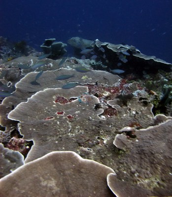 photo: Raja Ampat - My Reef
- Hiu pada banyak penyelaman: hiu karang abu-abu, tiga hiu wobbegong di My Reef, hiu berjalan pada malam hari di lepas Misool, dan seekor hiu martil di Karang Paradise
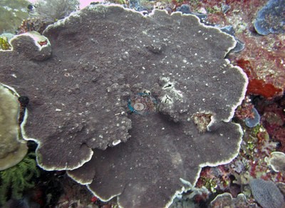 photo: Raja Ampat - My Reef
Notable observations
- Raja Ampat - Blue Magic: Possible bleaching: two adjacent plating colonies are stark white with their fine structure intact, bleached or recently dead (the photographs cannot tell which), and a large massive dome topped by long-spined urchins is pale gray; the camera's strong cyan cast makes pale tissue read whiter than it is. Observed, not diagnosed. No crown-of-thorns, disease, or anchor or blast damage
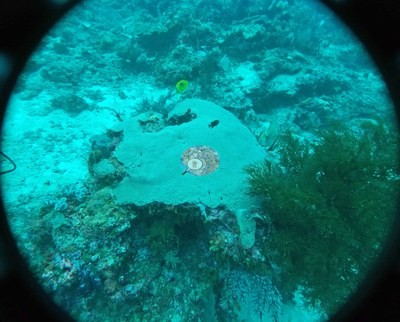
- Raja Ampat - Mioskon: Bleaching: one possibly bleached branching colony (one frame) among normally pigmented acroporids; older consolidated mortality in two frames. No crown-of-thorns seen
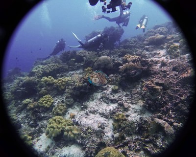
- Raja Ampat - Karang Paradise: Fishing gear: a thin fishing line snagged across a staghorn thicket on the second dive (Anderson's log: 'fishing gear damage and fishing waste'); recent mortality: bands and patches of bare white corallites on several colonies of the dominant Galaxea (the diver's ID), cause unclear
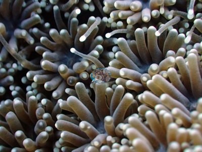
- Raja Ampat - Two Tree Island: One small table colony on the reef shoulder is conspicuously white against healthy neighbors (flagged, not diagnosed), and two large foliose plates carry eroded patches in their centers
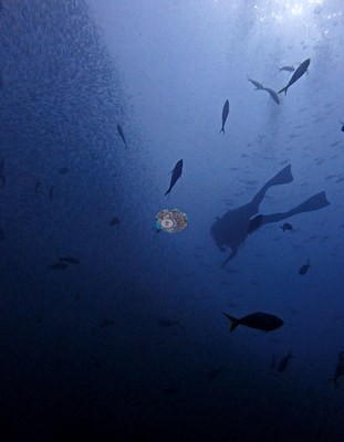
- Raja Ampat - My Reef: Some Seriatopora hystrix colonies sickly at 15 m and above; cause not determined
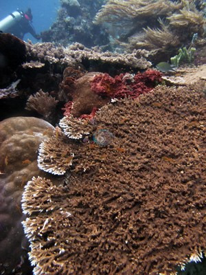
- Raja Ampat - The Lagoon: Some Seriatopora hystrix at 18 m white and sickly; some foliaceous coral stands broken apart by wave energy or a storm event
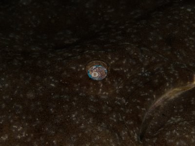
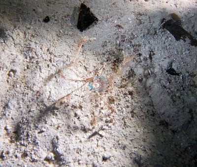
- Raja Ampat - Dampier Strait night muck dive: Sand bottom with pockets of trash; a fragment of blue plastic photographed
Coral cover over time (pooled)
Sites in this region (21)
- Indonesia - Fam / Penemu Is. — 43% (nearest survey station, not this site: Social Ecological Research Frontiers (SERF) / University of Rhode Island (URI) / Thriving Oceans, Ruvas station, 2018-01-19, 1.67 km away)
- Raja Ampat - Anchovy — 32% coral cover
- Raja Ampat - Barracuda Rock — 27% (newest survey within 0.5 km, not this site: Social Ecological Research Frontiers (SERF) / University of Rhode Island (URI) / Thriving Oceans, Wayil Batan North station, 2019-05-11, 0.07 km away)
- Raja Ampat - Blue Magic — 11% coral cover
- Raja Ampat - Cape Kri — 30% (nearest survey station, not this site: Social Ecological Research Frontiers (SERF) / University of Rhode Island (URI) / Thriving Oceans, Cape Kri station, 2018-01-18, 0.72 km away)
- Raja Ampat - Dampier Strait night muck dive
- Raja Ampat - Four Kings
- Raja Ampat - Karang Paradise — 44% coral cover
- Raja Ampat - Little Juliet — 26%* coral cover
- Raja Ampat - Melissa's Garden (Fam/Penemu) — 41% coral cover
- Raja Ampat - Mioskon — 12% coral cover
- Raja Ampat - Misool
- Raja Ampat - My Reef — 33% coral cover
- Raja Ampat - Nudi Rock — 30% coral cover
- Raja Ampat - Pulau Misool night dive
- Raja Ampat - Romeo Island
- Raja Ampat - Sardine Reef
- Raja Ampat - Shadow Reef — 17% coral cover
- Raja Ampat - Tamu Boo
- Raja Ampat - The Lagoon
- Raja Ampat - Two Tree Island — 7.2% coral cover
* Based on only 10–19 reef-habitat photos; this estimate is less certain.
% coral cover by method
Pooled across 10 dive sites
| Method | Mean % coral cover | Std. dev. between dive sites | n dive sites | Note |
|---|---|---|---|---|
| CoralSCOP (SAM-based mask-sum), edited photos | 31% | ±7.8 | 10 | 1 of these 10 values rests on 10–19 photographs (*) |
| Claude (Anthropic), blind point count | 25% | ±13 | 10 | 1 of these 10 values rests on 10–19 photographs (*) |
| In-house DINOv3 point classifier | 25% | ±5.7 | 10 | 1 of these 10 values rests on 10–19 photographs (*) |
The mean is an UNWEIGHTED mean of the dive site values — each dive site counts once, whatever its photo count — which is the convention of the published tables and of every other figure on this page. Each value is the one printed on that dive site's own page; a page that prints no value for a method (fewer than 10 photographs) is left out of that method's mean.
This table pools only the 10 dive sites in this unit that have a method comparison.
By dive site
| Dive site | CoralSCOP (edited) | Claude | DINOv3 | Coralscapes v2 | Coralscapes v1 |
|---|---|---|---|---|---|
| Raja Ampat - Karang Paradise | 31% n=134 | 44% n=132 | 29% n=136 | 68% n=127 | 66% n=127 |
| Raja Ampat - Shadow Reef | 18% n=106 | 17% n=85 | 18% n=107 | 47% n=81 | 44% n=83 |
| Raja Ampat - Nudi Rock | 32% n=100 | 30% n=97 | 26% n=100 | 62% n=98 | 61% n=98 |
| Raja Ampat - Little Juliet | 28%* n=13 | 26%* n=13 | 24%* n=13 | 51%* n=12 | 48%* n=12 |
| Raja Ampat - Anchovy | 38% n=64 | 32% n=64 | 26% n=64 | 55% n=64 | 55% n=64 |
| Raja Ampat - Two Tree Island | 19% n=88 | 7.2% n=77 | 19% n=88 | 31% n=75 | 31% n=82 |
| Raja Ampat - My Reef | 39% n=54 | 33% n=54 | 32% n=54 | 52% n=54 | 55% n=54 |
| Raja Ampat - Melissa's Garden (Fam/Penemu) | 41% n=89 | 41% n=89 | 35% n=89 | 70% n=89 | 71% n=89 |
| Raja Ampat - Blue Magic | 27% n=42 | 11% n=40 | 19% n=42 | 36% n=40 | 29% n=40 |
| Raja Ampat - Mioskon | 33% n=47 | 12% n=47 | 24% n=47 | 45% n=47 | 43% n=47 |
n under each value is the number of photographs that method scored at that dive site. ⚠ marks a cell that is not an independent check. * marks a value resting on only 10–19 photographs, which is less certain.
Reference: blind Claude computer-vision point count on the author's edited photographs (20 points per photo); no diver transect exists for this trip. Denominator: (HC + BL) / (20 − WATER − FISH − OBST) per photo, UNK kept in the denominator; mean ± SD across photos. Source: Claude computer-vision point counts of the author's edited photographs, October 2018 (sites with complete scoring) For all 12 dive sites in the comparison: Headline: Claude computer vision — a blind point count of this site's own photographs. DINOv3 and CoralSCOP were run on the same photos and are listed for comparison. Coralscapes v2 and v1 are shown for comparison only: the author does not consider Coralscapes reliable for these photos, so they are low confidence and never enter any average or summary. No diver transect exists for this trip, so agreement between the rows is not accuracy, and no computer-vision method yet estimates coral cover accurately on new images; treat every row as indicative. Comparison lines only, Raja Ampat proper + Pulau Koon (Triton Bay is tabulated on its own). Claude vs DINOv3 on the same 20 points per photo: point agreement 73.6%, kappa 0.33 (12,820 points); site cover bias +0.5 pp, MAE 6.3 pp, r 0.80. Claude vs CoralSCOP -7.2 pp (MAE 9.2, r 0.66); CoralSCOP is a mask-sum area index that runs high (about +11 pp vs manual points). No transect exists for this trip: this is agreement between methods, not accuracy.
Nearby external survey stations
36 independent survey records within 5 km of a site in this region (each record counted once; 33 lines, and a line that pools several records says how many).
Show all 36 records
- Conservation International (CI) — Friwen Control (2025): 40% hard coral cover, 3.85 km from Raja Ampat - Mioskon
- Conservation International (CI) — Keruo RAMS (2025): 83% hard coral cover best patch, 1.39 km from Raja Ampat - Melissa's Garden (Fam/Penemu)
- Conservation International (CI) — Mioskun RAMS (2025): 35% hard coral cover, 0.17 km from Raja Ampat - Mioskon
- Conservation International (CI) — Piaynemo Control (2025): 38% hard coral cover, 1.84 km from Raja Ampat - My Reef
- Conservation International (CI) — Piaynemo RAMS (2025): 38% hard coral cover, 1.18 km from Raja Ampat - The Lagoon
- Conservation International (CI) — Rufas RAMS (2025): 45% hard coral cover, 0.21 km from Raja Ampat - The Lagoon
- MERMAID project “Lilah coral EE” — Barracuda Rock (2026): 18% hard coral cover, 2.50 km from Raja Ampat - Four Kings
- MERMAID project “Lilah coral EE” — Wayil Wall (2026): 30% hard coral cover, 3.86 km from Raja Ampat - Nudi Rock
- Social Ecological Research Frontiers (SERF) / University of Rhode Island (URI) / Thriving Oceans — Bantan East (2019): 19% hard coral cover, 4.56 km from Raja Ampat - Barracuda Rock
- Social Ecological Research Frontiers (SERF) / University of Rhode Island (URI) / Thriving Oceans — Barracuda Rock (2019): 48% hard coral cover, 0.56 km from Raja Ampat - Barracuda Rock
- Social Ecological Research Frontiers (SERF) / University of Rhode Island (URI) / Thriving Oceans — Boo East (2019): 8.2% hard coral cover, 3.34 km from Raja Ampat - Little Juliet
- Social Ecological Research Frontiers (SERF) / University of Rhode Island (URI) / Thriving Oceans — Boo Windows (2019): 22% hard coral cover, 3.51 km from Raja Ampat - Romeo Island
- Social Ecological Research Frontiers (SERF) / University of Rhode Island (URI) / Thriving Oceans — Cape Kri (2018): 30% hard coral cover, 0.72 km from Raja Ampat - Cape Kri
- Social Ecological Research Frontiers (SERF) / University of Rhode Island (URI) / Thriving Oceans — Friwen Wall (2018): 43% hard coral cover, 3.80 km from Raja Ampat - Mioskon
- Social Ecological Research Frontiers (SERF) / University of Rhode Island (URI) / Thriving Oceans — Miskoon (2018): 20% hard coral cover, 0.33 km from Raja Ampat - Mioskon
- Social Ecological Research Frontiers (SERF) / University of Rhode Island (URI) / Thriving Oceans — Neptune (2019): 23% hard coral cover, 3.75 km from Raja Ampat - Barracuda Rock
- Social Ecological Research Frontiers (SERF) / University of Rhode Island (URI) / Thriving Oceans — Paniki Besar Island (2018): 25% hard coral cover, 1.34 km from Raja Ampat - My Reef
- Social Ecological Research Frontiers (SERF) / University of Rhode Island (URI) / Thriving Oceans — Ruvas (2018): 43% hard coral cover, 0.23 km from Raja Ampat - The Lagoon
- Social Ecological Research Frontiers (SERF) / University of Rhode Island (URI) / Thriving Oceans — Sabennibnu Island (2019): 38% hard coral cover, 1.69 km from Raja Ampat - Romeo Island
- Social Ecological Research Frontiers (SERF) / University of Rhode Island (URI) / Thriving Oceans — Warakareket East (2019): 36% hard coral cover, 3.28 km from Raja Ampat - Shadow Reef
- Social Ecological Research Frontiers (SERF) / University of Rhode Island (URI) / Thriving Oceans — Warakareket West (2019): 43% hard coral cover, 3.76 km from Raja Ampat - Shadow Reef
- Social Ecological Research Frontiers (SERF) / University of Rhode Island (URI) / Thriving Oceans — Wayil Batan North (2019): 27% hard coral cover, 0.07 km from Raja Ampat - Barracuda Rock
- Social Ecological Research Frontiers (SERF) / University of Rhode Island (URI) / Thriving Oceans — Whale Rock Big (2019): 26% hard coral cover, 0.40 km from Raja Ampat - Nudi Rock
- Social Ecological Research Frontiers (SERF) / University of Rhode Island (URI) / Thriving Oceans — Whale Rock Small (2019): 29% hard coral cover, 0.71 km from Raja Ampat - Nudi Rock
- Social Ecological Research Frontiers (SERF) / University of Rhode Island (URI) / Thriving Oceans — Yenbuba (2018): 31% hard coral cover, 2.81 km from Raja Ampat - Cape Kri
- Social Ecological Research Frontiers (SERF) / University of Rhode Island (URI) / Thriving Oceans — Yenbuba 1 (2018): 39% hard coral cover, 4.04 km from Raja Ampat - Cape Kri
- Social Ecological Research Frontiers (SERF) / University of Rhode Island (URI) / Thriving Oceans — Yenkafal East (2019): 69% hard coral cover, 3.45 km from Raja Ampat - Two Tree Island
- Social Ecological Research Frontiers (SERF) / University of Rhode Island (URI) / Thriving Oceans — Yenkafal West (2019): 21% hard coral cover, 4.22 km from Raja Ampat - Two Tree Island
- Social Ecological Research Frontiers (SERF) / University of Rhode Island (URI) / Thriving Oceans — Yilliet (2019): 29% hard coral cover, 0.66 km from Raja Ampat - Romeo Island
- Yuanike et al. (2019) — Station 2 (2016): 52% hard coral cover, 3.34 km from Raja Ampat - Mioskon (2 records)
- Yuanike et al. (2019) — Station 3 (2016): 86% hard coral cover best patch, 0.94 km from Raja Ampat - Melissa's Garden (Fam/Penemu) (2 records)
- Yuanike et al. (2019) — Station 5 (2016): 70% hard coral cover, 0.55 km from Raja Ampat - Cape Kri (2 records)
- submitted to MERMAID by Maulana N, Wunanto A.* — 4306 (2020): 64% hard coral cover, 2.65 km from Raja Ampat - Two Tree Island
All images from Coral Reef Diagnostics. Data are from Coral Reef Diagnostics, Conservation International (CI), Social Ecological Research Frontiers (SERF) / University of Rhode Island (URI) / Thriving Oceans, and Yuanike et al. (2019).
© Coral Reef Diagnostics.
References
- Souter D, et al. (eds) (2021) Status of Coral Reefs of the World: 2020. International Coral Reef Initiative / Global Coral Reef Monitoring Network. [PDF]
- Spalding MD, et al. (2001) World Atlas of Coral Reefs. University of California Press, Berkeley. [PDF]
- Wilkinson C (2006) Status of coral reefs of the world: summary of threats and remedial action. In: Côté IM, Reynolds JD (eds) Coral Reef Conservation. Cambridge University Press, Cambridge. [PDF]
- Razak TB, Alisa CAG, Abrar M, Ardiwijaya R, Bachtiar I, Budaya RR, et al. (2026). Two decades of coral monitoring reveal thermal stress thresholds on Indonesian reefs. Biological Conservation 318:111781. DOI
- Yuanike, Yulianda F, Bengen DG, Dahuri R, Souhoka J (2019). A biodiversity assessment of hard corals in dive spots within Dampier Straits Marine Protected Area in Raja Ampat, West Papua, Indonesia. Biodiversitas Journal of Biological Diversity 20:1198-1207. DOI