
Raja Ampat - Mioskon

Part of the regional summary: Indonesia - Raja Ampat
More info
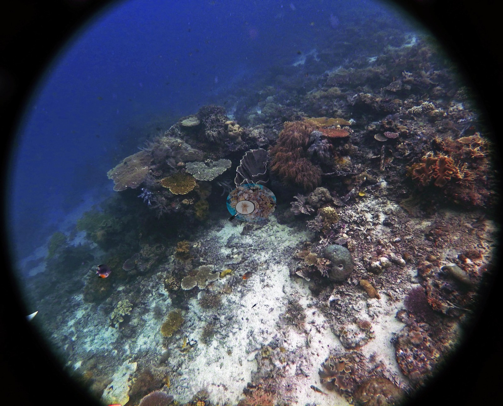
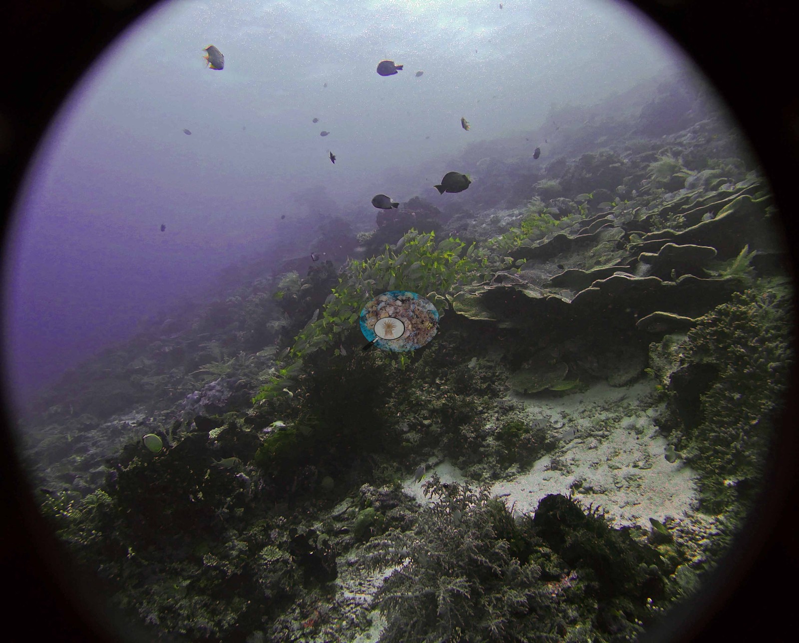
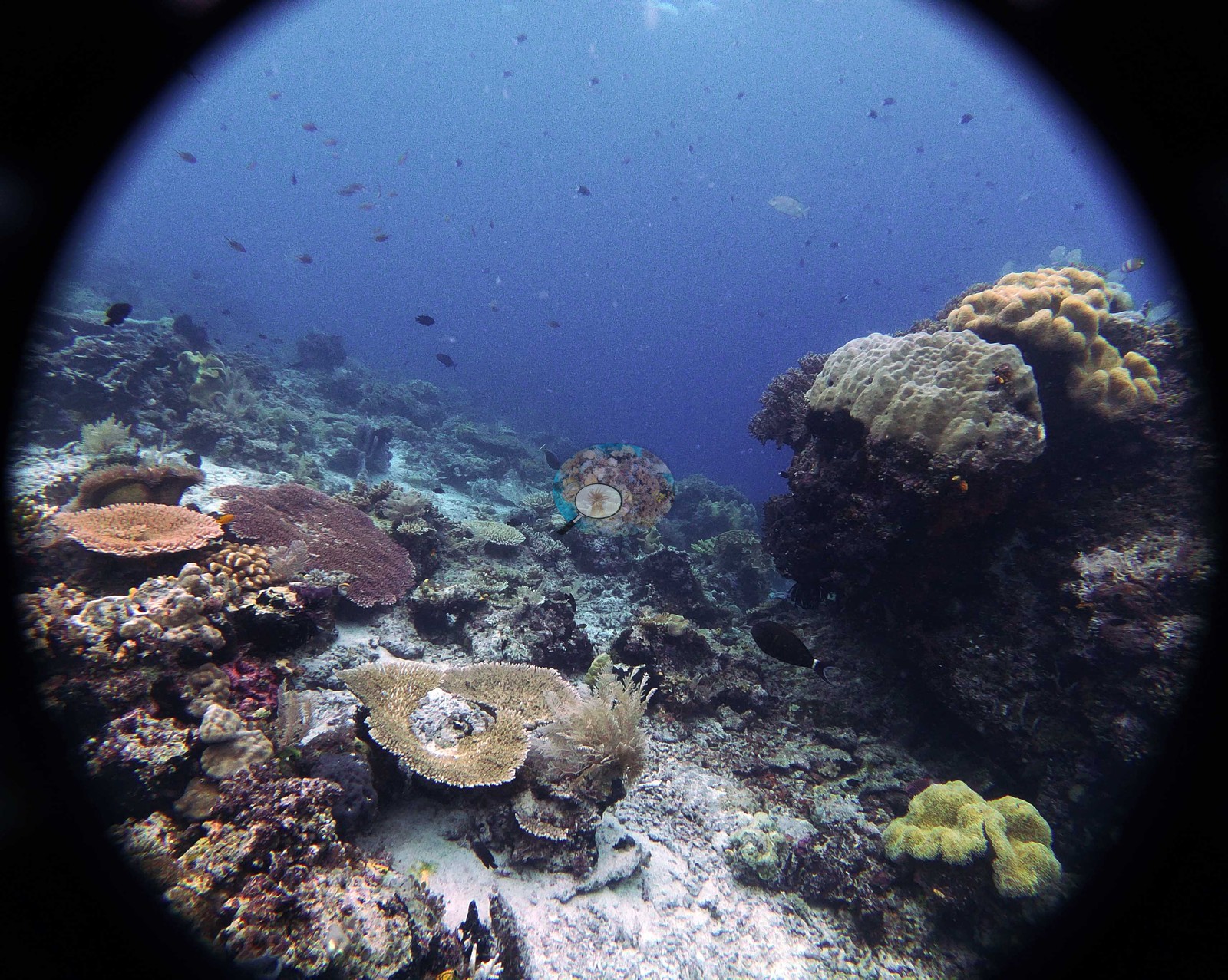
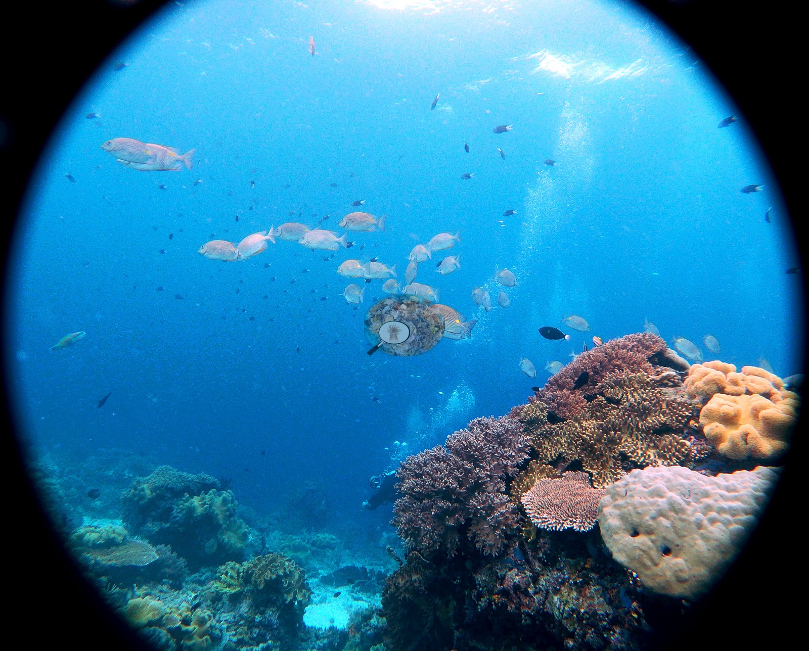
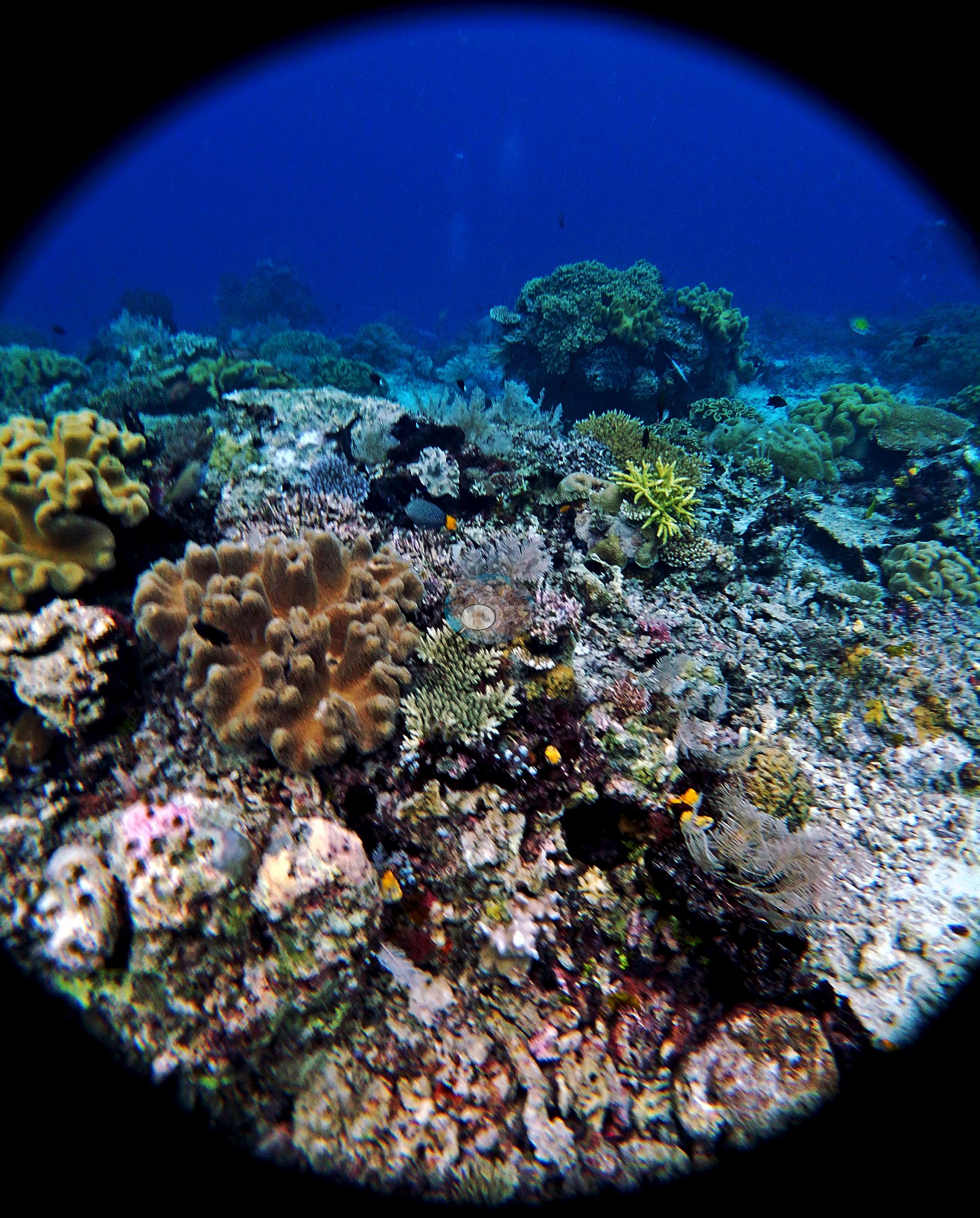
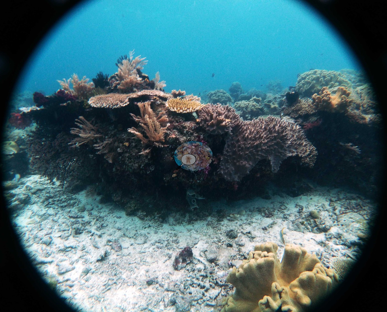
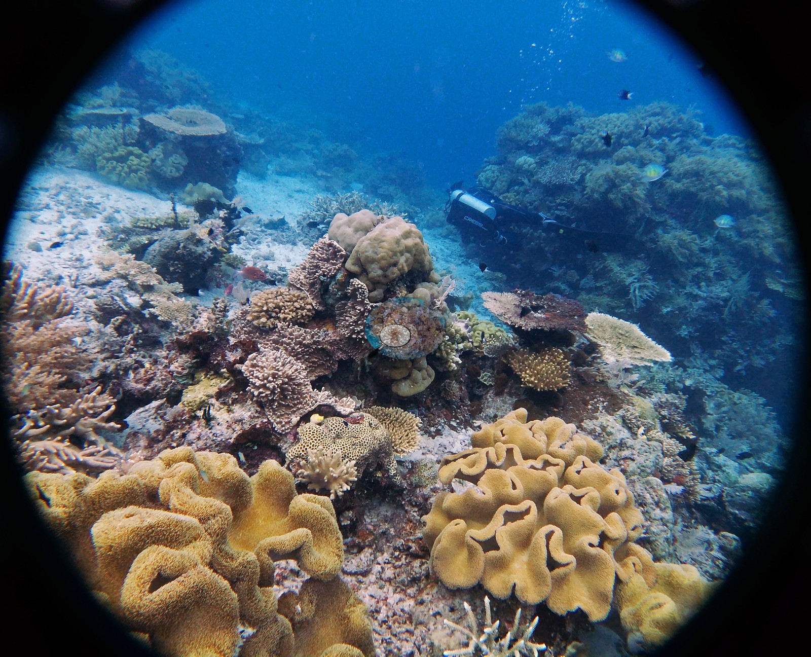
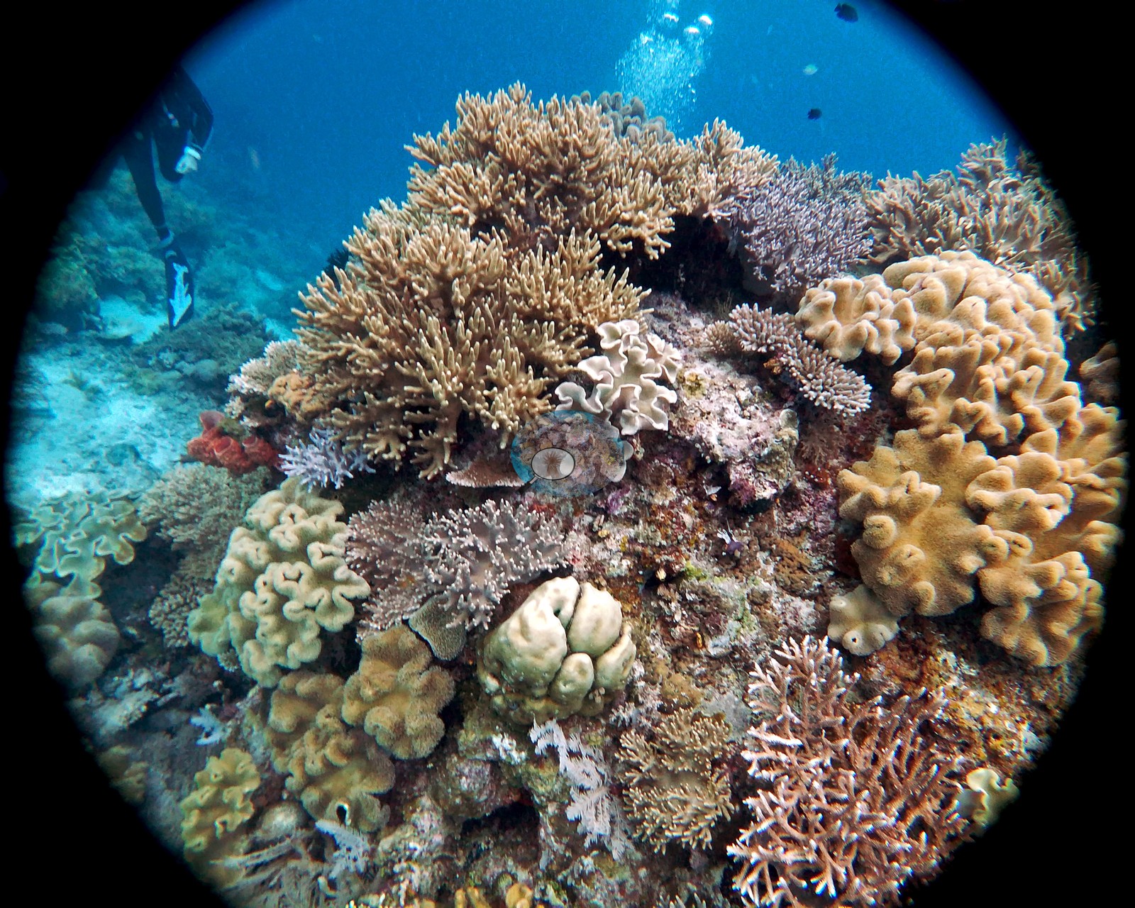
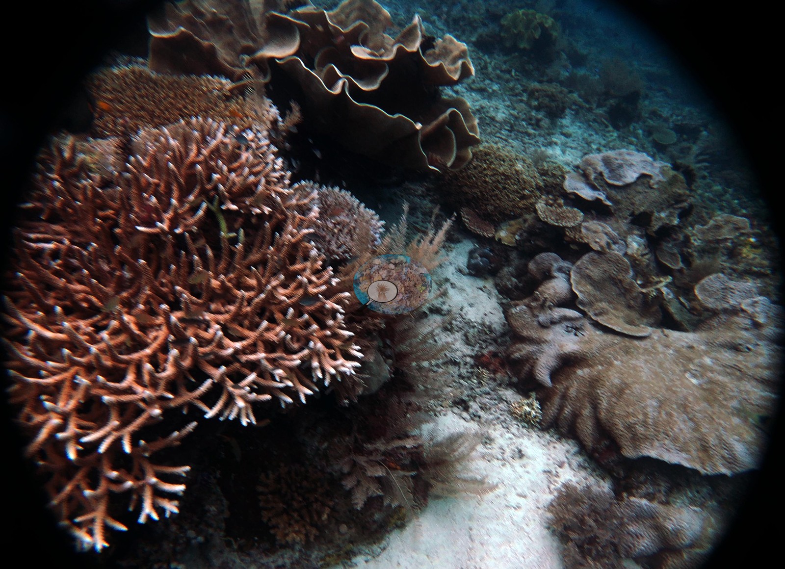
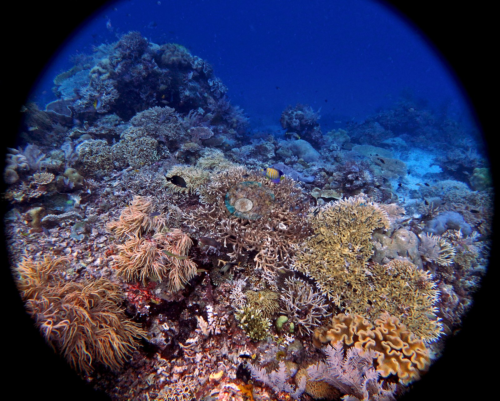
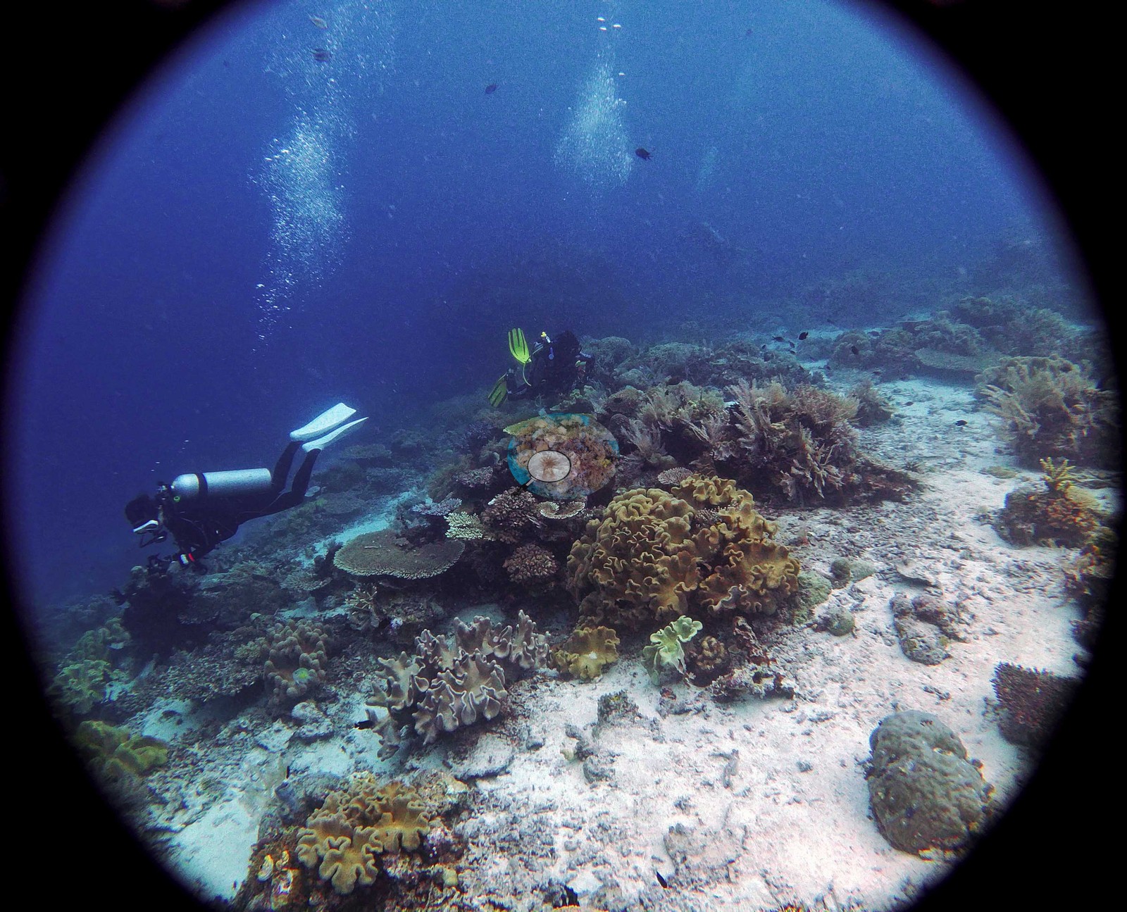
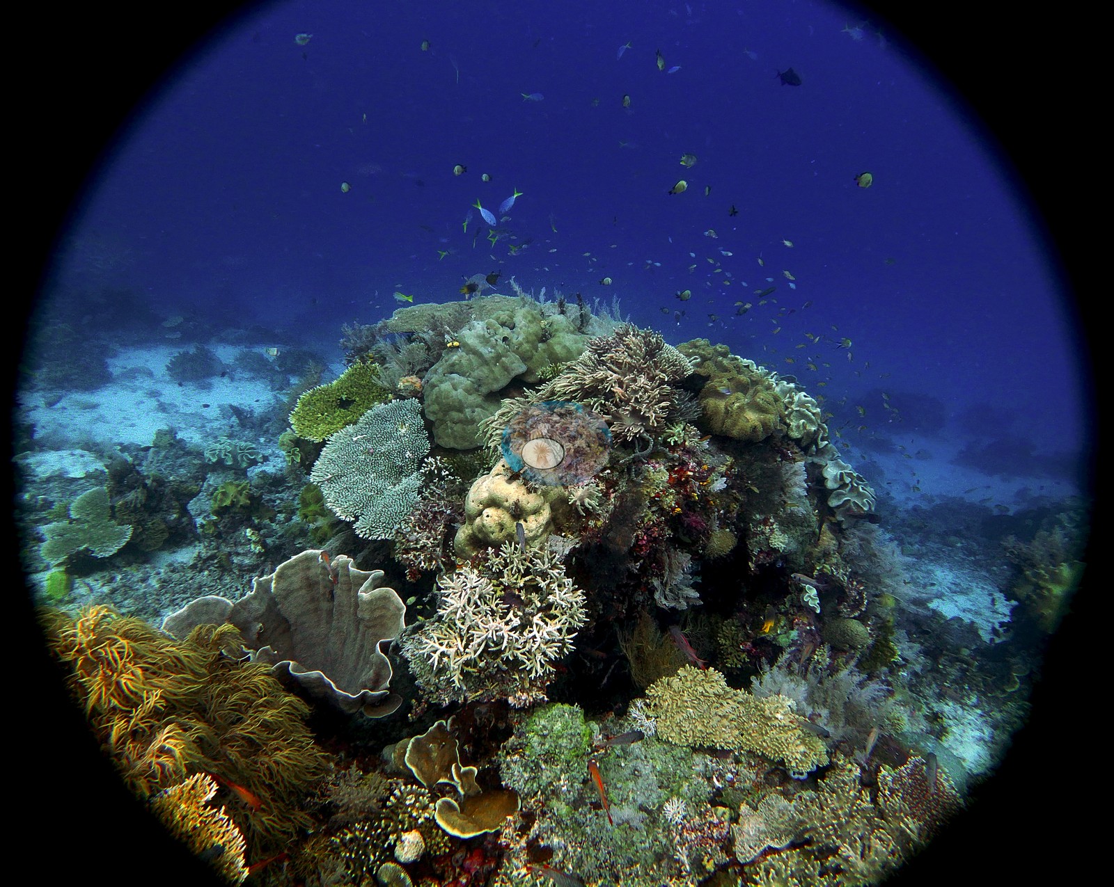
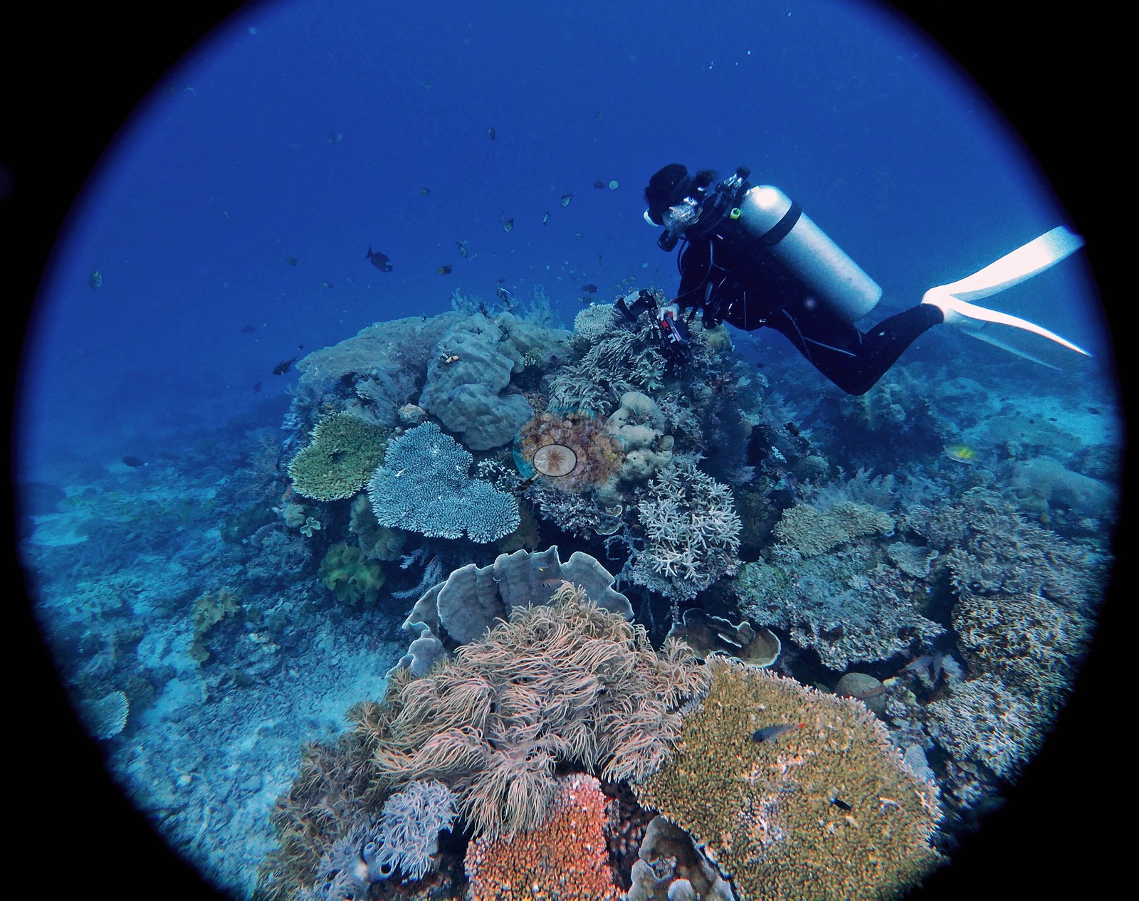
West Papua (NOAA CRW virtual station)A sloping fringing reef off a Raja Ampat island, and the richest, most varied set of this trip: a sunlit crest gives way to a terrace of coral-capped bommies a meter or two high between wide pale sand channels, then a steeper drop into blue. Tiered Acropora tables, staghorn and bottlebrush thickets, person-sized Porites heads, and whole bommie flanks of stacked plating corals fill the frames.
Mioskon, diselami dalam perjalanan kapal akomodasi selam Anderson di Indonesia pada 2018, tepat setelah Blue Magic dengan kamera yang sama. Ini adalah kumpulan foto yang paling kaya dan paling beragam dalam kelompok ini.
Terjemahan ringkasan ini oleh AI; versi bahasa Inggris yang berlaku. Translated from the site’s shorter map summary.
Four independent survey stations shown with the program’s logo — click one to see how far it is from this site.
One other CRD dive site within 5 km shown in orange — click a marker to open its page.
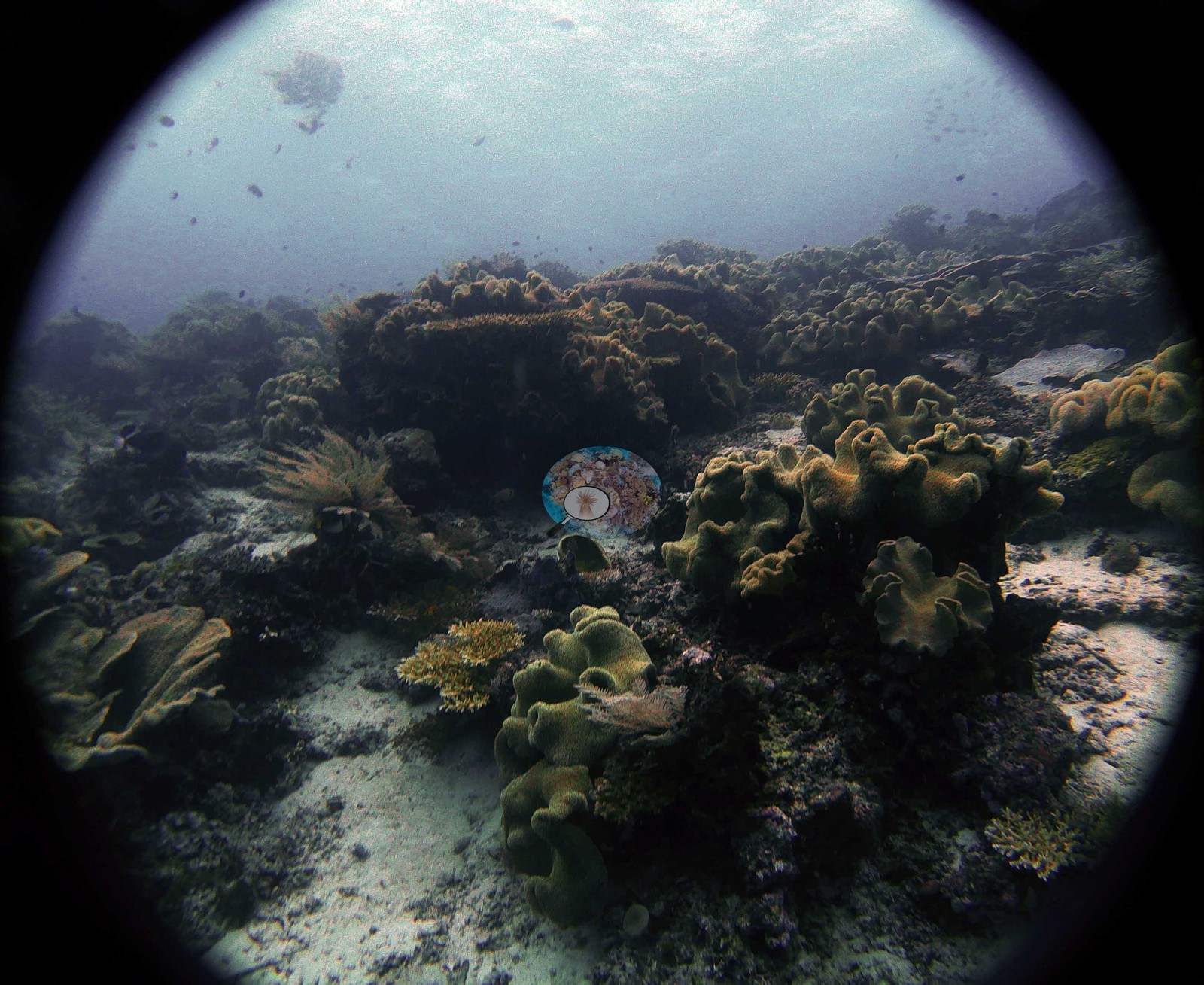
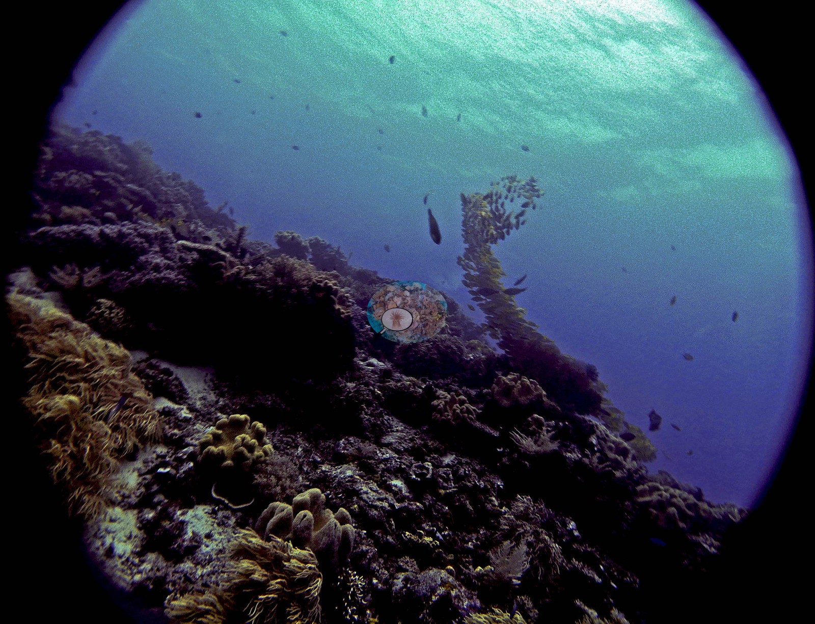
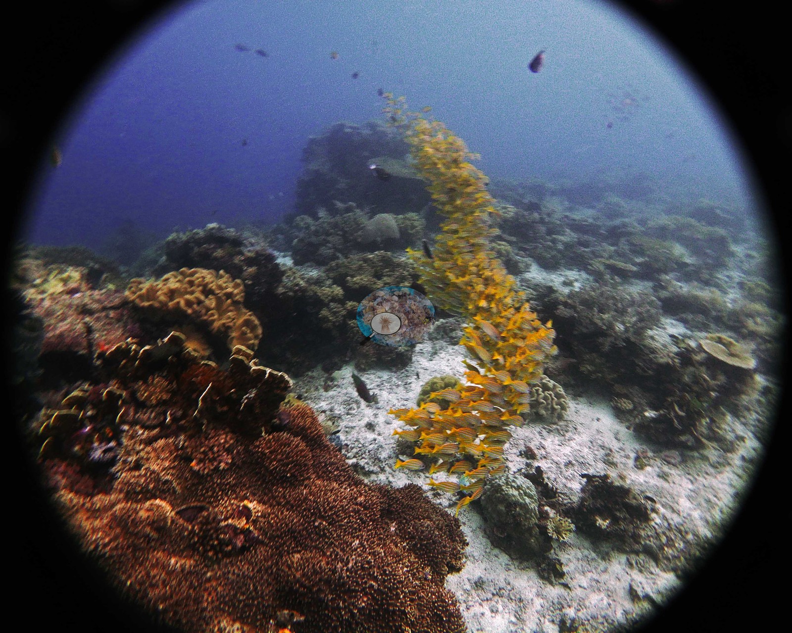
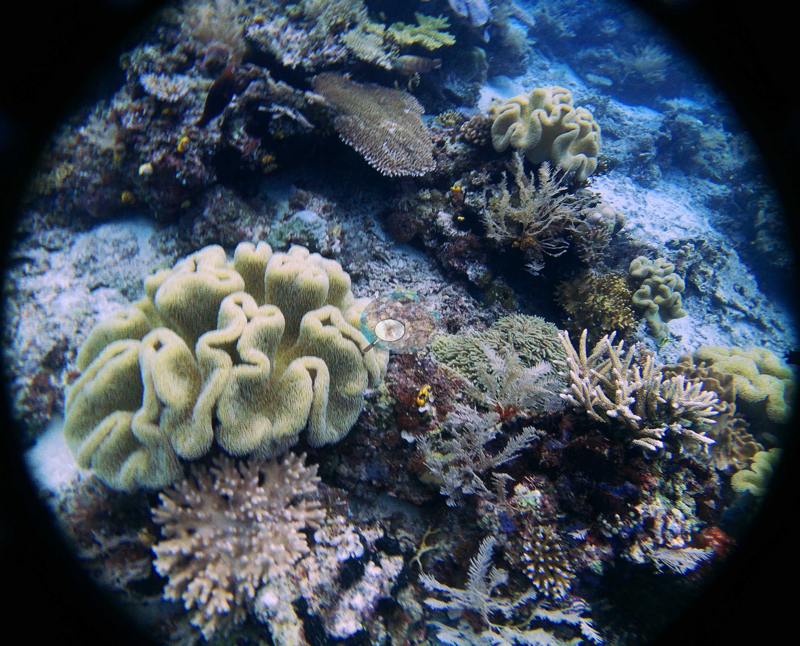
Site description
Setting
The 47 frames read as a fringing reef running off an island rather than an isolated pinnacle, and they split cleanly into three habitats.
General benthic features
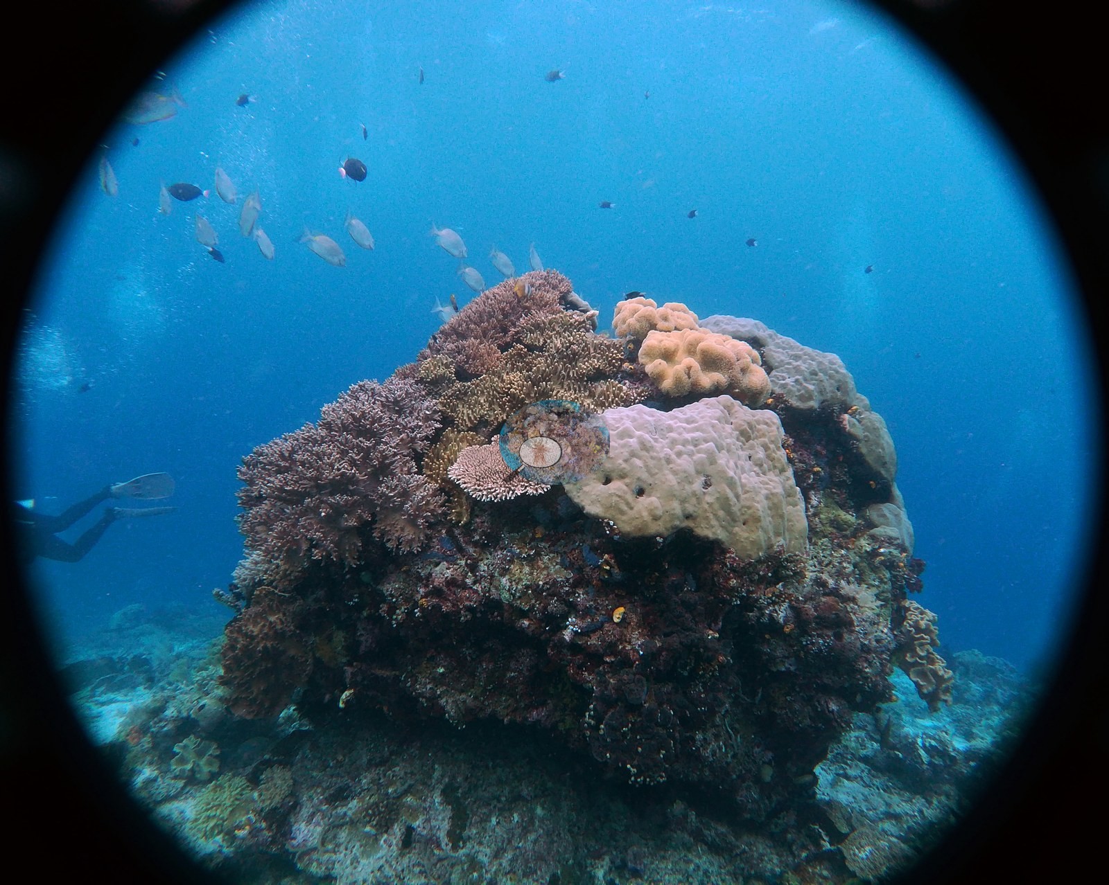
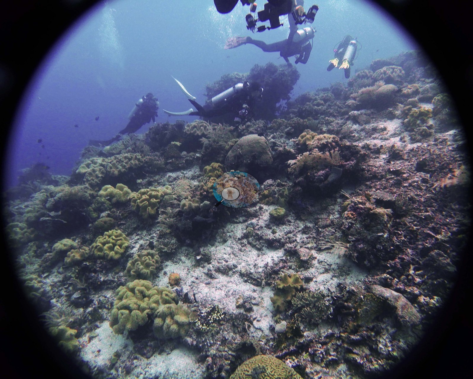
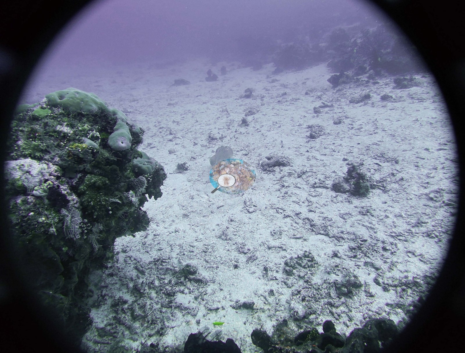
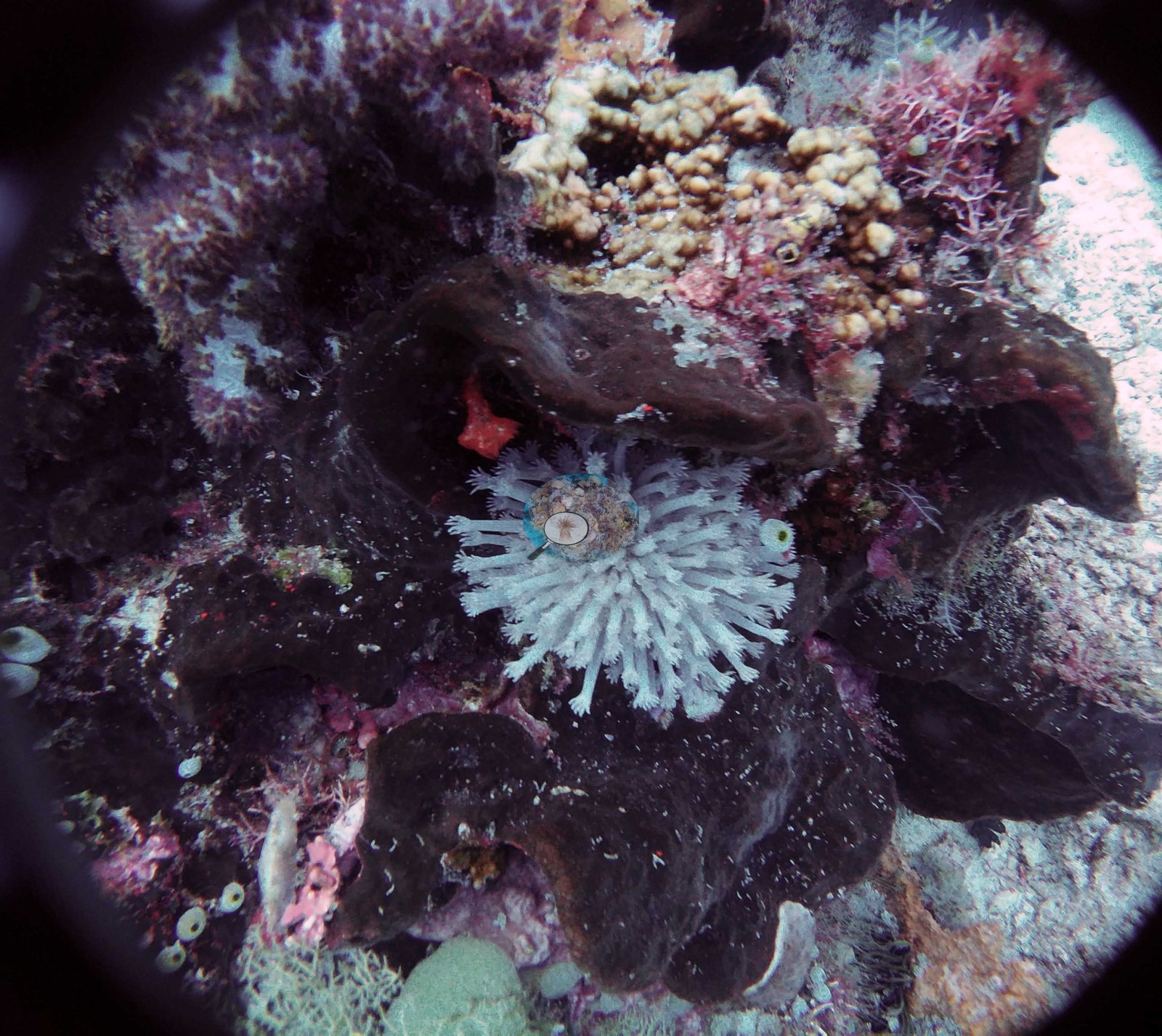
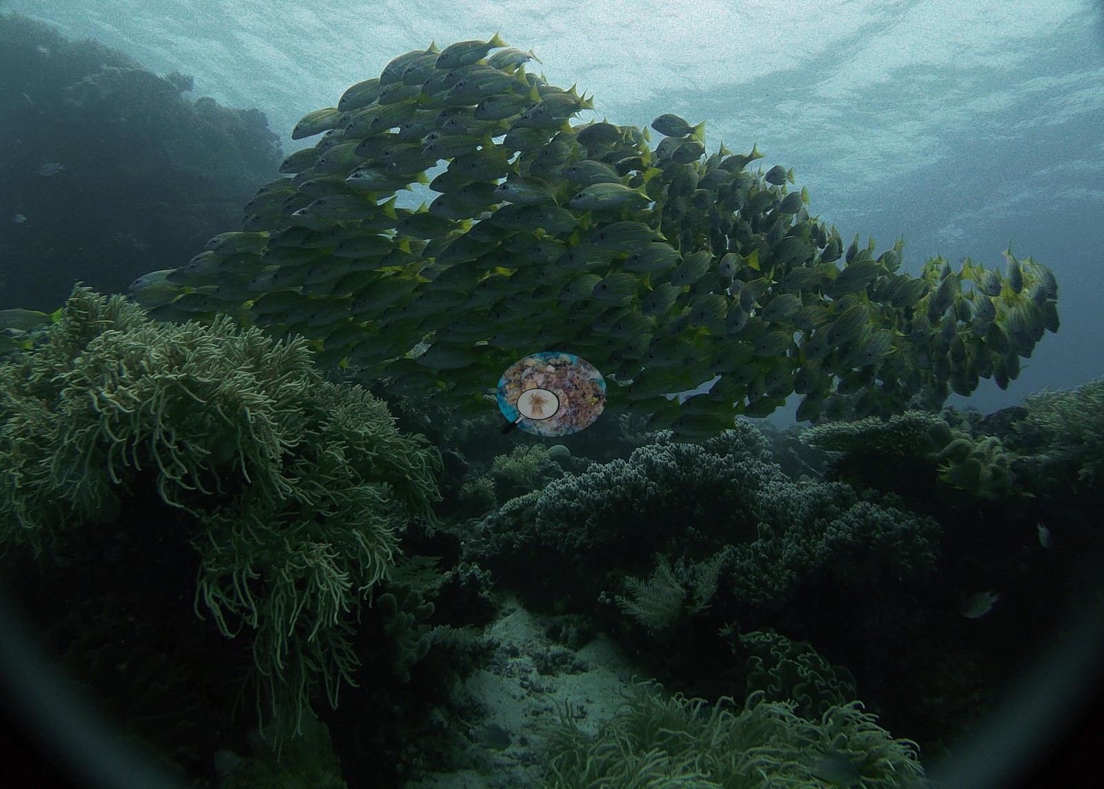
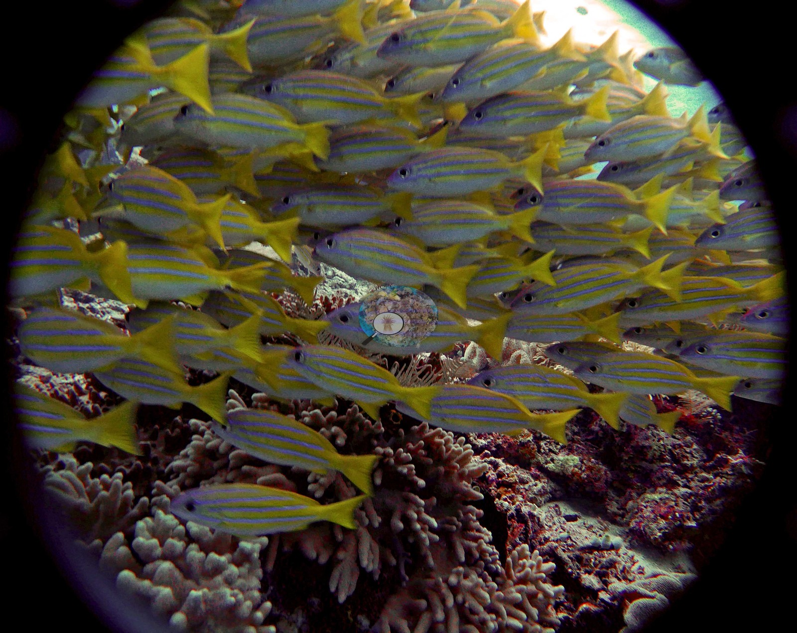
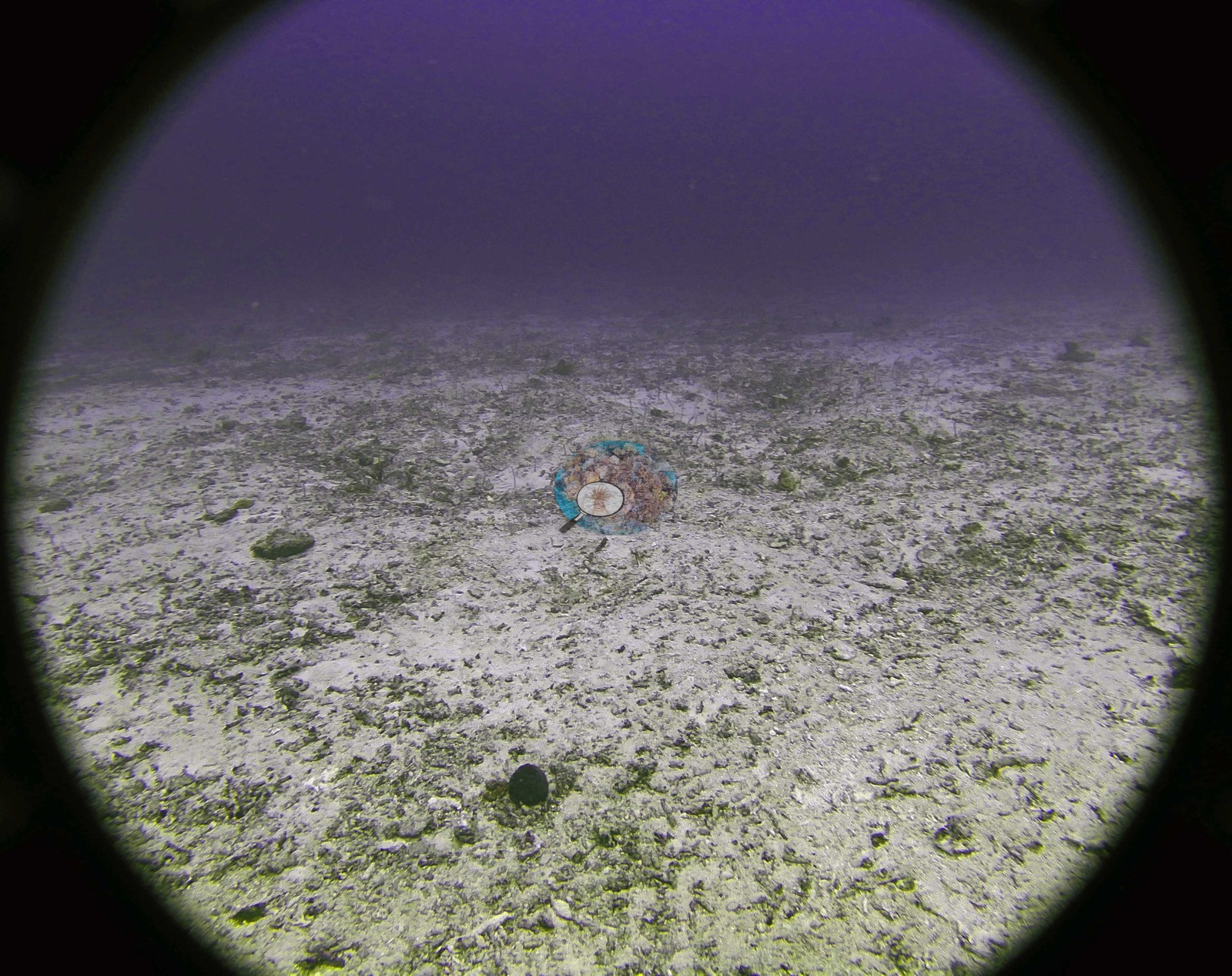
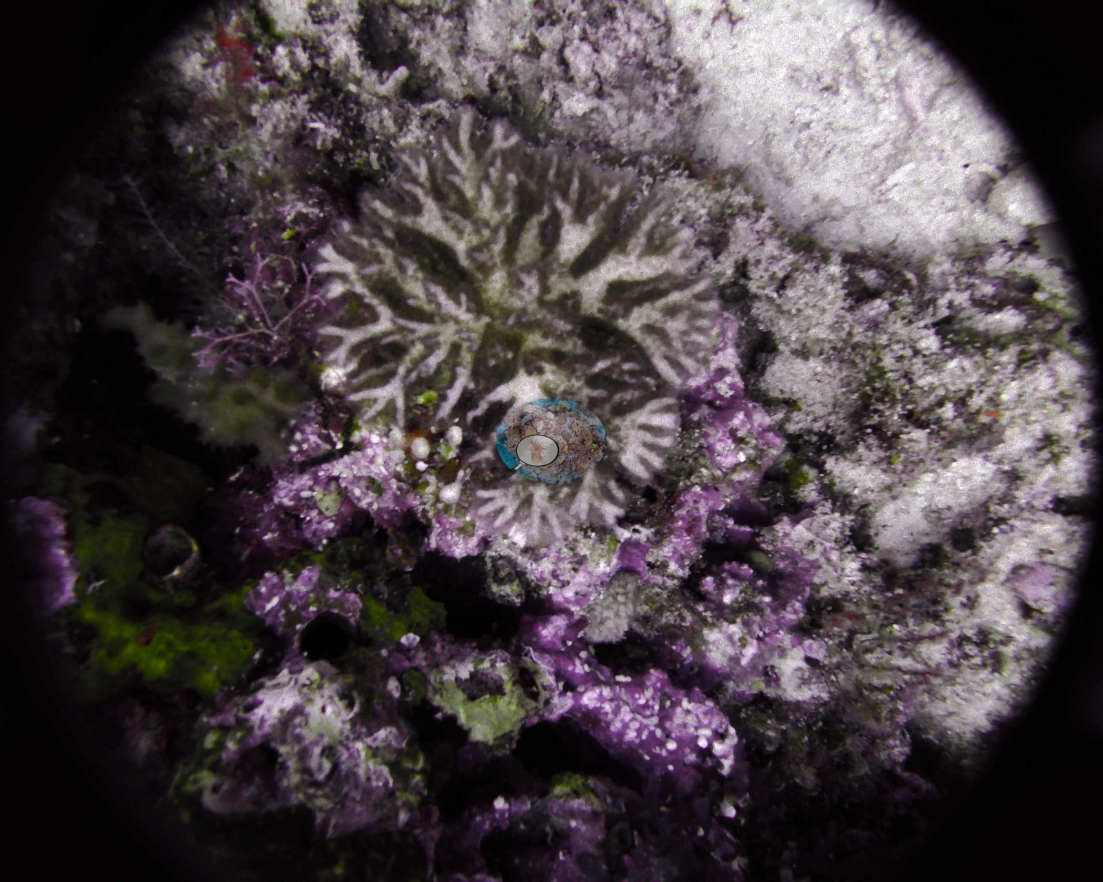
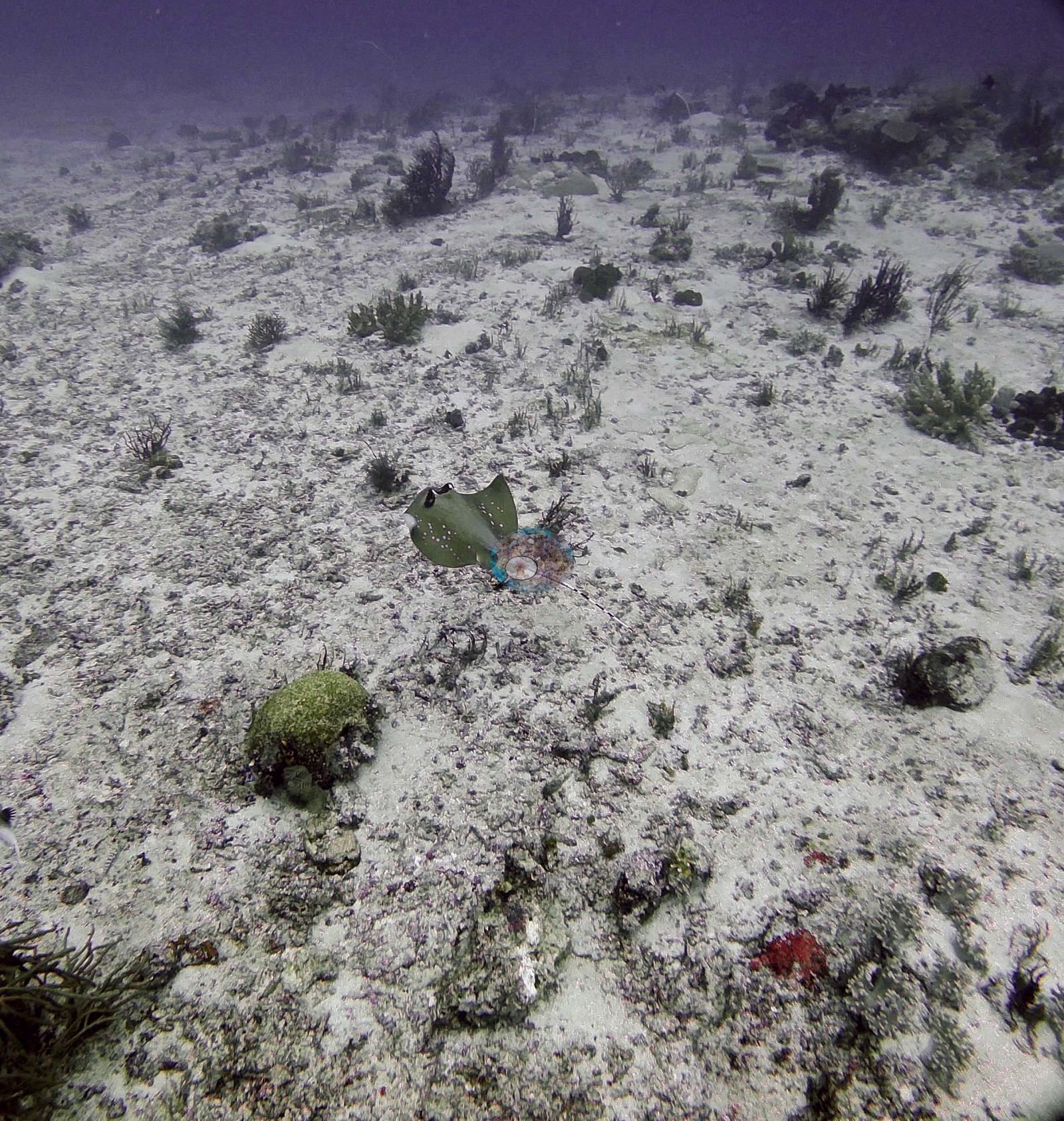
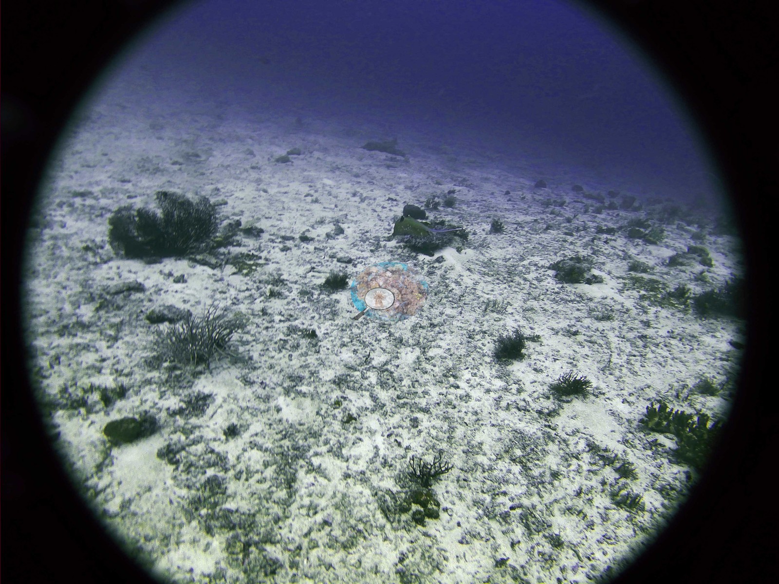
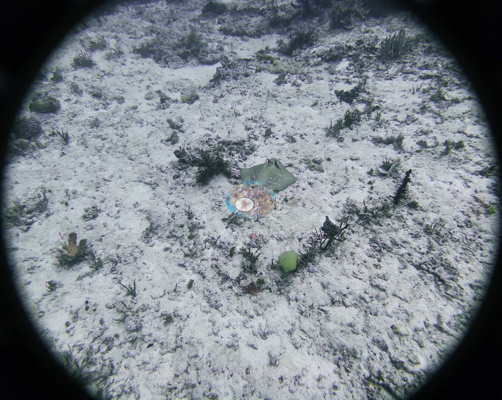
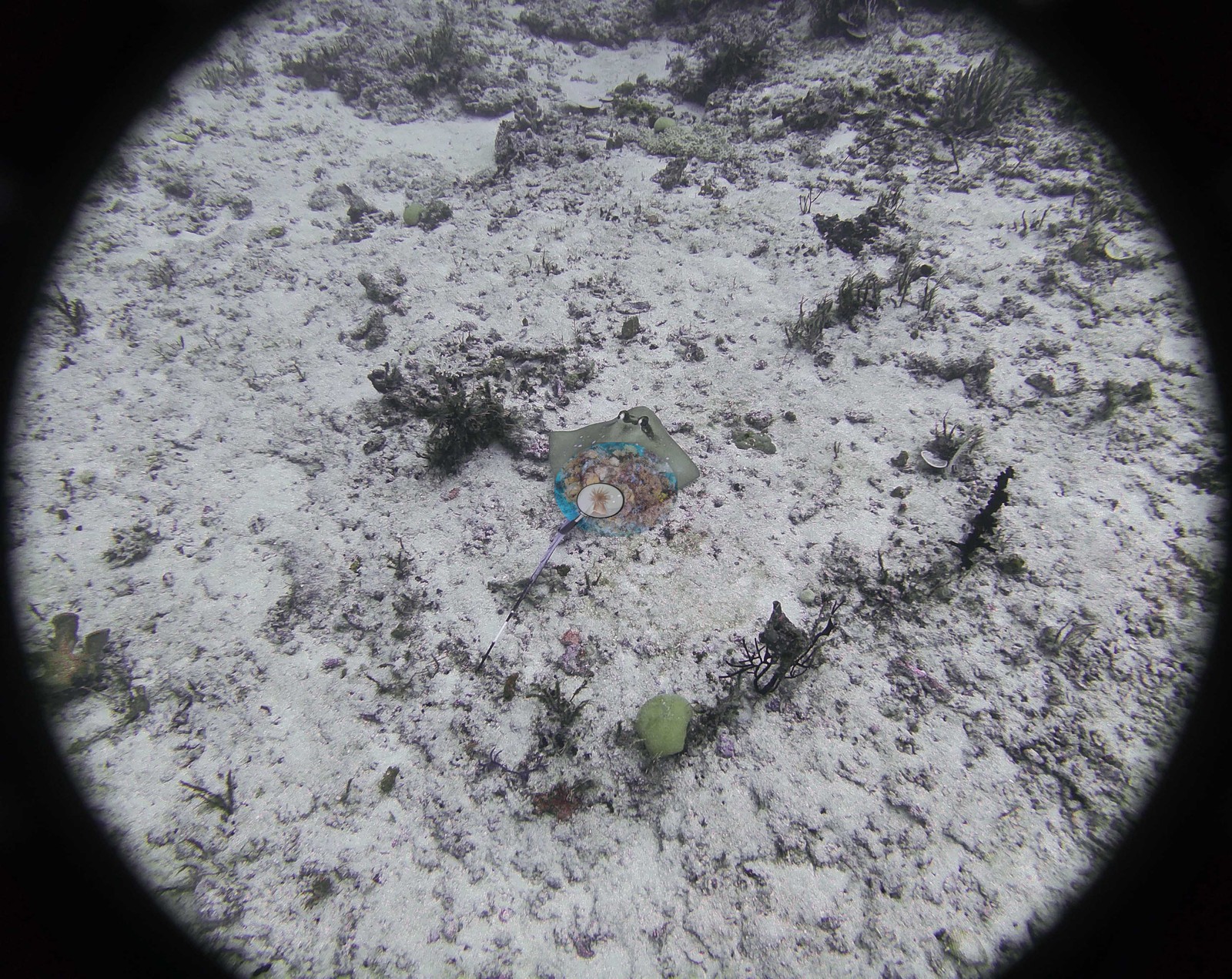
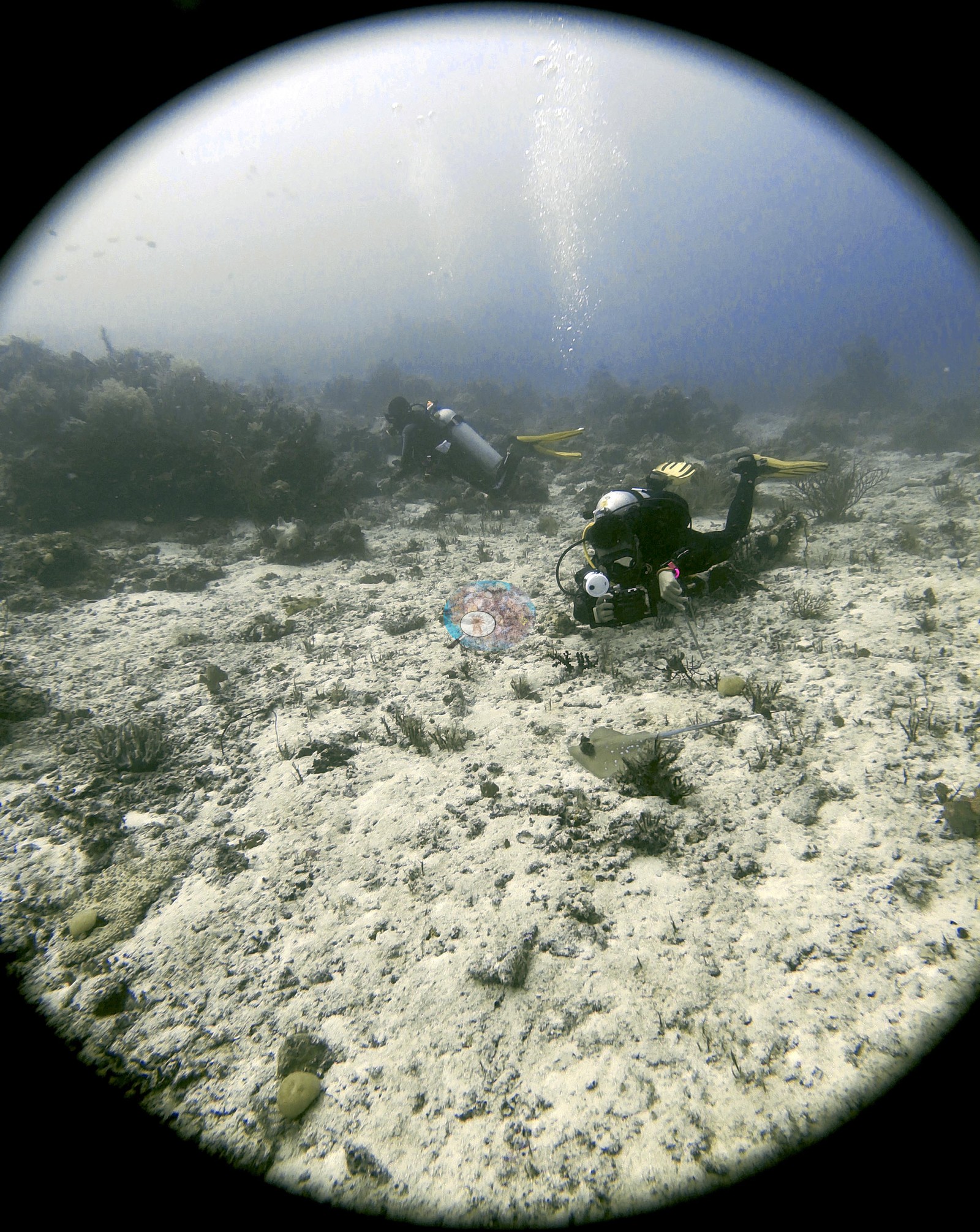
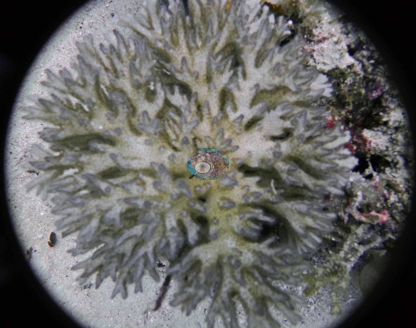
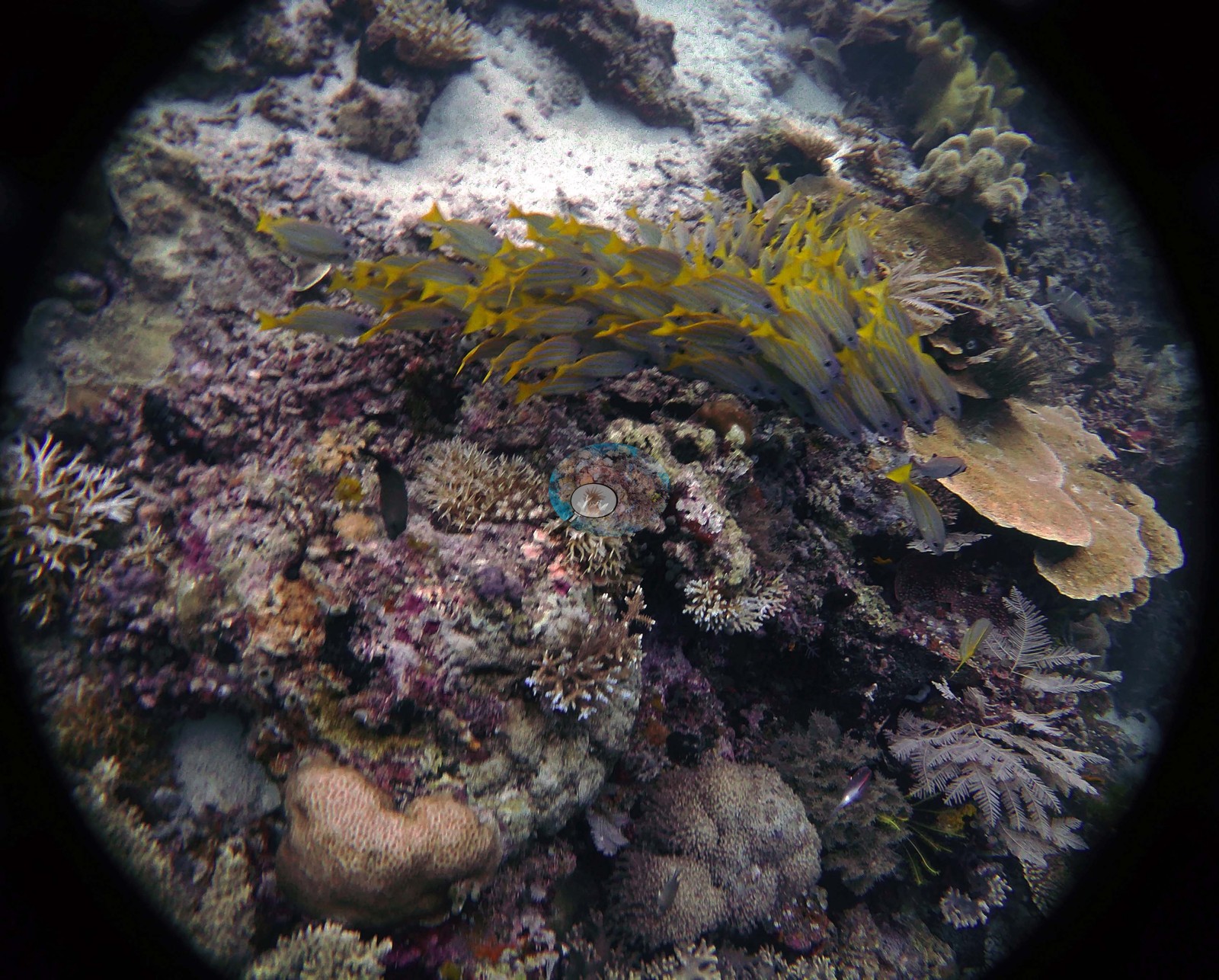
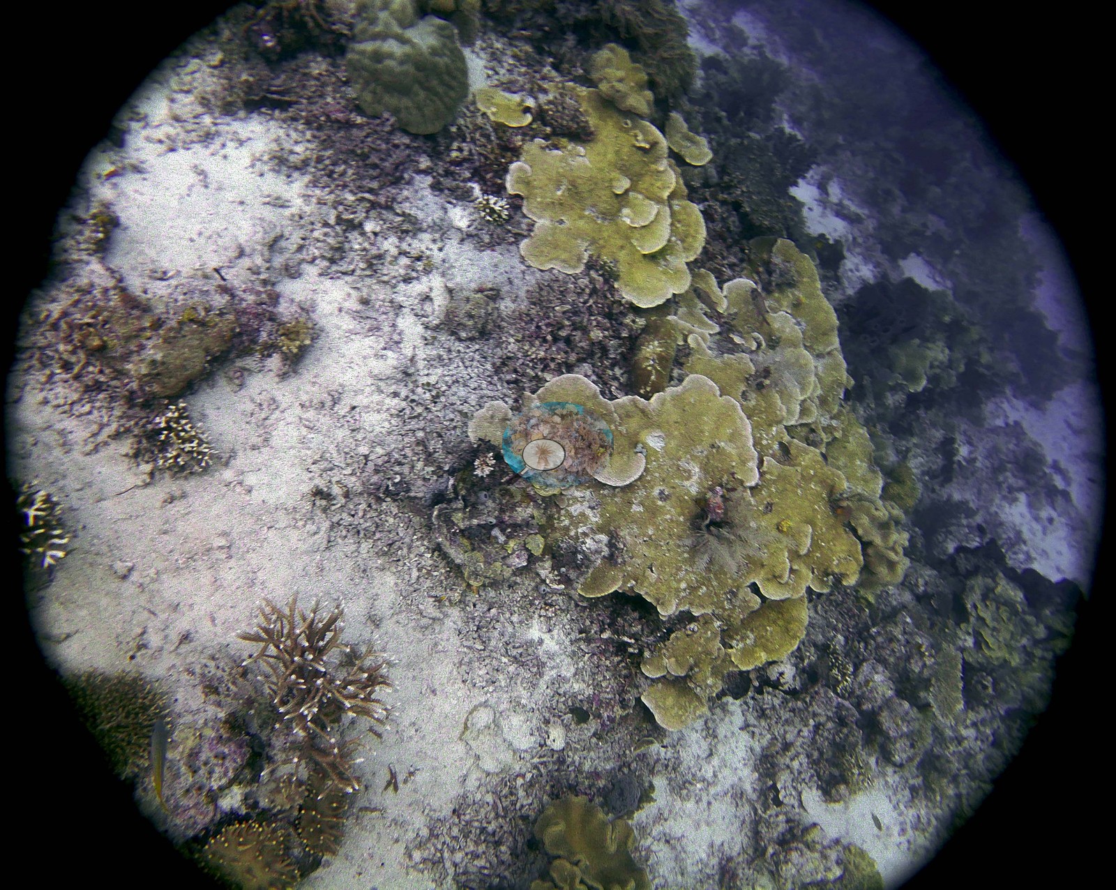
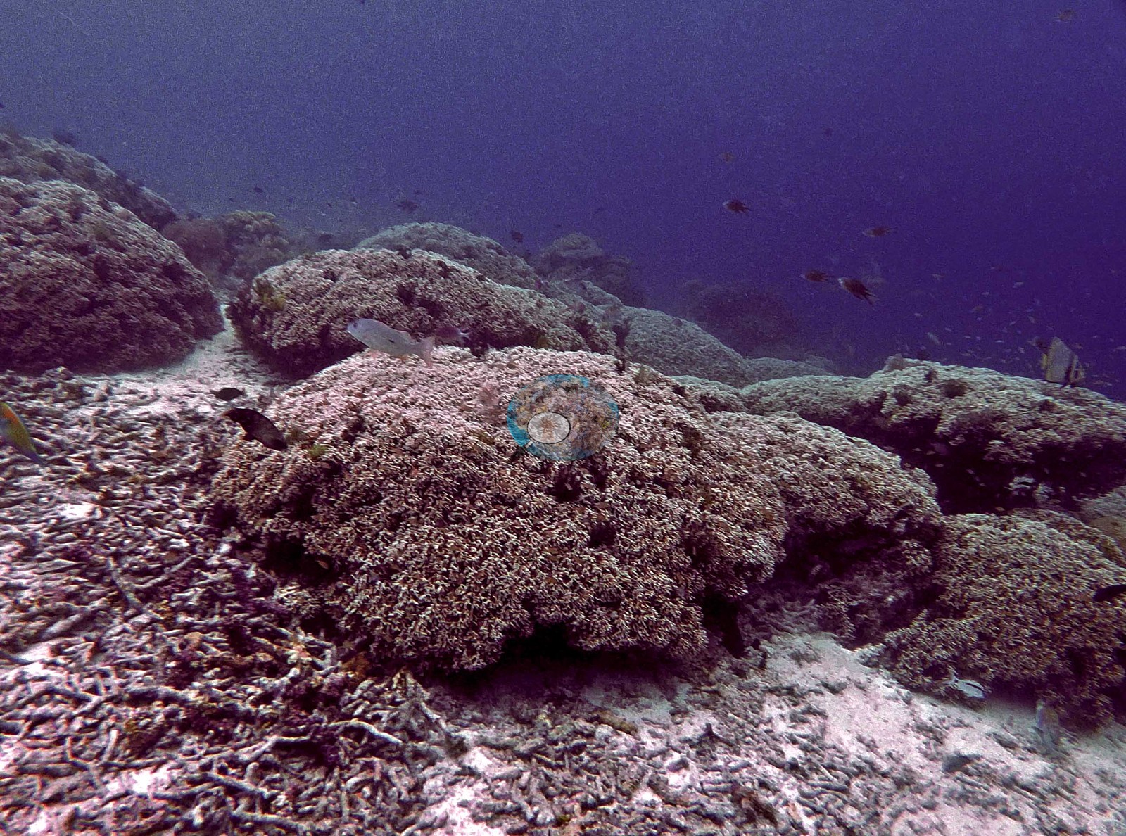
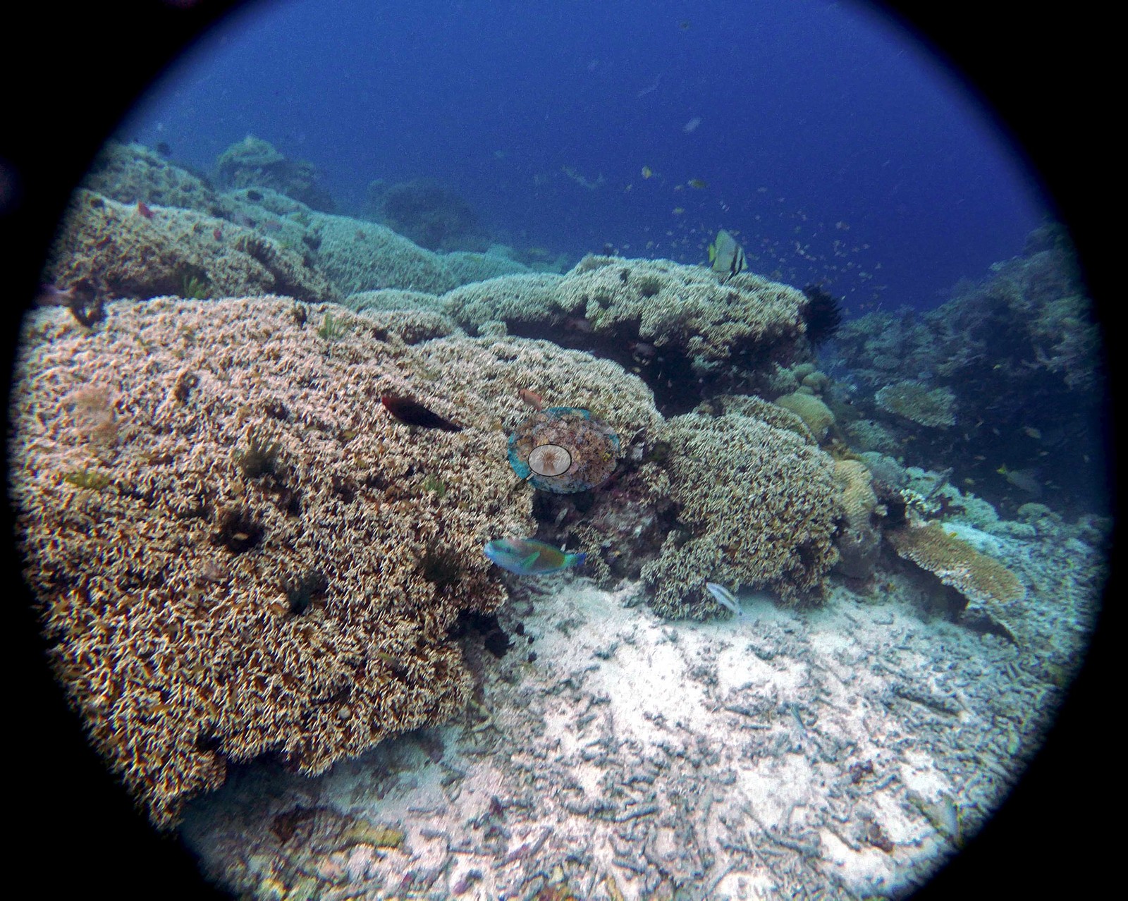
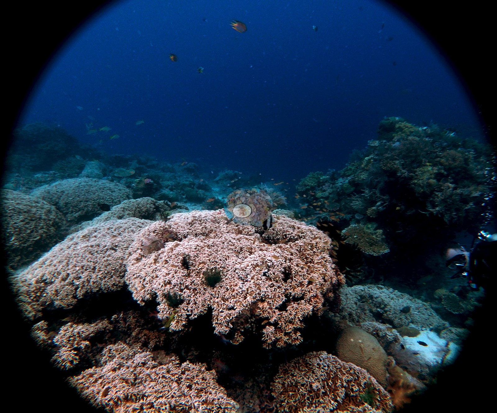
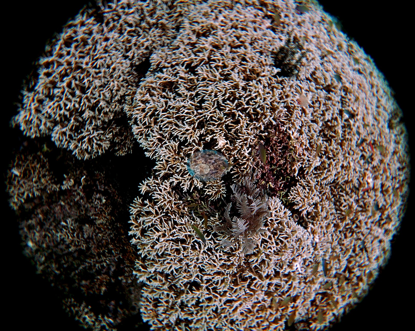
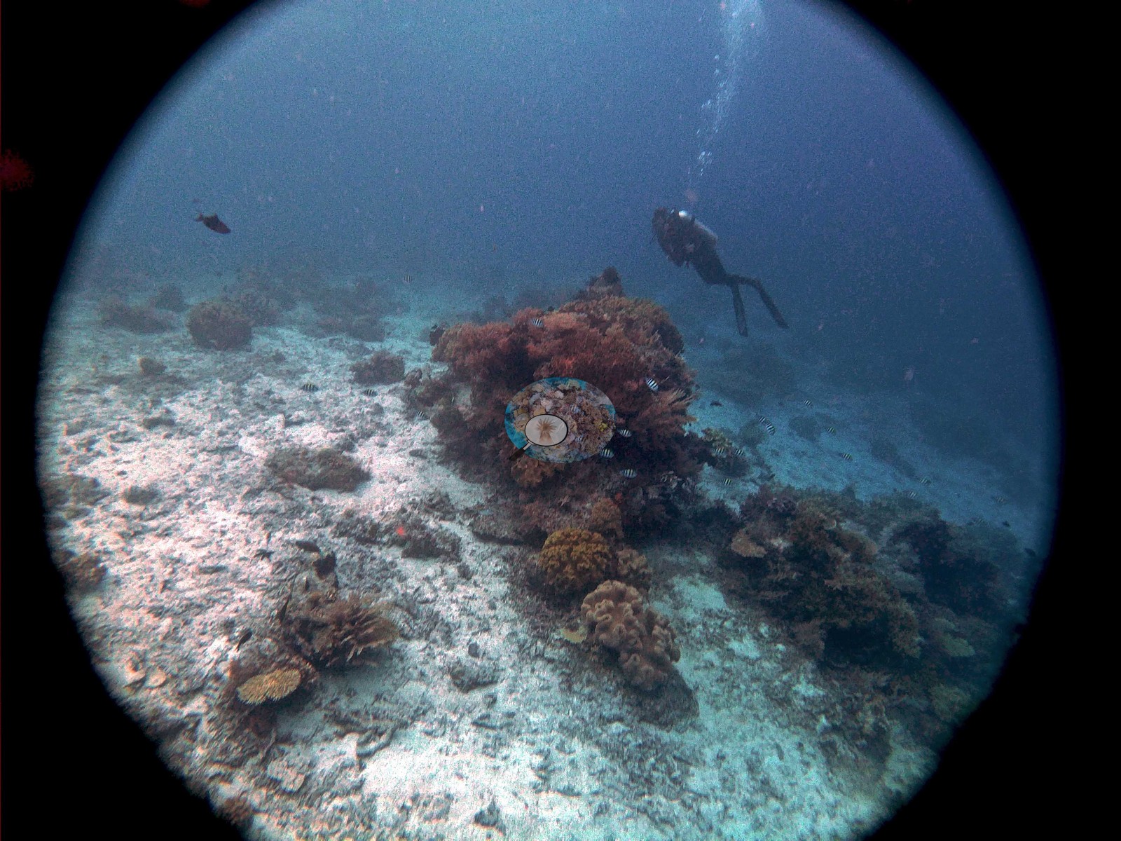
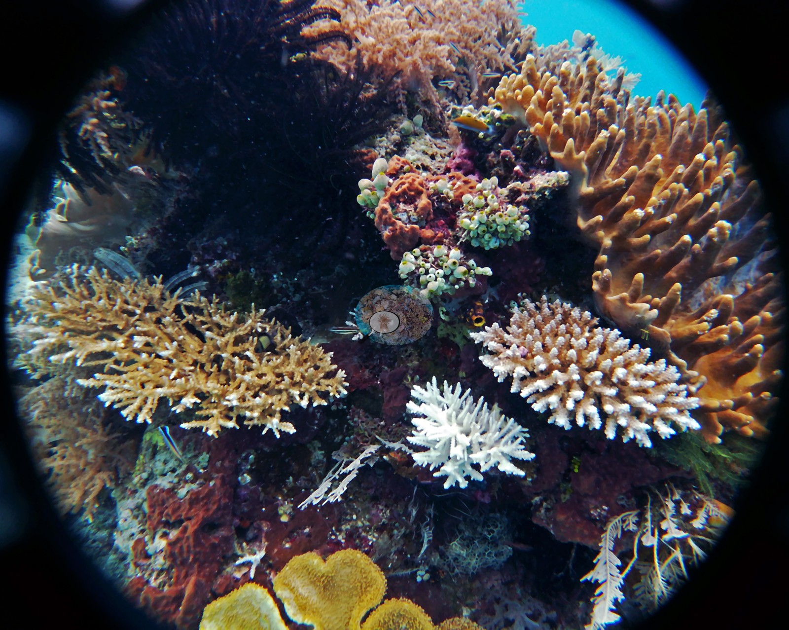
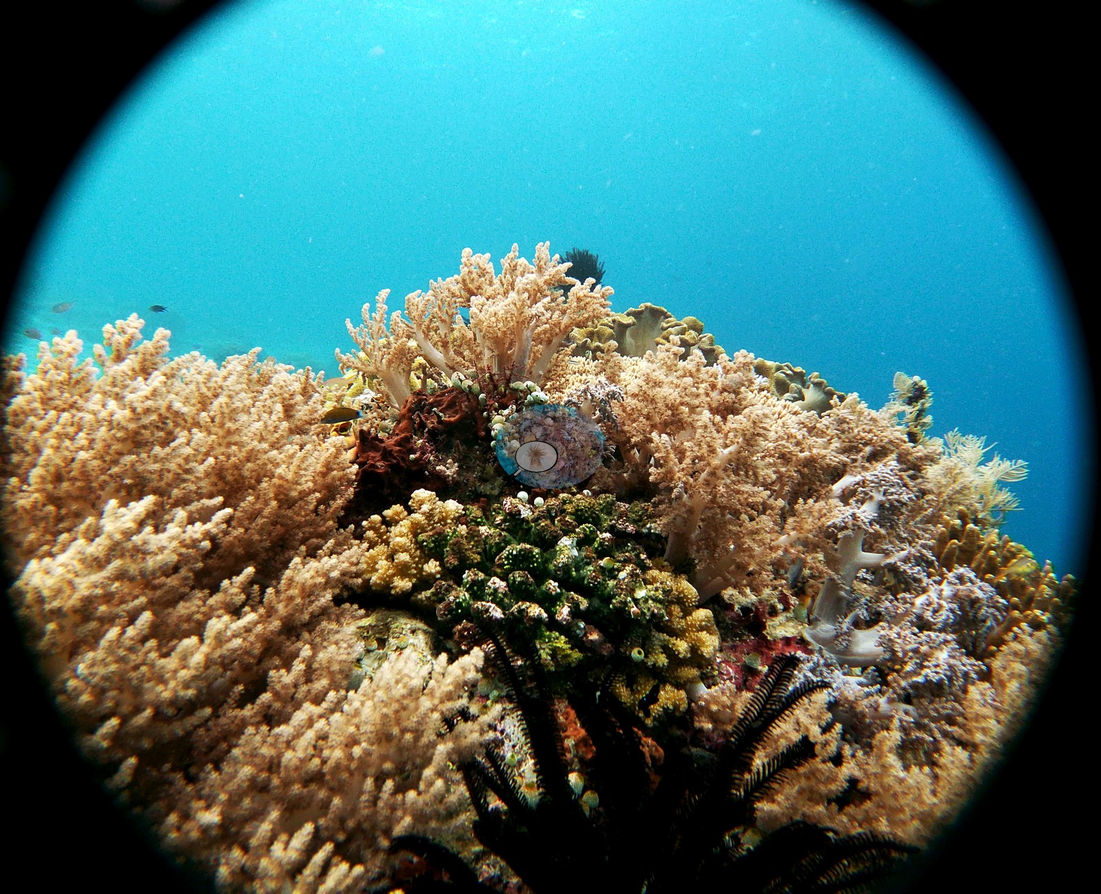
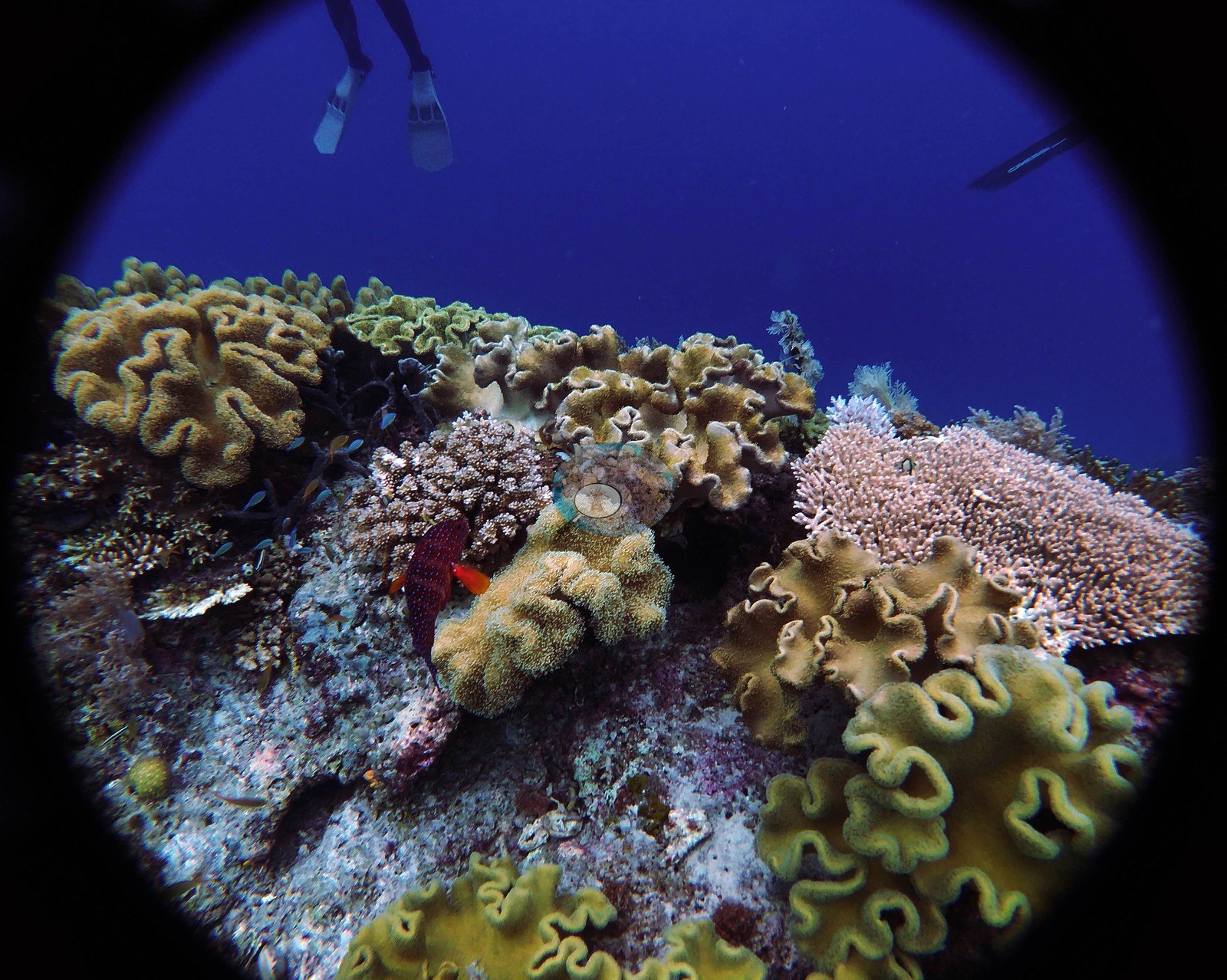
The crest and upper slope are soft-coral country. H2 and H3 (GOPR0332, 0333) look across a reef top packed with cream, ochre and yellow-green leathery octocorals in folded-cabbage and mushroom forms — Sarcophyton and Lobophytum mold — with tan massive domes set among them and pink coralline crust between. H30 (GOPR0400) and H37 (GOPR0427) are the densest frames in the set: whole bommie flanks shingled in foliose and laminar plates with cream leathers, yellow-green plating colonies and fine branching colonies packed edge to edge. H26 and H33 (GOPR0394, 0411) are the same picture from a meter back — a bommie top carrying folded cream leathers, tan tabulate plates, fine white-tipped staghorn, and pale corymbose colonies together, with a diver's fins in the blue above H33. H47 (GOPR0446) closes the dive on a bommie of yellow-green folded Lobophytum-type lobes beside a pink octocoral carpet, with a small red fish holding station in the middle. The most distinctive thing in the folder is the octocoral carpet. H40 through H43 and H46 (GOPR0432, 0433, 0434, 0435, 0445) are five frames of dense honey-and-cream fine feathery octocoral — the Xenia/Anthelia mold — blanketing entire bommie tops with polyps fully open, spilling over the edges onto white rubble. H43 is the close frame, filling the circle with nothing but open polyps and a crinoid tucked in among them. Open polyps everywhere, plus black-and-cream feather stars perched on the high points in H3, H21, H43 and H46 with arms fanned out, say the site was running current when he shot it. Hard corals are diverse and cover the whole size range. Tabulate and plating Acropora is everywhere — broad flat tables in H27, H29, H31, H37, H38, and H45, some tiered in overlapping stories — and there are dense fine-branched staghorn and bottlebrush thickets in tan and mauve (H34 GOPR0420 is a whole frame of one). Massive domes are abundant and often large: pale helmet-shaped Porites-type heads in H2, H28 and H29, and a knobbly coarse-textured head in H29. Foliose and laminar colonies form whole flanks as stacked whorls and shelves (H22, H37, H47), including yellow-green plating colonies with cupped margins. H12 and H18 (GOPR0351, 0366) are the two close-down frames, both showing a pale gray-green branching or foliose colony set in heavy pink and mauve crustose coralline algae. The third habitat is the sand. H10, H11, H13, H14, H15, and H16 (GOPR0348, 0350, 0353, 0354, 0360, 0361) are wide, pale, near-empty carbonate sand-and-rubble plains with only scattered low colonies, black-coral bushes and small sponges — genuinely low-cover ground, and a large enough share of the frame set that it must be weighed against the photogenic bommie shots. This is a really beautiful site and holds the record for the most stingrays I have seen at a single site (6-7, 2 different species and all different sizes)."
Coral cover
Coral cover: 12% — a blind Claude computer-vision point count of 47 of Anderson's edited photographs (20 points per photo; water, fish, and obstructions excluded). Other computer-vision methods are listed in the method table. The wide sand plains in H10-H16 are the reason to be especially careful with a single site-level number here: cover at Mioskon is patchy by habitat, high on the bommies and near zero on the channels between them, and one figure hides that. --- Retained verbatim from the existing pin record (non-photographic) --- Location: -0.492, 130.678. DHW mean annual max (5 yr): 10.1.
Stressors
Condition. H45 (GOPR0444) is the frame that matters: a chalk-white branching Acropora colony with its branch structure fully intact and its tips normal sits directly among normally pigmented tan acroporids and yellow-brown soft corals. That is the look of live, recently bleached tissue rather than old dead skeleton, and several of the tan colonies around it carry pale branch tips. Set against that, H39 and H22 (GOPR0430, 0379) show broad tracts of pale, coralline- and turf-covered pavement and broken branching rubble with little live tissue, which reads as older mortality now consolidated. No crown-of-thorns was confidently seen — the white radiating animal in H19 and the yellow one in H21 both read as feather stars, not seastars. No disease bands or lesions, and no anchor or blast damage in the reviewed frames. No bleaching percentage has been derived, and none should be: the GoPro's color behavior on this dive makes any pale-versus-white judgment across the set unreliable, and only the single H45 colony is unambiguous.
Fish and other fauna
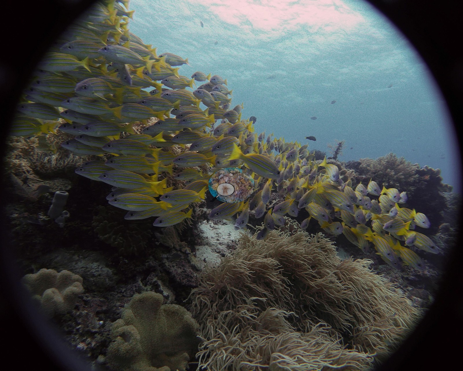
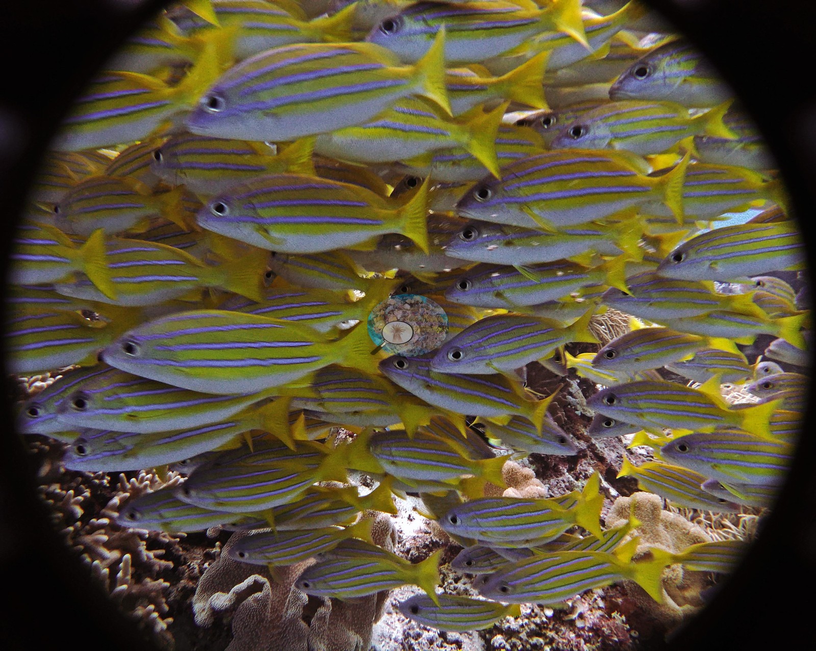
It is also where the rays are: blue-spotted stingrays lie flat on the open sand in H13, H15 and H16, with a fourth animal likely in H14. The fish are the other headline. H6 through H9 (GOPR0338, 0339, 0341, 0342) hold a huge school of bluestripe snapper — vivid yellow with clean blue lateral lines — first as a wall pouring over the crest, then twice frame-filling at arm's length above the coral. H5 (GOPR0336) is a tight ball of planktivores hanging in mid-water with the surface visible above. Chromis and other damselfish clouds run through H20, H28 and H37, and H28 (GOPR0398) puts a loose school of pale-bodied fish in clean blue over a coral-capped bommie.
Comparisons with other data
Region: Indonesia - Papua.
Dive record
Mioskon, Anderson's dive 28 of the 2018 Indonesian liveaboard, 22 October 2018, shot on Naoko's GoPro. Dive log (DiverLog Lite batch export, decrypted 2026-08-12): dived 2018-10-22, entry time 15:07, max depth 21.4 m, bottom time 63.0 min, temperature 28.0 C, lifetime dive no. 69. dived_note: "1 dive logged (2018-10-22), max 21.4 m, 28.0 C. From the DiverLog Lite database." Anderson's dive memo, verbatim: "Used Naoko’s GoPro.
Other notes
Anderson's own dive memo records this as the site where he saw the most stingrays of any single site he has dived, and the frames corroborate him. Divers appear in H1, H17, H32, H33, H35, H36, H38, H44, and H47. Country: Indonesia. Site page: https://coralreefdiagnostics.com/raja-ampat-site-28-mioskon. Portfolio: https://andersonblairmay.myportfolio.com/indonesia.
CV model comparison
More info
DINOv3 and CoralSCOP were run on the same photos and are listed for comparison. Coralscapes v2 and v1 were also run but are not shown: Anderson does not consider Coralscapes reliable for these photos. No diver transect exists for this trip, so agreement between the rows is not accuracy, and as of September 2026 no computer-vision method estimates coral cover accurately on new images; treat every row as indicative.| Method | Hard-coral cover (%) |
|---|---|
| In-house DINOv3 | 23.8 |
| CoralSCOP edited | 32.7 |
| Claude (edited photos) | 11.9 |
Independent surveys nearby
| Agency / program | Year(s) | Stations / distance | Link |
|---|---|---|---|
| Conservation International (CI) | 2025 | 1 station, 2.36 km | Records ↓ |
| Social Ecological Research Frontiers (SERF) / University of Rhode Island (URI) / Thriving Oceans | 2018 | 2 stations, 0.52–2.63 km | Records ↓ |
| Yuanike et al. (2019) | 2016 | 1 station, 2.79 km | Records ↓ |
 Dr. Coral (CRD)Year-average (no detectable trend)
Within 5 km, 4 independent survey stations recorded hard coral cover in 6 surveys between 2016 and 2025. One survey since 2021 recorded 40%. This site's own estimate (12%) sits 28.3 points below the recent value (40%); the methods differ, so the comparison is context, not a like-for-like test.
Collected by other programs using different methods, so these are context for the figures above, not a like-for-like comparison. Where a station was surveyed more than once the range is shown. Station names are not dive-site names.
| Agency | Site / location | Date | Hard coral cover (%) | Distance | Link |
|---|---|---|---|---|---|
| Yuanike et al. (2019) | Station 2 | 2016 | 52% (2 surveys) | 2.79 km | HeatCRD database |
| Social Ecological Research Frontiers (SERF) / University of Rhode Island (URI) / Thriving Oceans | Yenbeser | 2018 | 53% (2 surveys) | 0.52 km | Humphries A, Amkieltiela, Tiela, Caldwell I, Caldwell I, Molfino T. 2019. SERF2_AustinHumphries_Indonesia. MERMAID |
| Social Ecological Research Frontiers (SERF) / University of Rhode Island (URI) / Thriving Oceans | Friwen Wall | 2018 | 43% | 2.63 km | Humphries A, Amkieltiela, Tiela, Caldwell I, Caldwell I, Molfino T. 2019. SERF2_AustinHumphries_Indonesia. MERMAID |
| Conservation International (CI) | Friwen Control | 2025 | 40% | 2.36 km | Aryani S, Faturakhmat S, Kler Lago A, Mohamed A. 2026. Terumbu Karang Sehat Indonesia Program - Indonesia. MERMAID |
Data & links
All images from Coral Reef Diagnostics. Data are from Coral Reef Diagnostics and the organizations named in the data-sources table above.
© Coral Reef Diagnostics.