
Raja Ampat - Nudi Rock
Part of the regional summary: Indonesia - Raja Ampat
More info
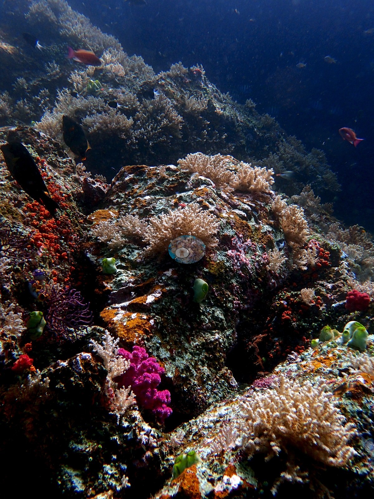
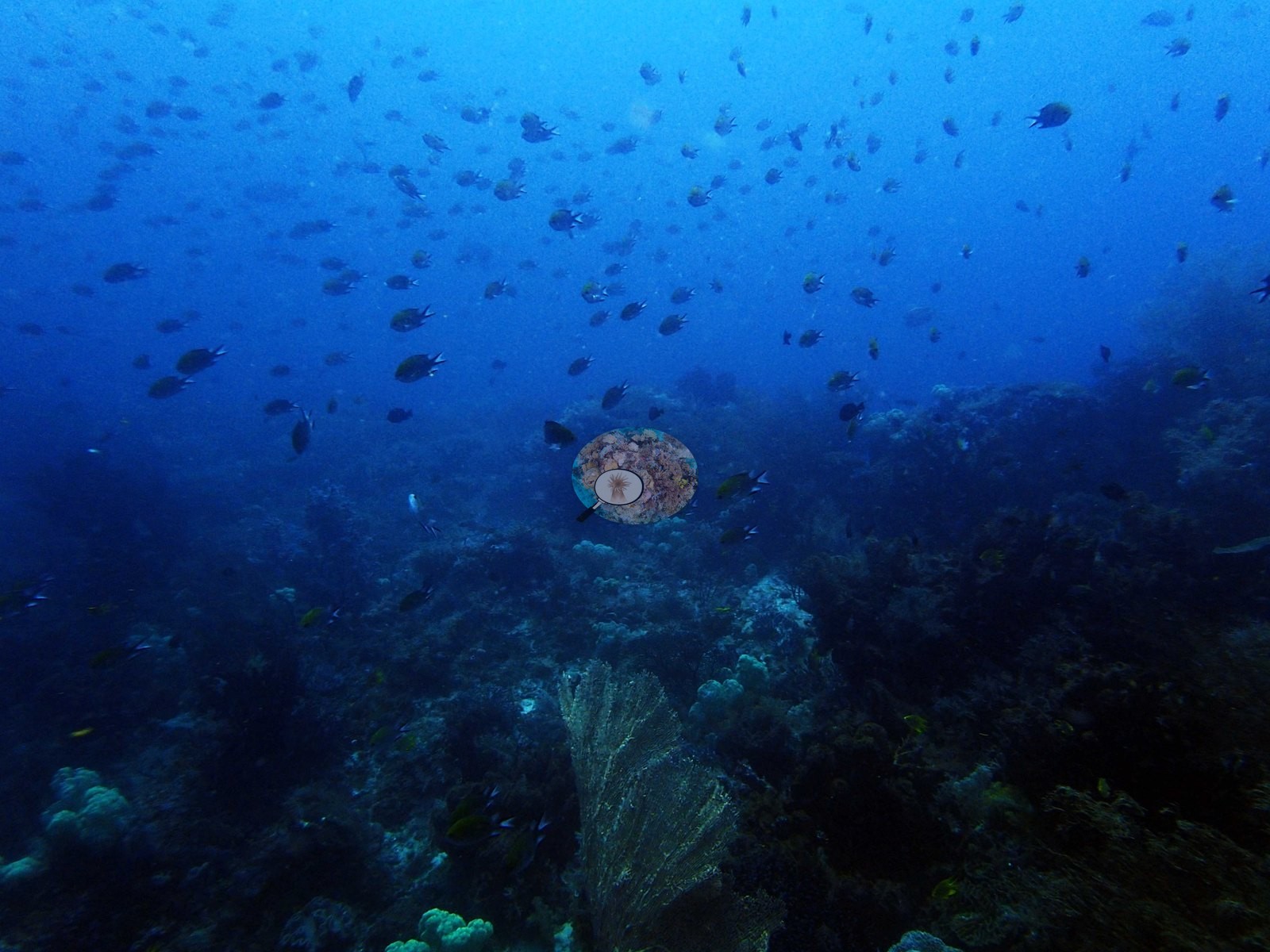
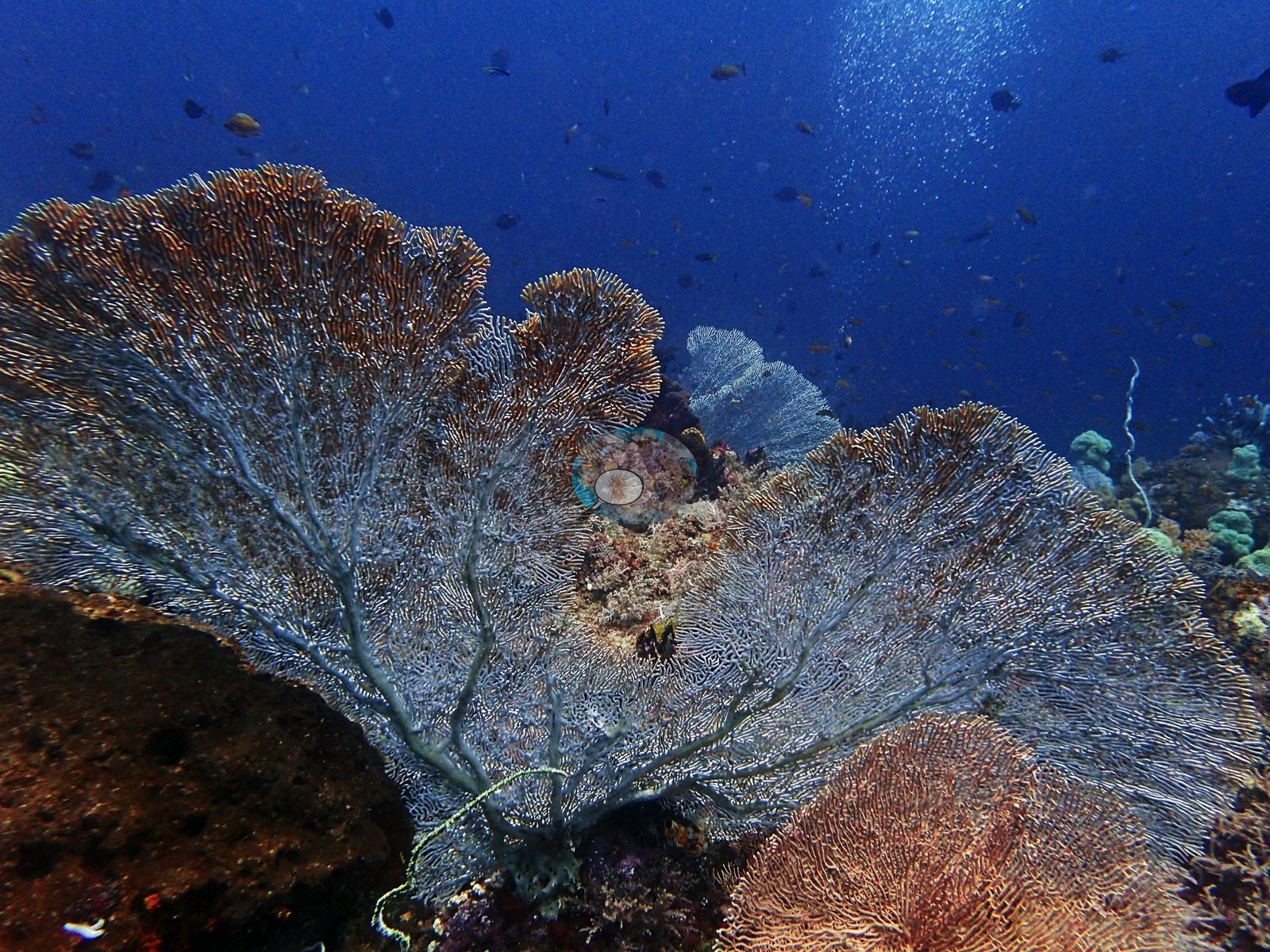
West Papua (NOAA CRW virtual station)Nudi Rock is a sheer wall dominated by soft corals, sea fans, and green Tubastraea at mid-depths, with Porites and Pachyseris framework, brain corals, and patches Anderson estimated at 40-50% live cover; fish life included Napoleon wrasse, dogtooth tuna, and gray reef sharks. A blind Claude computer-vision point count puts coral cover around 30%.
Nudi Rock adalah dinding tegak yang didominasi karang lunak, kipas laut, dan Tubastraea hijau pada kedalaman menengah, dengan kerangka Porites dan Pachyseris, karang otak, serta bercak-bercak yang Anderson perkirakan bertutupan hidup 40-50%; kehidupan ikannya mencakup ikan napoleon, tongkol gigi anjing, dan hiu karang abu-abu. Penghitungan titik buta visi komputer Claude memperkirakan tutupan karang sekitar 30%.
Terjemahan ringkasan ini oleh AI; versi bahasa Inggris yang berlaku.
Five independent survey stations shown with the program’s logo — click one to see how far it is from this site.
This page shows 50 of the 116 photographs from this site, including every one the text cites.
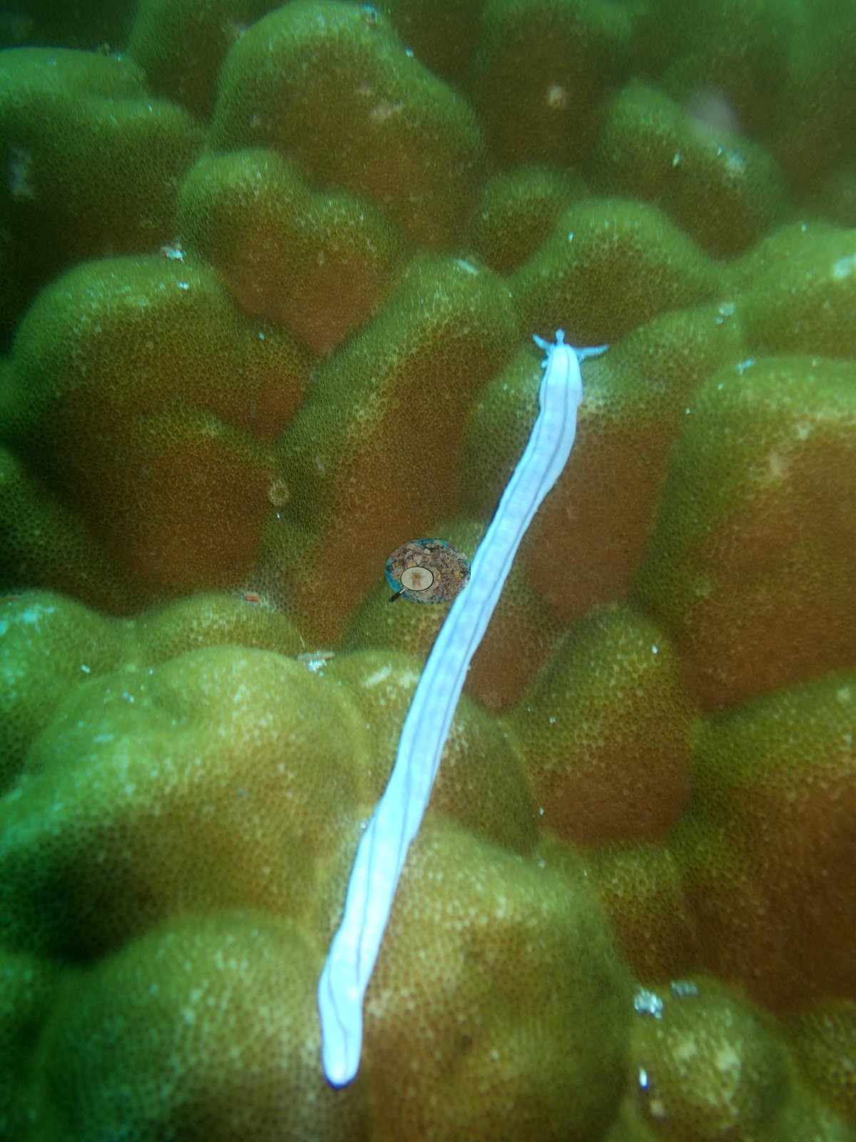
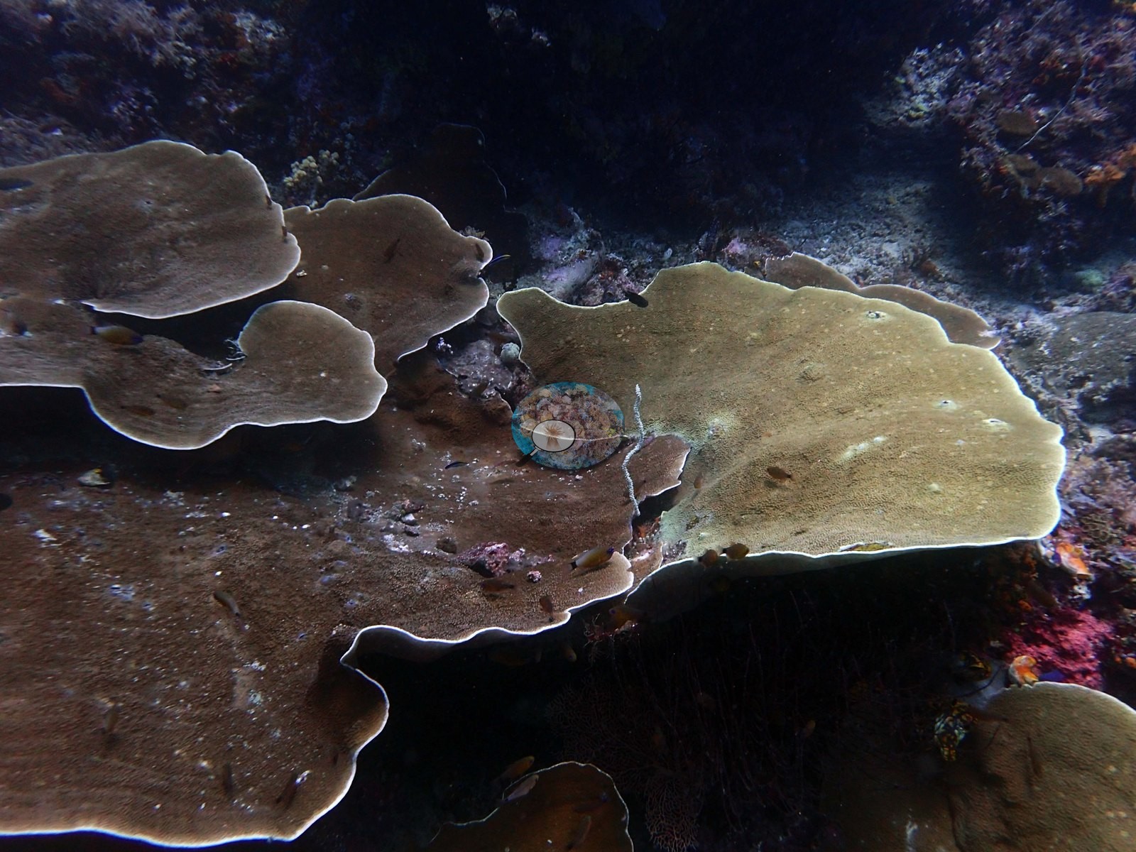
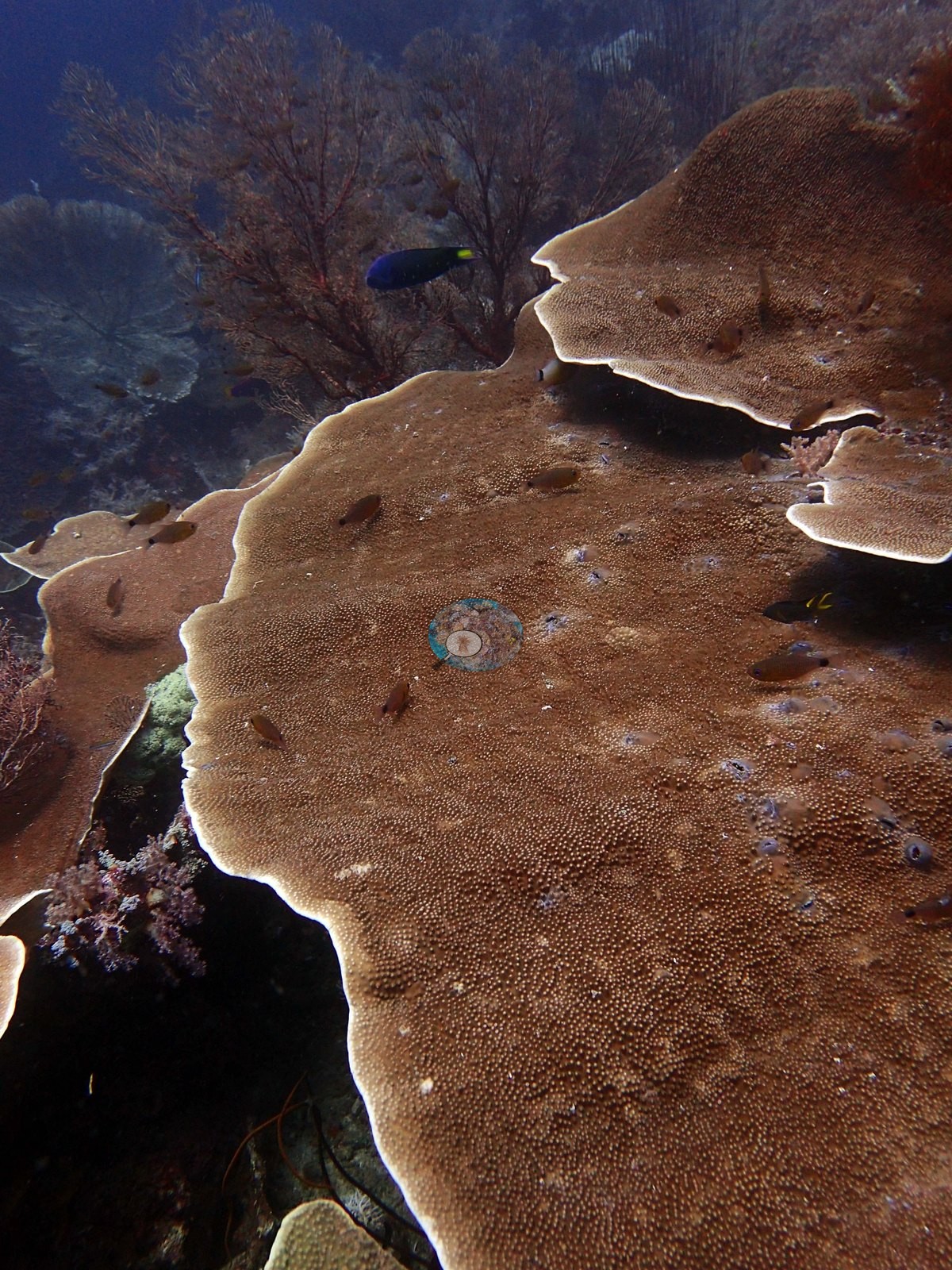
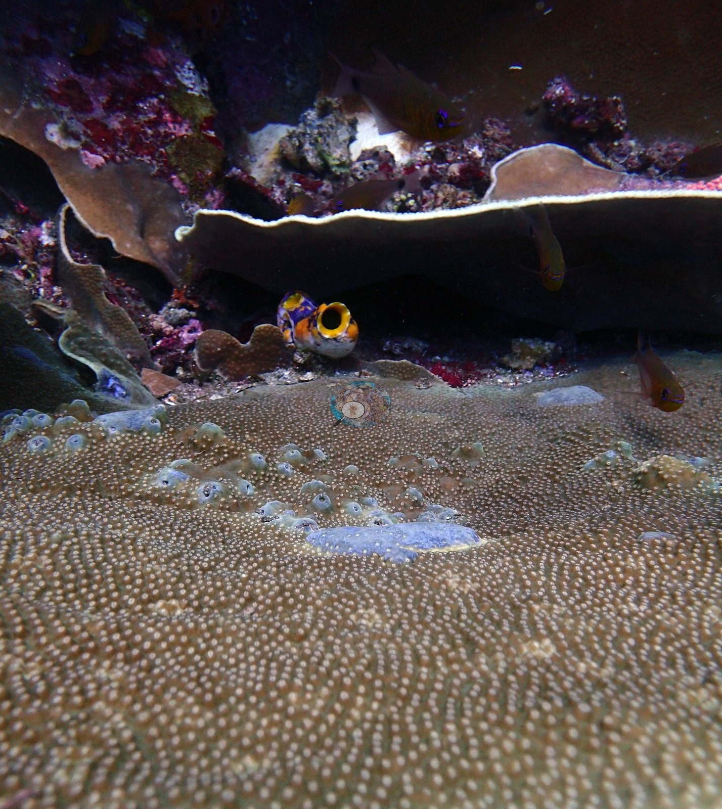
4 of the 50 photographs on this page are shown beside the text that discusses them under "Site description" below.
Site description
Setting
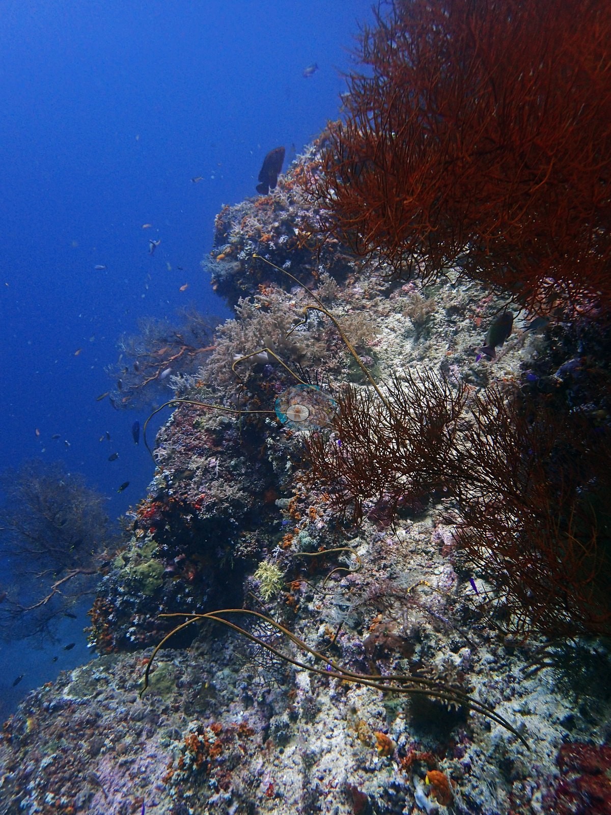
There was no current, and visibility was 20 m. The site is a sheer vertical wall at the base of a small island. The reef extends to about 20 m.
General benthic features
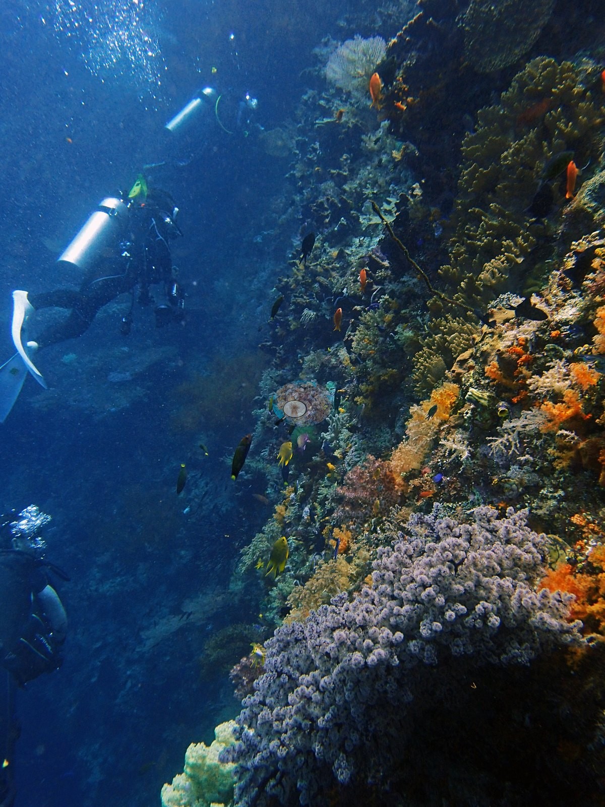
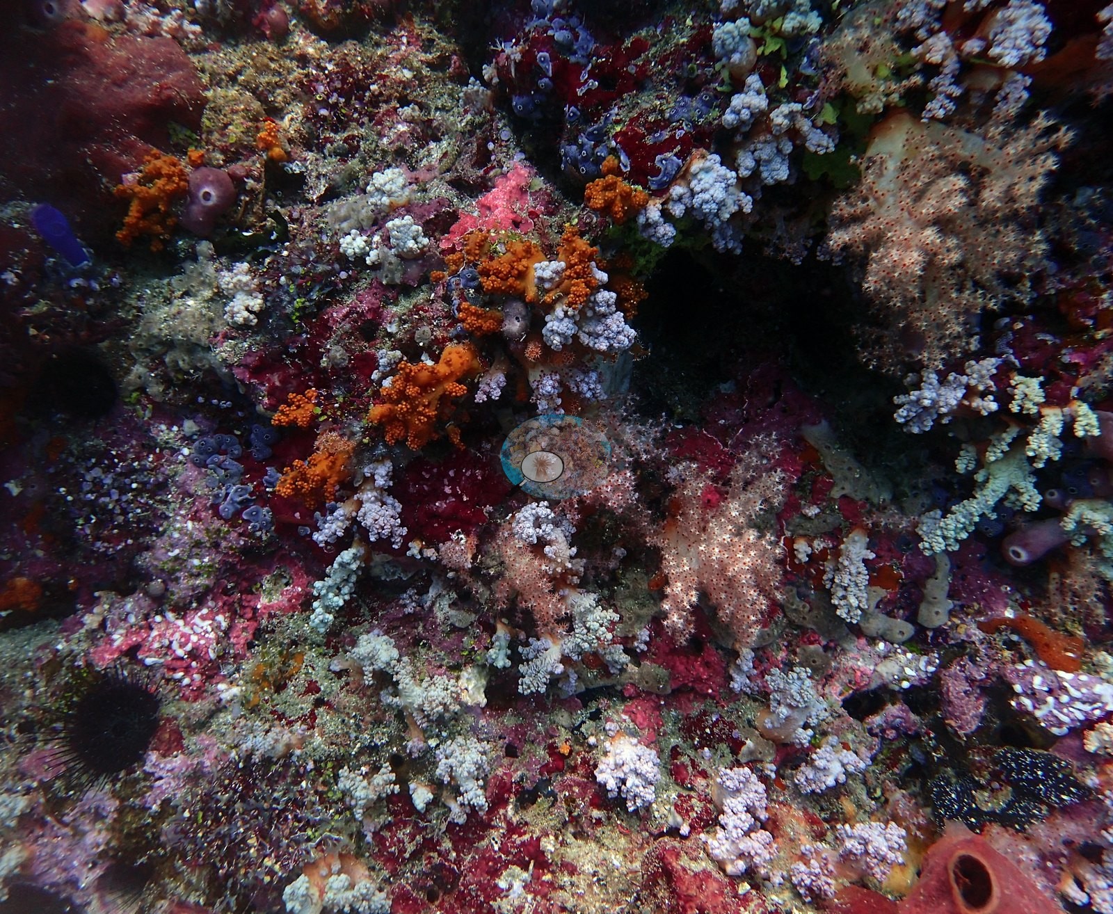
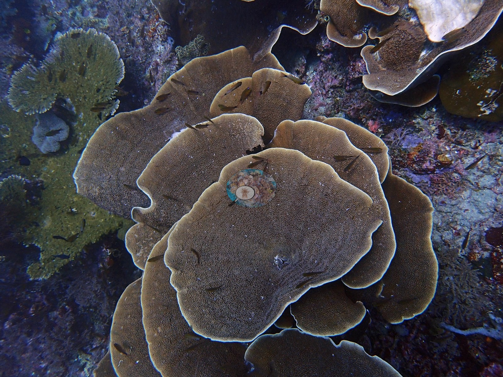
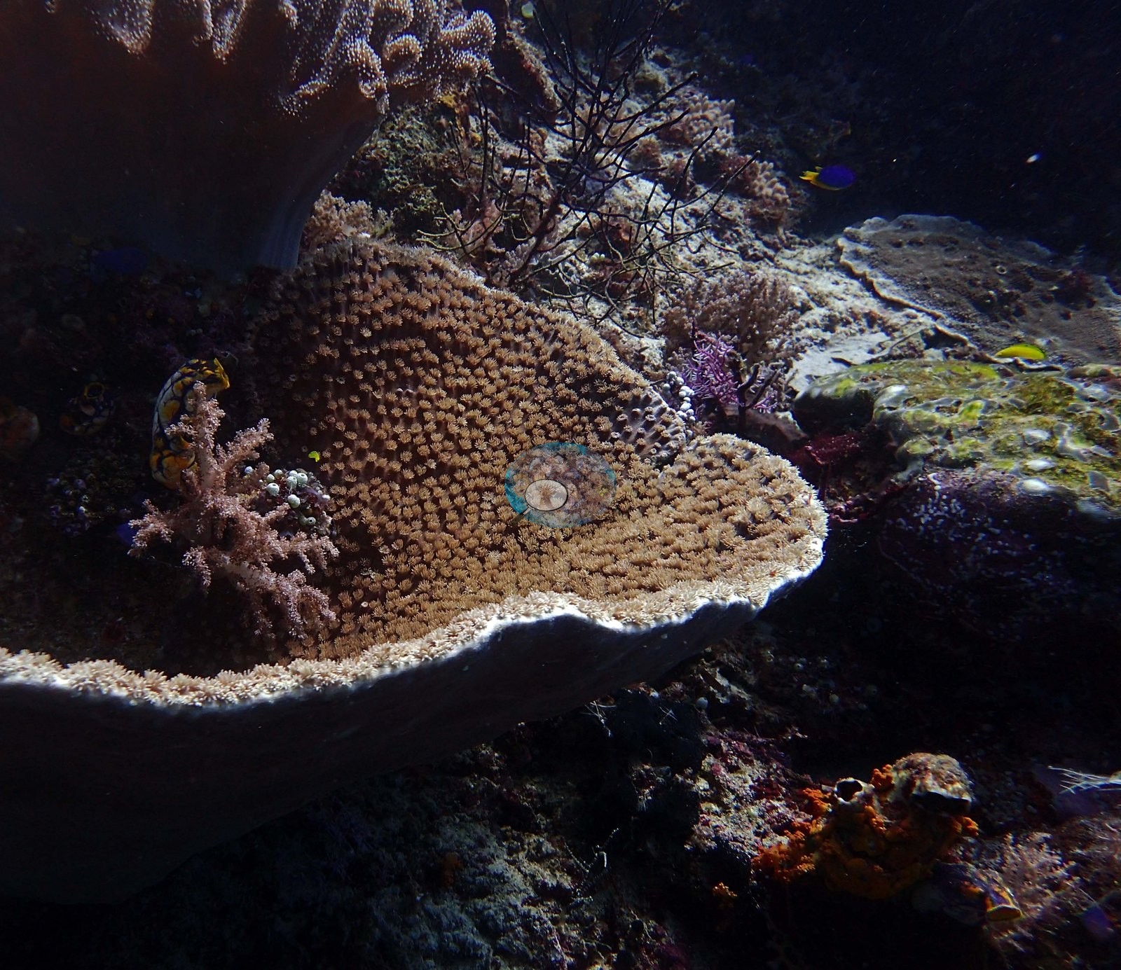
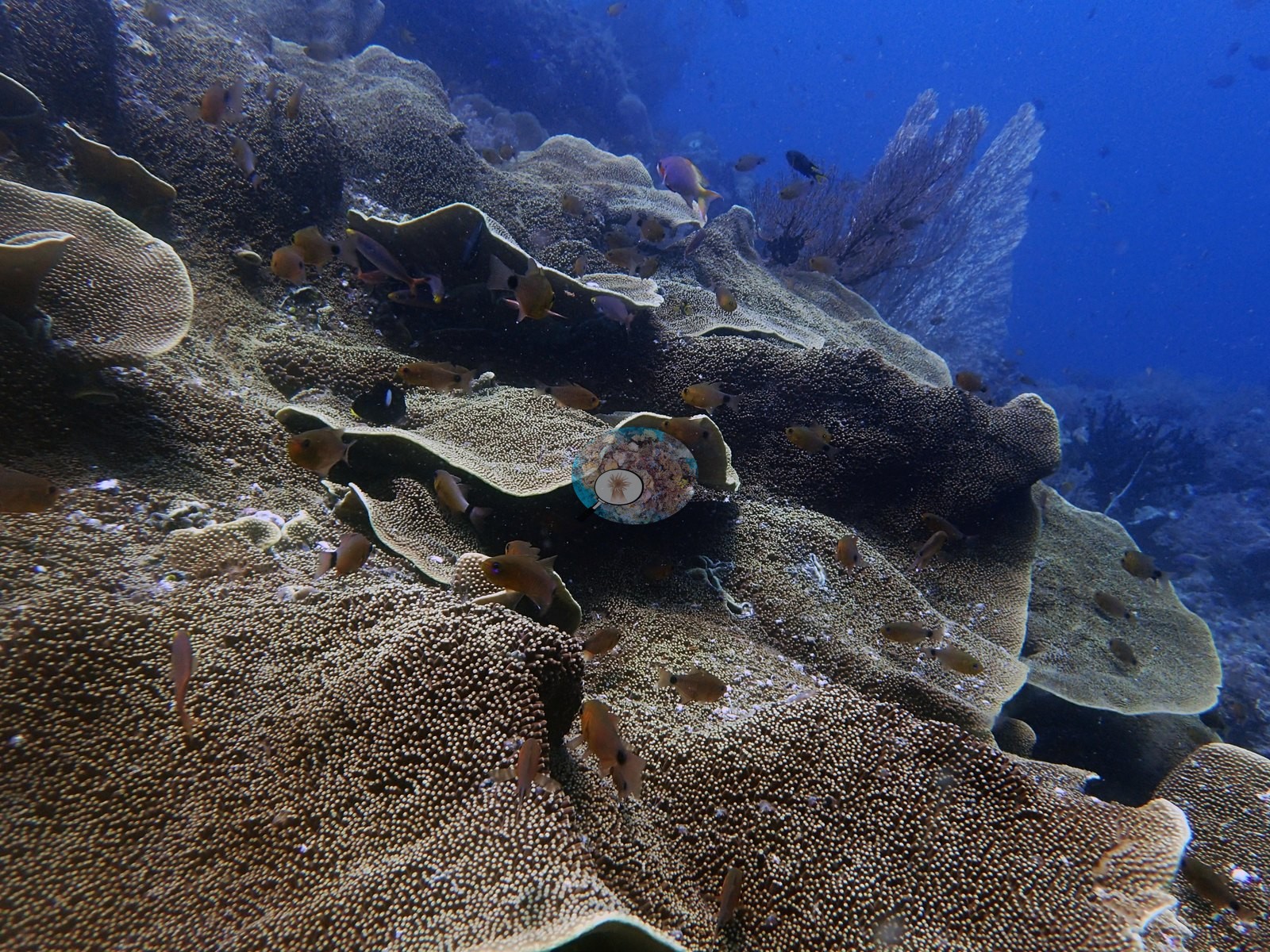
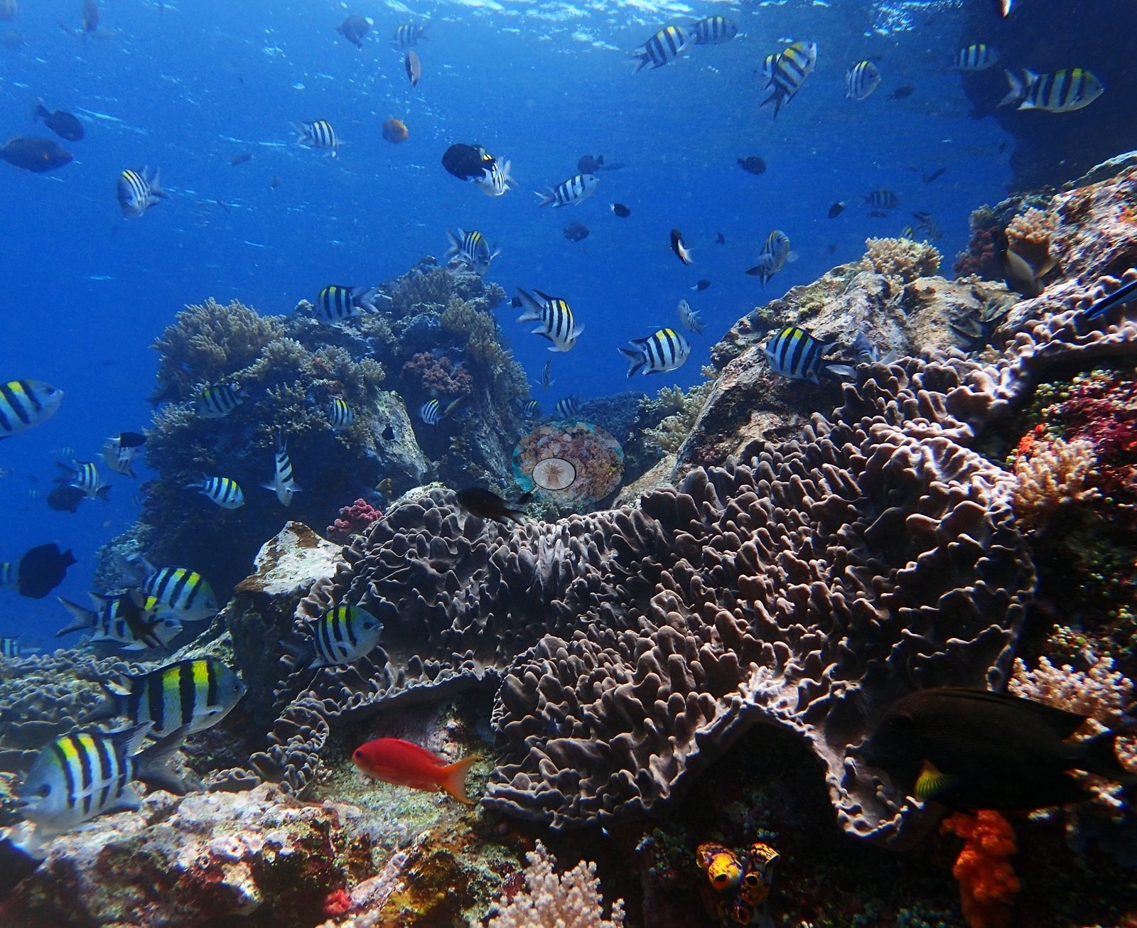
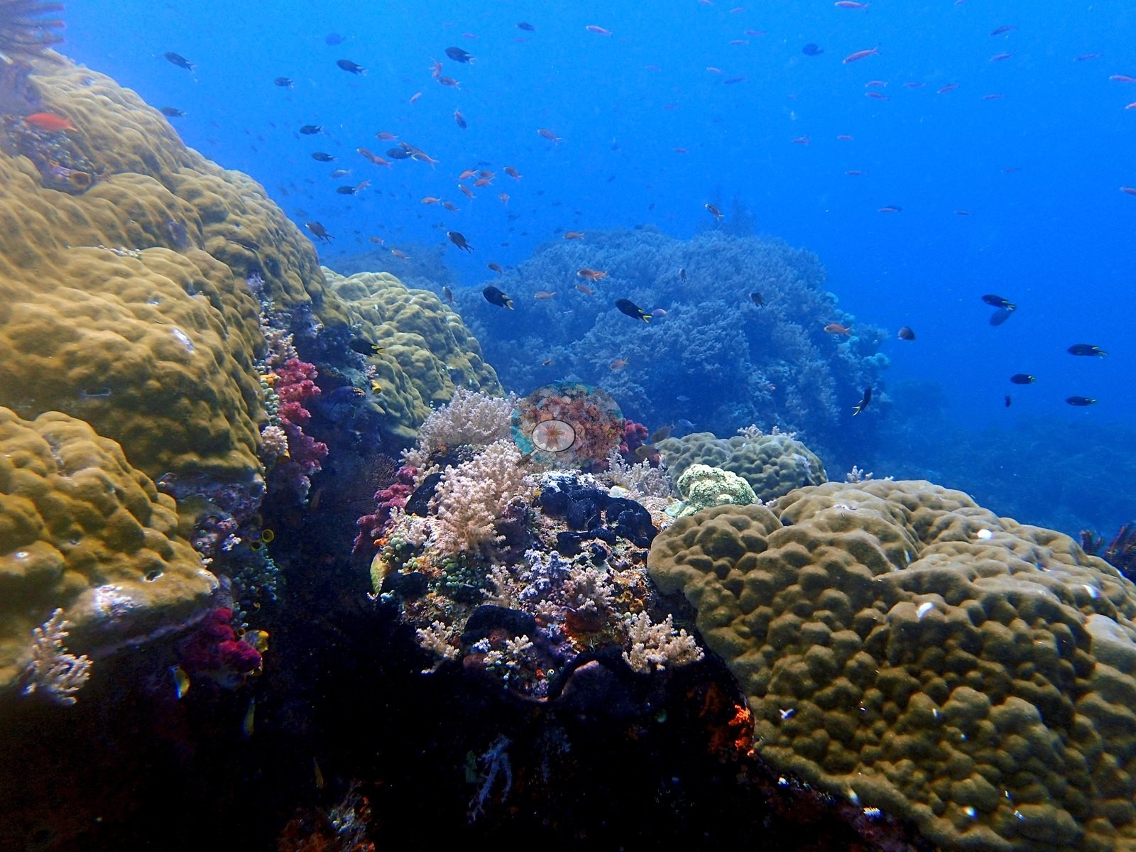
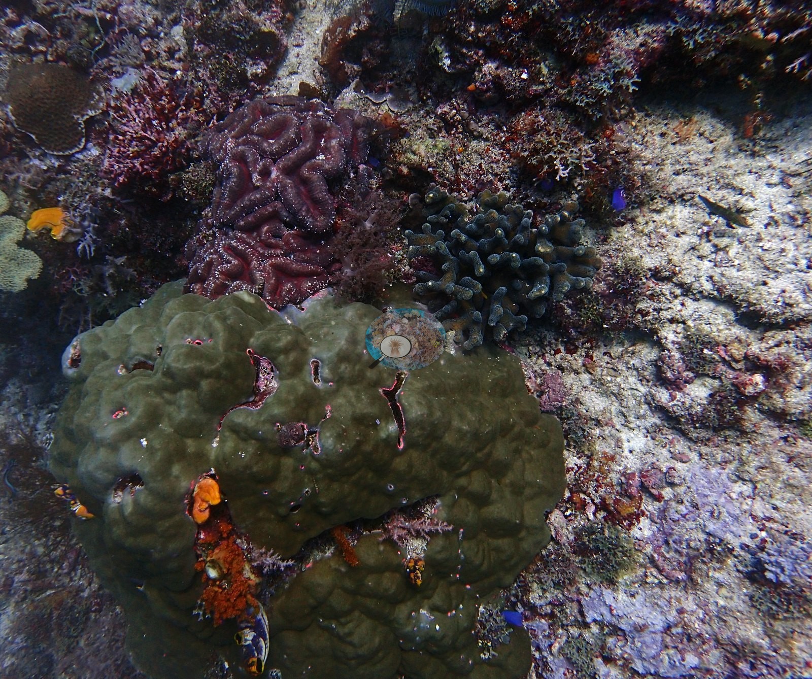
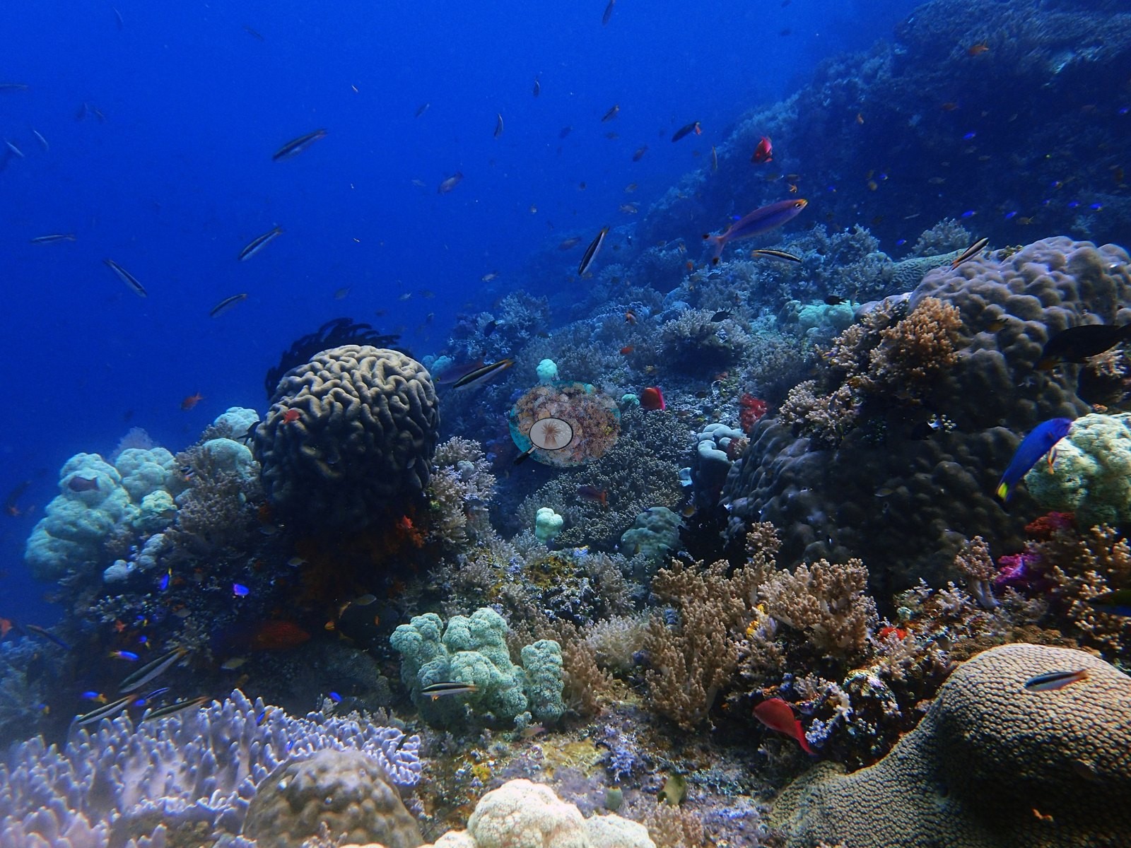
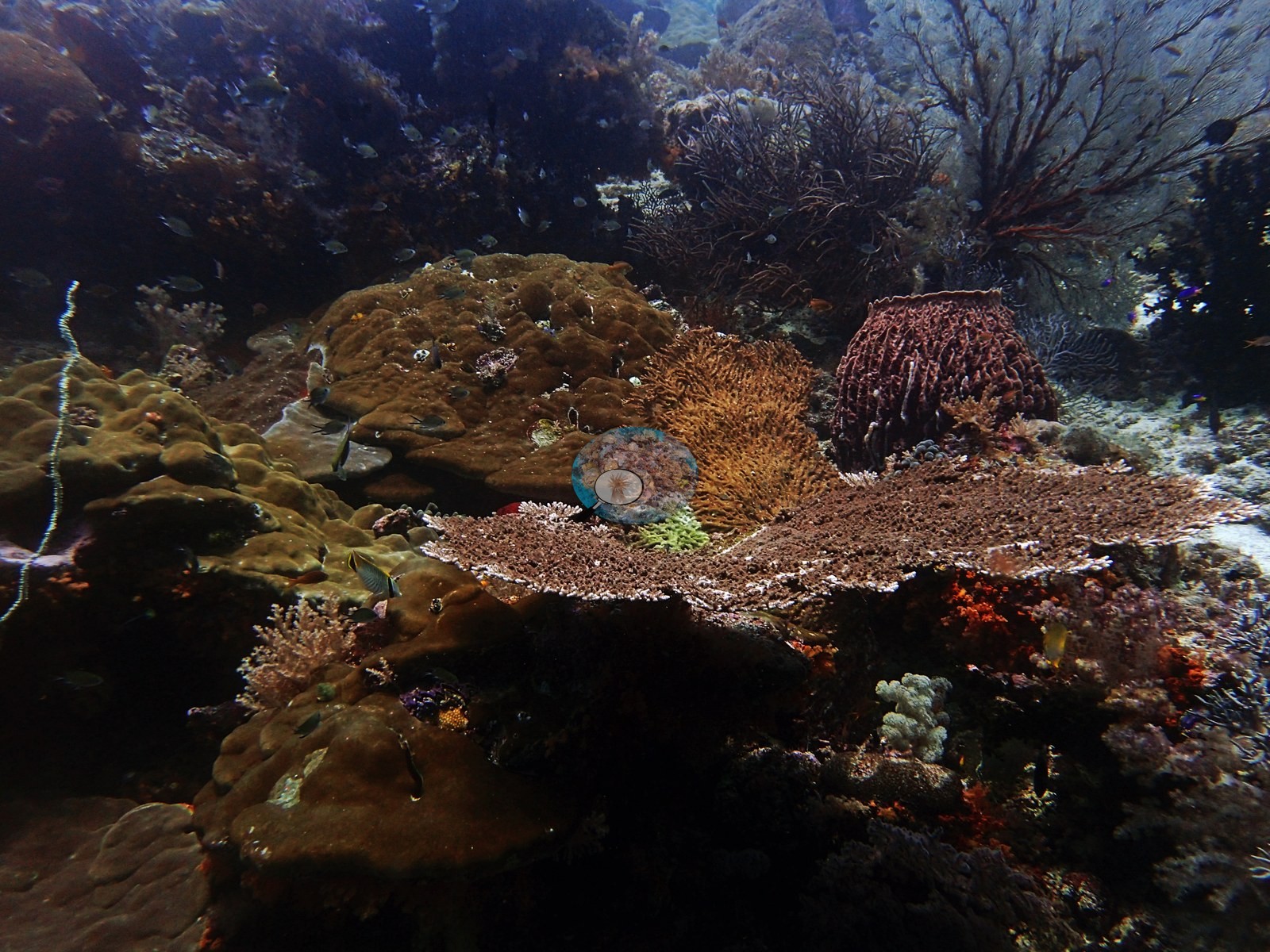
The wall is dominated by soft corals and sea fans, with some Pachyseris spp. At 15 m, reef dominated by soft corals, sea fans, and green Tubastraea (e.g., Image 5).
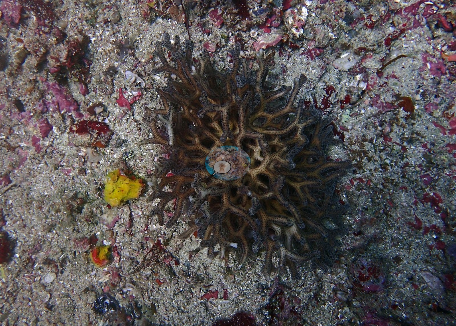
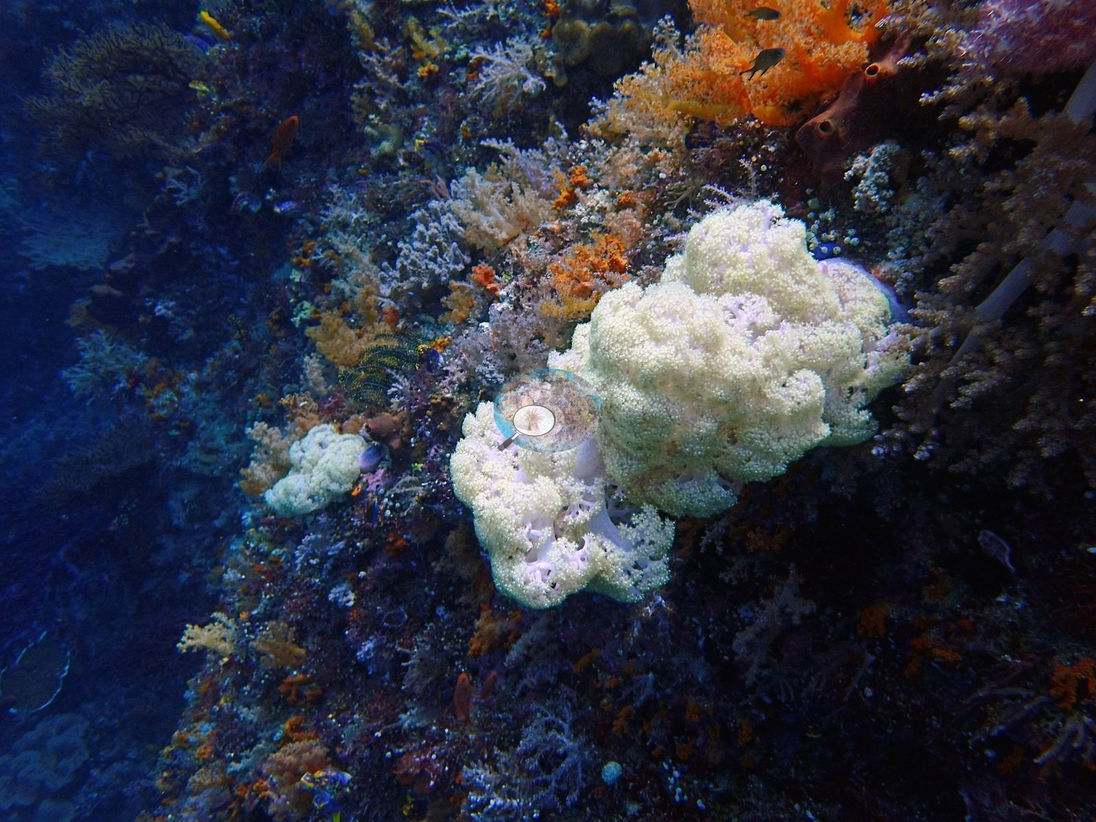
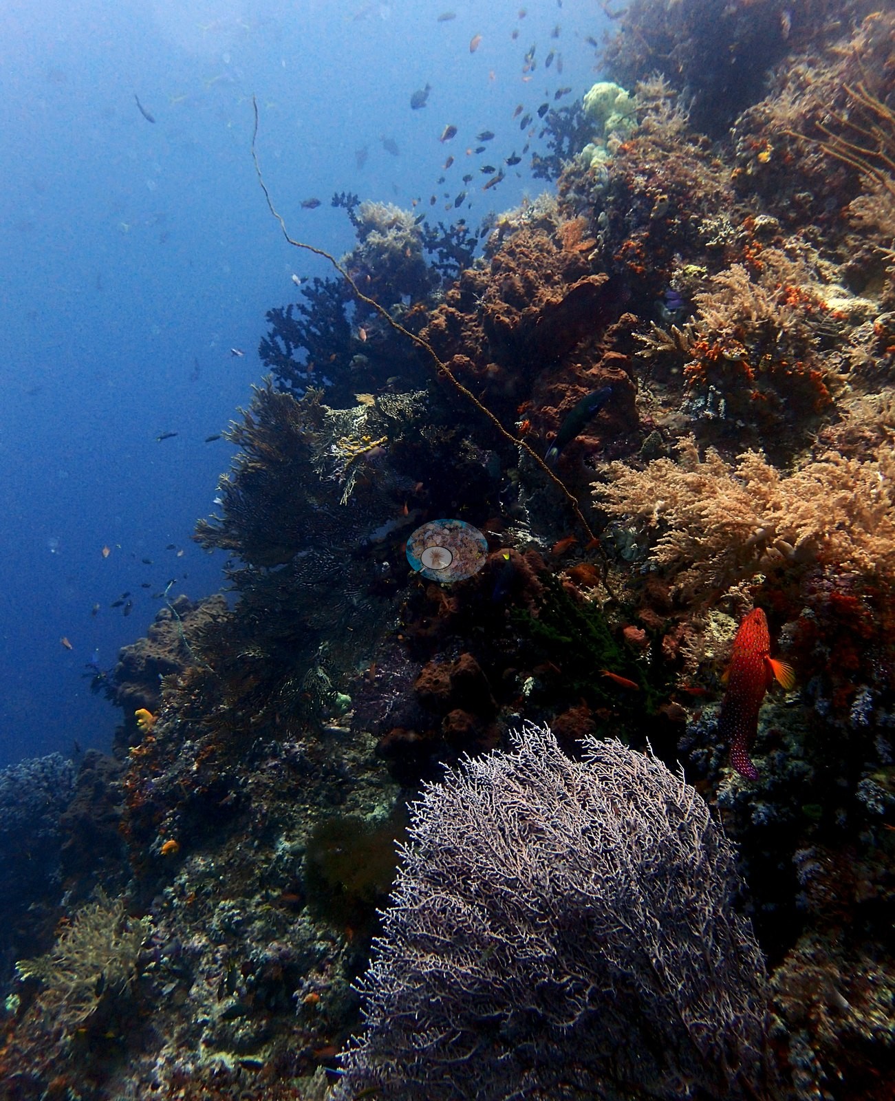
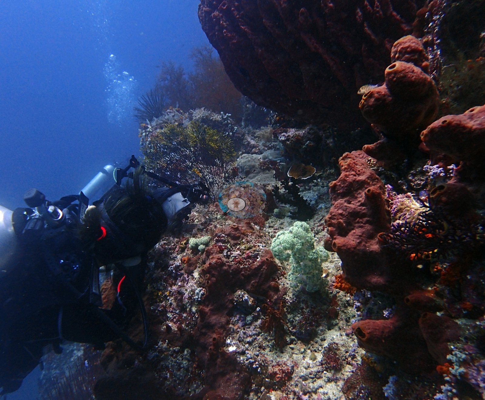
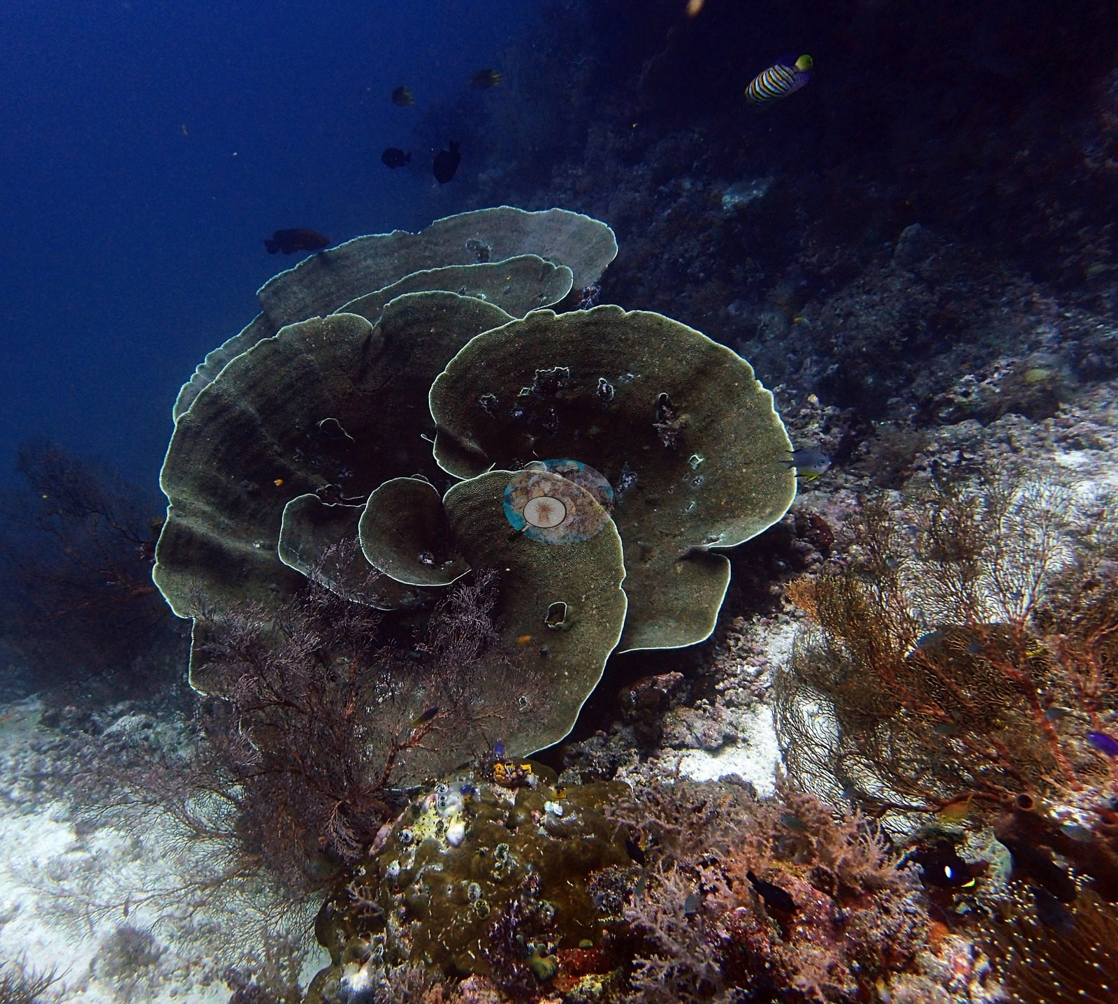
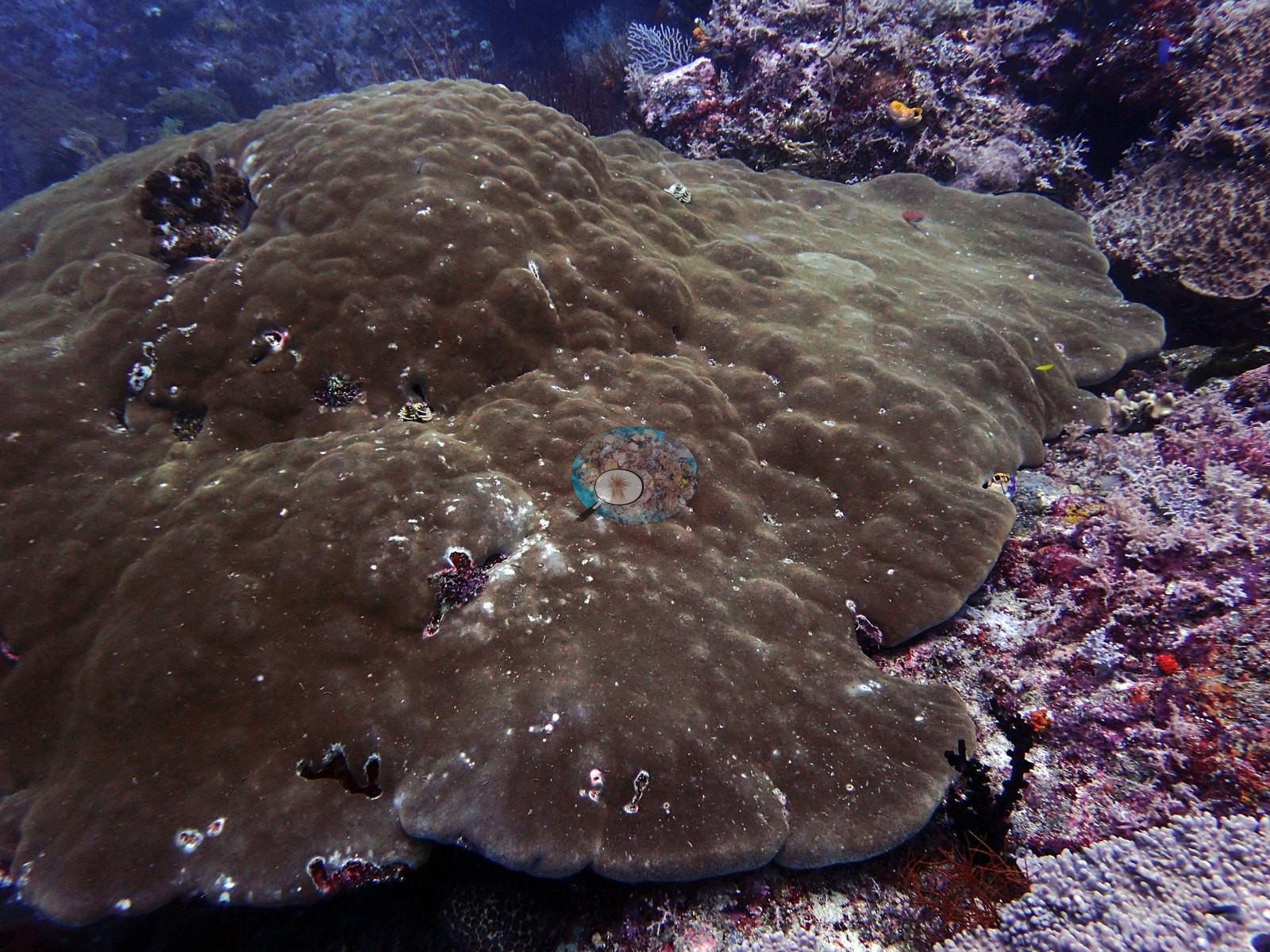
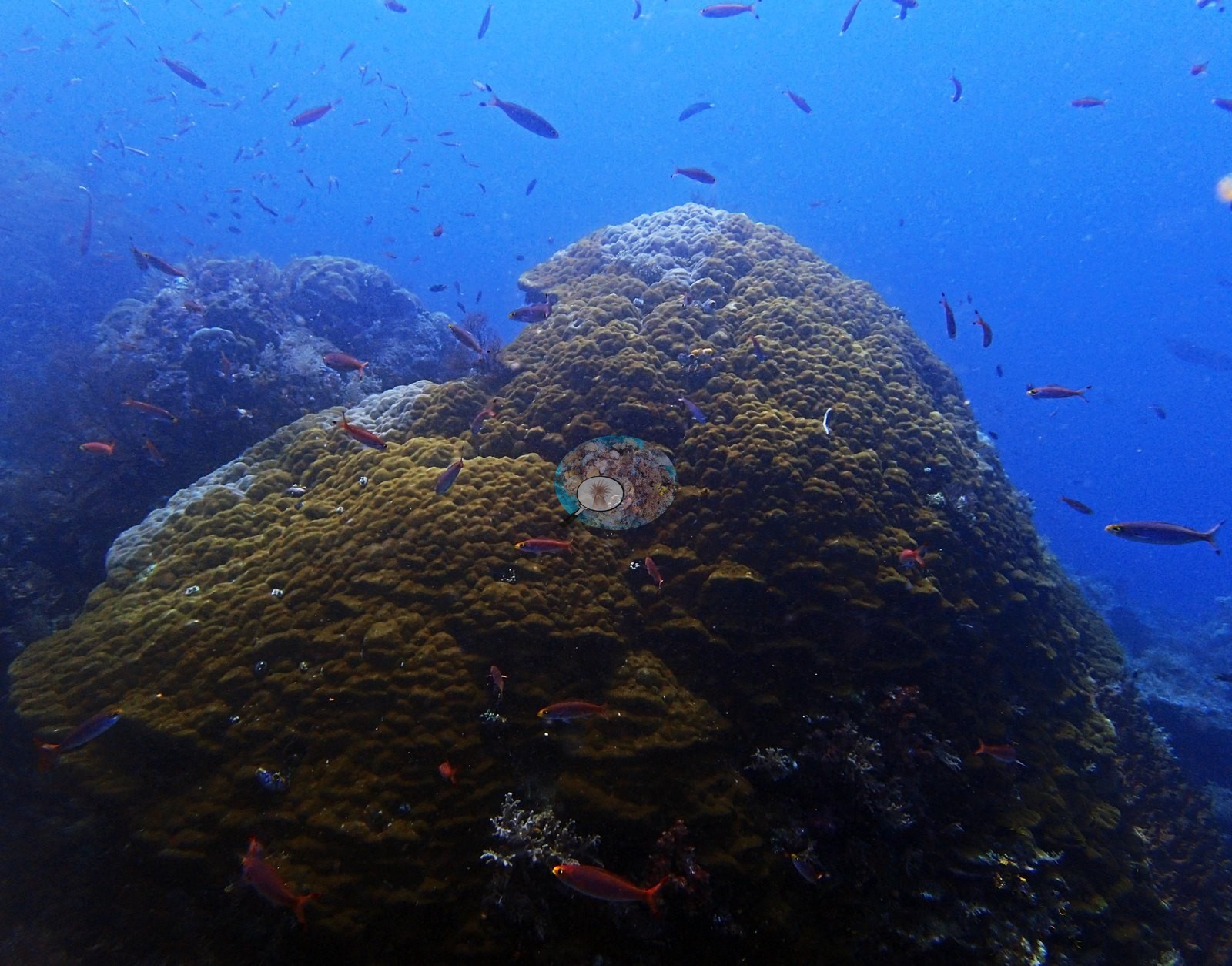
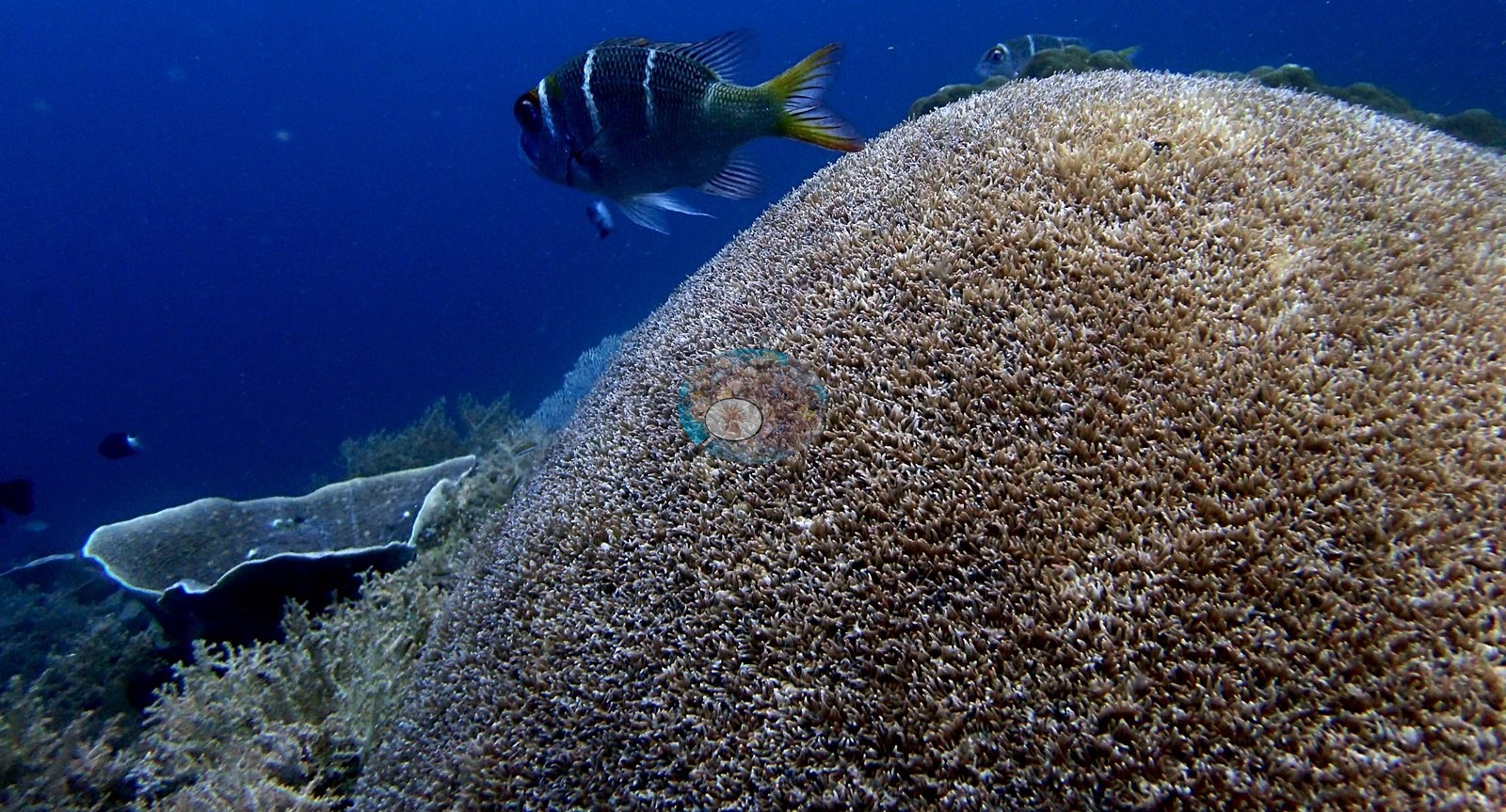
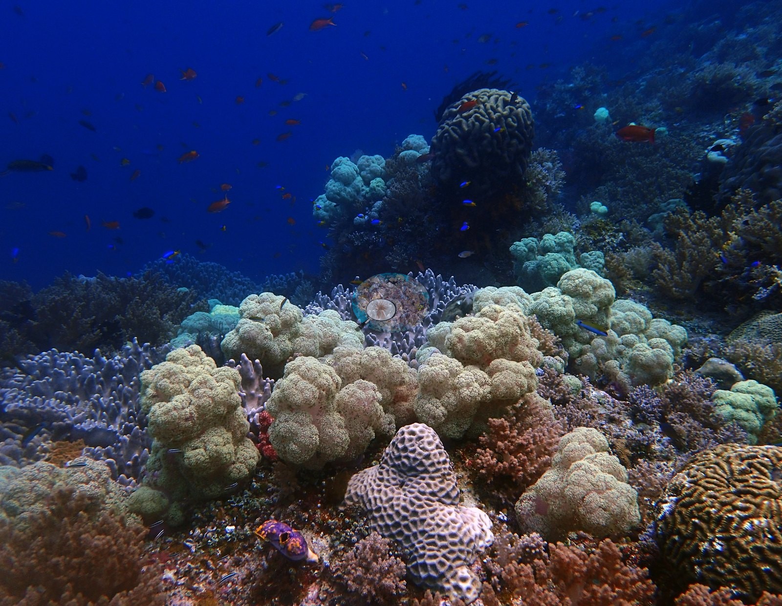
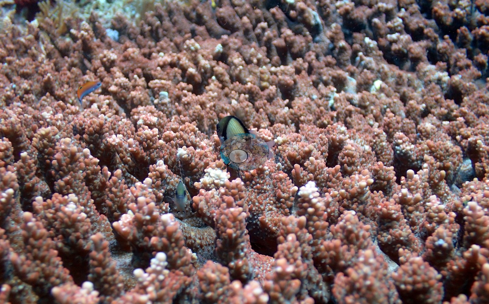
Seriatopora caliendrum was relatively common, here and in the surrounding area. There are large massive Porites colonies (e.g., Image 3).
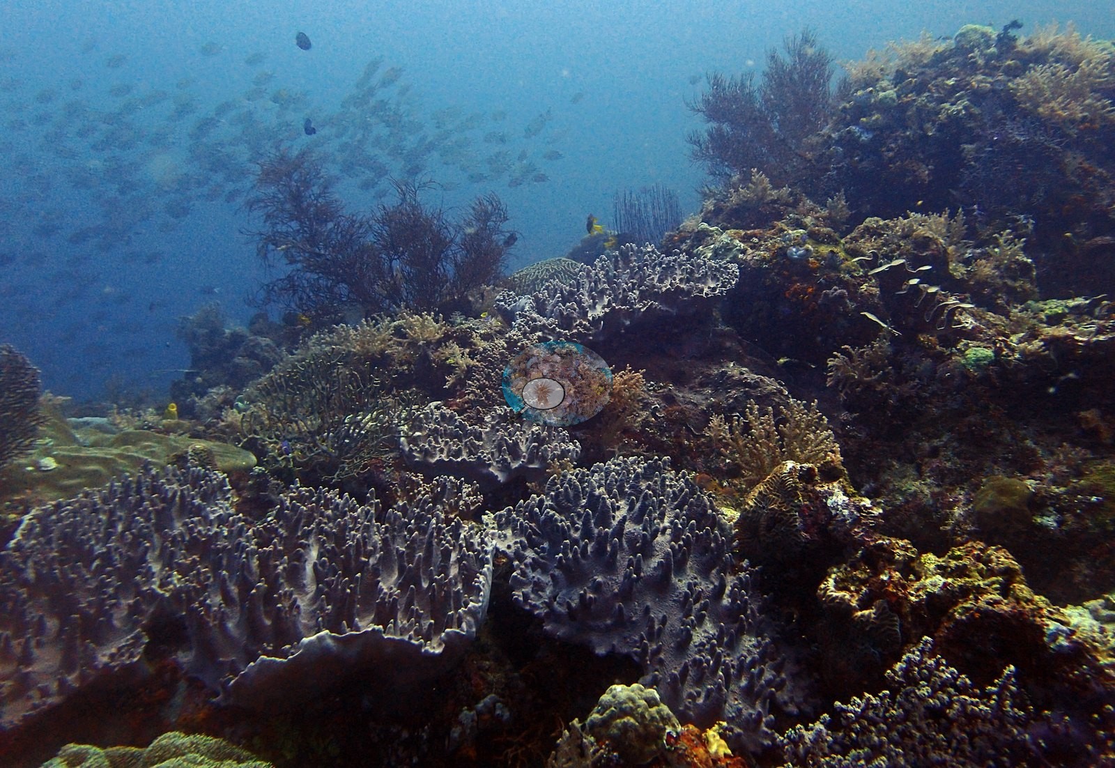
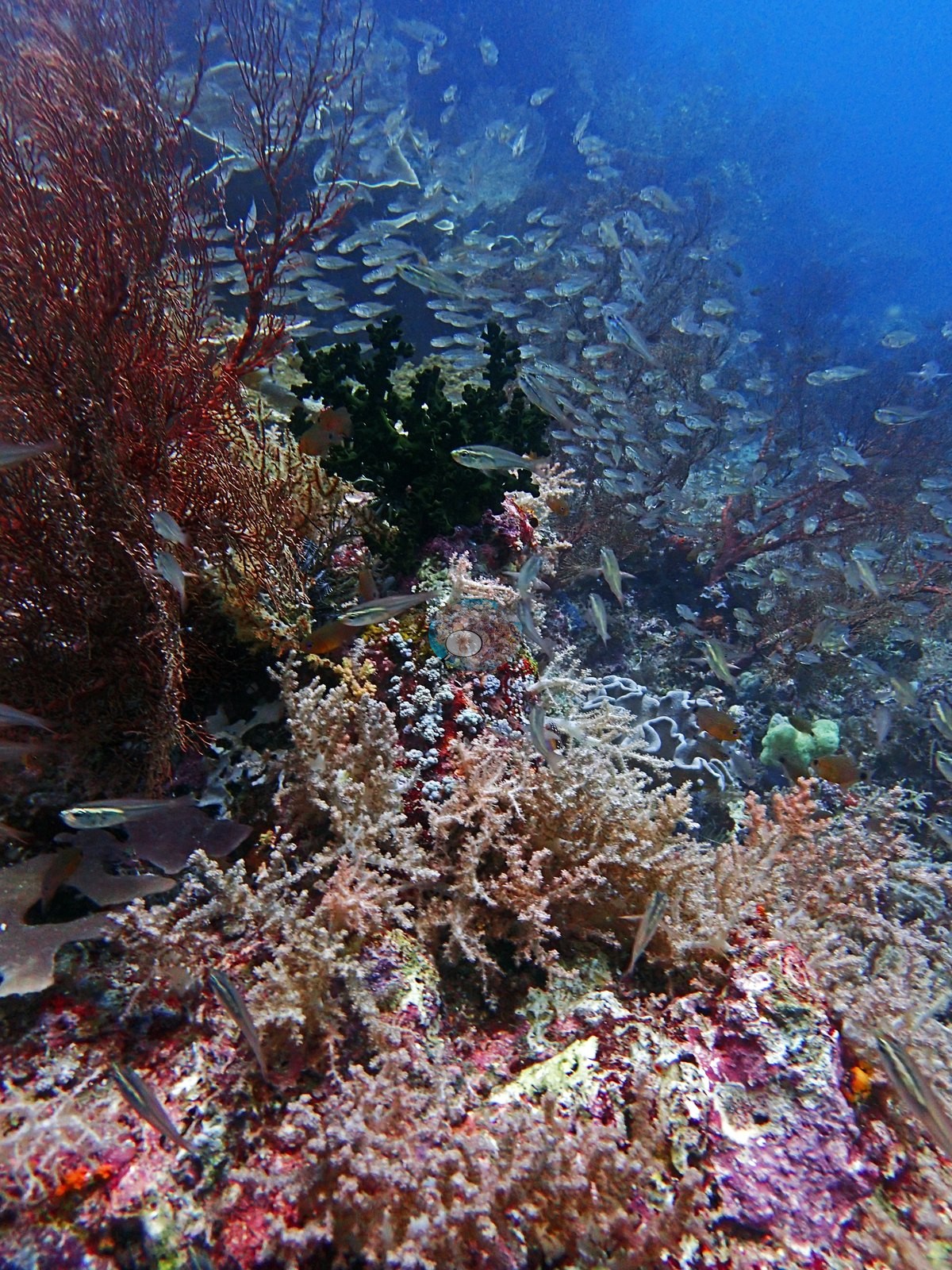
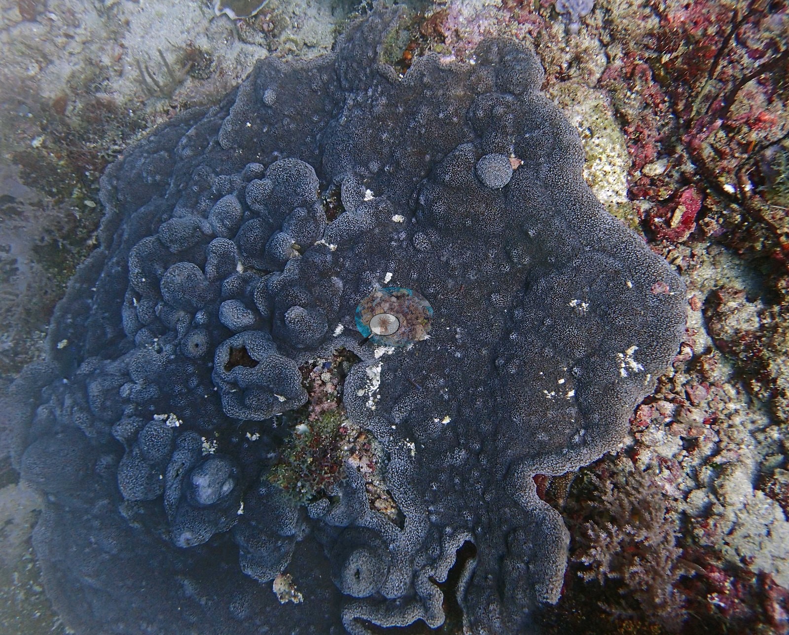
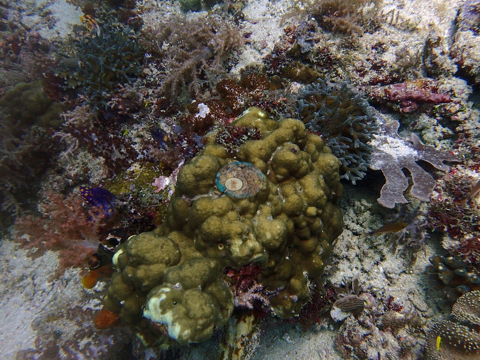
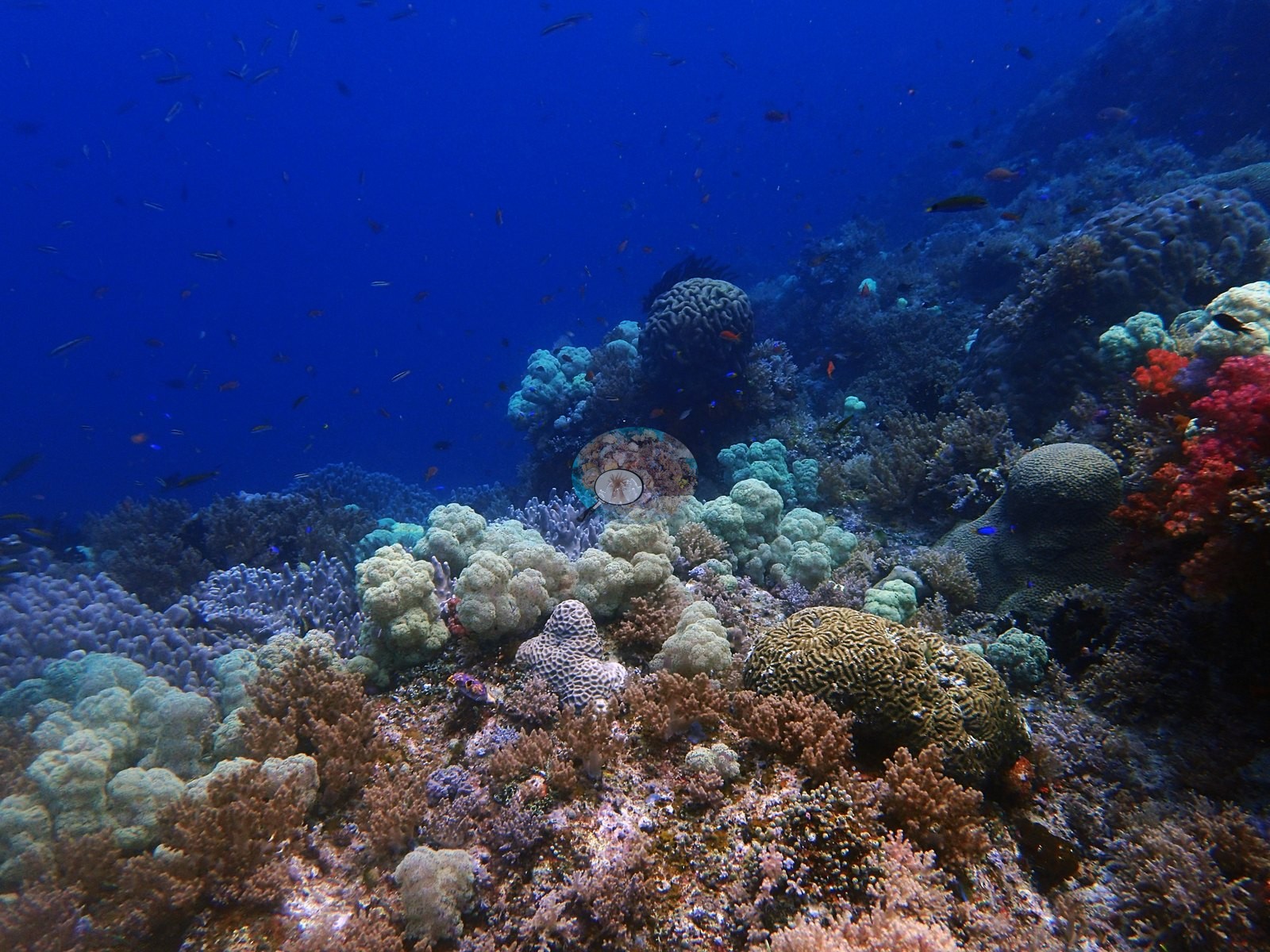
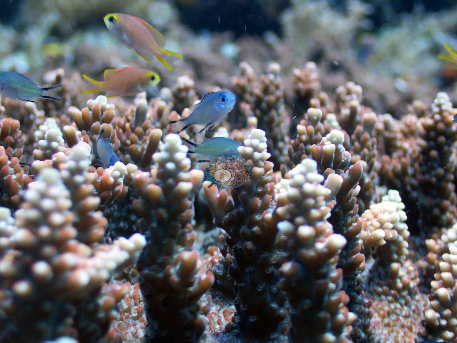
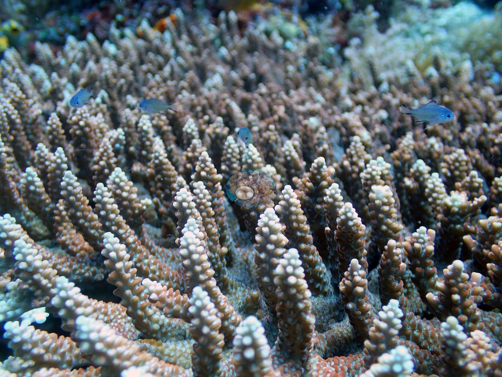
Several species of plating corals grow here, including Montipora (e.g., Image 2).
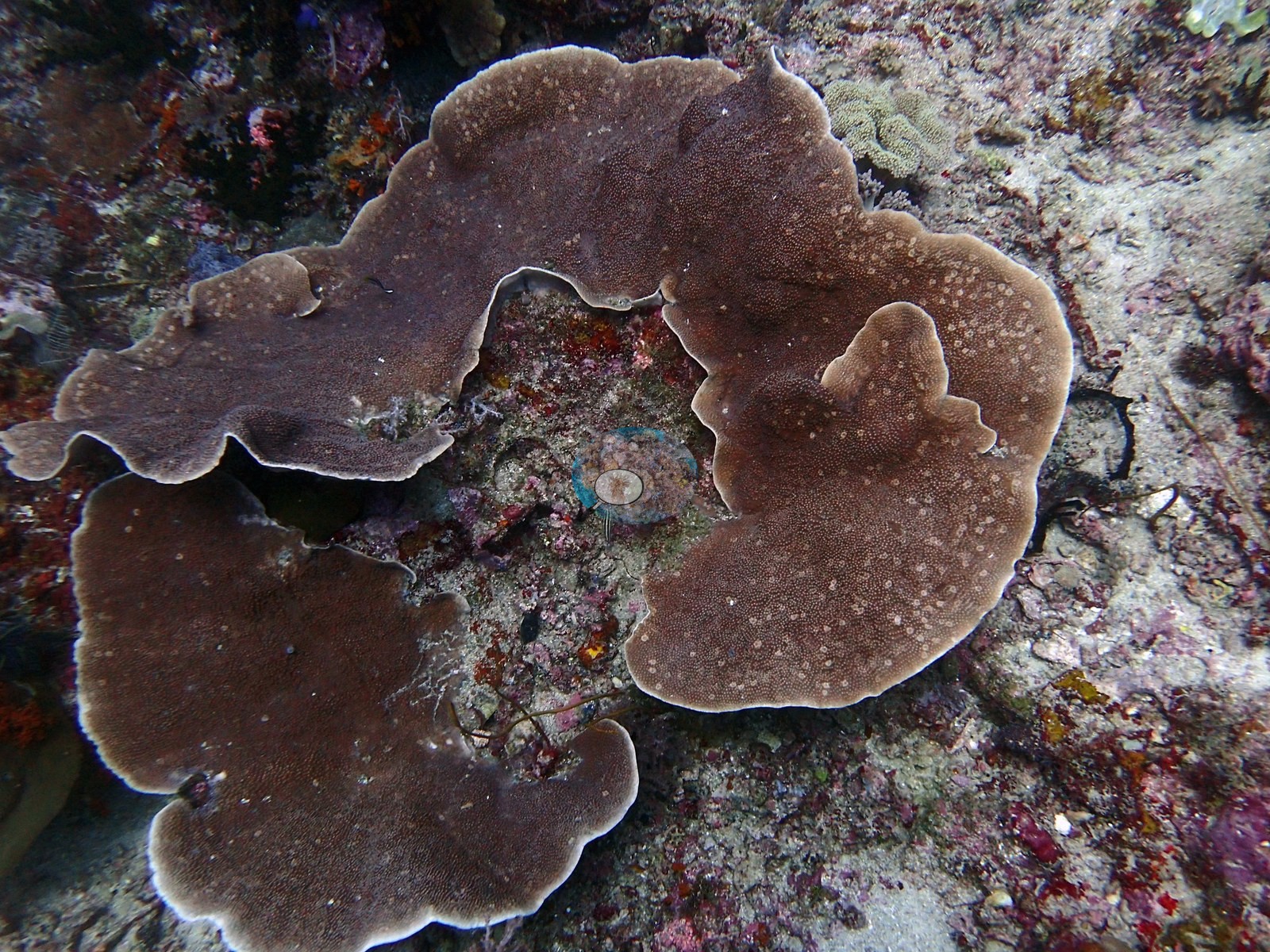
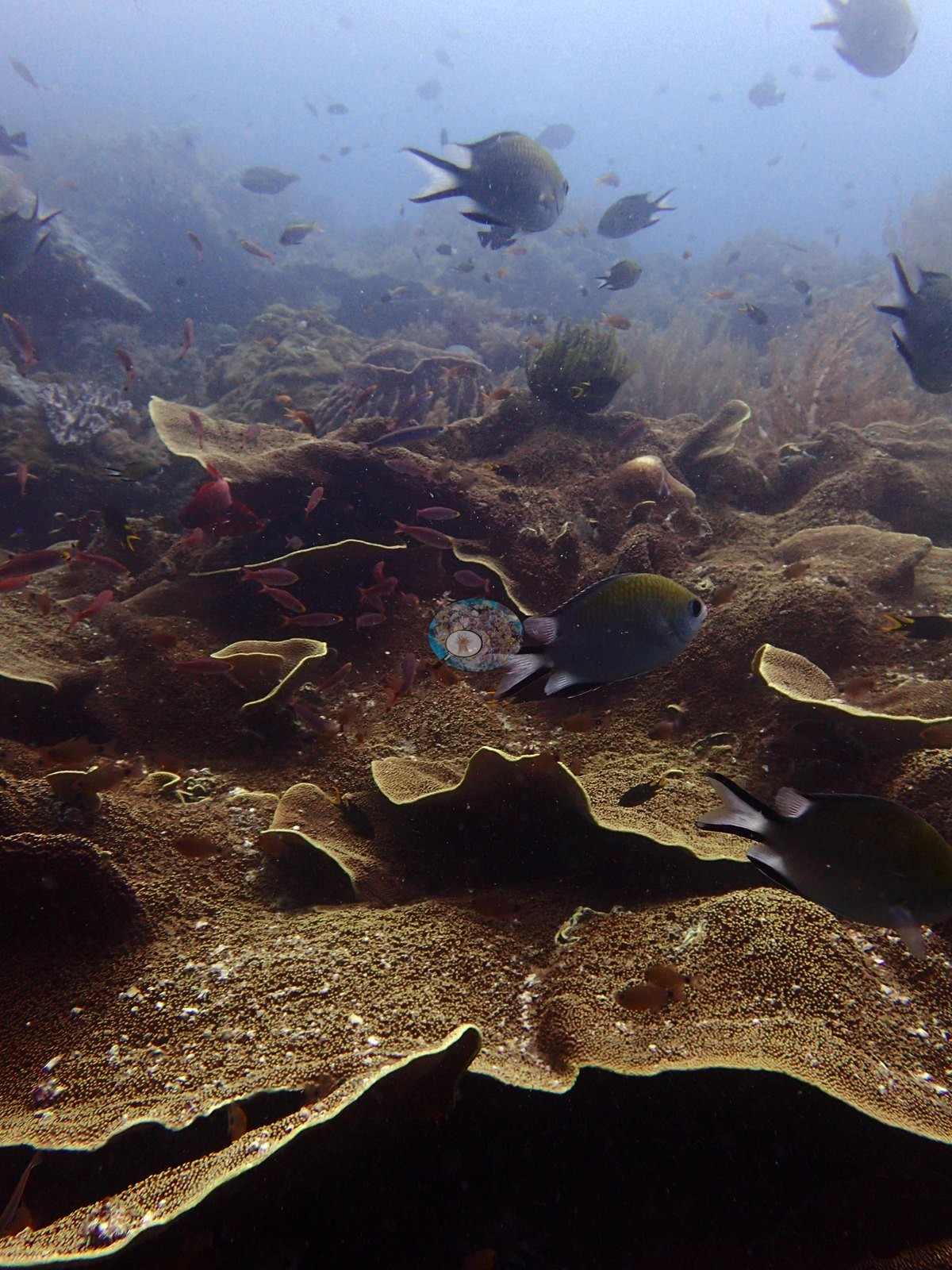
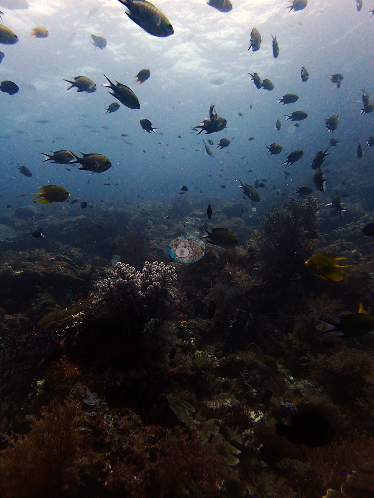
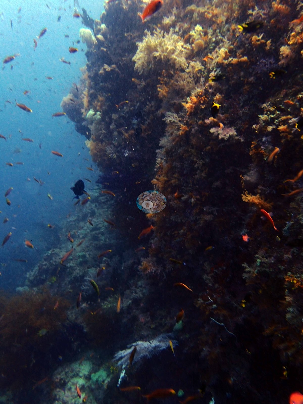
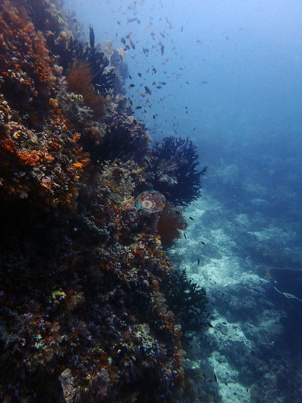
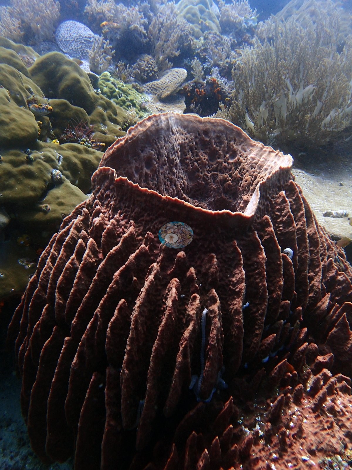
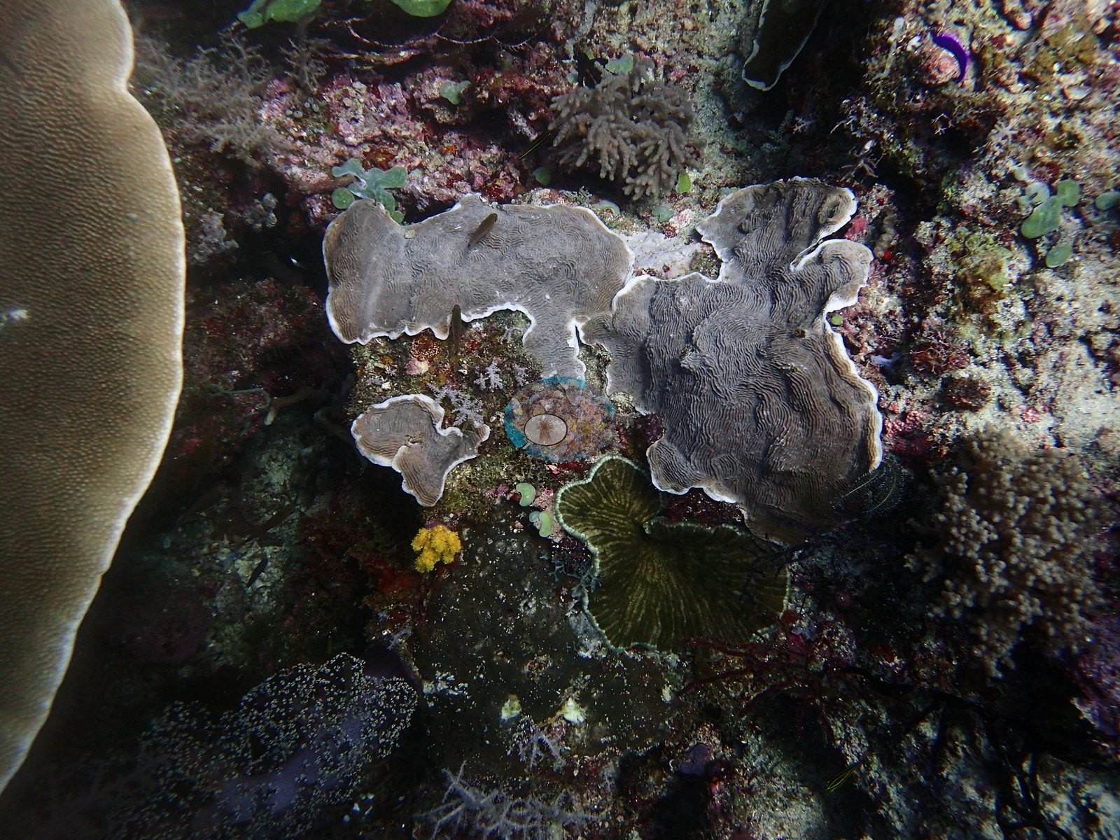
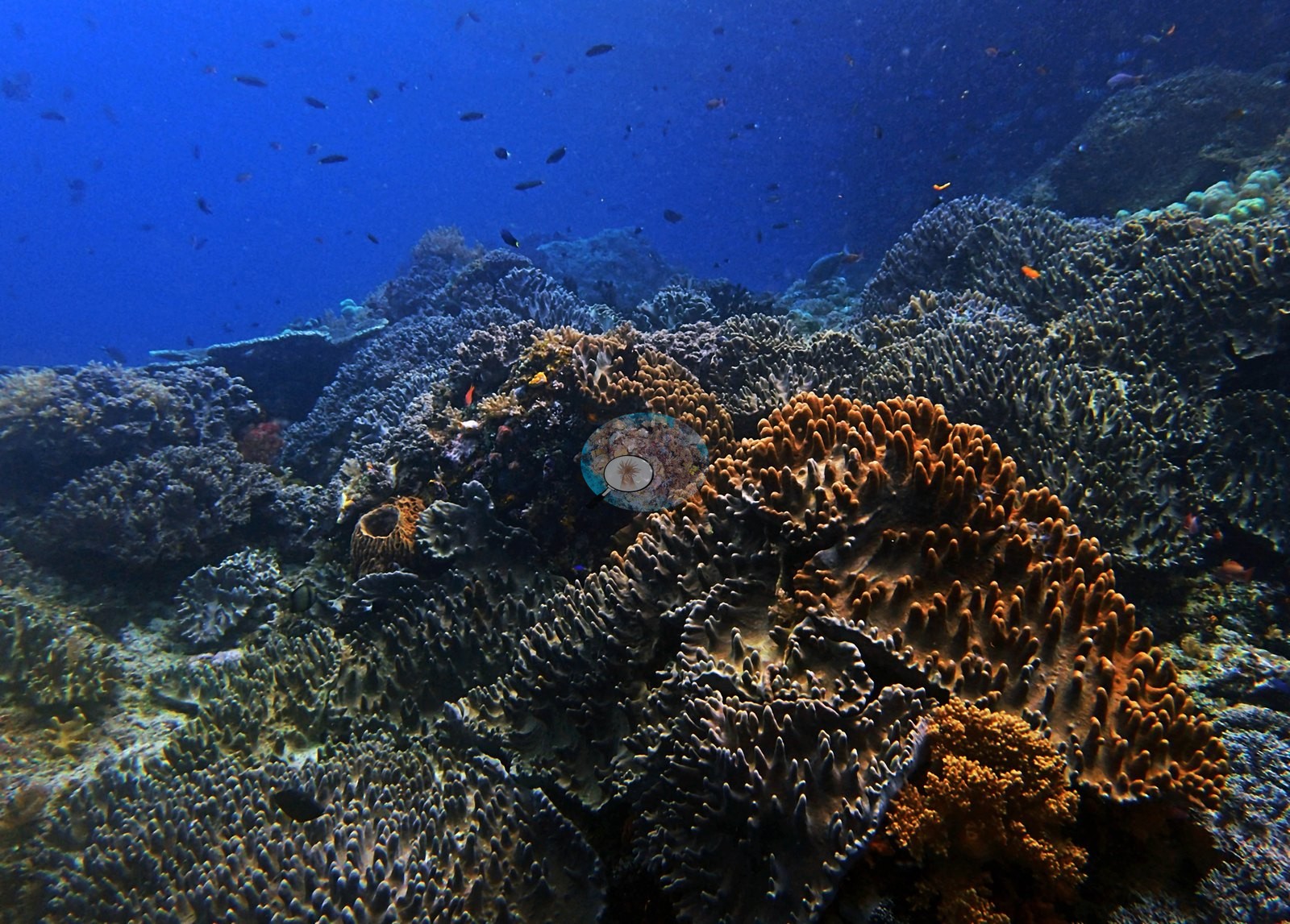
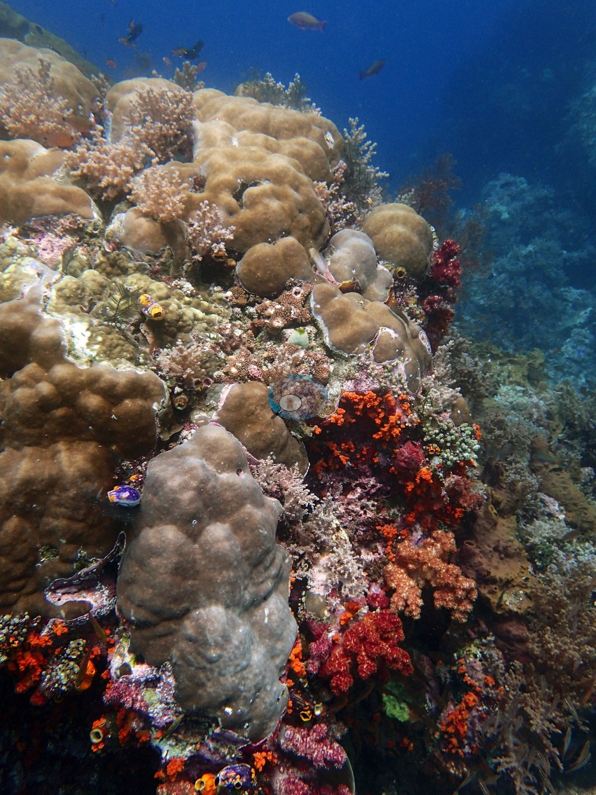
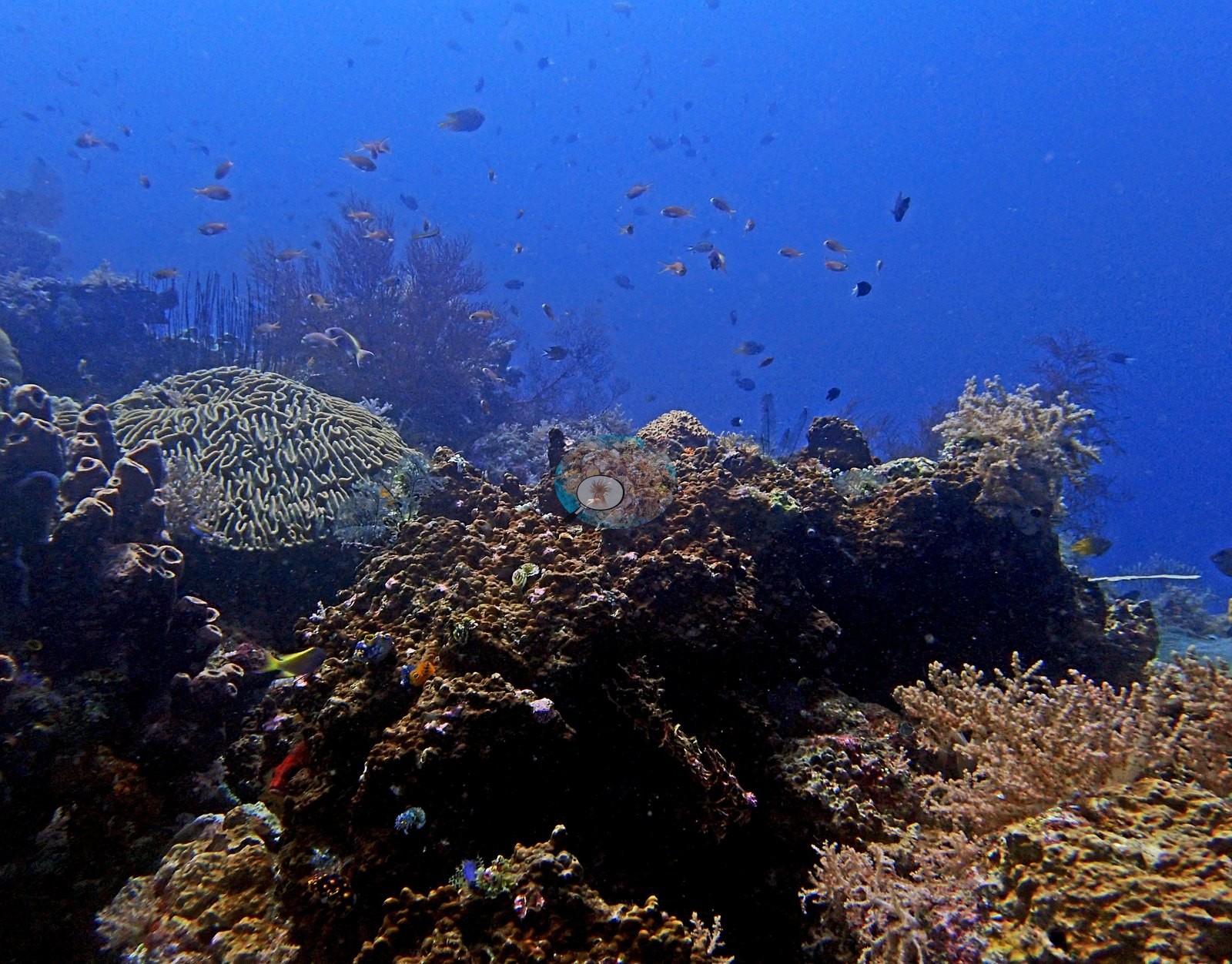
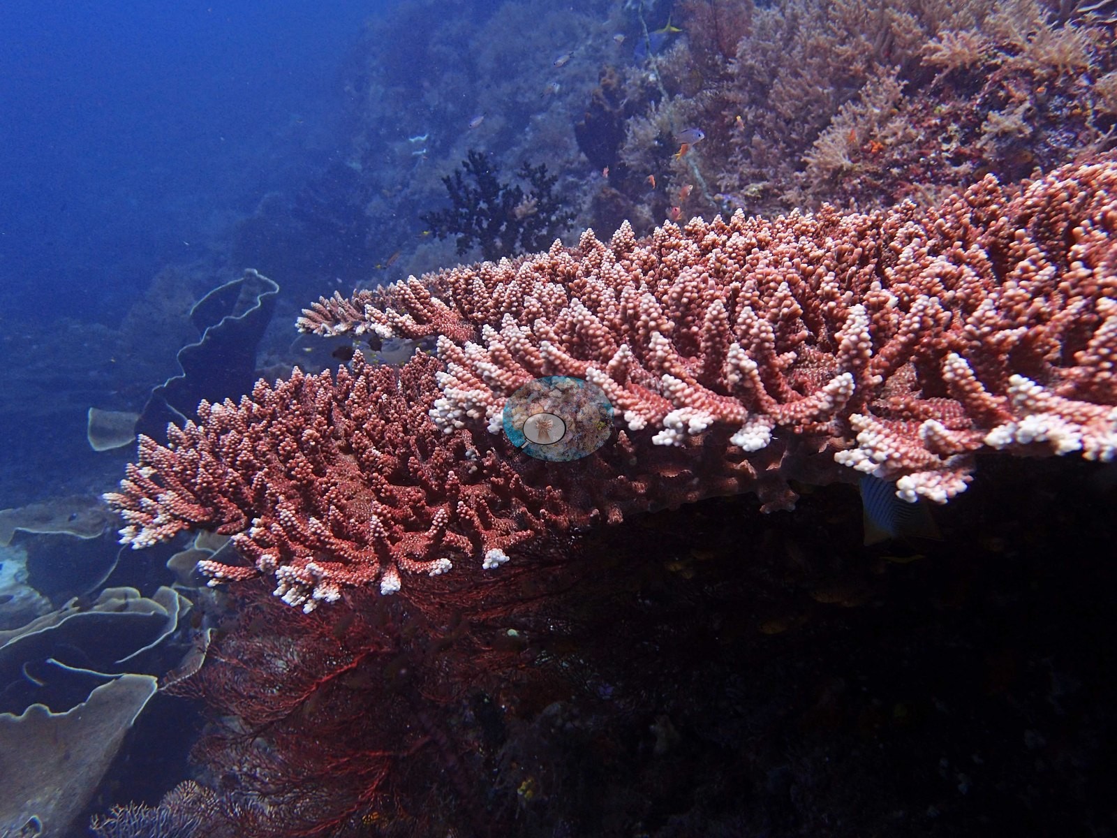
Pocillopora verrucosa was present, along with a neon-green fluorescent soft coral. Stylophora pistillata was relatively common at 12–14 m. The framework is built by Porites and Pachyseris, with many foliaceous corals (e.g., Image 4).
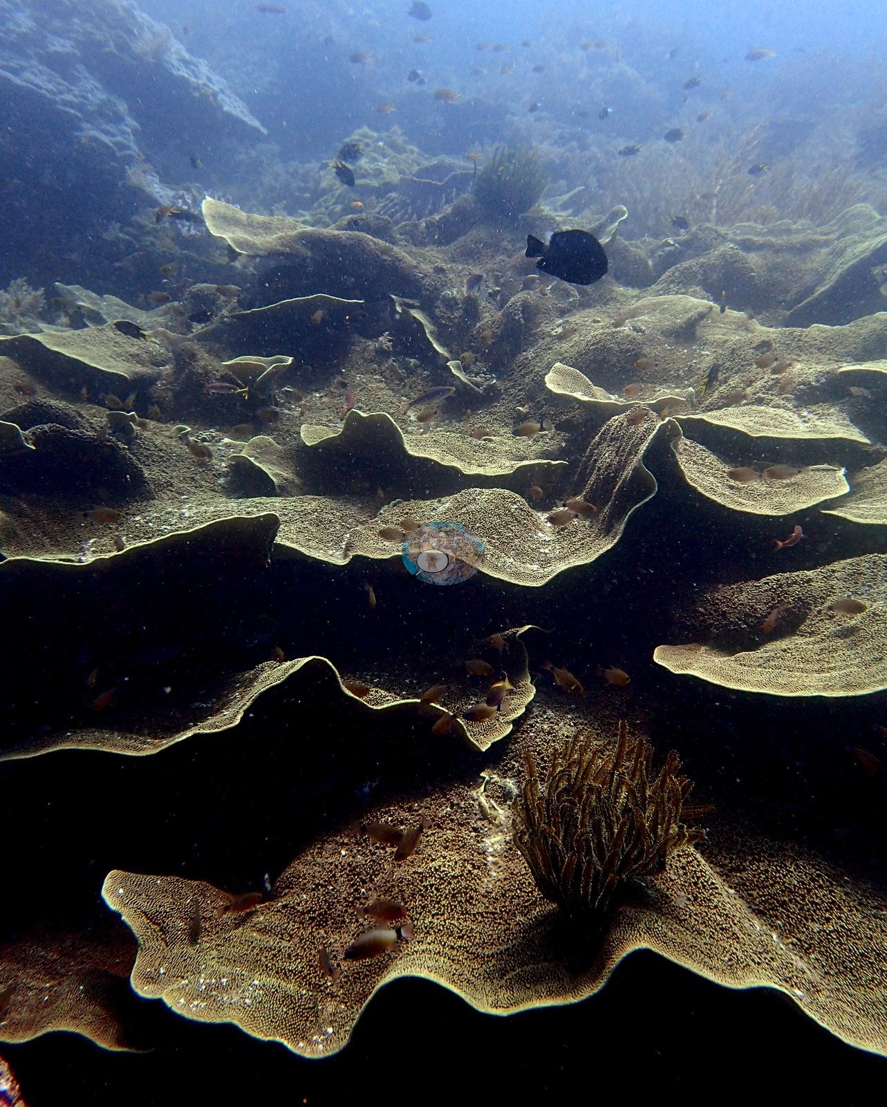
Some areas are dominated by Tubastraea and soft corals instead of hard corals. Giant barrel sponges are common throughout the site. Coral biodiversity was high at 10–15 m. Lobophyllia, Sarcophyton, numerous species of brain corals, and a massive Porites species Anderson had never seen before were recorded.
Coral cover
- Reference: Claude CV point count (this site's photos)
- Coral cover: 30% — a blind Claude computer-vision point count of 97 of Anderson's edited photographs (20 points per photo; water, fish, and obstructions excluded). Other computer-vision methods are listed in the method table.
Stressors
One plating colony is half bleached: its right half is stark white, grading through cream into tan tissue on the left (one of Anderson's photographs, not shown). No disease and no other visible damage were recorded; elsewhere the corals carry full pigmentation, and the bright white rims on the plating colonies are growing margins, not mortality.
Fish and other fauna
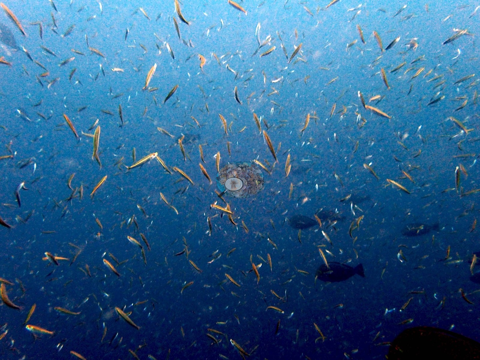
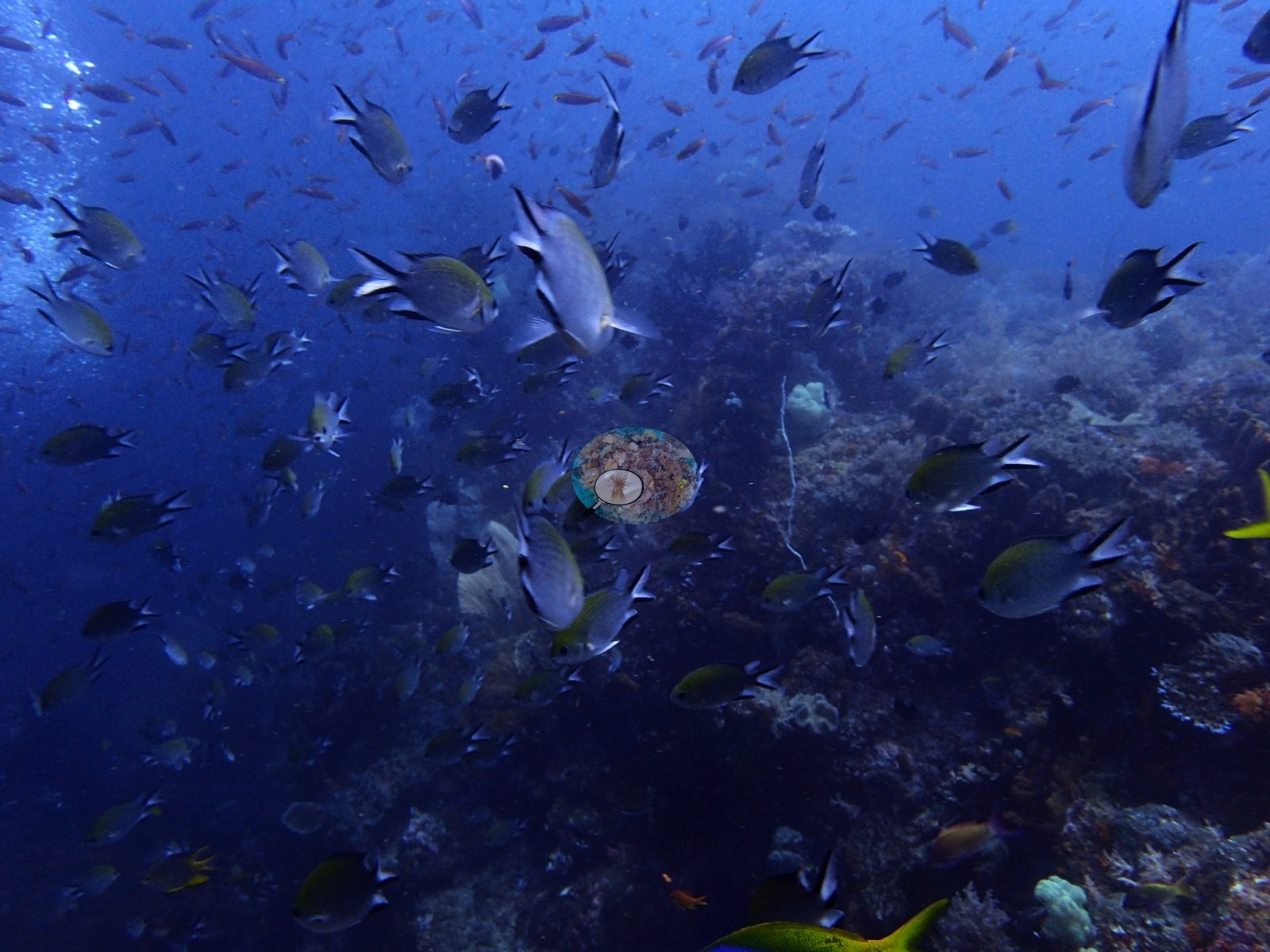
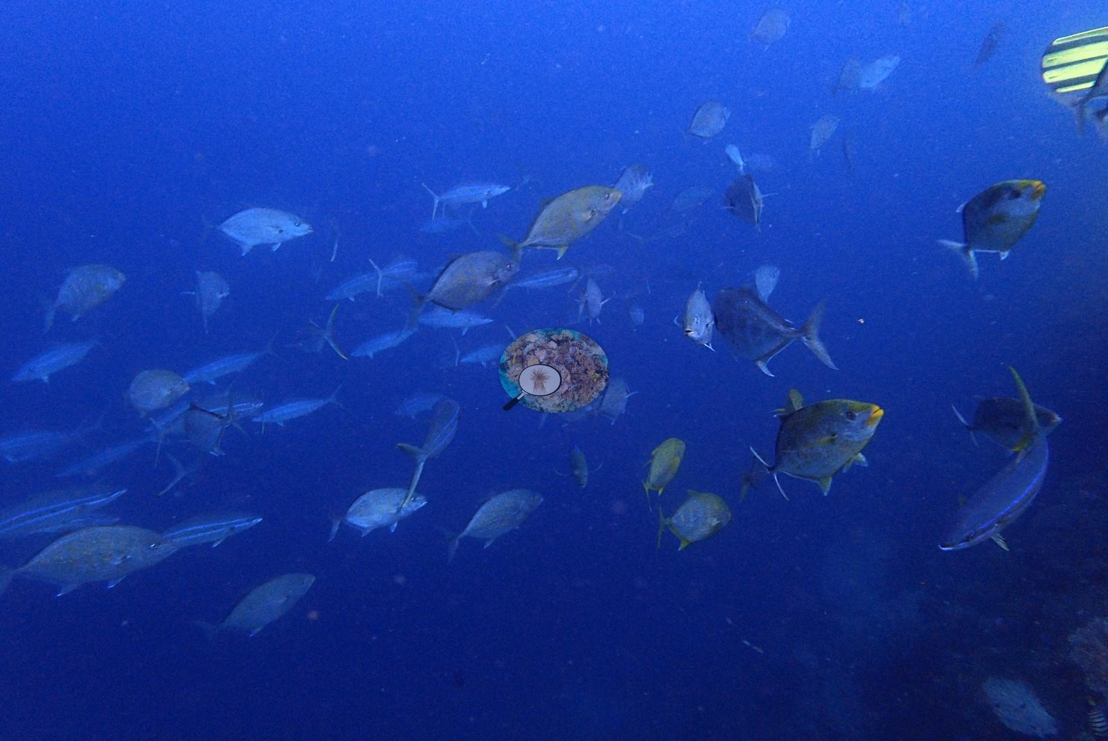
Clouds of small fish surrounded the wall. Predators were fewer than at Four Kings at first but grew in number, density, and diversity as the dive progressed, with chubs and trevally chasing a bait-ball school. Fish life was staggering at 15 m. Anderson also logged a Napoleon wrasse, hunting chubs, a small (1.5-m) dogtooth tuna, and two gray reef sharks.
Comparisons with other data
Rijoly et al. (2026) surveyed this site (Nudi Rock). Within 5 km, five independent stations recorded station-year means of 8.2–30% hard coral cover between 2019 and 2026; the nearest, Social Ecological Research Frontiers (SERF) / University of Rhode Island (URI) / Thriving Oceans at Whale Rock Big, 0.40 km away, read 26% in 2019.
Regional context, not a survey of this site: Razak et al. (2026) found no significant trend in hard coral cover at Misool (a rise of 0.2% per year at eight sites, surveyed by point-intercept transect at about 8–10 m in 2009, 2010, 2011, 2013, and 2015 by Yayasan Konservasi Alam Nusantara); this is a trend for that location, not this site’s cover.
Dive record
Dive 17 of the trip, 19 October 2018 (entry 10:27, 62 minutes, maximum depth 15.4 m, single dive-computer water temperature reading 27.0°C): an awesome dive off a nudibranch-shaped rock.
CV model comparison
More info
A few colony-focused photos raise the mean; the median is the typical photo. No computer-vision method yet estimates coral cover accurately on new images, so treat this as indicative rather than a measurement; it is revised as the methods improve.More info
DINOv3 and CoralSCOP were run on the site's photographs (see each row's n) and are listed for comparison. No diver transect exists for this trip, so agreement between the rows is not accuracy, and no computer-vision method yet estimates coral cover accurately on new images; treat every row as indicative.| Method | Hard coral cover (%) | Photos (n) ± SE |
|---|---|---|
| In-house DINOv3 | 25.9 | n = 100 · SE 1.1 |
| CoralSCOP edited | 32.4 | n = 100 · SE 2.0 |
| Claude (edited photos) | 29.7 | n = 97 · SE 3.0 |
The two computer-vision methods agree within 6.5 pp (25.9–32.4%) and read within 3.8 pp of Claude's blind point count (29.7%).
See a more detailed, stand-alone version of this table.
Independent surveys nearby
| Agency / program | Year(s) | Stations / distance | Link |
|---|---|---|---|
| MERMAID project “Lilah coral EE” | 2026 | 1 station, 3.86 km | Records ↓ |
| Social Ecological Research Frontiers (SERF) / University of Rhode Island (URI) / Thriving Oceans | 2019 | 4 stations, 0.40–4.59 km | Records ↓ |
 Coral Reef DiagnosticsYear-average (illustrative only, programs differ)
Within 5 km, 5 independent survey stations recorded hard coral cover in 5 surveys between 2019 and 2026. One survey since 2021 recorded 30%. This site's own estimate (30%) sits 1 point above the range of these station-year means up to 2 km away (26–29%), inside the 7-point method-noise floor (inconclusive); the methods differ, so the comparison is context, not a like-for-like test.
Collected by other programs using different methods (MERMAID is a data platform: each MERMAID row names the organization that did the survey, and its method is in the row's hover text), so these are context for the figures above, not a like-for-like comparison. Where a station was surveyed more than once, the cell shows either the range of its values or, as a single value, the mean of surveys made in one year. Station names are not dive-site names.
Data & links
All images from Coral Reef Diagnostics. Data are from Coral Reef Diagnostics and the organizations named in the data sources above.
© Coral Reef Diagnostics.
References
- Rijoly F, Rijoly SMA, Hehanussa KG (2026). Struktur komunitas dan biomassa ikan target pada terumbu karang KKLD Misool Selatan, Papua Barat Daya. INSOLOGI: Jurnal Sains dan Teknologi 5:497-511. DOI
- Razak TB, Alisa CAG, Abrar M, Ardiwijaya R, Bachtiar I, Budaya RR, et al. (2026). Two decades of coral monitoring reveal thermal stress thresholds on Indonesian reefs. Biological Conservation 318:111781. DOI