
Raja Ampat - Melissa's Garden (Fam/Penemu)

Part of the regional summary: Indonesia - Raja Ampat
More info
West Papua (NOAA CRW virtual station)Melissa's Garden lives up to its reputation as THE coral garden of Raja Ampat - enormous 5 m Acropora tables, branching corals at 100% cover through much of the shallows, and acres of reef too vast to reach the edge while drifting. Fish biomass was good but not exceptional by Raja Ampat standards. A blind Claude computer-vision point count puts coral cover around 41%, in line with a nearby diver survey (43%).
Melissa's Garden sepadan dengan reputasinya sebagai TAMAN karang Raja Ampat — meja Acropora raksasa selebar 5 m, karang bercabang bertutupan 100% di sebagian besar perairan dangkal, dan hamparan terumbu yang begitu luas hingga tepinya tak tercapai saat hanyut mengikuti arus. Biomassa ikannya baik, tetapi tidak luar biasa menurut standar Raja Ampat. Penghitungan titik buta visi komputer Claude memperkirakan tutupan karang sekitar 41%, sejalan dengan survei penyelam di dekatnya (43%).
Terjemahan ringkasan ini oleh AI; versi bahasa Inggris yang berlaku.
Five independent survey stations shown with the program’s logo — click one to see how far it is from this site.
Two other CRD dive sites within 5 km shown in orange — click a marker to open its page.
2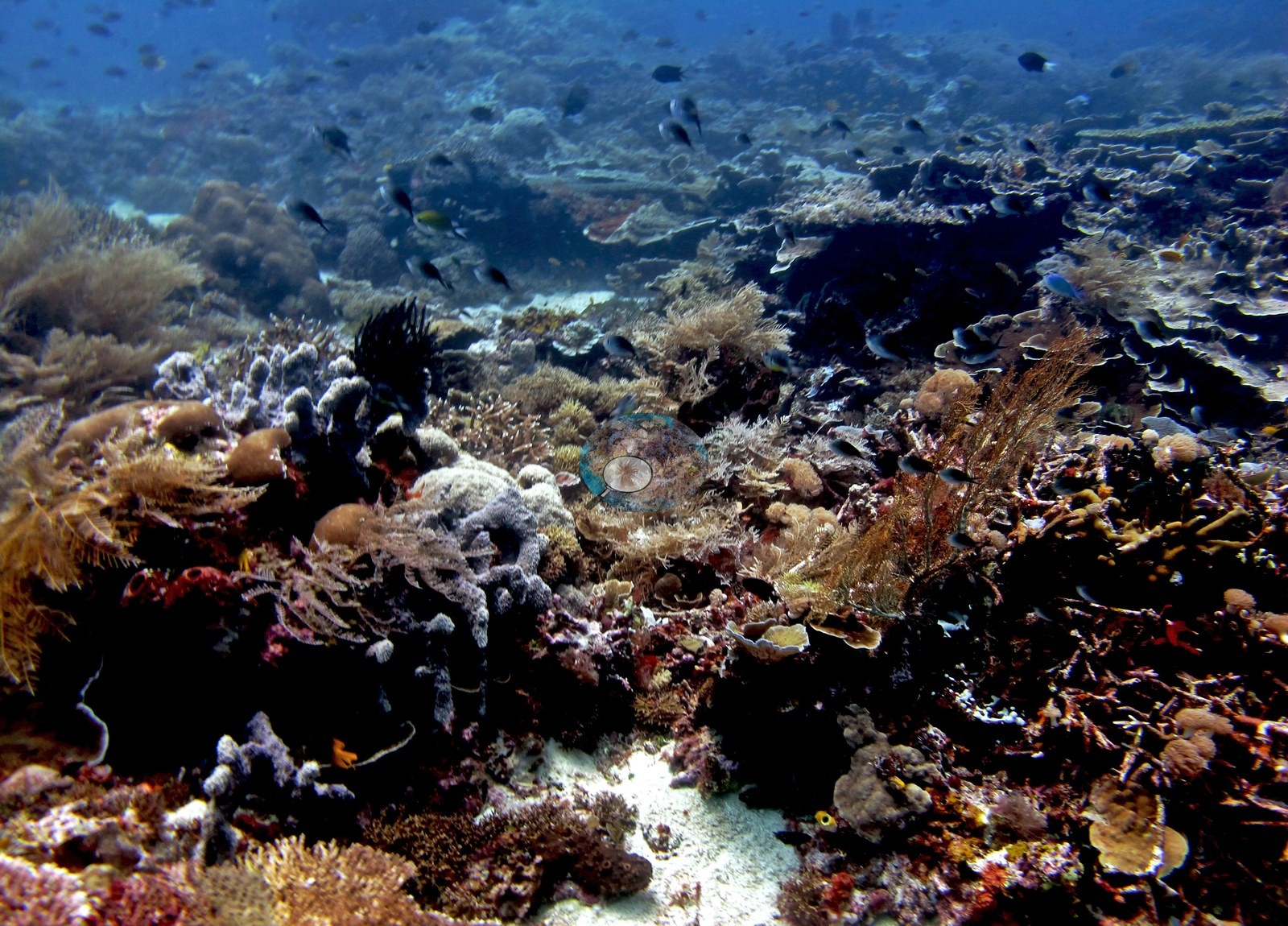 3
3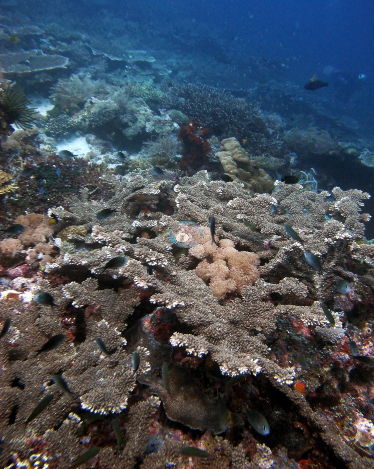 4
4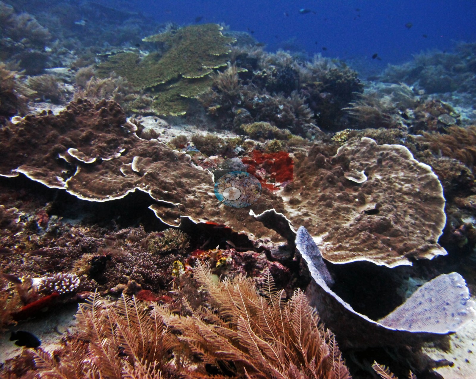 5
5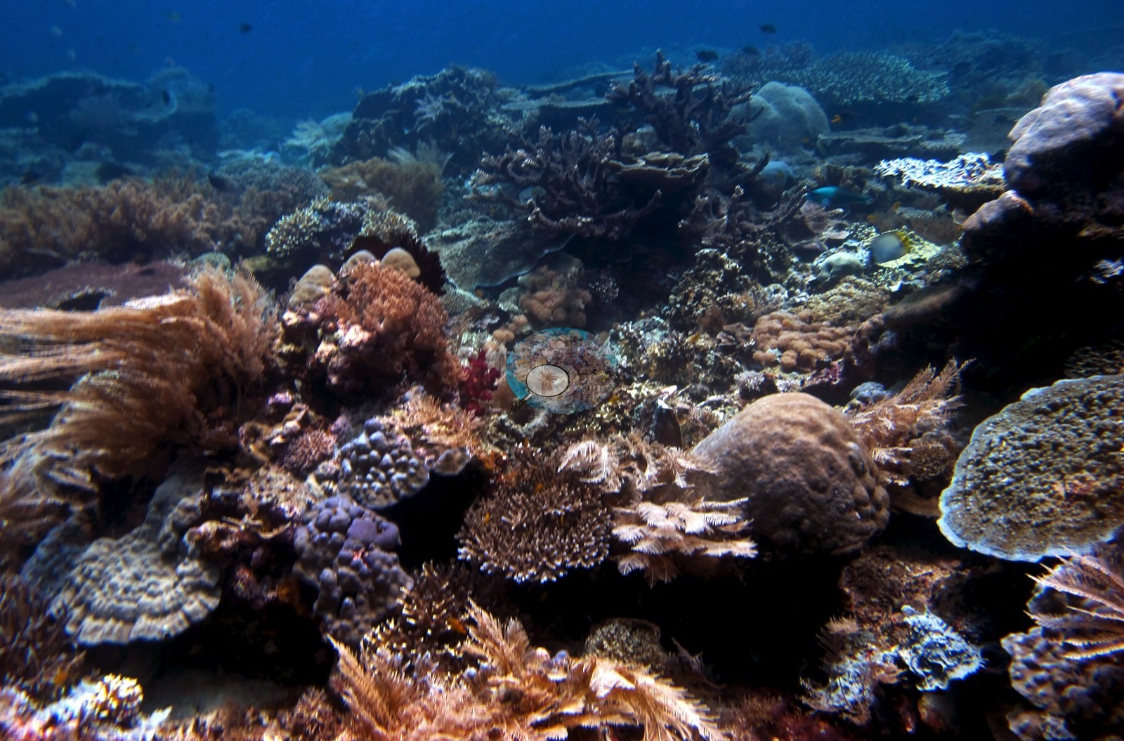 6
6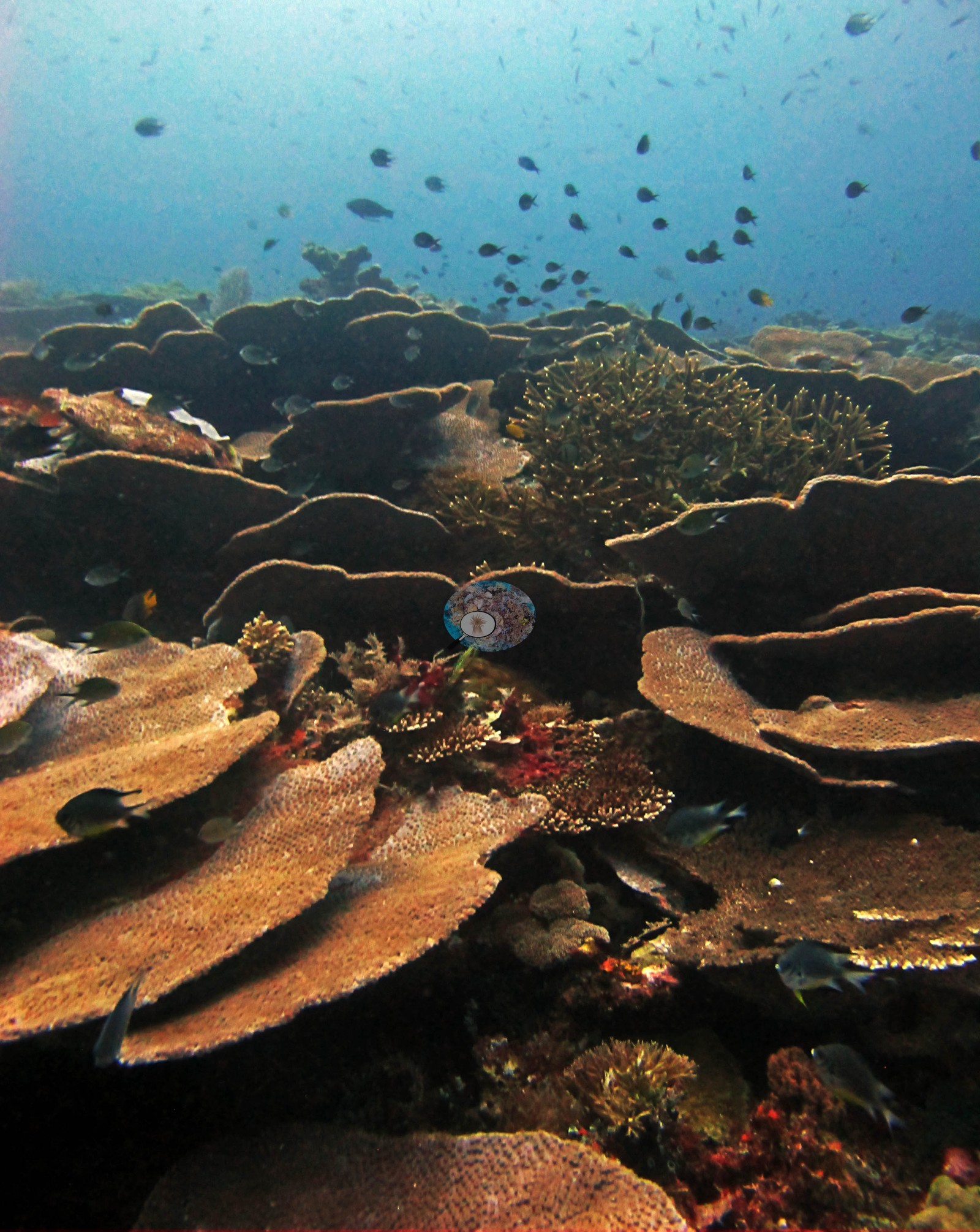 7
7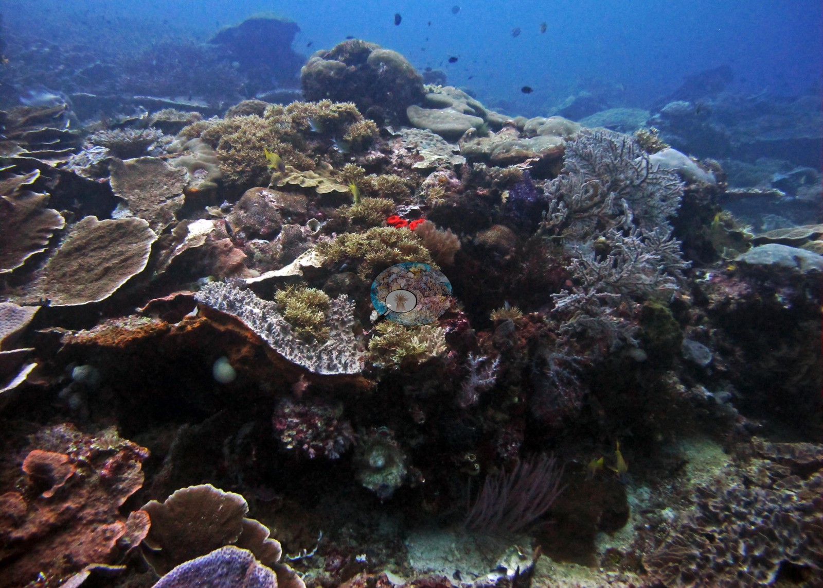 8
8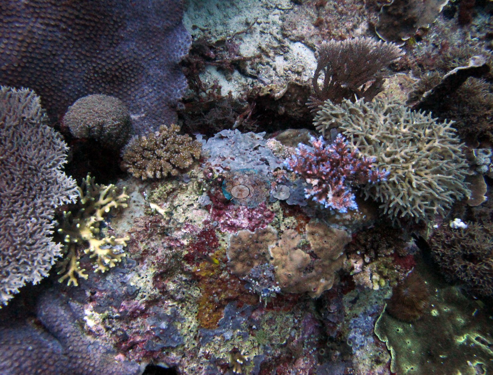 9
9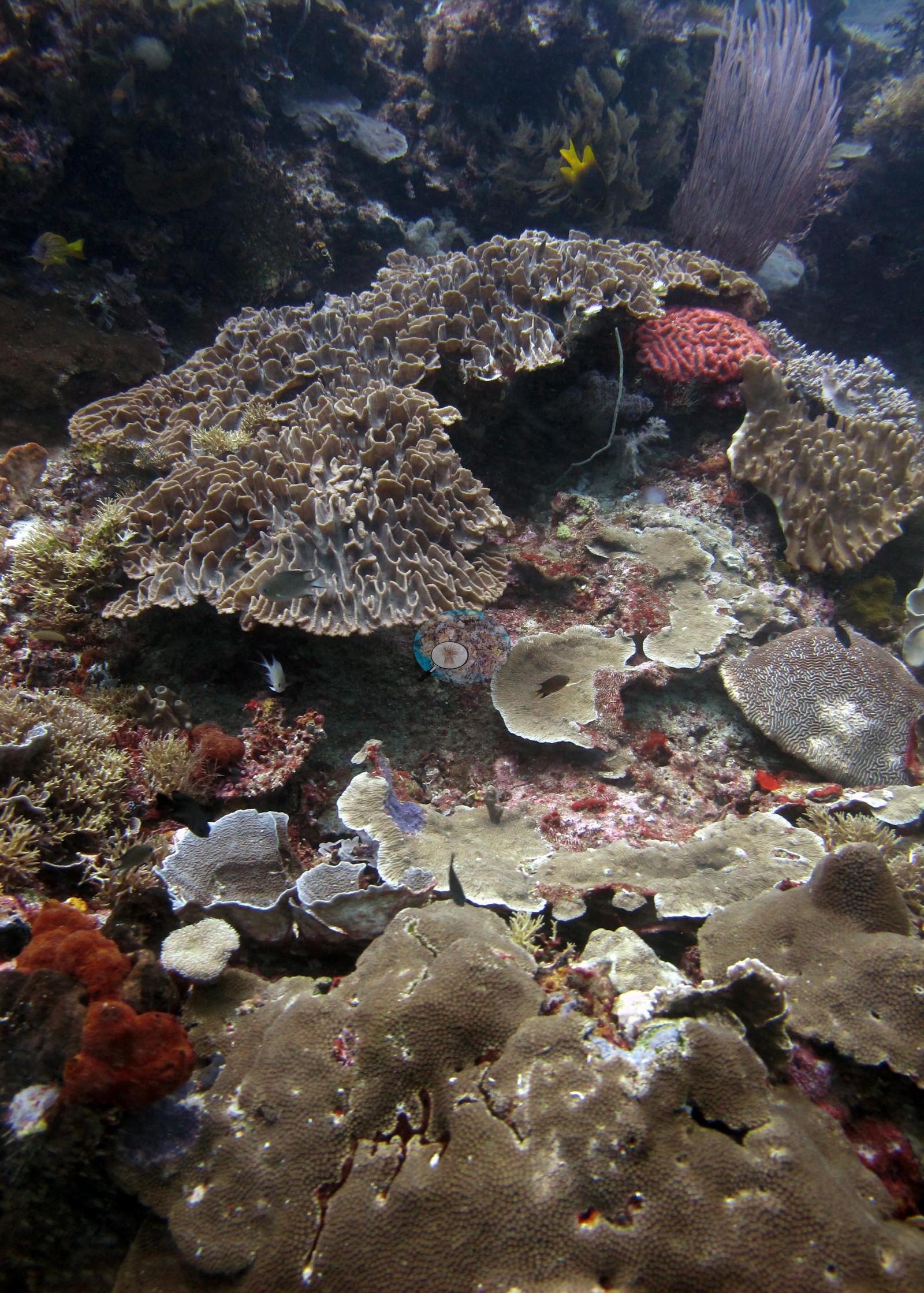 10
10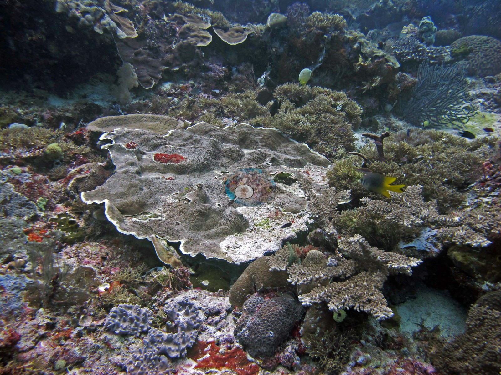 11
11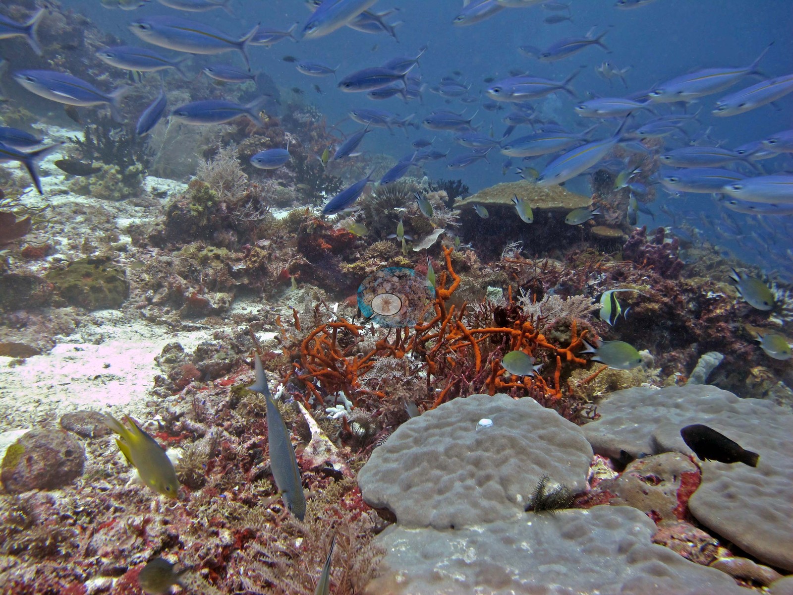 12
12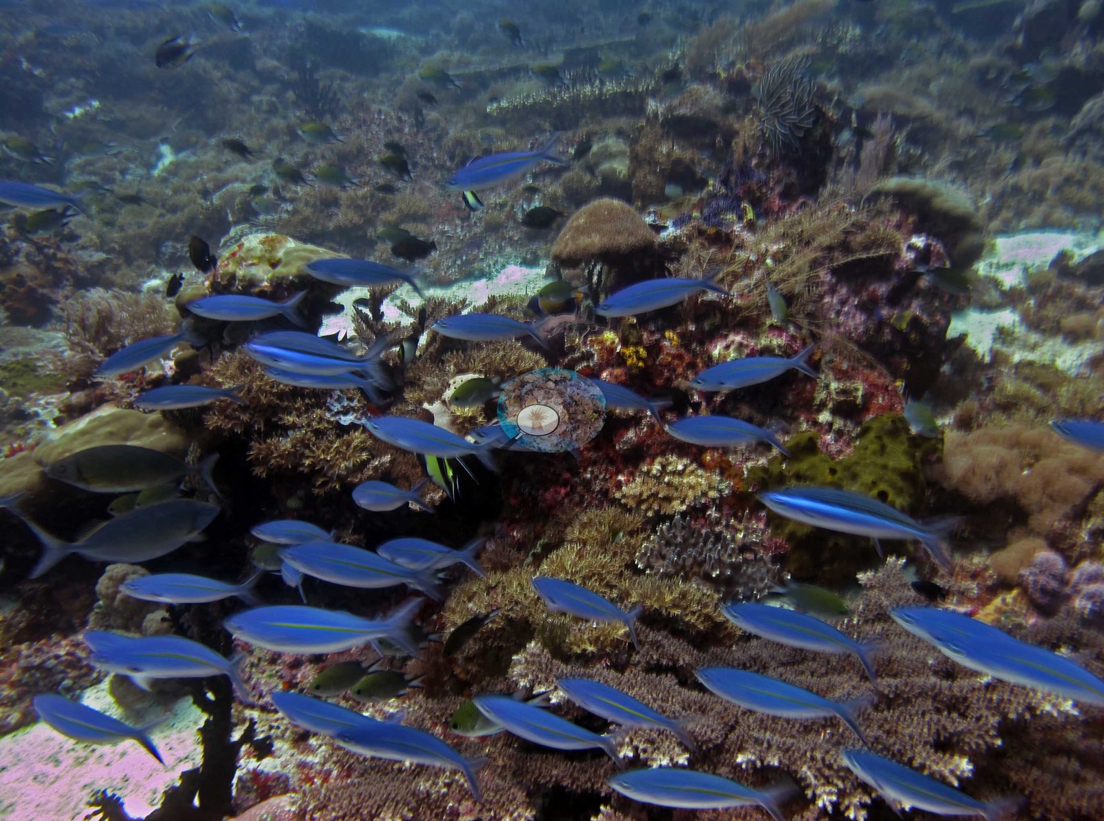 13
13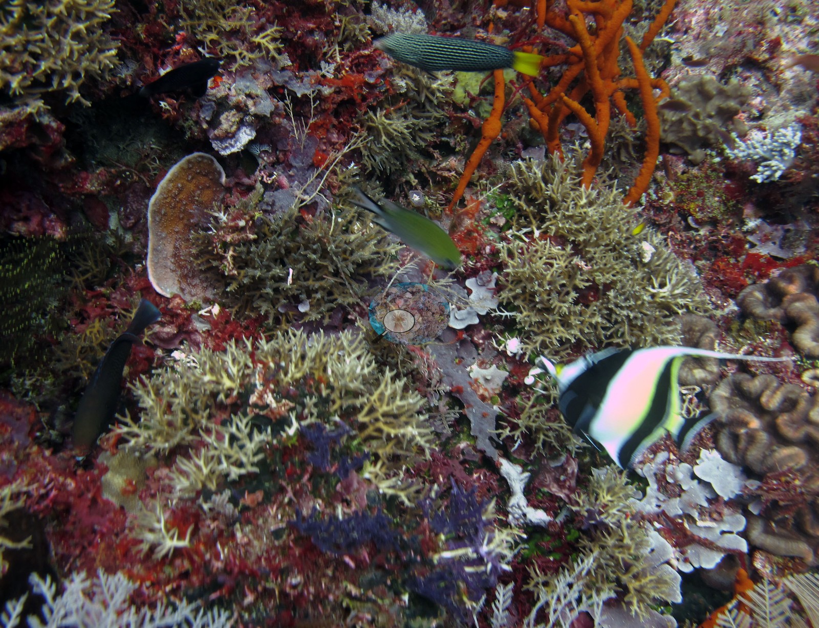 14
14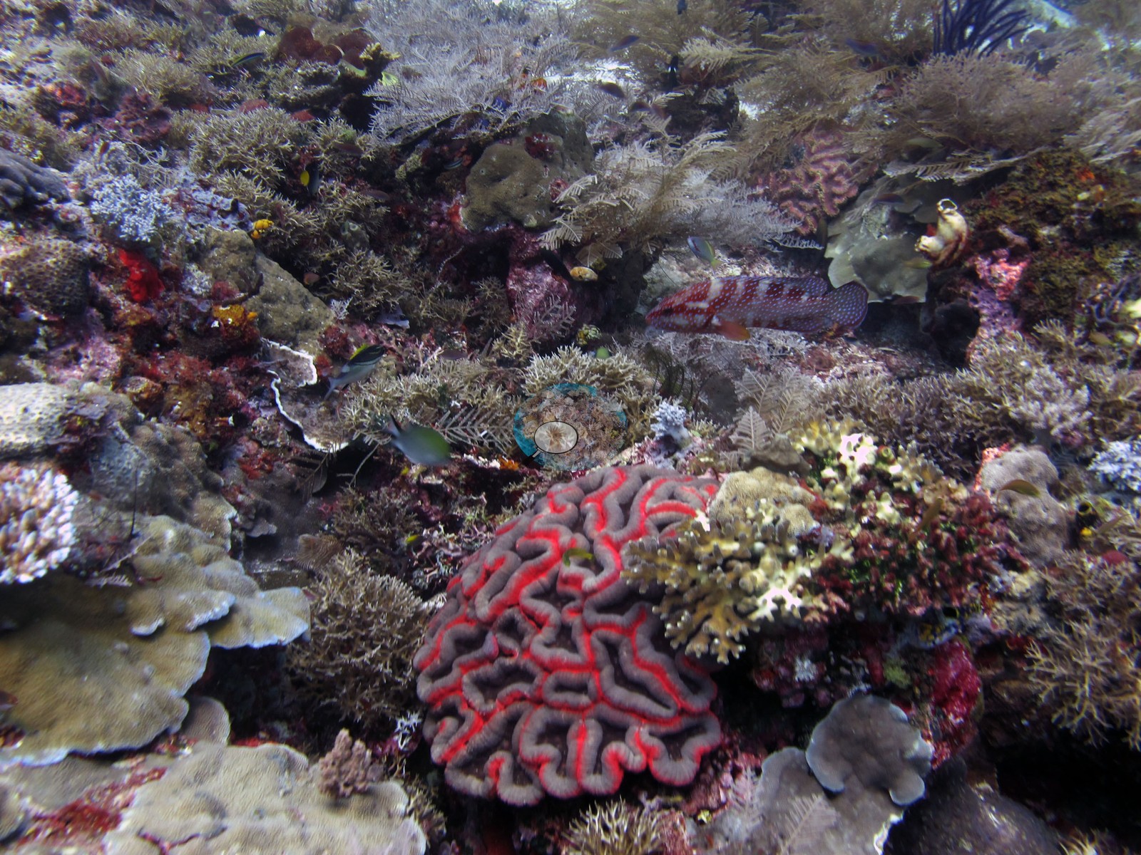 15
15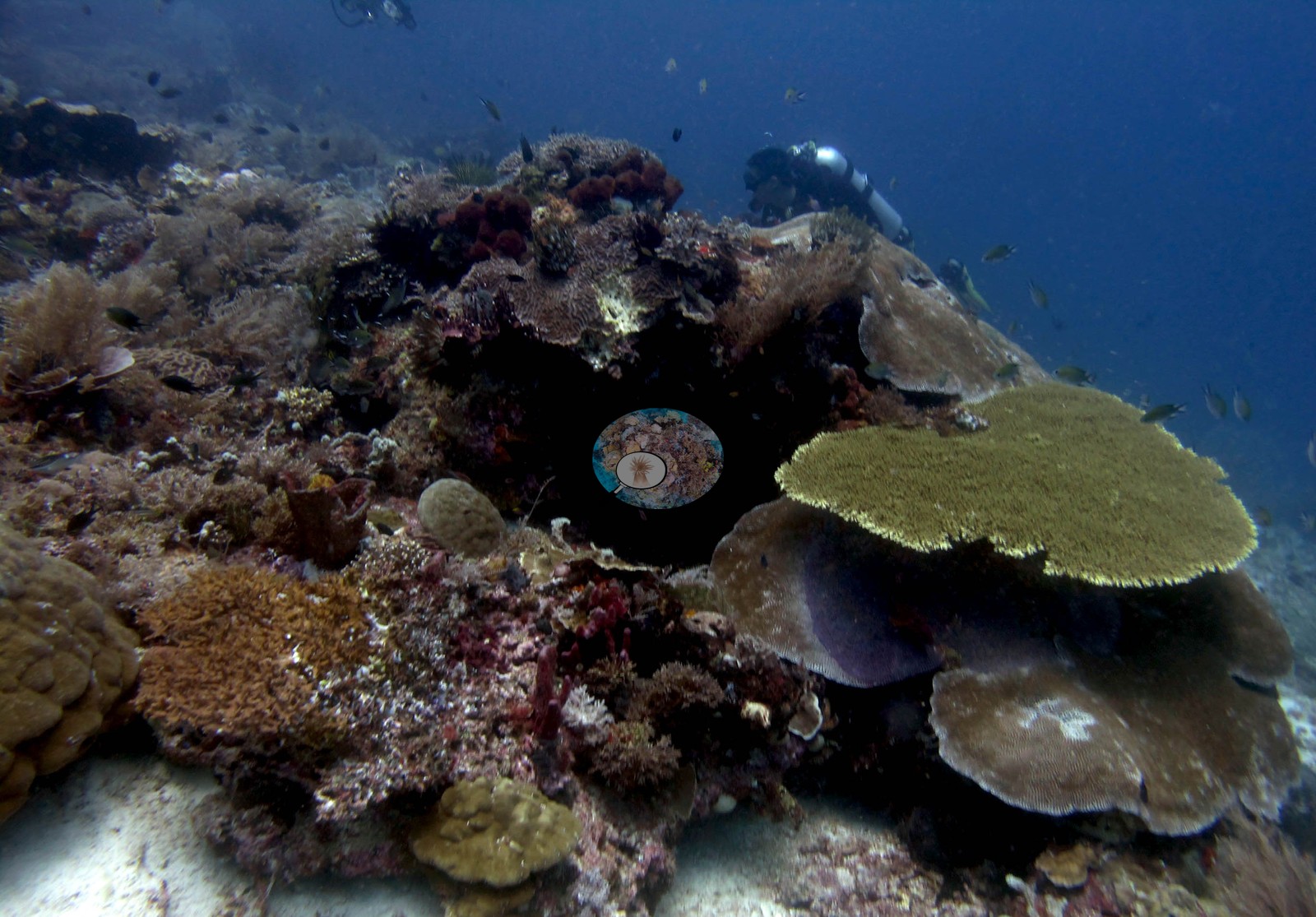 16
16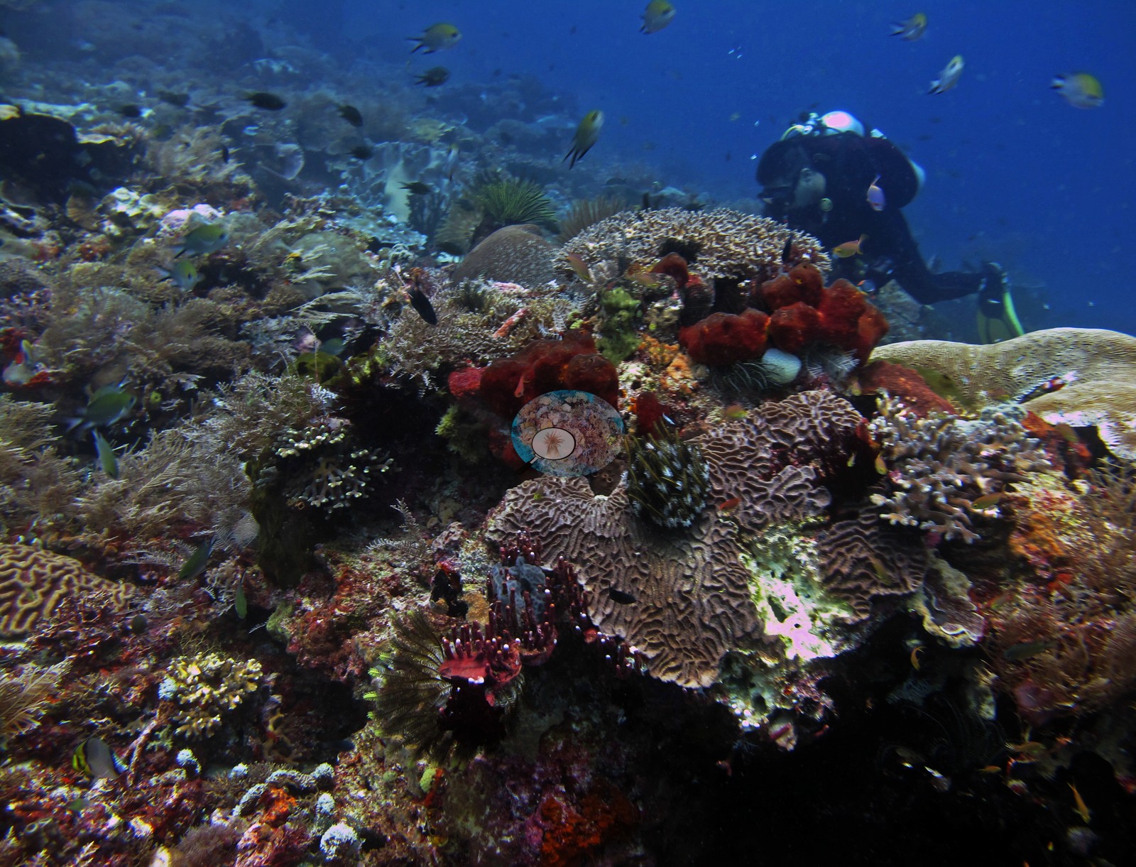 17
17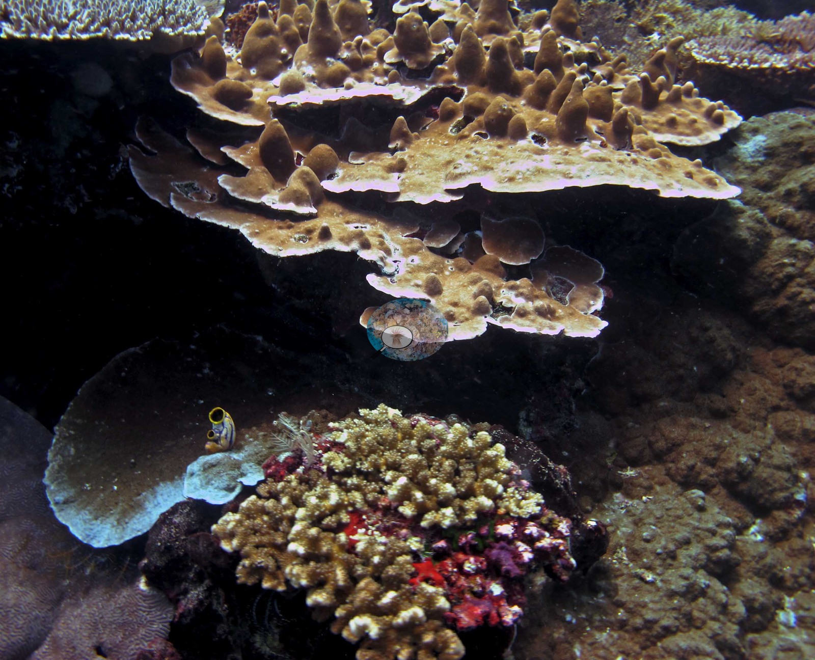 19
19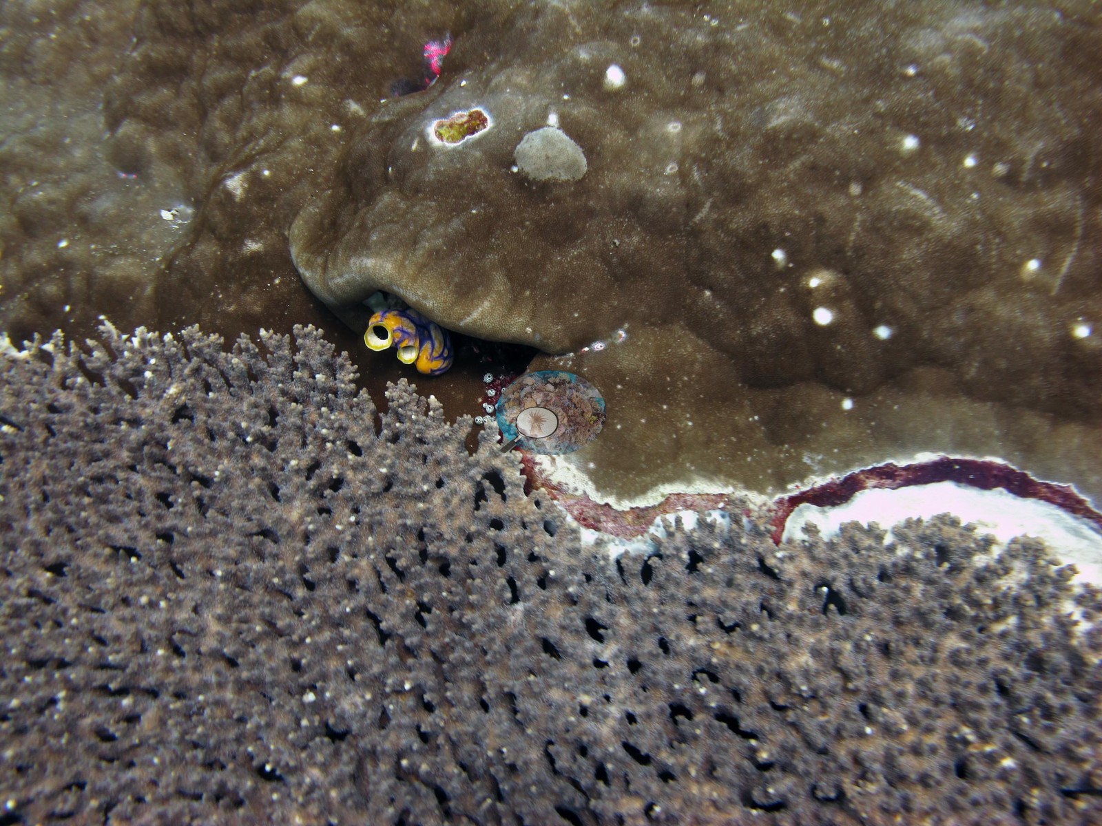 20
20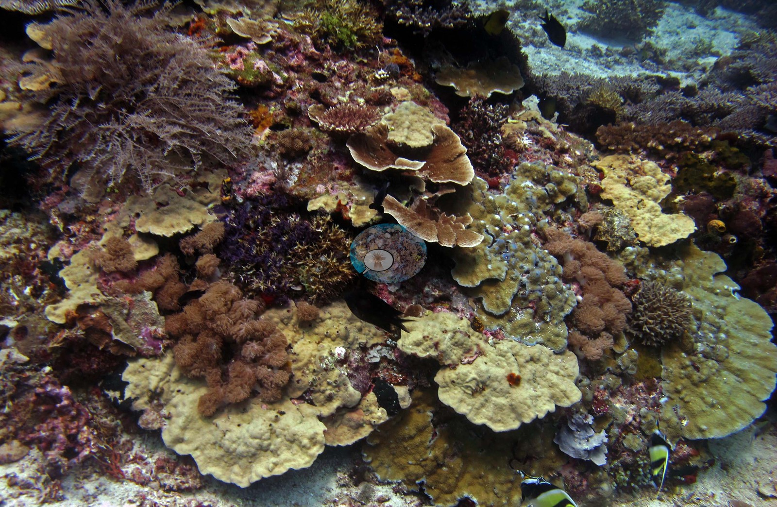 21
21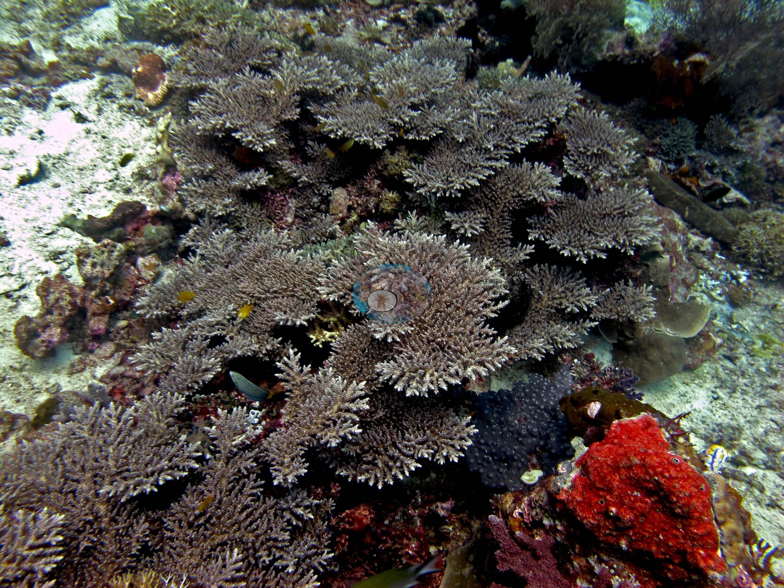 22
22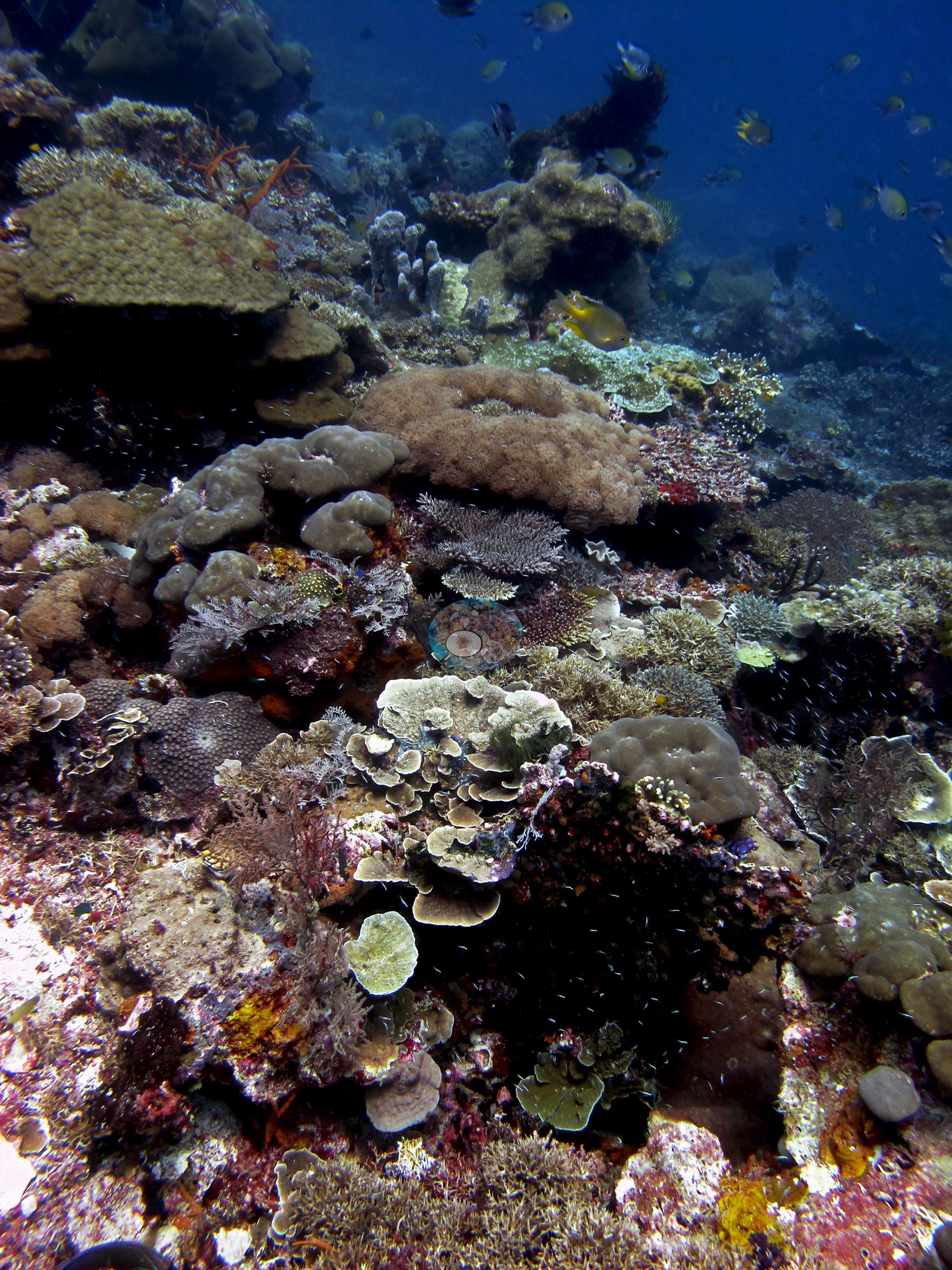 23
23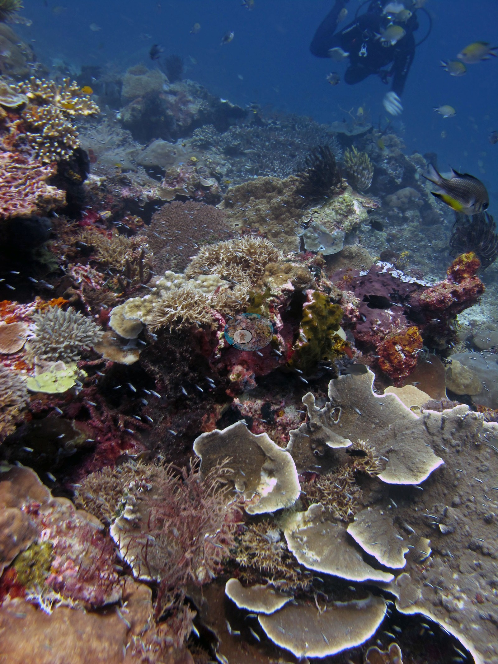 24
24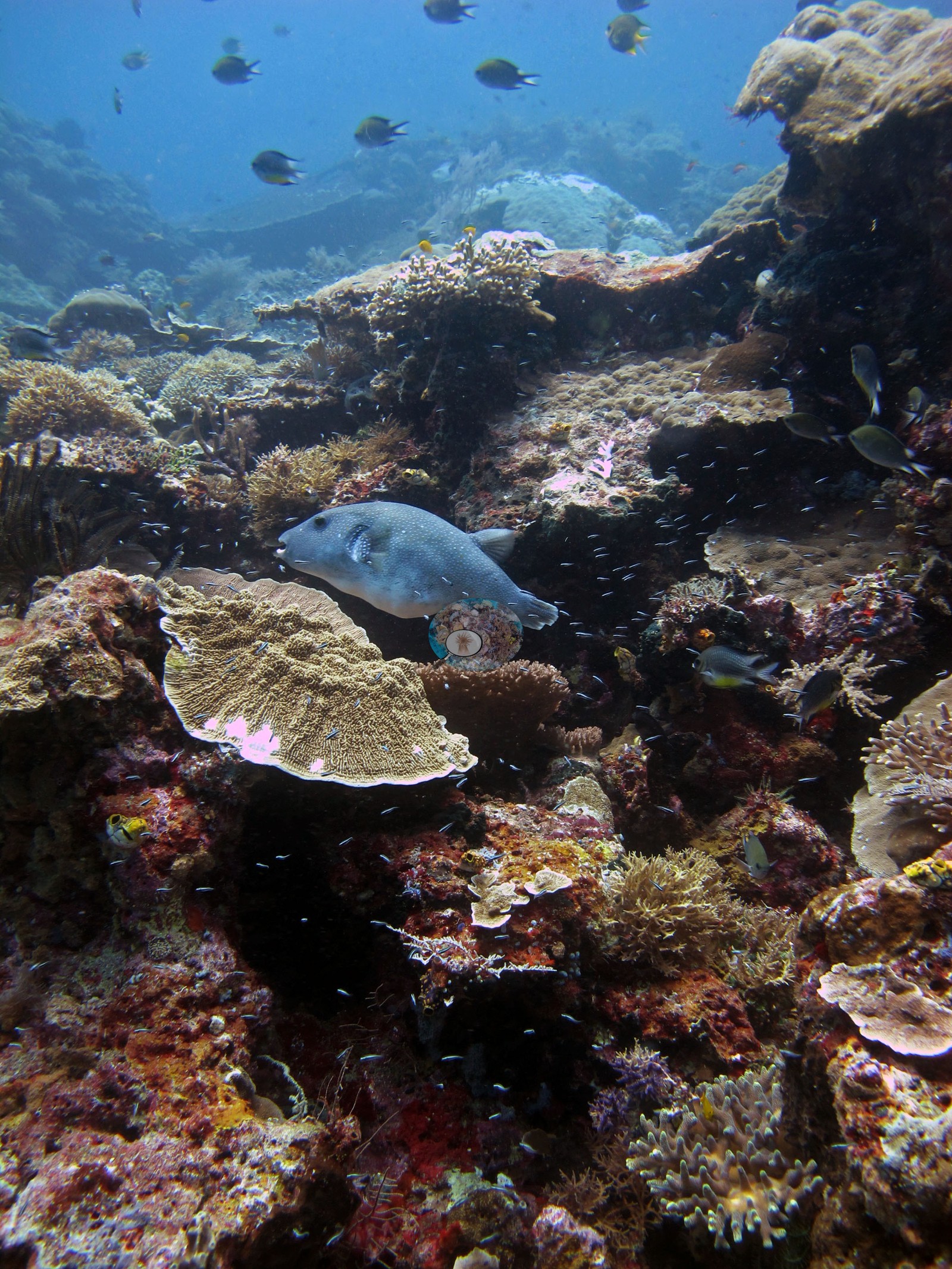 25
25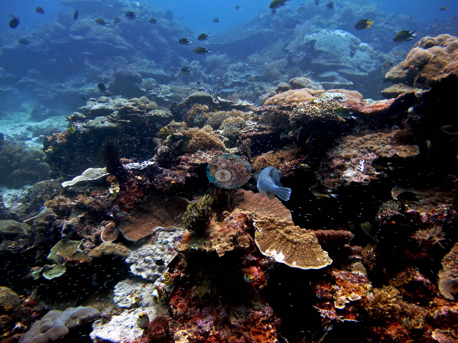 26
26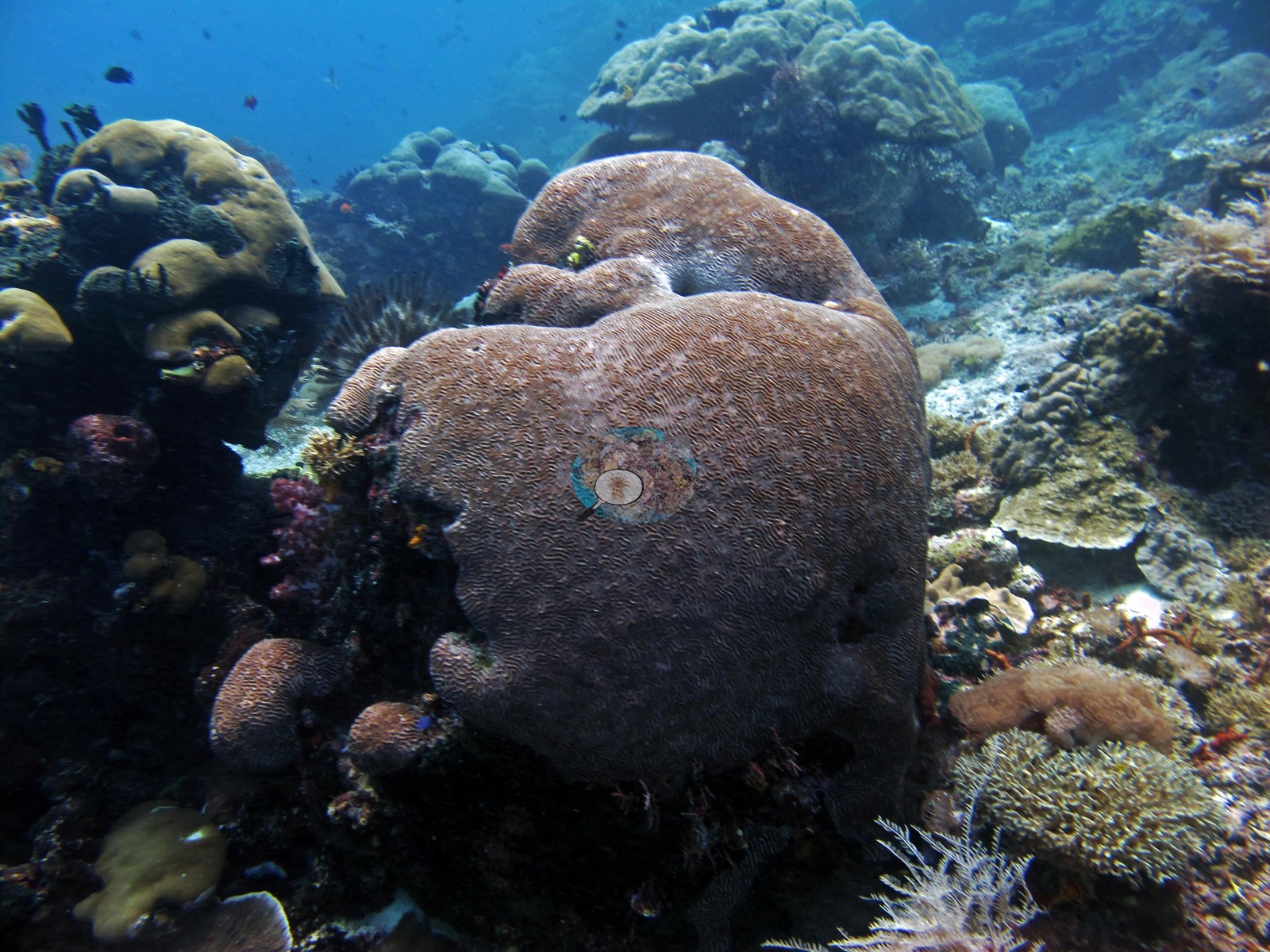 27
27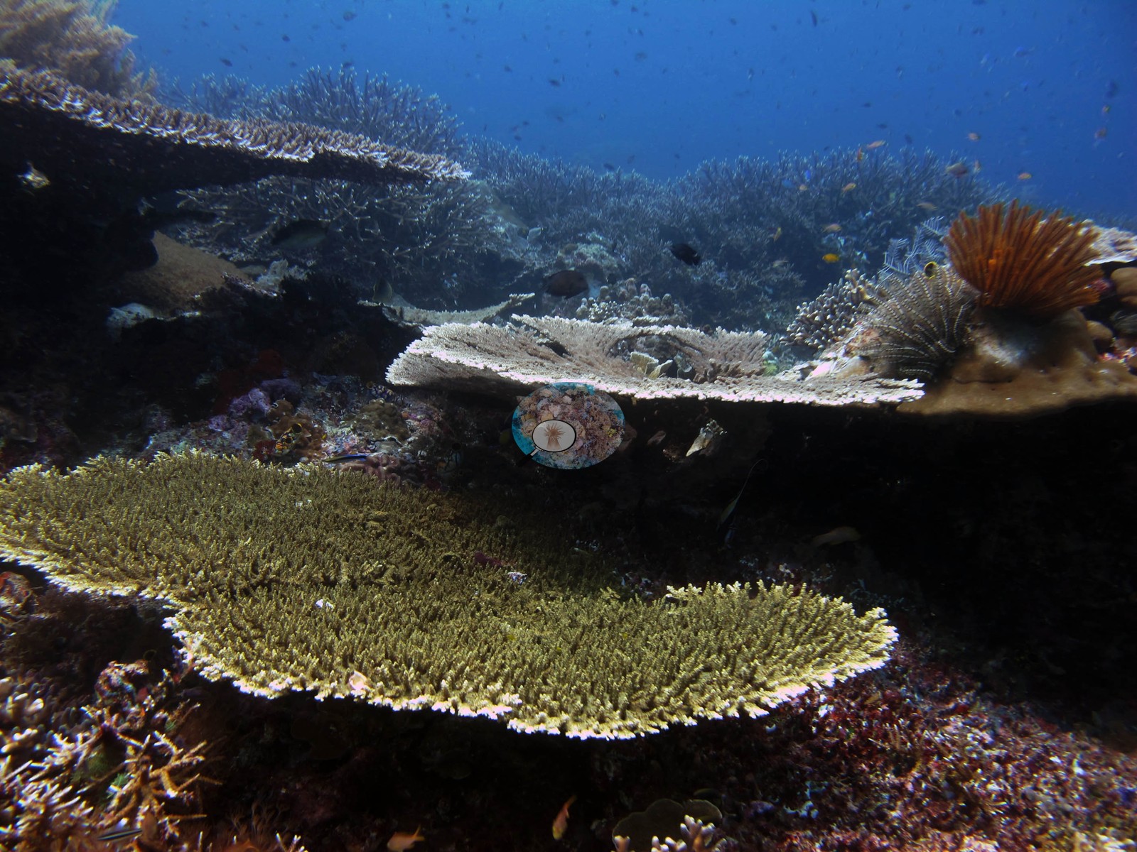 28
28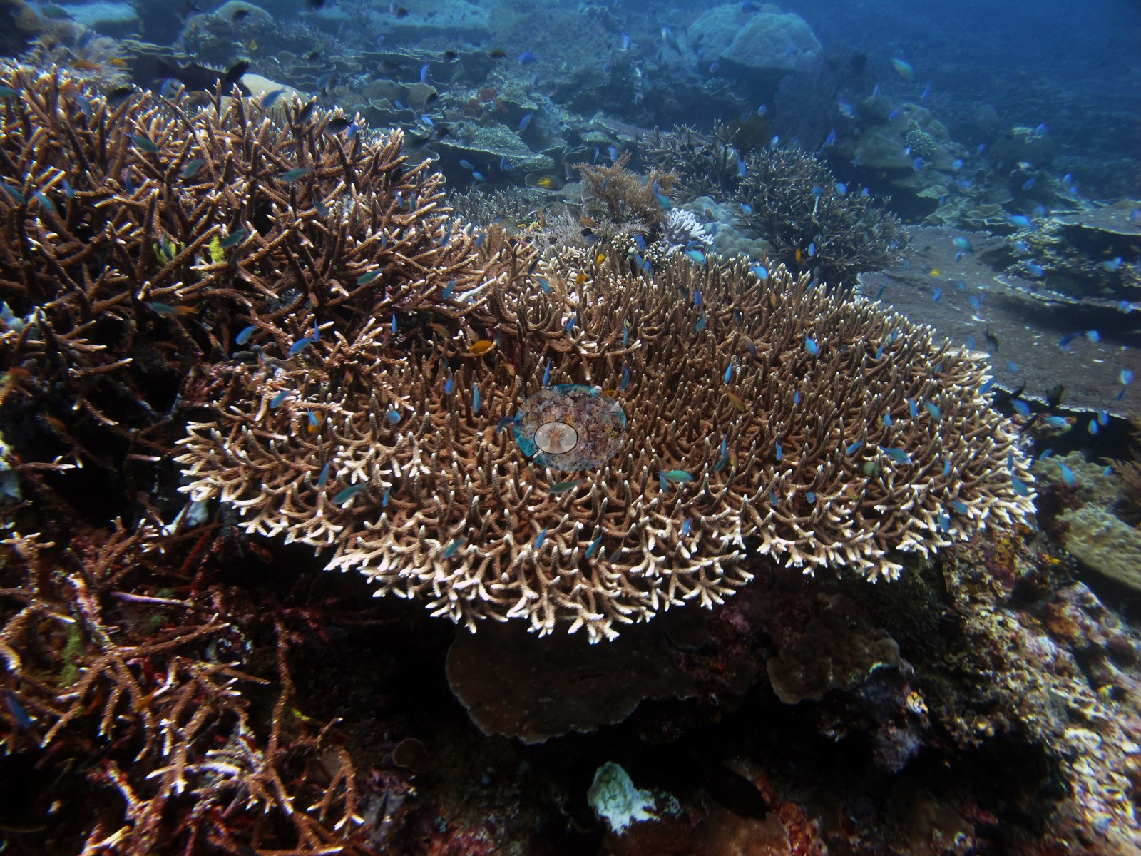 29
29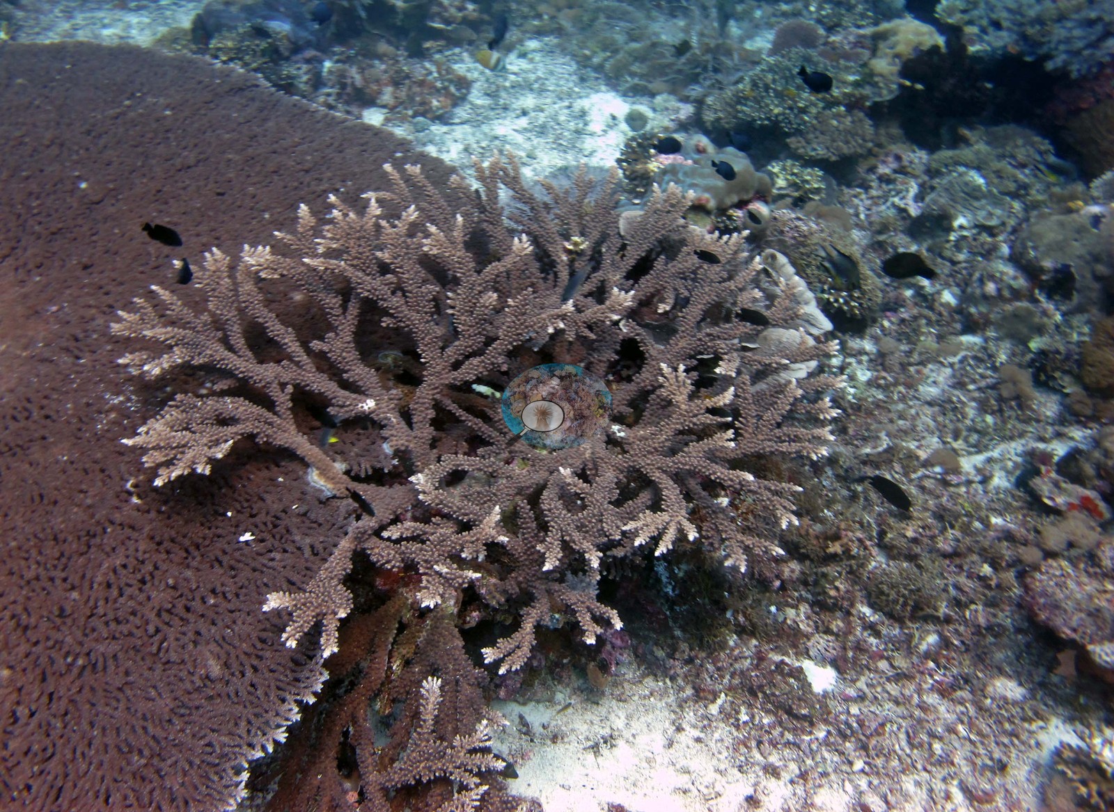 30
30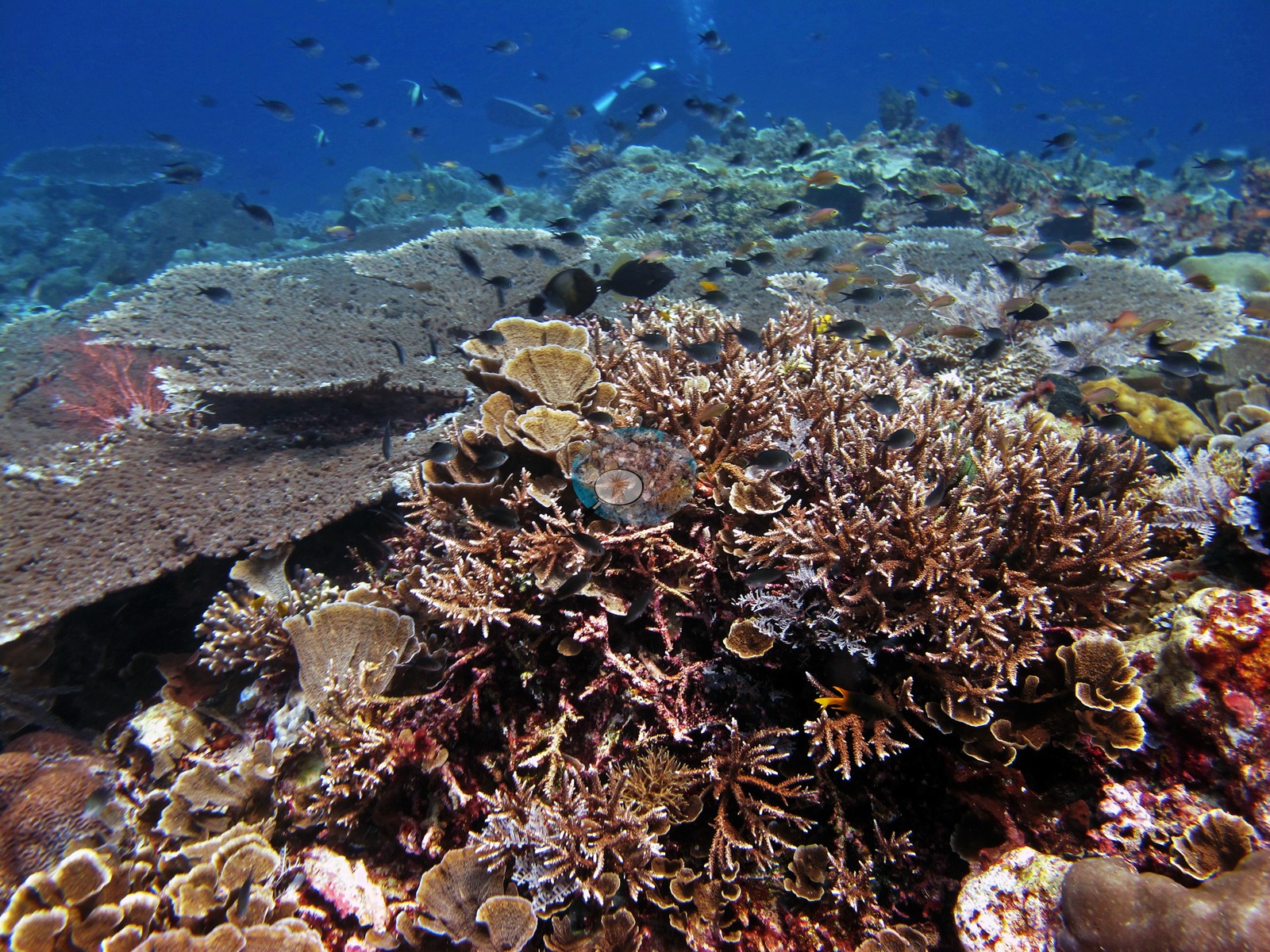 31
31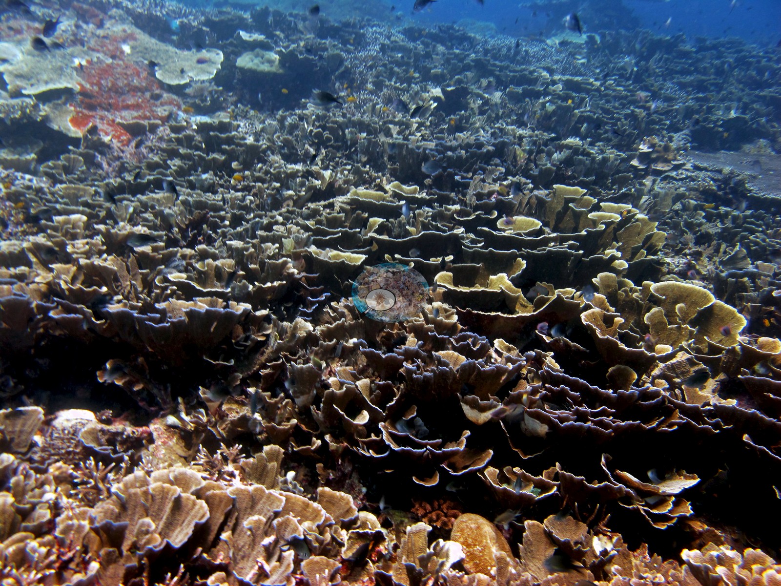 32
32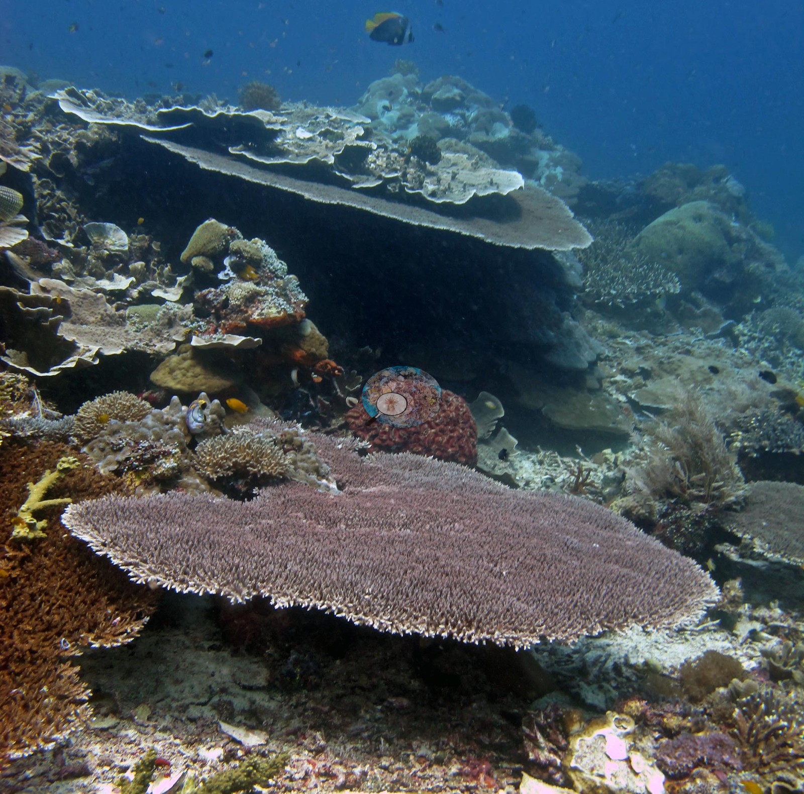 33
33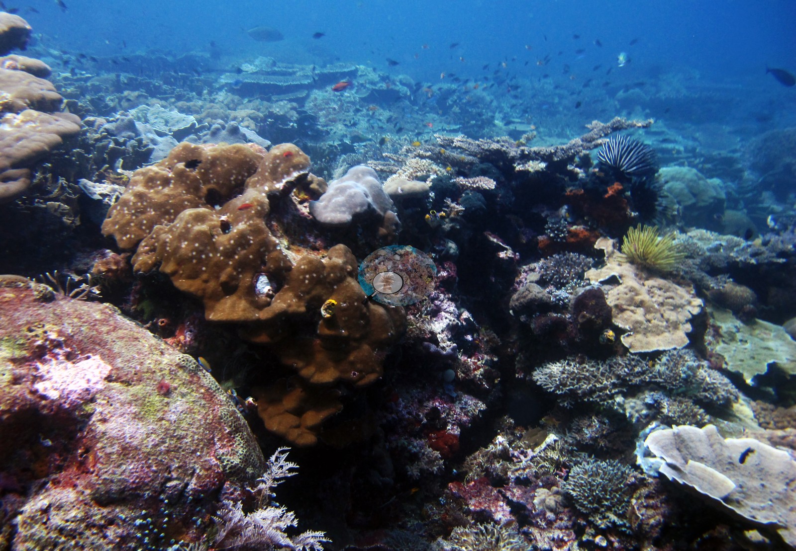 34
34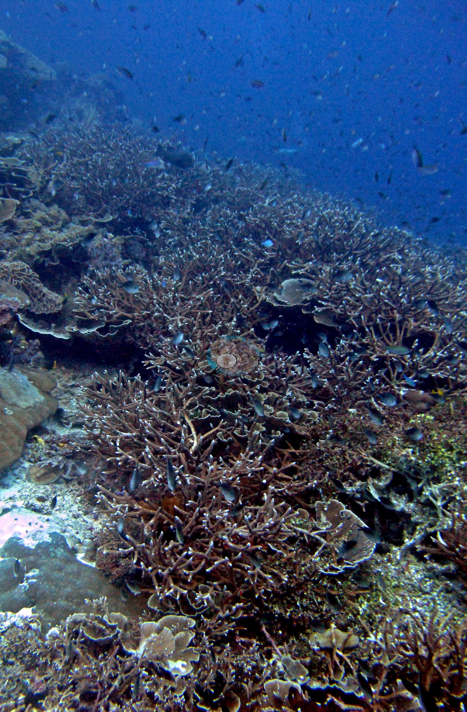 35
35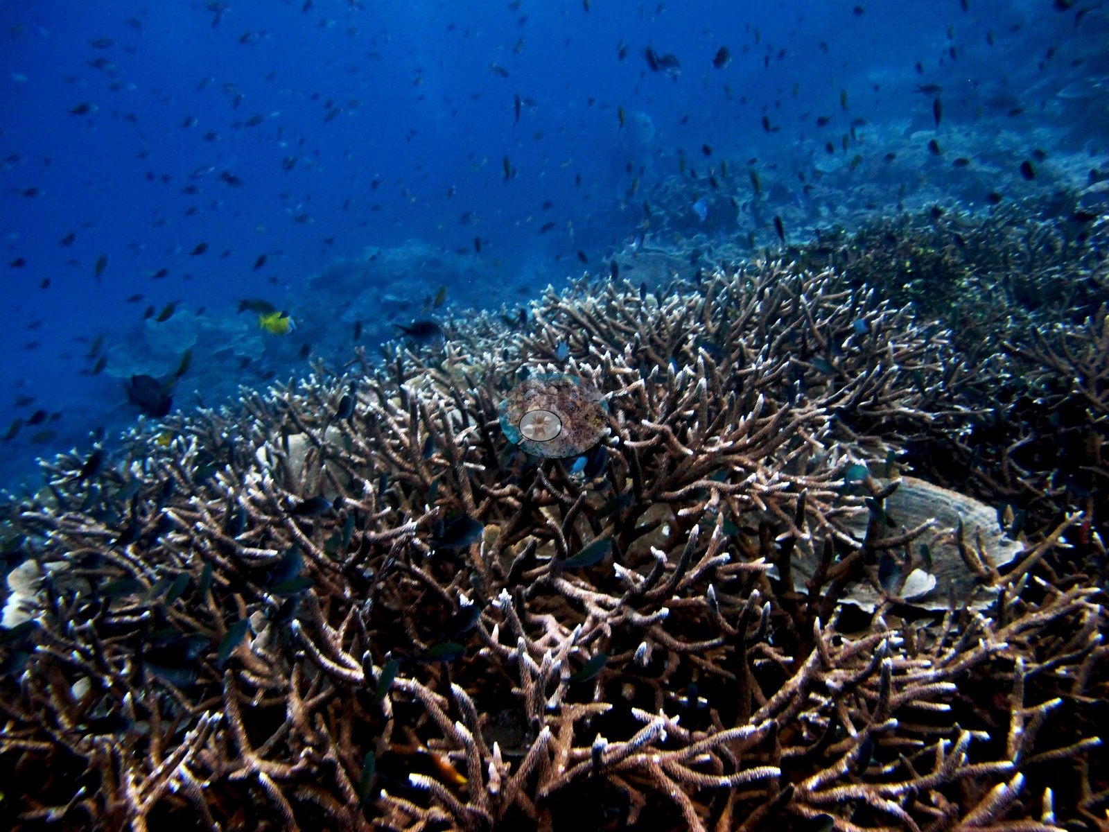 37
37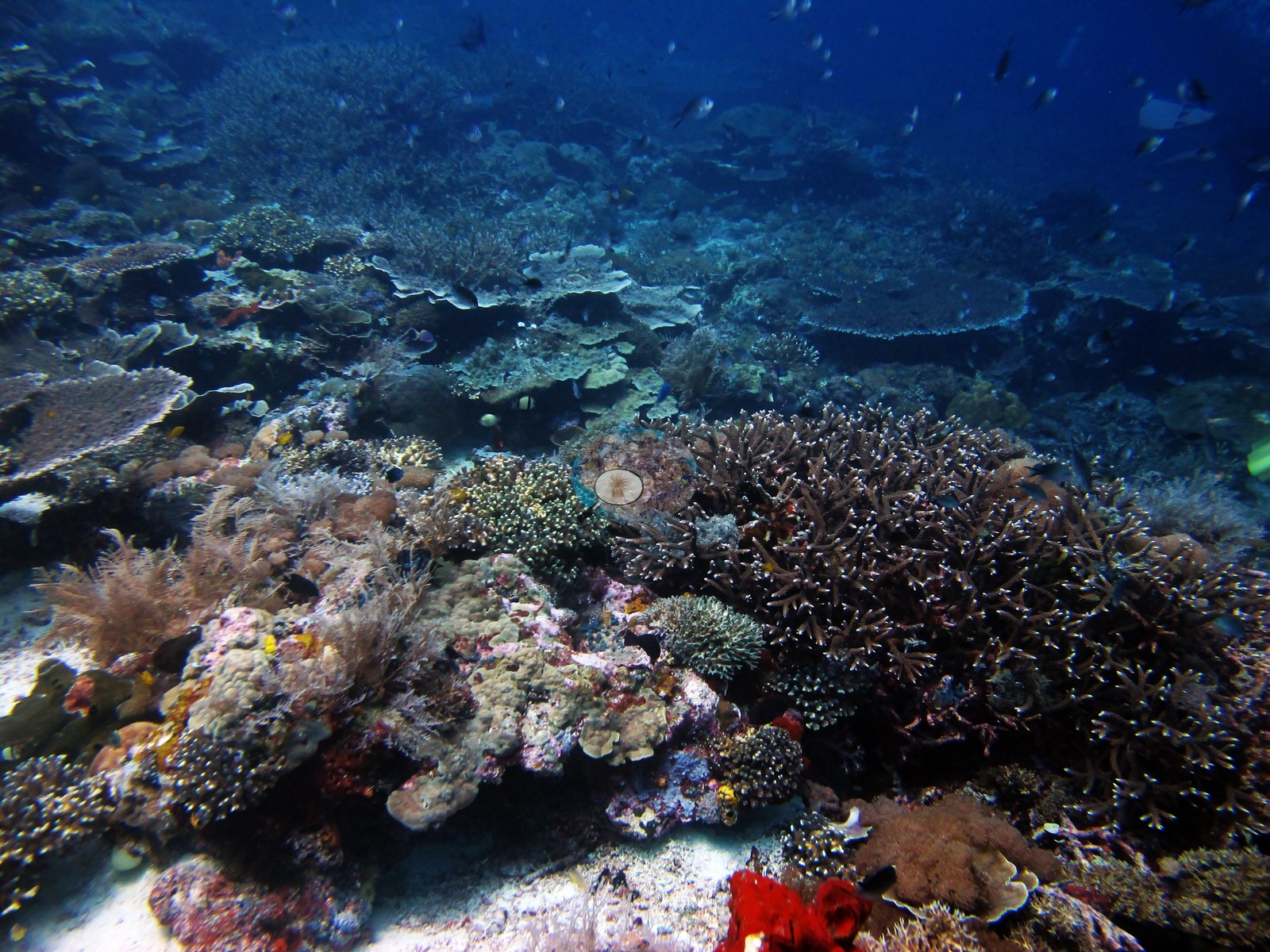 38
38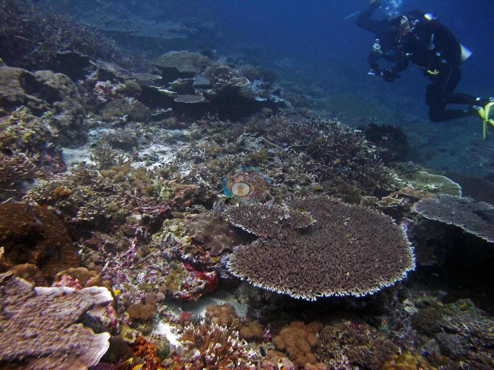 39
39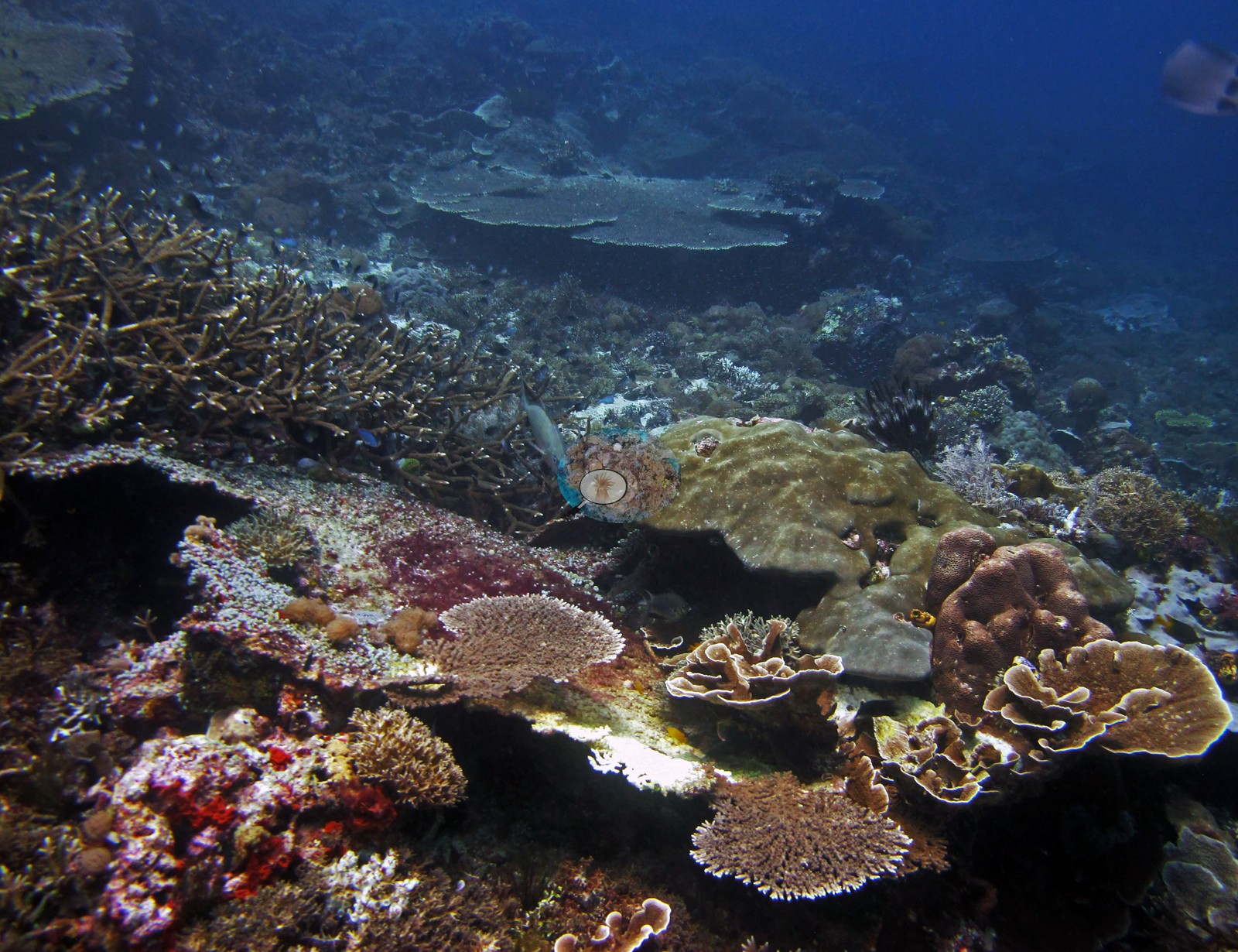 40
40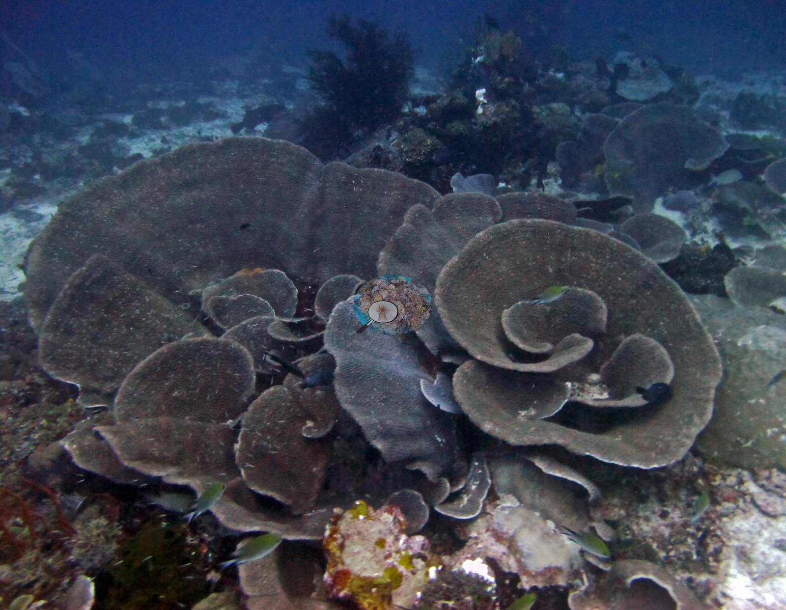 41
41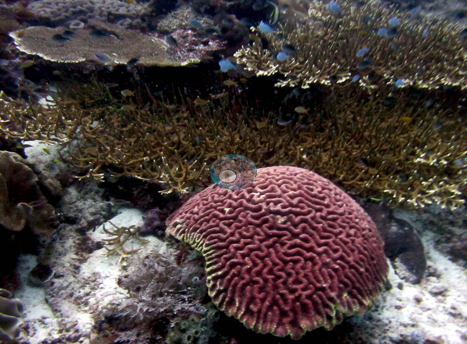 42
42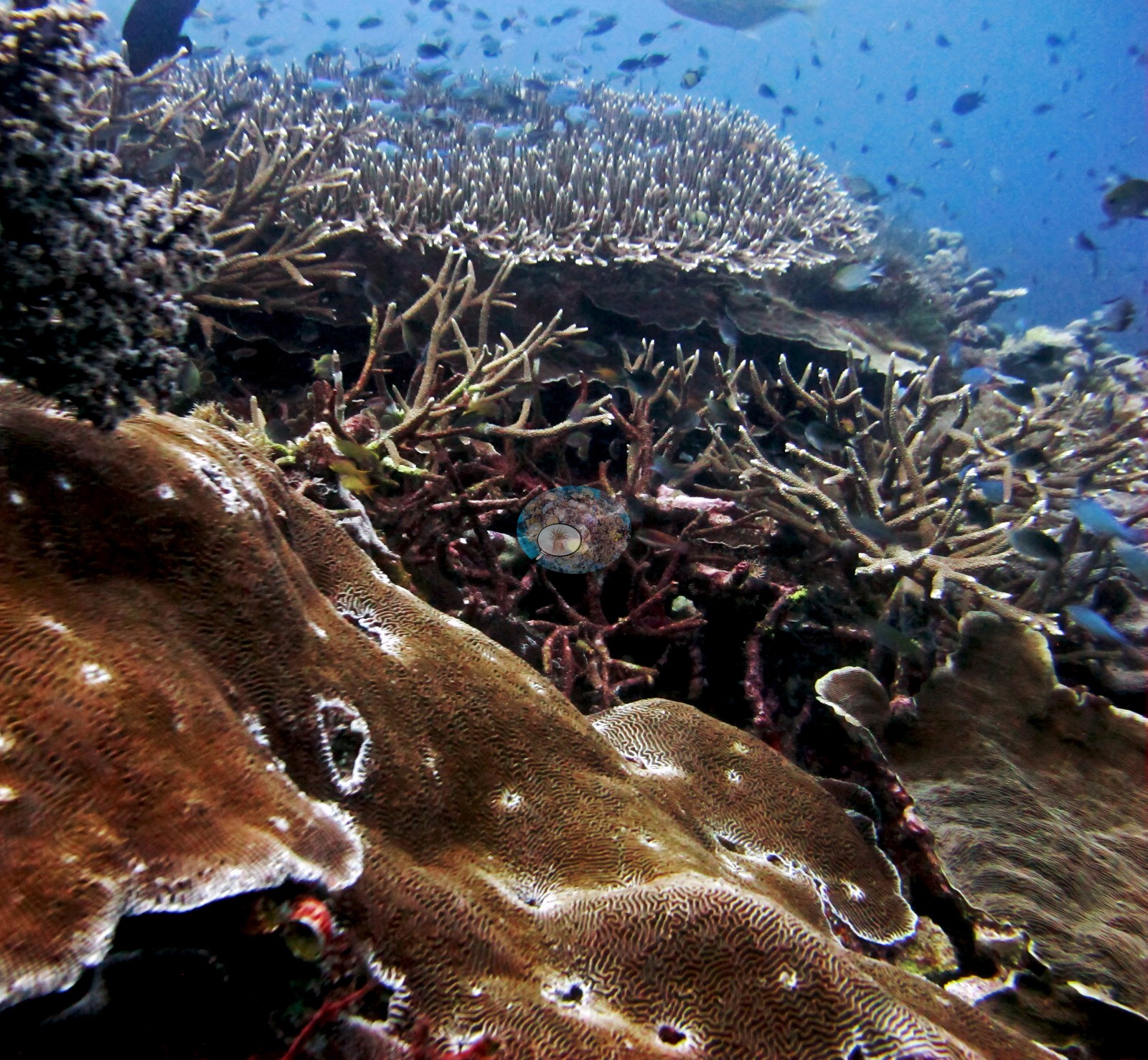 43
43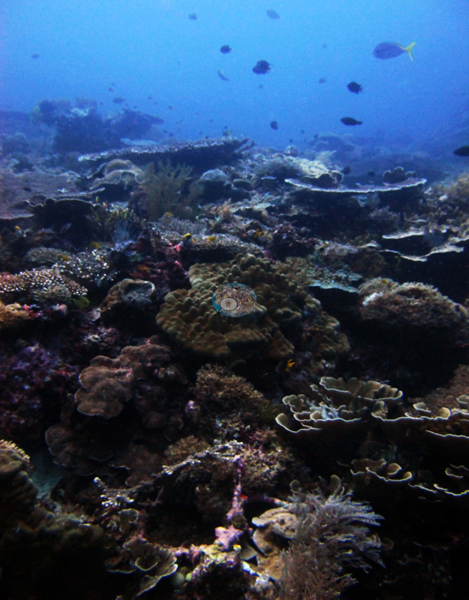 44
44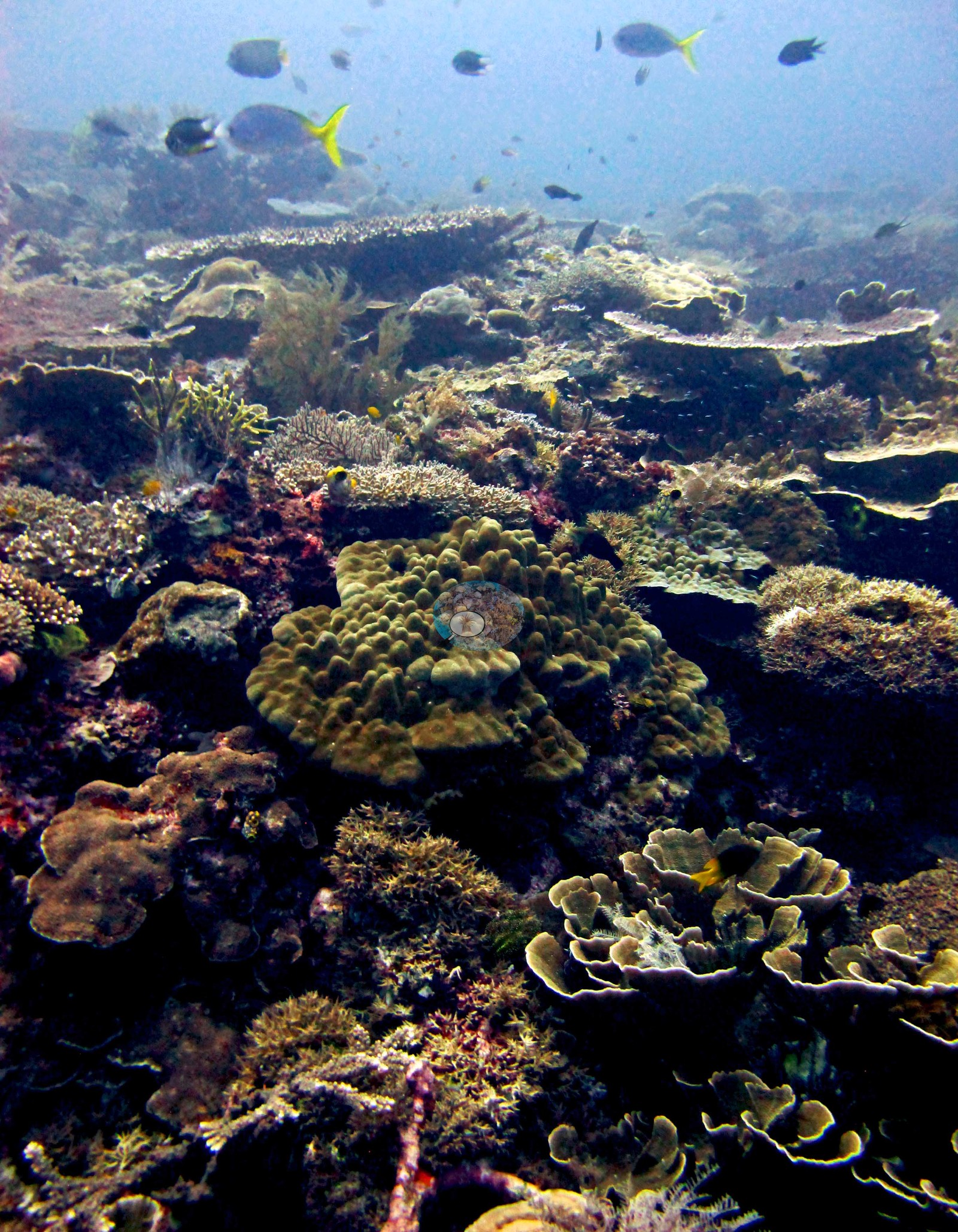 45
45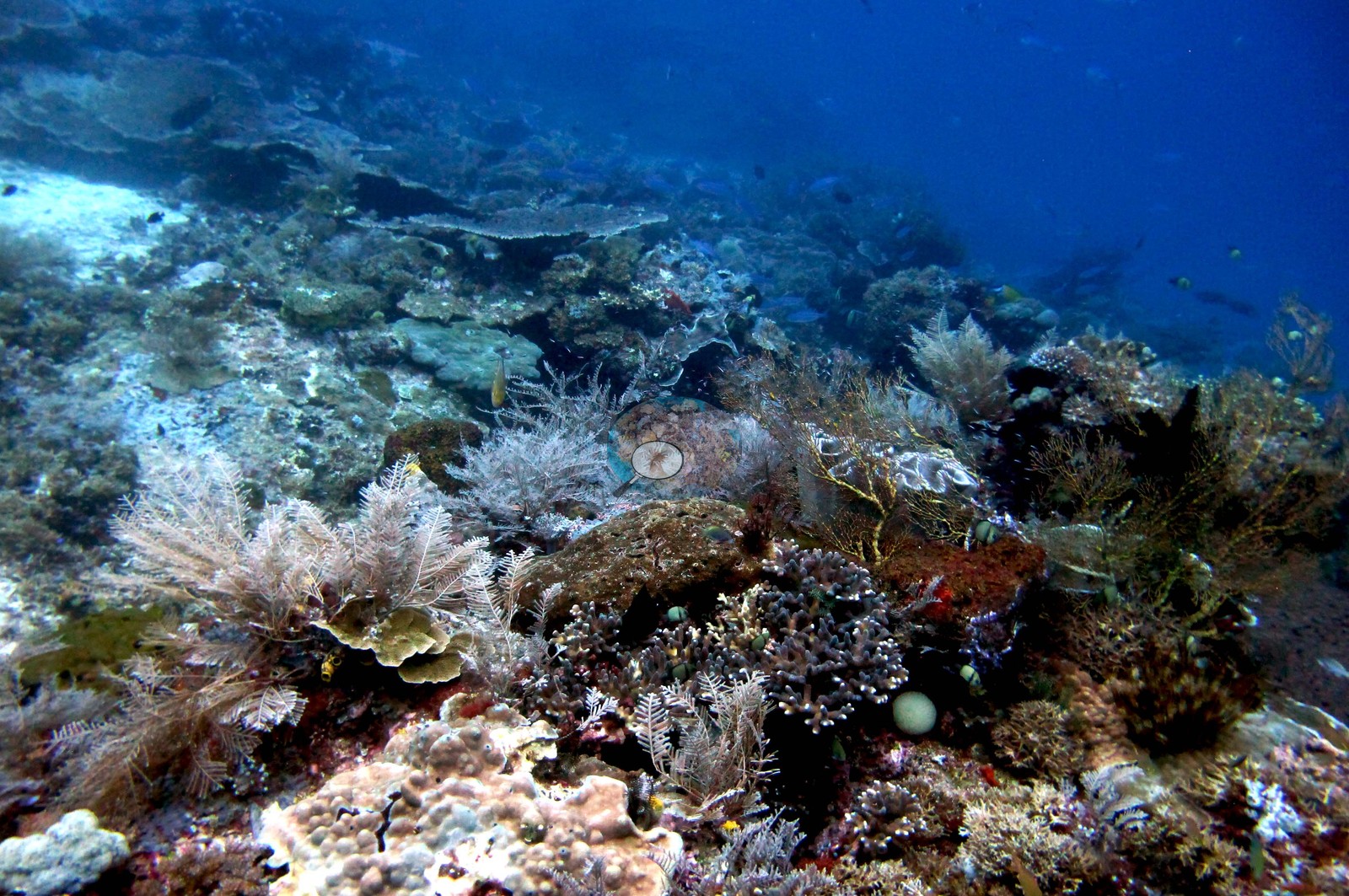 46
46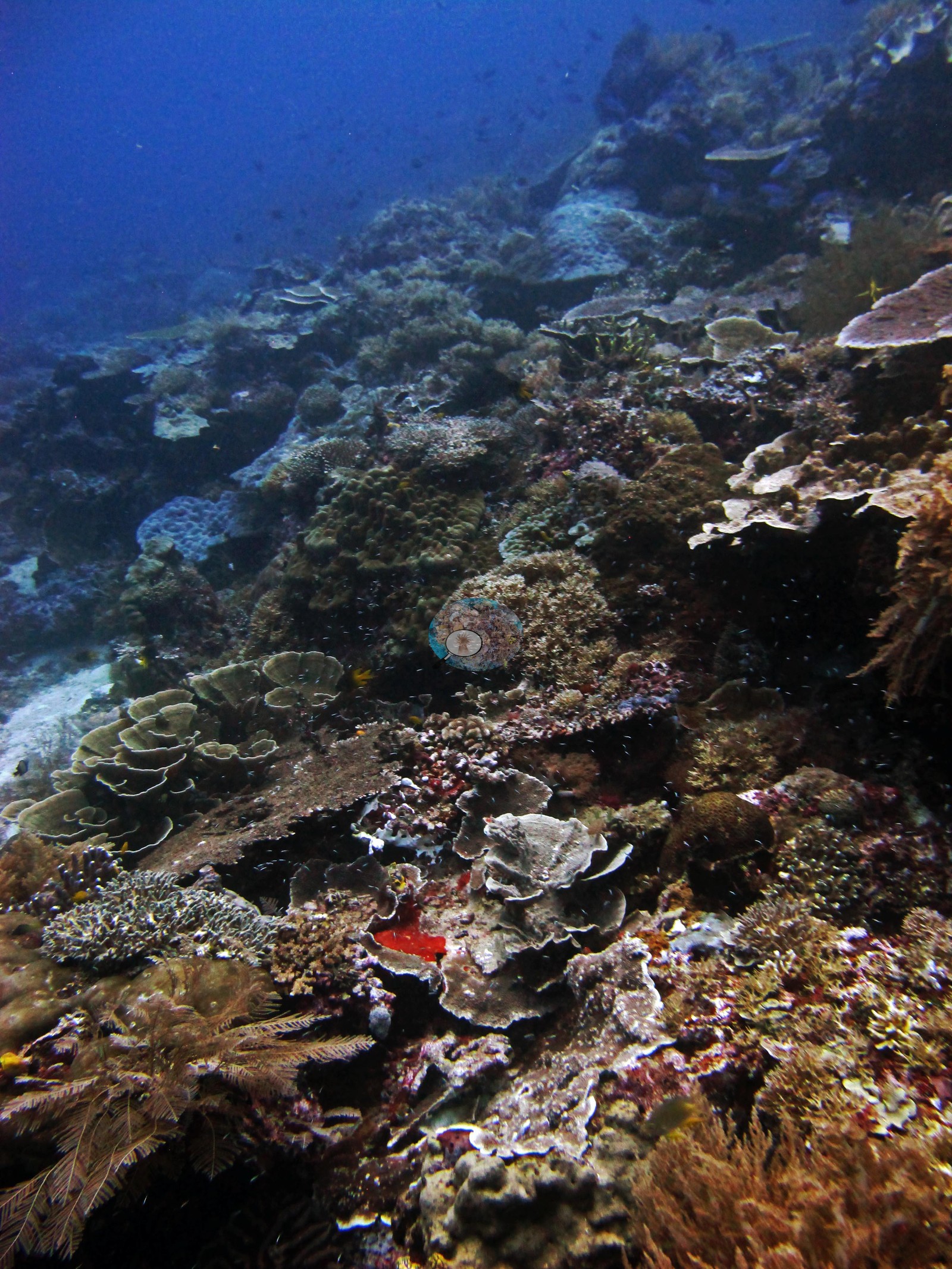 47
47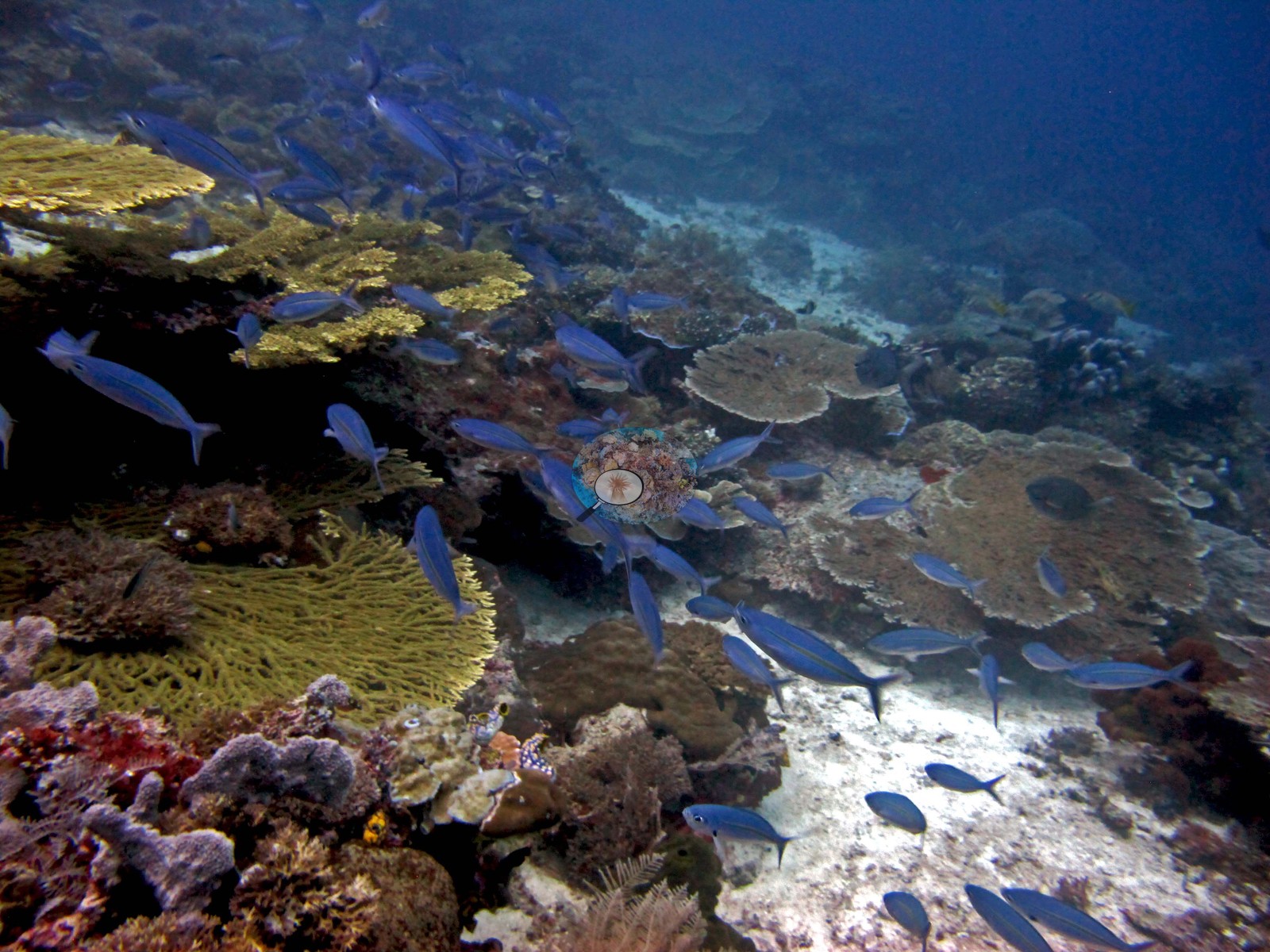 48
48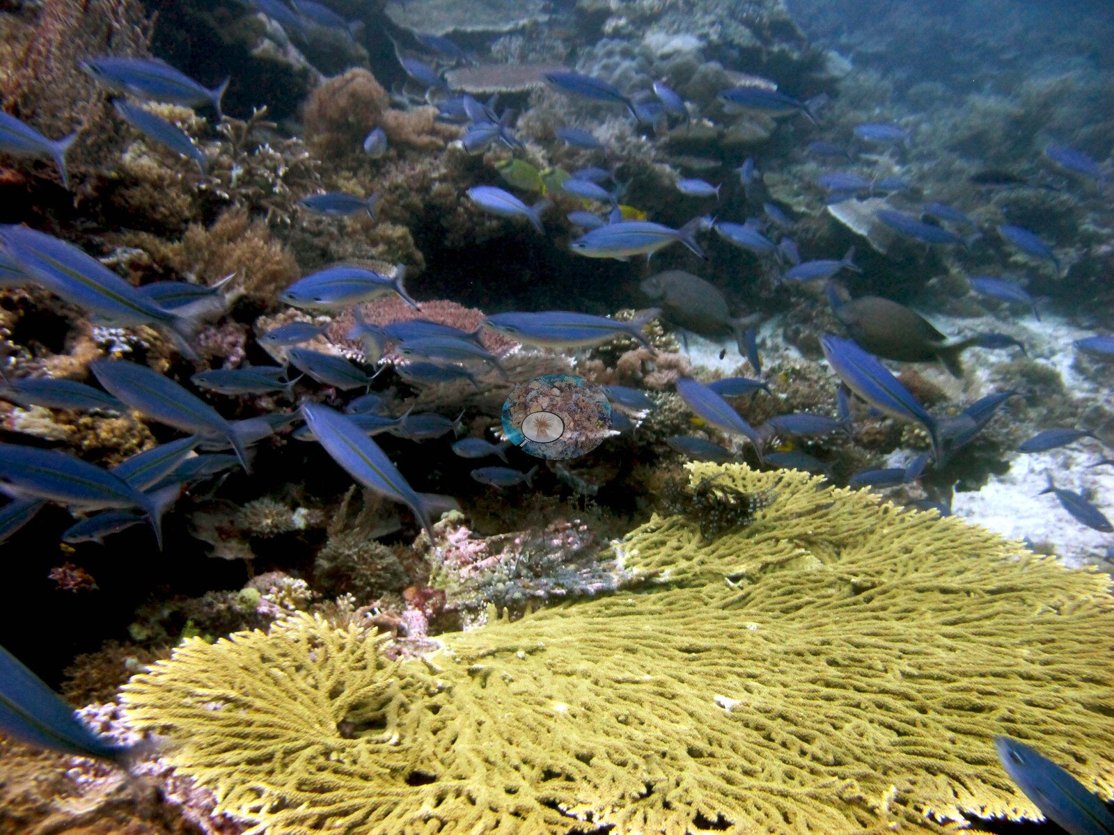 49
49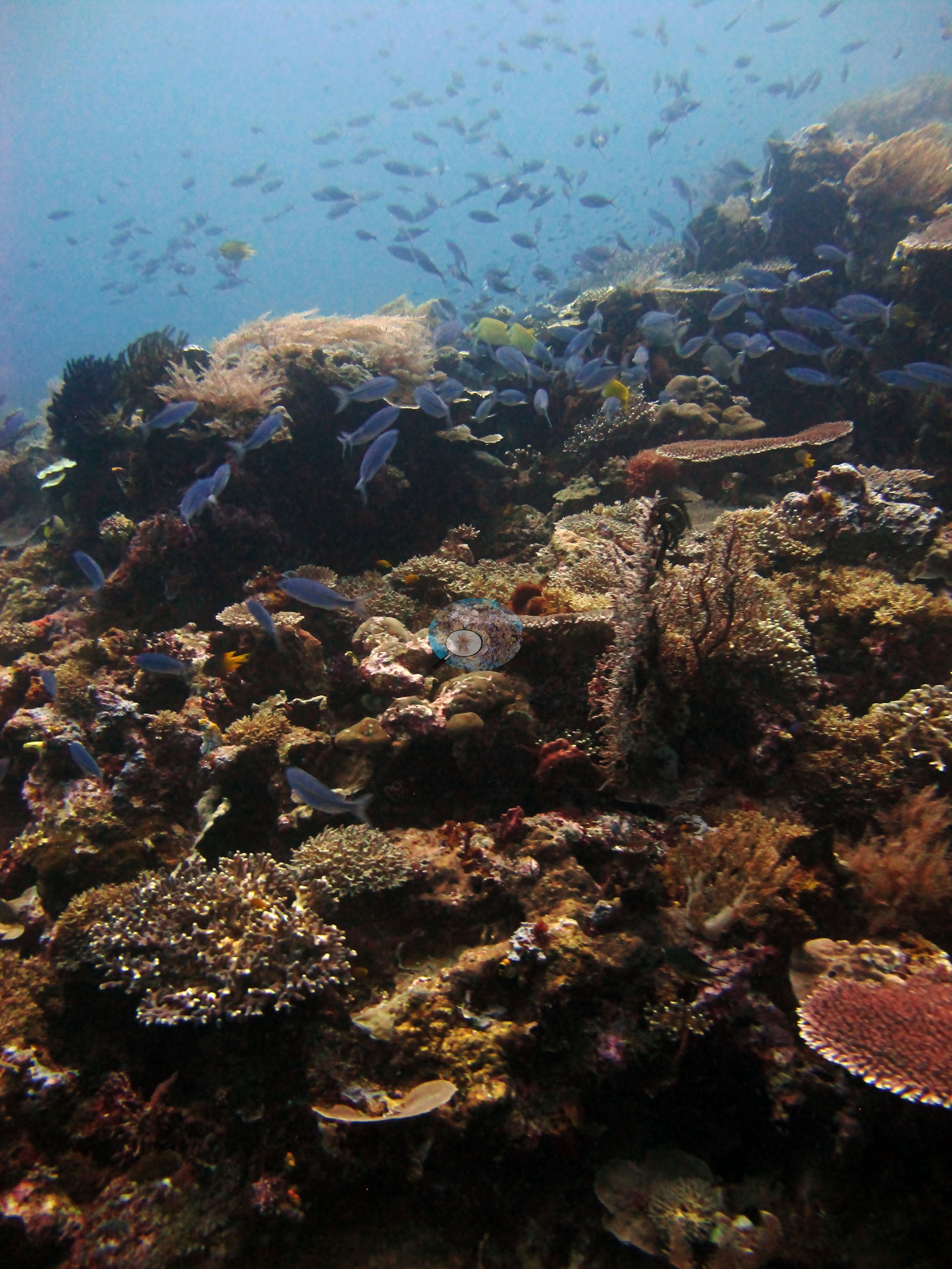 50
50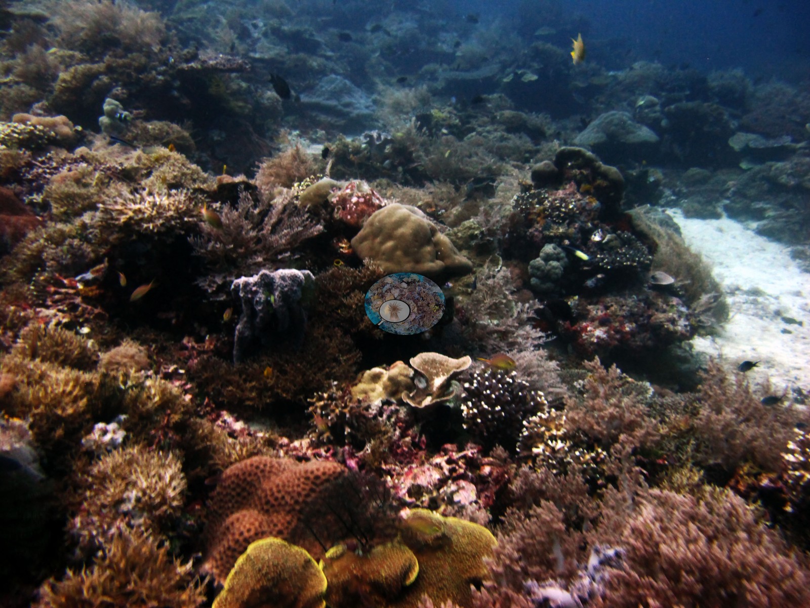 51
51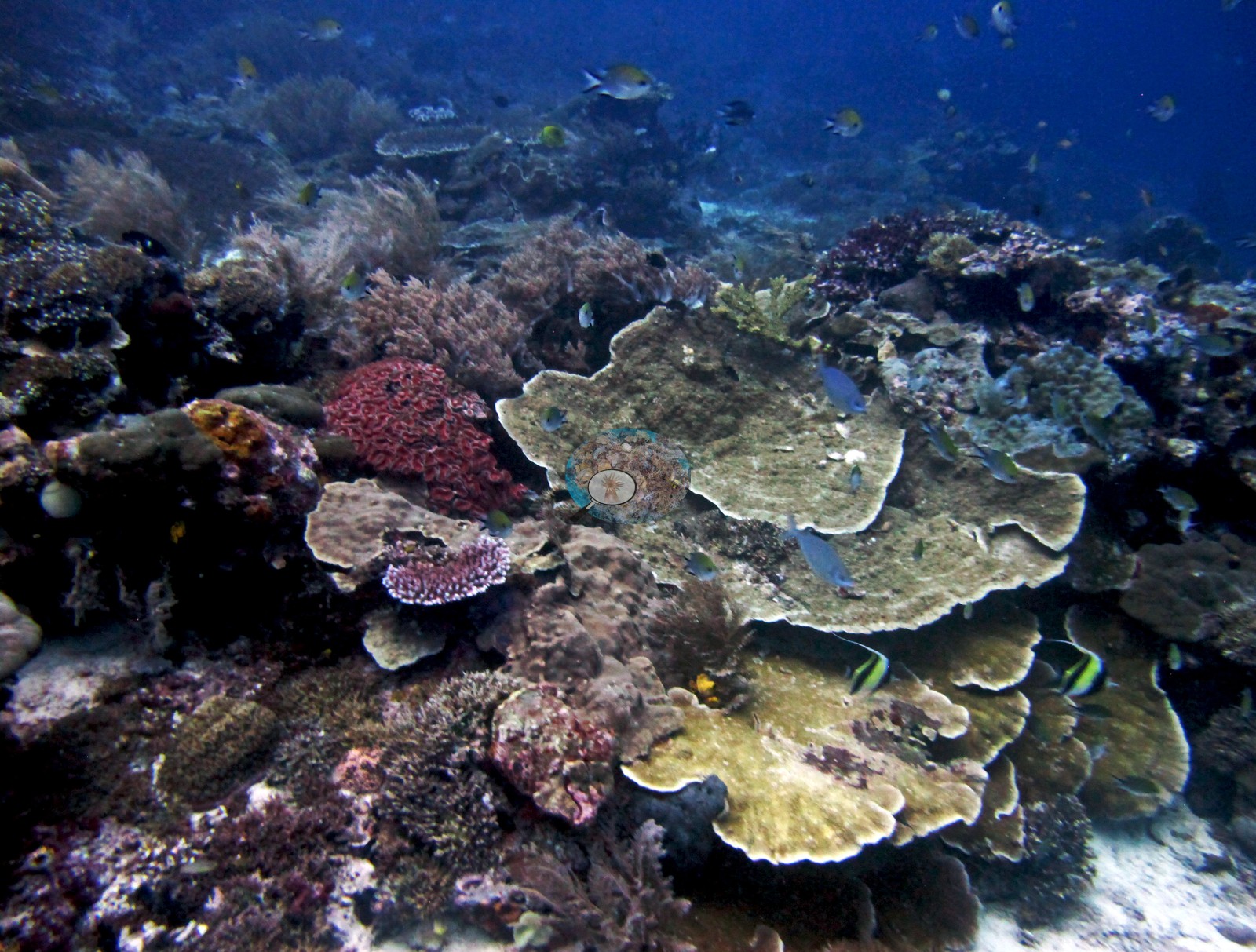 52
52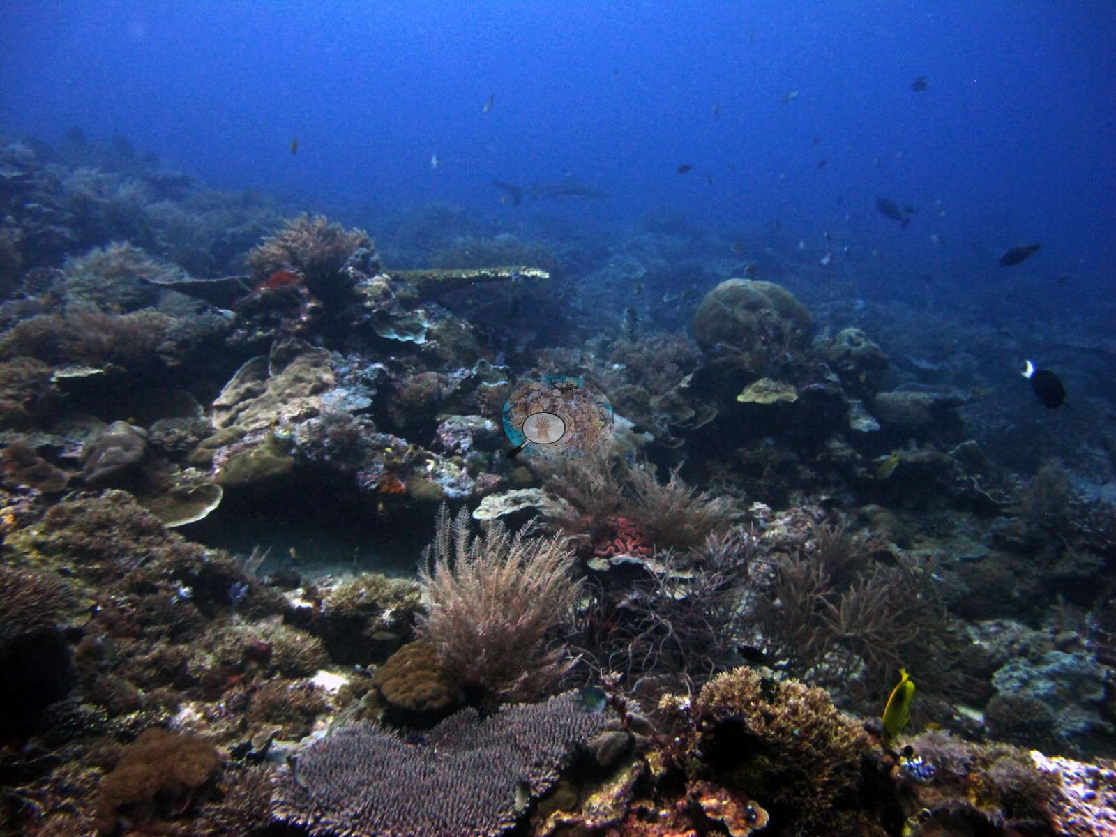 53
53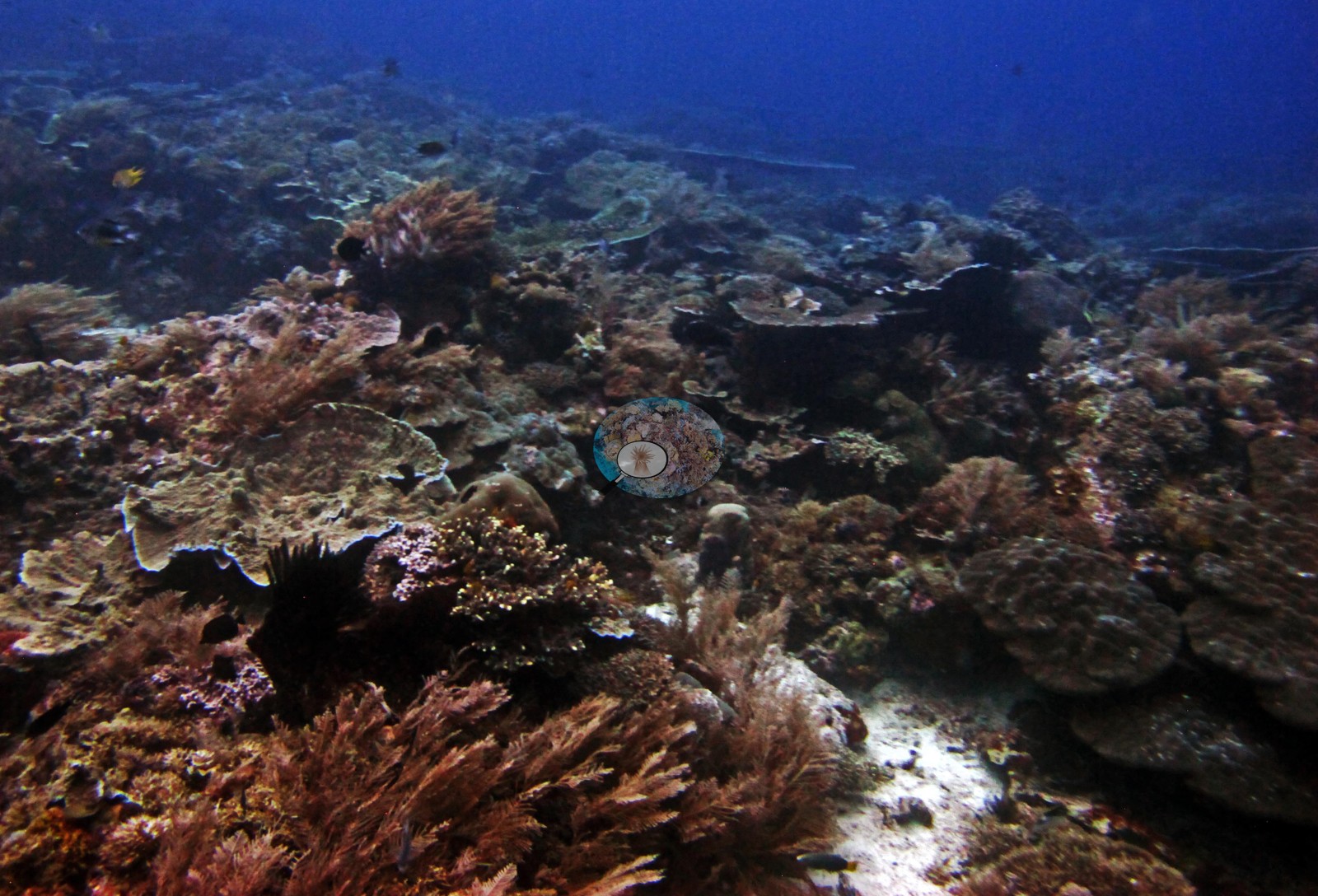 55
55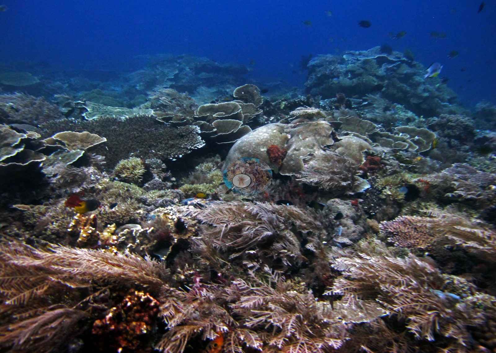 56
56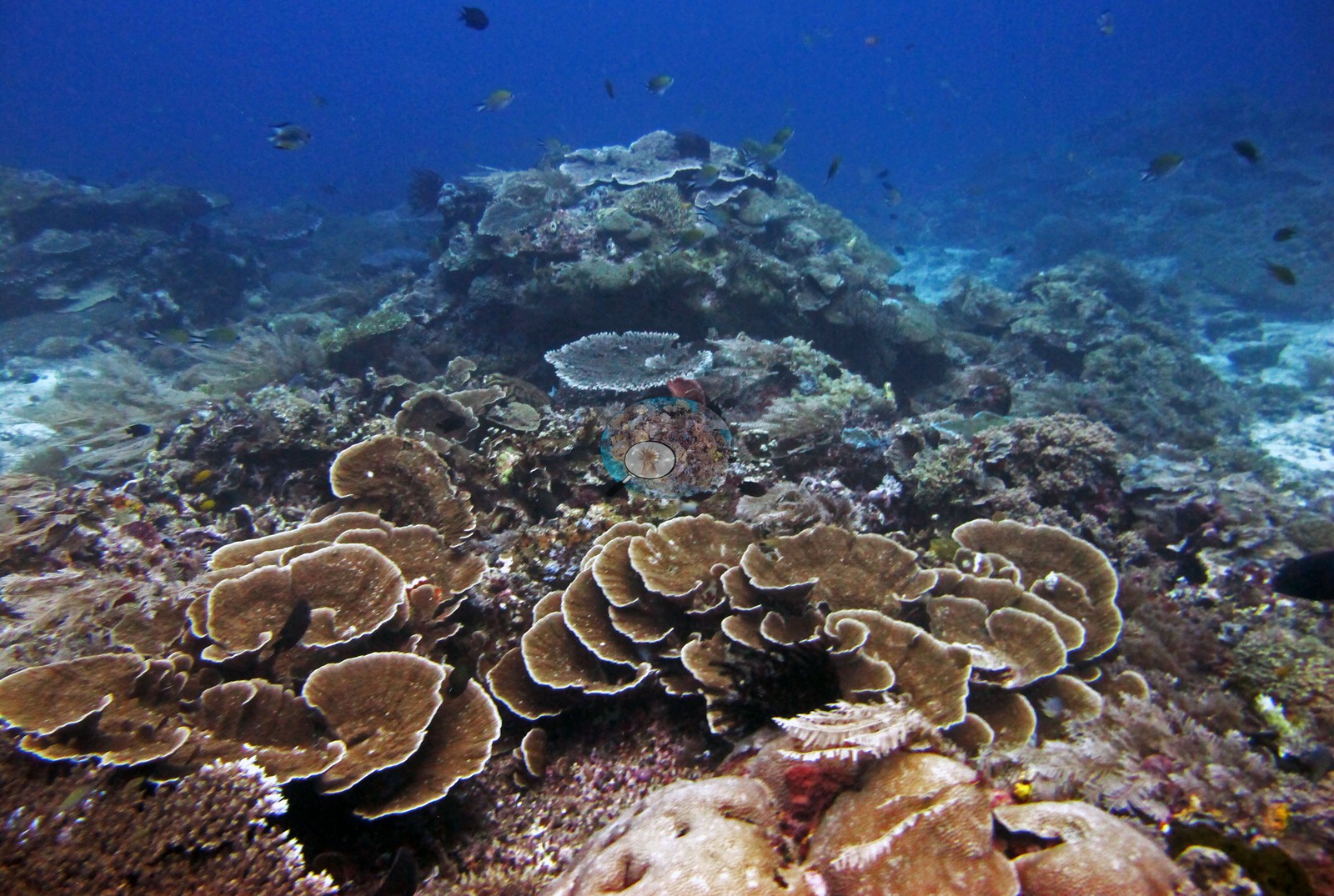 57
57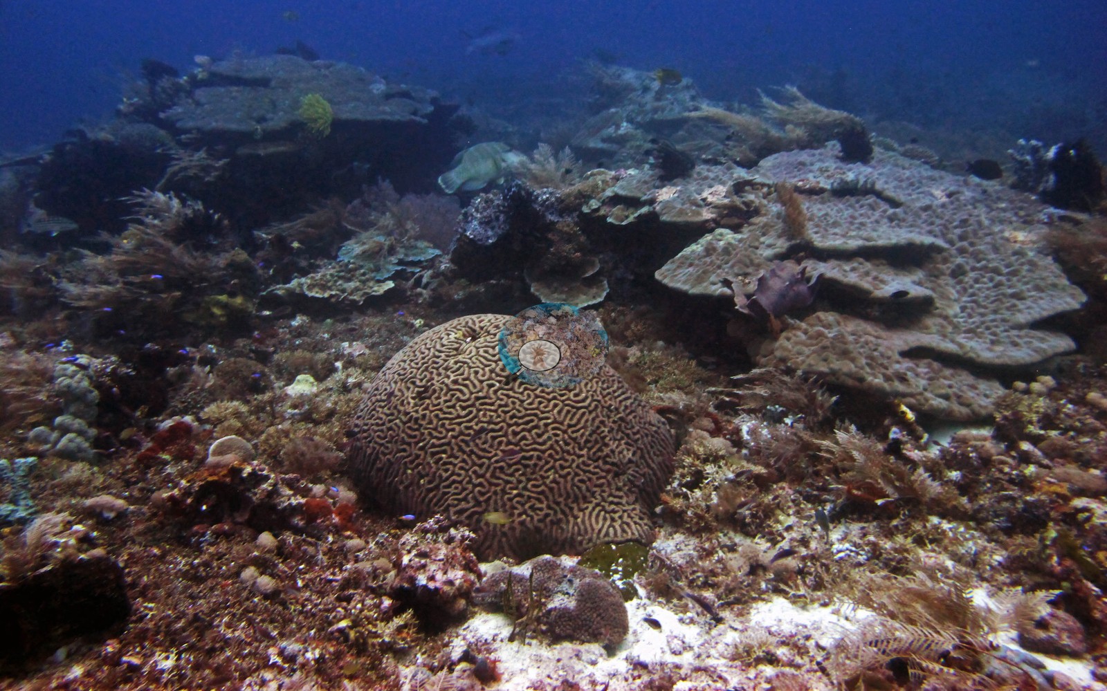 58
58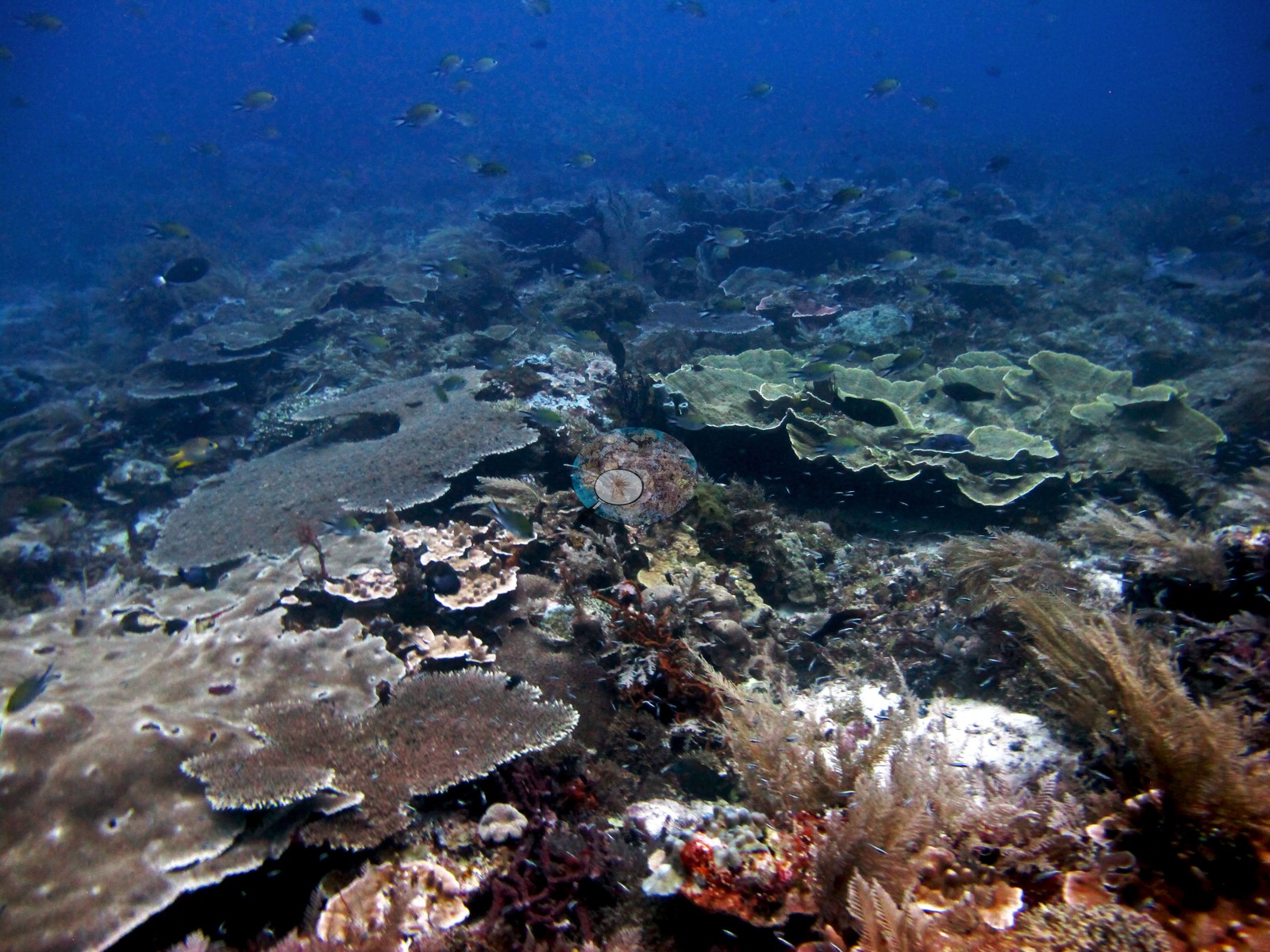 59
59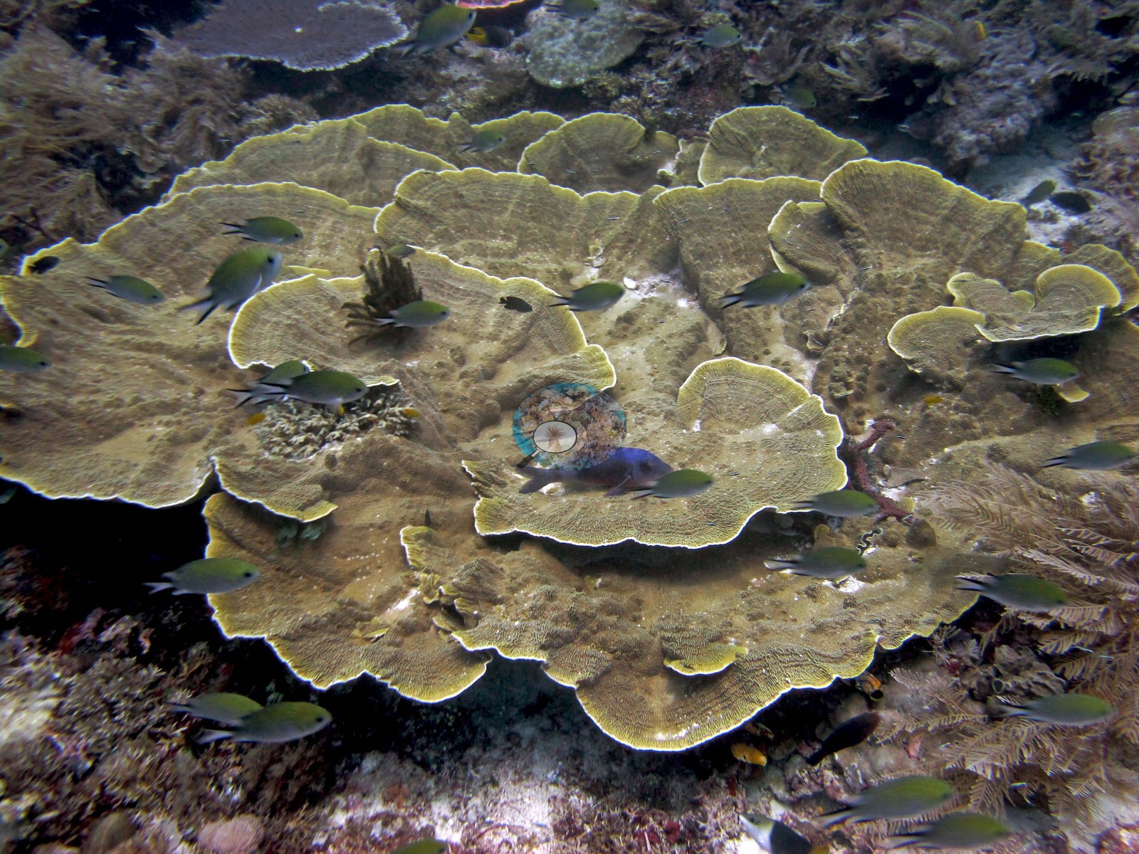 60
60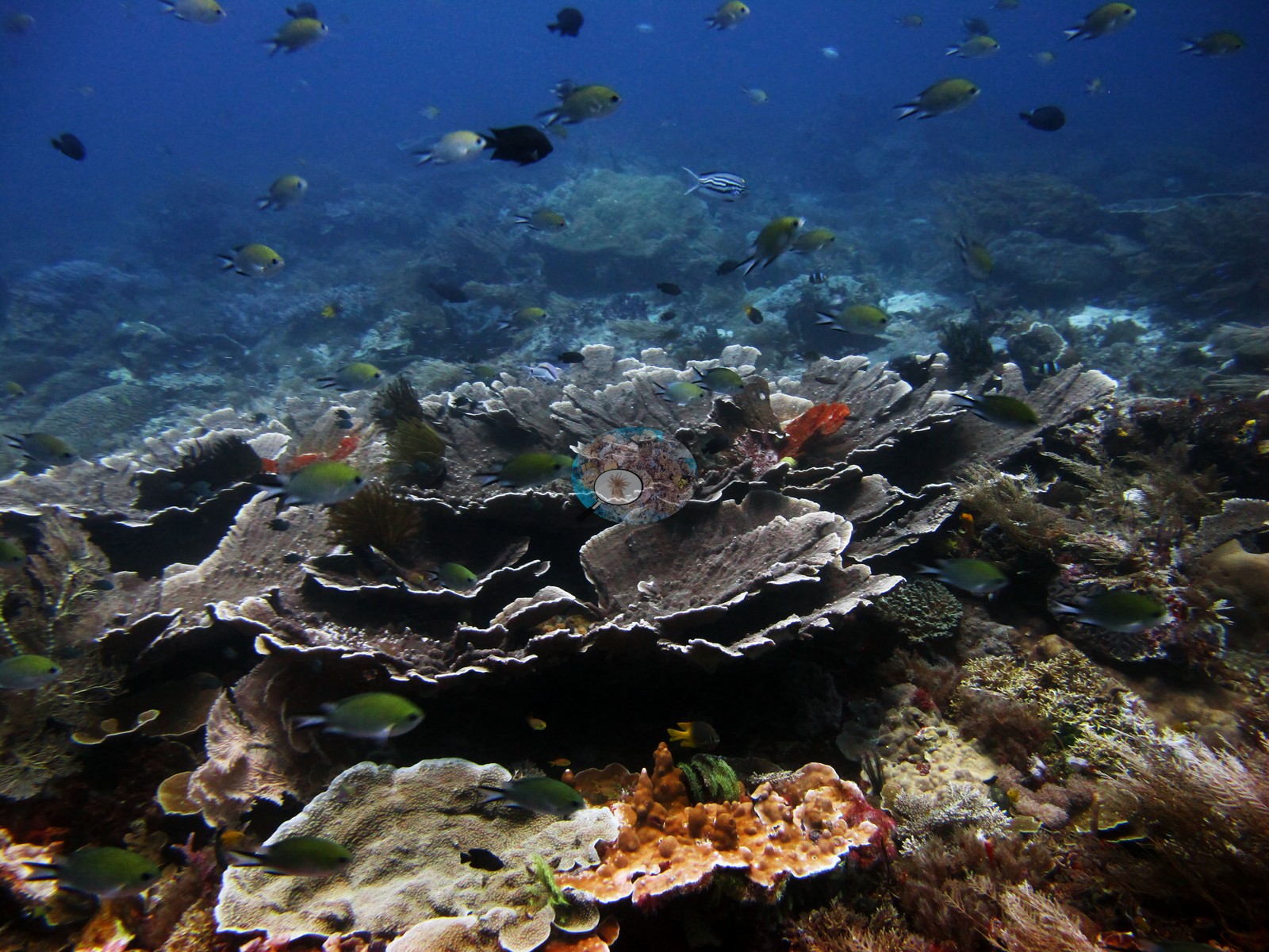 61
61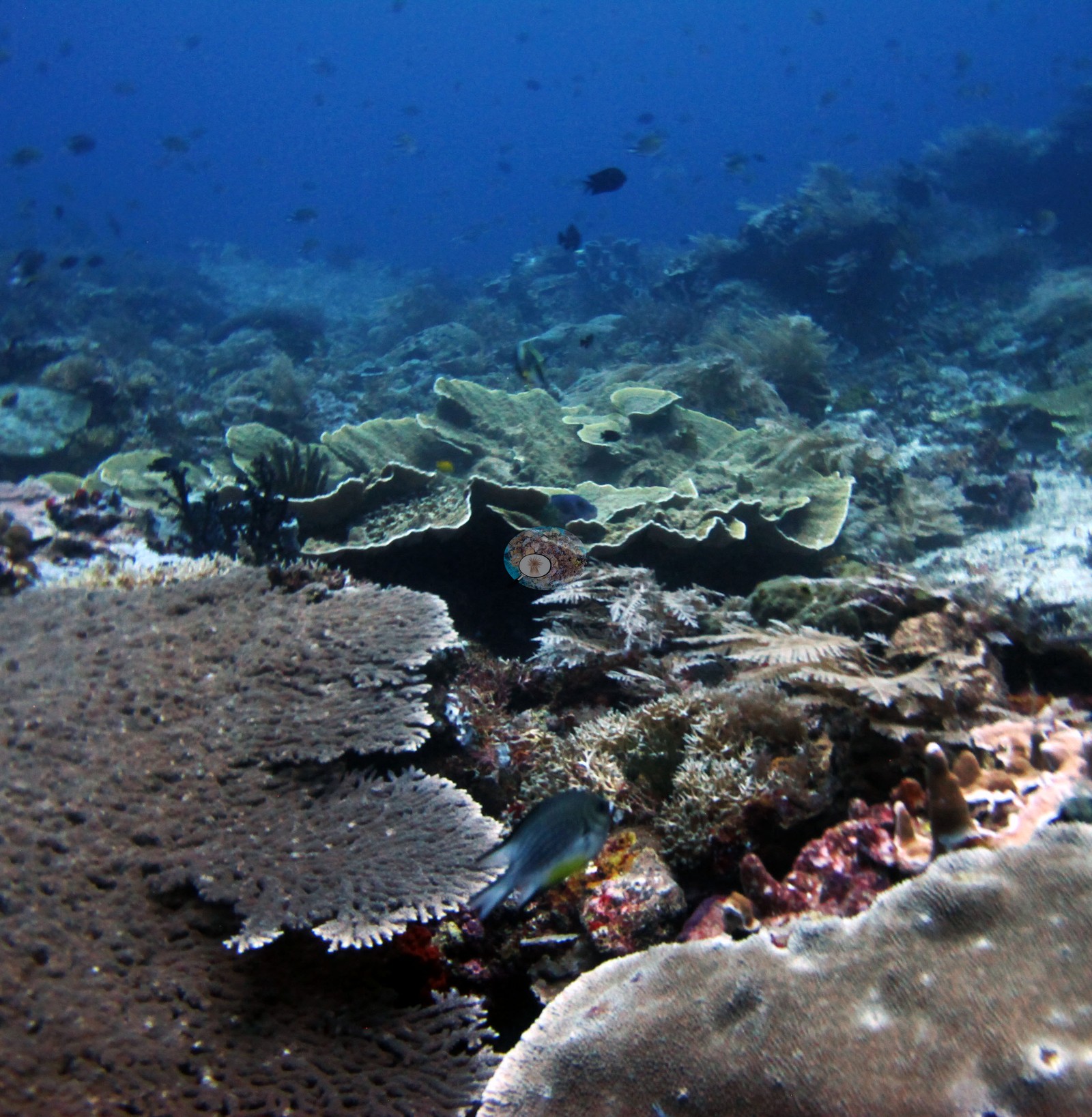 62
62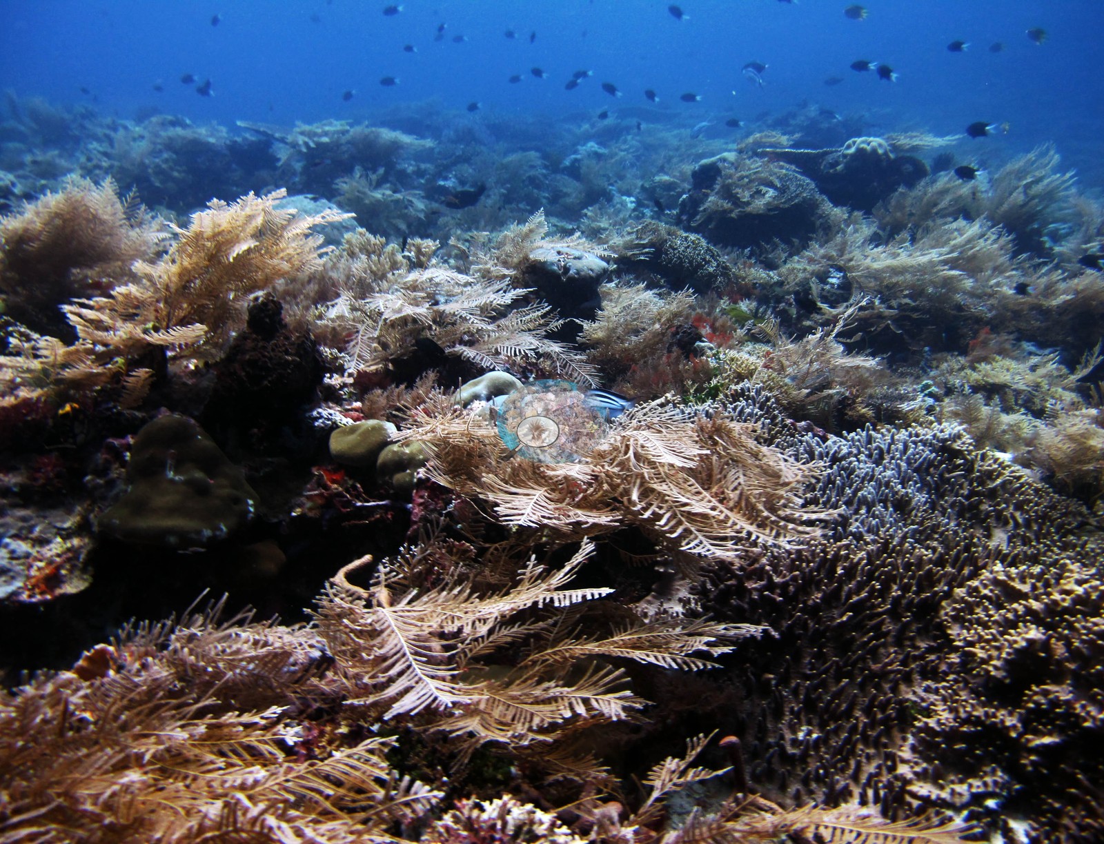 63
63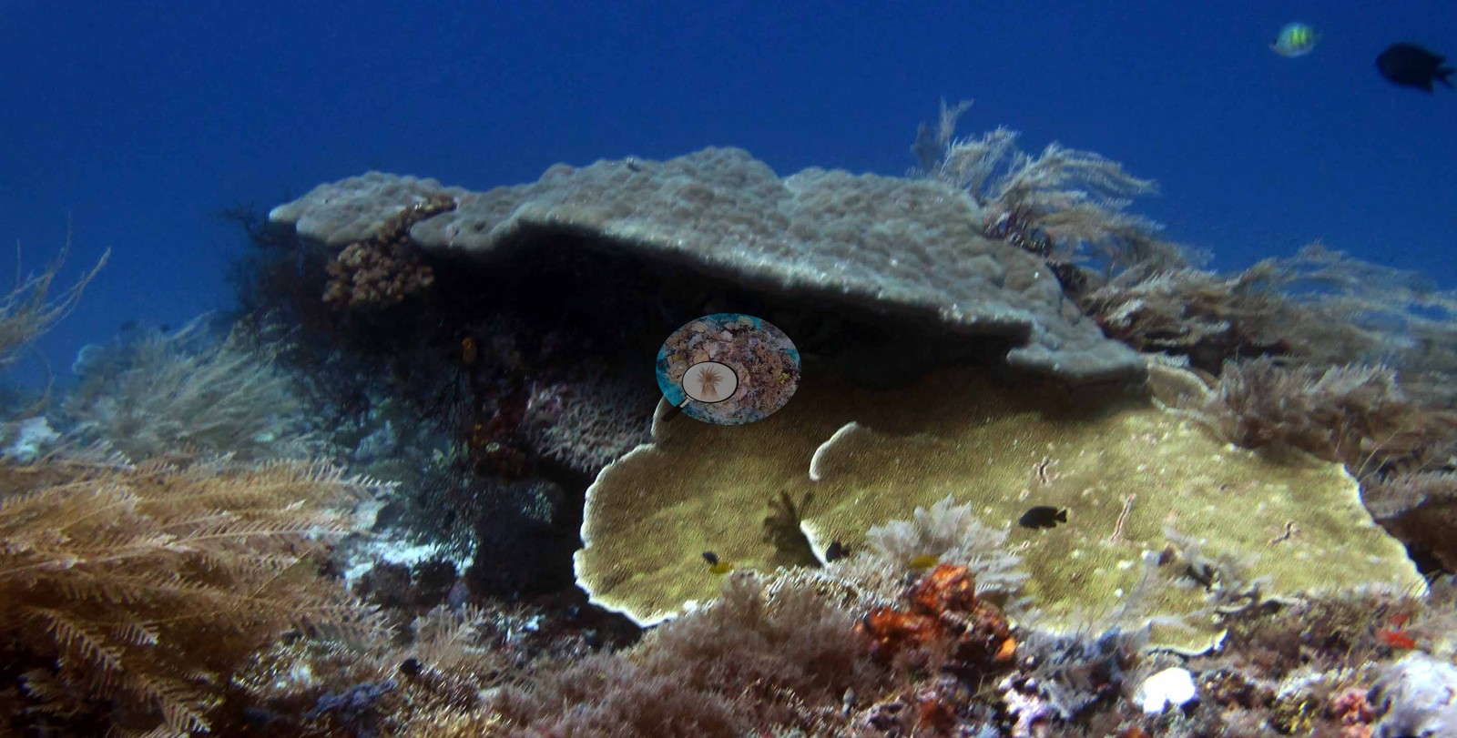 64
64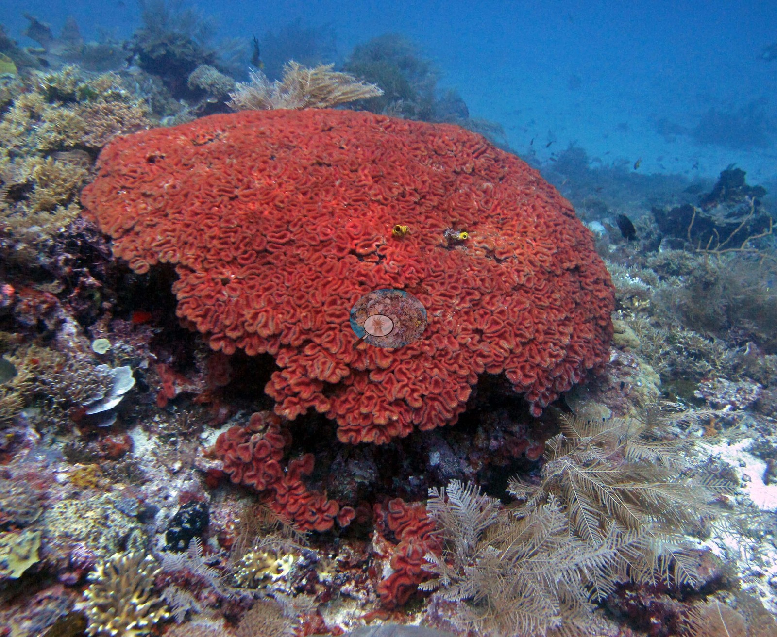 65
65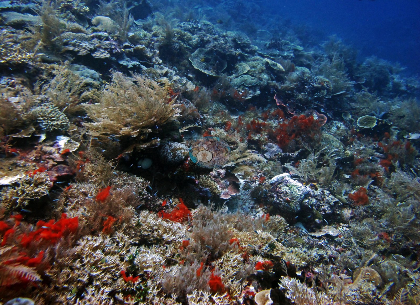 66
66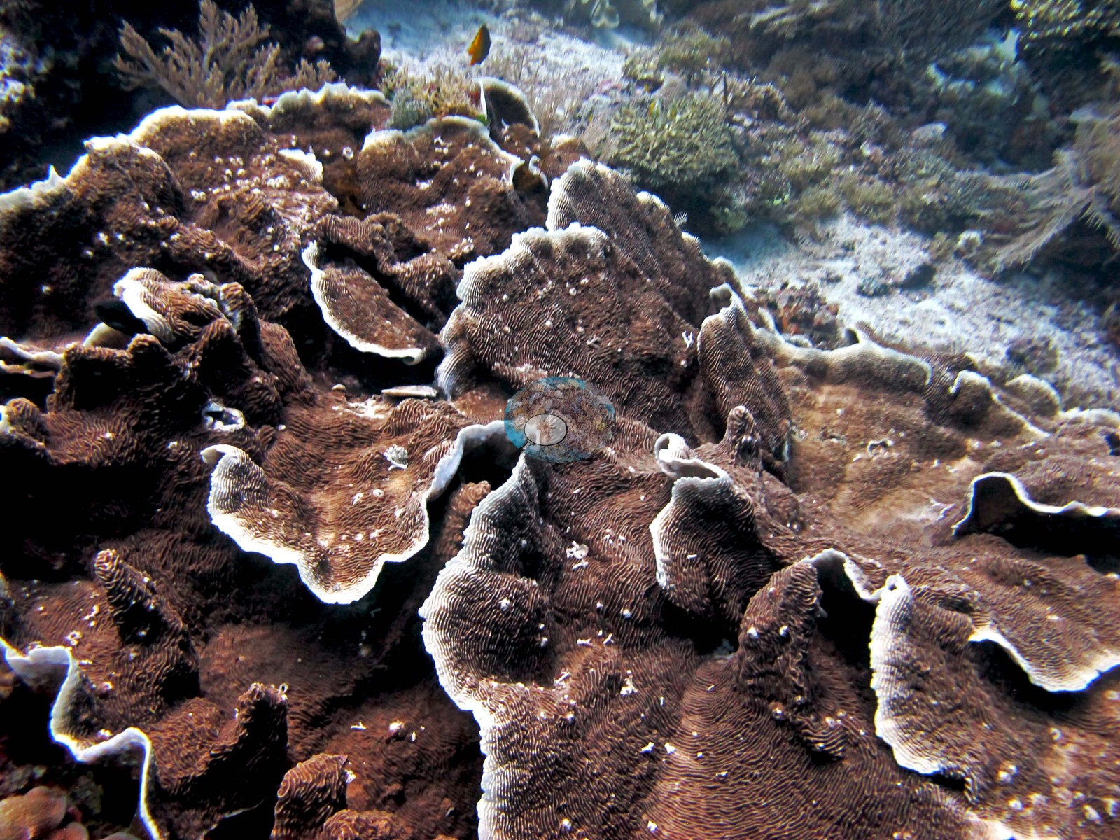 67
67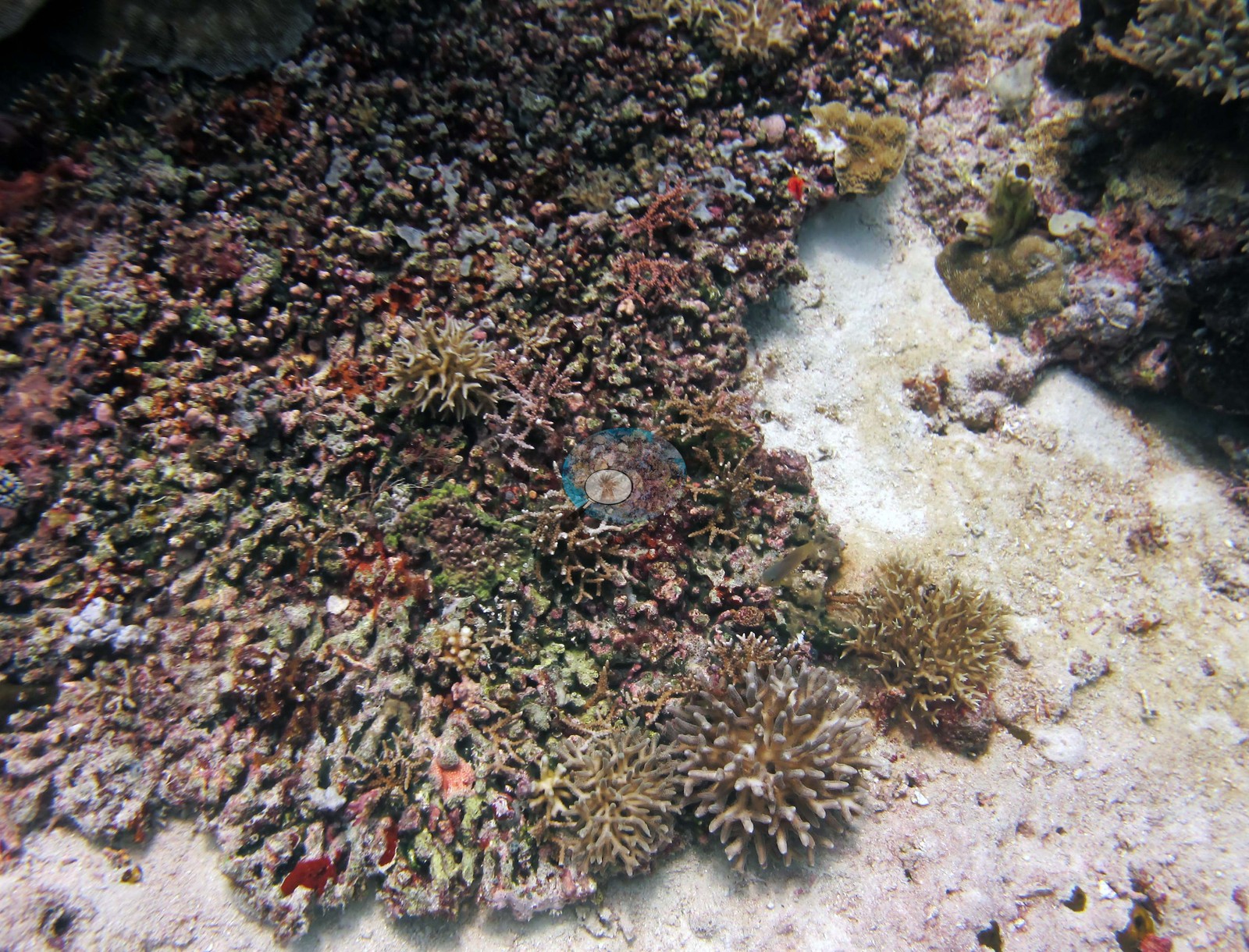 68
68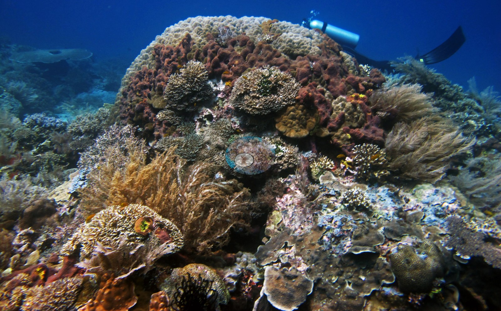 69
69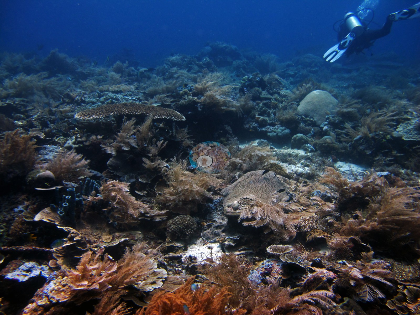 70
70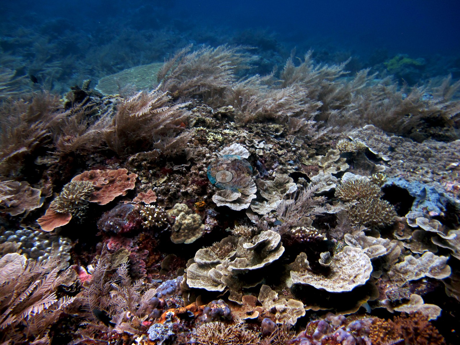 71
71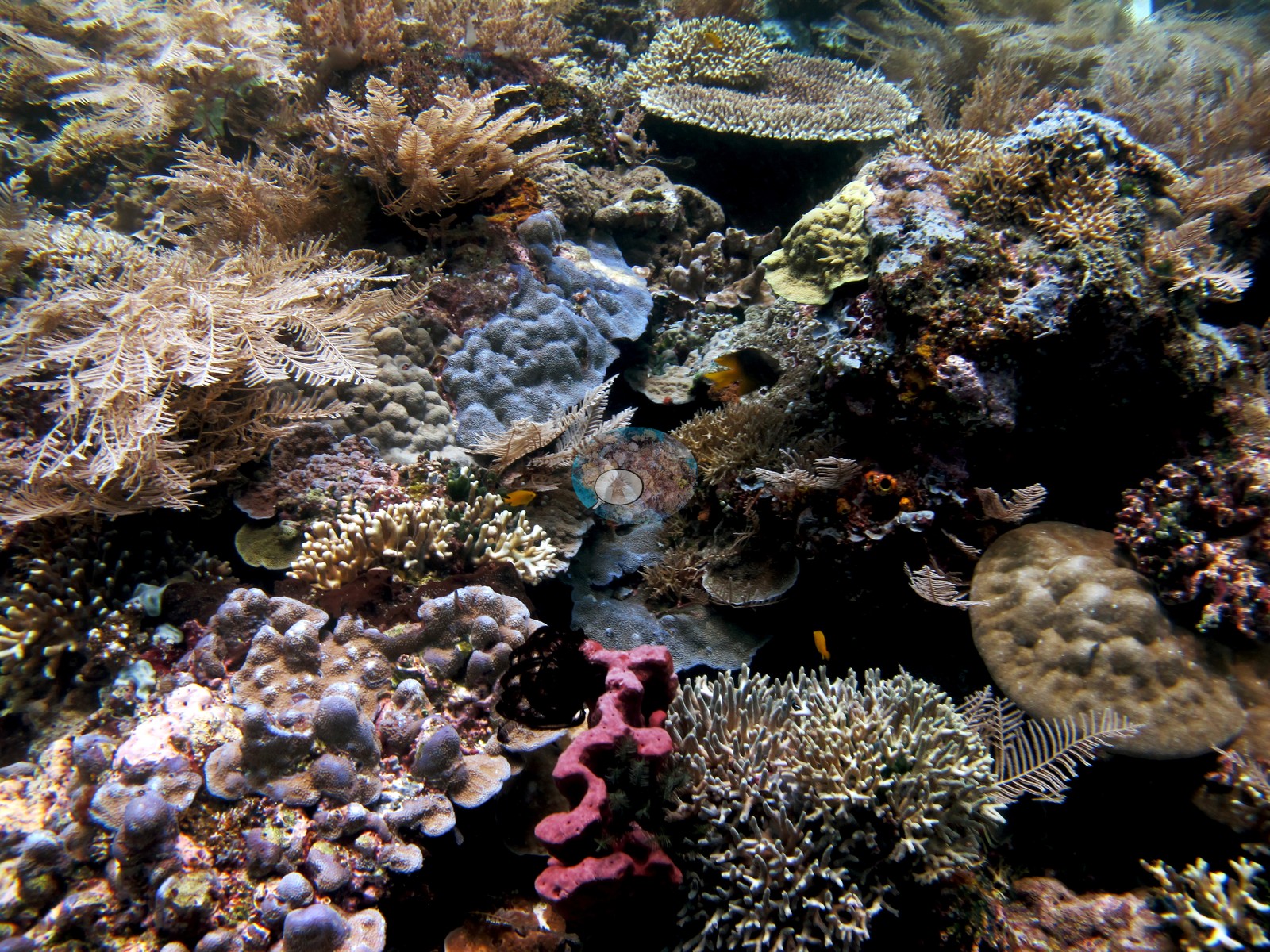 73
73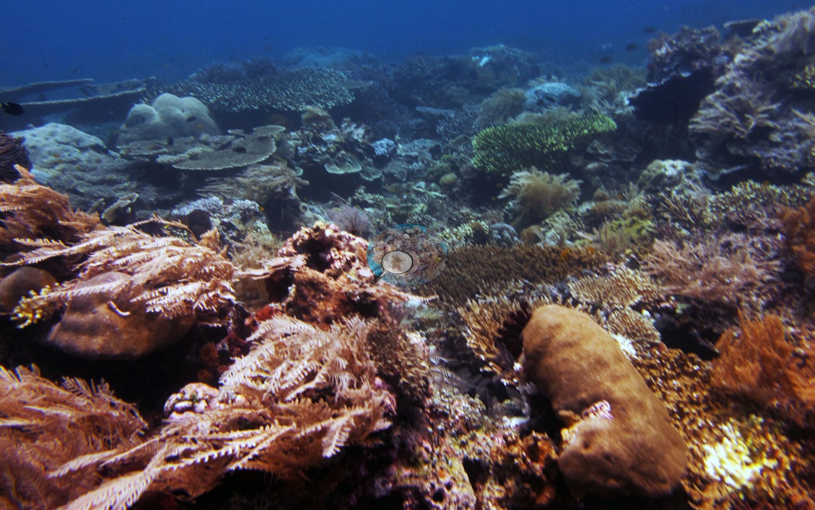 74
74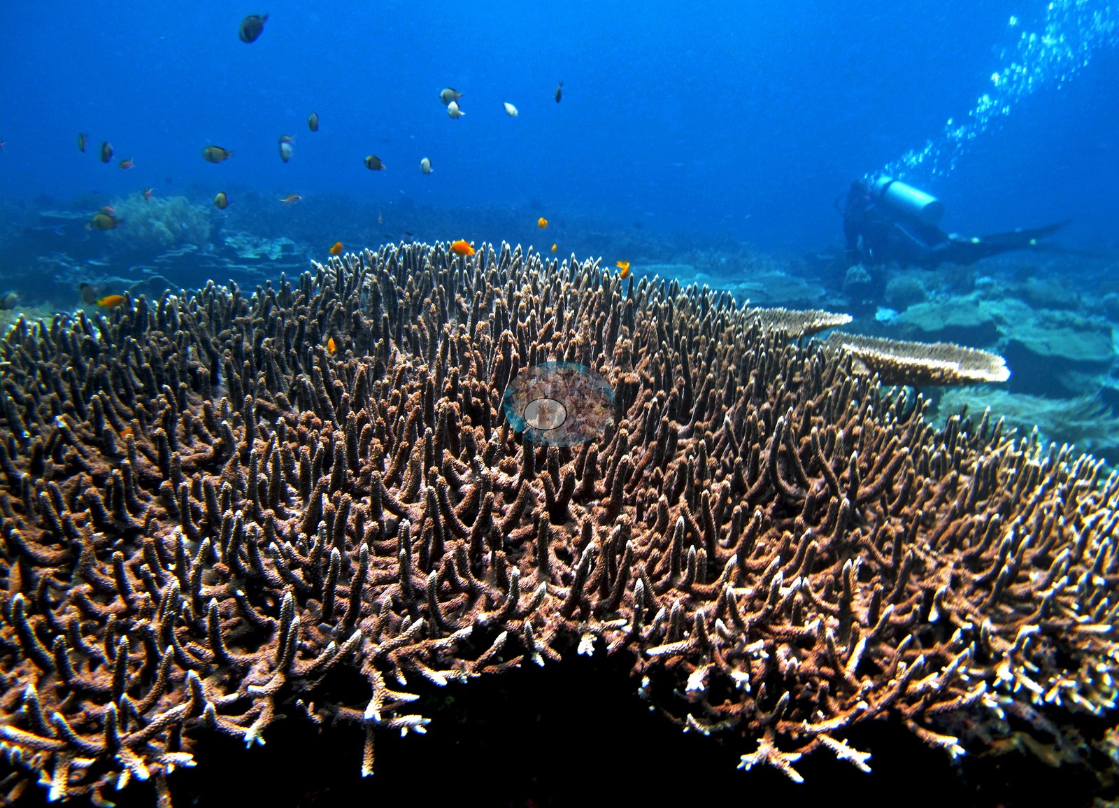 75
75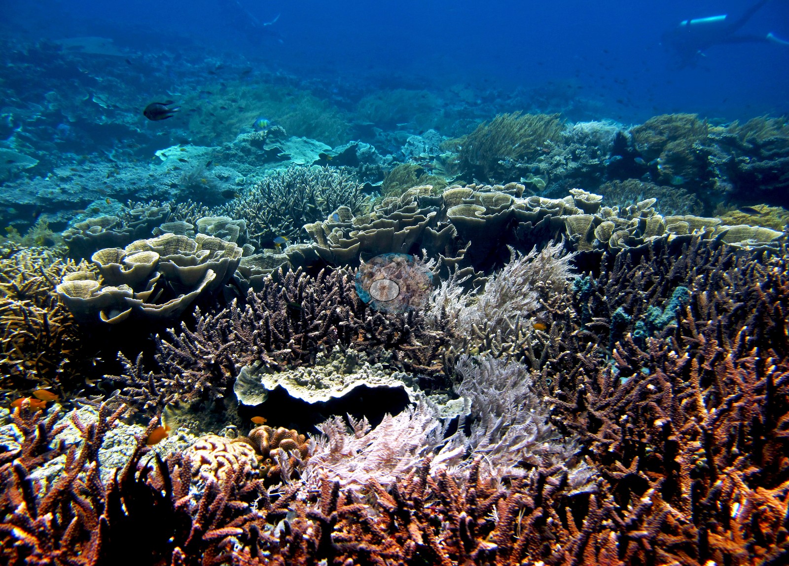 76
76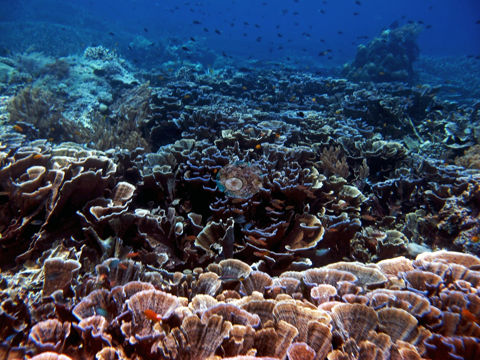 77
77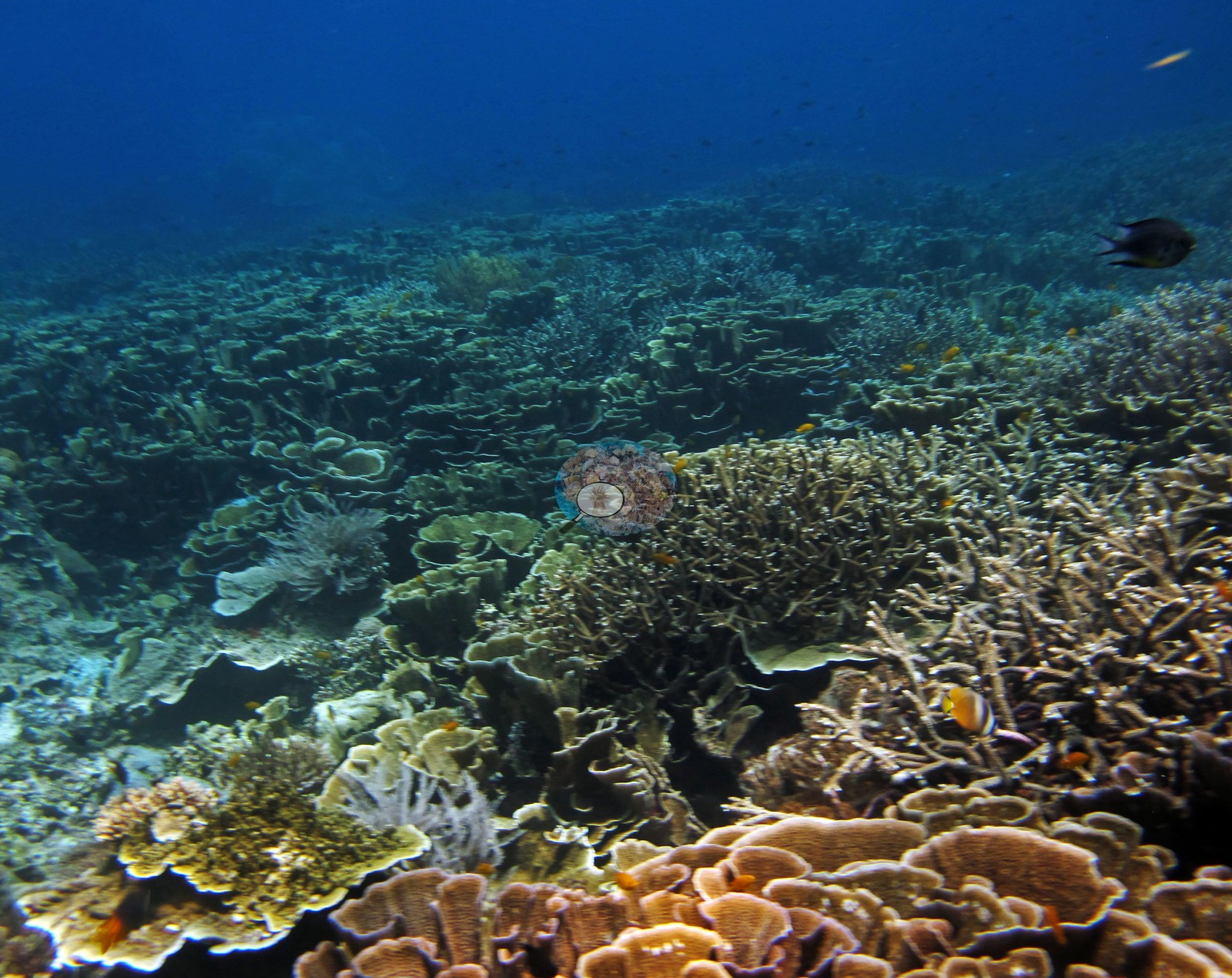 78
78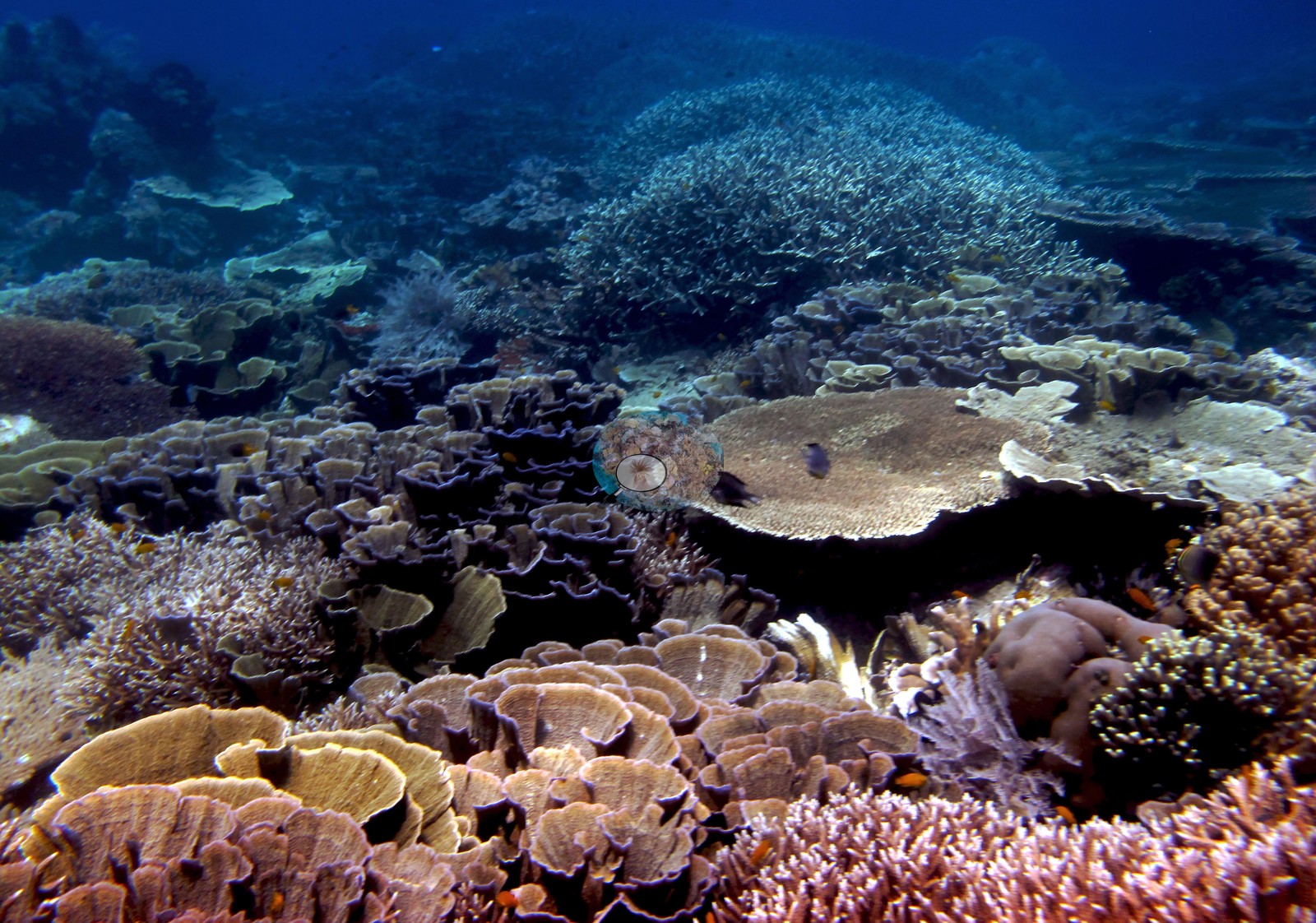 79
79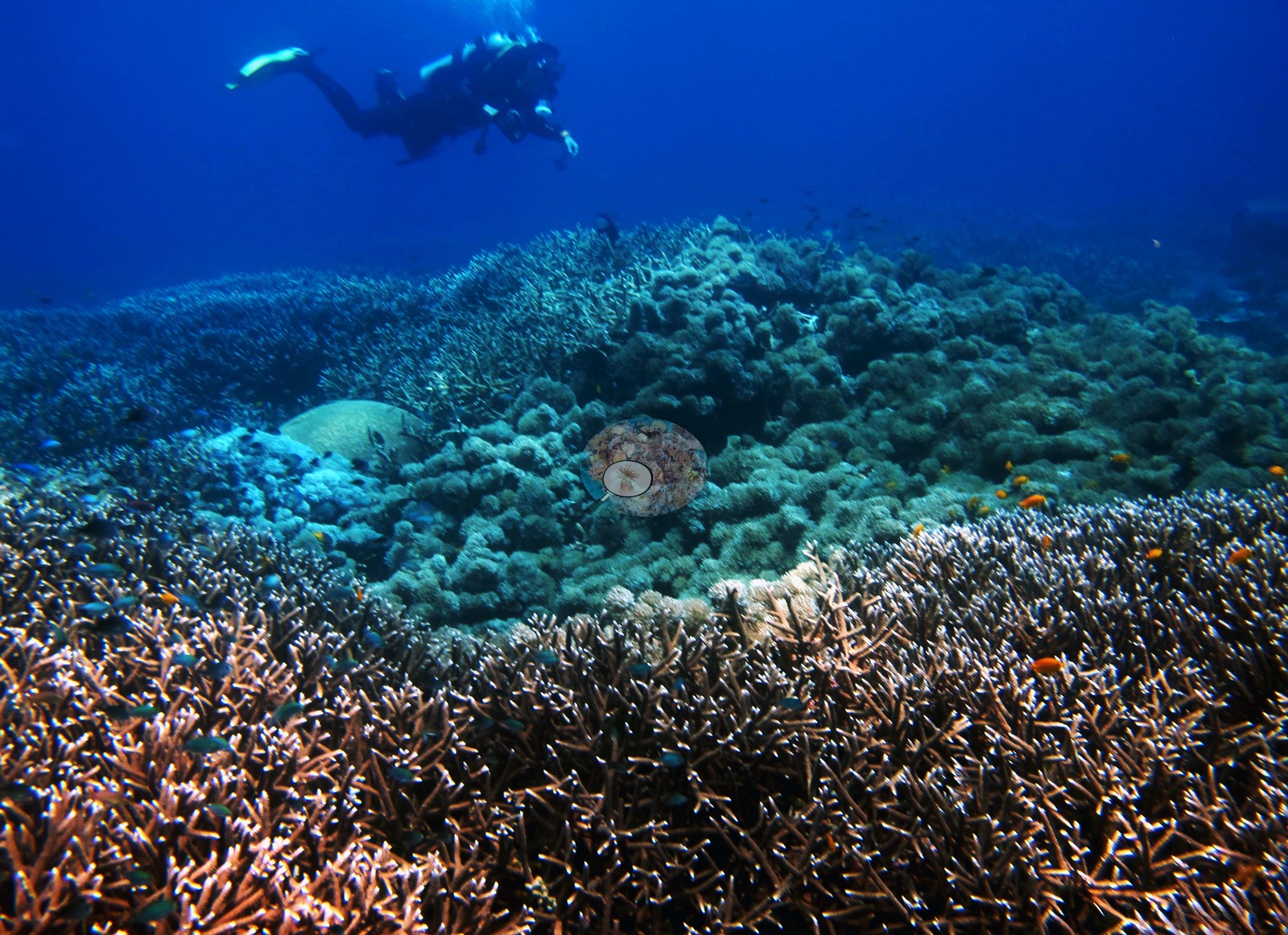 80
80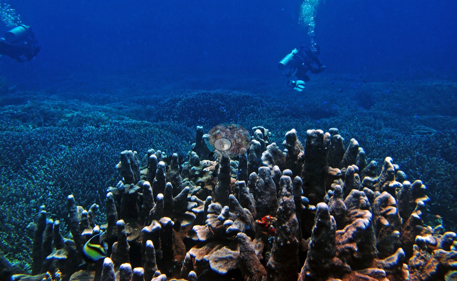 81
81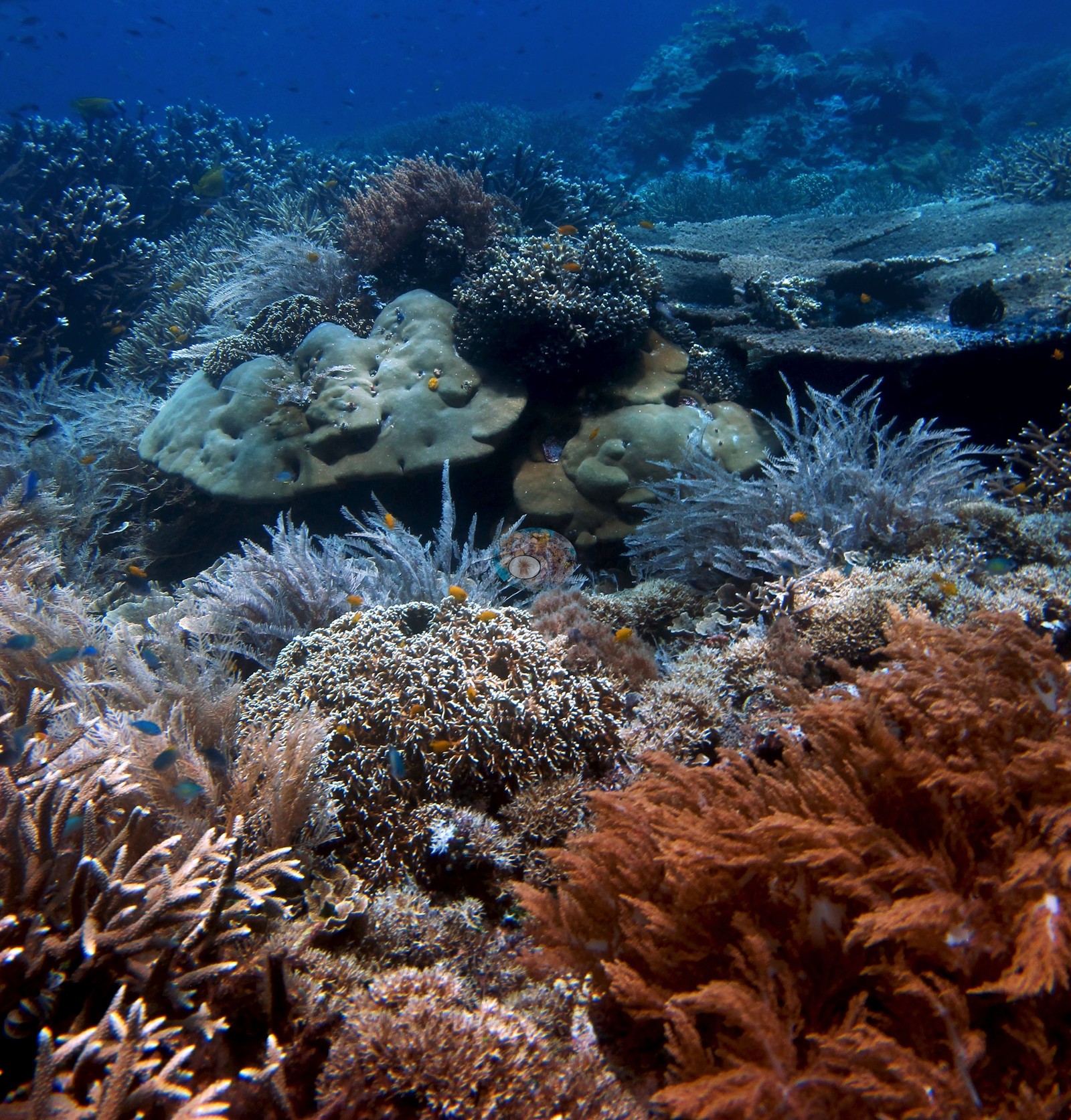 82
82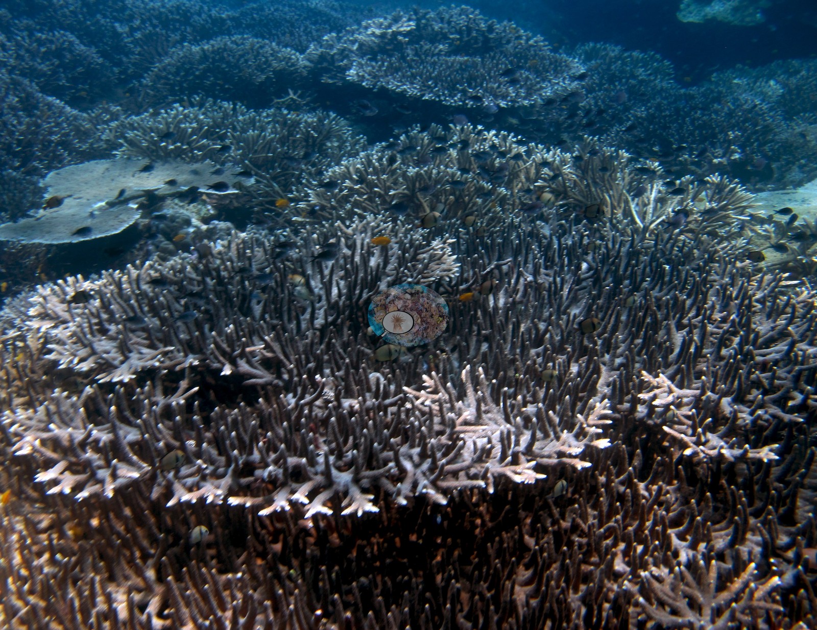 83
83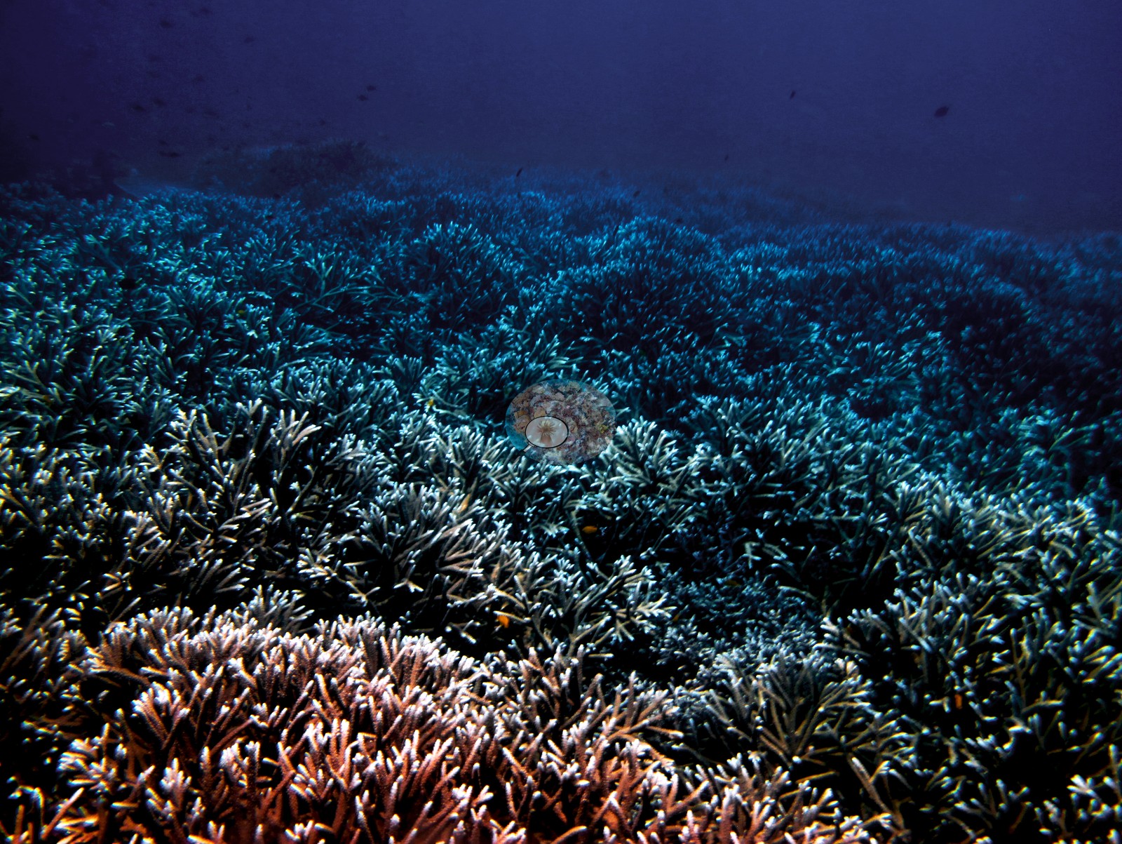 84
84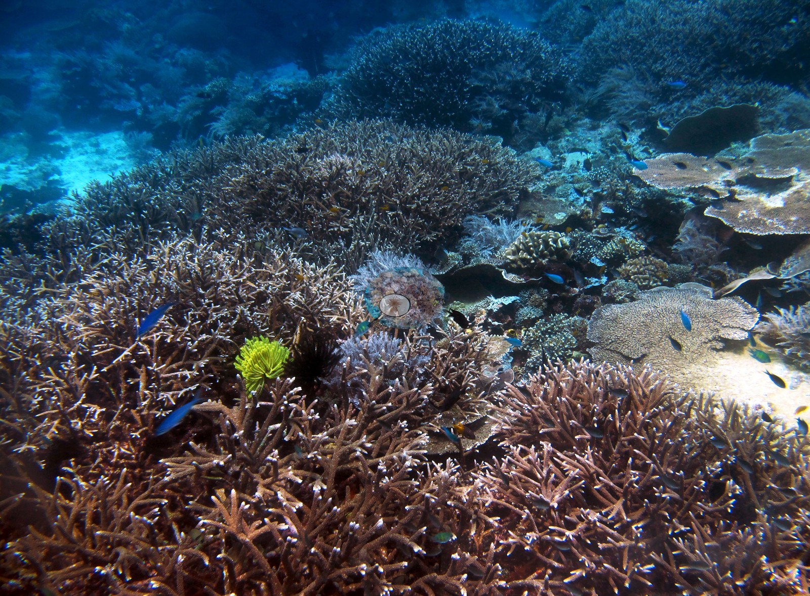 85
85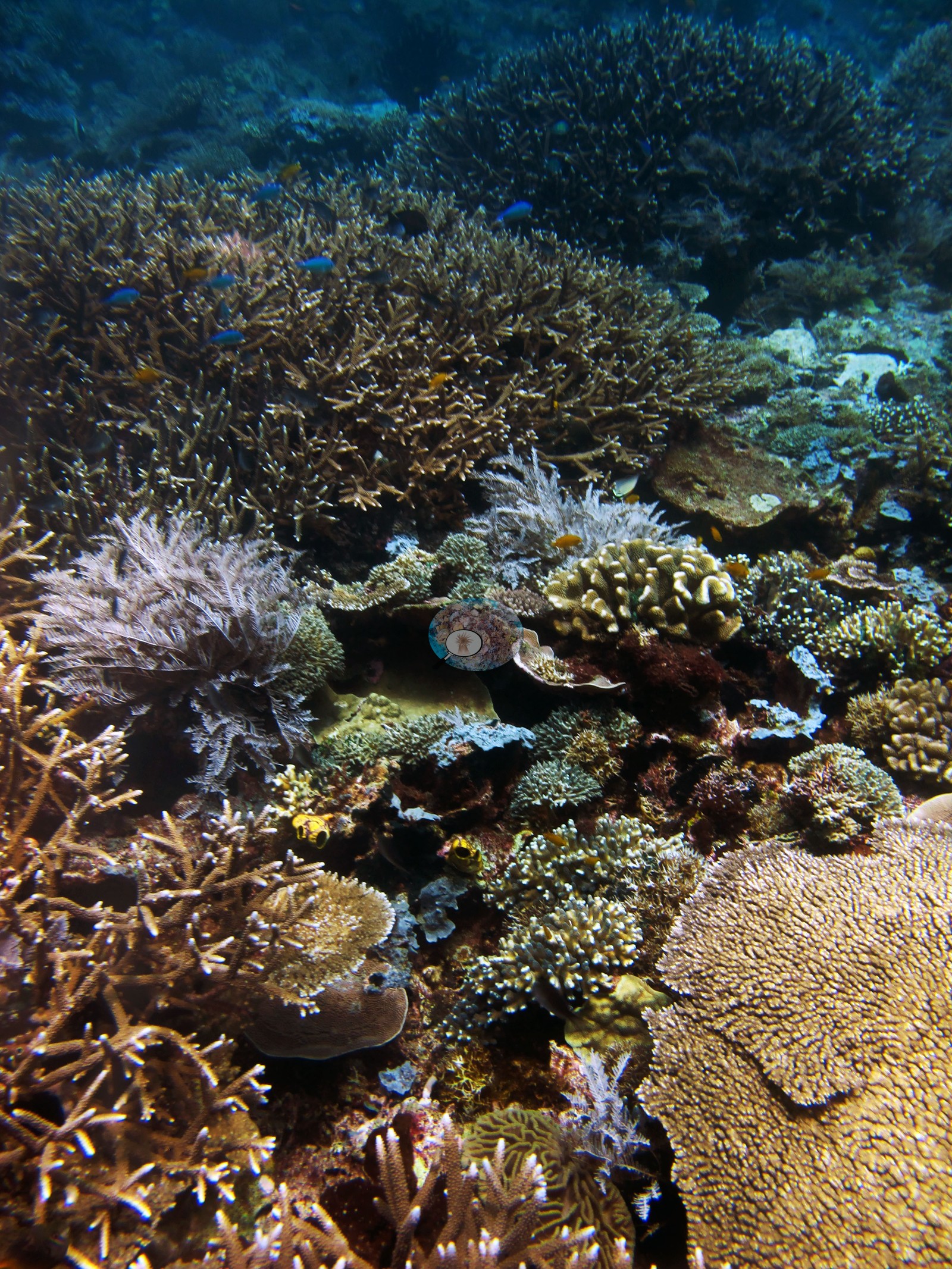 86
86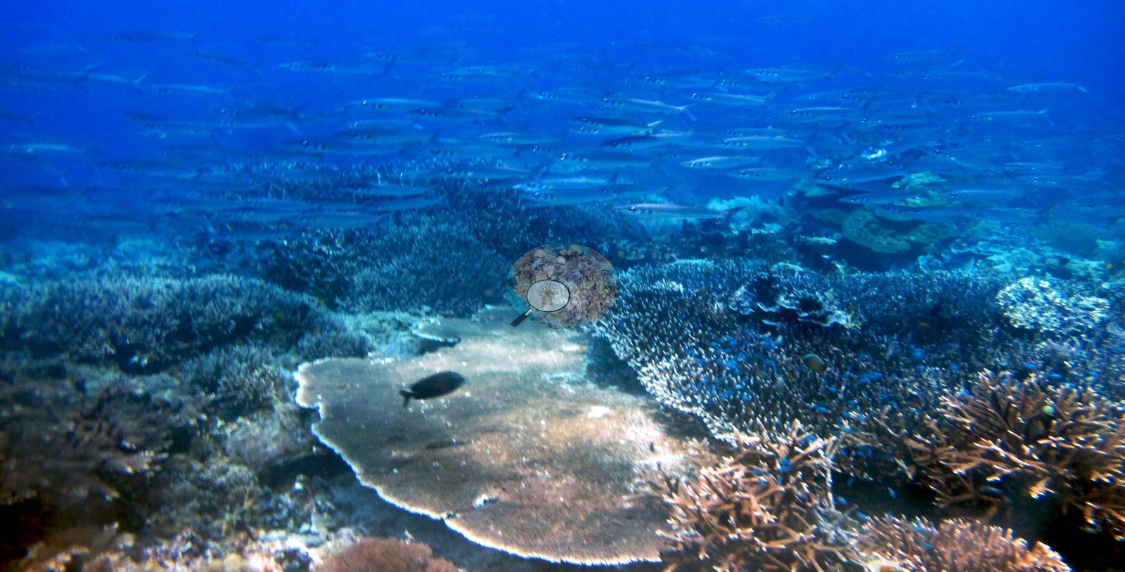 87
87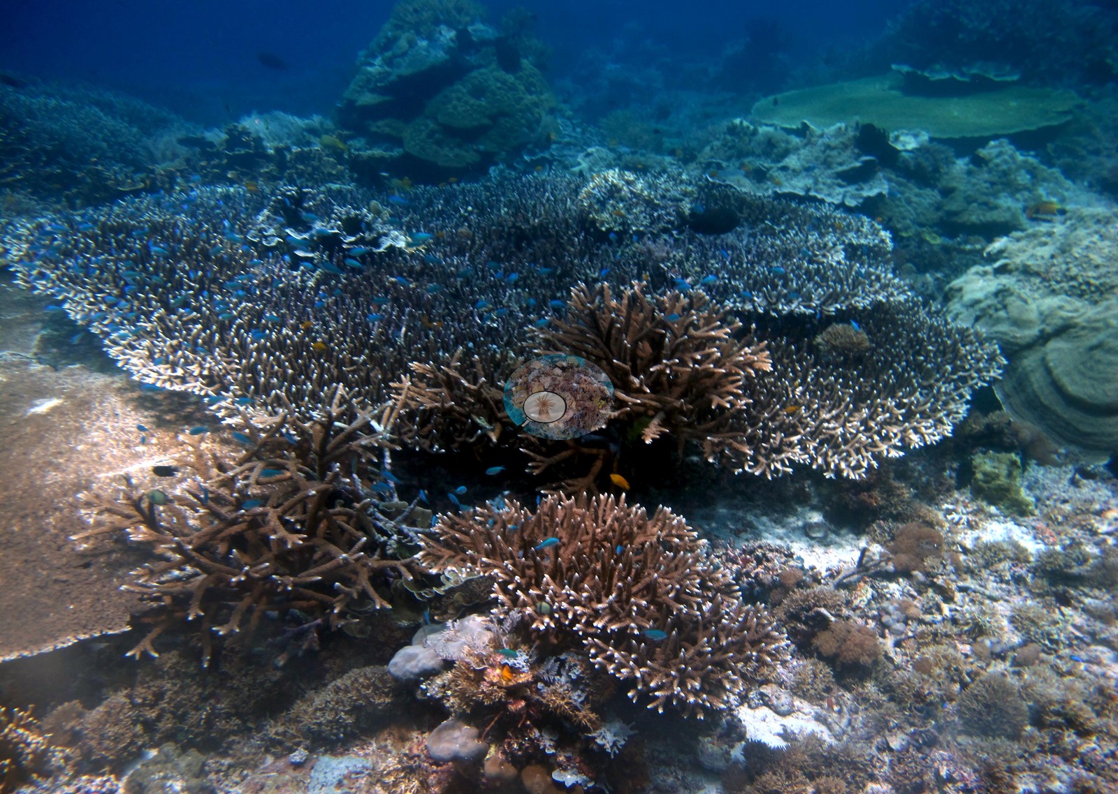 88
88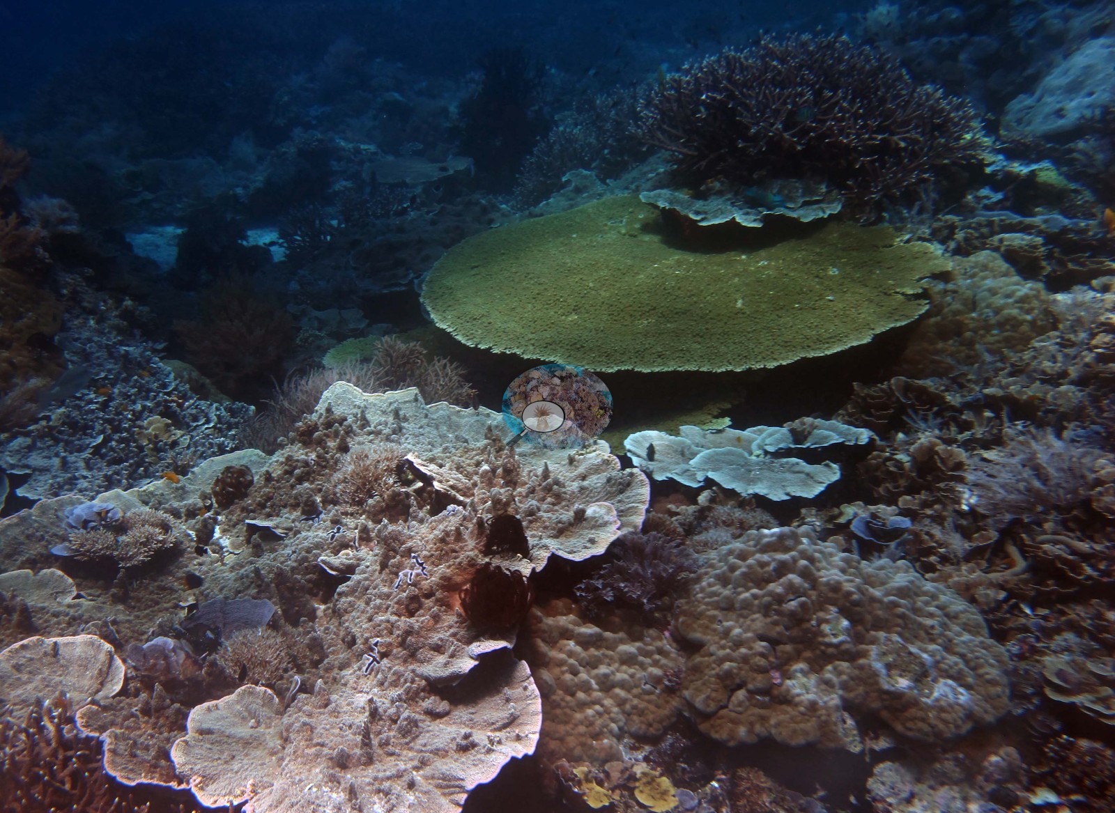 89
89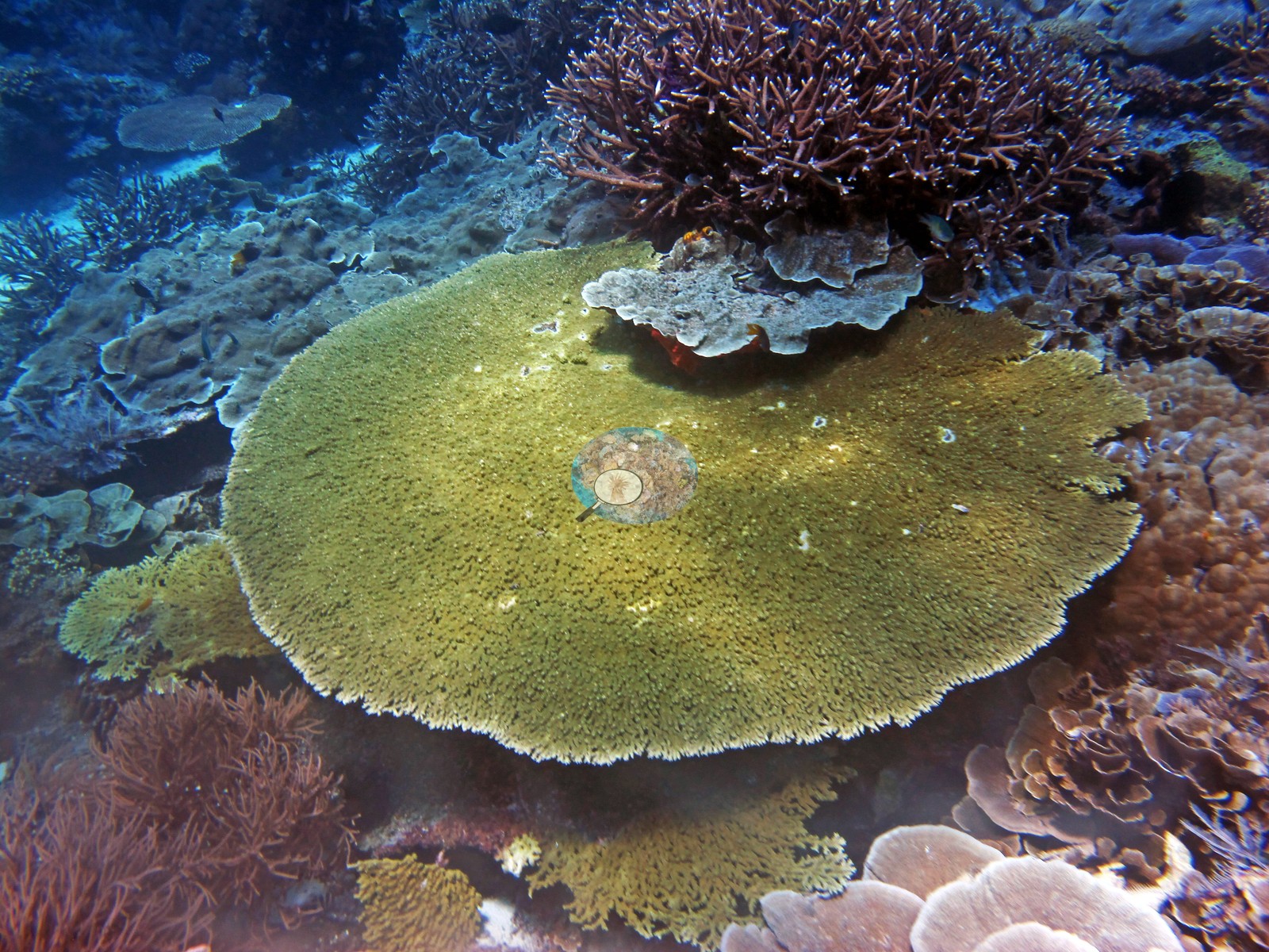
Site description
Setting
Dive 24, Melissa's Garden (Fam/Penemu), 21 October 2018 — 89 habitat frames, the largest photo set of the trip and the second-highest computer-vision cover index in it.
General benthic features
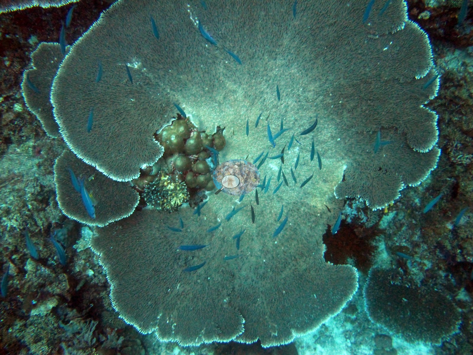
What the frames show, in order. The set opens on structure rather than scenery: H1 (IMG_0965) is a single large tiered Acropora table photographed from above in ambient green light, its lobes overlapping into a near-continuous disc with blue-green damselfishes sheltering across it. H2 and H3 (IMG_0967-0968) pull back to the slope — layered laminar plates stacked over a branching thicket, with massive domes and encrusting sheets filling the gaps and open blue behind. H4 (IMG_0970) is the exception in the early run: a shallower, more worked-over patch where gray foliose whorls sit among dense fleshy and red algal turf rather than clean coral. H5 and H6 (IMG_0971-0972) return to tiered plate stacks, in H6 broad orange-brown laminar tiers shingled one over another. H7-H9 (IMG_0973-0977) are mixed reef-top frames: plates, encrusting and massive colonies, crinoids, red encrusting sponges, and in H9 a pale gorgonian at the upper edge of the frame. The middle of the dive is where the diversity of growth forms is clearest. H10 (IMG_0978) is a large gray foliose plate whose upper surface carries visible partial mortality and algal film — one of the few frames in the set showing an obviously compromised colony. H11 and H13 (IMG_0980, IMG_0982) both center on bright orange gorgonian sea whips, in H11 rising beside a smooth massive Porites dome at the edge of a sand patch; H13 adds an angelfish and dense branching corals. H12 (IMG_0981) is a school of blue-and-yellow fusiliers streaming over branching Acropora. H14 (IMG_0983) holds a vivid red-and-black meandering encrusting colony low in the frame. H15, H16, H23, H38, H68, H69, H74, H79, and H80 all include a diver in the water column, which gives the wide-angle shots their scale. H17 (IMG_0988) is a shadowed stack of brown laminar tiers; H18 (IMG_0989) a dark, crinoid-heavy reef face. H19 (IMG_0990) is the tightest frame of the dive: the contact margin where a smooth massive colony abuts a finely-textured plating colony, with a pale bleached-white boundary line between them and a small yellow-and-black-banded animal tucked under the overhang. H20-H22 (IMG_0991-0995) are mixed high-relief mounds combining plates, soft corals and massives. H24 (IMG_0997) has a pufferfish hanging over a pale table plate. H26 (IMG_1000) is a single very large massive Porites boulder occupying most of the frame — the biggest solitary colony in the set. H27 (IMG_1002) stacks two broad Acropora tables one above the other, the lower one yellow-green. From H28 onward the tabular and branching Acropora take over. H28 (IMG_1003) is a corymbose table crowded with blue damselfish; H29 (IMG_1005) an arborescent Acropora colony growing directly on a large encrusting sheet at the sand margin; H32 (IMG_1017) frames two big tables, one raised well clear of the substrate on a narrow stalk. H31 (IMG_1013) and H40 (IMG_1042) are near-monospecific fields of laminar and whorled foliose plates. H33 (IMG_1021) is a mixed massive-dome patch with an urchin wedged in it. H35 (IMG_1028) and H34 (IMG_1024) are open staghorn thickets running out into blue water. H41 (IMG_1043) is the standout close-up of the second half: a pink-mauve meandroid brain coral, hemispherical and intact, sitting on clean substrate at the foot of a staghorn thicket. H42 (IMG_1044) is a broad meandering sheet coral with branching colonies growing over it. The later frames are dominated by two things: extensive shallow branching fields, and large plating rosettes. H47, H48 and H52-H53 (IMG_1052-1060) show yellow-green corymbose and branching stands with fusilier schools working over them and clean sand channels between. H51 and H56 (IMG_1056, IMG_1064) are tiered pale plate stacks; H59 (IMG_1069) is a large foliose rosette with a distinct bright yellow growing margin, damselfishes over it; H60 and H63 (IMG_1070, IMG_1074) repeat the rosette form in pale gray and yellow. H57 (IMG_1067) is a clean rounded meandroid brain-coral dome standing alone on rubble. H64 (IMG_1075) is the most striking single colony of the dive: a large deep red-pink foliose colony, whorls tightly packed, sitting proud of the surrounding reef. H65 (IMG_1076) scatters similar red material across a wider view. H66 (IMG_1078) is brown laminar plates with bright white active growing margins. H67 (IMG_1079) catches the reef edge meeting white sand, small colonies scattered at the interface. The closing run (H74-H89) is the shallow coral garden the site is named for. H74 (IMG_1088) is a large branching Acropora field with a diver above it; H76 and H77 (IMG_1100, IMG_1104) are wide shallow expanses of foliose and branching colonies running to the limit of visibility; H80 (IMG_1114) is a stand of columnar/digitate colonies with the branching field continuing behind. H82, H83, H84, and H87 (IMG_1122-1137) are dense branching/staghorn fields, H83 in dim blue light and H84 with chromis over it. H85 (IMG_1135) is the highest-diversity single frame in the set — branching, digitate, foliose, tabular, and massive forms all within one frame. H86 (IMG_1136) is a wide shallow view including a pale, apparently dead table plate in the foreground against otherwise dense living cover. The set ends on H88 and H89 (IMG_1139, IMG_1141), a broad yellow-green Acropora table with a purple-brown branching colony perched on top of it. What the frames support, and what they don't. Across 89 frames the reef is consistently high-relief and closely packed, with tabular and branching Acropora, laminar and foliose plating colonies, and massive Porites and meandroid domes all abundant, plus gorgonians, crinoids, encrusting sponges, and soft corals filling the interstices.
Coral cover
Coral cover: 41% — a blind Claude computer-vision point count of 89 of Anderson's edited photographs (20 points per photo; water, fish, and obstructions excluded). Other computer-vision methods are listed in the method table.
Stressors
Visible compromise is rare and localized — the algal-turf patch at H4, the partly dead plate at H10, the pale table at H86 — and no frame in the set shows anything resembling widespread bleaching. No crown-of-thorns starfish (COTS) or other corallivores evident.
Fish and other fauna
Fish are present in most frames (fusiliers, damselfishes, chromis, an angelfish, a pufferfish) but the photographs are not a fish survey and nothing here quantifies biomass.
Comparisons with other data
No independent survey was made at this exact site; the nearest ones are listed in the table below.
CV model comparison
More info
DINOv3 and CoralSCOP were run on the same photos and are listed for comparison. Coralscapes v2 and v1 were also run but are not shown: Anderson does not consider Coralscapes reliable for these photos. No diver transect exists for this trip, so agreement between the rows is not accuracy, and as of September 2026 no computer-vision method estimates coral cover accurately on new images; treat every row as indicative.| Method | Hard-coral cover (%) |
|---|---|
| In-house DINOv3 | 35.1 |
| CoralSCOP edited | 40.7 |
| Claude (edited photos) | 40.9 |
Independent surveys nearby
| Agency / program | Year(s) | Stations / distance | Link |
|---|---|---|---|
| Conservation International (CI) | 2025 | 4 stations, 1.03–3.95 km | Records ↓ |
| Social Ecological Research Frontiers (SERF) / University of Rhode Island (URI) / Thriving Oceans | 2018 | 1 station, 1.01 km | Records ↓ |
Within 5 km, 5 independent survey stations recorded hard coral cover in 14 surveys between 2018 and 2025. Surveys since 2021 average 41% (range 38–45%, n=5); 1 best-patch value above 70% is left out, as they are not site means. This site's own estimate (41%) sits within the recent range (38–45%); the methods differ, so the comparison is context, not a like-for-like test.
Collected by other programs using different methods, so these are context for the figures above, not a like-for-like comparison. Where a station was surveyed more than once the range is shown. Station names are not dive-site names. Values marked best patch exceed 70%: surveyors usually chose the richest area, so they are not site means.
Data & links
All images from Coral Reef Diagnostics. Data are from Coral Reef Diagnostics and the organizations named in the data-sources table above.
© Coral Reef Diagnostics.