
Raja Ampat - Barracuda Rock
Part of the regional summary: Indonesia - Raja Ampat
More info
West Papua (NOAA CRW virtual station)Barracuda Rock is an unusually sheltered fringing reef with extraordinary coral diversity - at least 60-70 species, many low-flow growth forms, and a possible undescribed thick-branched Seriatopora seen repeatedly. No coral-cover figure is published for this site.
Penyelaman 14: Barracuda Rock. 28C. Terumbu tepi pulau batu yang sangat terlindung, dalam gugusan pulau di dalam gugusan pulau, di kawasan Pulau Misool, Raja Ampat. Karang-karangnya memperlihatkan tipe pertumbuhan khas perairan beraliran lemah dan berenergi gelombang rendah.
Terjemahan ringkasan ini oleh AI; versi bahasa Inggris yang berlaku. Translated from the site’s shorter map summary.
Two independent survey stations shown with the program’s logo — click one to see how far it is from this site.
Eight other CRD dive sites within 5 km shown in orange — click a marker to open its page.
2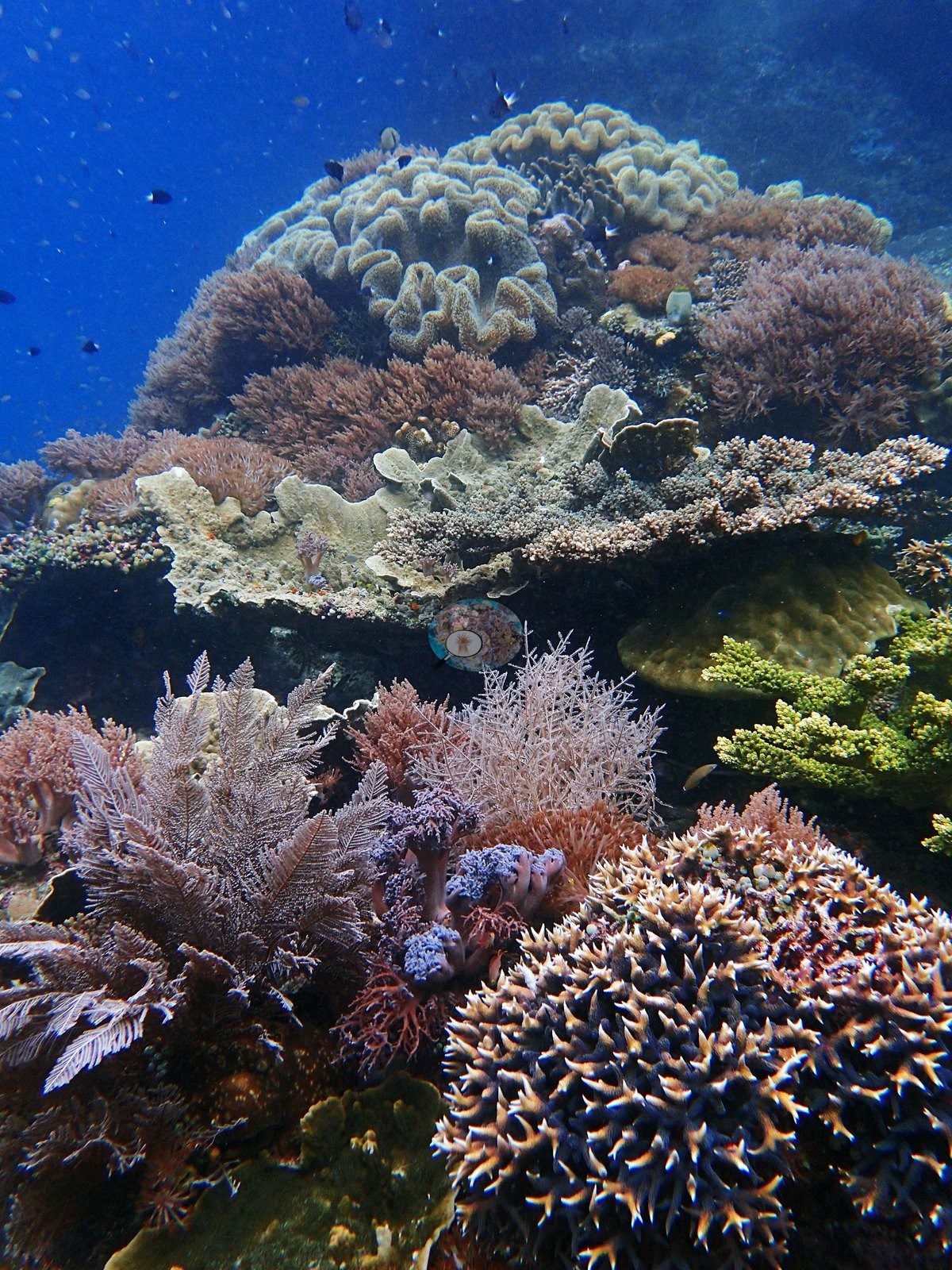 3
3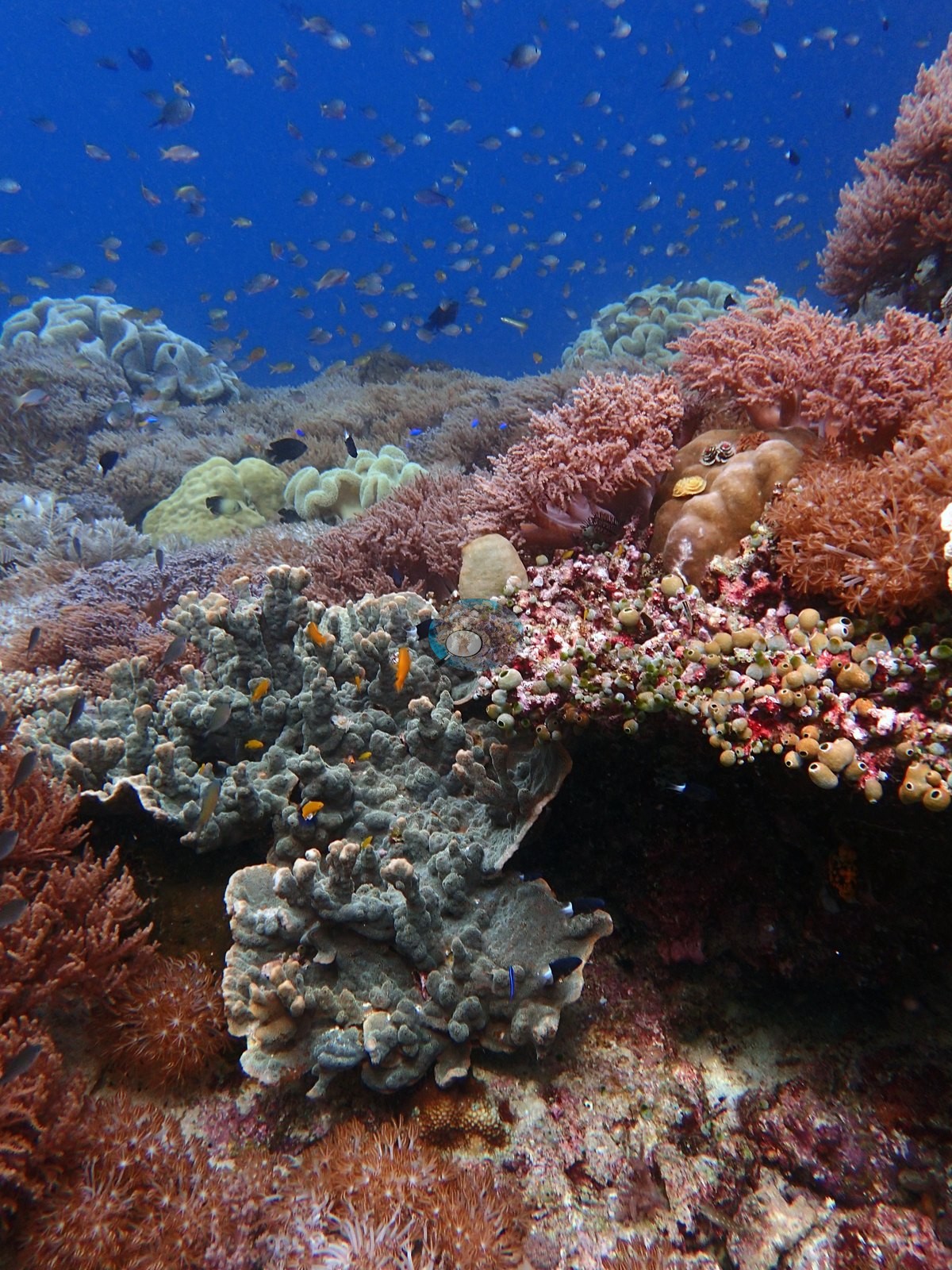 4
4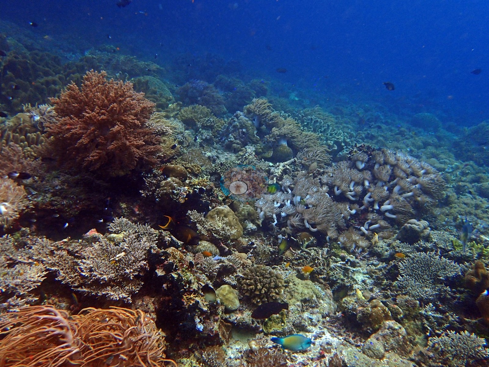 5
5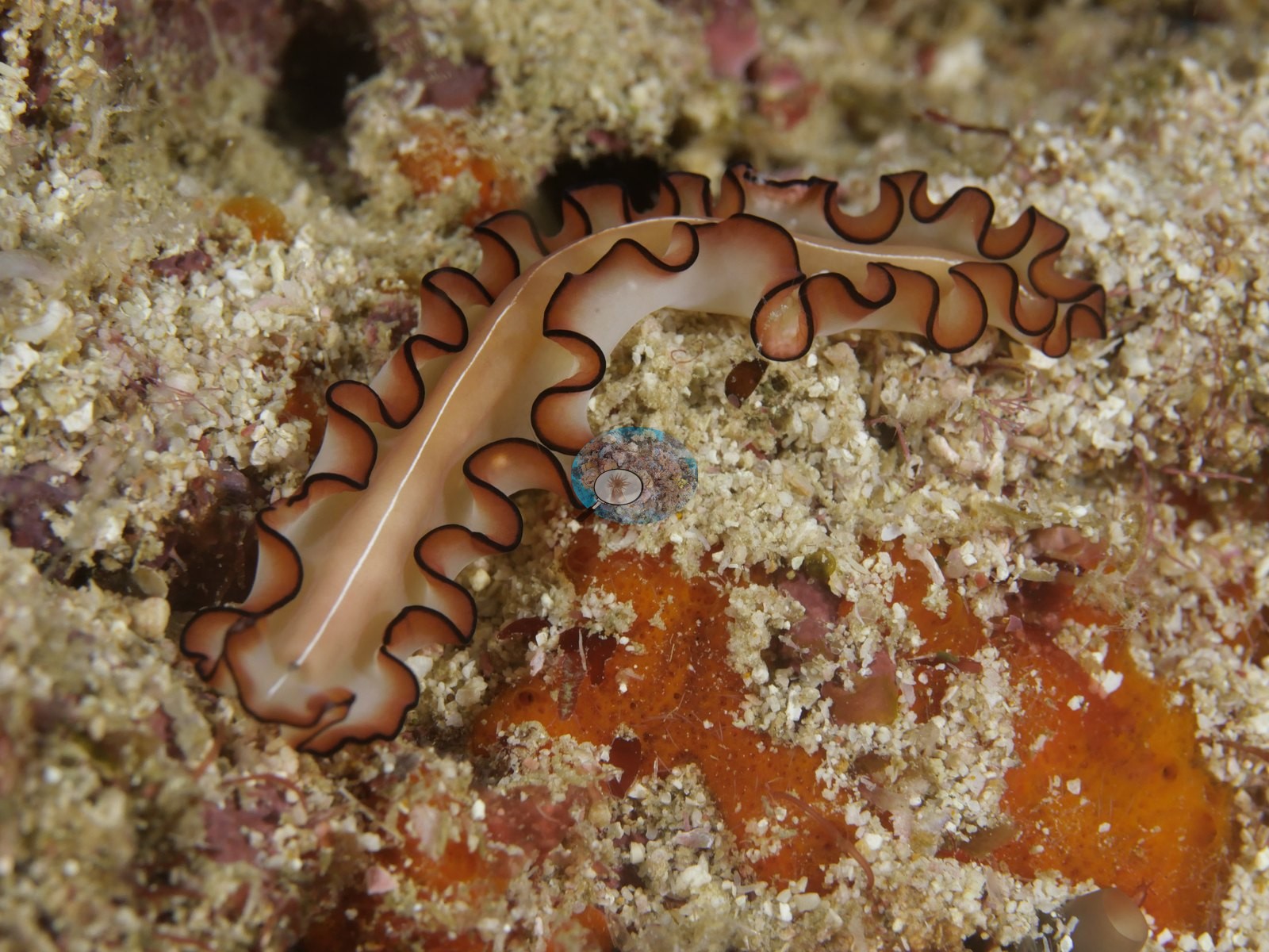 Photo: Pierre6
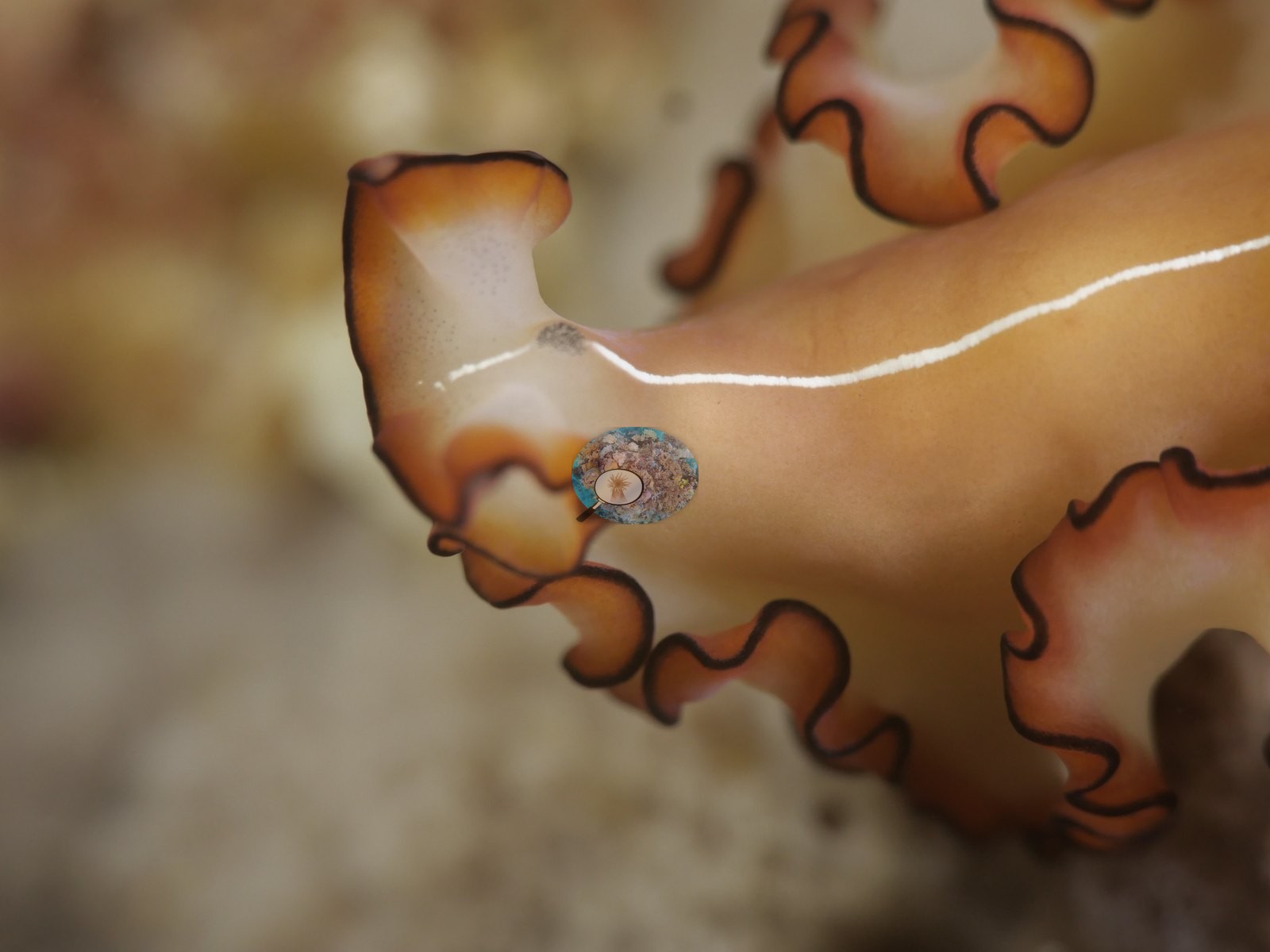 Photo: Pierre7
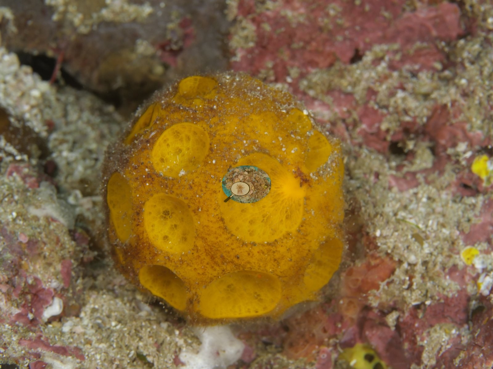 Photo: Pierre8
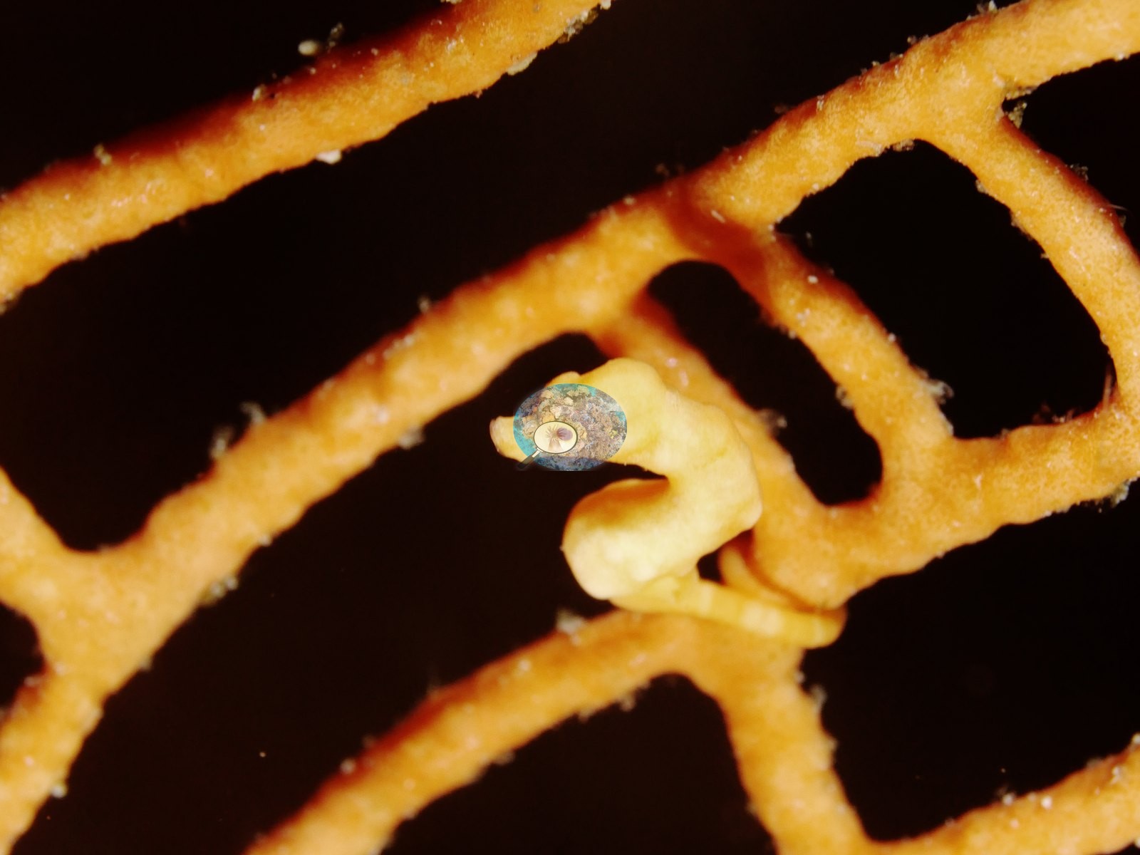 Photo: Pierre9
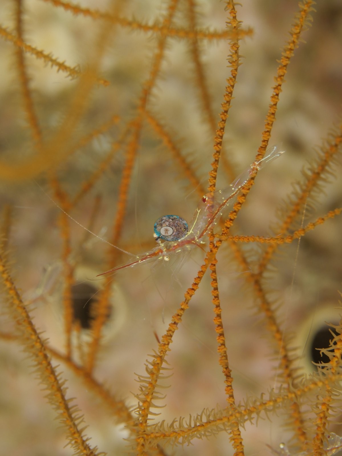 Photo: Pierre10
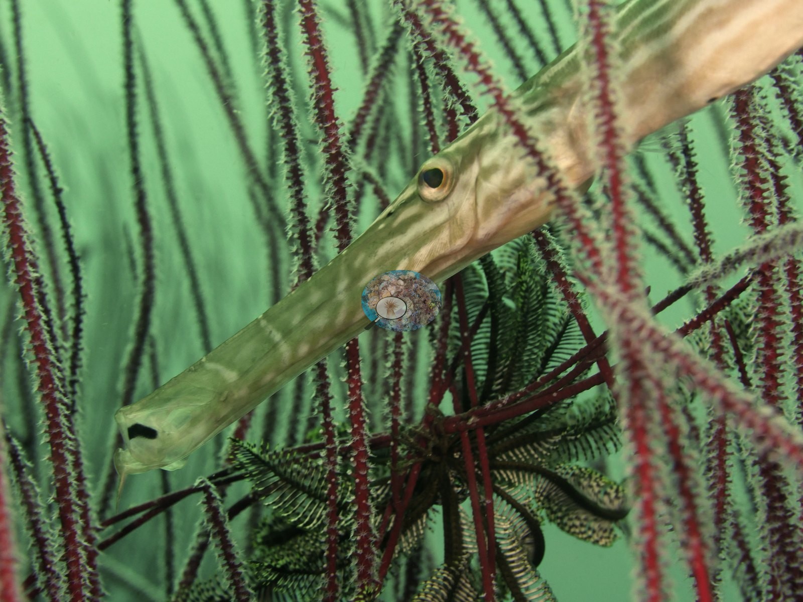 Photo: Pierre11
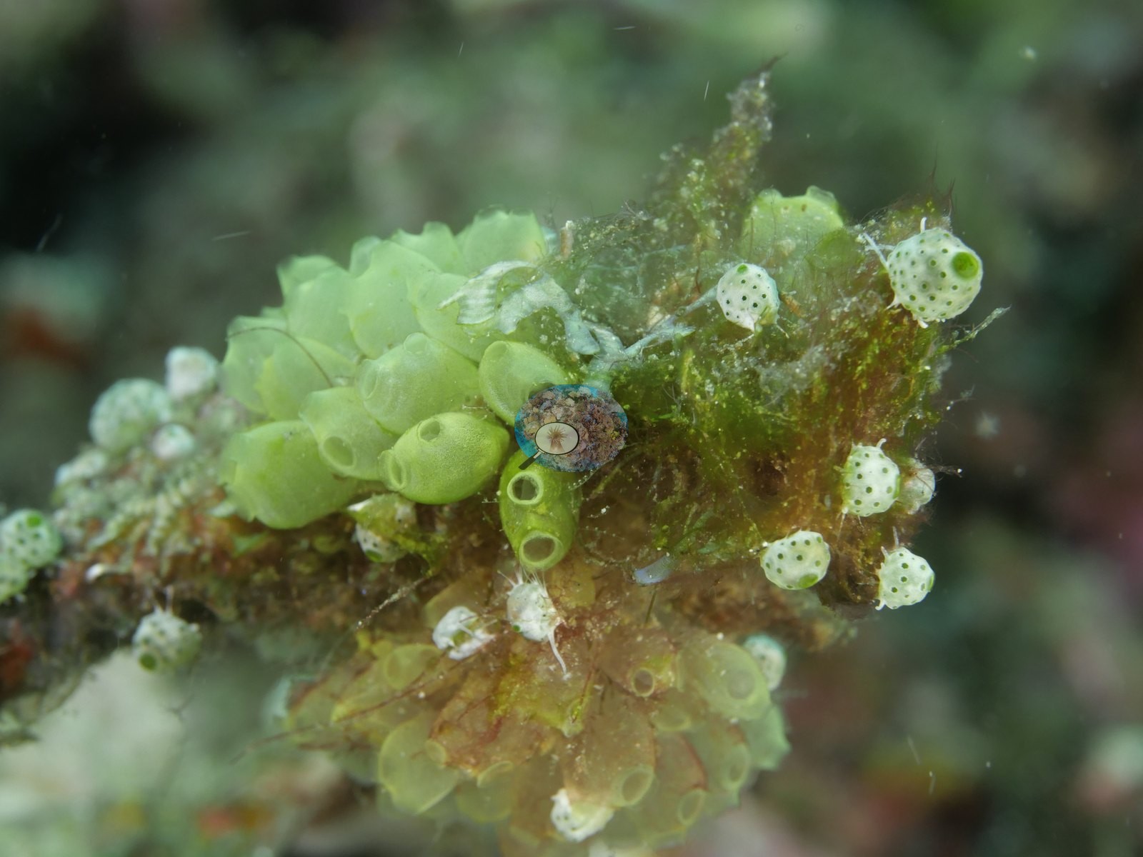 Photo: Pierre12
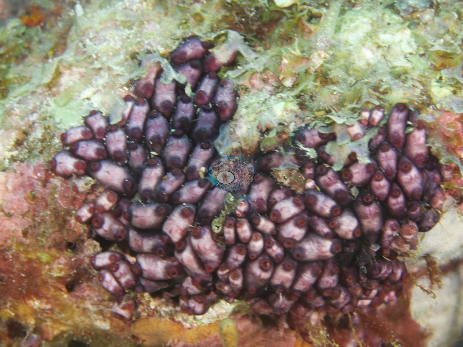 Photo: Pierre13
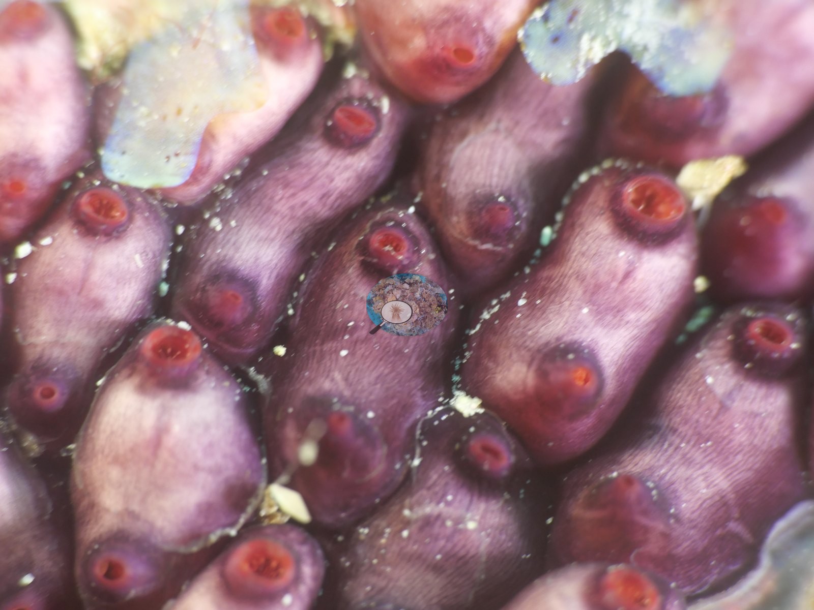 Photo: Pierre14
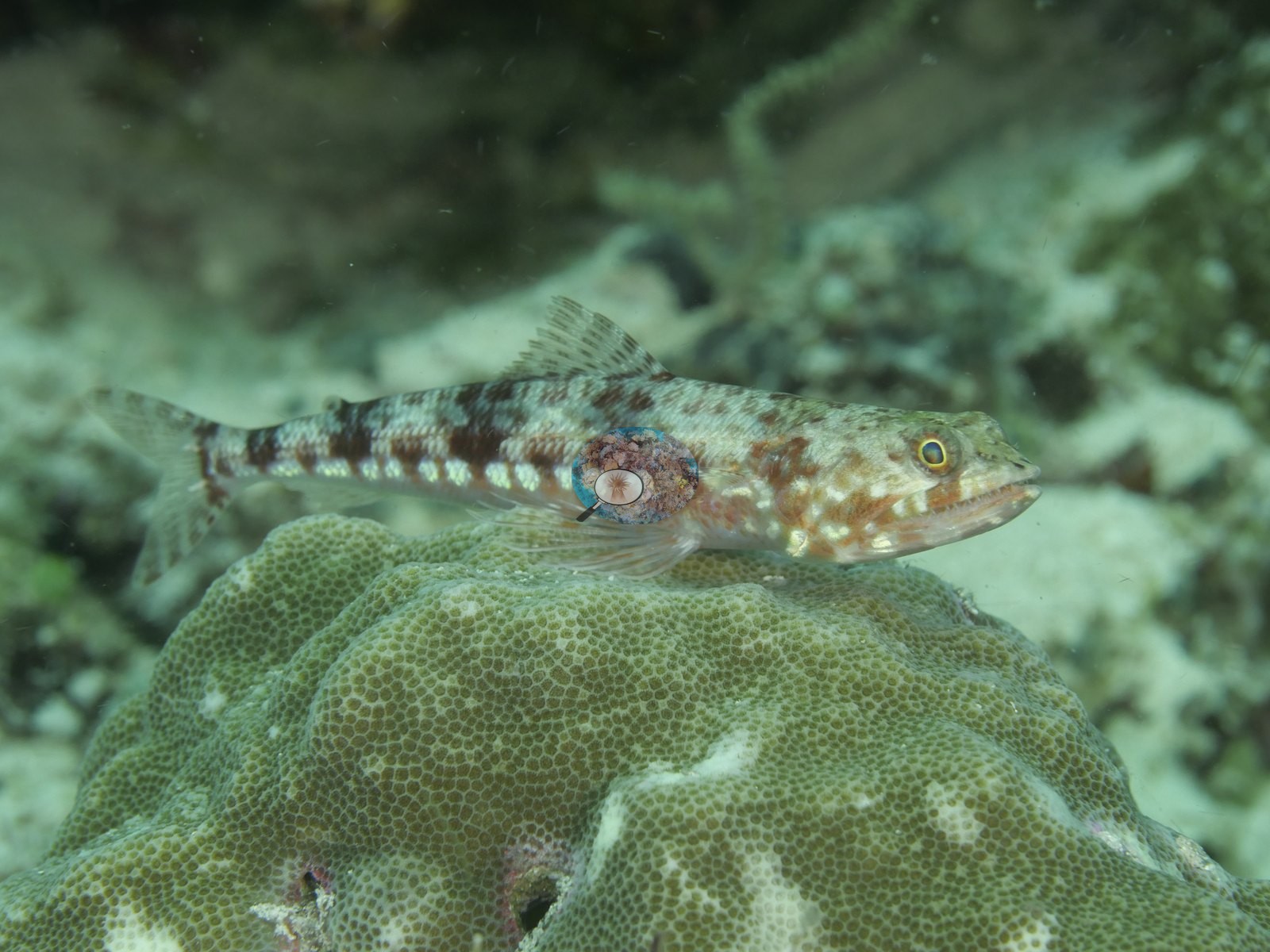 Photo: Pierre
Site description
Setting
28C. An extremely protected rock island fringing reef in an archipelago within an archipelago within the Pulau Misool region of Raja Ampat. Surface current.
General benthic features
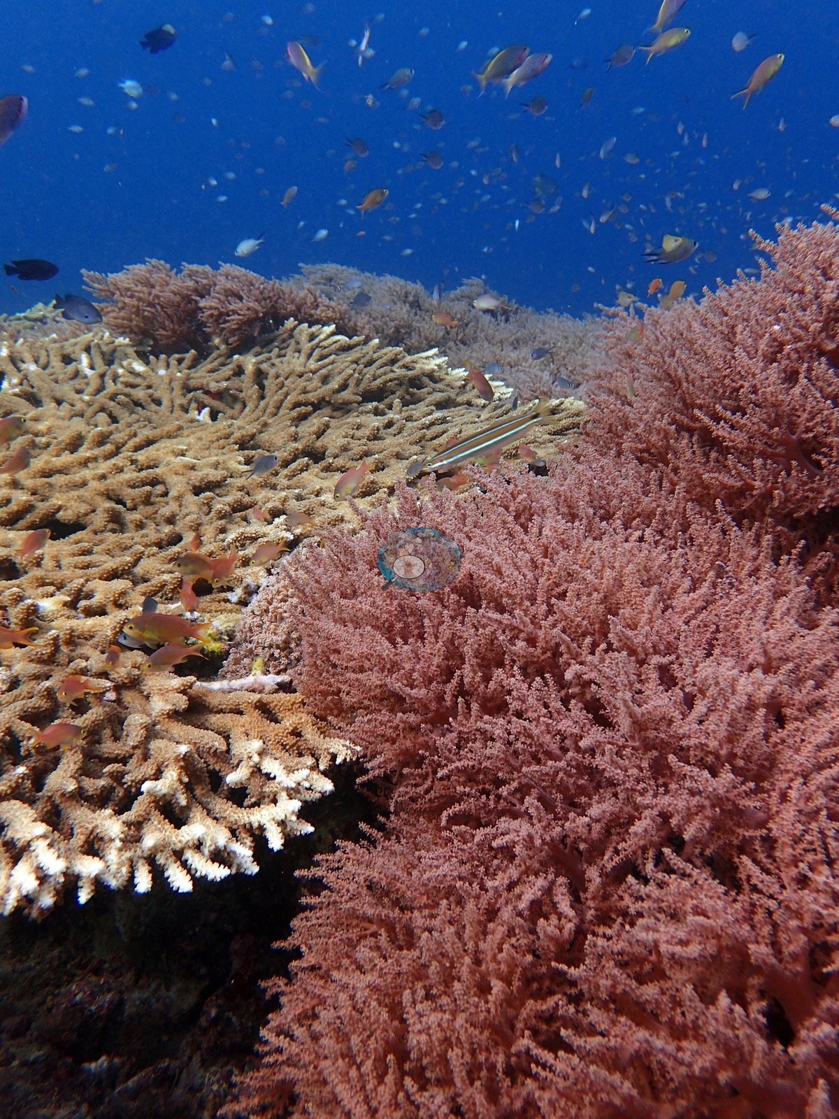
Corals showed characteristic growth types of low flow/low wave energy. Some small Pachyseris spp. plates, Diploastrea, Montipora, Sinularia, Sarcophyton, very strange Seriatopora with thick branches. Saw it at multiple places at site, including shallows. Green Seriatopora caliendrum common at site. Incredibly high coral diversity: at least 60-70 species. 20-30 species unable to identify. Lobophyllia, Astrocoenia, Fungia, Echinopora, Goniopora, octopus (Naoko has good pics.), staghorn thicket, several large Acropora tables going down slope. Pocillopora acuta with extremely thin branches. Golden tunicates everywhere (common in Papua evidently). Soft corals common at all parts of site. Stylophora pistillata, P. rus plates, Pocillopora verrucosa, small Porites mounds, Plerogyra. Hard coral diversity particularly high at 10 m. Euphyllia, stinging hydroids, fire coral, >60 species of hard coral at 2-10 m. Top of reef (5 m) dominated by soft corals, Acropora spp., tunicates, and small poritids. Some large Acropora colonies turned into damselfish gardens/nests. 1 Pocillopora acuta in 1-2 m.
Coral cover
Coral cover: no figure is published for this site. Nothing on the map attaches a coral-cover measurement to this site — the account above is descriptive background, not a survey result. A value will be added if transect data, an independent survey nearby, or a computer vision pass on Anderson's own photographs becomes available.
Stressors
No crown-of-thorns starfish (COTS) or other corallivores evident.
Comparisons with other data
No independent survey was made at this exact site; the nearest ones are listed in the table below.
Dive record
Dive 14: Barracuda Rock.
Other notes
Have pictures-possibly a new species.
Independent surveys nearby
Within 5 km, 2 independent survey stations recorded hard coral cover in 2019. The most recent nearby survey is from 2019, so these values predate recent heat stress.
Collected by other programs using different methods, so these are context for the figures above, not a like-for-like comparison. Where a station was surveyed more than once the range is shown. Station names are not dive-site names.
| Agency | Site / location | Date | Hard coral cover (%) | Distance | Link |
|---|---|---|---|---|---|
| Social Ecological Research Frontiers (SERF) / University of Rhode Island (URI) / Thriving Oceans | Yenkafal West | 2019 | 21% | 4.80 km | Humphries A, Amkieltiela, Tiela, Caldwell I, Caldwell I, Molfino T. 2019. SERF2_AustinHumphries_Indonesia. MERMAID |
| Social Ecological Research Frontiers (SERF) / University of Rhode Island (URI) / Thriving Oceans | Yenkafal East | 2019 | 69% | 4.86 km | Humphries A, Amkieltiela, Tiela, Caldwell I, Caldwell I, Molfino T. 2019. SERF2_AustinHumphries_Indonesia. MERMAID |
Data & links
Images 5–14: Pierre; all other images from Coral Reef Diagnostics. Data on this page are from the organizations named in the data-sources table above, not Coral Reef Diagnostics; Coral Reef Diagnostics has no survey of its own at this site.
© Coral Reef Diagnostics.