
Raja Ampat - Two Tree Island
Part of the regional summary: Indonesia - Raja Ampat
More info
West Papua (NOAA CRW virtual station)Two Tree Island is a wall-and-pinnacle site dominated by dense baitfish schools and antipatharian black-coral trees rather than stony coral on the vertical face, though the reef top and shoulder carry richer tabulate Acropora and brain corals. A hawksbill-like turtle was photographed resting on a ledge. No bleaching, crown-of-thorns starfish (COTS), or damage seen; coral cover at this site is about 7.2% (blind Claude computer-vision point count).
Two Tree Island adalah lokasi dinding dan puncak batu yang didominasi gerombolan padat ikan umpan dan pohon karang hitam antipatharia alih-alih karang batu pada permukaan tegaknya, meskipun puncak dan bahu terumbunya membawa Acropora tabulat dan karang otak yang lebih kaya. Seekor penyu mirip penyu sisik terfoto sedang beristirahat di sebuah undakan. Tidak terlihat pemutihan, bintang laut mahkota duri, maupun kerusakan; tutupan karang di lokasi ini sekitar 7.2% (penghitungan titik buta visi komputer Claude).
Terjemahan ringkasan ini oleh AI; versi bahasa Inggris yang berlaku.
Three independent survey stations shown with the program’s logo — click one to see how far it is from this site.
Six other CRD dive sites within 5 km shown in orange — click a marker to open its page.
2 of these 59 photographs are shown beside the text that discusses them under "Site description" below.
 2
2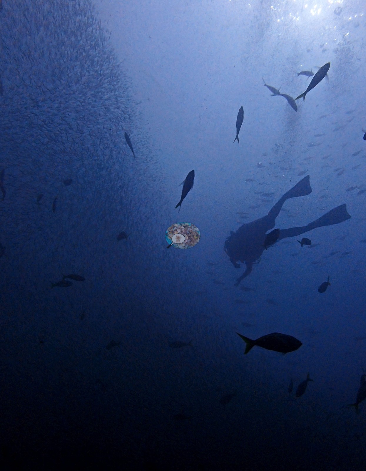 4
4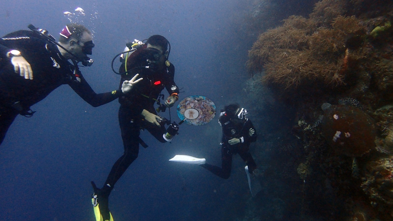 6
6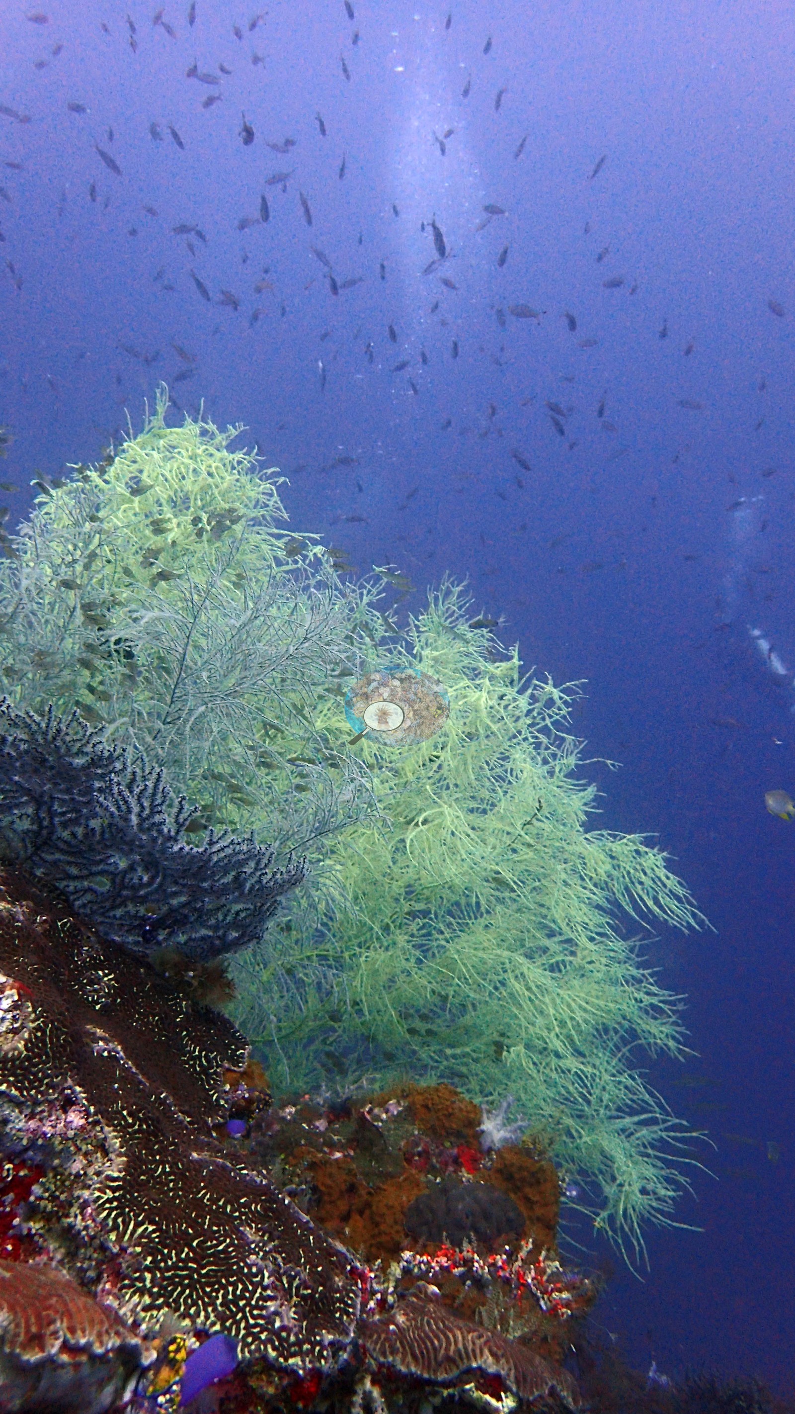 7
7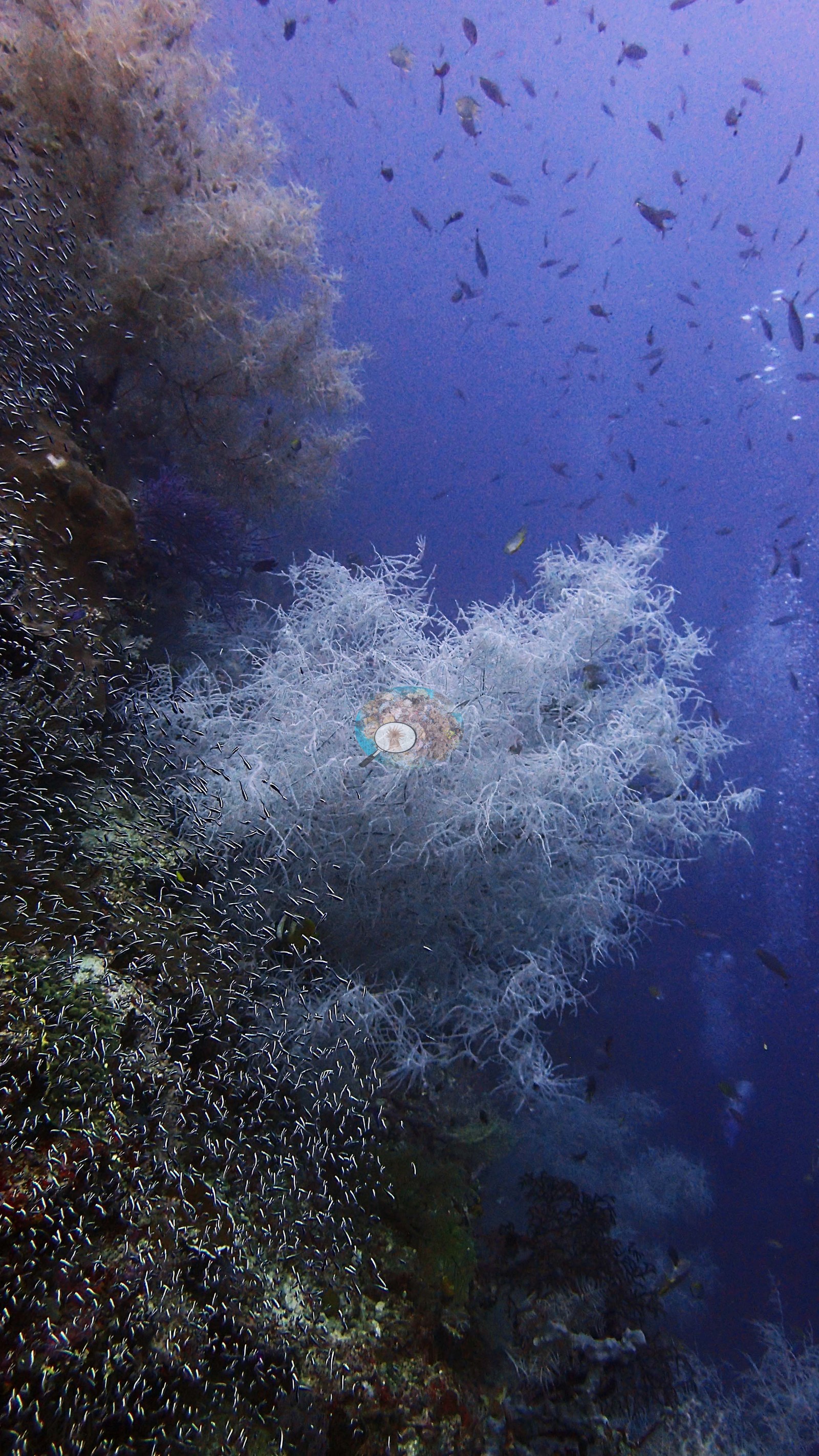 8
8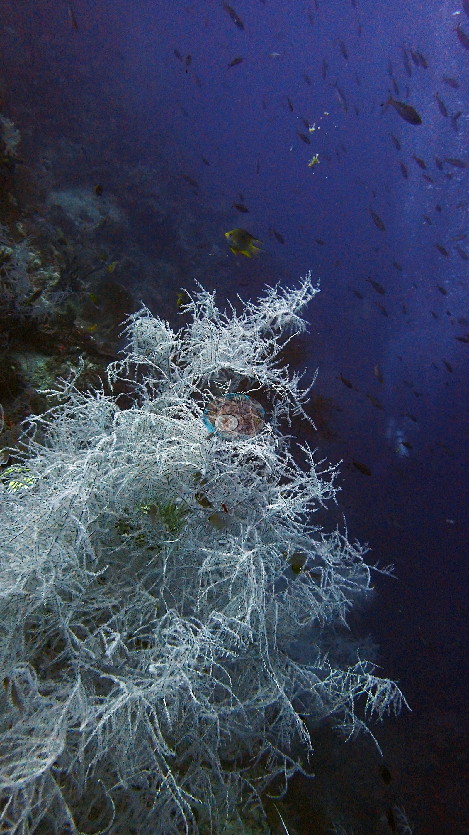 9
9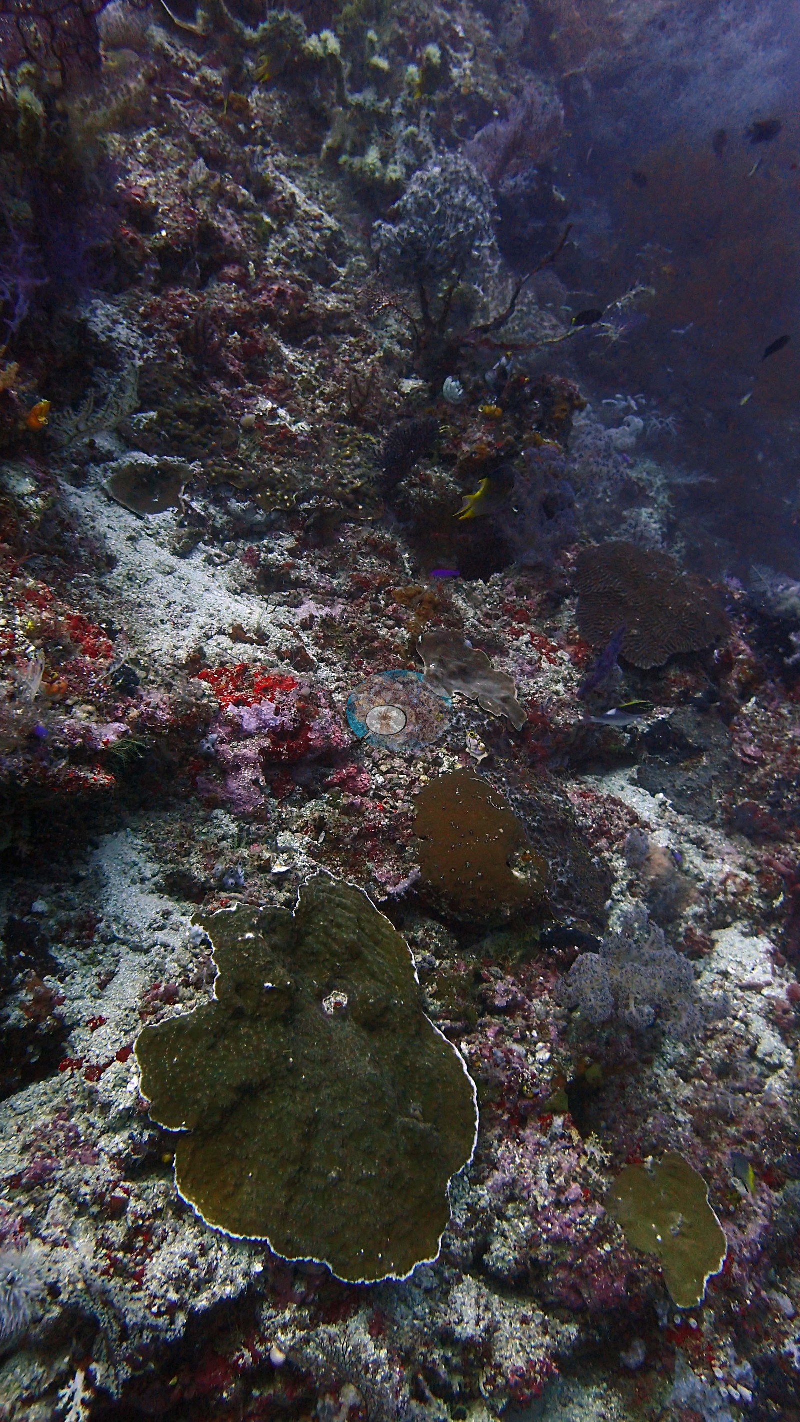 10
10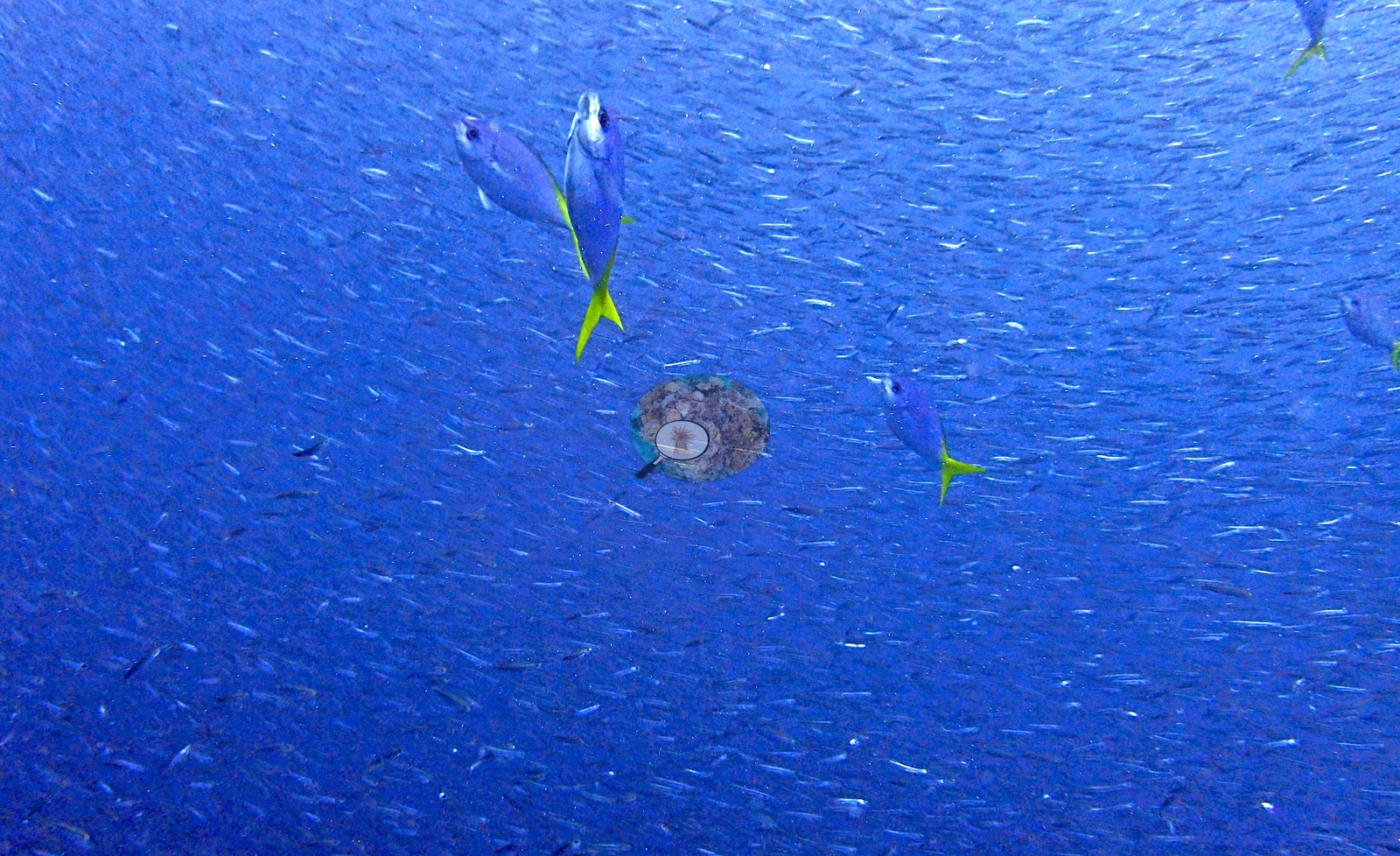 11
11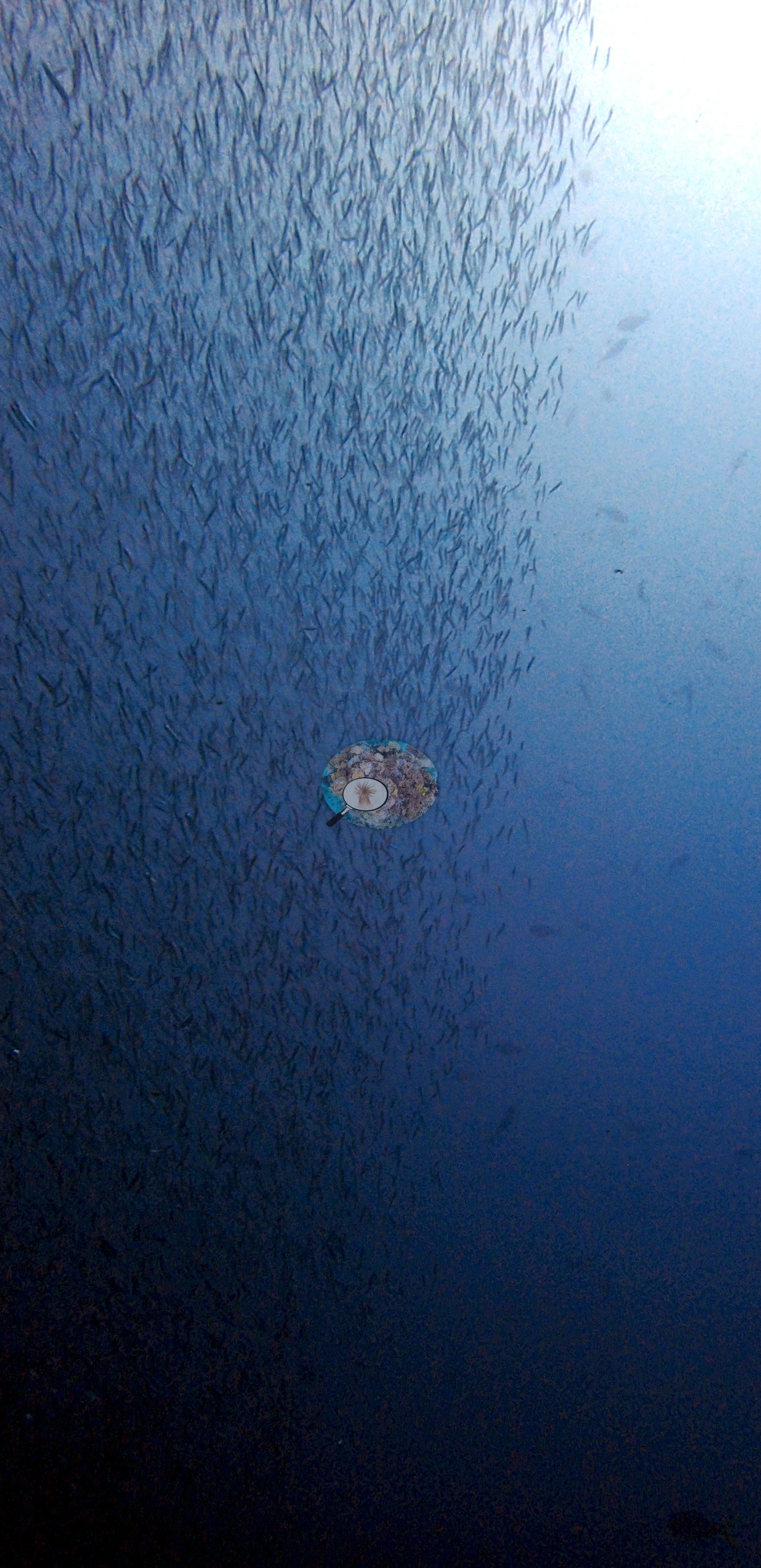 12
12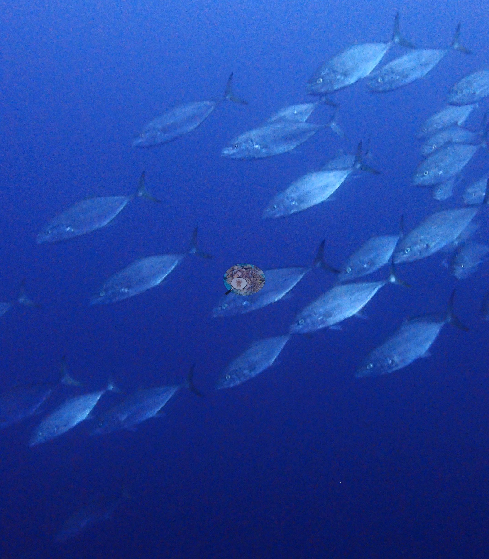 13
13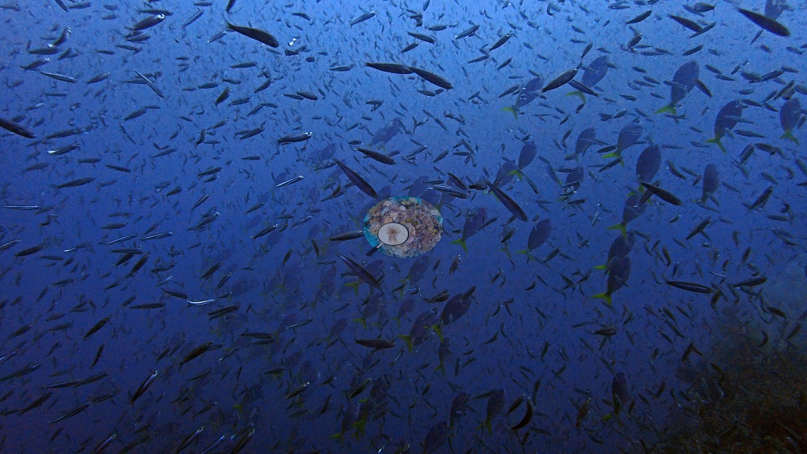 15
15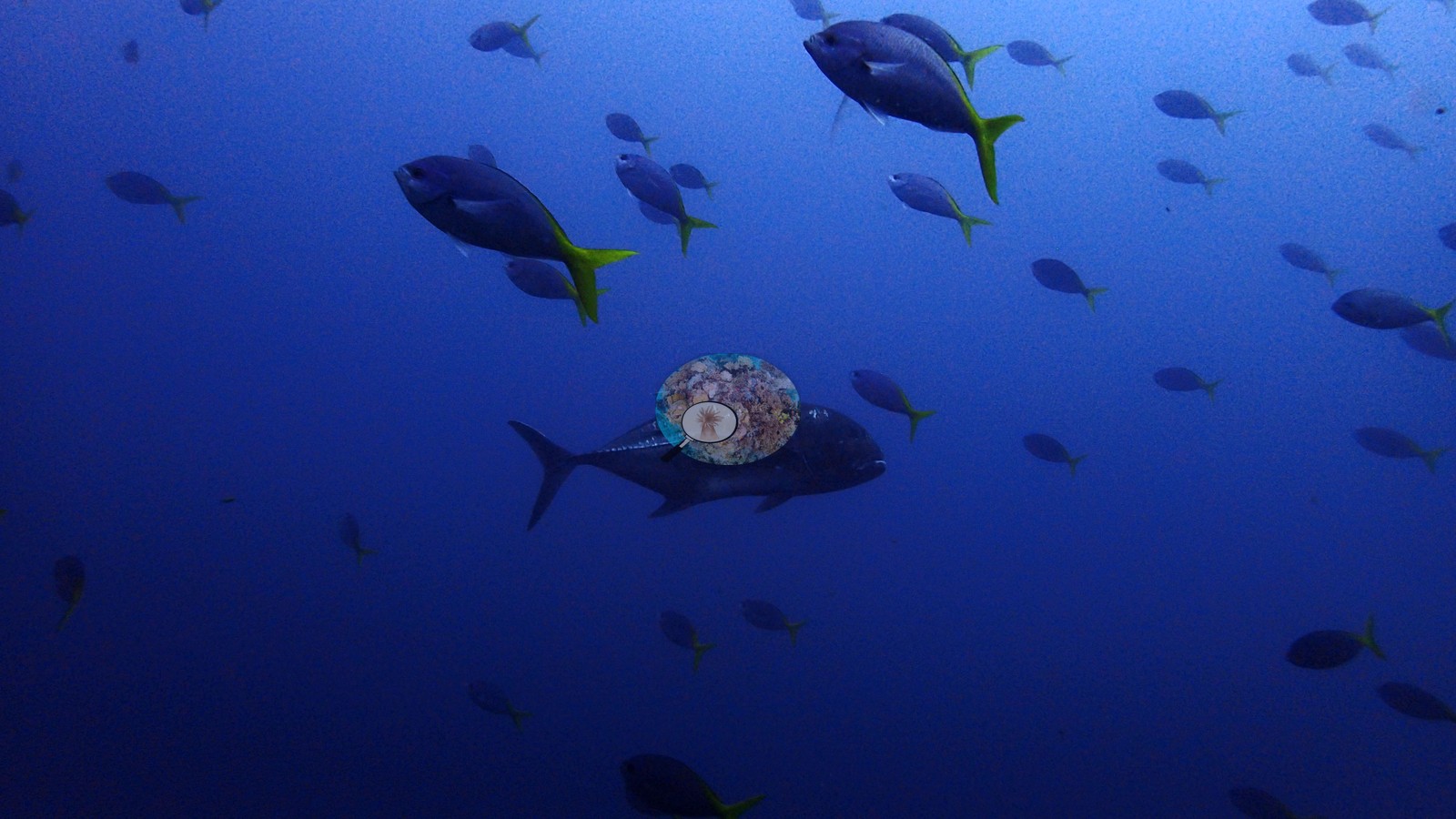 16
16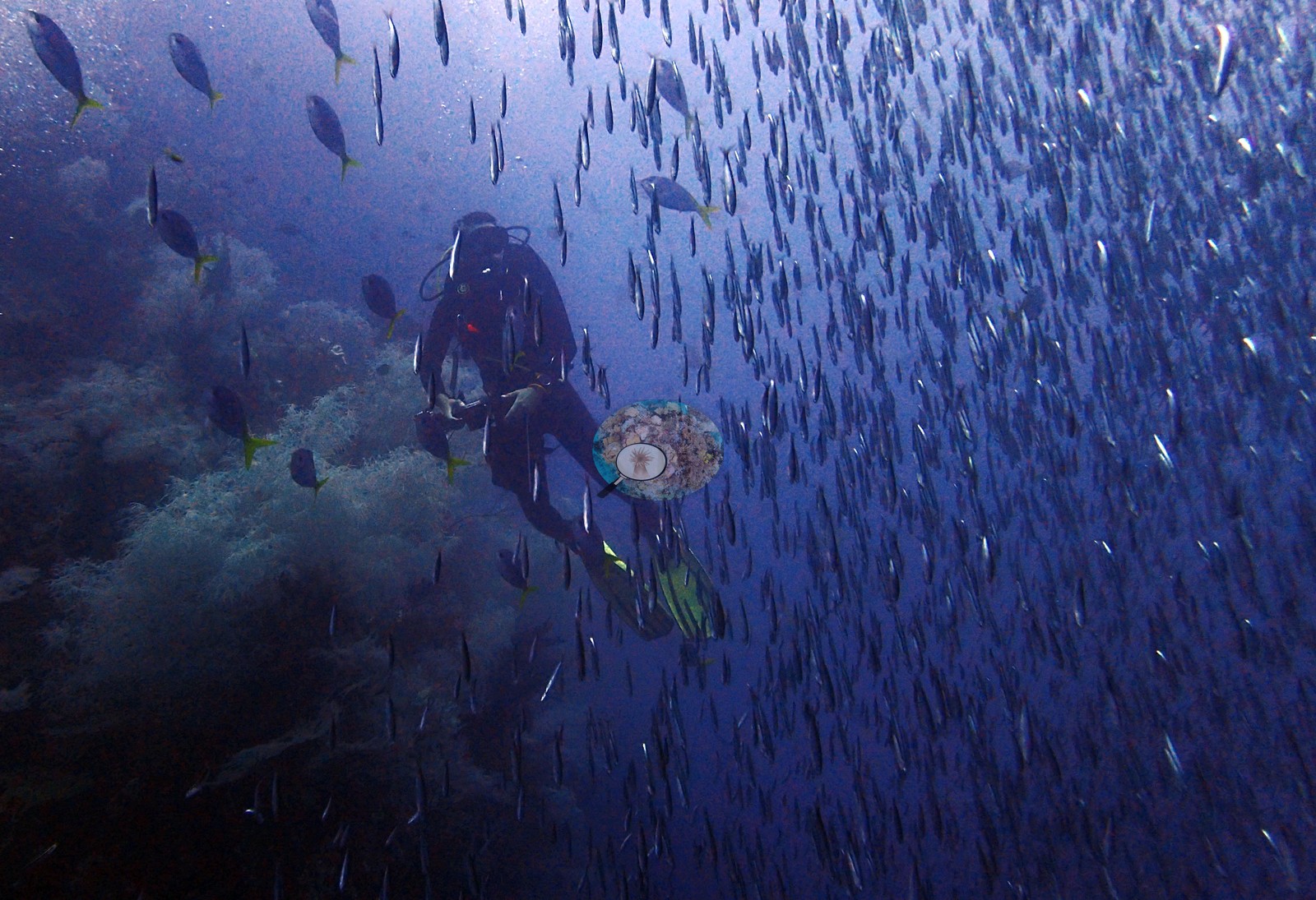 17
17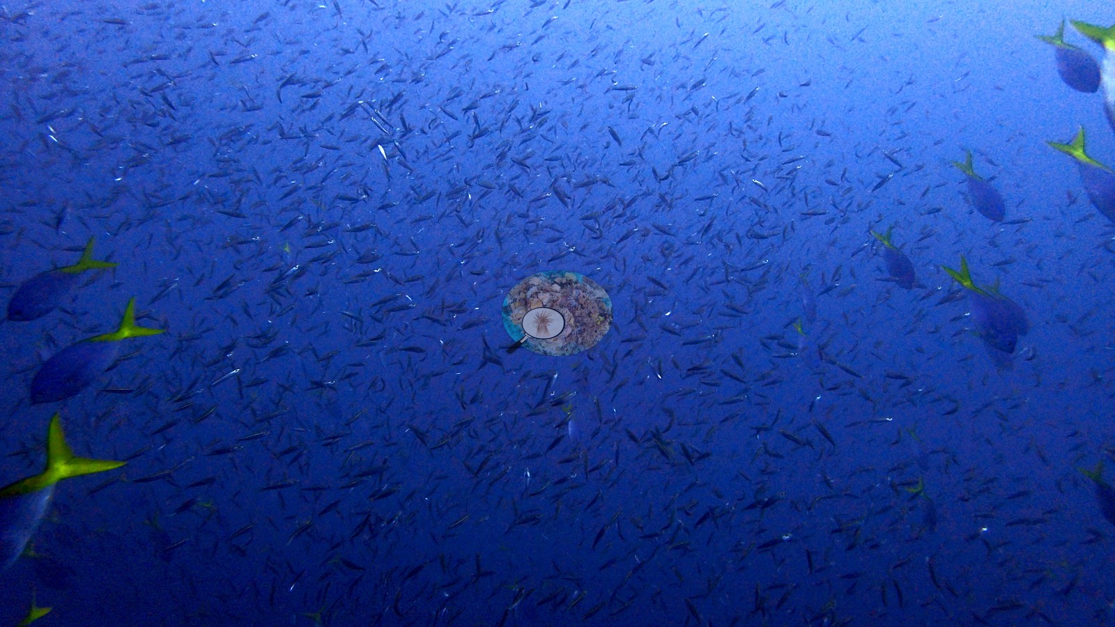 18
18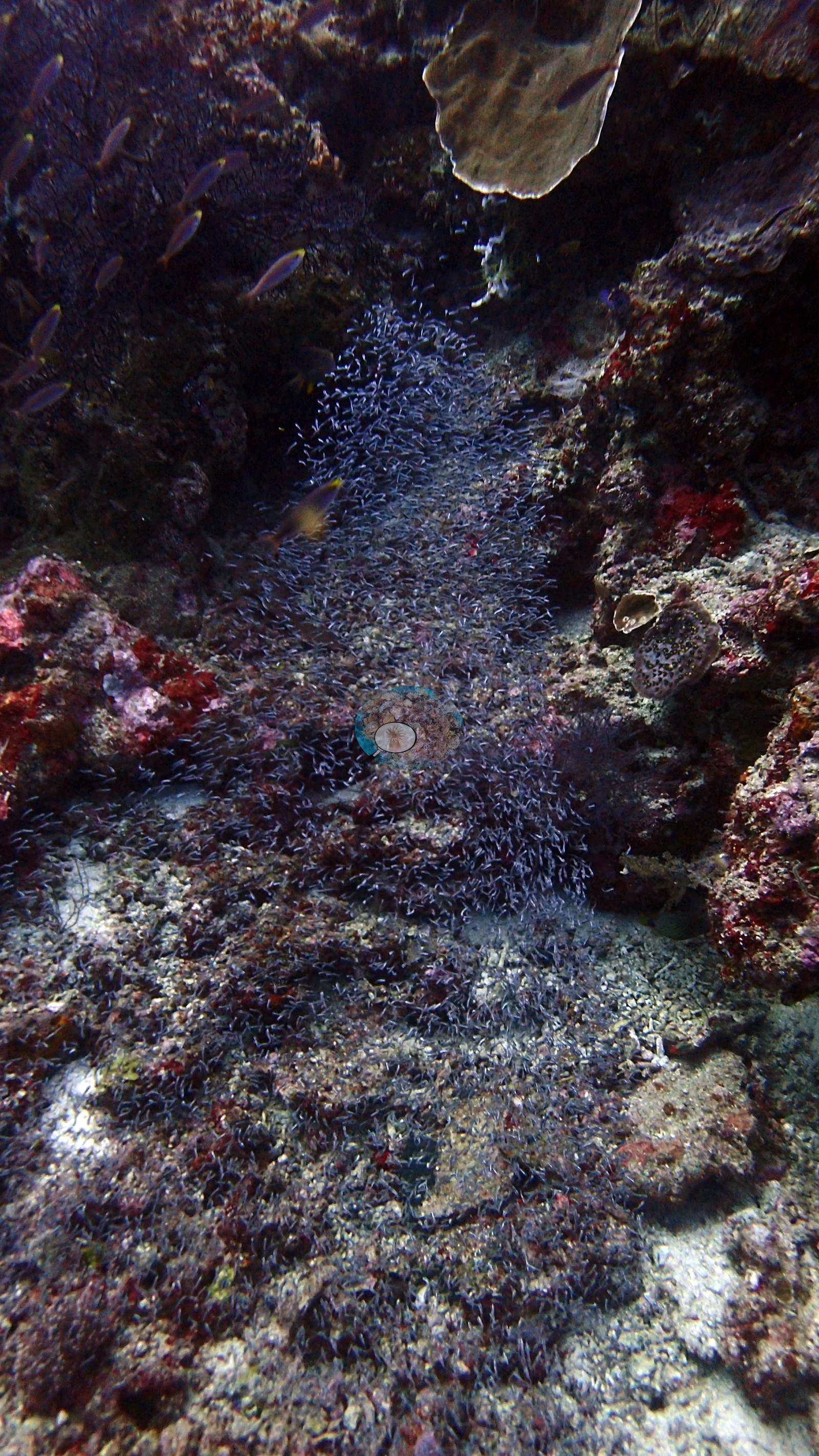 19
19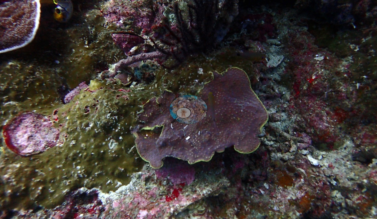 20
20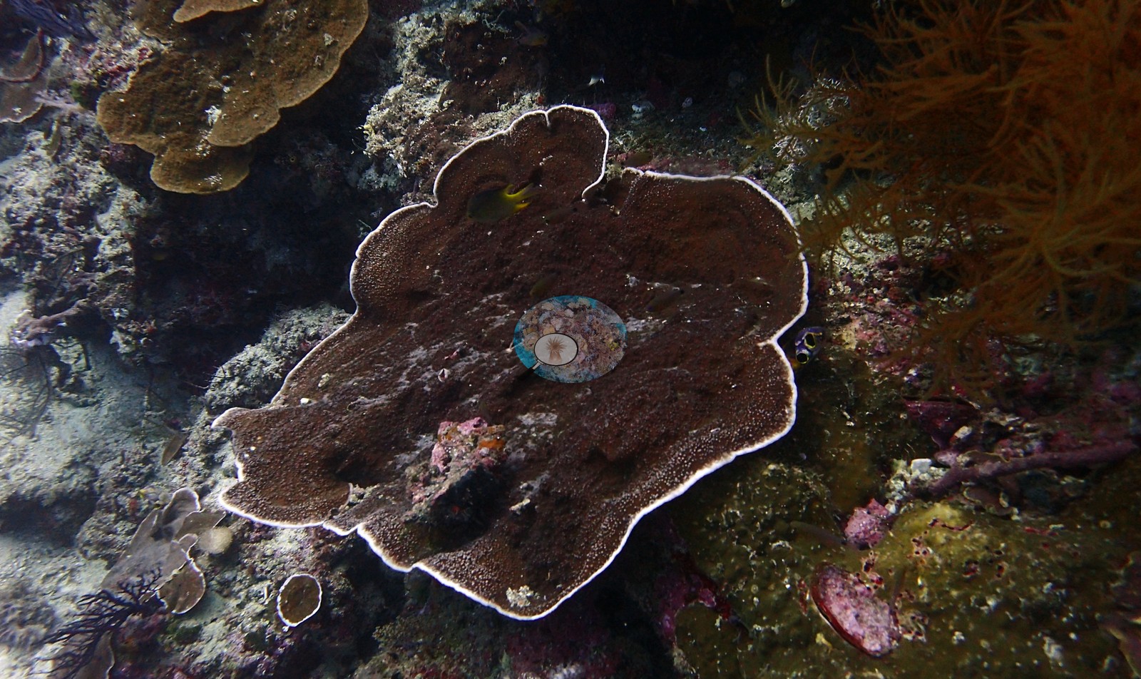 21
21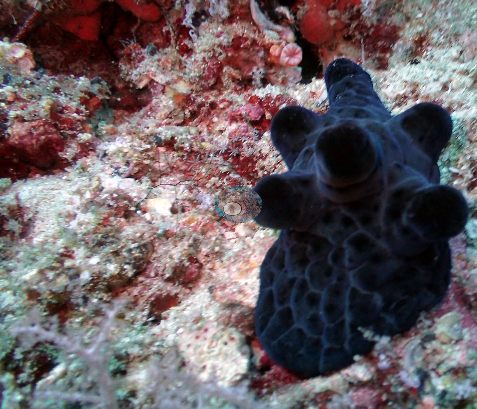 22
22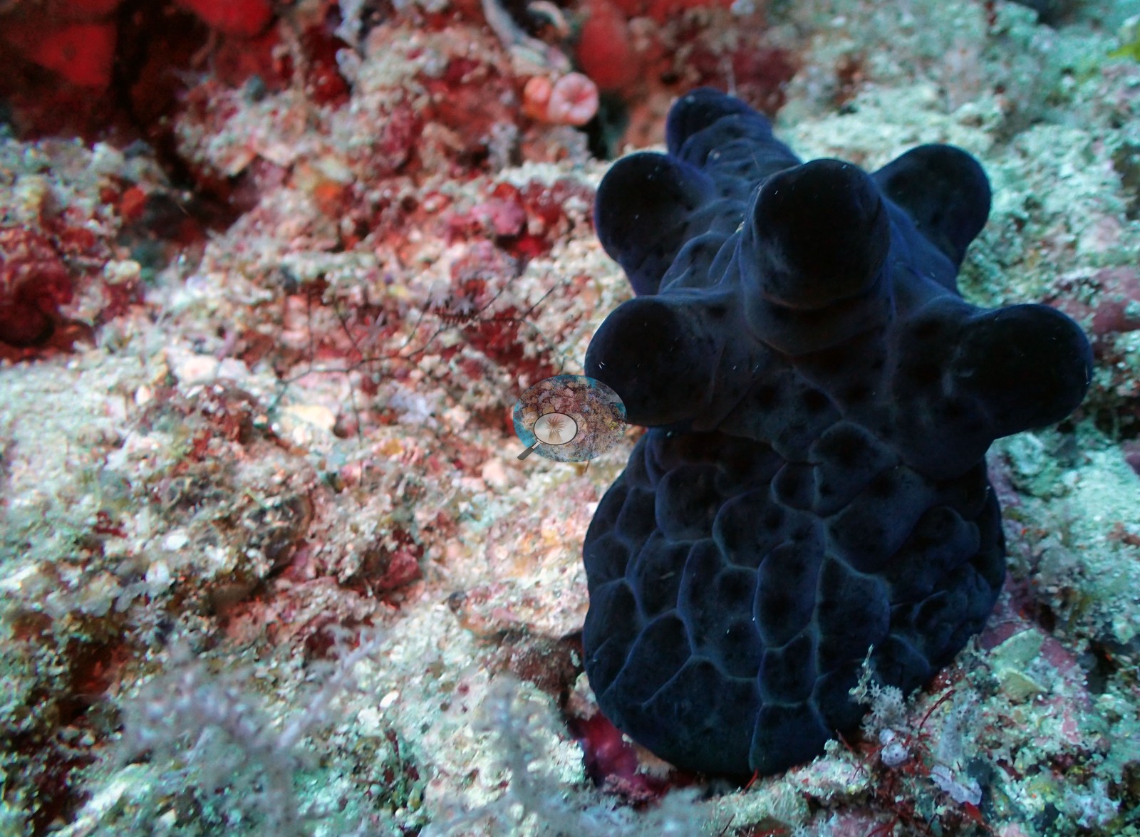 23
23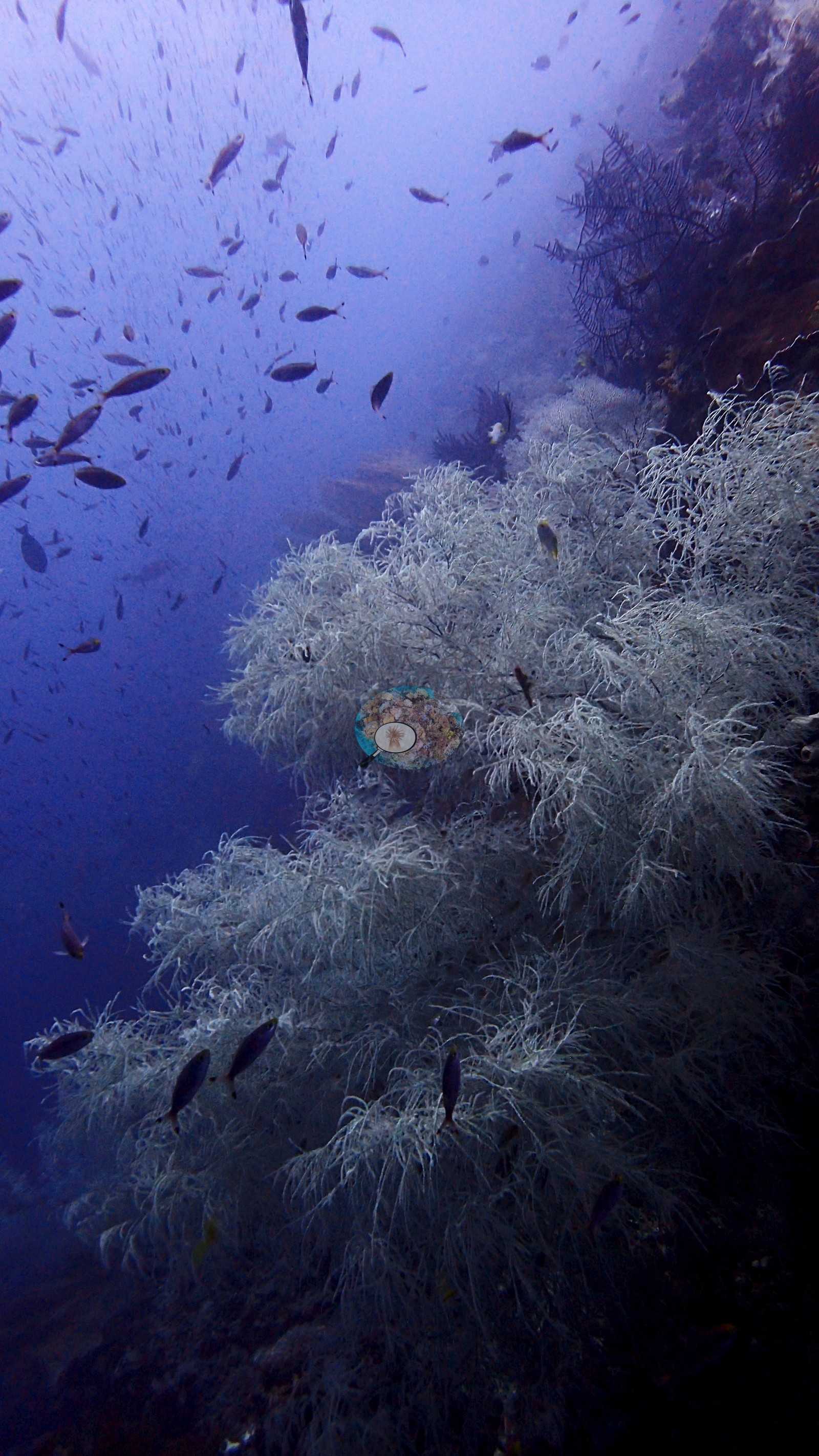 24
24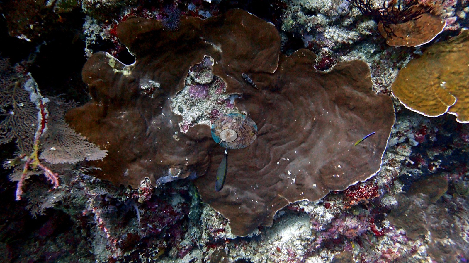 25
25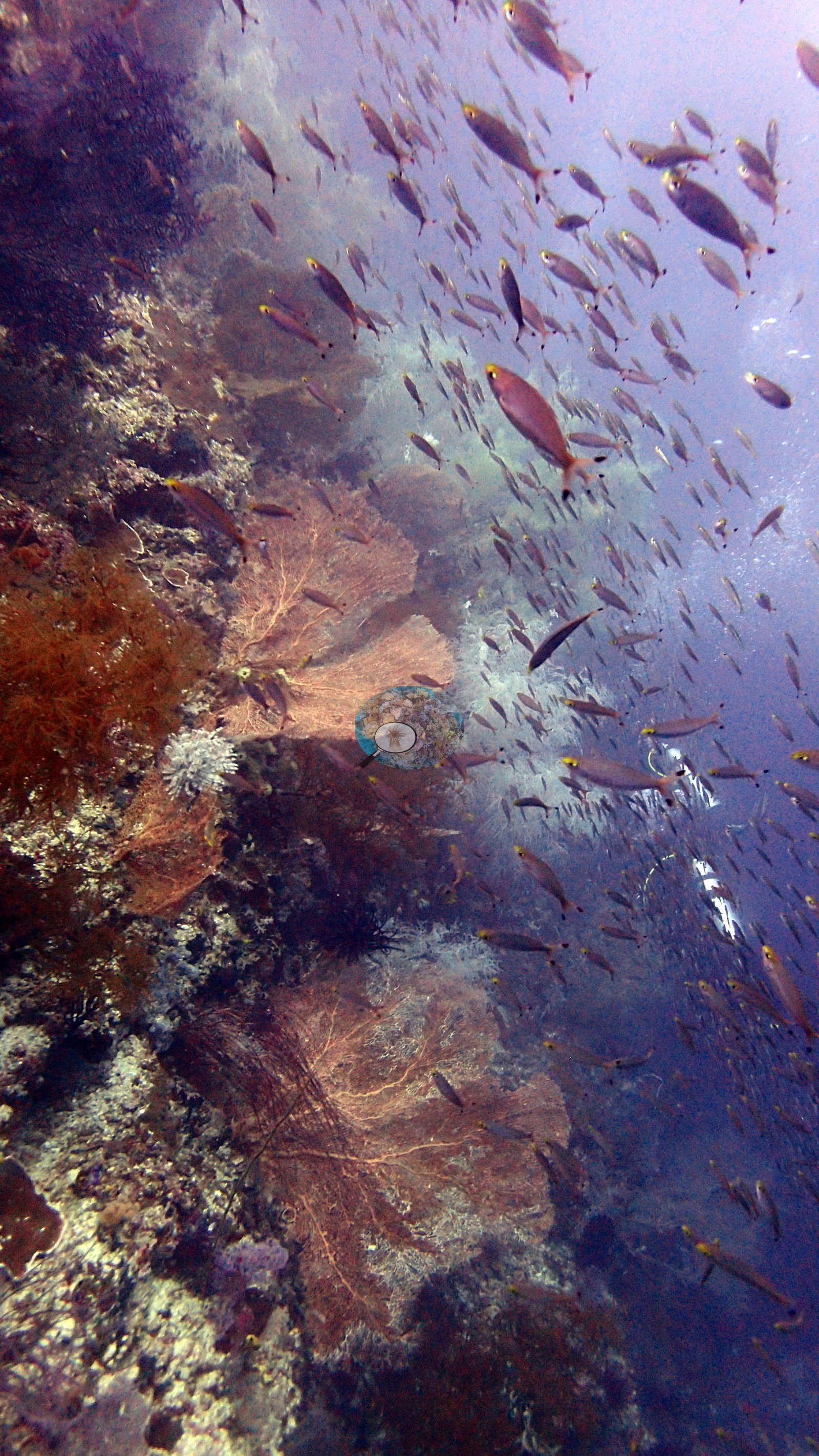 26
26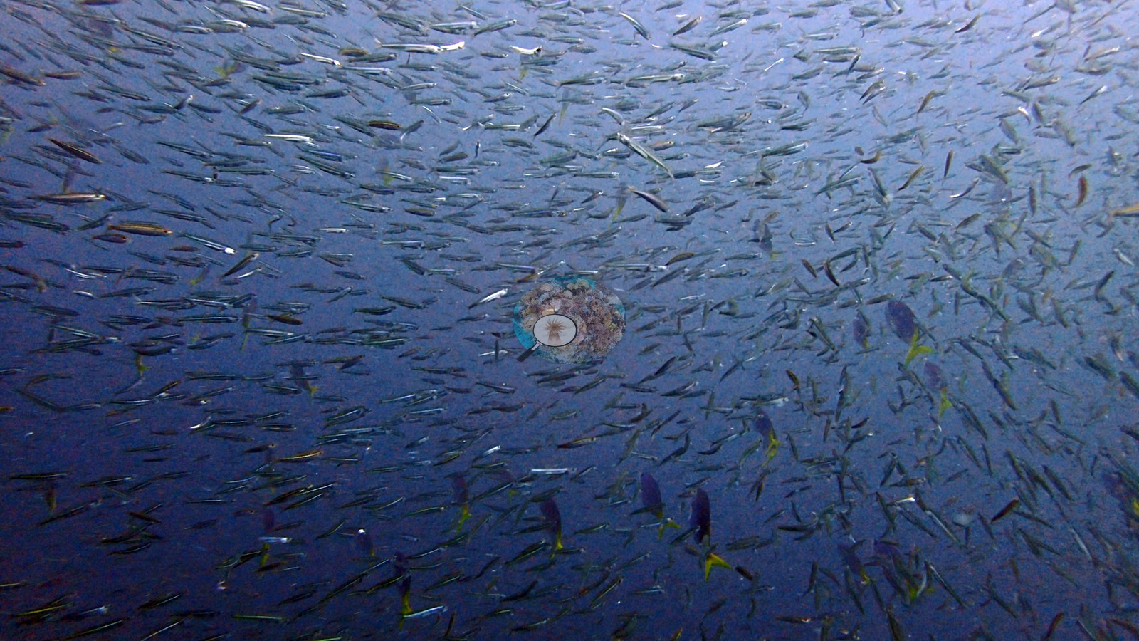 27
27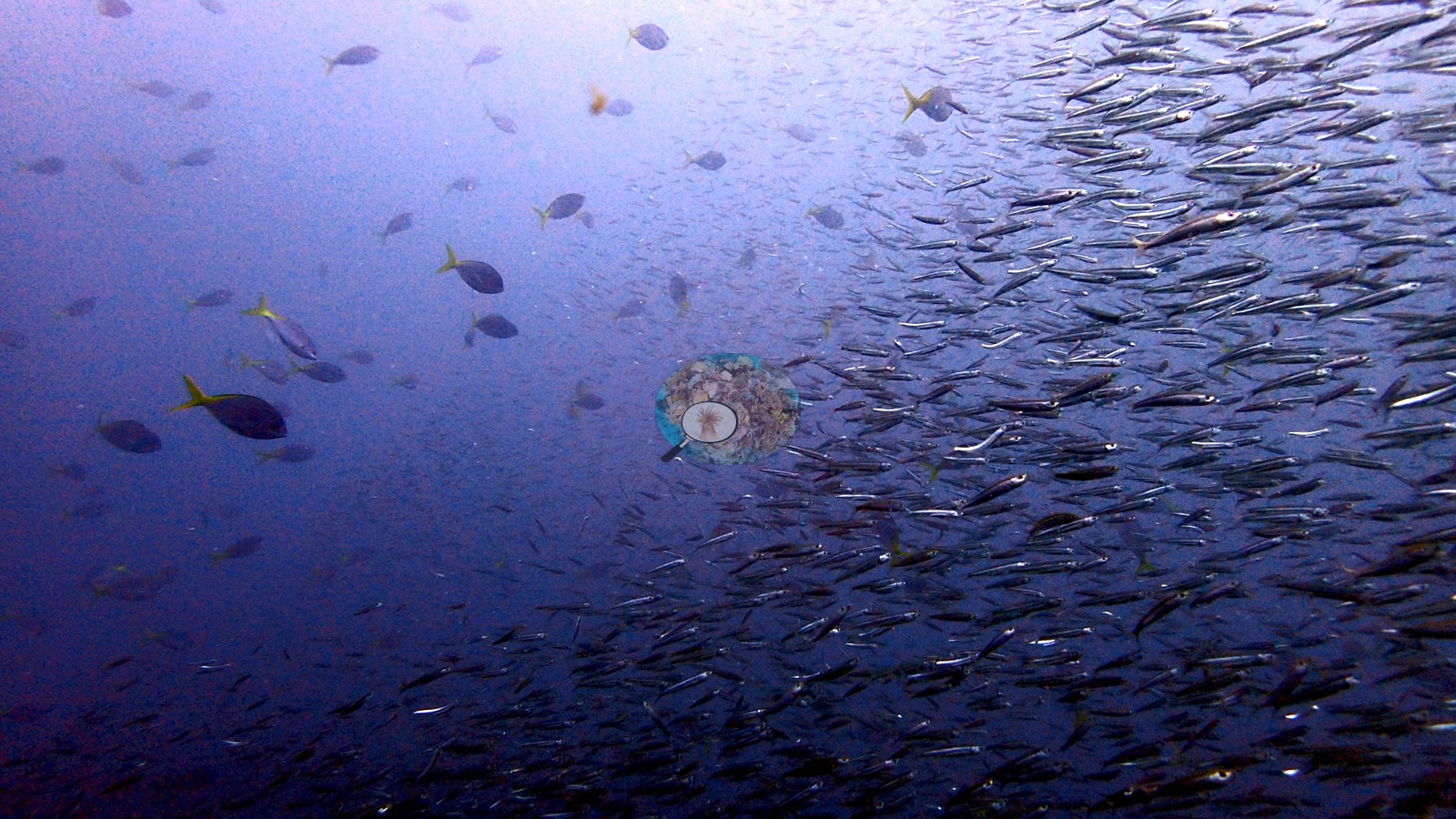 29
29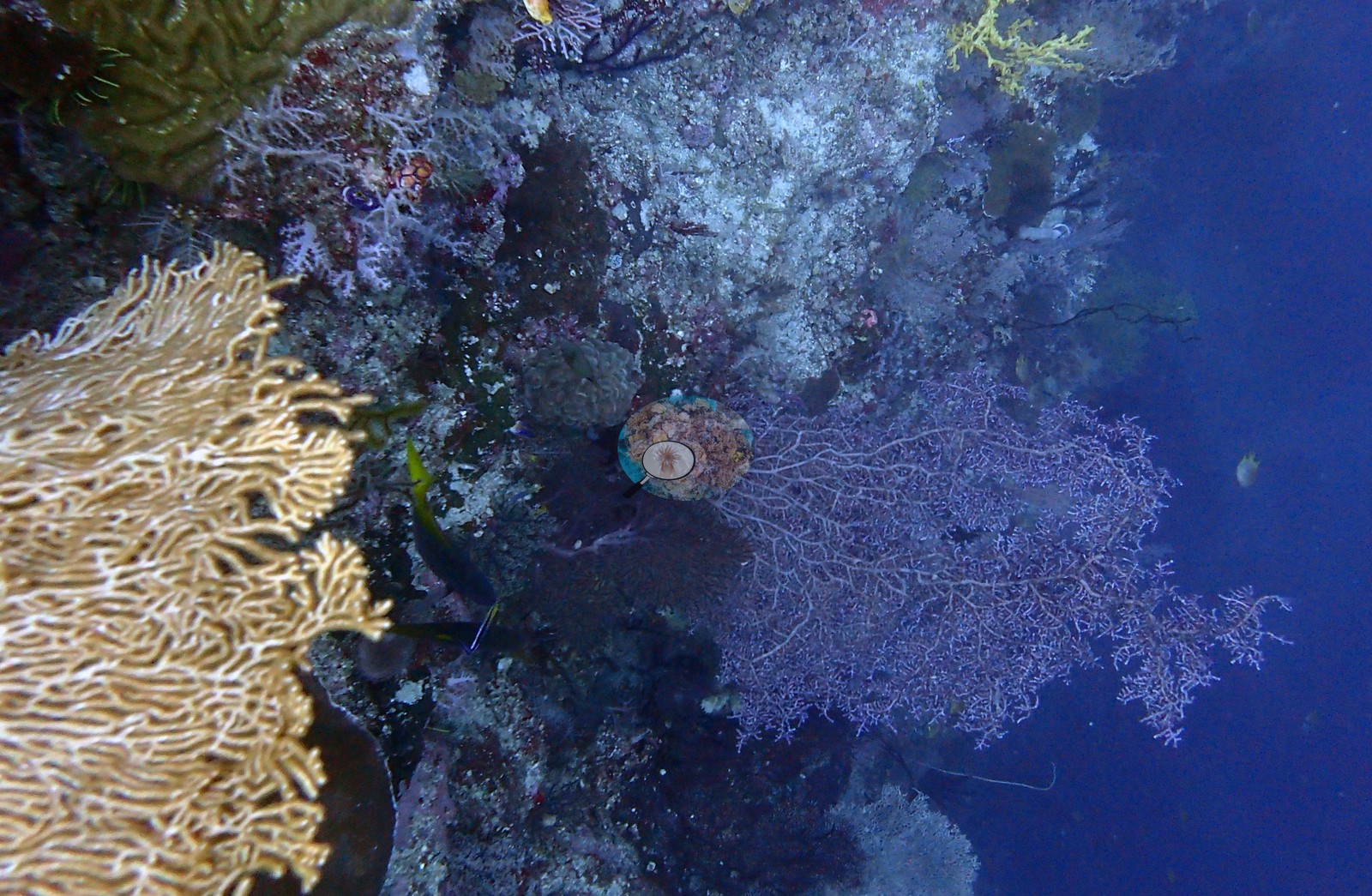 30
30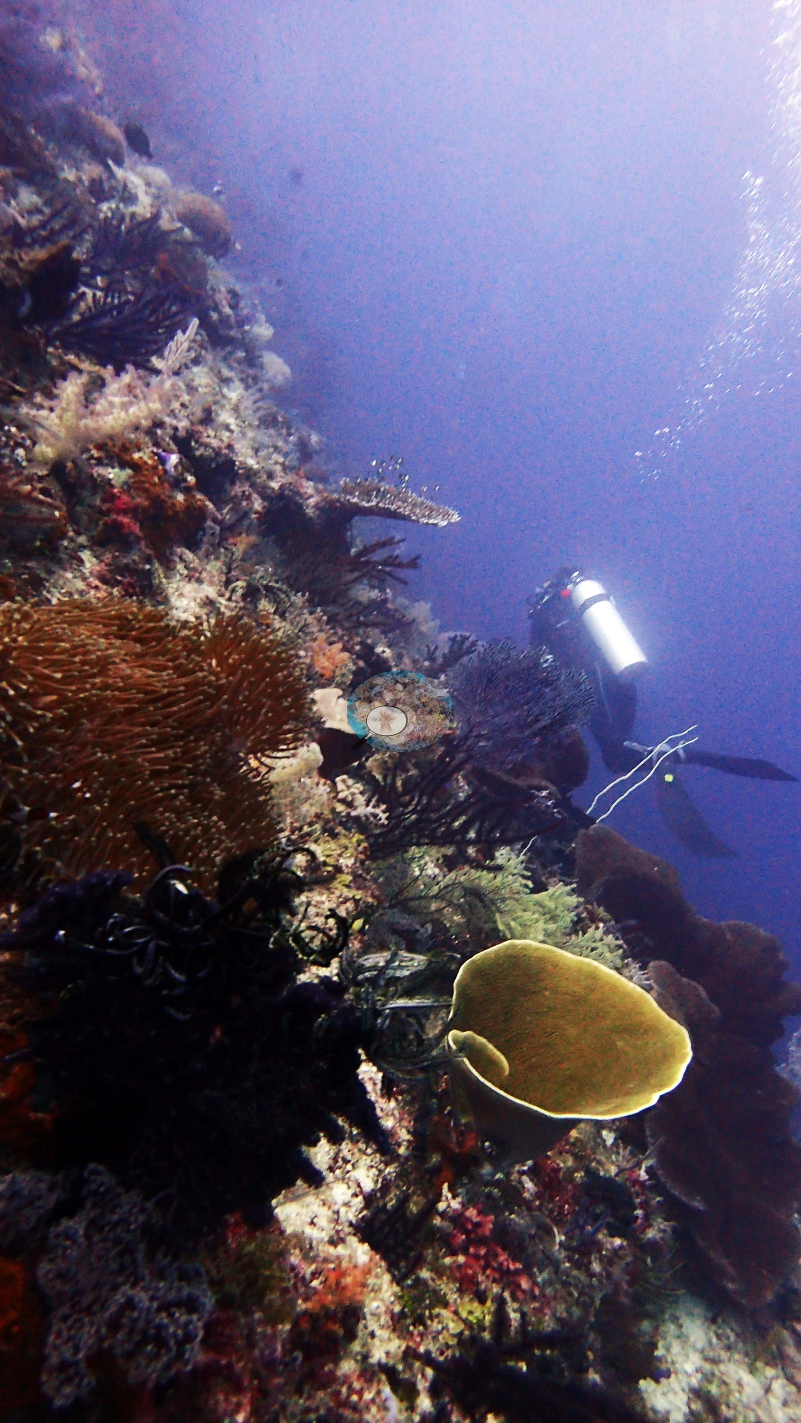 31
31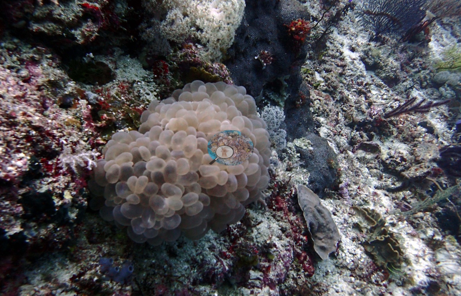 32
32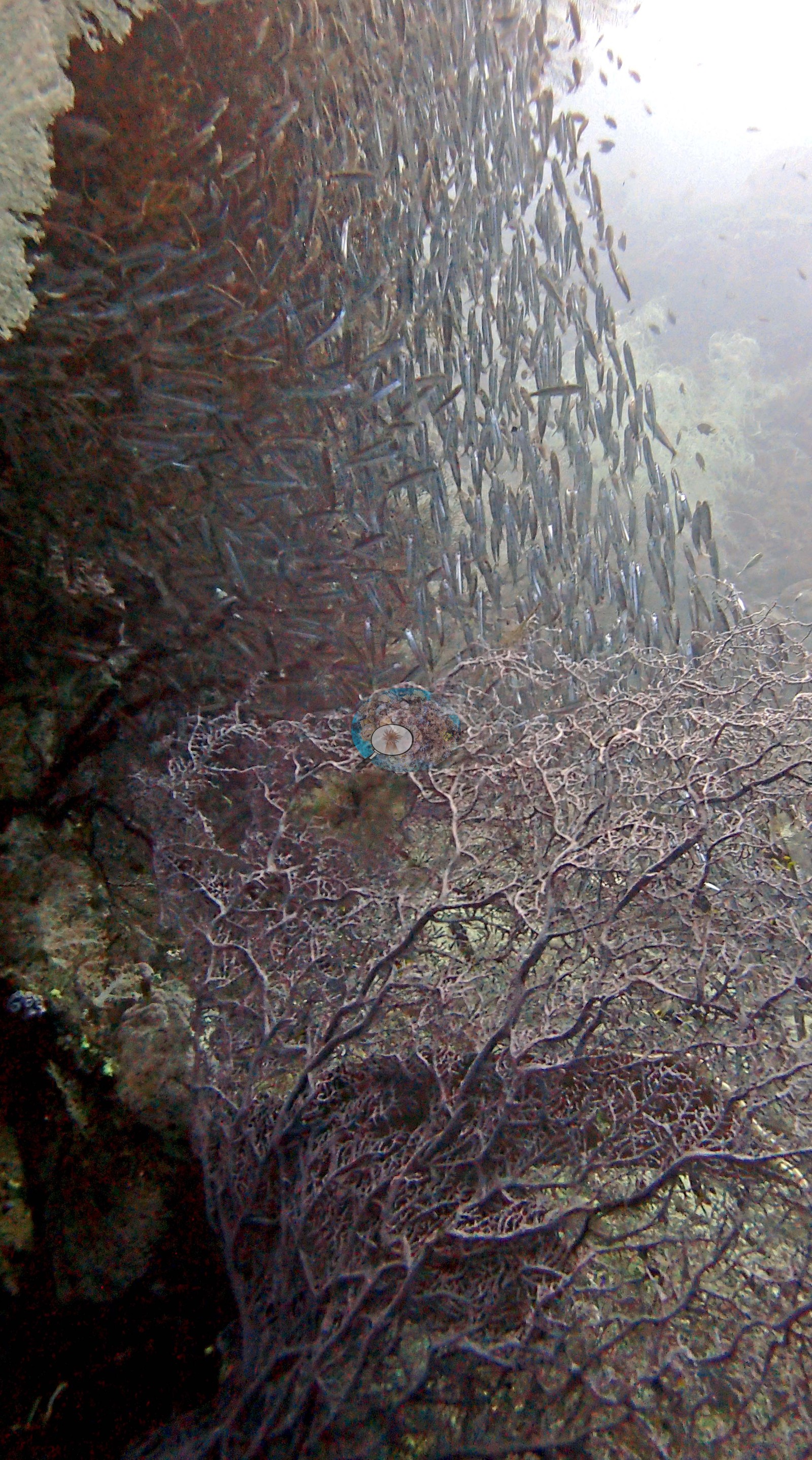 33
33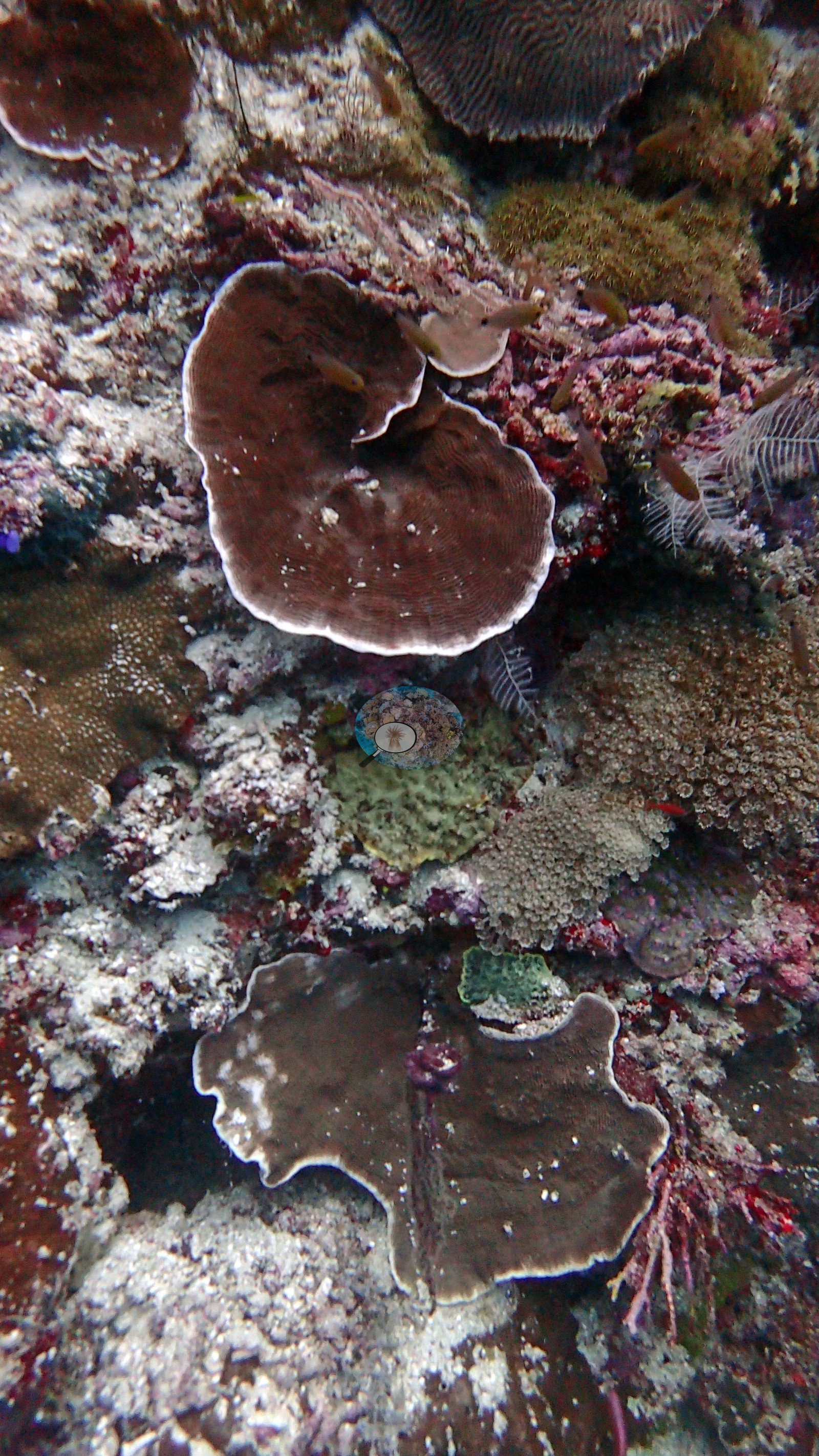 34
34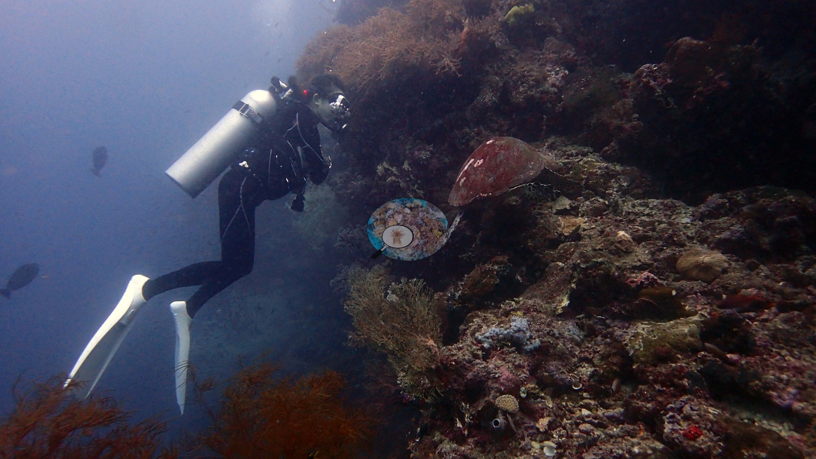 35
35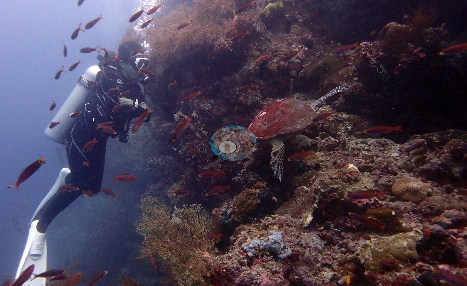 36
36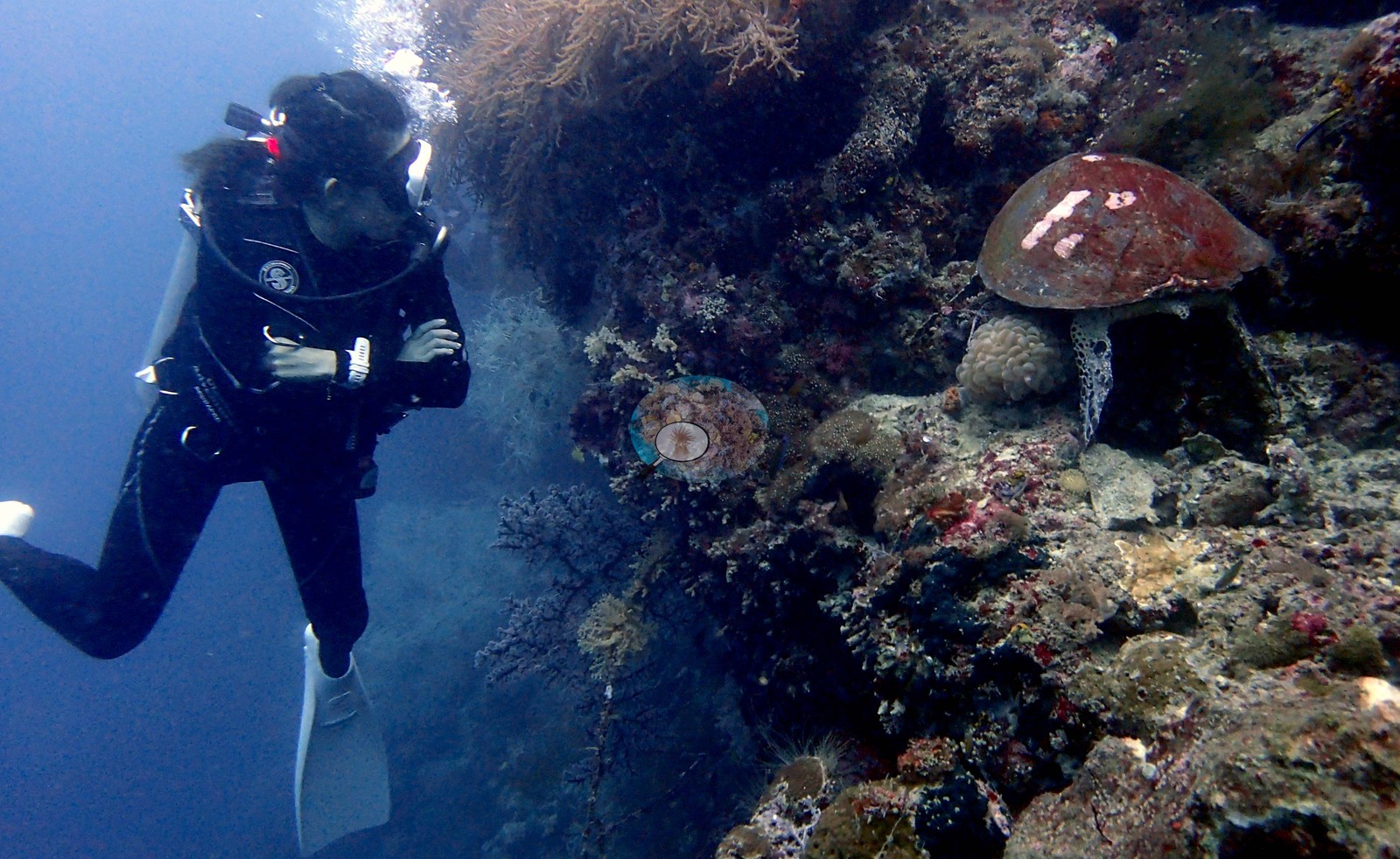 37
37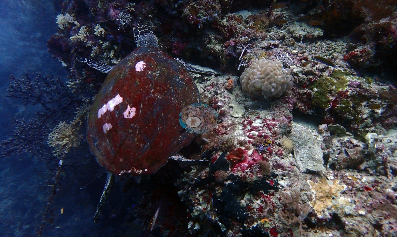 38
38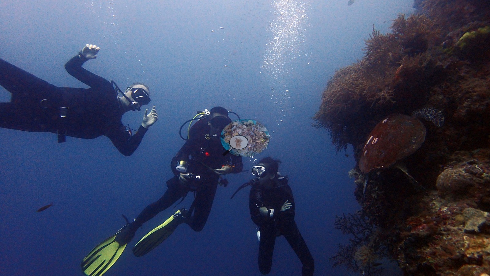 39
39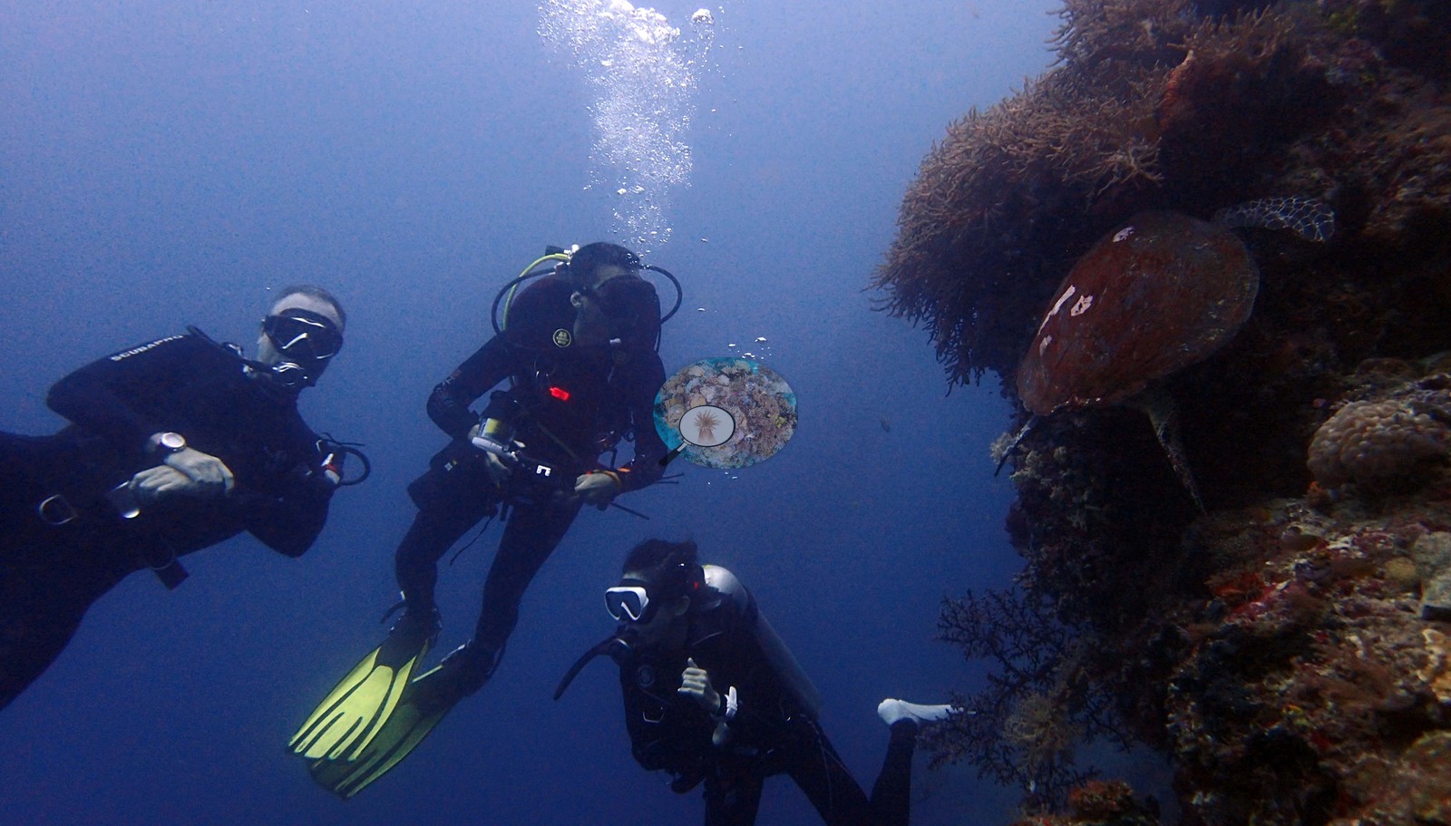 40
40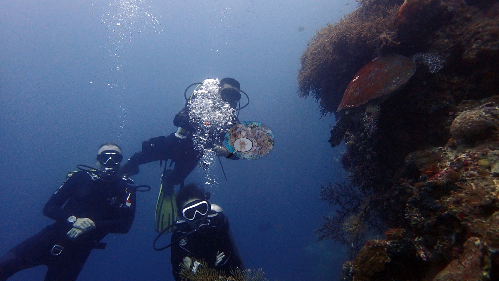 41
41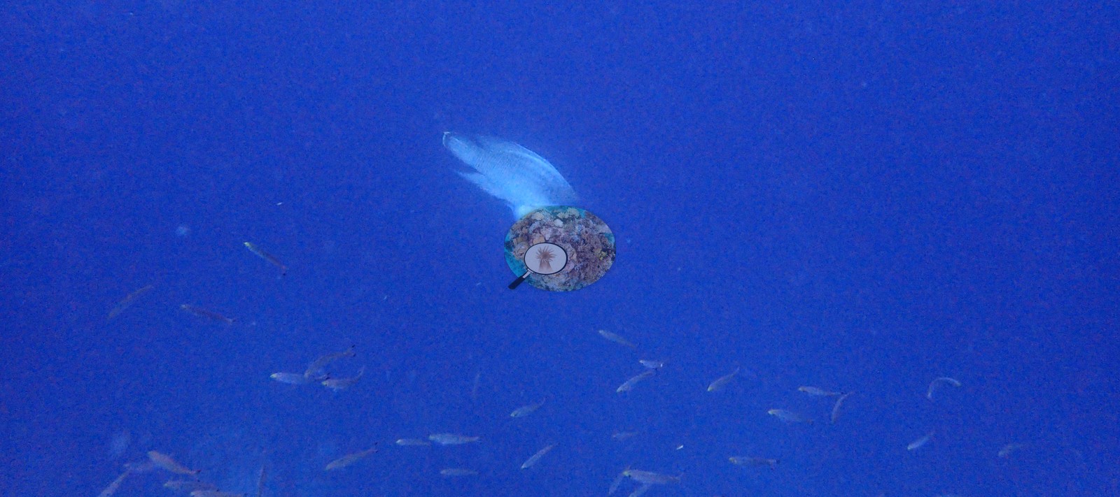 42
42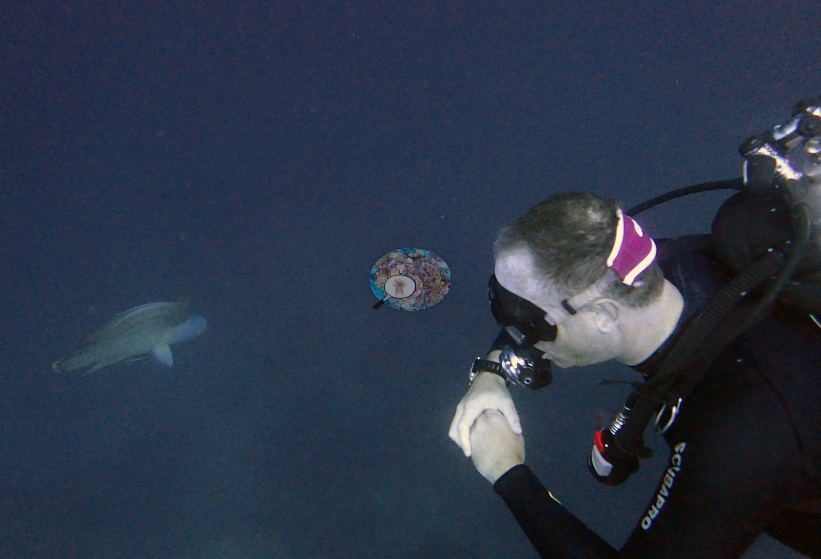 43
43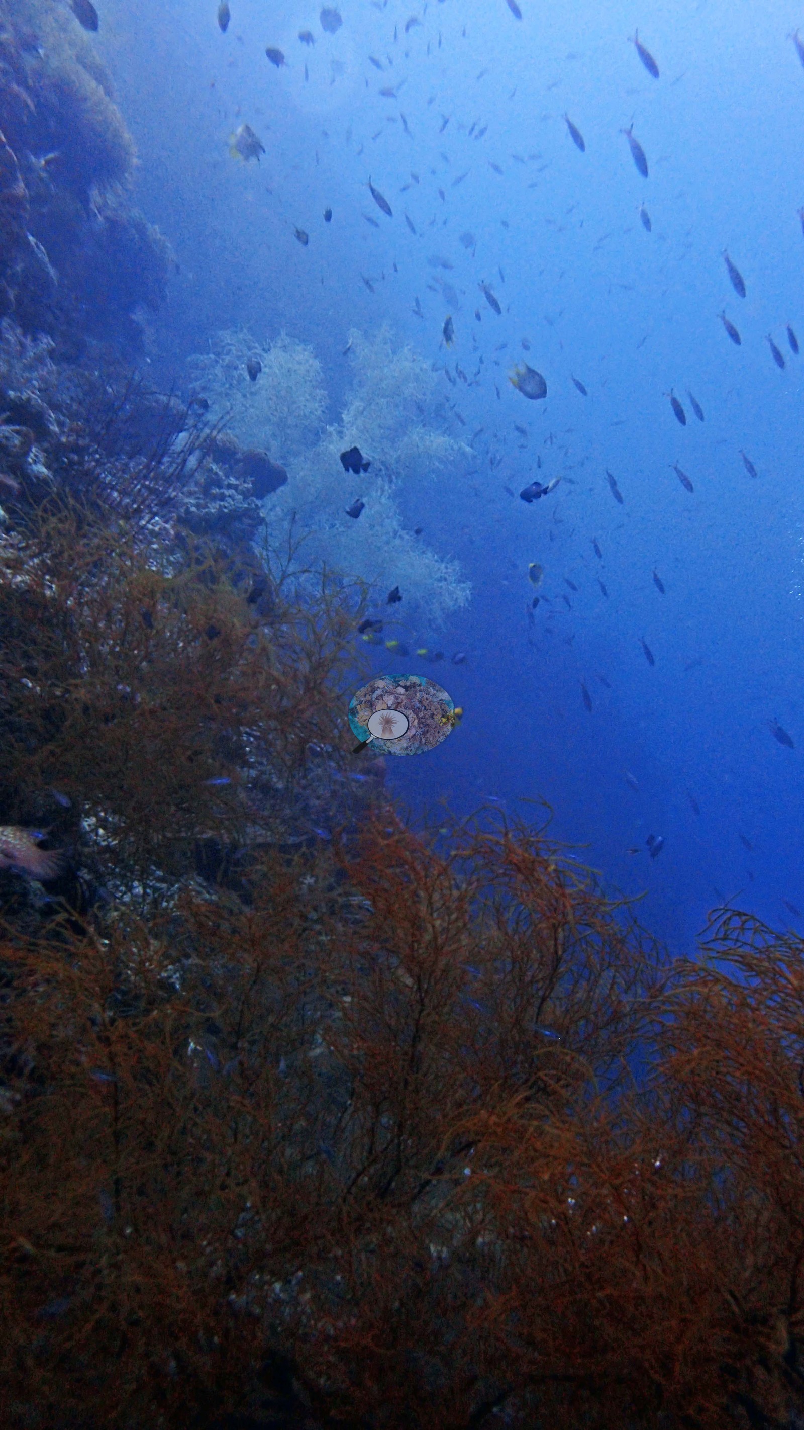 44
44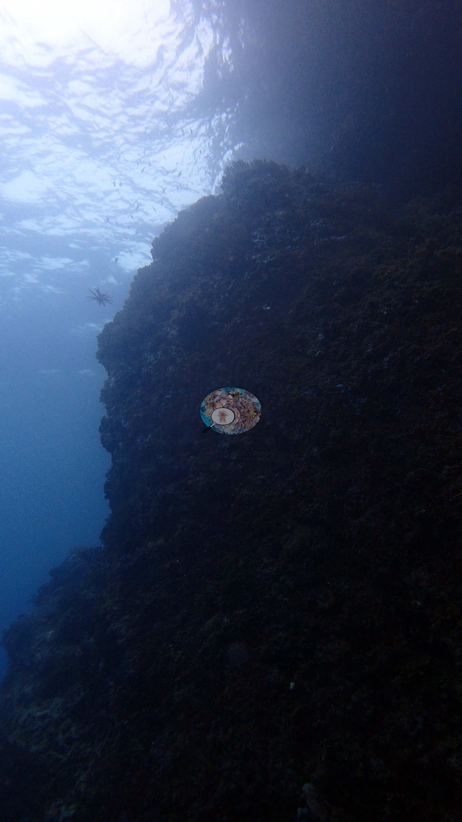 45
45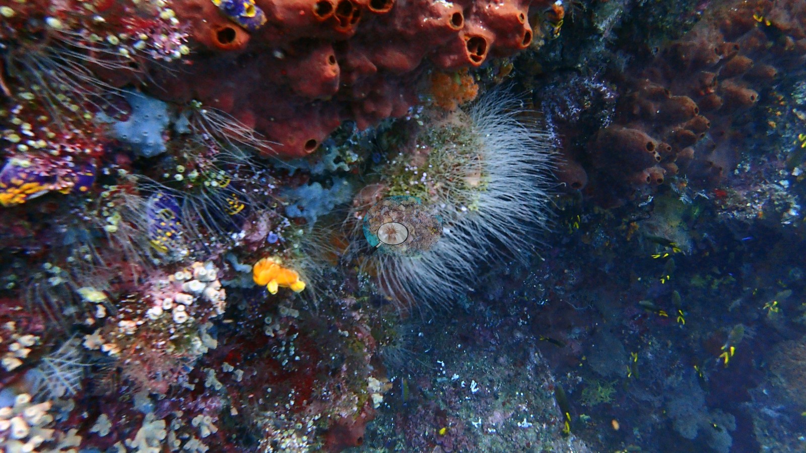 46
46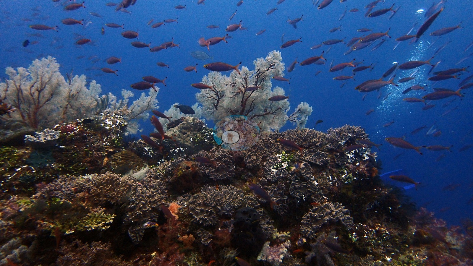 47
47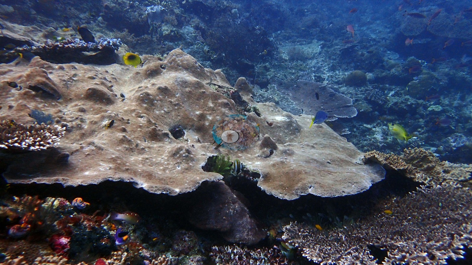 48
48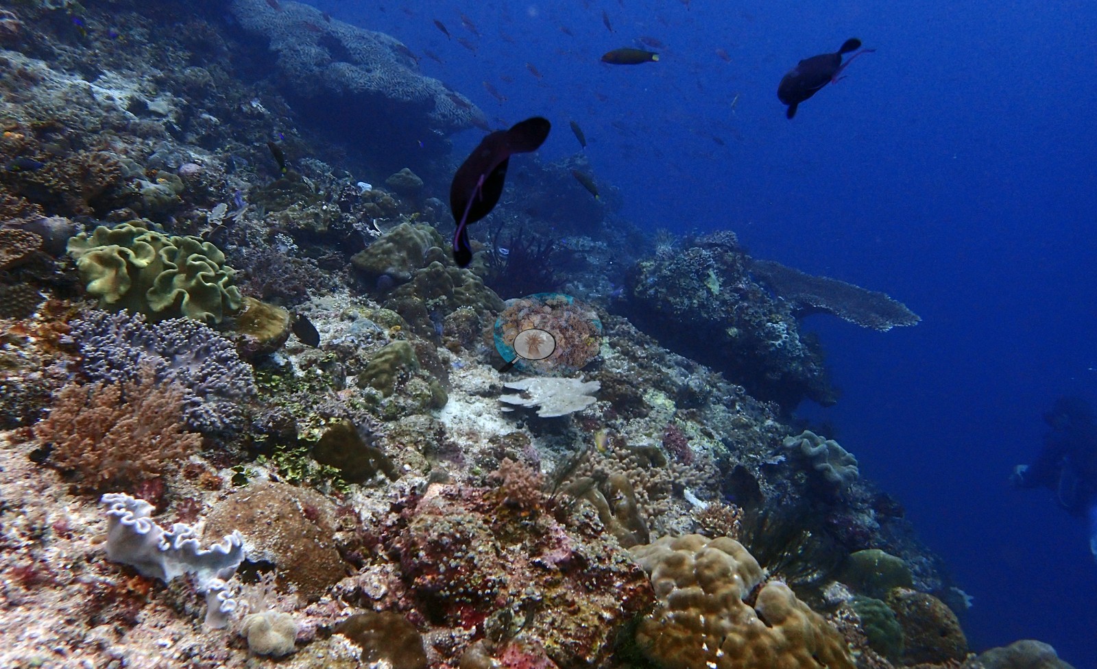 49
49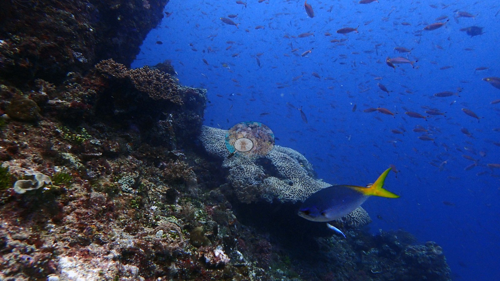 50
50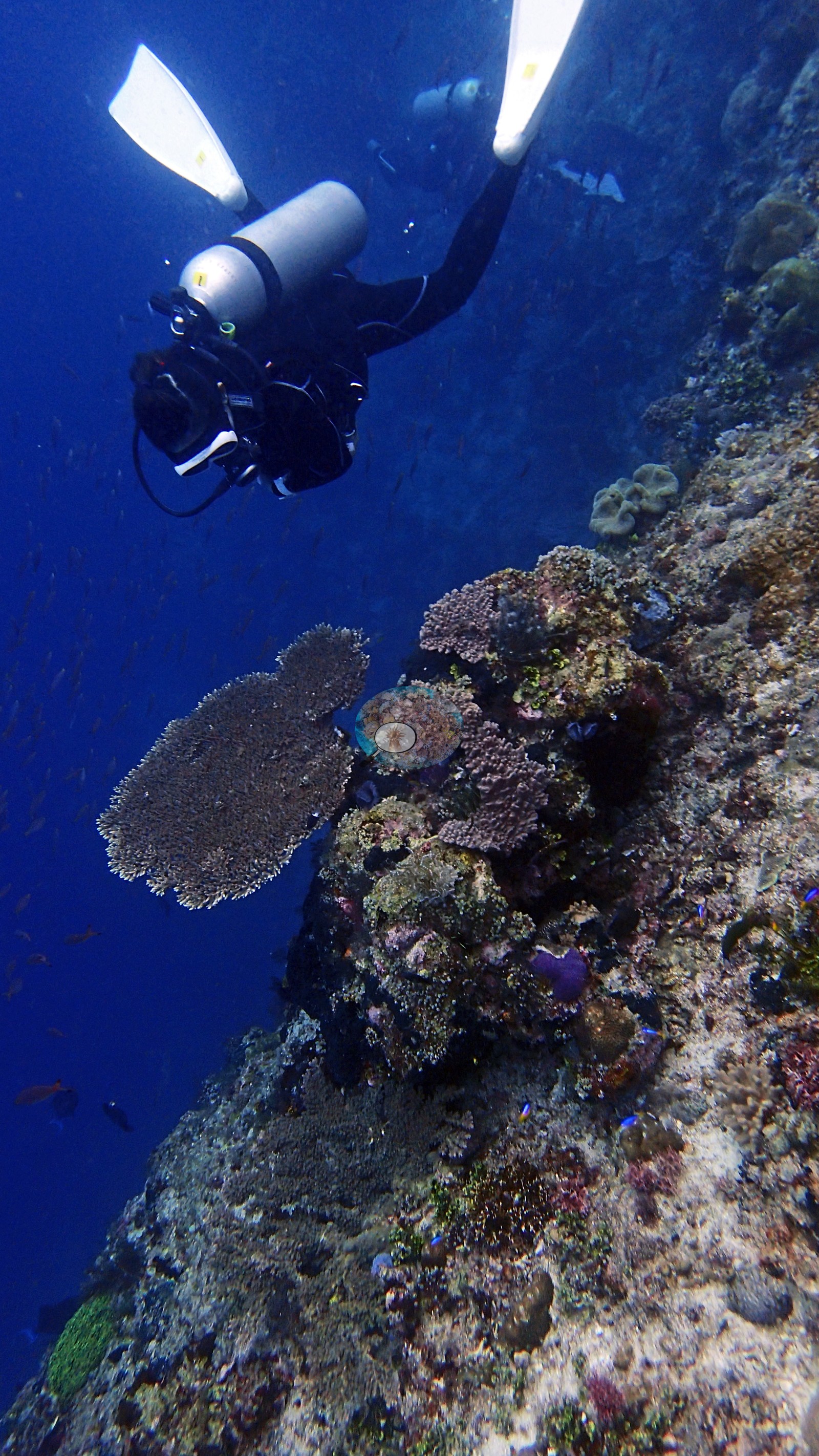 51
51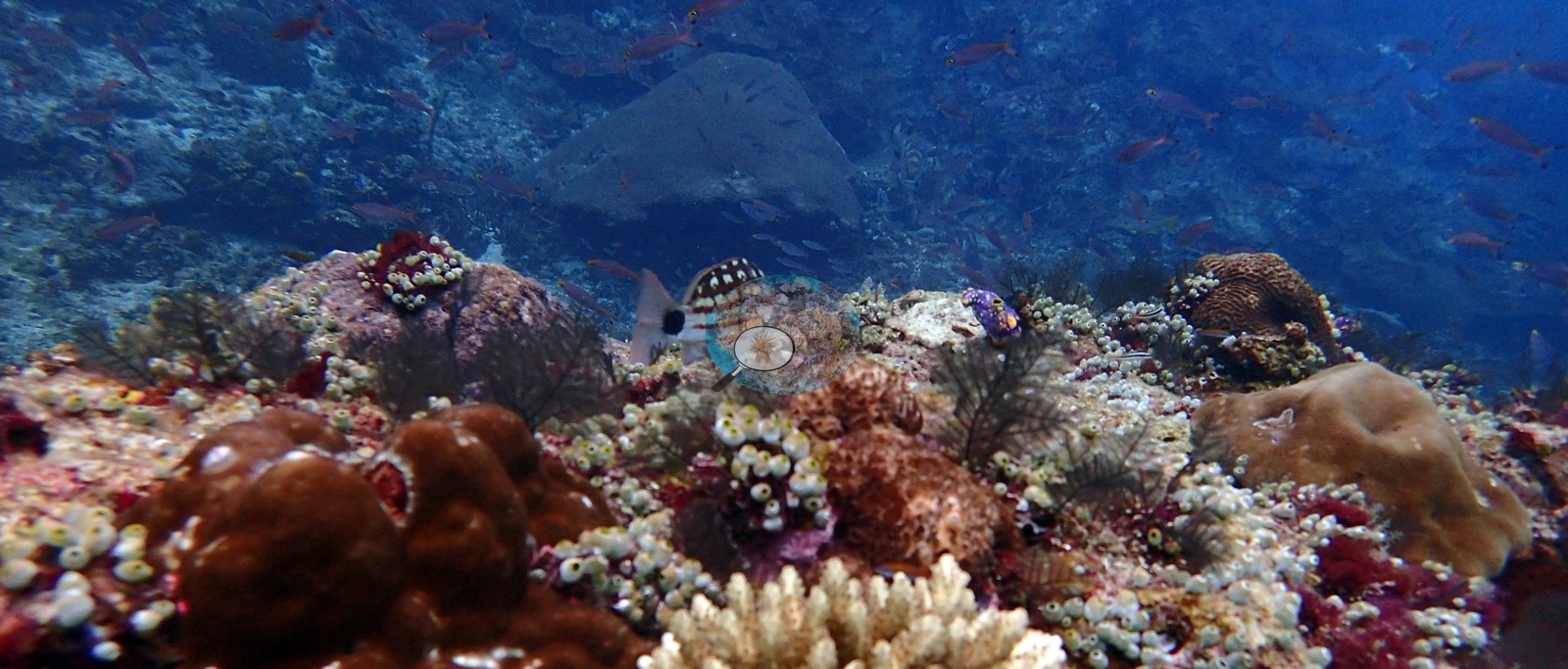 53
53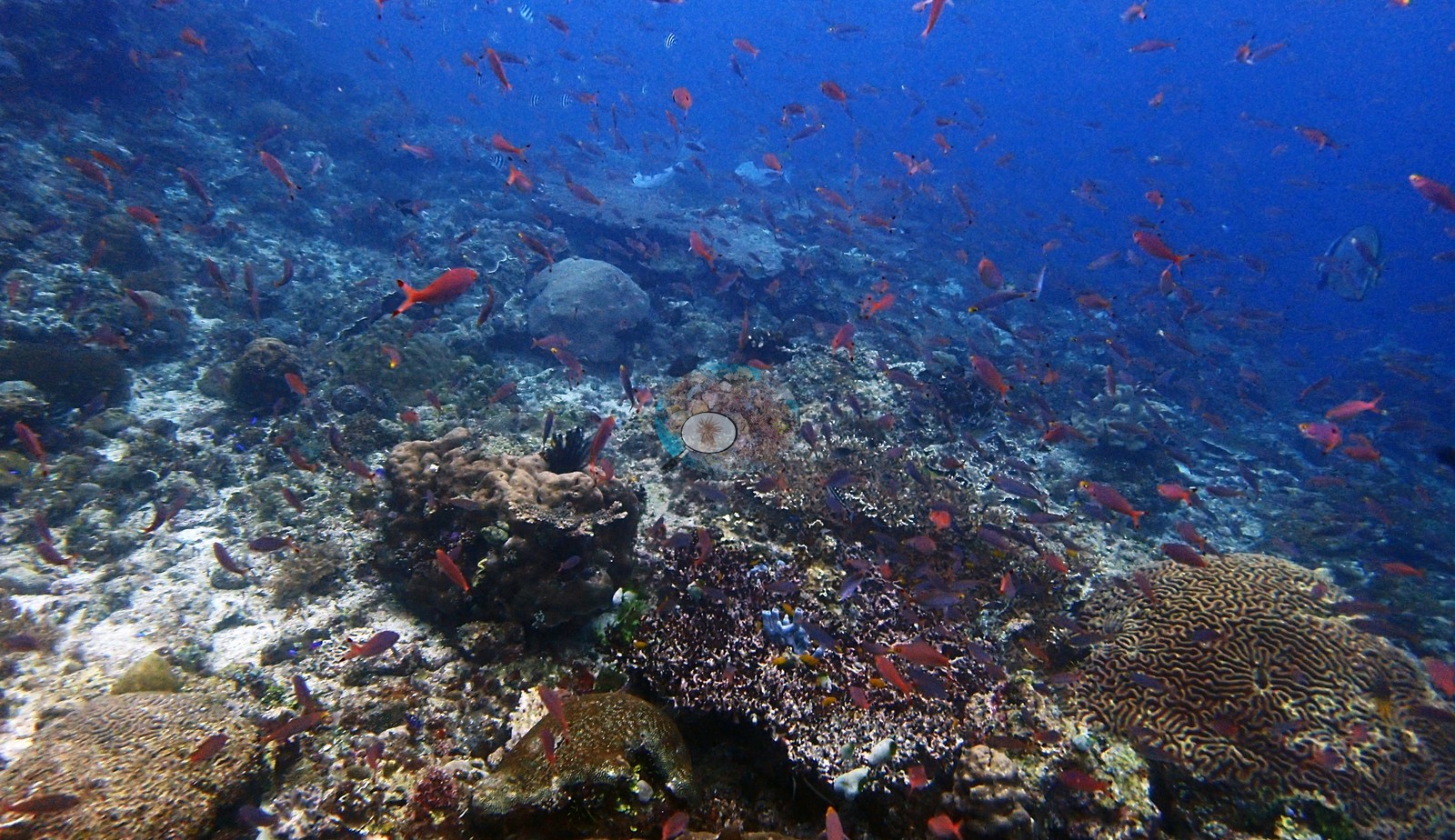 54
54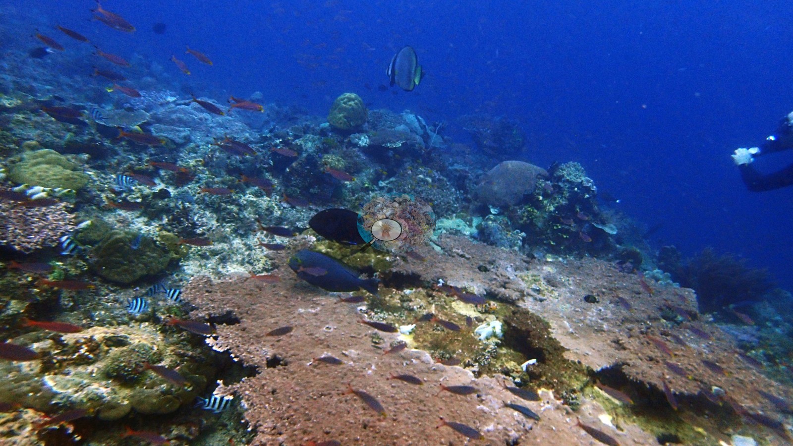 55
55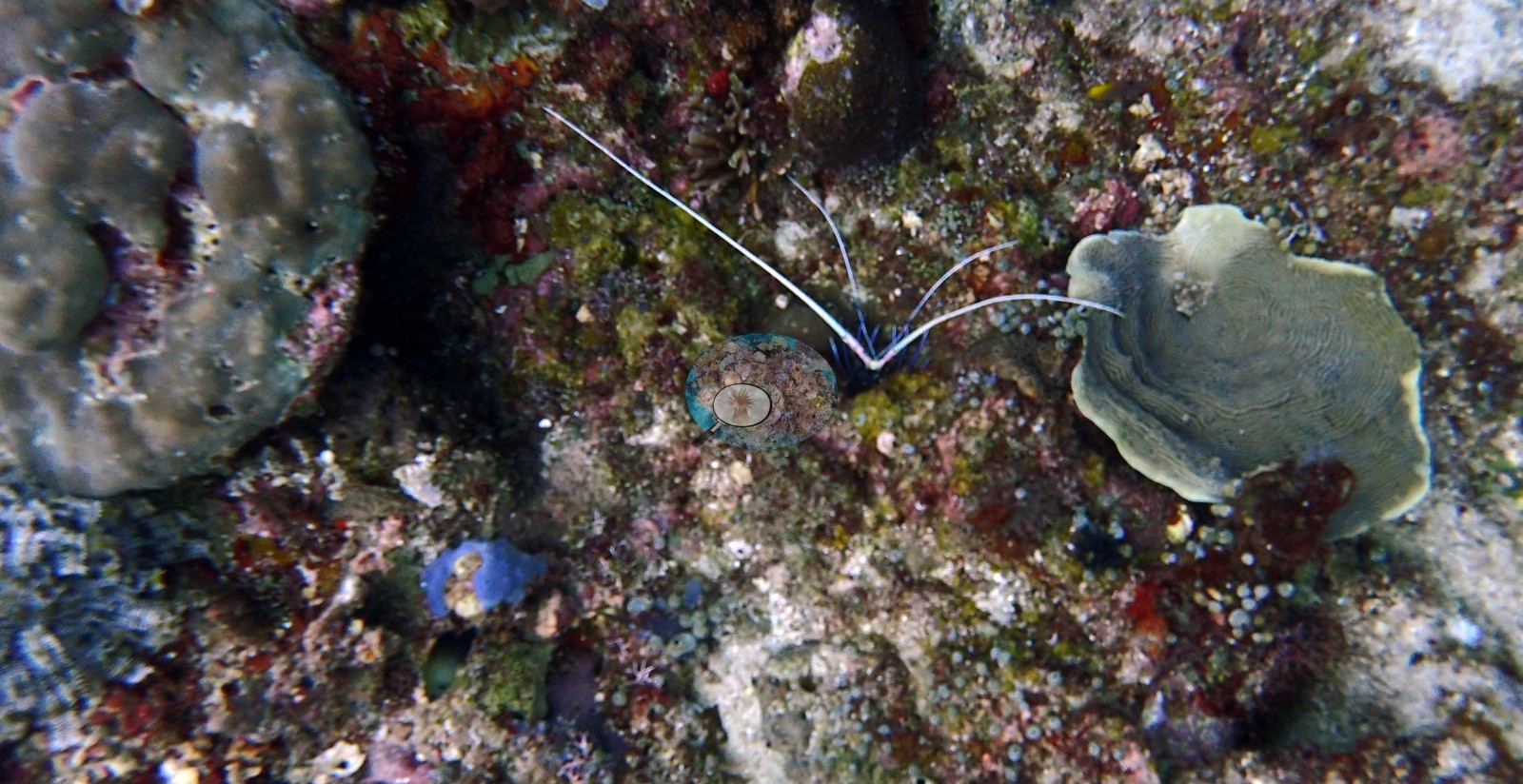 56
56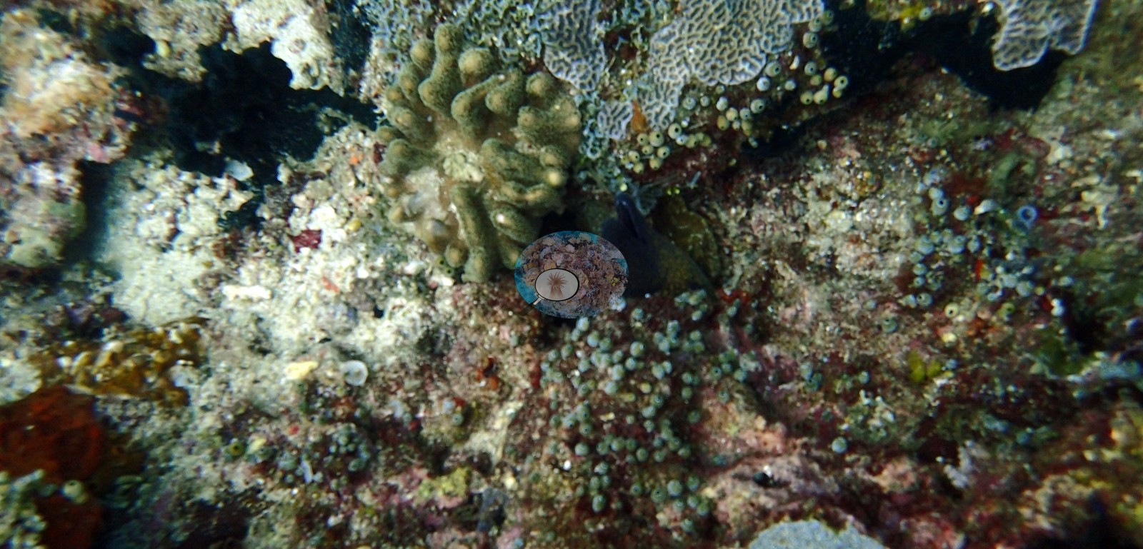 57
57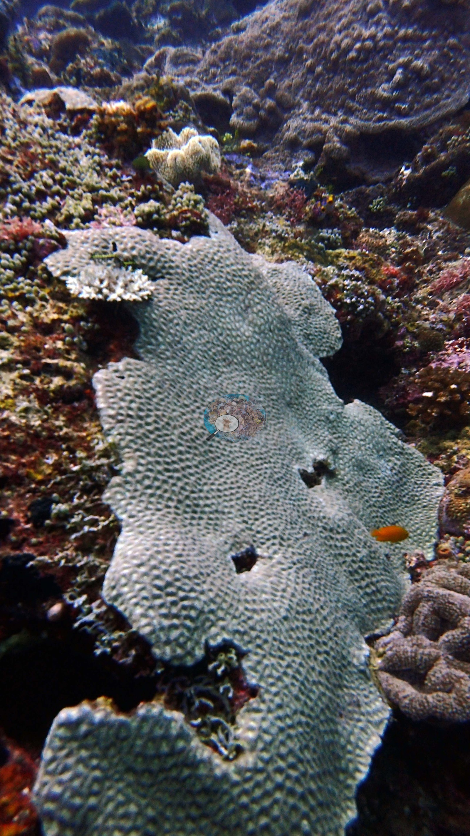 58
58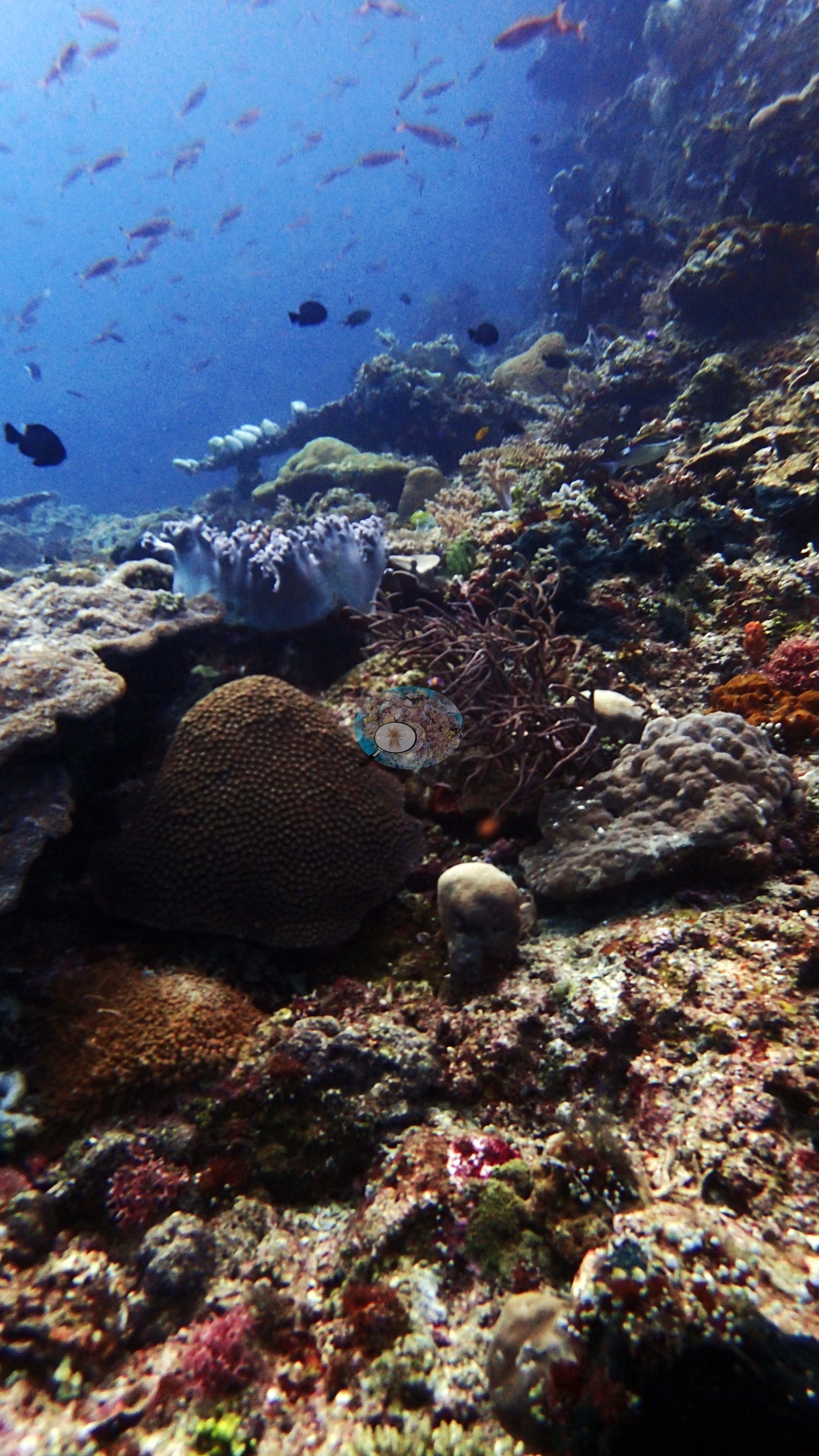 59
59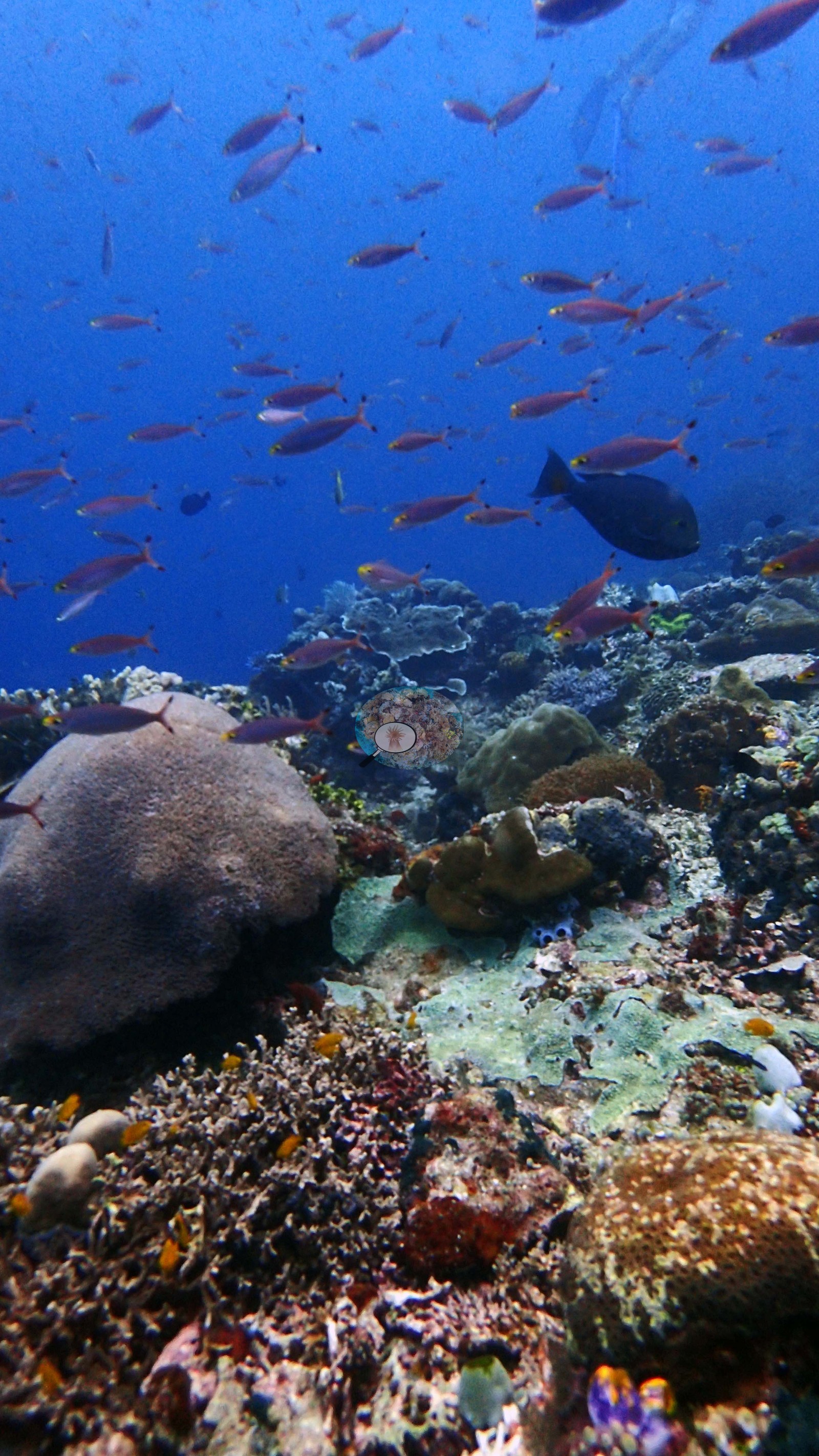 60
60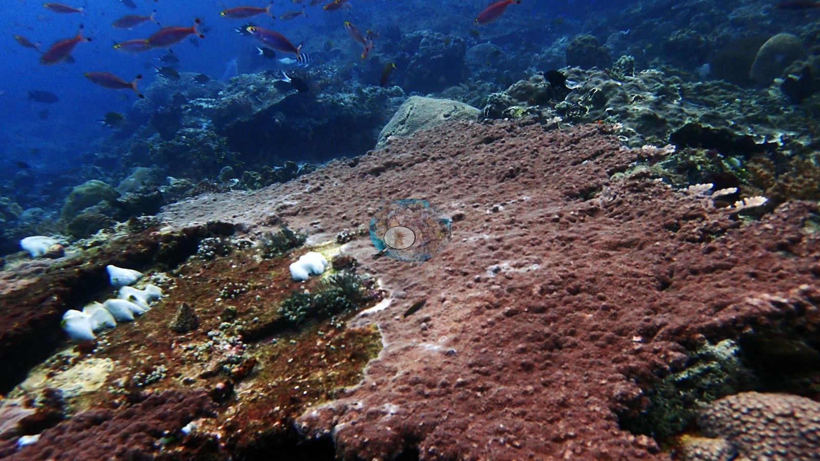 61
61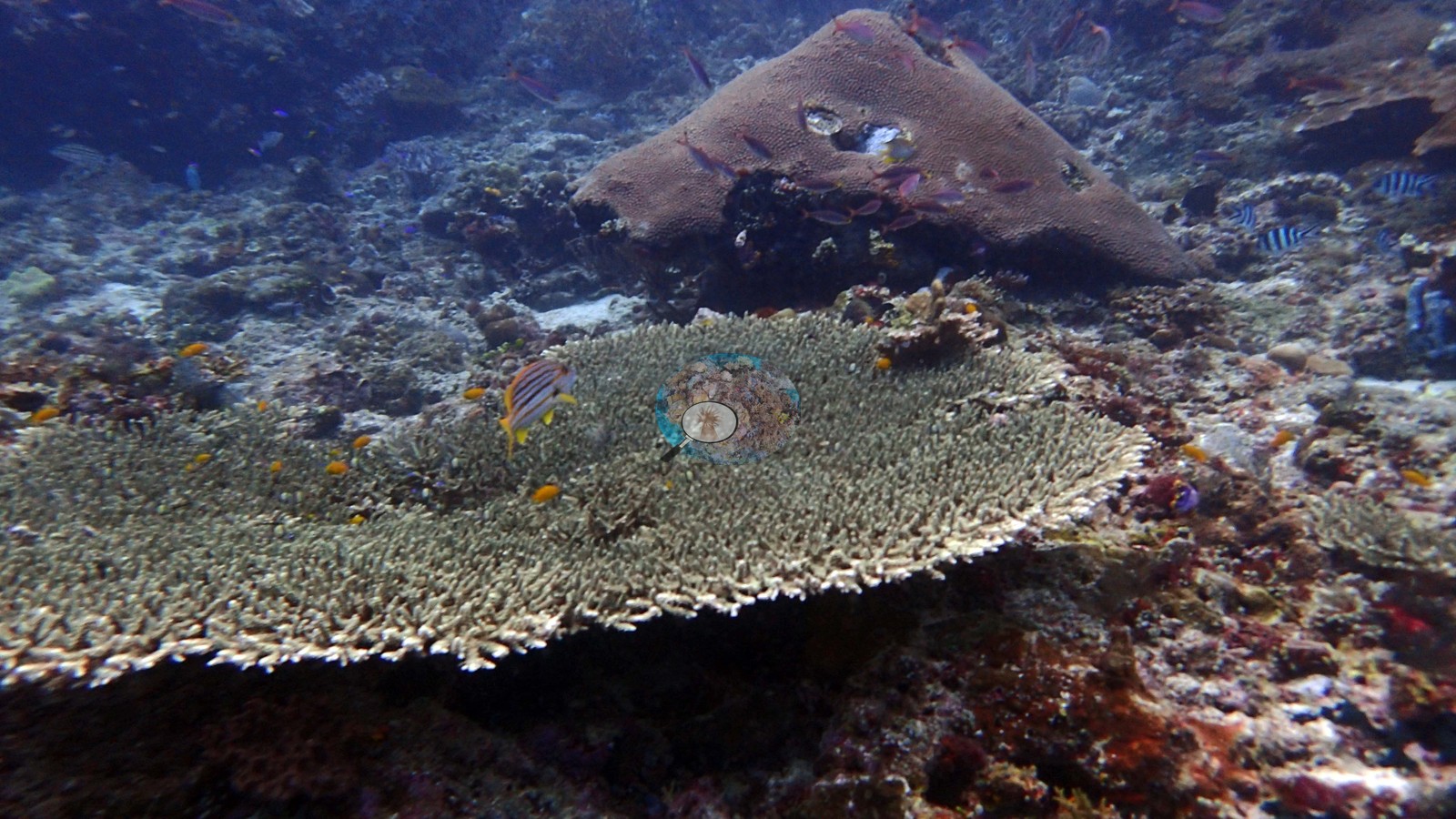 62
62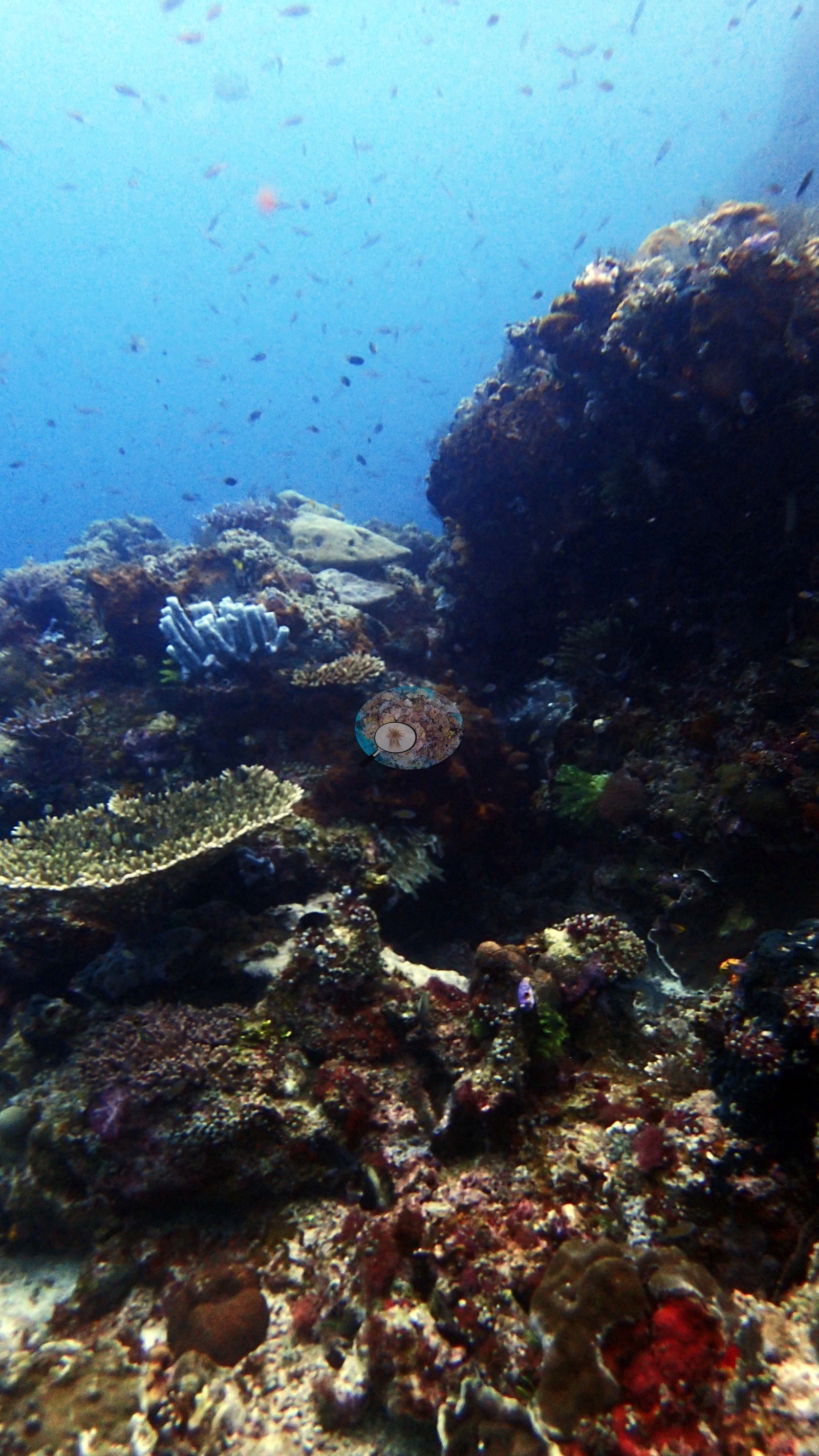
Site description
Setting
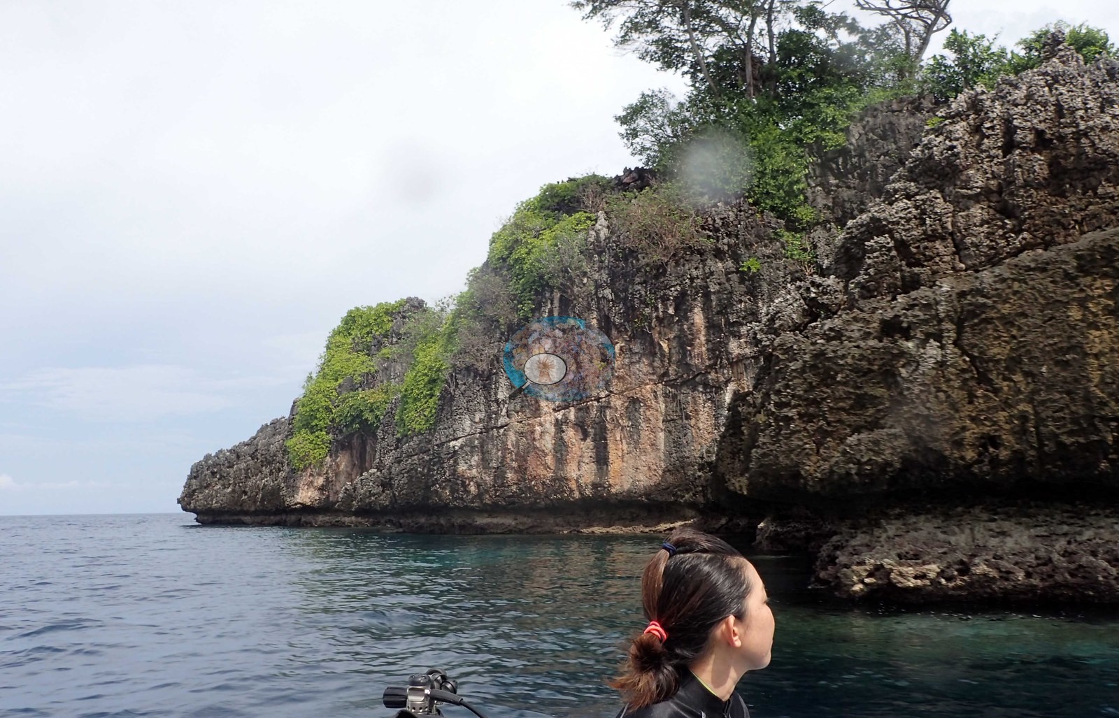
The topside frames earn the name: a small, isolated limestone islet, undercut into a deep black notch at the waterline, its jagged karst crown carrying a handful of trees — two of them standing out as spreading, flat-topped crowns above the scrub. Wider frames from the mother boat show a scatter of similar forested karst islets across an open, calm sea. Divers are shown kitting up on a tender running out to the rock. Underwater this is a wall-and-pinnacle site, not a reef flat. Visibility was good but the water carried heavy plankton and baitfish, and light fell off quickly on the wall, which — together with the trevally and the schooling behavior — points to real current. Several frames look down a vertical face into deep blue, consistent with a wall dive well past 25 m, though no depth is recorded and none should be inferred.
General benthic features
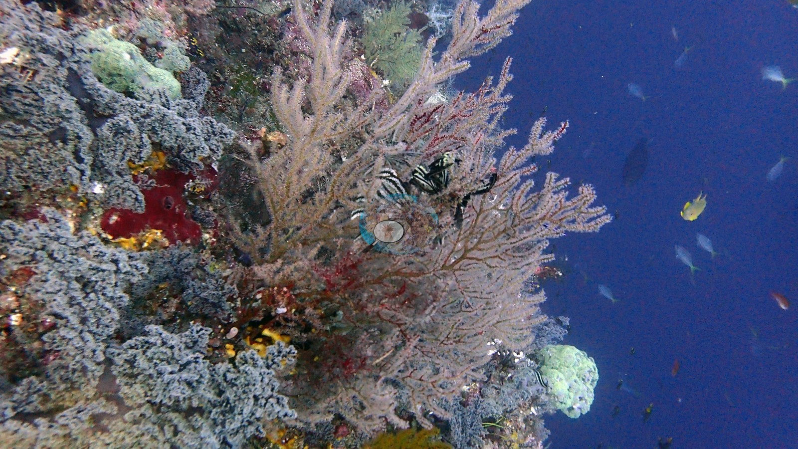
The benthos divides into two zones. The vertical wall and its overhangs are dominated not by stony coral but by bushy antipatharians — big white, pale-green, and rust-brown black-coral trees standing a meter or more off the rock, in some frames forming a near-continuous fringe down the drop-off — together with large gorgonian sea fans in cream, pink, lilac, and deep red, red, and brown encrusting sponges pierced with oscula, orange and yellow sponge crusts, tunicates, crinoids, and rock heavily crusted in pink and mauve coralline algae (e.g., Image 3).
Stony coral on the wall itself is sparse and mostly foliose: dark chocolate-brown plating colonies with vivid white living rims, consistent with Pachyseris, Echinophyllia, or Mycedium, sitting as isolated discs on coralline pavement; a yellow-green foliose Turbinaria; and a well-lit bubble coral, Plerogyra sinuosa, in one shallow frame. The reef top and shoulder are much richer in hard coral: tabulate Acropora including several large, clean, healthy plates; shingled plate and foliose colonies; brain corals with fine meandering valleys; smooth pale gray-green encrusting sheets; and low massive domes, interspersed with cream and lilac Sarcophyton and Sinularia soft corals and pulsing-polyp carpets (e.g., Image 5).
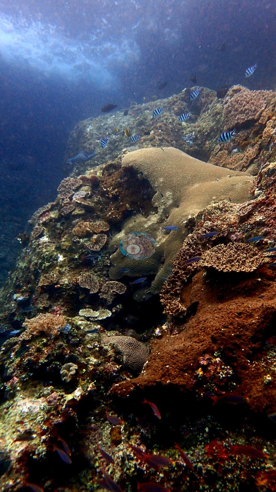
Even here, though, a large share of the surface is bare pink-red coralline pavement and turf-covered rock rather than living coral — one wide frame shows a broad slab of the shoulder that is almost entirely crustose coralline algae and fine turf, with only white sponges and scattered small colonies on it.
Coral cover
Coral cover: 7.2% — a blind Claude computer-vision point count of 77 of Anderson's edited photographs (20 points per photo; water, fish, and obstructions excluded). Other computer-vision methods are listed in the method table.
Stressors
Condition: no bleaching front, no crown-of-thorns, and no anchor or blast damage were seen. One small table colony on the reef shoulder is conspicuously white against healthy neighbors and is flagged rather than diagnosed; two large foliose plates carry eroded patches in their centers. The extensive coralline-and-turf pavement is normal for a current-scoured, high-energy pinnacle and should not by itself be read as degradation.
Fish and other fauna
The dominant impression across the folder is water rather than substrate: frame after frame is filled with baitfish. Enormous, dense schools of silversides or anchovies wrap the rock in shimmering curtains dozens of meters across, and Anderson's own captions record a diver flying through the middle of one ("Naoko in anchovy school"). Working the edges of those schools are heavy shoals of fusiliers (blue-and-yellow-tailed), a passing school of streamlined silver mackerel- or small-tuna-shaped fish, at least one giant trevally hunting through, and dense red clouds of anthias closer to the rock. Two frames show a large solitary grouper hanging against the wall; another two show a single large heavy-bodied fish at distance that is most consistent with a humphead wrasse or bumphead parrotfish but too indistinct to call. Batfish, sergeant majors, surgeonfish, a filefish, moorish idols, and a boxy pufferfish appear on the reef itself, and dark shoals of glassfish pack the gullies between rocks. The single most striking piece of natural history in the folder is a sea turtle photographed at rest on a ledge in a run of about ten frames, with divers approaching to within a couple of meters. Its carapace is a deep red-brown carrying several conspicuous pale pink patches, and the head tapers to a narrow beak; that combination is most consistent with a hawksbill (Eretmochelys imbricata), but the species is not asserted here. Other fauna: a small cleaner shrimp with very long white antennae on open rock, a small dark moray or blenny in a hole, and in two frames a jet-black, thick-lobed animal with a reticulate polygonal surface pattern sitting on coralline rubble that I could not confidently identify.
Comparisons with other data
No independent survey was made at this exact site; the nearest ones are listed in the table below.
Dive record
Two Tree Island, dived on 20 October 2018 (inferred from the camera's PA20xxxx filename sequence, not from a matched log entry).
CV model comparison
More info
DINOv3 and CoralSCOP were run on the same photos and are listed for comparison. Coralscapes v2 and v1 were also run but are not shown: Anderson does not consider Coralscapes reliable for these photos. No diver transect exists for this trip, so agreement between the rows is not accuracy, and as of September 2026 no computer-vision method estimates coral cover accurately on new images; treat every row as indicative.| Method | Hard-coral cover (%) |
|---|---|
| In-house DINOv3 | 18.6 |
| CoralSCOP edited | 18.8 |
| Claude (edited photos) | 7.2 |
Independent surveys nearby
| Agency / program | Year(s) | Stations / distance | Link |
|---|---|---|---|
| MERMAID* | 2020 | 1 station, 2.65 km | Records ↓ |
| Social Ecological Research Frontiers (SERF) / University of Rhode Island (URI) / Thriving Oceans | 2019 | 2 stations, 3.45–4.22 km | Records ↓ |
 Dr. Coral (CRD)Year-average (no detectable trend)
Within 5 km, 3 independent survey stations recorded hard coral cover in 7 surveys between 2019 and 2020. The most recent nearby survey is from 2020, so these values predate recent heat stress. This site's own estimate (7.2%) sits 13.4 points below the range of these surveys (21–69%); the methods differ, so the comparison is context, not a like-for-like test.
Collected by other programs using different methods (MERMAID is a data platform: each MERMAID row names the organization that did the survey, and its method is in the row's hover text. *Conducted by citizen scientists), so these are context for the figures above, not a like-for-like comparison. Where a station was surveyed more than once the range is shown. Station names are not dive-site names.
| Agency | Site / location | Date | Hard coral cover (%) | Distance | Link |
|---|---|---|---|---|---|
| Social Ecological Research Frontiers (SERF) / University of Rhode Island (URI) / Thriving Oceans | Yenkafal East | 2019 | 69% | 3.45 km | Humphries A, Amkieltiela, Tiela, Caldwell I, Caldwell I, Molfino T. 2019. SERF2_AustinHumphries_Indonesia. MERMAID |
| Social Ecological Research Frontiers (SERF) / University of Rhode Island (URI) / Thriving Oceans | Yenkafal West | 2019 | 21% | 4.22 km | Humphries A, Amkieltiela, Tiela, Caldwell I, Caldwell I, Molfino T. 2019. SERF2_AustinHumphries_Indonesia. MERMAID |
| MERMAID* | 4306 | 2020 | 42% (5 surveys) | 2.65 km | MERMAID |
Data & links
All images from Coral Reef Diagnostics. Data are from Coral Reef Diagnostics and the organizations named in the data-sources table above.
© Coral Reef Diagnostics.