
Raja Ampat - Dampier Strait night muck dive
Part of the regional summary: Indonesia - Raja Ampat
More info
West Papua (NOAA CRW virtual station)A night muck dive over sand near a town pier with almost no coral (a single Pocillopora acuta colony), but an outstanding critter showing - cuttlefish, squid, frogfish, and abundant crabs - amid pockets of trash on the seabed. No coral-cover figure applies to this muck habitat.
Penyelaman muck malam hari di atas pasir dekat dermaga kota yang nyaris tanpa karang (hanya satu koloni Pocillopora acuta), tetapi dengan kehadiran biota yang menonjol — sotong, cumi-cumi, ikan kodok, dan kepiting yang melimpah — di tengah kantong-kantong sampah di dasar laut. Tidak ada angka tutupan karang yang berlaku untuk habitat muck ini.
Terjemahan ringkasan ini oleh AI; versi bahasa Inggris yang berlaku.
Four independent survey stations shown with the program’s logo — click one to see how far it is from this site.
Two other CRD dive sites within 5 km shown in orange — click a marker to open its page.
5 of these 30 photographs are shown beside the text that discusses them under "Site description" below.
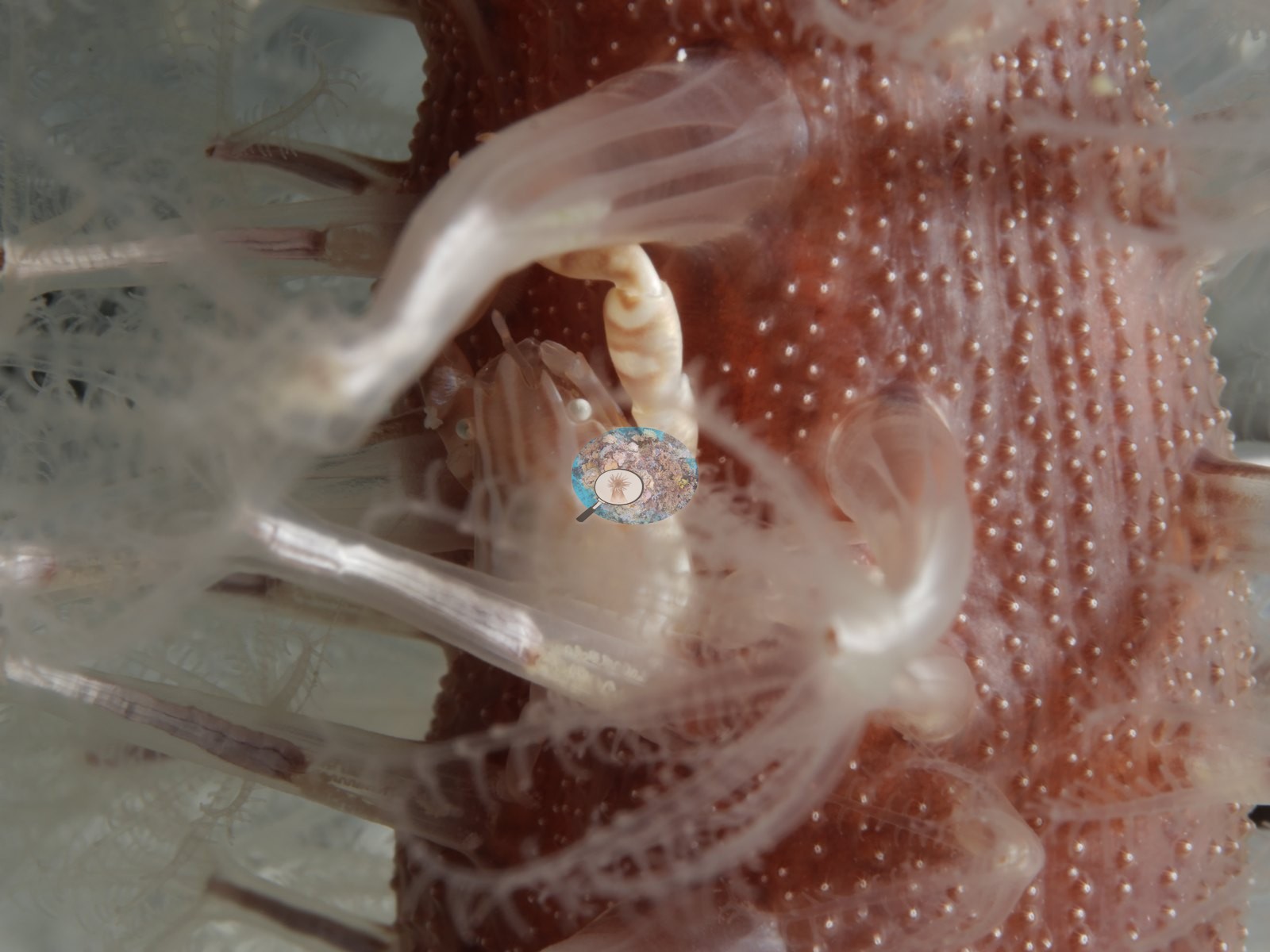 Photo: Pierre7
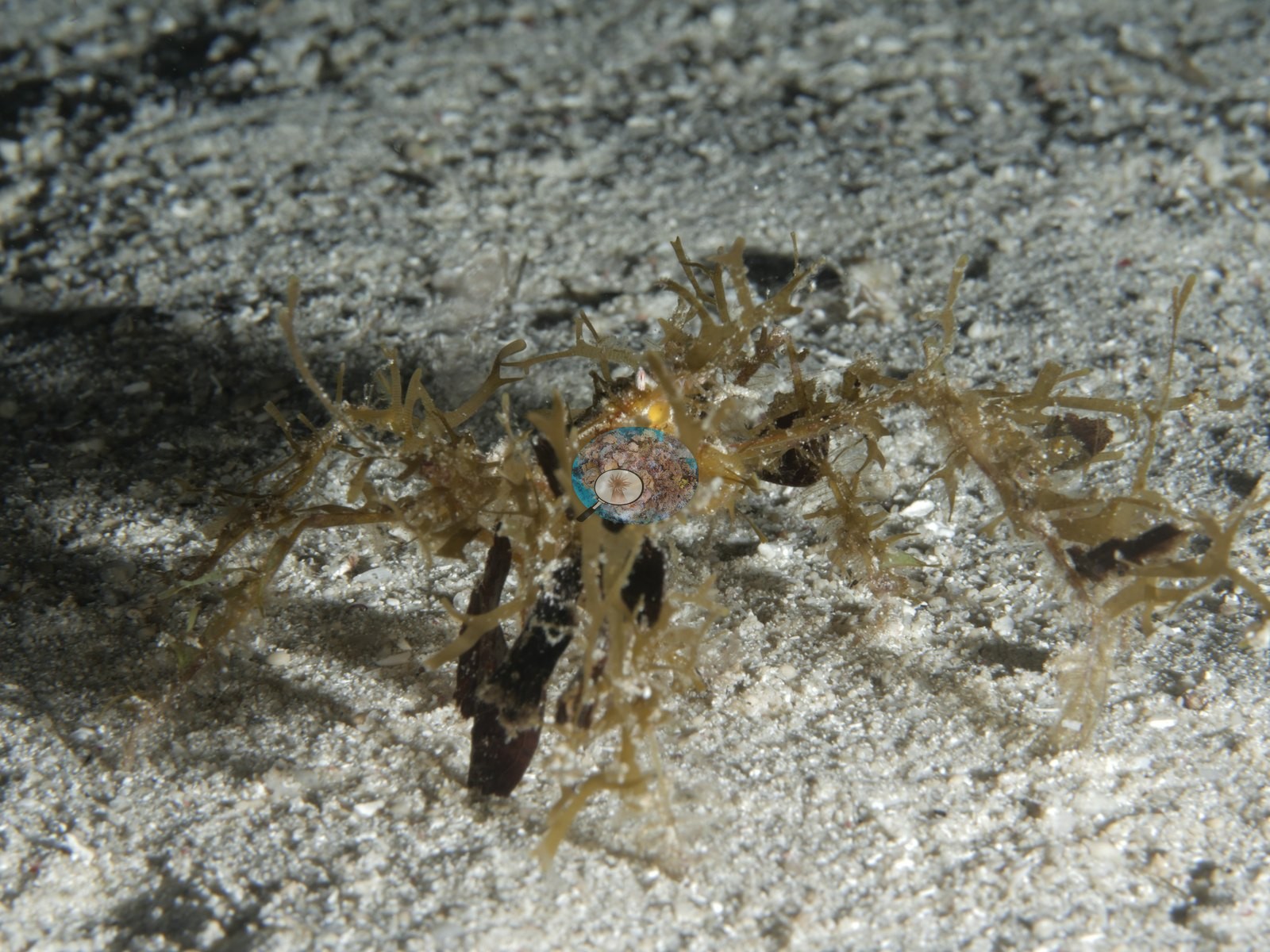 Photo: Pierre8
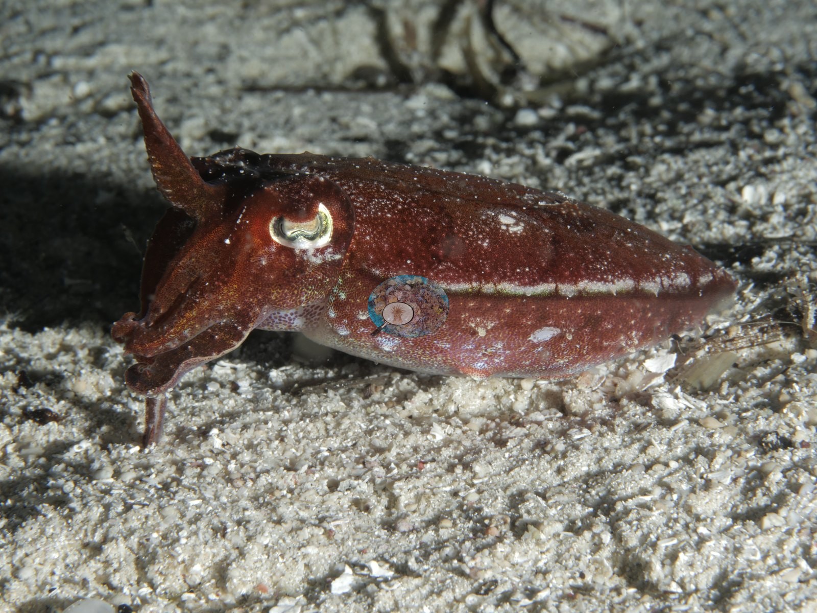 Photo: Pierre9
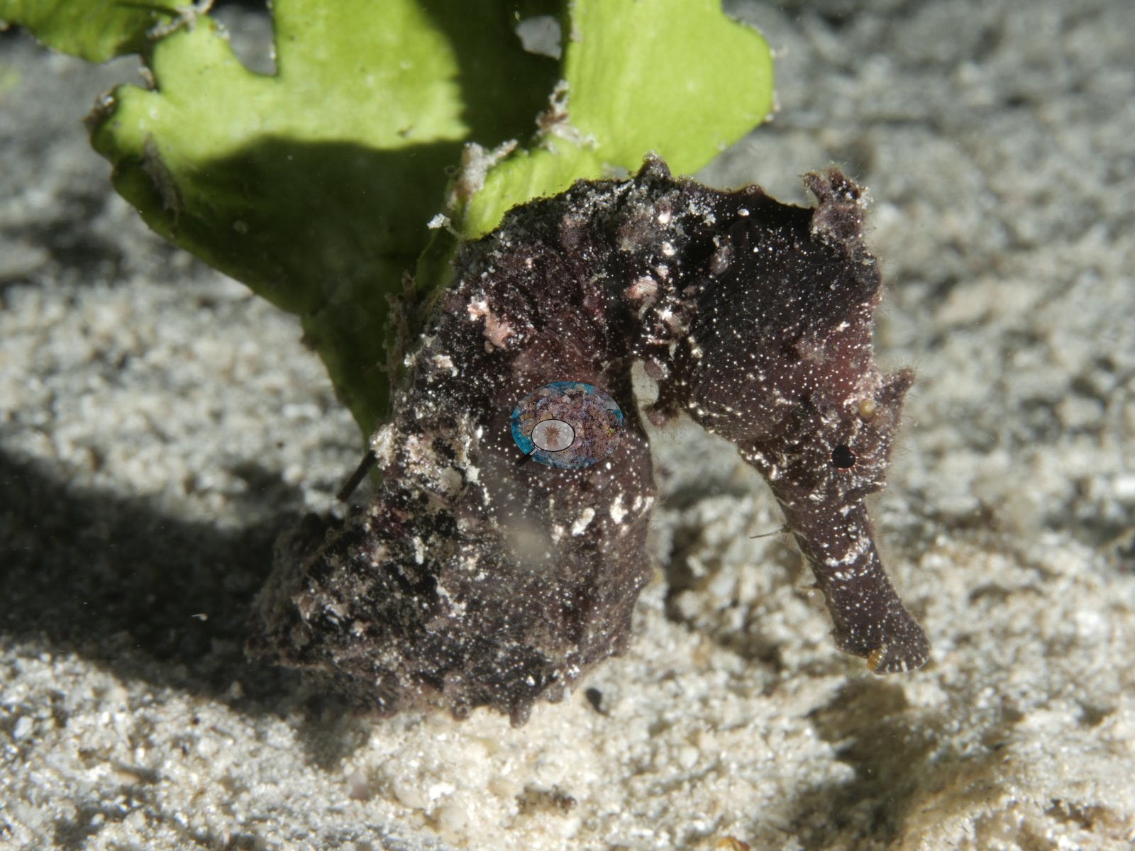 Photo: Pierre10
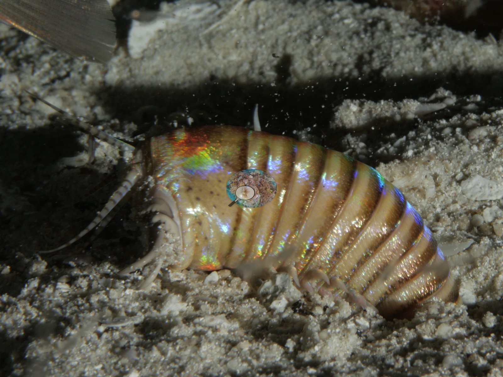 Photo: Pierre11
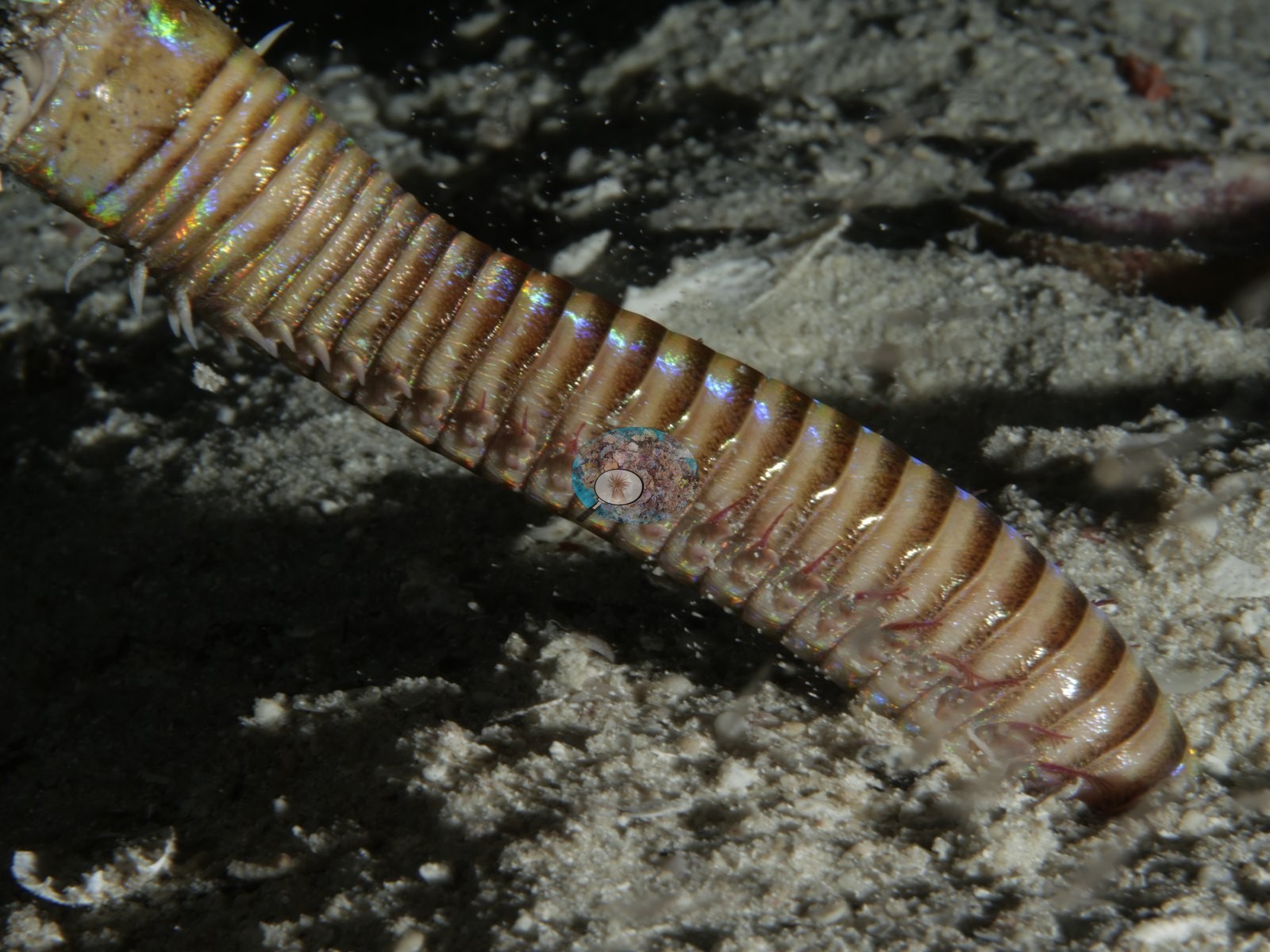 Photo: Pierre12
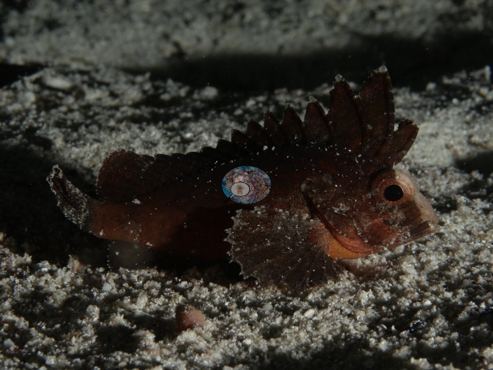 Photo: Pierre13
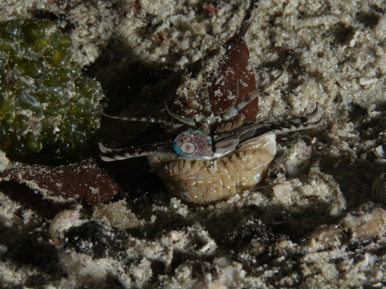 Photo: Pierre14
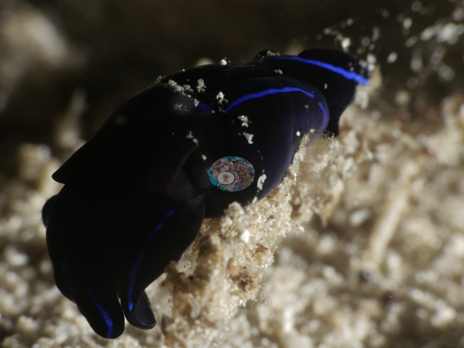 Photo: Pierre15
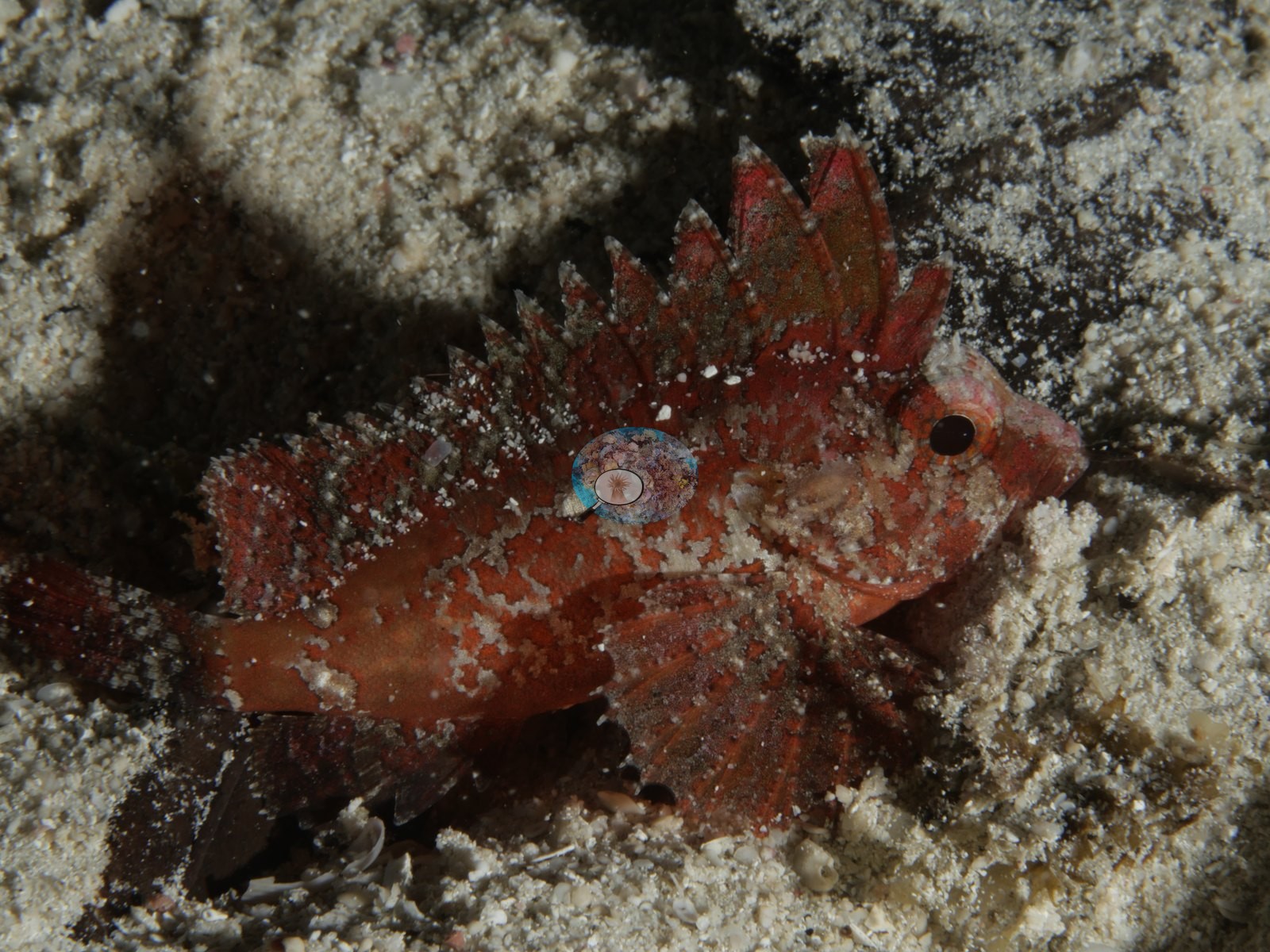 Photo: Pierre16
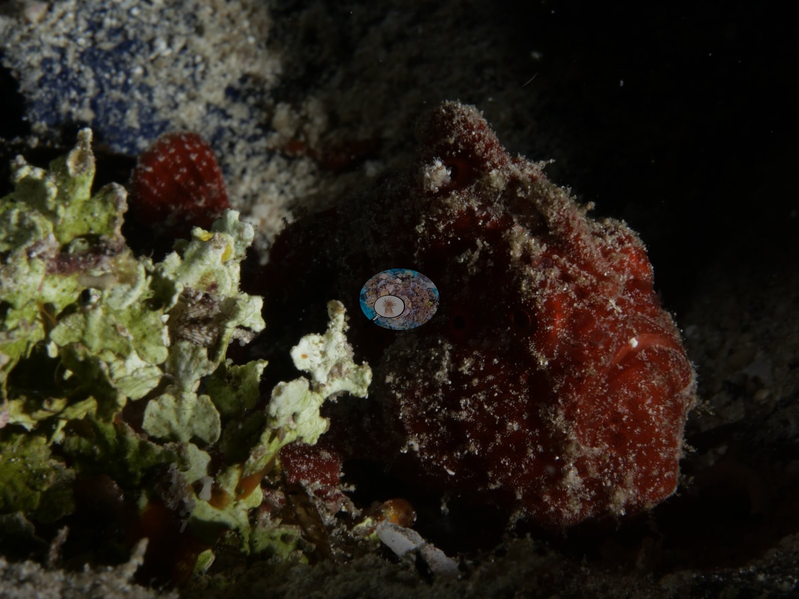 Photo: Pierre17
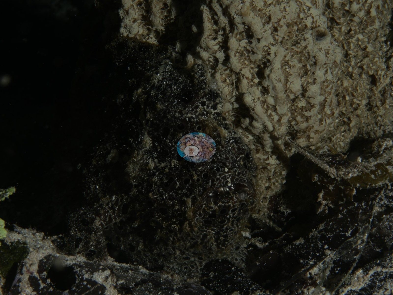 Photo: Pierre18
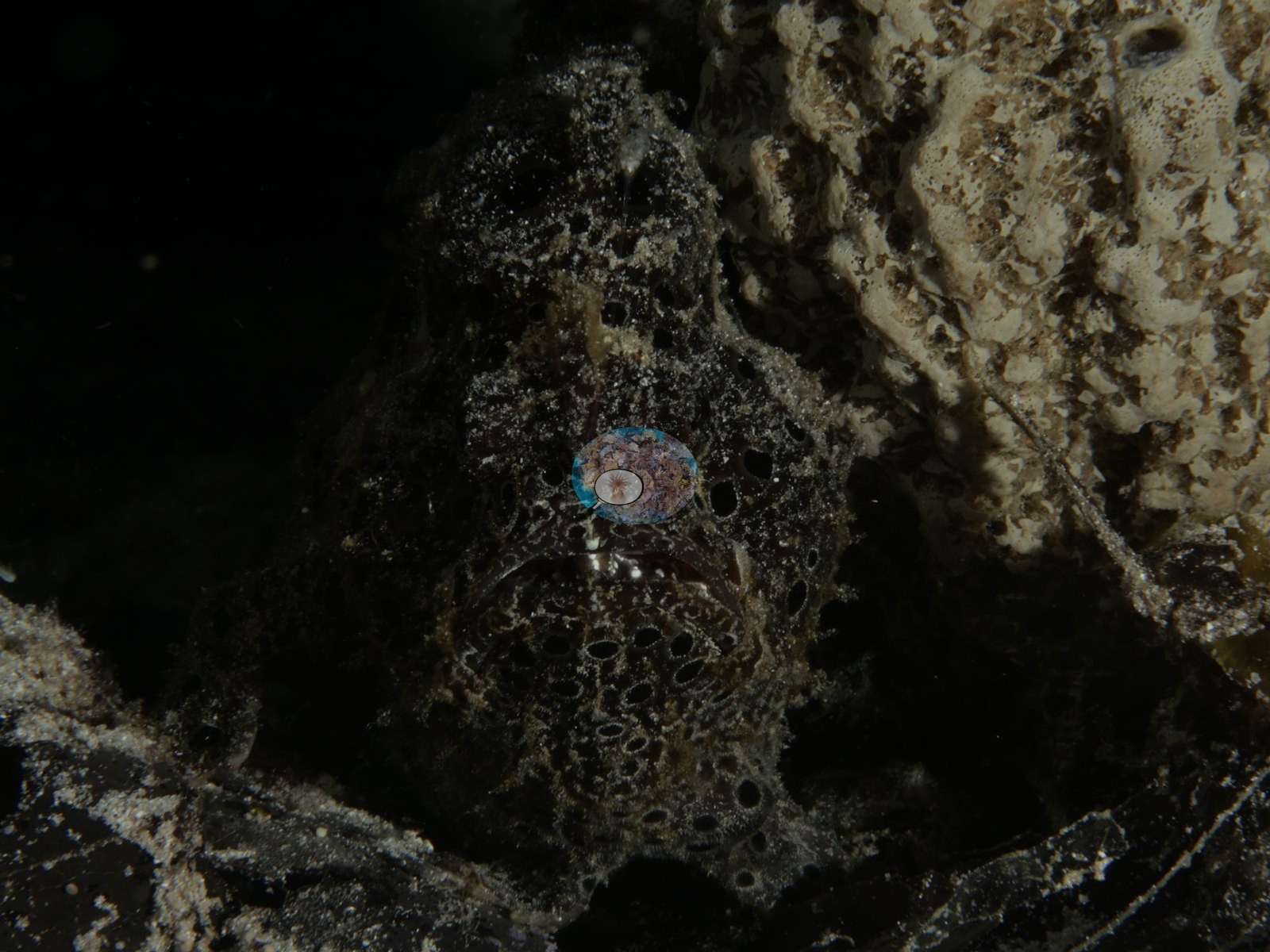 Photo: Pierre19
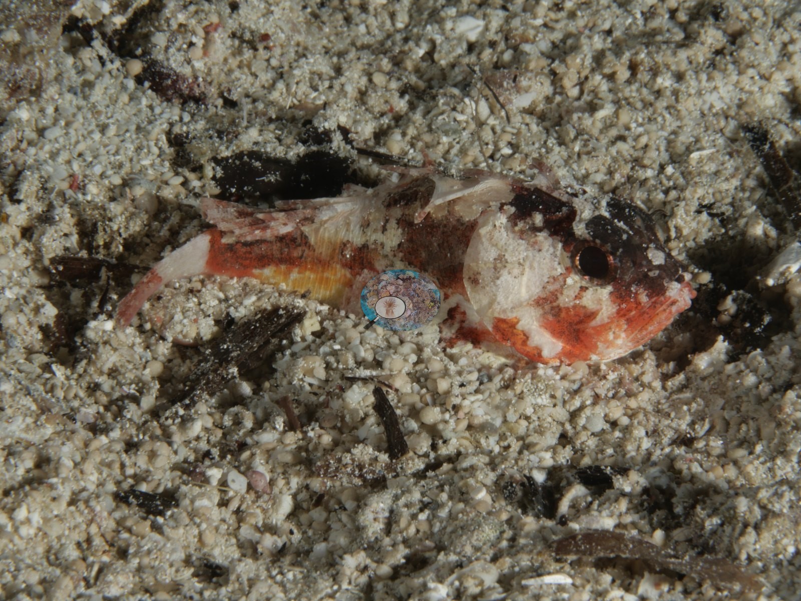 Photo: Pierre20
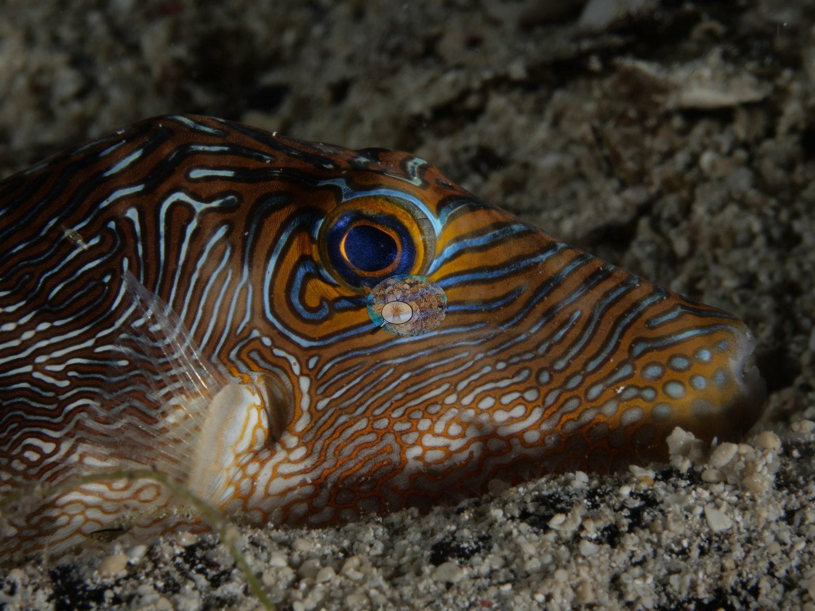 Photo: Pierre21
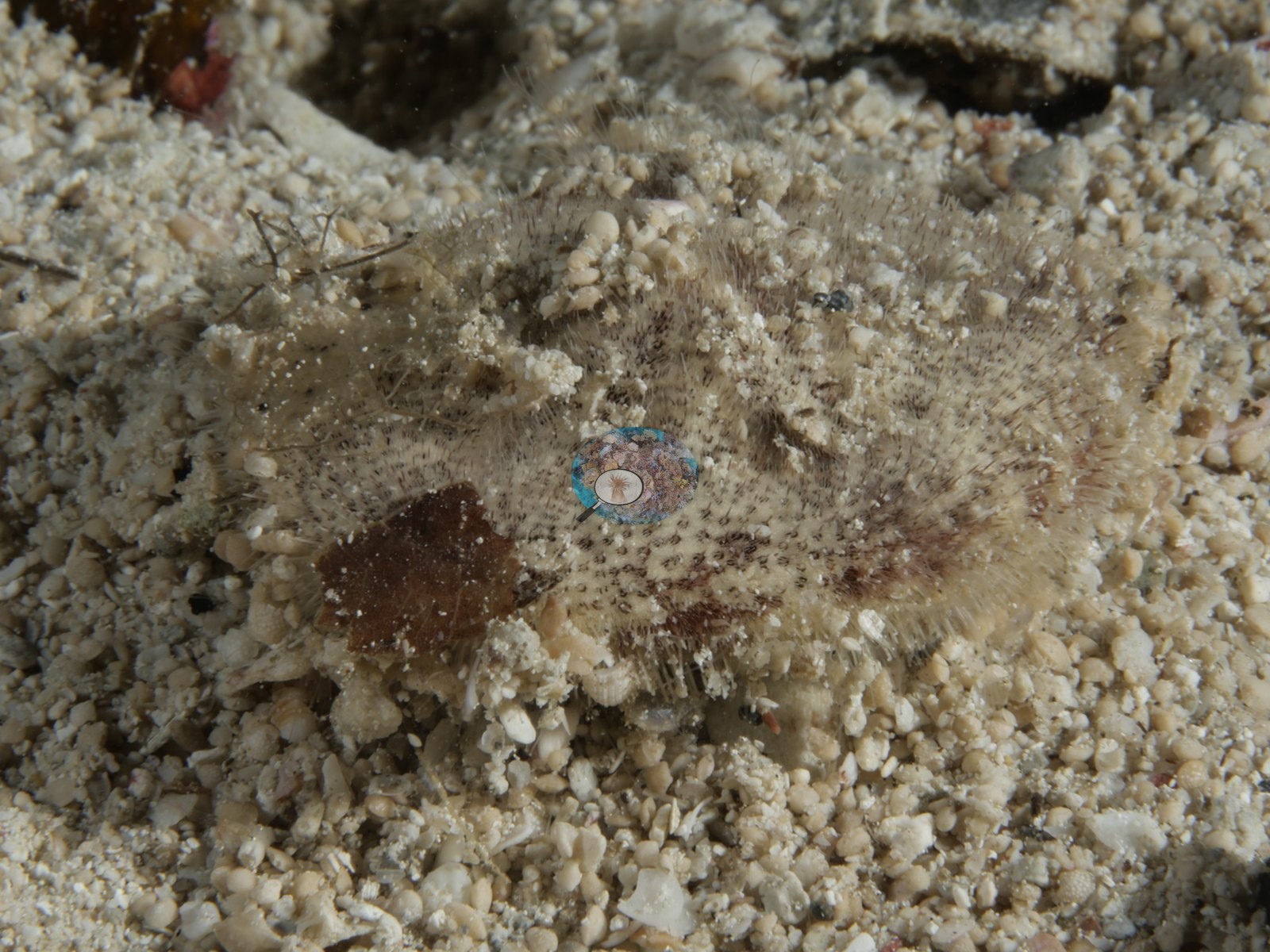 Photo: Pierre22
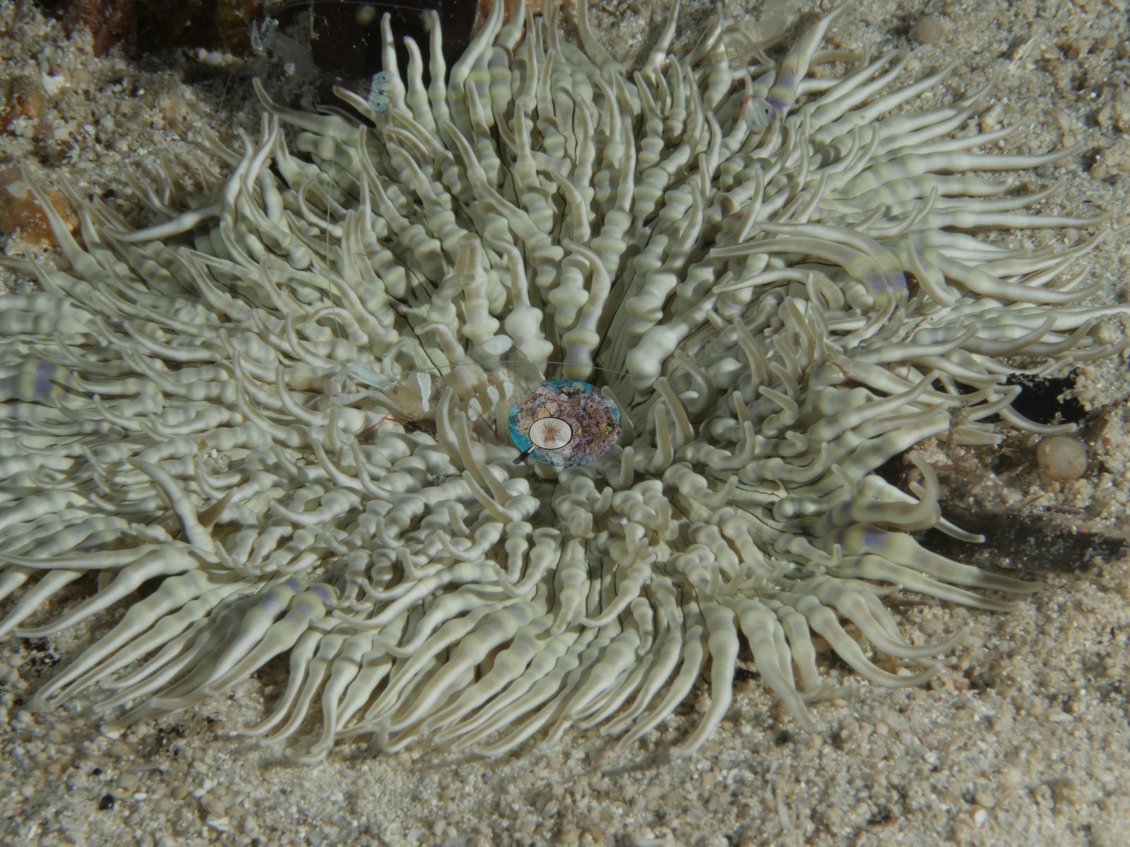 Photo: Pierre23
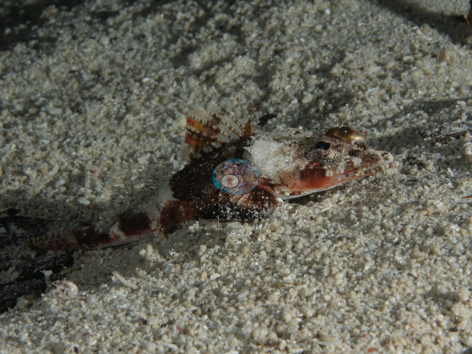 Photo: Pierre24
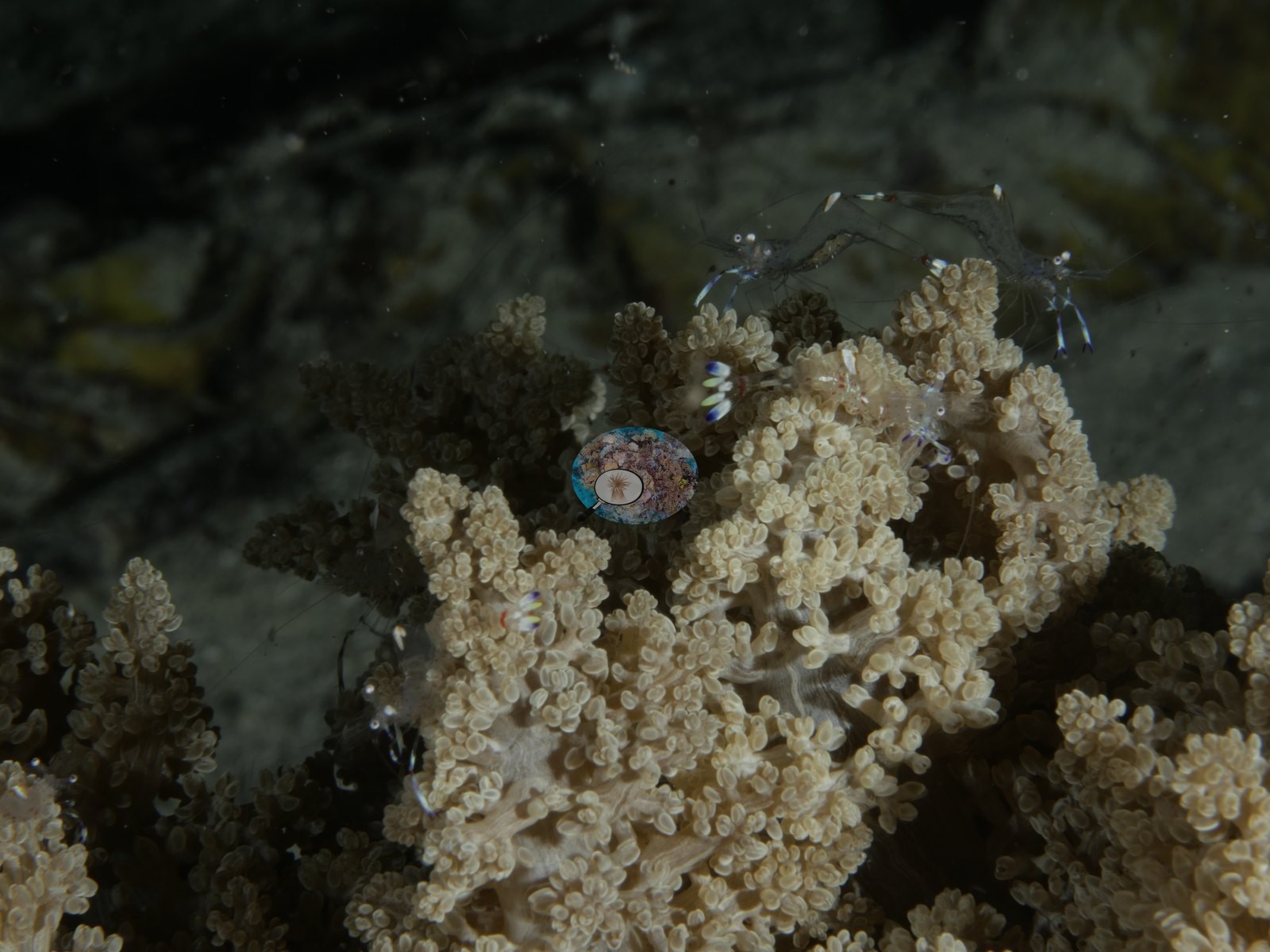 Photo: Pierre25
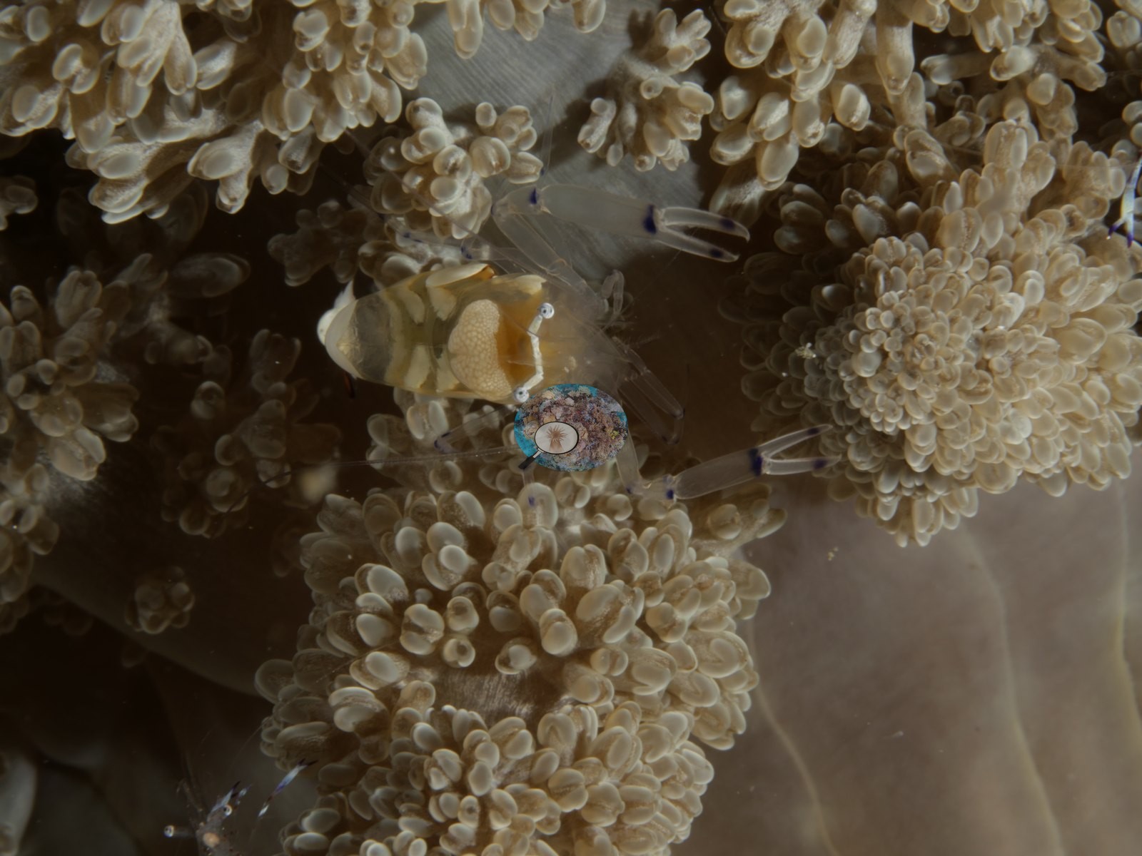 Photo: Pierre26
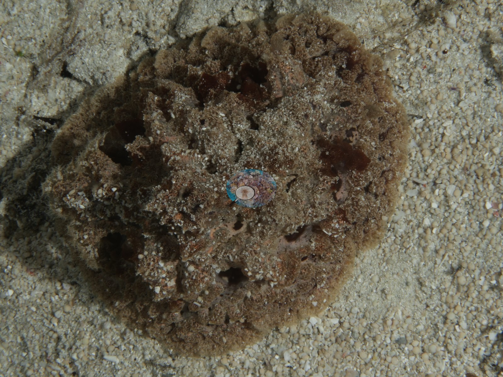 Photo: Pierre27
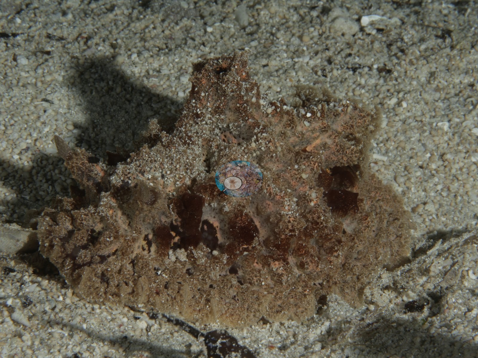 Photo: Pierre28
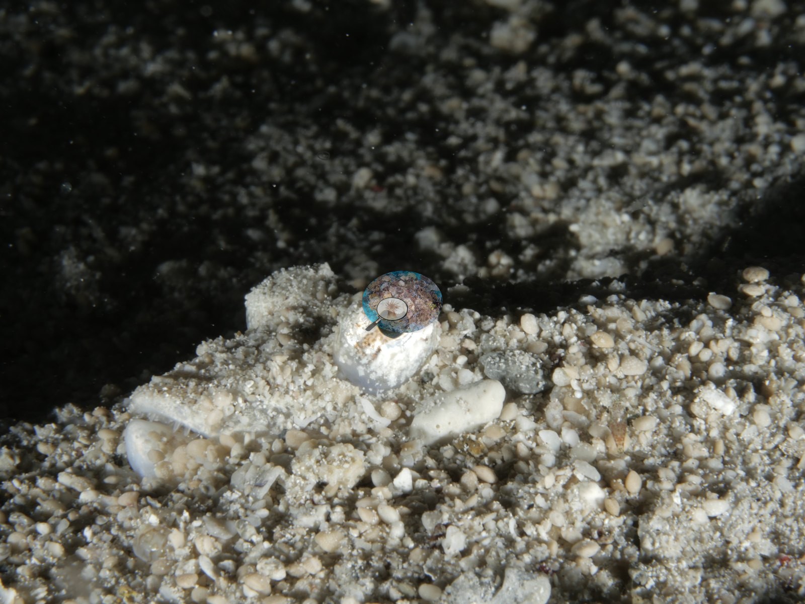 Photo: Pierre29
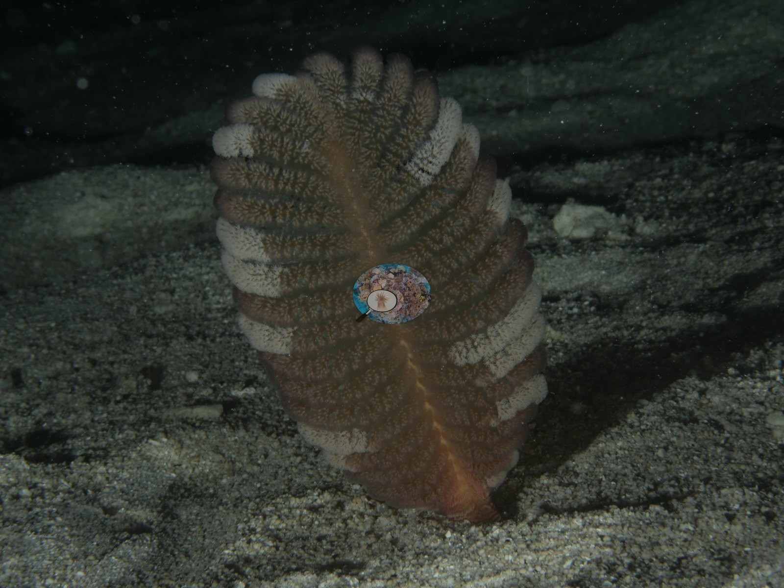 Photo: Pierre30
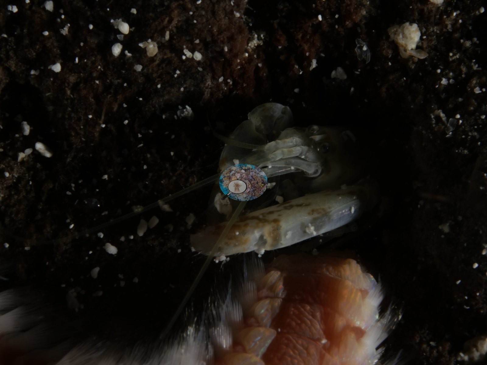 Photo: Pierre
Site description
Coral cover
Coral cover: no figure is published for this site. Nothing on the map attaches a coral-cover measurement to this site — the account above is descriptive background, not a survey result. A value will be added if transect data, an independent survey nearby, or a computer vision pass on Anderson's own photographs becomes available.
Comparisons with other data
No independent survey was made at this exact site; the nearest ones are listed in the table below.
Other notes
Dive 29-Dampier Strait night muck dive: Epic night muck dive in sandy area near the pier of a nearby town. Only one coral (P. acuta) seen on entire dive. This was a muck dive in which the benthos was covered mainly by sand with pockets of trash (e.g., Image 5).
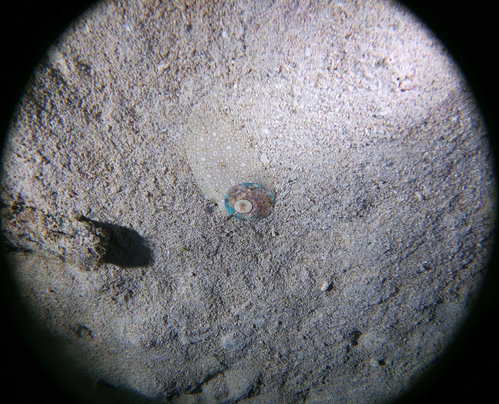
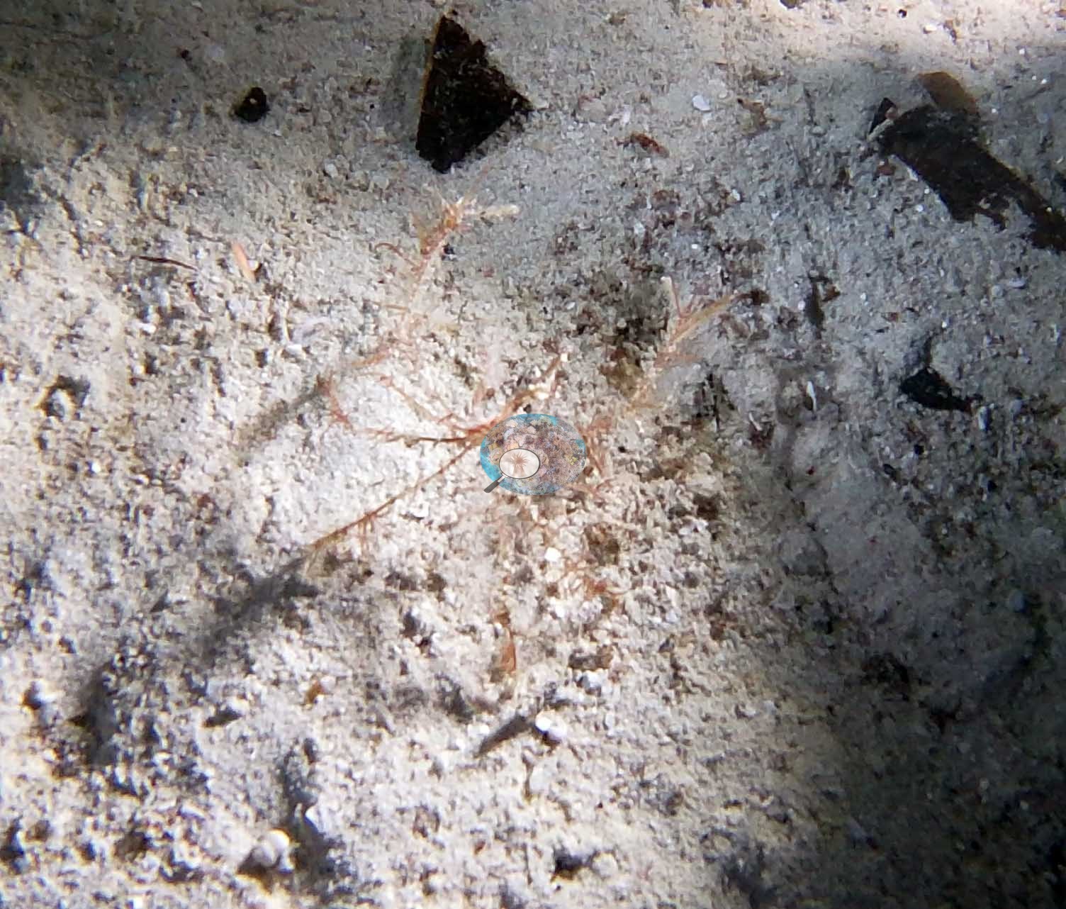
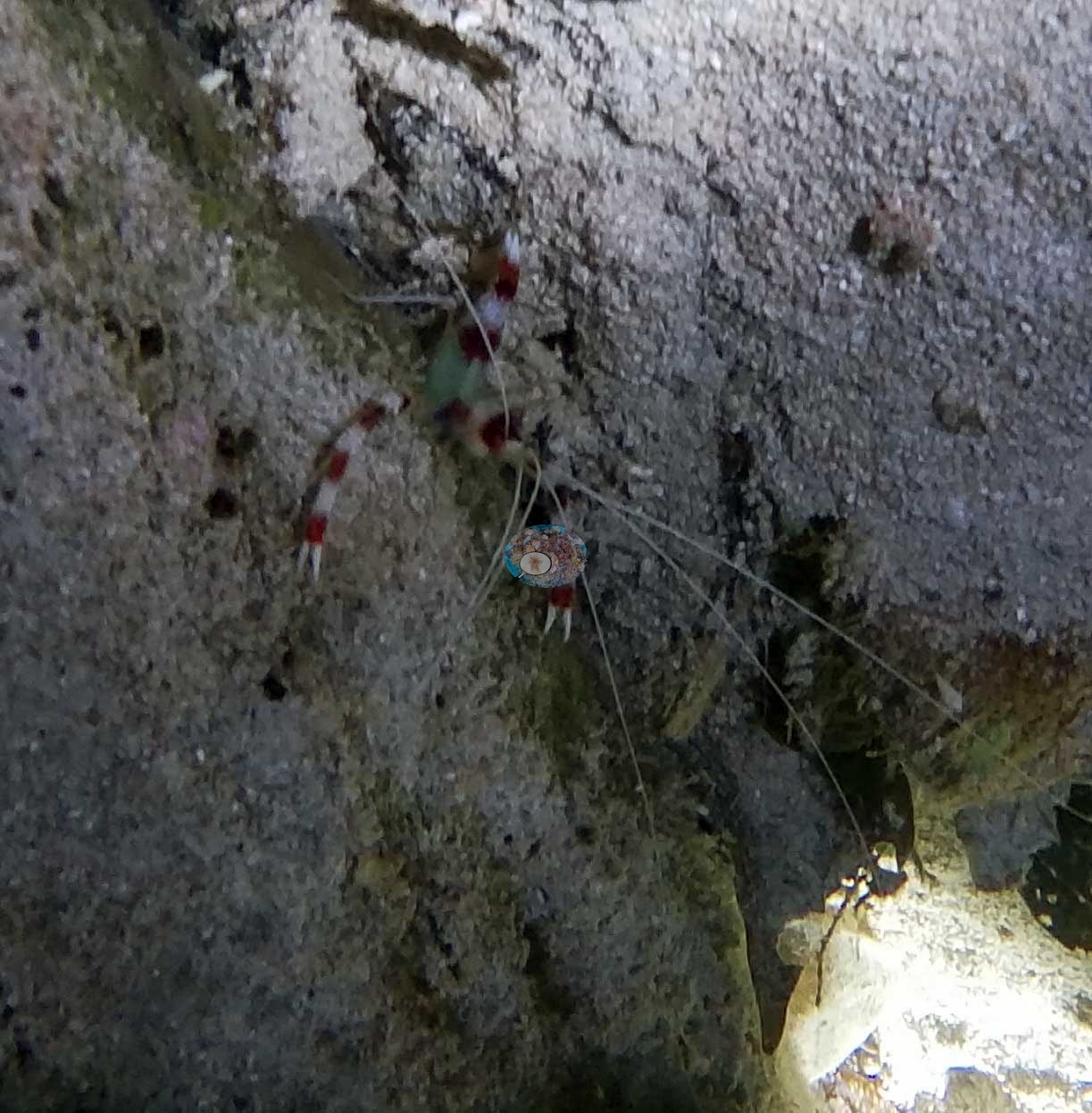
Saw small cuttlefish, squid, frogfish, barracuda, sole/flounder, shrimp (“daddy long legs” appearance), weird species of lion fish, and a wide variety of crabs, from tiny to large (edible) (e.g., Image 1, Image 3, Image 4).
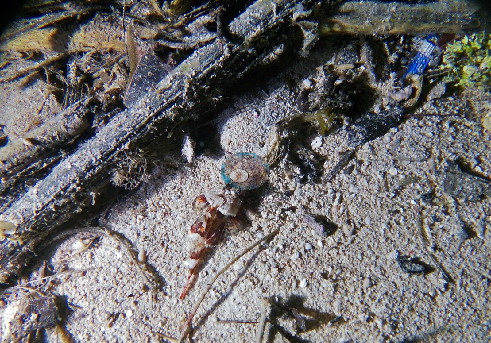
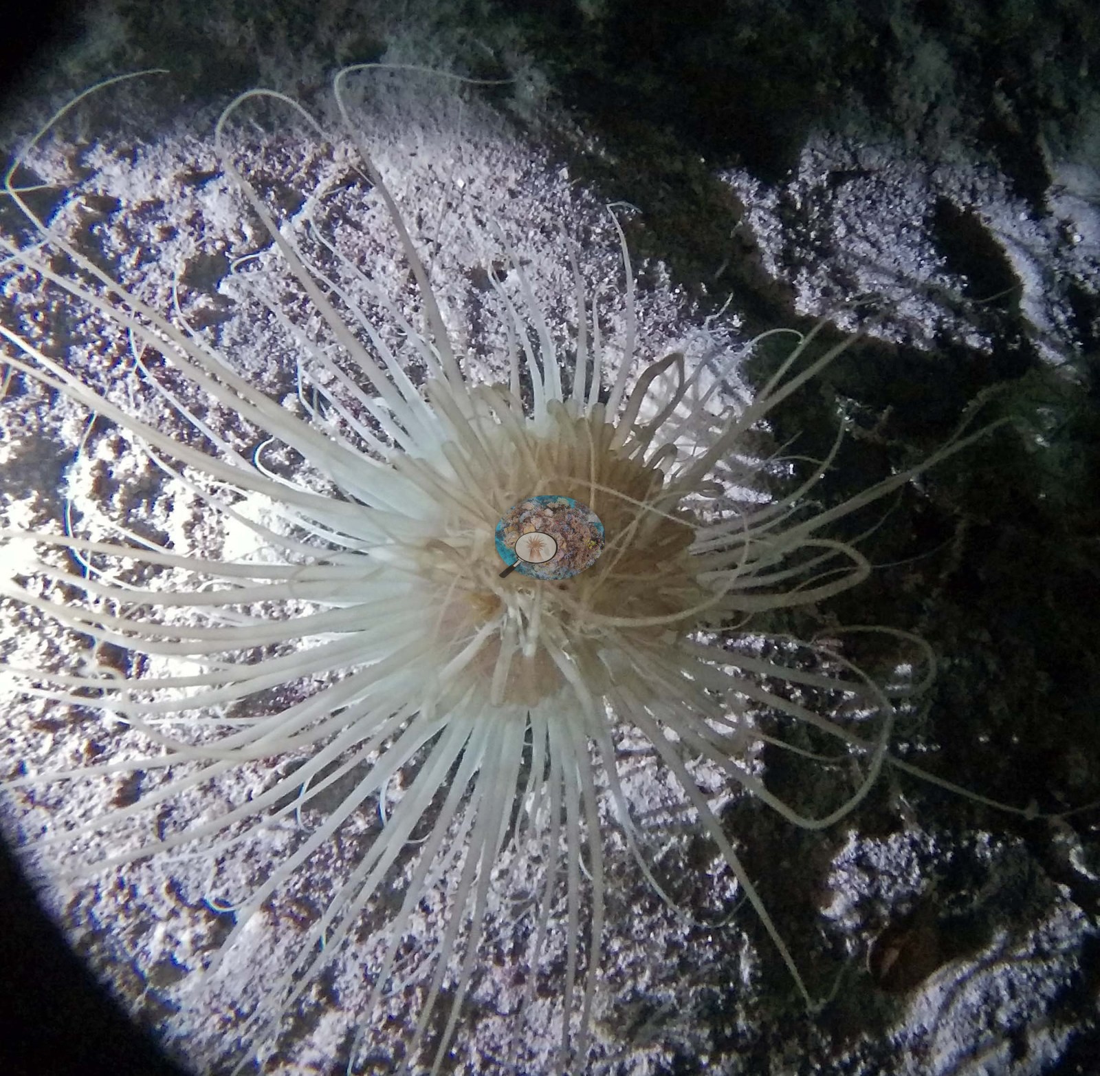
Hermit crabs in abundance. Could have spent hours here, a truly great muck dive. Got some good squid videos. Beautiful sea anemones, too (e.g., Image 2).
Dive 30-“Blue Magic” (round 2): Our second dive at this amazing site. GoPro flooded within seconds. Shot to surface to return it to boat. Hopefully, did not damage it. Spent first part of dive looking for mantas. Unfortunately, no luck. However, we did see large tuna (among largest of trip), barracuda, chromis, batfish, sharks, a stingray, and other large fish. Current was much stronger than yesterday, resulting in a shorter dive (55 minutes). Spent majority of the dive at 20-25 m given such strong currents, though eventually went to top of sea mount to check out jack schools, a wobbegong, and some beautiful hard corals. No wonder this is considered a world class dive! However, we did see large tuna (among largest of trip), barracuda, chromis, batfish, sharks, a stingray, and other large fish. No wonder this is considered a world class dive! Coral cover: no figure is published for this site.
Independent surveys nearby
| Agency / program | Year(s) | Stations / distance | Link |
|---|---|---|---|
| Social Ecological Research Frontiers (SERF) / University of Rhode Island (URI) / Thriving Oceans | 2018 | 3 stations, 2.27–4.90 km | Records ↓ |
| Yuanike et al. (2019) | 2016 | 1 station, 2.22 km | Records ↓ |
Within 5 km, 4 independent survey stations recorded hard coral cover in 7 surveys between 2016 and 2018. The most recent nearby survey is from 2018, so these values predate recent heat stress.
Collected by other programs using different methods, so these are context for the figures above, not a like-for-like comparison. Where a station was surveyed more than once the range is shown. Station names are not dive-site names.
| Agency | Site / location | Date | Hard coral cover (%) | Distance | Link |
|---|---|---|---|---|---|
| Yuanike et al. (2019) | Station 5 | 2016 | 70% (2 surveys) | 2.22 km | HeatCRD database |
| Social Ecological Research Frontiers (SERF) / University of Rhode Island (URI) / Thriving Oceans | Cape Kri | 2018 | 30% (3 surveys) | 2.27 km | Humphries A, Amkieltiela, Tiela, Caldwell I, Caldwell I, Molfino T. 2019. SERF2_AustinHumphries_Indonesia. MERMAID |
| Social Ecological Research Frontiers (SERF) / University of Rhode Island (URI) / Thriving Oceans | Yenbuba | 2018 | 31% | 3.71 km | Humphries A, Amkieltiela, Tiela, Caldwell I, Caldwell I, Molfino T. 2019. SERF2_AustinHumphries_Indonesia. MERMAID |
| Social Ecological Research Frontiers (SERF) / University of Rhode Island (URI) / Thriving Oceans | Yenbuba 1 | 2018 | 39% | 4.90 km | Humphries A, Amkieltiela, Tiela, Caldwell I, Caldwell I, Molfino T. 2019. SERF2_AustinHumphries_Indonesia. MERMAID |
Data & links
Images 6–30: Pierre; all other images from Coral Reef Diagnostics. Data on this page are from the organizations named in the data-sources table above, not Coral Reef Diagnostics; Coral Reef Diagnostics has no survey of its own at this site.
© Coral Reef Diagnostics.