
Bonaire

Regional summary of 12 dive sites. Figures are averages across the sites that report them (n = sites with a value); each site's own page has its individual values.
⬇ Download this region as a report card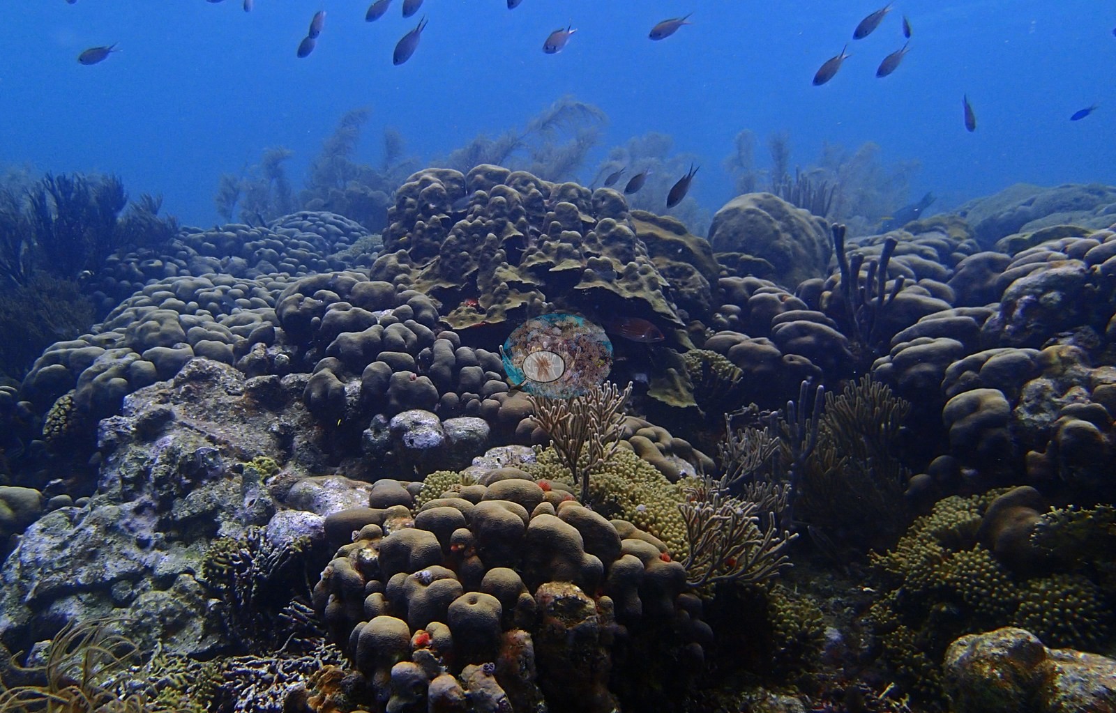

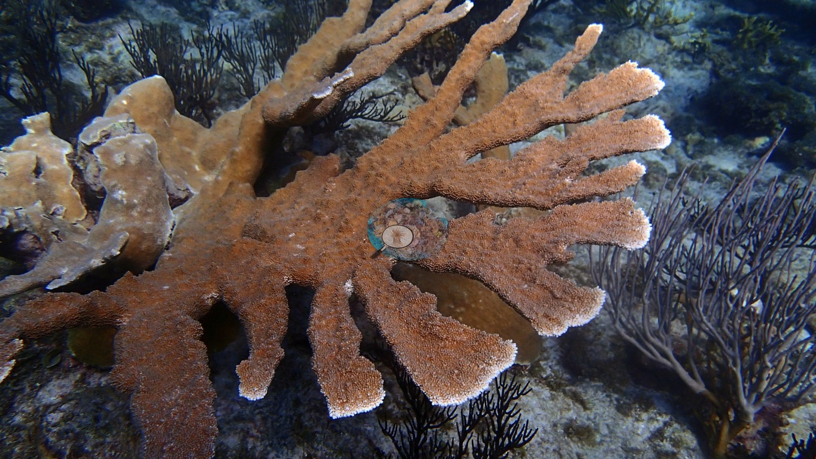
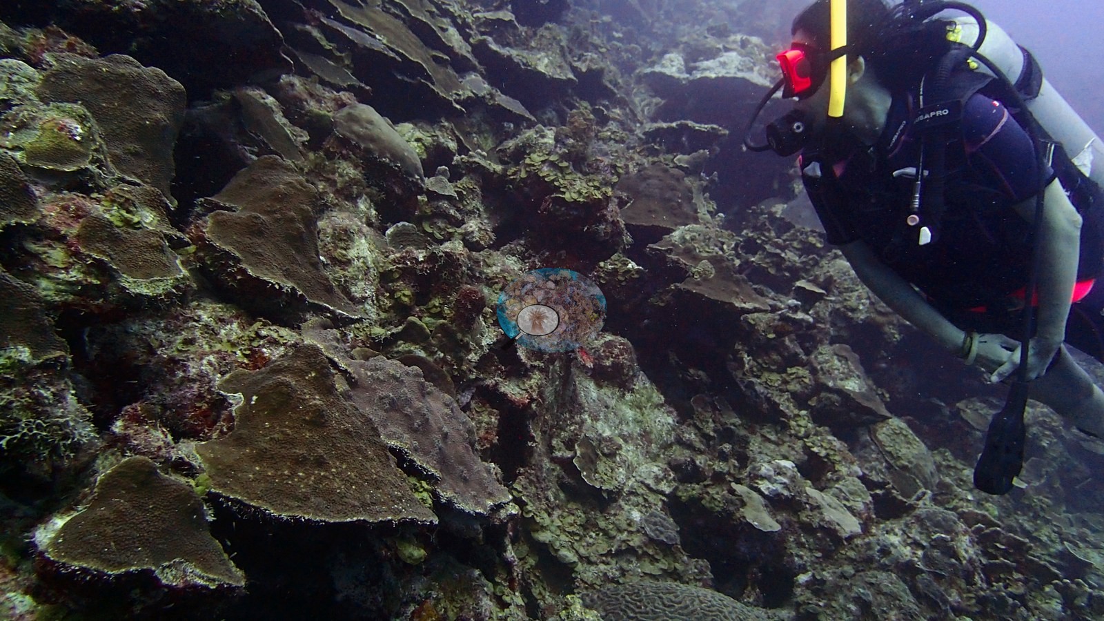
Bonaire's leeward fringing reefs step from shallow sand onto steep slopes and walls layered with plate and lettuce corals, dived in February 2017. Karpata's slope is an unbroken carpet of boulder star coral, living elkhorn grows at five or more sites, and no broad bleaching was seen.
Heat stress
Long-term record: 15 years from 1985 through 2025 reached 8 or more °C-weeks at NOAA’s Aruba, Curacao, and Bonaire station. Download the annual DHW data (CSV).
12 sites in this region — click a marker to open that site.
Regional setting
Bonaire is an oceanic island rising from deep water north of Venezuela and ringed by continuous fringing reefs (Wells 1988). Along the sheltered leeward coast a gently inclined submarine terrace, 20–160 m wide, runs out to a drop-off near 10 m, below which the reef slope falls at anything from 30° to vertical down to 50–60 m (Wells 1988; Spalding et al. 2001). Wells (1988) outlines a leeward zonation that grades from encrusting Diploria clivosa at the shoreline, through Acropora palmata with Millepora at 1–4 m and A. cervicornis at 4–7 m, to Montastraea annularis at the drop-off and M. annularis with Agaricia agaricites on the upper slope, and credits the island with about 55 stony coral species. Spalding et al. (2001) add that spur-and-groove structure is prominent on the slope, particularly off the northwest shore, whereas the windward east coast carries little coral above 12 m. White-band disease killed more than 90% of the A. cervicornis standing stock across the Dutch Leeward Islands in 1980–1982 (Wells 1988). At four sites on Curaçao and Bonaire, cover at 10–20 m fell from 50–55% to 25–30% between 1973 and 1992, while cover at 30–40 m changed little (Spalding et al. 2001). The Bonaire Marine Park, set up in 1979, takes in all waters from the high-water mark to 60 m. Spalding et al. (2001) estimate about 420 km² of coral reef for the former Netherlands Antilles, a combined figure for Bonaire, Curaçao, Saba, St. Eustatius, and St. Maarten.
Souter et al. (2021) report recent trends only for the Eastern and Southern Caribbean as a whole, a subregion that groups the Lesser Antilles with Trinidad and Tobago, Aruba, Bonaire, Curaçao, and Venezuela. Across it, mean hard coral cover fell from about 26% in 1999 to 15% in 2019, the largest decline among the five Caribbean subregions, while algal cover nearly tripled between 1987 and 2019 to reach 48.3%. For the Caribbean as a whole, the same report links these losses to the 2005 mass bleaching, hurricanes, nutrient-laden, polluted coastal water, and overfishing of herbivores such as parrotfishes, and it names invasive lionfish, Sargassum influxes since 2011, and stony coral tissue loss disease (SCTLD) as newer threats; SCTLD, first seen in Florida in 2014, had been confirmed in 19 Caribbean countries and territories by October 2021. Earlier, Wilkinson (2006), drawing on the 2004 Caribbean Reefs at Risk assessment, placed the southern Caribbean among the areas where coastal development posed the greatest threat.
Overview
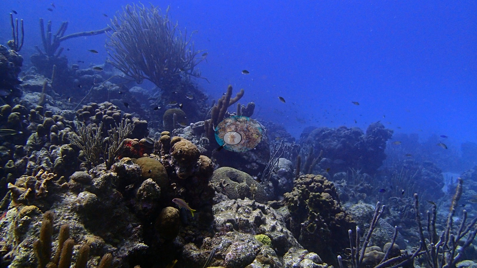
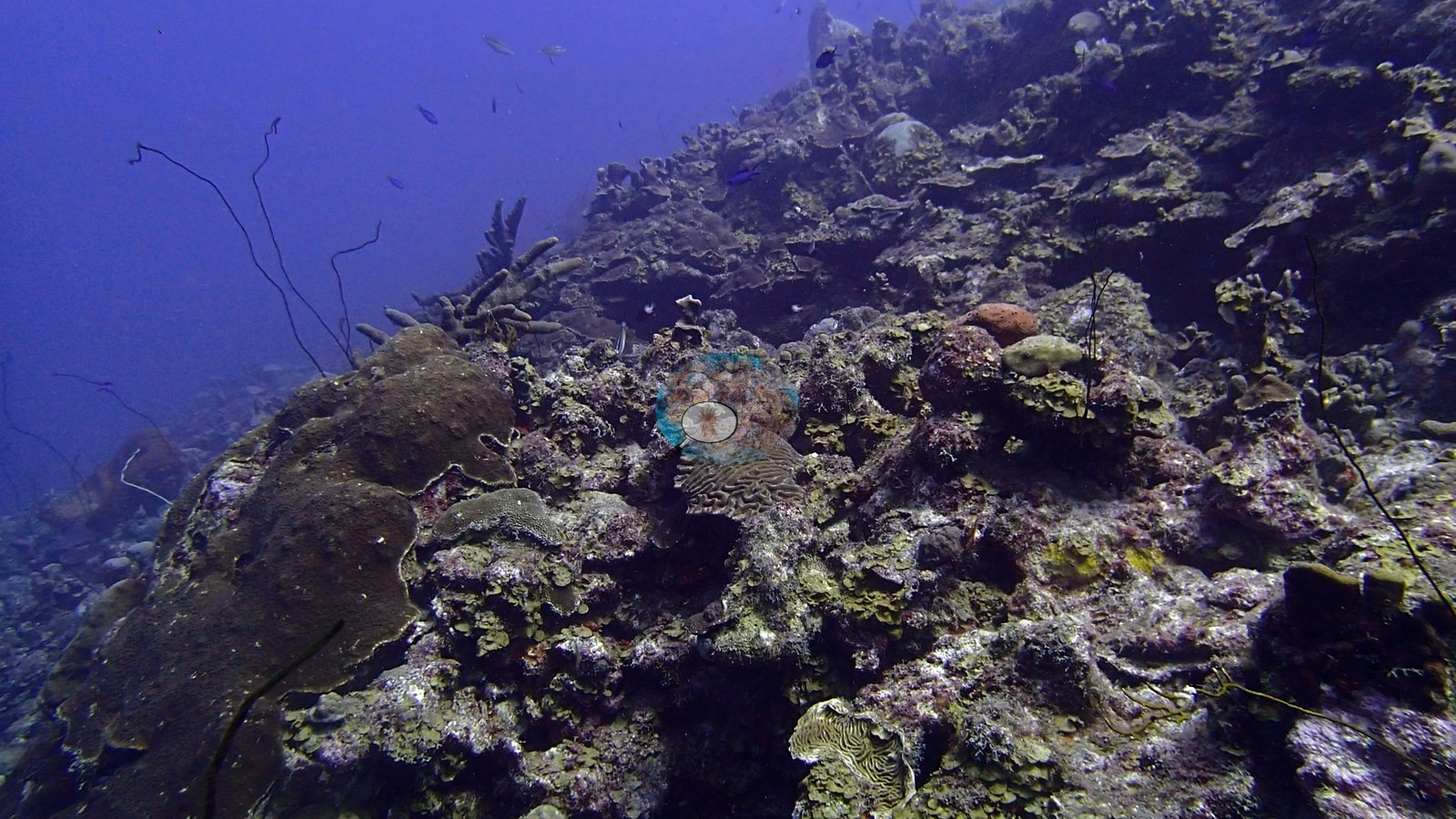
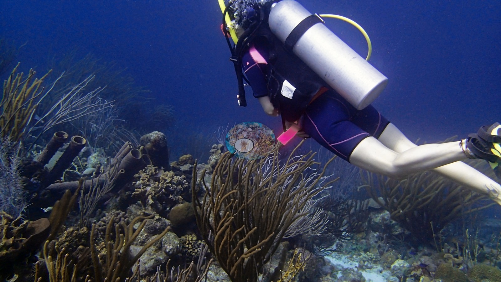
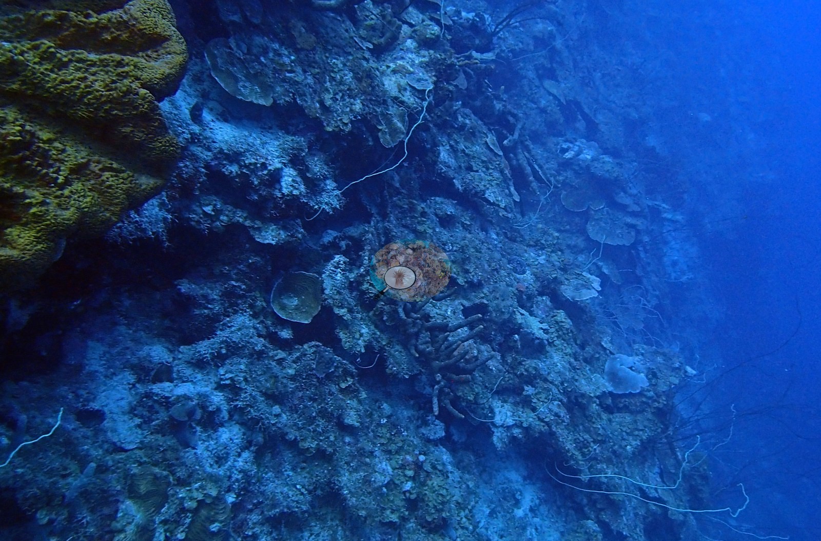
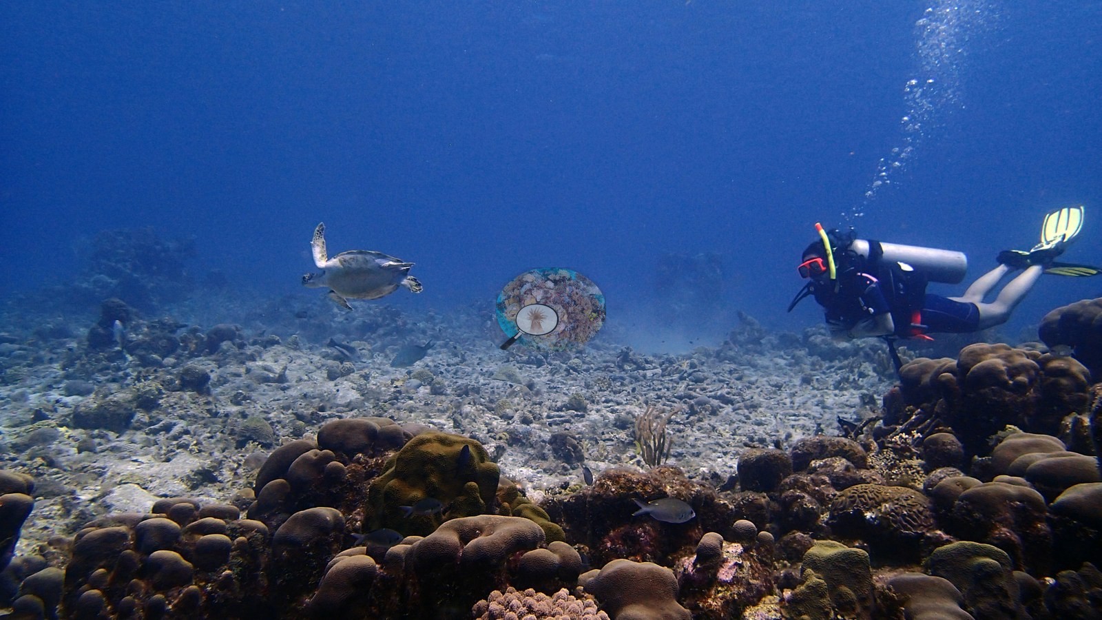
The twelve Bonaire sites were dived over 20-24 February 2017 along the island's leeward coast, from Wayaka II and Karpata in the north to Vista Blue, The Chairs, and Chogogo in the south. Maximum depths ran from 31.1 m at the Hilma Hooker and Weber's Joy to 39.9 m at Alice in Wonderland, with average depths of 12.5 to 17.4 m. Most sites are fringing reefs that step from shallow sand, rubble, or algal pavement onto a steep slope or wall. The Cliff, Oil Slick Leap, La Dania's Leap, Wayaka II, and Weber's Joy all carry walls of dense, overlapping plate and lettuce corals above fields of massive boulder and brain corals. Alice in Wonderland is a double reef, with two parallel crests separated by a broad rippled sand channel.
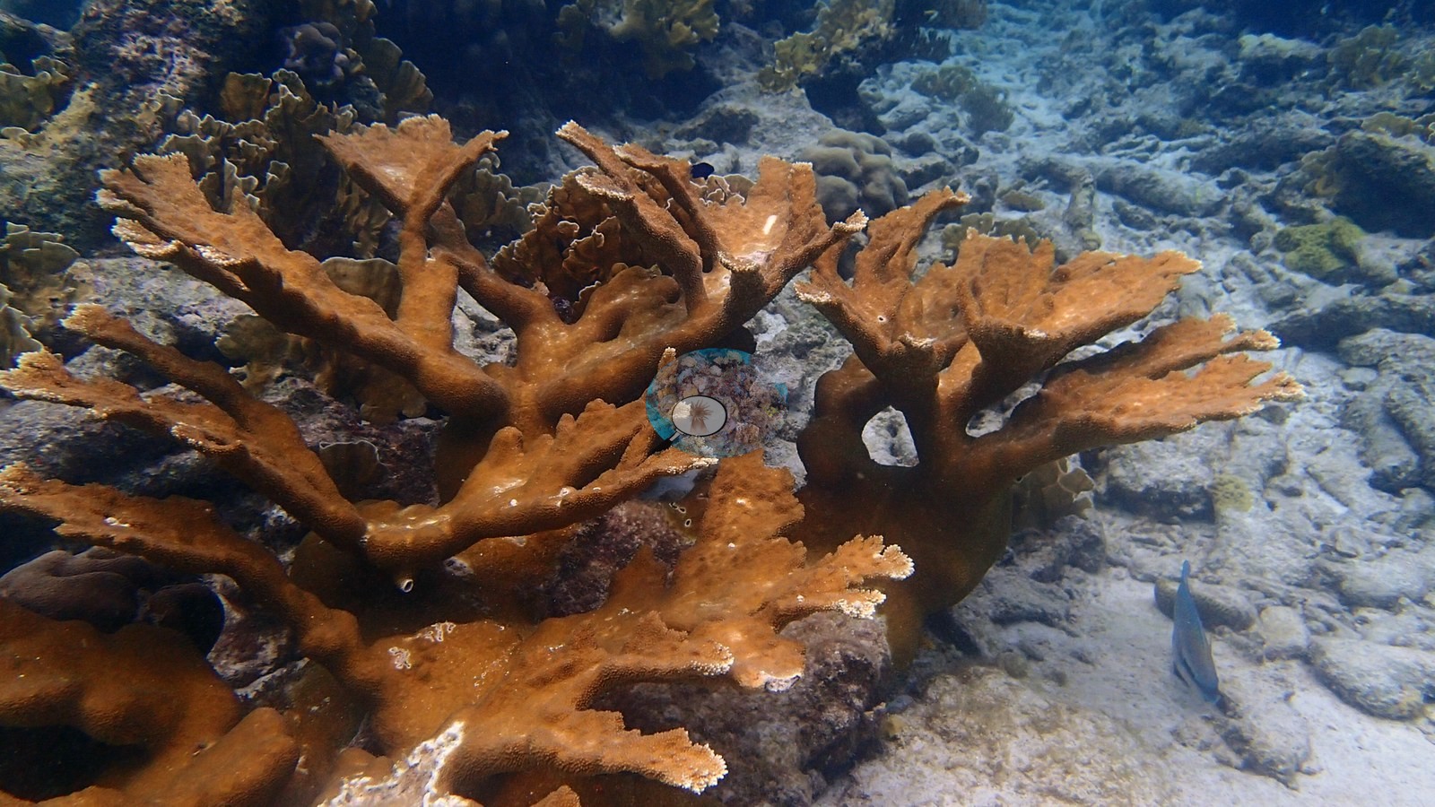
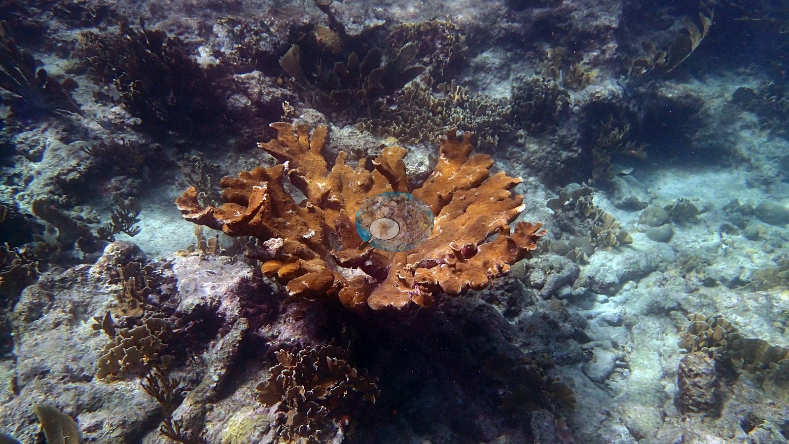
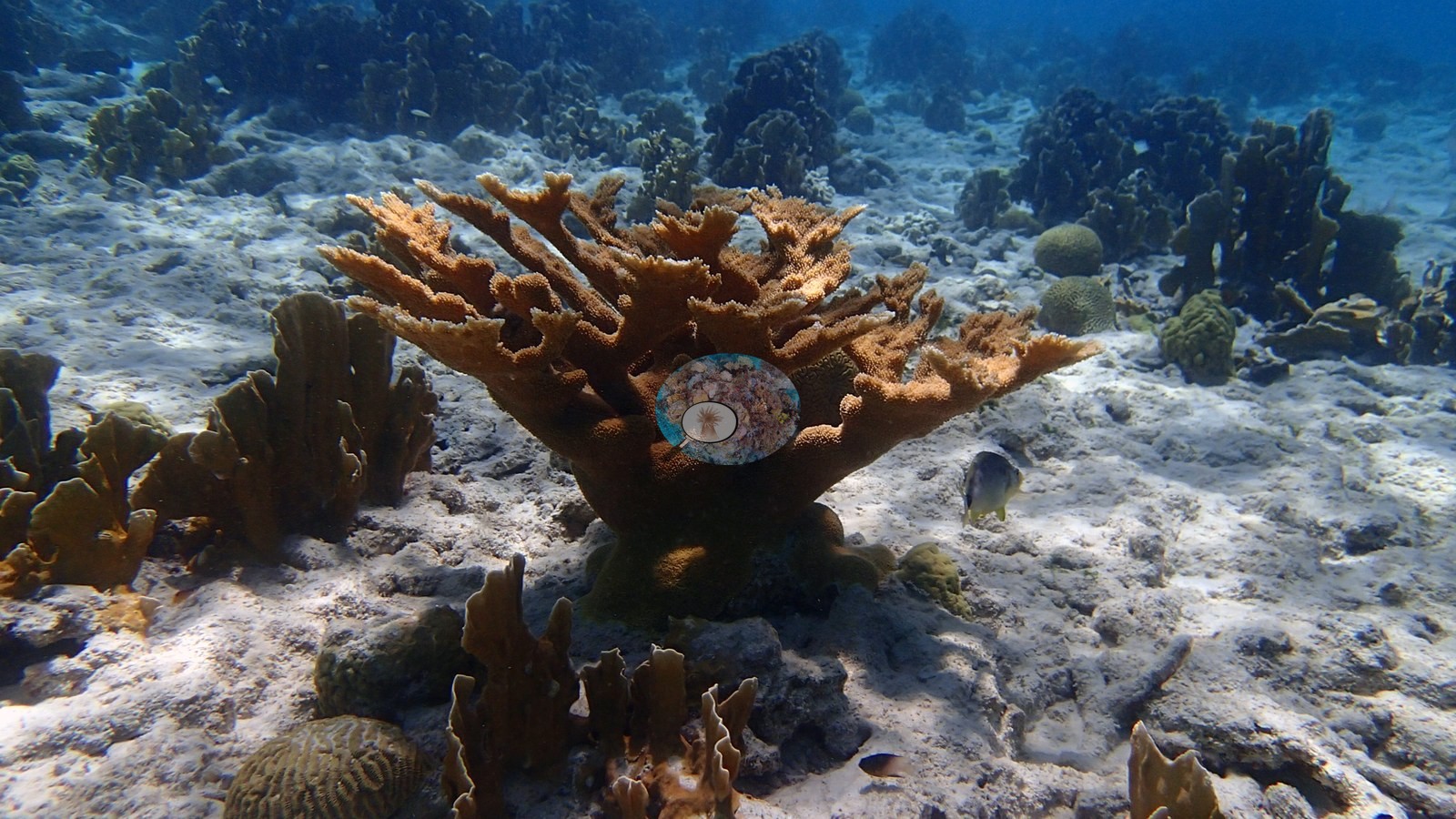
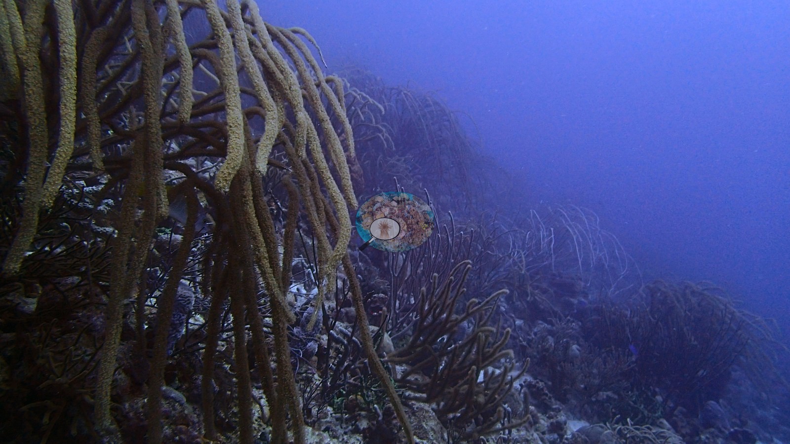
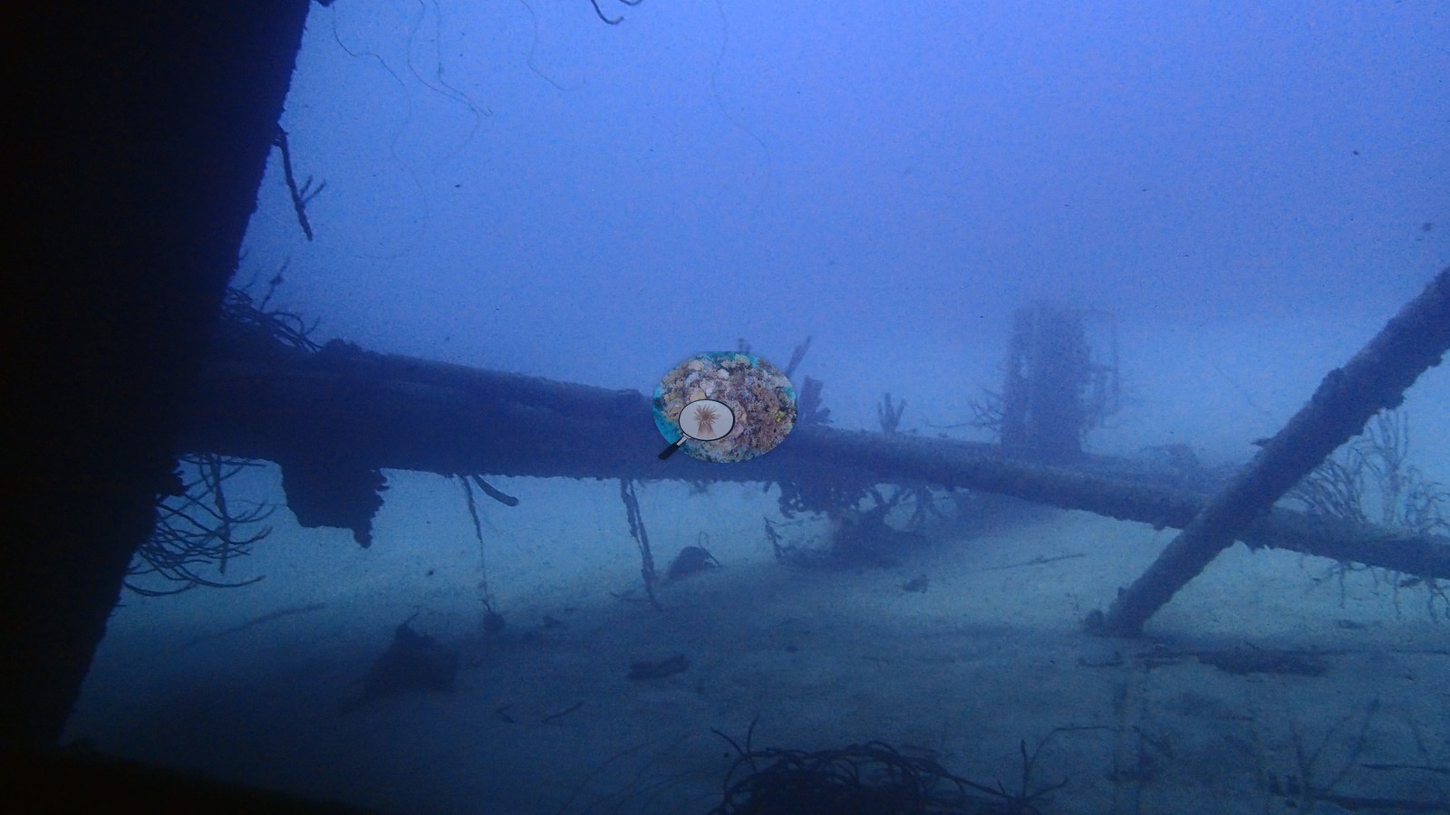
The sites differ in their dominant benthos. At Karpata the slope is an unbroken carpet of boulder star coral heads. Between Pink Beach and White Slave, Chogogo, and Vista Blue are octocoral-dominated, where sea rods, whips, and plumes provide most of the vertical structure over sand aprons with garden eels. Living elkhorn, Acropora palmata, was photographed in the shallows at Karpata, Alice in Wonderland, The Cliff, La Dania's Leap, and The Chairs, which has several large colonies, and Chogogo has an elkhorn colony or remnant. Extensive staghorn thickets, Acropora cervicornis, grow on the reef beside the Hilma Hooker wreck, which lies on its side, its hull crusted with sponges and carrying very few, if any, corals. Context (dive-operator and press sources): the Hilma Hooker is a 236-foot (72 m) freighter that sank at anchor in 1984 while held as evidence.
No broad bleaching was visible at any site, and most colonies retained pigmented tissue. Old partial mortality is common on large brain corals, notably at Karpata, La Dania's Leap, and Weber's Joy. Wayaka II is a reef of two halves: a healthy wall and slope, but a shallow field of old, eroded dead branching framework. Blind Claude computer-vision point counts of Anderson's edited photographs put coral cover from 8.6% at Between Pink Beach and White Slave to 36% at Karpata; the earlier CoralSCOP indices, which read high, are comparisons on each page. For context, Reef Check recorded 28% at Karpata Reserve in 2003 (yearly means 24–34% across eight surveys, 2000–2003) and 43% at Twin Peaks near Wayaka II in 1998 (50% in 1997). Hawksbill turtles, tarpon, stingrays, and spotted eagle rays were among the larger animals seen.
Highlights
- Karpata: an unbroken carpet of boulder star coral with living elkhorn in the shallows
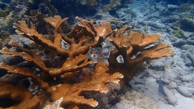 photo: Bonaire - Karpata
- Walls of overlapping plate and lettuce corals at The Cliff, Oil Slick Leap, La Dania's Leap, Wayaka II, and Weber's Joy
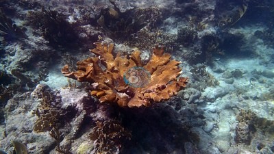 photo: Bonaire - La Dania's Leap
- Alice in Wonderland: a double reef split by a sand channel
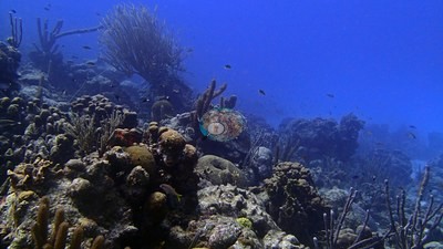 photo: Bonaire - Alice in Wonderland
- Living Acropora palmata at five or more sites; staghorn thickets beside the Hilma Hooker wreck
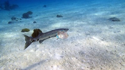 photo: Bonaire - Hilma Hooker
- Maximum depths of 31.1 to 39.9 m across all twelve dives (February 2017)
Notable observations
- Bonaire - Karpata: a large brain coral with extensive central old partial mortality and encrusted/exposed skeleton
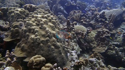
- Bonaire - Alice in Wonderland: a few close views show partial mortality on brain/massive corals; no continuous fresh tissue-loss front
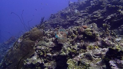
- Bonaire - The Cliff: localized old partial mortality, small scars, and encrusted dead skeleton on several massive and brain corals
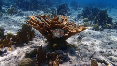
- Bonaire - Between Pink Beach and White Slave: an anemone mat ringing a recently dead brain-type colony (bare white skeleton, cause not stated); no site-wide acute tissue-loss event
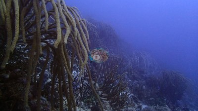
- Bonaire - Vista Blue: some gorgonians appear pale; lighting, species color, and polyp state prevent a mortality diagnosis
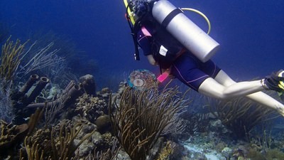
- Bonaire - The Chairs: several sea fans are very pale or white (not diagnosable as bleaching from the frames); one old dead elkhorn framework among living colonies
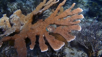
- Bonaire - La Dania's Leap: large, clearly old partial-mortality patches on brain corals; not a fresh white disease band
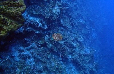
- Bonaire - Hilma Hooker: one brain colony with several small, clean-white patches of recently dead skeleton (recent mortality, cause not stated)
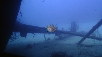
- Bonaire - Wayaka II: an extensive shallow field of old, eroded branching coral framework with little visible live coral
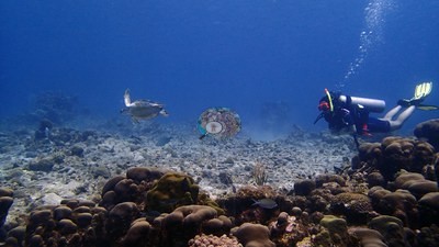
- Bonaire - Weber's Joy: several old, encrusted tissue-loss patches on a large brain coral, without a clear fresh white disease margin
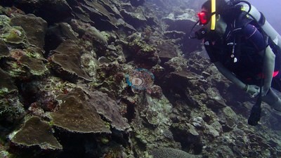
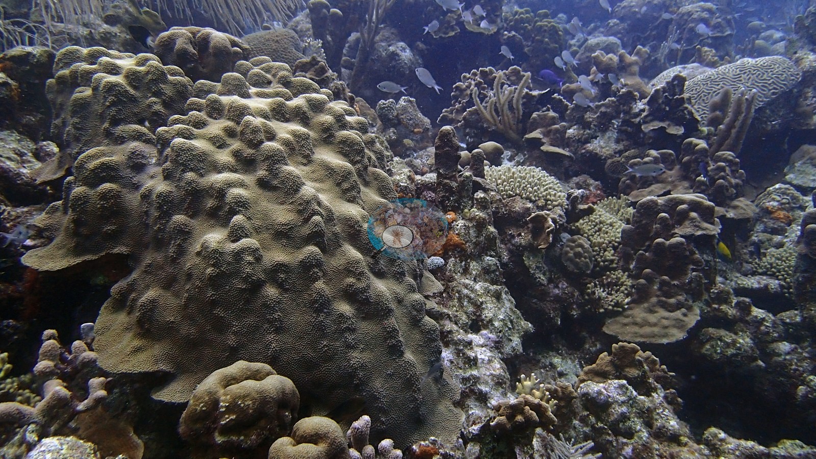
Coral cover over time (pooled)
Sites in this region (12)
- Bonaire - Alice in Wonderland — 19% coral cover
- Bonaire - Between Pink Beach and White Slave — 8.6% coral cover
- Bonaire - Chogogo — 10% coral cover
- Bonaire - Hilma Hooker — 19% coral cover
- Bonaire - Karpata — 36% coral cover
- Bonaire - La Dania's Leap — 25% coral cover
- Bonaire - Oil Slick Leap — 26% coral cover
- Bonaire - The Chairs — 22% coral cover
- Bonaire - The Cliff — 31% coral cover
- Bonaire - Vista Blue — 11% coral cover
- Bonaire - Wayaka II — 24% coral cover
- Bonaire - Weber's Joy — 21% coral cover
Nearby external survey stations
304 independent survey records within 5 km of a site in this region (each record counted once; 89 lines, and a line that pools several records says how many).
Show all 304 records
- Handschuh (pers. comm.) 1997, via Stokes et al. 2010 — Cliff [7.6 m] (1997): 32% hard coral cover, 0.17 km from Bonaire - The Cliff
- Kobluk & Lysenko 1984 — Cliff (Aquahabitat photomosaic station) [19 m] (1982): 40% hard coral cover, 0.17 km from Bonaire - The Cliff
- Kramer & Bischof 2003 — Karpata [10 m] (1999): 44% hard coral cover, 0.08 km from Bonaire - Karpata
- Reef Check — Karpata Reserve (2000): 34% hard coral cover, mean of 2 surveys (3 m and 10 m), 0.81 km from Bonaire - Karpata (2 records)
- Reef Check — Karpata Reserve (2001): 24% hard coral cover, mean of 2 surveys (3 m and 10 m), 0.81 km from Bonaire - Karpata (2 records)
- Reef Check — Karpata Reserve (2002): 26% hard coral cover, mean of 2 surveys (3 m and 10 m), 0.81 km from Bonaire - Karpata (2 records)
- Reef Check — Karpata Reserve (2003): 28% hard coral cover, mean of 2 surveys (3 m and 10 m), 0.81 km from Bonaire - Karpata (2 records)
- Reef Check — Slagbaii Reserve (2001): 14% hard coral cover, mean of 2 surveys (3 m and 10 m), 1.07 km from Bonaire - Wayaka II (2 records)
- Reef Check — Twin Peaks (1997): 50% hard coral cover, mean of 2 surveys (3 m and 10 m), 0.93 km from Bonaire - Wayaka II (2 records)
- Reef Check — Twin Peaks (1998): 43% hard coral cover, mean of 2 surveys (3 m and 10 m), 0.93 km from Bonaire - Wayaka II (2 records)
- Steneck et al. (2019) — 18th Palm (2004): 34% hard coral cover, 1.74 km from Bonaire - Hilma Hooker (8 records)
- Steneck et al. (2019) — 18th Palm (2005): 45% hard coral cover, 1.74 km from Bonaire - Hilma Hooker (4 records)
- Steneck et al. (2019) — 18th Palm (2007): 42% hard coral cover, 1.74 km from Bonaire - Hilma Hooker (4 records)
- Steneck et al. (2019) — 18th Palm (2009): 40% hard coral cover, 1.74 km from Bonaire - Hilma Hooker (4 records)
- Steneck et al. (2019) — 18th Palm (2011): 33% hard coral cover, 1.74 km from Bonaire - Hilma Hooker (4 records)
- Steneck et al. (2019) — 18th Palm (2013): 38% hard coral cover, 1.74 km from Bonaire - Hilma Hooker (4 records)
- Steneck et al. (2019) — 18th Palm (2015): 27% hard coral cover, 1.74 km from Bonaire - Hilma Hooker (4 records)
- Steneck et al. (2019) — 18th Palm (2017): 45% hard coral cover, 1.74 km from Bonaire - Hilma Hooker (4 records)
- Steneck et al. (2019) — Bachelor's Beach (2009): 32% hard coral cover, 0.65 km from Bonaire - Hilma Hooker (4 records)
- Steneck et al. (2019) — Bachelor's Beach (2011): 33% hard coral cover, 0.65 km from Bonaire - Hilma Hooker (4 records)
- Steneck et al. (2019) — Bachelor's Beach (2013): 35% hard coral cover, 0.65 km from Bonaire - Hilma Hooker (4 records)
- Steneck et al. (2019) — Bachelor's Beach (2015): 34% hard coral cover, 0.65 km from Bonaire - Hilma Hooker (4 records)
- Steneck et al. (2019) — Bachelor's Beach (2017): 48% hard coral cover, 0.65 km from Bonaire - Hilma Hooker (4 records)
- Steneck et al. (2019) — Barcadera (2004): 46% hard coral cover, 1.45 km from Bonaire - Oil Slick Leap (8 records)
- Steneck et al. (2019) — Barcadera (2005): 40% hard coral cover, 1.45 km from Bonaire - Oil Slick Leap (4 records)
- Steneck et al. (2019) — Barcadera (2007): 45% hard coral cover, 1.45 km from Bonaire - Oil Slick Leap (4 records)
- Steneck et al. (2019) — Barcadera (2009): 49% hard coral cover, 1.45 km from Bonaire - Oil Slick Leap (4 records)
- Steneck et al. (2019) — Barcadera (2011): 37% hard coral cover, 1.45 km from Bonaire - Oil Slick Leap (8 records)
- Steneck et al. (2019) — Barcadera (2013): 30% hard coral cover, 1.45 km from Bonaire - Oil Slick Leap (4 records)
- Steneck et al. (2019) — Barcadera (2015): 41% hard coral cover, 1.45 km from Bonaire - Oil Slick Leap (4 records)
- Steneck et al. (2019) — Barcadera (2017): 38% hard coral cover, 1.45 km from Bonaire - Oil Slick Leap (4 records)
- Steneck et al. (2019) — Calabas (2009): 36% hard coral cover, 2.84 km from Bonaire - Hilma Hooker (4 records)
- Steneck et al. (2019) — Calabas (2011): 24% hard coral cover, 2.84 km from Bonaire - Hilma Hooker (4 records)
- Steneck et al. (2019) — Calabas (2013): 26% hard coral cover, 2.84 km from Bonaire - Hilma Hooker (4 records)
- Steneck et al. (2019) — Calabas (2015): 32% hard coral cover, 2.84 km from Bonaire - Hilma Hooker (4 records)
- Steneck et al. (2019) — Calabas (2017): 35% hard coral cover, 2.84 km from Bonaire - Hilma Hooker (4 records)
- Steneck et al. (2019) — Front Porch (2009): 32% hard coral cover, 3.85 km from Bonaire - The Cliff (4 records)
- Steneck et al. (2019) — Front Porch (2011): 42% hard coral cover, 3.85 km from Bonaire - The Cliff (3 records)
- Steneck et al. (2019) — Front Porch (2013): 17% hard coral cover, 3.85 km from Bonaire - The Cliff (4 records)
- Steneck et al. (2019) — Front Porch (2015): 36% hard coral cover, 3.85 km from Bonaire - The Cliff (4 records)
- Steneck et al. (2019) — Front Porch (2017): 45% hard coral cover, 3.85 km from Bonaire - The Cliff (4 records)
- Steneck et al. (2019) — Karpata (2004): 46% hard coral cover, 0.23 km from Bonaire - Karpata (8 records)
- Steneck et al. (2019) — Karpata (2005): 47% hard coral cover, 0.23 km from Bonaire - Karpata (4 records)
- Steneck et al. (2019) — Karpata (2007): 44% hard coral cover, 0.23 km from Bonaire - Karpata (4 records)
- Steneck et al. (2019) — Karpata (2011): 39% hard coral cover, 0.23 km from Bonaire - Karpata (4 records)
- Steneck et al. (2019) — Karpata (2013): 40% hard coral cover, 0.23 km from Bonaire - Karpata (4 records)
- Steneck et al. (2019) — Karpata (2015): 47% hard coral cover, 0.23 km from Bonaire - Karpata (4 records)
- Steneck et al. (2019) — Karpata (2017): 60% hard coral cover, 0.23 km from Bonaire - Karpata (4 records)
- Steneck et al. (2019) — No-Dive Reserve (2013): 45% hard coral cover, 1.95 km from Bonaire - Karpata (4 records)
- Steneck et al. (2019) — No-Dive Reserve (2015): 50% hard coral cover, 1.95 km from Bonaire - Karpata (4 records)
- Steneck et al. (2019) — No-Dive Reserve (2017): 54% hard coral cover, 1.95 km from Bonaire - Karpata (4 records)
- Steneck et al. (2019) — Oilslick leap (2009): 47% hard coral cover, 1.45 km from Bonaire - Oil Slick Leap (4 records)
- Steneck et al. (2019) — Oilslick leap (2011): 38% hard coral cover, 1.45 km from Bonaire - Oil Slick Leap (4 records)
- Steneck et al. (2019) — Oilslick leap (2013): 34% hard coral cover, 1.45 km from Bonaire - Oil Slick Leap (4 records)
- Steneck et al. (2019) — Oilslick leap (2015): 30% hard coral cover, 1.45 km from Bonaire - Oil Slick Leap (4 records)
- Steneck et al. (2019) — Oilslick leap (2017): 47% hard coral cover, 1.45 km from Bonaire - Oil Slick Leap (4 records)
- Steneck et al. (2019) — Reef Scientifico (2004): 38% hard coral cover, 0.38 km from Bonaire - The Cliff (8 records)
- Steneck et al. (2019) — Reef Scientifico (2005): 41% hard coral cover, 0.38 km from Bonaire - The Cliff (4 records)
- Steneck et al. (2019) — Reef Scientifico (2007): 43% hard coral cover, 0.38 km from Bonaire - The Cliff (4 records)
- Steneck et al. (2019) — Reef Scientifico (2009): 45% hard coral cover, 0.38 km from Bonaire - The Cliff (4 records)
- Steneck et al. (2019) — Reef Scientifico (2011): 36% hard coral cover, 0.38 km from Bonaire - The Cliff (3 records)
- Steneck et al. (2019) — Reef Scientifico (2013): 49% hard coral cover, 0.38 km from Bonaire - The Cliff (4 records)
- Steneck et al. (2019) — Reef Scientifico (2015): 39% hard coral cover, 0.38 km from Bonaire - The Cliff (4 records)
- Steneck et al. (2019) — Reef Scientifico (2017): 48% hard coral cover, 0.38 km from Bonaire - The Cliff (4 records)
- Steneck et al. (2019) — Windsock (2004): 44% hard coral cover, 2.17 km from Bonaire - Hilma Hooker (8 records)
- Steneck et al. (2019) — Windsock (2005): 51% hard coral cover, 2.17 km from Bonaire - Hilma Hooker (4 records)
- Steneck et al. (2019) — Windsock (2007): 42% hard coral cover, 2.17 km from Bonaire - Hilma Hooker (4 records)
- Steneck et al. (2019) — Windsock (2009): 43% hard coral cover, 2.17 km from Bonaire - Hilma Hooker (4 records)
- Steneck et al. (2019) — Windsock (2011): 39% hard coral cover, 2.17 km from Bonaire - Hilma Hooker (4 records)
- Steneck et al. (2019) — Windsock (2013): 39% hard coral cover, 2.17 km from Bonaire - Hilma Hooker (4 records)
- Steneck et al. (2019) — Windsock (2015): 38% hard coral cover, 2.17 km from Bonaire - Hilma Hooker (4 records)
- Steneck et al. (2019) — Windsock (2017): 44% hard coral cover, 2.17 km from Bonaire - Hilma Hooker (4 records)
- Stokes et al. 2010 — Cliff [2008 - 10 m] (2008): 27% hard coral cover, 0.17 km from Bonaire - The Cliff
- Stokes et al. 2010 — Cliff [2008 - 20 m] (2008): 36% hard coral cover, 0.17 km from Bonaire - The Cliff
- Stokes et al. 2010 — Karpata (Bonaire Marine Park mooring) [2008 - 10 m] (2008): 42% hard coral cover, 0.08 km from Bonaire - Karpata
- Stokes et al. 2010 — Karpata (Bonaire Marine Park mooring) [2008 - 15 m] (2008): 31% hard coral cover, 0.08 km from Bonaire - Karpata
- Stokes et al. 2010 — Karpata (Bonaire Marine Park mooring) [2008 - 5 m] (2008): 36% hard coral cover, 0.08 km from Bonaire - Karpata
- XL Catlin Seaview Survey — transect 17032 (2013): 7.1% hard coral cover, 4.24 km from Bonaire - Wayaka II
- XL Catlin Seaview Survey — transect 17034 (2013): 18% hard coral cover, 4.95 km from Bonaire - The Cliff
- XL Catlin Seaview Survey — transect 17037 (2013): 20% hard coral cover, 0.17 km from Bonaire - Oil Slick Leap
- XL Catlin Seaview Survey — transect 17038 (2013): 20% hard coral cover, 2.33 km from Bonaire - Karpata
- XL Catlin Seaview Survey — transect 17039 (2013): 25% hard coral cover, 0.09 km from Bonaire - Karpata
- XL Catlin Seaview Survey — transect 17040 (2013): 12% hard coral cover, 0.16 km from Bonaire - Vista Blue
- XL Catlin Seaview Survey — transect 17041 (2013): 14% hard coral cover, 0.29 km from Bonaire - Between Pink Beach and White Slave
- XL Catlin Seaview Survey — transect 17042 (2013): 13% hard coral cover, 0.75 km from Bonaire - Alice in Wonderland
- XL Catlin Seaview Survey — transect 17043 (2013): 6.0% hard coral cover, 3.70 km from Bonaire - Hilma Hooker
- XL Catlin Seaview Survey — transect 17044 (2013): 15% hard coral cover, 3.50 km from Bonaire - Hilma Hooker
- XL Catlin Seaview Survey — transect 17045 (2013): 16% hard coral cover, 3.20 km from Bonaire - The Cliff
- XL Catlin Seaview Survey — transect 17046 (2013): 26% hard coral cover, 4.29 km from Bonaire - Karpata
All images from Coral Reef Diagnostics. Data are from Coral Reef Diagnostics, Reef Check Foundation, XL Catlin Seaview Survey (University of Queensland), Steneck et al. (2019), and Stokes et al. (2010).
© Coral Reef Diagnostics.
References
- Souter D, et al. (eds) (2021) Status of Coral Reefs of the World: 2020. International Coral Reef Initiative / Global Coral Reef Monitoring Network. [PDF]
- Spalding MD, et al. (2001) World Atlas of Coral Reefs. University of California Press, Berkeley. [PDF]
- Wells SM (ed.) (1988) Coral Reefs of the World. Volume 1: Atlantic and Eastern Pacific. UNEP/IUCN, Cambridge. [PDF]
- Wilkinson C (2006) Status of coral reefs of the world: summary of threats and remedial action. In: Côté IM, Reynolds JD (eds) Coral Reef Conservation. Cambridge University Press, Cambridge. [PDF]
- Steneck RS, Arnold SN, Boenish R, de León R, Mumby PJ, Rasher DB, et al. (2019). Managing Recovery Resilience in Coral Reefs Against Climate-Induced Bleaching and Hurricanes: A 15 Year Case Study From Bonaire, Dutch Caribbean. Frontiers in Marine Science 6:265. PDF
- Stokes MD, Leichter JJ, Genovese SJ (2010). Long-term declines in coral cover at Bonaire, Netherlands Antilles. Atoll Research Bulletin 582:1-21. DOI
- Kobluk DR, Lysenko MA (1984). Carbonate rocks and coral reefs, Bonaire, Netherlands Antilles. Geological Association of Canada, Field Trip 13 guidebook, Toronto. 67 pp.
- Kramer P, Bischof BG (2003). AGRRA Data. Assessment Tables for Abaco, Bahamas (Fishes), Lighthouse Belize(Corals, Algae, Fishes) and Bonaire, Netherlands Antilles (Corals, Algae, Fishes). Atoll Research Bulletin 496:590-597. DOI